The Jones and Lamson Factory

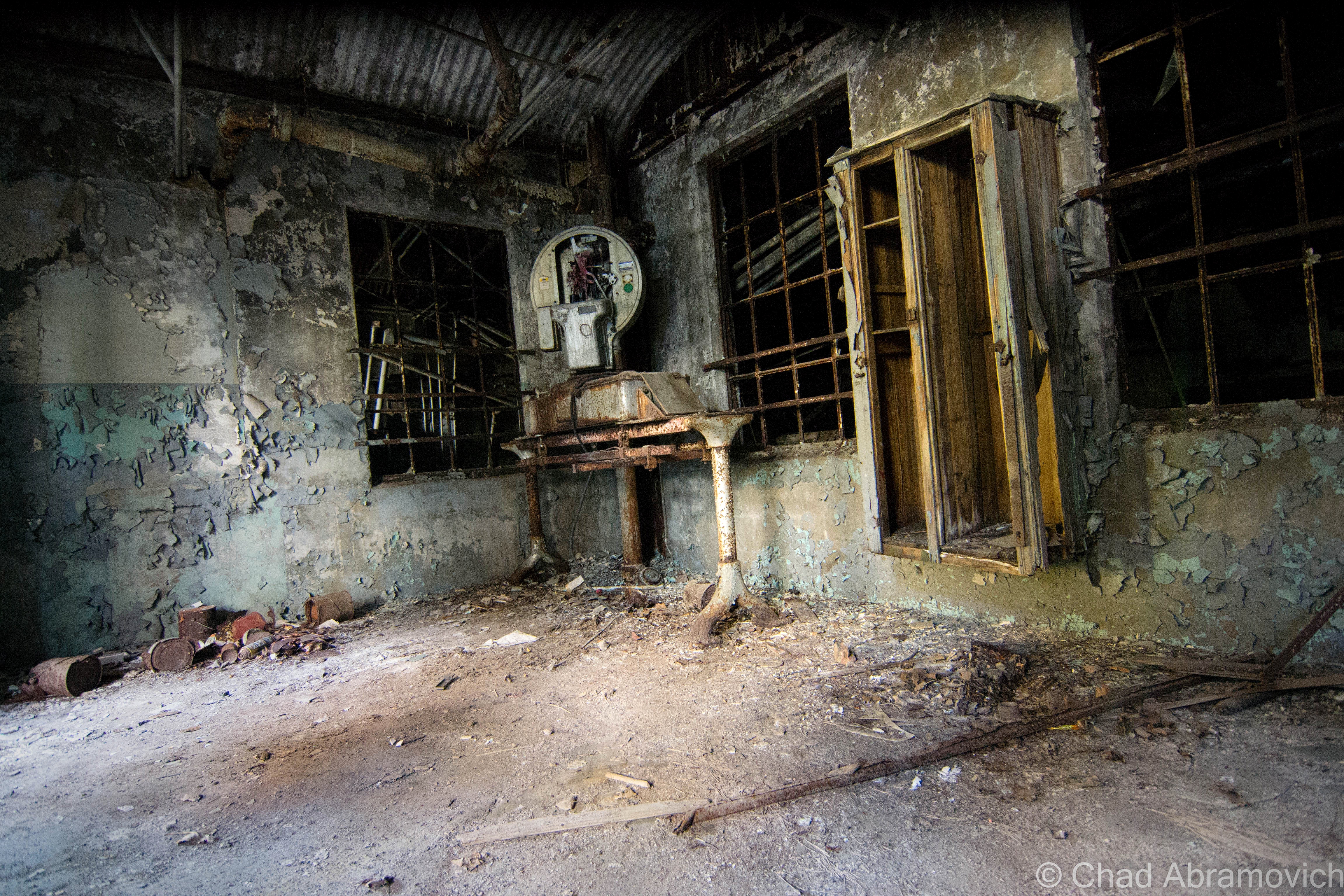
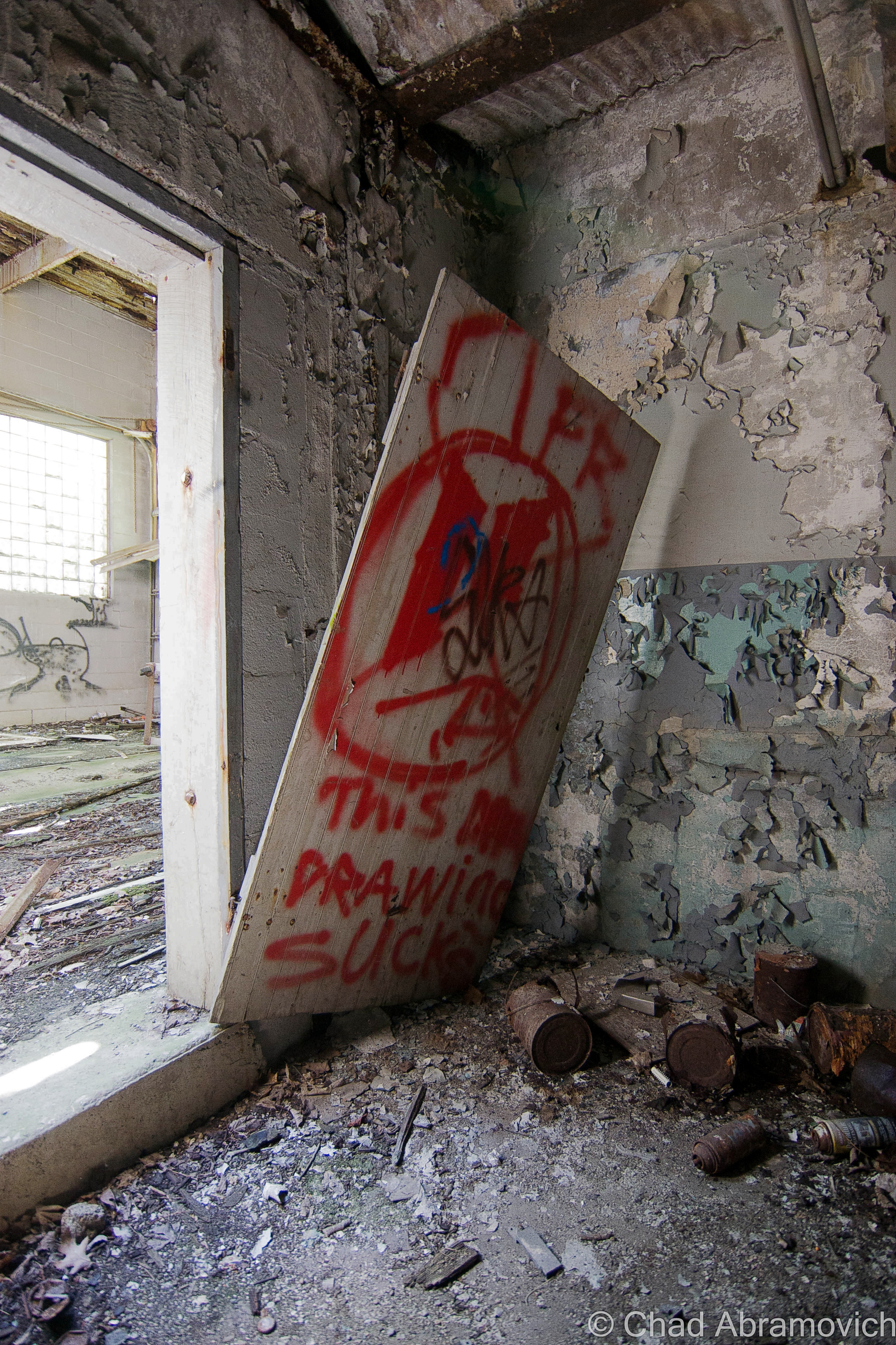
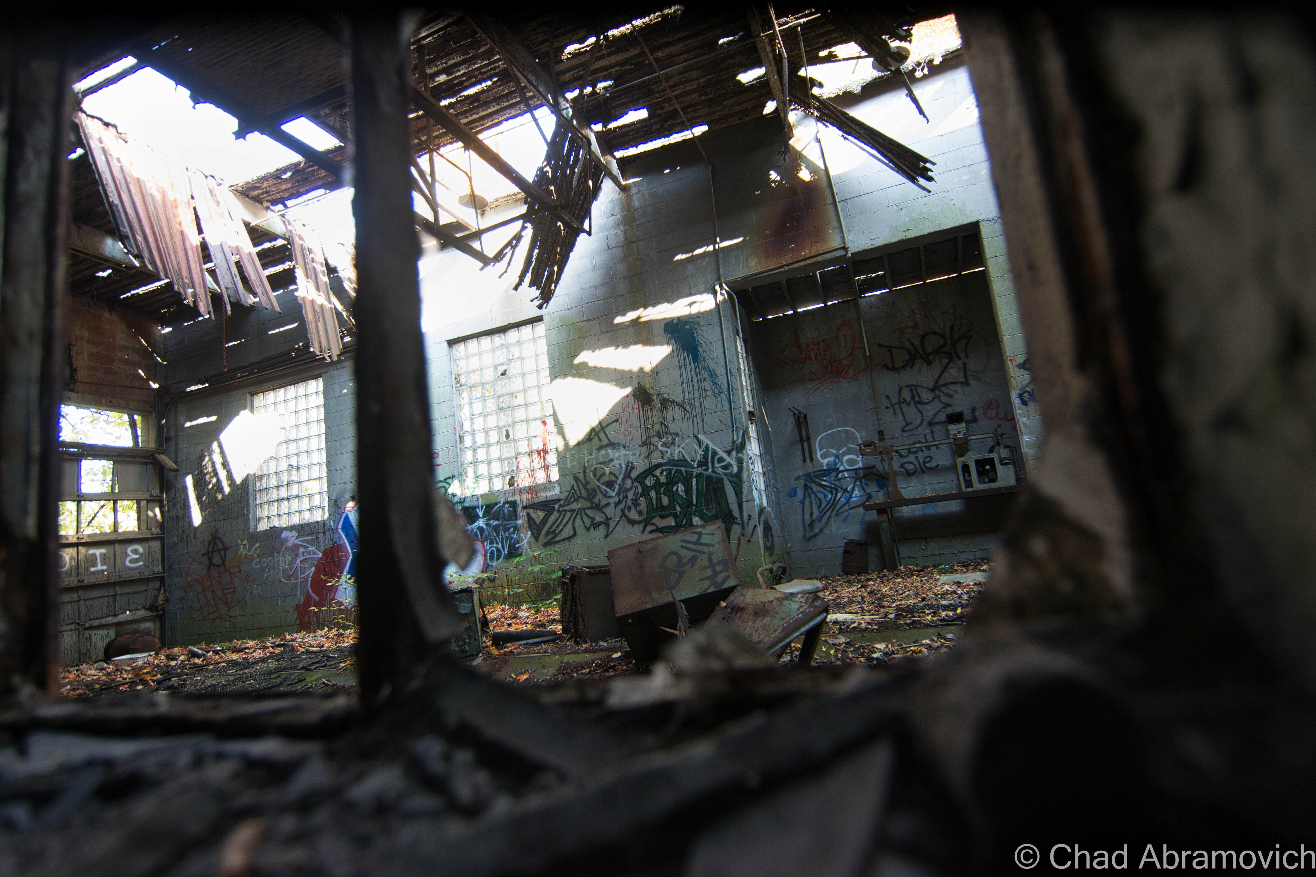
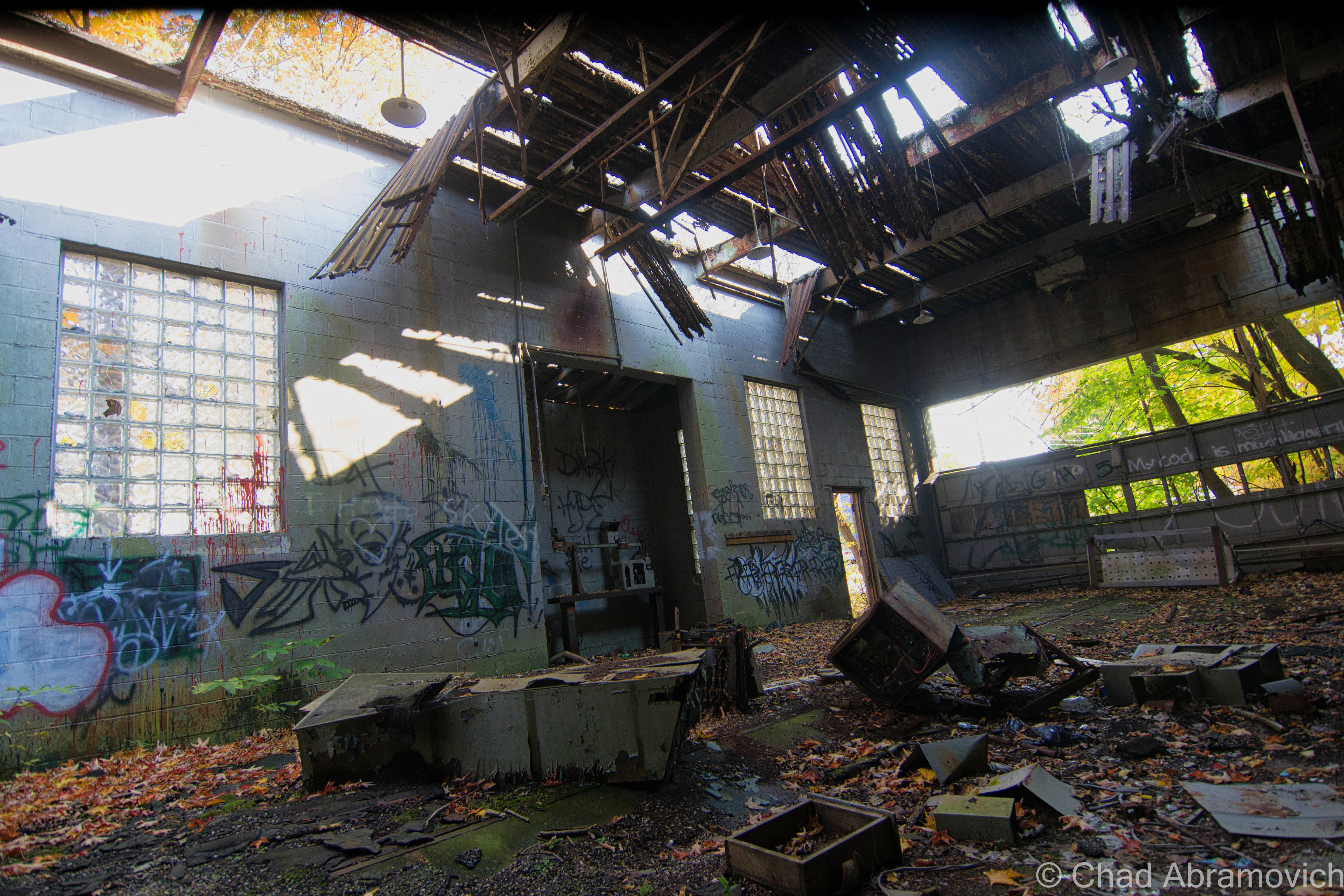
It’s kind of a rarity to find abandoned industrial lots in Vermont nowadays, so when I was made hip to the existence of this old factory in Springfield, I bumped it up to the top of my to-explore list. And I’m glad I did – it’s since been demolished.

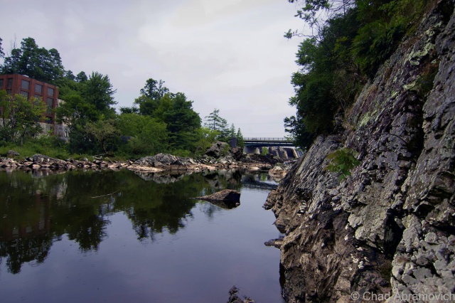
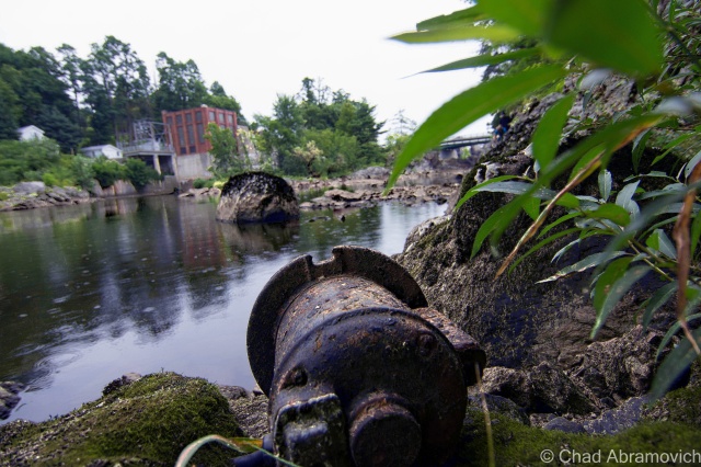
On the banks of the town’s engine; the Black River, existed the ruins of a far-reaching factory – in both its size and its metaphor.

The origin of this building goes back to 1907 and the genesis of Springfield’s metamorphosis into a hub of innovation and industry – a culture that would become inexorable to the extraordinary marvels that enhanced Springfield’s legacy and is still an enduring source of discourse even after the bustle went bust.

Seriously, it’s rumored that Springfield, Vermont was such an adversary, that Hitler allegedly put it on his number two spot to bomb into oblivion had his Nazi party of terrorists ever atrocitied their way over here to America.

That all changed after the second world war’s hunger for humans ended. Job-seeking soldiers started coming back home, while machine tool contracts stopped coming in – and the town’s prosperity stalled, before succumbing to a steady multi-decade death rattle, leaving Springfield’s postmortem giving off incredulous vibes that anything I’ve talked about in the above paragraphs ever happened here.

But, a lot of stuff used to be invented and then made here – until as recently as a few decades ago. So much so, that for about a good century – from the 1890s to the end of the 1980s – the region became to be known as “Precision Valley” – due to it practically inventing the precision tool industry, and had the highest per-capita income in all of Vermont. Even today, some locals still call their part of the state Precision Valley – which approximately is considered to be anchored from Springfield to Windsor (Windsor is another very cool little Vermont town worth a road trip). The most significant component of all this was the machine tool industry, and the decrepit factory that I’m gonna be blogging about was once the heavyweight of the genre.

In 1869, the Black River rivered too much and flooded and wrecked Springfield village, and as the town struggled to rebuild in the subsequent years, a big fire in 1880 basically undid all the progress and doubled down on the destruction. So a few Springfieldians schemed up a hook to lure people and investment.

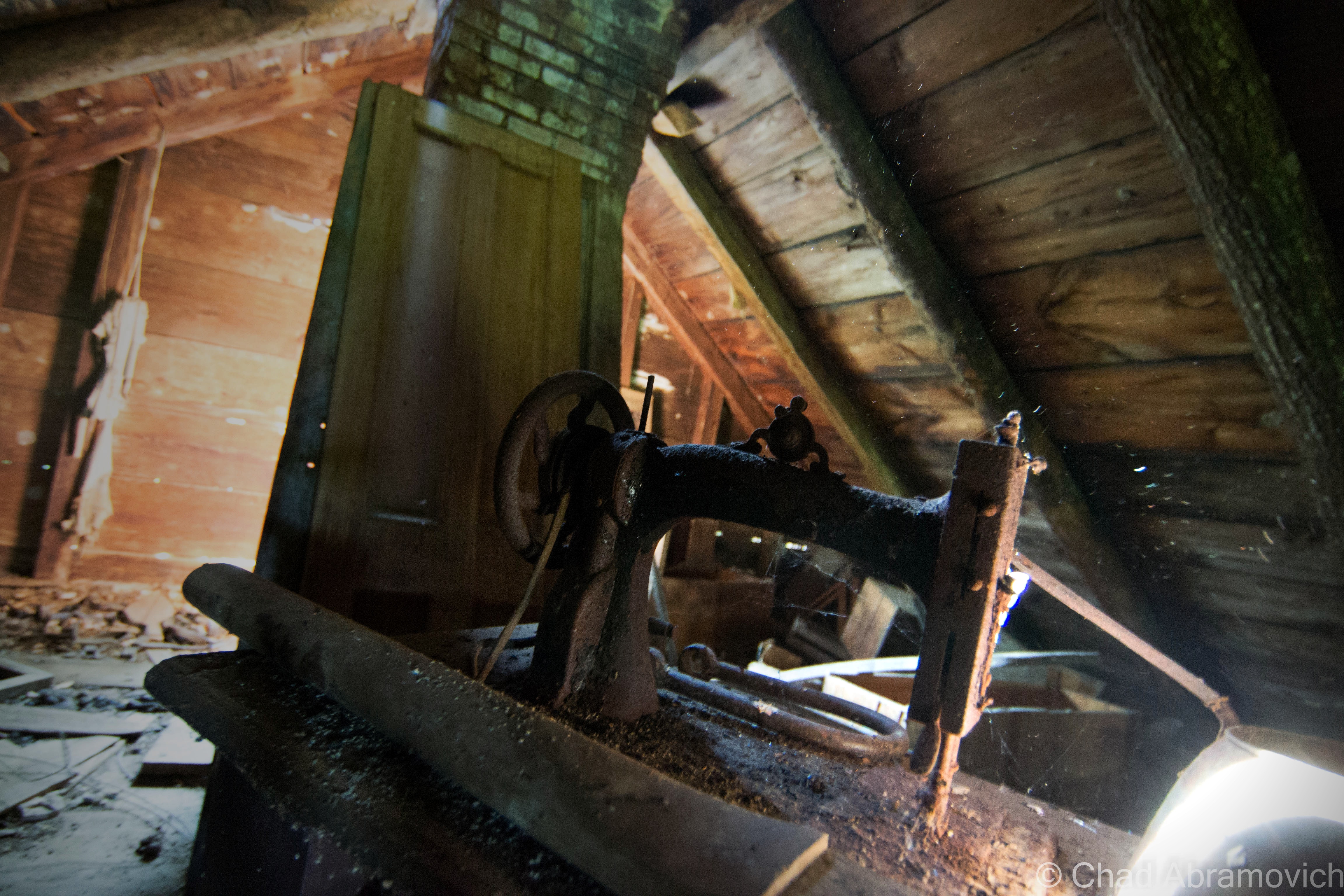
Adna Brown, the general manager of Parks and Woolson – a manufacturer of woolen cloth finishing machinery that was both the first existing manufacturing complex and the last major mill to operate in Springfield – heard that the struggling Jones and Lamson machine tool factory up in Windsor was for sale, and was struck by cleverness. Jones and Lamson had been in business since 1829 and had made a smorgasbord of goods, from rotary pumps, rifles, machines to drill gun barrels, stone channelers, engine lathes, and sewing machines. Their old building is the present-day American Precision Museum, one of Vermont’s coolest archives that showcases many of the things invented in Precision Valley!

Brown put together a group of intrigued investors, and in 1884, persuaded the invoked of a new Springfield law that exempted any industry that would move to town from taxation for 10 years. It worked. 

Brown bought Jones and Lamson and moved it to Springfield in 1888. Construction started on the new J&L digs in 1907 on the banks of the Black River, and Brown’s good business sense kenned he’d need the right person to run the new enterprise.

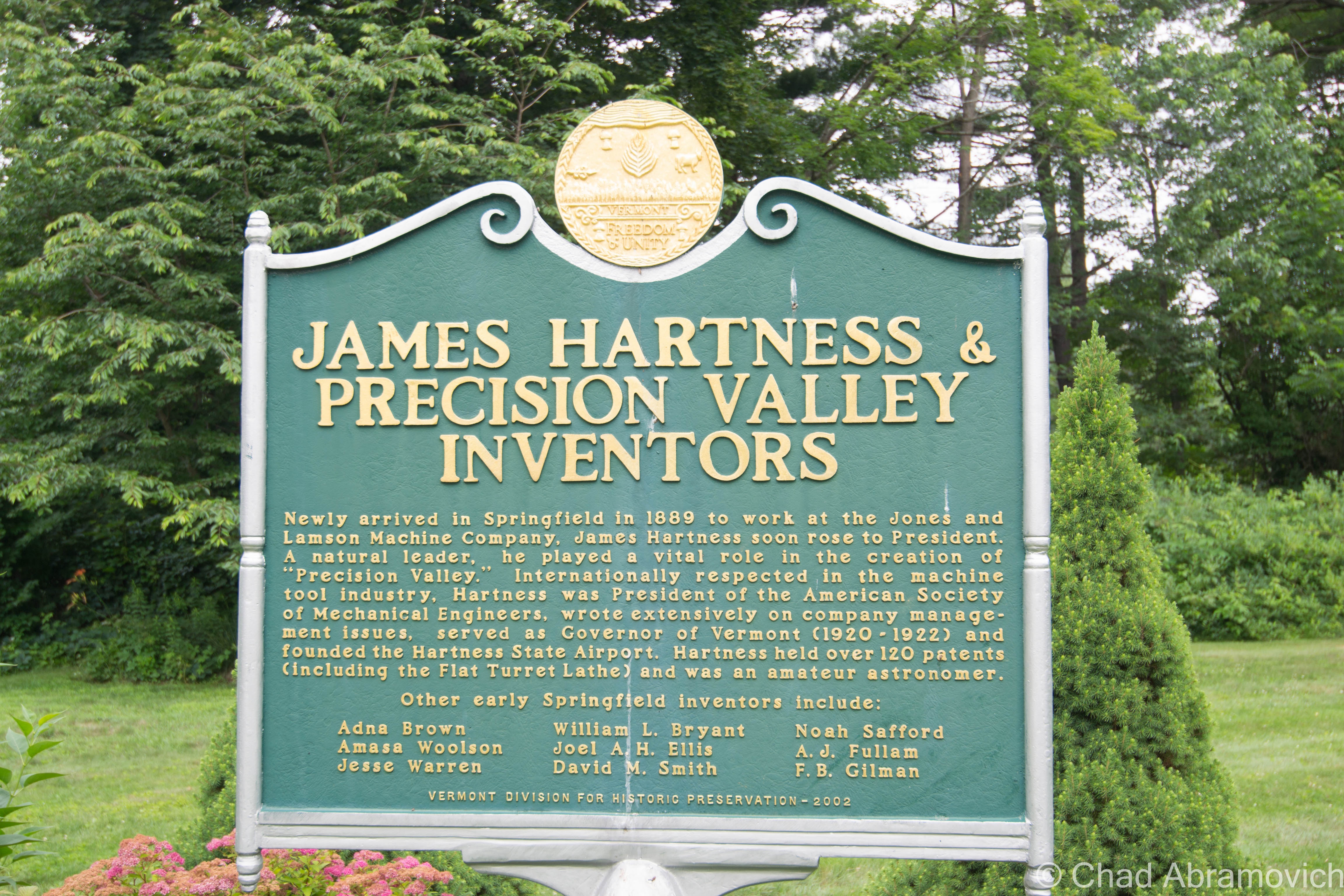
After their first choice turned down the offer because he thought Springfield was too podunk for his liking, they settled for their next option, and little did they know that he’d turn out to be a renaissance tool man. That person turned out to be a young precocious machinist and inventor named James Hartness. Born on September 3, 1861 in Schenectady, New York, he already had experience from cutting his teeth working in machine shops in Connecticut since he was a lad, and used his know-how and indefatigable optimism to flip the company.

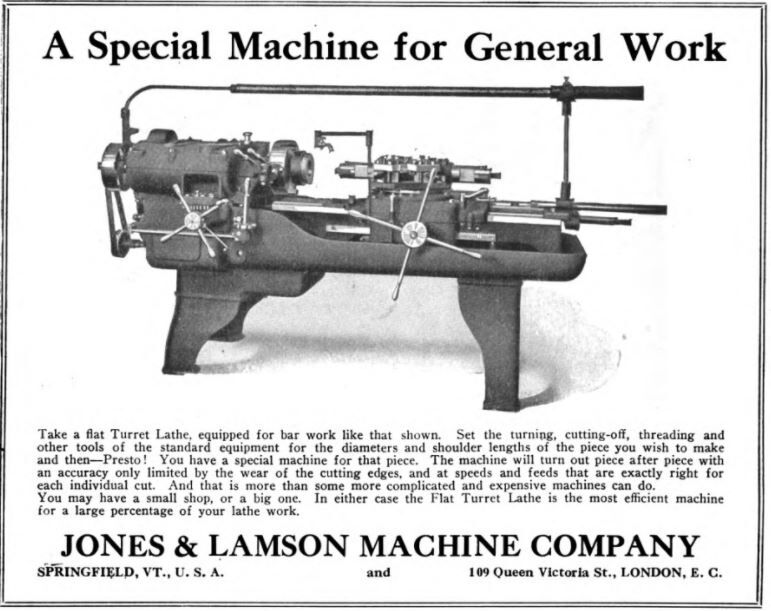
On his first day on the job, he decided that manufacturing so many different things was stupid, and declared that from that point onwards, J&L would only manufacture one thing; the eponymous Hartness Flatbed Turret Lathe, which he invented himself – the machine could shape wood, metal, or other materials by means of a rotating drive which turns the piece being worked on against changeable cutting tools.

The business decision was simple, extraordinarily effective, and a little bit revolutionary – something that seems kinda peculiar nowadays; manufacture a single item, and be really really good at it. And given Hartness’s subsequent rap sheet, it seems to work – and became inherent to the novel format.

Other turret lathe models existed, but Hartness’s was by far the most efficient – being able to mill and shape practically all lengths of metal and could combine multiple tasks with higher precision and longer cuts. It was so good, that it was nicknamed “the silent salesman”.

He also benefited pretty serendipitously from his invention, earning $1,000 a year plus a $100 bonus for every turret lathe the factory sold. Some weeks, he was bringing home more money than most Vermonters were making in a year. Hartness also gained a reputation for continuously advocating for better working conditions and more efficient company management to ensure the business would be as successful as possible. But he wasn’t unscrupulous. He also gained a reputation for pushing for the dignified treatment of the workers, which seemed a little bit weird then at a time of historic emerging social class strife, and still seems a little strange presently, in a modern America where the opposites our past generations fought to improve are becoming the norm again.

Hartness’s brilliance, though, came from the fact he didn’t just invent things, he sort of invented new versions of people and their latent talents. And that just happened to jive with his ideal of a company sticking to producing a single product to thrive.

For example, Hartness saw prospect in and hired an engineer and inventor named Edwin Fellows, who developed a machine that would accurately cut gears that he named a Gear Shaper. Hartness spun off the Fellows Gear Shaper Company in 1896, with its namesake operating as its manager. Fellows’ innovation would then opportunely overlap with the rise of the automobile industry a few years later.

After Fellows left J&L, Hartness needed to seek an engineer to replace him. He found William LeRoy Bryant, a student at the University of Vermont, who joined J&L in 1897 as a draftsman and worked closely with Hartness on the cross-sliding-head turret lathe, which is where Bryant took an interest in grinding. Building on a J&L lathe that used a chuck — a specialized type of clamp to hold a piece in place while it was shaped and bored — Bryant developed a new chuck that was both easier to use and more accurate. By 1909, Hartness conjured up another spin-off: the Bryant Chucking Grinder Company. And this pattern continued.

When Hartness hired Fred Lovejoy to replace Bryant at J&L, Lovejoy became an expert in small-tool design, and he eventually created interchangeable cutters that could be swapped in and out of machines. In 1916, Hartness provided the startup capital for the Lovejoy Tool Company, which awesomely still survives and operates in Springfield!

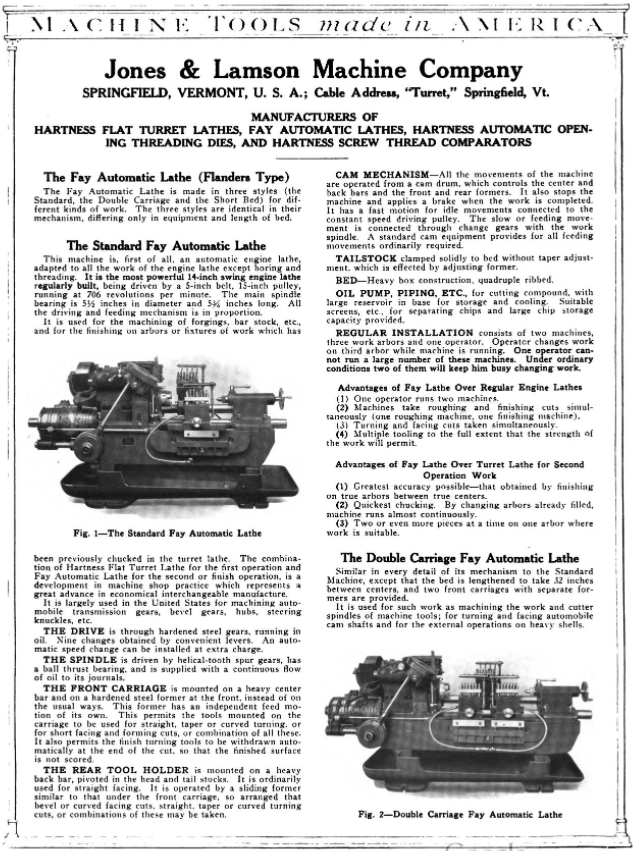
In 1912 Jones and Lamson acquired Philadelphia’s Fay Machine Tool Co, which made the Fay Automatic Lathe – which was designed for the automatic turning of work held between centers. The lathe was significantly improved by a team at J&L led by Ralph Flanders that would be so victorious, that it would ironically eventually evolve into the creation of CNC, which made the manually operated lathe obsolete because the new ones could now operate all by themselves.

Hartness and his prowess fueled Springfield’s combustive growth from the turn of the 20th century until well past World War II, and he did it by introducing one auspicious product after another, each named for its creator.

Because of this, Springfield astonishingly became the machine tool capital of the world.
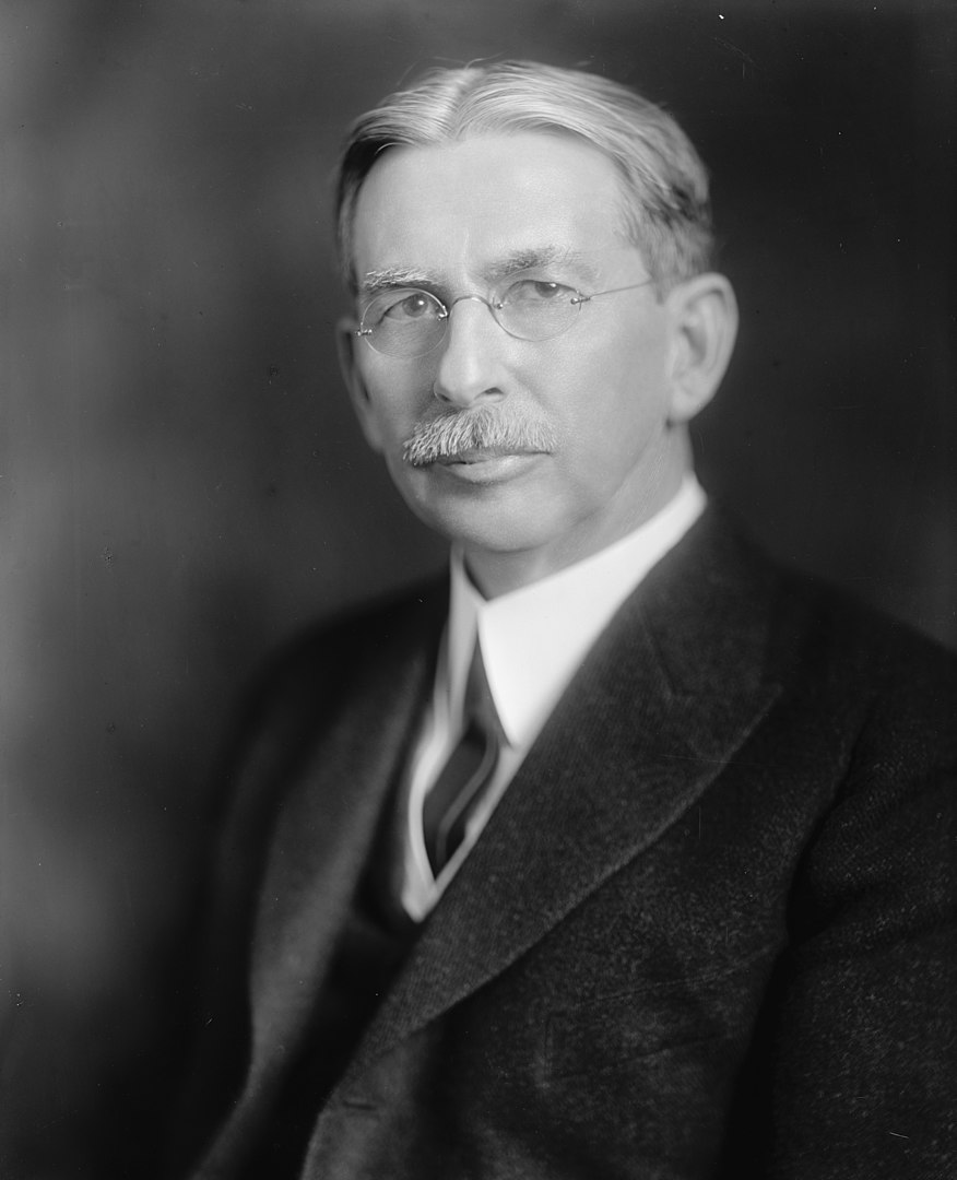
A later portrait of James Hartness | via The Library of Congress and Wikipedia
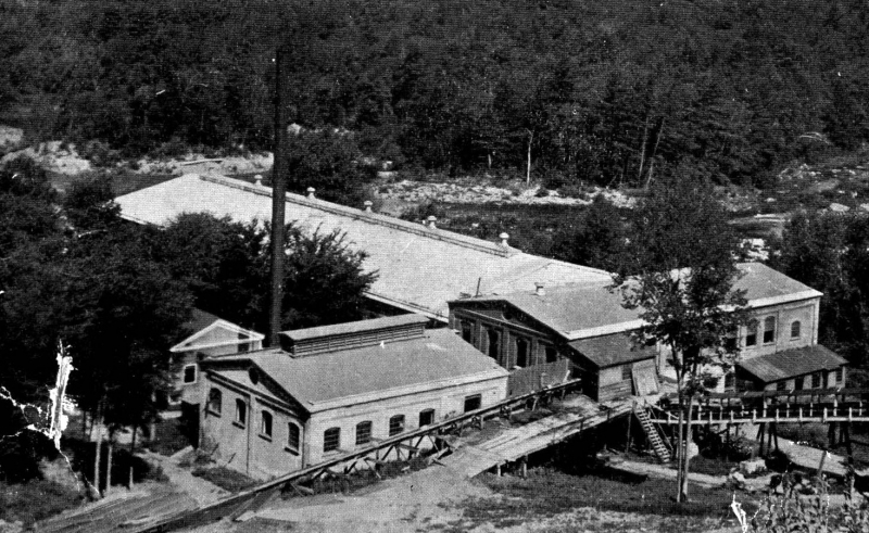
Old postcard of the brand new Jones and Lamson Factory, Springfield, VT. Circa 1094-1918. Present-day Clinton Street/VT Route 11 runs right out front.
Jones and Lamson Factory, circa 1917 | Via Vintage Machinery
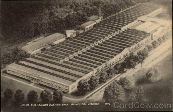
Old postcard of the sprawling former Jones and Lamson Factory in Springfield, circa 1973. The factory would expand to 270,000-square-feet over 12 acres. | Cardcow.com
A full page spread taken from Machine Tools Made In America (1921). This one includes both the Hartness Lathe and the Fay Lathe! – via MyCompanies Wiki
Advertisement from The Iron Age (Dec. 27, 1917) – via MyCompanies Wiki

However, in 1919, Hartness would break his own rule for the only time, when he collaborated with engineer, arctic explorer, and Springfieldian Russell Porter – and invented the optical comparator, a device to precisely measure screw threads that are still manufactured today – it’s so efficient, that any parts that are inspected can be magnified over 200 times, making the smallest flaws detectable!

Hartness and Porter’s mutual fascination with astronomy partially inspired this quantum leap, which is why Hartness wanted Porter to run the comparator business, but Porter was interested in literal bigger heights and decided to instead move to California, where he helped design the Palomar Observatory telescope, so in a rare move, Hartness decided to keep the comparator division close to his side in-house at J&L.

But before Porter departed, he and Hartness also founded The Springfield Telescope Makers – a club that operates in an accidentally trademark pink clubhouse atop Breezy Hill. The story of its standout color is, basically, when it was first built, its enthusiastic members were broke – so they went around to area hardware stores and asked if they’d donate some paint. They ended up with three gallons of barn red, two gallons of white, and a gallon or orange – which they mixed together and got hot pink, which is now emblematic. The clubhouse was christened Stellefane, which is Latin for “shrine to the stars” and not something that you can wrap your leftovers with, is now a national historic landmark, and is still home to both the club, and the annual Stellefane Convention of Amateur Telescope Makers.

Being an avid pilot – one of Vermont’s first – Hartness became president of the  Vermont Aero Club and donated land for Vermont’s first airport – Hartness State Airport – just north of Springfield, and had his pal Charles Lindbergh even stop by for a spell in 1927 after his world flabbergasting trans-Atlantic flight. He also served as governor of Vermont for a single term, from 1921 to 1923, but didn’t run for reelection after realizing that Vermont’s rural and poor economy of the time just wasn’t ready for his aims to further industrialize the state. He would die on February 2nd, 1934, and Springfield’s reliable factories became reverberating manifestations of the American dream. Until they didn’t.

This is a surreally enjoyable upbeat clip from a vintage informational film about the concerns and potential disasters of a dwindling economy after World War 2. At the 5:00 mark, the film showcases Springfield AND the Jones and Lamson Factory! Give it a watch – it’s pretty neat! You can get an idea of what the factory, and the town itself, used to be like in the atomic age! 


So, what went wrong here?

After Hartness’s death, Jones and Lamson continued to absolutely thrive and continue to become the industry benchmark for their craft, and was considered the zenith of Springfield’s enterprises, employing anywhere between 3,000-4,000 people for most of the 20th century.

So what exactly is the culprit for J&L’s, and Springfield’s, event horizon? Well, that’s a tumultuous conversation, because there isn’t just one thing at play, a lot of circumstances kinda just started to materialize on the scene and began shaking hands with one another – all contributing to Springfield’s ode to its fall-through.

Some locals point fingers at the machine tool unions, who in the 1970s, began to row with the companies about ensuring higher wages for their employees, and would hold a few long strikes to get their point across, something that, evilly, is sadly still being fought for today.

Another reason might be something that’s also been steadily plaguing America since around that time period – outsourcing jobs for cheaper labor costs. Many of these companies were family or locally owned, and when next-generation kin wasn’t interested in taking them over due to the more independent/free-spirited culture that was emerging, they were purchased by larger outside firms starting around the 1960s, which seems to be the beginning of Springfield’s ratchet blues. Detached management started to give the machine tool factories less control and began to fracture the former tight-knit inner communities.

But the bigger causality might just be the companies’ refusal to be self-aware. Japan had been studying American machine tool know-how and began to enter the market themselves – and they did so by dramatically innovating their products.

Around the 1980s, the Japanese hustled billions of dollars into the research and development of computerized machining centers that were faster, more accurate, no longer required a human operator, and cheaper than a J&L turret lathe. Back in Springfield, the factories were sticking to their traditional course, and while they were still making quality reliable machines, they began to become outdated in the new frontier of the trends, and eventually, obsolete, as the market shifted to foreign products that were offering more convenience for a cheaper purchase. I know “if it ain’t broke don’t fix it”, but unless these new fads aren’t just impractical enticements that won’t be good in the long haul, if you refuse to innovate and stay at pace with the competition, it can be a guaranteed ticket to extinction.

Unfortunately, that’s what happened to Springfield. 

What’s stressful is that, to be innovative, sometimes that takes substantial amounts of funds, and then, the wisdom just where you want them divested, and for smaller operations, that can be tough decision making, and sometimes, even a fatal conclusion. Hartness certainly had a special knack for it, so much so, that it was said that one bank eventually refused to give him any more loans because they thought he was too creative! I mean, Hartness would amass a little over 120 patents in his lifetime…

Jones and Lamson would be bought by a few different companies starting in the 1960s, and eventually go bankrupt in September 2001, but, the assets were sold to Bourn & Koch Inc. who coolly still continue to supply replacement parts for the extant J&L machines today. However – the optical comparators division of Jones and Lamson, called J&L Metrology, still exists! They’re the only company making optical comparators today in the United States, and are still headquartered in Springfield – attached to the ruins of the rest of the J&L empire (well, after moving to South Carolina for a stint but then coming back)!

The only other stalwart to exist from the ruins of the machine tool era is the Lovejoy Tool Company – who also still operate in town!

A good portion of the old Fellows Gear Shaper factory compound still exists too, and it’s been thoughtfully renovated into mixed commercial and industrial spaces – which is absolutely a preservation win!

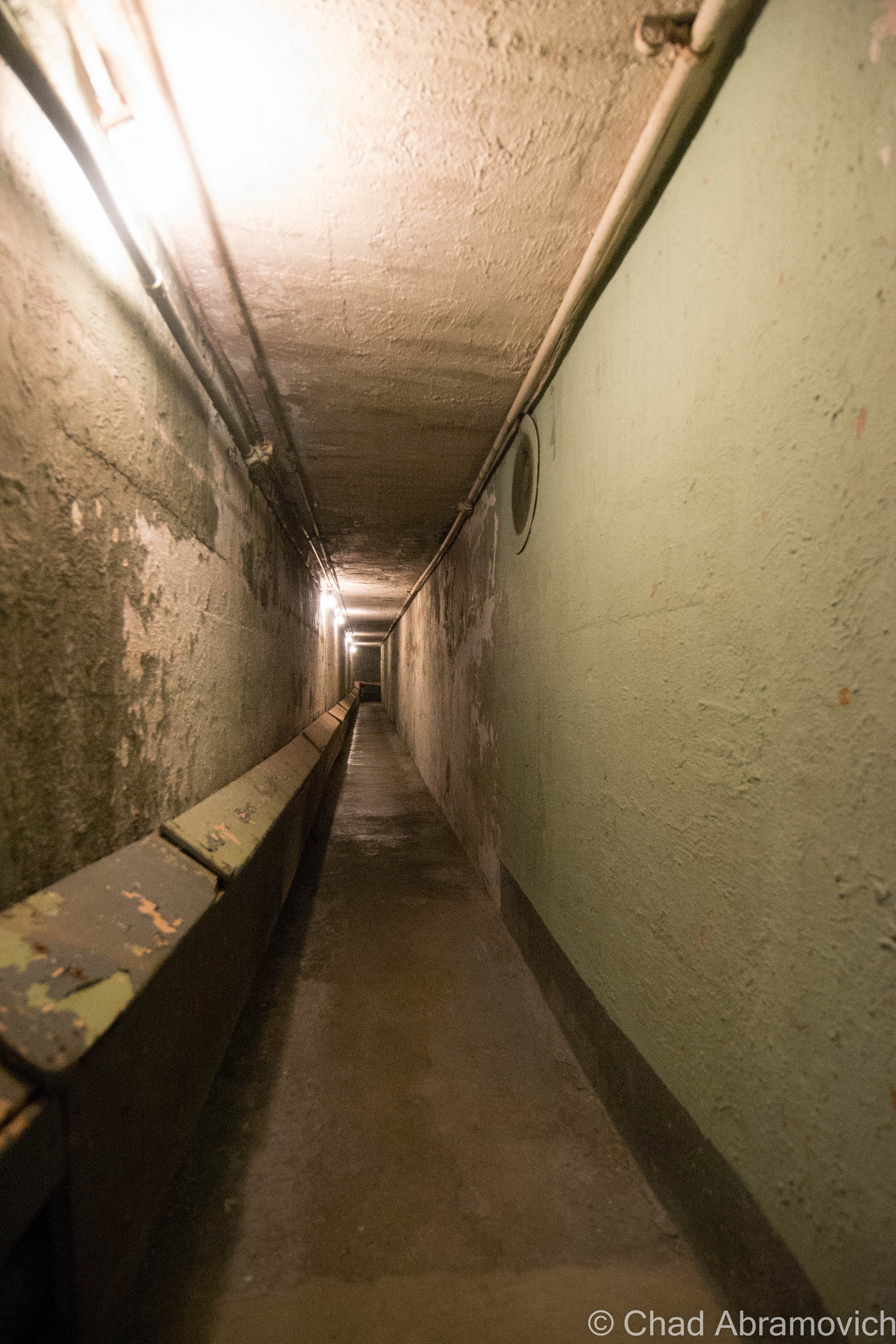
Another vestige of that age is the incredible Hartness mansion itself, which has been turned into a bed and breakfast (and at the time I’m writing this blog post, is up for sale according to Yankee Magazine). I’ve visited before and was excited to investigate the house’s most curious feature – an underground telescope connected to the house by a secret tunnel that also lodged Hartness’s private underground laboratory that’s now a museum to Mr. Hartness, The Stellafane Society, and Russell Porter. Man that was cool! Even today, there are rumors that still persist that Hartness built more secret tunnels and even secret rooms that branch out underneath Springfield that have been sealed up, or kept clandestine.

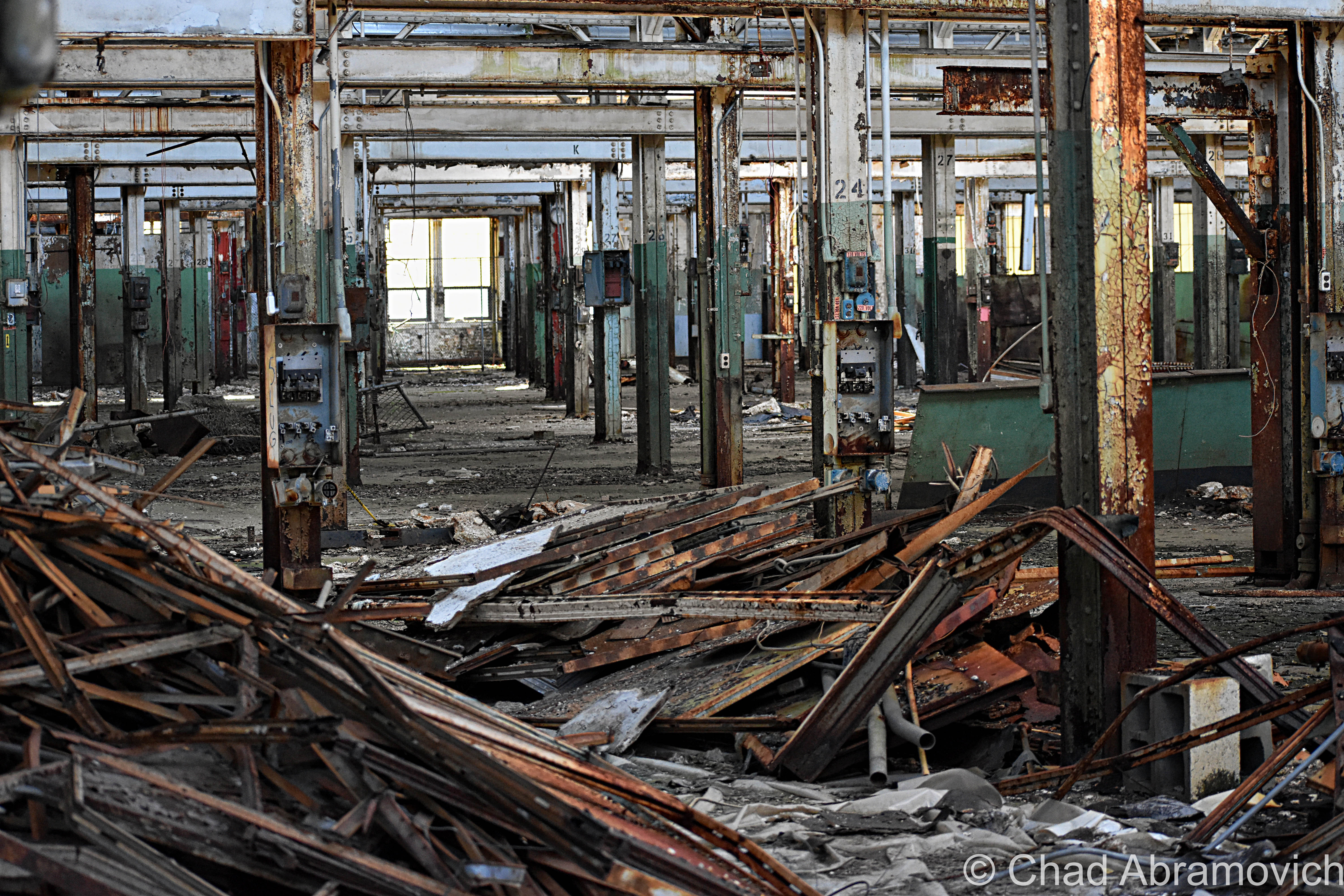
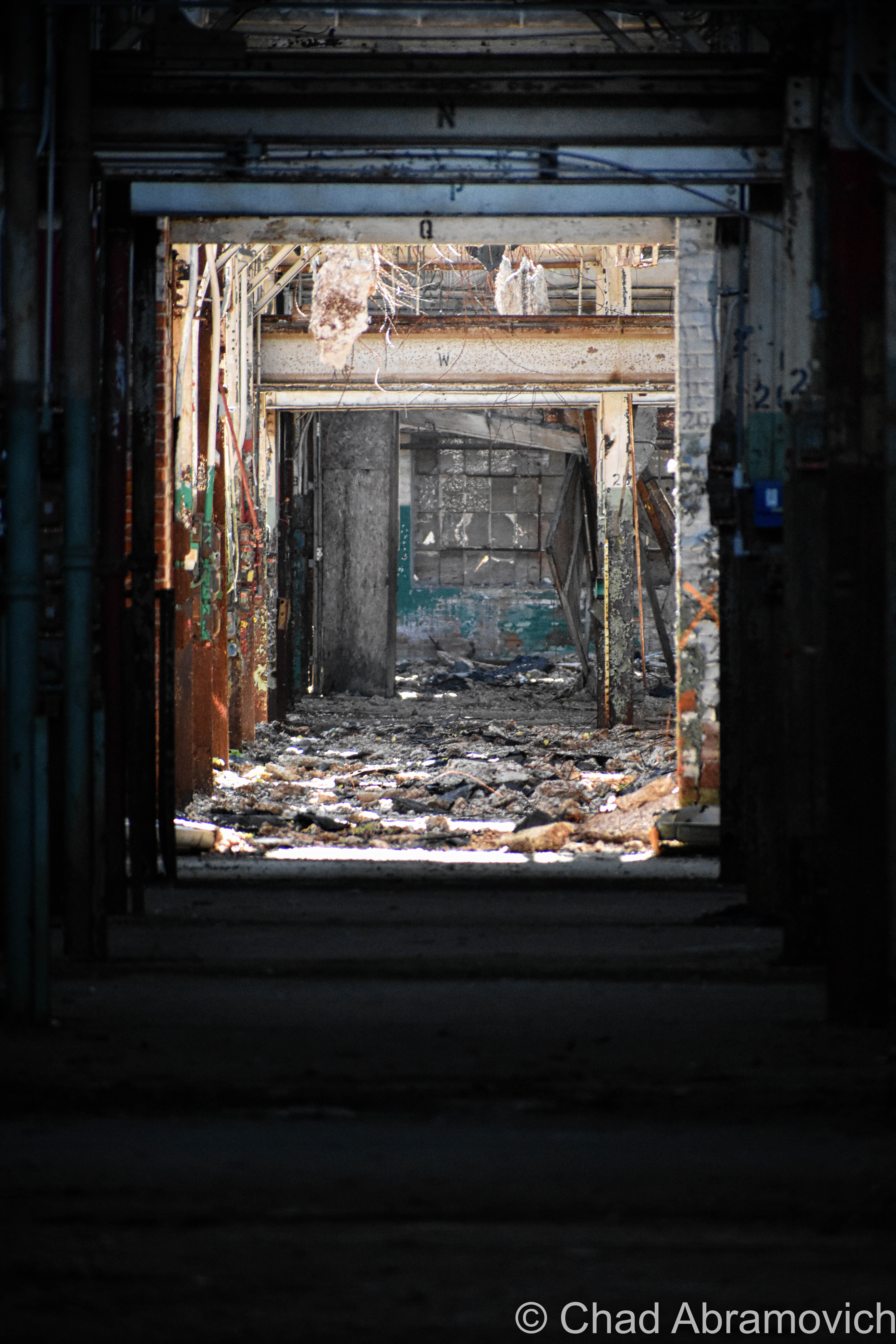
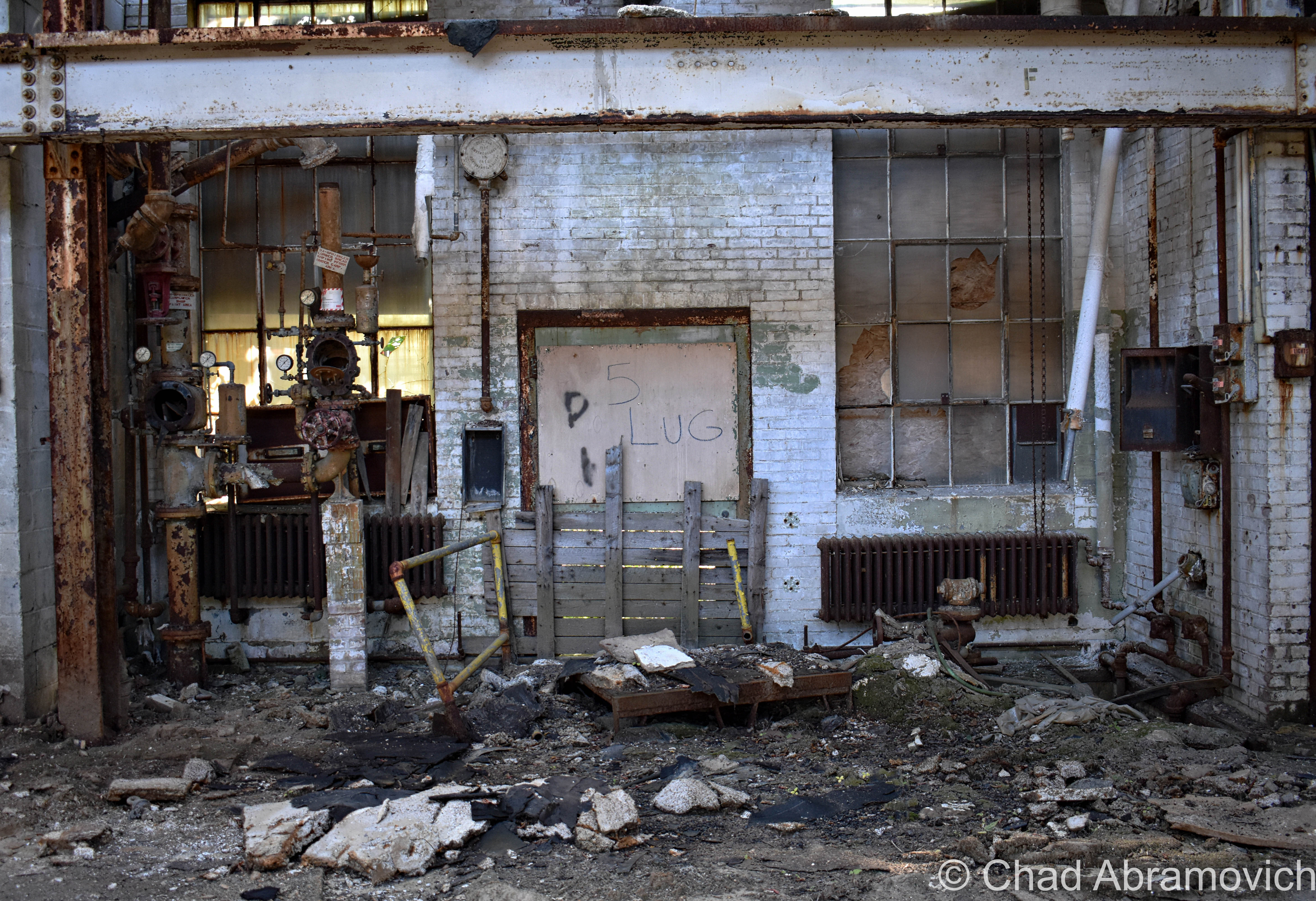
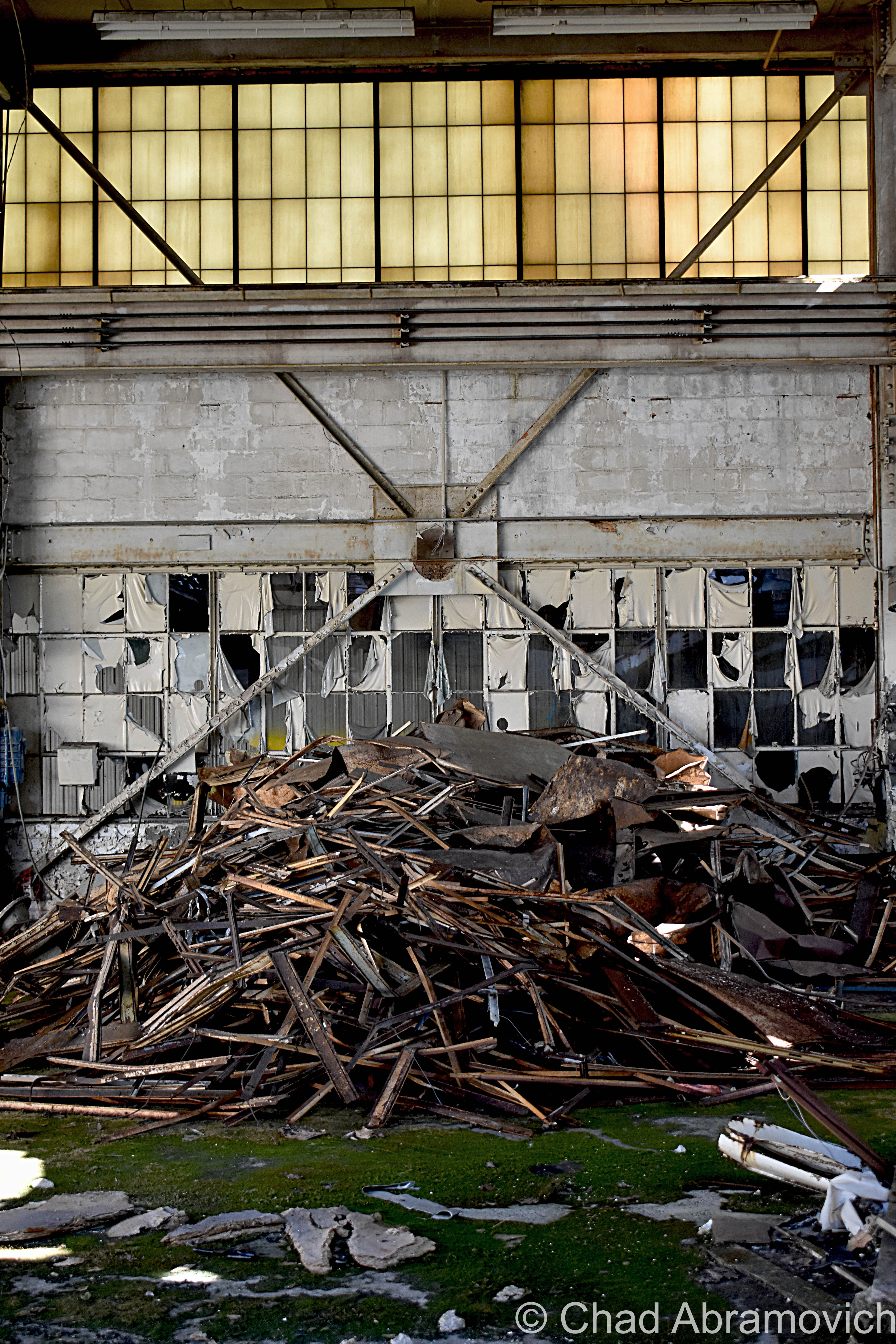
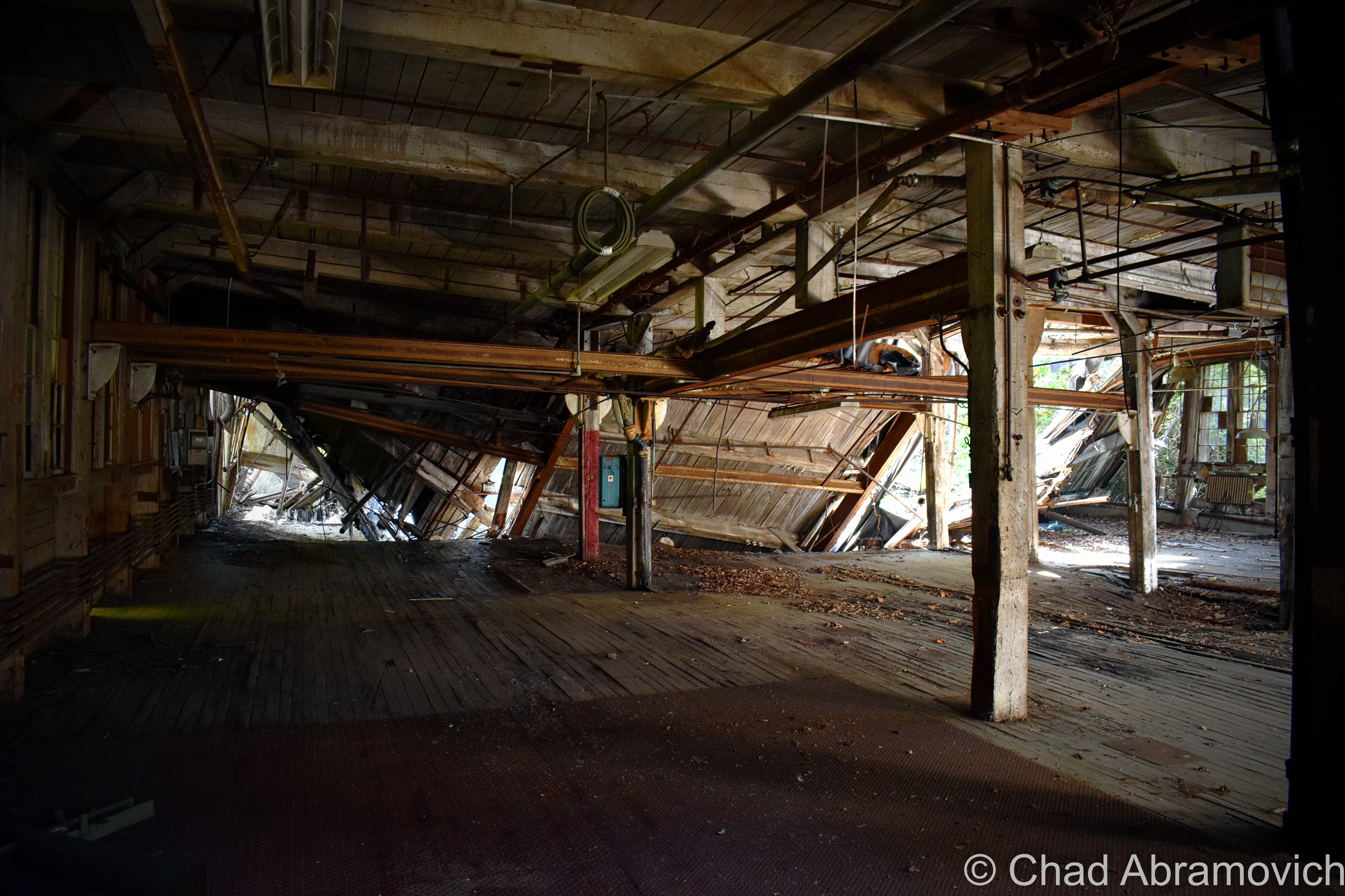
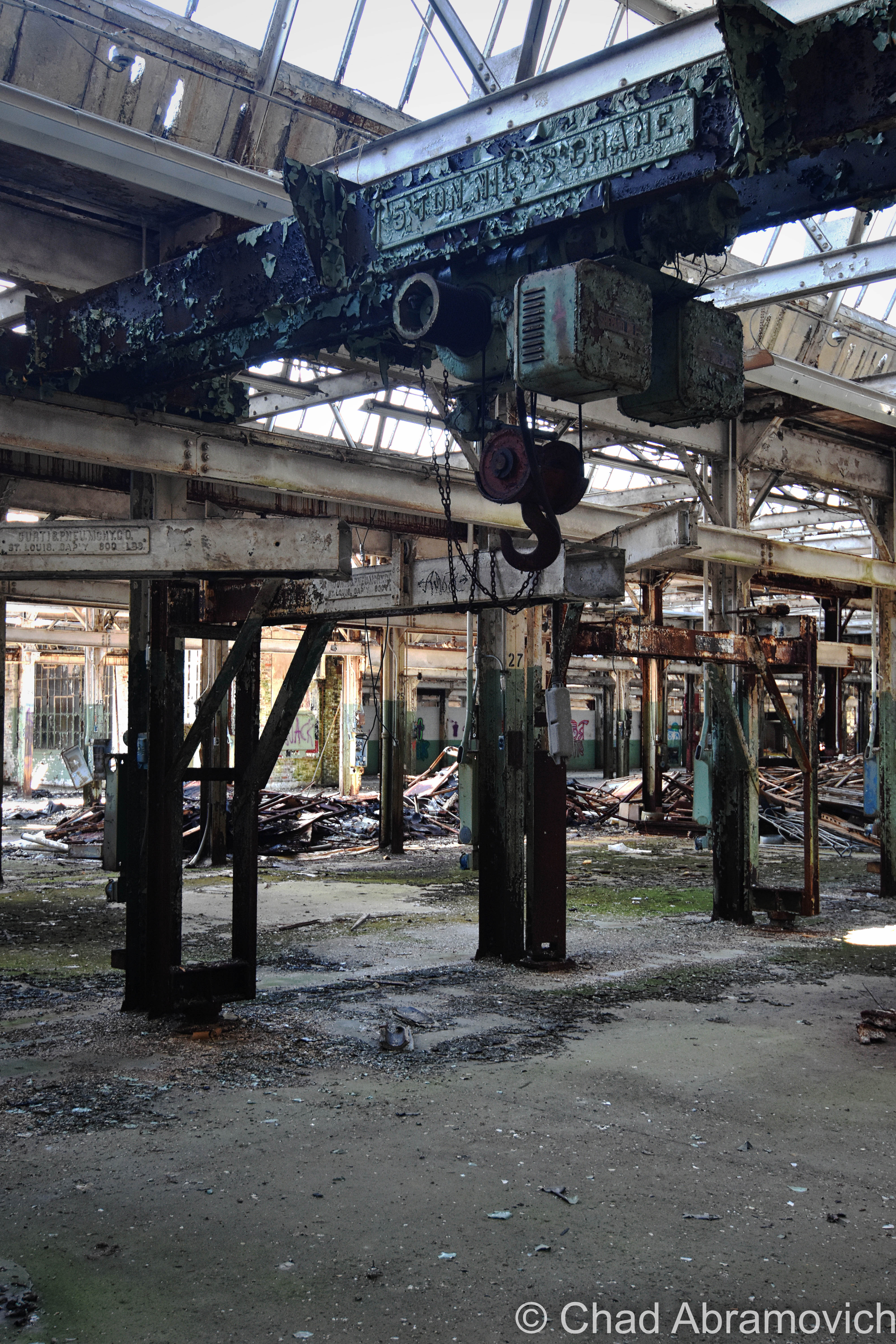
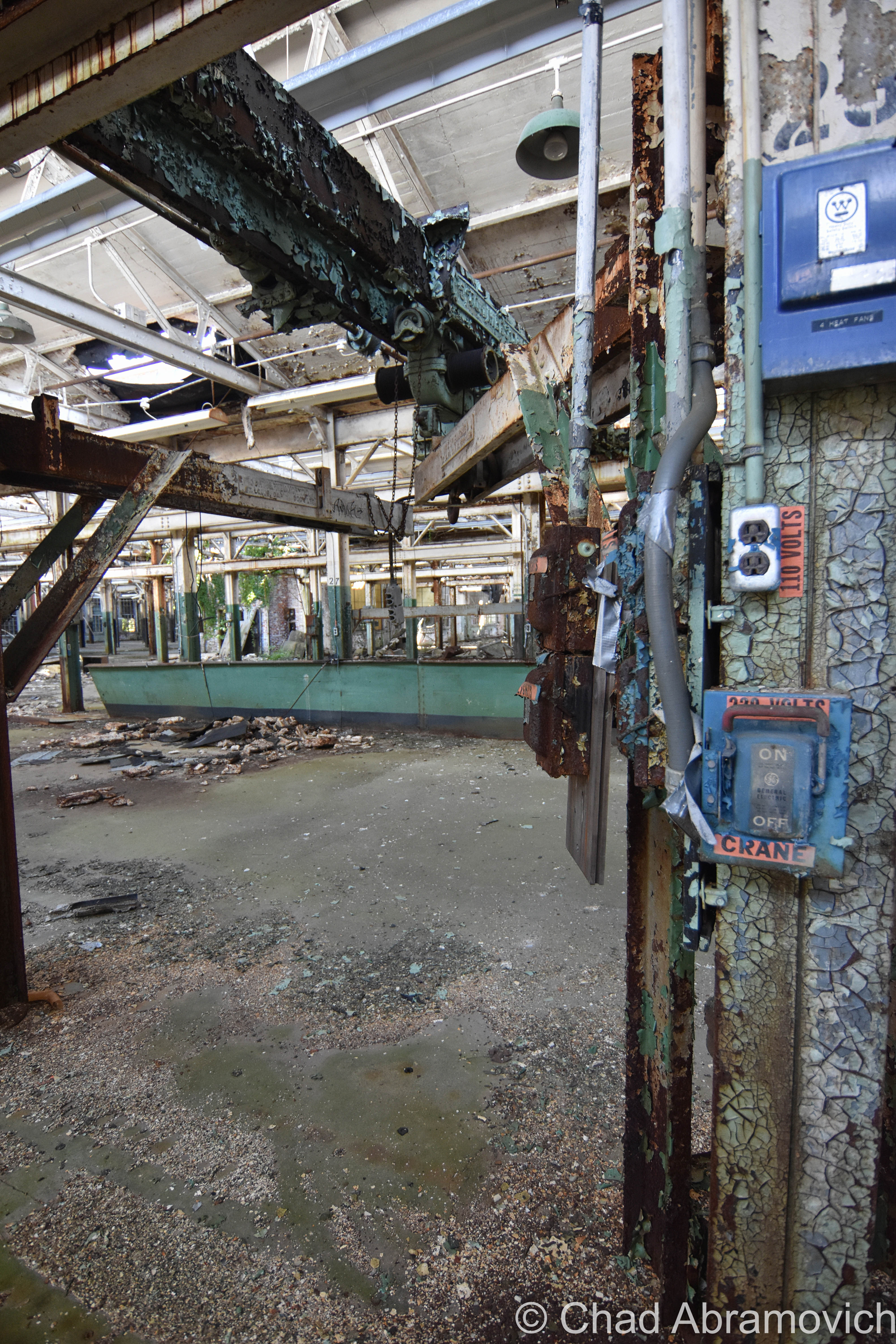
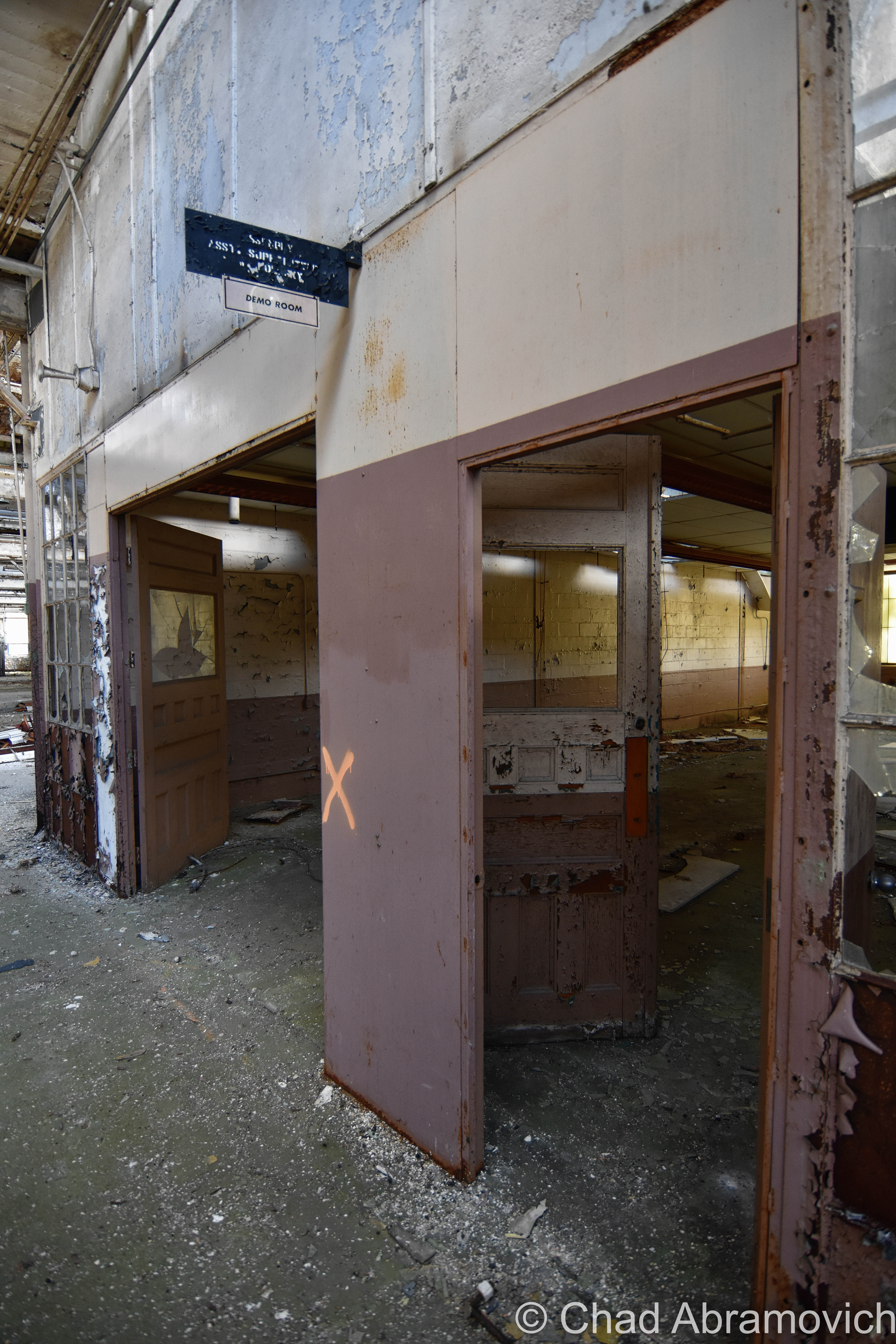
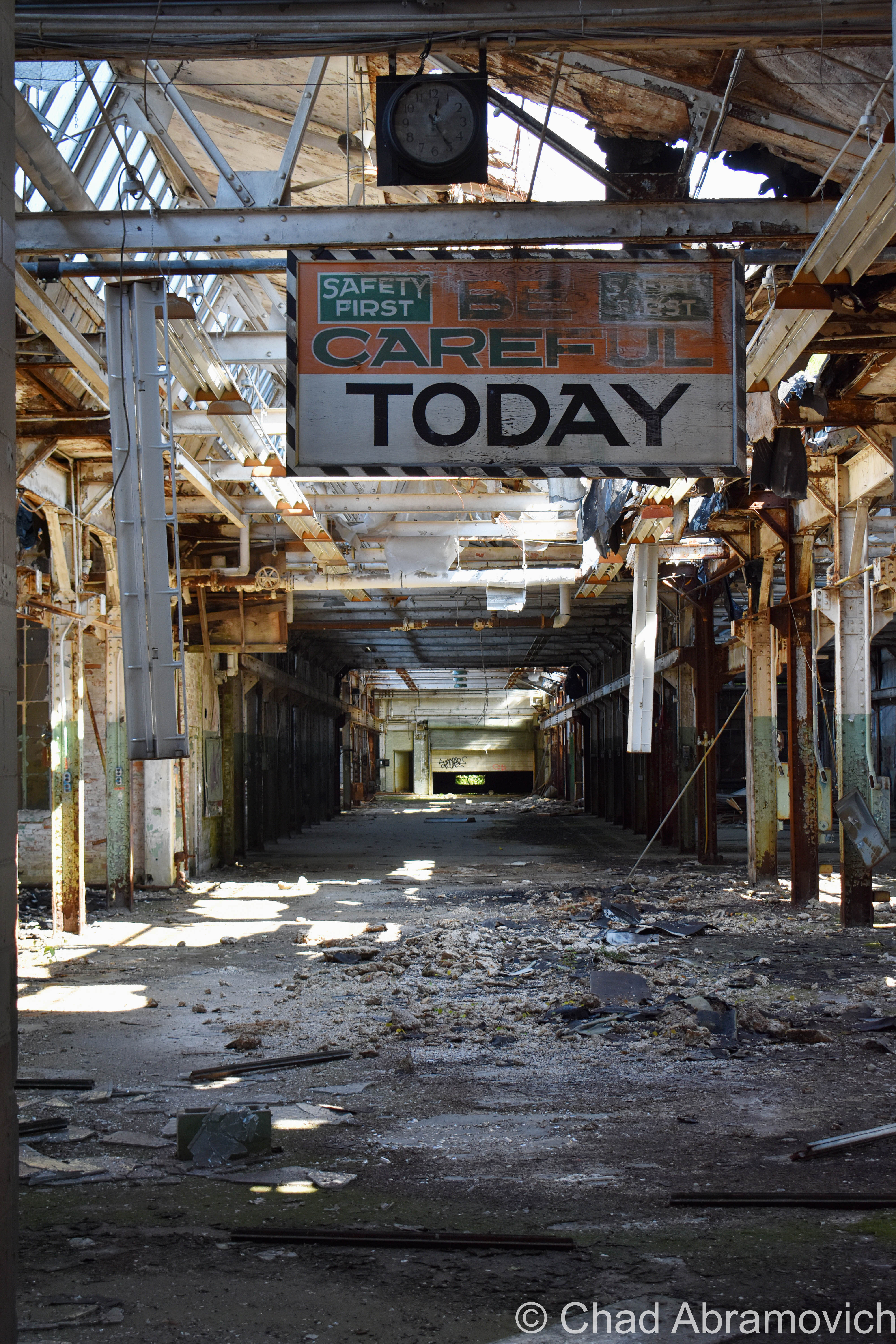
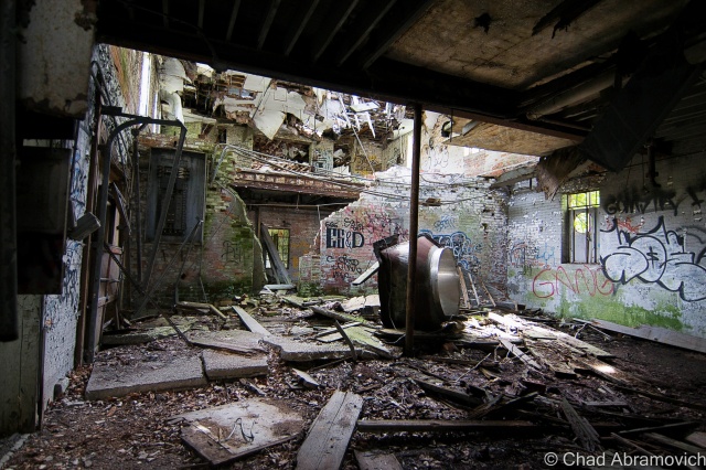
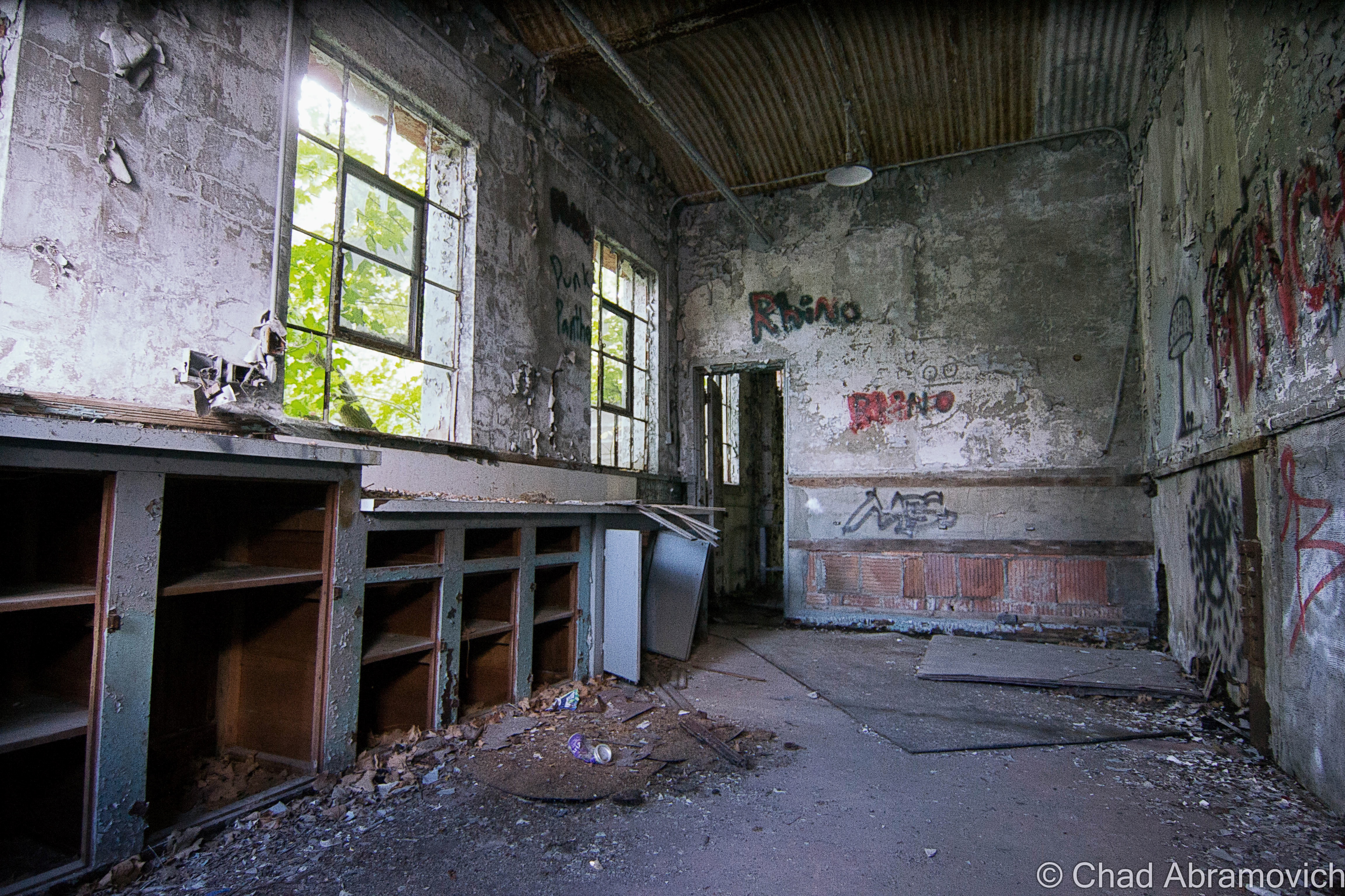
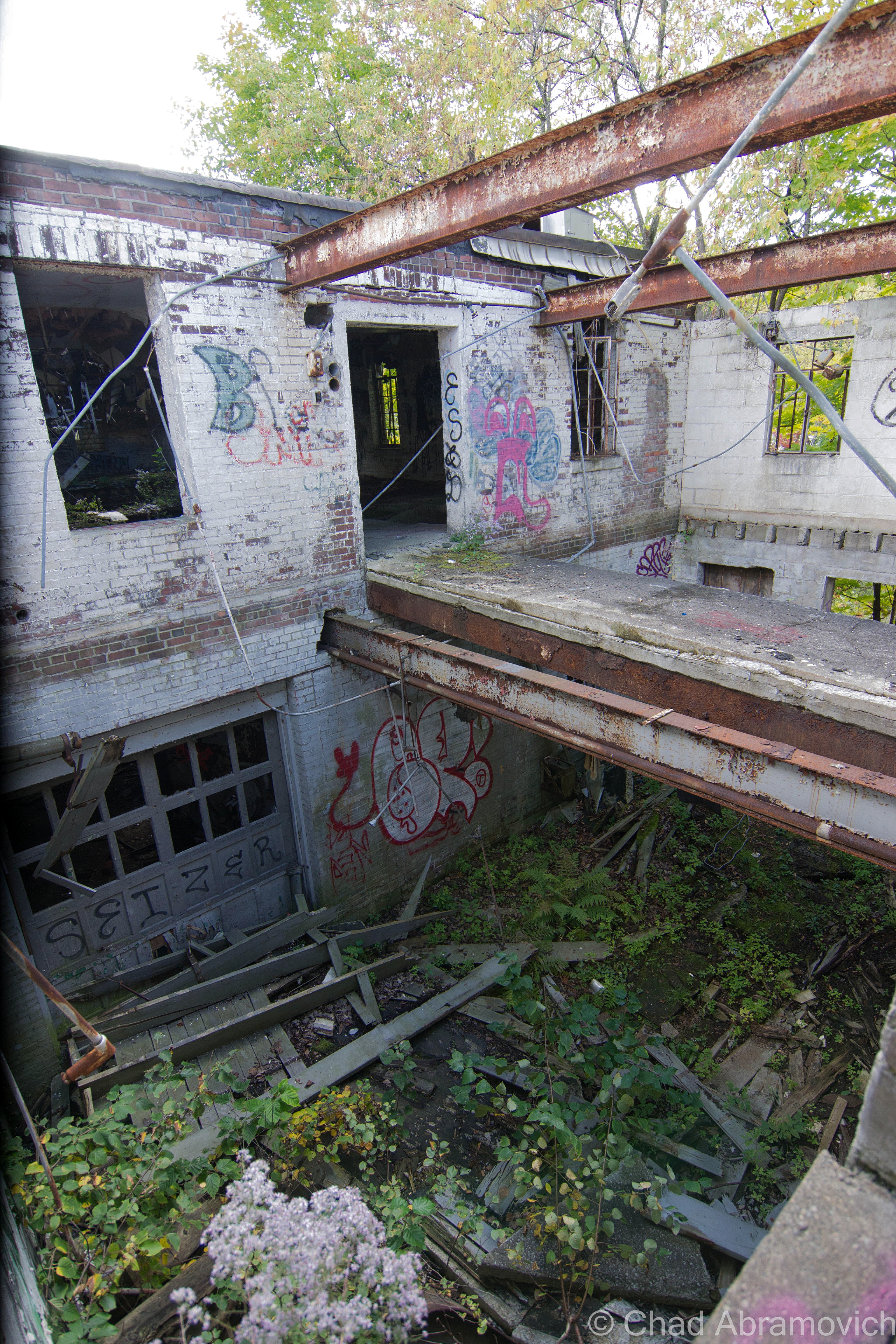
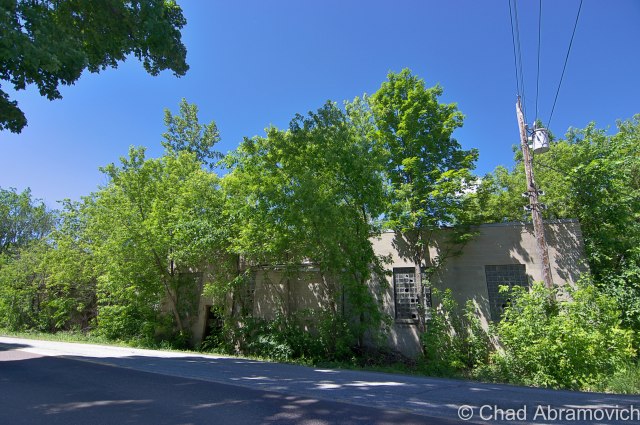
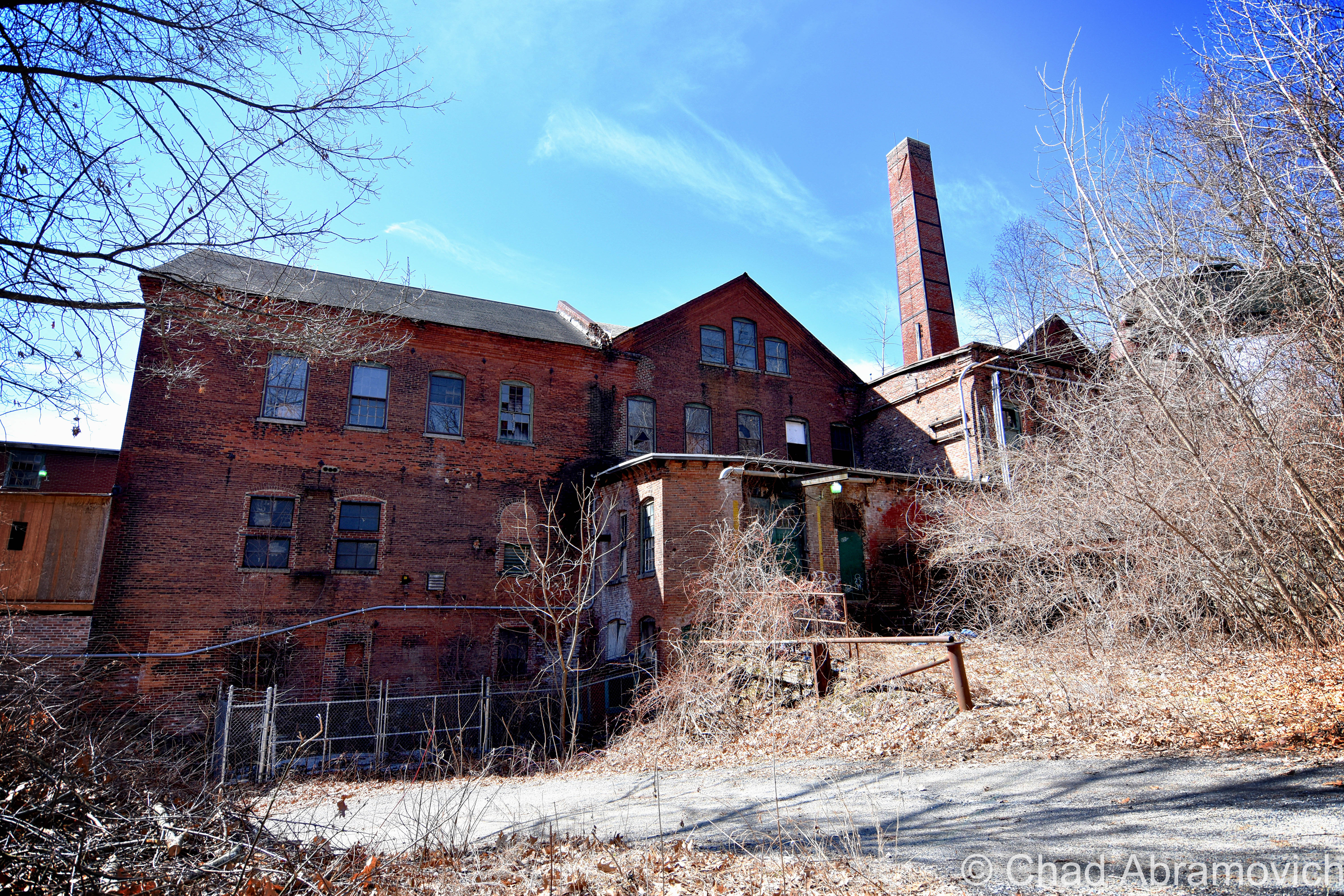
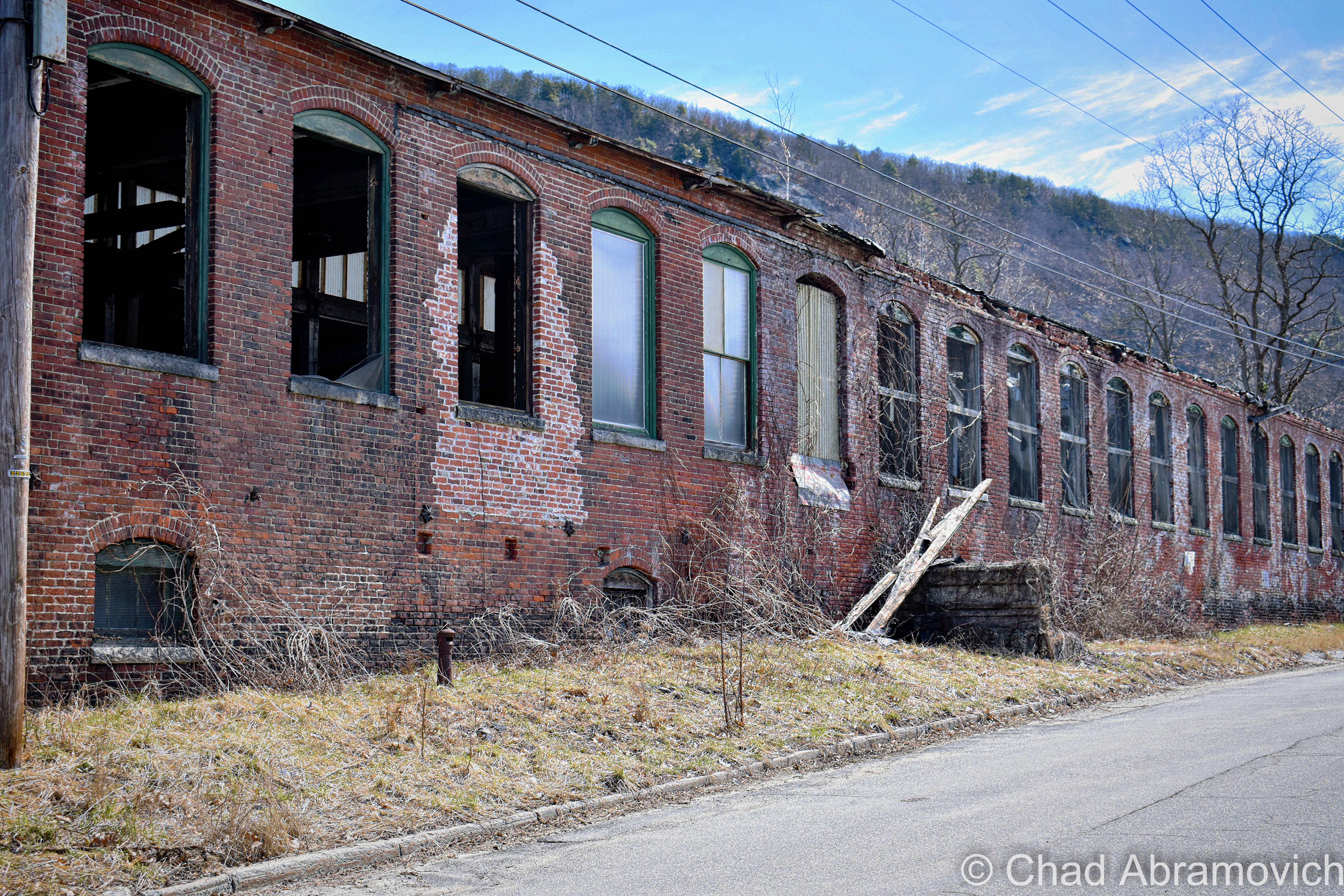
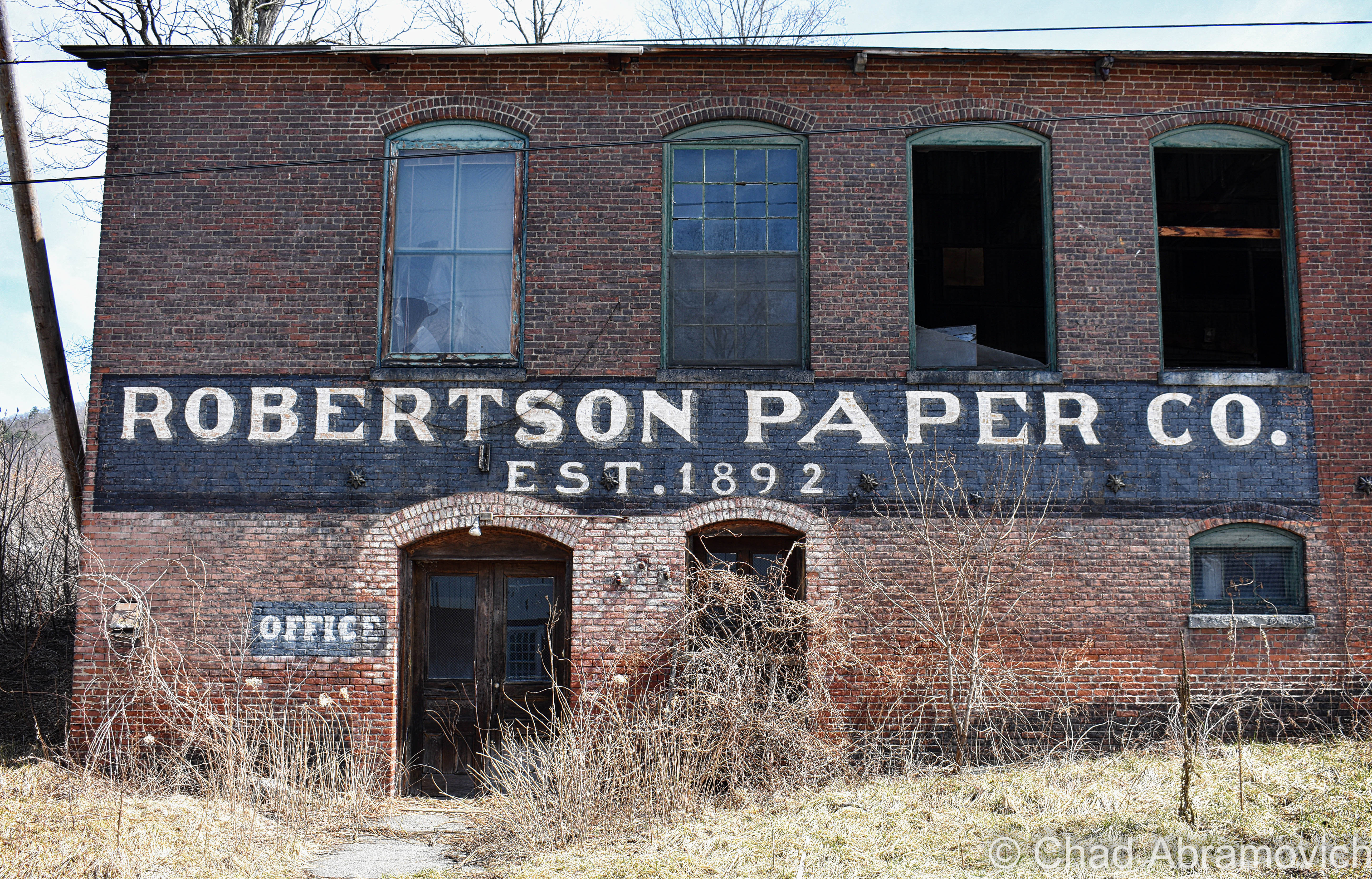
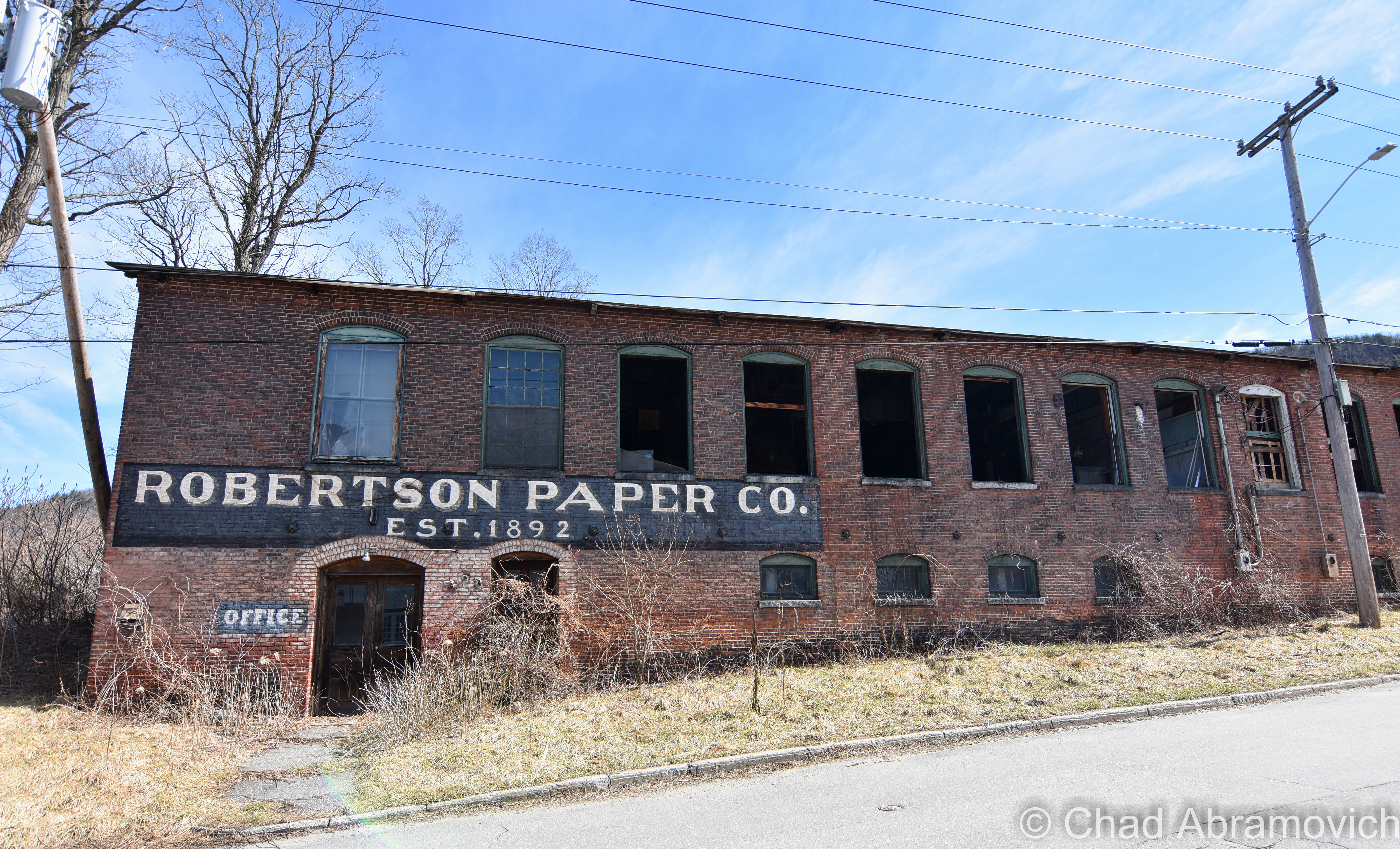
The Jones and Lamson factory had been abandoned since 1986, and for decades, its ruins became a conspicuous landmark that marked one of the main entry points into town. And it was an absolutely gigantic property: 270,000 square feet of decaying building that sprawled over 12 acres of land between the Black River and VT State Route 11, known as Clinton Street through that part of town.

In 2004, the Springfield Regional Development Corporation purchased the property in hopes to, well, do something with it, but its runaway deterioration and designation as a brownfields site – or – a property that’s enormously polluted by toxic materials, usually as the residual of former industrial use, kinda problematized any headway that could have been made. The old J&L factory played host to tons of industrial chemicals, including polychlorinated biphenyls (PCBs); trichloroethylene (TCE); and light, non-aqueous phase liquids (NAPLs), and to remediate hazards like those, you need to secure lots of capital and involve lots of bureaucracy.

In November of 2021, cleanup grants had been secured, and the factory was demolished, which I can’t help but be pretty bummed about. What a shame, it was such an irreplaceably neat building that I feel had the potential to morph into a great new resource for Springfield if given the love.

But – the plan is that they hope to sort of go full-circle with the lot, and lure another industrial gig to town that hopefully will continue to push back the boundaries of the unknown and isn’t just another awful Dollar General. The land is flat, which is pretty a valuable deal in Springfield because most of the village is built up around low-profile slopes that contort around the Black River. It’s also apparently hooked up into some of the fastest internet connections in all of Vermont, which is also a huge deal here given the state’s notoriously lacking rural infrastructure. It’ll be interesting to see what comes along – and I really hope that it’ll be something that will serve Precision Valley with dignity for another century. Springfield is absolutely a town worth rooting for!

An interesting side note to all this, is that because of the rich industrial history and current fading ghosts of the area, the town has kind of amassed a bit of a steampunk scene, which has since turned into a notable cultural festival.

Acreage

I was excited. I was meeting up with a friend from college I hadn’t seen in years who was getting ready to move out of state, so we figured an explore was a good way to part ways. And it was a lovely early fall afternoon – light jacket weather and foliage just barely starting to change into its death hues – the perfect adventuring weather. It had been a while since I’d had a good urbex – my soul was really jonesing for this excursion.

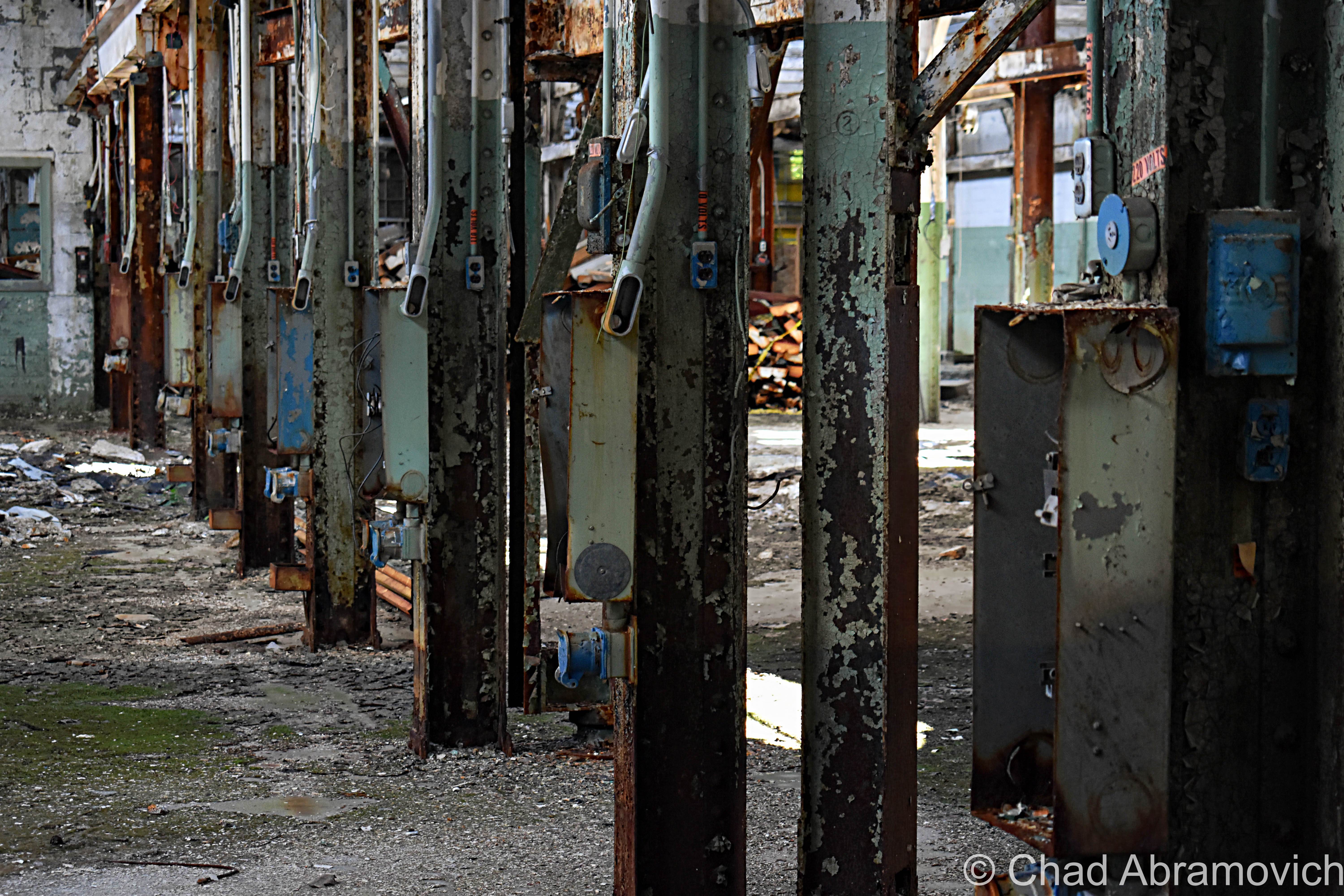
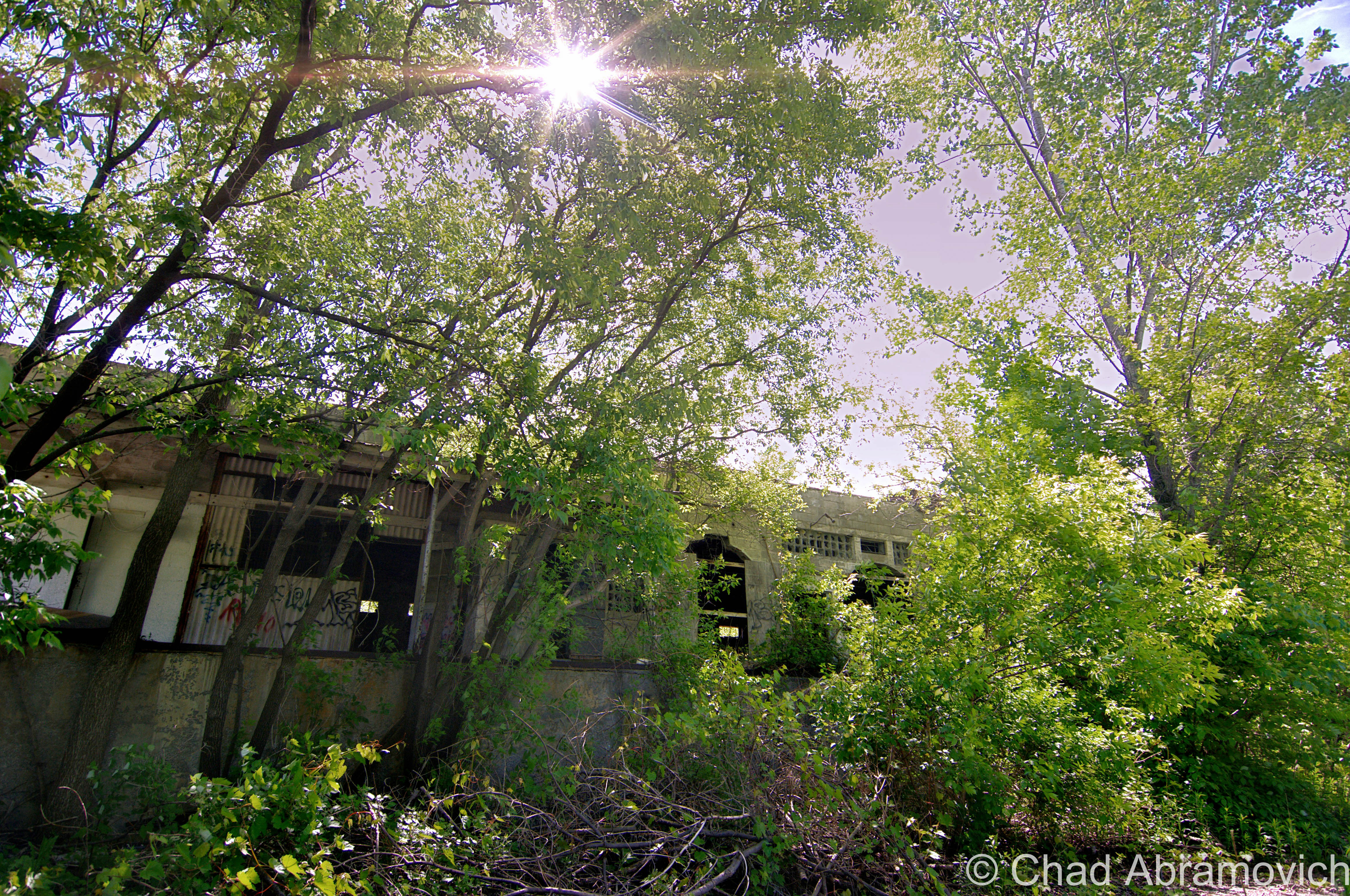
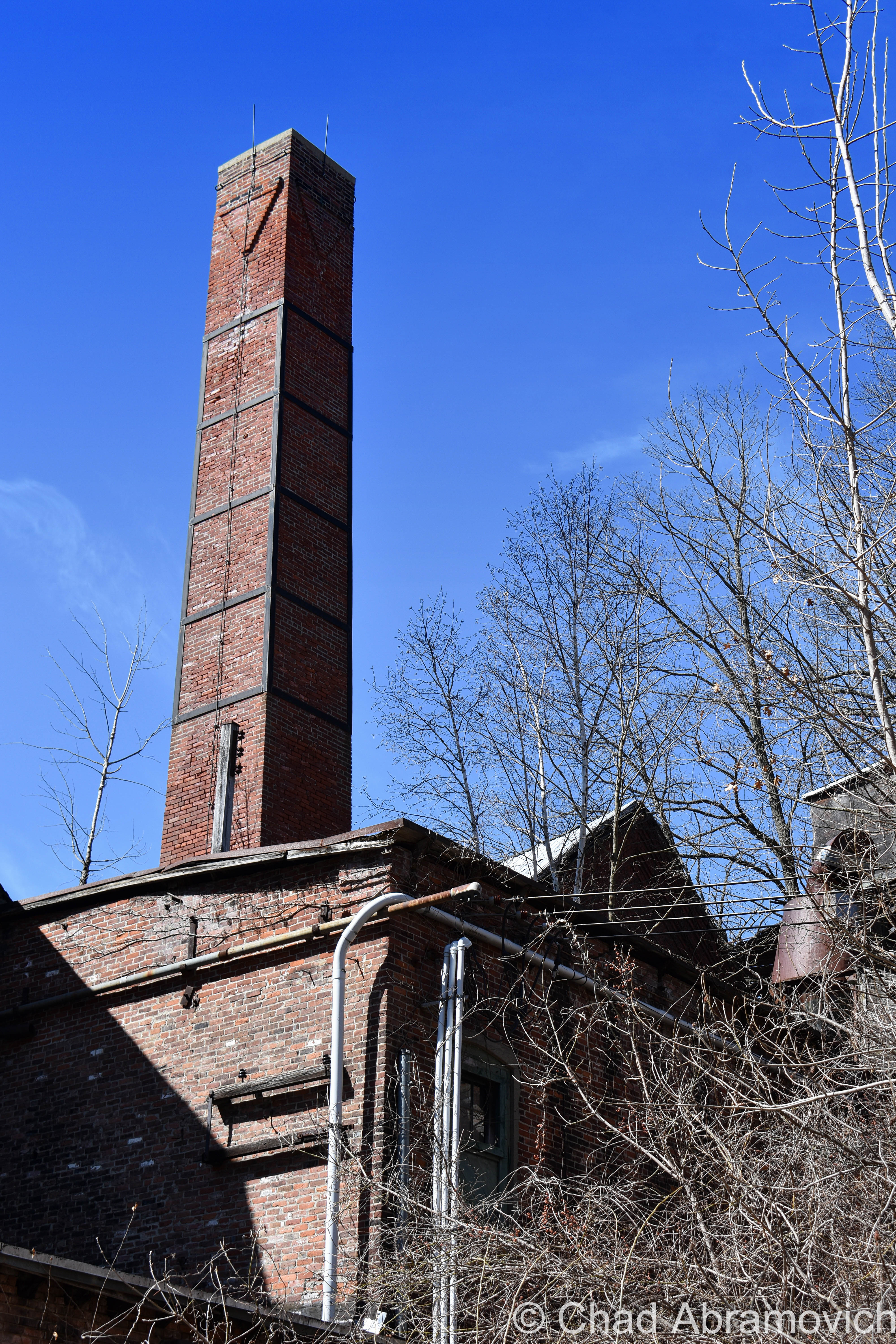
Finding a place to park that we hoped wasn’t suspicious, we casually made our way down the sidewalk, and then made a dash for it. The factory grounds had grown wild, and the brush was almost like it was alive – clinging and scratching with every tendril available, as we hastily stumbled our way towards the tall metal smokestack that marked the factory’s personal powerplant. We figured we’d start in there via squeezing through a hole in the door, and work our way over to the main factory building after. Man I’m glad I’m still a scrawny dude that can wiggle through holes in the walls and broken windows.

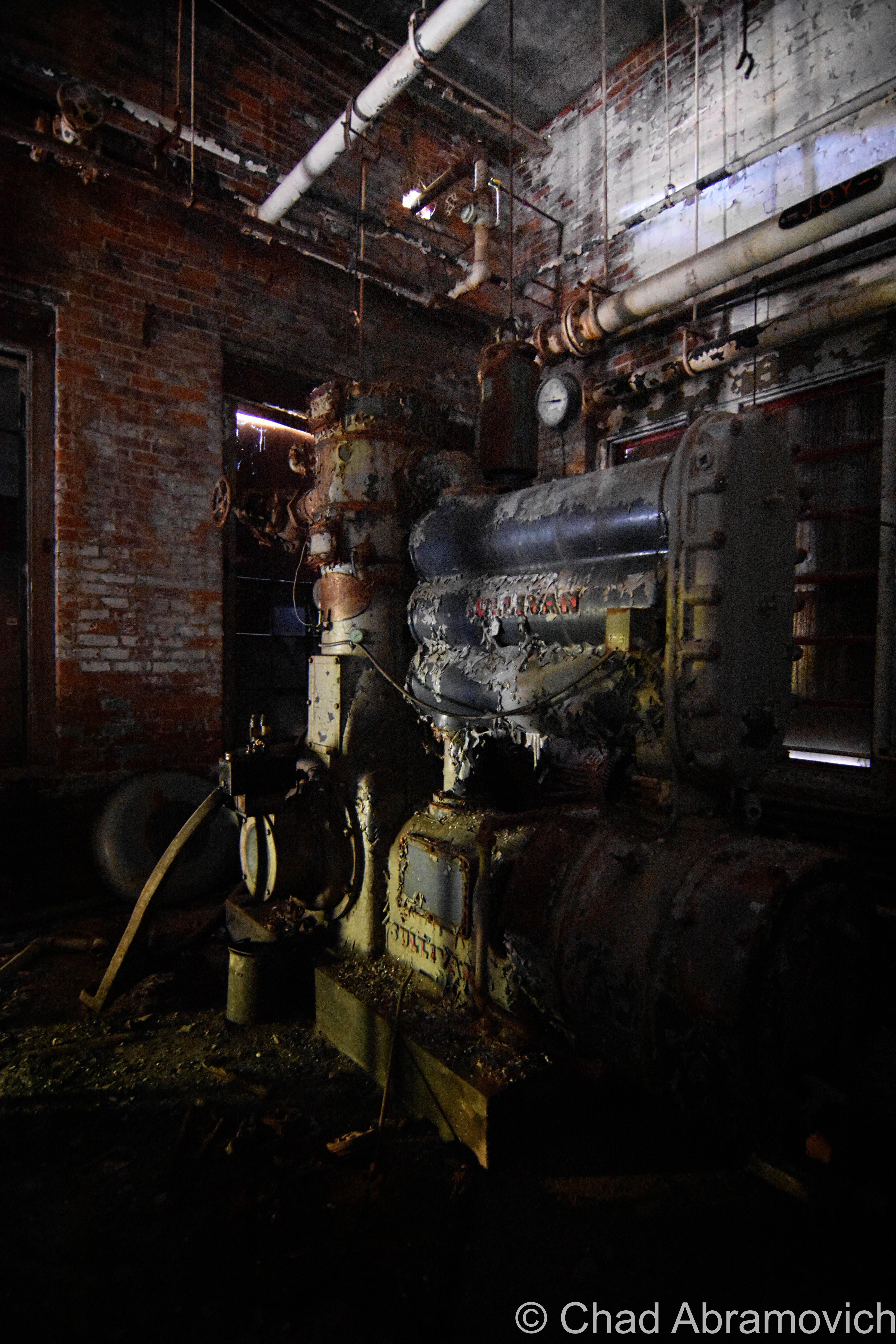
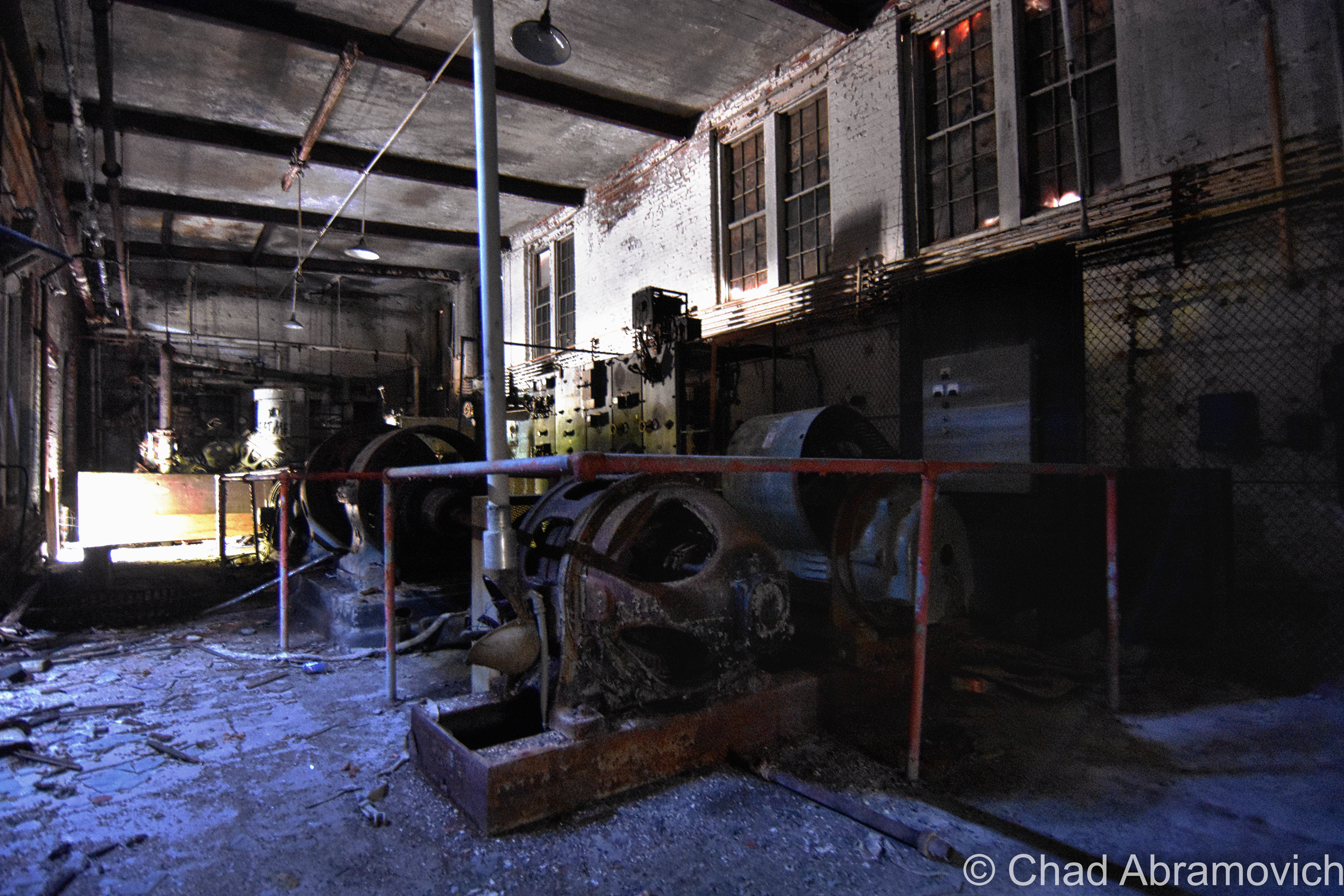
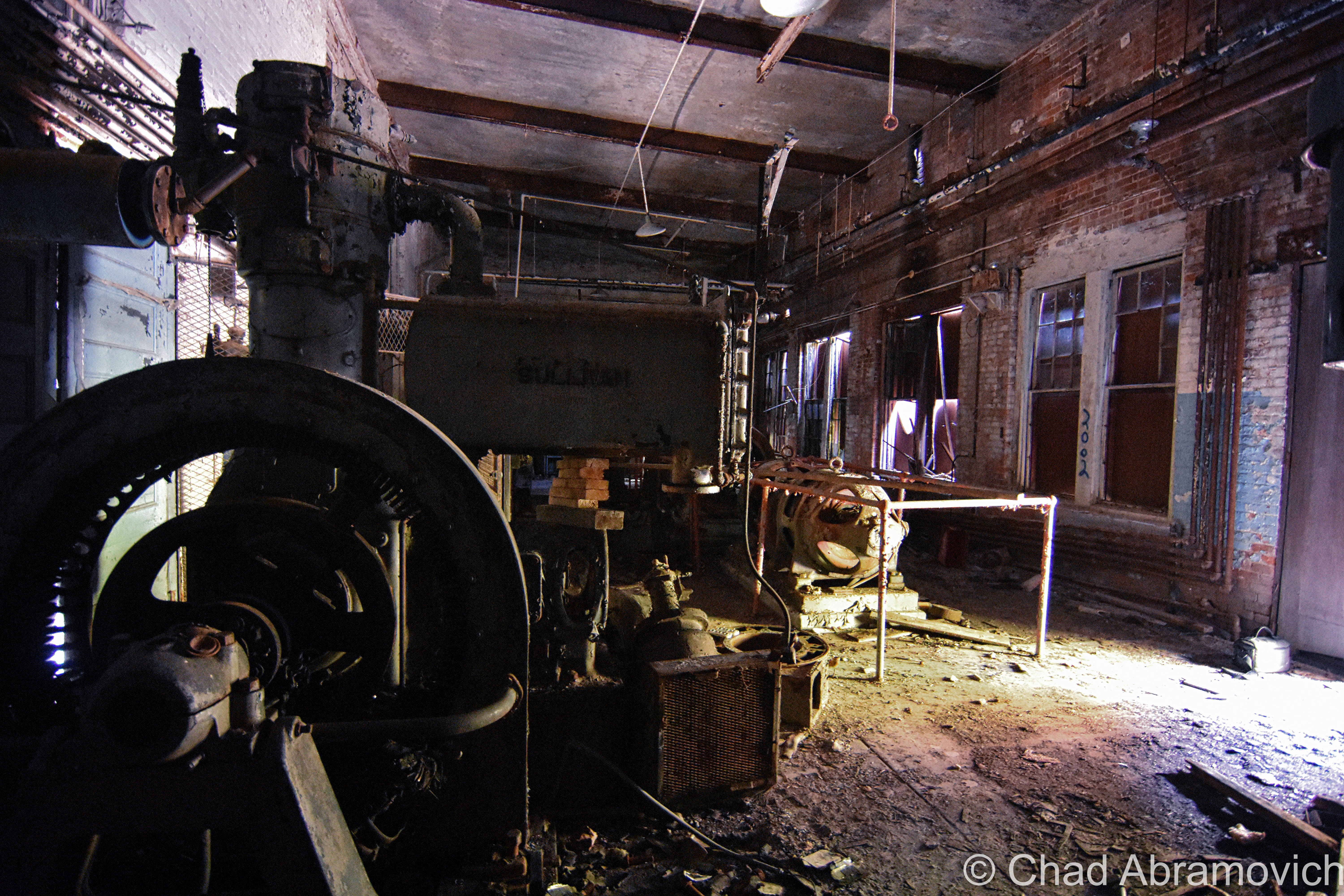
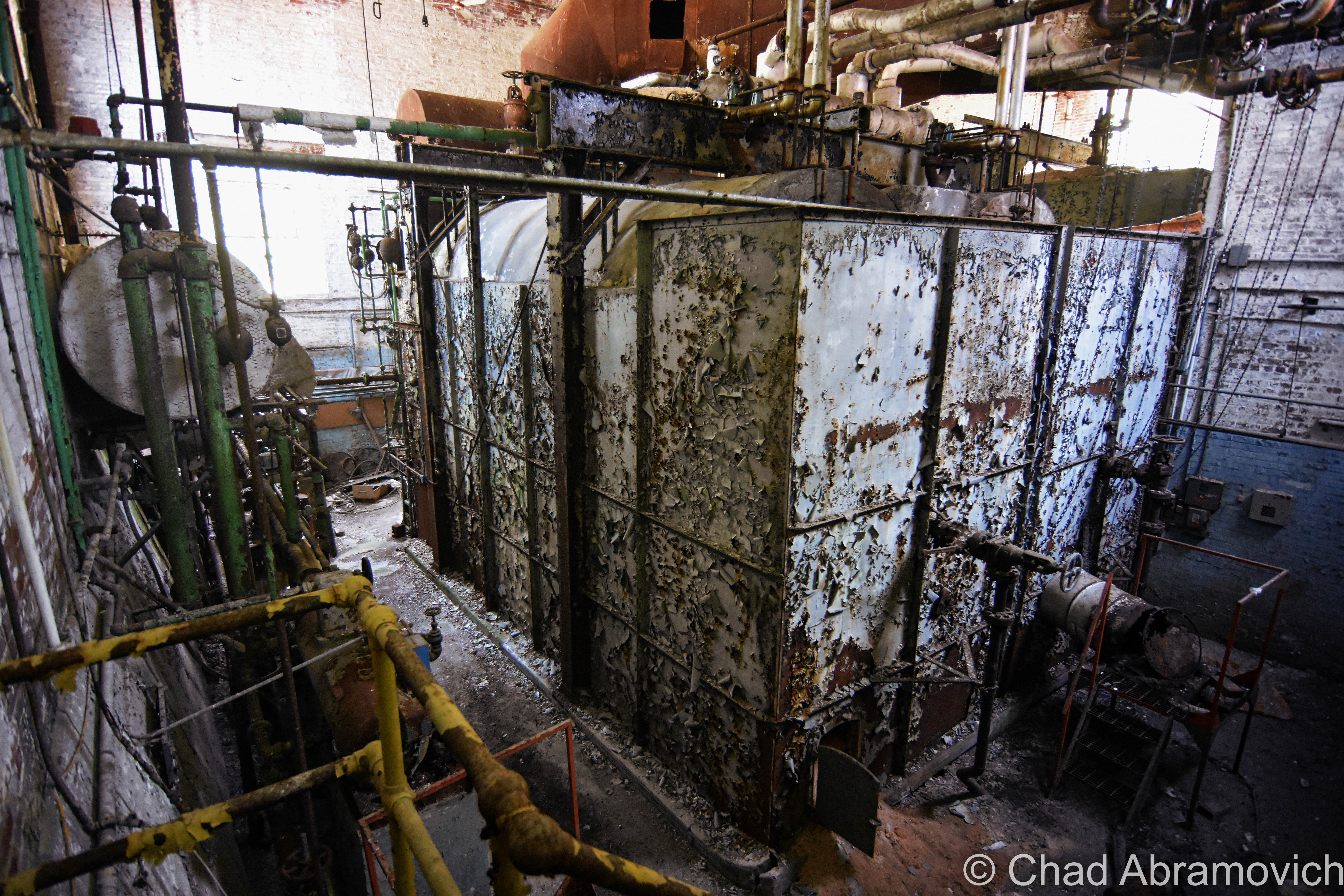
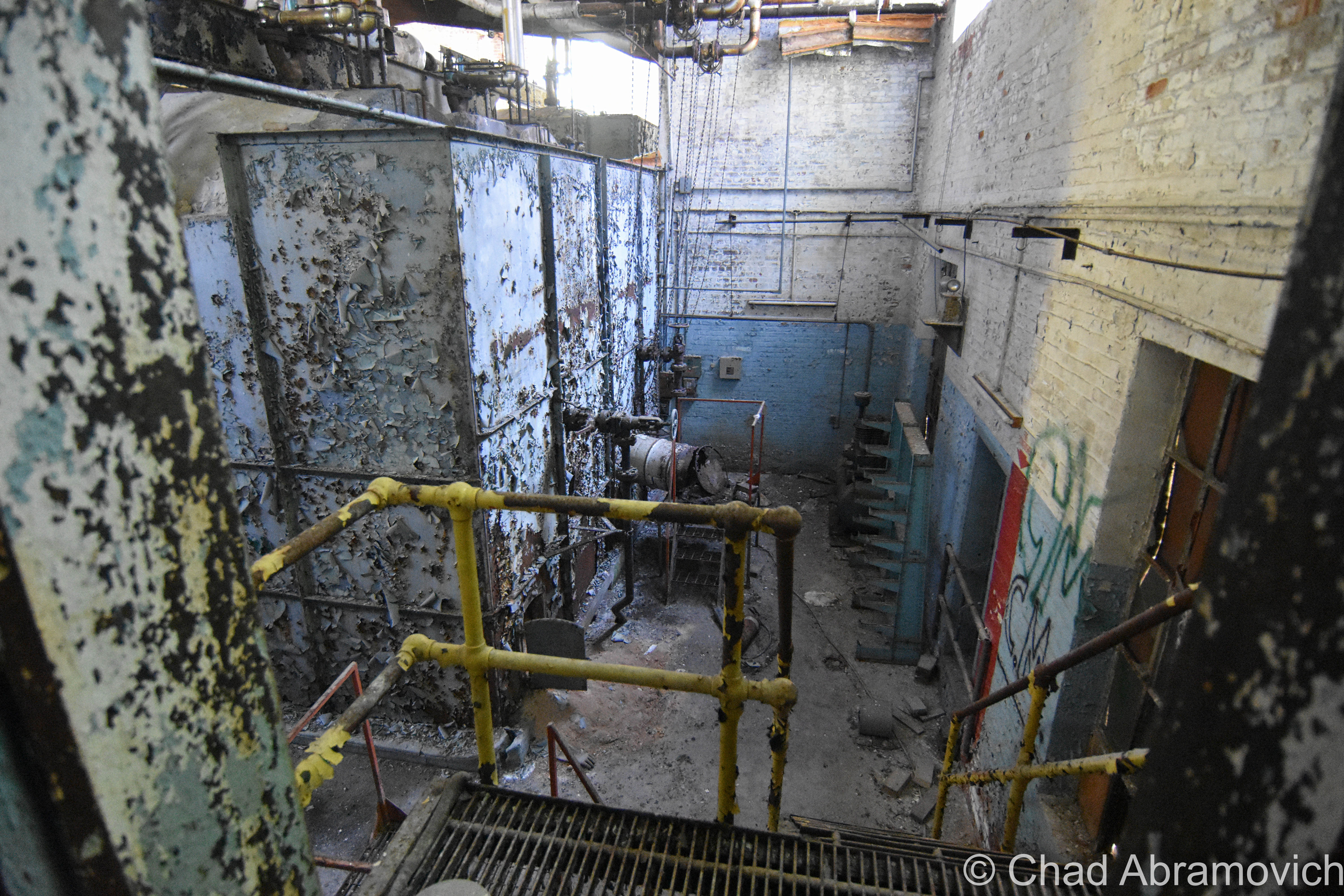
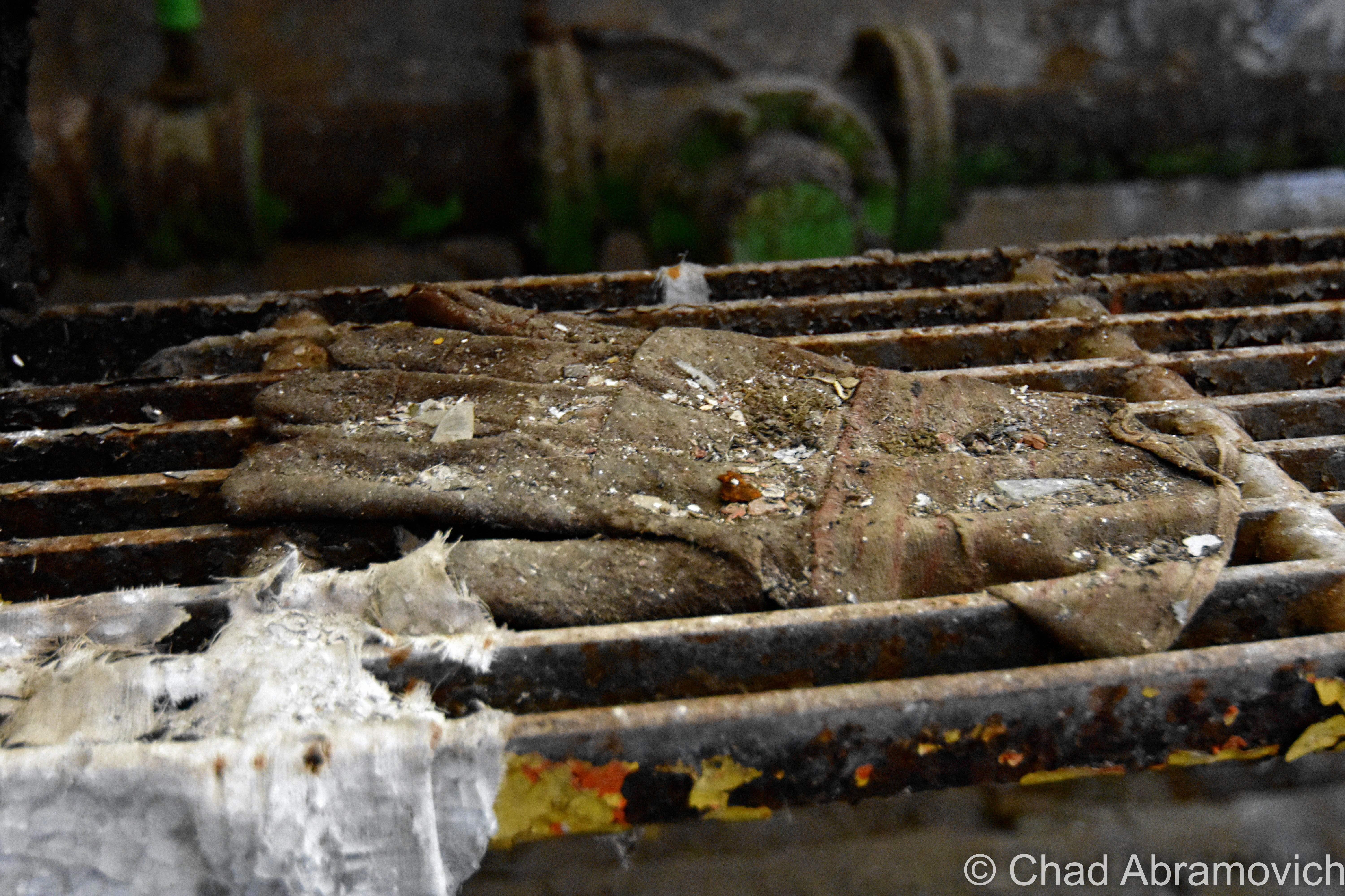
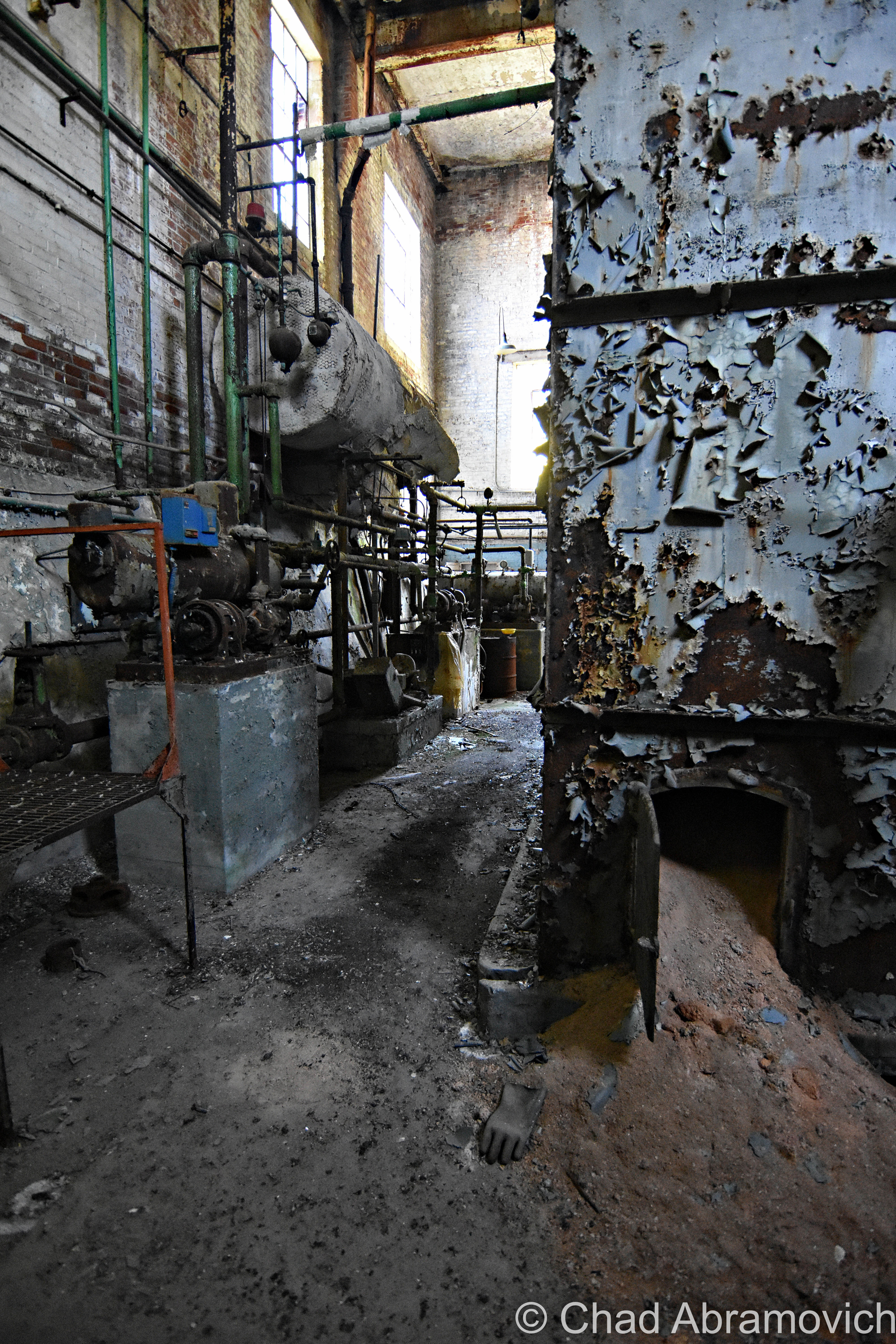
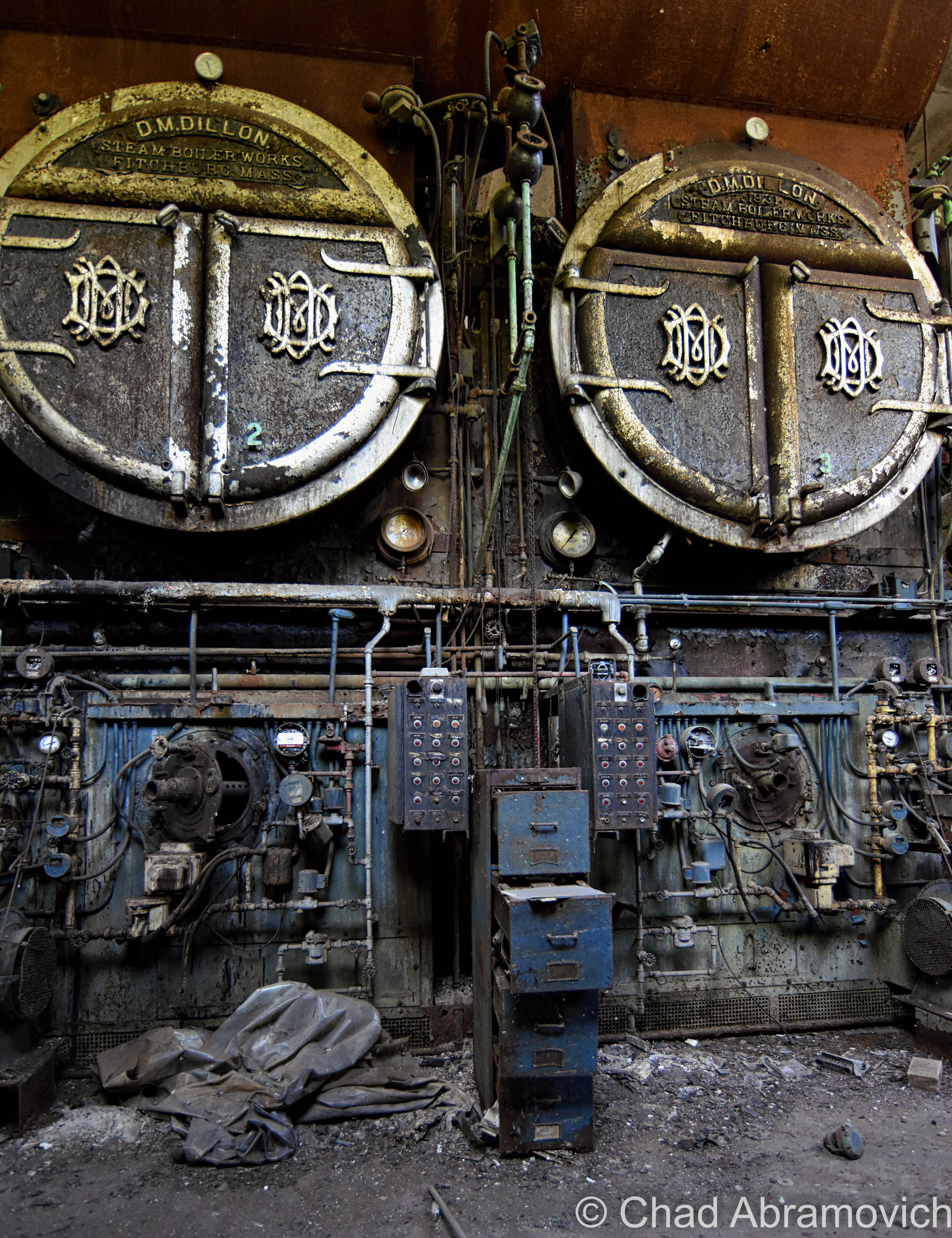
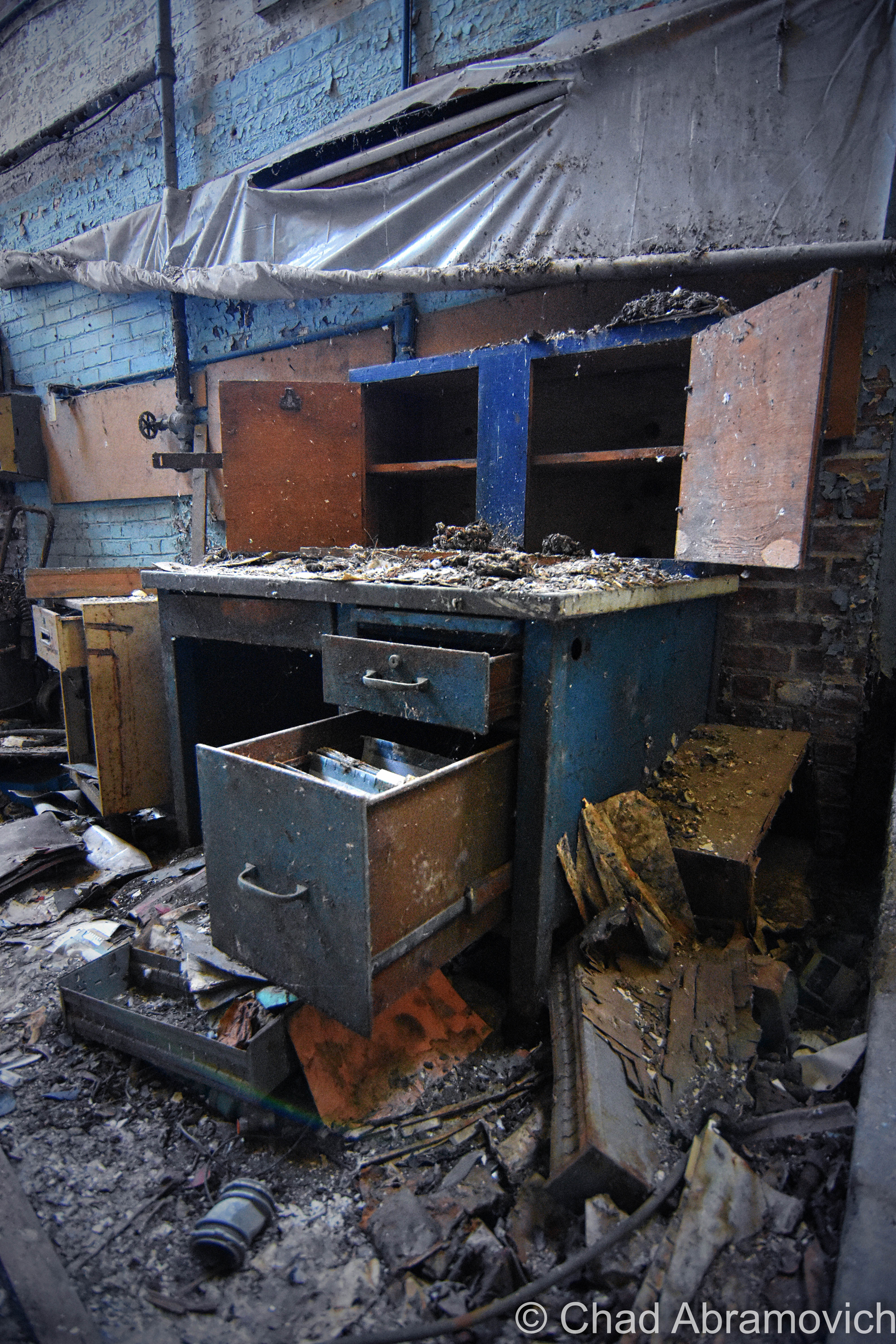
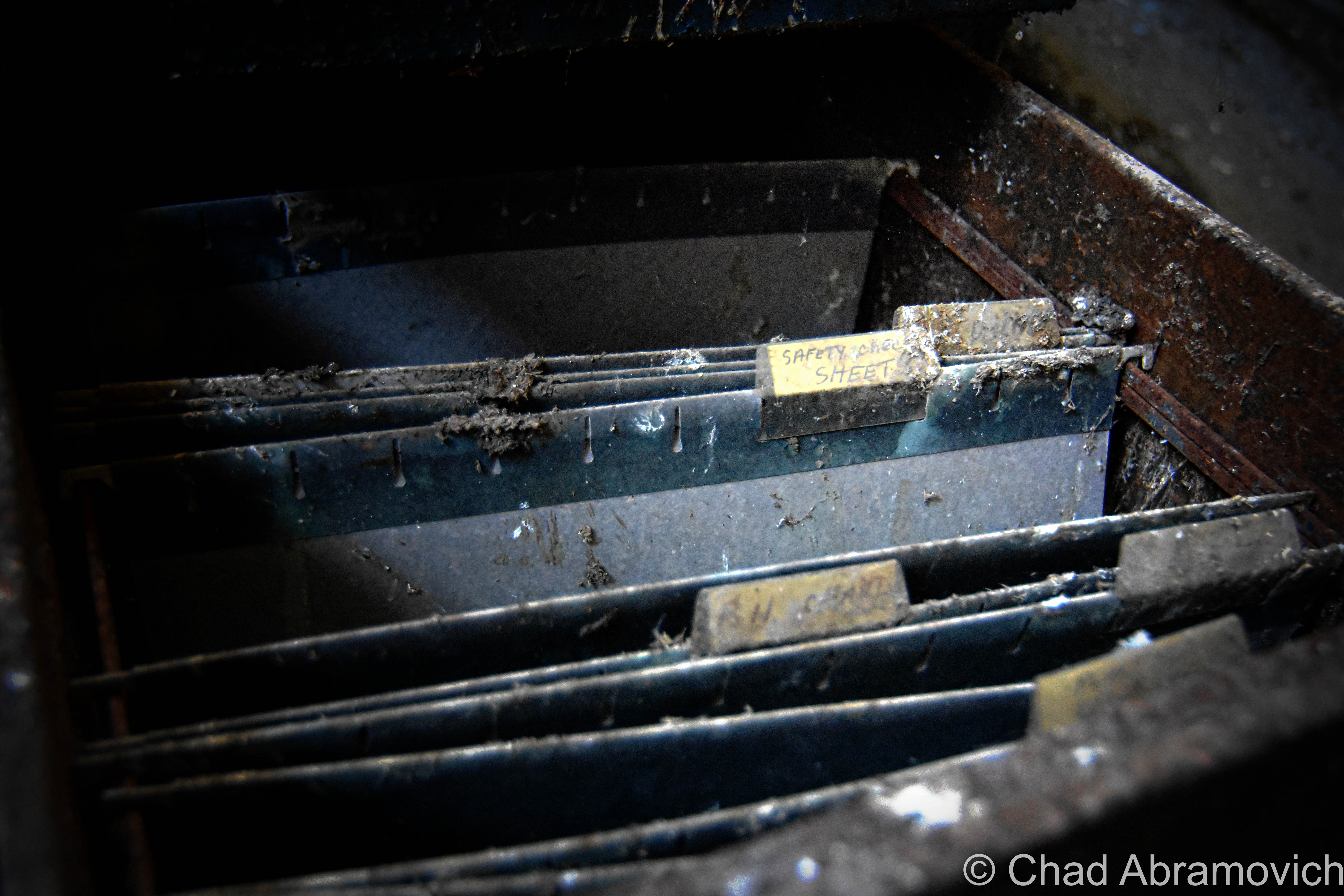
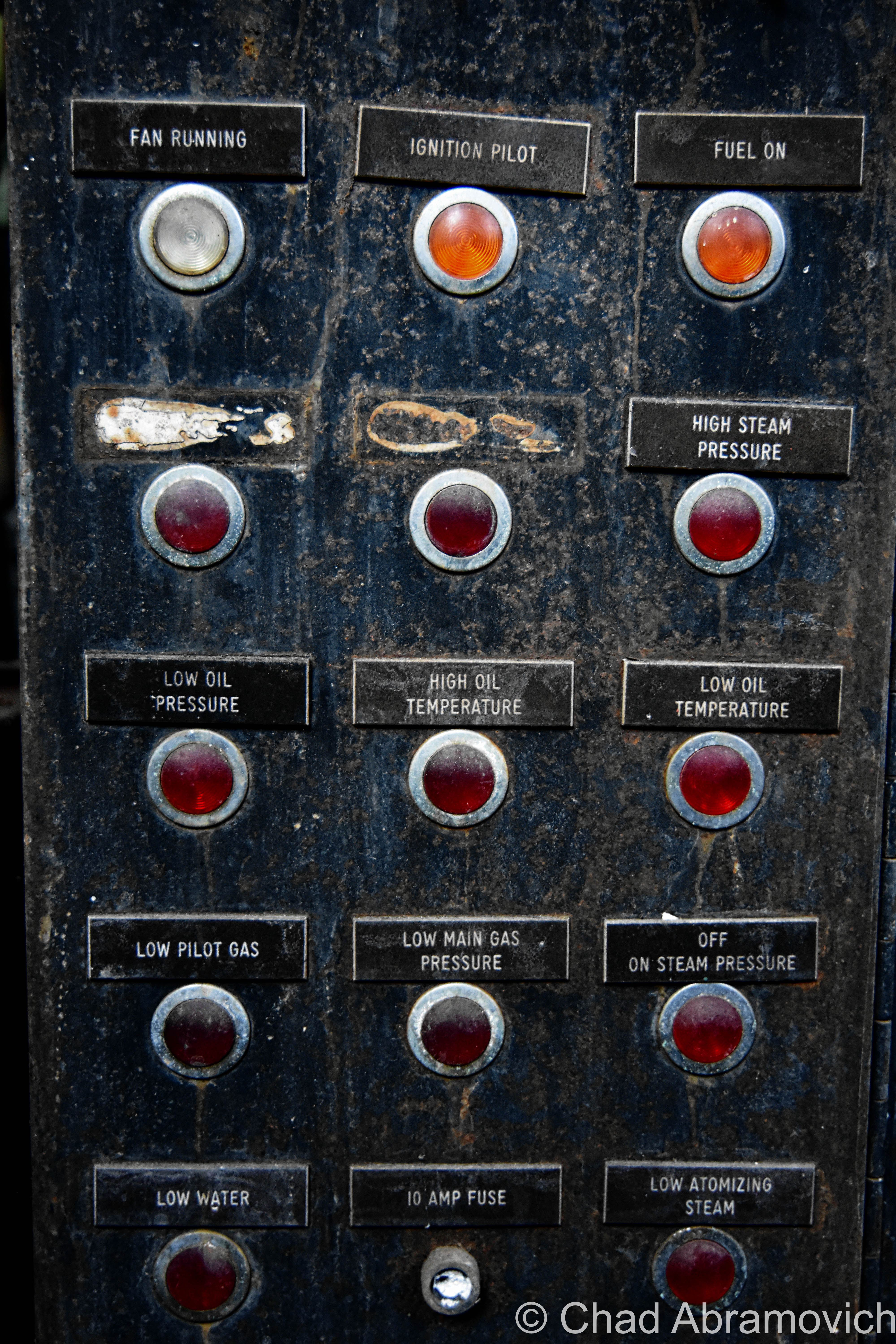
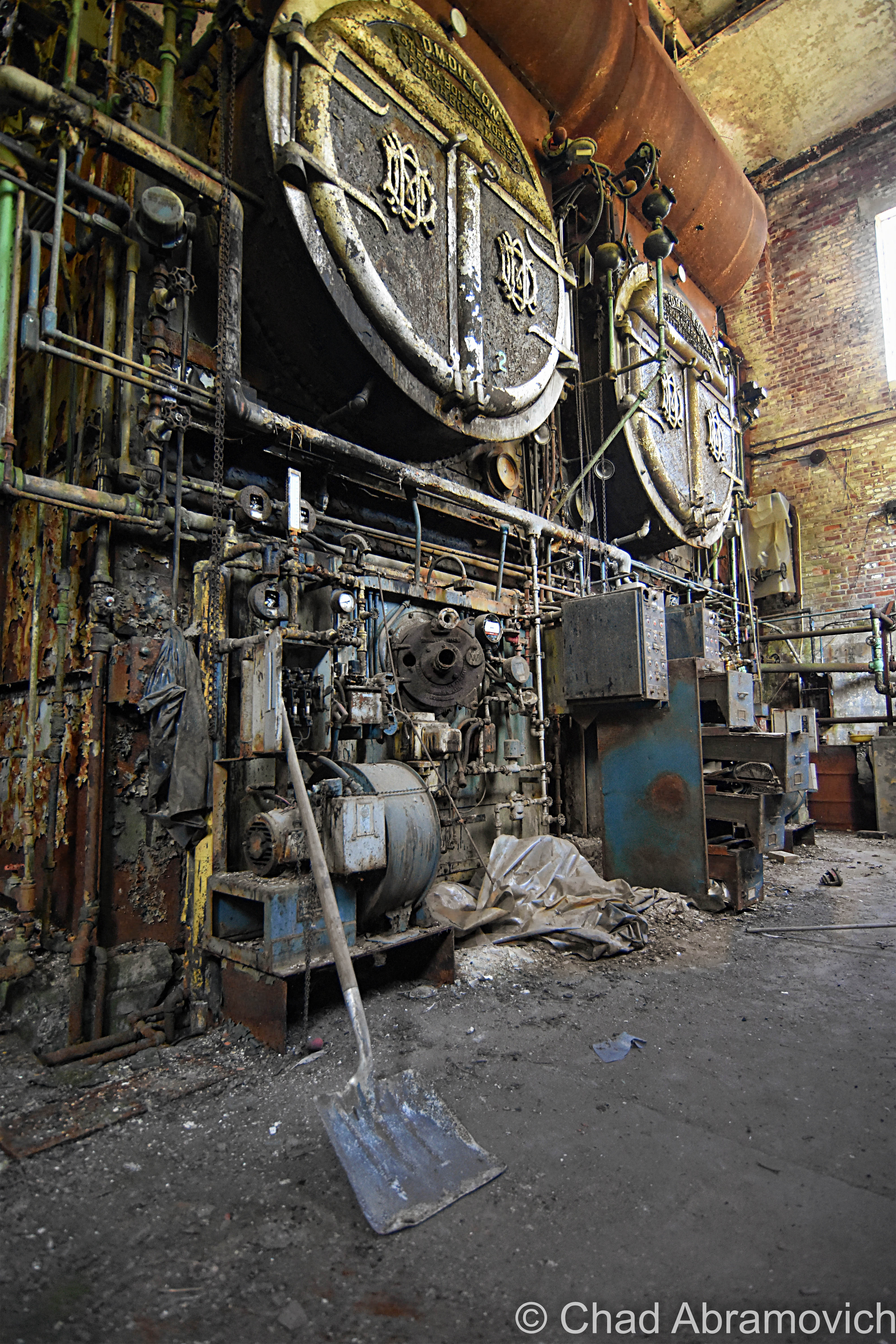
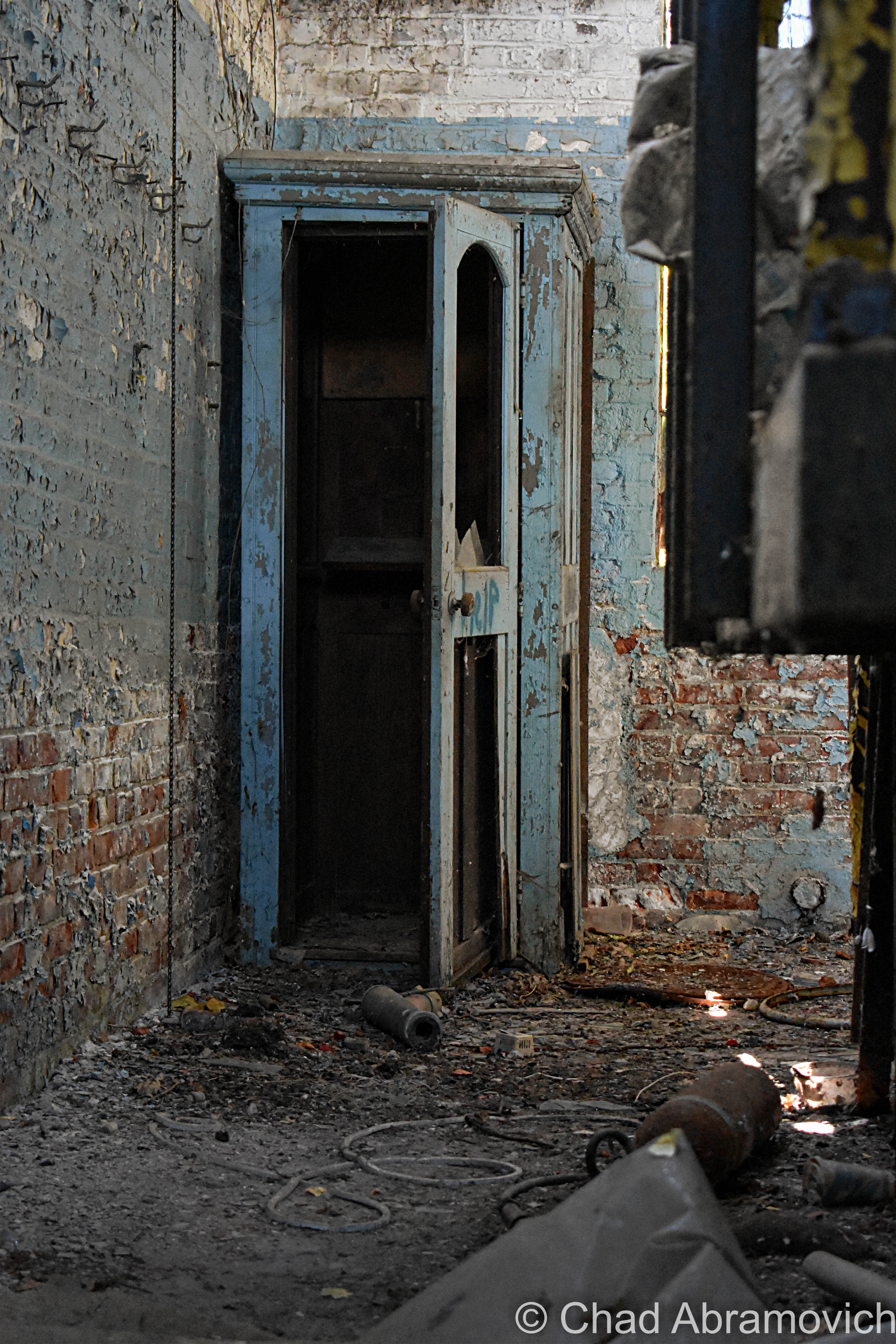
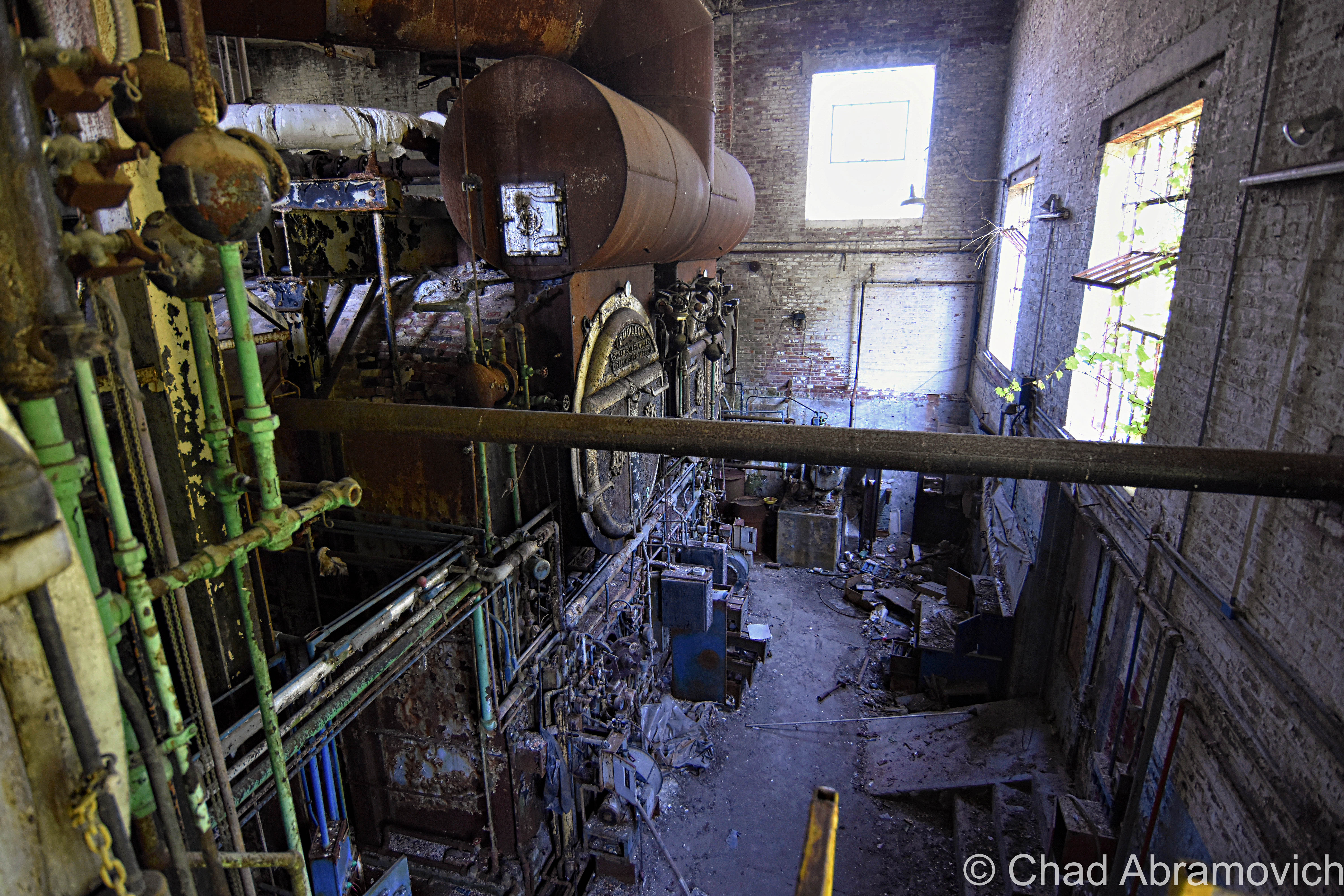
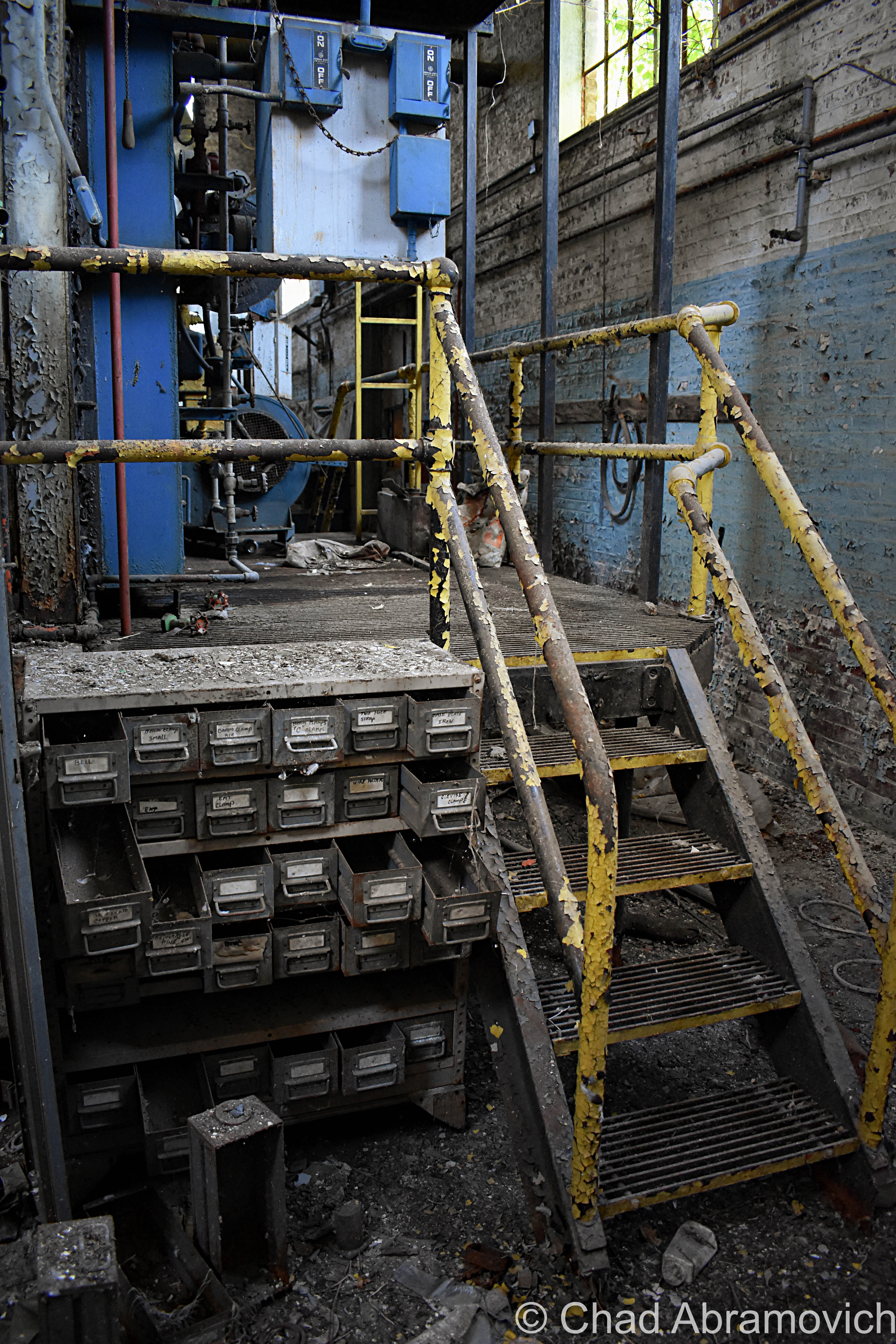
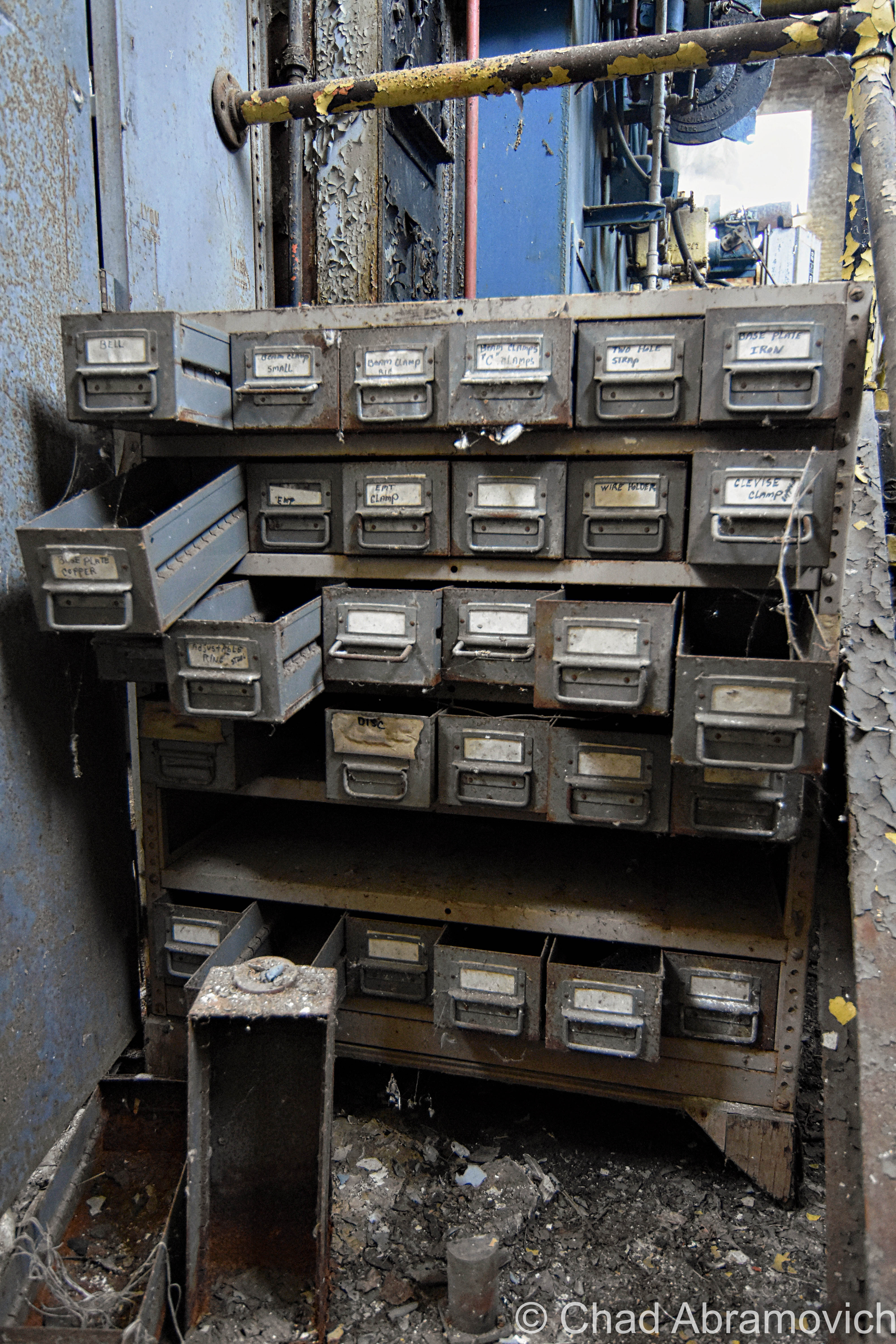
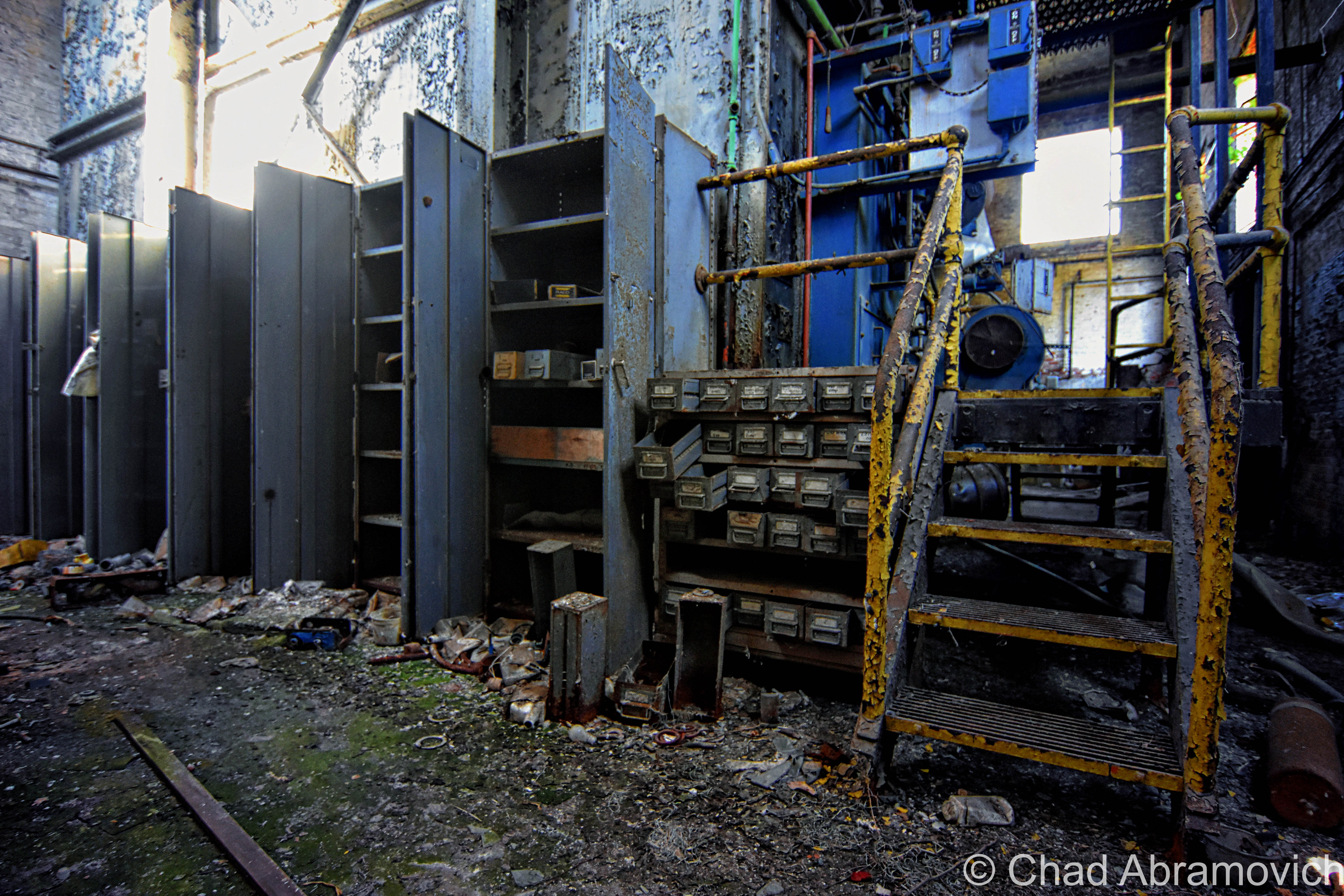
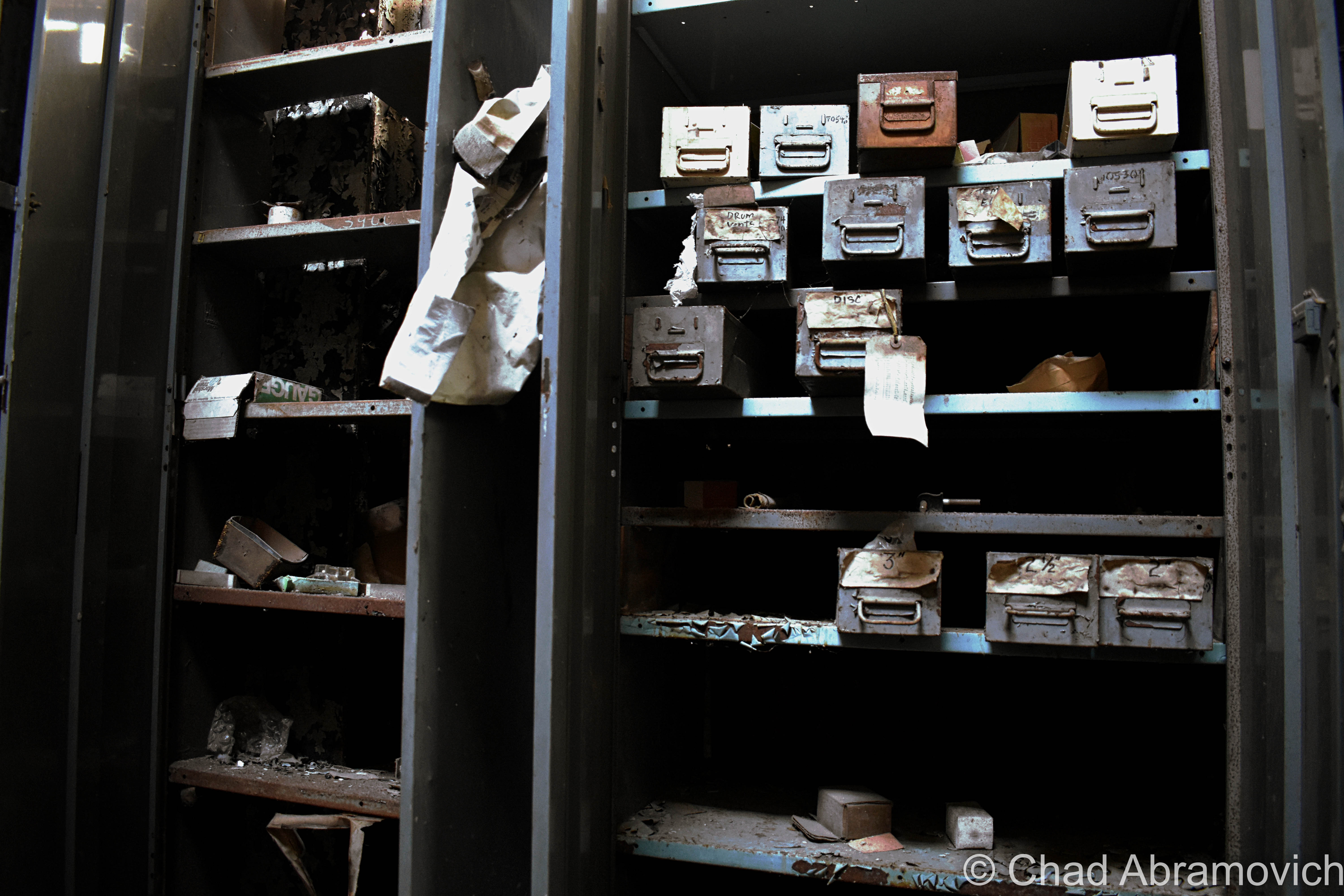
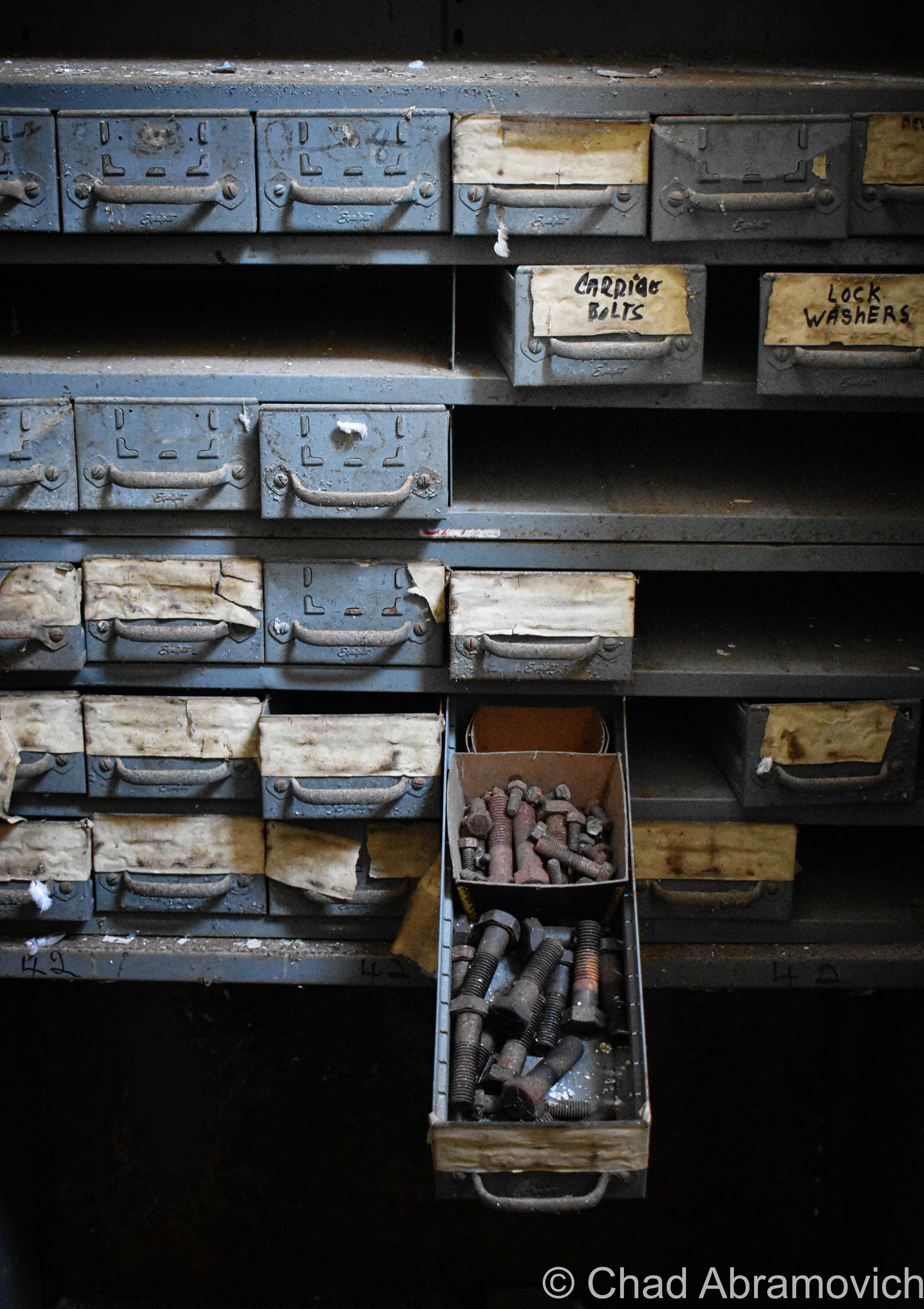
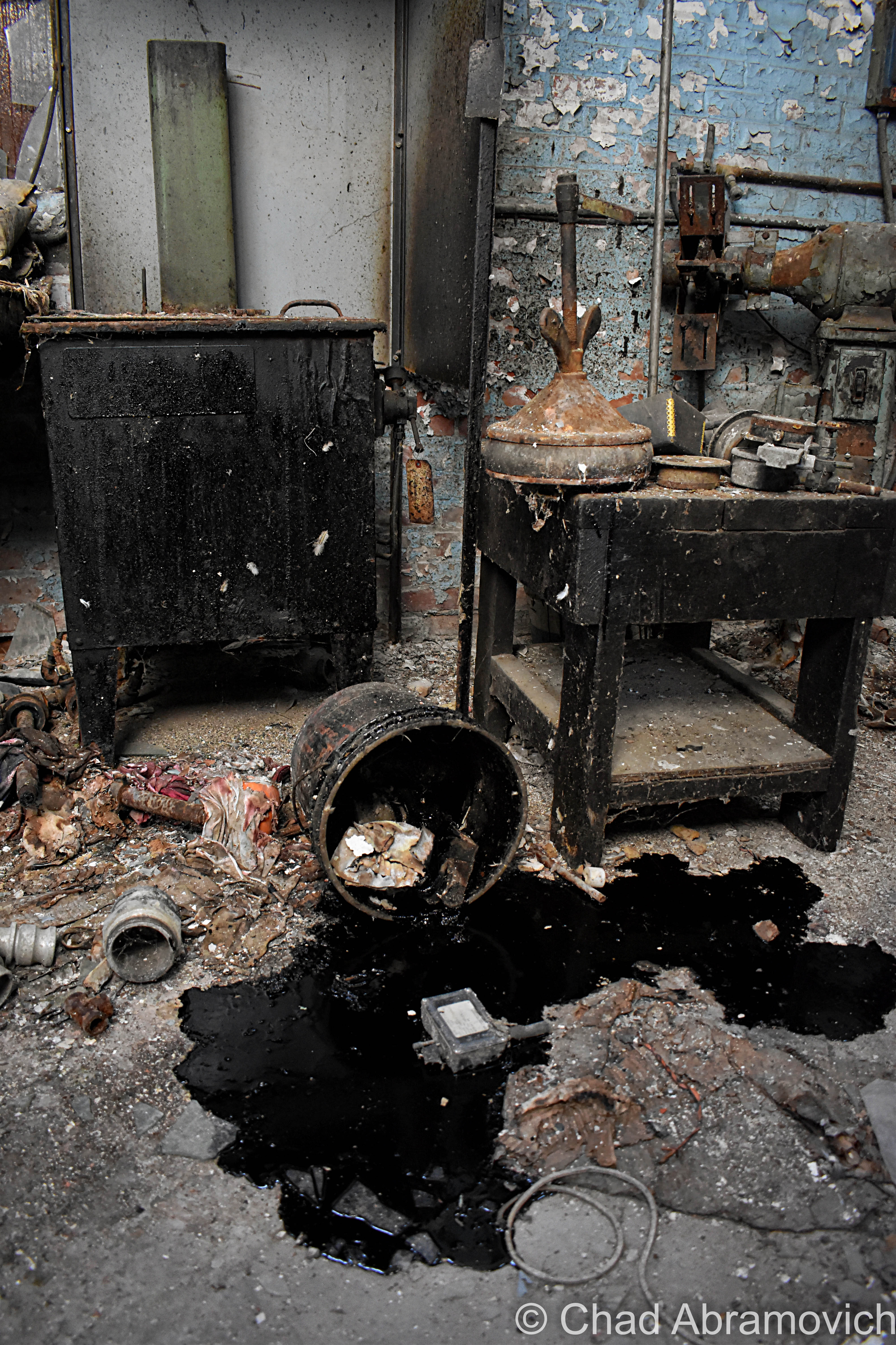
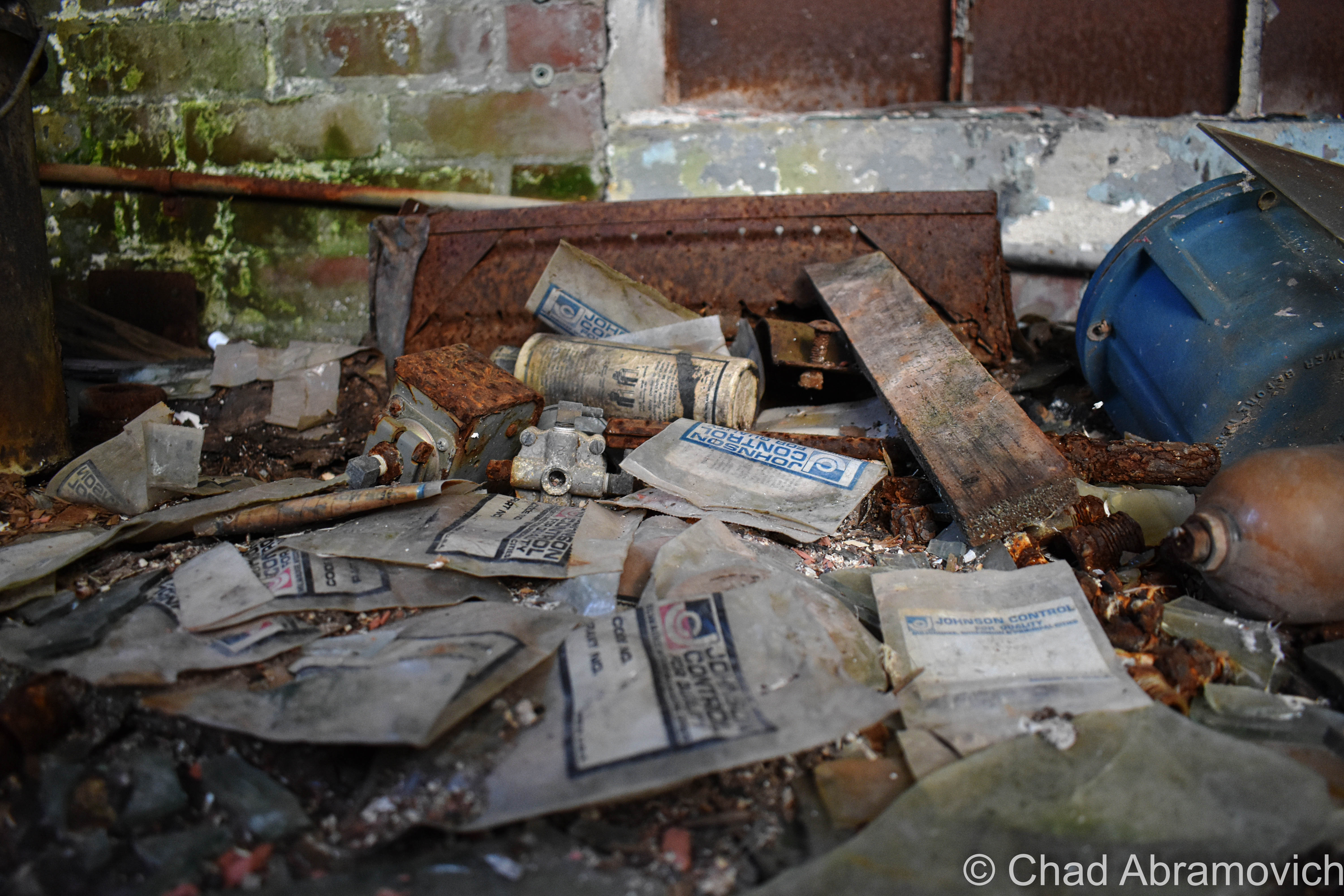
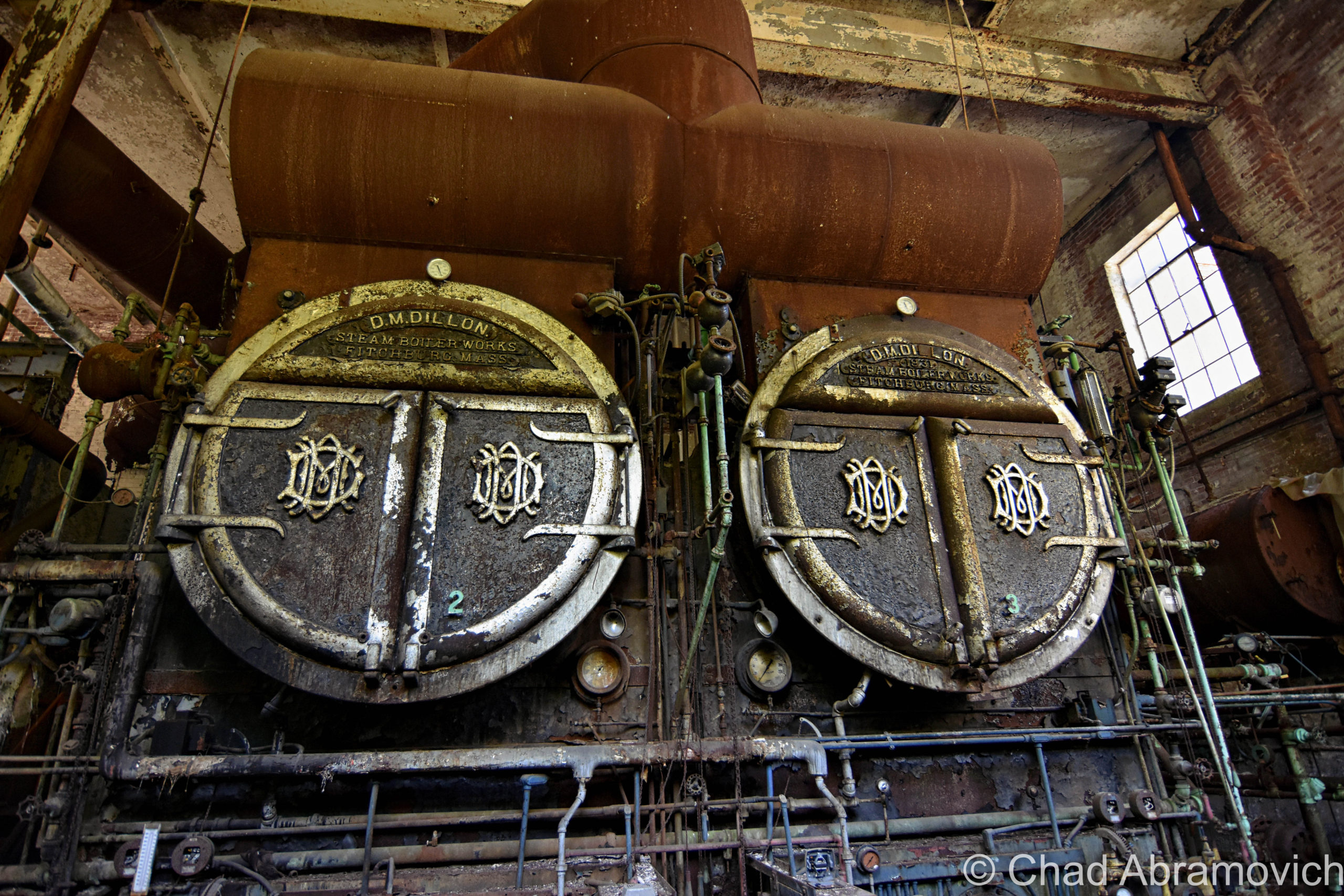
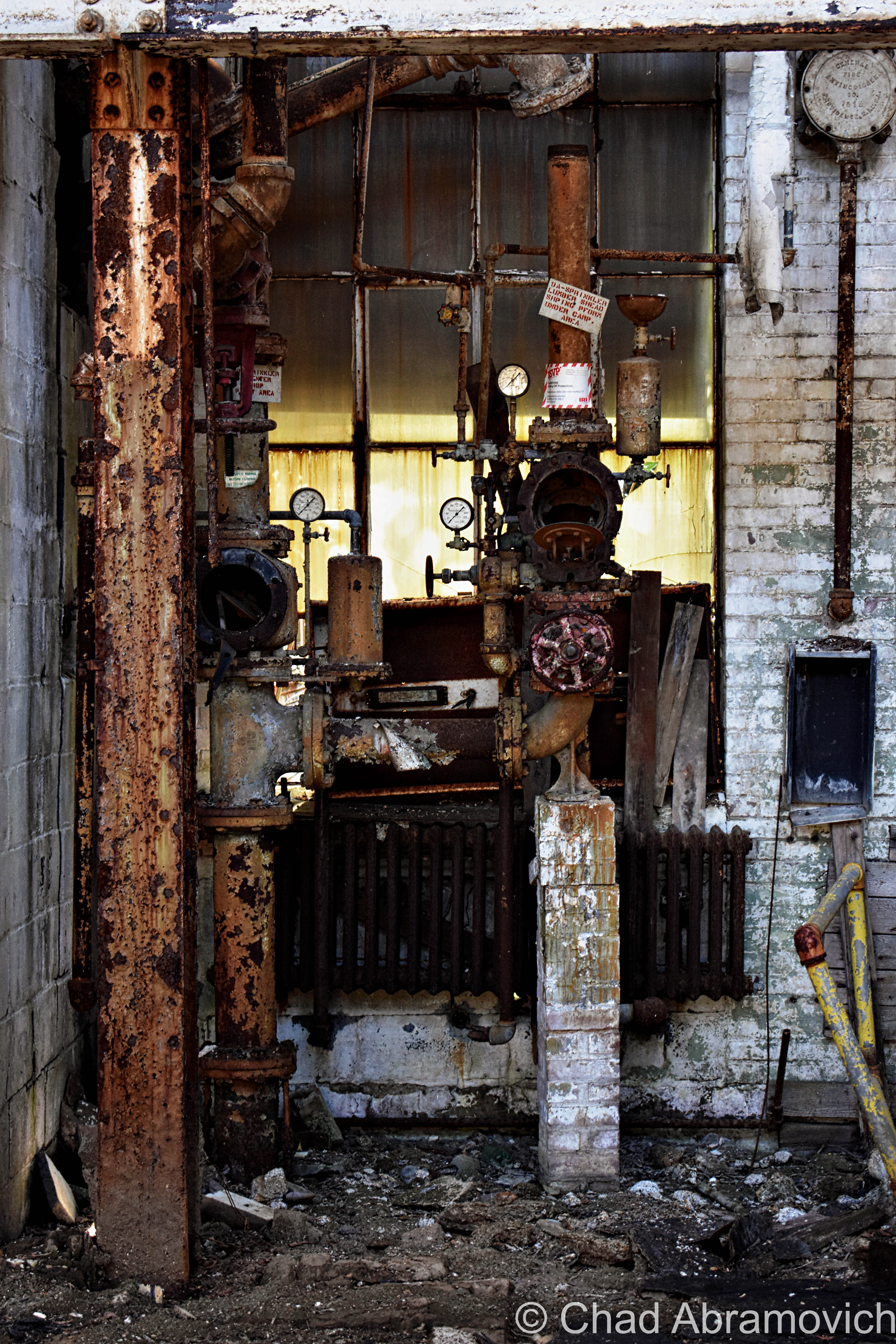
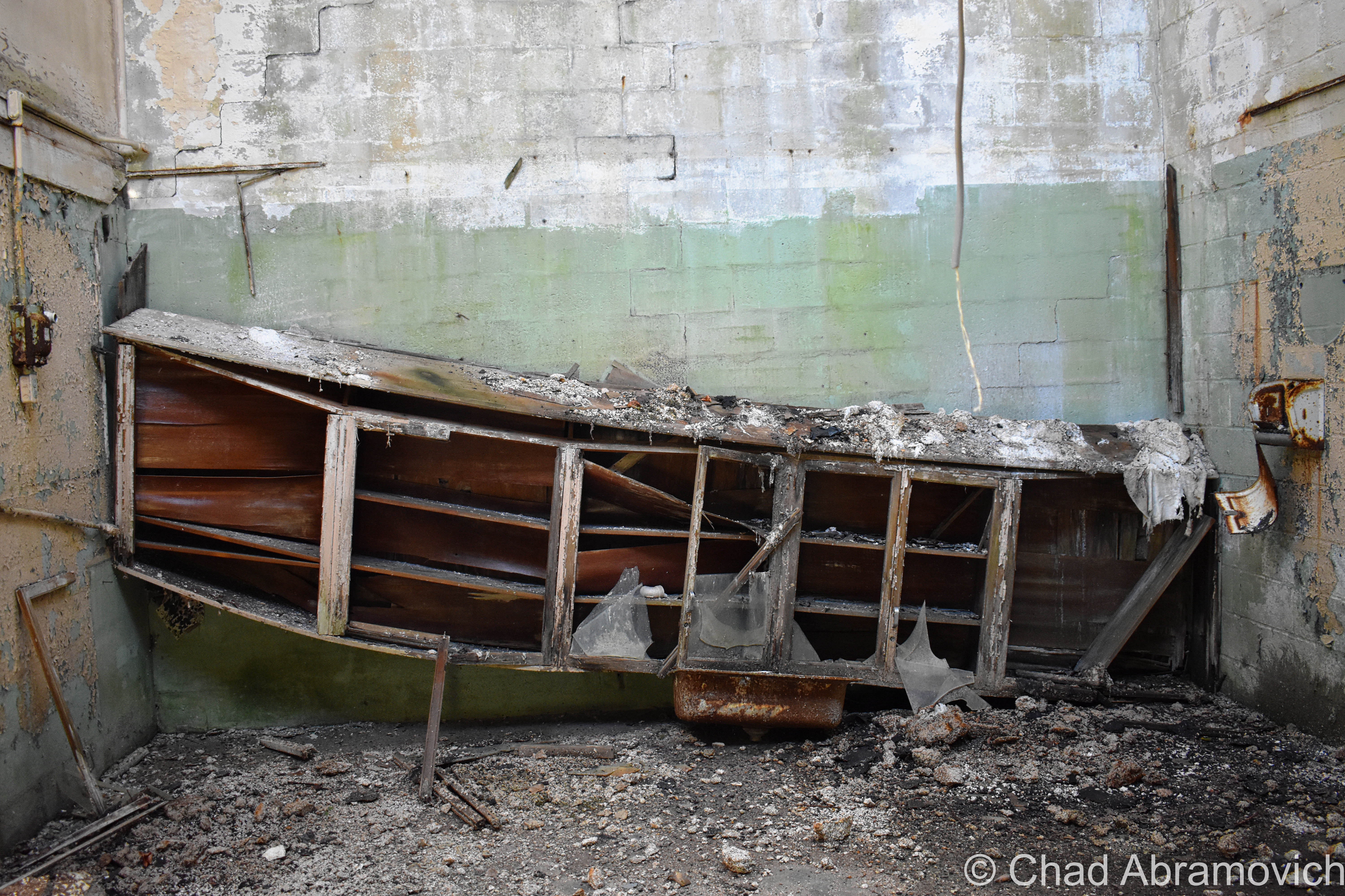
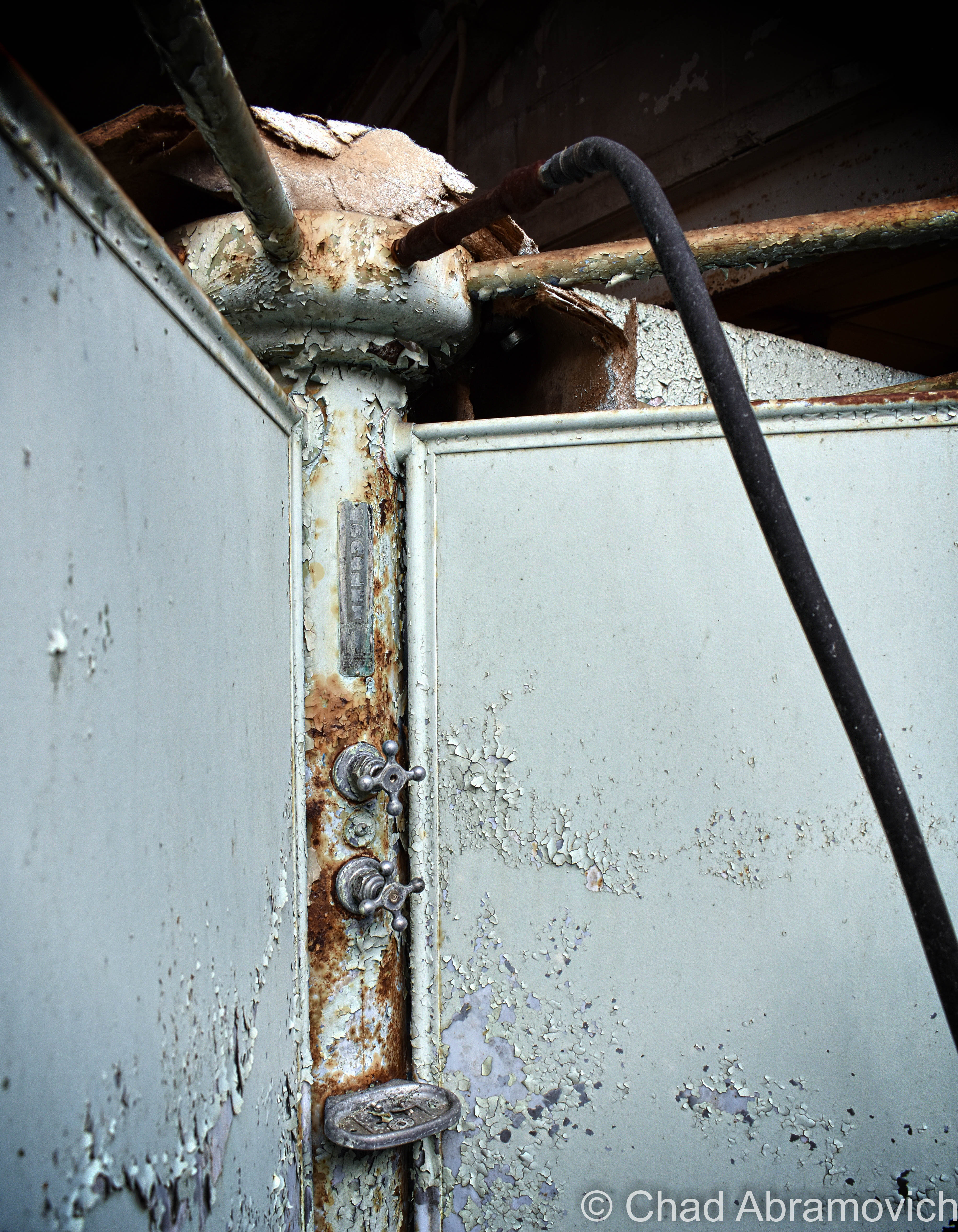
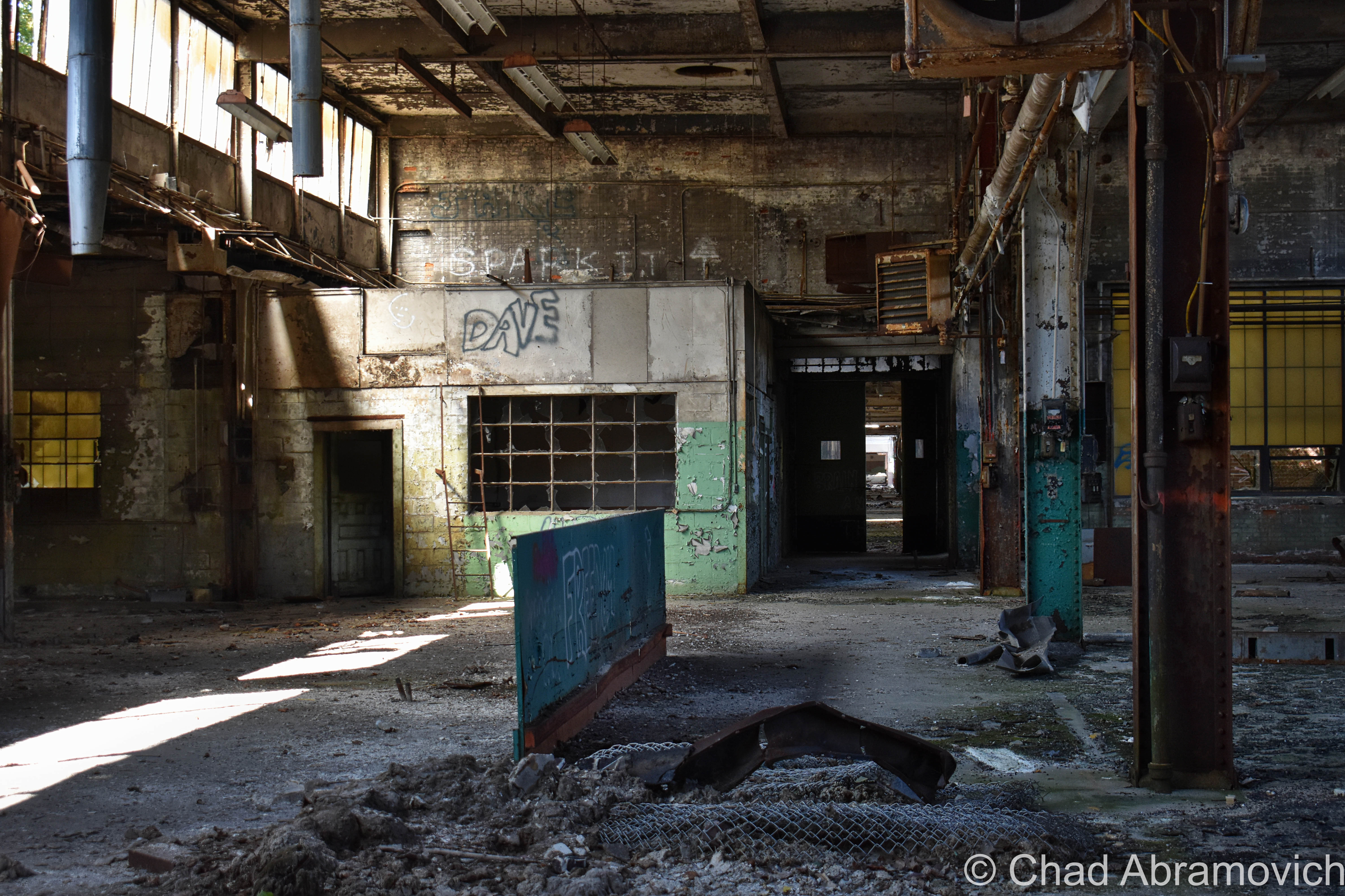
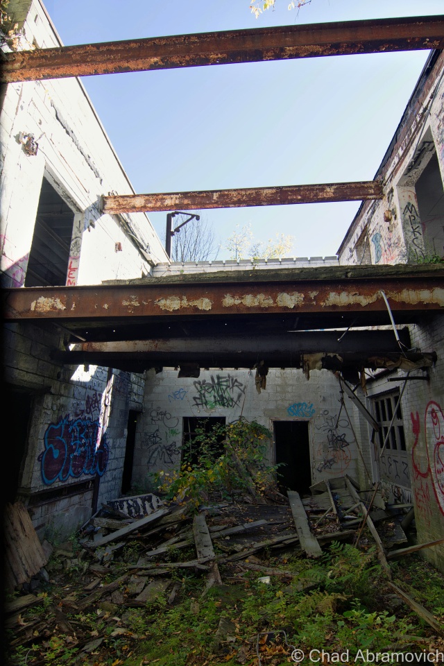
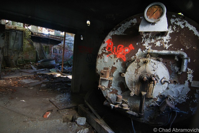
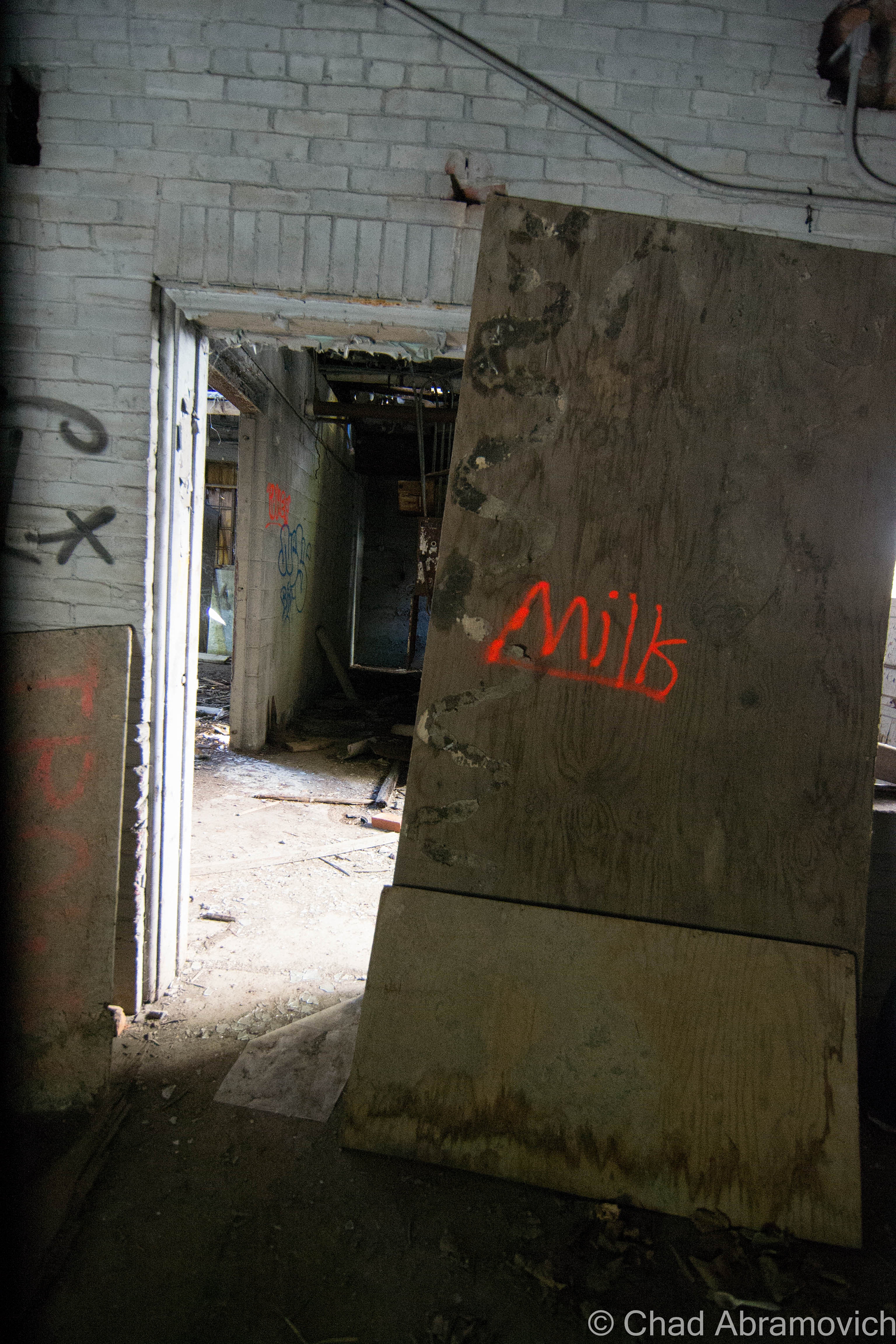
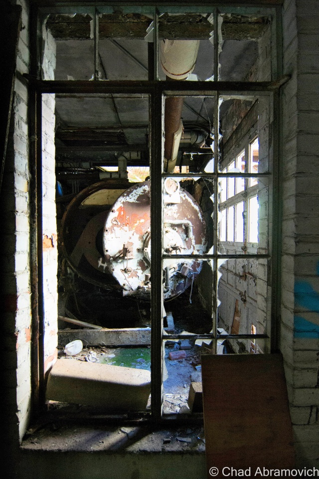
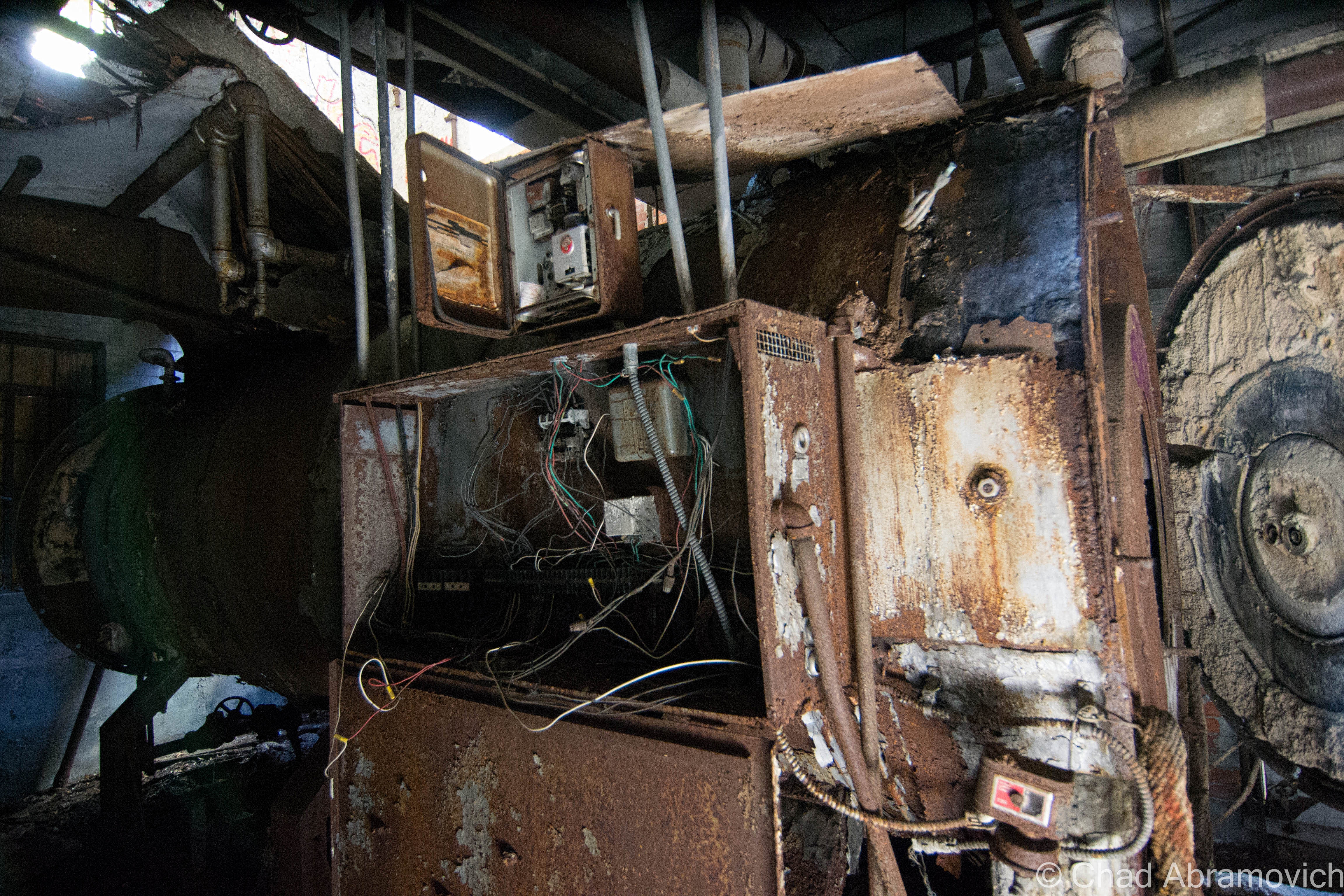
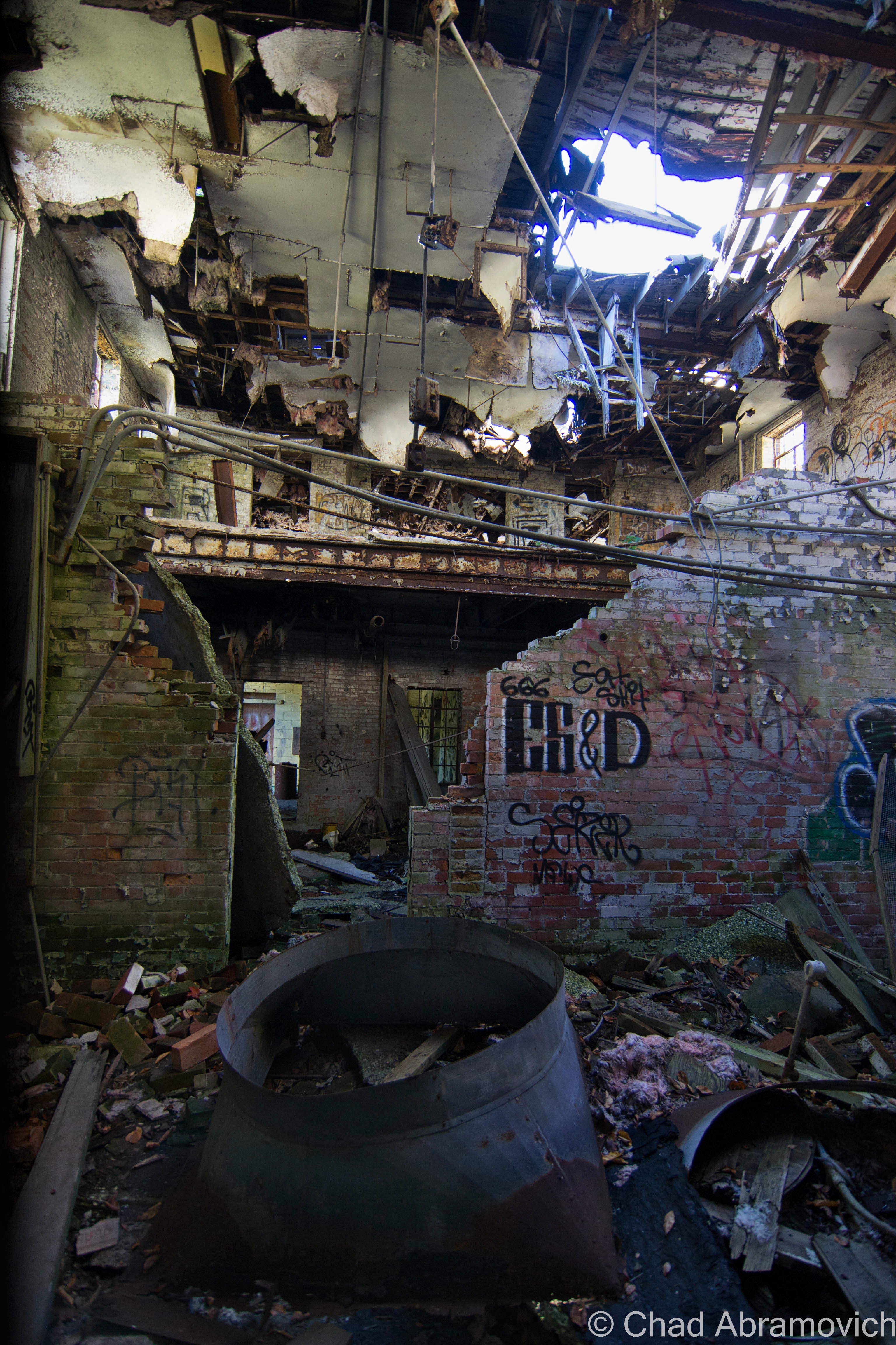
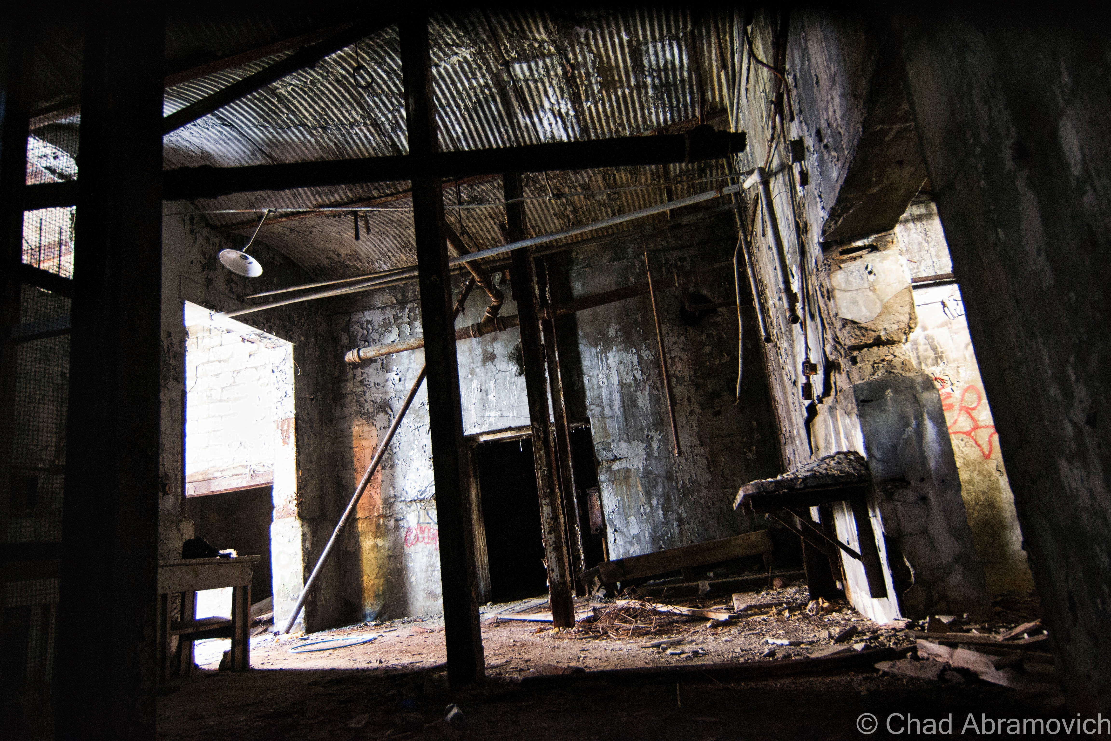
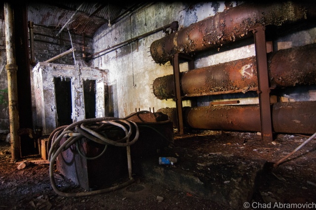
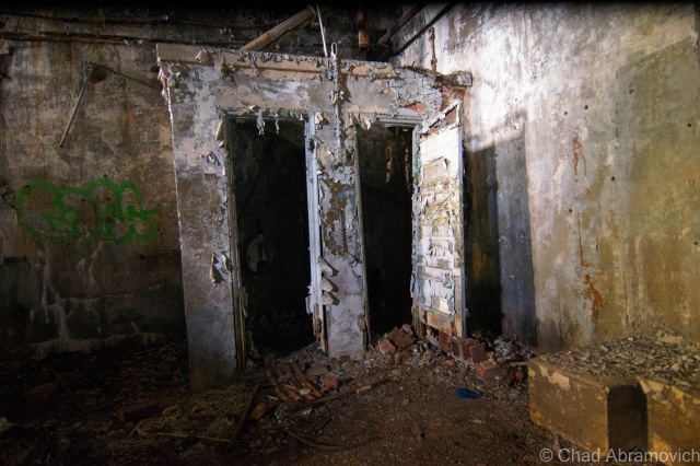
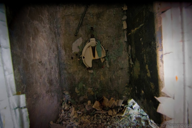
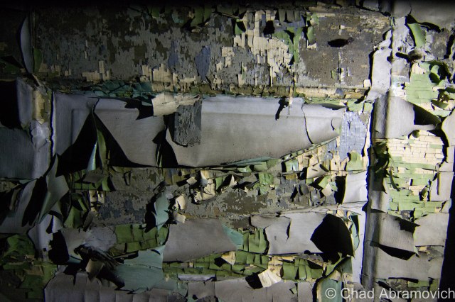
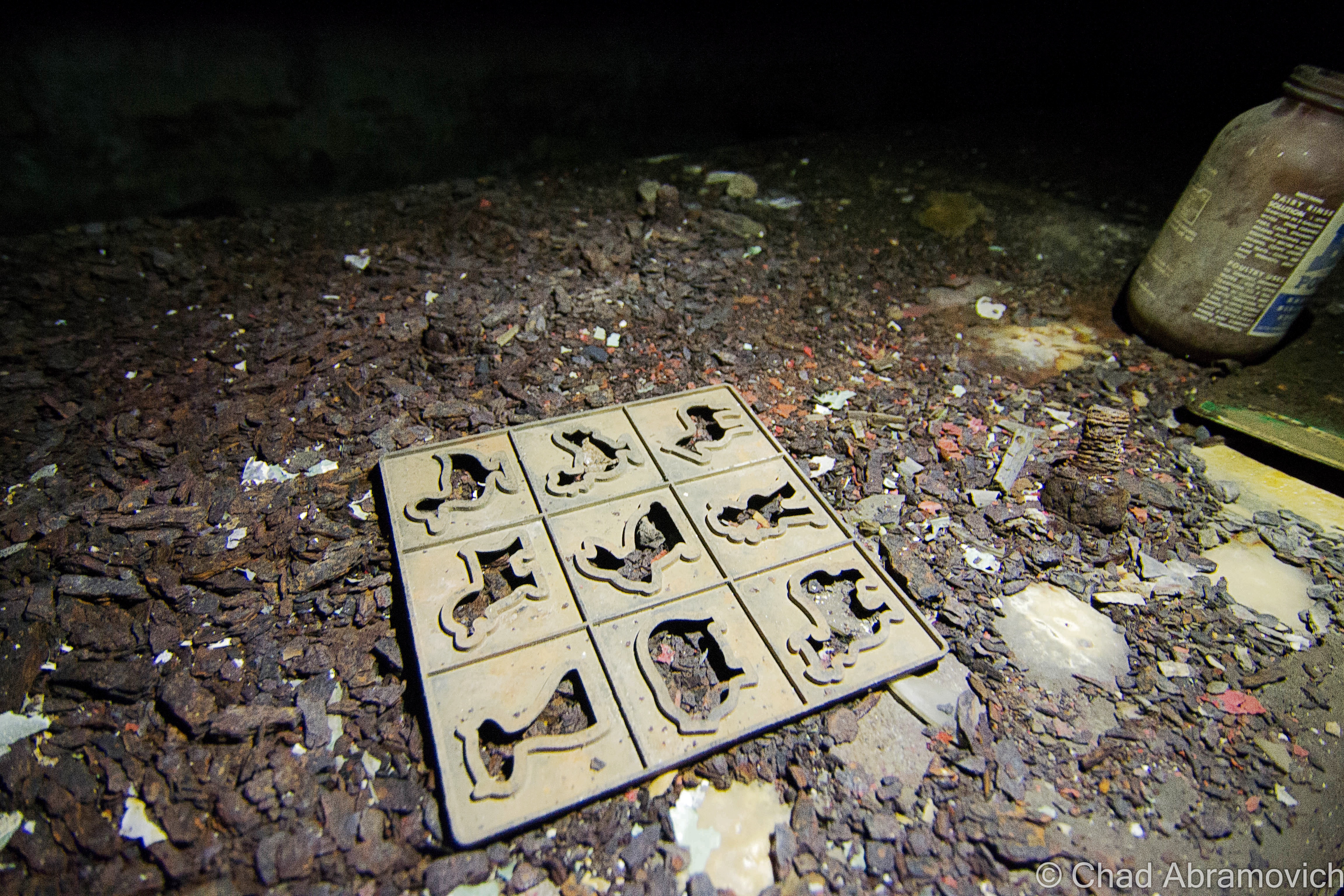
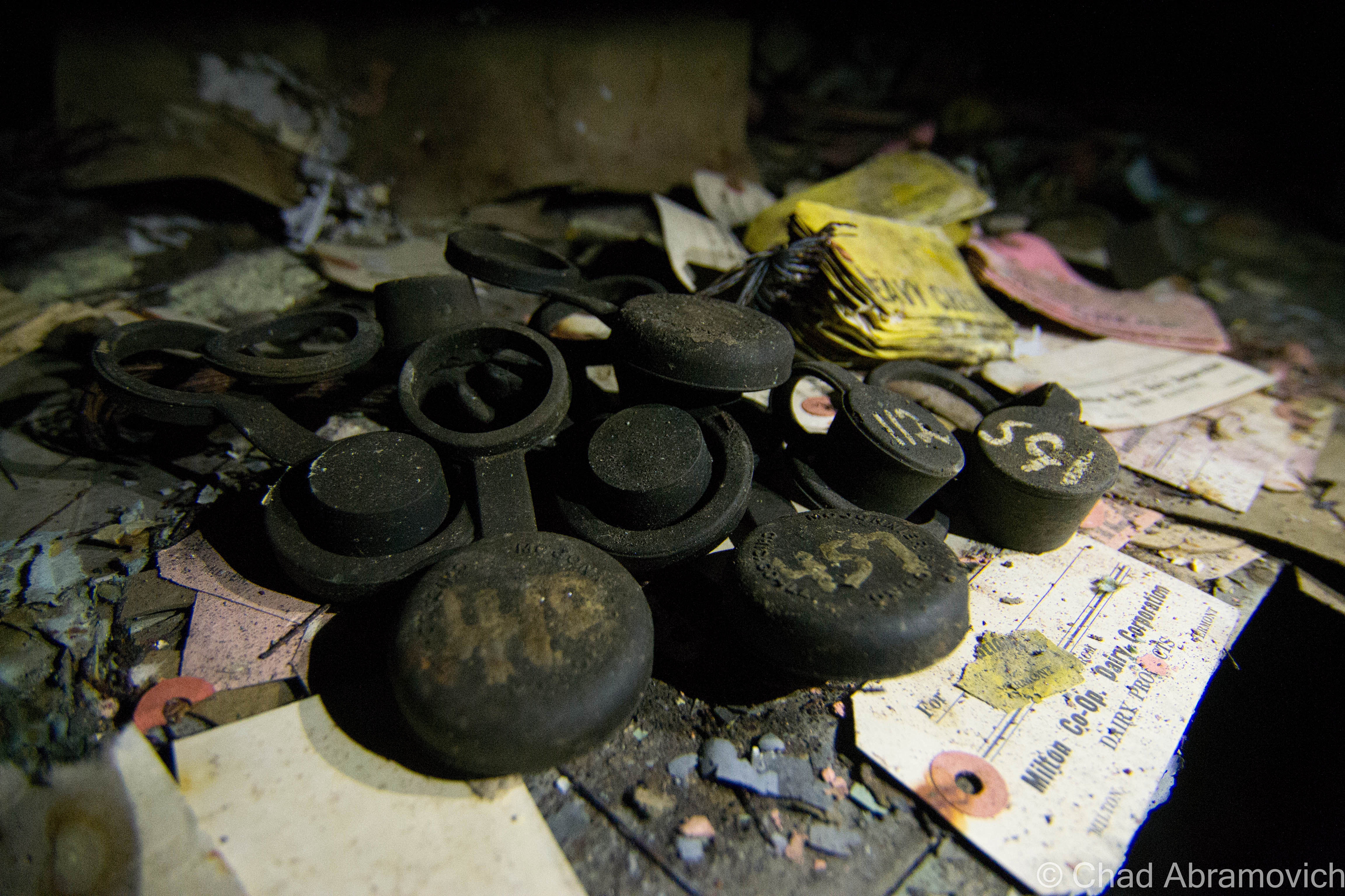
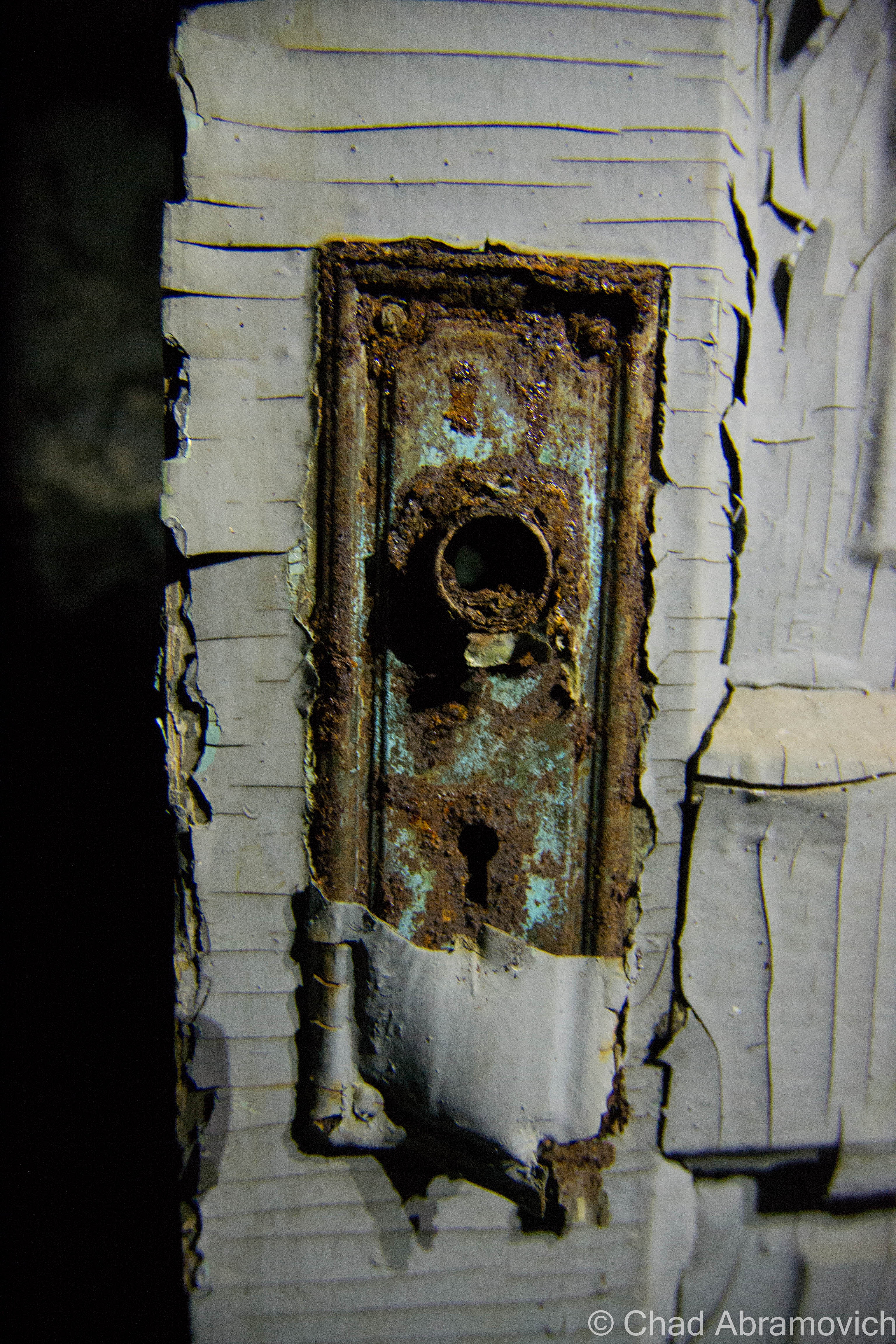
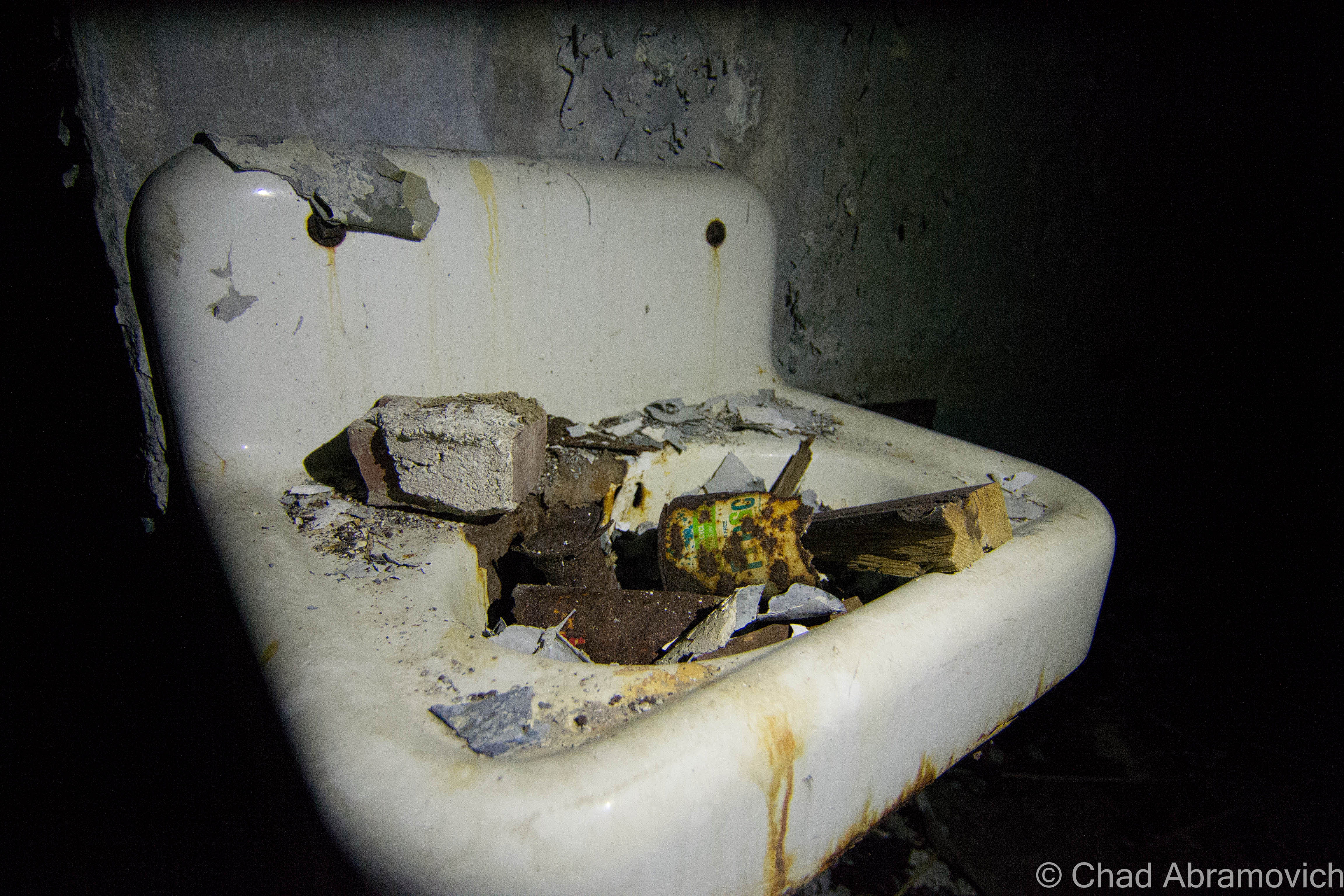
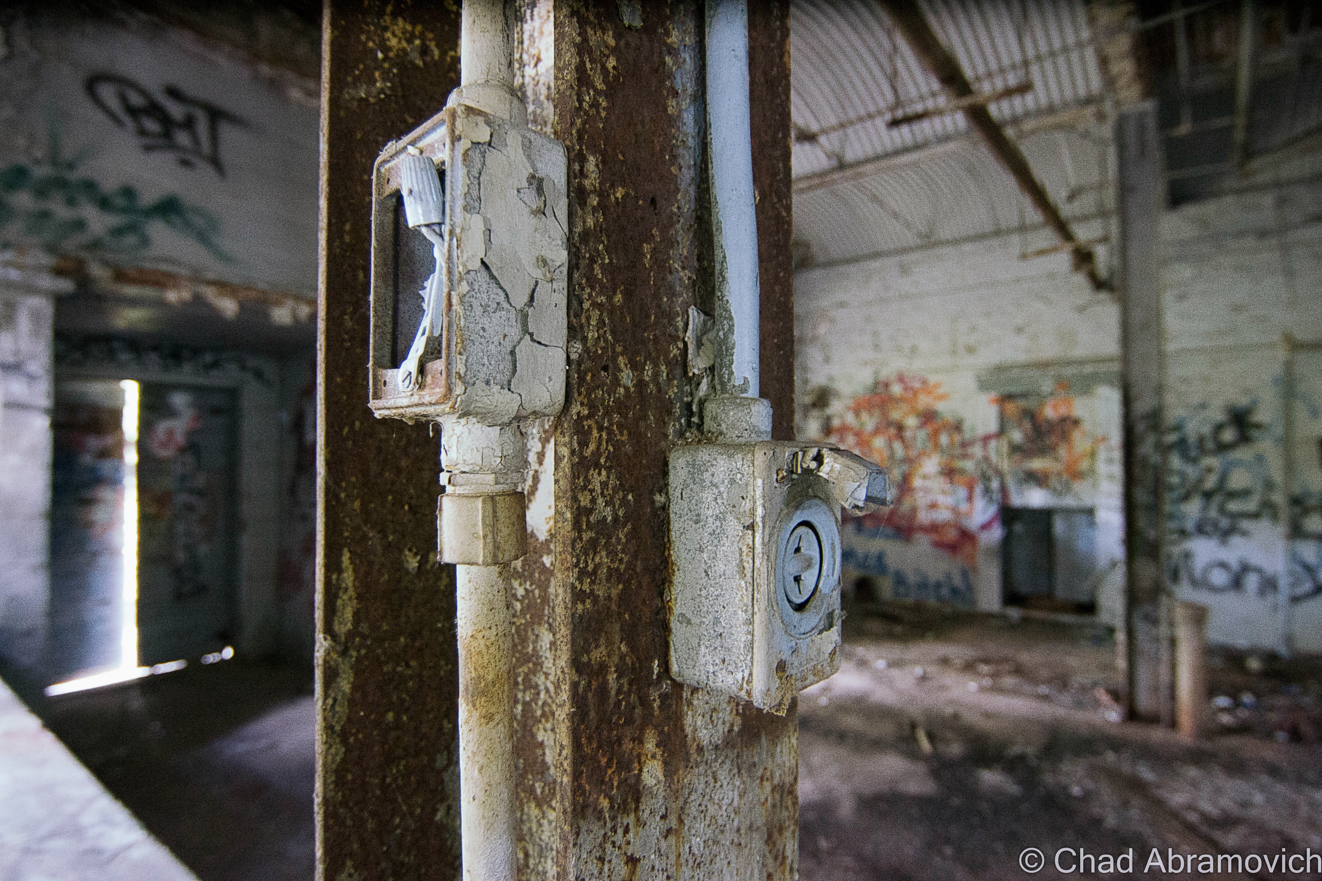
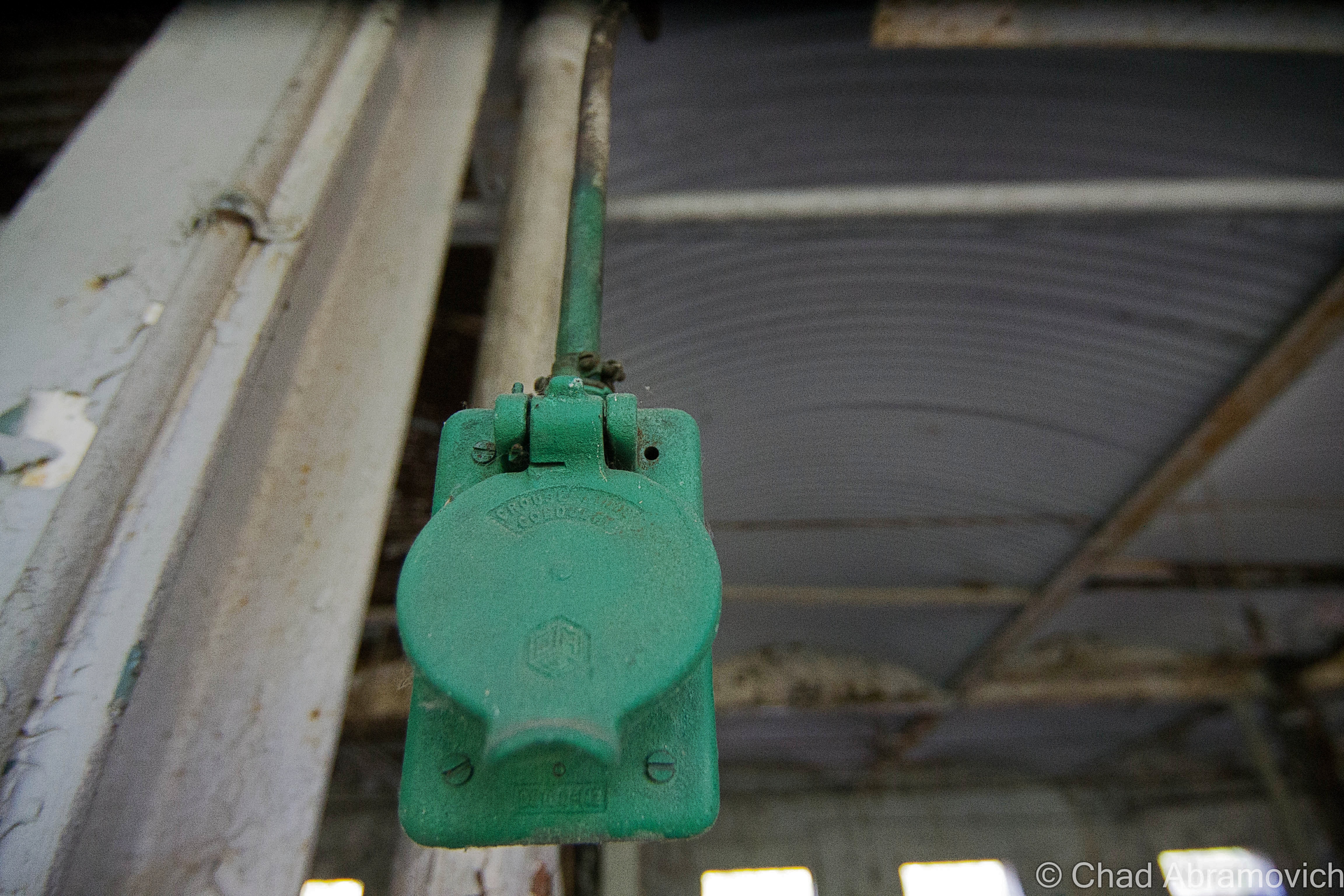
The power plant was a real unexpected treat, and my favorite portion of the grounds that we saw that day.  Unlike the main building, the generating station had most of its goodies still contained within drifting dust creating its own little universes in envelopes of light that scattered around the brawny boilers that were from an era that built things to last, and scores of gauges. Floors with hummocks of lead paint flakes and dirt. Desks and chests of drawers were still cluttered with miscellany and workshop brick-a-brack. This was definitely a pleasure to point my camera at.
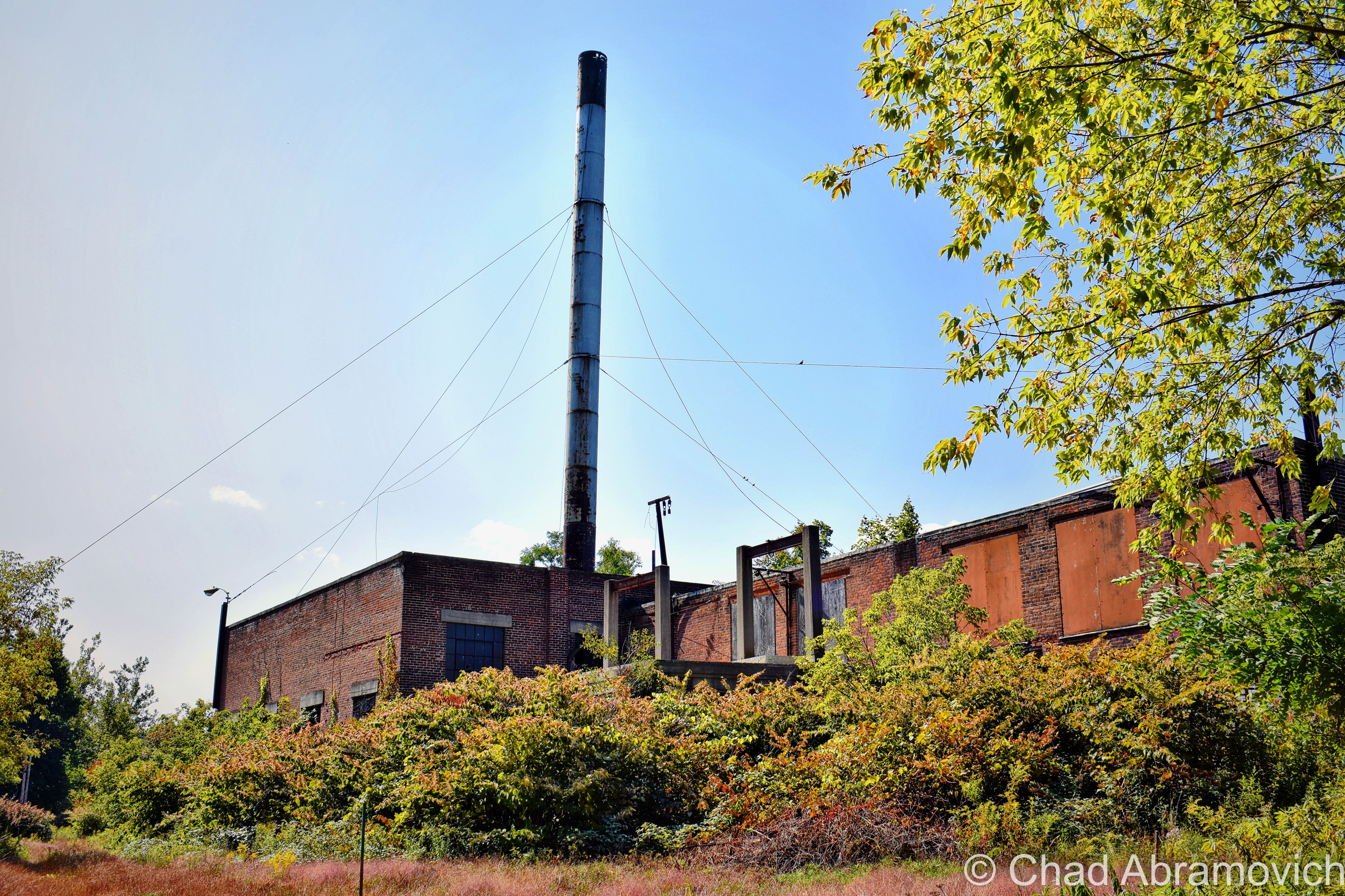
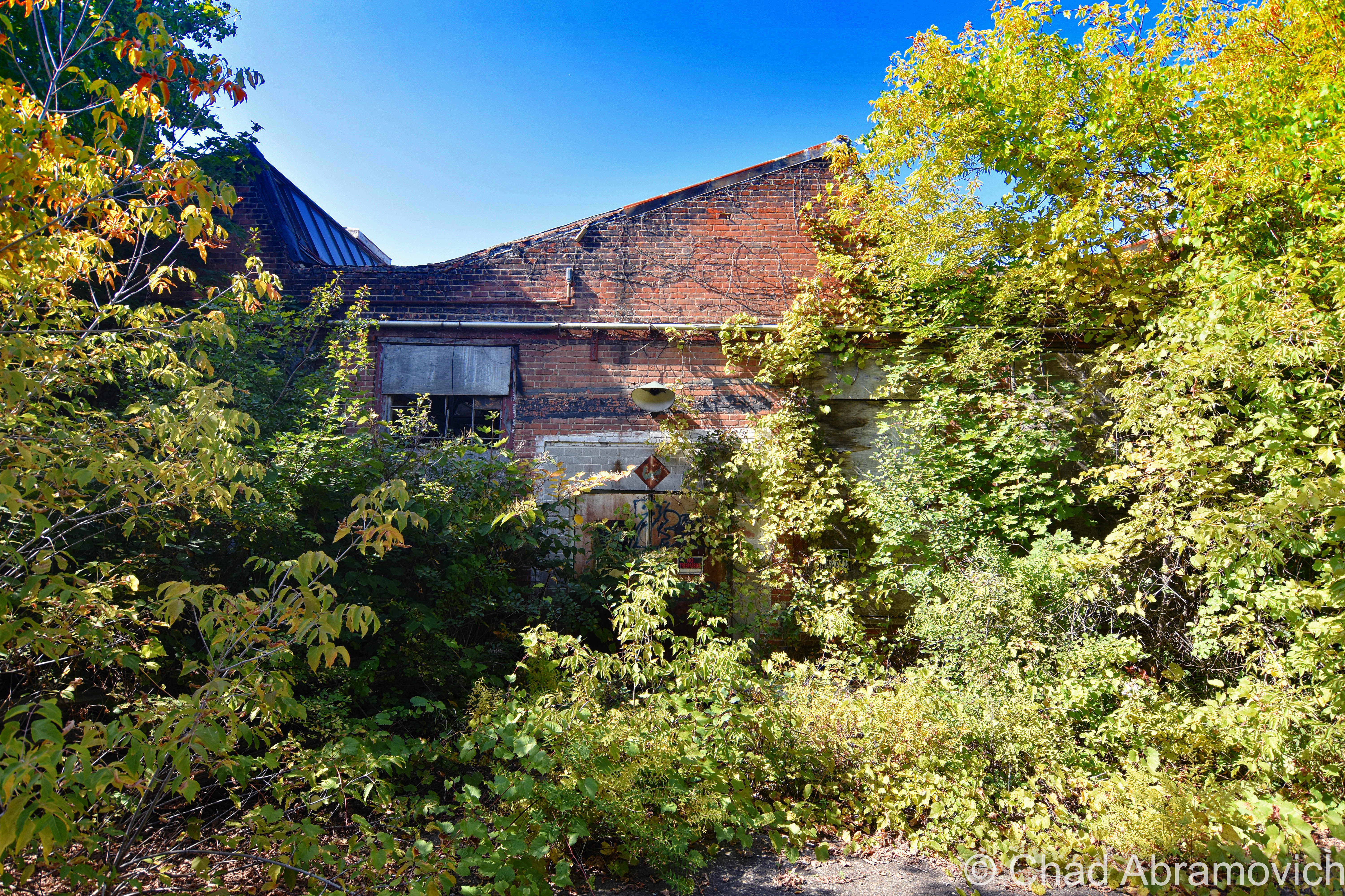
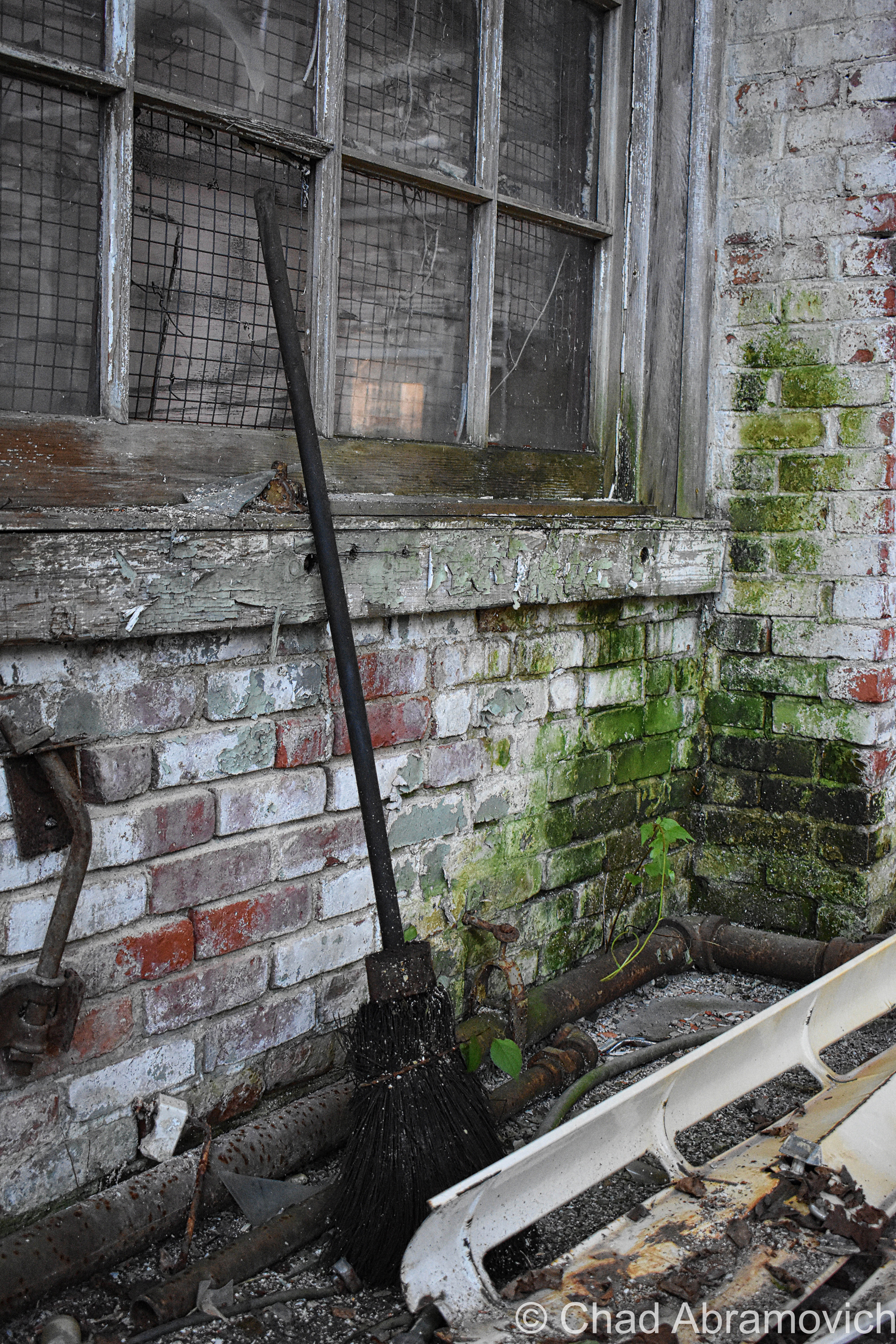
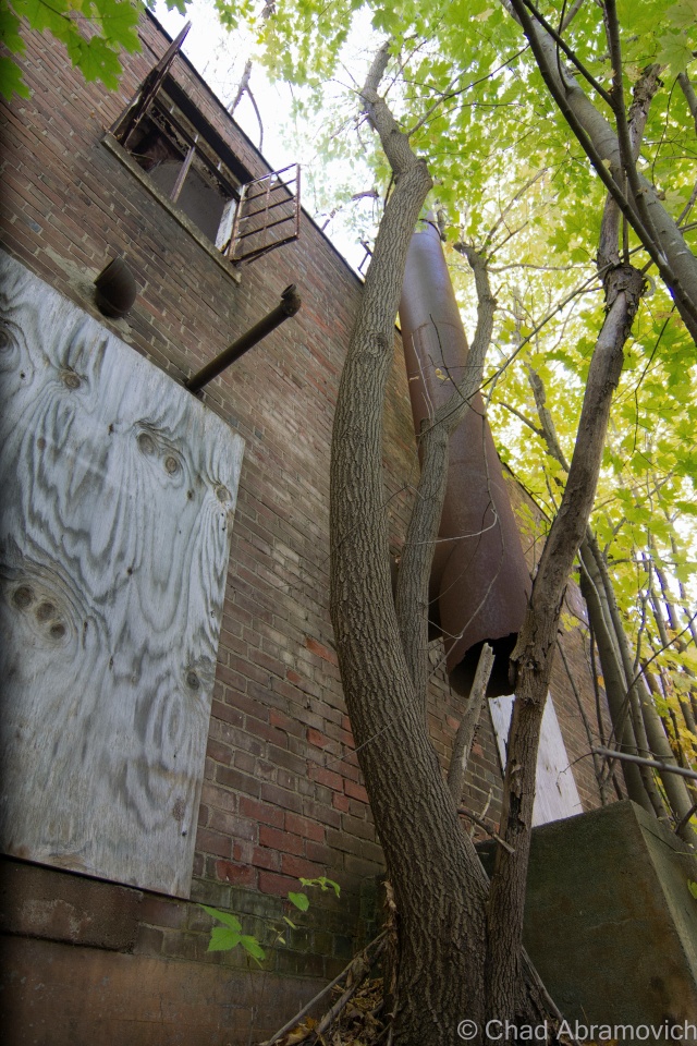
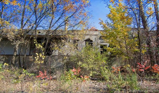
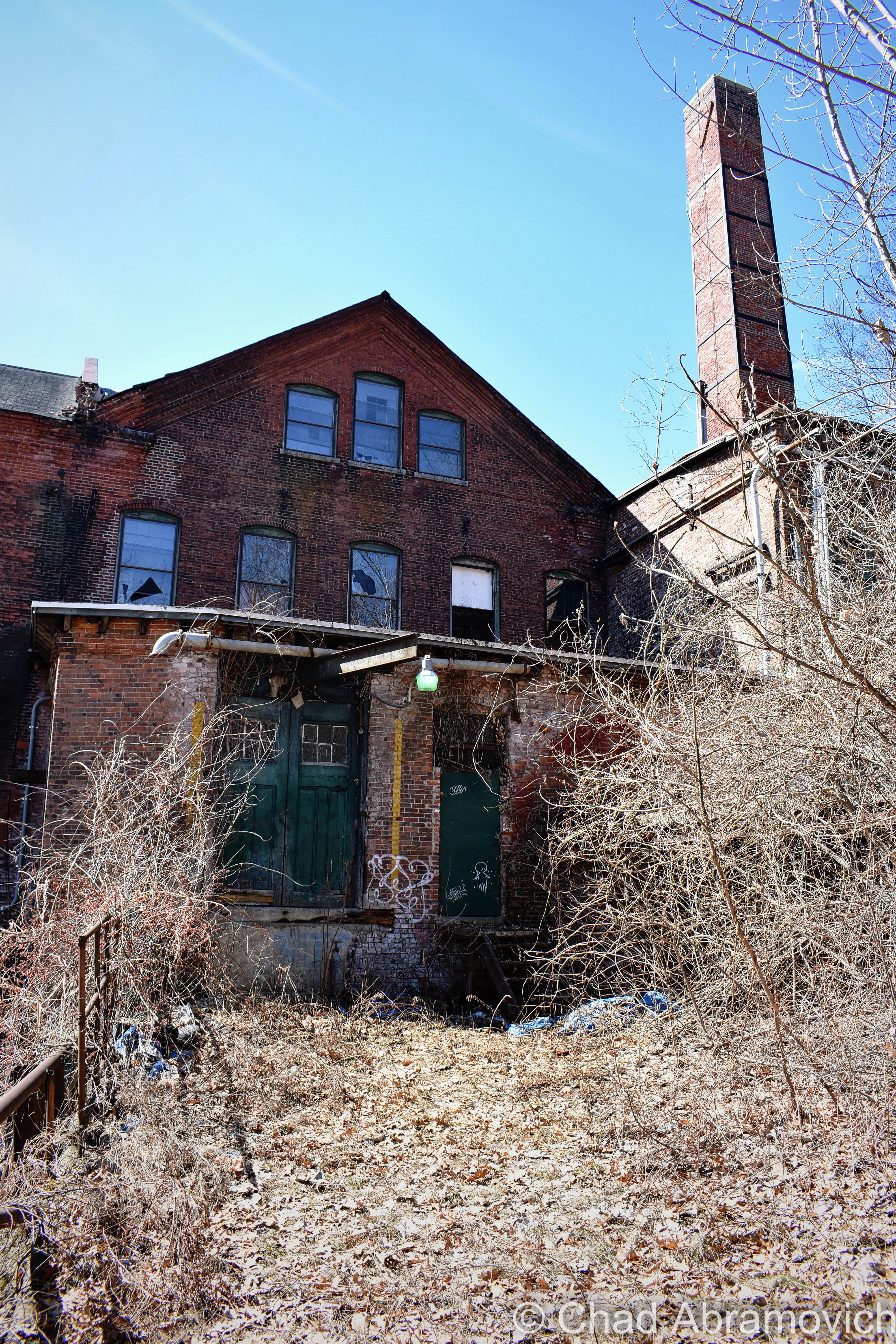
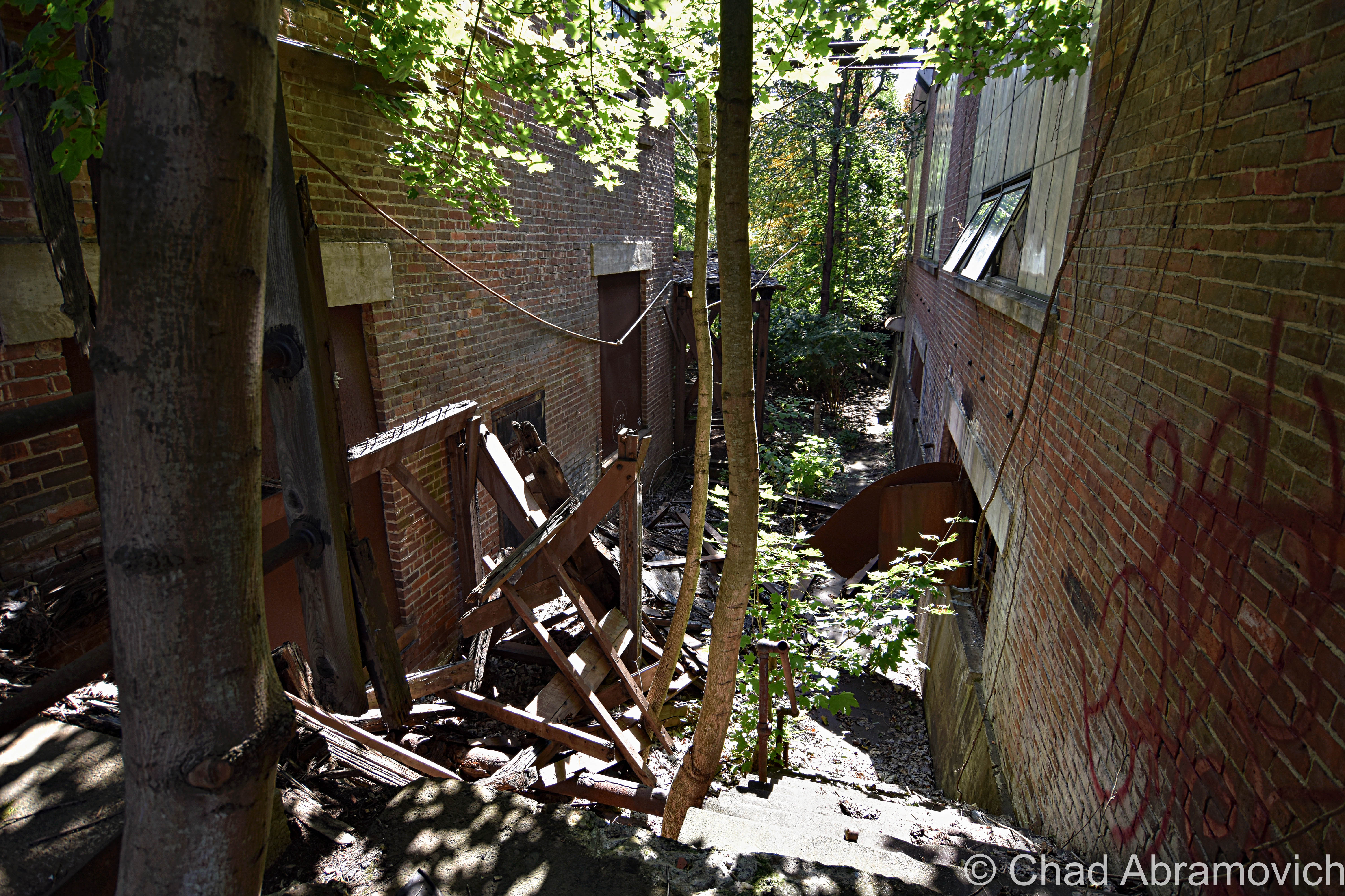
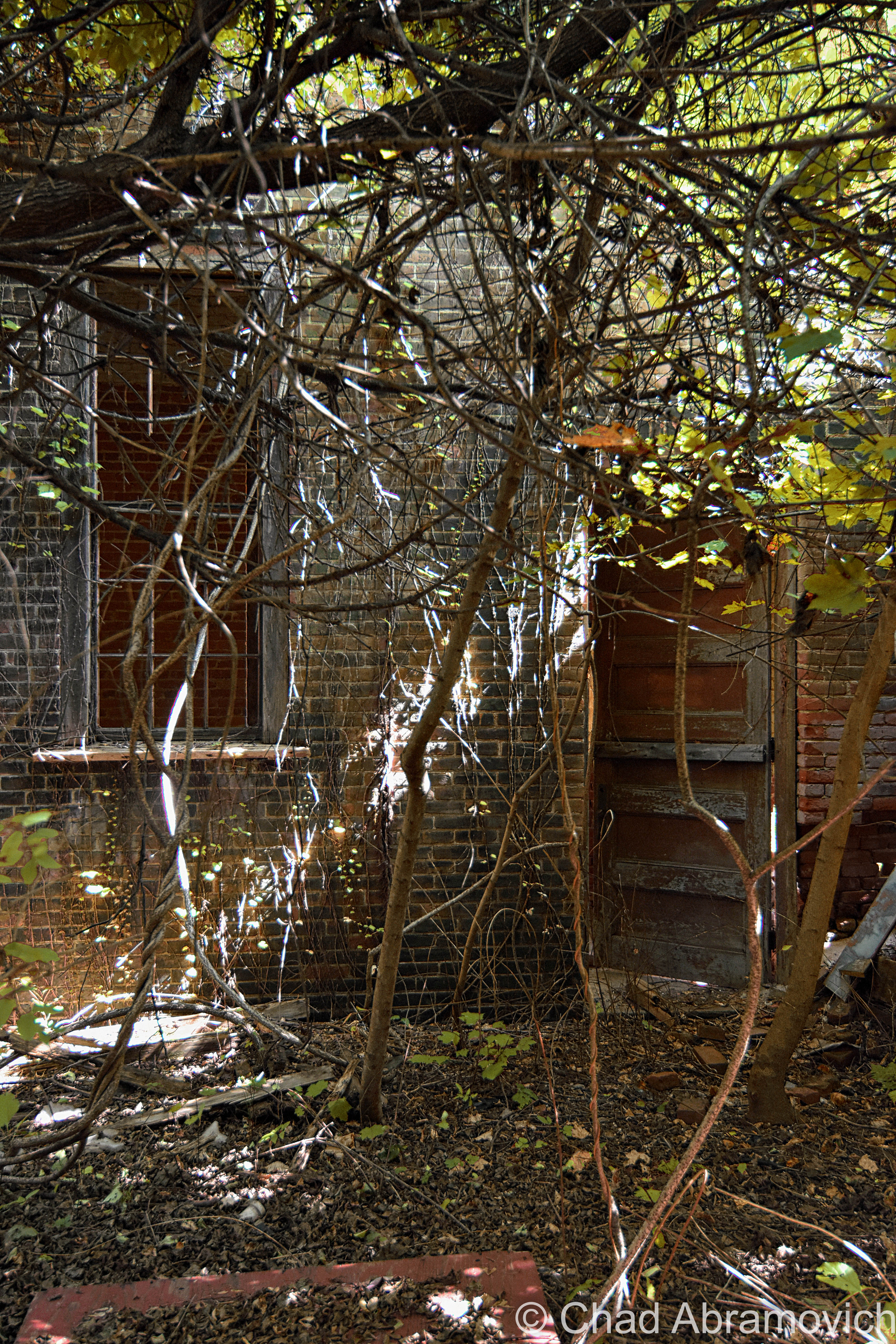
Afterward, we entered the jungle that has consumed the back fringes of the main building – found our way down a forgotten concrete staircase that was being slowly crumbled by encroaching trees that we were constantly shielding from smacking us in our faces, inside an outbuilding that had totally fused with nature, and contorted through a broken window.

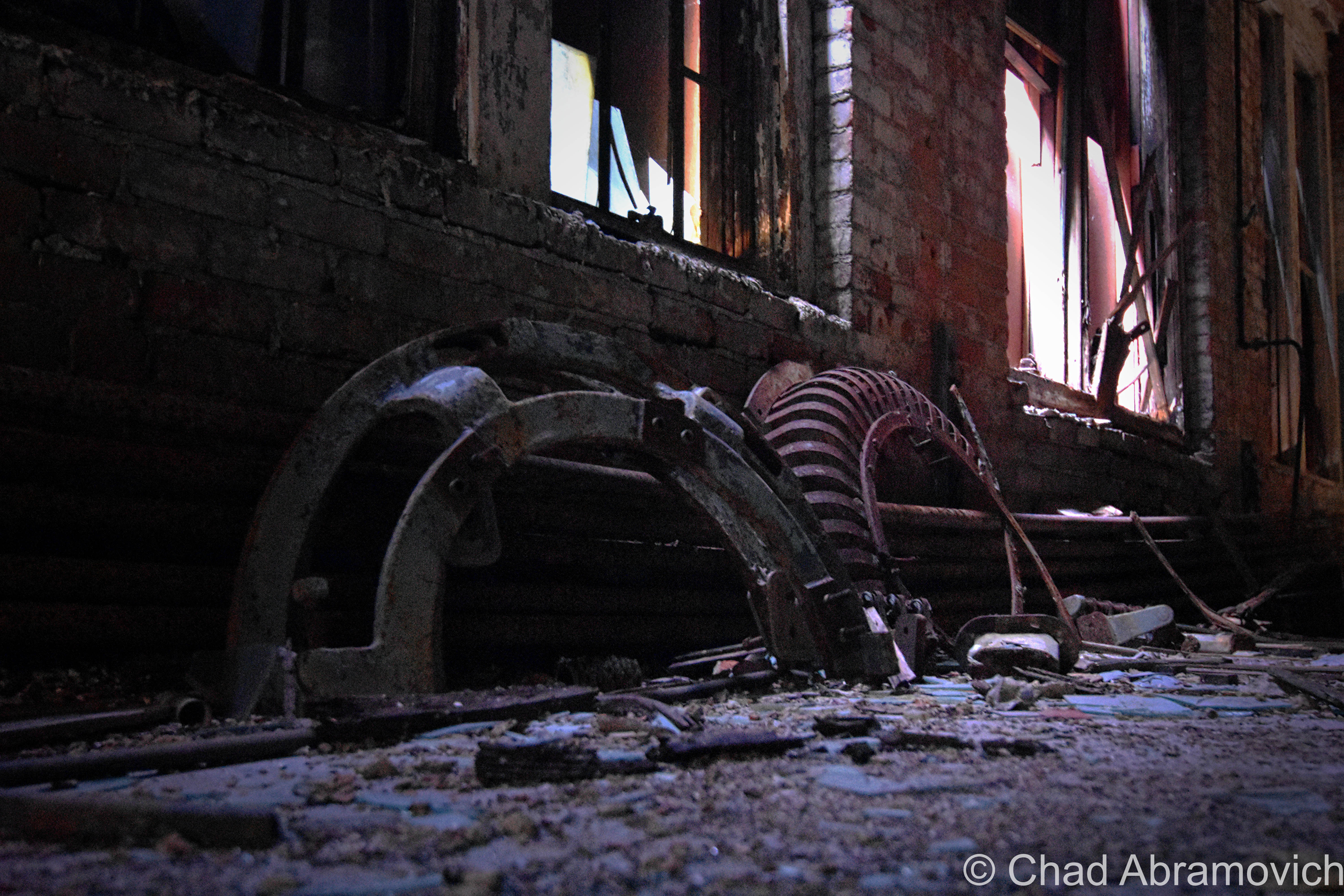
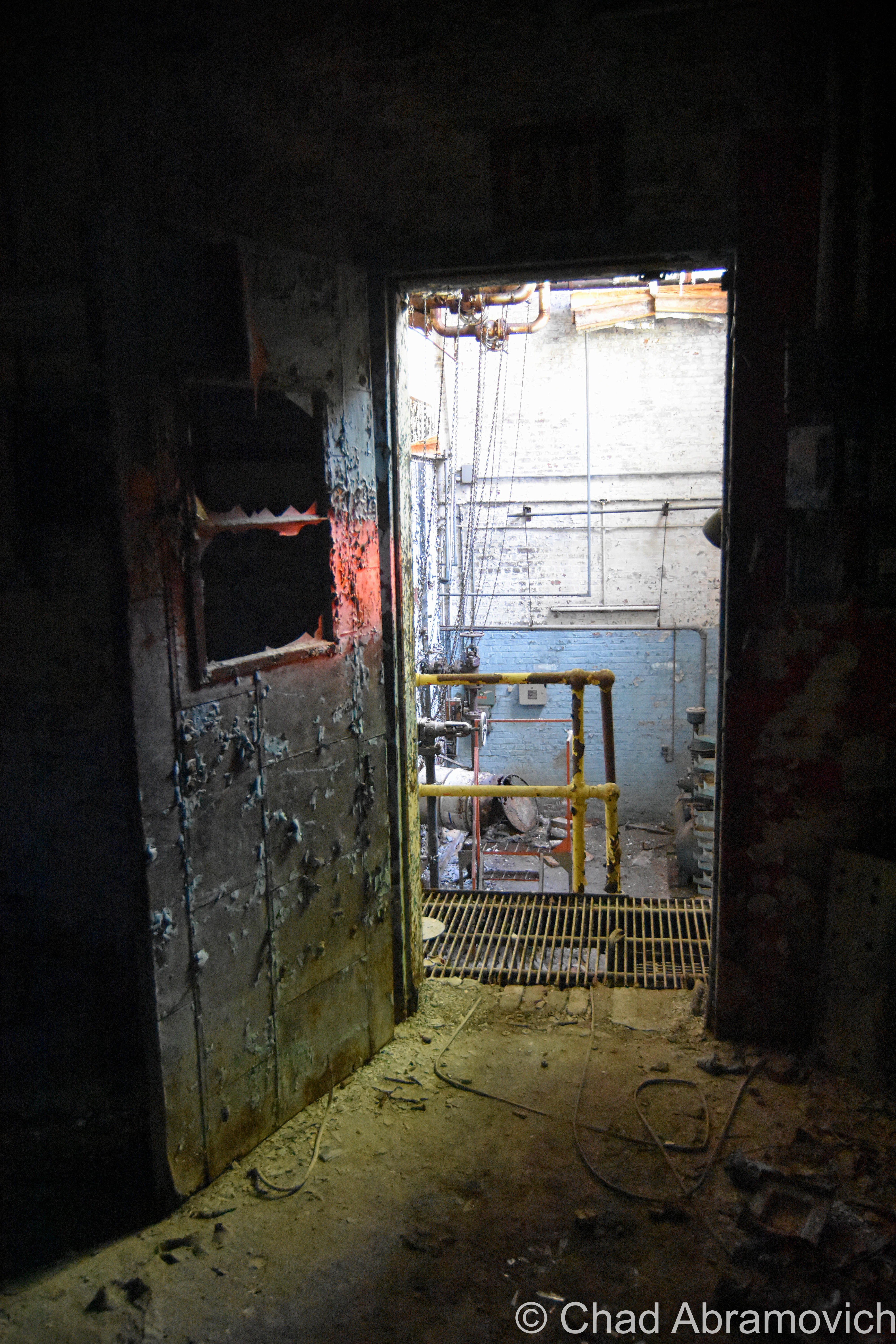
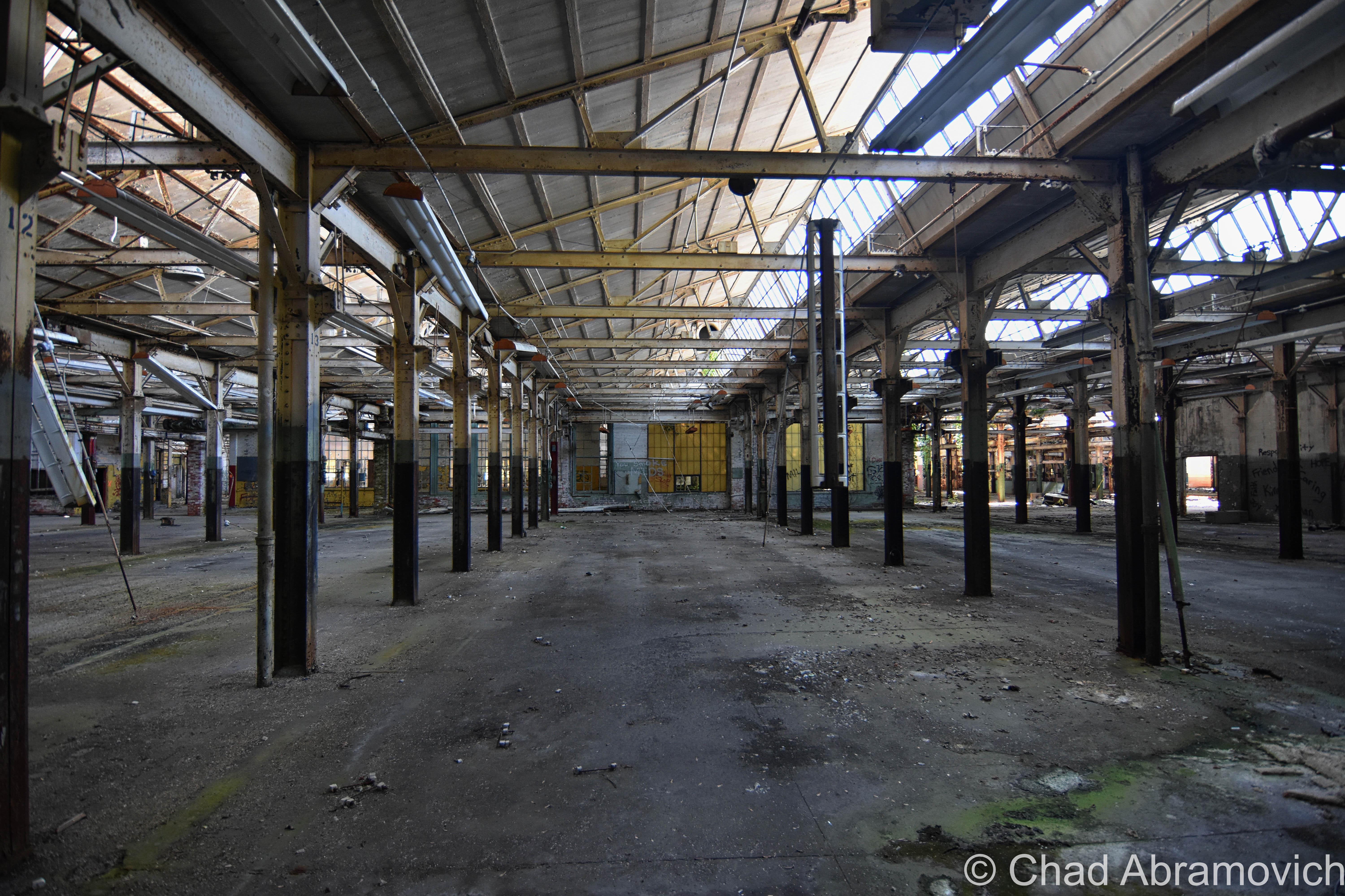
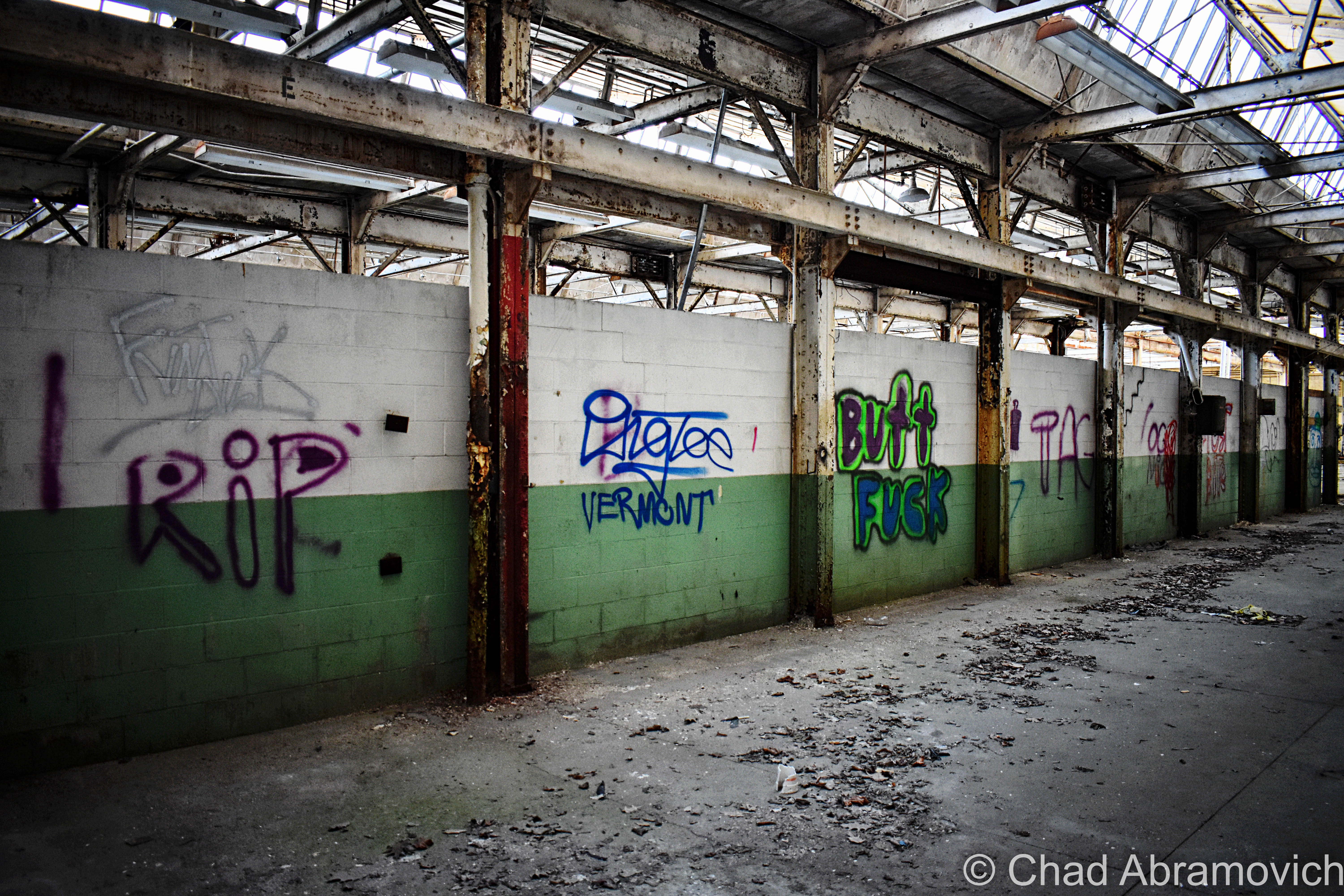
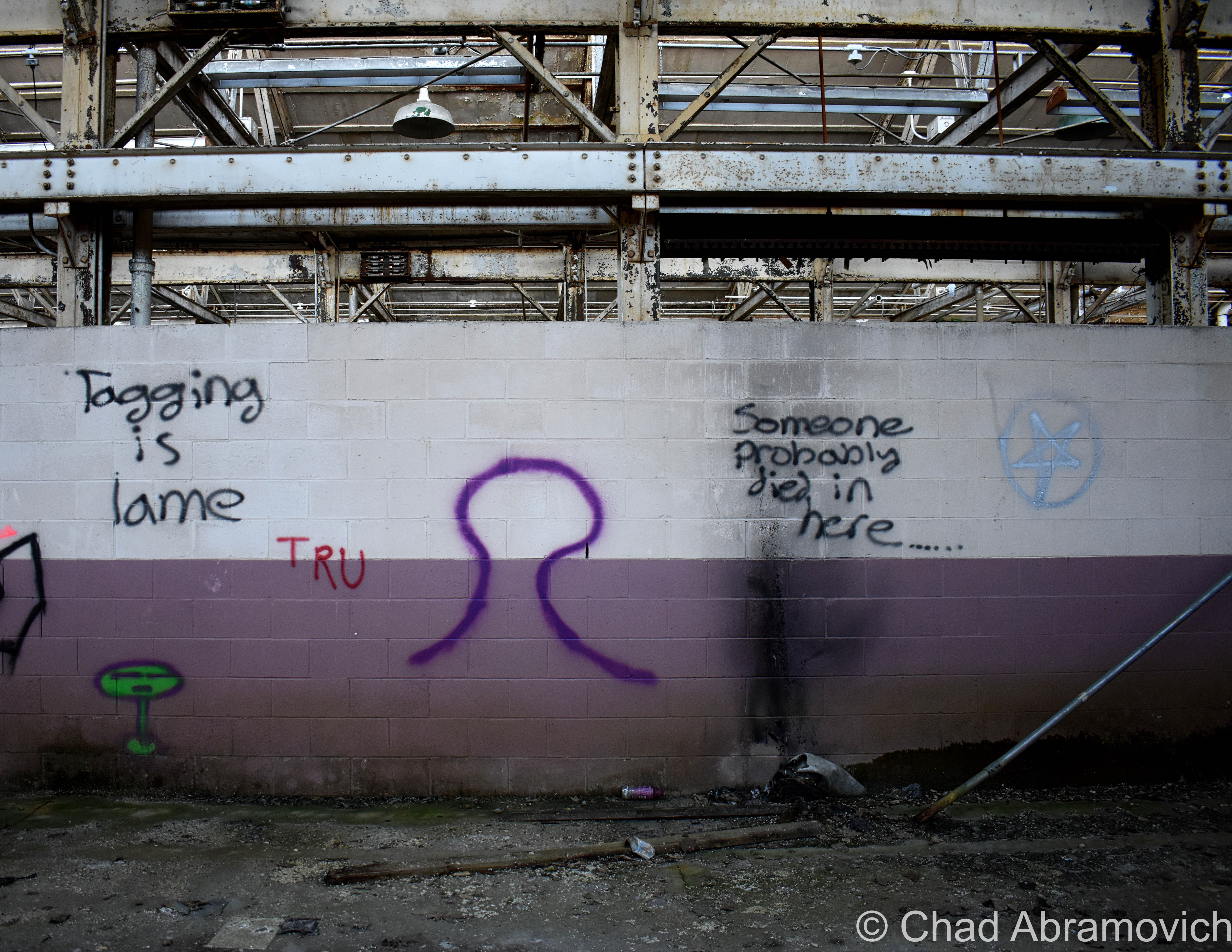
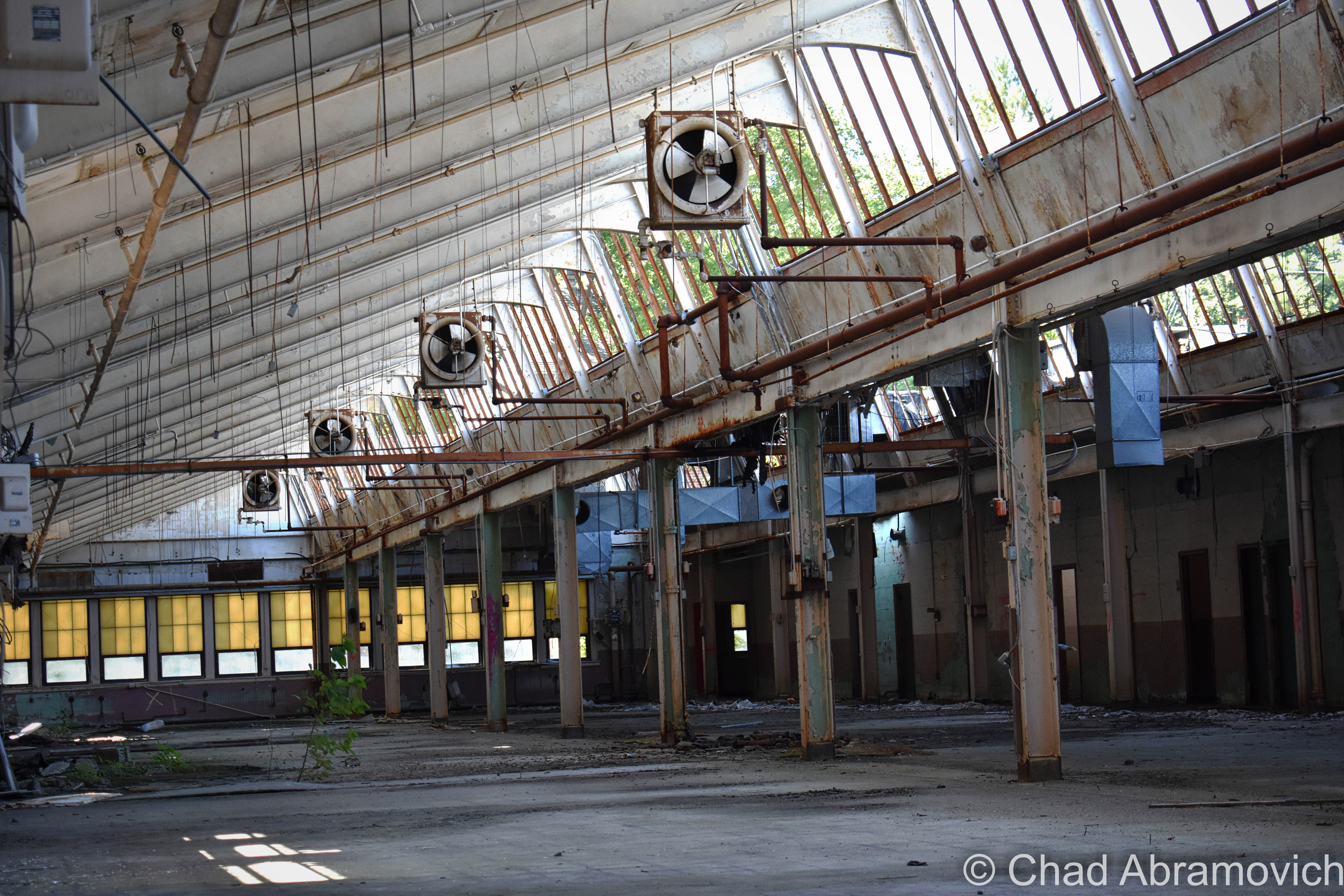
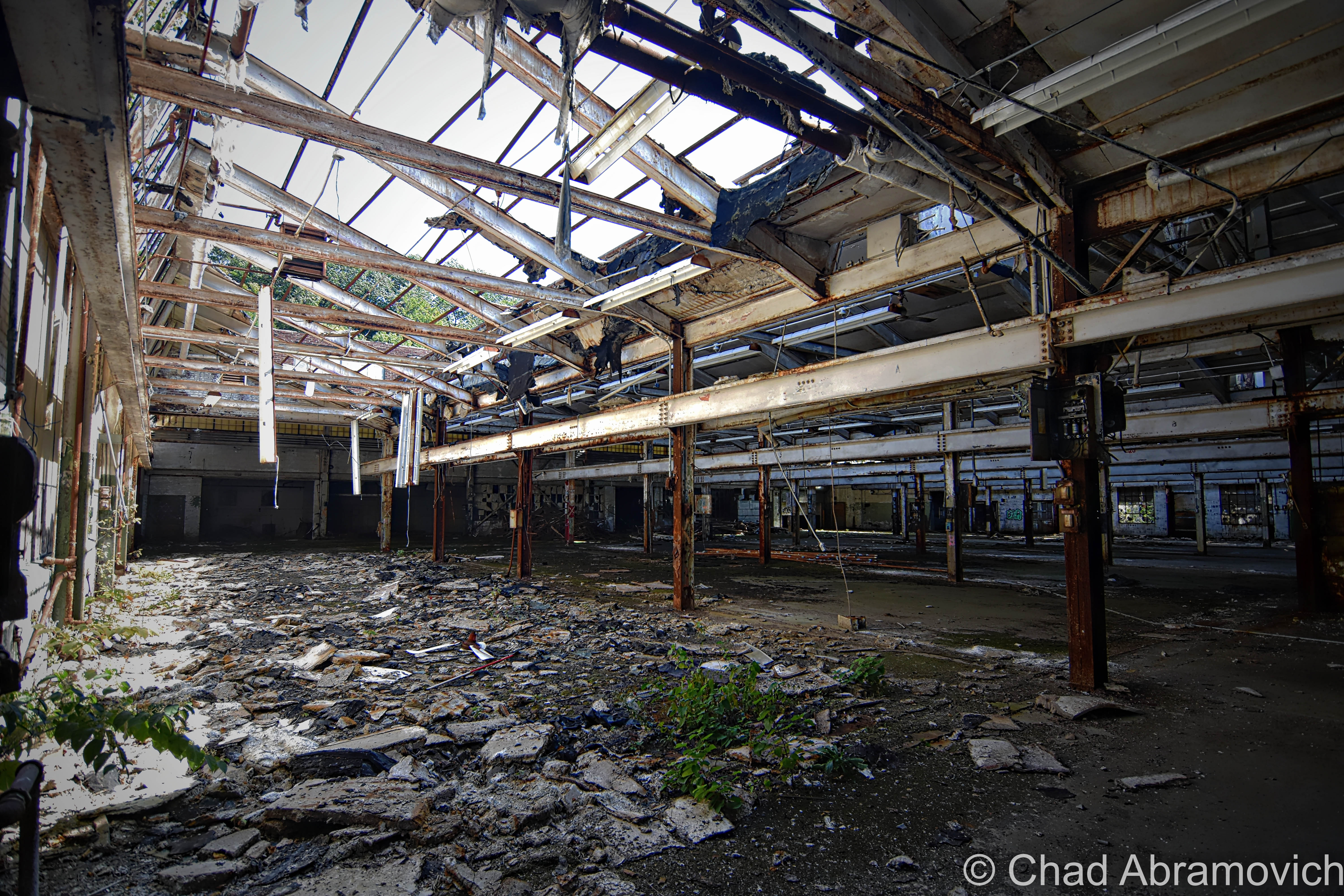
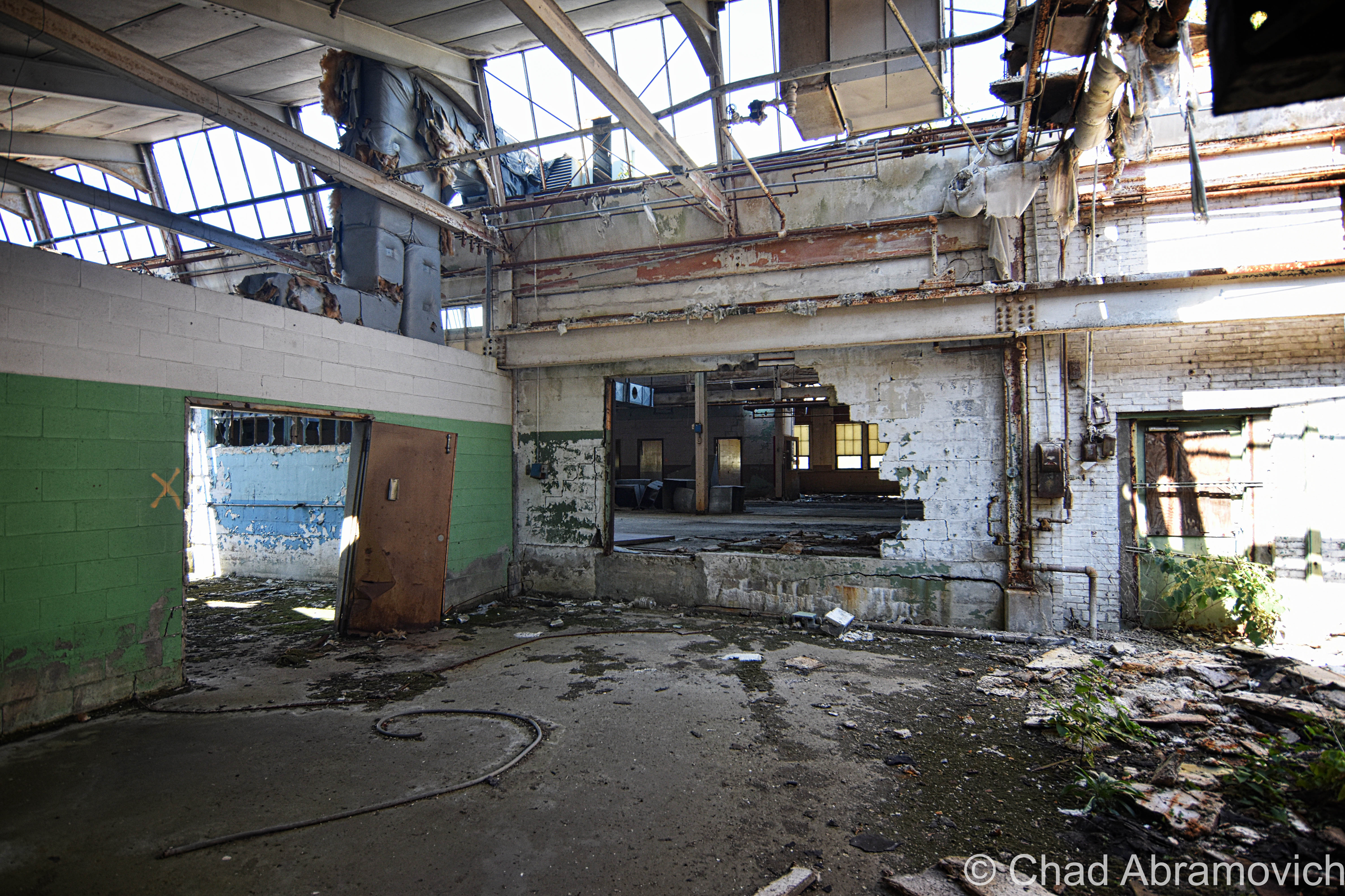
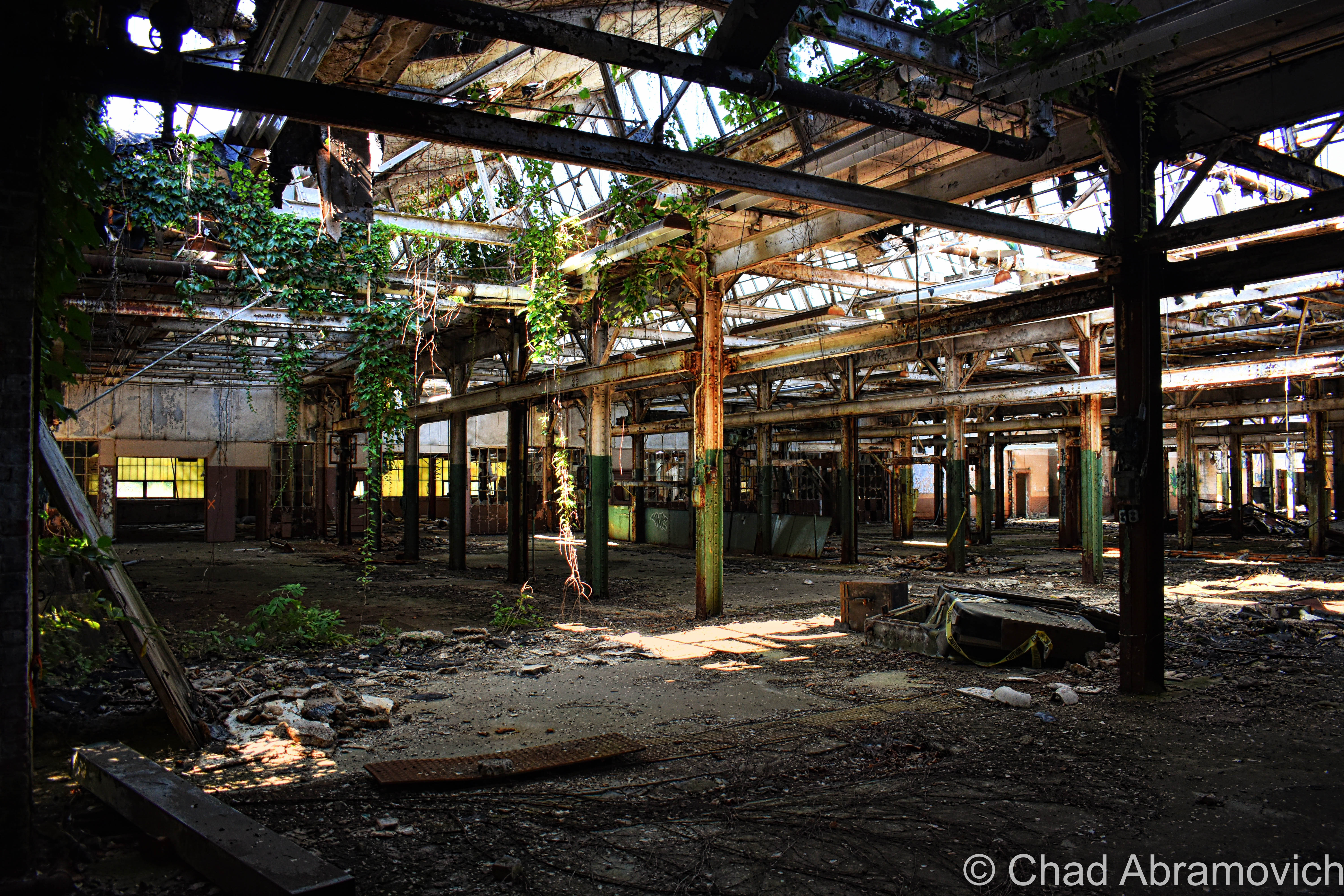
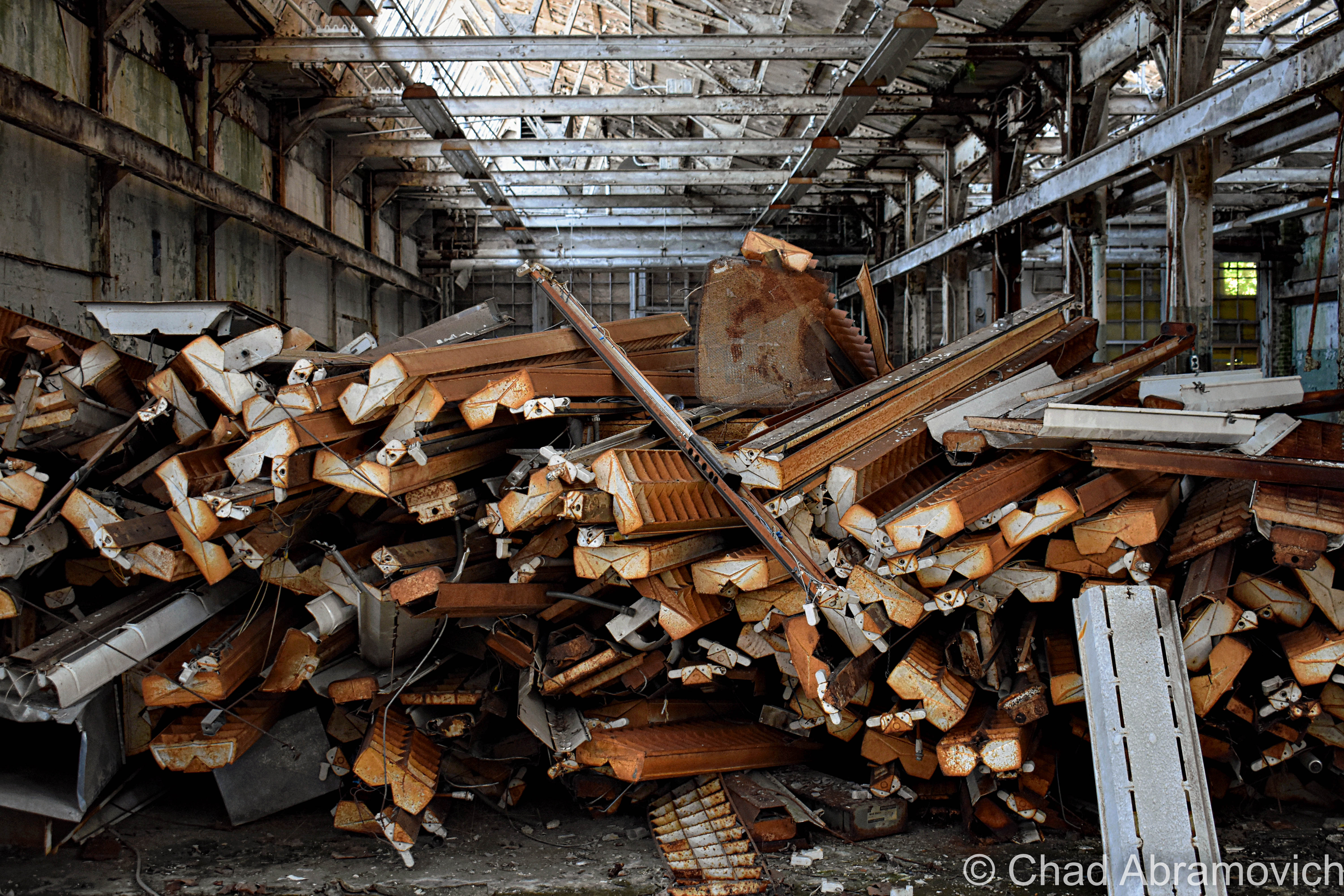
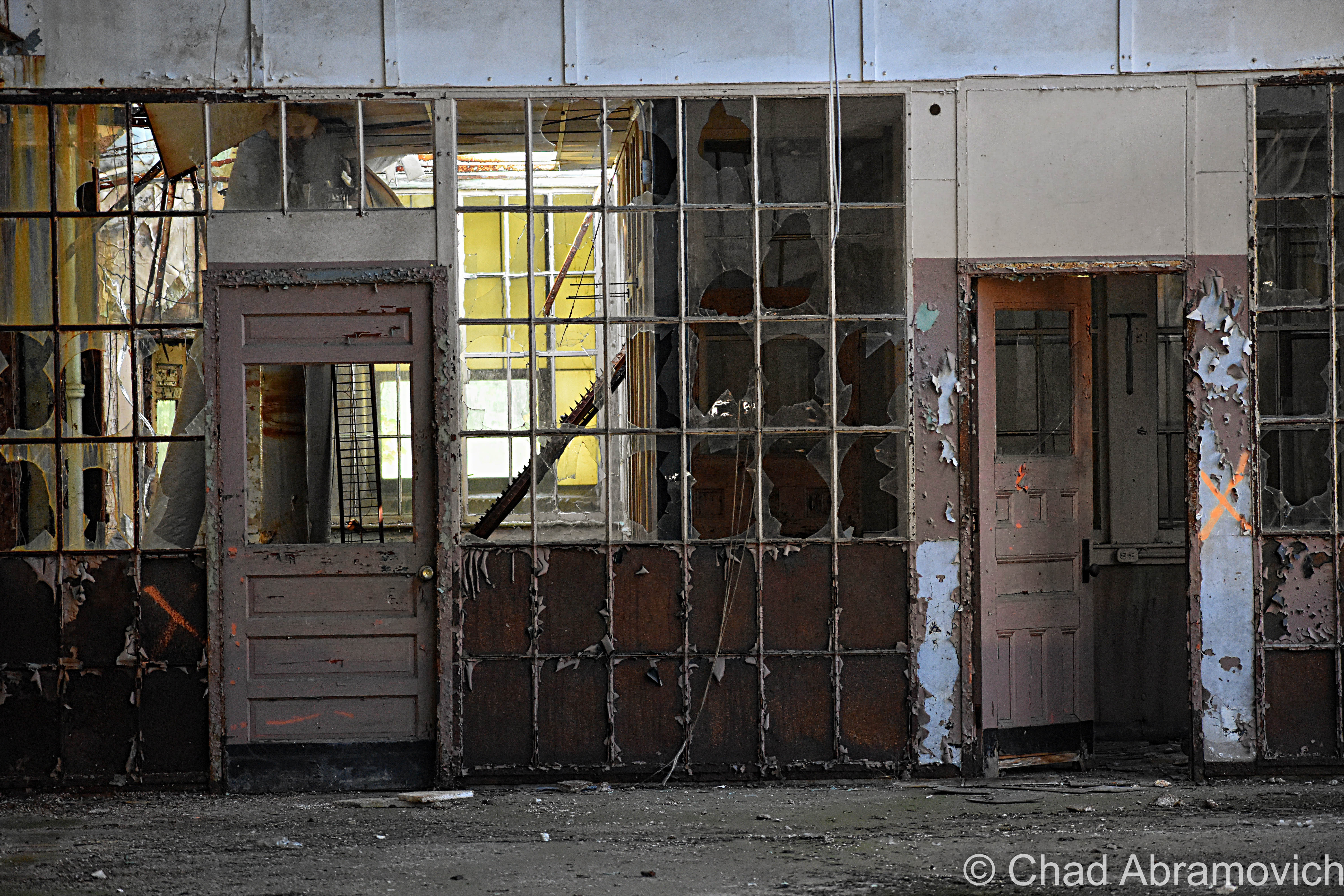
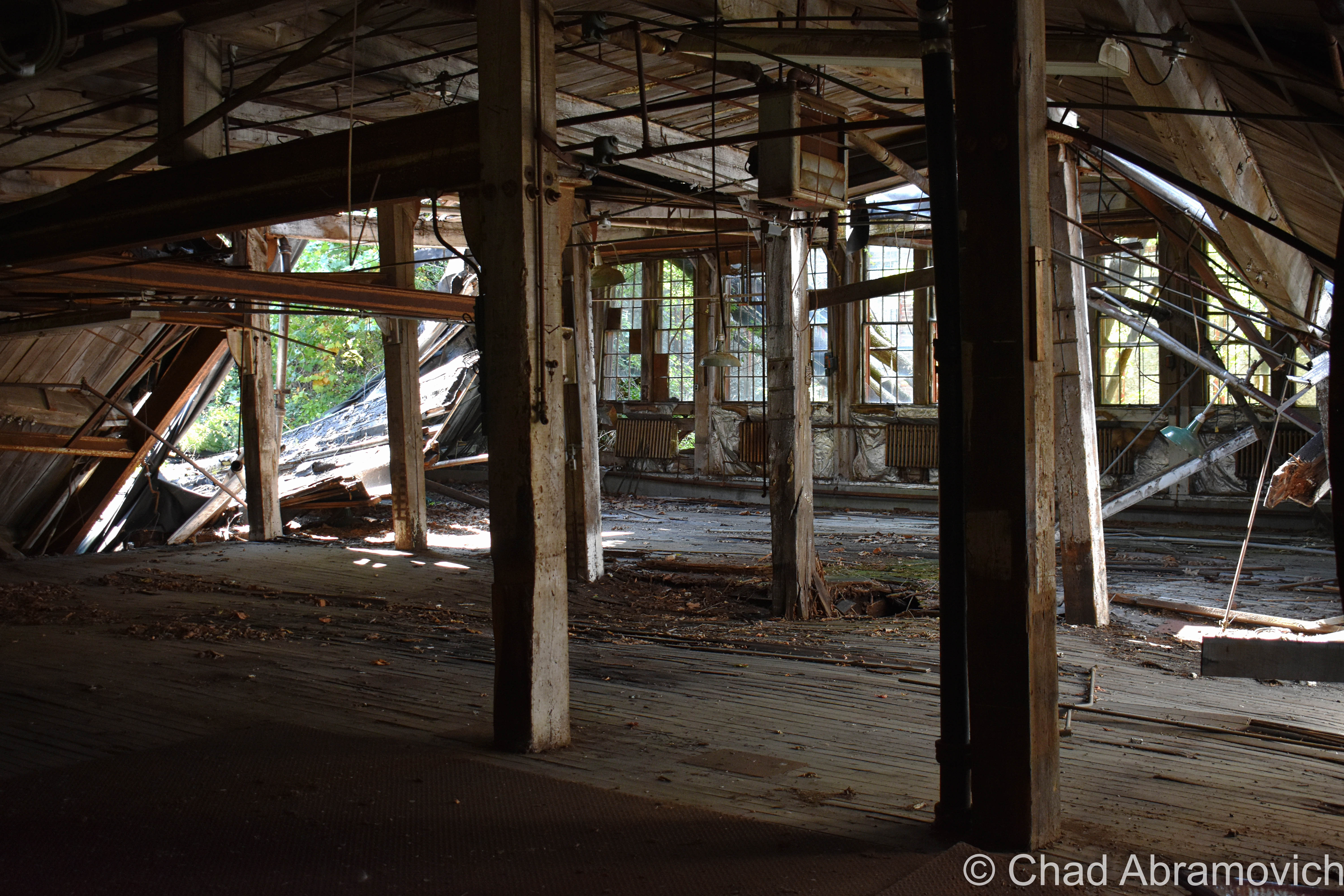
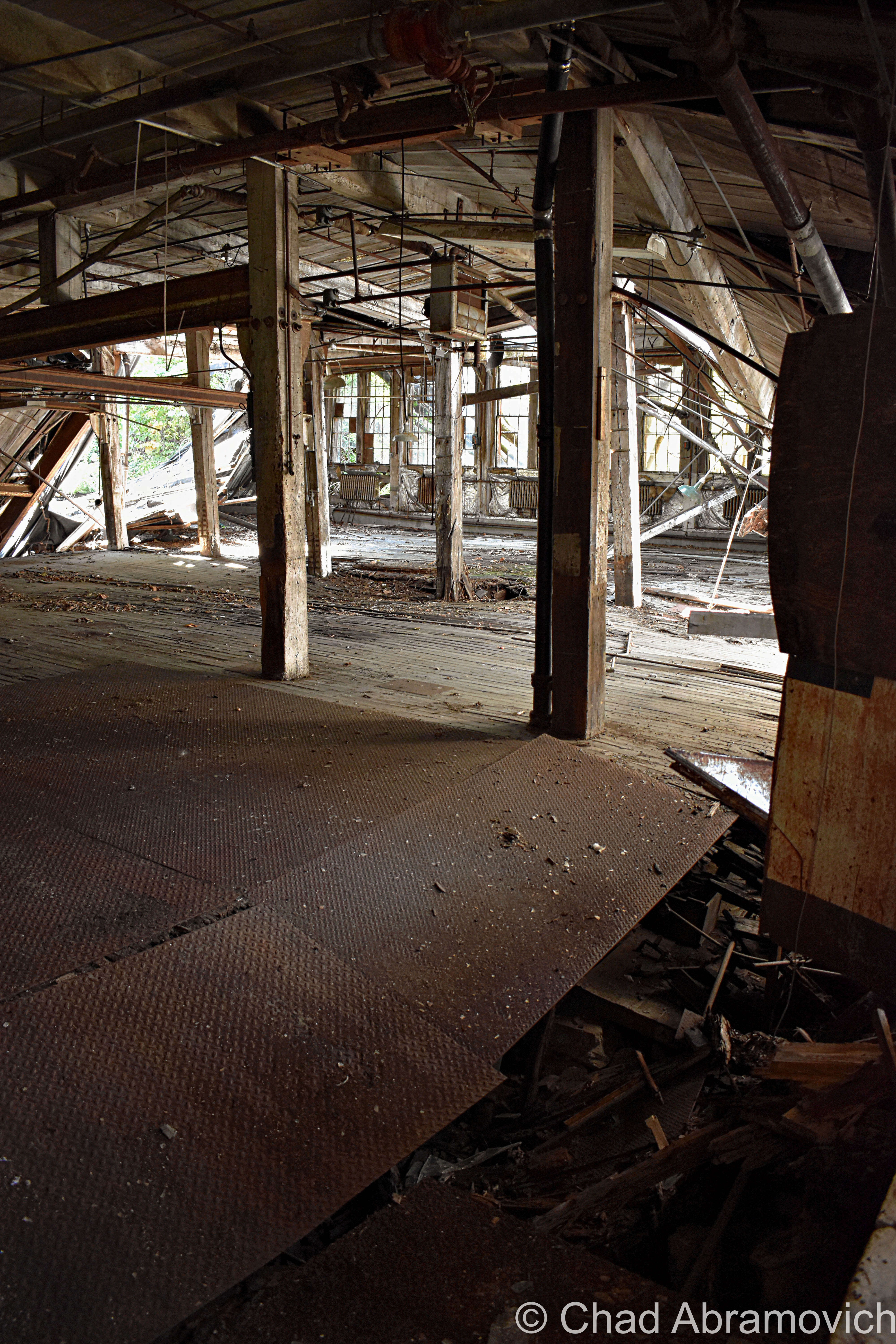
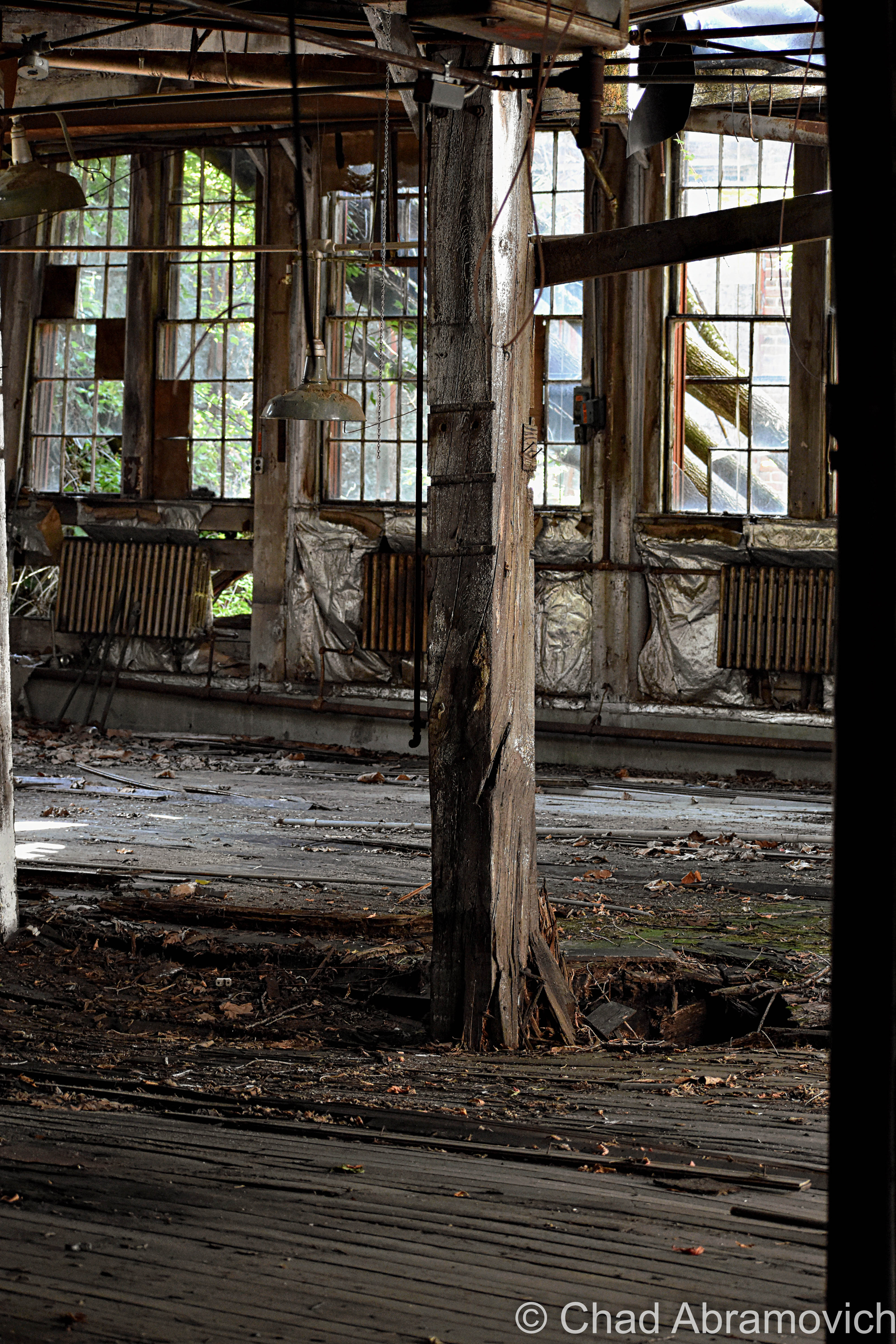
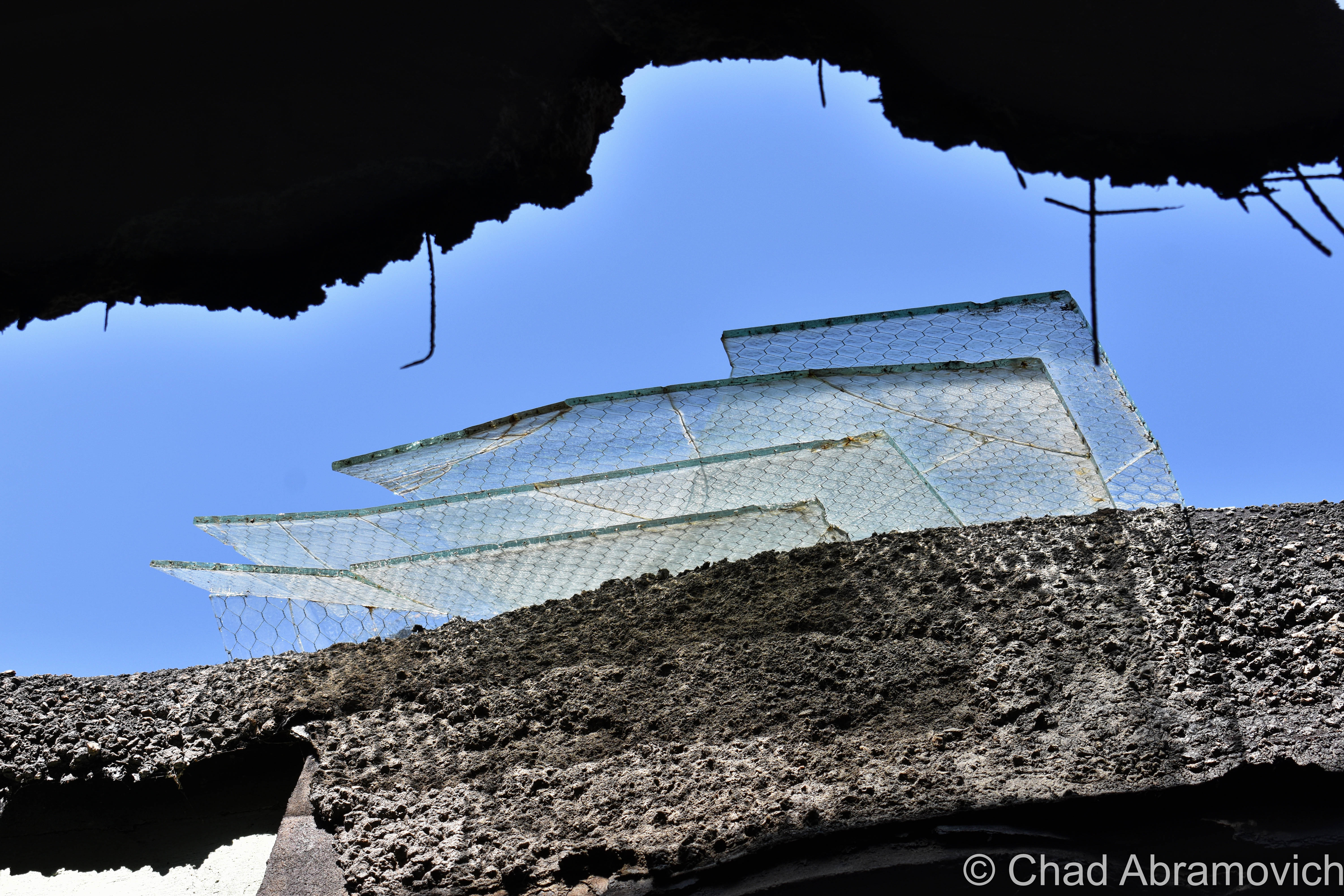
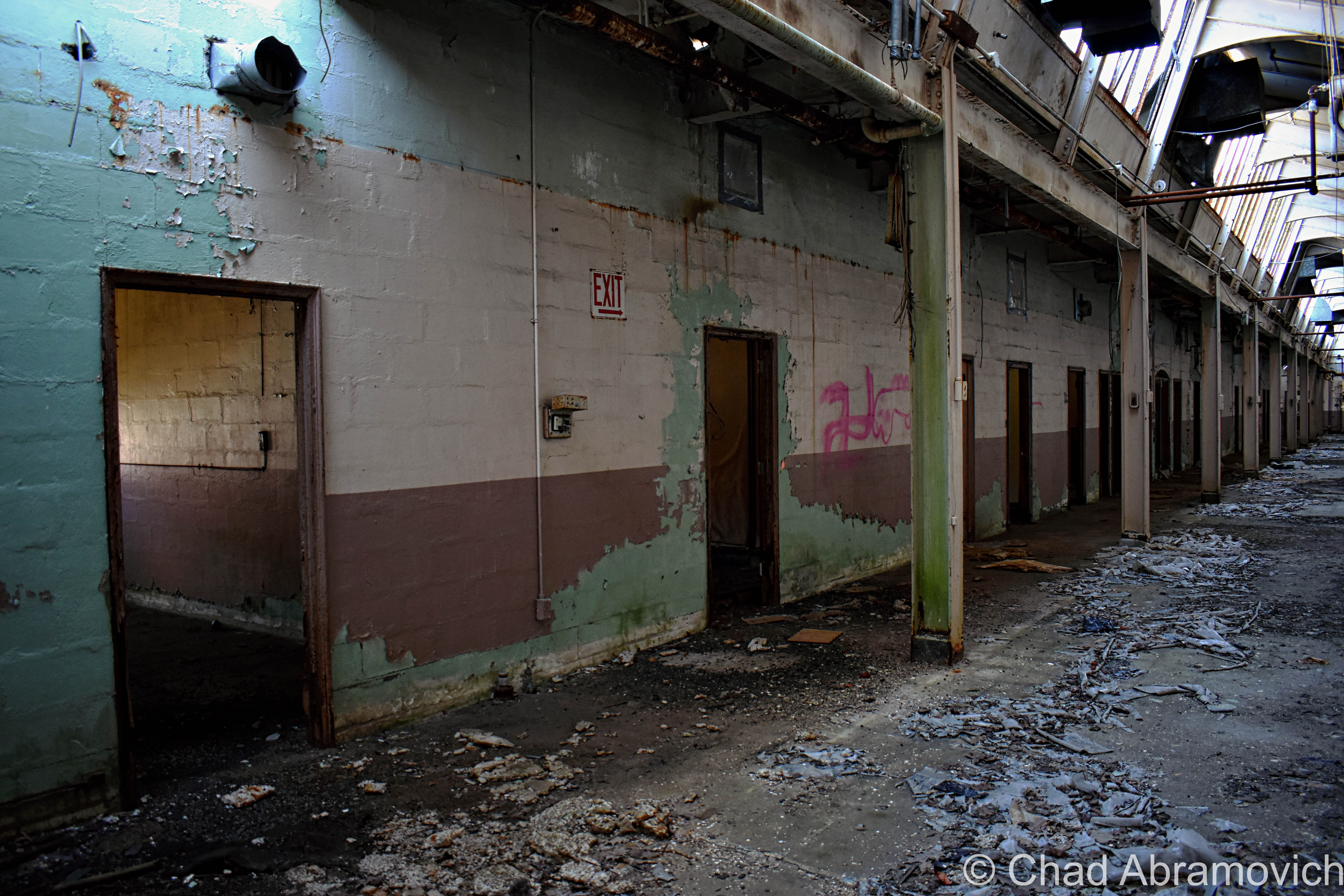
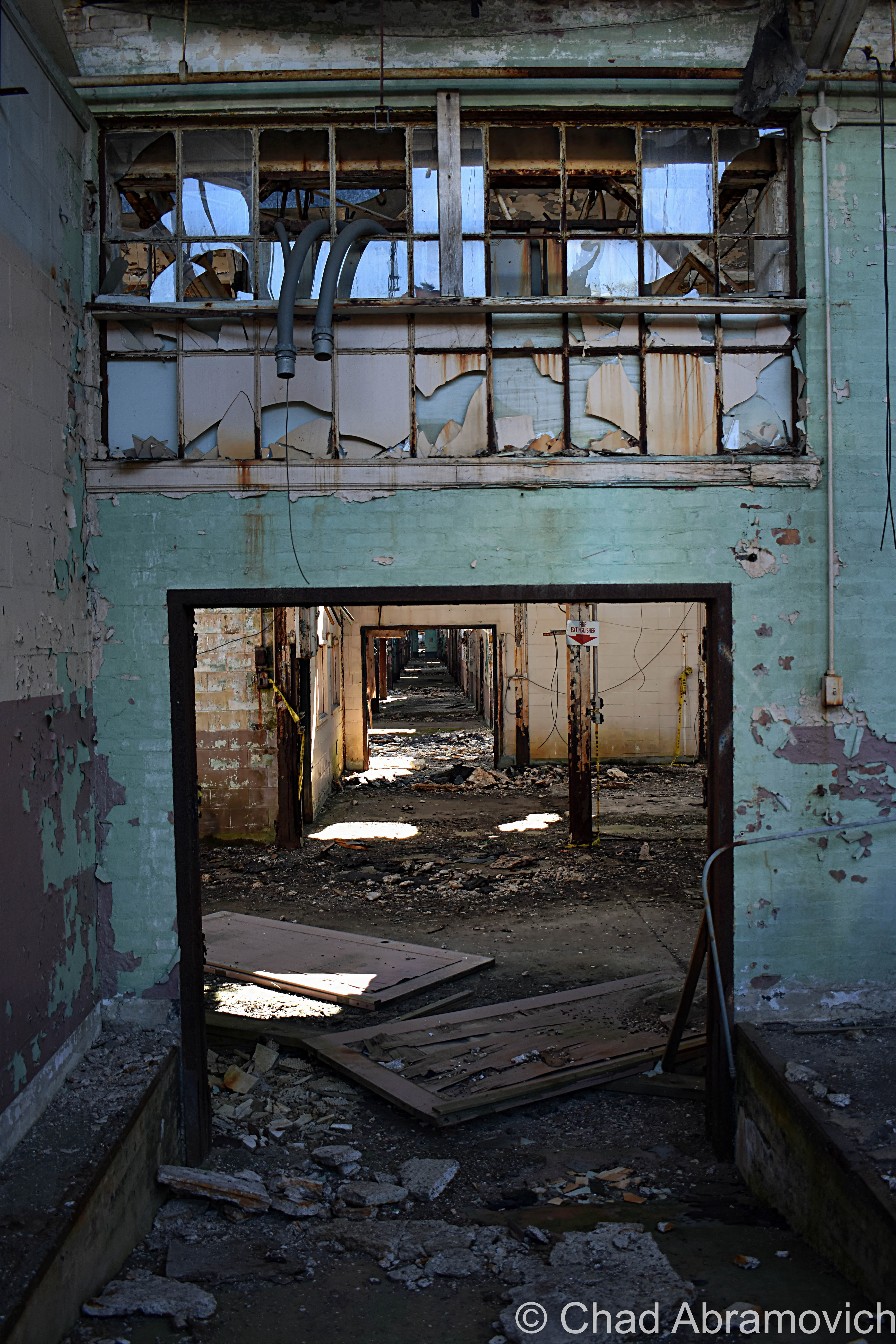
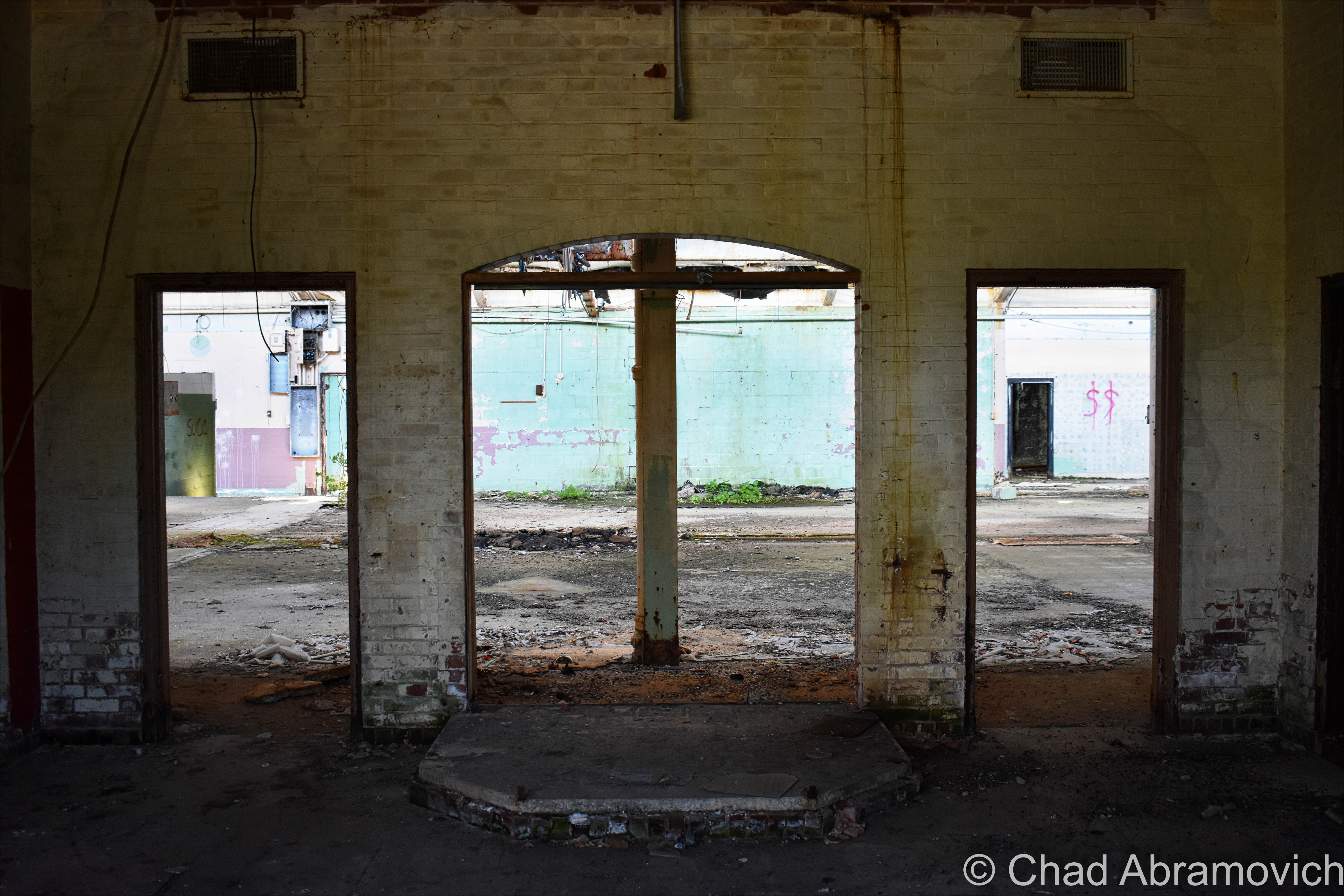
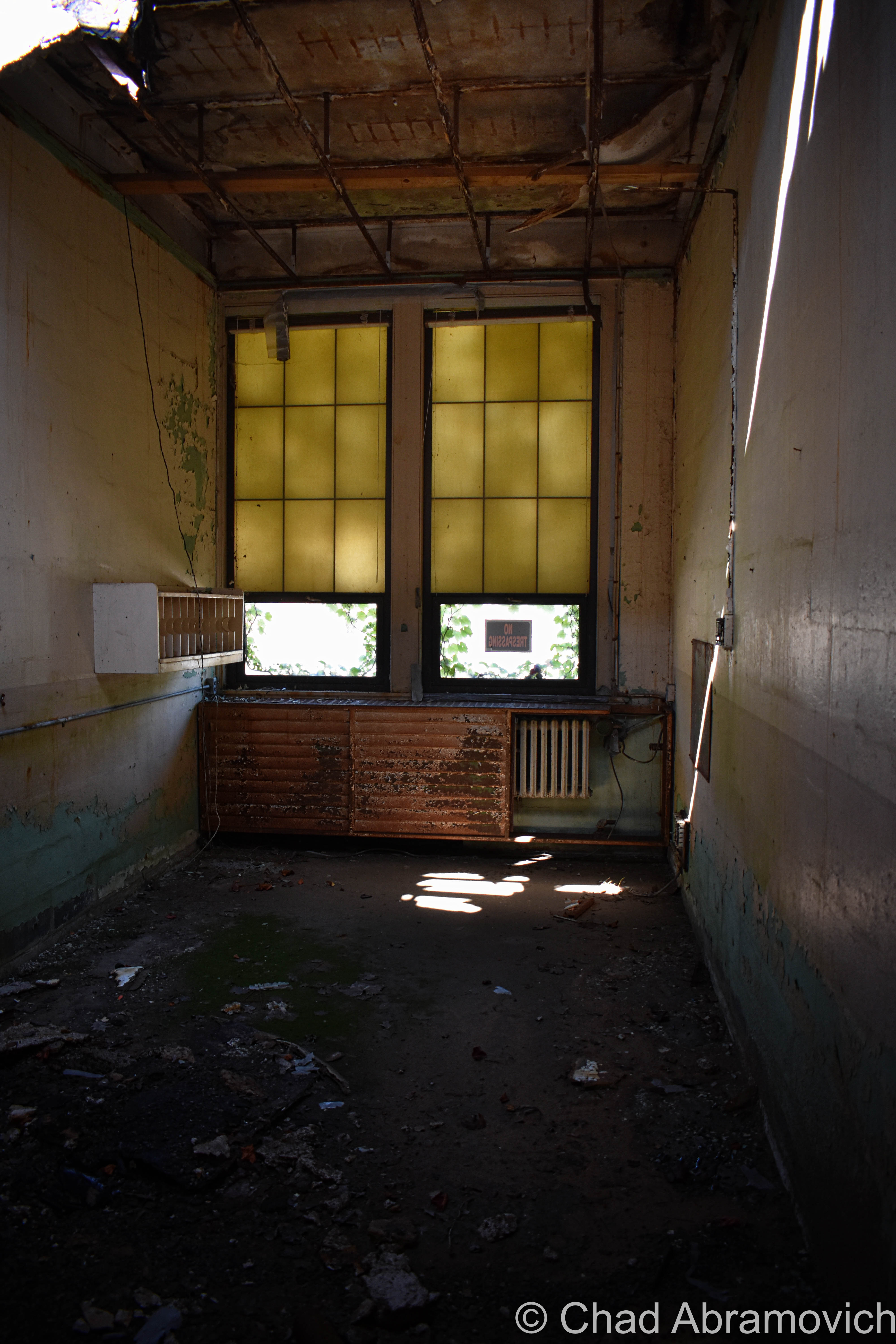
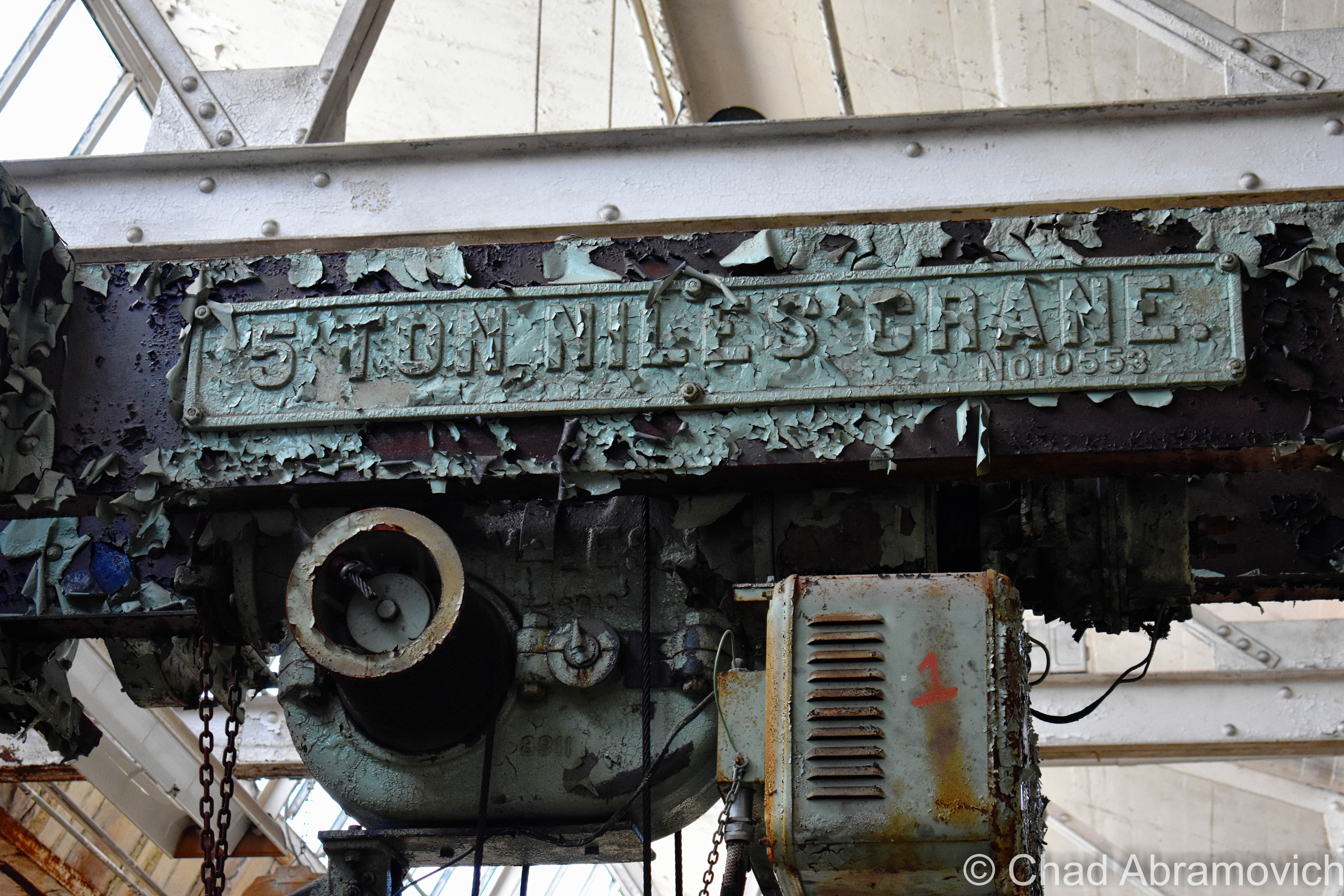
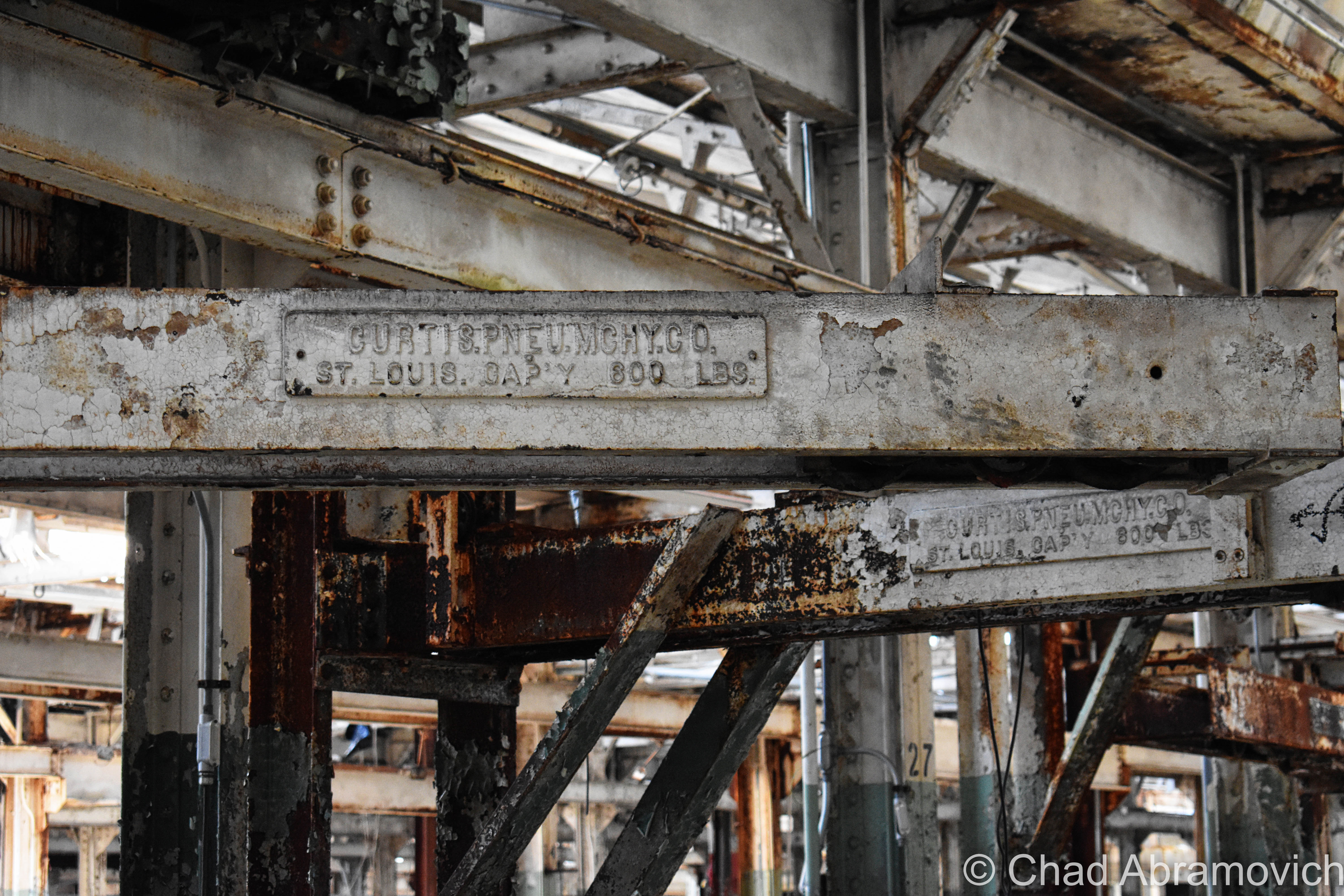
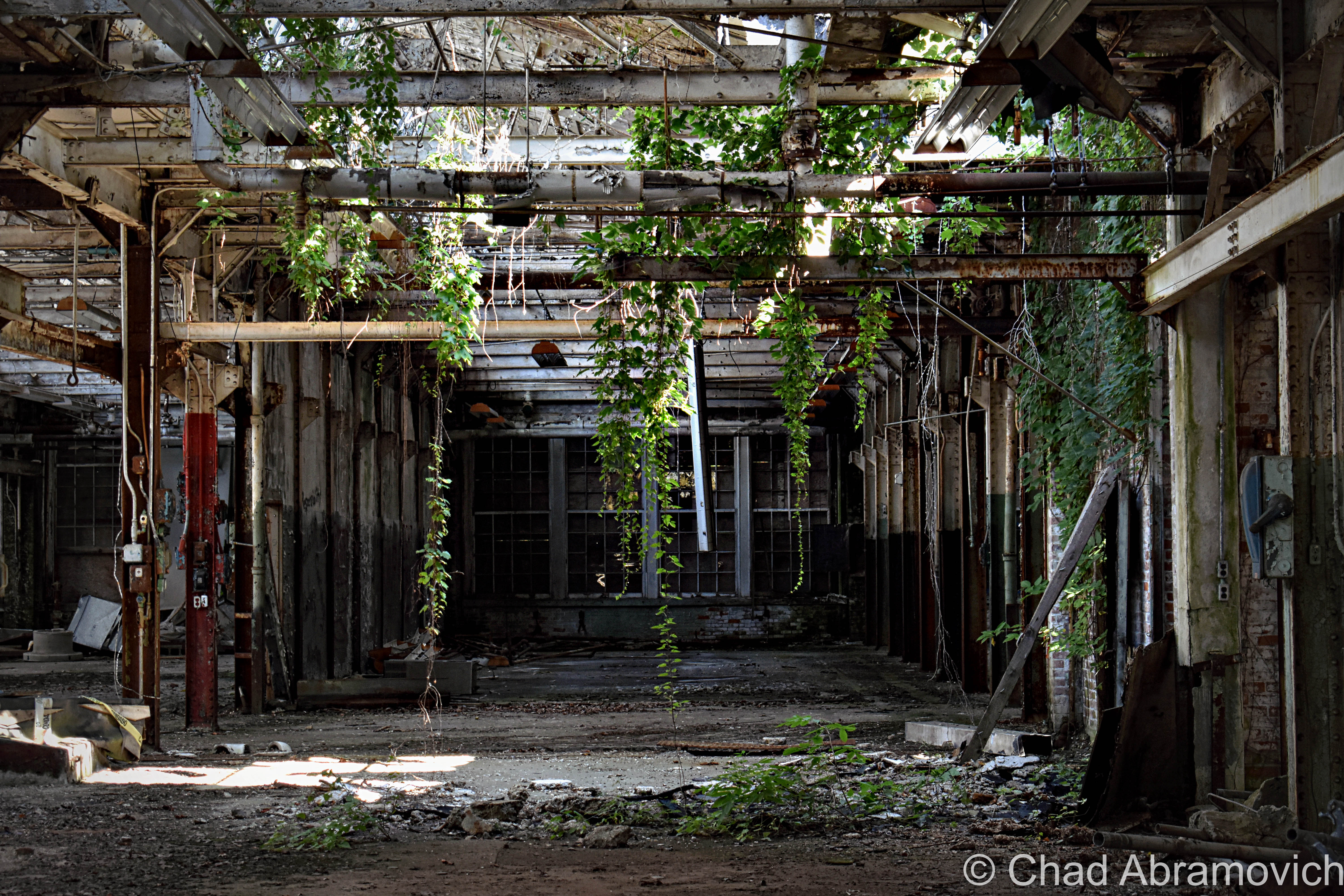
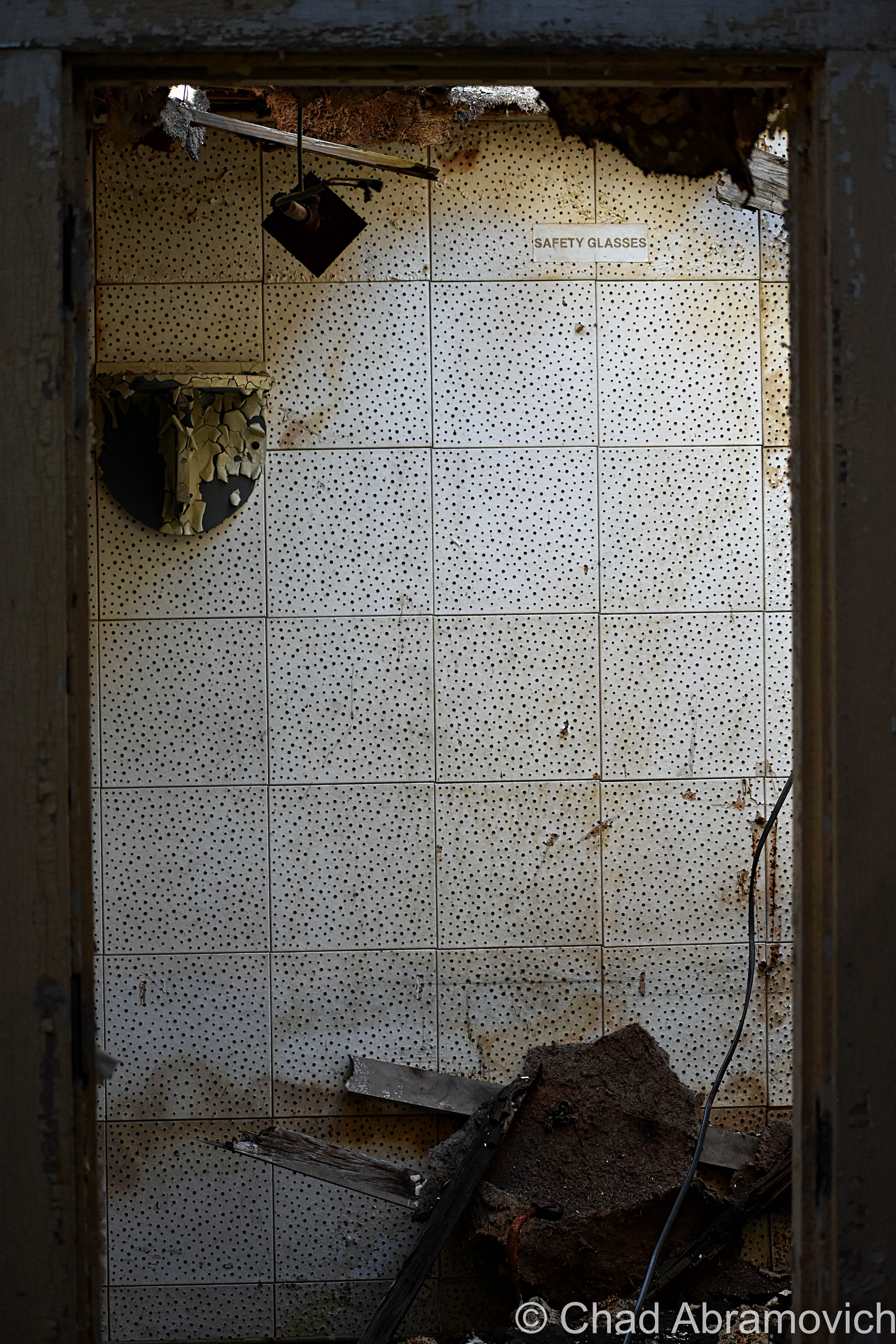
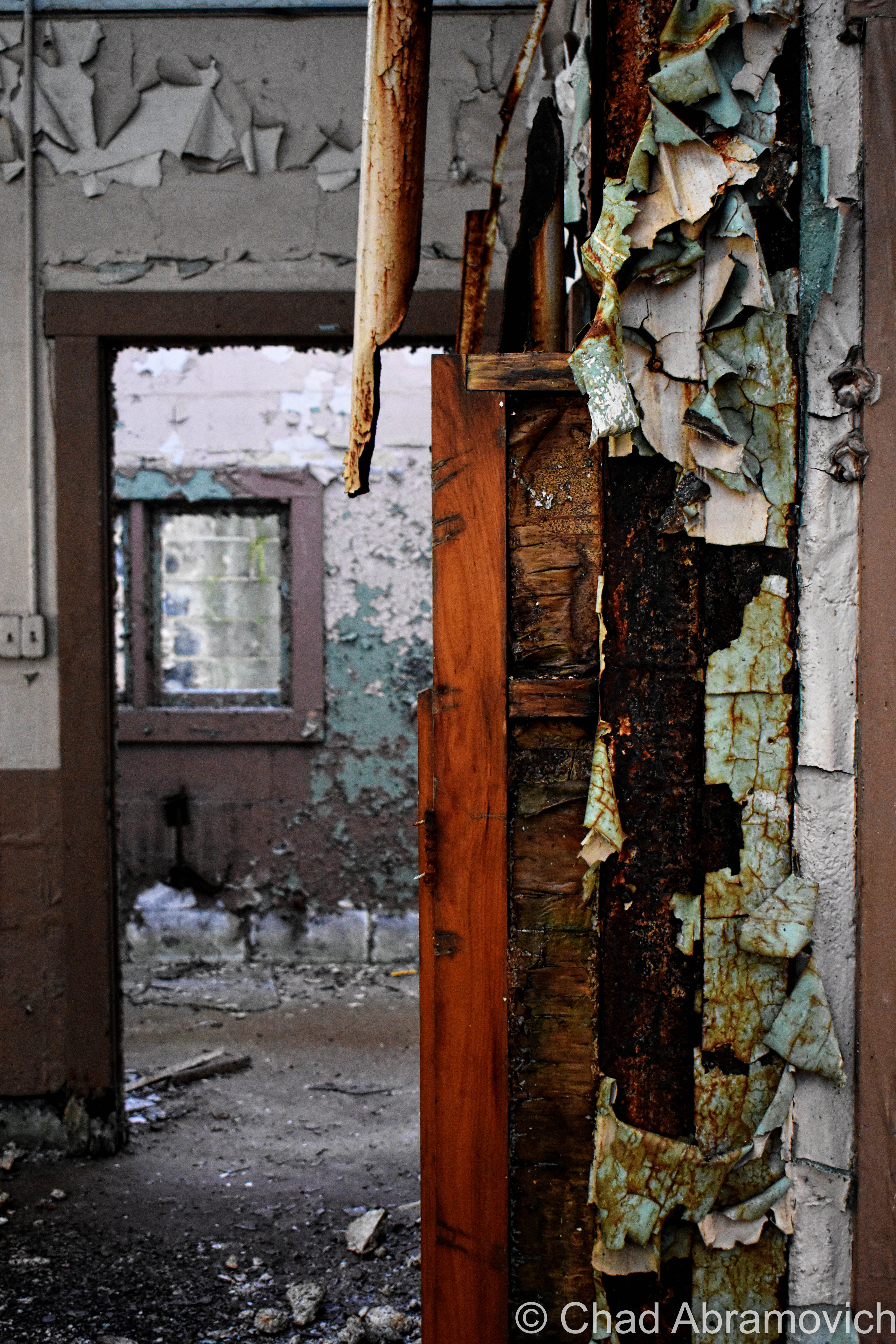
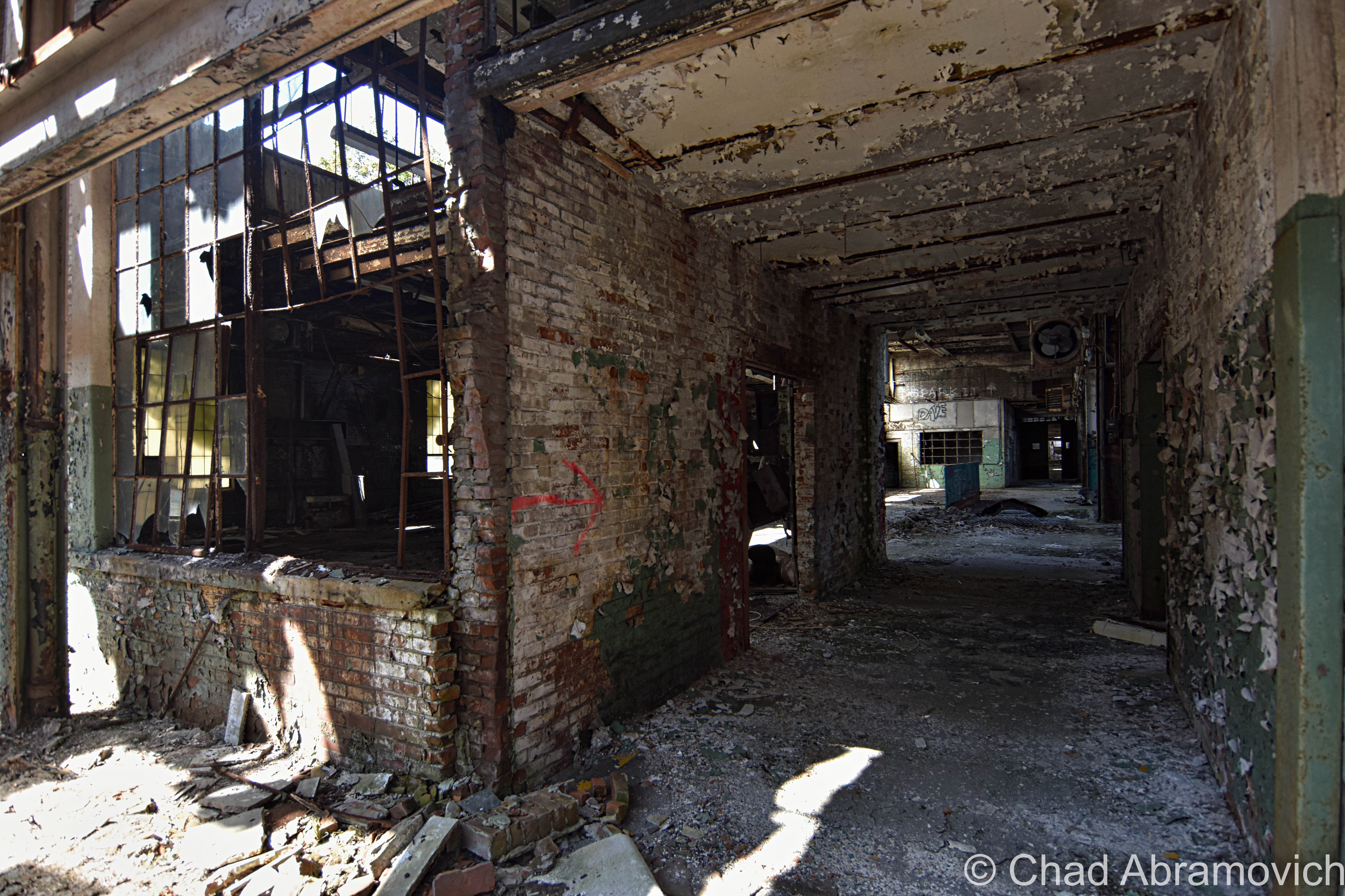
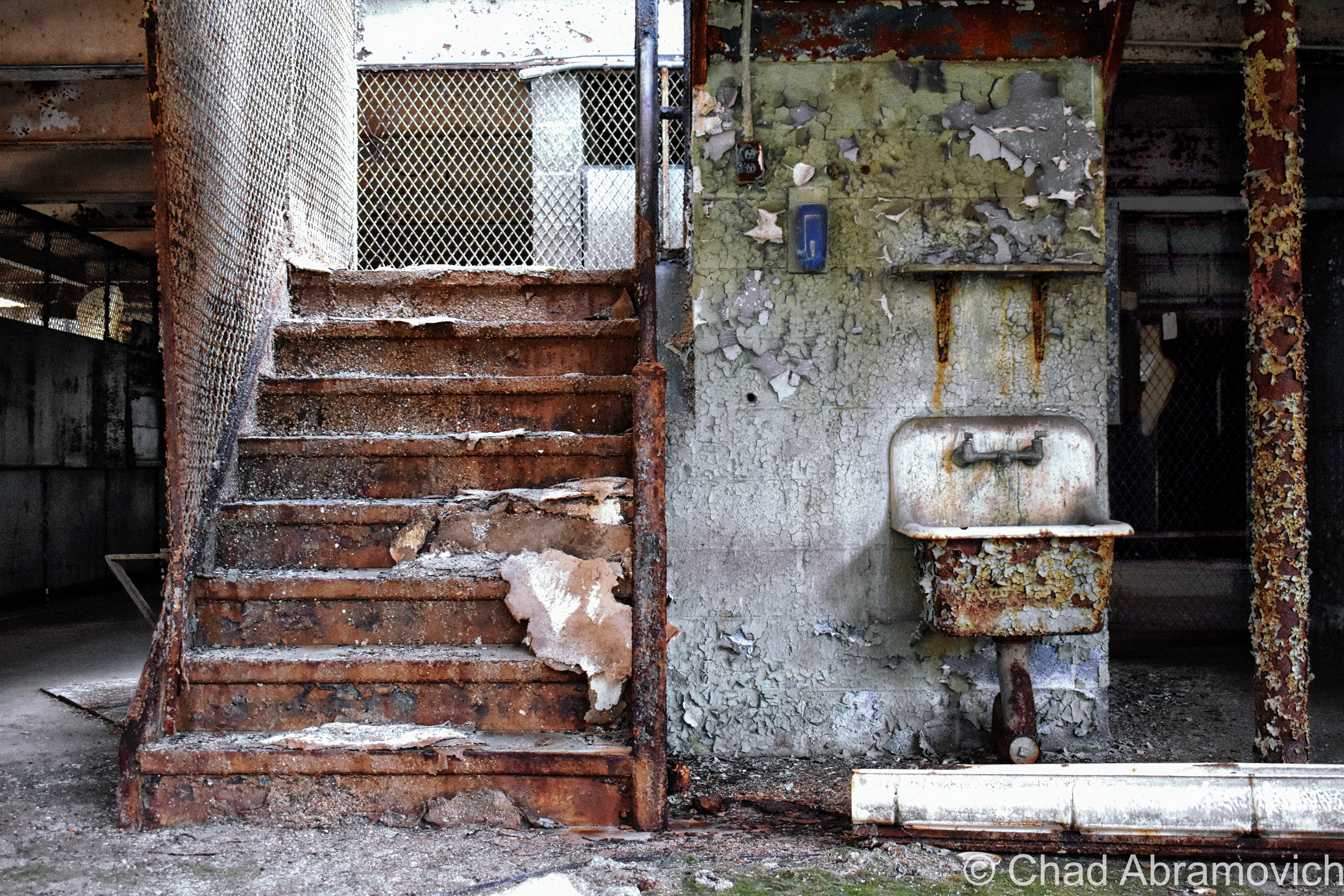
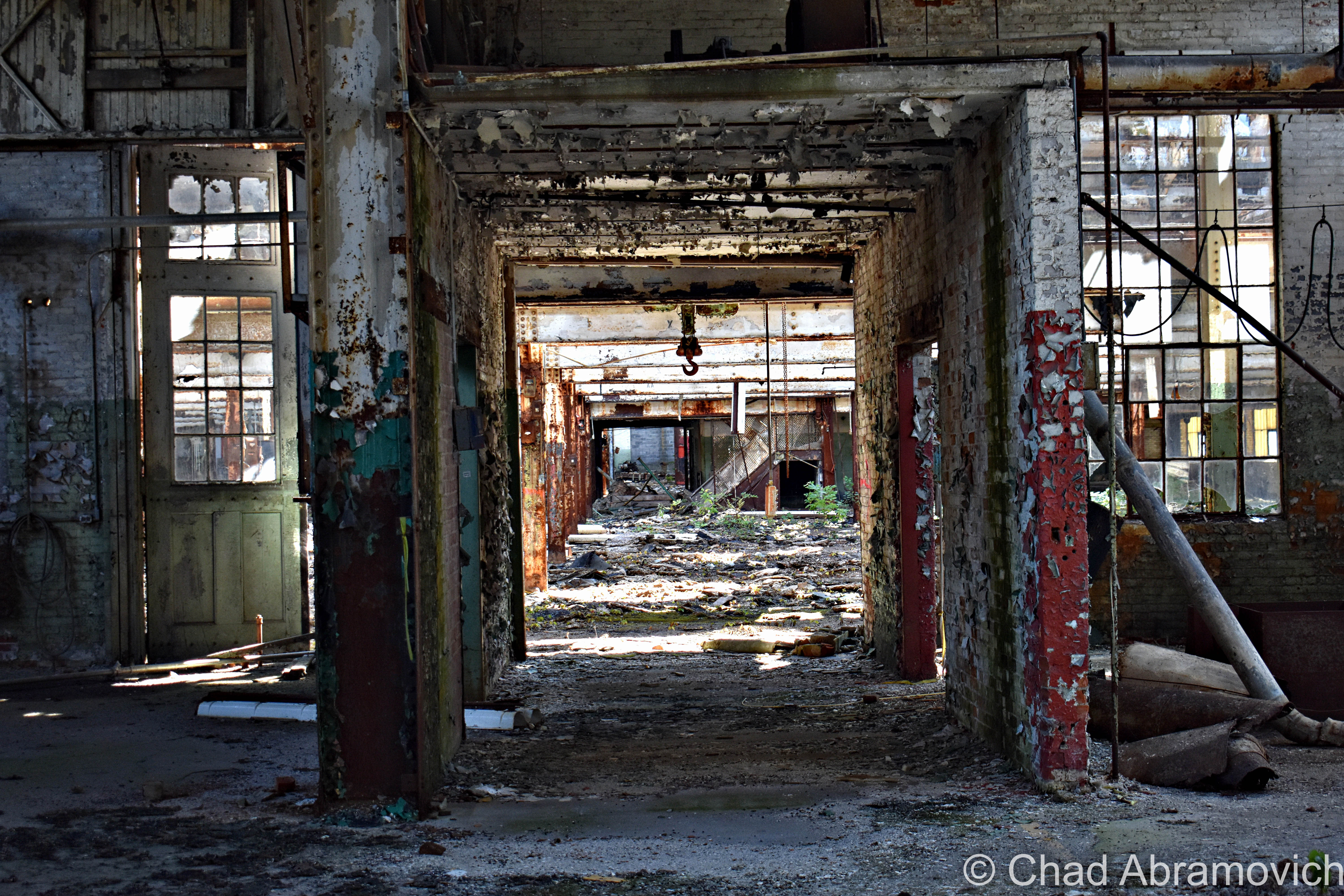
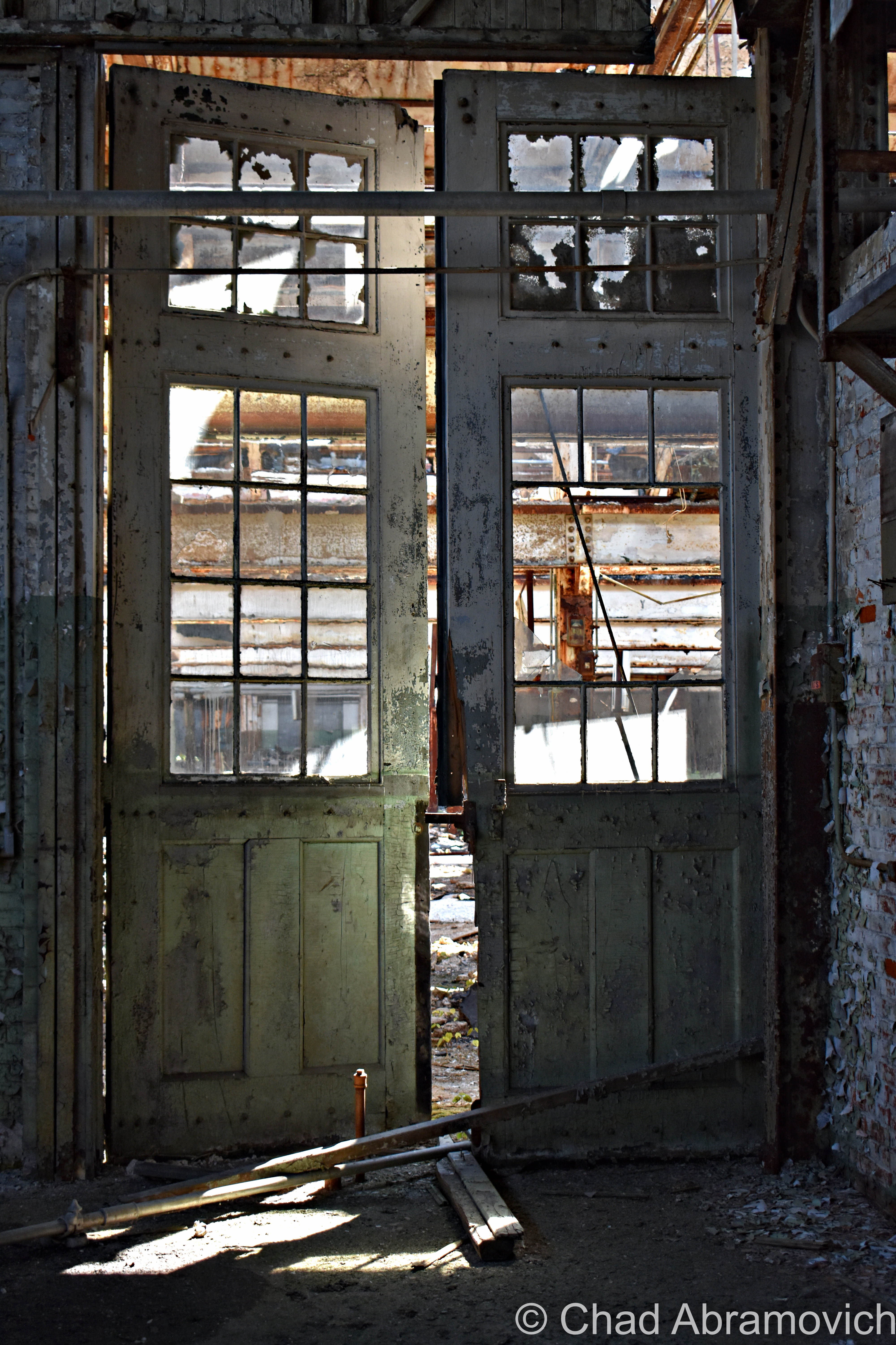
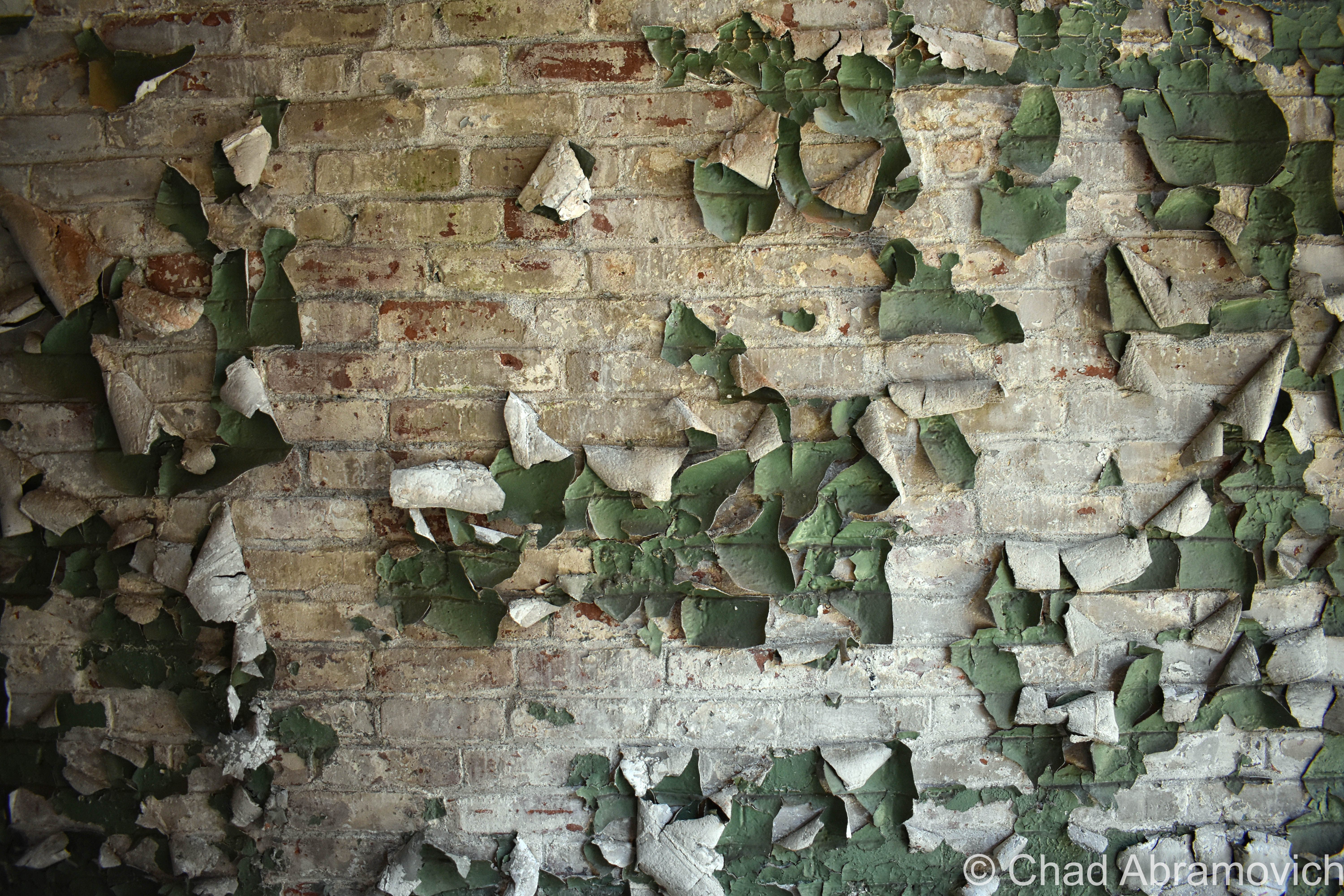
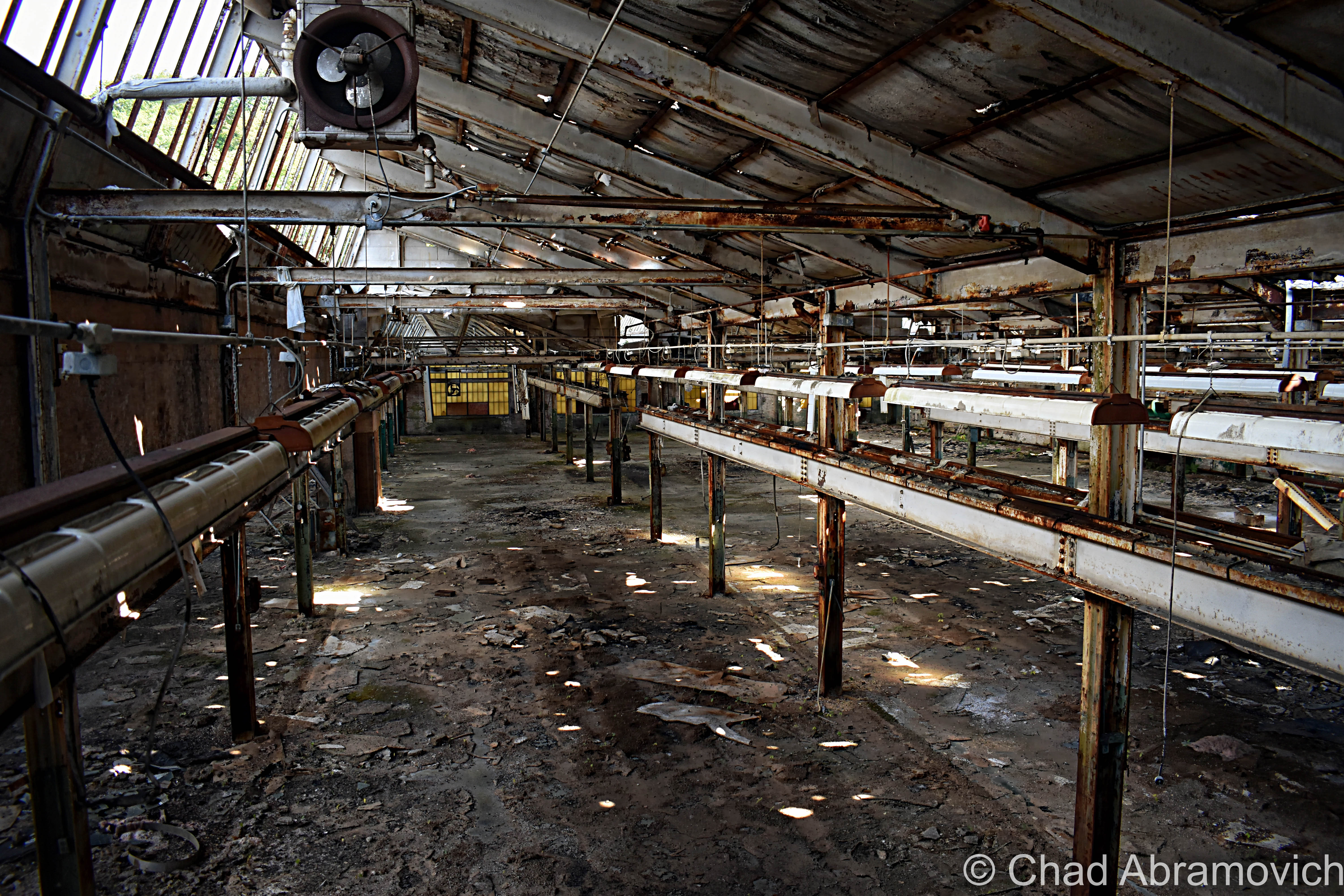
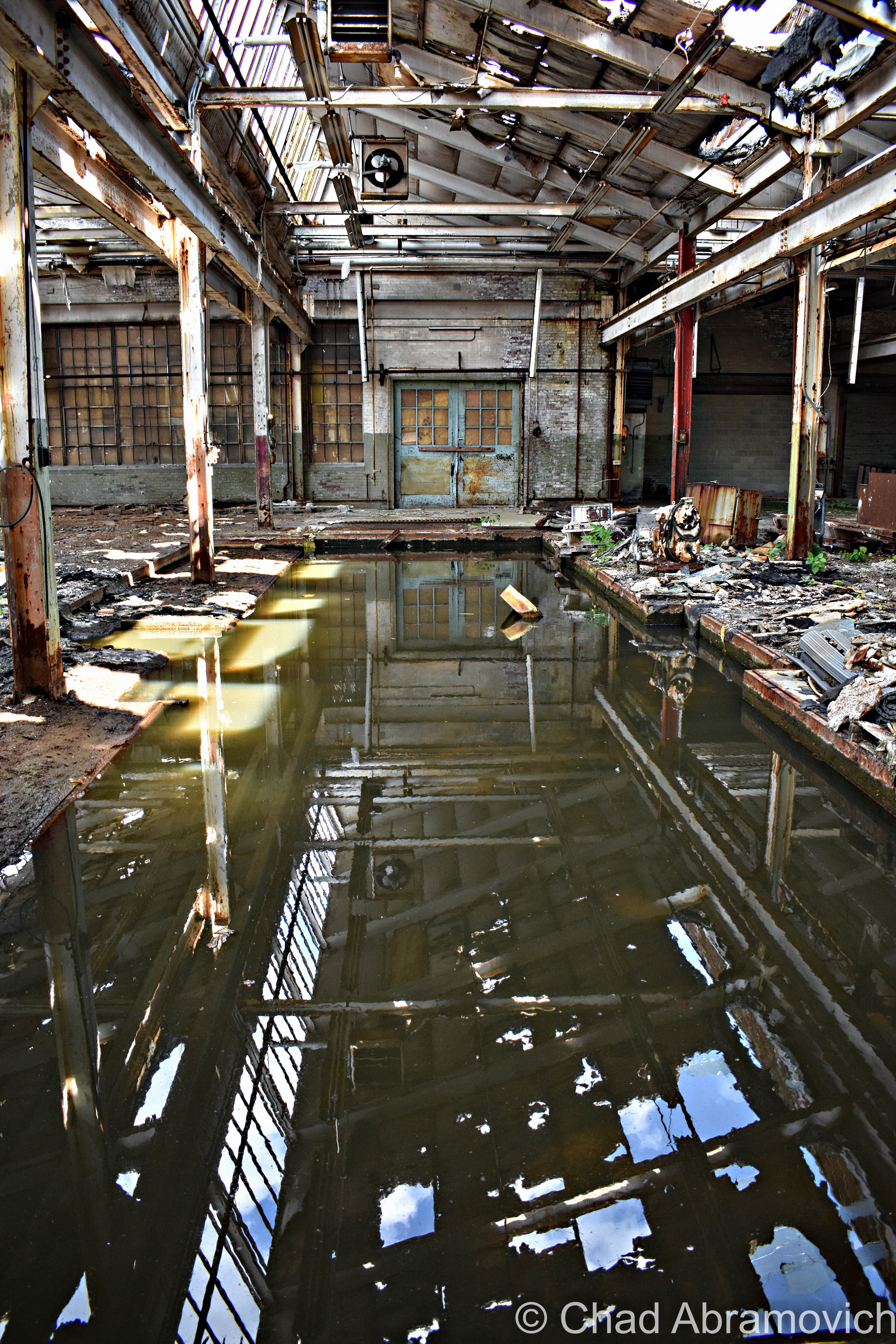
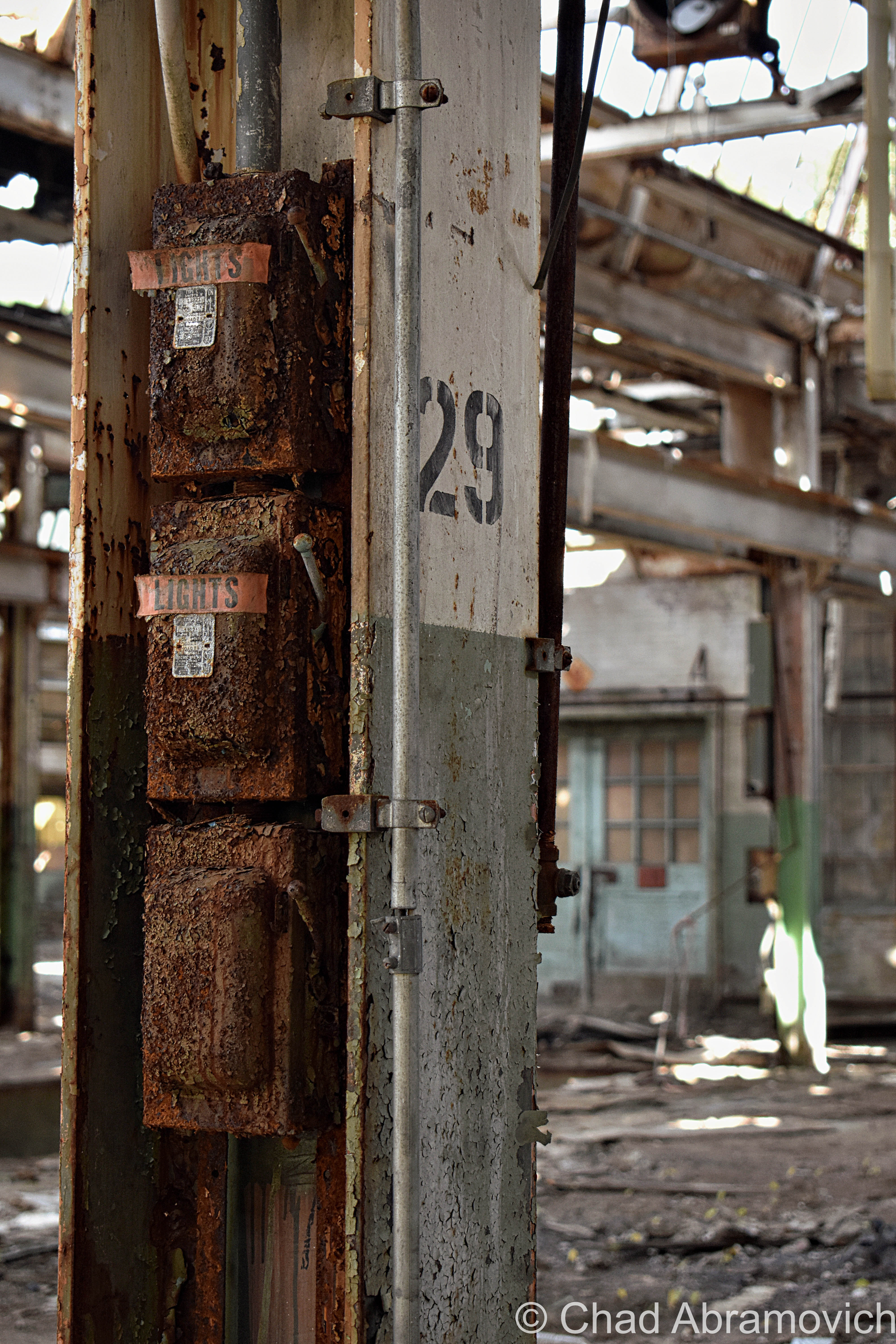
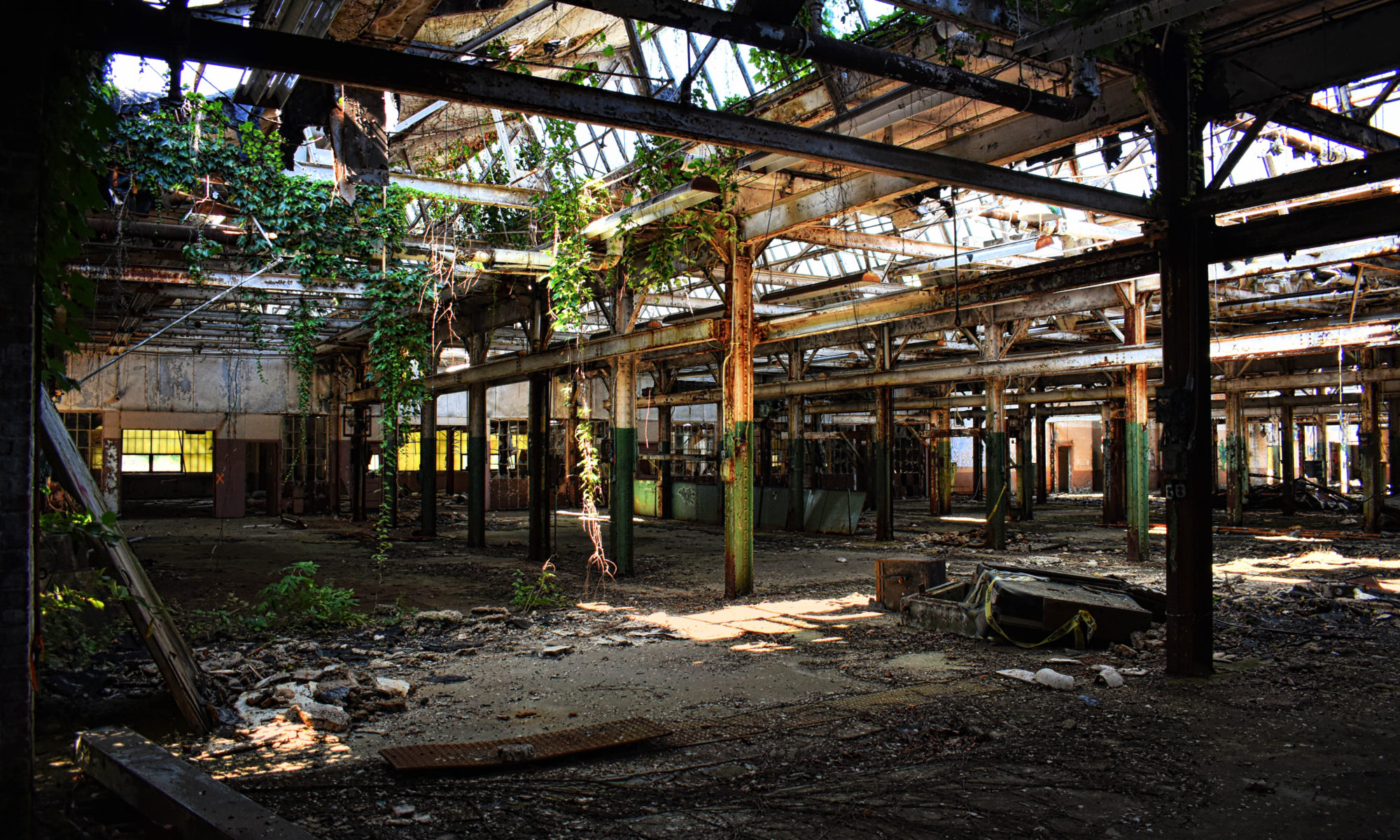
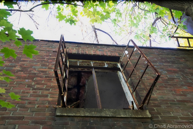
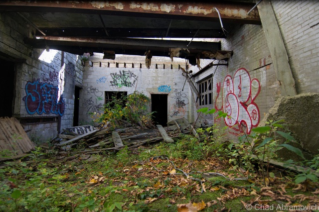
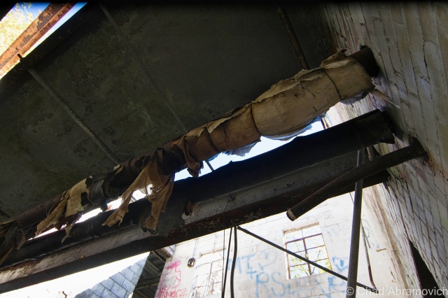
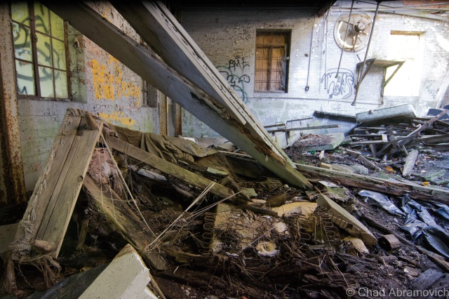
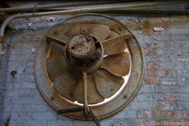
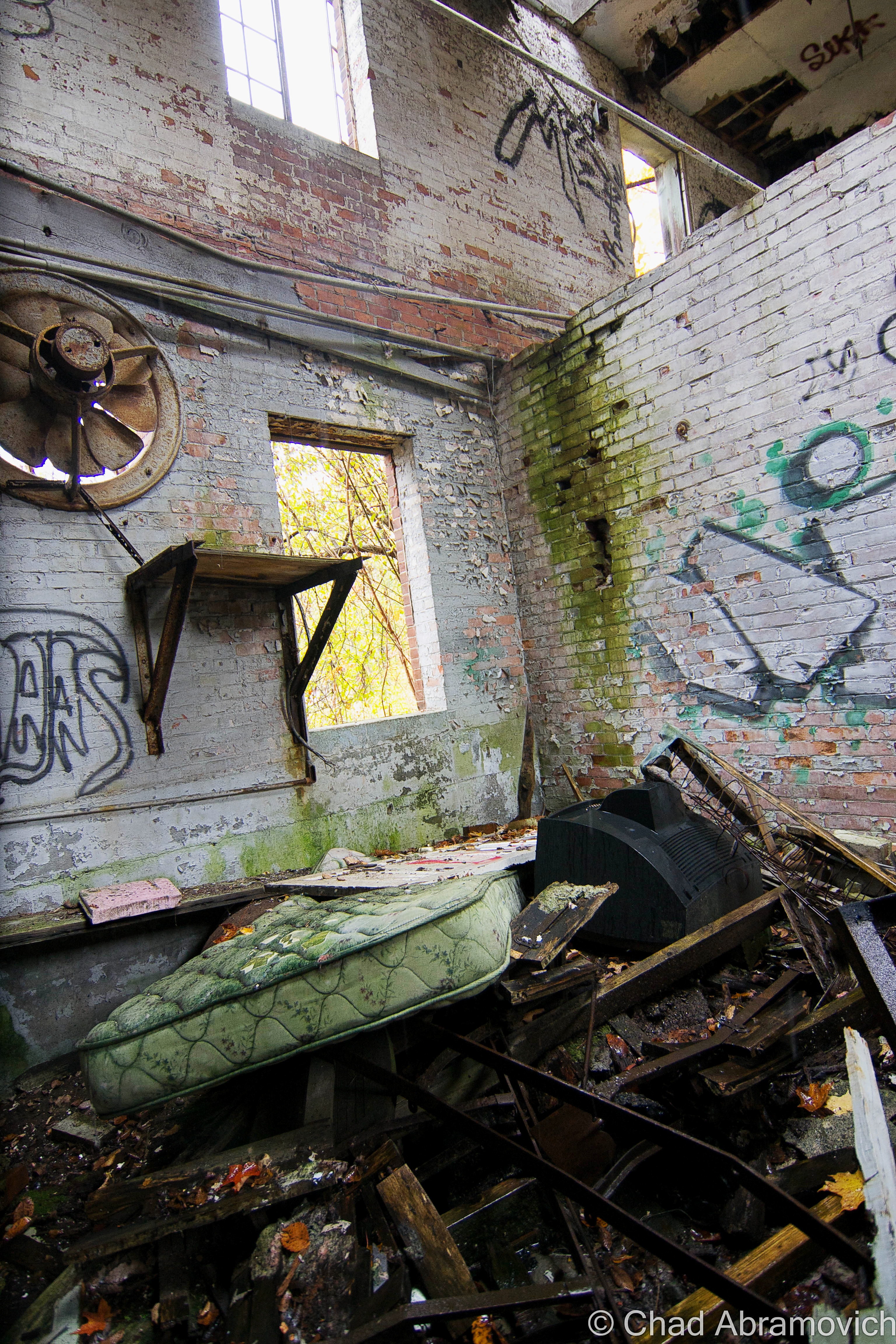
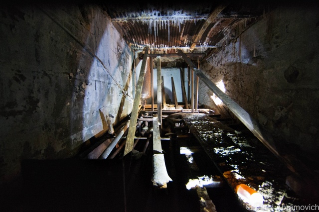
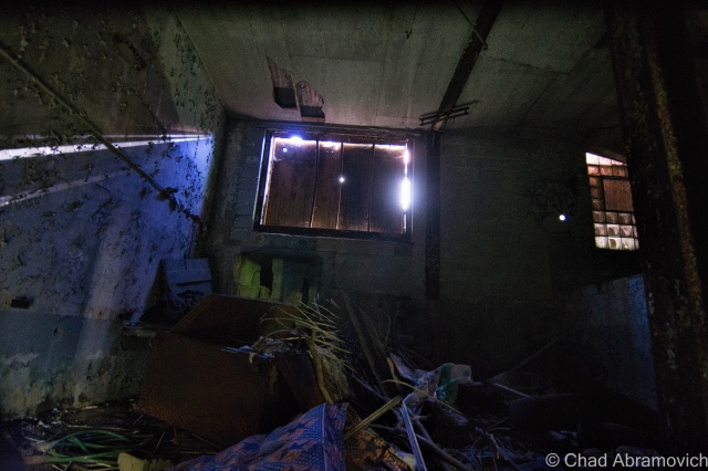
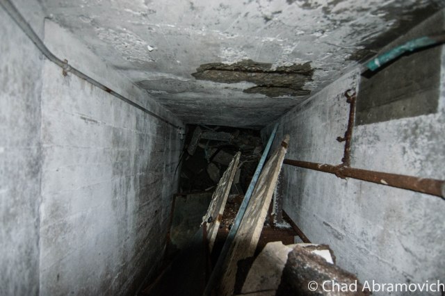
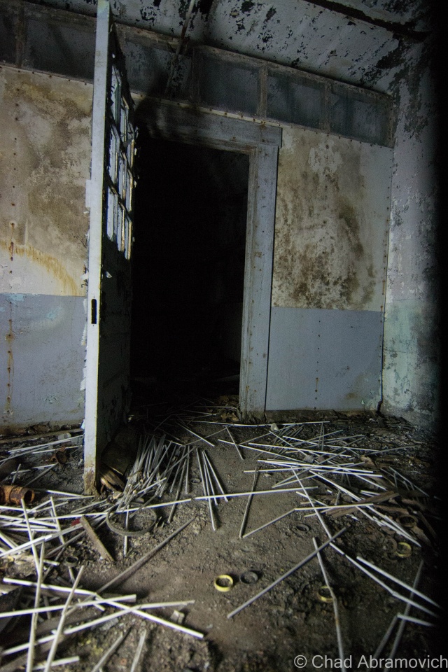
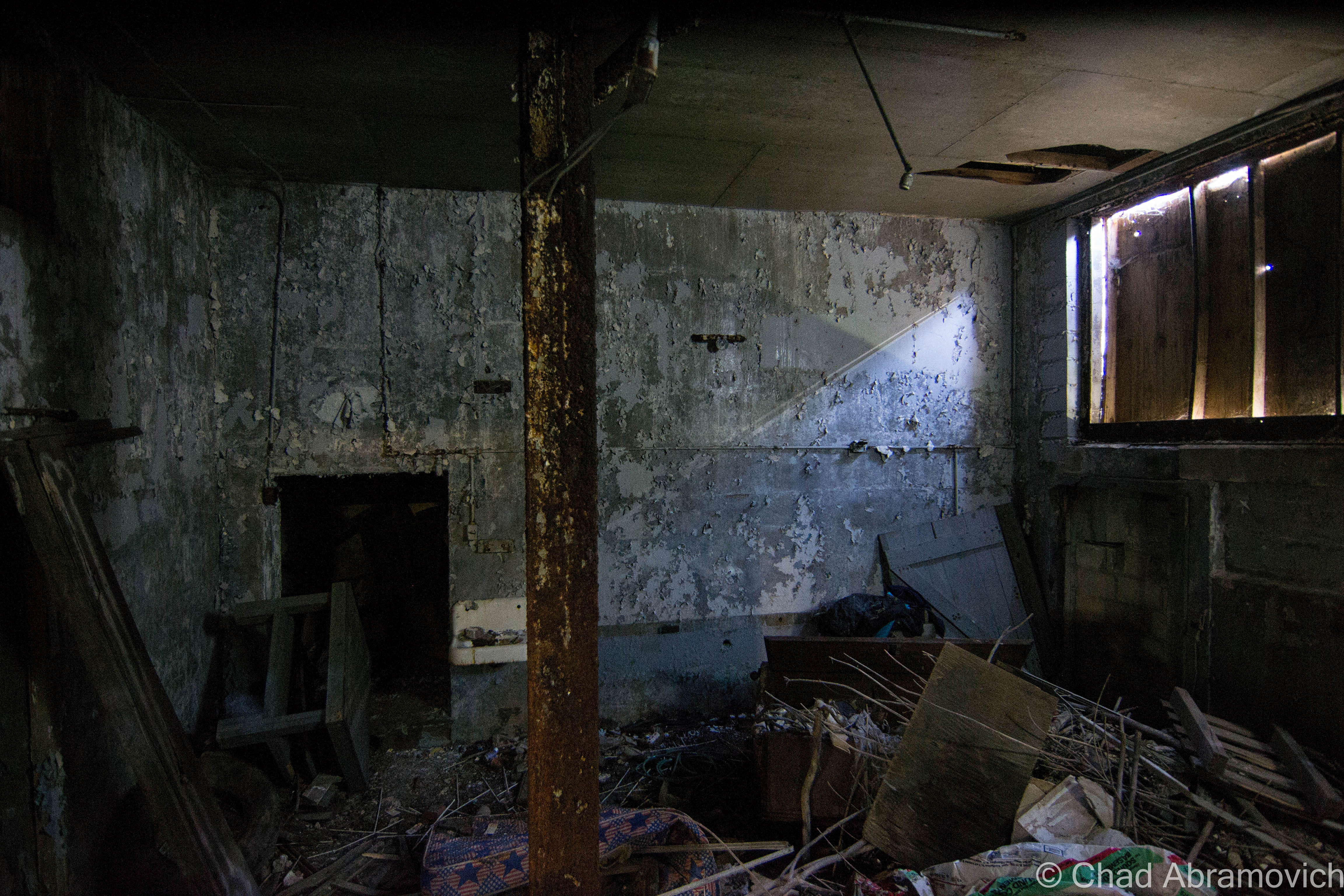
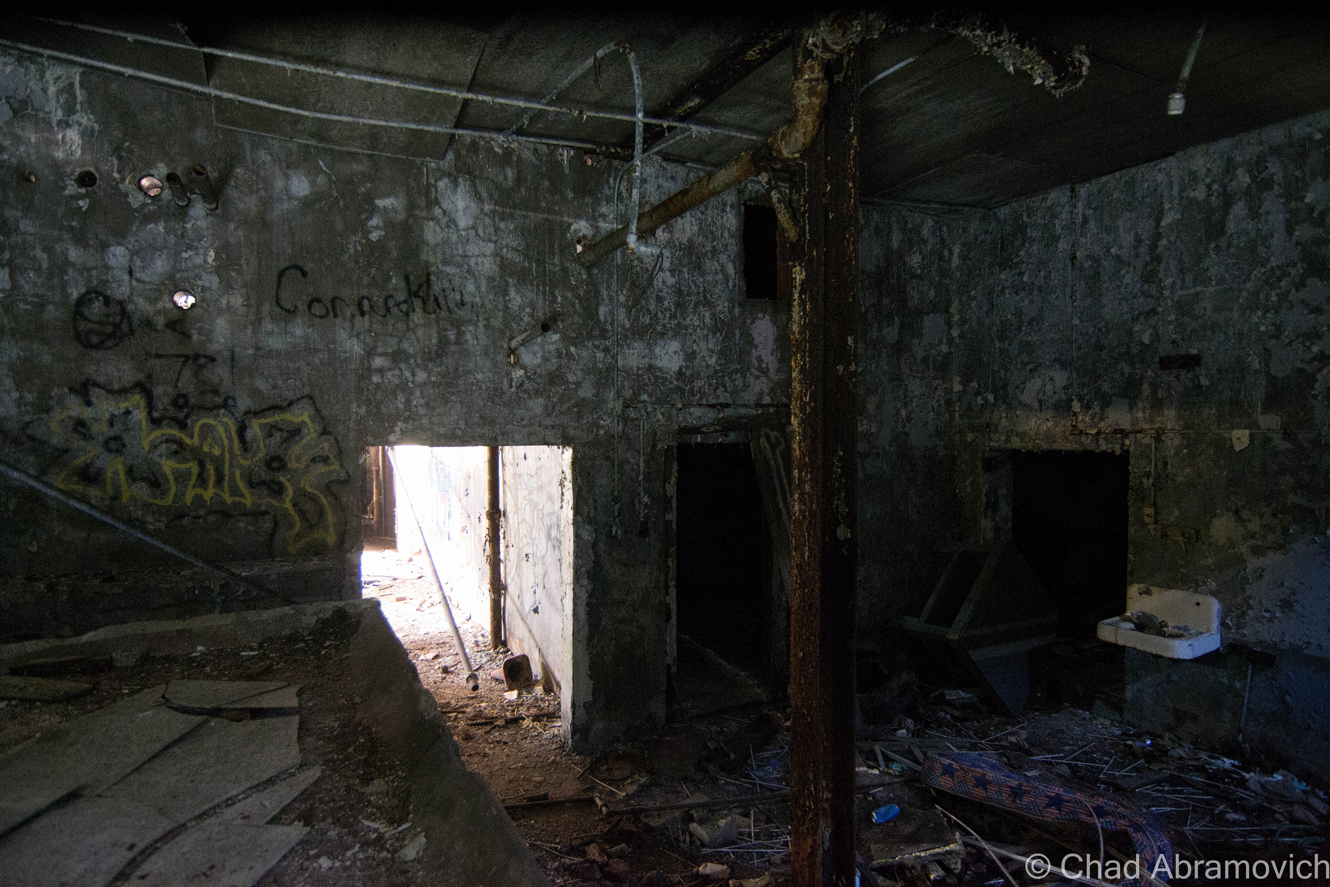
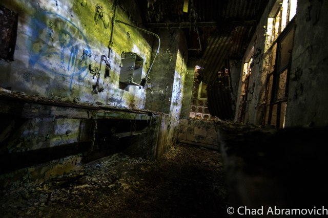
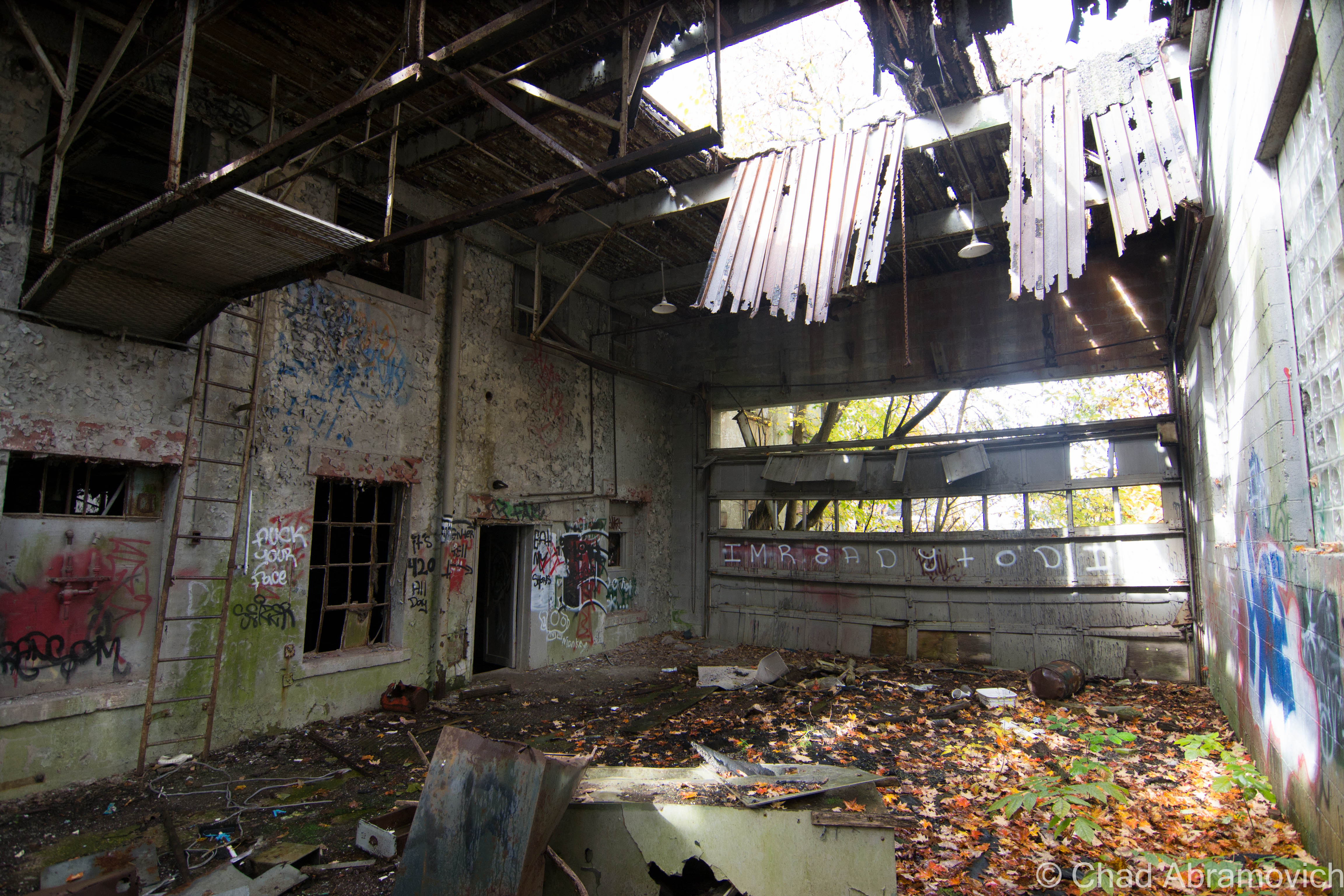
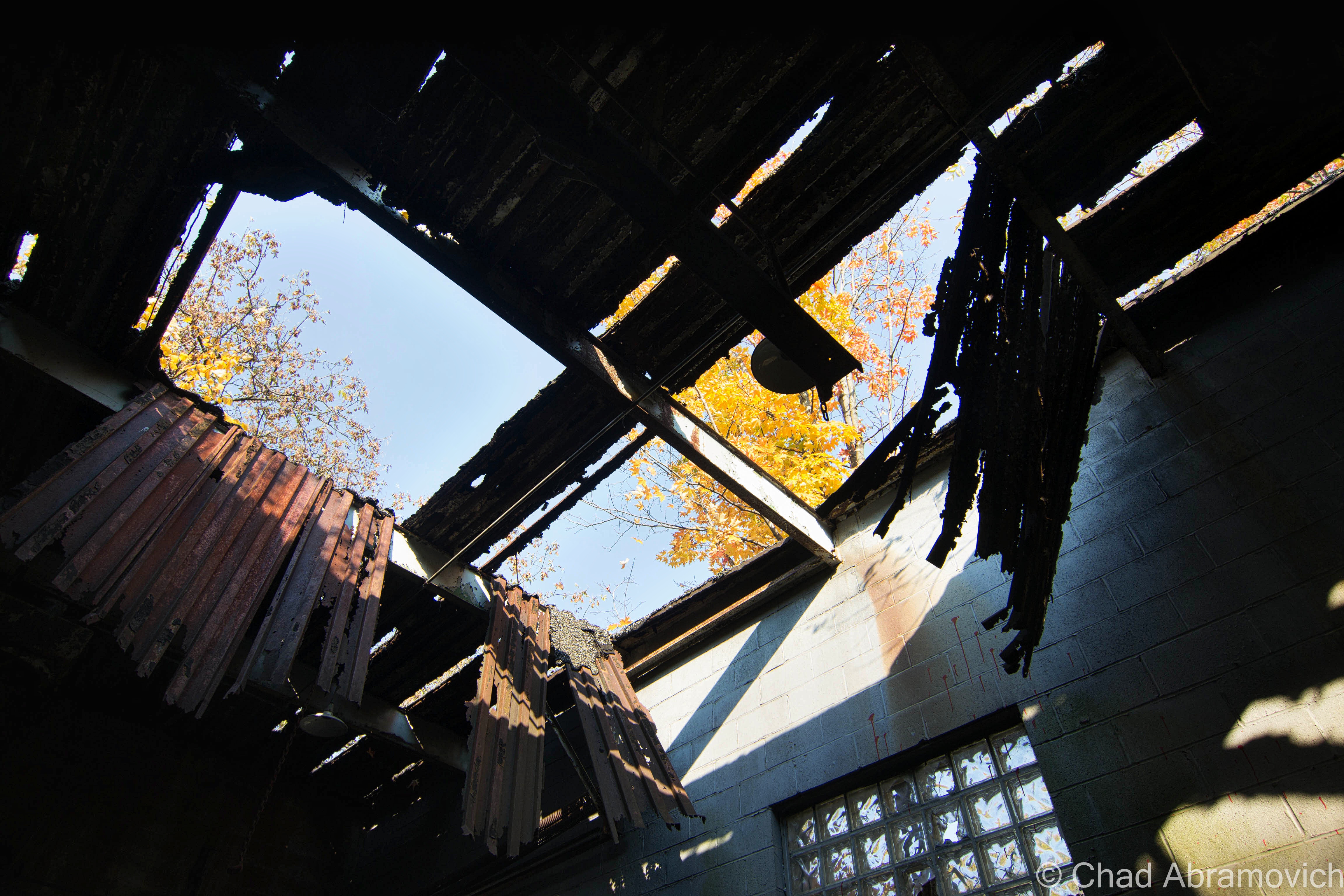
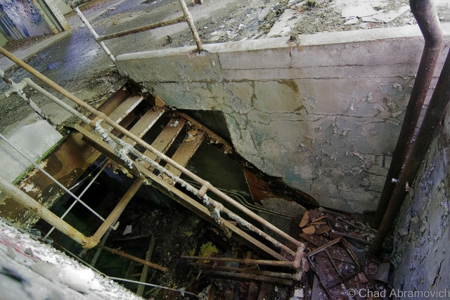
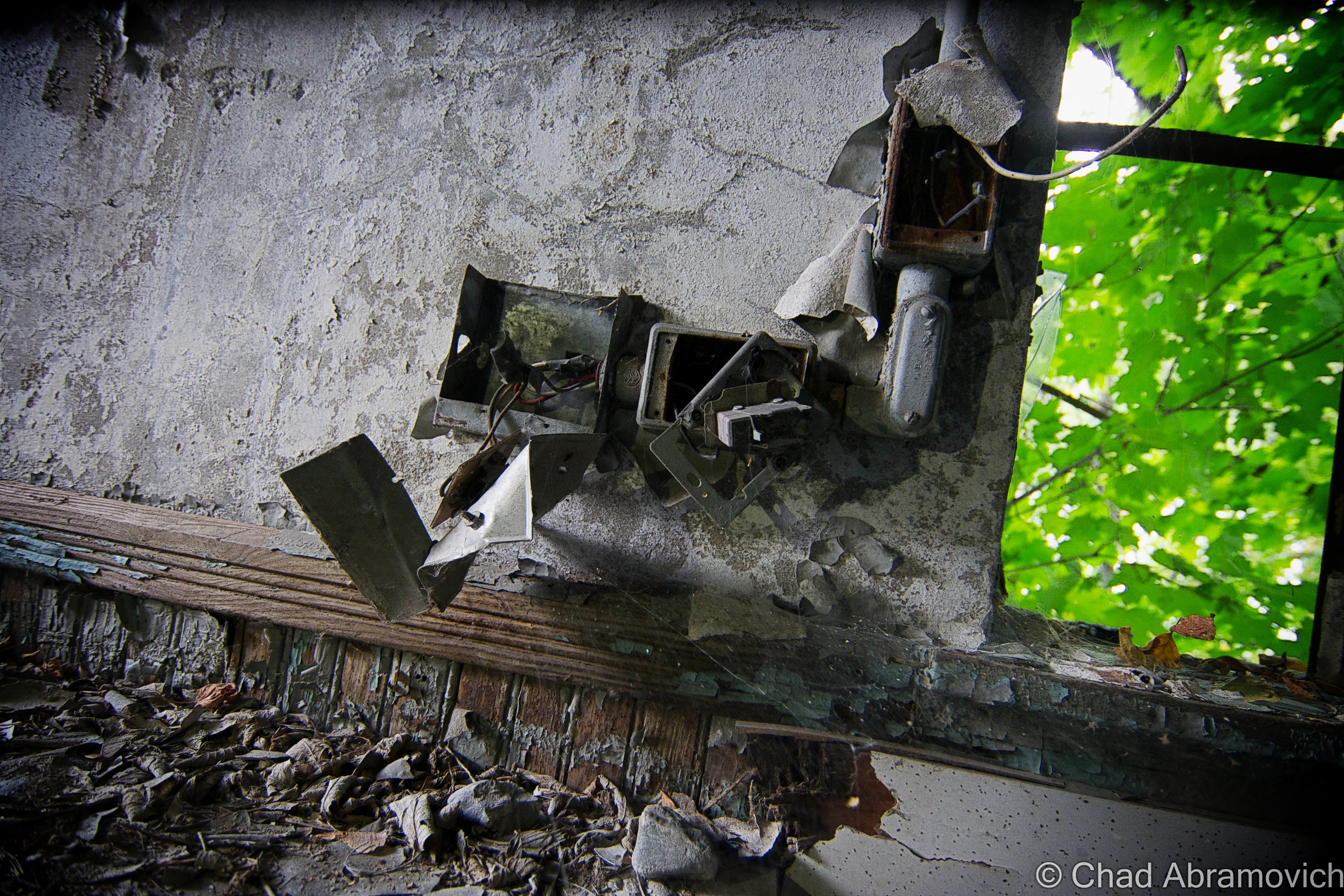
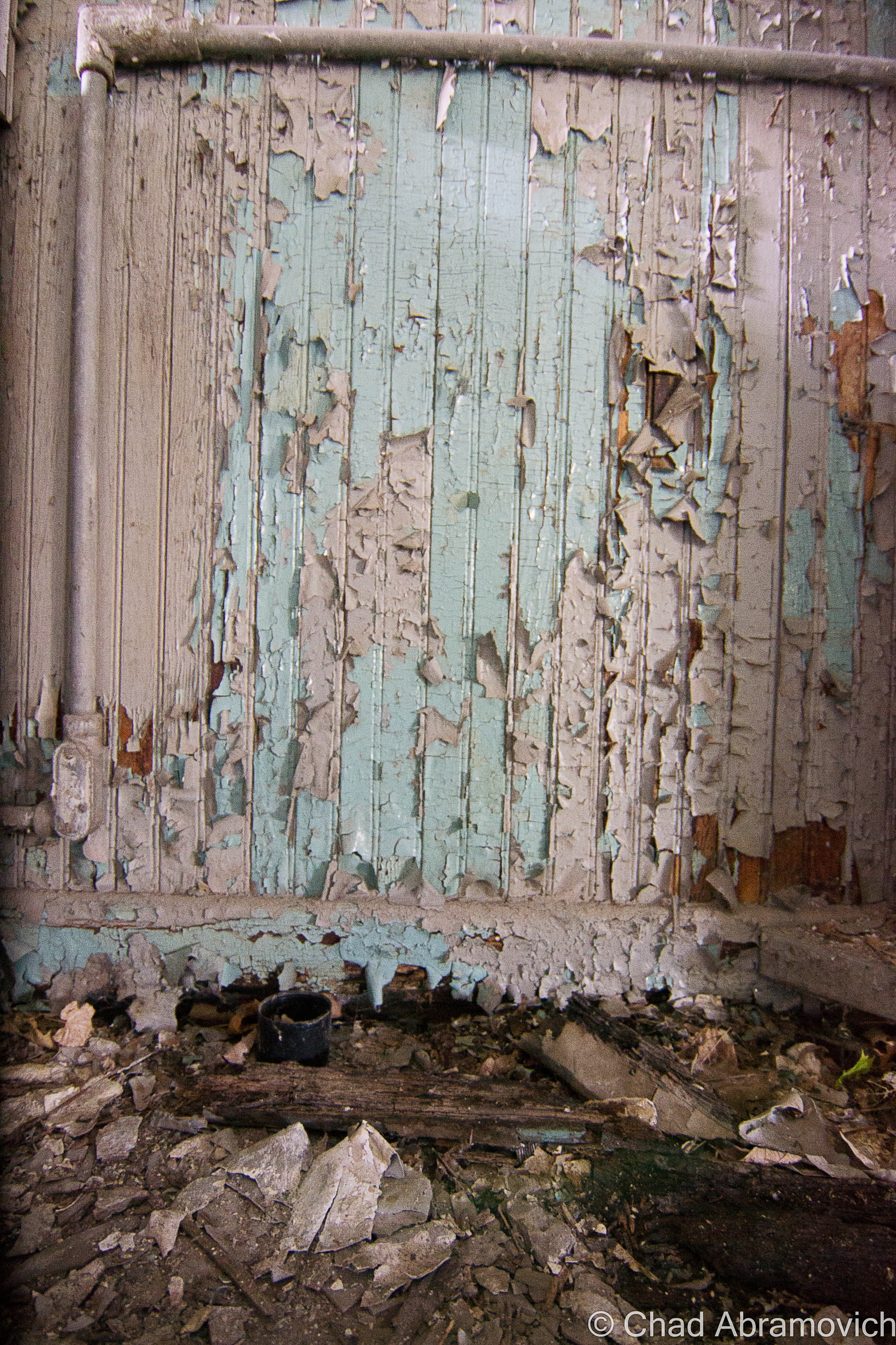
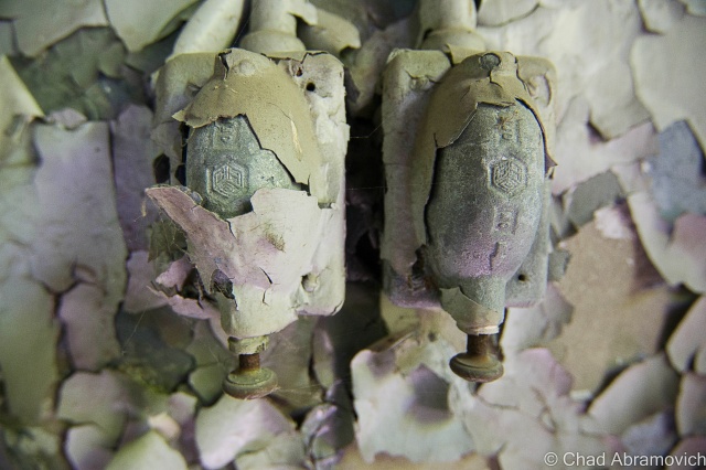
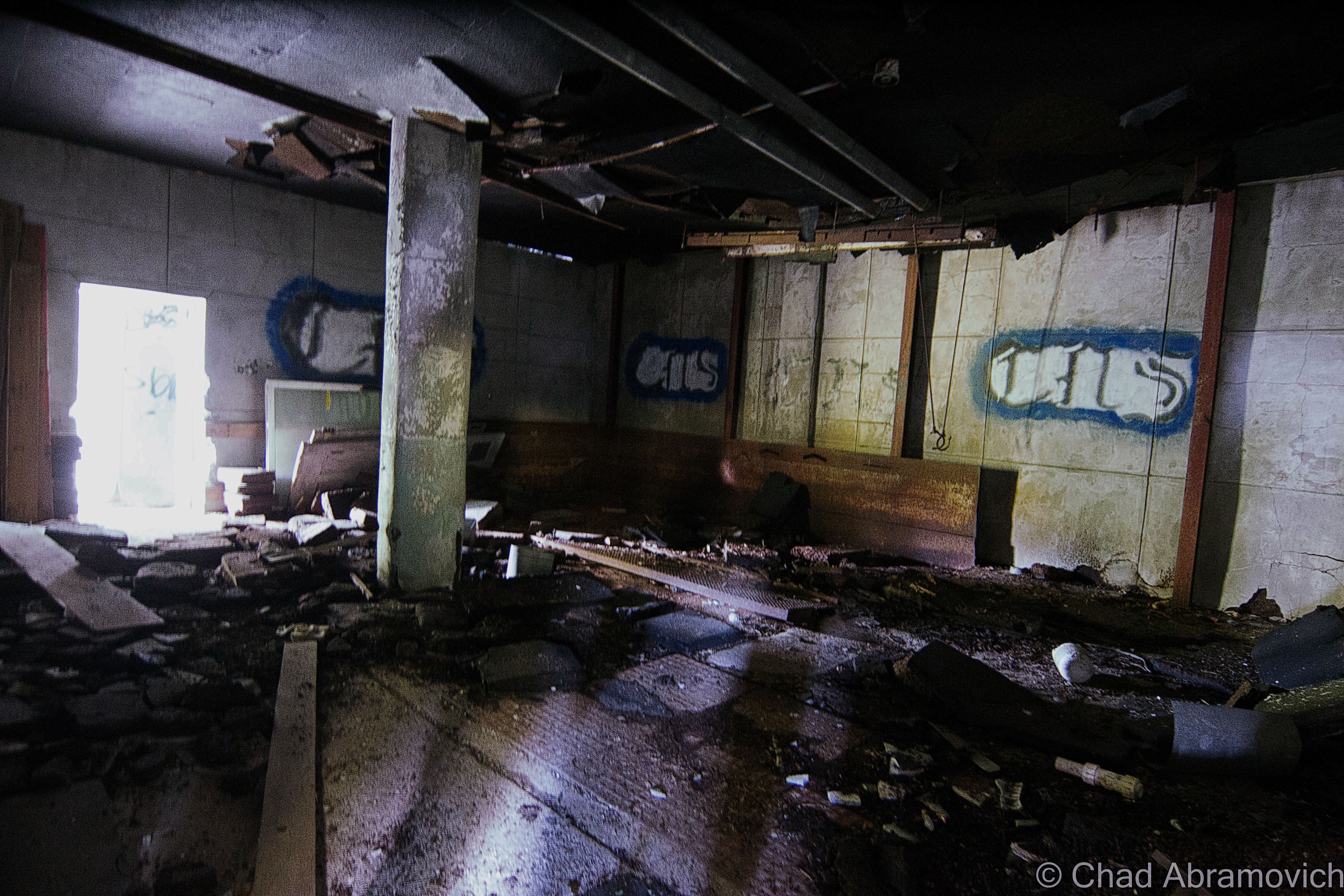
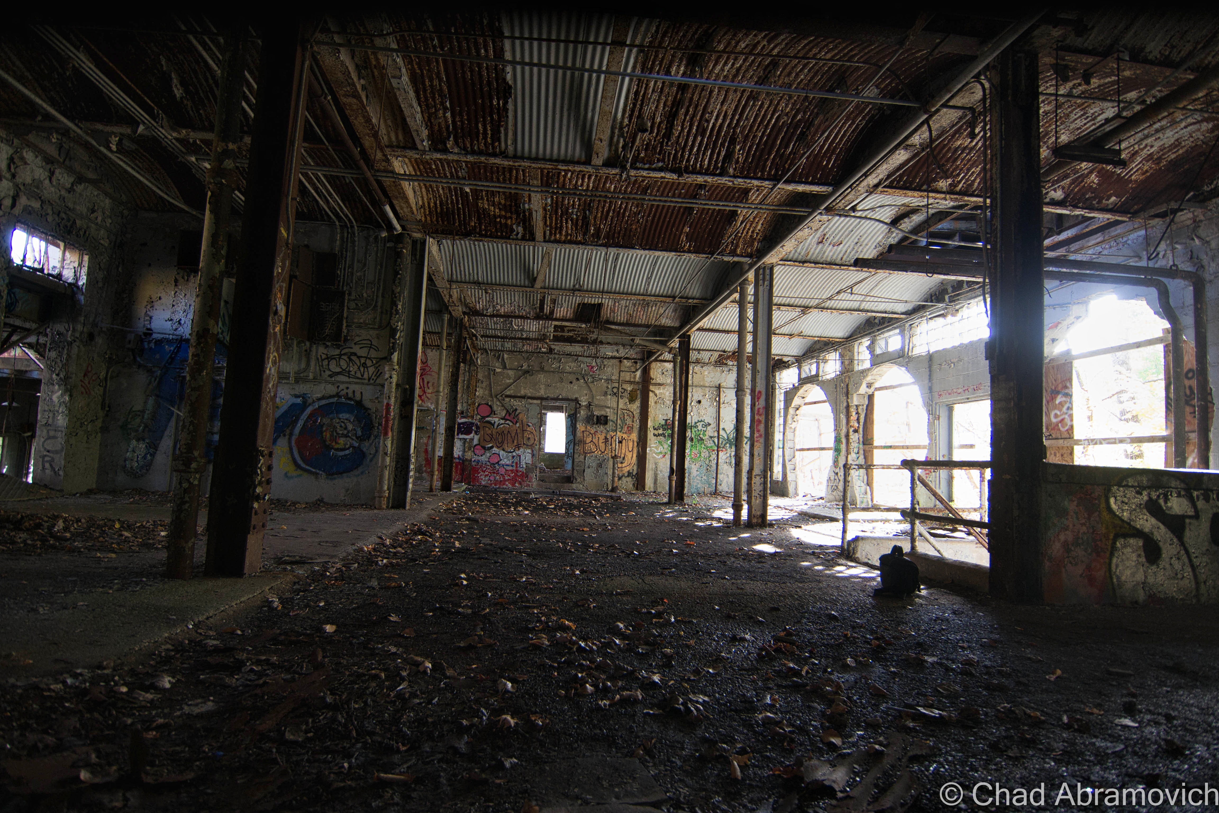
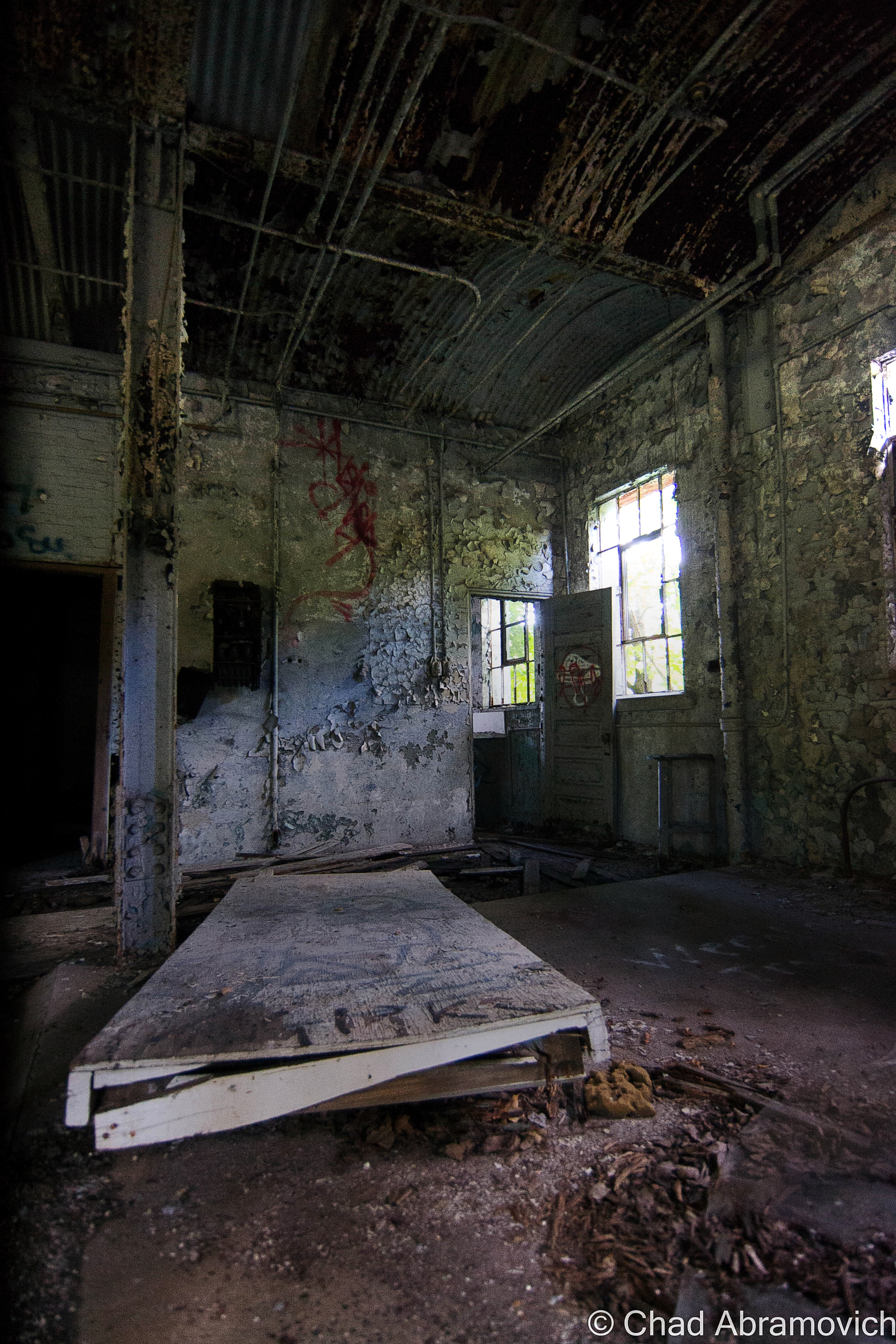
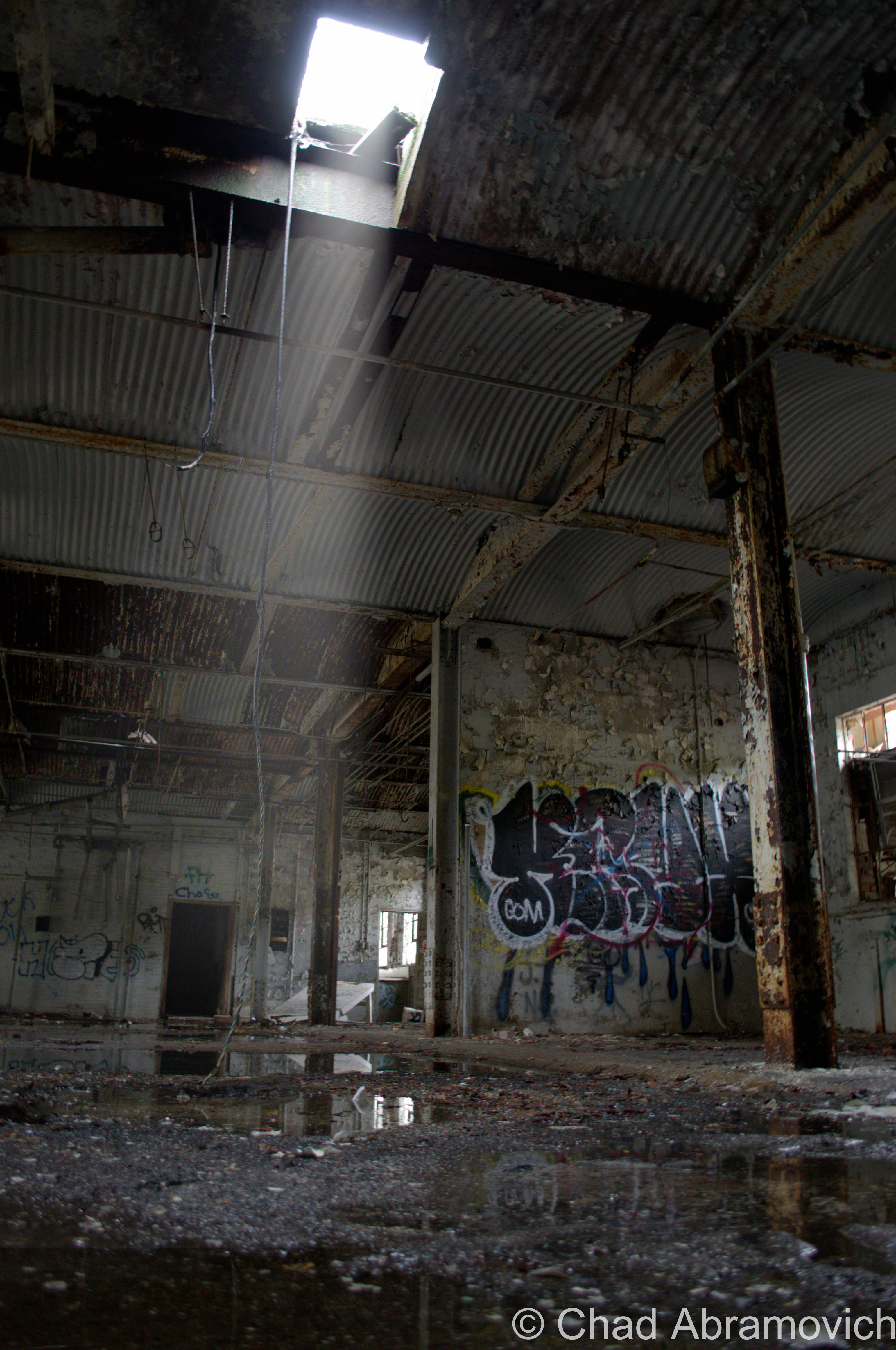
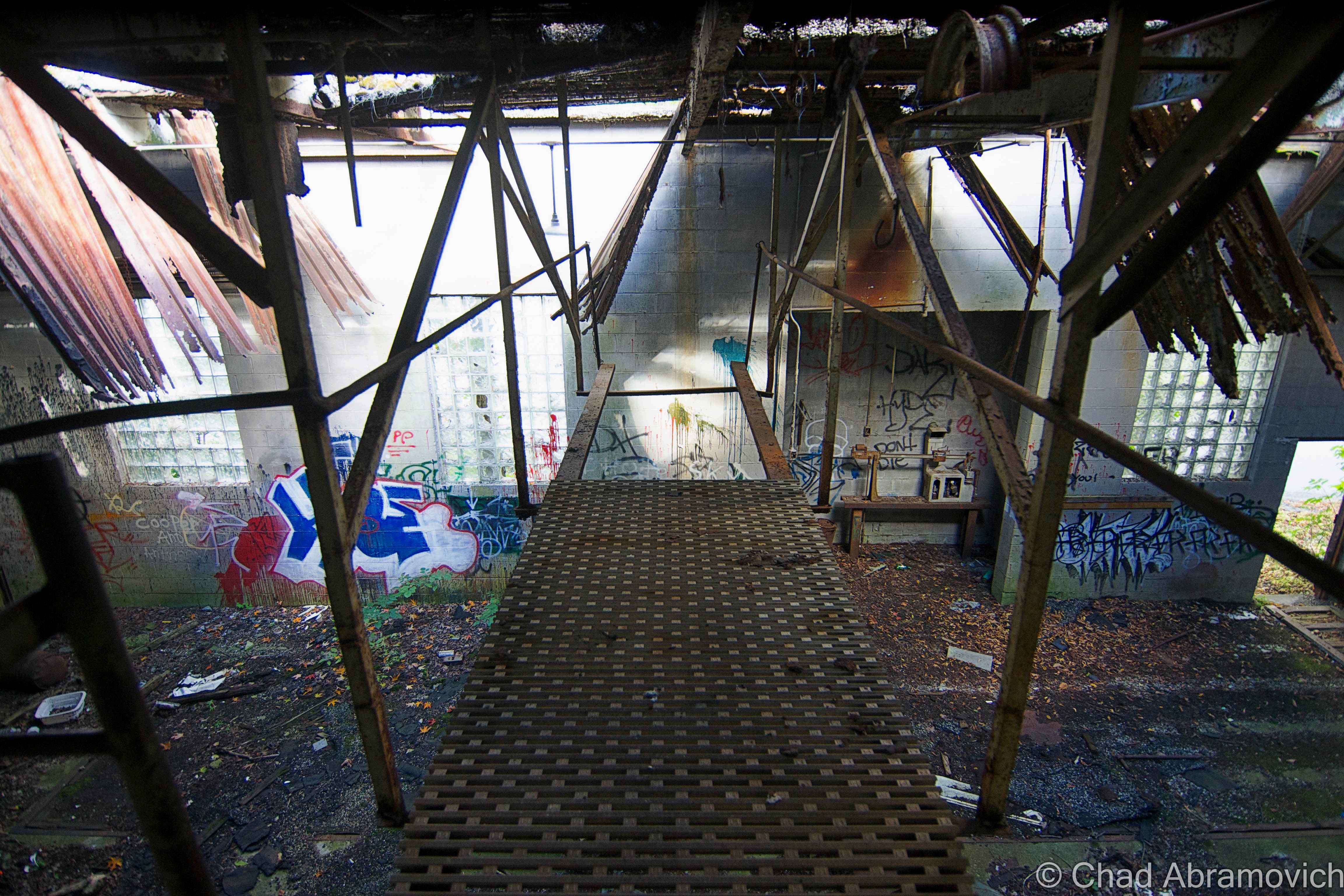
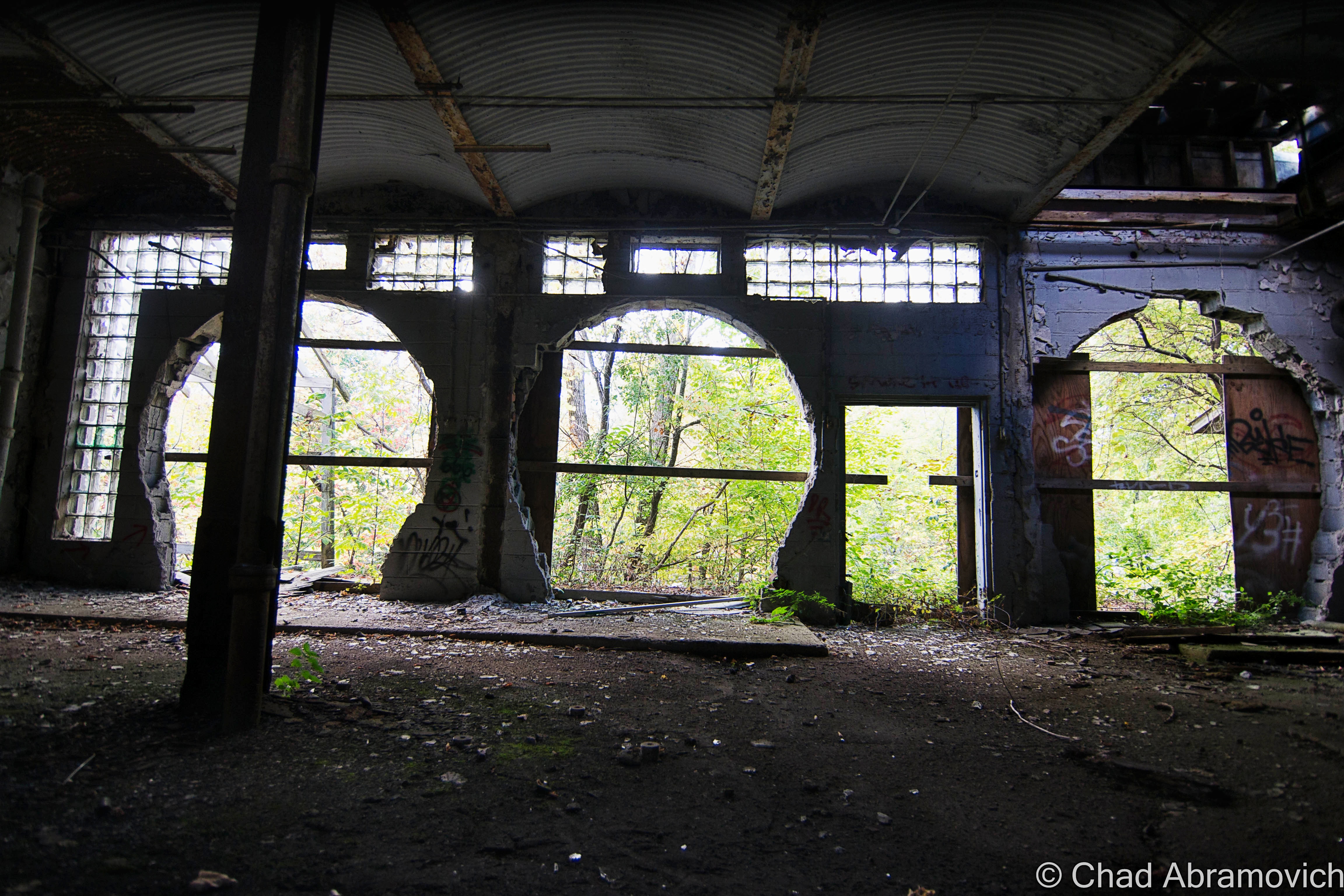
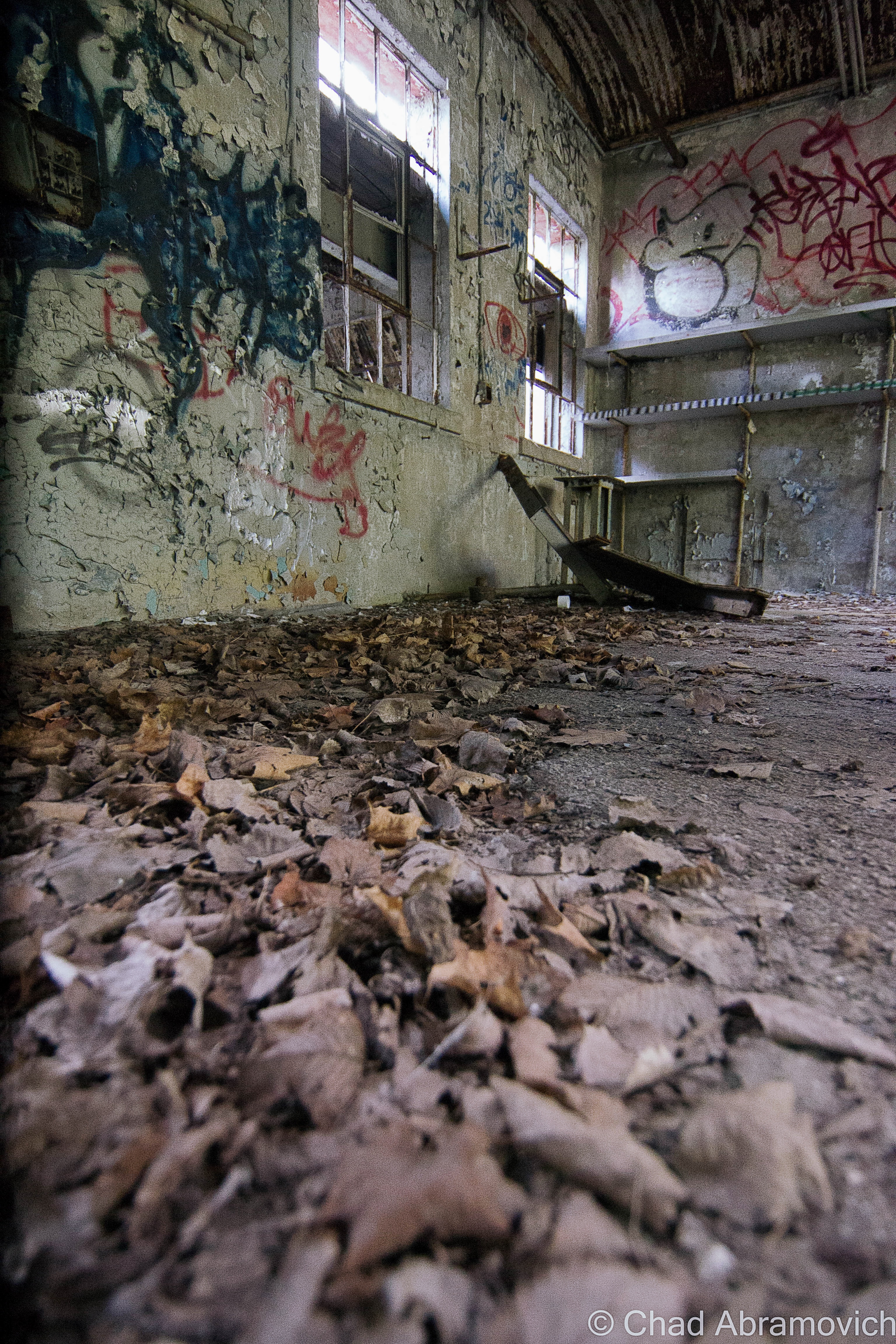
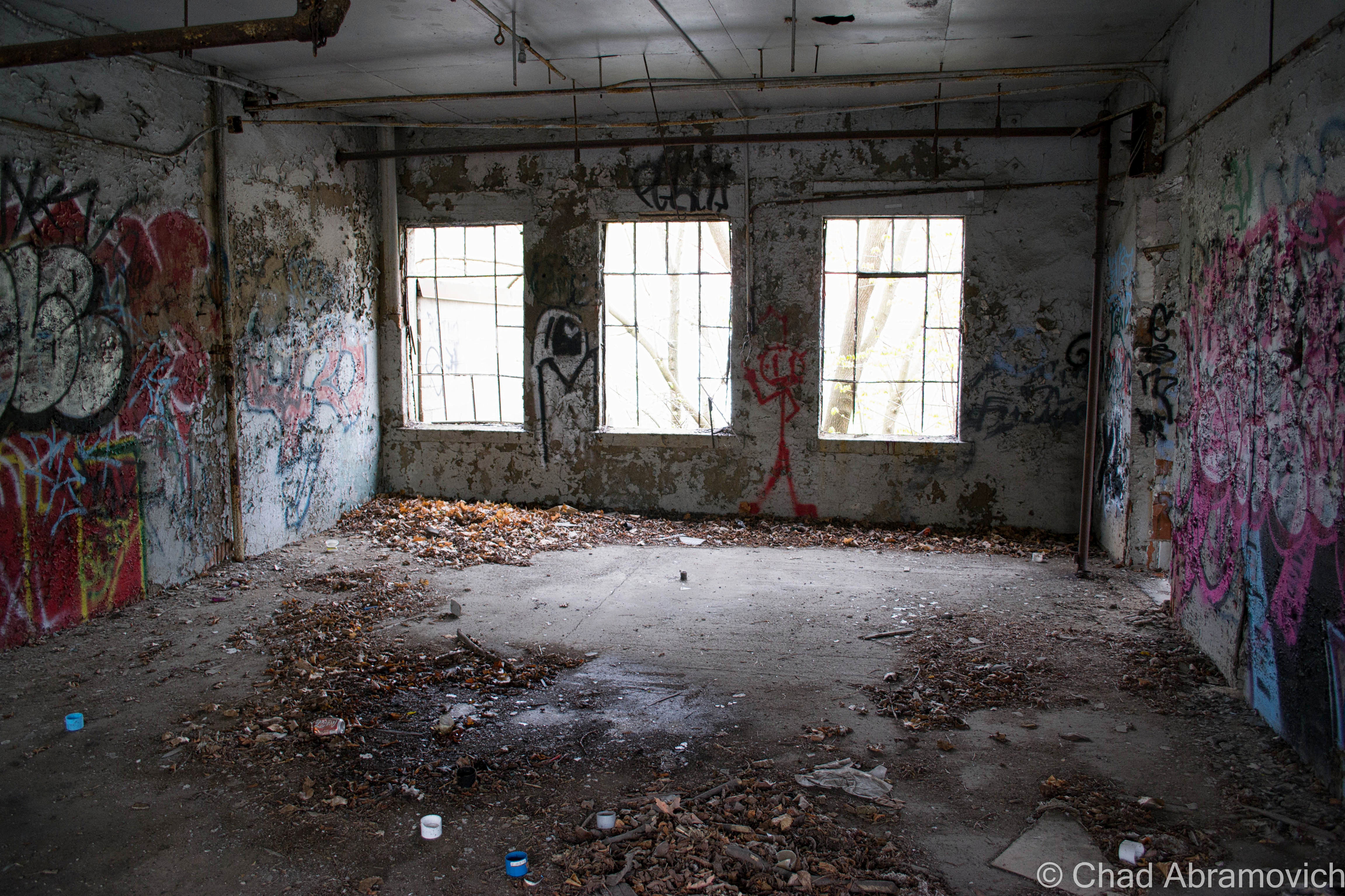
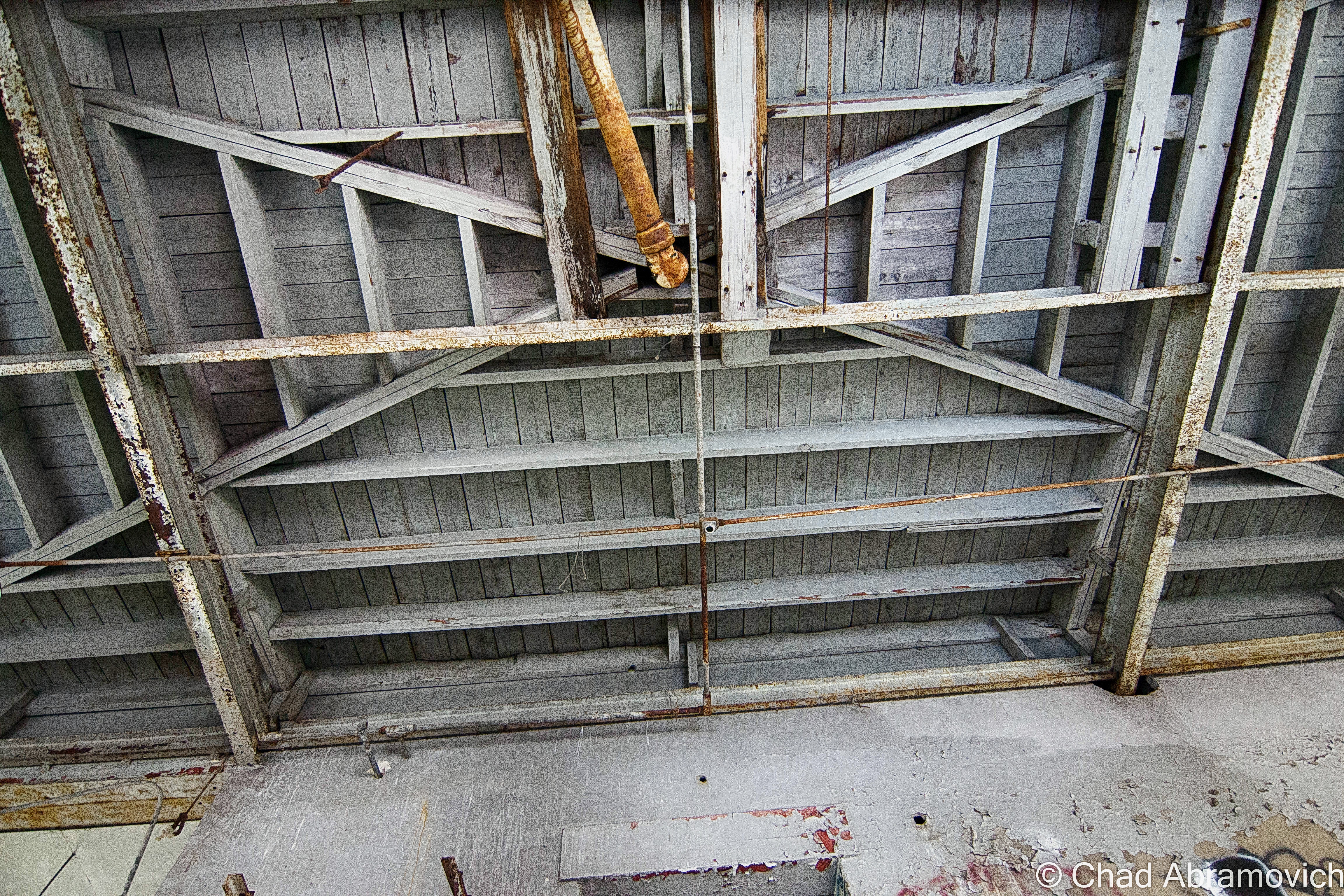
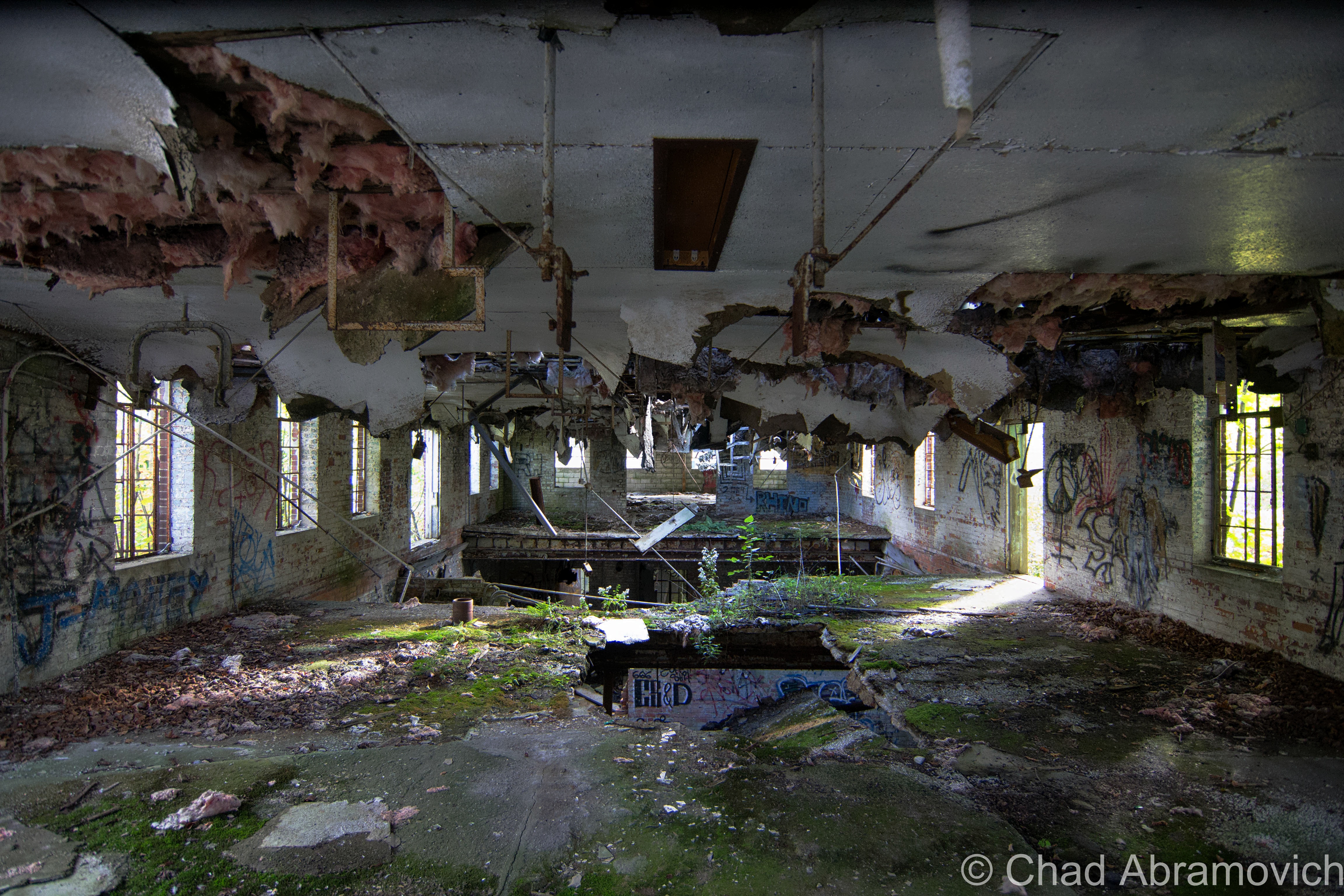
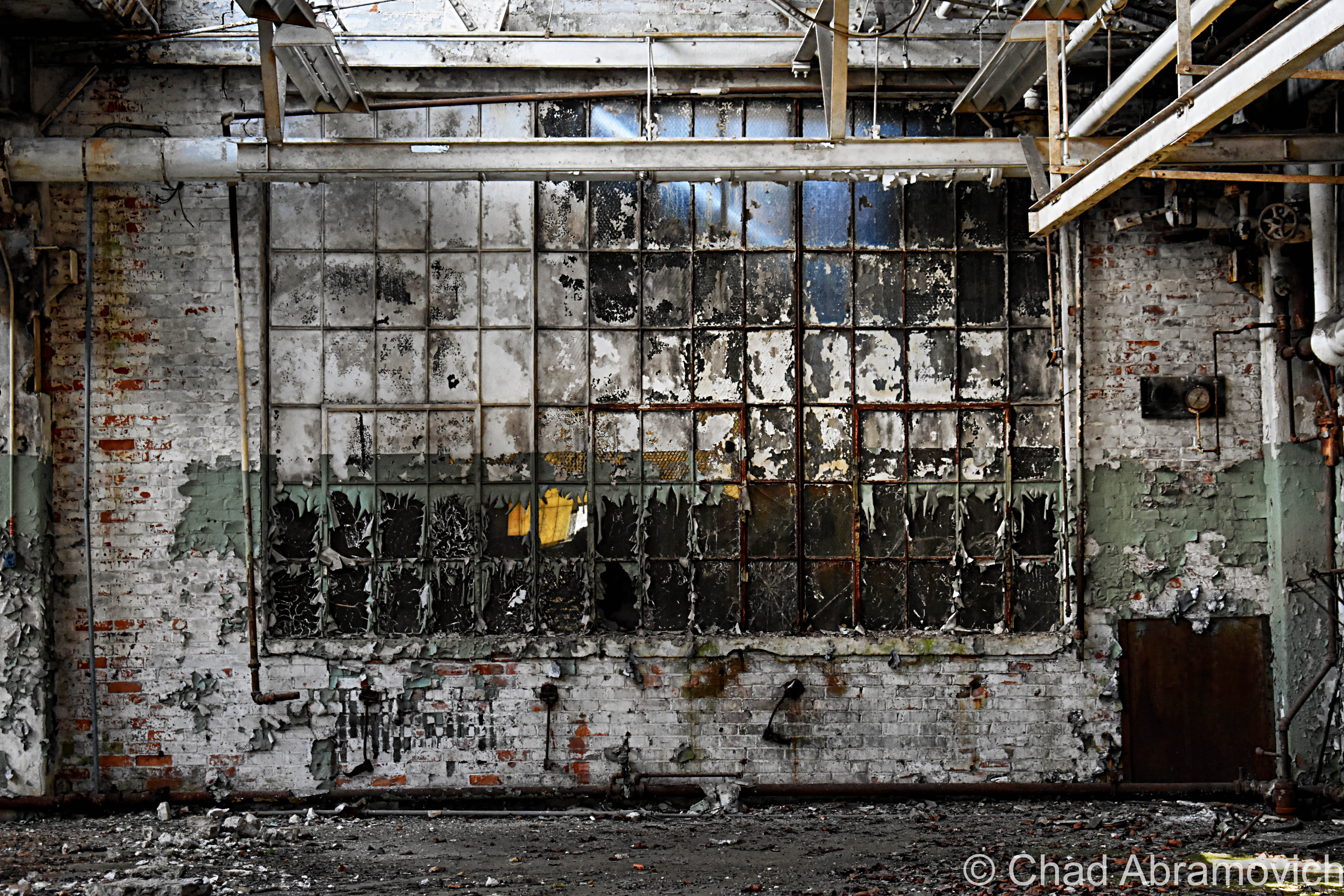
We wandered around for close to 5 hours and still didn’t see everything! The insides of the main plant were cavernous spaces infiltrated by glorious natural light that descended through awesome sawtooth roofs – a design I absolutely love. Lead paint, asbestos, and whatever mother nature blew inside lazily fell like snow, and nature was doing what it does best; reclaiming its territory. Trees and creeping vines had interestingly taken root on the roof and the grounds were thick with vegetation – vines fell down through busted sawtooth windowpanes and tendrilled into the atmosphere. A century of adaptations, renovations, and subsequent deferred upkeep had created a fantastic accidental pastiche on old bricks and steel girders.

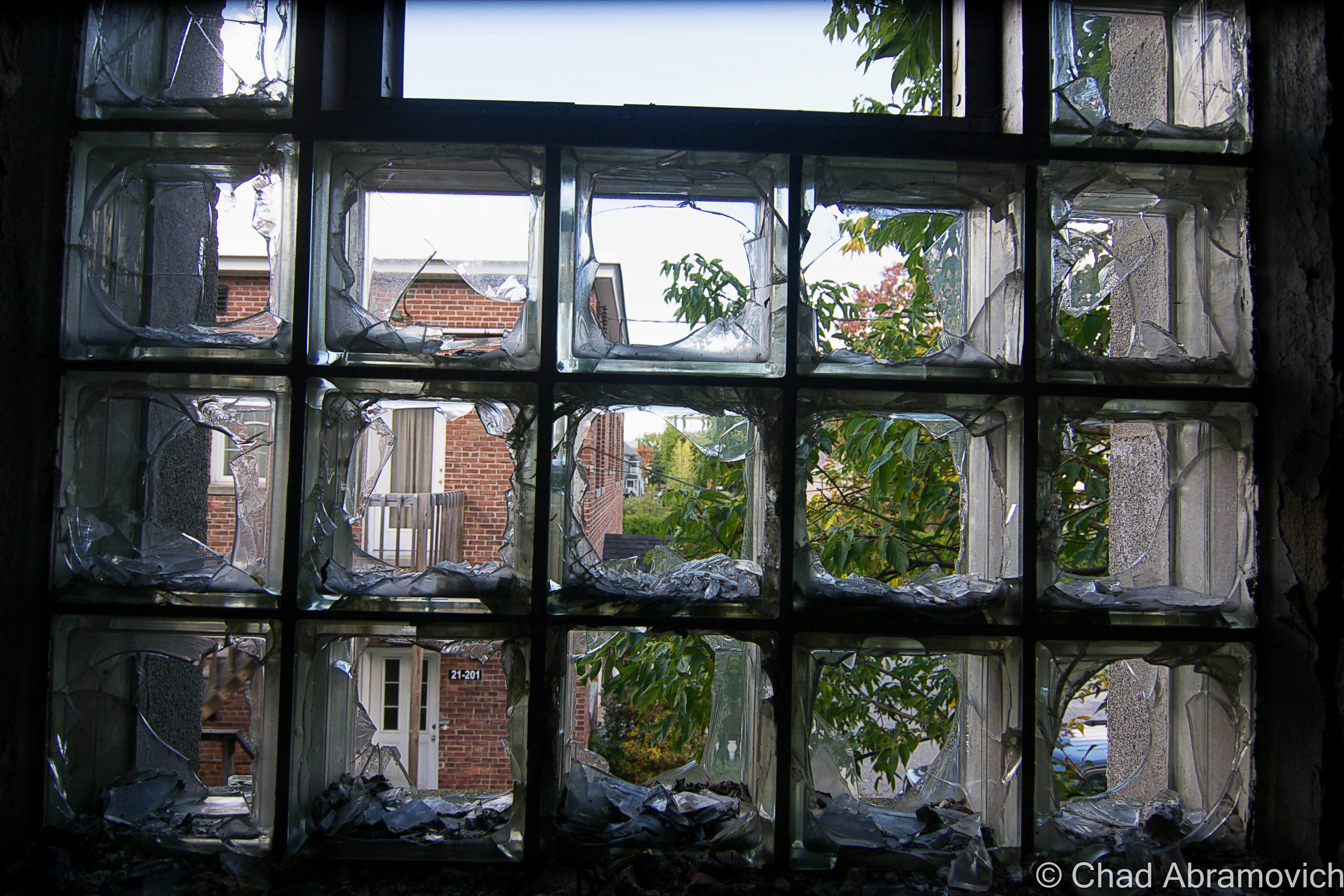
Some things sagged down in fatigue, and other verdant things thrust upwards and willing. It seemed the new trees and vines almost created a muted cacoon within, where time oddly stopped and there were only wonders, a vacation world that we could borrow for a while. Strange audio hallucinations fell in all directions, and shadows waltzed behind steel beams and checkerboard walls of broken glass. Though I guess I was a bit disappointed I didn’t find a rusty old Hartness turret lathe still within, this explore was so much fun! (There IS, however, – a Hartness Turret Lathe on display at the American Precision Museum in Windsor!)

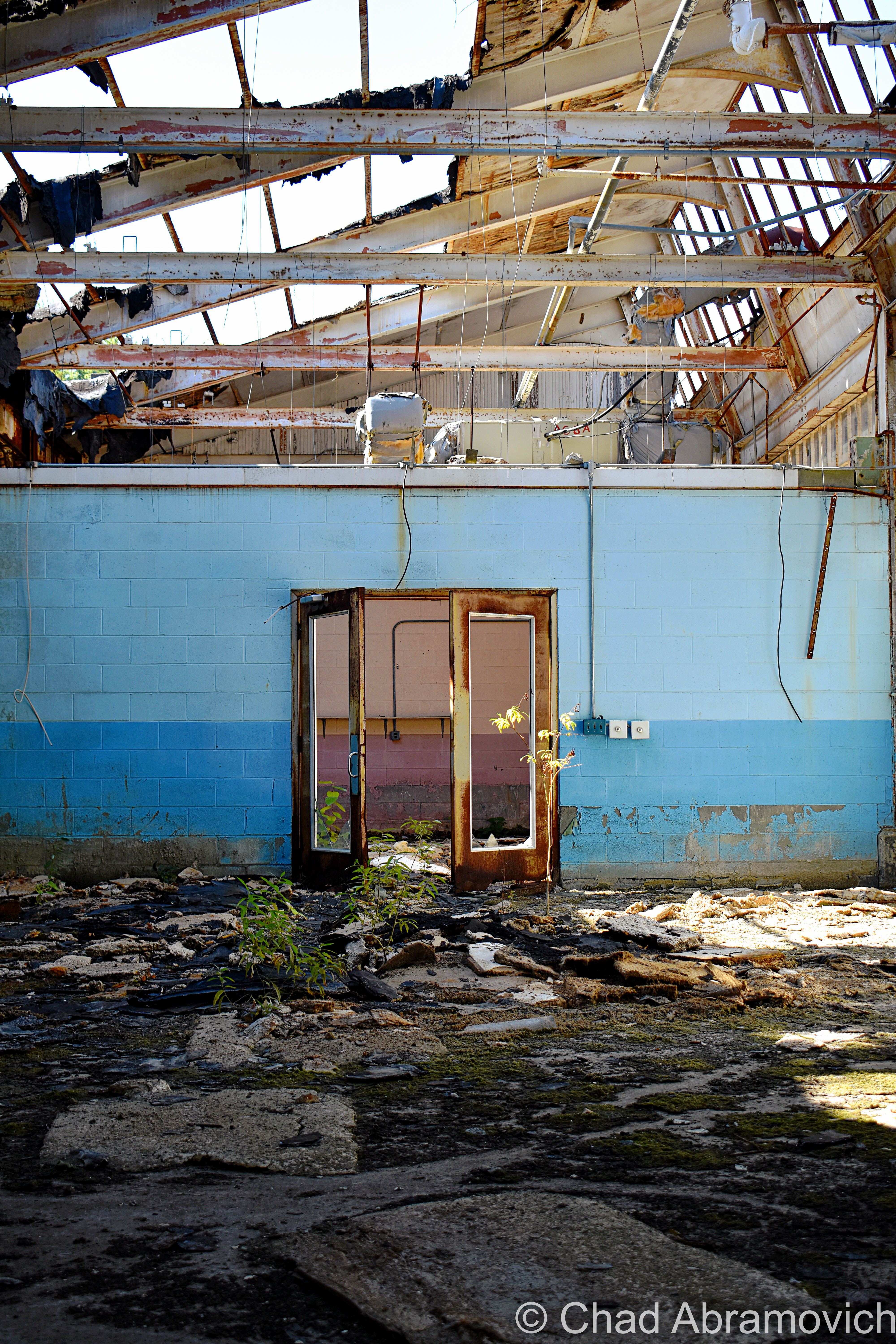
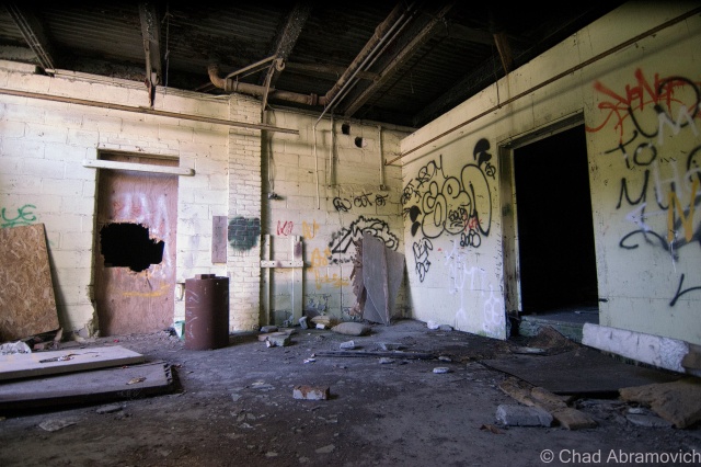
There was a tiny portion of this massive complex that was still an active business, J&L Metrology – the last remaining morsel of the greater Jones and Lamson enterprise. Their really utilitarian and ugly wing appeared to be added on much later – and it was something that I made a note of as we pulled into town hours earlier. The two spaces were divided by the original exterior brick wall, but there was a connecting pair of double doors that allowed whoever was at work over there inside the abandoned portion of the building, and that’s exactly what happened.

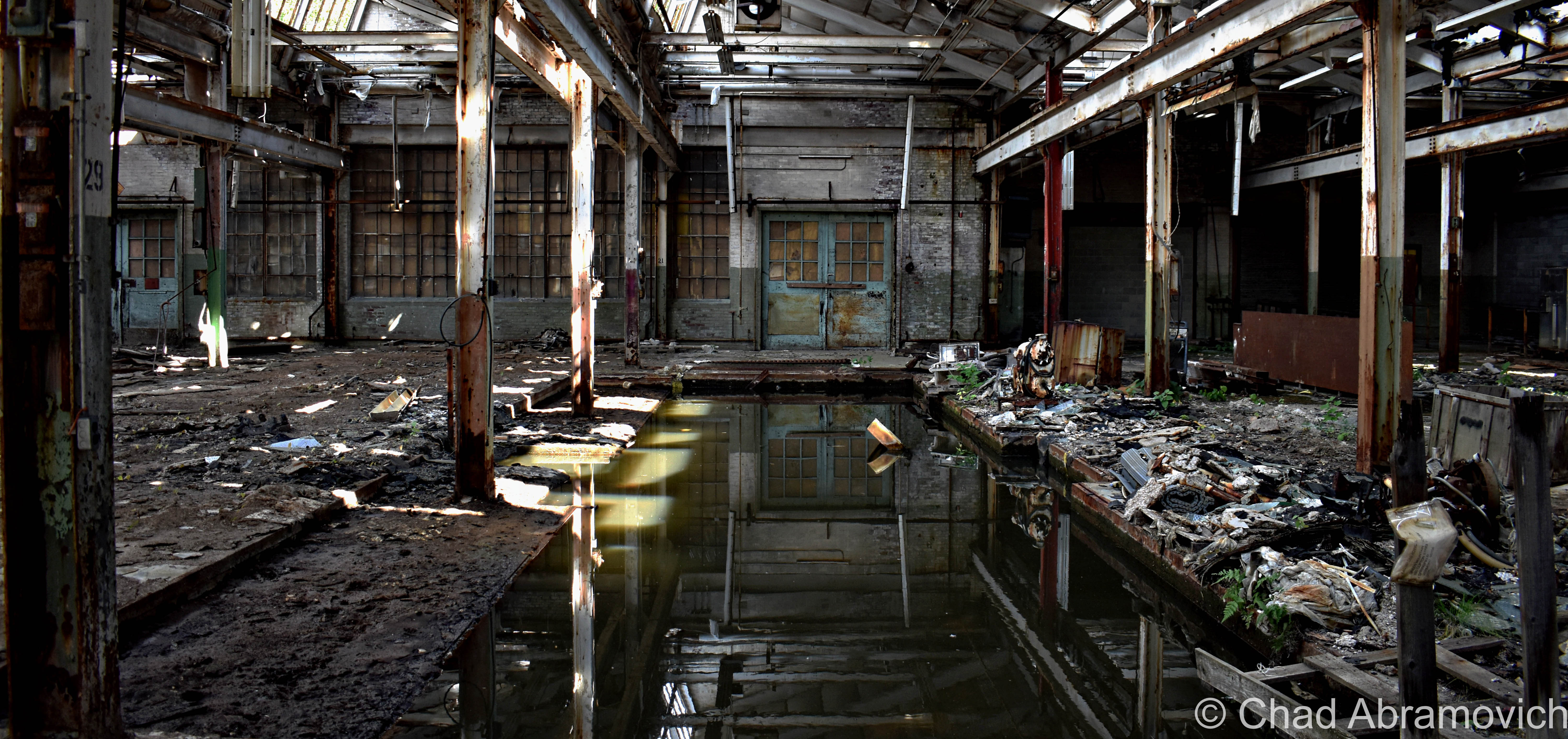
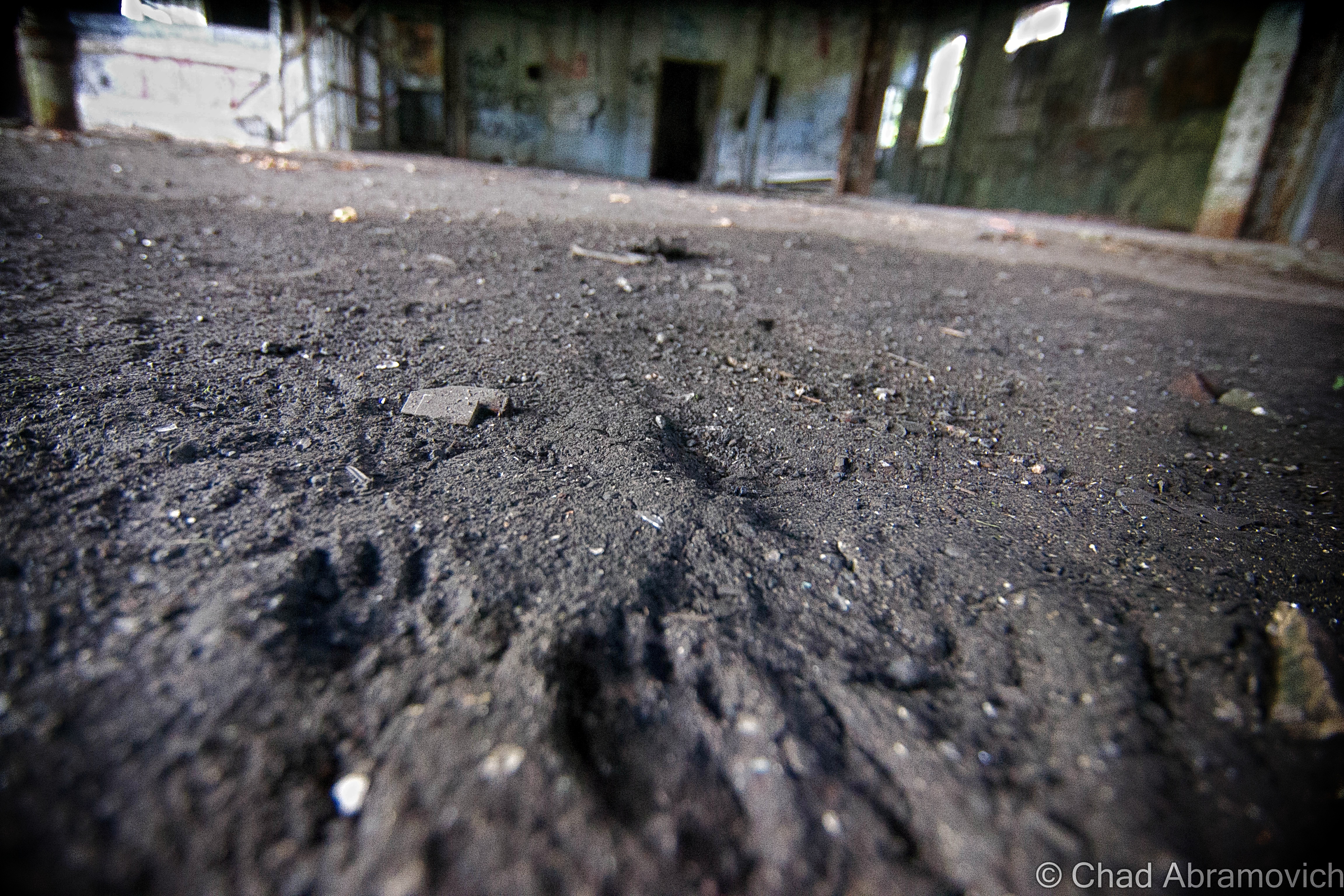
Just as I was snapping a few photos of some kind of rectangular cavity in the concrete floor that had long been turned into a pool of rainwater and who knows what else, those doors burst open, and some guy powerwalked into the abandoned factory with the trajectory that communicated he was on a mission – a mission that was suddenly interrupted by me.

His boots literally skidded to a halt on the gritty floor, snapped his head to his left, and gave me an appraising and surprised look through a squinty demeanor, then angrily huffed; ” Are you supposed to be in here?” I turned to look at my friend, who was still as a statue, turned back to the man, and decided that answering honestly was my best option, so with a shoulder shrug, I called over “I mean… probably not?” He just glared at me in a kind of tense silence, before pursuing his former mission – and stomped off deep into the huge spaces of light shafts and rusty steel. We both knew that was a good sign that we should leave, and we bolted.
I don’t have many pictures of myself, so thanks to my friend Jay for taking this candid shot of me doing my thing!

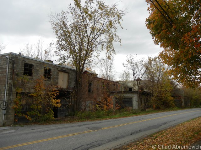
I’m disappointed that I never got a shot of the front exterior of the factory to include in this blog post, but I think there was some re-paving going on out front that day, and we were more focused on leaving before the cops were called on us. Unfortunately, I procrastinated a bit too long and never made it down to get that shot before the demolishing.

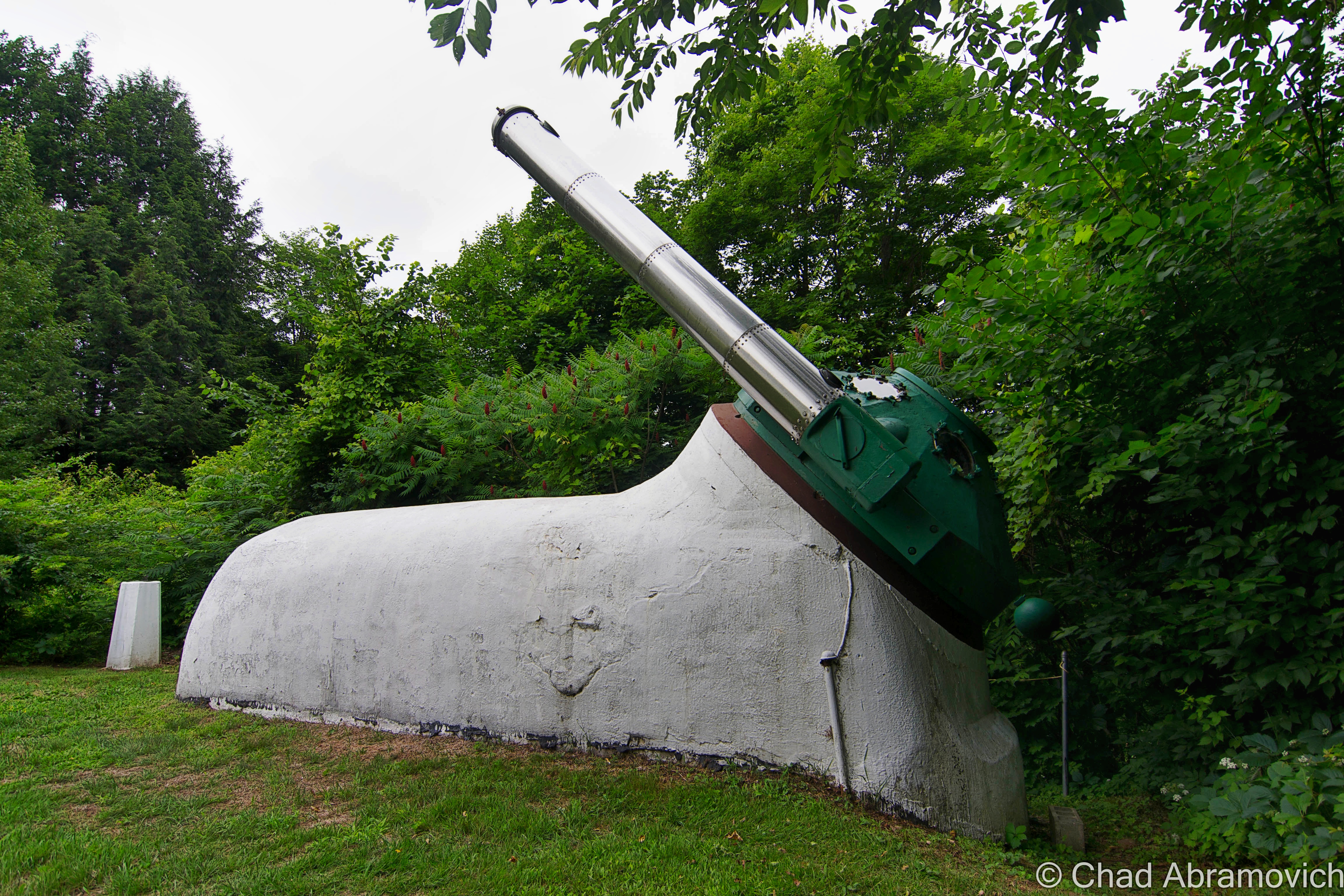
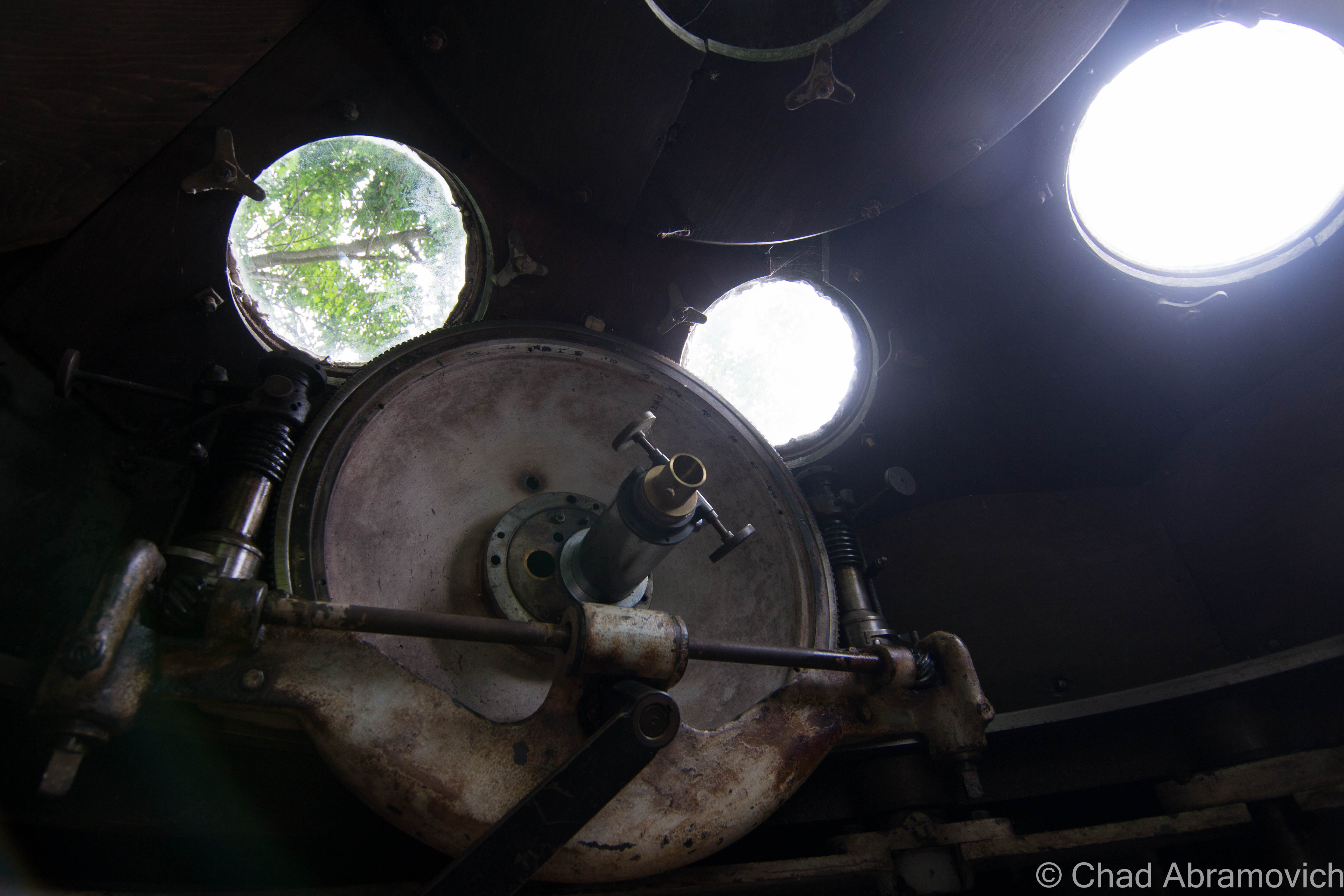
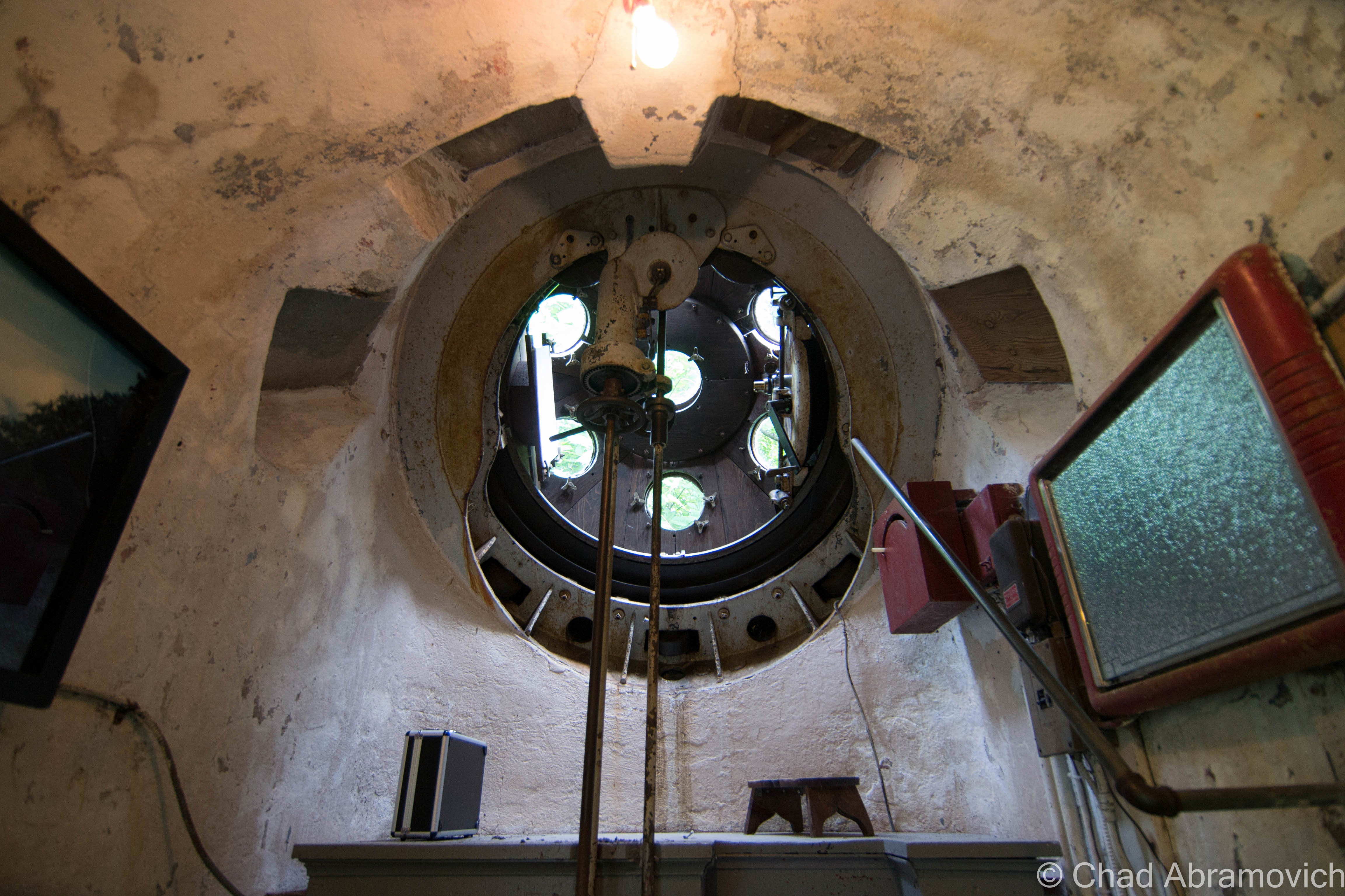
But something I did get to see, was Hartness’s aforementioned personal Equatorial-Plane turret telescope back on a rainy and humid June afternoon of 2015!

The rotating green turret rides on rollers supported by the white concrete structure, and it’s also where the stainless steel telescope tube with its ten-inch achromatic objective is installed, which is a modern upgrade to the original. Hartness developed the optics of the telescope to pass through a lens in the wall of the dome, which allowed him to stay warm in Vermont’s brutal winters.

The funny-looking protrusion is in front of Mr. Hartness’s stately former home – looking exactly like something a venerable turn of the last century tycoon would dwell in. At the time, the hotel offered free tours of the telescope and tunnel, no reservations needed, but because the property is currently a real estate listing, I’m not sure if the telescope is closed to the public or not, but absolutely hope that this treasure will continue to be shared with all the inquisitive.

I’ve always been someone that has loved human ingenuity and the magic of camaraderie, so this post was a lot of fun to research and write. So many amazing things happened in this era of America from the genius of common people that I just find so remarkable – and a little bittersweet thinking that we may never have another country-defining boom quite like it.

The earth is kinda played out, so it’s amazing that these strange new frontiers and discoveries can still be made in places like this that were once mapped, and then been forgotten.

For your consideration:

The Vermont Historical Society is one of my favorite organizations in the state – and they have a few nifty videos that briefly chitchat about both James Hartness and The Precision Valley. I’ve linked them below!

There’s a terrific archived article on Mr. Hartness, Springfield, and Jones and Lamson from Mechanical Engineering Magazine thanks to the Wayback Machine!

Are you wondering how a J&L Turret Lathe works? I was able to find a really cool dual brochure and scanned instruction manual from 1910 that includes illustrations!


Since 2012, I’ve been seeking out venerable examples of Vermont weirdness, whether that be traveling around the state or taking to my internet connection and digging up forsaken places, oddities, esoterica, and unique natural features. And along the way, I’ve been sharing it with you on my website, Obscure Vermont. This is what keeps my spirit inspired.

I never expected Obscure Vermont to get as much appreciation and fanfare as it’s getting, and I’m truly grateful and humbled. Especially in recent years, where I’ve gained the opportunity to interact with and befriend more oddity lovers and outside-the-box thinkers around Vermont and New England. As Obscure Vermont has grown, I’ve been growing with it, and the developing attention is keeping me earnest and pushing me harder to be more introspective and going further into seeking out the strange.

I spend countless hours researching, writing, and traveling to keep this blog going. Obscure Vermont is funded almost entirely by generous donations. Expenses range from hosting fees to keep the blog live, investing in research materials, travel expenses and the required planning, and updating/maintaining vital tools such as my camera and my computer. I really pride and push myself to try to put out the best of what I’m able to create, and I gauge it by only posting stuff that I personally would want to see on the glow of my computer screen.

I want to continuously diversify how I write and the odd things I write about. Your patronage would greatly help me continue bringing you cool and unusual content and keep me doing what I love!

Do you have any stories you’d like to share? Know of anything weird, wonderful, or abandoned? Email me at chad.abramovich@gmail.com

Donate Button with Credit Cards

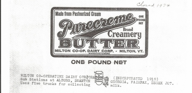
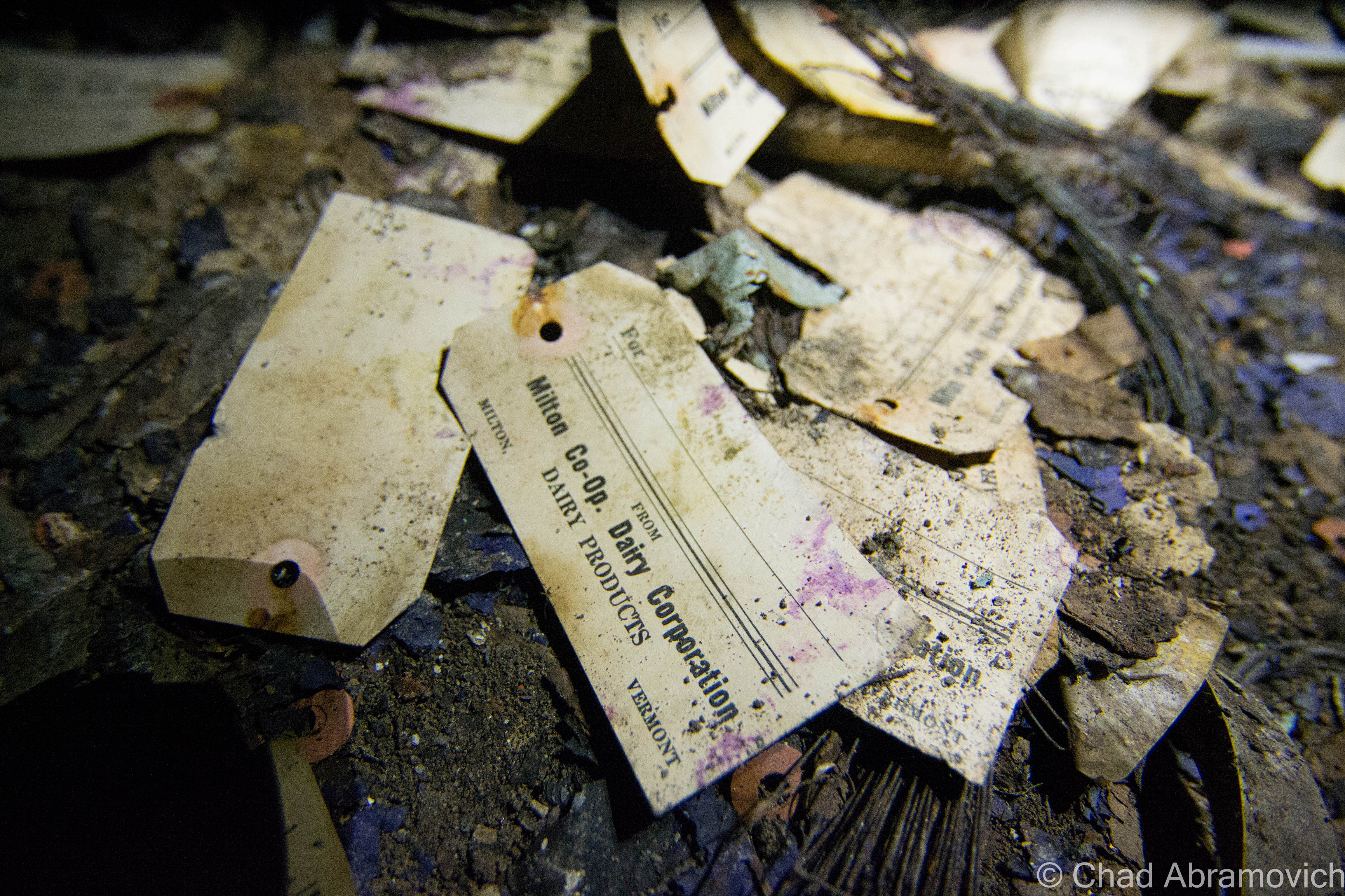
The Milton Co-operative Dairy Corporation

Being a storyteller is somewhere in my framework. I’d like to think that’s the crux of this blog, to tell stories. This blog has lots of long-winded stories. It’s just one of those things that you’re gonna have to live with for giving an emotionally unstable person a keyboard and a WiFi connection. (That’s me) And whatever it is that I have to tell wouldn’t be complete without the mention of this place.

When I first started this blog, I made sure this was one of the first subjects I posted about, because it was, and still is such a big deal to me, following me around like a phantom through different stages of my life.

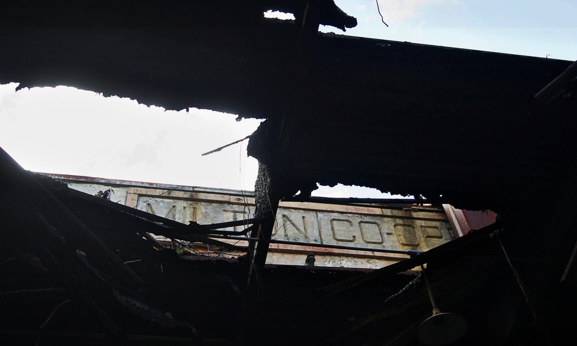
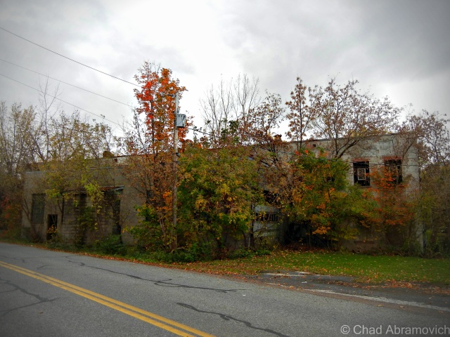
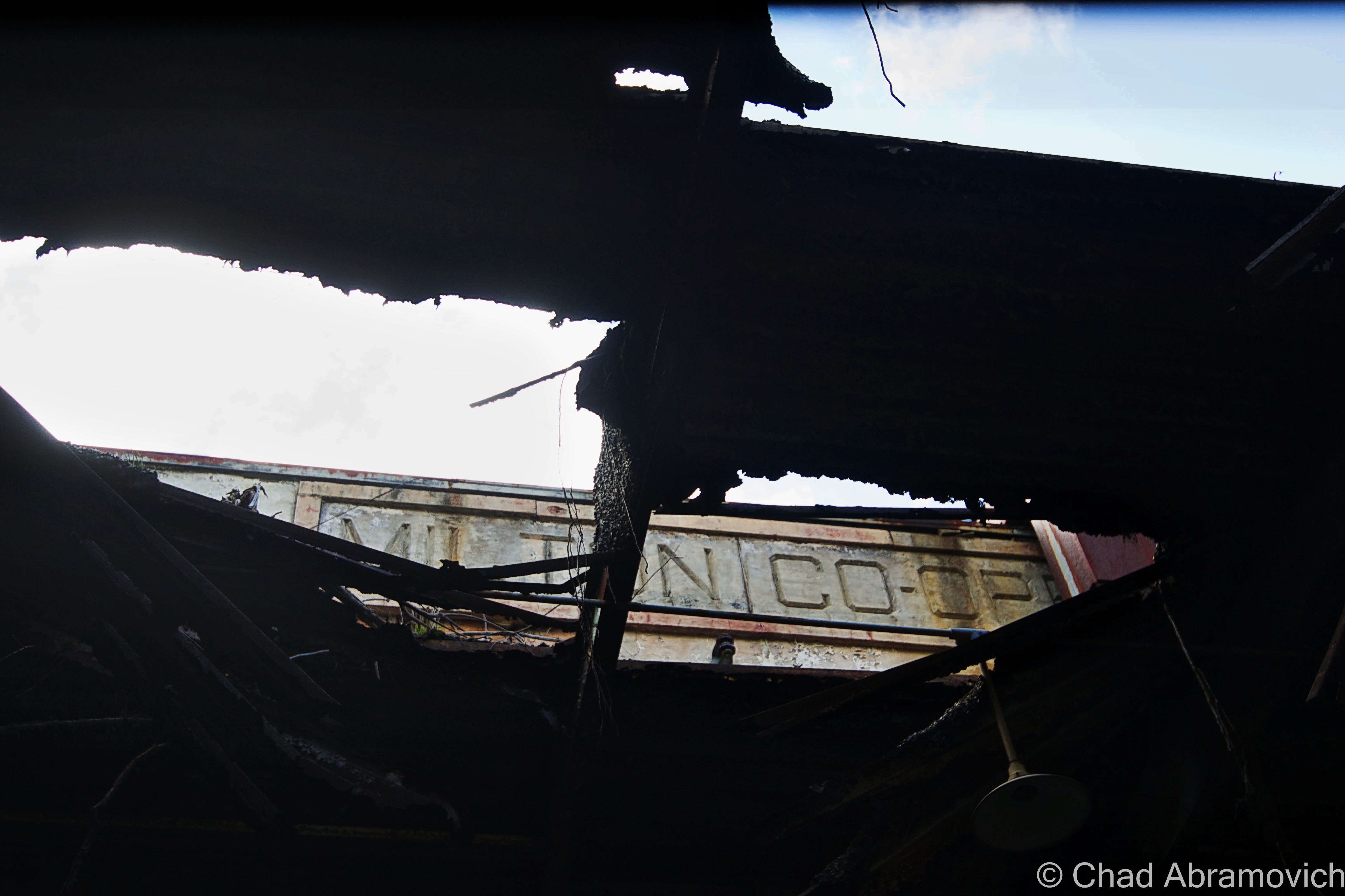
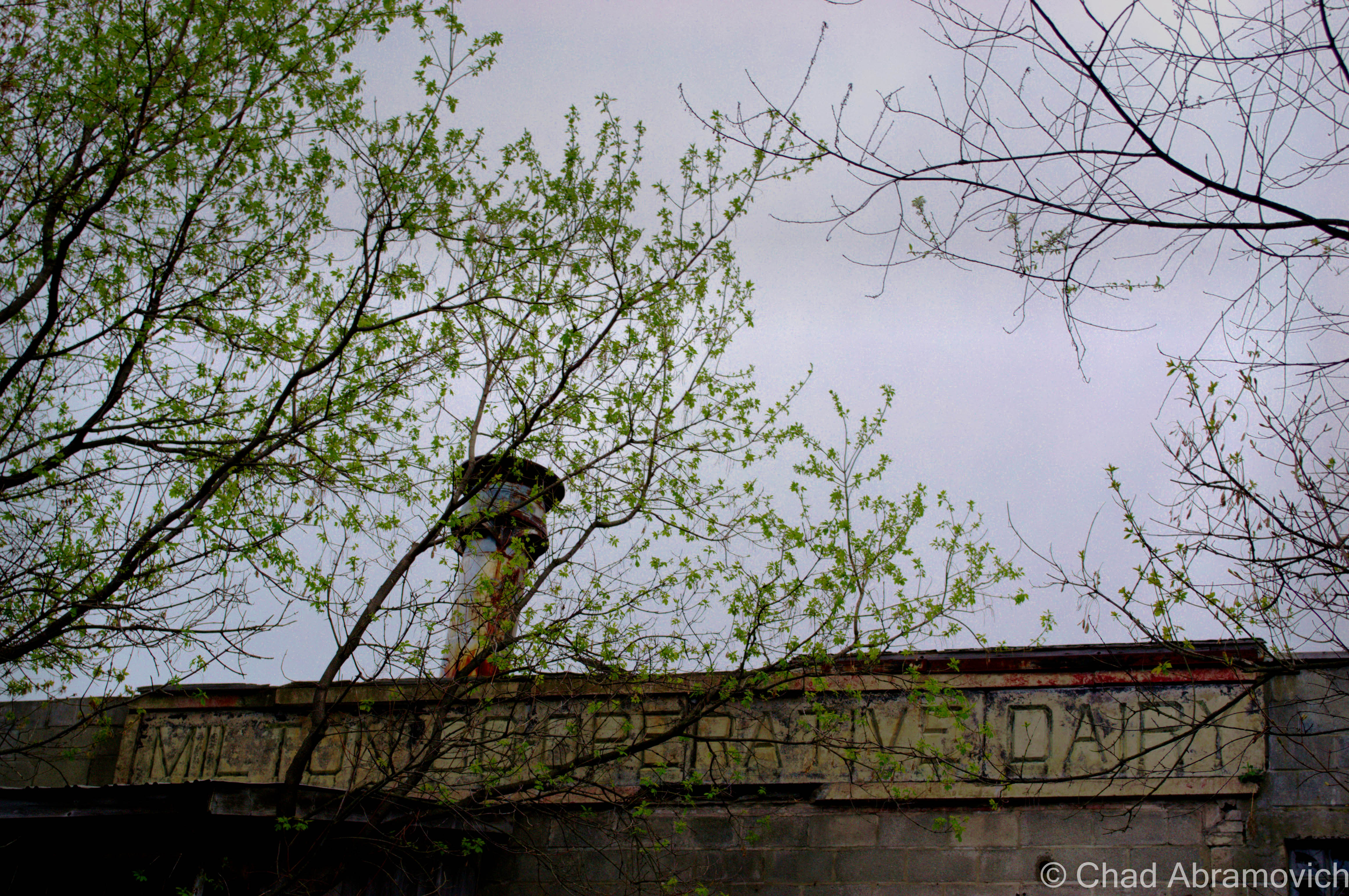
The chiseled granite block along the disintegrating roof line reads “Milton Co-operative Dairy Corporation”. Most folks in town call it “the creamery” unless you’re one of the few who are unaware of what the corroding property used to be. I’ve heard people speculate plenty of things, including a train station, a munitions factory or an armory.

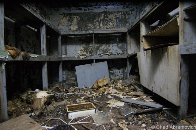
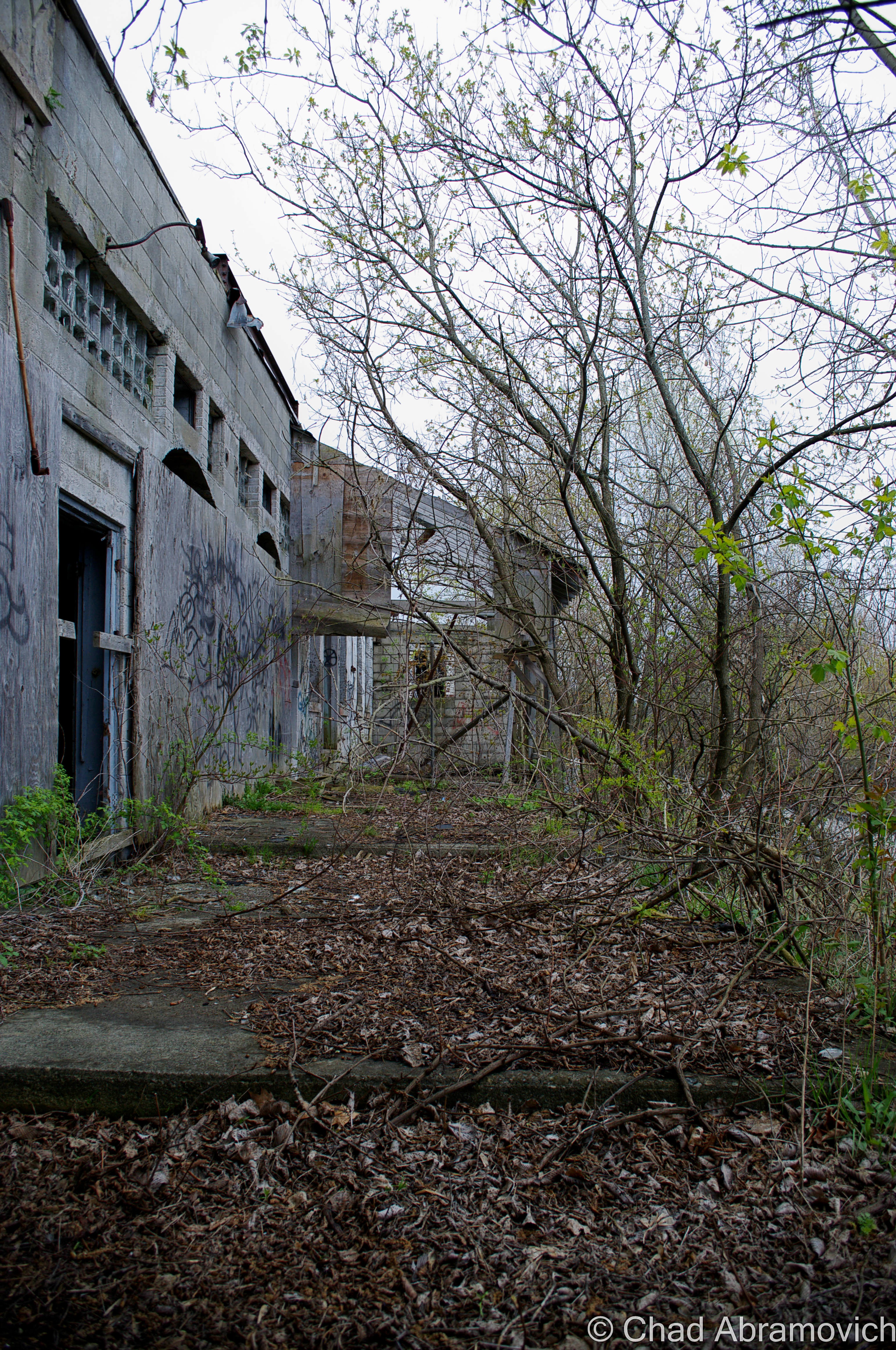
The rambling building made of patchwork additions is off a side street in town, and the years run down its crumbling facade. Its forsakenness is obvious. Young trees have grown around and inside the building, disfiguring the structure. If you catch a glimpse through any of the broken windows or an open doorway, you witness a dark world made of peeling lead paint, reservoired floors and piles of fallen bricks, all cast in various shadows in the places the shine of the sun penetrates its way inside. In a state as non-industrial as Vermont, this location is truly a magnificent way to get your senses drunk. And it was this dangerous, virulent location that changed my life around age 12.

Around 1835, Milton’s agriculture scene shifted fads, from sheep based farming, to more profitable dairy. The town saw an increase in farming in the intervening years which began to put a strain on Milton’s original creamery, The Whiting Creamery, located off Main Street near where Oliver Seed is today. By 1919, many Milton farmers got together to form a dairy co-op. They built their headquarters on Railroad Street, a side street off Main Street, which today is one of the village’s primary thoroughfares. At the time, Main Street was actually the Main Street in town, and because titular Railroad Street paralleled the tracks, it was practical real estate.

The Whiting Creamery in Milton, circa 1905 | UVM Landscape Change Program

The building was done unconventionally, with a steel I-beam construction and stucco facade installed over bricks, which according to the late owner of the ruins, was a design unique for anywhere in Vermont at the time. Miltoner John McGrath would become the first president of the co-op. Over time, the creamery’s business ignited, as more farmers from Milton, and rural parts of northern Chittenden County and Southern Franklin County were sending their milk to be processed there – and shipped out. A lot of the revenue made by the creamery actually came from exotic foreign locations they shipped the milk to, like Boston and New York, via the aforementioned railroad that runs inches from behind the building.

In 1935, the creamery would expand for the first time at the height of the great depression in a conspicuous brick addition that today is the worst part of the complex. While most money-making things in the United States were prostrate in defeat, the railroads and the dairy industry seemed to be staying steady. Over the years, several more additions came along, and when cars became common, garages and a scale room were built, until the current uniquely shaped structure that exists today was finished. Those who can remember the creamery when it was functioning said that it was one of the largest creameries in western Vermont. During its most prosperous years, it would do over $5 million worth of business in a year, and employed 50 people. According to a homeless fella I accidentally met that briefly lived in a tent near the tracks behind the building, he recalled his father working there. “I remember how bad the milk lab used to smell” he said in fervent disgust at the memory. “Used to stink so bad, you could smell it down Railroad Street!”

During the cold war, the basement area was also designated as a fallout shelter, an appointed place to seek safety in case of nuclear destruction. Though, a practical observation at the grimy basement now days tells the visitor that the apocalyptic urgency so many people in the 50s were subscribing to would have easily vaporized anyone who decided to wait it out down there. Until recently, a badly warped caution-yellow sign that read “Fallout Shelter” in black lettering could be seen crookedly hanging from a concrete wall. Some local kid most likely stole it for a memento and hung it in their bedroom.

However, as time flowed, business practices changed, and the creamery soon found itself cutting its teeth on the stone of the changing times. McGrath would resign as president in 1953, and Ray Rowley, from another long-standing dairy family in town, would take control. But the Co-Op was already shaking hands with its mortality.

By the 1960s, the creamery’s fate seemed poised to continue percolating in some downward lament. A decline in dairy farming led to a decline in dairy – the stuff that created the business in the first place. It was around this time when bigger monopolies began to appear on the scene, a trend which has only intensified since then. Larger and more resourced operations like HP Hood in Burlington were hard to compete with, and the growing struggle of irrelevancy disarmed many smaller businesses. Sort of ironic is that HP Hood is also long gone, the old plant on the corner of King and South Winooski has been modernly renovated into condos and mixed commercial space, as is the cool trend with defunct industrial properties.

The last 2 decades of the creamery’s life were slow death. Fluctuating milk prices and the cost of refining didn’t show up in the farmers’ paychecks, which irritated some of them. I can’t say I blame them, farming is hard work. A crude barn shaped structure was built next door, and was ran as “The Milton General Store” for a while – an appendage of the creamery. Those who still remember it, say that it was the kind of place where you could literally buy anything – from nails to maple syrup, and had a distinct “dusty workshop smell” inside. But that attempt at savior failed as well, and by 1974, the creamery became a ghost.

The building was put up for sale, and shortly afterward, was purchased by a local gentleman who used it as storage space for his many antiques and the miscellany he either collected or hoarded. That line was a blurry one. But it was clear that this guy was of his own sort. Sadly, mental instability and his own demons got the best of him, and one of the consequences was that he neglected the place. His paraphernalia became either stolen by characters who have no moral issues with thievery, or what was left behind rotted away when the building began to progressively weaken, and rats began to nest inside.

I had struck up a few conversations with the owner before in my teenage years. I used to work at a local gas station then, which was a crash course on social skills for this young Aspergian and his seemingly incompetent switchboards, but the struggles also brought some worthy experiences. Like getting to know him a little better whenever he’d stop in. I knew who he was, but our getting acquainted was a bit coincidental. He’d see me working and just start chatting with me if he was in my proximity, but he seemed a bit lonely and he’d chat with anyone willing to lend an ear. Over time, he began to recognize me as a regular working stiff and always made a point to have some sort of small talk with me, on his own terms anyways. I found out that he was a pundit on Milton history, or really the old in general. I’d risk getting reprimanded by my shift manager and have conversations with him about local history and things I found to be fascinating – information that I didn’t have access to anywhere else. But due to his schizophrenic-esque behaviors, I had to try to be mindful of how I engaged with him.

I found out about his death in the summer of 2016, which saddened me a little. I’m sure he had so many stories and secrets that he took to his grave with him that we’ll just never know. I always contemplated taking the time to contact him and ask for an interview, but anxiety got the best of me. The creamery was hastily and quietly sold, and condos were spoken of. I suppose the momentum didn’t surprise me. Milton-ites have wanted to get rid of the scorned property for decades. Which is also why I’m re-submitting this blog post. The creamery wasn’t just the first place I had ever explored, it was a huge part of my adolescence. I’ve never dealt with change that well, so when I got word of a change coming up in the form of the creamery’s possible demolition, I decided I needed a fond farewell.

I’m going to borrow a quote from the late Leonard Cohen, when he said; “I’m interested in things that contribute to my survival”. The creamery (and Mr. Cohen) has contributed greatly and artfully to my survival and I’m forever grateful. It’s weird to think about as I’m reminiscing and drinking a beer right now – how different would my life have been if I didn’t grow up in walking distance of this place? Did any of you folks have an abandoned building in your hometown, or a place that was a local rite of passage to visit as a kid? Do you have any stories of your first adventure?

Over the years, I struck up a friendship with the great folks at the Milton Historical Society, and one of my first research topics was the creamery. Sadly, not a great deal of information about it really carried over the turn of the most recent century. For the most part, I compiled all the usable information I could in the paragraphs above this one. But that’s not all. Museum curator Lorinda Henry was kind enough to scan for me some historical photographs of the business in operation, and portraits of its employees.

Folklore

I think one of the most memorable things about the creamery, and my childhood affixion to it, were the ghastly urban legends and ghost stories that the older kids told me, a ritual I continued when I aged. Stories that created an inseparable impression about the place.

Murder

I still remember the first story I was told, which I think is also the most popular one in some variation or another. The story of the murdered janitor. Essentially, two custodians were working graveyard shift, and a known rivalry was between them. That particular night, one of them would let all of his animosity towards the other cut loose like a pressure valve. Somehow, one of them fell off of a two story catwalk which is suspended above the scale room, broke his neck when he hit the concrete, and died in the building. The motive, whether it was preempted murder or a moment of unchecked anger isn’t translated into this tale. But the aftermath is. The other employee realized the gravity of what just happened, and he was frightened. He’d be blamed. He’d go to prison! No, he couldn’t let that happen. So, he decided to make his co-worker’s death look like a suicide.

Transporting the body upstairs, he hung him from a meat hook in one of the coolers, hoping when the corpse was discovered the next day, that’s exactly what the shocked observers would believe. Only, they didn’t, and apparently, according to an increasingly vague story line, the assaulting janitor was accused of the crime. The story splits into a few endings from here. One says he was arrested, acquitted and sentenced to prison. Another version tells that he skipped town, and successfully vanished from those who wished to prosecute him. As the older kids told me, the residue of the departed janitor still skulks around the building, which seems to be his tomb in the afterlife. Though not much is known about his apparent haunting, people have admitted to feeling uncomfortable inside, like they were being watched by some unknown specter, especially by the room where his body was hung. Phantom chills and disembodied noises have also been reported, but whoever was the one coming forth with these claims remain a mystery. The historical society couldn’t give me any hard evidence of a murder at the creamery, or even a death, so this spook tale remains in the realm of urban legend.

Broiled Alive 

I remember another, far more ghastly story. I was shown a large rusted vat inside one of the many dark rooms of the basement, leprous with peeling paint, dankness and dripping water trickling down overhead. A dim mag light beam illuminated the robust fixture, and it was filled with some sort of unidentifiable glish. As the story goes, sometime in the 30s or 40s, a young man was tasked with making powdered milk, and somehow, fell into a vat of product heated to boiling temperatures. His skin was filleted from his body and was unable to be saved. A more macabre version of the story was that crooked business practices just distributed the milk afterward because losing money was a more grim thought than their customers drinking liquefied employee.

Well, I couldn’t find any validation on that story either – but the historical society did help me dig up a very brief newspaper snippet from the 1940s, about a boy who did die in the creamery in those days before child work regulations, but the cause of his death wasn’t specified. But one look at the gross vat today does make a good totem for a story like this one, and the basement is a creepy place. Not surprisingly, there have been quite a few reports of feelings of unease down there.

The Homeless Man

Another notable story did happen, and is documented. Sort of. In the 1980s, recently after the building had been abandoned, a homeless man got inside and planned on spending the night. But nothing stays warm in the wintery cold, and he decided to get a fire started. The details here vary on what happened, but somehow, him and the old couch he was sleeping on, became engulfed in flame. The man died on site. Speculations vary on how he died, whether some flying cinders landed on his sleeping form and ignited his clothes, he was drunk and knocked over or fell into the barrel he used to put the fire in, or some hoodlum kids decided to harass the guy, and wound up setting him on fire. Either way, a dead vagabond was the result. Today, there is a pancaked and charred couch on the ground floor, which I was told was the very same one he died on. Though that too is unverifiable. Some ghost enthusiasts like to think that the homeless man adds to the creamery’s fabled layers of ghosts.
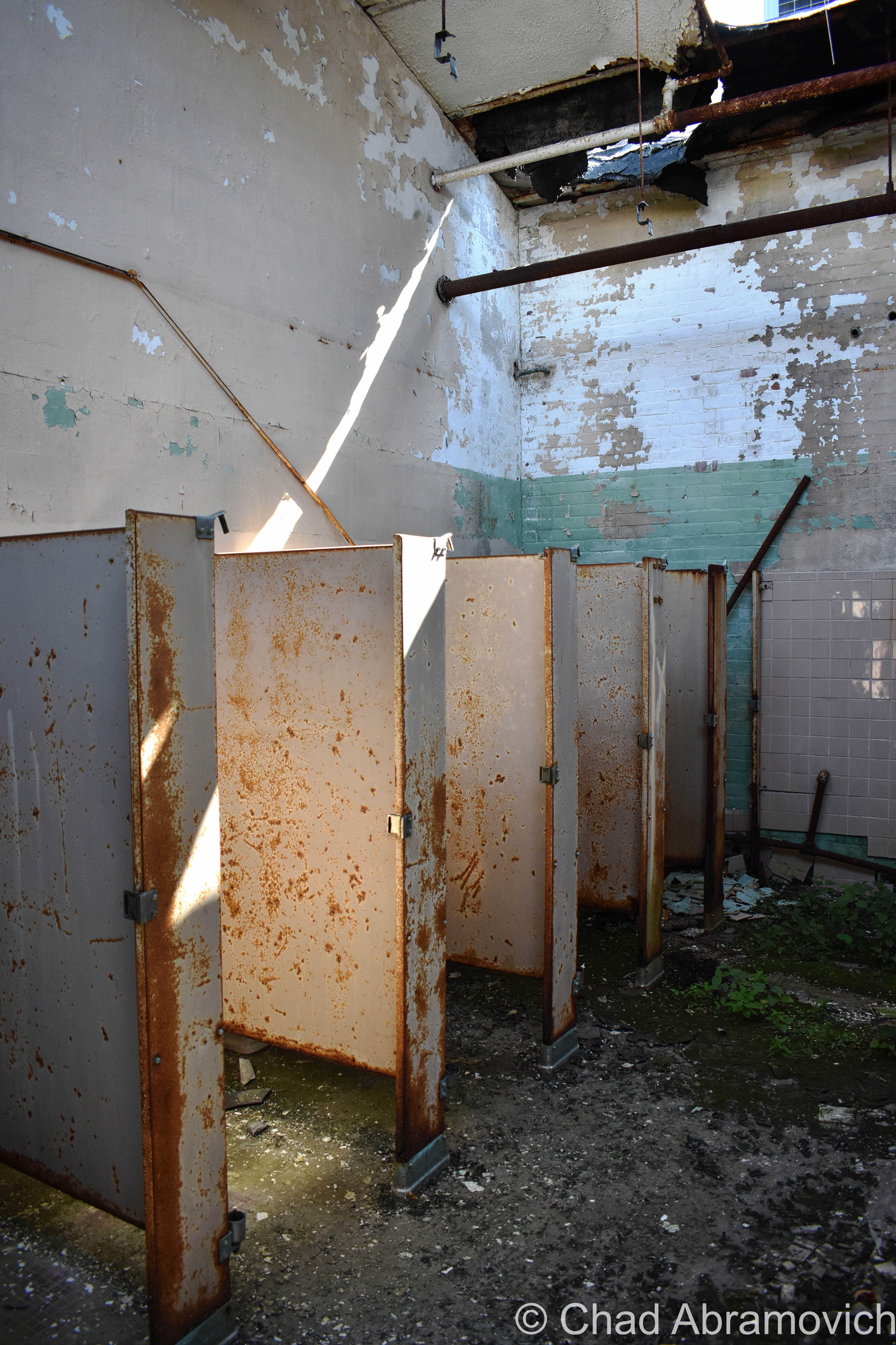
That may account for a claim I heard around 2009, when someone told me of a strange experience of theirs. As he was walking by the creamery at night, he saw a ‘black cloaked figure – almost like a robed monk’, moving in the same direction as him as he walked by the building down the railroad tracks on his way home. He could easily distinguish the thing thanks to the dirty yellow glow of the street lights coming through the second-floor windows, giving the figure a distinct outline from the shadows. His claim wouldn’t have been as weird if it weren’t for the fact that he saw it walking in a part of the second story that didn’t have a floor.

The Tunnel

My favorite hearsay was of the old tunnel. In my teenage years, when I began to become more intimate with the building, I was acquainted with a piece of Milton lore; about a tunnel, which supposedly led from the creamery, all the way down Main Street underneath several of the old houses before dumping out near the Lamoille River. My teenage mind sort of just took that in as fact, and I began making trips down to the basement trying to find the opening, or a trace of a sealed up door. I did find something, a door below ground level, that had been cinderblocked off. Most likely, that was the old tunnel, and years later, parts of the blockade were sledgehammered through, giving me a glimpse. The tunnel was there all right, but didn’t run all that far. I could see the collapsed section yards from my position. It actually ran to the brick building next door. Today, its apartments, but it was originally built as another part of the creamery, which is why the tunnel was there, and which is why it was sealed off. I spoke to a few Milton old timers, who smirked and recalled breaking into the tunnel when they were younger, and sneaking beer and cigarettes down there. But was there ever a passageway that ran all the way under Main Street? Well, I wrote about that, if you’re curious.

As for me? Well, I’ll admit that my experiences being a tourist to this old building haven’t been all that paranormal. I generally don’t concern myself with hauntings or ghosts anyways, unless one of them walks right up to me and says hi. It’s not that I don’t believe in those things (I write about weird stuff after all!), I just try to take an agnostic approach first. I do have one strange personal account though. In 2011, I was walking up to take some photos, and found a very strangely placed mannequin inside one of the old coolers upstairs, propped right in the doorway so whoever walks by would notice it. This one was particularly creepy. It looked old and decayed and yellowed, and dressed in a patchwork of old clothes. There was also a pentagram carved into its neck. I went to other parts of the building and doubled back about 40 minutes later, and the thing was gone. I never heard or saw anyone come for it. To this day, I still don’t have much of an explanation for that weird event.

I still recall one person writing to me when my old post was live, and told me how they found old co-op milk jugs that had been found underneath their old concrete front steps. They had apparently been used to help build the framework for them, which wasn’t an unusual practice for old Vermonters, who used their ingenuity to use whatever materials they could for their benefits. Milton’s Main and Railroad Streets are old. It makes me wonder what else is found within these old homes.
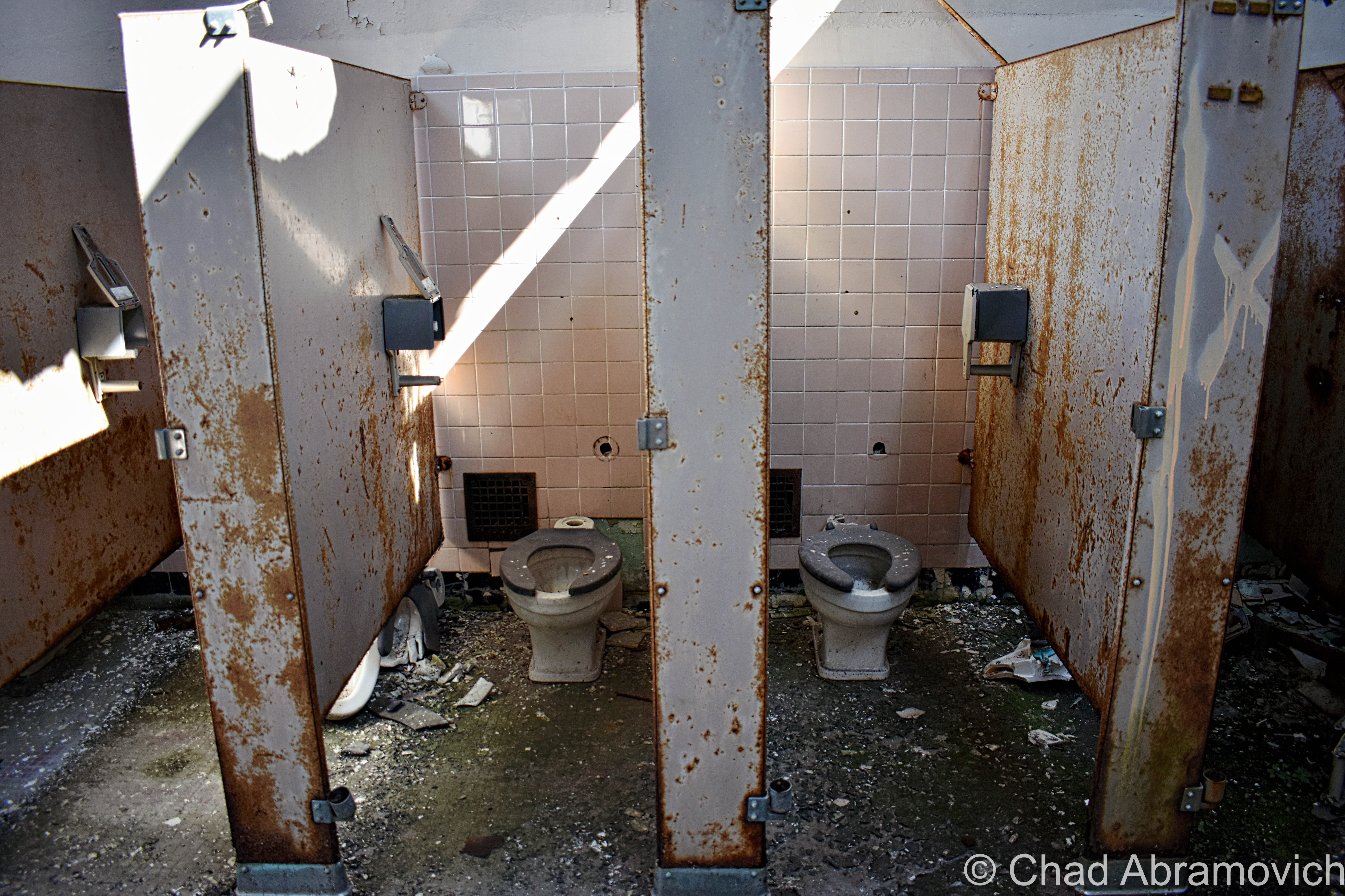
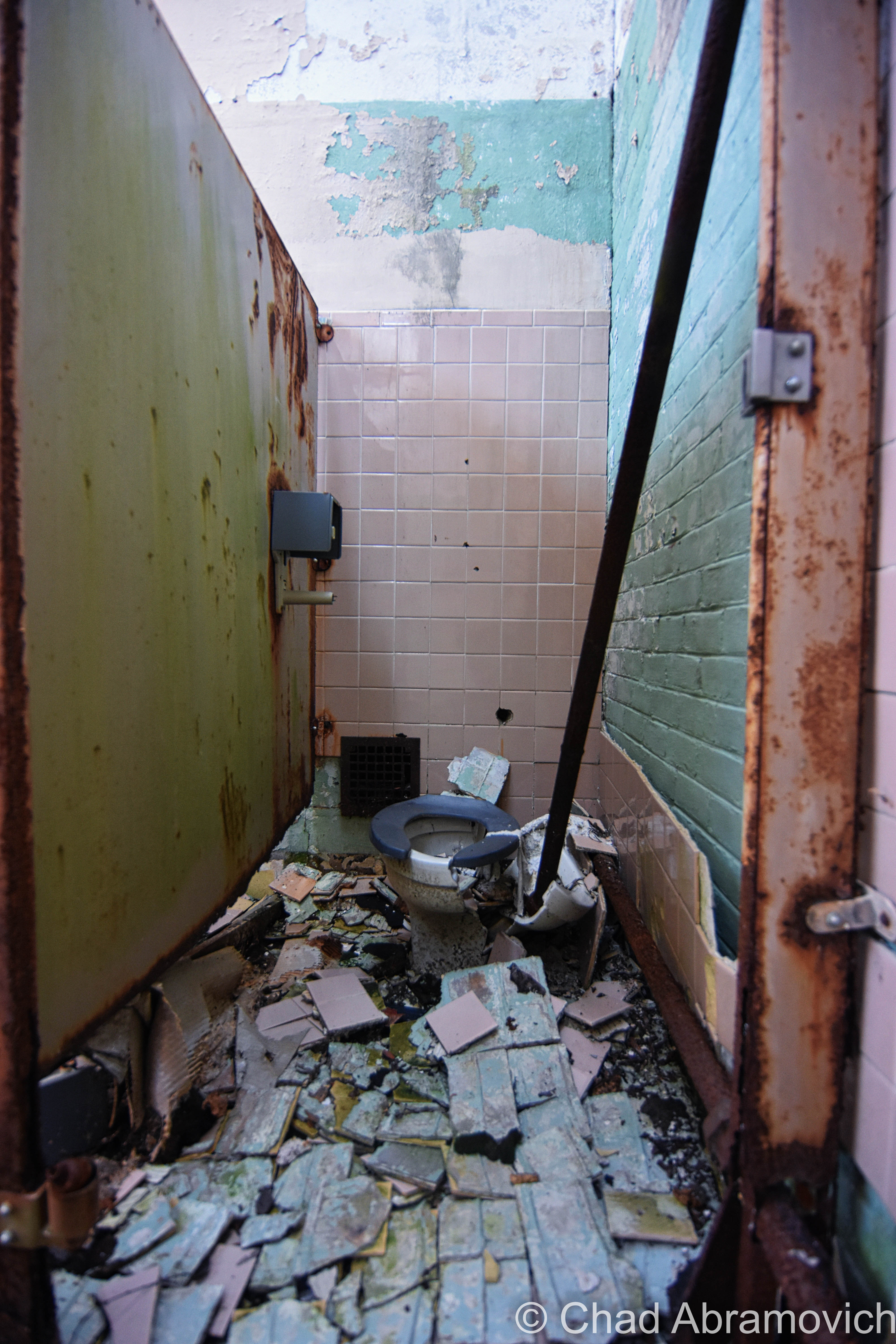
Painkillers and a Purpose.

This is the section where I get emotional and hash out my scars. If you don’t dig personal backstories or revelations, skip down to the pictures. There’s lots.

Growing up in Milton, I was a shy, creatively maladjusted boy. As the years and my youth passed on, not much changed, apart from my curiosity, and me never feeling like I was comfortable in my own skin. I was always thinking there was something wrong with me. Being diagnosed with Aspergers at a young age, I quickly found out that I was a pundit on certain things, but hopelessly inept with others, like social skills. It was an unhappy balance, and that led to a coming of age where I was bullied and timid.

I suppose it’s fitting that I began to take interest in what we perceive as oddities, or things that don’t fit our conception of the illusion of normal – and their captivating stories.  Abandoned places fell into that category for me. The creamery was the first. And better yet, it was easily accessible.

I first dared to cross that threshold into a world that conventional wisdom told me was dangerous and forbidden. And that’s partially why I wanted to venture inside, and why I decided to repeat that ritual for years to come, because people frowned on those sort of behaviors, and I wanted answers for myself.

The thing is, I’ve never been like everyone else or satisfied with the pre-prescribed banalities of everyday life, things that are all too generic and sanitized. Whether it had to do with growing up Aspergian, or be it something in my framework, I never fit in. So I decided to put myself in haunted waters, and see what happened. Turns out, bending the rules, thinking for myself and daring to go against what I was taught was one of the best things I ever turned into a habit – and is some of the best advice I can give to anyone, assuming I’m asked for my opinion on these things.

Everything is a language, everything is constantly trying to tell us something or express itself in its own way. The trick was learning how to discern the signals from the din of chaos. It was the first abandoned building I ever explored that fired the engines of desire and curiosity in my mind. It was in those precious hours inside where I heard an obsession being born amidst the damp cold and watchful eye of wild shadows that would haunt me for years to come. Treading over the debris littered floors, slowly opening crumbling doors, peering into a vast basement filled with water and intimidation, the dark becomes your hunting grounds, in the foreground of endlessly dripping water.

I spent most of my 20s in dislocation and learning about the blues while slowly murdered by my anxiety. I was depressed, lonely, still trying to figure out my autism diagnosis, and going through the trials and tribulations of several different antidepressants or booze. Sometime in between all of that, I lost myself trying to please everyone. In those years of learning what heartache brings, I waltzed between things that I did that brought regret and just trying to get by. By age 25, I had given up on myself. I spent years running from nothing but those vicious, self-depreciating thoughts in my mind and not only did I feel inferior to everyone in the world, but I lost faith in people, and hoping that anyone would understand. I even attempted suicide. They say that you grow up believing the narrative we’re told by society, and how people treat you. Either you had it or you didn’t, I guess. I couldn’t be the only one who felt there had to be something better than the imposed adult lifestyle that was bounded by convention. I knew I wanted more.

My tendencies to escape from the pressures of a judgemental society raging over me and all my failures brought me to these forsaken locations. When things got too rough outside, my earnest self climbed inside. My time hanging out in them not only became like therapy for me, but it also picked me up like a drug as unacquainted fires lit sparks in me that took me years just to understand their ways. Urban exploration helped me confront social and emotional turmoil, as I’d disappear into a sea of rebirth, or at least a change of scenery.

It was here where I could try on my heart, and let my walls down. Over time, I didn’t really mind that I was lonely because it felt like home. Whatever things ran through my mind I could keep for myself. I could learn about myself and my environment and observe both and how they changed with the weather. I could study these ruins and what was left behind, getting an extraordinary and authentic look at a sort of museum of humankind than I could ever learn elsewhere as I picked at the bones. Building materials, architecture, electrical and plumbing, amateur archeology, hazardous side effects, irrelevant culture – all things that would give me a better understanding of the world around me, and conjure more questions and a desire to learn. I could learn to gauge my anxiety and problem solve in different ways.

Little did I know that while I spent so much time in the edges between self-awareness and self-loathing, I grew as a person.

Photography was something I picked up in relation to urban exploration, as I pushed myself to learn the mechanics and how to capture this world that I saw. I really digged the feelings I was receiving, that excitement, that push to keep trying, to keep dreaming. I wanted to get lost because I couldn’t be found. When we’re presented with things that we don’t see in our routine days, we get curious and we look. Social norms often tend to discourage looking closer in real life, and that’s why I love photography. It allows us to do so freely.

I still remember the satisfied grin on my face when I first bought my own camera with money that I had worked so long to save. And the creamery was where I honed those skills. Exploring enhanced and enlightened by appreciation for the landscape around me, and matured a sense of wonder in these everyday spaces. Being a photographer really enhanced my self-esteem and gave me a distraction from everything that was bringing me down. Every photo tells a story. Every photo was taken by someone who had to be at that place, who did the planning, who had an experience to share.

In college, I majored in graphic design, which, despite me falling out of love with it after I became wise to how the industry works and how that didn’t fit me, has greatly influenced and improved my imagery and my hobby. I could further my creativity with all that was still stuck in my head.

Writing has something that always came sort of naturally to me I guess, but it’s still something I’m pretty self-conscious about and always trying to develop. Twisting the night away in front of the comforting glow of a computer screen as I listened to those records that almost hit harder than my pain, I tried to translate and find a meaning in my thoughts and experiences and explores. Especially as I grew older, I wanted to spin a thread from my past into my present and try to find a meaning to my suffering, to these forsaken locations, and how being a human is one complicated gig.

I definitely wore my heart on my sleeve, and I remember all the things I felt discovering my favorite albums, the heroes I would worship, fascinating local weirdness and just about anything else that made me shiver. Part of me wanted to contribute, to create, to make sense of everything I could. What do I do with all these feelings and experiences, these things that are crawling up inside my head in my 20 something-year-old wasteland?

I’m not sure what it is about the creamery, or these temples that are a relief to me, but they make great atmospheres to drain my mind, all the more so when my cup is full.

Exploring ironically became some sort of a social endeavor for me in my young adult years when I was searching for friendships and other libertines. I’d often accidentally meet these amiable, intelligent people with the same interests, and I’d take the chance and meet them in person and go on adventures, and I’ve been lucky to form a few strong bonds because of it.

Before I had this blog, I had a Flickr account. In those days, Flickr was really a niche audience. But somehow, my Vermont-based photographs made their rounds, and over time, others started to reach out to me. We would bond over the places we’d shoot and our stories, and sometimes, if we really hit it off, we’d meet up in person and find new exploratory joys (but to be honest, the biggest thrill for me was to finding new places myself). I think any other explorers can vouch for this – that the conversations you have while adventuring are often the best, and the weirdest. I’ve had plenty of amusing chats underneath the creamery’s arched tin ceilings. That’s how I met my friends and role models Rusty and Christina who run Antiquity Echoes and Dan from Environmental Imagery, to name a few.

The internet introduced me to the “urban exploration” community, which was still emerging at the time and pretty underground, and I remember being curiously thrilled that there were other people out there who did what I did. The explorers (“urbexers”) who were creating websites and putting their photography online, I found, had scars, philosophies, and interests similar to mine. And their work was good, it was venerable, and it gave me a direction. I love people who add personality to their work.

That was also where I was introduced to the term “urbex”,  something that attempted to categorize what I was doing. Way different than the modern day urbex explosion that has crawled all over the internet, and alongside the greats, an oversaturation of various disrespectful types who are more into their own vanity and bravado and taking pictures of them smoking vapor cigarettes than the tourism, which often brought drama and something pathetically similar to high school cliques in the social media groups I used to be apart of (another attempt at trying to fit in), so these things turned back into a private affair for me.

I don’t want to be a trite person because that’s unfulfilling and there is no point in following this blog if I sound like everyone else. I’m me, and my thing is to be upfront and honest about where I come from, and often, I talk too much. That may not be everyone’s scene, but I’m okay with it – it’s all I got. It took me years to find my words and a beat, and I’ve learned a murderers row of personal lessons from it.

I’ve been searching all my life for a purpose, some sort of connection to this “humanhood” we’re all supposedly a part of – but I never really found it until I started learning how to live in the present tense and brave through the pain and uncertainties. You have to be vulnerable to grow, and sometimes, letting down my guard was a significant and valuable thing. Proving the static in my head wrong, that I wasn’t too far gone to have a talent.

Exploring, photography, writing, they all sort of united together, and as I chased them, I fell for them. I wasn’t wasting away my soul anymore, and I learned to stand on my own and begin again as my purpose worked its way to the surface. I wanted my life to matter, and for my time to have a positive impact and not to simply pass me by, even if it costs me. I don’t want to just survive, I want to do the best that I can to create a wonderful life. Especially now as my youth and years are passing me by.

Nothing will ever be handed to you. You gotta work hard, or it will never happen. If you want to be an artist or wield a talent, you have to study that art. Get the books, the role models, the media that has to do with what sort of person or thing that you feel you want to become. Study it all the time. Practice, learn, stumble, keep practicing, go. Decide, who are you trying to be? And what’s the motive? Do you want to be an artist that cares about your art, or famous? Those are 2 completely different things. I’d rather be trying to be the best I can be at whatever I’m doing, even if I only have a few other people that happen to like it.

For someone who didn’t believe he had much of a future after he had left college and feels like he’s spent his whole life less up than his downs, this has turned my whole life around. It’s the long haul, but it’s worth it. I try not to put anything out there that I don’t believe is good. Even if that means a lot of time in between my newer posts. Quality is more important to me than success. And I’m still finding my beat and my voice (and still cringing at my earlier posts haha).

I learned that I can succeed even when I’m failing miserably. I learned not to be as negative as I used to be, and indulgence can be a good thing in moderation. Enjoying a little danger now and then is fun and beneficial, and remembering where I came from doesn’t have to be a condemnation. Being willfully ignorant will get me nowhere, and is counter-productive to the life I want to live, or the people that help me shine.

Others are imbued by my weather, and I flourish in the presence of love. Fear gets me nowhere. Anger and indignation can be useful and rejection can make you resilient. In pain there is wisdom. Waiting out my life to hold onto anything never worked.

I re-wrote this blog entry and re-photographed this place for myself, the people I know now, and those who became ghosts, because I think there is a great story being told here. Our beginnings and ends are all written in the choices we make, and they all lead us in a direction.

In this struggle, something can be found, and it shouldn’t be measured by what conventional wisdom has imposed or implied. It’s the experience that means everything. In some ways, I’d like to hope my story can be several of us. And after all I’ve said here, I’m still shaking as I consider hitting the publish button. If you don’t say anything, you’re not vulnerable.

It took me 28 years to stop playing my old records, to get beyond that point where I couldn’t seem to move on yet knew I couldn’t stay the same. Now, I’m writing this up in an apartment 24 miles away from where I grew up, and where I spent my youth in imagination or hopelessly devoted to misery. Life moves on and our stories are always more connected than distance implies.

Requiem Revisited

The town I grew up in left a long time ago, and we lost touch as I shed my skin. Now, with the creamery’s uncertain future and Hyde Manor’s weight taking over and speeding its collapse, I felt like two of the most influential figures of my past lives, things that really shaped the person that’s writing this right now, are vanishing. And they’re dying breeds – venerable buildings built with a motivation and with dignity, things that our new disposable and tawdry society shamefully doesn’t value. That’s more or less evident with all the pop-up cardboard condos appearing in town. It’s a shame that future generations of curious kids or explorers will loose these mysteries and interactions that are kept inside these constructions that they don’t build anymore.

Because I taught myself the basics of photography here, I thought it was ironic that all the photos I had of this place didn’t really reflect how much I feel I’ve progressed over the intervening years – and I definitely felt like out of all the locations I’ve documented, this deserved good representation. So I was on a bittersweet mission of reverence; to record every corner of the building and do a good job at doing so.

My friend Josh and I got together and decided to spend as many days as we could stomping around the creamery with camera equipment, our footsteps the only things haunting its rooms.

I wonder if I would have even gotten into exploring to the extent that I am now, if it wasn’t for my time spent here and the spell I was under. Would I have ever gone to Hyde Manor? Would this blog be existing? I can’t say if this place that has driven me crazy will fall and fade or not, but I’m glad we let our distress push us back to this old haunt and all my forgotten ghosts. But if I never see it again, well, I’m damn appreciative of my time here.

Thank you for the indulgence here. Part of me was almost against posting this last section, but my feelings that it was somehow meaningful and cathartic overpowered the fears of showing my scars.

I think the Lawrence Arms said it best; the time is never right, the words are never right. I hope it’s helpful. I hope it fires you up.

Historical Images

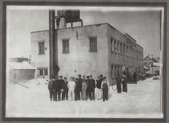
The newly constructed Milton Creamery. The ground still muddied and rutted from building it. 1919. Via UVM Landscape Change Program
Circa 1930. Via UVM Landscape Change Program
Collection trucks in front of the creamery – Circa 1930. Via UVM Landscape Change Program
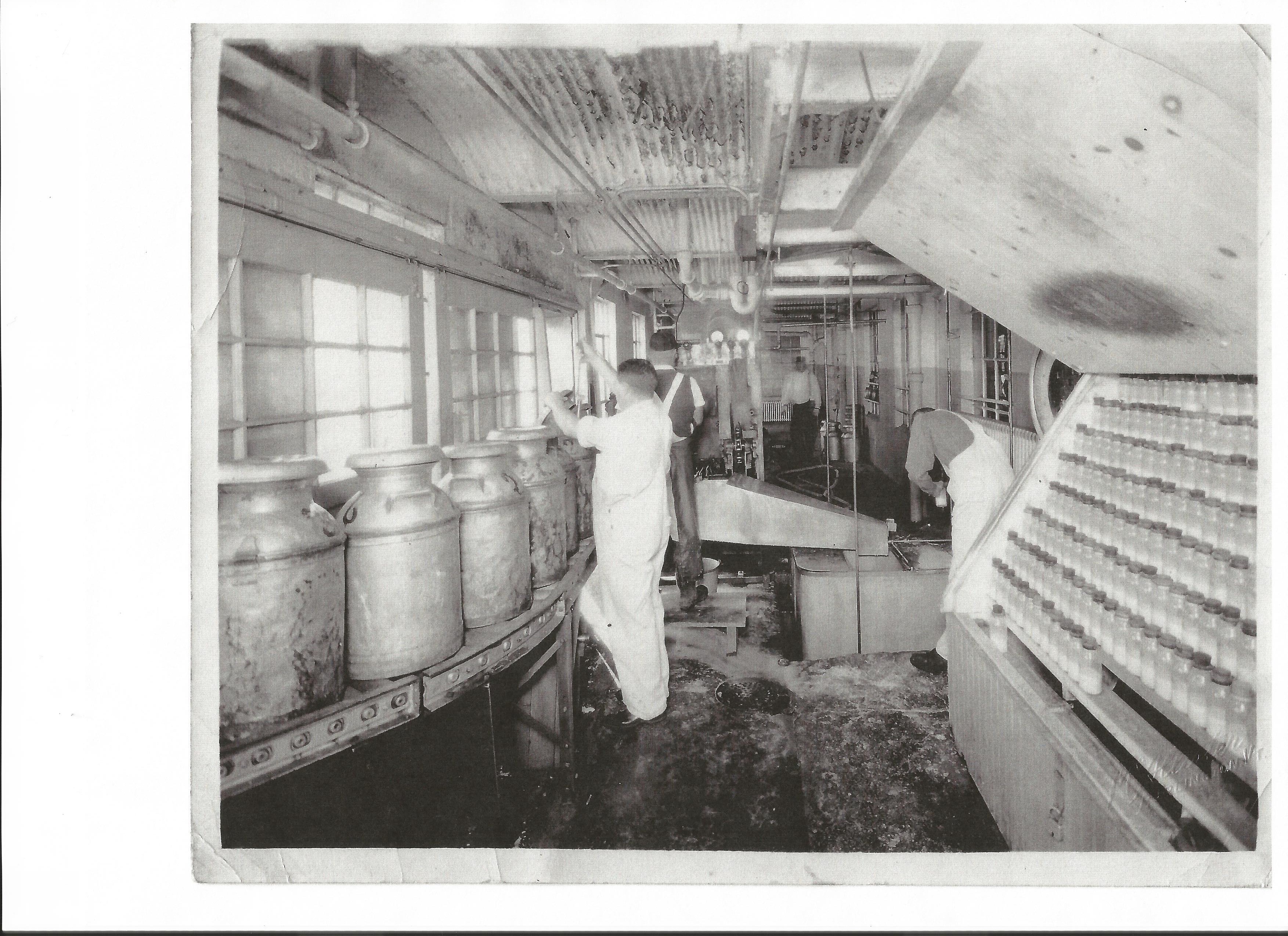
Weighing and Receiving Room.
Weighing and Receiving Room. Courtsey of Milton Historical Society.
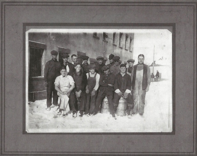
Employees, Circa 1920. Courtesy of Milton Historical Society
The original Creamery, before the brick edition and the front garages. Courtesy of Milton Historical Society
Railroad view, Notice the massive water tower and the absence of the brick edition. Courtesy of Milton Historical Society
Courtesy of Milton Historical Society
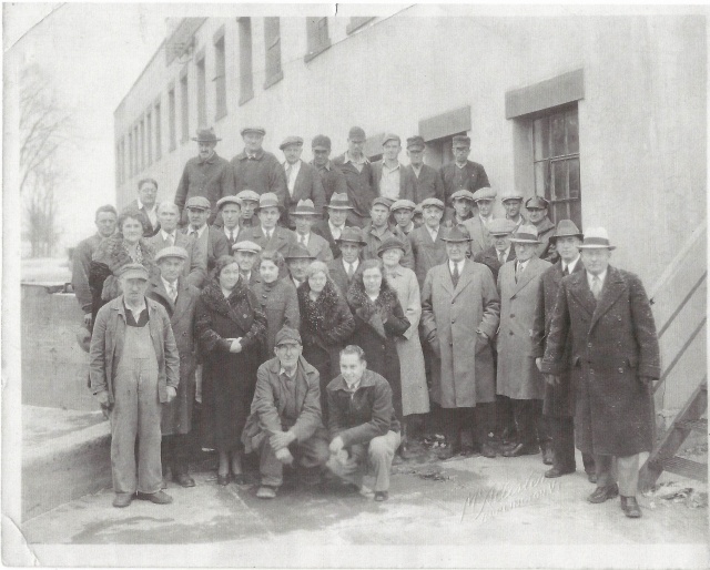
43 Creamery Employees, in it's later years. Courtesy of Milton Historical Society
43 Creamery Employees, in its later years. Courtesy of Milton Historical Society

The Creamery Today 

13920048467_1dc3fedaa7_o013dsc_0945_pedsc_0946_pedsc_0076_pedsc_0948_pedsc_0950_pedsc_0954_pedsc_0960_pe

Because this is an old creamery, I think this is the best graffiti in the entire building. Get it?!
dsc_0987_pe
According to local lore, this is all that remains of the couch that the homeless man burned alive on years ago.

dsc_0966_pedsc_1007_pedsc_1002_pedsc_0004_peDSC_1037_pedsc_0007_pe

According to local lore, this is all that remains of the couch that the homeless man burned alive on years ago.

dsc_0620_pedsc_0989_pedsc_0978_pedsc_0997_pedsc_0078_pedsc_0014_pedsc_0027_pedsc_0046_pe

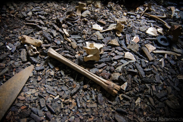
We found several animal bone fragments in the basement. According to my friend, years ago, people used to have illegal cock fights down here. Over the years, the decayed corpses of dead cats and skunks would also appear. Once, some folks, probably teenagers, stole road flares and had what we guess was a road flare fight down there as well.

dsc_0087_pedsc_0090_pedsc_0091_pedsc_0910dsc_0902_pedsc_0906_pe

A reality of abandoned places. They're very commonly breeding grounds for stuff that hates us. Stuff like mold in a Pantone book of colors.
A reality of abandoned places. They’re very commonly breeding grounds for stuff that hates us. Stuff like mold in a Pantone book of colors.
dsc_1035_pe
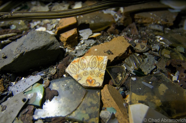
Always a good reminder to look down, you might be surprised at what your feet crunch over. Like shards of old china plates.


The sections of the basement area that ran alongside the railroad tracks were chopped up into several smaller rooms and passageways. In one of them, we found a crooked, rusted ladder that scaled up alongside what appeared to be a giant vat. So, up we climbed to check it out.
Here's a shot of the former tunnel entrance, from the basement. If you notice the indented cinder blocks back against the wall below where the light is working its way through the boards, that's it. The eerie and dank basement levels here were dug down two and a half stories deep, with slate ceilings to insulate and keep in the chill. The foresight in its design worked. Even in the most sultry summer months as a kid, I remember it always being chilly down here in the dark. For half the year, the subterranean areas are a reservoir of stagnant water and the waste of the decaying building.
Here’s a shot of the former tunnel entrance, from the basement. If you notice the indented cinder blocks with holes sledged into them back against the wall – below where the light is working its way through the boards, that’s it. The eerie and dank basement levels here were dug down two and a half stories deep, with slate ceilings to insulate and keep in the chill. The foresight in its design worked. Even in the most sultry summer months as a kid, I remember it always being chilly down here in the dark. For half the year, the subterranean areas are a reservoir of stagnant water and the waste of the decaying building.
The Creamery Tunnel, sealed off at it's other end.
The Creamery tunnel, sealed off at its other end.

dsc_0111_pedsc_0112_pedsc_0021_pe

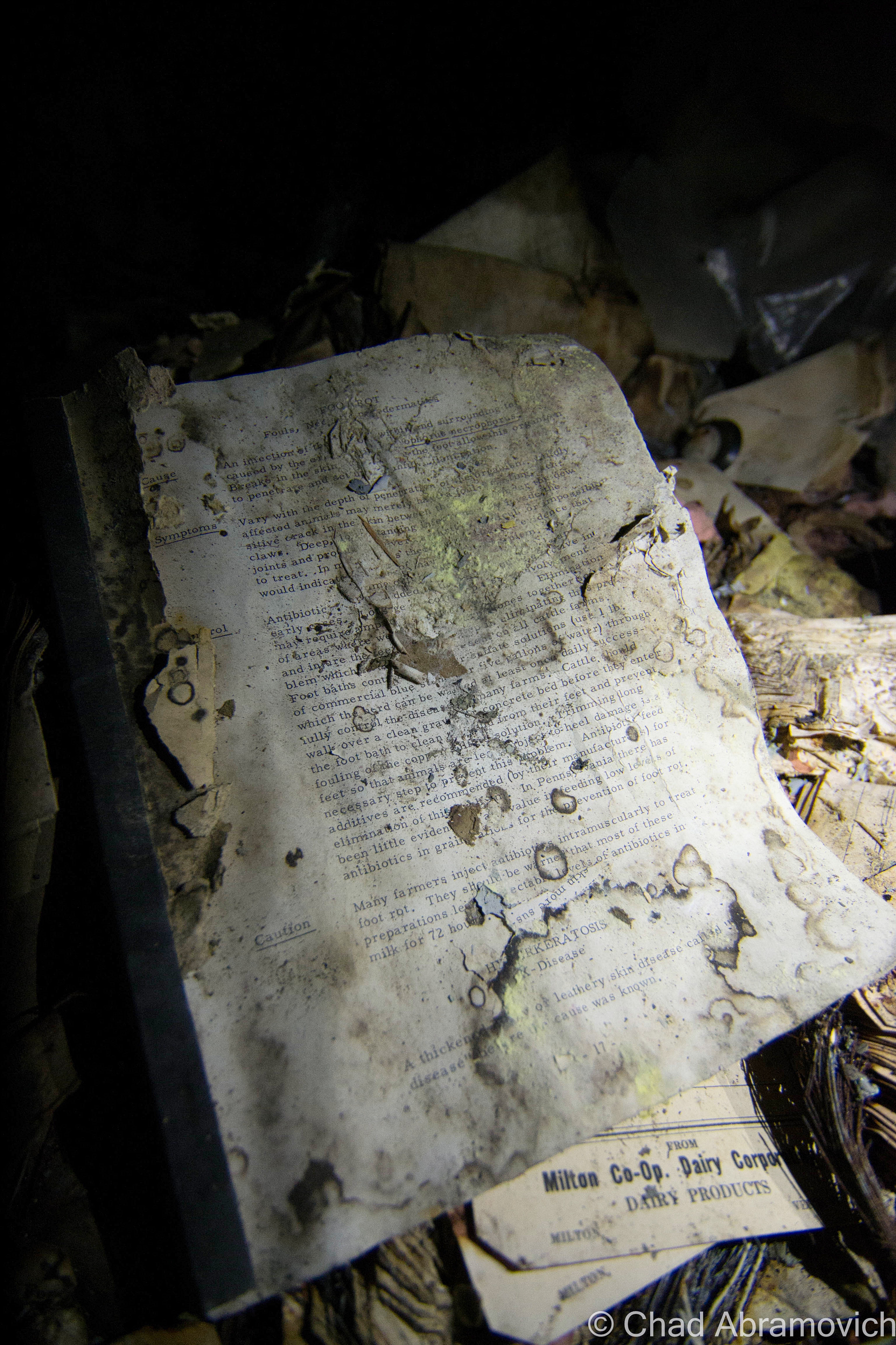
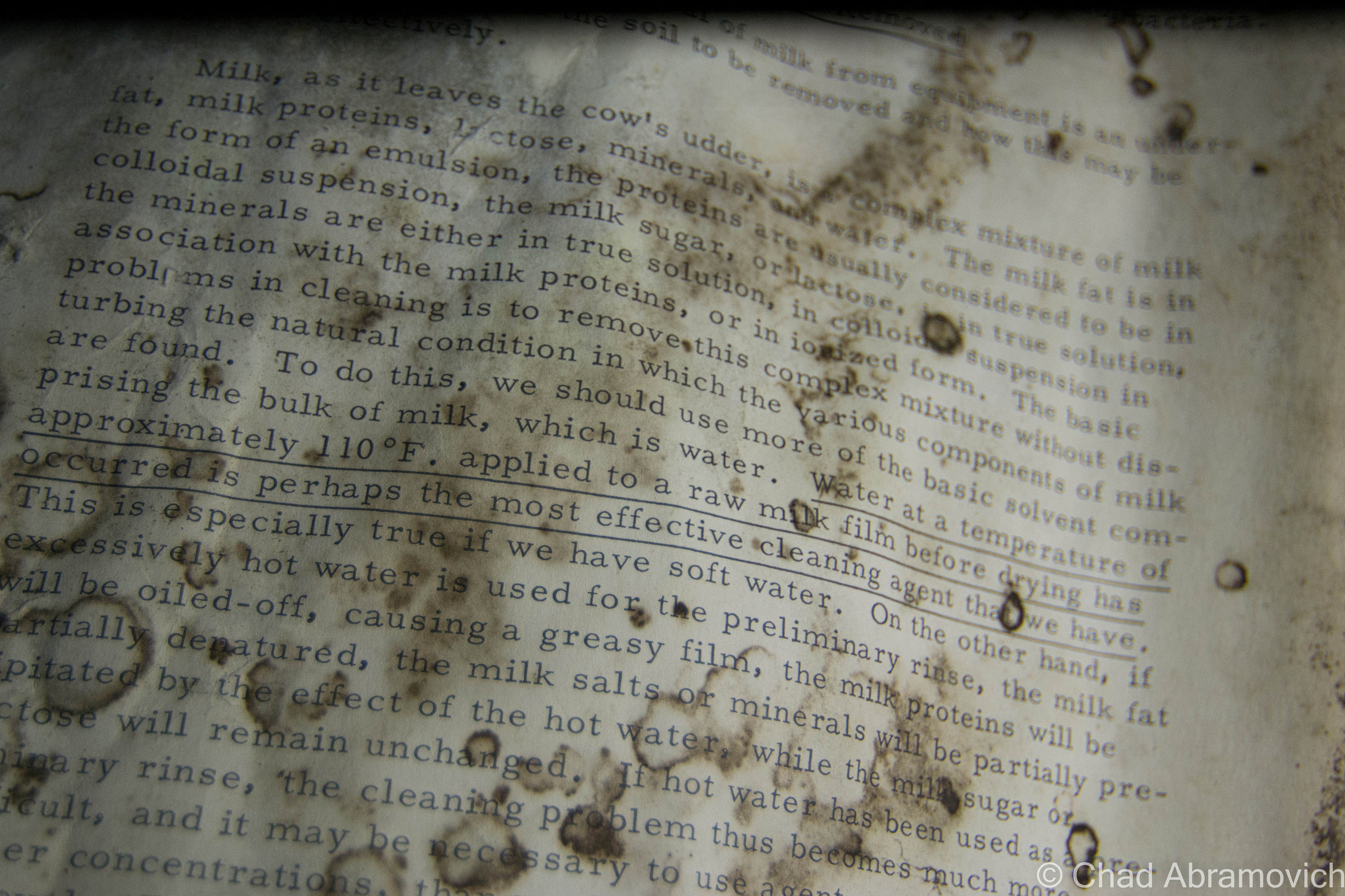
A little DIY reading was found in the dark and the damp of the basement area. It was a moldering manual on how to properly run a creamery. It's fragile pages pretty much covered how to properly clean and sterilize both the machines and the milk, and how to pasteurize it so people won't get sick.
A little DIY reading was found in the dark and the damp of the basement area. It was a moldering manual on how to properly run a creamery. It’s fragile pages pretty much covered how to properly clean and sterilize both the machines and the milk, and how to pasteurize it so people won’t get sick.

dsc_0031_pedsc_0034_pedsc_0037_pedsc_0878_pedsc_0115_pedsc_0116_peDSC_0784dsc_0117_pedsc_0118_pedsc_0121_pedsc_0123_pedsc_0126_pedsc_0129_pedsc_0132_pedsc_0849_pedsc_0133_pe

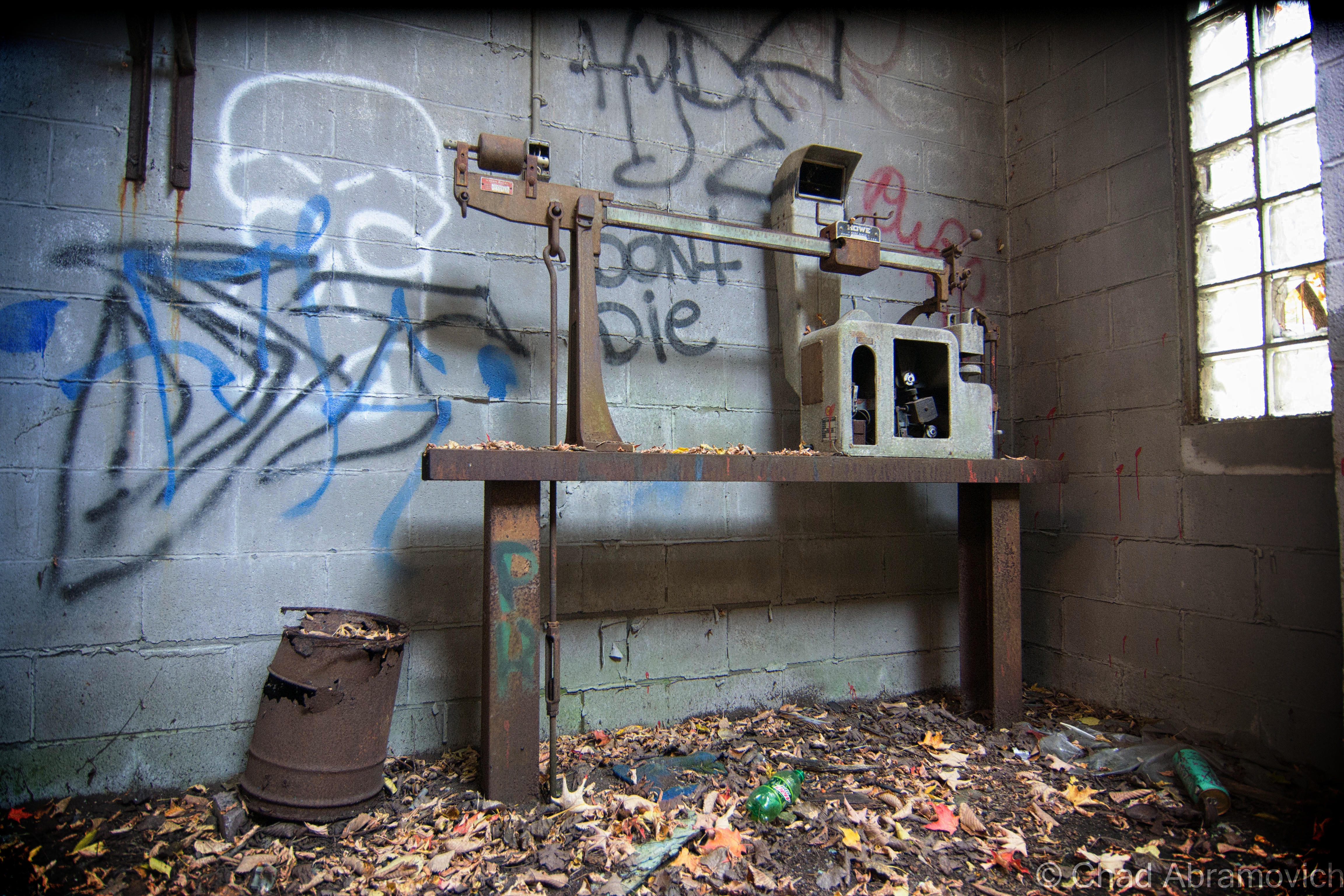
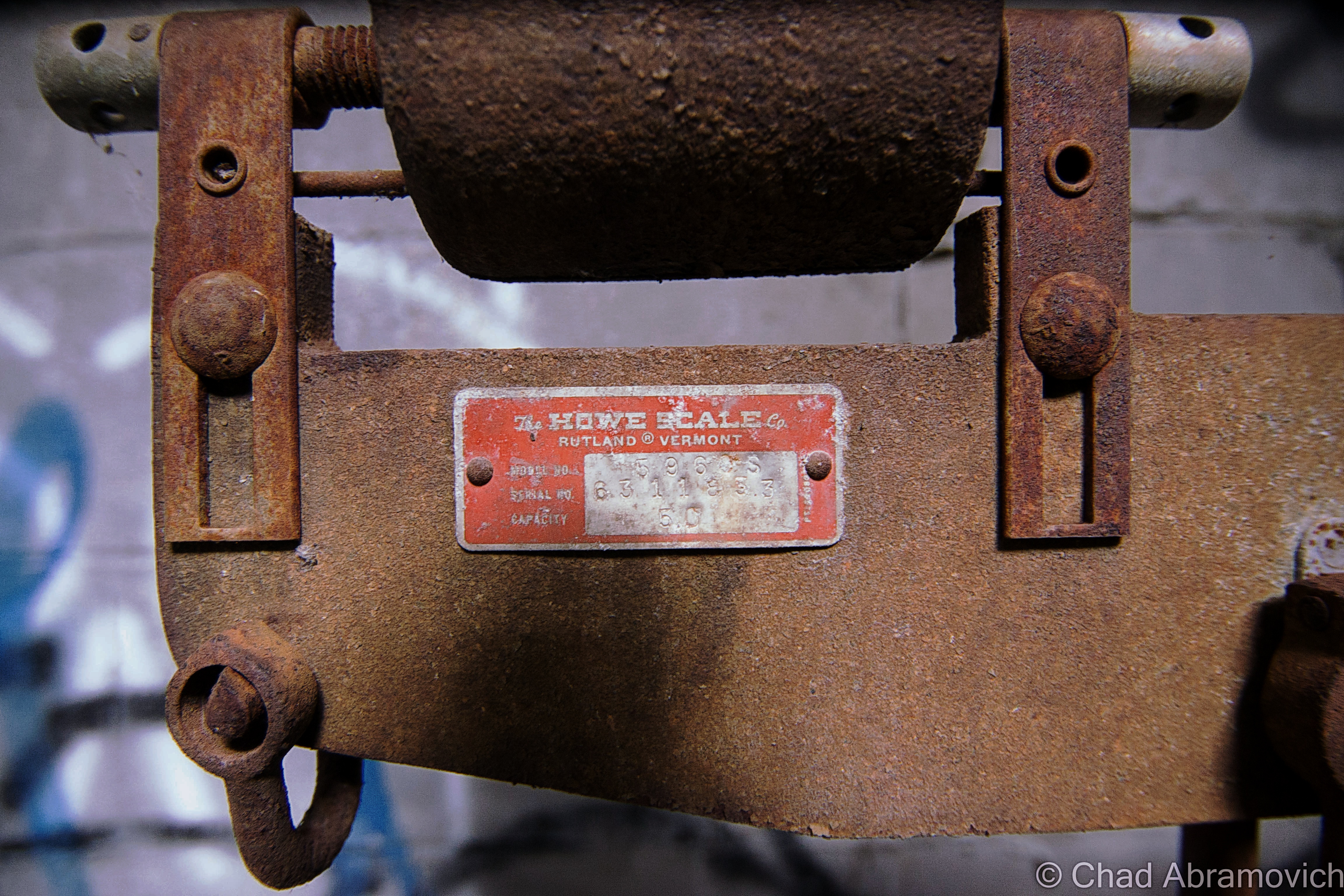
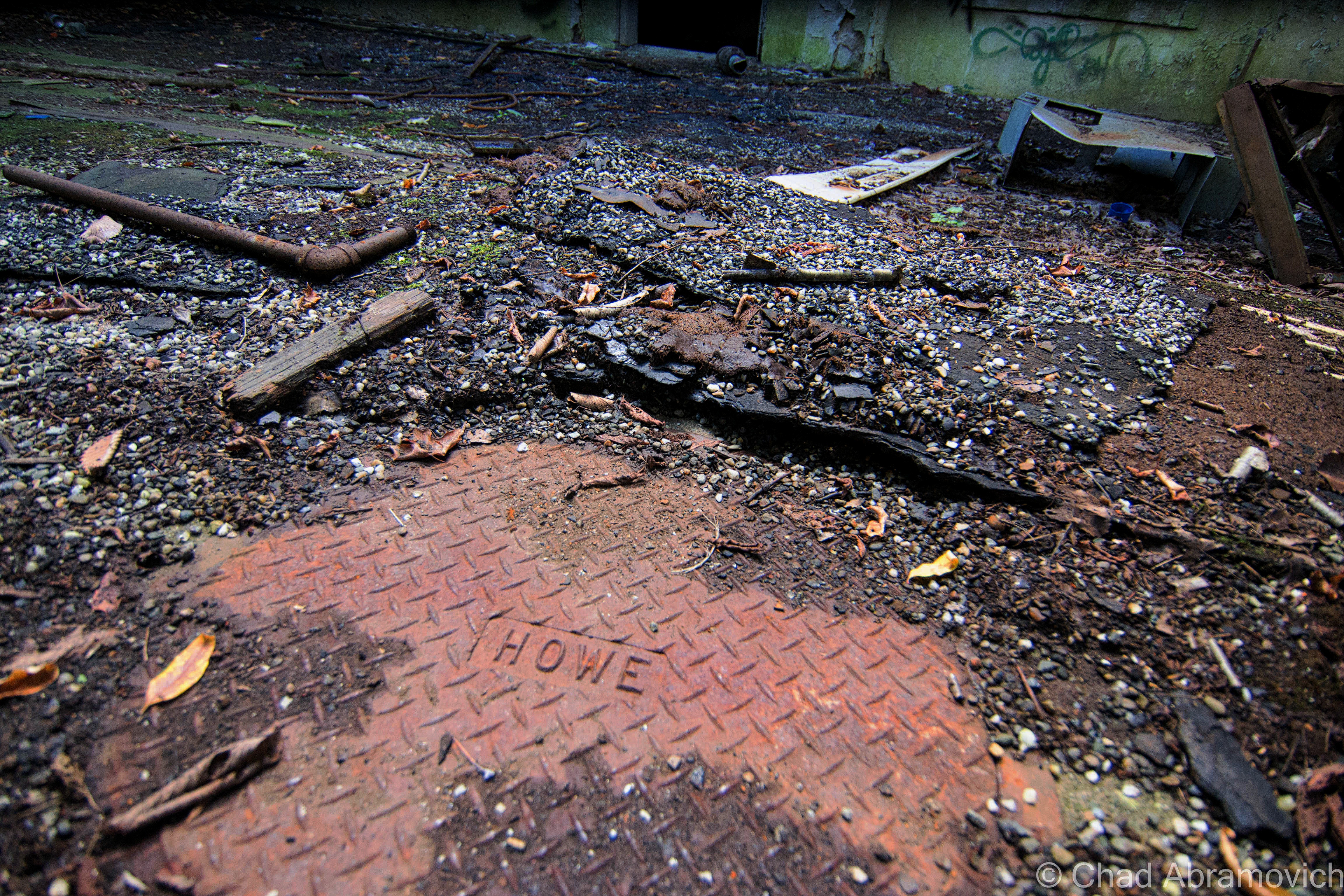
Howe scales came from Rutland, and besides Saint Johnsbury's Fairbanks factory, was one of the domineering weighing apparatuses found around Vermont. The Howe factory went defunct years ago, and it's great building was converted into mix commercial and office space.
Howe scales came from Rutland, and besides Saint Johnsbury’s Fairbanks factory, was one of the domineering weighing apparatuses found around Vermont. The Howe factory went defunct years ago, and it’s great building was converted into mix commercial and office space.

dsc_0847_pedsc_0772_peDSC_0896_pedsc_0774_pedsc_0776_pedsc_0780_pedsc_0781_pedsc_0782_pedsc_0786_peDSC_0868_pedsc_0060_pedsc_0791_pedsc_0309_pedsc_0793_pedsc_0796_pedsc_0800_pedsc_0801_pedsc_0803_pedsc_0810_pedsc_0811_pedsc_0815_pedsc_0819_pedsc_0313_pedsc_0817_pedsc_0822_pe dsc_0696_pedsc_0903_pe

—————————————————————————————————————————————–

To all of my fans and supporters, I am truly grateful and humbled by all of the support and donations throughout the years that have kept Obscure Vermont up and running.

As you all know I spend countless hours researching, writing, and traveling to produce and sustain this blog. Obscure Vermont is funded entirely on generous donations that you the wonderful viewers and supporters have made. Expenses range from internet fees to host the blog, to investing in research materials, to traveling expenses. Also, donations help keep me current with my photography gear, computer, and computer software so that I can deliver the best quality possible. Seriously, even the small cost equivalent to a gas station cup of coffee would help greatly!

If you value, appreciate, and enjoy reading about my adventures please consider making a donation to my new Gofundme account or Paypal. Any donation would not only be greatly appreciated and help keep this blog going, it would also keep me doing what I love. Thank you!

Donate Button with Credit Cards

Gofundme: https://www.gofundme.com/b5jp97d4

Abandoned Dairy Farms

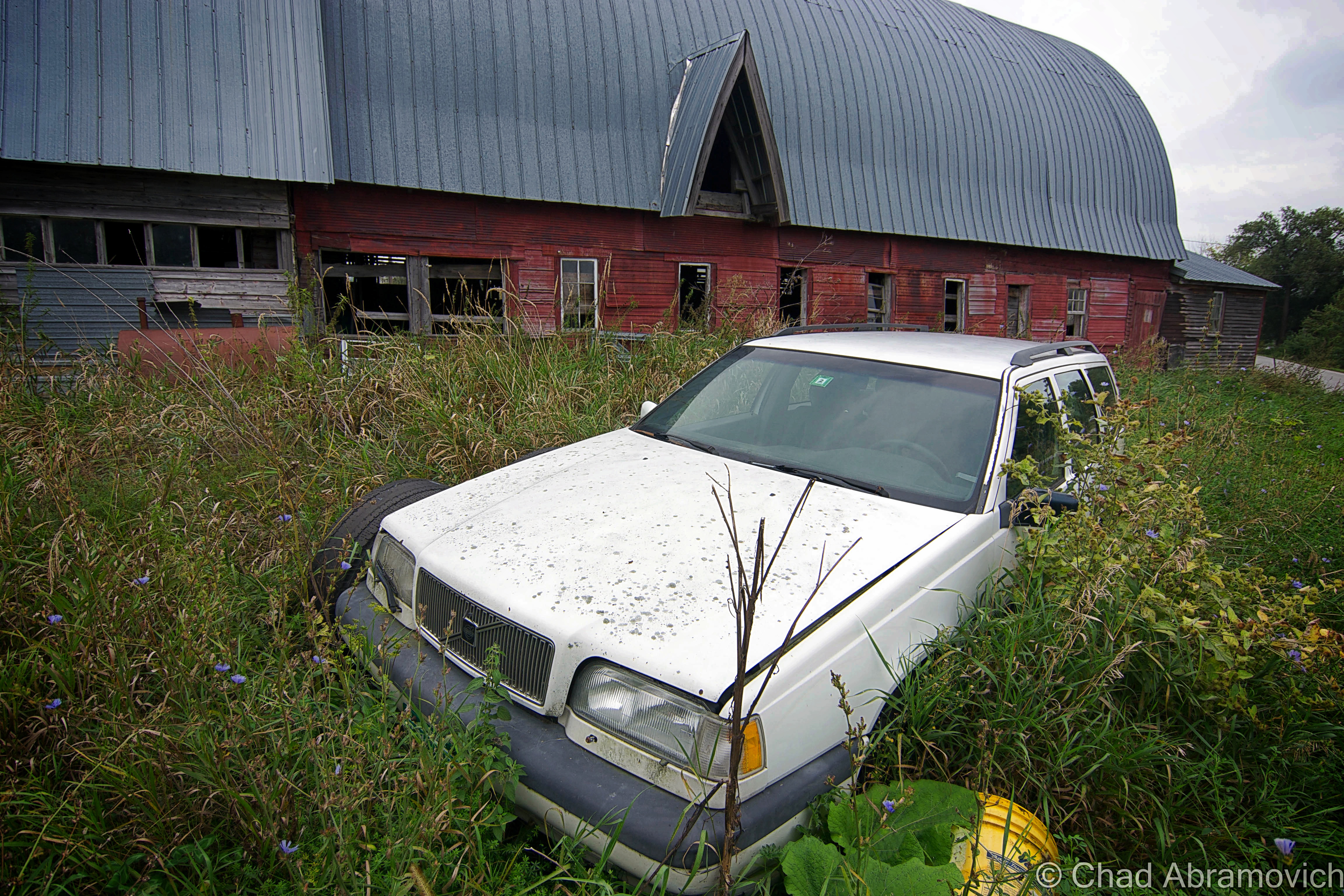
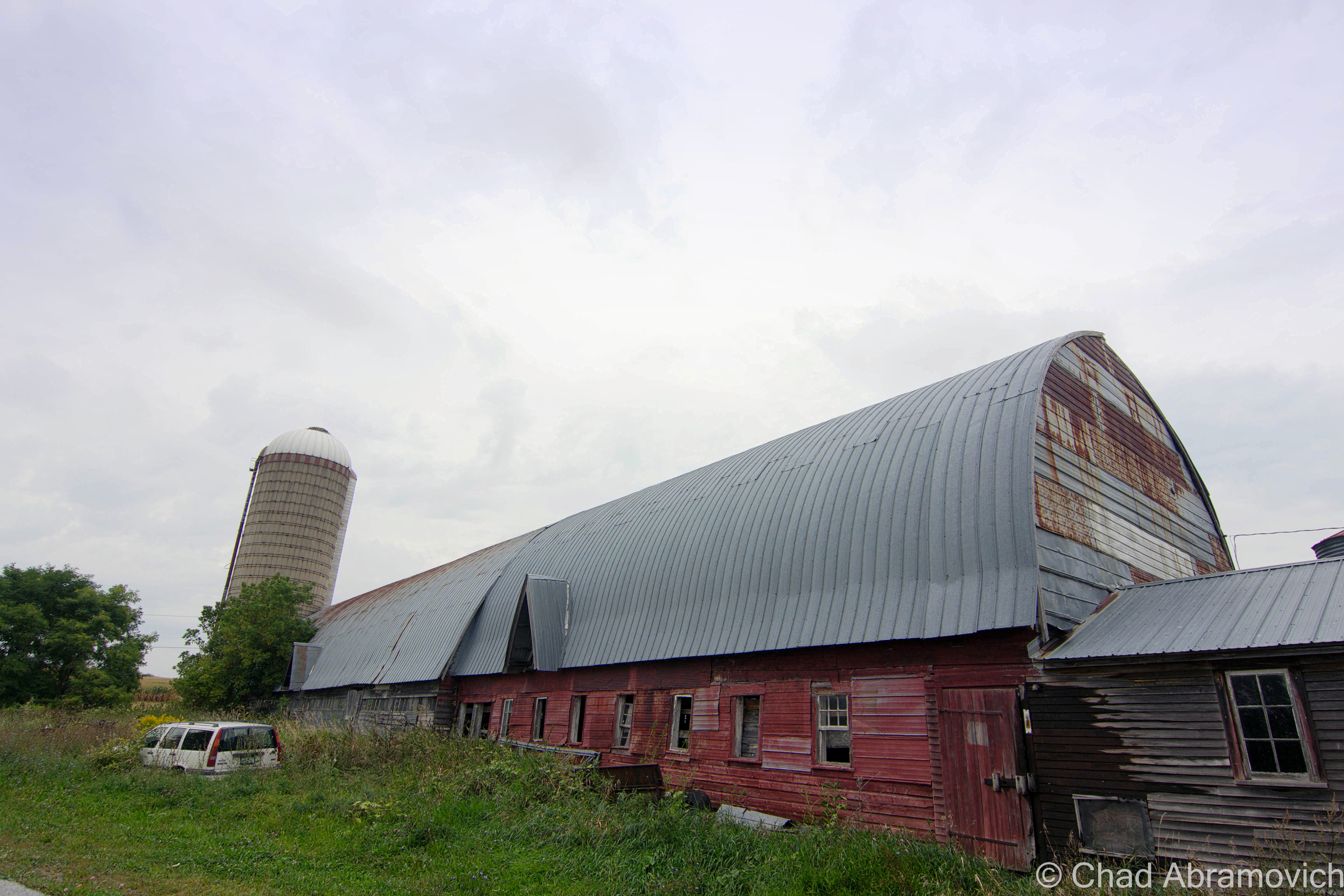
For a blog about obscure Vermont, I’m a little surprised that an abandoned farm hasn’t made the rounds in my posts yet.

Every state has stereotypes that give an oversimplified image of what it’s supposedly all about. Massachusetts is all paved suburbia and Dunkin Donuts, Maine has the ocean and fanfare for an acquired taste called Moxie, and Vermont is a bunch of farms and home to Ben and Jerry’s.

Well, in Vermont’s case, that’s not that far from the truth. Vermont is the most rural state in the nation and to prove it, we have a bunch of statistics with the word “small” in them. We have the second smallest population, the smallest largest city, the smallest tallest building, the smallest state capital, and are the 45th smallest of the states.

Growing up in Vermont, your friends most likely fall into two categories. You love it here, or you think it’s wicked boring. Personally, it’s what we don’t have that I think makes Vermont so great. There are no casinos here, no billboards, few malls and chain stores, and no amusement parks (unless you count the Pump House at Jay Peak?). And in all that space in-between our 9 cities are a lot of farms and their variations.

Agriculture has strong roots up here. Generations of Vermonters have been farmers because you did what you had to do to get by. In such a detached state, other jobs often weren’t here so you had to be self-reliant, until very recently with the emergence of the internet and a growing commuter culture. This hardscrabble lifestyle may very well have infused our culture with that independent-minded, self-sufficient ethos, devising that ‘you-can’t-get-there-from-here’ Vermonter who is crusty, stoic and has abundant old school common sense.  Stories of old farmers who toiled in the barn all day and then bootlegged whiskey at night to make enough to save their farms can still be uttered by old timers should you ask them about it.

Many surmise that this was the reasoning behind all the Poor Farm Roads that can be found across the state, because so many Vermonters were farmers who lived around the poverty line, but the actuality is more depressing. Poor Farms were institutional farm complexes that were sort of an early form of welfare, created and supported by public taxes, where anyone who couldn’t support themselves would wind up and were made to labor their days away on by doing farm work. In return, they had food, a bed, and clothes. But from what I heard about them – they were often gloomy places, and many unfortunates spent their lives there and went to the grave there. There’s a Poor Farm Road in the town I grew up in, but by the time I was aware of its namesake, most of the place had long been developed by cookie cutter rural suburbia and erased, minus one old barn which the local kids would tell me used to be part of it, and according to them, had bars on the windows and shackles still on the wall. But a trip down to the end of the road as a late teenager revealed it was just a dilapidated barn without the lingering despair.

In the 1800s, historical records say that the state was 3/4 deforested with most of the land used for sheep grazing, and later, dairy – which gave us a more cows than people ratio. Over the last century, that proportion has directly reversed, and now 3/4 of the state is back to being forested, and we now have more humans than cows – though I’m still heckled about that by flatlanders. The trend reversal started to develop during the last century when aggravated Vermonters moved westward for literal greener pastures with less rocks. We lost about half our population then, and a sizable number of towns around the state still haven’t recovered the lost numbers of their 1800 population peaks.

A good example would be the out of the way southern Vermont town of Windham. The town sharing a name with its positional county had over 1,000 bodies, a half dozen villages and 2 post offices in 1820, but by 1970, had a headcount of just 150.

There is a place name on state maps in the town of Sunderland curiously labeled”Kansas” (there’s also a tinier “East Kansas” a mile or so east), and the odd name is said to have came from a curmudgeonly old farmer who in the 1800s, kept making empty threats to his family, other Sunderlandians, and anyone else who’d listen, that he was so fed up with his rocky fields that he was going to sell his farm and move to Kansas. Only, he never did, and died right there in Bennington County. That part of town became known as Kansas by the locals and soon became a wayfinding moniker.

Vermont still has plenty of agricultural affairs left, but with milk prices not equaling the cost of production, dairy is slowly and steadily dying. Farmers are even callously getting flyers with suicide prevention hotline numbers on them in the mail.

But despite dwindling farms around the country, smaller horticultural farms are taking root all over the state and growing – mostly supporting modern-day farm to table fads, which means Vermont’s emerging restaurants and craft breweries can come blazing through wearing the future on its sleeve.

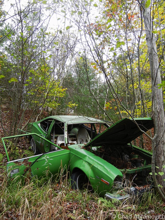
As a kid, I grew up playing in the woods of an old farm behind my house. Most of the land wasn’t tended and had grown up into a mature forest by then. We used to cut 4 wheeler trails through the growth and explore the old farm roads and examine artifacts from yesteryear we’d come across, like old barbed wire fences, a neon green AMC Hornet pushed into a ravine, and the prime find – the grimy miscellany of the old farmers’ junkyard. We used to salvage stuff from the heaps of junked appliances, tires, and barn mementos and use it to build forts with. Old tin, a couch, the front seats from an old Ford Mustang, even an old woodstove. We made some cool hangouts from the refuse we excitedly recycled.

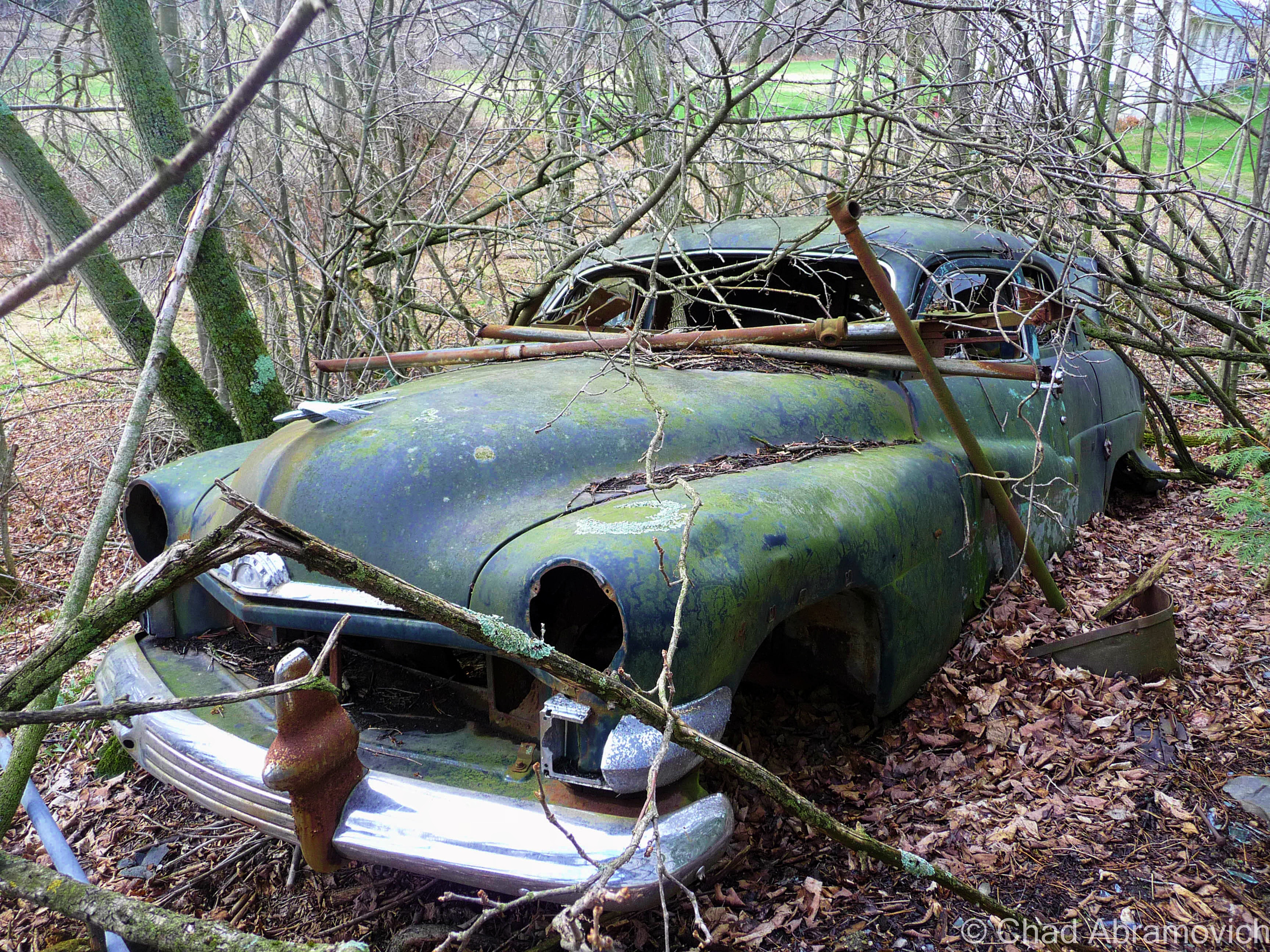
Milton – this fading green AMC Hornet lies on a steep bank behind a rural stretch of railroad tracks, on the edge of a patch of thick swampland. it looks as if someone pushed (or quite possibly drove) the car down the hill, where it lays to rest.

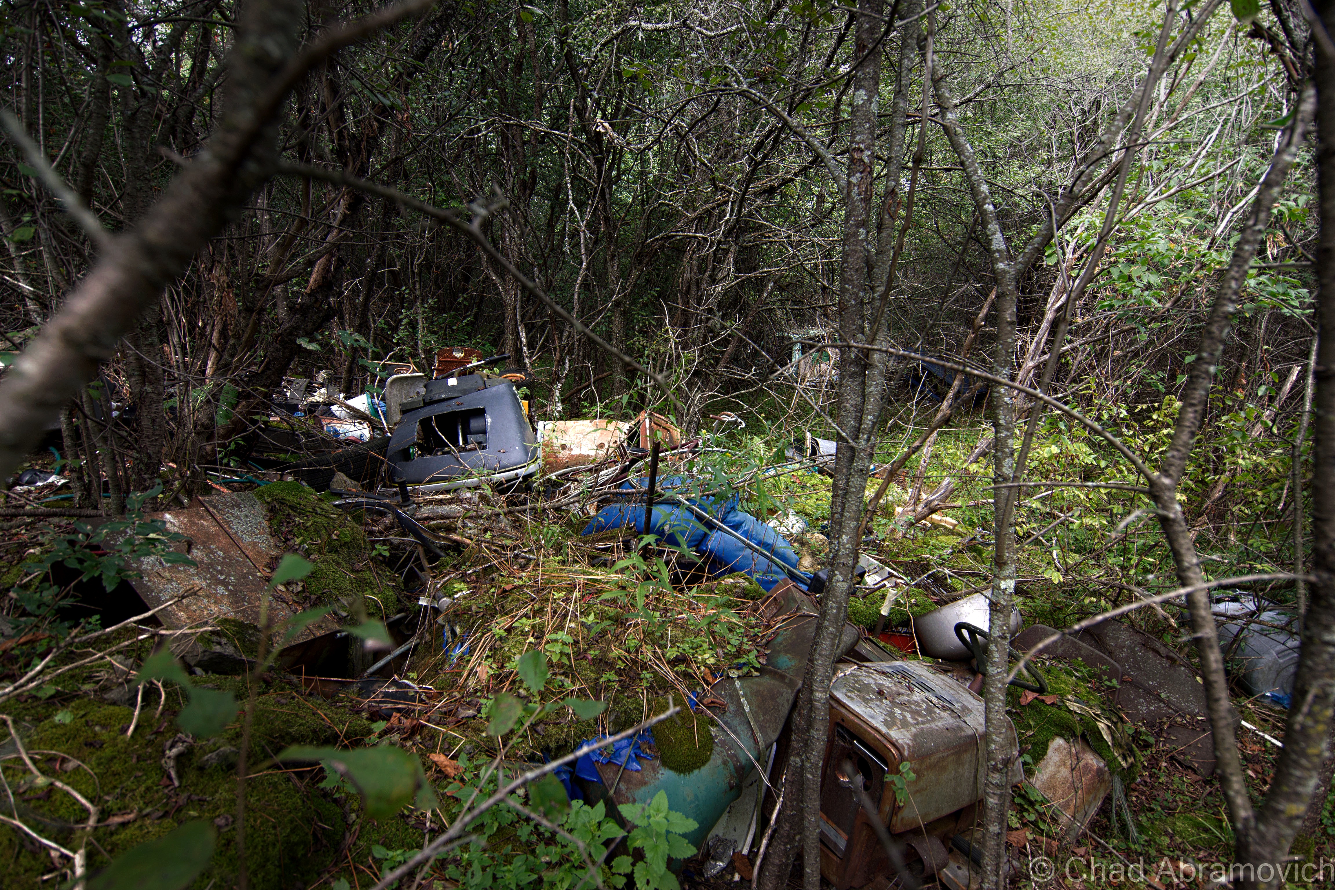
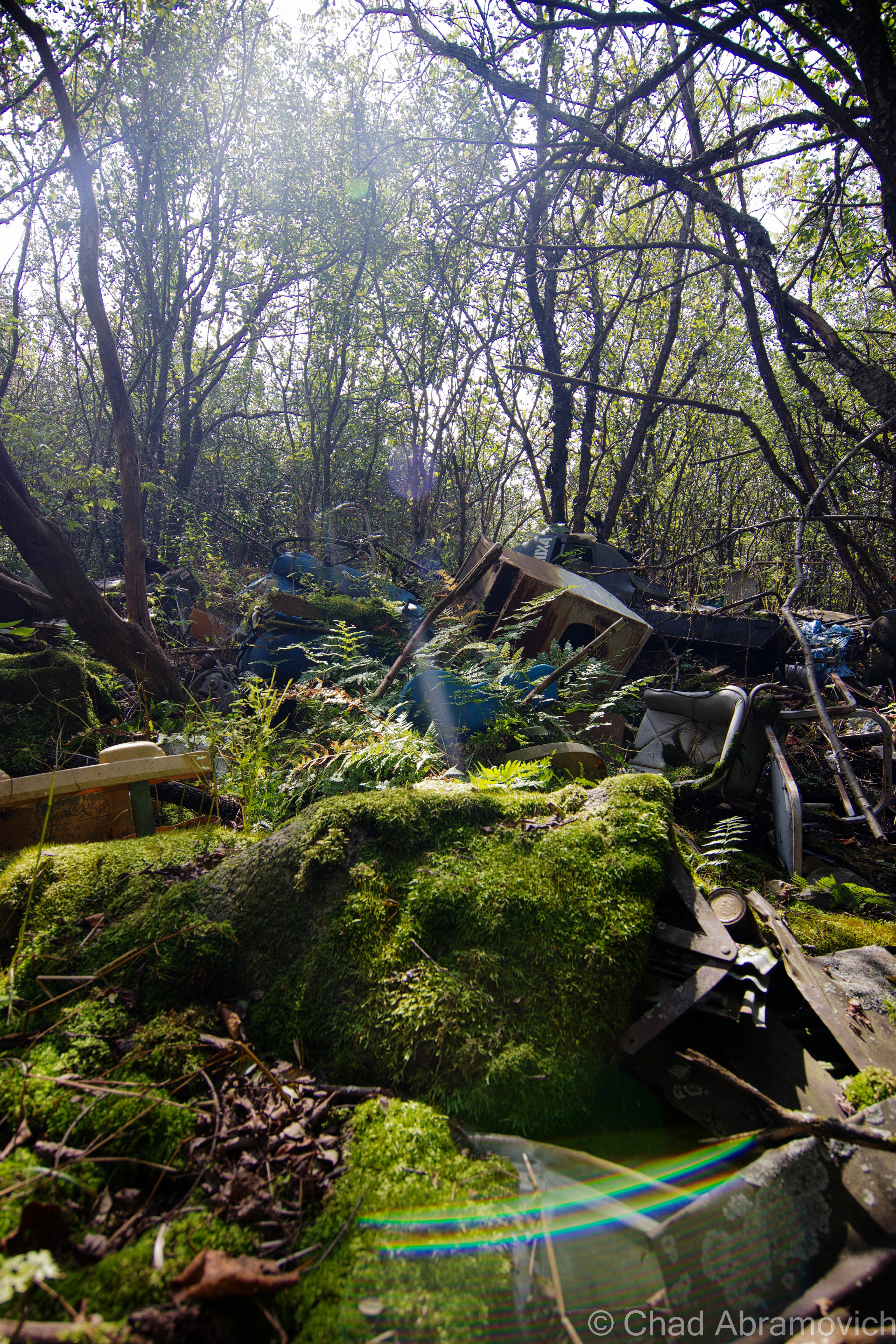
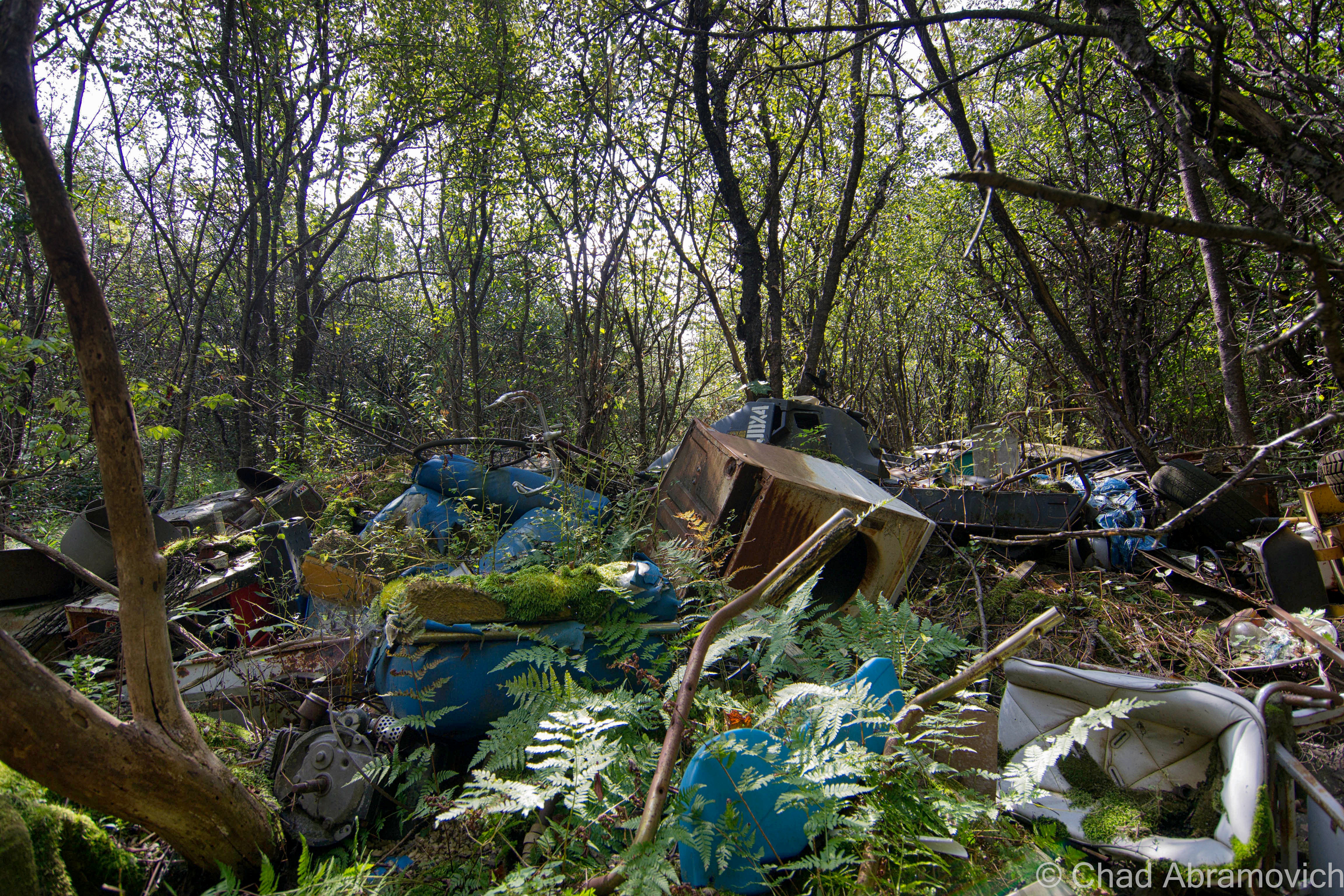
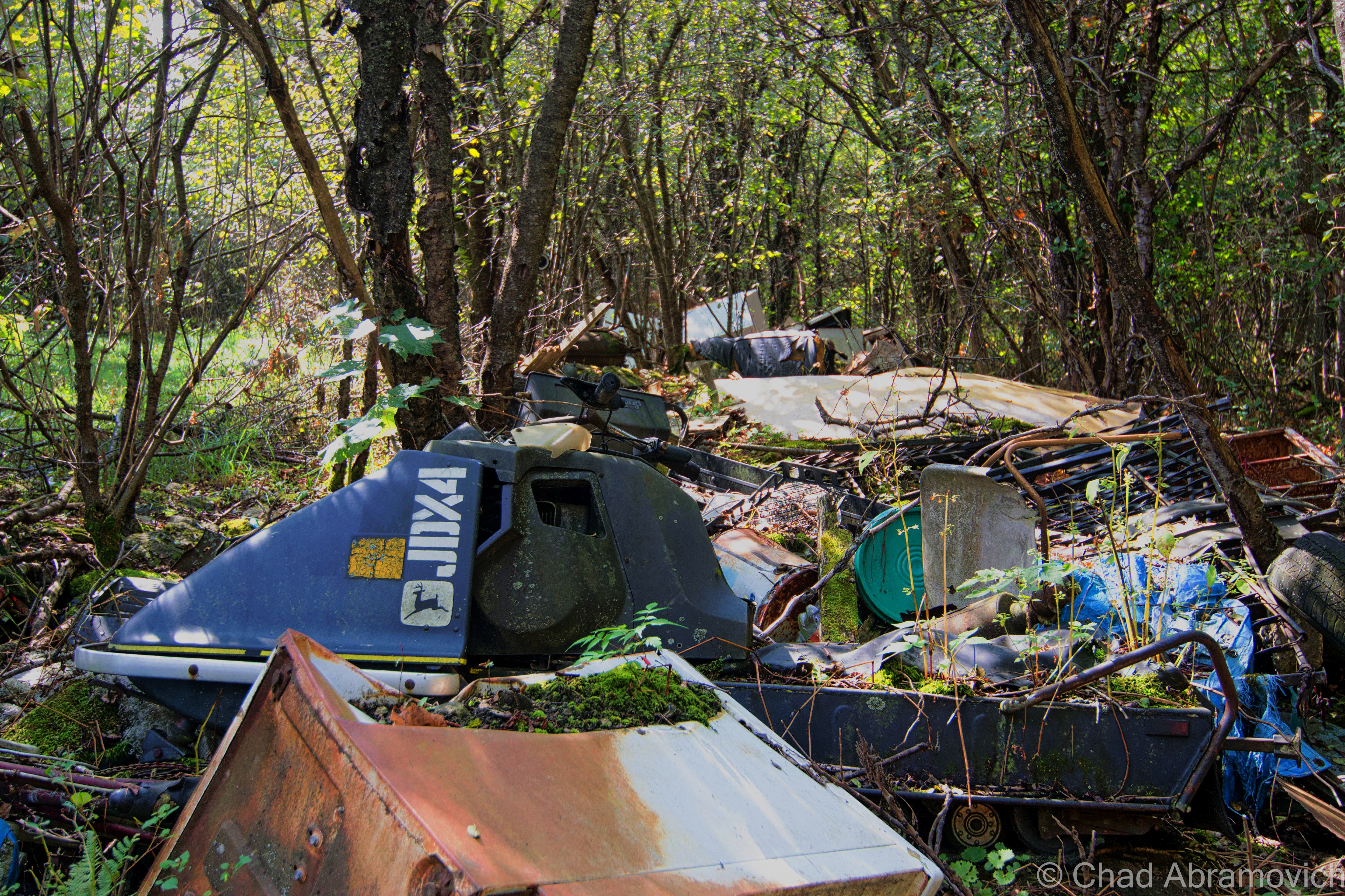
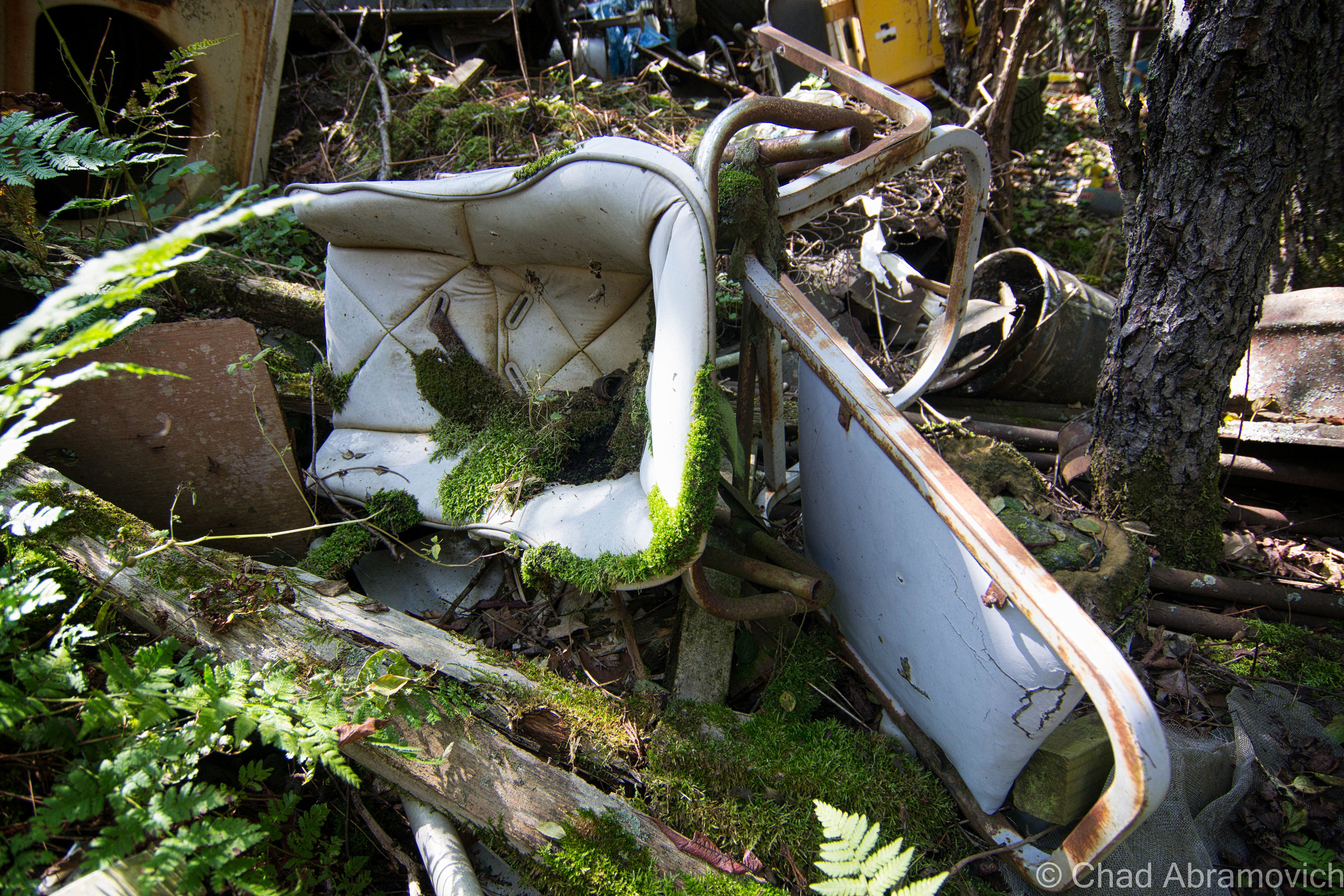
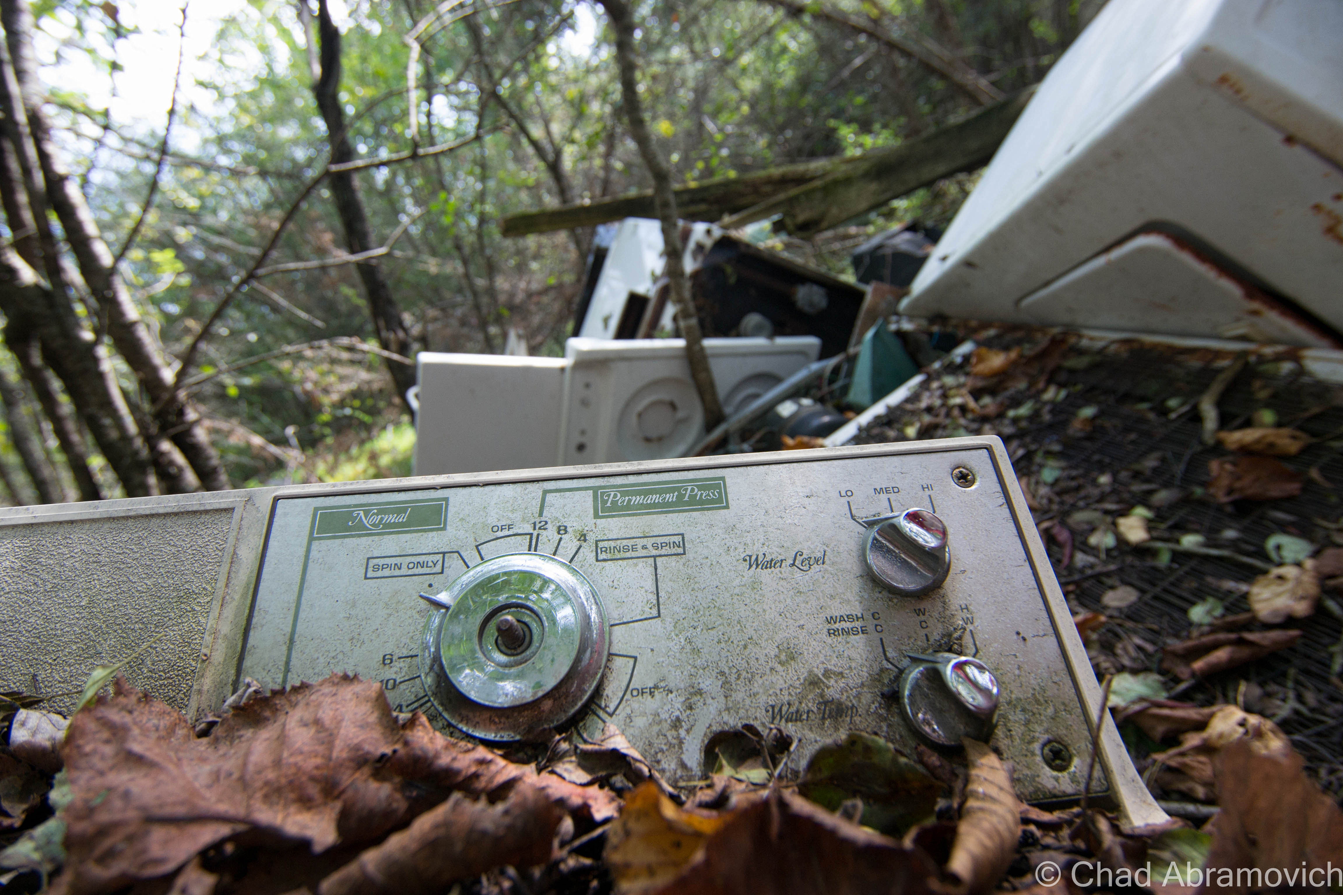
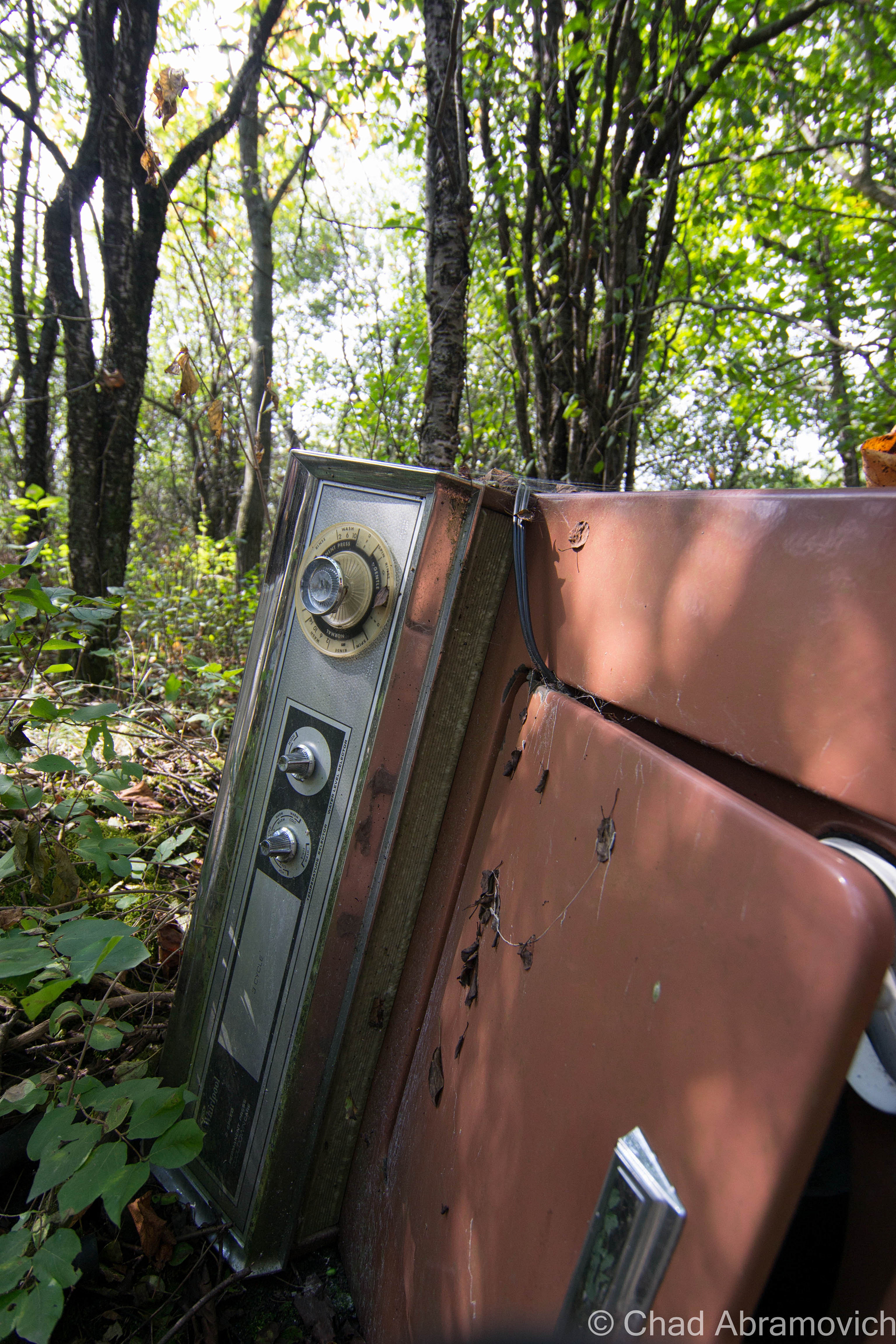
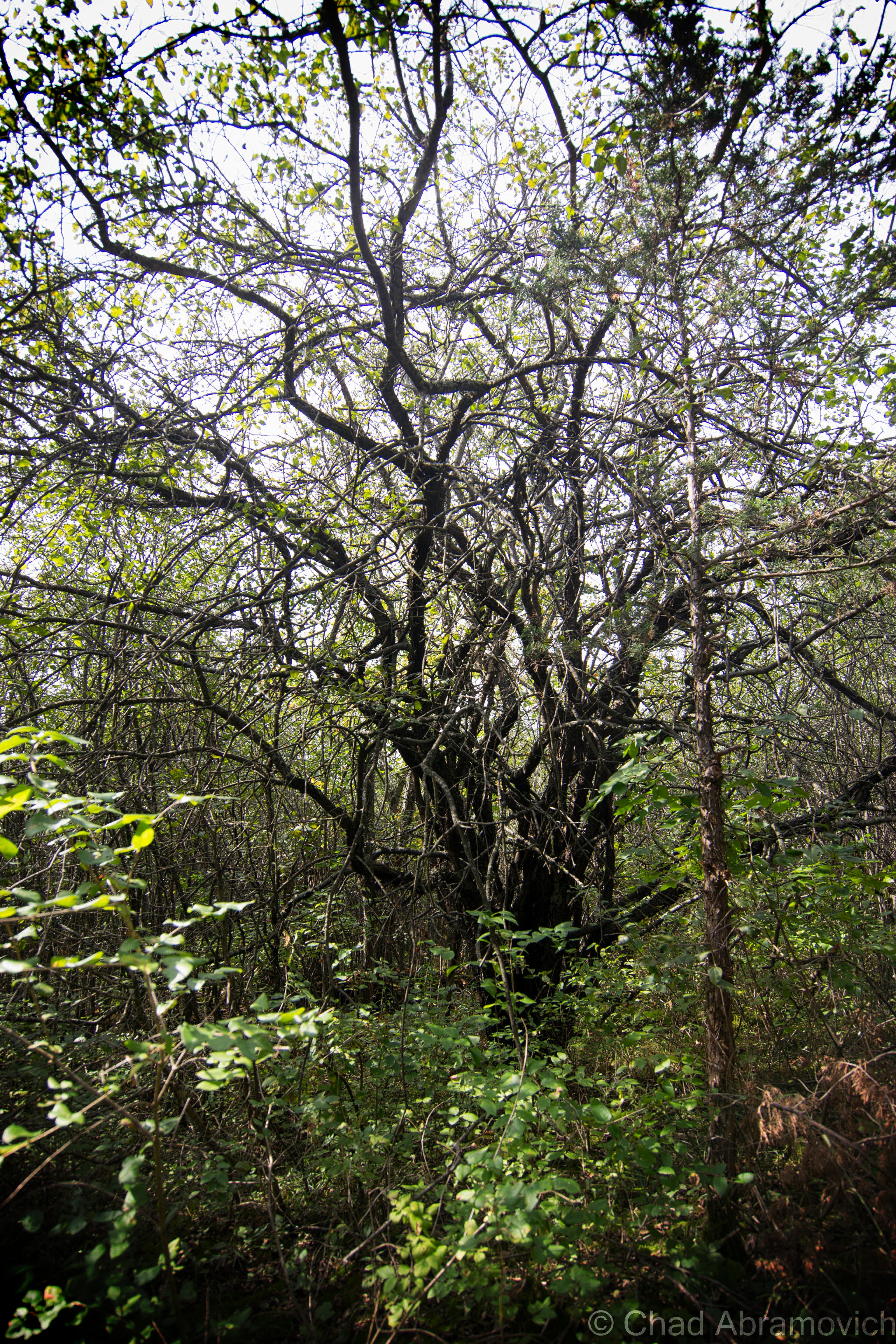
A friend of mine got in touch with me and said she had a new location up her sleeves, an abandoned farm up in the north part of the state, the dumping ground part of it was on her property and she hadn’t gotten around to doing anything about it yet. I thought it was weird that I live in Vermont and haven’t explored a farm yet. So on a beautiful autumn day, I met up with her and she led me through some overgrown tangle woods of nettles, dead apple trees and mangey looking cedar trees that turned the area into a dark entry. A few minutes into our walk and the already fallow landscape began to change, and I began to notice mounds of discarded anything covered in moss and fallen leaves that had been dumped underneath the dead canopy.

A walk through the Vermont woods can often be revealing. It’s not uncommon to find relics from a different Vermont left to disintegrate below the trees. And in my opinion – our ruins are often one of the coolest things about the human race. We create amazing structures and accomplishments or inhabit these laborious lifestyles and let the aftereffects rot without much of a thought, leaving people like me to eagerly trace their occurrences that blur the line between litter and urban archeology. And out of any time of the year, you can be most appreciative of our habit to ruin than the fall, when visibility is best.

There was a time not that long ago, when Vermonters didn’t dig today’s Green culture. Back then, the most efficient and convenient way to get rid of anything you deemed as garbage, was to make the disposal quick and uncomplicated. This was often accomplished by dumping those items on a far corner of the farm, or let gravity take it down a river bank. Over time, these items accumulated, festering in the woods long after the farm went defunct, or their traces bleeding into our waterways or soil.

How times have changed. Today, a growing chunk of Vermonters are building a culture that feels how we coexist with our environment is a virtue, and villainize those things that don’t fall into place. And if you’re not one of those people, well, it’s also the law. But as is the trend, the movement also shakes things up, especially farmers who find it expensive and laborious to abide by new regulations, or the costs of implementing new laws or infrastructure by a government that many are losing faith in.

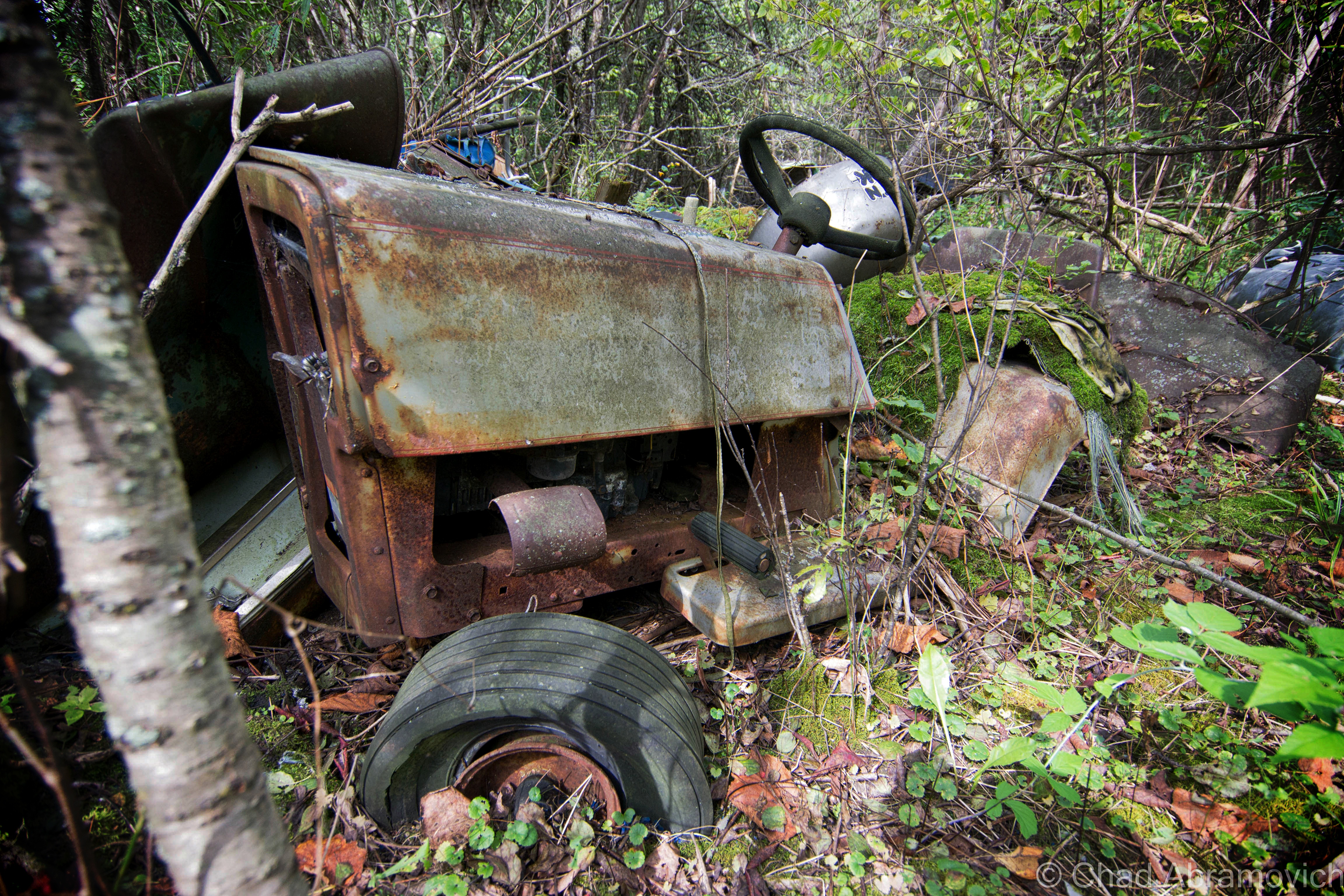
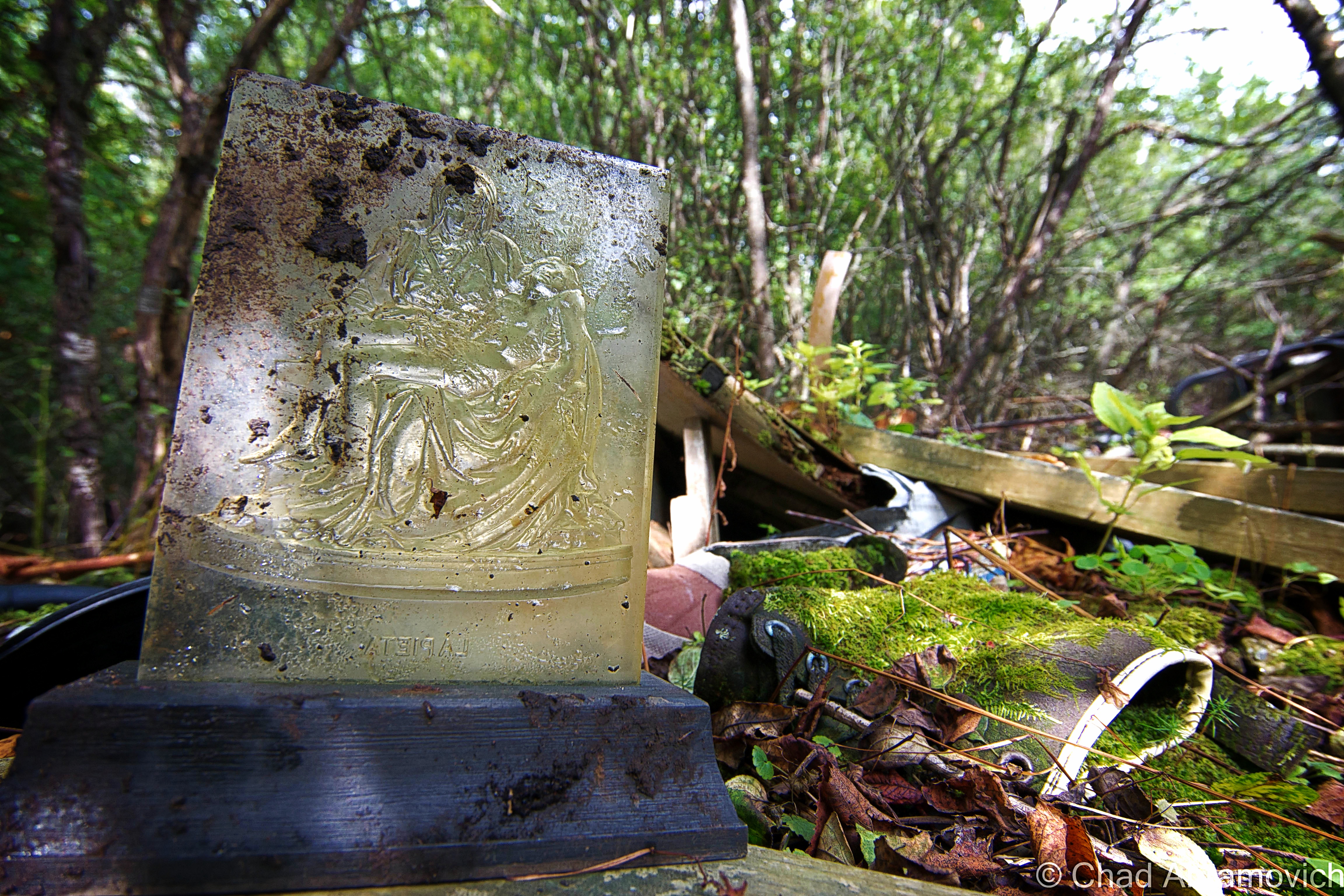
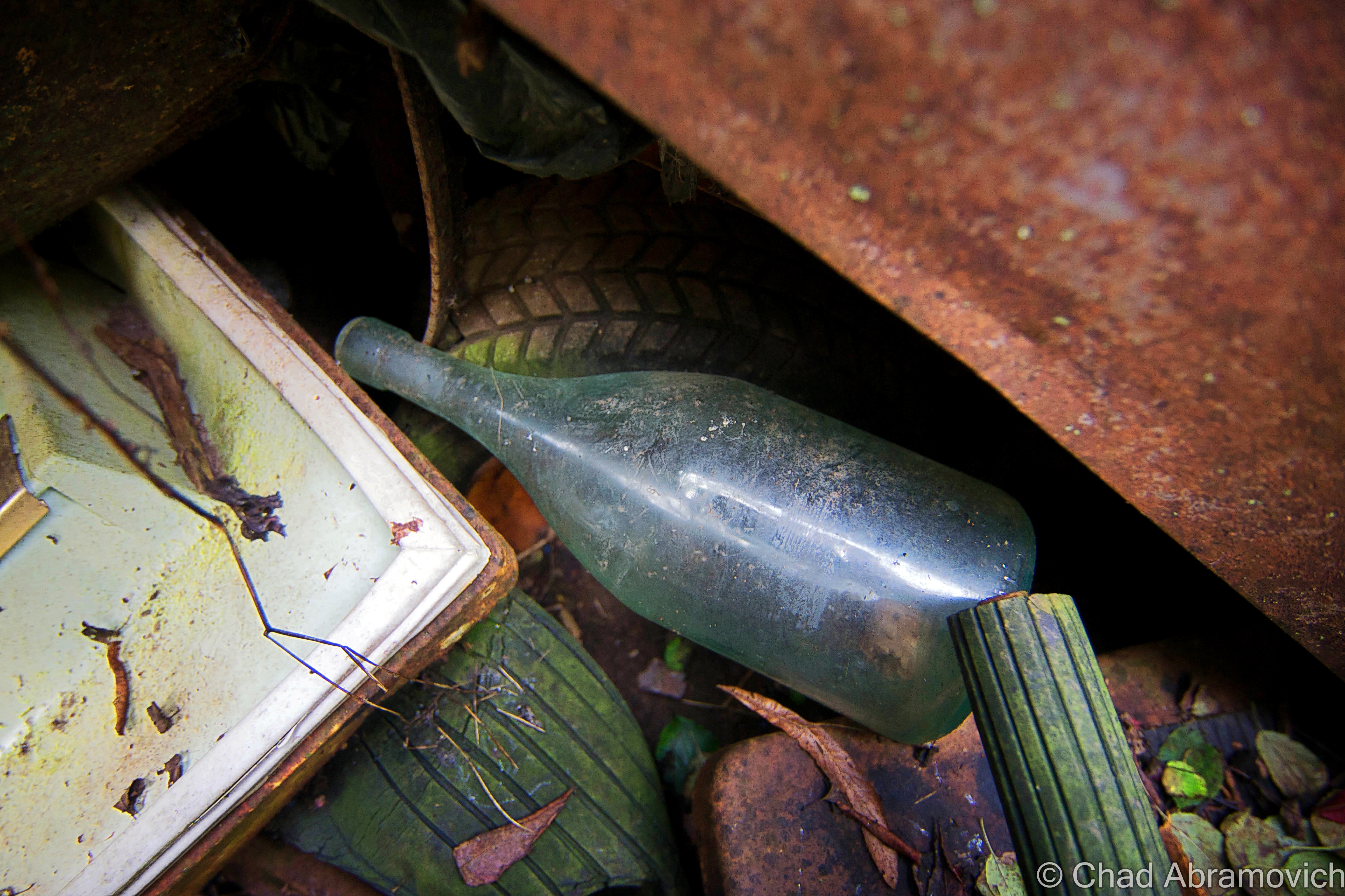
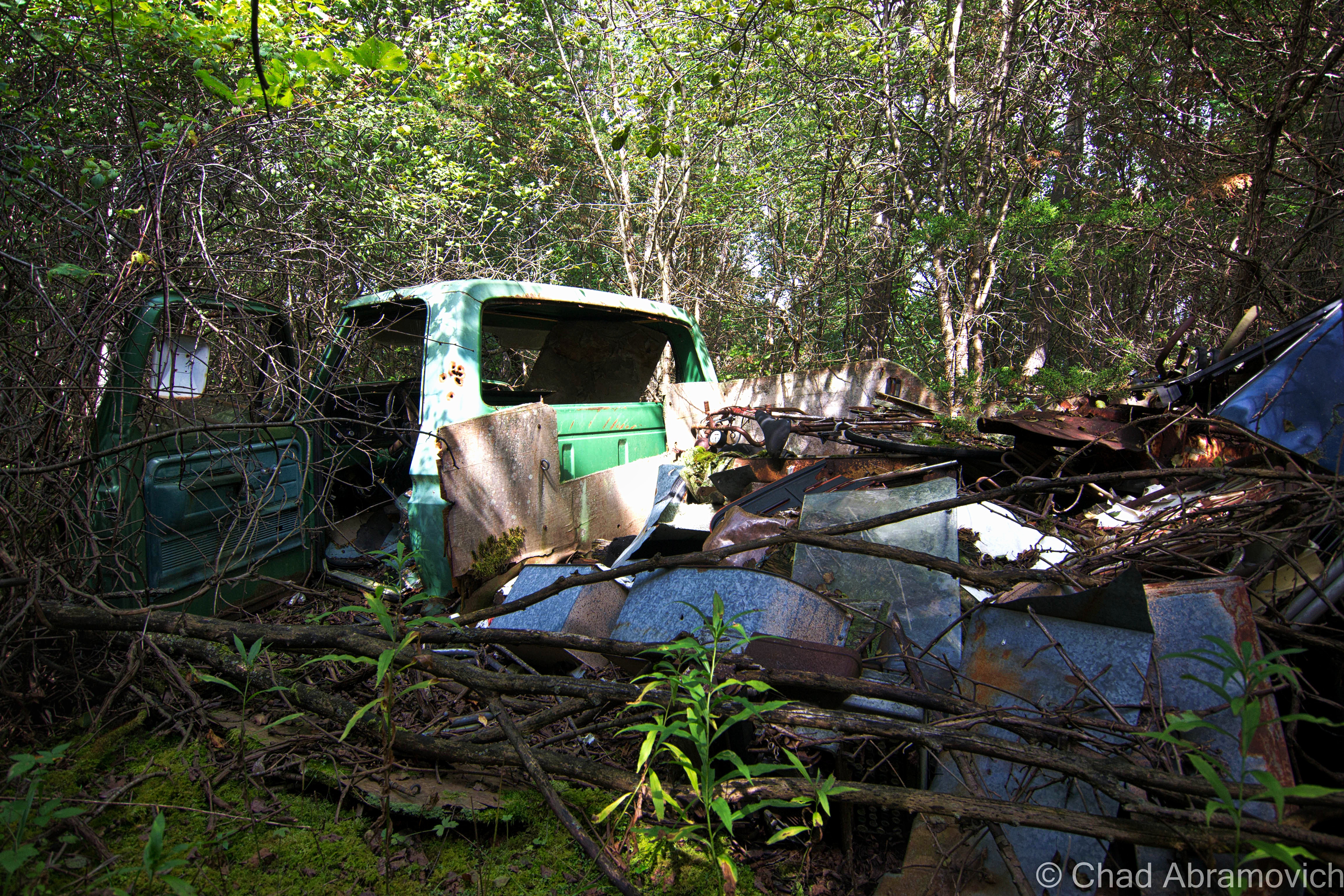
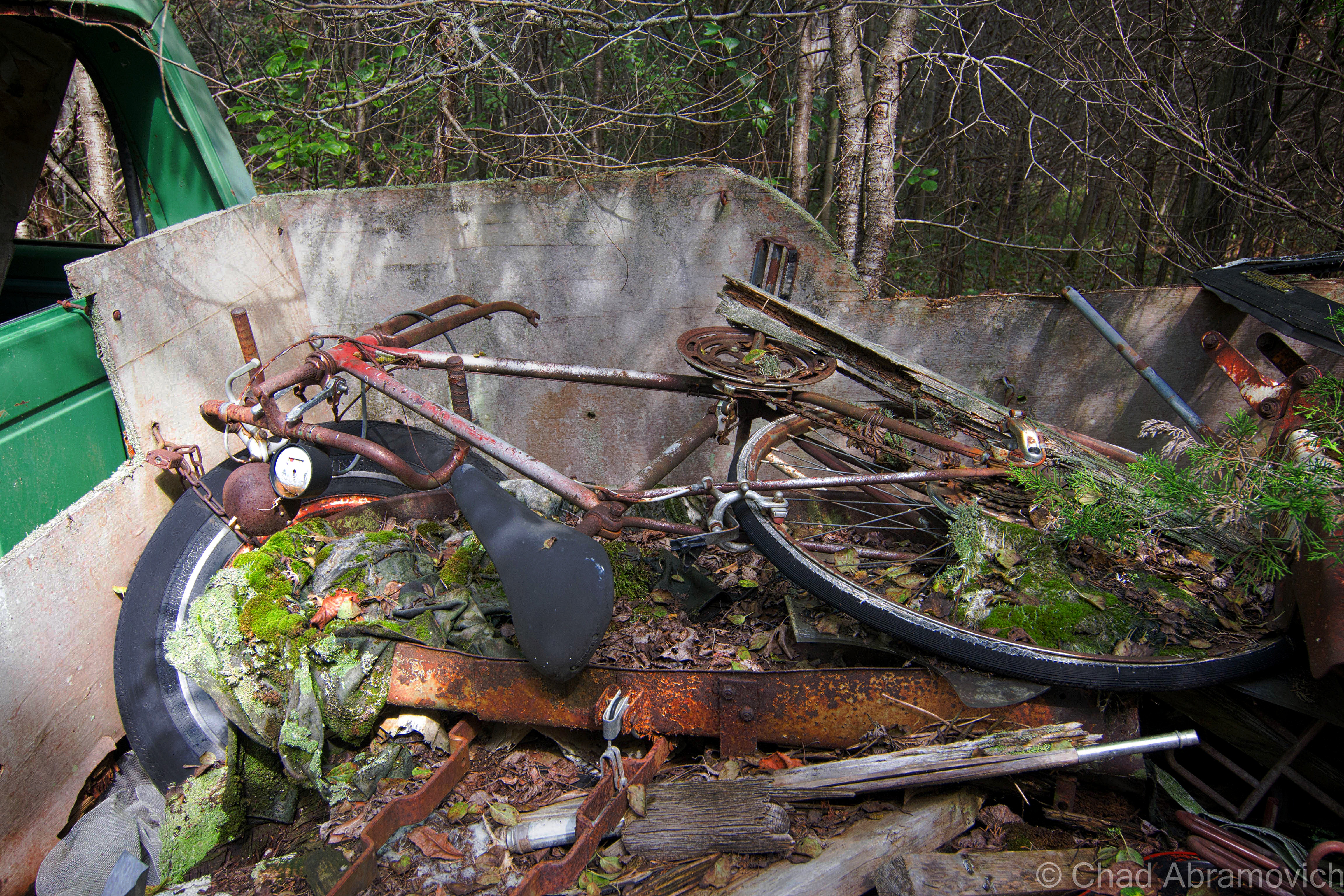
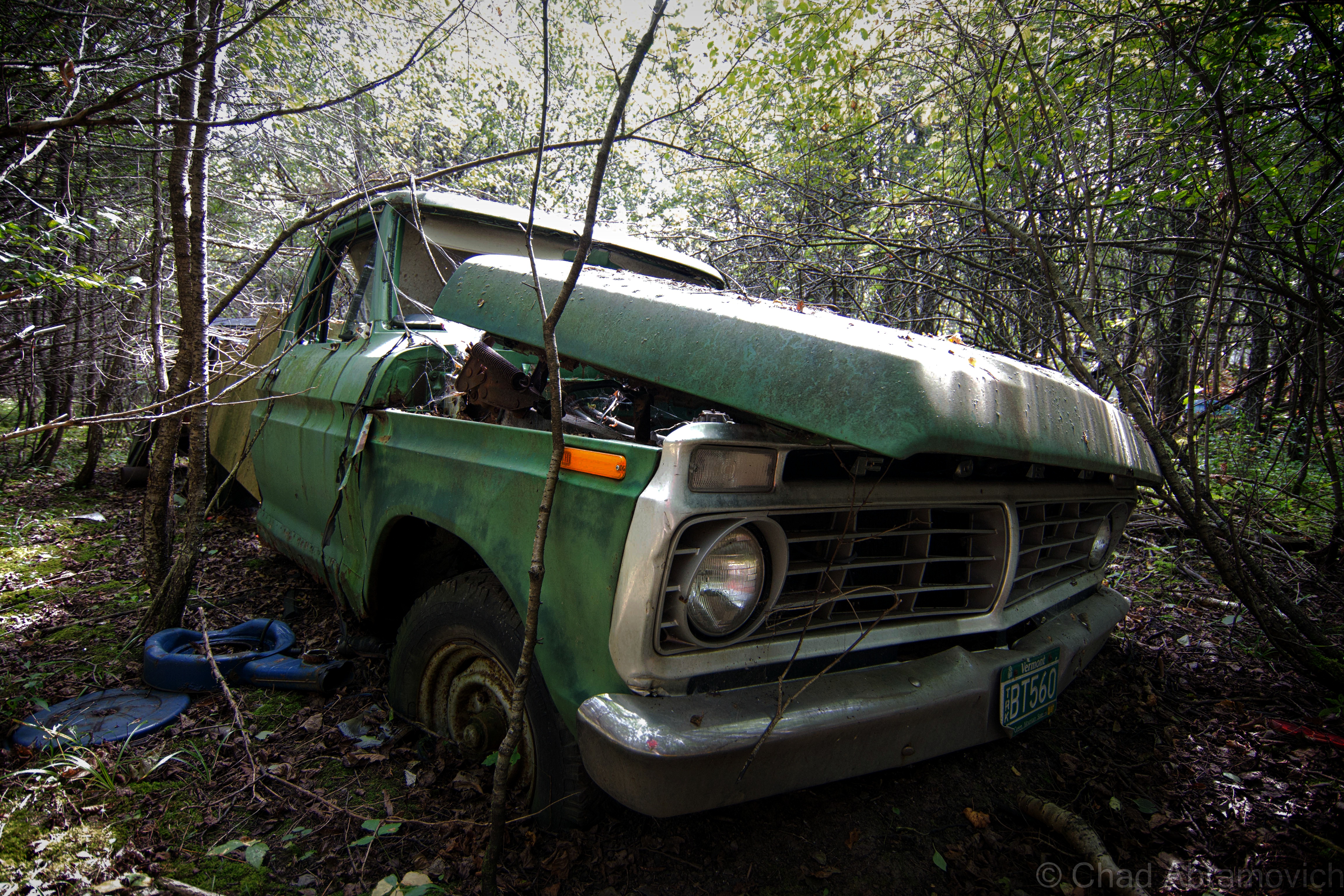
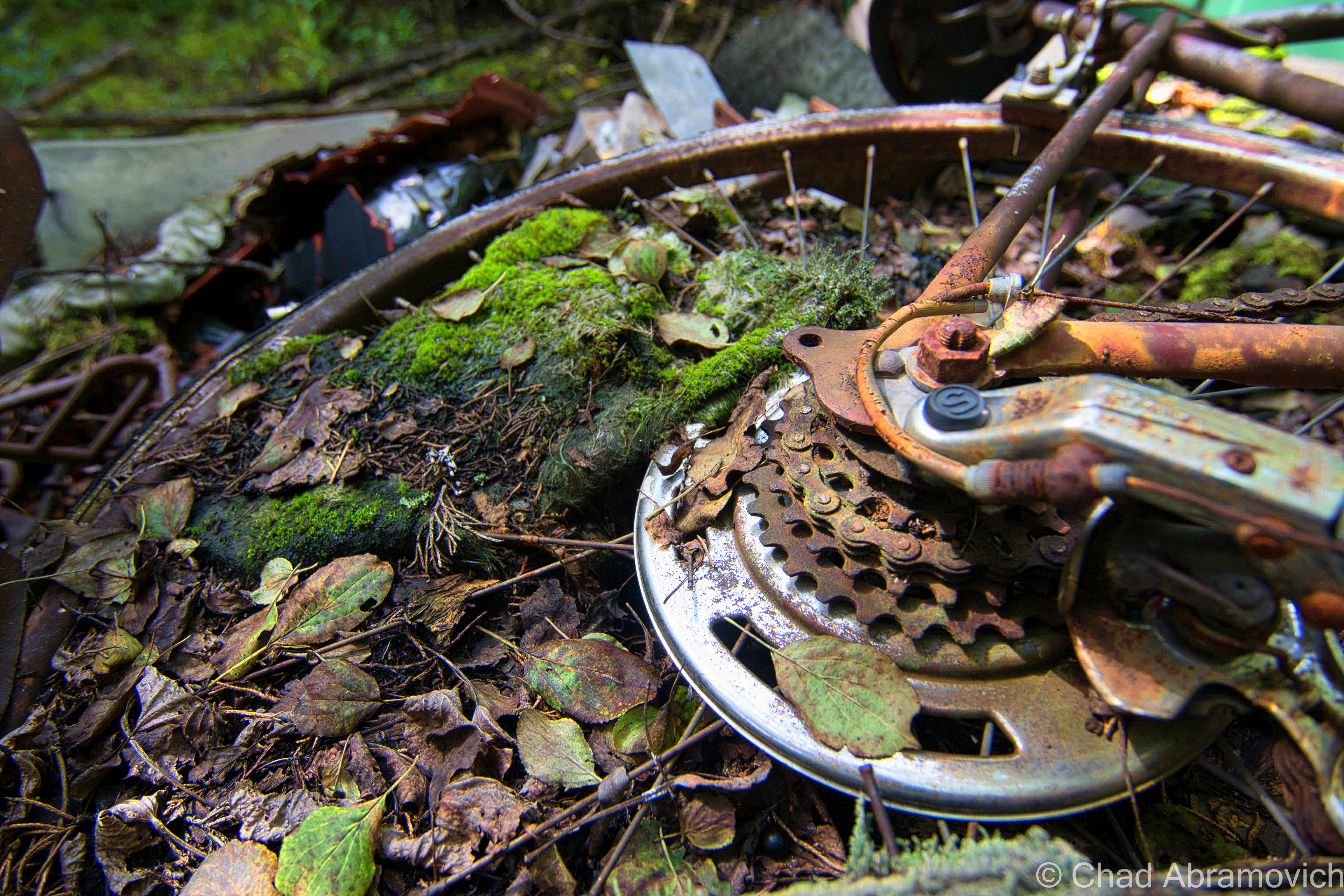
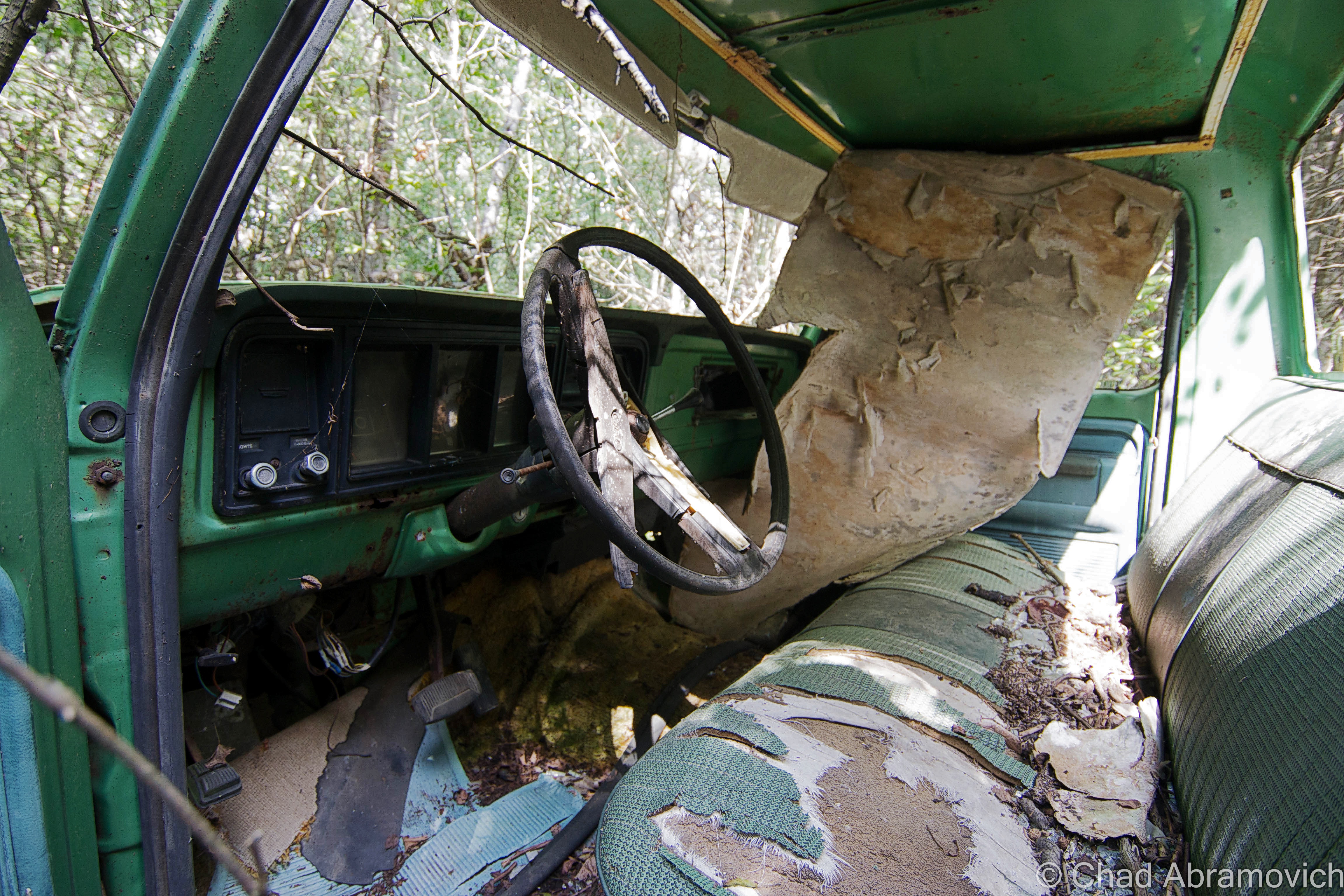
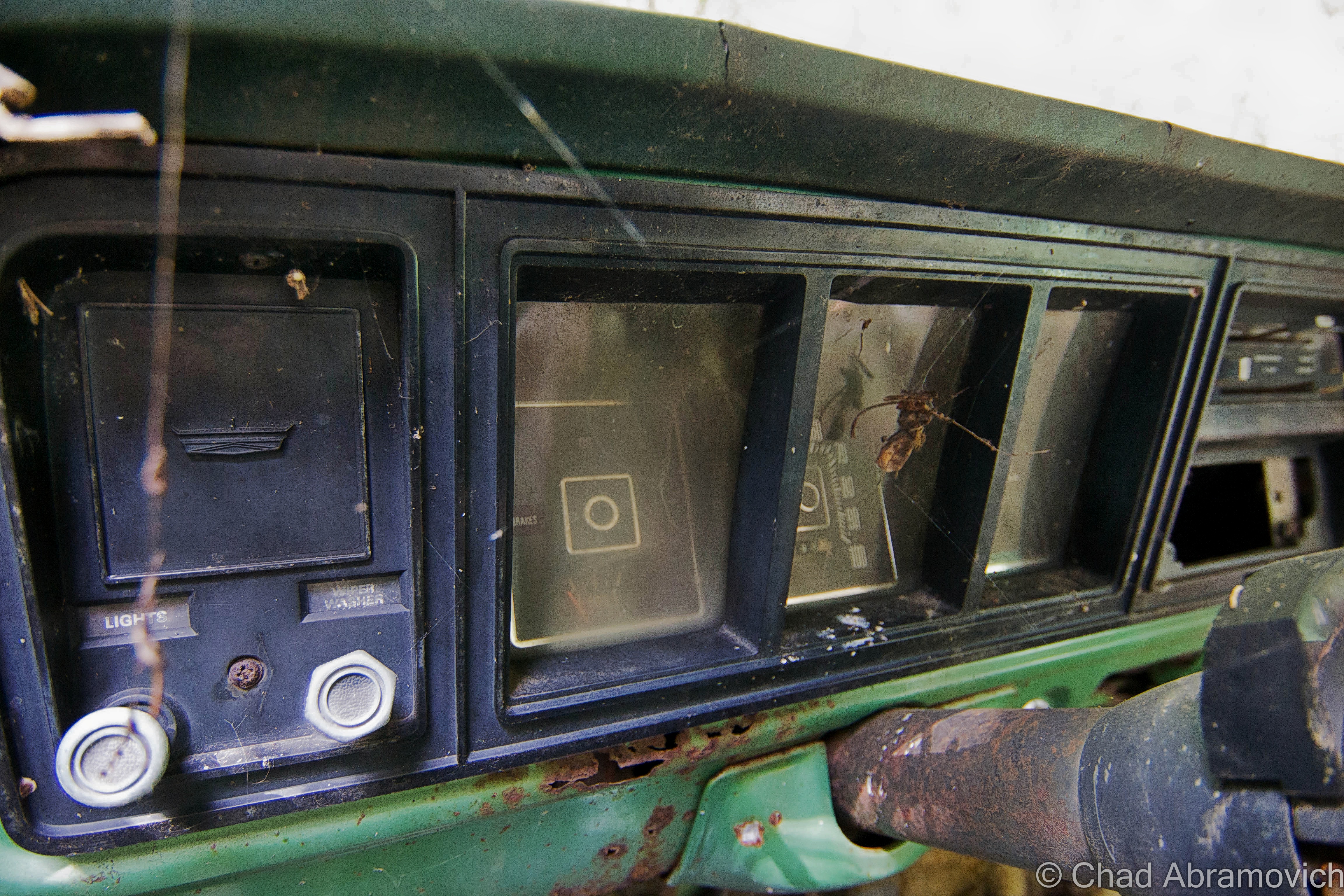
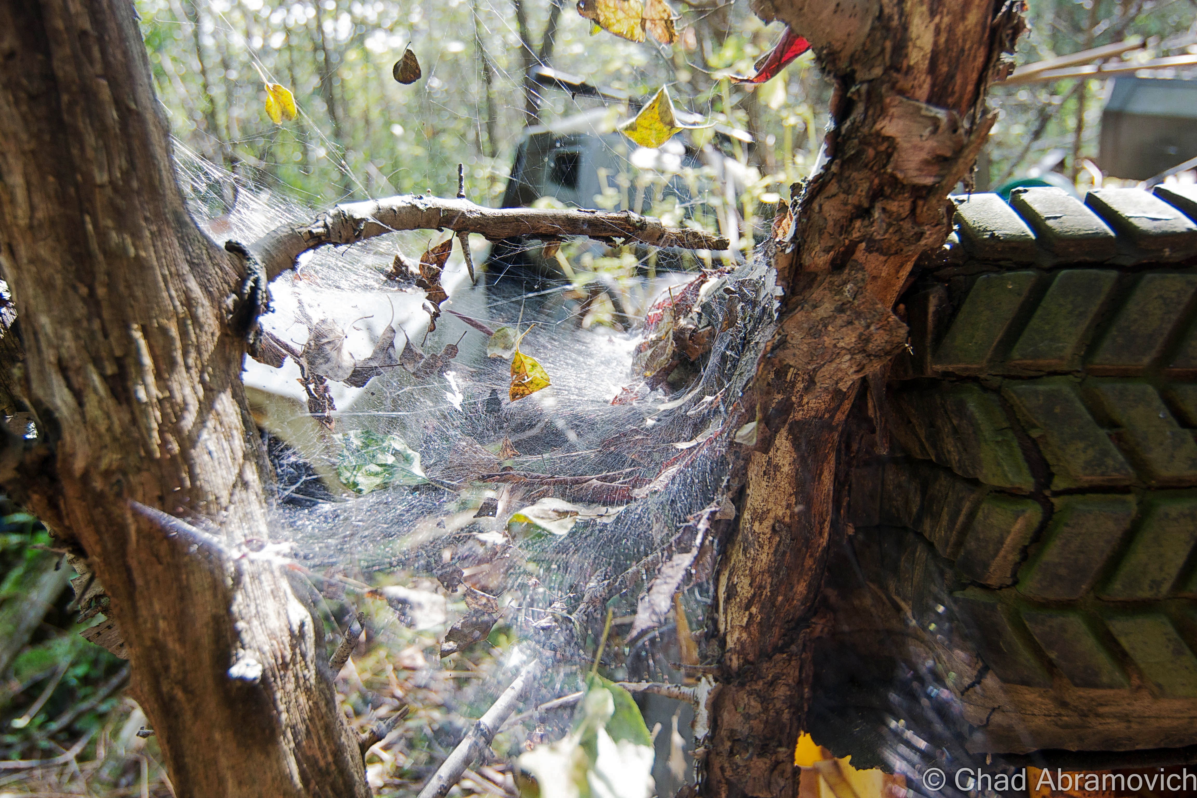
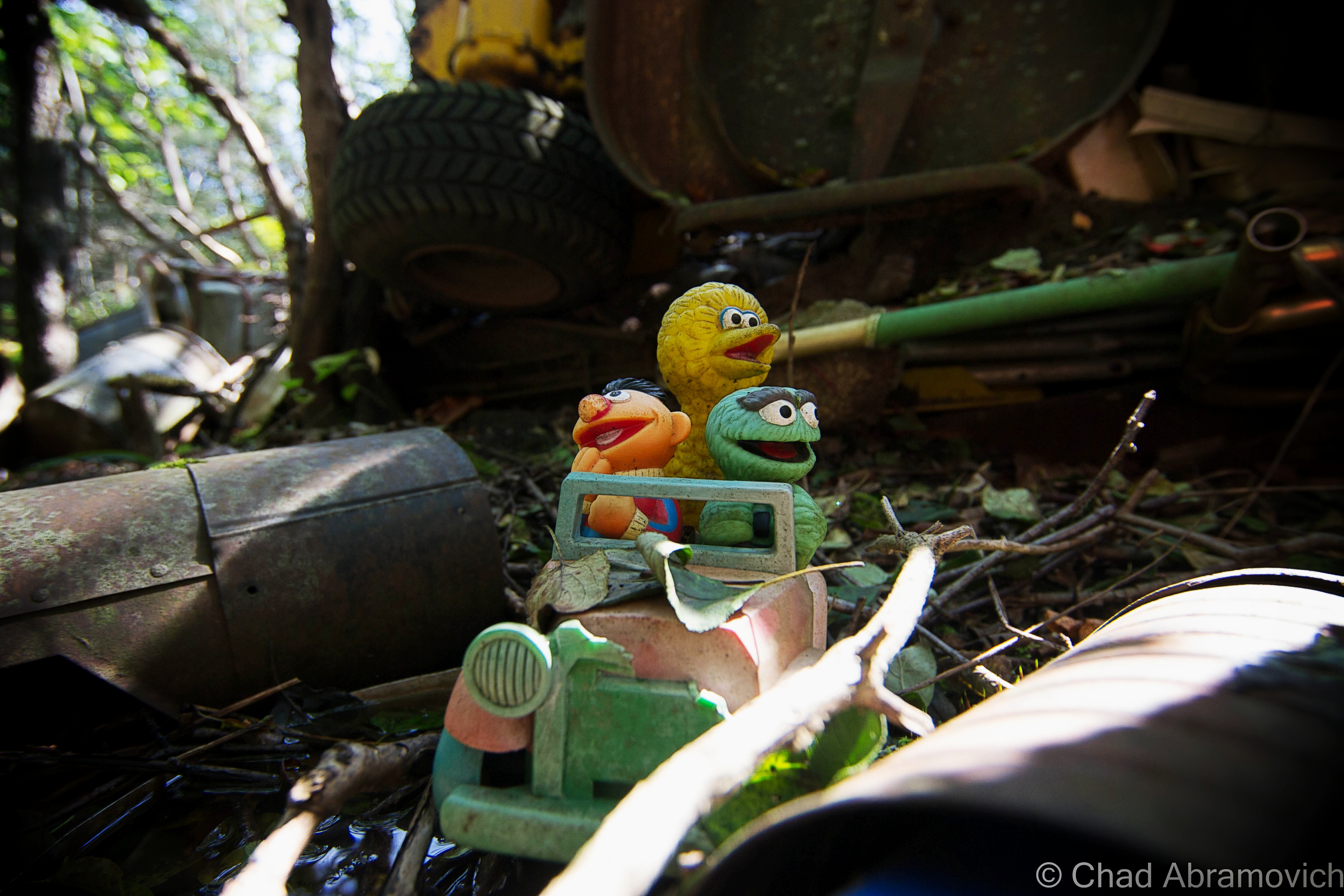
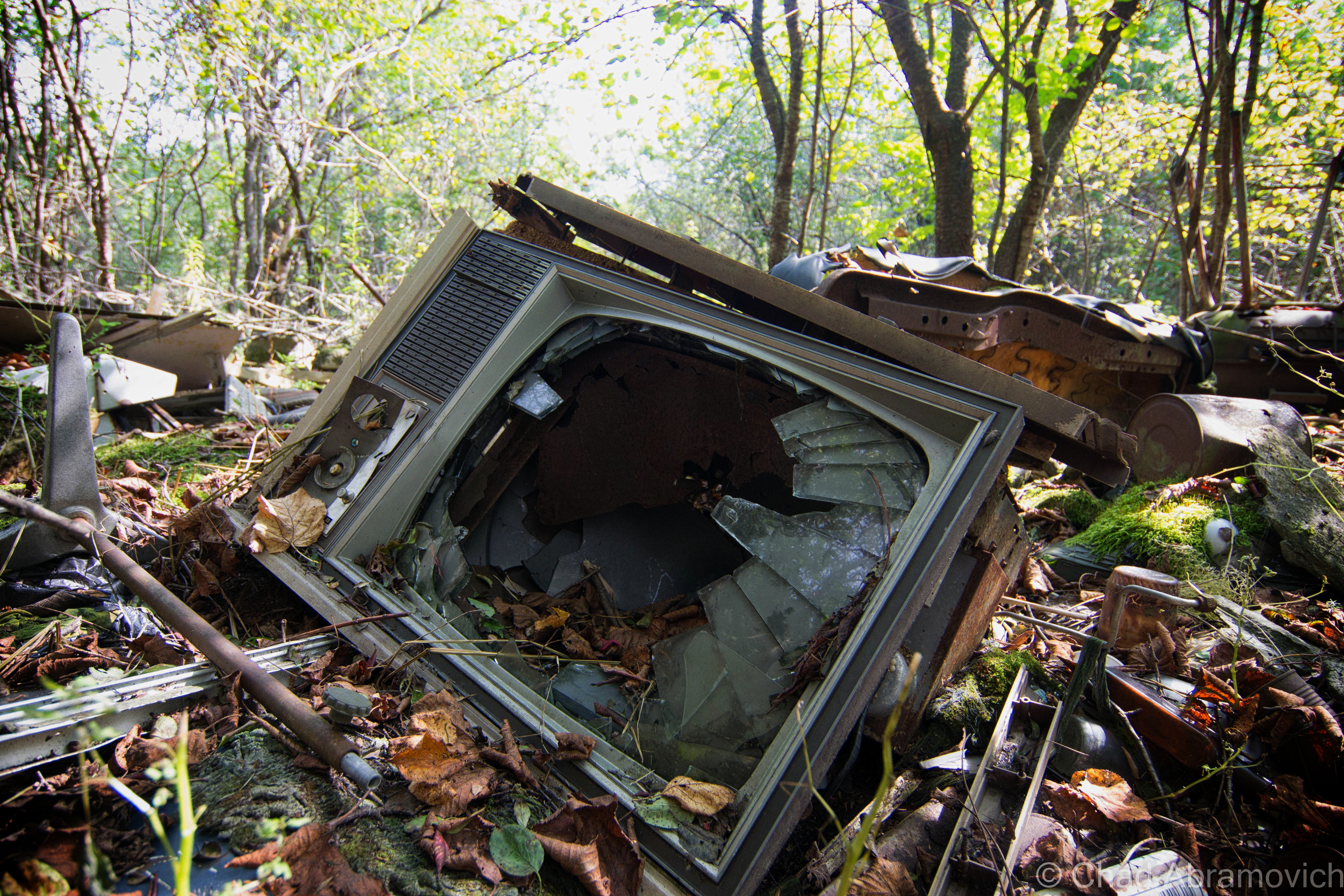
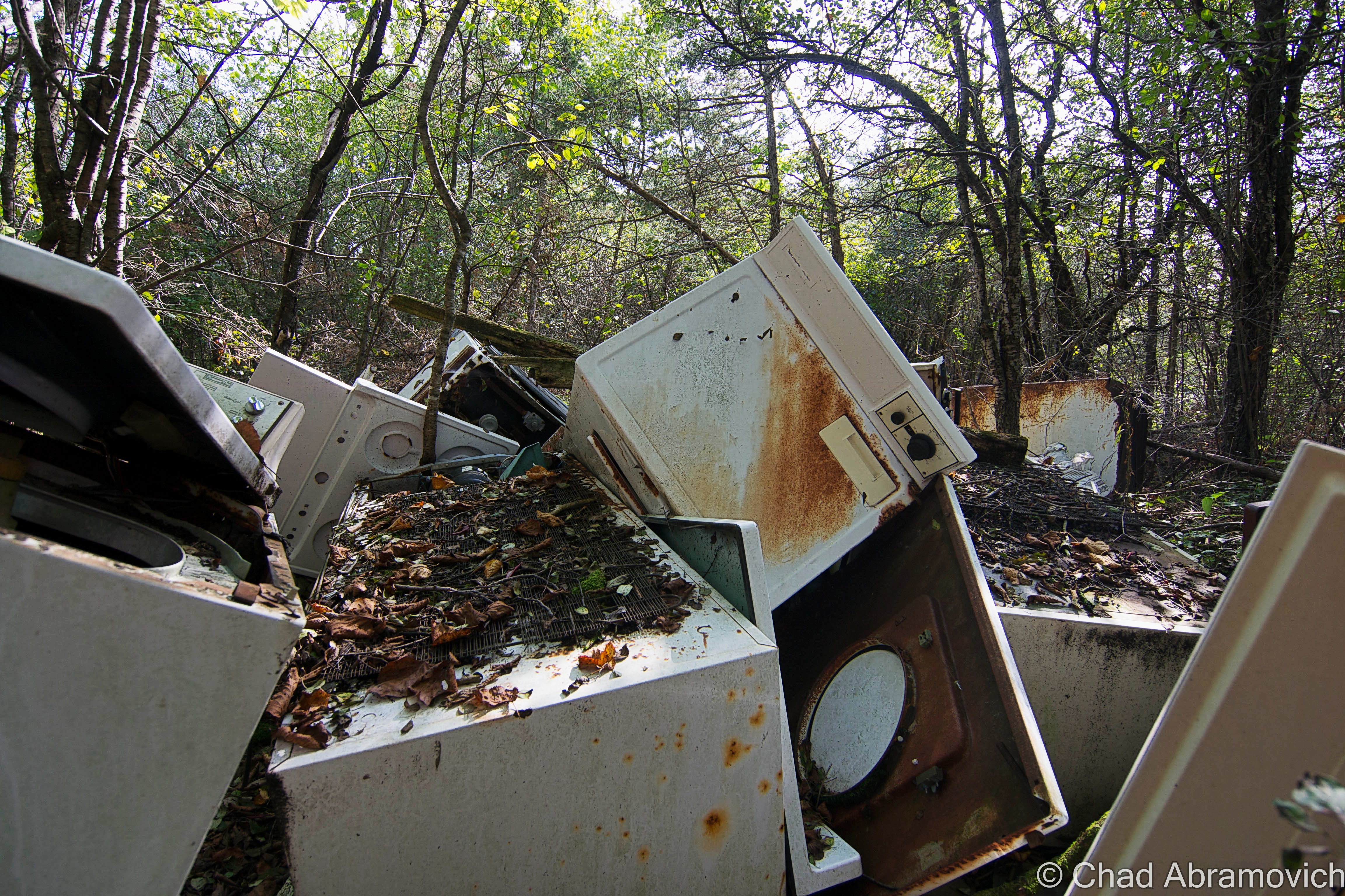
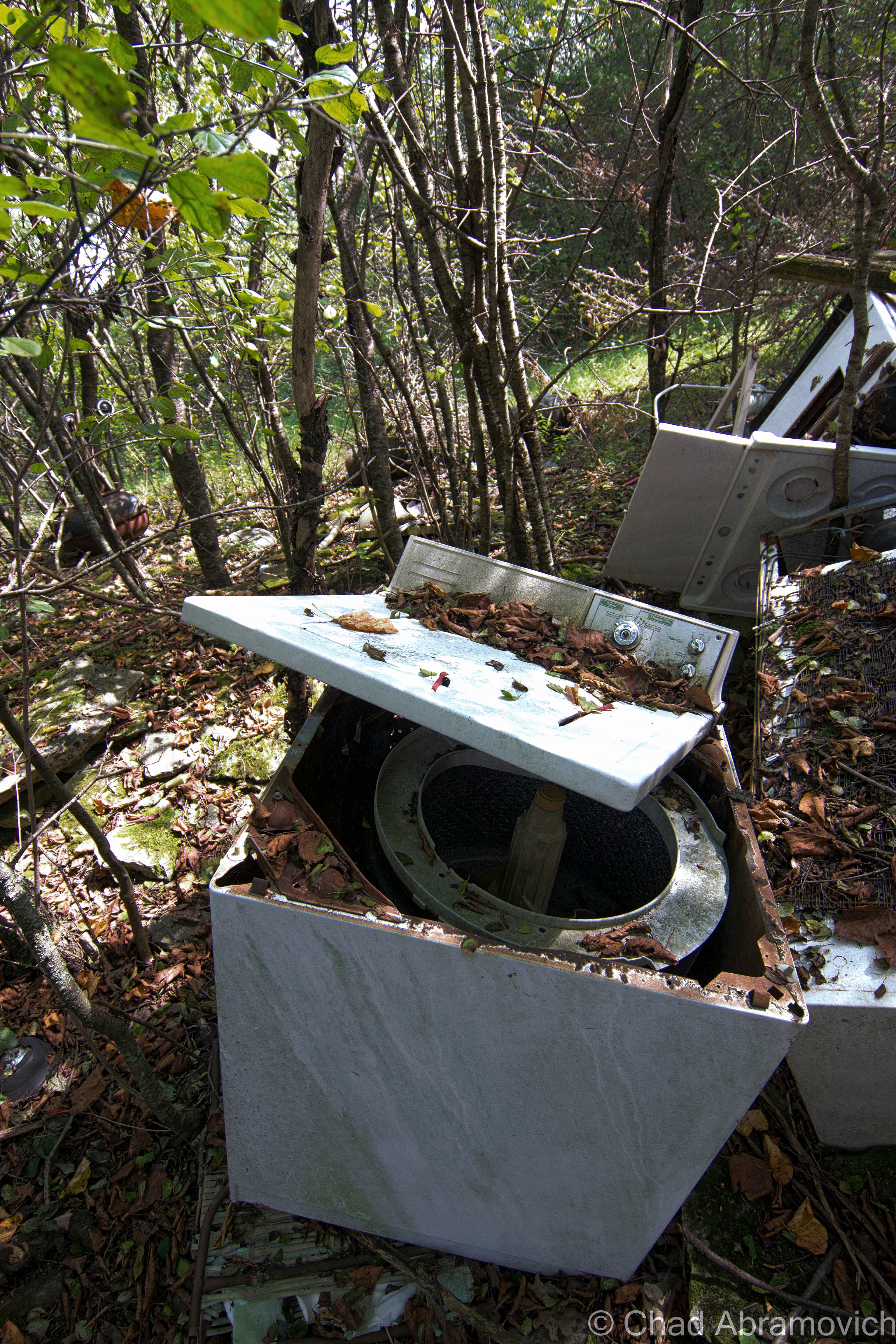
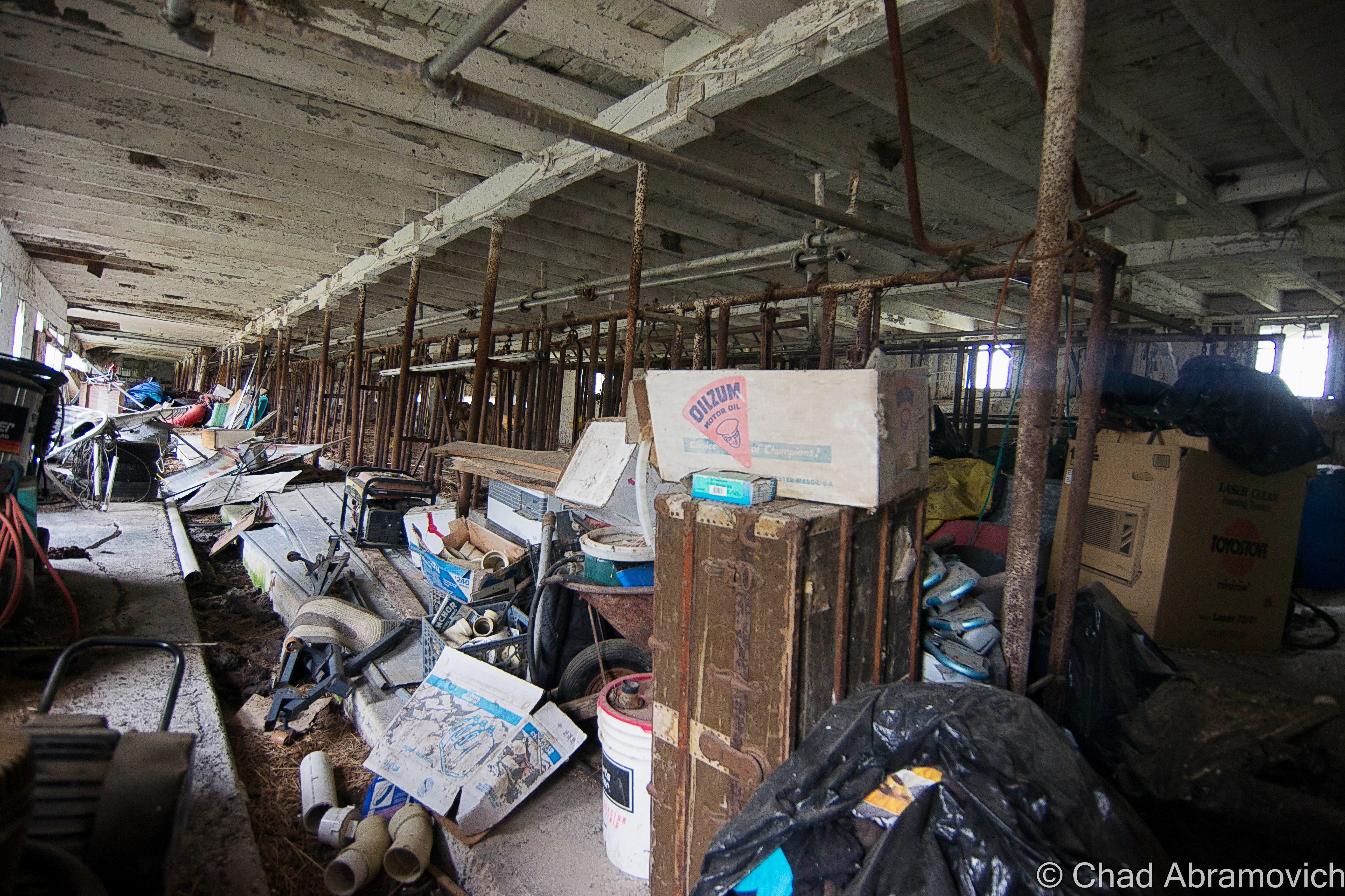
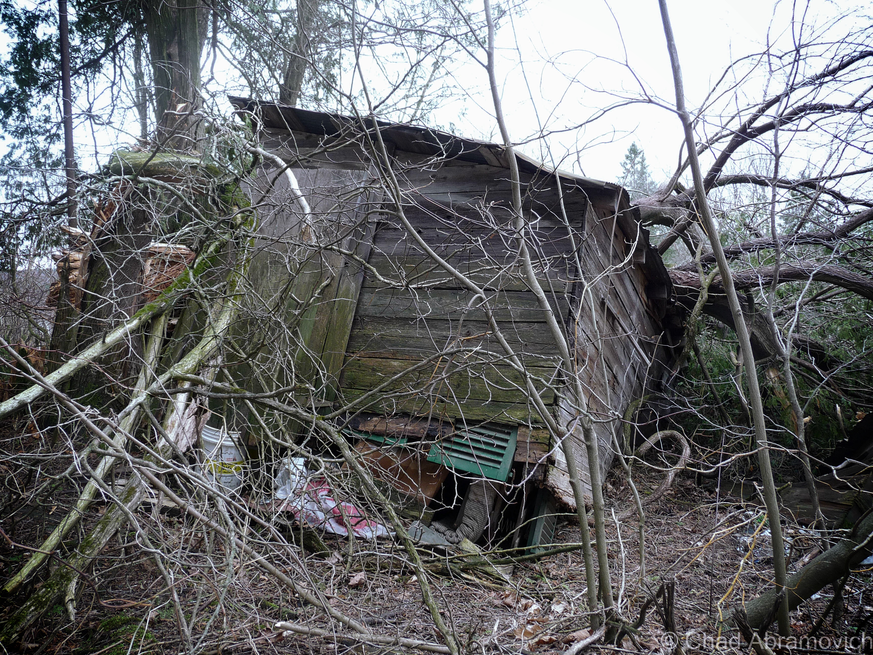
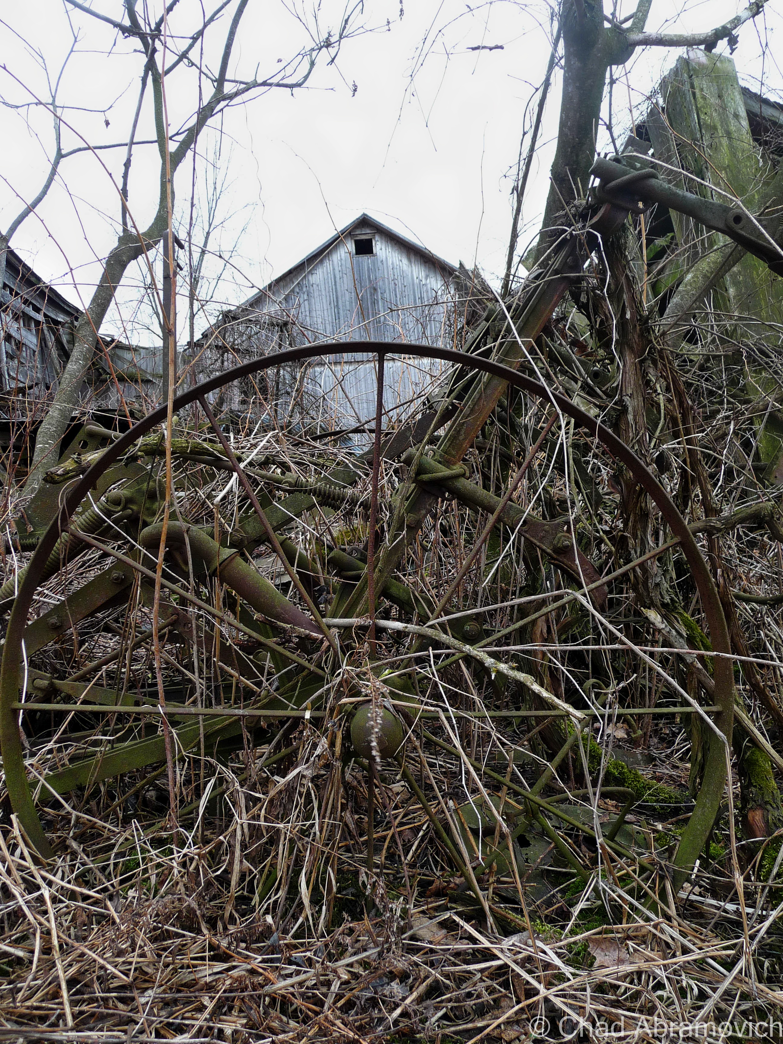
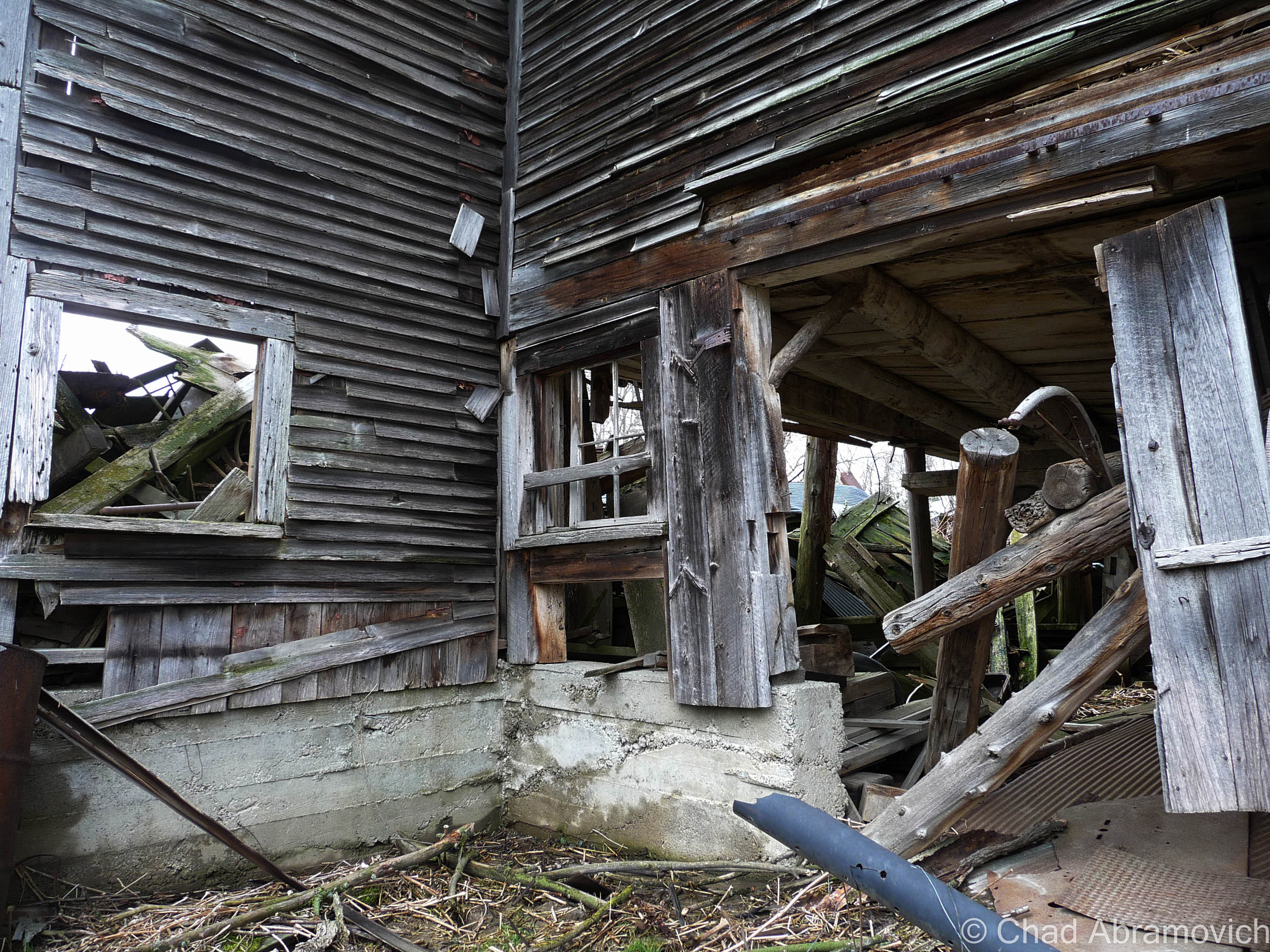
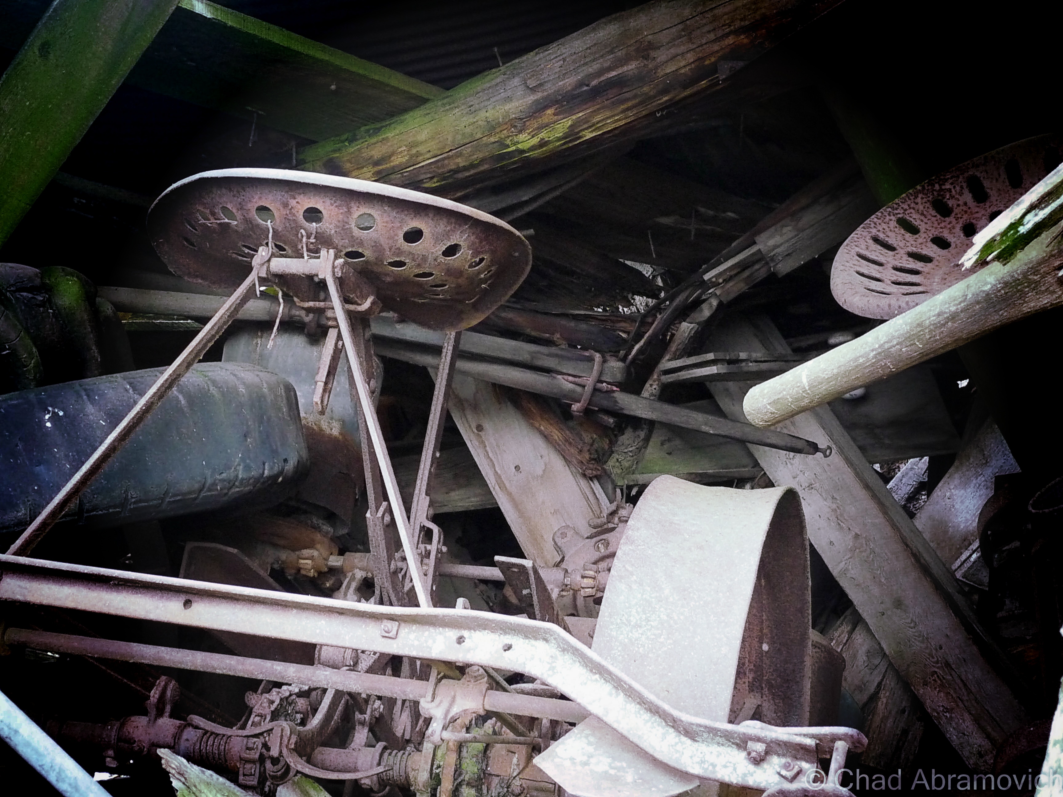
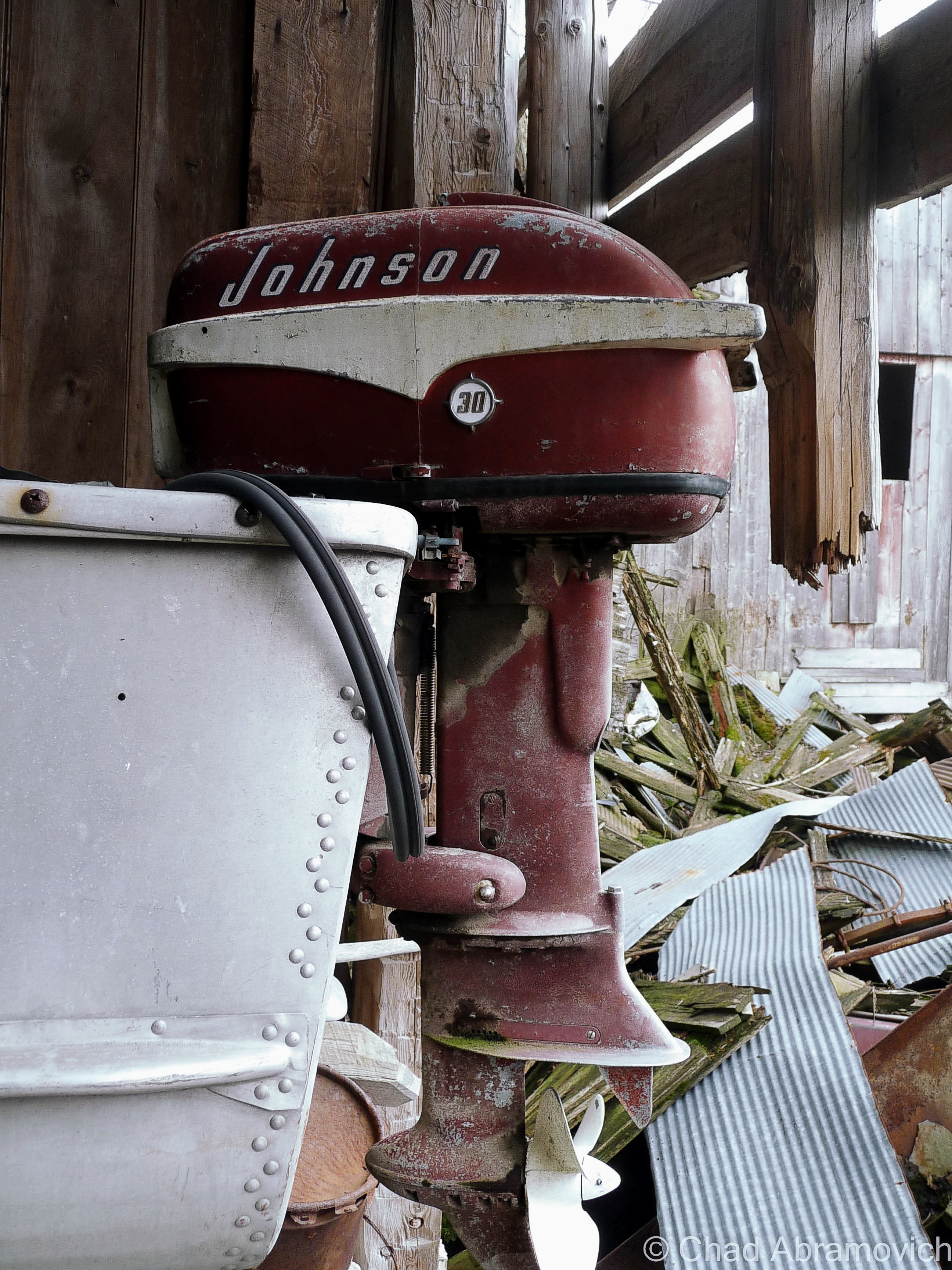
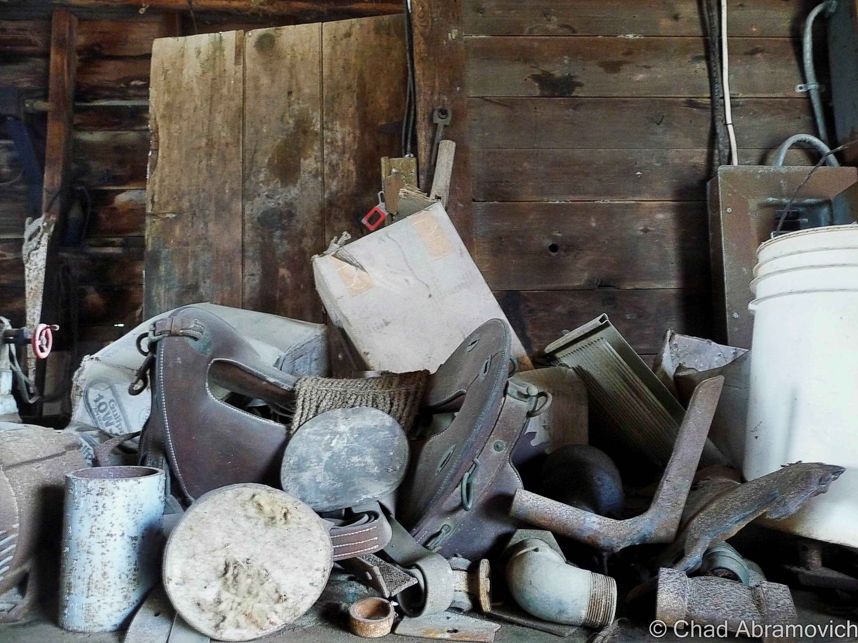
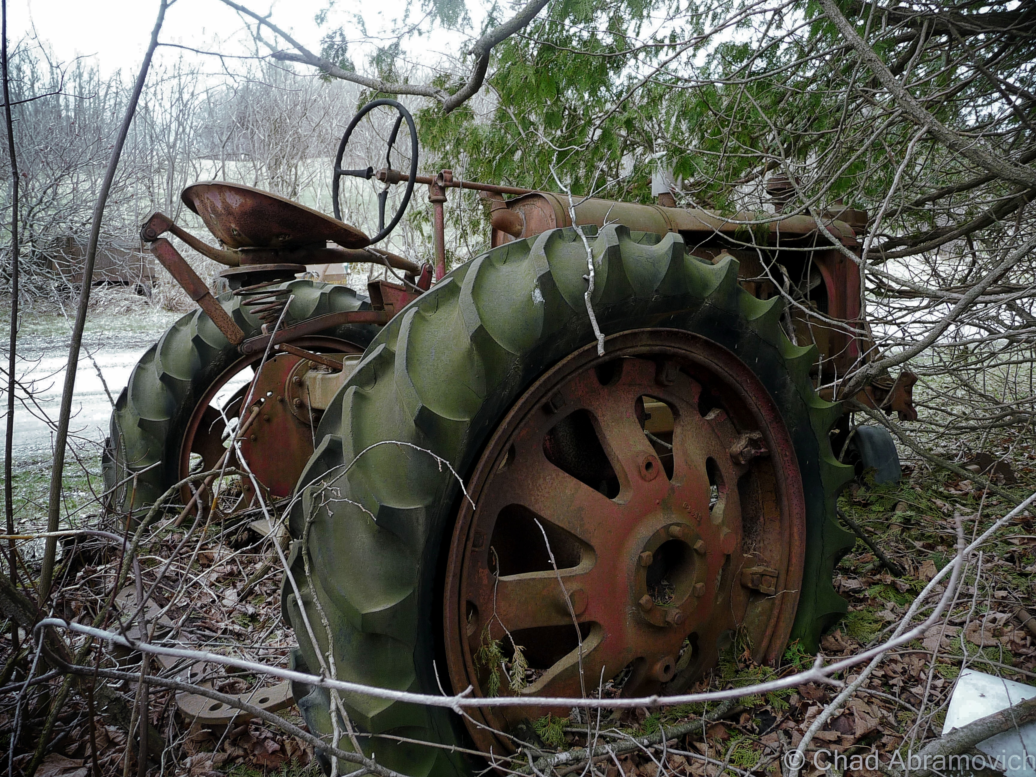
A lot less of Vermont is farmed now days, and much of the land has returned to forest, but these rusted and forgotten vestiges of the past still remain, now moldering in the silence of the wilderness. This particular junkyard had an eyebrow-raising amount of stuff brought there. Old tractors, snowmobiles, knob televisions, a Ford truck, religious paraphernalia, antique glass bottles, creepy childrens toys decaying in the weather, a small mound of old appliances, and so much more in depths farther down than I felt good about digging to reach. There is even rumored to be some traces of an old prohibition era still coffined back here, but there was so much to sift through, I probably wouldn’t have been able to recognize it if I was standing on it.

“I thought you’d like this, seeing how you’re into old stuff” said my friend as she went to unscrew the top from her iced tea, humorously not following me further into the collection of trash. “I figured I’d show you before I clean this all up”

“Oh, when is that happening?” I called out as I wobbled and stumbled my way over a mound of shifting garbage that squeaked and rustled underneath my crooked feet.

“Welllll…….one day.” she assured me, a tone of defeat in her voice.
dsc_0101_pedsc_0106_pe dsc_0109_pe dsc_0110_pe dsc_0111_pe dsc_0113_pe dsc_0115_pe dsc_0118_pe dsc_0119_pe dsc_0125_pe dsc_0128_pe dsc_0129_pe dsc_0131_pe dsc_0132_pe dsc_0133_pe dsc_0134_pe dsc_0140_pe dsc_0141_pe dsc_0144_pe dsc_0147_pe dsc_0150_pe dsc_0154_pe dsc_0156_pe dsc_0157_pe dsc_0160_pe dsc_0162_pe dsc_0165_pe

Further down the road, there was the most important cog in the farm machine, the dairy barn, which excited me lots because you never know what you’ll come across in an old Vermonter’s barn. Barns are vital storage spaces, workshops and in some cases, awesomely bizarre museums.

Traditionally, a Vermont farmer would put more money and effort into keeping up the barn than anything else they owned. So much, that many of them would let their houses fall into ruin if they had to make that hard choice of where to divvy up their cash. That even goes as far as the demolition process if the construction gets too far gone. As an old timer up in the Northeast Kingdom once explained to me; “Why tear down a perfectly good barn when it’ll just fall down when it’s ready?”

According to my friend and tour guide, the old barn was close to 100 years old, filled with accumulations of its years. As a side hobby, I’m a picker when my finances allow it, and I used to love shunpiking around rural Vermont and checking out barn finds, yard sales or whatever treasures or weirdness I could spot on our backroads, so I was already wondering what I’d find inside this old barn.

The fading red structure didn’t appear to be in bad shape, or really even abandoned. If I had just passed by, I’d probably thought it was just another working farm. We pulled over in some tall grass and began to tromp our way through the threshold.

I think barns and farms play some role in lots of Vermonters lives, even if you don’t have one of your own, chances are, you know someone who does. I remember my childhood of playing in my paternal grandparents’ dusty old barns on their farm up near East Montpelier, finding ones near Chittenden County to store our 78 Toyota Landcruiser in for the winter, and spending some of the best days of my youth riding my 4 wheeler through sugarbushes and meadows on a 250 acre farm and some of the most beautiful land I’ve had the privilege of having access to in East Wallingford. Now days, I’ve been apartment jumping around the Burlington area, but man, I wish I had a barn of my own where I could set up a workshop and have a place to do projects and space to store the 4 wheeler I would most definitely buy.

While I’m on the subject – do you folks know why red happens to be the ubiquitous choice of barn attire? Simply put – red paint is cheap. But the why behind that answer actually has to do with dying stars. Pretty much; red paint is made from Iron. Iron is created when a star eventually collapses. The ground is loaded with iron, or, an iron-oxide compound called red ochre that makes a good pigment. The ground is loaded with red ochre because when stars die, they explode, and physics decrees they generate a bunch of iron as the result, which is pretty cool.

The dusty whitewashed interior of the barn was pretty cool as well. In typical Vermont tradition, the old farmhands never threw anything away, so the spaces were stuffed with antique furniture, busted farm equipment, and some unexpecteds like a collection of bowling pins. I know barns usually lived double lives thanks to Yankee ingenuity, like this great story on State 14, of an old one in tiny East Granville that formerly was the town’s dance hall that the current owners wish to restore. Maybe these guys used their barn as a makeshift bowling alley to pass the doldrums?

Walking around through hay that stuck to my boots, I realized the barn was a little worse for wear than I had thought. Structurally, it’s wooden floors and walls were beginning their slow descent into wasting away, and some of the older items stored inside were rotting to a point beyond saving.

dsc_0310_pe dsc_0250_pedsc_0255_pedsc_0260_pedsc_0262_pedsc_0264_pedsc_0266_pedsc_0267_pedsc_0270_pedsc_0277_pedsc_0280_pedsc_0282_pedsc_0283_pedsc_0285_pedsc_0287_pedsc_0290_pedsc_0292_pedsc_0297_pedsc_0298_pedsc_0300_pe

While I was writing up this post, I remembered another old barn I had checked out many years ago, and decided to dig up the old photos. I want to say these were taken by an insecure me with my Nikon point and shoot, around the spring of 2010. I figured I’d include them in this post as well. It’s sort of funny how years ago, I thought the only way I would be any good at photography was to get myself a top-grade camera, but looking back, I think that heading out with my old point and shoot actually forced me to become more creative and observant with a limited focal distance and zoom range. Man, young Chad had so much to learn. The equipment sure helps, but it’s really the photographer behind the gadgets that makes the difference.

During that spring, I needed to get out of the house to clear my head, and one of the best ways for me to do that was to go shunpiking – one of my favorite activities still.

I found myself on some swampy backroads up in Franklin County. With the windows down and the wet Spring perfume coming through, I found myself passing by an abandoned farm, and next door, a rundown ranch house where the owning family still dwelled.

They agreed to let me skulk around their abandoned farm, but their elderly teenage son thought I was a weirdo for being interested in their place. Well, I am a weirdo, but I’ll never forget his furrowed eyebrow look and accompanying chuckle. According to him, the town actually condemned their old farmhouse when it began to violate building codes as it aged. So they moved into the ranch next door, which honestly didn’t look much better.

The best feature of the property was a tumbledown dairy barn covered in gray decay. The ramshackle structure was worth the potential threat of tetanus. The interior was filled with the debris of century old farm equipment, hidden doors and other relics. Like a beautiful antique sleigh.

I even found a century plus old book underneath some floorboards in an abandoned barn, which raised a few questions. Why was this book concealed under the floor? What else was below my boots?

I’m not into theology, but it was pretty cool. As a graphic design major, I really appreciated the headlining typography. Finding old religious paraphernalia hidden in Vermont buildings isn’t rare it seems. Around the same time, an acquaintance I knew found someone’s leather bound, ornate family bible from 1848 under his floorboards, along with a handgun and the skeleton key to his basement door, which they had never been able to access until then. The decaying book was scrawled with various notes and births/deaths of a family who used to live in his old house in Milton. The place was built in the 1840s as a hotel, and also functioned as a bar, vaudeville theater and silent movie house and an odd fellows hall, before being converted into shoddy apartments.

p1020221_pe p1020230_pe p1020239 p1020240_pe p1020243_pe p1020250_pe p1020251_pe p1020252_pe p1020254_pe p1020257_pe p1020259_pe p1020260_pe p1020261_pe p1020262_pe p1020263_pe p1020264_pe p1020268_pe p1020273_pe p1020280_pe p1020283_pe p1020284_pe p1020286_pe p1020288_pe p1020290_pe

—————————————————————————————————————————————–

To all of my fans and supporters, I am truly grateful and humbled by all of the support and donations throughout the years that have kept Obscure Vermont up and running.

As you all know I spend countless hours researching, writing, and traveling to produce and sustain this blog. Obscure Vermont is funded entirely on generous donations that you the wonderful viewers and supporters have made. Expenses range from internet fees to host the blog, to investing in research materials, to traveling expenses. Also, donations help keep me current with my photography gear, computer, and computer software so that I can deliver the best quality possible. Seriously, even the small cost equivalent to a gas station cup of coffee would help greatly!

If you value, appreciate, and enjoy reading about my adventures please consider making a donation to my new Gofundme account or Paypal. Any donation would not only be greatly appreciated and help keep this blog going, it would also keep me doing what I love. Thank you!

Donate Button with Credit Cards

Gofundme: https://www.gofundme.com/b5jp97d4


The Vermont Character: Coffin Windows

One of my favorite pieces of Obscure Vermont is a mixture of architectural vernacular, and good old fashioned Yankee Ingenuity.

Do you see the diagonally tilted window placed in the gable end of this old farmhouse with its long edge parallel to the roof? A lot of people, Vermonters or flatlanders, seem to be flummoxed about these peculiarly slanted windows. That’s because their orientational existence isn’t found in any other states (though someone did tell me that they think they saw one somewhere in New Hampshire not too long ago.) To add a bit more rapturous froth to the isolated mystery, our Vermont parlance labels them “coffin windows”, or sometimes “witch windows”, depending on who you are I guess. Growing up, my mother would always point them out as “coffin windows” whenever we would take a trip out of suburban Chittenden County to more rural parts of the state, where older structures far outnumbered the new. I wasn’t introduced to “witch windows” until much later.

The etymology behind the monikers vary, and can’t really be traced back to a materialized point of origin.

Going alphabetically – it’s said these are called coffin windows because if a family member died upstairs, it was far easier to maneuver the needed coffin out the window and slide it down the roof as opposed to figuring out just how to haul it down a steep and narrow Vermont farmhouse staircase. And trust me, some of them are very steep and narrow to a point of over-cautiousness when walking up or down one – enough for me to sympathize with anyone who would groan at the prospect of dragging anything up or down them.

The name witch window gets a bit more on the superstitious side. It’s said that an old belief was that a witch couldn’t enter your dwelling through a crooked window or opening. A similar superstition that comes to mind is how the ancient Chinese thought bad spirits traveled in straight lines, so their architecture took on steeply peaked rooflines.

I know old Vermonters were a superstitious bunch. Our collective state history and folklore include such grim things as incriminating real people accused of Vampirism, or desecrating the graves of dead people accused of postmortem vampirism (our most famous Vampire execution was a man named Corwin, whose remains still loam underneath Woodstock’s boat shaped town green).

But witches? There isn’t much known on how scared Vermonters were of witches, leaving this as intriguing speculation. However, I was able to dig up a small number of succinct accounts in old state newspapers around the late 1700s and early 1800s of various Vermonters who locals suspected were witches, but in reality were probably nothing more than eccentrics living in a more narrow-minded time. One article amusingly reported that a Stowe woman was blamed for making several farmers’ milk cows run dry.

A more practical theory and probably the most likely of the three, was that these windows were a creative solution to let light into the cramped spaces upstairs. Gables didn’t often leave rooms for traditional sized windows and poor farmers didn’t want to spend the money on drafty dormers or getting a custom window made – which was a costly purchase many families couldn’t afford. They also enabled fresh air and ventilation to keep the house inhabitable. Though there are far more scolding environments than Vermont, our summers do get pretty humid, and the upper floors of an old house easily turn into ovens. 

Further down the line, these windows adopted yet another sobriquet with less dour and more civic pride; Vermont Windows. Though I haven’t heard that term nearly as much as the afore-referenced other two. 

In a world that loves things to fall into human-made symmetry, who knew that a window installed at a tilt could conjure up so many declaratory ideologies.

It seems that these windows have a bit of cool fanfare behind them, apart from your blogger. Some cool individual even made an Instagram account dedicated to them!

Route 100 in South Duxbury
Found one in this abandoned farmhouse I was exploring.
East Calais
Calais
Calais
South Woodbury village
Peacham
Turkey Hill in Northfield.
Warren village
Warren Village
Cornwall
DOUBLE coffin/witch windows in Stowe! I guess these folks didn’t want to take any chances just in case a pesky witch decided to curse them.

Any of you folks know of a coffin window near you? Let me know! I love road tripping around Vermont, and I always make excuses to shunpike somewhere!

—————————————————————————————————————————————–

To all of my fans and supporters, I am truly grateful and humbled by all of the support and donations throughout the years that have kept Obscure Vermont up and running.

As you all know I spend countless hours researching, writing, and traveling to produce and sustain this blog. Obscure Vermont is funded entirely on generous donations that you the wonderful viewers and supporters have made. Expenses range from internet fees to host the blog, to investing in research materials, to traveling expenses. Also, donations help keep me current with my photography gear, computer, and computer software so that I can deliver the best quality possible. Seriously, even the small cost equivalent to a gas station cup of coffee would help greatly!

If you value, appreciate, and enjoy reading about my adventures please consider making a donation to my Paypal. Any donation would not only be greatly appreciated and help keep this blog going, it would also keep me doing what I love. Thank you!

Donate Button with Credit Cards

Gofundme: https://www.gofundme.com/b5jp97d4


Milton Mysteries: The Tunnel Underneath Main Street

This old postcard may be one of my favorite finds from the Milton archives. Published by Raymond A. Coburn, who owned the pictured general store in Milton from 1908 until the flood of 1927. This image of “downtown Milton” depicted a cartoonish almost satirical image of what town had the possibility to be like in the future. That vision included blimp taxi service to South Hero, which I still think would be sort of cool. Today’s Milton of the future has a CCTA bus line. | photo: Milton Historical Society.  

My thoughts on Vermont weirdness often drift back to Milton, my former hometown. I suppose this is where I would further enhance that sentence with an explanation, but to be honest, I’m having trouble coming up with an angle on this. It’s where I grew up, and something about spending a third of my life there has just tattooed it into my framework. It’s where my love of the weird and the offbeat began from inside a quiet suburban bedroom, and began to proliferate outwards – which would become one of my most distinguished aspects of my personality, and why this blog now exists.

I often tote the Milton Creamery as the first abandoned building I've ever explored and became fond of, but more accurately, it was this ramshackle barn on the North Road I used to pass when I'd ride the school bus home. As a kid, I awarded it the moniker;
I often tout the Milton Creamery as the first abandoned building I’ve ever explored and became fond of, but more accurately, the first forsaken place I would ever lay eyes on was this ramshackle barn on the North Road I used to pass when I’d ride the school bus home. As a kid, I awarded it the moniker; “the broken barn”, which wasn’t all that creative but oh well, at least it was memorable. My mom was even cool enough to drive a little 6 year old me there a few times so I could explore it. Today, the faded relic is barely recognizable as the forest has almost consumed it. This was taken circa 1994, and is a scanned photograph.

As I grew older, I let my burning curiosity get the best of me, and began writing down all the urban legends and stories from my childhood, and all the accounts told to me over the years. This was a ritual I began to love, because I was quickly finding out that Milton was a fascinatingly storied town!

Its geographical area is unassumingly large, ranking 10th largest in land area and 8th in population (10,352 bodies at the 2010 census). All of that space is a perfect for hemming in obscure things and historical oddities. In the 1920s, aviation enthusiast and innovative inventor Paul Schill built an airport in town, where Sears and Ace Hardware are today (which accounts for the pancake flat plot of land along Route 7). But his goal of putting Milton on the map as an aviation manufacturer hot spot died in the beginnings of the great depression after he declared bankruptcy. In the later half of the 20th century, we were one of the premier racing towns in the northeast, with the Catamount Stadium (something I’d love to write about in great detail) and a drag strip drawing enthusiasts from around the region. These things have also became faded ghosts with the changing of the times.

Over the years, Milton would be a place where I would begin to shake hands with a lot of ghosts. Some were metaphorical; conjured from inflicting wounds laid upon to me. I began learning a lot about my Aspergers diagnosis in this town and still remember my lonesome youth rolling and stumbling, figuring out how I processed information in different ways from the rest, and how I often felt powerless because I didn’t feel like I understood the world around me, learning the rules out with the wolves.

But some of these ghosts were real. A former friend once told me about how their Bert’s Mobile Home trailer was haunted by the ghost of a little girl, who particularly liked a long narrow hallway connecting the bedrooms behind the living room. Though I’ve spent quite a bit of time there in my past life, I never had a run in with her. But I do recall the hallway always being dark and creepy, even during the day, which is a good breading ground for spook stories. When I asked the family about the girl, it became more complex and amorphous like these stories always tend to do; there were no records of any young girls growing up or dying there, making this story a weird mystery. But, they somehow knew she was there.

There is said to be a house on Main Street where things literally go bump in the night, perhaps because it used to be a funeral parlor in the last century. Weird lights and objects in the sky have been reported around 900 foot Cobble Hill for a few decades, and local lore tells of a haunted island in man-made Lake Arrowhead where a young woman was murdered by her jealous stricken husband in the late 30s, when he became enraged after the men of town kept admiring her. And, I’ll always remember this arbitrary point of non-trivia about Hobbs Road. Though the paved thoroughfare was named after a farming family, my friend once joked to me as he was reading the directions I wrote down so he could find my house; “I noticed that your neighborhood was off Hobbs Road…did you know that Hobbs is an old name for the devil?”

The more curious I became, the more I began to take comfort in the quiet company of weirdness and lore. Some mysteries I would have the pleasure of investigating, others still remain lost somewhere in the haze. Either way, both sets of ghosts would successfully haunt me for years to come.

Underneath The Ground

One of the most impressionable stories from my childhood told of a clandestine tunnel that started in the basement of the Joseph Clark mansion and ran underneath several old homes on Milton’s Main Street.

The stately Joseph Clark mansion, perched on a slight rise above Route 7, used to be the town offices and library back in the 1990s, which was the time when I picked up on the story. According to some, one of the house’s long dead builders is still there, and may be responsible for the next part of the story.

Kids in the library used to do what kids do best, and venture into places they weren’t supposed to. One of those places was the tunnel. But some would come running back up the stairs, visibly shaken, and tell the librarian that they were chased away by a man in the tunnel they thought was a security guard, whose presence was announced by the sound of heavy footsteps approaching them and then a glimpse of his tall dark form. But, the librarians would be confused and explain that the library had no security guard.

Unfortunately, that was where the story went cold. Was there really a tunnel underneath Main Street, connecting many of the town’s oldest homes together? If so, what was it used for? Popular theories guesstimate that it was constructed for use in the underground railroad.

Lorinda Henry of the Milton Historical Society was kind enough to sit down with me and help me in my search for answers. Meeting in the Milton Museum, which is pretty much the town attic that sits in an old church, we dug through countless unlabeled binders and boxes, but sadly, any information containing the tunnel wasn’t in their archives, or had long been lost. But the builder of the Clark mansion, however, was well documented.

The Joseph Clark Mansion
The Joseph Clark Mansion | Photo: UVM Landscape Change Program

After Milton’s official chartering in 1763, settlement was lackluster for the next 30 years. West Milton on the lower Lamoille banks, became the first part of town to be developed. A few miles up the river was a part of town that was known as Milton Falls, which would be the area around present day Main Street. In 1789, Elisha Ashley would survey the first east-west road in the Milton Falls section of town, by running a straight line from the Westford/East Road intersection, to a stump on the Lamoille River. Noah Smith, one of Vermont’s first lawyers, owned most of the land around what would become Main Street and Milton Village.

Joseph Clark was one of the earliest settlers in town, and his business endeavors made him both one of the wealthiest and most influential residents in Milton. He came to Milton in 1816, a year known by Vermonters as eighteen hundred and froze to death, because of the unseasonably frequent snow and frosts that caused widespread crop failure across the northeast. It’s no surprise that some superstitious Vermonters saw this as the coming of the end of the world.

But while the crops were failing, Clark and his partner Joseph Boardman saw opportunity in the rich pine forests that covered most of Milton, and hired crews to harvest the fine timber. The logs were floated up Lake Champlain to Montreal, before they were shipped to England, many to become used by the Royal navy. By 1823, he would purchase a sawmill in West Milton to process the raw timber. But by 1830, woodlands were replaced by agricultural land, and Clark decided to invest in other opportunities. He would build a gristmill in Milton Falls, then move into the brick mansion on Main Street that now bears his name. Later, he would build himself a two story brick office building where Main Street meets River Street, today’s Route 7. Clark’s move and investment in Milton Falls would lure more people and business endeavors there, and make that the new hub of town.

Joseph Clark's Gristmill, where present day Ice House Road runs over.
Joseph Clark’s Gristmill, where present day Ice House Road runs over. | Photo: UVM Landscape Change Program

Here, the Lamoille River and gravity worked together to form about 5 waterfalls in a few miles of one another constricted in a rocky gorge, before relaxing at West Milton. These falls were ogled and soon sought after for industry. Some however also envisioned bravado and a way to kill boredom. In the 1800s, a growing number of young people in the northeast were jumping in barrels and going over any waterfalls they could find, which would achieve both getting mentioned in the newspaper and sometimes death. I once heard many years ago that around that time, a local boy and self-described dare-devil went over Clark’s Falls in a barrel. But to my huge disappointment, I couldn’t find any verification or information on this man or his leap over the falls. I liked that anecdote enough to include it in this entry though.

Railroads were rapidly spreading their steel arteries across the United States, bringing people, opportunity and growth with them, and because these things were vital for business exploits, this caught Clark’s attention. Partnering with John Smith of the Central Vermont Railroad, they worked to get some tracks built through Milton. In 1845, Milton had a rail line and accompanying train station, and that benefited the town greatly. After the civil war, the railroad brought vitality to the town’s burgeoning summer tourism industry and industrial mainstays like the former Creamery, a building which has shaped my love of exploring and photography.

Clark would continue to remain active in town affairs until his death in 1879. The house was passed down to family members until 1916, when Joseph’s granddaughter, Kate, deeded the house to the town of Milton to use as the town offices, and remained so until 1994 when it was reverted back to a private residence.

Lorinda speculated that the former gristmill behind his mansion could have warranted the construction of a tunnel, which would have sat where present day Ice House Road is. The house was built on a slight ledge, which would have made the tunnel a more convenient way to travel from one place to another, especially in the grueling Vermont winters. But there was no way to know for sure.

The mill and most of the development near the river were washed away during the flood of 1927, making investigations almost impossible.

It was later told to me that someone knew of a “thick iron door” found in the basement of Joseph Clark’s former office building on the corner of Route 7 and Main. This was one of the few buildings on River Street to survive the flood of 1927, so that claim seemed pretty credible to me. (But if it were built at a later date, I would be really curious about that mystery as well)

Joseph Clark's Office Building on the corner of RIver St (Route 7) and Main. Milton denizens today may recall it by it's former reincarnation, as Irish Annie's Pub.
Joseph Clark’s Office Building on the corner of River St (Route 7) and Main. Milton denizens today may recall it by its former reincarnation, as Irish Annie’s Pub, which was sort of a hole in the wall affair where the brick facade almost fell into the road a few years ago. | Photo: UVM Landscape Change Program

Geography would aid me here. The building was built into a ledge that forms the beginning of Main Street hill. Right above sits the Clark mansion. This means that a door in the basement wall would have lead to some sort of subterranean chamber, which may have been a tunnel.

The historical society told me of a former resident and her mother who once lived there, and claimed to have seen the iron door themselves. The facts seemed to be finally adding up here, but it seems my request for information was a few years too late. The building has since been sold, and it’s current owner denies the existence of a door firmly and doesn’t want to talk about such things. I attempted to reach out to the previous owners who brought forth the iron door sighting, but they had told the historical society so long ago, that their contact information had since vanished.

The Irish Annie's building (now vacant) - where the supposed iron door is said to be. Main Street is to the right, which runs up the hill. The Clark Mansion sits behind it.
The Irish Annie’s building (now vacant) – where the supposed iron door is said to be. Main Street is to the right, which runs up the hill. The Clark Mansion sits behind it. Photo: Google.

Another suggestion illustrated that the tunnel once ran all the way up the hill to the abandoned creamery on Railroad Street. And sure enough, there is a walled up door in the basement that once did lead to a tunnel. Could this be the proof I was looking for? I did a little digging around (literally), and talked to a former employee. As it turns out, the door did lead to a tunnel, but it wasn’t the tunnel. It ran significantly shorter, just over to the brick building next door which was also owned by the creamery at the time (now converted to a private residence). But that tunnel also had its notoriety. Former creamery employees and older Miltonians wistfully admitted that they used to sneak down and party in that tunnel, those shindigs usually included spirits and cigarettes, while the creamery was in operation and even in the years after it’s closing.

The Creamery Tunnel, sealed off at it's other end.
The creamery tunnel, sealed off at its other end.

The tunnel story seemed to be disappointingly falling apart. Though it was cool to think about – practically, it didn’t make sense. If we stick to the theory of a tunnel running all the way underneath Main Street, why would such a long tunnel need to be constructed? What was it’s purpose? To further deteriorate the story, the stately homes on Main Street were all built around different times, meaning their construction most likely didn’t accommodate the existence of a tunnel. And to prove this, I had spoken with a few Main Street residents who had never even heard the story of the tunnel, but all assured me the only way into their homes were through the front or back doors.

Vicious Waters and Dislocation

It wasn’t until some time later, after this project had been pushed to the back of my to-do list that something came up which immediately pulled it from memory. A Facebook commenter who knew that I was attempting to get to the bottom of this sent me a message and shared a personal account with me. As a kid in 1960s Milton, he used to play with his buddies down near the river, and he recalled seeing a cave like opening set back in the cliffs near the dam. Popular labeling at the time dubbed it as a tunnel. He even remembers his parents admonishing him and telling him not to go near it because it was likely to be dangerous. He never did, but speculated that it may be what I’m looking for. He also said that some of his friends claimed to get inside, but couldn’t recall any more than that. For all we knew, they may have been embellishing the truth.

One gloomy summer afternoon in August, I set out with a few friends to dig around the Lamoille banks, trying to find the telltale opening. That part of town has long been awarded an odd moniker by local youth who call it The Vector, which is a robust sounding name, but I can’t seem to relate it’s actual definition to the rocky gorge spanning from the Route 7 bridge to the bottom of twisting Ritchie Avenue. But the name has proven very successful at sticking into the flypaper of local culture. I grew up knowing that area as The Vector, and still do.

An early stereoscope view of the area known as The Vector, early 1800s, before the dams and industry. The Lamoille River gorge was a wild place. Photo: UVM Landscape Change Program
An early stereoscope view of the area known as The Vector, early 1800s, before the dams and industry. The Lamoille River gorge was a beautiful wild place. Photo: UVM Landscape Change Program
Early explorers on the Lamoille River near Milton Falls, early 1800s. Photo: UVM Landscape Change Program
Early explorers on the Lamoille River near Milton Falls, date unknown. Explorer Samuel De Champlain called the river la Mouette, from all the gulls he saw when he navigated it, but it’s solidified name came from an error years later when an early map maker forgot to cross his t’s. The waterway is the only Lamoille River in the world. Photo: UVM Landscape Change Program
Ritchie Avenue is one of Milton's more impressive thoroughfares. The quiet road follows the pools of the Lamoille River before dropping down a series of ledges offering great views of the Lamoille and the towns rolling hills that stretch out to Lake Champlain. The distracting road was built to accommodate the construction of a pulp mill down in the vector, which once employed over 100 people. A strike in 1925 closed it, and the flood of 1927 destroyed it.
Ritchie Avenue is one of Milton’s more impressive thoroughfares. The quiet road follows the pools of the Lamoille River before switchbacking down a series of ledges yielding great views of the Lamoille and the low profile hills that undulate to the shores of Lake Champlain. The distracting road was built to accommodate the construction of a pulp mill down in the vector in the early 1900s, which once employed over 100 people who all built homes in town, which accounts for why so many houses on upper Cherry Street look similar. A strike in 1925 closed it, and the flood of 1927 destroyed it. Most of the area has been transformed into a kayak launch area and substation for Green Mountain Power, but some of the twisted remains and chunks of brick walls from the old place can still be seen at the bottom of the hill. I used to hang there as a teenager and explore the river’s islands, caves and rapids. | Photo: UVM Landscape Change Program
The incline railroad that carted lumber at the pulp mill, ran up the steep banks and towards where present day Mackey Street is. Years and years ago, someone told me that one of the rods or bolts from the supports could still be seen in those woods today, if you know where to look. But I can't verify this, as I haven't been able to find it.
The incline railroad that carted lumber at the pulp mill, ran up the steep banks and towards where present day Mackey Street is. Years and years ago, someone told me that one of the rods or bolts from the supports could still be seen in those woods today, if you know where to look. But I can’t verify this, as I haven’t been able to find it, which sort of makes this a similar tantalizing mystery like NYC’s Central Park and the famous lost survey bolt from it’s creation. | Photo: UVM Landscape Change Program

While doing our amateur urban archaeology, we found a surprising amount of items along the river banks, in the waters and even stashed in crevices that ran like veins through the crumbling rock ledges. Broken pieces of China plates, old glass bottles, rusted tools and even the remnants of an old truck lay trashed down in the rocky gorge, things that blurred the lines of being considered an artifact or garbage.

I knew this area was hit hard during the flood of 1927 and artifacts, cars and even entire homes were swept up in swollen brown tides down this part of the river, depositing much that still rests below wet rocks and Hemlock trees today. I even was able to dig up old newspaper accounts that were printed when the disaster was happening. One vivid memory was reported by a woman, who watched an entire house be swept down the river, almost entirely intact. She said she was able to look inside a broken window and see someone’s bed that had been turned down, as if the person was just about to turn in for the night.

The flood of 1927 is mentioned frequently in conversation of Vermont history, as the flood completely rearranged Vermont culture and infrastructure, and the after-efforts built much of the state we know today. The UVM Landscape Change Program archives had lots of photos of Milton pre and post flood, which gave me a startling impression of what was lost. This is the former town square, Milton's
The flood of 1927 is mentioned frequently in conversation of Vermont history, as the flood completely rearranged Vermont culture and infrastructure, and the after-efforts built much of the state we know today. The UVM Landscape Change Program archives has lots of photos of Milton pre and post flood, which gave me a startling impression of what was lost. This is the former town square, or “Downtown Milton” (1890). Joseph Clark’s office building can be seen on the immediate right, and was the only building in this photograph to survive the flood and exist into present day Milton. Phelp’s Store, which wasn’t photographed, also still stands underneath modern day red vinyl siding. Today, Route 7 is more or less, built right over this area.
Starting on November 2nd, an estimated four to nine inches of rain drenched Vermont and turned rivers into raging destructive torrents. Because it was late Autumn, the dry ground was unable to absorb the water. Soon, Milton residents watched as the Lamoille River turned River Street into an accurate description of it's name. Photo: UVM Landscape Change Program
Starting on November 2nd, an estimated four to nine inches of rain drenched Vermont and turned rivers into raging destructive torrents. Because it was late Autumn, the dry ground was unable to absorb the water. Soon, Milton residents watched as the Lamoille River turned River Street into an accurate description of it’s name. Photo: UVM Landscape Change Program
Flood waters on River Street in Milton, 1927. Photo: UVM Landscape Change Program
This is one of my favorite photos I was able to dig up, because it awesomely depicts the destructive powers of nature. In this blurry shot, it shows the Star Theater sink and wash away before a crowd of onlookers. Photo: UVM Landscape Change Program
Post flood damage. Photo: UVM Landscape Change Program
By November 5th, it was over, and the post flood damage was phenomenal. Photo: UVM Landscape Change Program
The remodeled town square after the flood, with Joseph Clark's office building and Phelp's store the only surviving buildings. Photo: UVM Landscape Change Program
The remodeled town square after the flood, with Joseph Clark’s office building and Phelp’s store the only surviving buildings. The Gold Medal Flour advertisement on the back of Phelp’s Store survived until the building was renovated years ago, and sadly sided over. Photo: UVM Landscape Change Program
One of more popular tales of Milton lore is of the village underneath Lake Arrowhead. Basically, people claimed that downtown Milton was flooded underneath the lake when it was built, meaning there are a collection of soggy farmhouses at the bottom of the lake. As a kid, I even heard stories of scuba divers diving into the lake and setting foot on the roof of a house. After extensive digging, I was able to find this picture. This shows River Street, or Route 7 north of the bridge, which is now the Lake Arrowhead Causeway. These houses all sat where Route 7 is now.
One of the more popular tales of Milton lore is of the village underneath Lake Arrowhead.Basically, part of old Milton still remains below the lake after the area was submerged. As a kid, a friend’s mom told me that she knew someone who scuba dived down to the bottom and set foot on the roof of one of the old houses, which I thought was incredible. Then I would find this picture, which would offer some clarity to my fascination. This shows River Street north of the falls. The buildings pictured would be all underwater today, near where Route 7 runs along the lake. When plans to flood the area were made known, homes and businesses were moved and the new road would be built atop a raised dirt bed 90 feet high, still refered by old timers as “the fill”. But local lore maintains that some properties that were too damaged by the flood, somehow weren’t hauled off, and remain at the dark soggy bottom today. If there is in fact stuff down at the lake bottom today, I’m sure it would be in pretty rough shape, but with other stories around Vermont of sunken villages, would also be believable.| Photo: UVM Landscape Change Program.
In 1936, The Public Electric Light Company began constructing a dam above Clark's Falls, which would create the 750 acre Lake Arrowhead and provide a source of hydroelectricity. At the time, the Burlington Free Press lauded it as a technological marvel.
In 1936, The Public Electric Light Company began constructing a dam above Clark’s Falls, which would create the 750 acre Lake Arrowhead and provide a source of hydroelectricity. At the time, the Burlington Free Press lauded it as a technological marvel.| Photo: UVM Landscape Change Program
Luman Holcombe, a longtime Milton resident and respected community physician, was the one who suggested the name
Luman Holcombe, a longtime Milton resident and respected community physician, was the one who suggested the name “Arrowhead Mountain Lake” in 1937, because on still days, the reflection of nearby Arrowhead Mountain in the water forms to make an arrowhead. The cluster of trees in the middle of the lake are growing from the allegedly aforementioned haunted island. I also like the boats in the picture. The lake is a relatively dead place now days.| Photo: UVM Landscape Change Program

A better understanding of the flood also gave me a better understanding of the area I was going to explore. Not surprisingly, its popular with people who like to metal detect who are still finding things transplanted from the flood and years onwards, so seeing all of this rubbish down there wasn’t a shocker. But something didn’t quite fit. One odd find was that a certain crevice seemed to be filled with trash – but it was put there by someone. This wasn’t naturally occurring. Someone had been down there at one point, trying to fill it up…

After a while of picking at the pieces and dislocating rocks, we were able to catch a peek deeper into the crevice, which expanded far back into a dark rocky chasm. It was evident that there was, in fact, more to see, and it did extend backwards, but I knew it wasn’t what I was looking for. Granted, the space had long been filled in by dead leaves and garbage, but it seems too narrow for what could be considered a tunnel. No man could seemingly fit back there, without the aid of tools and a great deal of ensuing noise. Either way, I stopped my efforts.

DSC_0878_pe
The collection of items we were able to dig out of the crevice in the cliffs. All of the following photos were taken in the dying days of summer, 2014.

DSC_0874_pe DSC_0884_pe DSC_0886_pe DSC_0887_pe DSC_0891_peDSC_0873I came up empty on August’s exploration, but in October, another lead would unexpectedly manifest itself, and it was promising. Meeting up with childhood friend Zach, I found myself in a location I normally avoid, a hole in the wall bar and pool joint in Essex Junction.

I was there to speak with a friend of Zach’s, someone who grew up in the Clark mansion and knew the building well. The house still belongs to her family today. When Zach had mentioned I was interested in the Clark tunnel, she said she needed to meet me in person.

And, she happened to be the bar tender who served us our drinks. Those who know me well are aware of the great cosmic relief that I often feel far more in my element in a location that is “off limits” to society, as opposed to legally being inside a dimly lit bar  underneath a perfume of cigarettes and sweat. But she was all smiles, and her enthusiasm put me in a good mood. “Oh man, that house is definitely haunted!” she exclaimed. Though that wasn’t exactly my crux, I had to chuckle. “As the story goes, the house might be haunted by Joseph Clark?” I questioned, now amused.

“Nope” she replied. “We actually think it’s a woman”. Old records state that Clark was once married to a Colchester woman; Lois Lyon, which possibly could explain this. Over the years, she and her family have heard the sounds of high heals clacking on hardwood floorboards upstairs, and of course, whenever one would go and investigate, the second floor would be empty. She also recalled the upstairs being creepy as a kid, a place she wasn’t all that fond of hanging around in. Other accounts like phantom cold chills and the unmistakable feeling of being watched upstairs she also said were pretty common. But damn it, was there a tunnel? 

Much to my pleasure, the mystery was finally confirmed. There was a tunnel, and she has seen it! Now to get to the bottom of things.

Opacity 

In the cellar walls of the Clark mansion is the clear outline of a door that sits well below the grassy lawn, now sealed up. But the distinctive outline of a door cleared up all skepticism. Also in the basement was another relic I found to be very cool – a massive cast iron safe that once belonged to Joseph Clark still sat in the wall. Though much of the mansion had been renovated over the centuries due to its many reincarnations, a few authentic pieces of the place still remained. She explained to me that the tunnel had to be sealed up, because local kids kept getting into the tunnel and using that as passage inside the building, where they would steal and break things. This happened even after the building reverted back to a private residence in 1994, so actions finally had to be taken. What a shame. By now, the tunnel is more or less unsafe to enter as well, due to neglect over the years.

However, I don’t want to deceive you folks. This information was directly given to me from the niece of the current building owner, that owner also declined my phone calls to seek a tour of the place, which disappointed me a bit.

So the fabled tunnel is now proven to exist. But where does it go? It runs down to the basement of the defunct Irish Annie’s Pub at the bottom of the hill. Its original purpose was so that Joseph could travel from his office to his house conveniently, but over the years, it’s very nature of being direct and discrete inspired a few other uses. During prohibition, it was reinvented as a smugglers’ tunnel, which allowed rum runners to transport goods into a speak easy that once operated out of the basement of Irish Annie’s. Astonishingly, the remnants of the actual speak easy can still be seen today below the building, which really hasn’t changed all that much. The basement is a traditional old Vermont cellar, low ceilings, stone walls, and filled with things that crawl. The old iron door into the tunnel is still there too, the very door I was told about so long ago.

Were there other tunnels? Maybe. But the affor-mentioned flood of 1927 and post-reconstruction completely wiped any other leads I could possibly have. And as for that tunnel or cave near the Vector, I wasn’t successfully able to find that either. Perhaps something is still there, just filled in with erosion or a rock slide over the years. Though my lead at The Vector was a bit of a disappointment, I soon found out about other caves in the gorge with their own lore. Some rumored to be the hideouts of smugglers in the embargo act days of the 1800s and dry 1920s, and transitioned as hangouts by local youth and now, cavers looking for a thrill. Some are only accessible by kayak, weather permitting, and offer creepy claustrophobic excursions into dark spaces.

This blog entry has been one of my favorite pieces to write so far. By trying to do research on what I assumed would be a straightforward topic, I kept stumbling on more information and stories that continued to morph and blurred whatever side of the line between reality and fantasy you wanted to be on, far too many for your blogger to fit in this already lengthy article.

One night while sitting in the living room of a former friend’s house, his dad told me their old farmhouse was built in the early 1900s, out of an old barn built in the 1800s, and was dragged to Milton by oxen from its former position where the airport in South Burlington is now. I guess the house contained many other cool details, but sadly we’ve since lost touch.

Another favorite find of mine was a few years back, when a WW2 medal belonging to a Nebraska man was found stuffed in a VCR cassette and stashed inside a tree. No one knew exactly how the medals ended up in Vermont, or why.

Milton is a cool town, and the people who live their have their share of extraordinary stories. I have quite a few other Milton points of interest and esoterica that I plan on writing about in the future. Until then, thanks for the inspiration Milton.

————————————————————————————————————————————————————

If you missed it, I was recently interviewed by Stuck In Vermont and Seven Days. If you’d like to learn a little bit more about your blogger, feel free to check out my interview.

—————————————————————————————————————————————–

To all of my amazing fans and supporters, I am truly grateful and humbled by all of the support and donations through out the years that have kept Obscure Vermont up and running.

As you all know I spend countless hours researching, writing, and traveling to produce and sustain this blog. Obscure Vermont is funded entirely on generous donations that you the wonderful viewers and supporters have made. Expenses range from internet fees to host the blog, to investing in research materials, to traveling expenses. Also, donations help keep me current with my photography gear, computer, and computer software so that I can deliver the best quality possible.

If you value, appreciate, and enjoy reading about my adventures please consider making a donation to my new Gofundme account or Paypal. Any donation would not only be greatly appreciated and help keep this blog going, it would also keep me doing what I love. Thank you!

Gofundme: https://www.gofundme.com/b5jp97d4

Donate Button with Credit Cards

Face Value: The Bellows Falls Petroglyphs

Bellows Falls is a great village, and has a history that goes back to it’s Abenaki populace who were lured here by the great falls, extends past White settlement who built an industrial canal to bypass the affor-referenced falls and continues today through its resurrection as a tourist area and waypoint community for the Connecticut River Byway.

There is a cool mid-century mural painted on a wall downtown that nostalgically reads Bellows Falls is a good place to hang your hat. It’s also apparently a good place to chisel your petroglyphs.

They’re a Vermont curiosity that’s surprisingly unknown to many. In the olden days, quite a few folks flocked to these strange petroglyphs and tried to decrypt them, but to this day, they’re still managing to confound those that know about them.

Stirring the mystery even more, local native Americans aren’t fessing up to doodling them, and have no idea who did, or what they’re supposed to mean. So how did they get here, and why?

The Bellows Falls petroglyphs are located on a few large boulders found in the dramatic gorge below the defunct Vilas Bridge.

Basically, the carvings are an arrangement of rough circles with three dots inside, with some containing pairs of lines that radiate out from the top. It’s surmised that they depict a cluster of 24 odd sized faces, but there is some disagreement on exactly what they are, with arguments for human, animal, extraterrestrial, or other. The lines atop the circles prove to be just as interesting. It’s said that they could be anything from hair of that era, feathers from headdresses, deer antlers, sun rays, or alien antennas. But no one can say for sure.

We don’t even know how old they are, with estimates ranging from 300 to 3,000 years old – some considering them the oldest pieces of art existing in Vermont. What we do know, however, is that they were made known in 1789, when visiting reverend David McClure from Dartmouth College wrote about them in his notes, and suggested that they were made by the Abenaki, the native people of the area.

The explanations of these cryptic images are plentiful. McClure speculated that they could be translated as an Abenaki warning that the site marked the location of “evil spirits”, a shamanistic idea that came from associating places like river gorges and waterfalls as a place to communicate with the spirit world.

But that was contested by an Englishman named Edward Kendall, who while traveling through Bellows Falls in 1808, believed that they were nothing more than the banal doodles of a bored Abenaki fisherman on a slow day at the river.

Plenty of other theories have morphed since then and include everything in between, from grave markers, religious symbols, aliens, memento mori from an important battle, depictions of people who had drowned in the rapids, and the carvings from Abenaki shaman who recorded their visions while hallucinating on the river’s edge.

But it may be the orientation of the petroglyphs which may tell us something of their significance. They face west, towards the village. If this isn’t just a coincidence, Abenaki lore dictates that west is the direction where an Abenaki soul travels after death, meaning that they may be preternatural wayfinding signs for their departed.

Interestingly, the artificial industrial island made by the Bellows Falls Canal was at one point an important Abenaki burial ground. For decades afterward, development on the island and local road construction projects would continuously surprise the laborers who unearthed numerous skeletons and artifacts, and became sort of a local spectacle.

Here’s where things get interesting. McClure’s description only mentions three faces, which are greatly more detailed than what can be found on the bottom of the gorge today, leaving some to postulate that counterfeit ones have been added over the years.

In the 1930s, some misguided locals got together and had the carvings deepened to preserve them from the constant erosion of the river, damaging their value as historical artifacts and keeping their age and purpose still in the realm of the mysterious.

These were some of the carvings that didn’t make it into the 21st century. Image: History of the Town of Rockingham, Vermont including the villages of Bellows Falls, Saxtons River, Rockingham – Cambridgeport and Bartonsville.

It actually amazes me that these petroglyphs have survived at all. During the nineteenth century, the Bellows Falls river/canal area was a hive of rambunctious industrial activity. Much of the river gorge was permanently reconstructed by dynamite blasts that were used to clear away log jams, which is a real disappointment, because it seems that those cliffs held more than a few curiosities.

One sad account comes from sometime in the 1800s. A fascinating curiosity was found embedded in a rock near the Connecticut River; a baffling fossil of a five foot, clearly defined footprint that looked like it came from a bird, but the species was unknown. This caused quite a stir in both the scientific community and the local one. What could have possibly made a footprint that big? Unfortunately, we’ll never know. Word of this important discovery got out and a group of rowdy locals found it first and dynamited it out of existence. It’s very possible that there may have been more of these petroglyphs as well, that were destroyed to make a few bucks.

The petroglyphs are pretty easy to find. They’re located at the end of Bridge Street near the Vilas Bridge, which is the indefinitely crumbling bridge with grass growing through its deteriorating surface, and not the other better-kept bridge that crosses the canal onto the island.

Once you get to the “Bridge Closed” sign, they’re down in the gorge to the right of the bridge. The rocks have been marked with strips of yellow paint to guide you to their location, and if you have a camera with a good zoom lens, you should be able to see them. Or, you can do what I did, and take the “trail” to the left of the bridge, which I guess is a very debatable definition, and really was more of a distinguishable area of low brush that meandered between taller thick adjacent brush and trees, which eventually dropped you down a steep rocky embankment and into the gorge. From there, it’s all boulder clamber underneath the Vilas Bridge, but from this approach, you can get right next to them. My scratched and bleeding legs were worth it.

What I loved best about these petroglyphs, besides how they are still a lingering mystery, is the obscurity of them. There are no fences around them with colorful “keep out” signs, and no logos from local universities slapped down anywhere. They simply exist just outside town, quiet and more or less undisturbed.

The Bellows Falls Train Graveyard

In the cold days of winter in 2013, I explored and photographed scores of abandoned train cars that lined both sides of the Connecticut River. The yards and the scrapped rail cars are owned by the Green Mountain Railroad, which has a long history of perpetuating industry and travel in the Bellows Falls area, and as rail travel became secondary to the automobile, it left quite a few old passenger cars from the 40s and 50s parked along the river banks, slowly eroding with idle time.

DSC_0594_pe DSC_0606_pe_pe DSC_0602_pe DSC_0597_pe DSC_0612_pe DSC_0610_pe

Driving Around Bellows Falls

One of my favorite adventures in Bellows Falls was just driving aimlessly around the narrow streets that climb it’s steep terraced hills above the river, checking out the different neighborhoods, which managed to be so enjoyable that it almost blocked out my friend Daniel blasting dubstep on his car stereo and serially asking me “Chad! Is this your jam man? I bet you know all of these lyrics!”

A Bellows Falls attraction or service?

One of my favorite finds in Bellows Falls – A 275-foot railroad tunnel running underneath a section of the downtown district. Built in 1851, this tunnel is a rather impressive reminder of when three railroad lines were brought through Bellows Falls, helping industrial growth and creating one of the most important railroad junctions in New England. What’s striking about this tunnel is that its partially cut through solid rock and reinforced with massive stone blocks.
One of my favorite finds in Bellows Falls – A 275-foot railroad tunnel running underneath a section of the downtown district. Built in 1851, this tunnel is a rather impressive reminder of when three railroad lines were brought through Bellows Falls, helping industrial growth and creating one of the most important railroad junctions in New England. What’s striking about this tunnel is that its partially cut through solid rock and reinforced with massive stone blocks. Today, these tracks are more or less quiet, a reminder of how the automobile overtook rail travel.


The oldest canal in the United States is here, completed in 1802 to bypass the pesky great falls, which was a successful barrier to travel. The canal was a humongous boon and industrialized the village, creating a cool downtown district at the foot of a bluff (which legend holds is still honeycombed by Victorian tunnel systems) and a surprisingly stunning residential district up the hill.

The canal created an artificial island called Factory Island. For years, out of place figures have been spotted within the buildings on the island, including this old paper company. They’re reported to be person sized gray shadows that appear to be the long-haired forms of American Indians. When seen inside the old factories, their legs are imbedded in the floorboards, as if walking on the ground beneath. Maybe theyre heading towards those mysterious petroglyphs near the Villas Bridge…


 Additional Links:

The Abenaki and the Bellows Falls (VT) Petroglyphs – This great write up was paramount to my research on the petroglyphs.

Mystery is written in rocks of Bellows Falls – The Barre Times Argus, June 21st, 2009

Hayes, Lyman Simpson, 1907   History of the Town of Rockingham, Vermont including the villages of Bellows Falls, Saxtons River, Rockingham – Cambridgeport and Bartonsville. 1753-1907 with family genealogies. There is a digital copy online you can view, if you’re so inclined.

—————————————————————————————————————————————–

To all of my amazing fans and supporters, I am truly grateful and humbled by all of the support and donations through out the years that have kept Obscure Vermont up and running.

As you all know I spend countless hours researching, writing, and traveling to produce and sustain this blog. Obscure Vermont is funded entirely on generous donations that you the wonderful viewers and supporters have made. Expenses range from internet fees to host the blog, to investing in research materials, to traveling expenses. Also, donations help keep me current with my photography gear, computer, and computer software so that I can deliver the best quality possible.

If you value, appreciate, and enjoy reading about my adventures please consider making a donation to my new Gofundme account or Paypal. Any donation would not only be greatly appreciated and help keep this blog going, it would also keep me doing what I love. Thank you!

Gofundme: https://www.gofundme.com/b5jp97d4

Donate Button with Credit Cards

The Vanished Town of Glastenbury and The Bennington Triangle

Those who know me know that I’m a huge cartography buff. That love really perpetuated when I was 10, when my mother bought me a DeLorme atlas of Vermont, and I became enthralled with it, thoroughly memorizing every detail I could. But what is it about maps that are so irresistible to me?

Maybe because of their limitless potential, and their ability to unlock the mysteries of our world. Maps tell us how things in this world relate to one another, they take data and turn it into something tangible, something understandable, and maybe something that provokes thought or feelings. Several different types of information can be conveyed at the same time, melding several different ideas into a united idea. Lines to convey topography, more lines to convey boundaries between rock layers, towns, states and countries. More lines for faults, colors for bodies of water, forest land and types of climates. Maybe it’s because maps provide some sort of order, putting everything where it needs to be. Or just the opposite. They’ve always helped me make sense of my thoughts and ideas, and even draw ideas from things that haven’t been categorized or plotted yet.

I loved getting to know the great state I lived in. But one place really stood out to me.

A perfect square, that yellow dotted line indicating it was the boundary of a town, with the word “Glastenbury” printed inside. But inside the square, there was nothing but contour lines, indicating several mountains and rugged wilderness. I was enthralled by the fact that this town apparently had nothing in it. In the very top left corner, in small print, was the word “Fayville”, plotted on a dotted line that seemed to be a secondary road, meandering its way from Shaftsbury deep into the hills, and ending in the middle of nowhere. Even for rural Vermont standards, this was pretty desolate. I knew there was something different about this place, it challenged my young and naive view of the world. Why wasn’t there anything in Glastenbury like other towns around it?

It had a mystery to it, and I wanted to know more. My first act of familiarizing myself with Glastenbury was to make the trip down to that curious place on the map called Fayville. Myself and a few friends departed in his pickup truck and drove up the bumpy forest road into a strange clearing in the middle of the hills. Here, underneath summer humidity, we found old cellar holes almost entirelly hidden by tall grasses, beneath the shade of gnarled apple trees. At the bottoms, under layers of decaying leaves and dirt were iron bands, old horseshoes, and other various relics that hinted at human habitation once being way up here. It now made sense, Fayville was a long abandoned village that still appeared on maps.

The remains of the Eagle Square sawmill in Fayville, circa 2009-08. Photo: UVM Archives and The Landscape Change Program.
The Eagle Square sawmill in Fayville. Now, ferns, earth and rocks are filling in the foundation. Photo: UVM Archives and The Landscape Change Program.

As we were wondering around, the once sunny July afternoon became dark and cloudy, as a gusty wind picked up and tangled the long grasses. And it came fast, so fast that none of us were aware of a change in weather until things got dangerous. We were suddenly at the mercy of a freak ferocious thunderstorm that seemed to emanate out of nowhere, and became so violent that we literally retreated down the mountainside, in fear of the dirt trail washing out, leaving us stranded in the middle of the national forest. But when we got back down to the flats in Shaftsbury, it was sunny and dry. To make things far stranger, gas station attendants in Arlington were baffled that a thunderstorm – especially one of that magnitude – had passed through the area without them noticing it. Freak storms are common in New England, it’s by no means a rare phenomena here, but the conditions were just right to make this a head scratcher. I still have no explanation to this day.

Over the years, I began to dive into research, and soon would discover that I had stumbled upon one of the most interesting stories I had ever heard, which remains as one of the earliest examples of what got me interested in Vermont curio. Eventually, I decided that I wanted to write about this place that has long held my attention, to pay it reverence for having an integral part of my life, and also, because I love a good story.

A modern day road map of Glastenbury – which is a little misleading. The black lined “roads” that are represented are actually forest service roads/snowmobile trails. US Route 7 and a small portion of Glastenbury Road in the left hand corner are the only real roads in town.

But Glastenbury is perplexing and complex, and something I found a little difficult to write about, mostly because there was so much information to take in. I wanted to be tactful with how I approached it, balancing the resilient history, excellent folklore, and my own thoughts. When I was finished, the only conclusion I could draw is that there is no conclusion. But I’m getting ahead of myself.

An Introduction

In southern Vermont, northeast of Bennington, lies an incredible area of backcountry. It’s a vast area, roughly 36 square miles of unbroken wilderness, with 12 peaks over 3,000 feet in elevation, the centerpiece being Glastenbury Mountain at 3,747 feet. Mostly occupied by the Green Mountain National Forest, this is a surprisingly large stretch of wilderness for Vermont. It’s name sake comes from it’s largest mountain, and the ghost town that used to be there which also bore the same name.

Glastenbury seems to yield a prolific Google search, but despite the hits, the information about the vanished community is vague at best, with much that seems to be copied and pasted from one website to the next. That’s where Tyler Resch’s invaluable book Glastenbury, History of a Vermont ghost townemerged beaconlike in the darkness.

The town of Glastenbury was charted in 1761 by land grabbing Benning Wentworth, governor of New Hampshire. Wentworth was quite the character – granting as many towns in then unestablished Vermont as he could, with the intention to provocatively challenge New York, which also claimed the same land. Of course, Wentworth’s grants doubled as a lucrative endeavor, as he made sure to set aside some acreage for himself.

But Wentworth had no idea of the local geography, and simply drew lines on a map. Though Glastenbury tips it’s hat to a legendary place in England, Vermont’s titular community seemed to be ill fated from the very beginning. The rough and forbidding terrain and short growing season didn’t lure any settlement until the 1800s.

Because they had a mountain of wood to burn, the town embraced the lumber and charcoal industry, and began to slowly prosper as it lured settlement and business. Though Glastenbury town itself is a large area, it only contained 2 small settlements near the western border; the logging town of Fayville in the north, and later, the settlement of South Glastenbury. While Fayville is more known by people looking at a map, South Glastenbury is normally what is profiled in every article I’ve read. The two villages were never connected, the mountainous terrain was so steep that roads were never built.

South Glastenbury became the heart of town, and the headquarters of the majority of the charcoal operations, with 12 brick kilns erected along the cleared hillsides. A massive loggers boardinghouse, and company store – the only store in town, were built to serve the village. A few homes, a meetinghouse and a crude one room schoolhouse were also built for the few kids who grew up there. Because South Glastenbury sat at the confluent of two different branches of Bolles Brook, where the headwaters met and began their descent down the mountains, the small village became known as “The Forks”.

Life here was tough. It was a wild town, sort of a last frontier in Vermont. It was the kind of place where men out numbered the women, and the law often didn’t exist.

An 1865 Rice and Harwood Map of Glastenbury and Woodford shows the village of Fayville in the top left corner of town. South Glastenbury hadn’t been settled yet | via: oldmaps.com
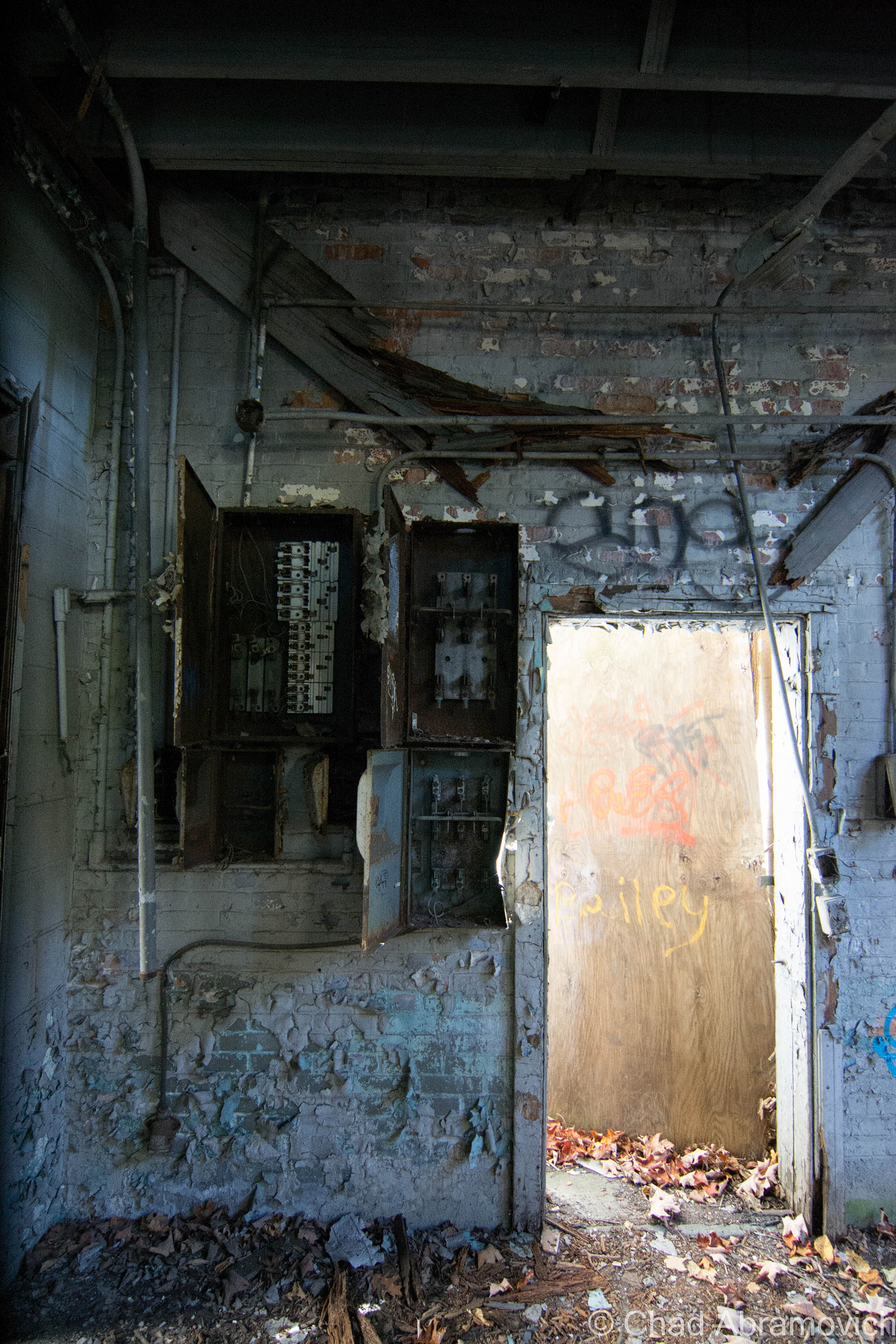
I’m not willing to pay the $20 image purchase fee – but the website historicmapworks.com has an 1869 Beer atlas map of Woodford that you can check out – and this is one of the few maps I’ve came across to feature South Glastenbury in it. The map is sideways, so look for “District 2”, beyond the Woodford town line, and the black dots that represent buildings plotted around Bolles Brook.
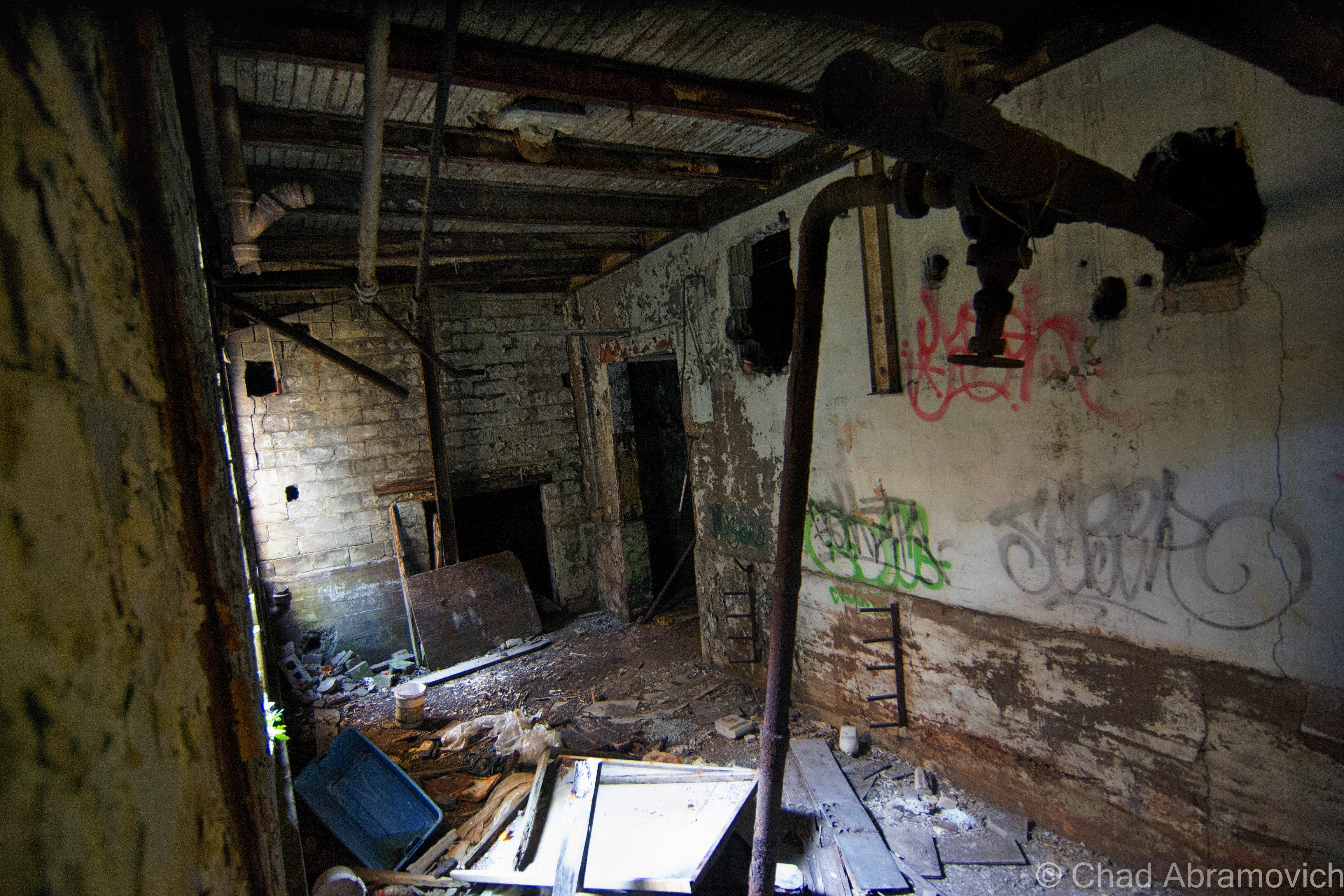
A girl, a man and a boy outside Glastenbury Camp, 1933. Photo: UVM archives – The Landscape Change Program
he Loggers Boarding House, and several residents posing for a photograph.
The Loggers Boarding House in South Glastenbury, with several of the woodsman posing for a photograph. Photo: courtesy of Images From The Past
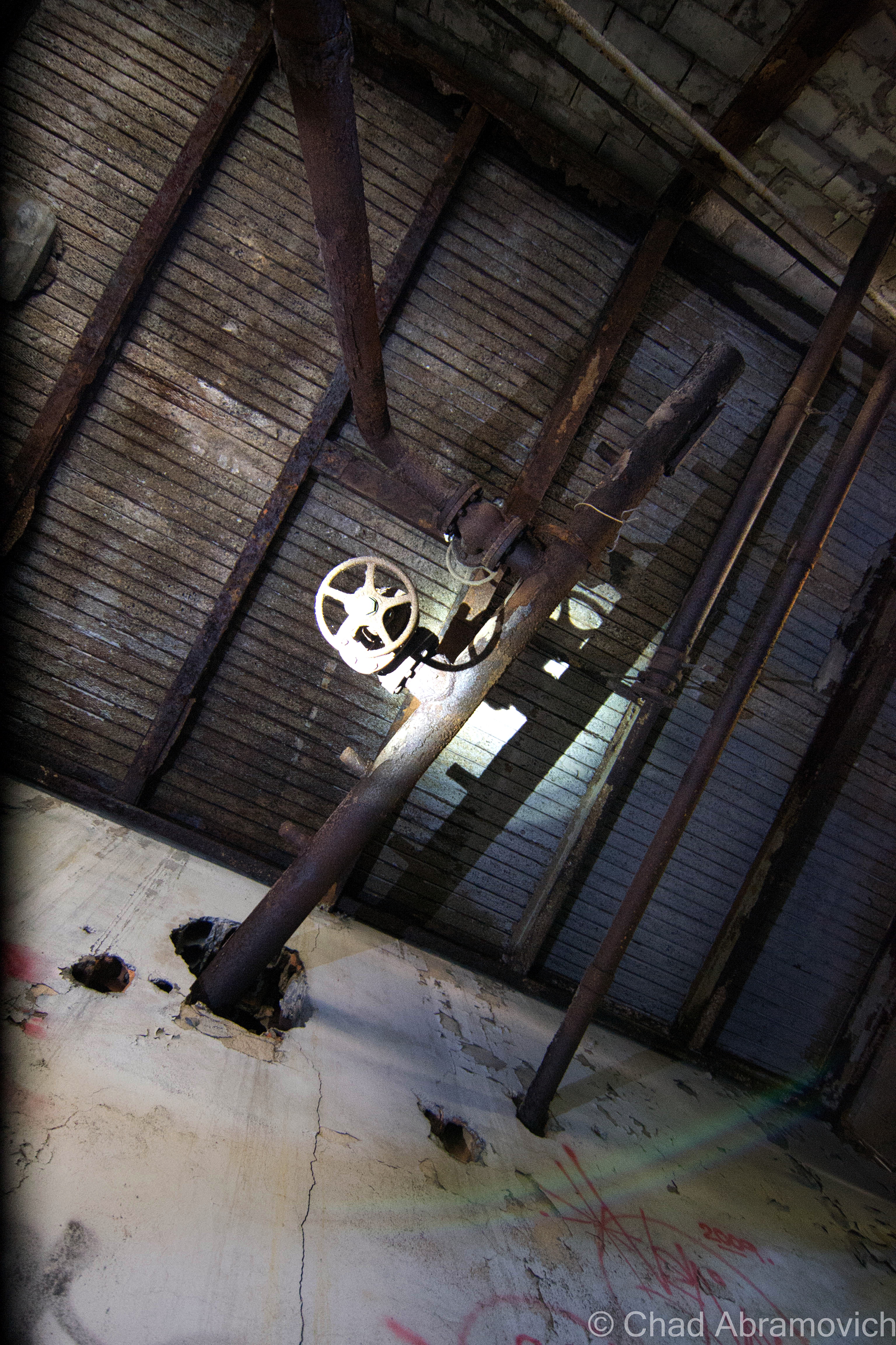
kilns2
A few of the brick charcoal kilns in South Glastenbury.
South Glastenbury
A strangely forlorn shot of South Glastenbury that really gives you an idea of what life was like for folks up there in the mountains. Primitive log homes and a charcoal kiln can be seen, with a few locals out front along the road. Photo: courtesy of Images From The Past
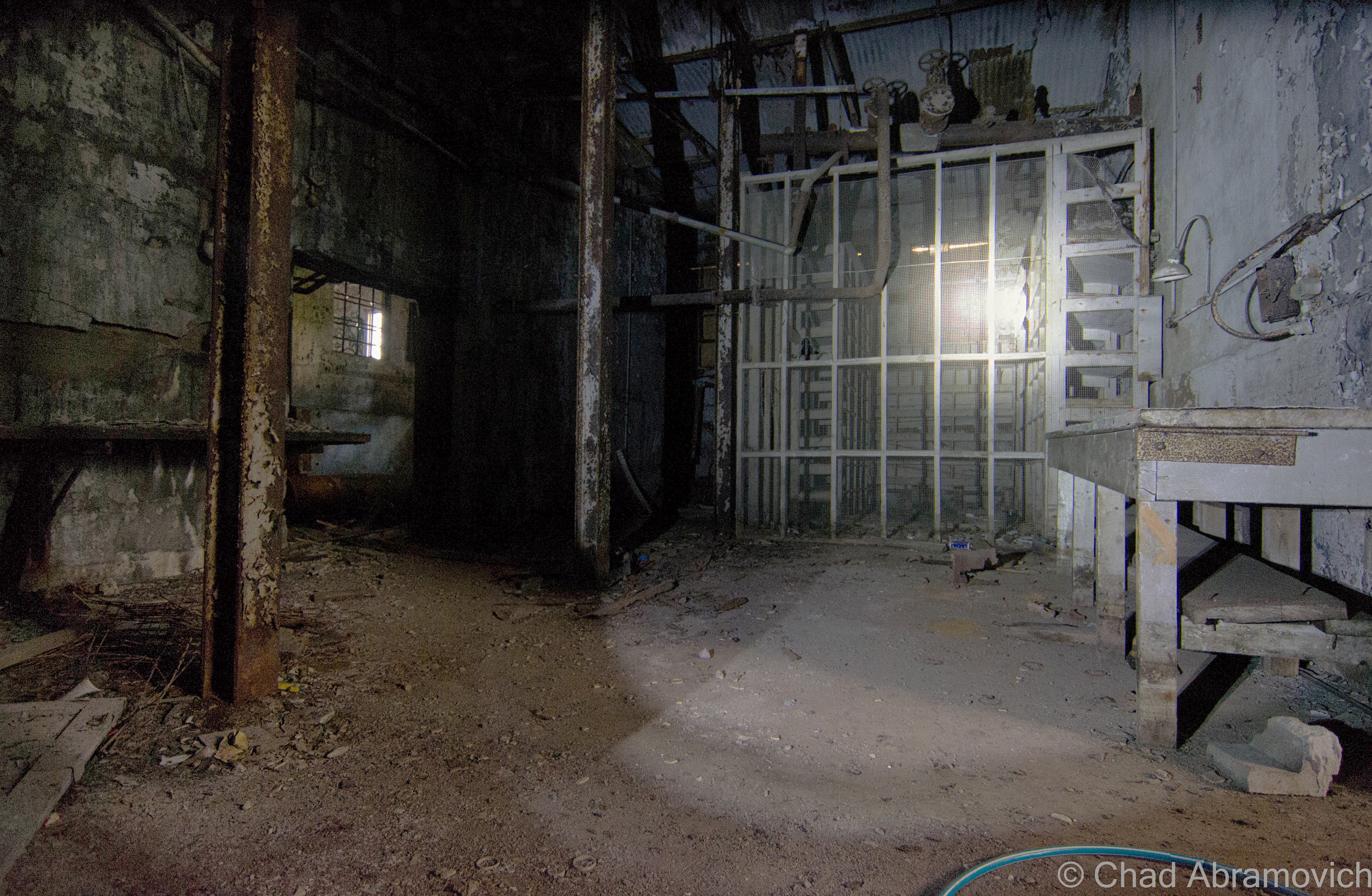
With a profitable timber industry came demands. People needed to get up into town, and lumber and charcoal needed to get down. The steepest railroad ever built in the United States was constructed as the solution, which started out as a sarcastic suggestion turned into a defiant reality. Starting in Bennington and ending at The Forks, The Bennington-Glastenbury Railroad was formed in 1872, the tracks climbing an astonishing 250 feet per mile at 9 miles long. But depending on a finite resource eventually created the end of the charcoal and logging industry and the mountains were logged until nothing larger than a sapling remained on the slopes.

But the railroad was still around, and they wanted money. The question was, what to do with it? In 1894, the railroad re-billed itself as The Bennington-Woodford Electric Railroad and the town reinvented itself as a tourist destination, using the railroad as a way to bring tourists up into South Glastenbury. The railroad switched over to using more reliable trolley cars instead of traditional rail cars, because they were stronger and more reliable, especially given the elevation they would have to climb.

Much time and money were invested into retransforming the town – turning the brawny old loggers’ boarding house into a hotel and the former company store into a casino. No details were overlooked, and both buildings became showpieces. They wanted Glastenbury to stand out from other summer resorts. After painstaking labor and expenses, the town opened up as vacation destination in the summer of 1897, and had a successful first season.
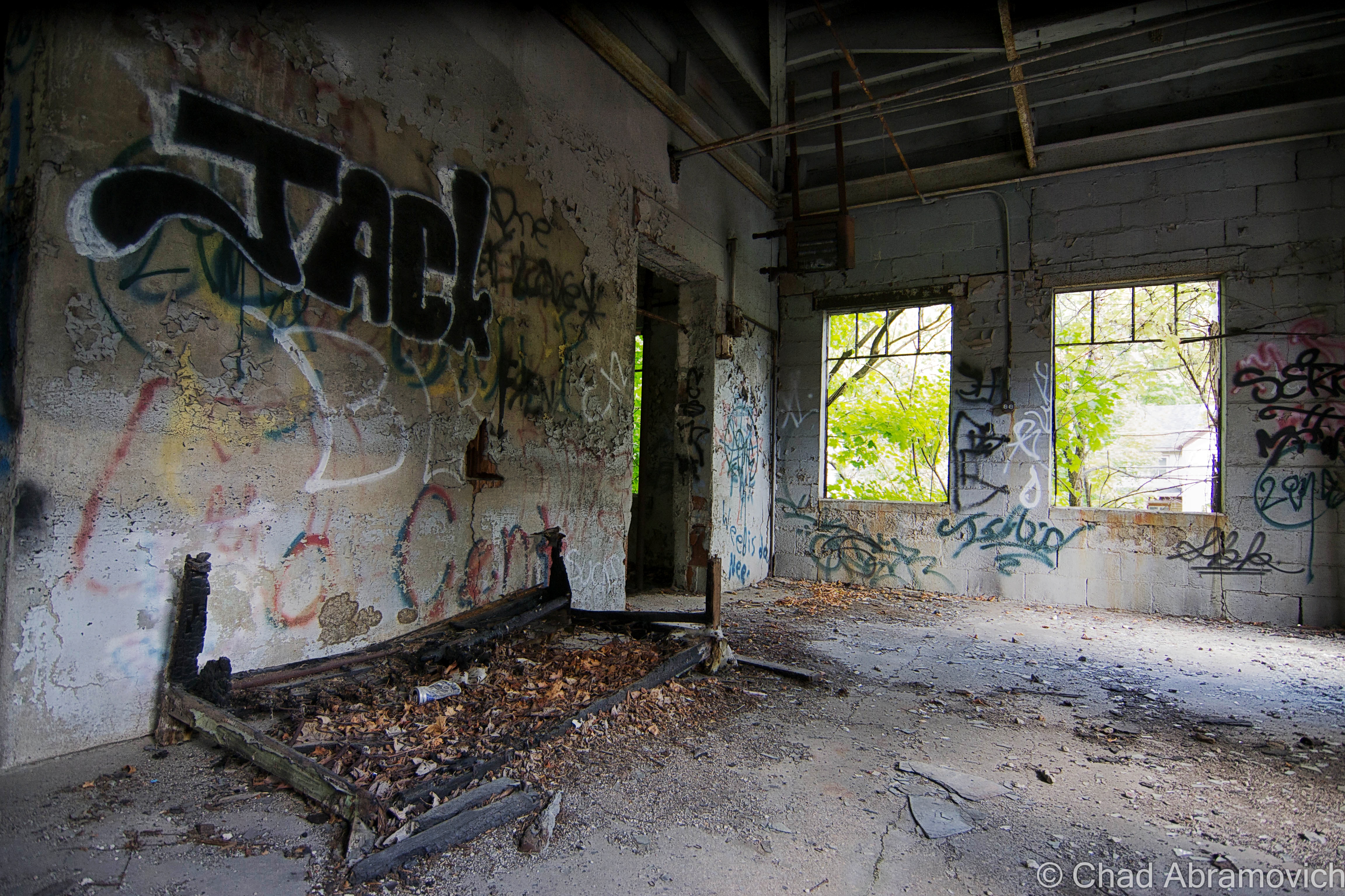
However, the barren mountains stripped of all their trees, were very prone to flooding and soil erosion. A year later, a devastating flood washed out the tracks, putting an end to the town for good. It’s high elevation and isolation ensured that no one tried to rebuild it, and the buildings fell into ruin under the silence of the mountains.

A trolley full of tourists arrives in South Glastenbury. The casino can be seen in the background. Photo Source
newspaper3
A newspaper flyer advertising the upcoming opening of Glastenbury as a tourist destination
A classic image of The Bennington and Woodford Trolley, filled with nicely dress women on their way to Glastenbury.
A classic image of The Bennington and Woodford Trolley, carrying a load of women who are dressed to impress, up into Glastenbury. Photo: courtesy of Images From The Past
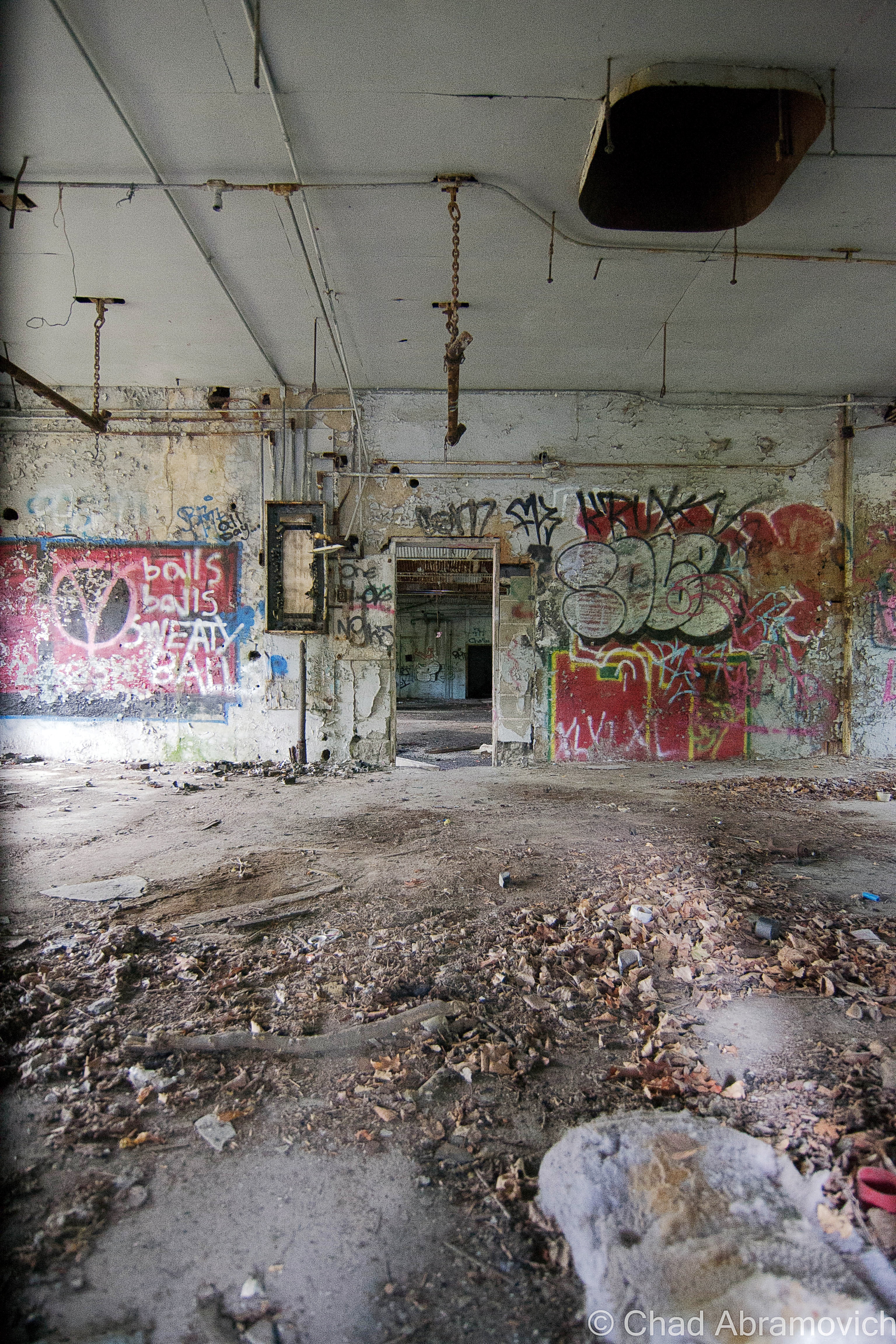
he tourist destination of South Glastenbury, with the hotel on the left, and the casino on the right. You can see Bolles Brook and the Trolley line to the right of the brook.
The tourist destination of South Glastenbury, with the hotel on the left (old loggers boarding house), and the casino (former company store) on the right. You can see Bolles Brook and the Trolley line to the right of the brook. A walk up here today has almost entire eroded that there was once human habitation here. Photo: courtesy of Images From The Past
Glastenbury
The casino. Photo: courtesy of Images From The Past
Another hotel at Glastenbury. The identity of this one however remains a mystery. Vaguely dated between 1890 – 1930. Photo: UVM Archives and the Landscape Change Program
A group of individuals hiking on Glastenbury Mountain. When the group came back in the morning, they came back to water that was three feet deep. August 16, 1918. Photo: UVM Archives and The Landscape Change Program
This one is a mystery to me. The image is captured “On The Trolley Line to Glastenbury”. The roof of the building reads “Loafmore” Dated 1910, a decade after South Glastenbury had been abandoned. Photo: UVM Archives and The Landscape Change Program.

The population of Glastenbury dwindled down to almost nothing, which later got the attention of Ripley’s Believe It Or Not in the 1930s when they learned that all 3 members of the Mattison Family were the entire town, and held every office. Because of this, the state of Vermont disorgonized the town in 1937, the first time the state ever did such an act, and the area was reclaimed by the wilderness.

It’s even more interesting to think about that a town with such a galvanizing and unique history was actually so tiny in stature. Though many people who write about ghost towns robotically love to use descriptive terms such as “hub” or “thriving”, Glastenbury was really neither – it’s peak population climbed to around 241.

Apart from the town’s fascinatingly unique story line, it may be the obscure and inexplicable events that allegedly happened on it’s slopes that has really given the town it’s considerable attention. The area has since given birth to terrifying legends, if not actual monsters.

The casino, just a few years after its abandonment. It had already fallen into ruin by then.
The casino, just a few years after its abandonment. It had already fallen into ruin by then. Photo: courtesy of Images From The Past
Ripley's
A cartoon published in 1936 by Ripley’s Believe It Or Not featured the Mattison’s of Glastenbury.

“The Bennington Triangle”

While my love of maps inadvertently lead me to my interest of Glastenbury, their ability to organize information and draw conclusions was useless here.

Glastenbury Mountain and the surrounding area has long been considered one of Vermont’s most haunted places. In 1992, local author and folklorist Joseph Citro coined the term “The Bennington Triangle” to describe the area, and the designation not only stuck, it grew immensely in popularity. Over the years, the phrase has been been featured in books, websites and television shows, to the point where the name has taken a life of it’s own.

The theories and enthusiasm have quickly escalated and have continued to morph and stoke the fire. Many are quick to glamorize the region without being objective, only further propelling it into the blurred haze of fact and embellishment.

To better understand the hysteria here, let me try to summarize the more colloquial regional portrait for you.

It started with the native Americans, who refused to venture onto Glastenbury mountain. Fearing the land was cursed, they only used the land to bury their dead. But maybe it was because of a cross wind that met on the summit of the mountain. Even today, hunters will tell you that because of the disorienting winds, it’s very easy to get lost in the woods.

There is also a baffling legend of some sort of enchanted stone somewhere in the mountains, which is said to open up and “swallow” a human being in seconds if it’s stepped on. Another reason they avoided the place.

The weirdness continued when colonial settlers came to the area, whose vague and un-researchable accounts tell of weird sounds, noises and odors that would come from the mountain. But there are human things at work here as well, and those have been documented.

In 1867, there was an alleged wild man sighting, where a mysterious misanthropic specter would venture down from the woods (some accounts say he lived in a cave in Somerset) pull back his coat, and expose himself to unsuspecting women in Glastenbury and nearby Bennington. He was also said to brandish a revolver for intimidation. Whoever he was, he was eventually ran out of town and faded into obscurity.

On April 4th, 1892, Fayville mill worker Henry McDowell went haywire and murdered John Crawley by bashing him in the head with either a piece of wood or a rock, depending on the story. He fled town, but was later apprehended in South Norwalk, Connecticut, where he made a full confession. However, he was babbling on about voices in his head that wouldn’t leave him alone, and as a result, was sentenced in the Vermont State Asylum in Waterbury. But he escaped by hiding in a railroad car carrying a load of coal, never to be seen again. Some say he returned to Glastenbury, and others claim that he still remains hiding on the slopes to this very day. But by now, he would be an impossibly old man, which takes on an eerie resemblance to the tale of Doctor Benton coming from the mountains of New Hampshire.

On the opening day of Vermont’s first hunting season in 1897, 40 year old John Harbour, a respected Woodford resident, was mysteriously murdered at his deer camp in Bickford Hollow, a remote area in the hills south of Glastenbury. While hunting with his brother and family friend, they heard the blast of a rifle, followed by him crying out “I’ve been shot!”. They immediately turned around and searched for him, but it wasn’t until 11 AM the next morning when they found him, his legs protruding out from underneath a Cedar tree. However, something wasn’t quite right. His loaded gun sat neatly beside him, as if it was purposely put there. But something was wrong. His body was a distance away from where he was shot. They now knew that John had to have been moved. But by what? Did he crawl there after being shot? Did he receive human help, possibly by the shooter? There were no signs of him having walked or crawled to his final resting place, no clues at all.  The mystery remains unsolved to this day.

It was after these two murders that signaled both the beginning of Glastenbury’s slow decline, and the establishment of it’s reputation as a mysterious and haunted place. Sometime in the early 19th century, a stagecoach full of passengers were making their way over the mountains near Glastenbury, near present day Route 9 in Woodford. It was well past dark and a violent rain storm was washing out the road. The rain was coming down so hard, it soon forced the driver to slow down to a crawl as the thunder cracked the night sky. Things became so bad that the driver eventually came to a complete stop in the dark and wet mountain wilderness. As he hopped down from his perch with the lantern to get a good idea of the situation, he noticed something peculiar illuminated by lantern light. There were unfamiliar footprints in the mud just ahead of him.

The rain hadn’t washed them away yet, so they had to be fresh tracks the driver reckoned. His observations revealed that the tracks were widely spaced, suggesting that whatever had made them was tremendous in size. He noticed the horses were beginning to get spooked, but he just couldn’t stop thinking about those tracks. What made them? He soon hollered back to the passengers and asked for their opinions. At this point, the horses were going wild, which was spooking the driver. That meant that something was skulking nearby, and it might just be what made those tracks…

As the passengers began to step out, something dealt a savage blow to the side of the carriage. Now, all of the passengers scrambled out of the carriage, completely terrified. The blows kept coming, until the whole thing tumbled over on it’s side.

The quivering passengers and driver huddled together in the dark, the rain stinging their faces. Then the creature came into view. Though it was almost impossible to see, two large eyes could be made out staring at them. A vague detail described the brazen creature as roughly 8 feet tall and hairy, before it shambled back into the woods. Shortly after, whatever had attacked them had became dubbed as The Bennington Monster.

Another interesting theory suggests that the Bennington Monster is actually the horrifying transformation of the Glastenbury Wild Man. After he was chased out of the region, he took back to the woods and dwelled, becoming cannibalistic, deformed and insane, wearing animal firs and attacking lone stagecoaches coming over the mountains.

Strange Disappearances 

Giant hairy monsters that topple stagecoaches are all good for earning a place an official spook status, but it was the disconcerting events that took place after the town became disorganized in 1937 that have really cemented the area into the public’s imagination and paranormal concrete.

Glastenbury is where one of Vermont’s most frightening mysteries took place, and what’s more captivating is that it really didn’t happen all that long ago. Beginning in the last cold months of 1945, people from the area began to vanish without a trace.

The first one to disappear was 74 year old Middie Rivers. He was a native to the area and worked as a hunting and fishing guide. Because of his job, he was completely familiar with the woods. One day, Rivers led four hunters up onto the mountain. Things were going fine, until their trek back to camp. Rivers got a bit ahead of the group, and vanished completely. Expecting to catch up with him at the camp, the hunters began to panic when they didn’t see him there upon their arrival. Police and a group of volunteers combed the area for hours. But Rivers was an experienced woodsman, so they were fairly confident they would find him in no time. But search attempts continued for over a month, and no trace was ever found. Local lore has it that Rivers disappeared near Bickford Hollow, the same place John Harbour was murdered.

The next person to vanish is the most infamous of all the Bennington Triangle disappearances, the case most talked about. on December 1, 1946, 18 year old Paula Welden decided to take a hike on the Long Trail. she left her dorm at Bennington College and walked into the woods. She was easy to spot, because of her bright red coat. Plenty of people saw her that day, including on the Long Trail itself. But Monday came, and Paula didn’t show up for her classes. The college called the sheriff’s department. 400 students and faculty members assembled to help look for their missing classmate. A massive search party of 1,000 people, bloodhounds, helicopters and even a clairvoyant, combed the area diligently for weeks. A $5,000 reward was even offered! But on December 22, all efforts came to an end. There was no body, no clothes, no evidence, nothing. The quality of Paula Weldon’s search party was met with scrutiny, and because of this, it lead to the formation of the Vermont State Police. Another interesting detail I uncovered was that to this day, there are people who think it’s bad luck to wear red while hiking Glastenbury Mountain.

The third person to disappear was on Columbus Day in 1950. 8 year old Paul Jepson was waiting for his mother in his family’s pickup at the dump they were caretakers for. But when she came back, he was gone. Like Paula Welden, Paul was wearing a red jacket, so he should have been easy to spot, but Mrs. Jepson couldn’t find him anywhere. Frantic, she called for help, and another search was launched.

Hundreds of townsfolk joined the search, scanning the dump and the surrounding roads, even the mountains. They implemented a double check system, where as soon as one group finished searching an area, another group would search the same area. Even coast guard planes were brought in. But all was useless. Bloodhounds borrowed from the New Hampshire State Police lost Paul’s scent at the intersection of East and Chapel Roads. Local lore says that Paul’s scent was actually lost at the same place Paula Welden was last seen. After the search had been called off, Paul’s father disclosed a peculiar piece of information. Paul had mentioned that he had an inexplicable “yen” to go into the mountains lately. Paul’s disappearance made him the third to go missing in roughly the same area. Was there a pattern here?

Maybe. Or maybe not. It was said that there were pigs at the dump his family were caretakers for. One popular theory at the time which the newspapers suggested, was that Paul wondered off and was eaten by the pigs, thus explaining his disappearance.

Others speculate that Paul was actually abducted near East and Chapel Roads, carried away in a car. That would explain why the bloodhounds lost his scent. But we’ll never know for sure. Either way, the newspapers did what they do best and ran wild, and soon, others started to wonder what was going on here?

Two weeks later, On October 28th, 53 year old Freida Langer had left her family’s camp east of Glastenbury Mountain near the Somerset Reservoir to go hiking with her cousin. She was an experienced woodsman and was completely familiar with the area. About a half mile from camp, she slipped and fell into a stream. She decided to hike the short half mile back to camp, change her clothes and catch back up. She never returned.

When her cousin got back to camp, he was startled to learn that not only had she never came back, but no one even saw her come out of the woods.

Local authorities were quick to launch another search, alarmed at another unfathomable disappearance in the area. Once again, all efforts proved to be hopeless. They found nothing. The Bennington Banner picked up on the story, and raised a disturbing question: How did Langer disappear completely in an area she was so familiar with?

More Disappearances

On December 1st, 1949, James E. Tetford had been visiting relatives in northern Vermont. He boarded a bus in St. Albans, en route to the Bennington Soldiers home, where he lived. But he never arrived. Somehow, he had vanished without a trace without ever getting off of the bus. Even the bus driver had no explanation!

This account seems to be continuously accepted as proof of paranormal happenings, without further questioning the events. It’s worth mentioning that by the time James was actually reported missing, it was at least a week after the fact, when the Bennington soldiers home finally decided to call his relatives to figure out if he was actually coming back or not. By the time the police were involved in the investigation and got around to interviewing the bus driver and other passengers, it had been two weeks, and no one really remembered anything. But some information did arise. James was last seen by a friend of his when his bus made a stop in Burlington, and guessed he might have gotten off there, offering another possible explanation to his whereabouts. But regardless, his disappearance still remains a mystery. I don’t really see a connection here to the other disappearances, but I guess because it happened around the same time frame and James did live in the area, it has just been lumped into the big picture.

And perhaps one of the most arcane disappearance took place on November 11, 1943. As Author David Paulides tells in his book Missing 41137 year old Carl Herrick went hunting in the woods of West Townshend, about 10 miles northeast of Glastenbury. At some point during the hunt, Herrick and his cousin, Henry, were separated. Henry eventually made it back to camp, but Carl didn’t show up. As dusk began to fall and Carl still hadn’t arrived, Henry immediately contacted law enforcement, just as the snow began to fall.

The search for Carl lasted three days without finding a trace. But towards dusk on the third day, Henry stumbled upon Carl’s body. He was laying on the ground in the woods, motionless, his loaded rifle found leaning against a tree seventy feet away. Henry reported finding “huge bear tracks” around Carl’s body, but the official postmortem was baffling. Carl was reportedly squeezed to death, his lung was found to be punctured by his own ribs. What sort of bear squeezes a human to death? It would be an impossible act.

In Joseph Citro’s Passing Strange, (which was another heavy source for this article) he further mentioned a Burlington Free Press article dated October 25, 1981 reported that a trio of hunters disappeared somewhere near Glastenbury, and not surprisingly, that too remains unsolved.

Snowfall over Glastenbury from Route 7

Additional Theories and Searching for Answers

If you take these other accounts into consideration, this raises the number of disappearances from four to nine, which begs the question, what happened here? Where could nine people vanish to without a trace?

This is what we do know. The victims ages ranged between 8 and 74 and were evenly divided between men and women. Time is also a pattern. The disappearances all happened during the same time of the year – the last 3 months – and many of them were last seen between 3 and 4 PM. The rest is up for debate.

Because of the vast scope of the wilderness area and it’s inaccessibility, the task of finding a body is difficult. The conditions could easily ensure that someone’s remains would never be found again, regardless of cause of death. Depending on who you ask, there is a pattern there.

Speculations abound, adding many more layers to this fabled region’s already weighted and transgressive reputation. Could the Bennington Monster still be stalking the slopes, carrying its victims to some cave on the mountain? Maybe. As recently as 2003, Winooski resident Ray Dufresne saw something peculiar on his drive down Route 7, near Glastenbury. What he first thought was a homeless man stumbling around in a snowsuit, turned into an alleged bigfoot sighting upon a closer look. That story immediately blew up and was even picked up by local news stations. While some skeptics dismiss it as a prankster in a Gorilla suit, others aren’t buying it, and plenty more sightings have been passed down by word of mouth from the Bennington area, all which remain unaccounted for.

Or maybe, could these unfortunate people have accidentally encountered that enchanted Indian stone, and were swallowed in seconds?

Alien abduction is another hypothesis. Many reports of UFO sightings and strange lights in the sky have been spotted over the Glastenbury wilderness over the last century. Most notably, a “flying silo” shaped anomaly was see over the skies of Bennington by Don Pratt in 1984, which seems to be the go-to example for extraterrestrial sightings in the area.

But my personal favorite was designated by John A. Keel, an American journalist and influential UFOlogist, who used the term “Window Areas” to describe these places, or, some sort of inter-dimensional doorway or vortex into another world. New England seems to have a fair share of them. The legendary Bridgewater Triangle in Massachusetts which has similar phenomena, and the summit of Mount Washington are two of the most notable.

Perhaps the most tangible answer could be something all too familiar, a serial killer. “The Bennington Ripper” and “The Mad Murderer of The Long Trail” were all monikers given to the possibility of a sinister suspect that lurked in the wilds, but no evidence was ever found to prove this. The police during that time were not familiar with serial killers or how they operated, so even if it was the work of such a killer, the facts would have gone undocumented.

Adding to the seemingly ever growing list of theories, this one might be the most plausible. Near the former village of South Glastenbury, there are a few old wells. Some speculate that Middie Rivers accidentally tumbled down a well while on his hunting trip. His party, being unfamiliar with the area, never thought to check. As for the others….

An odd footnote to all of this; the body of Freida Langer did eventually appear, seven months after she had vanished. But sadly, this wouldn’t be of any help. It was in an area that search parties knew they had combed thoroughly, near the flood gates of the Somerset Reservoir. It was a completely open area, and anything there would be impossible to miss. And yet, here she was. Or, what was left of her. Her remains were in such gruesome condition that no cause of death could ever be determined.

Even More Strangeness

Enigmatic situations aren’t contained to the past, things reportedly continue to happen here to this day. Countless internet searches have dug up numerous unusual tales posted on message boards and blogs from hikers, hunters and curiosity seekers.

In the book Haunted Hikes of Vermont, Author Tim Simard mentions a one time incident of hearing a ghostly train whistle while hiking along the West Ridge Trail, miles away from both any functional railroad track, and the old rail bed that runs up into South Glastenbury.

One harrowing account I was able to dig up took take place on Columbus Day in 2008. This time, 2 Long Trail hikers were making their way through the Glastenbury wilderness. While hiking, they ran into a young man named Dave, who helped rebuild fire towers along the trail. They started talking about the mountain’s reputation, which at this point seems almost impossible not to do if you’re visiting. They had heard about the disappearances and shrugged it off as out of control tall tales. But Dave had a weird story to tell of his own. Dave spent some time on Glastenbury mountain restoring the fire tower on the summit, and would work up there for extended periods of time.

While camping in Goddard Shelter, his friends reported that there were nights that he would sit up in his sleep and laugh uncontrollably, and other nights when he would wake up screaming. Dave was considered a down to earth and smart guy, so this behavior had his friends extremely concerned, and disturbed. He had never acted in such a way before. I’ll never know if Dave had any follow up episodes, or an explanation behind these bizarre actions, the thread ended there.

Another story I was able to dig up only adds to the unscrupulousness of the region. In the book Ghost towns of New England, Author Fessenden S. Blanchard spoke with Arlie Greene – the oldest surviving member of the Mattison family. Greene recalled the old days in Glastenbury, and one particularly enigmatic, and possibly nefarious, incident. Two local men went fishing on the Peters Branch – one went upstream and the other went downstream. One of them was never seen again. A short time after the disappearance of the fisherman, someone found a human skull sitting on a tree stump near the brook. Some speculated Panthers got to him, but others weren’t so sure…

Arcane Stone Cairns

Yet another mystery, dressed in the forest light and acting as silent witnesses to times gone by. This enigma is far more benign than the previous ones I’ve covered, but is still just as vexing. There are a series of inexplicable cairns scattered around the mountain, and no one is quite sure why they exist. There are theories to why they are there. Farmers built them long ago while clearing their pastures, or several passing hikers on the Long Trail built them, to act as beacons in bad weather. But nothing adds up. The cairns were built in high elevations where farming never took place, and most of them are located miles away from the long trail in heavily forested areas. So what are they? The work of the Bennington Monster? Perhaps playful hikers built them wanting to add another Glastenbury mystery? For now, these giant piles of stones offer no explanations.

One of the stone cairns on Glastenbury Mountain. Via rock-piles.com/Norman E. Muller. Photo: David Lacy

What About Today?

Though Glastenbury is a ghost town and designated wilderness area, it’s anything but deserted. A myriad of outdoor enthusiasts, hikers, snowmobiliers, college students, history buffs, paranormal investigators and hunters all flock here to the undisturbed wilderness – trekking up the expansive network of forest roads, hiking trails or silent waterways, all realizing just how special it is here.

Today, there are about 8 residents that chose to live in this strange paradise. They love it’s obscurity, and I can see why. There are no other towns quite like Glastenbury in the northeast – and with only one road in town, a winding dirt road that snakes its way in no less than 2 miles, privacy is in abundance. And if you know about Glastenbury, there seems to be a sense of pride that comes with your knowledge of this obscure area, if not something that conjures a romantic notion of fantasy. As a matter of fact,”Chateau Fayville”, the last original house in Glastenbury and the former Mattison homestead, was put on the real estate market – and it looks like a nice place.

But there are several people who aren’t all that enthusiastic about its menacing repute and “Bennington Triangle” folklore – mostly because they’re not a fan of ghosts, curses and the bad, inflated outlook it brings to the area. Skeptical people will be quick to assure you that everything has a perfectly logical explanation. As for me, I’m one of the skeptics.

So, is there truly something phenomenal about Glastenbury that has yet to be comprehensively explained? Do curses and monsters really claim their victims? Well….this seems to be a controversial subject of much enthusiastic debate. I’ve heard it all. At the end of the day, some people surmise firmly to their untenable thoughts. I suppose it’s all subjective.

During the height of the disappearances, the local media ran wild with the stories and theories, which not surprisingly, got out of hand, creating vicious accusations and conspiracy theories. If you’re a fact checker, it’s worth noting that Middie Rivers was the only actual person to vanish within the town of Glastenbury itself. All the others were in neighboring communities, many on the Long Trail in Woodford.

To add to this, Author Tyler Resch is one of those who thinks the area is widely exaggerated, and has created preposterous theories carried by inertia. He once noted that he was surprised that more people actually hadn’t vanished, because the wilderness is in fact so large, and it’s very easy to become hopelessly lost if you stray from the trails.

Others argue that numerous things could have happened to the missing hikers. They could have fallen down an old well, or gotten lost and frozen to death, perhaps taking shelter in one of the numerous caves on the mountain which few people ever venture near. Another theory is that they were the unfortunate meals of a Catamount or giant cat, which would surely dispose of any evidence of a body.

If you put all of these pieces that I’ve covered together and add the intrigue of a town attempting to survive against all odds but still vanishing into the wilderness, you can easily draw a conclusion about something creepy and supernatural existing here. After all, the region does have great triggers for spook stories. I’m personally awe struck that such a plethora of incidents are all linked to a single area.

But at the end of the day, everything is relative. 4 hikers did disappear, and people have claimed to see weird things in the woods. The only absolute truth about all of this is that people swear these things happened. Whether the culprit was something awesome and sinister or innate, is the quandary here. Who knows for sure.

In finality, the Bennington Triangle certainly isn’t in danger of being forgotten anytime soon.

Additional Stuff! (Because this entry wasn’t nearly long enough)

Youtuber Matt Garland made this awesome documentary on the Bennington Triangle, which is in my opinion, a great watch.

—————————————————————————————————————————————–

To all of my amazing fans and supporters, I am truly grateful and humbled by all of the support and donations through out the years that have kept Obscure Vermont up and running.

As you all know I spend countless hours researching, writing, and traveling to produce and sustain this blog. Obscure Vermont is funded entirely on generous donations that you the wonderful viewers and supporters have made. Expenses range from internet fees to host the blog, to investing in research materials, to traveling expenses. Also, donations help keep me current with my photography gear, computer, and computer software so that I can deliver the best quality possible.

If you value, appreciate, and enjoy reading about my adventures please consider making a donation to my new Gofundme account or Paypal. Any donation would not only be greatly appreciated and help keep this blog going, it would also keep me doing what I love. Thank you!

Gofundme: https://www.gofundme.com/b5jp97d4

Donate Button with Credit Cards

Mermaids and Men of Mystery; Here Curiosities Reside

Vermont’s hills seem to be a beacon in the smog for the offbeat, things that don’t quite fit into a world obsessed with categorization. For some reason, we offer ideal real estate appeal for people of mystery and fantastical artifacts to come and dwell, sometimes going undetected. I suppose I can understand why. After all, I certainly don’t want to live anywhere else.

Brookline’s Round Schoolhouse 

Americans seem to love round buildings. Probably because we live in a society of increased standardization, so in a world of square things being the norm, round buildings just stick out. But for a society who loves them so much, we sure don’t build more of them. I guess that just makes them all the more special.

The out of the way town of Brookline, population roughly 500 at the last census, holds such a building. Brookline’s round schoolhouse was built in 1822, and is possibly the only one in the country. It was designed by the same person who would mold the minds of local children there, Dr. John Wilson, who in addition to being a school teacher, was also the town’s resident physician.

Dr. Wilson however was an indisputable enigma. A distinguished gentleman from England, he had an amiable personality and a brilliant mind. He was also gifted and proficient in the field of medicine, so much so that the locals began to wonder why such a talented and cultured man would work as a lowly schoolteacher, in Brookline of all places? He could easily earn a much more substantial income as a doctor in Brattleboro or Burlington.

But there were more questions that would add to the man’s already weighted reputation. Year round, he would wear high collars or thick scarves, even during the hottest of summer days, and he would always walk with a noticeable limp. Despite his charm, he was also very remote, and would avoid questions about his behaviors or attire, or getting too close with anyone. In a small Vermont community where everyone knew everyone, Dr. Wilson inevitably became the subject of local gossip.

But perhaps the strangest of all was his equally obscure schoolhouse. It’s construction was off red brick, with windows facing in all directions, making it a distinguishable and unique piece of Vermont architecture. There were some who thought the round building was just as suspicious as the doctor himself. Why go through the effort to build such a structure?

Dr. John Wilson, circa 1842 | Brattleboro History

In May 1847, Dr. Wilson lay on his deathbed. During his time in Brookline, he had apparently befriended someone, someone he liked enough to bestow trust in. He called on them and exacted a rather peculiar last request. His odd promise stated that he was to be buried in the clothes he was wearing, including his scarf and boots. Dr. Wilson’s strange story may have been entirely forgotten if it wasn’t for his friend breaking that promise. What happened next would finally reveal the answers that the residents of Brookline had long waited for.

When they undressed the corpse, they found that Dr. Wilson’s heel had been blown away by a musket ball. In it’s place, was a cork prosthetic heel. They also discovered that his neck had also been horribly disfigured, as if he was unsuccessfully hanged or slashed. His cane held another shocking discovery – there was a stiletto concealed inside. A trip to his home uncovered that it had been turned it into a make shift ammunition locker, filled with guns and swords.

Eventually, the pieces would come together. John Wilson, man of mystery, was actually an infamous British highwayman known as Captain Thunderbolt. Terrorizing the Irish countryside and the England-Scotland border, the scoundrel was said to be a Robin Hood figure; he robbed from the rich and gave to the poor. During his many dauntless escapades, he certainly didn’t forget about himself, and slowly saved up enough funds to to escape to America, choosing the wilds of Vermont as his new home. In Brookline, he decided to take a new lease on life, and “retire”, becoming a respectable and well liked citizen. But he never stopped worrying. He had a price on his head after all, and the law didn’t exactly see eye to eye on their varying principles of justice. So, his schoolhouse became an asset; his lookout. There, he could hide out as the local schoolteacher, while slyly looking wearily in all directions. If a law man came his way, he would have ample time to flee.

This fascinating story sounds much like a folktale, but it’s very real, evident by the brick schoolhouse that still stands along the main drag in Brookline. More delightfully, I was told that some of the doctor’s possessions, like his false heel and cane sword are still around! They’re on exhibit at the Brooks Library in Brattleboro, which if I had the time, I would have liked to make the drive over to see.

DSC_0503_pe DSC_0506_pe

DSC_0504
What I also found equally as interesting is that the small schoolhouse was said to accommodate 60 students in a single setting.
DSC_0513_pe
Awkward.

 Grafton’s Fiji Mermaid

It might strike you as odd to find out that Vermont, far away from any ocean, can lay claim to a mermaid sighting. The mermaid after all, isn’t a native species of Vermont, or New England. But they’re seen here from time to time, and the best place in Vermont to see one is at the Grafton Nature Museum.

Upon first impressions though, this probably isn’t what you had envisioned when you thought of your foundational image of a mermaid. Instead, this one is hideous and startling. Comprised of half parts Monkey and half parts Fish, with rows of nasty little teeth and sharp claws, this dexterous DIY Frankenstein of a project is a gruesome little creature that almost looks human. So, what’s the story here?

The tiny, shriveled up artifact is the elaborately planned hoax of famed showman and huckster, P.T. Barnum. While today, in an age of skepticism and the internet, this most likely wouldn’t fool an audience, but over a century ago, this mesmerized and baffled carnival patrons, and it was the legendary entrepreneur P.T. Barnum that decided to capitalize on that.

The Fiji Mermaid would slowly enter western culture in the 1700s, when mariners began to come across them in newly opened oriental trade ports. Japanese and Polynesian seafarers used them for good luck charms, believing their powers would protect them from rough seas and ensure a prosperous catch. American sailors who had never seen anything like them before, started to bring them back home as souvenirs and they became instant conversation pieces and objects of fascination. In my opinion, a Fiji Mermaid is a much better souvenir than a coffee mug or key chain.

Barnum was one of the many who were drawn by them, and bought one in 1842 thinking that he could turn it into profit. If he could fool his audiences and convince them that they were mythological mermaids, he could make a small fortune. He exhibited it as an “authentic Feejee Mermaid”, and the name stuck. The mermaid was an immediate success, so much so that his competition would soon imitate him and make several fraudulent ones that were passed off as authentic imports. The real faux creatures and fake faux creatures began to circulate in carnival side shows, or payed top dollar for in someone’s private cabinet of curiosities.

In an era when the world was really beginning to be discovered at a larger extent, and there were so many animals that had never been seen by the western world before, people were enthralled.

But while the public took the bait, scientists and biologists weren’t buying it, and would constantly ridicule Barnum for displaying something that was clearly fraudulent. Over time, carnival sideshows became a thing of the past, and the Fiji Mermaids began to disappear, the surviving ones ending up in various museums or maybe forgotten in a box someone’s attic somewhere. Fiji mermaids today are very hard to find, and an authentic one as opposed to an antique replica like most places seem to have on exhibit, are nearly impossible.

In the case of the Grafton Nature Museum, this one was a gift from the Odd Fellows Hall in Brattleboro roughly over a decade ago. As for why the Fiji Mermaid was gifted to a nature museum mostly geared towards children, museum curator Lynn Morgan had no idea. Lynn was kind enough to open the museum briefly for me and let me have a personal encounter with one. But as for the information behind it, sadly, that seemed to be a mystery. There wasn’t much to trace. I’m not even sure if this one is the real deal or another replica. She had a bit of information stuffed inside a small manila envelope, containing a few internet printouts of Fiji Mermaid information, a photocopy of a newspaper article, and an old black and white photograph of the mermaid’s pre-museum home, displayed randomly on a wall, hung above a much larger attention swallowing trophy fish. She wasn’t sure if that photo was taken at the Odd Fellows Hall or not.

The mermaid is a bit out of place in the nature museum, because it’s not a real creature and therefor can’t really be included in any of their exhibits. If anything, it says far more about history than biology, which sort of makes it a bit difficult explaining it to curious children who are there on a Zoology field trip.

For the most part, the general public isn’t even aware it exists of that it’s there, which in my opinion is a shame. But observing the tiny figure which was placed on the table infront of me brought awareness to something else; it’s age. A closer look at it’s requisite monkey/fish body revealed that it was showing signs of wear and tear, with some parts slightly damaged. But that tends to happen with old things, they disintegrate with age, making the preservation of this grisly curiosity even more important.

The good news is that I’m sure they’d be willing to show it off to interested parties if you ask politely.

DSC_0516_pe DSC_0517_pe DSC_0521_pe DSC_0524_pe DSC_0529_pe

Another interesting curiosity at the Grafton Nature Museum are the Dueling Frogs, a pair of actual century old frogs turned into a dueling art project. This was also a gift from the Odd Fellows Hall, because I guess someone wanted two frogs sword fighting each other. I'm pretty curious what else can be found in the Odd Fellow's attic. They certainly live up to their name!
Another interesting curiosity not on display at the Grafton Nature Museum are the Dueling Frogs, a pair of actual century old frogs turned into a dueling art project. This was also a gift from the Odd Fellows Hall, because I guess someone wanted two frogs sword fighting each other. I’m pretty curious what else can be found in the Odd Fellow’s attic. They certainly live up to their name!

—————————————————————————————————————————————–

To all of my amazing fans and supporters, I am truly grateful and humbled by all of the support and donations through out the years that have kept Obscure Vermont up and running.

As you all know I spend countless hours researching, writing, and traveling to produce and sustain this blog. Obscure Vermont is funded entirely on generous donations that you the wonderful viewers and supporters have made. Expenses range from internet fees to host the blog, to investing in research materials, to traveling expenses. Also, donations help keep me current with my photography gear, computer, and computer software so that I can deliver the best quality possible.

If you value, appreciate, and enjoy reading about my adventures please consider making a donation to my new Gofundme account or Paypal. Any donation would not only be greatly appreciated and help keep this blog going, it would also keep me doing what I love. Thank you!

Gofundme: https://www.gofundme.com/b5jp97d4

Donate Button with Credit Cards

The Lost Shul Mural

The ballad of hiding things behind walls is a pervasive one that’s well sung. I’ve always had a fascination with things lost and re-discovered, and often can’t help wondering what sort of clandestine things exist in the mundane world we see everyday, and if uncovered, what sort of power would it have on it’s discoverers?

Years ago, I remember an old farmhouse in Colchester that was getting a face lift. As the rotting clapboard siding was removed, work grinded to a stop when laborers found quite the surprise underneath. The entire side of the humble dwelling was covered in Barnum & Bailey circus posters from the 1890s. This is an old trick used by Vermonters, who used any material they could to help insulate their houses during the long winters. Newspapers and in this case, circus posters, were all utilized. Though at the time the posters were the modern day equivalent of junk mail, today they remain as important relics of human history and culture, and of course, valuable collectors items. It’s always made me wonder just what else could be found behind a seemingly innocuous wall or structure, and what sort of stories could be told. Sadly, I never got the chance to to photograph those Barnum & Bailey posters, but recently, a new opportunity would come my way.

A lost mural, 104 years old, found deep within the walls of a former Old North End synagogue turned apartment building, was on public exhibition for 2 short weekends before being restored and moved to a new location. On a gloomy monotone Sunday of bland whites and cold winds, I found myself on the second story of a wooden building on Hyde Street, coming face to face with something spectacular. It was a strange feeling, seeing something so luminous and mysterious in the middle of a sterilized room with new stark white drywall and plywood floors.

Though it spent years in a state of limbo and neglect, the delicate surface and fading paint were remarkably well preserved and still were very successful in moving the observer. Arranged in a compilation spanning dramatically angled ceiling panels that forms the inside of a wooden turret, the mural is lively, dimensional and complex, featuring several scenes with incredibly ornate details.

The tour guide of the affair explained that the mural’s survival is nothing short of lucky itself. If it wasn’t for the original slate roof that caps the historic wooden building, the mural would have been already long lost. Between Vermont’s infamous cold winters, and the drastic temperature changes between interior and exterior, the naturally occurring elements are bad for preservation and great for corrosion. When the mural was walled up, the paint and wall insulation were sharing direct contact with each other, thus transferring moisture from the insulation to the mural face. It was really amazing that it survived in the condition it did.

But what’s the story here? Why is this painting so important? And why was it walled up?

Around 1880, Jews from the Kovno area began to migrate to Burlington, and soon began to congregate together for worshiping, establishing an insular neighborhood known as Little Jerusalem. In 1889, The Chai Adam Synagogue was built on Hyde Street, two years after the first synagogue, the Ohavi Zedek, was built. It was the second synagogue constructed in the Old North End.

In 1910, Lithuanian immigrant Ben Zion Black immigrated to Burlington. The son of an artist, he had attended several art academies in Kovno and was showing interest in the theater, especially theatrical writing. The move to Vermont however was out of love. In Lithuania, he had developed strong feelings for actress Rachel Saiger, who came to audition for a play he had written. Her parents however disapproved of the relationship, and in 1905, decided it would be best if they brought her with them to join family in Burlington. But he wouldn’t be deterred, and after 5 years of sending her postcards and letters, he eventually also moved to Burlington, and the two married in 1912.

When he arrived in Burlington, he was commissioned $200 to paint a mural in the Chai Adam synagogue in the Old North End, in the style of the wooden synagogues of Eastern Europe.

The congregation could gaze admirably at an eye catching optical illusion of an open sky with birds in flight that can be viewed through openings underneath suspended shrouds of heavy and colorful curtains adorned with tassels and ruffles. The centerpiece are the brazen Lions of Judah planted regally on both sides of the ten commandments, written in Hebrew, with the crown of Torah floating above, all bathed in golden rays of the sun. As I was taking everything in, an animated woman and her son raised a good question; if the artist was thinking of the landscape of the Champlain Valley and birds found in Vermont when he was painting the scene.

But this mural was unique for some other curious details it contained apart from the familiar tropes carried over by tradition. Black included angels and musical instruments in his work, elements that were banned on the Sabbath and were considered taboo by the community, thus creating some displeasure by some worshipers. While his evocative mural made lasting impressions on some, others weren’t that pleased, and he was never hired to paint another mural again.

Decades later, the synagogues in Burlington merged together, and the Chai Adam took on a secular life in 1939 as a dry goods store and then, a carpet warehouse, before eventually being converted into apartments in 1986. Though the synagogue was painted from floor to ceiling originally, most of the artwork was destroyed during the renovations when it was being converted into an apartment building. The only reason the remaining part of the mural had survived was because of the fact that it was covered by a wall and forgotten. The mural lay in darkness until 2012 when it was uncovered, and this time, the community was determined to make sure this treasure wouldn’t become lost again, or worse, destroyed.

Called “The Lost Shul Mural”, the name can stem from the term Shoah, or, The Holocaust. The mural comes from a formerly widespread tradition of Eastern European synagogue paintings that were almost entirely wiped out during World War 2, when entire Jewish communities vanished. Since then, remaining Jewish folk art has almost nearly been wiped out due to a myriad of reasons, from war, weather and neglect. The Lost Shul Mural in Burlington may be the only surviving example of it’s type in America.

Now, efforts are underway to preserve it. In a laborious and delicate process, the paint and plaster have to be stabilized to prevent any further flaking. Once the mural is prepared, the roof of the Chai Adam Synagogue will be removed, a steel frame will be constructed around the mural, and it will be transported to it’s new home at the Ohavi Zedek Synagogue. Then, it will be cleaned and restored to it’s former glory, making it available for Vermonters to come view it’s story.

You can read more about the project, the mural’s history, and donate to the fundraiser on the official project website

DSC_0929_pe DSC_0933_pe DSC_0934_pe


Good Read: A blog post by architectural historian Samuel Gruber explains why the mural is so significant.

—————————————————————————————————————————————–

To all of my amazing fans and supporters, I am truly grateful and humbled by all of the support and donations through out the years that have kept Obscure Vermont up and running.

As you all know I spend countless hours researching, writing, and traveling to produce and sustain this blog. Obscure Vermont is funded entirely on generous donations that you the wonderful viewers and supporters have made. Expenses range from internet fees to host the blog, to investing in research materials, to traveling expenses. Also, donations help keep me current with my photography gear, computer, and computer software so that I can deliver the best quality possible.

If you value, appreciate, and enjoy reading about my adventures please consider making a donation to my new Gofundme account or Paypal. Any donation would not only be greatly appreciated and help keep this blog going, it would also keep me doing what I love. Thank you!

Gofundme: https://www.gofundme.com/b5jp97d4

Donate Button with Credit Cards

Disappearing

A favorite activity of mine is to go shunpiking – cruising around Vermont’s back roads and letting my eyes and mind soak up whats out there. A few nights ago while traveling down a straight-of-way in Addison County, a pancake flat paved rural roadway surrounded on both sides by expansive hay fields, I came across a forested island in the middle of a vast expanse of nothing – a small patch of surprisingly dense hardwood trees, tall grasses, and the Vermont state flower, the Clover.

Behind the growth, I noticed there was something man made here that was coexisting with the small jungle – the second story of a sordid farmhouse could be seen above a fortress of clinging vines that were almost consuming the structure. Slowing down to take a better look, I realized there was yet another abandoned house across the street that was nearly invisible, and behind it, I could make out the shapes of a scattering of barns and sheds, all falling and fading. I had stumbled on an abandoned farm.

Pulling off into what was once probably a driveway, I basked for a moment in the silence that hung around the farm. The sounds of crickets and the smell of clover came through the open windows, and the breeze gently rustled the trees. As I was sitting in my late summer reverie, movement caught my eye. From behind the abandoned farmhouse I was near, a solitary figure rode into the opening on a bike, through thick grass and tanglewoods that I assumed were probably very difficult to bike through. Manning the bike was a haggard looking fella, who appeared to be in his 40s, outfitted in moth-eaten clothing and a rather new looking bike helmet. He approached the car, and I braced for his encounter the best I could, giving him a small smile, waiting to see what was about to unfold.

“What are you doing here?” was his first question, which I predicted as much. “I’m just turning around, took the wrong road” I said calmly and cautiously. “Do you own this land? I’m sorry, I didn’t mean to bother you”. “Oh, I worked here for over 30 years, so I pretty much do own the land” he began. “The farm is abandoned now, the family is pretty much all dead. I still come by almost every week and check up on things though” “Oh wow, that’s pretty incredible. This place looks like it has a lot of history” I observed. And that seemed to light an internal fire – a simple initiation of conversation, and suddenly, his reserves were taken down, and he opened up to me. “Oh man, the stories I could tell you”. I smiled at him and explained my passion for stories and history. His eyes lit up like flashbulbs. “Actually – do you have some time, I can show you around?”

Next thing I knew, I had my camera in hand, and was ignoring my better senses as I followed a total stranger through thick tall grasses, well out of sight from the relative safety of the road out front. He introduced himself as Ivan as we went to shake hands. Putting blind faith in this gentleman, I allowed him to lead me around the property and we began to talk about the shifty ways of time, his stories cutting deep into history.

“I started working here when I was 10, back in the 60s”, Ivan began. “I used to carry hay bails from the fields to the barn all day long. That’s how I got these” he snickered, as he flexed his muscles. “I used to work all day long, never took a water break. People always used to warn me I’d get dehydrated, but I never did” he said proudly.

We found ourselves standing in front of a barn. “These barns are over 150 years old, built from Oak, Cherry and Ash, all cut right here on this property. There used to be a mill over there” he gestured to now open pastureland. He walked over and wedged a sliding door open, it made a loud groaning noise as the door grinded against the building. The entire facade seemed to tremble at this disturbance.

Inside was a forgotten world. Incredibly thick quilts of spiderwebs clung to brawny timber beams and fell from the ceilings like snow, getting tangled in my hair. Hay scattered on the dirt floors 30 years ago was still there, matted and molding. Certain rooms were packed wall to wall with various artifacts. wooden apple crates, tires with wooden rims, old bikes, desks and shelves filled with various artifacts and paraphernalia, accounts of over 150 years of farming now sitting forsaken underneath swirling dust and sunlight coming in through dirt streaked windows. On our way out, he noted me looking at the apple crates. “I love these things. I have a few of them in my apartment, holding books and stuff” I commented. “Oh yeah, I love those old crates too. There used to be an apple orchard right behind this barn. Over 100 trees! I remember, we all used to eat so many apples – they were great on a hot summer day. They tore them all out a few years ago, the entire orchard”

Making our way through the tall grasses, we made our way across the property. In a neighboring barn almost completely concealed by tree growth, he pointed out that that particular barn was used exclusively for trapping. The farmers used to trap unlimited beavers, otters and raccoons on their property and the nearby creek, and used to bring all the pelts to hang and dry in that barn – where a long narrow hallway ran between two sets of walls where the hooks still were hanging.  “This barn used to be full of hides – all the walls would be covered” he reminisced. “We used to either eat them or sell them. Any bit of money helped” It was a strange image, staring at those filthy and barren walls that afternoon underneath filtered light streaming through broken boards. I noticed a dated industrial grain sorting machine at the very end of the narrow hall. He told me that the farm used to also produce its very own grain. The floor was still coated in ankle high piles of the stuff and it had gotten in my shoes. Standing inside, there was a moment of silence as we took in our surroundings, and weird sounds seeped throughout, the soft summer breeze clearing my mind.

Wondering back around one of the abandoned houses, he told me that after the farm started to go out, the house was rented out to people outside the family. The last occupiers apparently stole a great deal from the farm. Valuable antiques such as firearms, milk jugs and other artifacts they had been taken. Most of the original family had died off, all but one member, who is now well into her senior years, and still lives nearby. She’s tired and doesn’t have the want to upkeep the farm anymore, and is almost completely unaware of it’s slow collapse. “It’s a real shame” he said. “Once she dies, a guy wants to buy the place, come in and bulldoze all the barns, the houses, everything. They want to expand the fields and farm this area. Everything here will be lost”.

Walking across the road, he brought me over to another abandoned farmhouse. “Back in the 60s – this used to be filled with people from California. Used to come up here by the bus loads – there must have been at least 20 or so people living in this house. They were the ones who were in charge of keeping this farm running ship shape”

The door to the house opened effortlessly, swung inwards and banged against the neighboring wall – the sound was like a shotgun blast in the somber interior. Inside, the life was gone, but something kept on creeping on, the floors creaked as the past walked by. The interior was what I expected to find in an old Vermont farmhouse. Faded linoleum floors, porcelain sinks, peeling wallpaper and rooms filled with garbage. There were holes where stove pipes used to run and heat the house, and an the exposed skeletons of an electrical system that looked like it was done haphazardly years ago. “There used to be rows of bunk beds in these rooms – they all used to sleep in here” he pointed out as he swung open a door of an upstairs room.

As we walked back down the stairs, he paused at one door we hadn’t opened yet – the basement door. The entire farmhouse had shifted and slumped over the years, almost trapping the door in its frame, but after a few hard tugs, it wrenched free, sending splintered fragments of crown molding in the air. The basement was pitch black, and the old wooden stairs were no longer standing. “You know, I’ve always wondered if there was like a chest full of gold or something down there” Ivan said as he scanned the darkness with his eyes. I was now curious. Was he making a joke? But he was quick to explain. “Back when I was growing up – I heard stories that the older members of the family had hidden gold coins around the farm. There was some sort of currency scare in the 1800s where people assumed paper money was going to loose its value, so they all started to switch to gold coins. I guess I heard they had a few stashes hid around the houses” Hidden treasure was certainly intriguing to me, so I asked him if he had ever found any of these alleged gold coins perhaps hidden under a floorboard or in the pipe of a woodstove. “Nope, never. I think it’s just a story” he said.  With a little research later, I discovered that there was in fact a large scale panic in the mid 1800s, The Panic of 1837, where wages, prices and profits went down, and unemployment and a general distrust of banks went up. As a result, I’ve heard other stories of old Vermonters investing in gold currency, something they were confident was dependable and safe, and kept it around the house as opposed to opening an account at a bank. Even if his intriguing story was a rumor, or if he was simply trying to spin a yarn, it did have its roots in historical accuracy.

Now outside the house, he brought me over to another barn and stared up at a rusted basketball hoop rim that was hung above one of the entrances. “Used to play here a lot as a kid to pass the time” he recalled nostalgically. “We used to have games, me and the Californians. Was thinking about going out for the basketball team in high school, but I never did”

“How often do you come by?” I asked Ivan, now curious by our chance meeting. “About every week” he replied. “I like to check up on the place, to make sure things are alright, to make sure it’s all as it should be”. It seemed Ivan was waiting in vain for something to happen – throbbing, and wincing, not knowing who to love or who to blame.

Getting ready to leave, I reached out to shake his hand, and sincerely thank him for his grand tour. It always means a lot when people open up to me – those experiences suddenly become shared experiences, and effect both parties involved. “It’ll sure be sad when this place goes, that’s for sure. Just down the road, the neighboring farm already sold parts of their land to other people, and they built houses on them” I knew too well what he was talking about. “Yeah, that’s pretty common. A lot of the farms I remember growing up around have succumbed to development now” My comment seemed to strike him off his feet. “What? Oh no…I’ve never really left town, haven’t really been anywhere I guess. So I wouldn’t really know” he said wistfully, he almost seemed to grieve from the disease of change and urbanism. I felt badly for him, it seemed all he wanted was a sense of place, but there was only silence and heavy humidity.

It’s always interesting to think about how many great stories are still existing in Vermont that have gone untold, and are in danger of completely disappearing. Images of proud men slick with sweat sticking to tractor seats and labor that would break the summer’s back. Farm life isn’t a romanticized escape from the bustle of modern life, it’s sadly an often thankless, lynchian job of back breaking work with little to show for it. But it also is a labor of love and devotion matched by earnest gazes and blue skies that have seen the same troubles as us. Exploring abandoned places like this sometimes compels you to look for answers to your own questions, but all I seemed to find is everything seems to change. As the world progresses into a future that seems like a dream now, countless more farms may find themselves like this one. It’s an experience like this in a haze of turbulent innocence, where you get a hard reminder that nothing stays the same.

Update, August 2015

A month of so after I had posted this blog post, I received a Facebook inbox message from the owner of this property. I opened it hesitantly, thinking that it’s contents would be angry and accusative, but to my very pleasant surprise, he was actually telling me he digged my blog, and loved this particular entry. But one thing was bothering him. He asked me about my tour guide, Ivan, and said that the family never employed anyone under that name on the farm before. A bit befuddled, I gave him a detailed profile of the guy. “I knew it!” He started. “His name isn’t Ivan, he lied to you. That was Tom, the town drunk. He’s the guy who set the meetinghouse on fire a few years ago, then tried to come here and light up one of our barns”. I certainly didn’t expect that.

DSC_0797_peDSC_0781_pe DSC_0782_pe DSC_0783_pe DSC_0786_pe DSC_0789_pe DSC_0792_pe DSC_0795_pe DSC_0796_peDSC_0809_pe DSC_0799_pe DSC_0804_pe DSC_0805_pe DSC_0859_pe DSC_0810_peDSC_0811_peDSC_0855_peDSC_0815_peDSC_0819_peDSC_0820_peDSC_0821_peDSC_0827_peDSC_0830_peDSC_0849_peDSC_0852_peDSC_0858_pe

—————————————————————————————————————————————–

To all of my amazing fans and supporters, I am truly grateful and humbled by all of the support and donations through out the years that have kept Obscure Vermont up and running.

As you all know I spend countless hours researching, writing, and traveling to produce and sustain this blog. Obscure Vermont is funded entirely on generous donations that you the wonderful viewers and supporters have made. Expenses range from internet fees to host the blog, to investing in research materials, to traveling expenses. Also, donations help keep me current with my photography gear, computer, and computer software so that I can deliver the best quality possible.

If you value, appreciate, and enjoy reading about my adventures please consider making a donation to my new Gofundme account or Paypal. Any donation would not only be greatly appreciated and help keep this blog going, it would also keep me doing what I love. Thank you!

Gofundme: https://www.gofundme.com/b5jp97d4

Donate Button with Credit Cards