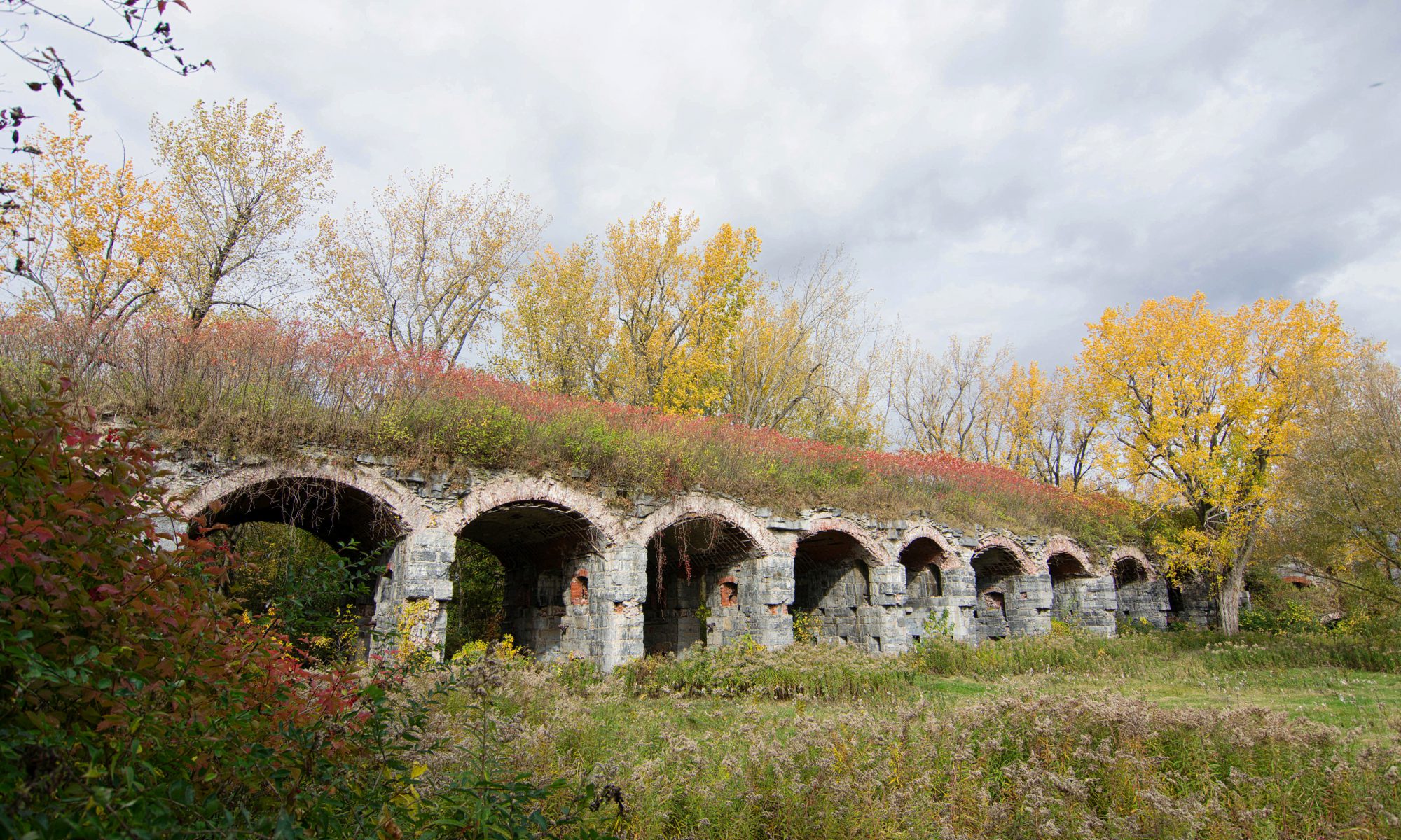
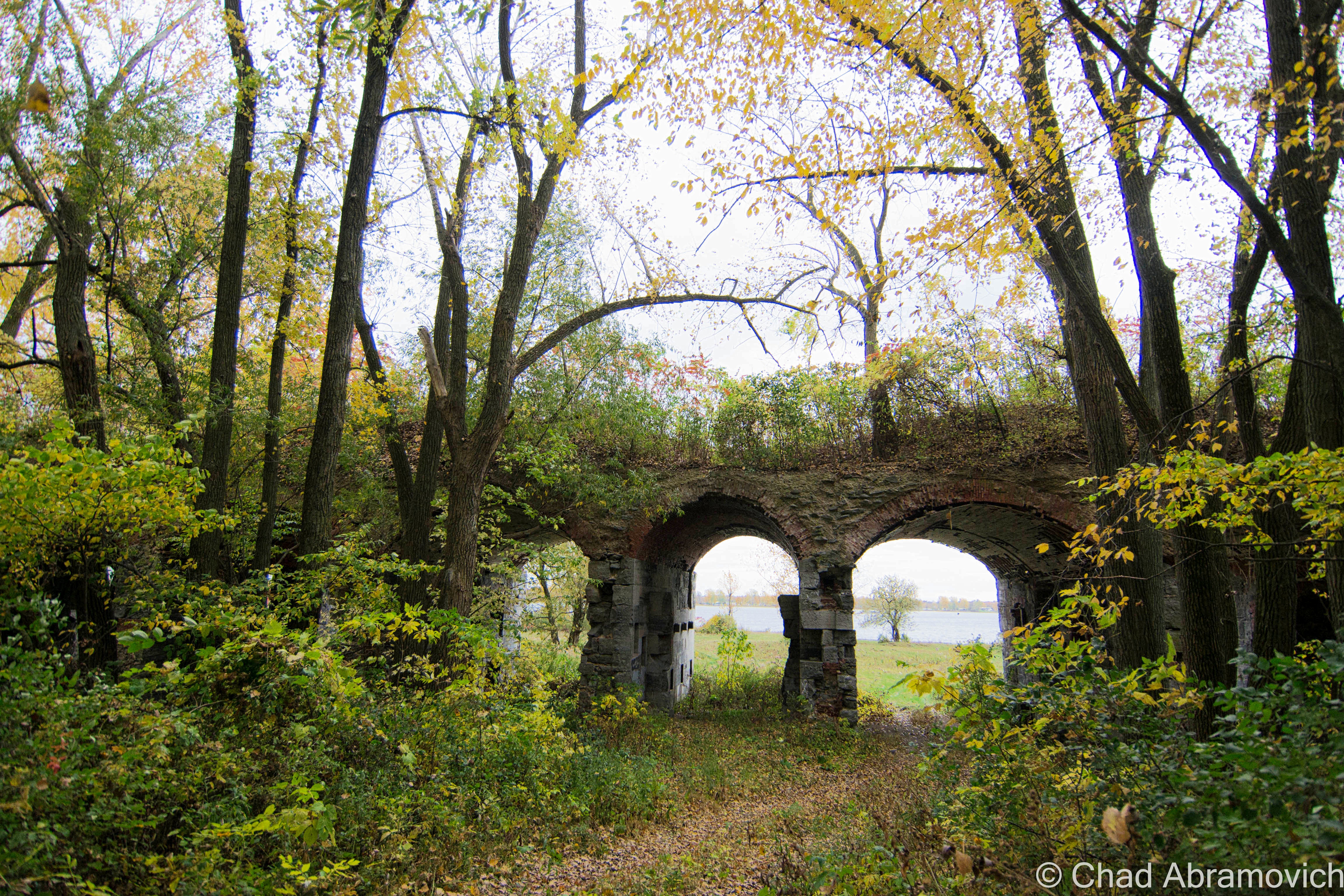
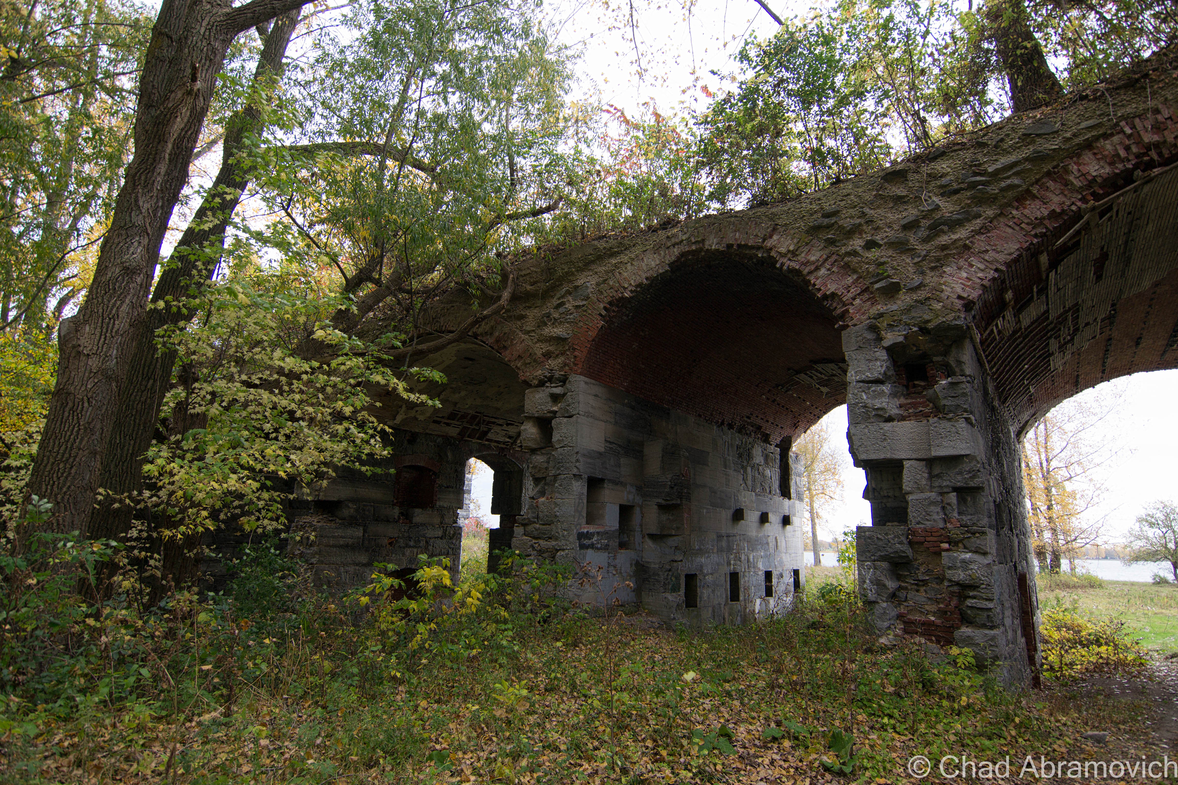
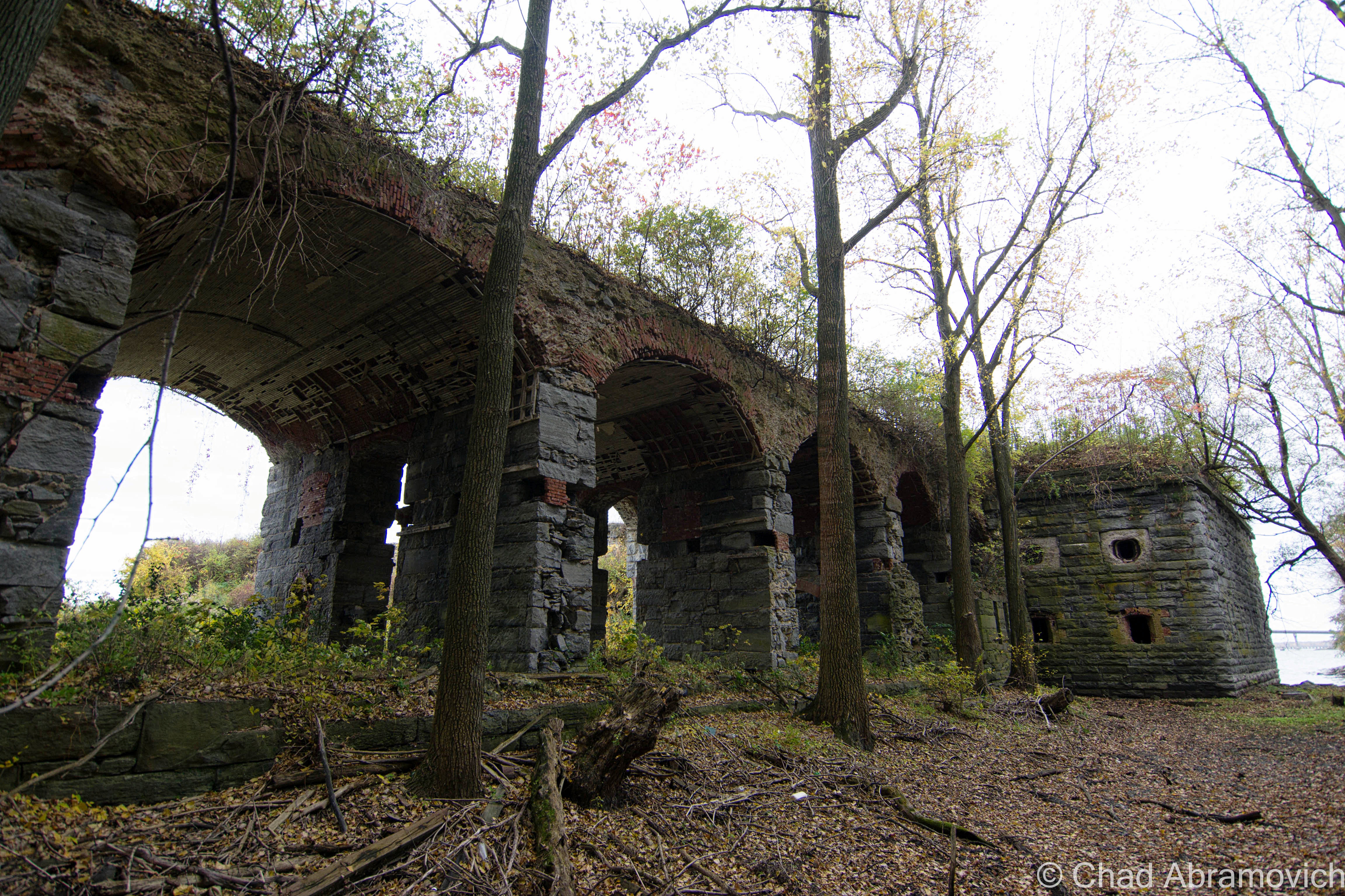
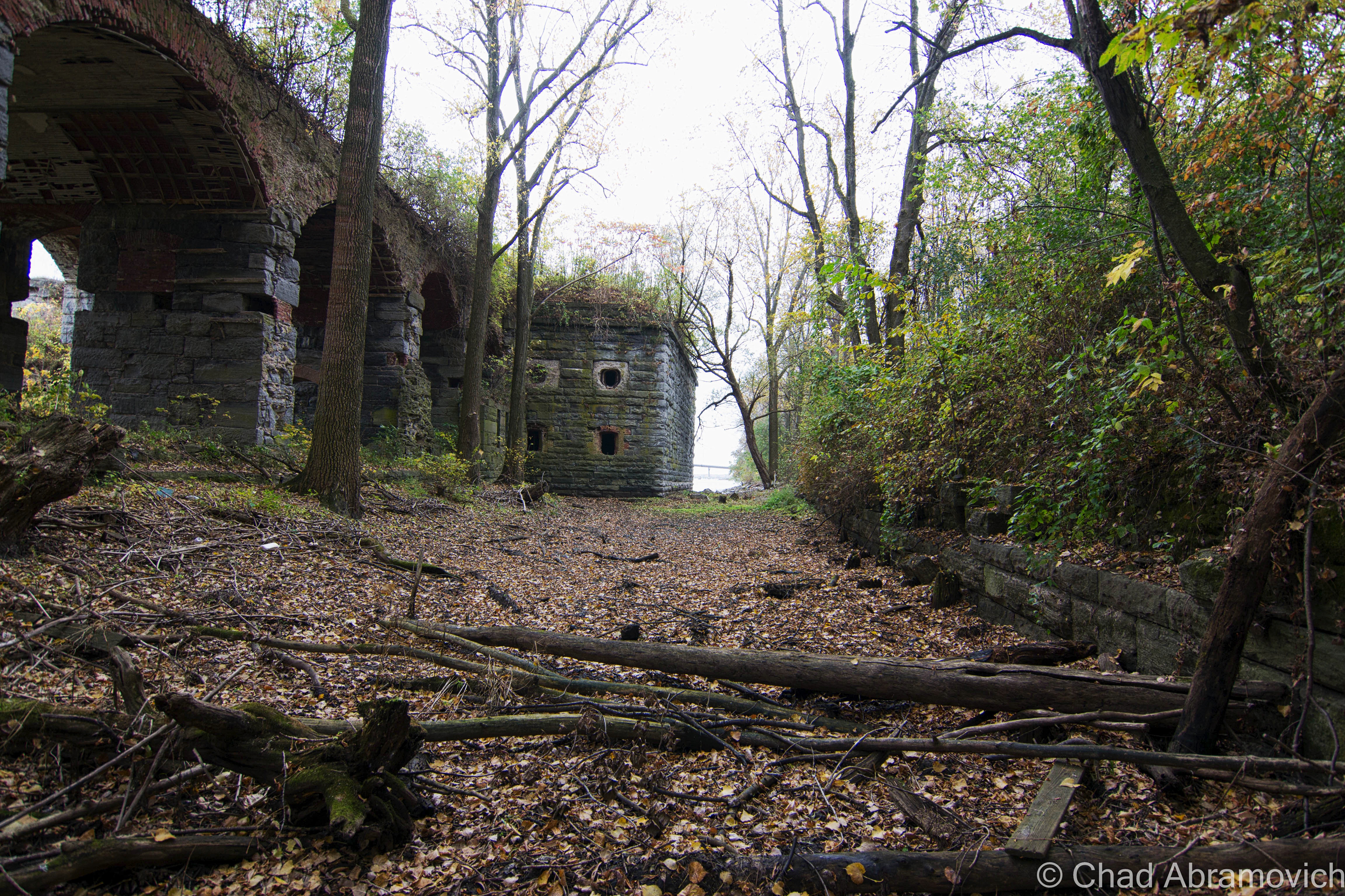
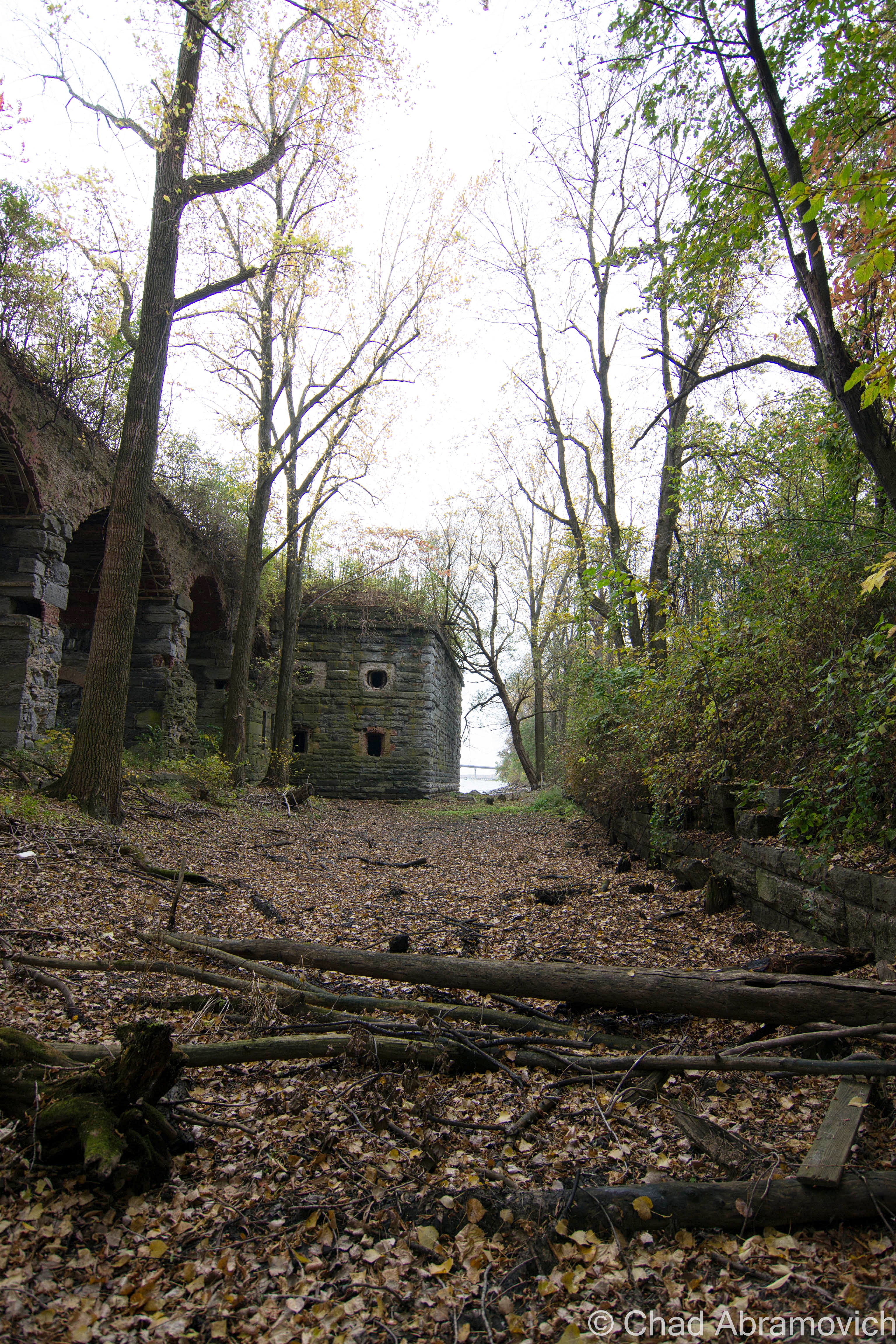
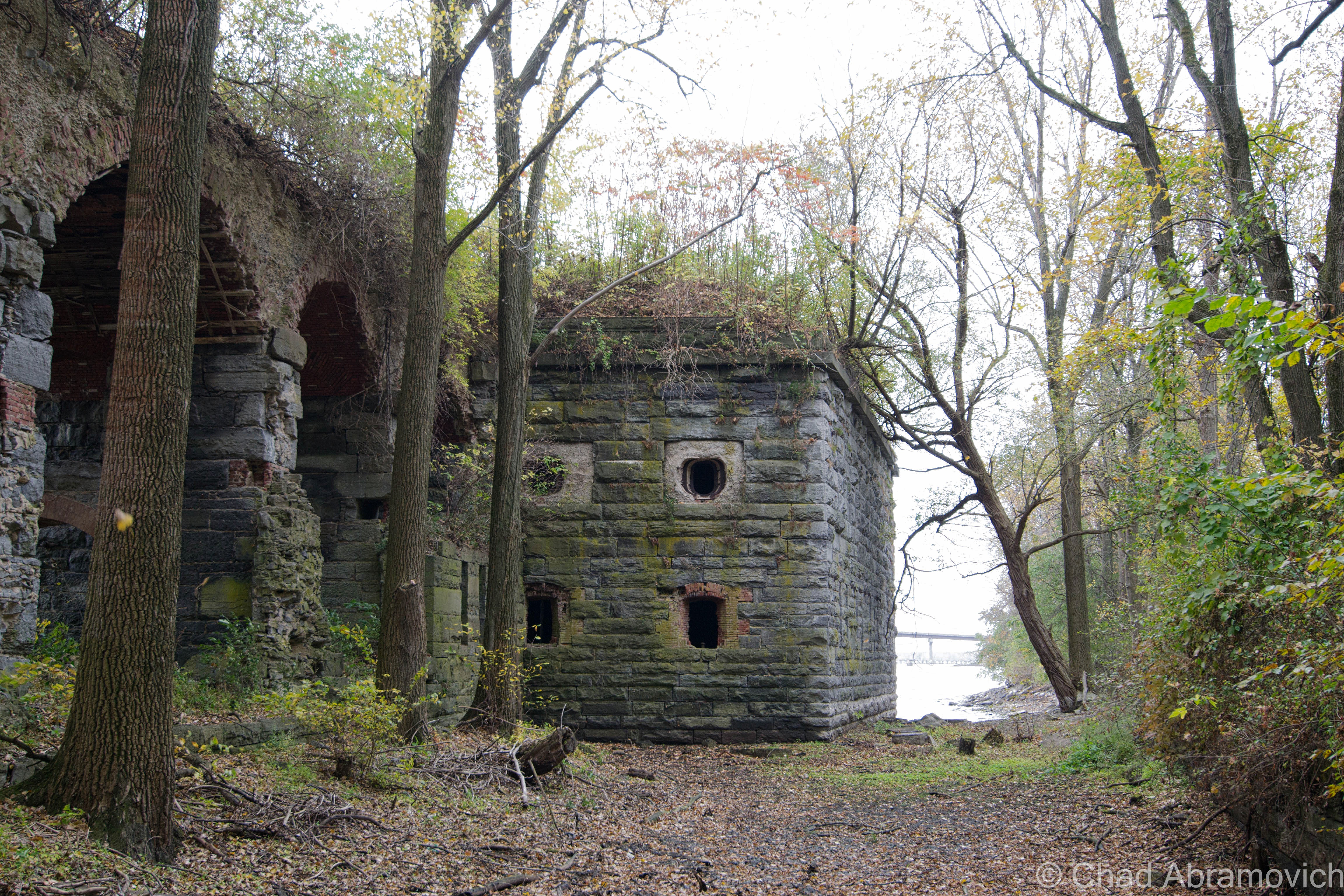
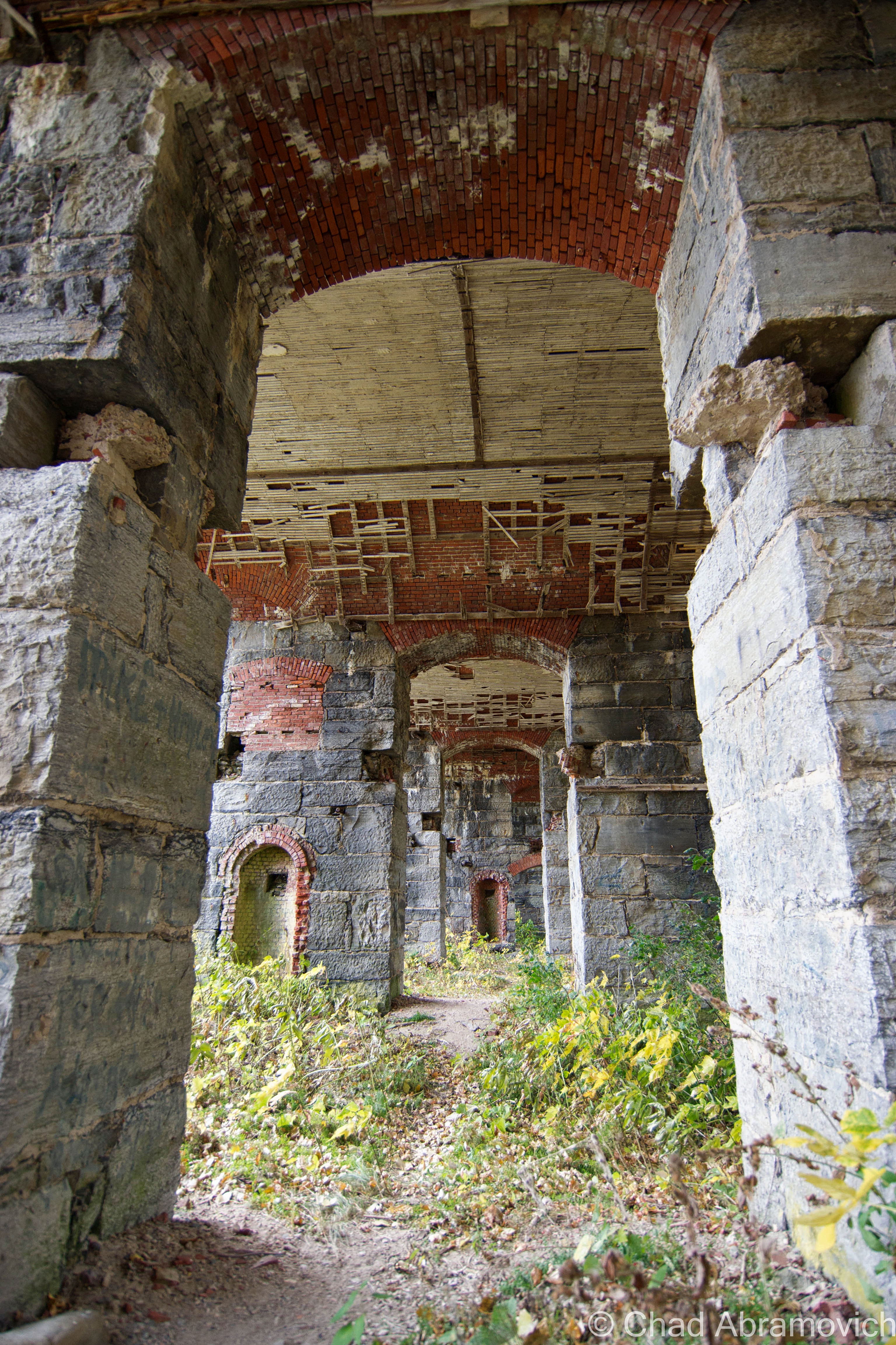
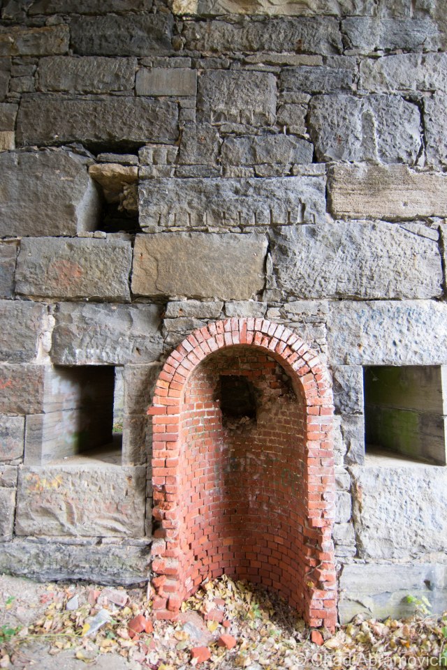
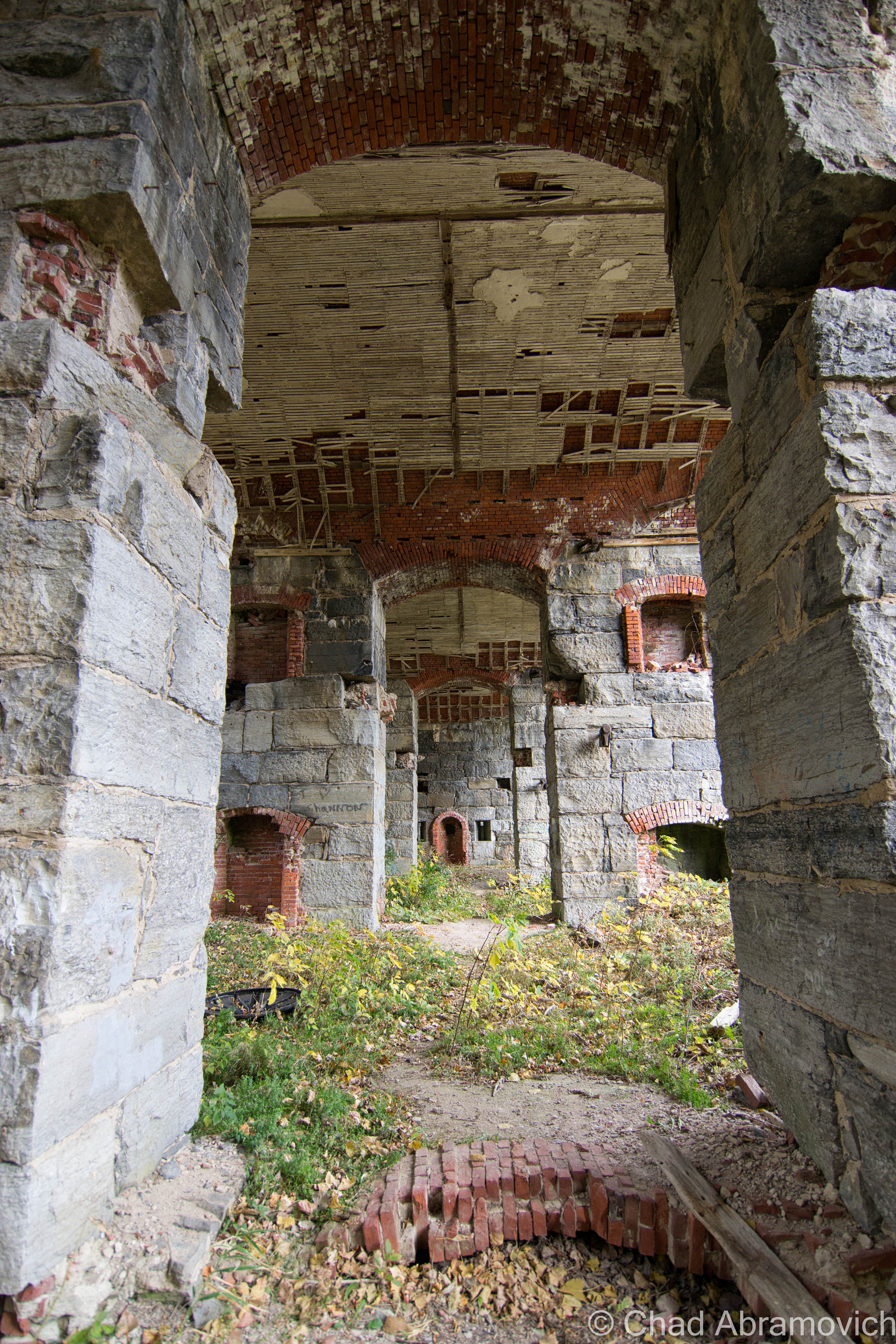
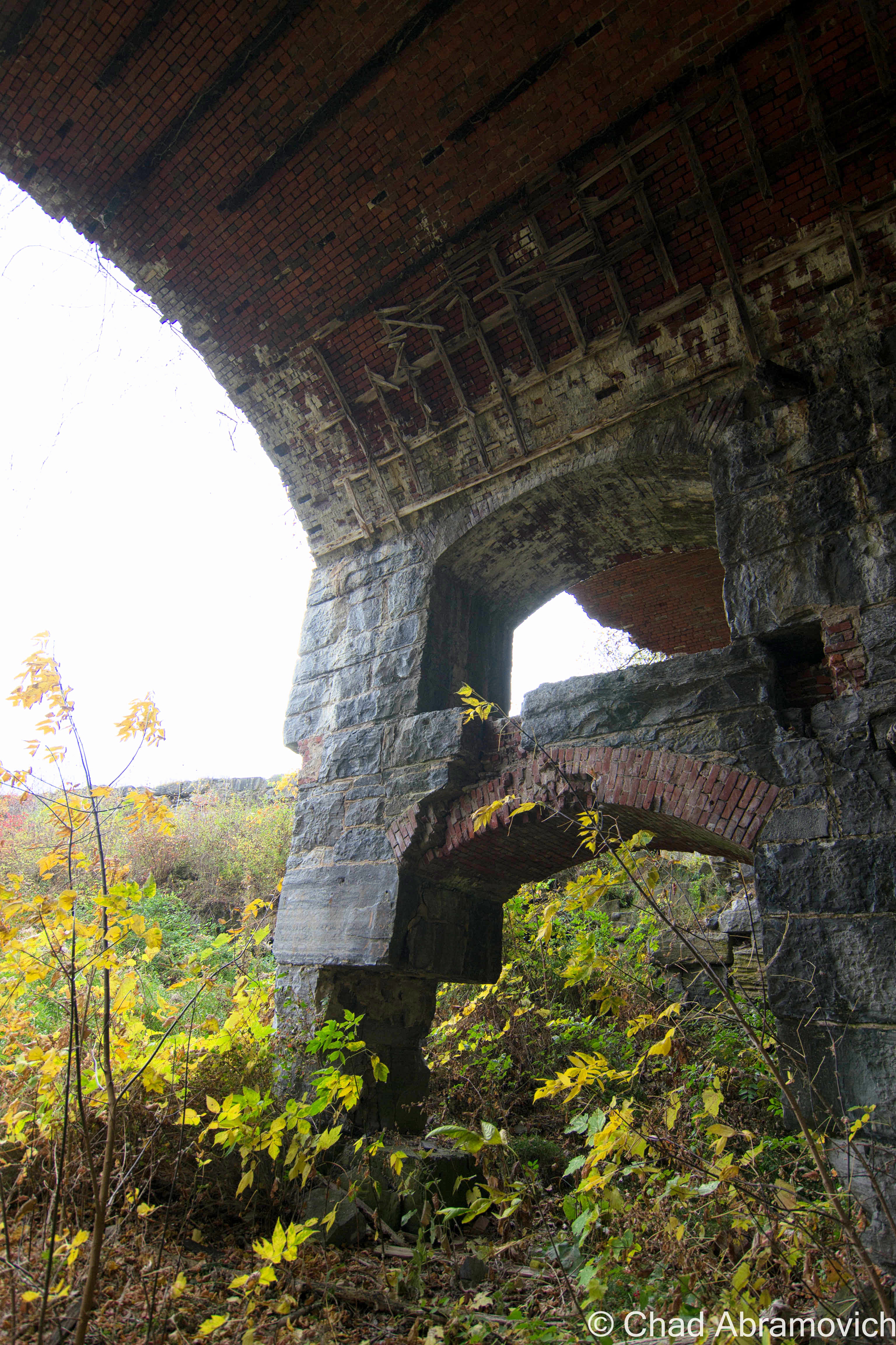
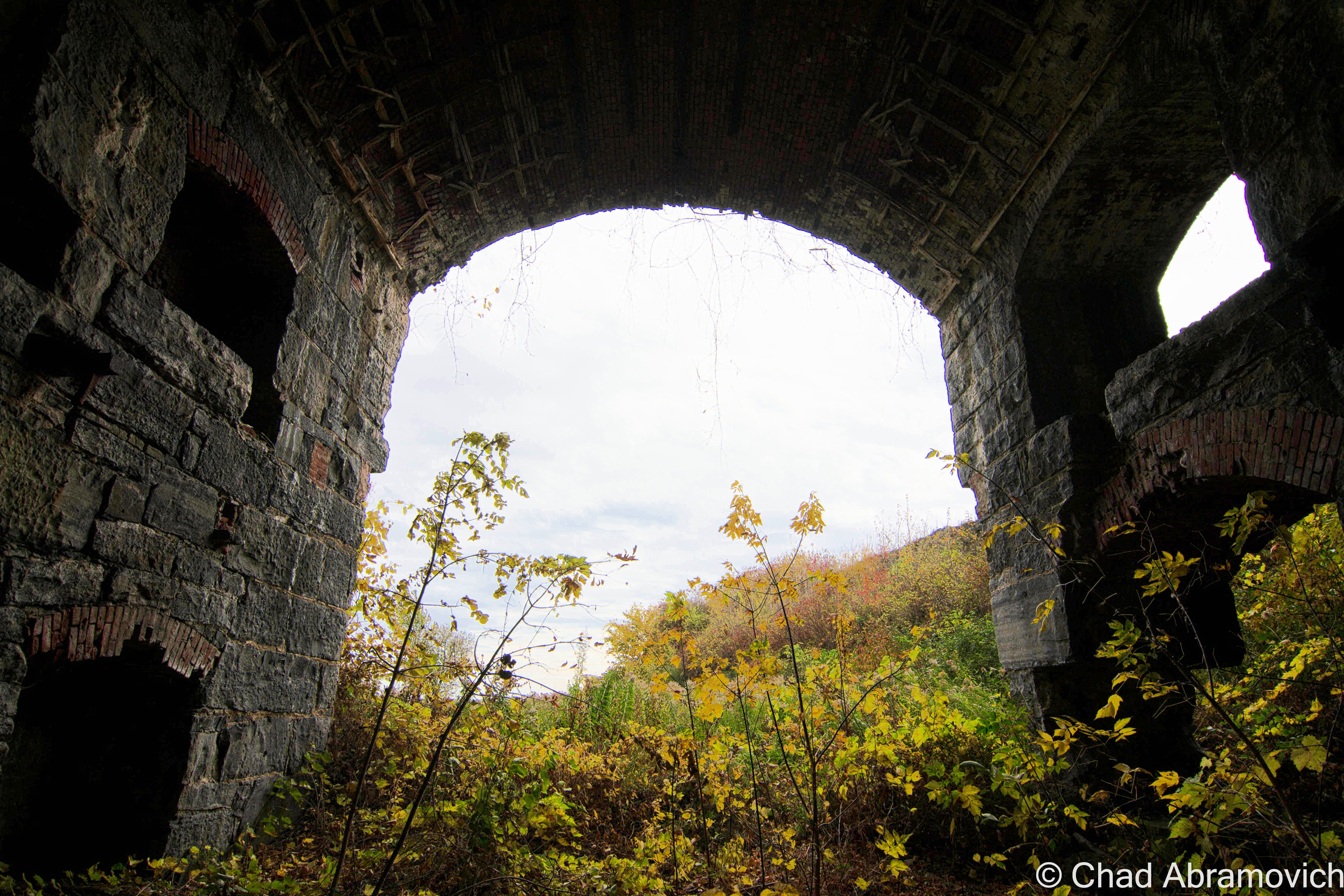
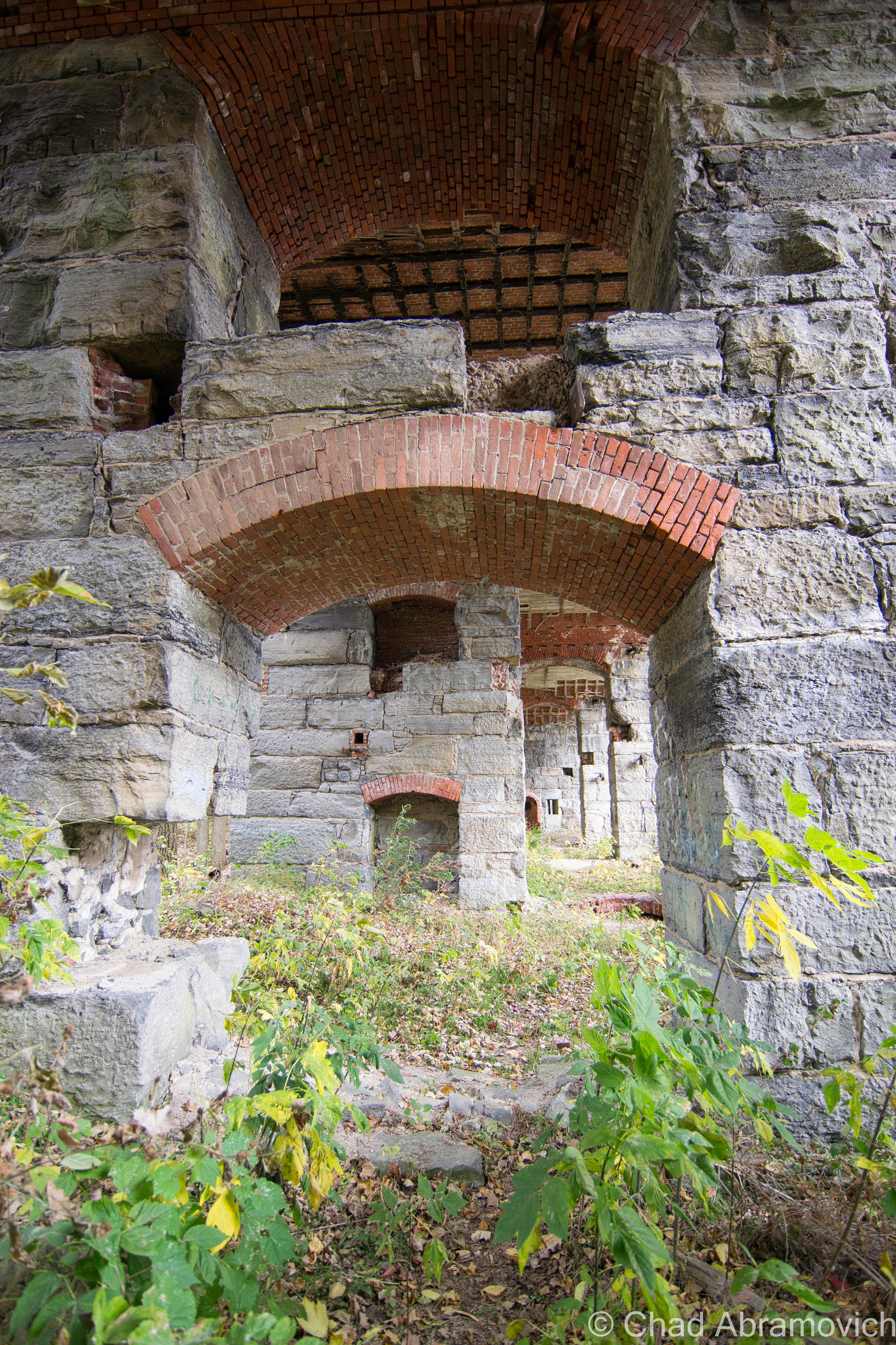
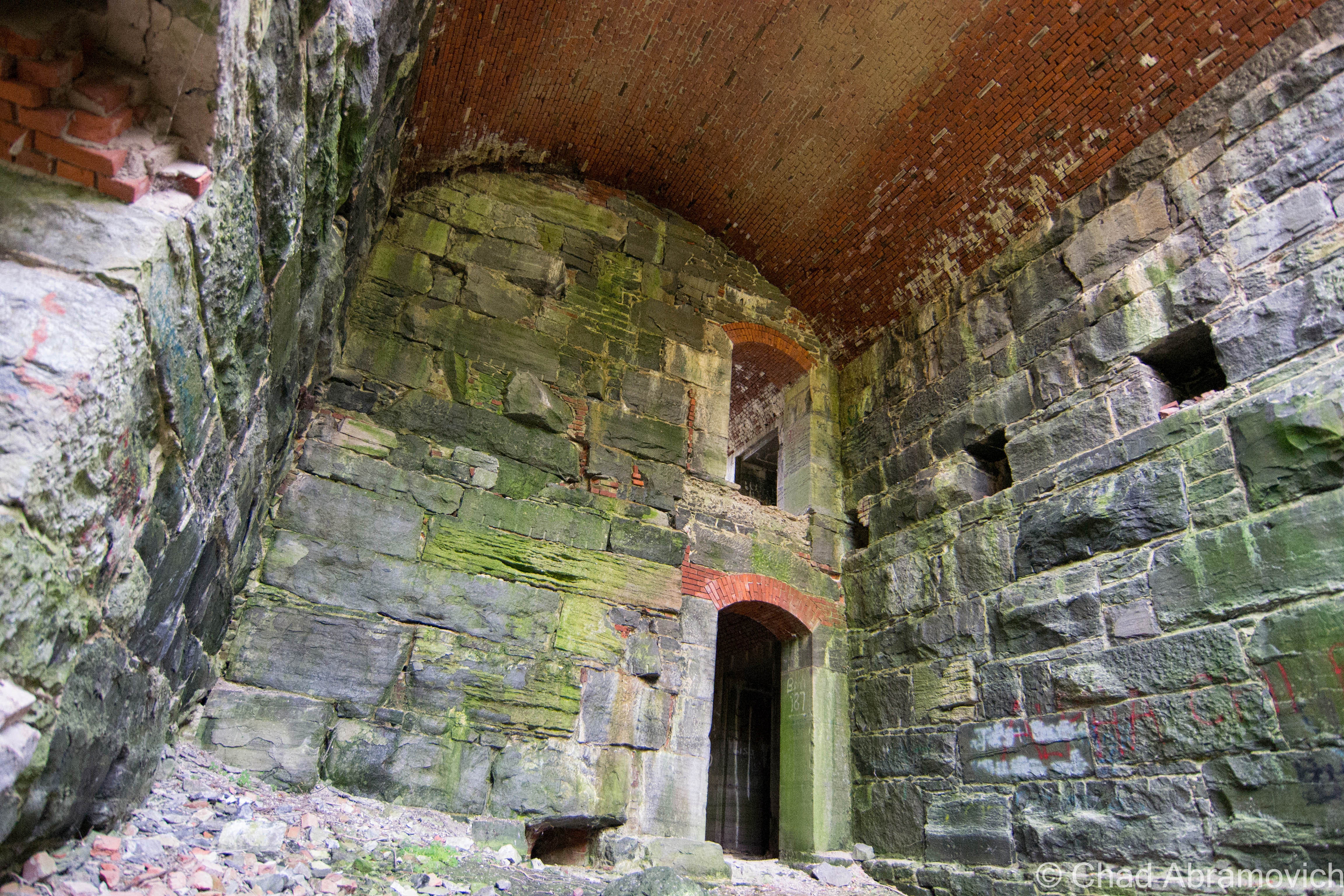
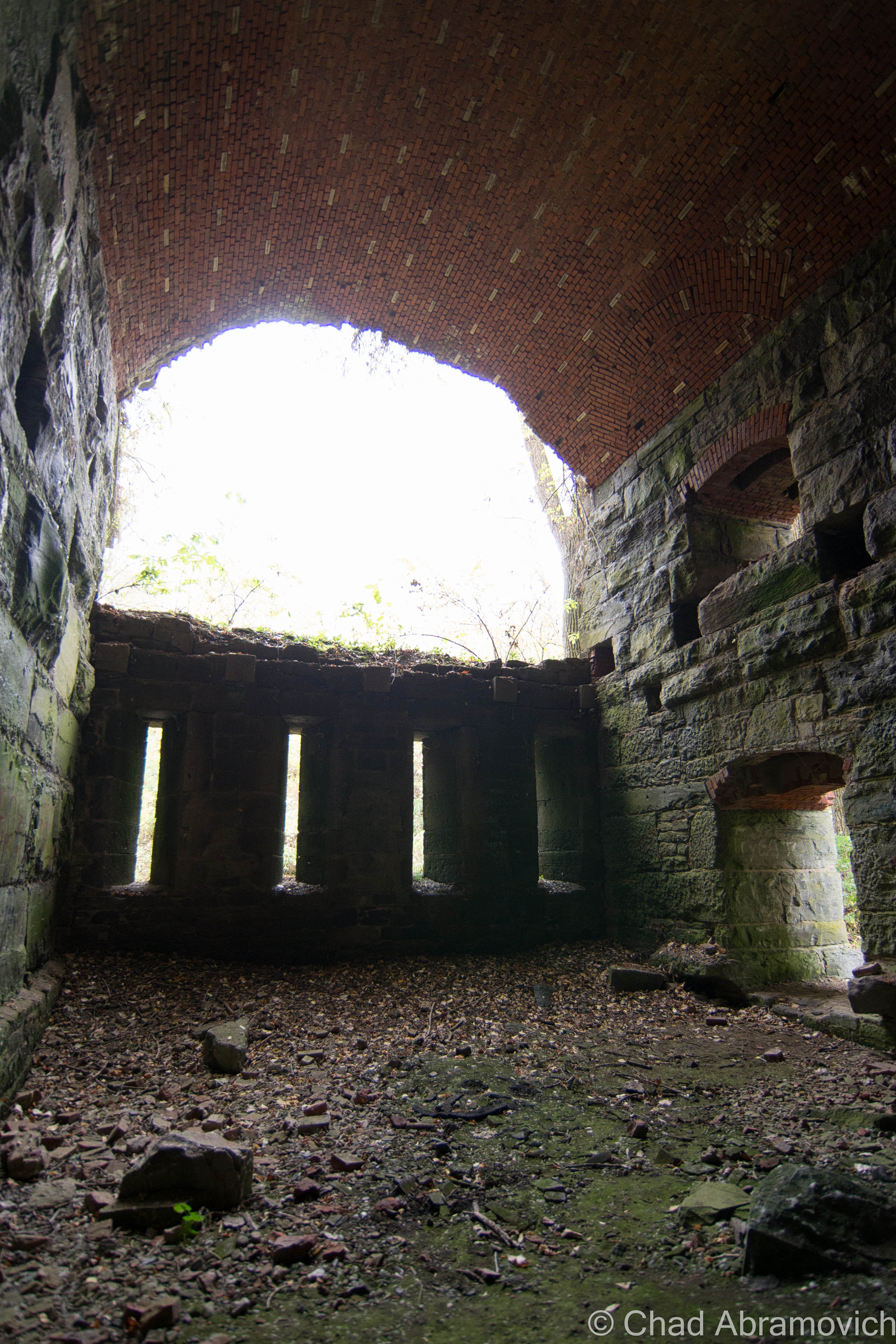
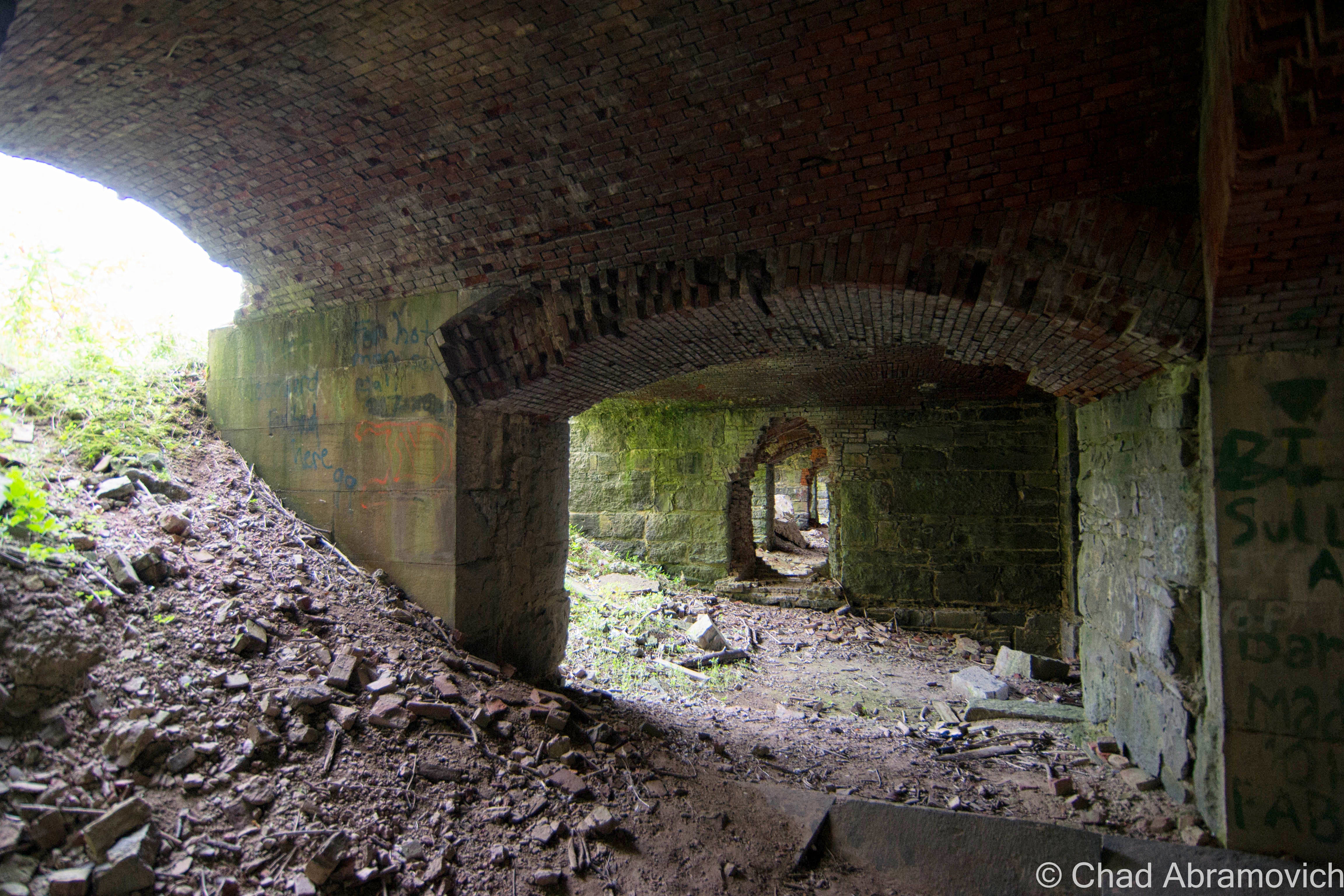
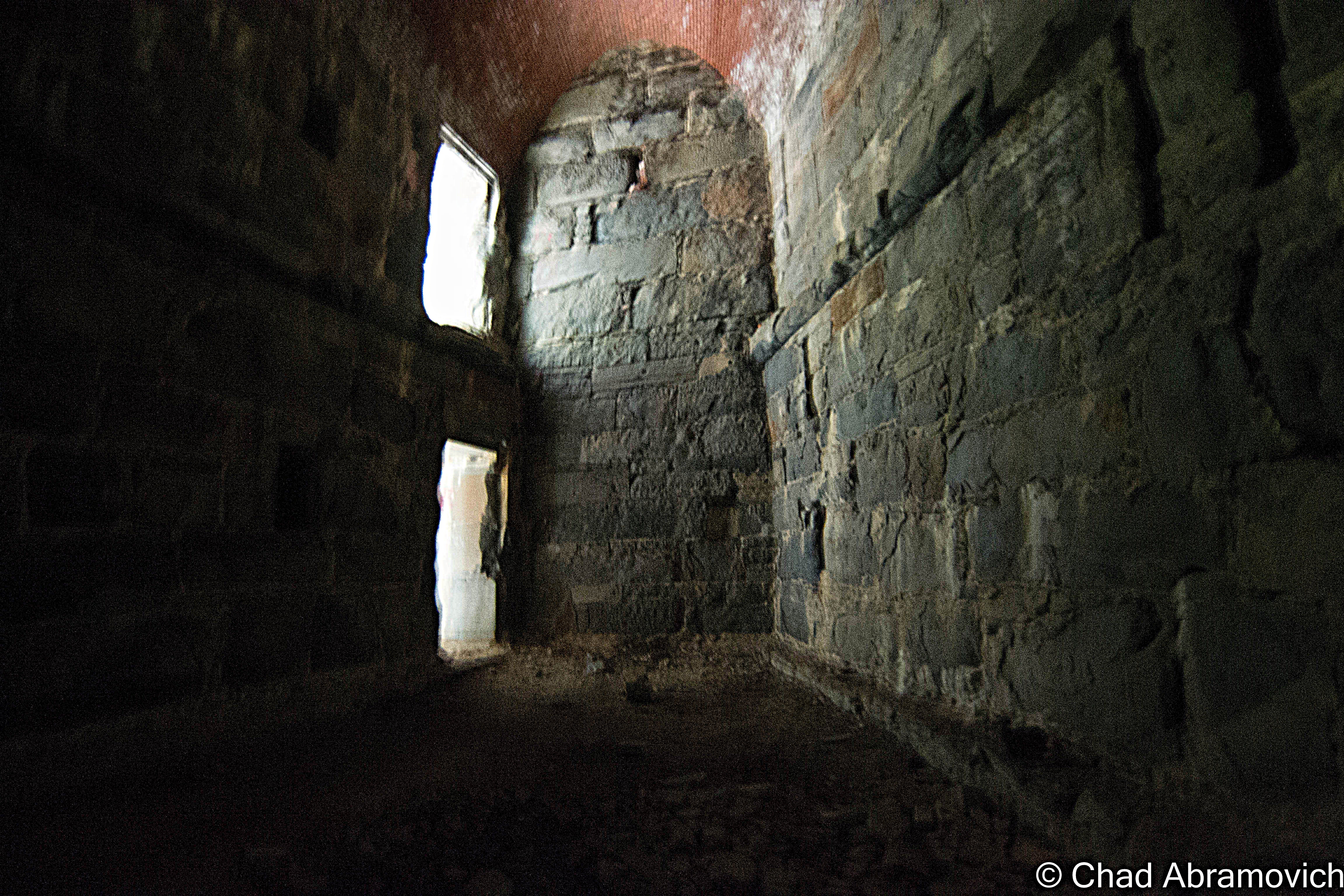
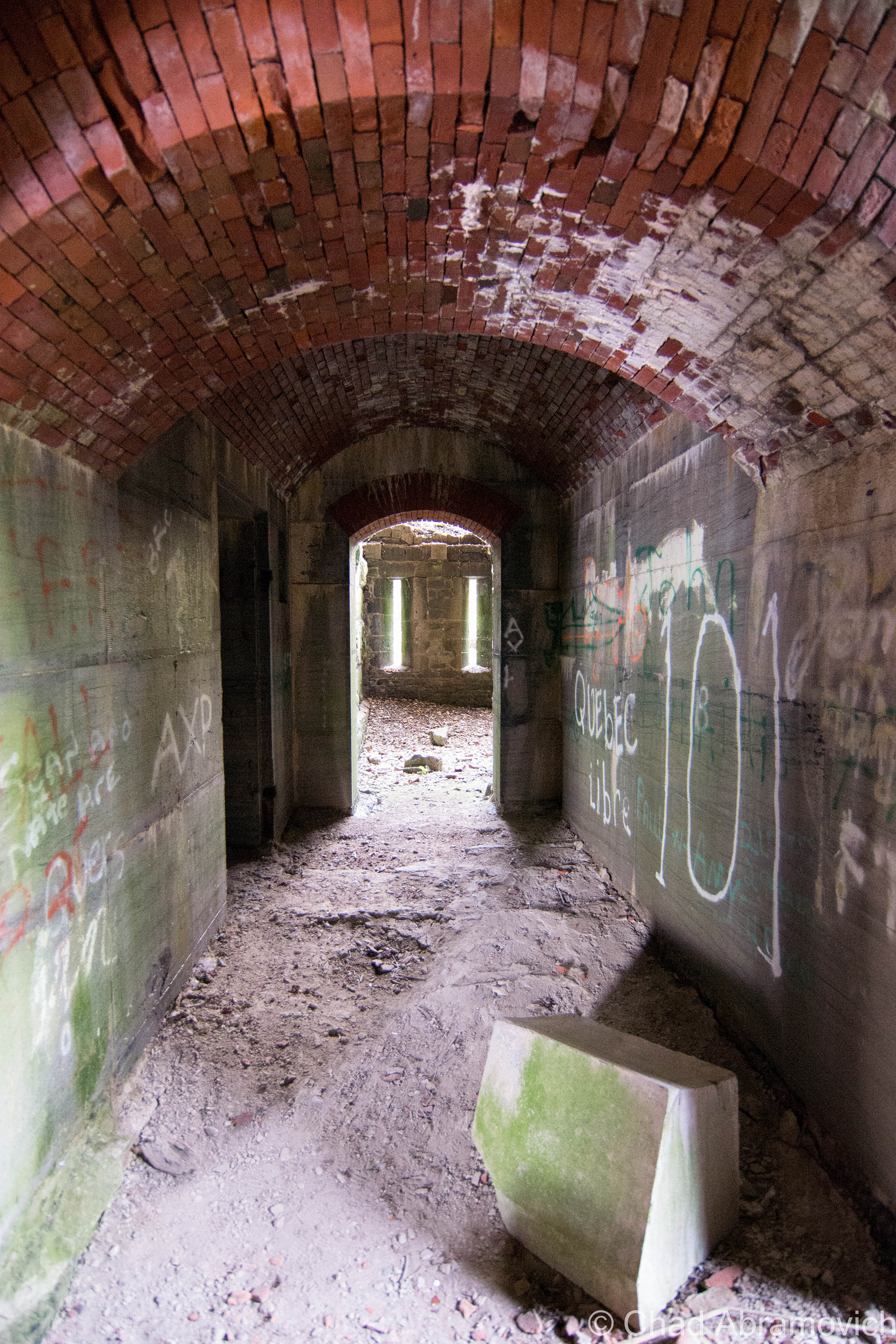
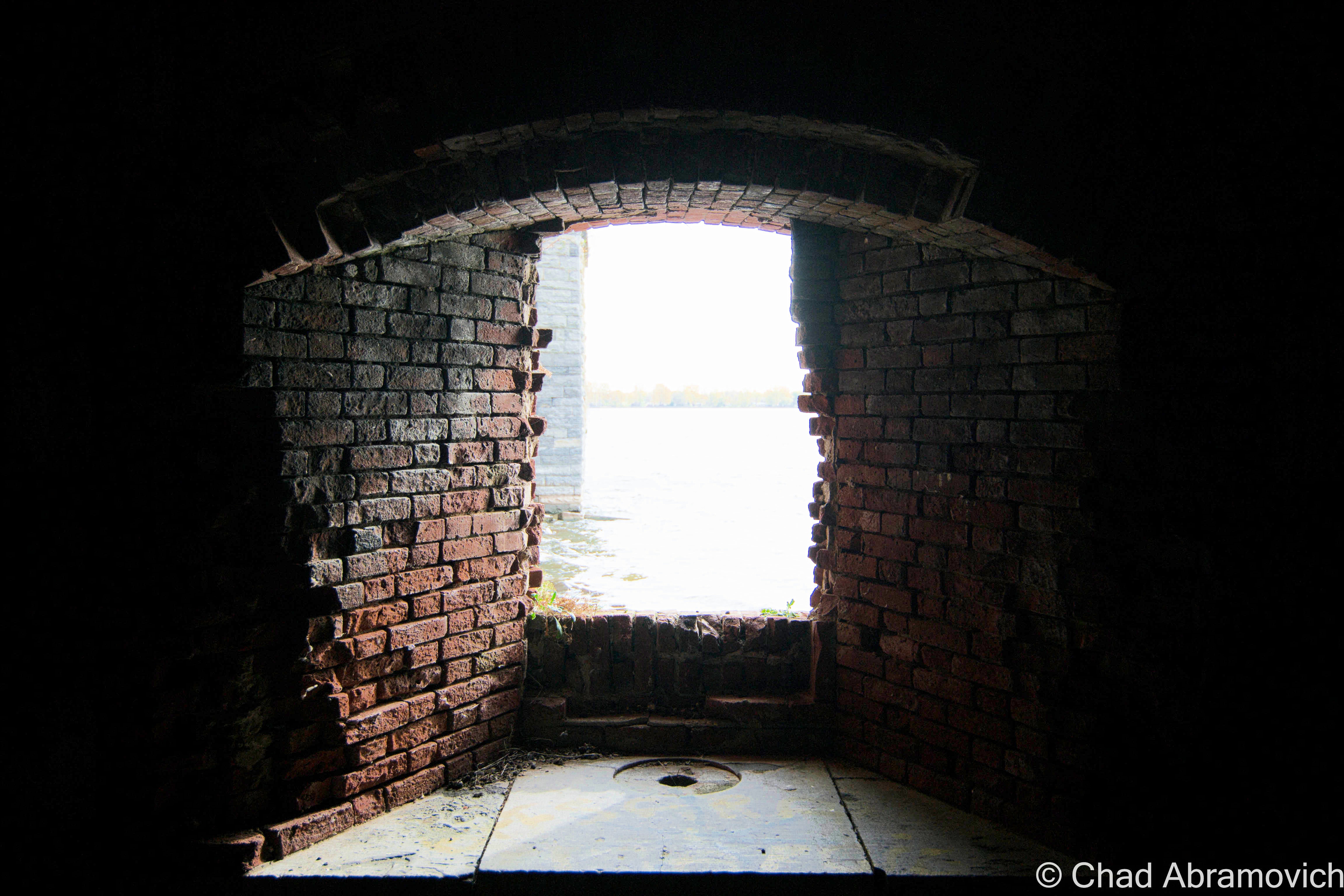
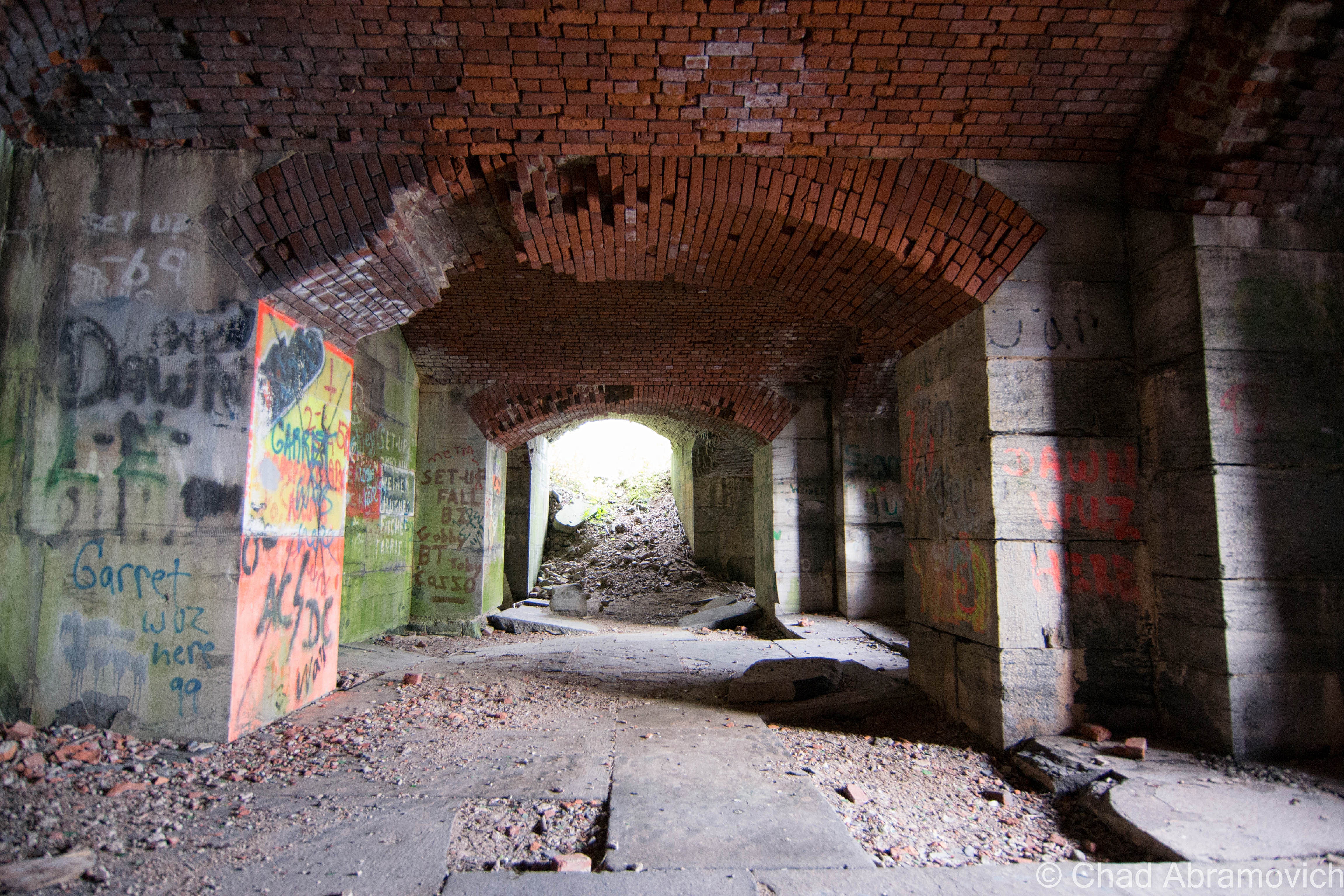
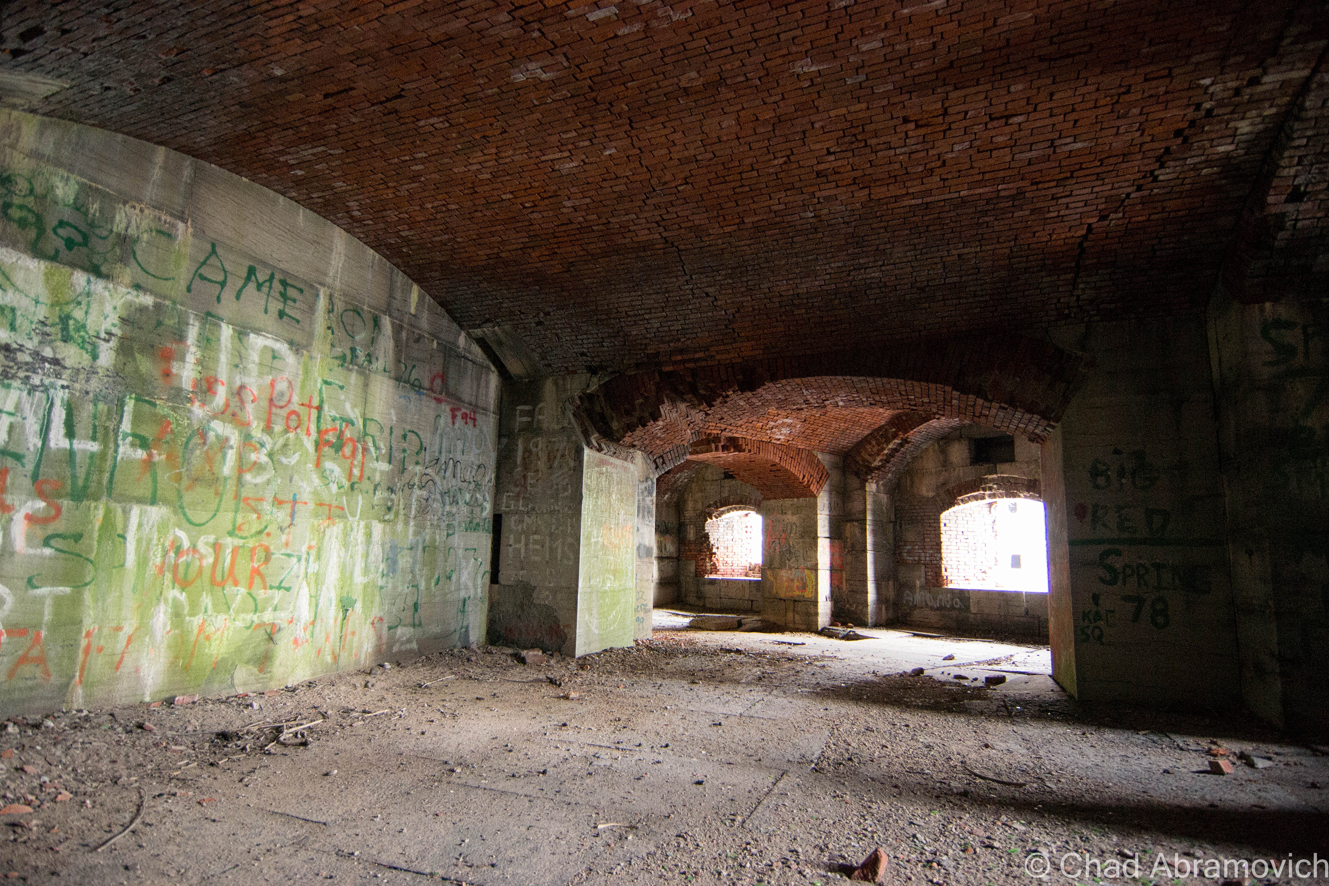
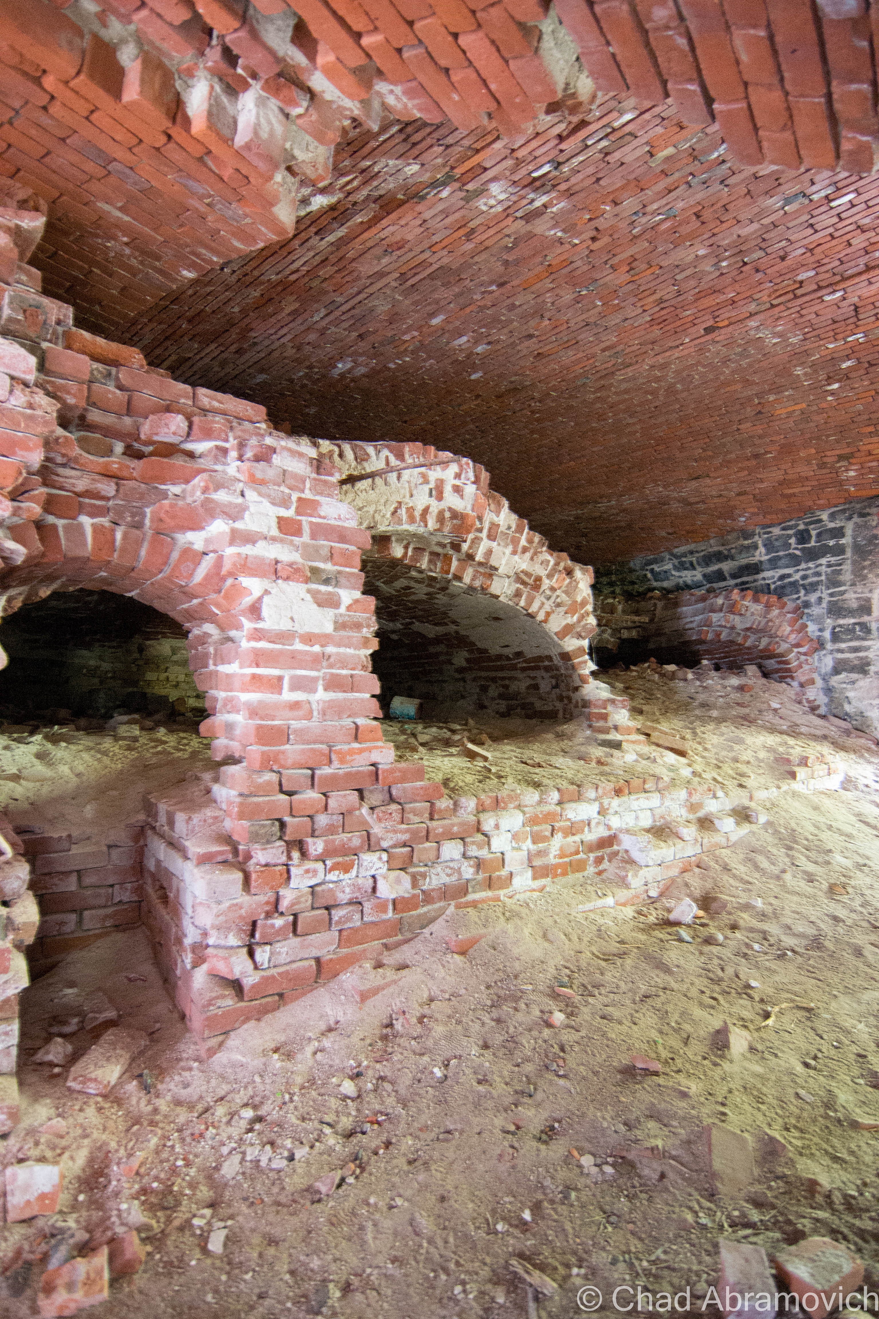
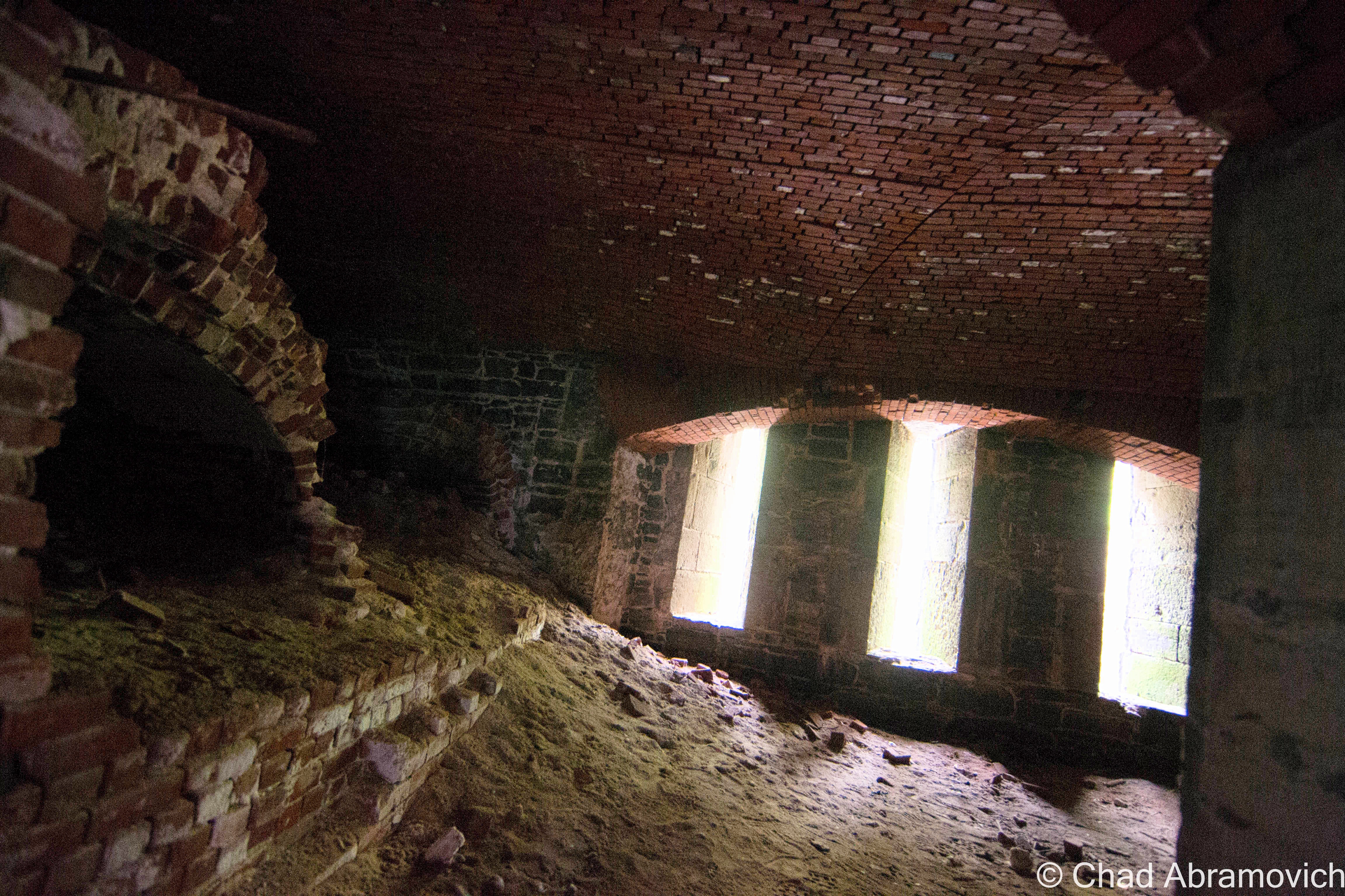
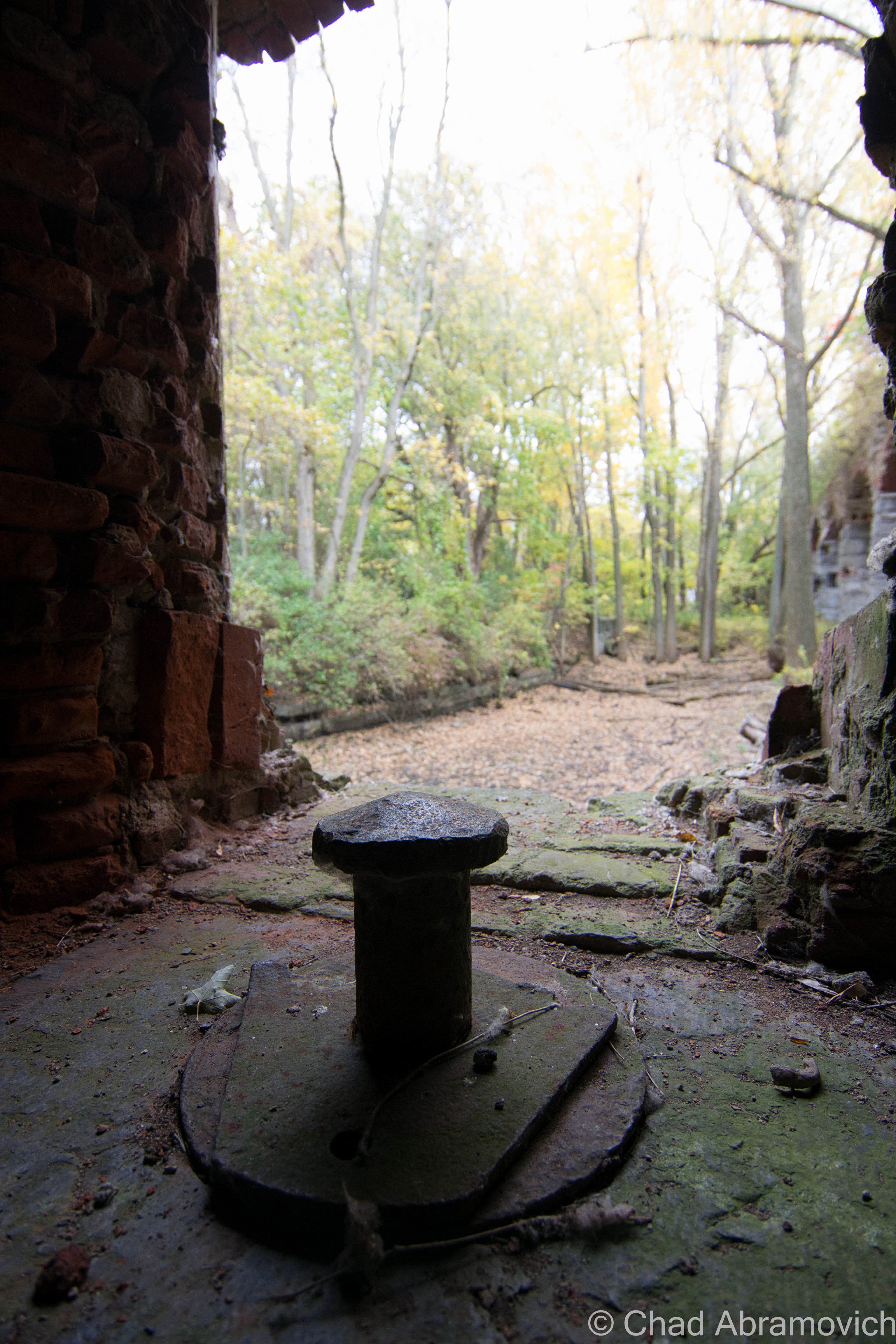
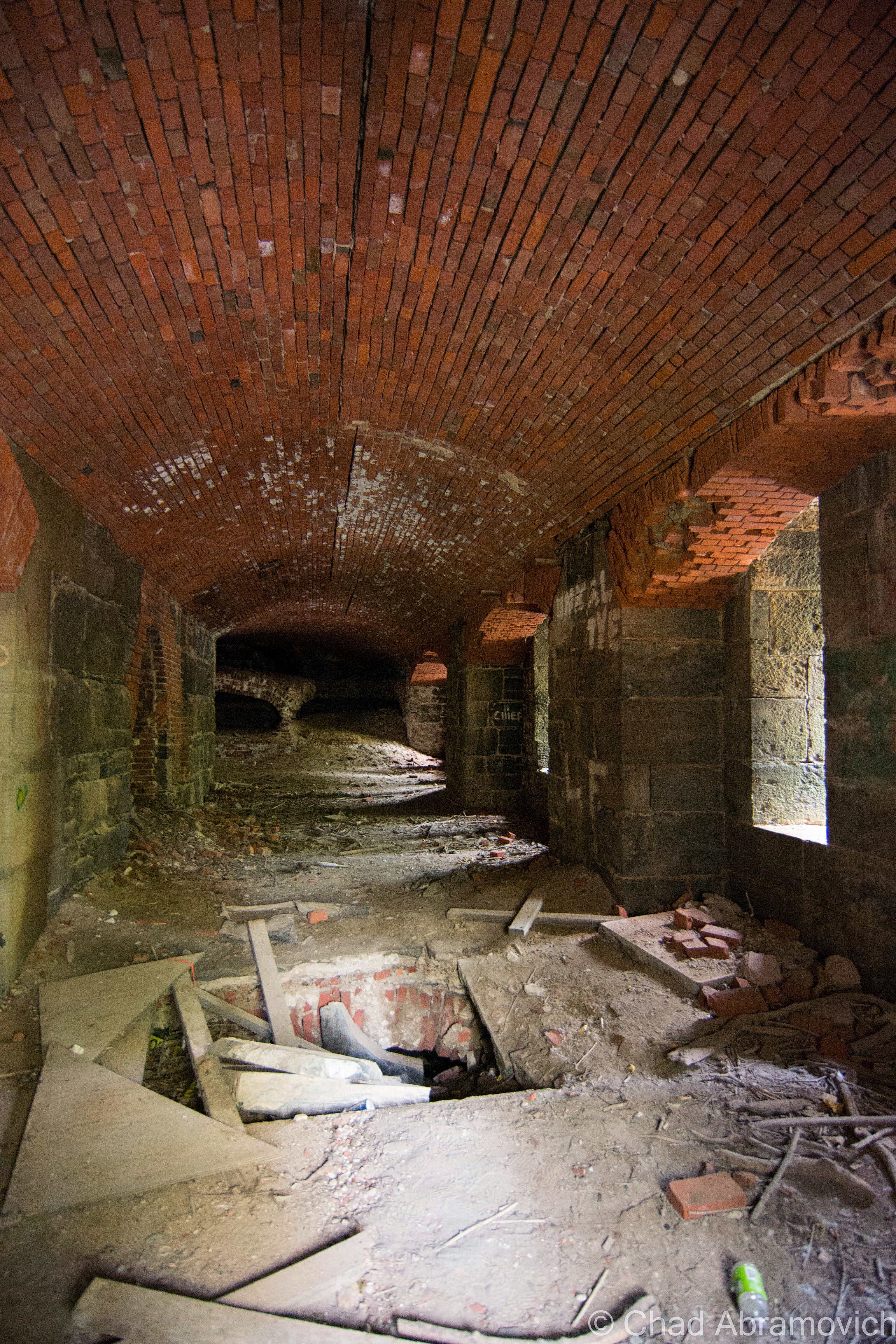
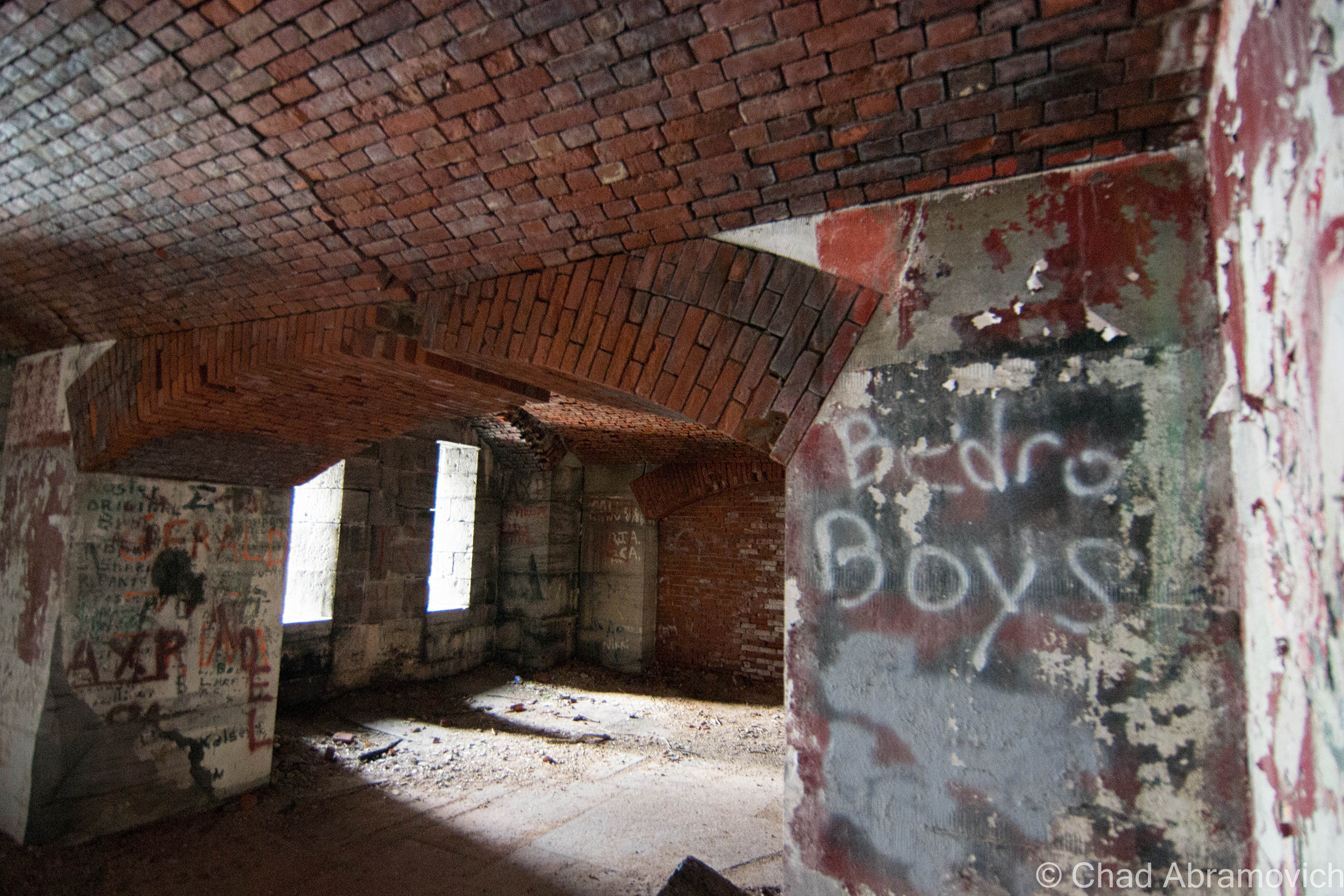
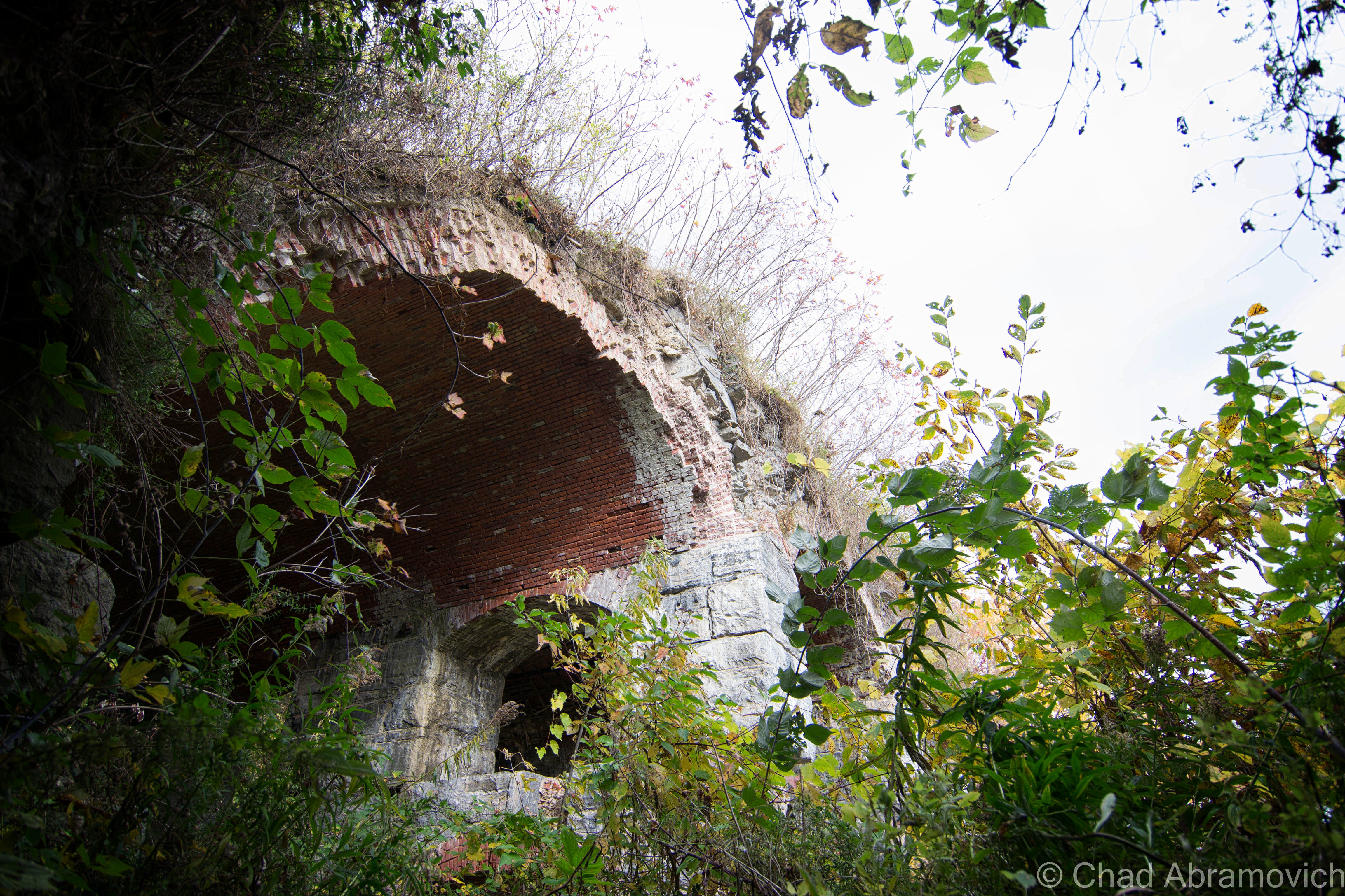
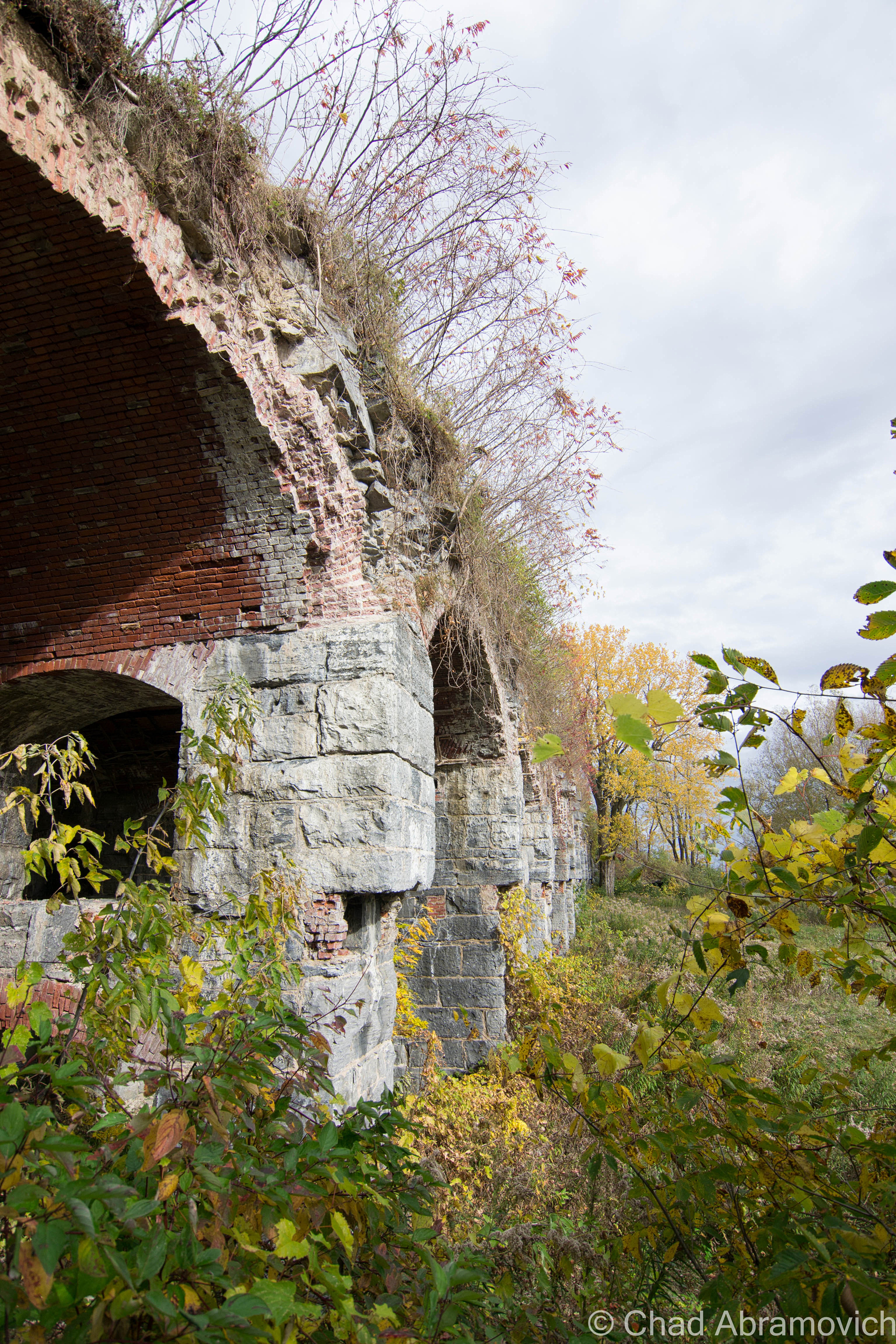
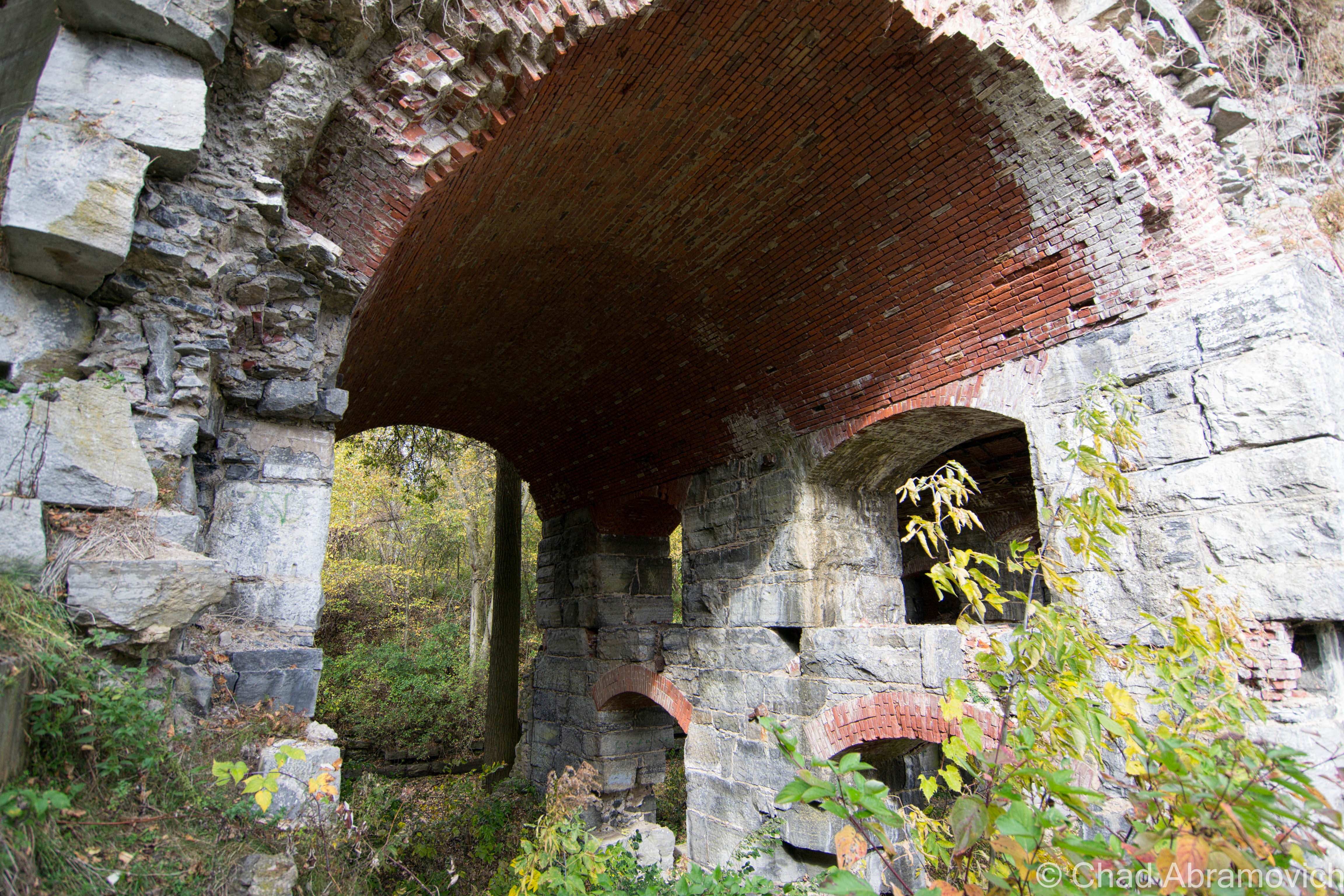
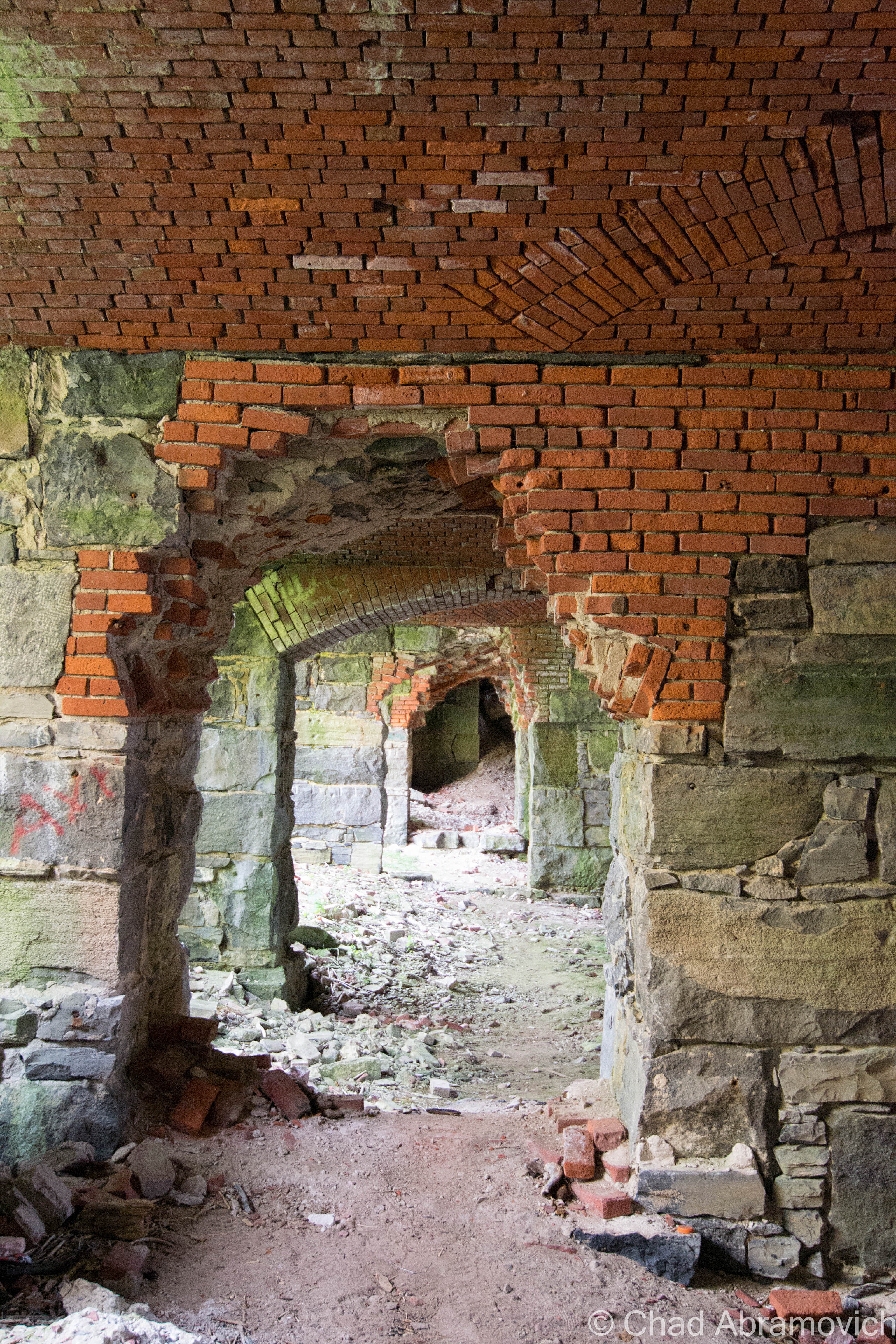
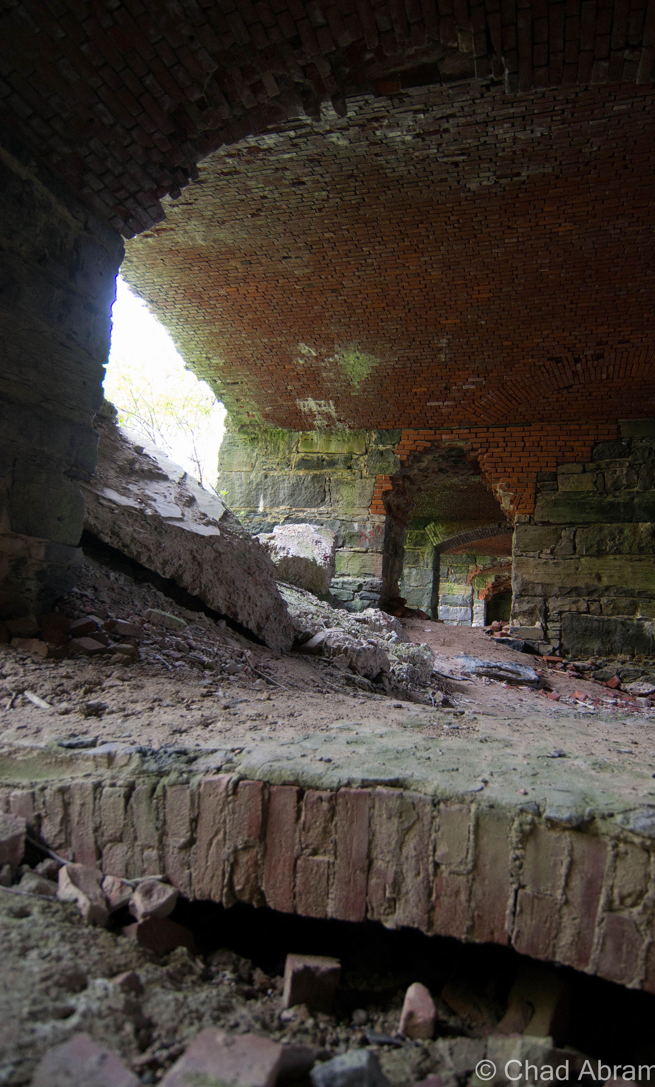
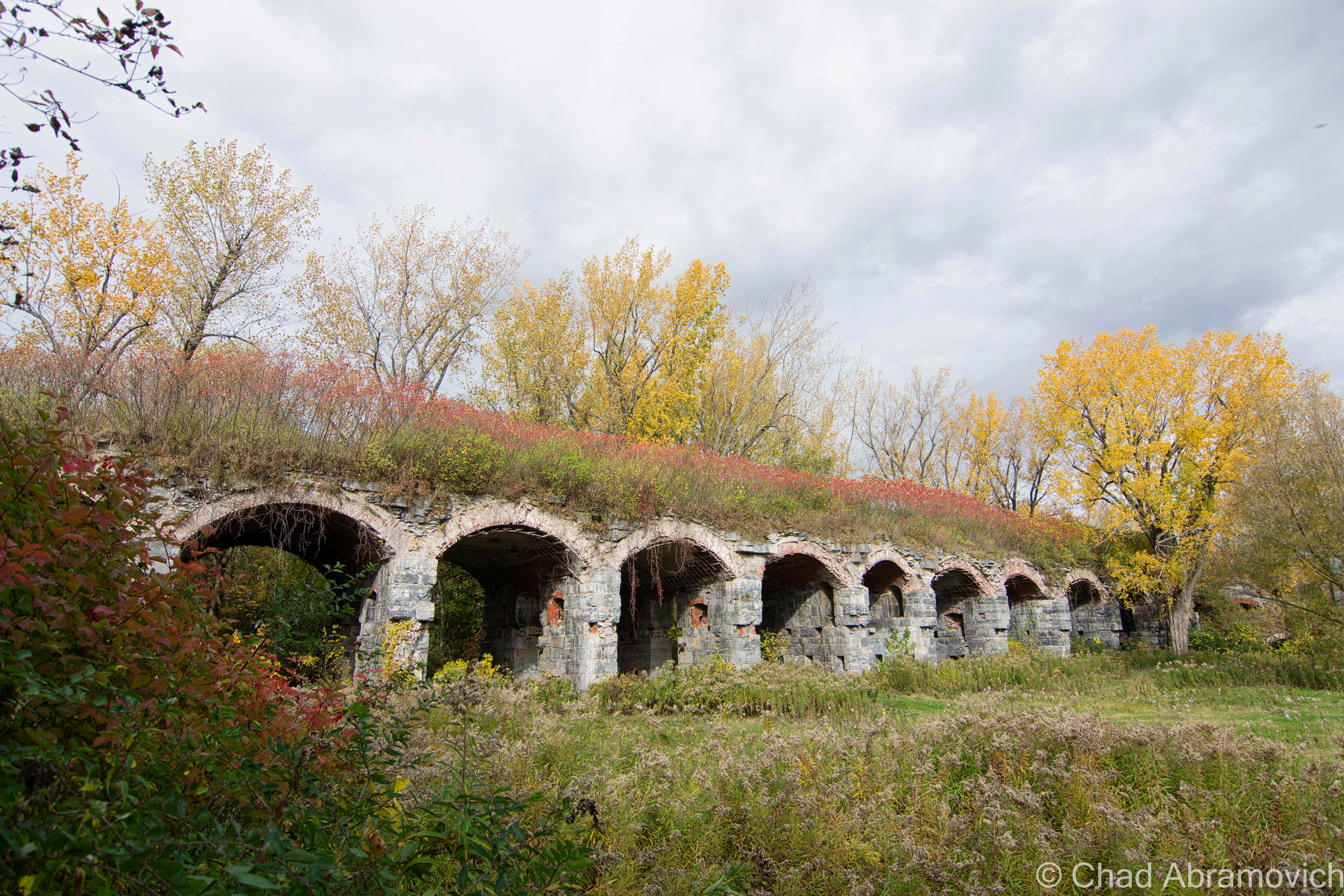
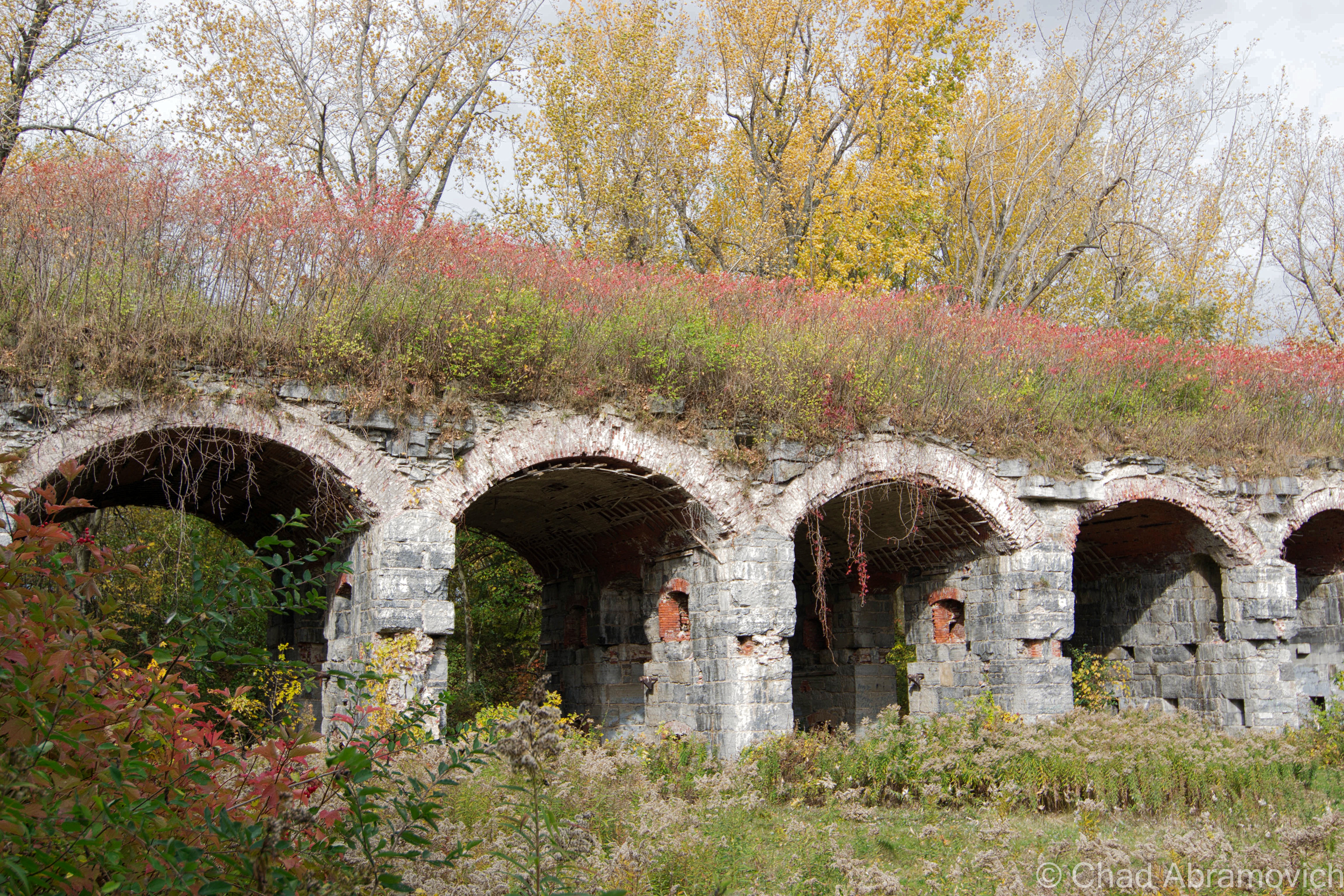
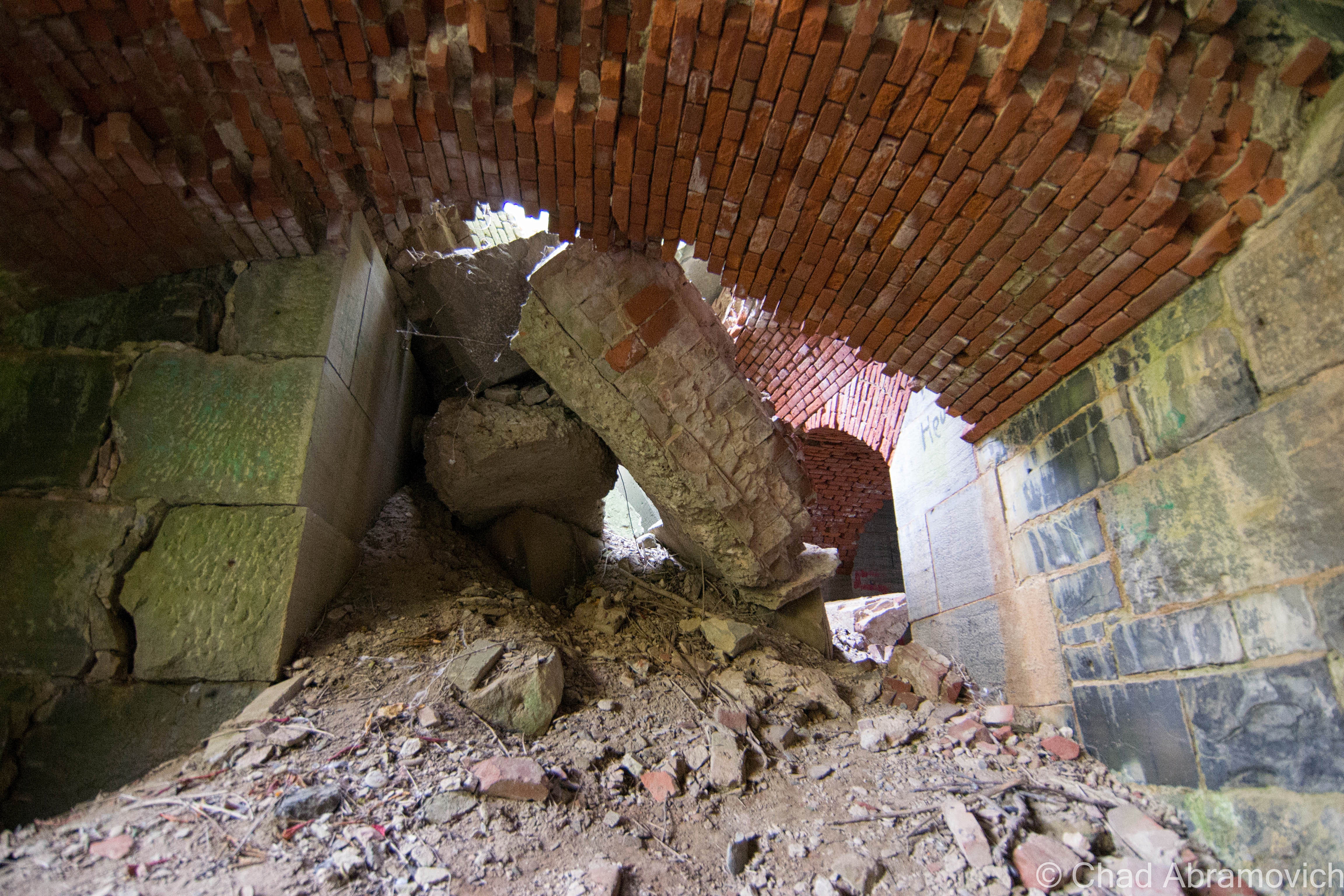
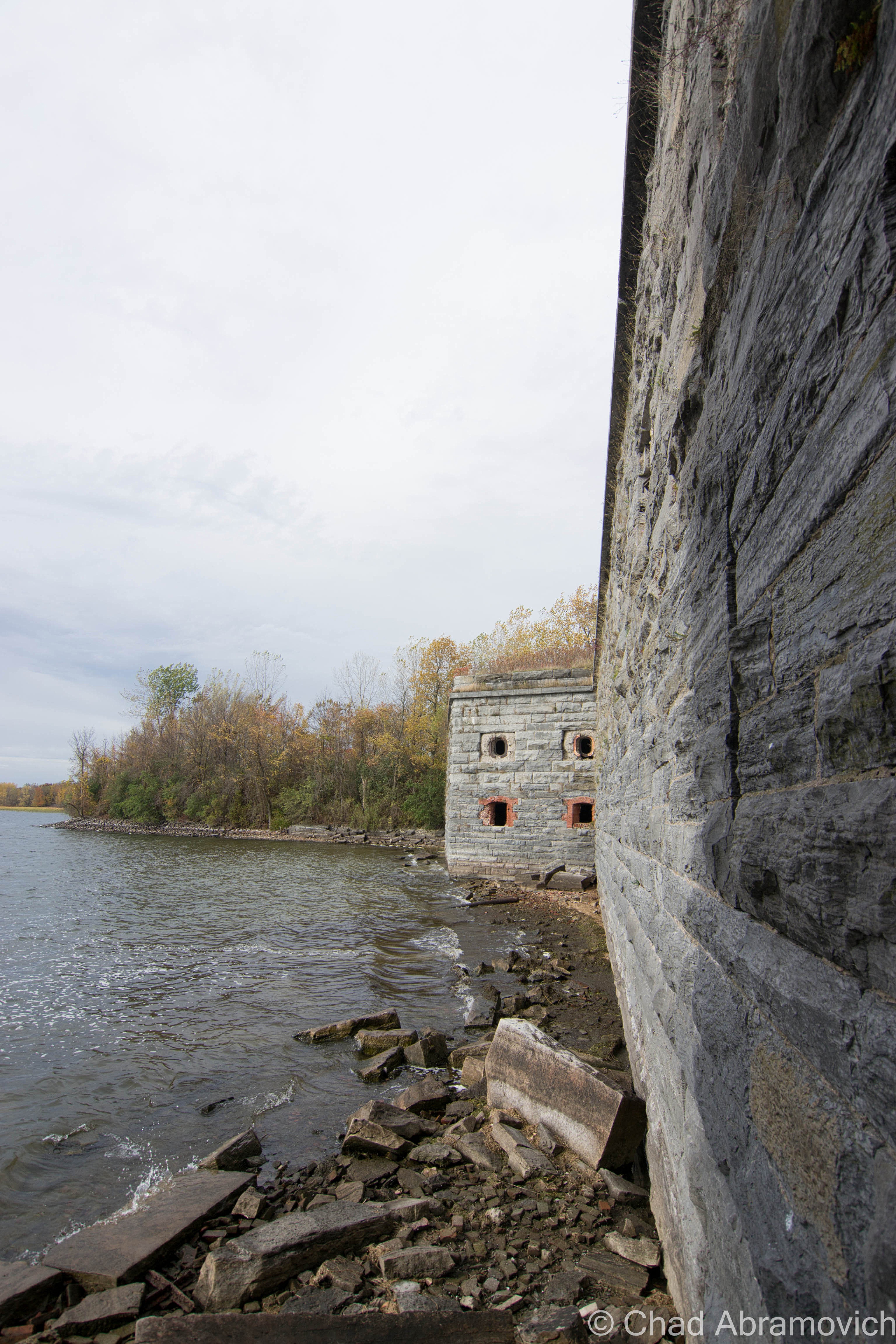
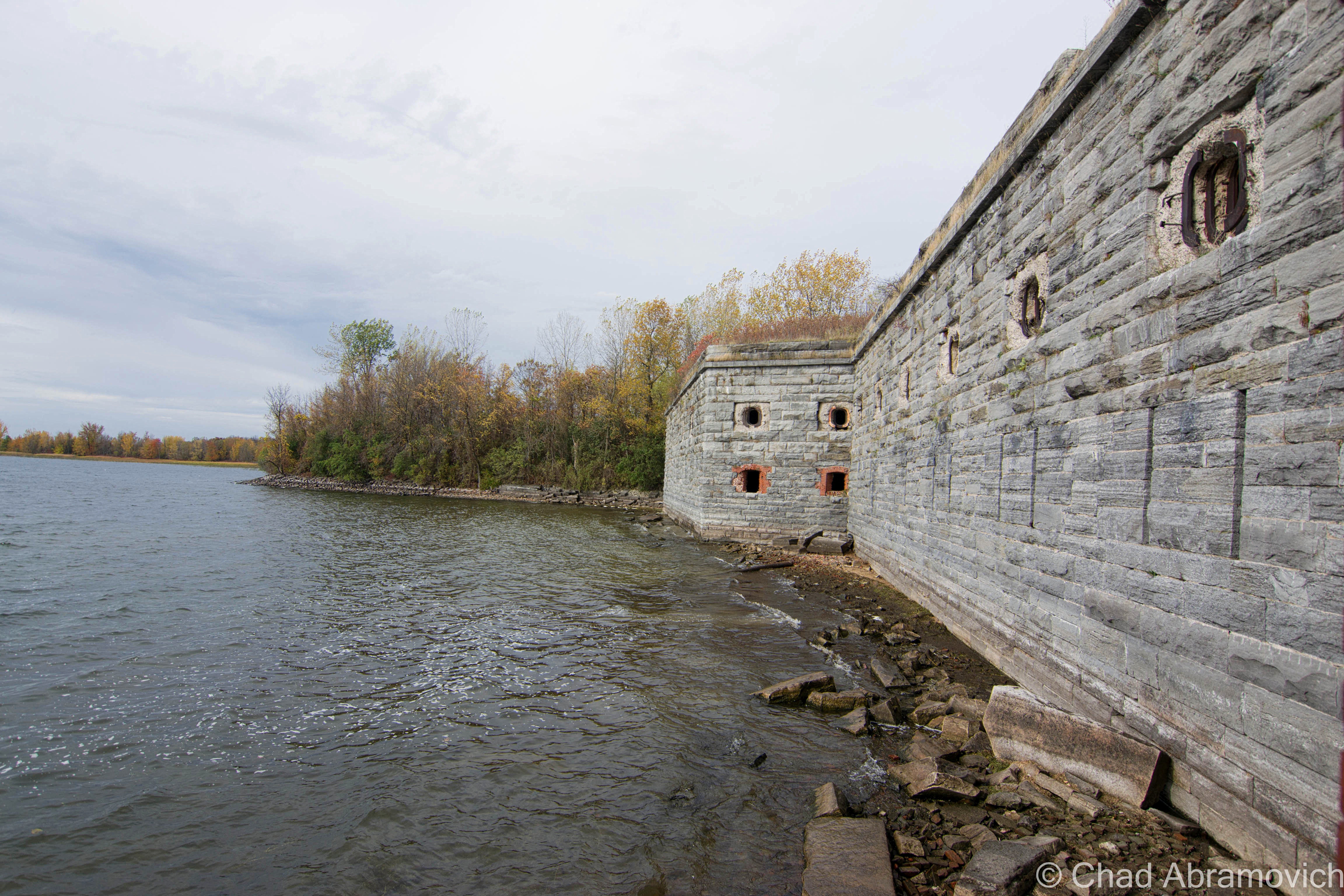
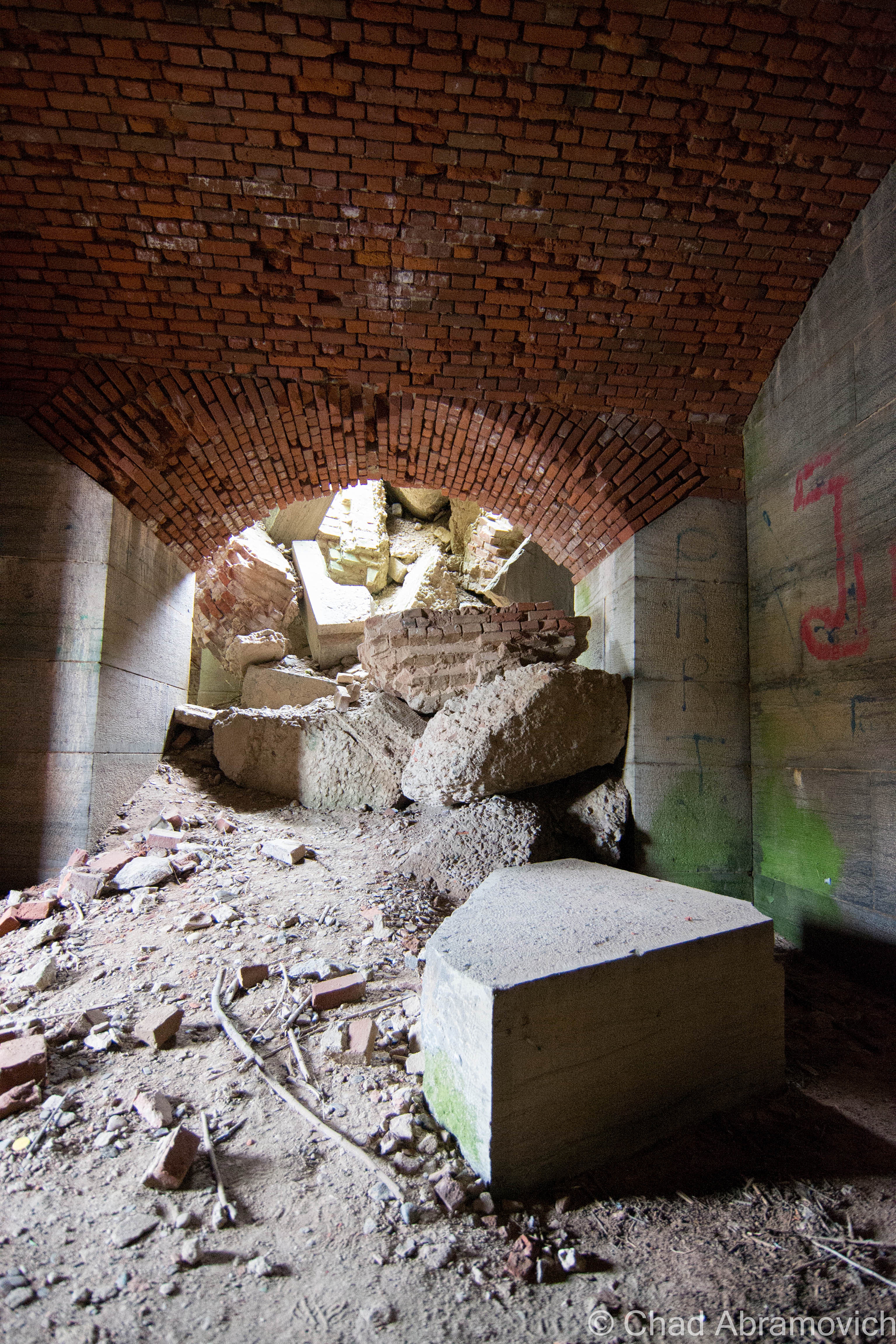
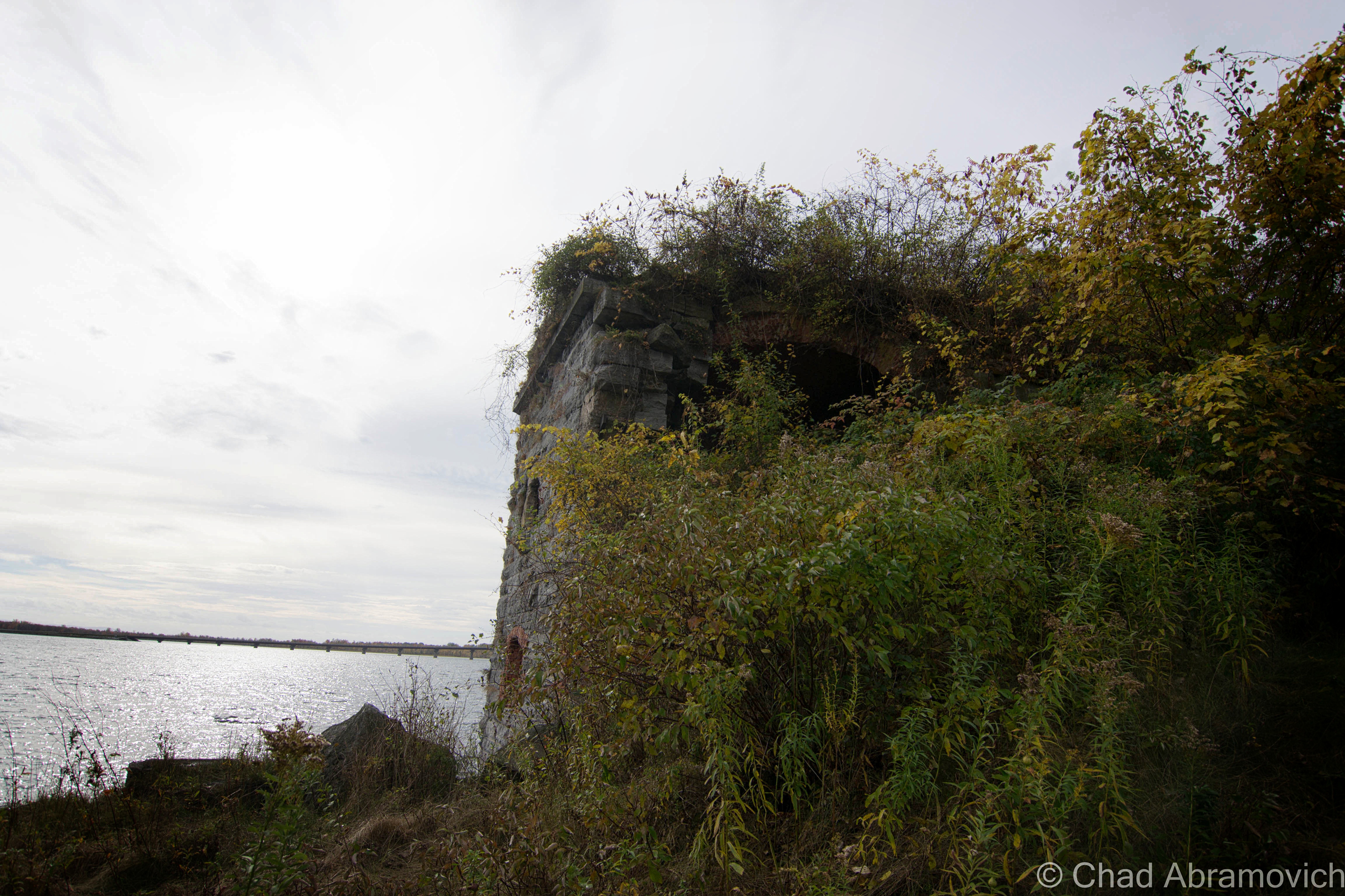
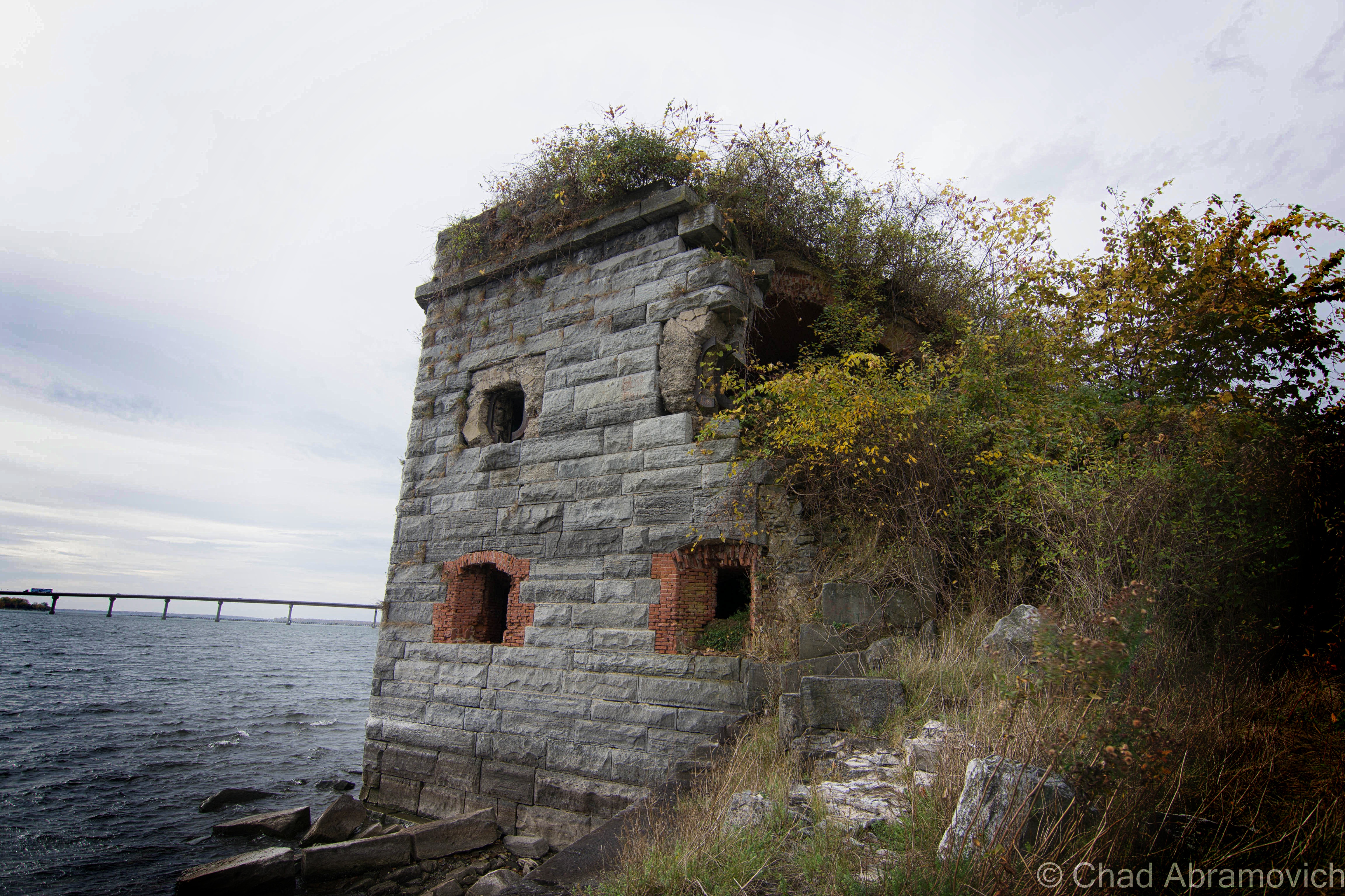
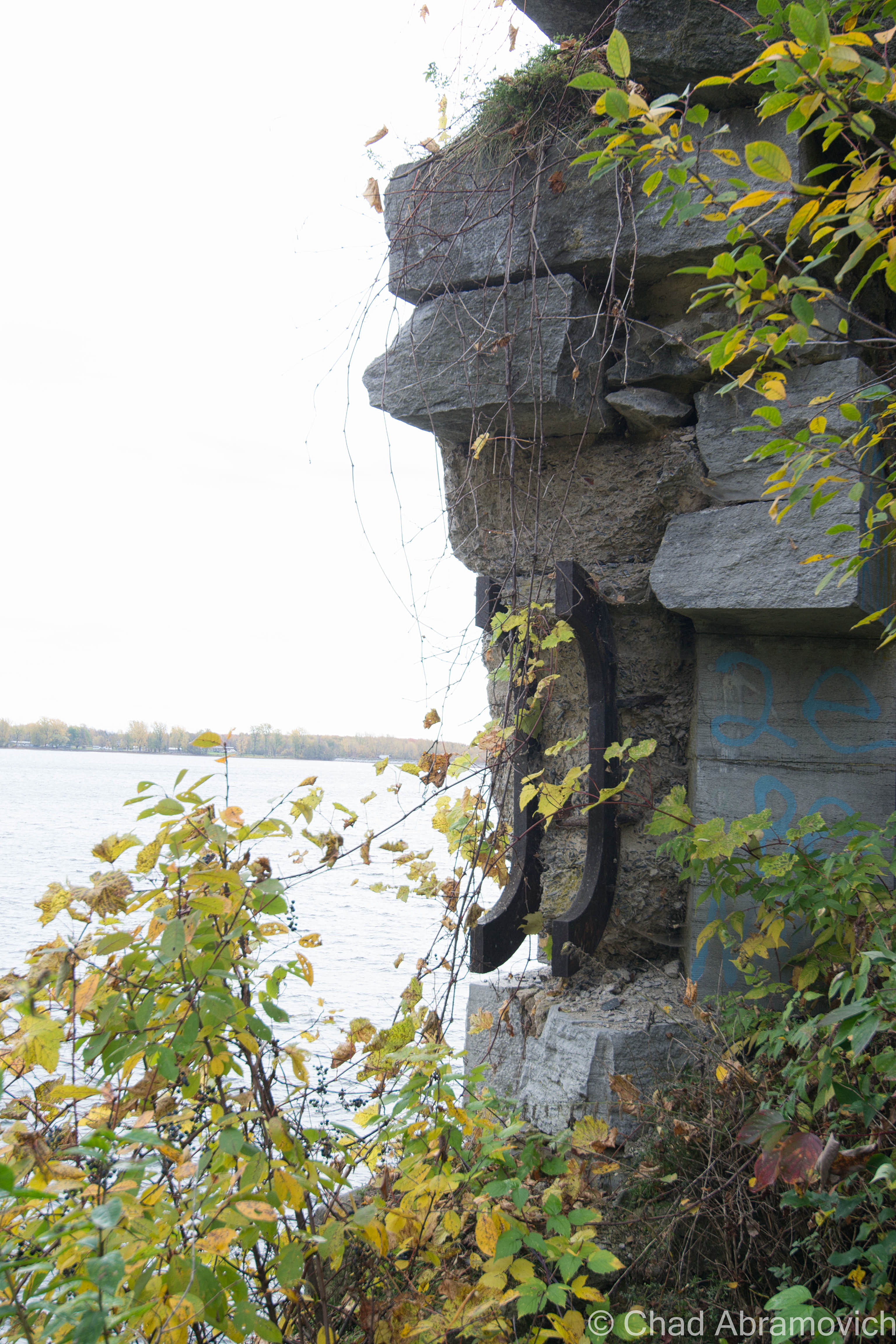
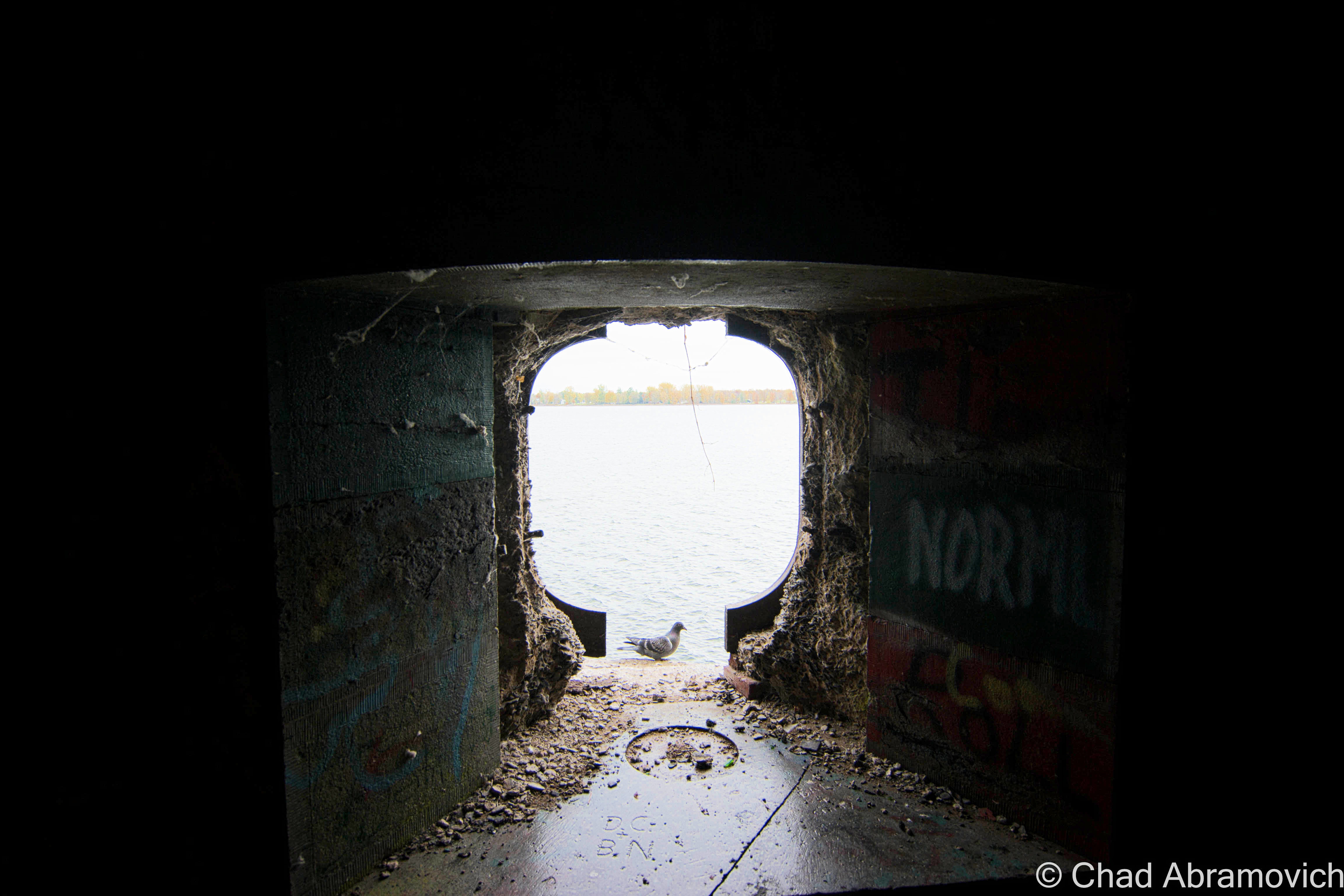
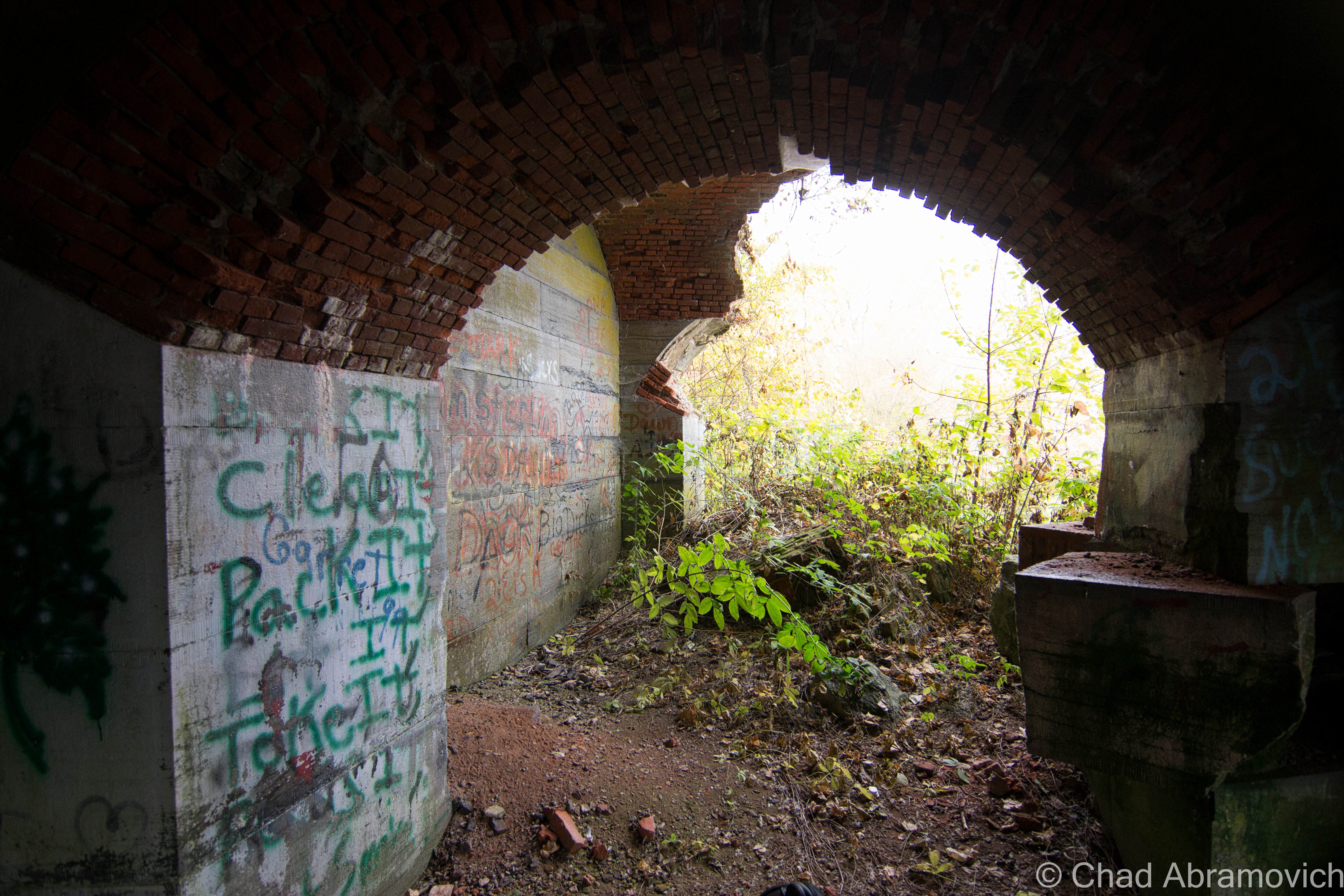
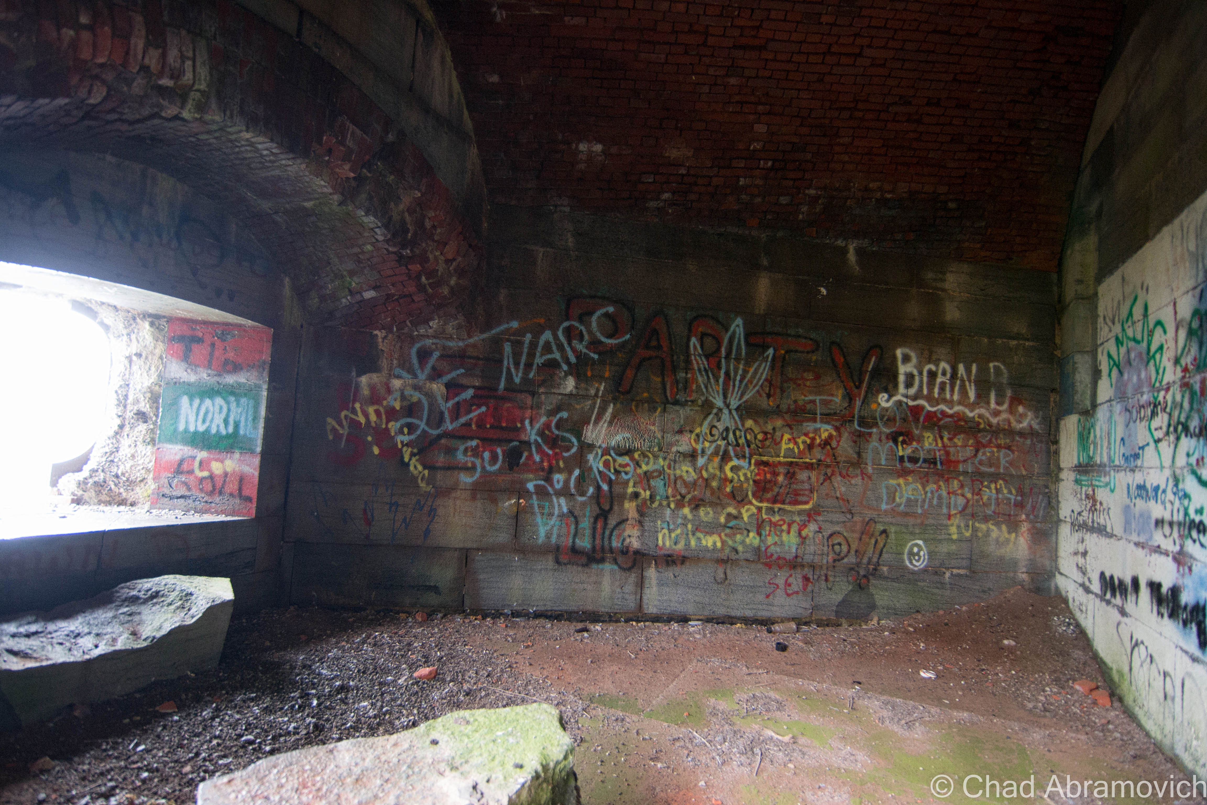
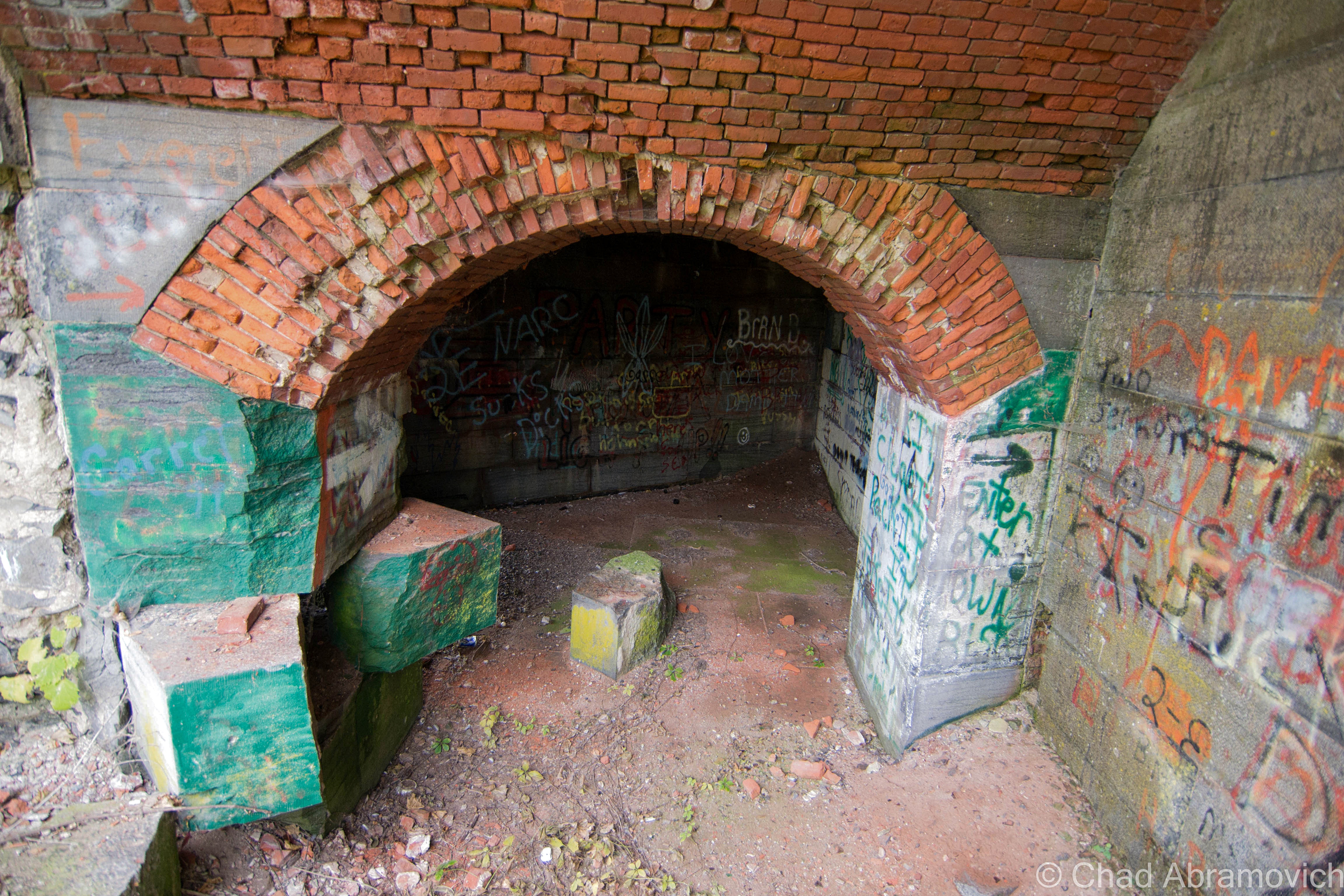
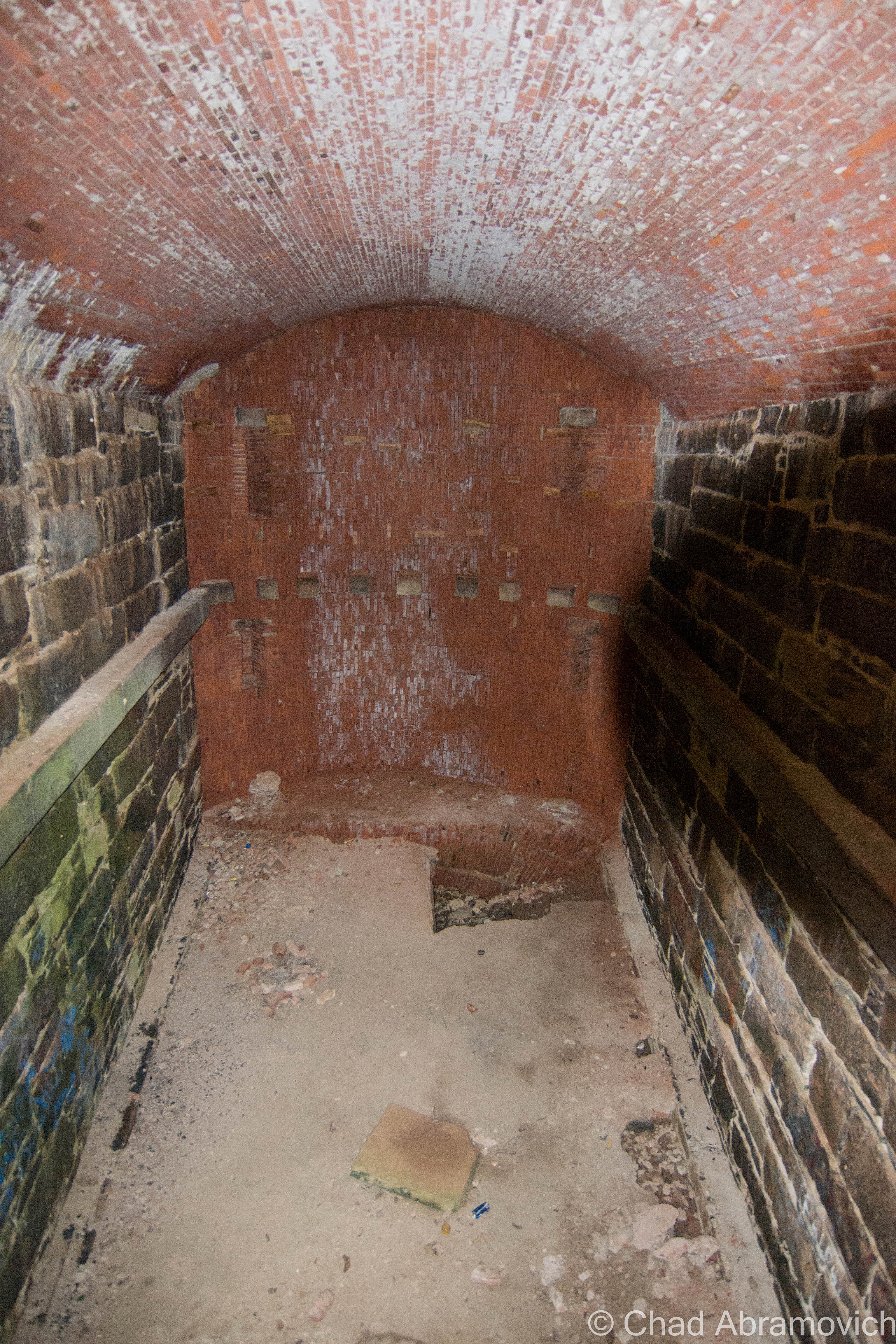
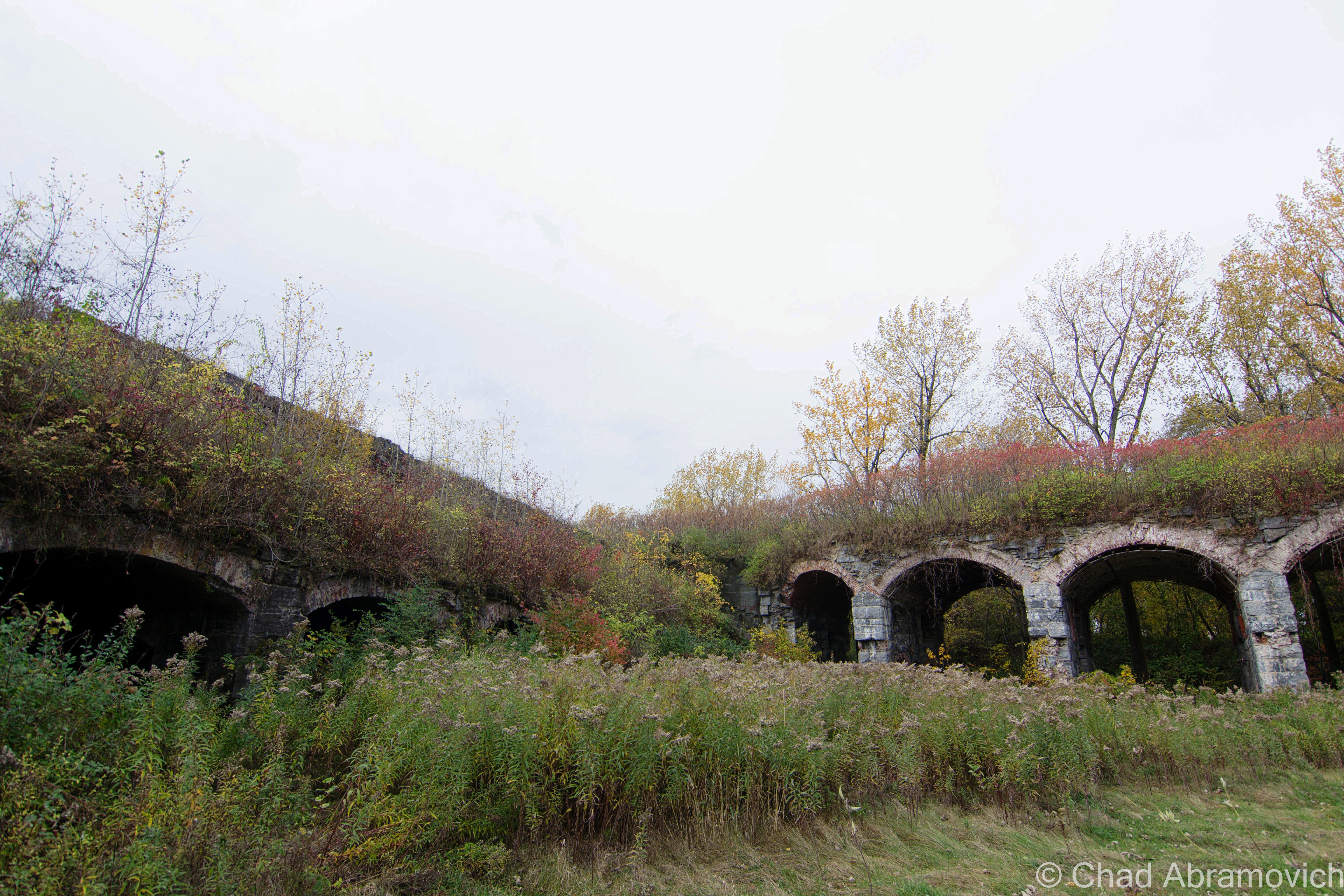
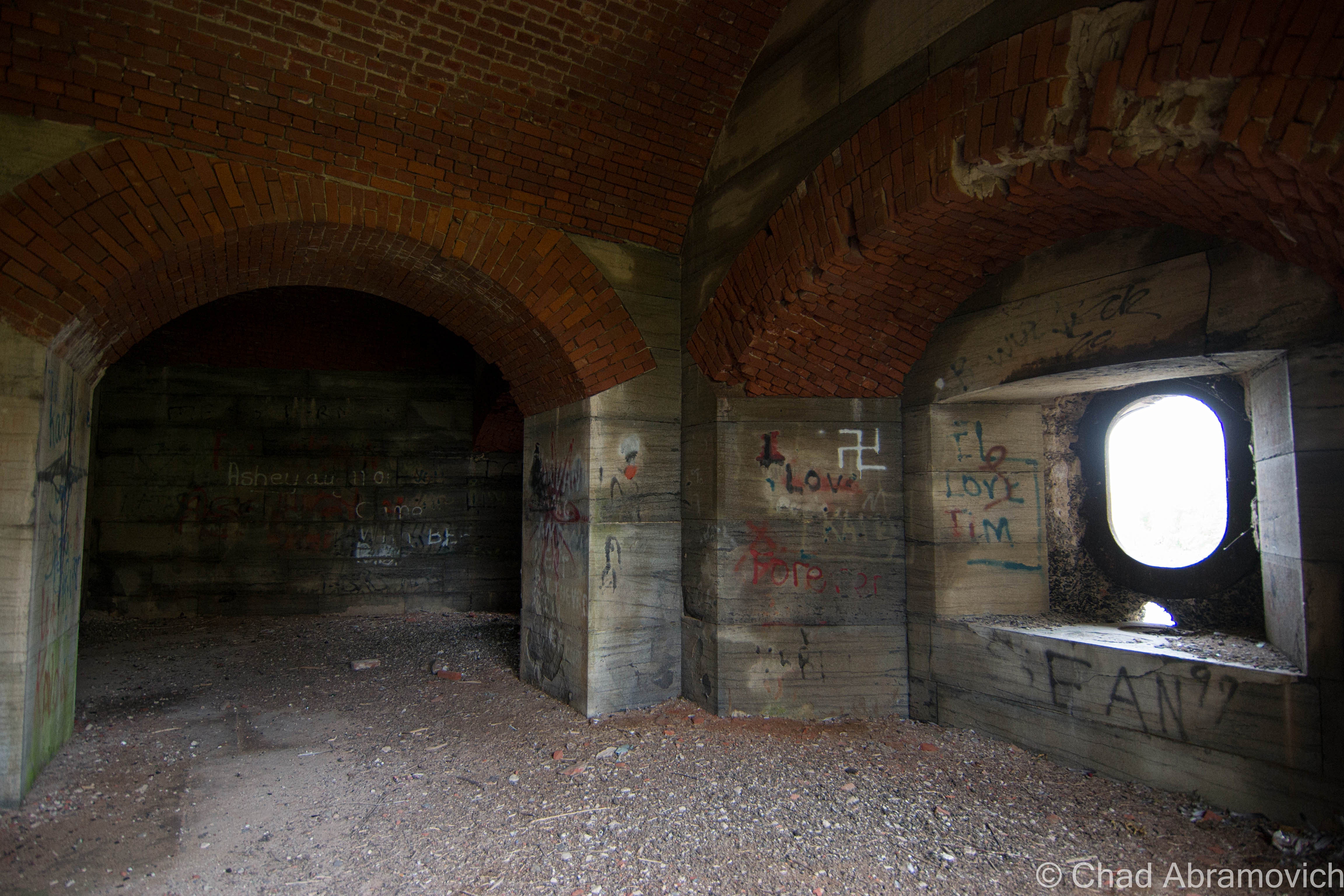
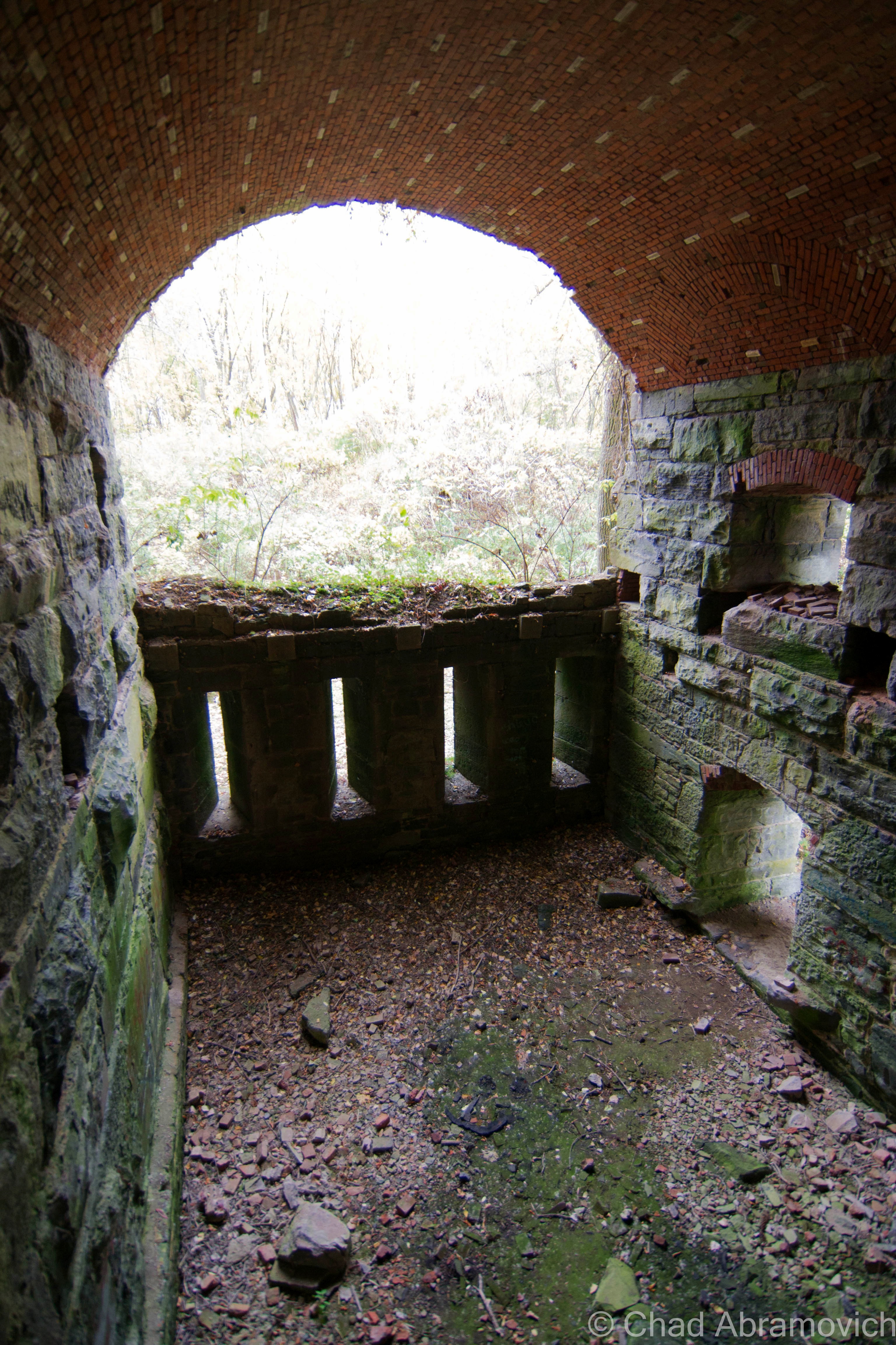
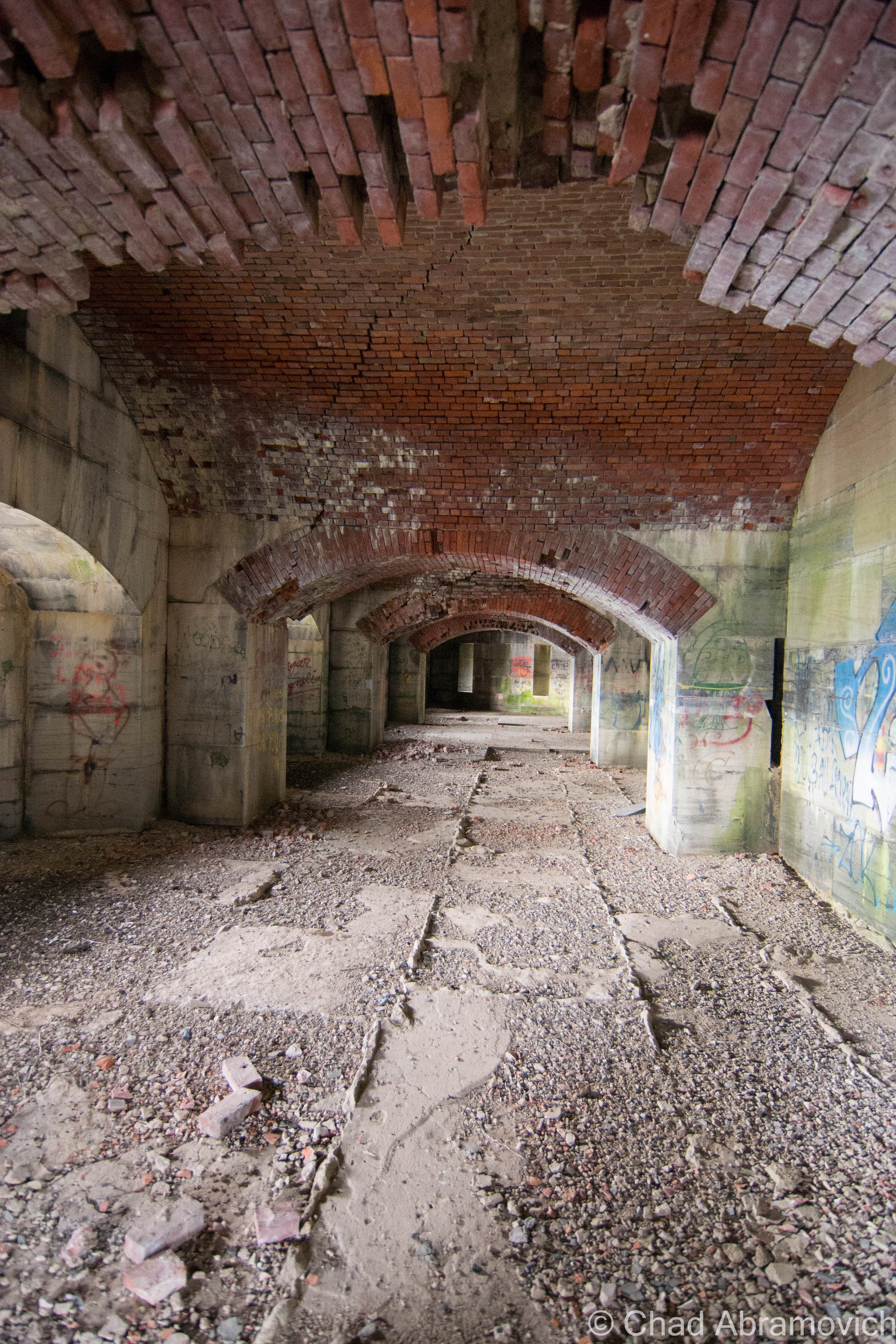
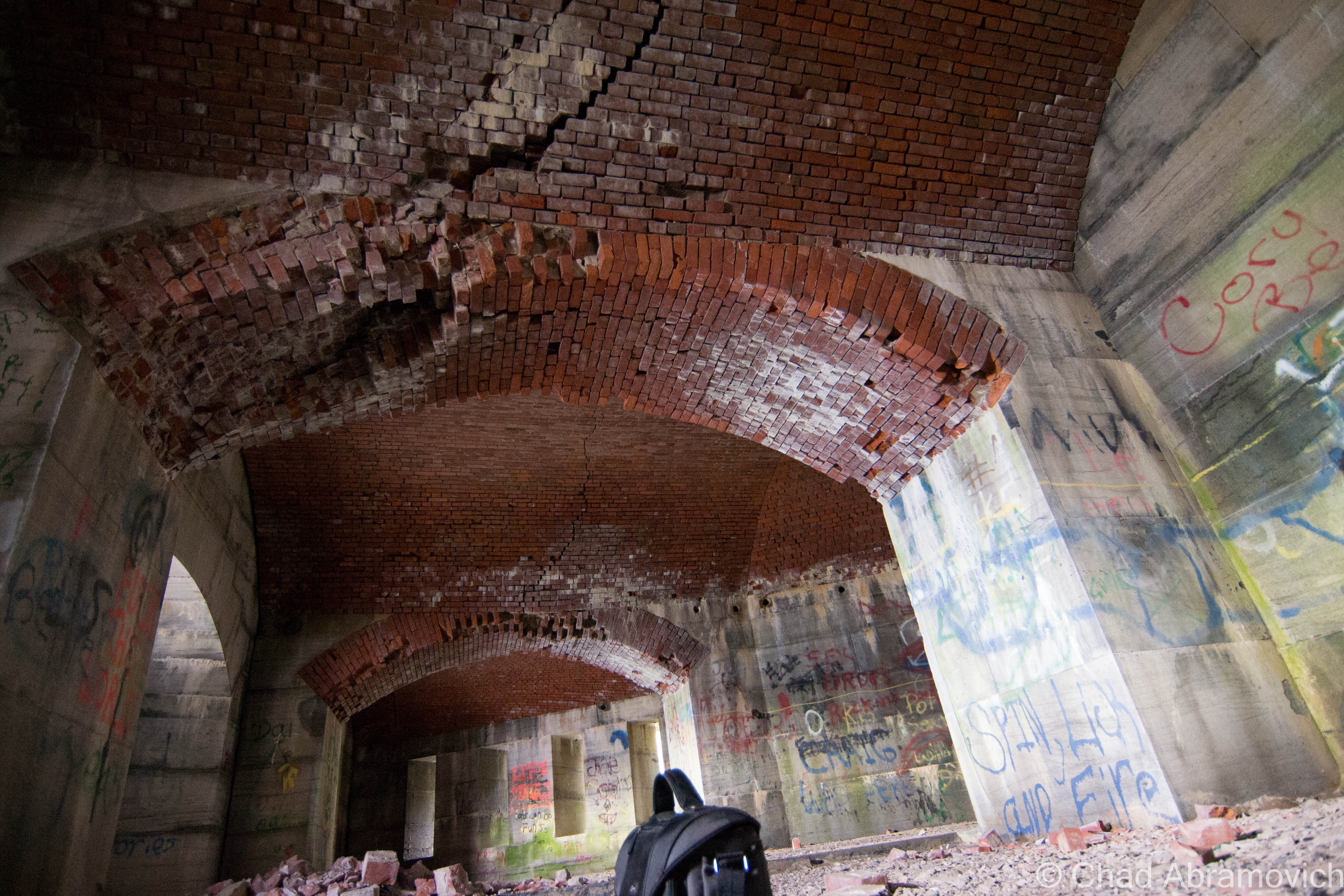
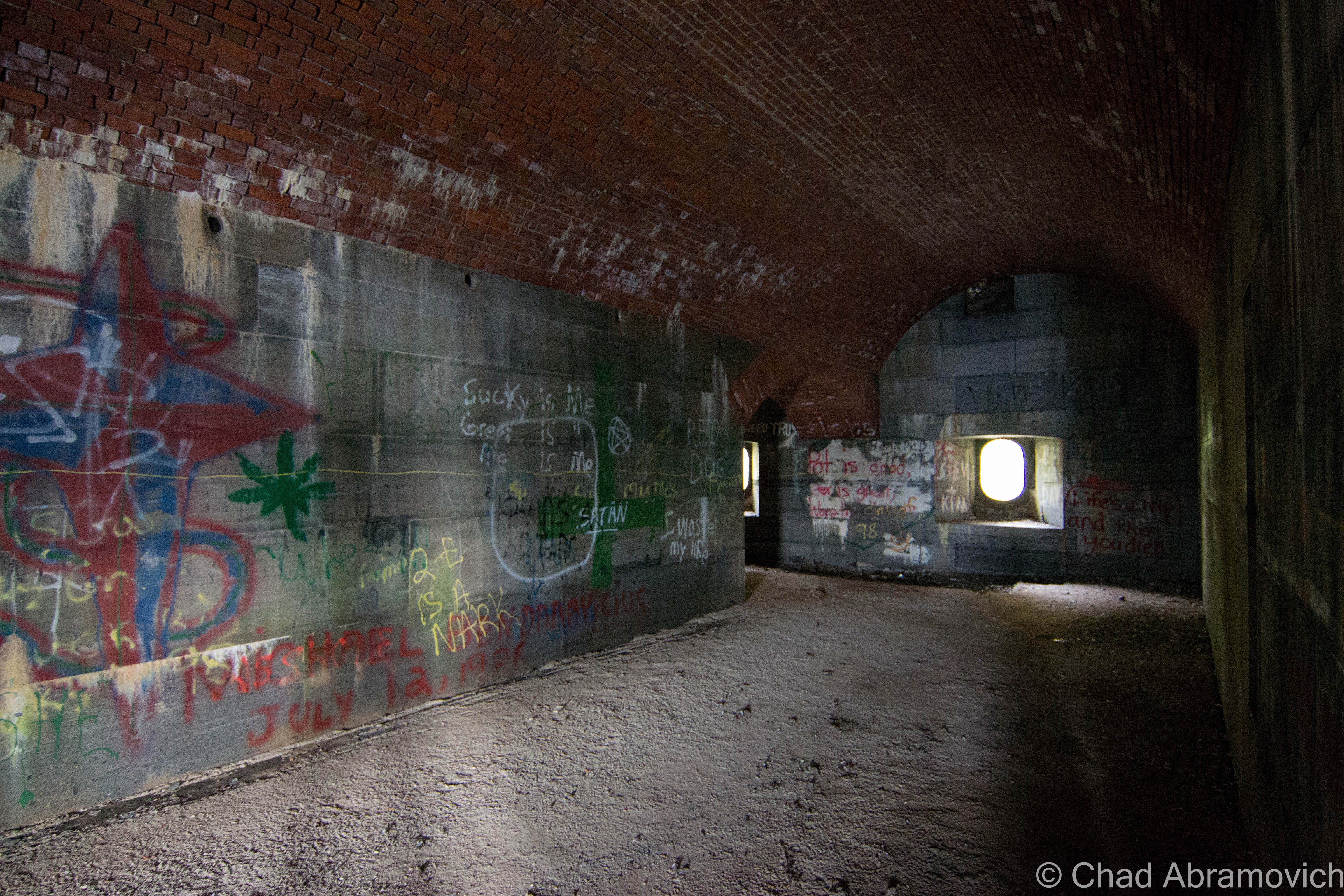
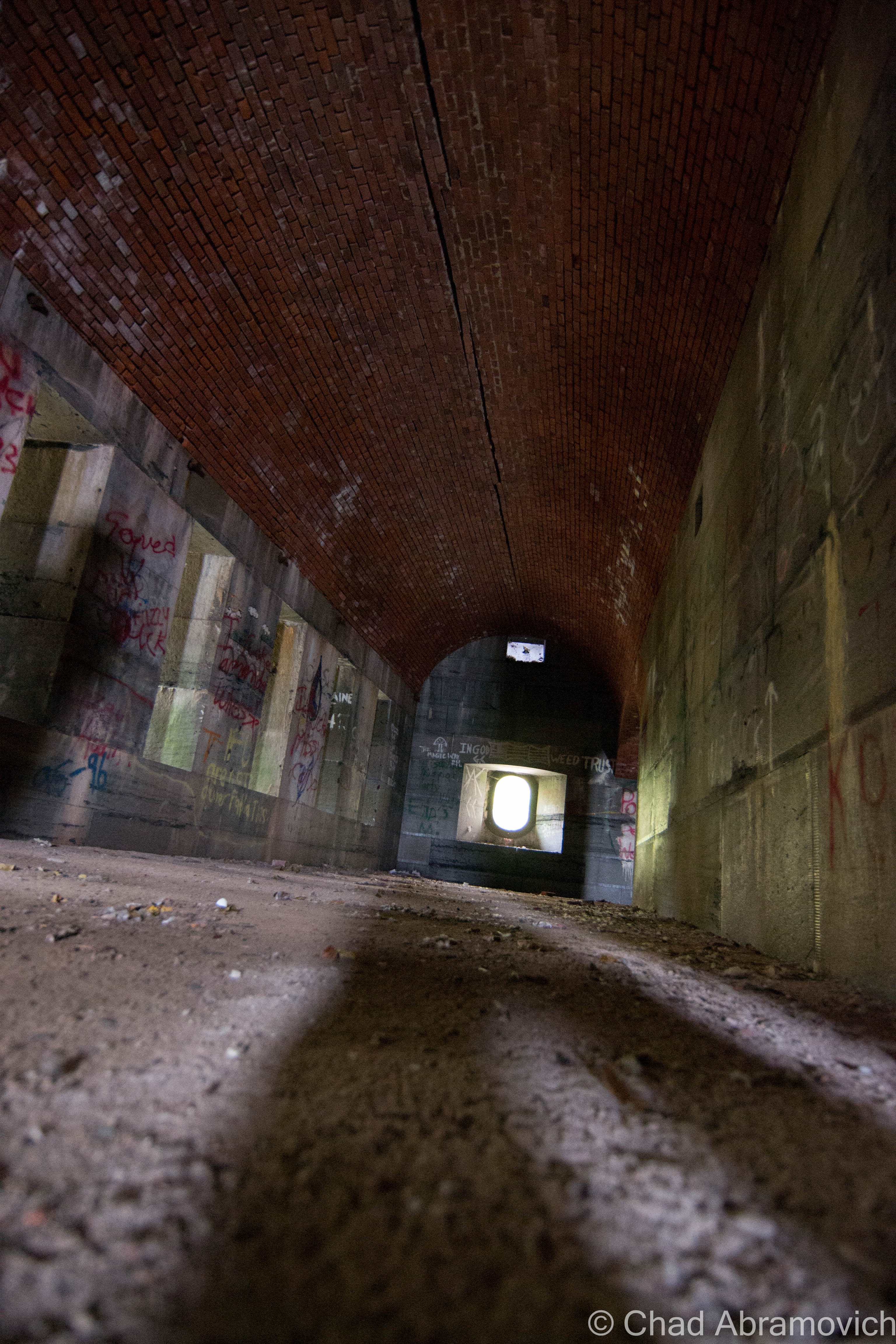
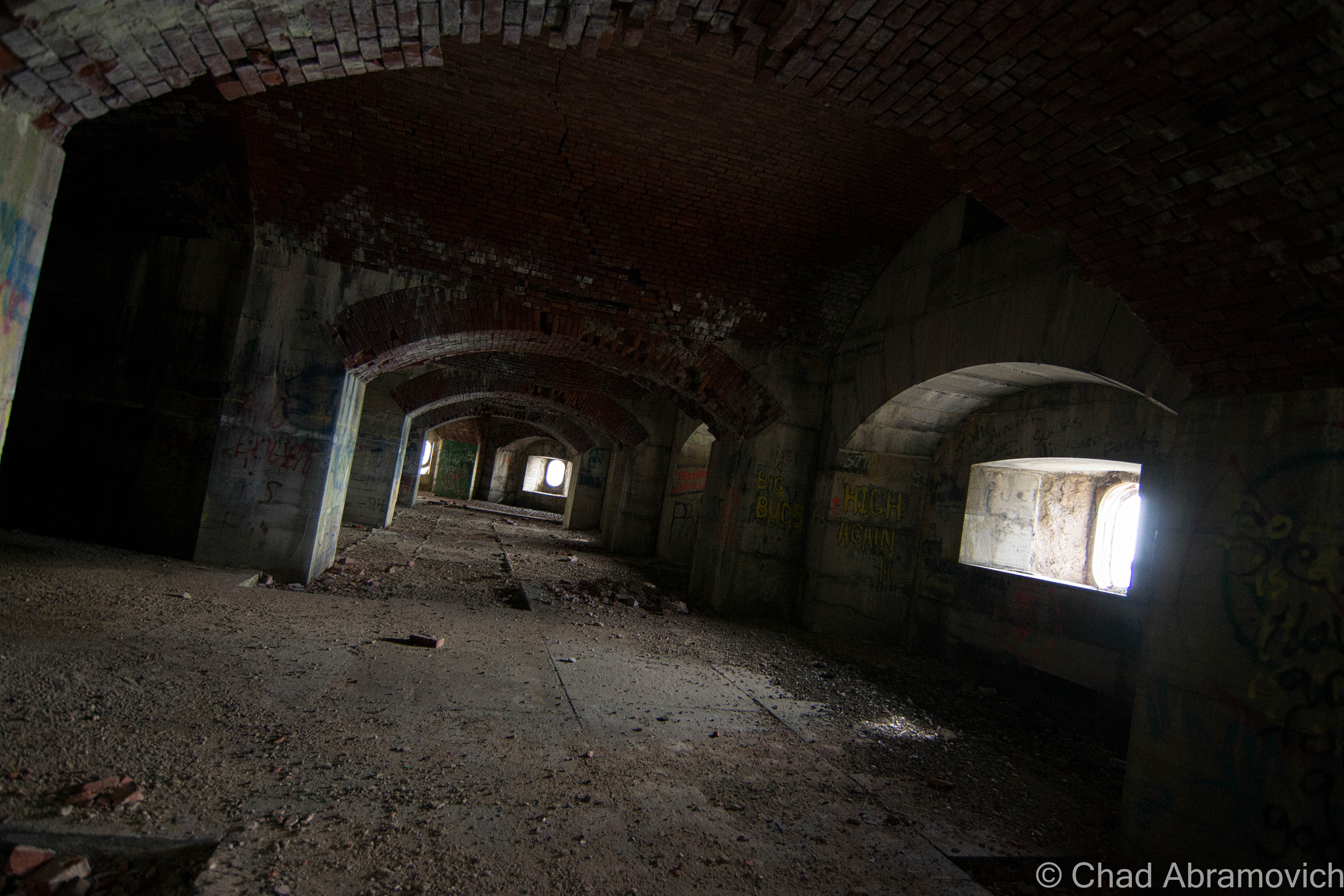
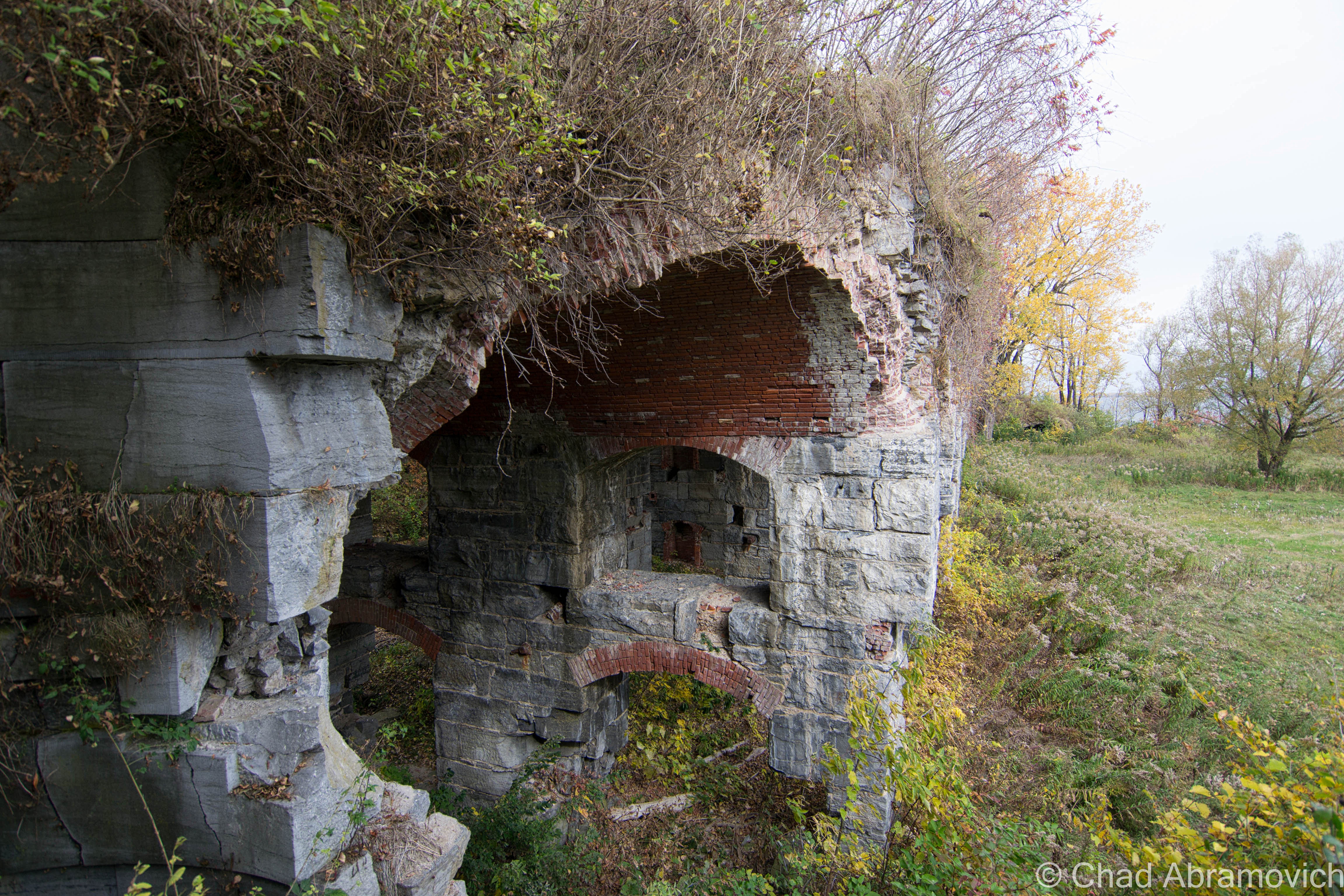
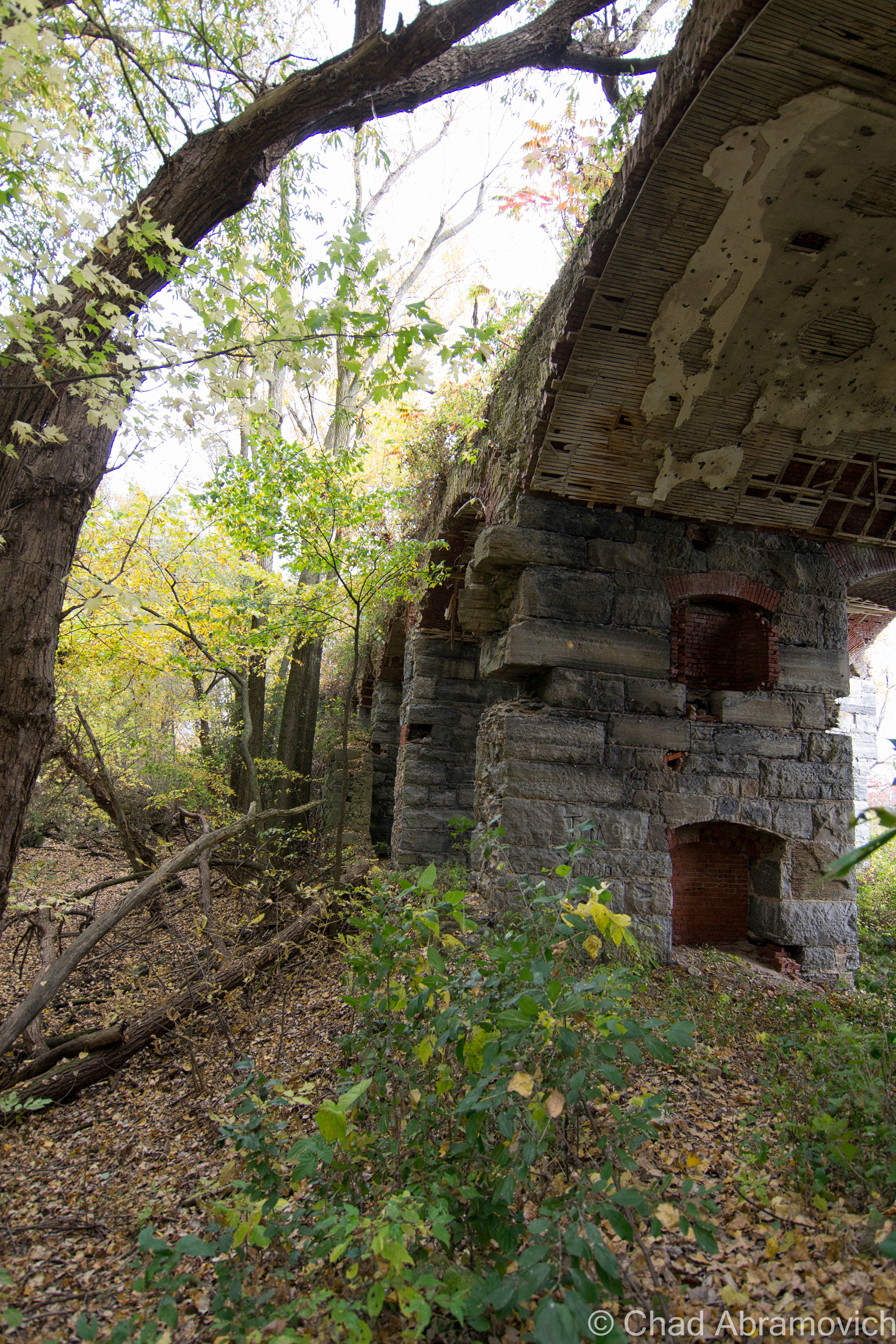
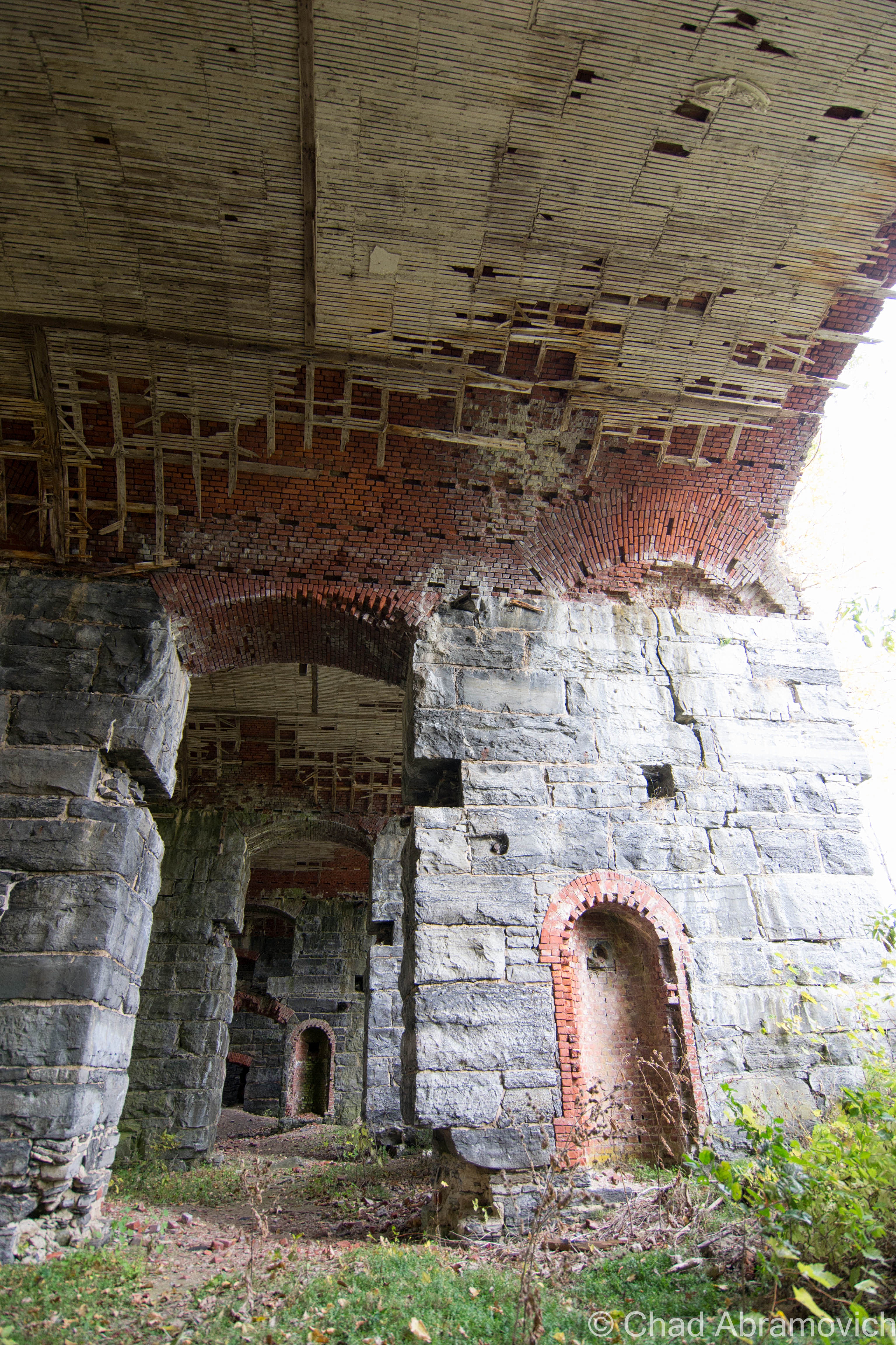
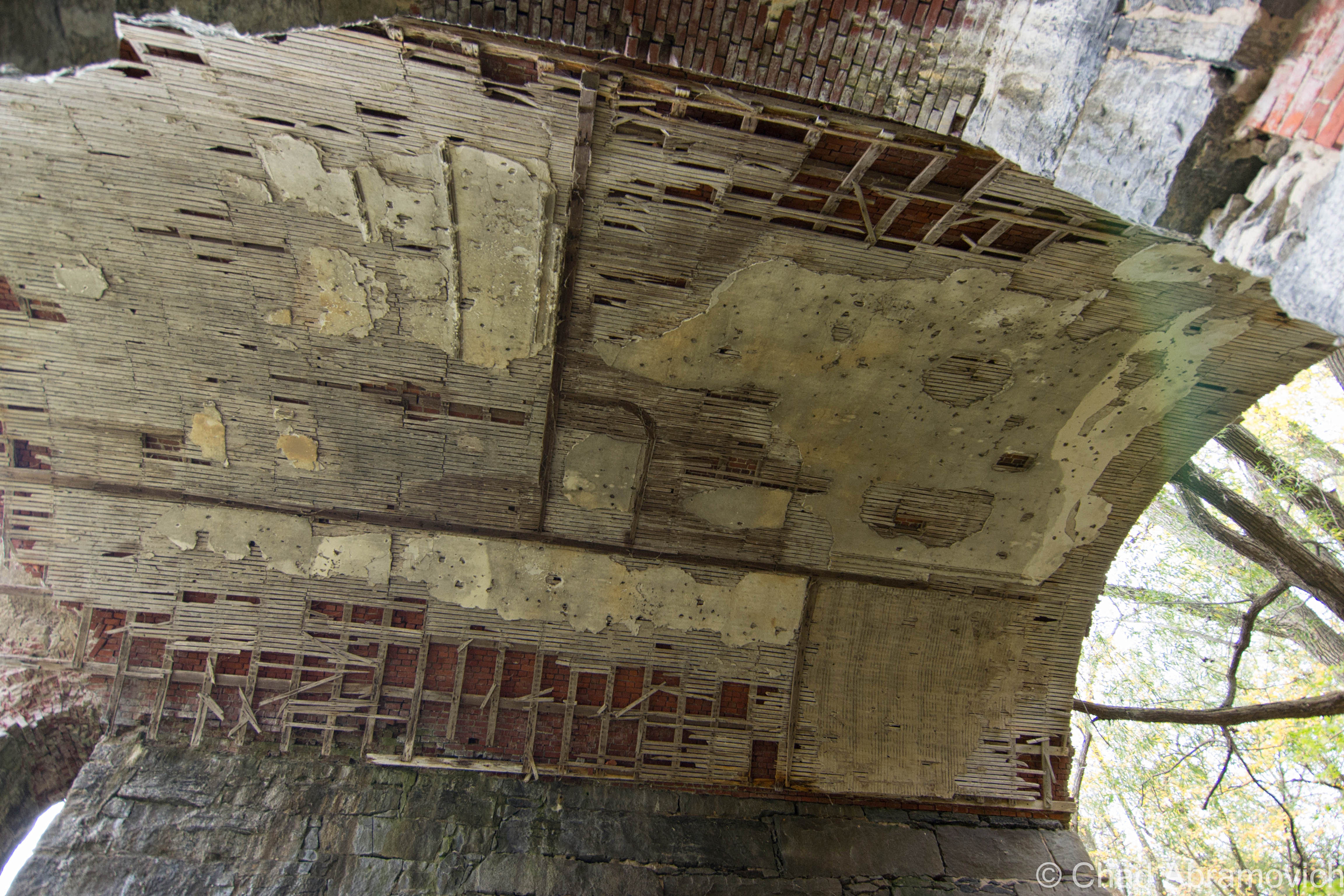
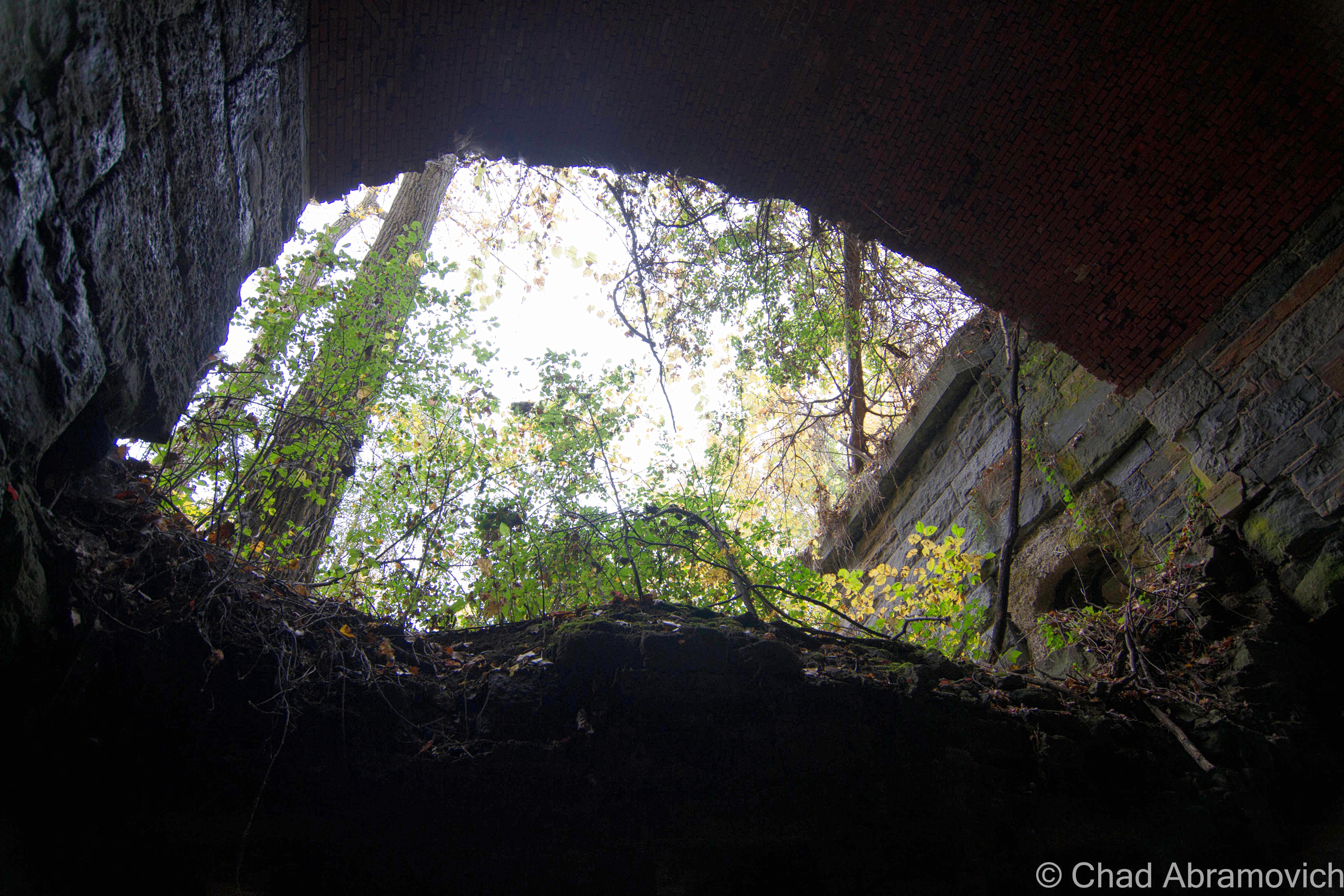
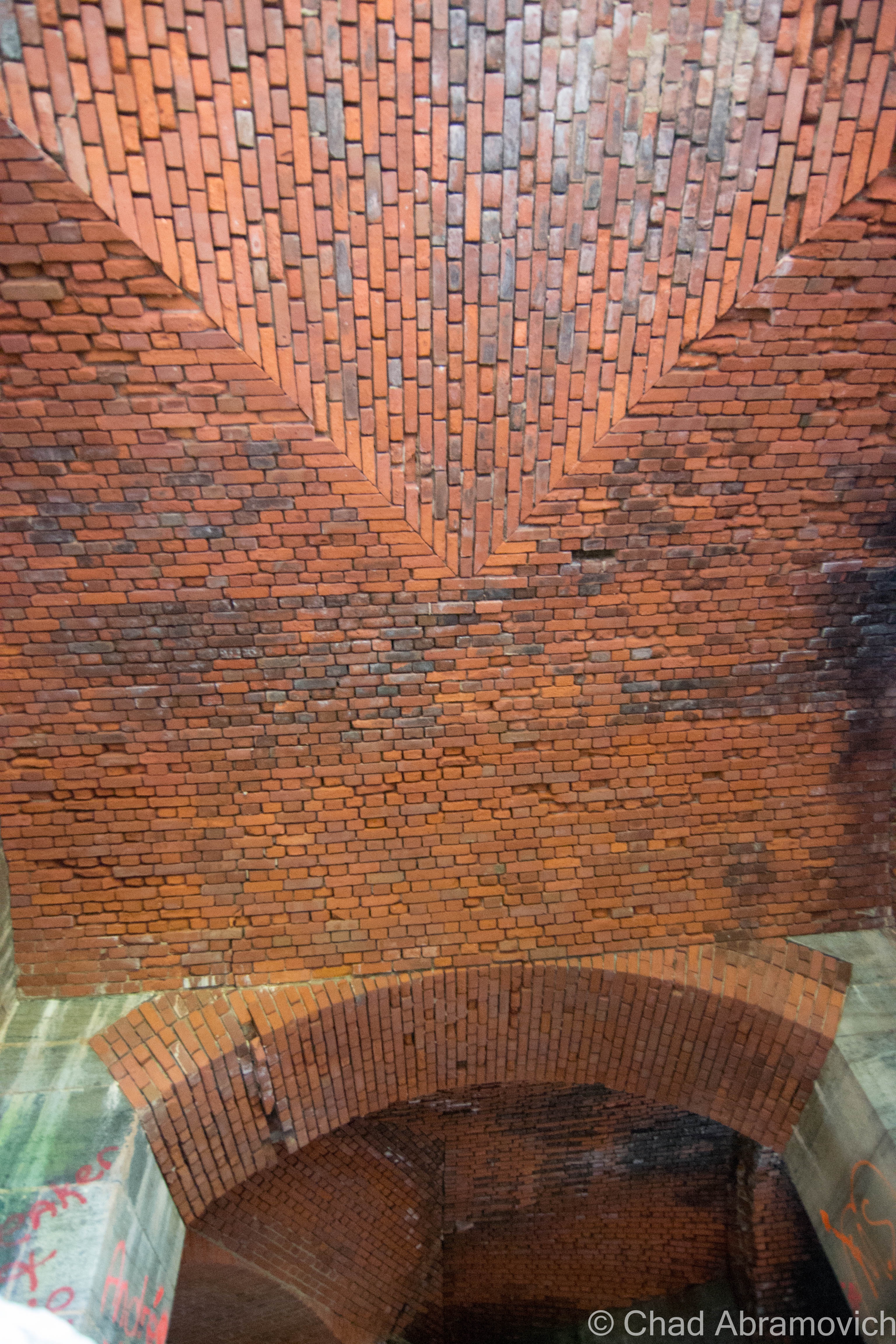
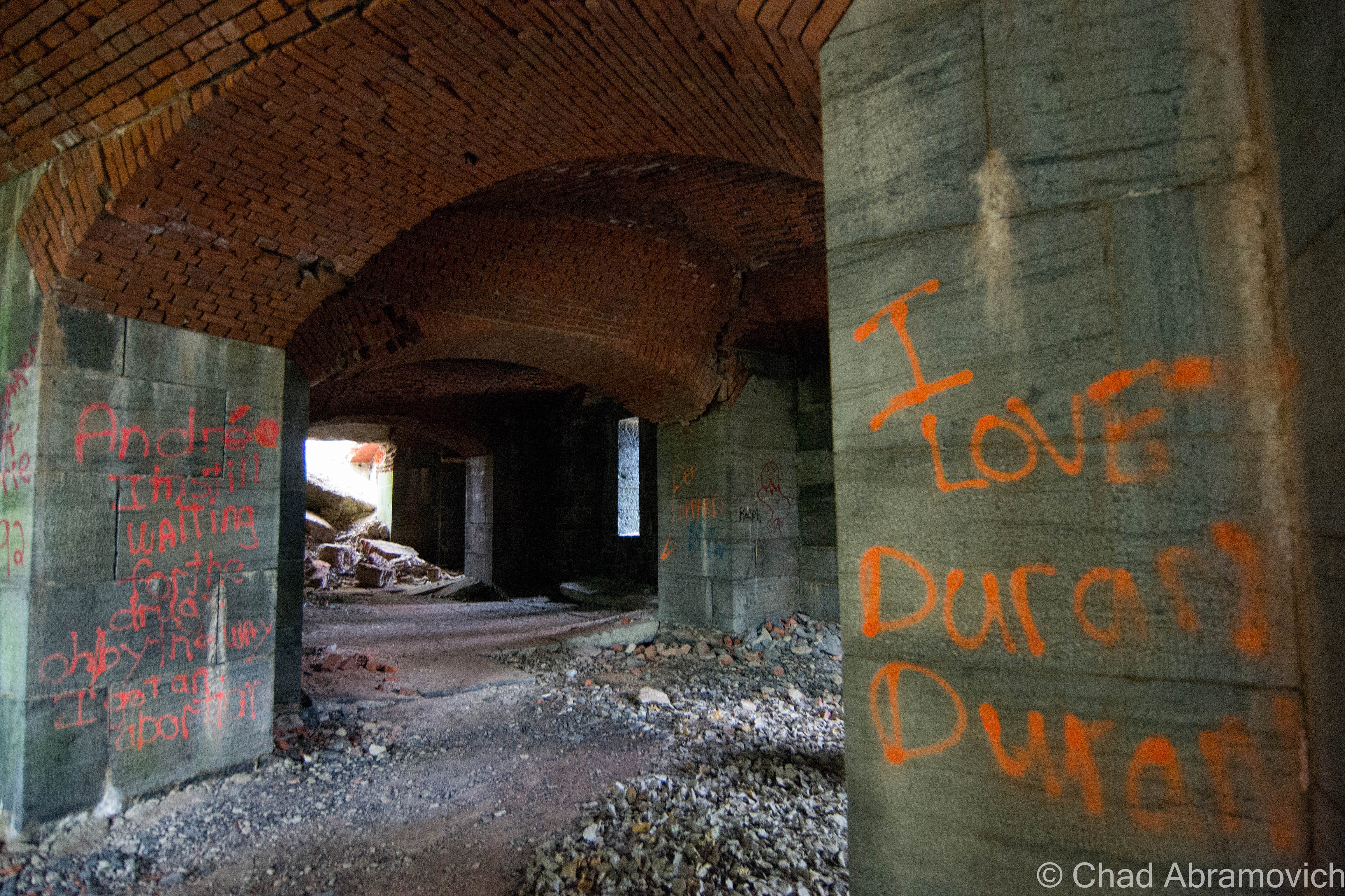
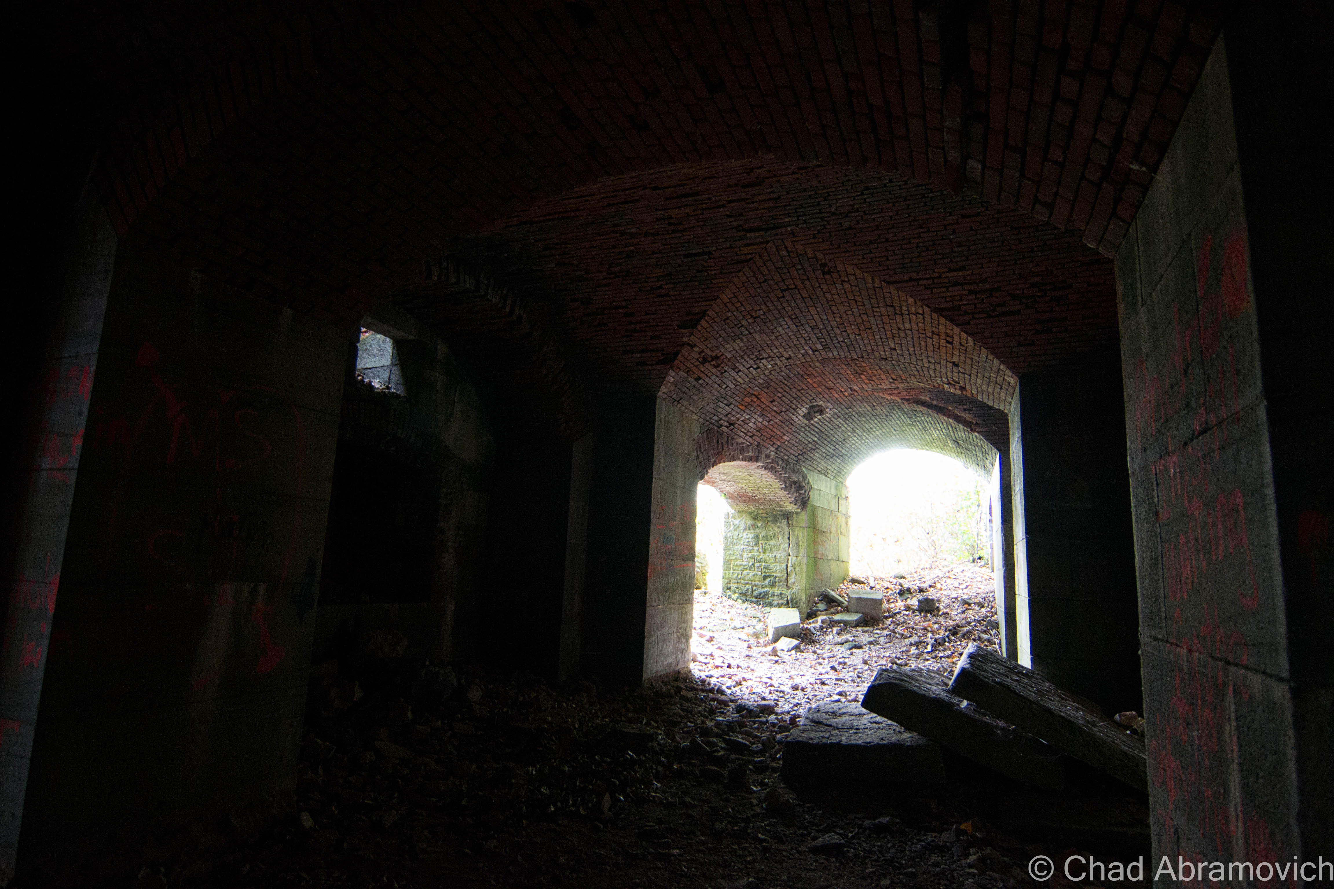
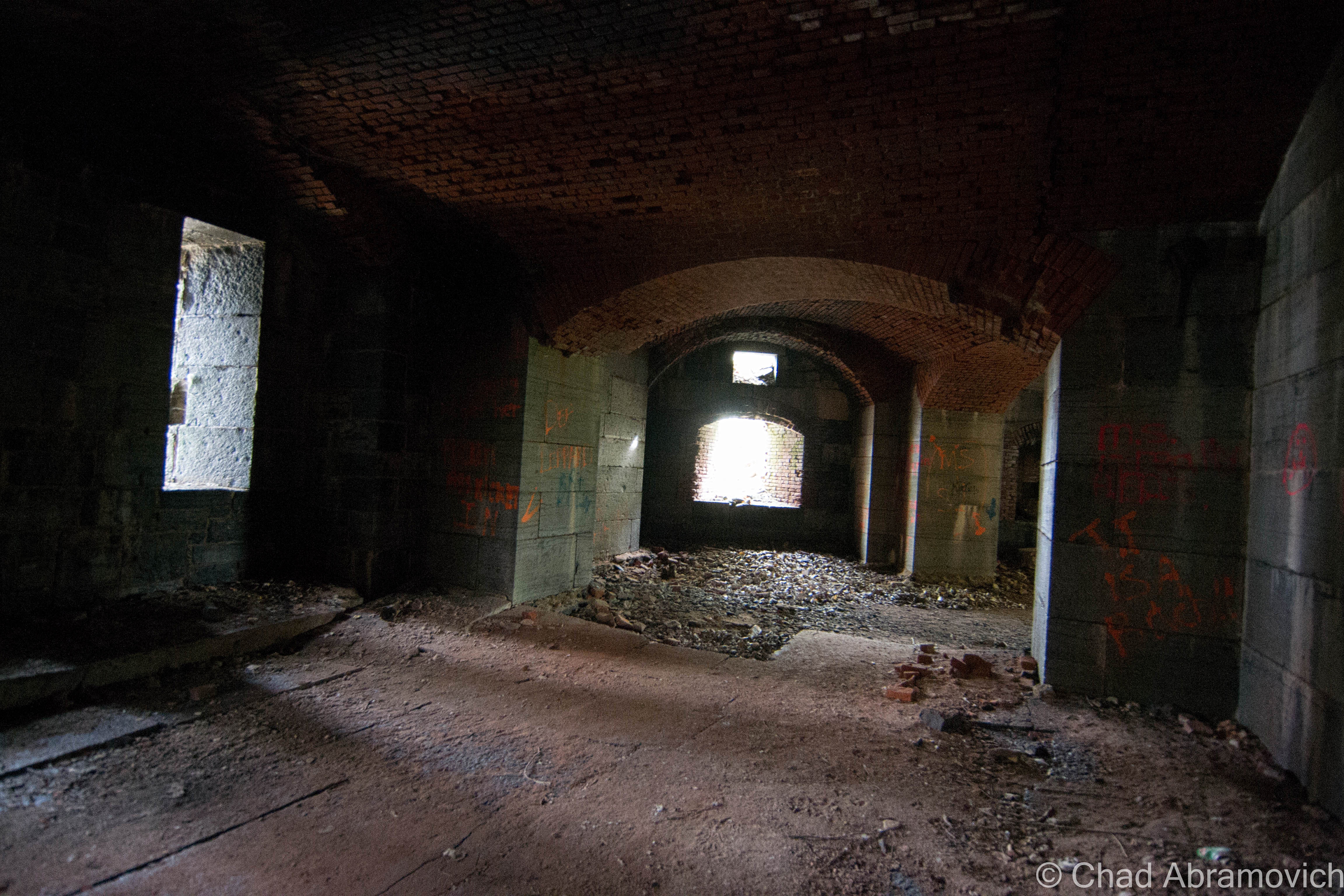
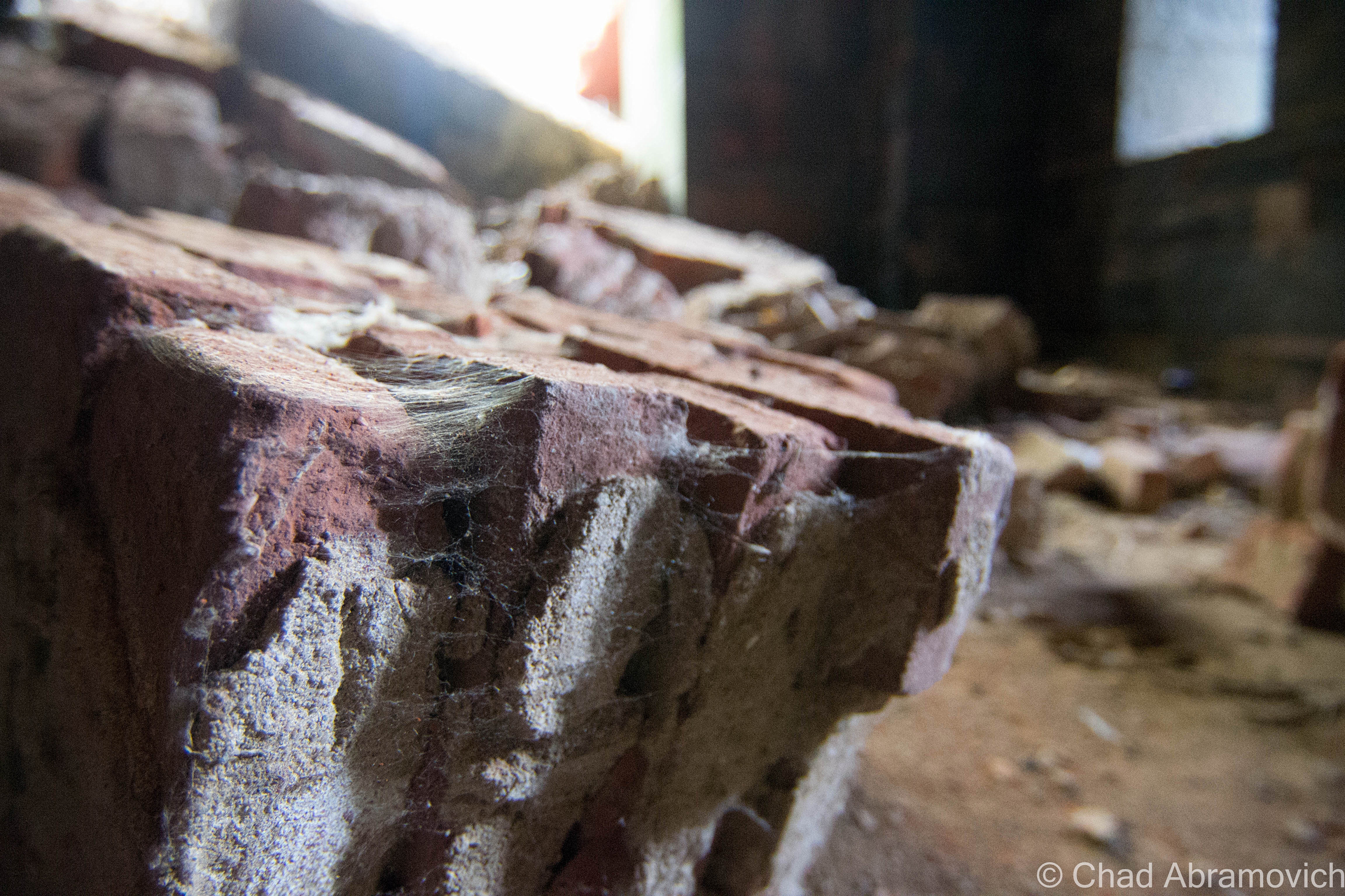
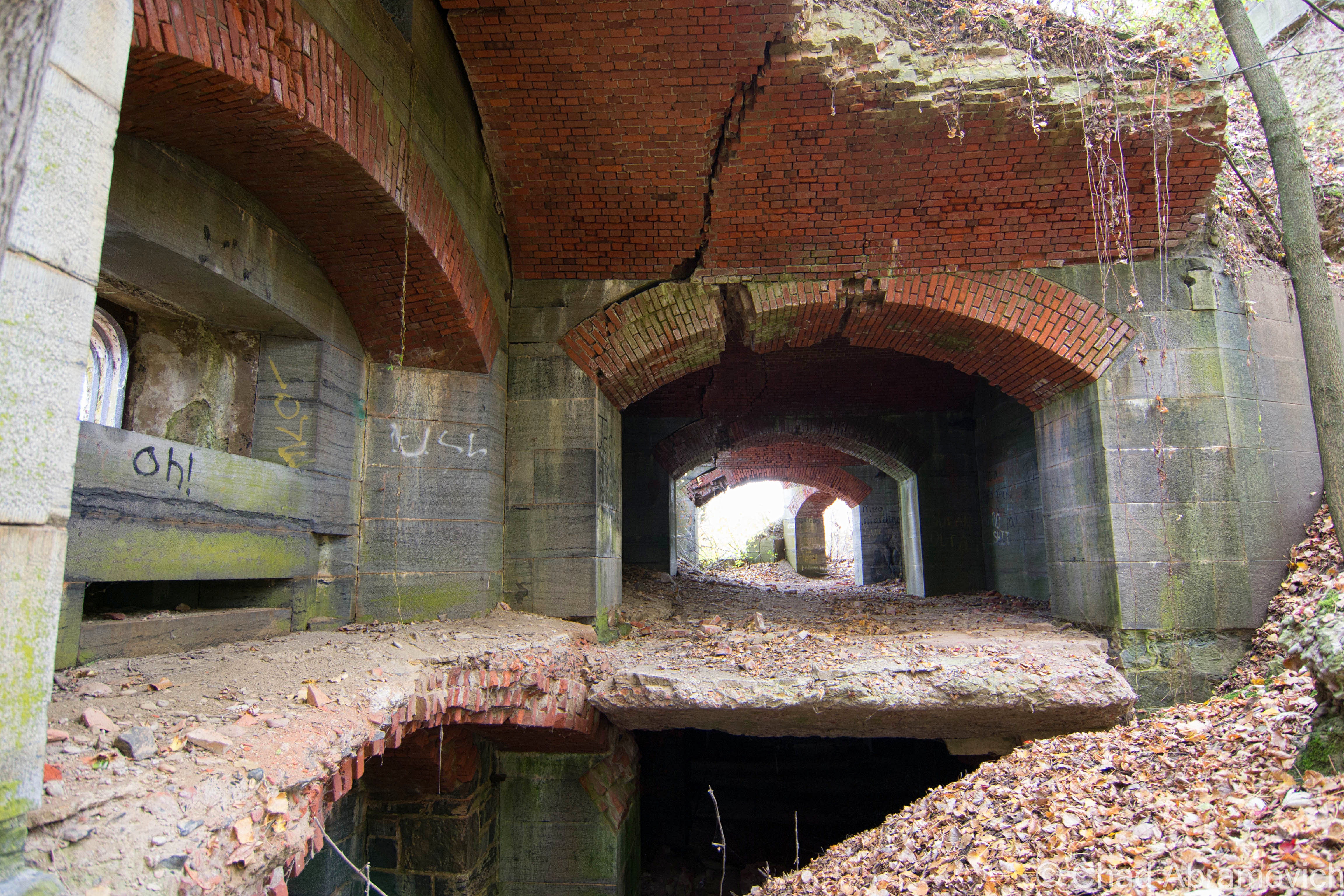
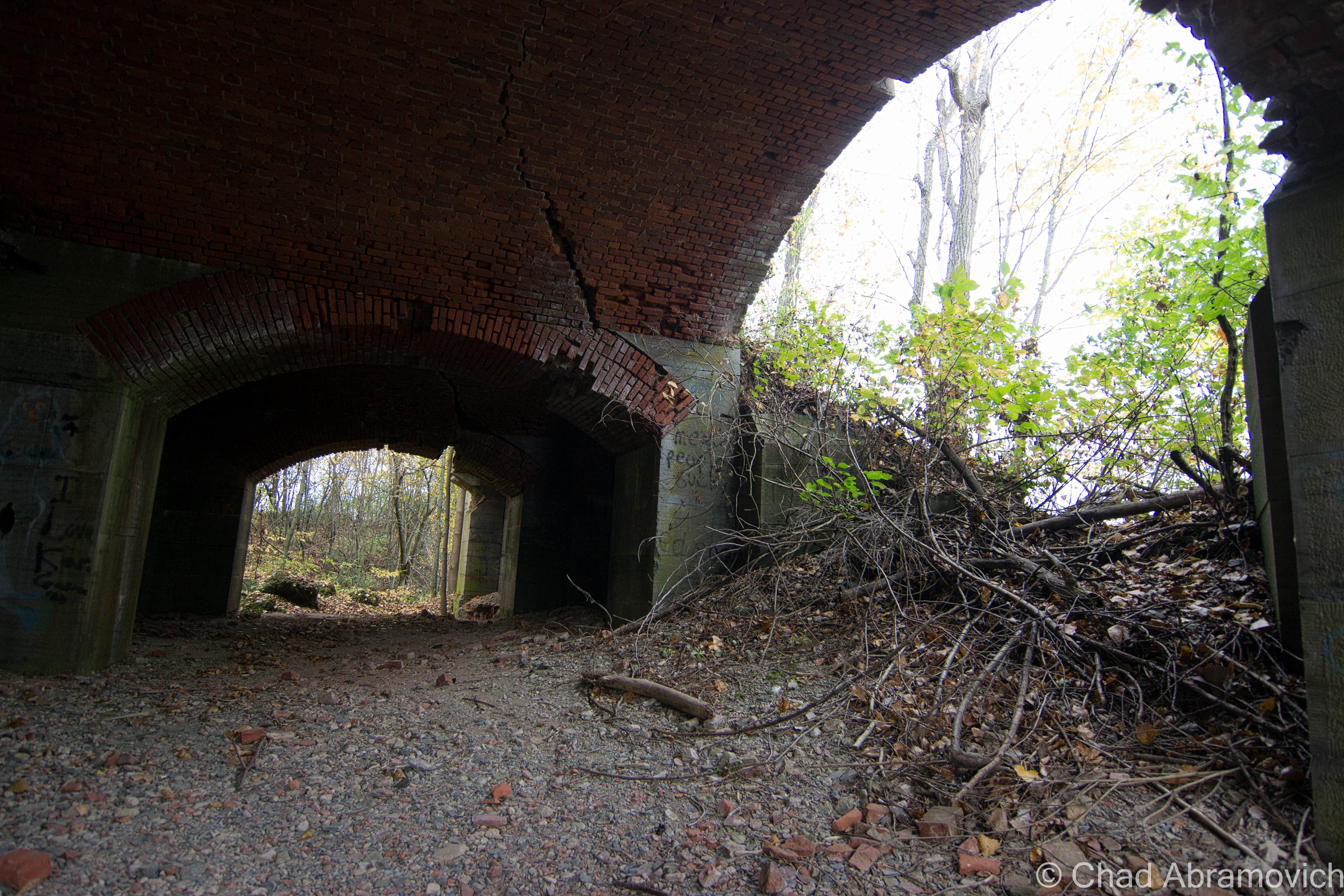
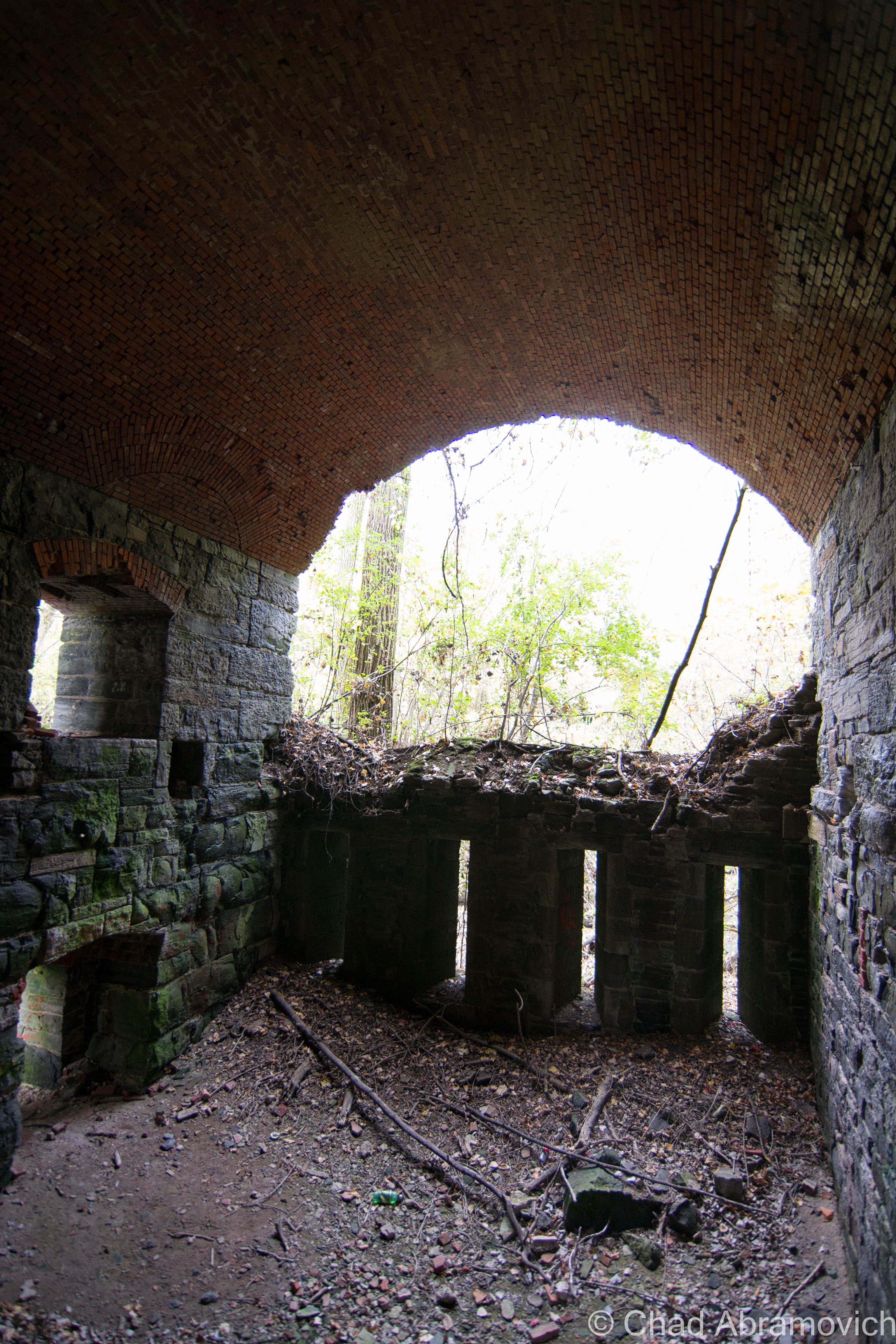
Stumbling my way around the impressively dangerous ruins of Fort Montgomery, as my presence disturbed hundreds of Pigeons that are now the fort’s permanent residents, I was nothing short of awe inspired. Though only 1/3rd (give or take) of the fort actually remains, it was immense in anyway you can measure it up. Stone and brick walls several feet thick, uniform archways framing collapsing brick ceilings and leafy hardwood trees lead into cavernous casemates that entombed a dank chilliness that left residue on the aging stones, regardless of the out of seasonal 80 degree fall day that we chose to explore.
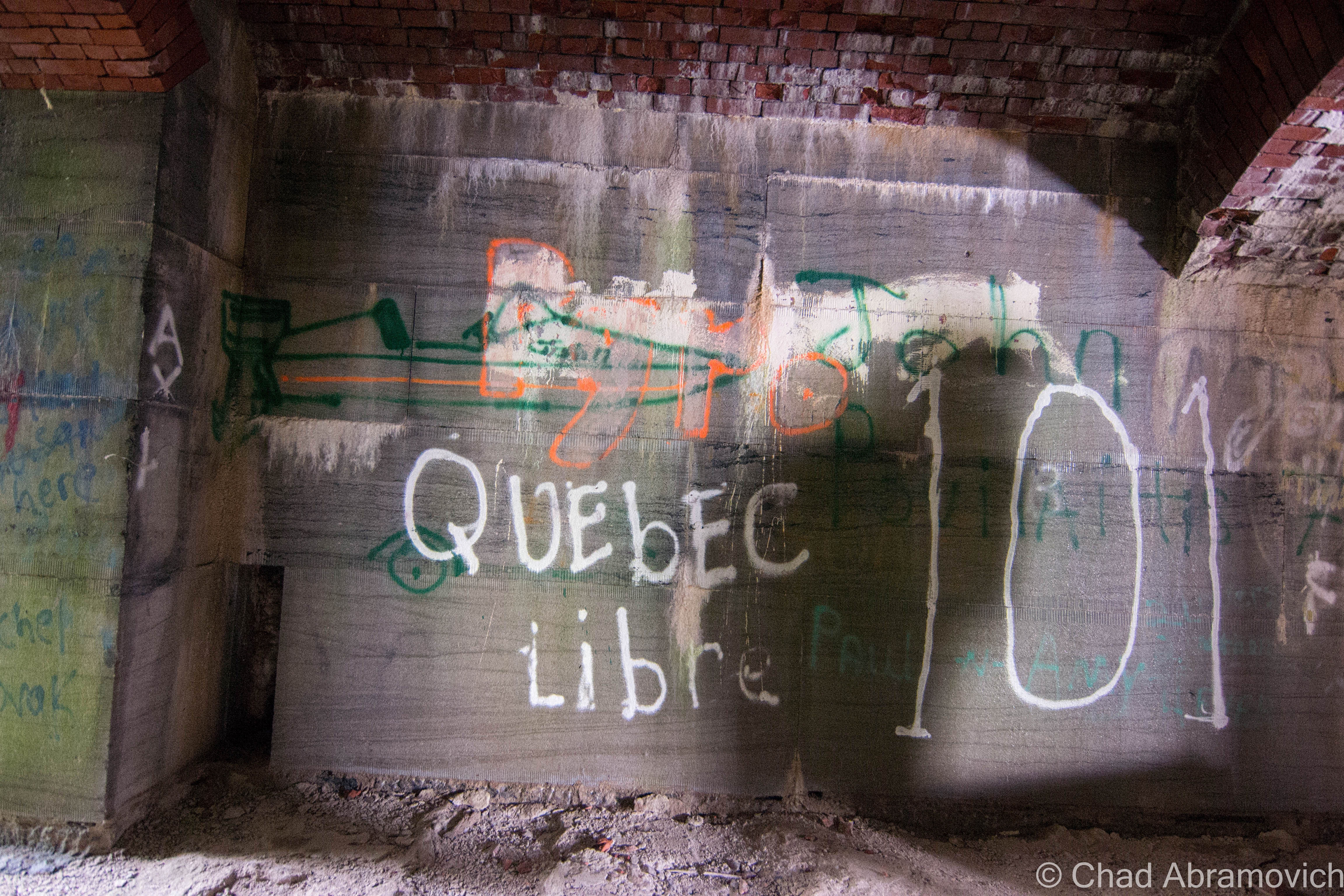
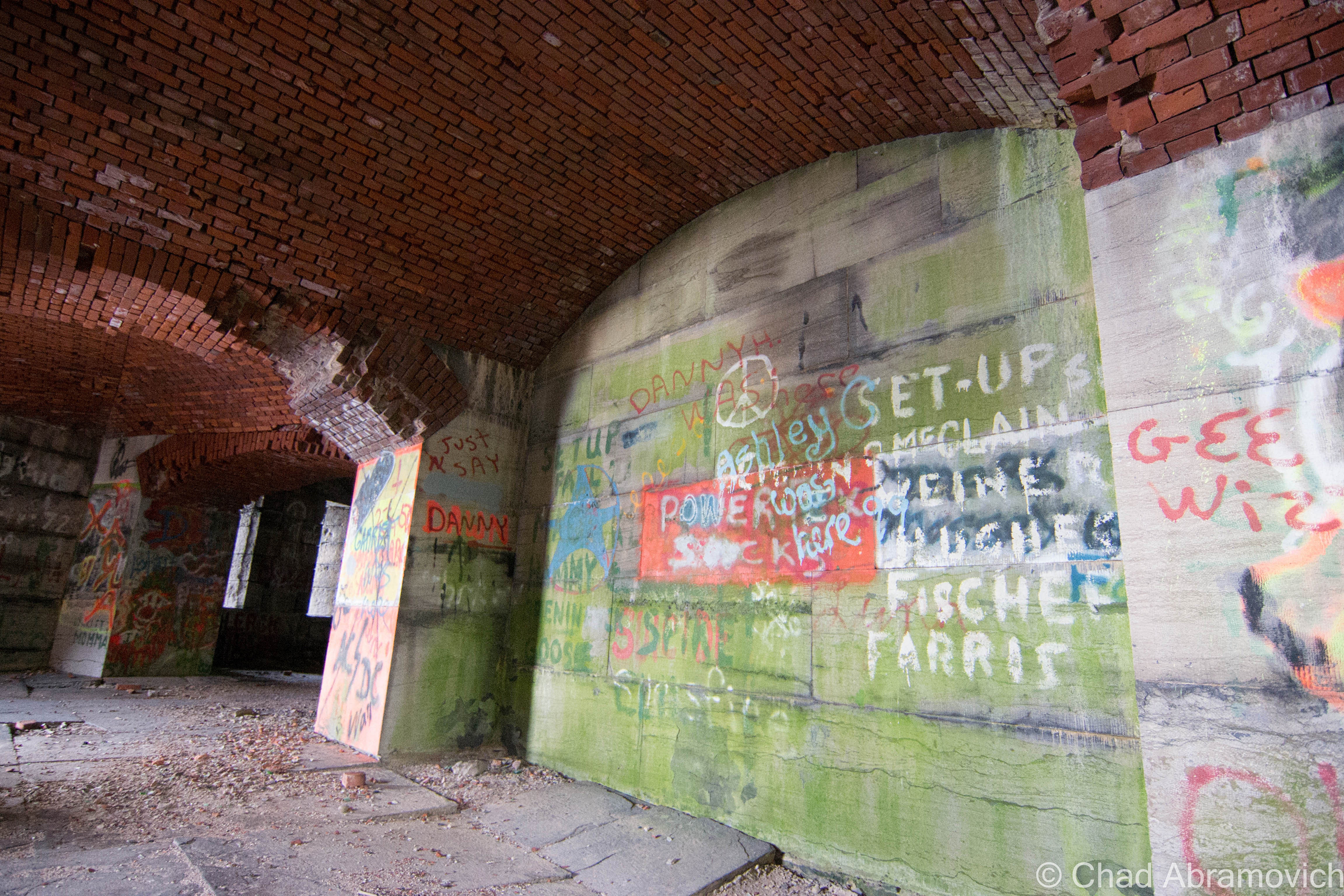
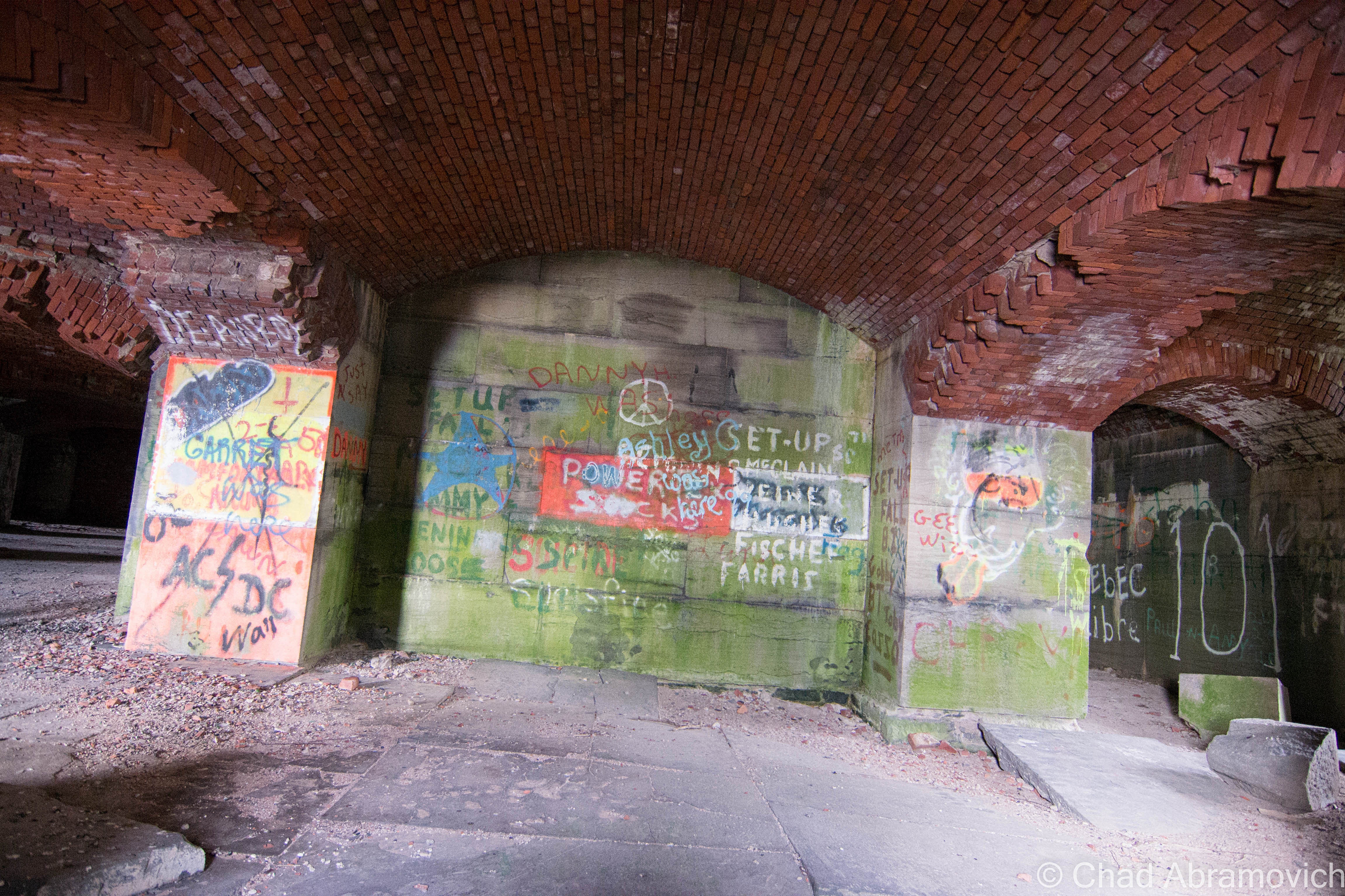
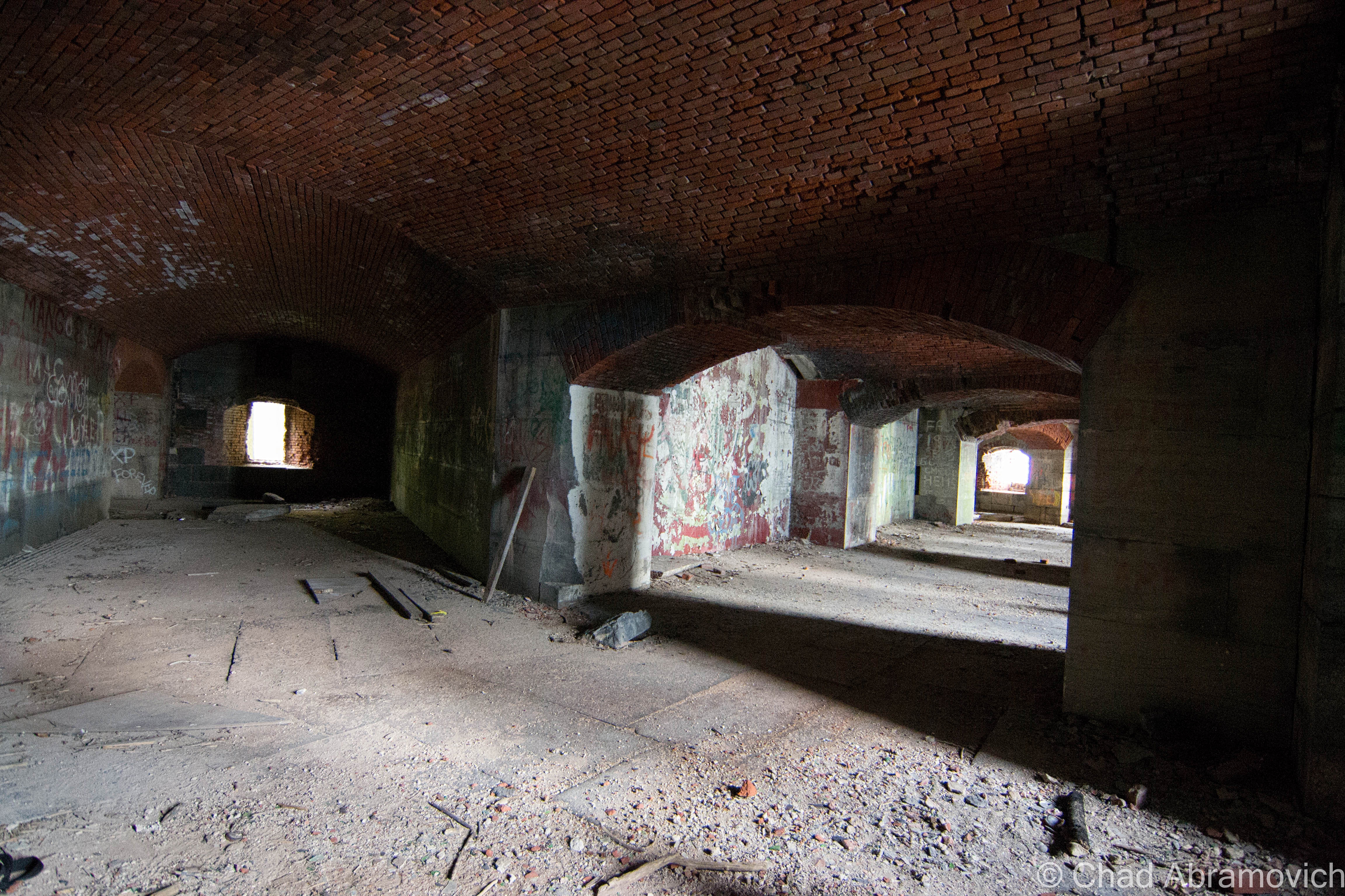
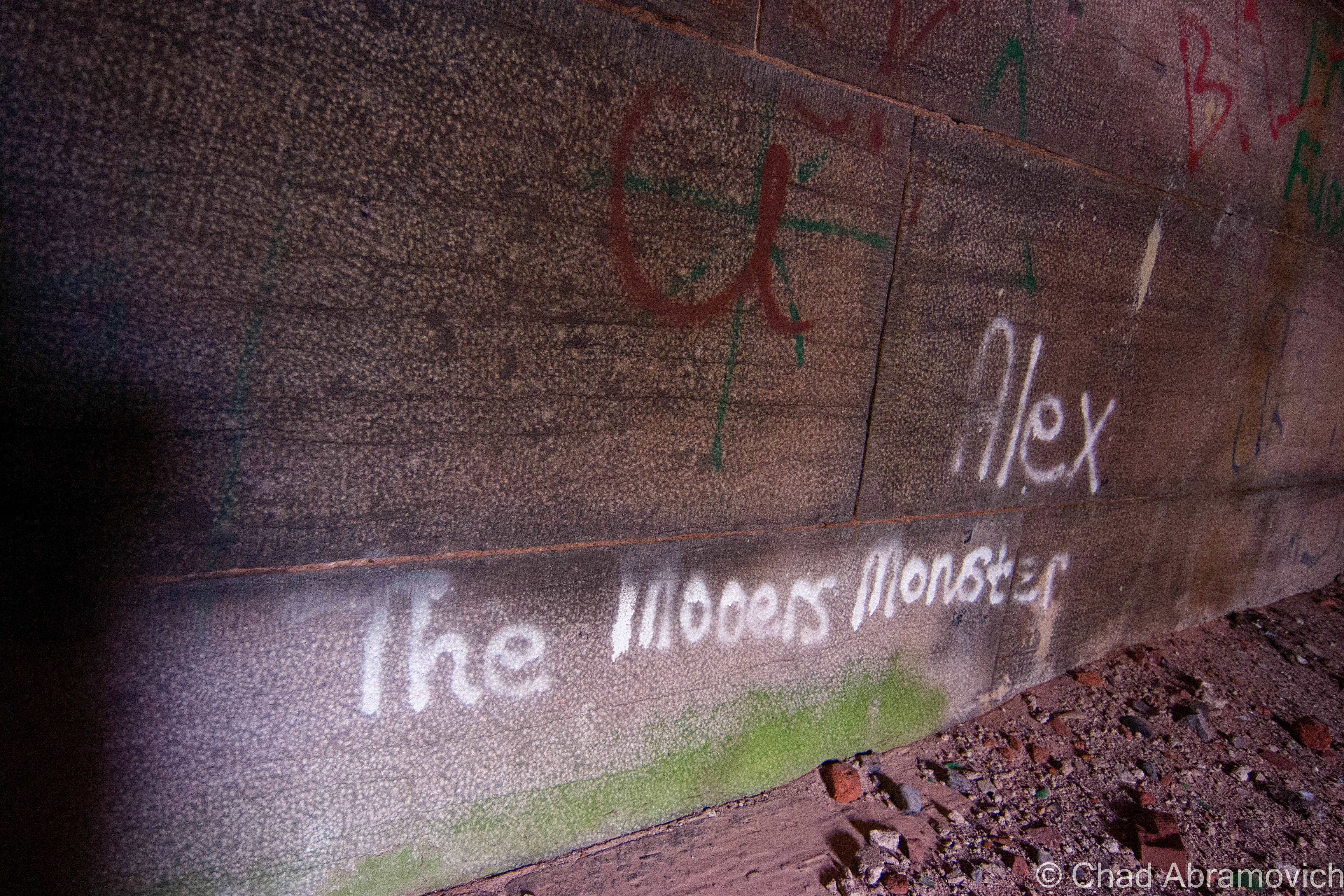
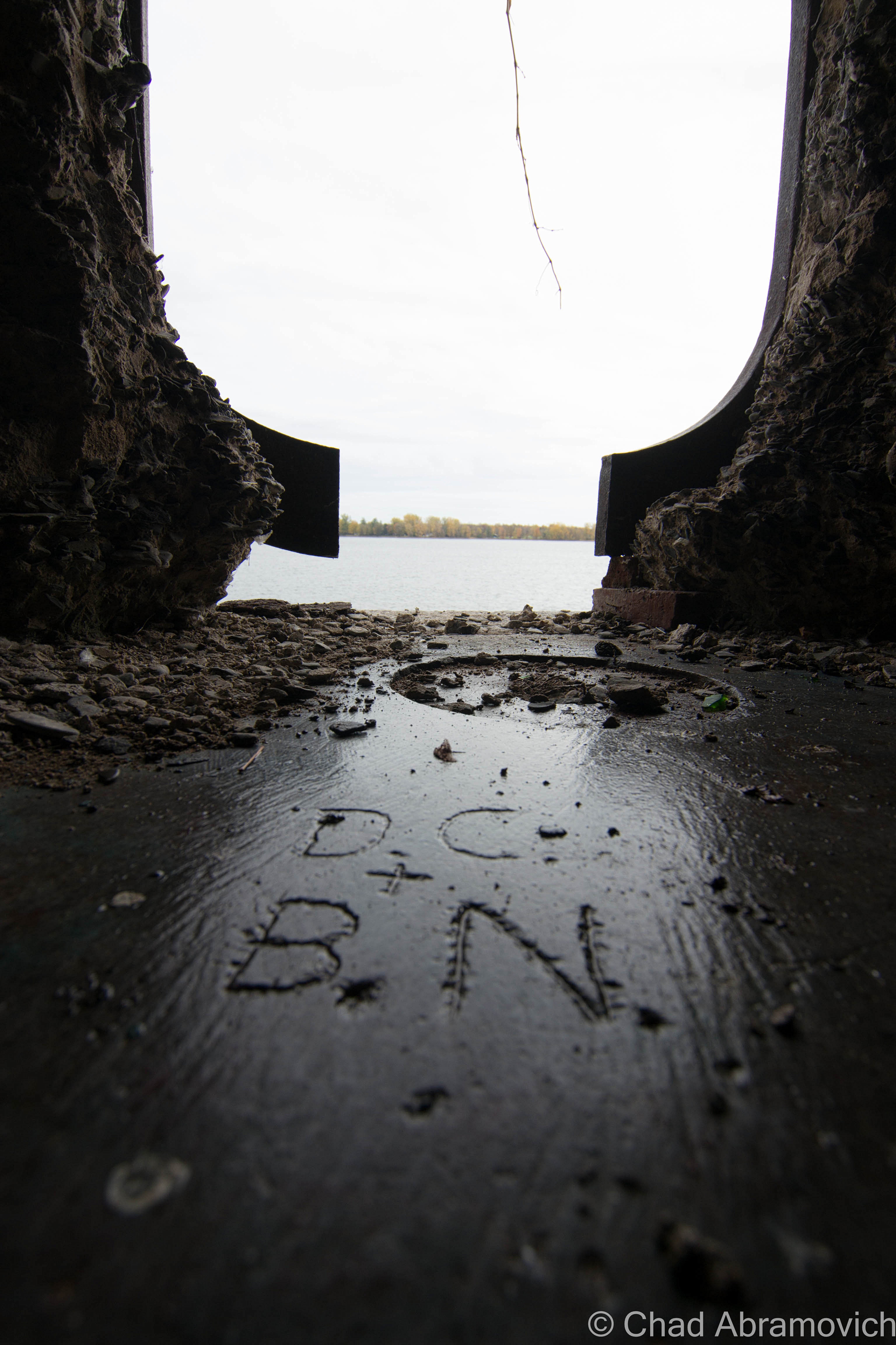
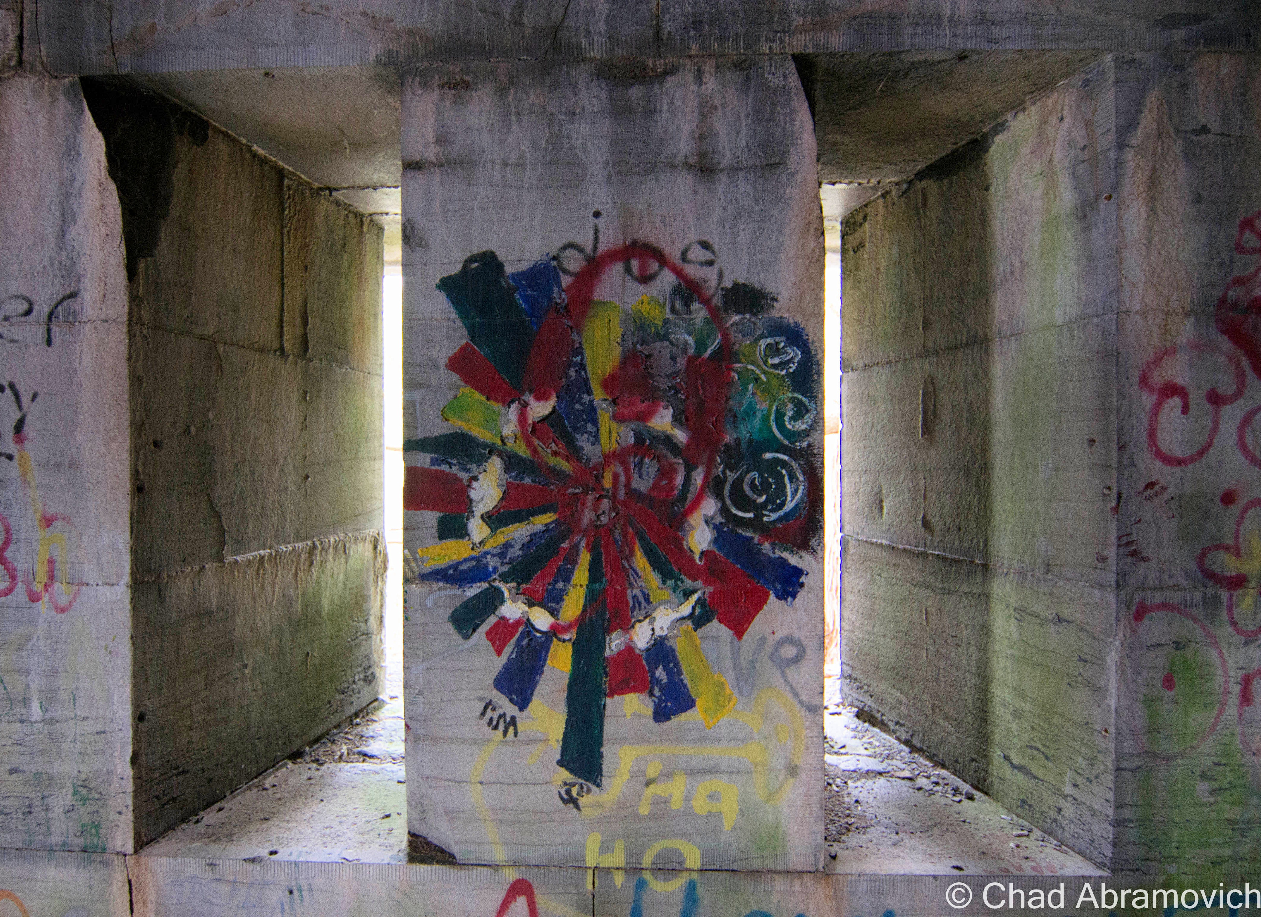
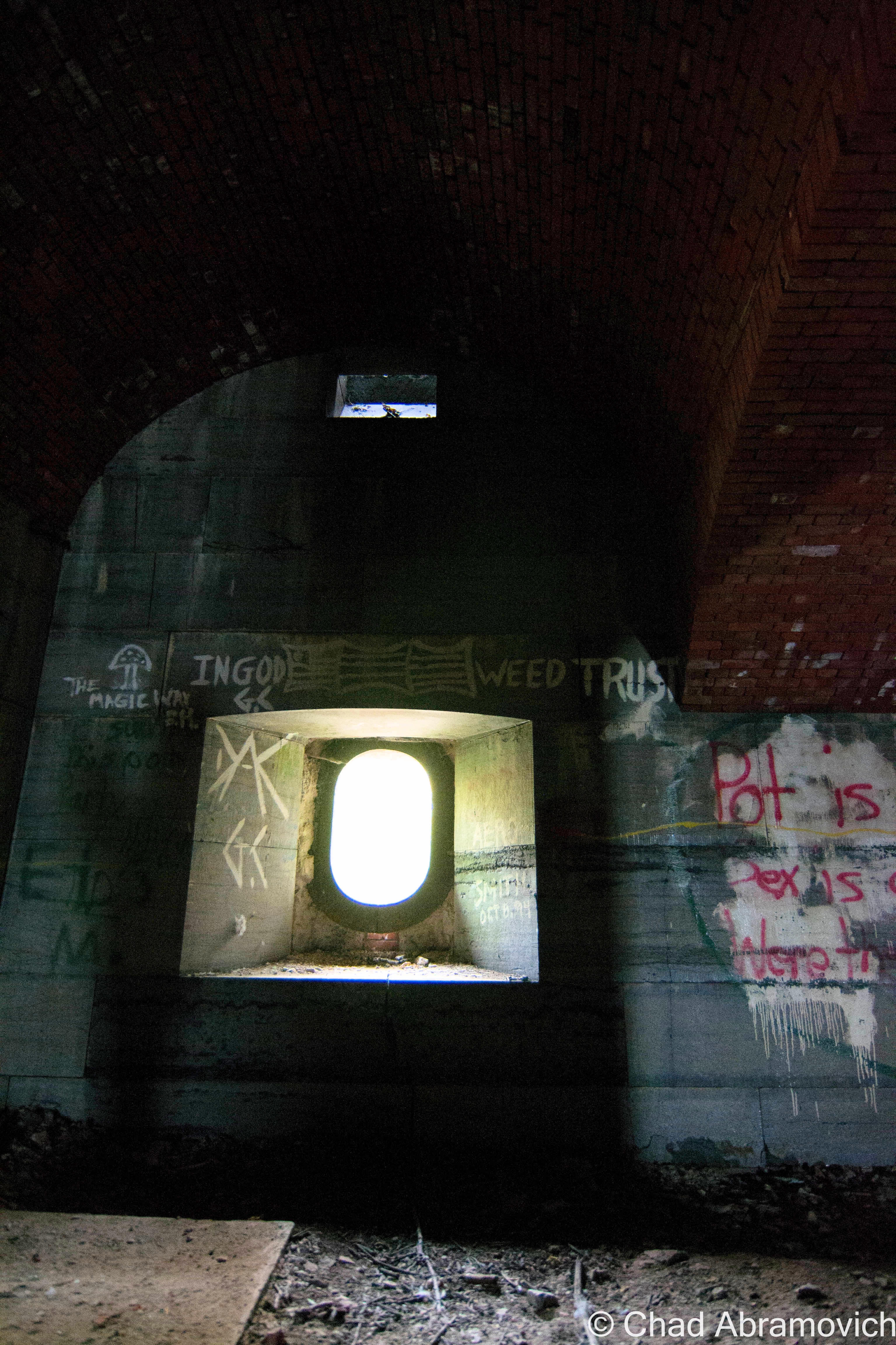
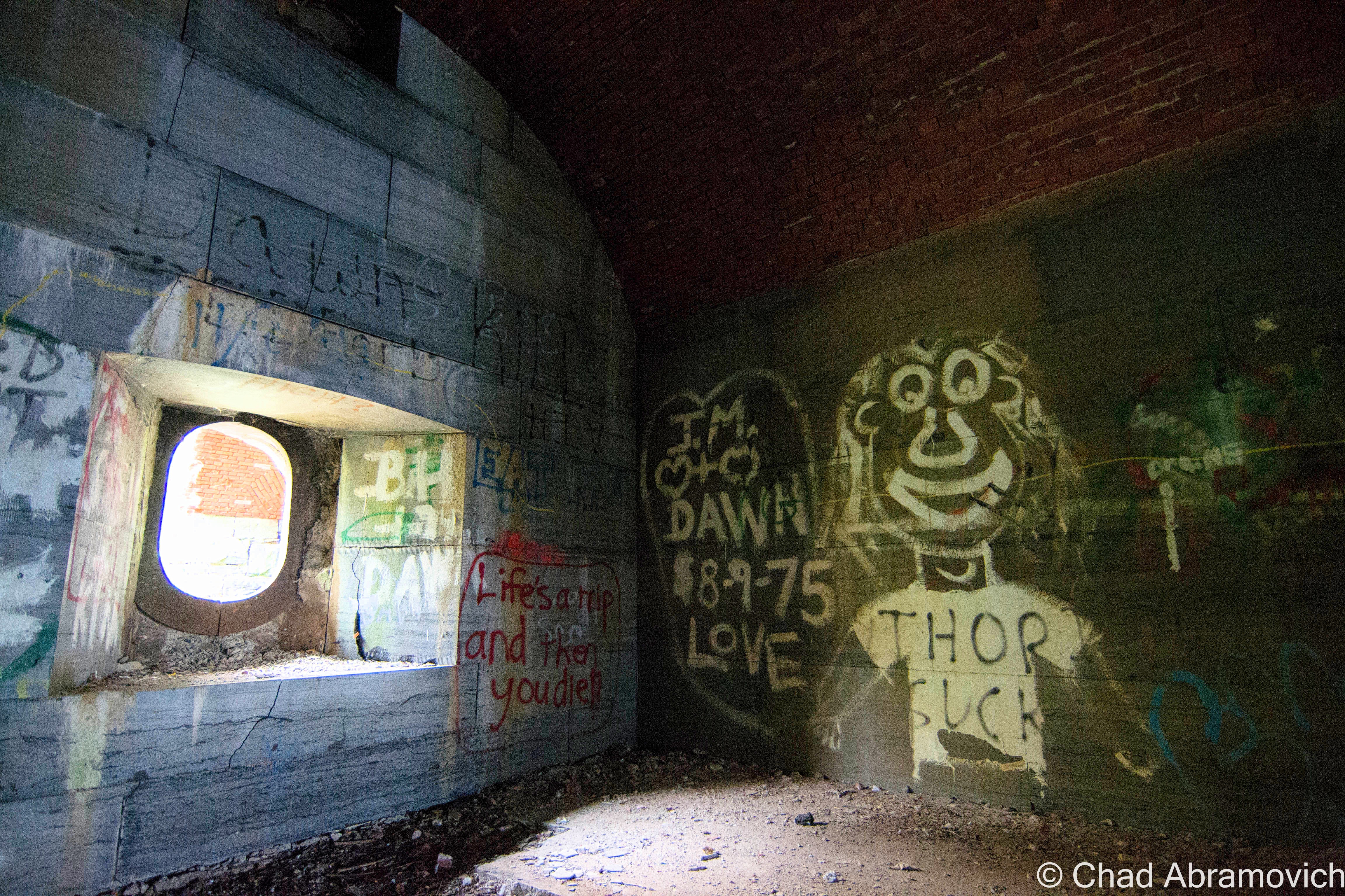
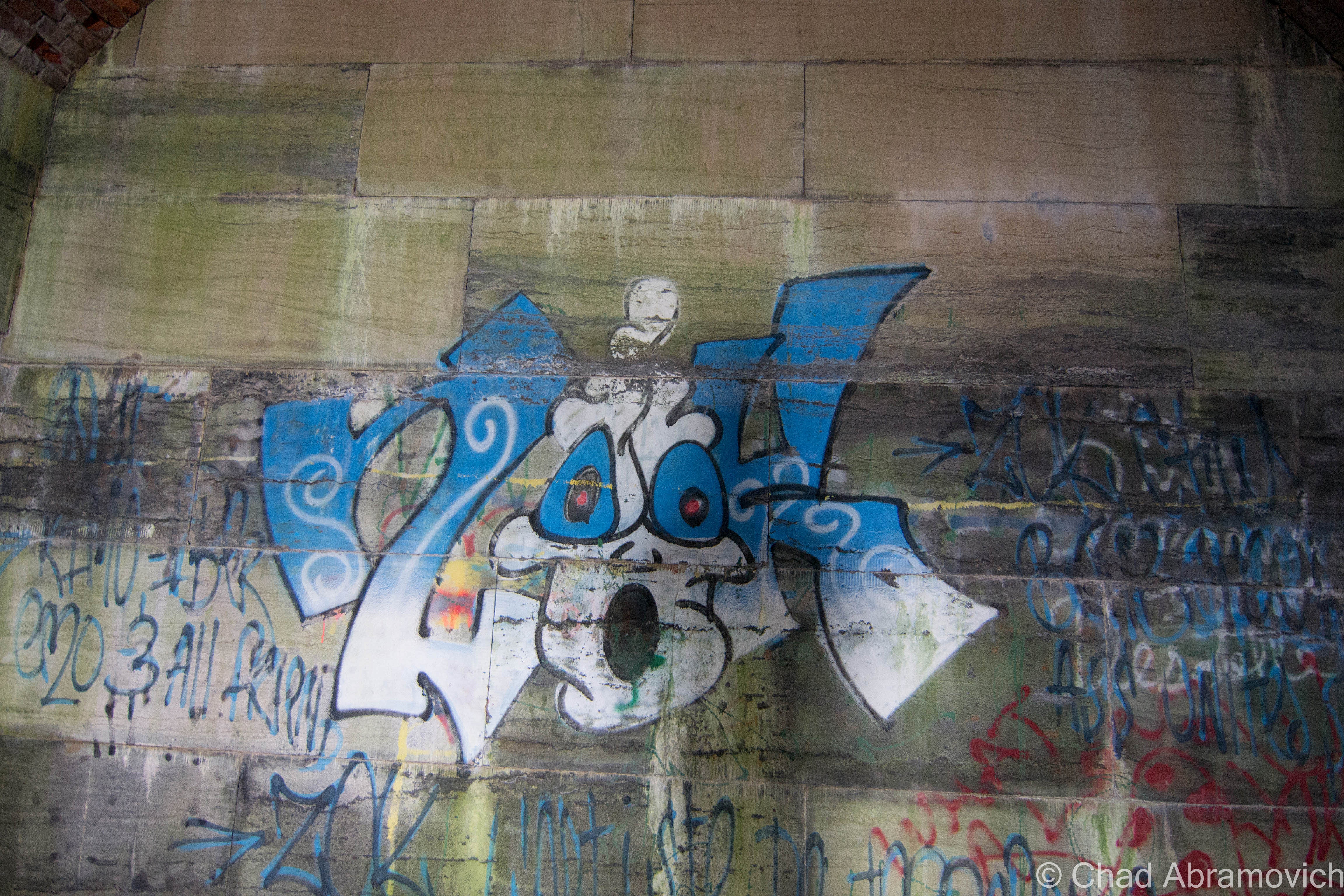
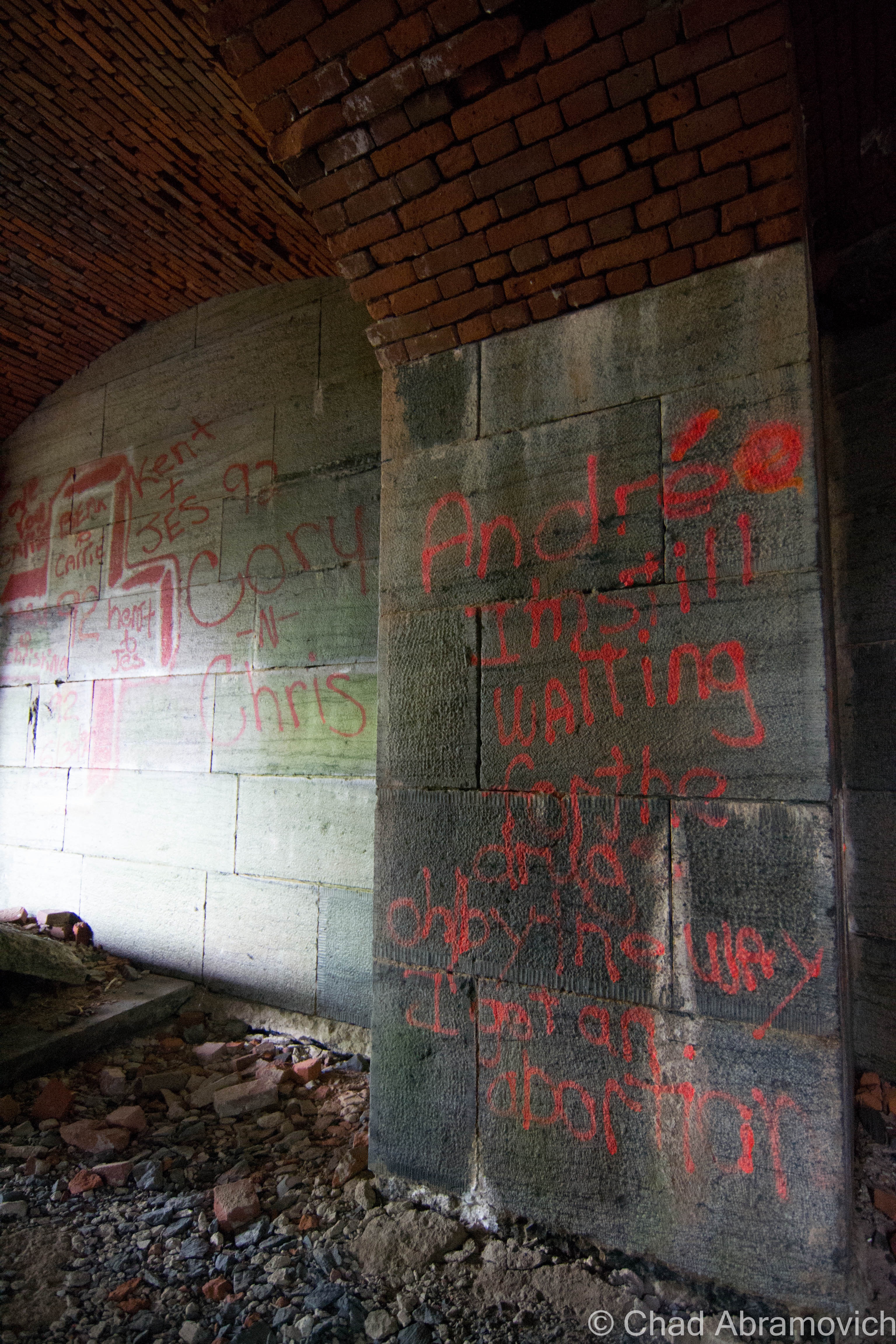
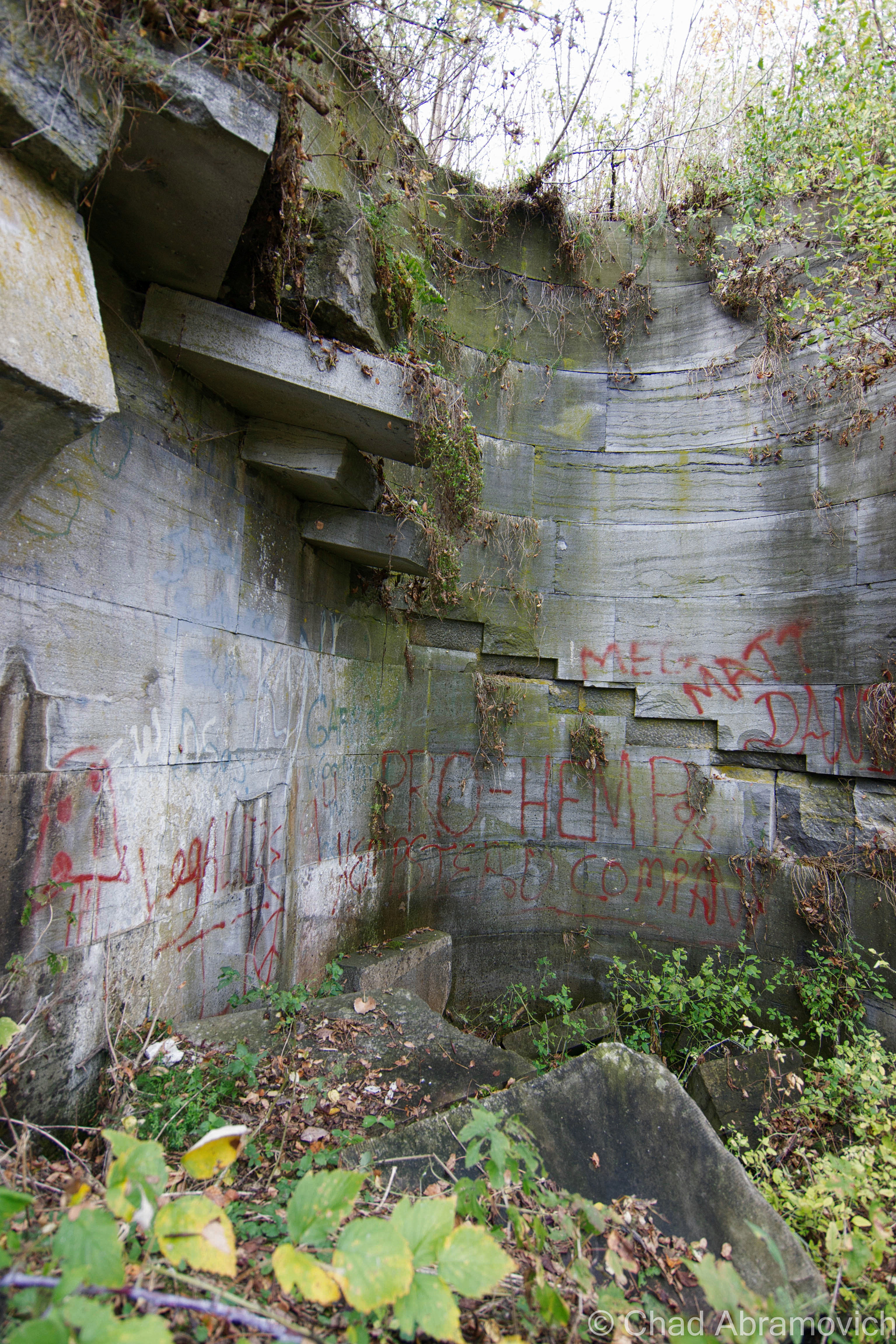
For being an abandoned relic relatively hidden in plain sight and yet, out of the way, it’s evident it receives a lot of foot traffic. Its arched hallways have almost no wall space left intact, covered by layers of graffiti, going back to as early as 1971. Or – the earliest we were able to find at least. Countless names, cultural expressions, slanderous accusations of obvious enemies and the occasional term of endearment could be read as you wondered around the property, which was pretty stimulating and could easily stand out alone as part of the experience.
Fort Montgomery was quite the fascinating place – something that I could explore, but in a sense, never be able to relate too. It was built during a time of when America had real fears of being invaded by the British via Canada, and our independence was actually in jeopardy.
But despite the resilient bones gently losing their will to fight mother nature, the fort has a rather underwhelming and ironic history, which would explain it’s rather unintimidating nickname, as far as forts go.
Its location was strategic, where Lake Champlain empties into Quebec’s Richelieu River, right on the Canadian Border between New York and Vermont. Construction on the unnamed fort began in 1816 and called for an octagonal structure with 30-foot walls. However, when President James Monroe visited the location in 1814 to see how the progress was going, he discovered they had made a huge mistake. Because of survey errors, the fort was inadvertently built in Canada. Oops. The resulting mistake lead to the fort’s nickname, Fort Blunder, which carried on into the 21st century. Construction was immediately halted and the fort was abandoned.
After much dispute between Canada and the United States over the sloppy boundary agreements and who owned what, the Webster-Ashburton Treaty of 1842 finally would resolve the problem for good, annexing Island Point – the location of Fort Montgomery, as part of the United States.
It was decided again that a fort should be constructed there, and in 1844, laborers broke ground on what would be known as Fort Montgomery. Fort Montgomery was a “third system” fort, or, one of the forts that were being built along the Northern frontier. Work on the fort was continuous through 1870, as the civil war raged on and another fear of a possible British invasion (the bad type) had everyone panicking. And when the Saint Albans Raid happened in 1864, that fear seemed very reasonable now.
During the 30 year construction period, the attention to detail was immaculate – nothing was left unplanned, and with cutting edge military tactics and a round-the-clock labor crew of 400 of the best stone cutters and masons working at the site, it was intended to be a showpiece, a symbol of brazen resilience.
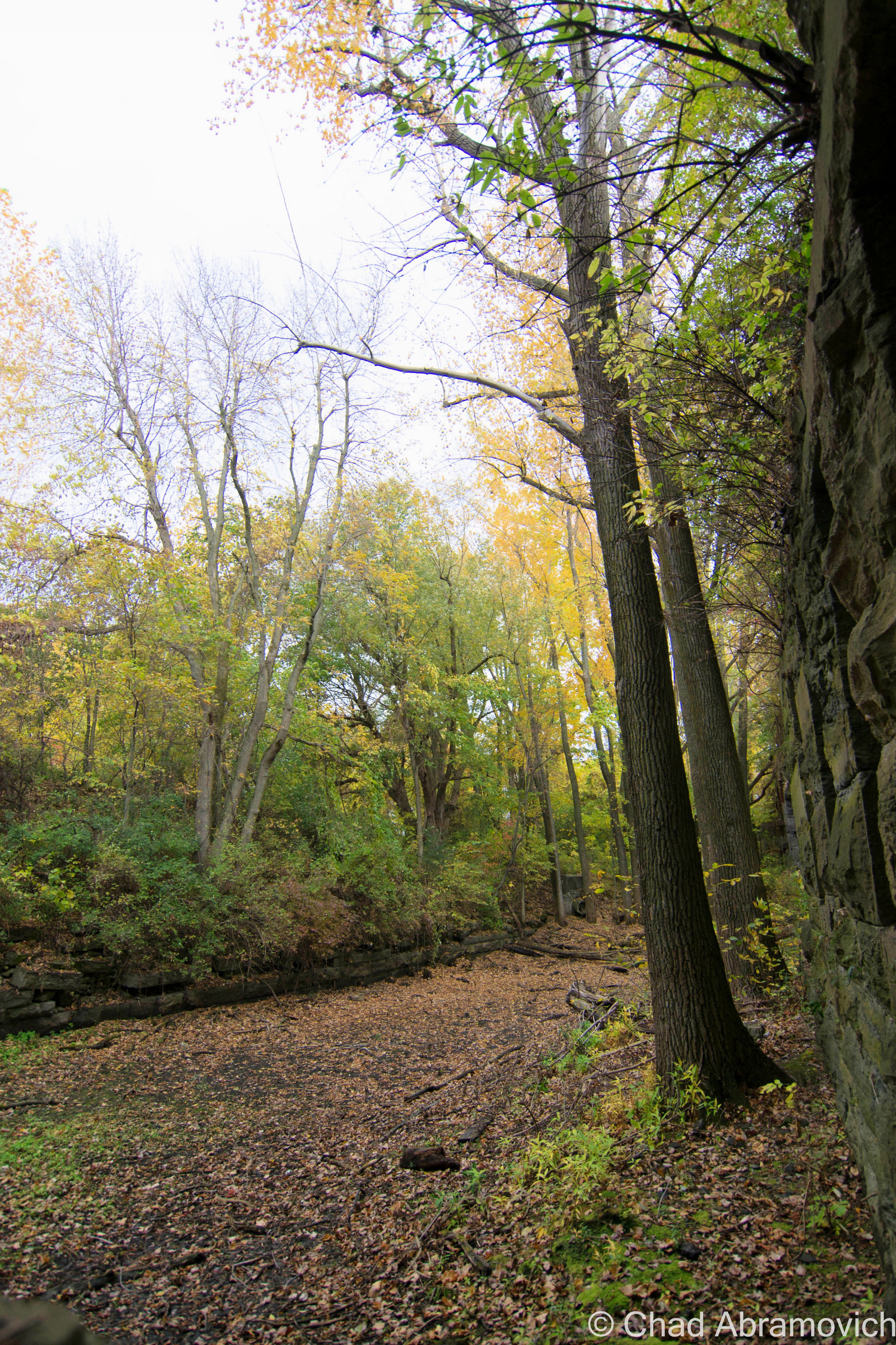
The fort also had a rare feature that only 9 forts in the United States possessed at the time; a moat. With the moat dug around the fort, it was situated on it’s on private island, with a drawbridge and a stone causeway it’s only land entrance. The moat can still be seen today, though, now filled in with layers of mud and runoff, with the creeping forest getting ever closer to ramble down it’s dirty stone retaining walls. The drawbridge also had a very unique feature – it acted essentially like a seesaw, being able to teeter on both sides with a central balance point.
Though it was intended to house 800 men, the fort never actually saw battle, and was really only used as a form of visual intimidation at the border – allowing your mind to really do the rest. One man manned the fort, and lived in a caretaker’s house nearby. Because the fort never saw battle, some surmise that this was also the reason why it was bestowed the notoriety of the nickname “Fort Blunder”. However you look at it, both of these huge mistakes are fitting reasons.
The fort officially went defunct in 1926 when it became obsolete, and the government sold it. Residents of Rouses Point took it upon themselves to salvage material from the fort, considering it was great material, and most importantly, free. Stone, brick and wood were used for construction projects all around town. Houses, sidewalks and retaining walls can still be seen today that incorporate a little Fort Montgomery in them. My friend, who is also an adventurer and who was playing the role of tour guide that day, said that he remembers someone in Alburgh he knew with original wood from the fort inside their farmhouse.
The fort was added to the National Register of Historic Places in 1977, and today, the property is actually for sale, and as far as I know, it hasn’t received any offers. Admittedly, the remains of a 19th-century fort in your backyard would be a far cooler feature than lawn gnomes or pink flamingos. While tromping around the overgrown grounds, we were discussing other great uses for the property, like a great outdoor music venue location.
My friend was the perfect tour guide. He used to come here back in high school, along with many of his friends, back when the fort was really forgotten. They had paintball matches here, which seems like an ideal location for such activities, and just generally hung out underneath the brawny yet ethereal stone archways. Countless area kids (and adults like myself) would also hangout there, as evident by the plethora of graffiti and Natural Ice cans left behind. Modern day relics. Walking around, he knew many of the names spray painted on the walls. One person in particular he recalled getting hit by a train when she was walking her dog years ago. Less poignantly, he also pointed out where his high school band rebelliously self-promoted themselves on a wall inside.
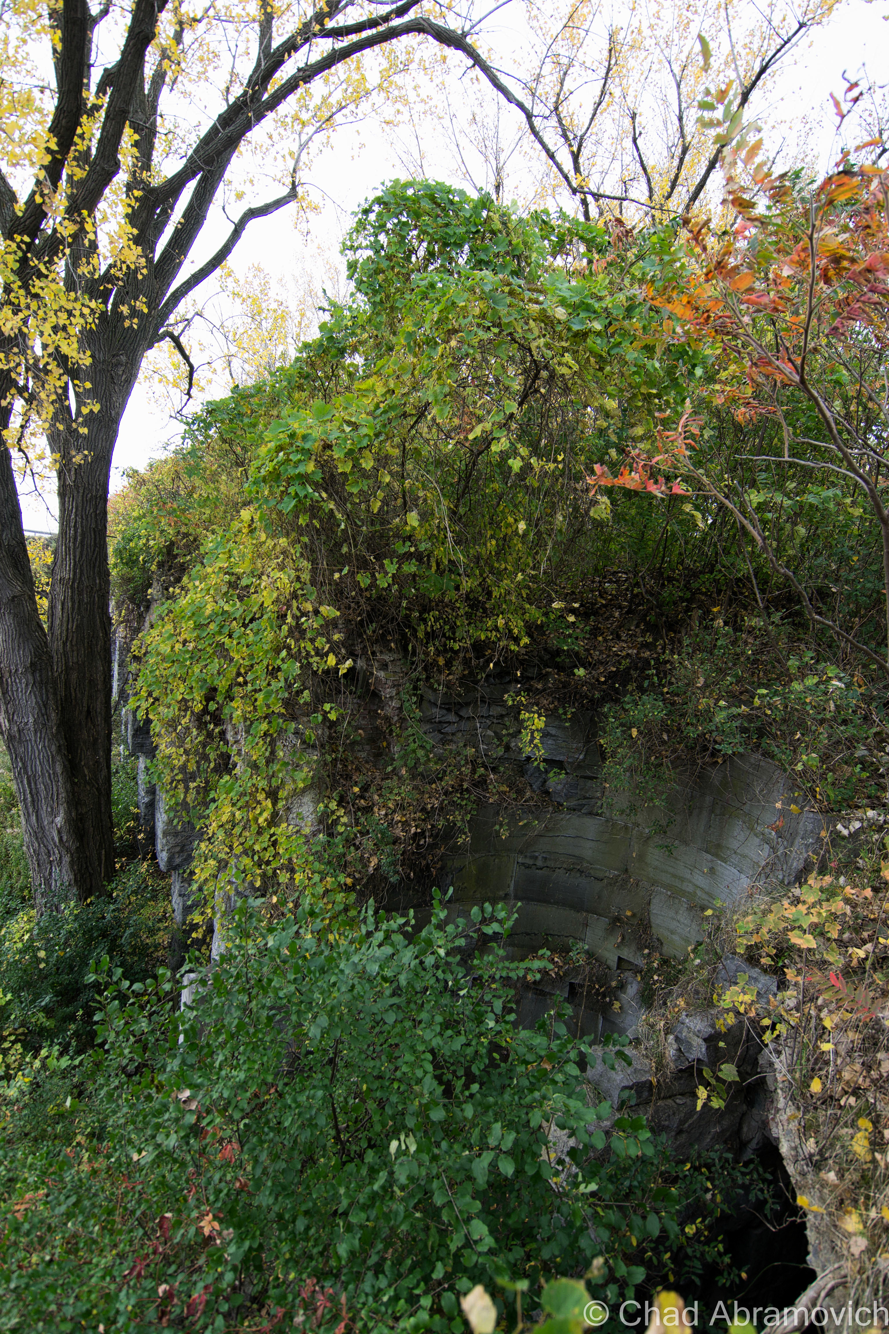
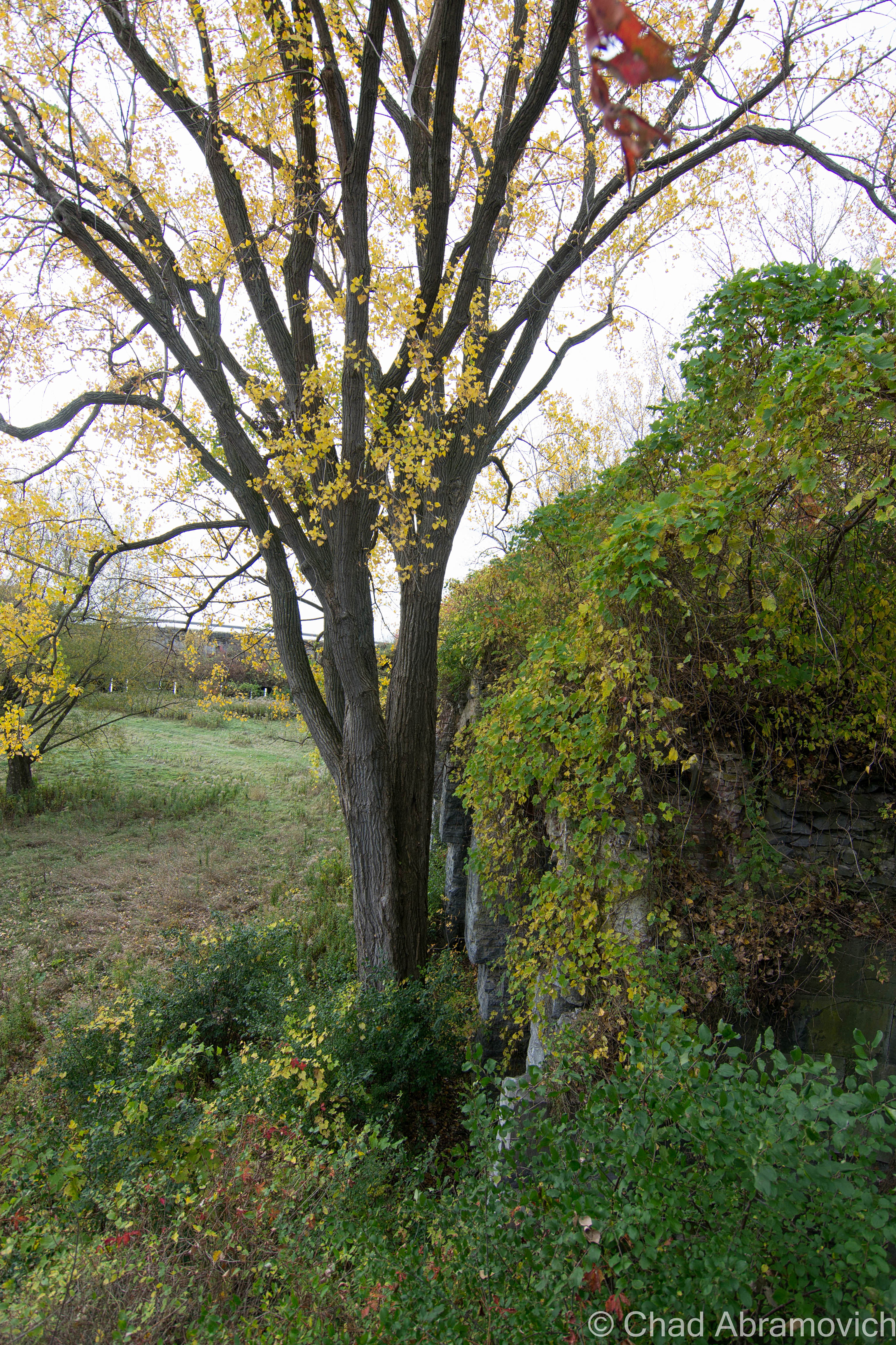
The ruins of the fort were disorienting, something else I didn’t expect. The place was so overgrown, that there were times while exploring the upper levels, that you actually perceived as just a walk in the woods, until you looked over and noticed you were actually 30 feet in the air, above a row of arches vanishing into thick vines and forests shedding their Autumn jackets. At times, literally climbing up earth banks to get to the second floor, you notice a black hole beneath your feet, with crumbling bricks falling into the dark and the deep below, reminding you that you are on a man-made structure.
And of course, walking through the airy hallways as the fragrant breezes blasted through the windows, countless Pigeons would swiftly bolt down the hallways, coming very close to smacking me in the face. Sort of an Alfred Hitchock type of situation, except, this was real.
Walking back across the moat and down the access road – which was no more than a 4 wheeler trail at this point, we noticed the old trees that lined the path had white chalky residue over their aged bark, evidence of the water levels of the lake. The lake was incredibly low this Fall, some of the lowest we’ve seen it we both agreed. It was sort of strange to see those marks well at waist level as we walked by.
“Fort Blunder” certainly added another layer to my prowess, an intimidating ruin that was both venerable and deceitful. But honestly, I enjoyed hearing the stories from my friend and his personal accounts there far more than it’s faded history – it somehow adds an entire new layer of mystery and character to it – something that is a little more tangible to me as I trudged through piles of dead leaves on the way back to the car.
I can’t help but think. What will archaeologists be able to uncover about our time in the distant future, and what will those things say about us?
—————————————————————————————————————————————–
To all of my amazing fans and supporters, I am truly grateful and humbled by all of the support and donations through out the years that have kept Obscure Vermont up and running.
As you all know I spend countless hours researching, writing, and traveling to produce and sustain this blog. Obscure Vermont is funded entirely on generous donations that you the wonderful viewers and supporters have made. Expenses range from internet fees to host the blog, to investing in research materials, to traveling expenses. Also, donations help keep me current with my photography gear, computer, and computer software so that I can deliver the best quality possible.
If you value, appreciate, and enjoy reading about my adventures please consider making a donation to my new Gofundme account or Paypal. Any donation would not only be greatly appreciated and help keep this blog going, it would also keep me doing what I love. Thank you!
Gofundme: https://www.gofundme.com/b5jp97d4


