The Lost Shul Mural

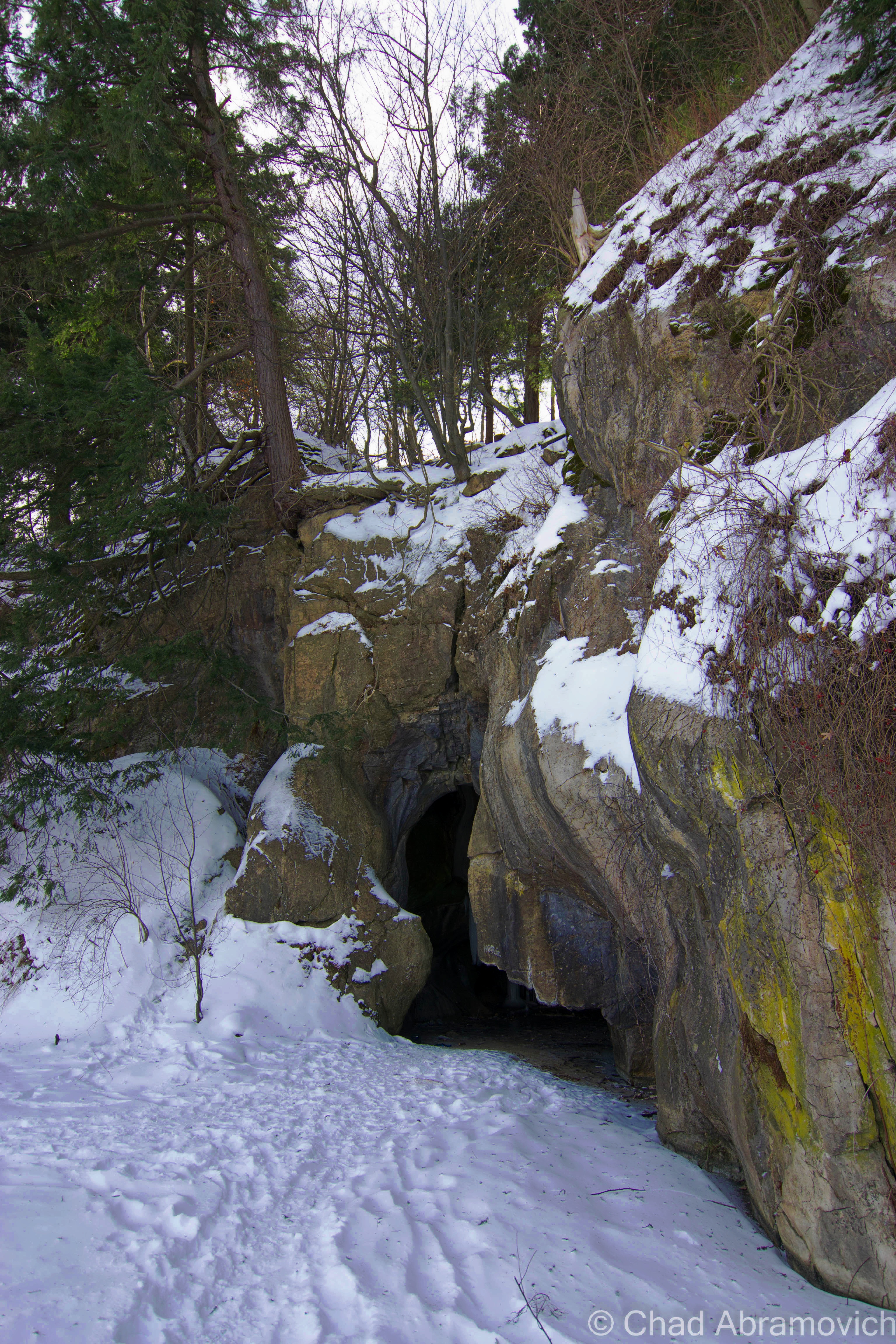
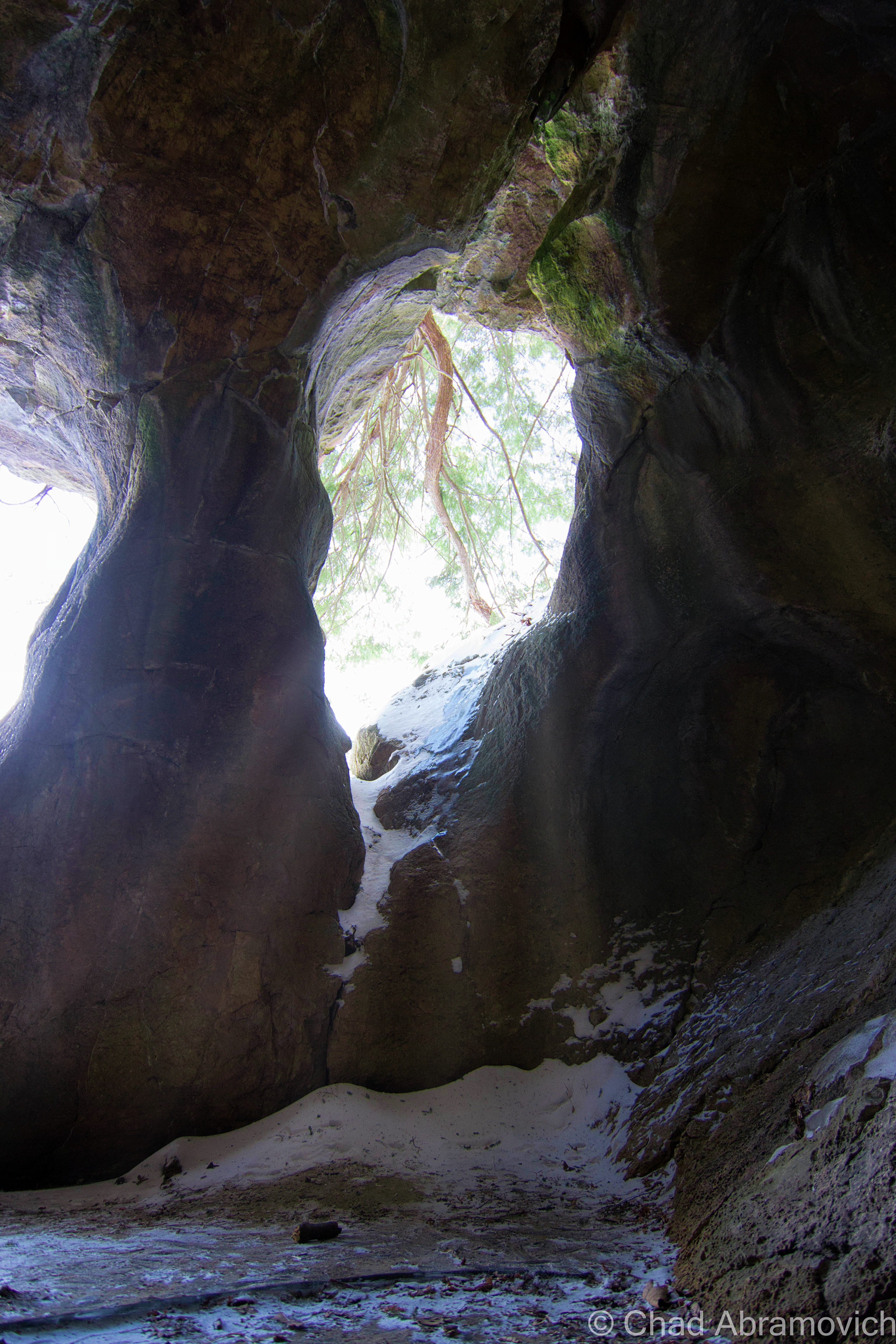
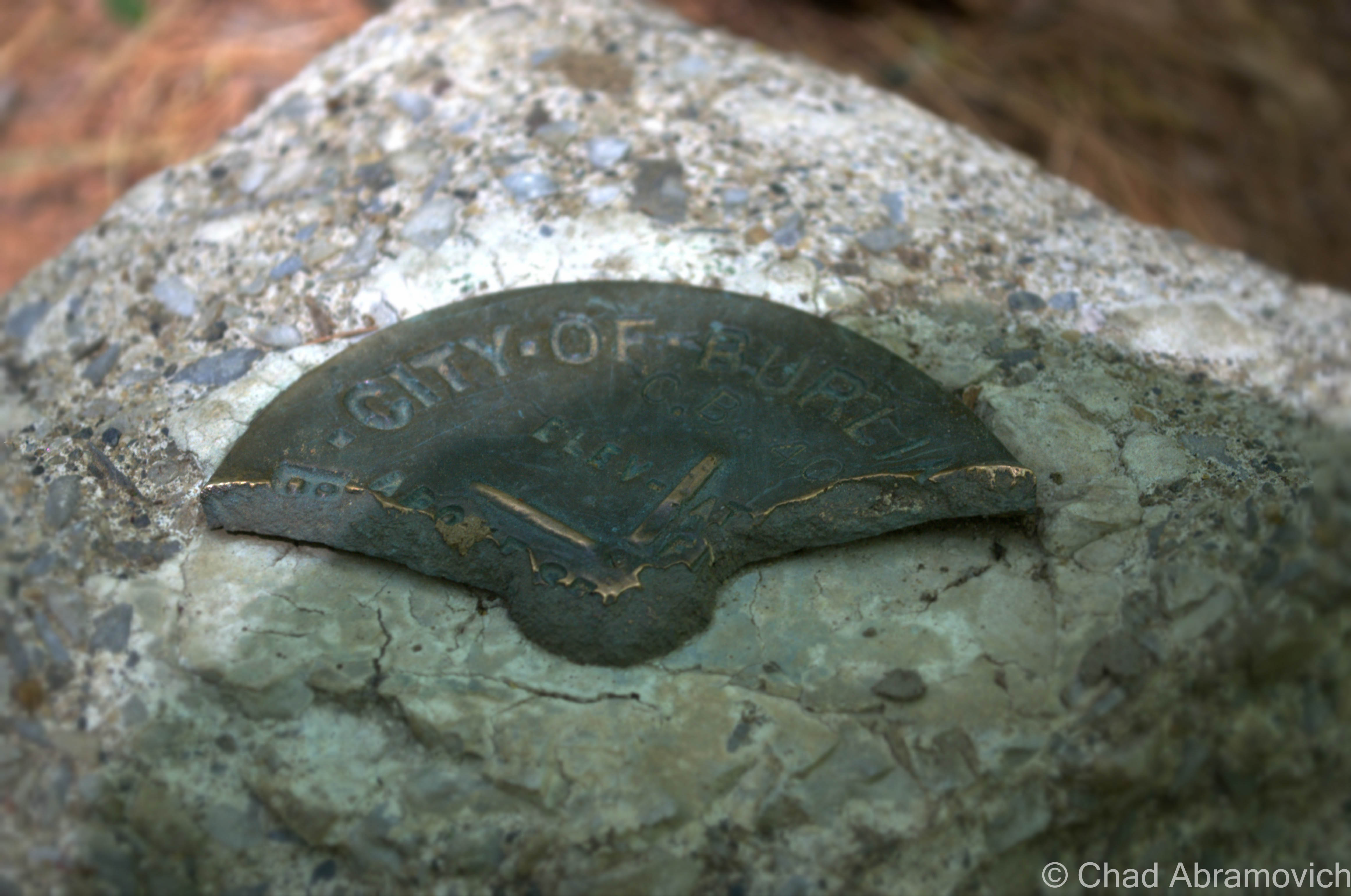
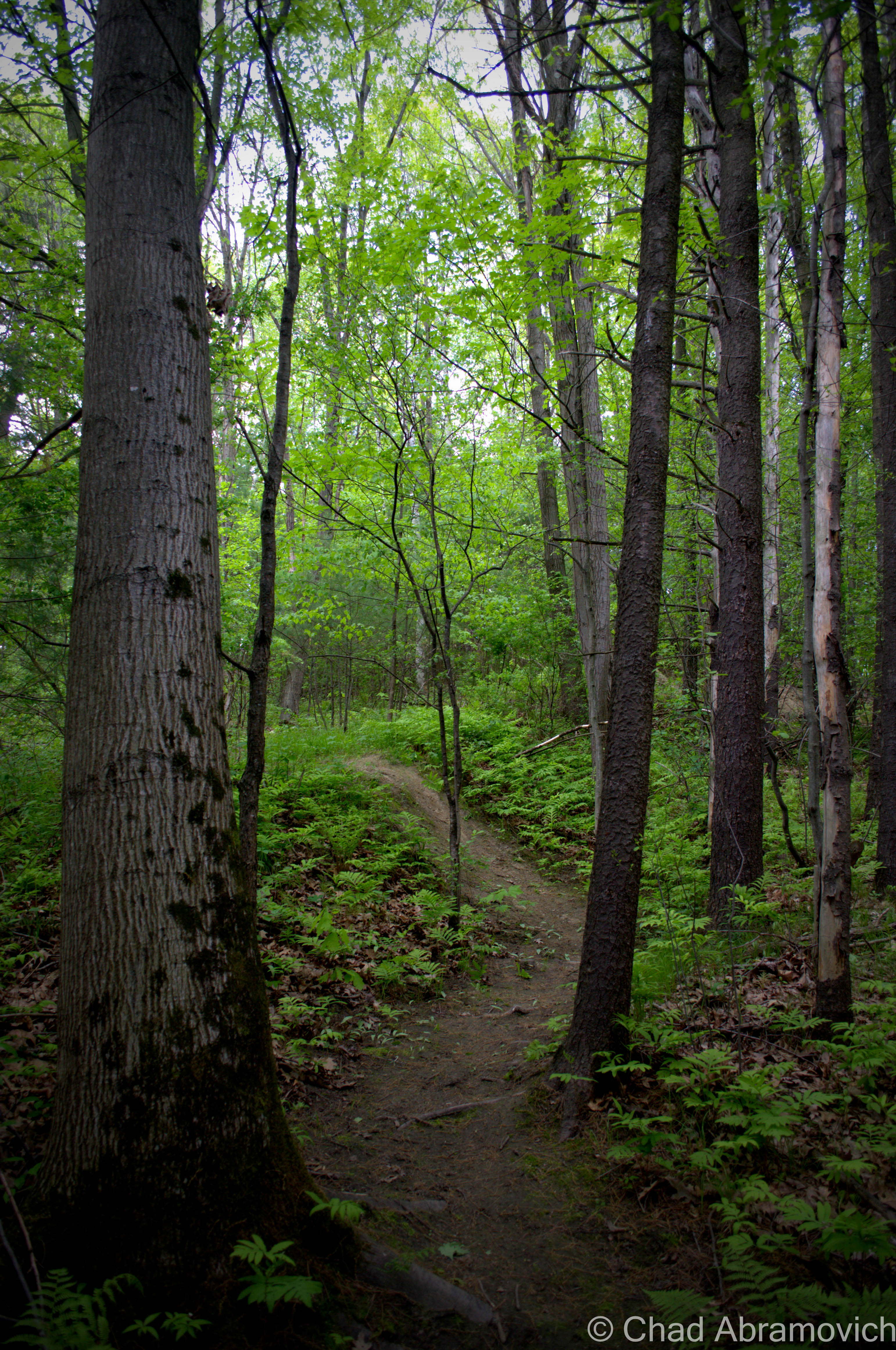
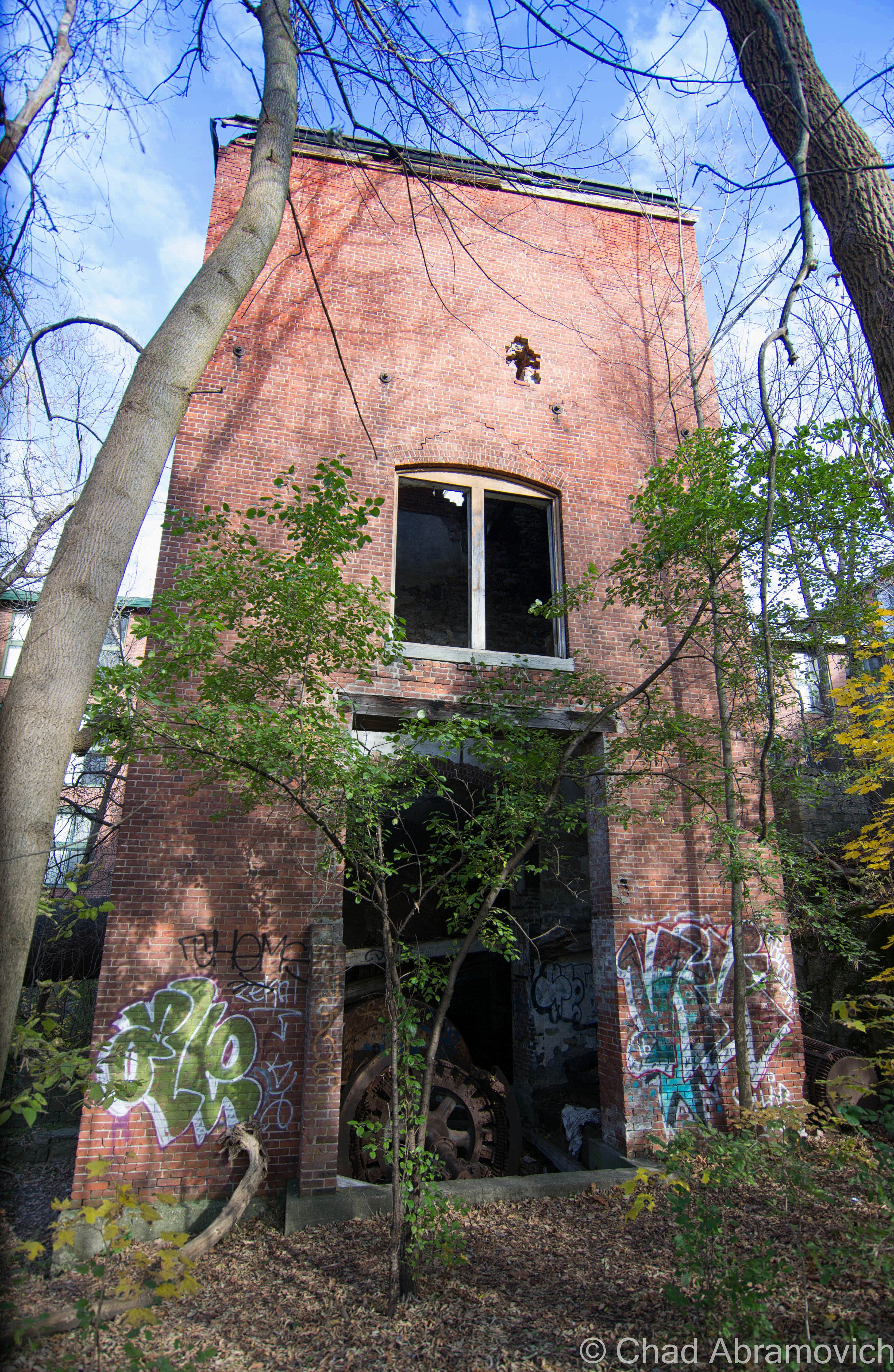
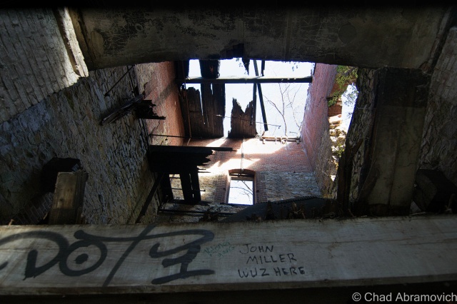
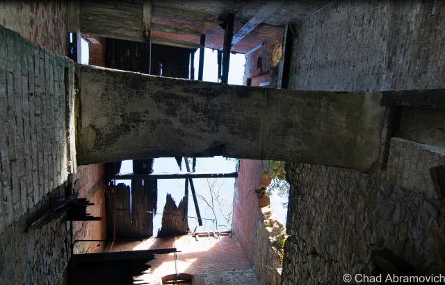
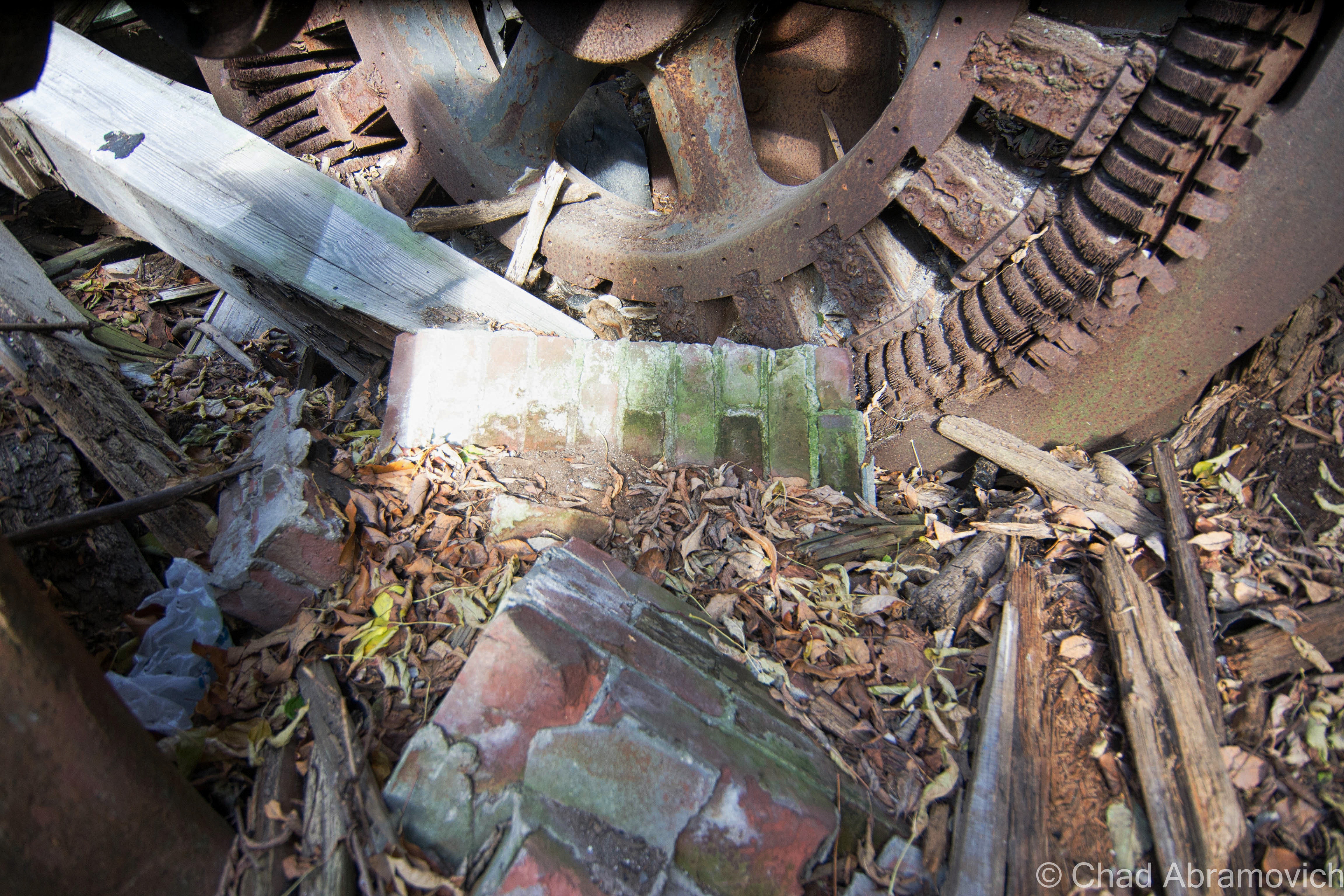
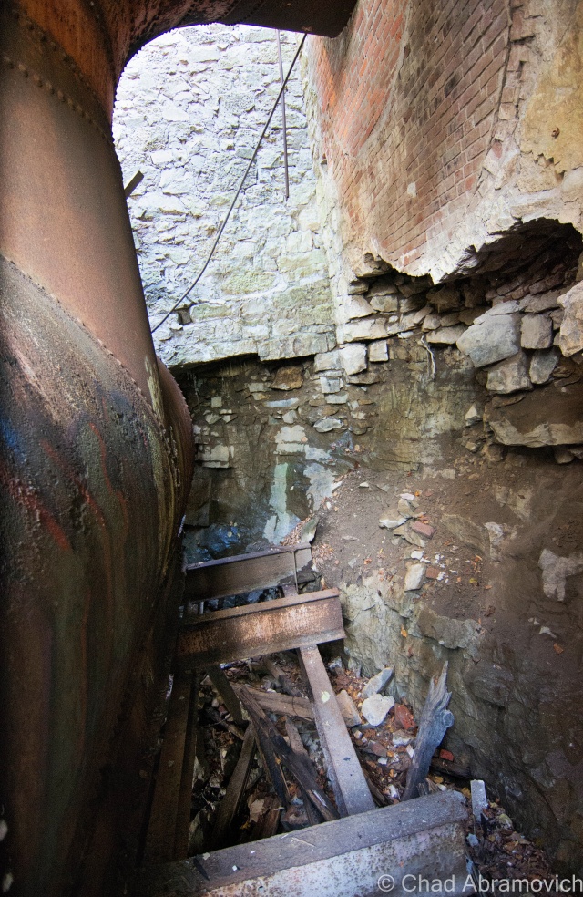
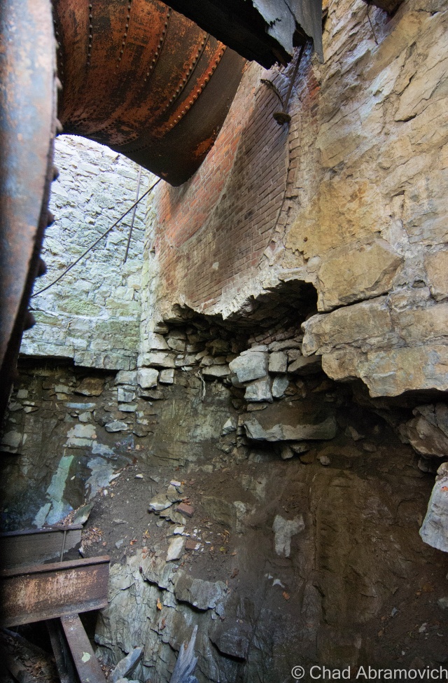
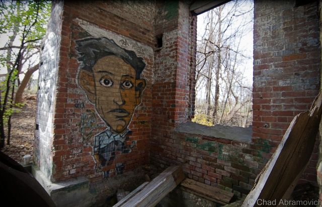
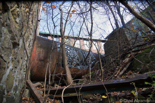
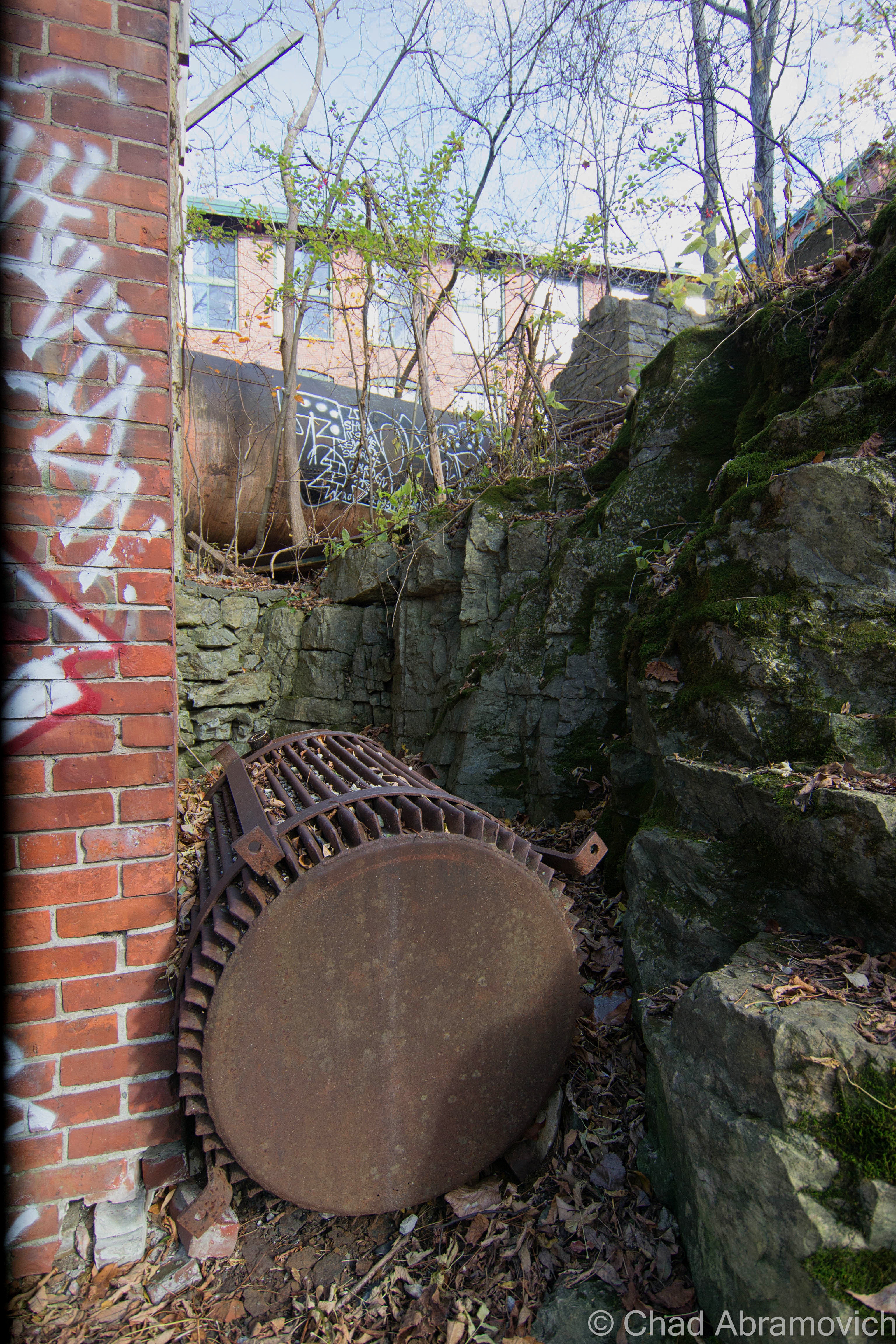
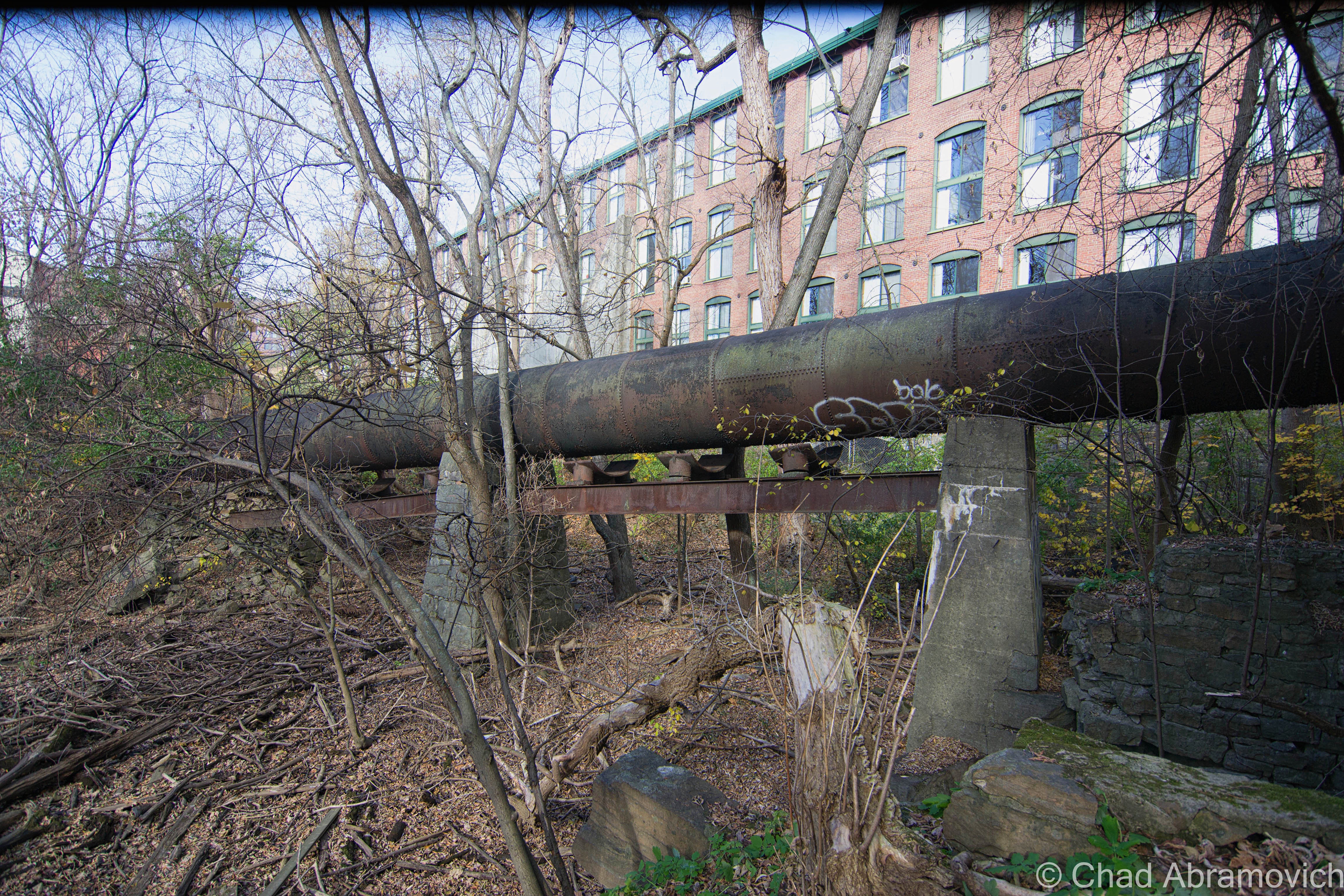
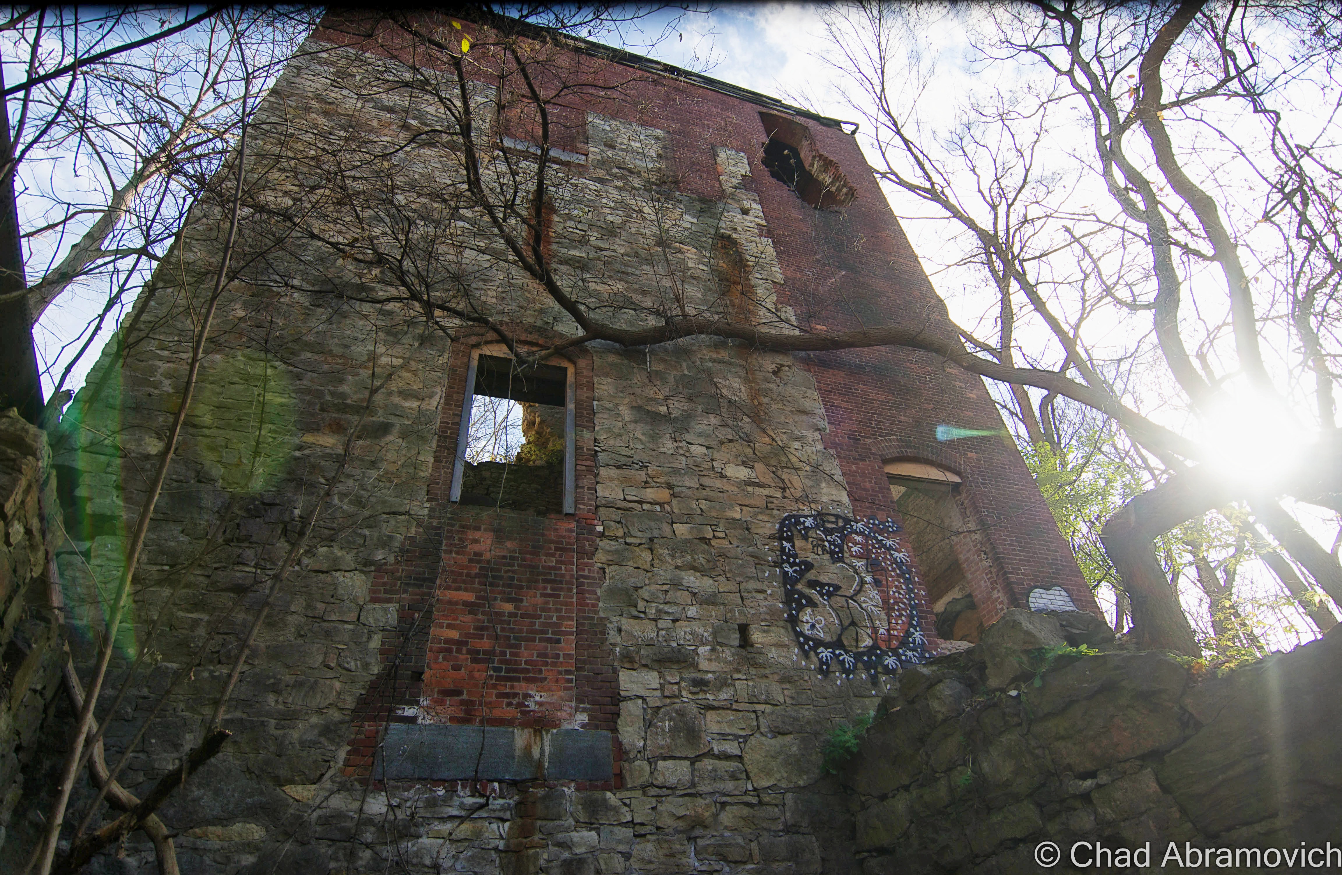
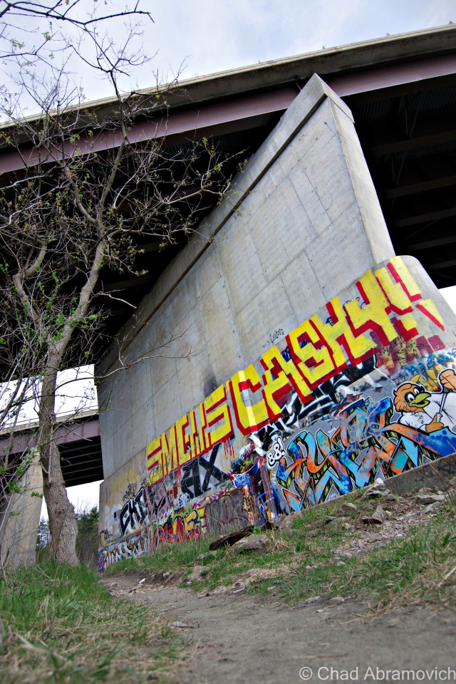
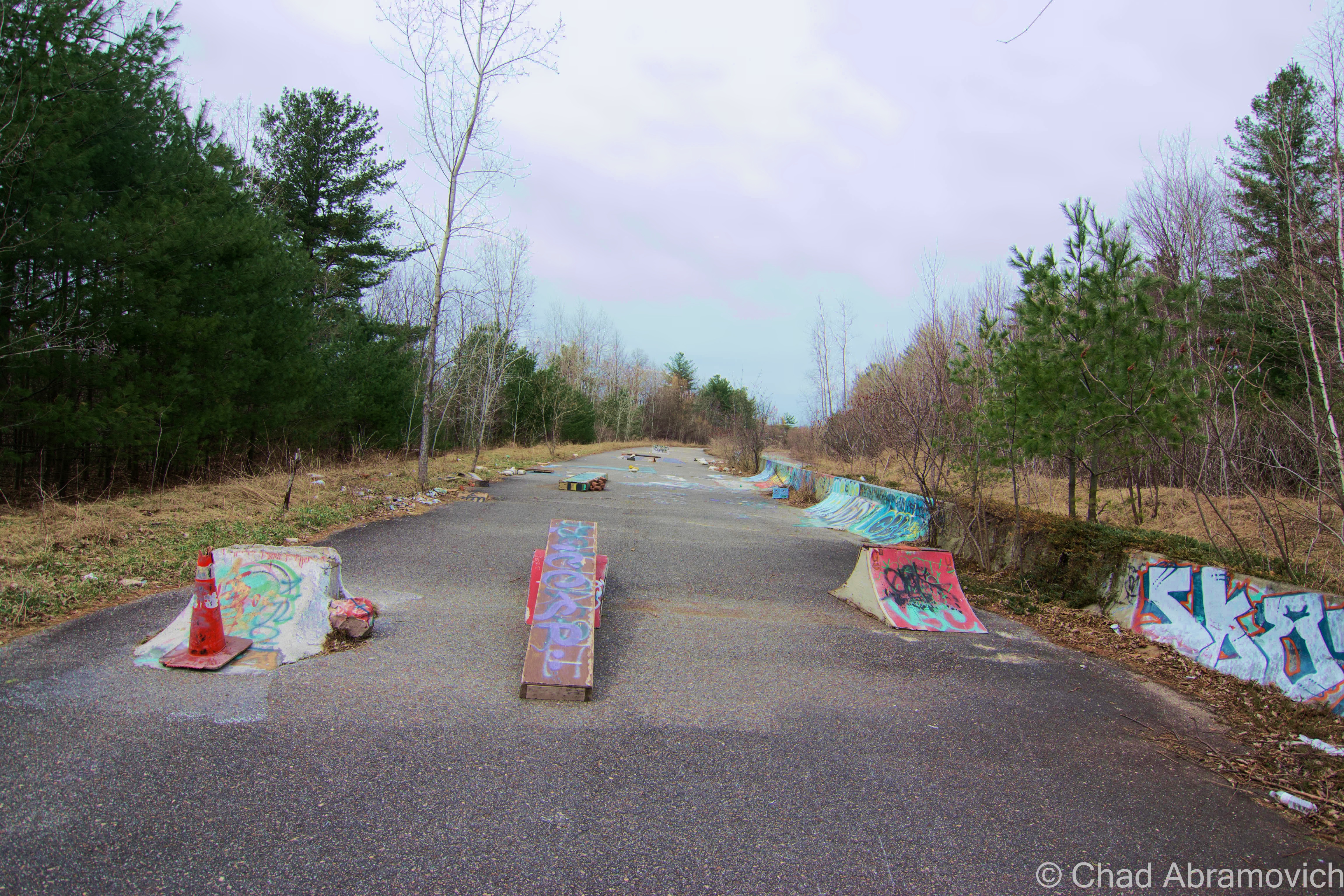
The ballad of hiding things behind walls is a pervasive one that’s well sung. I’ve always had a fascination with things lost and re-discovered, and often can’t help wondering what sort of clandestine things exist in the mundane world we see everyday, and if uncovered, what sort of power would it have on it’s discoverers?

Years ago, I remember an old farmhouse in Colchester that was getting a face lift. As the rotting clapboard siding was removed, work grinded to a stop when laborers found quite the surprise underneath. The entire side of the humble dwelling was covered in Barnum & Bailey circus posters from the 1890s. This is an old trick used by Vermonters, who used any material they could to help insulate their houses during the long winters. Newspapers and in this case, circus posters, were all utilized. Though at the time the posters were the modern day equivalent of junk mail, today they remain as important relics of human history and culture, and of course, valuable collectors items. It’s always made me wonder just what else could be found behind a seemingly innocuous wall or structure, and what sort of stories could be told. Sadly, I never got the chance to to photograph those Barnum & Bailey posters, but recently, a new opportunity would come my way.

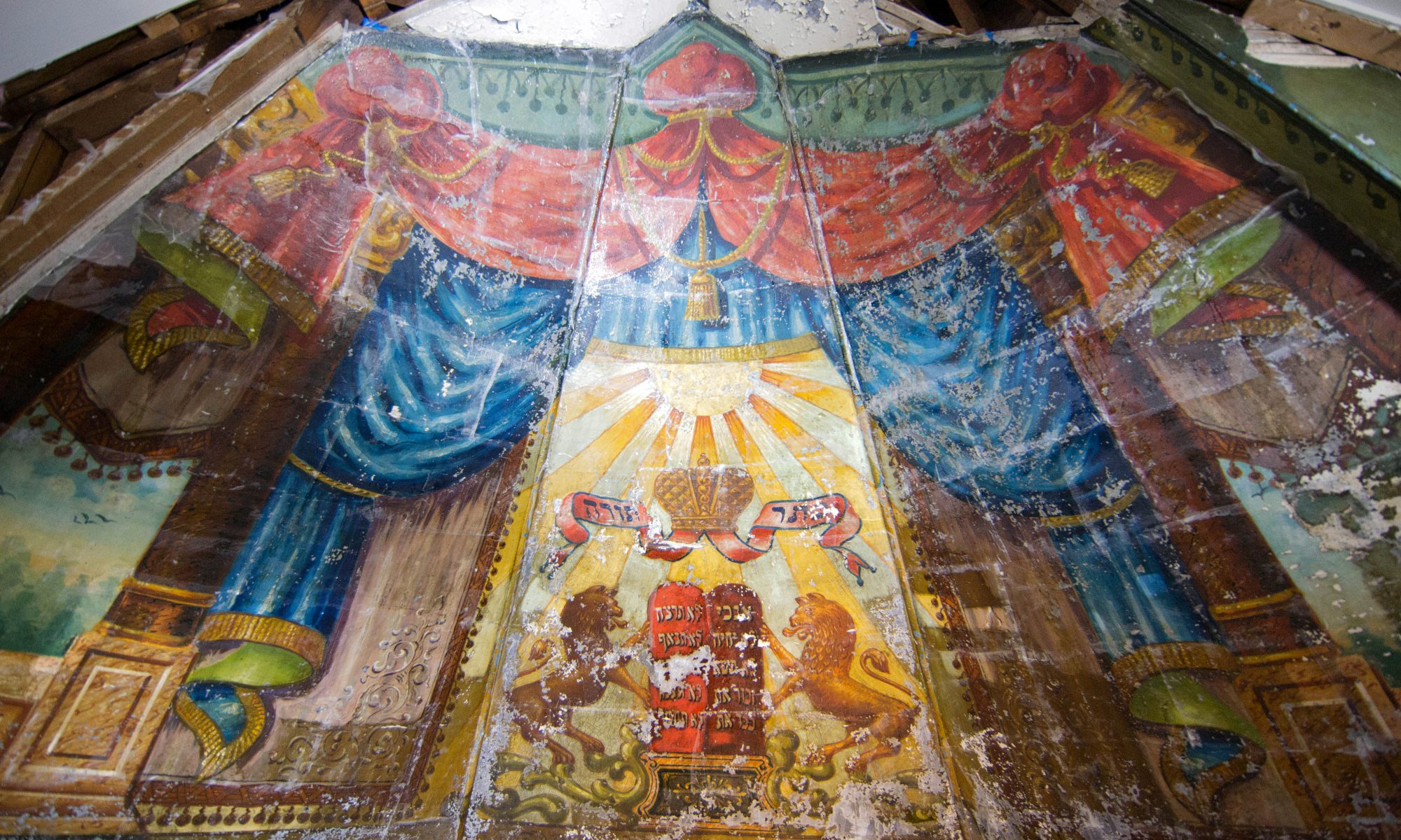
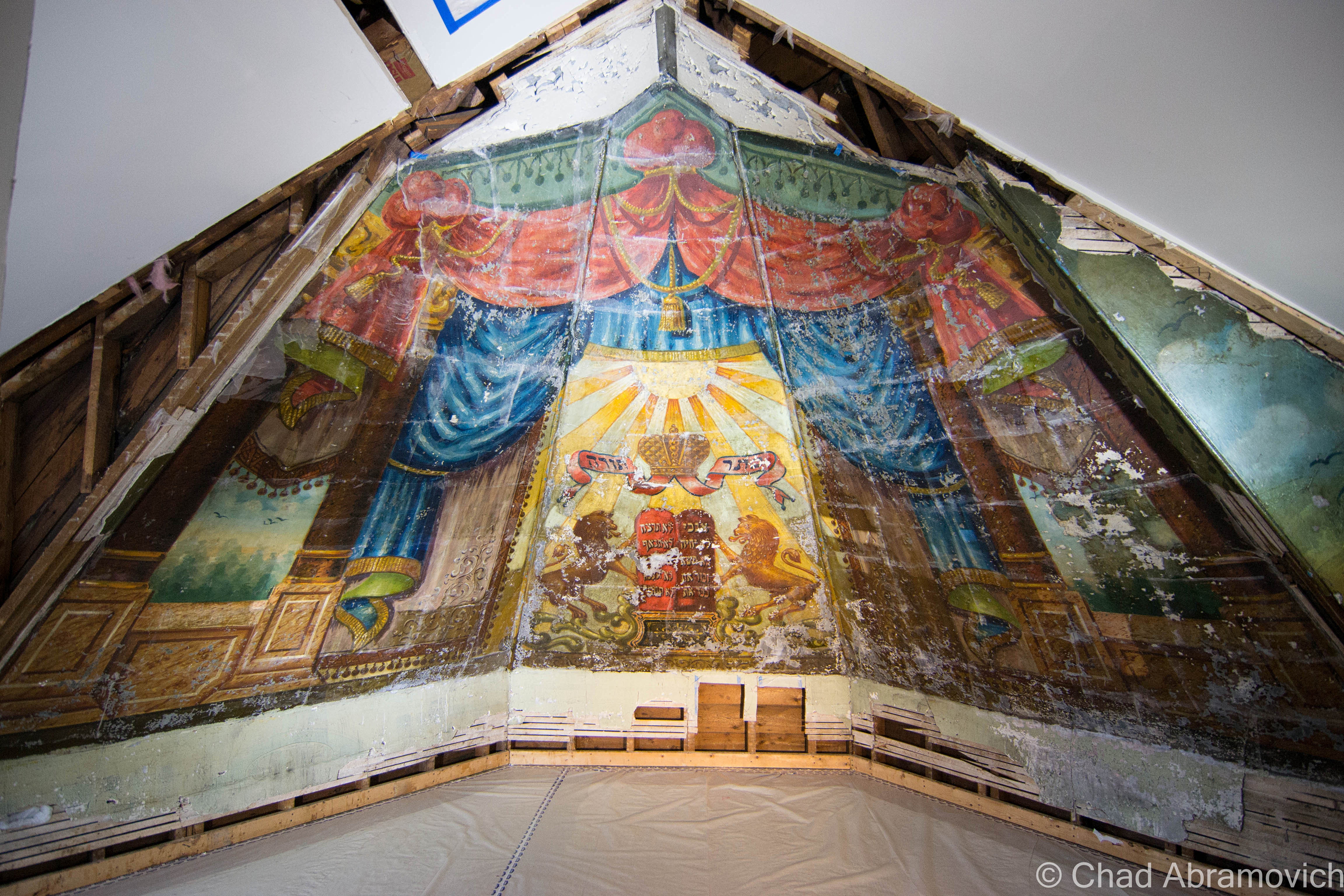
A lost mural, 104 years old, found deep within the walls of a former Old North End synagogue turned apartment building, was on public exhibition for 2 short weekends before being restored and moved to a new location. On a gloomy monotone Sunday of bland whites and cold winds, I found myself on the second story of a wooden building on Hyde Street, coming face to face with something spectacular. It was a strange feeling, seeing something so luminous and mysterious in the middle of a sterilized room with new stark white drywall and plywood floors.

Though it spent years in a state of limbo and neglect, the delicate surface and fading paint were remarkably well preserved and still were very successful in moving the observer. Arranged in a compilation spanning dramatically angled ceiling panels that forms the inside of a wooden turret, the mural is lively, dimensional and complex, featuring several scenes with incredibly ornate details.

The tour guide of the affair explained that the mural’s survival is nothing short of lucky itself. If it wasn’t for the original slate roof that caps the historic wooden building, the mural would have been already long lost. Between Vermont’s infamous cold winters, and the drastic temperature changes between interior and exterior, the naturally occurring elements are bad for preservation and great for corrosion. When the mural was walled up, the paint and wall insulation were sharing direct contact with each other, thus transferring moisture from the insulation to the mural face. It was really amazing that it survived in the condition it did.

But what’s the story here? Why is this painting so important? And why was it walled up?

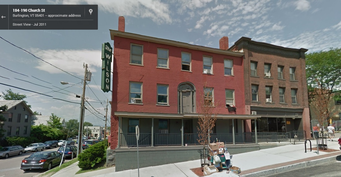
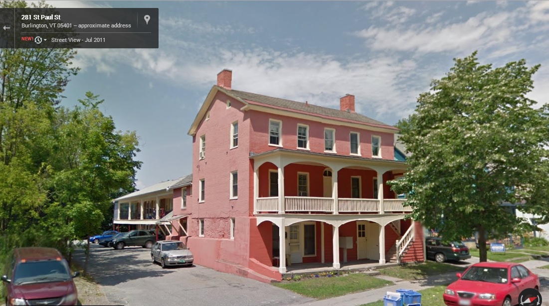
Around 1880, Jews from the Kovno area began to migrate to Burlington, and soon began to congregate together for worshiping, establishing an insular neighborhood known as Little Jerusalem. In 1889, The Chai Adam Synagogue was built on Hyde Street, two years after the first synagogue, the Ohavi Zedek, was built. It was the second synagogue constructed in the Old North End.

In 1910, Lithuanian immigrant Ben Zion Black immigrated to Burlington. The son of an artist, he had attended several art academies in Kovno and was showing interest in the theater, especially theatrical writing. The move to Vermont however was out of love. In Lithuania, he had developed strong feelings for actress Rachel Saiger, who came to audition for a play he had written. Her parents however disapproved of the relationship, and in 1905, decided it would be best if they brought her with them to join family in Burlington. But he wouldn’t be deterred, and after 5 years of sending her postcards and letters, he eventually also moved to Burlington, and the two married in 1912.

When he arrived in Burlington, he was commissioned $200 to paint a mural in the Chai Adam synagogue in the Old North End, in the style of the wooden synagogues of Eastern Europe.

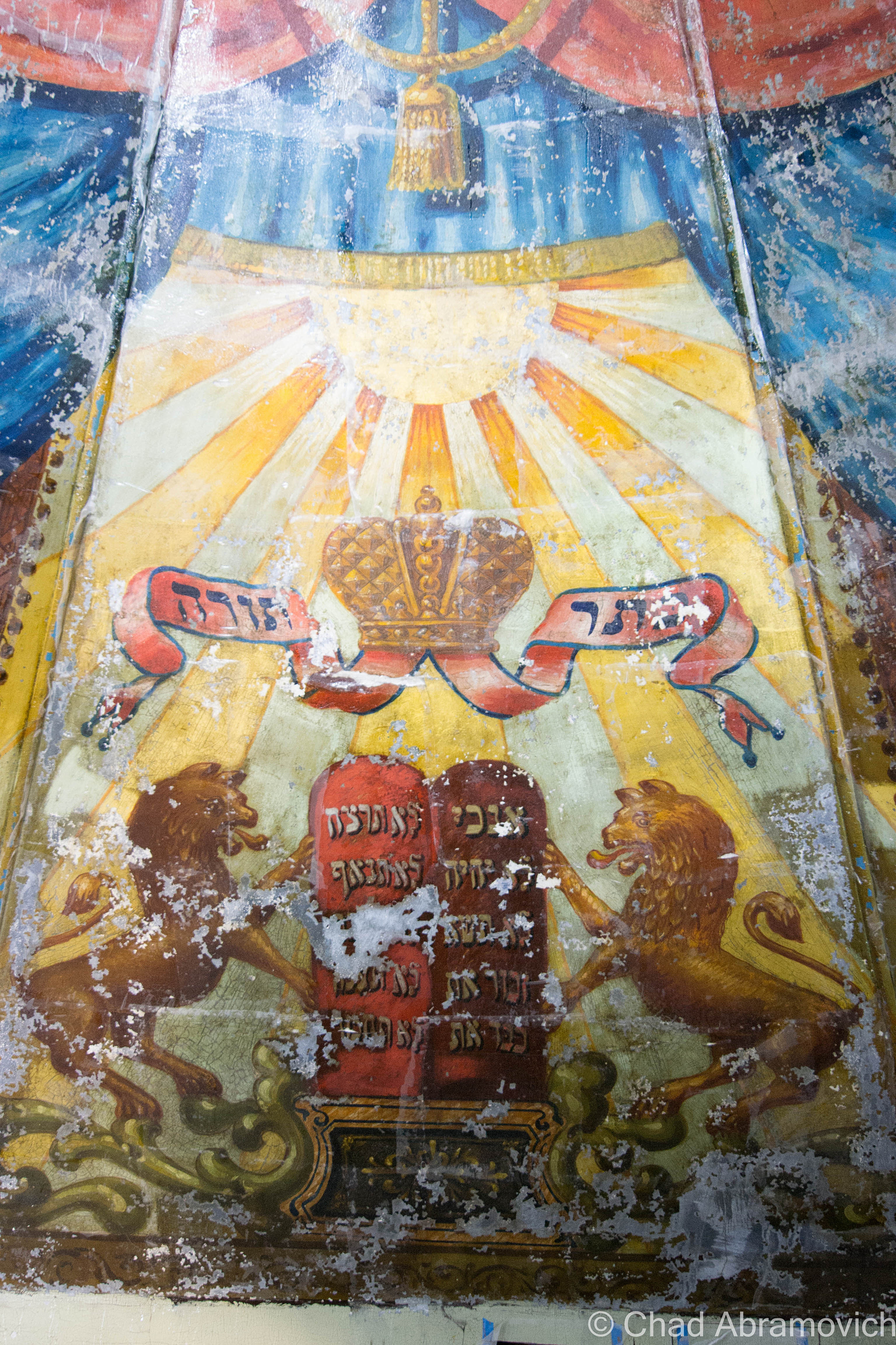
The congregation could gaze admirably at an eye catching optical illusion of an open sky with birds in flight that can be viewed through openings underneath suspended shrouds of heavy and colorful curtains adorned with tassels and ruffles. The centerpiece are the brazen Lions of Judah planted regally on both sides of the ten commandments, written in Hebrew, with the crown of Torah floating above, all bathed in golden rays of the sun. As I was taking everything in, an animated woman and her son raised a good question; if the artist was thinking of the landscape of the Champlain Valley and birds found in Vermont when he was painting the scene.

But this mural was unique for some other curious details it contained apart from the familiar tropes carried over by tradition. Black included angels and musical instruments in his work, elements that were banned on the Sabbath and were considered taboo by the community, thus creating some displeasure by some worshipers. While his evocative mural made lasting impressions on some, others weren’t that pleased, and he was never hired to paint another mural again.

Decades later, the synagogues in Burlington merged together, and the Chai Adam took on a secular life in 1939 as a dry goods store and then, a carpet warehouse, before eventually being converted into apartments in 1986. Though the synagogue was painted from floor to ceiling originally, most of the artwork was destroyed during the renovations when it was being converted into an apartment building. The only reason the remaining part of the mural had survived was because of the fact that it was covered by a wall and forgotten. The mural lay in darkness until 2012 when it was uncovered, and this time, the community was determined to make sure this treasure wouldn’t become lost again, or worse, destroyed.

Called “The Lost Shul Mural”, the name can stem from the term Shoah, or, The Holocaust. The mural comes from a formerly widespread tradition of Eastern European synagogue paintings that were almost entirely wiped out during World War 2, when entire Jewish communities vanished. Since then, remaining Jewish folk art has almost nearly been wiped out due to a myriad of reasons, from war, weather and neglect. The Lost Shul Mural in Burlington may be the only surviving example of it’s type in America.

Now, efforts are underway to preserve it. In a laborious and delicate process, the paint and plaster have to be stabilized to prevent any further flaking. Once the mural is prepared, the roof of the Chai Adam Synagogue will be removed, a steel frame will be constructed around the mural, and it will be transported to it’s new home at the Ohavi Zedek Synagogue. Then, it will be cleaned and restored to it’s former glory, making it available for Vermonters to come view it’s story.

You can read more about the project, the mural’s history, and donate to the fundraiser on the official project website

DSC_0929_pe DSC_0933_pe DSC_0934_pe


Good Read: A blog post by architectural historian Samuel Gruber explains why the mural is so significant.

—————————————————————————————————————————————–

To all of my amazing fans and supporters, I am truly grateful and humbled by all of the support and donations through out the years that have kept Obscure Vermont up and running.

As you all know I spend countless hours researching, writing, and traveling to produce and sustain this blog. Obscure Vermont is funded entirely on generous donations that you the wonderful viewers and supporters have made. Expenses range from internet fees to host the blog, to investing in research materials, to traveling expenses. Also, donations help keep me current with my photography gear, computer, and computer software so that I can deliver the best quality possible.

If you value, appreciate, and enjoy reading about my adventures please consider making a donation to my new Gofundme account or Paypal. Any donation would not only be greatly appreciated and help keep this blog going, it would also keep me doing what I love. Thank you!

Gofundme: https://www.gofundme.com/b5jp97d4

Donate Button with Credit Cards

Scouting Burlington’s Intervale

Spring in Vermont often means weeks of gloom and rain, which mixes up with the sour in my cup. Sometimes the best cure for Spring fever is adventuring.

I knew of two local spectacles in Burlington’s intervale, one a local landmark and another a striking existence of hidden obscura.

Cruising down North Champlain Street, jarring along the many “speed humps” along the cracked road, I gazed at the Old North End’s many brightly colored old homes which seemed to be blazing underneath melancholy skies. Turning into the beltline, I shortly arrived at my first place of interest.

Burlington’s Bridge To Nowhere

If you’ve ever driven the Burlington Beltline before (Route 127), you’ve probably noticed this unique wooden arched bridge that stretches dramatically across the roadway, resting into a steep slope. But upon closer investigation, something seems weird about this particular bridge – it doesn’t seem to go anywhere – the bridge ends abruptly into a steep hillside rising above the highway. More puzzling is that there are at least 2 other bridges that also cross the highway, but they are all in use and connect to a network of bicycle trails. So what’s the story with this bridge? Why doesn’t it go anywhere? Why is it here?

To be blunt – federal law. The Beltline – Vermont’s first planned circ highway- sliced through land designated as parkland by the Winooski Valley Park District, and created a division in a piece of parkland west of the highway, aka that useless steep and over grown slope. Because the highway site was purchased with federal funds, law stated that the park’s land had to be connected for access purposes , thus a bridge had to be constructed to maintain the park’s continuity — even though the western side, in this case, was too steep and densely forested to enjoy or use. But federal law is federal law, regardless of the logic.

The bridge might not look like anything truly extraordinary, but as it turns out, a lot of detail and planning were included in the design. Rich Ranaldo, the Agency of Transportation engineer who designed the bridge, wanted to do something different than what has been done before. He wanted the bridge’s design to compliment the natural setting of the intervale. The decided idea was a unique timber arch bridge, which they have never designed before. In the end, it was a success.

The Burlington Department of Parks and Recreation has closed the end of the bridge to the public – blocked off by a chain link fence, which has raised a less than positive response from people who view the deserted span as wasteful. At one time, it was proposed to make a bike path connecting the bridge to the New North End, but the idea was declined, saying the funding just wasn’t there. Above the rough slope lies Revere Court, a small cul-de-sac neighborhood, whose residents apparently weren’t that thrilled at the time with more traffic entering their quiet street. The parks department said the slope was too problematic for construction, given the nature of it’s unstable soil.

Walking on the bridge as the mist in the air weighted heavily on my skin, my feet slipped several times on the slick wood as my boots made high and lonesome sounds. For being in such an area of high traffic, I felt strangely isolated up above the highway. Surprisingly, the bridge is reflectively clean for such a large abandoned structure in an urban area. It’s void of graffiti and has minimal rot damage. I walked as far as I could go until I hit the fence. Beyond it, there was evidence that others have climbed over and trekked up the steep hill, a worn footpath made its way through tanglewoods. In the summer, the entire slope would be wild and filled with prickers, making that a path I’d want to avoid.

The good news is that if the bridge were ever to be refurbished and utilized as another pedestrian or cycling trail, the work wouldn’t be difficult. But until that day comes, the bridge will continue to awkwardly span The Beltline, vexing residents and passersby for years to come.

DSC_0173_pe DSC_0177_pe DSC_0181_pe DSC_0182_pe DSC_0184_pe DSC_0186_pe DSC_0188_pe

The Donahue Sea Caves

Burlington can boast an impressive amount of geographical features within its 16 square miles. Rocky points and sandy beaches slide into the lake as steep hills, vast swamps and river bottoms make up the surprisingly diverse land that rises up from the lake shore. But one of Burlington’s most curious features are what have been dubbed as The Donahue Sea Caves, something that many residents in the city are unaware even exist, including myself until a few days ago.

Midway on North Avenue, across from Burlington High School, lies a discrete small brown sign near a bus stop that simply reads “Donahue Sea Caves“, with a dirt path leading down the steep banks into the intervale below. I don’t know how many times I’ve passed this strange trail head before without noticing it, and I was curious. What exactly were the Donahue Sea Caves? So, I followed the trail, down the hill and into a world of woods shambling up steep clay banks and deep swamps. But the roar of traffic from the Beltline nearby brought me back to reality. Eventually, the trail went from dirt to swamp, and the land literally ended at my soaking wet feet as the trail bled into a wide open dark pool that ran along the base of steep ledges. I looked around, and was wondering exactly what I was supposed to see now that I was here. Way in the distance, around a rocky outcropping, was a black hole in the rock ledges. I was staring at the entrance to a cave, and it seemed the only way to get there was with a kayak. Or swimming. I didn’t have a kayak and didn’t feel like taking a swim, so I hiked back up to North Avenue, defeated.

Later that day, I did some research and found out the story behind these mysterious caves. First of all, “Sea Caves” is a bit deceptive, because there is only one cave. The name Donahue comes from David Donahue, who donated the land to the Winooski Valley Park District. The “Sea Caves” part of the name struck me as odd, considering we’re in landlocked Vermont, but I soon found out that the limestone caves are remnants of the Champlain Sea, formed by the waves when the sea once covered this area over 10,000 years ago. However, that might be a bit controversial. A UVM geologist explained that he thinks the caves are instead the product of a glacier retreating, probably shaping the cave when the glaciers retreated from what it is now Vermont.

To add a little more to the mystery, my grandfather told me that Burlington old timers once referred to the cave as “Devil’s Cave” – which is a moniker given to many creepy, dark and remote places across New England.

The trail head off North Avenue
Literally, the end of the line. The cave would be in the ledges to the left.
On the hike back up, I found something sort of cool, what appeared to be an old stone retaining wall that holds up North Avenue from collapsing down into the dark pools below. The wall is most likely as old as when the road was first "modernized", but I'm just assuming. Also located here was the BHS litter gardens - giving an incite into local culture and their eating habits.
On the hike back up, I found something sort of cool, what appeared to be an old stone retaining wall that holds up North Avenue from collapsing down into the dark pools below. The wall is most likely as old as when the road was first “modernized”, but I’m just assuming. Also located here was the BHS litter gardens – giving an incite into local culture and their eating habits.

A year after I had posted this, cabin fever would drive me out of the house. Because most bodies of water in the area had frozen, the Donahue Sea Caves came to mind, and because it was -3 degrees with a colder windchill, I welcomed the idea of a local adventure that would hopefully be sheltered from the horrible winds.

The caves twisting rock walls and undulating textures coated with icy stalagmites dripping into solid ice floors which are otherwise thawed and a murky green in the summer months, with depths that are said to link to underground pools and hold an assortment of urban relics, are just a few reasons why this chamber is a cool place to walk around and explore, even with temperatures well below zero. The best time to access this area is in the winter, when the swamps freeze over. Otherwise, you’ll need a kayak.

DSC_0656_pe DSC_0663_pe DSC_0627_pe

Ice cold beer.
Ice cold beer.
As the cave ascended further back into the hill, I noticed there was movement beneath the layers of ice under my feet. There was running water lapping below in black pools, and the darting motions of hundreds of minnows

DSC_0641_pe DSC_0642_pe DSC_0643_pe DSC_0647_pe DSC_0648_pe DSC_0651_pe DSC_0652_pe DSC_0653_peDSC_0672_pe

How To Get Here:

The Donahue Sea Caves can be reached from the trail head on North Avenue, directly opposite the Burlington High School. The small brown sign can be seen a few feet north of the bus stop across the road. Follow the trail down the hill to the swamps. You’ll need a kayak, boat, or dependable ice to make this trek.

—————————————————————————————————————————————–

To all of my amazing fans and supporters, I am truly grateful and humbled by all of the support and donations through out the years that have kept Obscure Vermont up and running.

As you all know I spend countless hours researching, writing, and traveling to produce and sustain this blog. Obscure Vermont is funded entirely on generous donations that you the wonderful viewers and supporters have made. Expenses range from internet fees to host the blog, to investing in research materials, to traveling expenses. Also, donations help keep me current with my photography gear, computer, and computer software so that I can deliver the best quality possible.

If you value, appreciate, and enjoy reading about my adventures please consider making a donation to my new Gofundme account or Paypal. Any donation would not only be greatly appreciated and help keep this blog going, it would also keep me doing what I love. Thank you!

Gofundme: https://www.gofundme.com/b5jp97d4

Donate Button with Credit Cards

Disappearing Act: Burlington’s lost ravine.

Sometimes it seems that I could write a sizable book about Burlington, inspired by the seemingly endless tales of fabled places, strange stories and lost history that are begging to be known – their praises seldomly sang by a select and arcane few.

There are many weird and wonderful things that many of us see everyday. The world’s largest tower of filing cabinets makes its home in a weedy field in the South End, and there is a puzzling bridge to nowhere in the intervale that looms over the beltline.

And there are other intriguing mysteries that are more difficult to explain, and even harder to find. Tales of catacombs and tunnels running underneath downtown have been relayed to me, as well as an awesome and mysterious “subway like railroad tunnel” that supposedly runs underneath the Old North End still, years after being defunct and sealed up (which I have yet to find). But, out of all of Burlington’s peculiarities that have long since vanished, there is one that is still refusing to be completely forgotten.

I was interested in this mystery when I accidentally stumbled upon an old city map dating from the mid 1800s in the book Bygone Burlington. It clearly marked streets and familiar landmarks that still exist today. King Street, Main Street, Lake Champlain. But there was something else. The map clearly labels something that would be so conspicuous in today’s Burlington. Just east of present day South Winooski Avenue was a serpentine sunken trench of land that divided the city in a South-West and North-East direction, separating downtown from the hill section. A few bridges crossed the ravine and spurred off onto the hill and towards Colchester Avenue before making the journey to Winooski – the old map describing the ravine as wild and swampy. It was strange seeing this strange ditch co-existing with the city.


It’s obvious that this ravine no longer exists today. Or, so it would seem. As a matter of fact, the ravine is still very much there.

Burlington_1853_ChurchStreet_16x20web
This 1853 map of Burlington shows the former ravine

I knew I wanted to know more, and I set out to do some research. What I found was another interesting layer in Burlington’s story line.

In the beginning, it seemed that this fabled ravine was beneficial to the city. As Burlington prospered and grew during the 19th century, the city would need to meet the demands of a growing population. Old maps created around 1853 indicate that the Vermont Central Railroad purposely used the ravine as a direct route from the waterfront to the mills in Winooski. The former downtown train depot sat at what is now the corner of Main Street and South Winooski Avenue (known then as White Street), where the fire station is today. In 1862 the railroad was re-routed underneath North Avenue and through the intervale on its present day route. Later, in 1880, the ravine would once again serve a utilitarian purpose, and was chosen as the backbone of the city’s new and modern sewer system which was built using a network of stone and brick sluices and culverts that followed the path of the ravine into the lake – all discharging at a location somewhere near the end of Maple Street.

However, there was a population explosion in Burlington around 1880 and the demand for land was high. The ravine soon became a roadblock to progress. Tensions mounted when the existing sidewalks and bridges began rotting and crumbling, creating dangerous hazards and upset residents. The city then embarked on an ambitious project to fill the ravine, and in a classic act of 19th century urbanism, filled it with garbage. That’s how San Francisco reclaimed its now famous waterfront area, so why not Burlington? But, maybe 19th century urban planners didn’t see the problems behind building a city over decomposing garbage piles. But it happened, and the modern day downtown we all identify with was created in its wake.

Over time, people have been curious about the ravine as I have been, and began to pick at the pieces to this intriguing puzzle. And that seems to have raised some issues of debate. Some argue that the ravine was never there to begin with, and was simply an error on a map.

But other arguments prove otherwise. It is known that Burlington’s waterfront is reclaimed marshland, filled in with garbage and wood and old maps show a former branch of the Winooski River actually emptying into the lake here, near the present day Battery Street railyards. Some even speculate there are still remnants of this original tributary still running underneath the streets today, but performing an excavation now would be impossible, problematic and costly, leaving this as speculation.

But, you don’t have to do a lot of digging to find some answers, and In this case, the answers take the form of a long, narrow and seedy looking landmark that is a looming eyesore at the main entrance to the vibrant downtown area; The Midtown Motel. You might not guess by looking at it, but the dated structure was purposely built the way it is, because it sits on top of the former ravine and the layers of garbage that filled in the old cavity.  The motel opened in 1958 and has served everyone from tourists, young lovers looking for a little respite, and people just down on their luck – and because there were no places to stay in Burlington’s city center at the time, the Midtown Motel prospered.

But, before anything could be built on the property, local architect Benjamin Stein had to figure out how to fit both a motel and ample parking on the usable pieces of the property – the parts that would support development over the fragile layers of fill that cover the ravine.

The Midtown Motel
The Midtown Motel

To make it work, the architect needed to get creative. The narrow motel was elevated and the parking was put below it. The design embodied the International style of architecture, where functionality came first. The motel did well until the 90s, when it went downhill and began drawing seedy clientele, and a bad reputation to go with it.  Today the motel is out of business and vacant, and the city block it sits on is considered a “super block”- or, a block that is largely city owned and offers substantial redevelopment potentials. It is one of the only such blocks remaining in Burlington, meaning the value of the land is only growing. However, because the property’s unique setbacks, more delicate measures will have to be made before any large redevelopment projects are taken.

Just down the road from the Midtown Motel is another remnant of the ravine, one that the city hasn’t completely covered up yet. On King Street, there is a sizable and isolated geographical anomaly in the middle of the road itself – a dip in the stretch between Church Street and South Winooski Avenue.  From the bottom of the dip you get a good perspective of the raise in elevation around it, and how the city’s buildings have been configured and built. And there are some buildings on Saint Paul Street with exposed foundations, sections of the buildings that appear to have once been above ground.

The Strange Isolated Dip in King Street
The former Wilson Hotel on the corner of Church and King showcases evidence of changing elevation - the front door is on the second floor!
The former Wilson Hotel on the corner of Church and King showcases evidence of changing elevation – the front door is on the second floor!
This brick house on St. Paul Street shows that the first floor was at one point the basement.

It seems strange to think about a large trench that divides Burlington in half, a trench so large that it once even had its own toboggan club – but stranger things have happened in the throes of progress. If the entire present day city of Seattle was built literally on top of the original city, then Burlington’s ravine almost seems passively unimpressive to think about. The communities we visit today are drastically different from what they were 100 years ago, almost unrecognizable at times, which is both intriguing and inspiring. Who knows what else is buried underneath the ground you walk on.

Links:

The Midtown Motel in Seven Days

—————————————————————————————————————————————–

To all of my amazing fans and supporters, I am truly grateful and humbled by all of the support and donations through out the years that have kept Obscure Vermont up and running.

As you all know I spend countless hours researching, writing, and traveling to produce and sustain this blog. Obscure Vermont is funded entirely on generous donations that you the wonderful viewers and supporters have made. Expenses range from internet fees to host the blog, to investing in research materials, to traveling expenses. Also, donations help keep me current with my photography gear, computer, and computer software so that I can deliver the best quality possible.

If you value, appreciate, and enjoy reading about my adventures please consider making a donation to my new Gofundme account or Paypal. Any donation would not only be greatly appreciated and help keep this blog going, it would also keep me doing what I love. Thank you!

Gofundme: https://www.gofundme.com/b5jp97d4

Donate Button with Credit Cards

Curious Centennial Woods

Burlington is Vermont’s largest city; the last census reported around 42,000 people making their home within the city’s 16 square miles. And anyone who knows Burlington would agree its an interesting city, with a diverse history adding to the layers that form the design and the architecture of the big picture. But even among the urbanization, there are still untapped places that can offer a rare glimpse of mystery and perspective that have managed to survive.

Centennial Woods is 65 acres of oddly wild land sitting in the middle of Vermont’s largest metropolitan area, and a lot of people don’t realize it even exists. With a discrete entrance located off a side street under the shadow of Fletcher Allen’s herculean edifice, the park is only marked by a small green sign that is almost lost among the environment around it. And once you find one of the trail heads, you find yourself in another world entirely that strangely coexists within such a vulnerable area- its secrets inhabit the influence of the city.

At the entrance to Centennial Woods lies something that doesn’t fit in with the gentle charm of the woods. A sight among the sites, you suddenly get an odd sinking feeling when the brutal military-esque form of a crumbling concrete bunker emerge from a steep hillside, its graffiti offering ambiguous messages from others who have visited.

DSC_0019_pe

So what is it? The ruins of some sort of military installation? Some sort of early agricultural attempt to tame the steep hillside around it? Sadly, there doesn’t seem to be any answers, and any information about it just doesn’t seem to exist. But there are theories. Some say that these ruins were once built by the legendary Green Mountain Boys for training exercises. However, that seems far fetched, as concrete wasn’t wildy used in construction projects until the post civil war era. Others say that this might have been part of some sort of unusual surveying attempts along the Burlington/South Burlington city line, which runs right through the middle of the woods. And another more mysterious theory is that this is the last remnant of a series of monuments that once were scattered throughout the woods. But if so, than a monument to what?

The answers seemed to be somewhere in the smoke, and until they choose to reveal themselves, we’ll be waiting to pick at those pieces.

There was a strange indented area in front of the “bunker”, indicating that there was once more to this arcane structure.

DSC_0023_pe

The “bunker” didn’t seem to extend back that far. Any indication of a former entrance had long faded away, lost to memory.

DSC_0033_pe

Just down the trail from these sturdy ruins sits a cool artifact on the forest floor, something small enough where you can easily trip over it if you aren’t careful; a city boundary survey marker.  It’s erosion and cracked surface showed the plaque’s age, especially compared to its newer street sign replacements located further down the trail. “City of Burlin – C.B. 40” could be barely made out through its erosion and faded youth.

DSC_0050_pe

some rather interesting “trail art” – the tangled barbed wire quite possibly a vestige of the areas agricultural past, now acting as abstract art, or the victim of an act of boredom.

DSC_0062_pe

Centennial Woods is a surprising hilly area, which is practically unknown unless your familiar with the topography here. It’s rocky ledges and serpentine marshlands hold another set of peculiar yet unmemorable set of ruins;  a series of badly burned stumps, a rusted machine gear and a beaten utility pole. Though the casual hiker would probably never guess it; these are the remains of the former South Burlington Kiwanis Ski Area. It opened sometime in the winter of 1963 and offered a 500 foot rope tow and lighted ski trails. However, the ski hill fell victim to arsonists in June of 1967 – the fire destroying the rope tow, tow shack and machinery. The rest was looted by vandals, and all have been left abandoned and forgotten as mother nature reclaimed it. The burned foundation of the former tow shack still can be seen in the new growth forest, more then 40 years later.

The charred and worn remains of the former tow shack
the former utility pole that powered the ski hill, now also abandoned and defunct.

DSC_0071_pe DSC_0073_pe

the complete set of ruins
Any attempts to find the remains of the ski trail would be impossible, the area has grown wild and indistinguishable

Walking down the hill behind the former tow shack made me understand immediately why this site was chosen. The woods suddenly descend a very steep slope that makes its way down to a thick swamp along the fringes of Interstate 89, the flash and blur of traffic seems like a dream through the soft spring canopy. To my surprise, the hill had found new life and has been resurrected by another group of people looking for an adrenaline rush; mountain bikers. The steep and sandy slope had been carved into a series of dirt jumps with incredible elevation drops in between them, nothing for the faint of heart.

DSC_0091 DSC_0092_pe

These jumps had a steep and not at all dangerous drop down towards the interstate.

DSC_0098_pe

And I felt a change coming up as the skies grew dark – and there were apple blossoms in the air. Centennial Woods is a wonderful place to get lost for a while underneath the red maples, taking the woods in before you take them home. Besides a single passing hiker, I had the entire area to myself for 3 hours. It’s amusing to think about how much of an influence these woods have had in the 2 cities they grow in, told only fleetingly by the things they’ve left behind. The families that frequented the ski slopes near the interstate, the mysterious people who built the concrete ruins on the hill, The Green Mountain Boys and the farmers who may have once cultivated the land – there’s a connection here that is now linked by the isolation and the wilderness as it continuously changes the landscape. And if the woods bleed all their stories out, then what would be left for them to take to their grave?

How to get here:

Centennial Woods can be found off Carrigan Drive in Burlington – a side street off East Avenue. Click here for a map.

—————————————————————————————————————————————–

To all of my amazing fans and supporters, I am truly grateful and humbled by all of the support and donations through out the years that have kept Obscure Vermont up and running.

As you all know I spend countless hours researching, writing, and traveling to produce and sustain this blog. Obscure Vermont is funded entirely on generous donations that you the wonderful viewers and supporters have made. Expenses range from internet fees to host the blog, to investing in research materials, to traveling expenses. Also, donations help keep me current with my photography gear, computer, and computer software so that I can deliver the best quality possible.

If you value, appreciate, and enjoy reading about my adventures please consider making a donation to my new Gofundme account or Paypal. Any donation would not only be greatly appreciated and help keep this blog going, it would also keep me doing what I love. Thank you!

Gofundme: https://www.gofundme.com/b5jp97d4

Donate Button with Credit Cards

Port Kent’s Mysterious Fireball

Auer Family Boathouse | Circa 1950. Photo from my family archives.

This is a peculiar tale I recall from my childhood. It was a cool summers night – late July, 1998. I was 10 years old and was spending the night at my Grandfather’s boathouse, situated on one of the most splendid locations in all of the state. Located where the Winooski River meets Lake Champlain in a sandy delta of twisted Cottonwood Trees and fragile swampland in the eye of Burlington’s aching heart, The Auer Family Boathouse is a historic relic, built during simpler times and witnessed Burlington and Colchester change around it. It played an unassuming role in notable events such as prohibition (my great grandfather made bootleg whiskey in a still there) and witnessed the transformation of the Island Line Railroad into the now landmark bike path – as bicyclists and tourists soon replaced the traditional fishermen as customers and visitors as the years and its youth passed on.

It was past 10 PM and a surreal oily blackness slipped over Lake Champlain, the waters and the night sky were indistinguishable from one another. But every now and then, the creaks and groans from the wooden docks rocking gently in the water assured any living soul that the lake was still there.

On the front lawn, my Grandfather had 2 large wooden swings which over looked the lake, and were a very pleasant place to sit and relax, swinging gently in the shadows of the night’s song. It was on one of these swings where my 10 year old self was that very night, my Grandfather sitting next to me enjoying random conversation while a gentle breeze blew through the Willows above our heads.

But our reverie was interrupted when our gaze was drawn across the lake. On the distant shores somewhere near Port Kent, the silhouettes fell apart as a giant ball of fire was suddenly propelled from the terra firma rapidly into the New York skies above. It’s light was brilliantly bright as it soured into the lonely night, now far above the ground below. We both watched and held our breath. Then, it simply disappeared. No explosion, no firework finale, nothing. It’s journey was short, it lasted less then 5 seconds at the most. I knew enough to know that it certainly wasn’t a firework. So what was it?

“Did you see that?” my Grandfather asked me, confusion in his voice. I told him I did, but had no answers. And to our surprise, it happened again! Another ball of fire shot straight up from the ground and into the atmosphere above, where it simply fizzed out. This time, I was able to get a better look at it. From where we were standing, on the Vermont side of the lake, the mysterious flying object seemed to be as big as a basketball, and was launched at incredible speeds. It’s bold brightness illuminated the shadows around it, it’s flames being shaped by the winds its fast velocity created, and then simply vanished effortlessly as if it never existed.

“Have you ever seen this before?” I asked my Grandfather. Surely someone who had spent his entire life living near the lake would have some answers, but he had never seen it before and had no idea what to say. Once again, the familiar ball of light shot up again for a third time and followed the same routine. After 7 times, the phenomena stopped entirely, disappearing into memory.

So what did we see on that cool summers night? Some sort of failed fireworks attempt? An arcane home experiment? Or maybe it was something more secretive – perhaps carried out under the orders of Plattsburgh’s military personal? But the base in Plattsburgh had been decommissioned for years by then.

To this day, neither of us have any answers. We asked some of my Grandfather’s neighbors, as well as some friends of mine who live near the lake, and some friends who lived on the New York side of the lake, and not only did they not have any answers, but no one else reported seeing it. The American Meteor Society  had no reports or mentions either. It was like that mysterious ball of fire never even existed – and I have never seen it since.

—————————————————————————————————————————————–

To all of my amazing fans and supporters, I am truly grateful and humbled by all of the support and donations through out the years that have kept Obscure Vermont up and running.

As you all know I spend countless hours researching, writing, and traveling to produce and sustain this blog. Obscure Vermont is funded entirely on generous donations that you the wonderful viewers and supporters have made. Expenses range from internet fees to host the blog, to investing in research materials, to traveling expenses. Also, donations help keep me current with my photography gear, computer, and computer software so that I can deliver the best quality possible.

If you value, appreciate, and enjoy reading about my adventures please consider making a donation to my new Gofundme account or Paypal. Any donation would not only be greatly appreciated and help keep this blog going, it would also keep me doing what I love. Thank you!

Gofundme: https://www.gofundme.com/b5jp97d4

Donate Button with Credit Cards

The Broken Tower

Winooski is a brawny old mill town built intentionally on a series of cascades on it’s namesake river that would power the woolen mills that built the city, and a prevalent French Canadian populace that affixed their surnames to street signs and brought down francophone media from Quebec. The textile mills both lifted the city up, and then let it fall when the industry went bust. The flood of 1927 was particularly harsh to business, when swells of rapid brownish watery destruction decimated most of the buildings along the riverfront. The mills never recovered fully, and went from the state’s largest employer, to limping along rather awkwardly until 1954 when they shuttered for good after they no longer landed government contracts when new synthetic fibers became the future.

The town was bruised for decades afterwards underneath economic blight, higher rates of poverty, and a humbling lack of identity. In the late 1970s, the one square mile burb made news when it ambitiously decided it was going to build a glass dome over the city to keep down the costs of heating prices in the winter, and partially for a publicity stunt inspired by a town meeting with lots of wine. That idea surprisingly almost happened, but was coffined in the 80s, when the Reagan administration came into power and decided that there were better things to spend money on.

A few more decades later, Winooski once again made headlines for another construction project; brazenly undertaking the largest downtown redevelopment project in state history, which simultaneously included the construction of a controversial rotary that was oddly blueprinted on a hill. It was intended to lessen traffic congestion where routes 2,7 and 15 met downtown, but instead confused and upset certain commuters and Winooski-ites, earning it the bad for business nickname “the circle of peril”. But their massive scale improvement project seemed to work, and years later, downtown Winooski has filled in with some of the best eateries in the Burlington area, a pretty enjoyable microbrewery and an awesome indie music festival which brings all sorts of converging artists into town.

Brawny industrial towns like Winooski have had their rises and falls, but if there is one good thing about old mill towns, is that their lasting impression comes in the form of admirable architecture. More precisely here, it’s spacious and handsome brick mills. Most of the old mill buildings have taken on new lives as very nice mixed office and apartment space, but a small vestige of Winooski’s raw and unrenovated industrial past can still be seen, if you know where to look.

Sulking behind the expansive brick edifice of the Woolen Mill, down in a recessed area of scraggly trees and the graveyards of stagnant mill ponds once formed by water entering through the low stone tunnels now being filled in by erosion, sits the crumbling remains of a brick tower.


These dangerous ruins were enigmatic to me, as I know practically nothing about early twentieth century mill operations, so with the help from my friend who was also the one who took  me here, a little research was done and was able to shed some light on what this tower once was.

Basically, there is a large intake pipe at the top of the tower. Using gravity, the water flows from the river to the top of the tower.It then is diverted downwards into a turbine where the rushing water turns a wheel before being used for power generation. This turning wheel would have been connected to a shaft that ran into the mill to turn and power the equipment. After 1930 however, the turbine would likely have been repurposed, so instead of using water to create mechanical energy to turn the actual machines, the machines began to use electricity  So the turbine would have been repurposed. Instead of turning a shaft and going into the mill, it turned a shaft that turned an electric generator and this power would have supplied the mill.  Or, something perhaps very similar to the diagram below. (If you are using this blog for any sort of essay information, I encourage you to find a more reputable source)

Fairmount_Water_Works_Jonval_Turbine_Cutaway

Sure enough, there were the remnants of additional pipes and tunnels that formed a broken trail from this spot over to the bridge where the water levels were higher, making this a very plausible description of how this tower might have functioned.

But by looking at the crumbling, and rusted ruins today, they keep their secrets far from your presence, besides the strikingly obvious – this place is dangerous. The tower had made its mark on this part of the property since it’s construction, its shadow forever burning its impression into the wet ground around it, but a few more winters may finally bring this decrepit place down into the muddy recesses of the foul mill wastelands below it.

A surprisingly warm day for December 2nd in Vermont, I probably could have gotten away with just a flannel or a hoodie, but chose to bring a more protective layer just in case. And I’m glad I did. As we shambled over piles of soggy ground and driftwood to the arched entrance, the inside of the tower was noticeably colder – the air was dead inside. There would be no “safe” traveling, so much had fallen that we were constantly crawling over untold amounts of dirty bricks covered in slime and rust, underneath piles of the rotting wooden floors above that had long collapsed below.dsc_0209_pe

dsc_0779_pe dsc_0210_pe dsc_0214_pe dsc_0215_pedsc_0220_pe dsc_0218_pe dsc_0219_pe dsc_0243_pe

Now this is where things became interesting. We climbed further inside the tower, and saw just what we were up against. Behind the massive bulk of debris infront of us, were very narrow crawl passages that hugged the dripping and filthy walls around the tower. To get inside any further, it would require us to squeeze through them. But to get there, we’d have to scale a 6 foot drop to a level below us, onto a series of rusted steel I beams that were glistening with ice, rust and slime. One wrong move, and a sprained ankle would be the least of your problems, as your body would tumble down into a dark rocky cavern beneath in a world where no one would hear your cries for help. Did we want to take this risk? Yes. So one by one, the both of us hoisted ourselves down the 6 foot drop, using the cold and dirty brick foundations as support, the bricks crumbling to dust in our hands.
Now this is where things became interesting. We climbed further inside the tower, and saw just what we were up against. Behind the massive bulk of debris in front of us, were very narrow crawl passages that hugged the dripping and filthy walls around the tower. To get inside any further, it would require us to squeeze through them. But to get there, we’d have to scale a 6 foot drop to a level below us, onto a series of rusted steel beams that were glistening with ice, rust and slime. One wrong move, and a sprained ankle would be the least of your problems, as your body would tumble down into a dark rocky cavern beneath in a world where no one would hear your cries for help. Did we want to take this risk? Yes. So one by one, the both of us hoisted ourselves down the 6-foot drop, using the cold and dirty brick foundations as support, the bricks crumbling to dust in our hands.

dsc_0224_pe dsc_0228_pe dsc_0231_pe dsc_0241_pe dsc_0242_pedsc_0267_pedsc_0246_pedsc_0249_pedsc_0250_pedsc_0252_pedsc_0264_pedsc_0266_pe

At this point, our excitement had gotten the better of us, gawking at the incredible textures to photograph, the industrial gears frozen in rust and time as the shadows became wild. The inevitable and comic question of what the cold slimy substance our hands were touching was mentioned a few times, as well as how surprised we were that we hadn’t ran into any animals yet – these dark and cavernous ruins would make the perfect home for a mischievous creature.

Turning to the realization that we had spent an hour or longer (most definitely longer) inside a dank crumbling tower, and we were beginning to feel the effects. My hands were numb, and we were more than filthy. “I think it’s time we head out” I said. But it was then I realized exactly how much work we went through to get to our current position, and all that clambering and wedging through those tight damp spaces back to the entrance just didn’t excite me. “Think we can fit down there, and climb out that way?” I asked, pointing to the dark area below the steel beams that suspended us above the pit. Below us, was a crumbling shadowy world of filth and fallen bricks, with a tunnel type entrance out to the former mill pond. Going out that way would save us a lot of time, if we could make it. “We’re not 16 anymore” I jokingly called up to my friend – I am not nearly as limber as I was. Down there, it was so cold, icicles were forming on the pipes. “I’ll give you $5 if you eat one of those” my friend called above me. I declined the offer to fatten my wallet and made my way out. He soon followed.

DSC_0372

me
Self Portrait. Here, you can get a good idea of perspective, from where I climbed down and where my friend was standing.

It’s incredible to think about the ingenuity and complex systems behind how these mills harnessed the natural water power of the falls. Today all that remains of Winooski’s industrial legacy are the buildings, a few relics in a museum, and little else. The Winooski skyline as viewed from Burlington is a great picture and one of contrasts, the Champlain Mill and the new downtown symbolically rising next to it.

Nearby, on the rocky ledges of the Winooski River Gorge, there were a few more sites of interest, so before we wrapped up our adventure, we took a short ride from Downtown Winooski to Colchester.

The Walls

Years ago, you had to stumble your way along a riverbank of roots, swamps and thick northern jungle to reach this cool urban locality. Nowadays, there’s a path and a designated natural area that brings you here, which in a way is sort of a bummer.

The area underneath the interstate bridge that spans the Winooski River in Winooski city is colloquially called “the walls”, a youth minted term which is most likely a reference to the humongous concrete pylons supporting one of the busiest bridges in the state overhead. Those pillars are sprayed with some of the best graffiti and spray paint art in the state. In my humble opinion anyways. The robust and colorful artwork is always evolving, with some tags in seemingly difficult to reach places that conjure more questions and hint at the engines and the love of those who do their thing here.

I’ve met some local taggers down there before on a summers afternoon years ago. Most people you run into are friendly folk who will strike up a conversation with you. The other half are either people like me, or teenagers who are smoking swisher sweet cigars they got from the local Maplefields convenience store having fires along the beach areas. The area is a neat one, which is undoubtedly why it draws so many eclectic folks. It’s isolated and a bit of an inconvenience to get to, with thick vegetation, sandy river bottom beaches and the gradual limestone rises of the Winooski gorge giving it a dislocated feel from the pulse of Burlington, but never too far from the hum of the highway.

dsc_0335_pe dsc_0348_pe dsc_0312-2_pe dsc_0316_pe dsc_0318_pe dsc_0325_pe dsc_0326_pe dsc_0332_pe

There is an abandoned hydroelectric station amongst the ledges and evergreen forests of the gorge walls, but as we found out, access is almost impossible, and unless you want to risk a security encounter and some torn clothes as a result of climbing a very sturdy fortified fence. As I later found out from someone, if we had dared to climb down into there ruins, we would have been met with several feet of rapid flowing river water and foul mud that now flows freely through the complex. In this case, it was best just to admire it from a distance.

An area landmark, and a cool one at that, a double railroad trestle bridge spanning the turbulent waters of the Winooski Gorge.
An area landmark, the double truss railroad bridge spanning over a ledgy oxbow river bend in the Winooski Gorge. Locals mistake this impressive feat of engineering as a haunted trestle, where a little girl was struck and killed by a train in the 60s. But that’s actually another truss bridge down the river a ways, crossing into Burlington’s intervale. It’s called “the blue bridge” because according to legend, the girl’s ghost hangs around the bridge and is a pale blue, like an oxygen deprived corpse. If the real blue bridge wasn’t weird enough, I’ve heard tons of stories of sketchy characters who hang out on the bridge. I once ran into a young couple (I assume) dressed in dollar store magician and assistant costume, with top hat and plastic wand, sitting in the middle of the train bridge and quarreling. I’ve seen them 2 additional times afterward. That’s an old ghost story though, not one I think many younger Winooskians are aware of nowadays. It’s easy to see why the double truss bridge would be the assumed monument to tragedy, given its striking location and unique construction. Just make sure you’re not eligible for a statistic if you decide to walk the tracks.

—————————————————————————————————————————————–

To all of my amazing fans and supporters, I am truly grateful and humbled by all of the support and donations through out the years that have kept Obscure Vermont up and running.

As you all know I spend countless hours researching, writing, and traveling to produce and sustain this blog. Obscure Vermont is funded entirely on generous donations that you the wonderful viewers and supporters have made. Expenses range from internet fees to host the blog, to investing in research materials, to traveling expenses. Also, donations help keep me current with my photography gear, computer, and computer software so that I can deliver the best quality possible.

If you value, appreciate, and enjoy reading about my adventures please consider making a donation to my new Gofundme account or Paypal. Any donation would not only be greatly appreciated and help keep this blog going, it would also keep me doing what I love. Thank you!

Gofundme: https://www.gofundme.com/b5jp97d4

Donate Button with Credit Cards

The World’s Largest Tower of Filing Cabinets

I think this is one of the first Vermont oddities most Chittenden County denizens are introduced to, because of its easy to find location in a slowly gentrifying neighborhood. I lived in Burlington’s cool south end district for a few years before I moved onto other apartments, which I’m now regretting.

Sometimes the best adventures are in your own backyard. Or at least they can keep the doldrums away. One of my favorite ways to spend my days in Burlington was to go scouting. For what? That totally depended on wherever I walked with my camera. Thankfully, Burlington is a very cool and eclectic city.

Down on Flynn Avenue, you can’t avoid spotting the world’s largest tower of filing cabinets in a weedy field near Switchback Brewery. But…why?

These seemingly random filing cabinets were actually very much intentional. The strange tower was built in 2002 by local artist Bren Alvarez as an art project, and a silent jab at bureaucracy. It stands in the path of the ill-fated “Southern Connector“, an interstate highway that was never built – the blighted urban planning failure actually sits a block south, and was put on indefinite hiatus because of a swampy, polluted barge canal just a bit north. There are 38 drawers, each represents the number of years of paperwork accumulated by the project when the thing was fabricated.

But that’s not all this peculiar monument tells you. All over its rusting structure are urban hieroglyphics – hinting at local taggers and mysterious visitors who pass by and leave their marks in their own way. Names, pseudonyms and a rather cool map of Burlington are just a few of the things you can find etched onto the sides. Local lore has it that at the very top drawer, that lies slightly open, lies a hidden geocache – or at least some sort of mysterious object stashed up there, waiting for someone to see. But I couldn’t confirm is that was true or not. There definitely isn’t an official geocache listed on the website here.

DSC_0706_pe DSC_0697_pe

DSC_0692_pe DSC_0688_peDSC_0715_pe

DSC_0212_pe DSC_0213_pe

—————————————————————————————————————————————–

To all of my fans and supporters, I am truly grateful and humbled by all of the support and donations throughout the years that have kept Obscure Vermont up and running.

As you all know I spend countless hours researching, writing, and traveling to produce and sustain this blog. Obscure Vermont is funded entirely on generous donations that you the wonderful viewers and supporters have made. Expenses range from internet fees to host the blog, to investing in research materials, to traveling expenses. Also, donations help keep me current with my photography gear, computer, and computer software so that I can deliver the best quality possible. Seriously, even the small cost equivalent to a gas station cup of coffee would help greatly!

If you value, appreciate, and enjoy reading about my adventures please consider making a donation to my new Gofundme account or Paypal. Any donation would not only be greatly appreciated and help keep this blog going, it would also keep me doing what I love. Thank you!

Donate Button with Credit Cards

Gofundme: https://www.gofundme.com/b5jp97d4


Roads Less Traveled

Abandoned roads have a story to tell. They represent abandoned dreams and ambitious projects that reflect the growth and often tumultuousness of our society, or the irresponsibility of our governments, cracked asphalt scars that mar the landscape and are reincarnated into monuments of failure.

The Southern Connector

There is a stretch of abandoned interstate highway in Burlington’s south end, crumbling to pieces as the urban development around it was designed purposely to obscure the fact the blighted stretch of pavement even exists, with privacy fences and shrubbery. If you’ve approached town via exit 13 or have driven on the southern section of Pine Street where it ends at Queen City Park Road, you’ve most likely seen the incongruous graffitied space blocked off by jersey barriers. And maybe, you’ve wondered what it was, or why it was there.

In the 1960s, American cities were jumping on the massive urban renewal bandwagon, which was aimed at revitalizing communities long forgotten by neglect, and the de rigueur of American suburbia. Being Vermont’s largest city, Burlington was having an identity crisis, and figured that Vermont’s largest city should be something more than an unflattering image of blighted industrial waterfront and vacant downtown. So, The Queen City jumped on the urban renewal bandwagon. Their grand vision was a multifarious one which envisioned many future facing wonders; a shiny new downtown area connected to it’s environs by an efficient circumferential highway. They achieved this dream by using the power of eminent domain, and discombobulated an entire neighborhood of primarily Italian immigrants, to build canyons of featureless brick, glass and concrete, with loads of parking real-estate, which reflected the precipitously rising car culture obsession.

Stage two of the plan was to build a highway that would move traffic in and out of the city efficiently. Because Burlington was built on an awkward grid system from the 1800s, the city layout was never met to accommodate an unprecedented population rise or a society where everyone drove a car. Traffic was already piling up and into residential neighborhoods, which was frazzling local residents.

Construction broke in 1965, and the “Southern Connector” was started, creating today’s exit 13, aka, the Shelburne Road exit. But, the project quickly ran into problems.

Directly in the path of the proposed highway was a contaminated swath of swampland wedged between Pine Street and the lake.The Pine Street Barge Canal, a former industrial waterway turned Superfund site, was discovered to be highly polluted by the state of Vermont in the late 60s. If construction crews were to build over the canal, all of the trapped ground contaminants such as coal ooze and gasoline from irresponsible industrial disposal decades ago would all be released into the lake.

Because of this, construction halted, and a forlorn stretch of pavement was left stretching from Shelburne Road to Home Avenue. The only solution was to just block off the remained of the now unusable highway, and divert the exit to dump out onto Route 7. The project could go no further. Plans to finish the highway were proposed for several years, but it wasn’t until 2010 when plans resurfaced again. This time, it was recreated as “The Champlain Parkway”, and the reinvented idea was to merge the highway onto the south end of Pine Street, then turn the street into a 4 lane boulevard with updated pedestrian crossings and sidewalks, creating a main artery to and from downtown. But that too fell into problems, including concerns from south end residents who weren’t thrilled with the idea. Eventually, a compromise was made between city hall and opposed denizens, that include selective signage that only mark the anticipated parkway from certain directions, in an attempt to reduce traffic flow. But in the GPS era, I doubt that omitting signage in certain areas of the city will truly be a solution.

Today, the so called road to nowhere still goes nowhere, There are remnants of many homeless camps behind crumbling jersey barriers, and the local teen crew has converted much into a make shift skate park and a canvas for graffiti artists. It’s an interesting place to walk around on a warm spring day.

Places like this are special – an unusual contrast only separated from the dead eyes of the city by a chain link fence and new growth trees. Here it’s a different world, frequented by mysterious people of all types, all leaving their marks and appreciating what was otherwise left to rot.

DSC_0001 DSC_0004_pe DSC_0007_pe DSC_0009_pe DSC_0010_pe DSC_0013_pe DSC_0020_pe DSC_0021_pe DSC_0023_pe DSC_0024_pe DSC_0027_pe DSC_0030_pe DSC_0032_pe DSC_0037_pe DSC_0040_pe DSC_0042_pe

The Milton Speedway

A few miles to the north of Burlington is the growing town of Milton, which is nostalgically remembered for being the former home of Catamount Stadium, a legendary stock car racing stadium and a now demolished staple of local culture.

LS34194_000_thumb_3
Photo: Milton Historical Society
Photo: UVM Landscape Change Program
Catamount Stadium. Photo: UVM Landscape Change Program

In the 1960s and 70s, Milton had a reputation for being the “race town, with a strong local culture and two lively institutions supporting it.

In the last century, Vermont had over 22 race tracks, with many being hastily created to assist the growing American car culture and it’s ripple effects. In 1960, the iconic Thunder Road would open in Barre, which was noted for it’s fine and thoughtful construction – something that resembled a modern track instead of the many crude and clumsy oval type tracks that were otherwise being built across the state. Thunder Road was such a success that the Vermont racing community began to brain storm. Building a track in a populated area near major transportation arteries would not only expand awareness of local racing culture, but give it’s participants more places to, well, race.

Milton’s proximity to New York, Quebec and Burlington and land which now was found to be conveniently suited for a racing track would be what would inspire Catamount to be financed and built by 1965 on farmland purchased from Kermit Bushey. A racetrack in town drew in lots of Milton locals and got them involved as racers, spectators or mechanics, which would prove to be one the things that would make the 1/3rd of a mile oval track such a success story.

The track was built to NASCAR specifications by excited local contractors and businessmen, and enjoyed considerable notoriety, those who remember it speak fondly of it. It hosted drivers of all skill, from nationally acclaimed to local heros, and would hold races of all varieties from circuit races to it’s grand finale of an enduro race, which many feel was an insulting way to go out. It was the type of place where car lovers and the curious could witness the latest trends in what would be racing on the track, or the more rigged homemade inventions and the characters that drove them. The locals would come with chips and a cooler full of beers, while the more prestigious could pay to sit in private boxes. All were there for a good time. One summer nights, the stadium could most often be found filled to capacity, and created a loyal fan base. The track would play host to adrenaline and voyeurism until 1987 when the Greater Burlington Industrial Cooperation, who curiously came in possession of the land, wouldn’t agree to renew the track’s lease, leaving Catamount with no choice but to shut down.

Apart from the stadium, Milton had another monument to man’s love of his car and pushing the limits of societal boundaries; a drag strip. In the 1950s, the young and reckless would find isolated stretches of road to drag race on. In 1963, the illegal sport’s popularity inspired local residents Herbert McCormick and Maurice Bousquet, owners of the former B&M Motors, to finance a drag strip of their own. At a quarter mile long, the track was a spectacle itself, located near the Route 7/West Milton Road interchange.

Photo: UVM Landscape Change Program
The Milton Speedway. Photo: UVM Landscape Change Program

Billing itself as “The Milton Speedway”, it was apparently quite active in its heyday. Old newspaper clippings show that the speedway was an animated place, and boasted cash prizes and contests. It’s allure drew some notable clientele such as Shirley Muldowney and The Royal Pontiac GTO Racing Crew, who all raced in Milton at one point.  But the drag strip’s existence was brief, as the phenomenal costs of resurfacing the road proved to be too much. It was closed by 1971.

clipping clipping2 clipping4

In the 1980s, Milton experienced a real estate boom – with the lure of cheap land and close proximity to Burlington – the community soon found itself shedding its old skin as a farming town, and becoming a bedroom community. A few neighbors of mine talked about how they remembered the old stadium when they first built their houses around 1984. Even 4 miles away, they recalled standing on their back decks at night underneath the cool summer skies and hearing the howl of the engines being carried through the dark.

By 1987, partially due to the exorbitant cost of automobile and track maintenance, the stadium closed forever, a sad loss for Milton. The Catamount Stadium was appreciated by the entire region, and its closure was a bitter one. Catamount was very much a community affair. A few Milton residents who I spoke with recalled their fathers, friends and neighbors who used to race there over the years. Today an almost excessive plenitude of automobile related businesses still line Route 7 through town, a fading reminder of a dead era.

The Catamount Stadium grounds were redeveloped to the successful Catamount Industrial Park, which today among other things, houses a helicopter sales business, a warehouse for Burlington based Gardener’s Supply Company and a printing company.

But one relic of Milton’s automobile past does still remain, if you do a little searching. If you head into town on Route 7, towards the grungy stained cinderblock walls of the Milton diner, there is a large vacant and gravely weed chocked field on your right. If you look far back into the field, you notice a perfectly straight segment of roadway that seems to emerge from the otherwise dead ground, and cuts into the woods behind it, going back as far as the eye can see. The pavement is cracked and potholed, weeds are plentiful, and the entrance is blocked by a set of very old Jersey barriers. This is all that remains of Milton’s drag strip.

The drag strip is hard to find now because everything is so grown up around it, so it doesn’t come as a surprise that most people don’t realize this small piece of history still exists. And if they stumble across it, do they know what they are staring at? The overgrown footprint continues for a few miles, until it abruptly ends in crumbling asphalt and birch trees, its ghosts sitting in the branches that tangle over your head.

Today it is a somber place, sitting behind a building supply store and a local diner, pretty much forgotten by the locals. The few that do remember the old strip refer to neighboring Racine Road as “Racin Road”, because the road runs directly parallel to the former strip, and is perfectly straight. Not surprisingly, some like to occasionally race there.

Last I heard, condos are scheduled to be developed on the upper half of the drag strip.

Two stretches of abandoned highways, both with very unique stories to tell.

The Milton Speedway Today.

A great find on Youtube! The Milton Drag Strip, 1963. The identifiable shape of Cobble Hill can be seen in the background.

Links

If you are curious about the Catamount Stadium, or have fond memories of it, there is a great website devoted to it

—————————————————————————————————————————————–

To all of my amazing fans and supporters, I am truly grateful and humbled by all of the support and donations through out the years that have kept Obscure Vermont up and running.

As you all know I spend countless hours researching, writing, and traveling to produce and sustain this blog. Obscure Vermont is funded entirely on generous donations that you the wonderful viewers and supporters have made. Expenses range from internet fees to host the blog, to investing in research materials, to traveling expenses. Also, donations help keep me current with my photography gear, computer, and computer software so that I can deliver the best quality possible.

If you value, appreciate, and enjoy reading about my adventures please consider making a donation to my new Gofundme account or Paypal. Any donation would not only be greatly appreciated and help keep this blog going, it would also keep me doing what I love. Thank you!

Gofundme: https://www.gofundme.com/b5jp97d4

Donate Button with Credit Cards