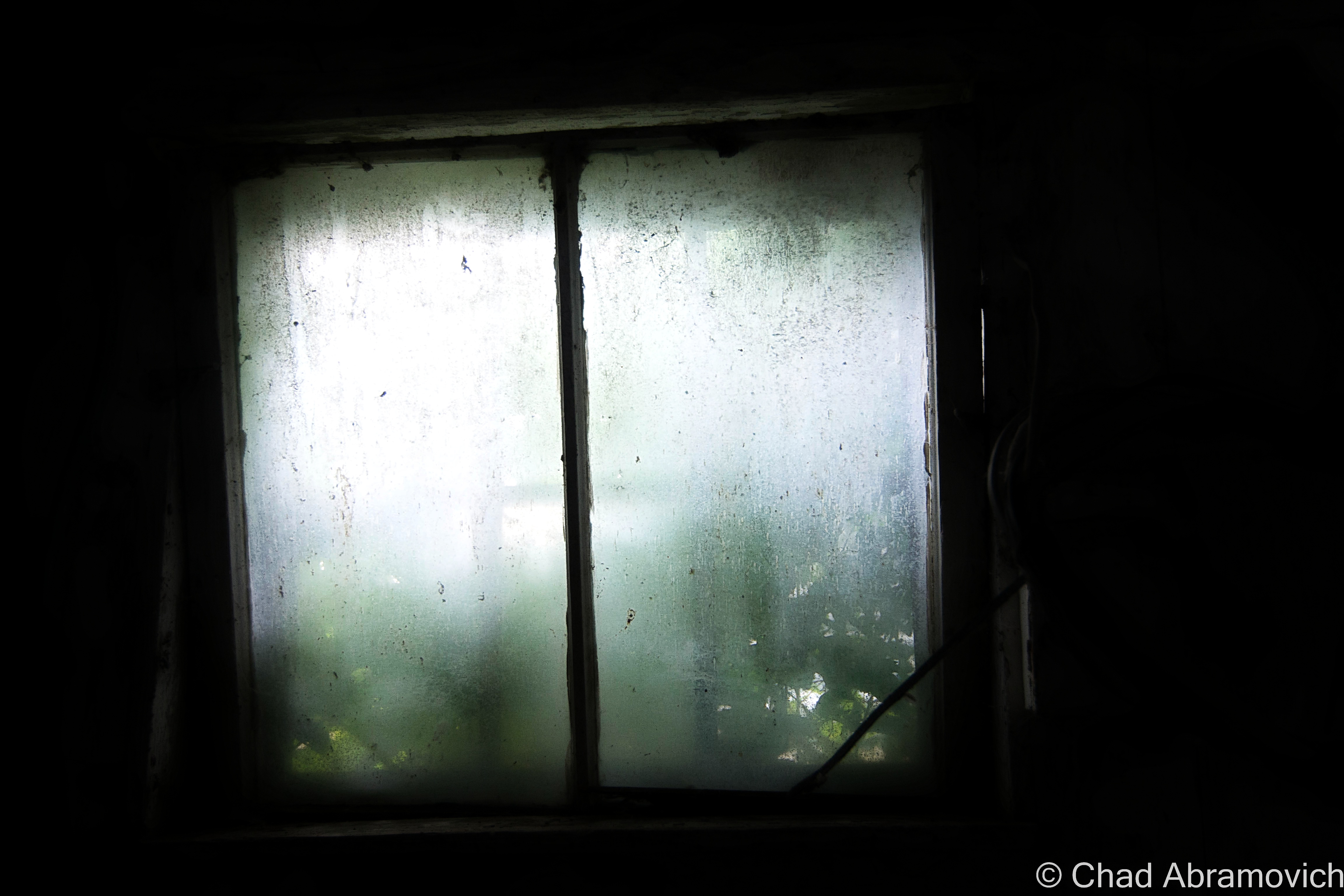
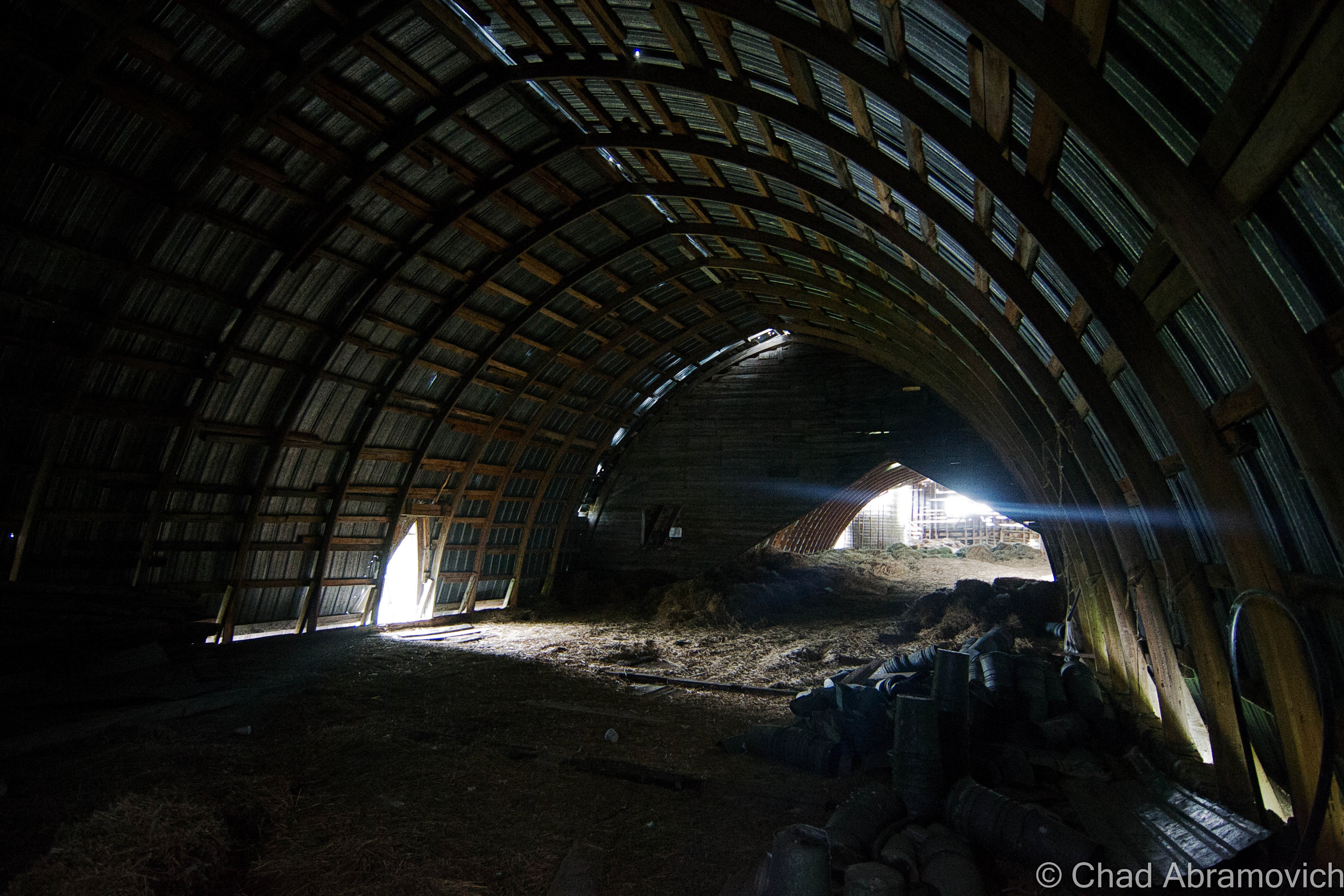
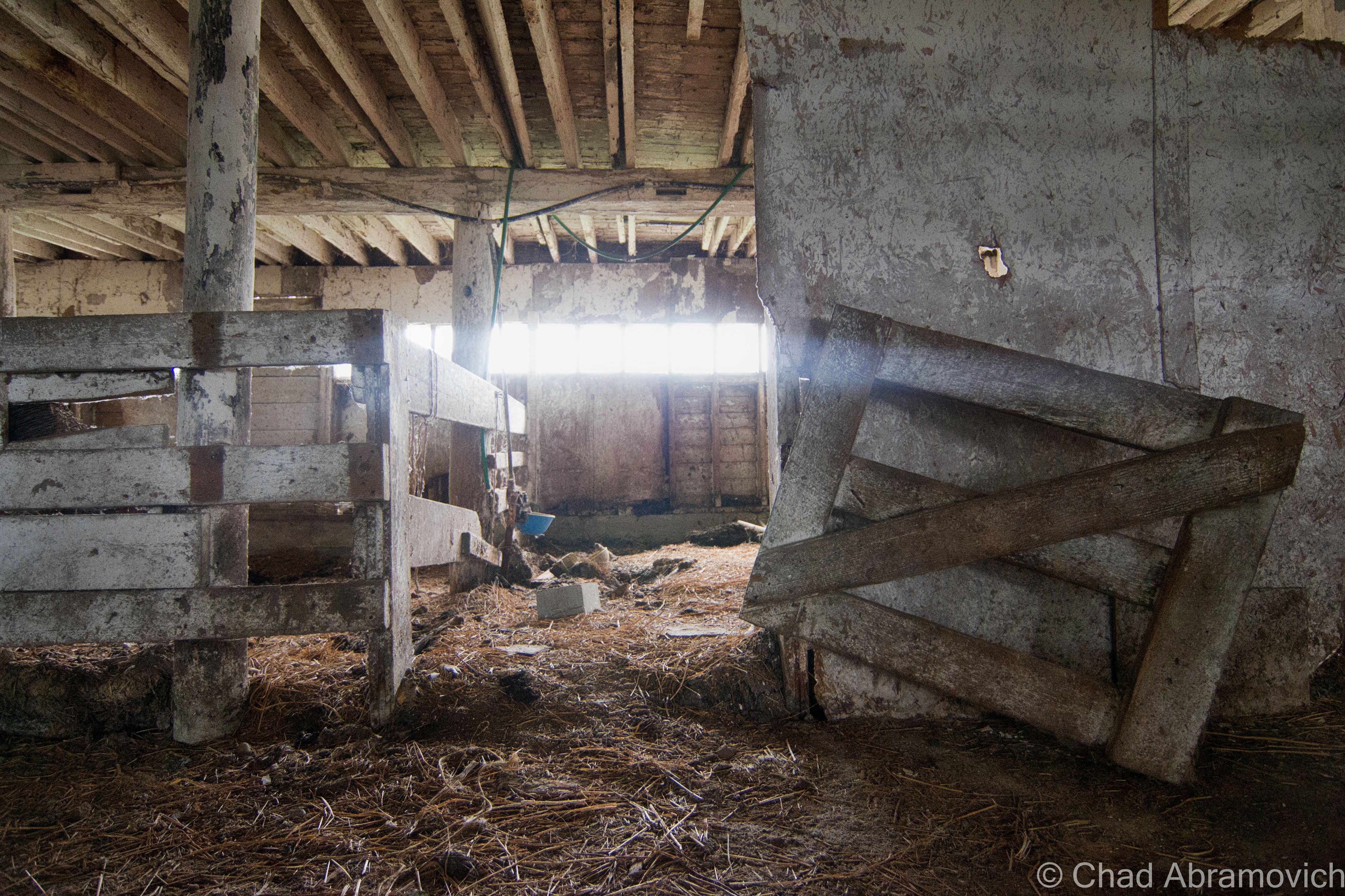
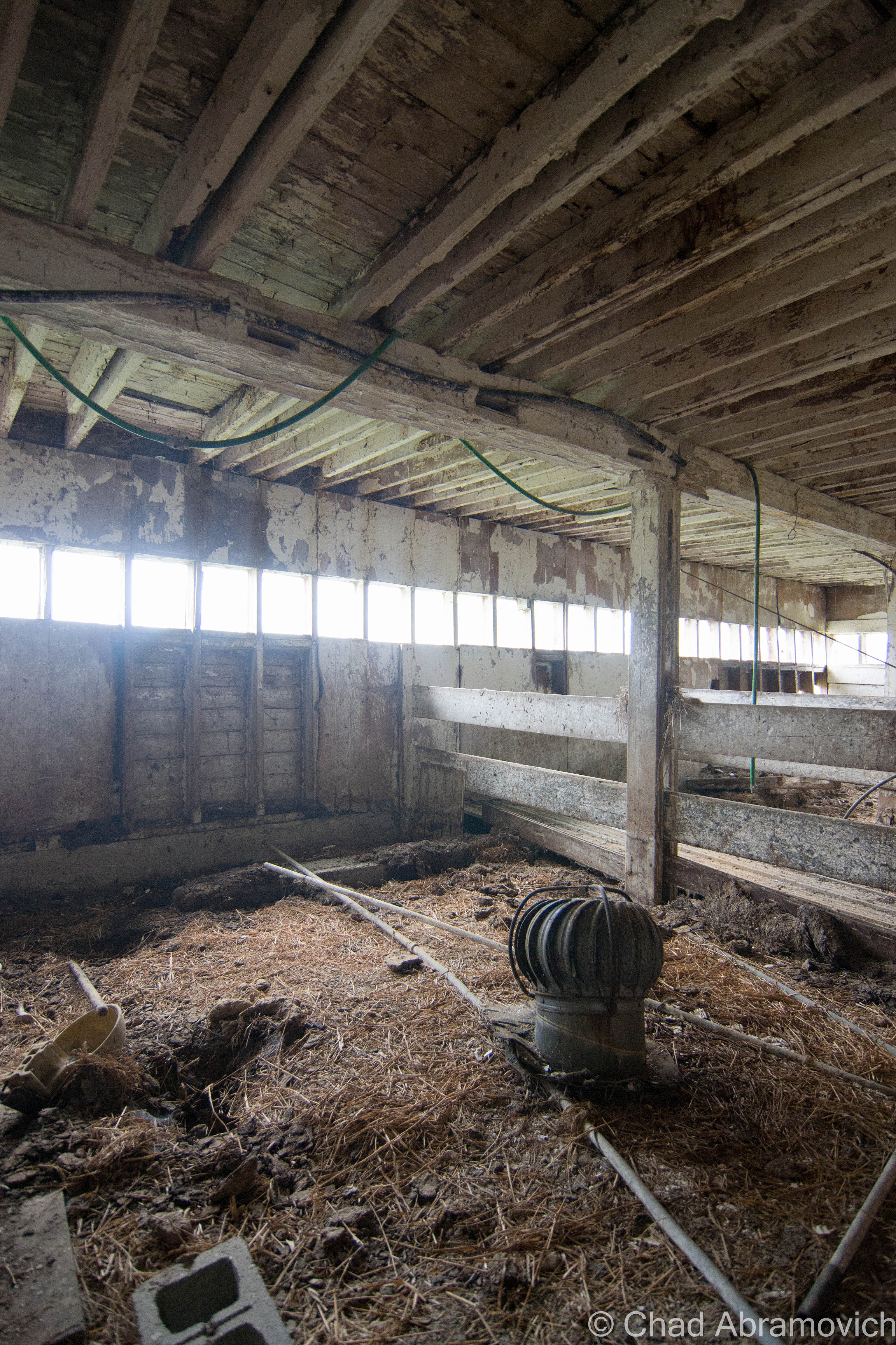
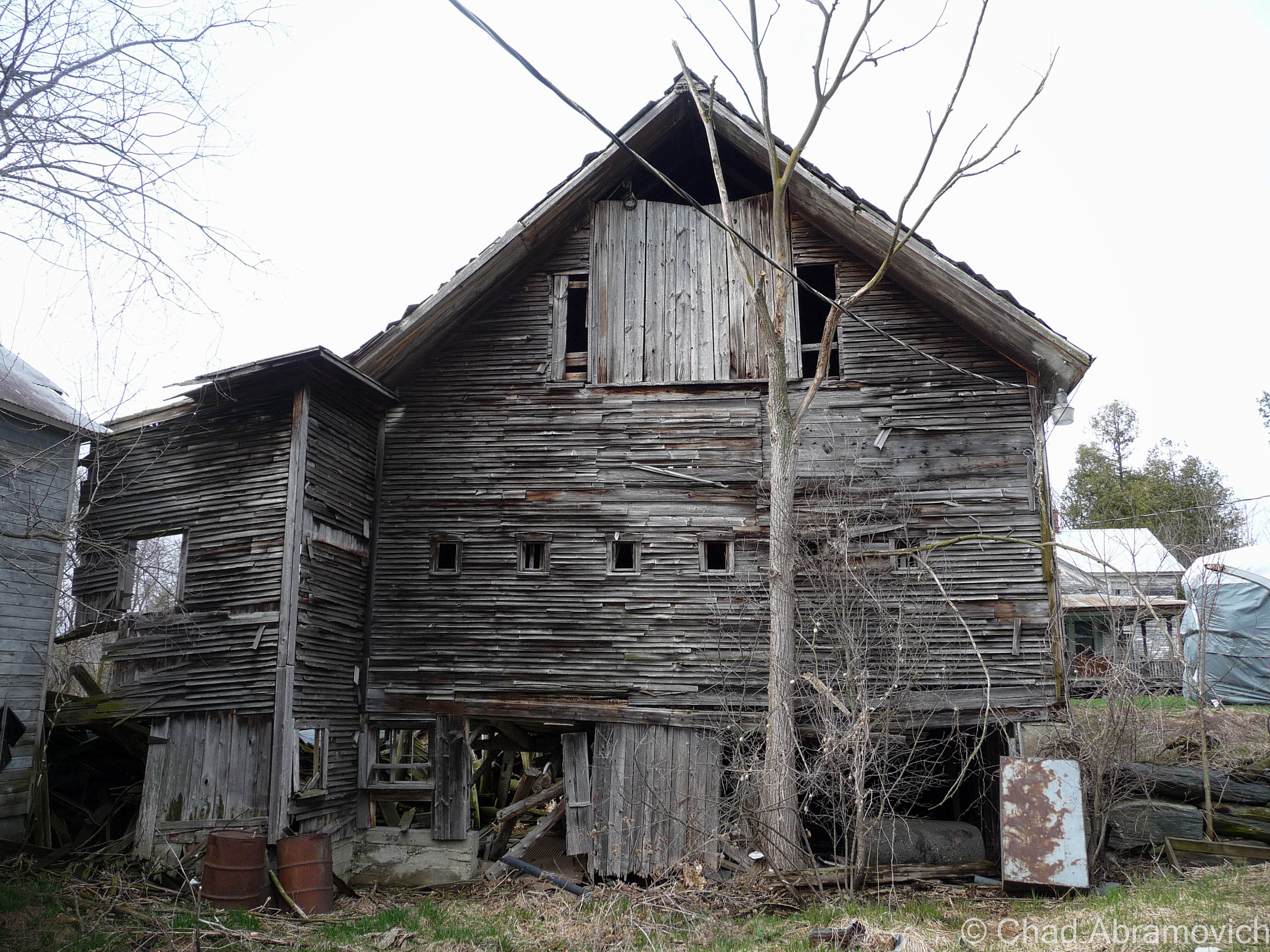
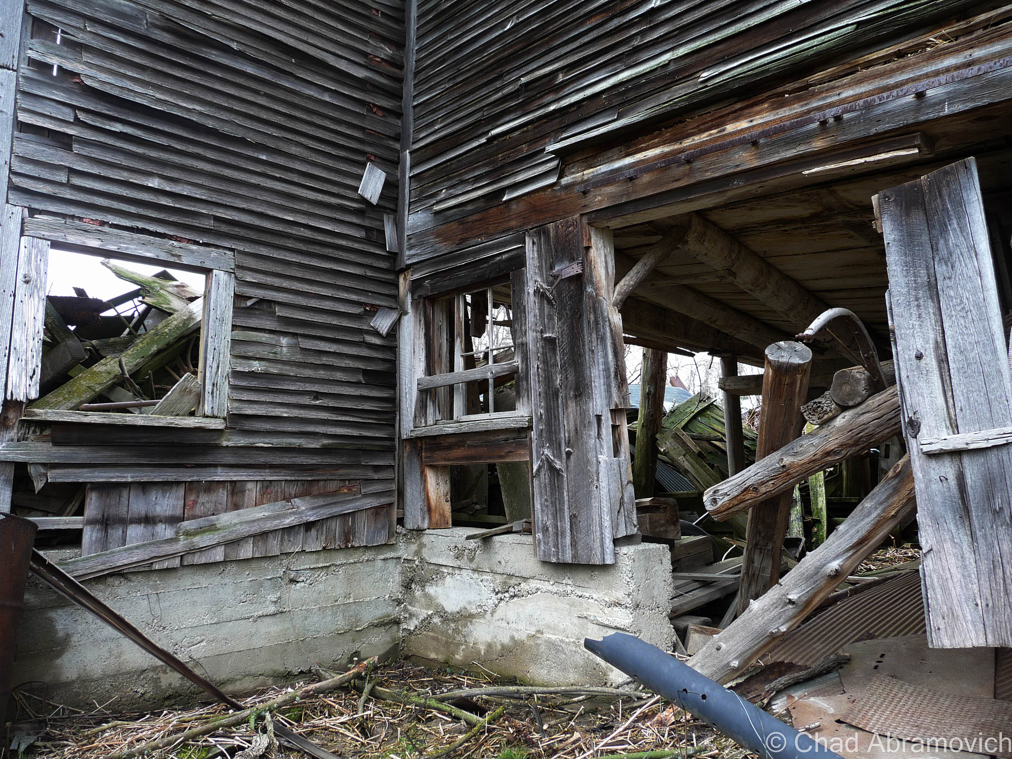
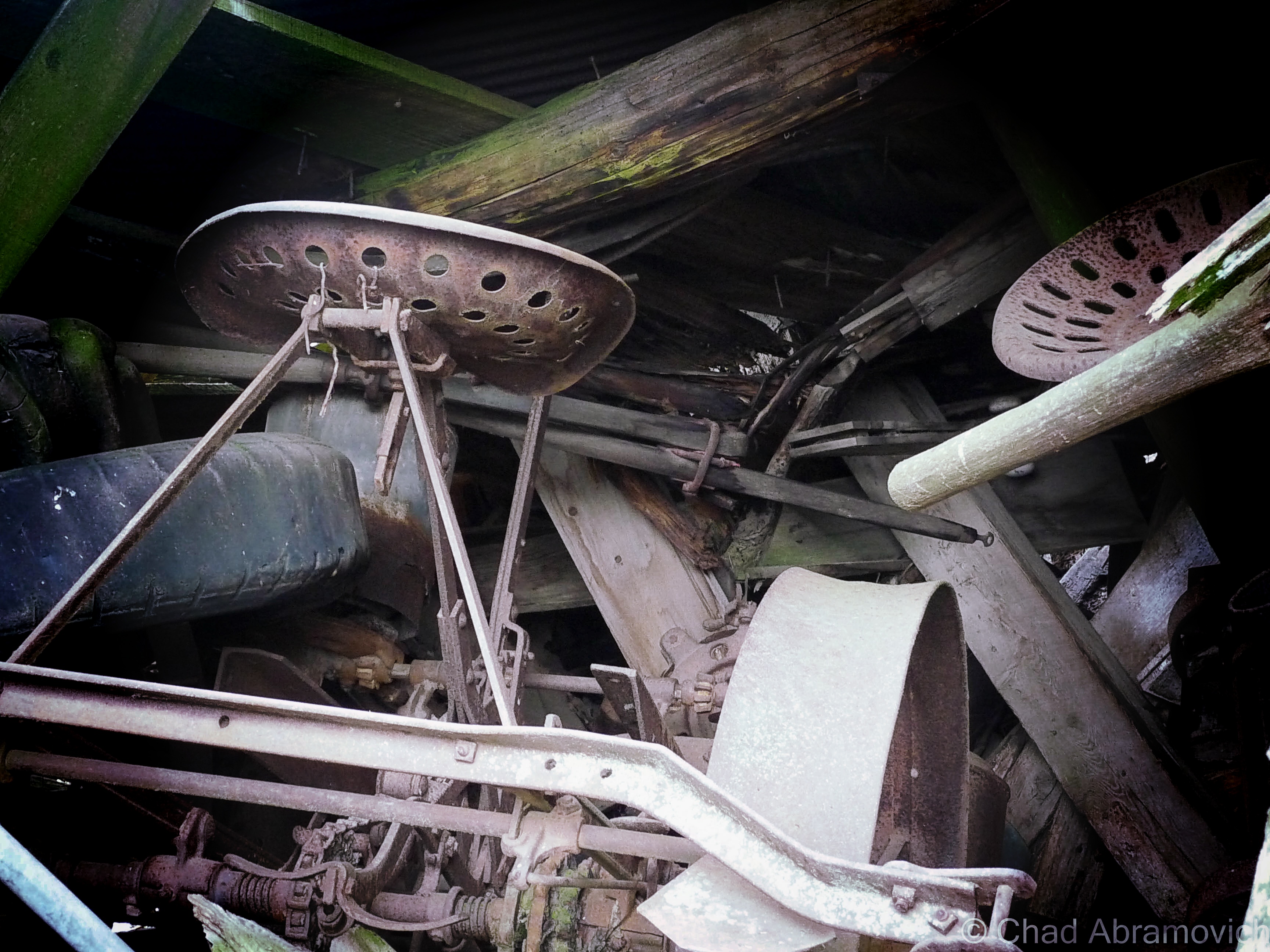
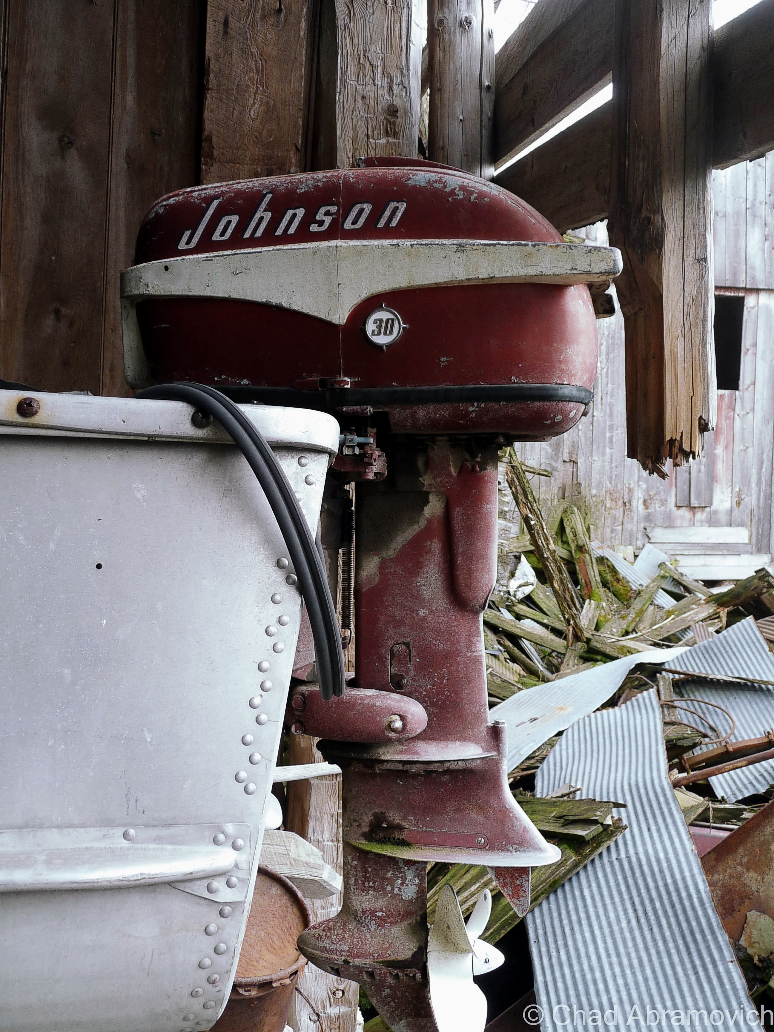
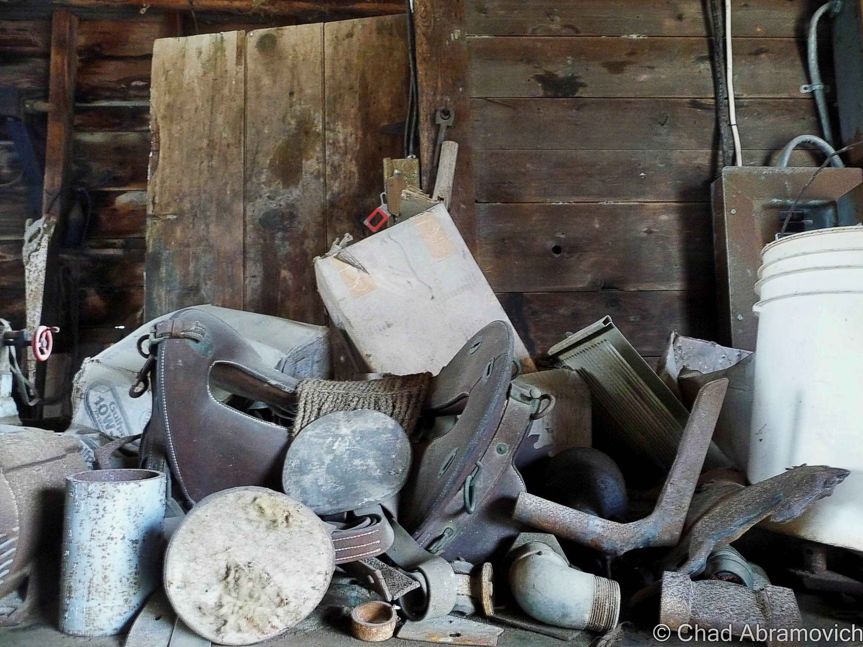
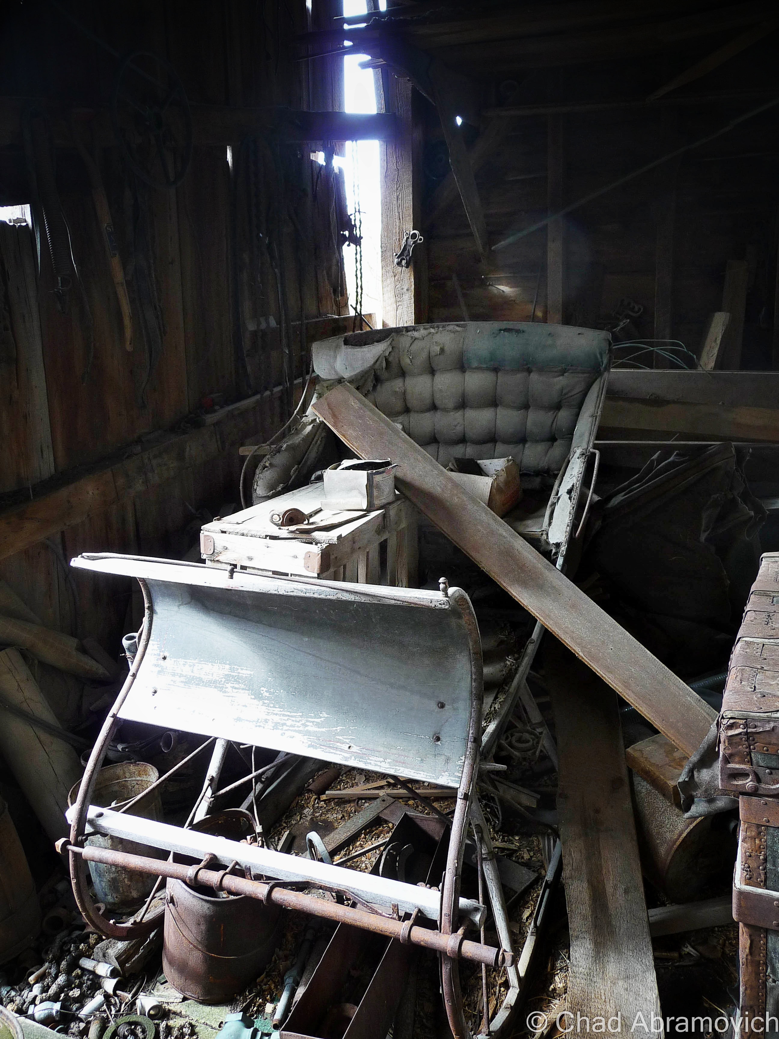
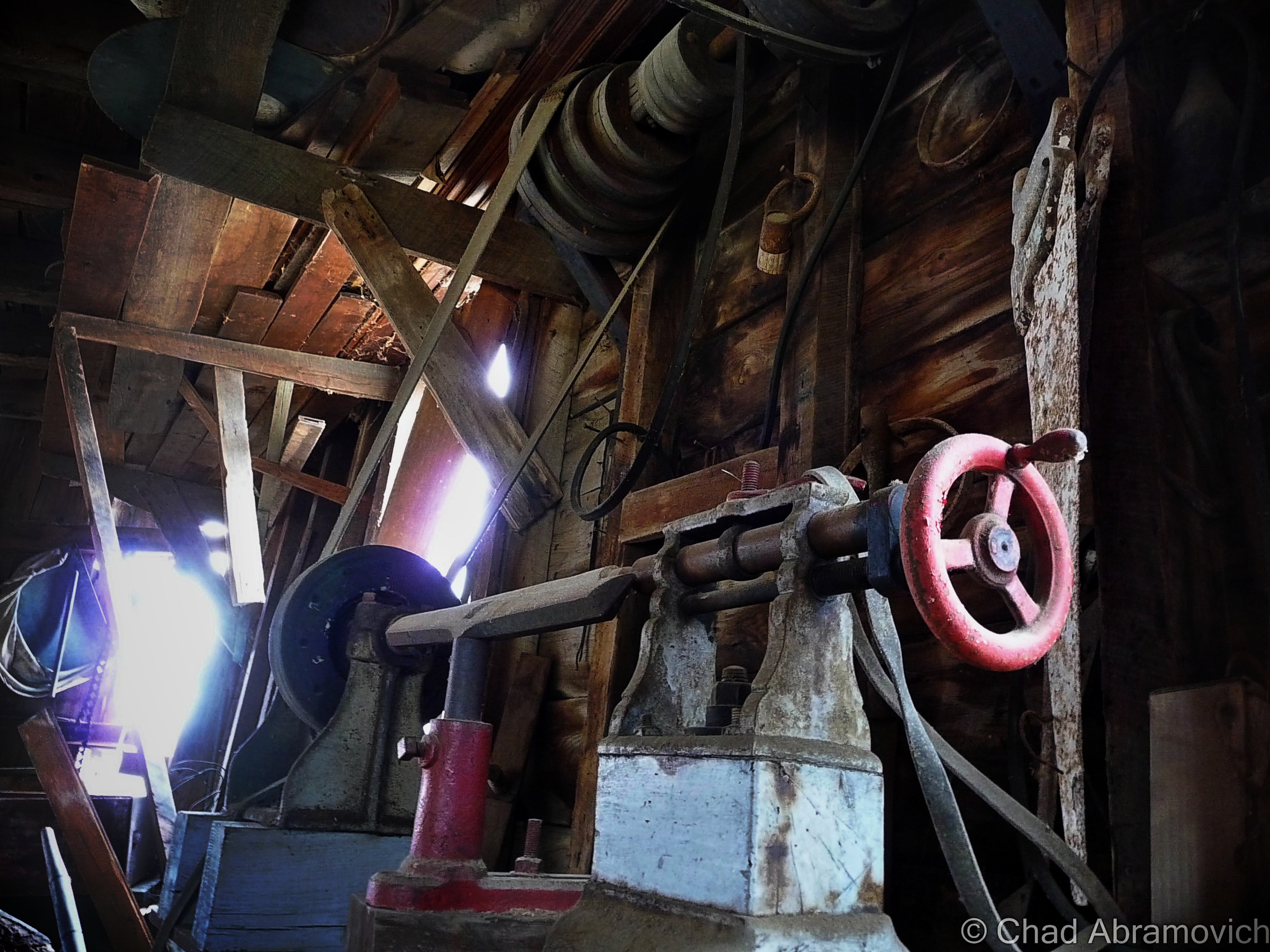
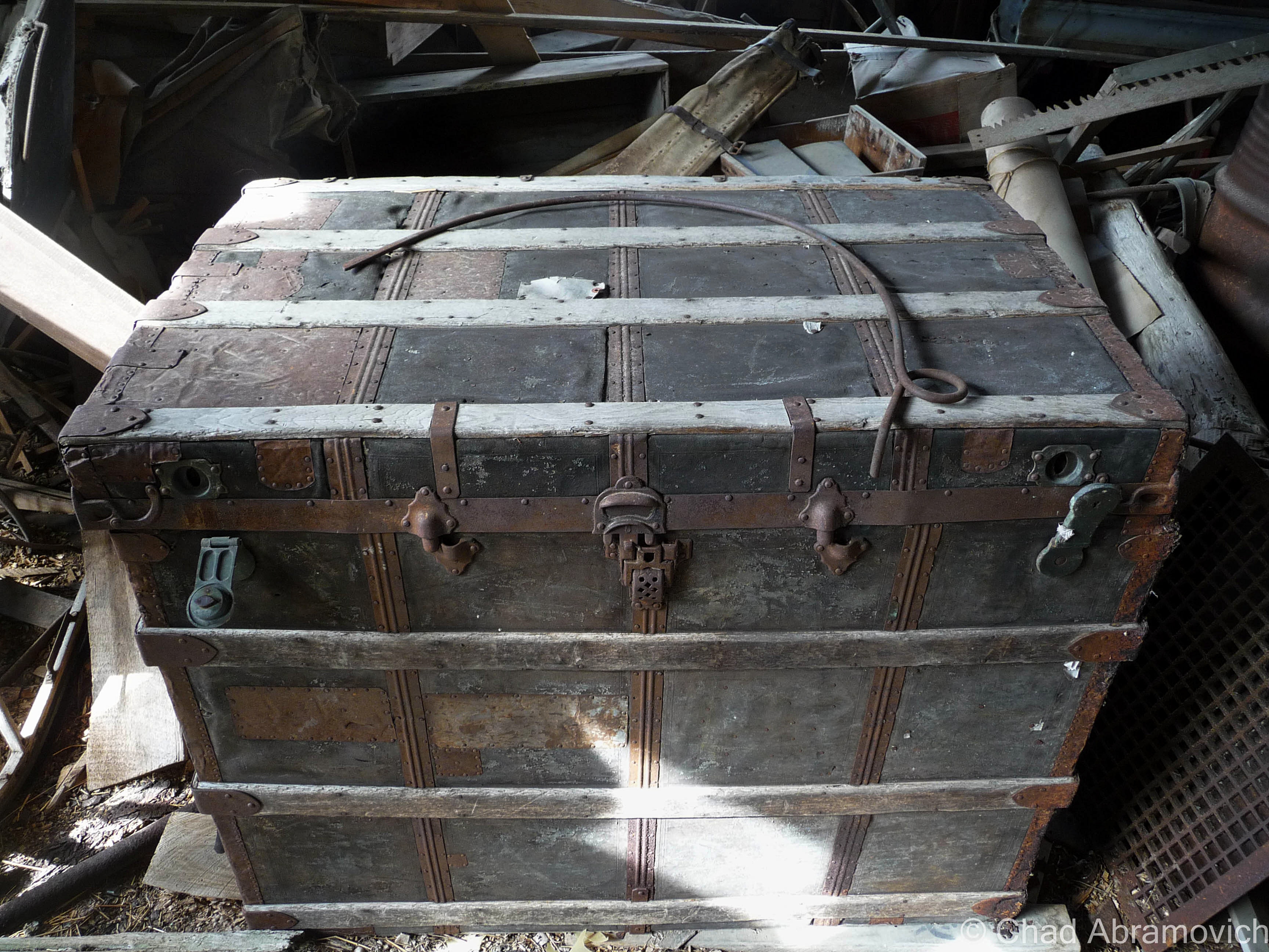
The Jones and Lamson Factory

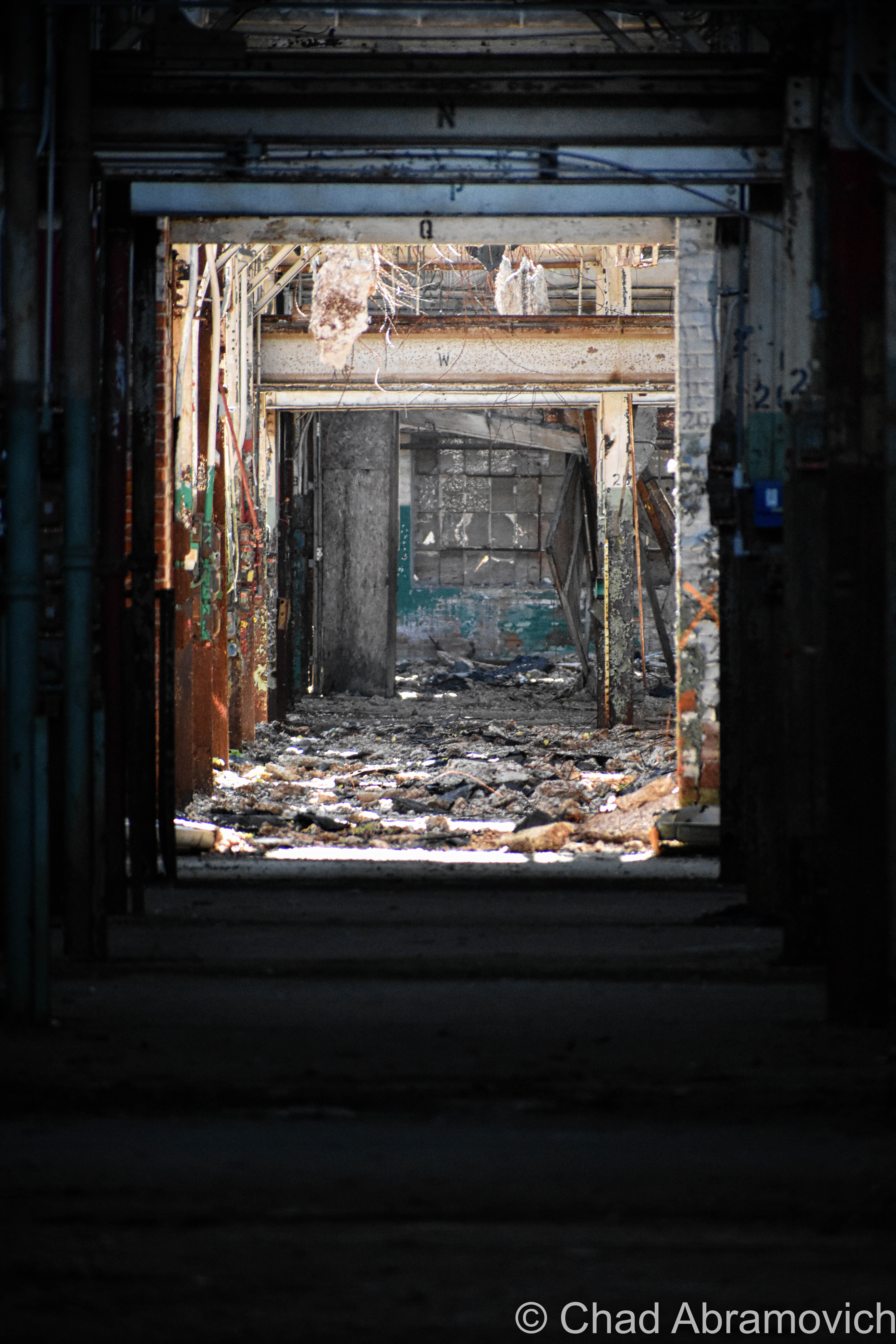
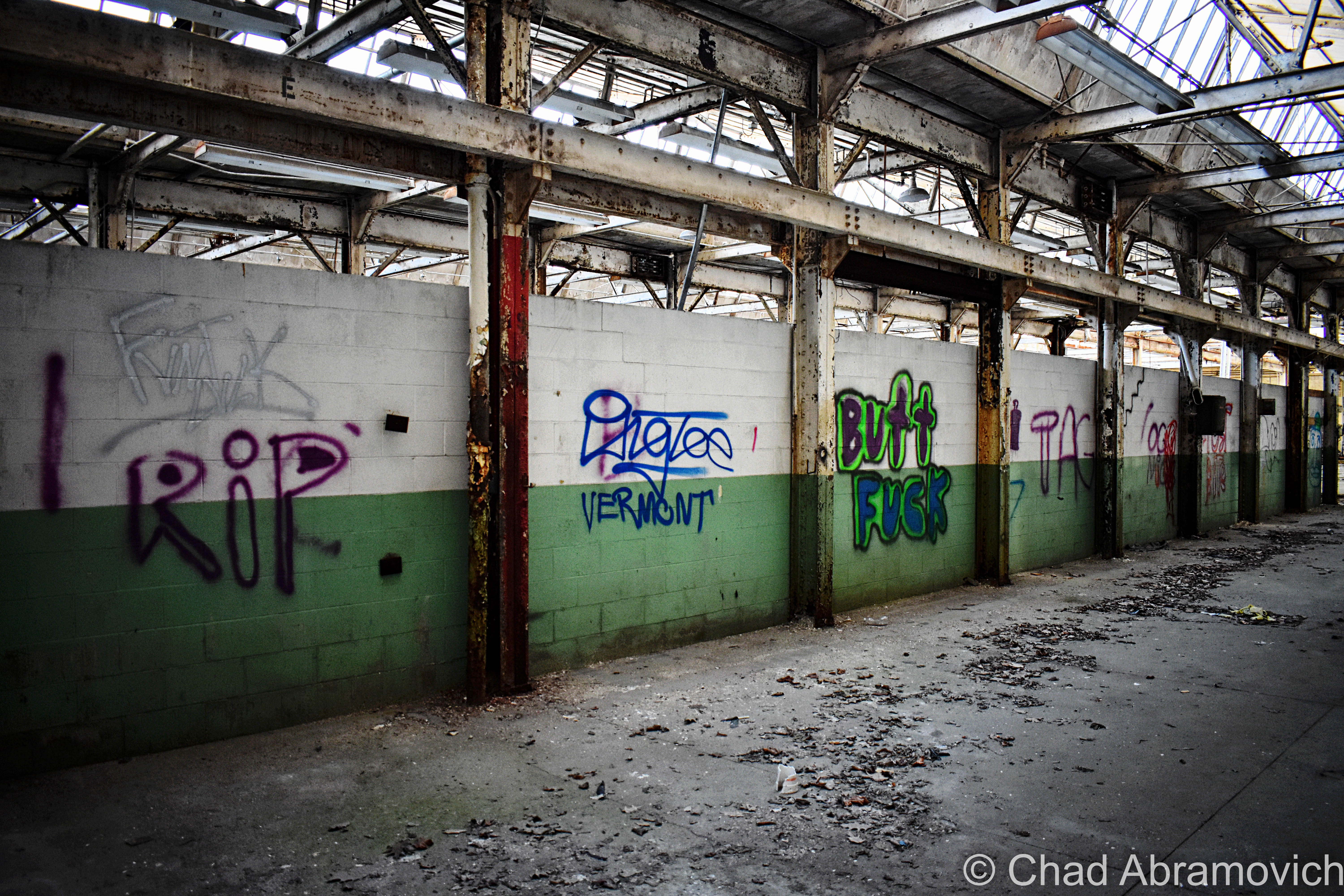
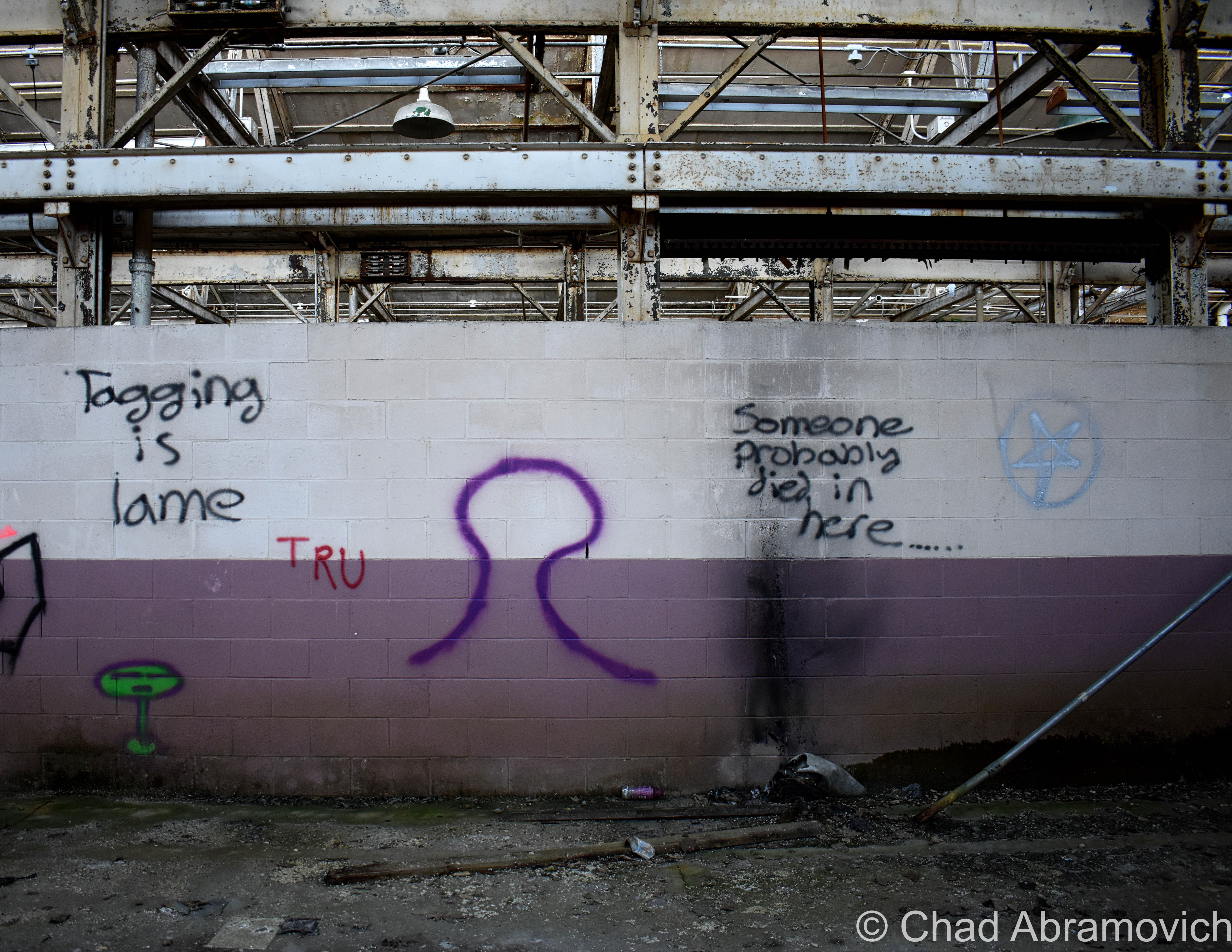
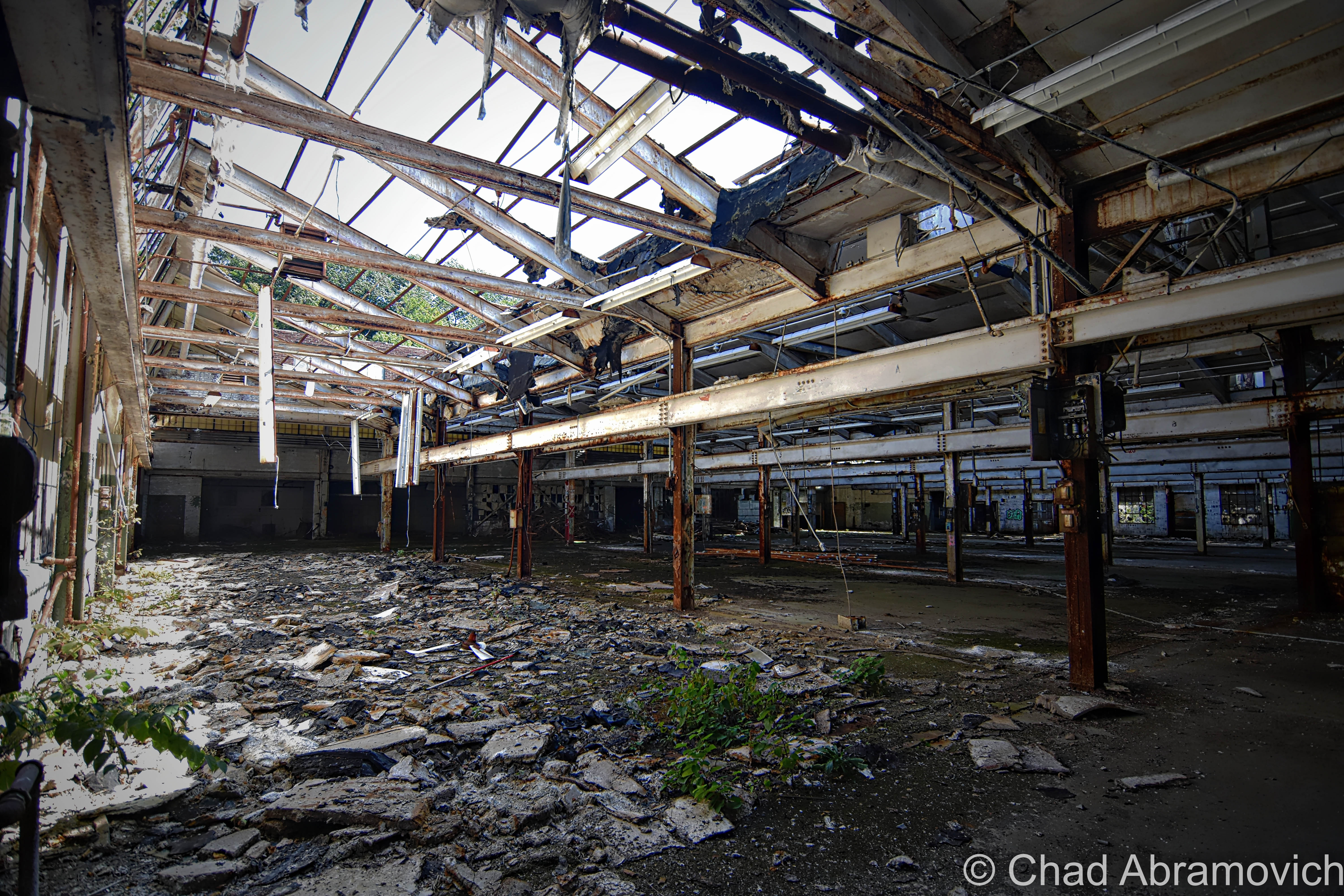
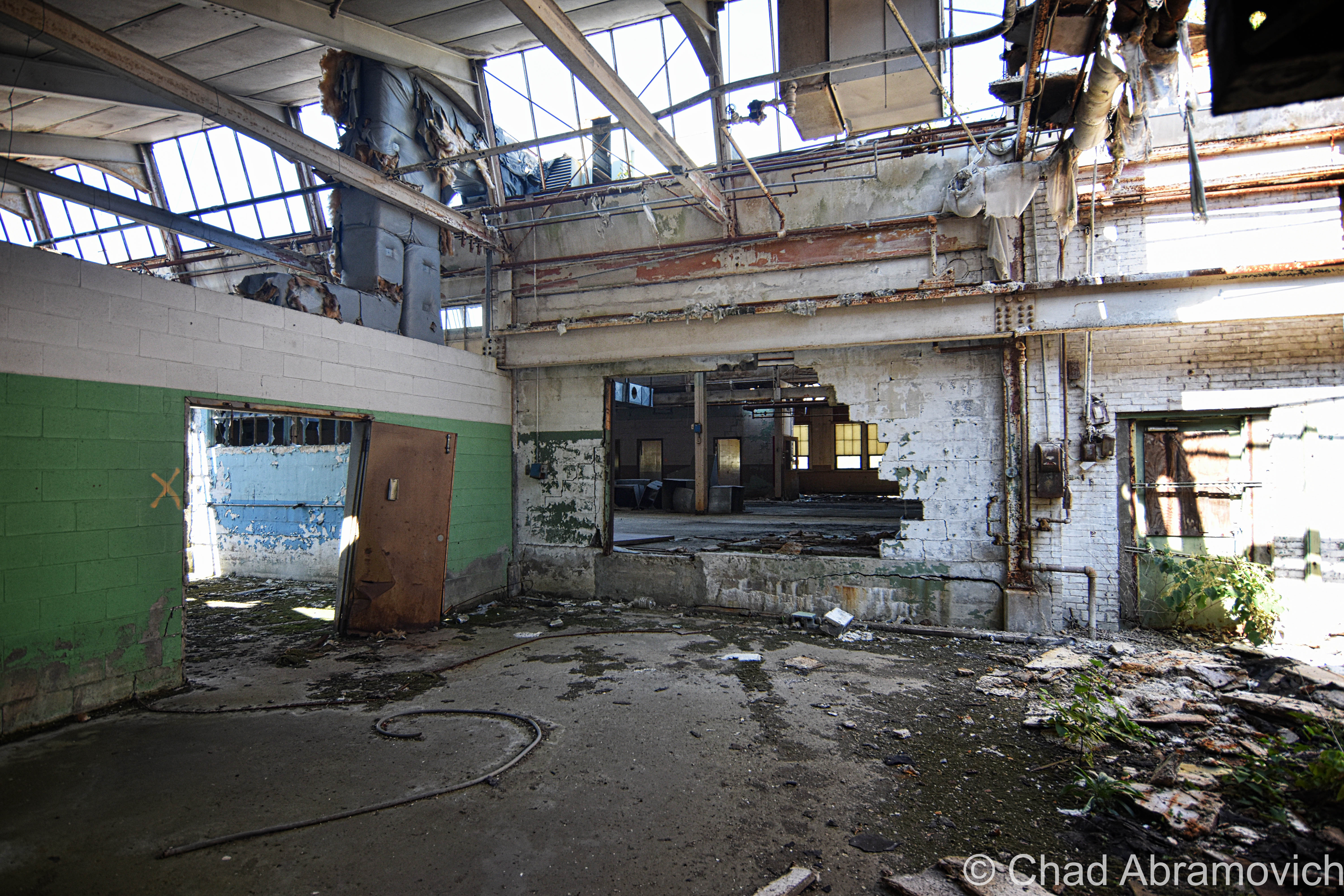
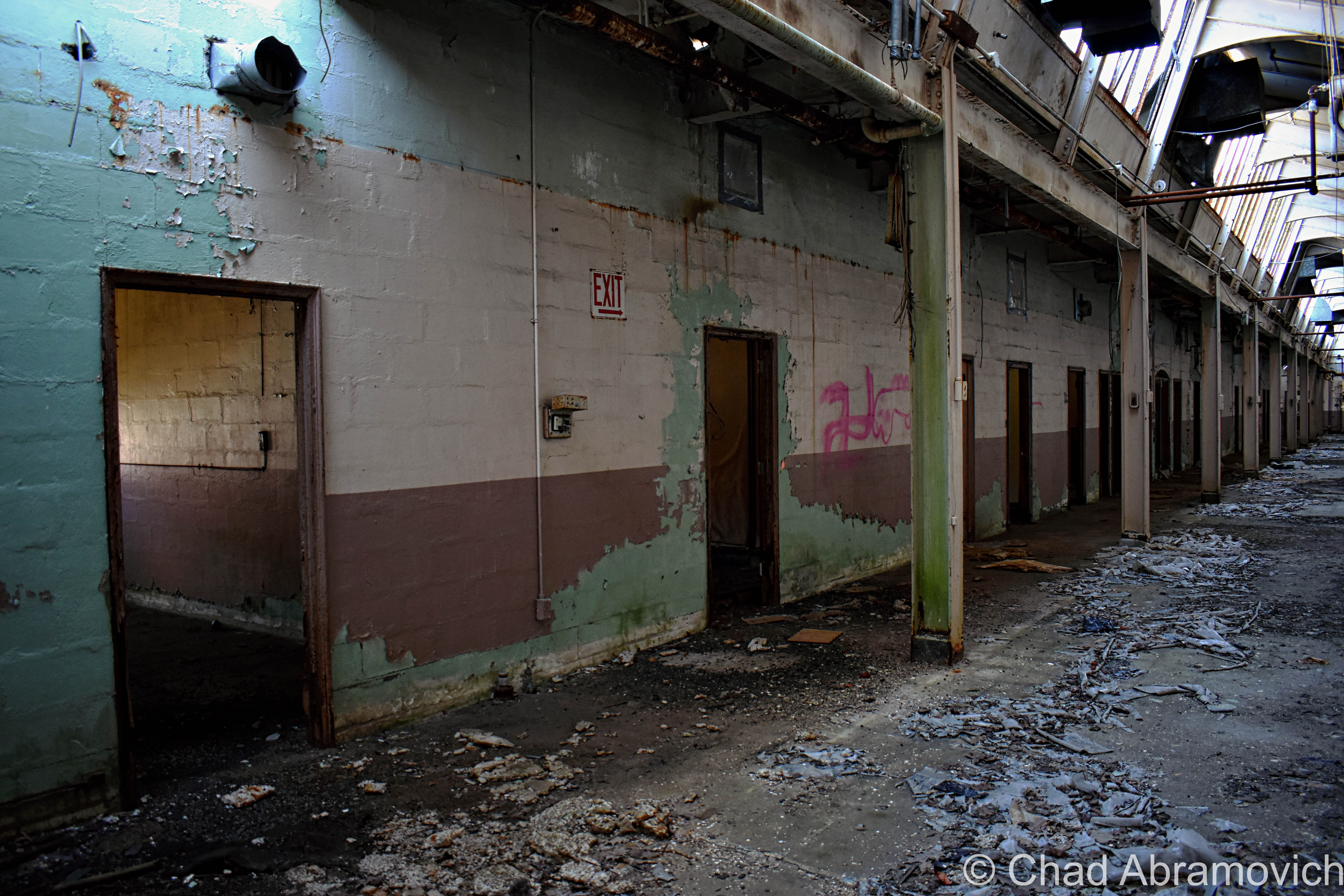
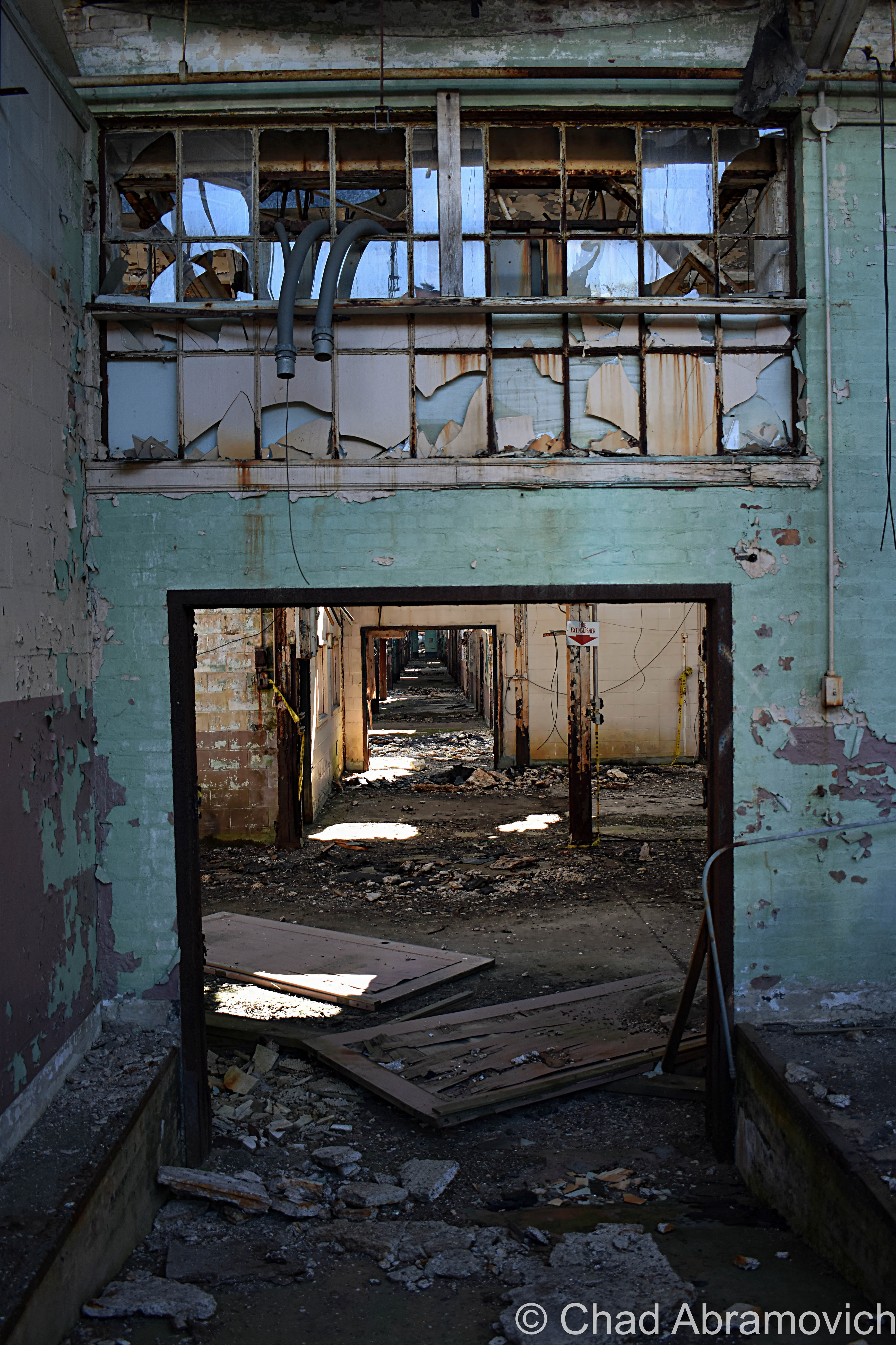
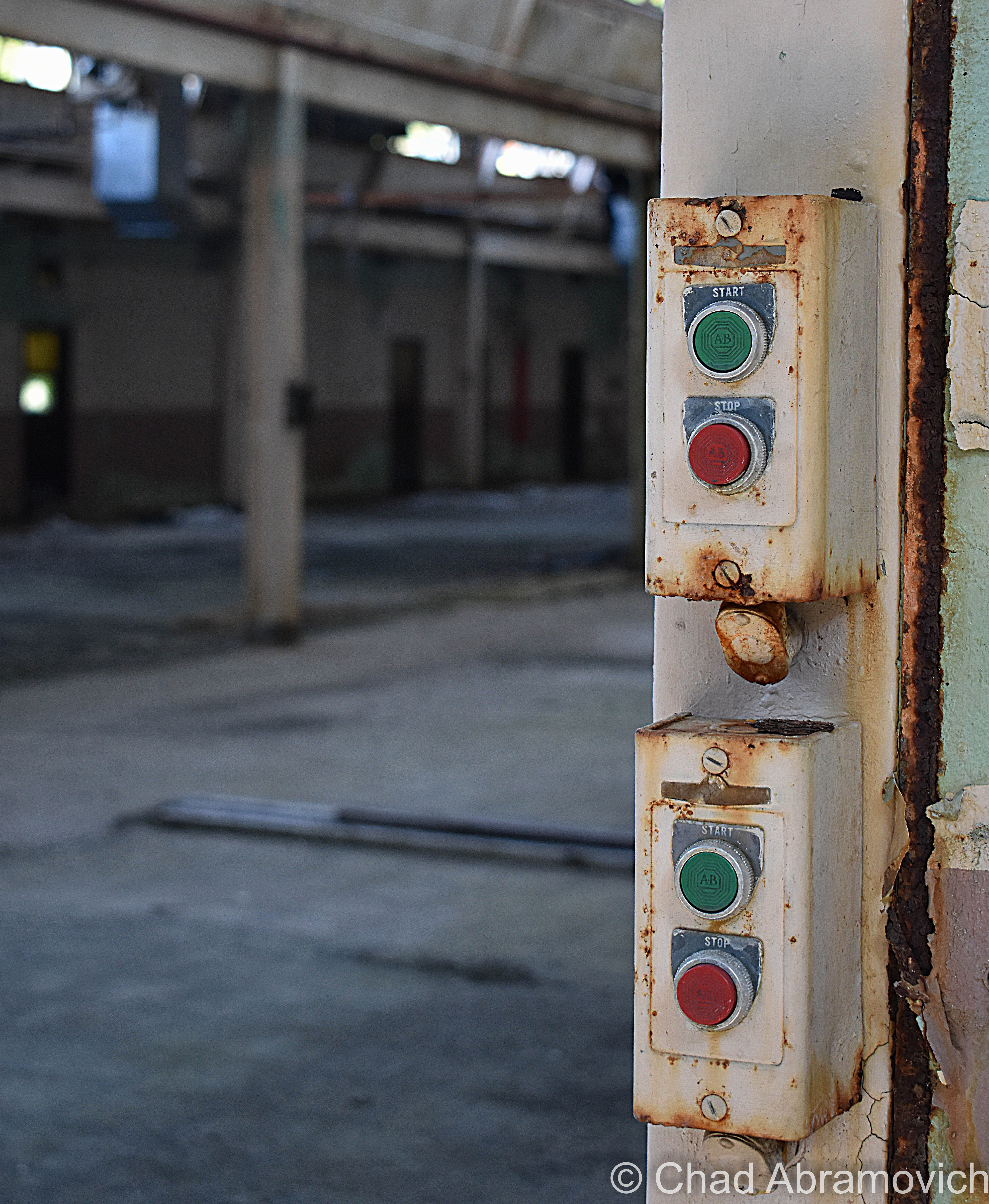
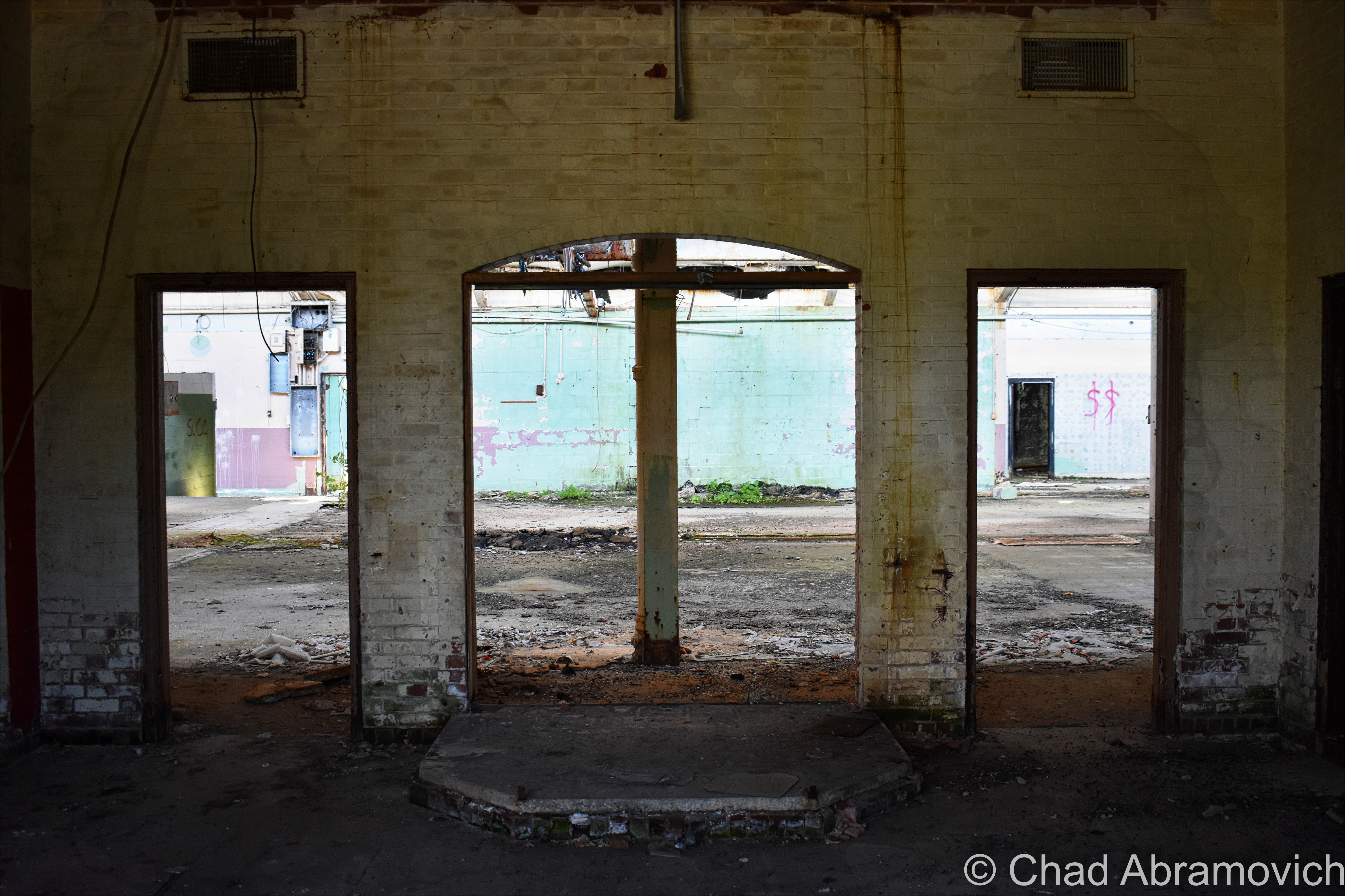
It’s kind of a rarity to find abandoned industrial lots in Vermont nowadays, so when I was made hip to the existence of this old factory in Springfield, I bumped it up to the top of my to-explore list. And I’m glad I did – it’s since been demolished.

On the banks of the town’s engine; the Black River, existed the ruins of a far-reaching factory – in both its size and its metaphor.

The origin of this building goes back to 1907 and the genesis of Springfield’s metamorphosis into a hub of innovation and industry – a culture that would become inexorable to the extraordinary marvels that enhanced Springfield’s legacy and is still an enduring source of discourse even after the bustle went bust.

Seriously, it’s rumored that Springfield, Vermont was such an adversary, that Hitler allegedly put it on his number two spot to bomb into oblivion had his Nazi party of terrorists ever atrocitied their way over here to America.

That all changed after the second world war’s hunger for humans ended. Job-seeking soldiers started coming back home, while machine tool contracts stopped coming in – and the town’s prosperity stalled, before succumbing to a steady multi-decade death rattle, leaving Springfield’s postmortem giving off incredulous vibes that anything I’ve talked about in the above paragraphs ever happened here.

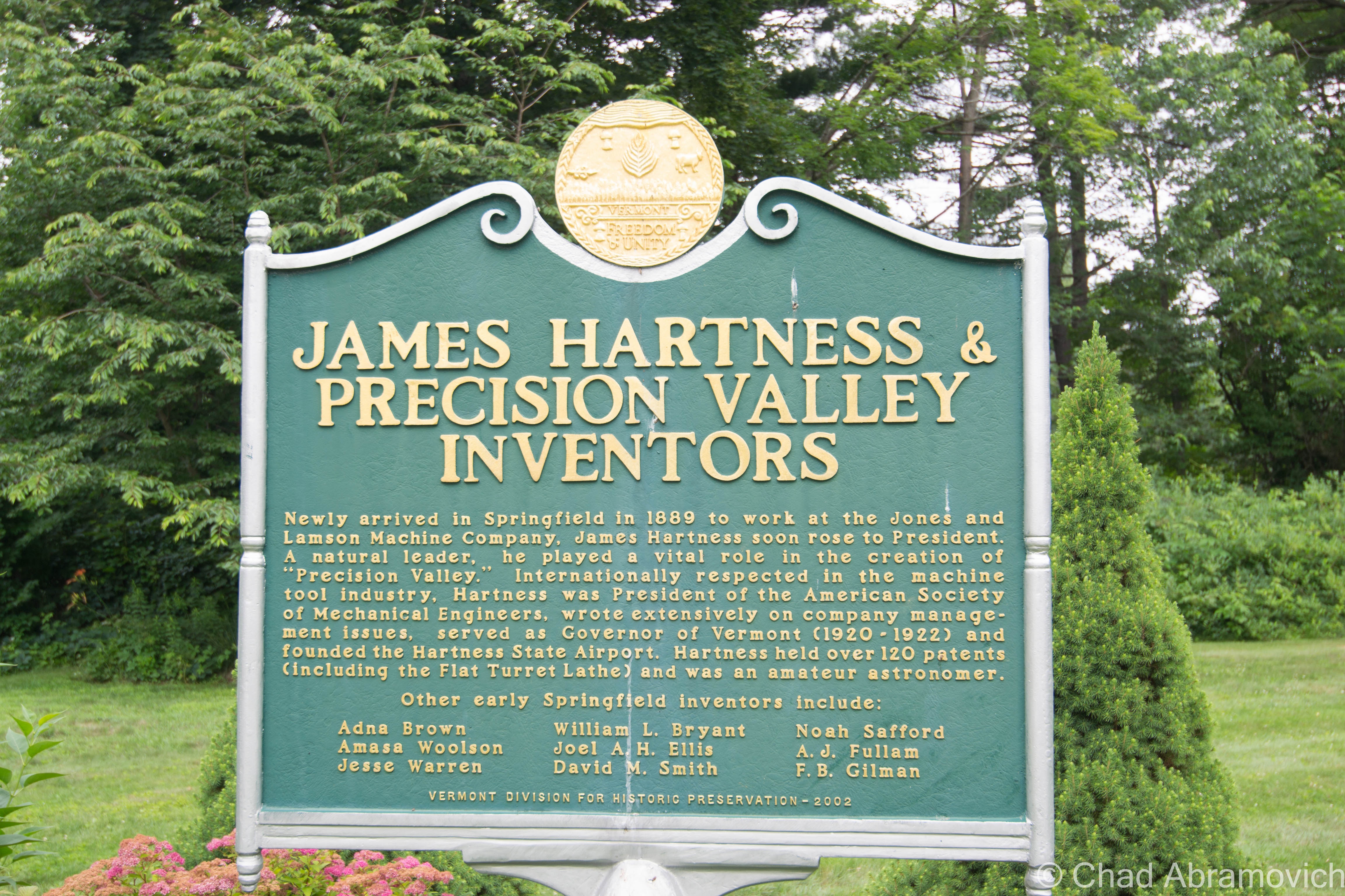
But, a lot of stuff used to be invented and then made here – until as recently as a few decades ago. So much so, that for about a good century – from the 1890s to the end of the 1980s – the region became to be known as “Precision Valley” – due to it practically inventing the precision tool industry, and had the highest per-capita income in all of Vermont. Even today, some locals still call their part of the state Precision Valley – which approximately is considered to be anchored from Springfield to Windsor (Windsor is another very cool little Vermont town worth a road trip). The most significant component of all this was the machine tool industry, and the decrepit factory that I’m gonna be blogging about was once the heavyweight of the genre.

In 1869, the Black River rivered too much and flooded and wrecked Springfield village, and as the town struggled to rebuild in the subsequent years, a big fire in 1880 basically undid all the progress and doubled down on the destruction. So a few Springfieldians schemed up a hook to lure people and investment.

Adna Brown, the general manager of Parks and Woolson – a manufacturer of woolen cloth finishing machinery that was both the first existing manufacturing complex and the last major mill to operate in Springfield – heard that the struggling Jones and Lamson machine tool factory up in Windsor was for sale, and was struck by cleverness. Jones and Lamson had been in business since 1829 and had made a smorgasbord of goods, from rotary pumps, rifles, machines to drill gun barrels, stone channelers, engine lathes, and sewing machines. Their old building is the present-day American Precision Museum, one of Vermont’s coolest archives that showcases many of the things invented in Precision Valley!

Brown put together a group of intrigued investors, and in 1884, persuaded the invoked of a new Springfield law that exempted any industry that would move to town from taxation for 10 years. It worked. 

Brown bought Jones and Lamson and moved it to Springfield in 1888. Construction started on the new J&L digs in 1907 on the banks of the Black River, and Brown’s good business sense kenned he’d need the right person to run the new enterprise.

After their first choice turned down the offer because he thought Springfield was too podunk for his liking, they settled for their next option, and little did they know that he’d turn out to be a renaissance tool man. That person turned out to be a young precocious machinist and inventor named James Hartness. Born on September 3, 1861 in Schenectady, New York, he already had experience from cutting his teeth working in machine shops in Connecticut since he was a lad, and used his know-how and indefatigable optimism to flip the company.

On his first day on the job, he decided that manufacturing so many different things was stupid, and declared that from that point onwards, J&L would only manufacture one thing; the eponymous Hartness Flatbed Turret Lathe, which he invented himself – the machine could shape wood, metal, or other materials by means of a rotating drive which turns the piece being worked on against changeable cutting tools.

The business decision was simple, extraordinarily effective, and a little bit revolutionary – something that seems kinda peculiar nowadays; manufacture a single item, and be really really good at it. And given Hartness’s subsequent rap sheet, it seems to work – and became inherent to the novel format.

Other turret lathe models existed, but Hartness’s was by far the most efficient – being able to mill and shape practically all lengths of metal and could combine multiple tasks with higher precision and longer cuts. It was so good, that it was nicknamed “the silent salesman”.

He also benefited pretty serendipitously from his invention, earning $1,000 a year plus a $100 bonus for every turret lathe the factory sold. Some weeks, he was bringing home more money than most Vermonters were making in a year. Hartness also gained a reputation for continuously advocating for better working conditions and more efficient company management to ensure the business would be as successful as possible. But he wasn’t unscrupulous. He also gained a reputation for pushing for the dignified treatment of the workers, which seemed a little bit weird then at a time of historic emerging social class strife, and still seems a little strange presently, in a modern America where the opposites our past generations fought to improve are becoming the norm again.

Hartness’s brilliance, though, came from the fact he didn’t just invent things, he sort of invented new versions of people and their latent talents. And that just happened to jive with his ideal of a company sticking to producing a single product to thrive.

For example, Hartness saw prospect in and hired an engineer and inventor named Edwin Fellows, who developed a machine that would accurately cut gears that he named a Gear Shaper. Hartness spun off the Fellows Gear Shaper Company in 1896, with its namesake operating as its manager. Fellows’ innovation would then opportunely overlap with the rise of the automobile industry a few years later.

After Fellows left J&L, Hartness needed to seek an engineer to replace him. He found William LeRoy Bryant, a student at the University of Vermont, who joined J&L in 1897 as a draftsman and worked closely with Hartness on the cross-sliding-head turret lathe, which is where Bryant took an interest in grinding. Building on a J&L lathe that used a chuck — a specialized type of clamp to hold a piece in place while it was shaped and bored — Bryant developed a new chuck that was both easier to use and more accurate. By 1909, Hartness conjured up another spin-off: the Bryant Chucking Grinder Company. And this pattern continued.

When Hartness hired Fred Lovejoy to replace Bryant at J&L, Lovejoy became an expert in small-tool design, and he eventually created interchangeable cutters that could be swapped in and out of machines. In 1916, Hartness provided the startup capital for the Lovejoy Tool Company, which awesomely still survives and operates in Springfield!

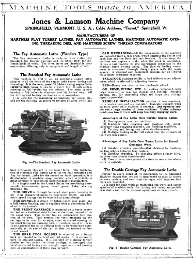
In 1912 Jones and Lamson acquired Philadelphia’s Fay Machine Tool Co, which made the Fay Automatic Lathe – which was designed for the automatic turning of work held between centers. The lathe was significantly improved by a team at J&L led by Ralph Flanders that would be so victorious, that it would ironically eventually evolve into the creation of CNC, which made the manually operated lathe obsolete because the new ones could now operate all by themselves.

Hartness and his prowess fueled Springfield’s combustive growth from the turn of the 20th century until well past World War II, and he did it by introducing one auspicious product after another, each named for its creator.

Because of this, Springfield astonishingly became the machine tool capital of the world.

A later portrait of James Hartness | via The Library of Congress and Wikipedia
Old postcard of the brand new Jones and Lamson Factory, Springfield, VT. Circa 1094-1918. Present-day Clinton Street/VT Route 11 runs right out front.
Jones and Lamson Factory, circa 1917 | Via Vintage Machinery
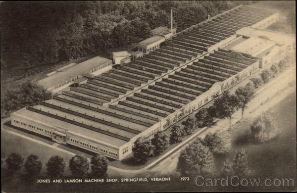
Old postcard of the sprawling former Jones and Lamson Factory in Springfield, circa 1973. The factory would expand to 270,000-square-feet over 12 acres. | Cardcow.com
A full page spread taken from Machine Tools Made In America (1921). This one includes both the Hartness Lathe and the Fay Lathe! – via MyCompanies Wiki
Advertisement from The Iron Age (Dec. 27, 1917) – via MyCompanies Wiki

However, in 1919, Hartness would break his own rule for the only time, when he collaborated with engineer, arctic explorer, and Springfieldian Russell Porter – and invented the optical comparator, a device to precisely measure screw threads that are still manufactured today – it’s so efficient, that any parts that are inspected can be magnified over 200 times, making the smallest flaws detectable!

Hartness and Porter’s mutual fascination with astronomy partially inspired this quantum leap, which is why Hartness wanted Porter to run the comparator business, but Porter was interested in literal bigger heights and decided to instead move to California, where he helped design the Palomar Observatory telescope, so in a rare move, Hartness decided to keep the comparator division close to his side in-house at J&L.

But before Porter departed, he and Hartness also founded The Springfield Telescope Makers – a club that operates in an accidentally trademark pink clubhouse atop Breezy Hill. The story of its standout color is, basically, when it was first built, its enthusiastic members were broke – so they went around to area hardware stores and asked if they’d donate some paint. They ended up with three gallons of barn red, two gallons of white, and a gallon or orange – which they mixed together and got hot pink, which is now emblematic. The clubhouse was christened Stellefane, which is Latin for “shrine to the stars” and not something that you can wrap your leftovers with, is now a national historic landmark, and is still home to both the club, and the annual Stellefane Convention of Amateur Telescope Makers.

Being an avid pilot – one of Vermont’s first – Hartness became president of the  Vermont Aero Club and donated land for Vermont’s first airport – Hartness State Airport – just north of Springfield, and had his pal Charles Lindbergh even stop by for a spell in 1927 after his world flabbergasting trans-Atlantic flight. He also served as governor of Vermont for a single term, from 1921 to 1923, but didn’t run for reelection after realizing that Vermont’s rural and poor economy of the time just wasn’t ready for his aims to further industrialize the state. He would die on February 2nd, 1934, and Springfield’s reliable factories became reverberating manifestations of the American dream. Until they didn’t.

This is a surreally enjoyable upbeat clip from a vintage informational film about the concerns and potential disasters of a dwindling economy after World War 2. At the 5:00 mark, the film showcases Springfield AND the Jones and Lamson Factory! Give it a watch – it’s pretty neat! You can get an idea of what the factory, and the town itself, used to be like in the atomic age! 


So, what went wrong here?

After Hartness’s death, Jones and Lamson continued to absolutely thrive and continue to become the industry benchmark for their craft, and was considered the zenith of Springfield’s enterprises, employing anywhere between 3,000-4,000 people for most of the 20th century.

So what exactly is the culprit for J&L’s, and Springfield’s, event horizon? Well, that’s a tumultuous conversation, because there isn’t just one thing at play, a lot of circumstances kinda just started to materialize on the scene and began shaking hands with one another – all contributing to Springfield’s ode to its fall-through.

Some locals point fingers at the machine tool unions, who in the 1970s, began to row with the companies about ensuring higher wages for their employees, and would hold a few long strikes to get their point across, something that, evilly, is sadly still being fought for today.

Another reason might be something that’s also been steadily plaguing America since around that time period – outsourcing jobs for cheaper labor costs. Many of these companies were family or locally owned, and when next-generation kin wasn’t interested in taking them over due to the more independent/free-spirited culture that was emerging, they were purchased by larger outside firms starting around the 1960s, which seems to be the beginning of Springfield’s ratchet blues. Detached management started to give the machine tool factories less control and began to fracture the former tight-knit inner communities.

But the bigger causality might just be the companies’ refusal to be self-aware. Japan had been studying American machine tool know-how and began to enter the market themselves – and they did so by dramatically innovating their products.

Around the 1980s, the Japanese hustled billions of dollars into the research and development of computerized machining centers that were faster, more accurate, no longer required a human operator, and cheaper than a J&L turret lathe. Back in Springfield, the factories were sticking to their traditional course, and while they were still making quality reliable machines, they began to become outdated in the new frontier of the trends, and eventually, obsolete, as the market shifted to foreign products that were offering more convenience for a cheaper purchase. I know “if it ain’t broke don’t fix it”, but unless these new fads aren’t just impractical enticements that won’t be good in the long haul, if you refuse to innovate and stay at pace with the competition, it can be a guaranteed ticket to extinction.

Unfortunately, that’s what happened to Springfield. 

What’s stressful is that, to be innovative, sometimes that takes substantial amounts of funds, and then, the wisdom just where you want them divested, and for smaller operations, that can be tough decision making, and sometimes, even a fatal conclusion. Hartness certainly had a special knack for it, so much so, that it was said that one bank eventually refused to give him any more loans because they thought he was too creative! I mean, Hartness would amass a little over 120 patents in his lifetime…

Jones and Lamson would be bought by a few different companies starting in the 1960s, and eventually go bankrupt in September 2001, but, the assets were sold to Bourn & Koch Inc. who coolly still continue to supply replacement parts for the extant J&L machines today. However – the optical comparators division of Jones and Lamson, called J&L Metrology, still exists! They’re the only company making optical comparators today in the United States, and are still headquartered in Springfield – attached to the ruins of the rest of the J&L empire (well, after moving to South Carolina for a stint but then coming back)!

The only other stalwart to exist from the ruins of the machine tool era is the Lovejoy Tool Company – who also still operate in town!

A good portion of the old Fellows Gear Shaper factory compound still exists too, and it’s been thoughtfully renovated into mixed commercial and industrial spaces – which is absolutely a preservation win!

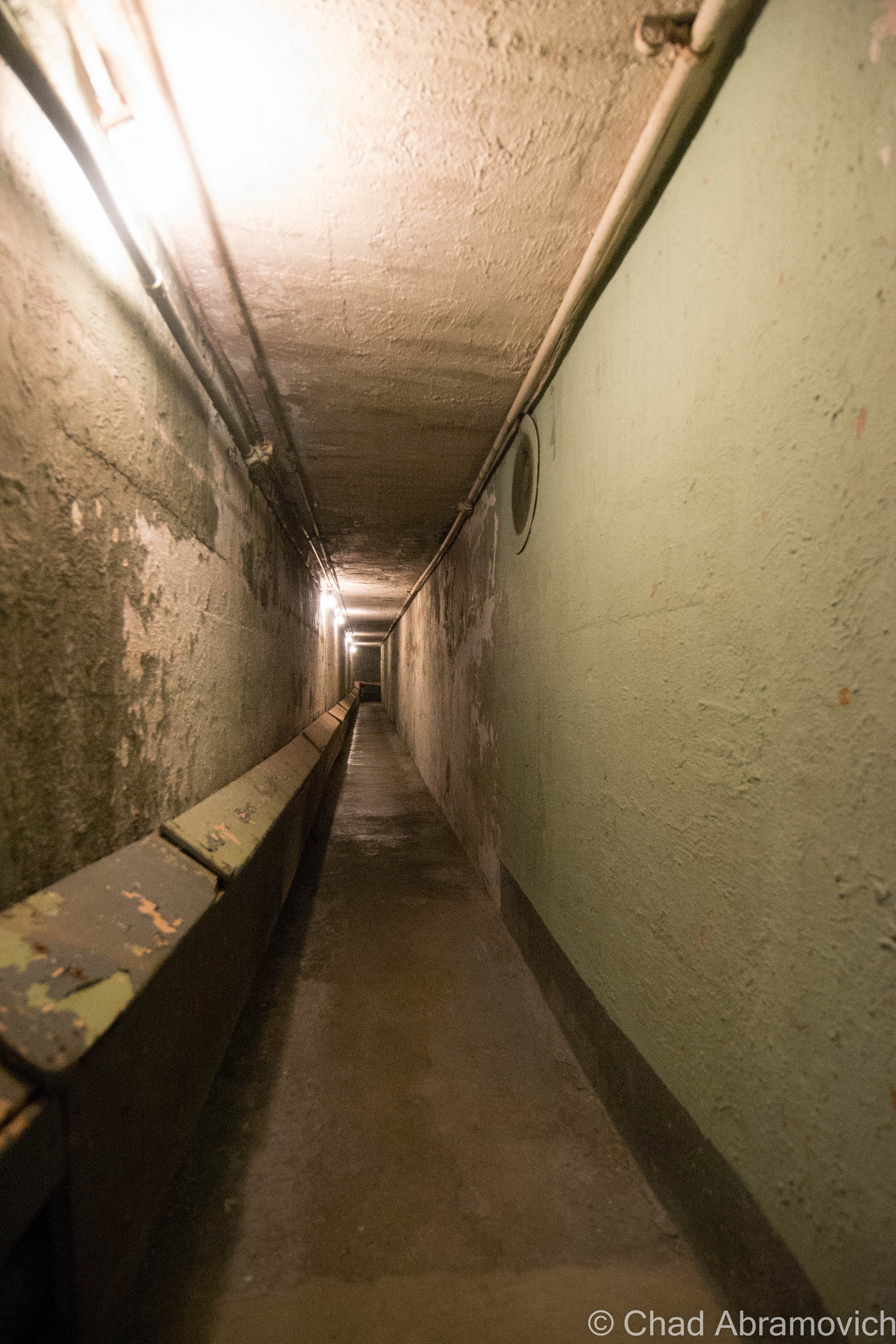
Another vestige of that age is the incredible Hartness mansion itself, which has been turned into a bed and breakfast (and at the time I’m writing this blog post, is up for sale according to Yankee Magazine). I’ve visited before and was excited to investigate the house’s most curious feature – an underground telescope connected to the house by a secret tunnel that also lodged Hartness’s private underground laboratory that’s now a museum to Mr. Hartness, The Stellafane Society, and Russell Porter. Man that was cool! Even today, there are rumors that still persist that Hartness built more secret tunnels and even secret rooms that branch out underneath Springfield that have been sealed up, or kept clandestine.

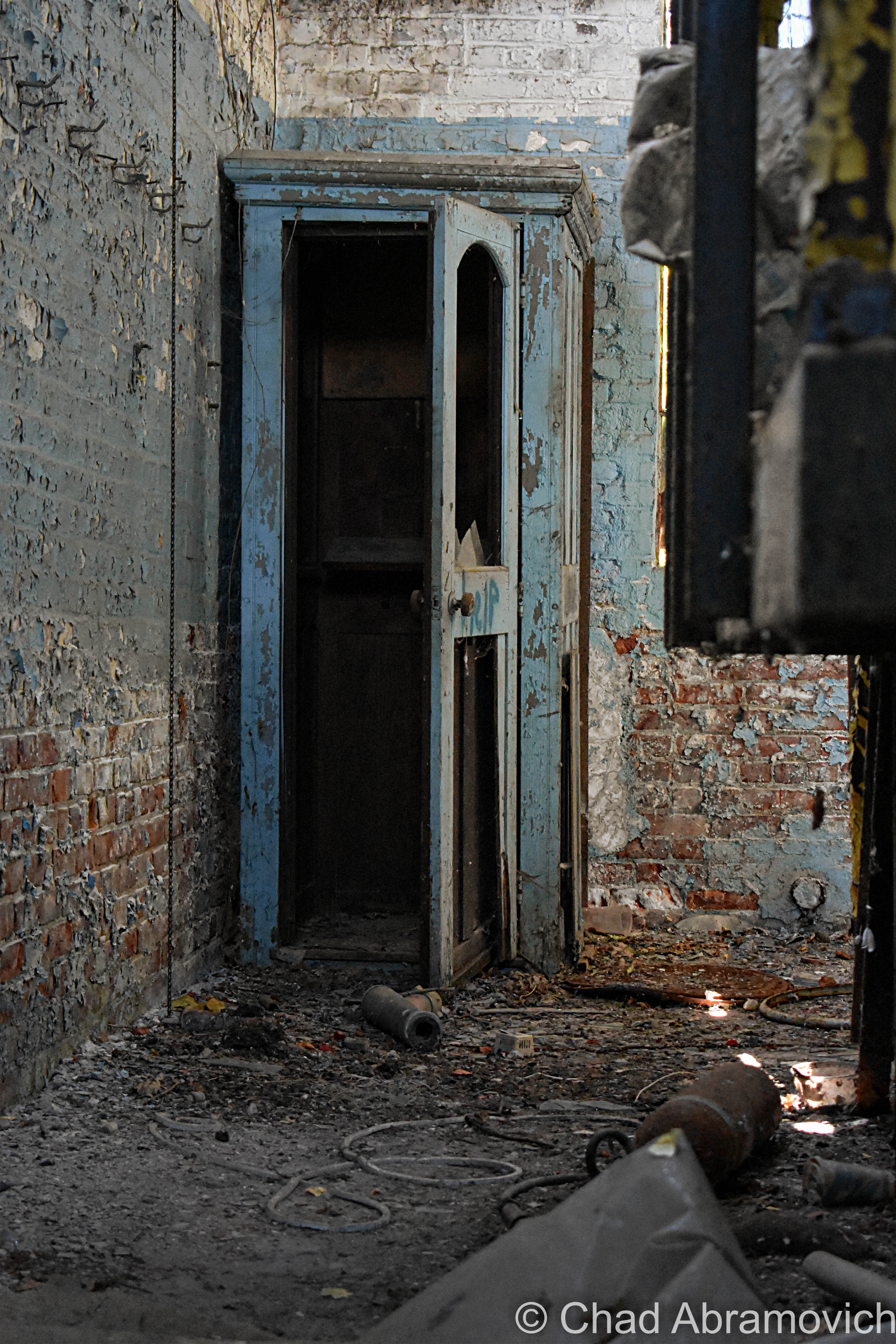
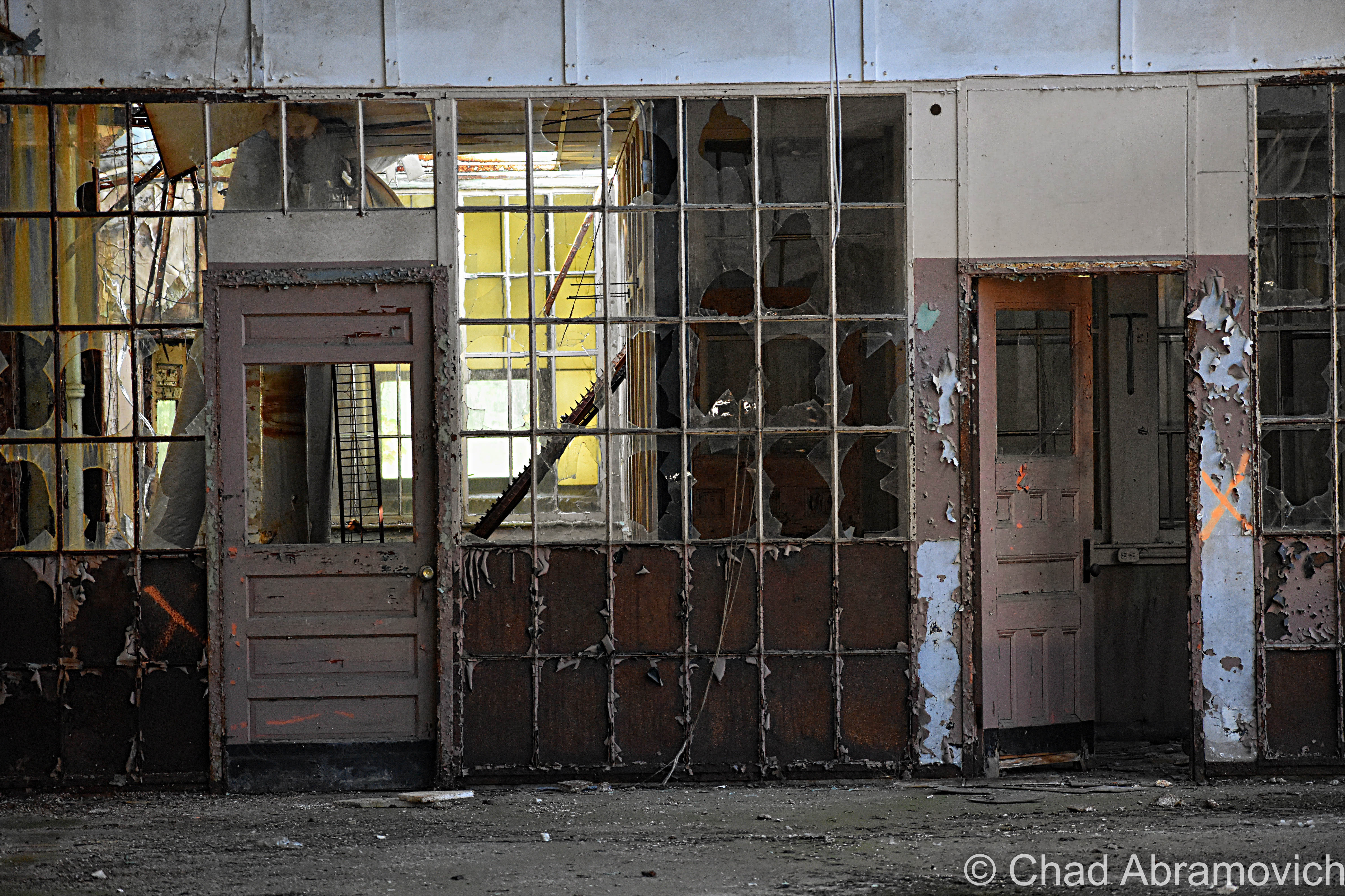
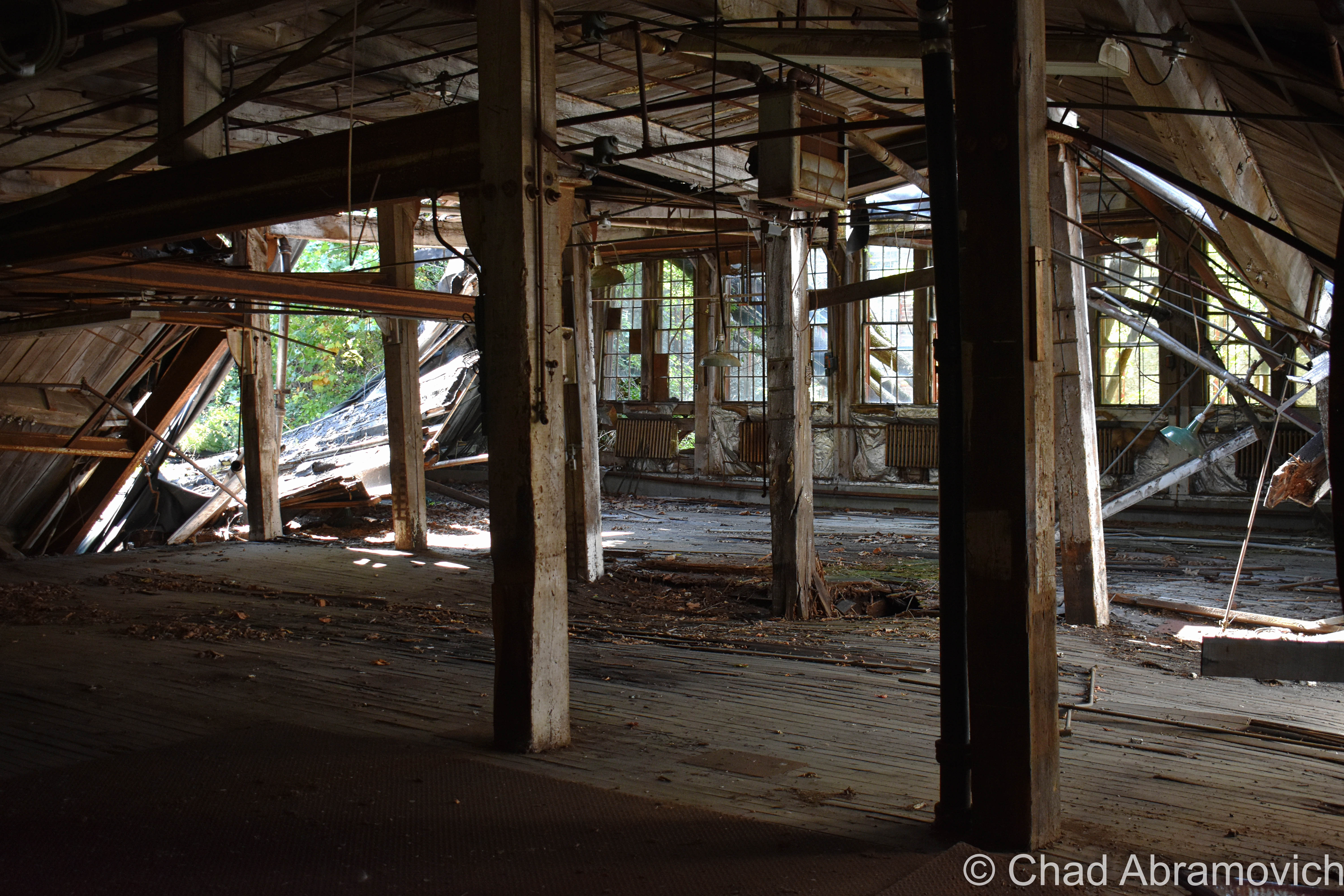
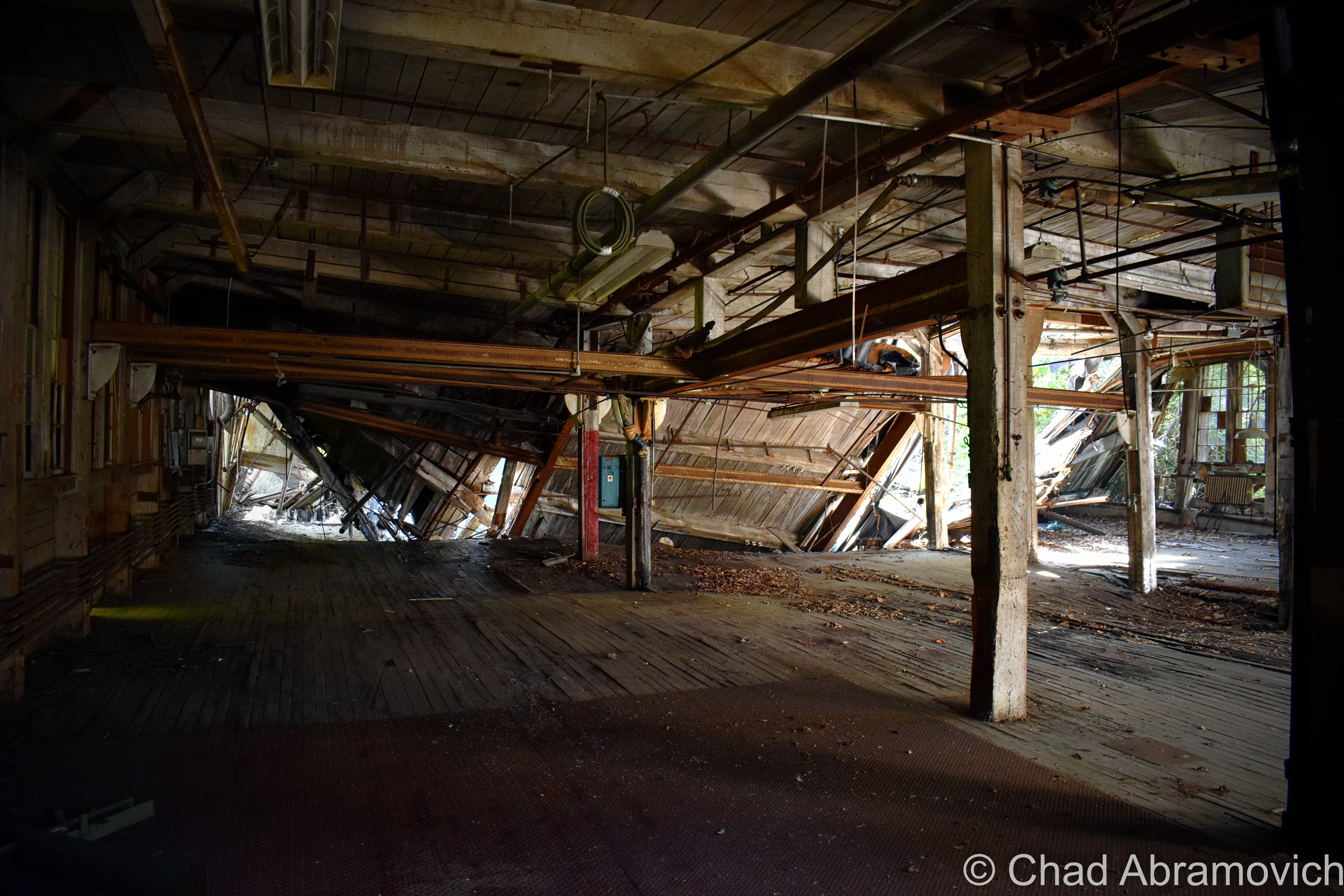
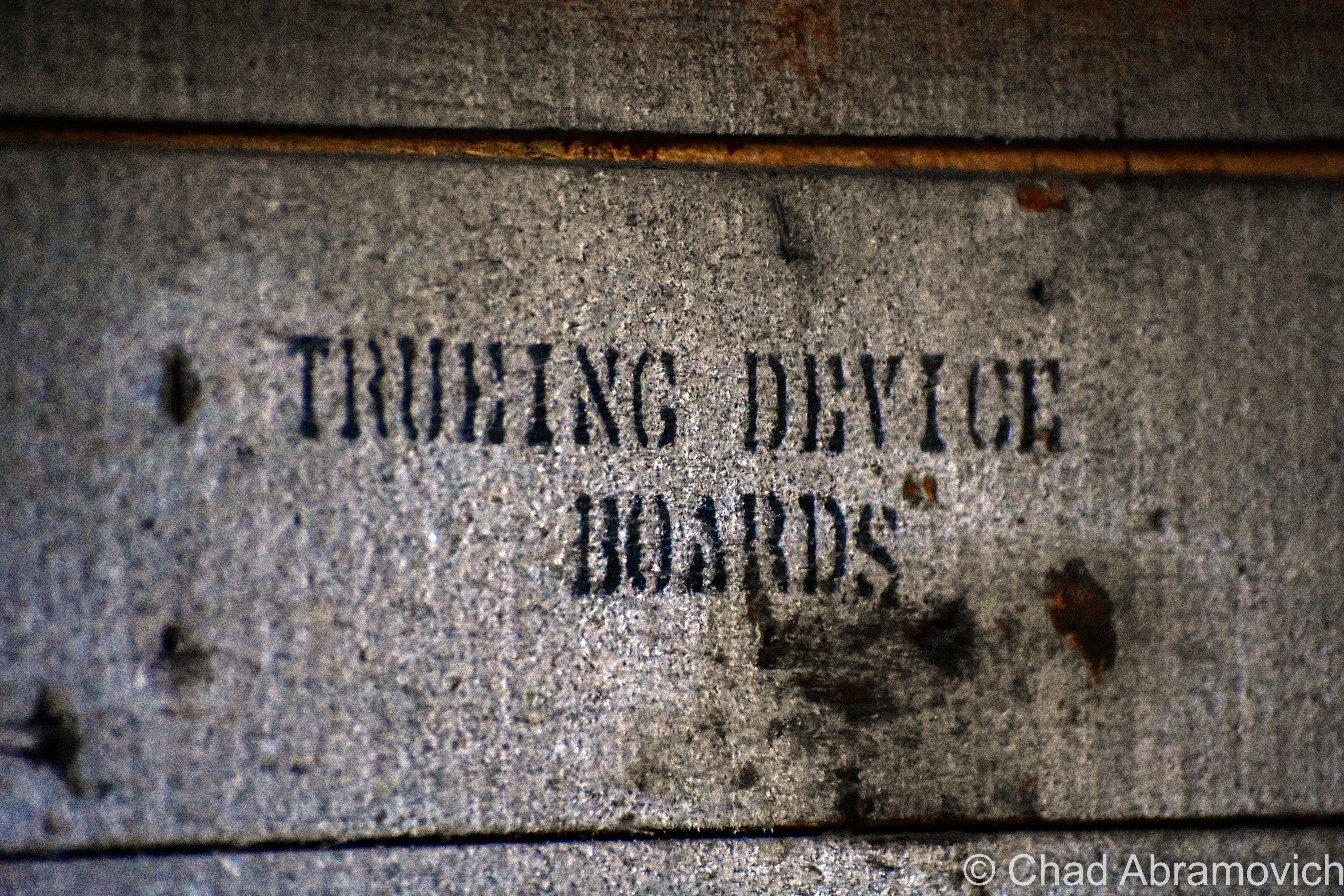
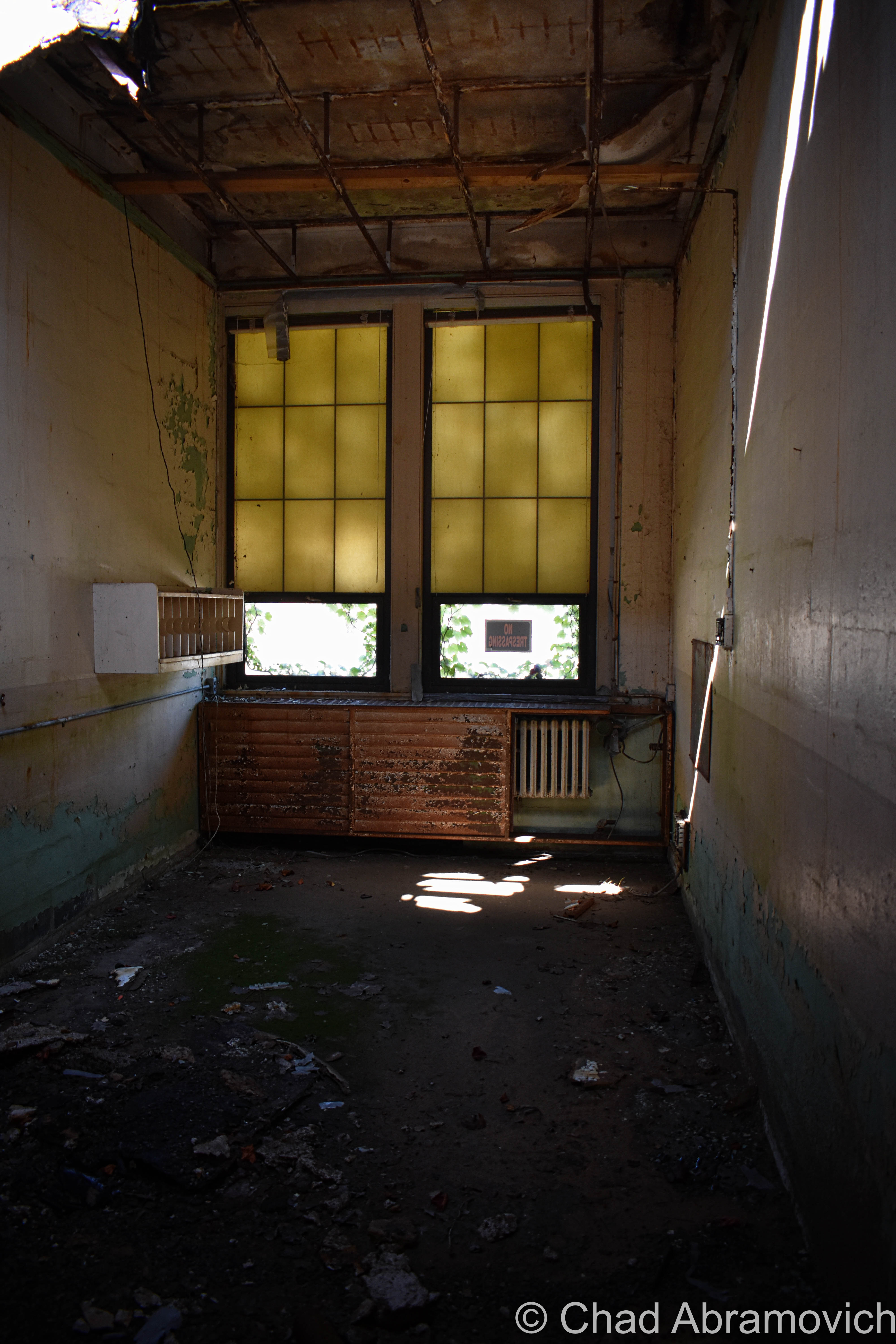
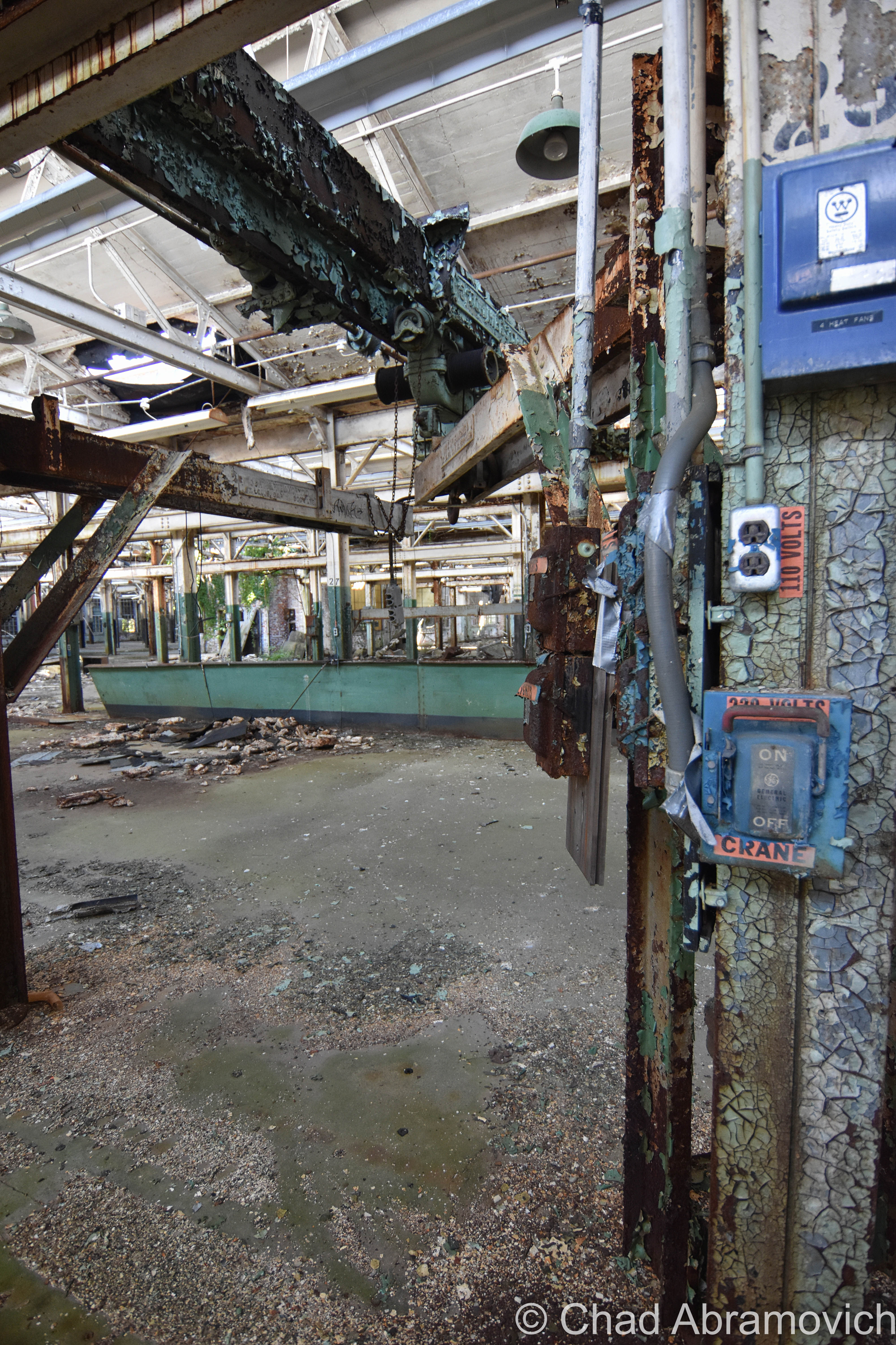
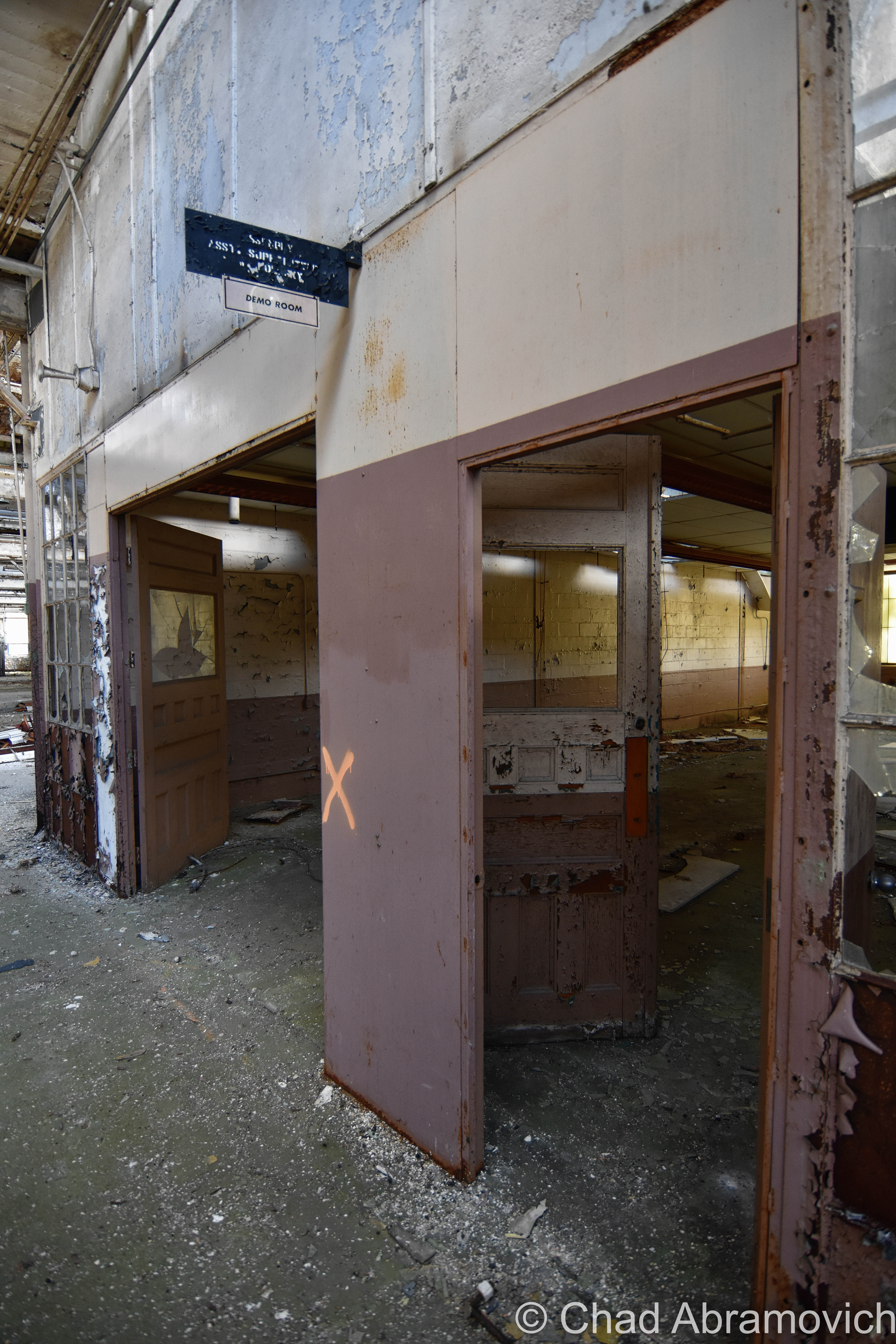
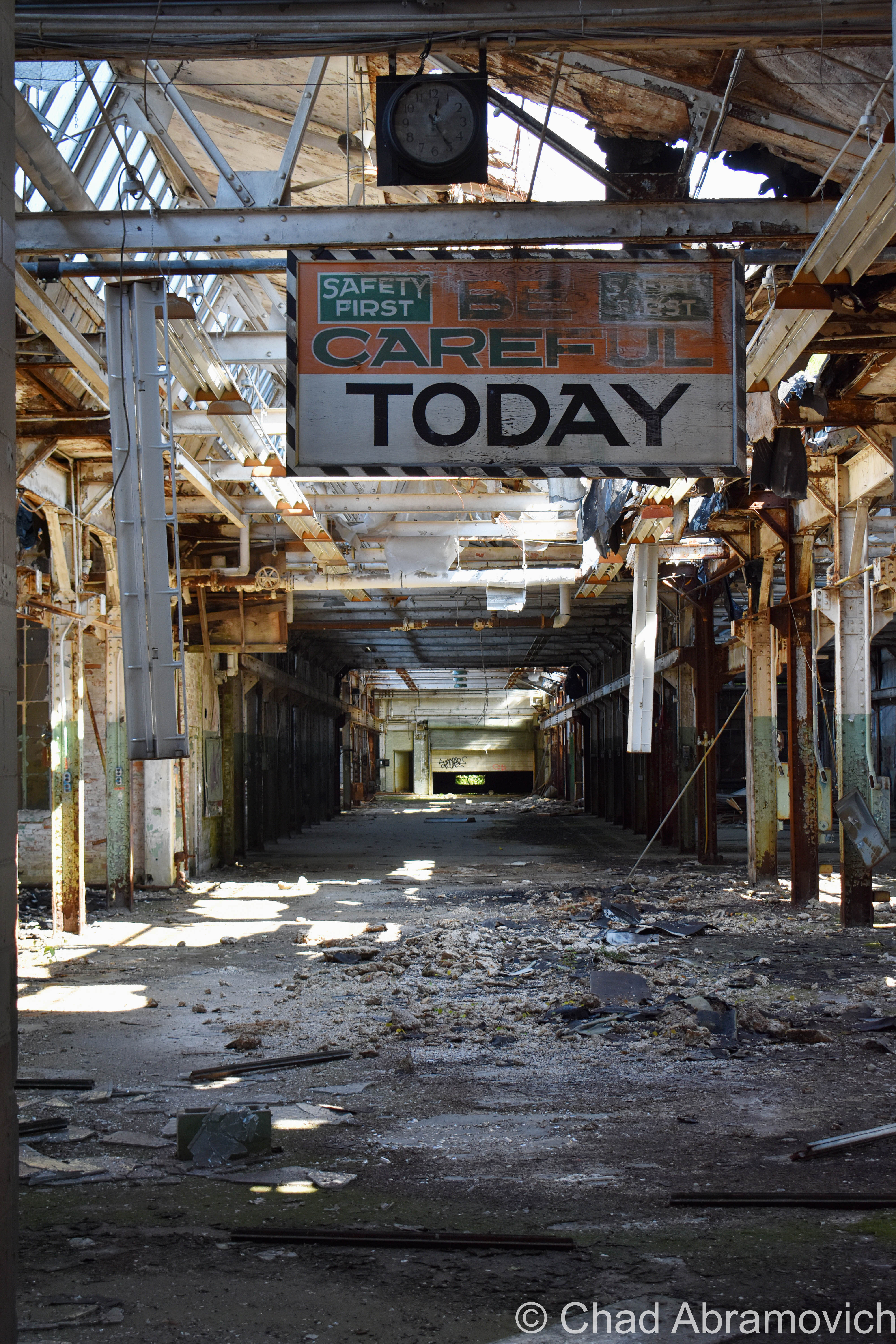
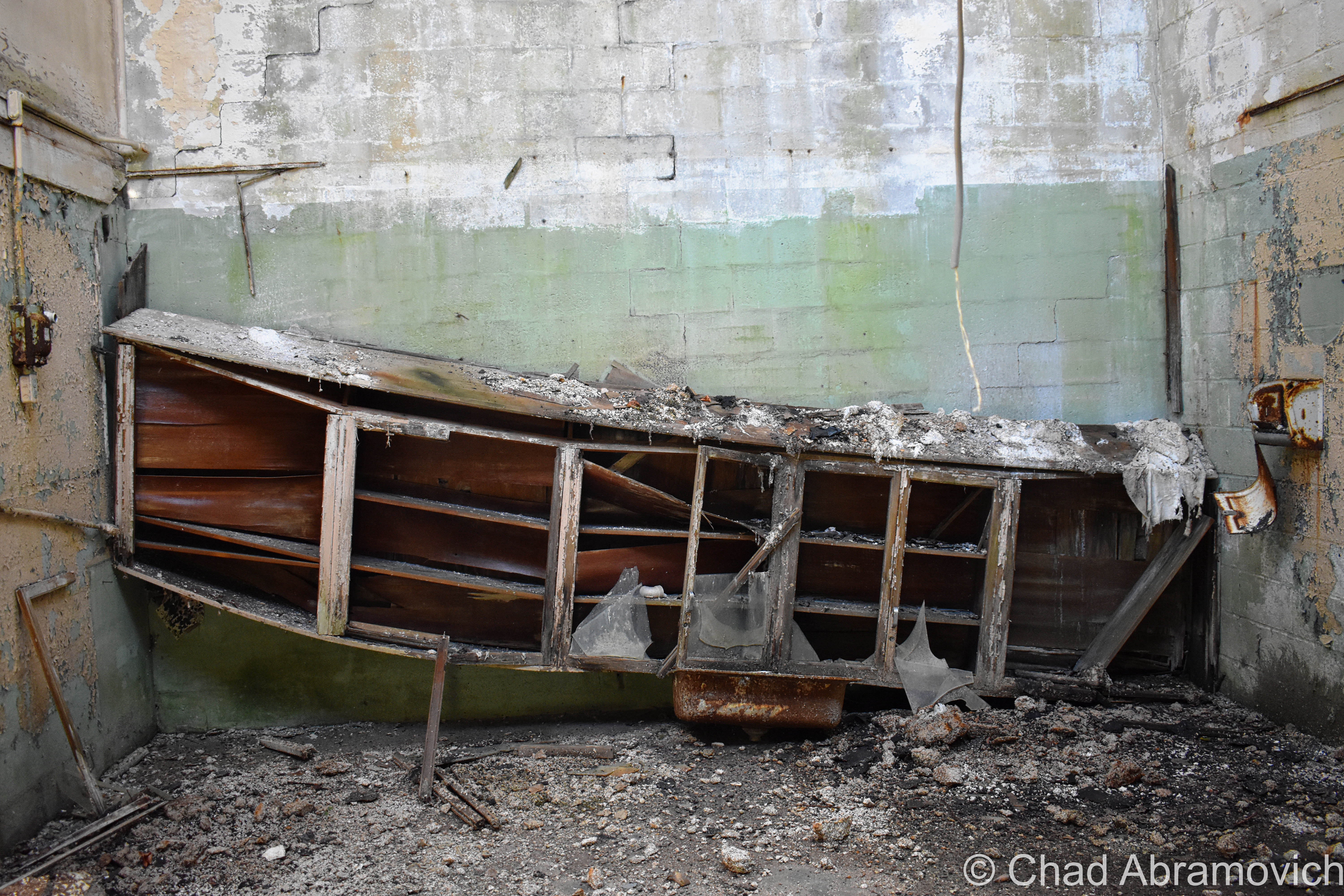
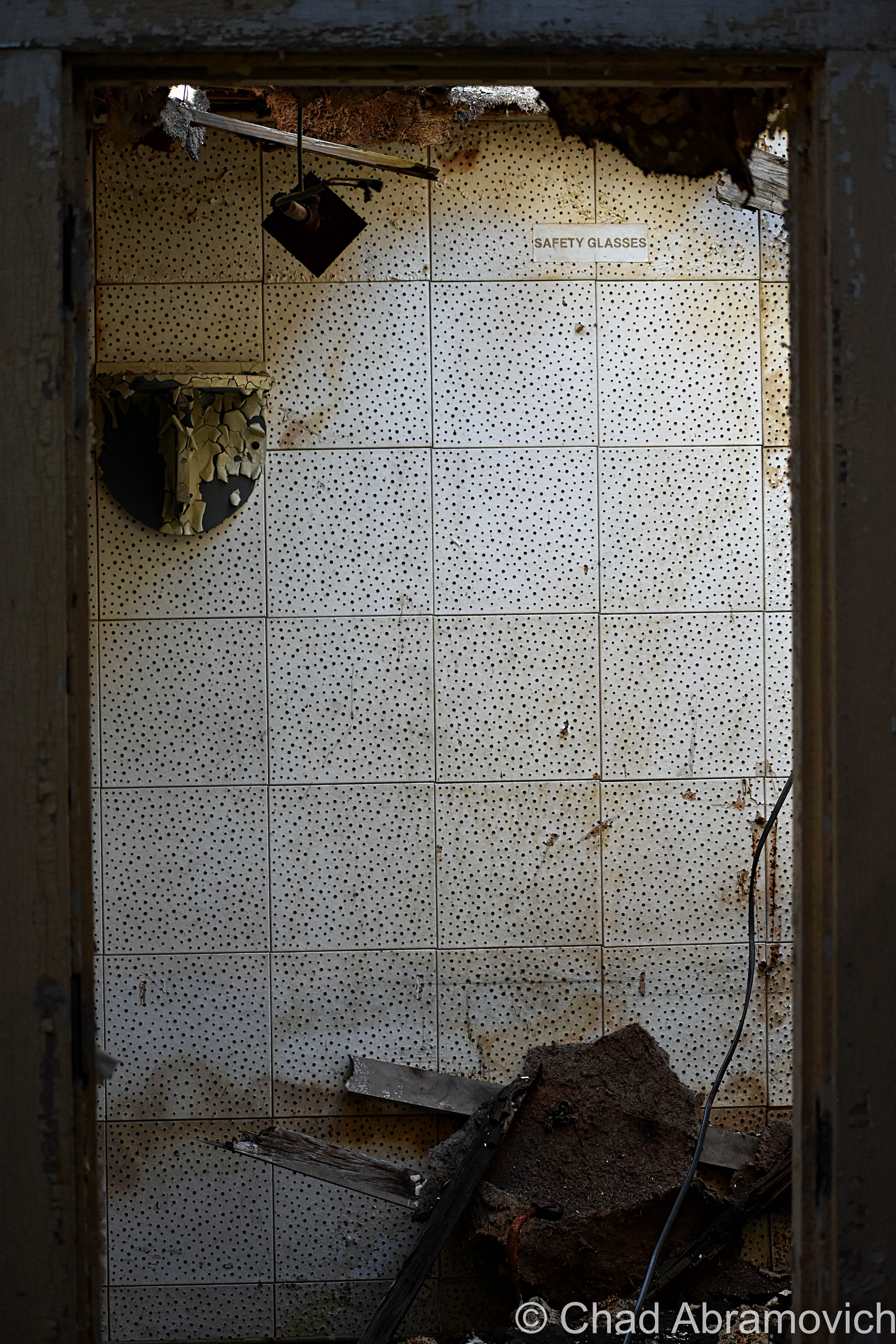
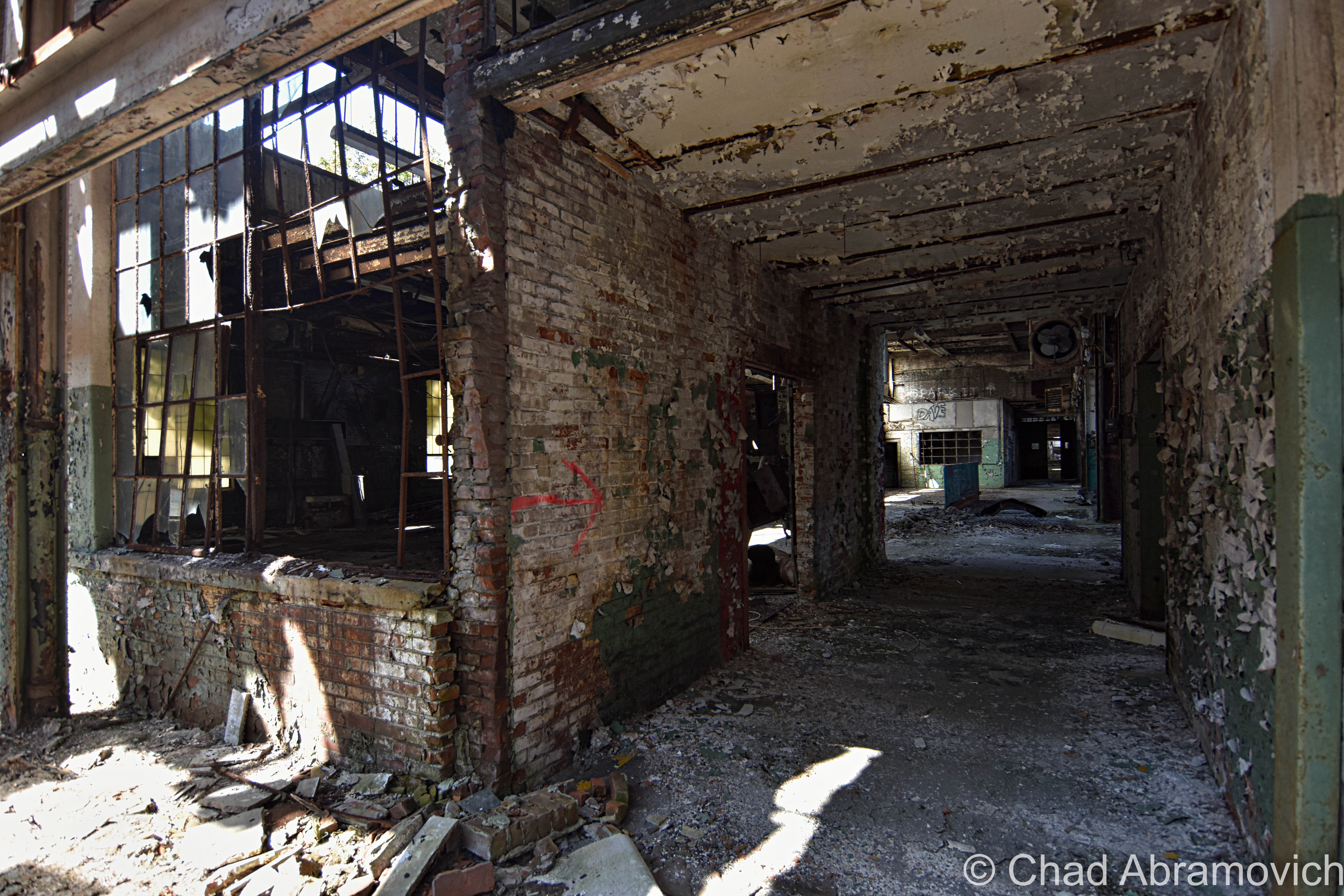
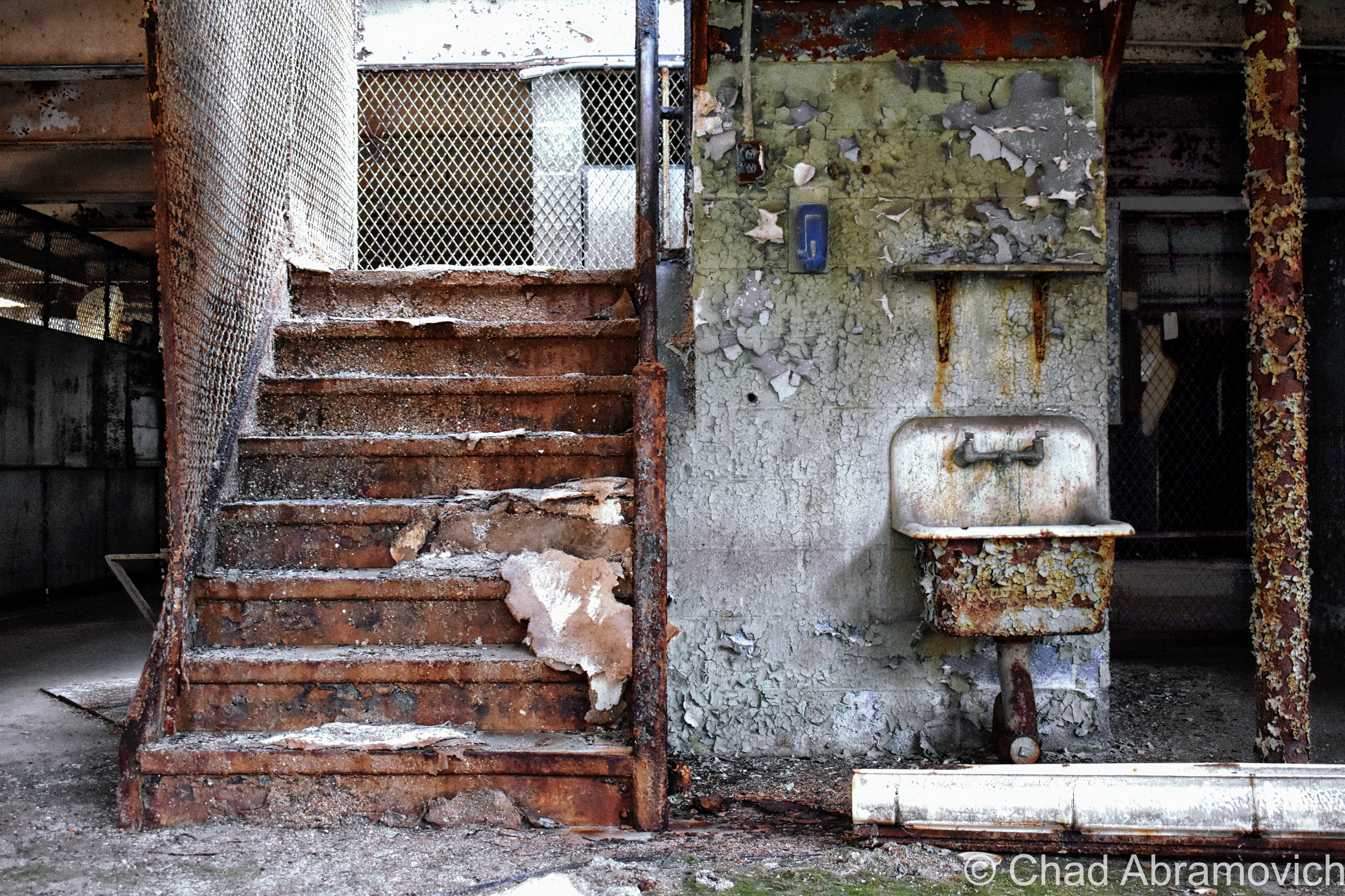
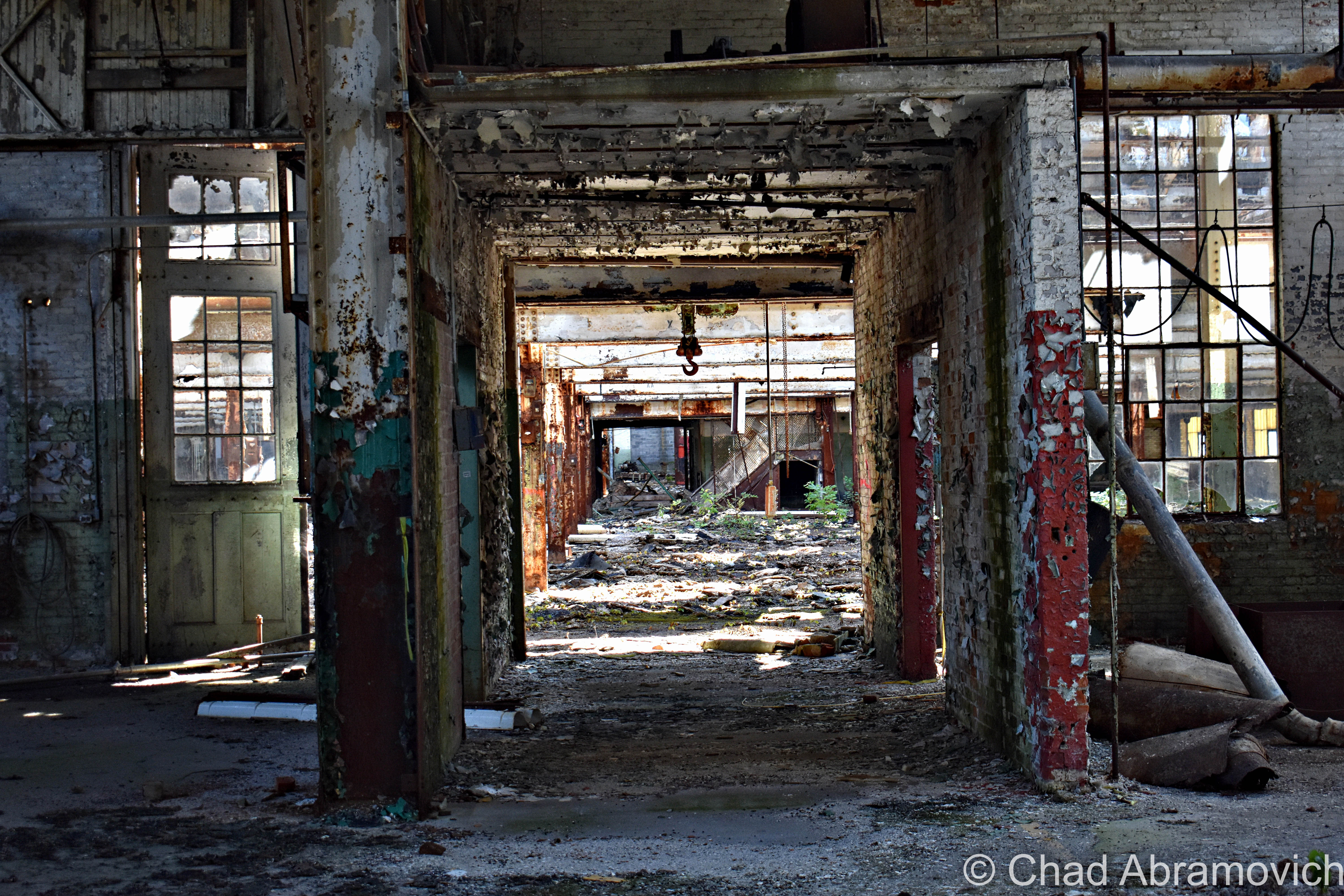
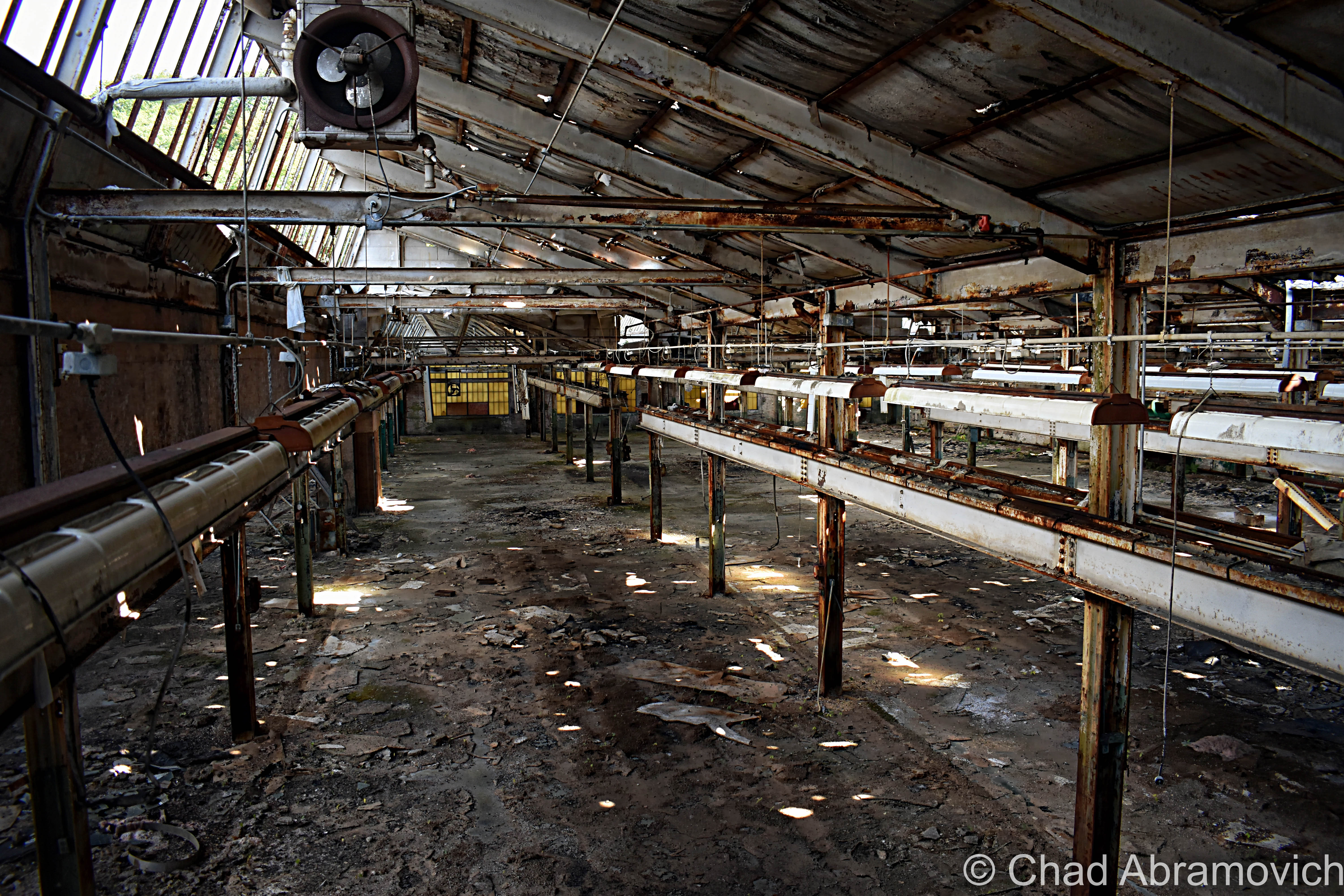
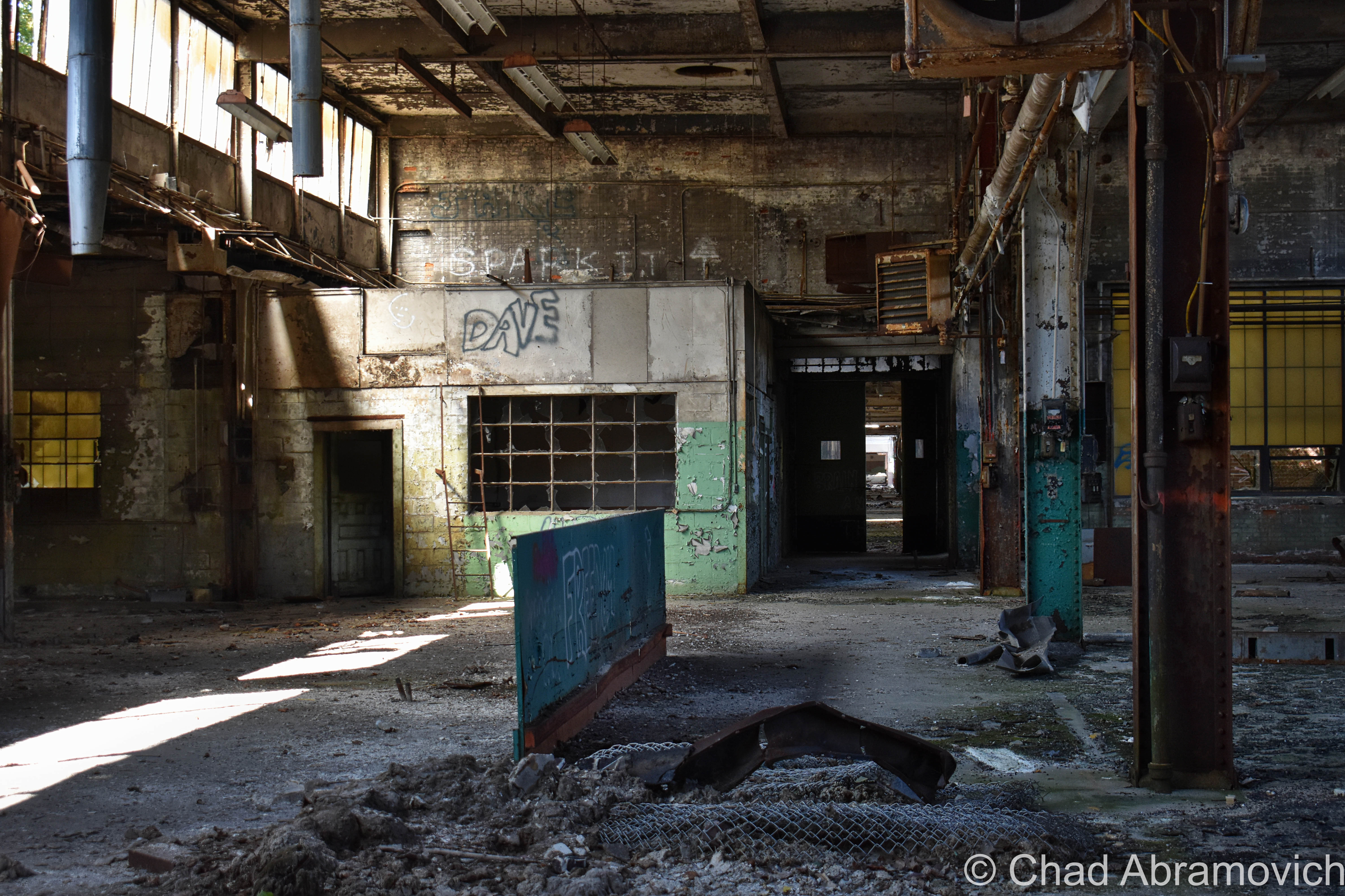
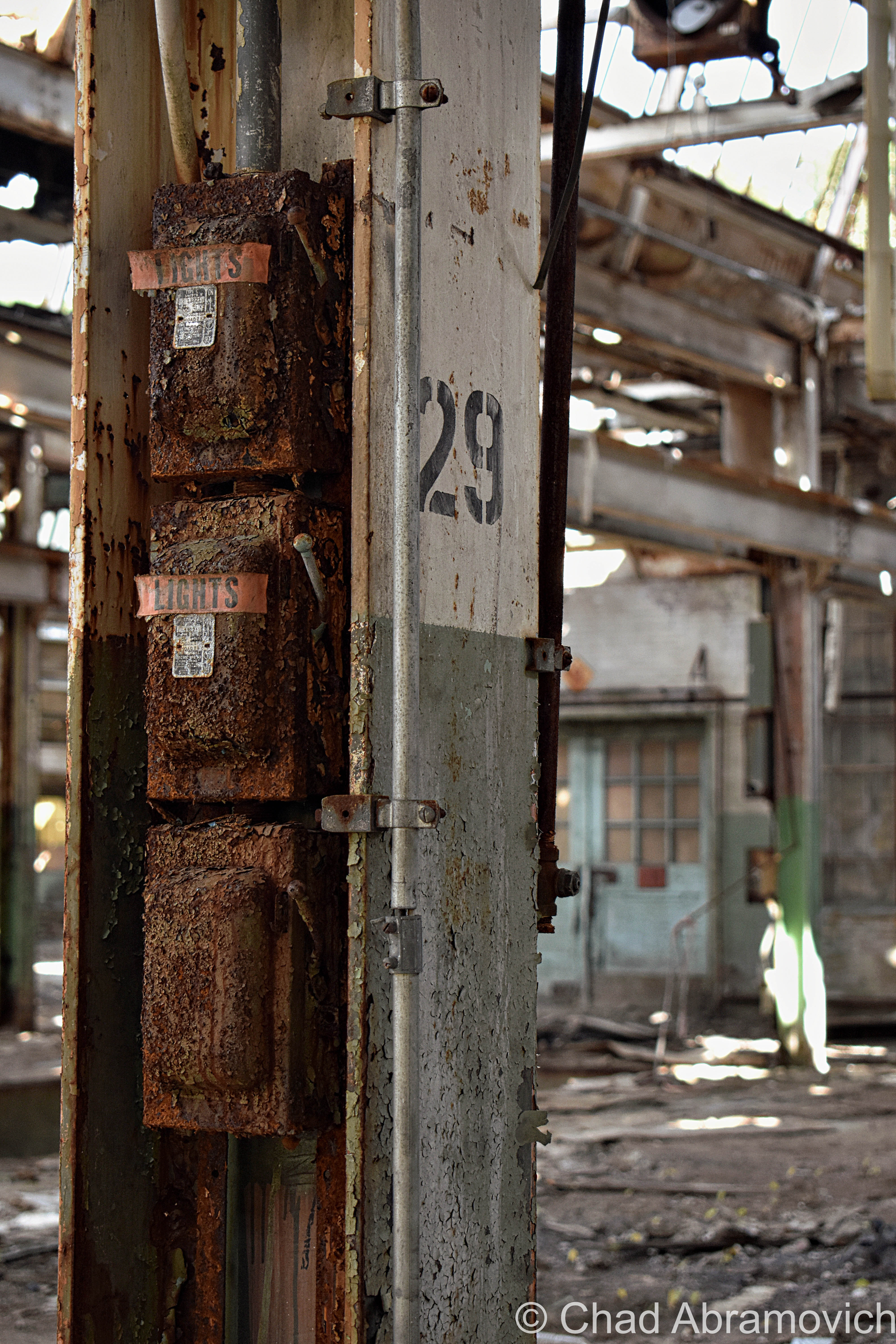
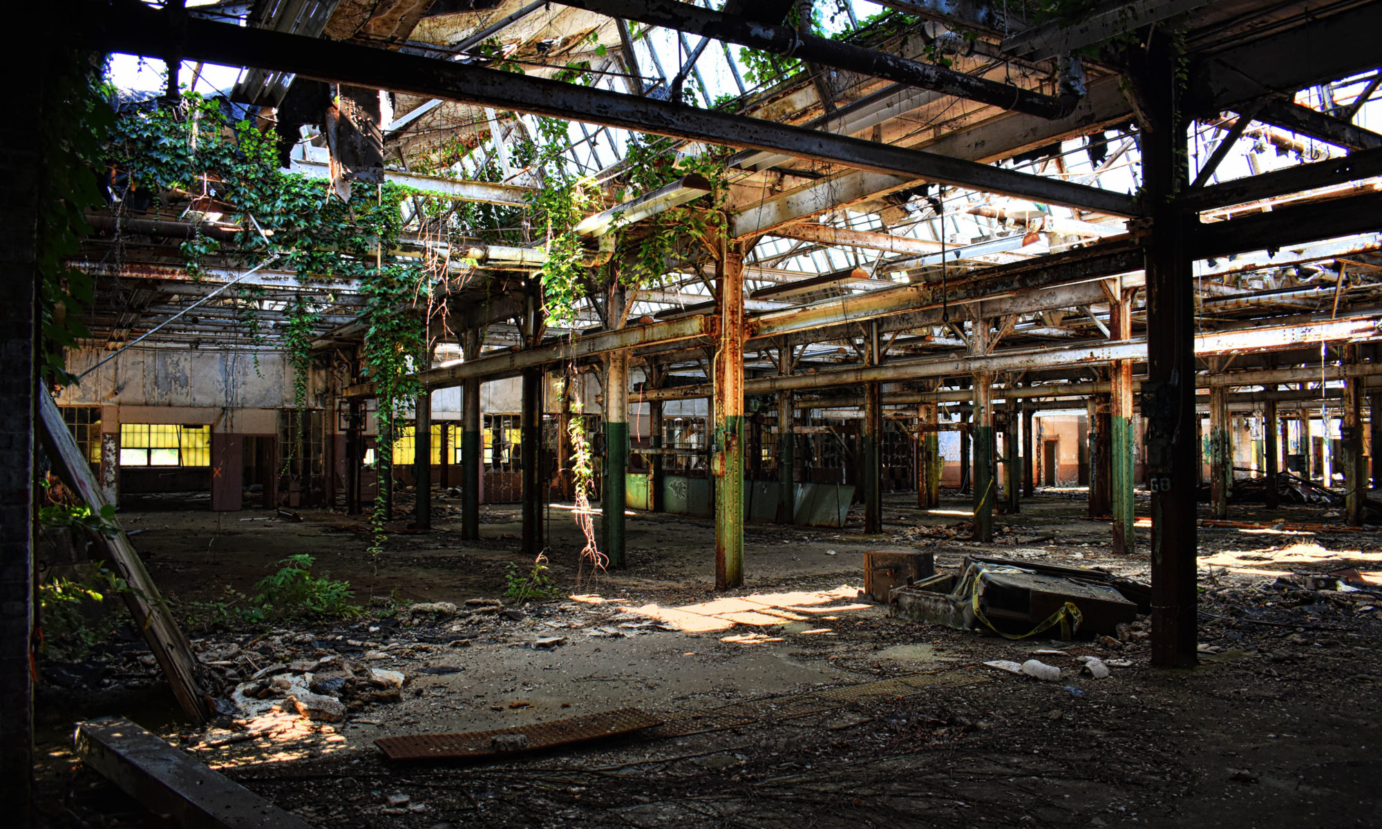
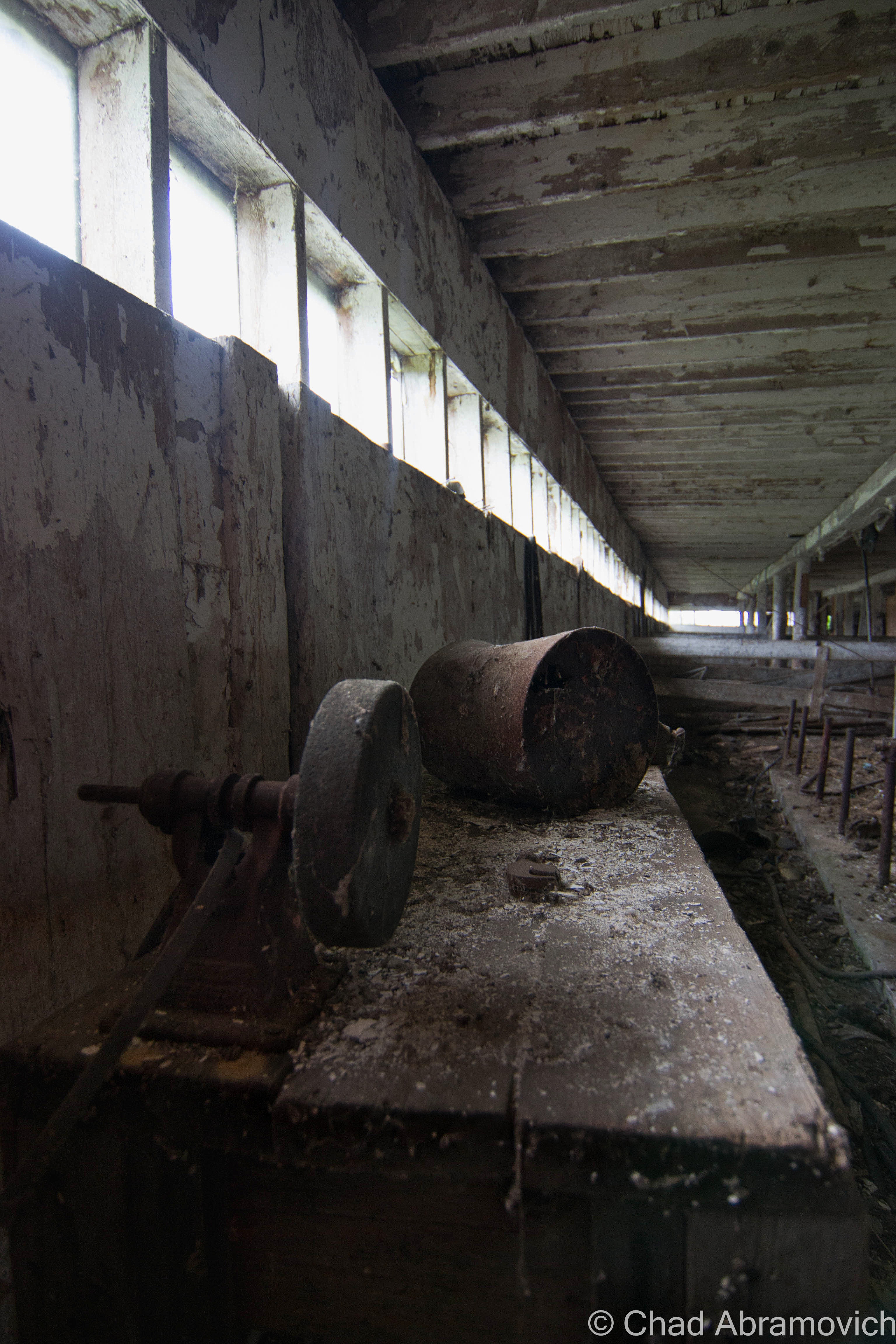
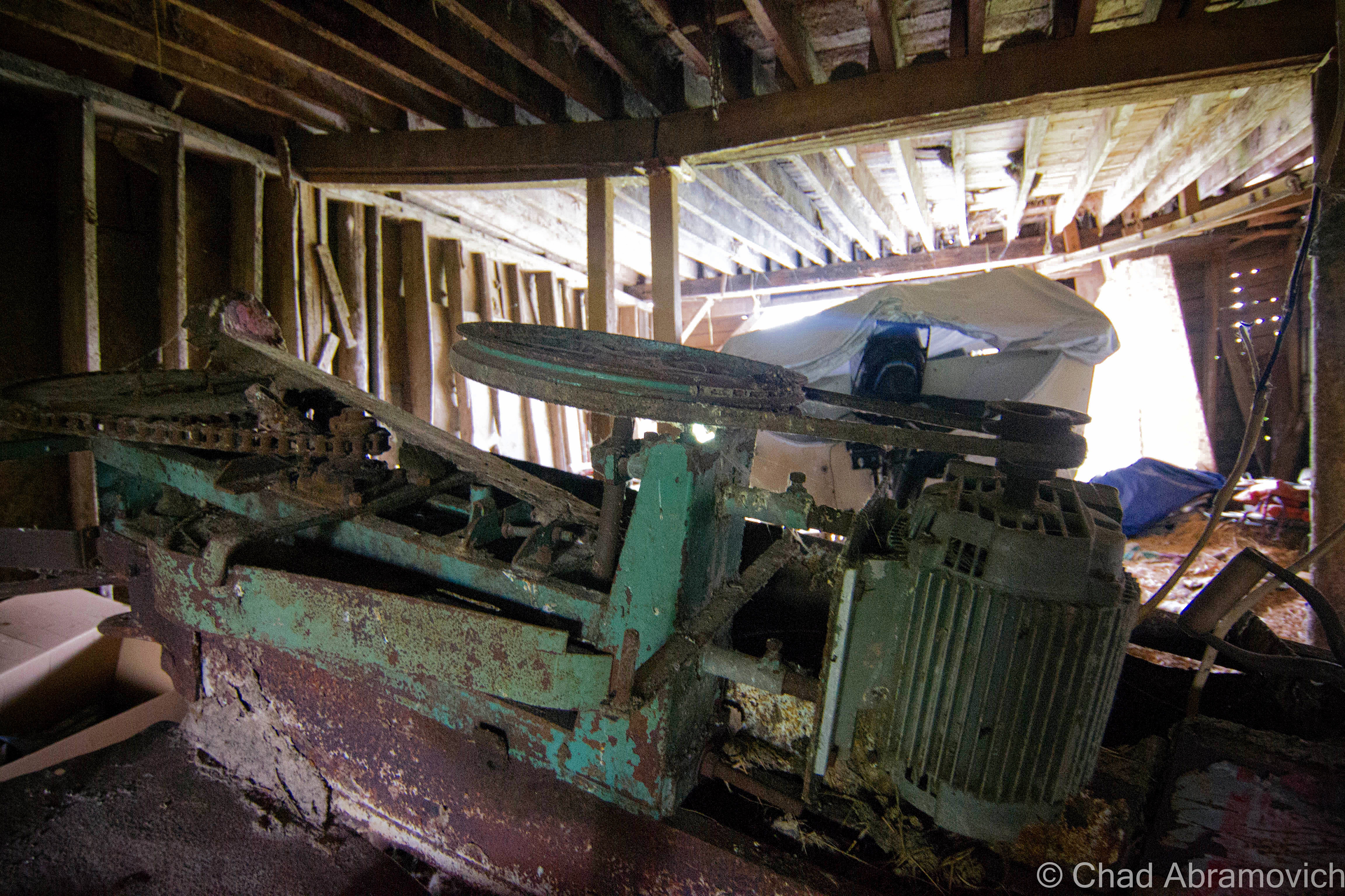
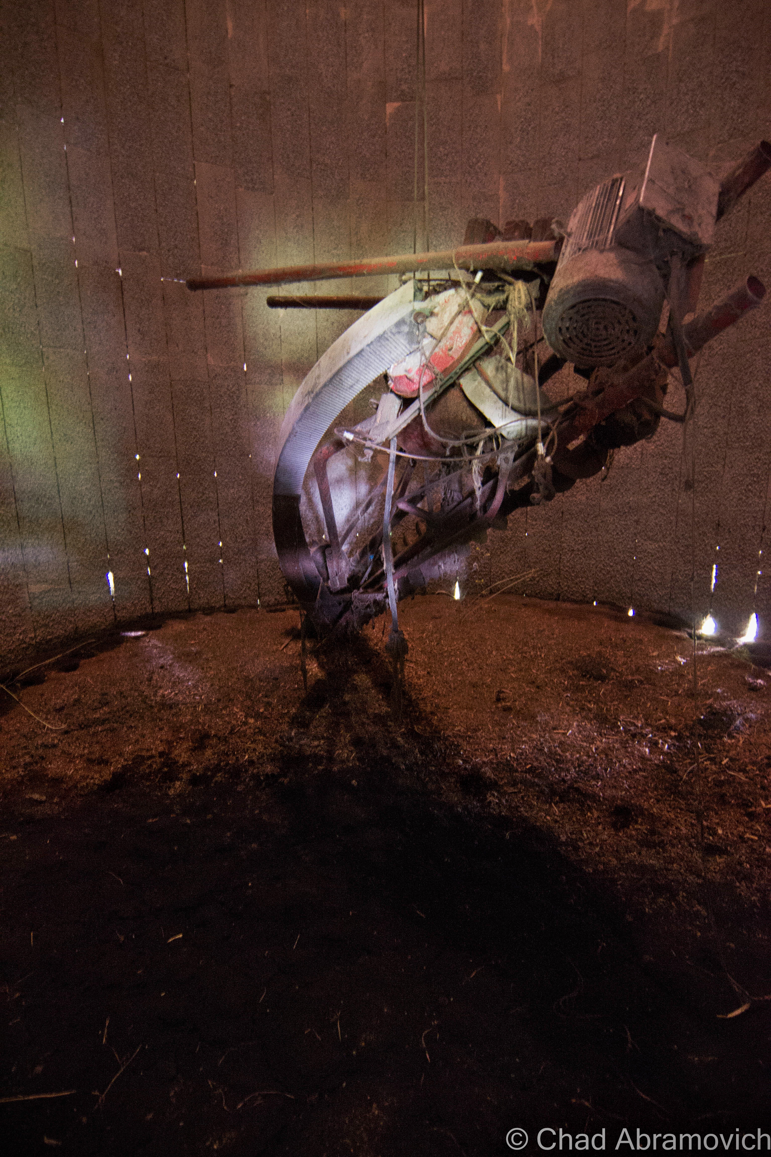
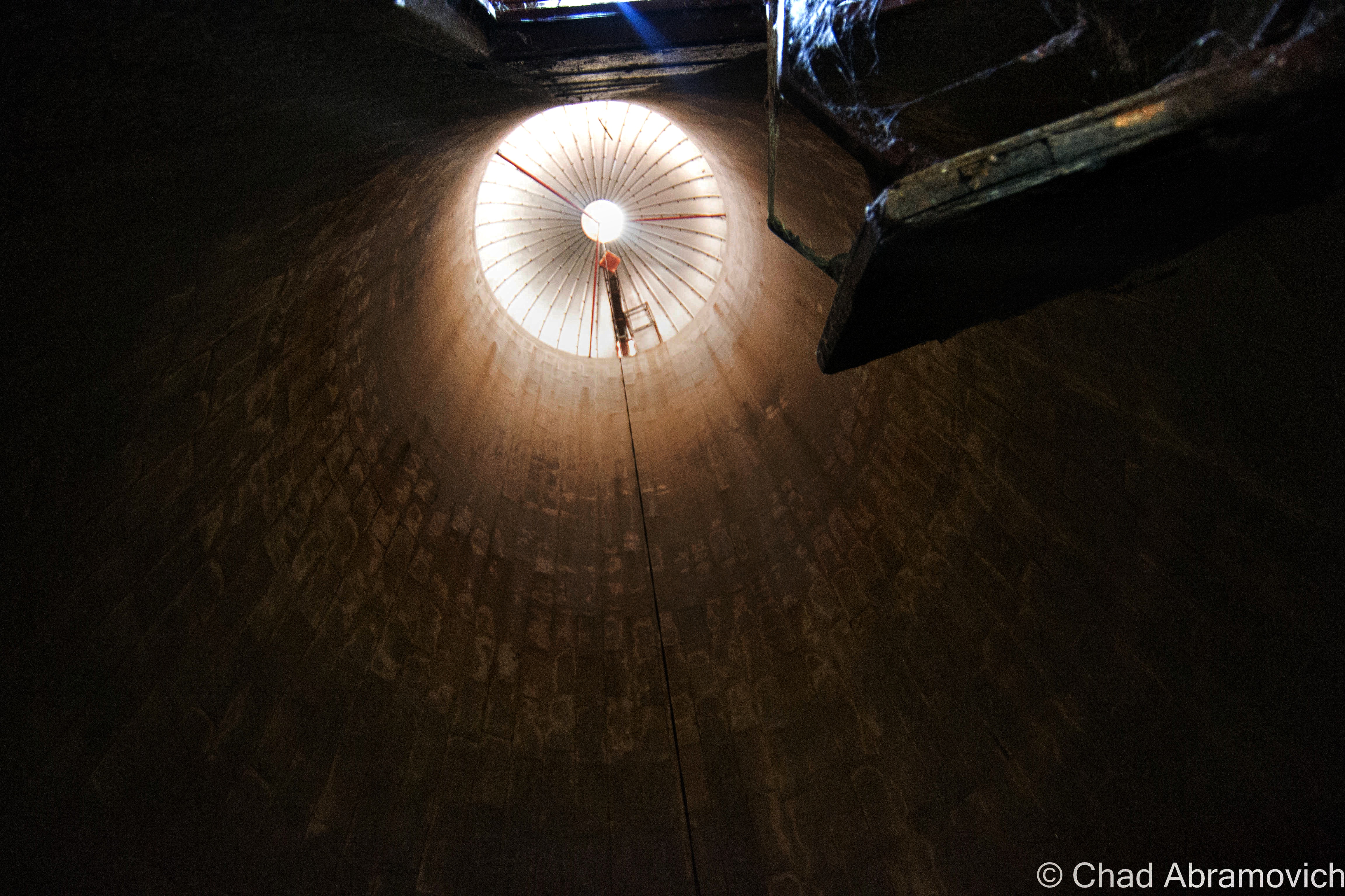
The Jones and Lamson factory had been abandoned since 1986, and for decades, its ruins became a conspicuous landmark that marked one of the main entry points into town. And it was an absolutely gigantic property: 270,000 square feet of decaying building that sprawled over 12 acres of land between the Black River and VT State Route 11, known as Clinton Street through that part of town.

In 2004, the Springfield Regional Development Corporation purchased the property in hopes to, well, do something with it, but its runaway deterioration and designation as a brownfields site – or – a property that’s enormously polluted by toxic materials, usually as the residual of former industrial use, kinda problematized any headway that could have been made. The old J&L factory played host to tons of industrial chemicals, including polychlorinated biphenyls (PCBs); trichloroethylene (TCE); and light, non-aqueous phase liquids (NAPLs), and to remediate hazards like those, you need to secure lots of capital and involve lots of bureaucracy.

In November of 2021, cleanup grants had been secured, and the factory was demolished, which I can’t help but be pretty bummed about. What a shame, it was such an irreplaceably neat building that I feel had the potential to morph into a great new resource for Springfield if given the love.

But – the plan is that they hope to sort of go full-circle with the lot, and lure another industrial gig to town that hopefully will continue to push back the boundaries of the unknown and isn’t just another awful Dollar General. The land is flat, which is pretty a valuable deal in Springfield because most of the village is built up around low-profile slopes that contort around the Black River. It’s also apparently hooked up into some of the fastest internet connections in all of Vermont, which is also a huge deal here given the state’s notoriously lacking rural infrastructure. It’ll be interesting to see what comes along – and I really hope that it’ll be something that will serve Precision Valley with dignity for another century. Springfield is absolutely a town worth rooting for!

An interesting side note to all this, is that because of the rich industrial history and current fading ghosts of the area, the town has kind of amassed a bit of a steampunk scene, which has since turned into a notable cultural festival.

Acreage

I was excited. I was meeting up with a friend from college I hadn’t seen in years who was getting ready to move out of state, so we figured an explore was a good way to part ways. And it was a lovely early fall afternoon – light jacket weather and foliage just barely starting to change into its death hues – the perfect adventuring weather. It had been a while since I’d had a good urbex – my soul was really jonesing for this excursion.

Finding a place to park that we hoped wasn’t suspicious, we casually made our way down the sidewalk, and then made a dash for it. The factory grounds had grown wild, and the brush was almost like it was alive – clinging and scratching with every tendril available, as we hastily stumbled our way towards the tall metal smokestack that marked the factory’s personal powerplant. We figured we’d start in there via squeezing through a hole in the door, and work our way over to the main factory building after. Man I’m glad I’m still a scrawny dude that can wiggle through holes in the walls and broken windows.

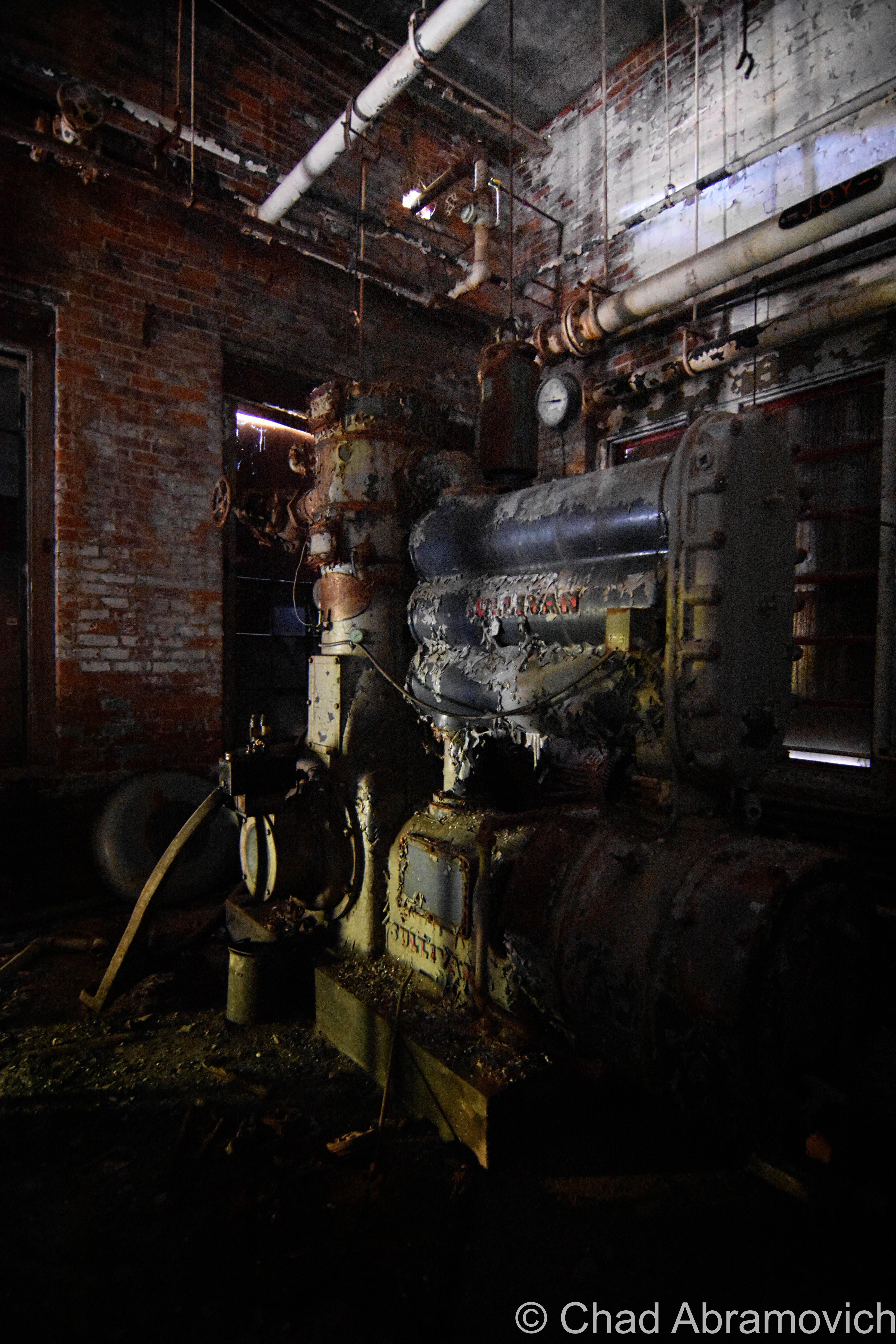
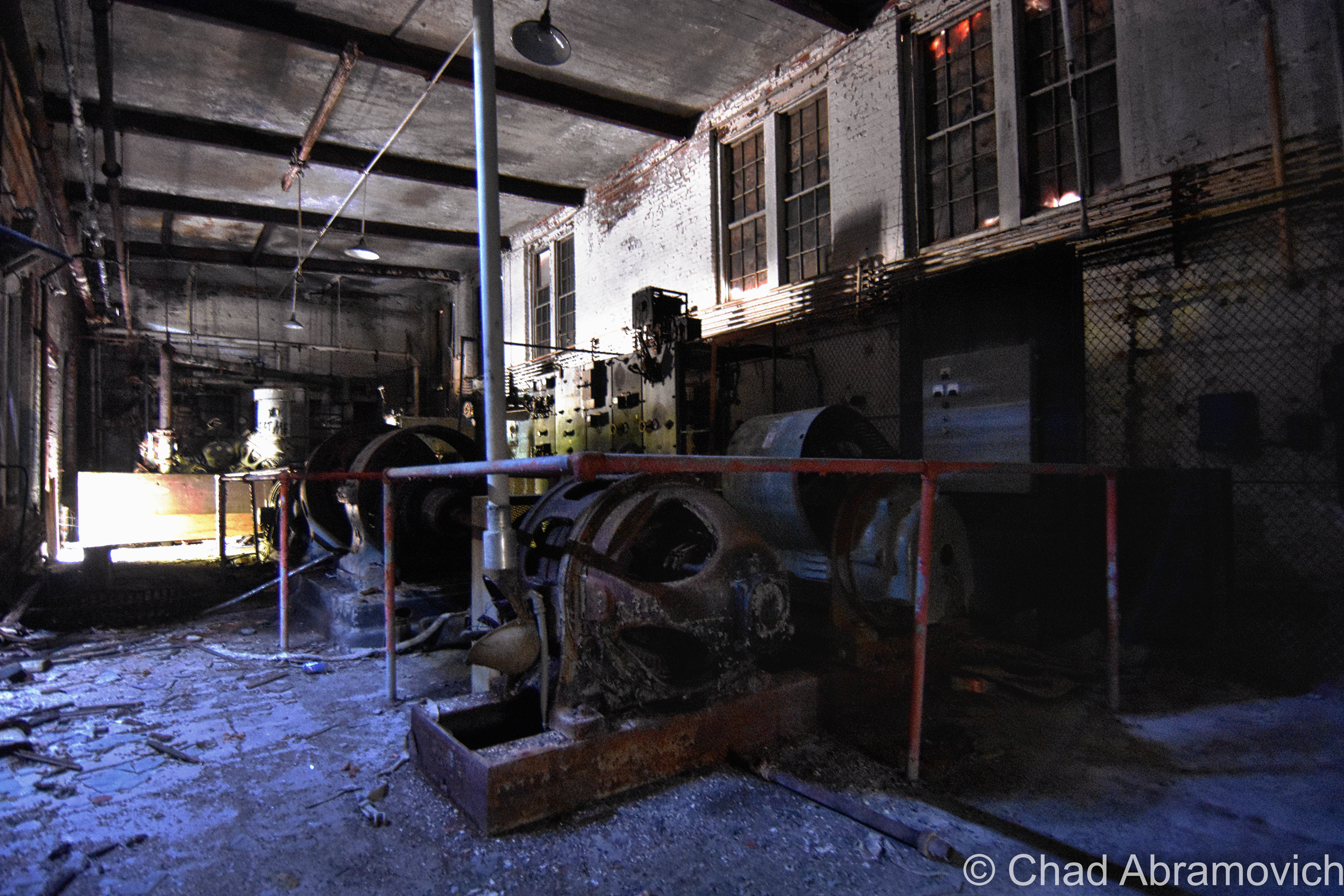
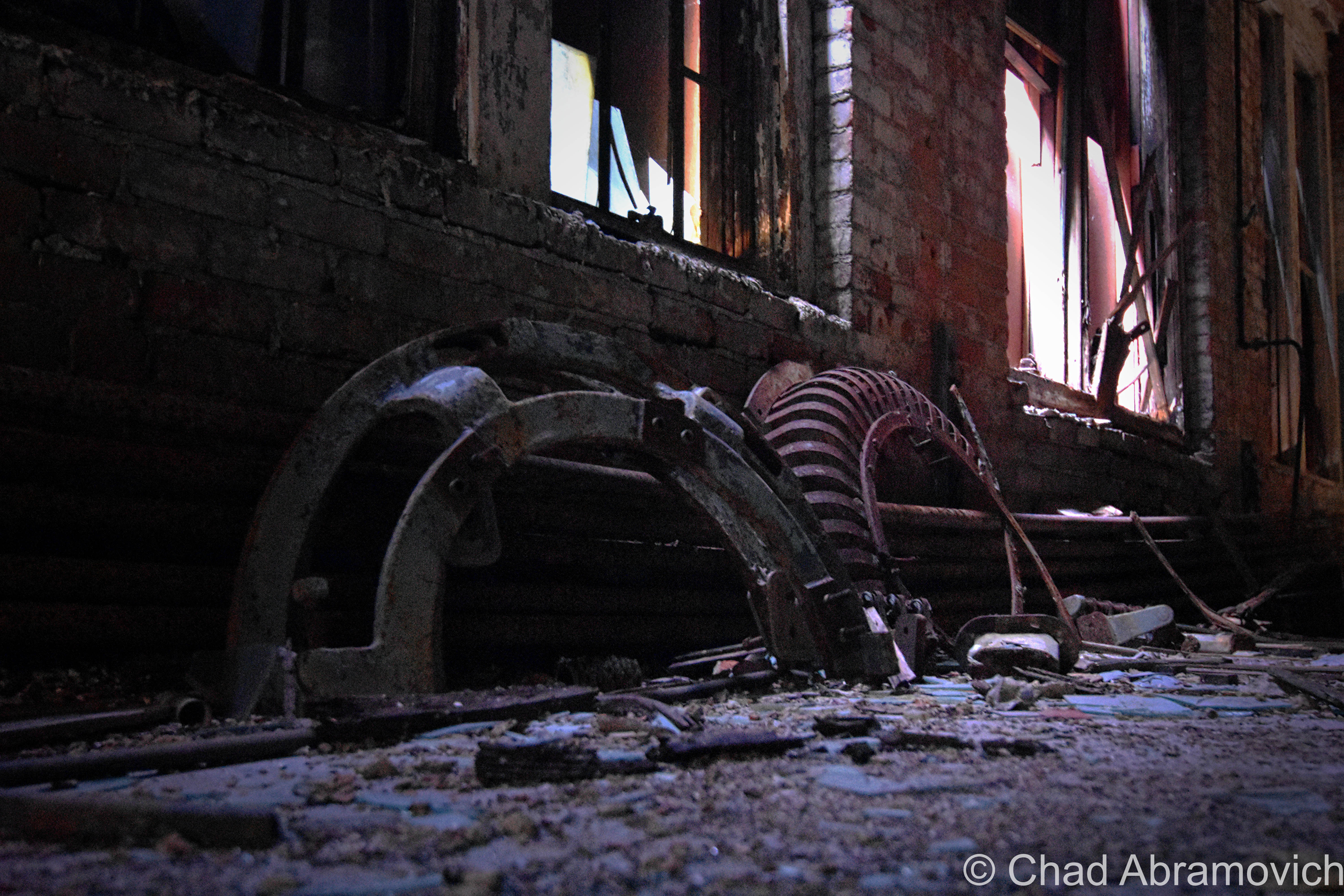
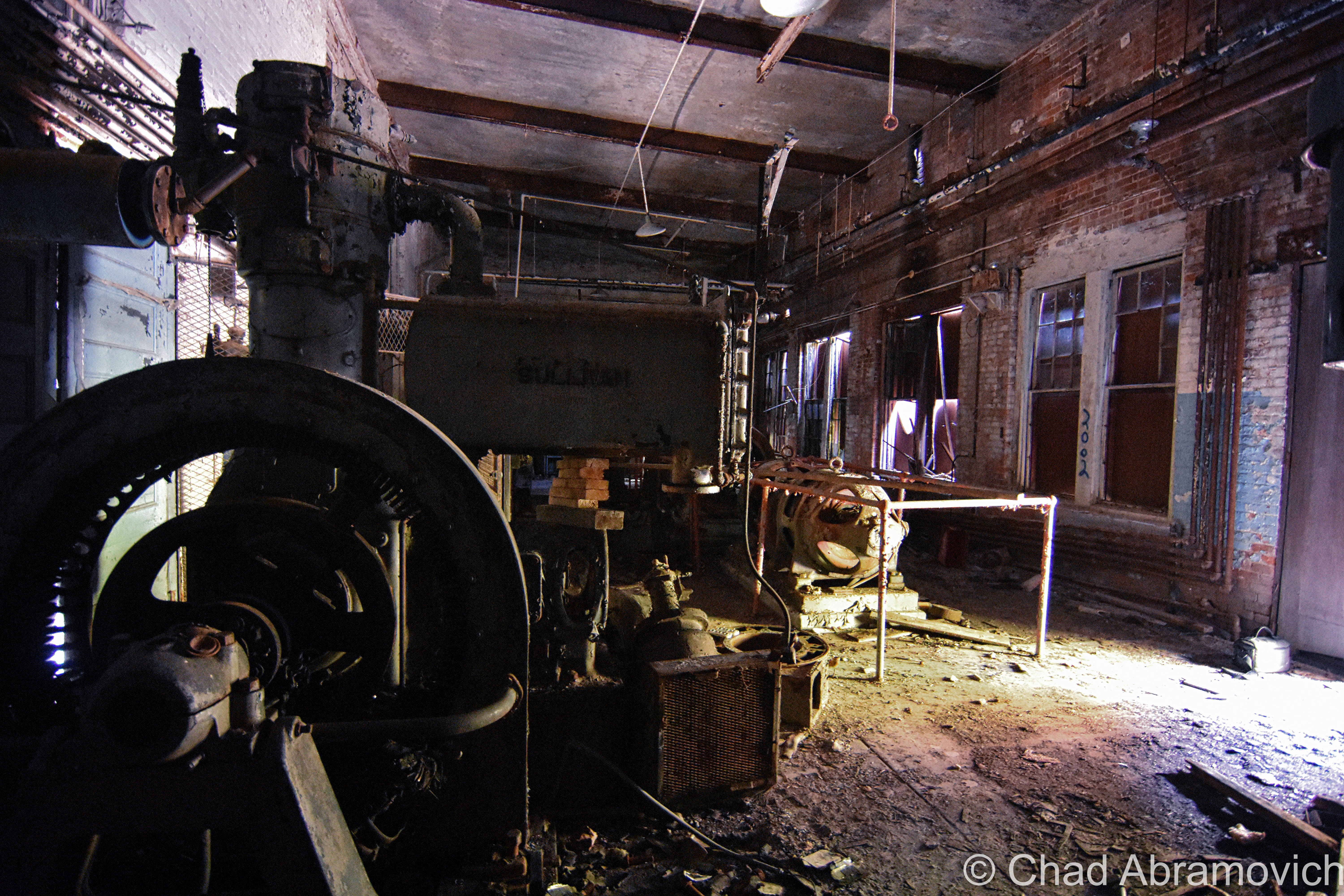
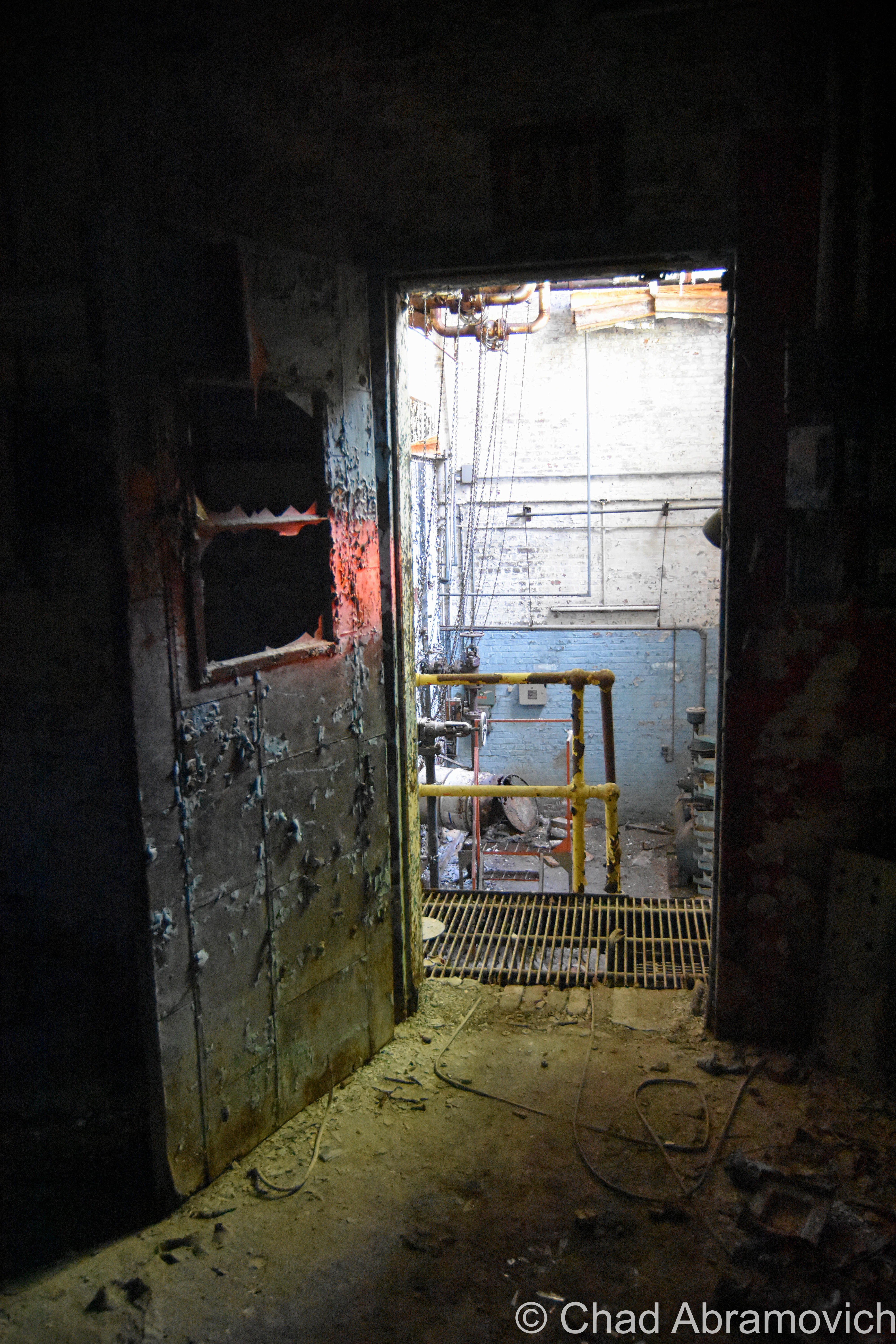
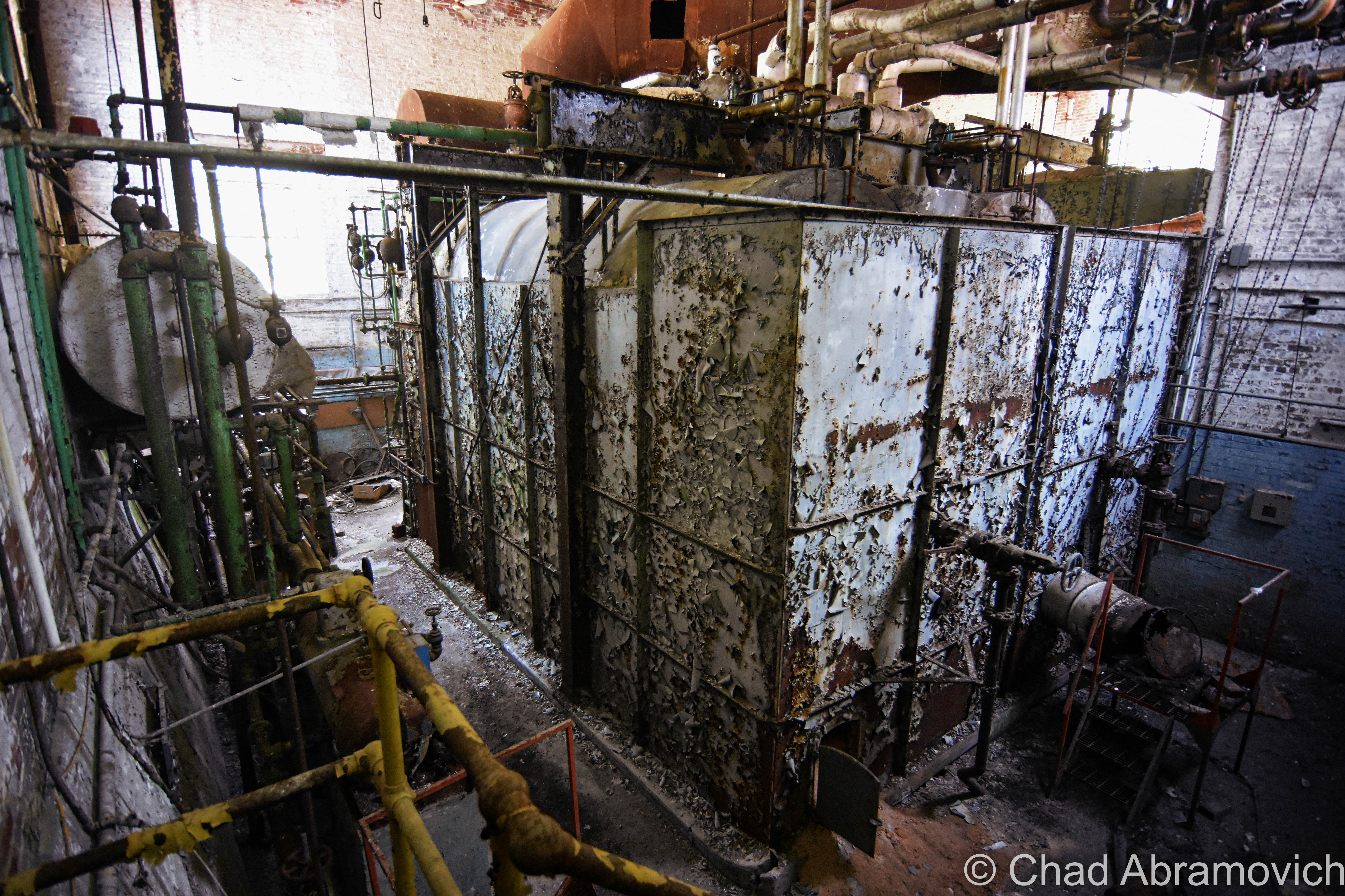
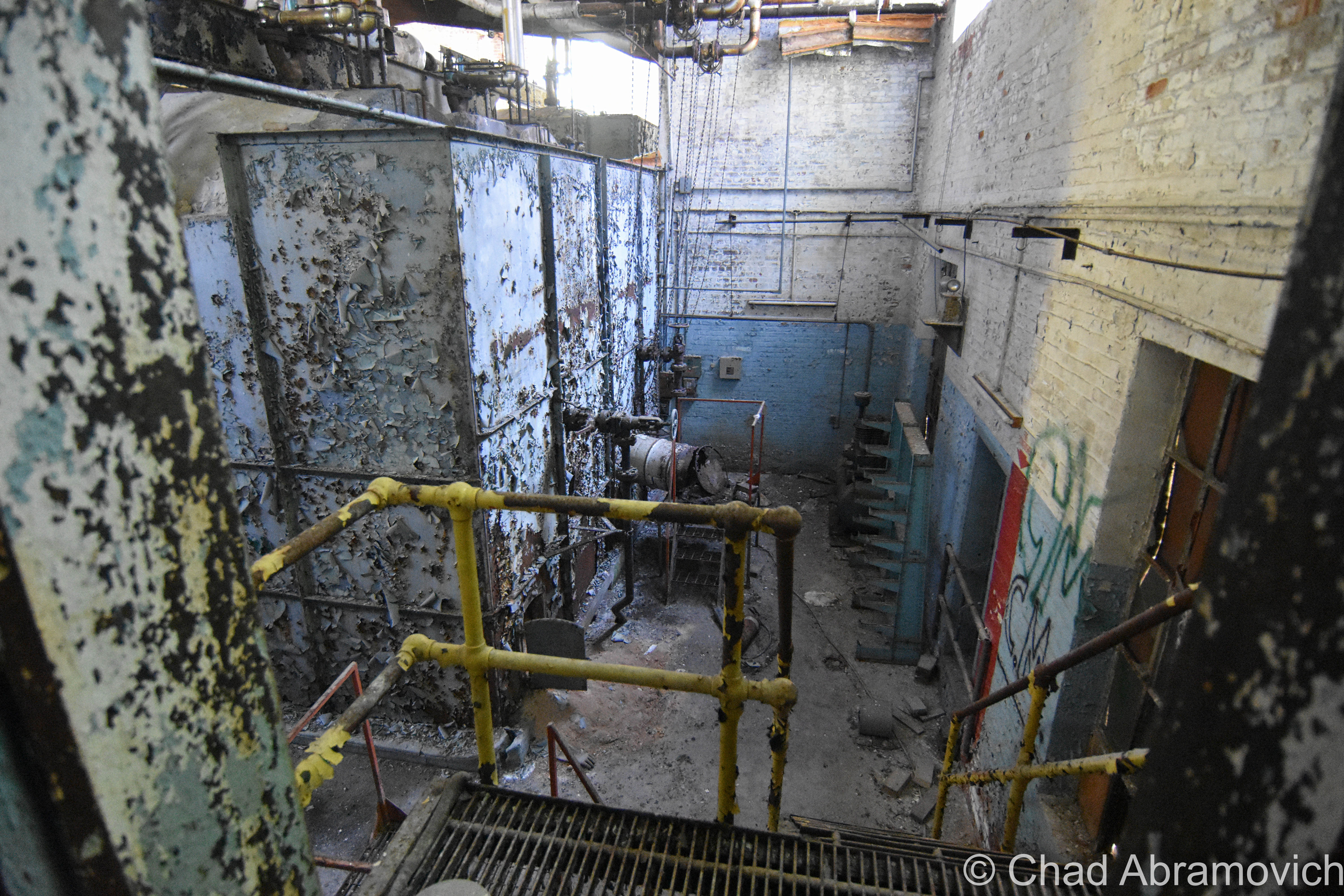
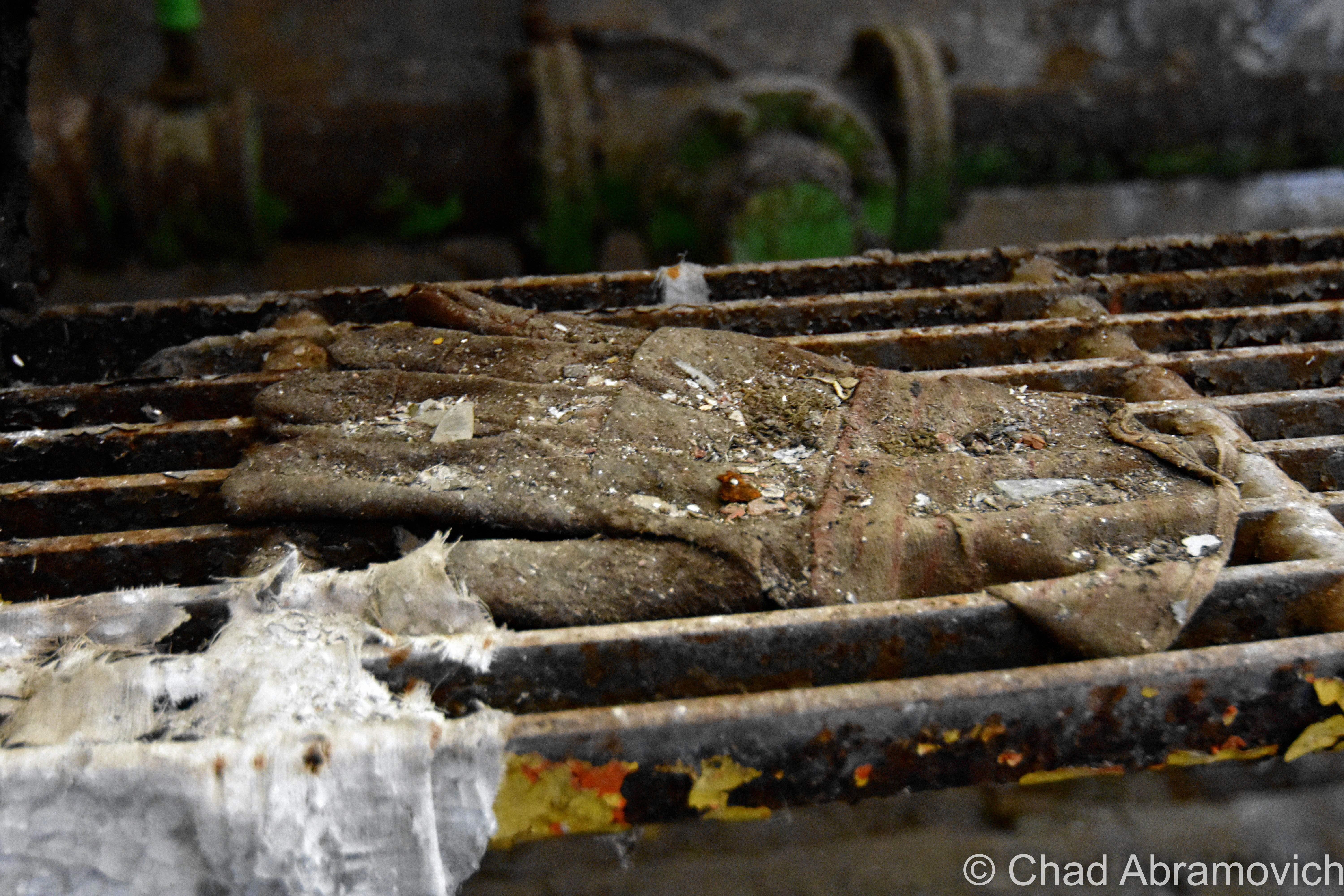
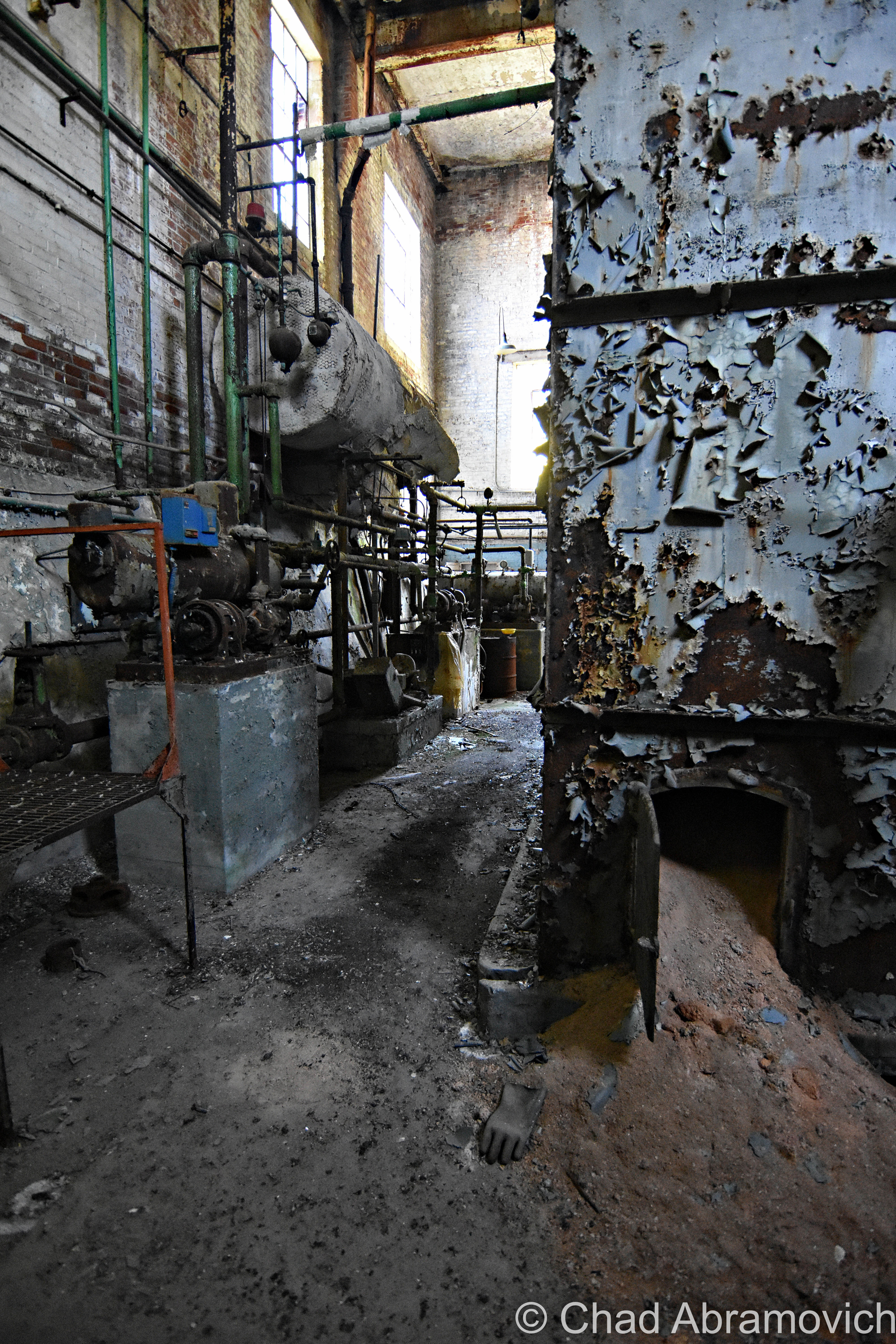
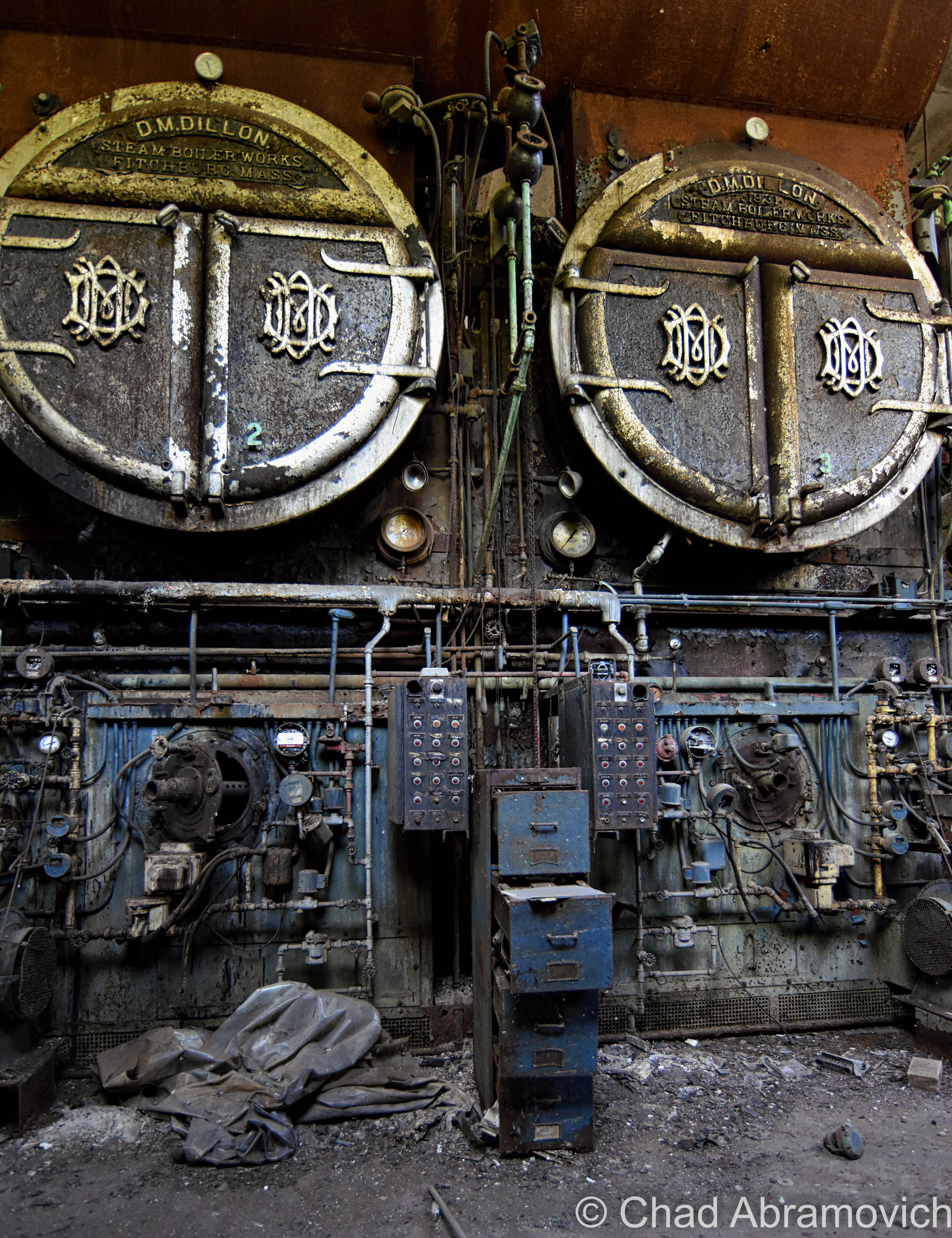
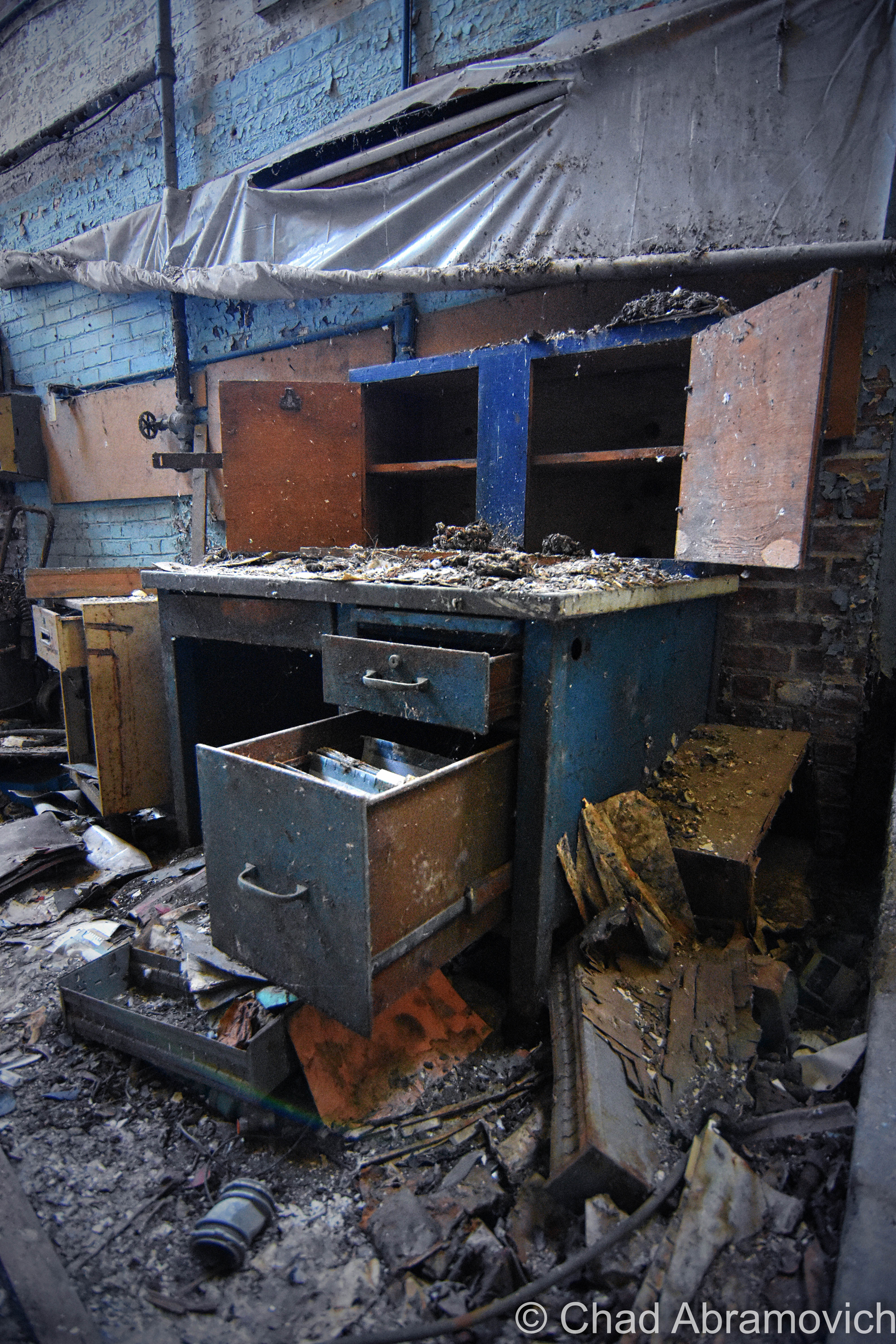
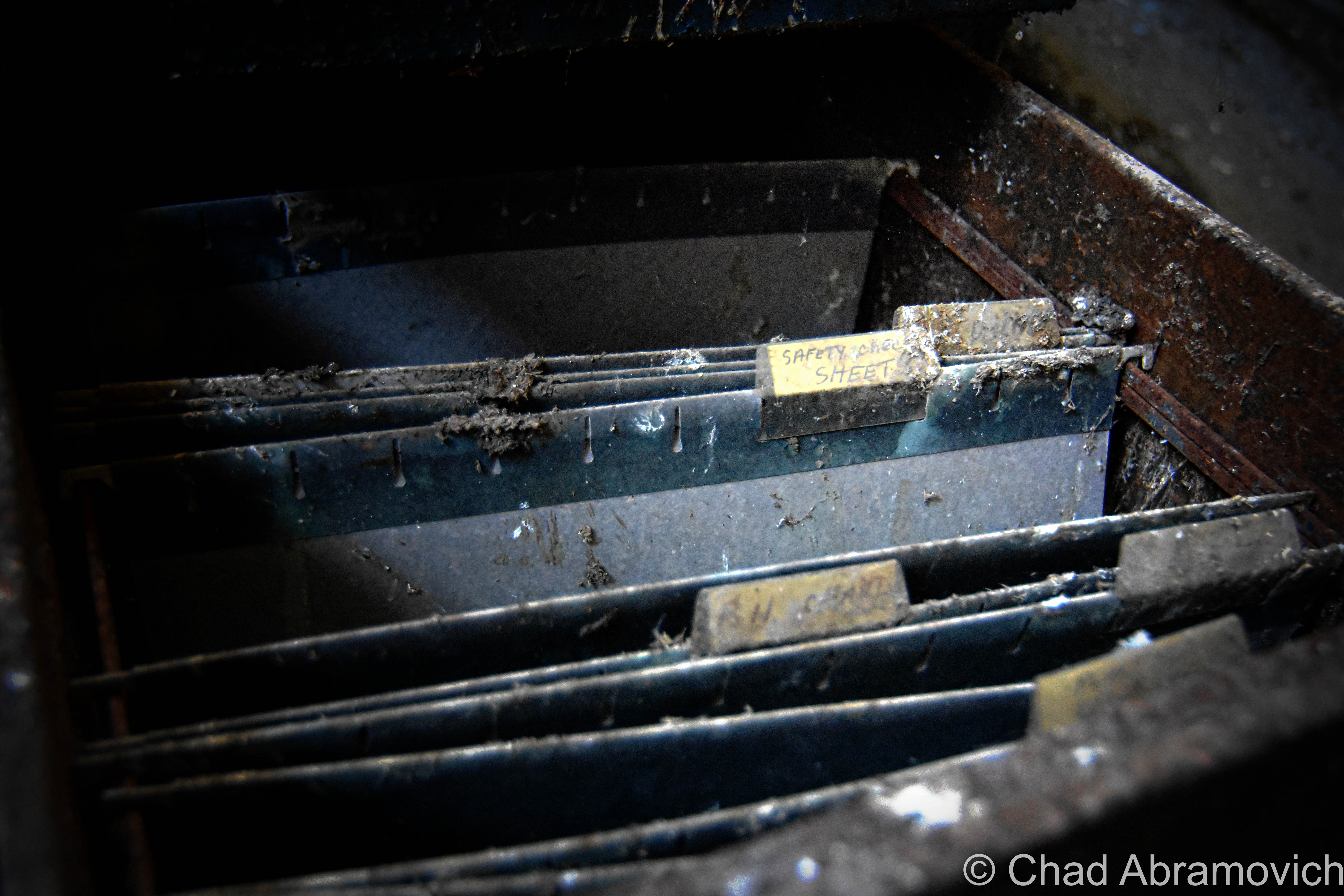
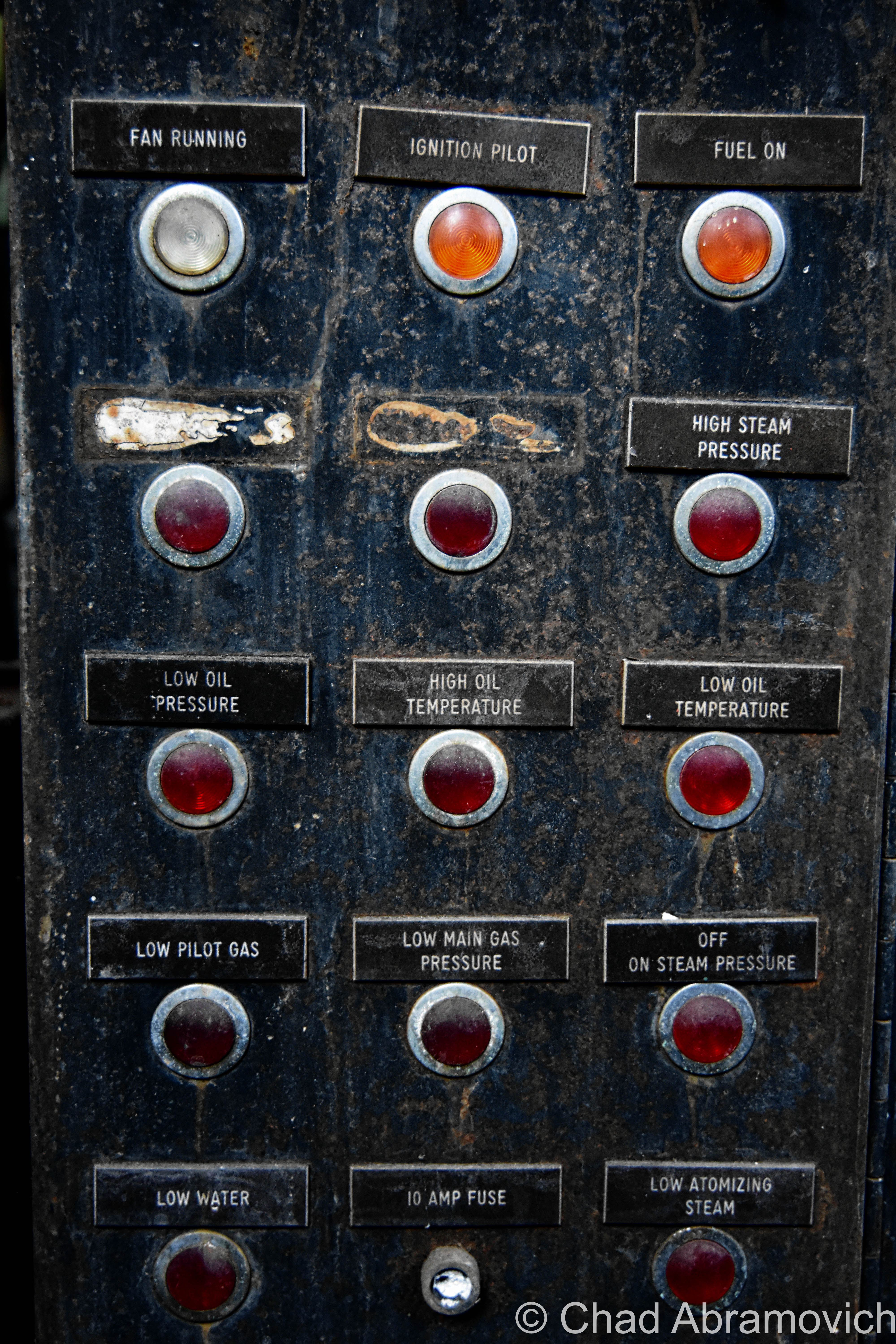
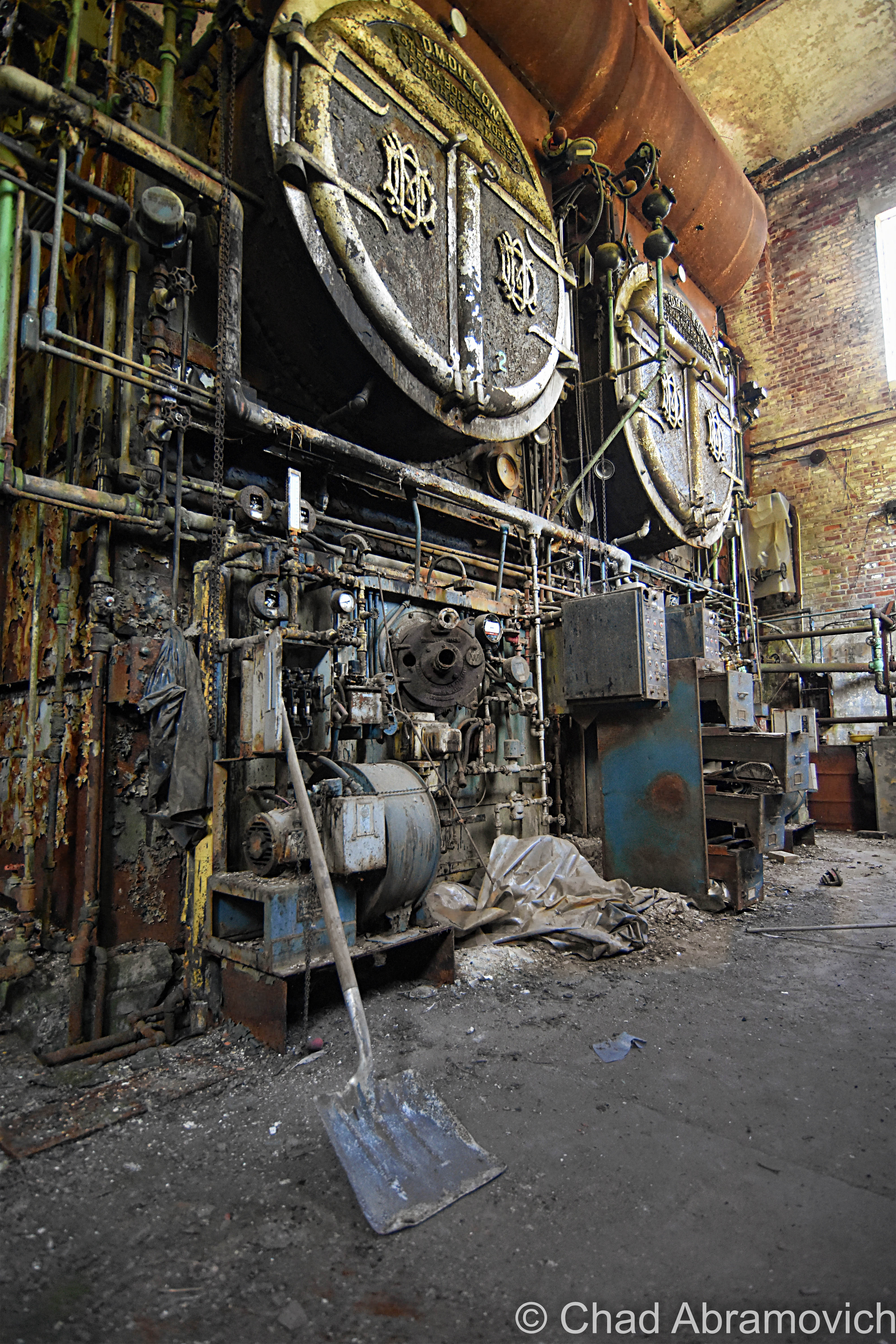
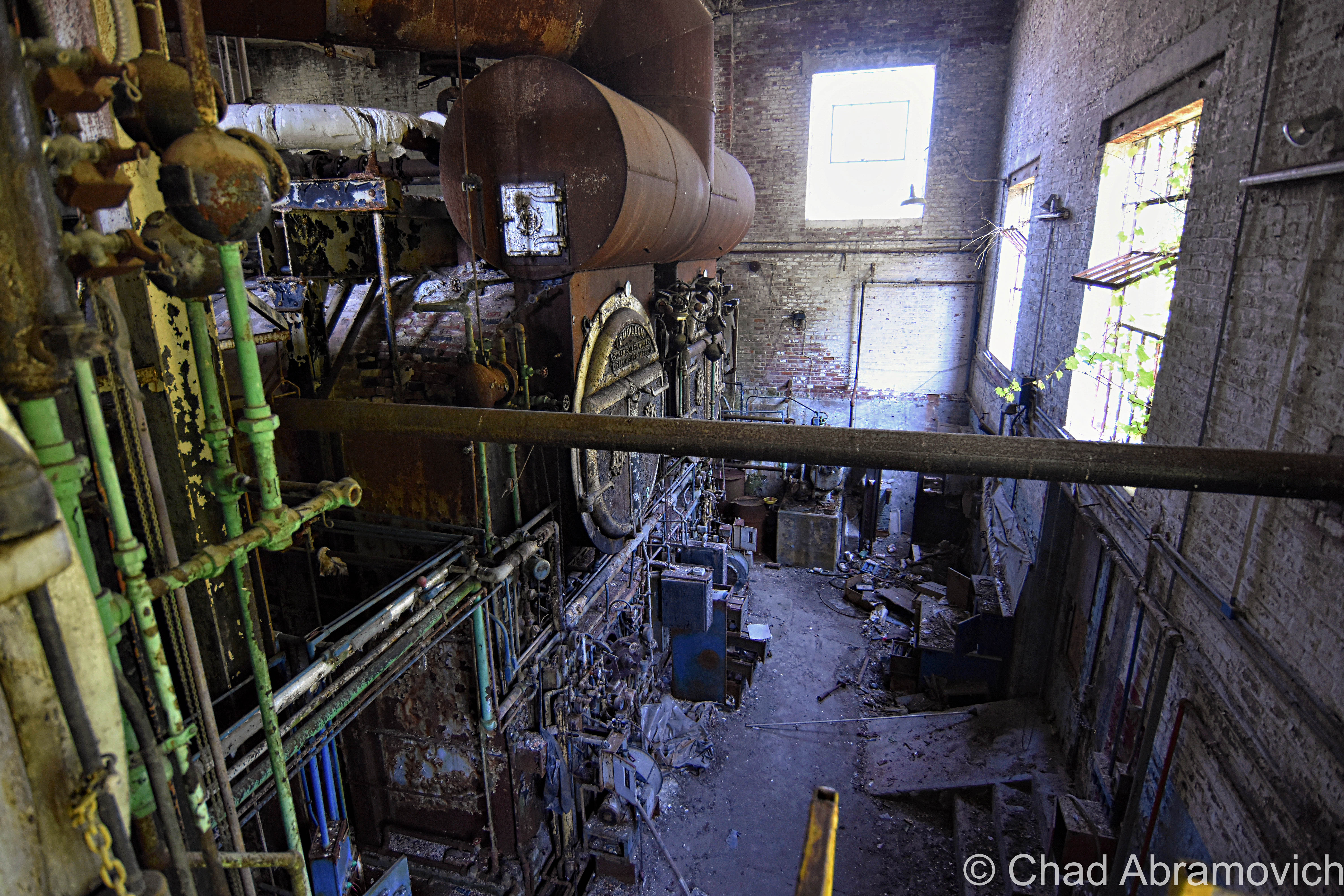
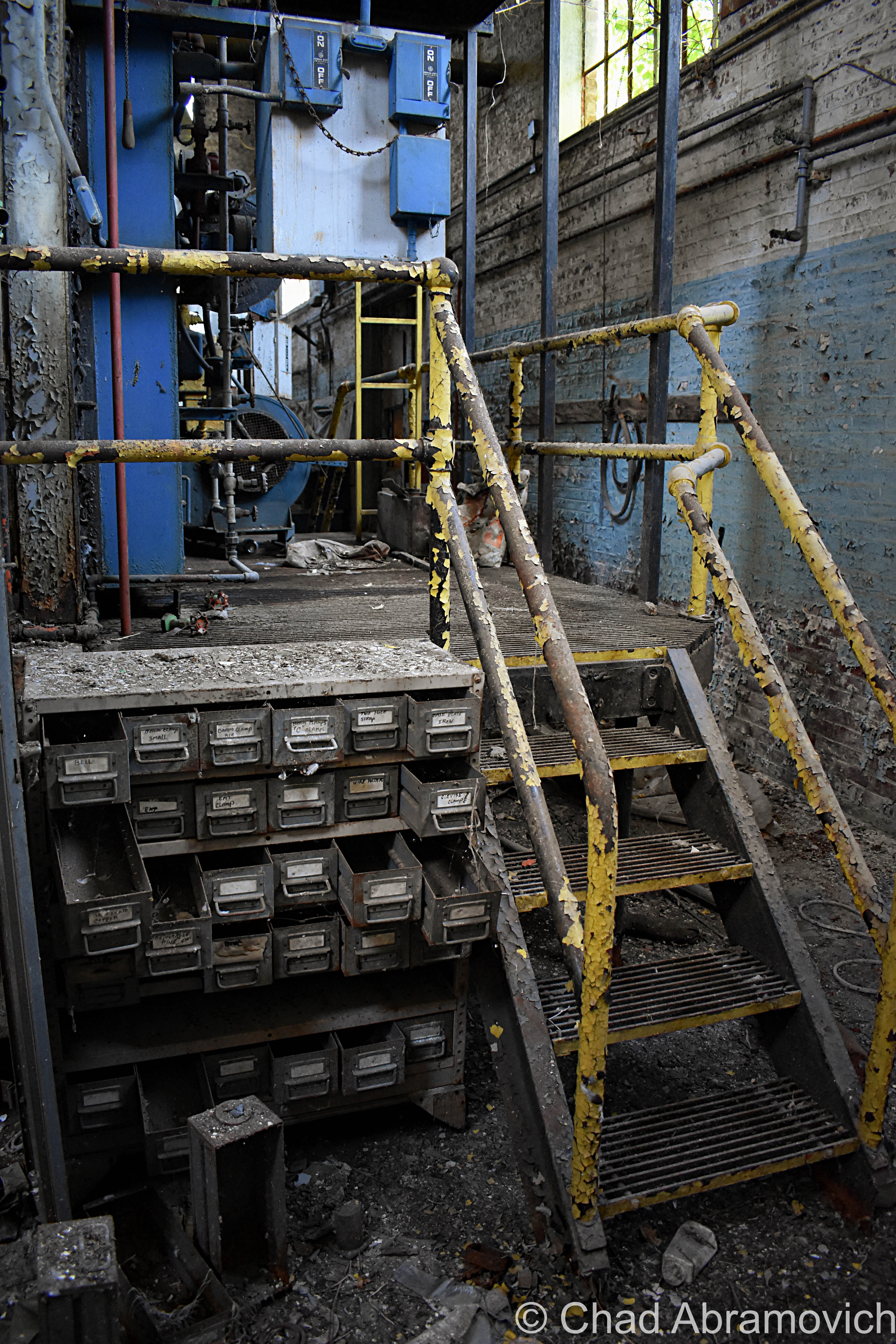
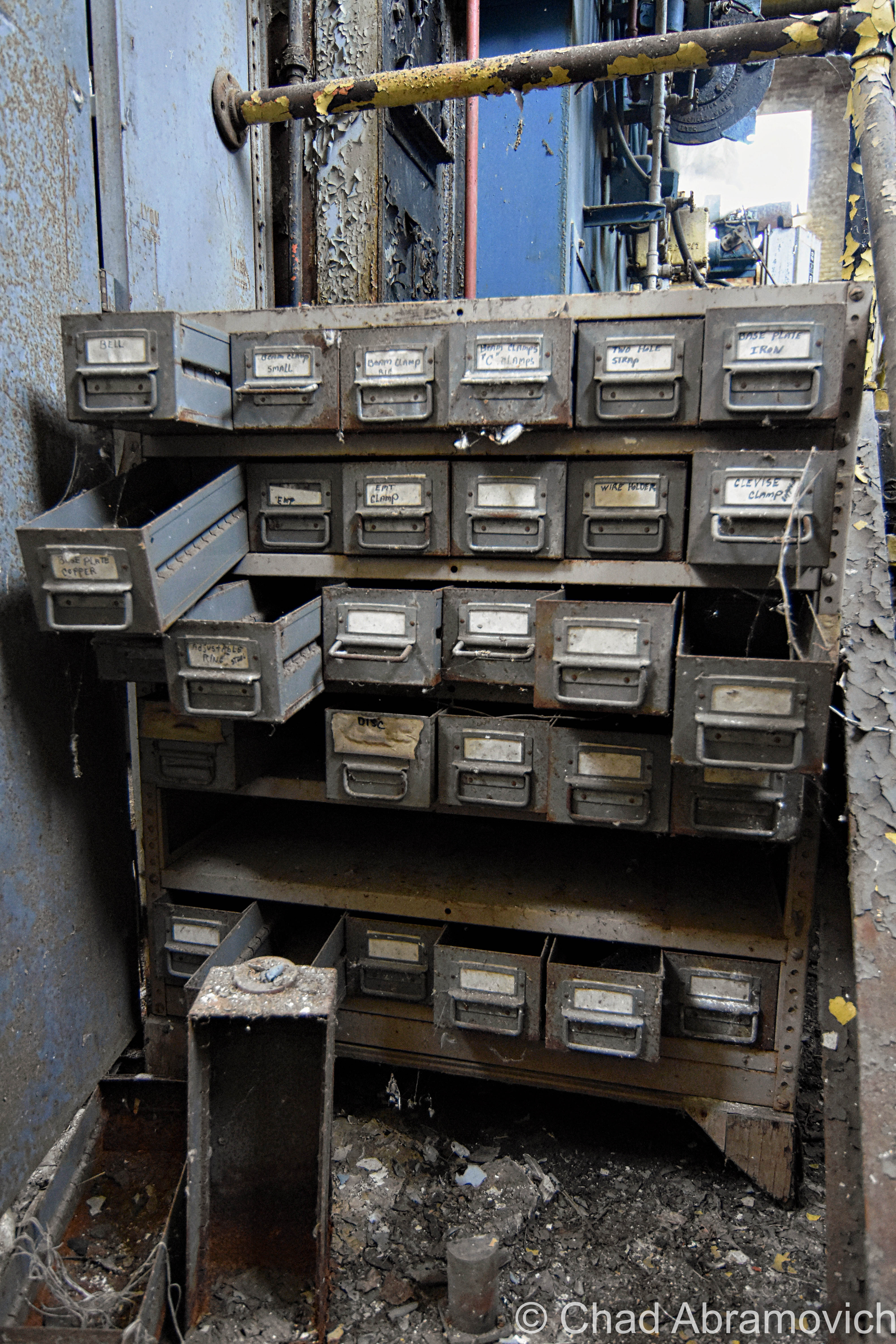
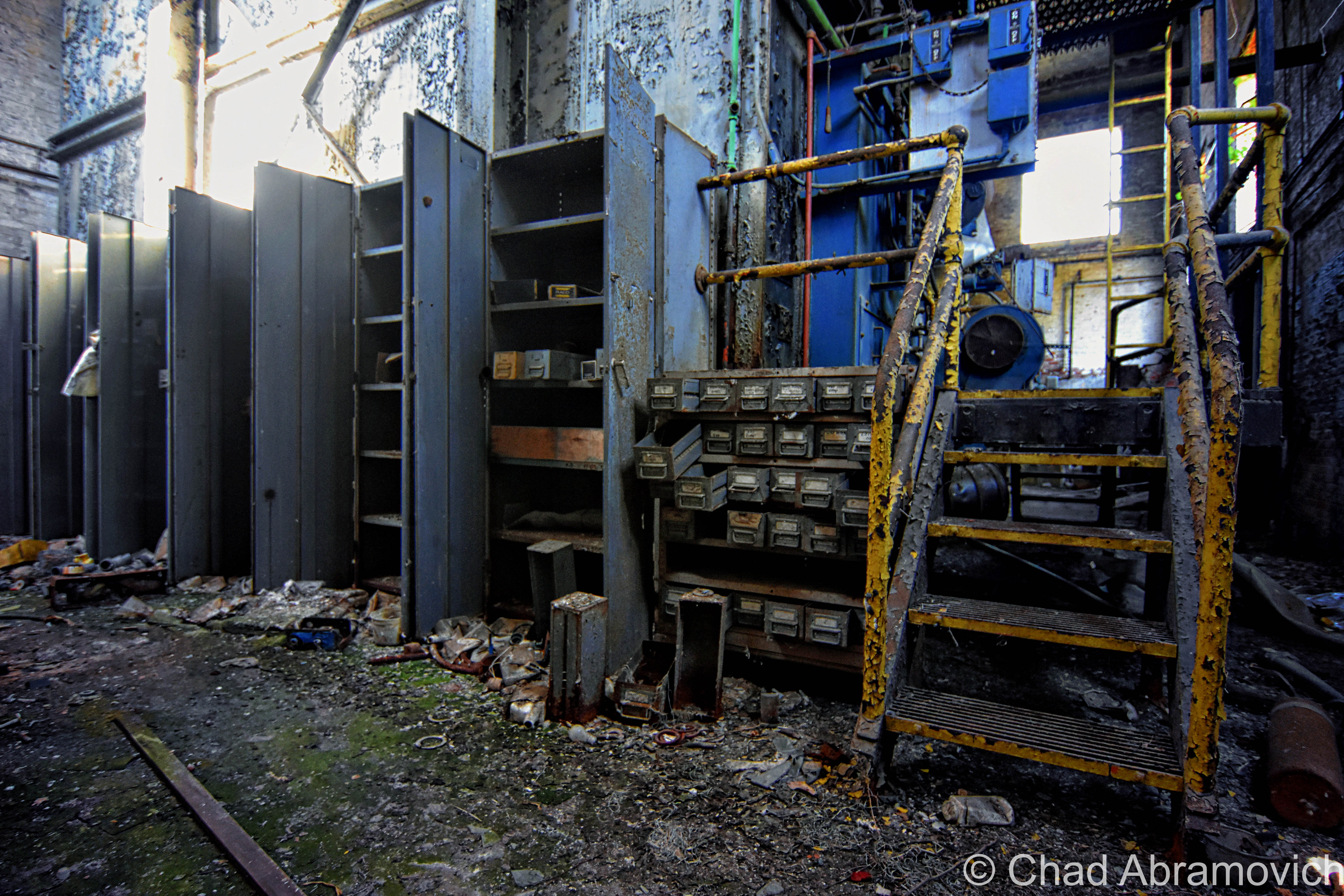
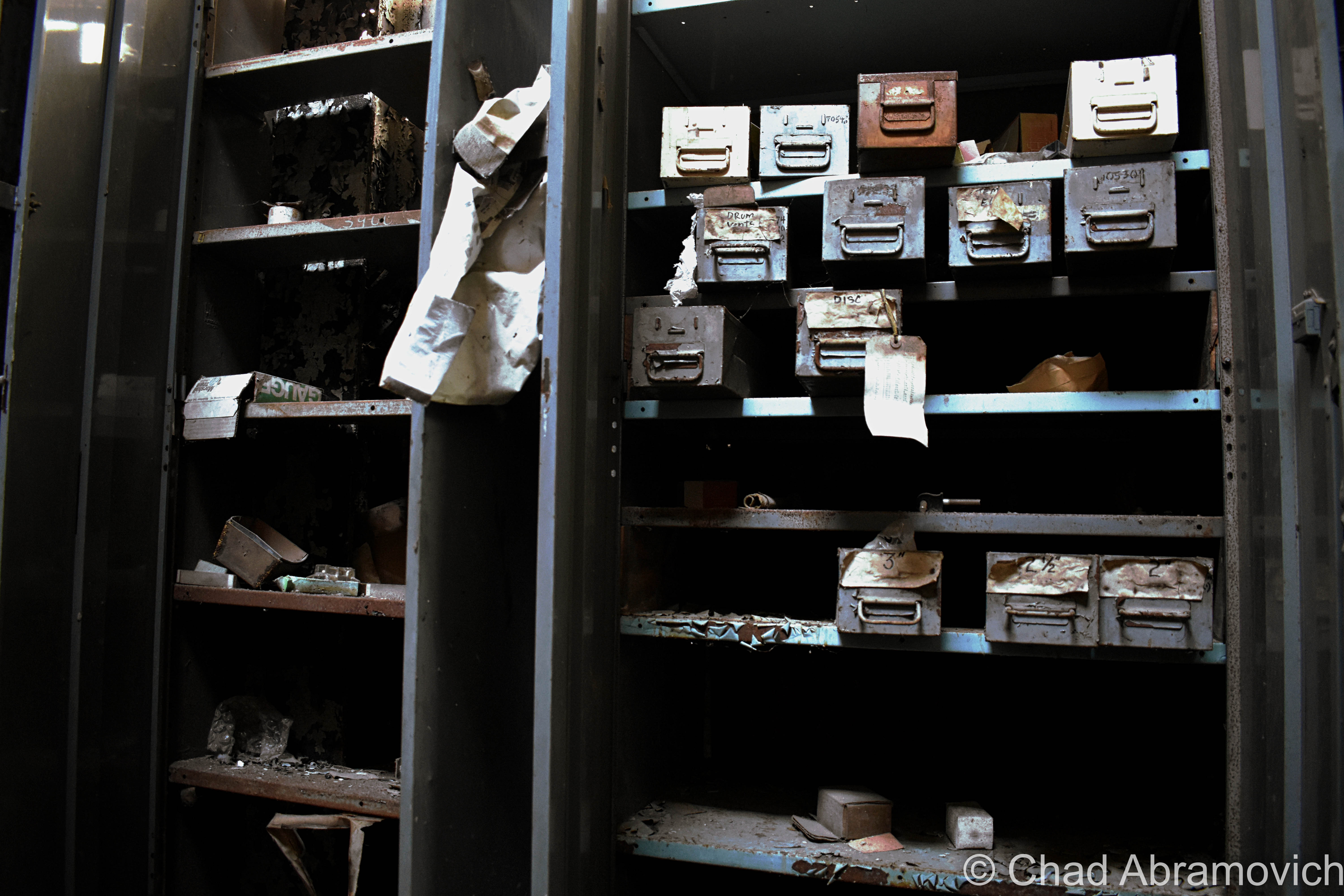
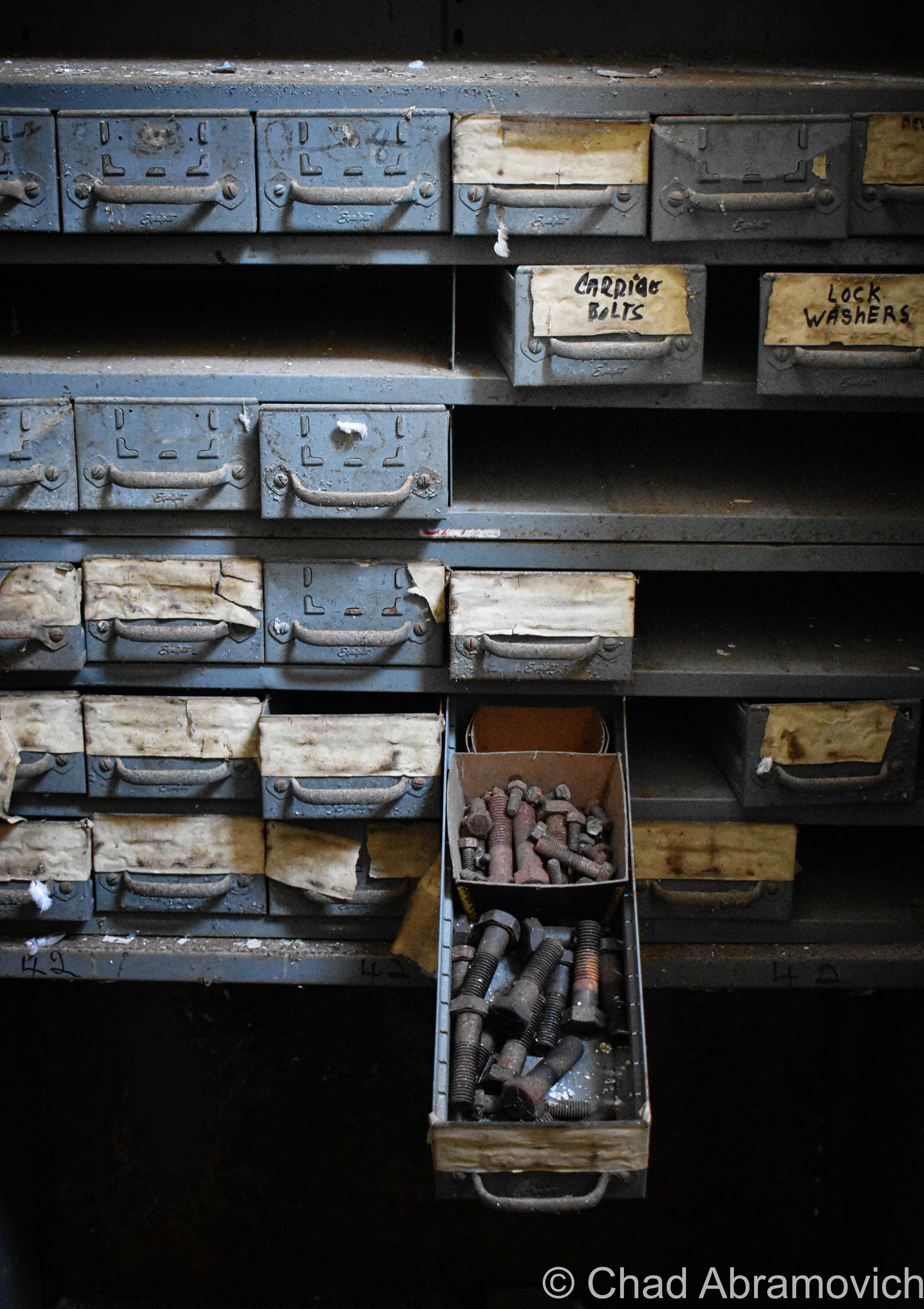
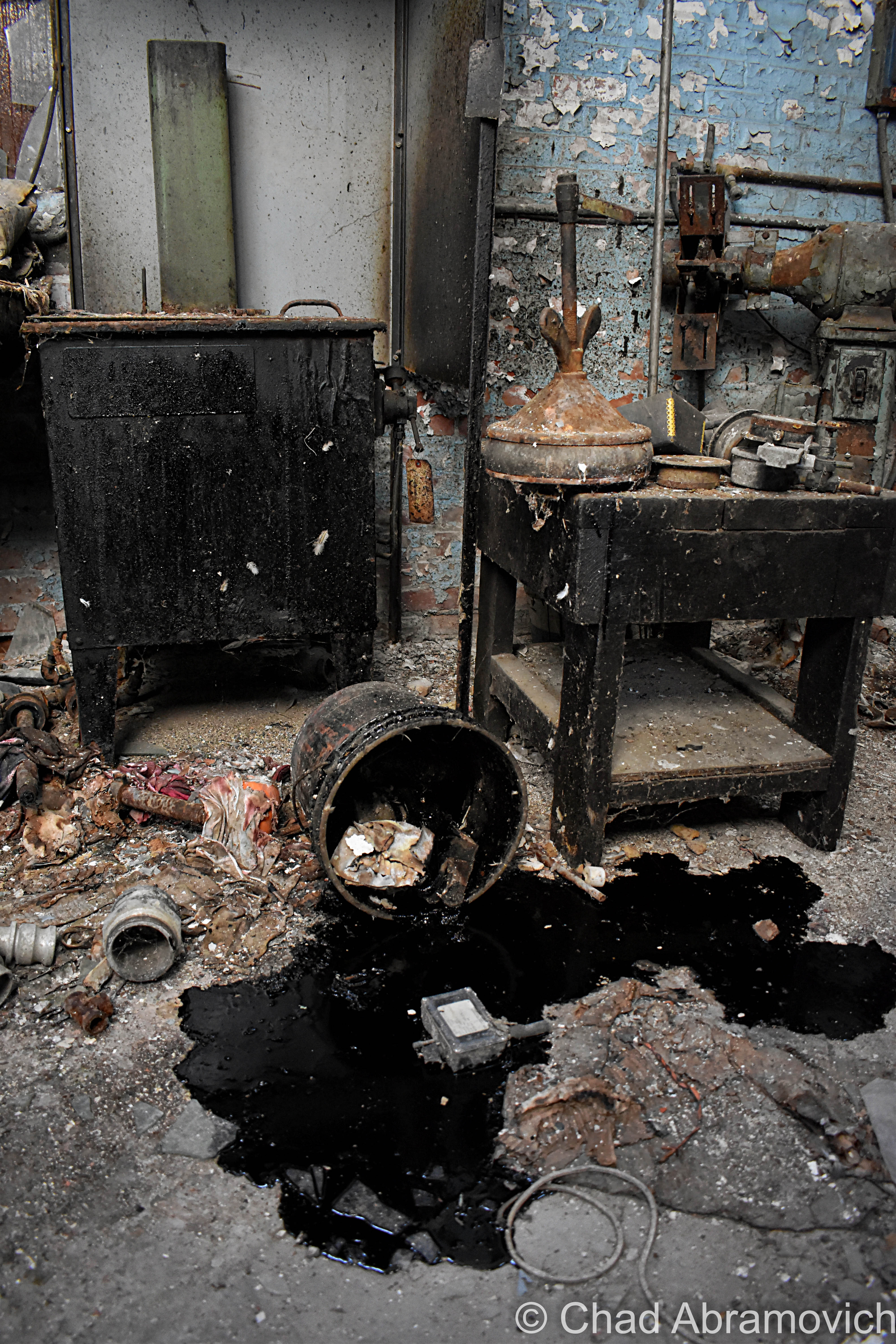
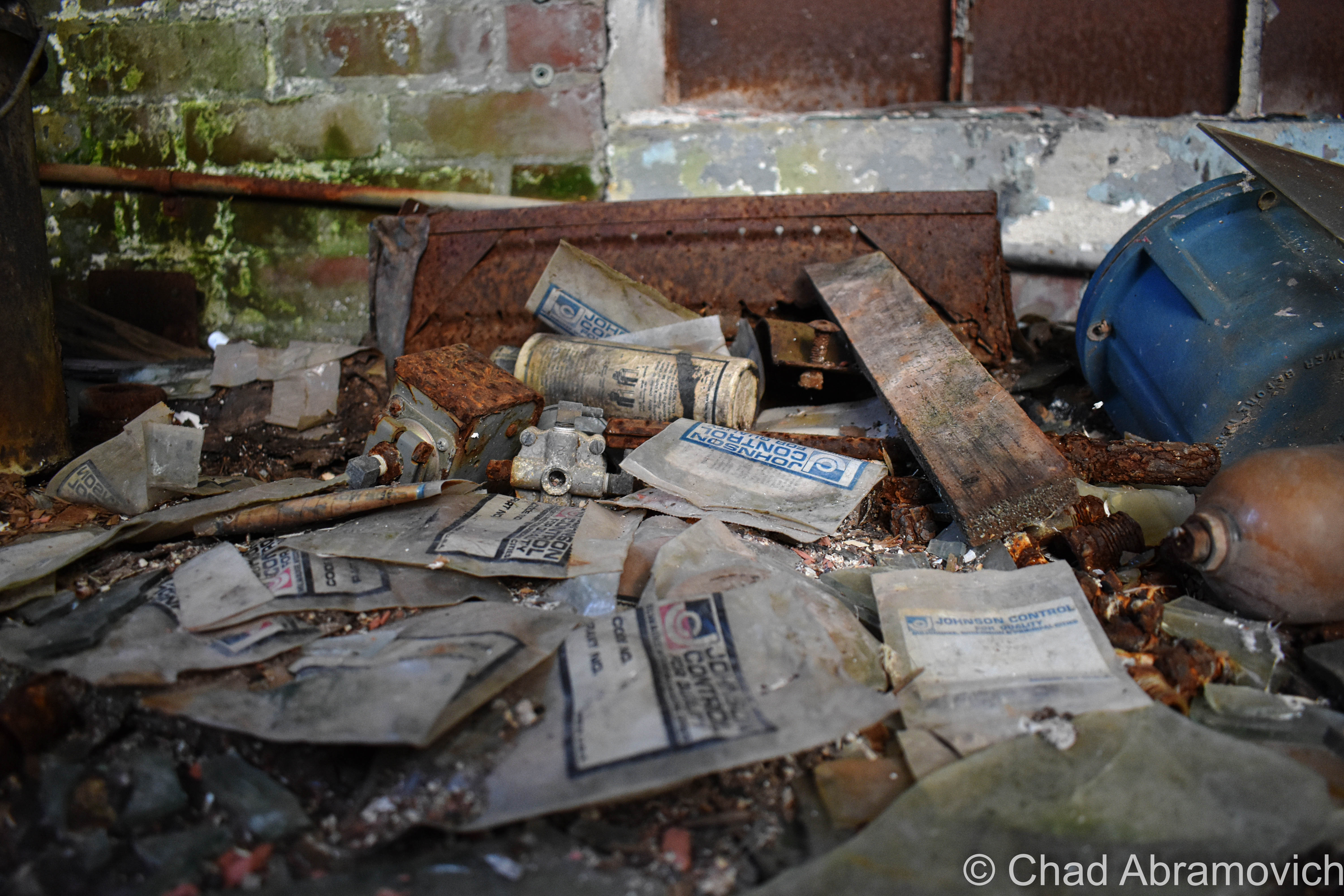
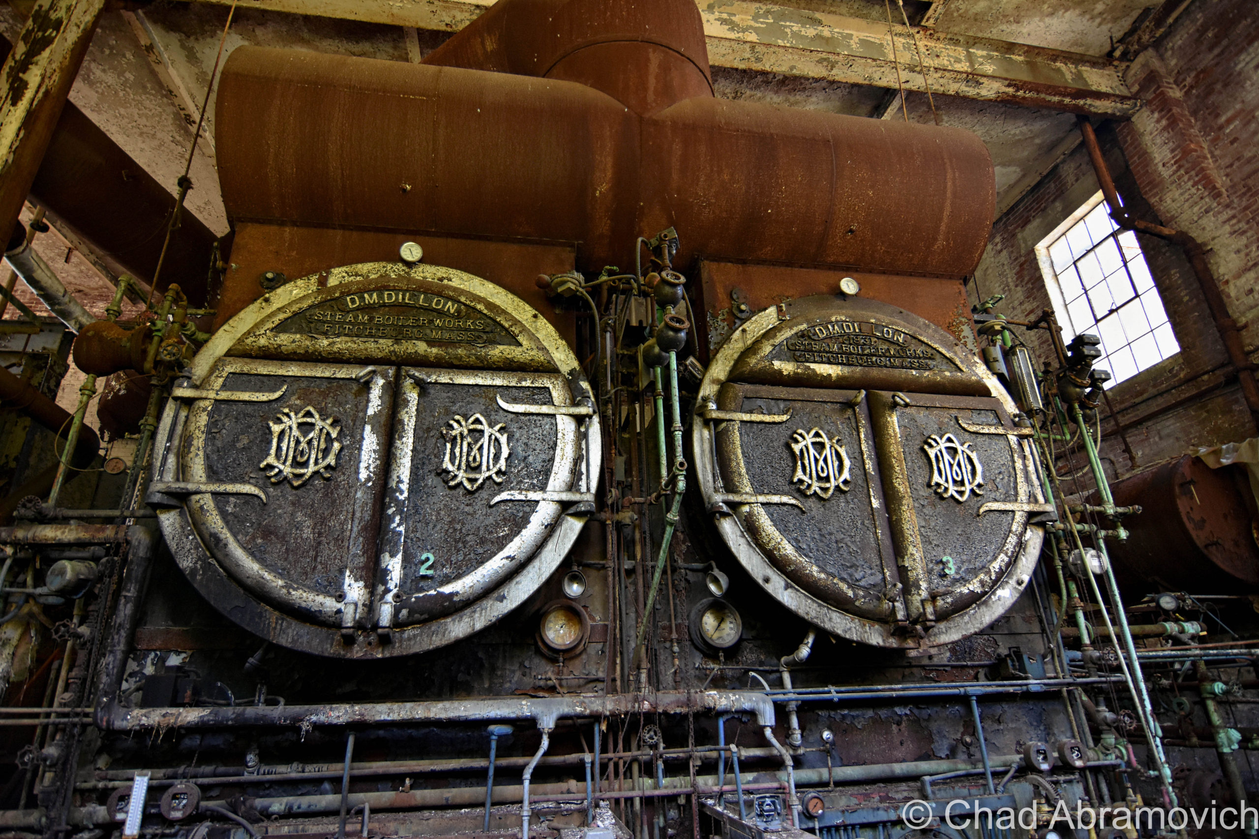
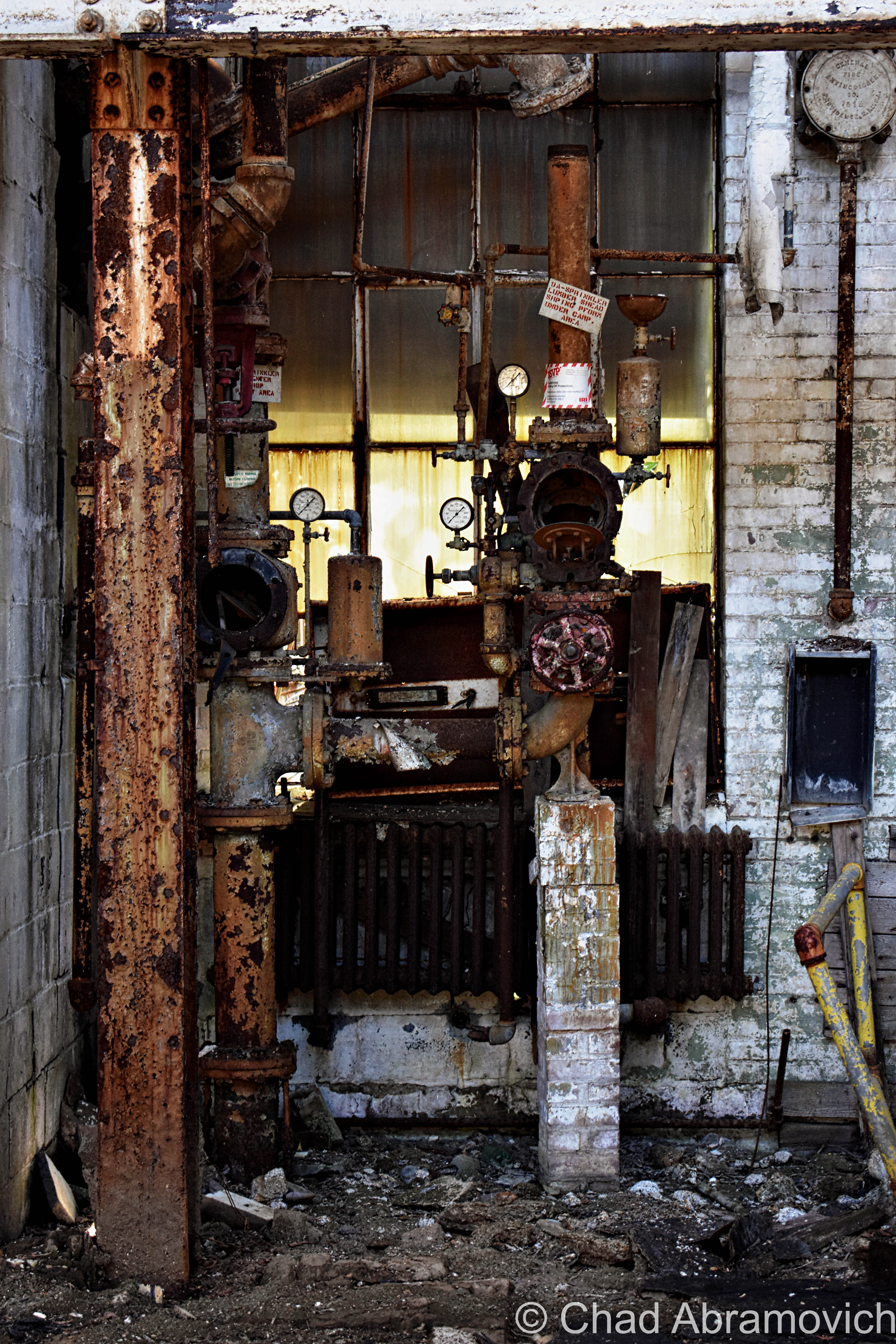
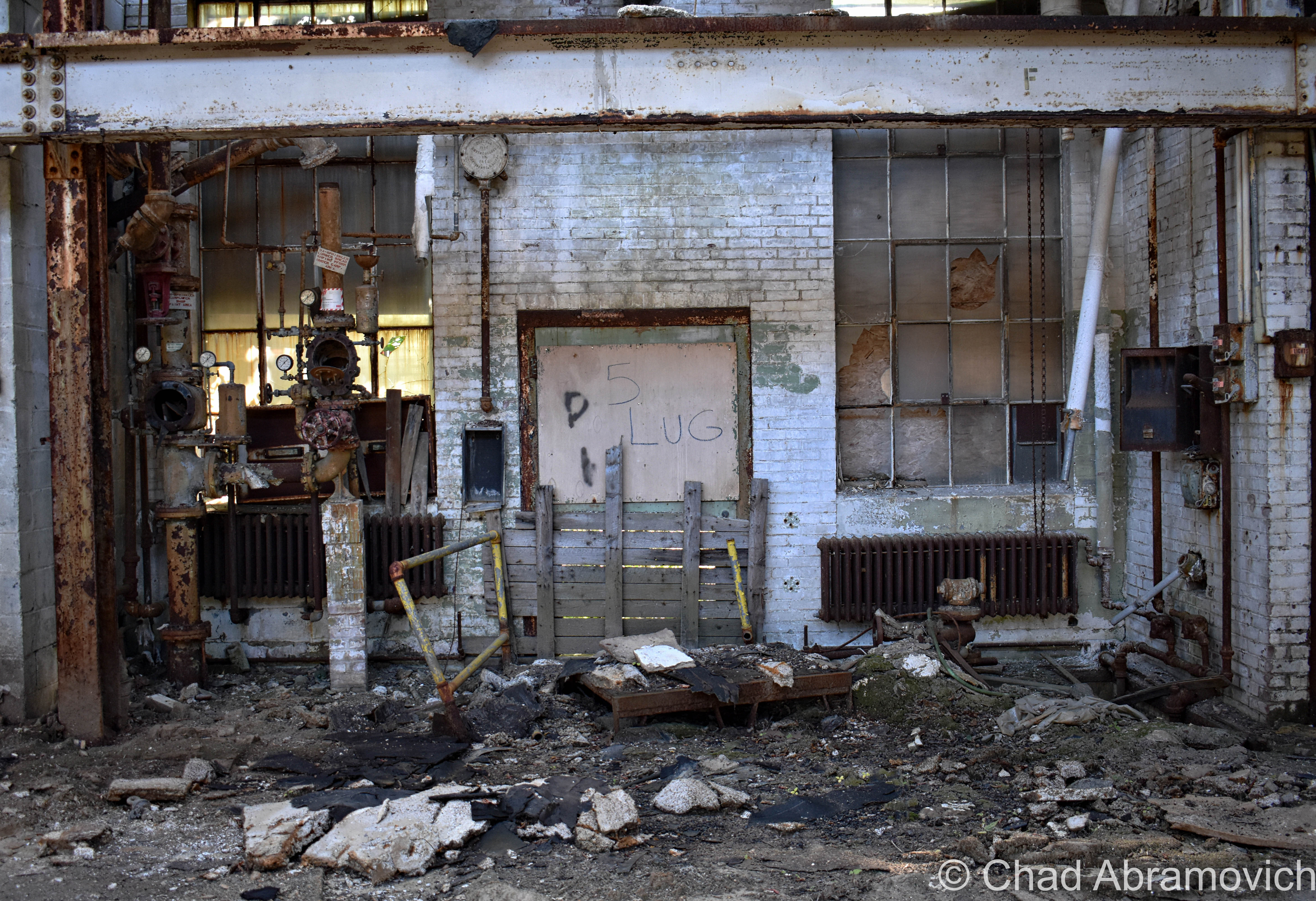
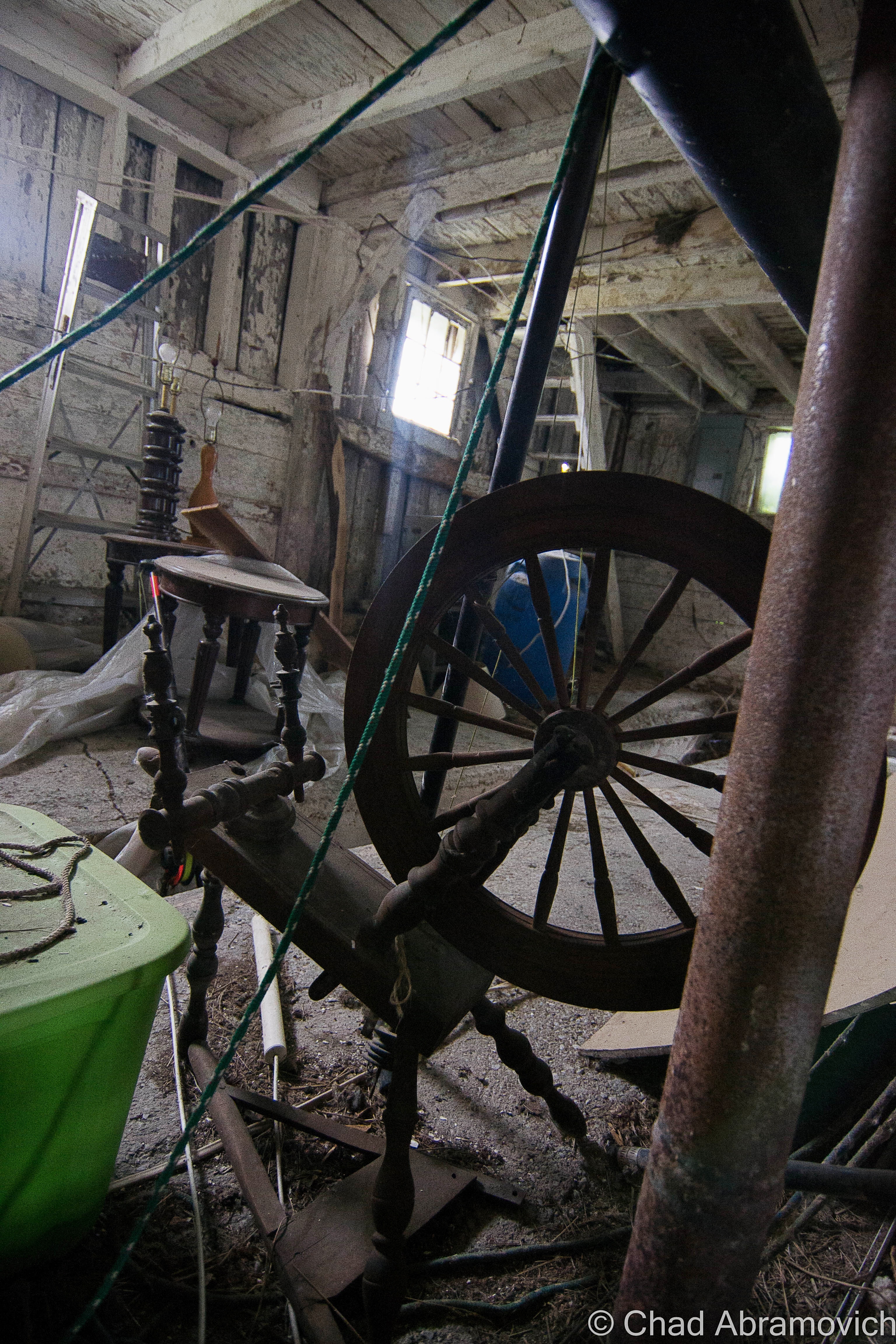
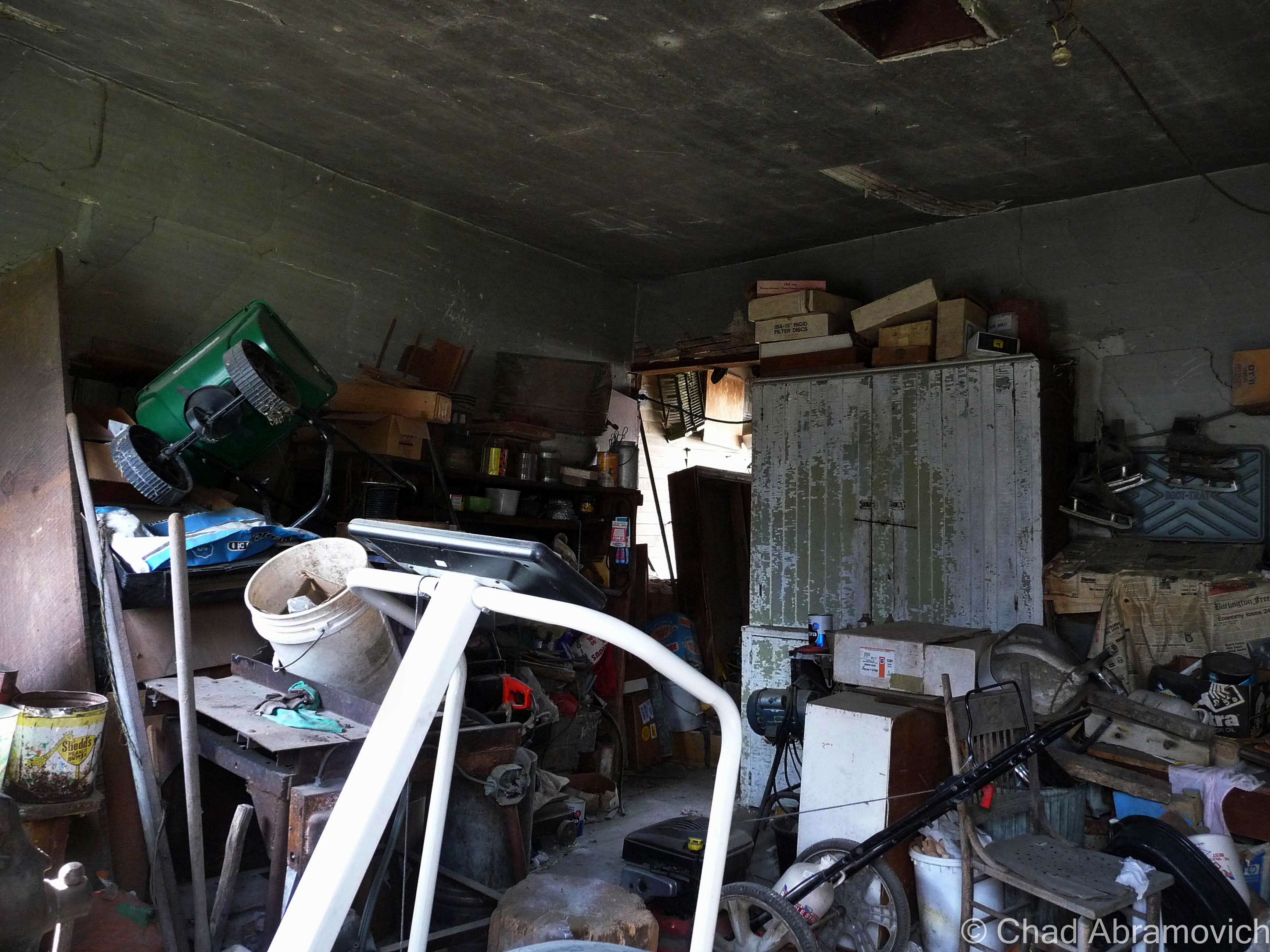
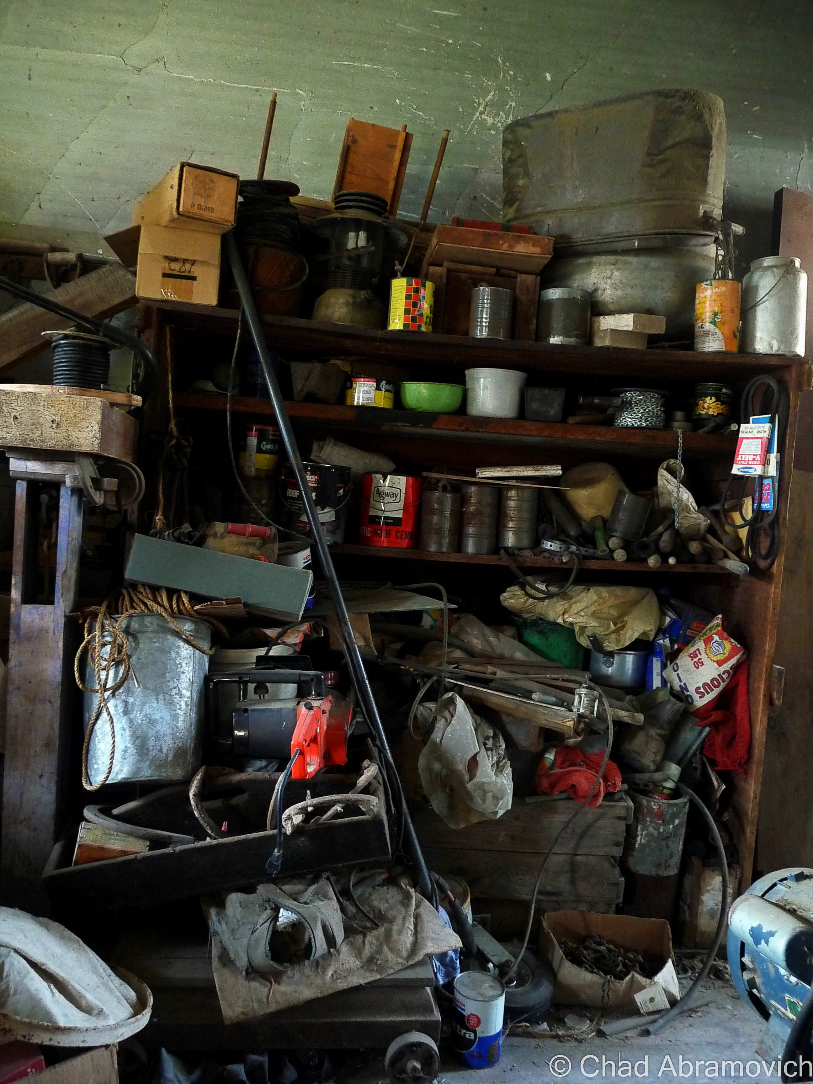
The power plant was a real unexpected treat, and my favorite portion of the grounds that we saw that day.  Unlike the main building, the generating station had most of its goodies still contained within drifting dust creating its own little universes in envelopes of light that scattered around the brawny boilers that were from an era that built things to last, and scores of gauges. Floors with hummocks of lead paint flakes and dirt. Desks and chests of drawers were still cluttered with miscellany and workshop brick-a-brack. This was definitely a pleasure to point my camera at.
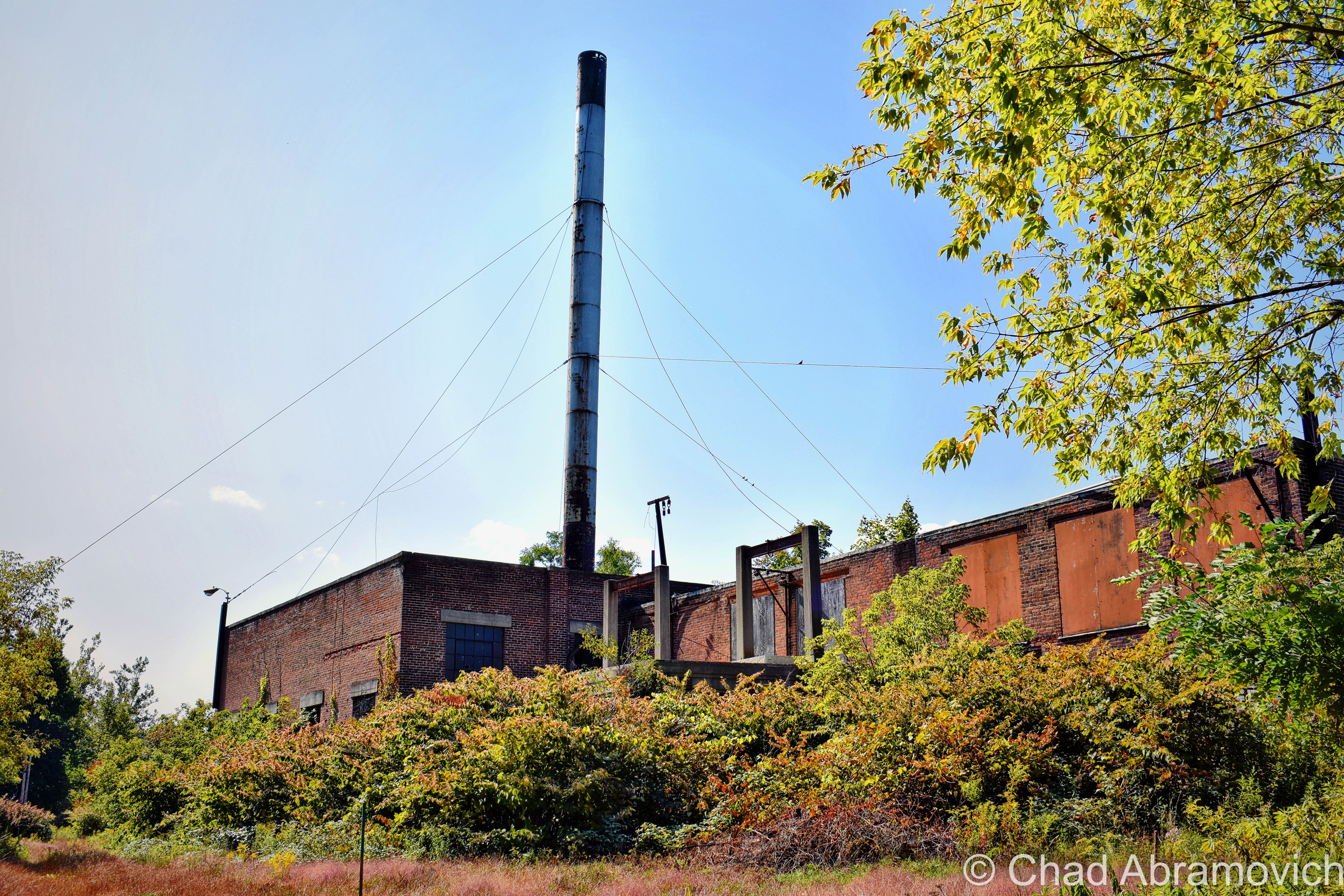
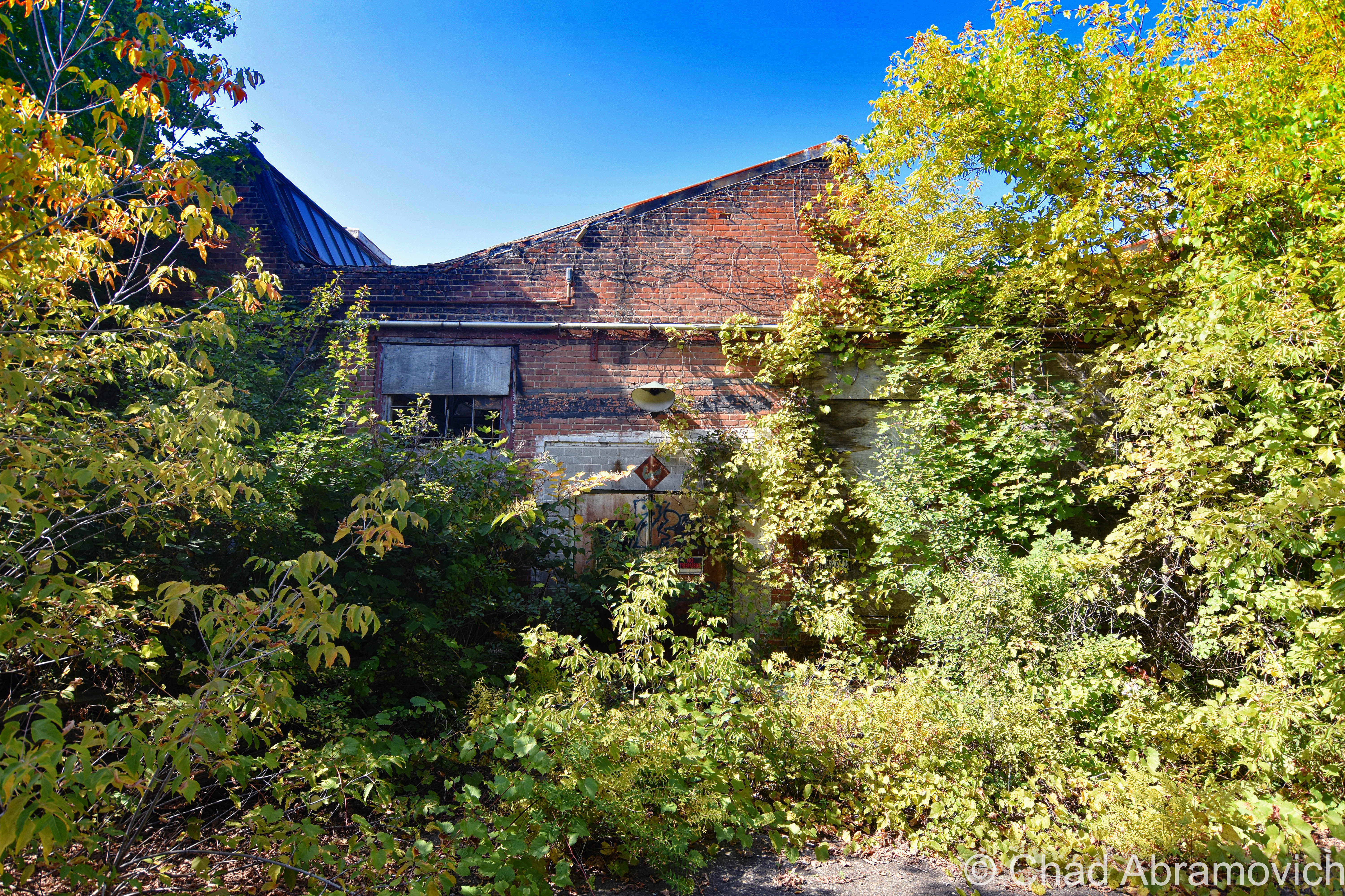
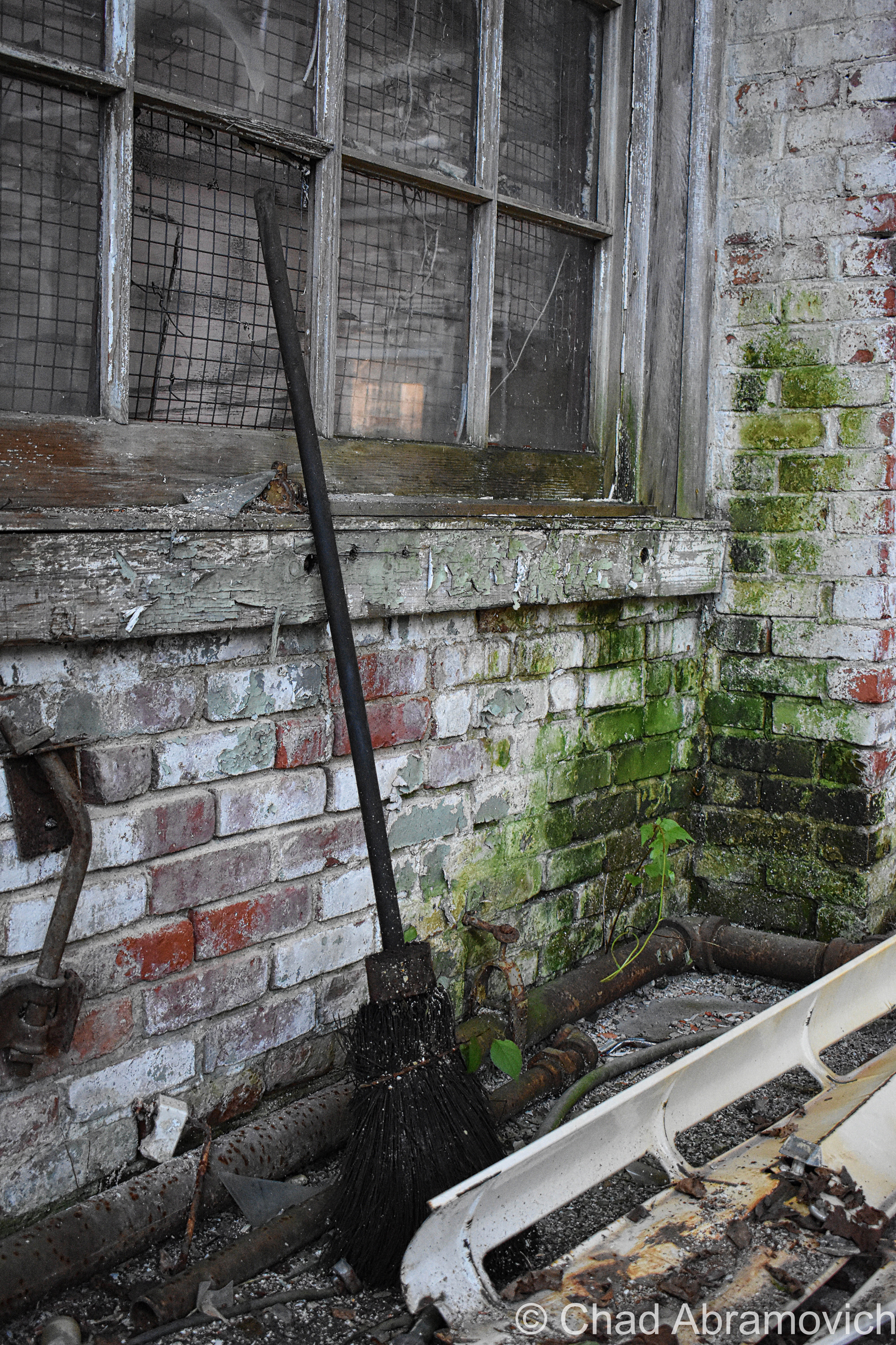
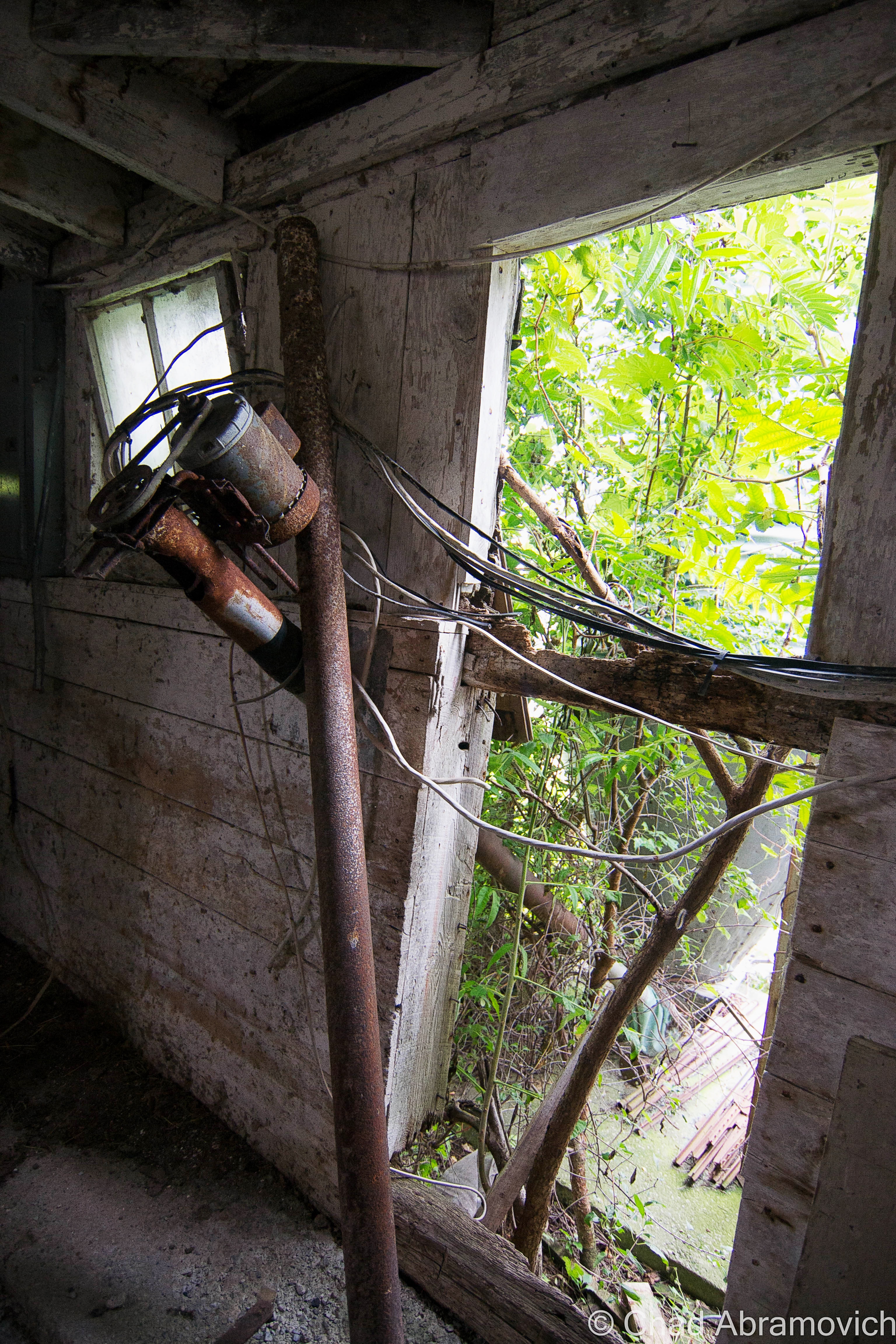
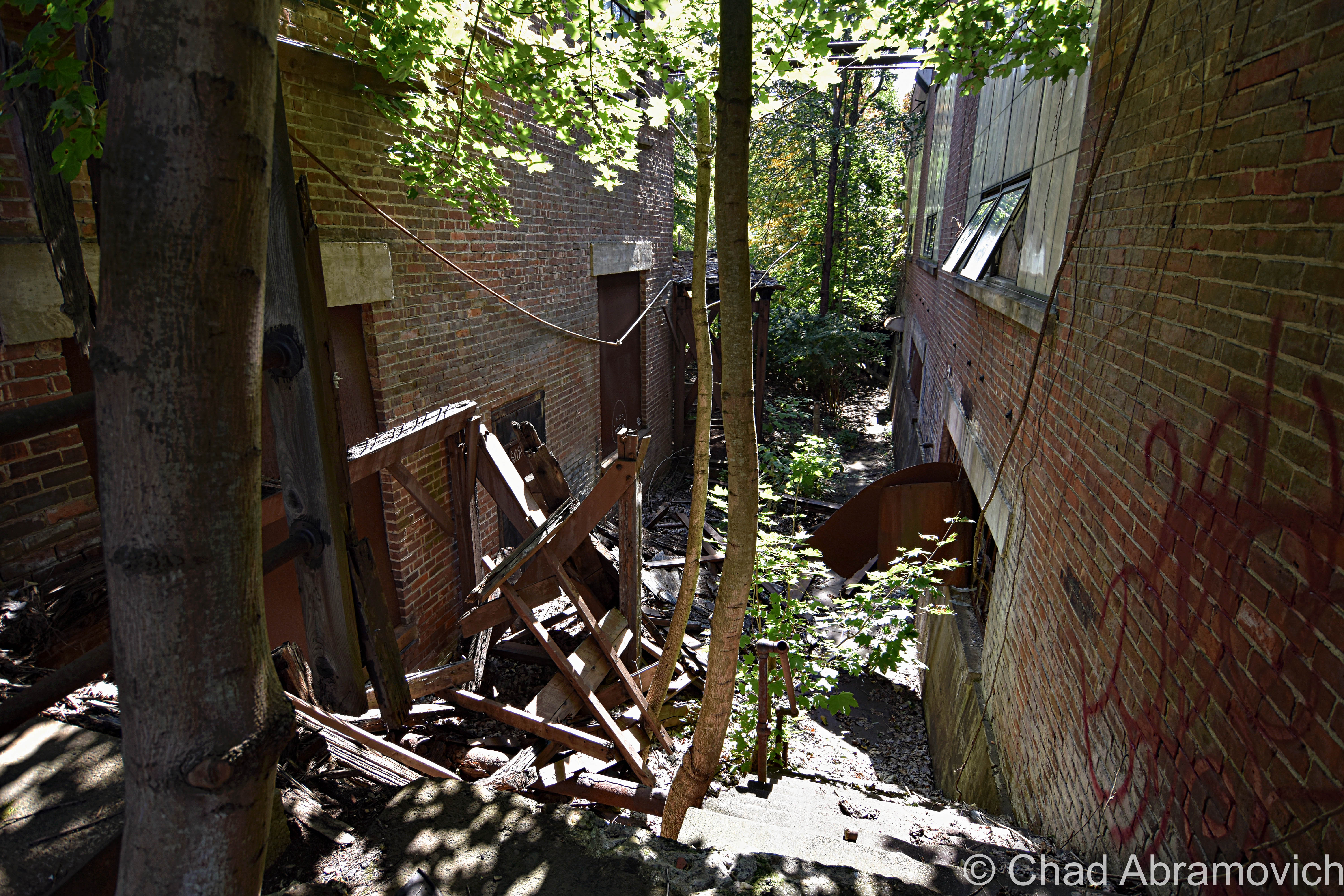
Afterward, we entered the jungle that has consumed the back fringes of the main building – found our way down a forgotten concrete staircase that was being slowly crumbled by encroaching trees that we were constantly shielding from smacking us in our faces, inside an outbuilding that had totally fused with nature, and contorted through a broken window.

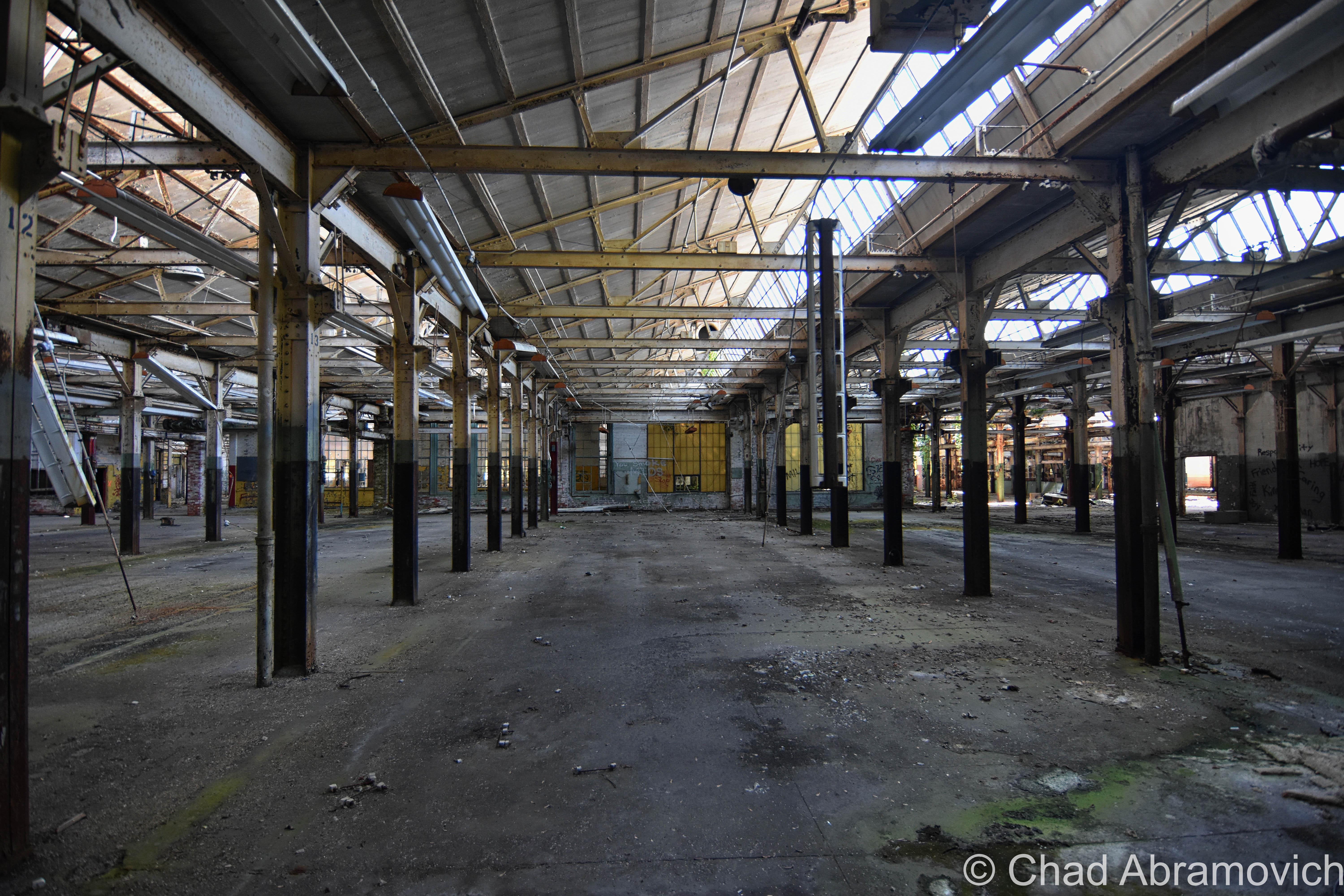
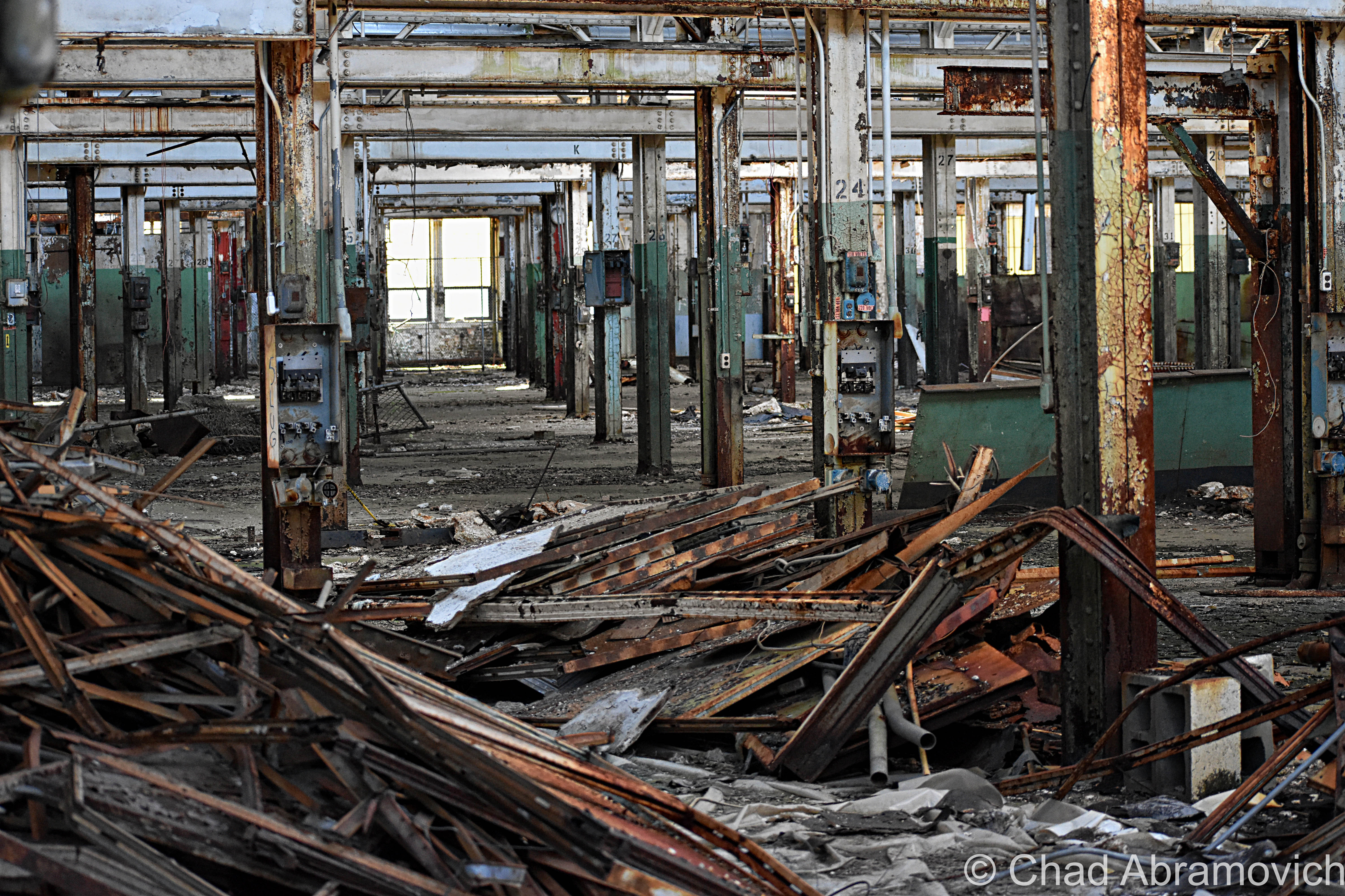
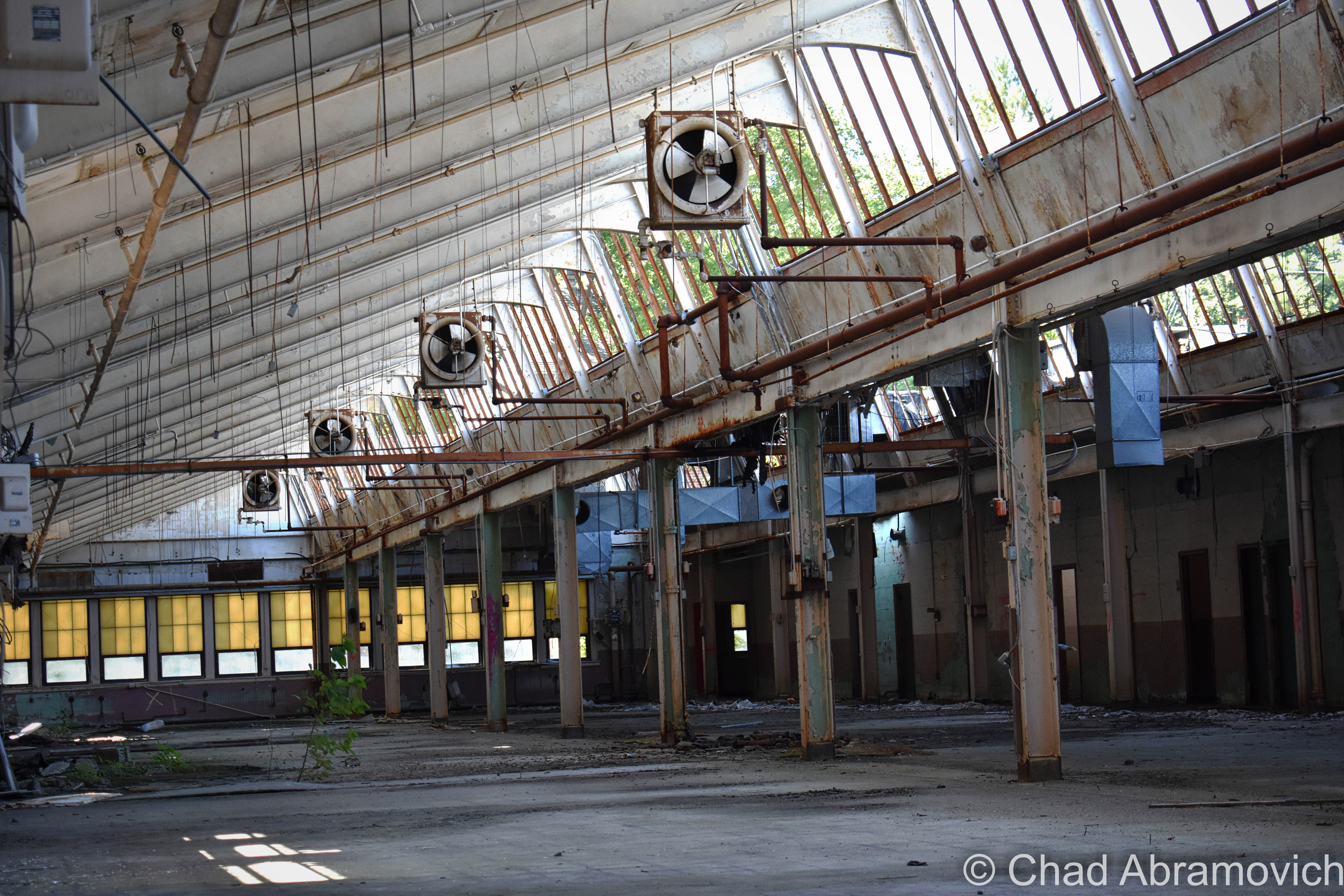
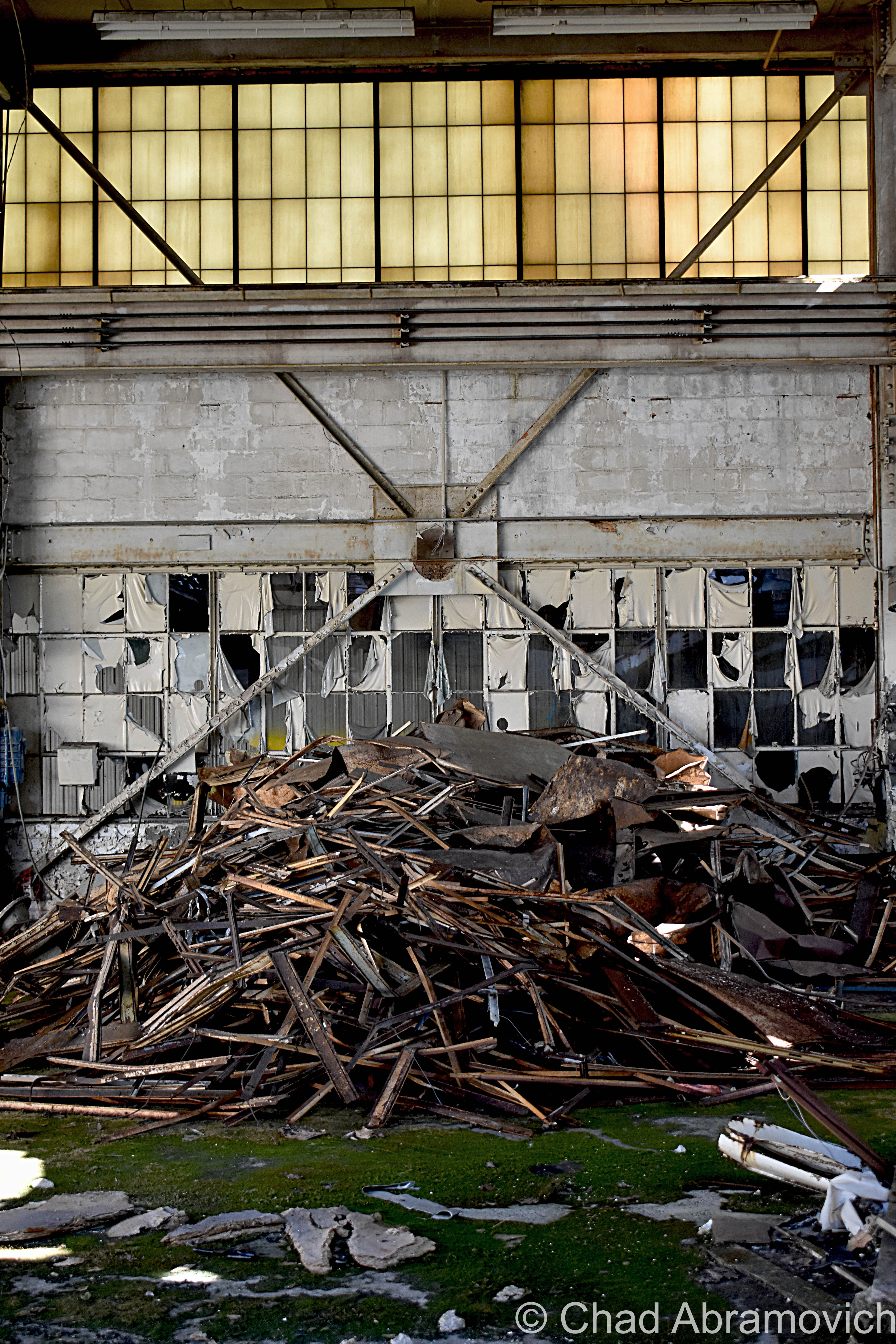
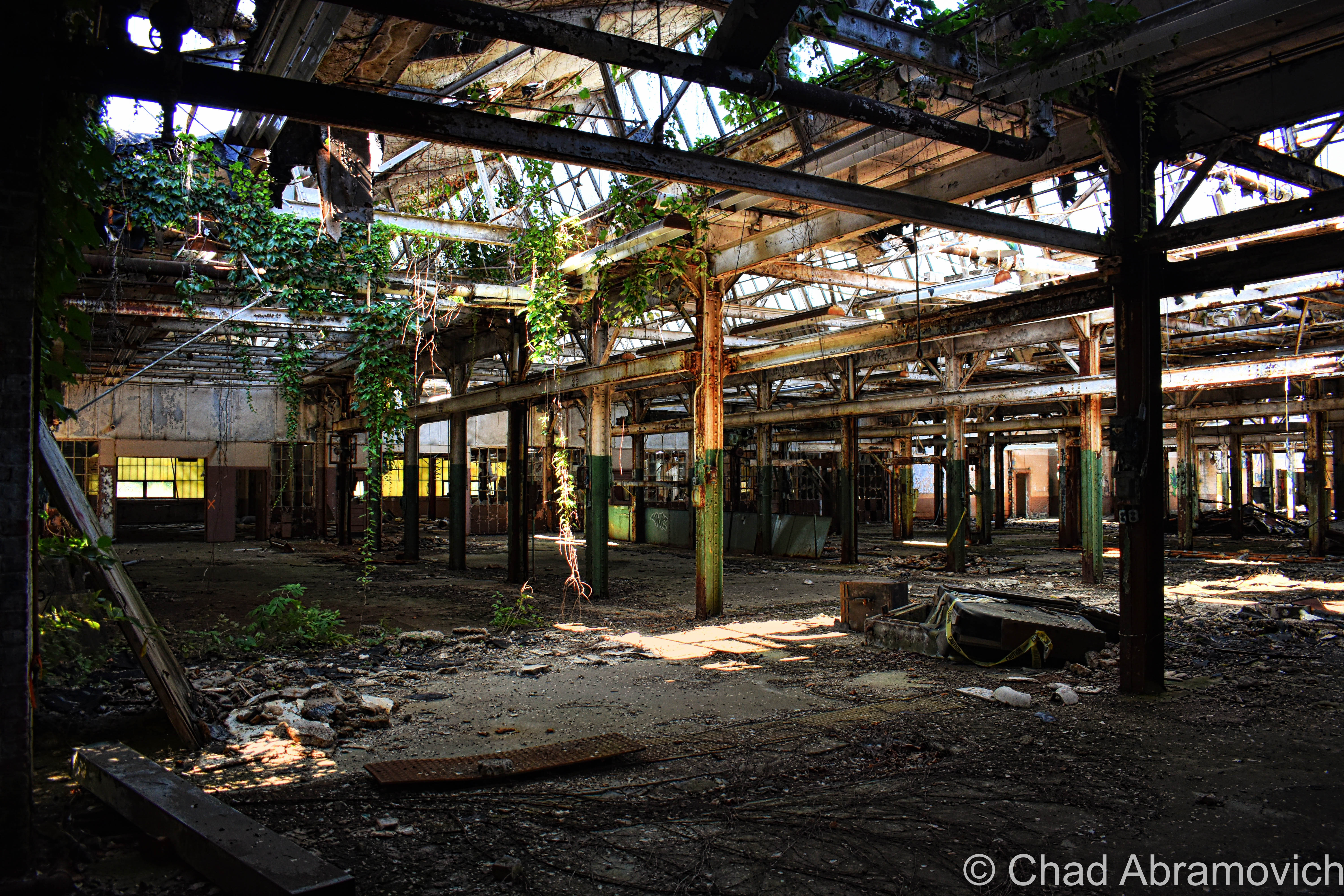
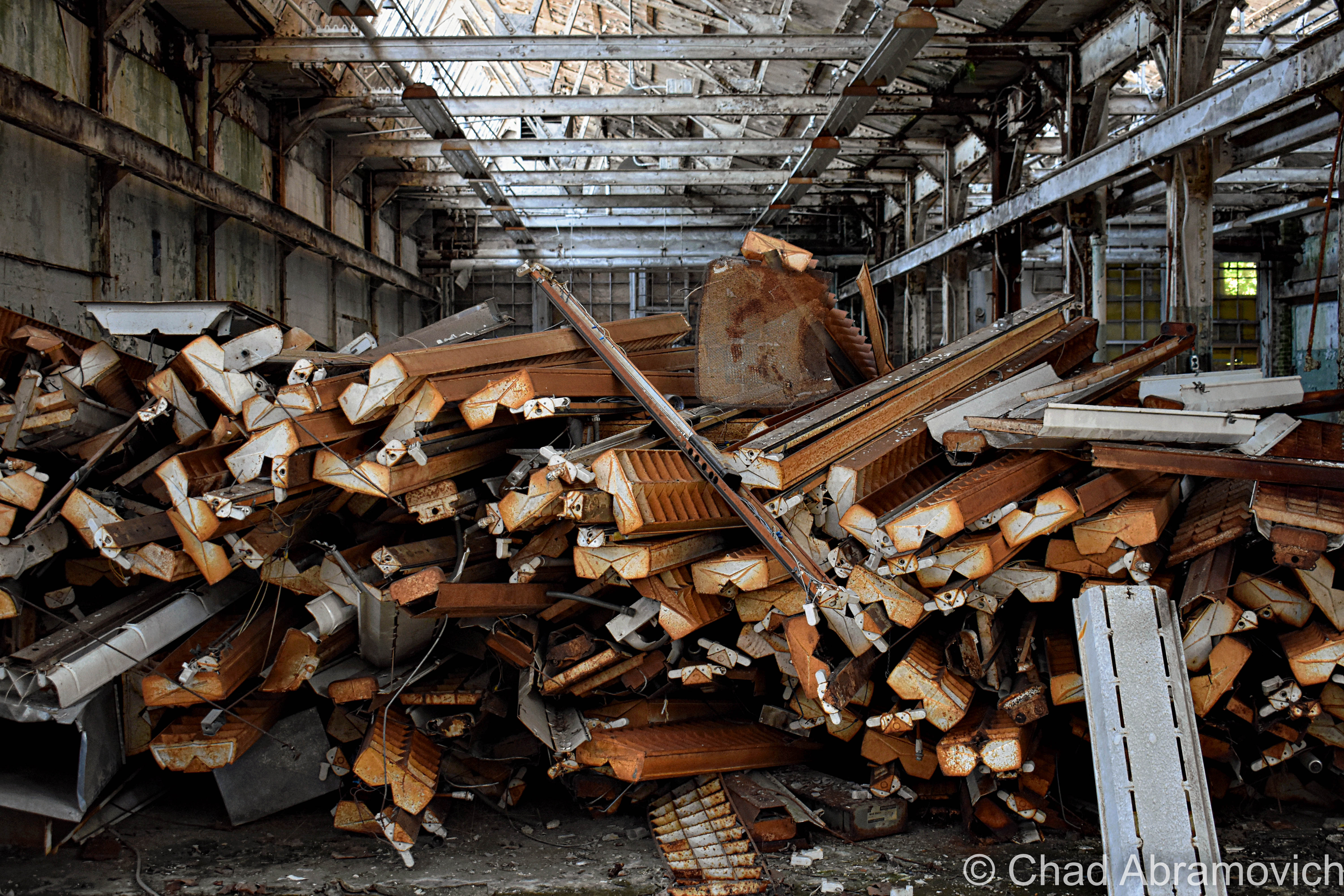
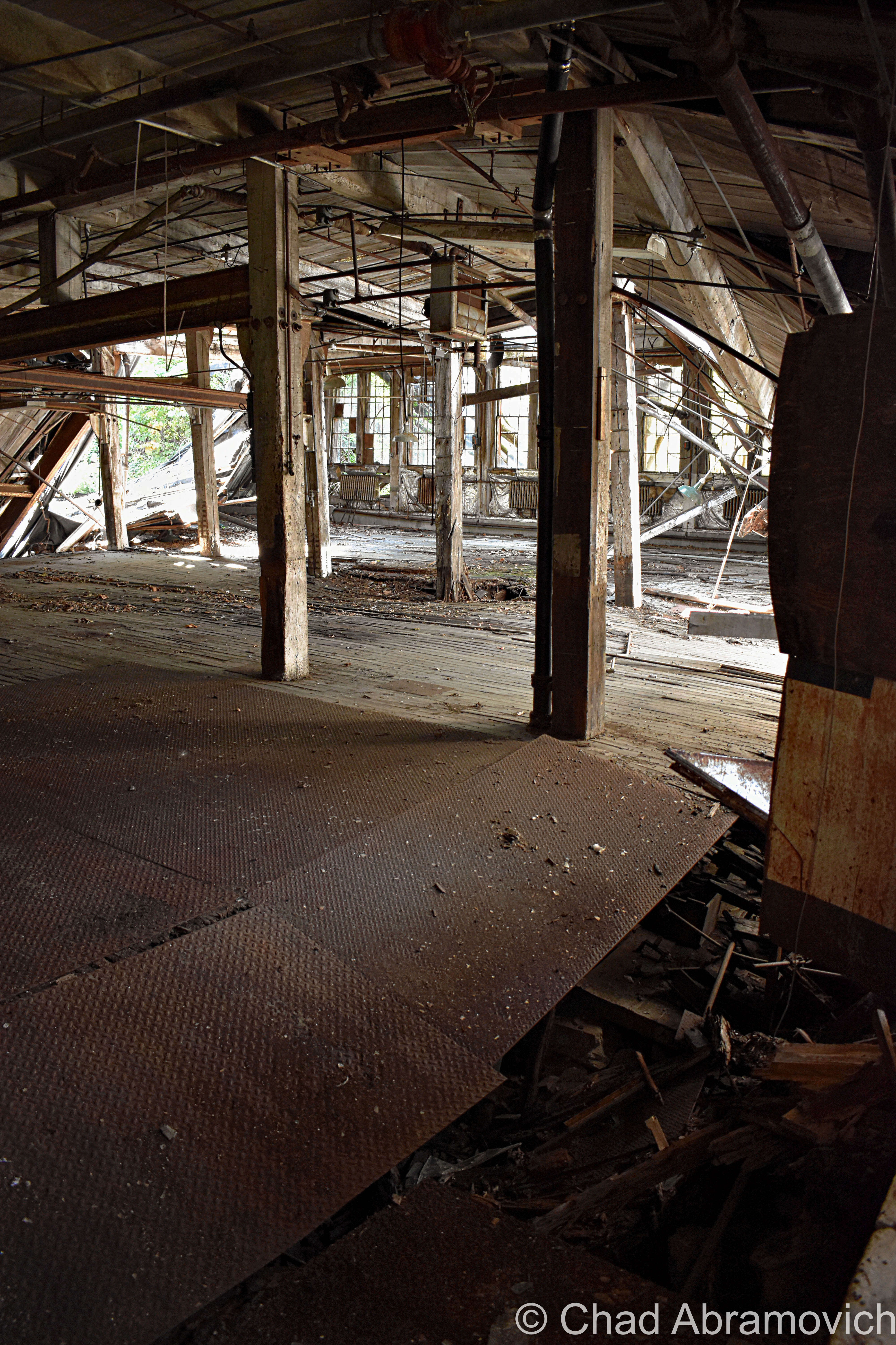
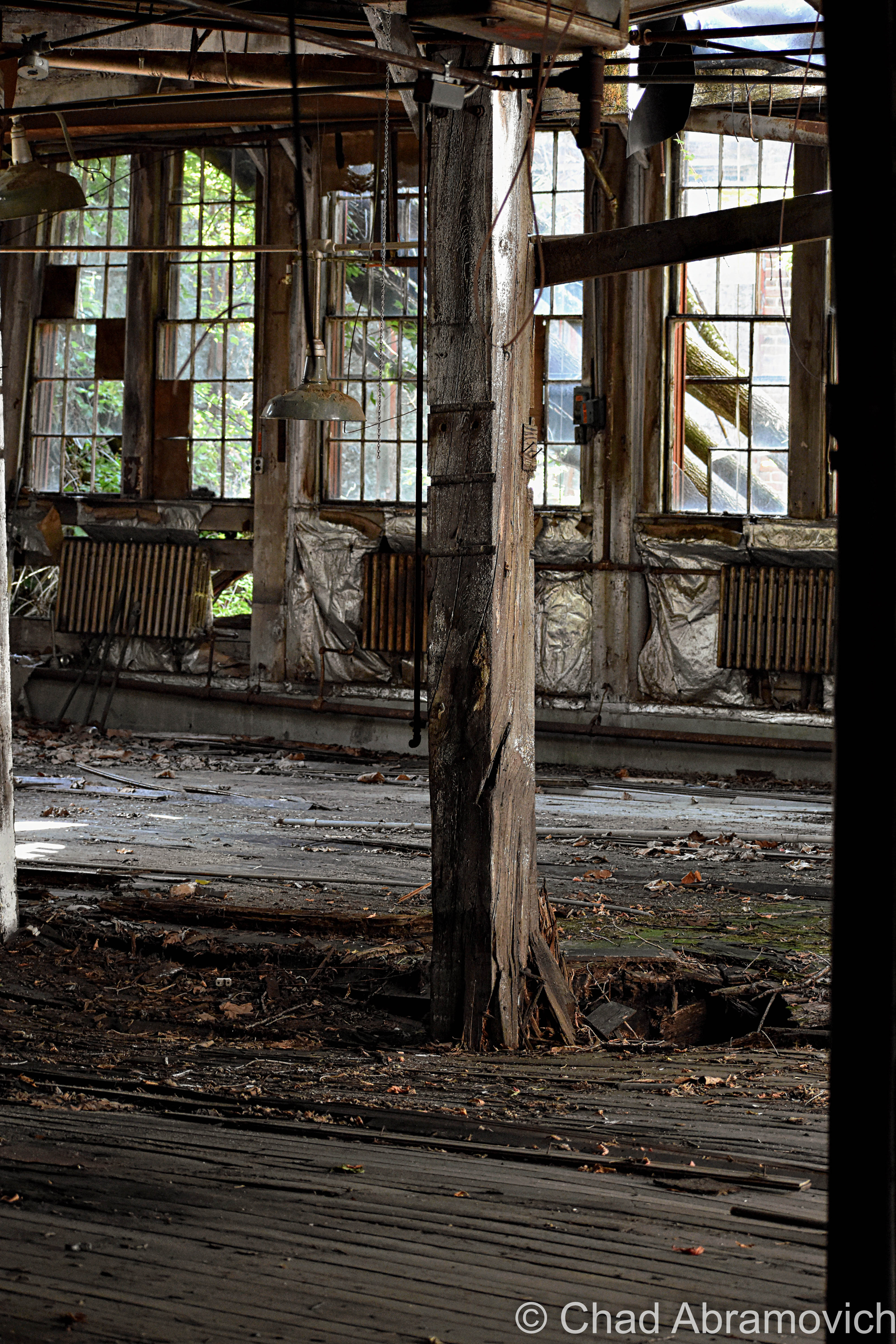
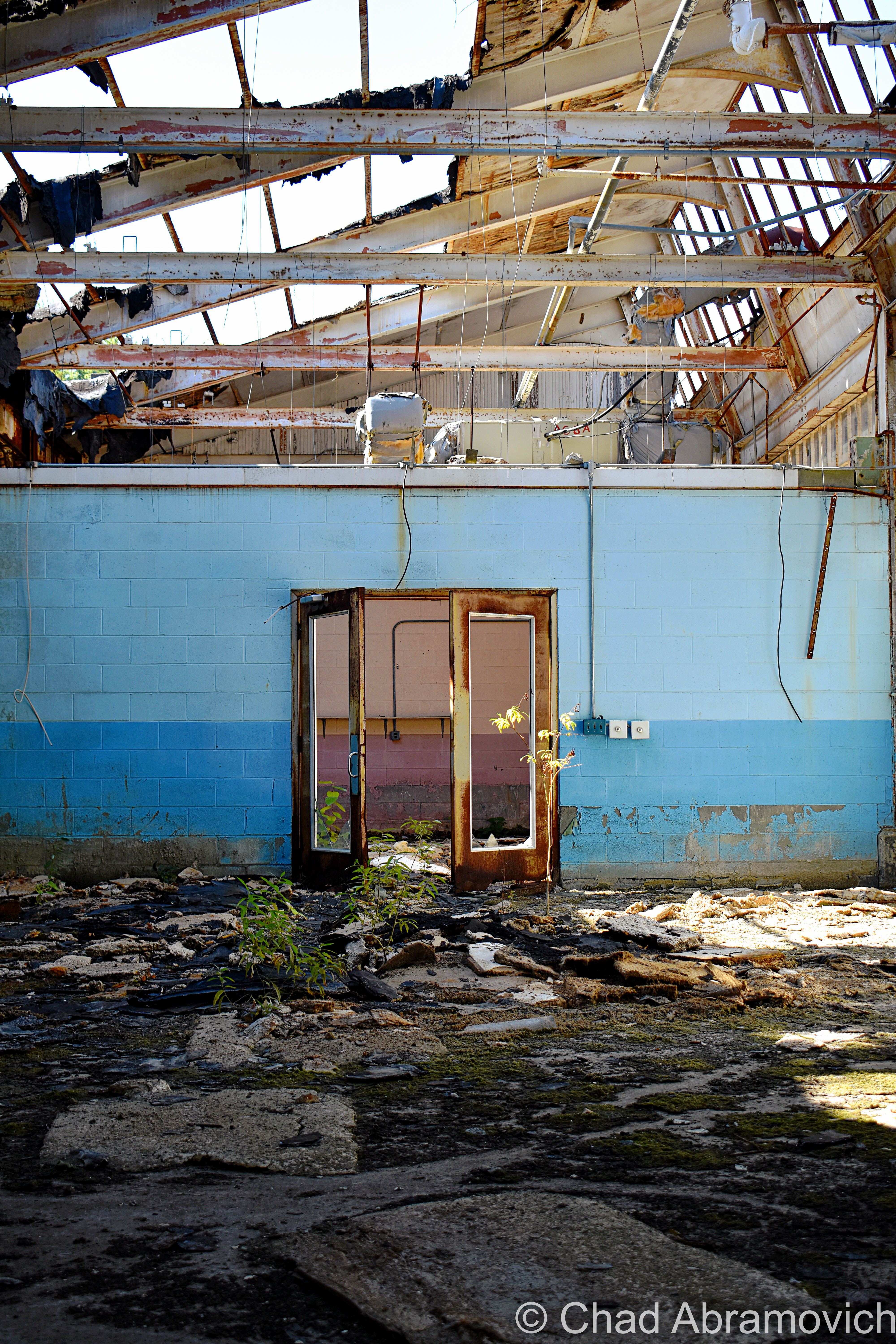
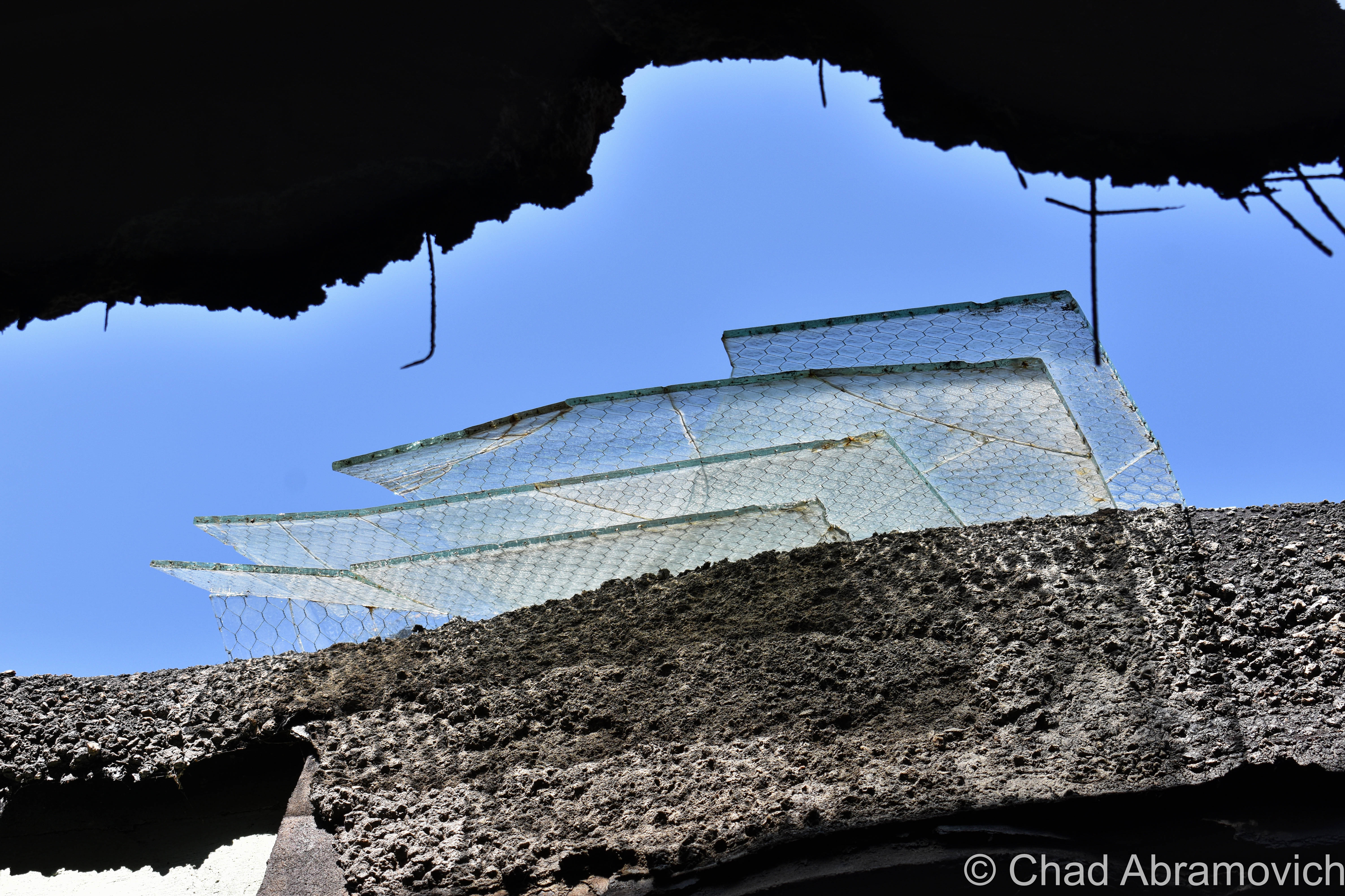
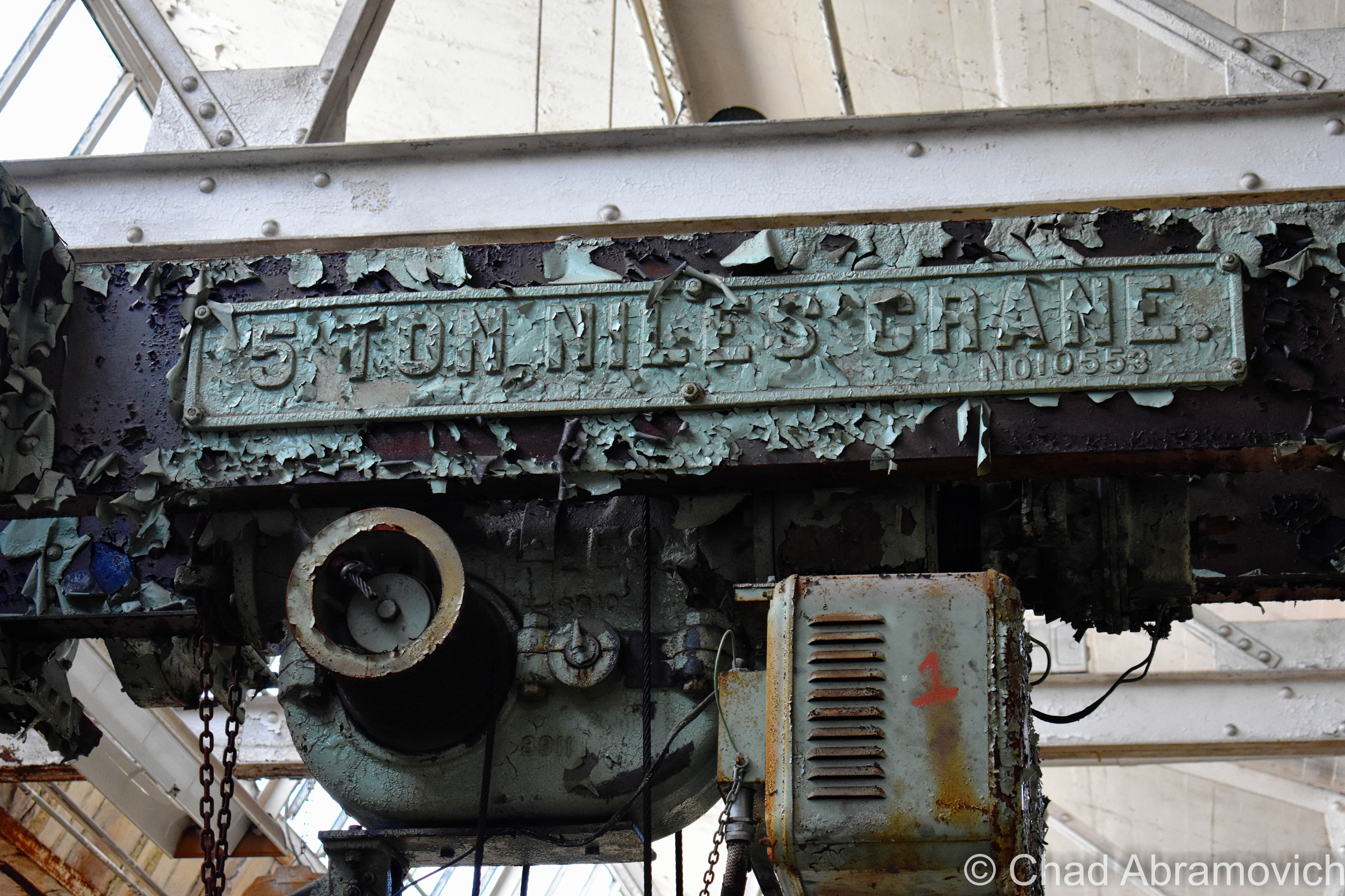
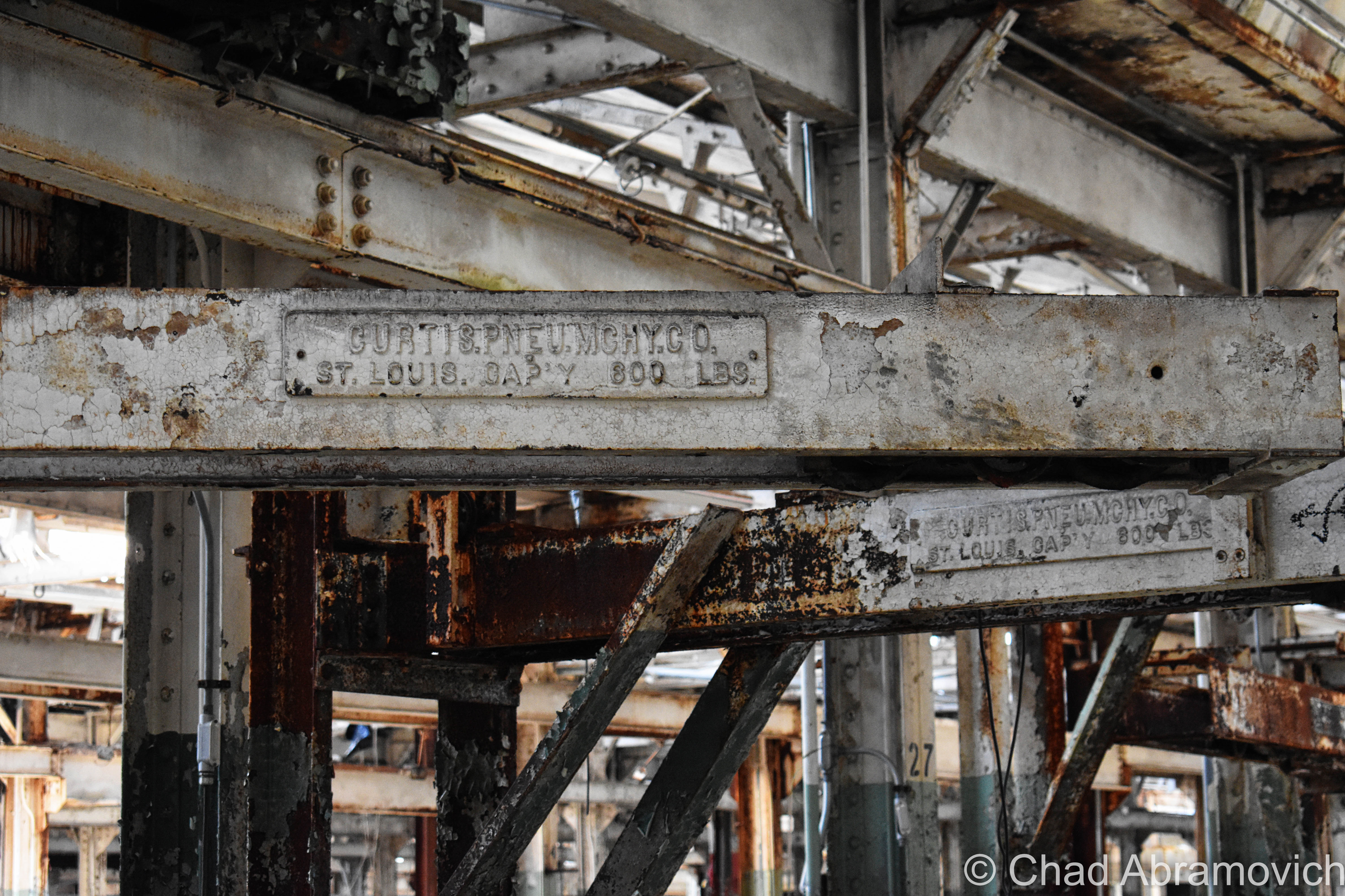
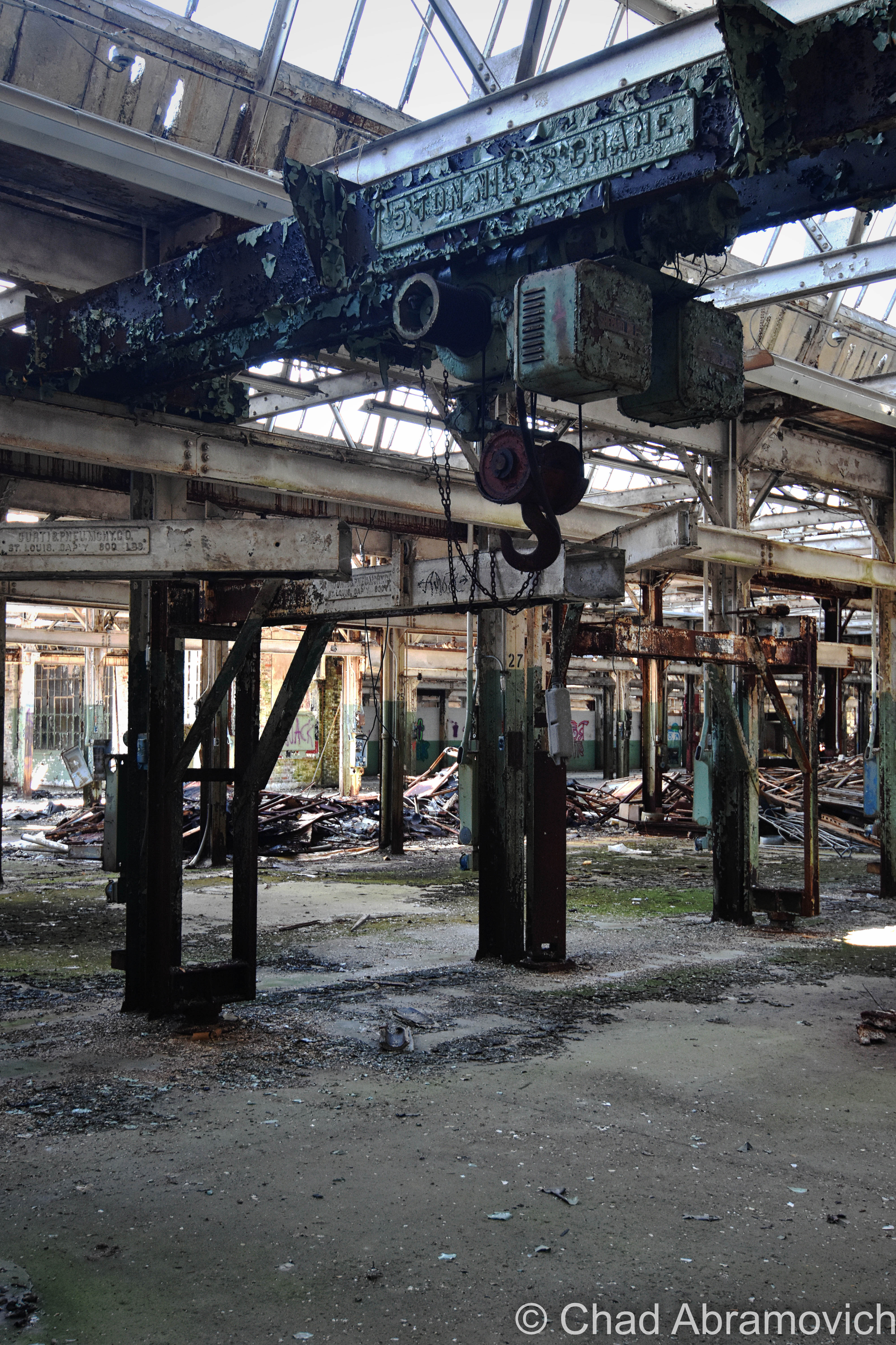
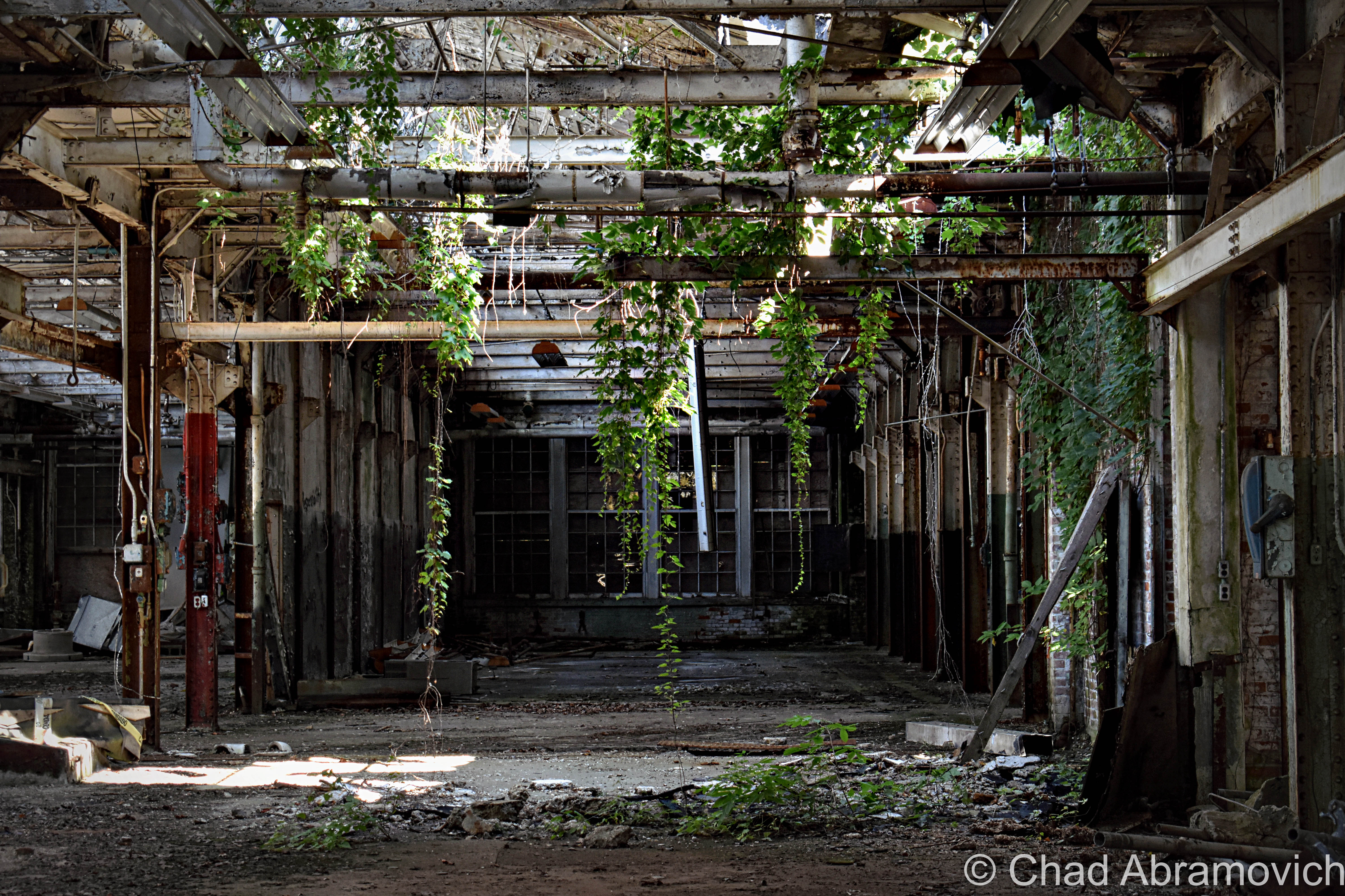
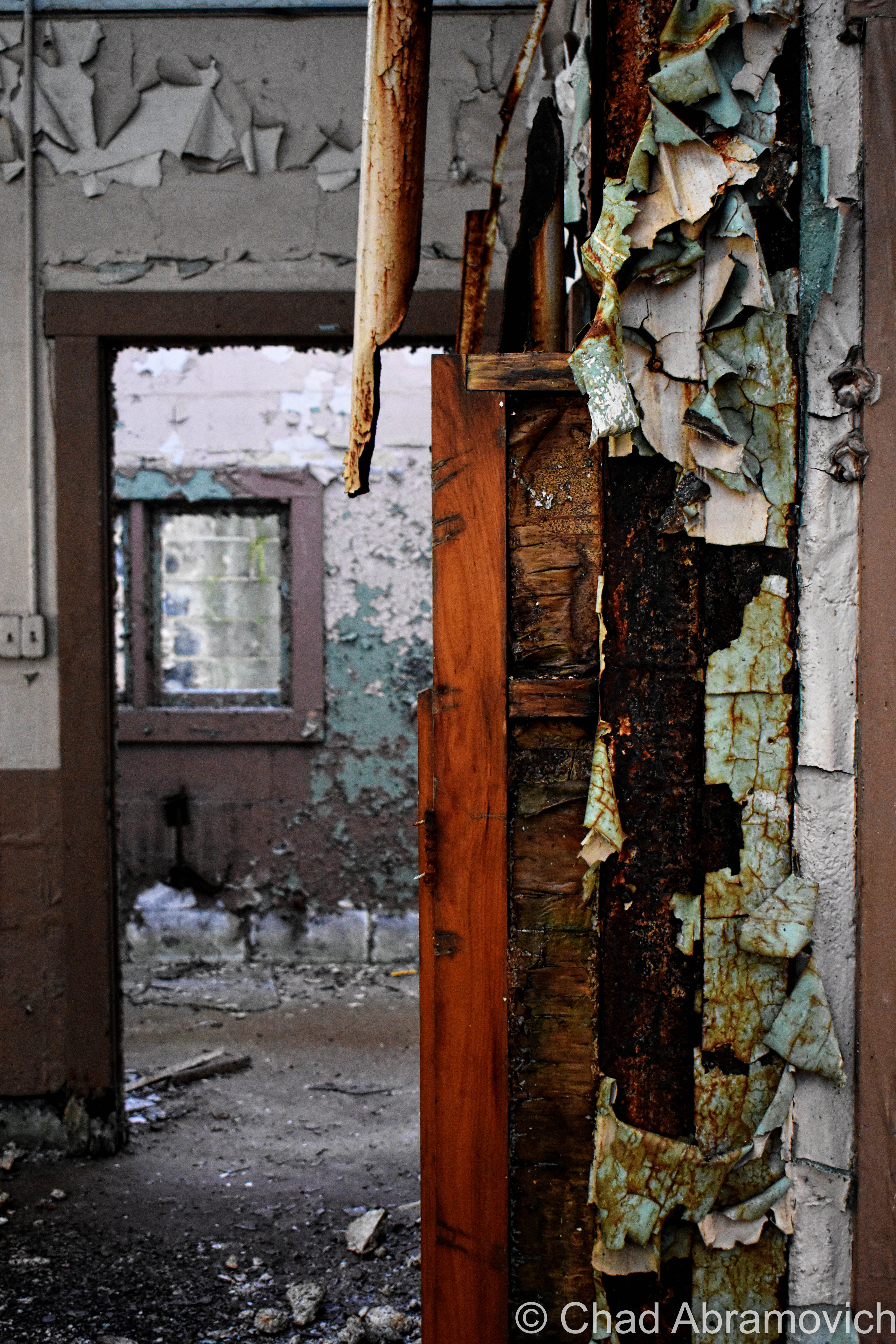
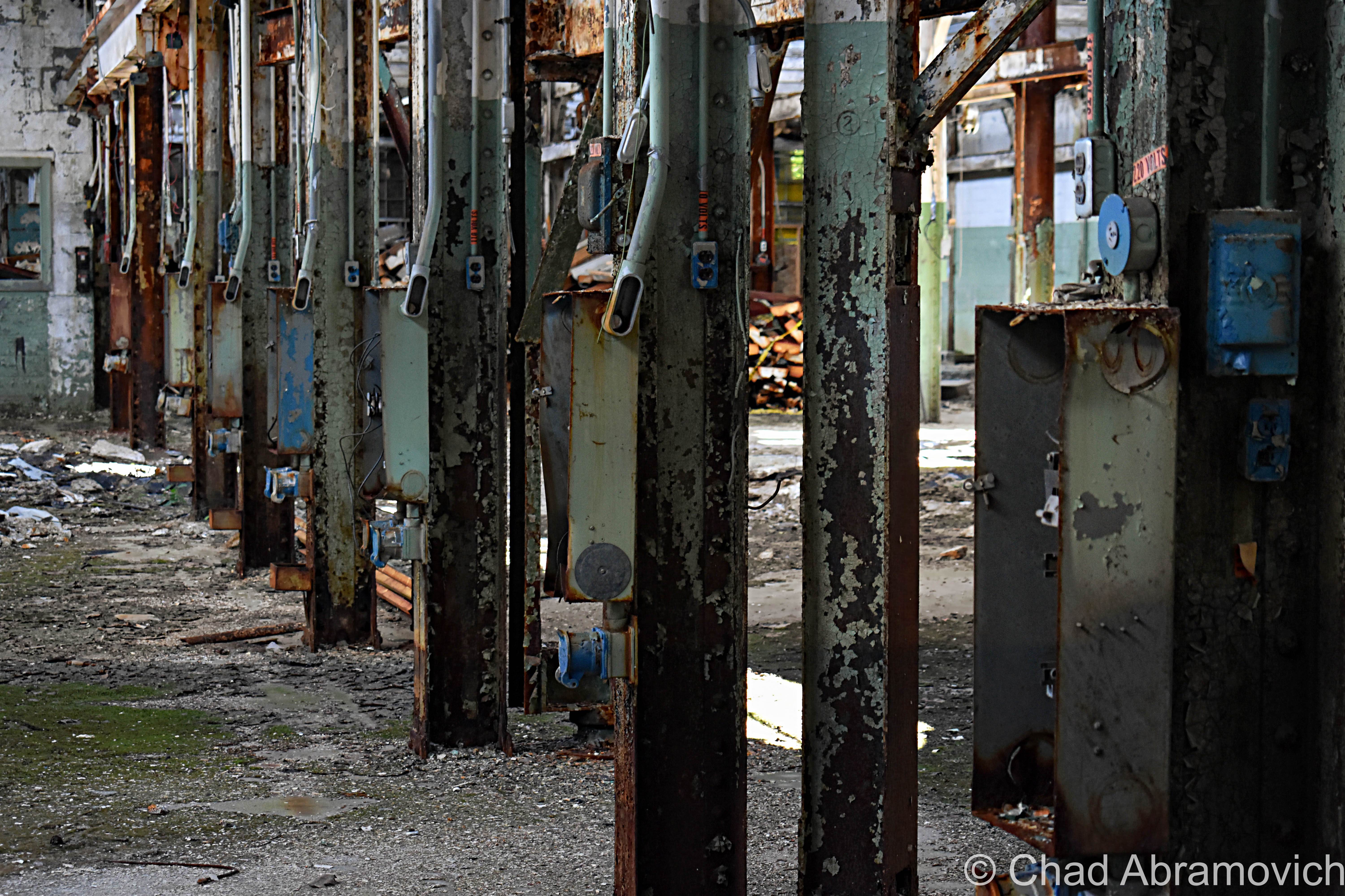
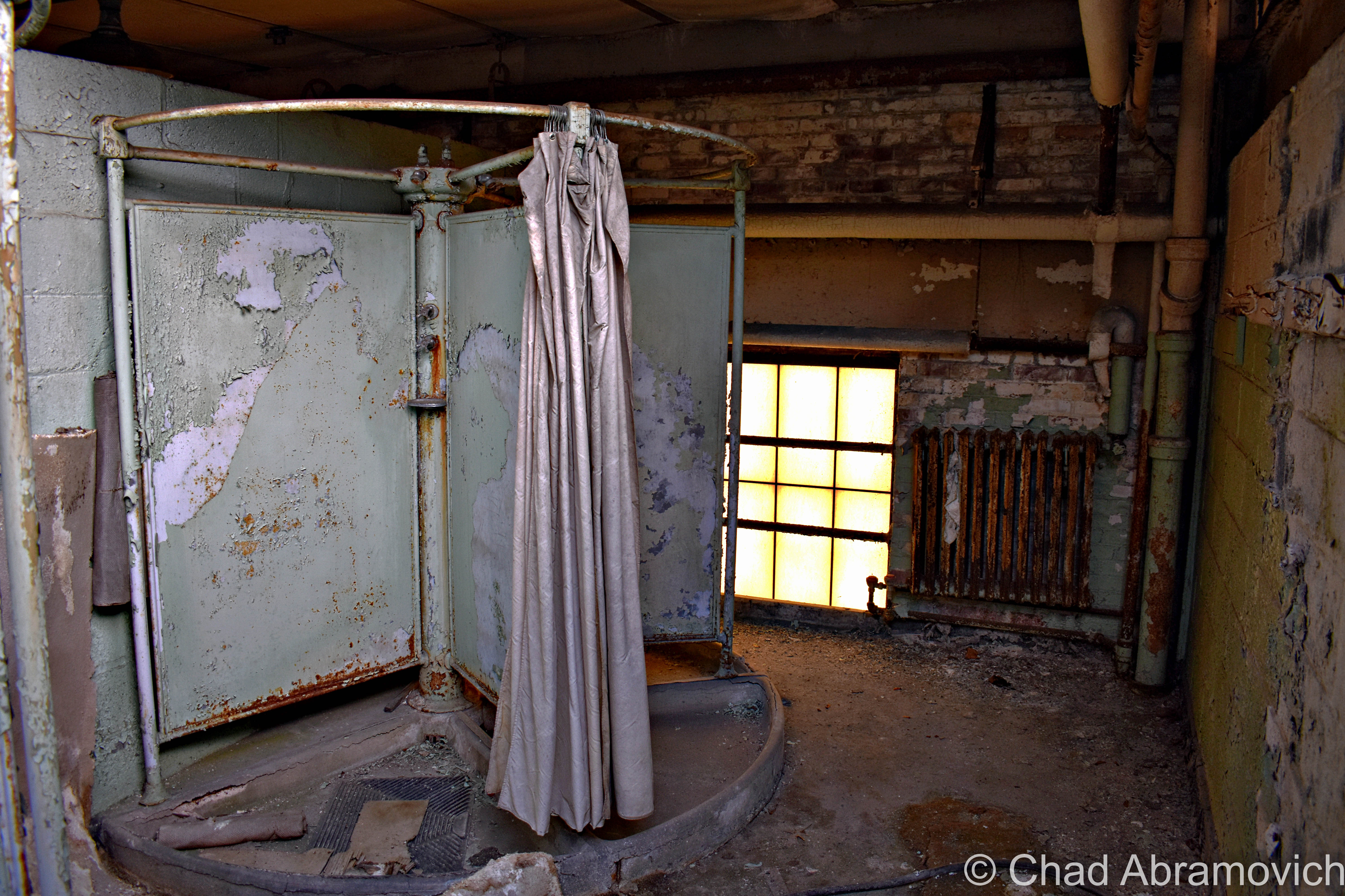
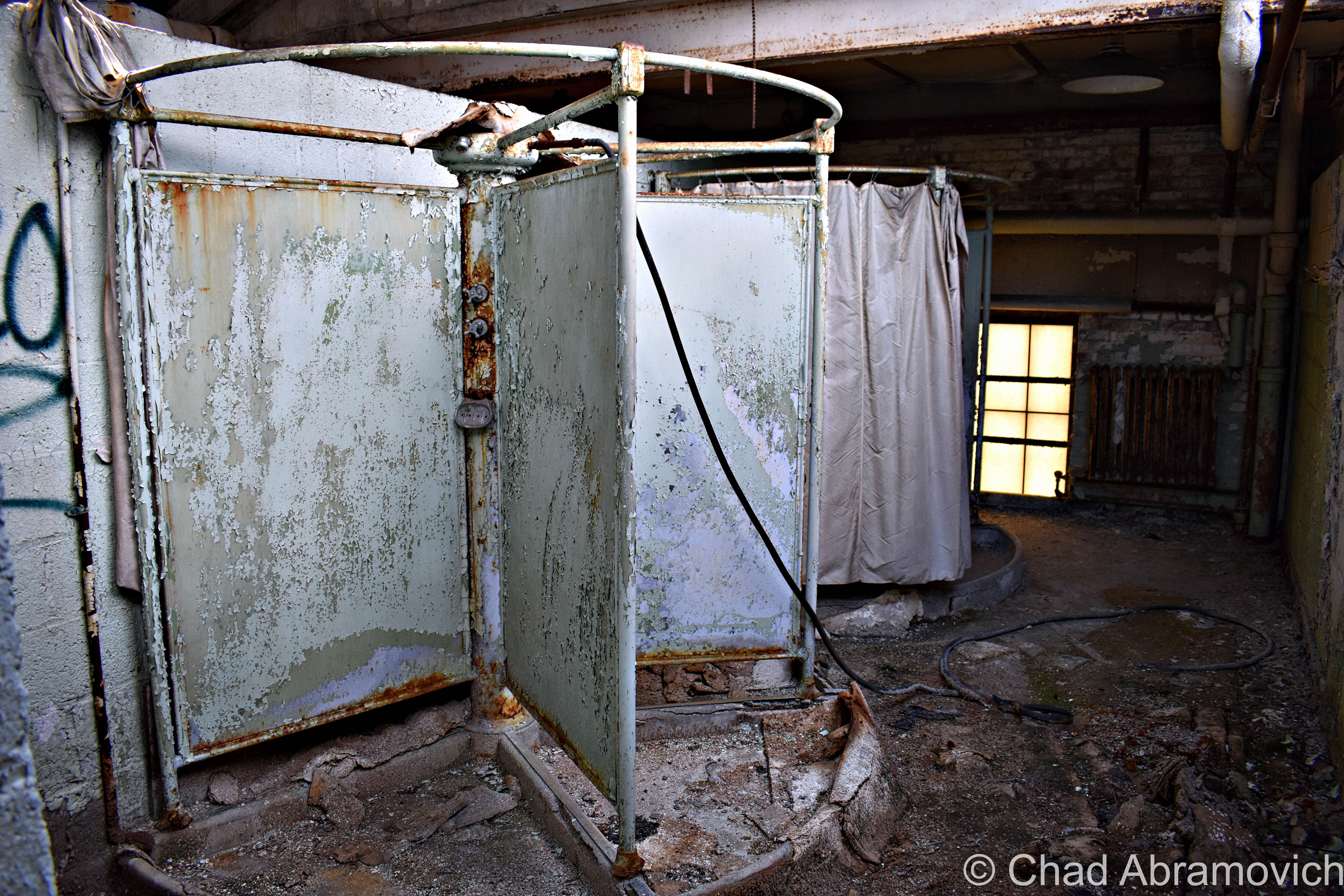
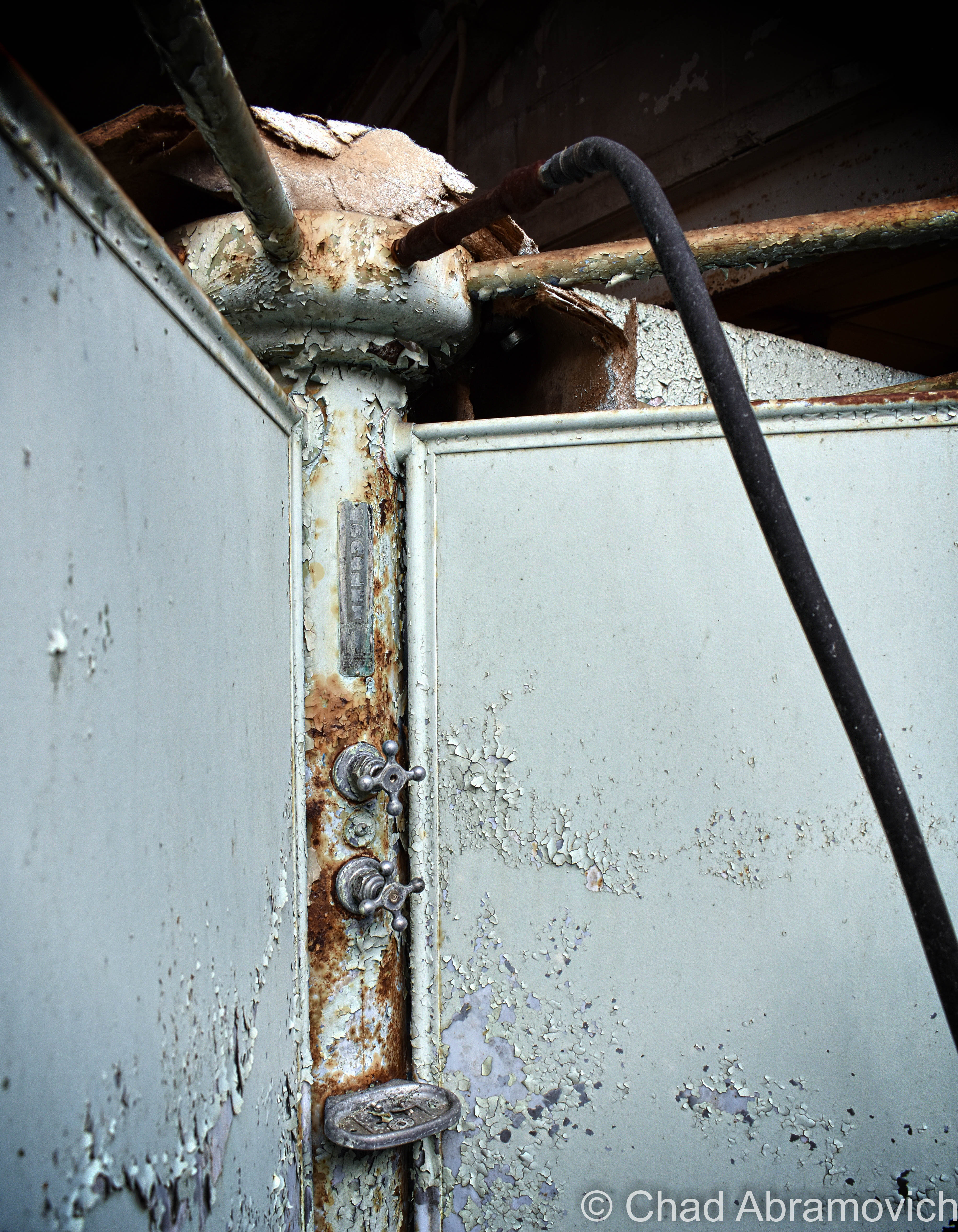
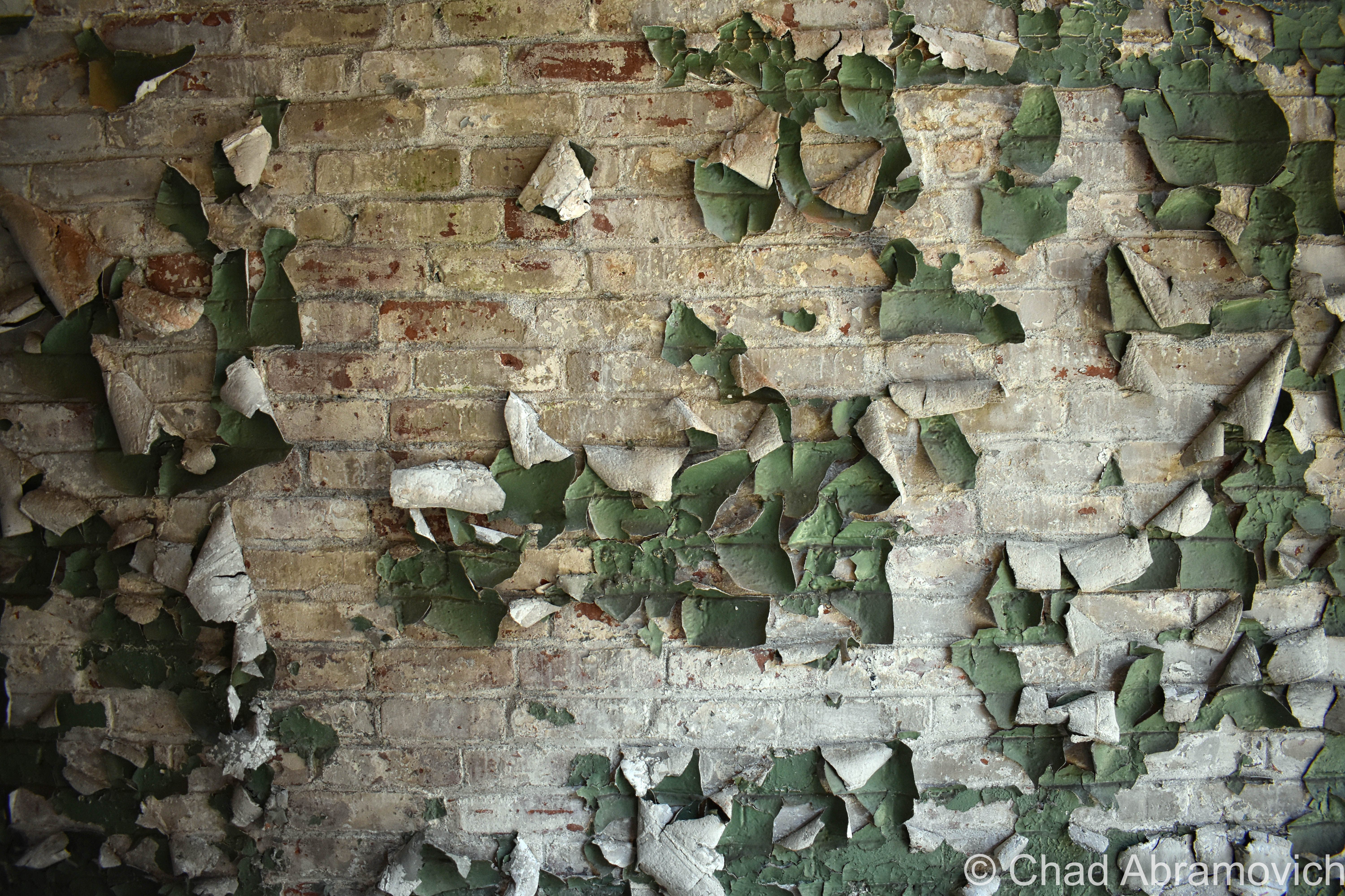
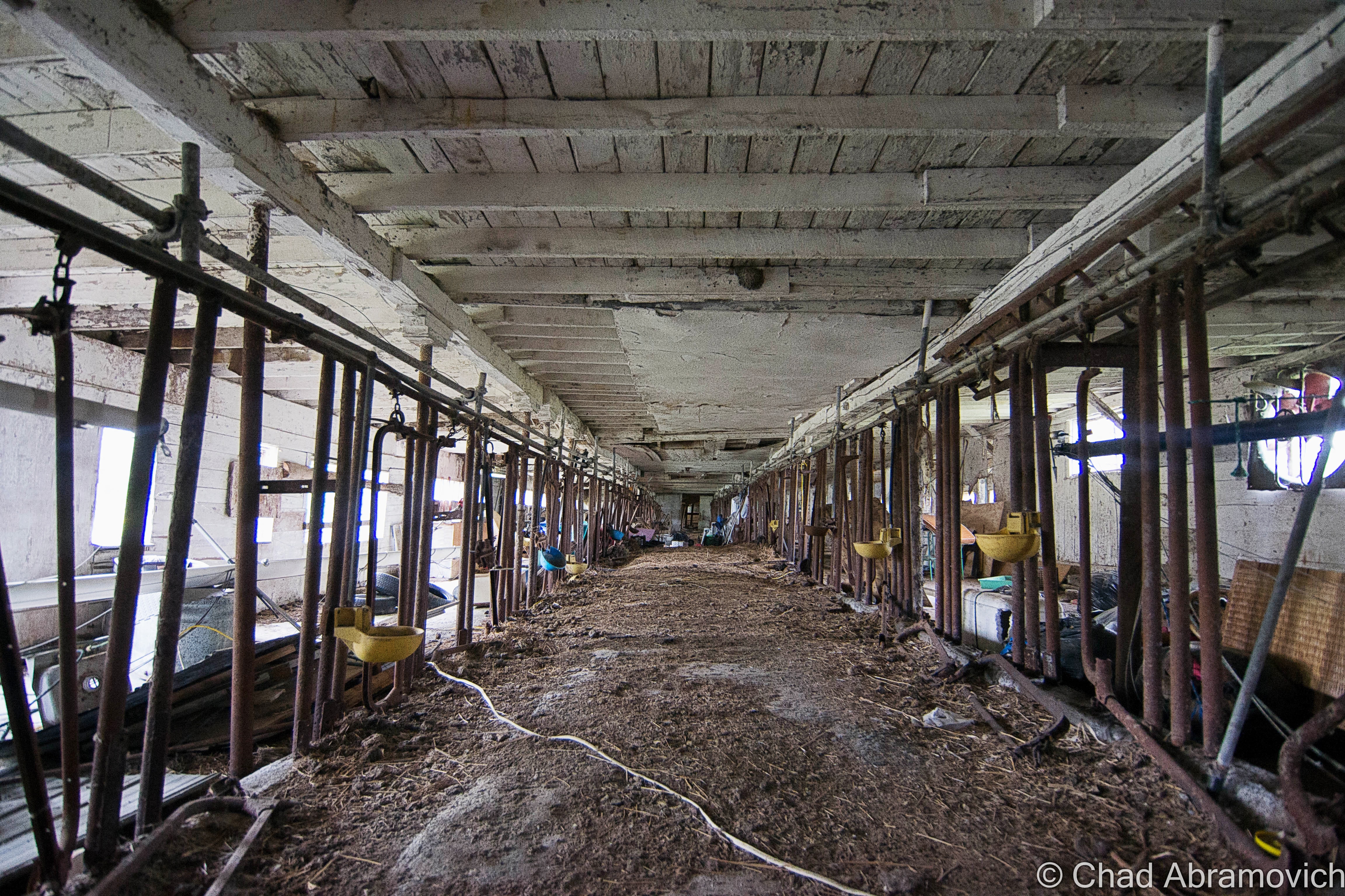
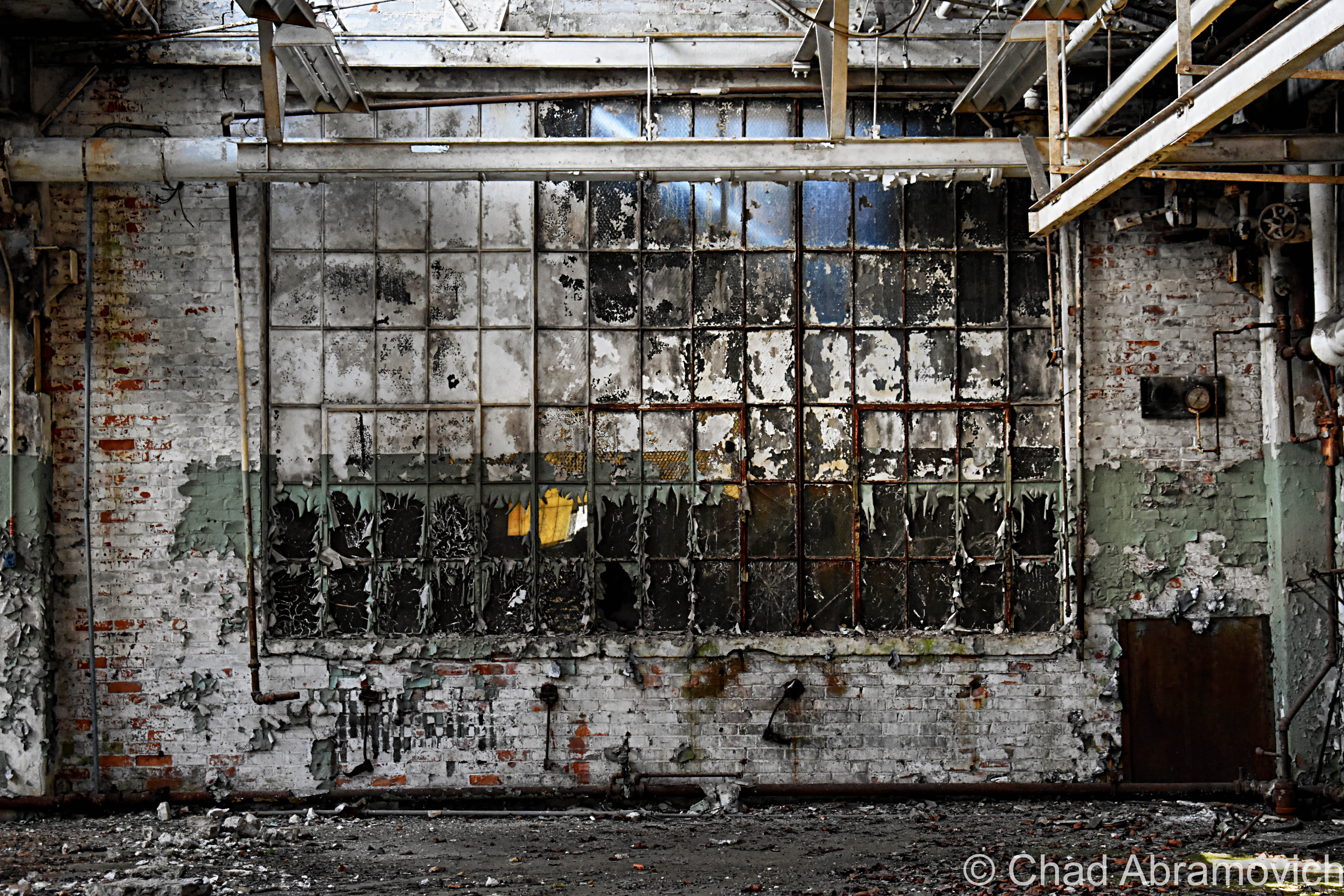
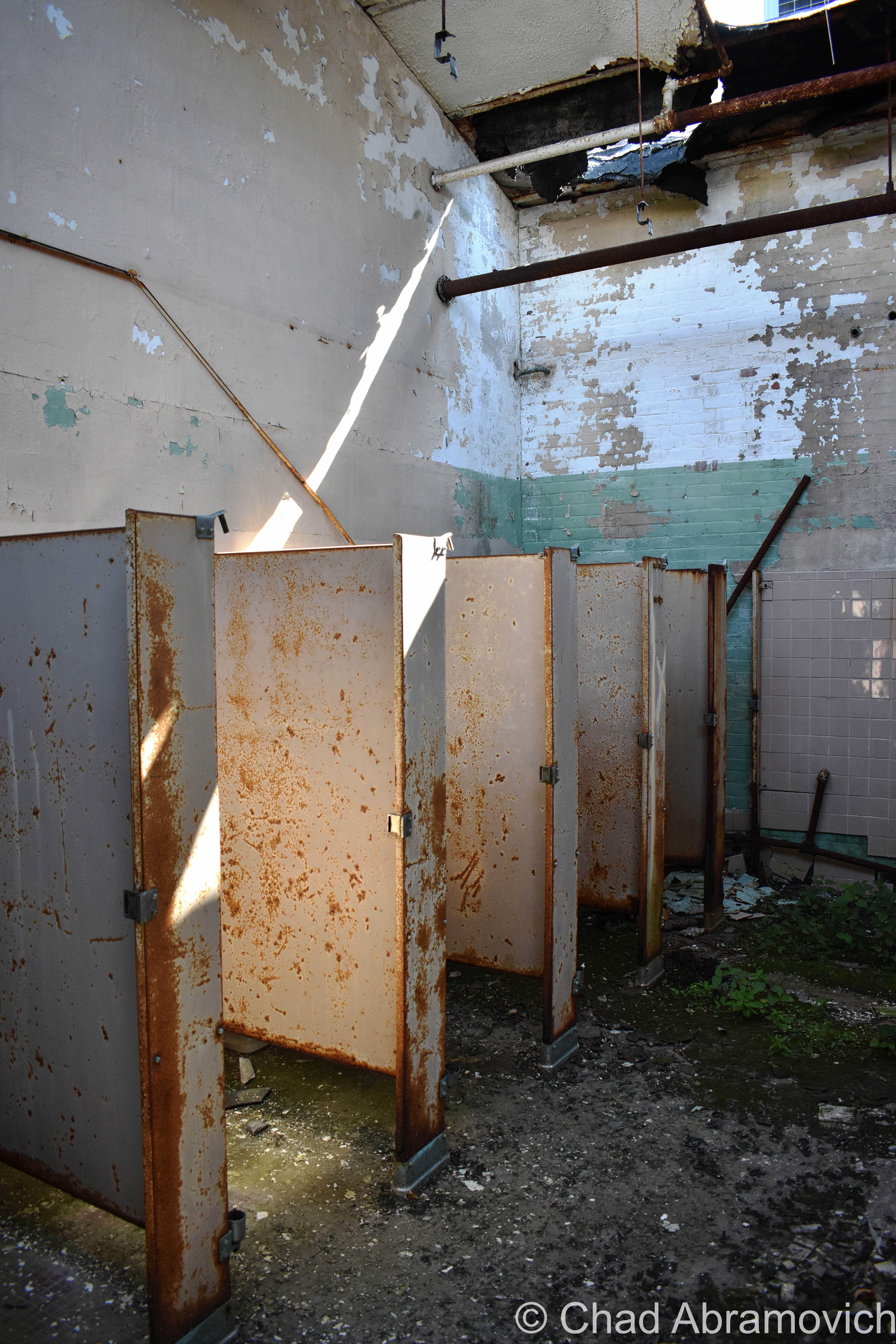
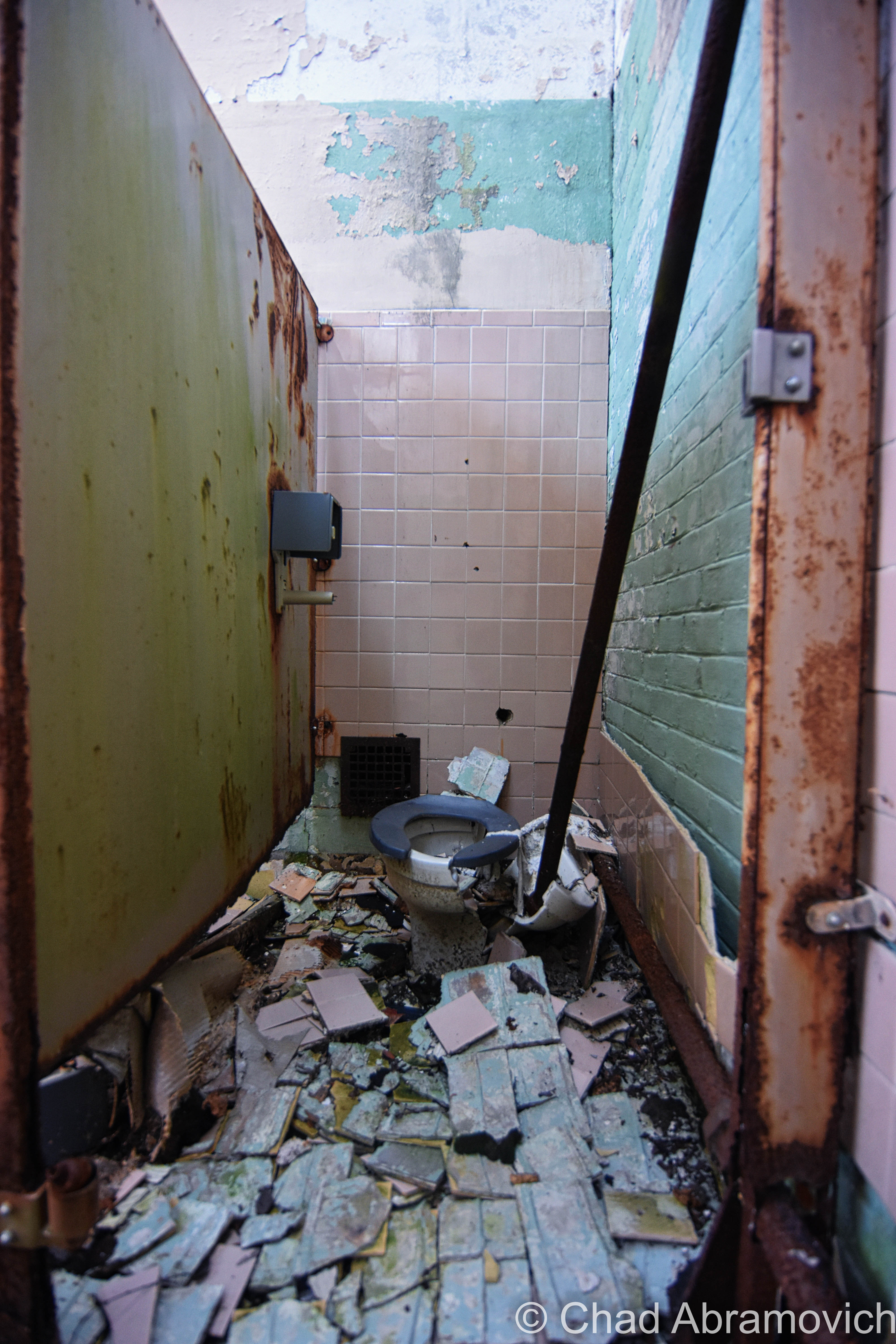
We wandered around for close to 5 hours and still didn’t see everything! The insides of the main plant were cavernous spaces infiltrated by glorious natural light that descended through awesome sawtooth roofs – a design I absolutely love. Lead paint, asbestos, and whatever mother nature blew inside lazily fell like snow, and nature was doing what it does best; reclaiming its territory. Trees and creeping vines had interestingly taken root on the roof and the grounds were thick with vegetation – vines fell down through busted sawtooth windowpanes and tendrilled into the atmosphere. A century of adaptations, renovations, and subsequent deferred upkeep had created a fantastic accidental pastiche on old bricks and steel girders.

Some things sagged down in fatigue, and other verdant things thrust upwards and willing. It seemed the new trees and vines almost created a muted cacoon within, where time oddly stopped and there were only wonders, a vacation world that we could borrow for a while. Strange audio hallucinations fell in all directions, and shadows waltzed behind steel beams and checkerboard walls of broken glass. Though I guess I was a bit disappointed I didn’t find a rusty old Hartness turret lathe still within, this explore was so much fun! (There IS, however, – a Hartness Turret Lathe on display at the American Precision Museum in Windsor!)

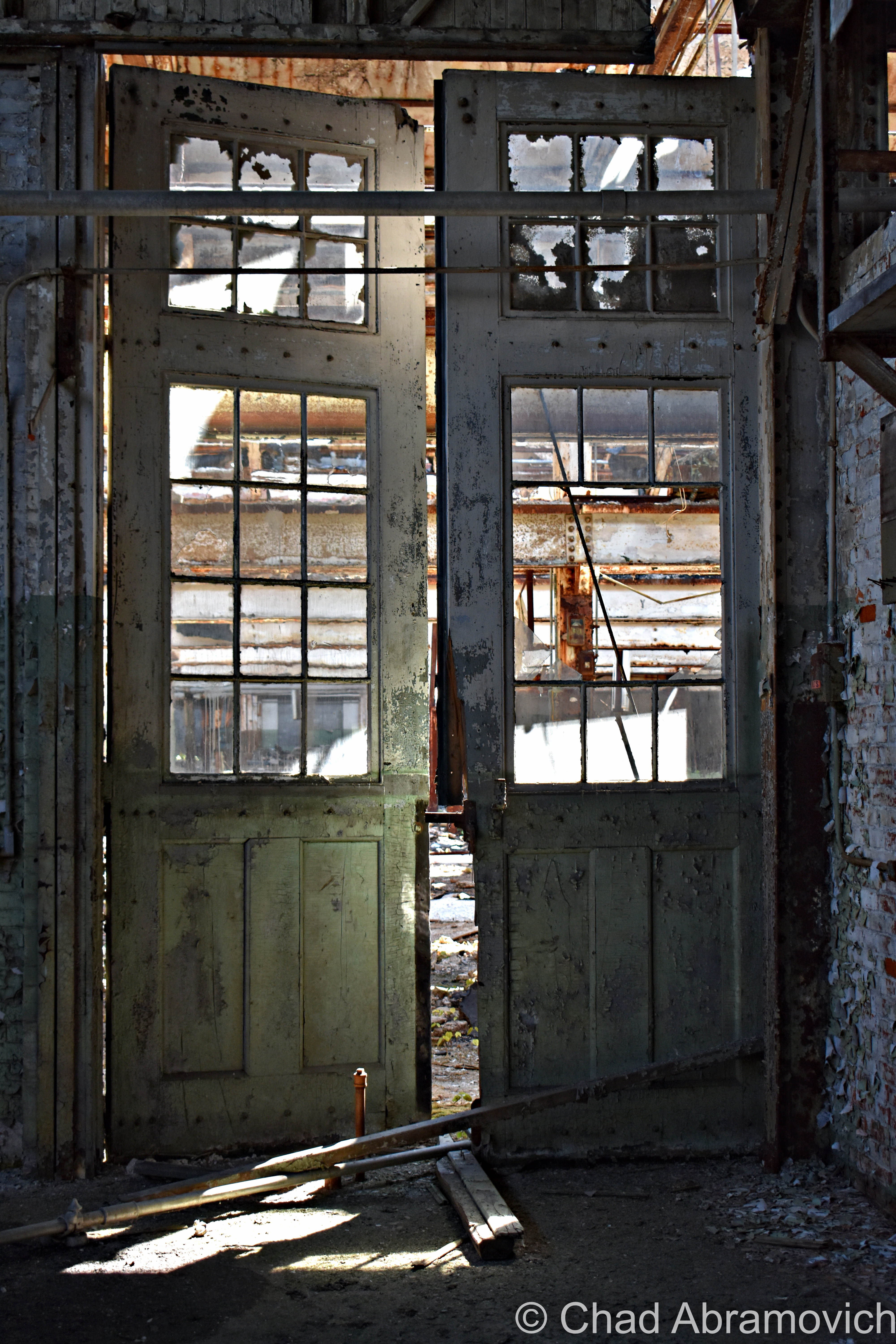
There was a tiny portion of this massive complex that was still an active business, J&L Metrology – the last remaining morsel of the greater Jones and Lamson enterprise. Their really utilitarian and ugly wing appeared to be added on much later – and it was something that I made a note of as we pulled into town hours earlier. The two spaces were divided by the original exterior brick wall, but there was a connecting pair of double doors that allowed whoever was at work over there inside the abandoned portion of the building, and that’s exactly what happened.

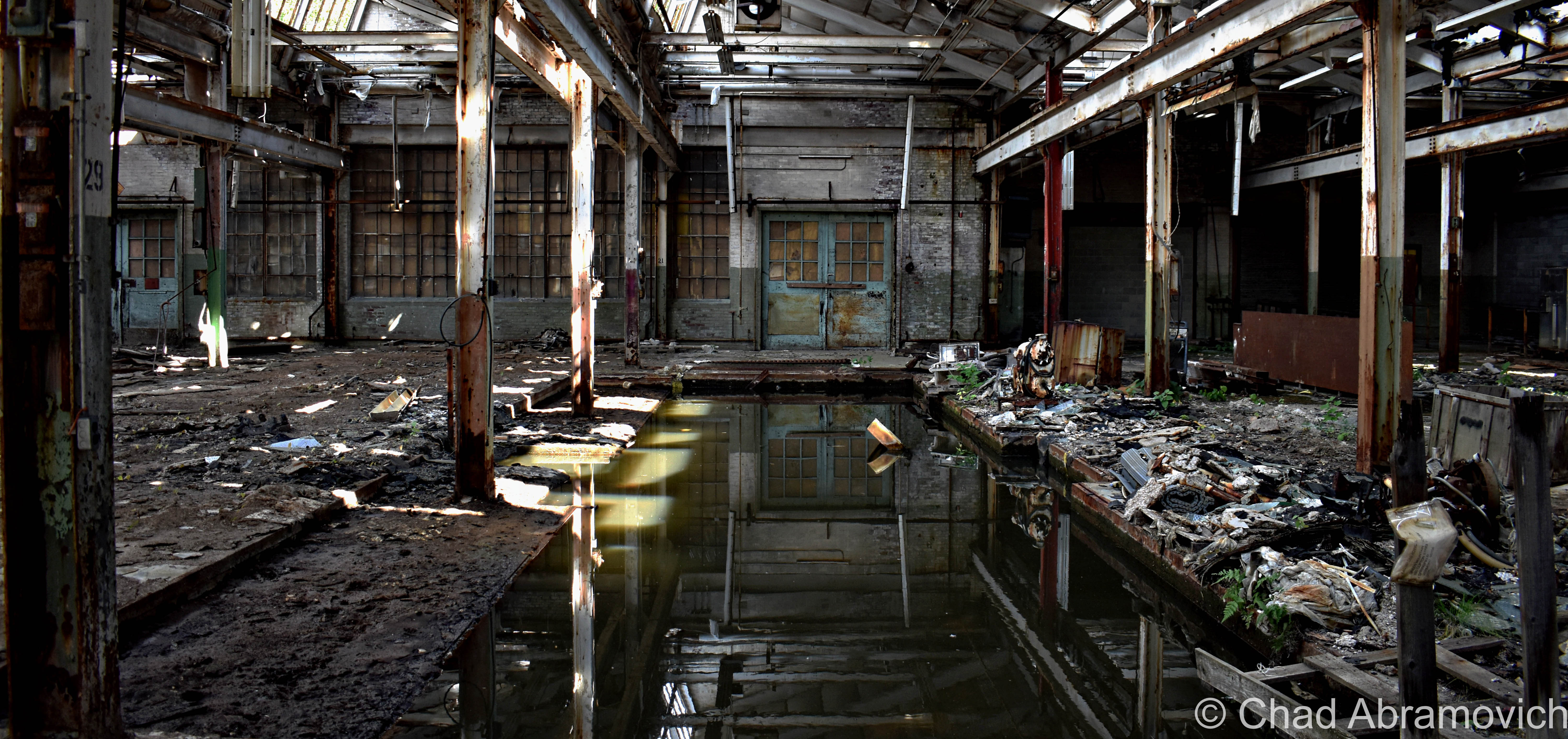
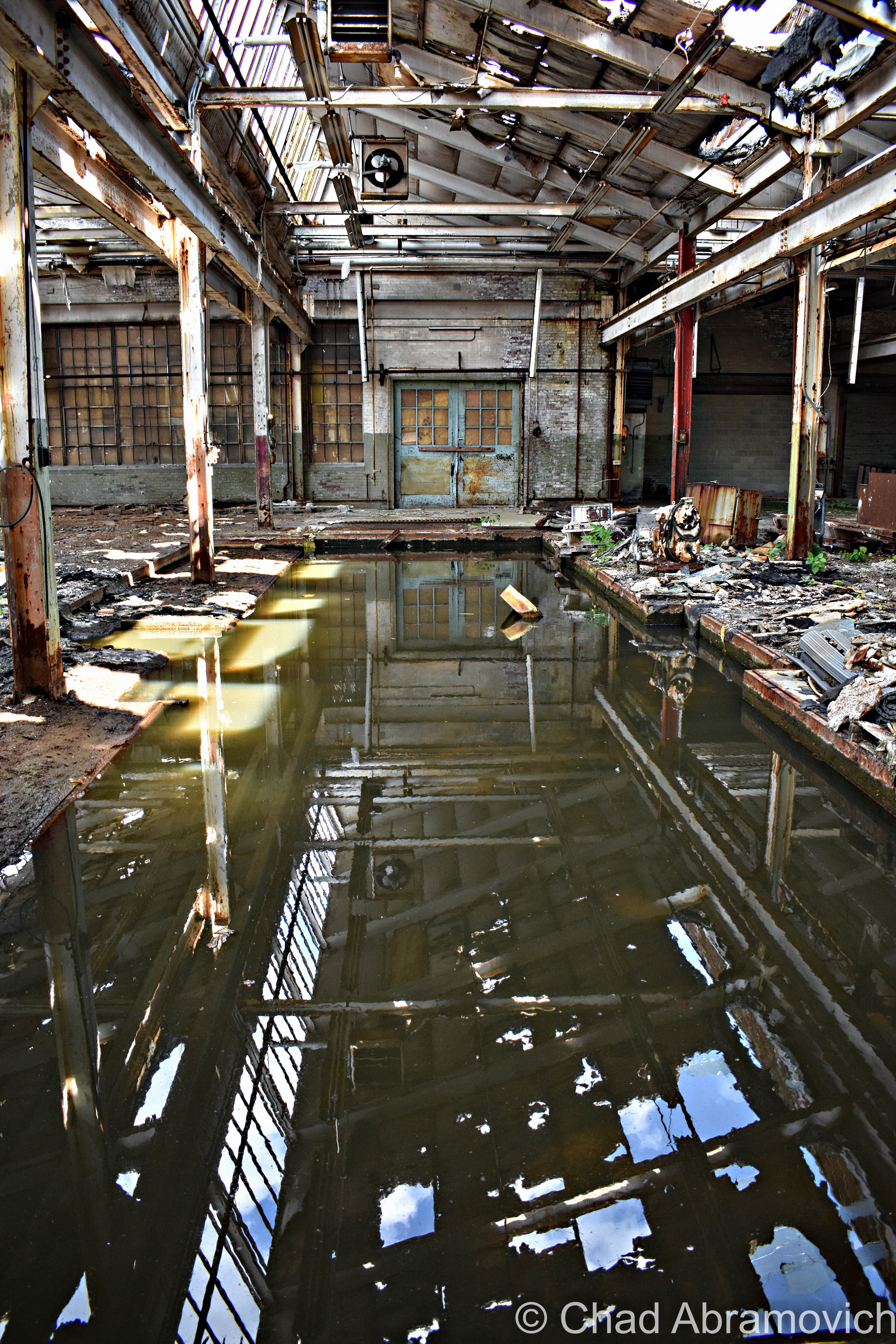
Just as I was snapping a few photos of some kind of rectangular cavity in the concrete floor that had long been turned into a pool of rainwater and who knows what else, those doors burst open, and some guy powerwalked into the abandoned factory with the trajectory that communicated he was on a mission – a mission that was suddenly interrupted by me.

His boots literally skidded to a halt on the gritty floor, snapped his head to his left, and gave me an appraising and surprised look through a squinty demeanor, then angrily huffed; ” Are you supposed to be in here?” I turned to look at my friend, who was still as a statue, turned back to the man, and decided that answering honestly was my best option, so with a shoulder shrug, I called over “I mean… probably not?” He just glared at me in a kind of tense silence, before pursuing his former mission – and stomped off deep into the huge spaces of light shafts and rusty steel. We both knew that was a good sign that we should leave, and we bolted.
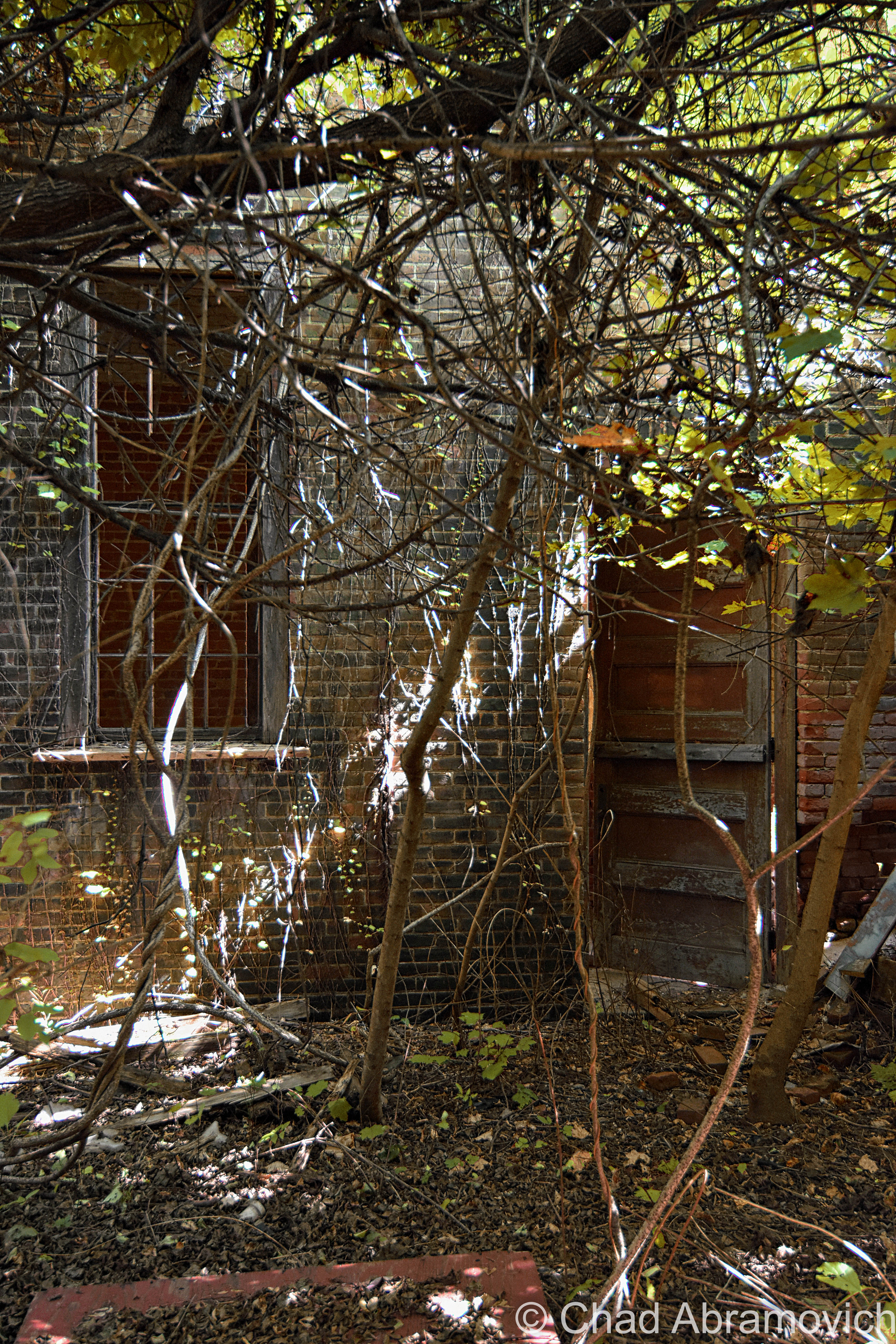
I don’t have many pictures of myself, so thanks to my friend Jay for taking this candid shot of me doing my thing!

I’m disappointed that I never got a shot of the front exterior of the factory to include in this blog post, but I think there was some re-paving going on out front that day, and we were more focused on leaving before the cops were called on us. Unfortunately, I procrastinated a bit too long and never made it down to get that shot before the demolishing.

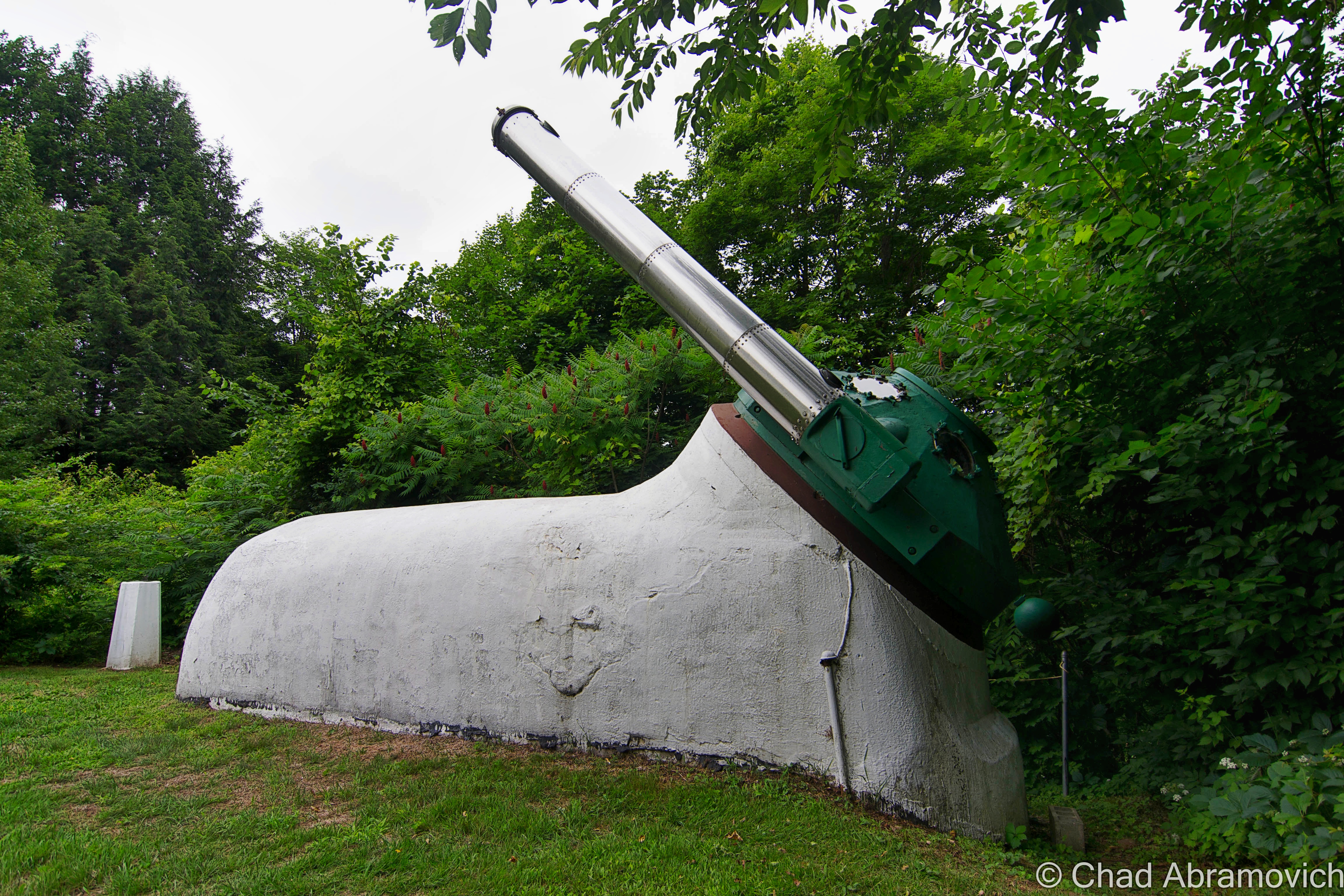
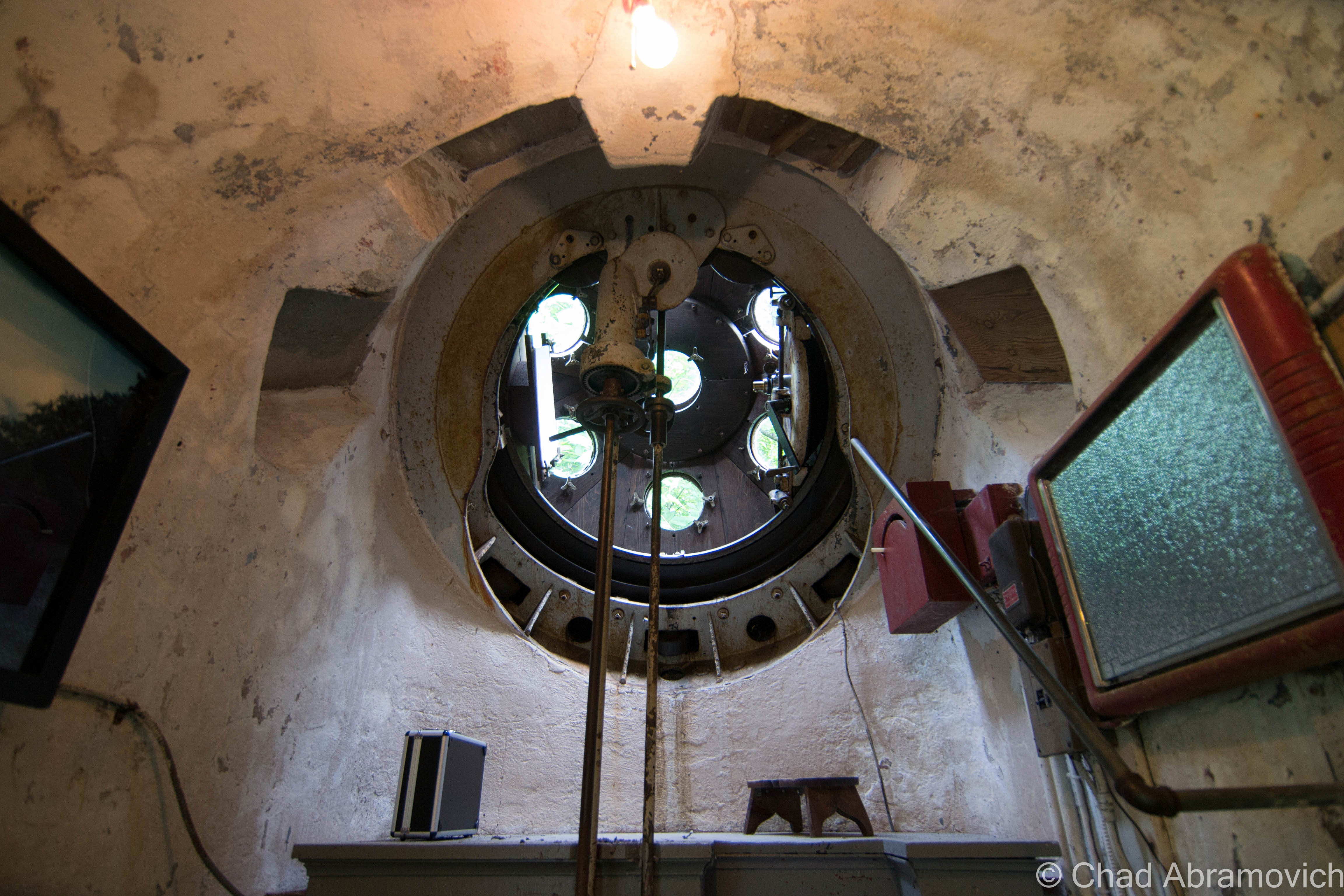
But something I did get to see, was Hartness’s aforementioned personal Equatorial-Plane turret telescope back on a rainy and humid June afternoon of 2015!

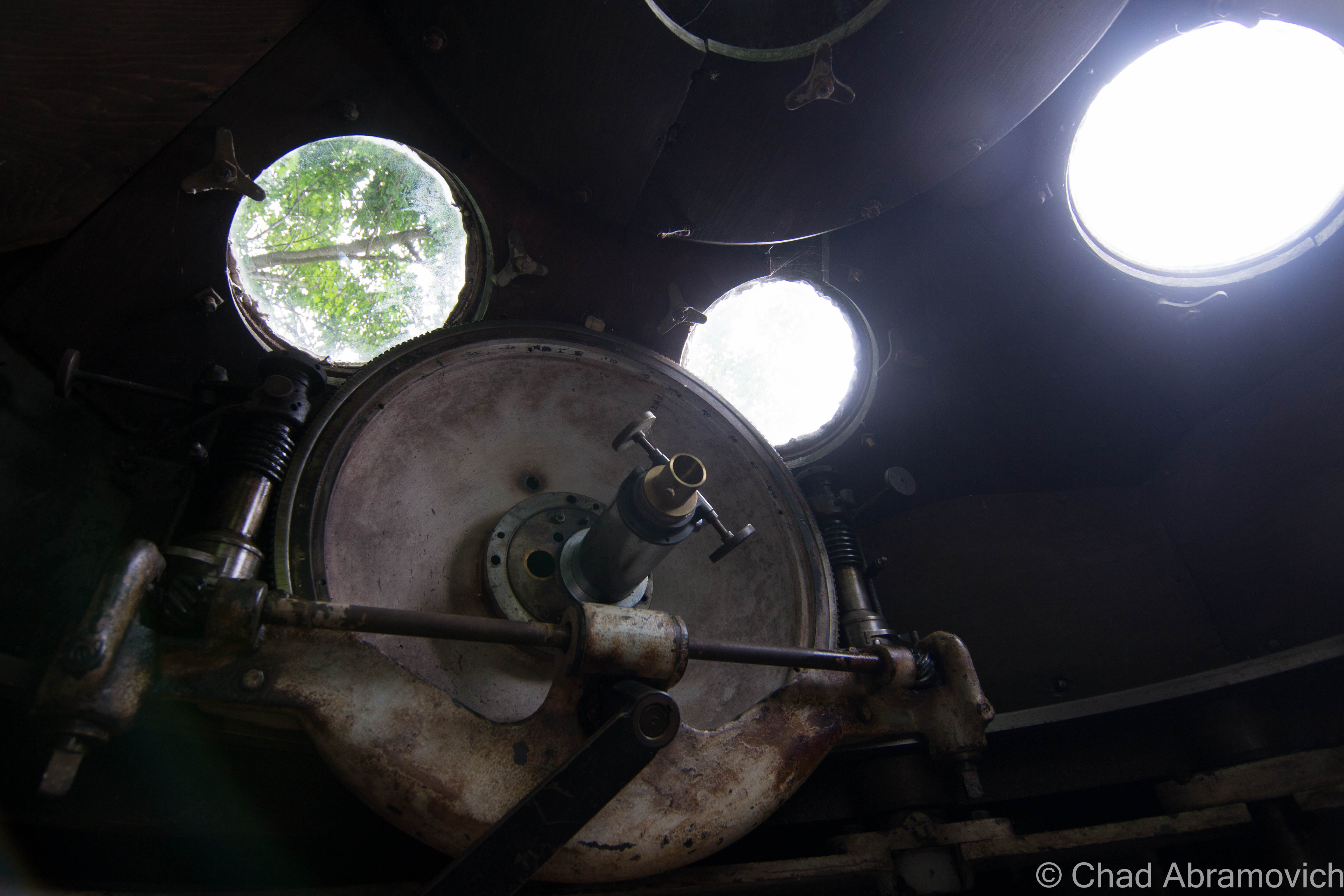
The rotating green turret rides on rollers supported by the white concrete structure, and it’s also where the stainless steel telescope tube with its ten-inch achromatic objective is installed, which is a modern upgrade to the original. Hartness developed the optics of the telescope to pass through a lens in the wall of the dome, which allowed him to stay warm in Vermont’s brutal winters.

The funny-looking protrusion is in front of Mr. Hartness’s stately former home – looking exactly like something a venerable turn of the last century tycoon would dwell in. At the time, the hotel offered free tours of the telescope and tunnel, no reservations needed, but because the property is currently a real estate listing, I’m not sure if the telescope is closed to the public or not, but absolutely hope that this treasure will continue to be shared with all the inquisitive.

I’ve always been someone that has loved human ingenuity and the magic of camaraderie, so this post was a lot of fun to research and write. So many amazing things happened in this era of America from the genius of common people that I just find so remarkable – and a little bittersweet thinking that we may never have another country-defining boom quite like it.

The earth is kinda played out, so it’s amazing that these strange new frontiers and discoveries can still be made in places like this that were once mapped, and then been forgotten.

For your consideration:

The Vermont Historical Society is one of my favorite organizations in the state – and they have a few nifty videos that briefly chitchat about both James Hartness and The Precision Valley. I’ve linked them below!

There’s a terrific archived article on Mr. Hartness, Springfield, and Jones and Lamson from Mechanical Engineering Magazine thanks to the Wayback Machine!

Are you wondering how a J&L Turret Lathe works? I was able to find a really cool dual brochure and scanned instruction manual from 1910 that includes illustrations!


Since 2012, I’ve been seeking out venerable examples of Vermont weirdness, whether that be traveling around the state or taking to my internet connection and digging up forsaken places, oddities, esoterica, and unique natural features. And along the way, I’ve been sharing it with you on my website, Obscure Vermont. This is what keeps my spirit inspired.

I never expected Obscure Vermont to get as much appreciation and fanfare as it’s getting, and I’m truly grateful and humbled. Especially in recent years, where I’ve gained the opportunity to interact with and befriend more oddity lovers and outside-the-box thinkers around Vermont and New England. As Obscure Vermont has grown, I’ve been growing with it, and the developing attention is keeping me earnest and pushing me harder to be more introspective and going further into seeking out the strange.

I spend countless hours researching, writing, and traveling to keep this blog going. Obscure Vermont is funded almost entirely by generous donations. Expenses range from hosting fees to keep the blog live, investing in research materials, travel expenses and the required planning, and updating/maintaining vital tools such as my camera and my computer. I really pride and push myself to try to put out the best of what I’m able to create, and I gauge it by only posting stuff that I personally would want to see on the glow of my computer screen.

I want to continuously diversify how I write and the odd things I write about. Your patronage would greatly help me continue bringing you cool and unusual content and keep me doing what I love!

Do you have any stories you’d like to share? Know of anything weird, wonderful, or abandoned? Email me at chad.abramovich@gmail.com

Donate Button with Credit Cards

The Drowned Forest

I recently had a lot of fun voyaging around the tiny angle that is New Hampshire’s 18 miles of seacoast! I haven’t been down towards the Granite State’s coast since I was 10 years old, so the nostalgia was stimulating and the sunburn was painful!

A few friends were tandem on this seacoast excursion, and one of the few goals I had for this trip was doing a bit of oddity hunting – and I was pleased with the few curios that I had eagerly put on my list. Beyond that, we just had a blast shunpiking around random coastal towns in both New Hampshire and Maine.

The environment is a bit exotic to me, in a sense that serpentine salt marshes and beaches on a waterbody you can’t see the other side of aren’t found up in Vermont (but we do have lighthouses!). This part of New England also has redolent history and mystery that have been fermenting far longer than Vermont has existed! I was definitely imbued with some unabashed excitement the whole time.

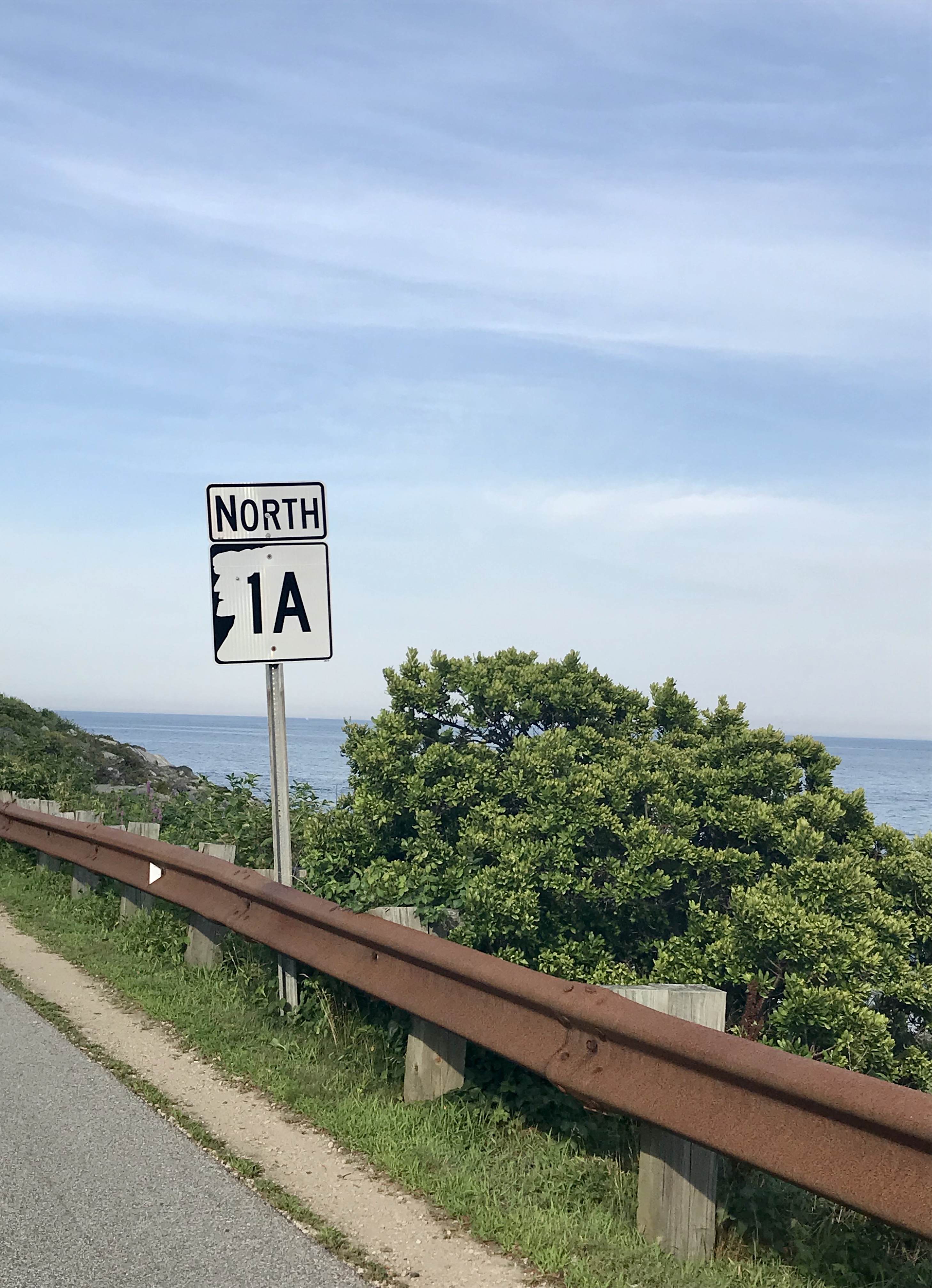
After all these years I’d never forgotten just how great of a drive New Hampshire State Route 1A was.

Before we checked into our hotel in Portsmouth, I suggested we took the requisite tour up Route 1A (known as Ocean Boulevard for most of New Hampshire’s seaboard) and the shore with the windows down and the breezy salt air coming in (and our music blasting out).

Starting in the brashy and tawdry beach burb of Hampton Beach and its famed 3-mile titular stretch of sand that are both long-established New England summer destinations, we then ventured northwards around a few rocky points with squinty views of the faraway rocks that are the Isle of Shoals – a group of forlornly not-quite-barren islands split between Maine and New Hampshire that are famed for their isolation, and grim and mysterious folklore – the spectrums of which include murder, shipwreck, ghosts, and a treasure – all suitable footnotes of any northern New England ocean island. I’d like to take a ferry ride out there next time I’m in the area.

We then passed through scenic Rye, with numerous state beaches, tidal wetlands, and ostentatious money enclaves that line Ocean Boulevard, and then ended up in Portsmouth.

*iPhone photo. The rad shield for New Hampshire State Route 1A – the numbers represented within the silhouette of the “Old Man of The Mountain” – which was formerly a naturally anthropomorphic rock outcropping above Franconia Notch said to look like its name implies, which has since crumbled ironically due to its old age, and is now kind of an awkward state marketing icon. I had fun explaining this to one of my friends who is from the Midwest.

Portsmouth, New Hampshire is a rad little city. As its name implies, it started out as a colonial shipbuilding hub and morphed into a rowdy naval port town where the Piscataqua River junctions with the Atlantic around the island town of New Castle.

The Pisaquata River also has a pretty great Google review!

The name was minted by the local Abenaki people and might mean something close to; “a river with a strong current”, which I’d say is pretty dead-on, but the details are a bit hard to parse, and because of that, there is a lot of speculative lore behind its name! It’s also the third fastest-flowing navigable river in the world. Though the city has long declined from being an employed port, the oldest naval shipyard in the new world is still active here on an island in the Piscataqua – which once launched some of the most important American warships and the first nuclear submarines. Now the shipyard is kinda moribund, but still functioning.

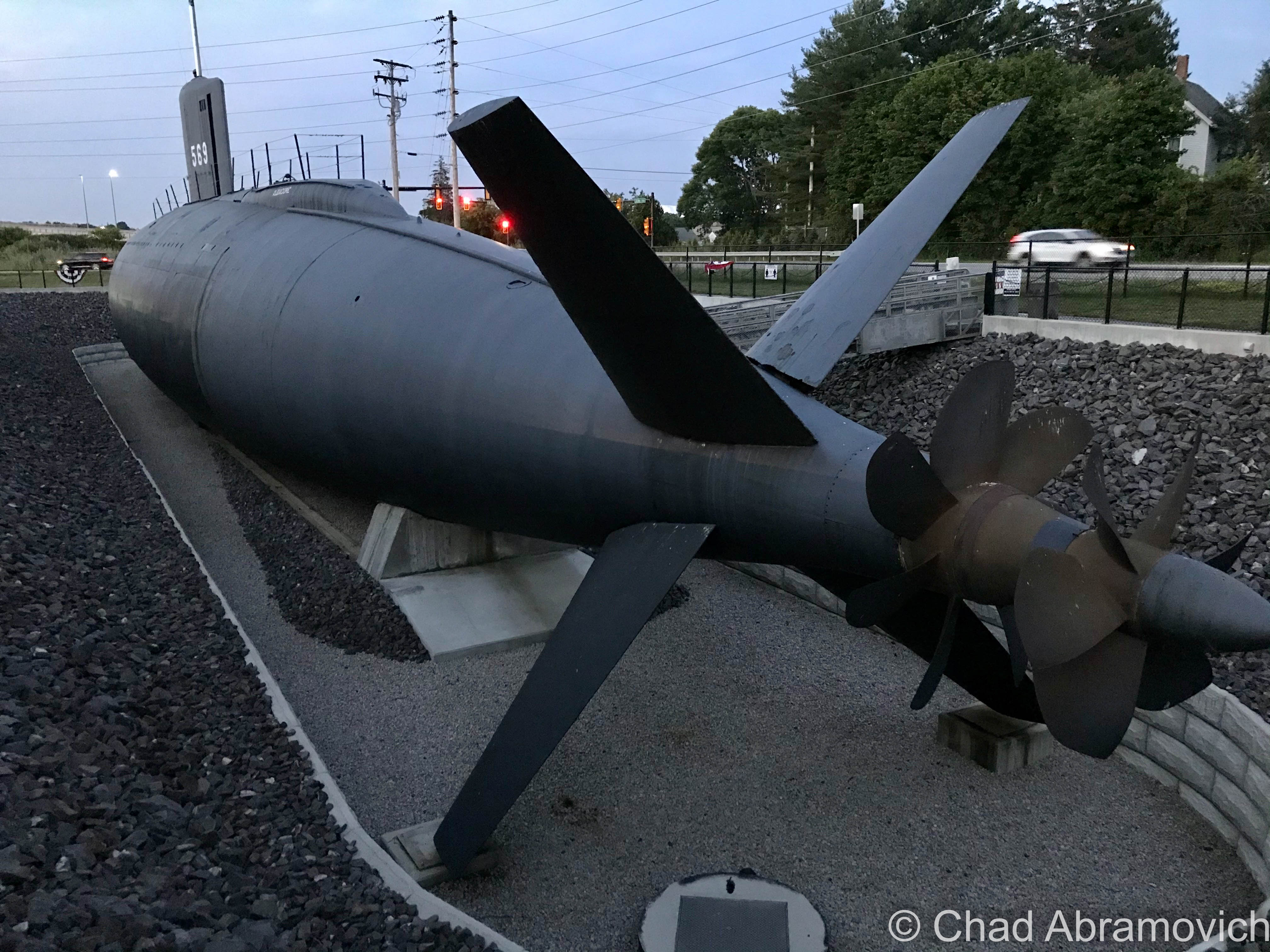
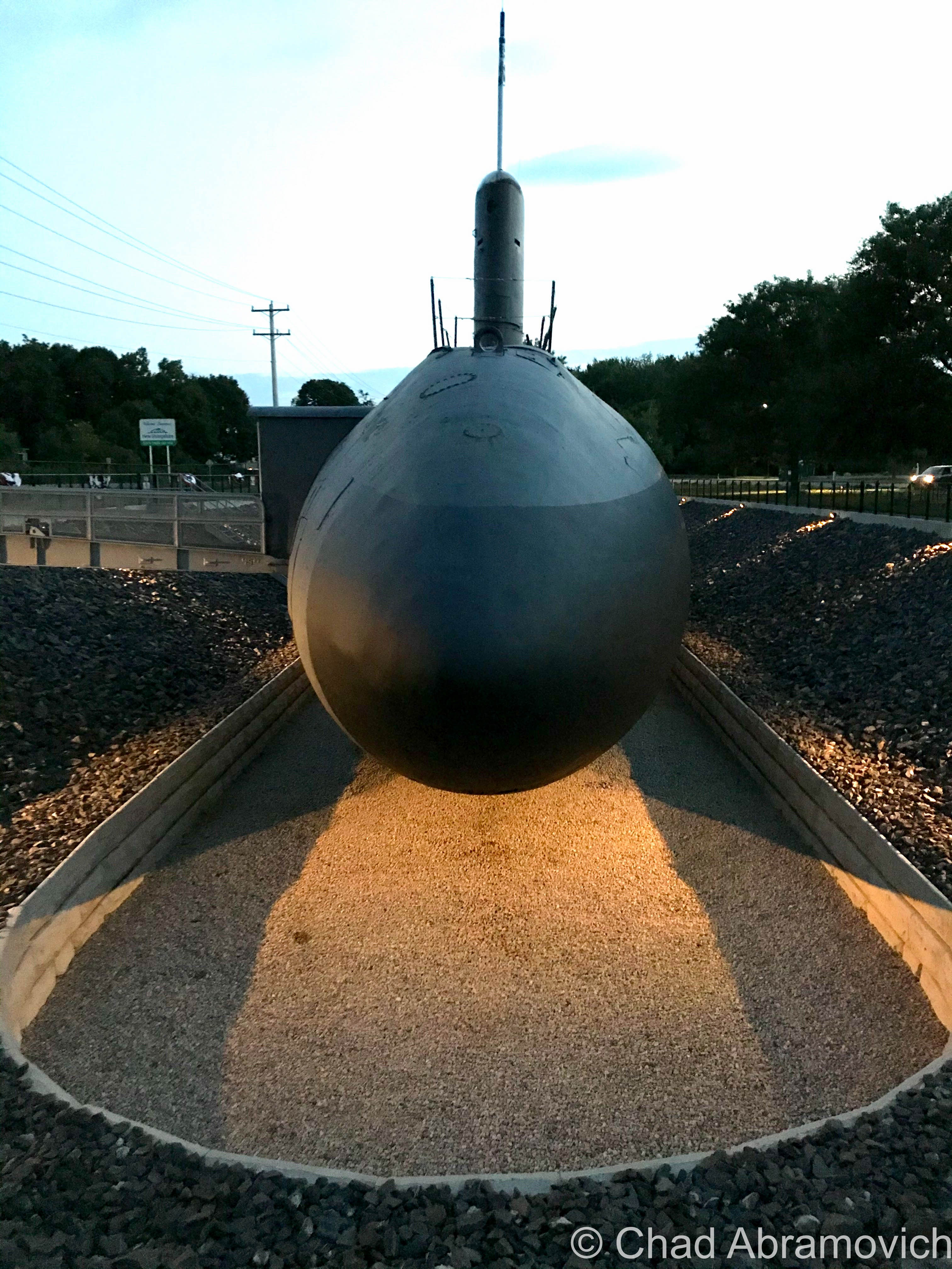
And speaking of submarines – there’s one in a hole right off the Route 1 Bypass! It had me and my friend exclaim: “Hold up… that’s a motherfuckin’ submarine!” when we passed it.

It’s the new home of the USS Albacore! Lauded as “the forerunner of the future” in its heyday, this vessel was built by the skillful laborers at the Portsmouth Naval Shipyard in 1953 and was intended to essentially be a paramount experiment of both its physical design and technological wizardry – one that the Navy was really depending on. Its teardrop-shaped body became the standard design for all subsequent submarines – and proved that submarines could actually sustain themselves and function while being submerged!

It became the world’s fastest submarine in 1966 when it set an underwater speed record of 40 miles per hour, and, it was used to innovate sonar equipment!

Now, it’s a neat roadside oddity and museum that we didn’t expect to see. Though it was closed when we pulled up as dusk hummed in, it was worth getting a few mediocre iPhone shots of!

One of the most memorable features of the navy’s island lair – and the region itself – is a notorious abandoned naval prison designed as a dismal gothic nightmare – intentionally, I’m sure.

I guess it’s an unwritten cultural rule that if a prison is built on an island, it’s gonna eventually be known as “the rock”.

Like Alcatraz, the intimidating Portsmouth Naval dungeon also shares the same tag, even though it’s technically across the state line in Kittery, Maine – and when in operation, was one of the nation’s most feared military lockups that could hold a surprising 86,000 inmates. The guards, too, had something to fear, because according to folklore, if they let a prisoner escape, they would be finishing out the rest of the escapee’s sentence. And you’ll have something to fear if you decide to try and explore it, because you’ll most likely wind up being locked up (though probably at another facility). I have no doubt that there are other gristly tales of this “the rock” – and most likely, those are forever classified.

I’m a bit bummed that I didn’t get a shot of it while in Portsmouth, but it wasn’t until afterward that I discovered that there was actually a pretty good vantage point from a bridge that leads into New Castle. Oh well, I’ll have to get my shot next time I’m in town!

Via Wikimedia Commons

Nowadays, Portsmouth is a hip tourist town with loads of charm that front squiggly roads and brick sidewalks – part of that charm comes in the form of loads of colonial architecture that was the result of the burb being one of the most successful port cities in early America. It also comes from the fact that after the city was being gradually consumed by a multi-decade period of decline, a whole bunch of Portsmouthians found their civic pride in the 1950s, when the “urban renewal” contagion was spreading around America – which meant a proposal to bulldoze half of the city’s historic neighborhoods so they could put modern stuff in its place. Thanks to locals loathing that idea – the city has a fantastic array of impressively preserved old buildings from the city’s various stages of life that couldn’t be more archetypal New England, and lacks the antiseptic, banal, and cheap architecture that plague so many other American city centers today.

It also gives Portsmouth a wicked creepy vibe after dark when things get shadowy behind old houses, arboreal-tunneled streets, and replica historic gaslights. You definitely start to wonder what sort of fiendish monstrosities lurk in the black voids and eerie stillness that slides over the city from ocean mists.

And speaking of creepy things at night – this is a good time to transition into my first oddity excursion…

Grave With A Glow?

Back at the hotel room, I was doing some research a few hundred years deep into local cemetery records, trying to track down a particular corpse. Well – actually – her gravestone. You see, Portsmouthians have a mystery among them – an inexplicable phenomenon that might be solely unique to their city. As far as I know, anyways.

According to the vague legend – there’s a light coming from within Portsmouth’s sprawling south street cemetery at night – the result of 5 old rotyards eventually colliding into one over the centuries that Portsmouth has existed.
This is a radiance that might be preternatural, for it’s said to come from a tombstone.

Yup, I was trying to find a grave that glows, which was a bit of a task. There wasn’t a lot of chitter-chatter about this curious claim. I first discovered a brief snippet of it within Curious New England: The Unconventional Traveler’s Guide to Eccentric Destinations by Joseph A. Citro and Diane E. Foulds and was finally able to dig up a bit more sustenance on a blog entry I found, that now seems to have vanished.
What I found so intriguing about the claim is that the reason for the luminosity seems to be a mystery. There are no specter stories and it can’t be blamed on floating orbs or a reflective surface that mirrors nearby shine. I guess it’s an intrinsic feature.

The grave’s occupant, too, seems to be a rather unremarkable person, in a sense that she doesn’t seem to have any disquieting history to support her grave’s peculiar behavior. The usual plot twists to New England cemetery supernatural shenanigans don’t apply here. She wasn’t accused of being a witch, and she wasn’t done some sort of great injustice that made her utter a posthumous curse (though making her headstone glow for eternity seems like a pretty silly way to achieve retribution if you had that sort of power).

Though some morphed local lore takes a stab at answers and proposes that the stone glows because; it’s the grave of a murderer, a murder victim, or even that the gravestone itself has uranium (!) or a luminescent particle in its mix. Uranium in a gravestone is still amusingly easier to believe than this story is.

It just does its thing, apparently, and it has been for some time.

That’s another interesting detail – I haven’t been able to find any information on exactly when this marvel started to happen, or how long it’s been doing its thing for, or even any accounts of people who’ve seen it. Even a few locals I mustered up the courage to ask about it had no idea what I was talking about. It’s just been acting in that fashion for a while it would seem…

The naysayers who are aware of this tale scapegoat sources like the light of the moon, streetlights along Sagamore Avenue and South Street, the traffic light at the intersection of Miller, Sagamore, and South, or reflections from the sizable pond within the cemetery grounds, that for some reason, leap a considerable distance and hit just the one headstone. But if this is all to be believed, then even skeptics have to concede that it can’t be the moon, for the stone is said to glow perpetually, even on moonless nights.

With such a mysterious sensation allegedly happening within a few minutes of our hotel, how could I miss out on witnessing it for myself?!

One of my friends decided to humor me and come along, while the other one raised an unimpressed eyebrow at me and opted to stay at the hotel.

My skepticism was as thick as the summer humidity outside that night and I felt a little guilty, so to appease my friend for joining me on my midnight legend-chase that would most likely have no payoff, I told him we could get some night shots of the city afterward, which he was pleased to agree to.

Navigating Portsmouth’s gridless grid, the old-fashioned wood frame houses ominously glowing with jaundiced light from the streetlamps soon ended and the vast graveyard thick with indifferent shadows extended beside us behind its low delineating stone wall. It was really dark in there.

Despite how nearsighted I know I am, a greenish/white glow within an otherwise dark cemetery should have been easy to spot – but as far as first impressions went, we didn’t see anything except for the waning rectangular shapes of rows of headstones coupling with panoramic umbrae that seemed to be extra nebulous for some reason. It was actually pretty creepy.

From within the cemetery, we could discern the distance-weakened streetlights and an occasional flash of passing headlights, but there was nothing I could see that I’d mistake for an unceasingly glowing gravestone. It was a good thing that I did the research beforehand, too, because finding a grave in that cemetery at night would have been an unlikely task. Unless it glowed.

“What’s the name on the grave?” my friend asked as we walked around in the dark.
“Burns”

“Wait… seriously?”

“Yup, we’re gonna see if Mrs. Burns, burns”.

“Oh god, Chad…”

Our experience in the cemetery can be summarized succinctly; there were no glowing tombstones. Or tombstones doing anything that could be considered eccentric. We then drifted over to the Portsmouth waterfront, reveled in glorious summer weather as the water bells tolled distantly, and called it a night.

We did return the next day en route to another oddity I’m going to get into below, so I could get some documentation shots of the headstones for this blog post.

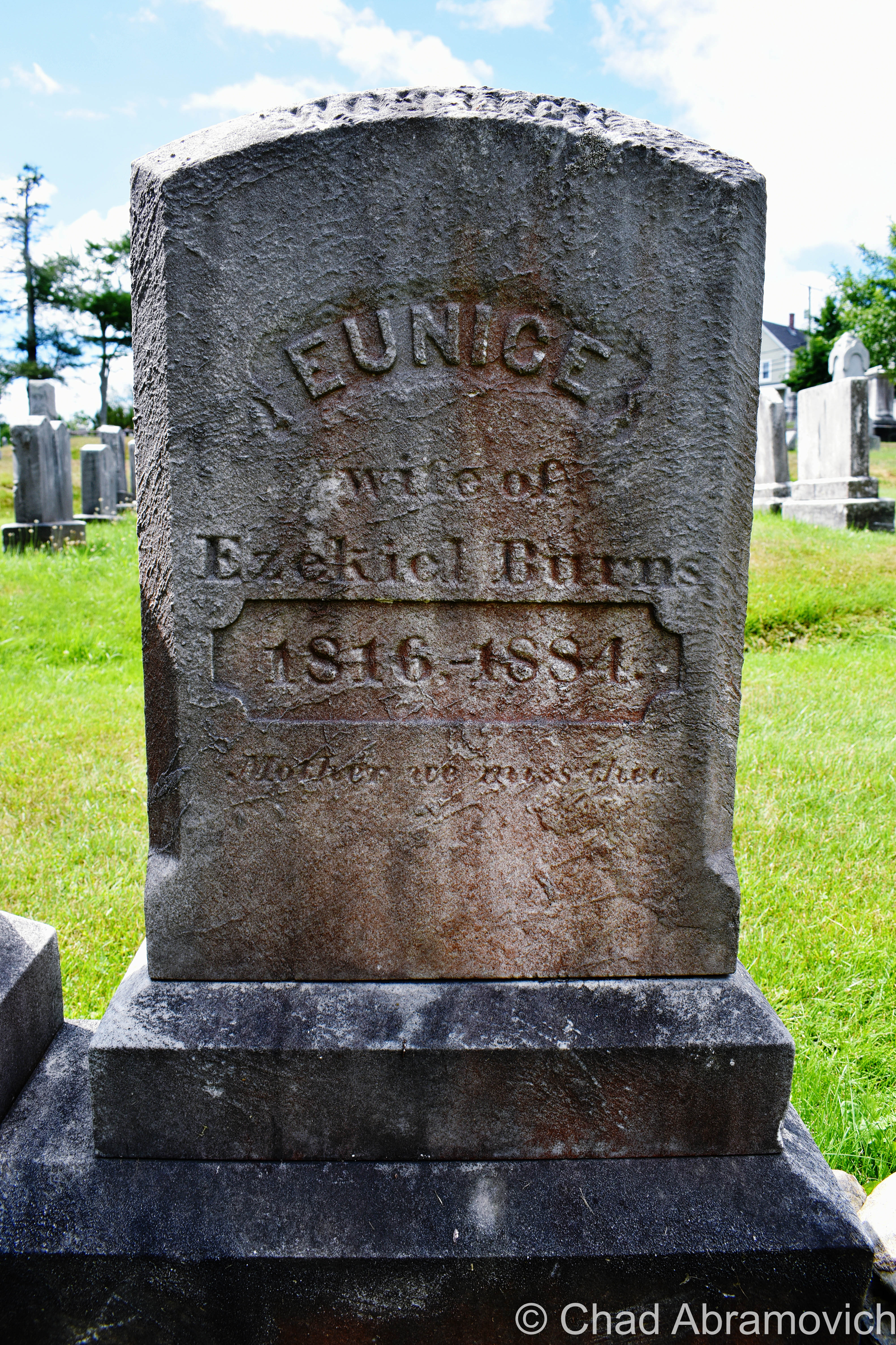
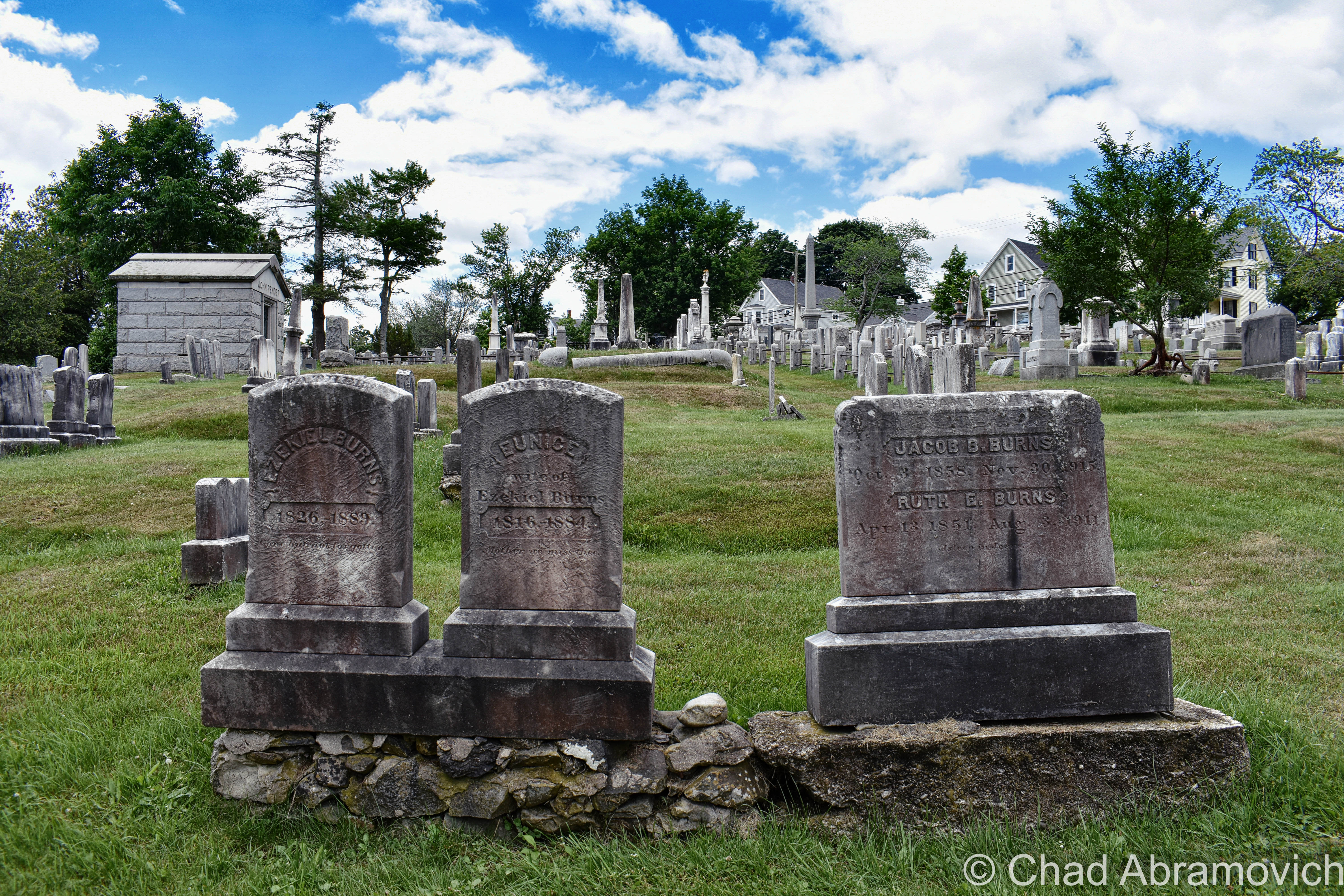
There, in broad daylight, were a set of 3 tombstones with the surname Burns on them joined at their base – 2 of them bonded by older looking stones and a third and unevenly distanced one on a newer concrete foundation. They were more or less unremarkable and dimmed by age and weather. In the middle was the anomaly – the grave of Eunice Burns, who died in 1884. The epitaph “mother we miss thee” engraved below her lifespan was actually kind of sad and made me wonder how she turned into a local folkloric figure.

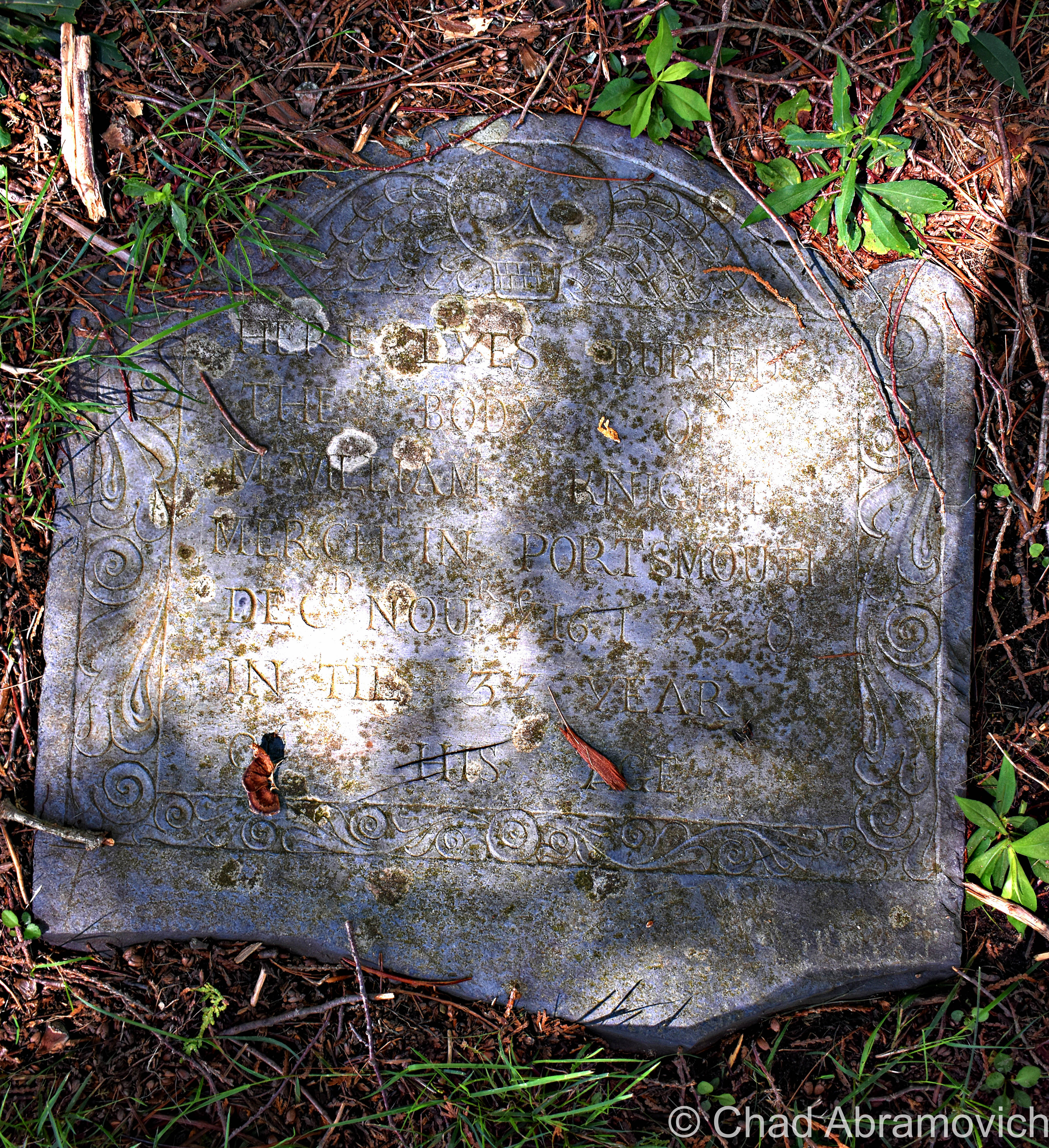
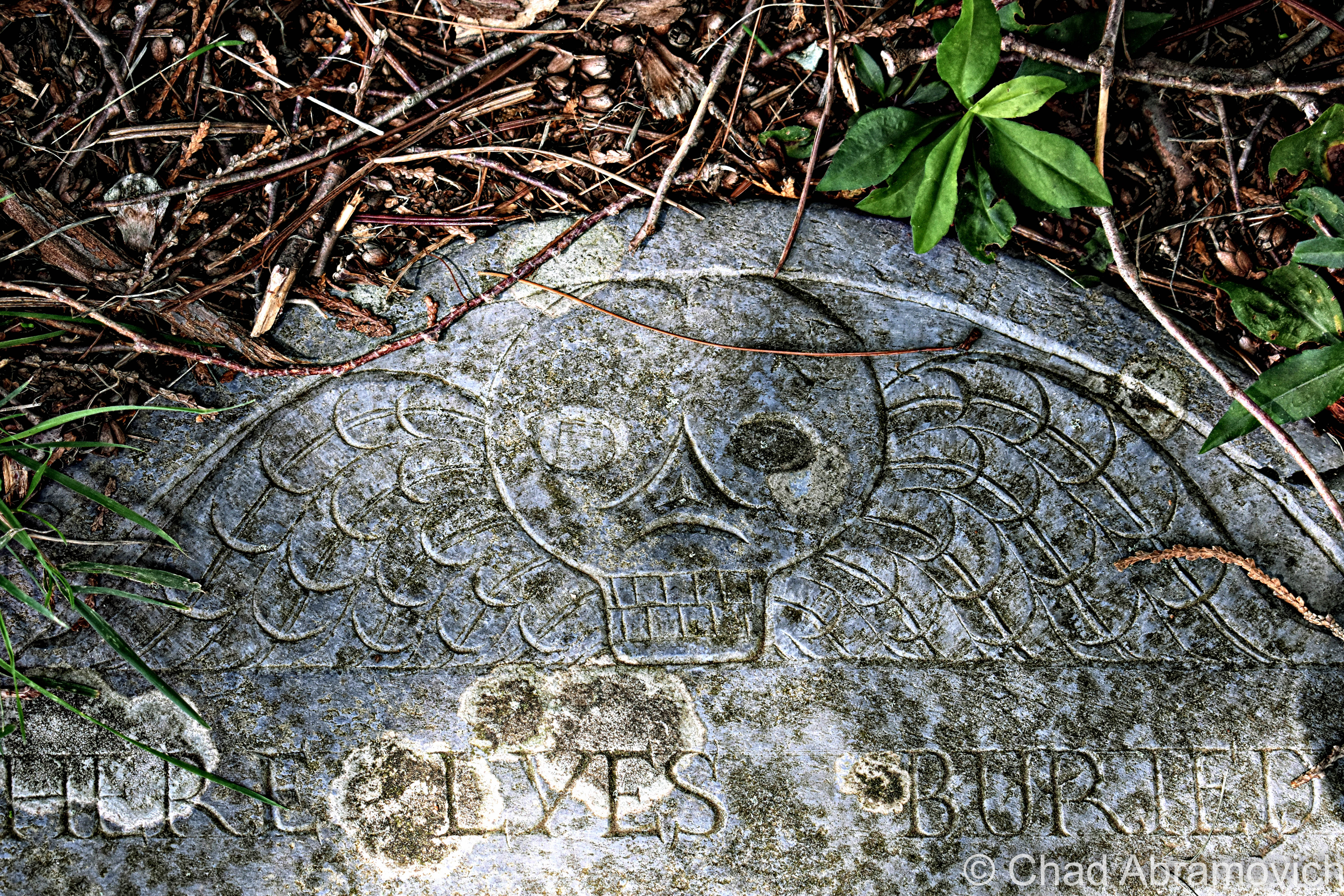
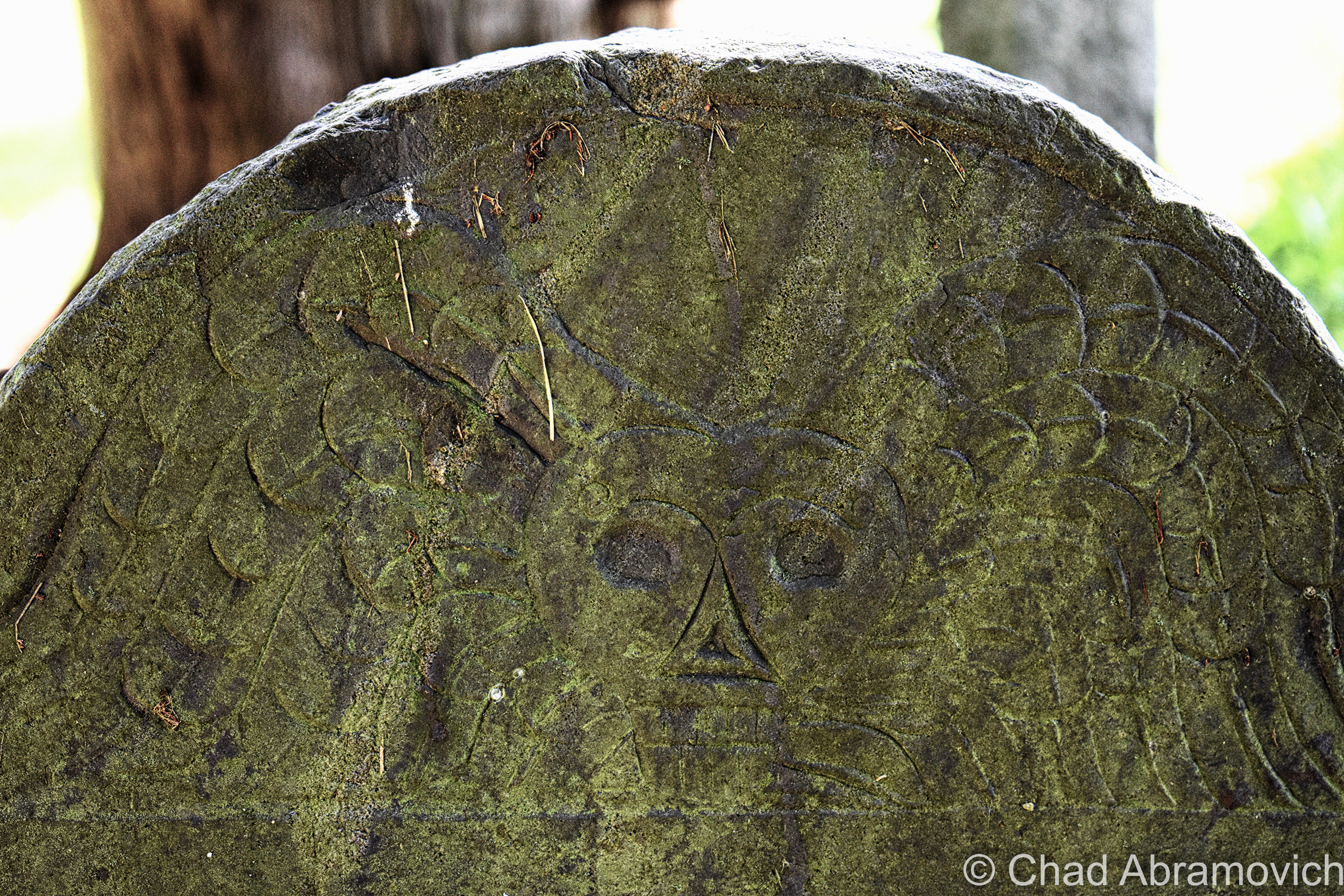
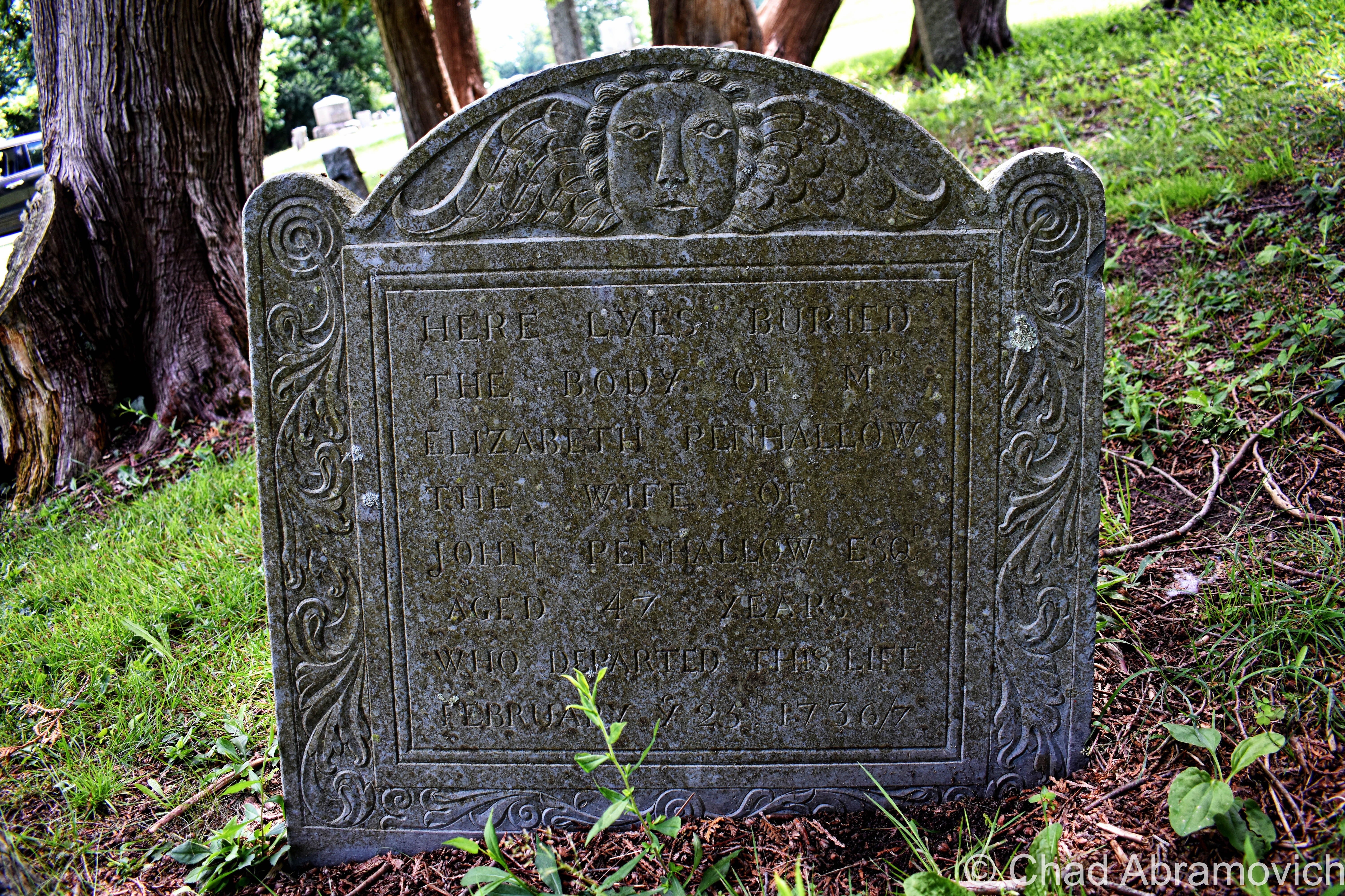
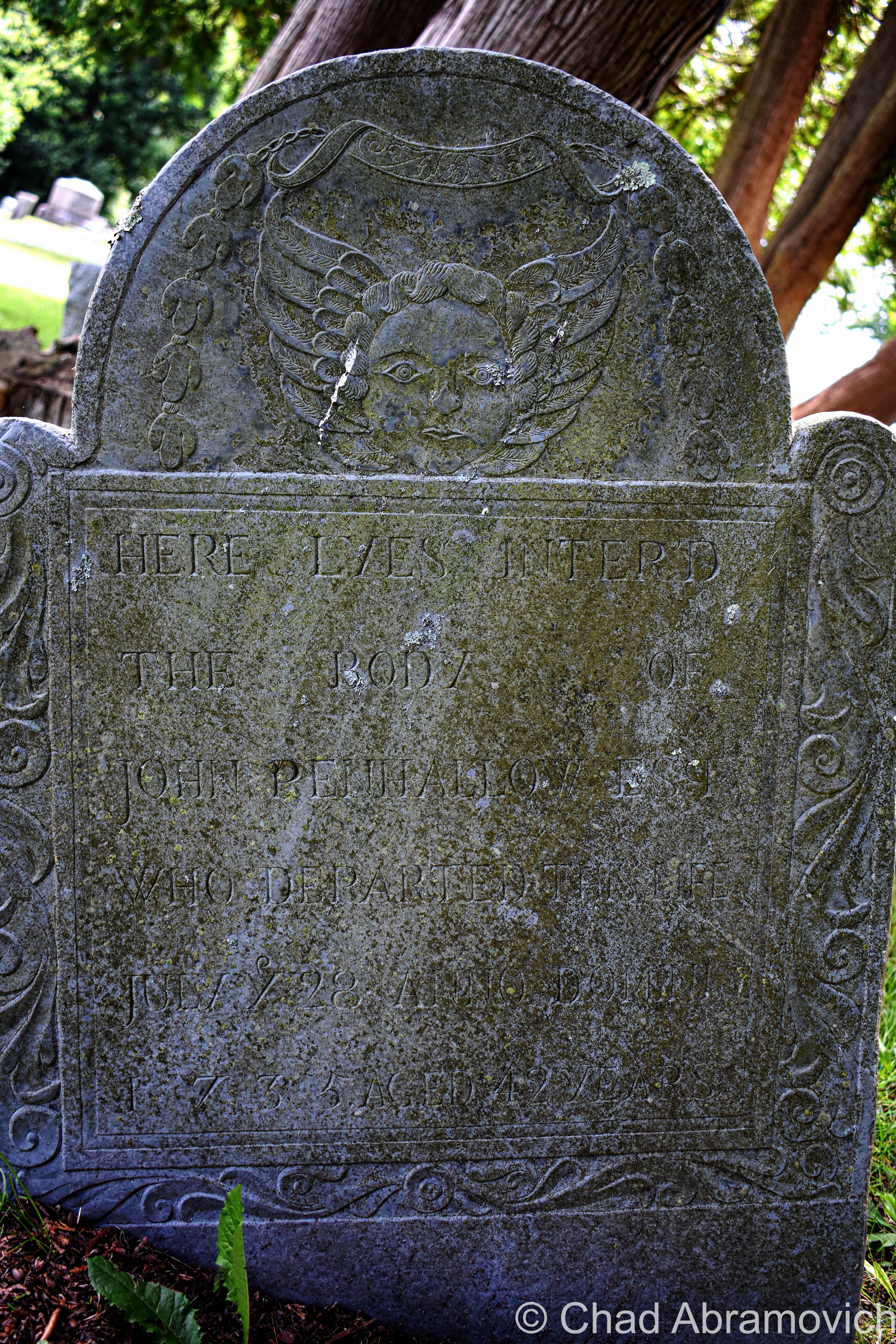
We also had a brief wander around the cemetery – a sprawling yard of little grave capped hills and a long pond, and observed a fantastic array of weathered old headstones and their memento mori and stories – dating all the way back to the 1600s, when Portsmouth was spelled as “Portsmuth”.

“So, it didn’t glow last night?” asked my other friend facetiously as I was putting my camera gear back in my bag.

“Nope. But who knows, it might be glowing right now and we just can’t tell because it’s sunny out”.

These are just a few shots of some headstones that I found to be interesting as I was leaving!

The Drowned Forest & The Transatlantic Telegraph Cable

More often than not, some of the most interesting things come to me completely by accident.

This is one such case, while traveling the fantastic New Hampshire State Route 1A through the town of Rye years ago.

My obsessive observational habits mean that I try to take in everything around me at once when I travel. Studying the landscape and reading every sign I see.

As we came across a small marshy area along Route 1A, I noticed a standard New Hampshire state historical marker standing a ways back from the road in the yellowed tall grasses. I’m a huge fan of those state historic/points of interest markers installed on roadsides and usually try to glance at them if I see them.

But this wasn’t the typical sign denoting a battle or historical event. Instead, it had two words that seemed to jump out at me; “Sunken Forest“.

I wasn’t expecting that, and almost immediately, my mind began to percolate.

After all, the term “sunken forest” does provide a lot for the imagination – conjuring up eerie images of giant pines and cedars submerged in a viscous, murky world of diffused light, their branches sullenly and slowly swaying with the mercy of the tides, fish encircling places where only birds could once perch and ship keels making their way over their crowns. 

Did something like that exist in New Hampshire?!  

Well, sort of.

After doing some internet research,  I soon discovered that the reality was a little less phantasmagoric, but still pretty awe-inspiring!

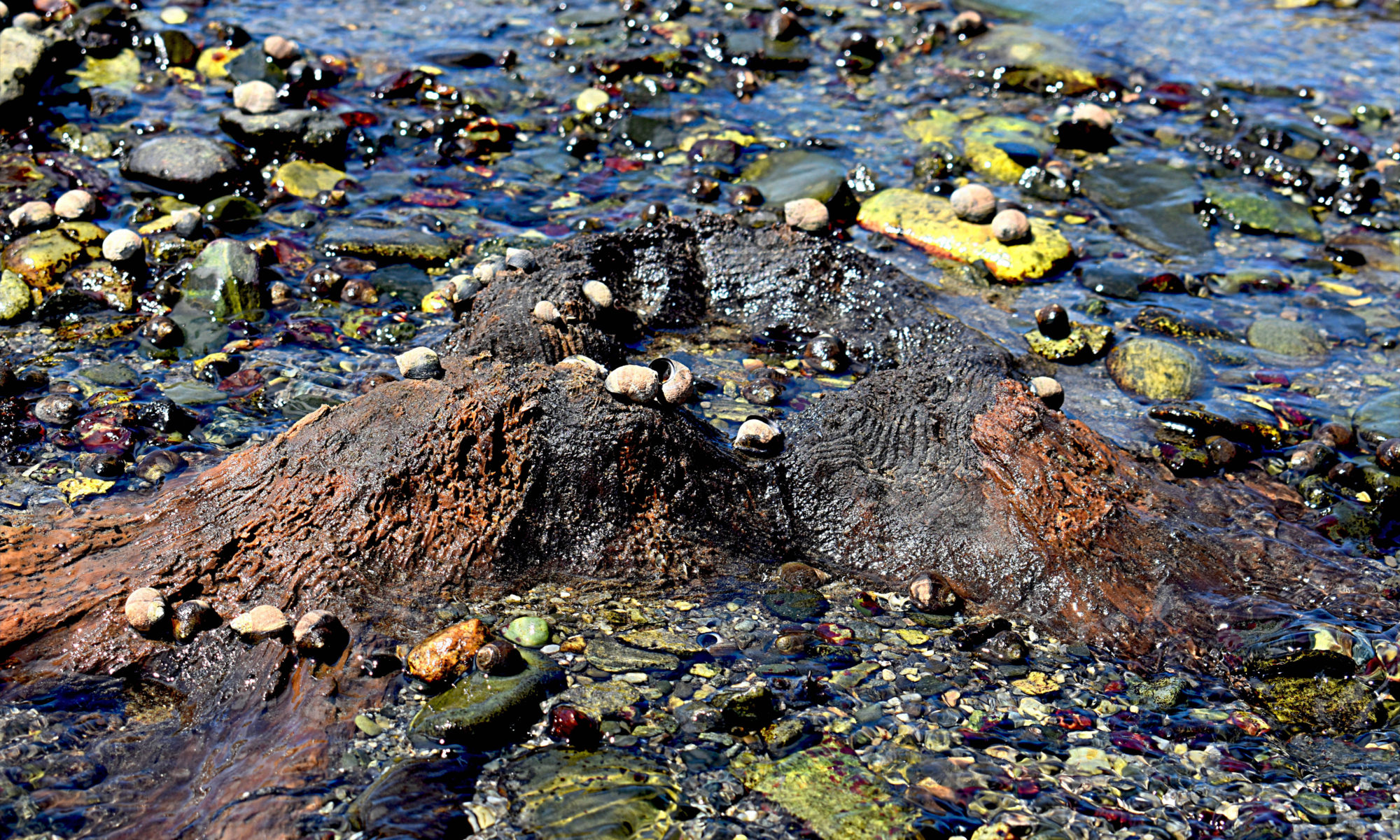
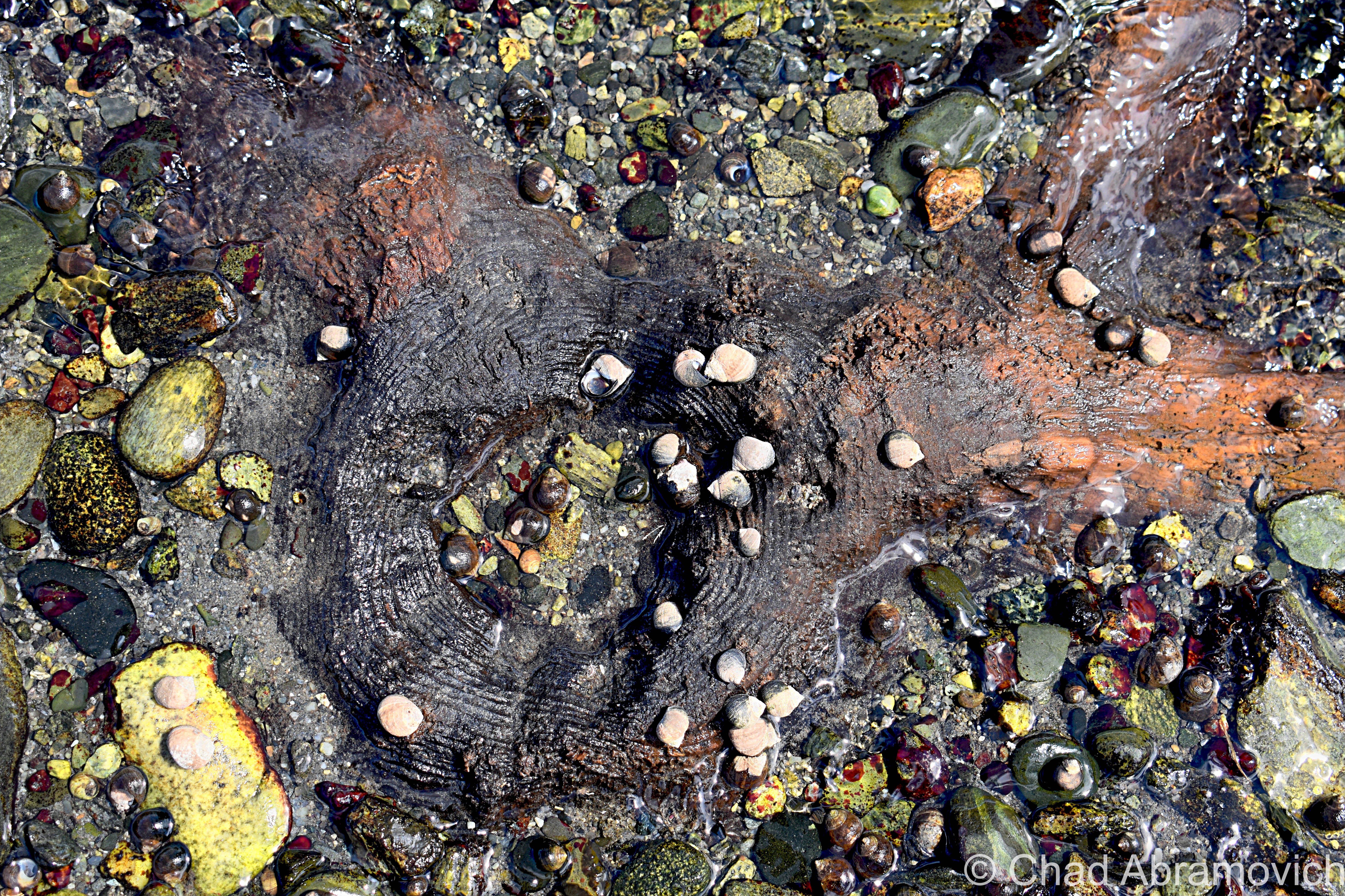
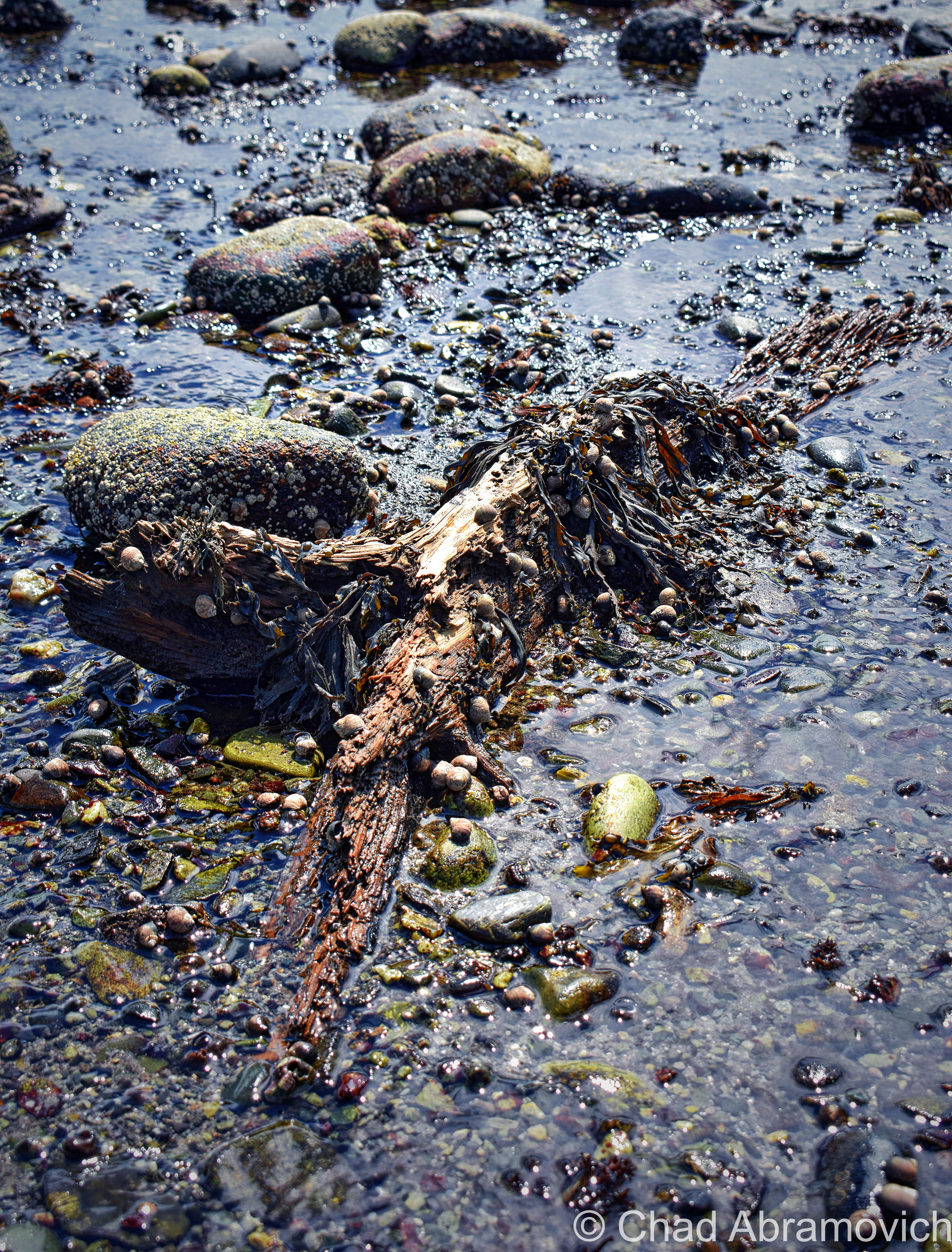
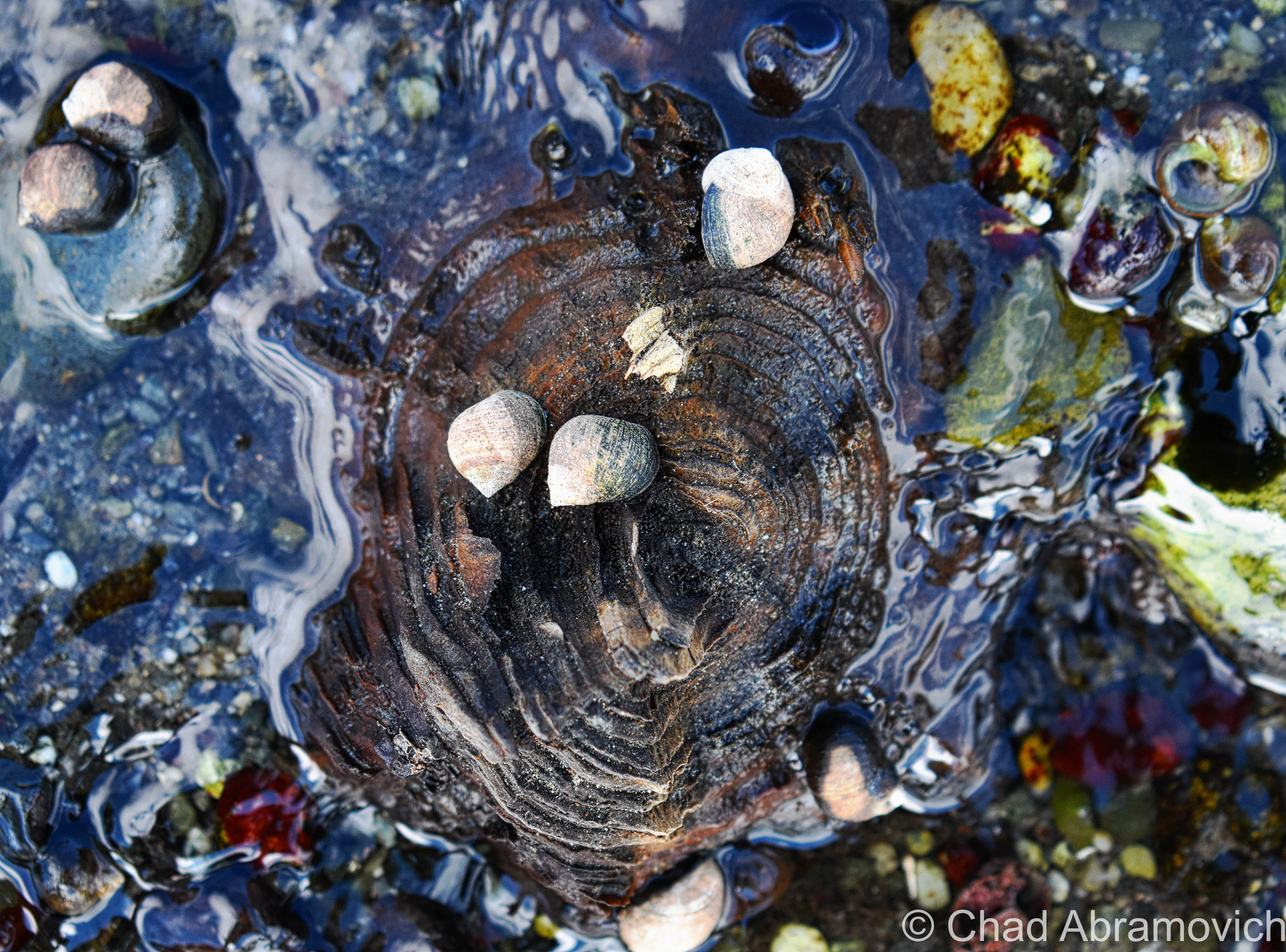
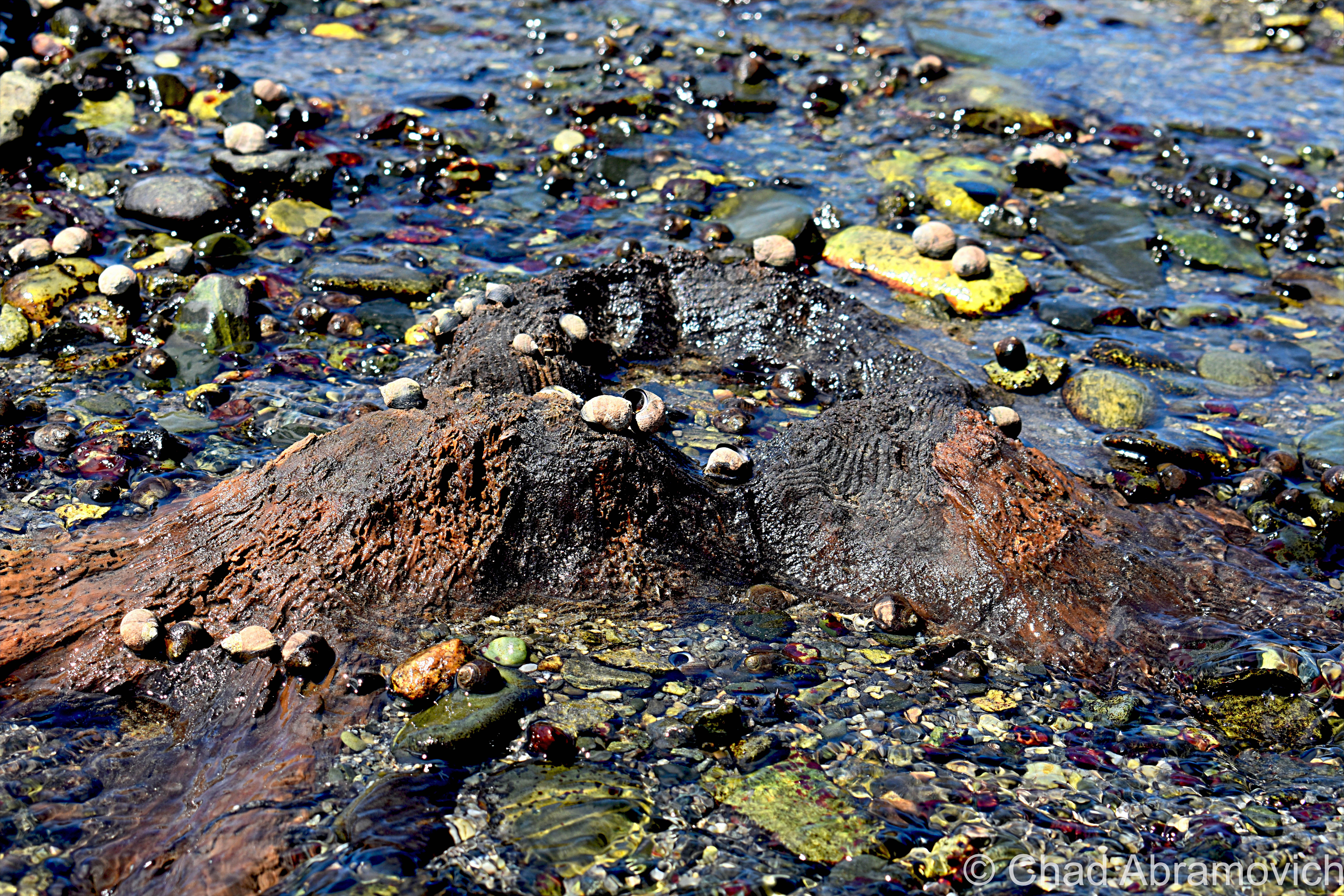
Rye’s sunken forest is the extant remains of a living forest of Hemlocks, Cedars, and Pines – reduced to a range of slimy tree stumps and contorted roots in thick peat mud, many of them barely noticeable and almost always obscured by high tides most of the year.

The traces of former forests and other things that the oceans have adopted into their secretive world can be found along the northeastern coast from Massachusetts as far up as Nova Scotia – and sometimes, a particularly low low tide can reveal these things, or give them back.

This fossilized forest is from a time when the New England coastline extended approximately 75 miles outward, thousands of years ago! When the giant ice sheets that covered North America began to melt, sea levels increased and changed the coastal signature of the area, and eventually, the once-great softwood forest found itself unable to adapt to its new environment; underneath the ocean.

New Hampshire’s inundated forest is one of the easiest to view of all the still-surviving ones, which makes it all the more unique and tantalizing to track down.

But, “easiest” still means little here. The visibility entirely depends on the tides, which means actually seeing them is a rarity. And if the conditions are more ideal, the arrangement of nudged sediments, stones, and mud might also work for or against your efforts.

This oddity is bisected into 2 parts, which are either collectively known as “The Sunken Forest”, or isn’t. The one I tracked down, is the more frequently surfaced depending on the season and the tides, and is known to some as “The Drowned Forest” – which is mostly submerged in a rocky cove near the storied Odiorne Point. I like how graphic and violent sounding that name is, so I usually just go with that one. It also makes more sense logically to me, because the whole reason this oddity exists was because it was literally drowned.

Spring and summer are the best times to detect it, because in the latter part of the year, the low tides are only at night. Also, luck and persistence will help a lot too. Seriously. This was my third attempt at trying to see this – and not being from an area that has ocean frontage, this was also a required opportunity to teach myself about the tides.

The more of a chore-to-view is called “The Sunken Forest”, and is southwards down at the northern end of broad Jenness Beach – which mostly Houdinis itself except for once every few decades if conditions are just right. But, the Jenness Beach portion is also the best-preserved – with the stumps actually looking more like stumps, as opposed to up at Odiorne where centuries of ocean movement have grounded down the stumps almost level with the earth.

But when they are exposed, they have been carbon-dated to around 3,600-4,000 years old – and using dendrochronology, some of the tree stumps were shown to reach around 100 years old before they met their fate!

Finding this patch of remarkable flora was the main persuasion for me going to the New Hampshire shore – and it also was the thing that managed to twist my arm towards a beach. Not that I don’t like pretty places, but I’ve never been much of a beach person, mostly because I don’t really dig crowds or heatstroke.

By the time we arrived at Odiorne Point to meet low tide, though, it was already on the cusp of 100 degrees, and that heat just sucked the life outta me.

But I couldn’t contain my excitement as I made my way out into a rocky cove that wreaked of the fragrances that come with low tide. This was a special kind of ocean controlled oddity, sort of like when old shipwrecks will surface every now and then off, or on, New England beaches, so being able to actually behold it for myself was pretty rewarding – even more so knowing that within an hour or so, it would all be submerged again.

Scores of parents and even more kids were roving around the stony banks bracketed by seagrass stands and splashing around in the tide pools – most of them having no idea that they were in proximity to 2 very cool curiosities. But me – I was roaming around with my camera and prattling about seaweed-covered mounds that I was trying to differentiate from either being the oddity I was looking for, or just a regular sodden lump.

Some of the stumps and exposed contorted roots were almost inconspicuous in muddy sediments and other remains were found but sort of veiled below ankle-deep water with surface sun glimmer in the shifting tide pools.

Odiorne Point unassumingly has quite the history – many of the ruins that mark the point’s fluctuating timeline can still be detected – scattered through the state park that now occupies the land around the point.

The Abenaki and the Penacook gathered here for the copious resources like muscles and clams found in the tide pools, and It became the first spot in New Hampshire that seafaring Anglos set foot on a few centuries ago.

While century-old gravel pitting operations obliterated any traces of those original settlements (besides the oldest known cemetery in the state!), the brawny vestiges of a vital World War 2 coastal defense fort still exist within the park’s woods, as well as a conspicuously curious watchtower that can be seen 83 feet above the shingled homes of a small neighborhood off Route 1A that once was a satellite of the fort and was used for intelligence.

It’s the lone extant survivor of New Hampshire’s original 14 coastal World War 2 watchtowers, and is, for the most part, closed to the public. The tower is named after a neighboring natural landmark – Pulpit Rock – a jutting flat-ish topped rock formation that thrusts into a bouldery range of shoreline.

We had originally wanted to go check out the old gun mounts and batteries (and investigate rumors of secret tunnels), but by the time we were done with the Drowned Forest, I guess the heat had gotten to us and our enthusiasm, and we opted for the air conditioner in the car instead. I’ll be sure to put them on my itinerary the next time I’m in the area. Just look at these photos!

This turned out to be a conjoined oddity – the second item on my agenda happened to have been coincidentally laid down right through the Drowned Forest, and was much more obvious to detect!

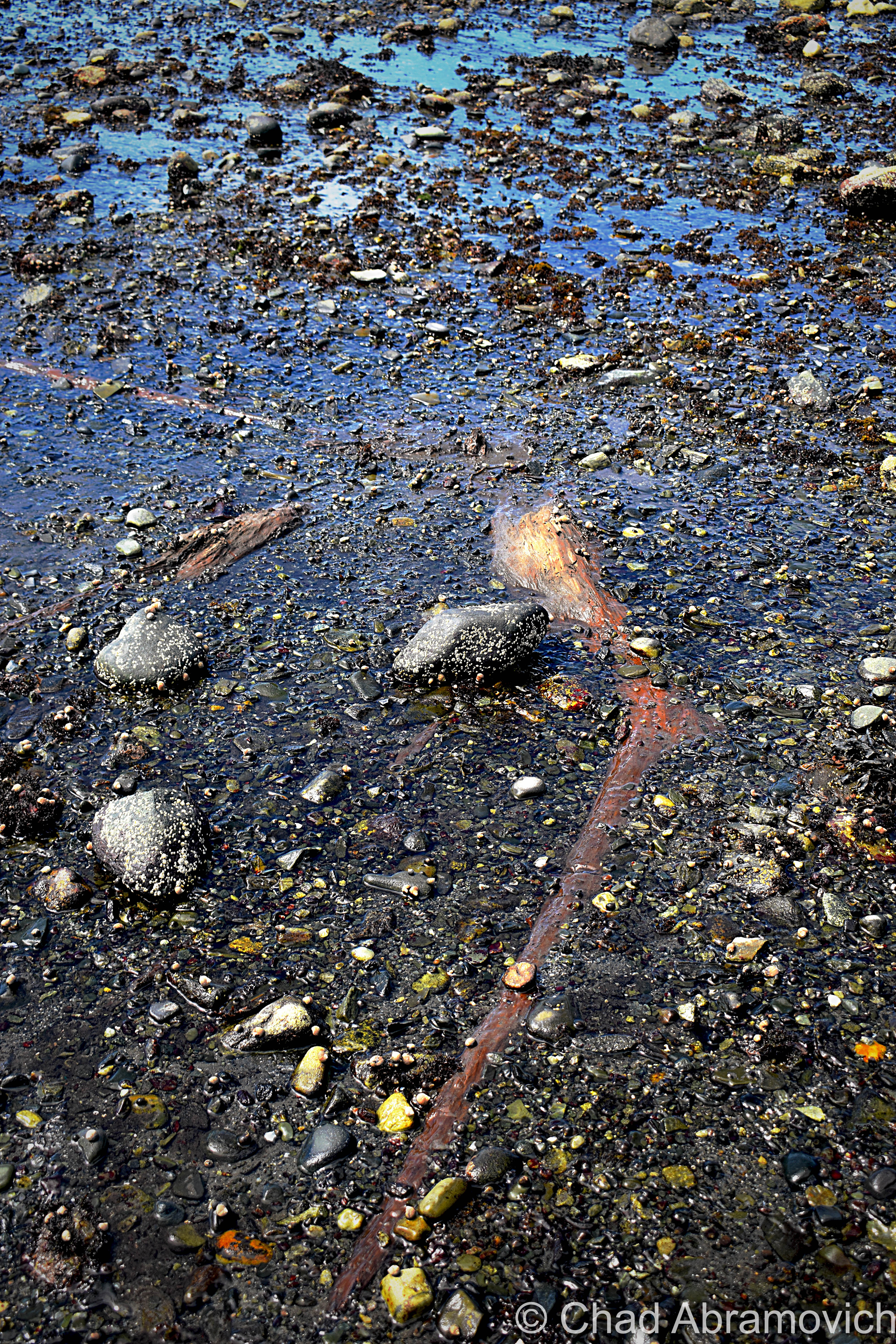
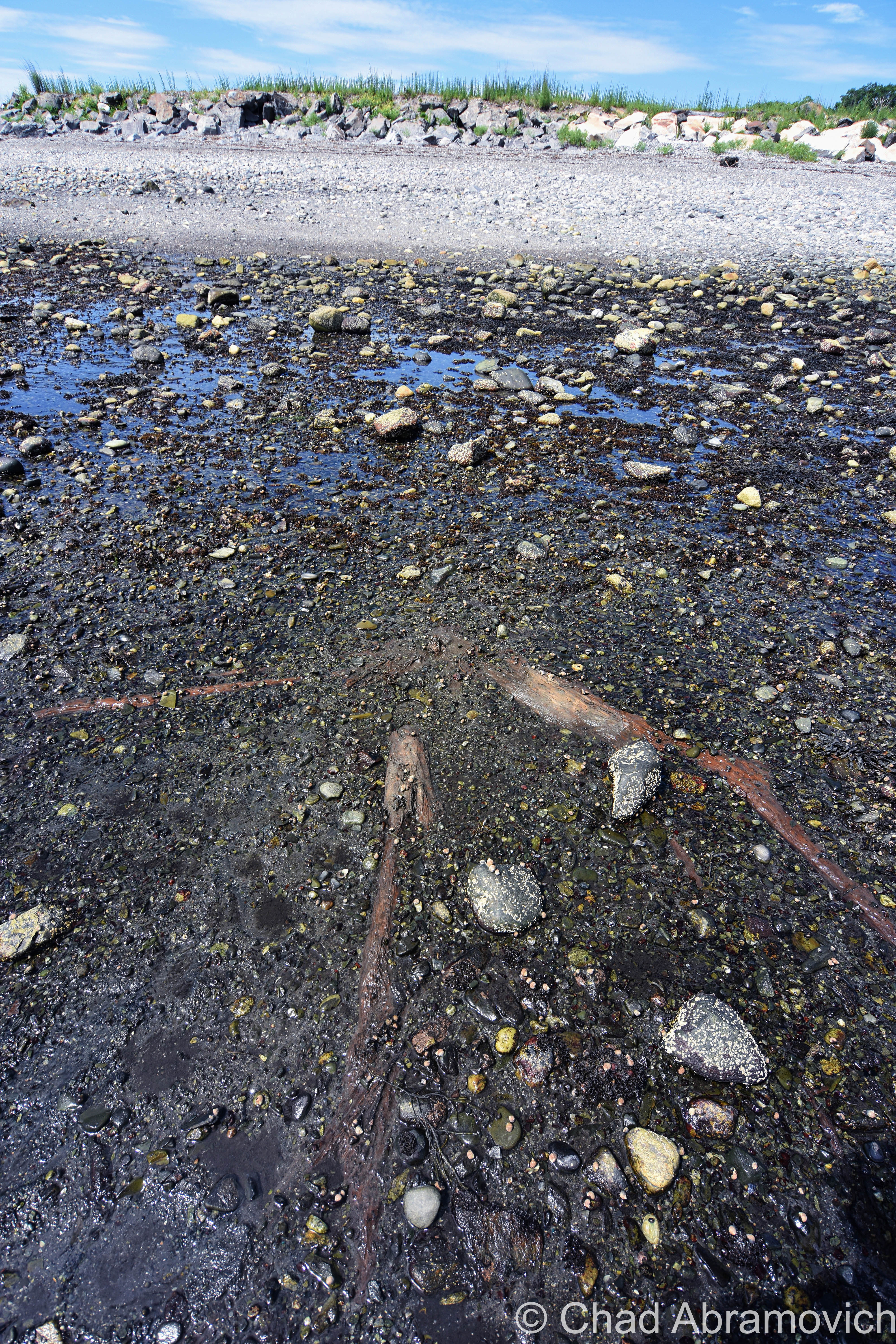
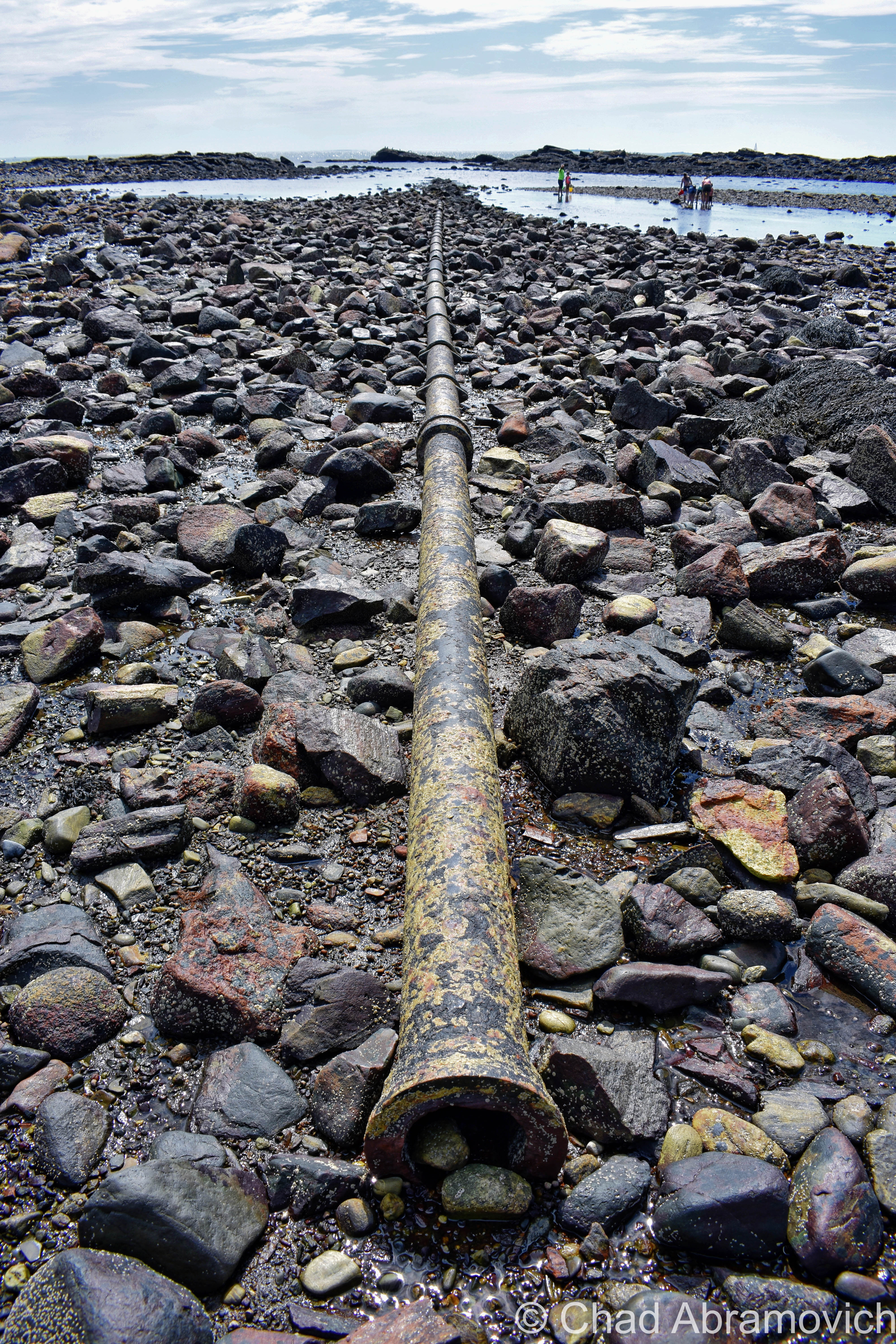
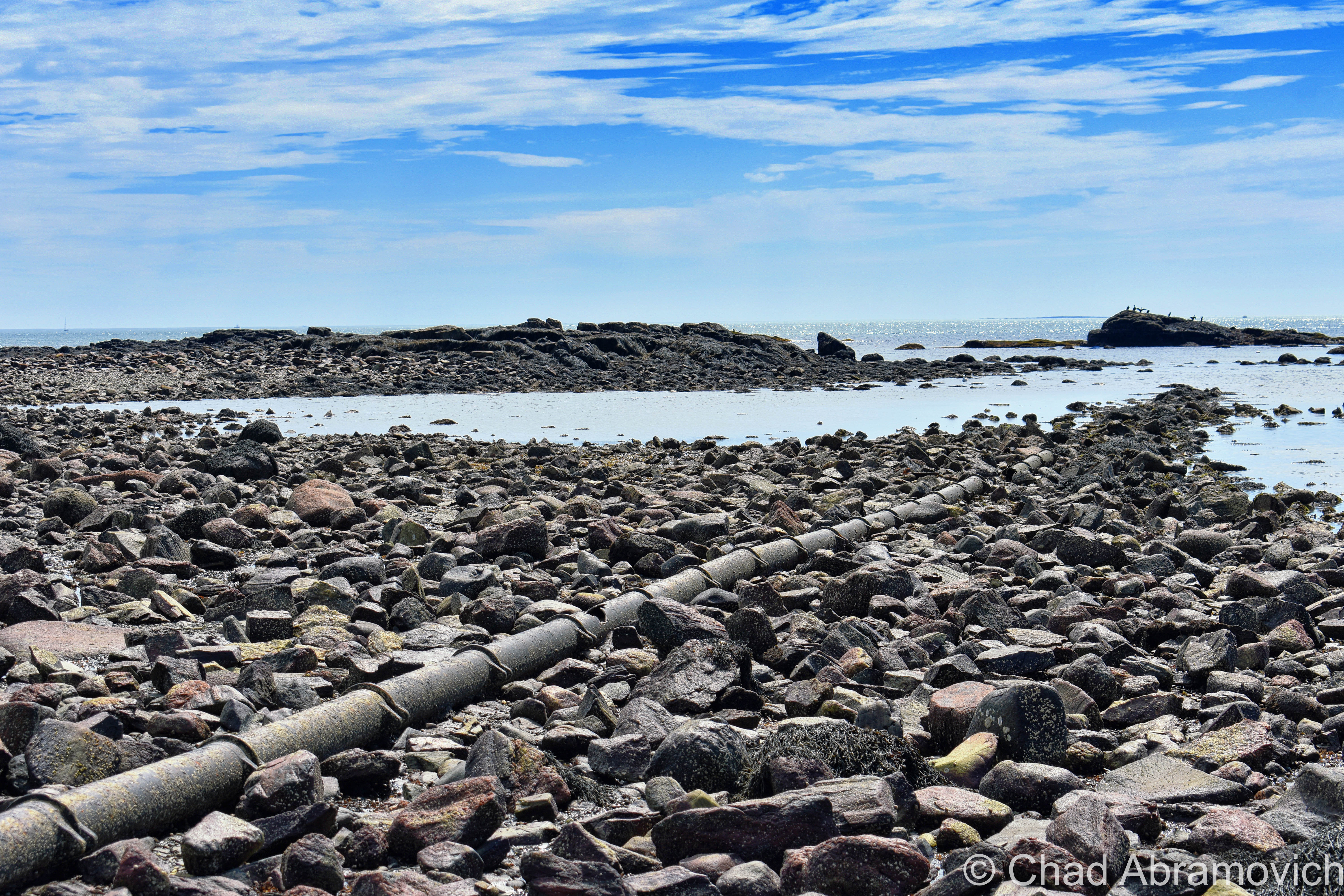
You’re looking at the rusted umbilical of one of the first transatlantic telegraph cables – the first one to be installed on United States soil!

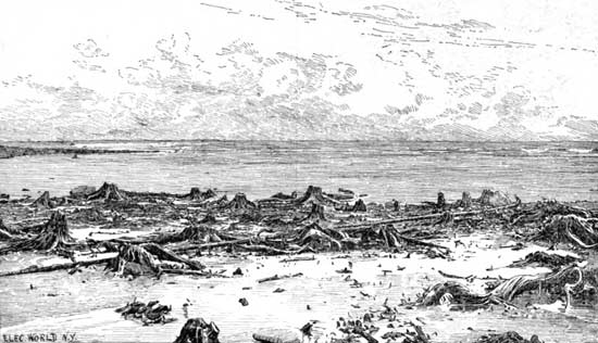
Landing of the Direct United States Cable at Rye Beach, right through The Drowned Forest – circa 1889. Notice how much more girth those stumps had then! | Via Atlantic-Cable.com

The 19th century was the sparking point for a wondrous period of advancement and invention for America. Communication – being one of the seminals of the human existence – was naturally pulled into the gravity of the changing methodology.

The telegraph could cut delivery of information from weeks to a matter of hours, or even minutes, by transferring a pattern of electrical signals called Morse Code between 2 receiving stations via a special wire, which would then have to be deciphered.

American businessman Cyrus West Field knew absolutely nothing about telegraph cables, but he had a lot of faith in their prospect, bellwethered that the telegraph was going to grow in importance, and wanted to capitalize on it in a way that nobody else was doing.

By the 1850s, underwater telegraph cables were beginning to run in small dimensions, like from Newfoundland to Nova Scotia, and across the English Channel.

Field utilized this information and thought bigger, literally. He wanted to establish a telegraph cable across the Atlantic – linking North America and Europe.

The idea also became a good way of international flexing, and the governments of America and The United Kingdom jumped on the bandwagon and helped fund the endeavor.

Because the cable was too large/heavy to load on a single ship, 2 appointed ships would sail from opposite ends of the ocean; Southern Ireland and Newfoundland, Canada, and meet in the middle to splice the cables together.

But, so many calamities bedeviled the journey that both governments and investors began to feel like fools after 3 failed attempts in 8 years.

Eventually, though, the first transatlantic cable finally happened in 1866, and it was a moving affair – with both governments lauding it as a paramount shift in human accomplishment. But, it took upwards of 2 minutes to send a single character because of the length, and then the cable was debased early on because of the voltage sent down it was too high. But, eventually, they got the kinks worked out, which pushed the project’s legitimacy card.

But – any messages destined for America still had to be sent down from the boonies of Newfoundland, which was often a slow or clumsy process. So, the Direct United States Cable Company was formed in 1873 by the Siemens Brothers, which routed another underwater telegraph cable down from Nova Scotia to Rye Beach, New Hampshire on July 15, 1874.

Because this was the first such cable to terminate on American soil – it was a big deal, and a huge crowd gathered at the beach the day of its installation – and garnished up some pretty dramatic Victorian newspaper illustrations in Harper’s Weekly with symbolistic ethereal light beams parting dark clouds onto the spot where the cable met the beach.

An official cable house was built that winter, which closed in 1921 when the cable’s usage significantly slowed down after its zenith during WW1 when it was kept busy practically 24 hours a day.

The cable house still cooly exists and is nowadays a nicely preserved private residence. It’s also why “Cable Road” has its curious name – something I wondered about when I read its name on Rye’s signature white and black street signs when I was a kid.

I tell everyone who feels like lending their ears that New England really is a special and strange place, maybe a few shades more so than the rest of this country’s iconic regions because of the comprehensive spectrum of spectacles that make themselves at home here, and these treasures are just a small representation of this. I was talking to a friend that lives in New Hampshire about The Drowned forest in particular, and he was delighted that something like that existed in his own backyard, and for years, wasn’t aware of it.

As I grow older, those are the types of discoveries that really fire me up more and more. Adventuring can really open up your mind. You don’t always need to go poke around a behemoth of an over-Instagrammed ruin to have a “real adventure”. The magic is kinda what you make of it.

The rusted remains of Rye’s transatlantic telegraph cable can still be spotted at low tide!

Here are a few links:

There’s a pretty fascinating documentary on the design and installation of the first transatlantic telegraph cable that I’ll link you below for your pleasure!

ALSO – if this kind of thing strikes your fancy – then definitely make sure to check out the website atlantic-cable.com – which was an integral part in my research on this curiosity!

The blog “Cow Hampshire” also has a good and more succinct blog post on it.

And – there’s another neat article on Hackaday

The Rye, New Hampshire Historical Society has some neat photos of the Drowned Forest from the 1800s.


Are you from New Hampshire or a fellow Vermonter? I’m looking for weird, wild, or hilarious stories, wonderous and odd places, incredible people, and especially abandoned locales! So if there’s something you’d like to share with me, I’d love to hear from you!

I’d also really love to grow this blog and present unique, meaningful, and extraordinary content that’s a departure from the same regurgitated stuff you find everywhere else online, and your help would be hugely appreciated!

Feel free to drop me a line at chad.abramovich@gmail.com

Also – if you appreciate me and this blog, perhaps consider making a donation at my PayPal below? The pandemic has hit my finances and my mental health pretty hard, so any amount is humbly appreciated. I’m also on Venmo if that works better.


Since 2012, I’ve been seeking out venerable examples of Vermont weirdness, whether that be traveling around the state or taking to my internet connection and digging up forsaken places, oddities, esoterica, and unique natural features. And along the way, I’ve been sharing it with you on my website, Obscure Vermont. This is what keeps my spirit inspired.

I never expected Obscure Vermont to get as much appreciation and fanfare as it’s getting, and I’m truly grateful and humbled. Especially in recent years, where I’ve gained the opportunity to interact with and befriend more oddity lovers and outside the box thinkers around Vermont and New England. As Obscure Vermont has grown, I’ve been growing with it, and the developing attention is keeping me earnest and pushing me harder to be more introspective and going further into seeking out the strange.

I spend countless hours researching, writing, and traveling to keep this blog going. Obscure Vermont is funded almost entirely by generous donations. Expenses range from hosting fees to keep the blog live, investing in research materials, travel expenses and the required planning, and updating/maintaining vital tools such as my camera and my computer. I really pride and push myself to try to put out the best of what I’m able to create, and I gauge it by only posting stuff that I personally would want to see on the glow of my computer screen.
I want to continuously diversify how I write and the odd things I write about. Your patronage would greatly help me continue bringing you cool and unusual content and keep me doing what I love!


Donate Button with Credit Cards

Abandoned Dairy Farms

For a blog about obscure Vermont, I’m a little surprised that an abandoned farm hasn’t made the rounds in my posts yet.

Every state has stereotypes that give an oversimplified image of what it’s supposedly all about. Massachusetts is all paved suburbia and Dunkin Donuts, Maine has the ocean and fanfare for an acquired taste called Moxie, and Vermont is a bunch of farms and home to Ben and Jerry’s.

Well, in Vermont’s case, that’s not that far from the truth. Vermont is the most rural state in the nation and to prove it, we have a bunch of statistics with the word “small” in them. We have the second smallest population, the smallest largest city, the smallest tallest building, the smallest state capital, and are the 45th smallest of the states.
Growing up in Vermont, your friends most likely fall into two categories. You love it here, or you think it’s wicked boring. Personally, it’s what we don’t have that I think makes Vermont so great. There are no casinos here, no billboards, few malls and chain stores, and no amusement parks (unless you count the Pump House at Jay Peak?). And in all that space in-between our 9 cities are a lot of farms and their variations.

Agriculture has strong roots up here. Generations of Vermonters have been farmers because you did what you had to do to get by. In such a detached state, other jobs often weren’t here so you had to be self-reliant, until very recently with the emergence of the internet and a growing commuter culture. This hardscrabble lifestyle may very well have infused our culture with that independent-minded, self-sufficient ethos, devising that ‘you-can’t-get-there-from-here’ Vermonter who is crusty, stoic and has abundant old school common sense.  Stories of old farmers who toiled in the barn all day and then bootlegged whiskey at night to make enough to save their farms can still be uttered by old timers should you ask them about it.
Many surmise that this was the reasoning behind all the Poor Farm Roads that can be found across the state, because so many Vermonters were farmers who lived around the poverty line, but the actuality is more depressing. Poor Farms were institutional farm complexes that were sort of an early form of welfare, created and supported by public taxes, where anyone who couldn’t support themselves would wind up and were made to labor their days away on by doing farm work. In return, they had food, a bed, and clothes. But from what I heard about them – they were often gloomy places, and many unfortunates spent their lives there and went to the grave there. There’s a Poor Farm Road in the town I grew up in, but by the time I was aware of its namesake, most of the place had long been developed by cookie cutter rural suburbia and erased, minus one old barn which the local kids would tell me used to be part of it, and according to them, had bars on the windows and shackles still on the wall. But a trip down to the end of the road as a late teenager revealed it was just a dilapidated barn without the lingering despair.

In the 1800s, historical records say that the state was 3/4 deforested with most of the land used for sheep grazing, and later, dairy – which gave us a more cows than people ratio. Over the last century, that proportion has directly reversed, and now 3/4 of the state is back to being forested, and we now have more humans than cows – though I’m still heckled about that by flatlanders. The trend reversal started to develop during the last century when aggravated Vermonters moved westward for literal greener pastures with less rocks. We lost about half our population then, and a sizable number of towns around the state still haven’t recovered the lost numbers of their 1800 population peaks.

A good example would be the out of the way southern Vermont town of Windham. The town sharing a name with its positional county had over 1,000 bodies, a half dozen villages and 2 post offices in 1820, but by 1970, had a headcount of just 150.

There is a place name on state maps in the town of Sunderland curiously labeled”Kansas” (there’s also a tinier “East Kansas” a mile or so east), and the odd name is said to have came from a curmudgeonly old farmer who in the 1800s, kept making empty threats to his family, other Sunderlandians, and anyone else who’d listen, that he was so fed up with his rocky fields that he was going to sell his farm and move to Kansas. Only, he never did, and died right there in Bennington County. That part of town became known as Kansas by the locals and soon became a wayfinding moniker.

Vermont still has plenty of agricultural affairs left, but with milk prices not equaling the cost of production, dairy is slowly and steadily dying. Farmers are even callously getting flyers with suicide prevention hotline numbers on them in the mail.

But despite dwindling farms around the country, smaller horticultural farms are taking root all over the state and growing – mostly supporting modern-day farm to table fads, which means Vermont’s emerging restaurants and craft breweries can come blazing through wearing the future on its sleeve.

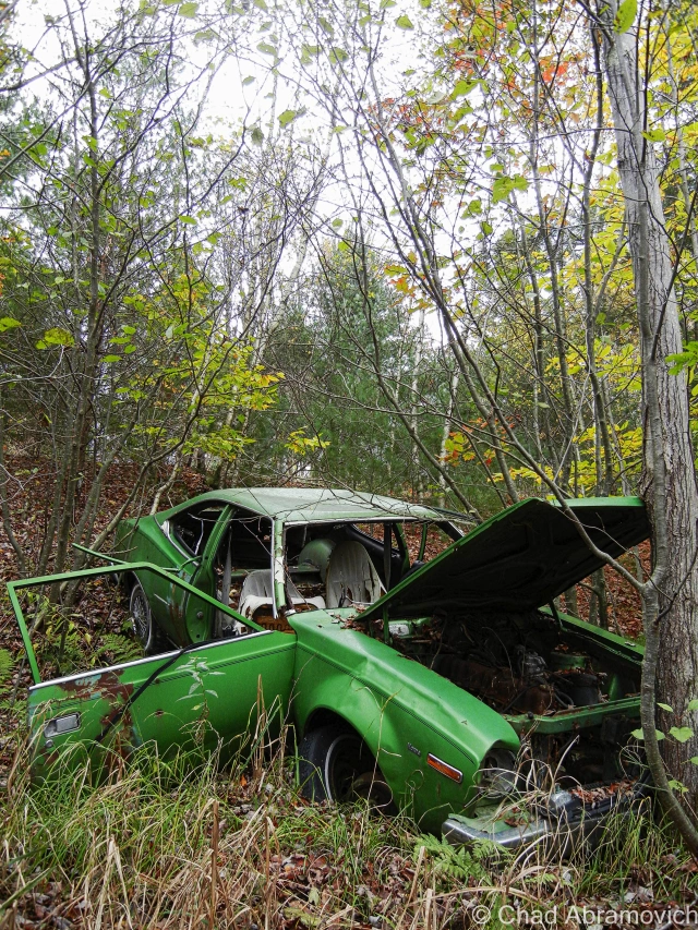
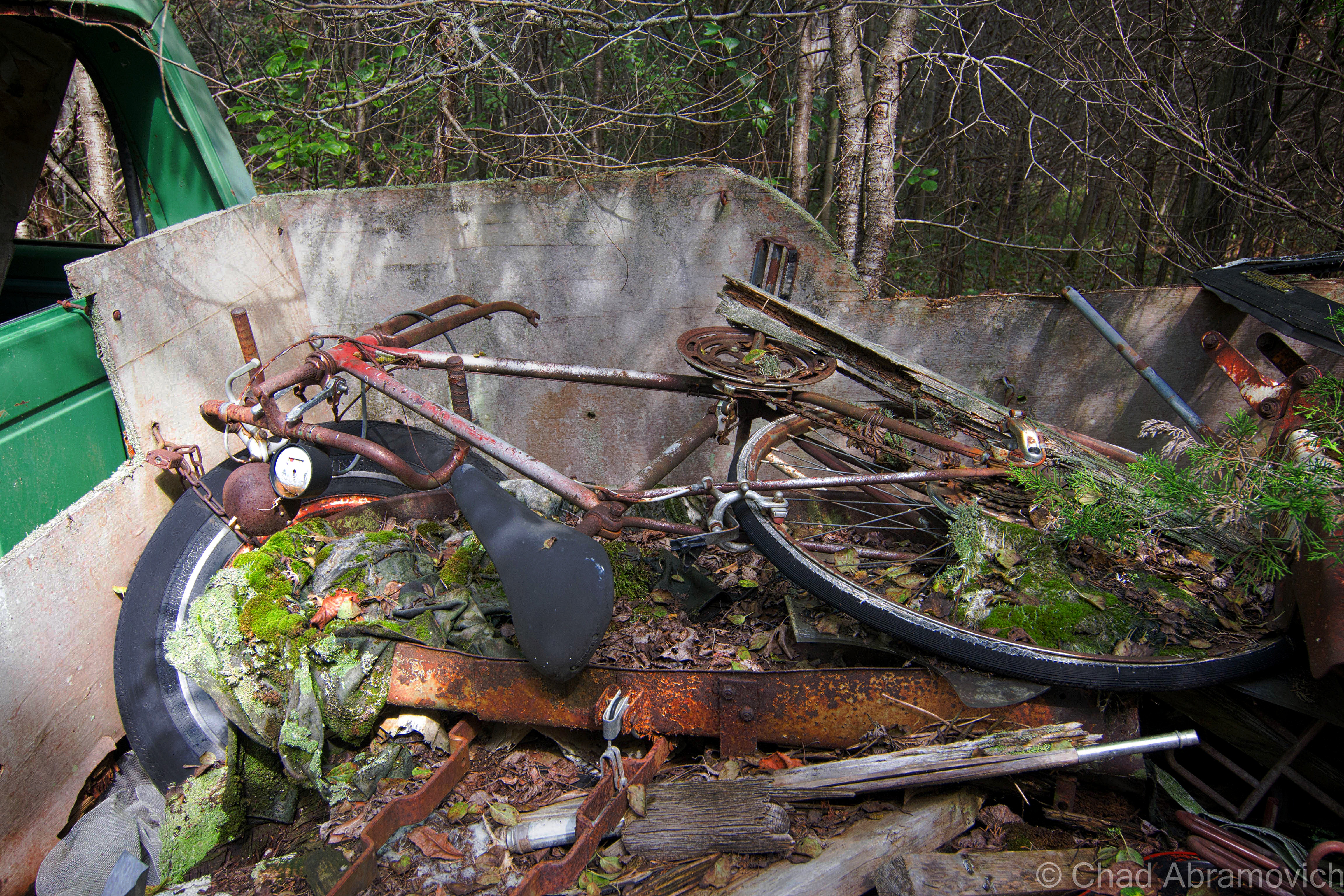
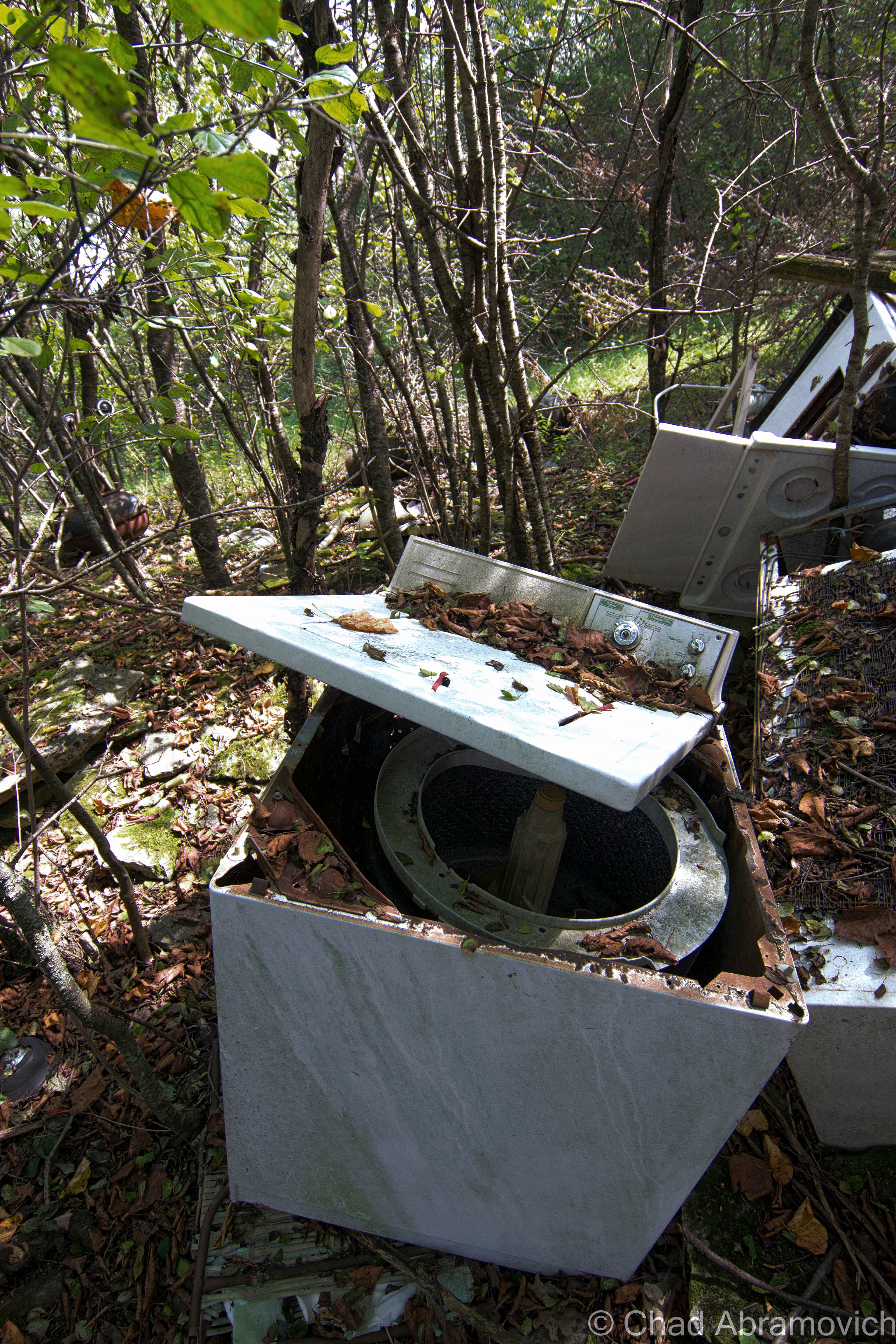
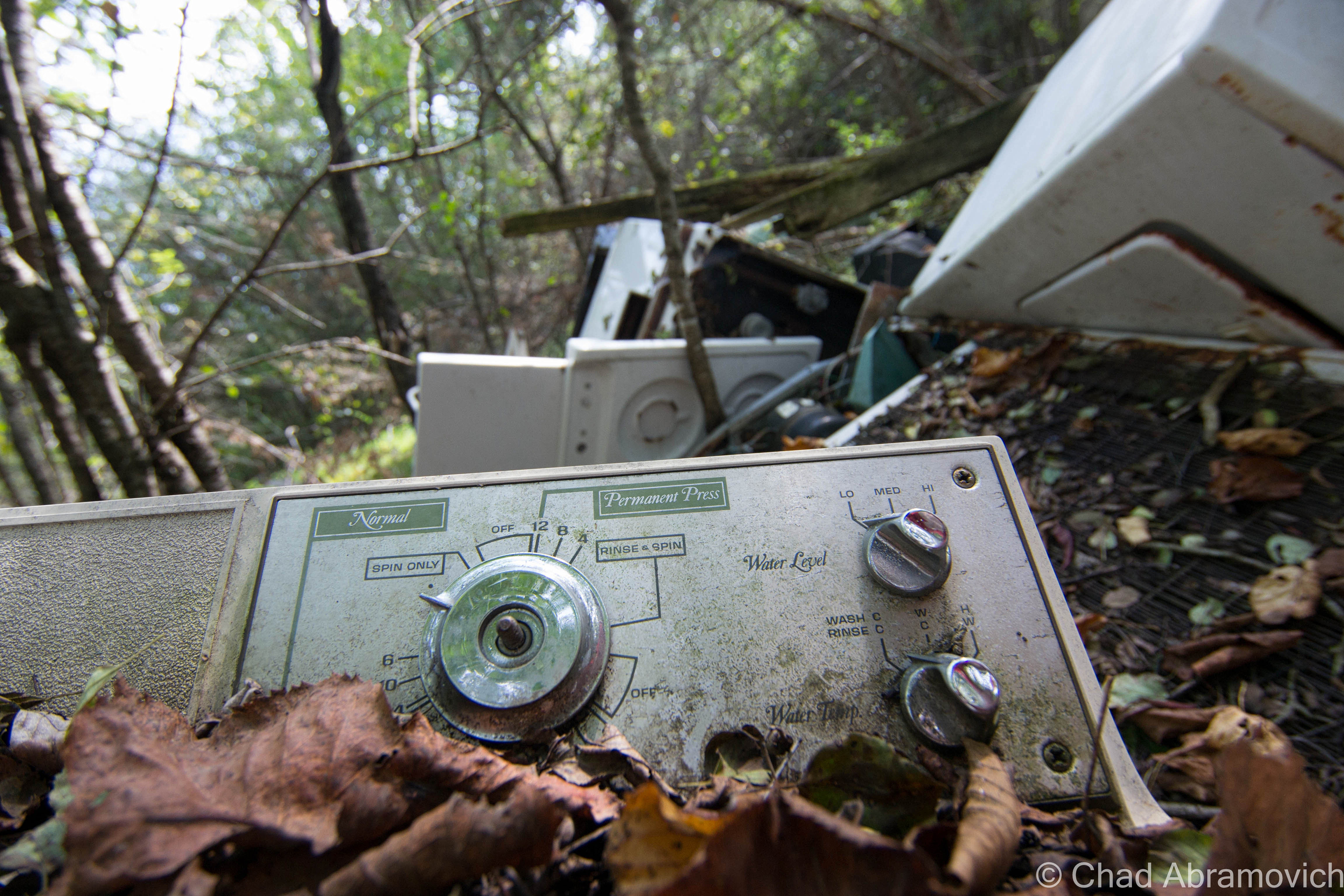
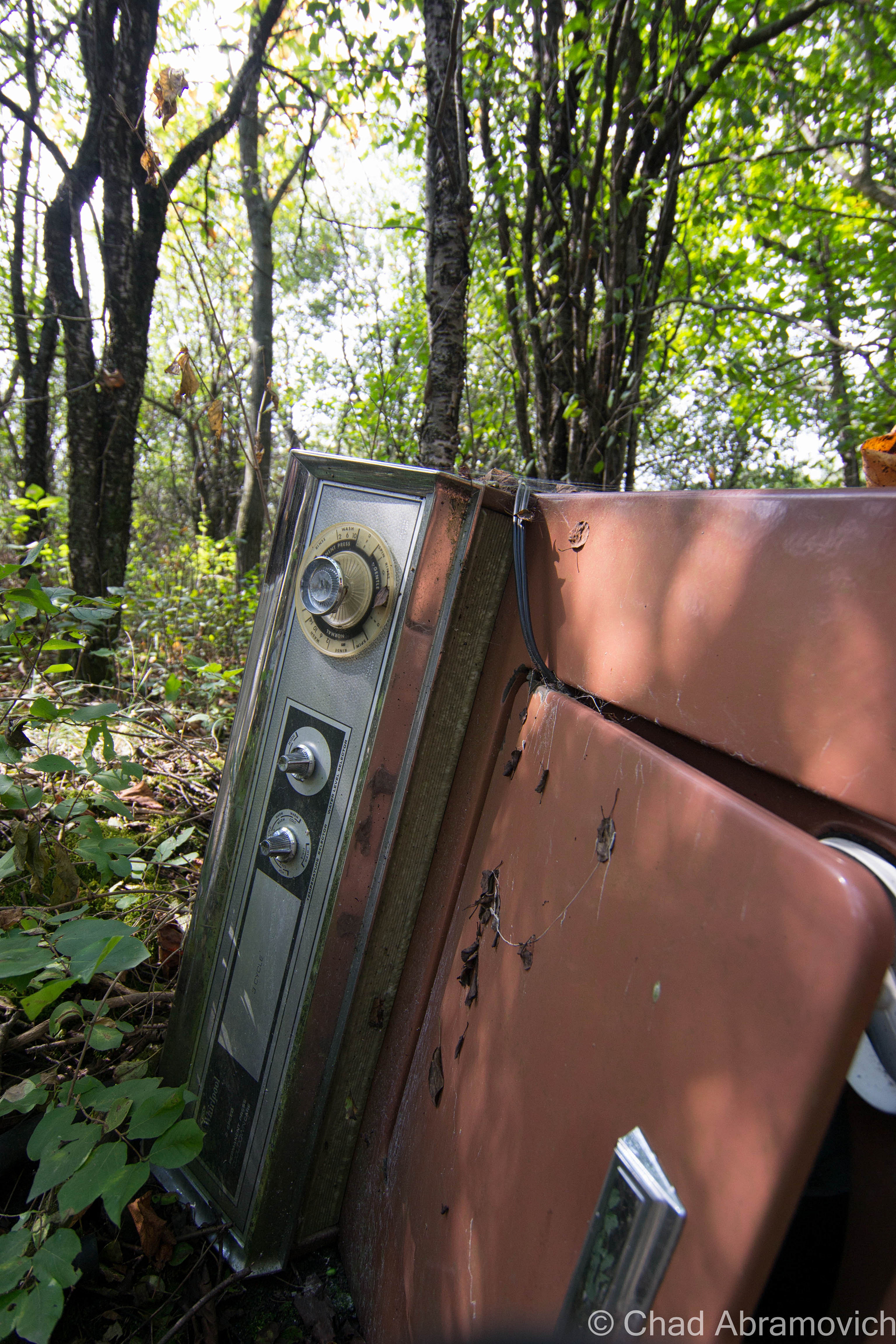
As a kid, I grew up playing in the woods of an old farm behind my house. Most of the land wasn’t tended and had grown up into a mature forest by then. We used to cut 4 wheeler trails through the growth and explore the old farm roads and examine artifacts from yesteryear we’d come across, like old barbed wire fences, a neon green AMC Hornet pushed into a ravine, and the prime find – the grimy miscellany of the old farmers’ junkyard. We used to salvage stuff from the heaps of junked appliances, tires, and barn mementos and use it to build forts with. Old tin, a couch, the front seats from an old Ford Mustang, even an old woodstove. We made some cool hangouts from the refuse we excitedly recycled.

Milton – this fading green AMC Hornet lies on a steep bank behind a rural stretch of railroad tracks, on the edge of a patch of thick swampland. it looks as if someone pushed (or quite possibly drove) the car down the hill, where it lays to rest.

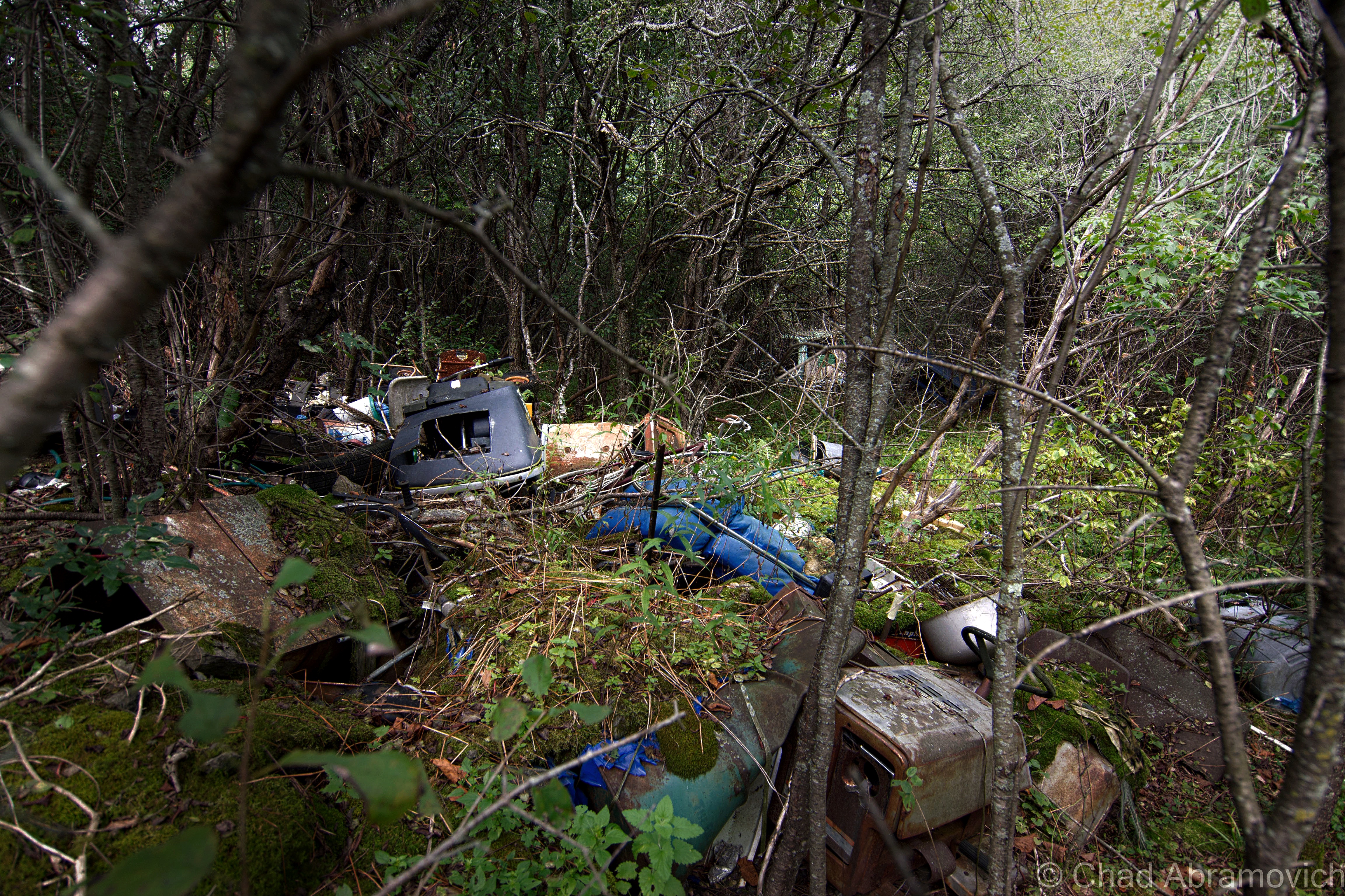
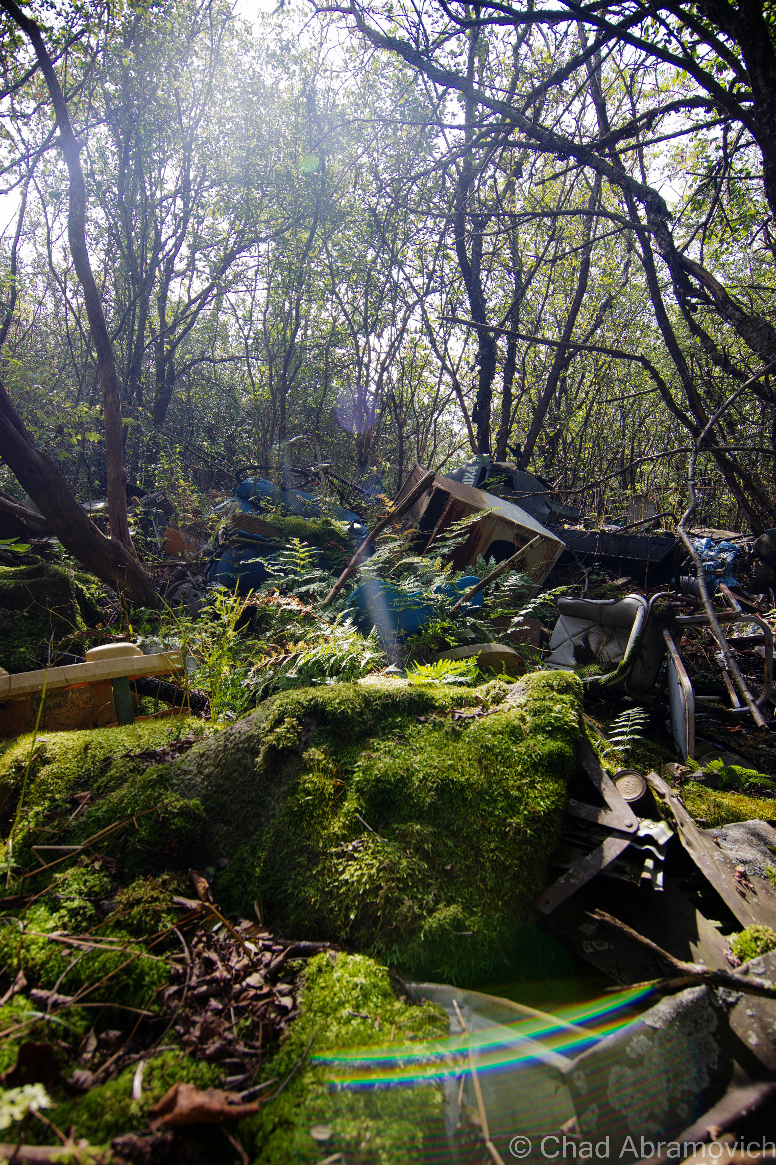
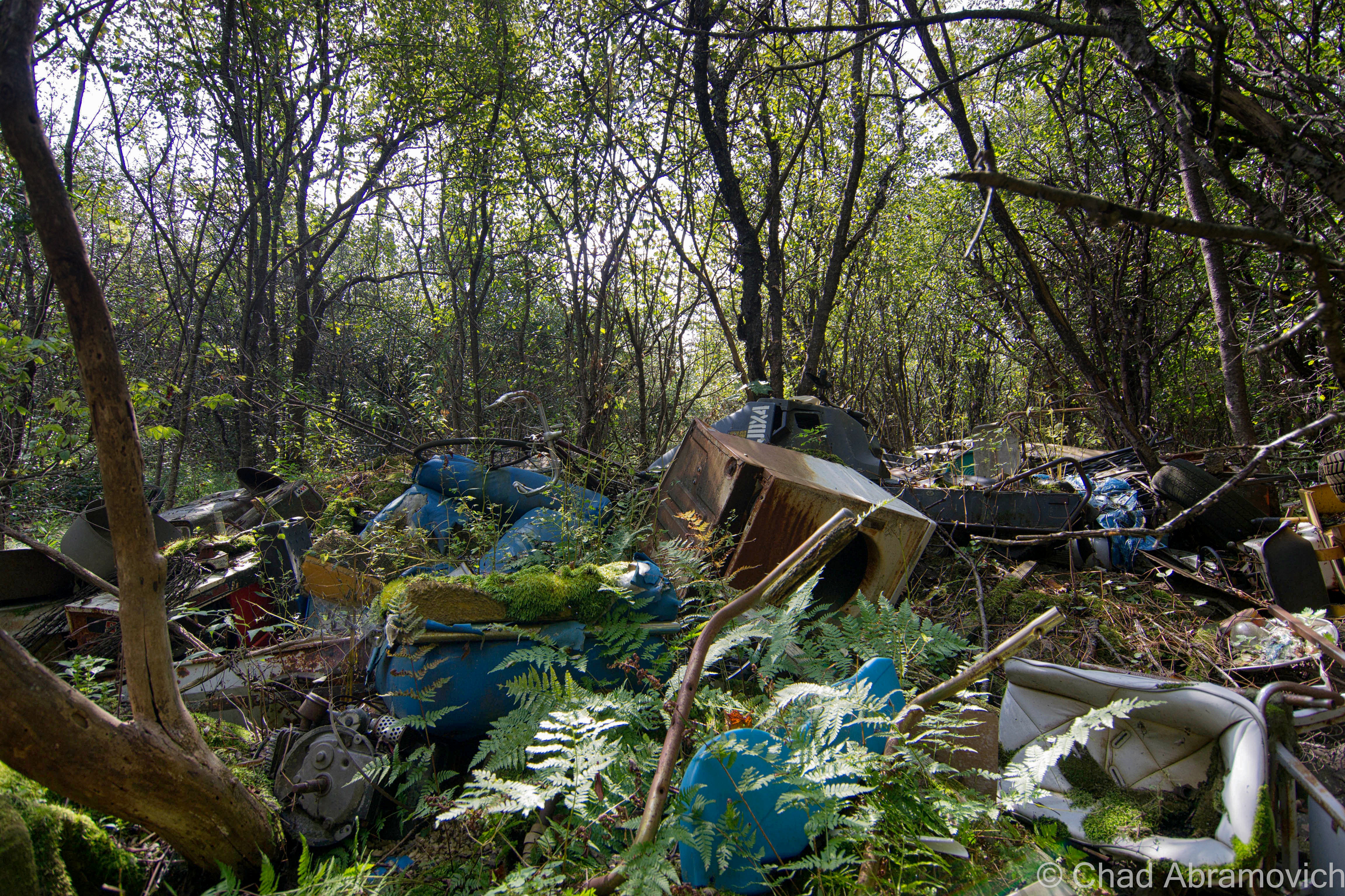
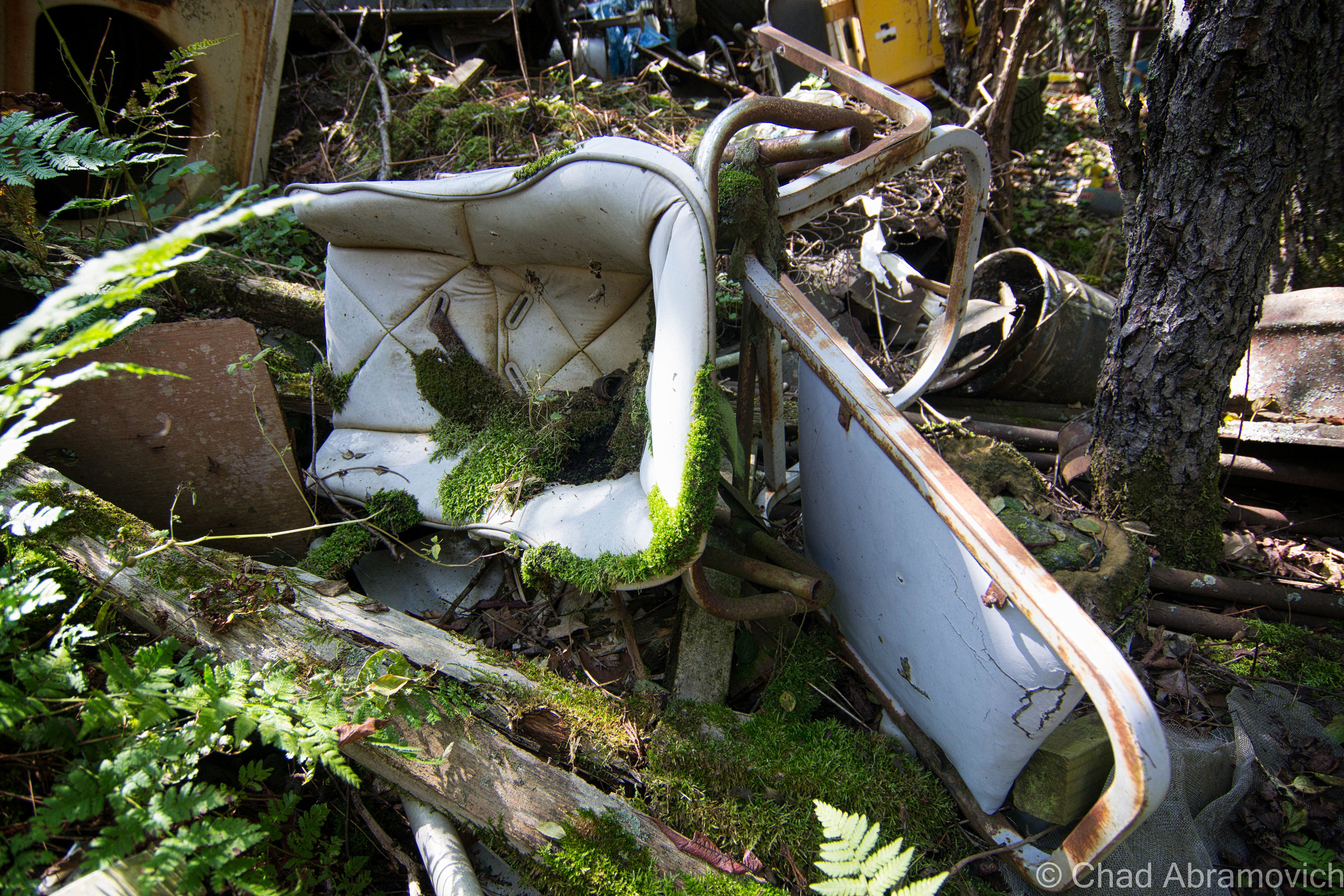
A friend of mine got in touch with me and said she had a new location up her sleeves, an abandoned farm up in the north part of the state, the dumping ground part of it was on her property and she hadn’t gotten around to doing anything about it yet. I thought it was weird that I live in Vermont and haven’t explored a farm yet. So on a beautiful autumn day, I met up with her and she led me through some overgrown tangle woods of nettles, dead apple trees and mangey looking cedar trees that turned the area into a dark entry. A few minutes into our walk and the already fallow landscape began to change, and I began to notice mounds of discarded anything covered in moss and fallen leaves that had been dumped underneath the dead canopy.

A walk through the Vermont woods can often be revealing. It’s not uncommon to find relics from a different Vermont left to disintegrate below the trees. And in my opinion – our ruins are often one of the coolest things about the human race. We create amazing structures and accomplishments or inhabit these laborious lifestyles and let the aftereffects rot without much of a thought, leaving people like me to eagerly trace their occurrences that blur the line between litter and urban archeology. And out of any time of the year, you can be most appreciative of our habit to ruin than the fall, when visibility is best.

There was a time not that long ago, when Vermonters didn’t dig today’s Green culture. Back then, the most efficient and convenient way to get rid of anything you deemed as garbage, was to make the disposal quick and uncomplicated. This was often accomplished by dumping those items on a far corner of the farm, or let gravity take it down a river bank. Over time, these items accumulated, festering in the woods long after the farm went defunct, or their traces bleeding into our waterways or soil.

How times have changed. Today, a growing chunk of Vermonters are building a culture that feels how we coexist with our environment is a virtue, and villainize those things that don’t fall into place. And if you’re not one of those people, well, it’s also the law. But as is the trend, the movement also shakes things up, especially farmers who find it expensive and laborious to abide by new regulations, or the costs of implementing new laws or infrastructure by a government that many are losing faith in.

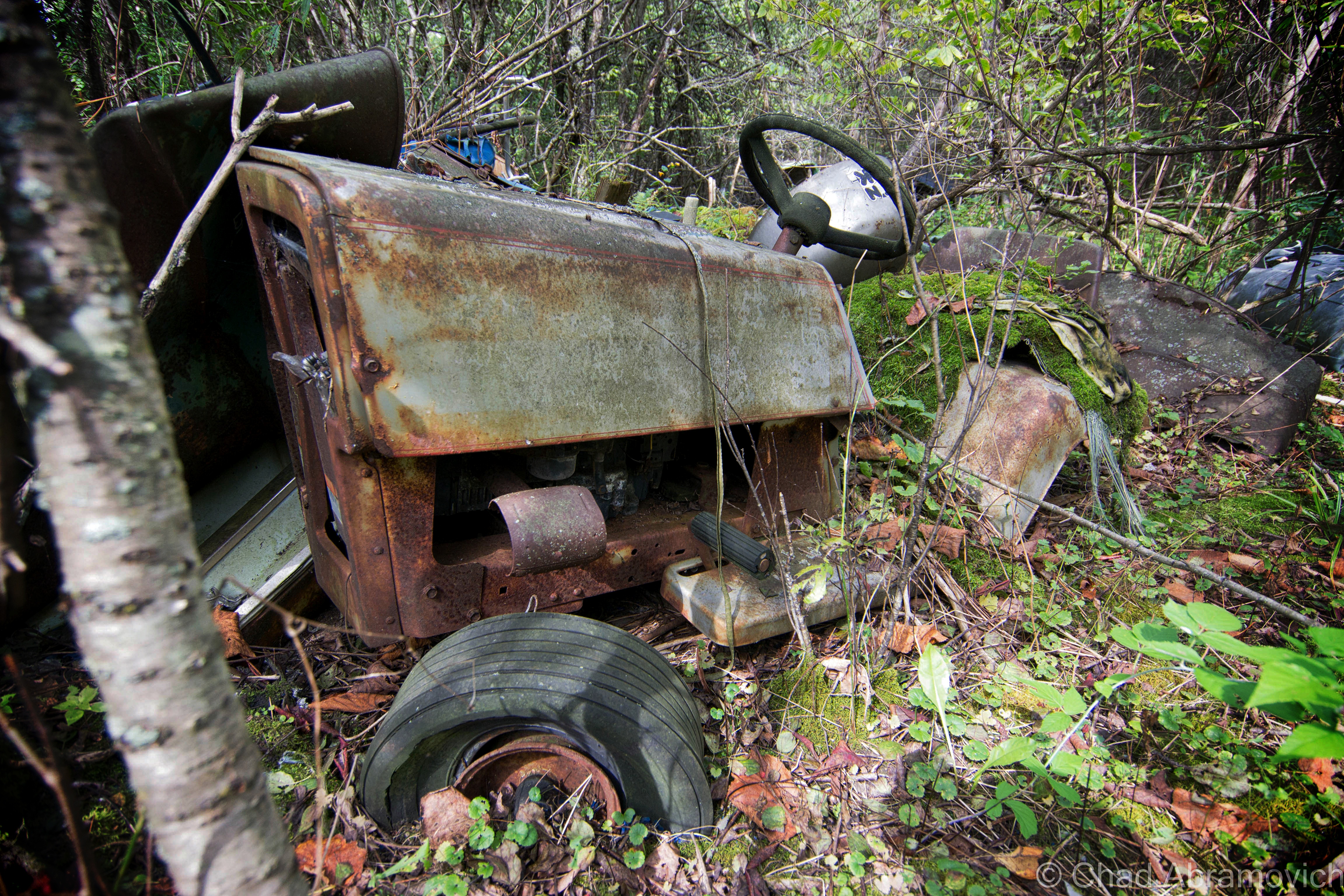
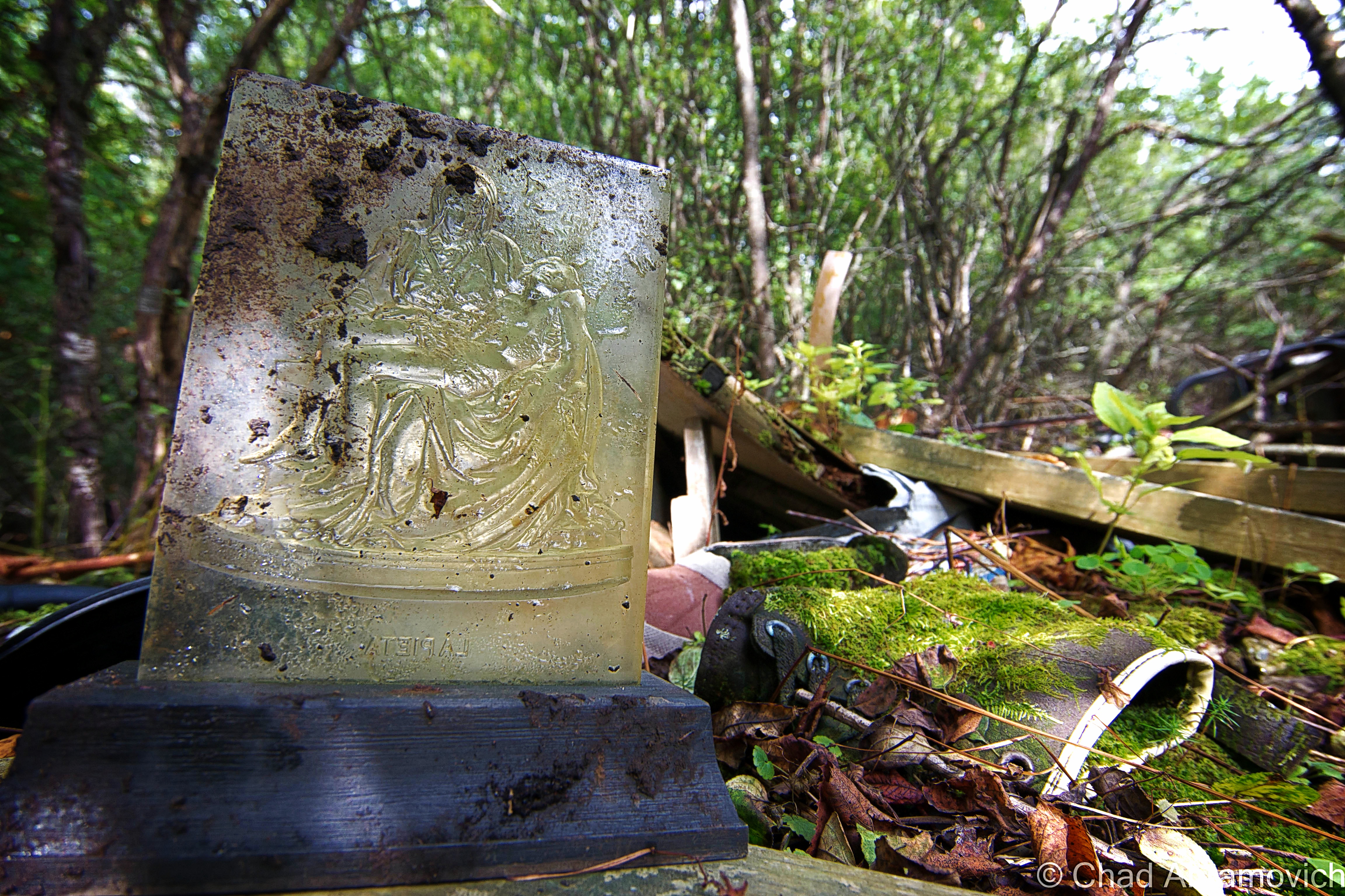
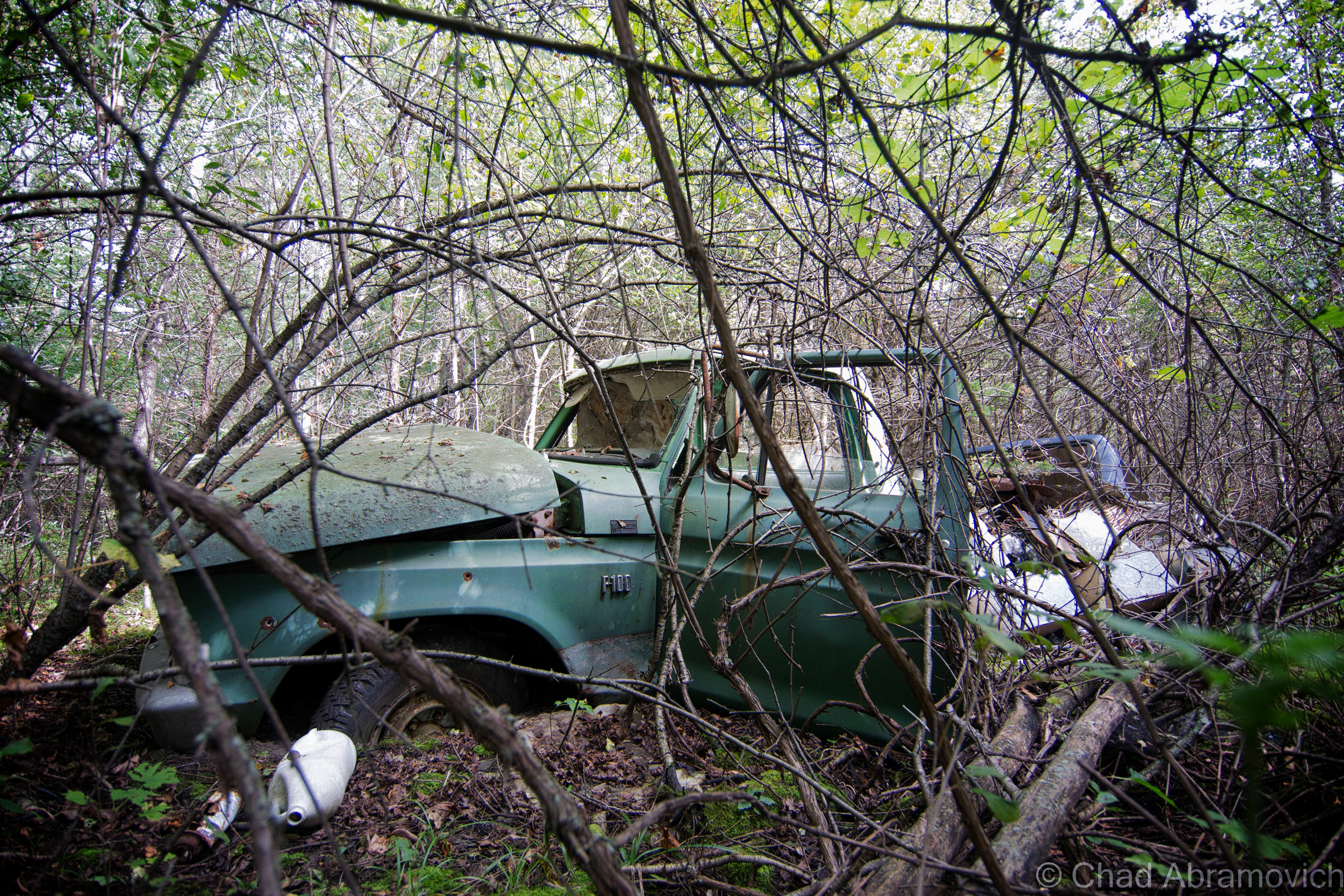
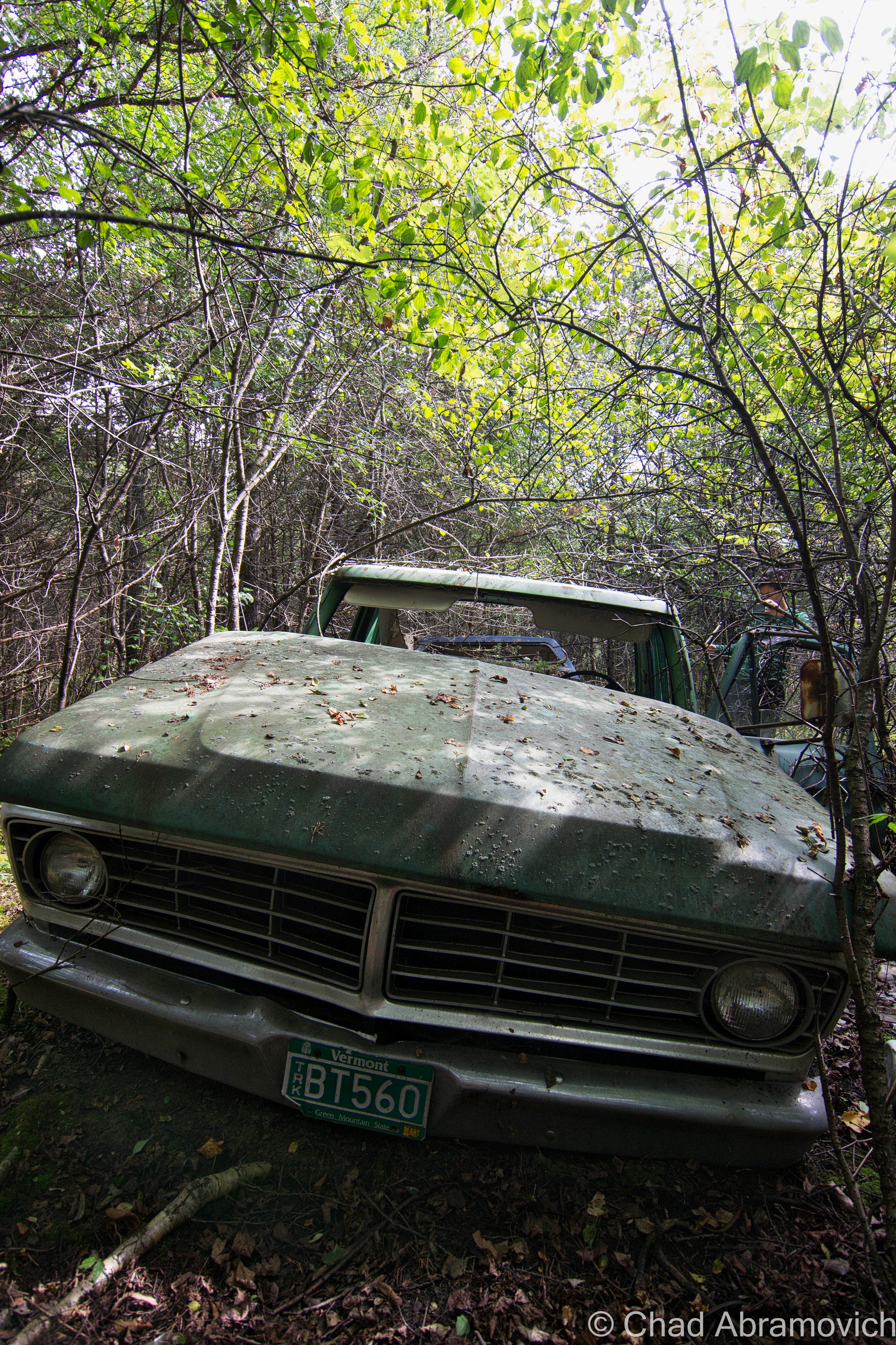
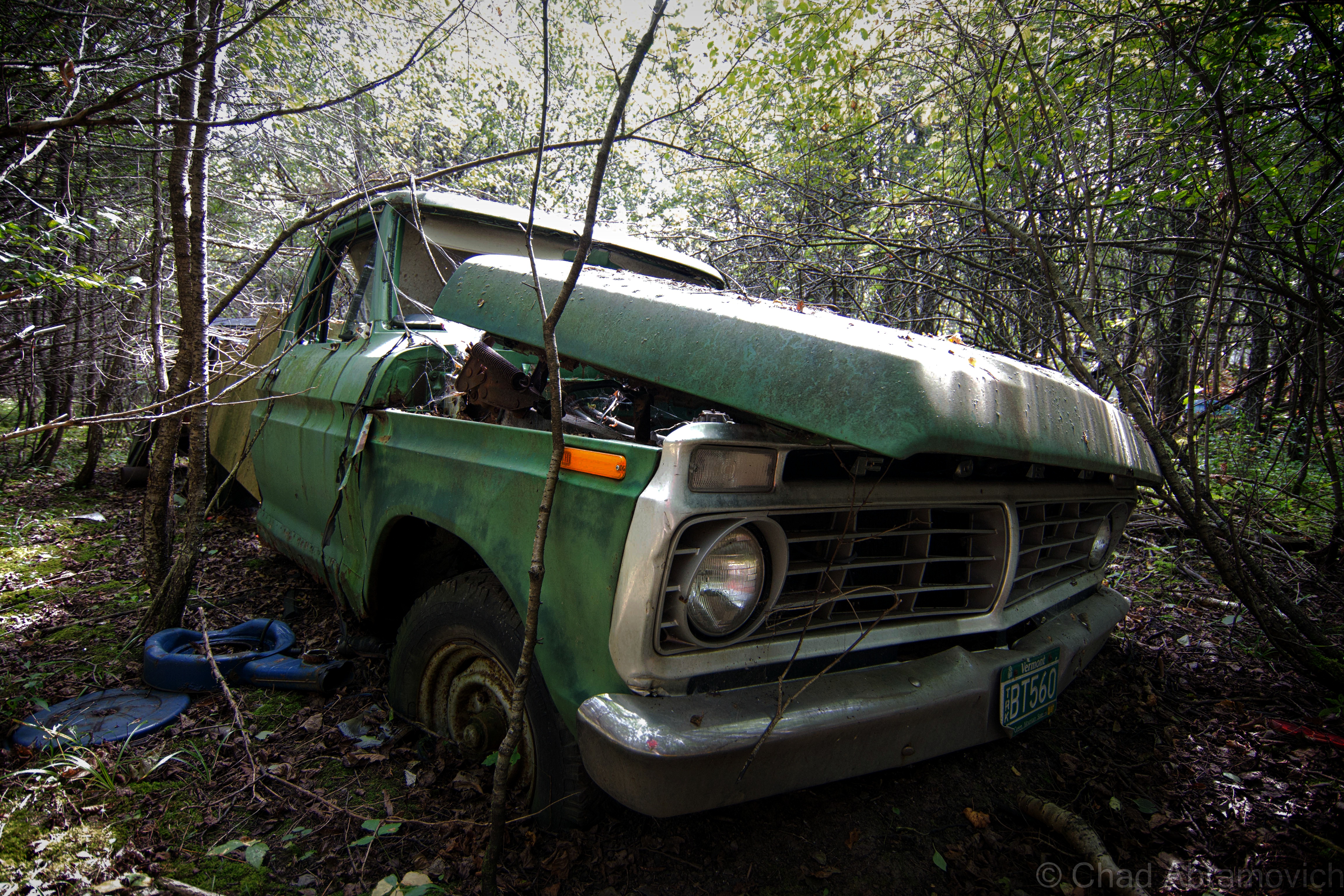
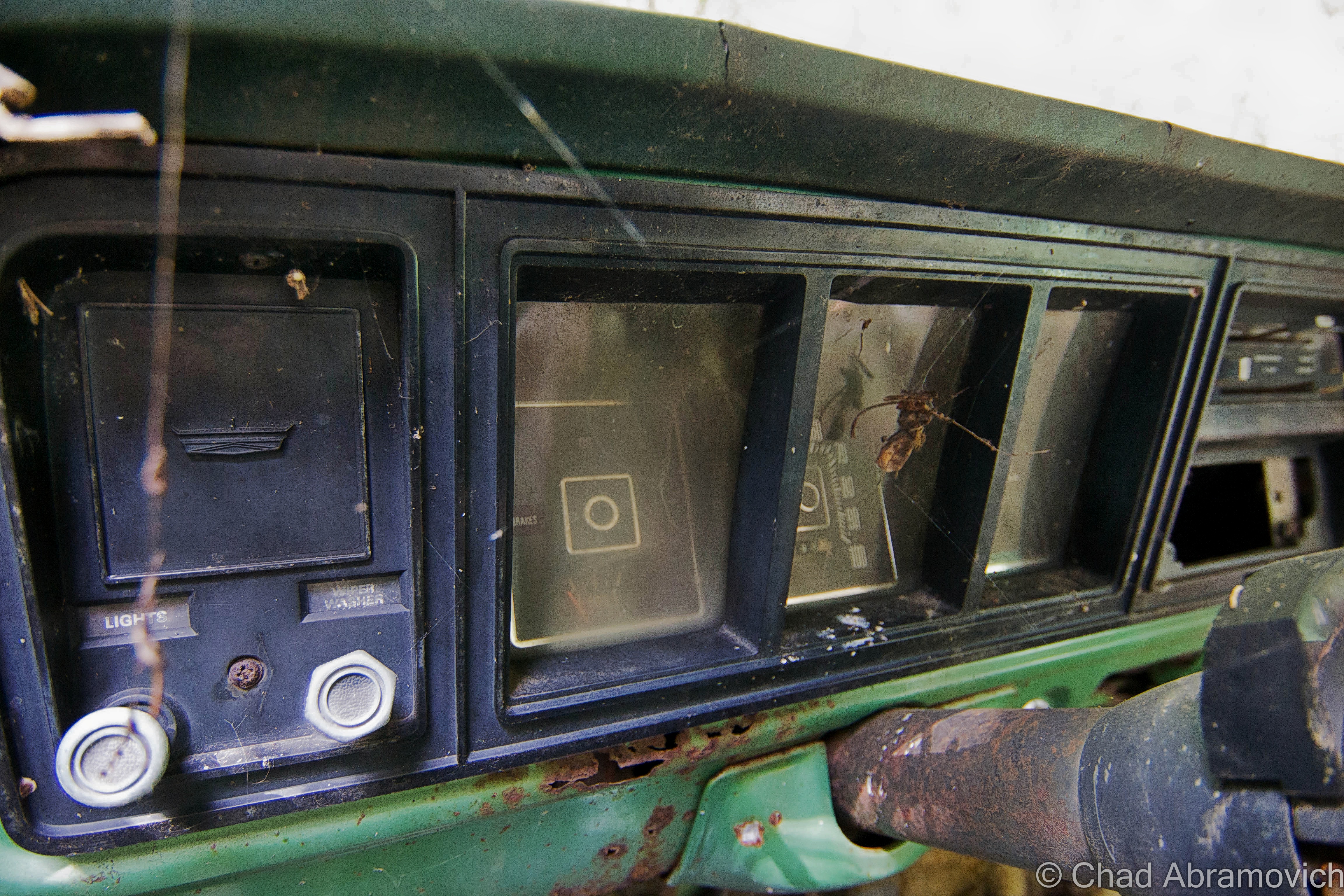
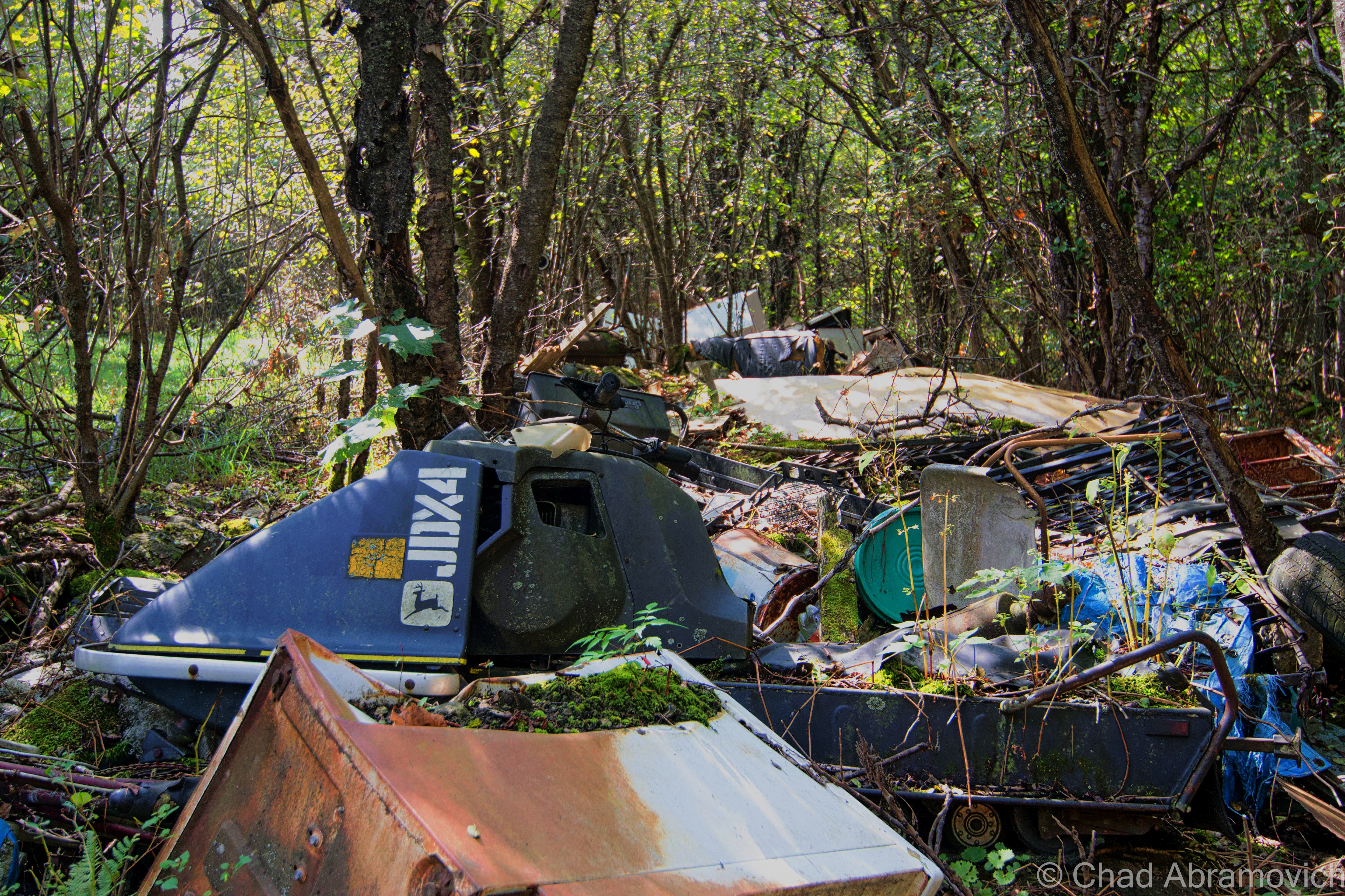
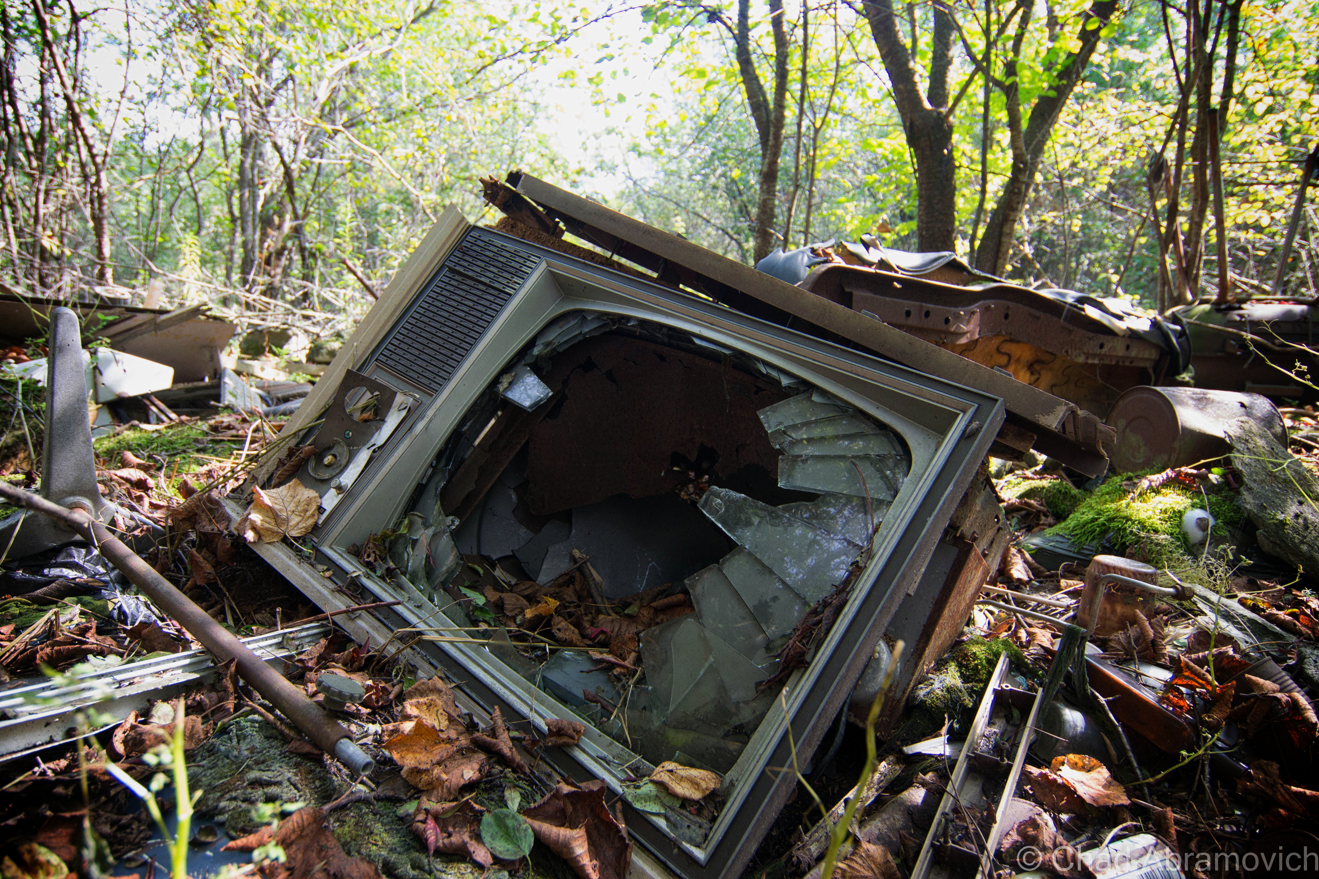
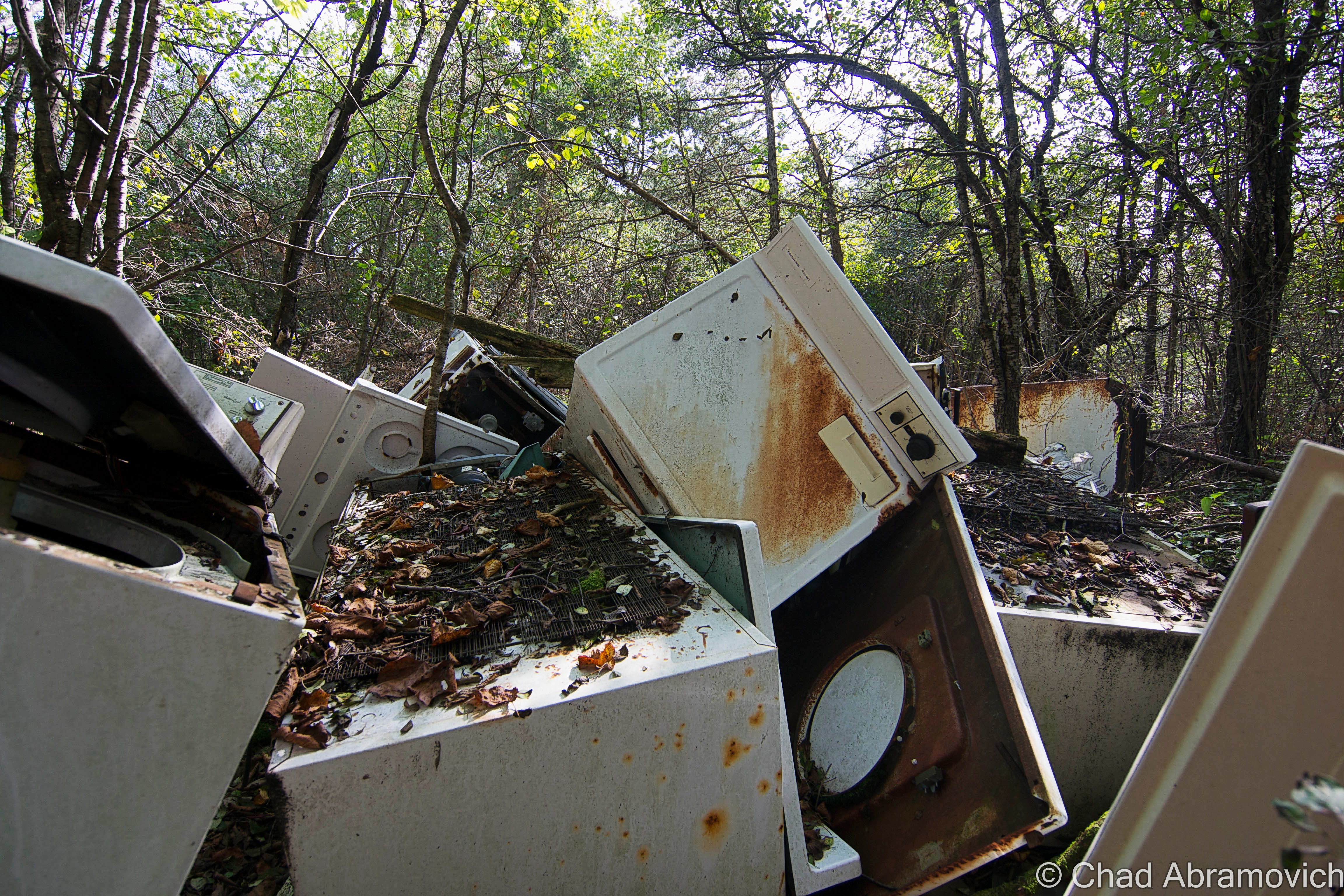
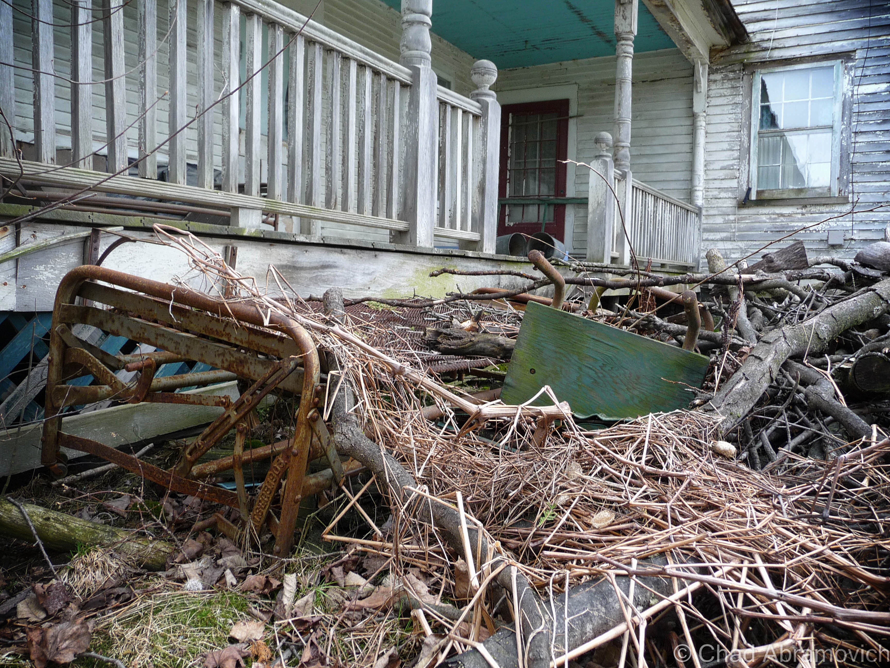
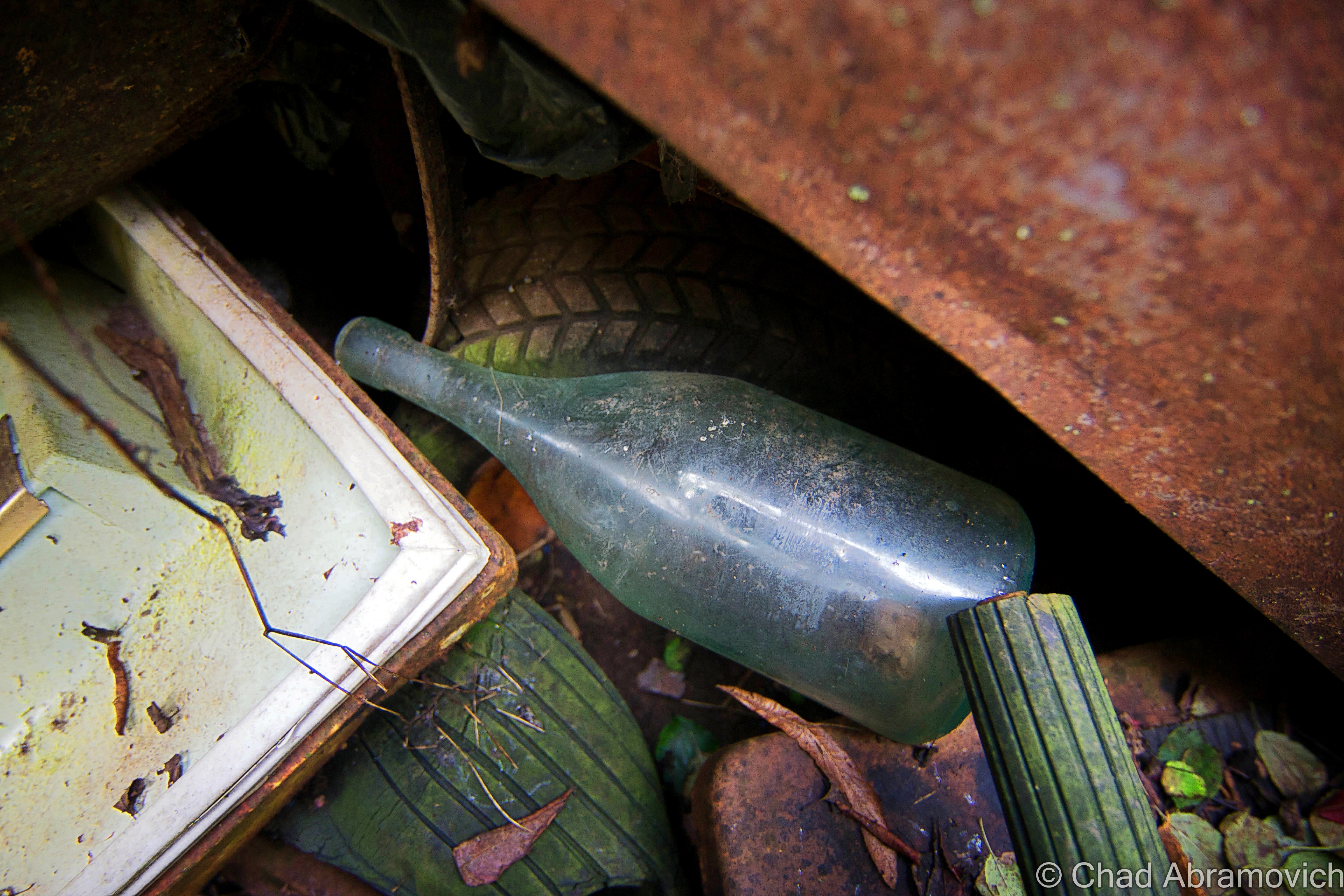
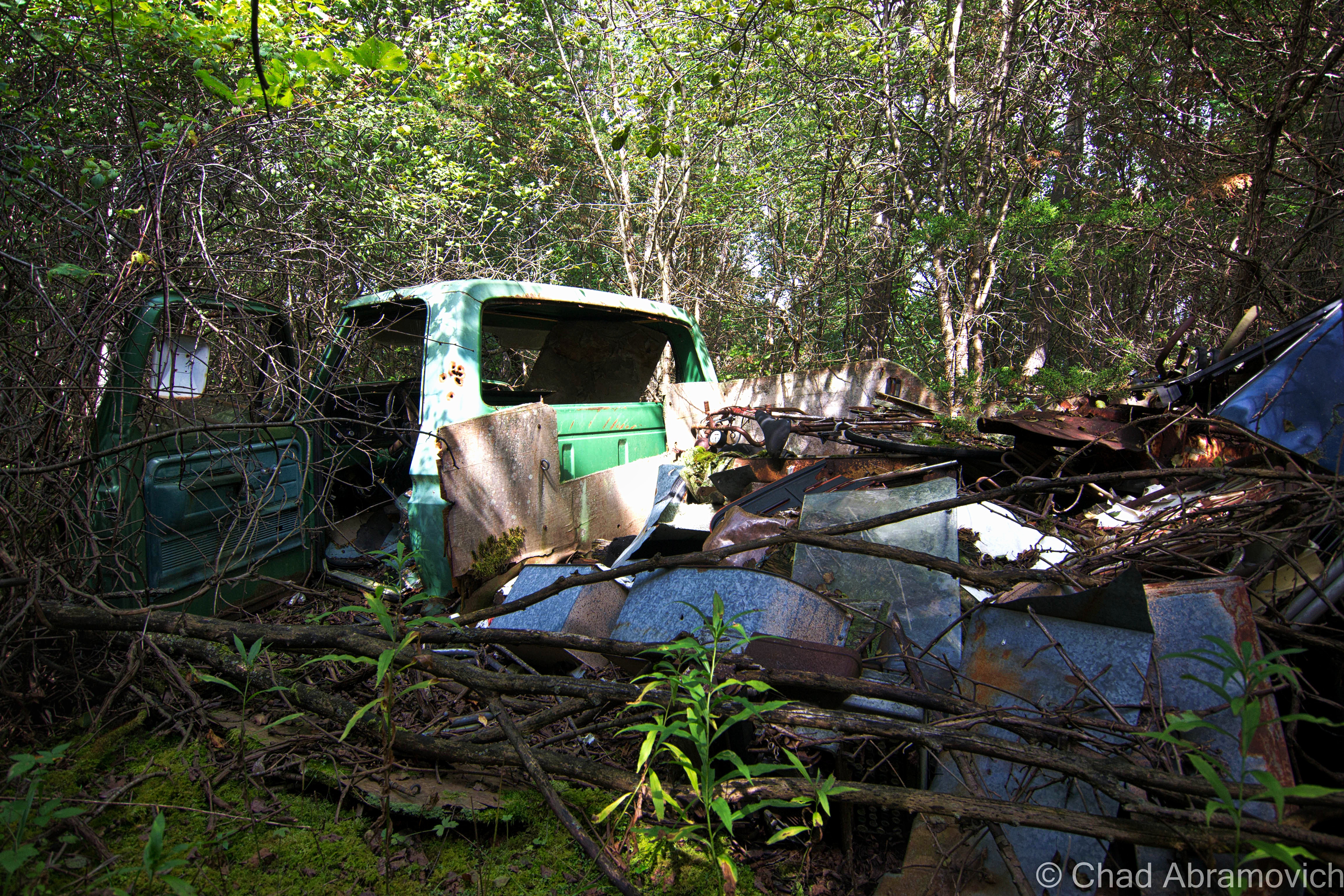
A lot less of Vermont is farmed now days, and much of the land has returned to forest, but these rusted and forgotten vestiges of the past still remain, now moldering in the silence of the wilderness. This particular junkyard had an eyebrow-raising amount of stuff brought there. Old tractors, snowmobiles, knob televisions, a Ford truck, religious paraphernalia, antique glass bottles, creepy childrens toys decaying in the weather, a small mound of old appliances, and so much more in depths farther down than I felt good about digging to reach. There is even rumored to be some traces of an old prohibition era still coffined back here, but there was so much to sift through, I probably wouldn’t have been able to recognize it if I was standing on it.

“I thought you’d like this, seeing how you’re into old stuff” said my friend as she went to unscrew the top from her iced tea, humorously not following me further into the collection of trash. “I figured I’d show you before I clean this all up”

“Oh, when is that happening?” I called out as I wobbled and stumbled my way over a mound of shifting garbage that squeaked and rustled underneath my crooked feet.

“Welllll…….one day.” she assured me, a tone of defeat in her voice.
dsc_0101_pedsc_0106_pe dsc_0109_pe dsc_0110_pe dsc_0111_pe dsc_0113_pe dsc_0115_pe dsc_0118_pe dsc_0119_pe dsc_0125_pe dsc_0128_pe dsc_0129_pe dsc_0131_pe dsc_0132_pe dsc_0133_pe dsc_0134_pe dsc_0140_pe dsc_0141_pe dsc_0144_pe dsc_0147_pe dsc_0150_pe dsc_0154_pe dsc_0156_pe dsc_0157_pe dsc_0160_pe dsc_0162_pe dsc_0165_pe

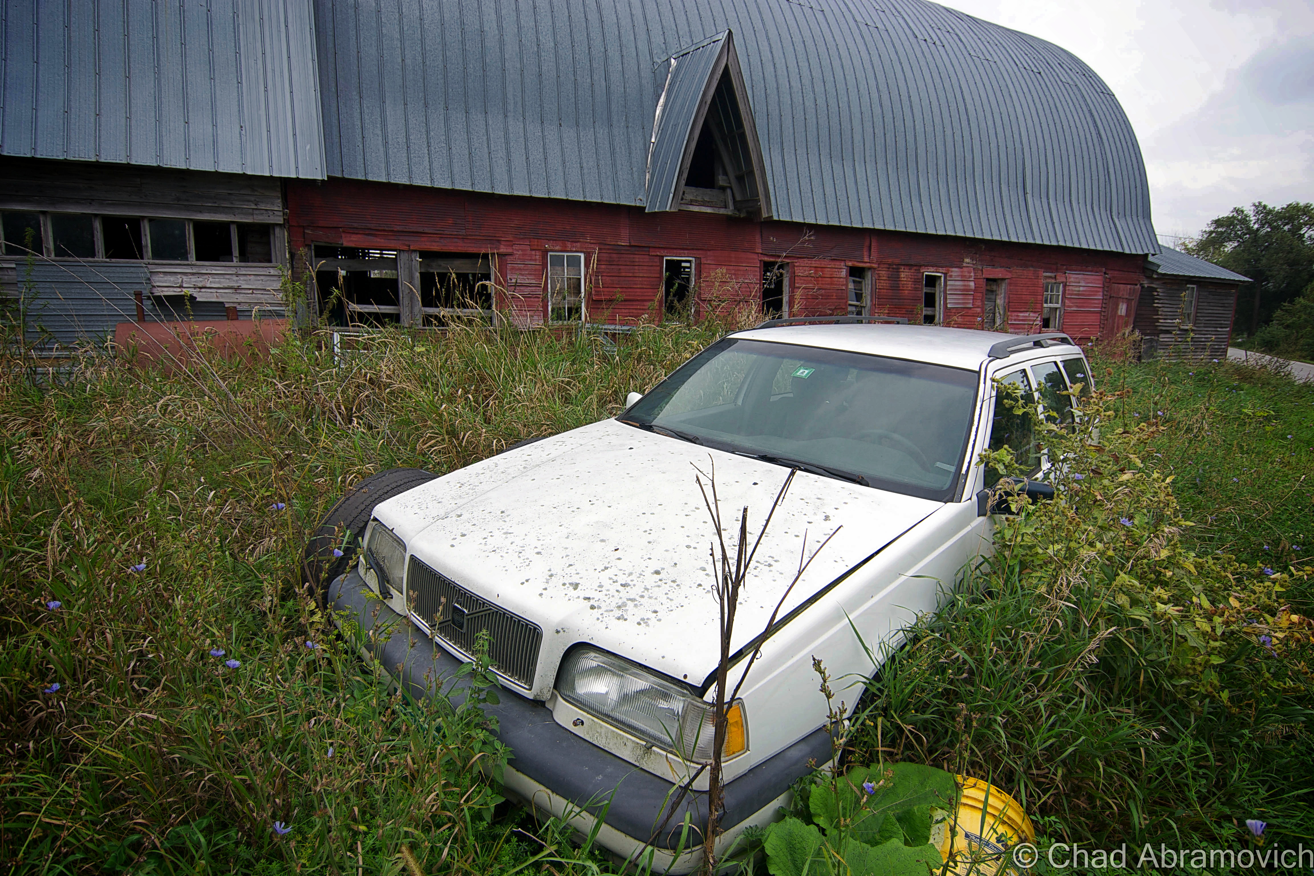
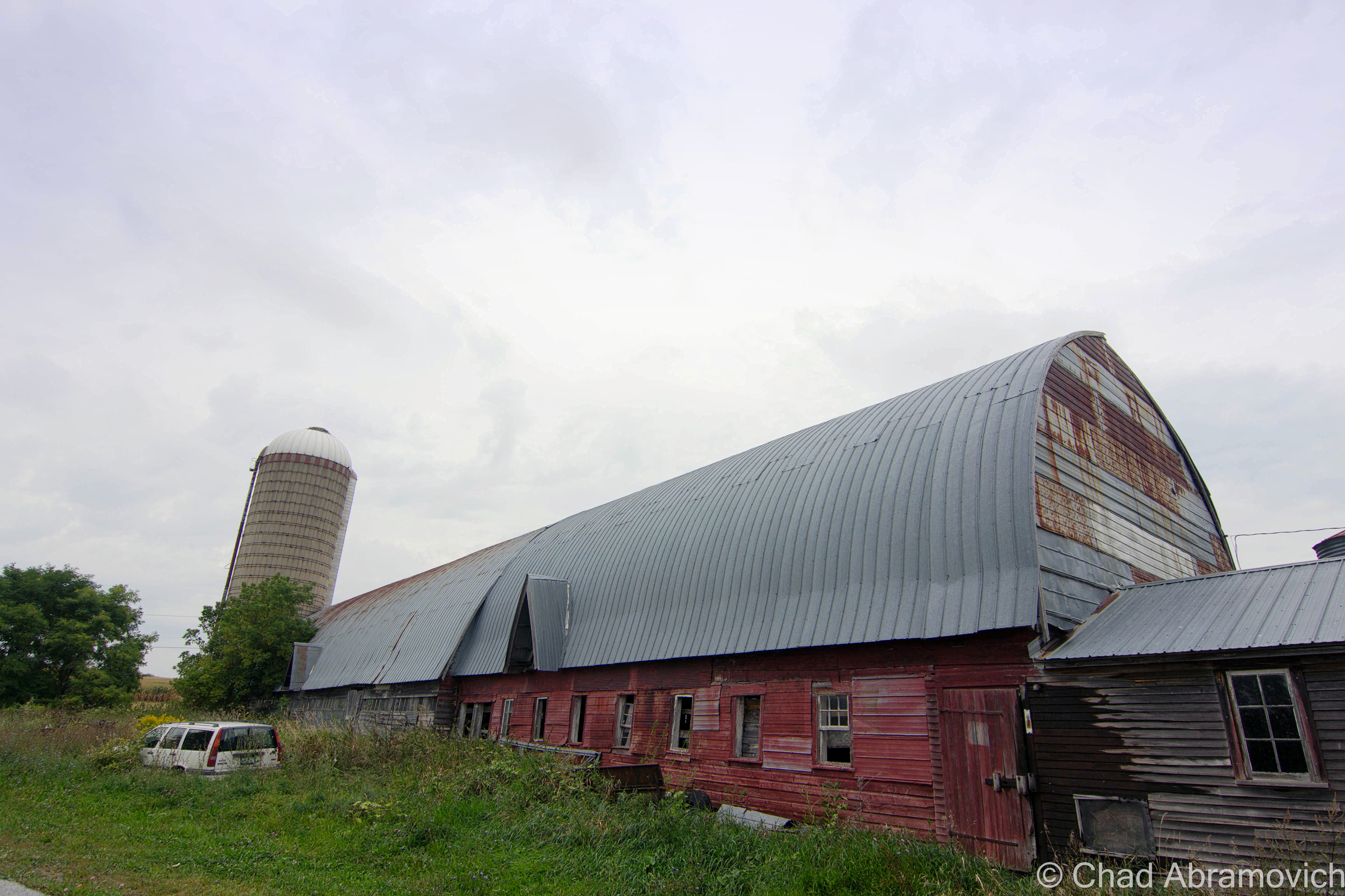
Further down the road, there was the most important cog in the farm machine, the dairy barn, which excited me lots because you never know what you’ll come across in an old Vermonter’s barn. Barns are vital storage spaces, workshops and in some cases, awesomely bizarre museums.

Traditionally, a Vermont farmer would put more money and effort into keeping up the barn than anything else they owned. So much, that many of them would let their houses fall into ruin if they had to make that hard choice of where to divvy up their cash. That even goes as far as the demolition process if the construction gets too far gone. As an old timer up in the Northeast Kingdom once explained to me; “Why tear down a perfectly good barn when it’ll just fall down when it’s ready?”

According to my friend and tour guide, the old barn was close to 100 years old, filled with accumulations of its years. As a side hobby, I’m a picker when my finances allow it, and I used to love shunpiking around rural Vermont and checking out barn finds, yard sales or whatever treasures or weirdness I could spot on our backroads, so I was already wondering what I’d find inside this old barn.

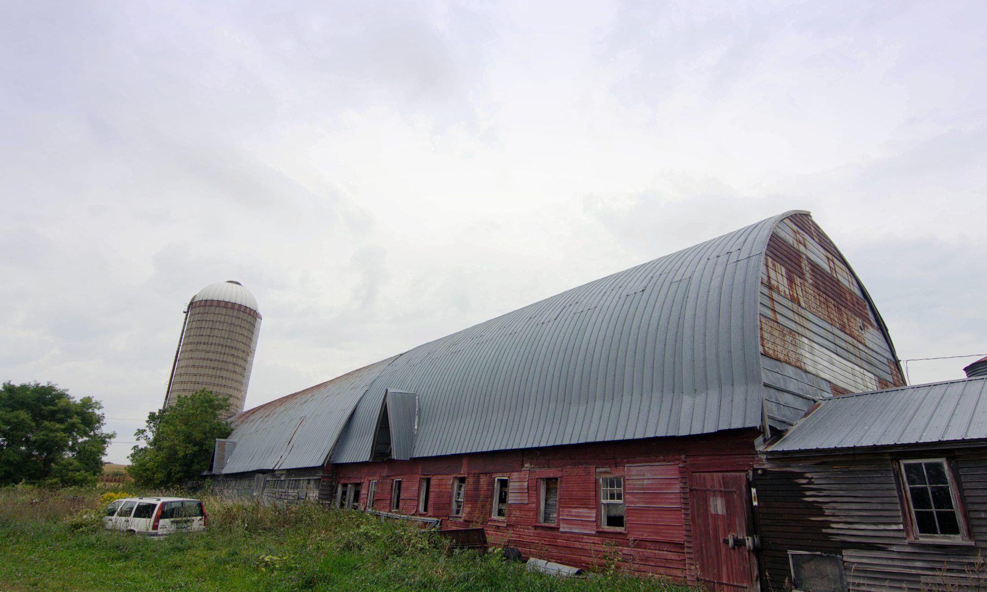
The fading red structure didn’t appear to be in bad shape, or really even abandoned. If I had just passed by, I’d probably thought it was just another working farm. We pulled over in some tall grass and began to tromp our way through the threshold.

I think barns and farms play some role in lots of Vermonters lives, even if you don’t have one of your own, chances are, you know someone who does. I remember my childhood of playing in my paternal grandparents’ dusty old barns on their farm up near East Montpelier, finding ones near Chittenden County to store our 78 Toyota Landcruiser in for the winter, and spending some of the best days of my youth riding my 4 wheeler through sugarbushes and meadows on a 250 acre farm and some of the most beautiful land I’ve had the privilege of having access to in East Wallingford. Now days, I’ve been apartment jumping around the Burlington area, but man, I wish I had a barn of my own where I could set up a workshop and have a place to do projects and space to store the 4 wheeler I would most definitely buy.

While I’m on the subject – do you folks know why red happens to be the ubiquitous choice of barn attire? Simply put – red paint is cheap. But the why behind that answer actually has to do with dying stars. Pretty much; red paint is made from Iron. Iron is created when a star eventually collapses. The ground is loaded with iron, or, an iron-oxide compound called red ochre that makes a good pigment. The ground is loaded with red ochre because when stars die, they explode, and physics decrees they generate a bunch of iron as the result, which is pretty cool.

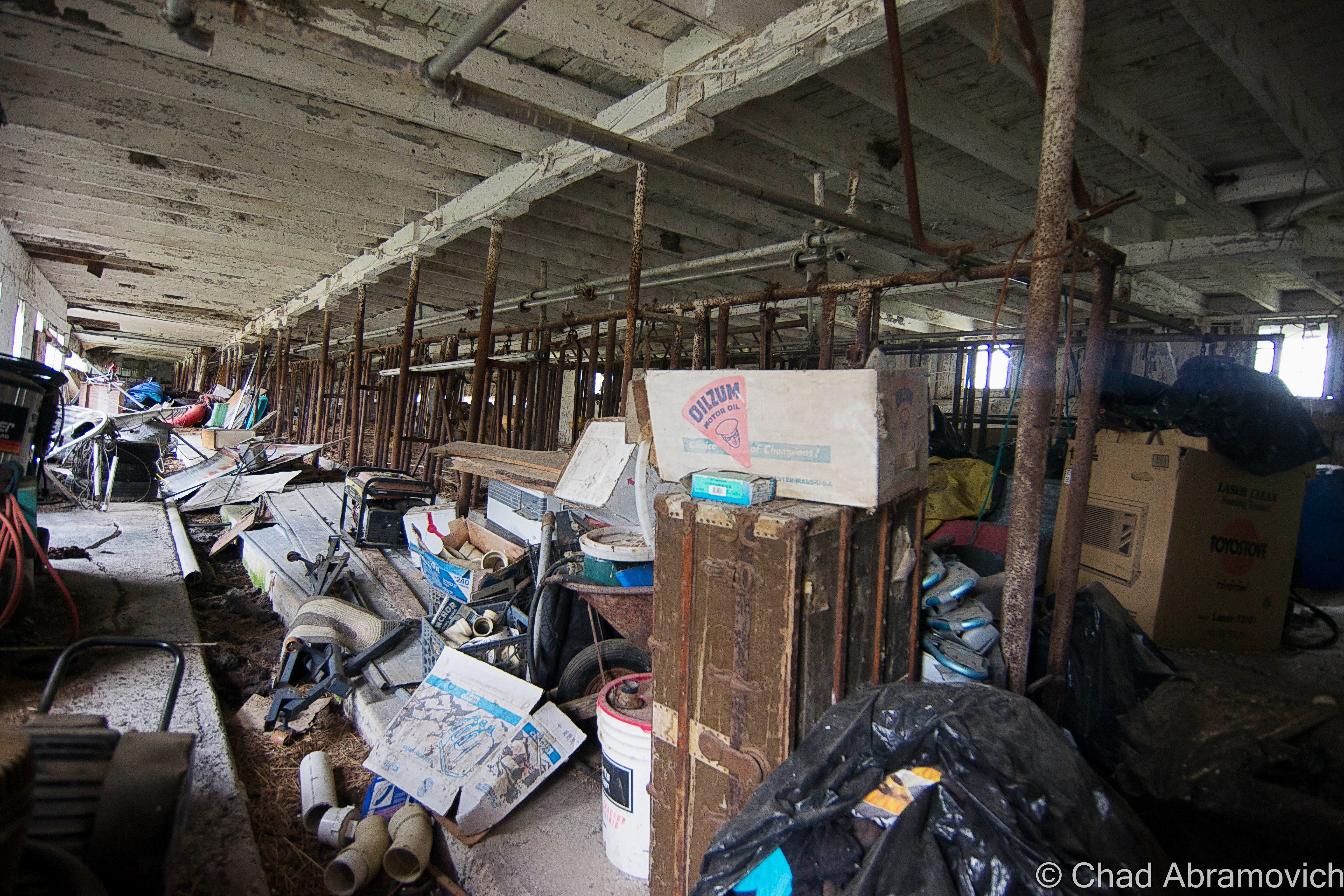
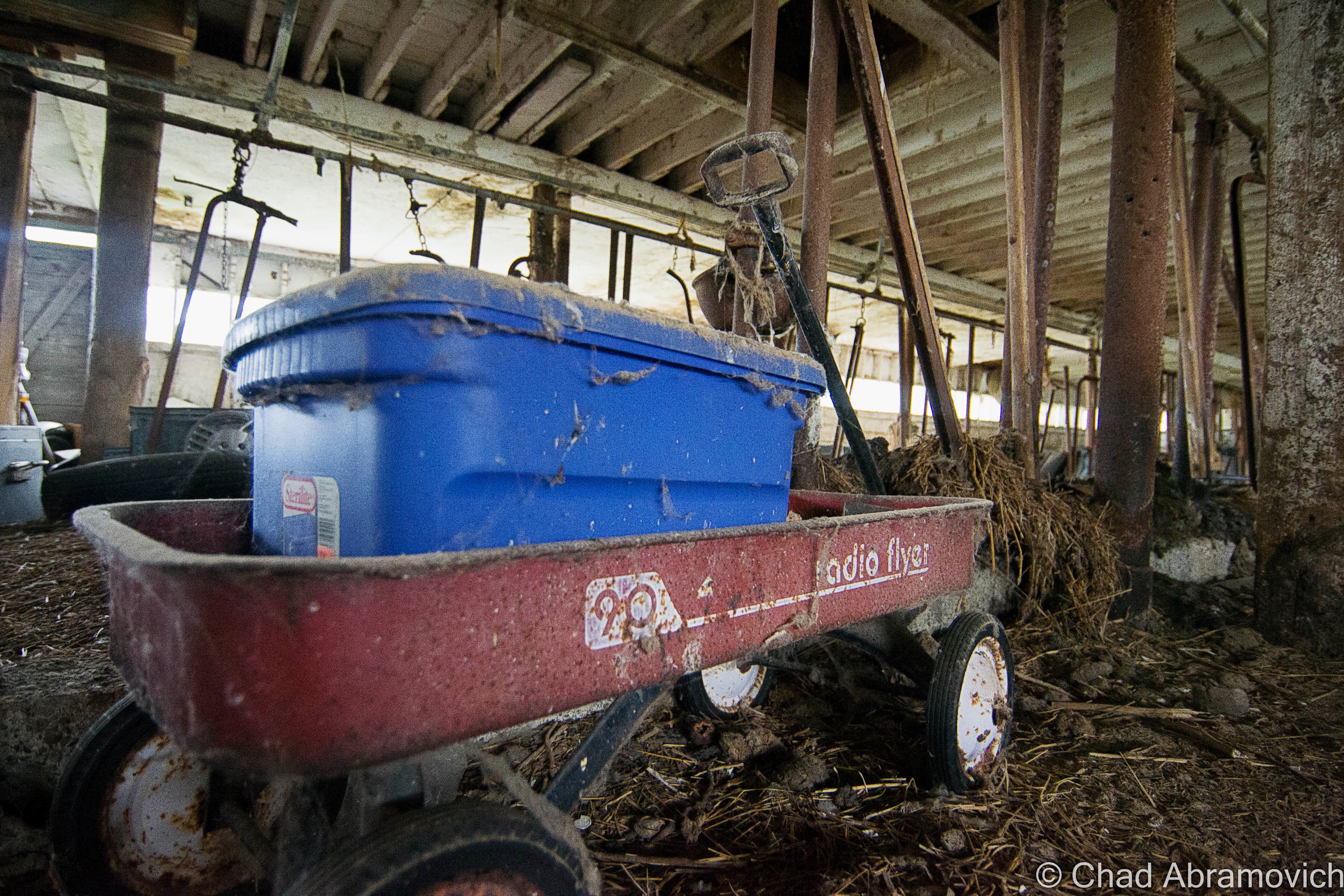
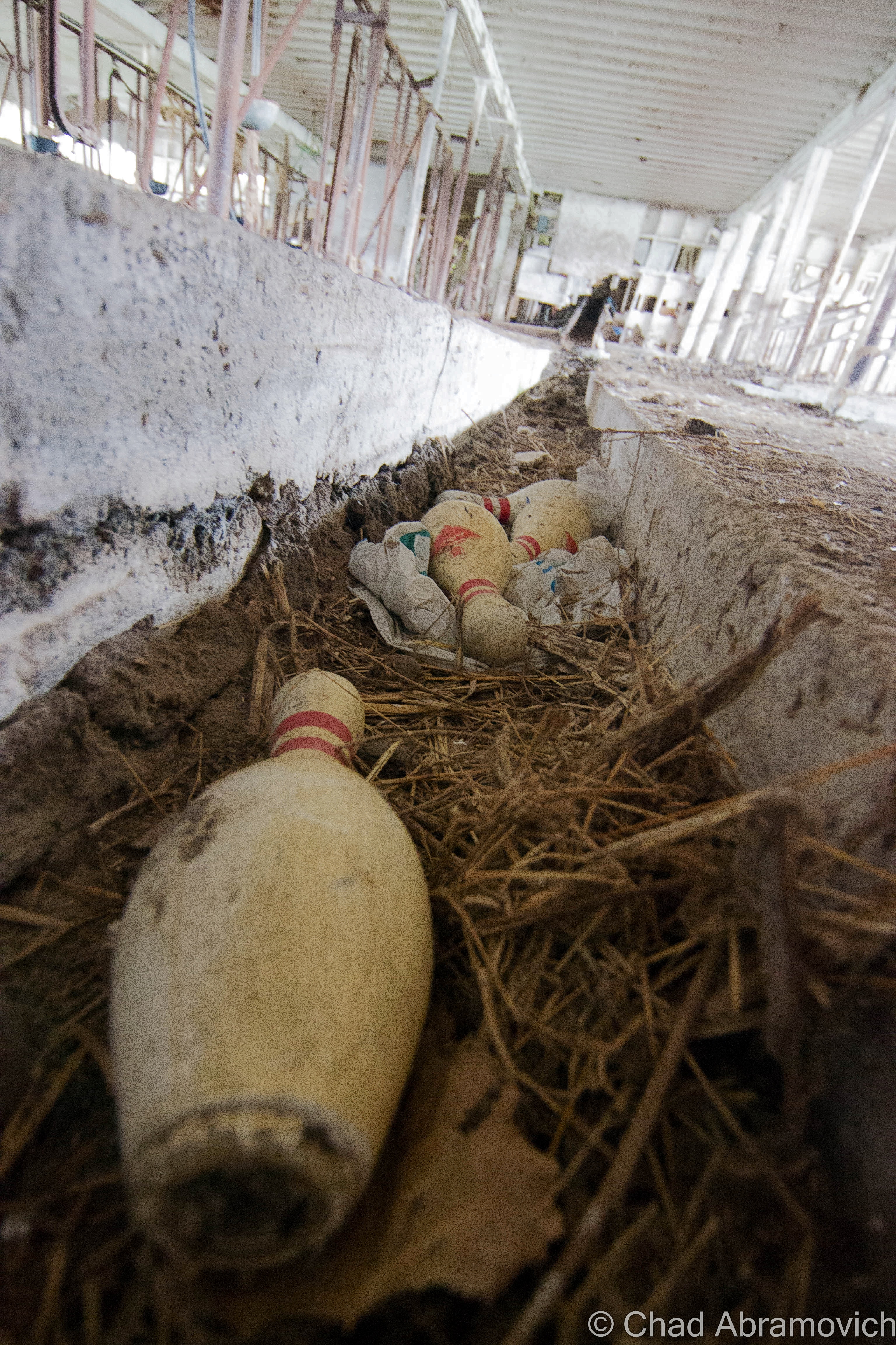
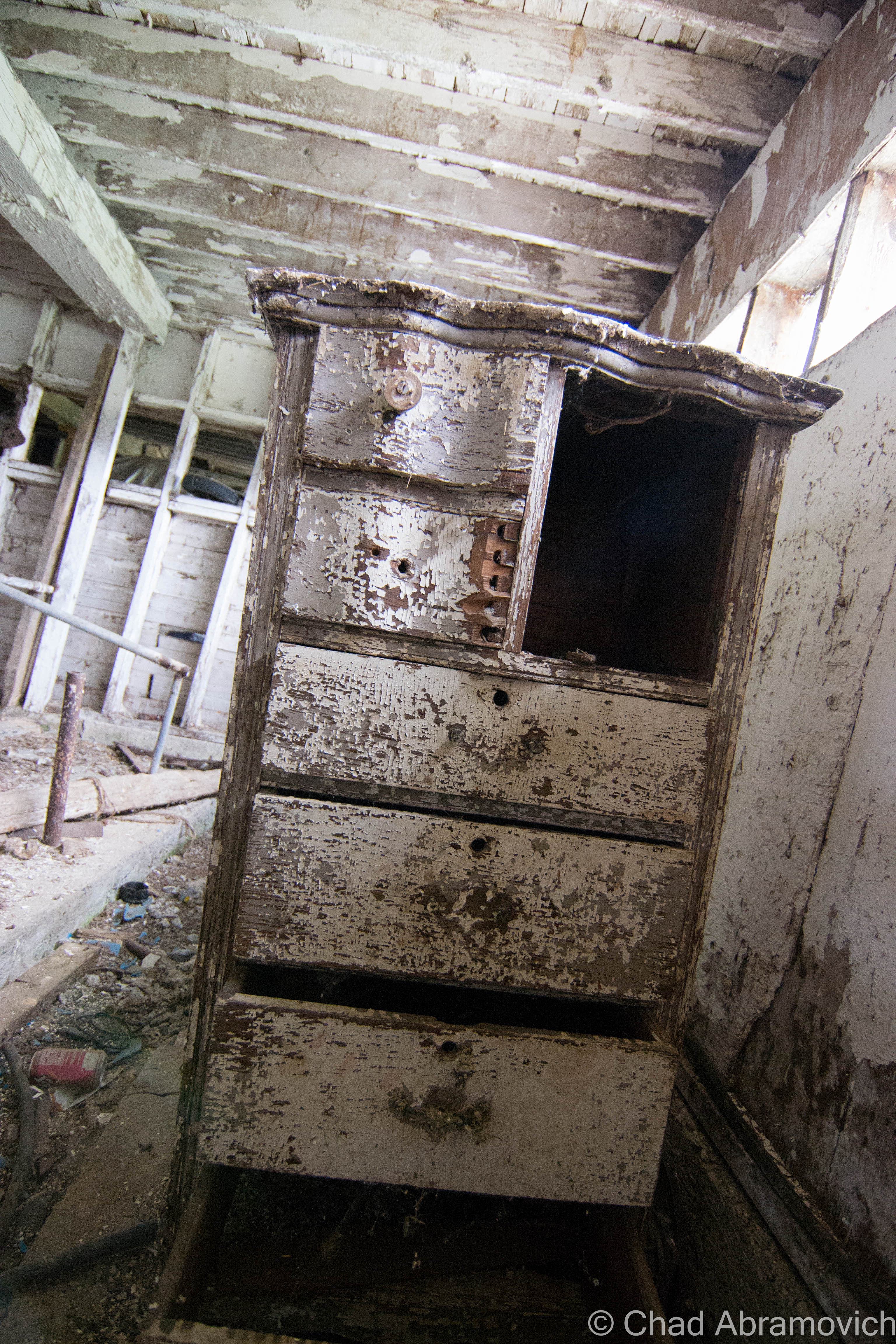
The dusty whitewashed interior of the barn was pretty cool as well. In typical Vermont tradition, the old farmhands never threw anything away, so the spaces were stuffed with antique furniture, busted farm equipment, and some unexpecteds like a collection of bowling pins. I know barns usually lived double lives thanks to Yankee ingenuity, like this great story on State 14, of an old one in tiny East Granville that formerly was the town’s dance hall that the current owners wish to restore. Maybe these guys used their barn as a makeshift bowling alley to pass the doldrums?

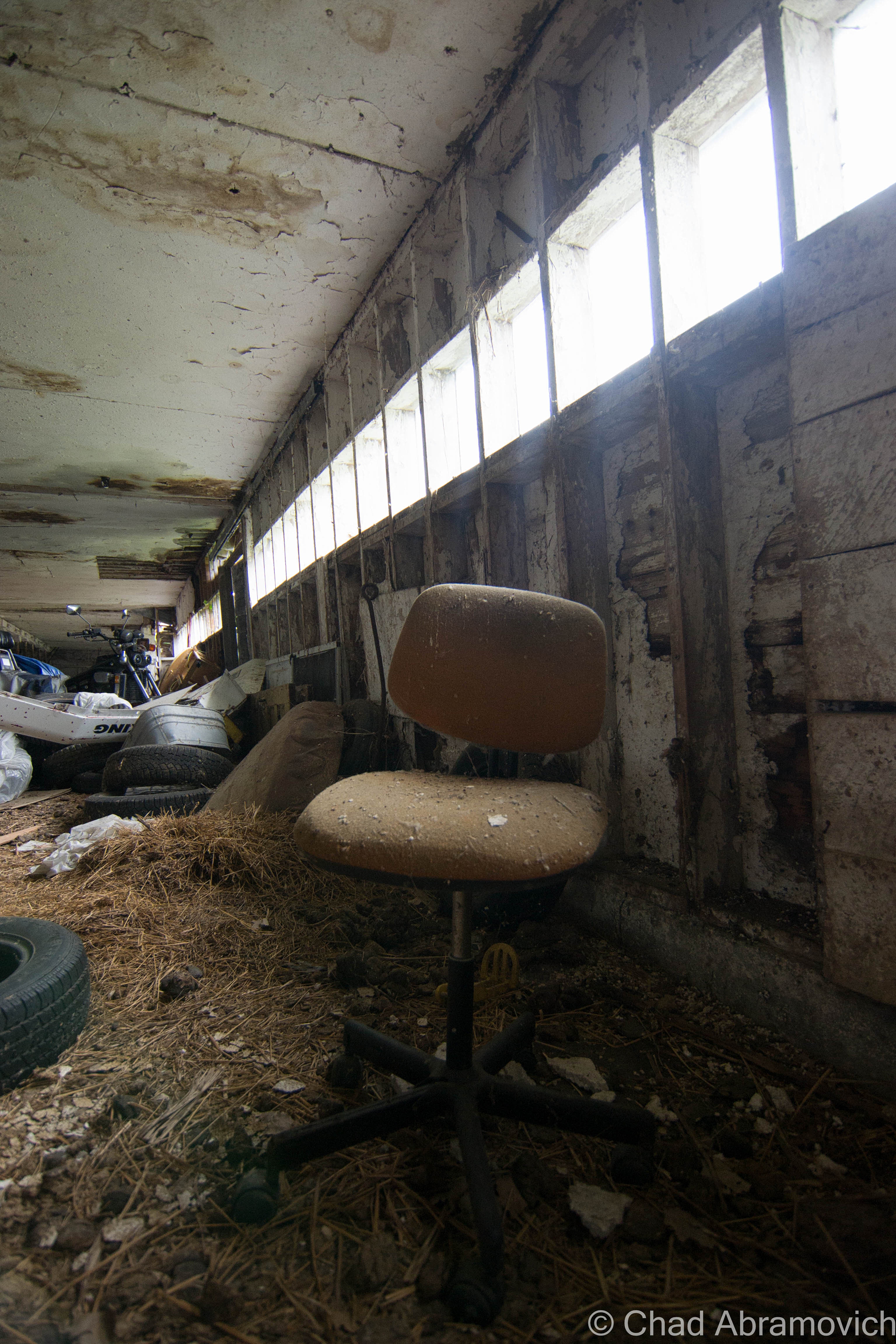
Walking around through hay that stuck to my boots, I realized the barn was a little worse for wear than I had thought. Structurally, it’s wooden floors and walls were beginning their slow descent into wasting away, and some of the older items stored inside were rotting to a point beyond saving.

dsc_0310_pe dsc_0250_pedsc_0255_pedsc_0260_pedsc_0262_pedsc_0264_pedsc_0266_pedsc_0267_pedsc_0270_pedsc_0277_pedsc_0280_pedsc_0282_pedsc_0283_pedsc_0285_pedsc_0287_pedsc_0290_pedsc_0292_pedsc_0297_pedsc_0298_pedsc_0300_pe

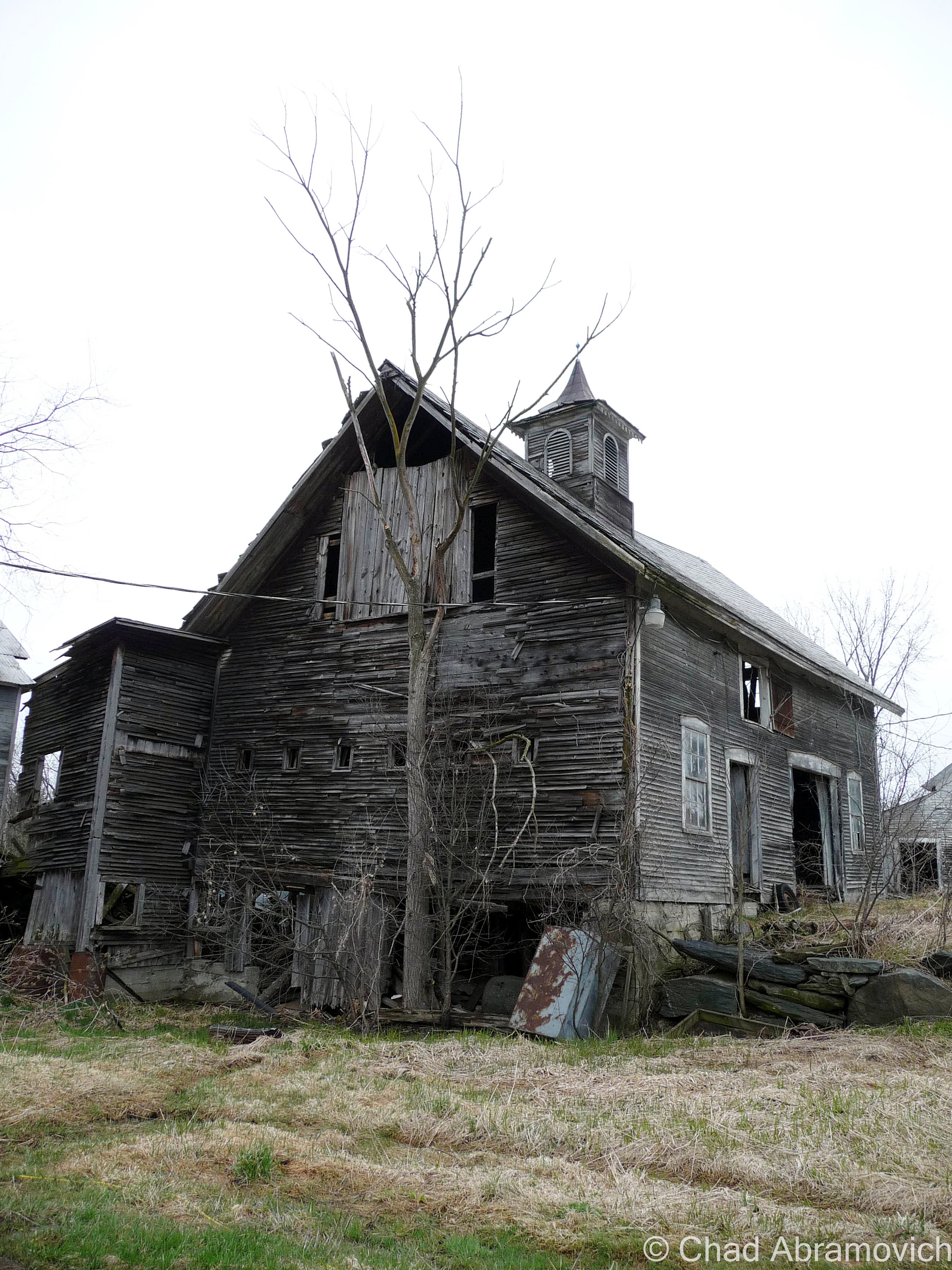
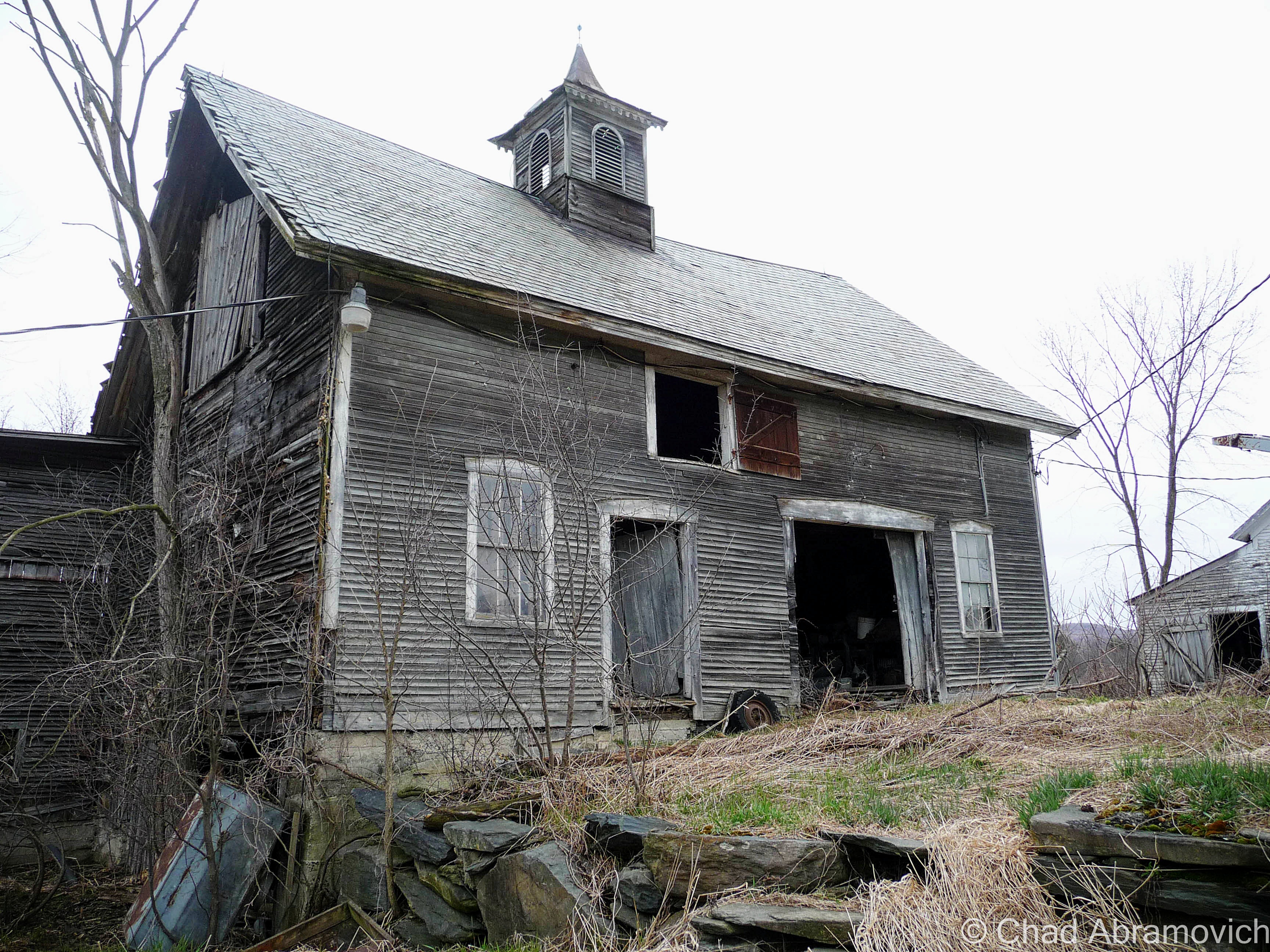
While I was writing up this post, I remembered another old barn I had checked out many years ago, and decided to dig up the old photos. I want to say these were taken by an insecure me with my Nikon point and shoot, around the spring of 2010. I figured I’d include them in this post as well. It’s sort of funny how years ago, I thought the only way I would be any good at photography was to get myself a top-grade camera, but looking back, I think that heading out with my old point and shoot actually forced me to become more creative and observant with a limited focal distance and zoom range. Man, young Chad had so much to learn. The equipment sure helps, but it’s really the photographer behind the gadgets that makes the difference.

During that spring, I needed to get out of the house to clear my head, and one of the best ways for me to do that was to go shunpiking – one of my favorite activities still.

I found myself on some swampy backroads up in Franklin County. With the windows down and the wet Spring perfume coming through, I found myself passing by an abandoned farm, and next door, a rundown ranch house where the owning family still dwelled.

They agreed to let me skulk around their abandoned farm, but their elderly teenage son thought I was a weirdo for being interested in their place. Well, I am a weirdo, but I’ll never forget his furrowed eyebrow look and accompanying chuckle. According to him, the town actually condemned their old farmhouse when it began to violate building codes as it aged. So they moved into the ranch next door, which honestly didn’t look much better.

The best feature of the property was a tumbledown dairy barn covered in gray decay. The ramshackle structure was worth the potential threat of tetanus. The interior was filled with the debris of century old farm equipment, hidden doors and other relics. Like a beautiful antique sleigh.

I even found a century plus old book underneath some floorboards in an abandoned barn, which raised a few questions. Why was this book concealed under the floor? What else was below my boots?

I’m not into theology, but it was pretty cool. As a graphic design major, I really appreciated the headlining typography. Finding old religious paraphernalia hidden in Vermont buildings isn’t rare it seems. Around the same time, an acquaintance I knew found someone’s leather bound, ornate family bible from 1848 under his floorboards, along with a handgun and the skeleton key to his basement door, which they had never been able to access until then. The decaying book was scrawled with various notes and births/deaths of a family who used to live in his old house in Milton. The place was built in the 1840s as a hotel, and also functioned as a bar, vaudeville theater and silent movie house and an odd fellows hall, before being converted into shoddy apartments.

p1020221_pe p1020230_pe p1020239 p1020240_pe p1020243_pe p1020250_pe p1020251_pe p1020252_pe p1020254_pe p1020257_pe p1020259_pe p1020260_pe p1020261_pe p1020262_pe p1020263_pe p1020264_pe p1020268_pe p1020273_pe p1020280_pe p1020283_pe p1020284_pe p1020286_pe p1020288_pe p1020290_pe

—————————————————————————————————————————————–

To all of my fans and supporters, I am truly grateful and humbled by all of the support and donations throughout the years that have kept Obscure Vermont up and running.

As you all know I spend countless hours researching, writing, and traveling to produce and sustain this blog. Obscure Vermont is funded entirely on generous donations that you the wonderful viewers and supporters have made. Expenses range from internet fees to host the blog, to investing in research materials, to traveling expenses. Also, donations help keep me current with my photography gear, computer, and computer software so that I can deliver the best quality possible. Seriously, even the small cost equivalent to a gas station cup of coffee would help greatly!

If you value, appreciate, and enjoy reading about my adventures please consider making a donation to my new Gofundme account or Paypal. Any donation would not only be greatly appreciated and help keep this blog going, it would also keep me doing what I love. Thank you!

Donate Button with Credit Cards

Gofundme: https://www.gofundme.com/b5jp97d4


The Vermont Character: Coffin Windows

One of my favorite pieces of Obscure Vermont is a mixture of architectural vernacular, and good old fashioned Yankee Ingenuity.

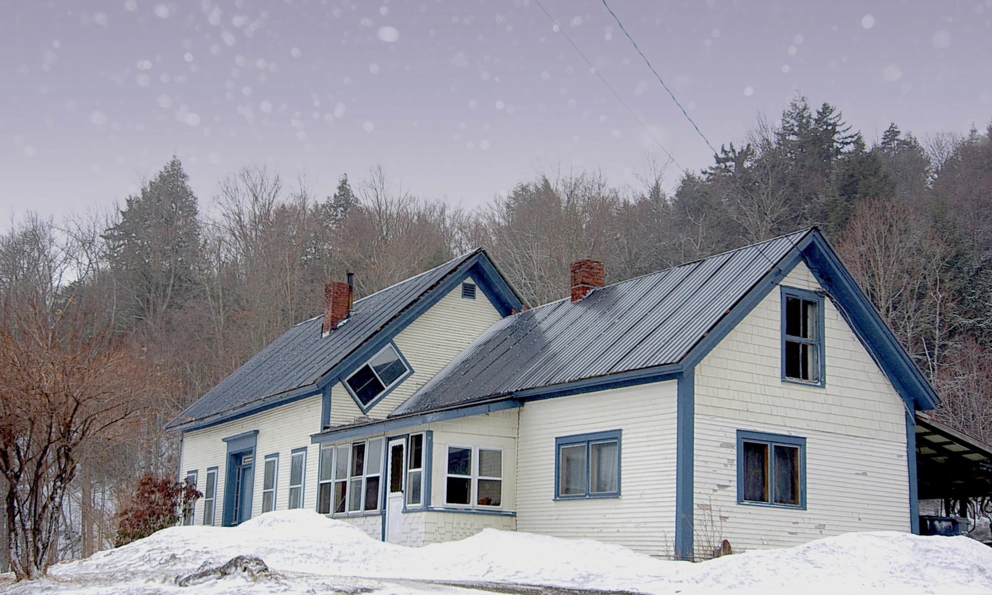
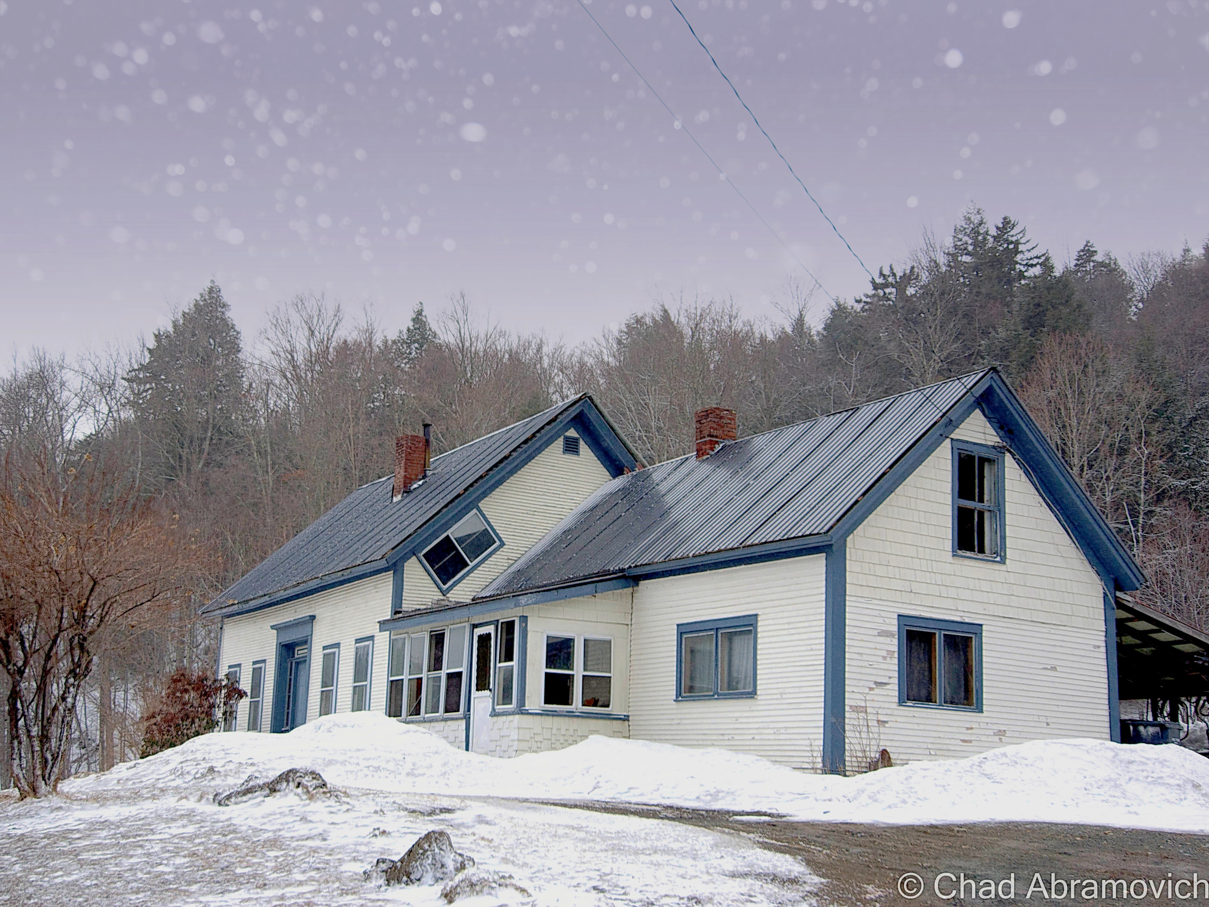
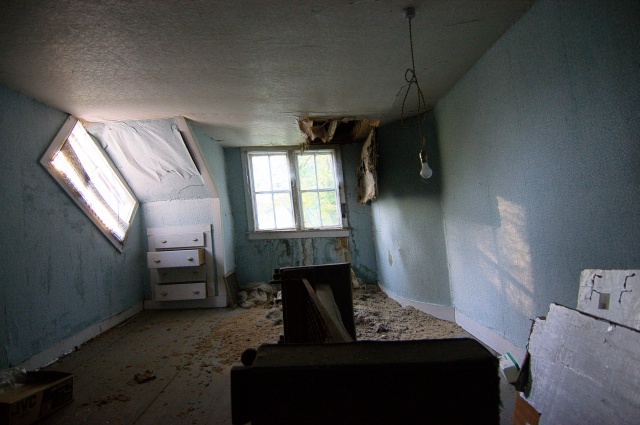
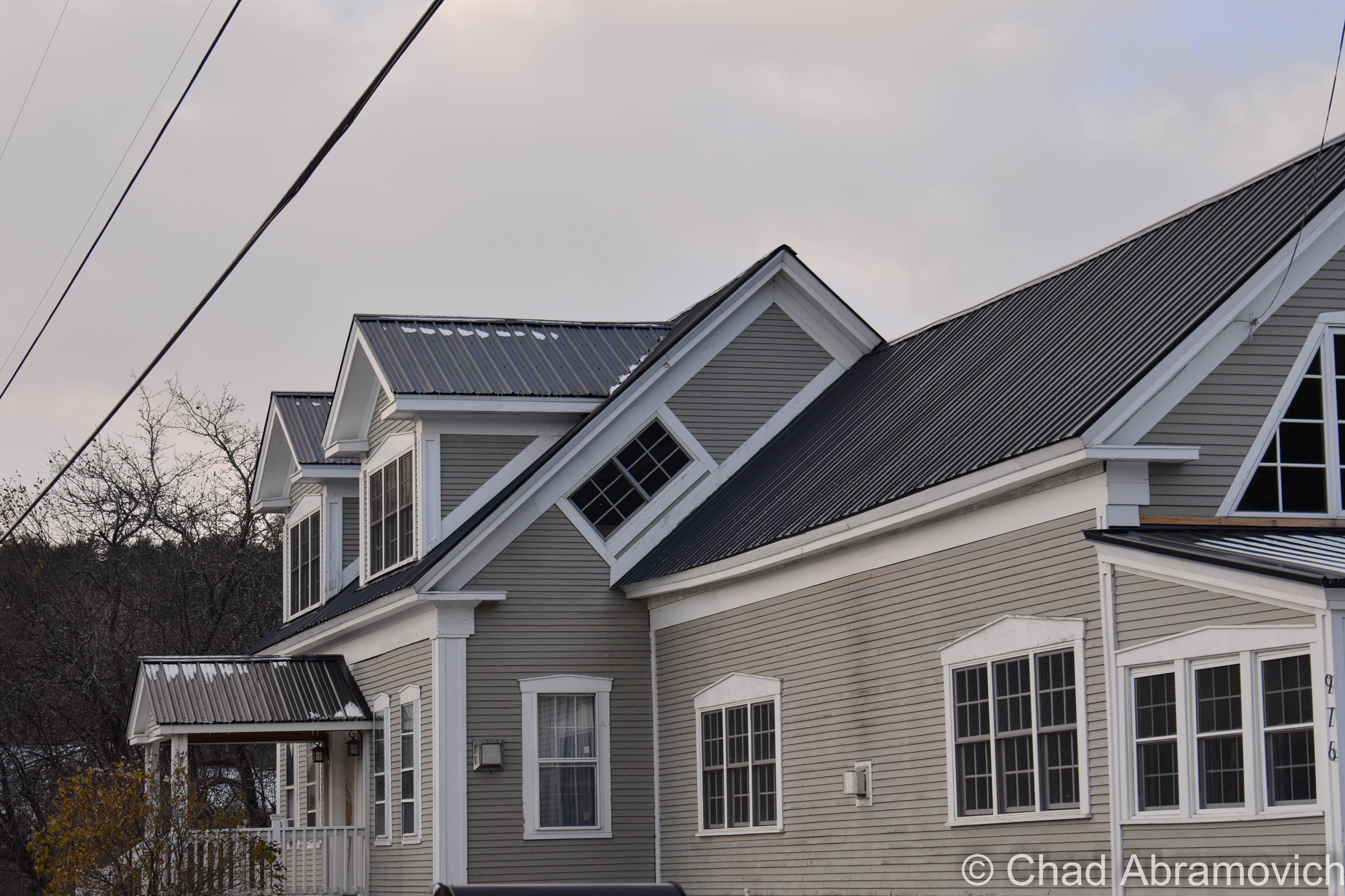
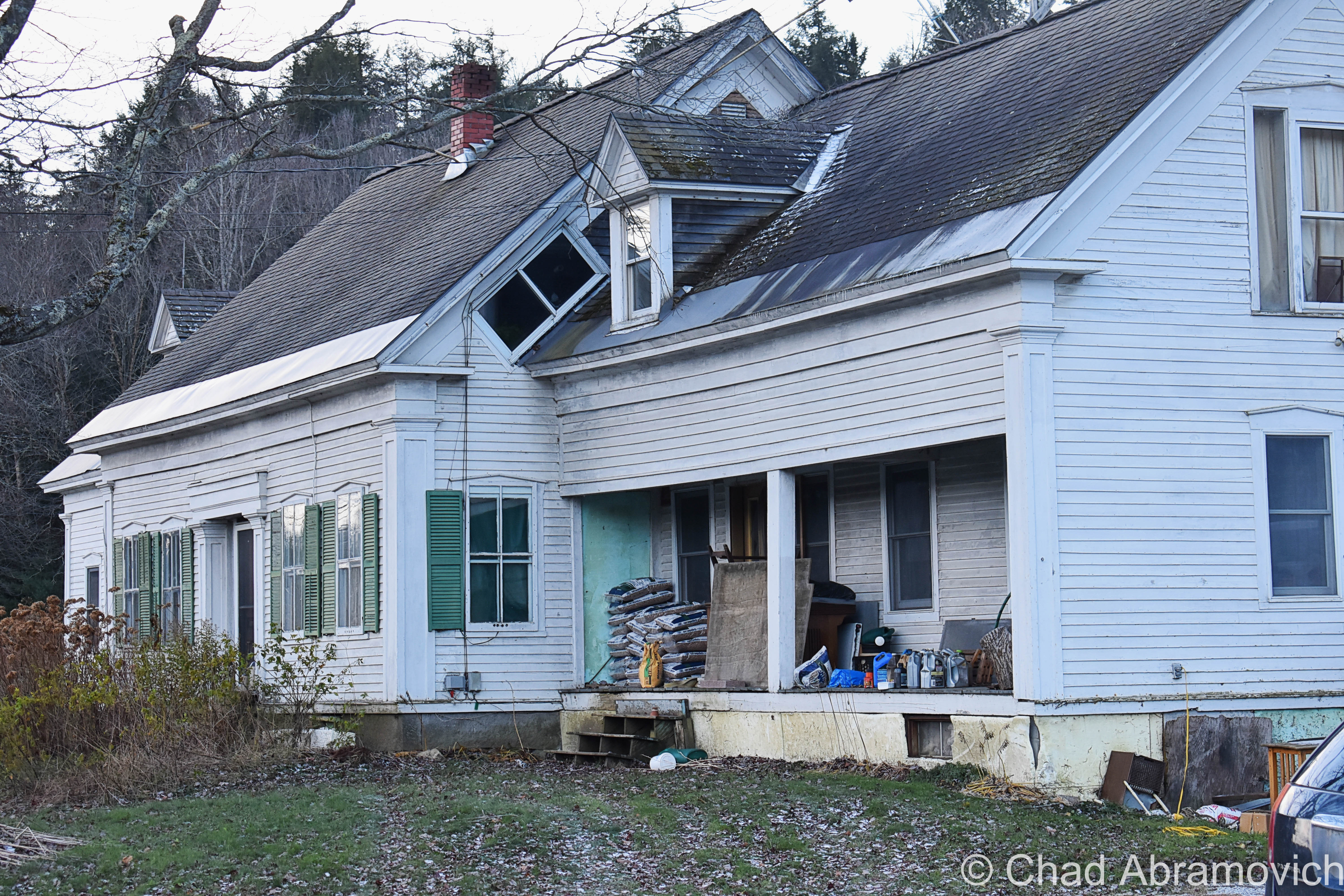
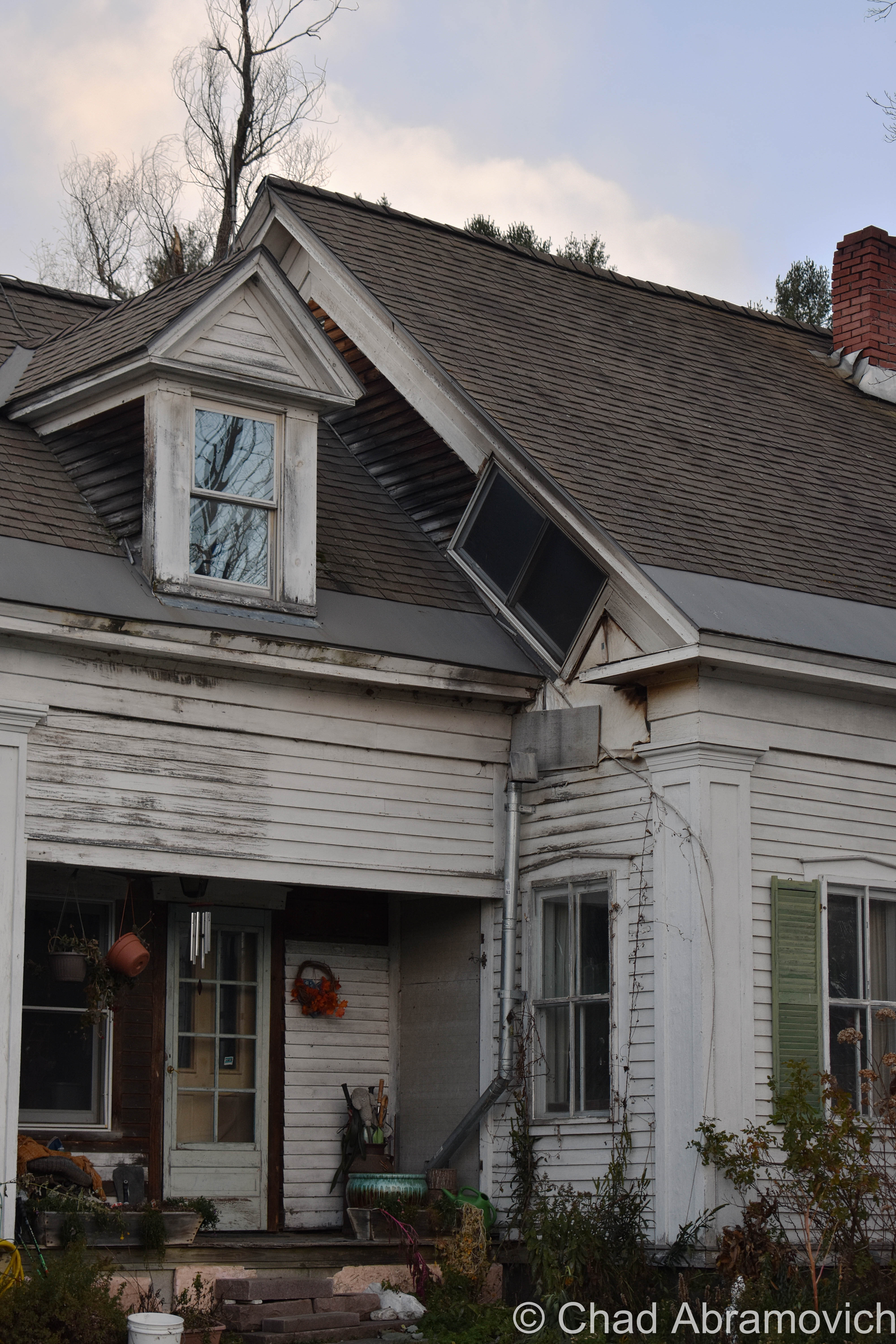
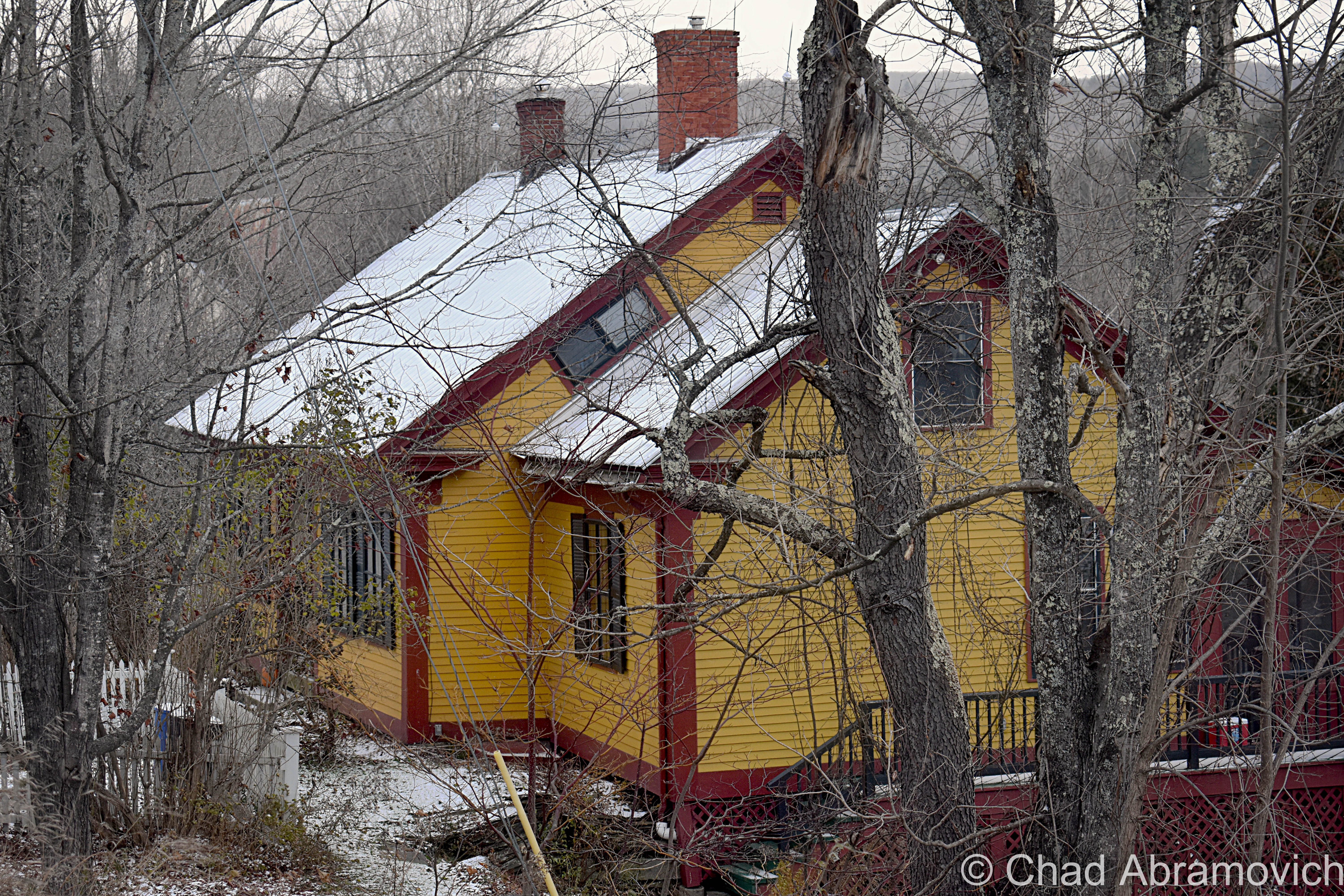
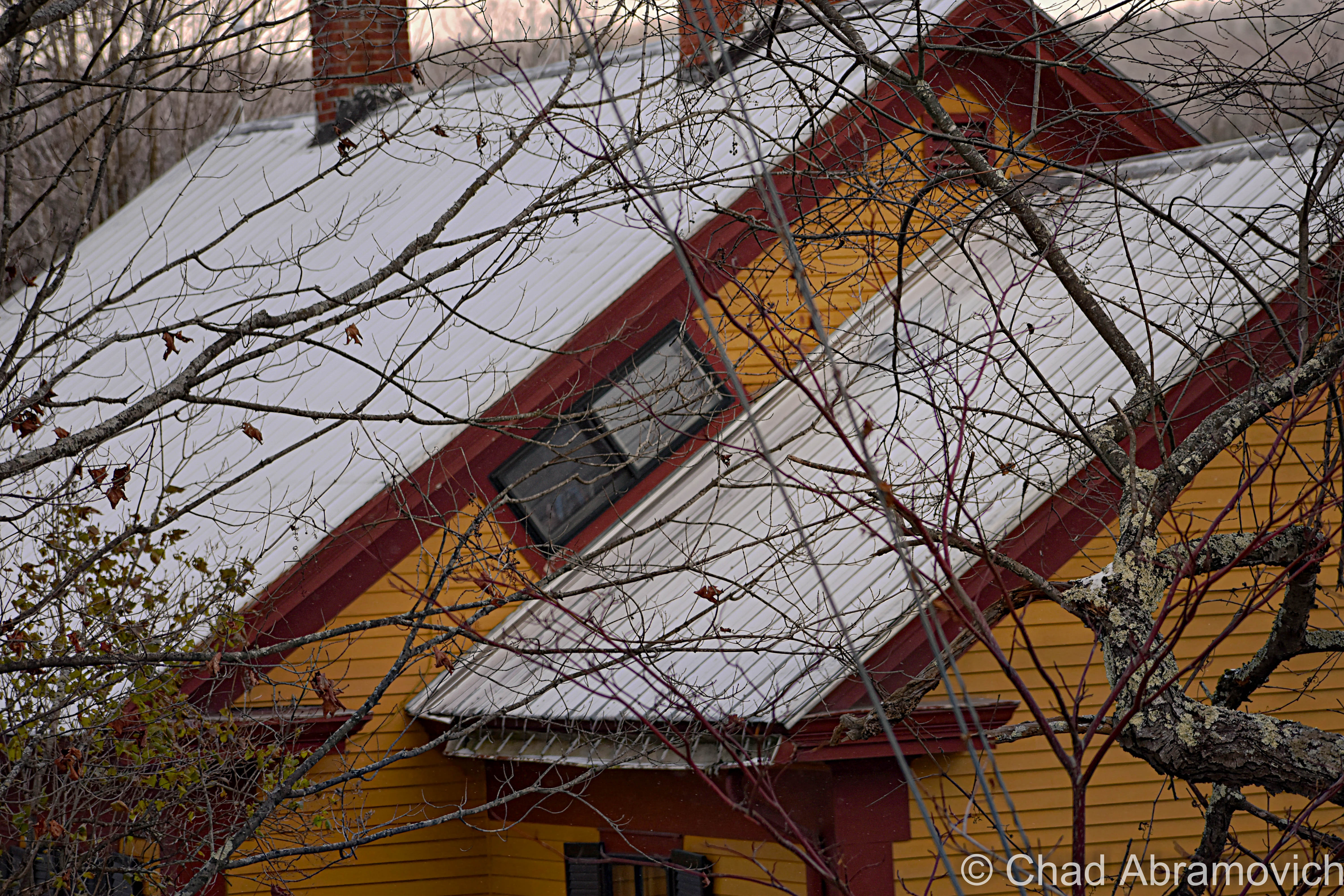
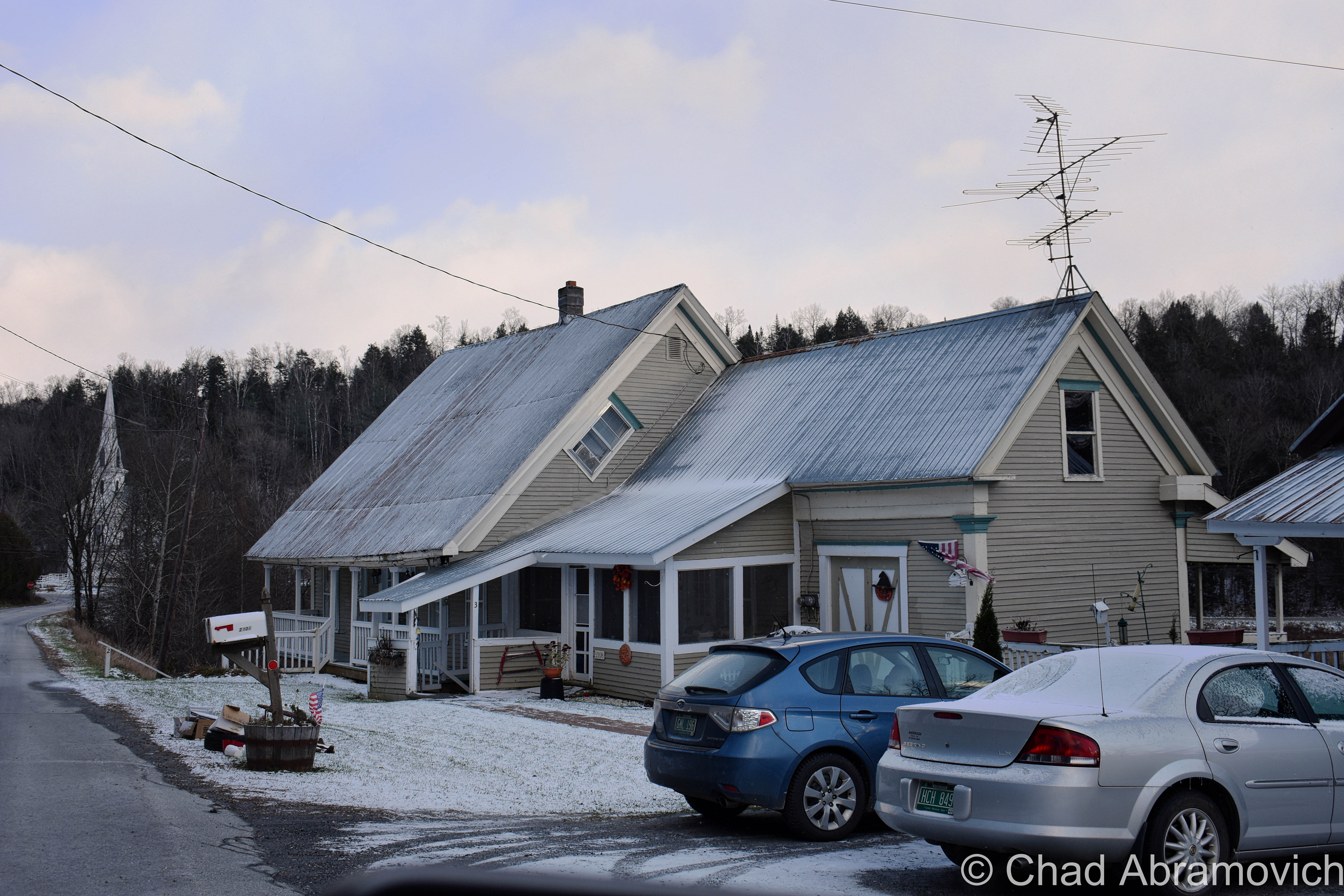
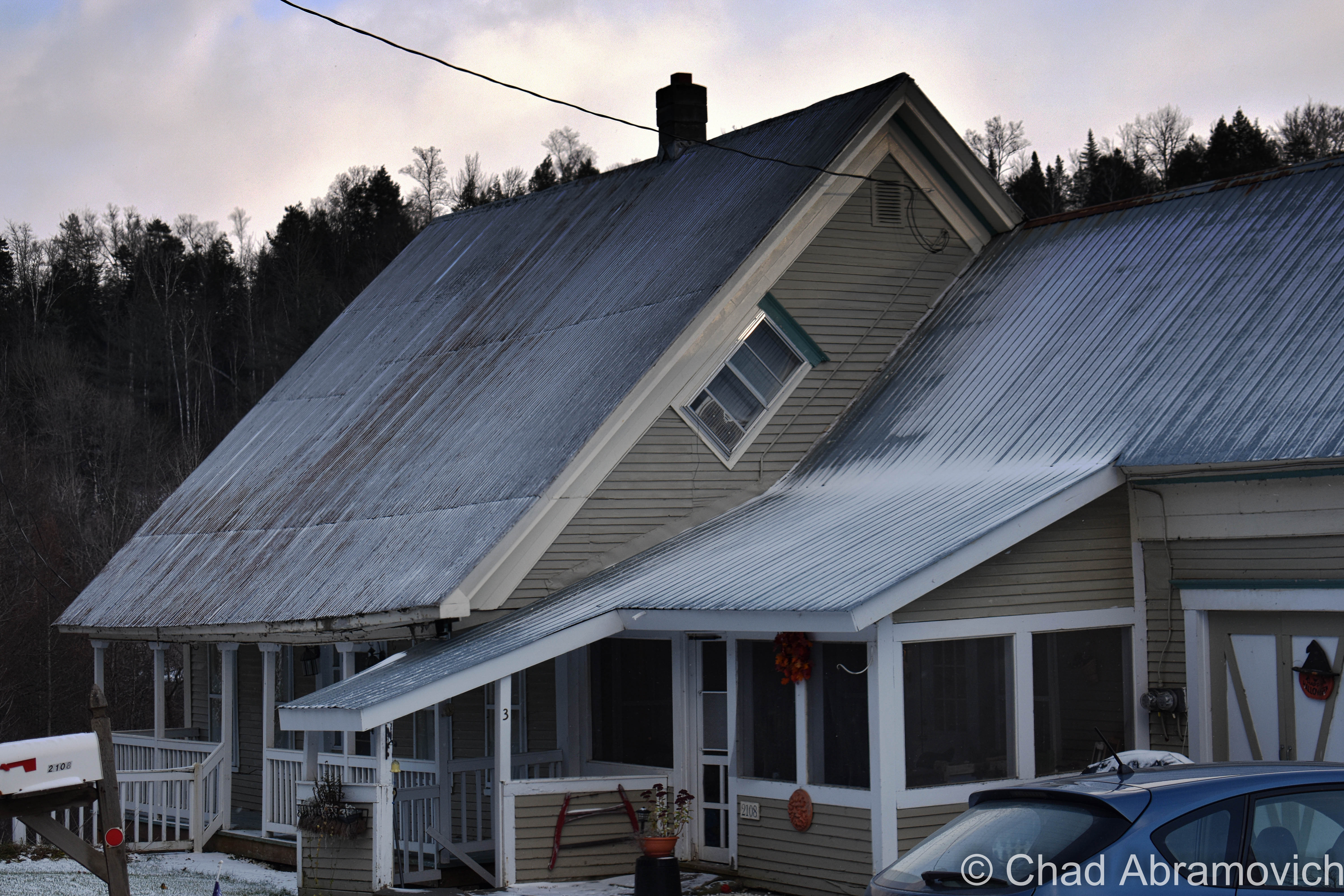
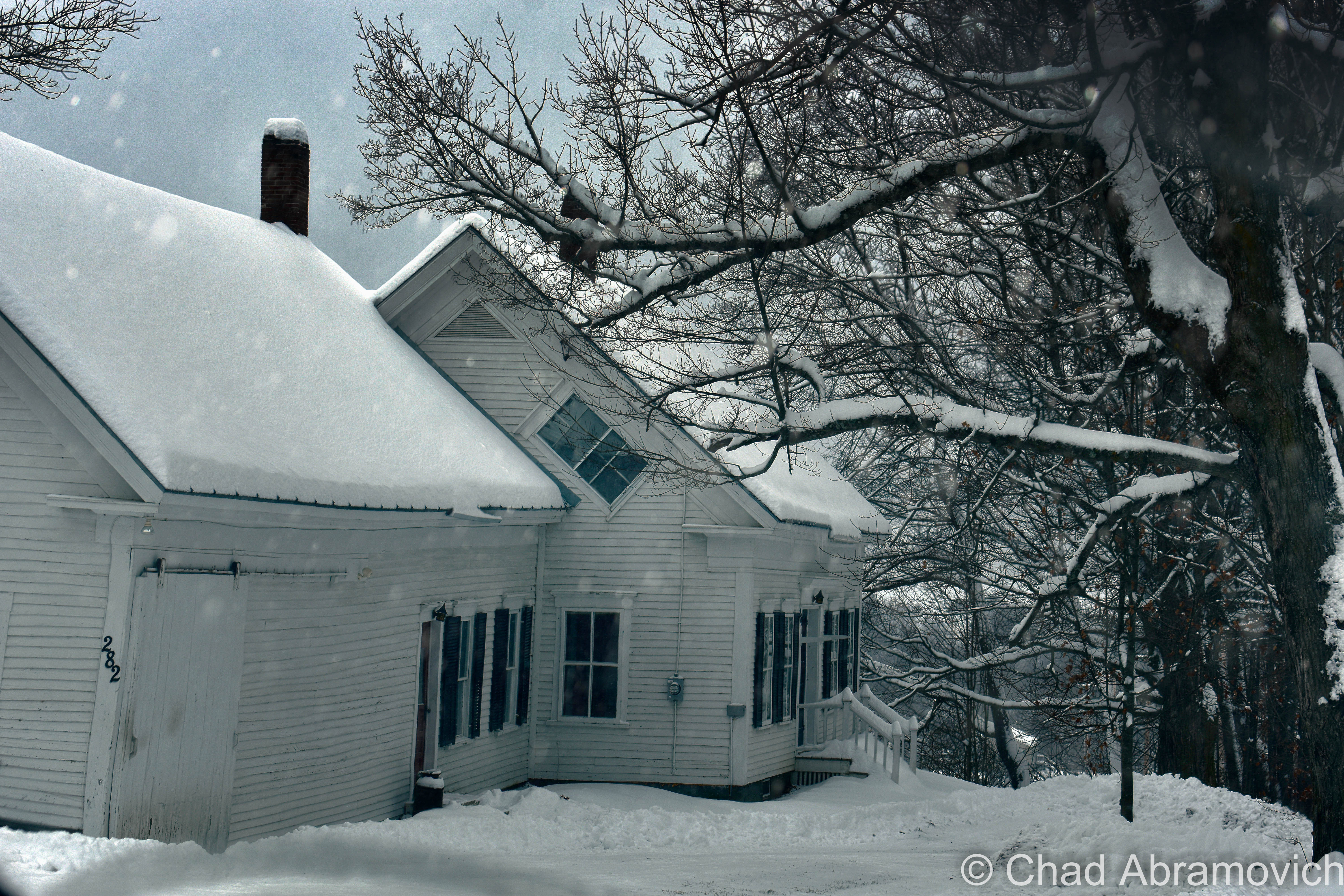
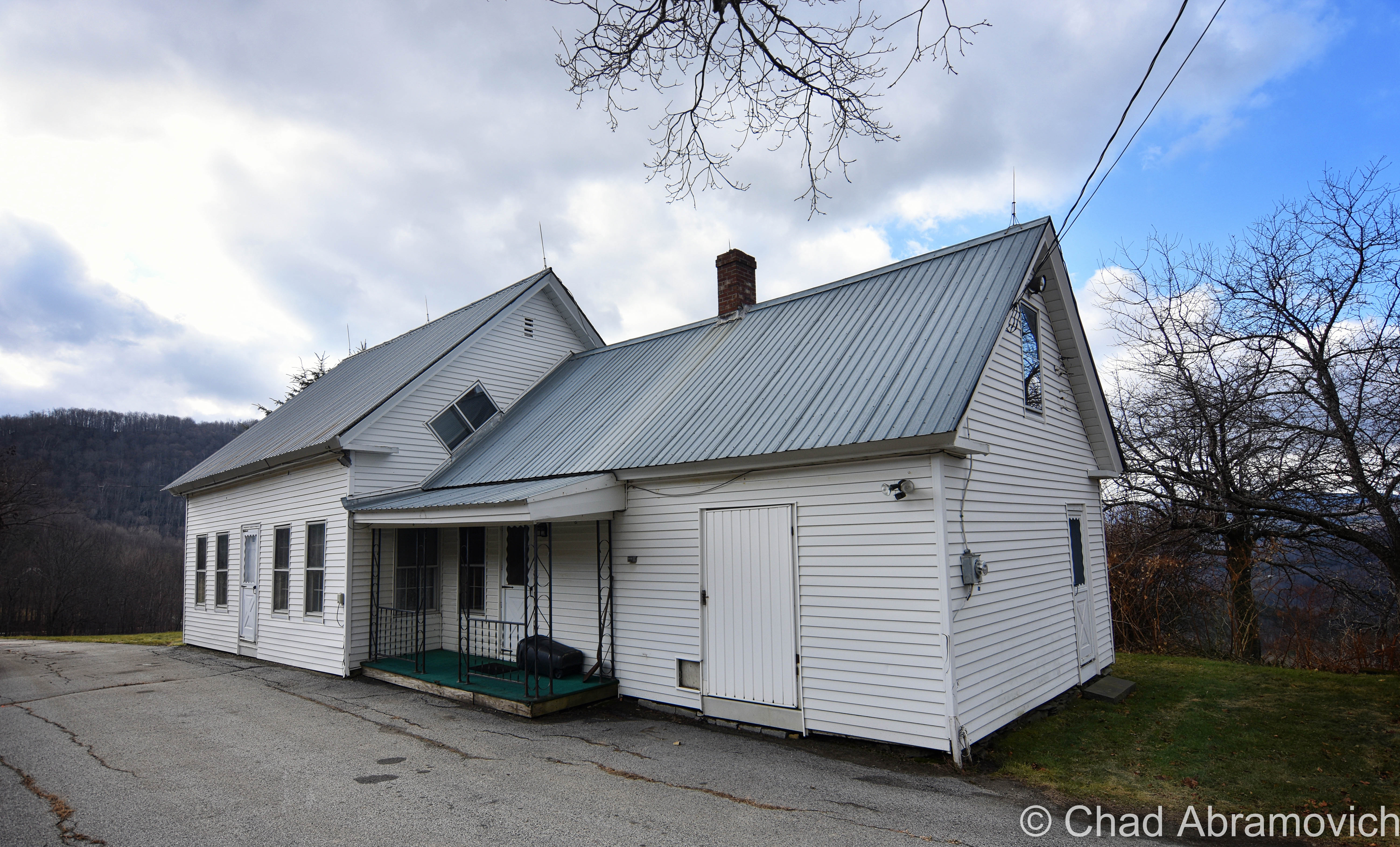
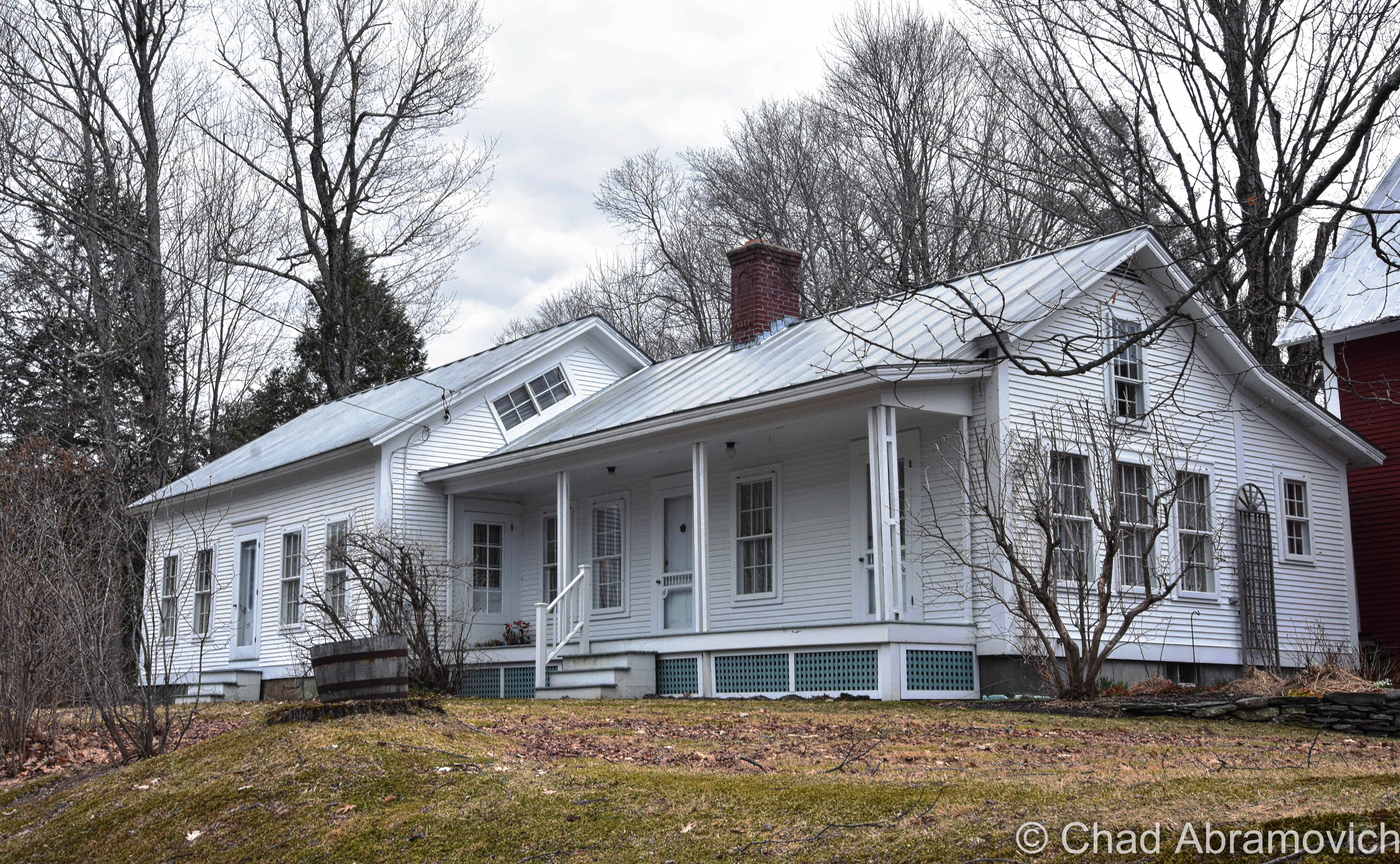
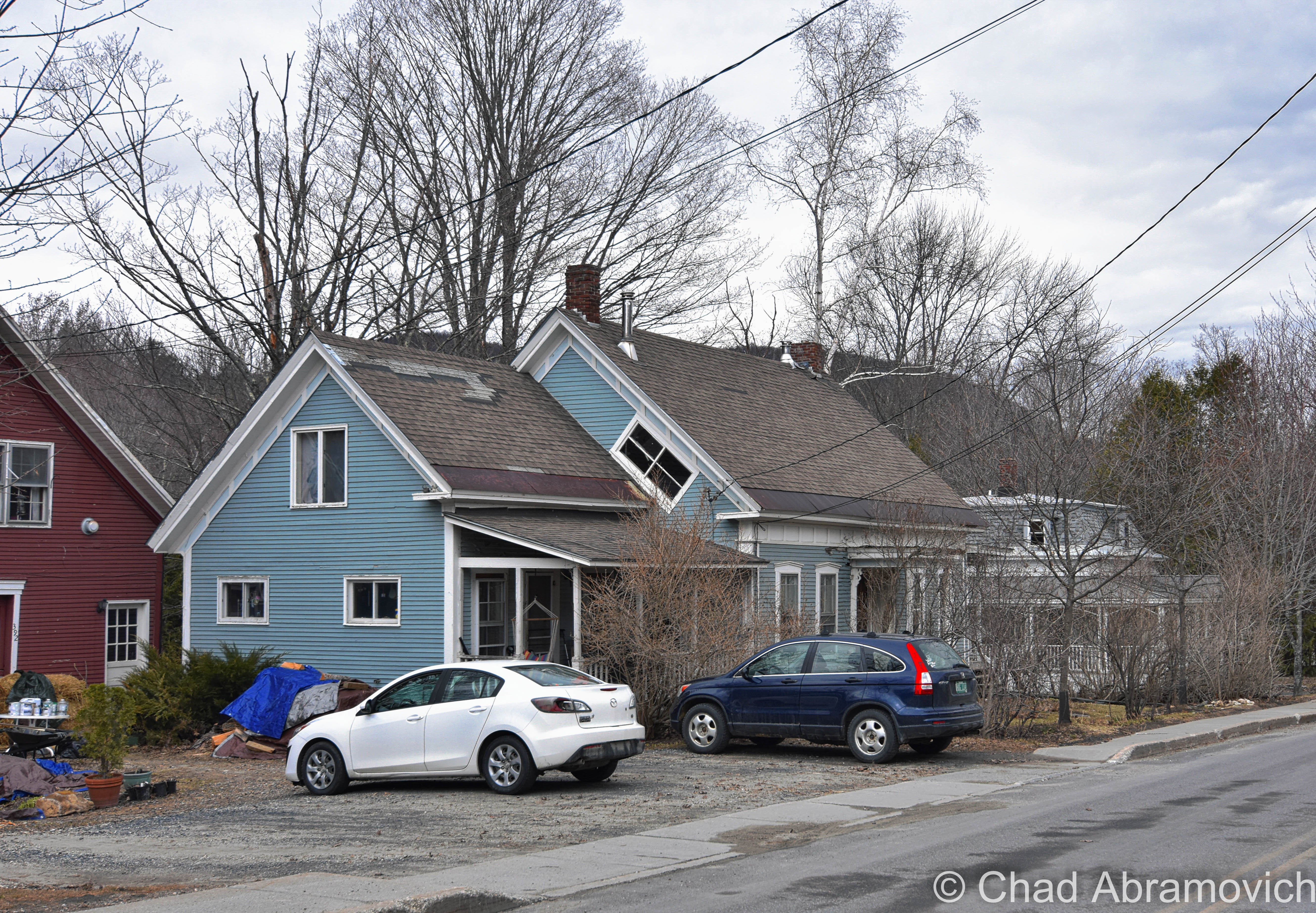
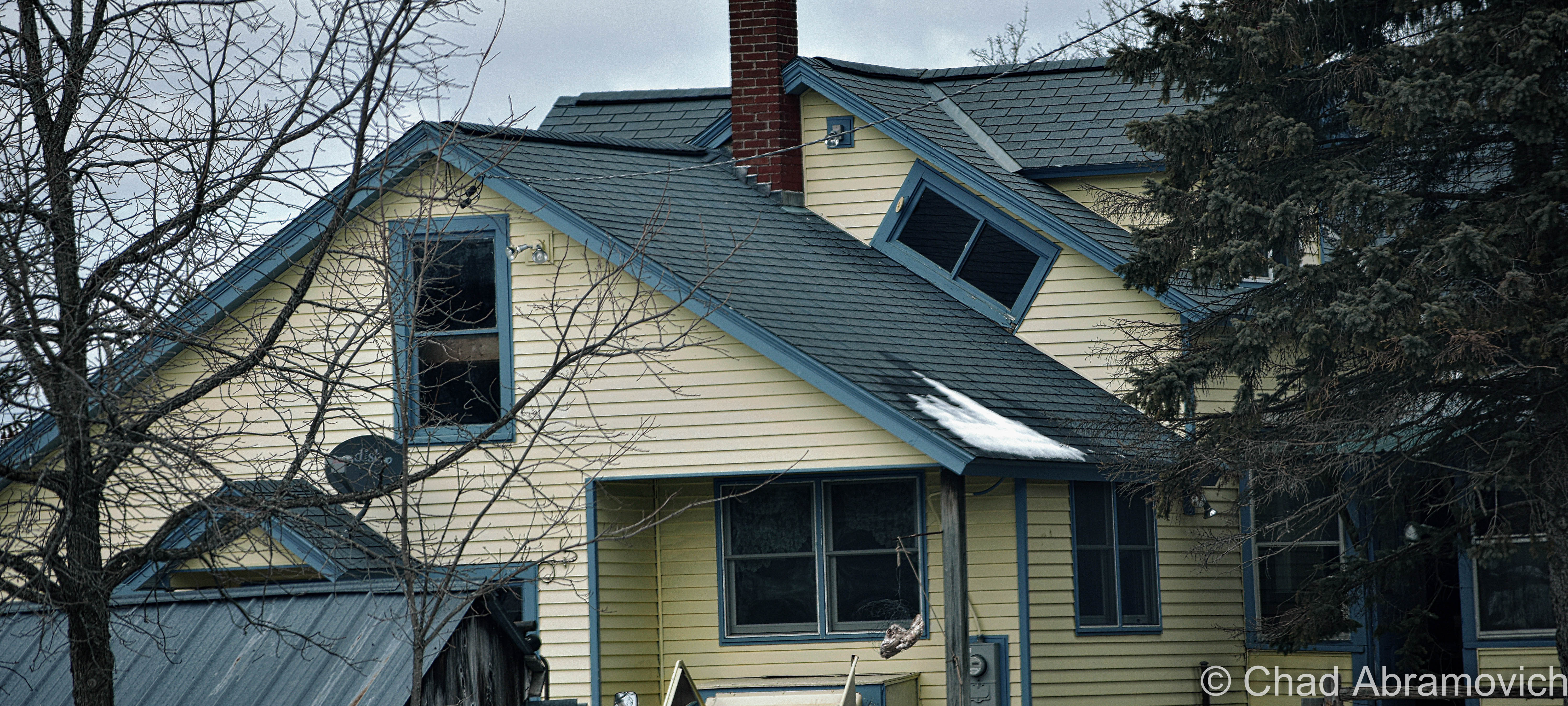
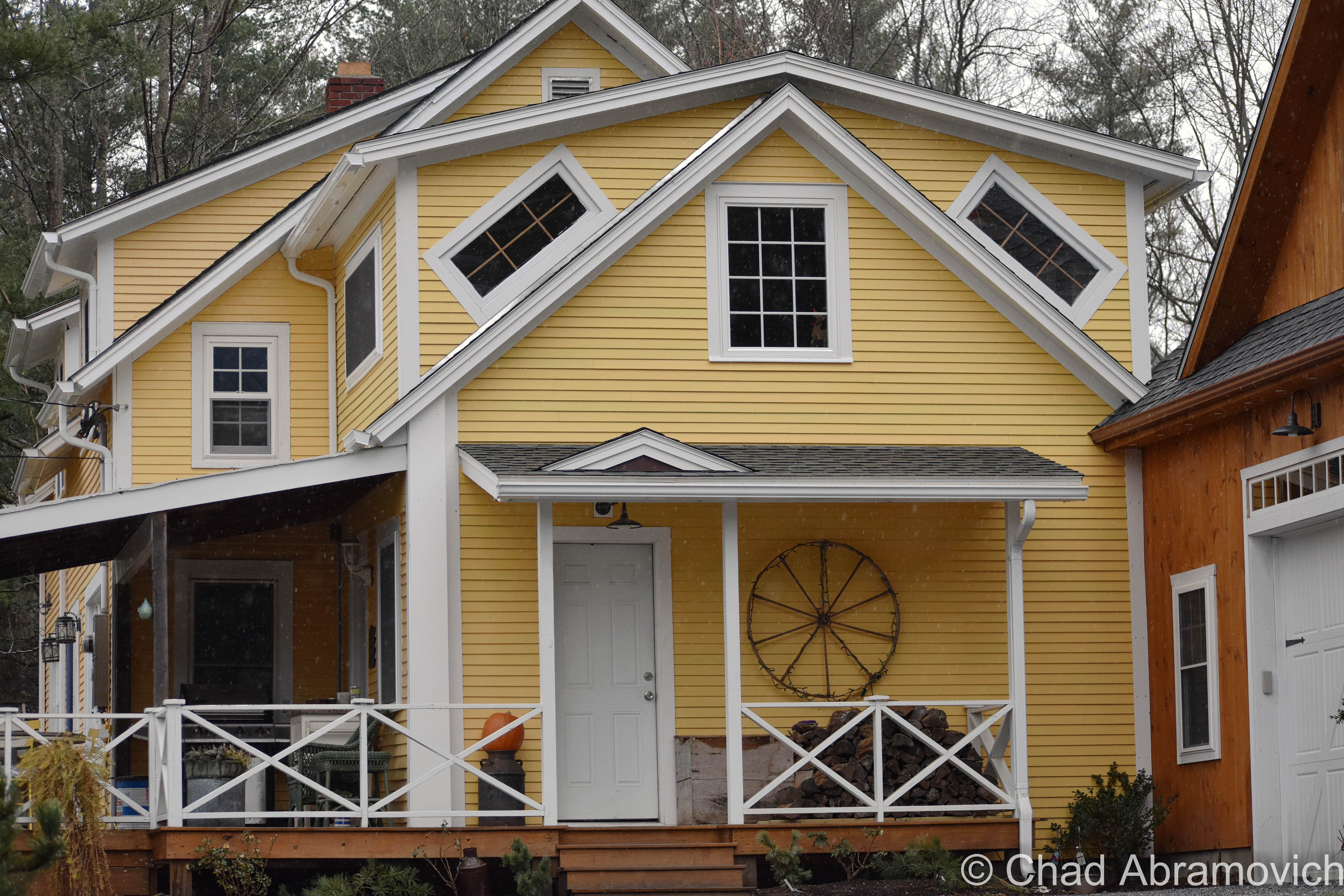
Do you see the diagonally tilted window placed in the gable end of this old farmhouse with its long edge parallel to the roof? A lot of people, Vermonters or flatlanders, seem to be flummoxed about these peculiarly slanted windows. That’s because their orientational existence isn’t found in any other states (though someone did tell me that they think they saw one somewhere in New Hampshire not too long ago.) To add a bit more rapturous froth to the isolated mystery, our Vermont parlance labels them “coffin windows”, or sometimes “witch windows”, depending on who you are I guess. Growing up, my mother would always point them out as “coffin windows” whenever we would take a trip out of suburban Chittenden County to more rural parts of the state, where older structures far outnumbered the new. I wasn’t introduced to “witch windows” until much later.

The etymology behind the monikers vary, and can’t really be traced back to a materialized point of origin.

Going alphabetically – it’s said these are called coffin windows because if a family member died upstairs, it was far easier to maneuver the needed coffin out the window and slide it down the roof as opposed to figuring out just how to haul it down a steep and narrow Vermont farmhouse staircase. And trust me, some of them are very steep and narrow to a point of over-cautiousness when walking up or down one – enough for me to sympathize with anyone who would groan at the prospect of dragging anything up or down them.

The name witch window gets a bit more on the superstitious side. It’s said that an old belief was that a witch couldn’t enter your dwelling through a crooked window or opening. A similar superstition that comes to mind is how the ancient Chinese thought bad spirits traveled in straight lines, so their architecture took on steeply peaked rooflines.

I know old Vermonters were a superstitious bunch. Our collective state history and folklore include such grim things as incriminating real people accused of Vampirism, or desecrating the graves of dead people accused of postmortem vampirism (our most famous Vampire execution was a man named Corwin, whose remains still loam underneath Woodstock’s boat shaped town green).

But witches? There isn’t much known on how scared Vermonters were of witches, leaving this as intriguing speculation. However, I was able to dig up a small number of succinct accounts in old state newspapers around the late 1700s and early 1800s of various Vermonters who locals suspected were witches, but in reality were probably nothing more than eccentrics living in a more narrow-minded time. One article amusingly reported that a Stowe woman was blamed for making several farmers’ milk cows run dry.

A more practical theory and probably the most likely of the three, was that these windows were a creative solution to let light into the cramped spaces upstairs. Gables didn’t often leave rooms for traditional sized windows and poor farmers didn’t want to spend the money on drafty dormers or getting a custom window made – which was a costly purchase many families couldn’t afford. They also enabled fresh air and ventilation to keep the house inhabitable. Though there are far more scolding environments than Vermont, our summers do get pretty humid, and the upper floors of an old house easily turn into ovens. 

Further down the line, these windows adopted yet another sobriquet with less dour and more civic pride; Vermont Windows. Though I haven’t heard that term nearly as much as the afore-referenced other two. 

In a world that loves things to fall into human-made symmetry, who knew that a window installed at a tilt could conjure up so many declaratory ideologies.

It seems that these windows have a bit of cool fanfare behind them, apart from your blogger. Some cool individual even made an Instagram account dedicated to them!

Route 100 in South Duxbury
Found one in this abandoned farmhouse I was exploring.
East Calais
Calais
Calais
South Woodbury village
Peacham
Turkey Hill in Northfield.
Warren village
Warren Village
Cornwall
DOUBLE coffin/witch windows in Stowe! I guess these folks didn’t want to take any chances just in case a pesky witch decided to curse them.

Any of you folks know of a coffin window near you? Let me know! I love road tripping around Vermont, and I always make excuses to shunpike somewhere!

—————————————————————————————————————————————–

To all of my fans and supporters, I am truly grateful and humbled by all of the support and donations throughout the years that have kept Obscure Vermont up and running.

As you all know I spend countless hours researching, writing, and traveling to produce and sustain this blog. Obscure Vermont is funded entirely on generous donations that you the wonderful viewers and supporters have made. Expenses range from internet fees to host the blog, to investing in research materials, to traveling expenses. Also, donations help keep me current with my photography gear, computer, and computer software so that I can deliver the best quality possible. Seriously, even the small cost equivalent to a gas station cup of coffee would help greatly!

If you value, appreciate, and enjoy reading about my adventures please consider making a donation to my Paypal. Any donation would not only be greatly appreciated and help keep this blog going, it would also keep me doing what I love. Thank you!

Donate Button with Credit Cards

Gofundme: https://www.gofundme.com/b5jp97d4


Mermaids and Men of Mystery; Here Curiosities Reside

Vermont’s hills seem to be a beacon in the smog for the offbeat, things that don’t quite fit into a world obsessed with categorization. For some reason, we offer ideal real estate appeal for people of mystery and fantastical artifacts to come and dwell, sometimes going undetected. I suppose I can understand why. After all, I certainly don’t want to live anywhere else.

Brookline’s Round Schoolhouse 

Americans seem to love round buildings. Probably because we live in a society of increased standardization, so in a world of square things being the norm, round buildings just stick out. But for a society who loves them so much, we sure don’t build more of them. I guess that just makes them all the more special.

The out of the way town of Brookline, population roughly 500 at the last census, holds such a building. Brookline’s round schoolhouse was built in 1822, and is possibly the only one in the country. It was designed by the same person who would mold the minds of local children there, Dr. John Wilson, who in addition to being a school teacher, was also the town’s resident physician.

Dr. Wilson however was an indisputable enigma. A distinguished gentleman from England, he had an amiable personality and a brilliant mind. He was also gifted and proficient in the field of medicine, so much so that the locals began to wonder why such a talented and cultured man would work as a lowly schoolteacher, in Brookline of all places? He could easily earn a much more substantial income as a doctor in Brattleboro or Burlington.

But there were more questions that would add to the man’s already weighted reputation. Year round, he would wear high collars or thick scarves, even during the hottest of summer days, and he would always walk with a noticeable limp. Despite his charm, he was also very remote, and would avoid questions about his behaviors or attire, or getting too close with anyone. In a small Vermont community where everyone knew everyone, Dr. Wilson inevitably became the subject of local gossip.

But perhaps the strangest of all was his equally obscure schoolhouse. It’s construction was off red brick, with windows facing in all directions, making it a distinguishable and unique piece of Vermont architecture. There were some who thought the round building was just as suspicious as the doctor himself. Why go through the effort to build such a structure?

Dr. John Wilson, circa 1842 | Brattleboro History

In May 1847, Dr. Wilson lay on his deathbed. During his time in Brookline, he had apparently befriended someone, someone he liked enough to bestow trust in. He called on them and exacted a rather peculiar last request. His odd promise stated that he was to be buried in the clothes he was wearing, including his scarf and boots. Dr. Wilson’s strange story may have been entirely forgotten if it wasn’t for his friend breaking that promise. What happened next would finally reveal the answers that the residents of Brookline had long waited for.

When they undressed the corpse, they found that Dr. Wilson’s heel had been blown away by a musket ball. In it’s place, was a cork prosthetic heel. They also discovered that his neck had also been horribly disfigured, as if he was unsuccessfully hanged or slashed. His cane held another shocking discovery – there was a stiletto concealed inside. A trip to his home uncovered that it had been turned it into a make shift ammunition locker, filled with guns and swords.

Eventually, the pieces would come together. John Wilson, man of mystery, was actually an infamous British highwayman known as Captain Thunderbolt. Terrorizing the Irish countryside and the England-Scotland border, the scoundrel was said to be a Robin Hood figure; he robbed from the rich and gave to the poor. During his many dauntless escapades, he certainly didn’t forget about himself, and slowly saved up enough funds to to escape to America, choosing the wilds of Vermont as his new home. In Brookline, he decided to take a new lease on life, and “retire”, becoming a respectable and well liked citizen. But he never stopped worrying. He had a price on his head after all, and the law didn’t exactly see eye to eye on their varying principles of justice. So, his schoolhouse became an asset; his lookout. There, he could hide out as the local schoolteacher, while slyly looking wearily in all directions. If a law man came his way, he would have ample time to flee.

This fascinating story sounds much like a folktale, but it’s very real, evident by the brick schoolhouse that still stands along the main drag in Brookline. More delightfully, I was told that some of the doctor’s possessions, like his false heel and cane sword are still around! They’re on exhibit at the Brooks Library in Brattleboro, which if I had the time, I would have liked to make the drive over to see.

DSC_0503_pe DSC_0506_pe

DSC_0504
What I also found equally as interesting is that the small schoolhouse was said to accommodate 60 students in a single setting.
DSC_0513_pe
Awkward.

 Grafton’s Fiji Mermaid

It might strike you as odd to find out that Vermont, far away from any ocean, can lay claim to a mermaid sighting. The mermaid after all, isn’t a native species of Vermont, or New England. But they’re seen here from time to time, and the best place in Vermont to see one is at the Grafton Nature Museum.

Upon first impressions though, this probably isn’t what you had envisioned when you thought of your foundational image of a mermaid. Instead, this one is hideous and startling. Comprised of half parts Monkey and half parts Fish, with rows of nasty little teeth and sharp claws, this dexterous DIY Frankenstein of a project is a gruesome little creature that almost looks human. So, what’s the story here?

The tiny, shriveled up artifact is the elaborately planned hoax of famed showman and huckster, P.T. Barnum. While today, in an age of skepticism and the internet, this most likely wouldn’t fool an audience, but over a century ago, this mesmerized and baffled carnival patrons, and it was the legendary entrepreneur P.T. Barnum that decided to capitalize on that.

The Fiji Mermaid would slowly enter western culture in the 1700s, when mariners began to come across them in newly opened oriental trade ports. Japanese and Polynesian seafarers used them for good luck charms, believing their powers would protect them from rough seas and ensure a prosperous catch. American sailors who had never seen anything like them before, started to bring them back home as souvenirs and they became instant conversation pieces and objects of fascination. In my opinion, a Fiji Mermaid is a much better souvenir than a coffee mug or key chain.

Barnum was one of the many who were drawn by them, and bought one in 1842 thinking that he could turn it into profit. If he could fool his audiences and convince them that they were mythological mermaids, he could make a small fortune. He exhibited it as an “authentic Feejee Mermaid”, and the name stuck. The mermaid was an immediate success, so much so that his competition would soon imitate him and make several fraudulent ones that were passed off as authentic imports. The real faux creatures and fake faux creatures began to circulate in carnival side shows, or payed top dollar for in someone’s private cabinet of curiosities.

In an era when the world was really beginning to be discovered at a larger extent, and there were so many animals that had never been seen by the western world before, people were enthralled.

But while the public took the bait, scientists and biologists weren’t buying it, and would constantly ridicule Barnum for displaying something that was clearly fraudulent. Over time, carnival sideshows became a thing of the past, and the Fiji Mermaids began to disappear, the surviving ones ending up in various museums or maybe forgotten in a box someone’s attic somewhere. Fiji mermaids today are very hard to find, and an authentic one as opposed to an antique replica like most places seem to have on exhibit, are nearly impossible.

In the case of the Grafton Nature Museum, this one was a gift from the Odd Fellows Hall in Brattleboro roughly over a decade ago. As for why the Fiji Mermaid was gifted to a nature museum mostly geared towards children, museum curator Lynn Morgan had no idea. Lynn was kind enough to open the museum briefly for me and let me have a personal encounter with one. But as for the information behind it, sadly, that seemed to be a mystery. There wasn’t much to trace. I’m not even sure if this one is the real deal or another replica. She had a bit of information stuffed inside a small manila envelope, containing a few internet printouts of Fiji Mermaid information, a photocopy of a newspaper article, and an old black and white photograph of the mermaid’s pre-museum home, displayed randomly on a wall, hung above a much larger attention swallowing trophy fish. She wasn’t sure if that photo was taken at the Odd Fellows Hall or not.

The mermaid is a bit out of place in the nature museum, because it’s not a real creature and therefor can’t really be included in any of their exhibits. If anything, it says far more about history than biology, which sort of makes it a bit difficult explaining it to curious children who are there on a Zoology field trip.

For the most part, the general public isn’t even aware it exists of that it’s there, which in my opinion is a shame. But observing the tiny figure which was placed on the table infront of me brought awareness to something else; it’s age. A closer look at it’s requisite monkey/fish body revealed that it was showing signs of wear and tear, with some parts slightly damaged. But that tends to happen with old things, they disintegrate with age, making the preservation of this grisly curiosity even more important.

The good news is that I’m sure they’d be willing to show it off to interested parties if you ask politely.

DSC_0516_pe DSC_0517_pe DSC_0521_pe DSC_0524_pe DSC_0529_pe

Another interesting curiosity at the Grafton Nature Museum are the Dueling Frogs, a pair of actual century old frogs turned into a dueling art project. This was also a gift from the Odd Fellows Hall, because I guess someone wanted two frogs sword fighting each other. I'm pretty curious what else can be found in the Odd Fellow's attic. They certainly live up to their name!
Another interesting curiosity not on display at the Grafton Nature Museum are the Dueling Frogs, a pair of actual century old frogs turned into a dueling art project. This was also a gift from the Odd Fellows Hall, because I guess someone wanted two frogs sword fighting each other. I’m pretty curious what else can be found in the Odd Fellow’s attic. They certainly live up to their name!

—————————————————————————————————————————————–

To all of my amazing fans and supporters, I am truly grateful and humbled by all of the support and donations through out the years that have kept Obscure Vermont up and running.

As you all know I spend countless hours researching, writing, and traveling to produce and sustain this blog. Obscure Vermont is funded entirely on generous donations that you the wonderful viewers and supporters have made. Expenses range from internet fees to host the blog, to investing in research materials, to traveling expenses. Also, donations help keep me current with my photography gear, computer, and computer software so that I can deliver the best quality possible.

If you value, appreciate, and enjoy reading about my adventures please consider making a donation to my new Gofundme account or Paypal. Any donation would not only be greatly appreciated and help keep this blog going, it would also keep me doing what I love. Thank you!

Gofundme: https://www.gofundme.com/b5jp97d4

Donate Button with Credit Cards

Scouting Burlington’s Intervale

Spring in Vermont often means weeks of gloom and rain, which mixes up with the sour in my cup. Sometimes the best cure for Spring fever is adventuring.

I knew of two local spectacles in Burlington’s intervale, one a local landmark and another a striking existence of hidden obscura.

Cruising down North Champlain Street, jarring along the many “speed humps” along the cracked road, I gazed at the Old North End’s many brightly colored old homes which seemed to be blazing underneath melancholy skies. Turning into the beltline, I shortly arrived at my first place of interest.

Burlington’s Bridge To Nowhere

If you’ve ever driven the Burlington Beltline before (Route 127), you’ve probably noticed this unique wooden arched bridge that stretches dramatically across the roadway, resting into a steep slope. But upon closer investigation, something seems weird about this particular bridge – it doesn’t seem to go anywhere – the bridge ends abruptly into a steep hillside rising above the highway. More puzzling is that there are at least 2 other bridges that also cross the highway, but they are all in use and connect to a network of bicycle trails. So what’s the story with this bridge? Why doesn’t it go anywhere? Why is it here?

To be blunt – federal law. The Beltline – Vermont’s first planned circ highway- sliced through land designated as parkland by the Winooski Valley Park District, and created a division in a piece of parkland west of the highway, aka that useless steep and over grown slope. Because the highway site was purchased with federal funds, law stated that the park’s land had to be connected for access purposes , thus a bridge had to be constructed to maintain the park’s continuity — even though the western side, in this case, was too steep and densely forested to enjoy or use. But federal law is federal law, regardless of the logic.

The bridge might not look like anything truly extraordinary, but as it turns out, a lot of detail and planning were included in the design. Rich Ranaldo, the Agency of Transportation engineer who designed the bridge, wanted to do something different than what has been done before. He wanted the bridge’s design to compliment the natural setting of the intervale. The decided idea was a unique timber arch bridge, which they have never designed before. In the end, it was a success.

The Burlington Department of Parks and Recreation has closed the end of the bridge to the public – blocked off by a chain link fence, which has raised a less than positive response from people who view the deserted span as wasteful. At one time, it was proposed to make a bike path connecting the bridge to the New North End, but the idea was declined, saying the funding just wasn’t there. Above the rough slope lies Revere Court, a small cul-de-sac neighborhood, whose residents apparently weren’t that thrilled at the time with more traffic entering their quiet street. The parks department said the slope was too problematic for construction, given the nature of it’s unstable soil.

Walking on the bridge as the mist in the air weighted heavily on my skin, my feet slipped several times on the slick wood as my boots made high and lonesome sounds. For being in such an area of high traffic, I felt strangely isolated up above the highway. Surprisingly, the bridge is reflectively clean for such a large abandoned structure in an urban area. It’s void of graffiti and has minimal rot damage. I walked as far as I could go until I hit the fence. Beyond it, there was evidence that others have climbed over and trekked up the steep hill, a worn footpath made its way through tanglewoods. In the summer, the entire slope would be wild and filled with prickers, making that a path I’d want to avoid.

The good news is that if the bridge were ever to be refurbished and utilized as another pedestrian or cycling trail, the work wouldn’t be difficult. But until that day comes, the bridge will continue to awkwardly span The Beltline, vexing residents and passersby for years to come.

DSC_0173_pe DSC_0177_pe DSC_0181_pe DSC_0182_pe DSC_0184_pe DSC_0186_pe DSC_0188_pe

The Donahue Sea Caves

Burlington can boast an impressive amount of geographical features within its 16 square miles. Rocky points and sandy beaches slide into the lake as steep hills, vast swamps and river bottoms make up the surprisingly diverse land that rises up from the lake shore. But one of Burlington’s most curious features are what have been dubbed as The Donahue Sea Caves, something that many residents in the city are unaware even exist, including myself until a few days ago.

Midway on North Avenue, across from Burlington High School, lies a discrete small brown sign near a bus stop that simply reads “Donahue Sea Caves“, with a dirt path leading down the steep banks into the intervale below. I don’t know how many times I’ve passed this strange trail head before without noticing it, and I was curious. What exactly were the Donahue Sea Caves? So, I followed the trail, down the hill and into a world of woods shambling up steep clay banks and deep swamps. But the roar of traffic from the Beltline nearby brought me back to reality. Eventually, the trail went from dirt to swamp, and the land literally ended at my soaking wet feet as the trail bled into a wide open dark pool that ran along the base of steep ledges. I looked around, and was wondering exactly what I was supposed to see now that I was here. Way in the distance, around a rocky outcropping, was a black hole in the rock ledges. I was staring at the entrance to a cave, and it seemed the only way to get there was with a kayak. Or swimming. I didn’t have a kayak and didn’t feel like taking a swim, so I hiked back up to North Avenue, defeated.

Later that day, I did some research and found out the story behind these mysterious caves. First of all, “Sea Caves” is a bit deceptive, because there is only one cave. The name Donahue comes from David Donahue, who donated the land to the Winooski Valley Park District. The “Sea Caves” part of the name struck me as odd, considering we’re in landlocked Vermont, but I soon found out that the limestone caves are remnants of the Champlain Sea, formed by the waves when the sea once covered this area over 10,000 years ago. However, that might be a bit controversial. A UVM geologist explained that he thinks the caves are instead the product of a glacier retreating, probably shaping the cave when the glaciers retreated from what it is now Vermont.

To add a little more to the mystery, my grandfather told me that Burlington old timers once referred to the cave as “Devil’s Cave” – which is a moniker given to many creepy, dark and remote places across New England.

The trail head off North Avenue
Literally, the end of the line. The cave would be in the ledges to the left.
On the hike back up, I found something sort of cool, what appeared to be an old stone retaining wall that holds up North Avenue from collapsing down into the dark pools below. The wall is most likely as old as when the road was first "modernized", but I'm just assuming. Also located here was the BHS litter gardens - giving an incite into local culture and their eating habits.
On the hike back up, I found something sort of cool, what appeared to be an old stone retaining wall that holds up North Avenue from collapsing down into the dark pools below. The wall is most likely as old as when the road was first “modernized”, but I’m just assuming. Also located here was the BHS litter gardens – giving an incite into local culture and their eating habits.

A year after I had posted this, cabin fever would drive me out of the house. Because most bodies of water in the area had frozen, the Donahue Sea Caves came to mind, and because it was -3 degrees with a colder windchill, I welcomed the idea of a local adventure that would hopefully be sheltered from the horrible winds.

The caves twisting rock walls and undulating textures coated with icy stalagmites dripping into solid ice floors which are otherwise thawed and a murky green in the summer months, with depths that are said to link to underground pools and hold an assortment of urban relics, are just a few reasons why this chamber is a cool place to walk around and explore, even with temperatures well below zero. The best time to access this area is in the winter, when the swamps freeze over. Otherwise, you’ll need a kayak.

DSC_0656_pe DSC_0663_pe DSC_0627_pe

Ice cold beer.
Ice cold beer.
As the cave ascended further back into the hill, I noticed there was movement beneath the layers of ice under my feet. There was running water lapping below in black pools, and the darting motions of hundreds of minnows

DSC_0641_pe DSC_0642_pe DSC_0643_pe DSC_0647_pe DSC_0648_pe DSC_0651_pe DSC_0652_pe DSC_0653_peDSC_0672_pe

How To Get Here:

The Donahue Sea Caves can be reached from the trail head on North Avenue, directly opposite the Burlington High School. The small brown sign can be seen a few feet north of the bus stop across the road. Follow the trail down the hill to the swamps. You’ll need a kayak, boat, or dependable ice to make this trek.

—————————————————————————————————————————————–

To all of my amazing fans and supporters, I am truly grateful and humbled by all of the support and donations through out the years that have kept Obscure Vermont up and running.

As you all know I spend countless hours researching, writing, and traveling to produce and sustain this blog. Obscure Vermont is funded entirely on generous donations that you the wonderful viewers and supporters have made. Expenses range from internet fees to host the blog, to investing in research materials, to traveling expenses. Also, donations help keep me current with my photography gear, computer, and computer software so that I can deliver the best quality possible.

If you value, appreciate, and enjoy reading about my adventures please consider making a donation to my new Gofundme account or Paypal. Any donation would not only be greatly appreciated and help keep this blog going, it would also keep me doing what I love. Thank you!

Gofundme: https://www.gofundme.com/b5jp97d4

Donate Button with Credit Cards

The Reading Abduction Stones

Propped inconspicuously off a no-frills stretch of state route 106 in Reading, south of the attractive little village of Felchville are a curious set of stones that are too easy to miss. If you were to take a look, you might be perplexed at the strange, enigmatic hieroglyphs found on them, with pictures of a bow an arrow, people, trees and what appear to be pick axes, what do these curious images mean? Underneath is faded scrawl, scribed in eighteenth-century English. These stones are certainly vexing. So what are they?

These are actually a monument, chiseled and erected in 1799 that mark an older occurrence, an Indian abduction.

Susanna Johnson and her family were abducted by a party of Abenaki in 1754 from Charlestown, NH, and were marched by their captors across Vermont towards Canada. But when they reached the banks of Knapp Brook, Mrs. Johnson went into labor and unceremoniously gave birth to a daughter, before being forced to continue the trek shortly after.

During their years in captivity, her son assimilated into the Abnaki culture, while her daughter was sold to a French Canadian family from Montreal. The details are vague here, but Mrs. Johnson would eventually return home.

But years later, through a series of contacts, the three family members were briefly united. However, they were unable to communicate with each other linguistically or culturally.

Mrs. Johnson had the abduction stones monument made and put in their current spot, both where she gave birth and where they still sit today, and are the oldest such monument in the country. But while the 18th century English is translatable, the weird assortment of carved pictures are pretty peculiar. Perhaps we’ll never know.

In 1918, someone encased the stones in a larger stone monument, to preserve them forever, and today they rest on the side of Route 106, barely noticed by passersby.

If you wish to find them, look for the dirt pull off on Route 106, near the junction of Knapp Brook Road in Reading. 

DSC_0376_pe DSC_0380_pe

As seen driving down Route 106. What’s in a name anyway?

—————————————————————————————————————————————–

To all of my amazing fans and supporters, I am truly grateful and humbled by all of the support and donations through out the years that have kept Obscure Vermont up and running.

As you all know I spend countless hours researching, writing, and traveling to produce and sustain this blog. Obscure Vermont is funded entirely on generous donations that you the wonderful viewers and supporters have made. Expenses range from internet fees to host the blog, to investing in research materials, to traveling expenses. Also, donations help keep me current with my photography gear, computer, and computer software so that I can deliver the best quality possible.

If you value, appreciate, and enjoy reading about my adventures please consider making a donation to my new Gofundme account or Paypal. Any donation would not only be greatly appreciated and help keep this blog going, it would also keep me doing what I love. Thank you!

Gofundme: https://www.gofundme.com/b5jp97d4

Donate Button with Credit Cards