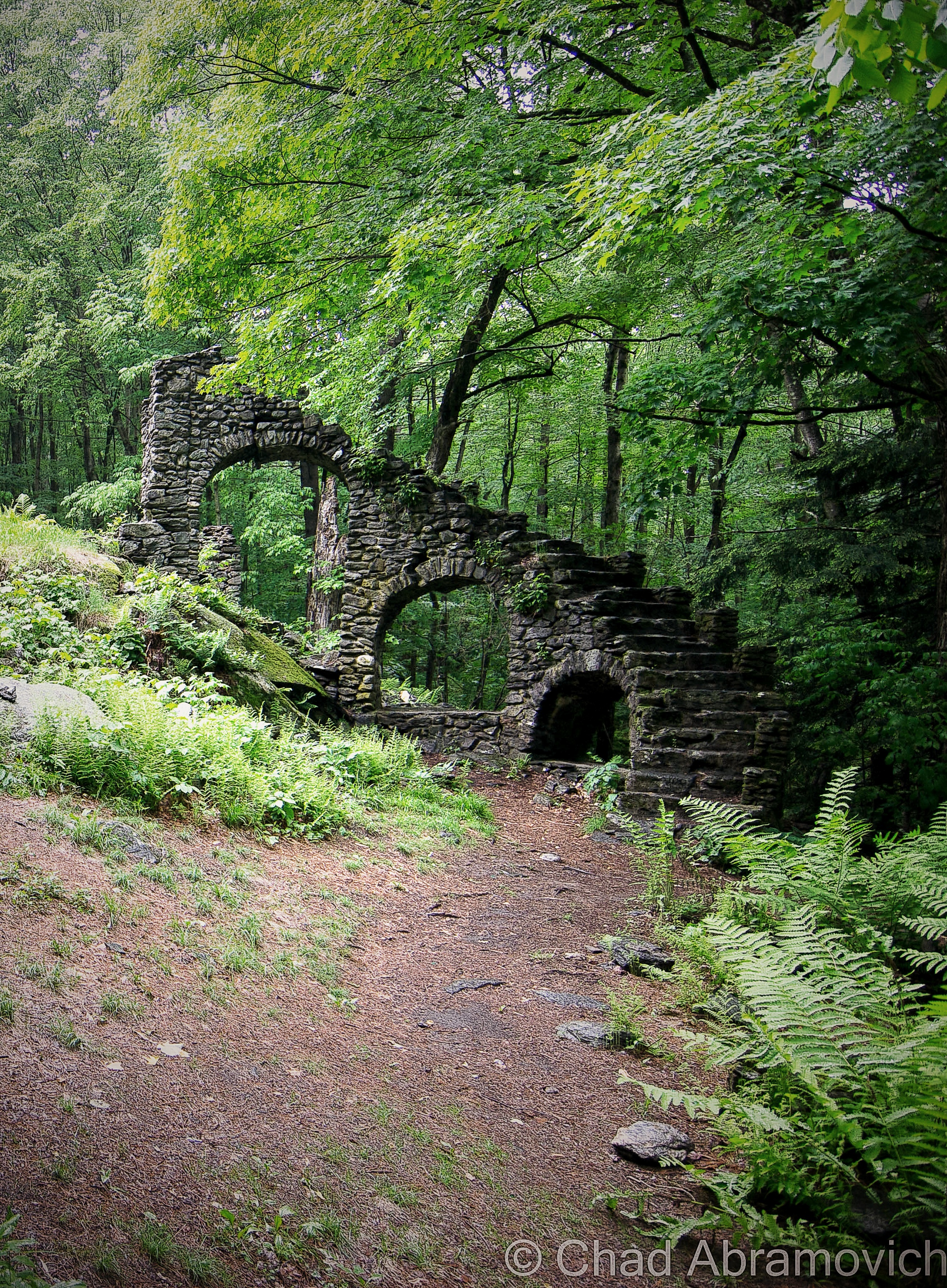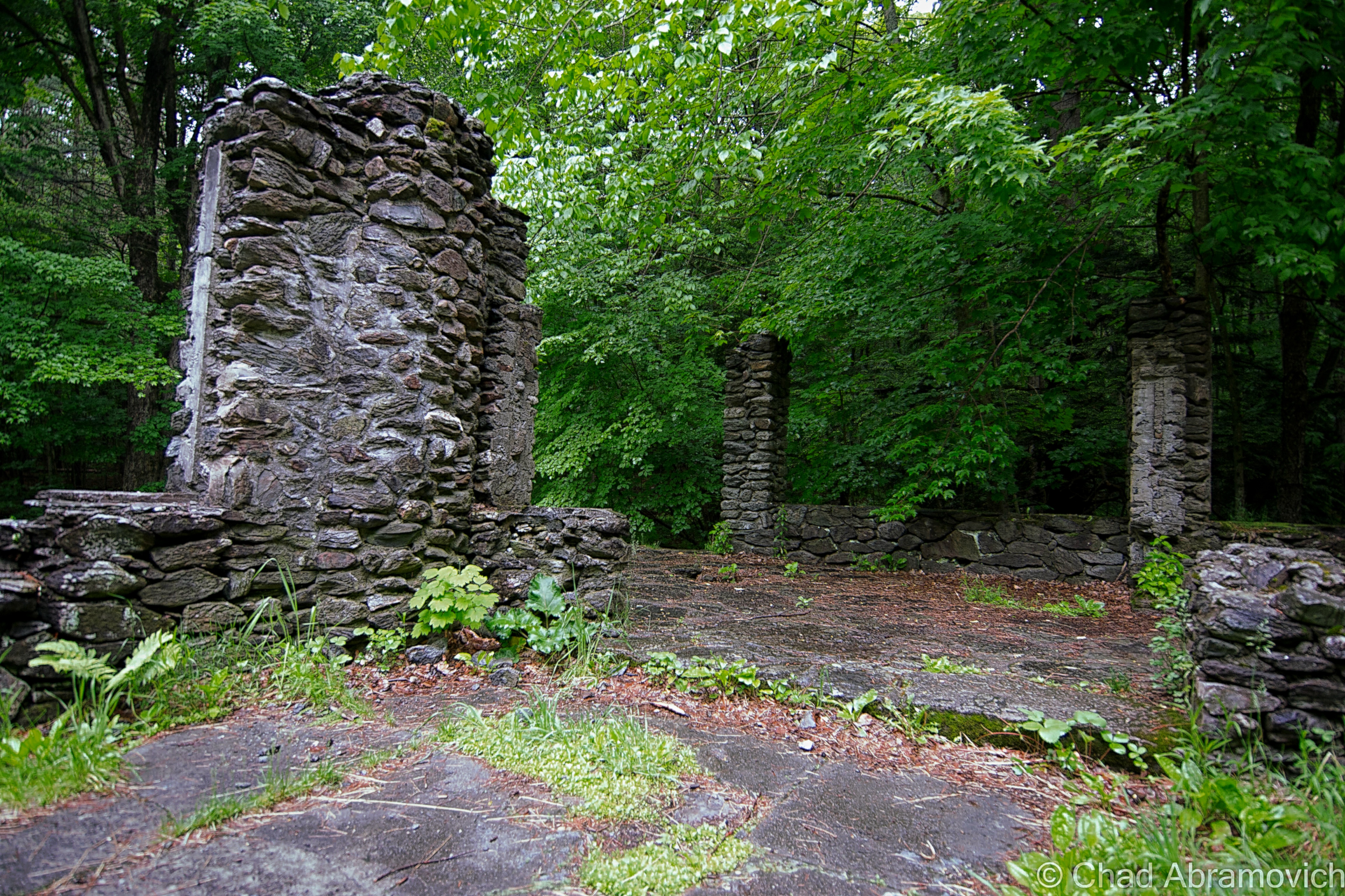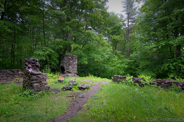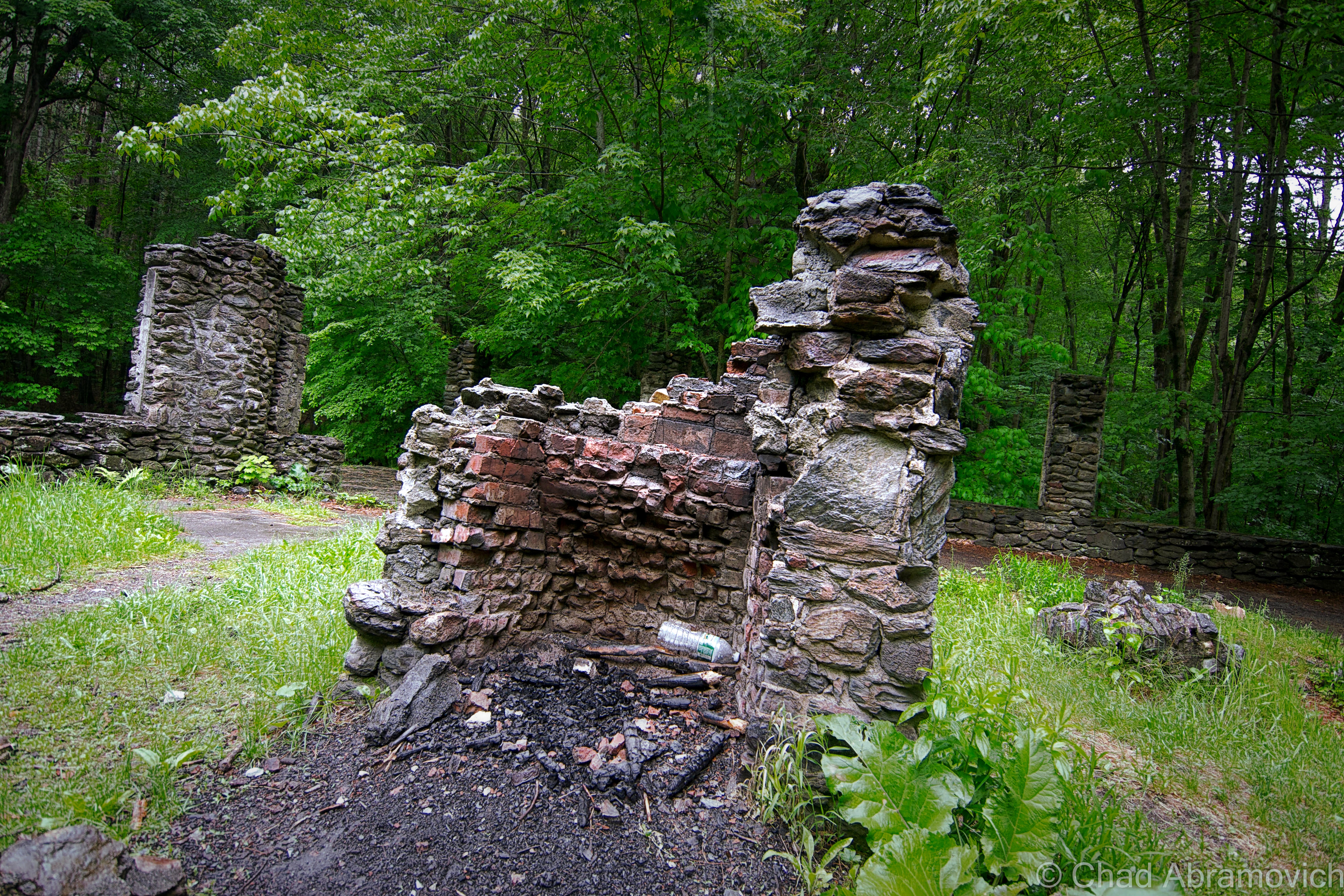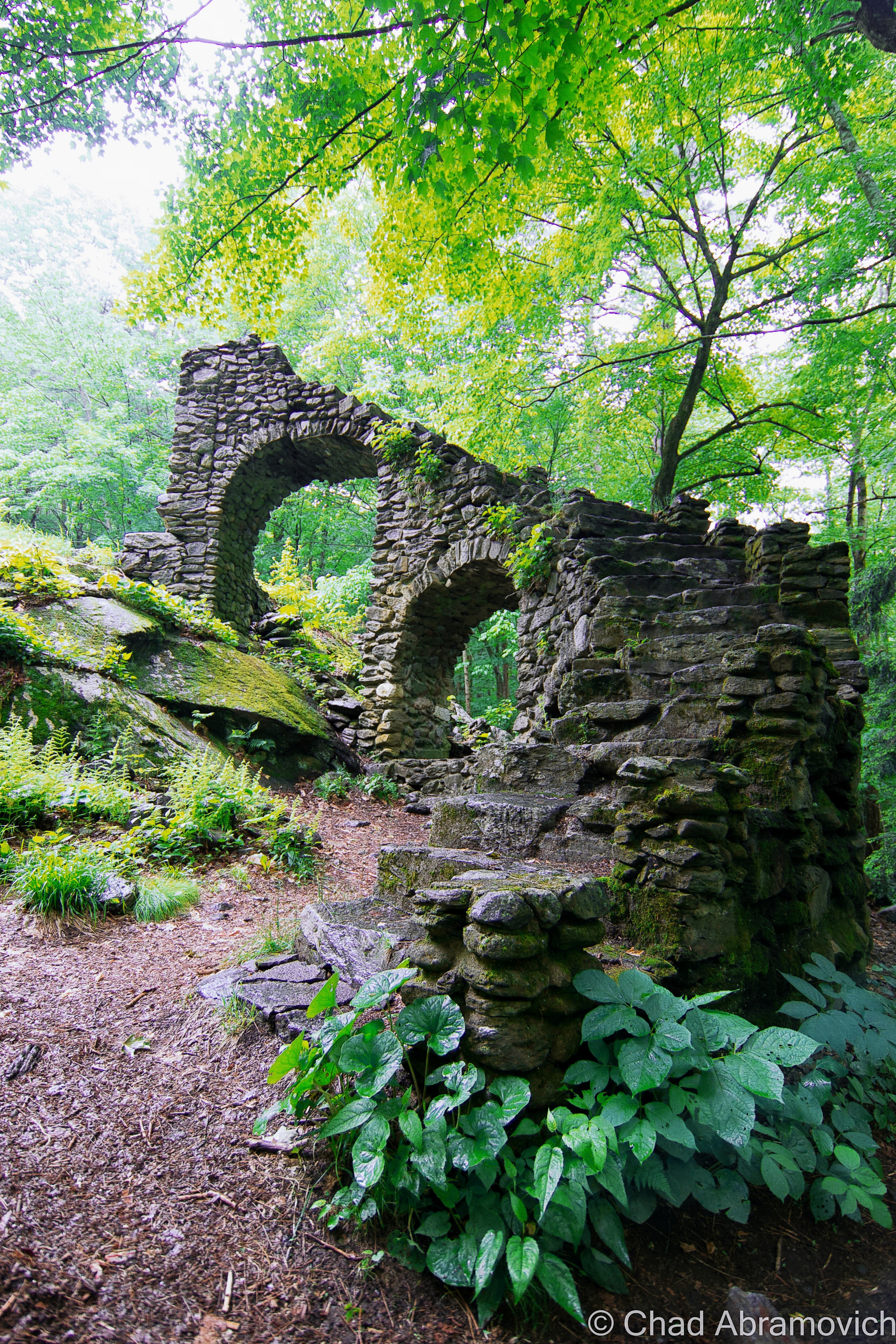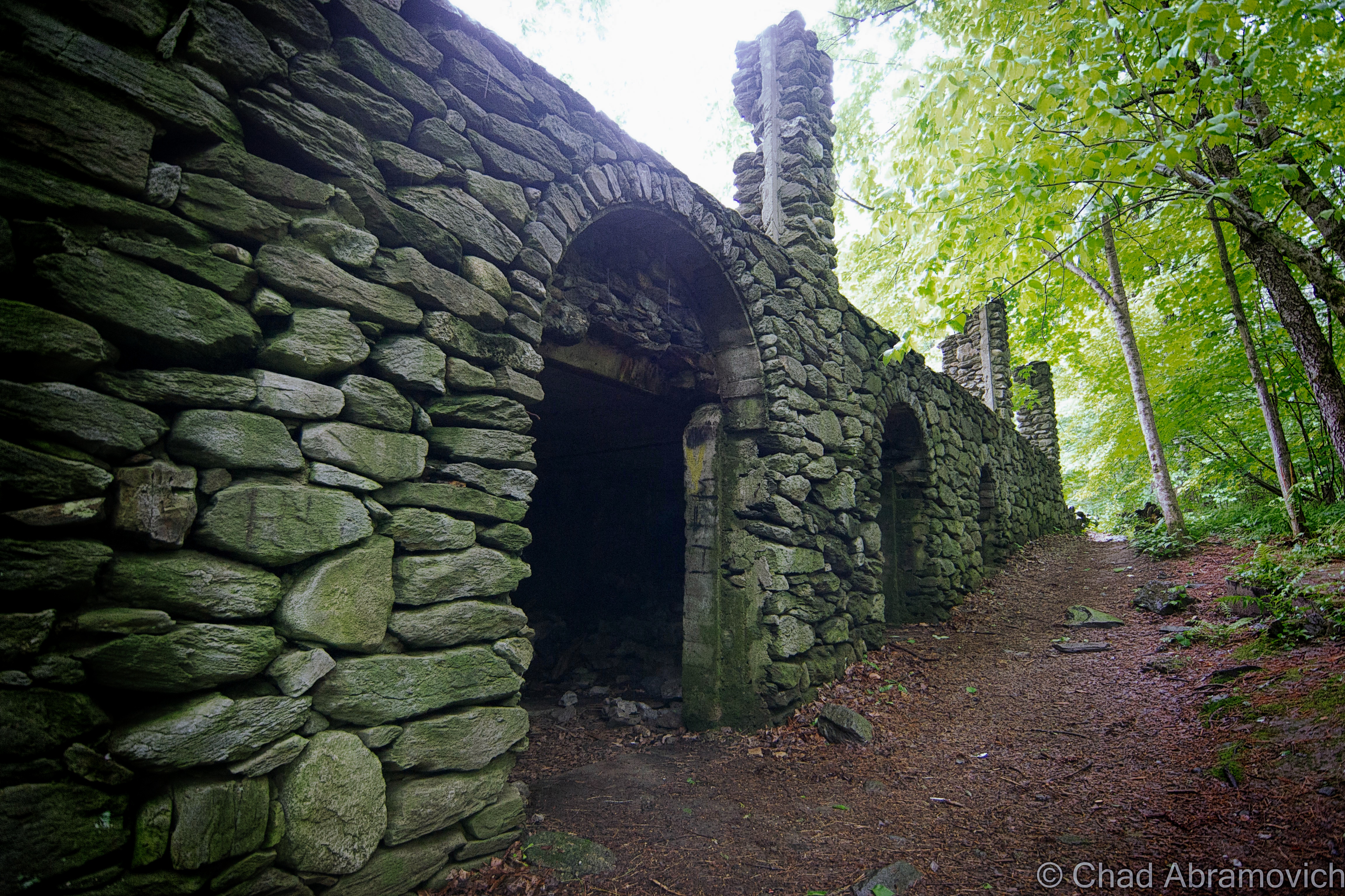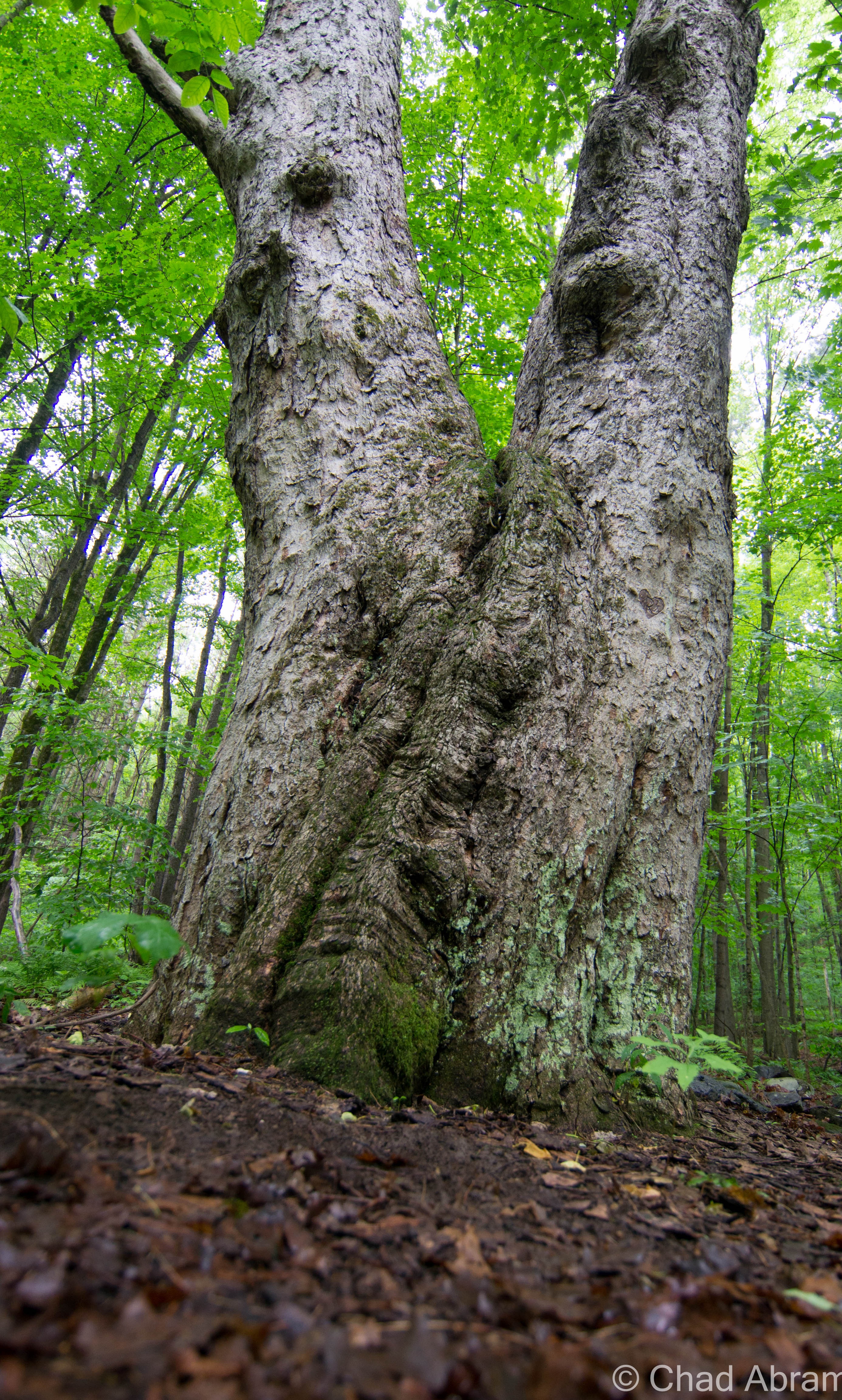
Every story has to start somewhere, and in the case of Mount Abraham, which rises over the eastern edge of Addison County, it has compacted and intertwined layers of history and folklore that make up a layer of bedrock that can’t be studied by geologists.
Mount Abraham is the fifth largest peak in the state of Vermont, rising at a lofty 4,017 feet. It’s crossed by Vermont’s fabled Long Trail, and is the tallest peak in Vermont’s presidential range, a range within the Green Mountains.
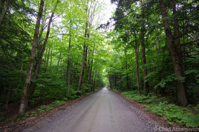
At the mountain’s base is the small town of Lincoln, a gateway to the Green Mountain National Forest. From the back roads that mender along the narrow valleys, the mountains form an imposing wall that almost look impenetrable, as the hardwood forests slide into the evergreens as your eye travels up towards the ridge lines. It almost may come as a surprise to some when Lincoln Gap Road becomes steeper and steeper as it switchbacks up sheer ledges and stunted hardwood trees before finally going up and over Lincoln Gap, a steep and wild mountain pass at 2,424 feet – making it the highest gap road in Vermont. The road is narrow and considered so steep that many Vermonters consider it one of the most difficult drives in the state, and for that reason alone, it’s closed in the winter. In the summer, it’s common for you to find the already unnerving road clogged with parked cars and hikers.
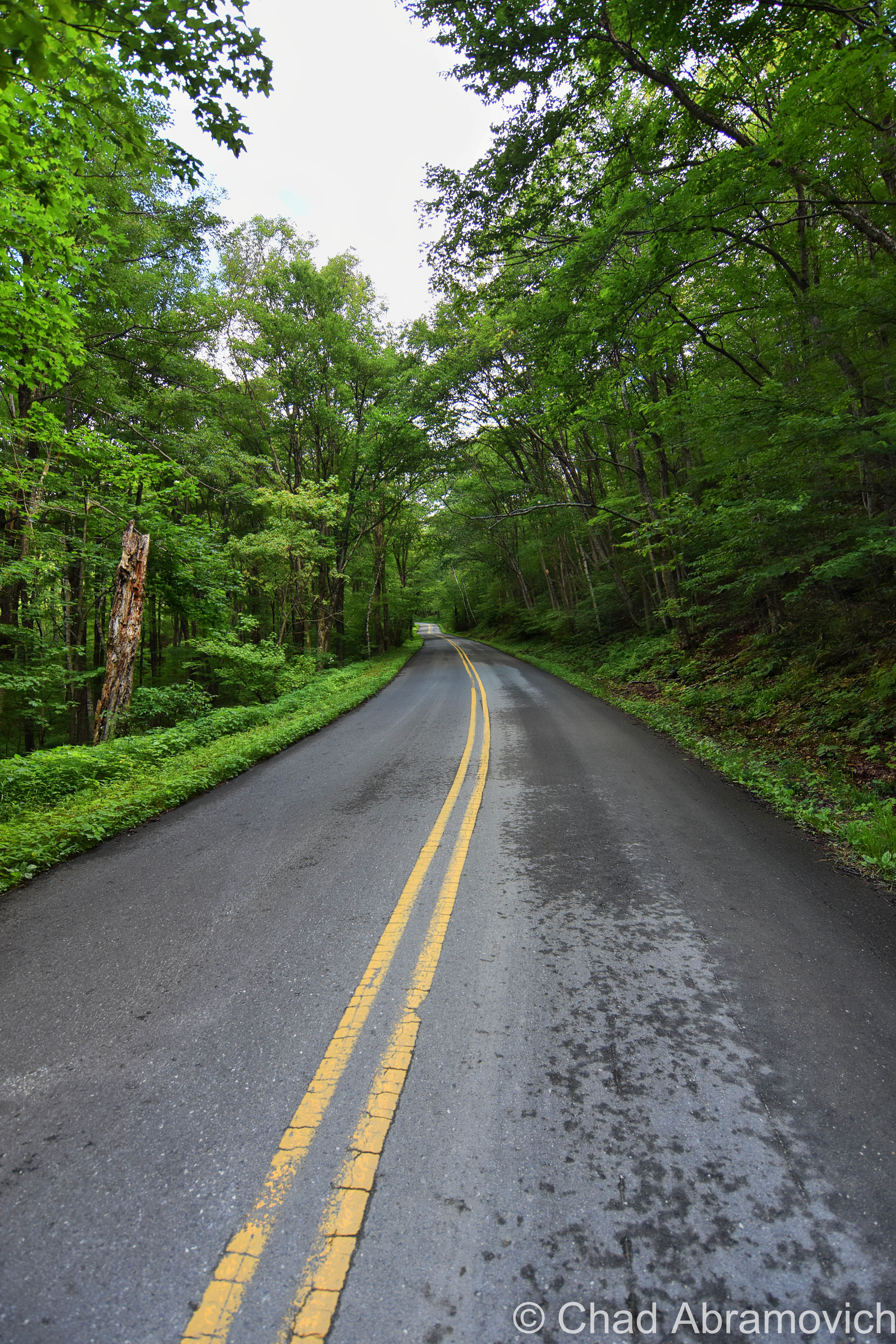
I love Lincoln Gap, it’s a real beauty. I love all of Vermont’s mountain passes, called gaps or “notches” here. For someone who loves road tripping and discovering as much of Vermont as I can, these clefts in the mountains offer great drives, scenery, and outdoor recreation opportunities. There’s just something so satisfying about driving over a mountain, for some reason. In the winter, the gap is a magnet for adventurous people who like to fly down a mountain on sleds, skis or snowboards – with a 1,000 foot drop achieved in about a mile on the Lincoln Gap Road.
But long before a road ran up over the gap and Vermont was an established state, this land was occupied and settled by another group of people, The Abenaki.
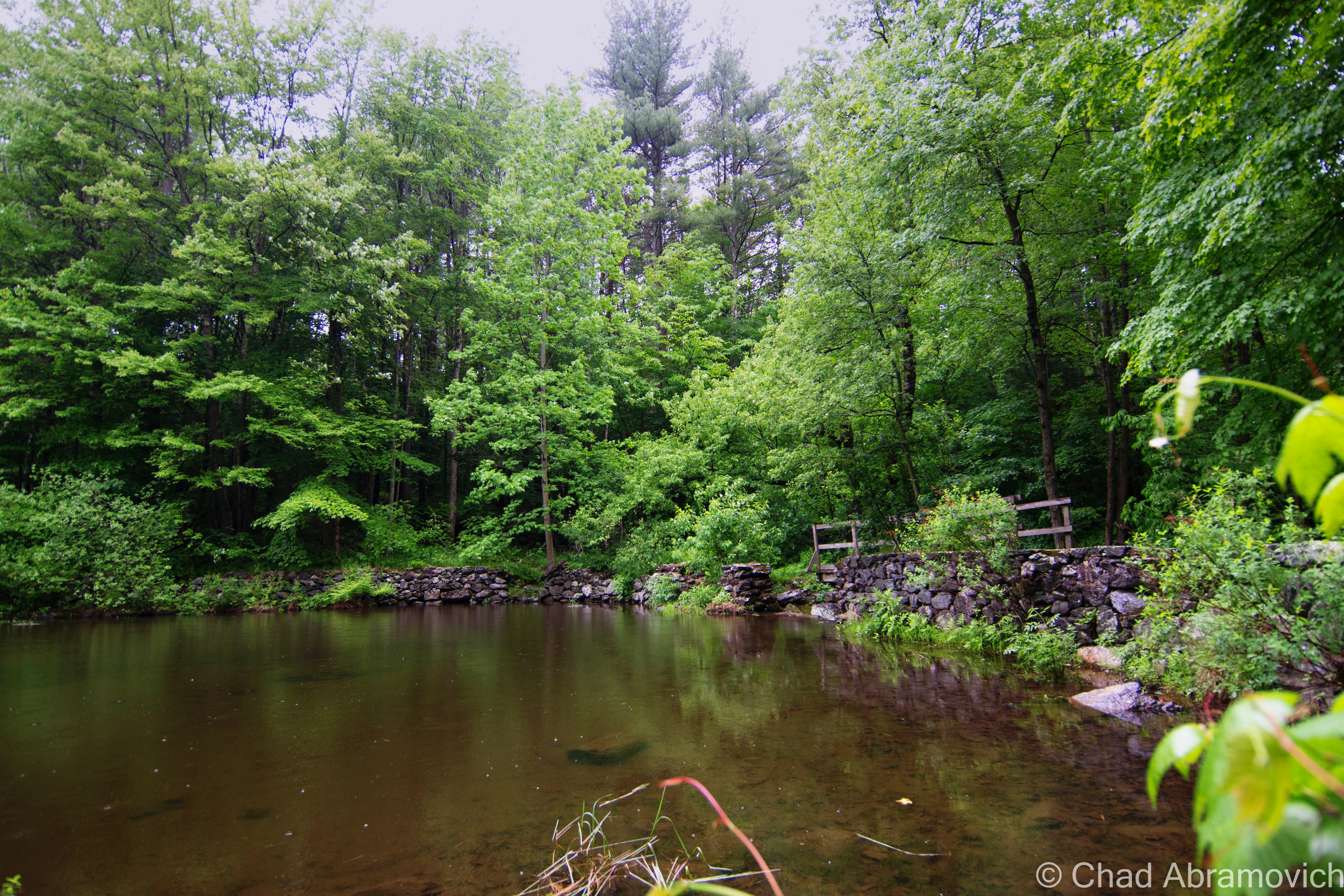
The Abenaki generally settled in the fertile lowlands of the Champlain Valley, where the rivers and lake provided excellent fishing and the rolling hills and their deep forests offered reliable hunting. They generally avoided going up into the mountains, not because of curses, but because they were sacred places, where their god, Gluskabe, lived, which translates interestingly into the title of “The Owner”.
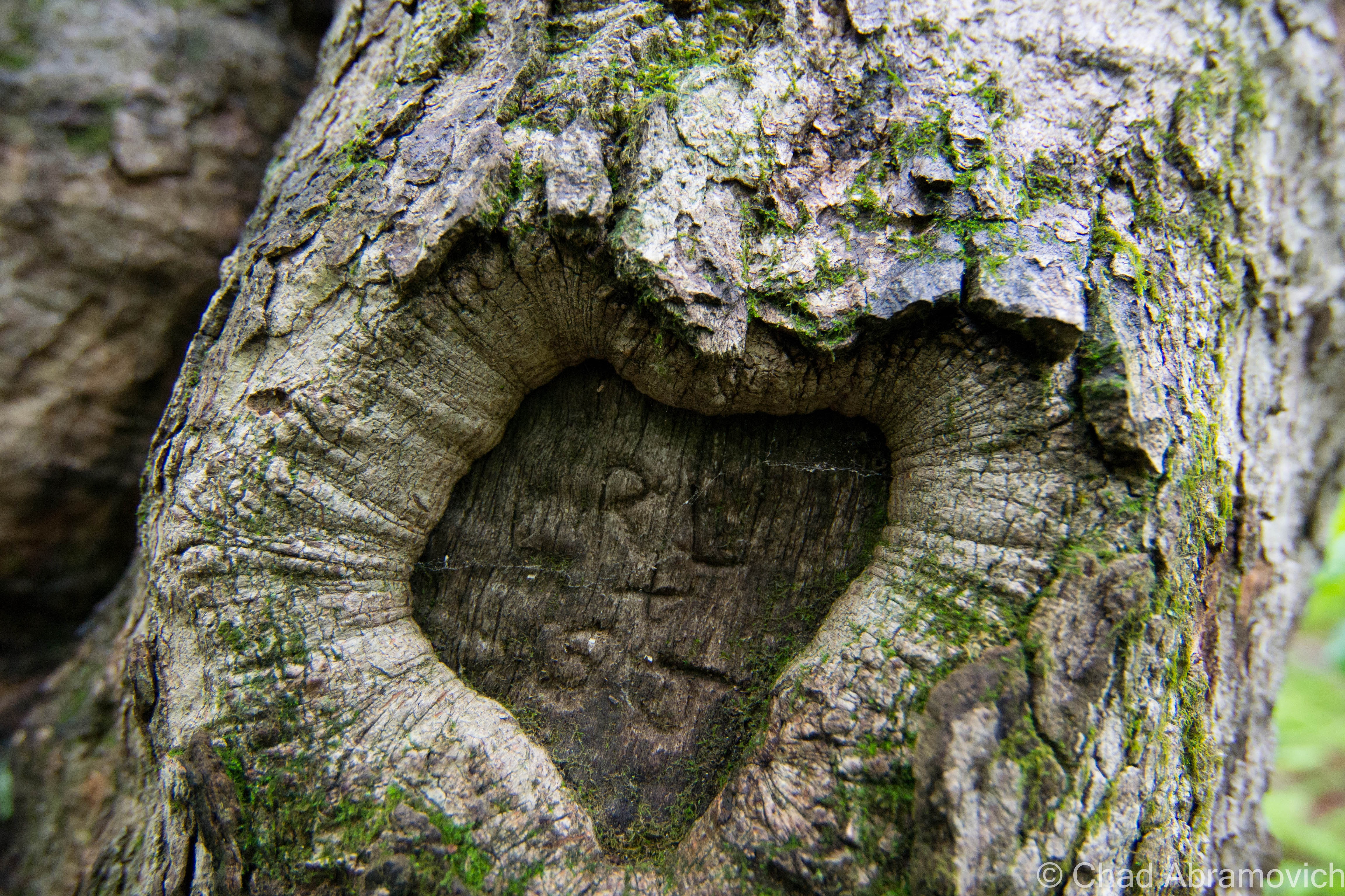
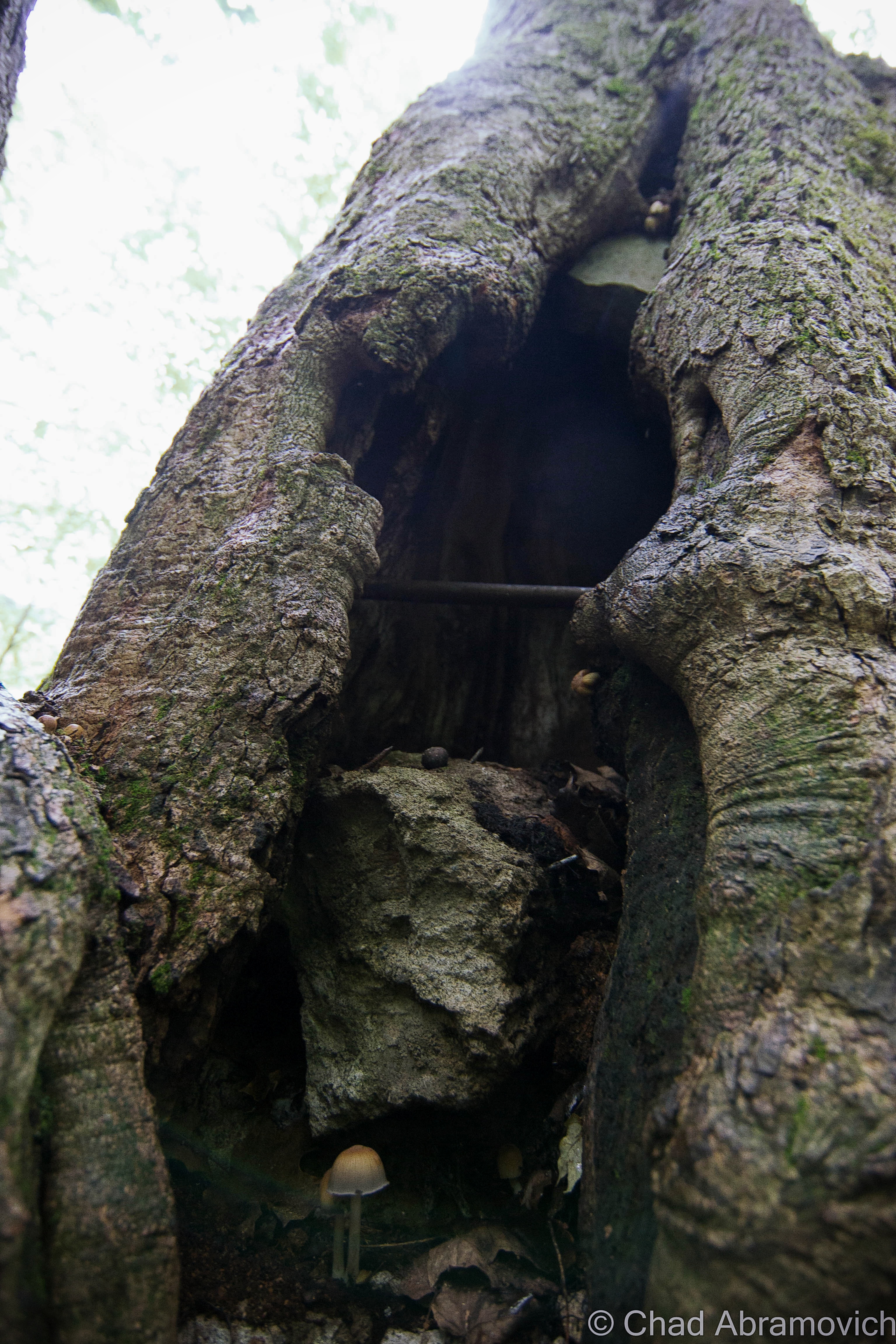
Cuts in the mountains such as Lincoln Gap were used to travel means, routes linking hunting parties with the Mad River Valley to the east and The Champlain Valley to the west. But when the White Europeans came down Lake Champlain and eventually streamed into the valleys and built settlements, the Abenaki were eventually pushed off their land. Some assimilated into the new culture and adopted Christianity as their religion, while others sought refuge in the higher elevations, including places like Lincoln Gap, which were seemingly safe in that impenetrable Green Mountain wall. What I found very interesting was to learn that as late as 1940, Abenaki long house villages could still be found along the Addison County shore of Lake Champlain, before becoming a part of something largely forgotten.
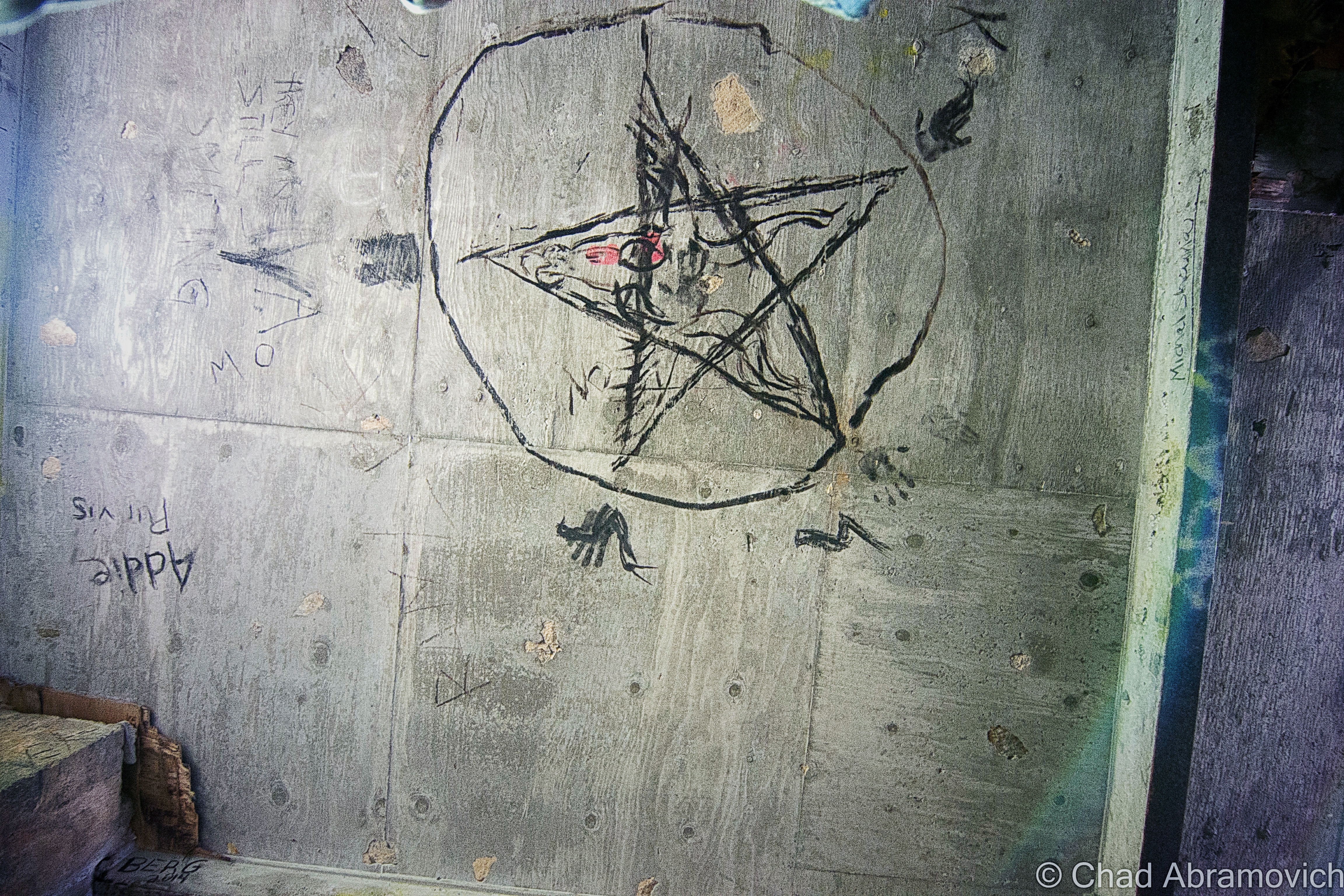
Today, the Abenaki have held on and survived, and can be found living around Vermont, especially in the north west corner near Canada. But some people say that the ghosts of an Abenaki party have remained, skulking behind the trees and outcroppings of Lincoln Gap. Also known as “the protectors of the Gap”, these presences occasionally make their existence known. The smell of burning wood from campfires has sent hikers off the trails to investigate the source of the smell, only to find nothing. Some have reported that the scent of the fire changed directions when the wind changed. Others shrugged it off as someone burning down in the valley, but did admit to them thinking that the fire sure seemed like it was close by. Other hikers have reported seeing eyes staring at them through the woods and fleeting shadows moving at inhuman speeds along the trails, but never getting too close. Not much is known about this ghostly hunting party, but they’ve been written about in quite a few publications on Vermont ghosts and folklore. One theory is that they are trying to forever protect the wilderness of Lincoln Gap, one of Vermont’s last wild places.
Twisted Shrapnel and Sweeping Views
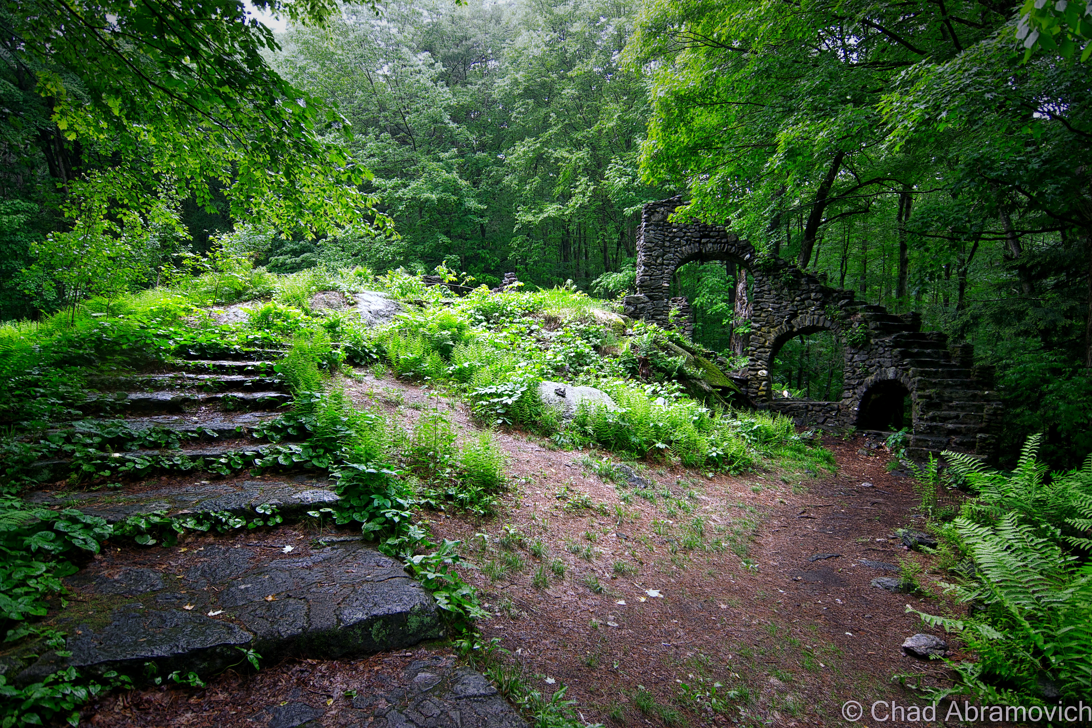
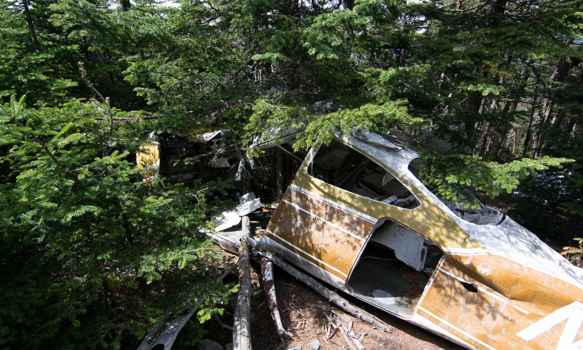
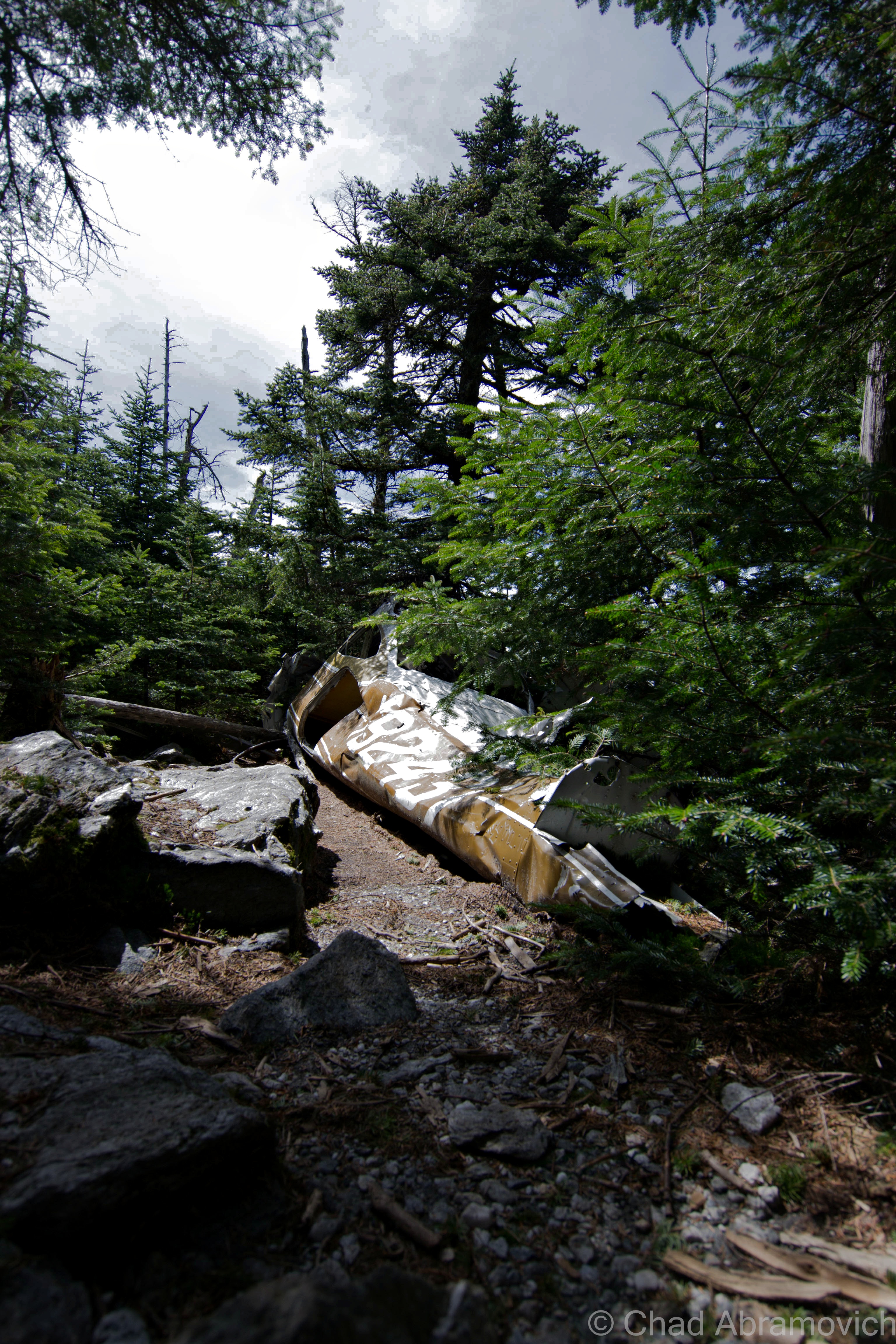
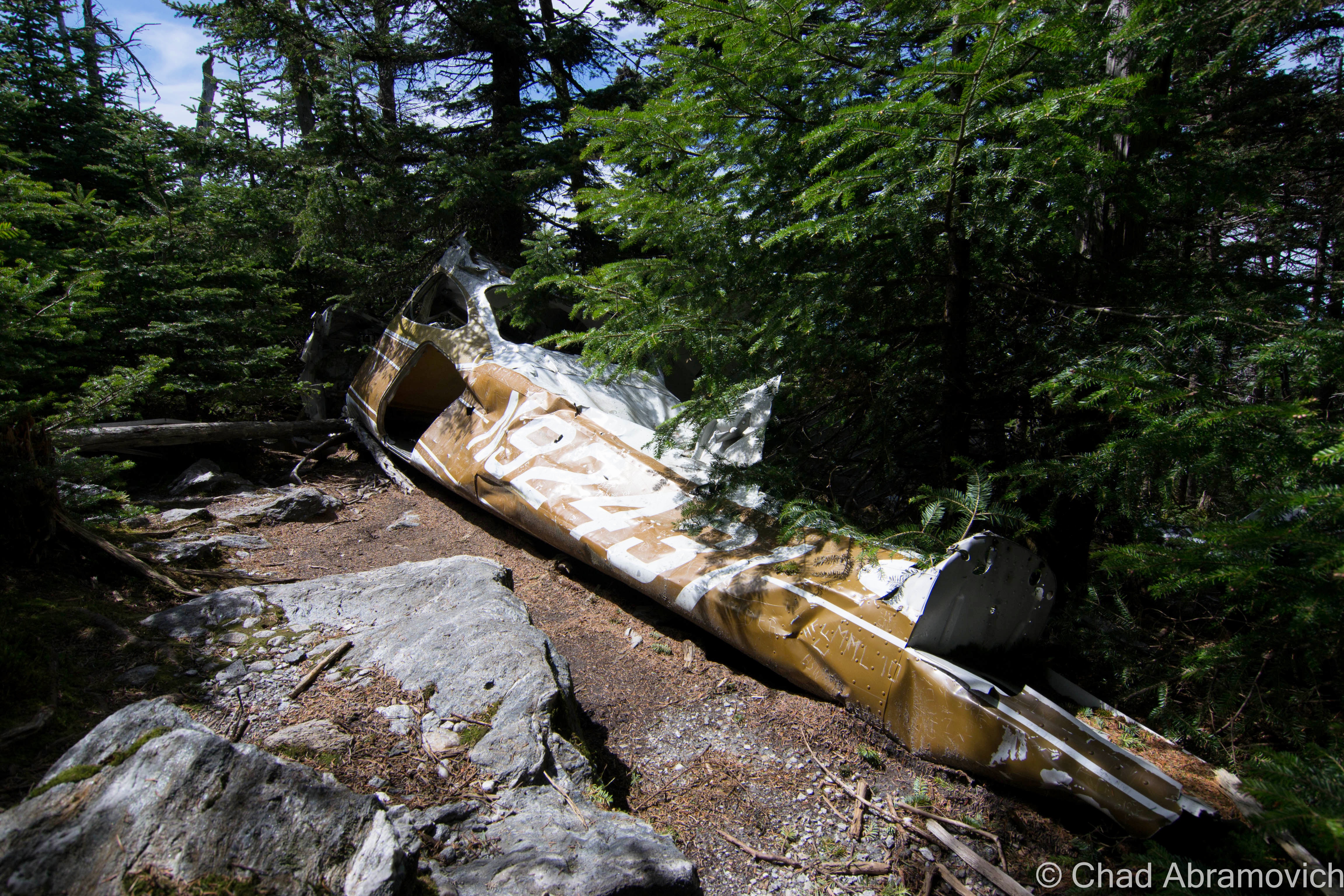
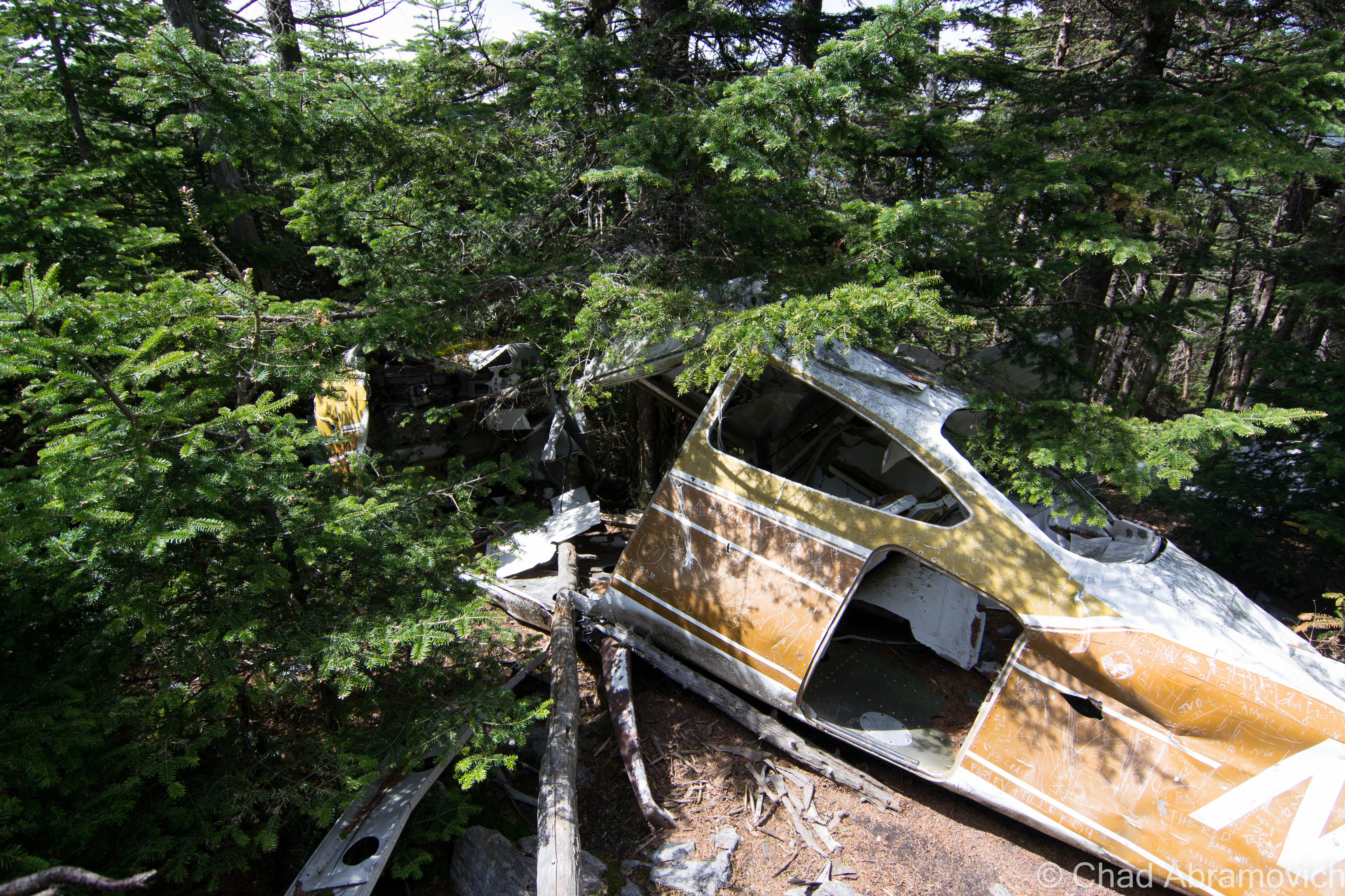
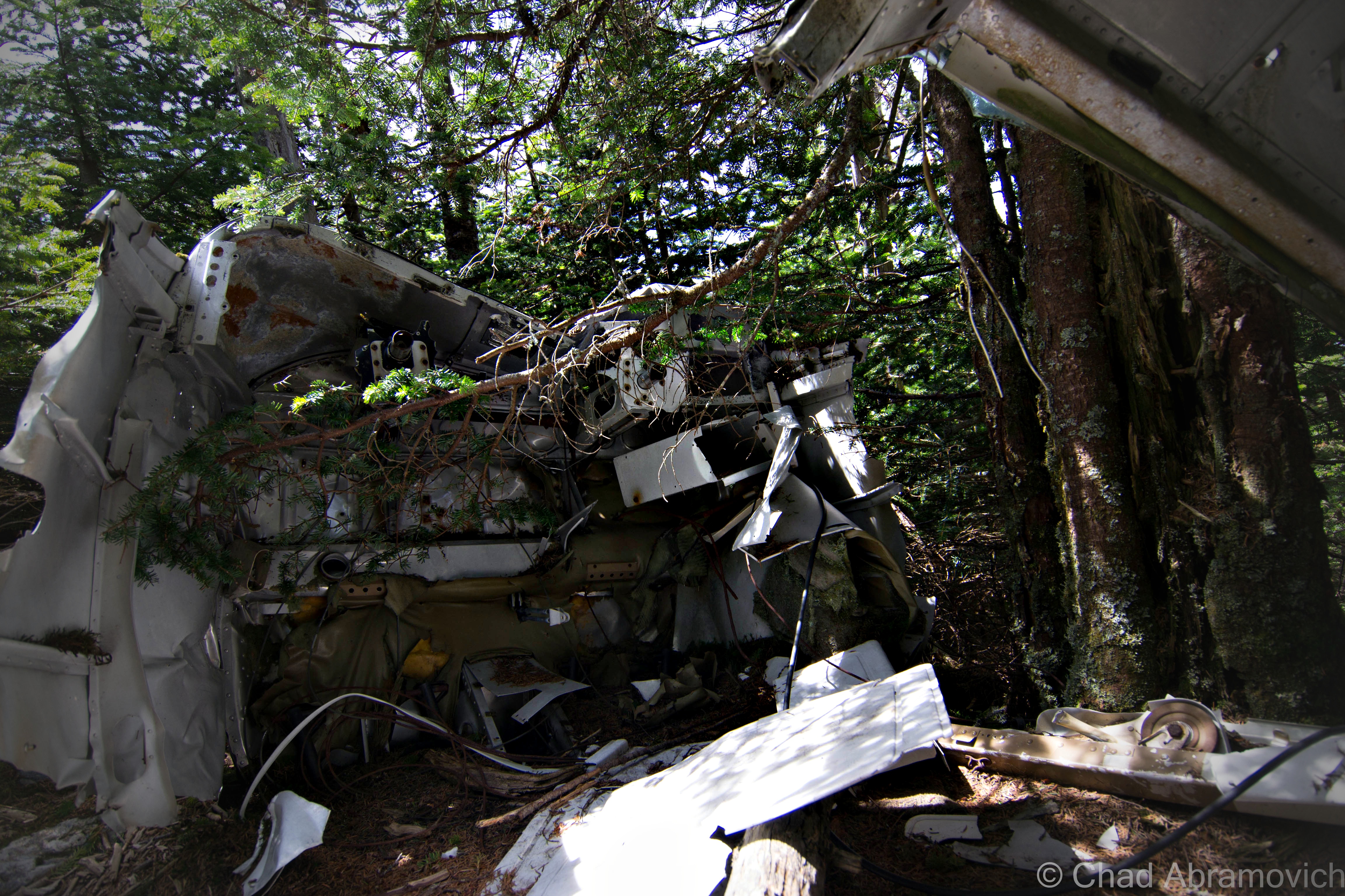
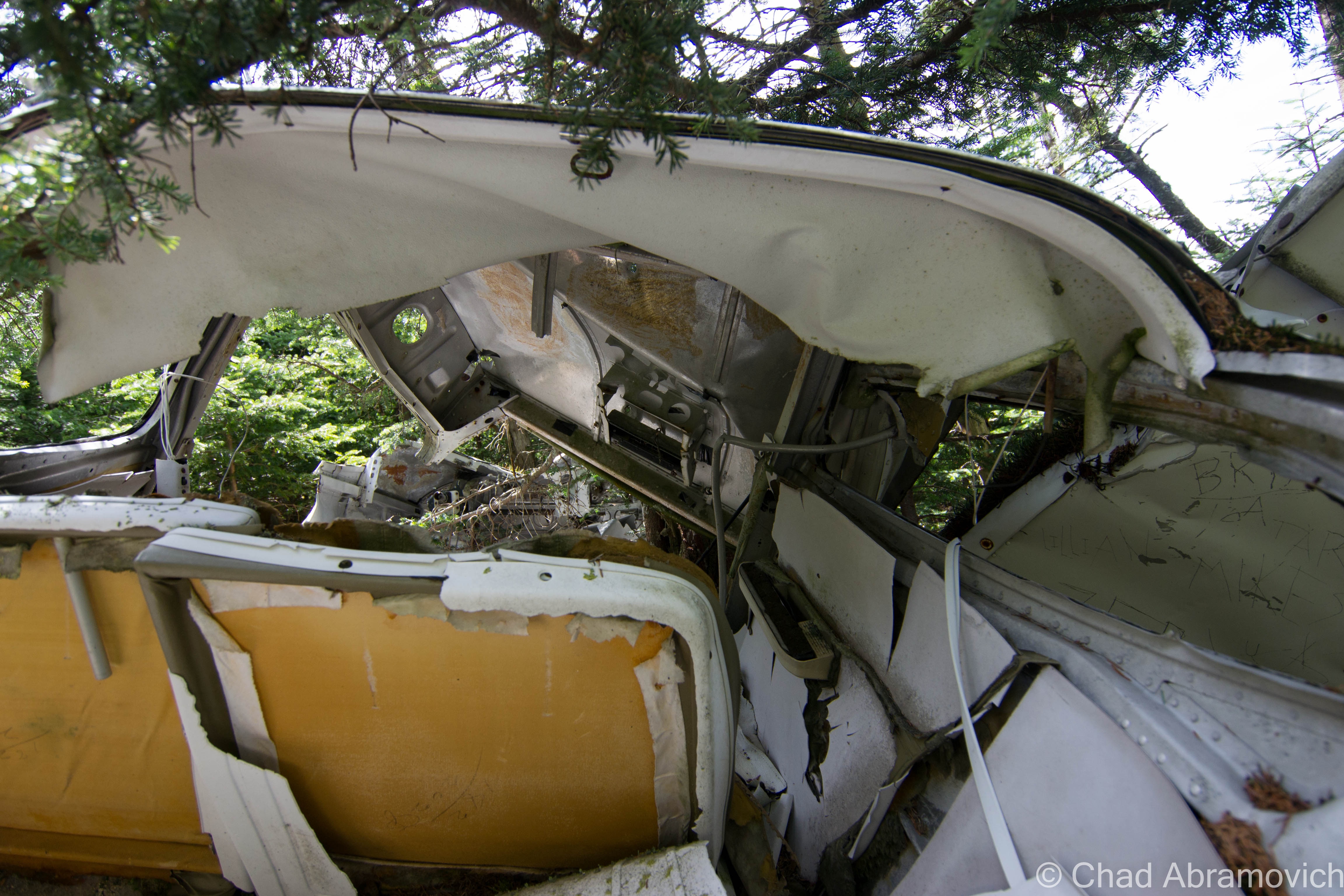
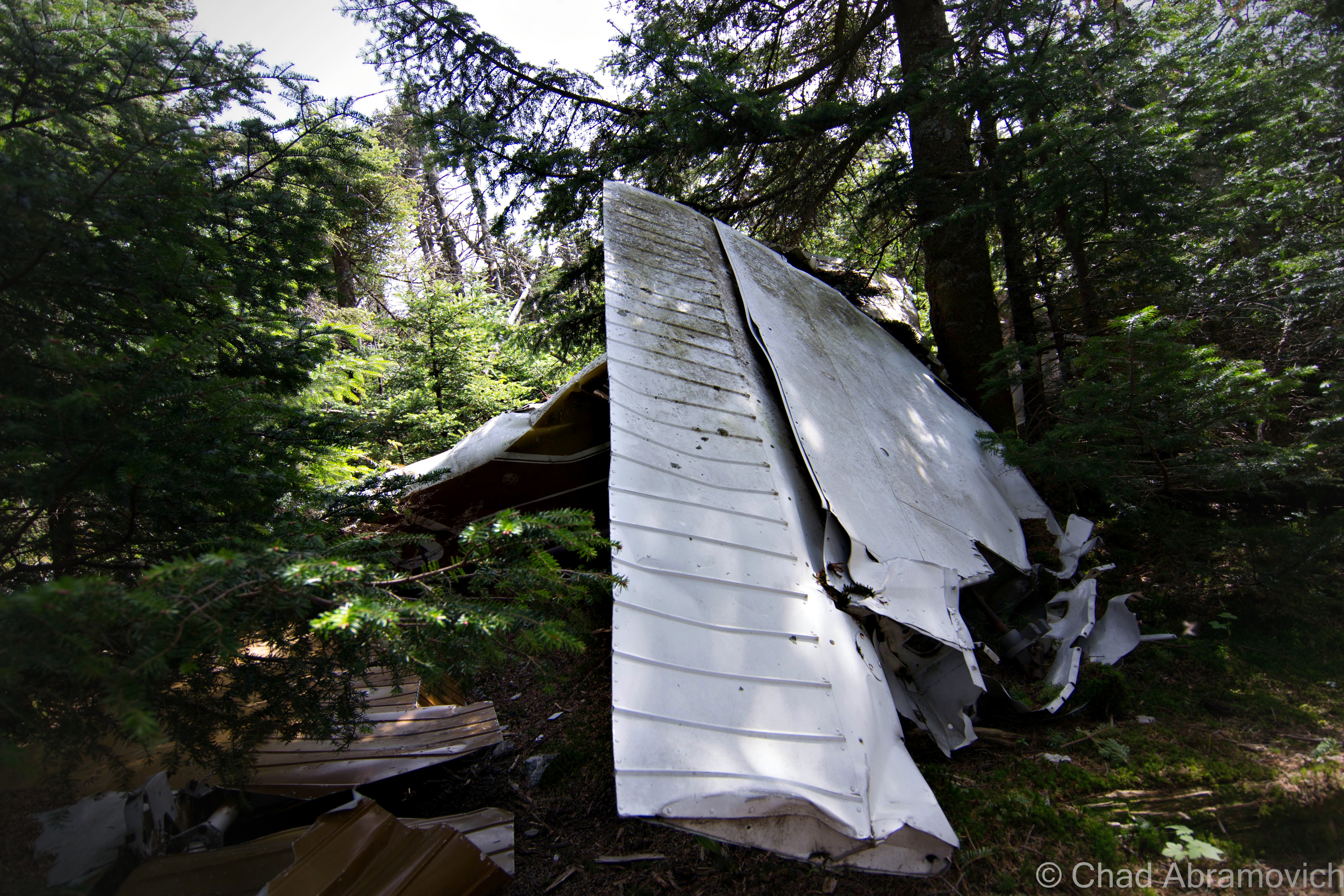
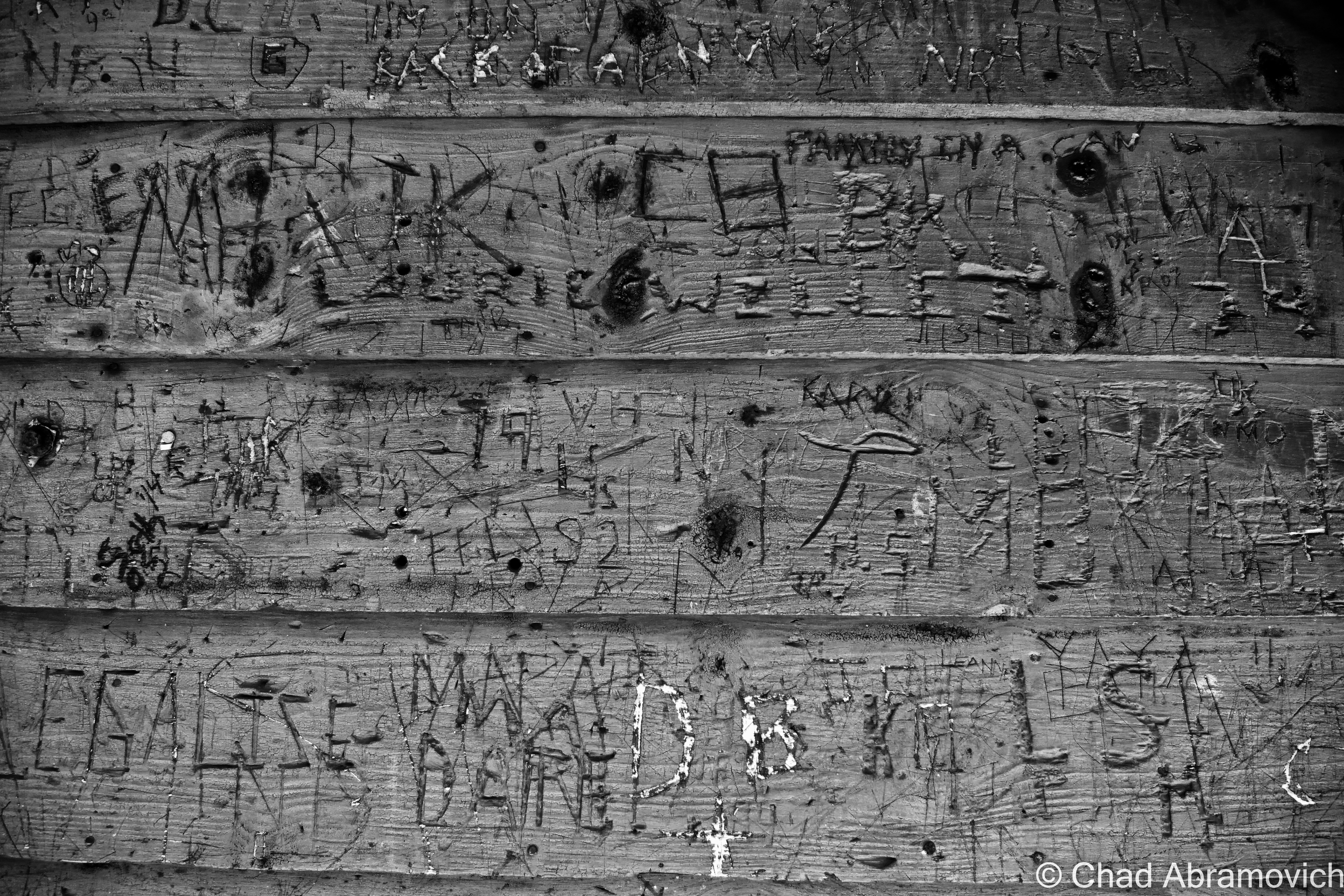
Somewhere below the wind swept summit of Mount Abraham lies another interesting part of the mountain’s history – the battered remains of a plane wreck, rotting below scented Spruces.
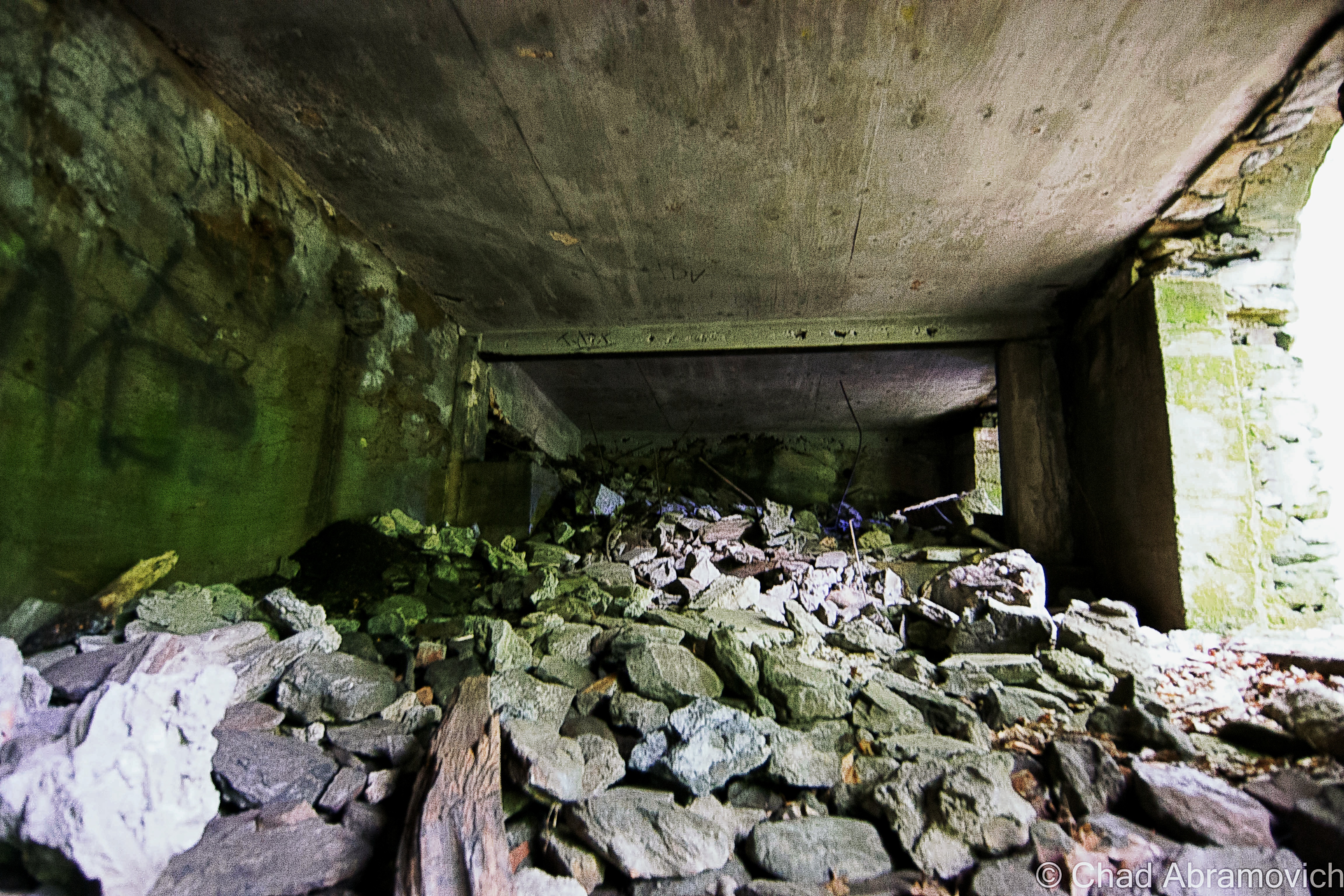
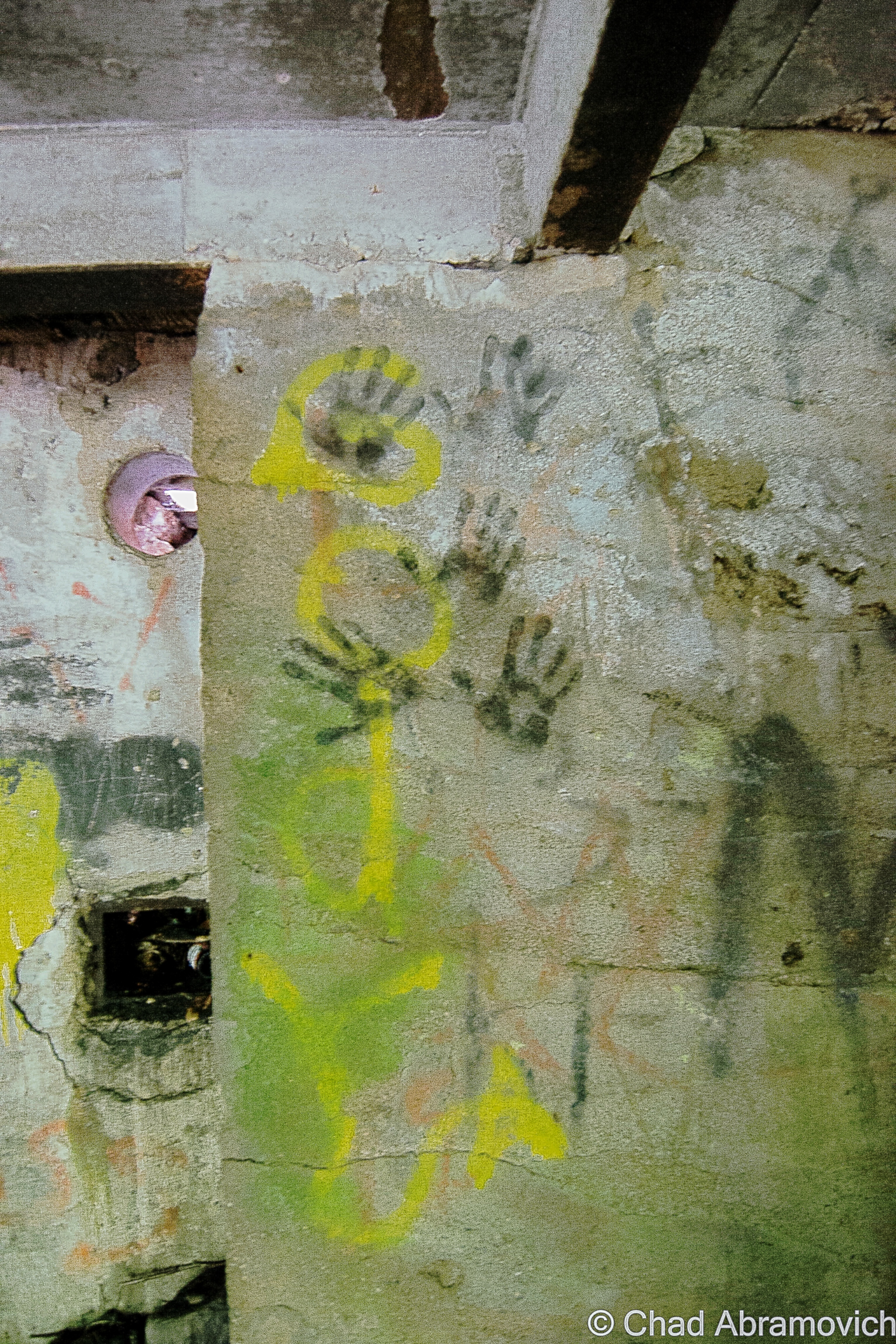
The story behind this interesting wreckage is rather uncomplicated. The plane is a Cessna 182N model, and it crashed on June 28th, 1973 when a pilot was trying to navigate a cloud bank and instead struck the slopes of Mount Abraham, just below the 4,000 foot mark. The pilot survived the crash. According to local lore, he climbed out of the plane and walked down the mountain. Not much is left of the wreck, apart from crumbled pieces of twisted metal. Most of the cockpit, the controls and the interior have been completely deteriorated. The engine is missing as well, possibly hurled further down the slopes, resting somewhere in deep scraggly forests not treaded in by humans in years. The fuselage may have been the most interesting thing about the wreck – completely carved with various graffiti of countless passersby who have all left their mark here. Thought the wreck might be a little underwhelming, it’s what the wreck isn’t that is the most fascinating. A representation of the ongoing story of man’s battle with nature, and the will to survive.
The mountains of Vermont are scattered with various plane wrecks, most people can recall the most famous one being on Camels Hump, but there are plenty others worth the adventure, all offering stories to tell to someone other than the mountain winds.

—————————————————————————————————————————————–
To all of my amazing fans and supporters, I am truly grateful and humbled by all of the support and donations through out the years that have kept Obscure Vermont up and running.
As you all know I spend countless hours researching, writing, and traveling to produce and sustain this blog. Obscure Vermont is funded entirely on generous donations that you the wonderful viewers and supporters have made. Expenses range from internet fees to host the blog, to investing in research materials, to traveling expenses. Also, donations help keep me current with my photography gear, computer, and computer software so that I can deliver the best quality possible.
If you value, appreciate, and enjoy reading about my adventures please consider making a donation to my new Gofundme account or Paypal. Any donation would not only be greatly appreciated and help keep this blog going, it would also keep me doing what I love. Thank you!
Gofundme: https://www.gofundme.com/b5jp97d4
![]()