Aiden Lair

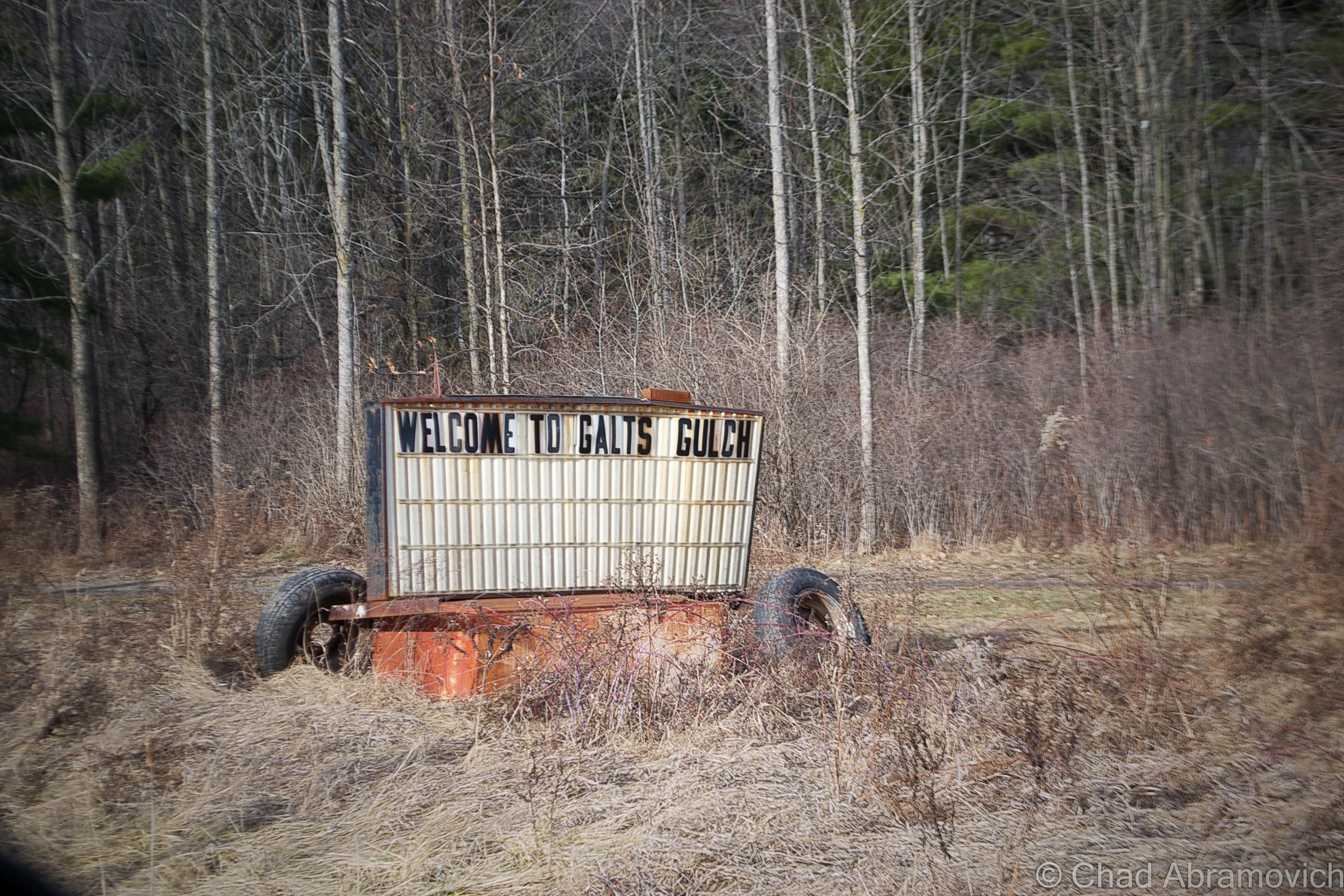
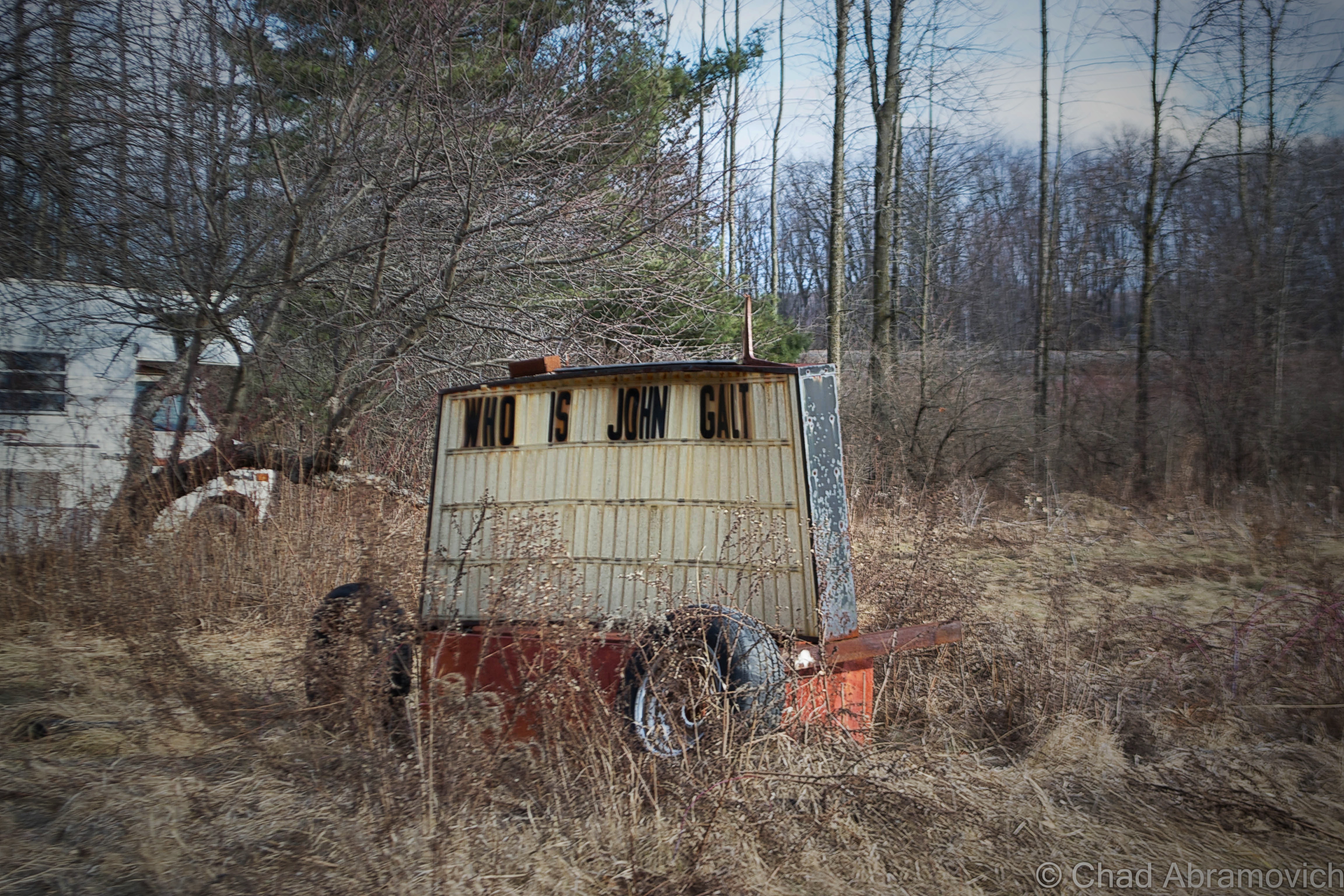
My travels to New York state often start with the same question; Who is John Galt? Usually, I cross into New York via the Crown Point Bridge over Lake Champlain, and I always find myself observing this busted sign on dysfunctional wheels with two cryptic messages arranged on both sides. I’ve found plenty of questions, but no answers.

Good friend, mentor and fellow explorer Dan Koopman of Environmental Imagery tells me that the sign used to have a smorgasbord of anti Obama hate messages on it’s dented sides, which I assume was the work of the mysterious and aforementioned John Galt, ruler of the titular Galt’s Gultch, which seems to be a collection of ramshackle campers alongside the railroad tracks. I recall him showing me the sign years ago, but it seems the sign has gotten a bit more enigmatic and stagnant since then. I always make a point to look whenever I pass, to see if there is a new message. So far, nothing.

After a little internet research, the search term John Galt introduced me not to a New Yorker, but to a character created by author Ayn Rand from her novel Atlas Shrugged, which I’ve never read. The gist isGalt is a philosopher and inventor who believes in the power and glory of the human mind. Galt stood for the ideals of free thinking, individualism and Egalitarianism rather than a society embracing conformity oppressed underneath the government.  That’s something to think about on your commute.

DSC_0004_pe DSC_0002_pe

Though Dan was the one who introduced me to his stomping grounds of New York state years ago, on this trip, I would venture to the exotic world upstate with another friend and adventurer Eric Hodet of Cabbages and Kings. We made a quick pit stop for gas in Port Henry, a jaded village that climbs up some steep ledges above Bulwagga Bay.

Port Henry, Home of Champ

Though we once had a very short lived christening as the 6th great lake, Lake Champlain is still pretty great, being shared by 2 states and Quebec. It is also large enough to completely conceal an elusive unidentified swimming object of monstrous proportions. “Champ”, which I suppose isn’t the most creative name for a lake monster, is said to take on a Plesiosauric resemblance, and is most often depicted as your typical water dinosaur, with it’s defining humped back, small head, long neck and ending with a long tail.

Of all places that border Lake Champlain, Port Henry proudly claims itself to be the home of Champ, the lake’s renown lake monster, and they take that distinction pretty seriously. So much so in fact that the first Saturday of August is designated as Champ Day, which brings a street fair and entertainers, with the centerpiece being, a Champ float.

What’s made the legend of Champ so important, apart from the various marketing campaigns, bumper stickers and business names, is the numerous eyewitness sightings, consisting of a rather long tradition of reports. French explorer Samuel De Champlain’s journals told of a sighting of some strange beast near Isle La Motte when he first traveled down the Richelieu River into the lake. But his records were lost to knowledge until the 1800s, when the first verifiable report of a Champ sighting came into public consciousness. It captivated the public so much that P.T. Barnum once offered a reward for its capture, dead or alive. More interestingly, in the 1970s, Champlain’s records were once again studied, and it was discovered that the intrepid explorer’s account may have been mistranslated, making his sighting officially unofficial. Instead, it was most likely that Champlain saw a Garfish, which still live in the lake today.

But what really propelled allegations into fixation was in 1977, when Sandra Mansi captured a photograph of what she claims is Champ. The photograph in question shows something that vaguely takes on Champ’s described appearance rising out of the waters of the lake – but a sense of scale is hard to determine here. Was it actually Champ? A giant Sturgeon? Or maybe, just a piece of driftwood?

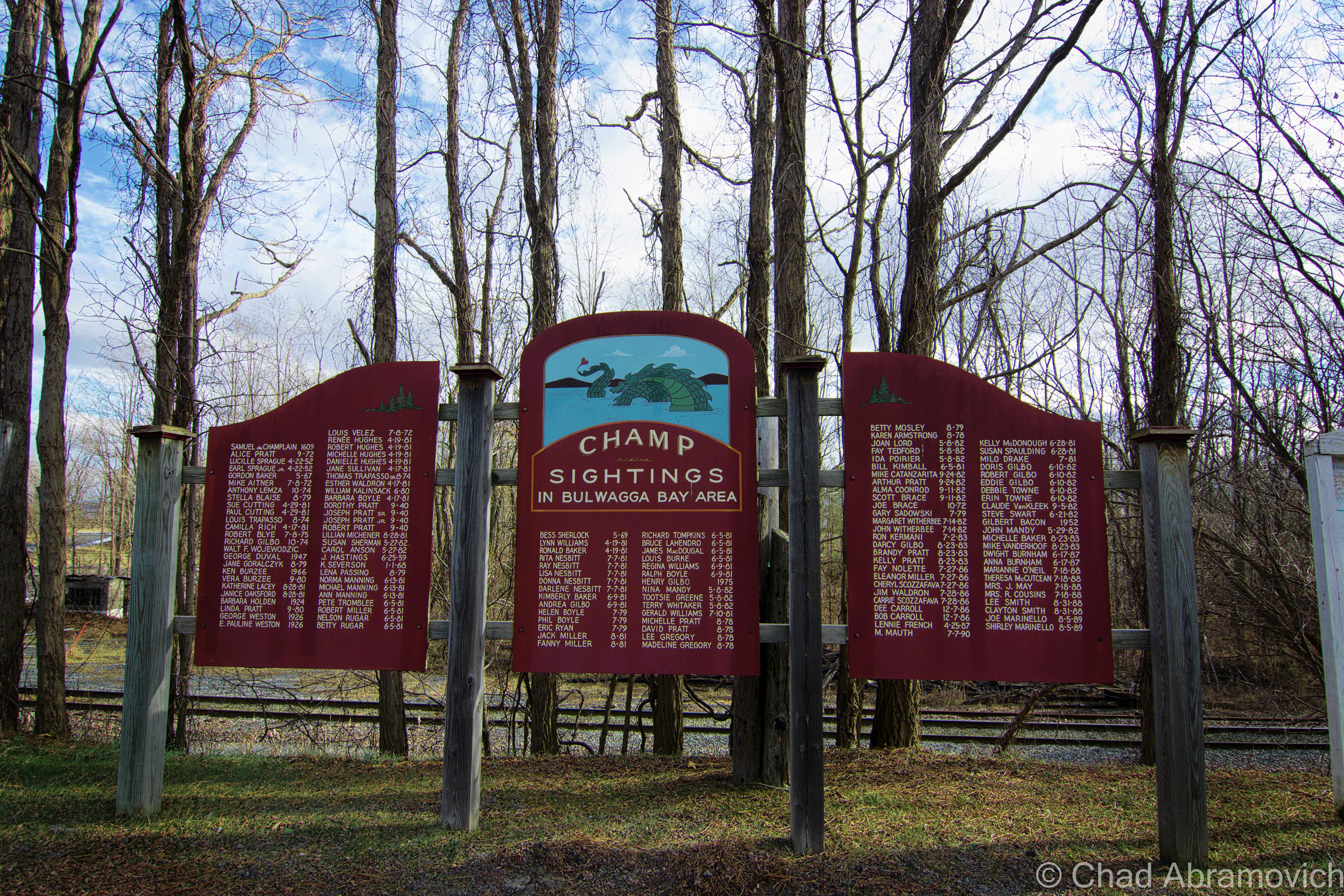
Regardless of Champ’s existence, countless sightings have been reported over the years, and people hold firm to their stories. My grandfather even claims that he saw it – as well as quite a few other people, whose names have been memorialized on a wooden memorial south of the Port Henry on Route 22. The sightings unsurprisingly start with Samuel De Champlain in 1609, and escalate into the 21st century. Even local celebrities like WCAX’s Gary Sadowsky made it on the list. The dates stop at 1989, which raises a few questions. Have there been any reported sightings in Bulgwagga Bay since then? Are any plans to extend the list?

DSC_0011_pe

I’ve sort of made it a point not to write about Champ in this blog, because admittedly, I’m just not all that interested in the Champ hype. But it’s almost impossible to not pick up some information about it along the line, and I found myself slowly giving in, because some of it is actually pretty interesting. This is probably my favorite; Documented sightings of Champ actually predate those of the Loch Ness Monster by fifty years! I find this amusing because most cryptozoology enthusiasts consider Champ to be “America’s Loch Ness Monster”, but maybe it should be the other way around?

To be fair, Lake Champlain is a large lake, with depths said to be beyond 400 feet in some places near the Charlotte-Essex ferry crossing. With many areas uncharted, I suppose it’s possible that something could live harmoniously in the lake undetected. That, and scientists did discover a sonar sound emanating from the depths of the lake that was so unique, they named it after the lake monster (they did, however, claim that the odd sound did not belong to Champ)

So, why did Port Henry land the distinction of being the home of Champ? The first modern day sighting of Champ was reported here in 1819, by a “Captain Crum” in Bulwagga Bay. His eyewitness report illustrated a rather graphic spectacle of a black monster resembling a seahorse with three teeth, large eyes, a white star on its forehead and a red band around its neck. So I guess that’s as good of a reason as any.

Ironville, Birthplace of the Electric Age!

When traveling to unfamiliar territory, one of the first impressions of a community you take in is their welcome sign. The small town of Ironville’s sign stood out from the others I’ve noticed (apart from Port Henry’s, of course). The sign had a pretty groundbreaking claim written along the bottom in capital letters; “Birthplace of the Electric Age”. That left me and my friend scratching our heads a little. But a little après-adventure research was able to put the pieces together for me.

The hills around Ironville were known for their rich iron ore deposits, and mining activities brought great prosperity to the rural region. Curious about the natural magnetic rocks in the area, Joseph Henry, an early pioneer in electricity and professor of mathematics and natural philosophy in Albany, was interested in the phenomenon of magnets and how they worked. He traveled to the Penfield Iron Works in town where he obtained some high quality Iron to study. His goal was to attempt to create magnets of his own. At the time, magnets worked by wrapping bare wire around an Iron core, creating magnetic fields. But they were short lived, as the fields always rapidly collapsed into the iron core. Henry then got an idea; why not insulate the wires?

He attached his new prototype to a battery, the only known producer of electricity at the time, and created the world’s first electromagnet – and the key component to making all-electric power possible today. Eventually, Ironville became the first town to use electricity for commercial use. It was this breakthrough that would inspire Vermonter Thomas Davenport to invent the electric motor, and eventually, a world ran by electricity would become the norm.

Aiden Lair

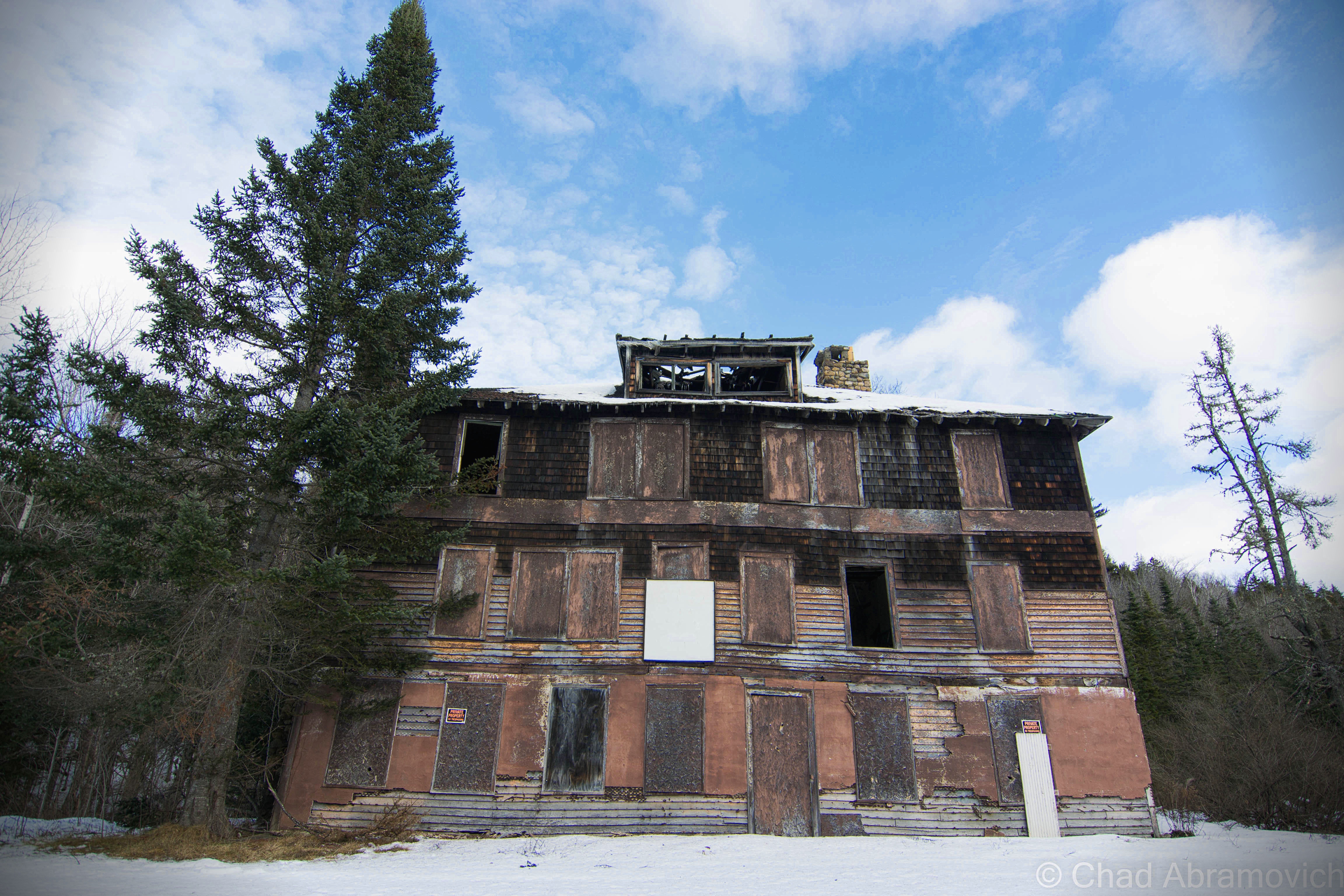
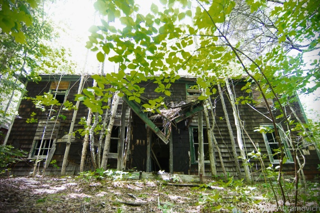
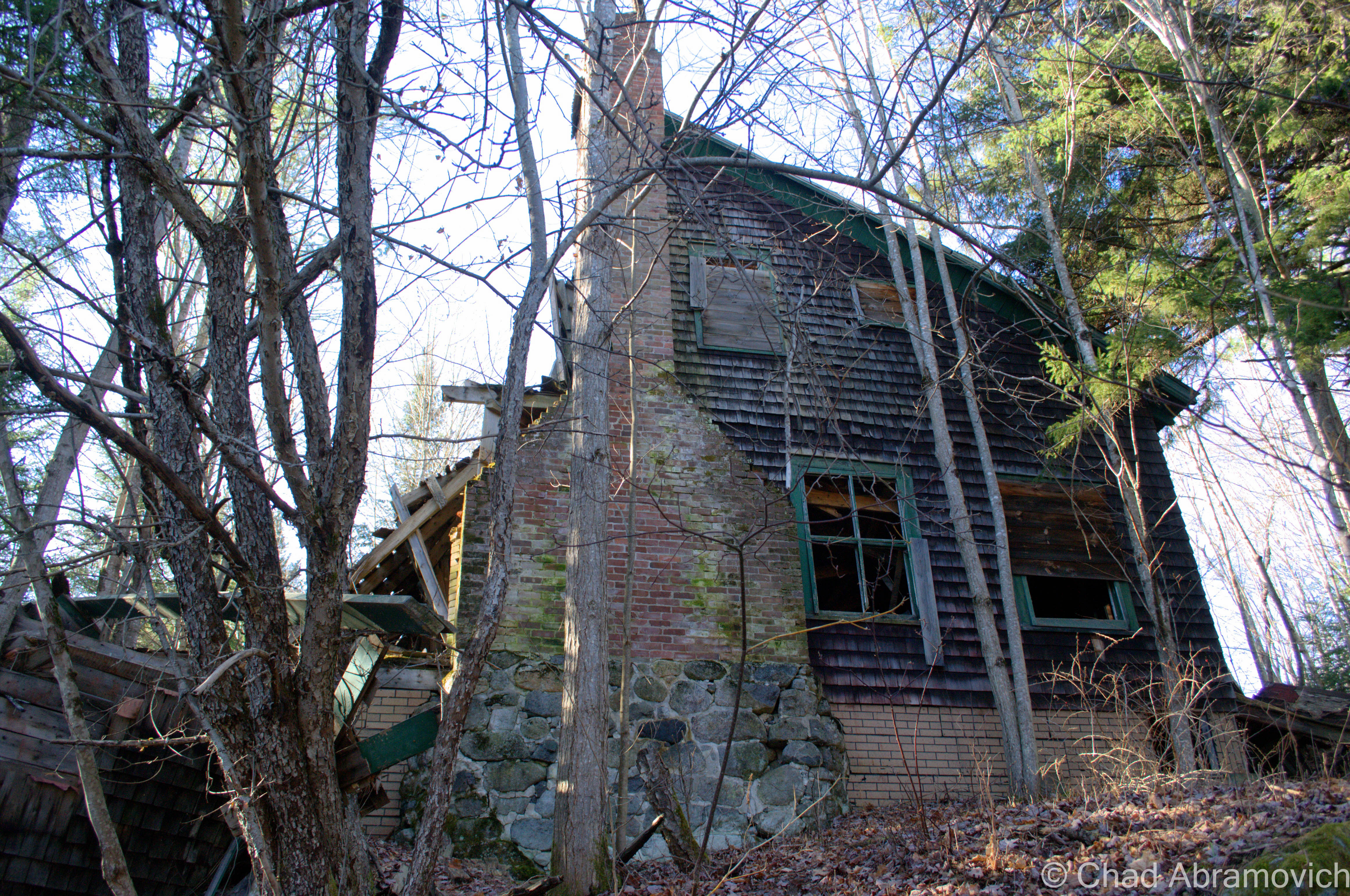
The real reason for visiting upstate New York was to visit Aiden Lair, a sizely rotting wooden building, deep within the forests of the Adirondacks.

The history of Aiden Lair begins around 1850, with the construction of a crude log cabin to house travelers and hunters going into the interior of the Adirondacks, at a time where the rugged region was only beginning to be more accessible. The cabin eventually burned down, and in 1893, the first Aiden Lair lodge was built, a grand Adirondack hunting lodge ran by an Irishman named Michael Cronin.

The original Aiden Lair Lodge, early 1900s. (via town of Minerva website)

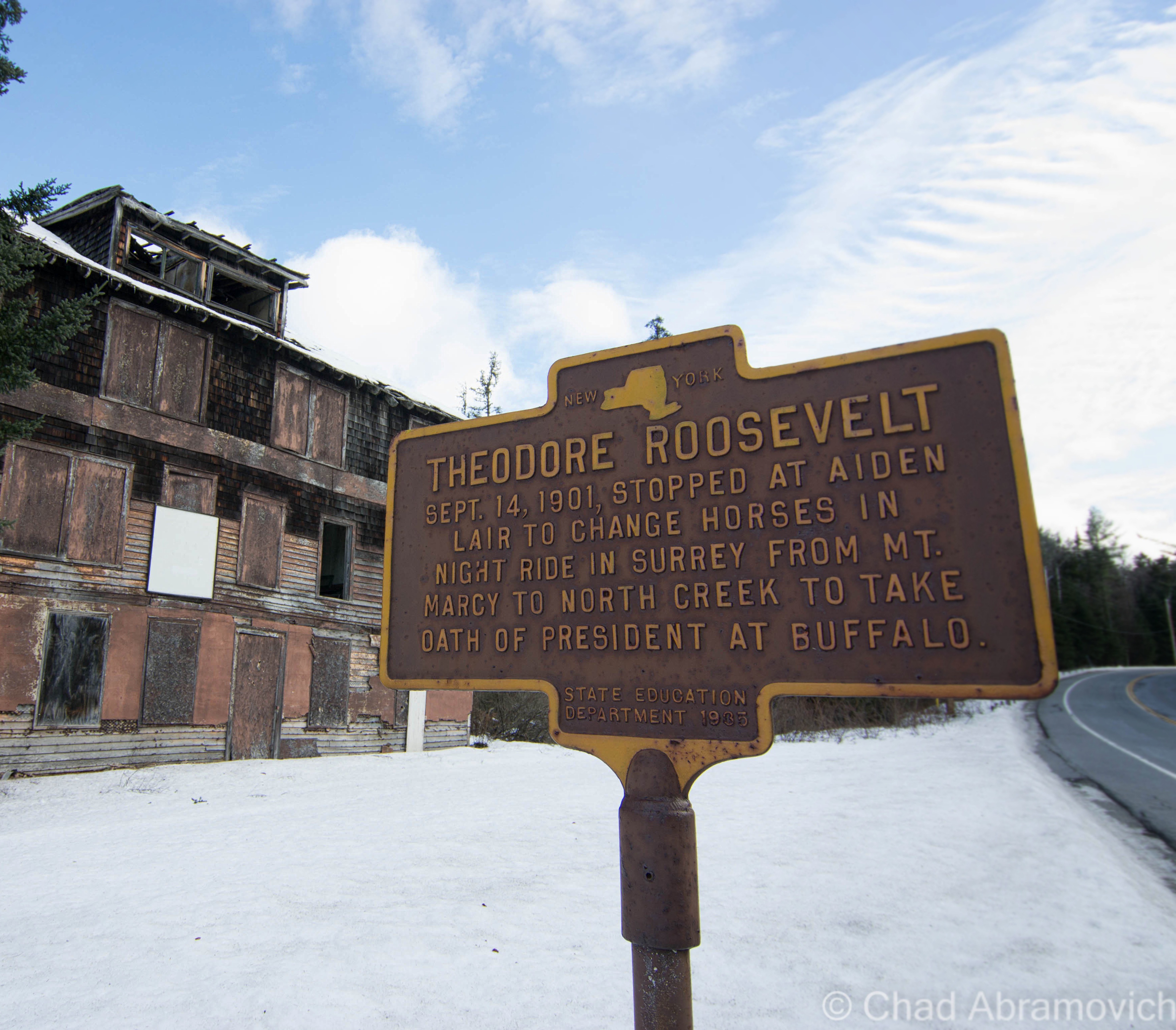
But the lodge truly gained notoriety for being a vital part of the so called Midnight Ride of Theodore Roosevelt in 1901, which would be the first stop of a remarkable presidency.

Being president of the United States can have contingent natures with the responsibility, and I don’t think there are many American presidents that have been more fit for the role than Theodore Roosevelt.

On Sept. 6, 1901, President William McKinley was in Buffalo attending the Pan American Exposition when he was shot by Leon Czolgosz, a hot tempered anarchist. At the time, vice president Theodore Roosevelt was a guest of the Vermont Fish and Game Club in Isle La Motte. When word reached Roosevelt on the attempt on the president’s life, he immediately left and traveled to Buffalo.

But McKinley’s surgeon insisted he was fine, and that he would surely recover. Roosevelt, no longer feeling needed, decided to travel to join his family who were vacationing at the Tahawus Hunting Club. He had campaigned laboriously during the election of 1900 – an effort which involved much traveling and speech giving. Some rest and relaxation in the Adirondacks sounded damn good.

In Tahawus, Roosevelt decided that a great way to kick off his vacation would be to have an afternoon hike up Mount Marcy, the tallest elevation in the state. He sought out some guides and set out up the slopes. While relaxing near Lake Tear-of-the-Clouds, the source of the Hudson River, a foot messenger named Harrison Hall found him and gave him word that McKinley’s condition had worsened, and it didn’t look good.

According to local lore, Roosevelt’s reaction after reading the message was to say  “Gentlemen, I must return to the clubhouse at once,” before calmly finishing his lunch, and then making the 12 mile hike back to Tahawus in 3 hours.

Roosevelt was reluctant to go back to Buffalo unless he was truly needed. He was just there, and that would be a long trip to make for a false alarm. But soon, another telegram came with news came that president McKinley was dying. Roosevelt set out for Buffalo immediately, but first, he had to get to the nearest train station which was 35 miles away at North Creek. That would be an arduous journey on muddy rut choked roads in the middle of the night, through vast mountainous wilds, a journey that would take at least 7 hours to complete today. The 35 mile stretch would have to be completed on horseback, with a stop somewhere in between to switch the exhausted horse for a fresh one. He departed Tahawus and made the grueling journey to Aiden Lair Lodge in Minerva, where he would switch horses.

A team of wagon drivers were organized, and would switch off driving Roosevelt at different legs of the trip, until they made it to the train station. David Hunter, the superintendent of the Tahawus Club, drove the first leg, a 10-mile stretch from the Tahawus Club to the Tahawus post office. The first stretch took two hours to complete because the road was practically washed out due to rainy conditions. From there, he would swap drivers again until he would get to Aiden Lair Lodge in Minerva.

By the time he got to Aiden Lair around 3:30 AM, he was already president. McKinley had died at 2:15 AM, while Roosevelt was still rushing through dark wilderness and rough roads. Though word had reached Aiden Lair, Michael Cronin decided not to tell Roosevelt. The staff knew he was dealing with great stress, and tried to urge him to rest there for the remainder of the night, and leave a day break. But Roosevelt was having none of it, and hitched up his team. Cronin drove him the remaining 16 miles, partially in an altruistic gesture, but mostly because if anything were to happen to Roosevelt en route, he was threatened that he would be held accountable. The wagon barreled and slid down slippery and sinuous mountain roads, with Roosevelt himself holding the lantern in front of the wagon so they could see where there were going. They made the journey in an hour and 41 minutes.

By the time they arrived, the news had been broken. A telegram awaited him with the news of McKinley’s death at the train station. Roosevelt boarded the train en route to Buffalo and his oath of office. Apparently, Roosevelt’s final leg of his ride achieved so much fame that other drivers had attempted to make the same route and beat the time, but no one has been able to succeed. As far as I know.

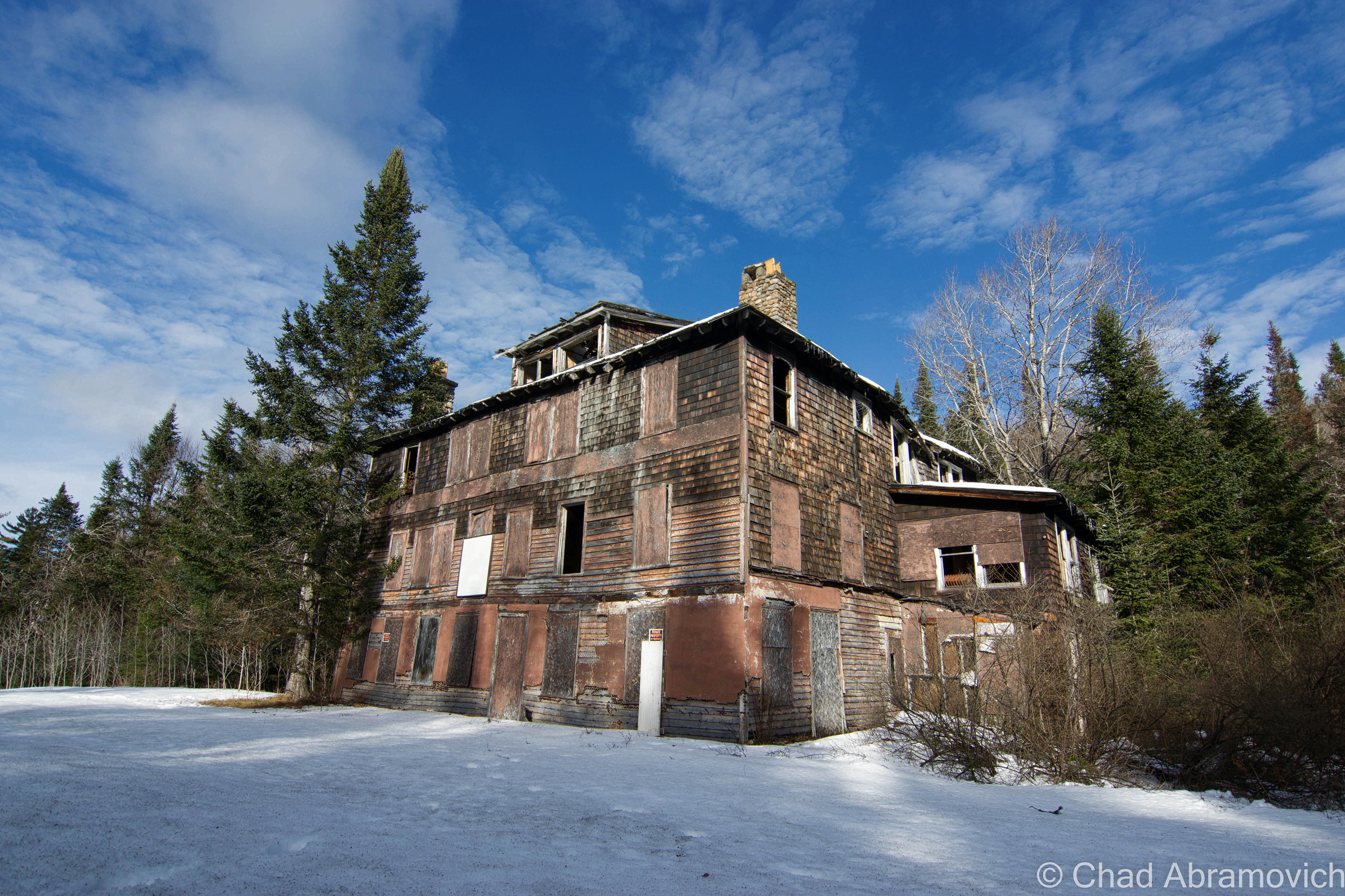
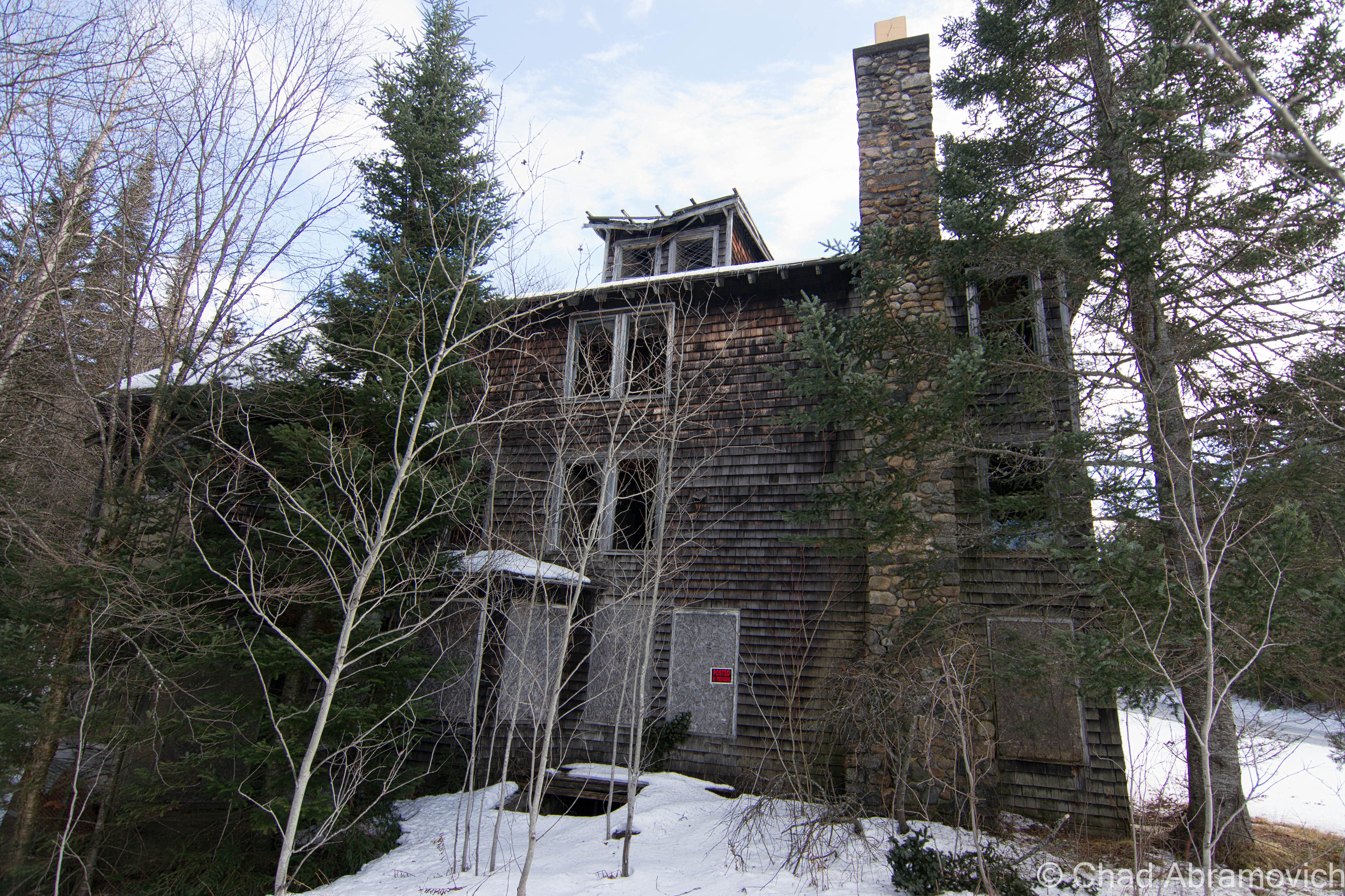
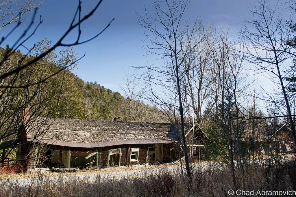
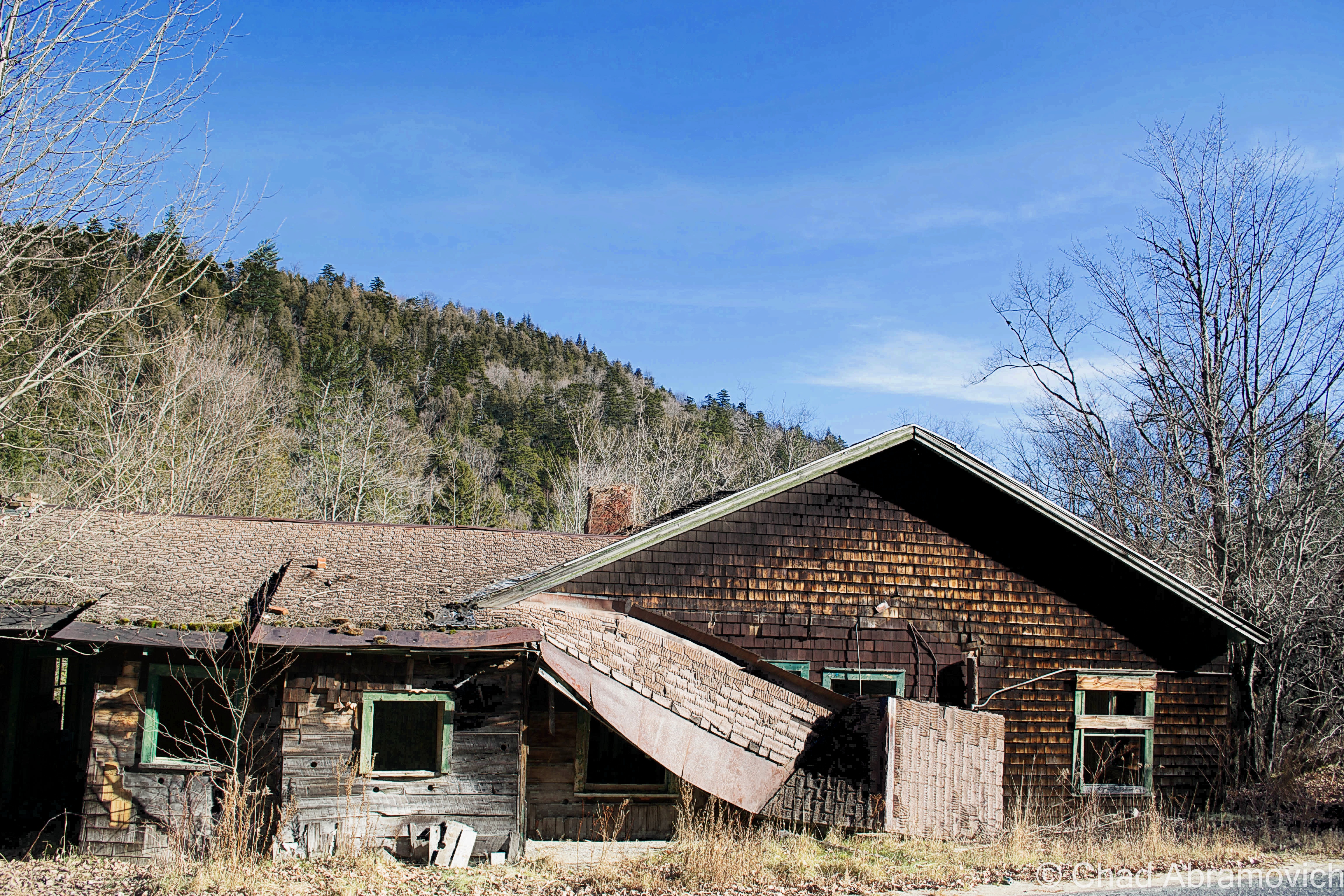
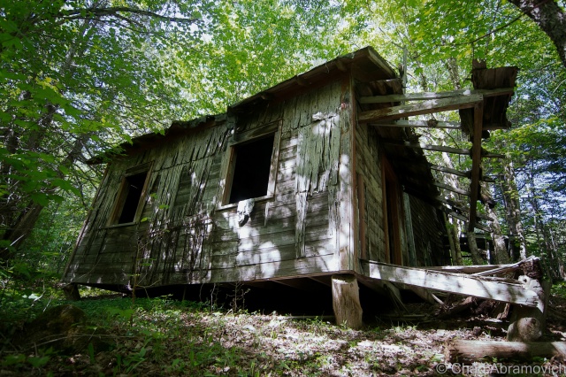
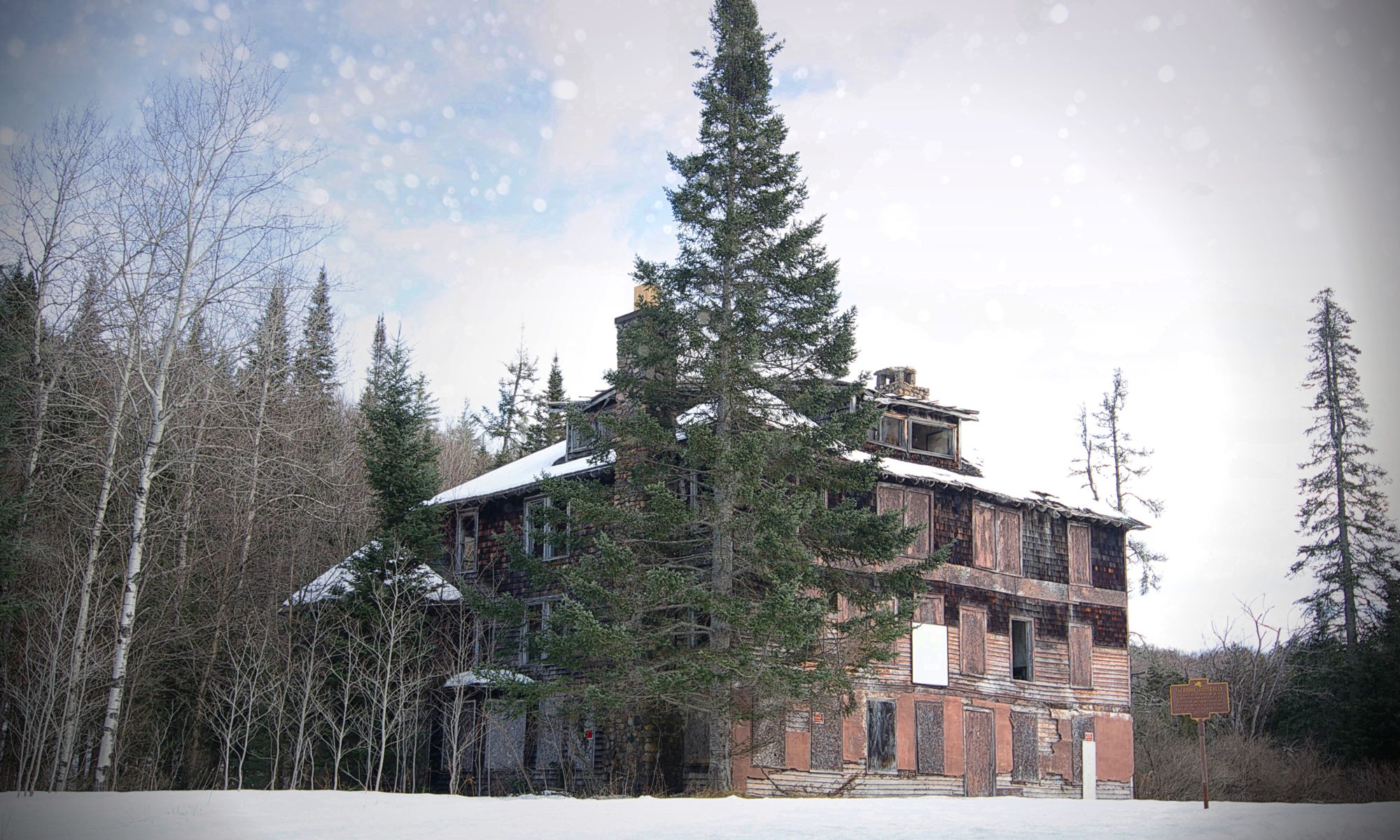
But, there is a little deception here. Though it makes a good story, the ramshackle building that skulks behind the the state historical marker on the side of the road is actually not the Aiden Lair that Roosevelt stopped at. The first hotel burned down in 1914, and a new 20 bedroom hotel was built shortly after, the 16,000 square foot decaying wooden structure you see today.

Though Mr. Cronin seemed to play an important part in the earliest hours of Roosevelt’s new found presidency, cosmic relief would pay a visit to the Irishman. Not long after the midnight ride, A New York Tribune article from April 1914 ran a headline that announced: “Roosevelt Guide Crazy.” Michael Cronin was hospitalized for mental health reasons. The lodge burned a month later, and was rebuilt by his family without his help. He died shortly after.

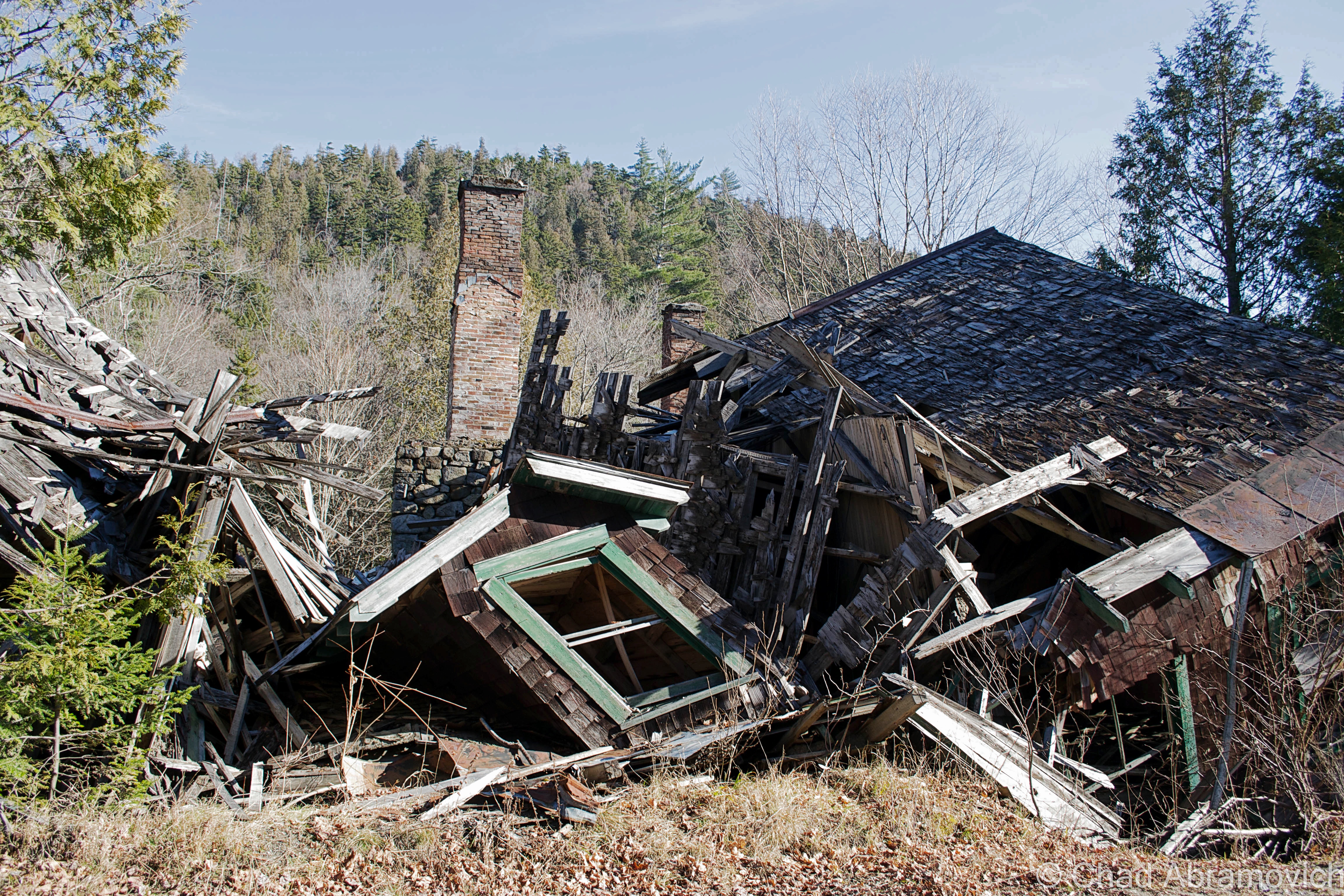
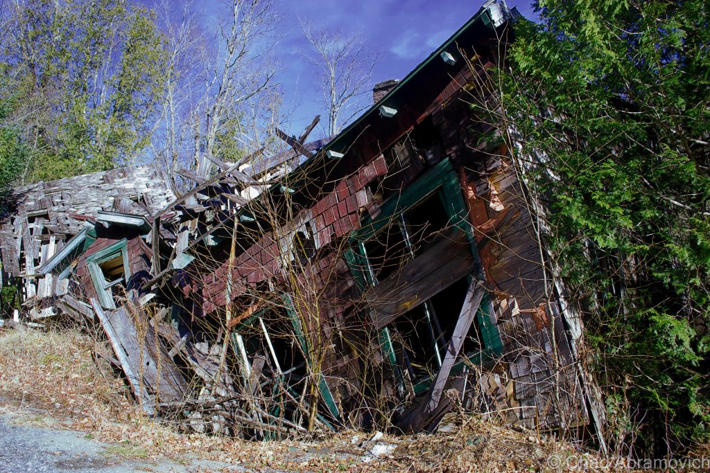
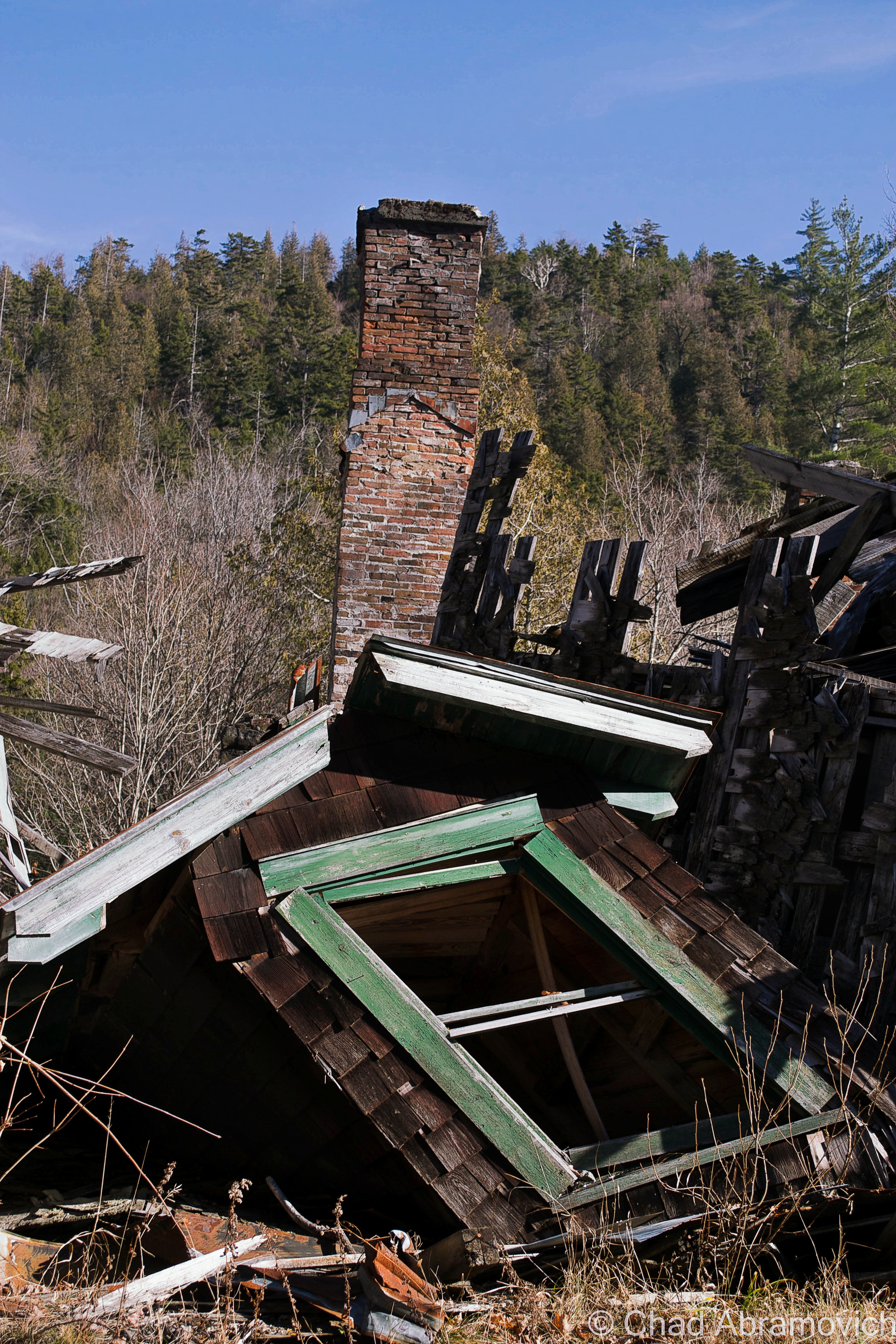
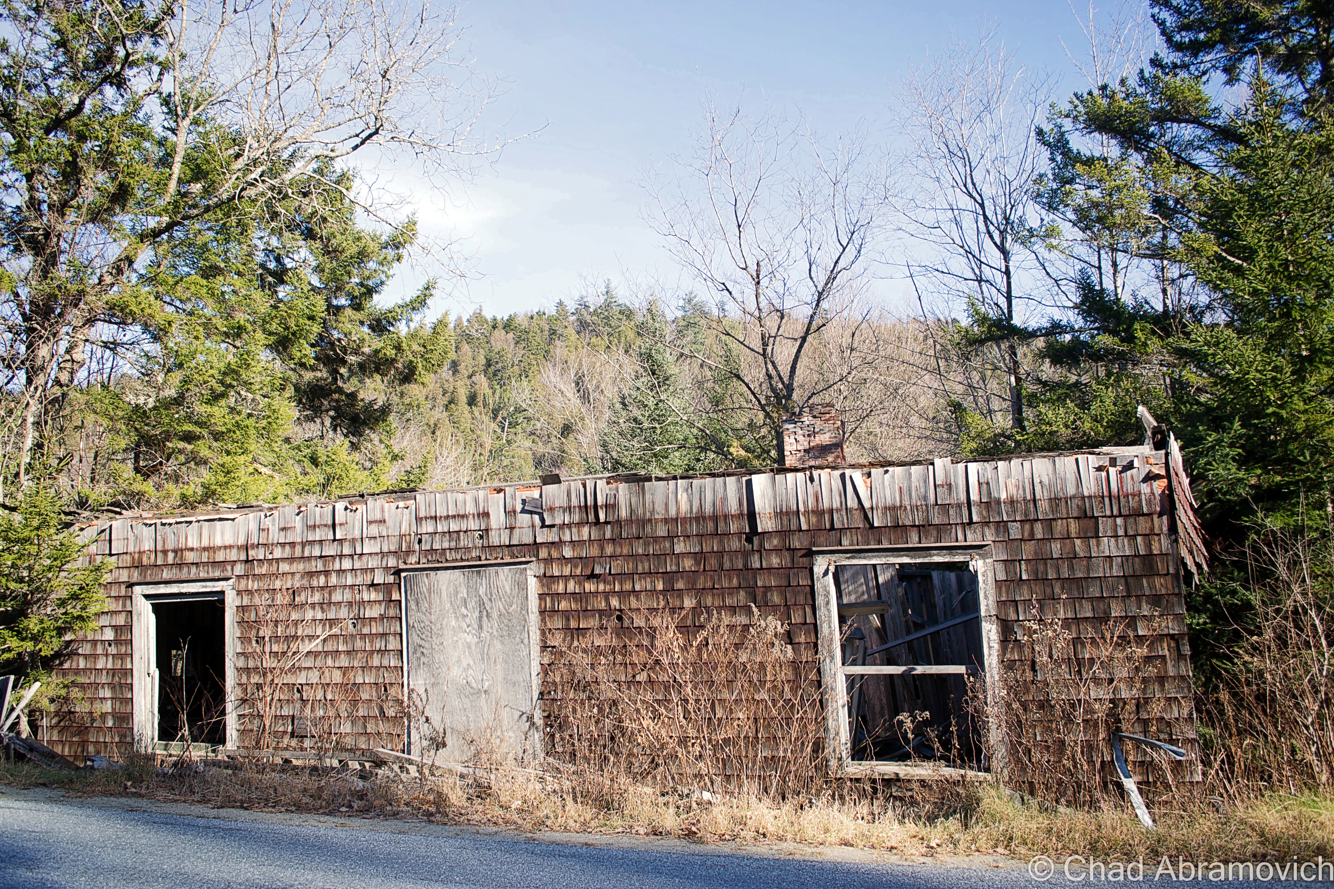
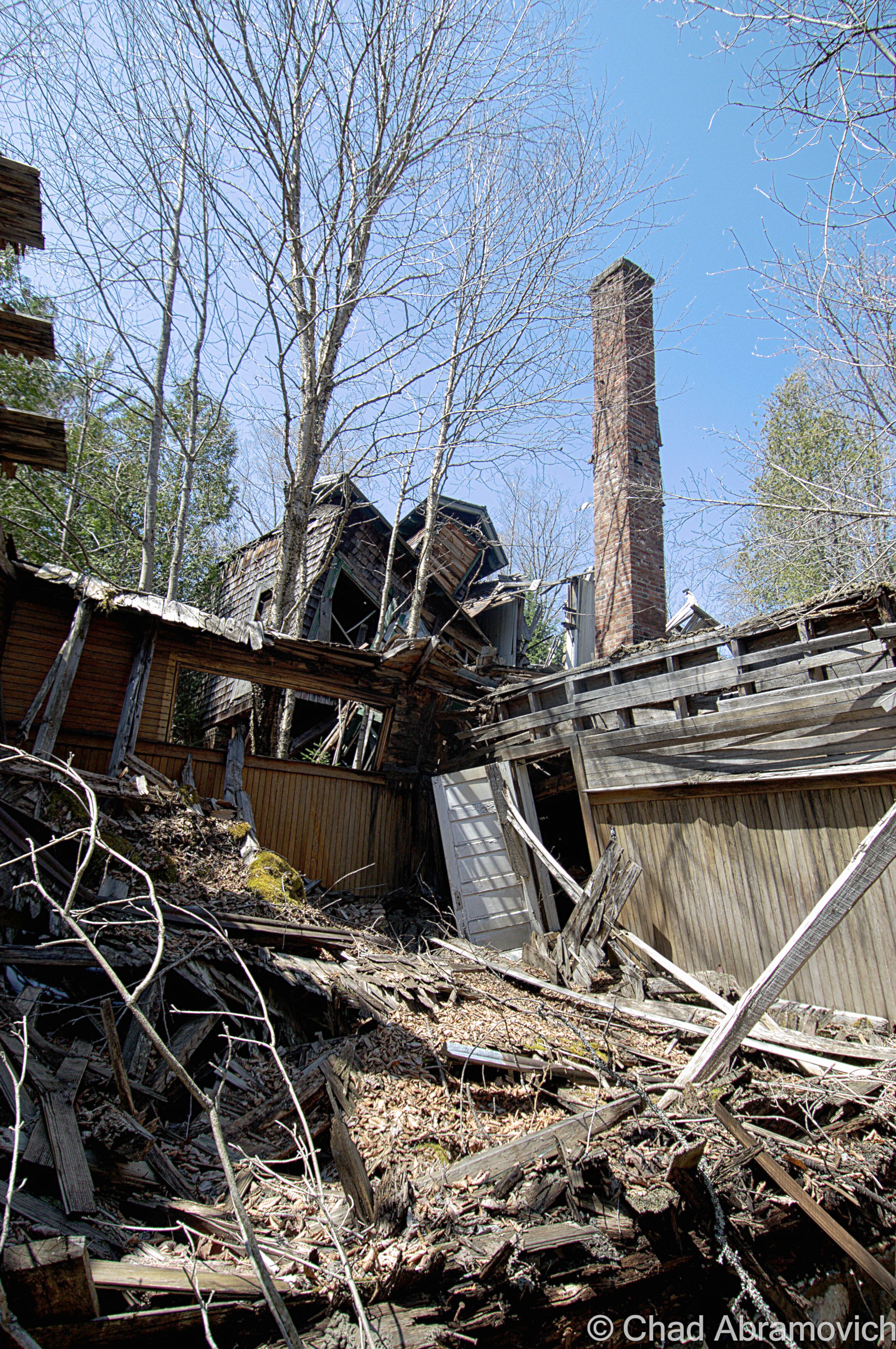
The hotel continued to serve travelers to the Adirondacks from hunters, outdoor enthusiasts and as the times changed, skiers and snowboarders heading to Gore Mountain, until the 1960s, when Adirondack hunting lodges began to go out of style and Aiden Lair closed for good. According to a segment of Adirondack Attic on North Country Public Radio – a gentleman from Albany bought the property a few years ago, with the intentions of restoring and reopening it, to continue it’s storied legacy. But the hurtles of renovations and reaching out to historic preservation proved to be too much, and it has since faced demolition by neglect – rotting in a state of limbo.

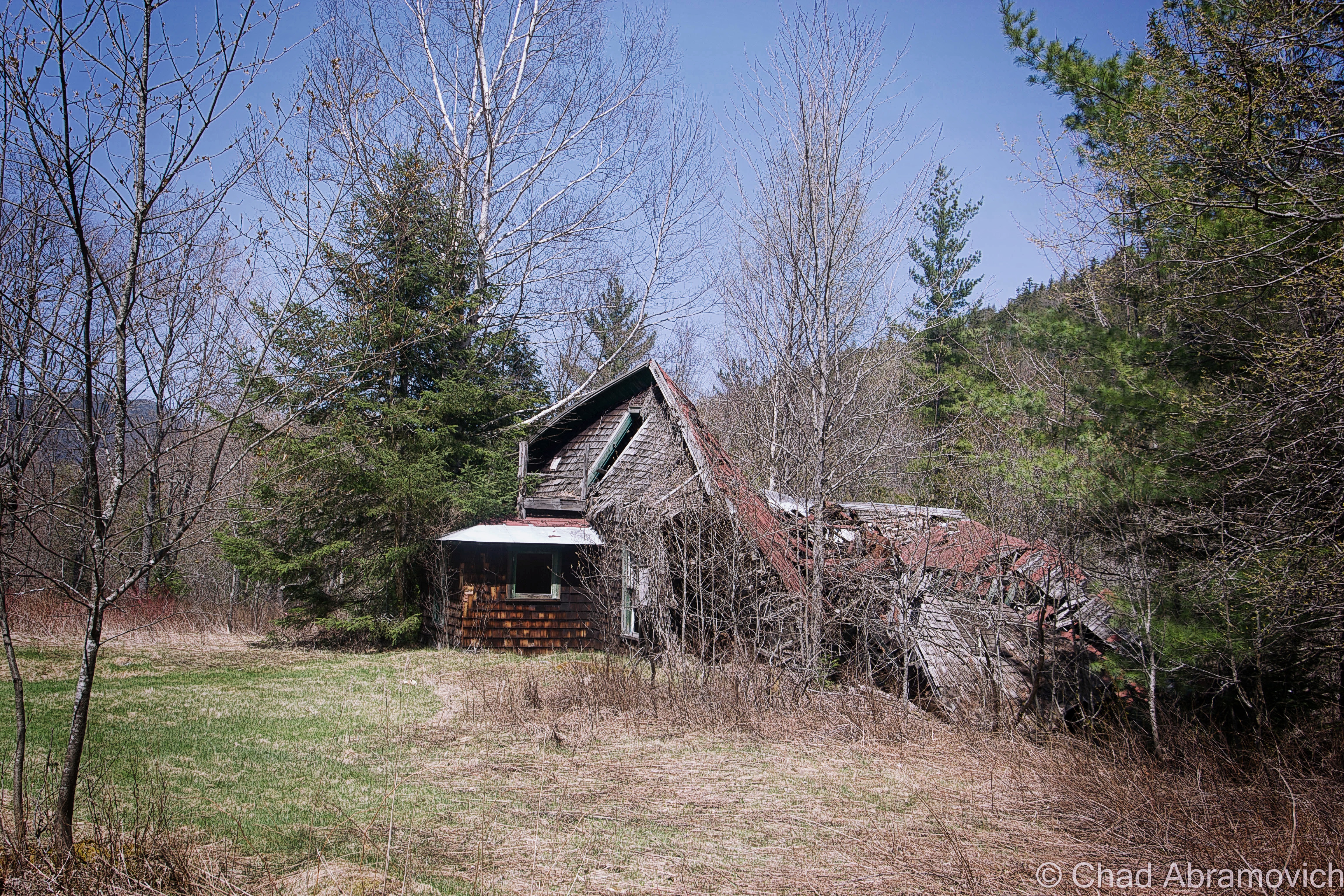
The current Aiden Lair Lodge
Topographical map of Minerva, NY circa 1901. Aiden Lair was prominent enough to be plotted as a standout place on the map (upper right hand corner)

I drank copious amounts of Stewart’s Shop coffee before the long drive up to Aiden Lair, fighting the urge to pass out in the car. Long drives with the heat on and a prior week of insomnia tend to do that to me. It was much colder in Minerva. The temperature had plummeted to 11 degrees somewhere along the ride from Schroon Lake, and there was at least a foot of snow in the high peaks. Immediately after exiting the truck, my hands and face stung painfully, and I found myself not being able to control my shivering. But we didn’t travel 2 hours just to turn around, so onward we trudged.

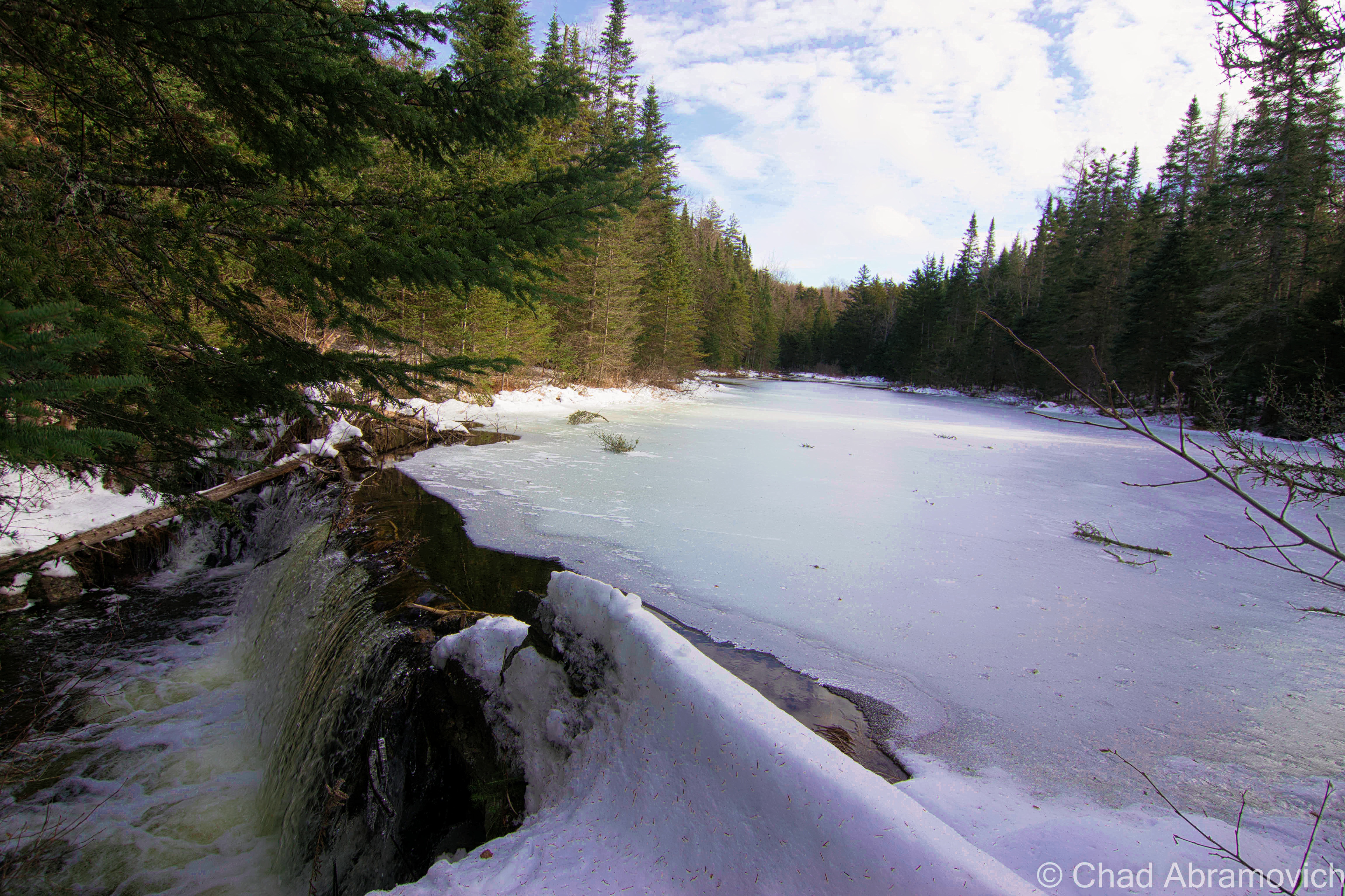
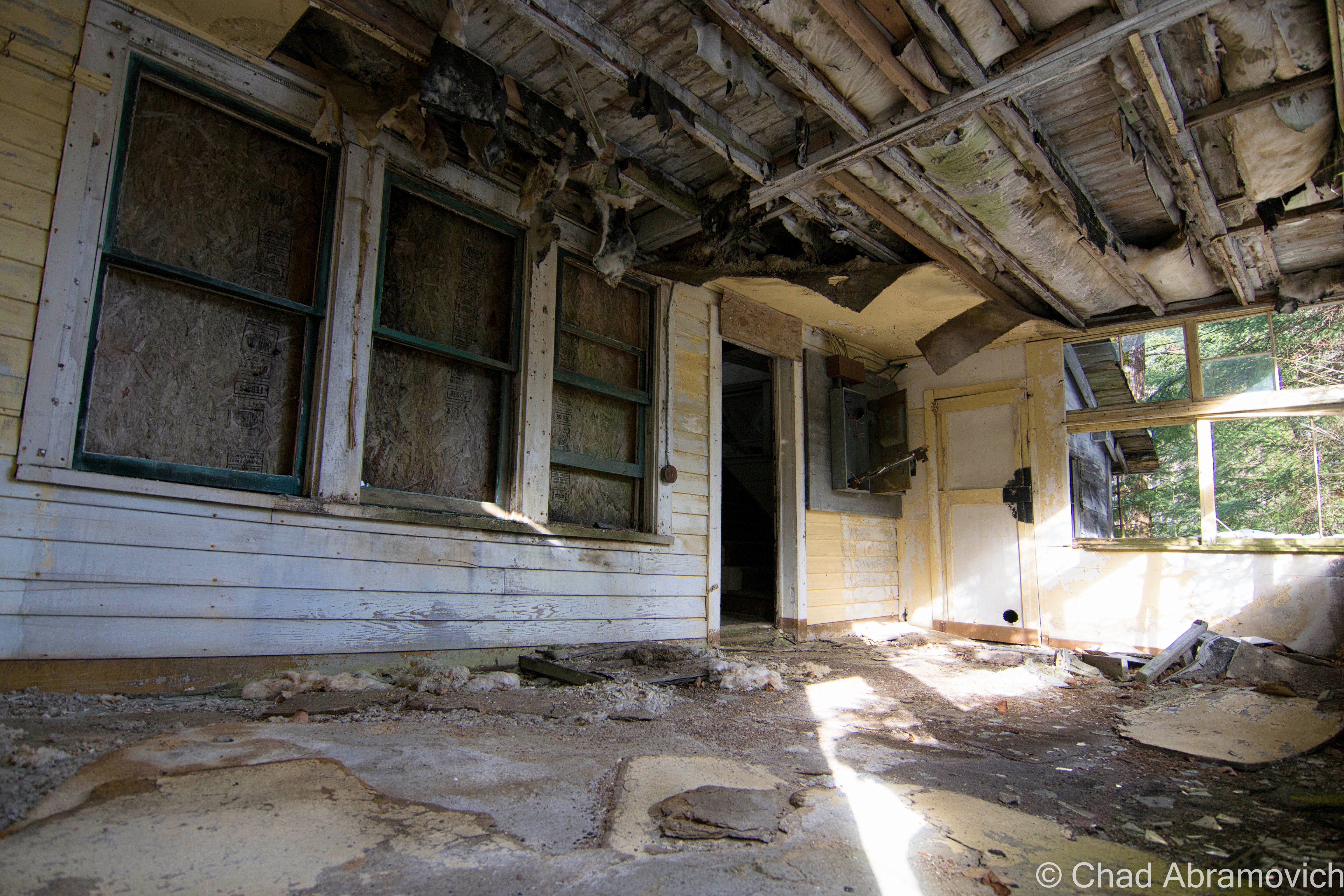
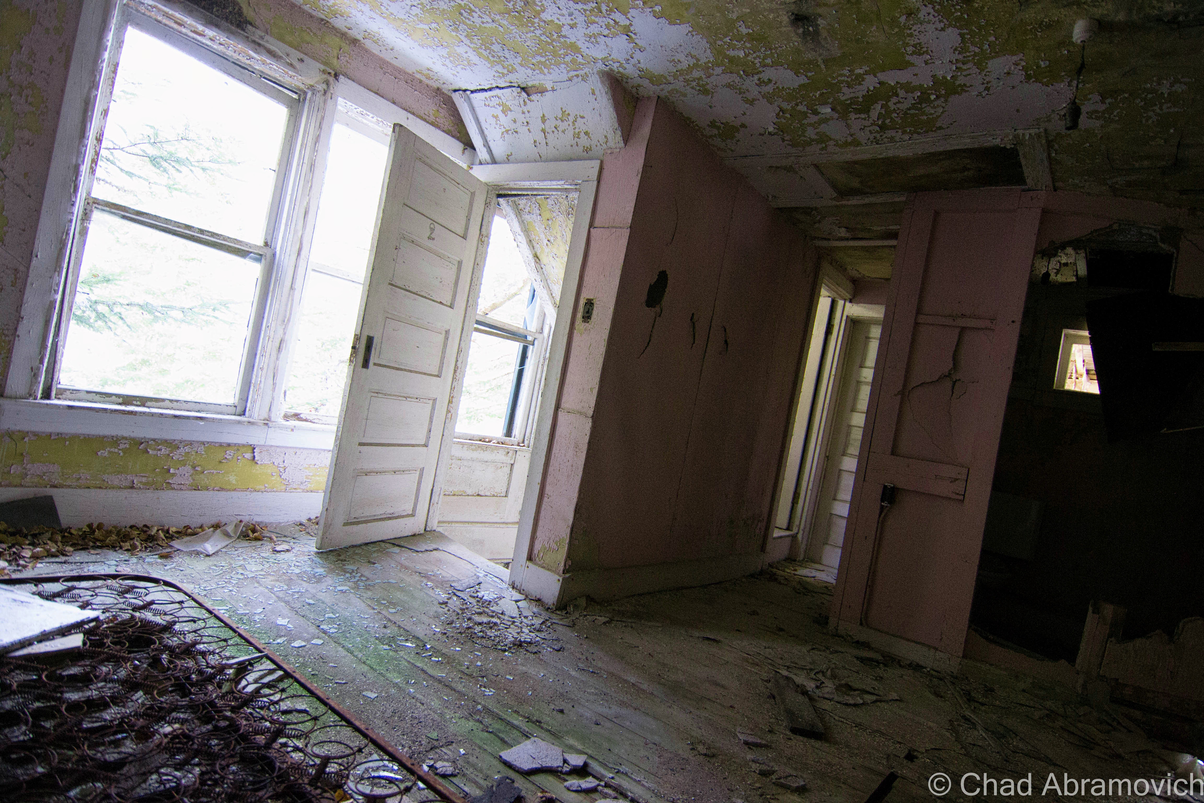
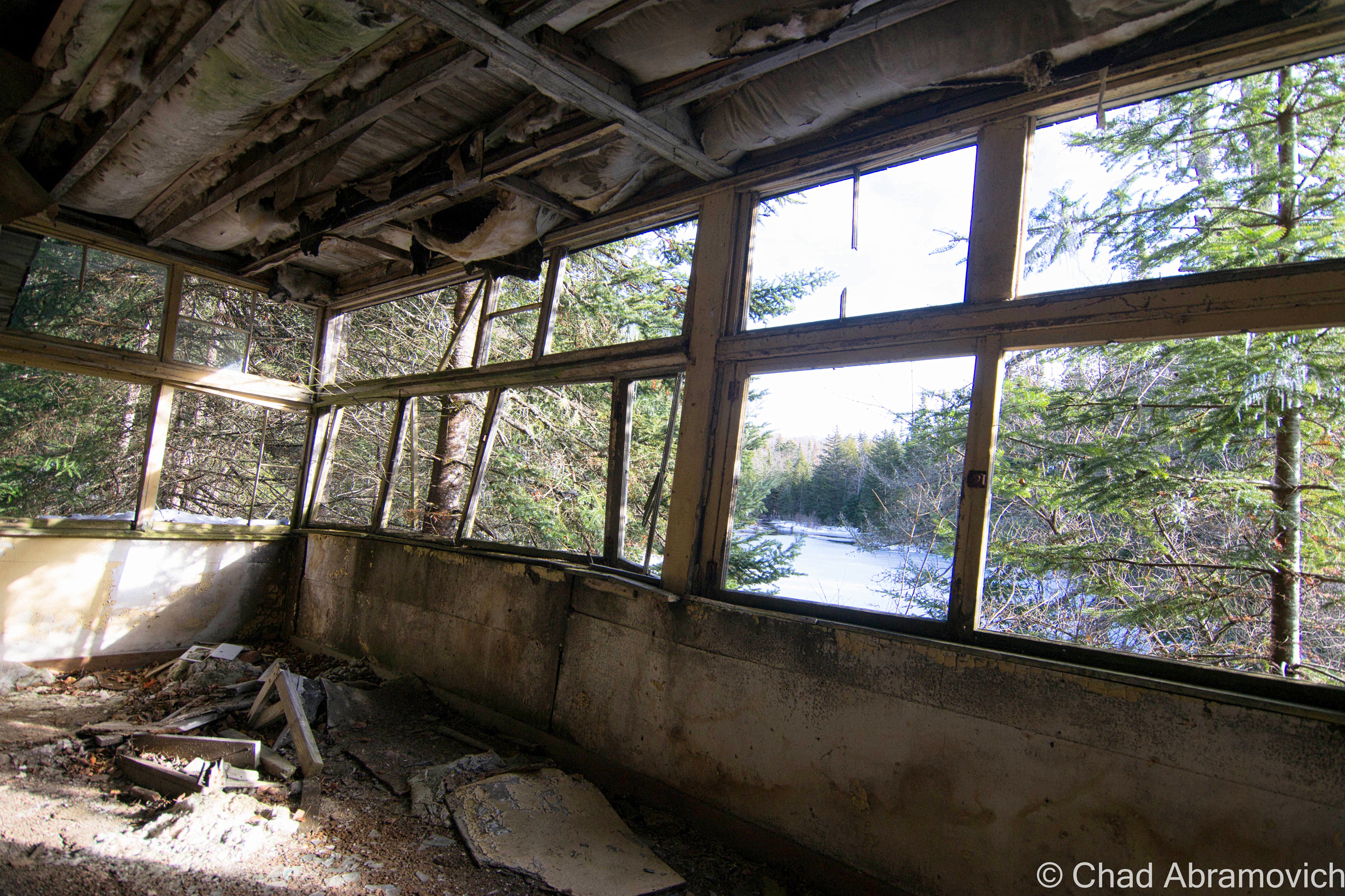
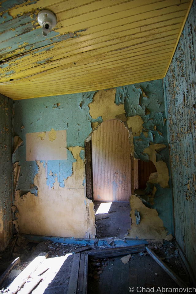
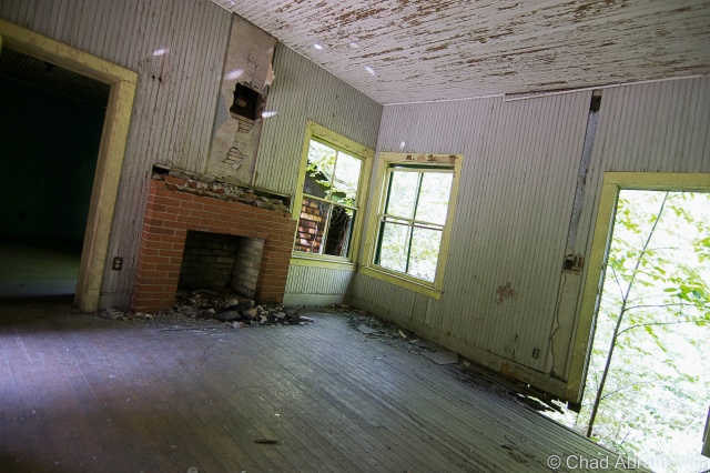
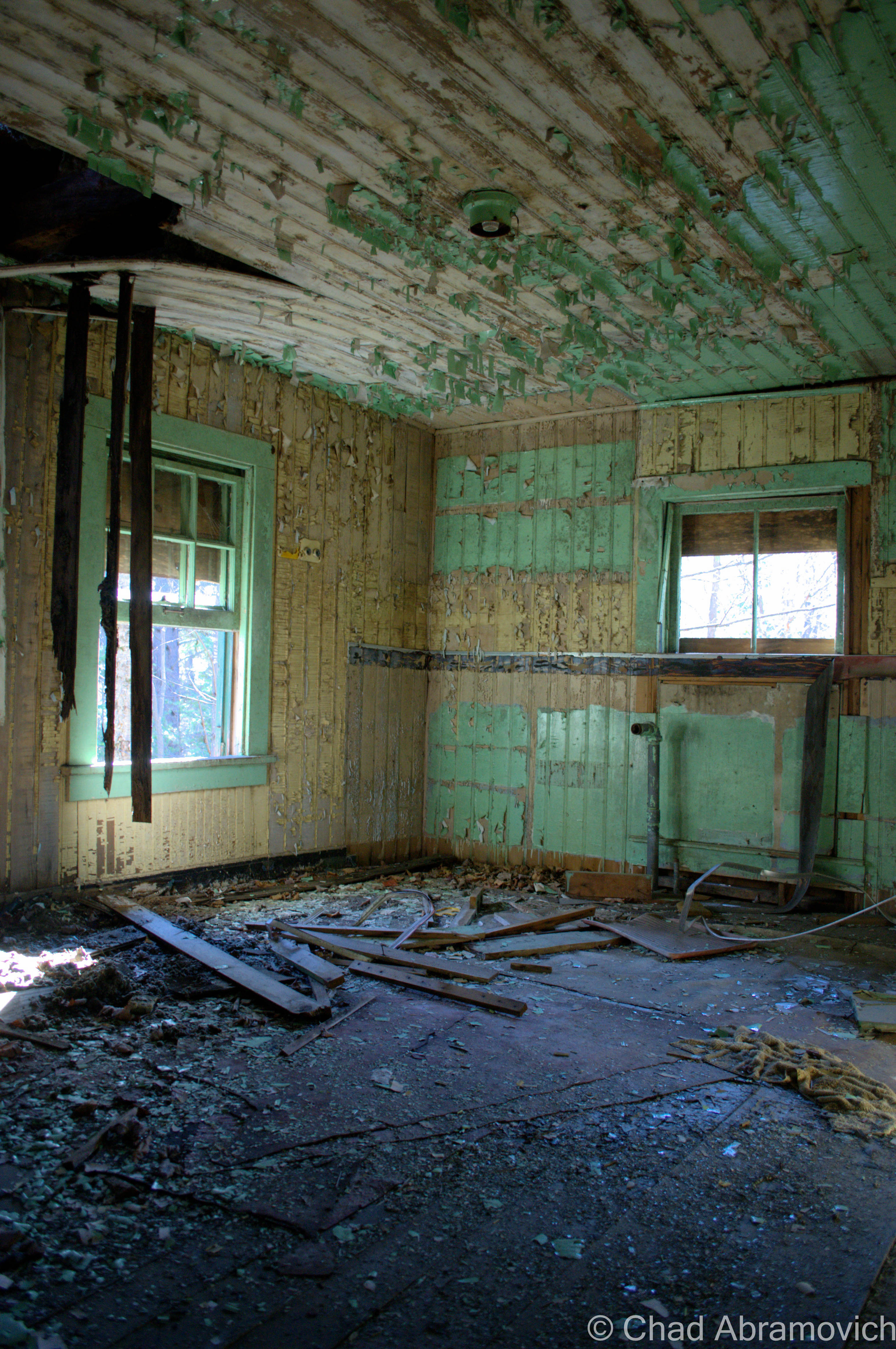
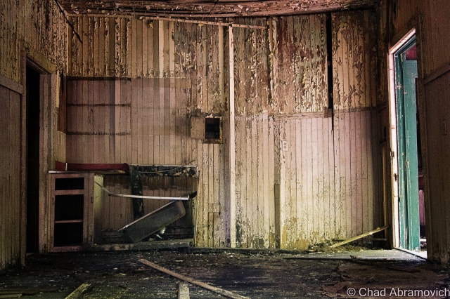
I hadn’t had any expectations to get inside Aiden Lair, as I heard it was sealed up very well, but we found a door around back, near an old dam that created a small pond. The bottom had been kicked out, leaving a human sized hole to crawl through onto a rotting sun porch – the afternoon sun was pleasantly warming the peeling yellow lead paint that speckled the weather beaten floors.

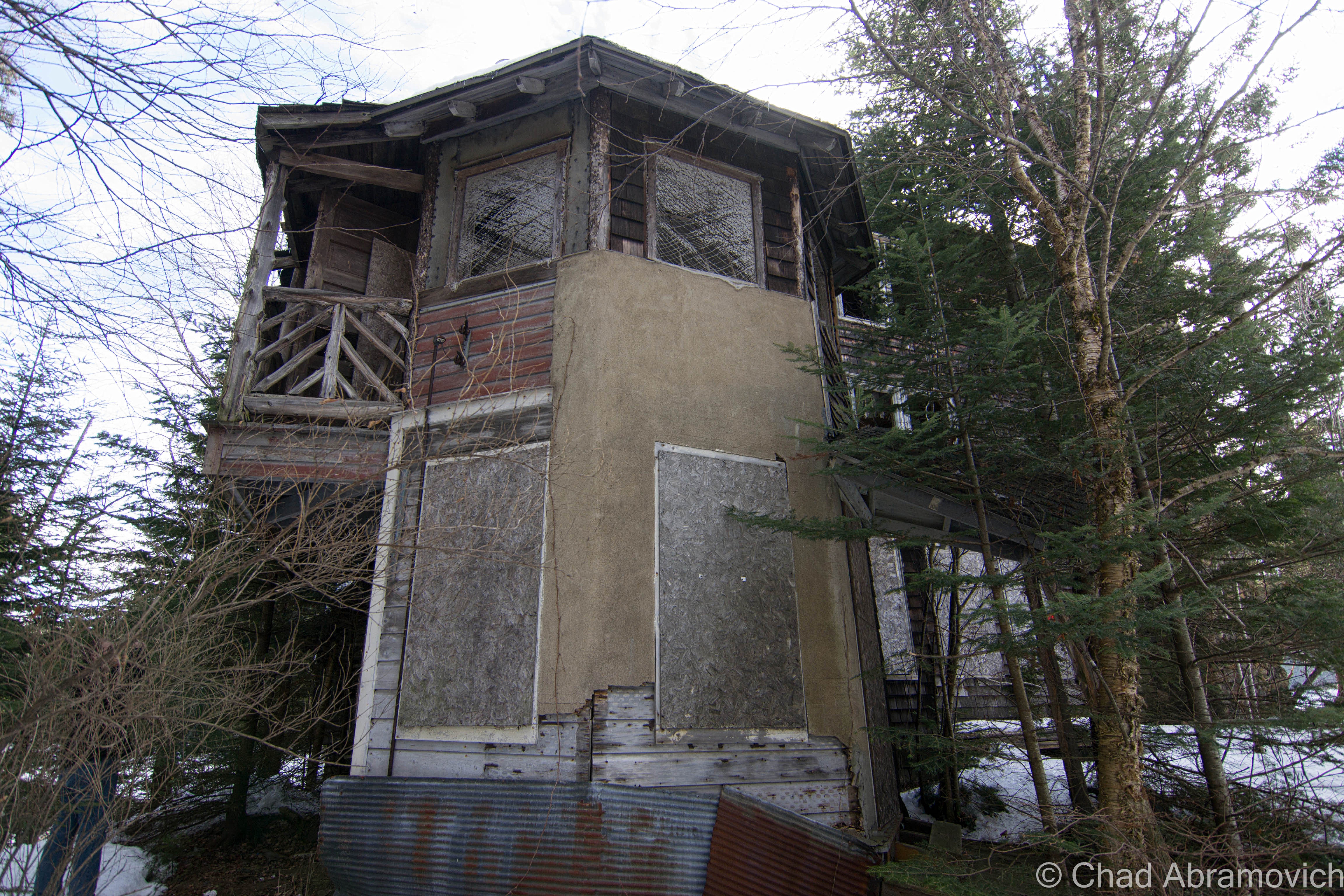
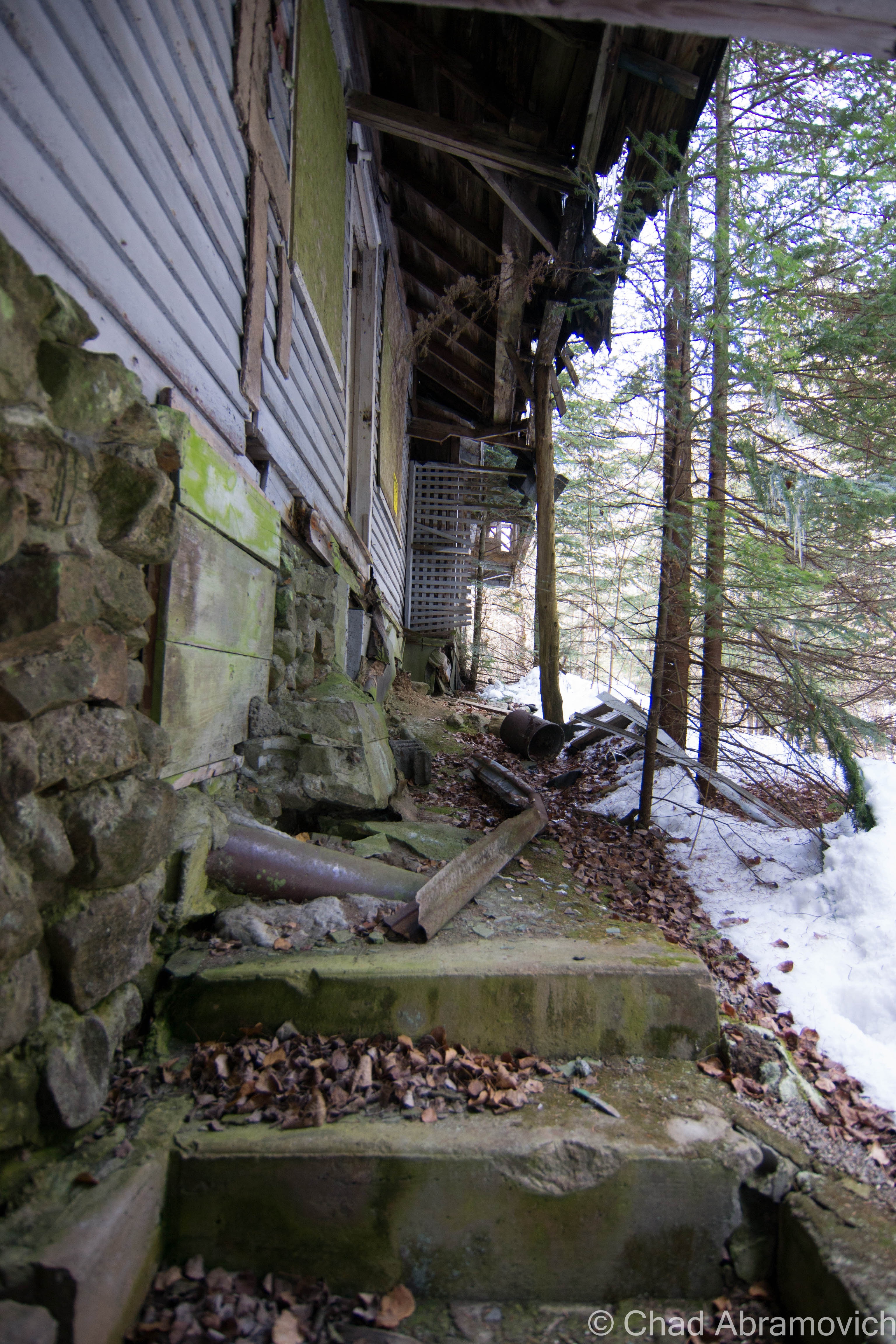
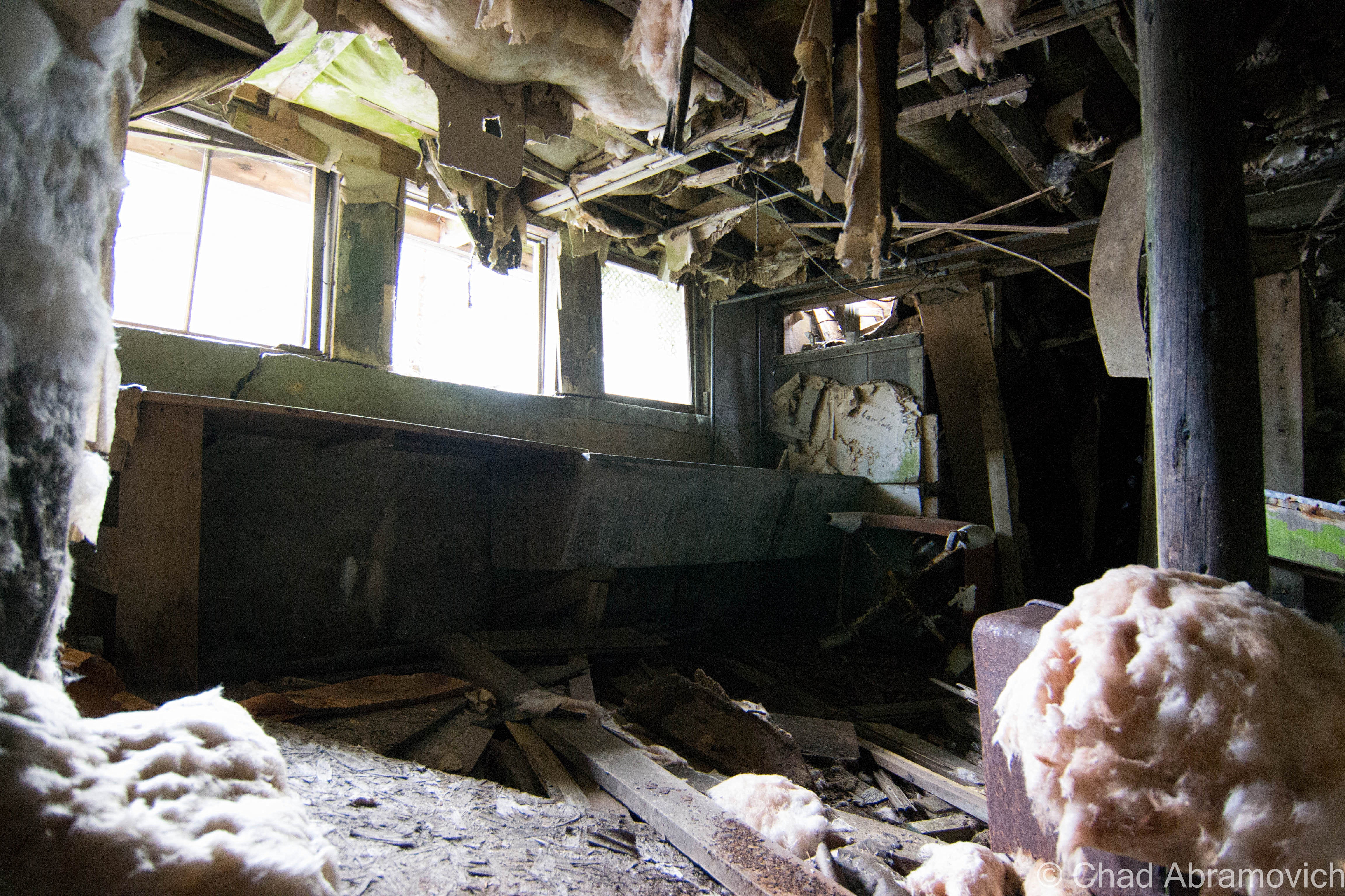
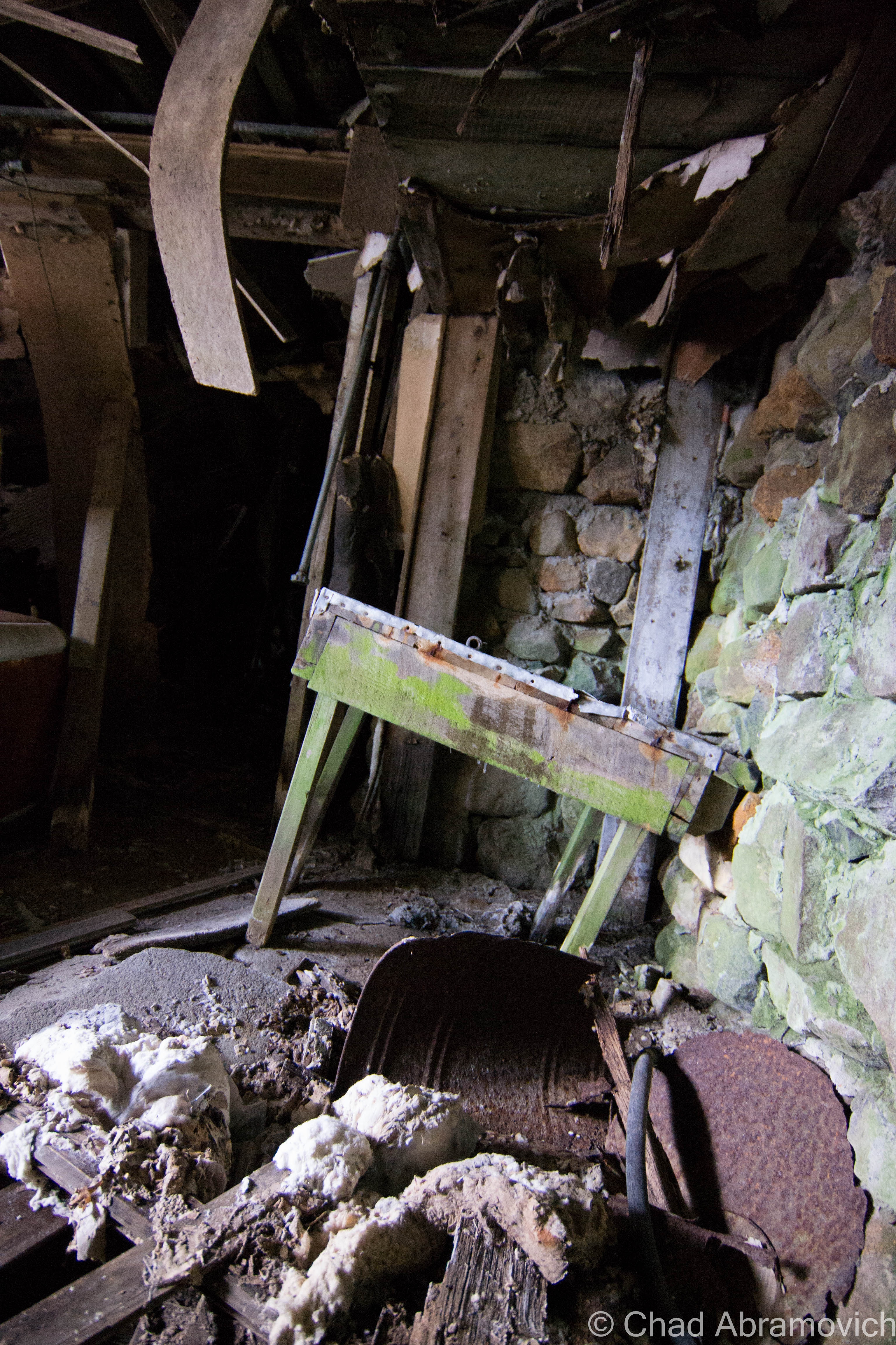
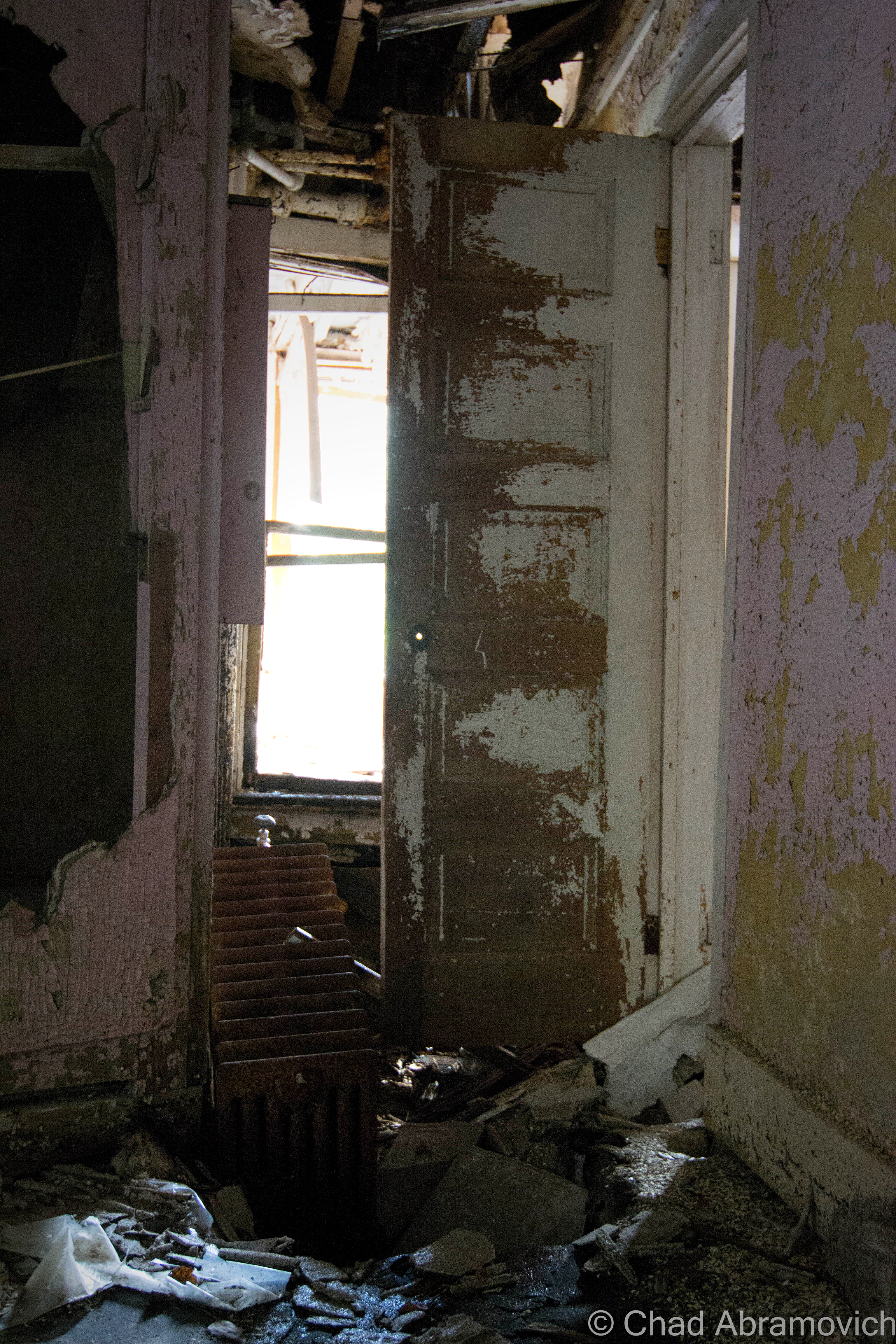
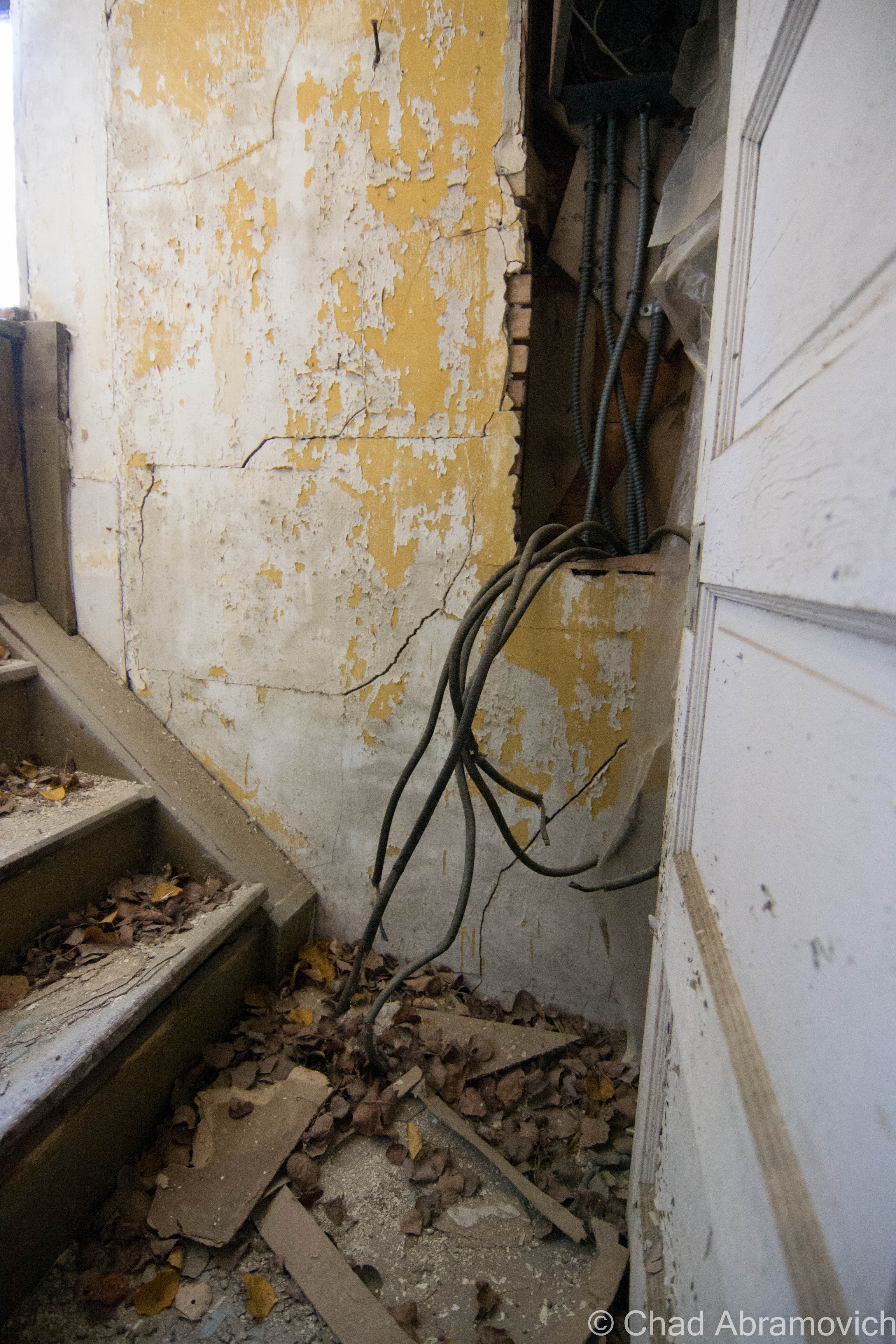
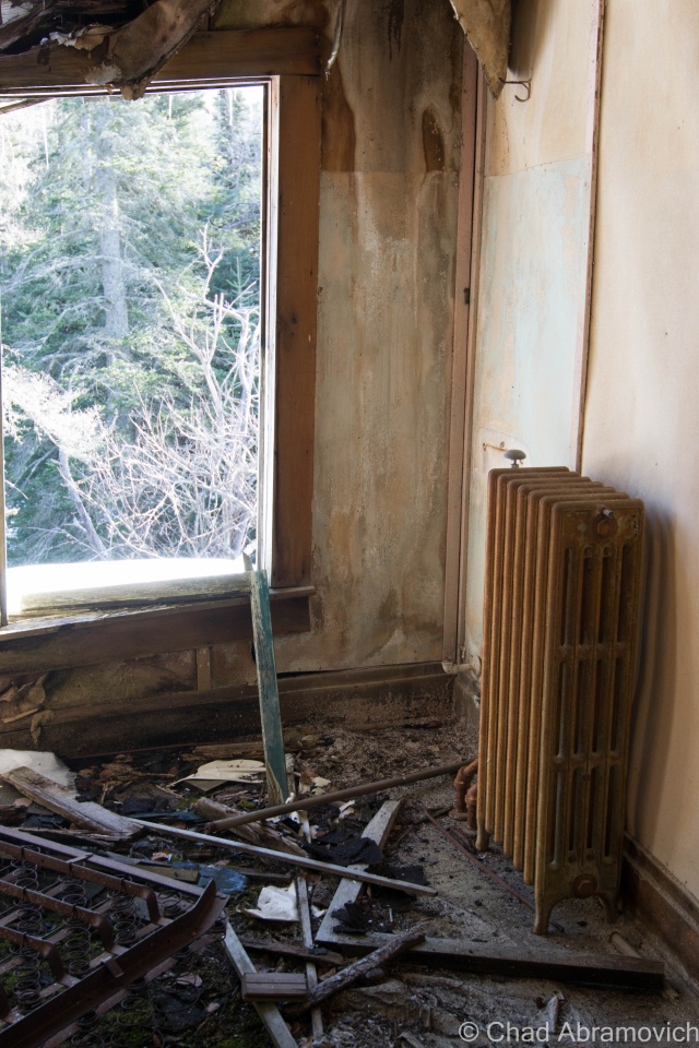
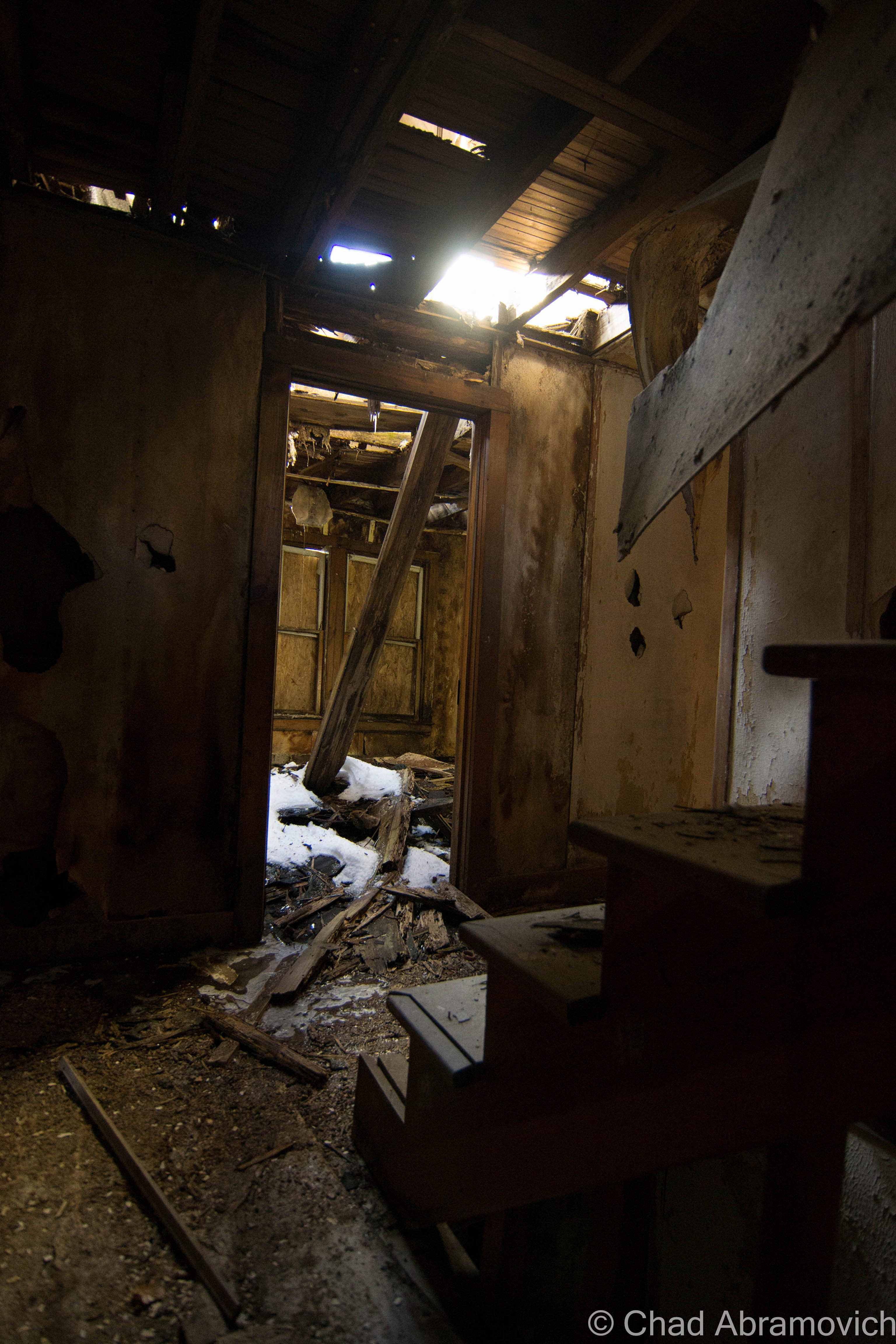
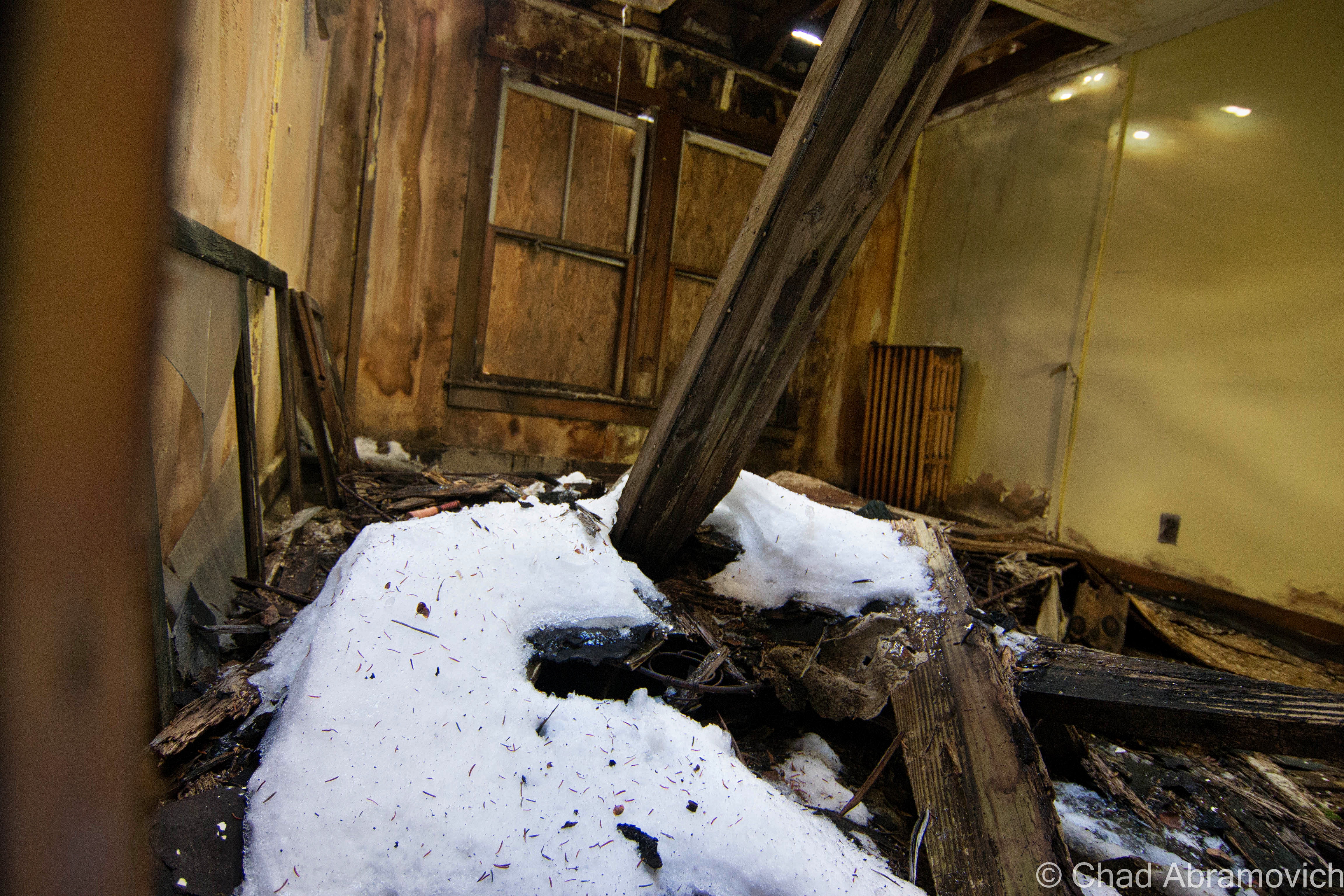
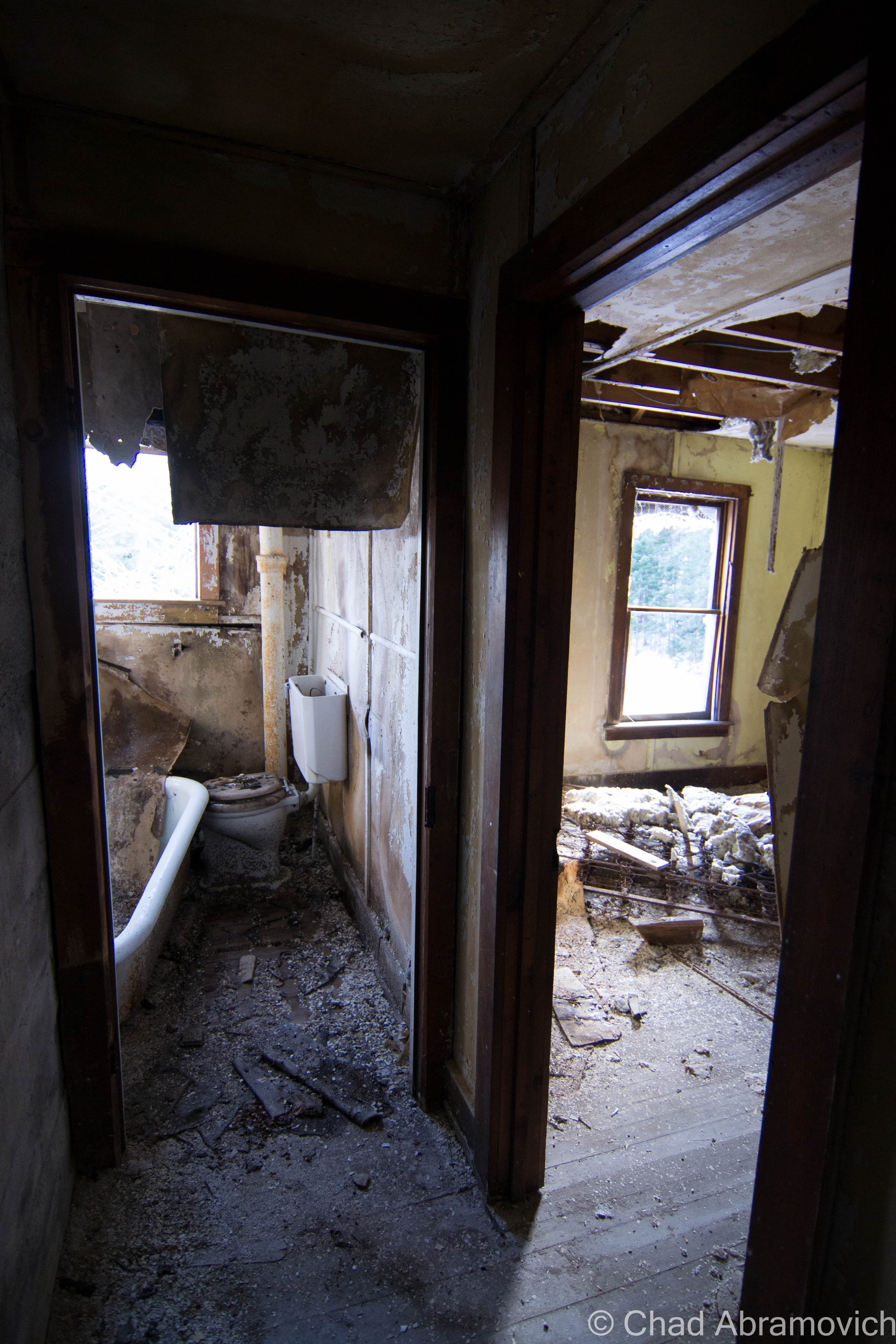
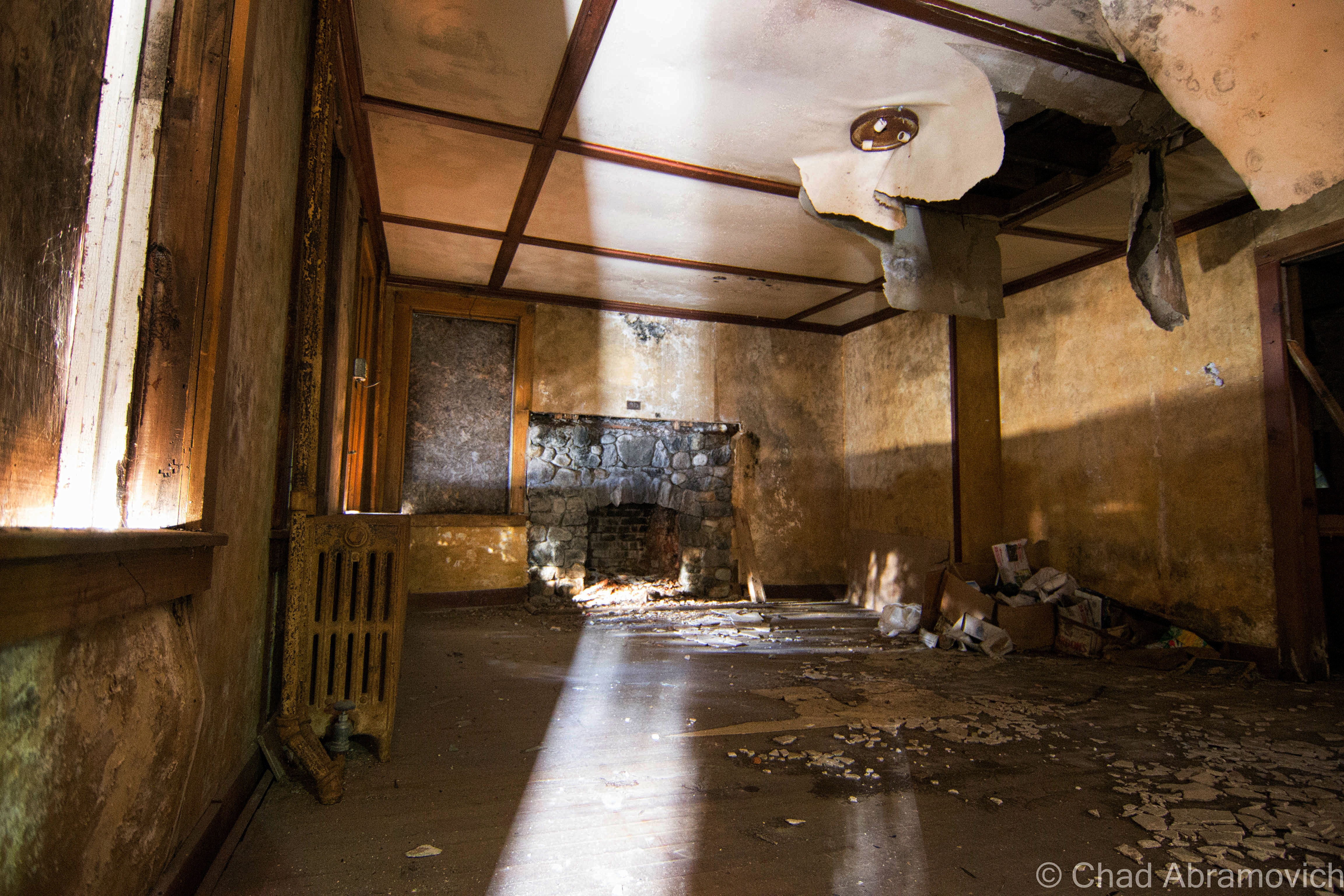
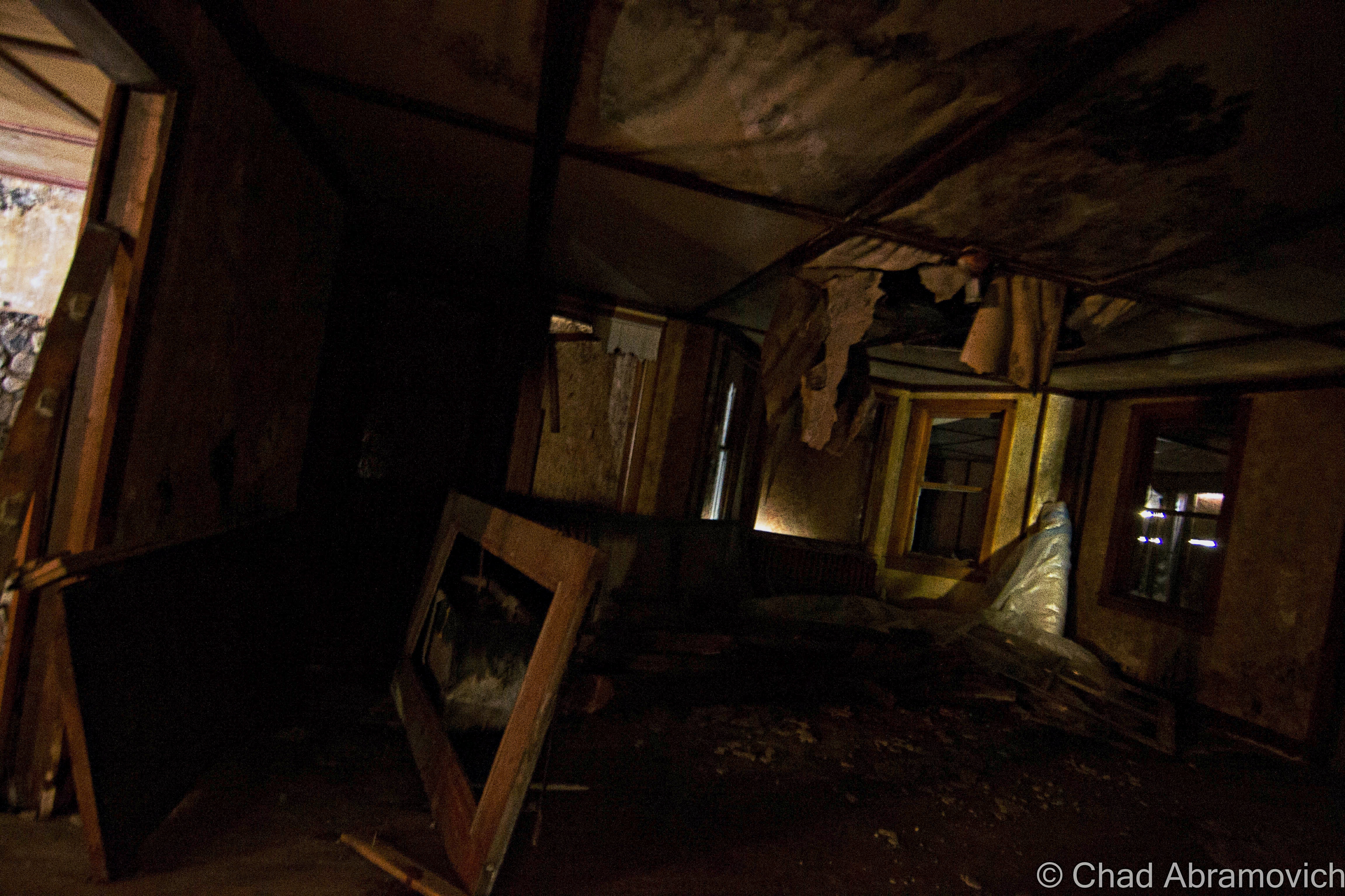
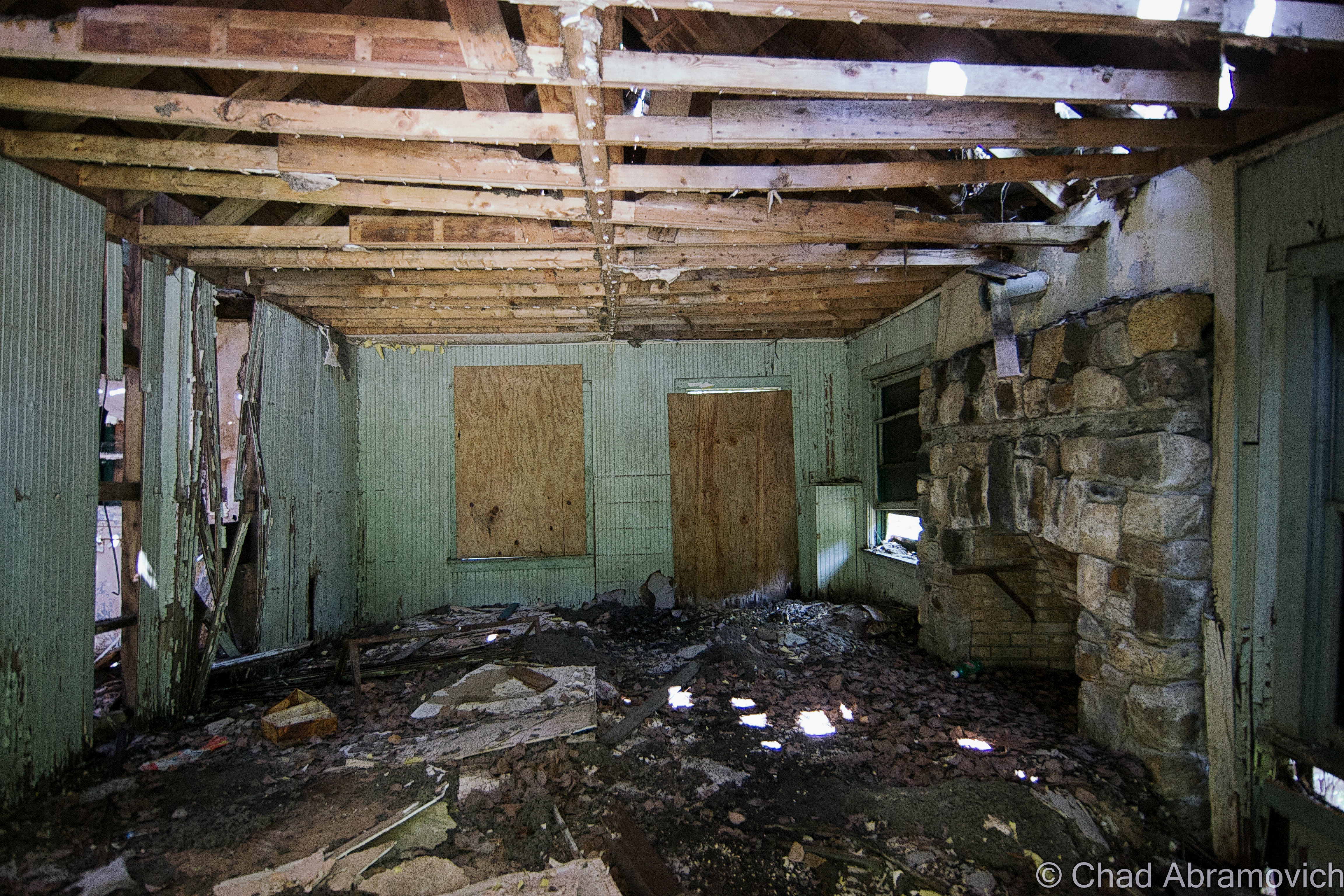
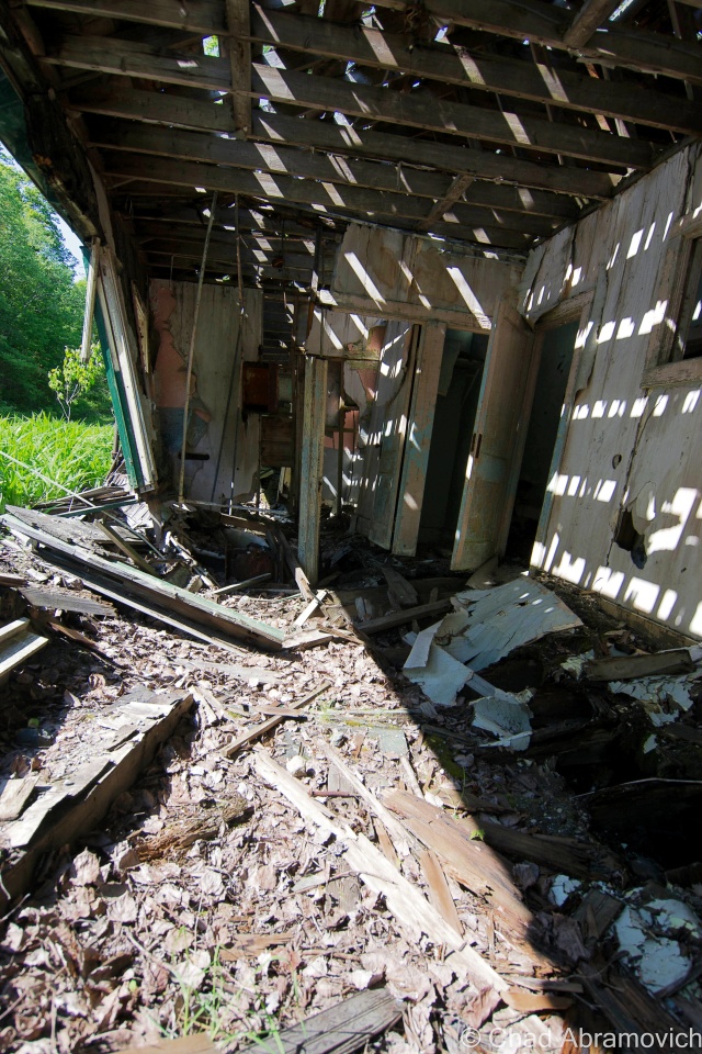
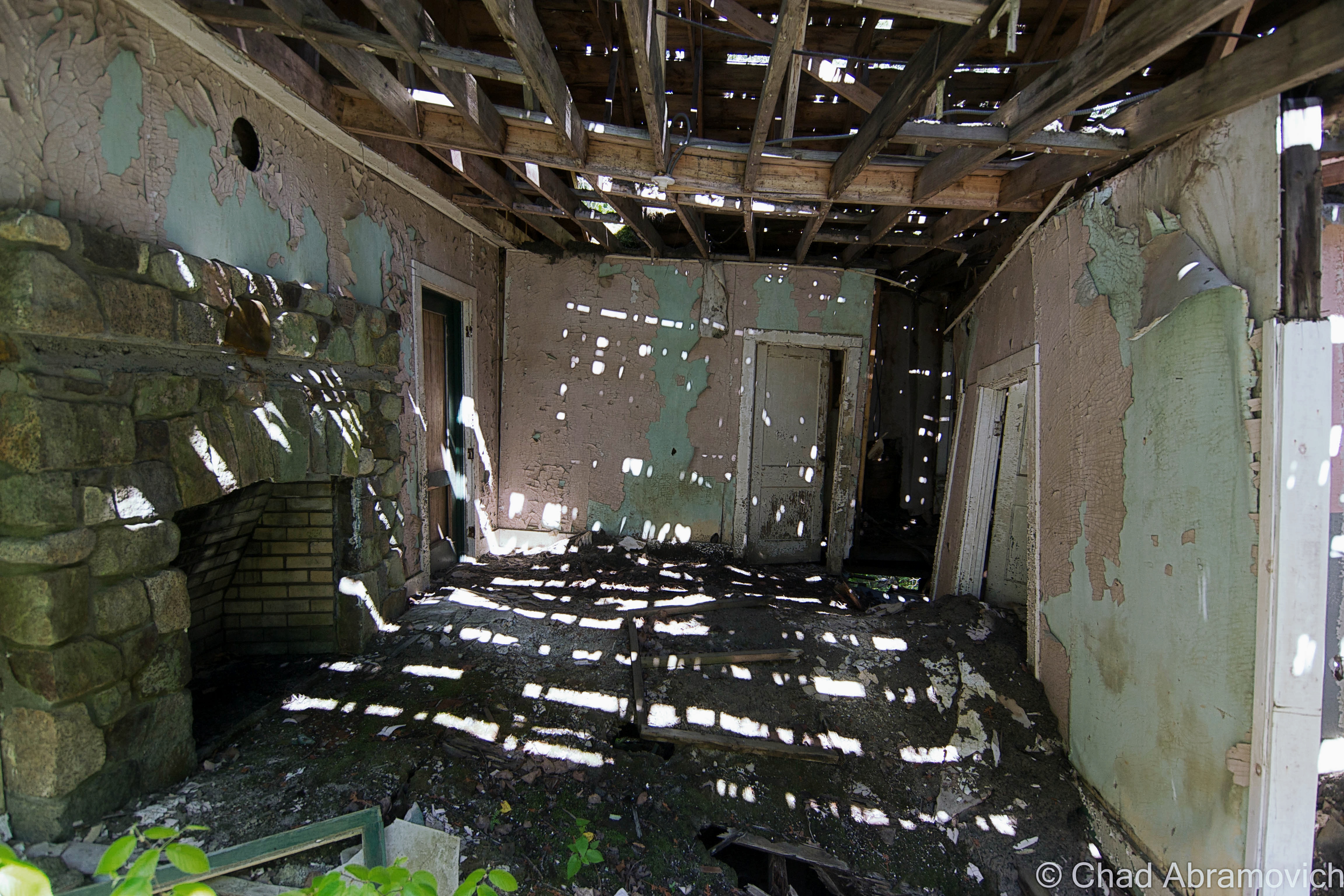
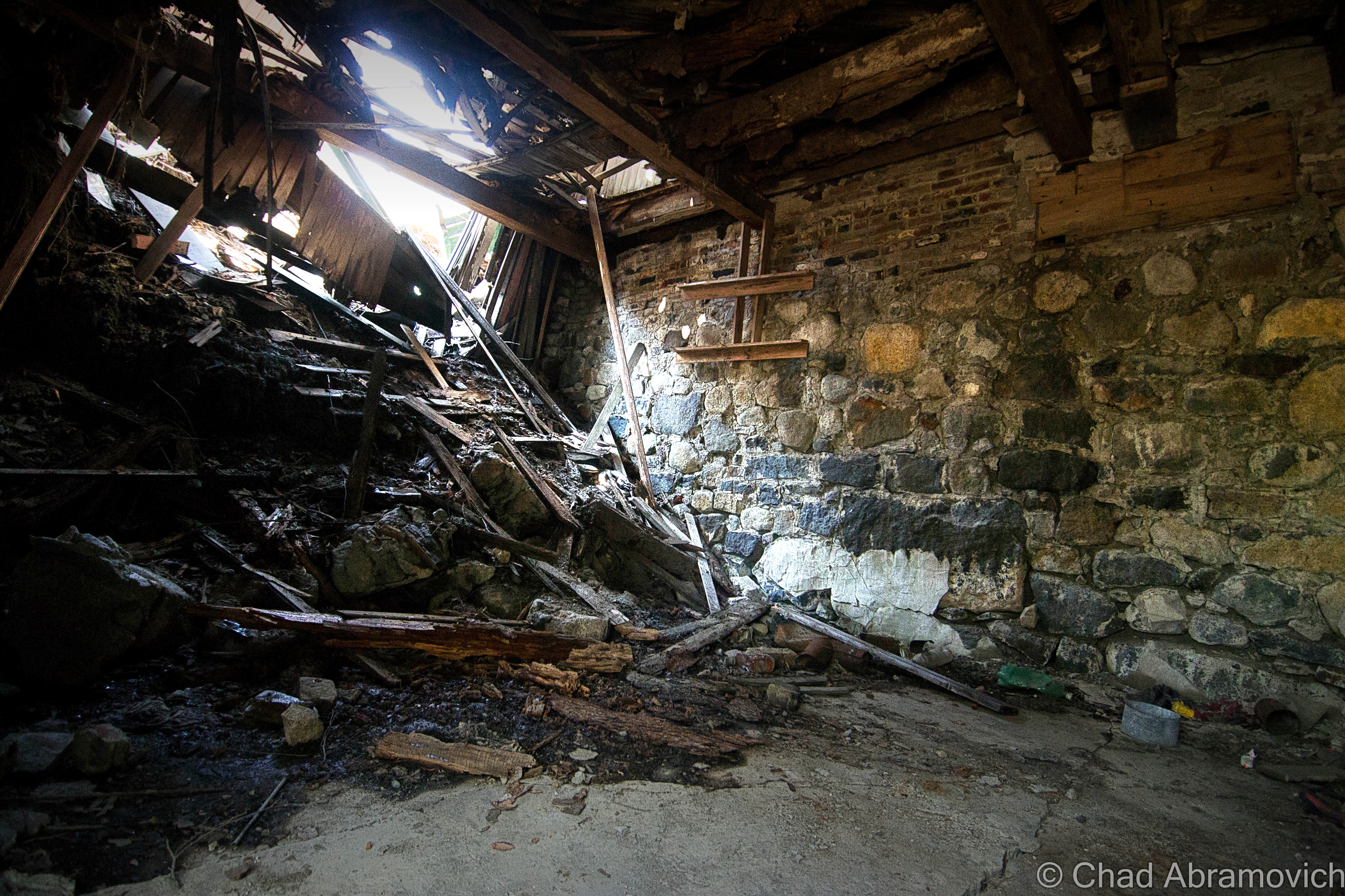
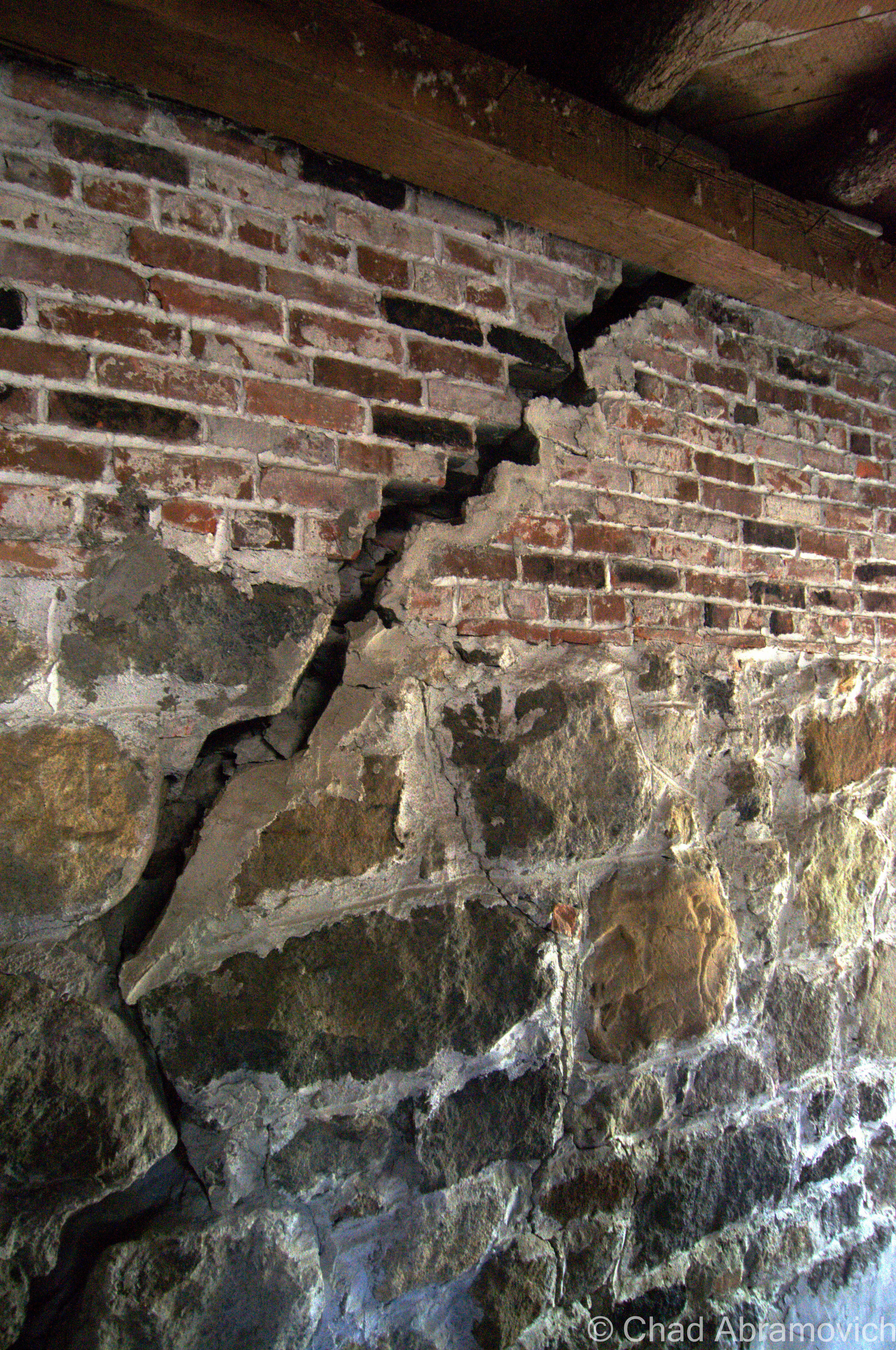
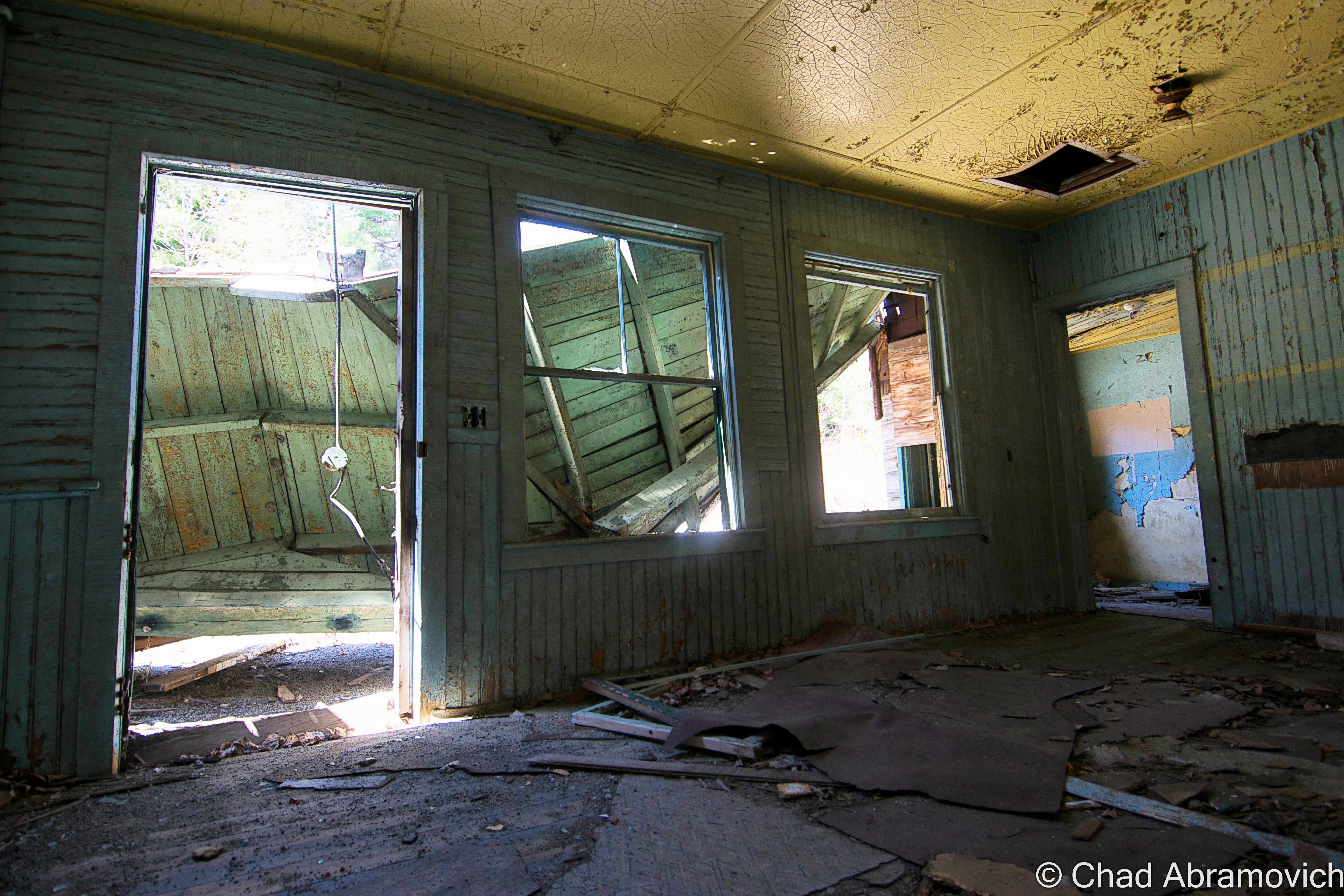
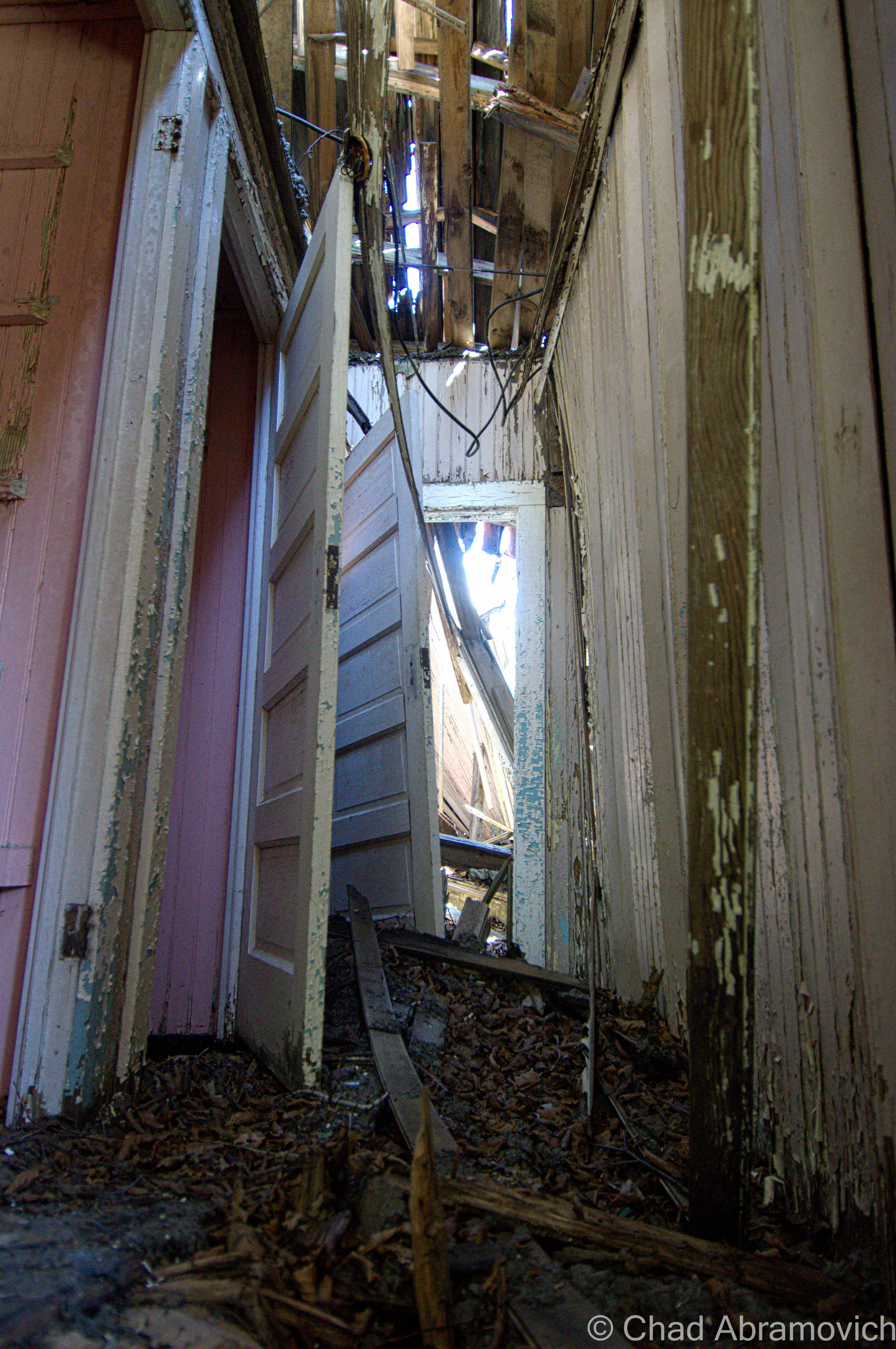
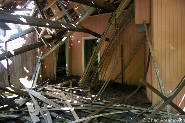
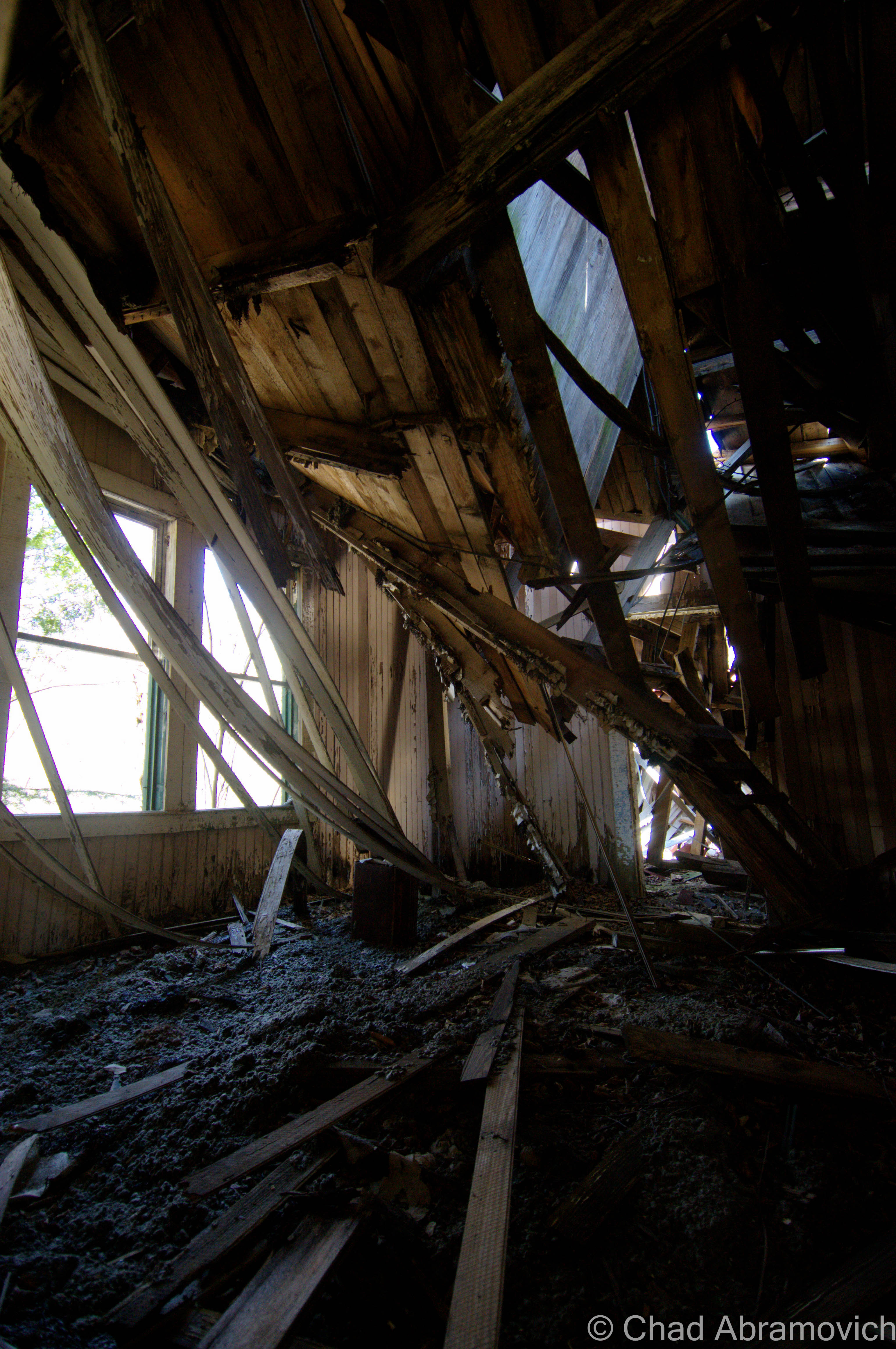
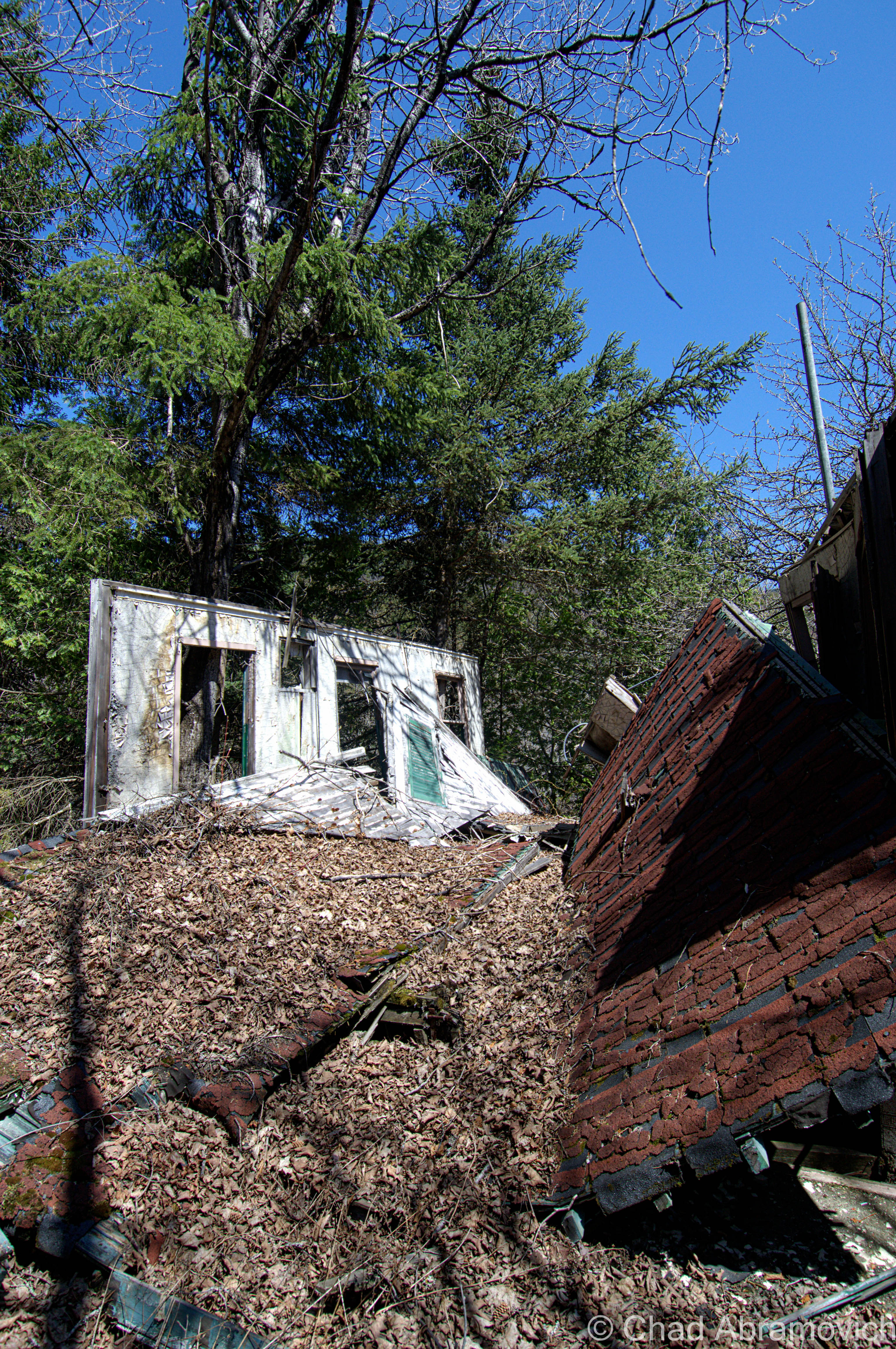
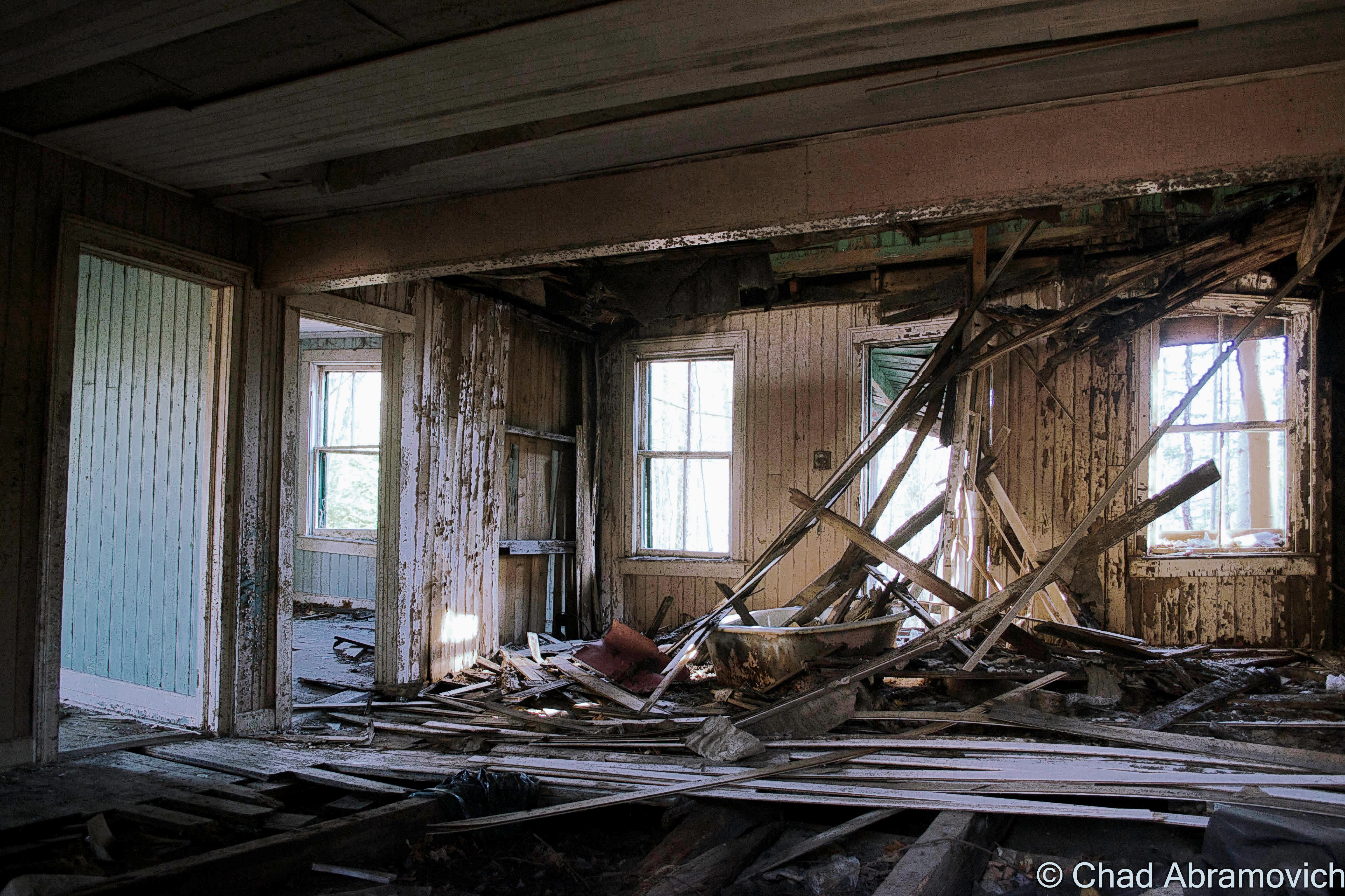
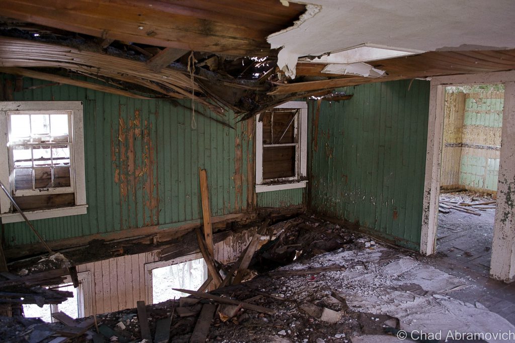
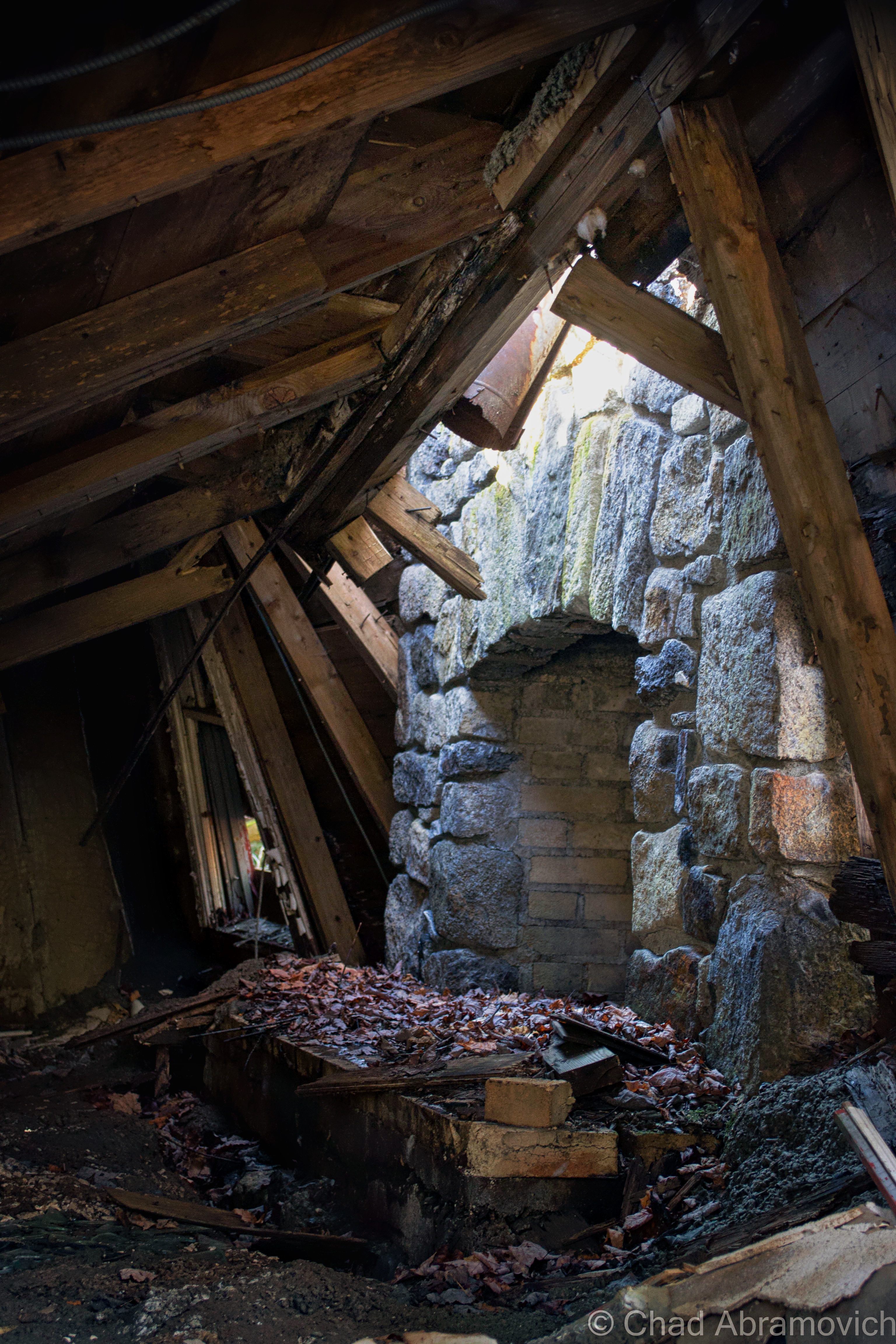
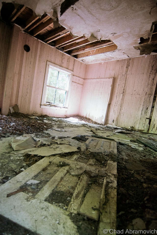
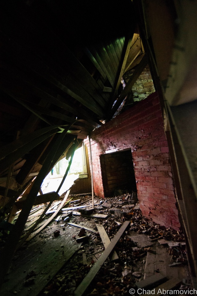
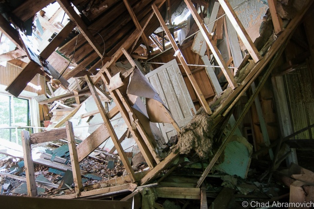
I gazed into the interior dubiously. Because the floor had already begun to sag underneath the weight of my hands as I pulled myself up, I wasn’t sure if this was going to be worth the risk or not. The lack of maintenance has caused serious damage to parts of the buildings – especially the roof. The damage has festered its way down to the stone cellar, causing the entire structure to rapidly fall apart from the mercurial freezing and thawing of the seasons.

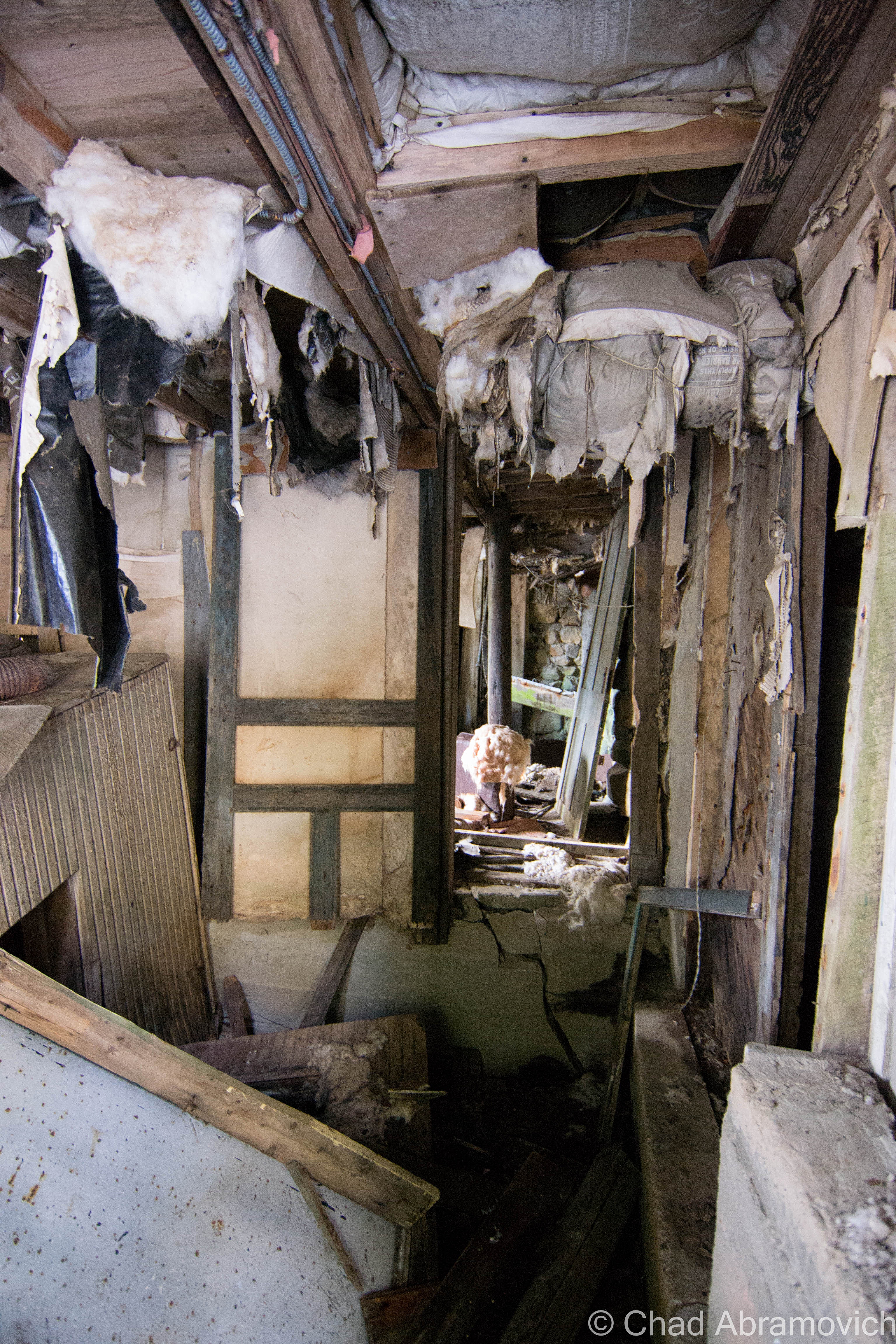
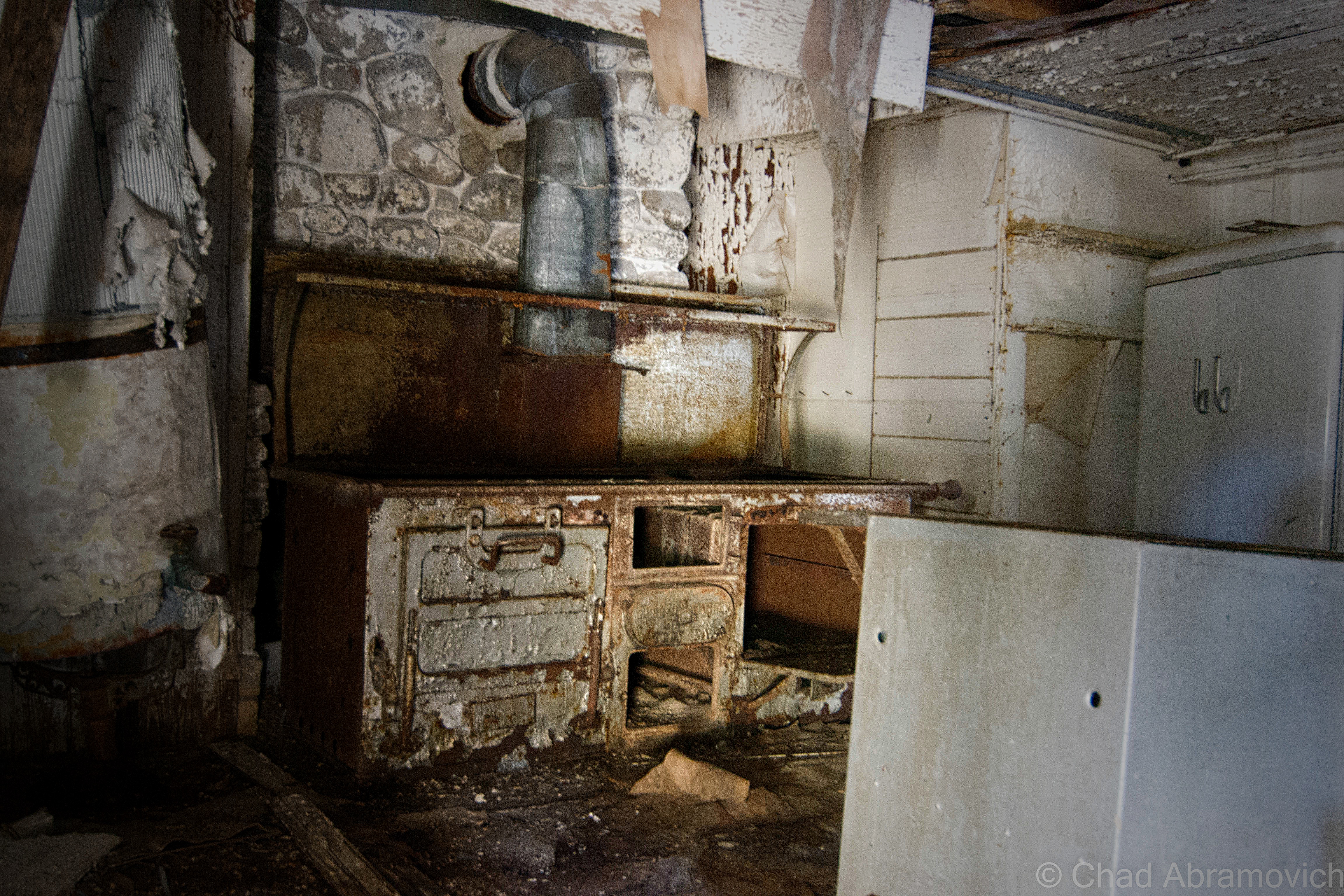
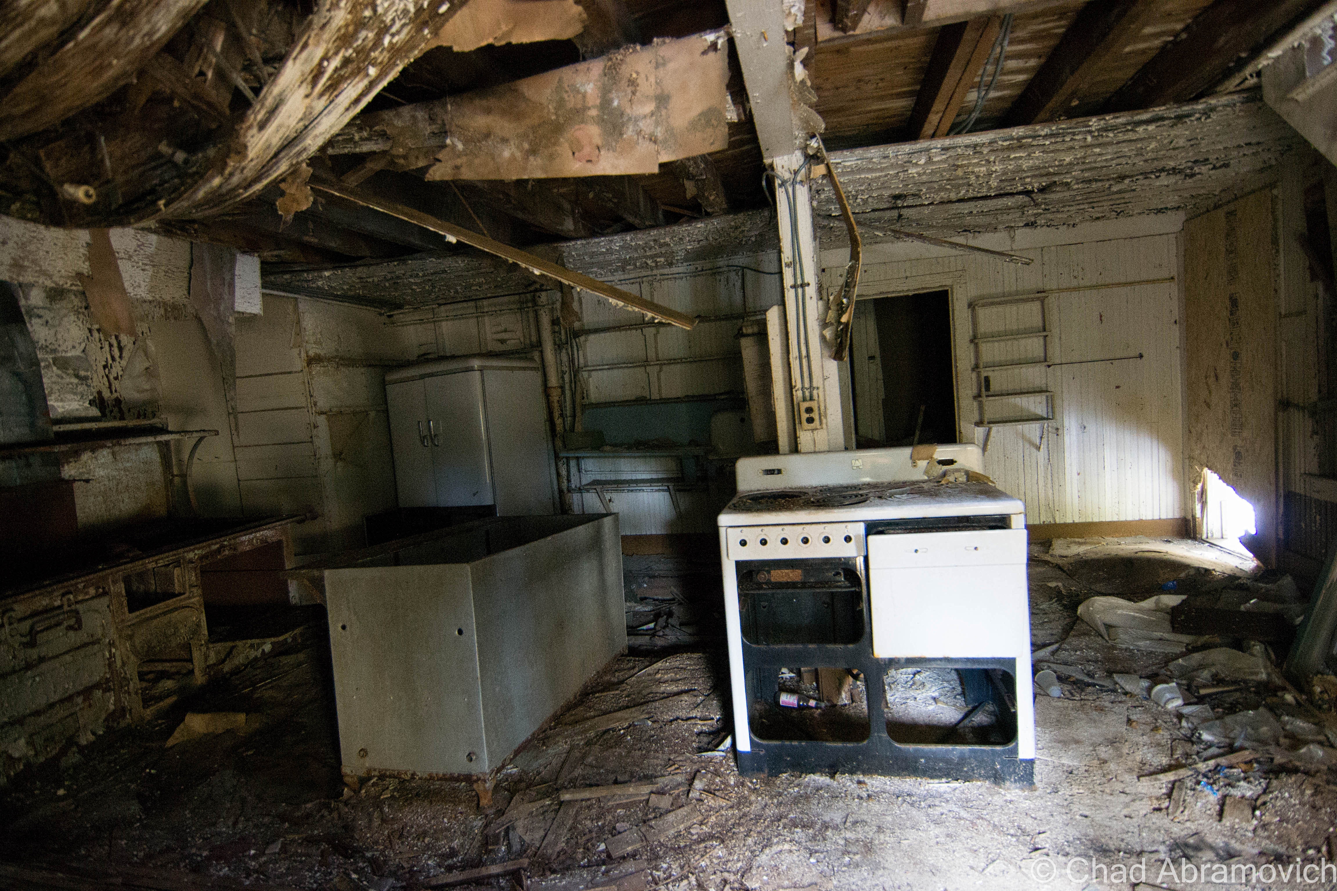
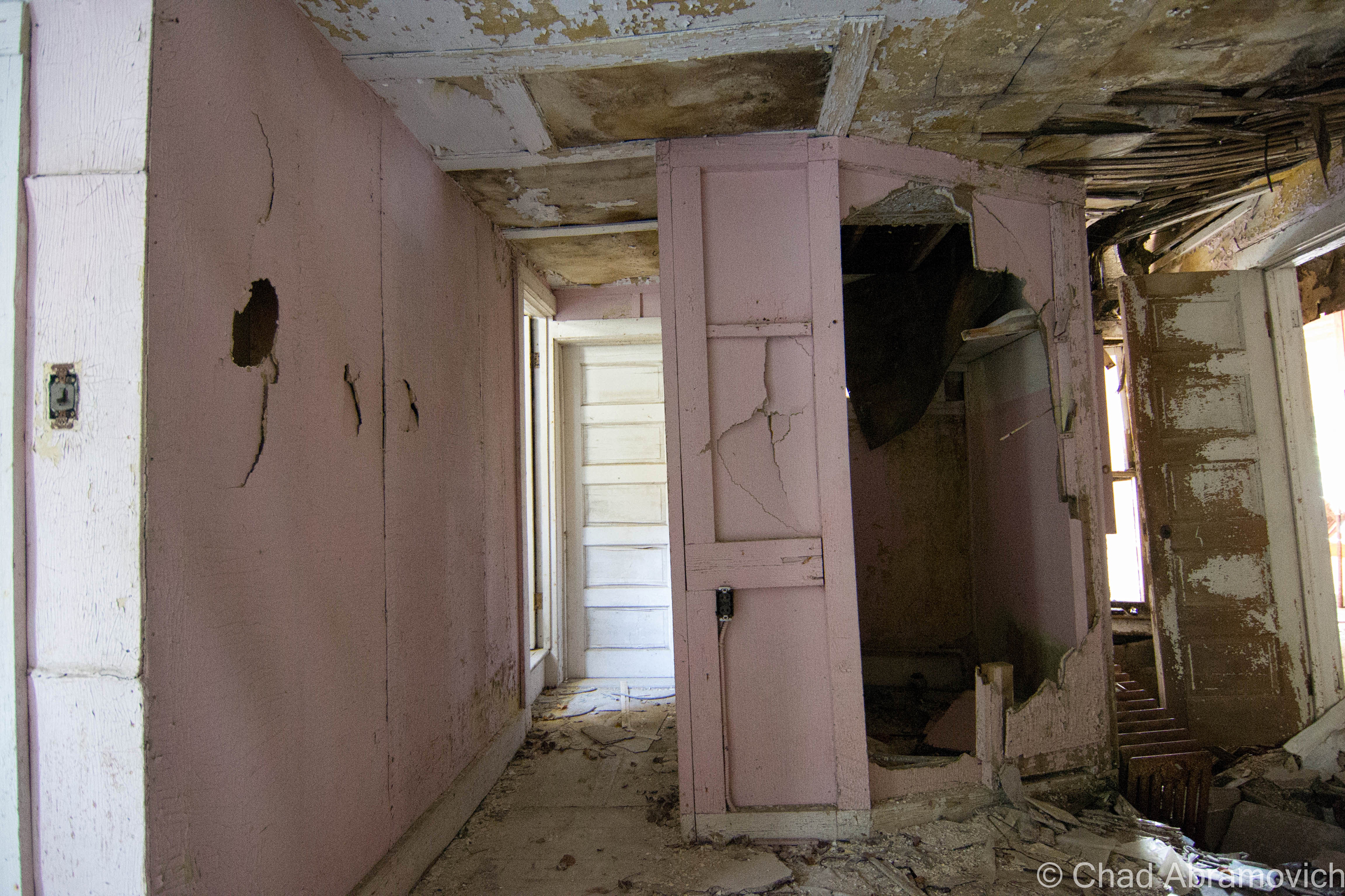
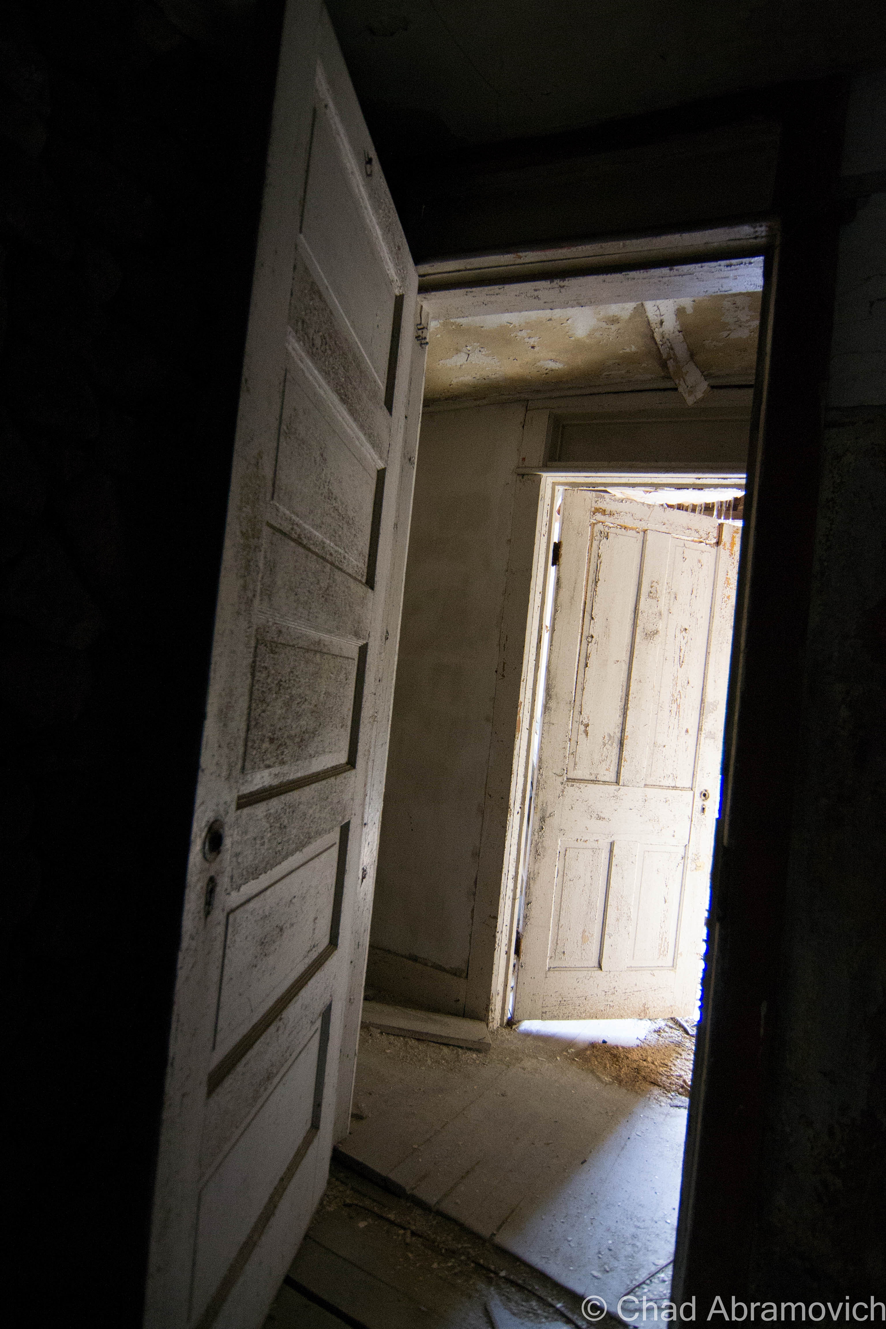
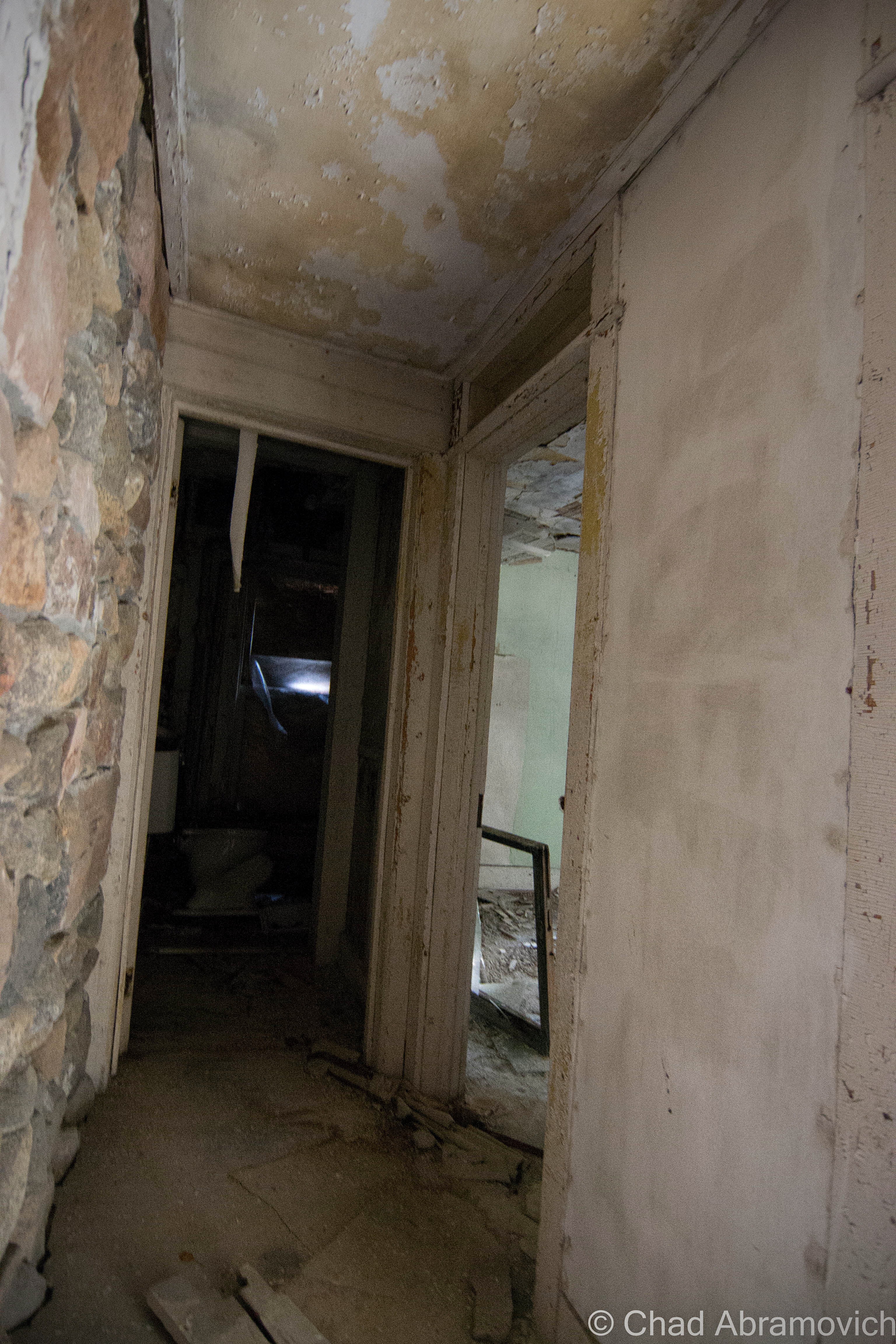
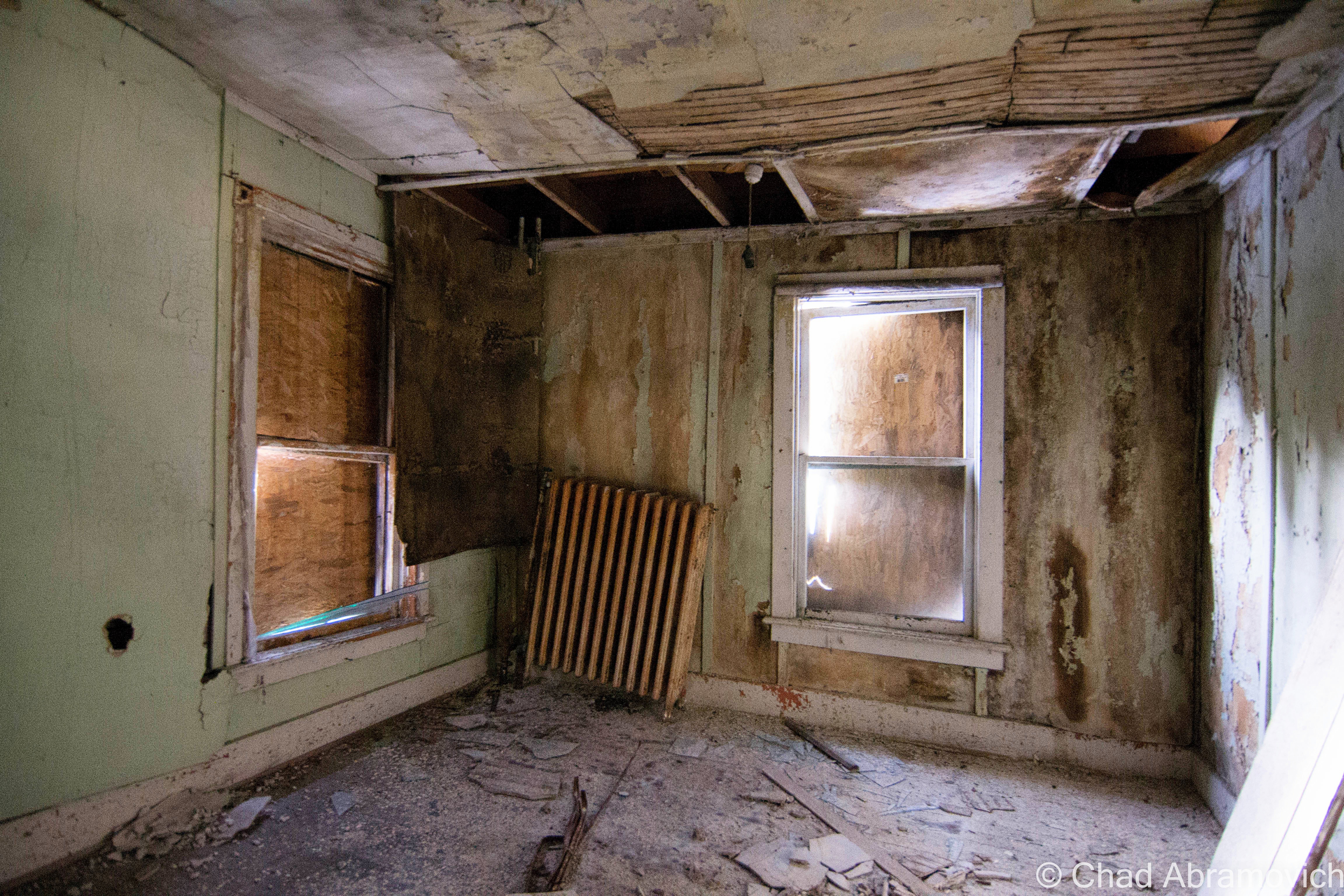
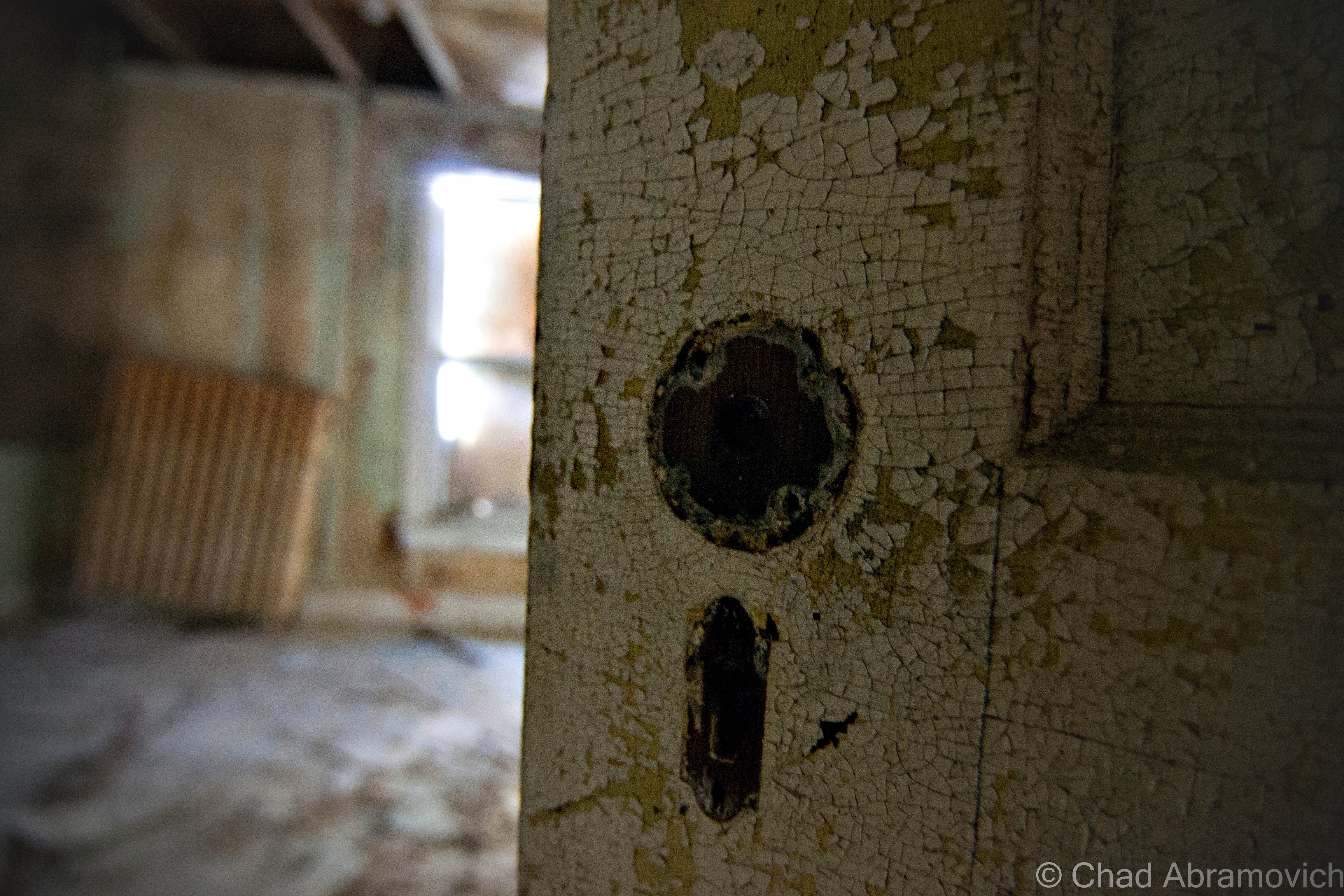
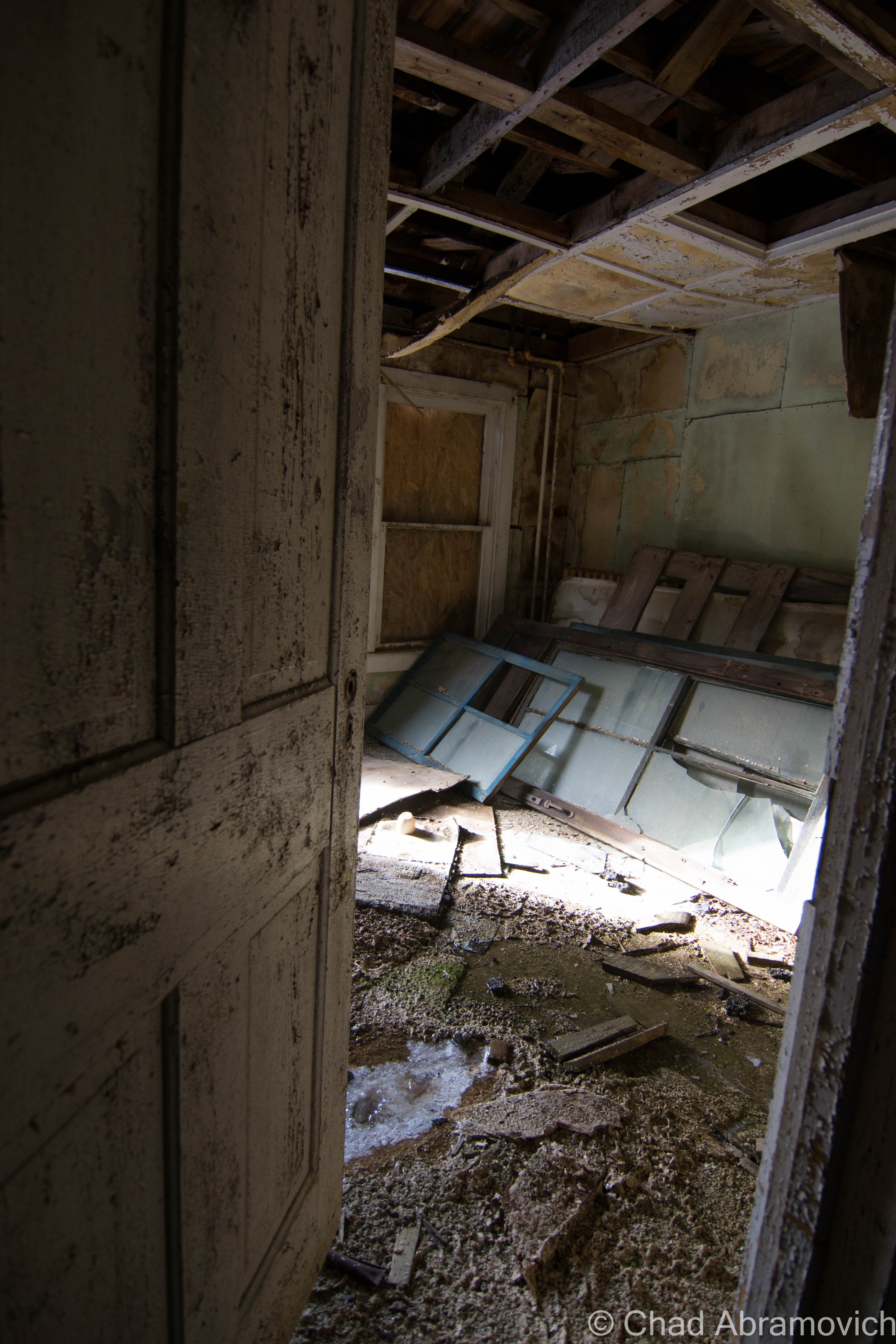
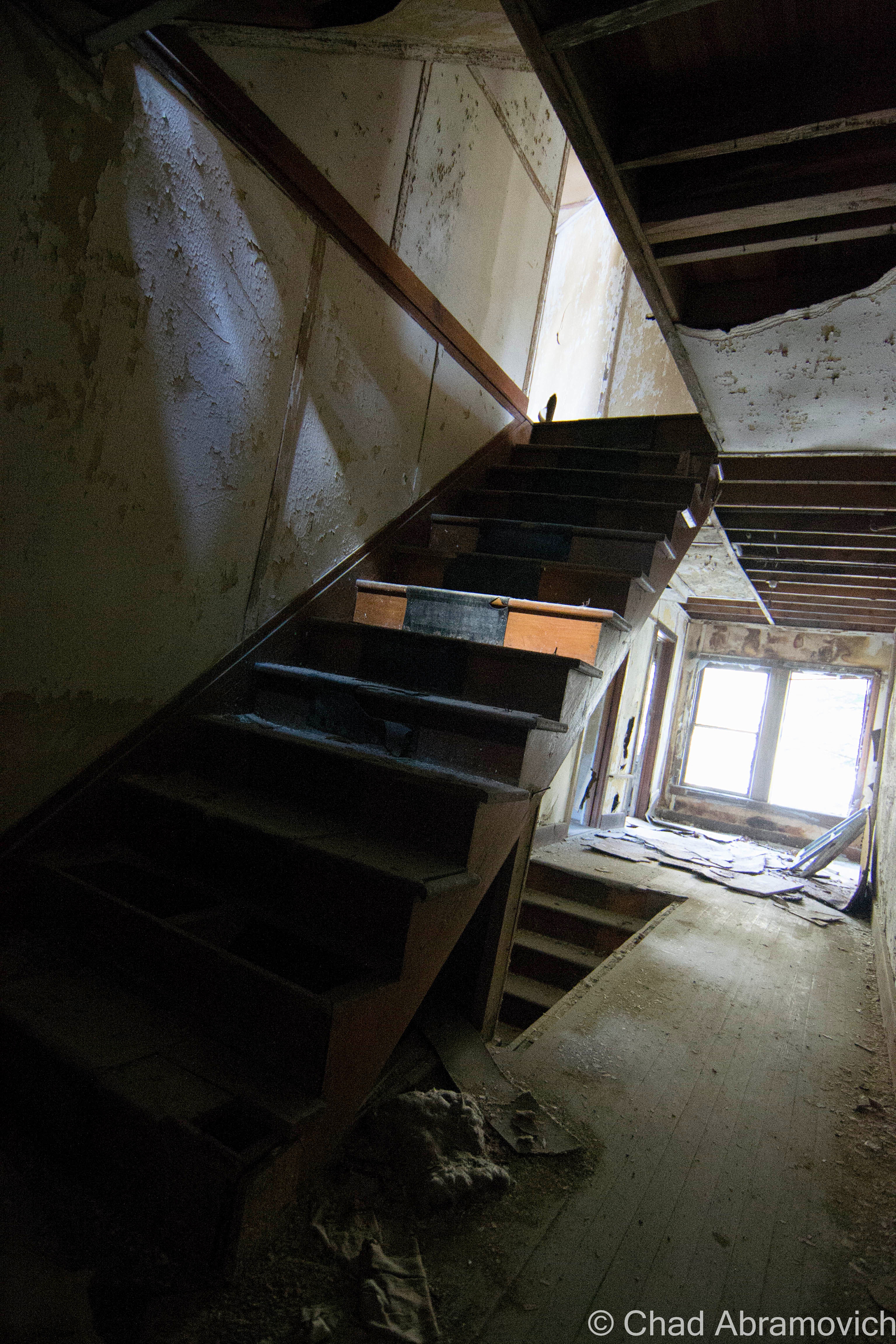
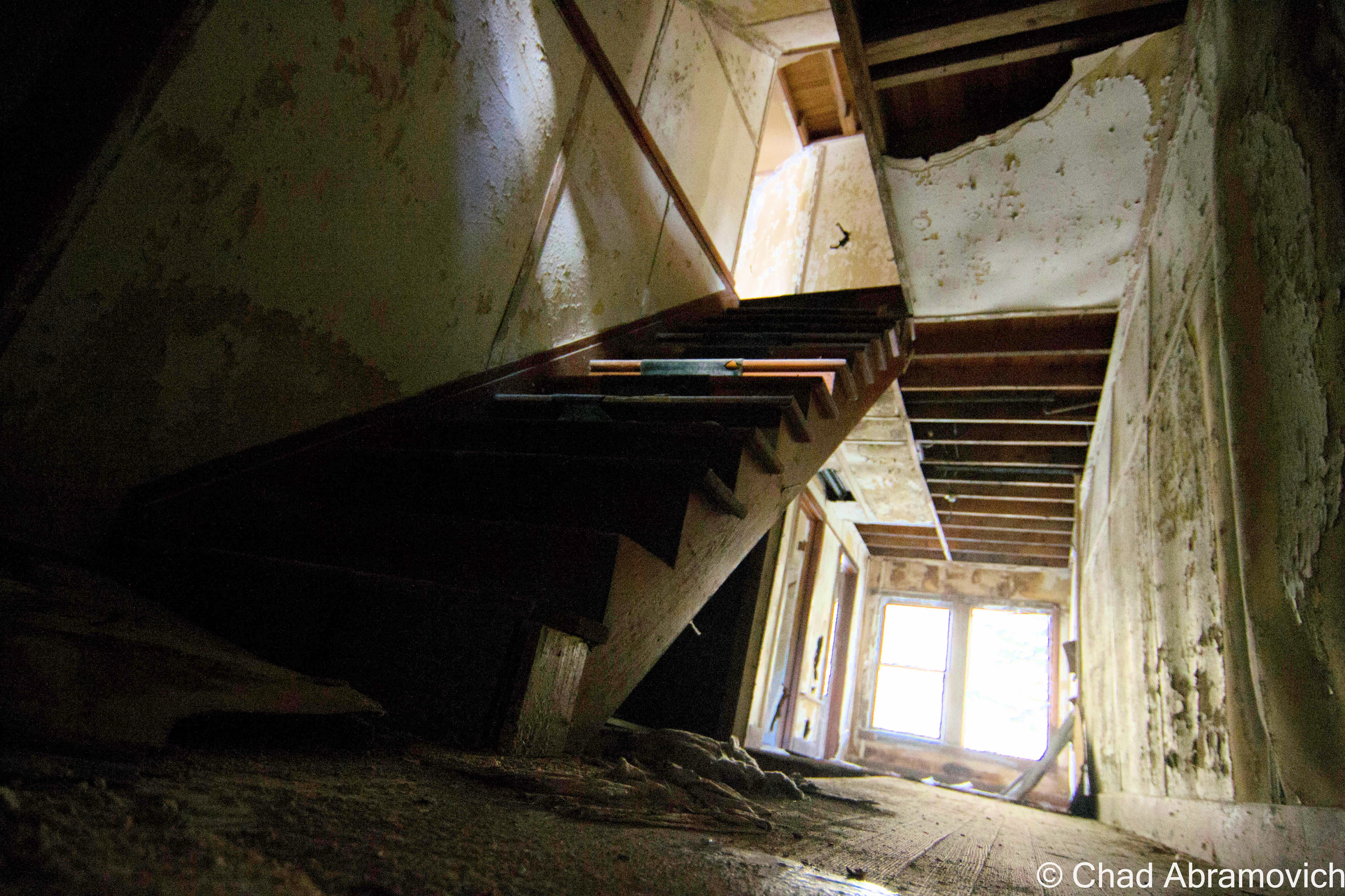
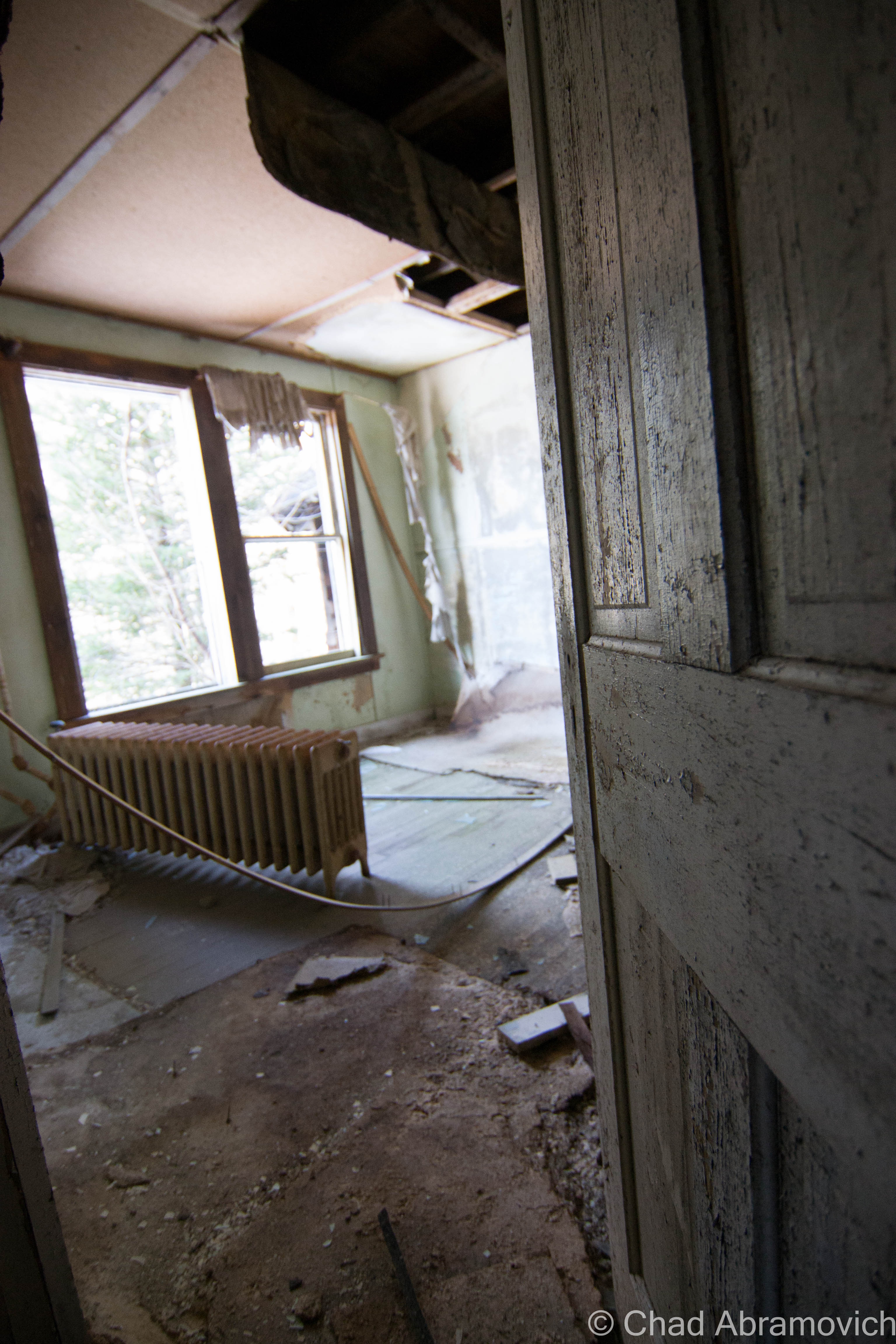
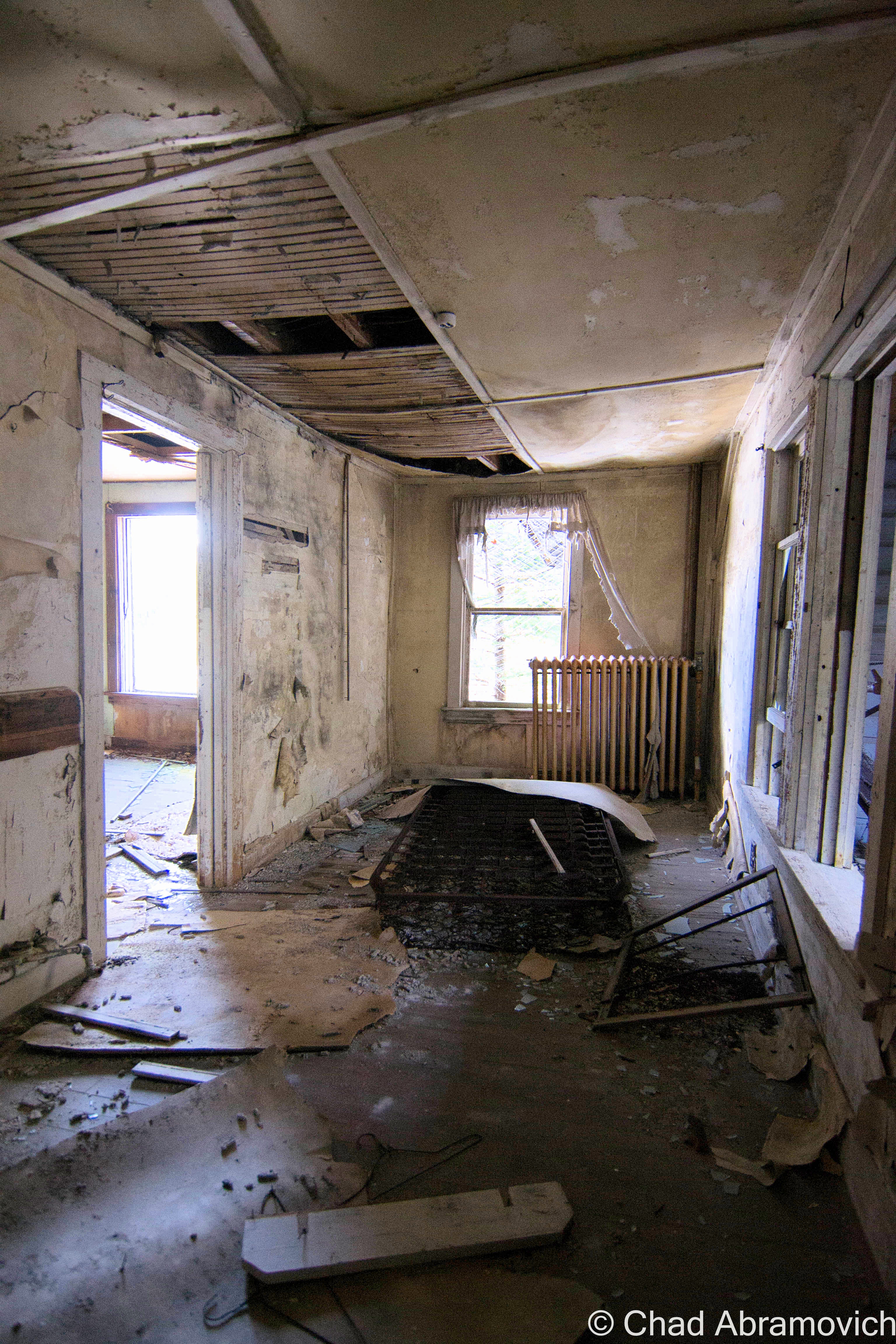
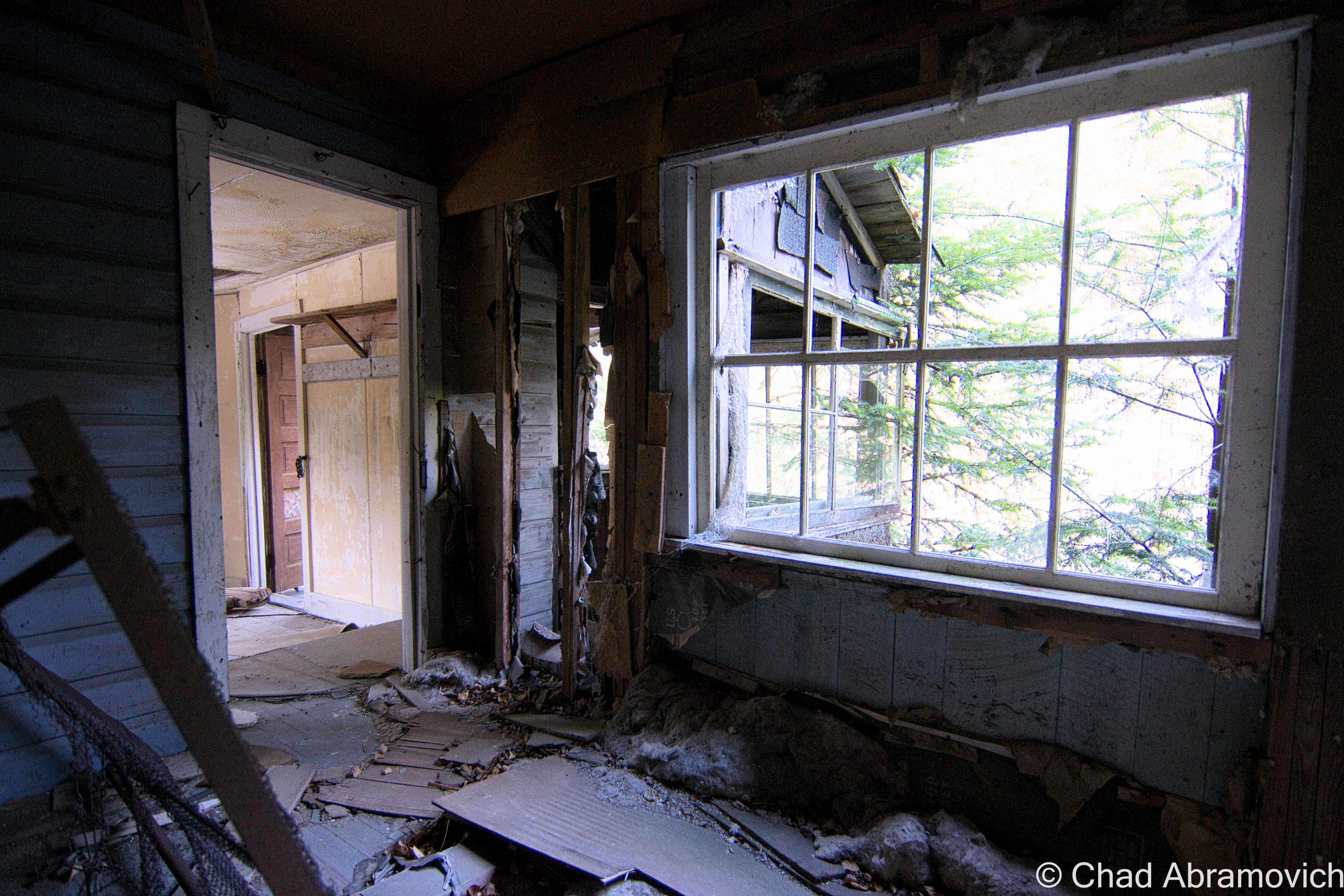
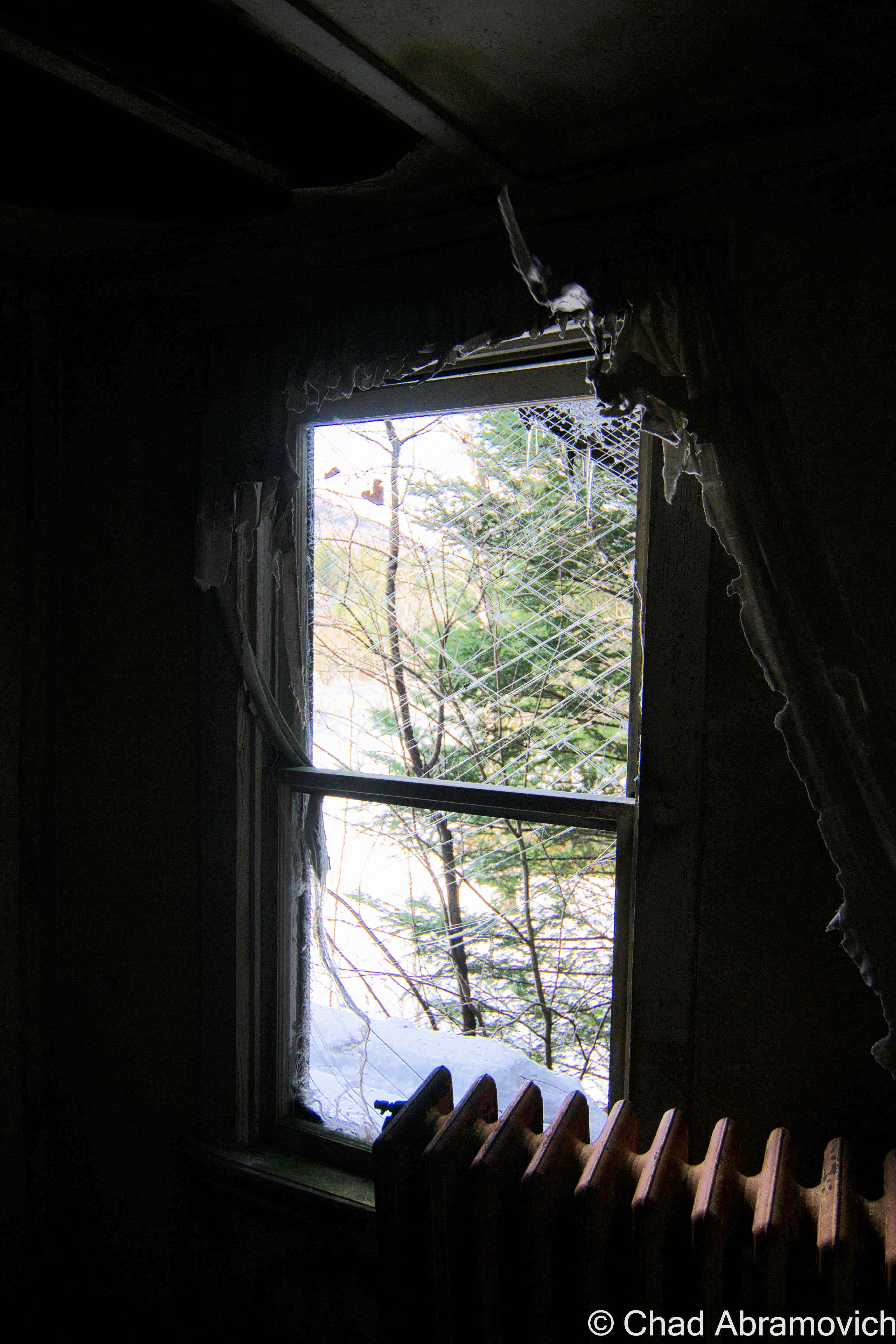
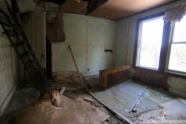
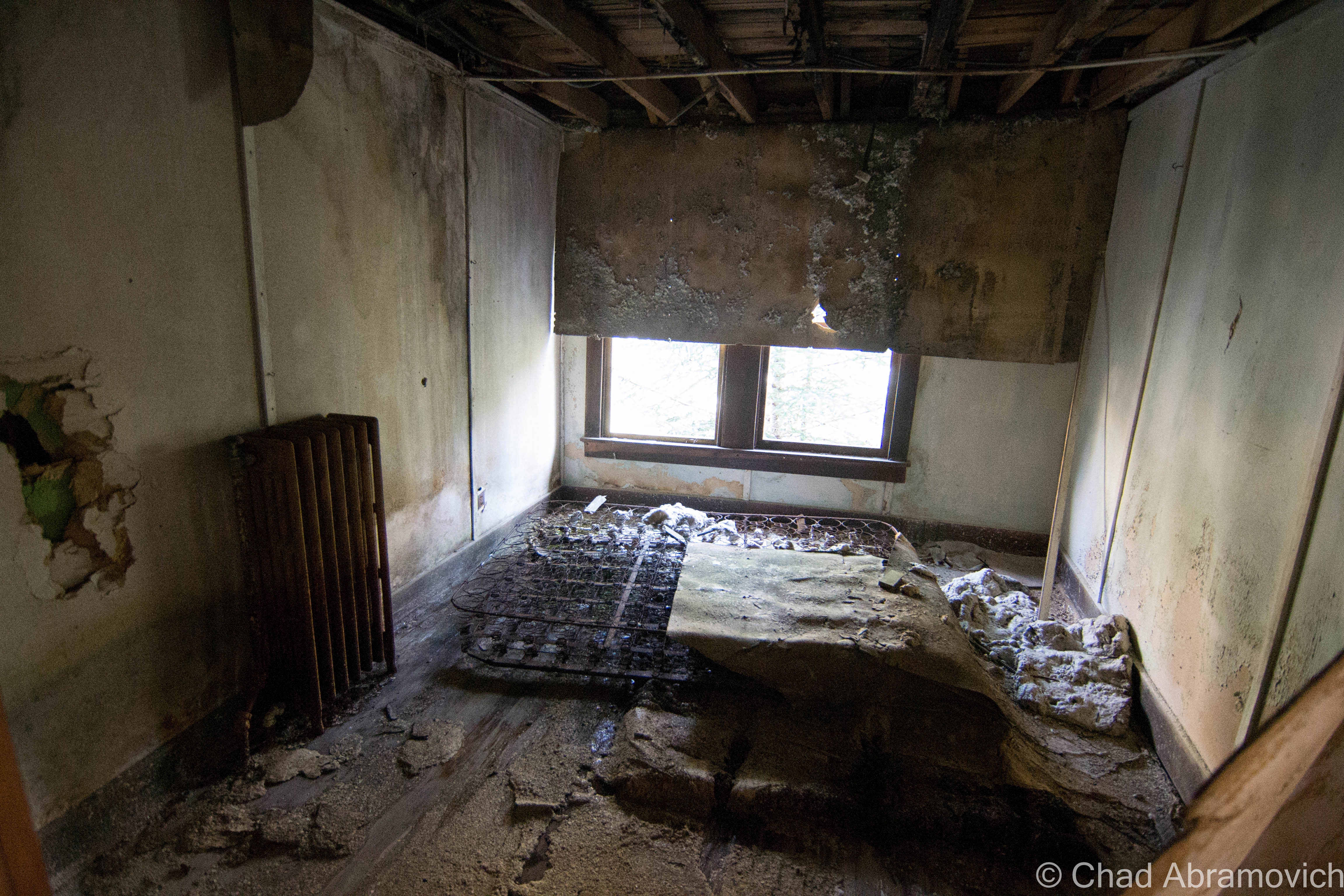
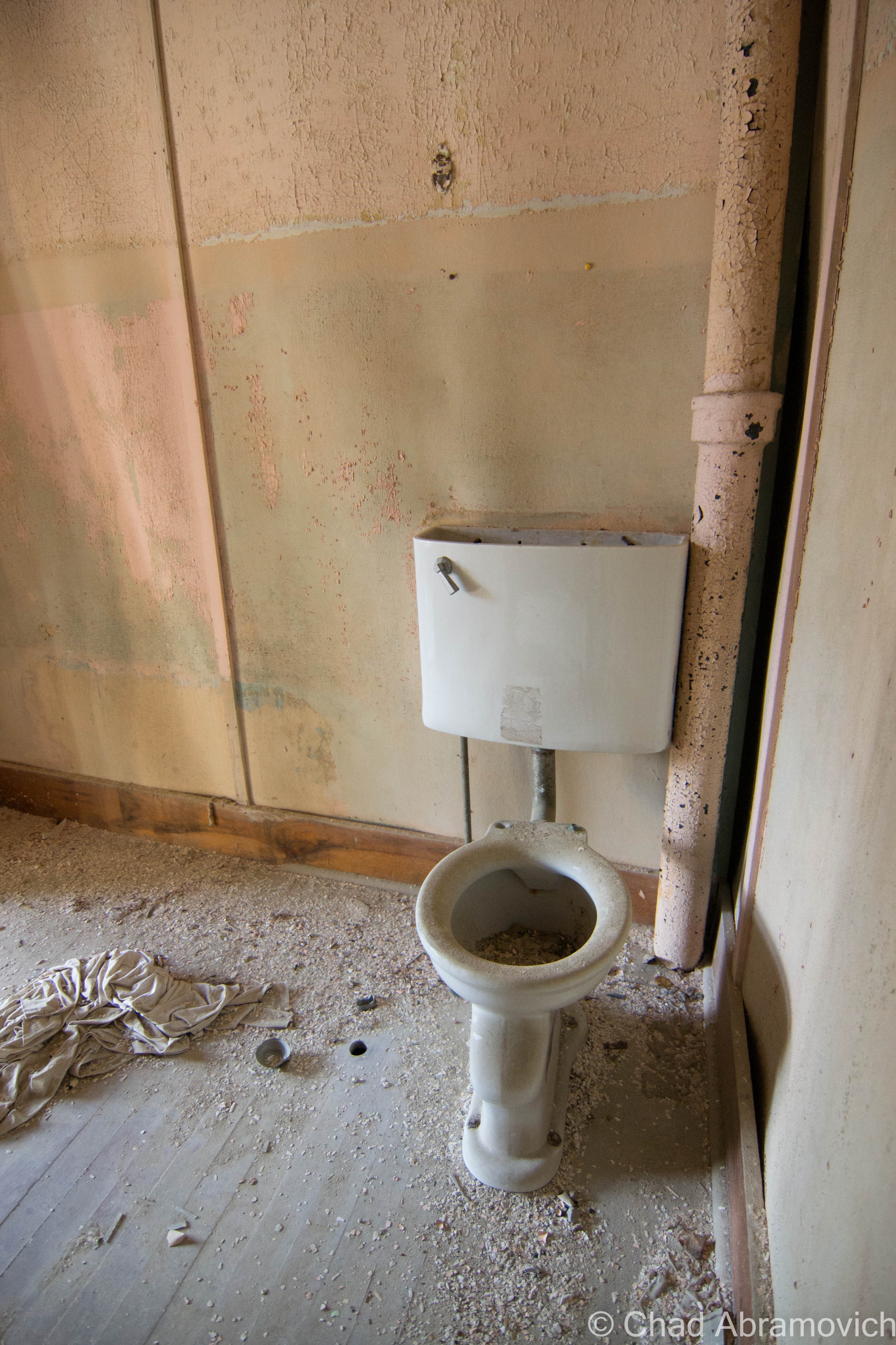
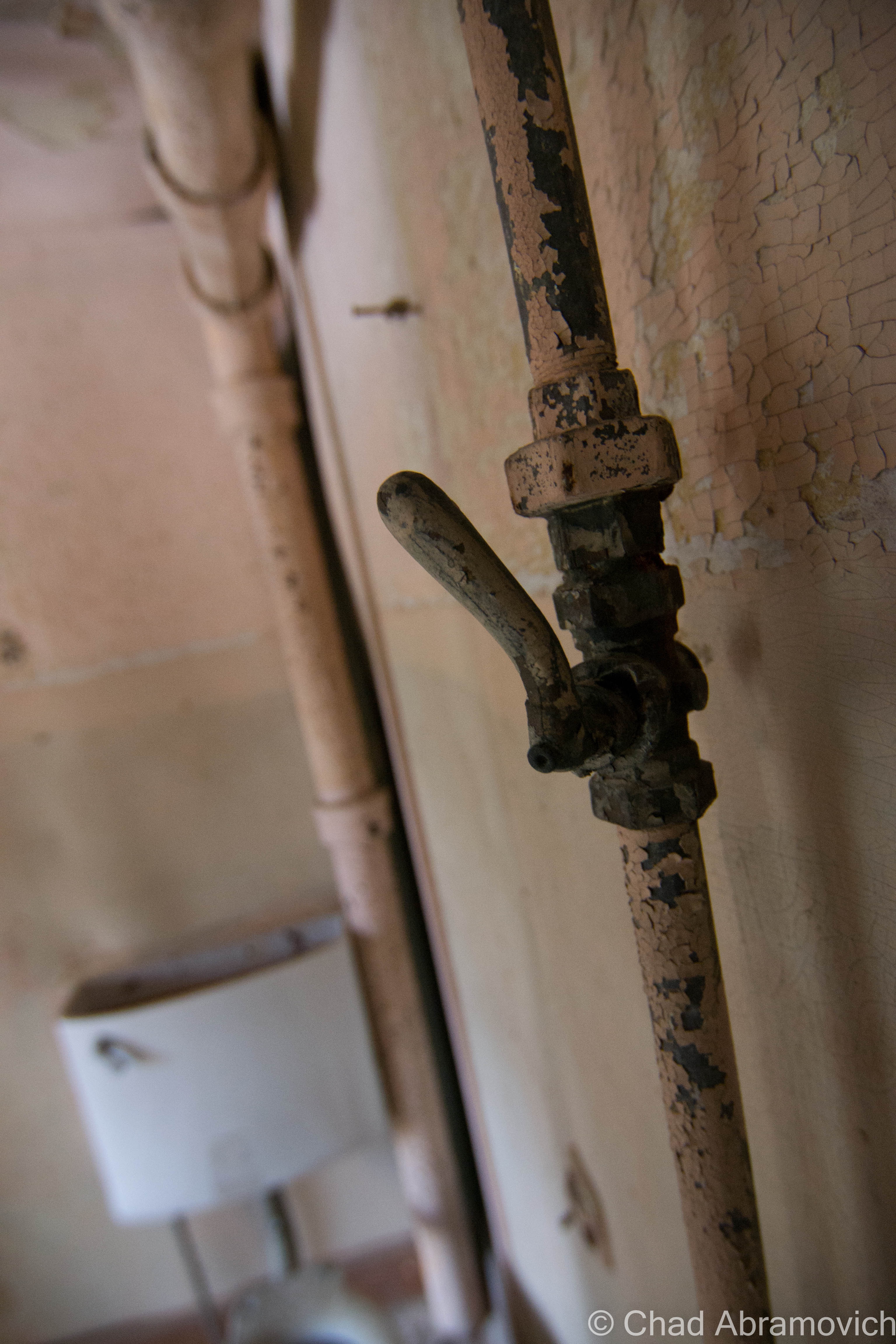
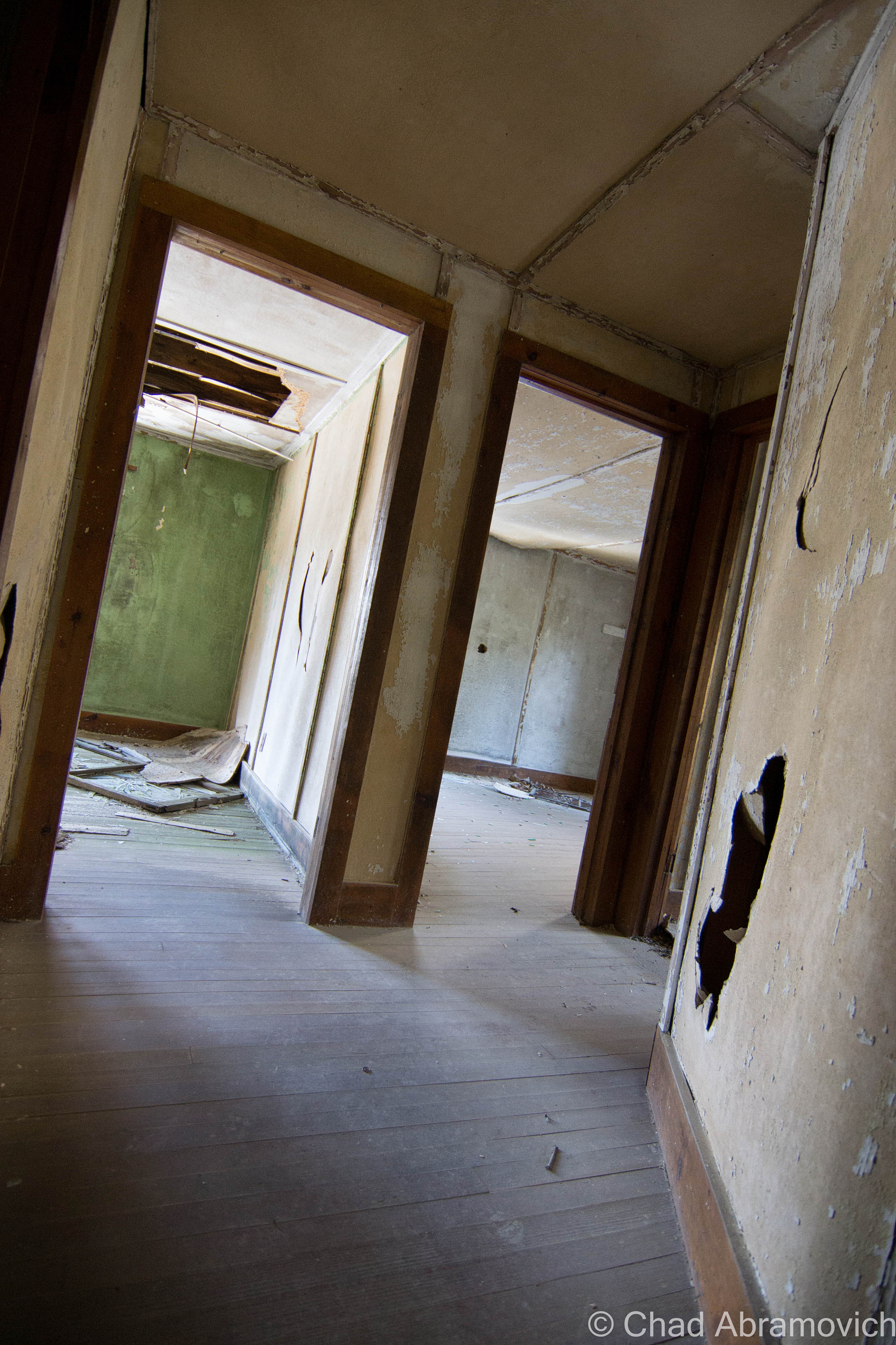
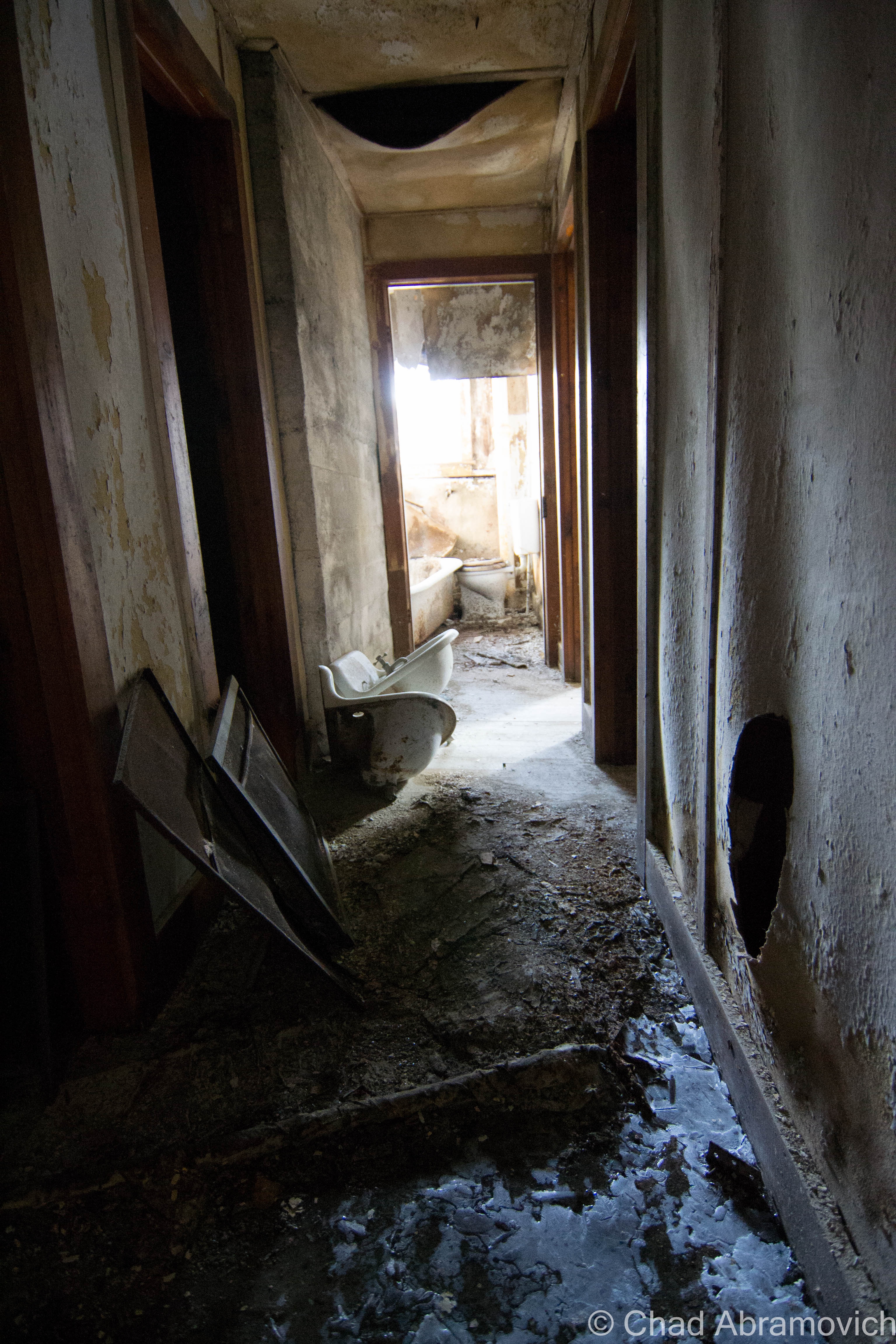
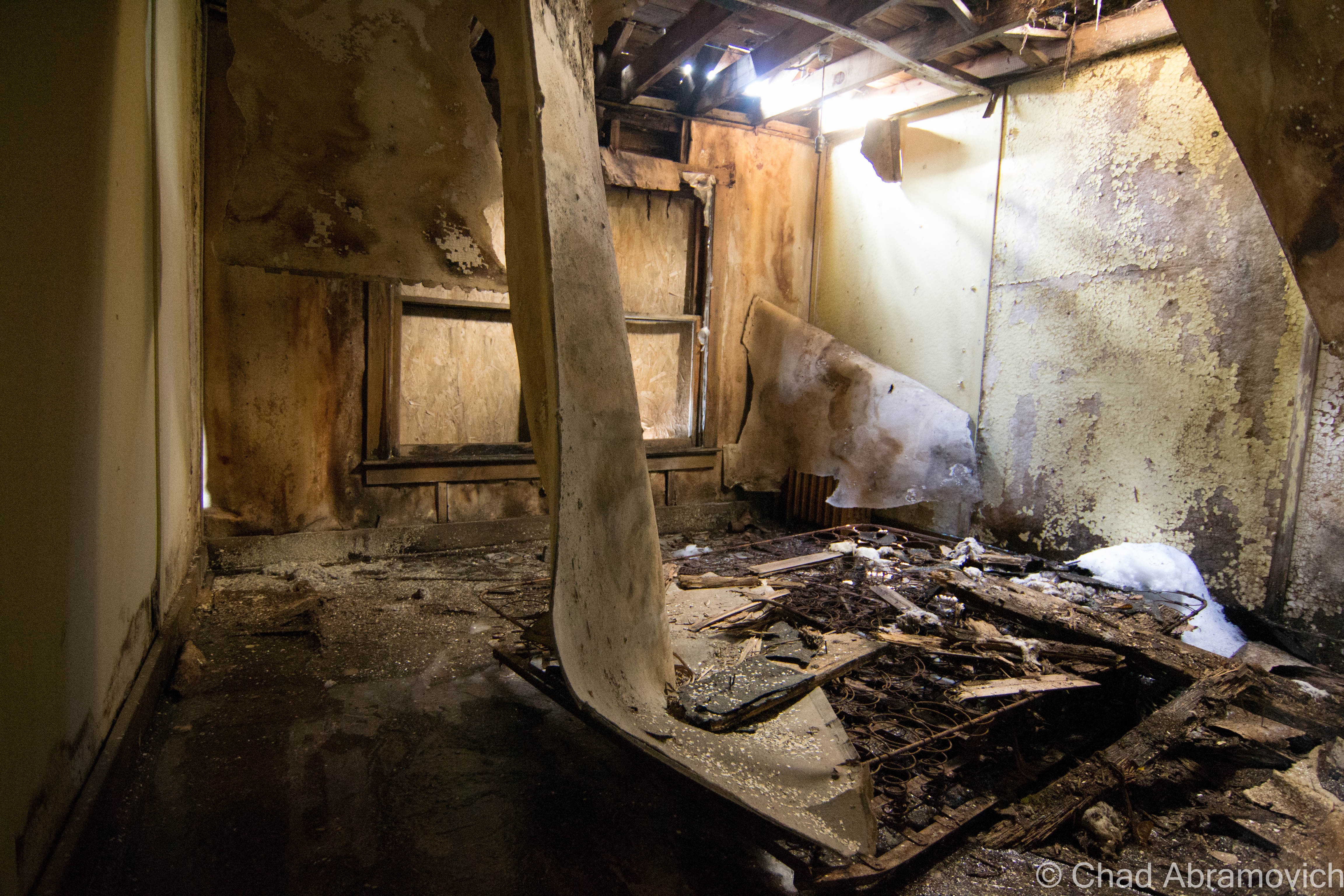
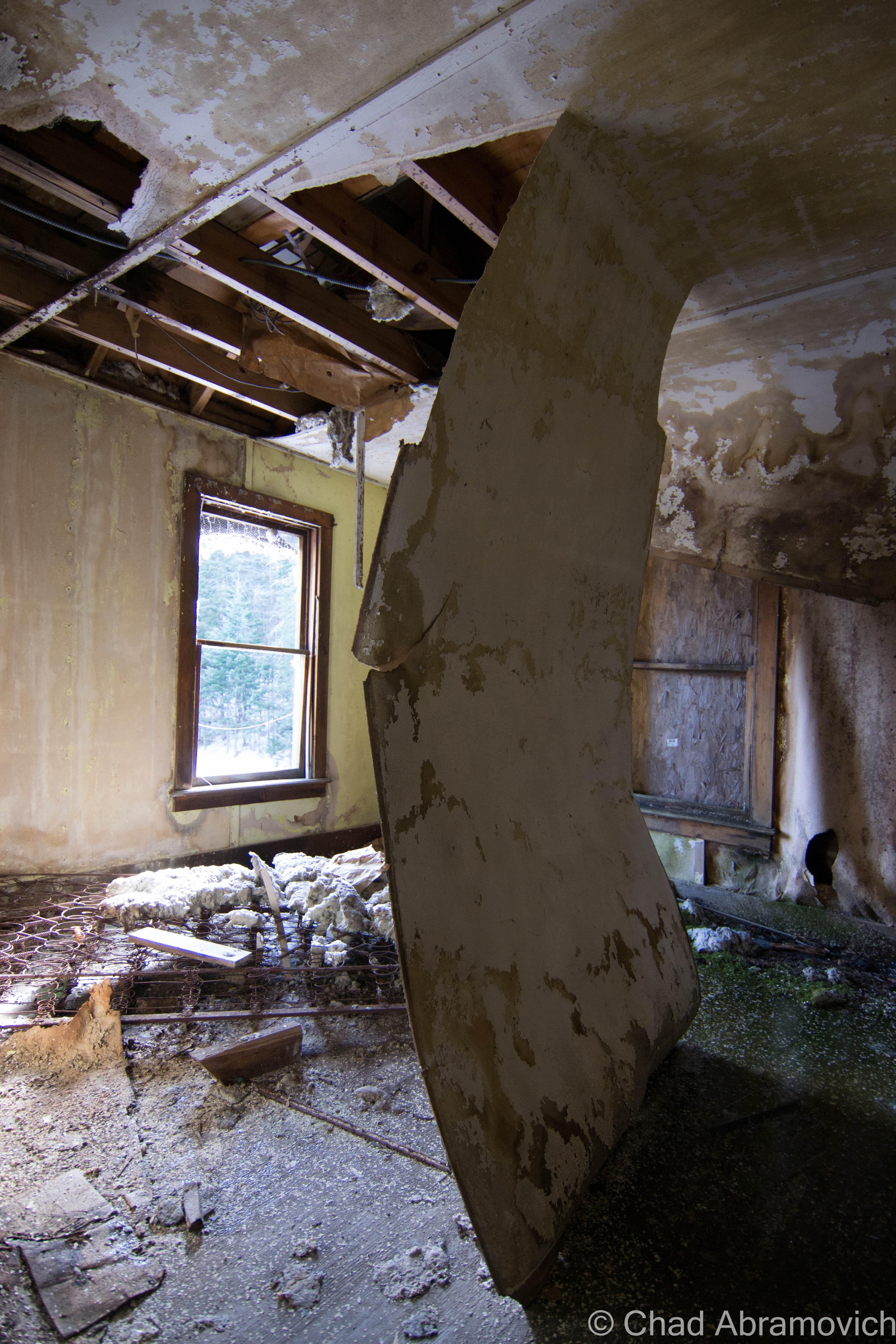
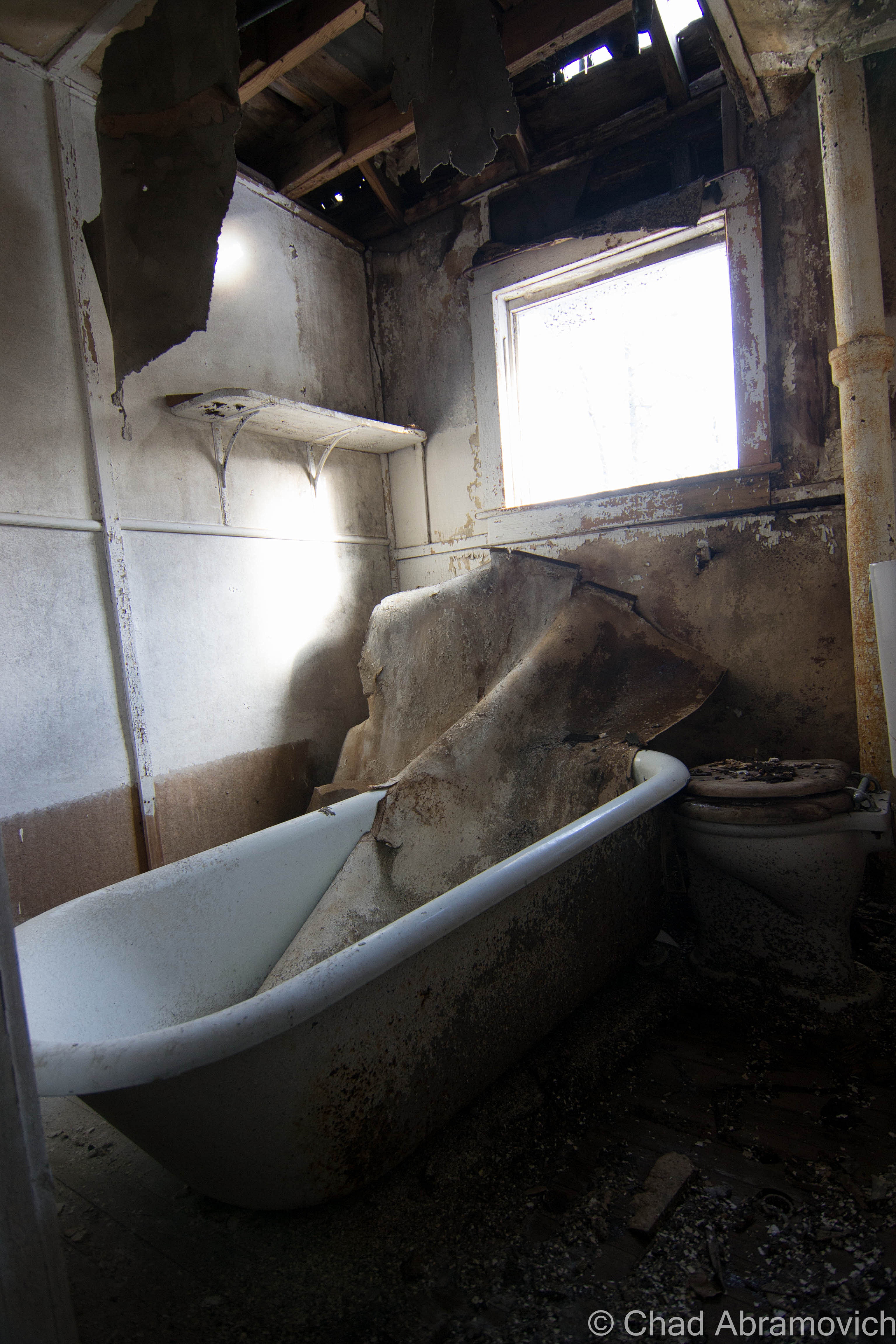
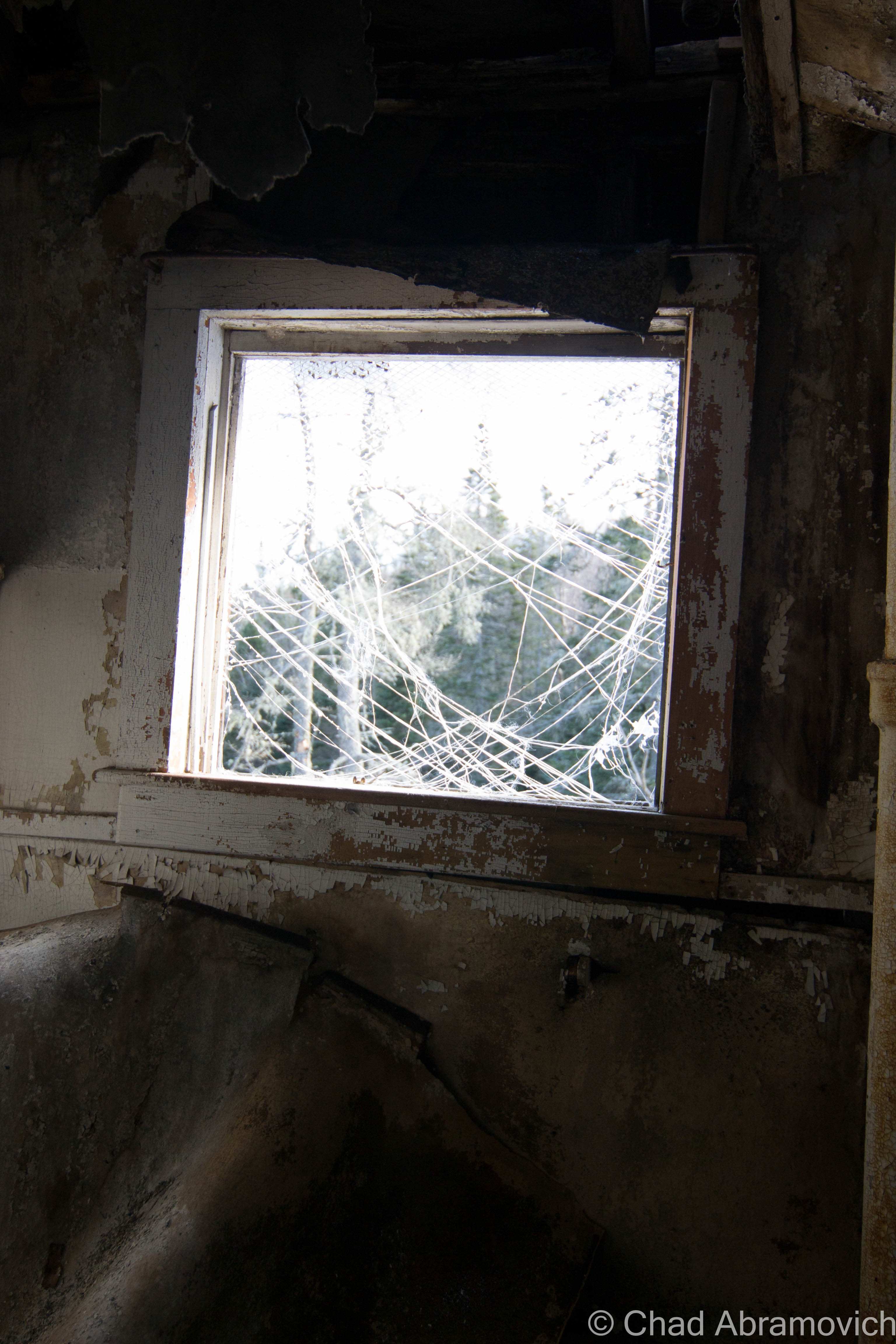
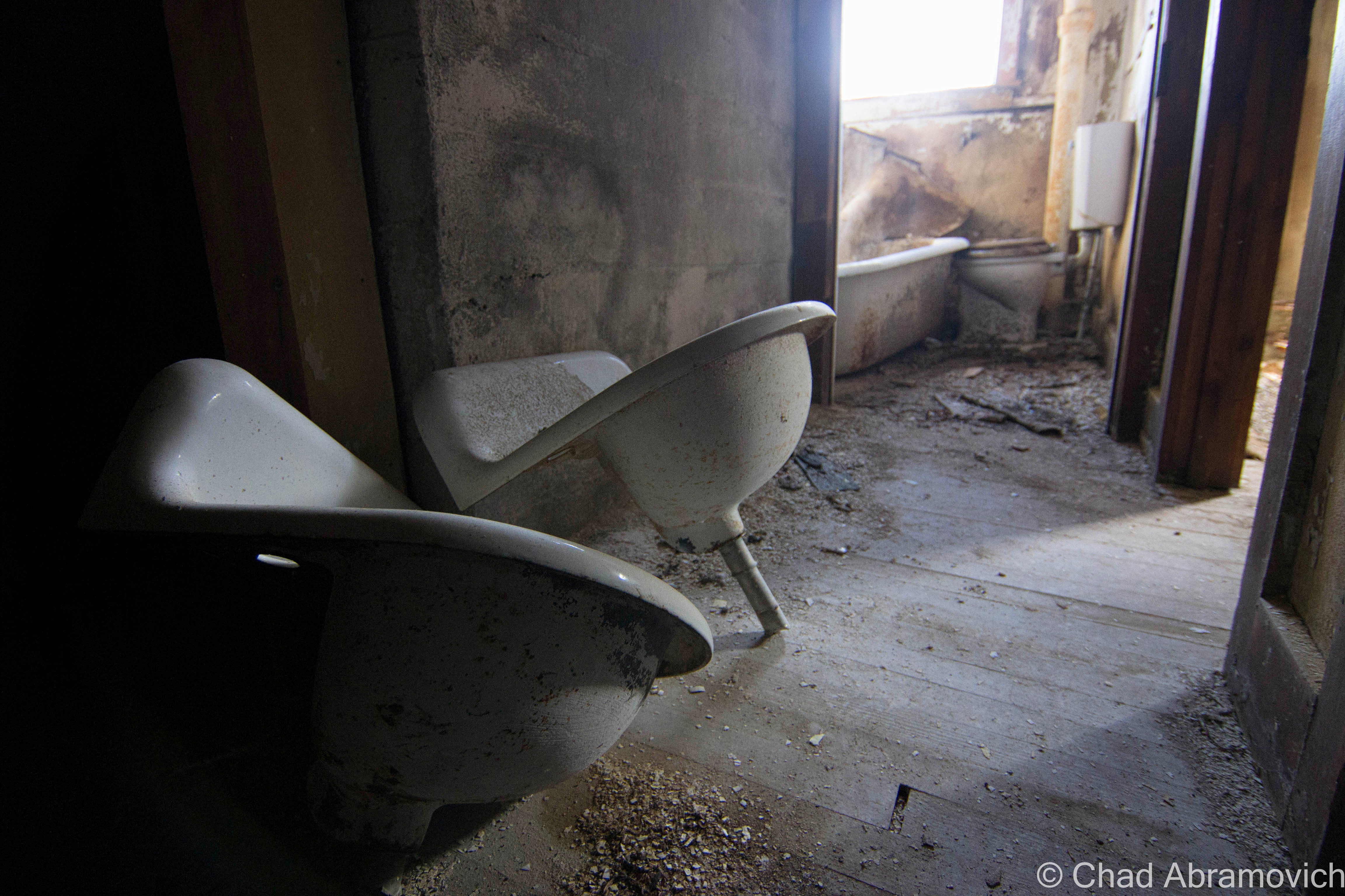
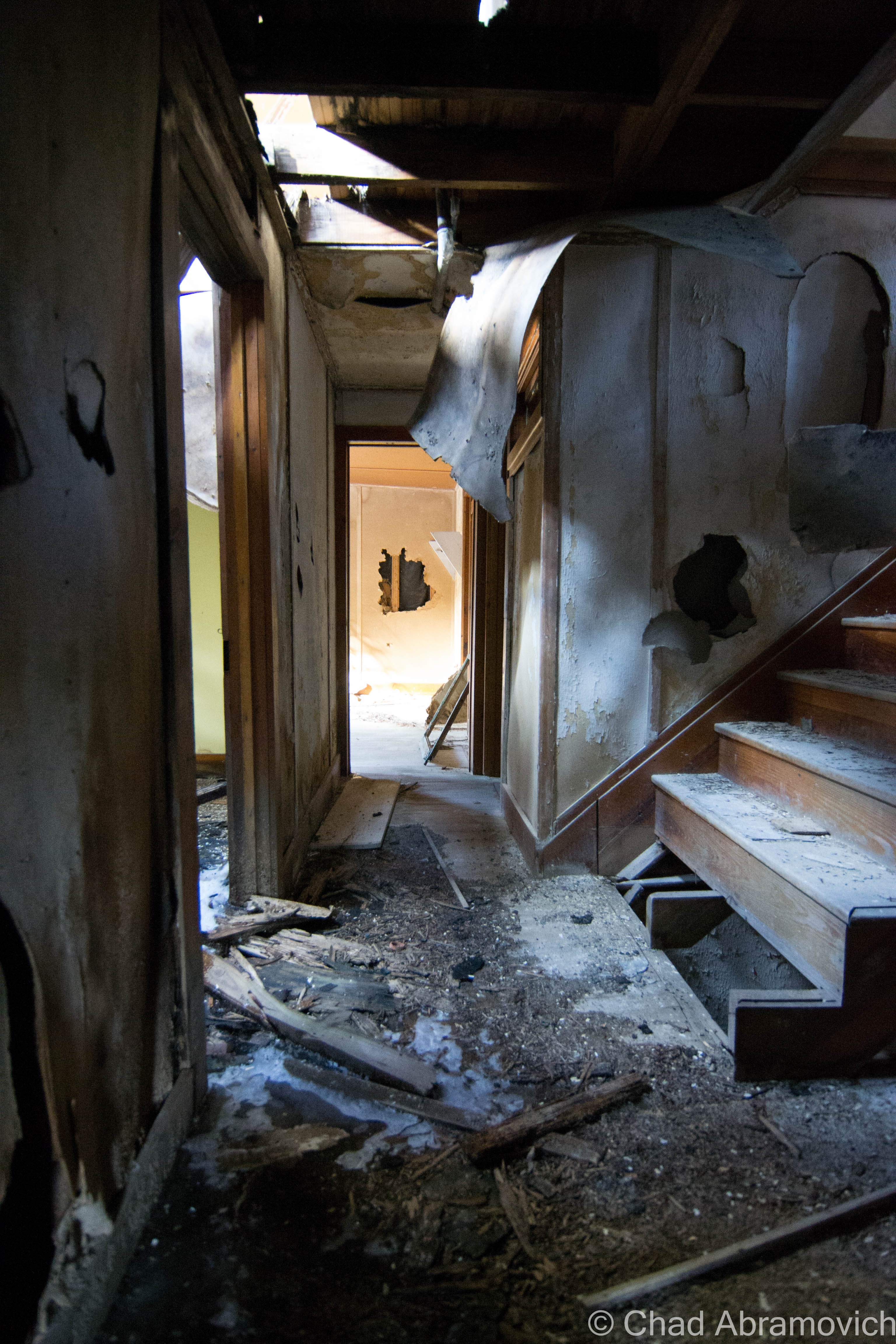
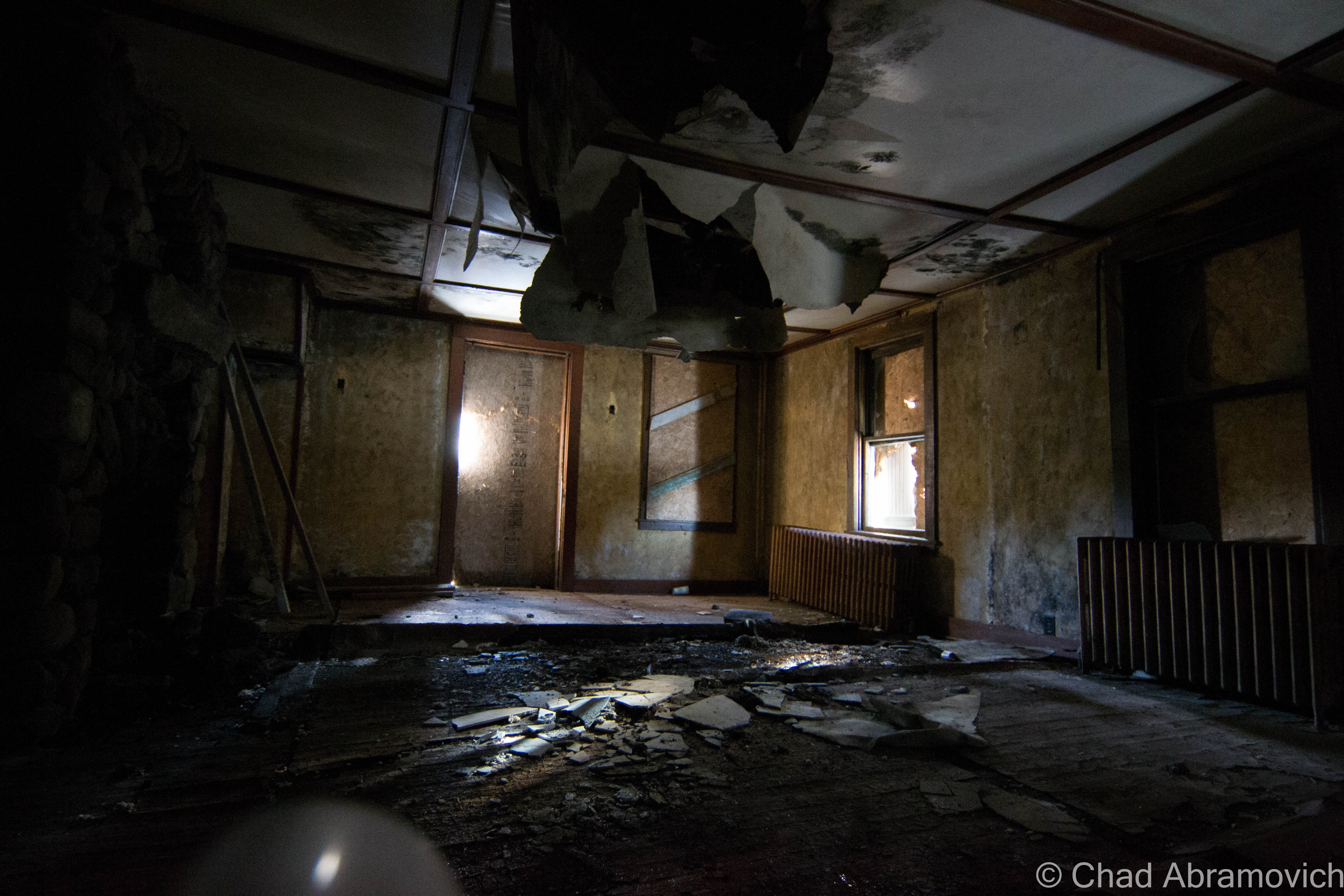
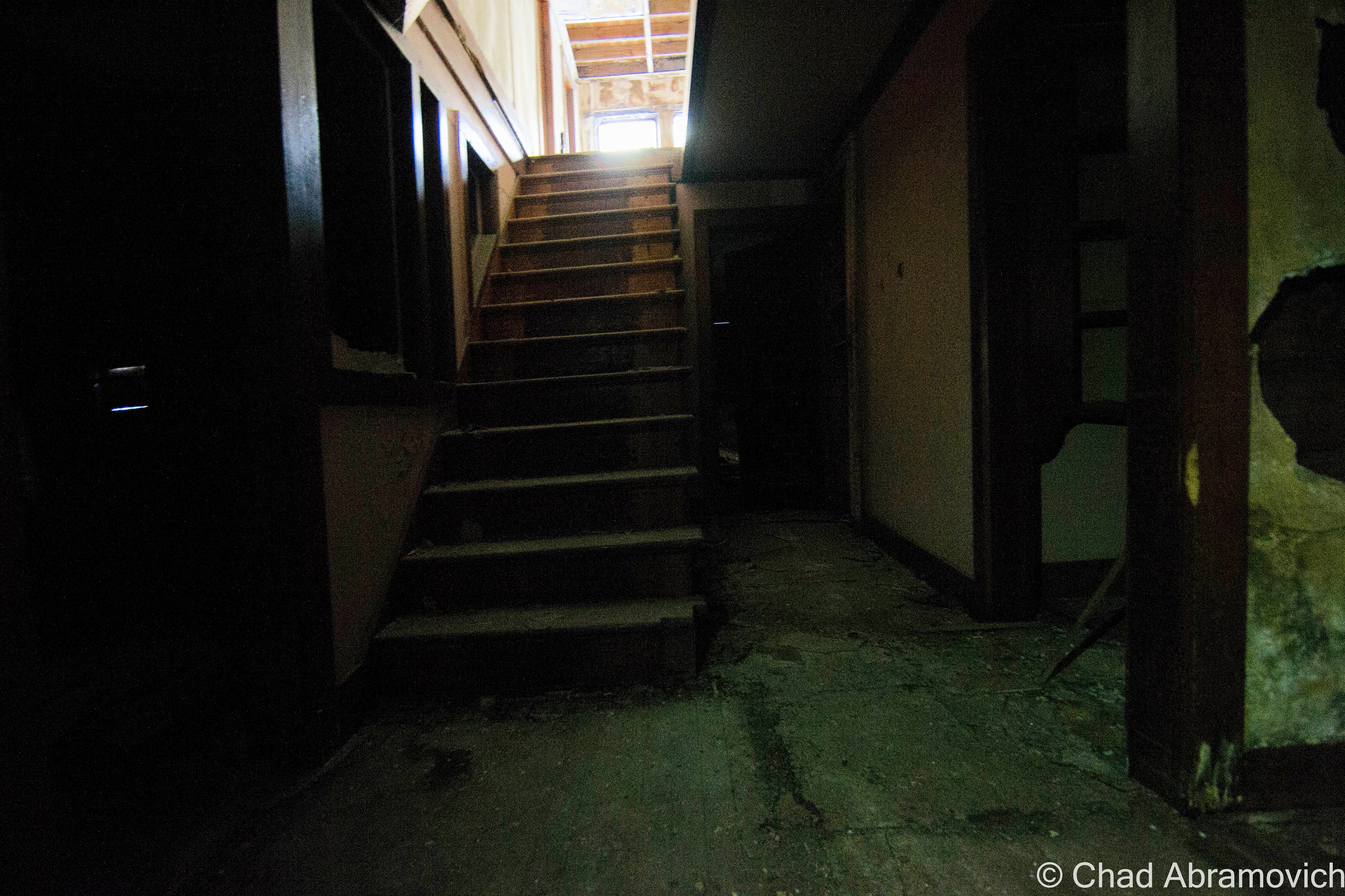
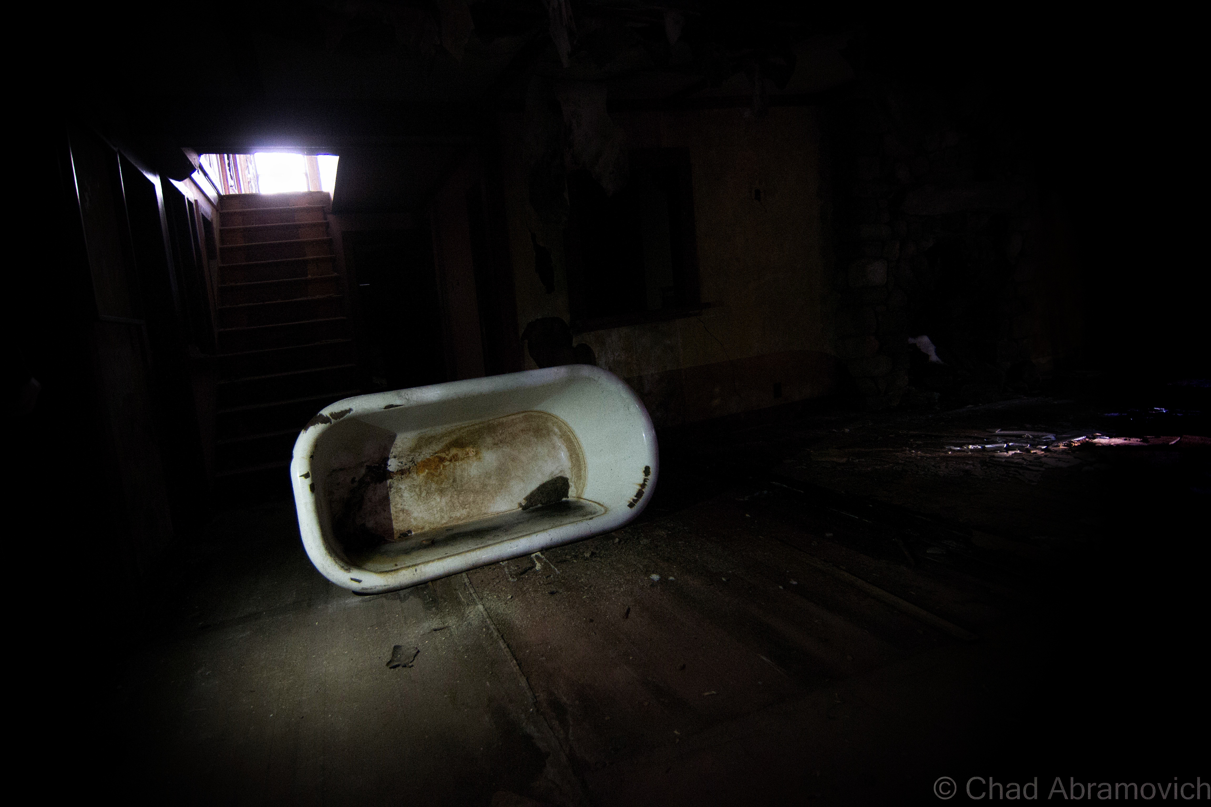
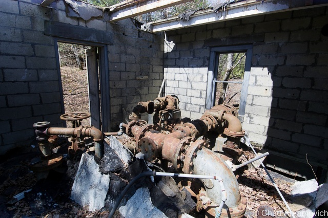
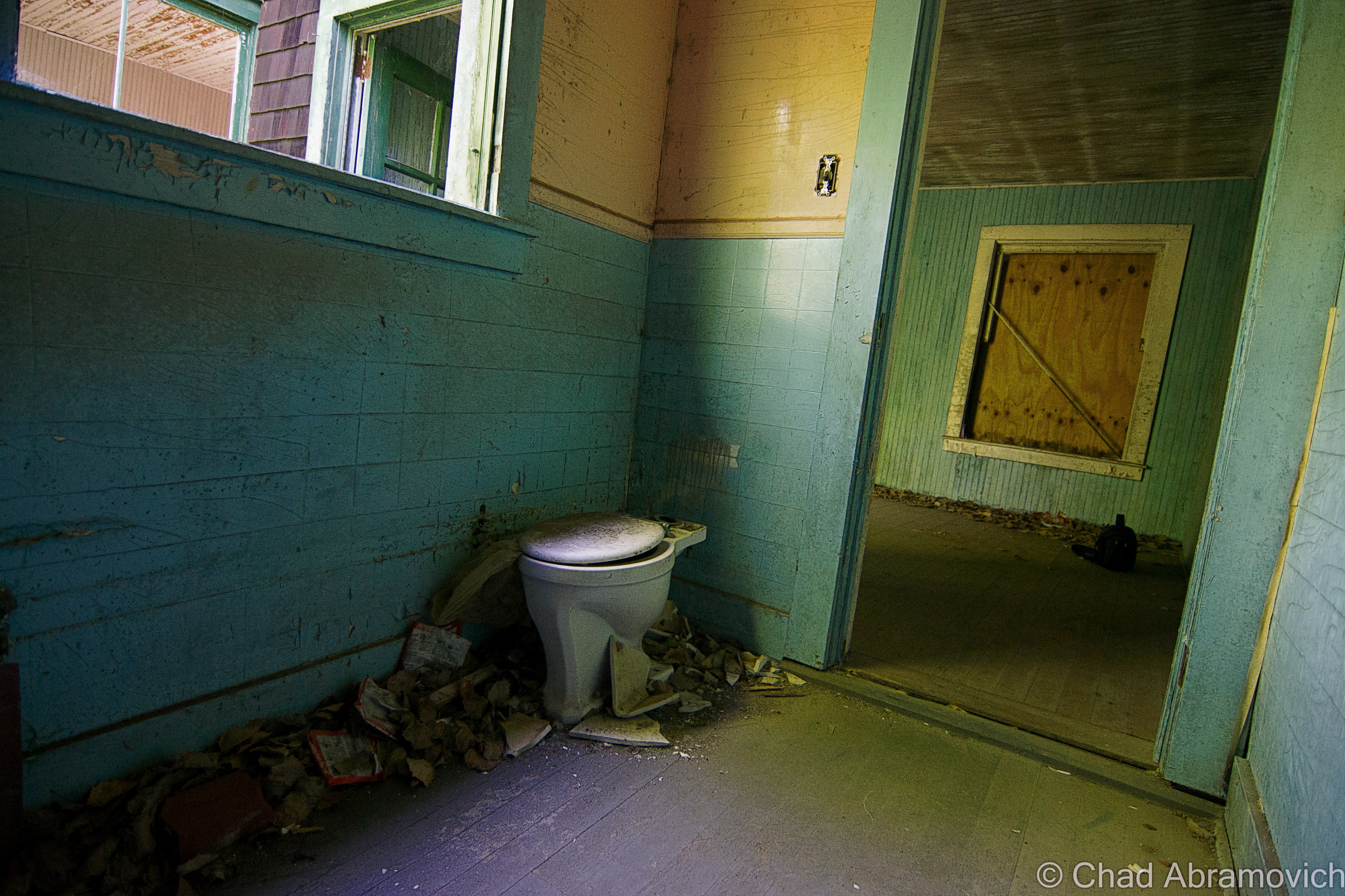
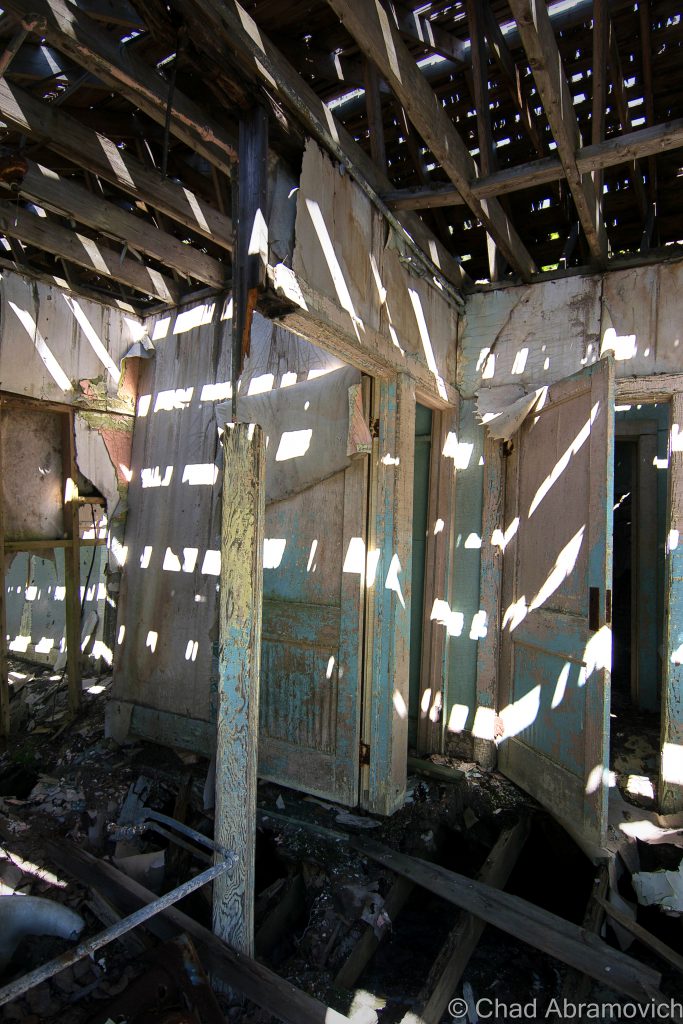
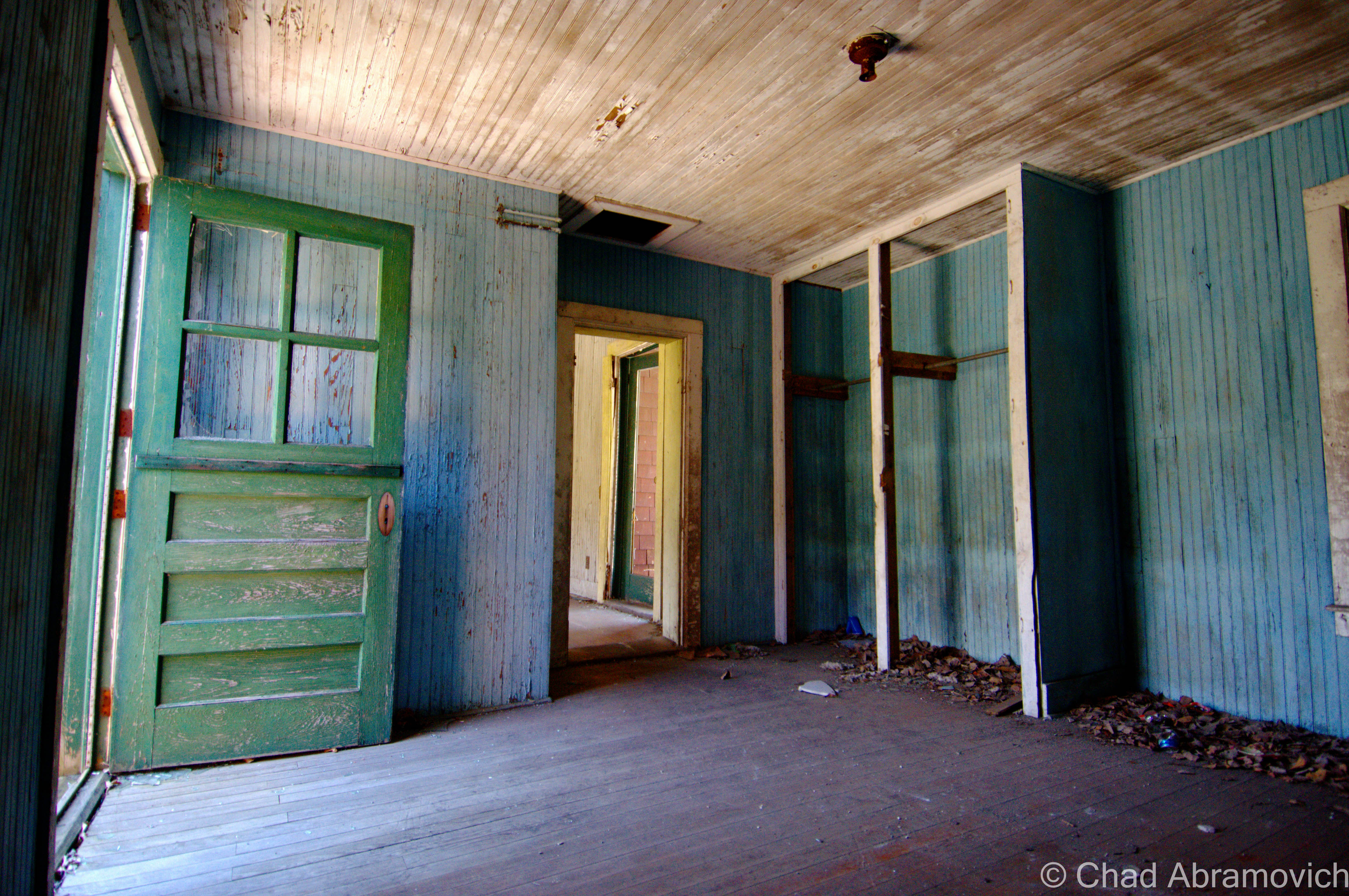
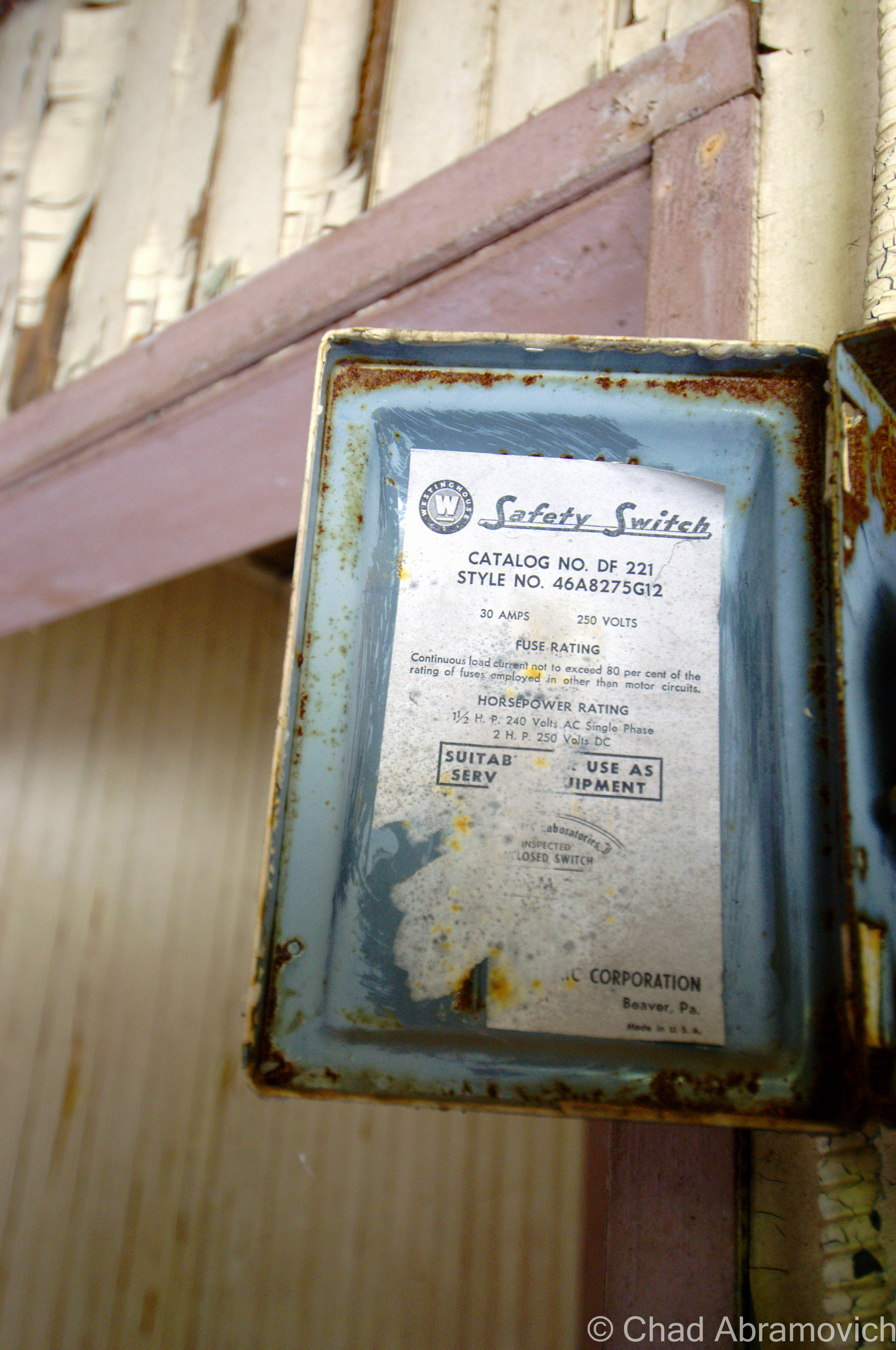
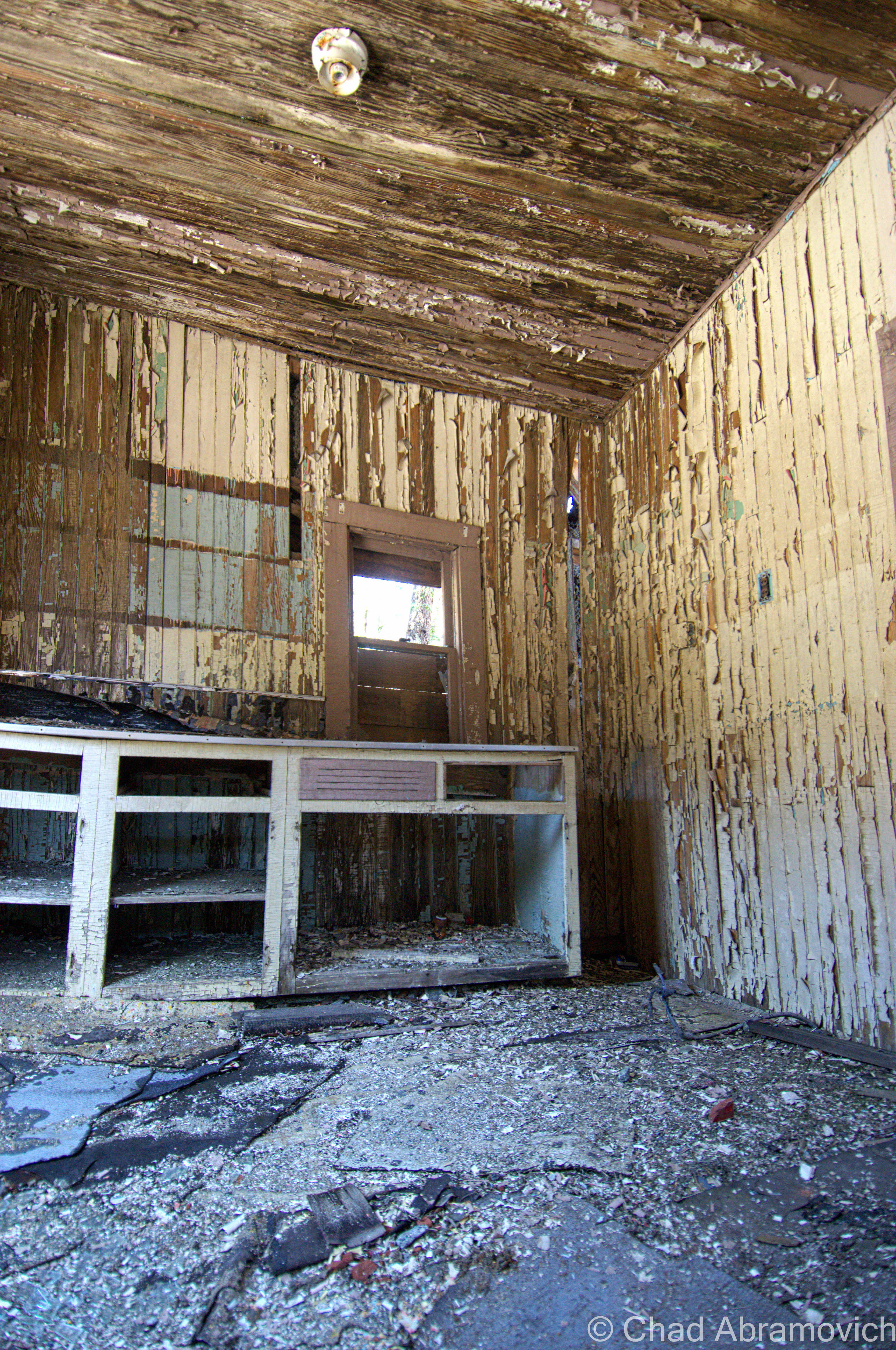
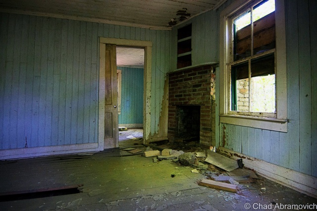
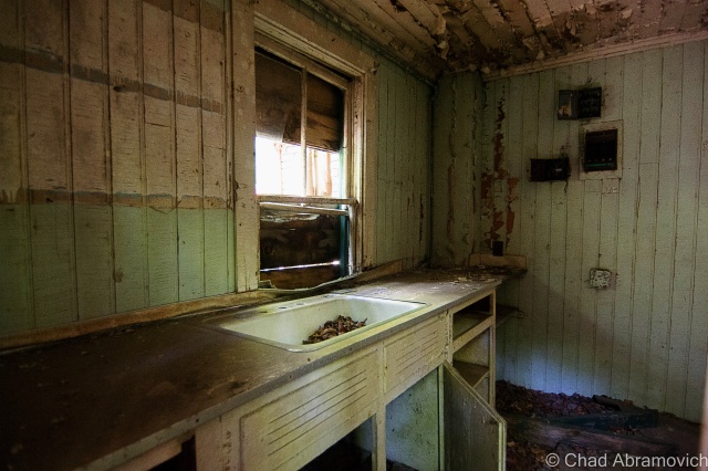
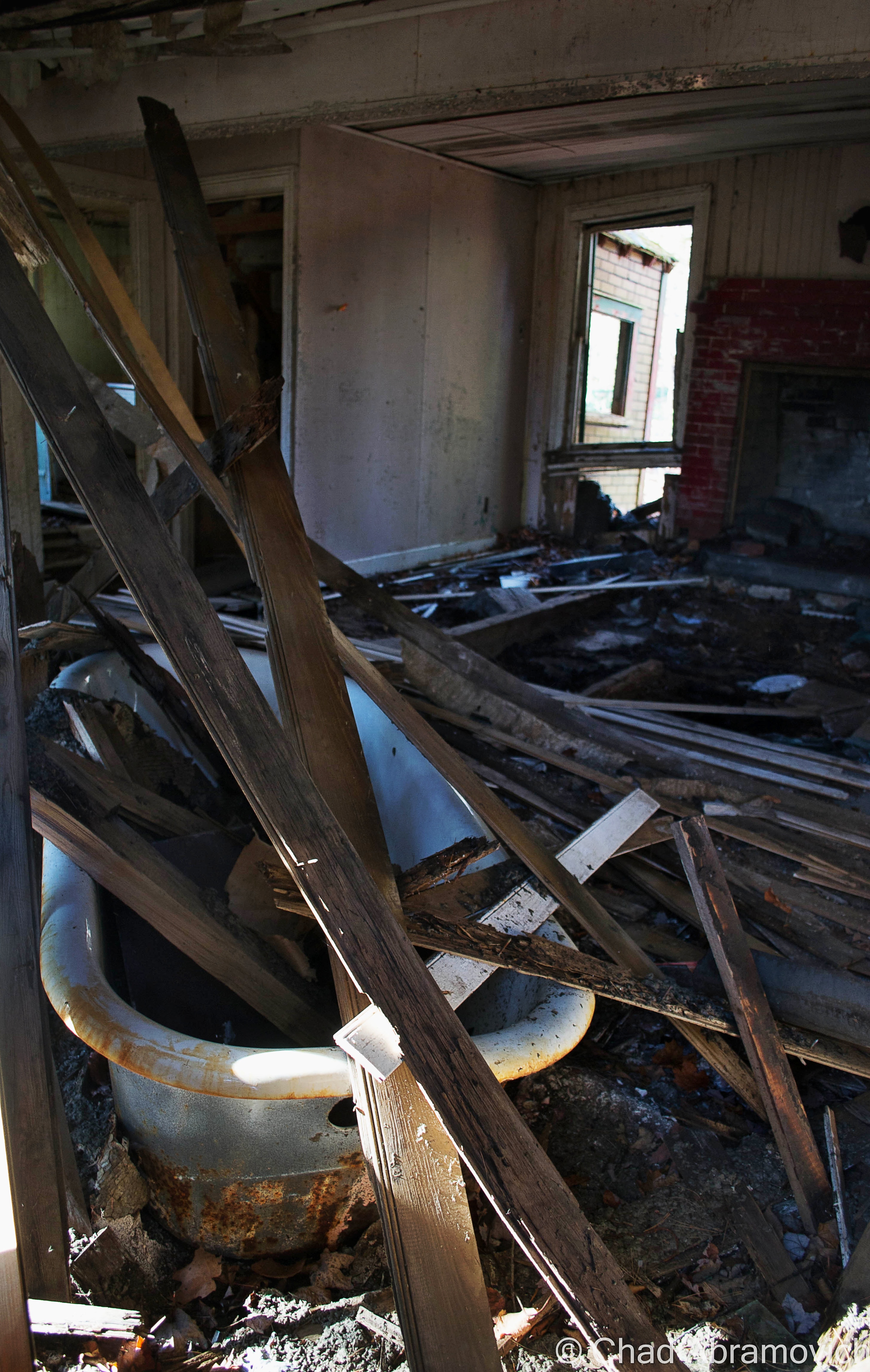
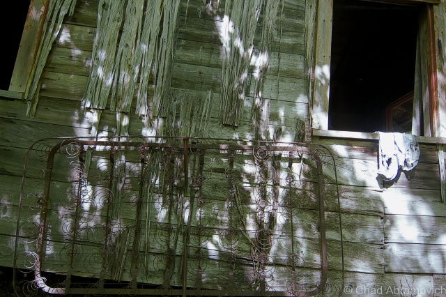
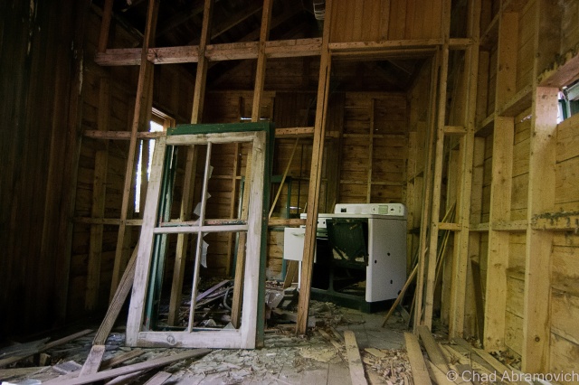
Aiden Lair was a now formidable and sizable husk of a building, devoid of most of its original details that have been effaced with time. Being on the upper floors in cramped rooms flourishing with mold that discolored disintegrating walls and suspicious water dripping down my neck, I found it almost difficult to believe that this was once a respected and comfortable place to want to be. But some beautiful details remained. Two massive and classic Adirondack stone fireplaces could be found illuminated by my flashlight, and a balcony overlooking Stony Pond Brook had that identifying mountain woodwork on the railings that many Adirondack lodges have synonymously featured in their architecture.

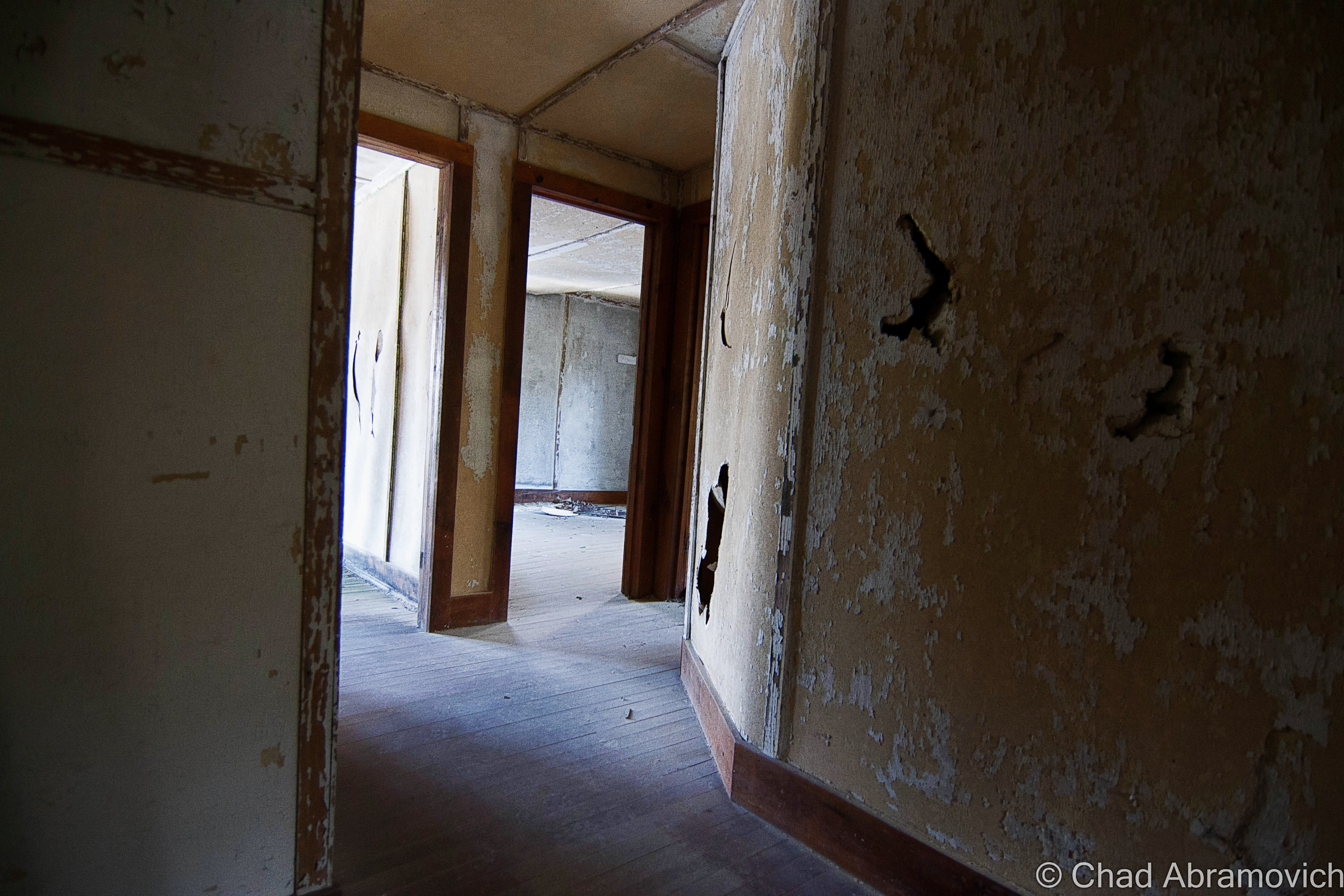
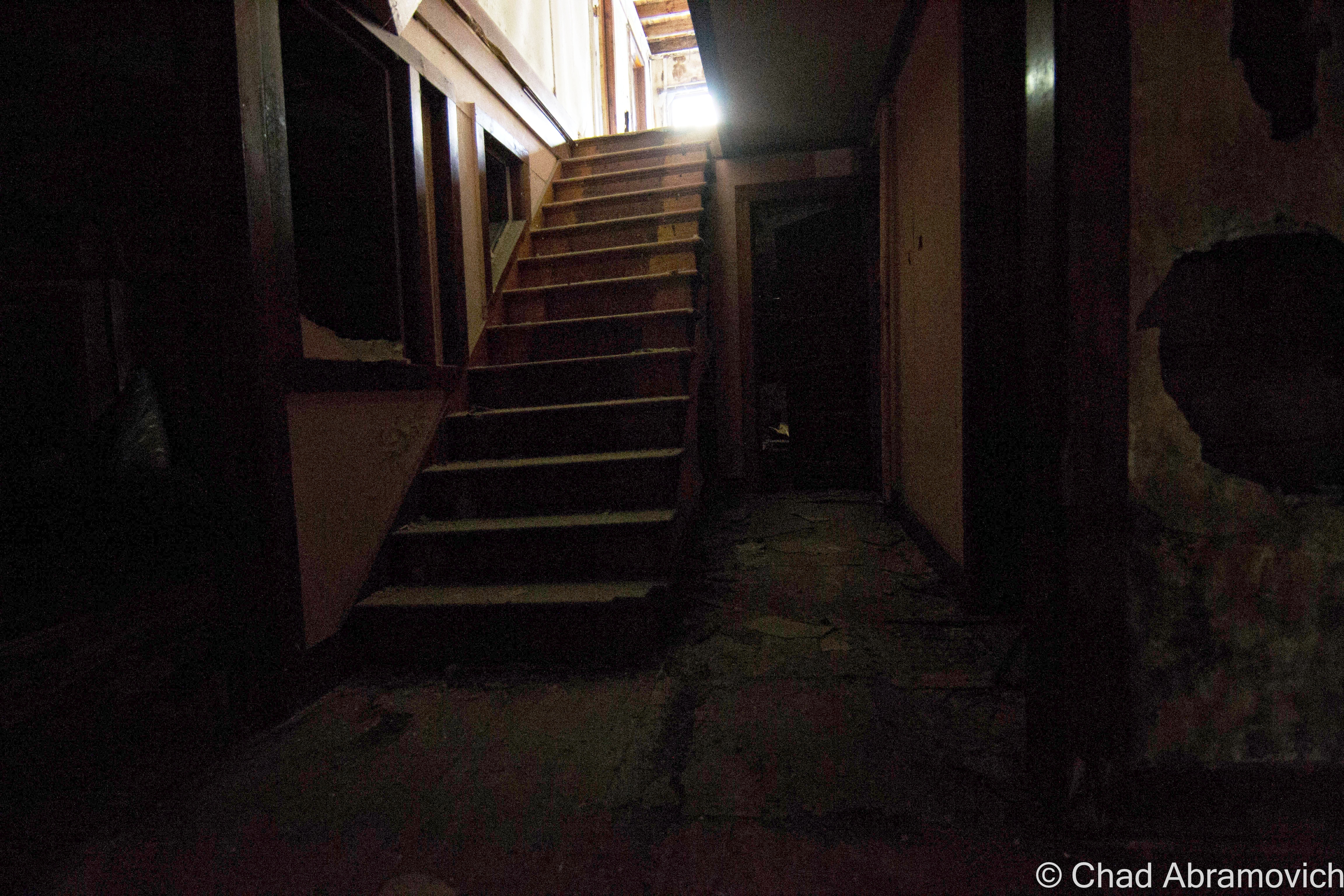
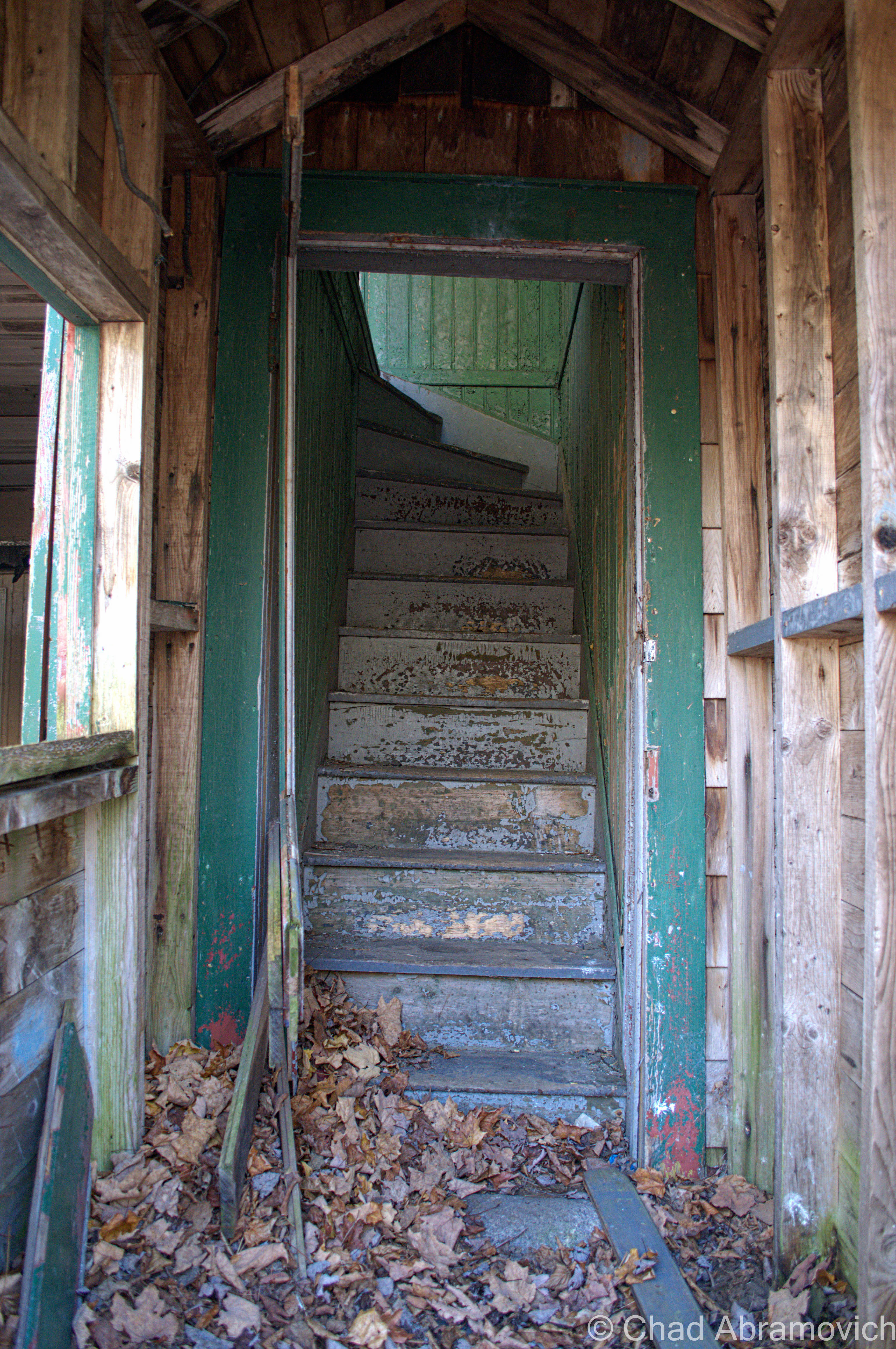
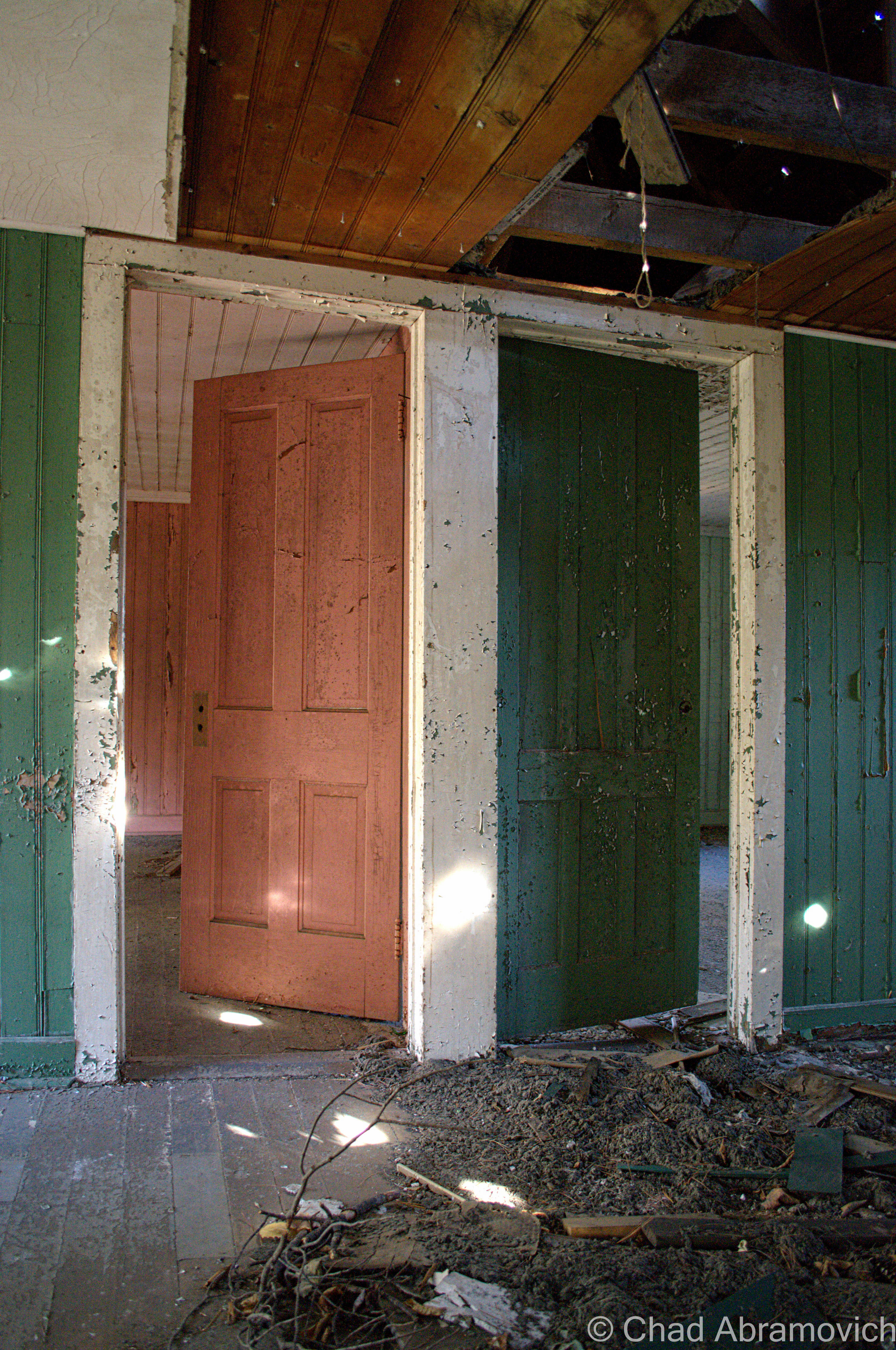
The vastness of the floor plan took me by surprise as well. Though it looks relatively tiny from the outside, once inside, it becomes apparent at just how much there is to see. I was quite surprised with how many hallways and rooms there were. We were humbled at least once when we found ourselves loosing our bearings.

The cold was having deleterious affects on my nervous system. At this point, I was already trembling in my coat, and I was beginning to get hasty. The floors throughout the entire building were so perilous, that we were exploring at a very slow crawl of a pace. This is definitely one of the most dangerous places I’ve ever been in to date.

The place was incredibly silent, void of life, so sound carried through remarkably well, not being obstructed by competition. The cold rushing waters of Stony Brook could be heard inside, and provided some white noise behind the clomping of our boots and steady breathing. The movement of a door banging against a wall from a gust of wind flickered in our peripheral vision – making us someone else was inside with us. Another urban explorer perhaps, or a cop…

I’ve always thought that the term “lair” in the name was a little ominous sounding, but after seeing it’s state of slow collapse and dark places within, that part of the name now seems very fitting.

When writing these blog posts, and comparing my photographs to historical ones when these places were in their prime, it’s almost surreal. A place that was once frequented and celebrated in many ways, now is forsaken and seemingly unwanted; a burden. We human beings are sentimental creatures, and those sentiments can transcend far beyond other humans. Man made things, constructed from wood, stone, mortar and slate also have powerful emotional bonds to otherwise utilitarian objects, and as they were once so easily loved, they can also be so easily lost.

Admittedly, the cacophony of all that we were taking in here can make you want to stay for quite some time to enjoy it all, finding a different world that doesn’t exist in the superfluous found outside. But, there was much wanted heat back in the truck…

DSC_0111_pe_pe DSC_0257_pe_peDSC_0110_peDSC_0114_pe DSC_0117_pe DSC_0125_pe DSC_0132_pe DSC_0136_pe DSC_0141_pe DSC_0146_pe DSC_0147_pe DSC_0151_pe DSC_0154_peDSC_0157_pe DSC_0159_pe DSC_0162_pe DSC_0166_pe DSC_0172_pe DSC_0175_pe_pe DSC_0177_pe DSC_0178_pe DSC_0179_pe DSC_0181_pe DSC_0182_pe DSC_0191_pe DSC_0192_pe DSC_0194_pe DSC_0197_pe DSC_0198_pe DSC_0202_pe DSC_0204_pe DSC_0205_pe DSC_0209_pe DSC_0211_pe DSC_0215_pe DSC_0218_pe DSC_0219_pe DSC_0221_pe DSC_0222_pe DSC_0223_pe DSC_0227_pe DSC_0229_pe DSC_0233_pe DSC_0234_pe DSC_0235_pe DSC_0237_pe DSC_0240_pe DSC_0241_pe DSC_0242_pe DSC_0244_pe DSC_0245_pe DSC_0248_pe DSC_0249_pe DSC_0250_pe DSC_0252_pe

The Glebus Count

I’m a bit of a weirdo, so it’s great that I’m also friends with weird people, with plenty of inside jokes between us. This one is definitely a time honored one, now being practiced for a few years running. Whenever we travel to the northern reaches of the empire state, we found ourselves engaging in something that I call “The Glebus Count”. What is this strange ritual?

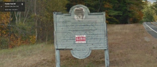
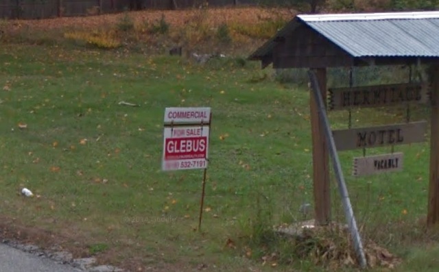
While Vermont seems to have it’s fair share of real estate agencies represented, across the lake in the high peaks region, one name reigns supreme on red and white signs emblazoned with a bold, down to business, san serif font; Glebus. They’re everywhere. I’m not kidding. Almost every piece of property that listed as for sale has a Glebus sign in front of it, with the occasional other Realtor found in between. But who are they kidding, they’re not Glebus! Over time, we began to start pointing out when we’d come across one of their signs, and soon, that turned into trying to count as many as we pass during our trip. You’d be surprised at just how easily you’re drawn into it.

“Who do you think this guy Glebus is? He’s pretty much selling everything in upstate New York” The best satire we came up with thus far, was that the mysterious man had to have an old timey name evocative of infamous business moguls from the golden age of unprecedented capitalism- something like, say, Cornelius Glebus, (according to their website, his actual name is Gary) and he could be found in his real estate lair sitting in a gilded throne drinking wine from a chalice. Sometimes it’s those long drives that inspire the best conversations that you probably wouldn’t have elsewhere. You know what I’m talking about. It’s unintentionally became such a integral part of my treks here that I feel it’s that if I’m writing about upstate New York, it wouldn’t be fitting unless I included it.

Next time your in the high peaks, see how many Glebus signs you can count. And if you were curious, we counted 21 on this trip.

Glebus Glebus2

—————————————————————————————————————————————–

To all of my amazing fans and supporters, I am truly grateful and humbled by all of the support and donations through out the years that have kept Obscure Vermont up and running.

As you all know I spend countless hours researching, writing, and traveling to produce and sustain this blog. Obscure Vermont is funded entirely on generous donations that you the wonderful viewers and supporters have made. Expenses range from internet fees to host the blog, to investing in research materials, to traveling expenses. Also, donations help keep me current with my photography gear, computer, and computer software so that I can deliver the best quality possible.

If you value, appreciate, and enjoy reading about my adventures please consider making a donation to my new Gofundme account or Paypal. Any donation would not only be greatly appreciated and help keep this blog going, it would also keep me doing what I love. Thank you!

Gofundme: https://www.gofundme.com/b5jp97d4

Donate Button with Credit Cards

Fort Blunder

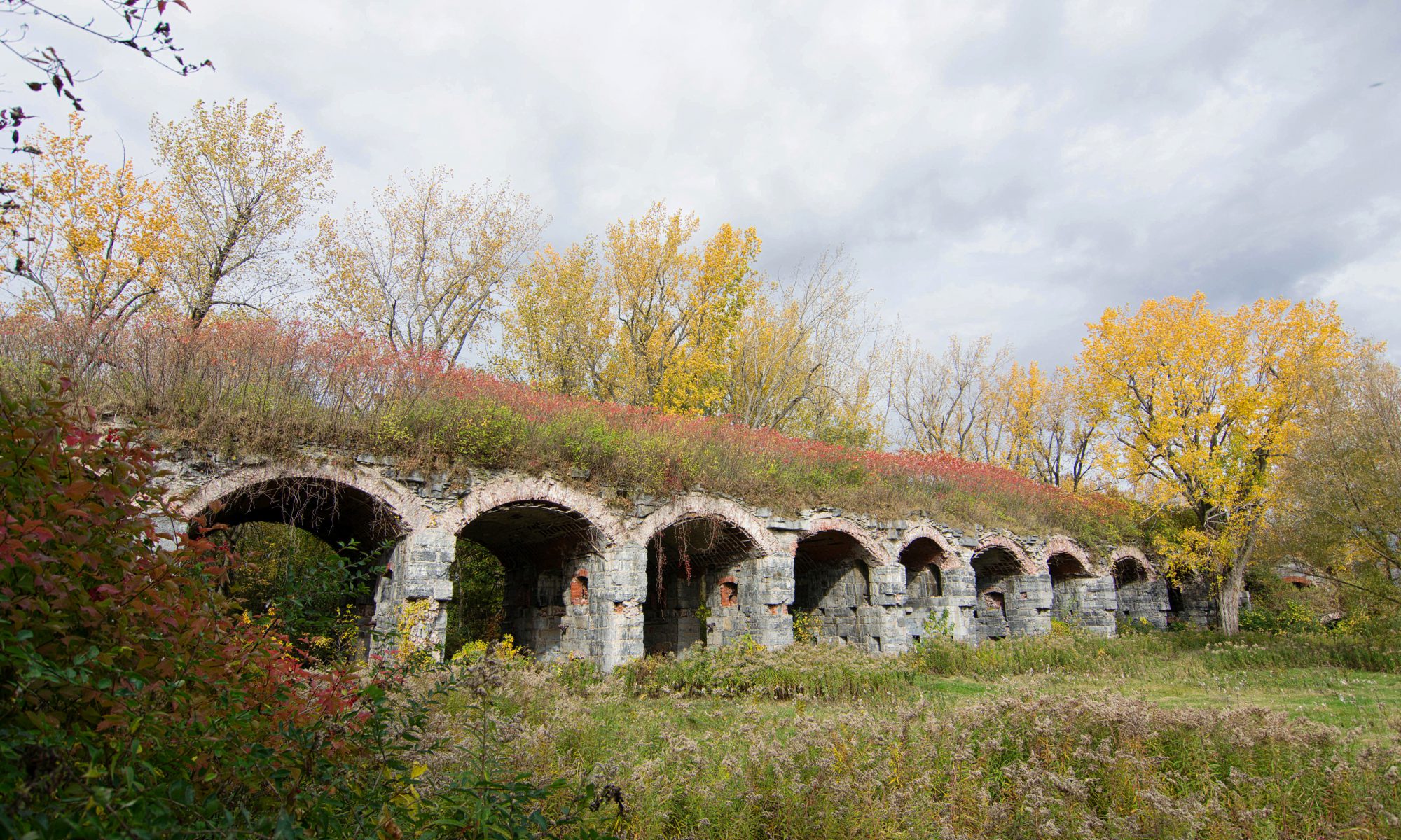
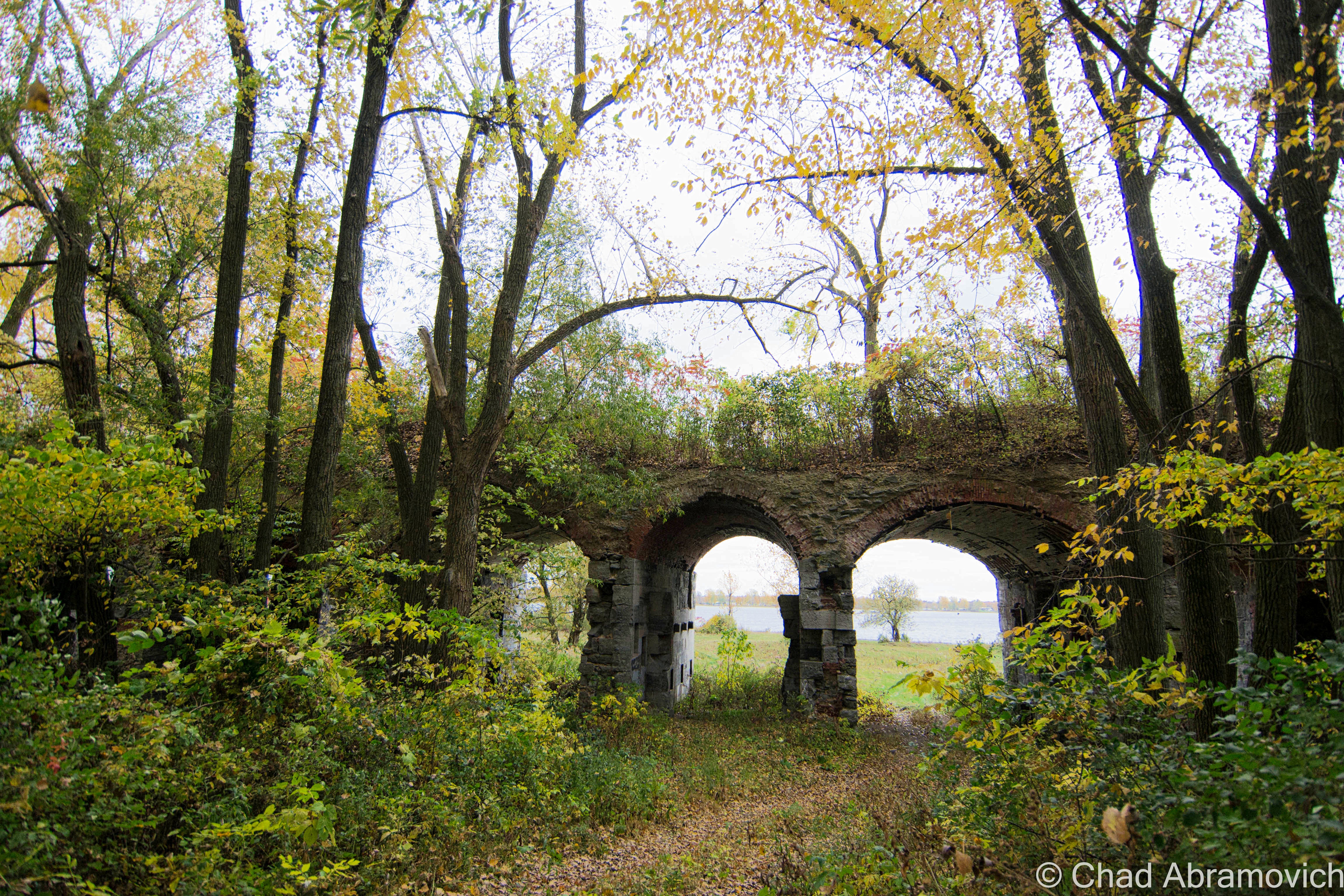
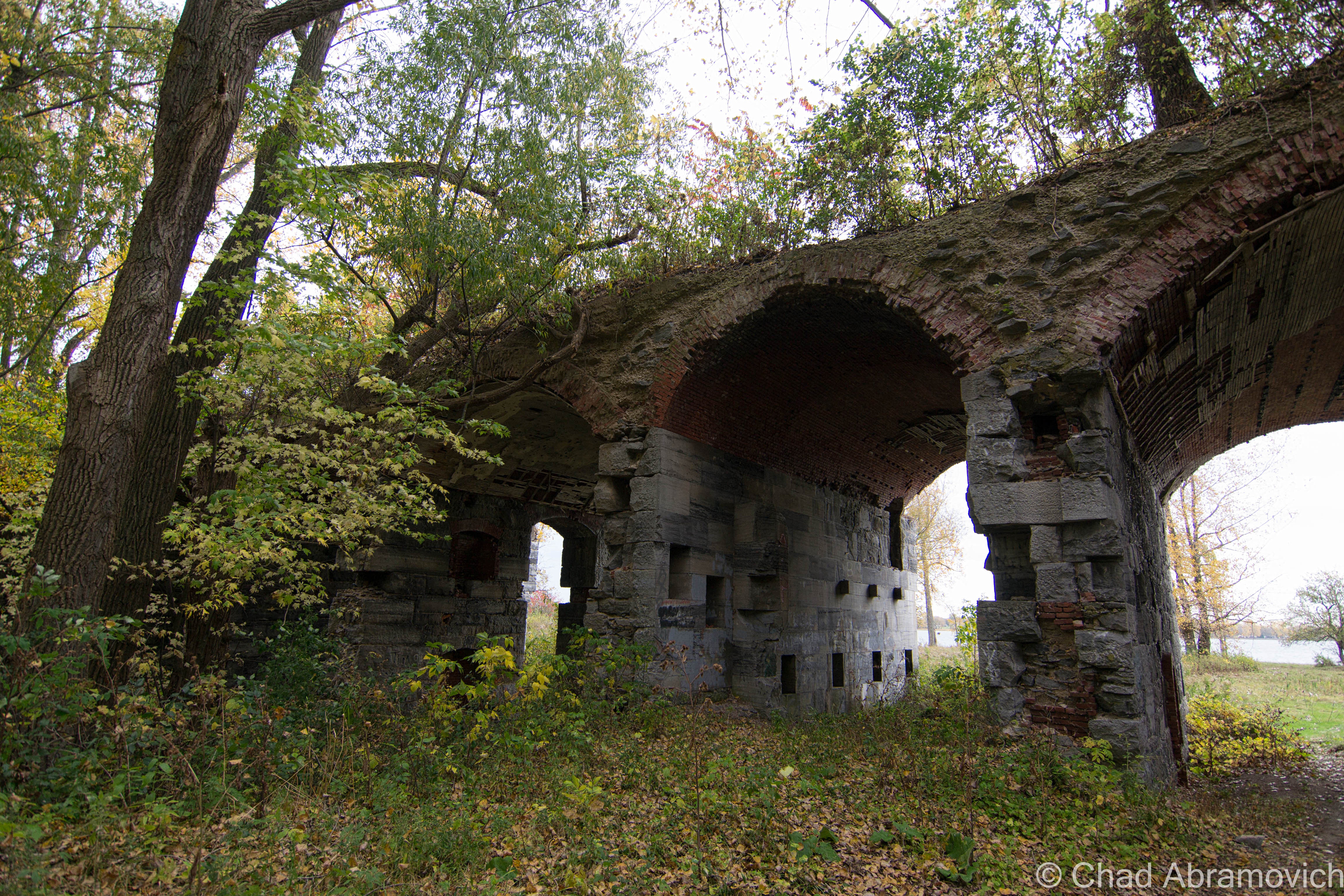
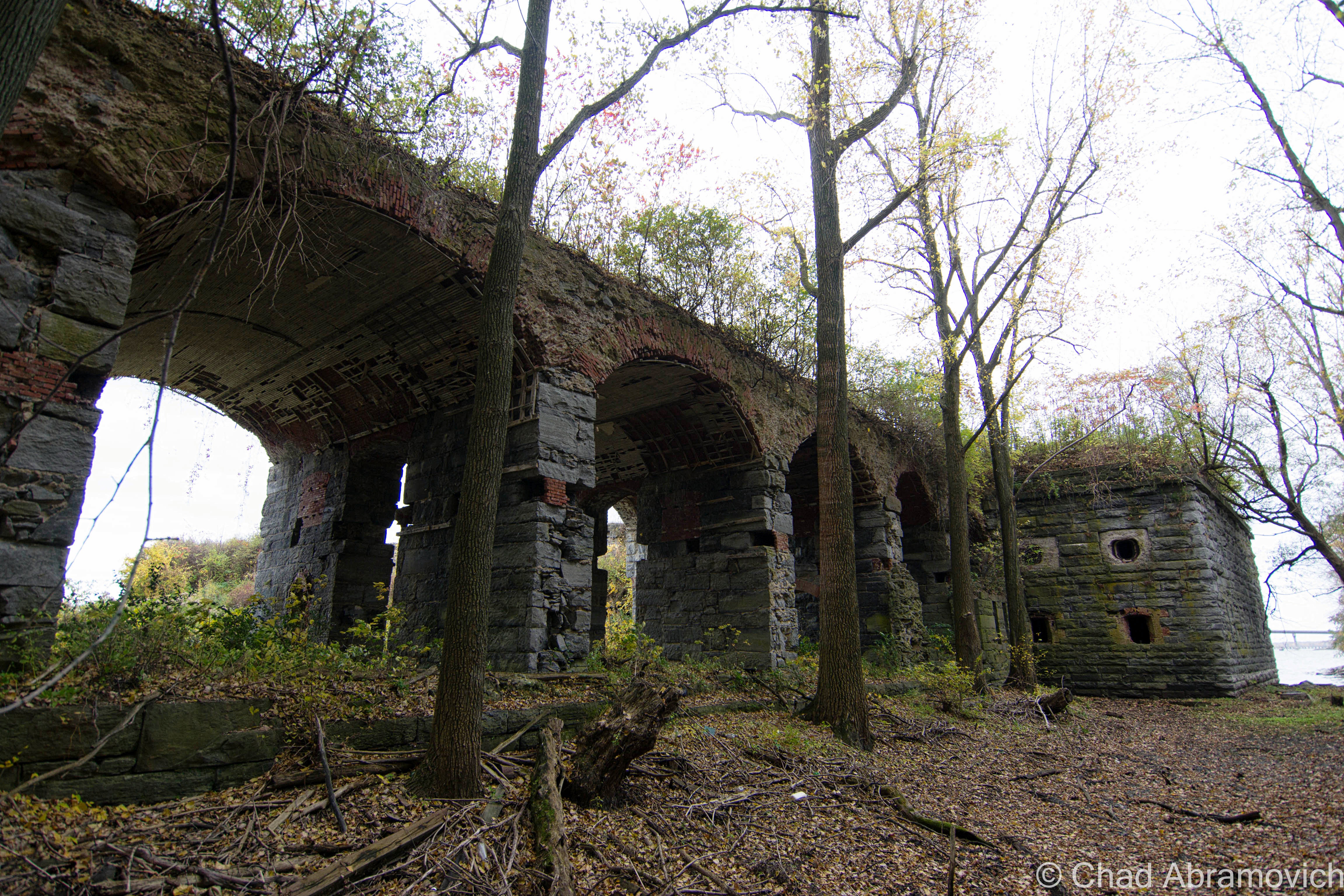
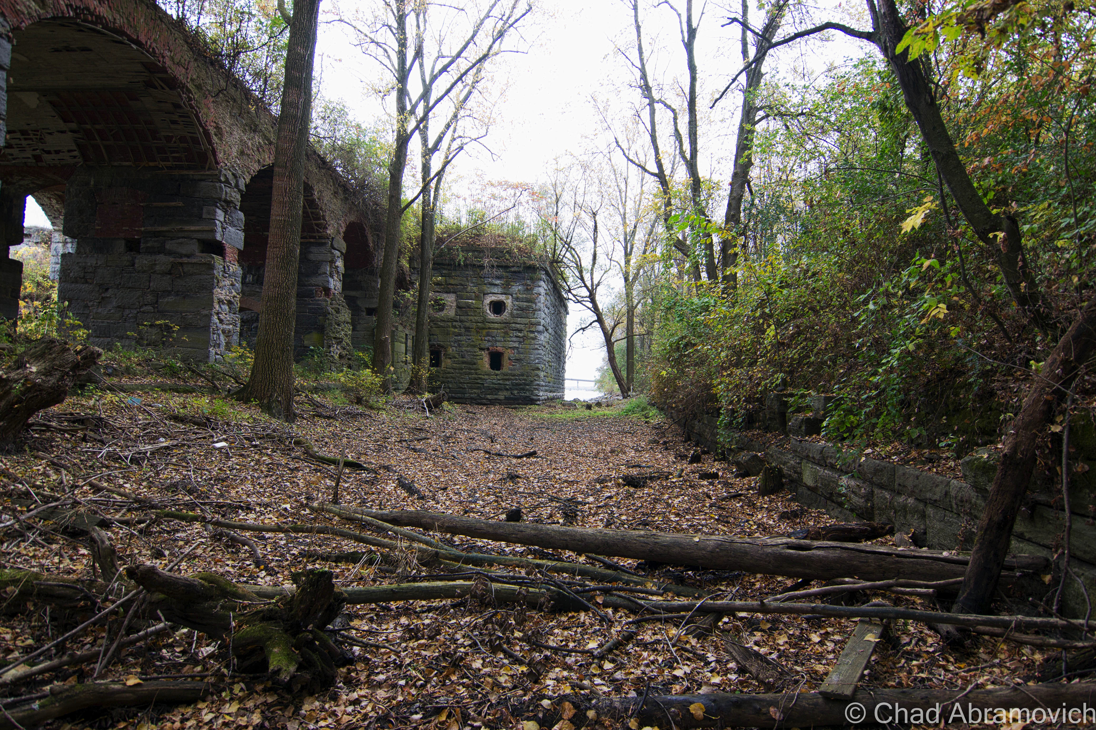
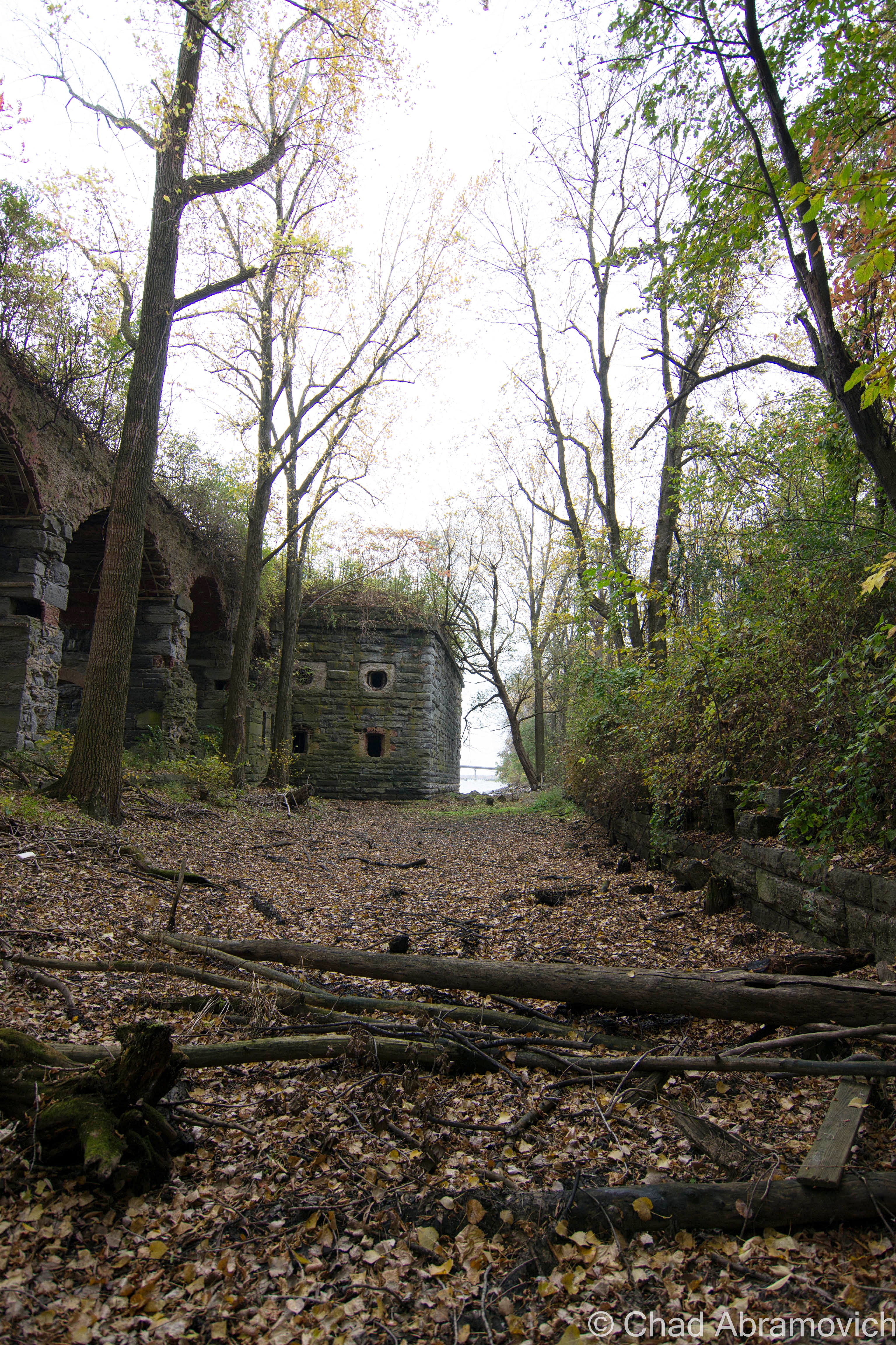
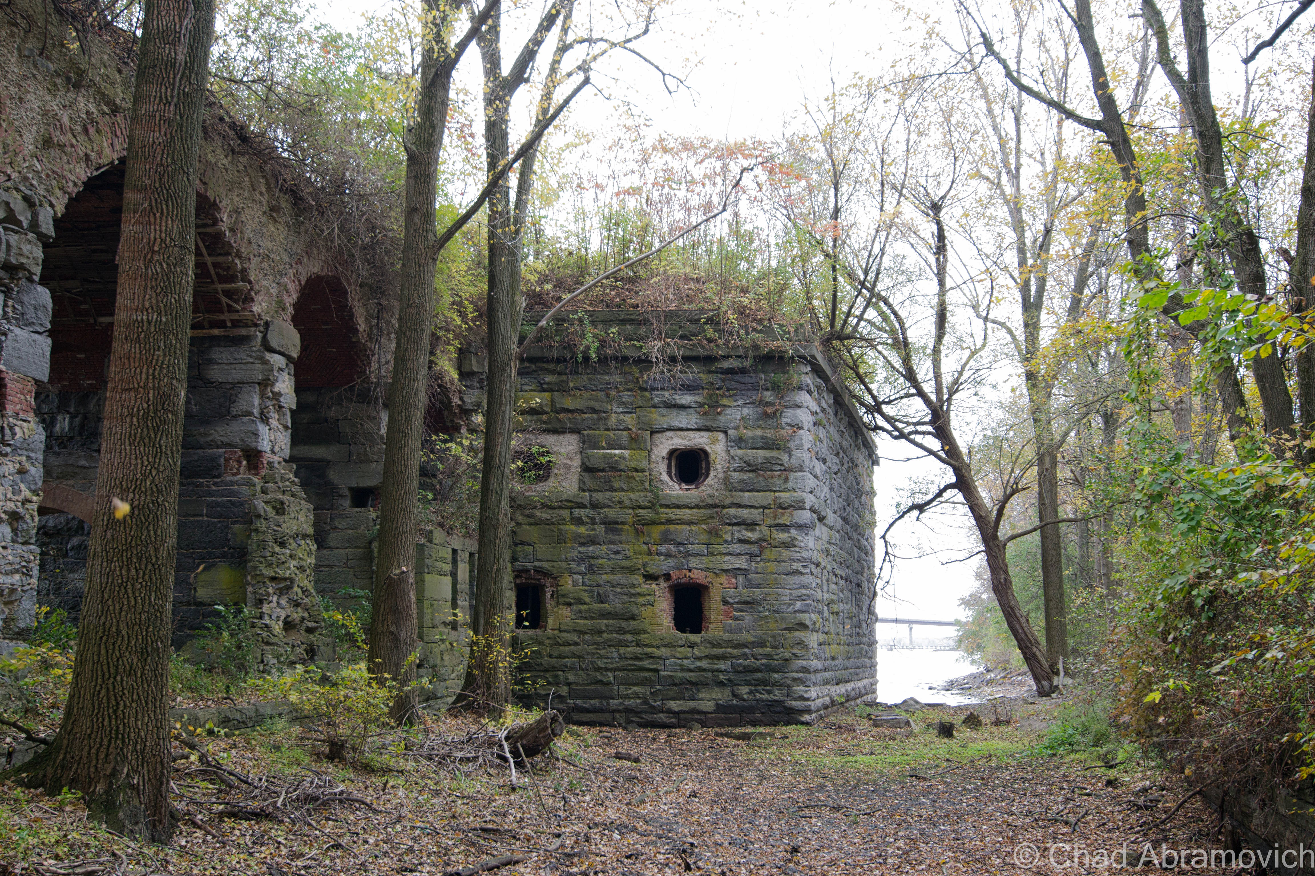
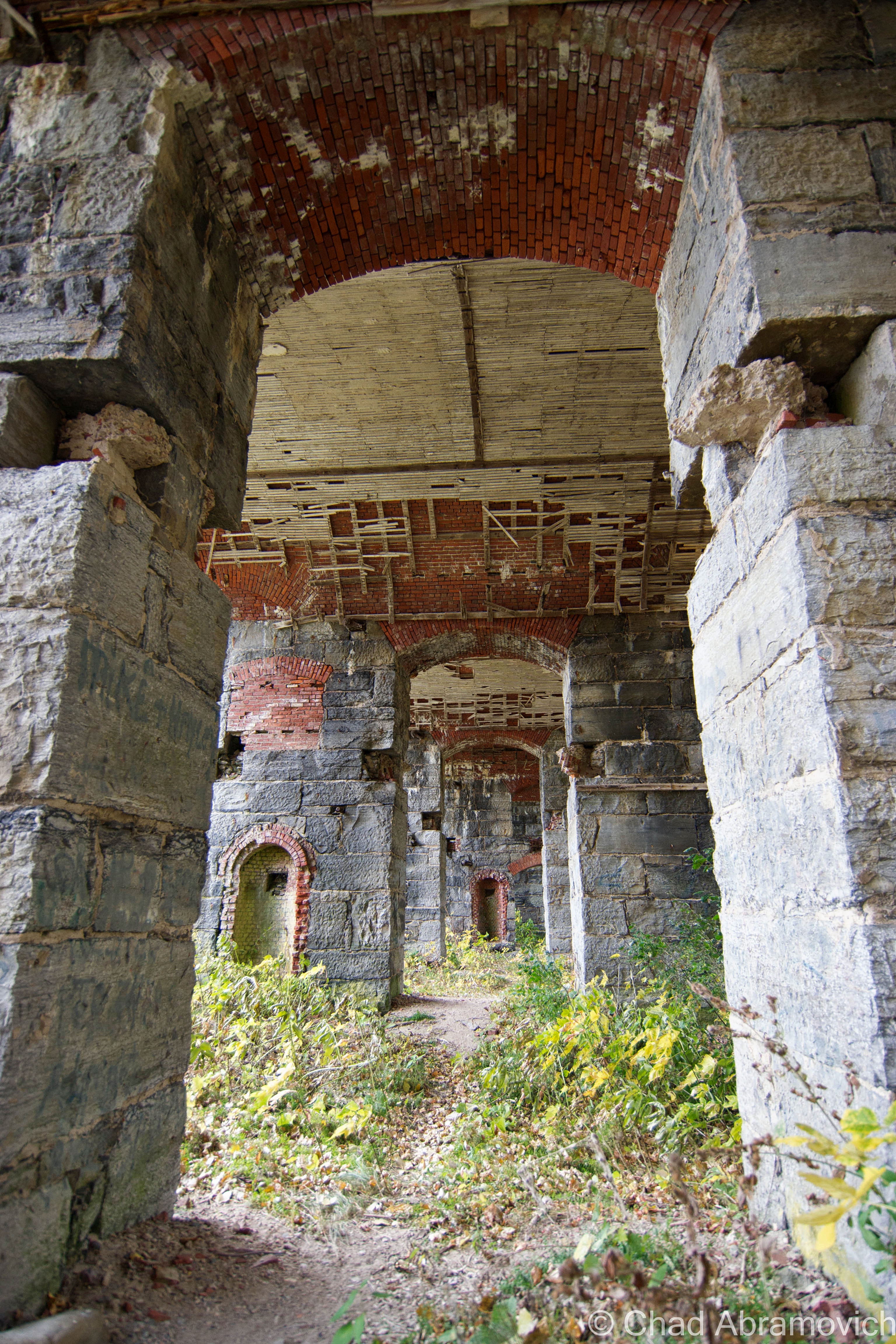
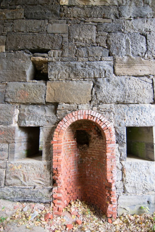
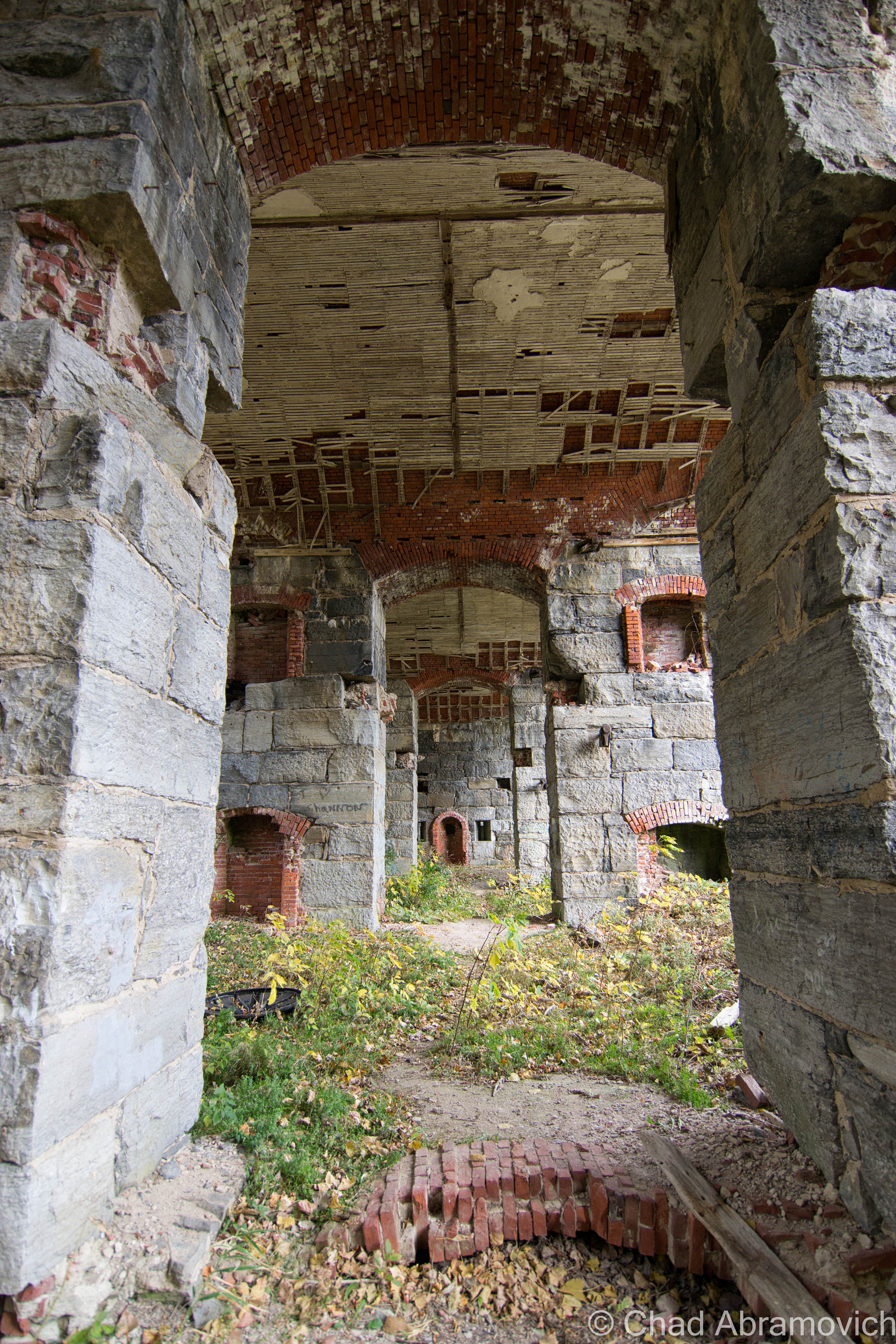
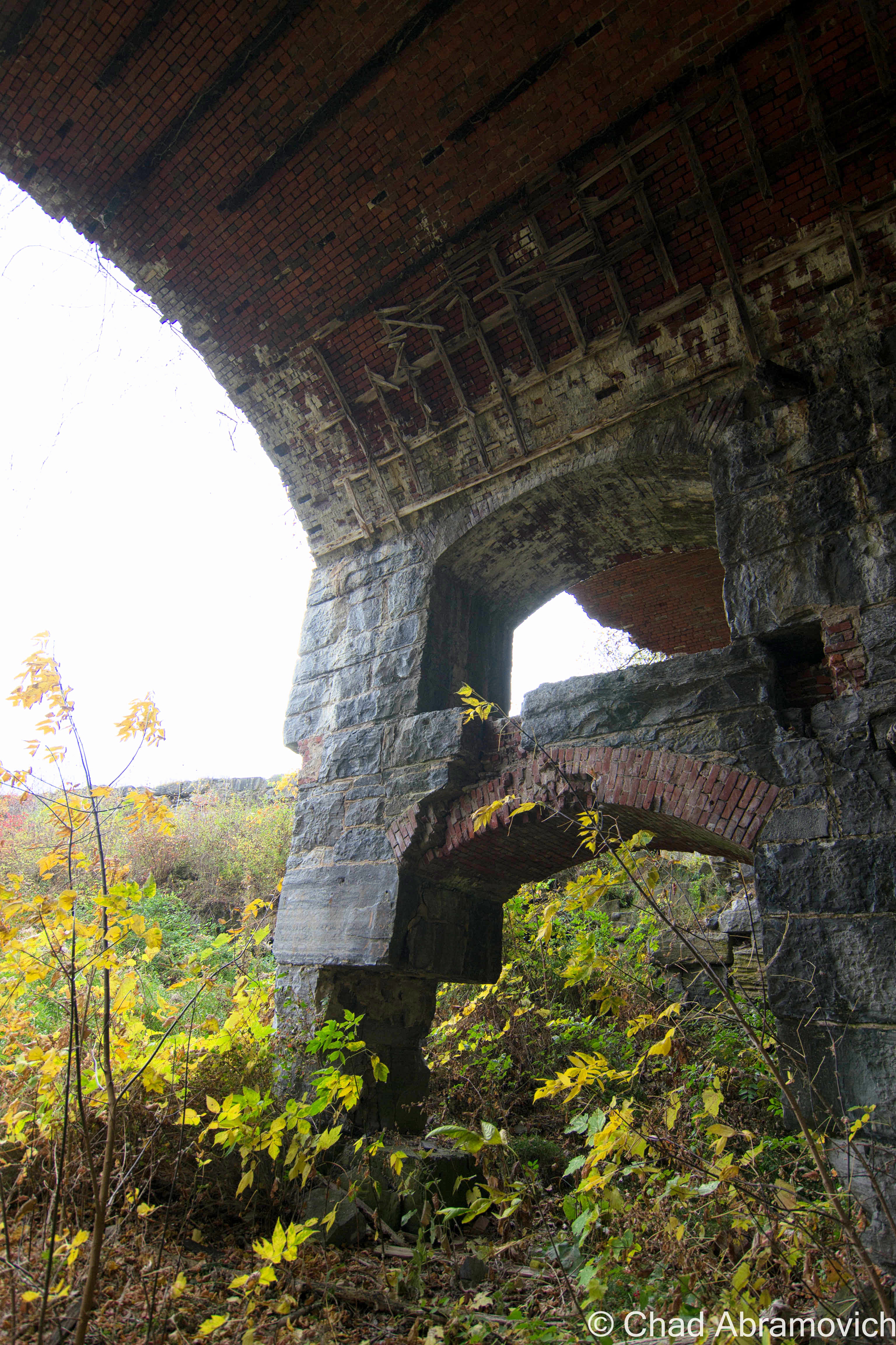
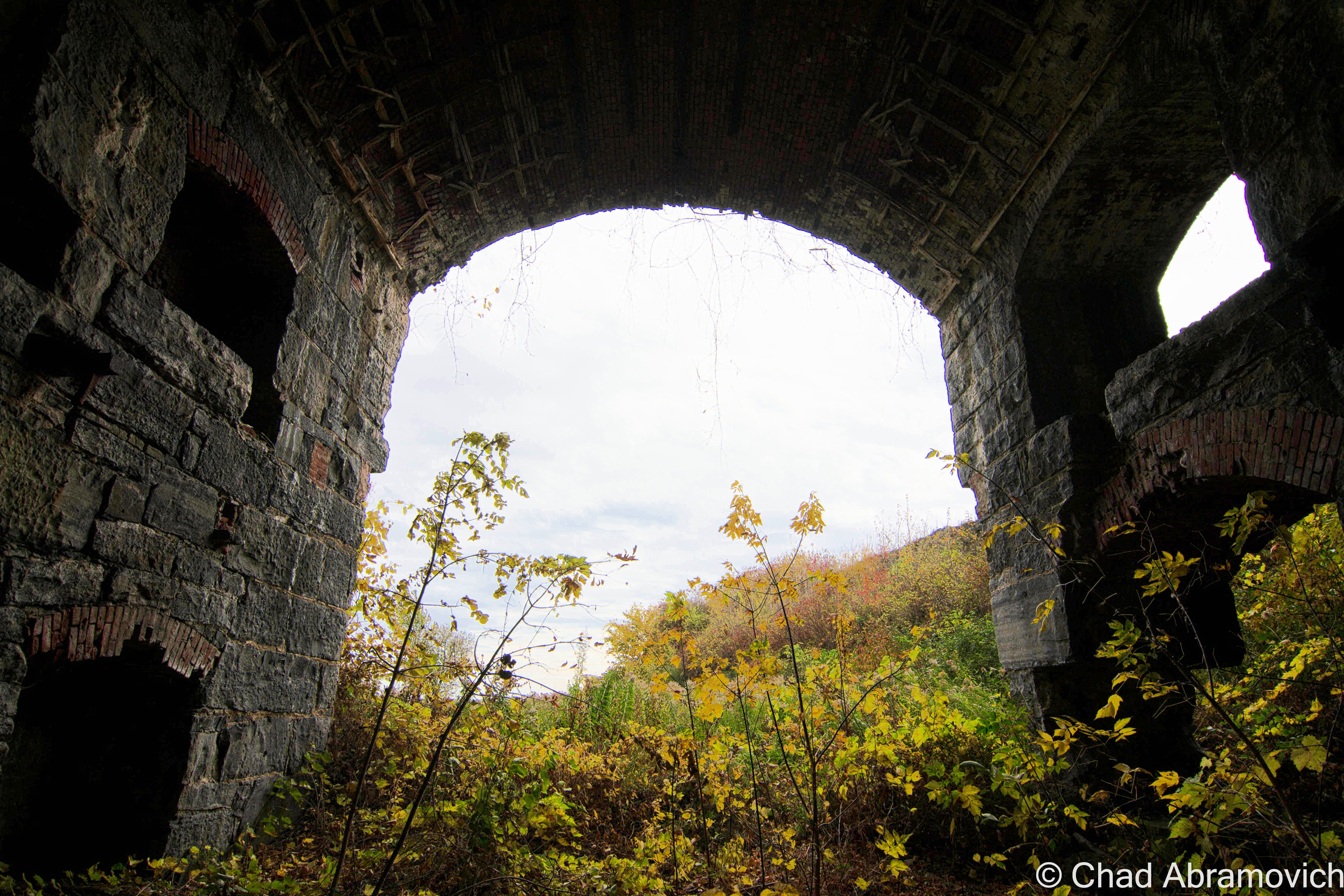
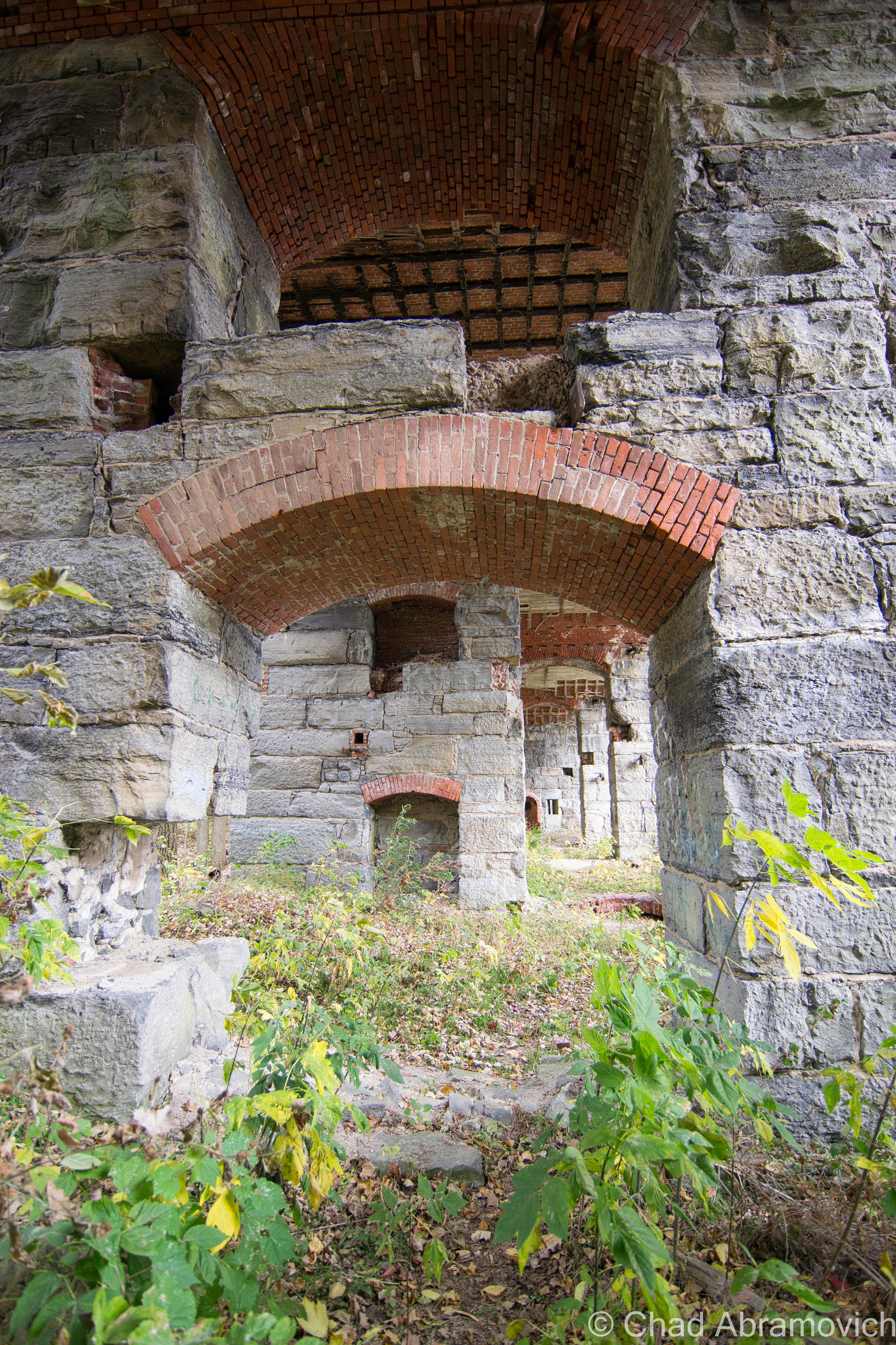
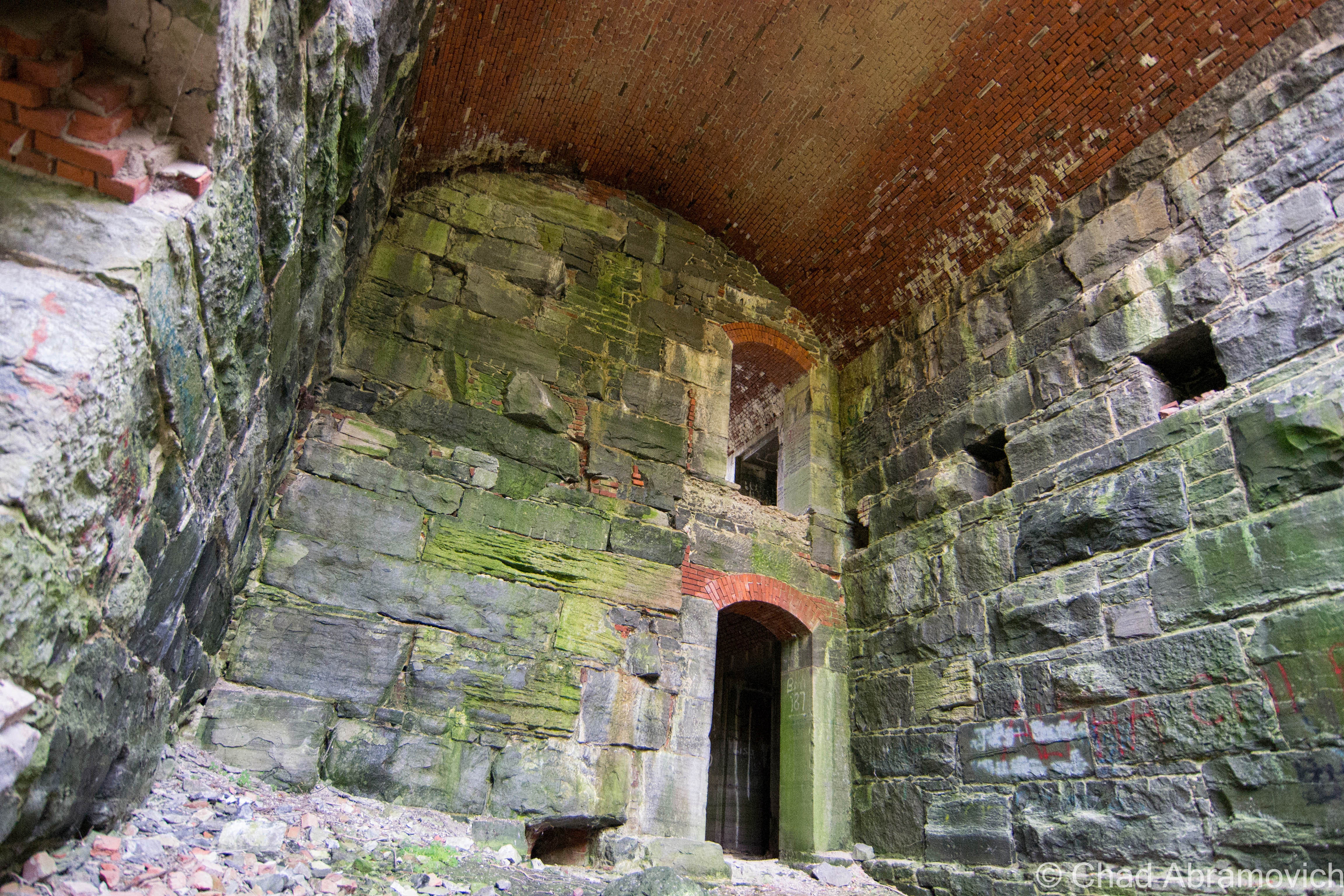
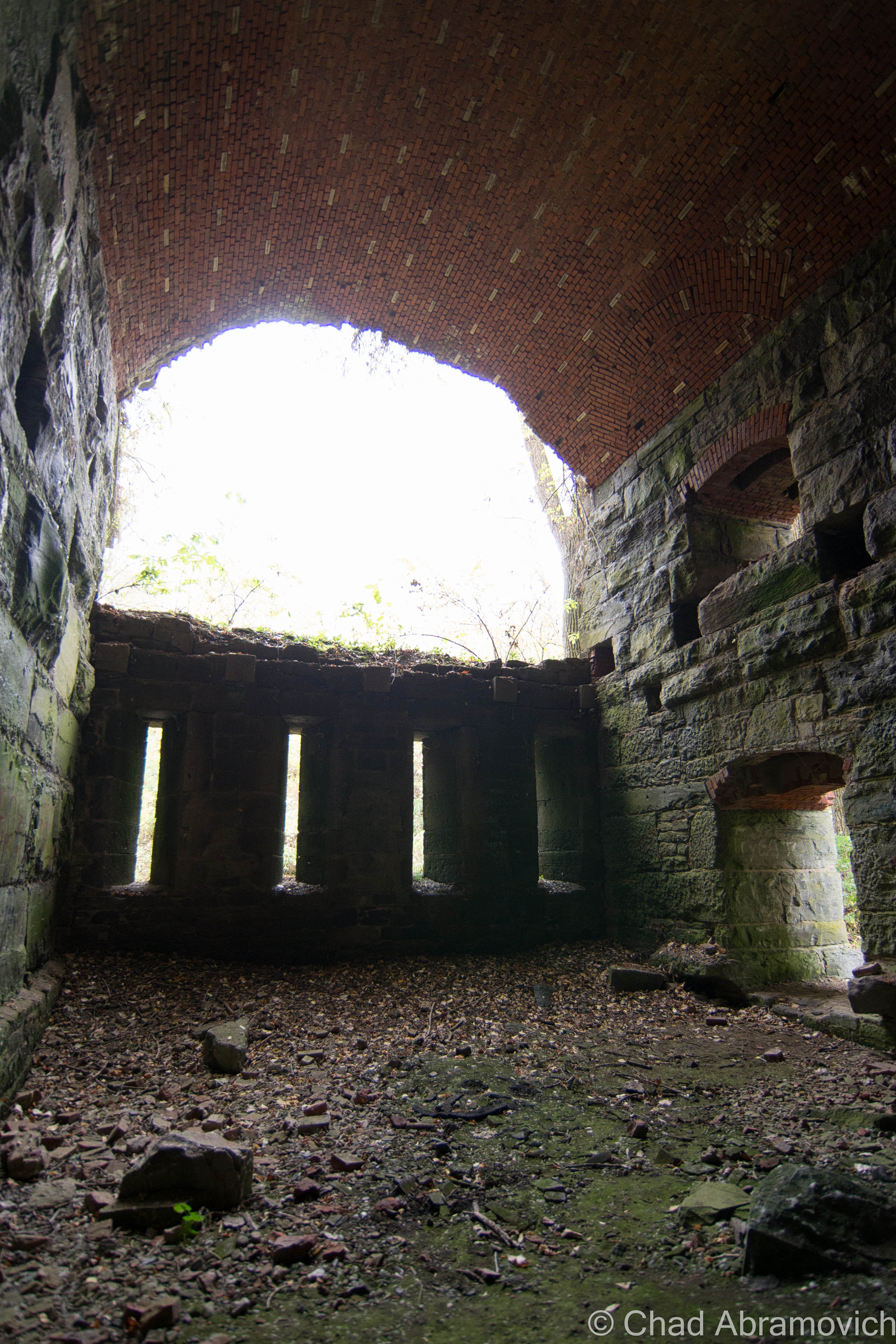
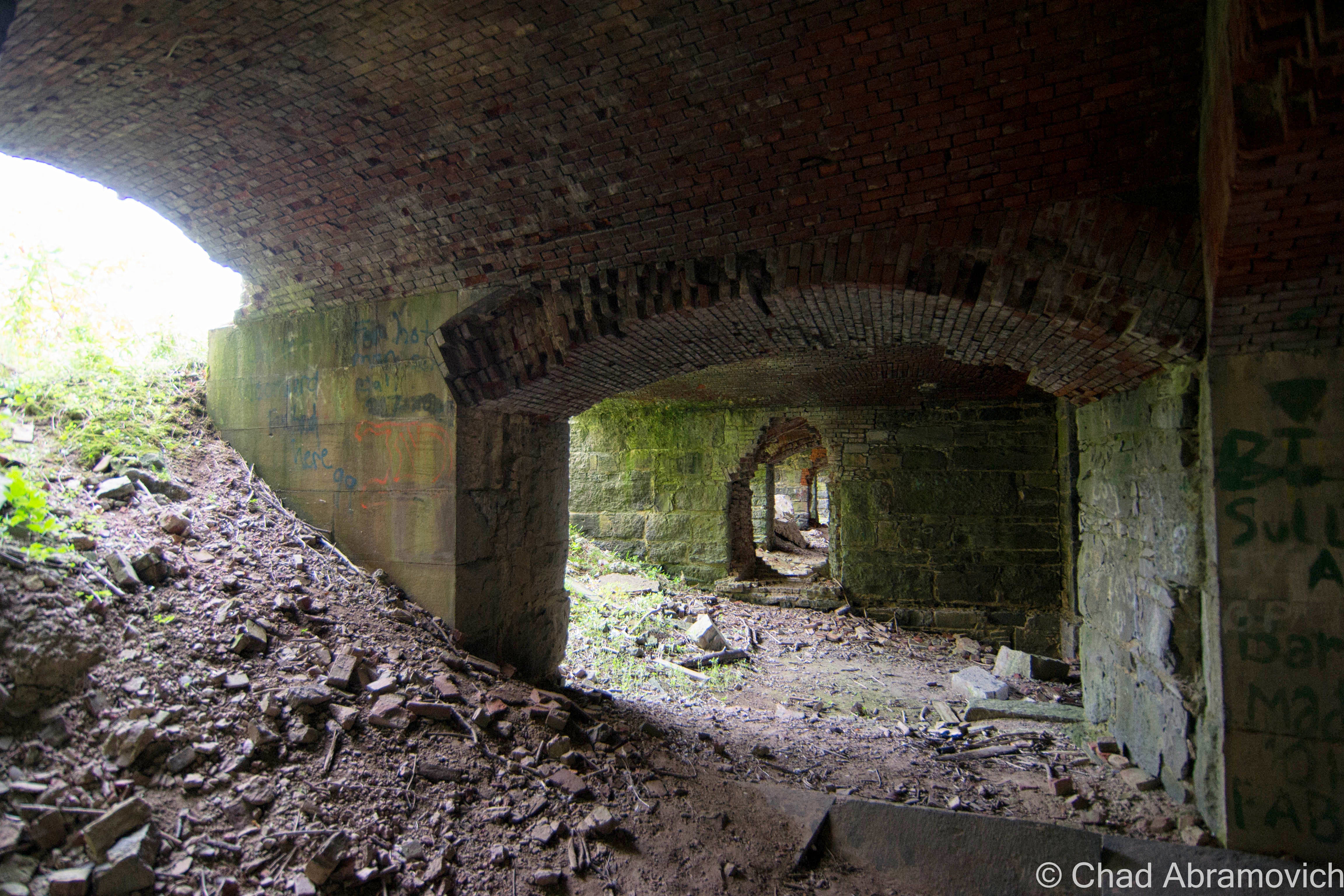
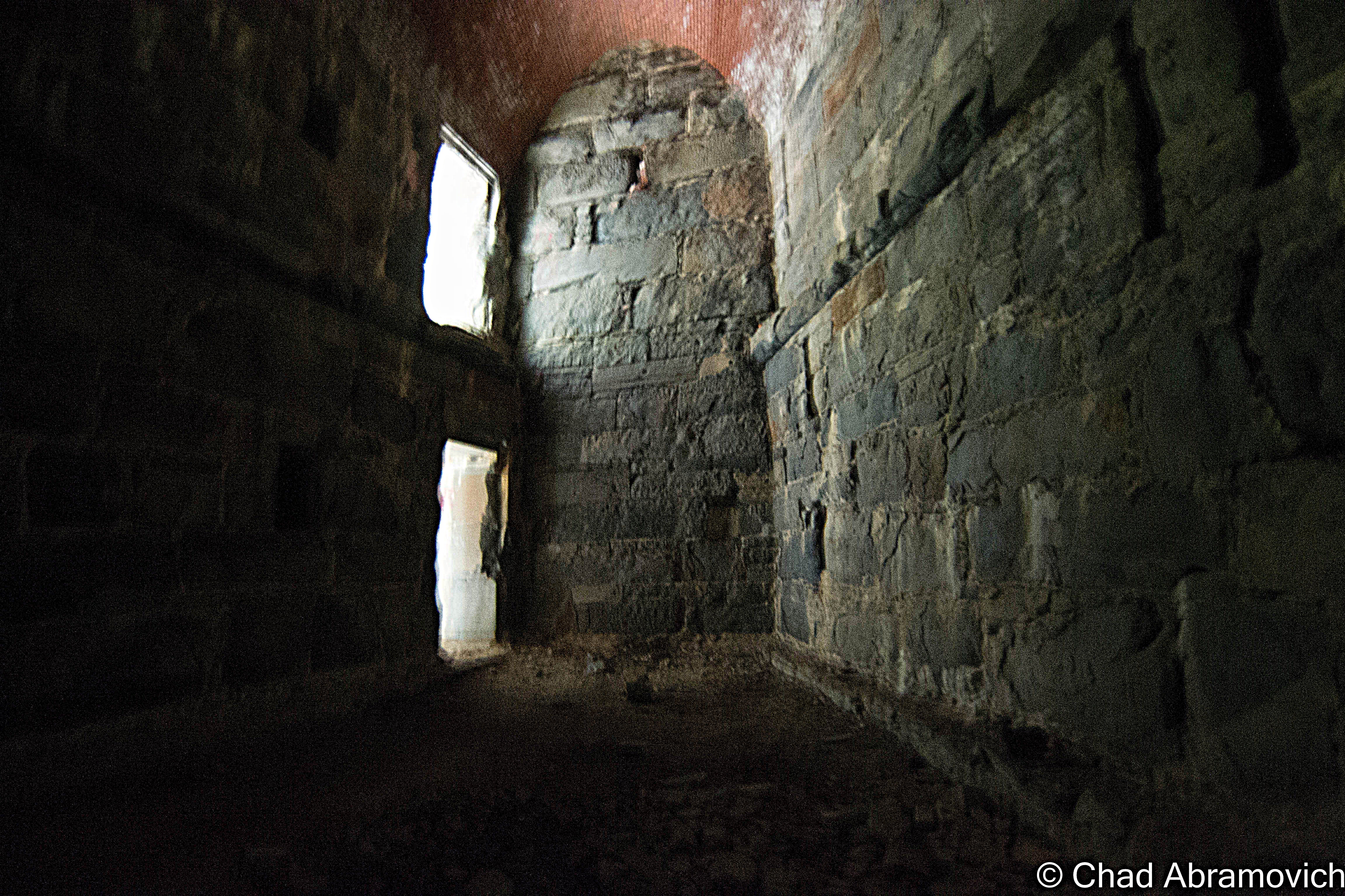
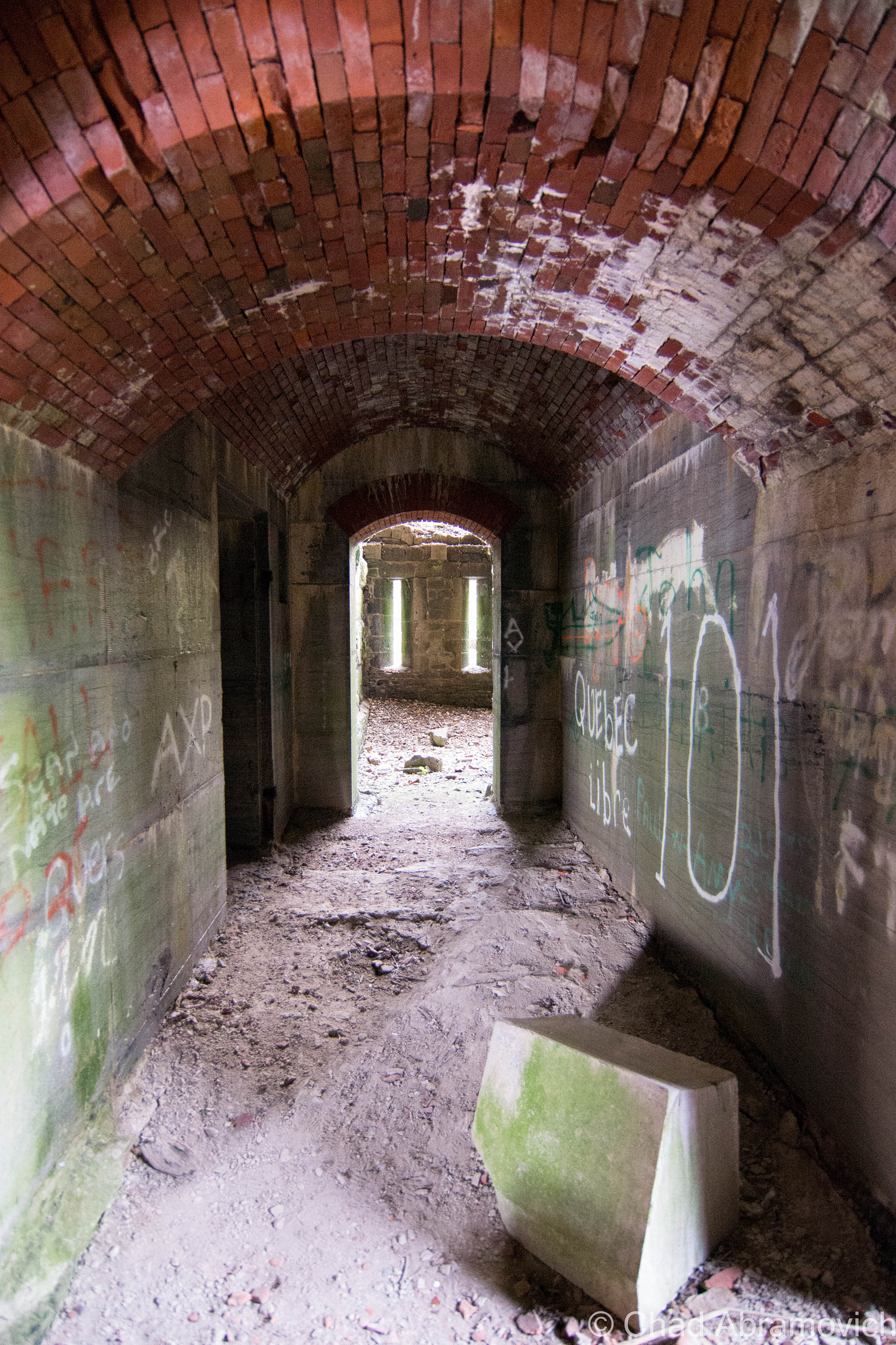
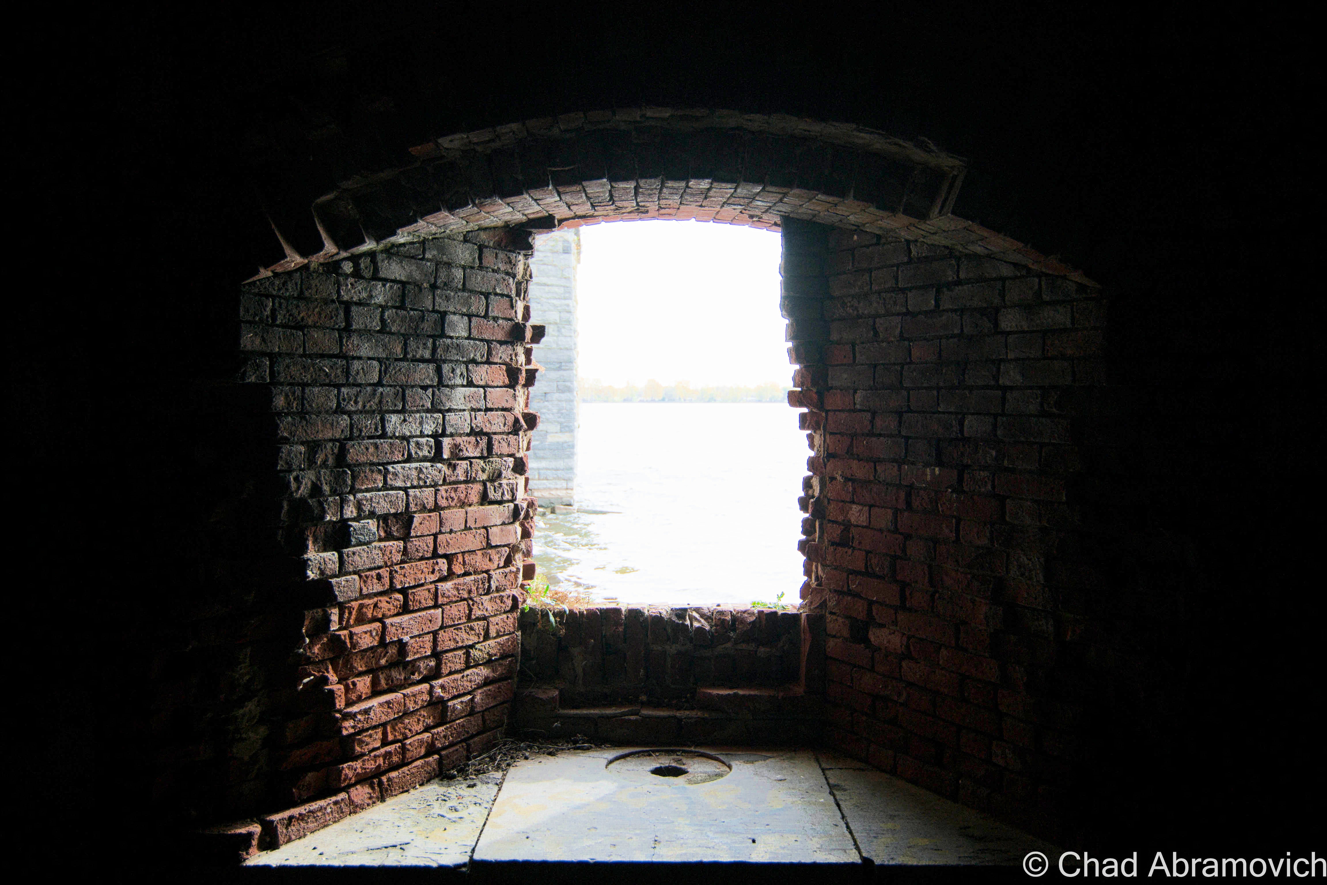
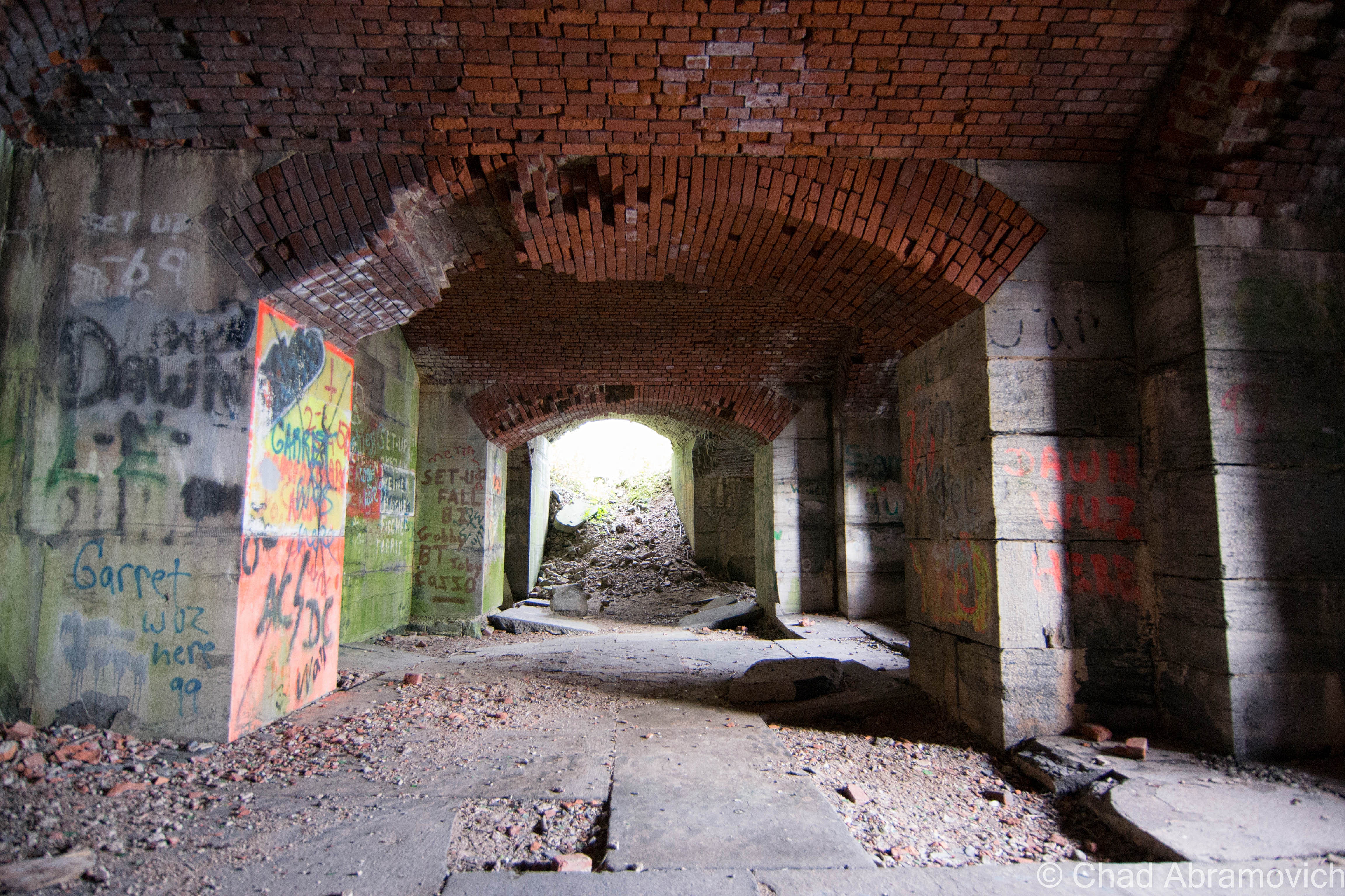
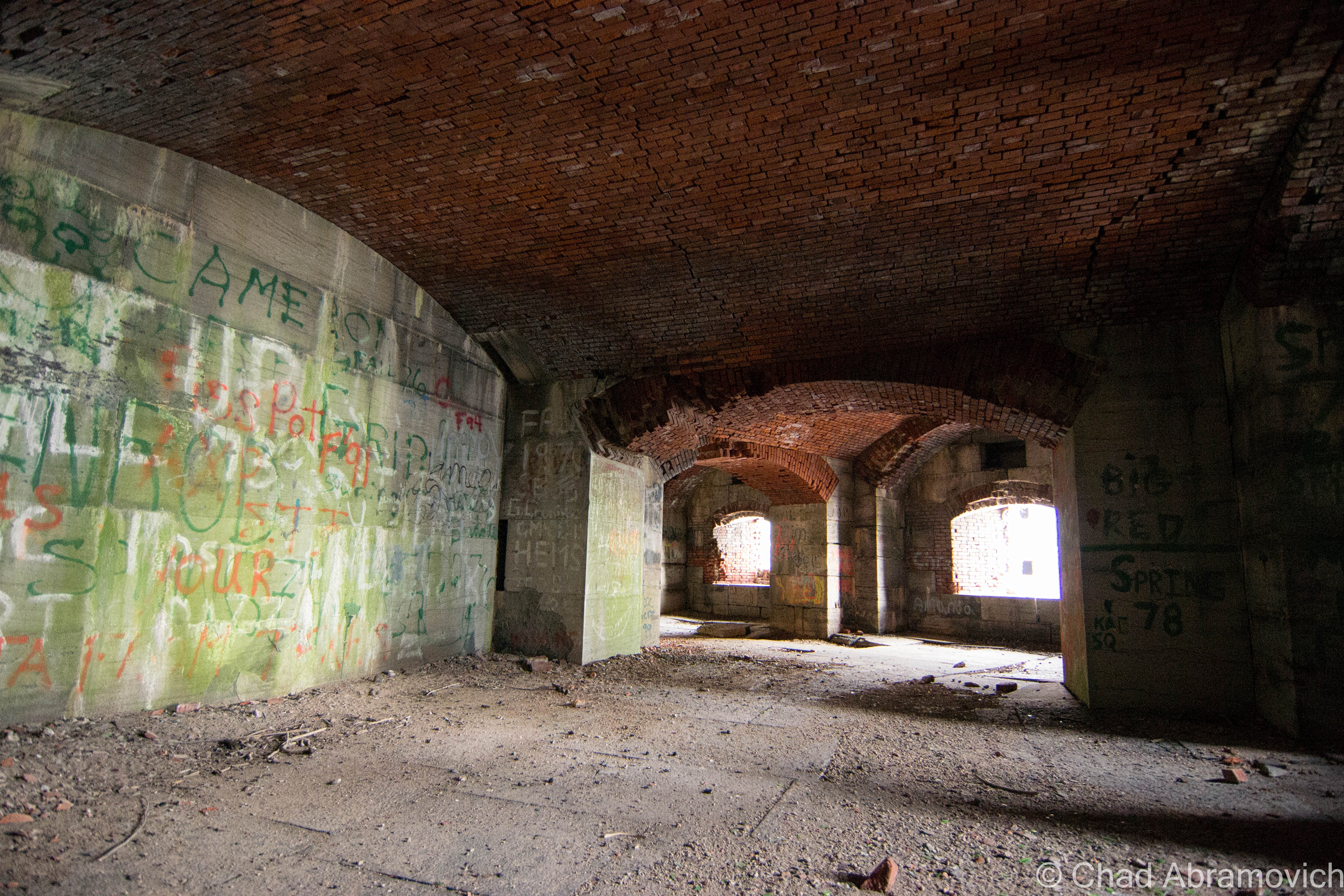
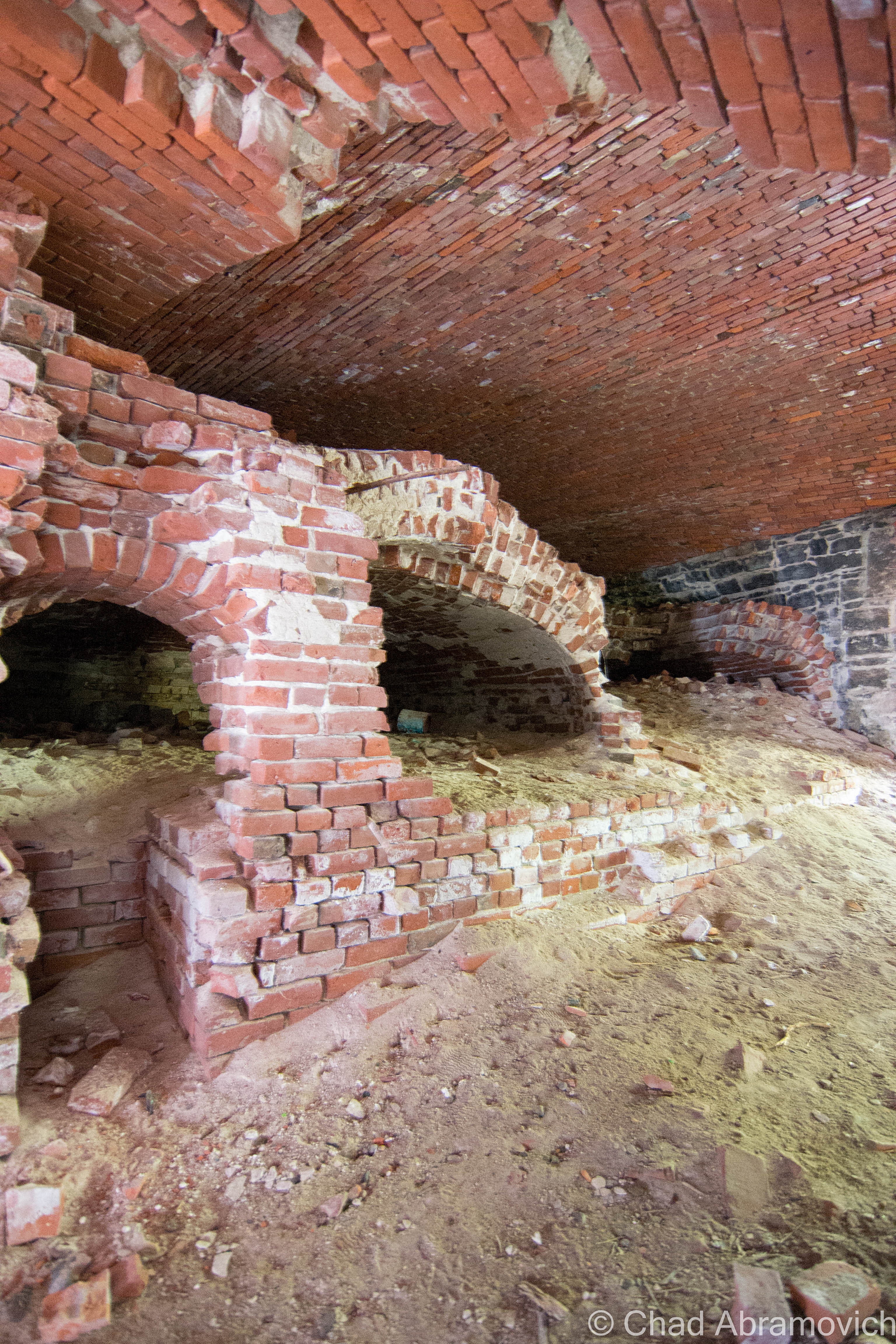
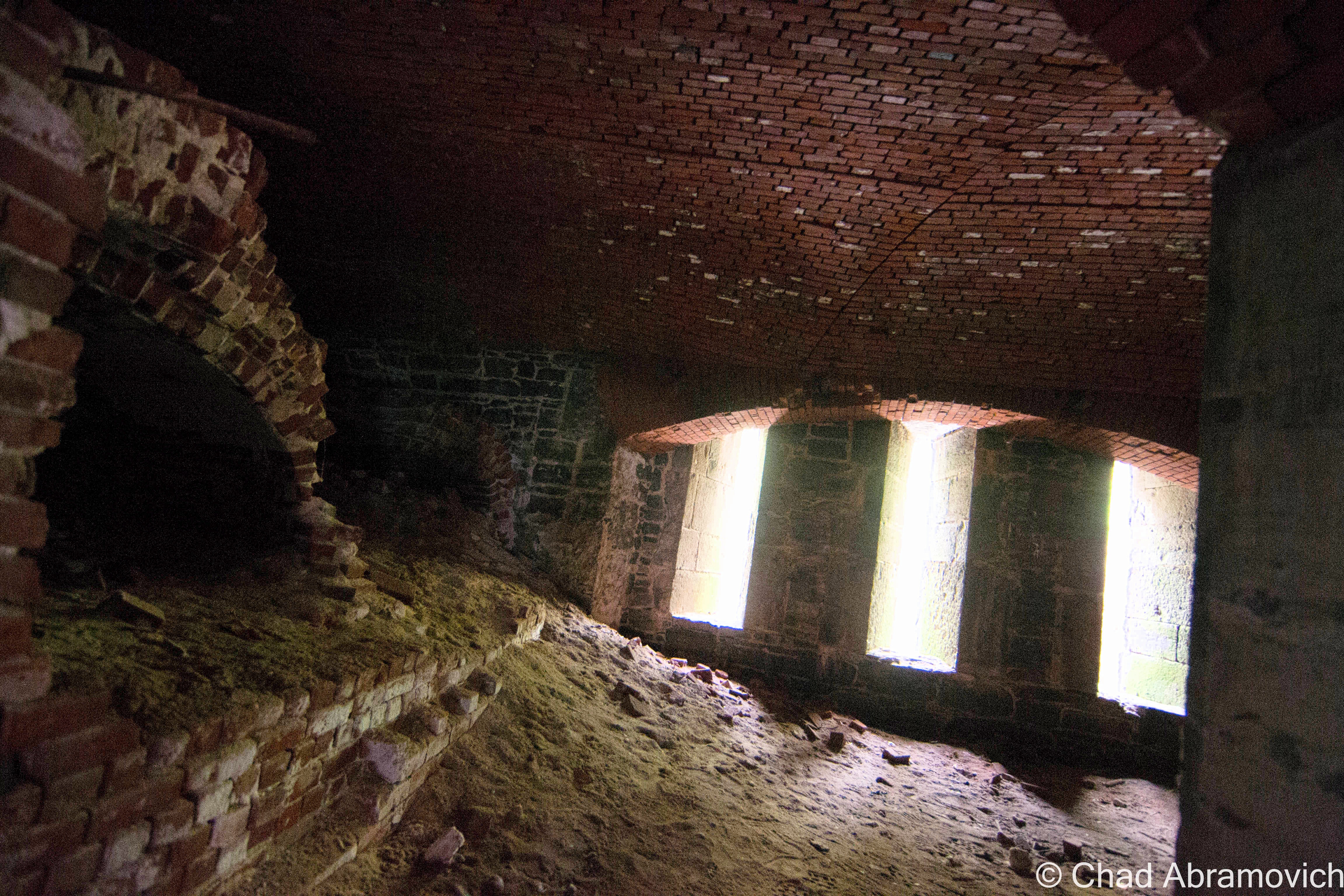
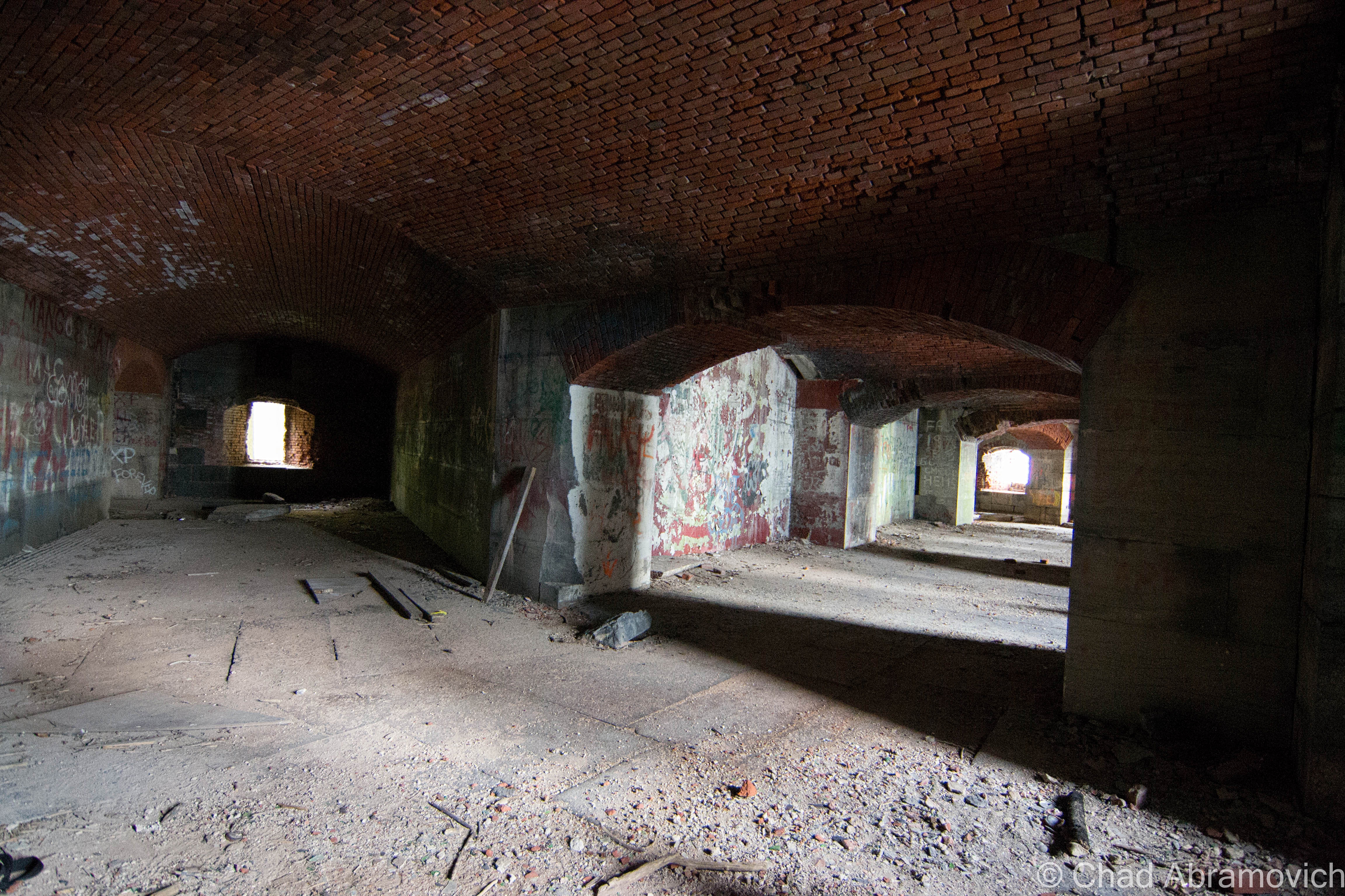
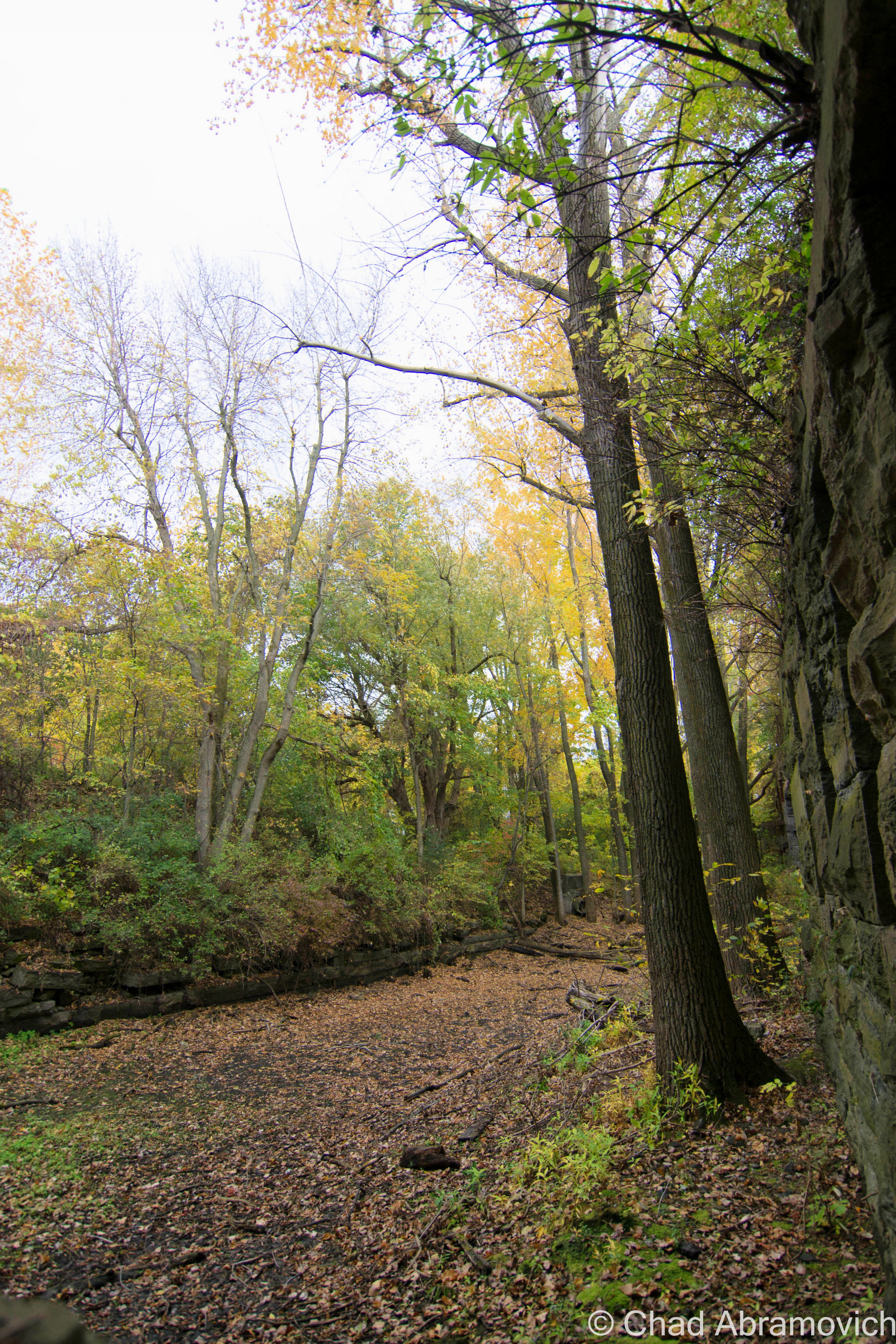
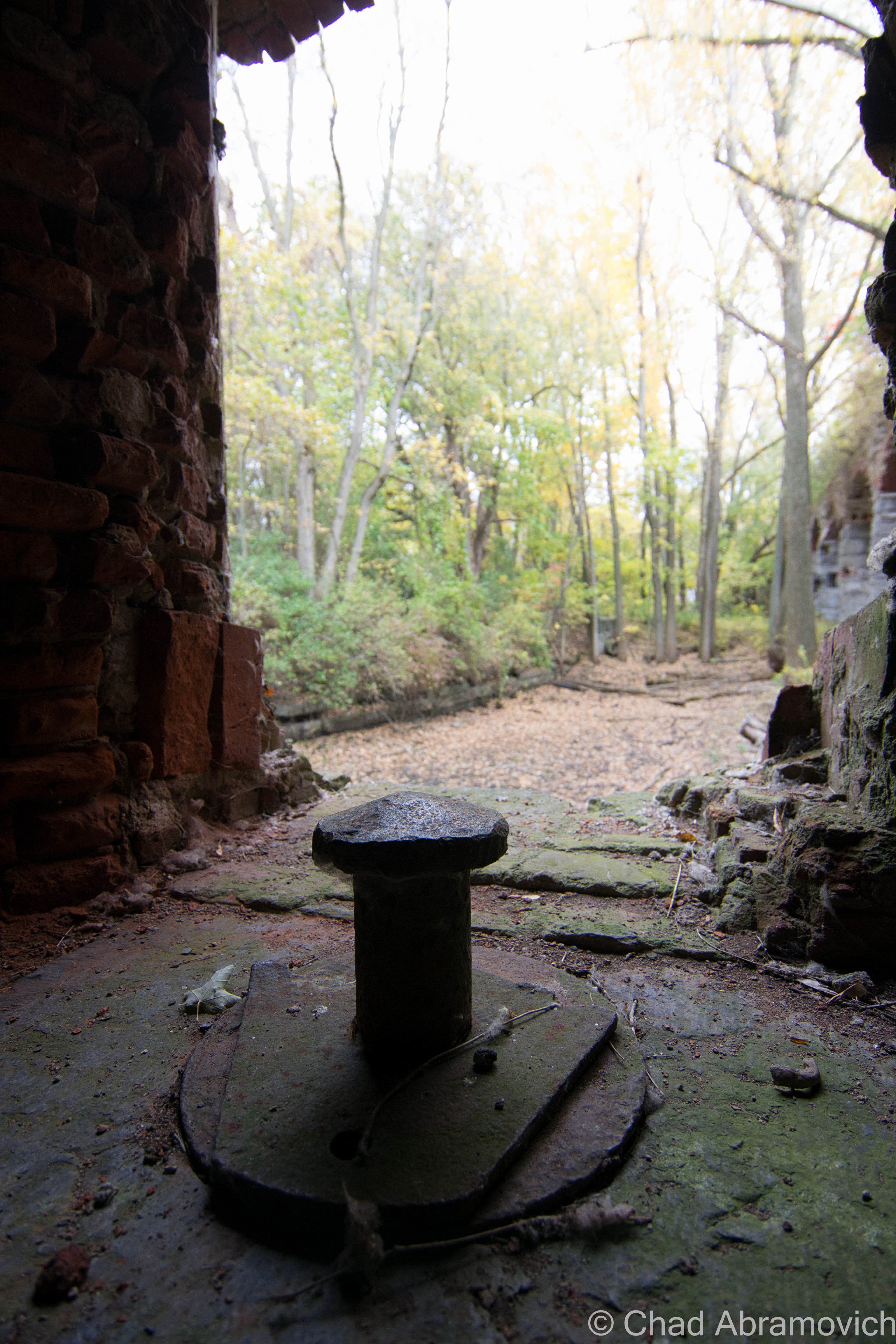
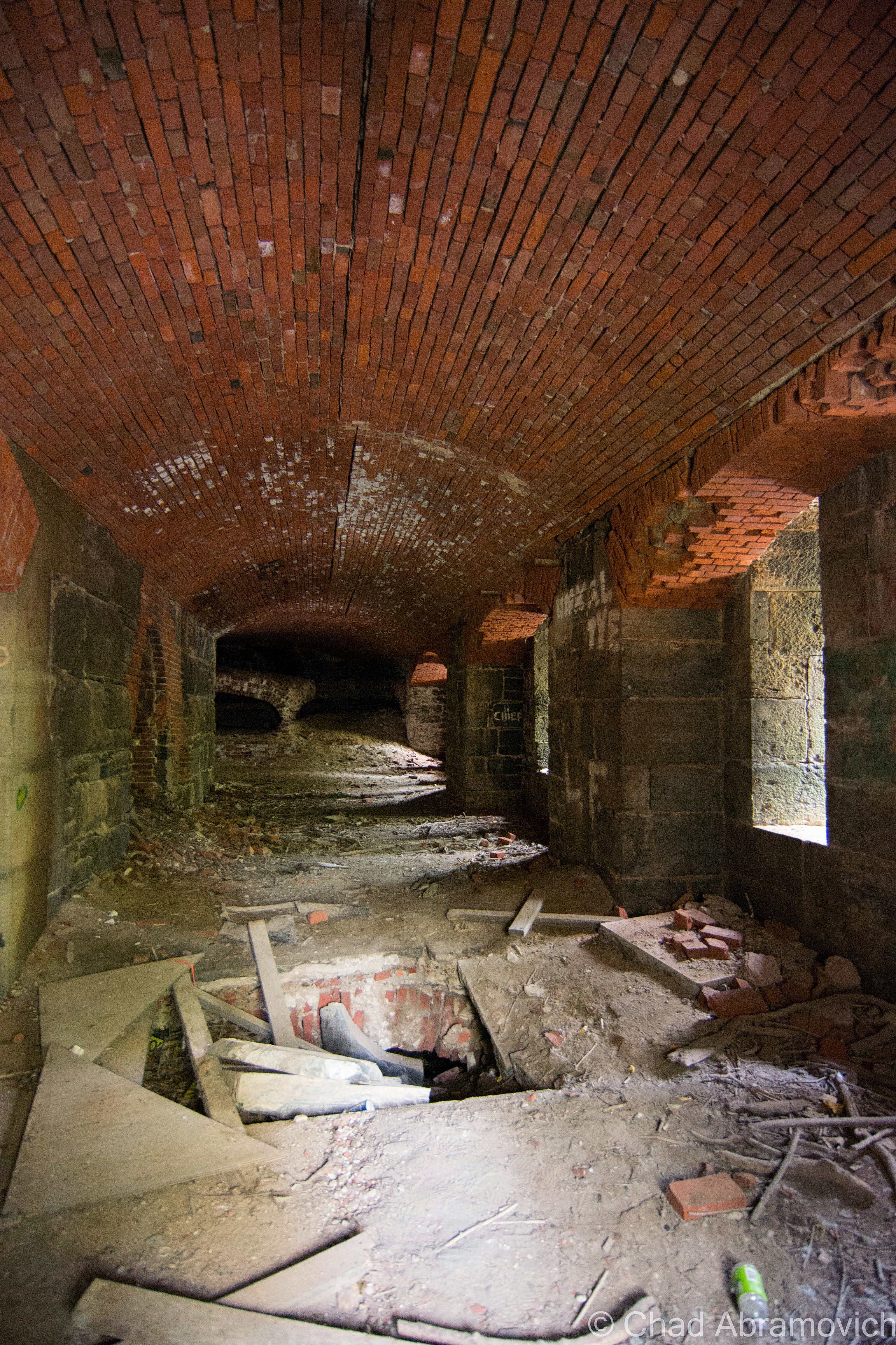
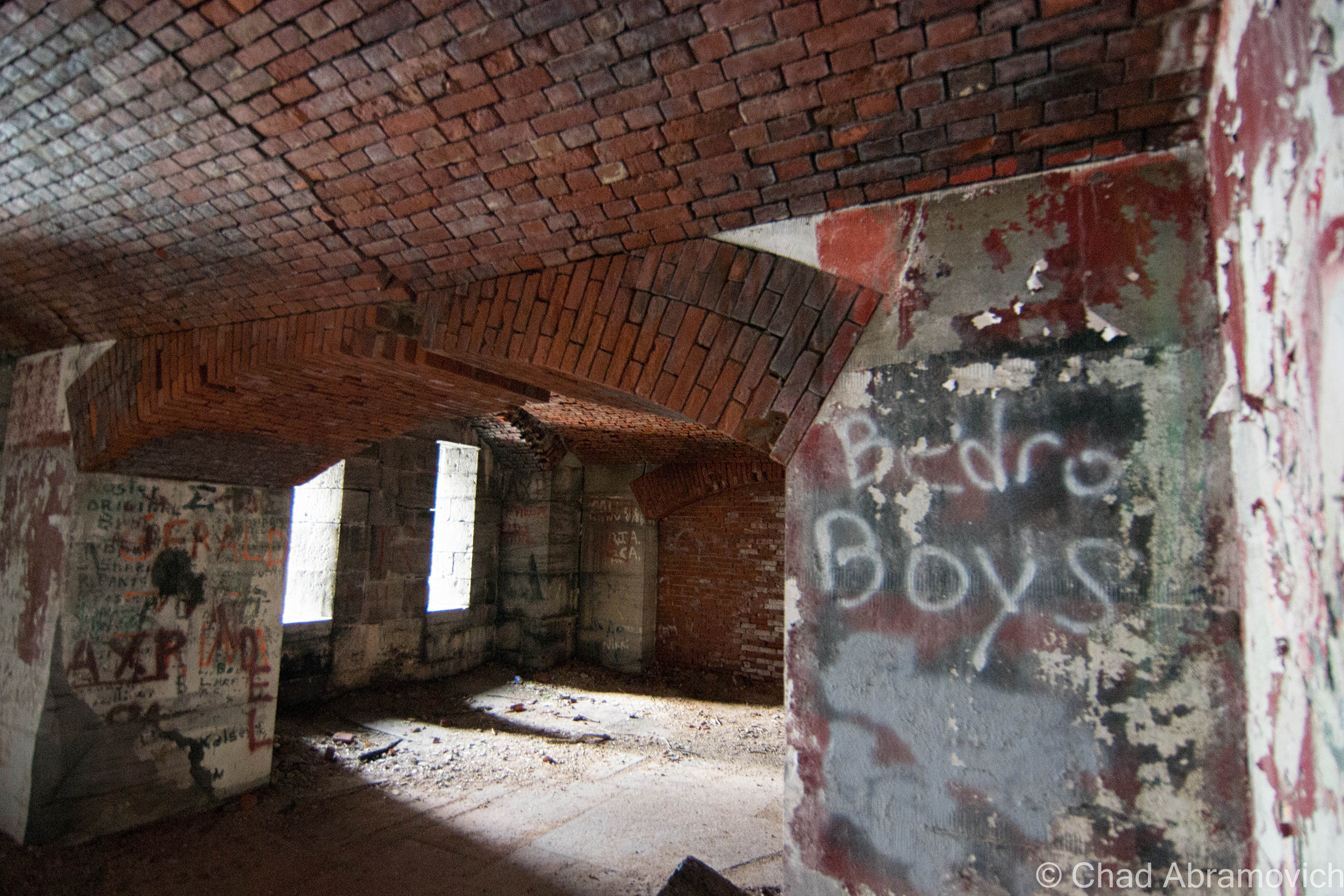
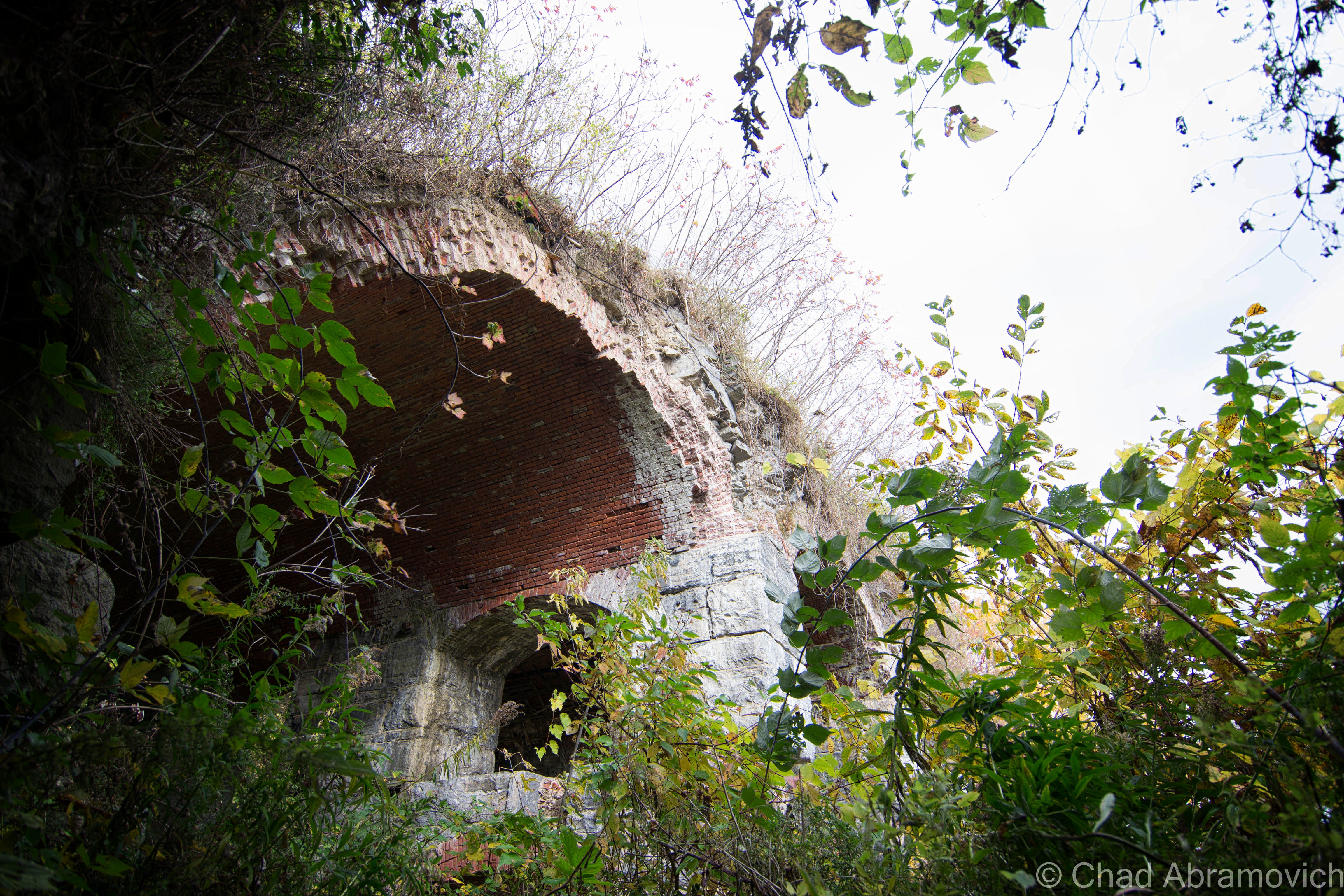
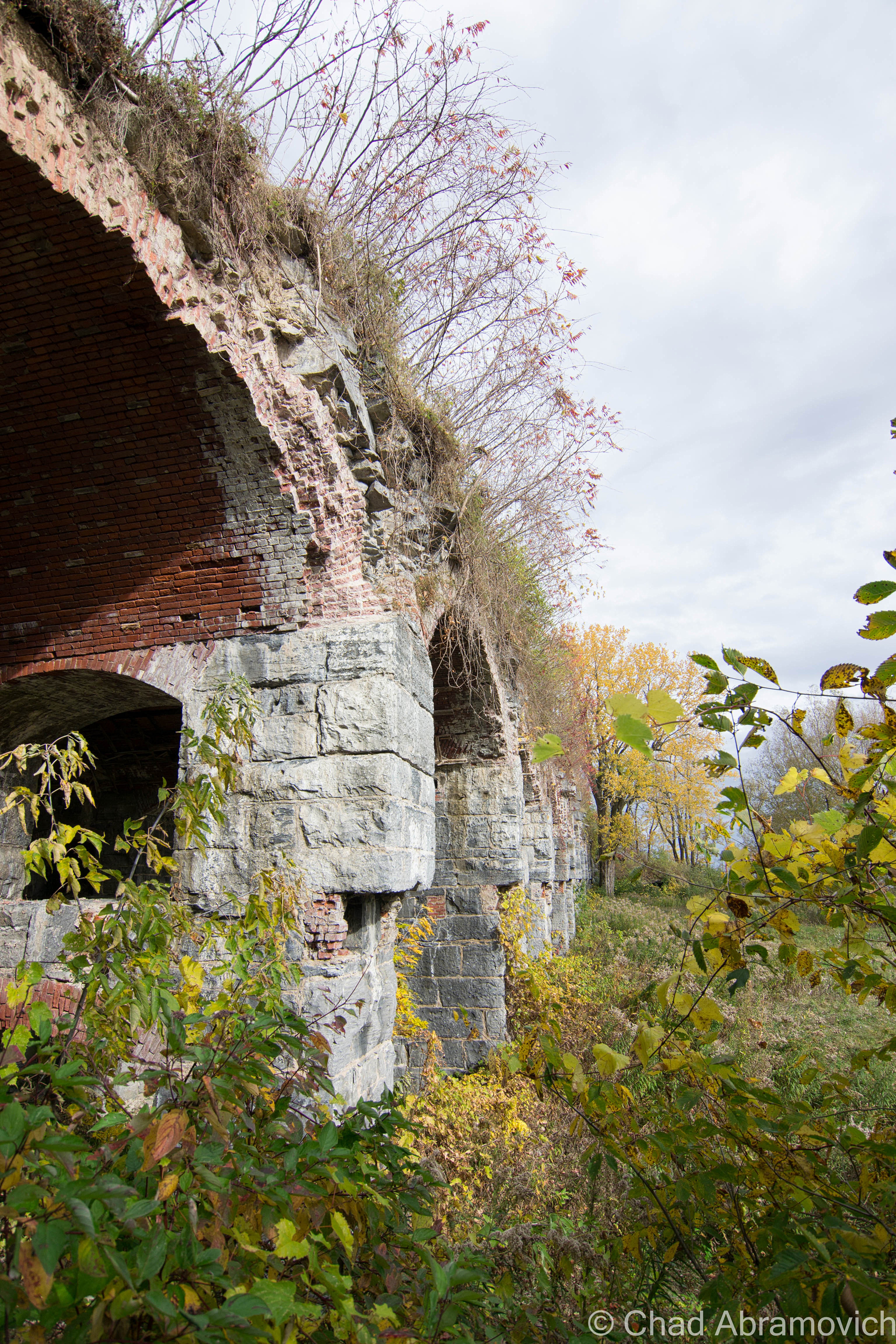
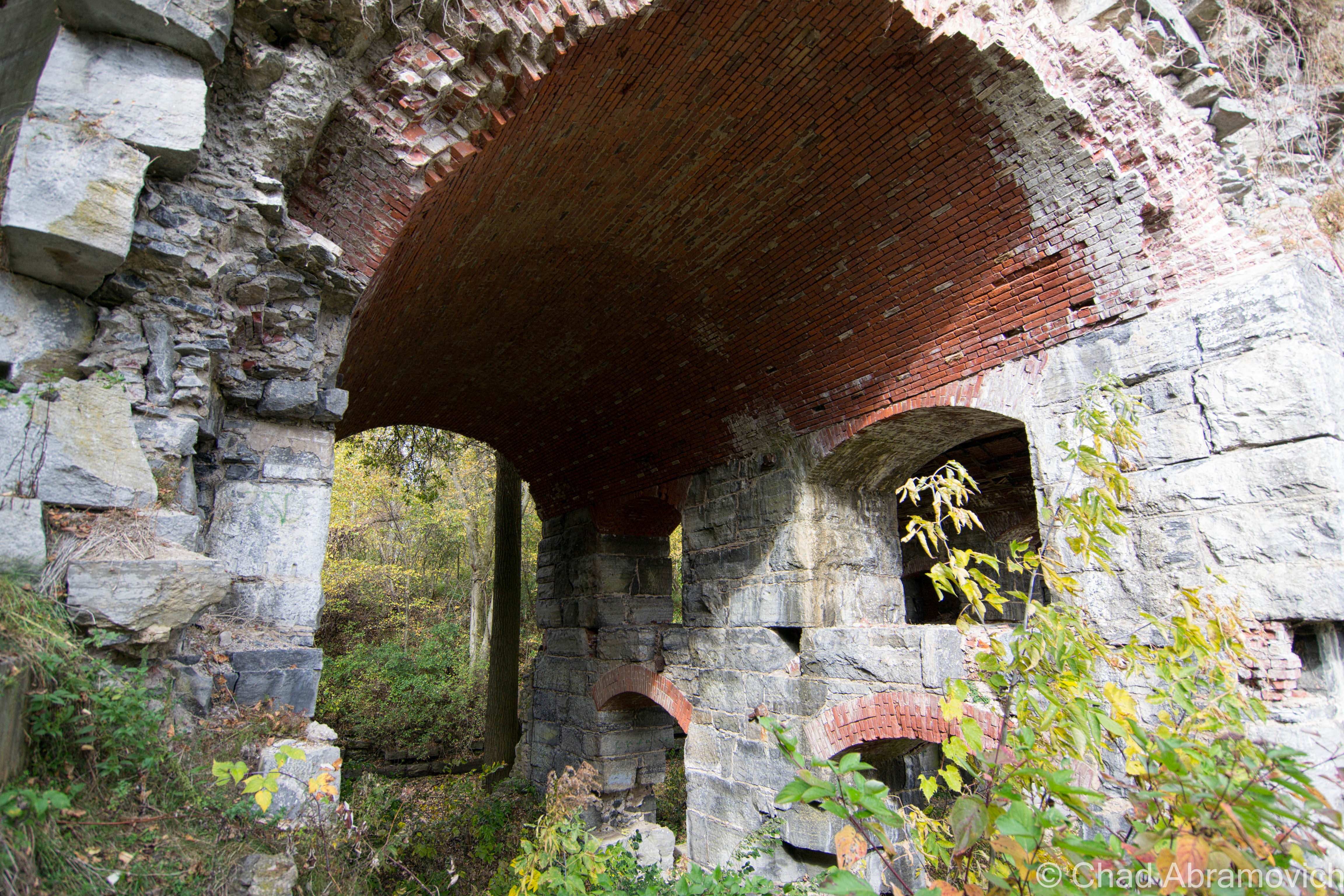
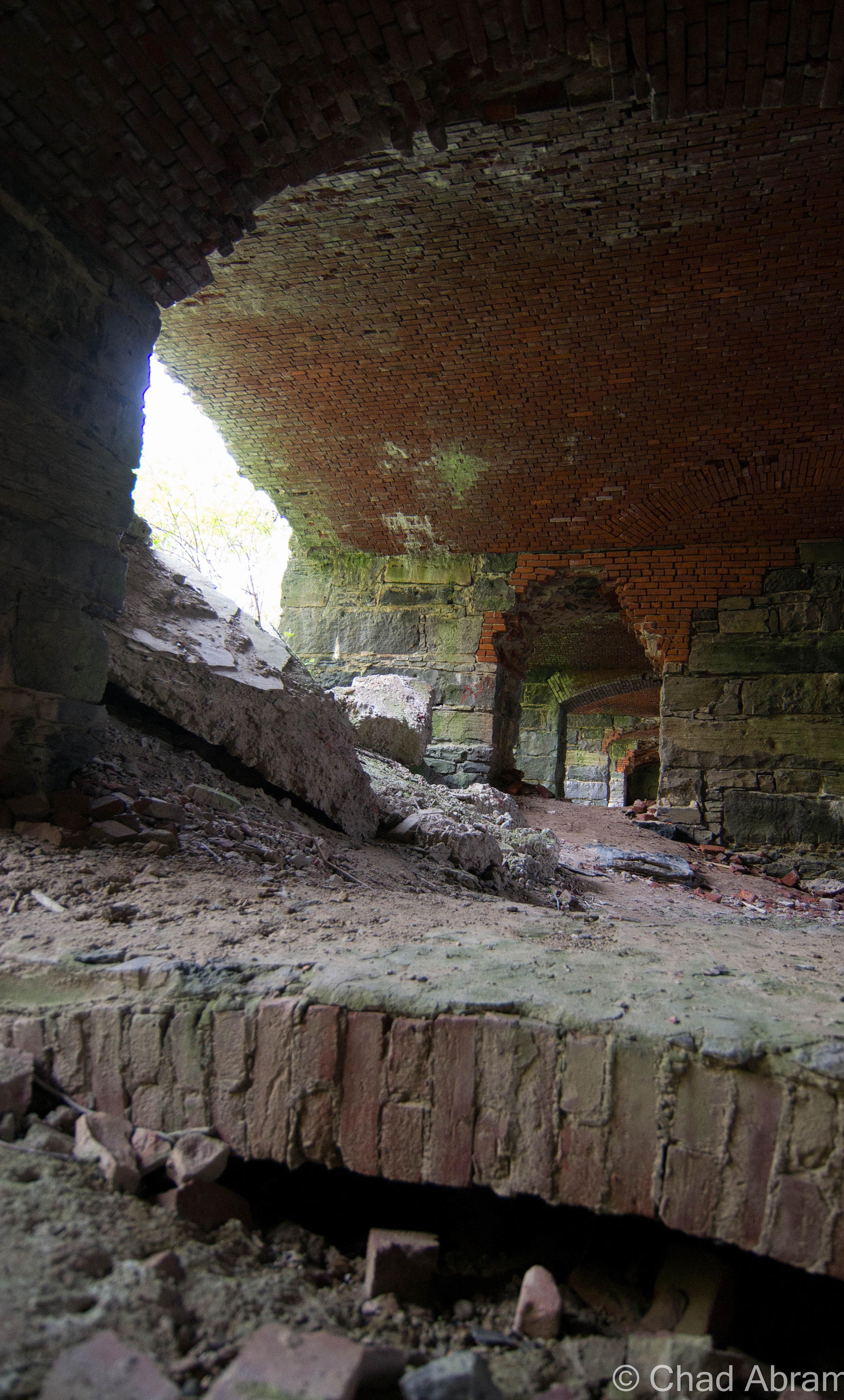
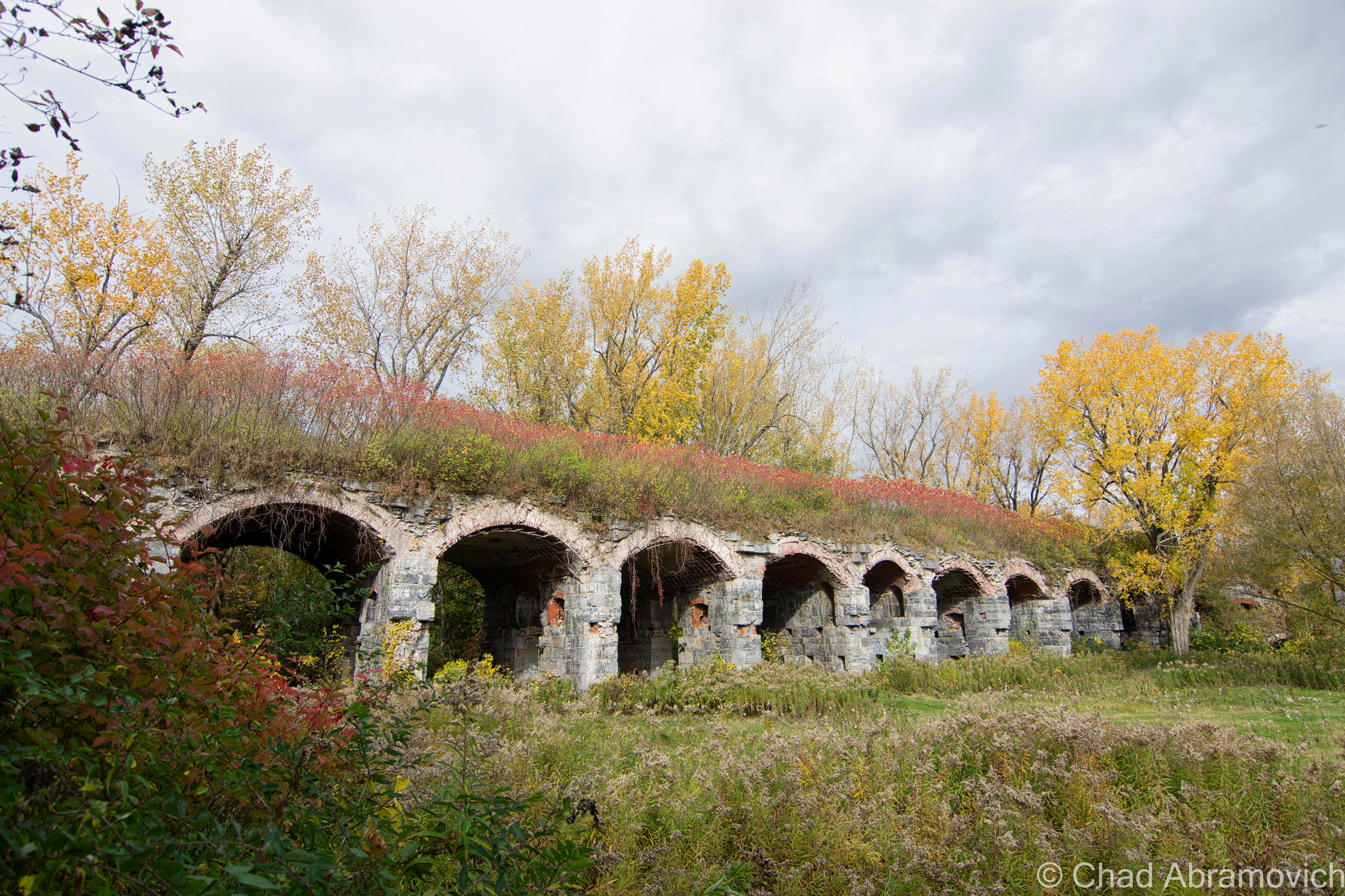
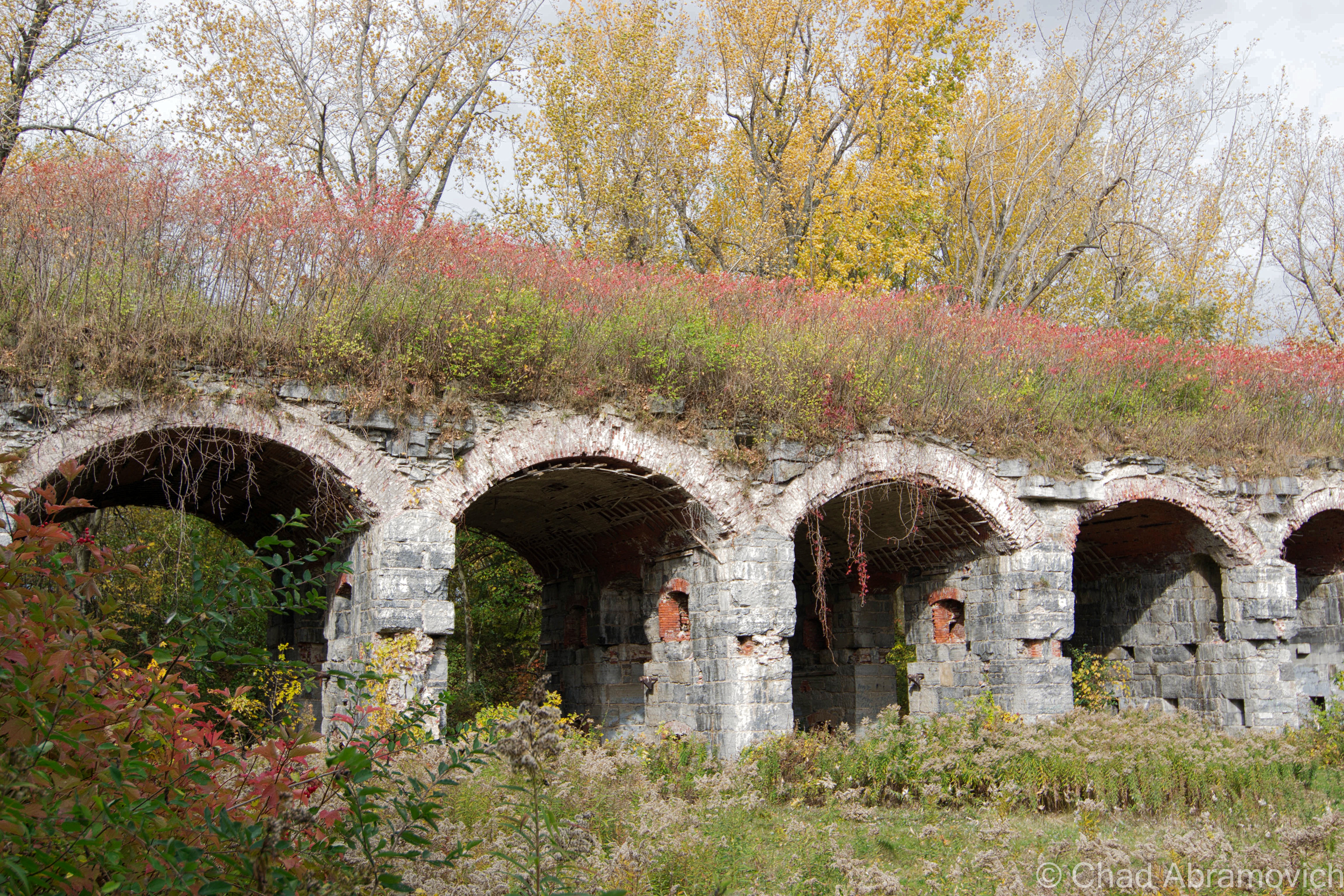
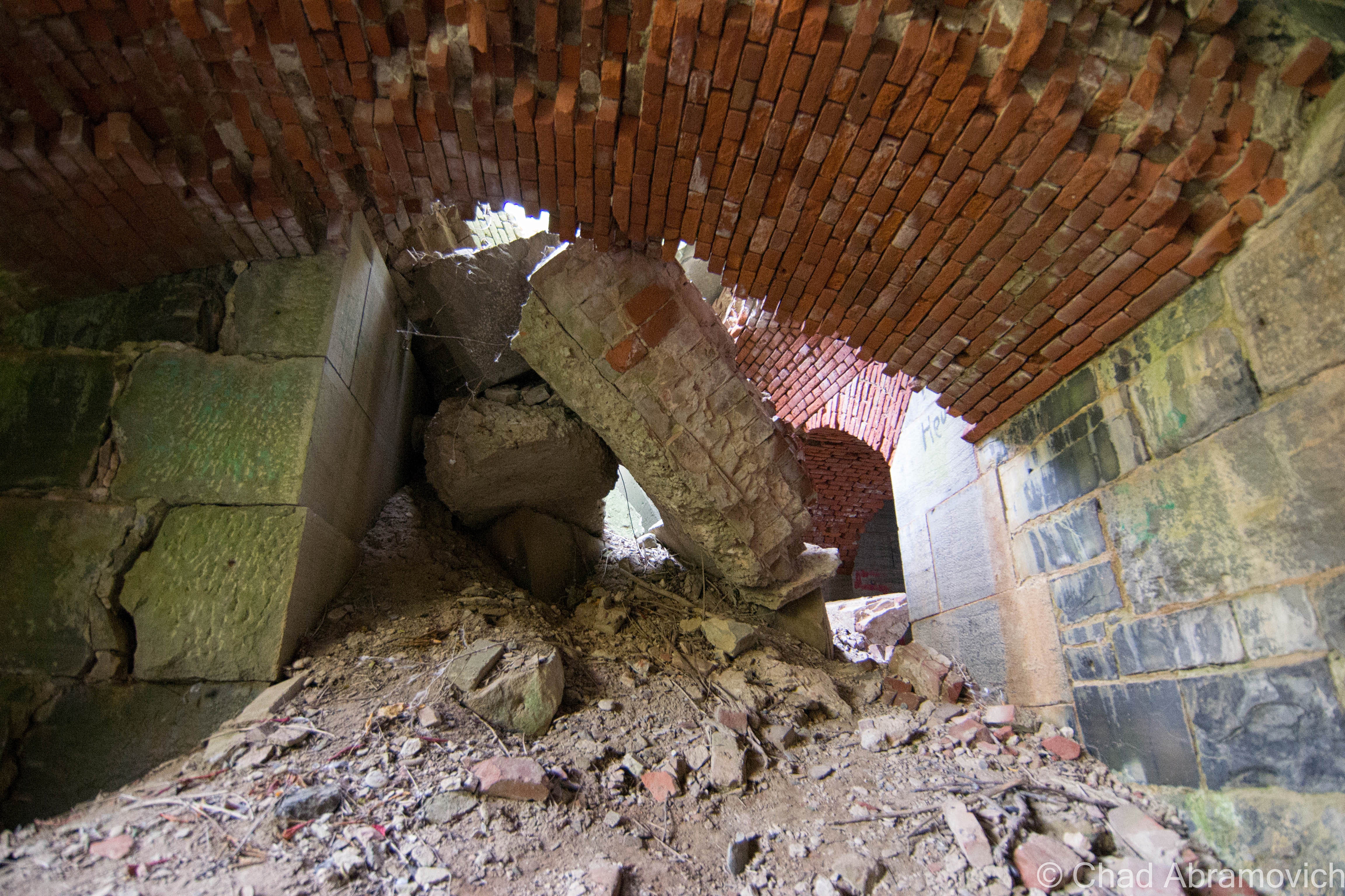
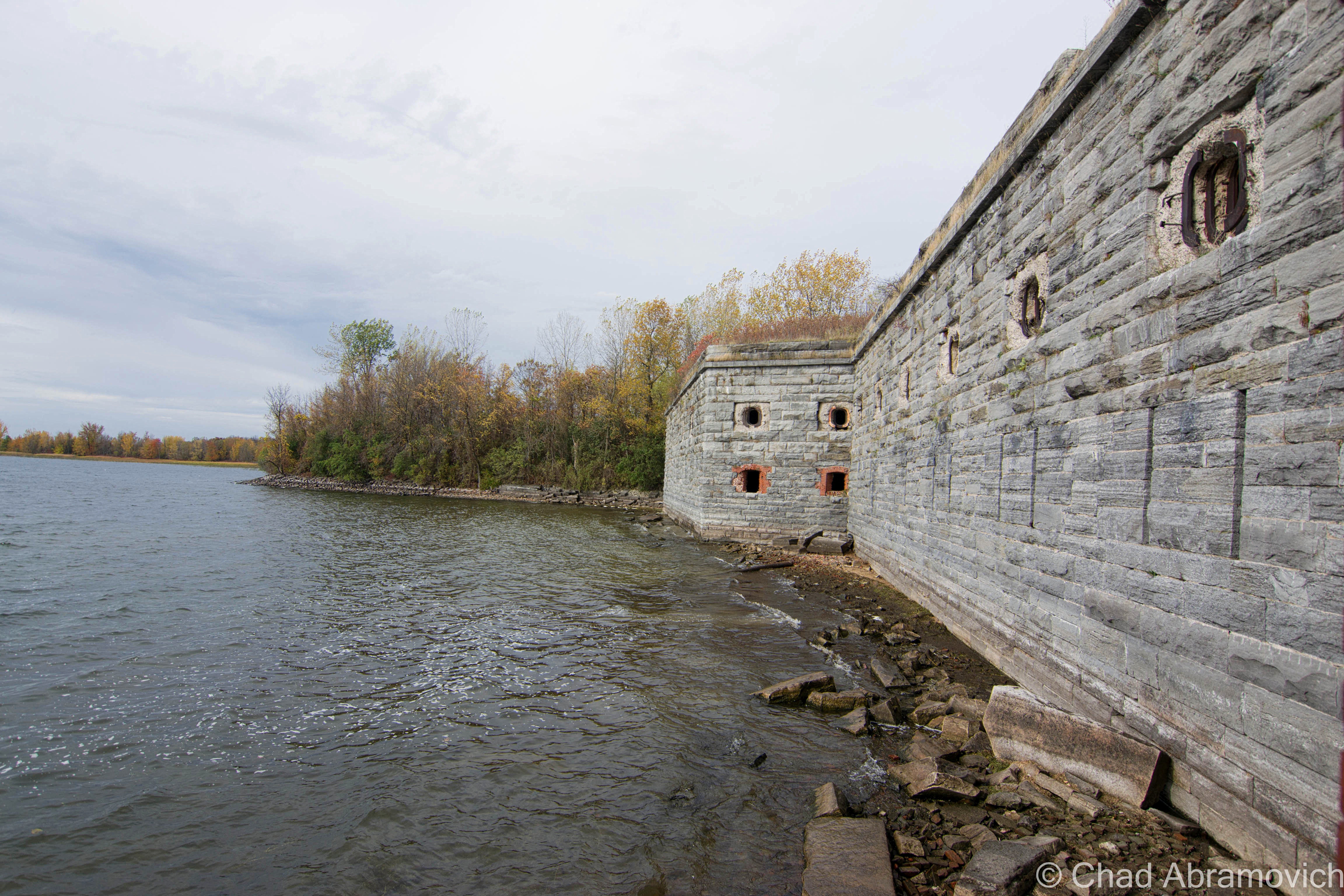
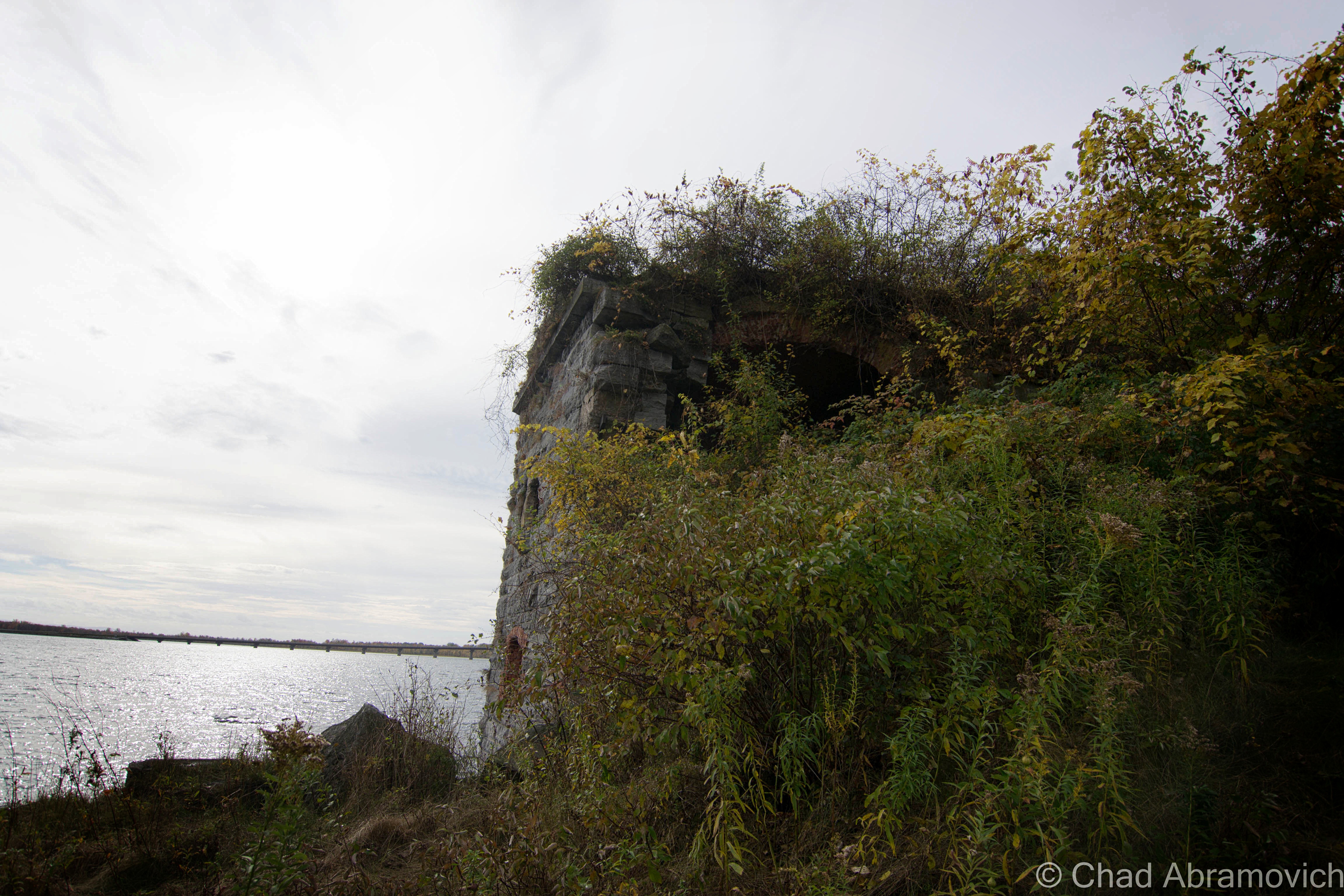
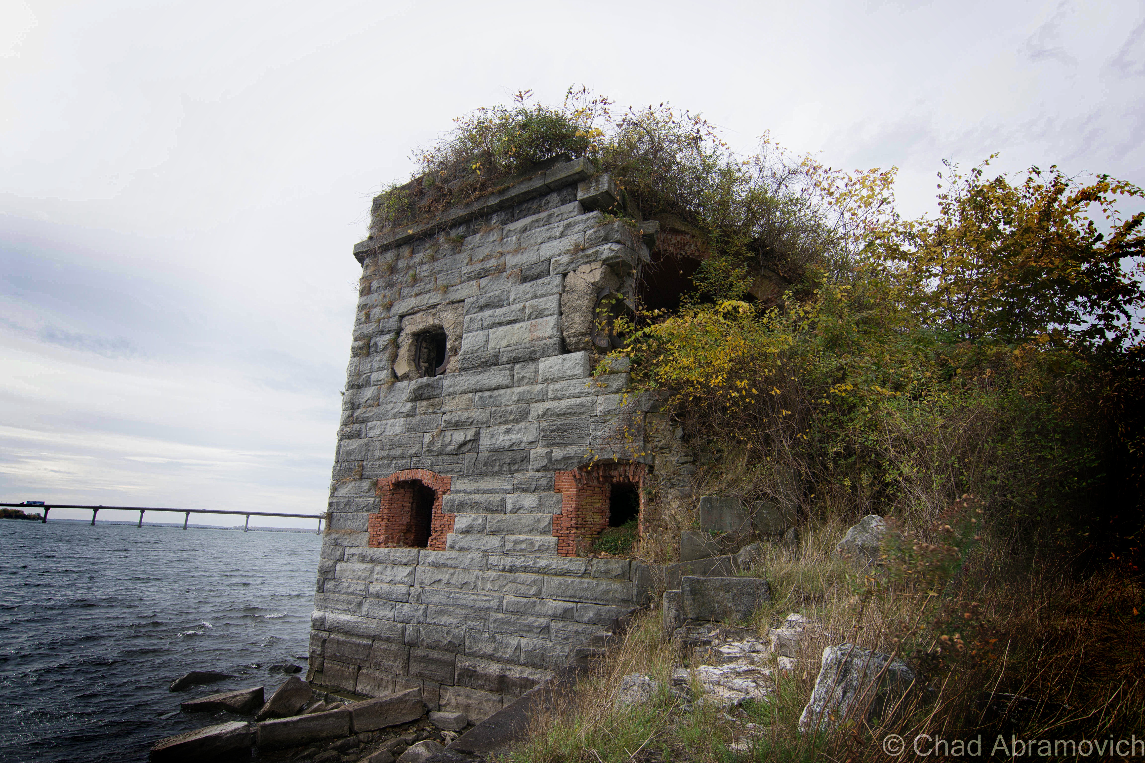
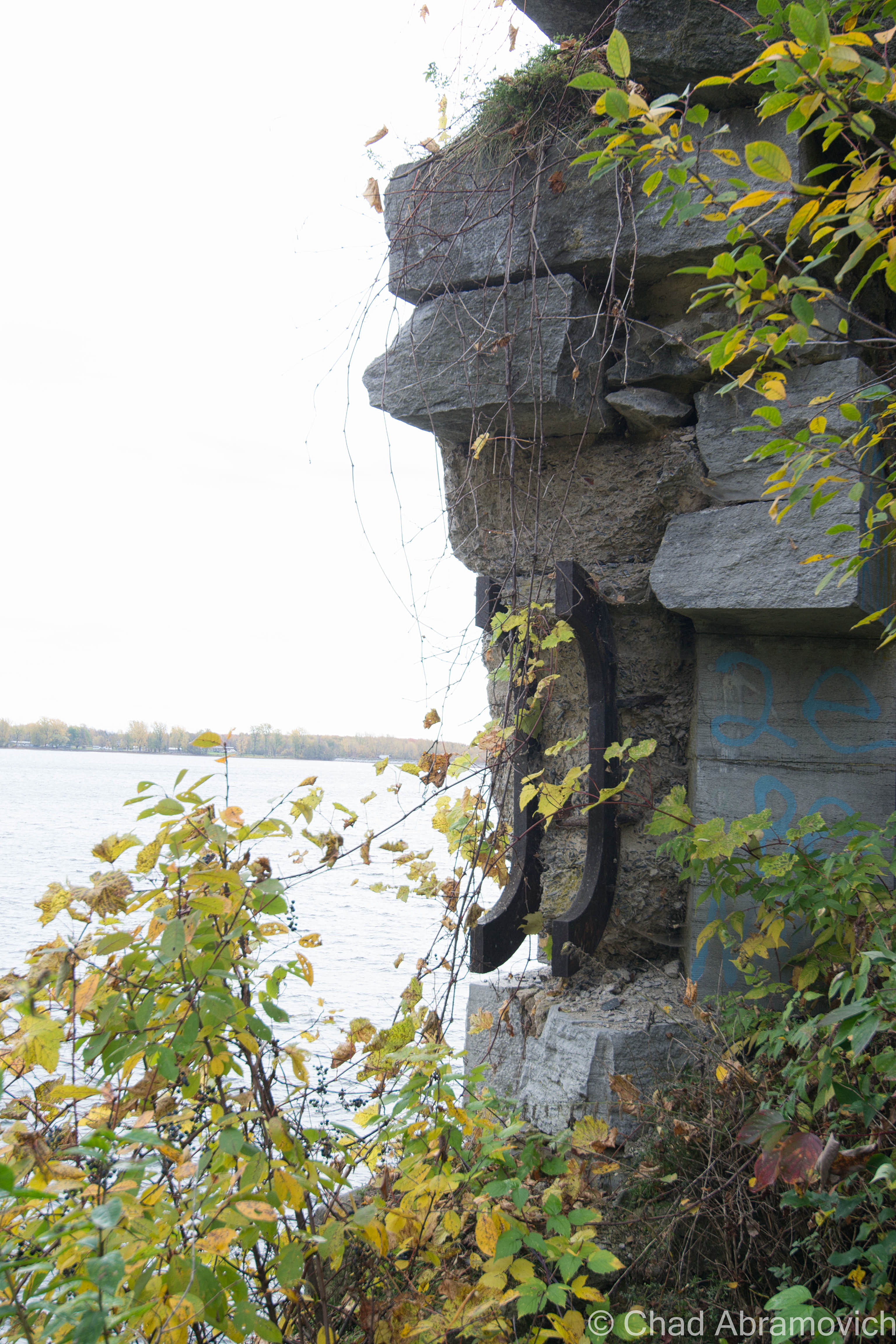
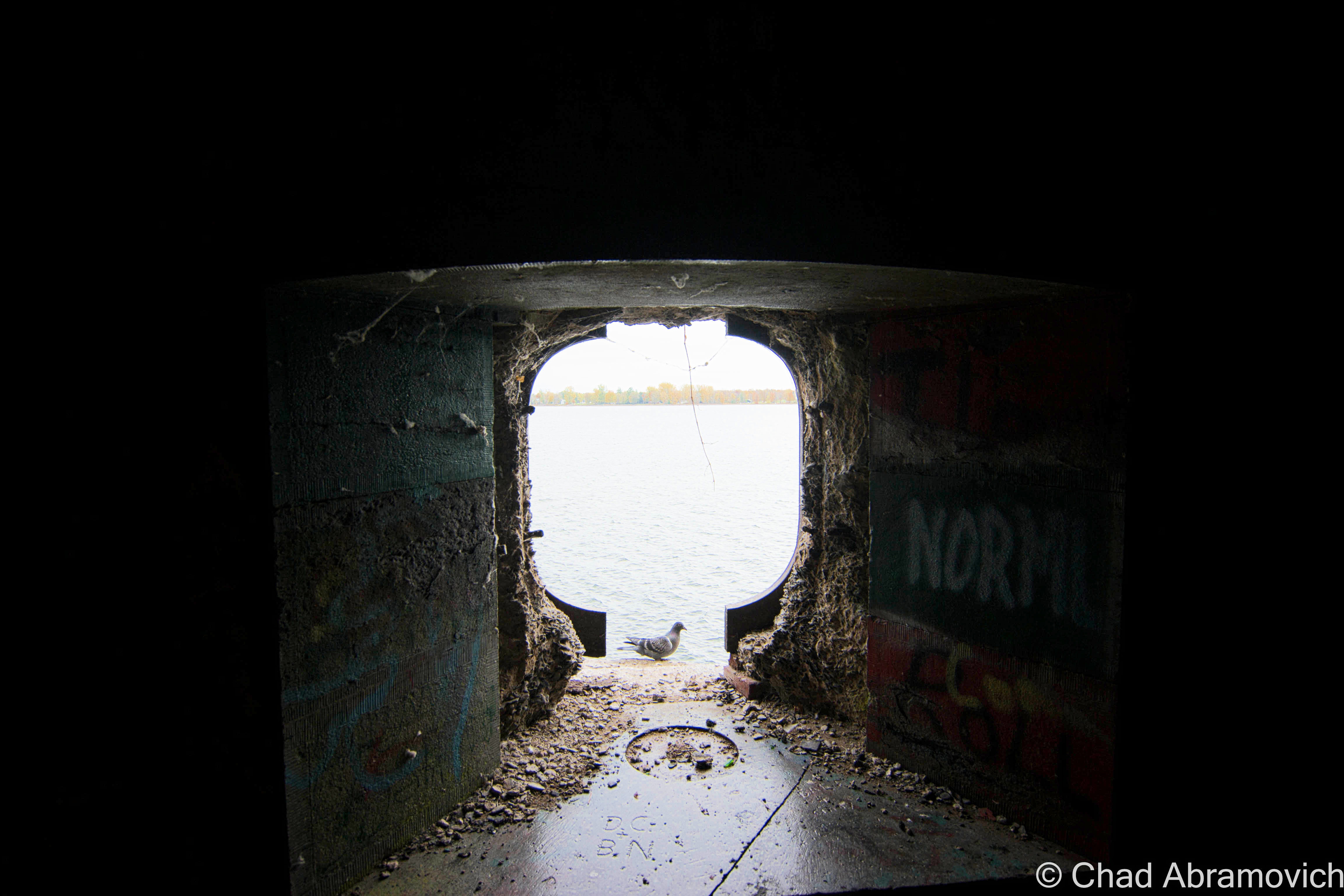
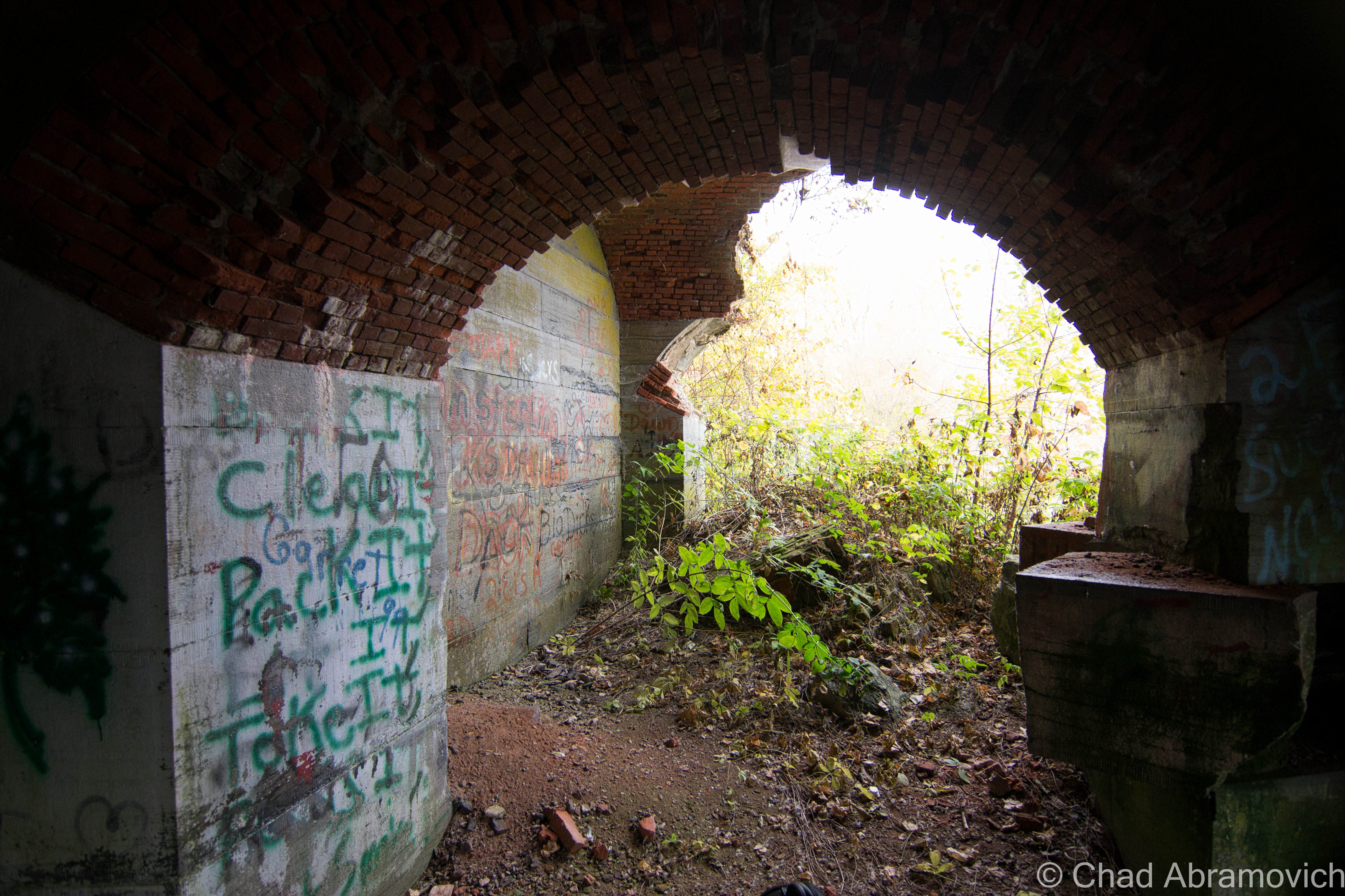
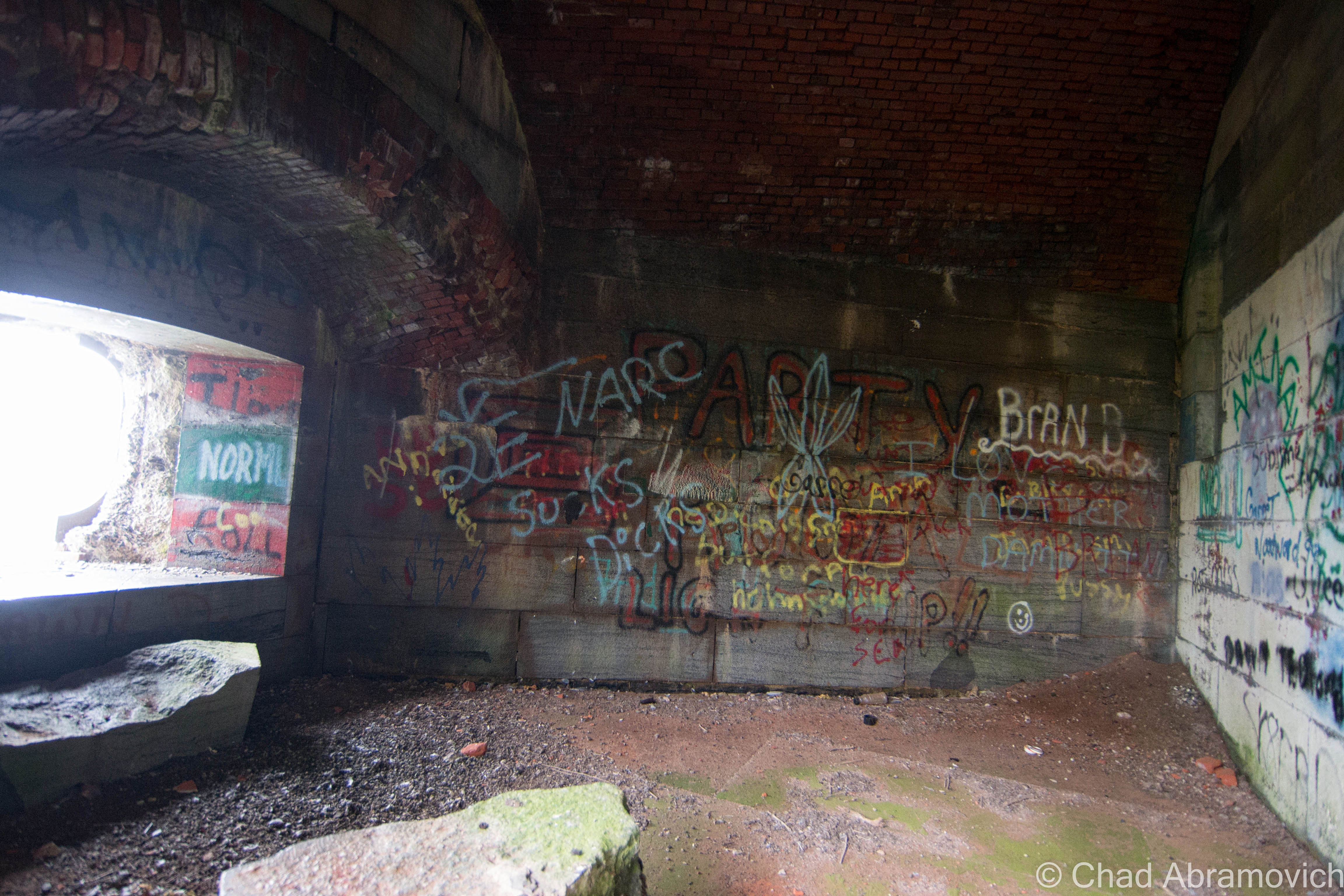
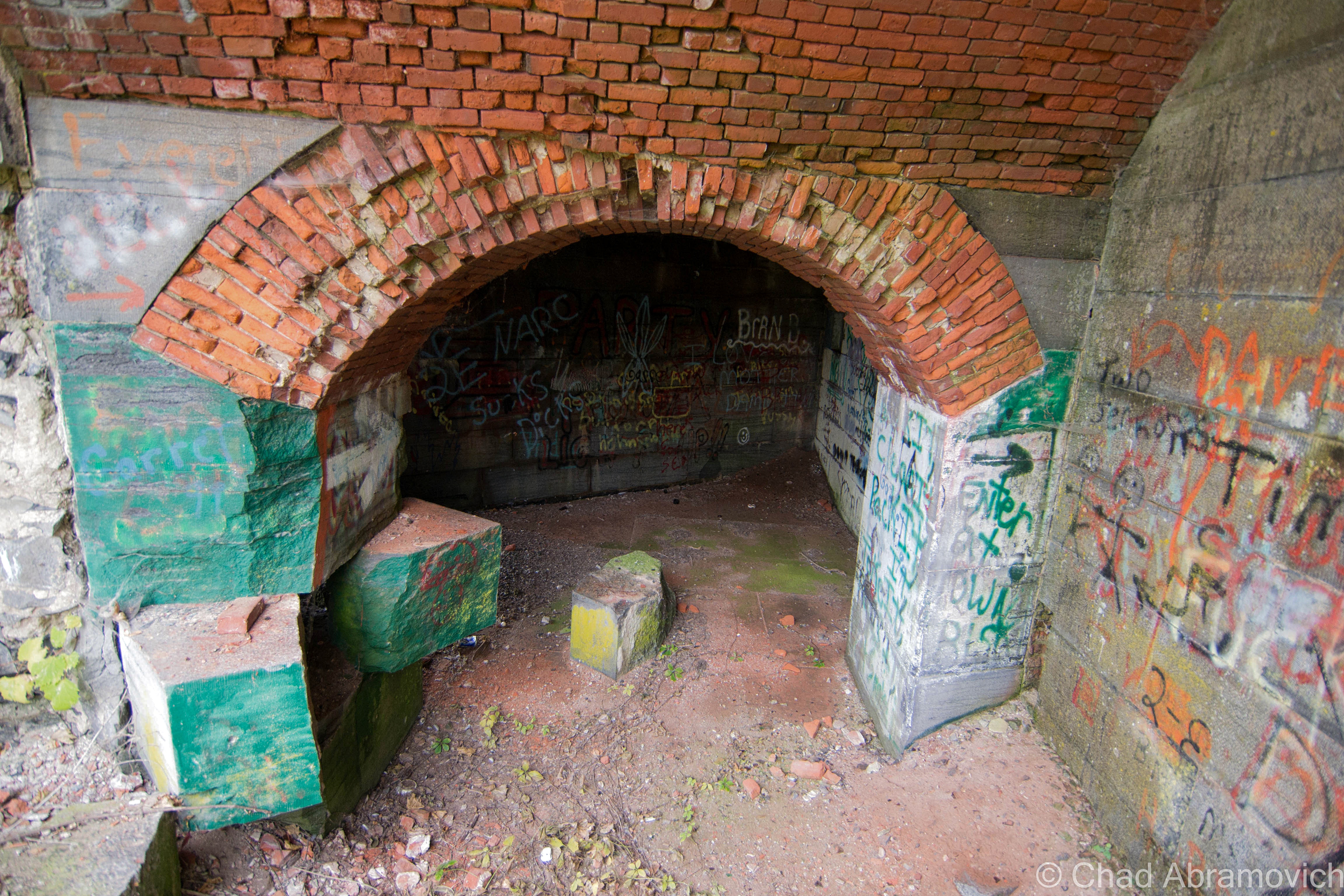
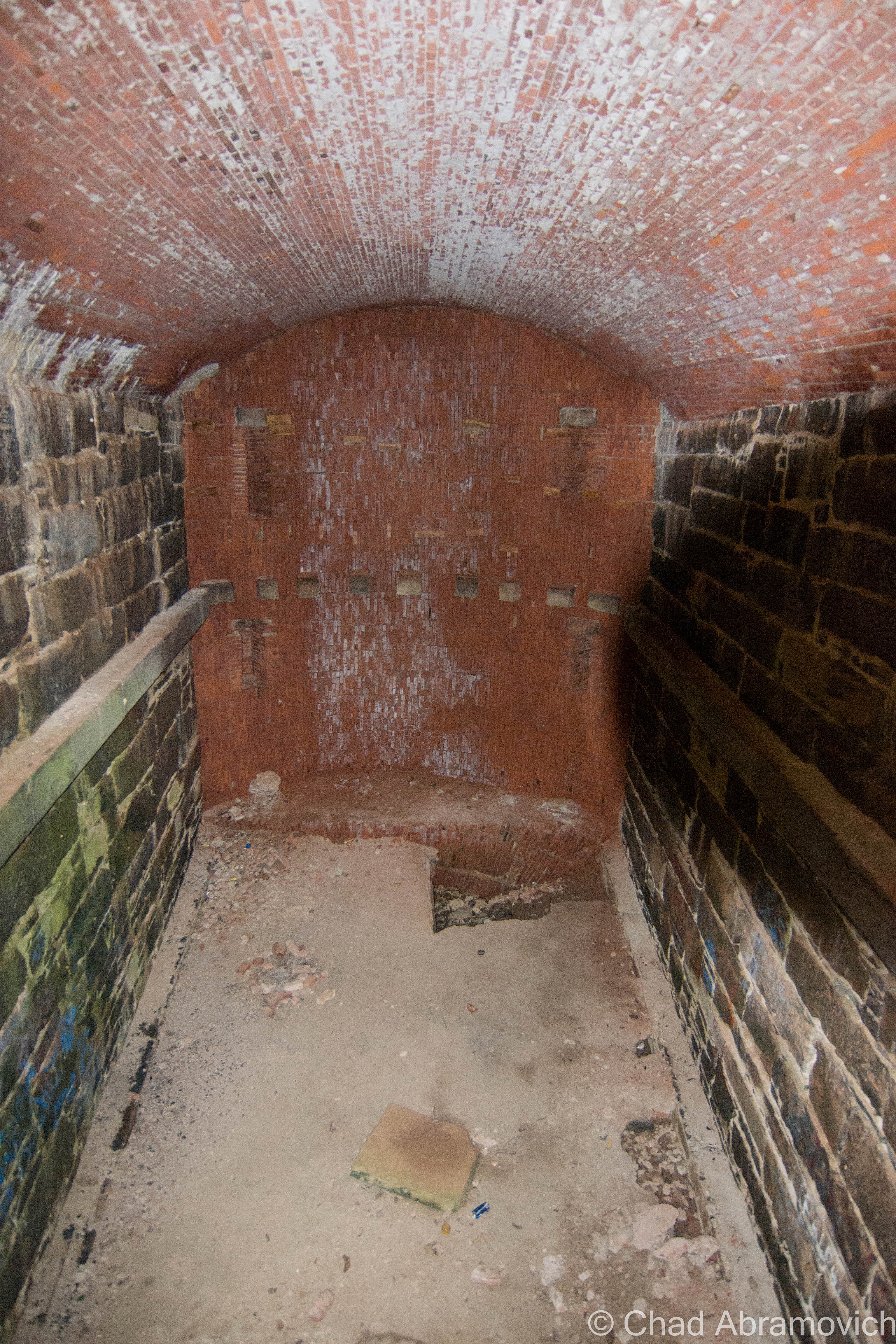
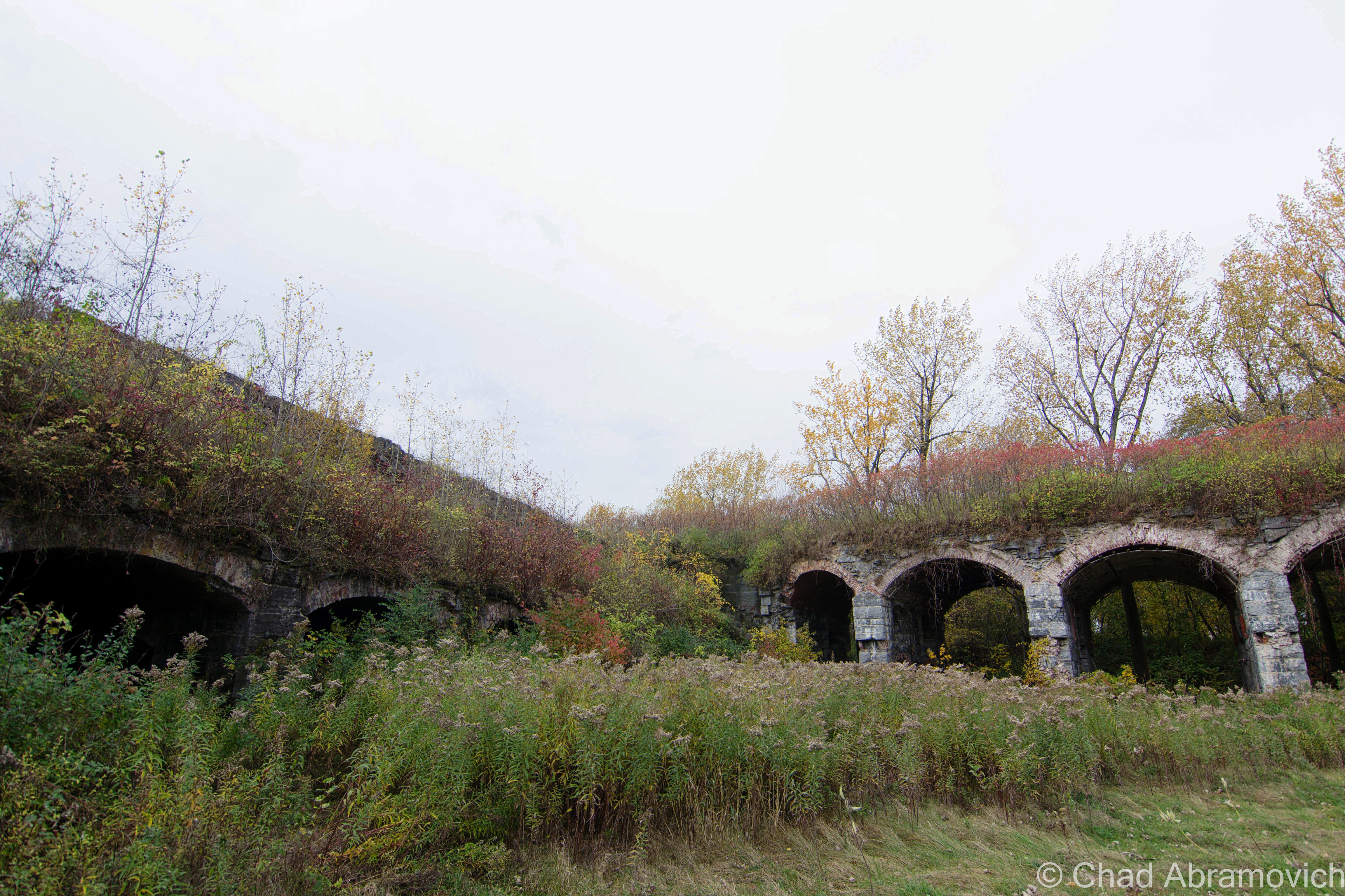
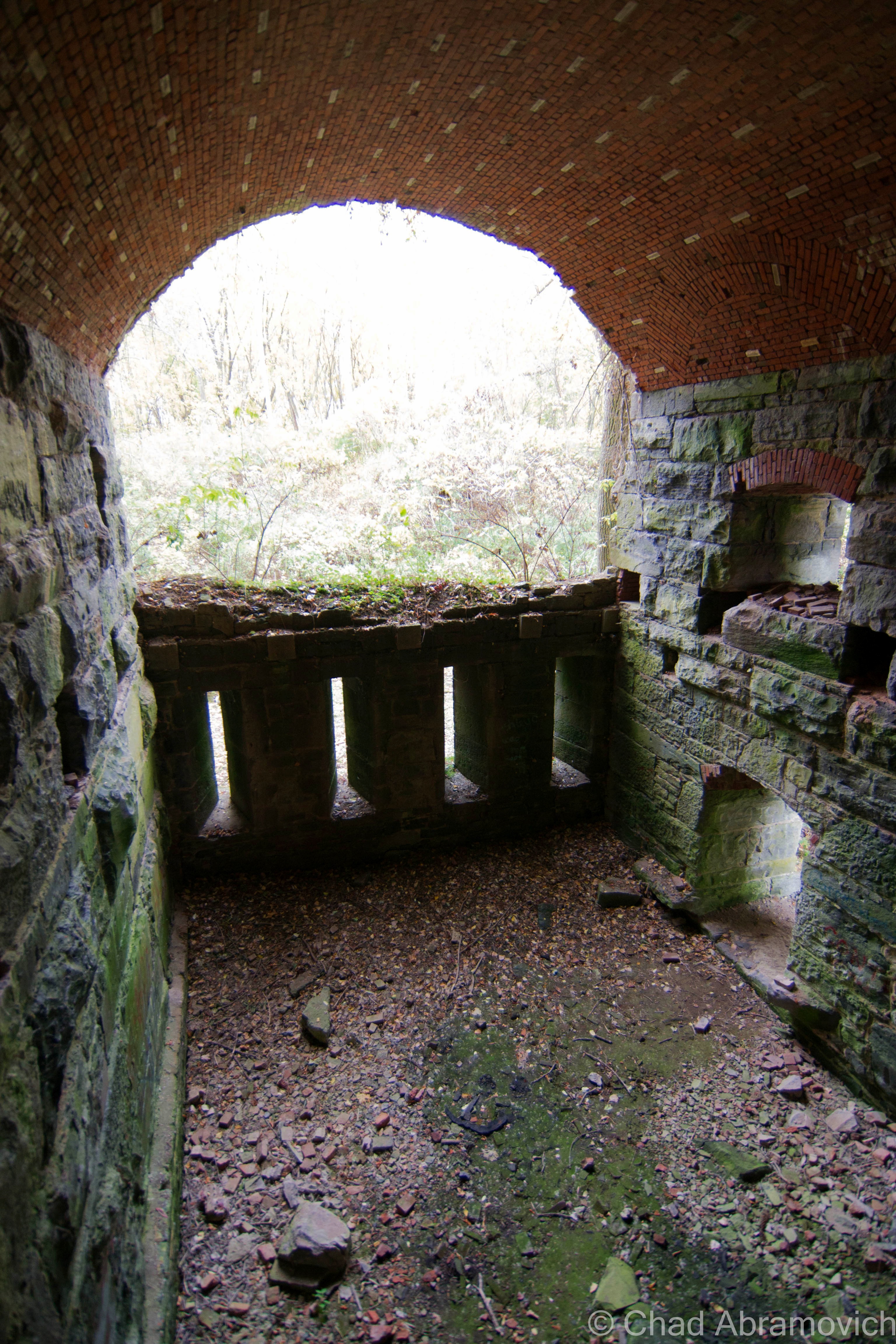
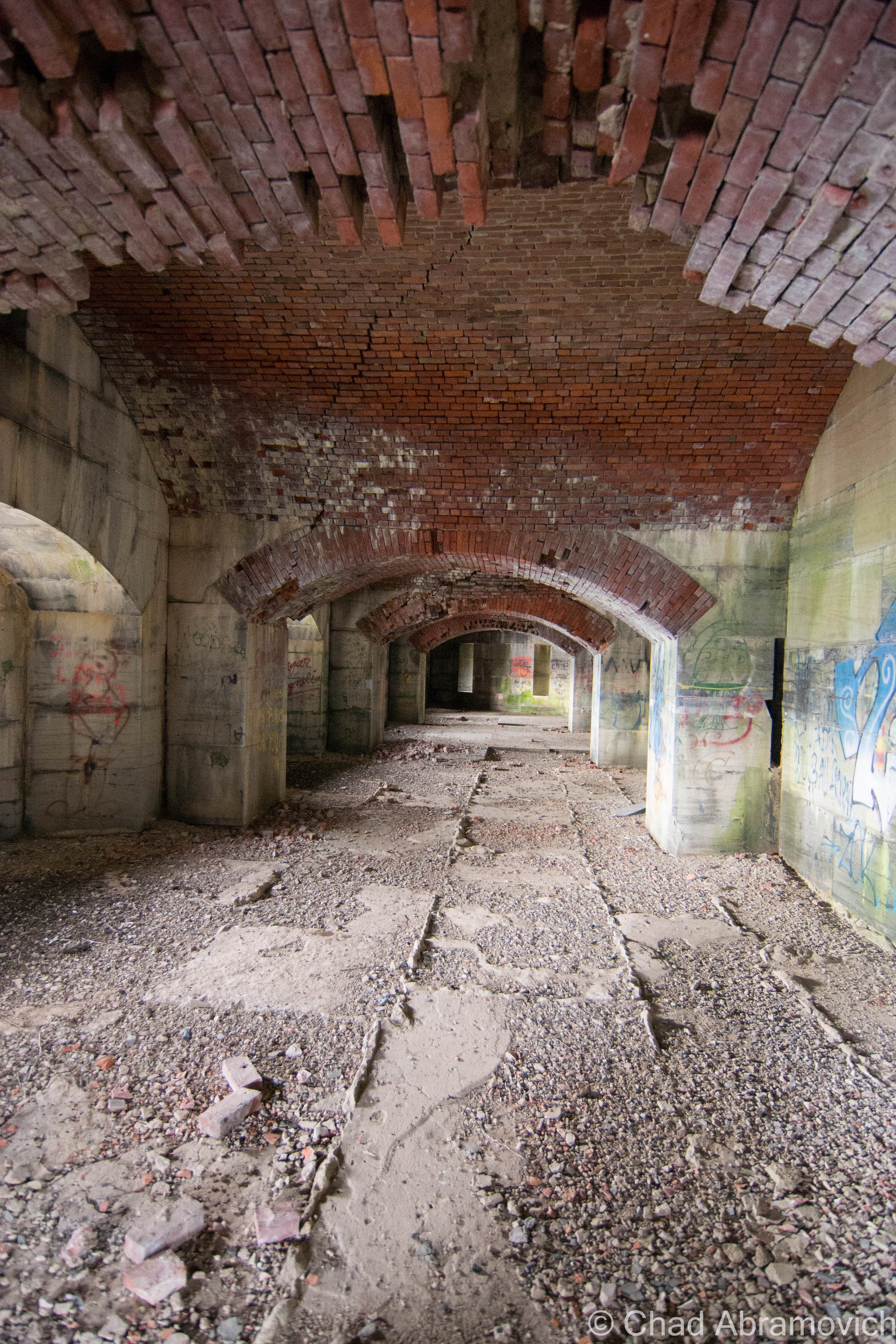
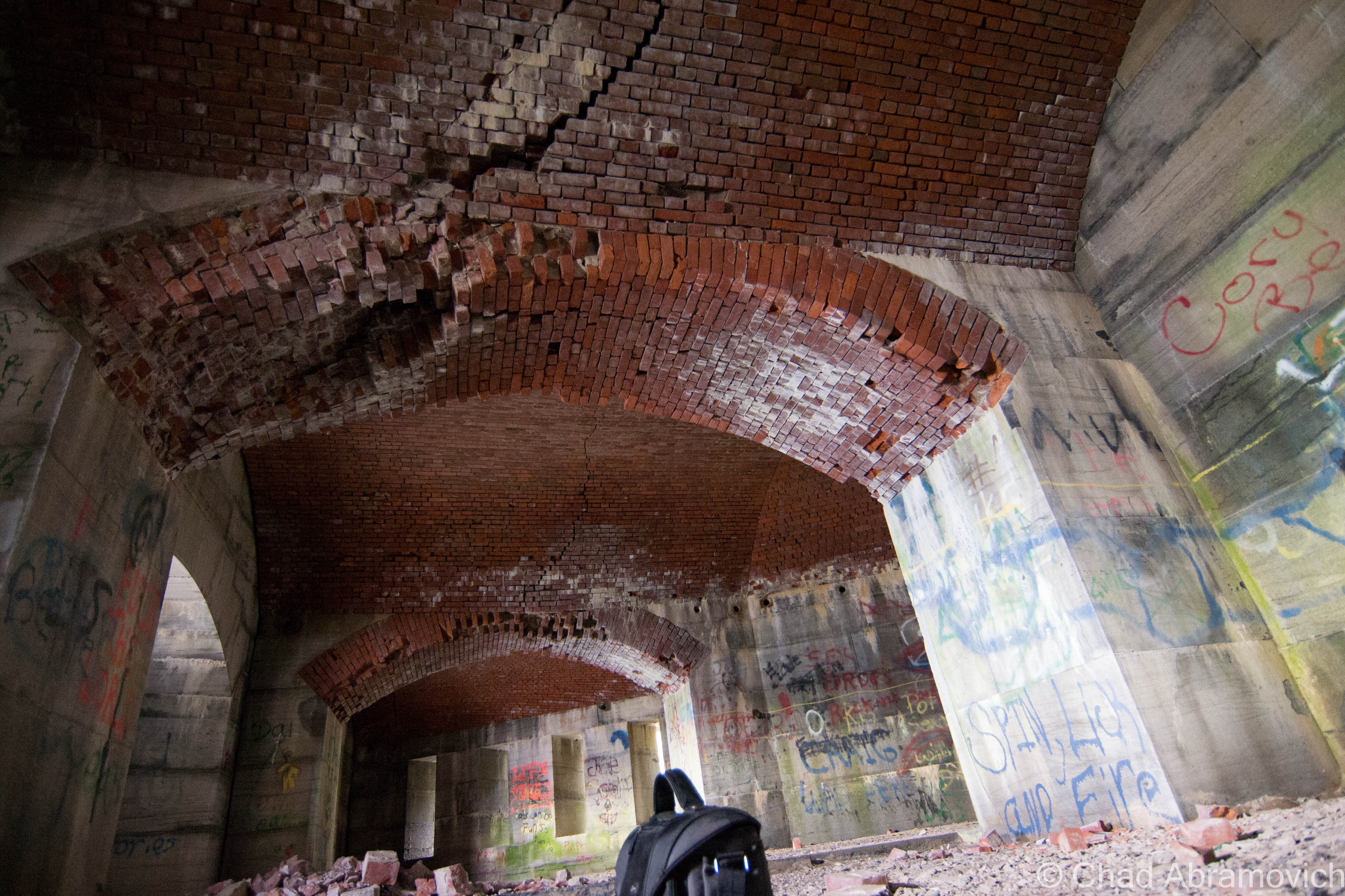
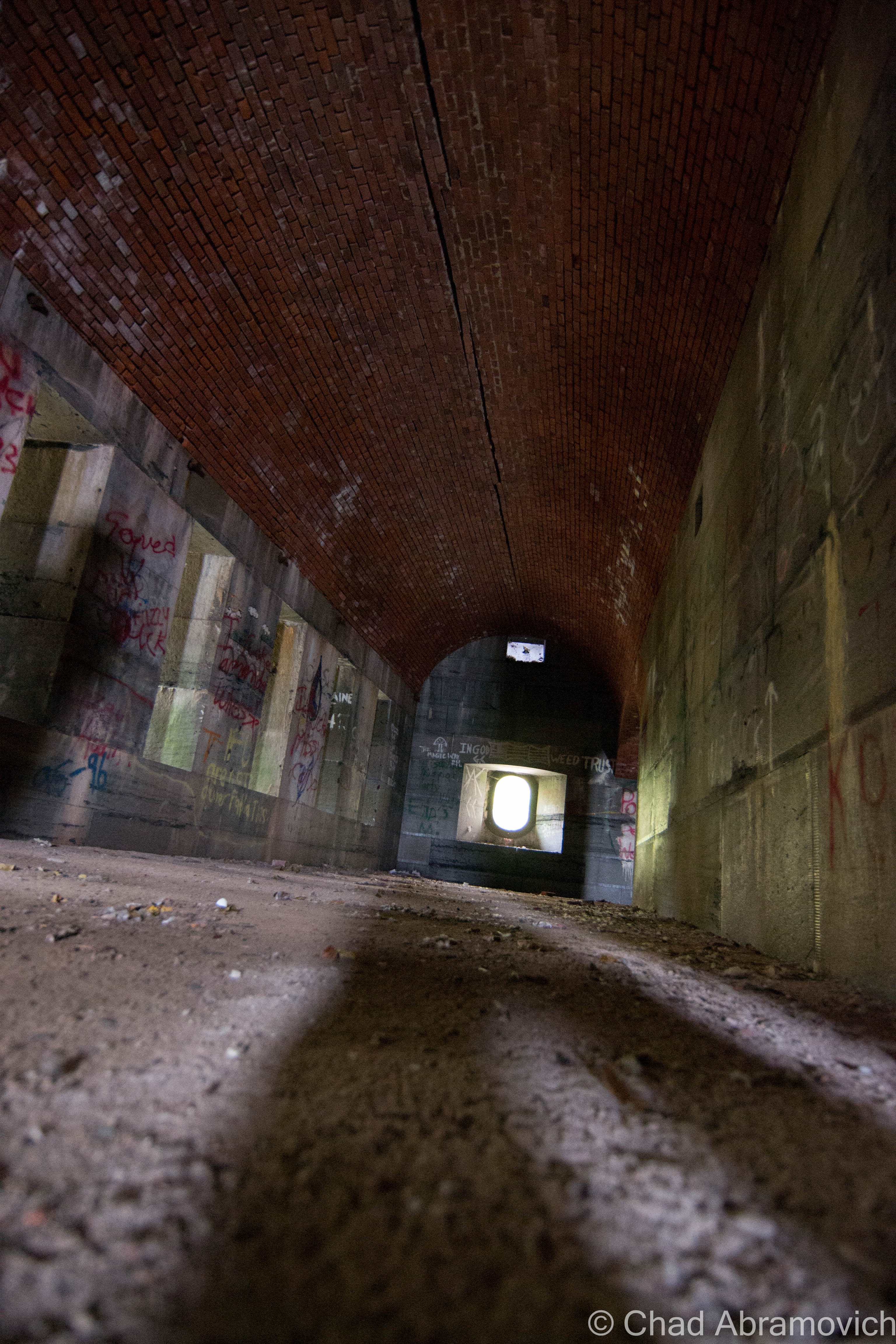
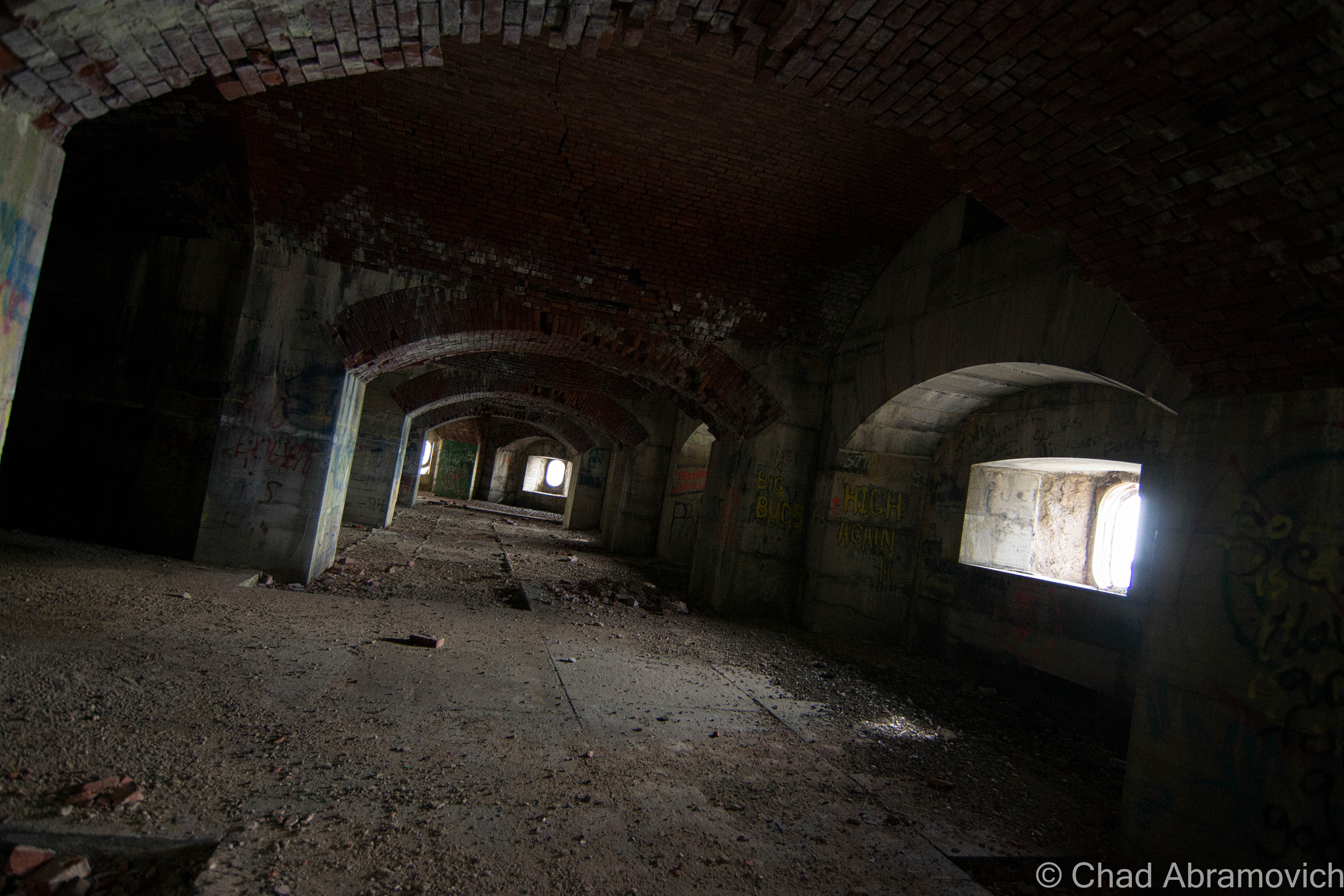
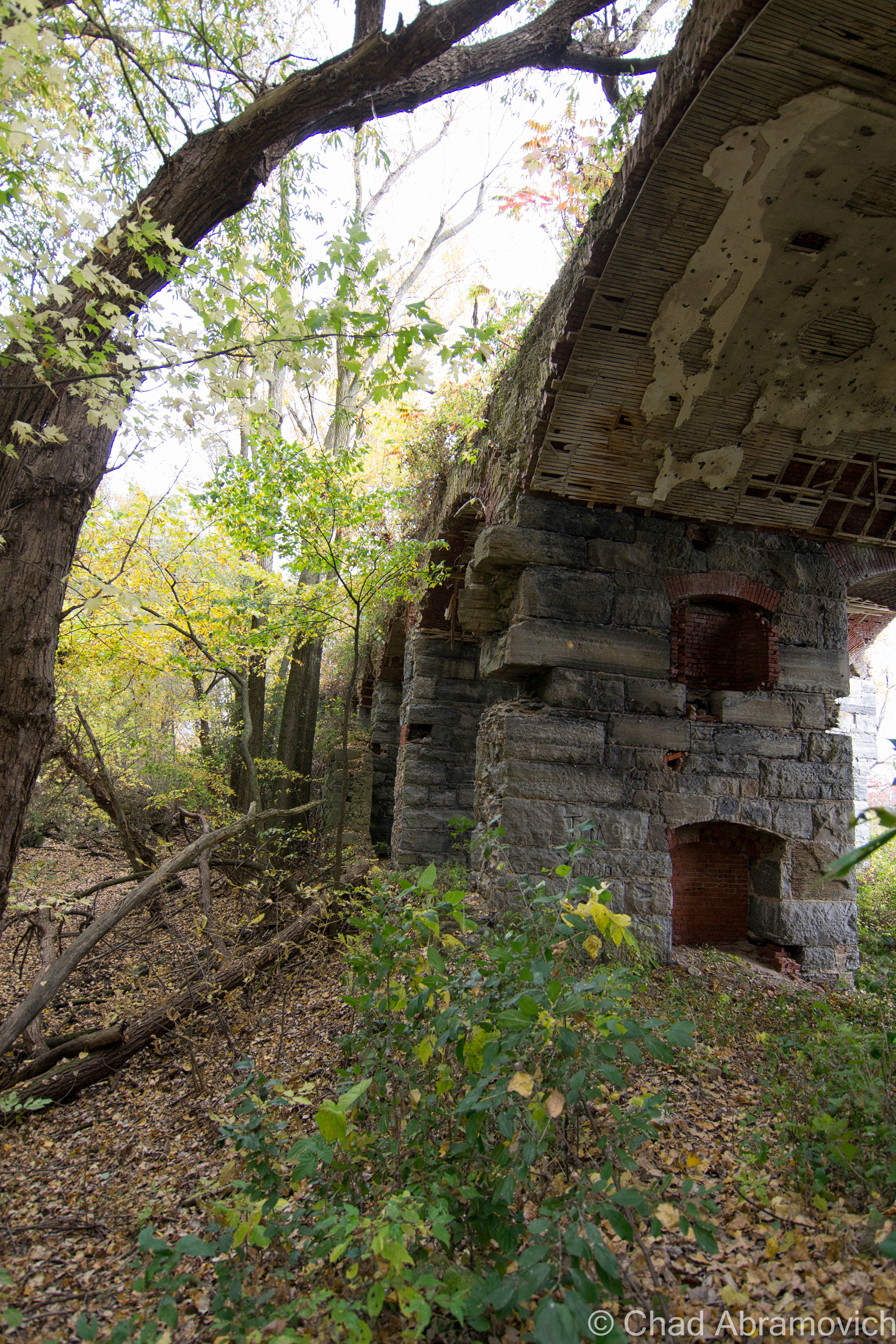
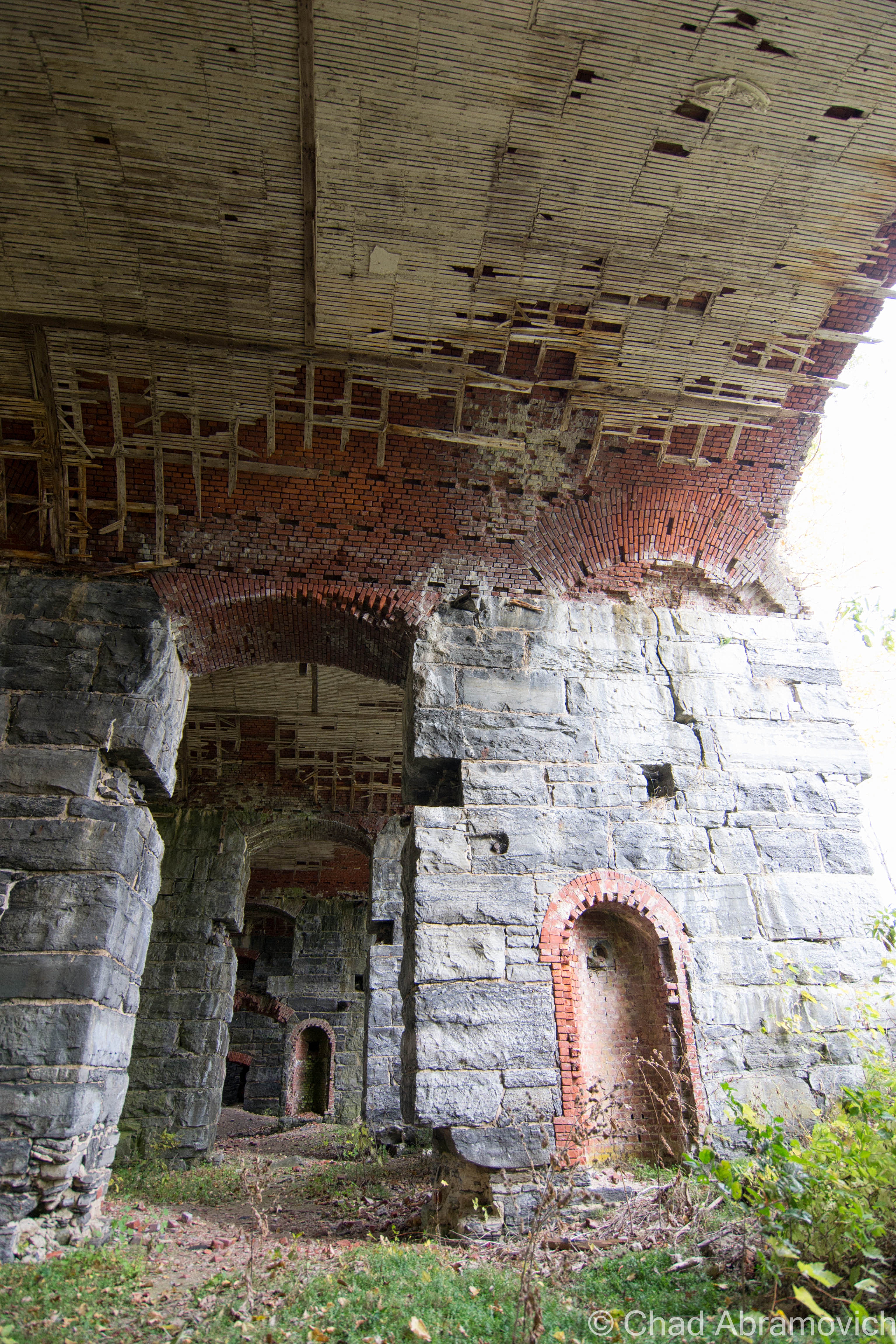
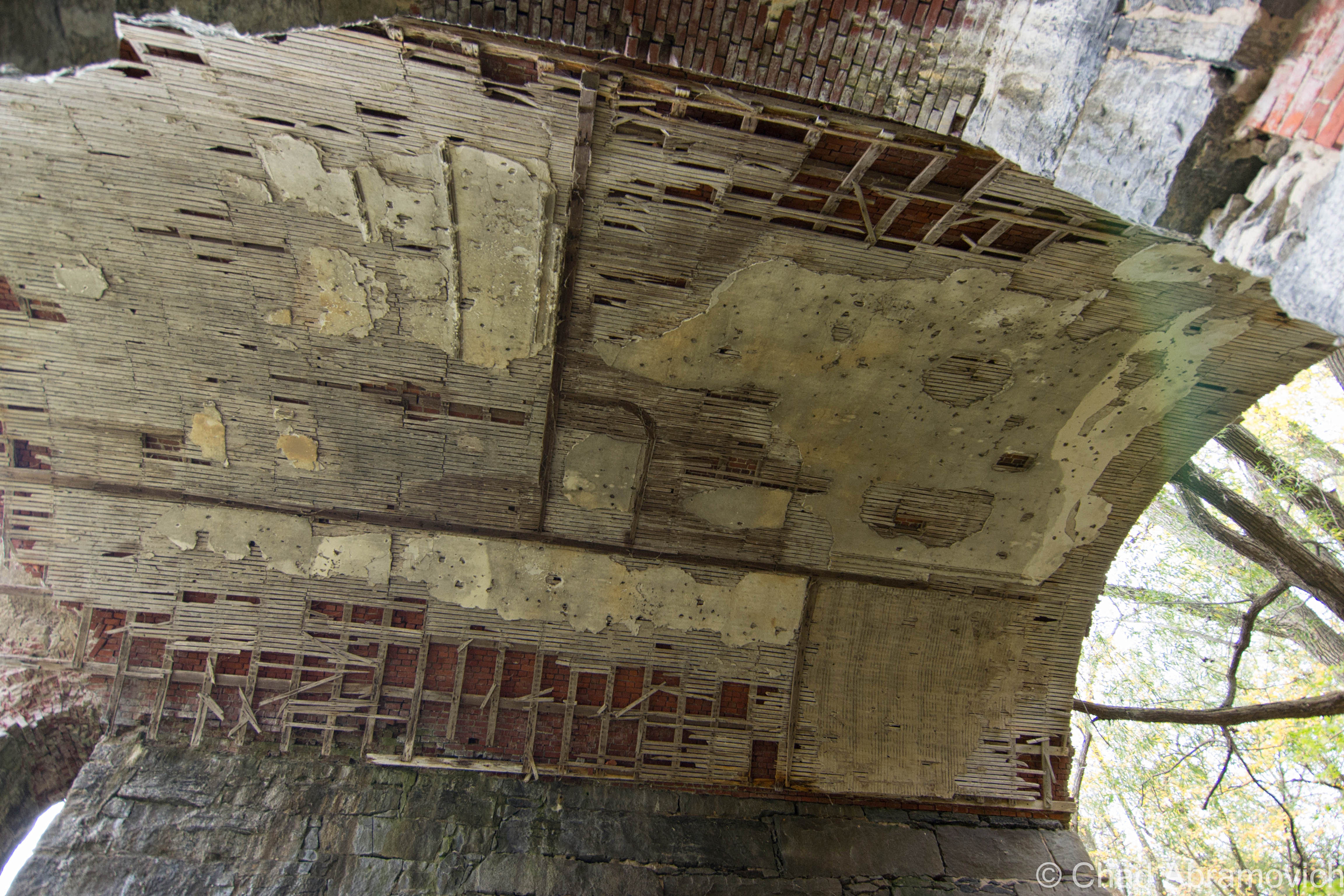
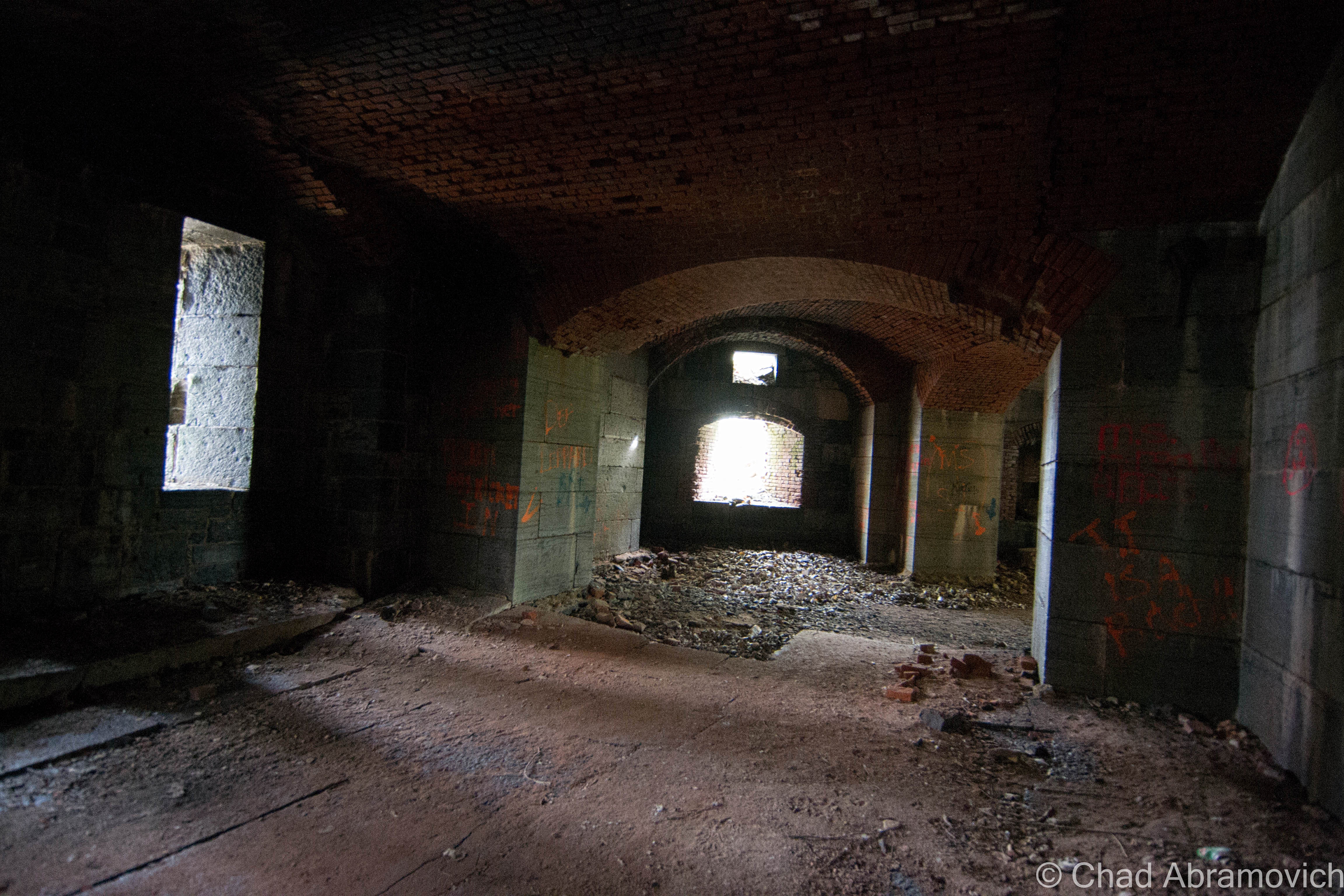
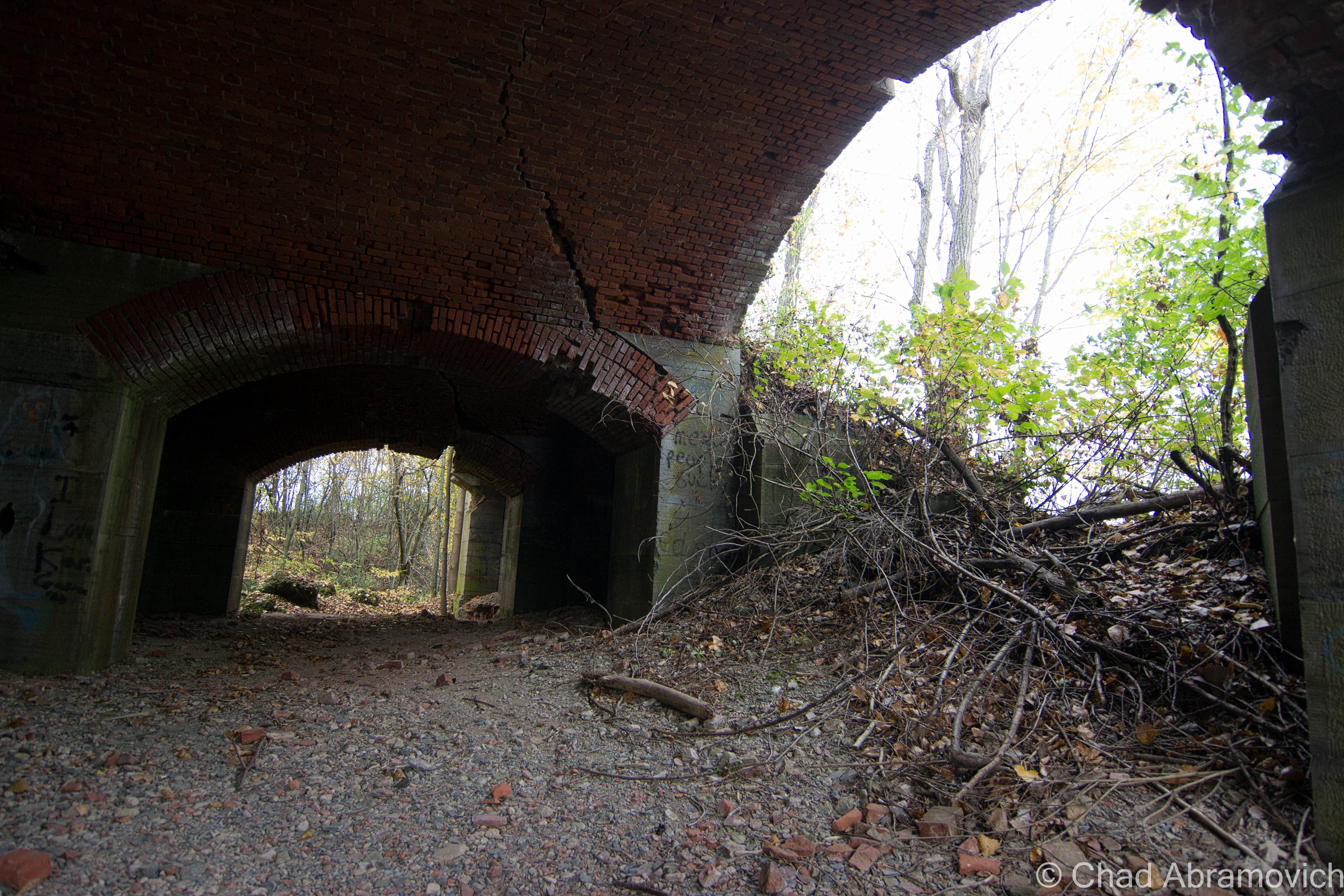
Stumbling my way around the impressively dangerous ruins of Fort Montgomery, as my presence disturbed hundreds of Pigeons that are now the fort’s permanent residents, I was nothing short of awe inspired. Though only 1/3rd (give or take) of the fort actually remains, it was immense in anyway you can measure it up. Stone and brick walls several feet thick, uniform archways framing collapsing brick ceilings and leafy hardwood trees lead into cavernous casemates that entombed a dank chilliness that left residue on the aging stones, regardless of the out of seasonal 80 degree fall day that we chose to explore.

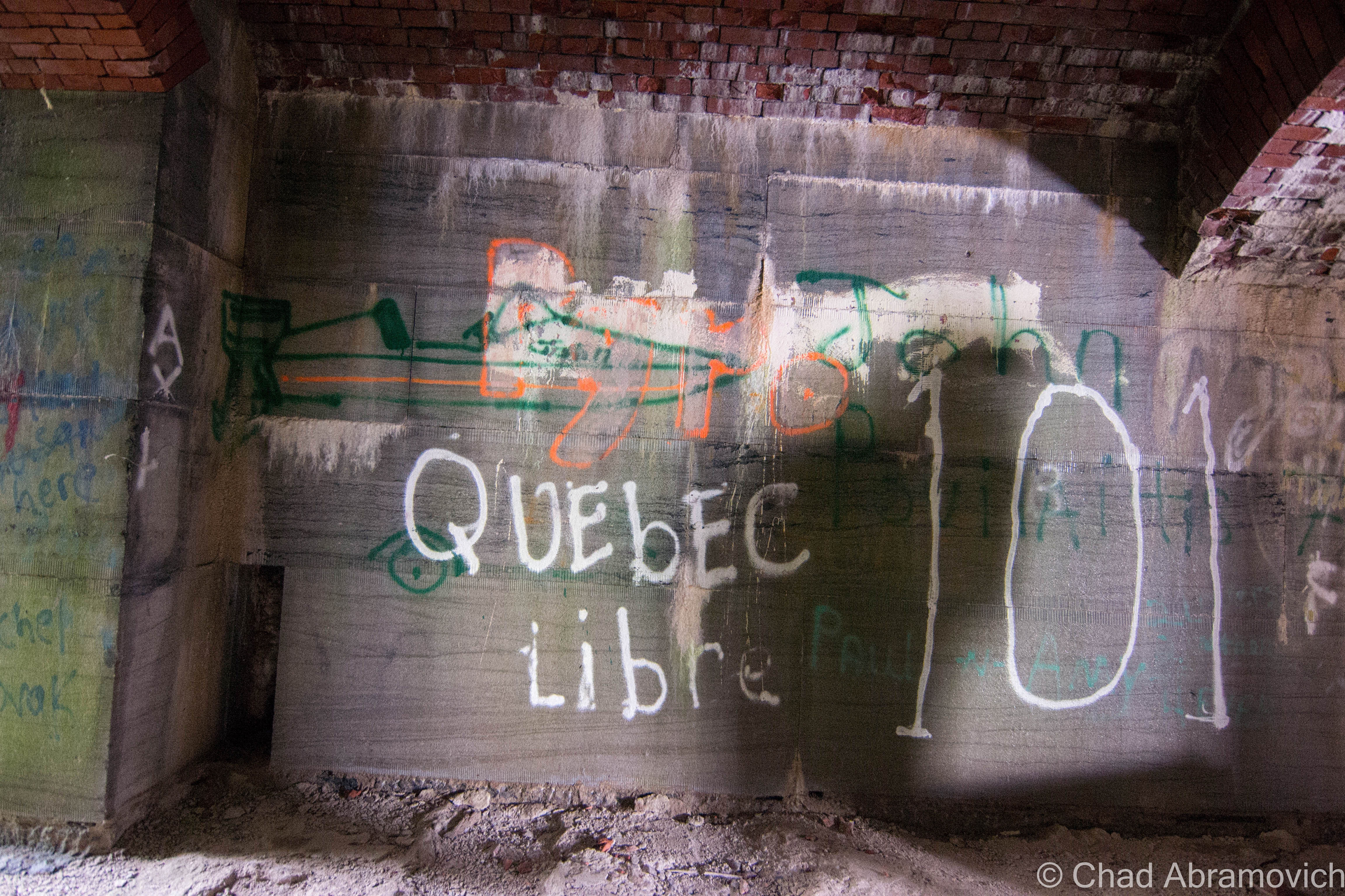
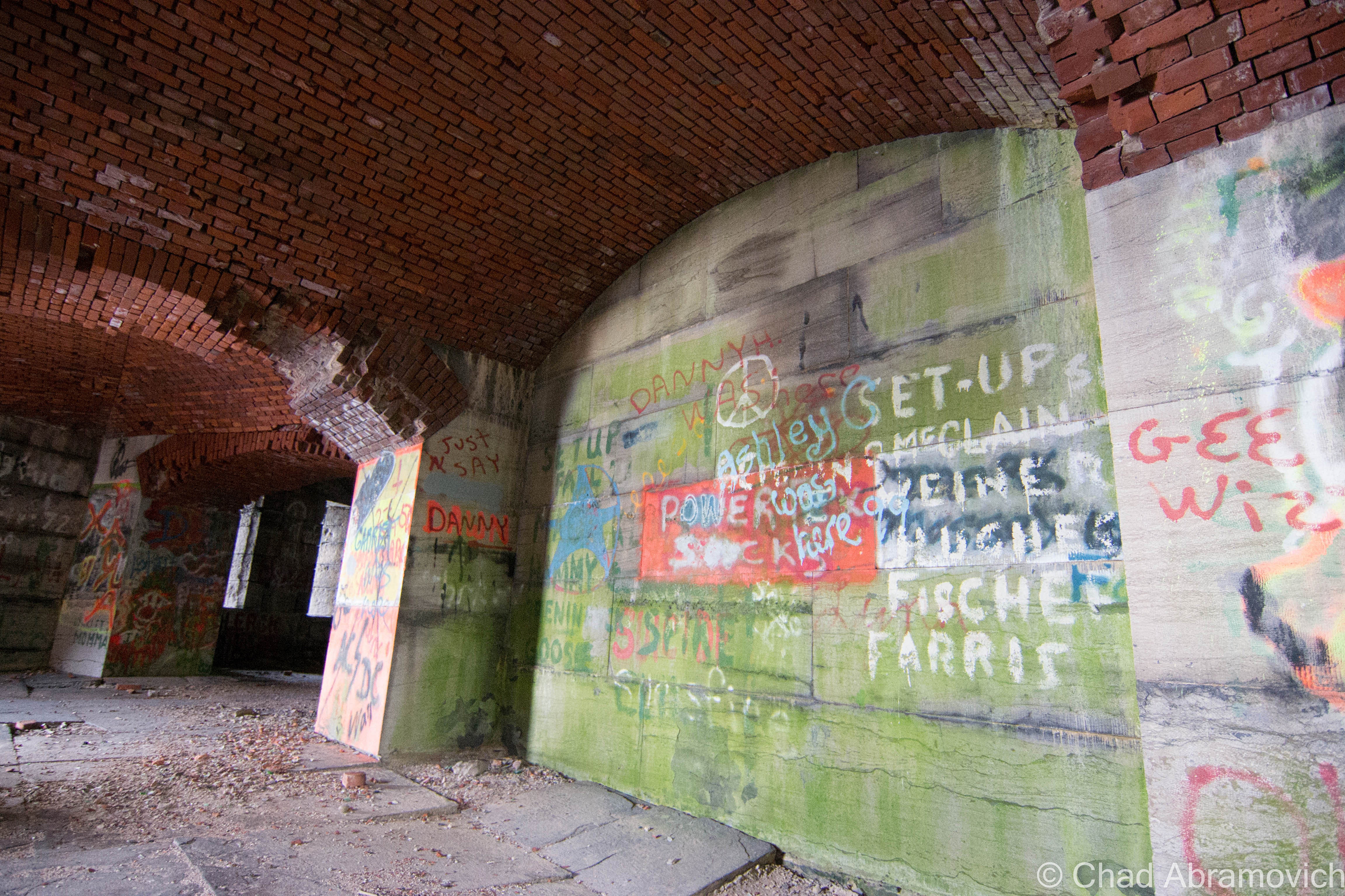
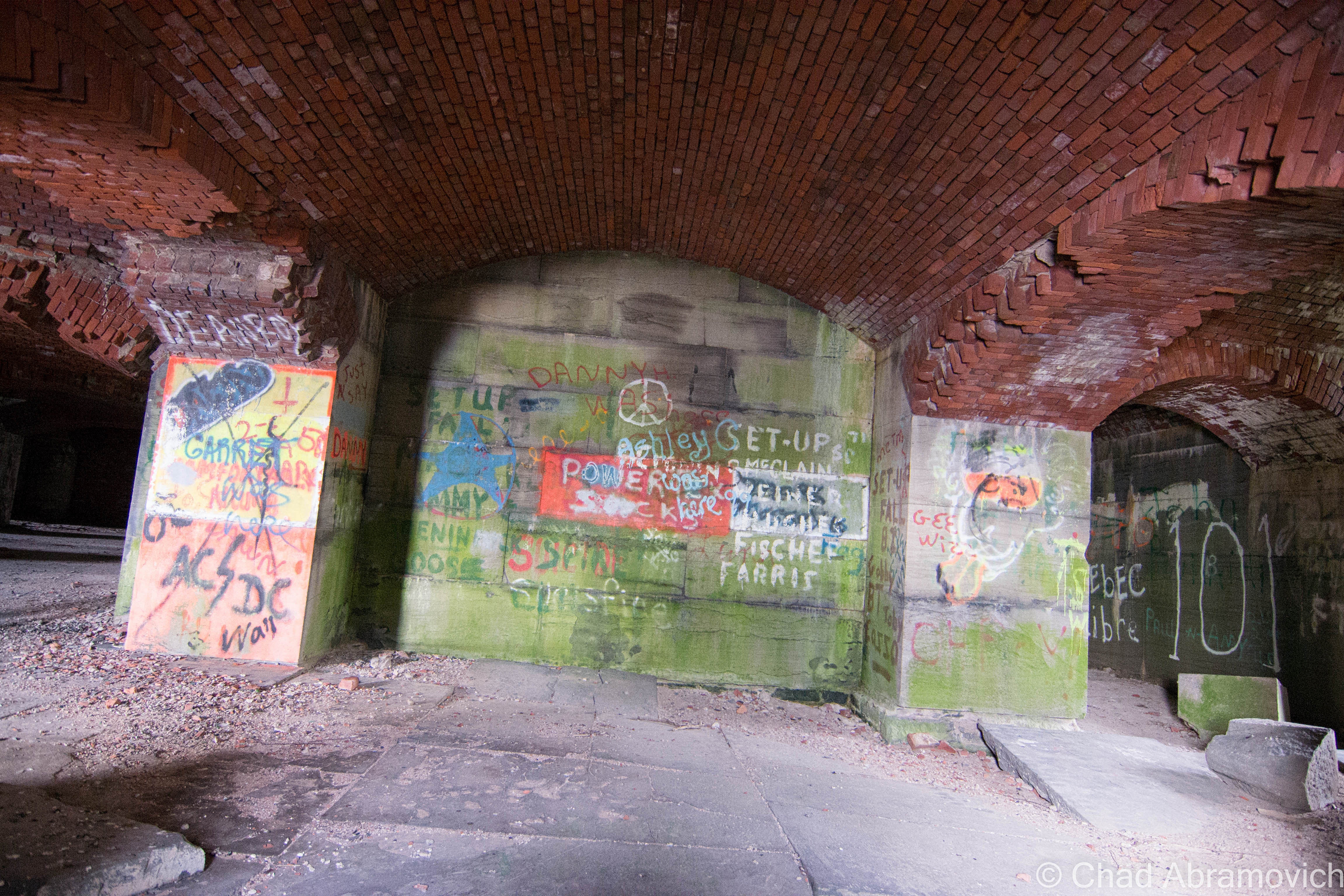
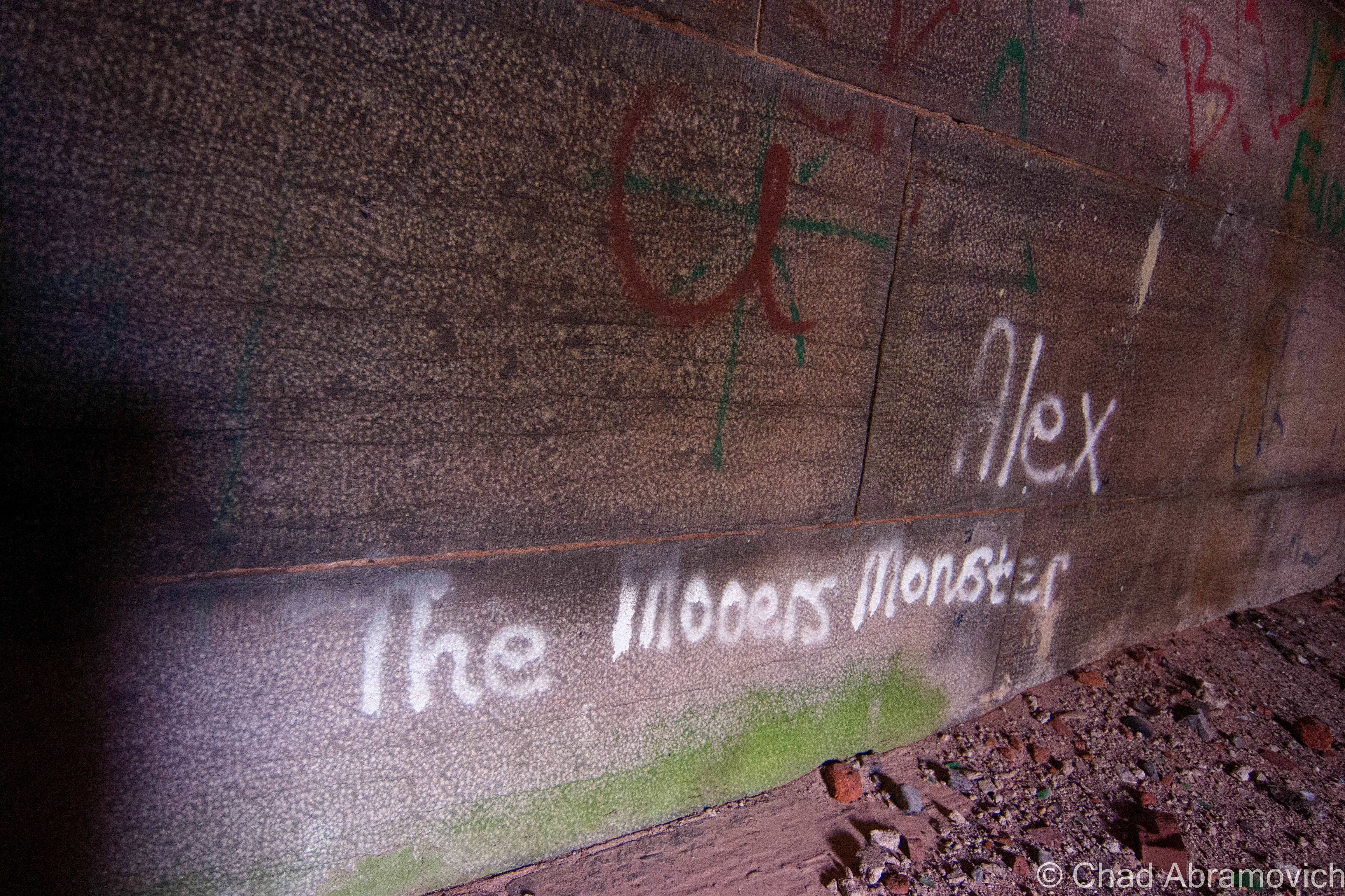
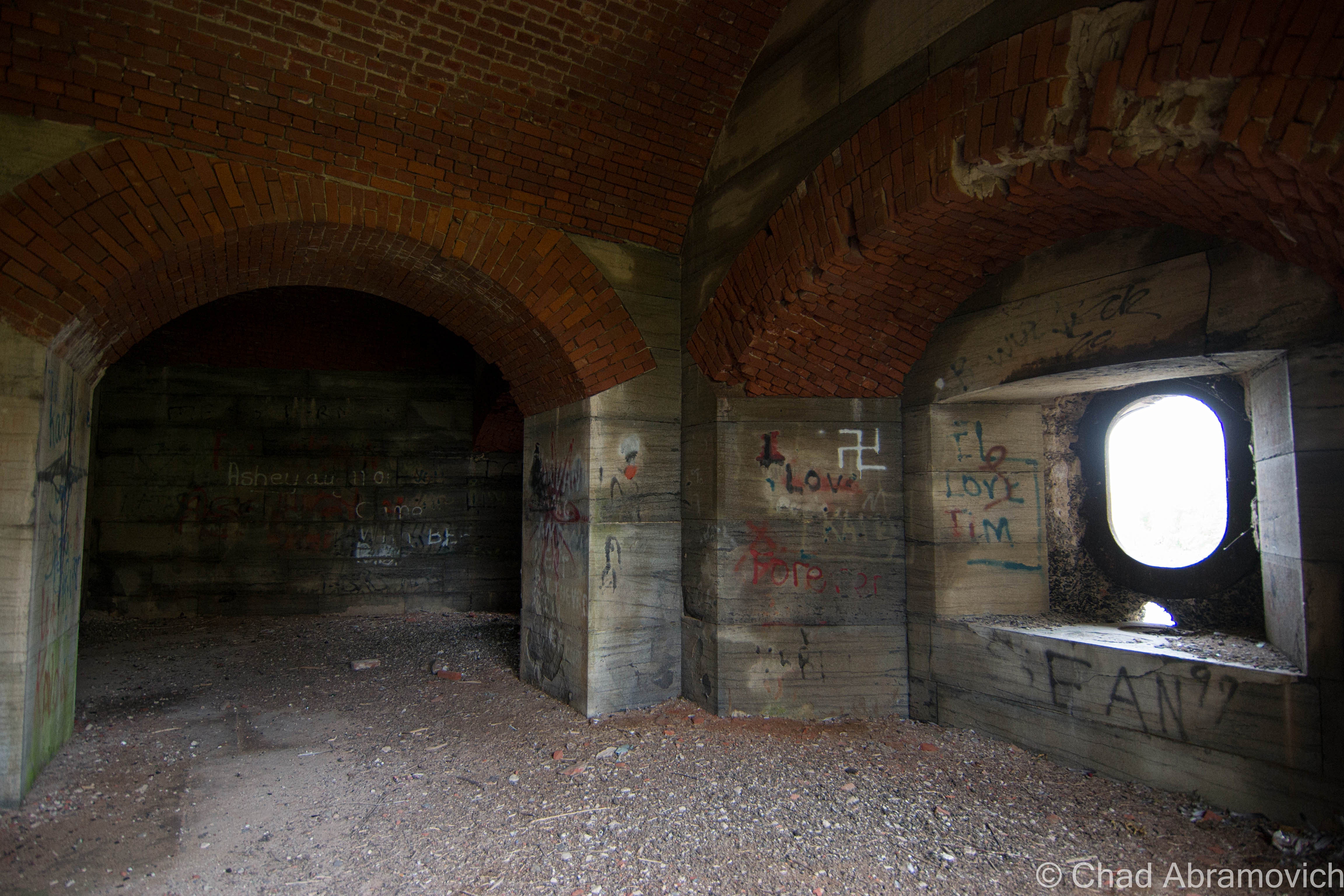
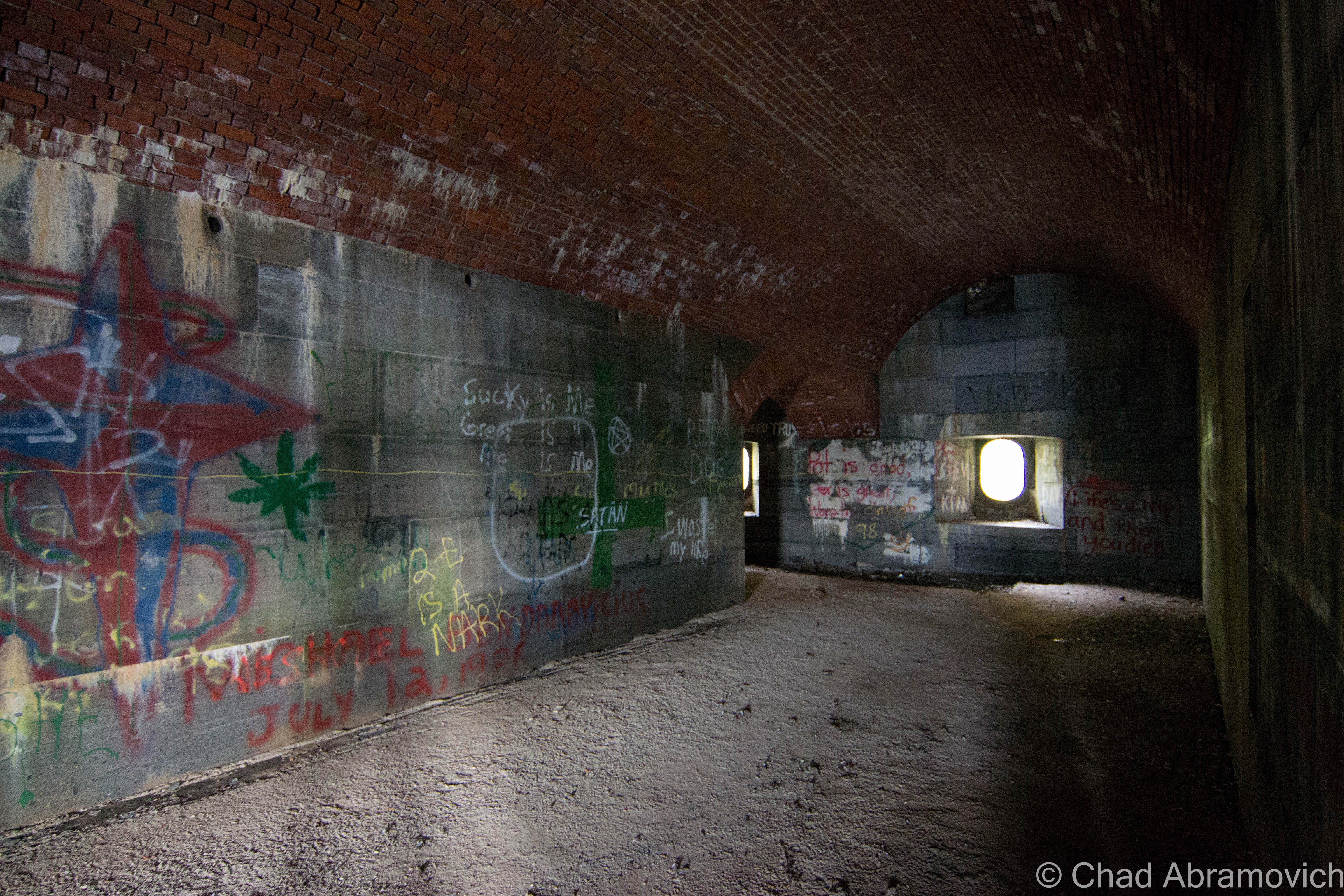
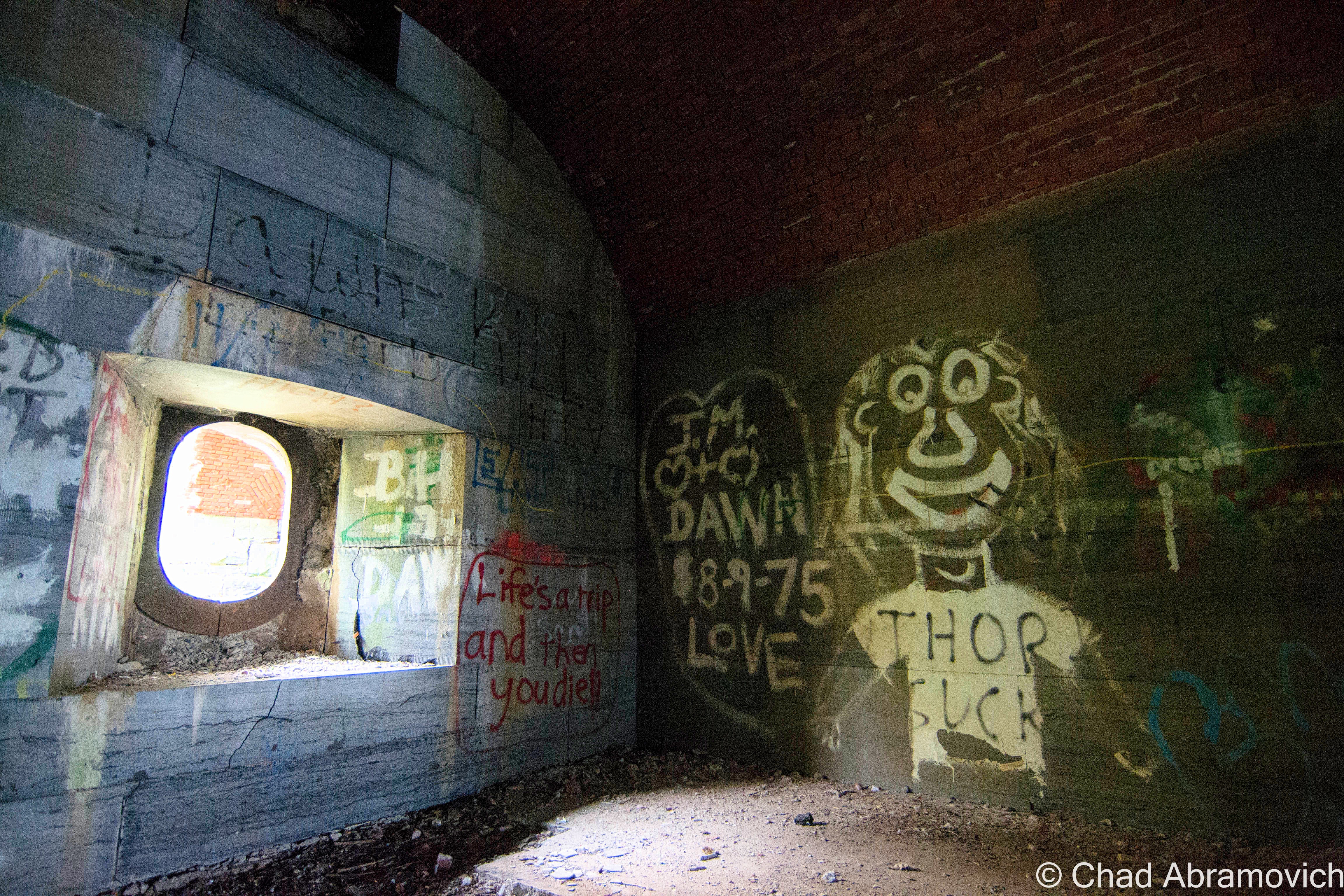
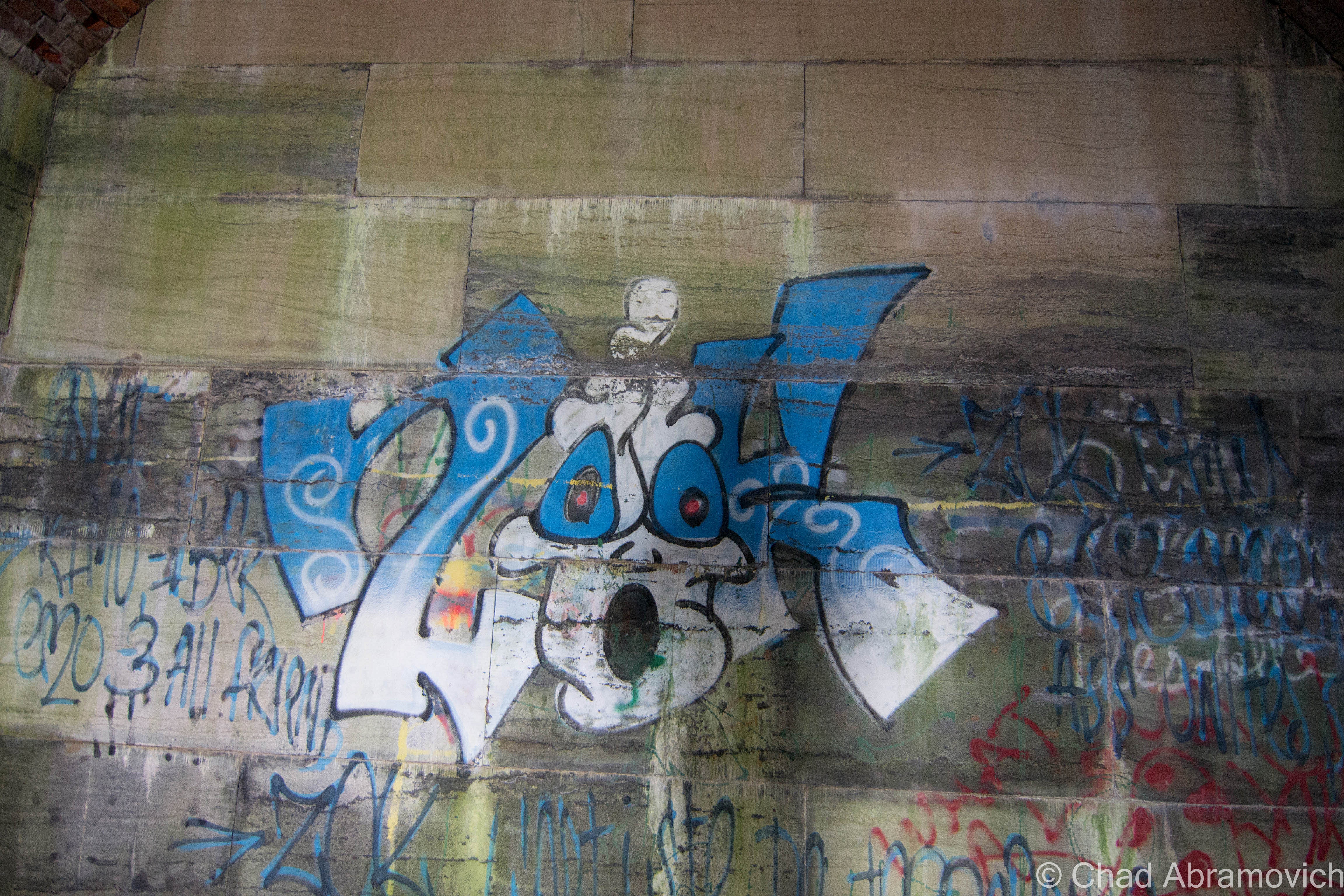
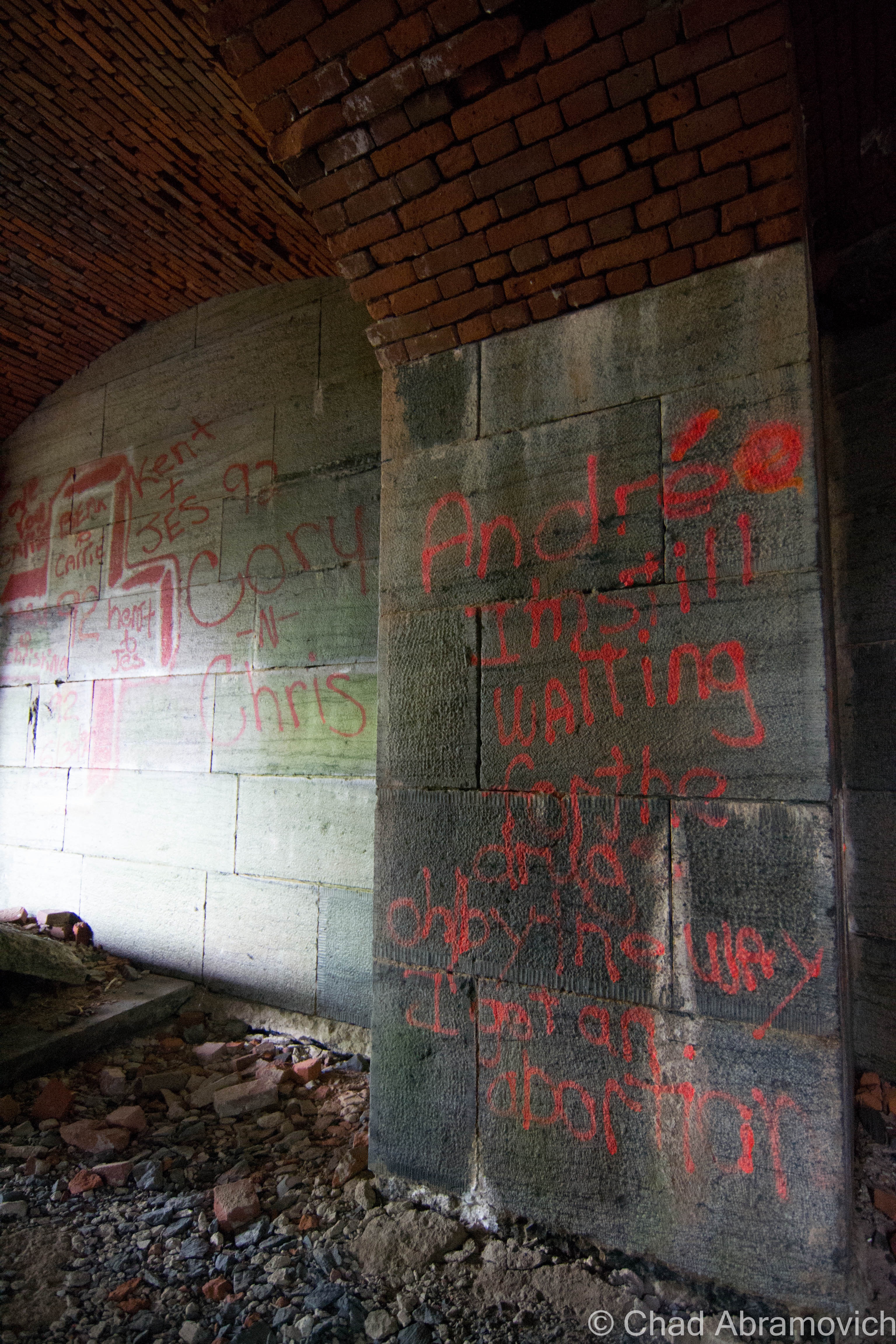
For being an abandoned relic relatively hidden in plain sight and yet, out of the way, it’s evident it receives a lot of foot traffic. Its arched hallways have almost no wall space left intact, covered by layers of graffiti, going back to as early as 1971. Or – the earliest we were able to find at least. Countless names, cultural expressions, slanderous accusations of obvious enemies and the occasional term of endearment could be read as you wondered around the property, which was pretty stimulating and could easily stand out alone as part of the experience.

Fort Montgomery was quite the fascinating place – something that I could explore, but in a sense, never be able to relate too. It was built during a time of when America had real fears of being invaded by the British via Canada, and our independence was actually in jeopardy.

But despite the resilient bones gently losing their will to fight mother nature, the fort has a rather underwhelming and ironic history, which would explain it’s rather unintimidating nickname, as far as forts go.

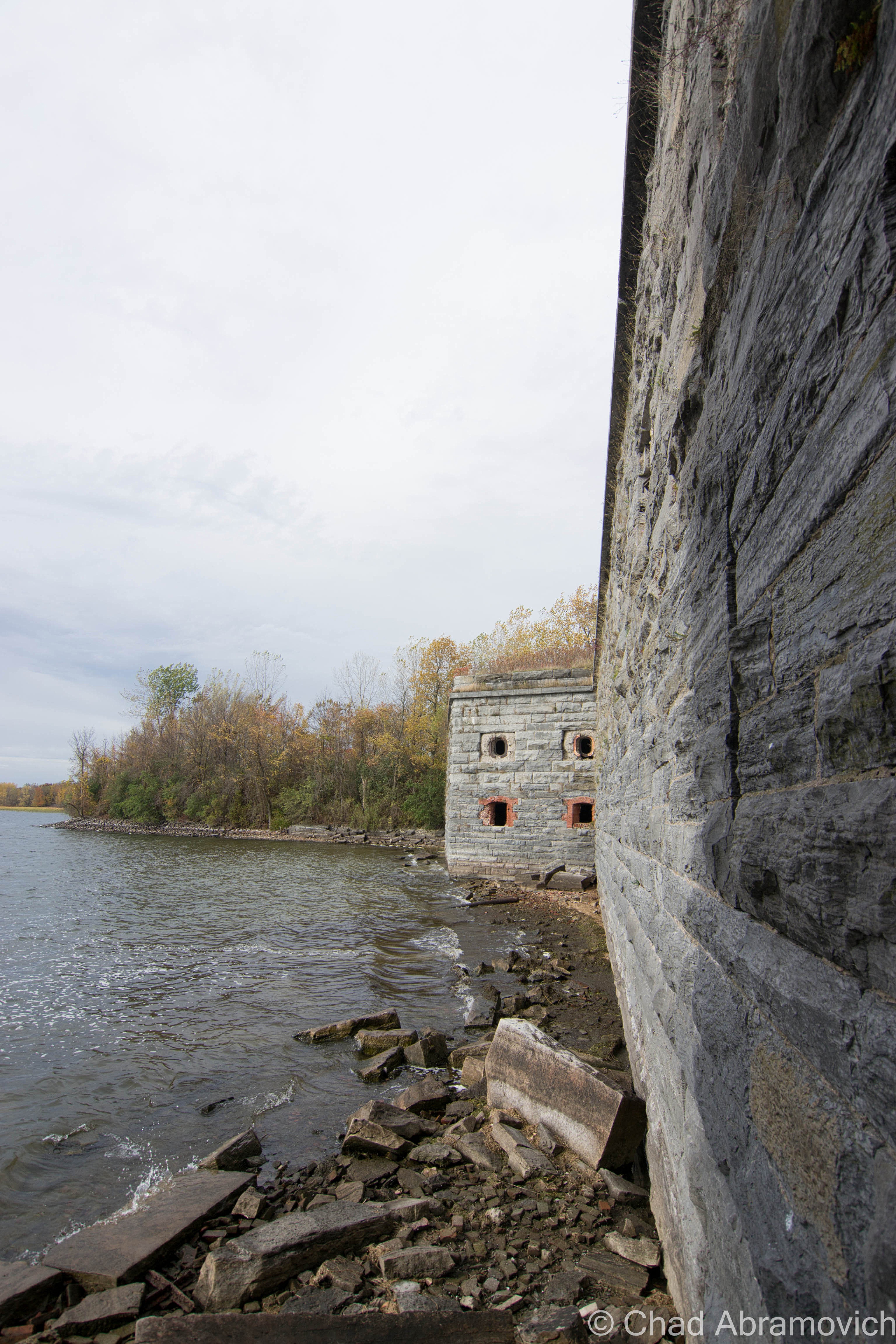
Its location was strategic, where Lake Champlain empties into Quebec’s Richelieu River, right on the Canadian Border between New York and Vermont. Construction on the unnamed fort began in 1816 and called for an octagonal structure with 30-foot walls. However, when President James Monroe visited the location in 1814 to see how the progress was going, he discovered they had made a huge mistake. Because of survey errors, the fort was inadvertently built in Canada. Oops. The resulting mistake lead to the fort’s nickname, Fort Blunder, which carried on into the 21st century. Construction was immediately halted and the fort was abandoned.

After much dispute between Canada and the United States over the sloppy boundary agreements and who owned what, the Webster-Ashburton Treaty of 1842 finally would resolve the problem for good, annexing Island Point – the location of Fort Montgomery, as part of the United States.

It was decided again that a fort should be constructed there, and in 1844, laborers broke ground on what would be known as Fort Montgomery. Fort Montgomery was a “third system” fort, or, one of the forts that were being built along the Northern frontier. Work on the fort was continuous through 1870, as the civil war raged on and another fear of a possible British invasion (the bad type) had everyone panicking.  And when the Saint Albans Raid happened in 1864, that fear seemed very reasonable now.

During the 30 year construction period, the attention to detail was immaculate – nothing was left unplanned, and with cutting edge military tactics and a round-the-clock labor crew of 400 of the best stone cutters and masons working at the site, it was intended to be a showpiece, a symbol of brazen resilience.

The fort also had a rare feature that only 9 forts in the United States possessed at the time; a moat. With the moat dug around the fort, it was situated on it’s on private island, with a drawbridge and a stone causeway it’s only land entrance. The moat can still be seen today, though, now filled in with layers of mud and runoff, with the creeping forest getting ever closer to ramble down it’s dirty stone retaining walls. The drawbridge also had a very unique feature – it acted essentially like a seesaw, being able to teeter on both sides with a central balance point.

Though it was intended to house 800 men, the fort never actually saw battle, and was really only used as a form of visual intimidation at the border – allowing your mind to really do the rest. One man manned the fort, and lived in a caretaker’s house nearby. Because the fort never saw battle, some surmise that this was also the reason why it was bestowed the notoriety of the nickname “Fort Blunder”. However you look at it, both of these huge mistakes are fitting reasons.

The fort officially went defunct in 1926 when it became obsolete, and the government sold it. Residents of Rouses Point took it upon themselves to salvage material from the fort, considering it was great material, and most importantly, free. Stone, brick and wood were used for construction projects all around town. Houses, sidewalks and retaining walls can still be seen today that incorporate a little Fort Montgomery in them. My friend, who is also an adventurer and who was playing the role of tour guide that day, said that he remembers someone in Alburgh he knew with original wood from the fort inside their farmhouse.

The fort was added to the National Register of Historic Places in 1977, and today, the property is actually for sale, and as far as I know, it hasn’t received any offers. Admittedly, the remains of a 19th-century fort in your backyard would be a far cooler feature than lawn gnomes or pink flamingos. While tromping around the overgrown grounds, we were discussing other great uses for the property, like a great outdoor music venue location.

My friend was the perfect tour guide. He used to come here back in high school, along with many of his friends, back when the fort was really forgotten. They had paintball matches here, which seems like an ideal location for such activities, and just generally hung out underneath the brawny yet ethereal stone archways. Countless area kids (and adults like myself) would also hangout there, as evident by the plethora of graffiti and Natural Ice cans left behind. Modern day relics. Walking around, he knew many of the names spray painted on the walls. One person in particular he recalled getting hit by a train when she was walking her dog years ago. Less poignantly, he also pointed out where his high school band rebelliously self-promoted themselves on a wall inside.

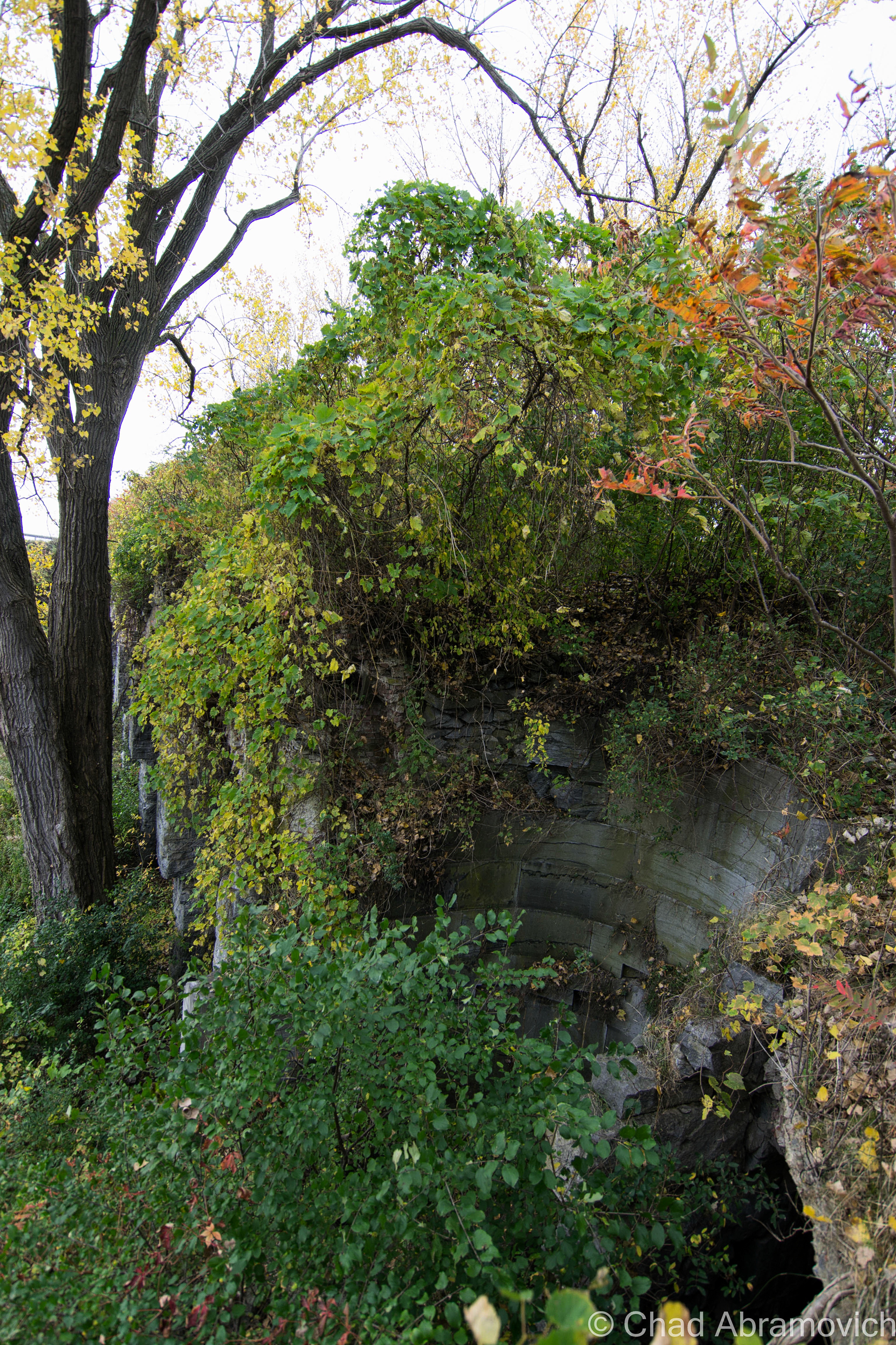
The ruins of the fort were disorienting, something else I didn’t expect. The place was so overgrown, that there were times while exploring the upper levels, that you actually perceived as just a walk in the woods, until you looked over and noticed you were actually 30 feet in the air, above a row of arches vanishing into thick vines and forests shedding their Autumn jackets. At times, literally climbing up earth banks to get to the second floor, you notice a black hole beneath your feet, with crumbling bricks falling into the dark and the deep below, reminding you that you are on a man-made structure.

And of course, walking through the airy hallways as the fragrant breezes blasted through the windows, countless Pigeons would swiftly bolt down the hallways, coming very close to smacking me in the face. Sort of an Alfred Hitchock type of situation, except, this was real.

Walking back across the moat and down the access road – which was no more than a 4 wheeler trail at this point, we noticed the old trees that lined the path had white chalky residue over their aged bark, evidence of the water levels of the lake. The lake was incredibly low this Fall, some of the lowest we’ve seen it we both agreed. It was sort of strange to see those marks well at waist level as we walked by.

“Fort Blunder” certainly added another layer to my prowess, an intimidating ruin that was both venerable and deceitful. But honestly, I enjoyed hearing the stories from my friend and his personal accounts there far more than it’s faded history – it somehow adds an entire new layer of mystery and character to it – something that is a little more tangible to me as I trudged through piles of dead leaves on the way back to the car.

I can’t help but think. What will archaeologists be able to uncover about our time in the distant future, and what will those things say about us?

DSC_0001_peDSC_0013_pe DSC_0014_pe DSC_0015_pe DSC_0016_pe DSC_0019_pe DSC_0023_pe DSC_0025

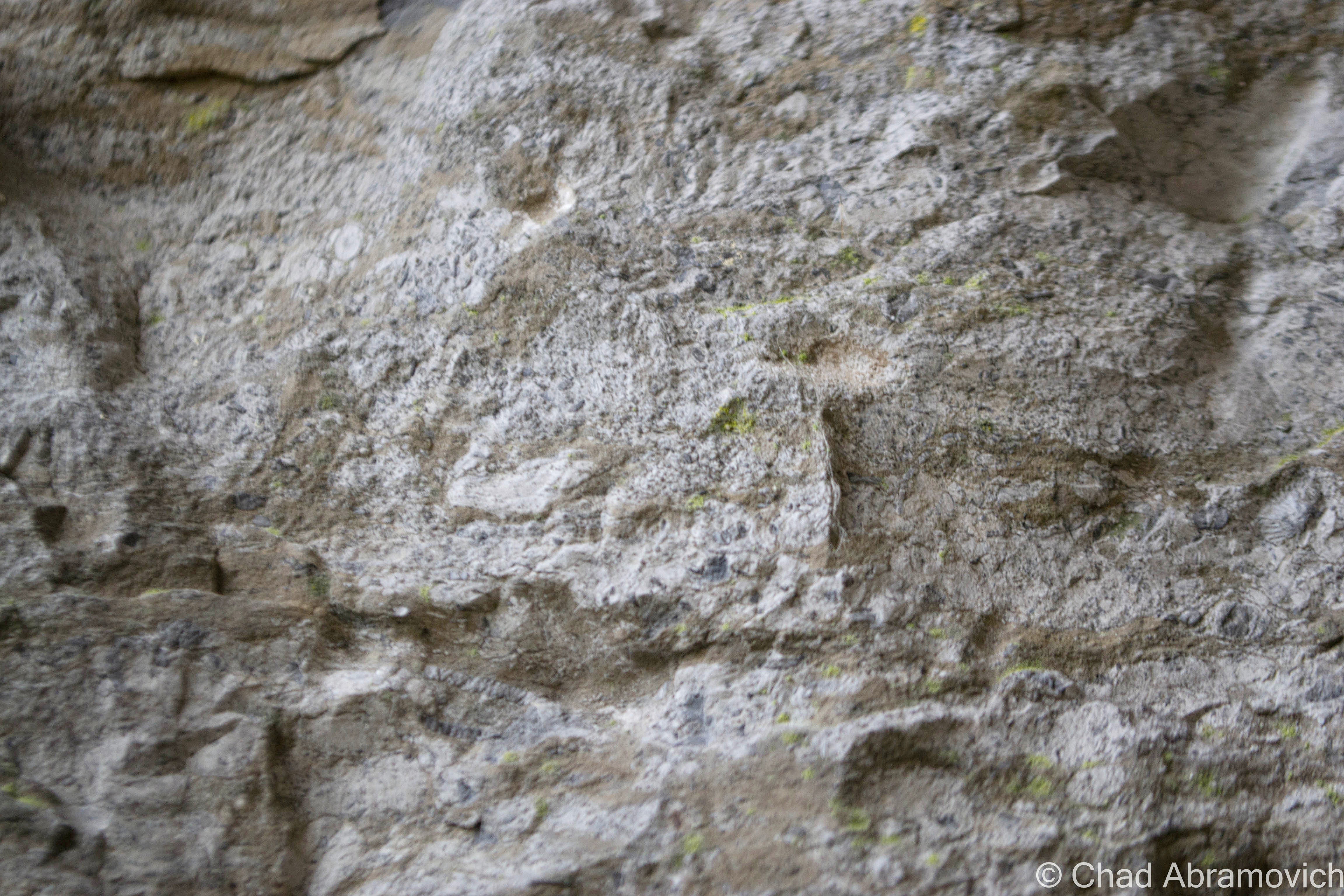
Throughout the fort, there was this sort of undulating stone used, with ambiguous patterns found in their surface. Me and my friend speculated they might be fossils from the Champlain Sea, which once covered the area we walked on over 480 million years ago. If these fossils can be found in Isle La Motte, which is nearby, it may be possible that the same rock was quarried and used in the fort walls. Or, so we assume...
Through-out the fort, there was this sort of undulating stone used, with ambiguous patterns found in their surface. Me and my friend speculated they might be fossils from the Champlain Sea, which once covered the area we walked on 480 million years ago. If these fossils can be found in Isle La Motte, which is nearby, it may be possible that the same rock was quarried and used in the fort walls. Or, so we assume…

DSC_0036_pe DSC_0034_pe DSC_0035_pe DSC_0038_pe DSC_0044_peDSC_0048_pe DSC_0049_pe DSC_0053_pe DSC_0055_pe DSC_0057_pe DSC_0059_pe DSC_0060_pe DSC_0065_pe DSC_0070_pe DSC_0073_pe DSC_0074_pe DSC_0080_pe DSC_0084_pe DSC_0089_pe DSC_0092_pe DSC_0100_pe DSC_0102_pe DSC_0105_pe DSC_0106_pe DSC_0110_pe DSC_0115_pe DSC_0116_pe DSC_0118_pe DSC_0121_pe DSC_0123_pe DSC_0126_pe DSC_0129_pe DSC_0132_pe DSC_0133_pe DSC_0137_pe DSC_0139_pe DSC_0140_pe DSC_0141_pe DSC_0142_pe DSC_0143_pe DSC_0145_pe DSC_0147_pe DSC_0152_pe DSC_0156_pe DSC_0168_pe DSC_0170_pe DSC_0173_pe DSC_0176_pe DSC_0179_pe DSC_0180_pe DSC_0182_pe DSC_0186_pe DSC_0190_pe DSC_0192_pe

A feature of the fort I liked. It once had duel stone spiral staircases linking top to bottom. Today, both have collapsed, but the remnants of some steps still remain, retaining their circular motion down curved stone walls. One of them (not this one) was filled with so much earth and compost that it was still usable for a trip up and down.

DSC_0203_pe DSC_0207_pe DSC_0208_pe DSC_0209_pe DSC_0221_pe DSC_0223_pe DSC_0225_pe DSC_0227_pe DSC_0230_pe DSC_0235_pe DSC_0237_pe DSC_0243_pe DSC_0245_pe DSC_0247_peDSC_0249_pe

—————————————————————————————————————————————–

To all of my amazing fans and supporters, I am truly grateful and humbled by all of the support and donations through out the years that have kept Obscure Vermont up and running.

As you all know I spend countless hours researching, writing, and traveling to produce and sustain this blog. Obscure Vermont is funded entirely on generous donations that you the wonderful viewers and supporters have made. Expenses range from internet fees to host the blog, to investing in research materials, to traveling expenses. Also, donations help keep me current with my photography gear, computer, and computer software so that I can deliver the best quality possible.

If you value, appreciate, and enjoy reading about my adventures please consider making a donation to my new Gofundme account or Paypal. Any donation would not only be greatly appreciated and help keep this blog going, it would also keep me doing what I love. Thank you!

Gofundme: https://www.gofundme.com/b5jp97d4

Donate Button with Credit Cards

Railroads and Silos

It was an icy Winters day as me and some friends drove through the Champlain Islands; destination unknown. It was one of those situations where we were seeking a place to explore, hoping to find some inspiration and intrigue in the brown fields burned by the harsh blue skies. In the Winter, the Champlain Islands loose the comfort and allure brought with the Summer months, vanishing with the shivers and darkness of the later half of the year as if it were a completely different place.

Not having any real luck in the islands, we crossed the Alburgh bridge into New York, the sturdy ruins of Fort Montgomery were not being pitied by the season as they were battered by the choppy and relentless waters of Lake Champlain.

For a region with such an extraordinary history and important connection to the rest of the country, a surprisingly large amount of it has been buried (metaphorically and literally), the occasional historical marker is scattered across the geography, hinting at what once was.

Rouses Point, New York has always been a heavily trafficked locality thanks to it being a portal into Quebec. It’s where the dotted border lines of New York, Vermont and Canada all meetup, as well as Lake Champlain and Quebec’s Richelieu River, which were the area’s original super highways before the interstate systems were built.

Automobile, rail and boat traffic is all siphoned through the gateway community, and because there are always nuances, that also includes the more illicit of things, like rum runners, smugglers, the underground railroad, and a few wars fought by the British and the Americans skirmishing on Lake Champlain over the past hundred years. Seriously, Rouses Point was such a noteworthy place that the feds financed a fort to be built at the mouth of the Richelieu just in case British troops wanted to invade us through Canada. Only, the United States was a much younger nation then, which meant that no one knew exactly where the border was, and the fort was accidentally built in Canada, later returned to the U.S, and never actually used. It was eventually partially salvaged for parts, and a lot of the small village was built up with the bricks, stone and wood salvaged from the brawny structure. From what I was told, the present day village offices were built on top of a former prohibition era dumping site of all the paraphernalia that was confiscated. Today, a drive through Rouses Point is mostly simple wood frame houses, moored sailboats and a Dollar General, a ubiquitous find in Upstate New York.

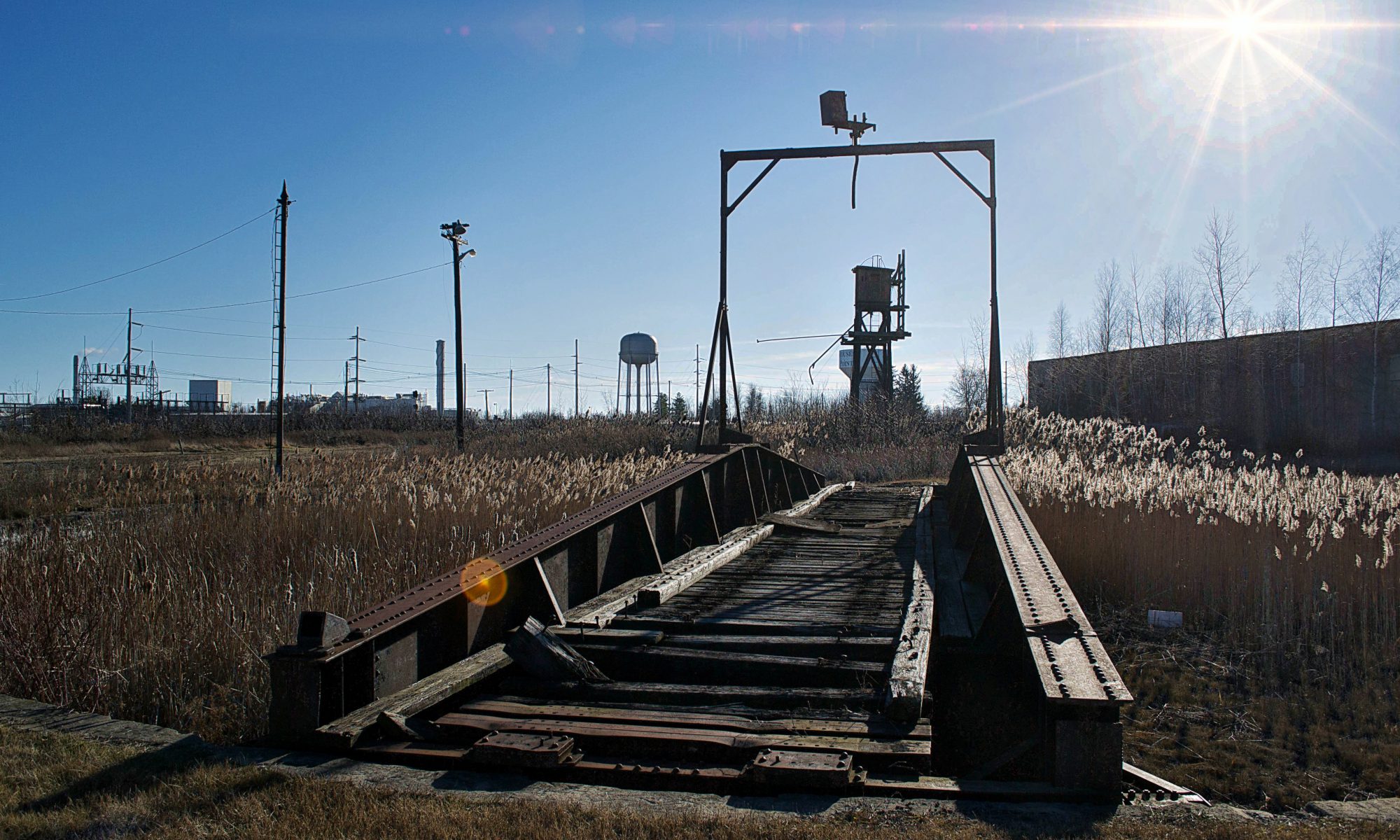
The village really did well for itself when the Delaware and Hudson Railroad decided to build passenger and freight facilities here and a rail yard to accommodate. Though Rouses Point is a pretty obscure community overall today, just outside the village limits are the remains of the oldest and last remaining Delaware and Hudson roundhouse turntables. Being battered by fierce winds, our trip here was short as the numbness in my hands began to outweigh my increasingly diluted curiosity. What can I say, I hate the cold.

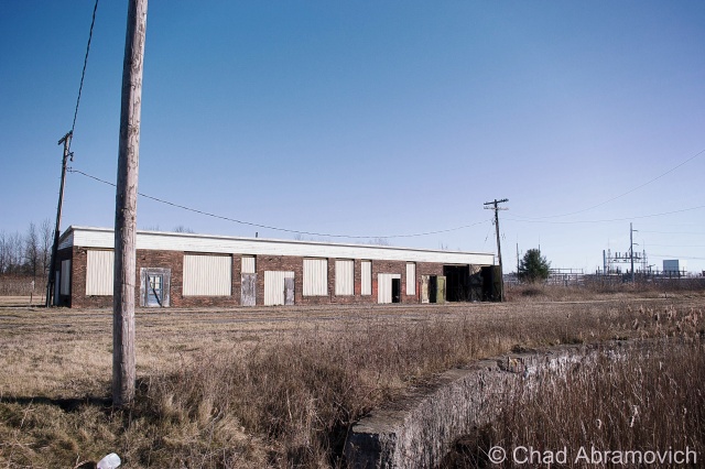
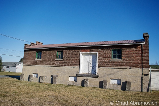
This building was formerly used for washing down the rail cars

dsc_0448_pe

Interestingly enough, most railroads, the D&H included, didn’t bother to wash their steam locomotives. Every so often, they would go over them with a mop soaked in kerosene to make them shine, but that’s about it. Roundhouses were built in the steam era as a way to store and maintain the locomotives, as well as repair and prepare them for their next trips. Other buildings on the site would be a coach shop, which was used to repair passenger stock, a cooling tower which was used for fuel, water tower for water, and in some cases a freight house where less than carload items were sorted and shipped out.

So, what is the reason that so many roundhouses are now abandoned?  In short, diesel engines need much much less repair than steam engines. When the steam engines faded away, so did the roundhouses.

This building was used for holding freight.
The original roundhouse

Alburg is a 45th parallel town, and one of a handful of Vermont communities that have found themselves in a weird moniker contention, where the United States Board on Geographic Names decided that they needed to standardize place names around the country in 1891. Every city or town ending in ‘burgh’ had their H dropped, pretty much so the mail would go to the right places and to make them easier to write on federal documents.

Well, over a hundred years later, a few Vermont towns decided that the dropped consonant was something to get up in arms about, with a few bringing it back, and the other few not caring that much.

Back across the bridge, in the pancake flat farmlands of the Champlain Island archipelago, the landscape is dotted with trailers, sagging farmhouses done in vinyl siding, and silver silos that reflect the coarse December sunlight from their gleaming surfaces.

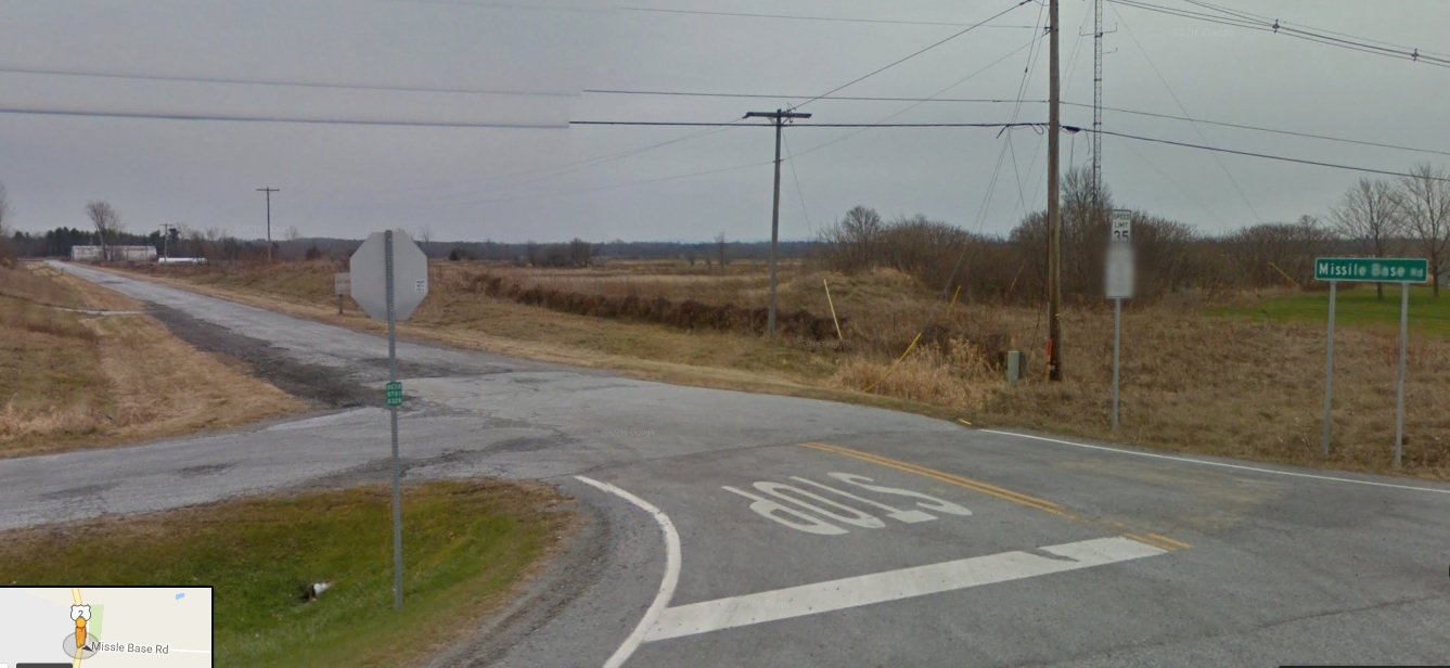
There is a rural road off of Route 2 called Missle Base Road, a moniker that supports the notion that this cul-de-sac is different from other Alburg byways . Whether or not it’s misspelling is a VTrans blunder or intentional, it’s sort of a weird road name in a region that only has a sheriff to bring down the law. That street sign is overshadowed by a much larger and more intimidating sign. In fading lettering, it sort of reads “Stop! Authorized Personnel Only Beyond This Point” in attention grabbing orange, while even more faded text behind it once read “Town of Alburg” (spelled without its H)

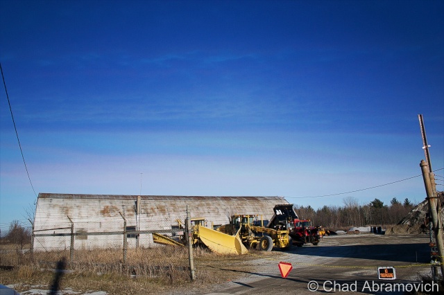
A drive down bad tarmac puts you dead ending in front of 2 rusted Quonset Huts, a chain gate, construction equipment that has seen better days and a dune of road salt. You’re looking at the Alburgh town garage!
But the Quonset Huts give its past away. Underneath the salt pile is the reason for the huts construction; an atlas missile silo.

This is the site of one of Vermont’s 2 nuclear missile silos. But you’d never know it. Towards the back of the property, a rusting pile of junk and a dune of road salt sits on top of the closed silo bay doors, each concrete door weighing 45 tons, enclosing the dark dripping confines of the flooded silo below.

Peering down the silo today would be a wondrous gaze into man’s eternal battle with evil and glorious ruin, but if you had peered down this shaft in the early 1960s, you would have been gazing at the tip of a nuclear missile.

In the 1960s, the military was scrambling to build defenses against the potential of a nuclear apocalypse that the Soviet Union was scheming, with the Soviets doing the same thing with the role of the villain reversed. The Army Corps of Engineers constructed 12 sites in a ring around the Air Force base in Plattsburgh — 2 in Vermont, 10 in New York, and absolutely no expenses were spared, with each site costing between $14 and $18 million to build, each one coming with a brazen claim that each could withstand a direct nuclear attack.

But these mysterious and aggressive projects were quite a feat to build. Many workers died during their constructions, with urban legends reciting that some unfortunate souls became entombed in the concrete silo walls they were hired to produce. The thought of the cold walls and dark depths of the missile silo as someone’s last vision is an image is a poignant one.

Ironically, despite the large expenses invested in these agents of destruction, the pulses of these missile silos were short lived, only active from 1962 until 1965, thanks to leaps in progressive apocalyptic technology. To add to the uncertainty, many were disputing afterward whether the missiles would have been able to hit their targets, and even be able to lift off the ground.

But they left a lasting impression on the landscape. However today, they hold contaminated waste and shadows smothered with valiant ghosts.

Each launch site constructed included two Quonset huts, a utility shed and an antenna that could detect a nuclear attack up to 30 miles away. The silo itself was 52 feet wide and 174 feet deep, encased in a shell of incredibly thick and durable concrete.

After their demise, the sites were abandoned. Ownership was now the burden of their communities, including this one, which was, uh, gifted to Alburgh, who turned it into their down highway department headquarters and dumped road salt over the perforation. Others were looted, some were sold to private investors and military enthusiasts. According to lots of testimonies over the intervening decades, most of them flooded to some degree.

Because everything has a market, interest in these intriguing properties has picked up in recent years, thanks to curious buyers who see the old silos as great “fixer-upper” projects, especially for private homes. But due to their deteriorating conditions, these sites require a buyer with a lot of money, patience and time. One of the former sites, in Champlain, New York was found and purchased on eBay. The new owner plans to clean it up and live in the remaining Quonset hut, and possibly in the launch control center. Taking his project a bit further, he has created an intriguing website which tracks his progress cleaning up the site, and gives everyone else a cool and rare look into these fabled locations.

Alburgh’s site wasn’t phenomenally interesting, but I still thought it was cool. I snapped a few photos of the Quonset Huts, because that’s more interesting than a photo of a pile of salt. I’m pretty confident in my assumption that the town won’t be opening up those blast doors anytime soon, so it’ll have to do. A town garage that doubles as a weird monument to humankind’s strange tendency to destroy itself. 

dsc_0480_pe dsc_0481_pe dsc_0483_pe dsc_0484_pe dsc_0485_pe

As of 2015, it looks like the street sign was spell checked, but Google maps still uses the misspelled moniker for the road.

—————————————————————————————————————————————–

To all of my amazing fans and supporters, I am truly grateful and humbled by all of the support and donations through out the years that have kept Obscure Vermont up and running.

As you all know I spend countless hours researching, writing, and traveling to produce and sustain this blog. Obscure Vermont is funded entirely on generous donations that you the wonderful viewers and supporters have made. Expenses range from internet fees to host the blog, to investing in research materials, to traveling expenses. Also, donations help keep me current with my photography gear, computer, and computer software so that I can deliver the best quality possible.

If you value, appreciate, and enjoy reading about my adventures please consider making a donation to my new Gofundme account or Paypal. Any donation would not only be greatly appreciated and help keep this blog going, it would also keep me doing what I love. Thank you!

Gofundme: https://www.gofundme.com/b5jp97d4
Donate Button with Credit Cards

The Ruins of Tahawus

During the nineteenth century, the Adirondack Mountains began to be rummaged heavily for exploitable natural resources. The intrepid prospectors pushed farther north into a deep world of desolate woods, vast swamps and vertical slopes haunted by grueling winters. In 1826, industrialist Archibald McIintyre and his partner David Henderson, who were guided by an Indian of the Saint Francis Tribe, would discover iron ore where the headwaters of the iconic Hudson River spilled out of the mountains on their descent into New York Harbor, which lead to the creation of The Adirondack Iron Works to extract the precious commodity.

A settlement, which confusingly is either spelled as Adirondac or Adirondack, was formed around the mines and iron smelting operations. The village would grow to about sixteen dwellings, with a central multifarious building used as school, church and a meeting room.

The mines impacted the village to such an extent, that it became singularly lucrative, which meant that the first bank in the Adirondacks opened here, instead of surrounding towns that were easier to access and far more populated. But it’s previously mentioned remotely inauspicious location ensured life here was a constant struggle of endurance, and if it wasn’t for the seduction of fortune, no one would have decided to attempt to live here.

The iron ore here was at the time considered the best deposit in the country, but it’s far flung remoteness up numerous steep slopes all helped to run down the operations until they became prostrate ghosts.

In 1840, a road was finally hacked through the hills from the mines down to Port Henry, which was another emerging mining town and regional hub that boomed thanks to it’s location on Lake Champlain. 

The Saratoga Railroad, which wanted to build a special spur line up to the blast furnaces, couldn’t construct up the vertical rises and was only able to extend the line to North Creek, a small hamlet “nearby” in the town of Newcomb. Because of this, the ore from Tahawus had to be hauled down to North Creek in tractors, or any other creative method they could devise.

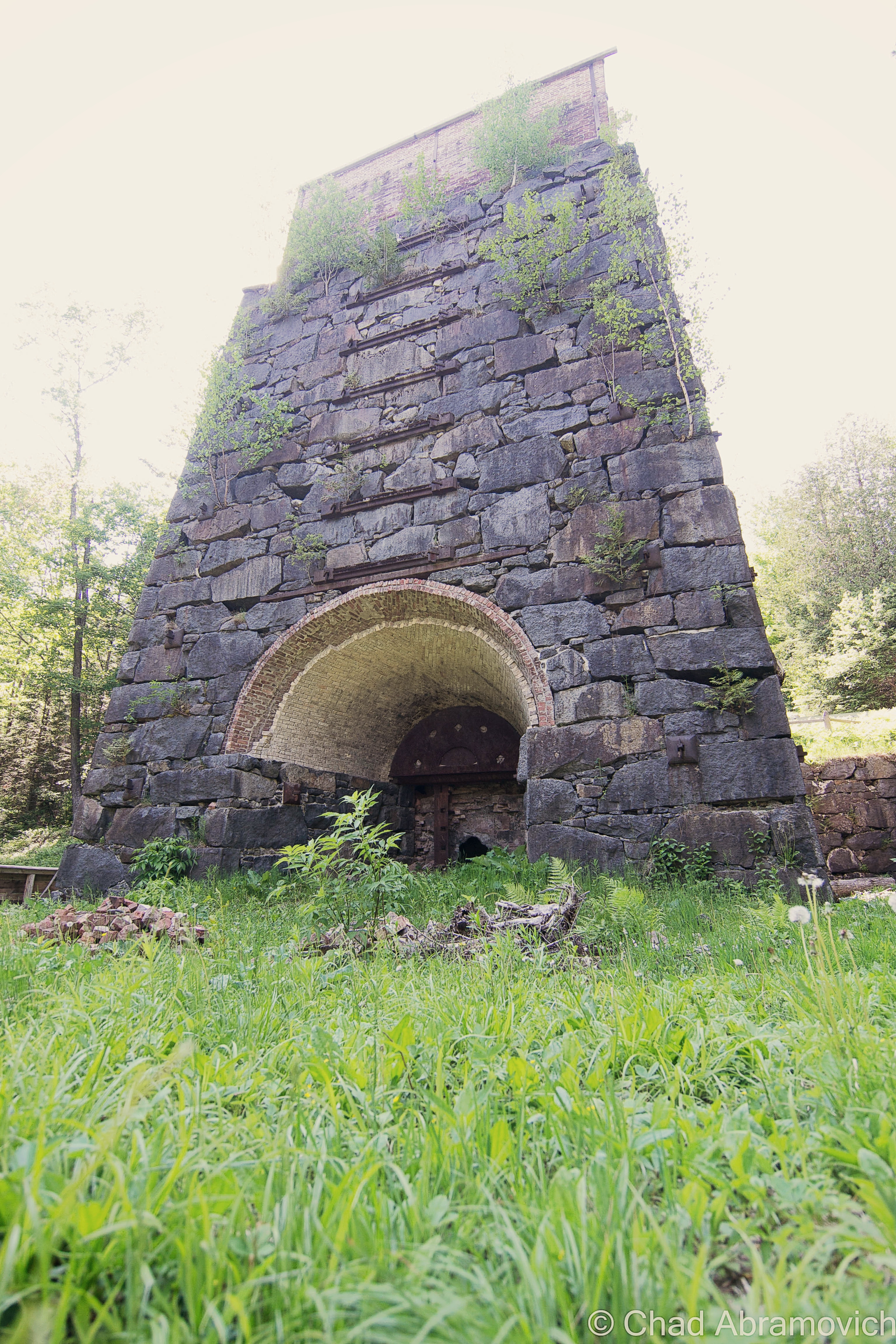
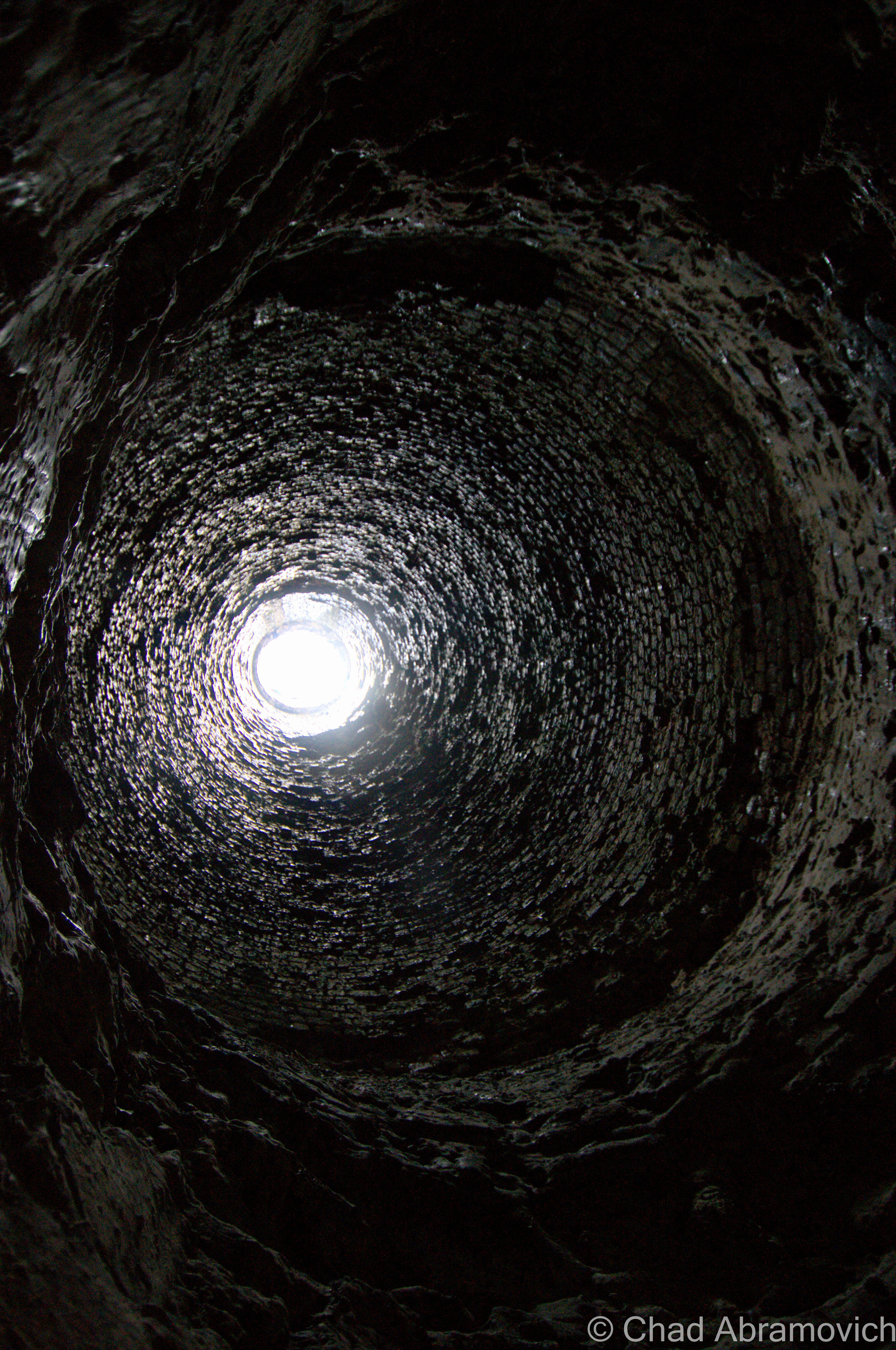
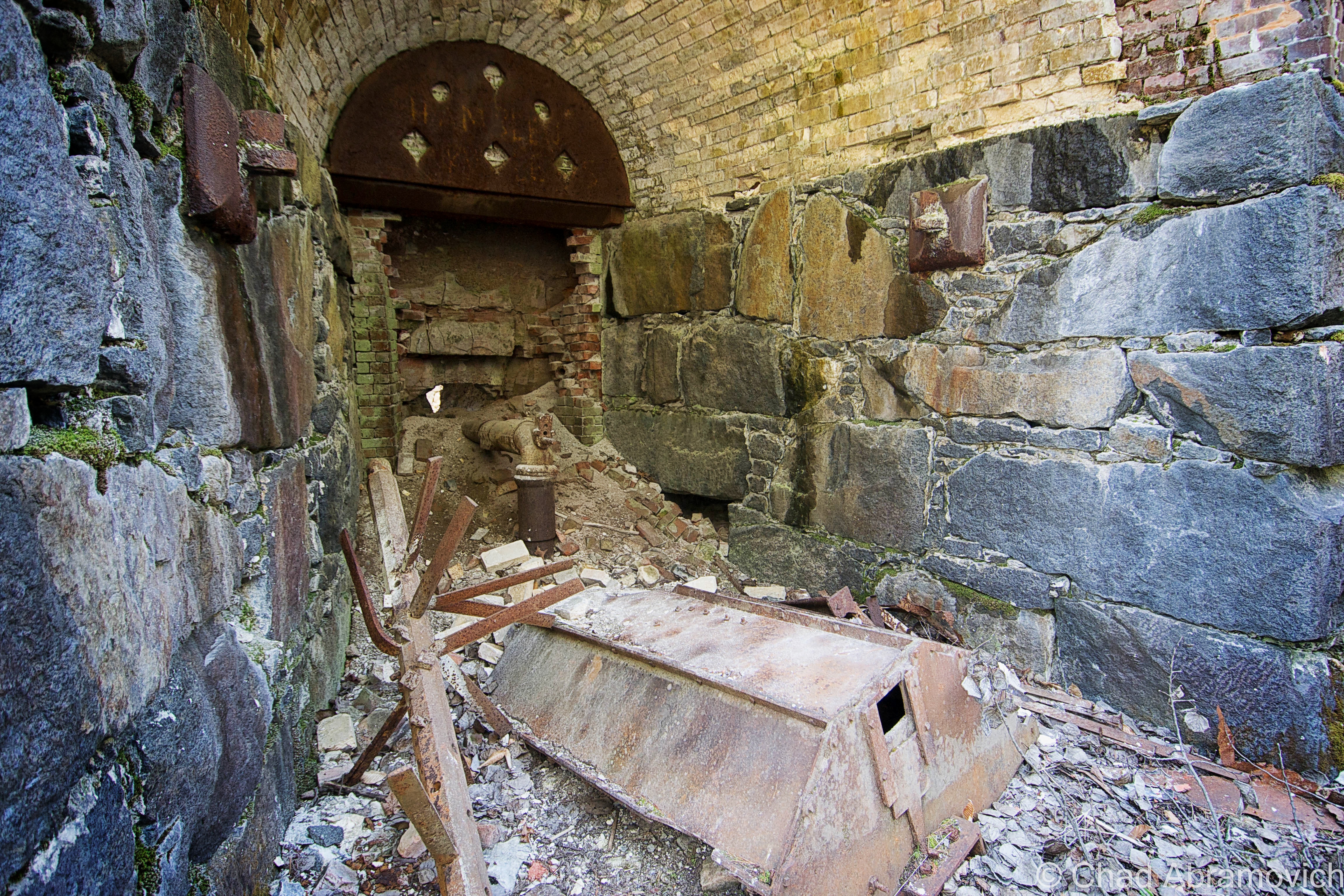
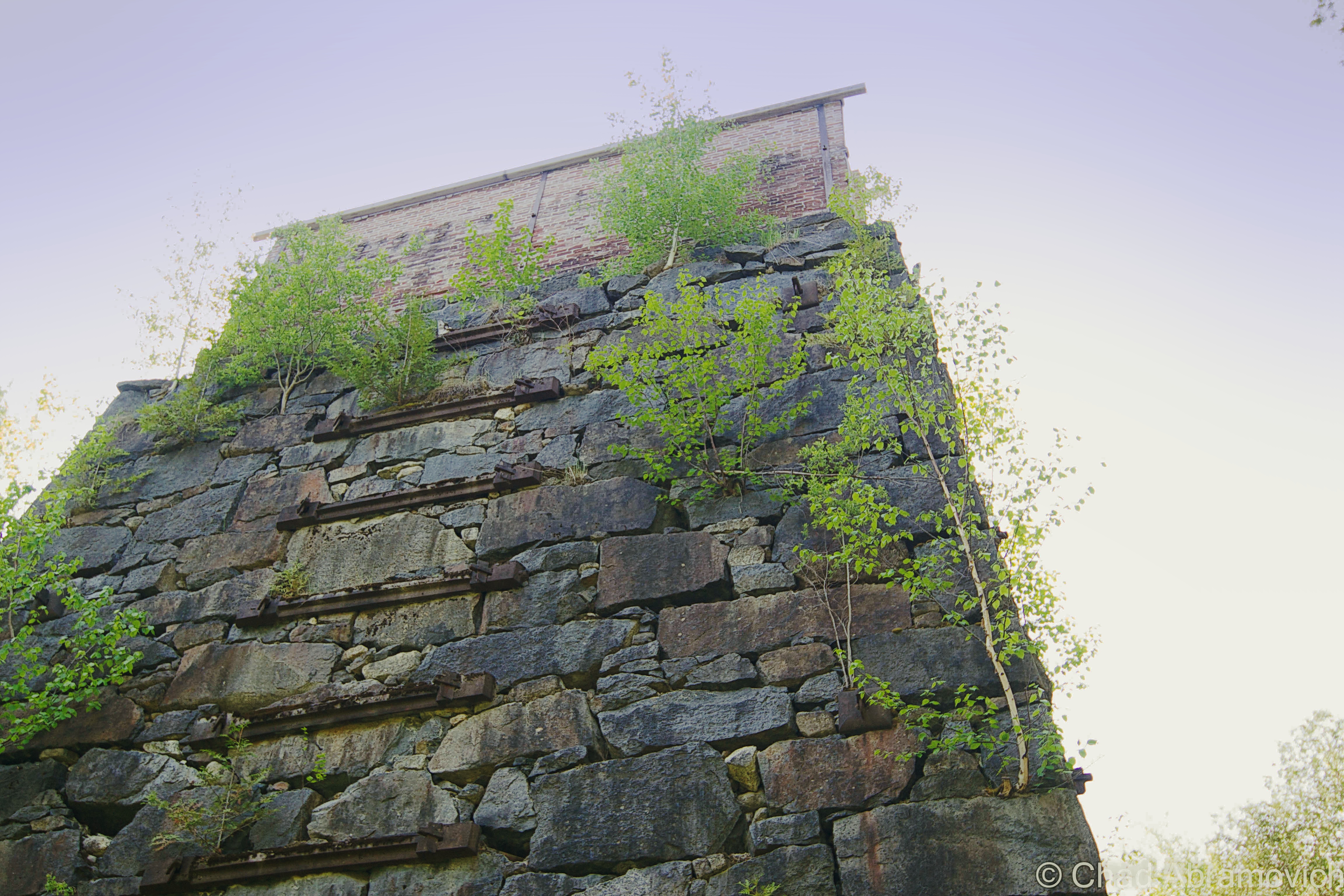
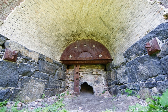
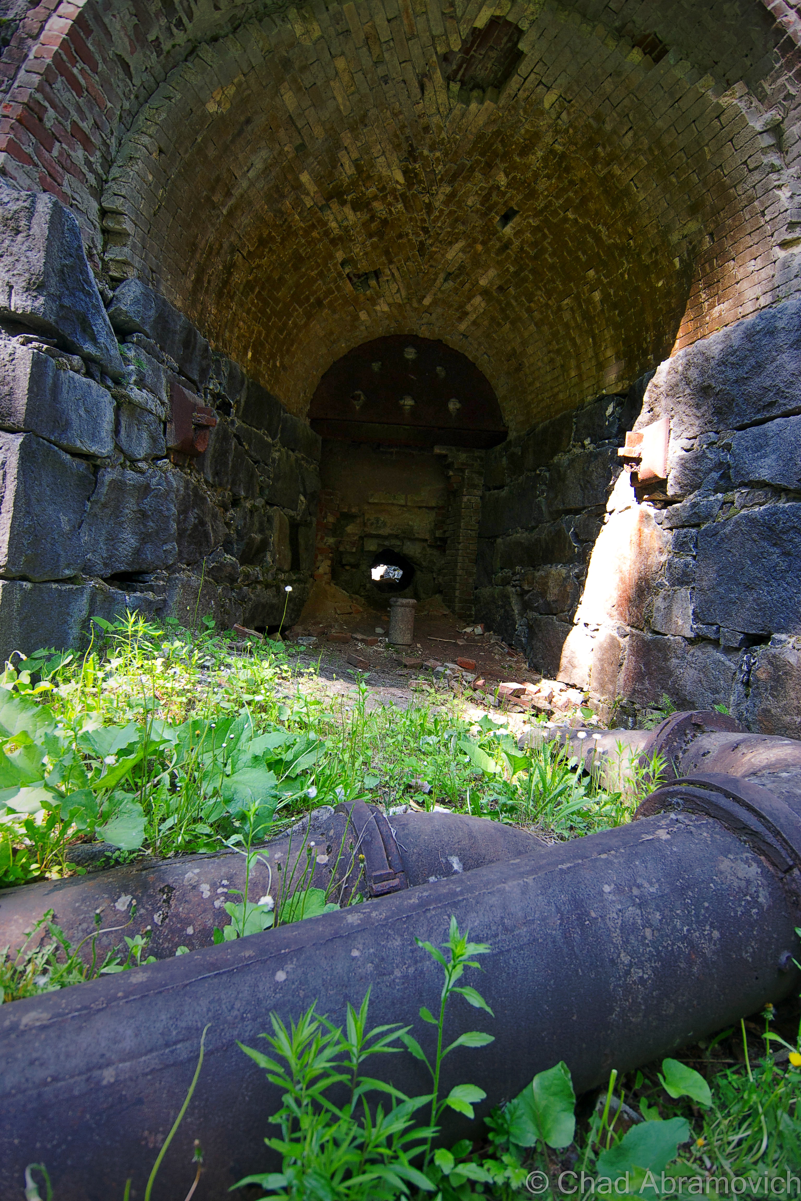
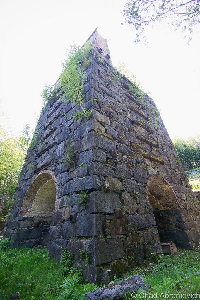
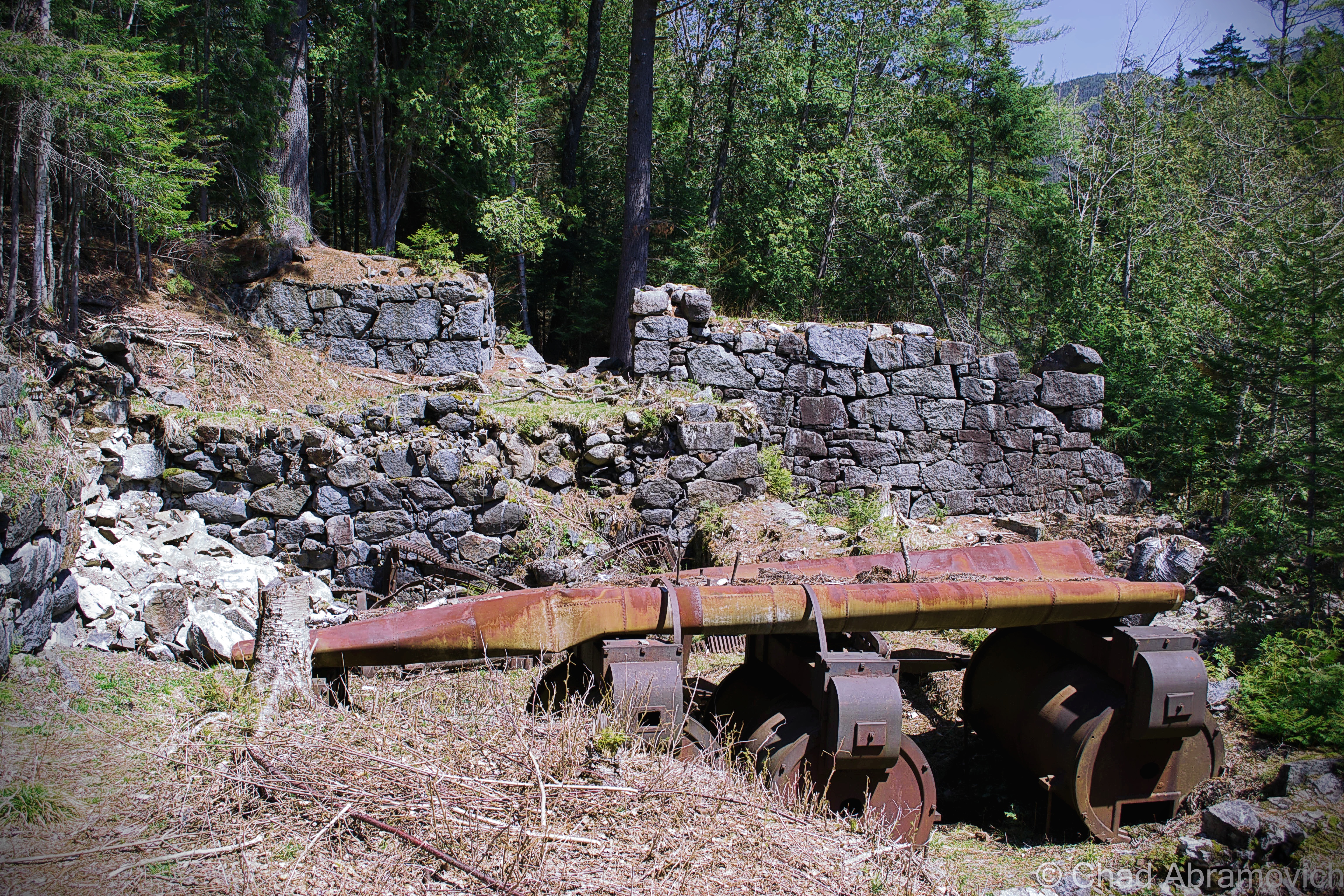
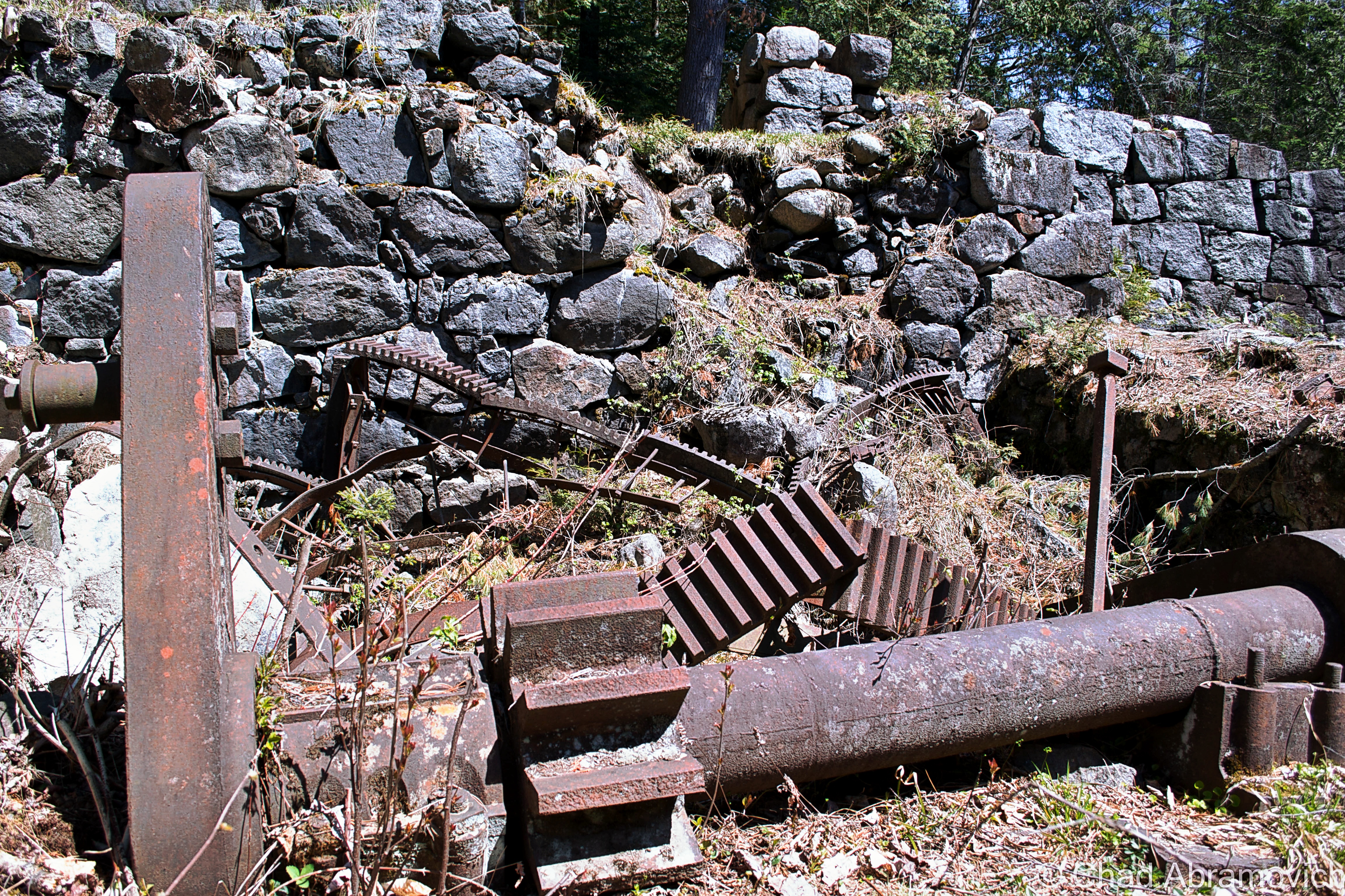
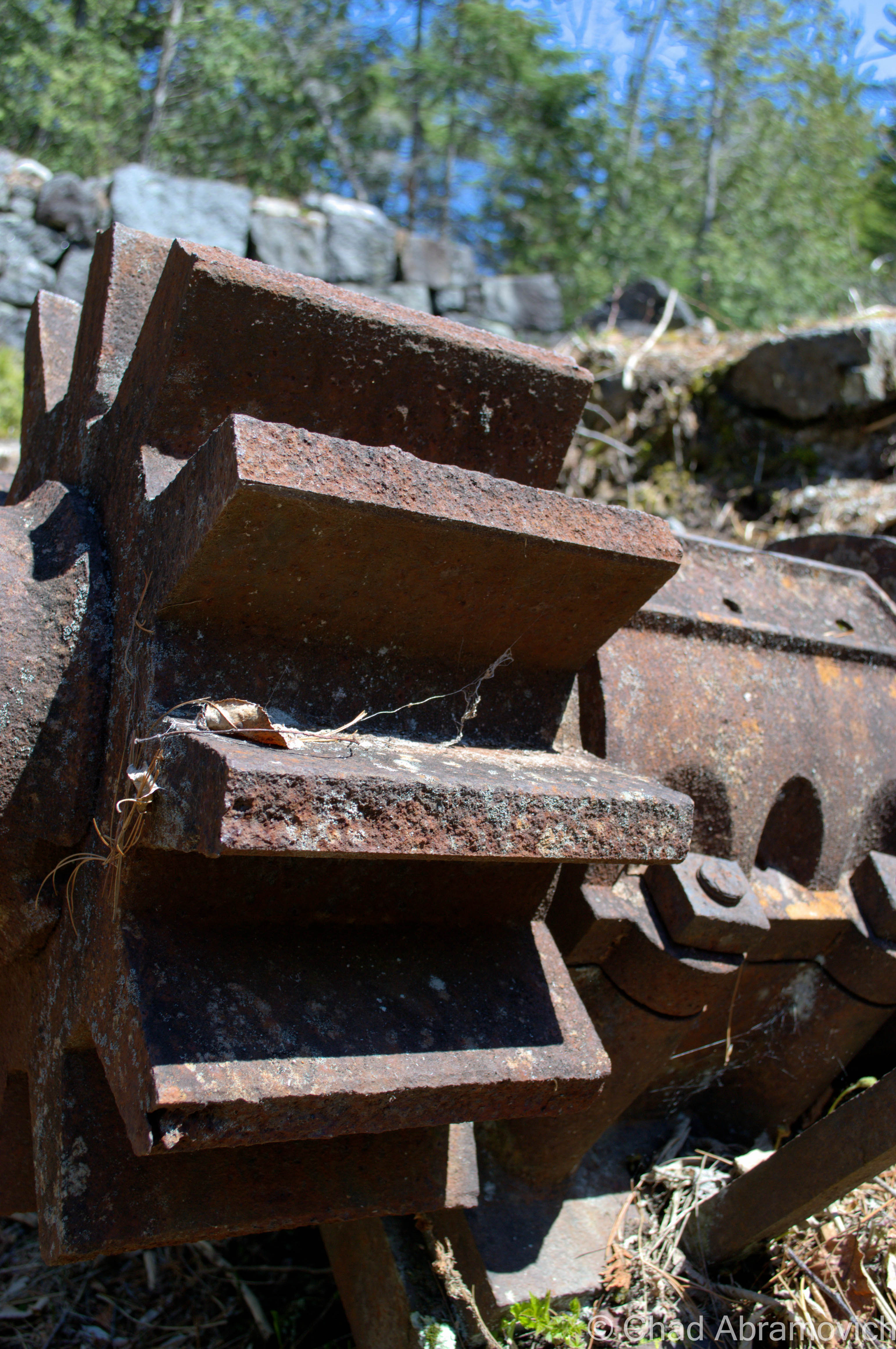
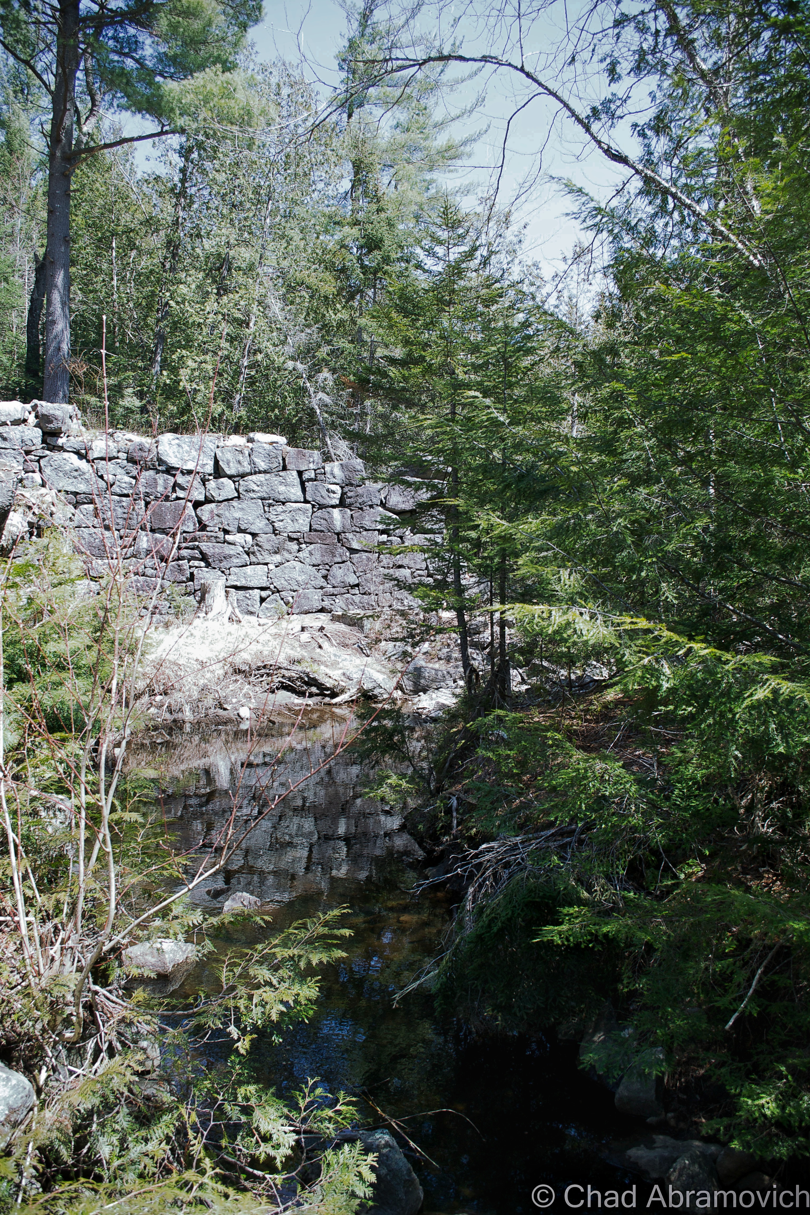
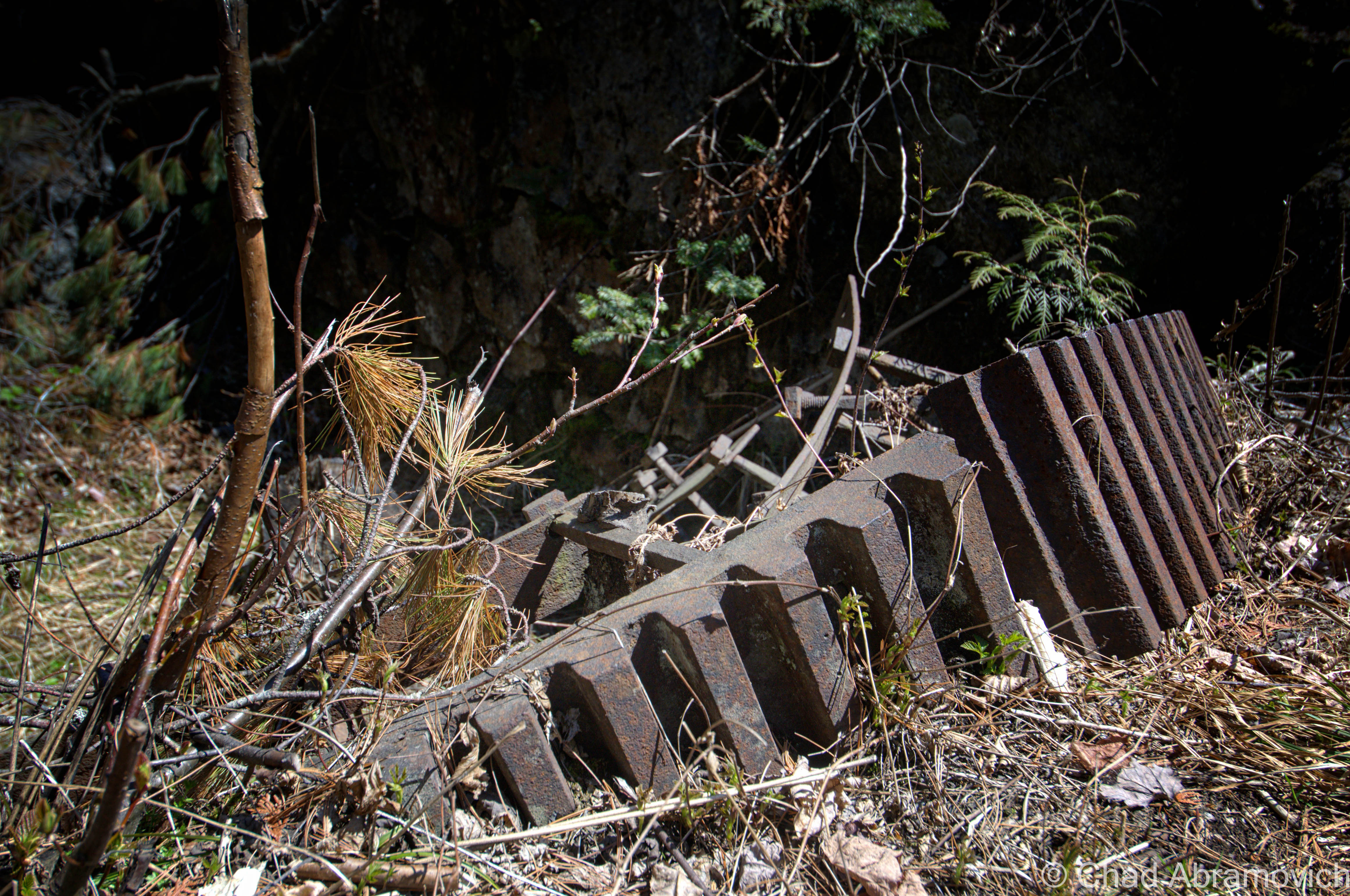
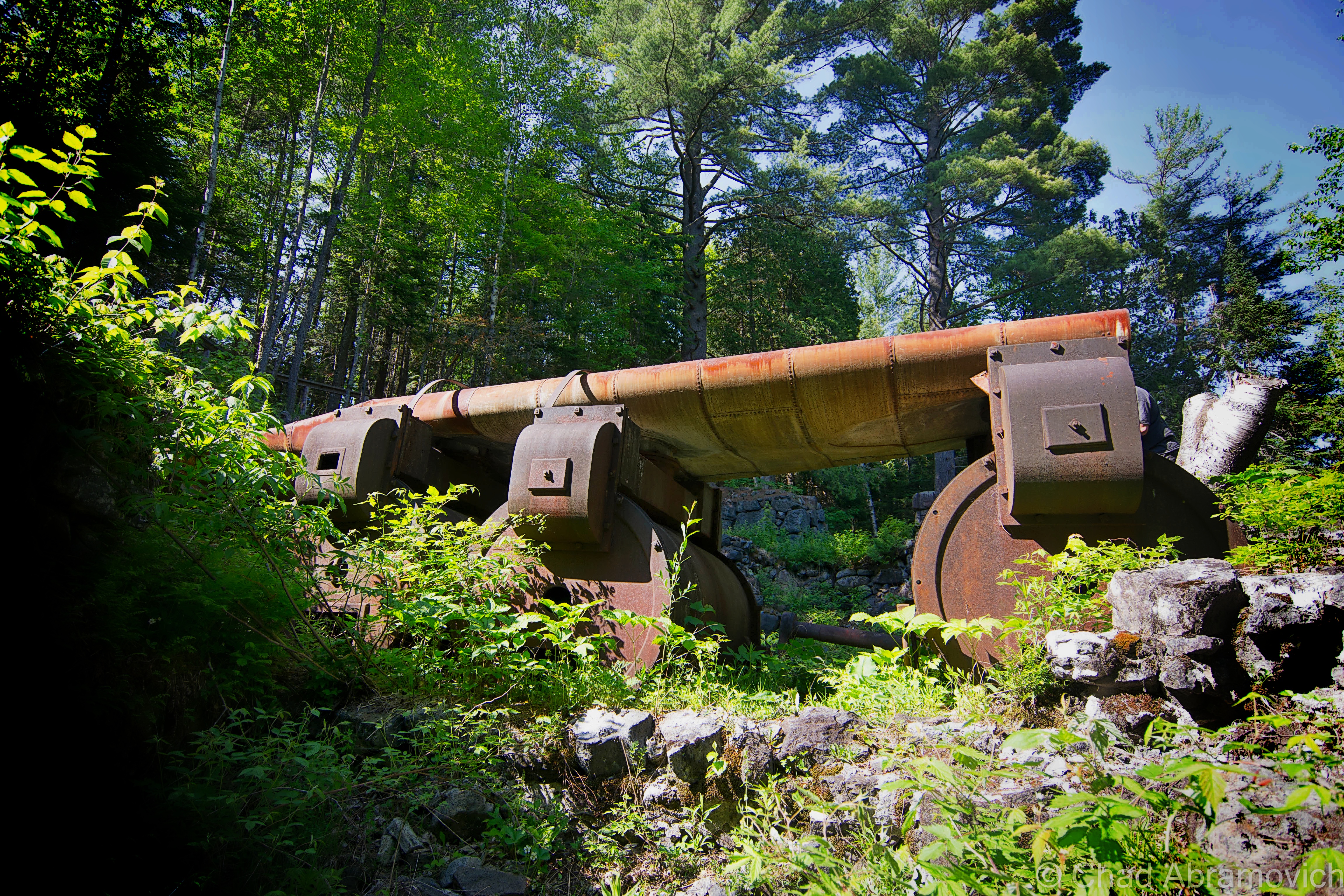
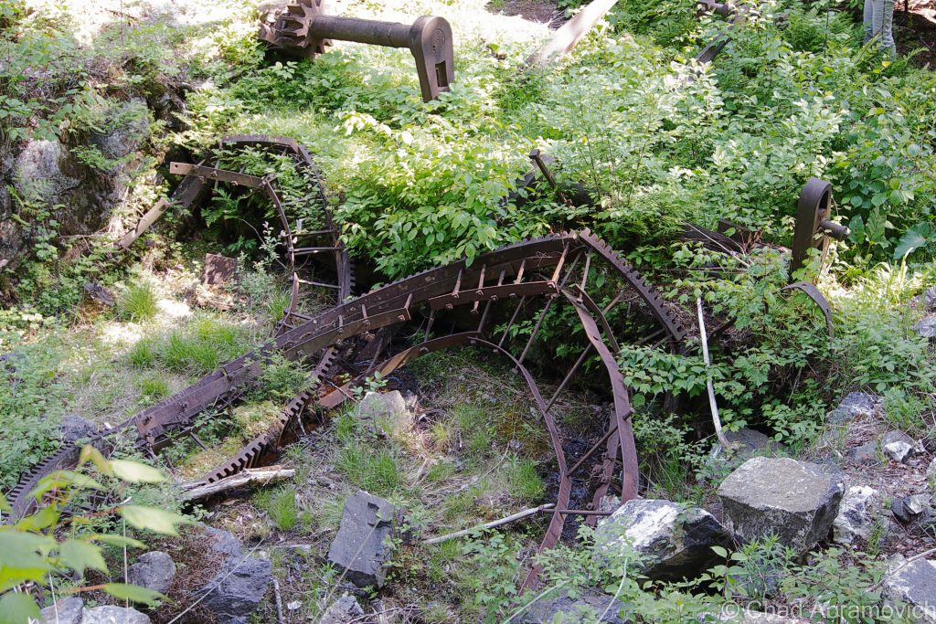
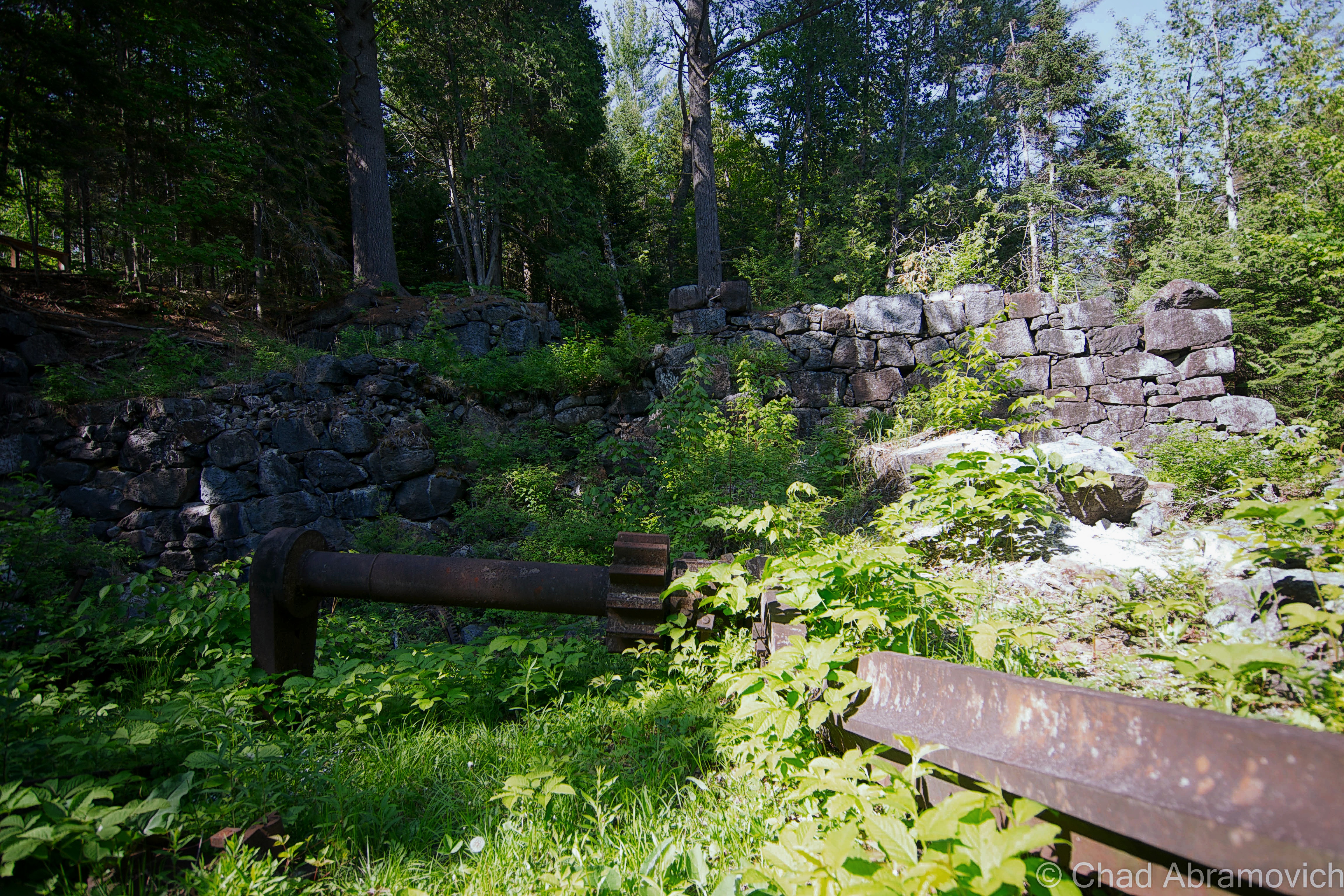
The fact that Adirondac(k)’s existence was brief was owed to a continuous chaser of circumstances that kept running the town down – the most impacting being the impurities in the iron ore they were trying to withdraw – later discovered to be titanium dioxide – that killed the town. The equipment at the time simply wasn’t advanced enough to successfully process the stuff, despite spending a remarkable $43,000 on an impressive fort like stone blast furnace known as McIntyre, which they had hoped would improve efficiency and profits. The entire village was forsaken in 1857 when the Adirondac(k) Iron Works gave up.

A decade later, a hunting club had eyed the land and the deserted ruins and eventually bought up most of it. The club at the base of the highest peak in New York attracted such notable people as Vice President Theodore Roosevelt, who was on a hunting trip here when President McKinley was assassinated by gunshot in Buffalo. Staying in regional character, the hunting club changed names and identities quite a bit. The Preston Ponds Club came in 1876 for both hunters and fisherman. Just a year later, it became the Adirondack Club, and in 1989, renamed itself the Tahawus club, the titular name that most of the area wears today. 

Times changed again and in 1940, a new mine opened, this time for the situationally ironic purpose of obtaining the titanium dioxide that had been responsible for previous failures in mining. World War 2 was in full swing, and because wars generally are hungry tempered affairs, anything that supported the war effort was in high demand, things like lead.

The National Lead Industries began mining along Sanford Lake which is southeast of the village, an area that would become known as The Lower Works. In 1943, the abandoned village was rebuilt for the new mine workers and was thematically renamed Tahawus. By 1945, Tahawus had 84 buildings, including some of the extant dwellings from the original town.

Before operations ceased in 1989, over 40 million tons of titanium oxide were extracted from the lower works, but the changing economy and bankruptcy would close the iron works. Once again, the wilderness was left to reclaim what was once its own, but this time no one tried to rebuild the town, leaving Tahawus to bury its faith in the rocky mountain soil.

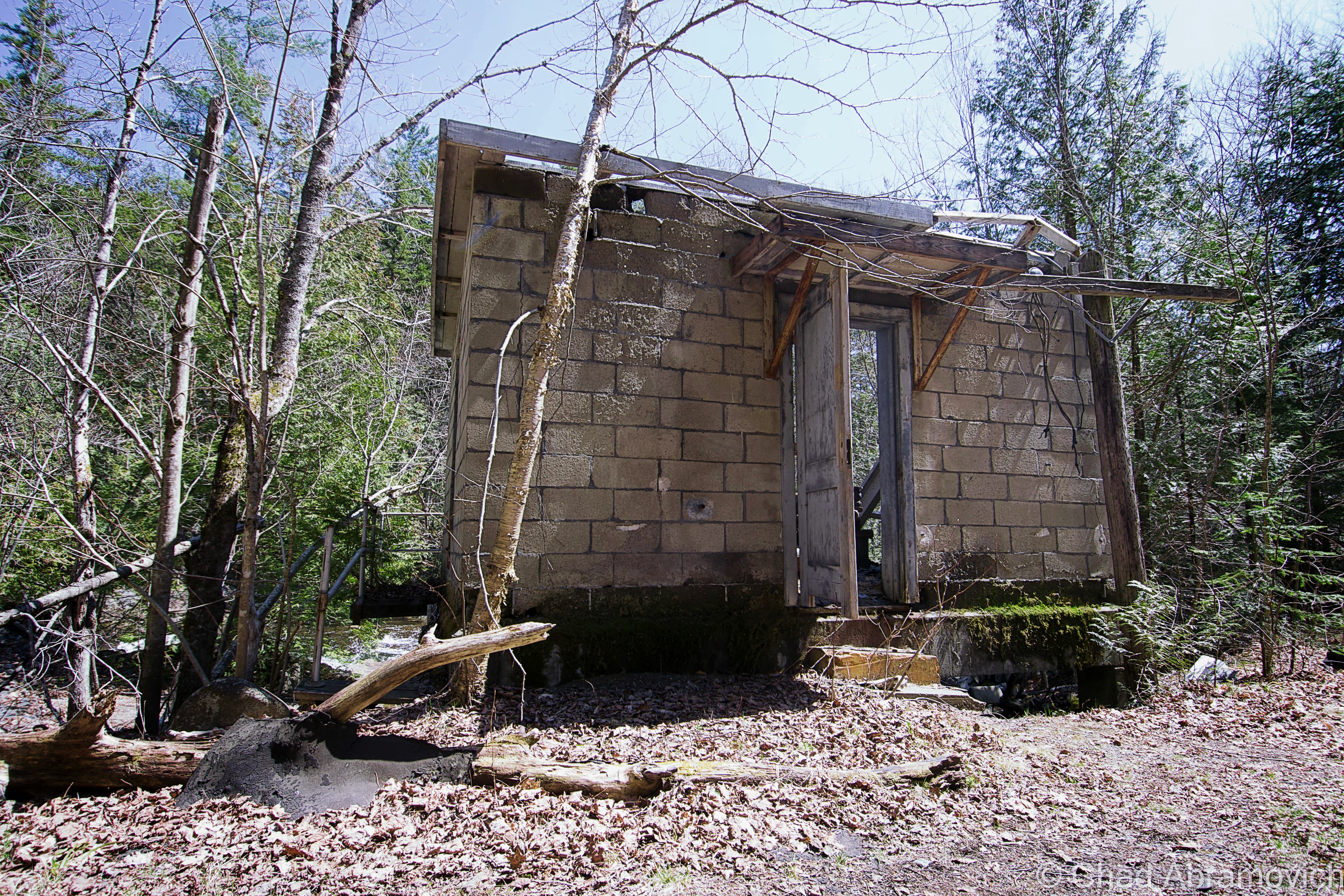
From my experience, most ghost towns in the northeast are nothing more than overgrown cellar holes, but Tahawus still retains 10 of its original buildings from it’s 1940s reincarnation, one preserved home from 1845, and the imposing remnants of the McIntyre Blast Furnace with trees growing through the cracks in its stonework, all accessible by a stretch of nicely laid asphalt (until previously, it was a dirt road).

The Open Space Institute purchased Tahawus and surrounding forests in 2003 to preserve the unique area and formed the Tahawus Tract Project. Until 2006, the ghostly ruins of the Tahawus mines at Sanford Lake were also still existing, but have been since demolished, but the startling grey toned waste dunes still devour much of the lakeshore and Google satellite imagery of the place.

To find Tahawus’s rotting bones, they lay at the end of a long and desolate road which carves its way around swamps and streams, and follows the scars of an old railroad bed. Eventually, it comes to a rather abrupt dead end right in the center of town. And it is here where you can finally start picking at the pieces of this fascinating community.

Though Tahawus is a ghost town, because of it’s proximity on a roadway that leads to the junction of several popular hiking trails that take off towards cloud splitting Mount Marcy, it’s probably one of the least dead places in the Adirondacks. But on an interesting note; a passing hiker did tell me that he remembers bodies being found in Henderson Lake in the 70s that were the suspected victims of a local serial killer or madman. Or, so he told me.

Tahawus Today

The road to Tahawus was a long and lonely drive, passing through incredibly vast wilderness areas that a person could walk into and never reemerge from. I was actually a little surprised to find out that there was an actual road that lead right into town.

The road, aptly named “Tahawus Road” plunges deep into the wild, forwarded by what me and my friends refer to as the world’s most misleading “dead end” sign – as the road continues to cover ground for an unsuspected 7 miles before finally ending. As the forlorn stretch of asphalt climbed further into the woods, you could see the remnants of railroad lines that used to pass through, evidence of the areas industrial past. The rail beds had long been removed, leaving leveled banks that slice through an otherwise organic landscape. So, what did I expect to see as I entered Tahawus? I wasn’t sure what I expected, but it certainly wasn’t what greeted my hungry eyes.

Though the environs were squalid and eerie, admittedly, my first impression of this community was a bit underwhelming. The misleading photographs I found on the internet had set my expectations pretty high, but the unanticipated reality was humble and wrecked. What I had expected to be a large forgotten town reachable by trekking through thick forest and undergrowth, with somewhat of a sense of pre-coordinated directions, wasn’t. Instead, I could easily explore the place by hopping out of the car in a dirt parking lot cramped with other cars, hikers with backpacks, and one of my favorite jazz tunes wafting from the stereo.

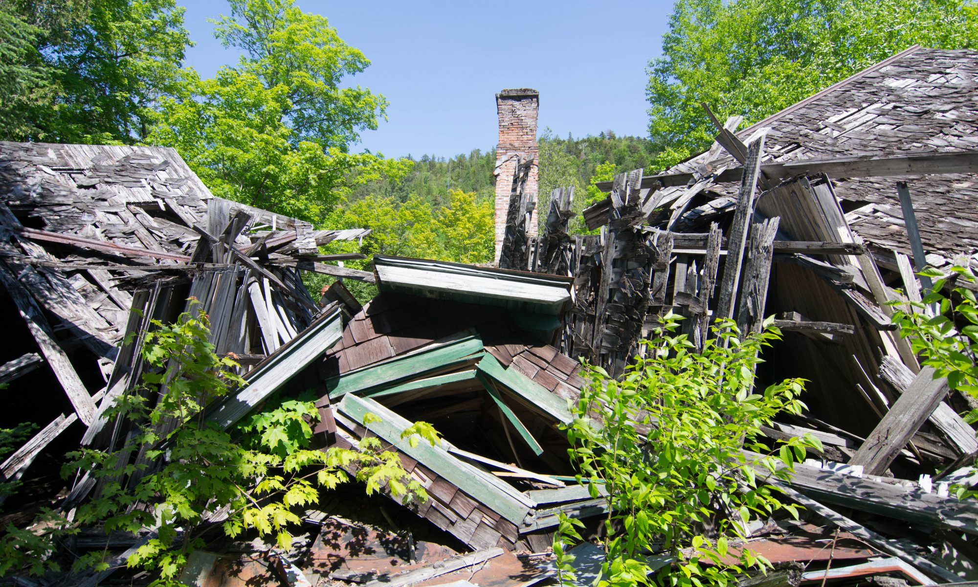
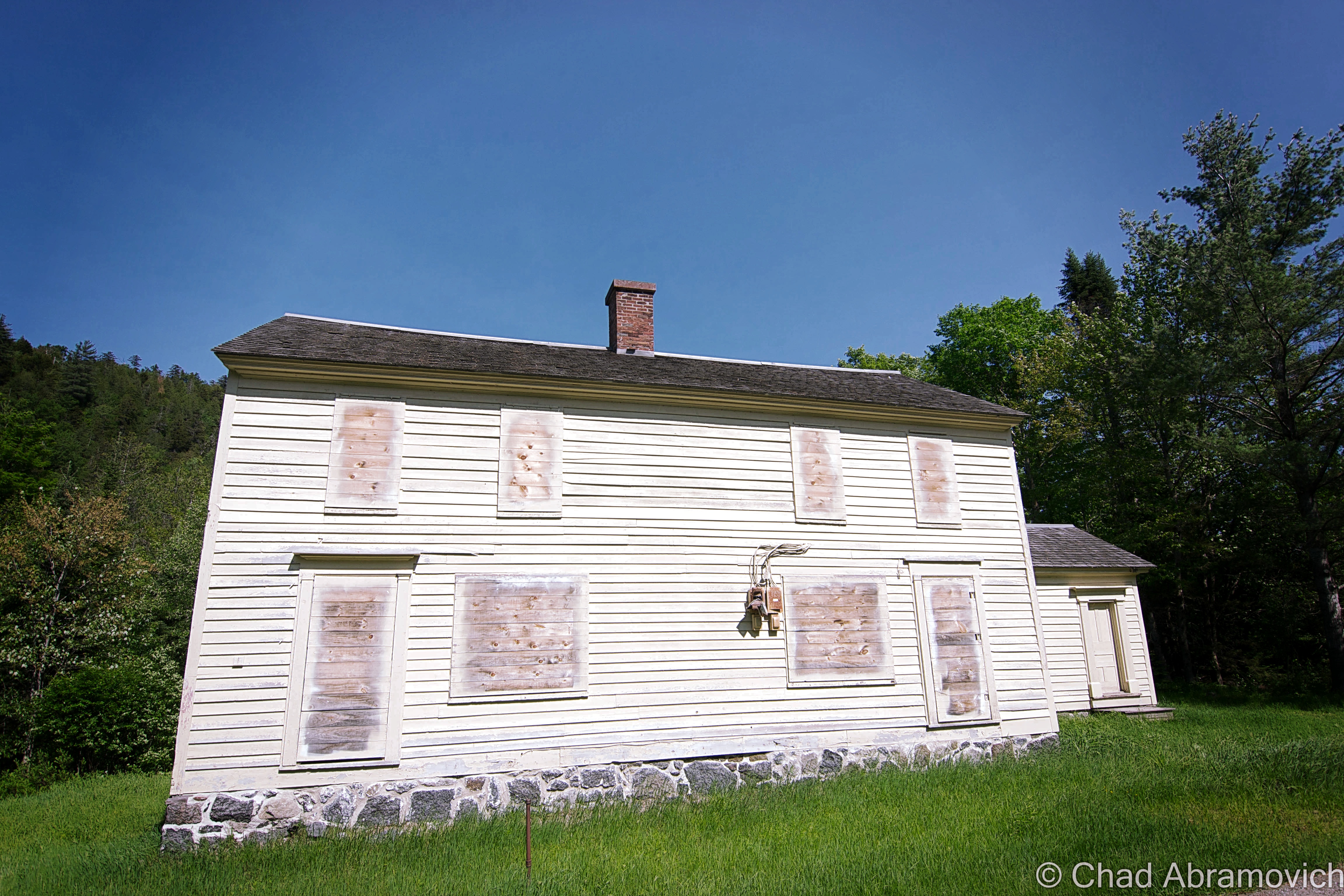
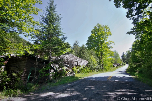
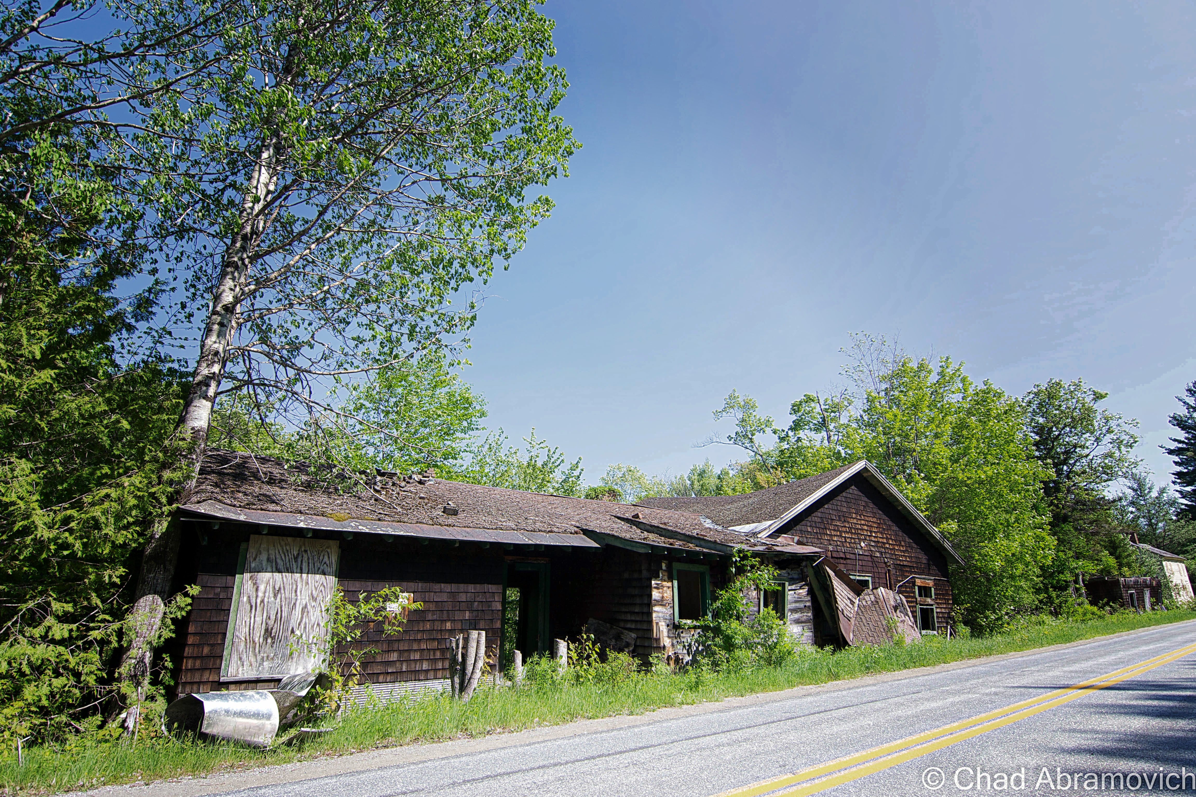
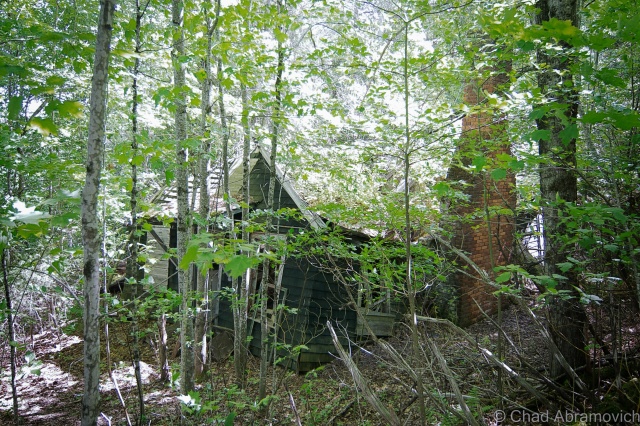
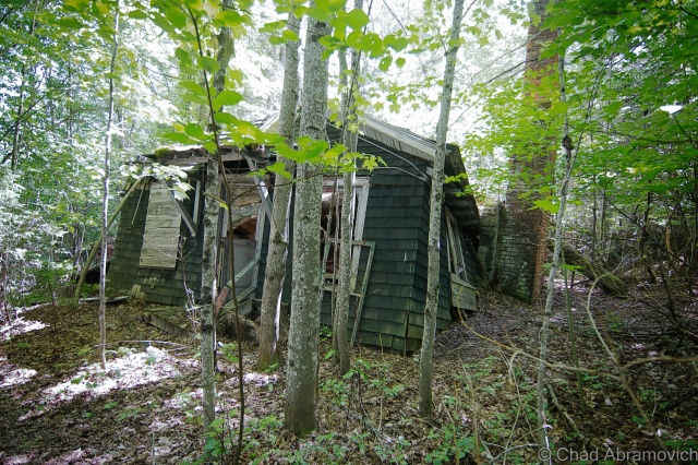
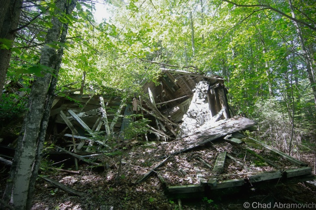
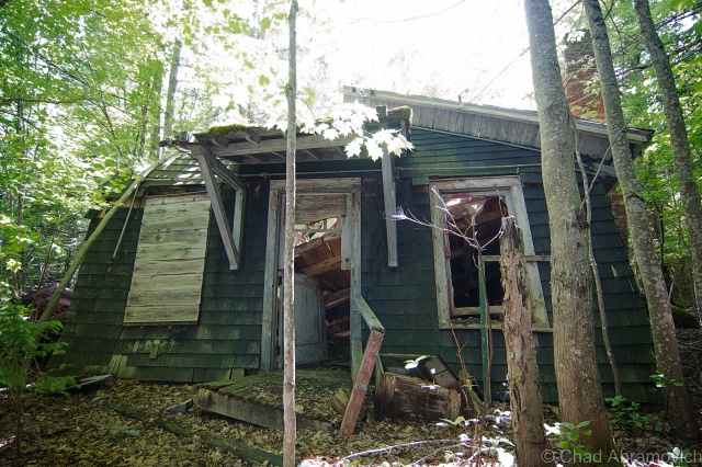
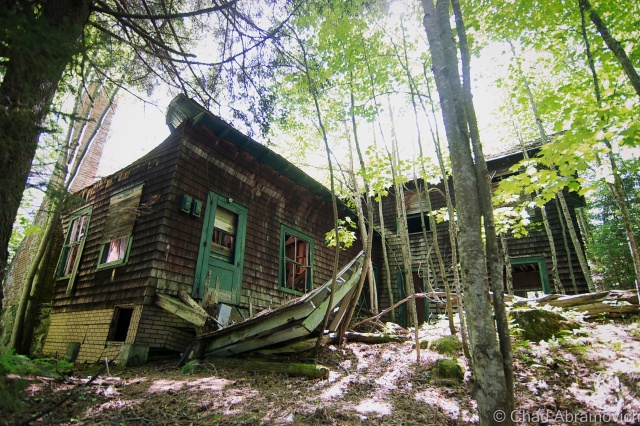
Some of the surviving/deteriorating buildings have wasted away to the point beyond recognition, and others weren’t far behind. The roofs collapsed where they’re not entirely missing, forming mangled and wild shapes, and the dead weight slowly dragging many of the structures down the banks into the Hudson River.

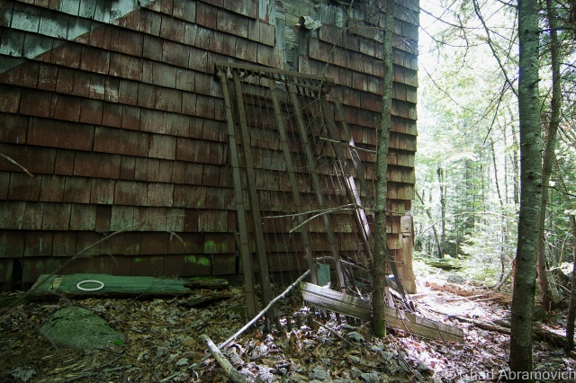
Another interesting feature was that all of the buildings looked almost identical, with brown cedar shingles and a dark green forest trim.

A few buildings proved safe enough to enter. But the interiors were claustrophobic and vertigo, as each building became warped as they deteriorated at their own rate. There were no relics left behind amid the rubble, each room was an empty wooden shell. The ramshackle atmosphere was an enigma, masquerading the dangers by putting them in plain sight – your eyes straining continuously for a safe passage.

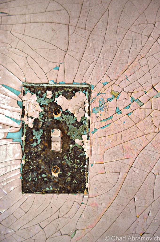
But it was also this carnival of chaos that’s been a few decades in the making that give me a strong feeling of awe that a great adventure always does. Every room was done in old fashioned wainscoting, each it’s own vibrant lead painted color which had been peeling and weathering for years. The sun poured through the cracks in the walls and kissed my fingertips as you begin to think about who might have lived here beforehand and how this new atmosphere has filled the places where they once used to stand.

Later during the dying days of Fall, I would make a return trip.

In the shadowy dales of the upland marshes, there were already pockets of snow, the fir trees bent over with a rather thick dusting. This was the first snow I’ve seen of the season. Though it was only around 1 in the afternoon, the harsh glow of the late Autumn sun made it feel otherwise, as the scraggly woodlands basked in sort of an offsetting golden glow.

I was surprised at just how bad Tahawus had become since my last journey here in the spring. Most of the remaining houses had either fallen over almost entirely, or were significantly worse off than before. The majority of the buildings I had wondered in months ago had become far worse for wear. Now, I had to take very careful precautions to set foot inside. As it was, my friend had already stepped on a nail which went through his boot. Not the best way to begin an adventure.

I can’t very well describe the feeling of exploring these modest dwellings, the interiors adorned with peeling walls shedding their lurid lead paint onto the dusty wooden floors as the late afternoon sunlight filtered inside as if keeping an eye on a sacred Adirondack shrine, the former world of man now home to nature and dust, finding peace with each other in subtle nuances. Any feelings of human habitation is a queer thought now, as time incinerates what that was to Tahawus.

At the alarming rate of Tahawus’s decay, it’s strange to think about the reality of the village becoming nothing more then a name on a map 3-5 years down the road, its buildings returning to dust that is scattered to the Adirondack winds.

But despite its shocking rate of deterioration from when I first visited only 3 years ago, and it’s crowds, it still remains one of my favorite places in upstate New York, which may or may not entirely be due to nostalgia.


The Old McIntyre Blast Furnace site

DSC_0050_peDSC_0457_peDSC_0461_pe DSC_0054_pe DSC_0056_pe DSC_0075_peDSC_0421_peDSC_0424_peDSC_0431_peDSC_0432_peDSC_0437_peDSC_0063_peDSC_0059_peDSC_0065_pe

 Tahawus Town

MacNaughton Cottage (1845). This was the house that Vice President Theodore Roosevelt stayed in during his hike to Mount Marcy when he received news of President William McKinley being close to death after being shot in Buffalo, and is the only "restored" building in Tawahus.
MacNaughton Cottage (1845). This was the house that Vice President Theodore Roosevelt stayed in during his hike to Mount Marcy when he received news of President William McKinley being close to death after being shot in Buffalo, and is the only “restored” building in Tawahus, as well as the first building you see in town.

DSC_0916_peDSC_0004_peDSC_0467_peDSC_0463_pe DSC_0043_pe DSC_0047_pe DSC_0050_pe DSC_0123_pe DSC_0167_pe DSC_0171_peDSC_0012_peDSC_0018_peDSC_0019_peDSC_0029_peDSC_0043_peDSC_0045_peDSC_0046_peDSC_0048_peDSC_0470_peDSC_0472_peDSC_0474_peDSC_0486_peDSC_0513_peDSC_0515_peDSC_0527_peDSC_0530_peDSC_0532_peDSC_0922_peDSC_0533_peDSC_0535_peDSC_0537_peDSC_0539_pe_peDSC_0967_peDSC_0928_peDSC_0935_peDSC_0074_peDSC_0065_peDSC_0069_peDSC_0078_peDSC_0958_peDSC_0961_peDSC_0956_peDSC_0968_peDSC_0969_peDSC_0973_peDSC_0926_peDSC_0980_peDSC_0982_peDSC_0986_peDSC_0988_peDSC_0997_peDSC_0999_peDSC_0154_peDSC_0153_peDSC_0166_peDSC_0038_pe

Links:

If you’re interested in Tahawus, The Adirondack Park Agency published a great article on it.

Tahawus on Wikipedia

—————————————————————————————————————————————–

To all of my fans and supporters, I am truly grateful and humbled by all of the support and donations throughout the years that have kept Obscure Vermont up and running.

As you all know I spend countless hours researching, writing, and traveling to produce and sustain this blog. Obscure Vermont is funded entirely on generous donations that you the wonderful viewers and supporters have made. Expenses range from internet fees to host the blog, to investing in research materials, to traveling expenses. Also, donations help keep me current with my photography gear, computer, and computer software so that I can deliver the best quality possible.

If you value, appreciate, and enjoy reading about my adventures please consider making a donation to my Paypal. Any donation would not only be greatly appreciated and help keep this blog going, it would also keep me doing what I love. Thank you!

Gofundme: https://www.gofundme.com/b5jp97d4
Donate Button with Credit Cards