Shunpiking to Lewis, Vermont. Population: 0

For years, I’ve been interested in Vermont’s unique political divisions; gores, grants, and ‘disorganized’ towns – just some of the things I’ve discovered thanks to being a map nerd! I found it fascinating that there were delineated areas on the map that had little, to nothing in them.

On a firey September day that felt more like July, me and my friend set out on an ODDysey towards Vermont’s Northeast Kingdom, the state’s wildest and poorest corner where some of these enigmatic areas are clustered. I’ve always loved the kingdom. From my dad pulling me out of school as a kid to go fly fishing on the legendary Willoughby River in Orleans, to hustling up at Northern Vermont University in Lyndonville when I was older, I have fond memories of the NEK, and always kinda associate it with The Monkees – because whenever I used to head up that way with my mom, we’d always listen to them on CD in her car, so I totally had them in my head on the ride up.

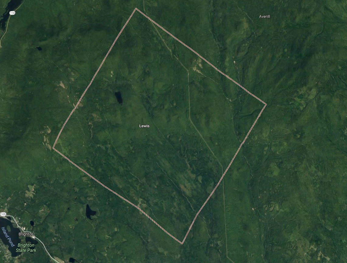
I wanted to see one place in particular; Lewis, one of Vermont’s five “disorganized towns” (a phrase that has always amused me) – which refers to towns with populations so low, or sometimes never luring any people at all, that their charters were revoked.

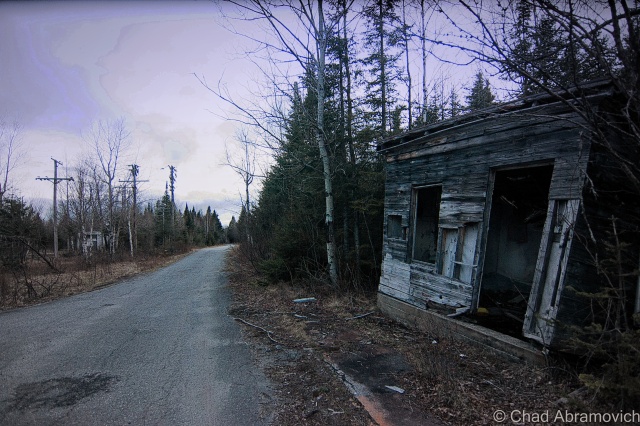
It felt fitting that we were heading up to the deserted realm north of Island Pond, a rough and tumble railroad village in the town of Brighton that’s the hub of that piece of the NEK, so much so that most wayfinding signs point you to Island Pond instead of Brighton.

Island Pond has always had a sort of an eccentric reputation, and I think a lot of that has to do with the temperament of how isolated the place is. Seclusion can be a lightning rod for weirdos, outlaws, religious cults, and the preternatural.

One of my favorite Island Pond tales of intrigue involves a carpenter renovating an old farmhouse outside the village in the 1980s. Across the road was an old farmer’s pasture that had long been overgrown and disused, so imagine how startled the carpenter was when he happened to glance out the window and see a young girl herding a flock of sheep in a field that was formerly empty seconds ago. When he confusingly went to investigate, the sheep and the girl had vanished. So he got back to work, until a few minutes later when he looked out the window and saw the girl and the sheep again, only this time, the girl was waving at him. He apparently quit the job on the spot!

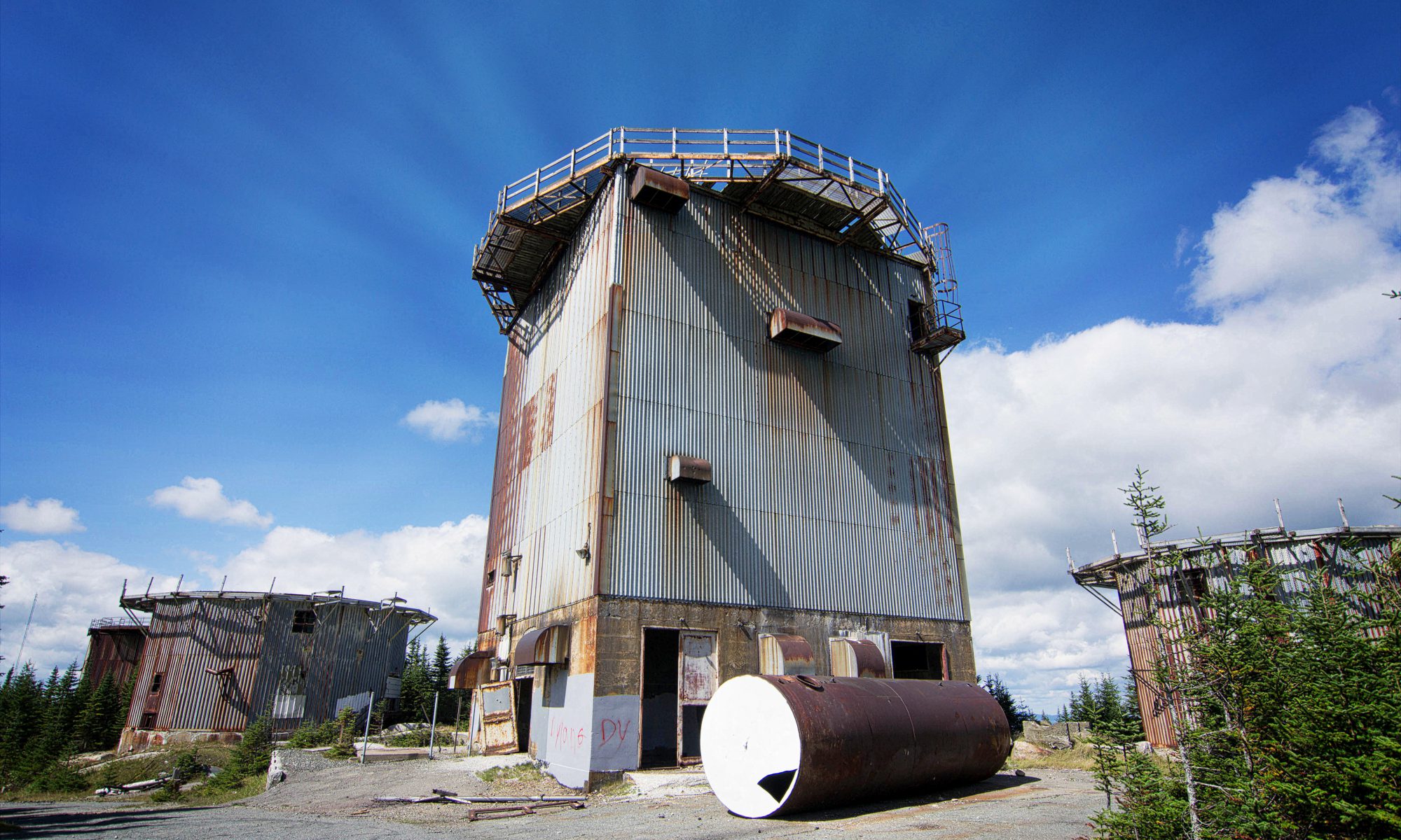
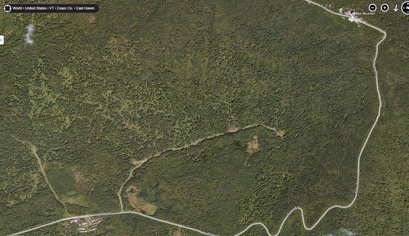
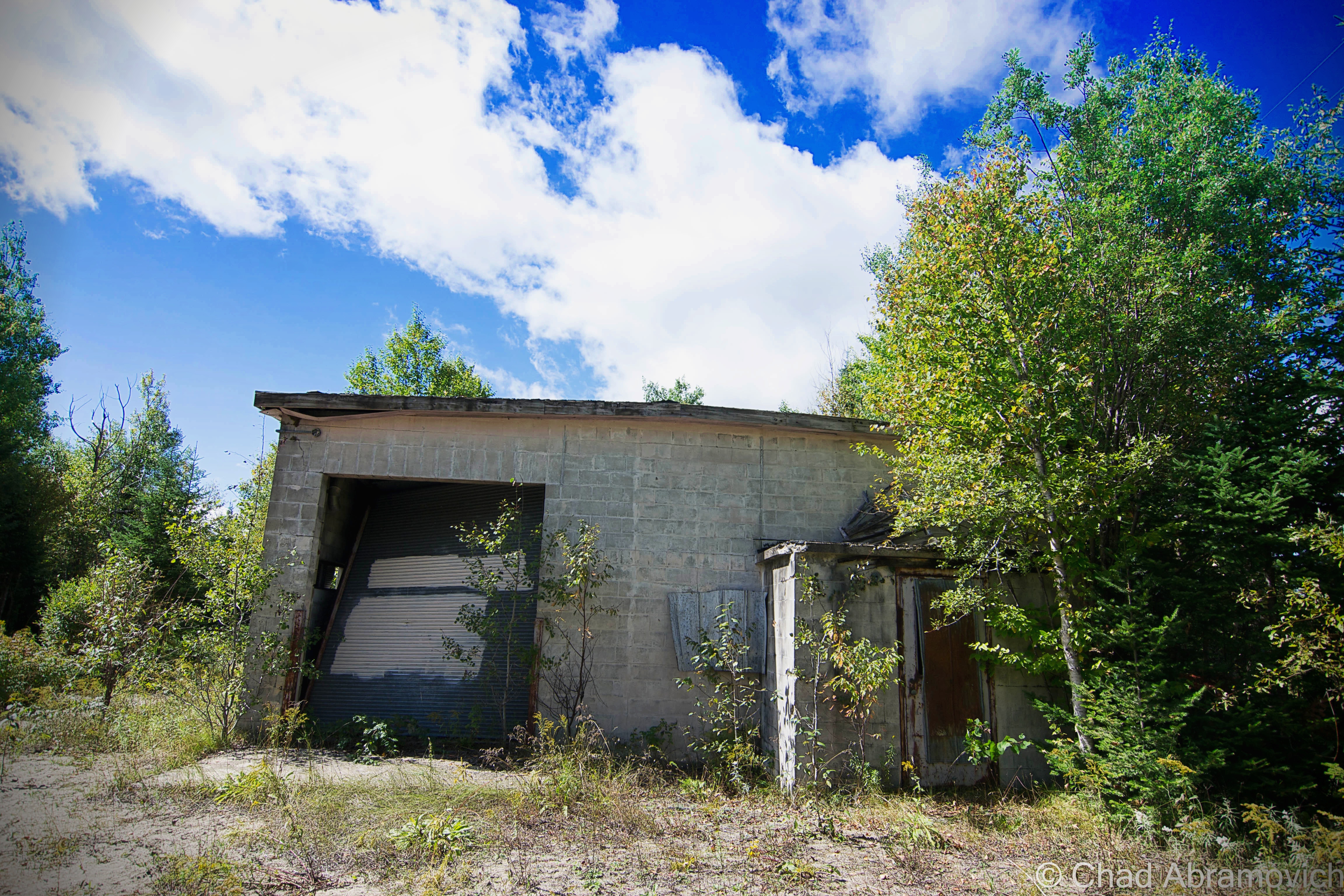
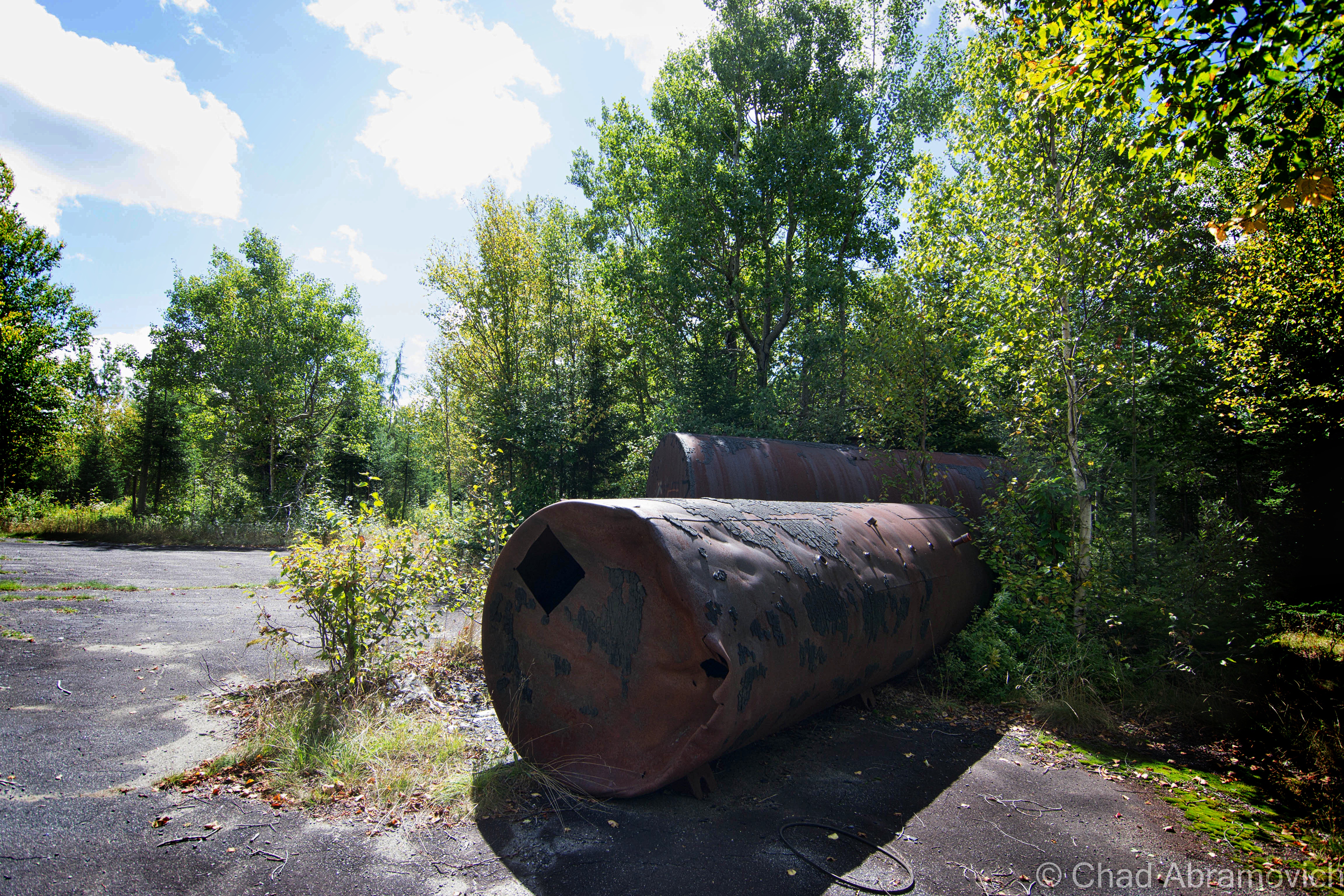
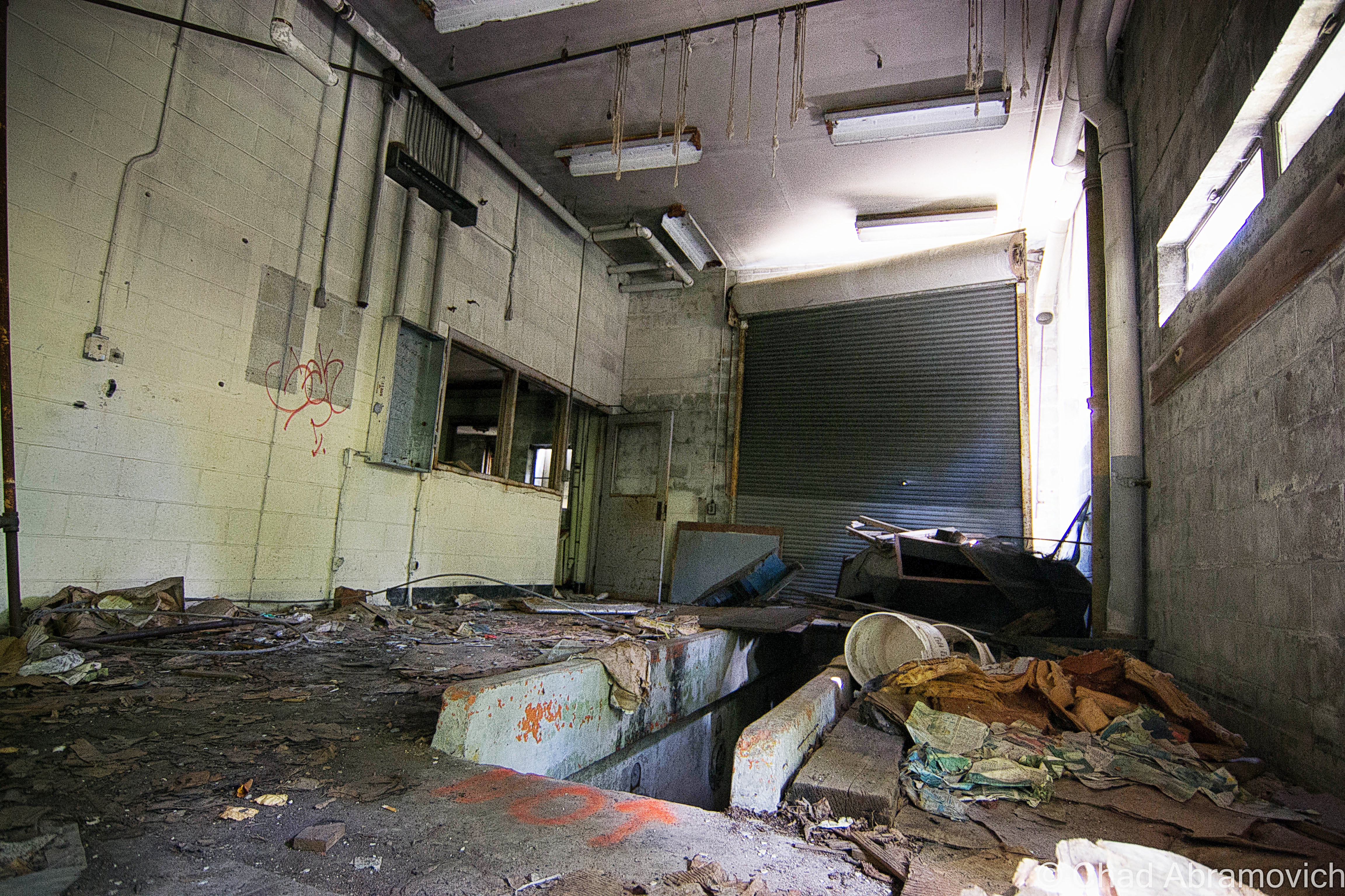
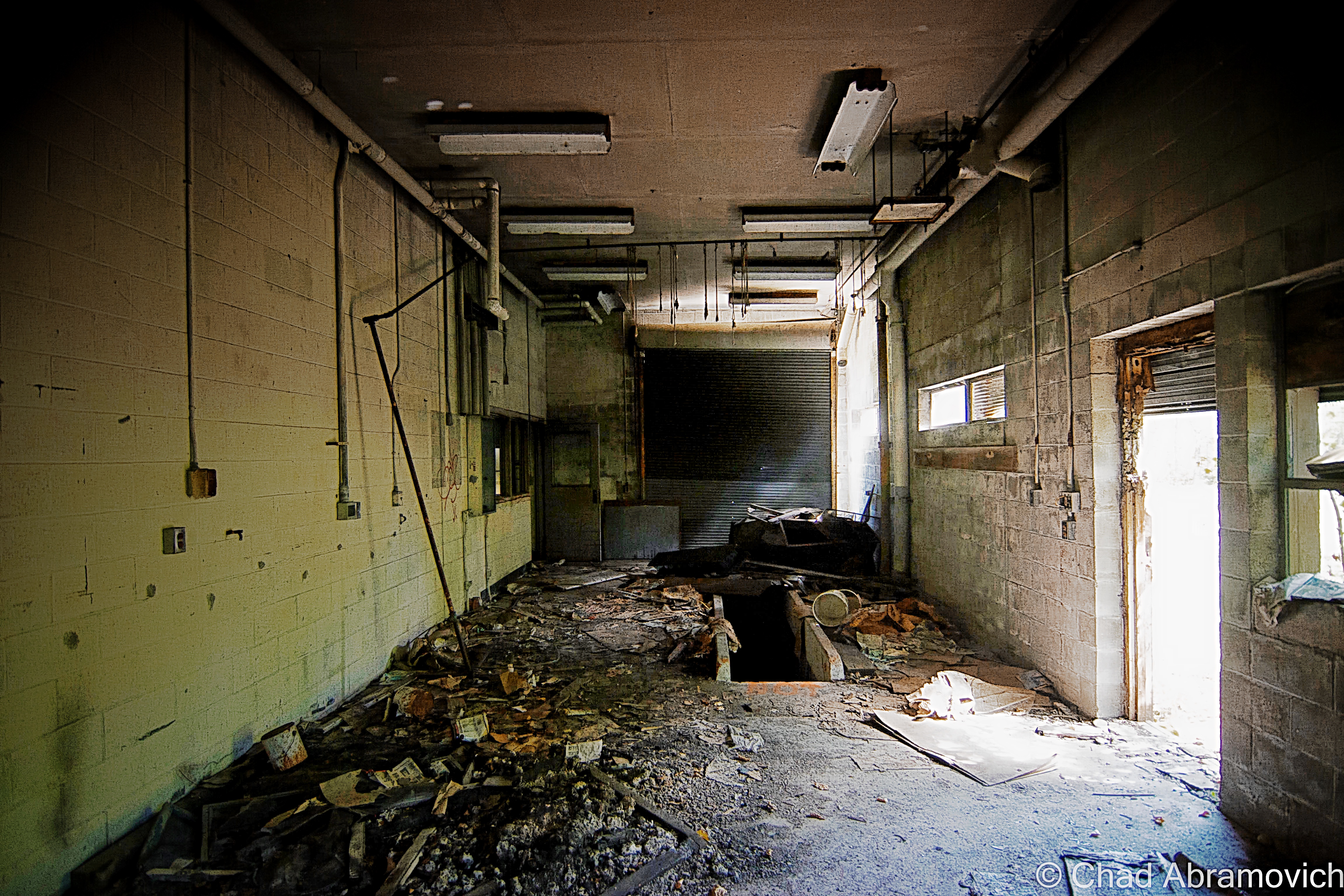
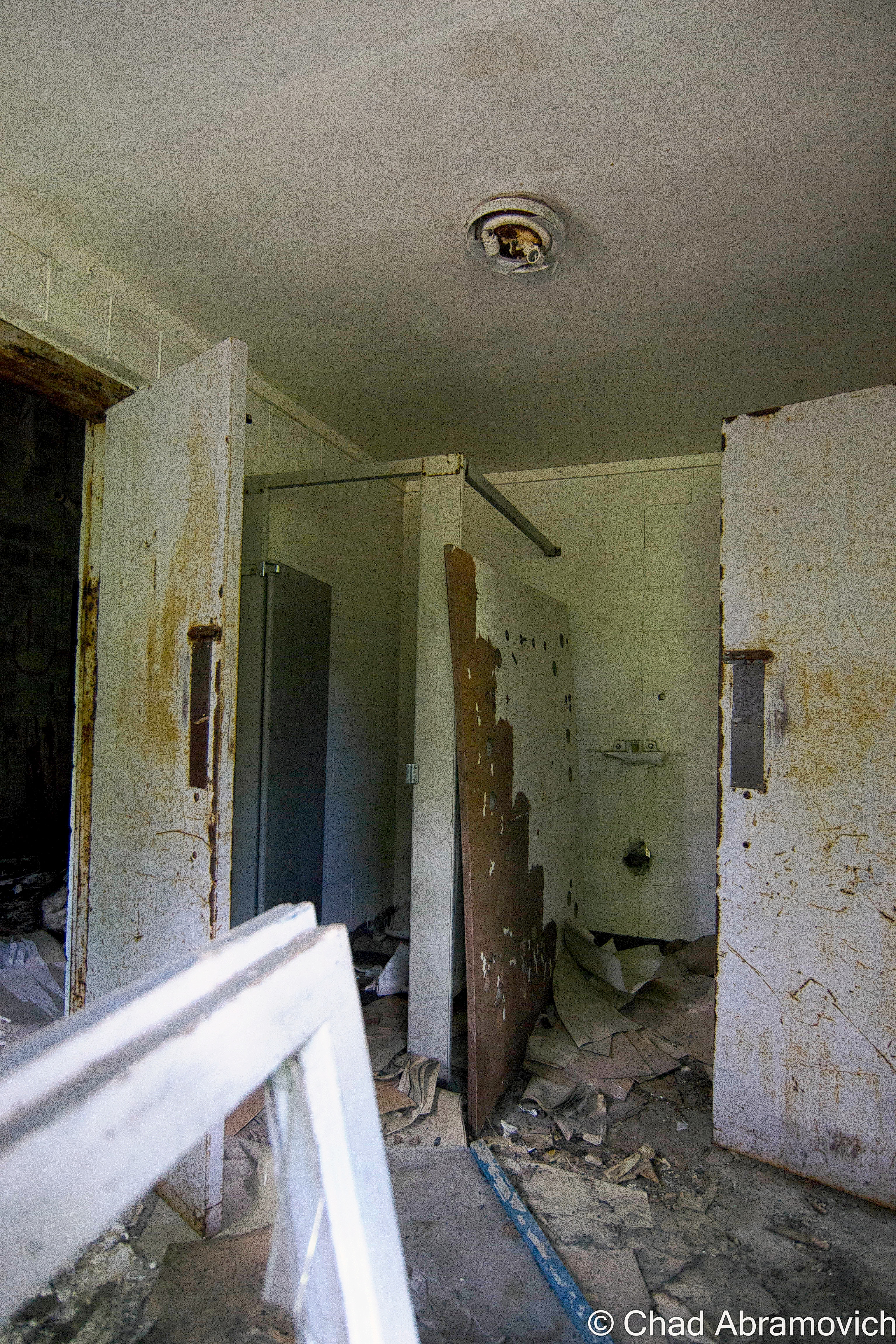
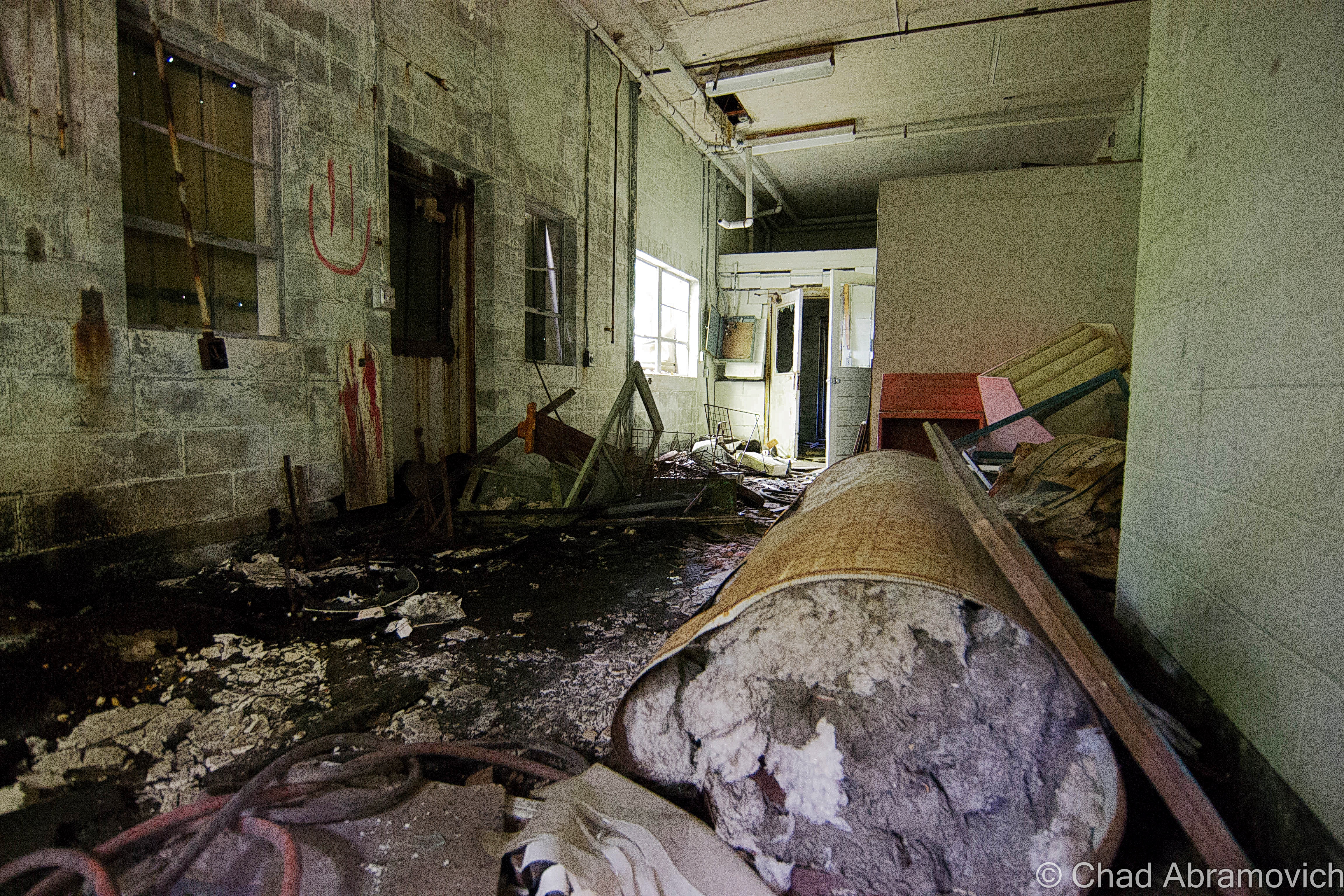
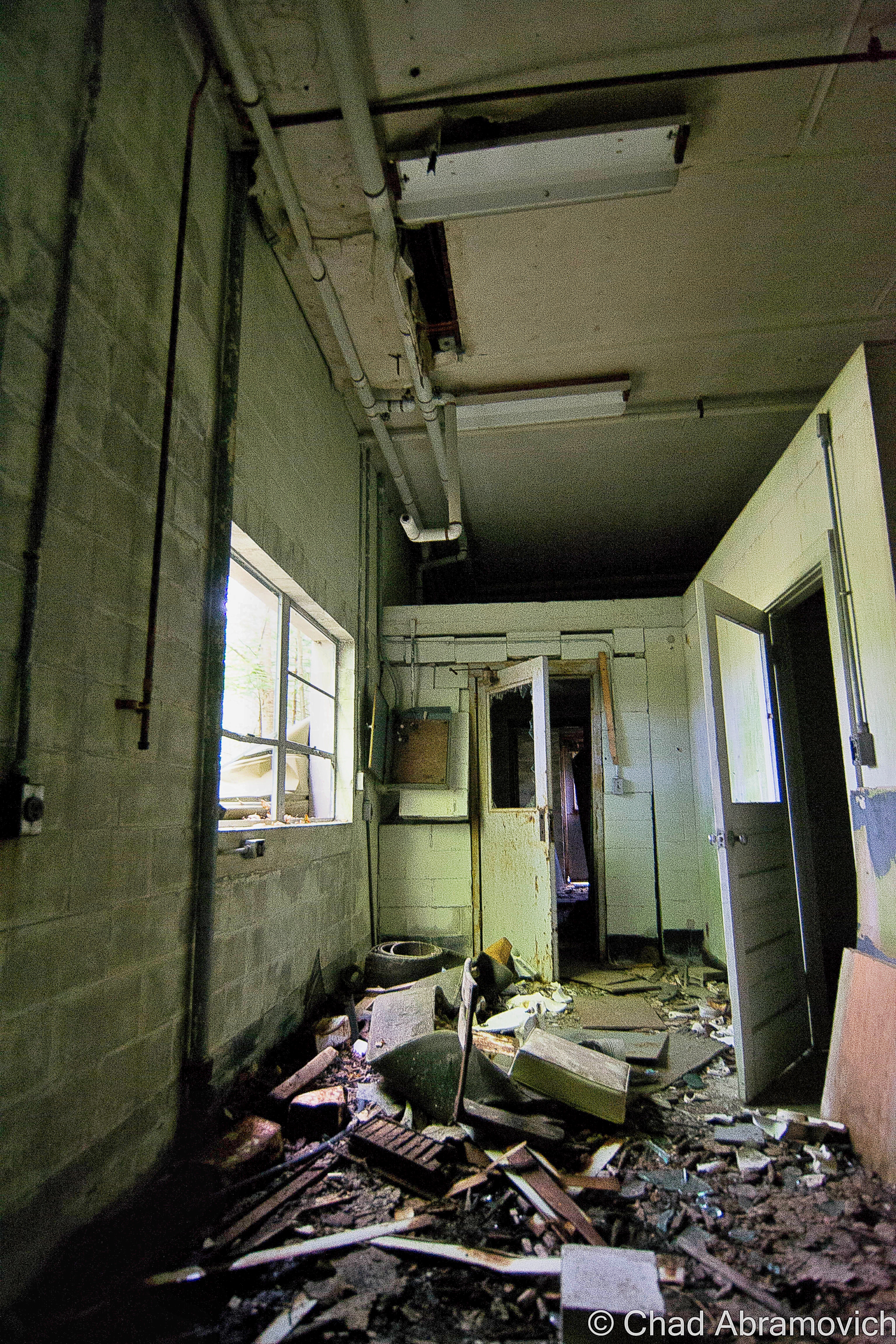
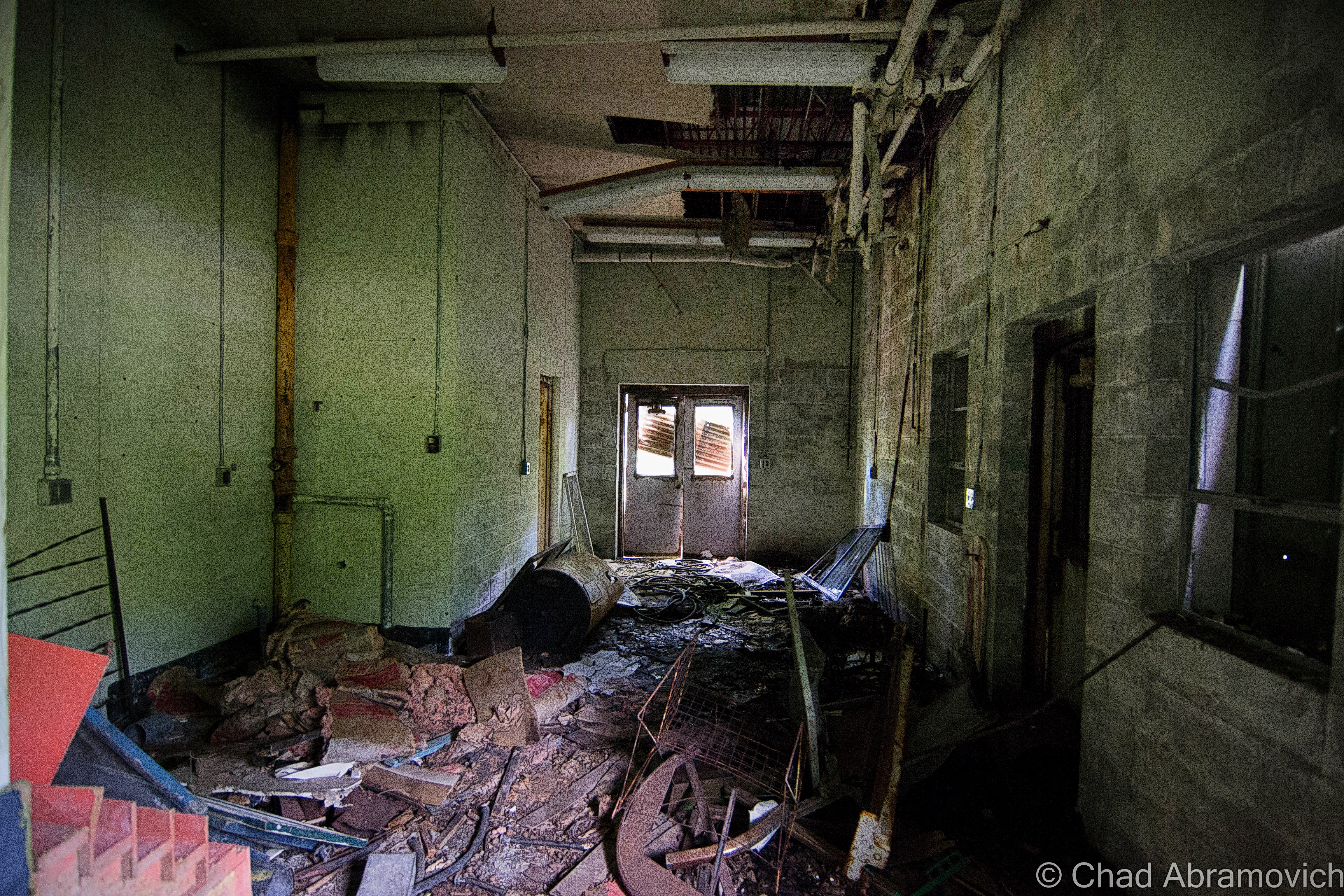
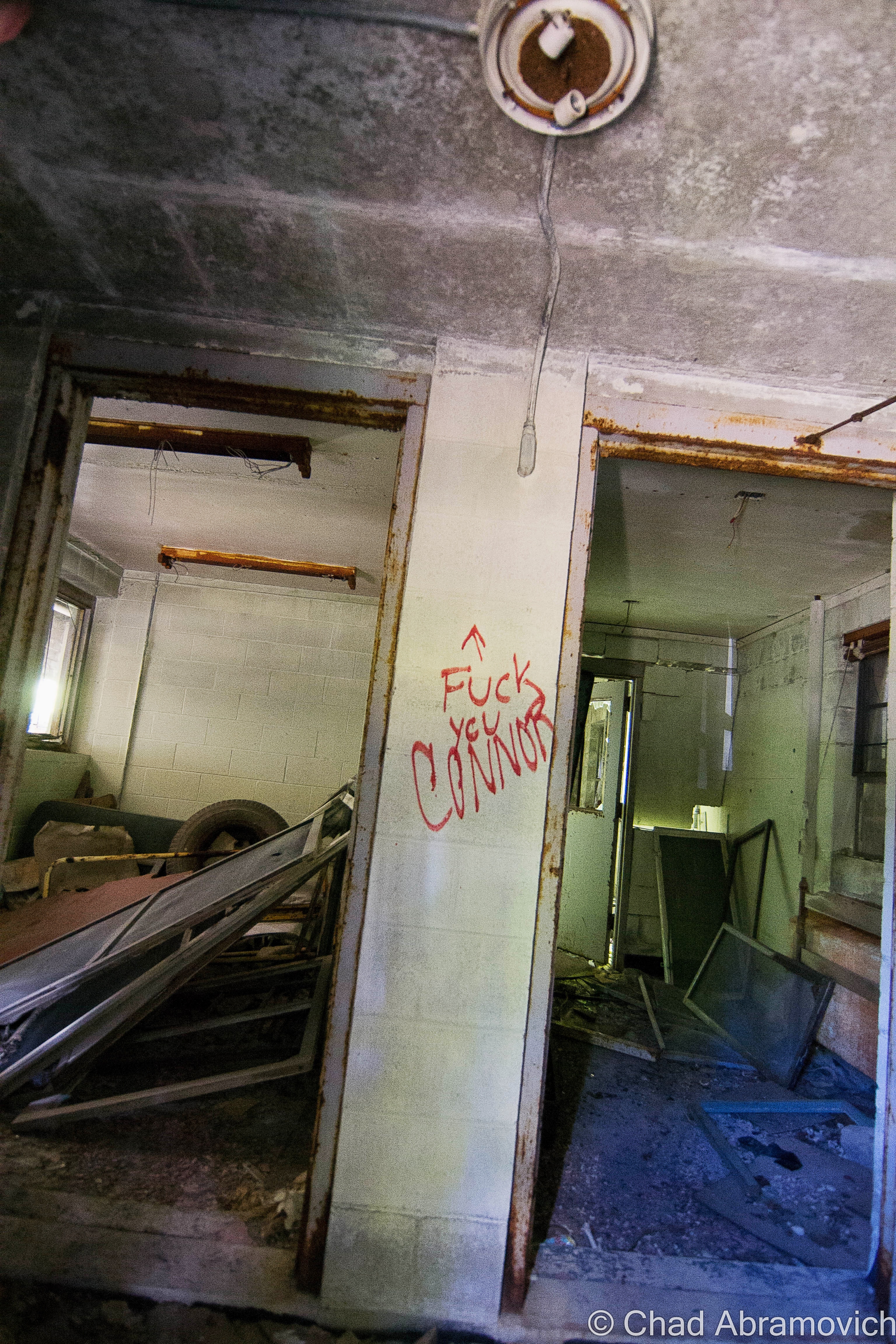
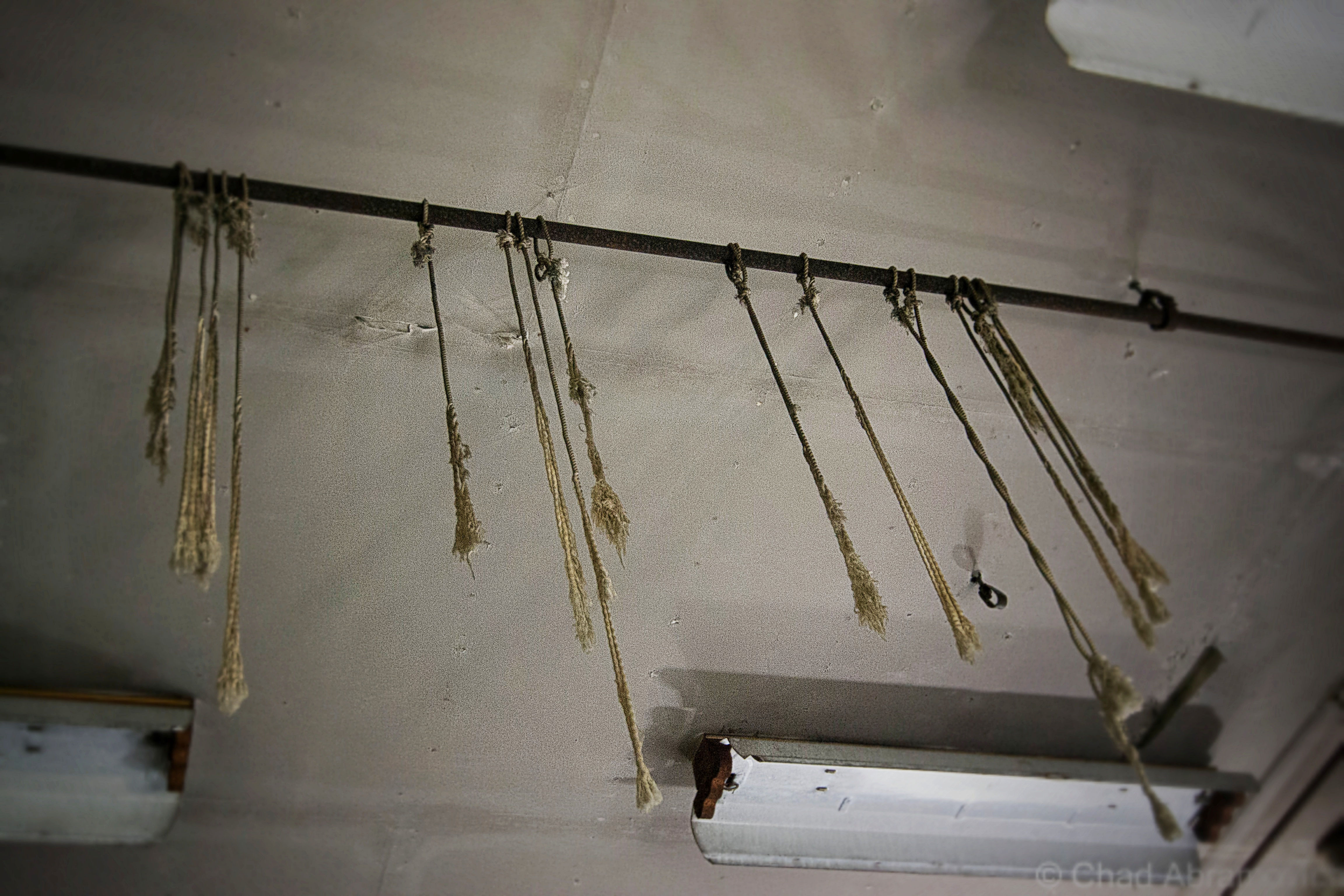
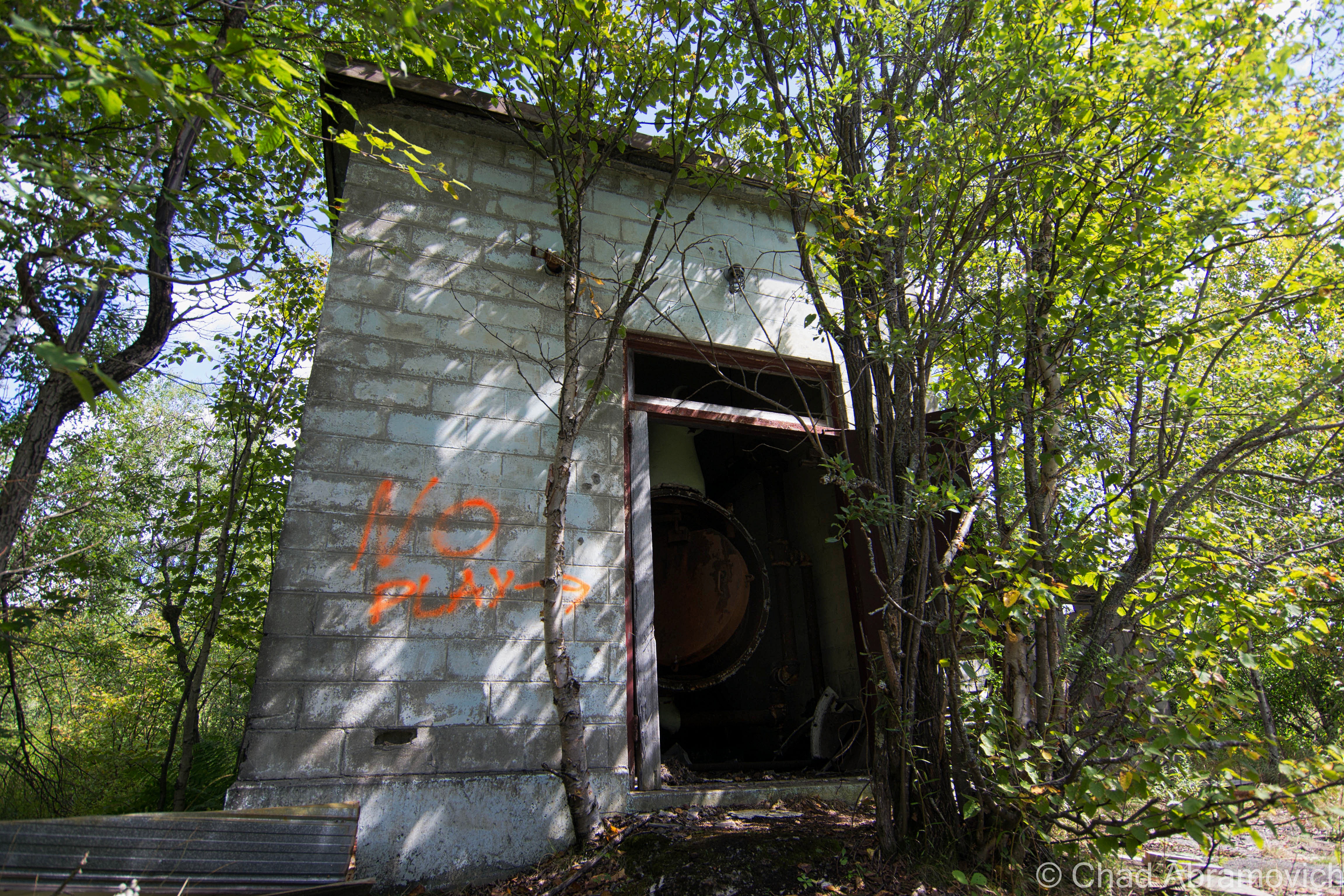
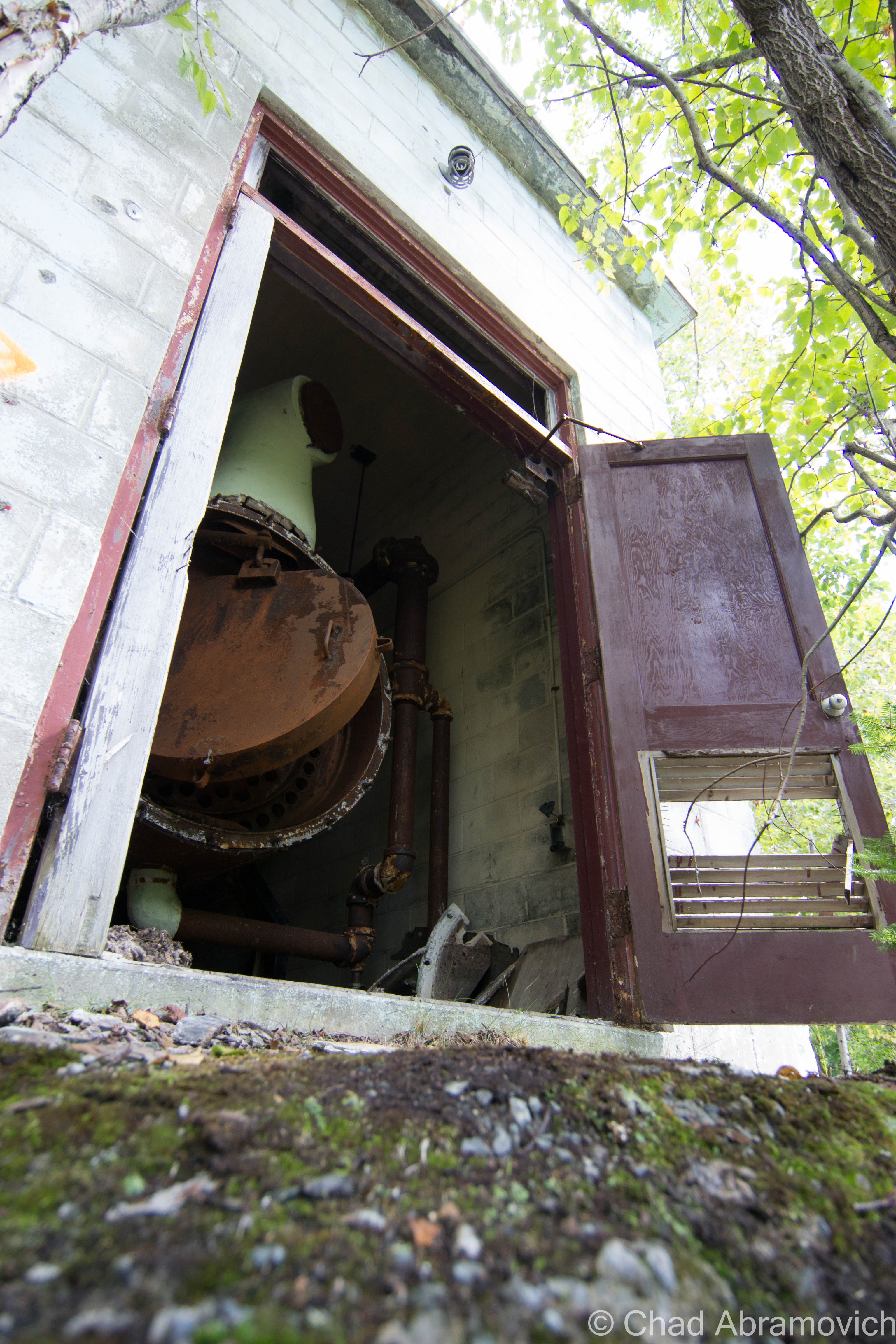
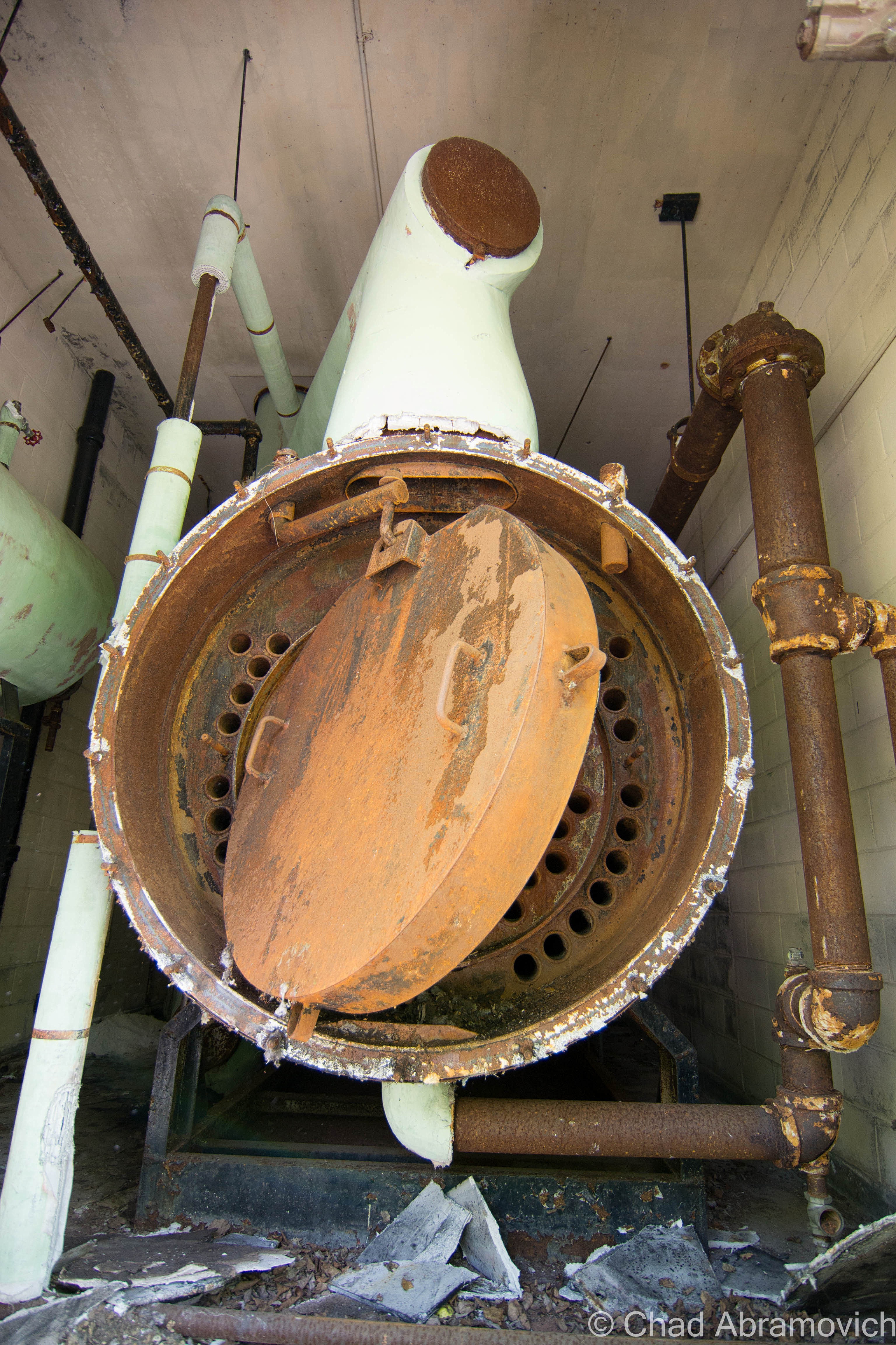
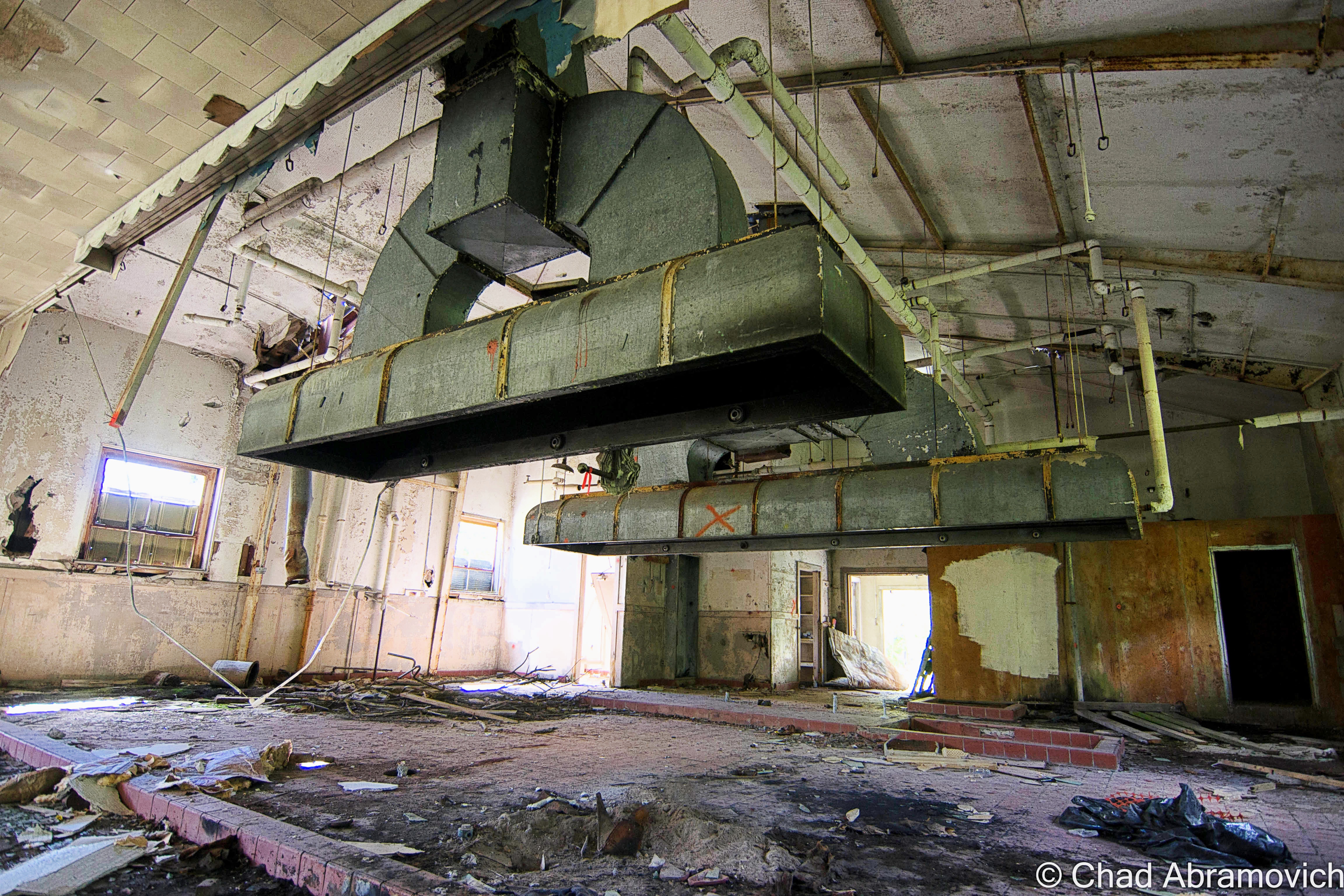
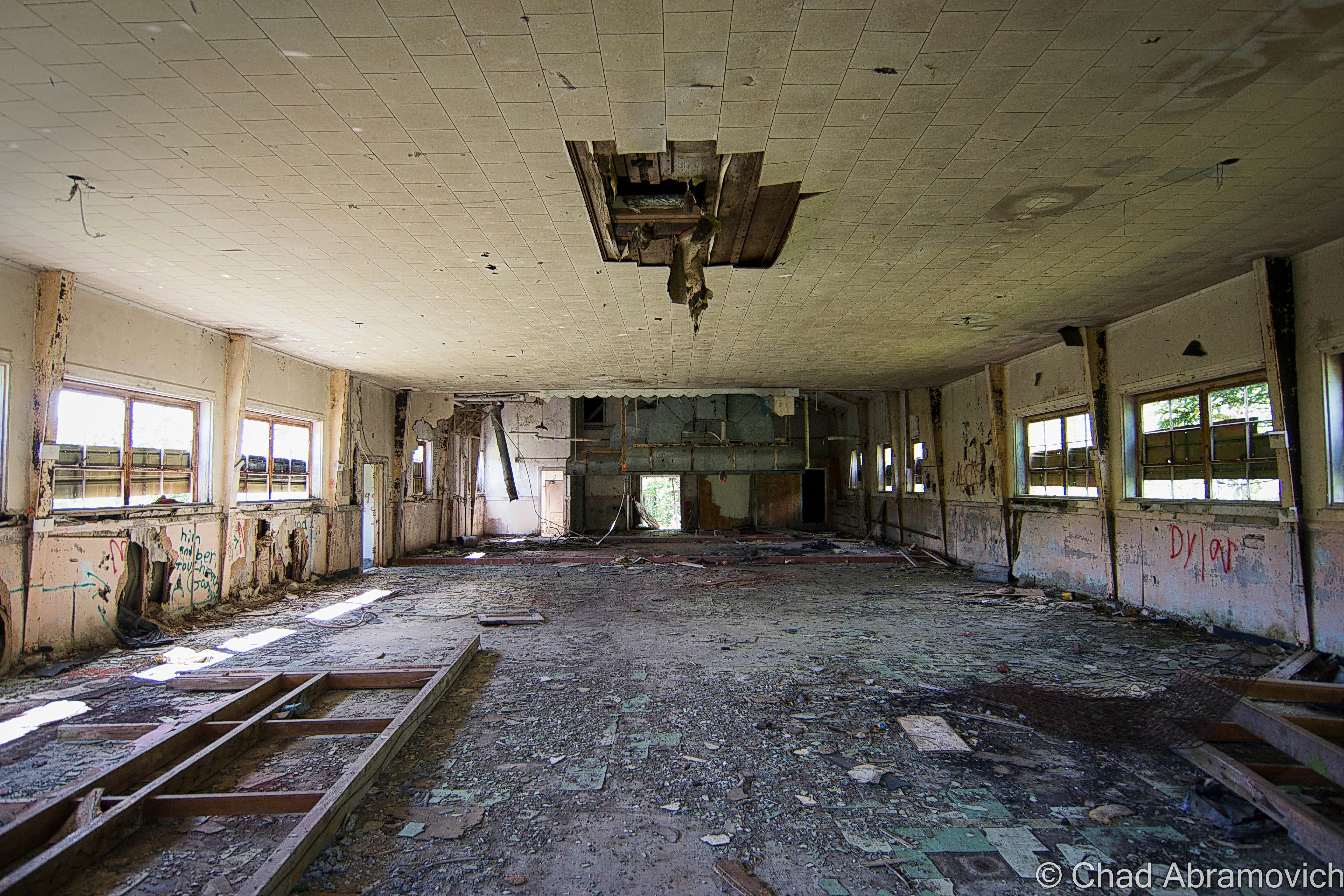
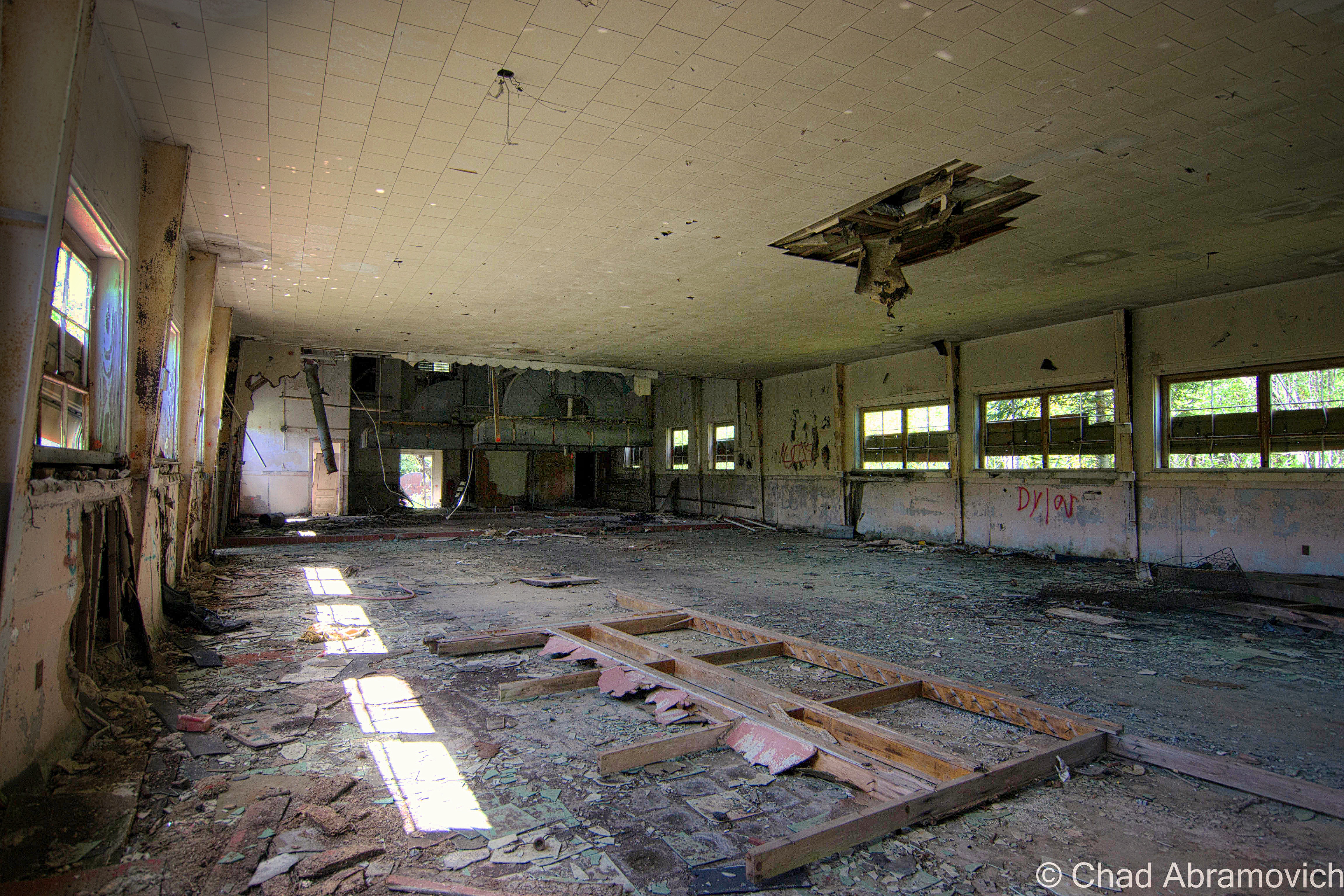
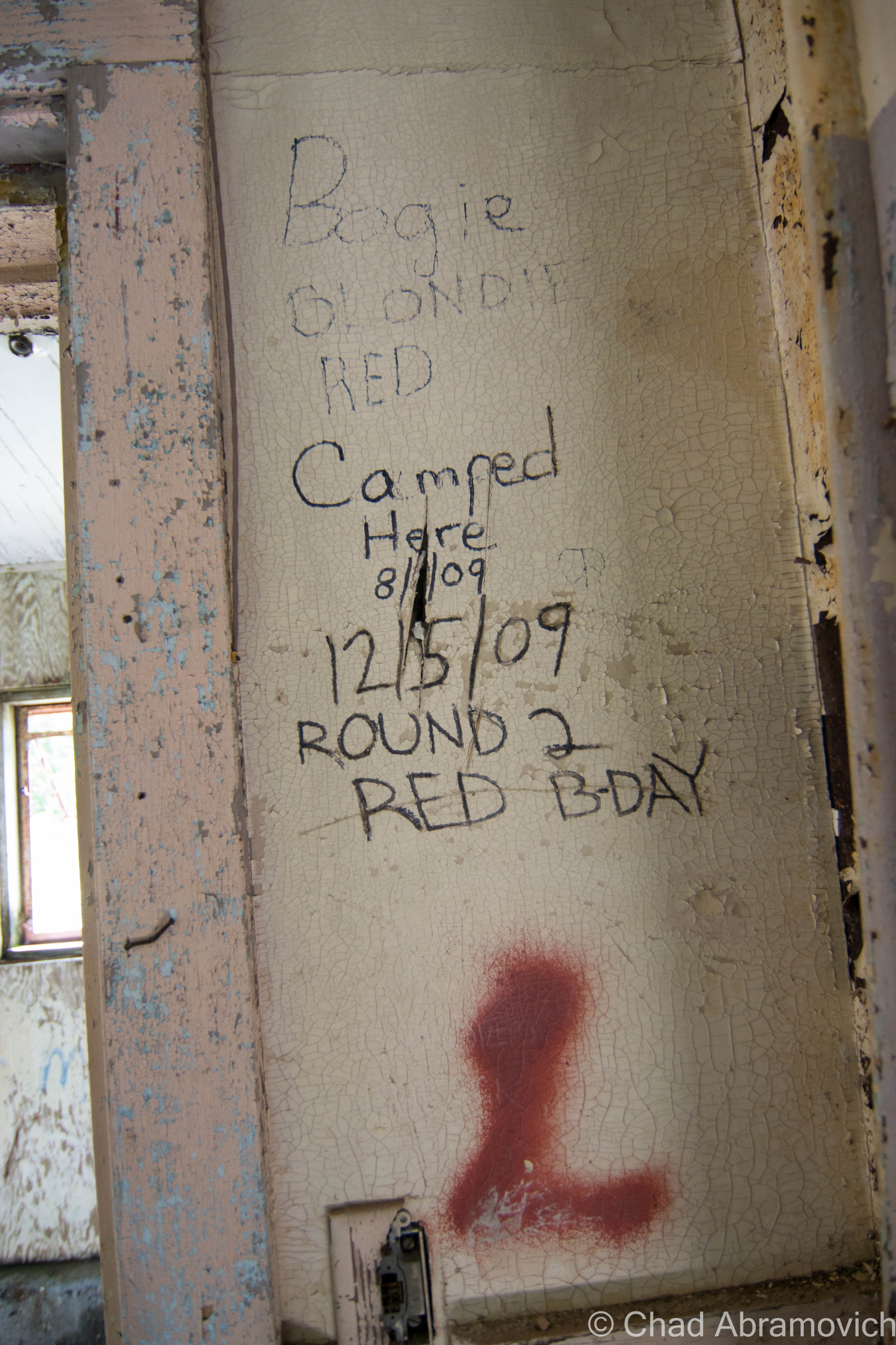
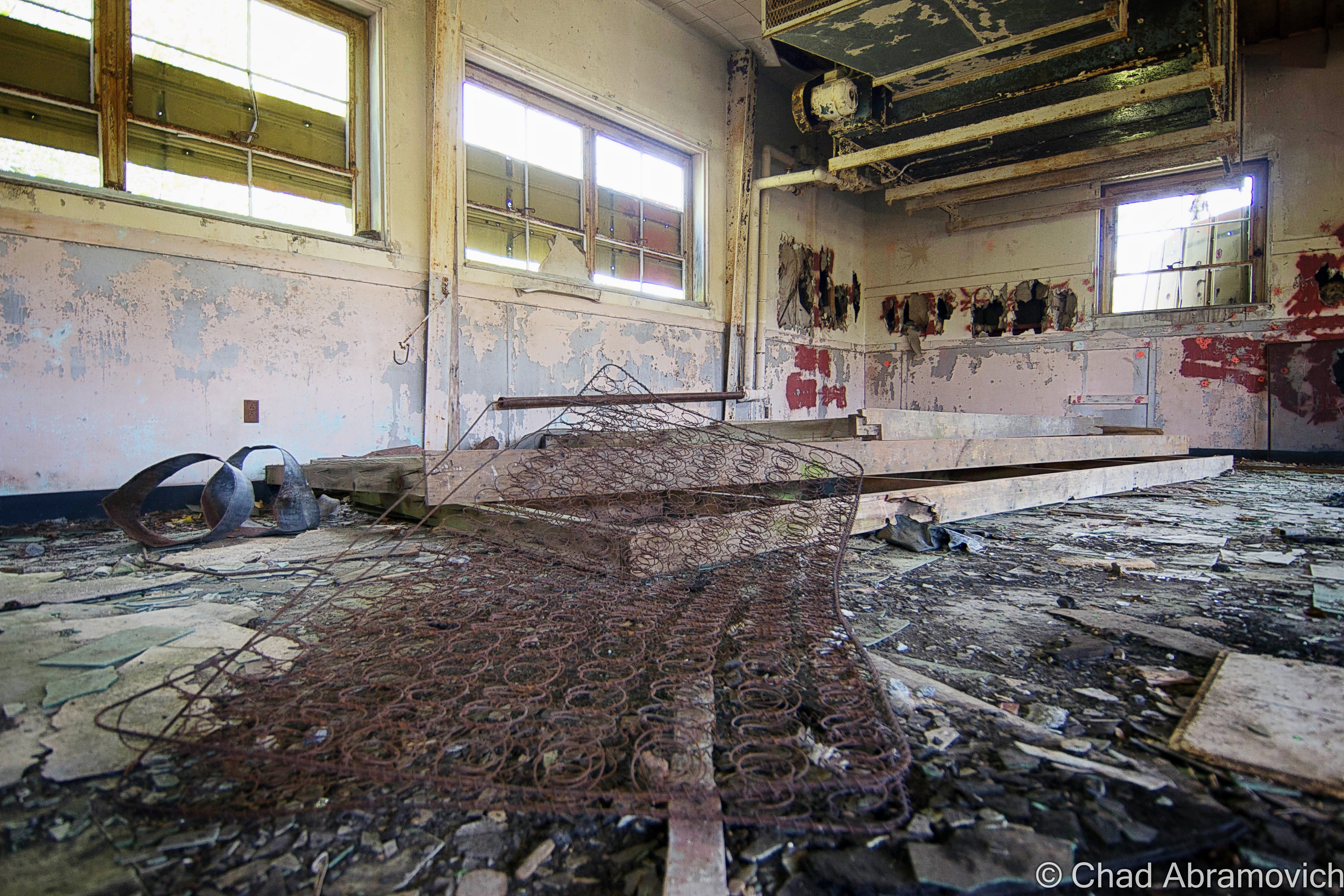
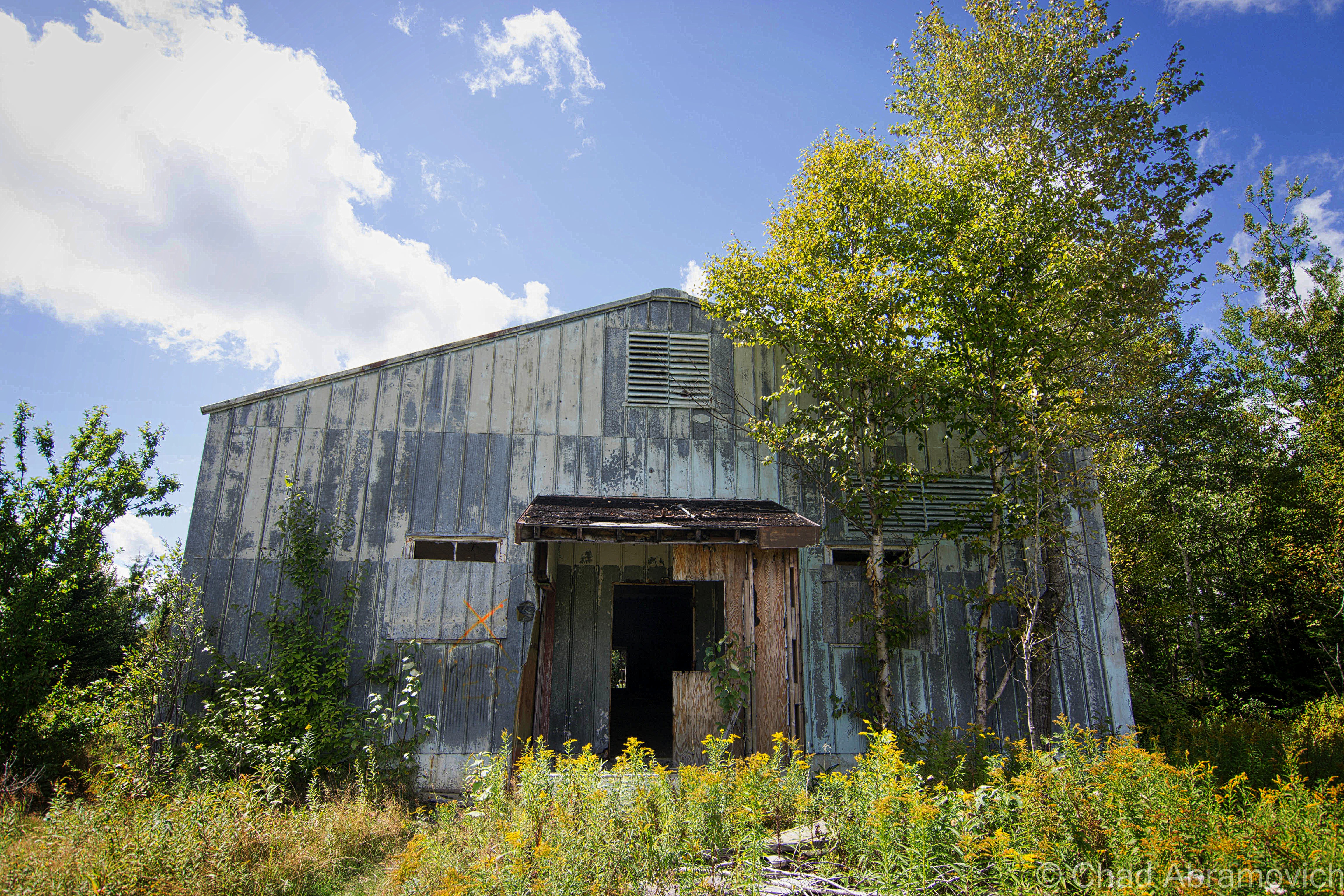
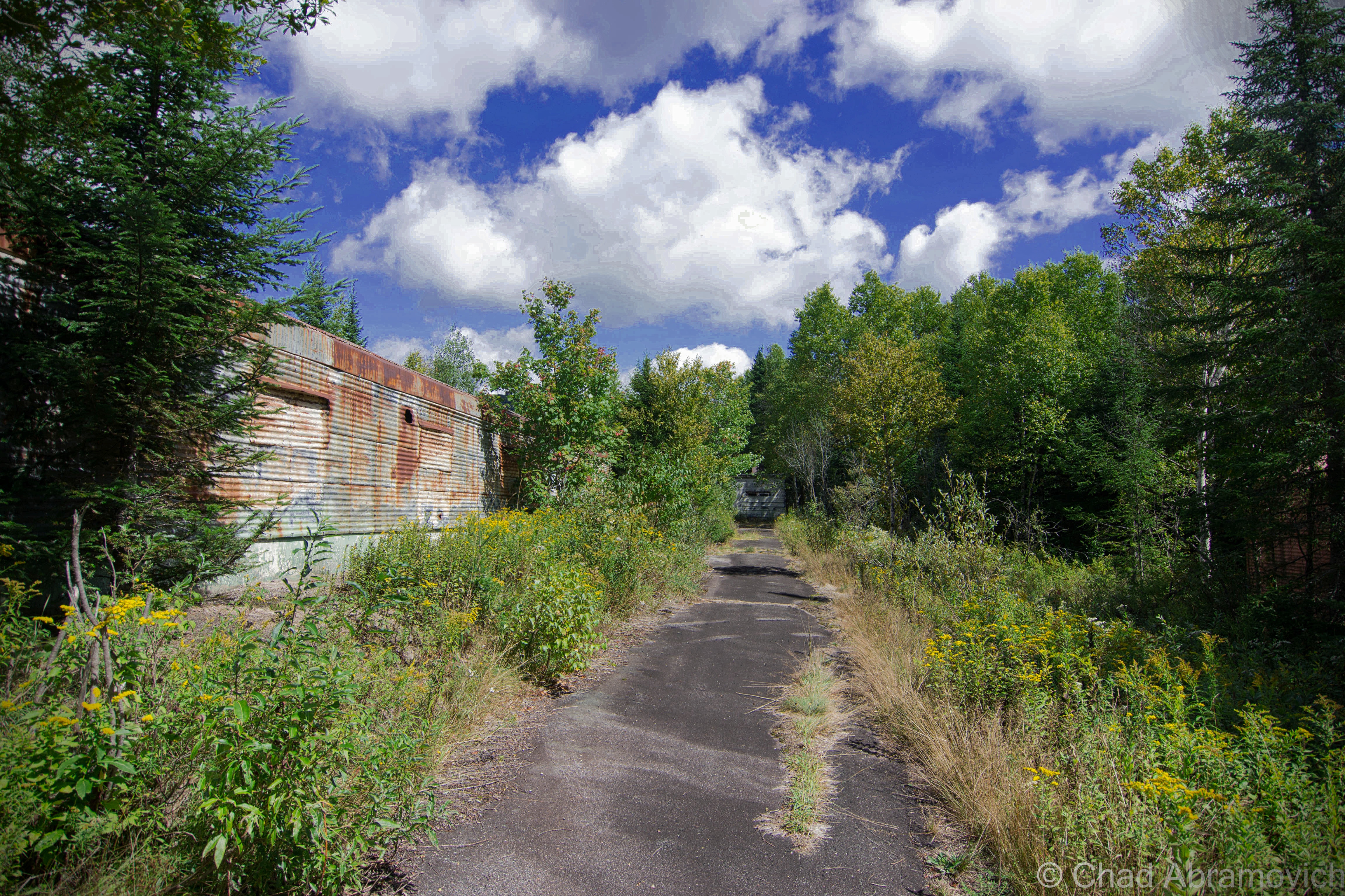
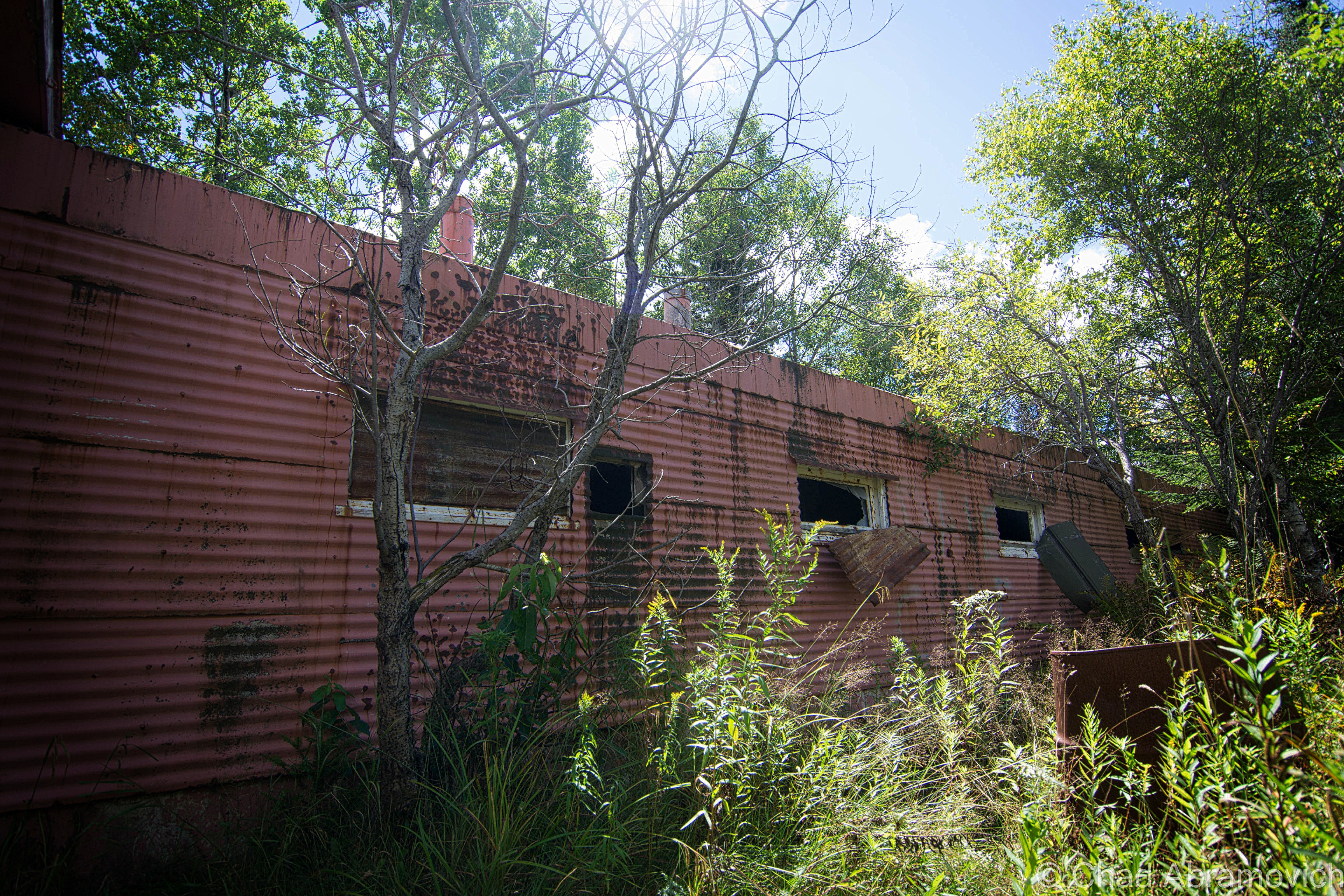
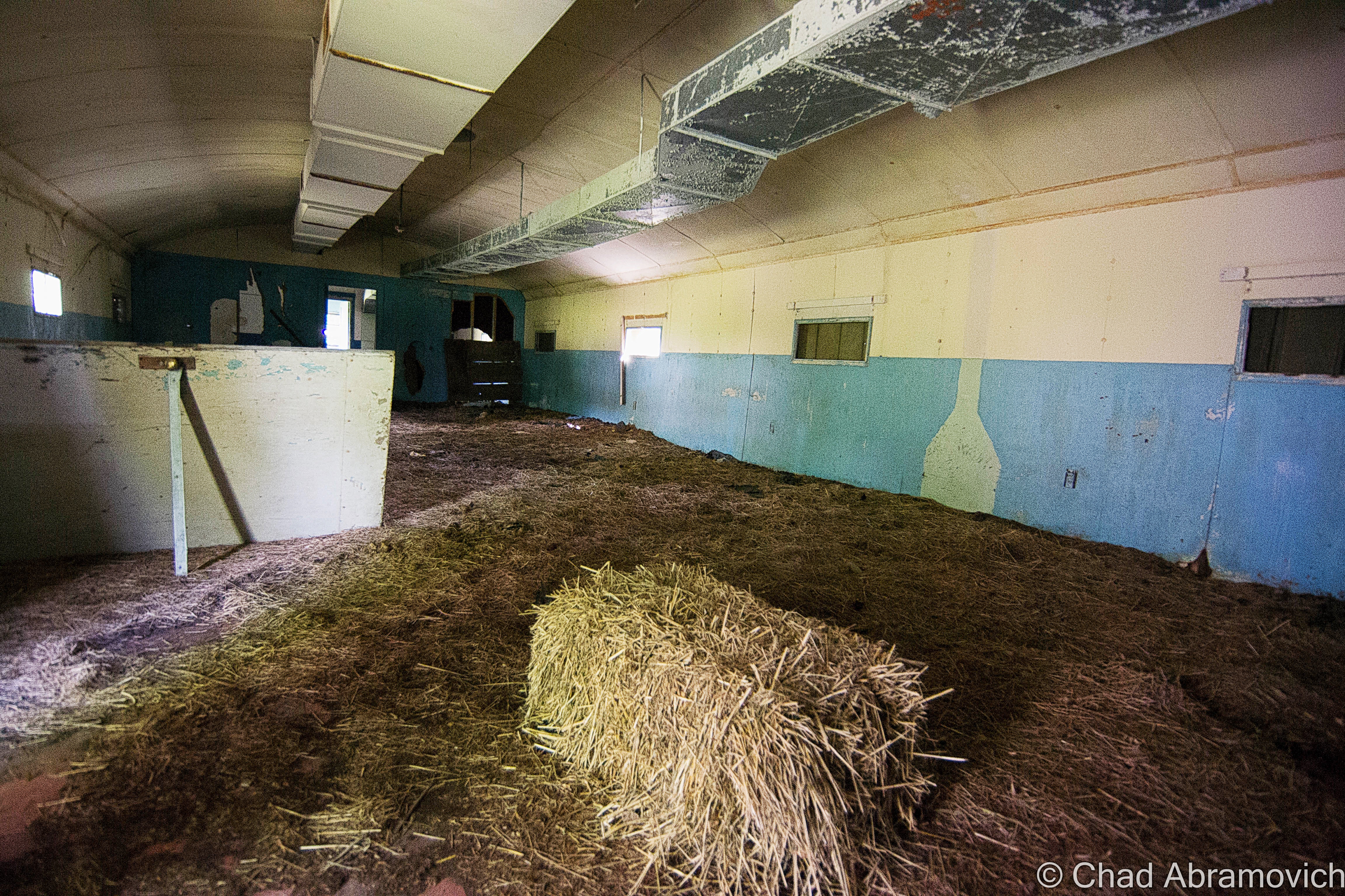
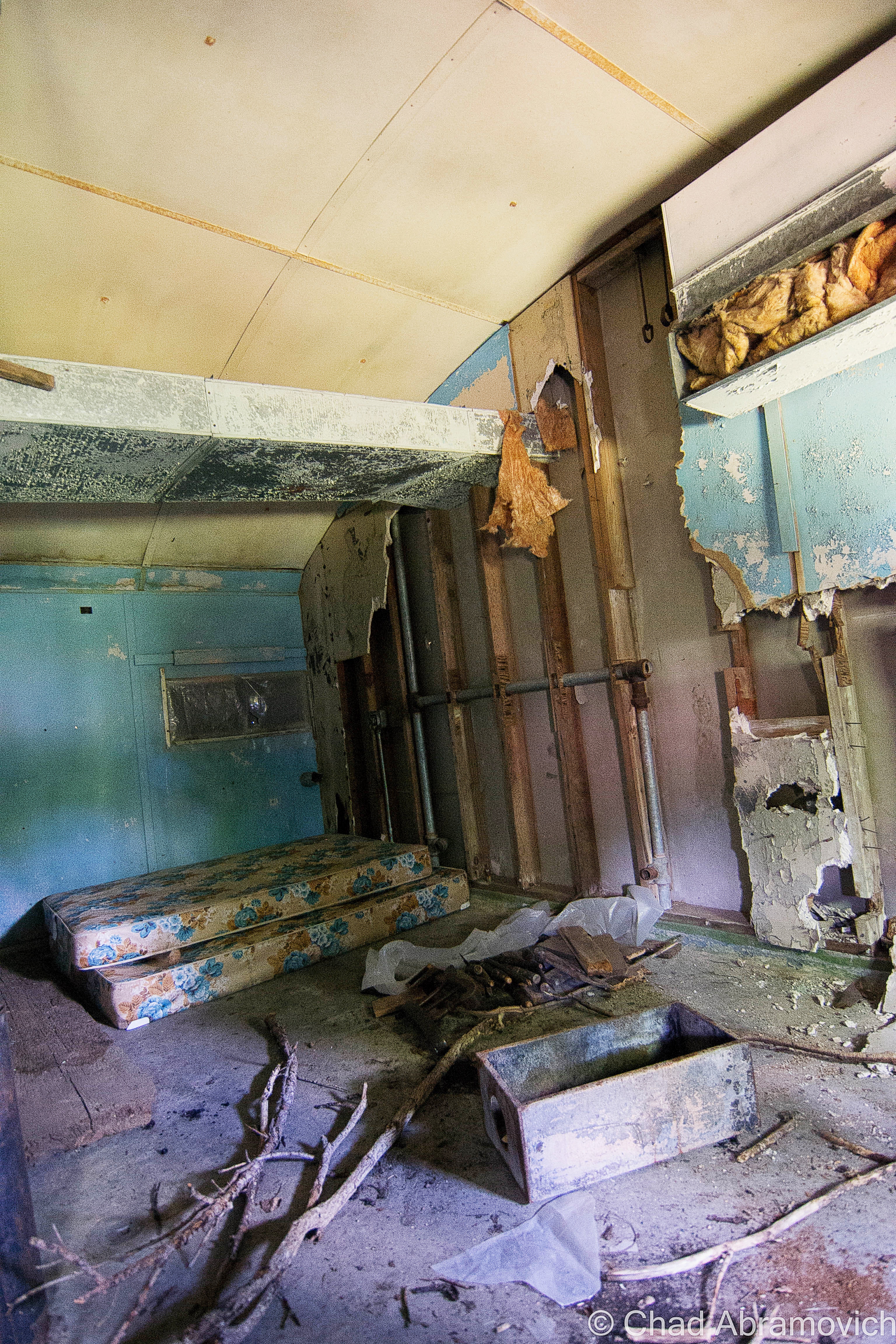
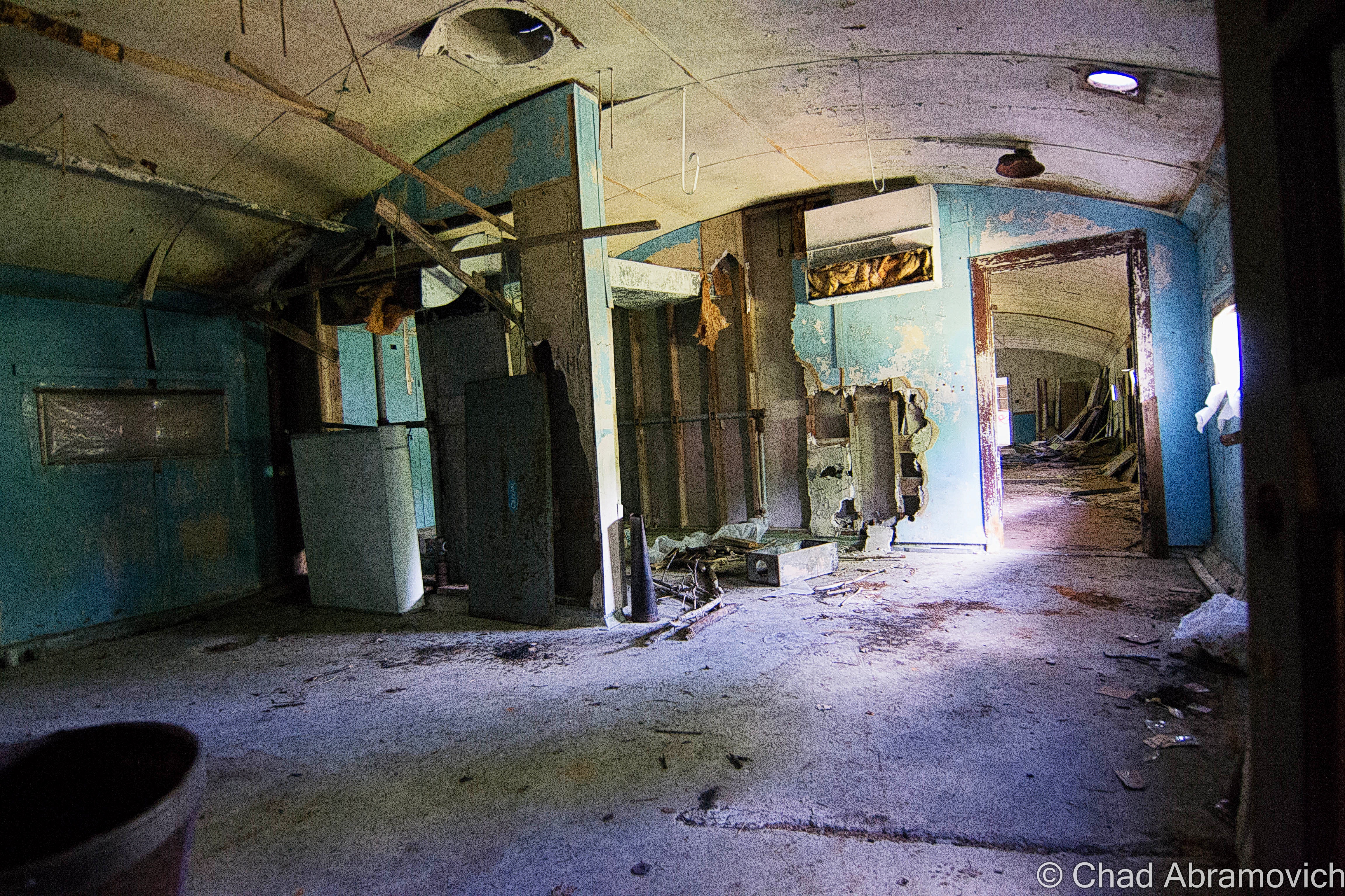
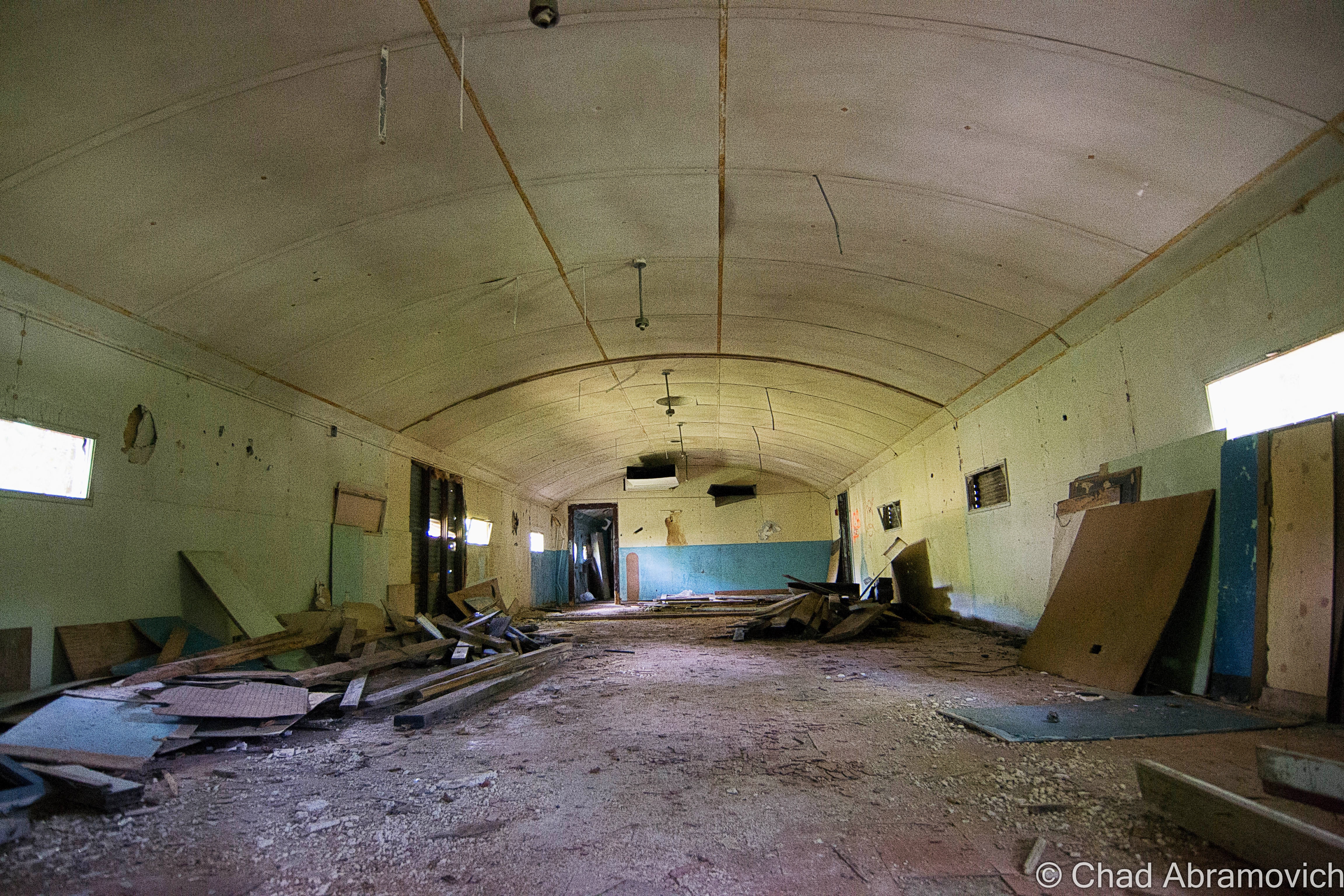
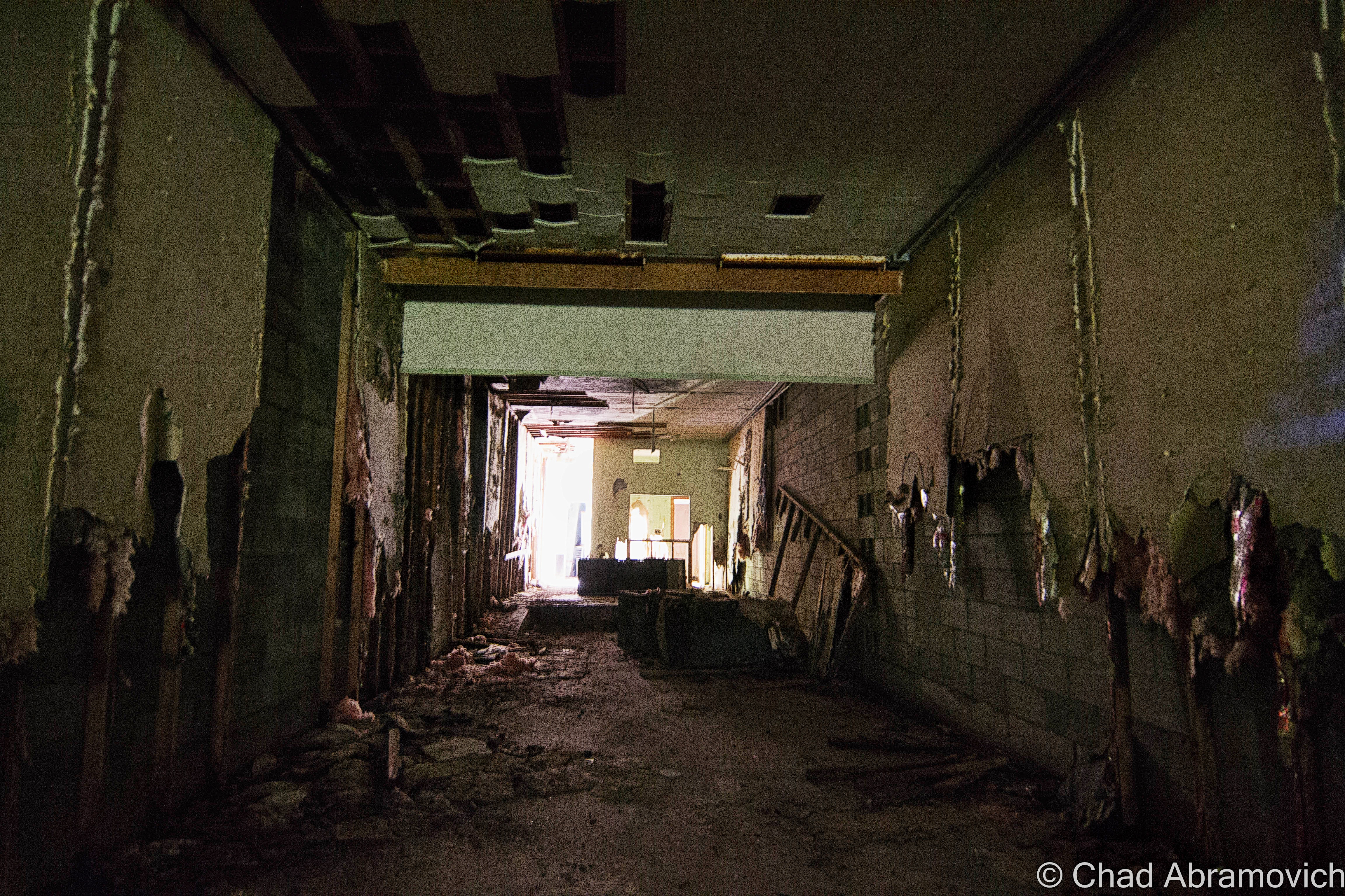
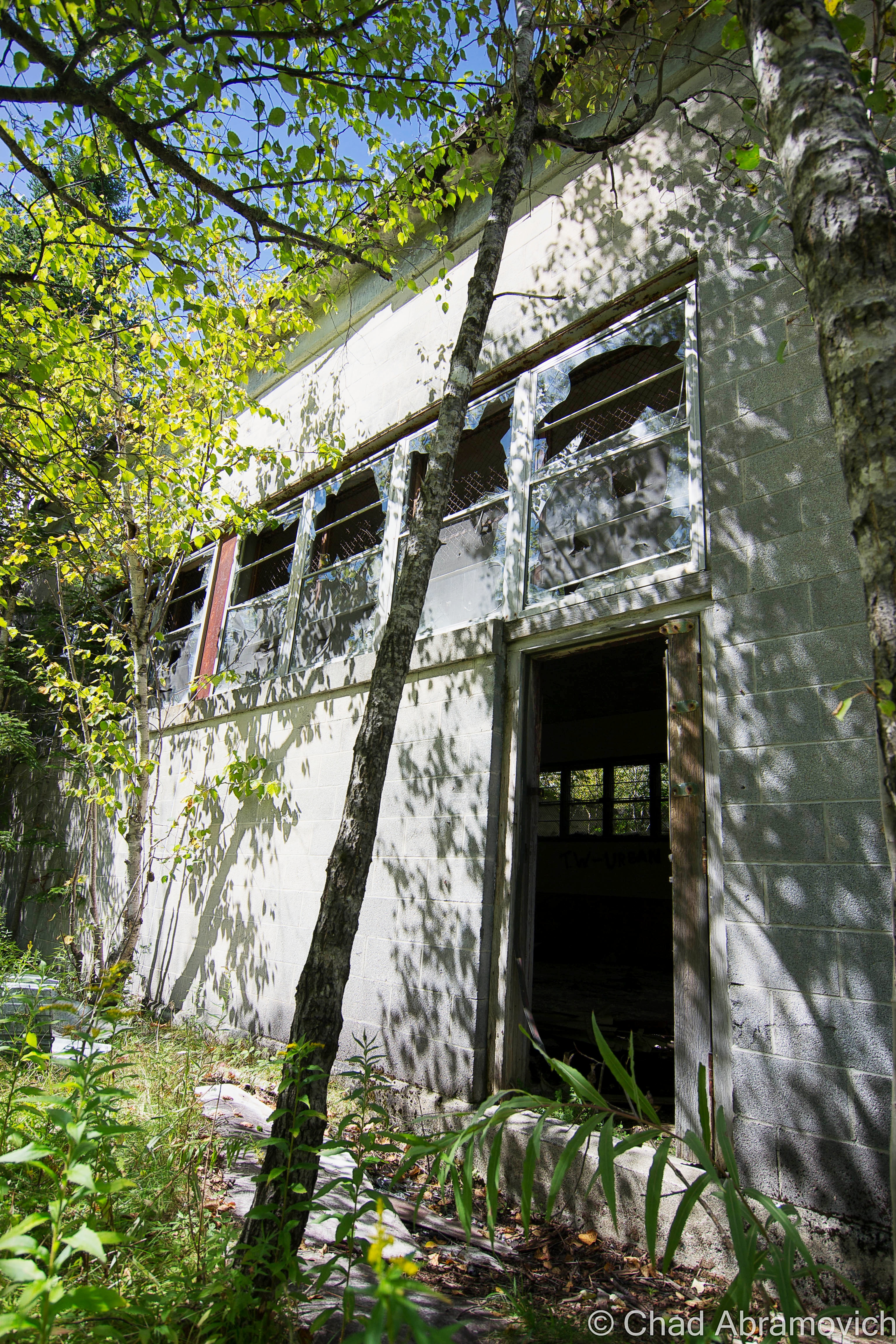
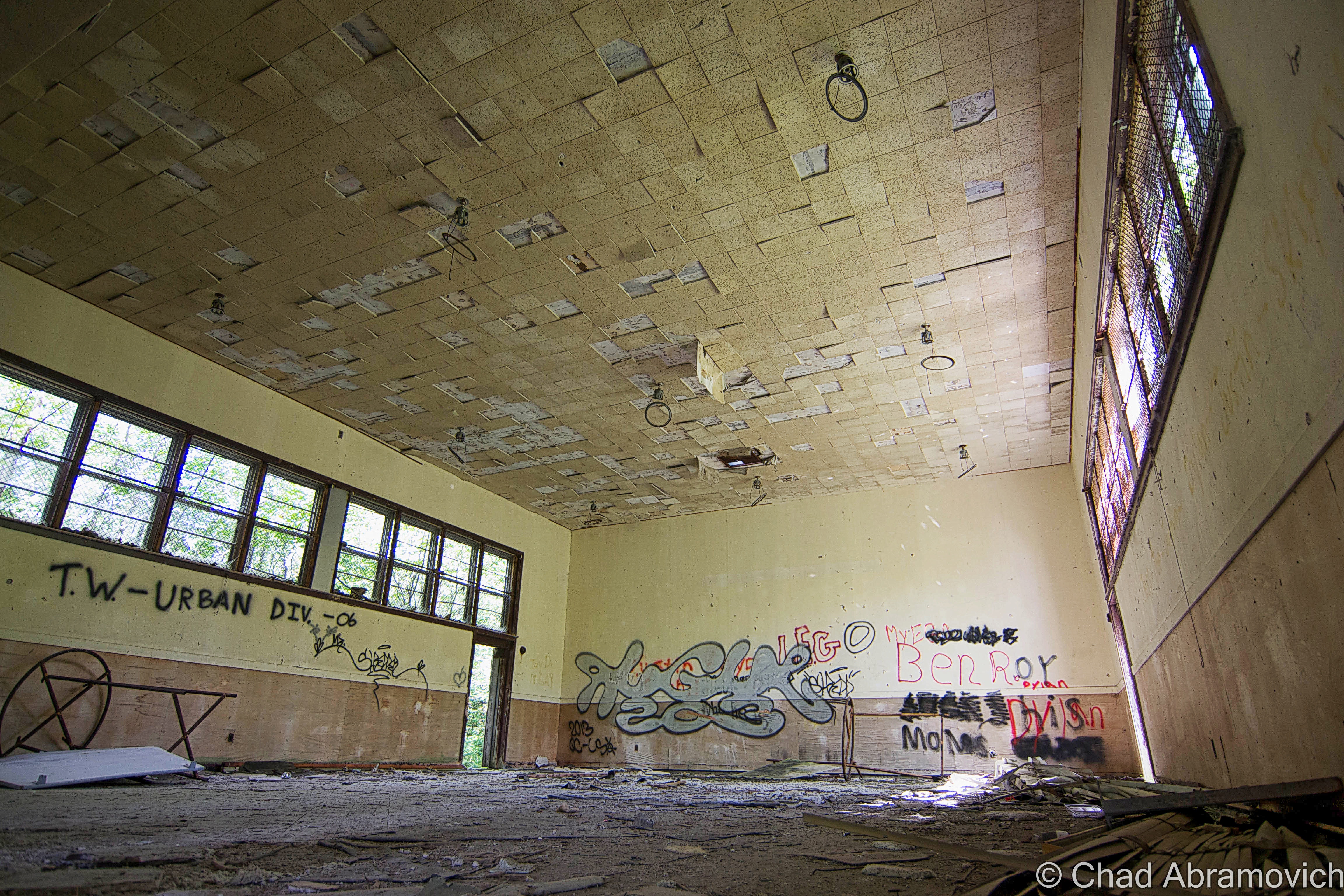
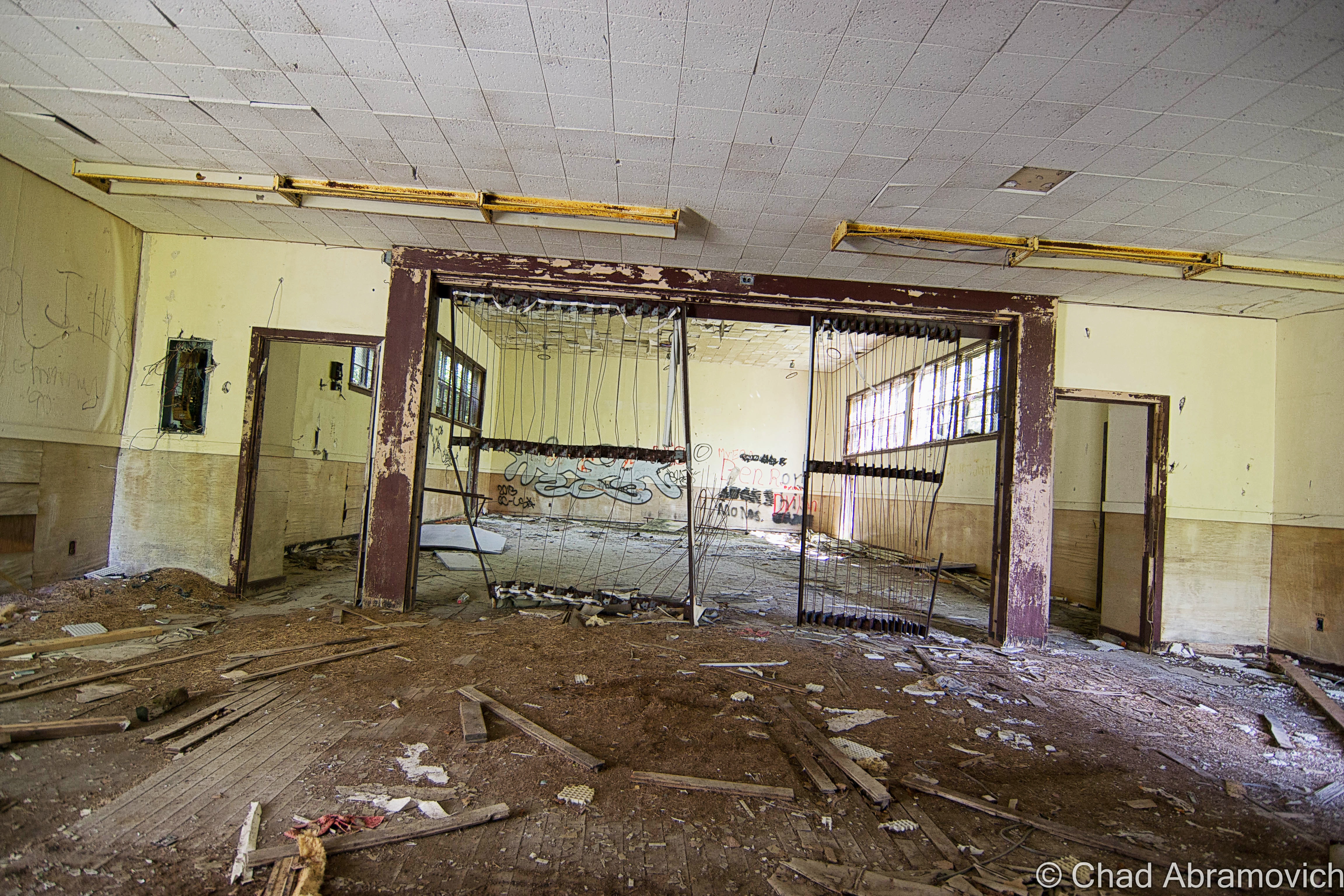
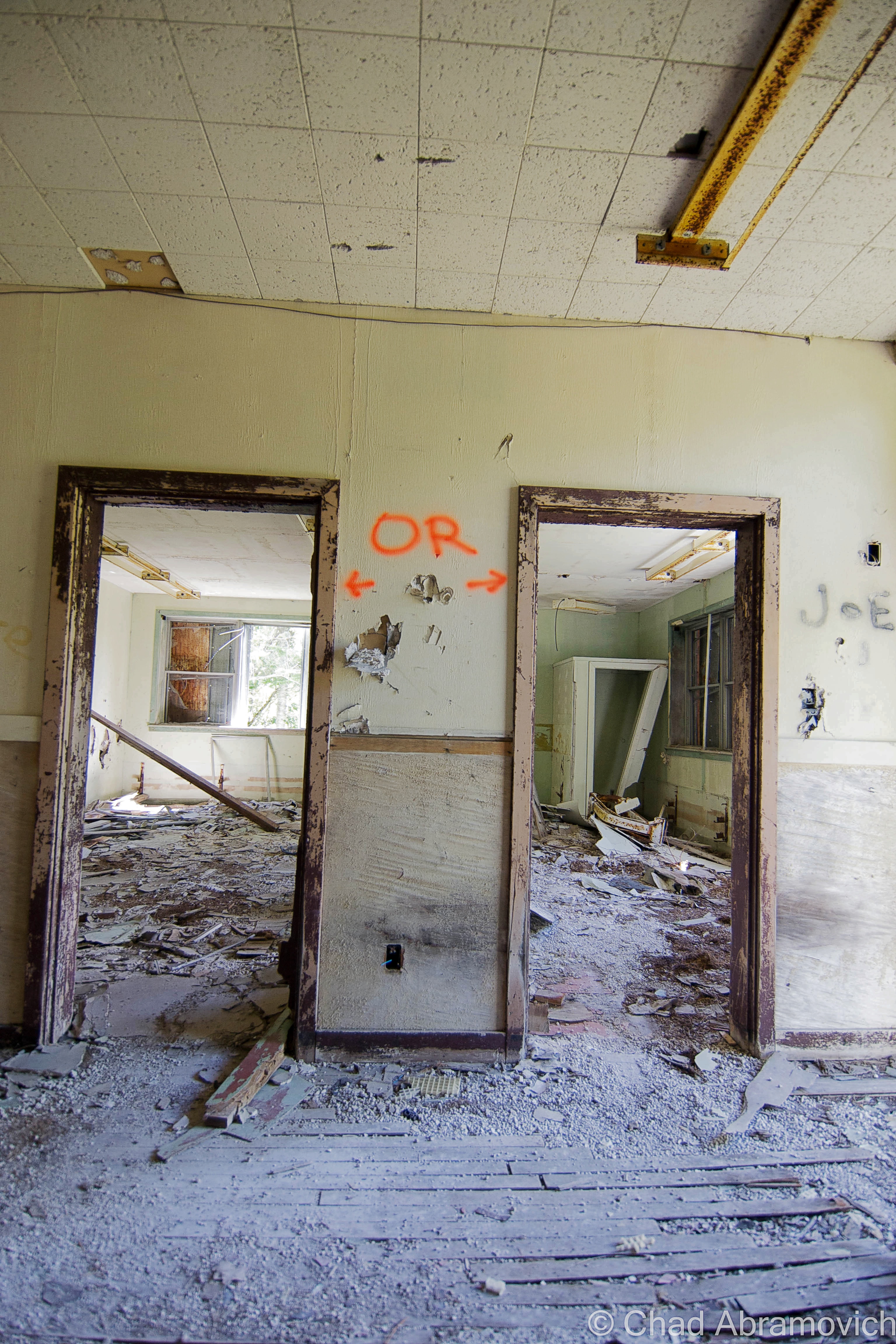
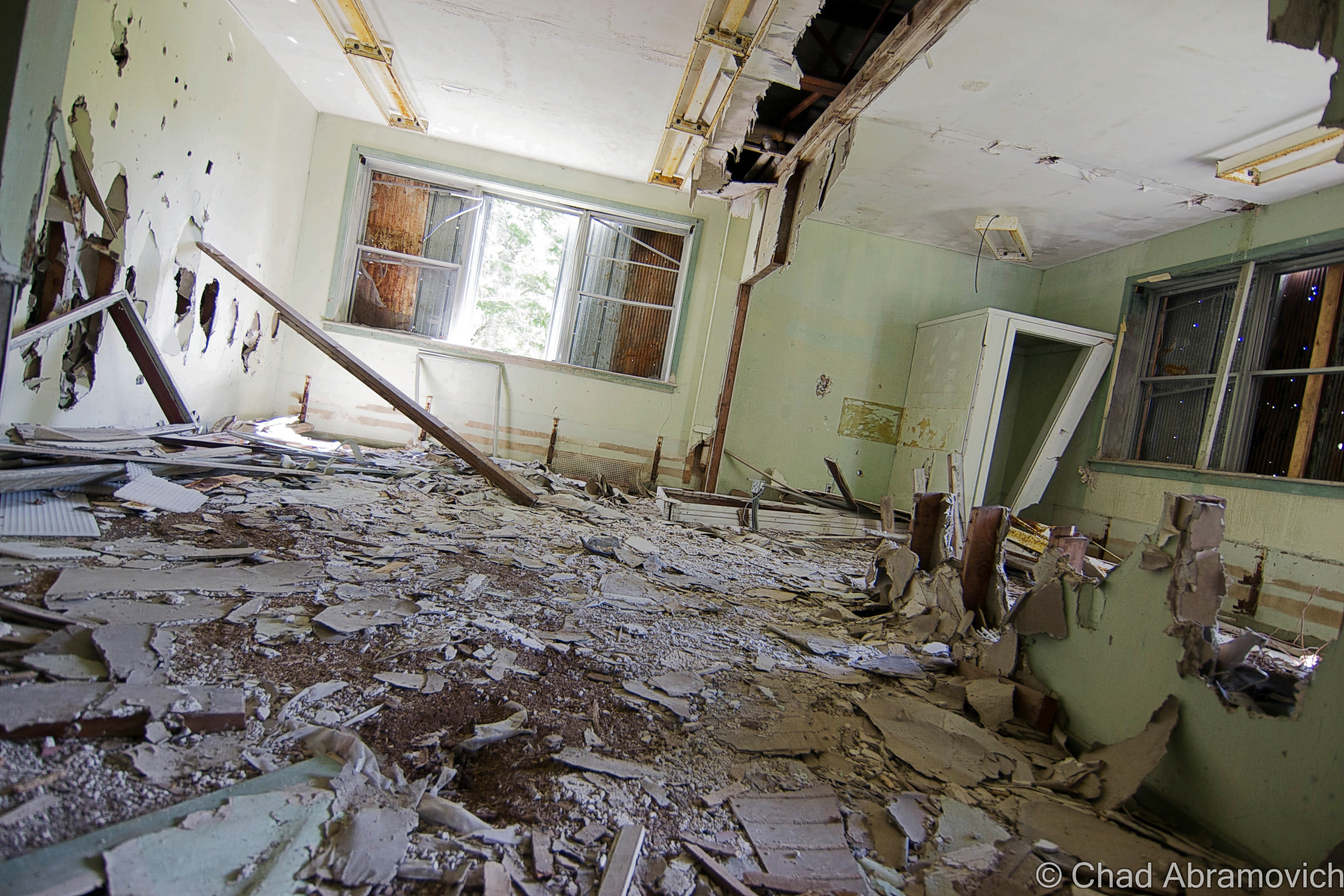
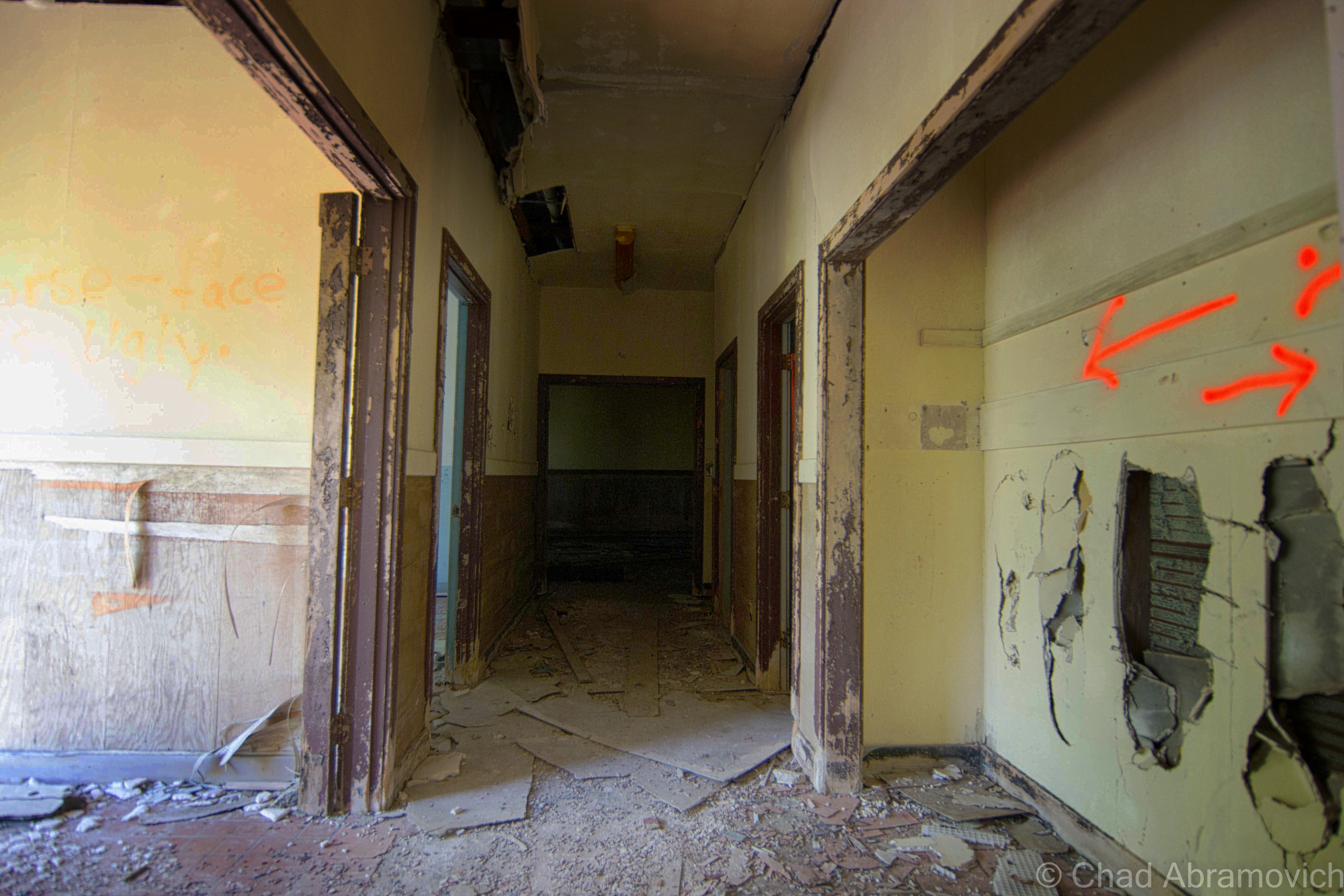
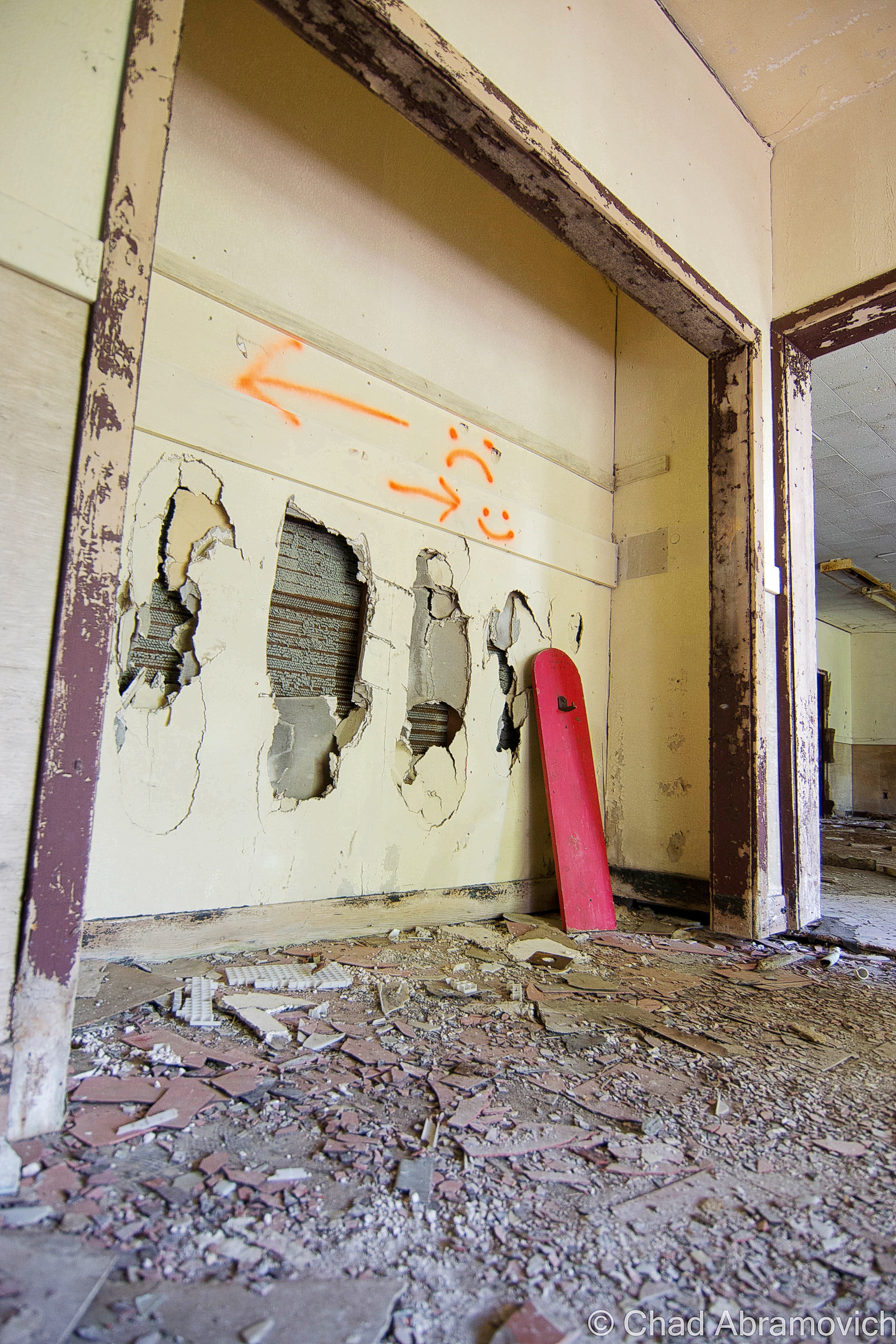
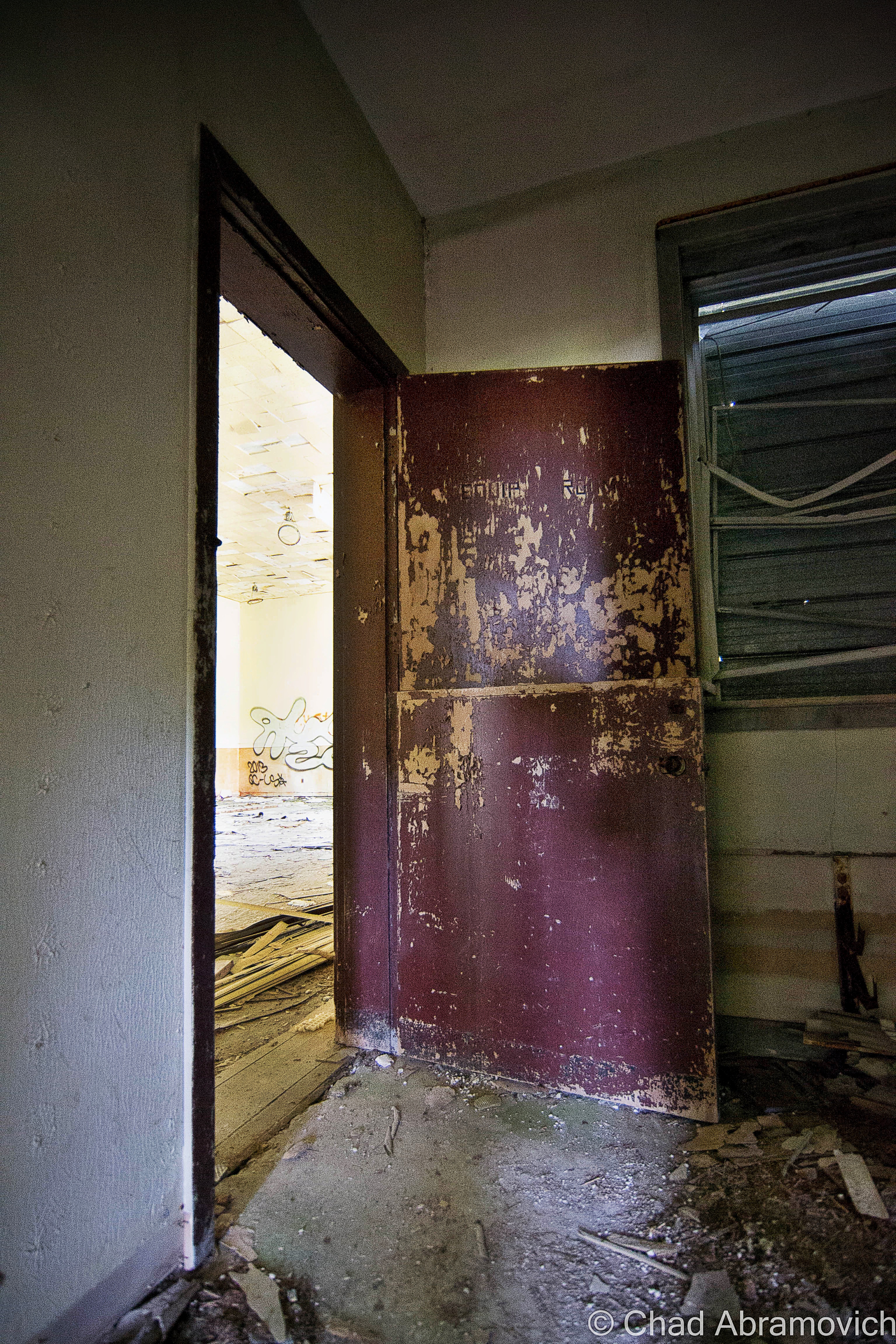
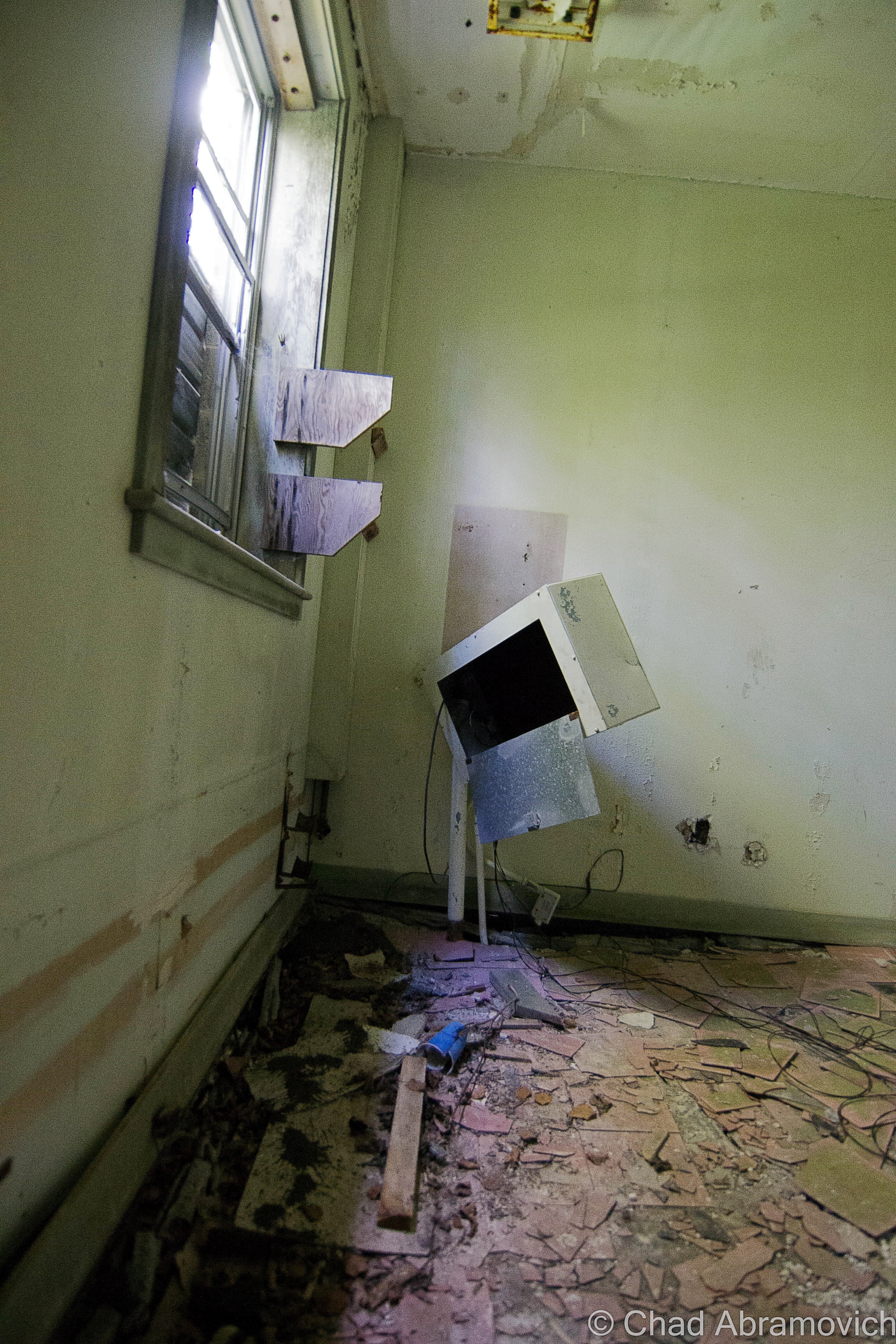
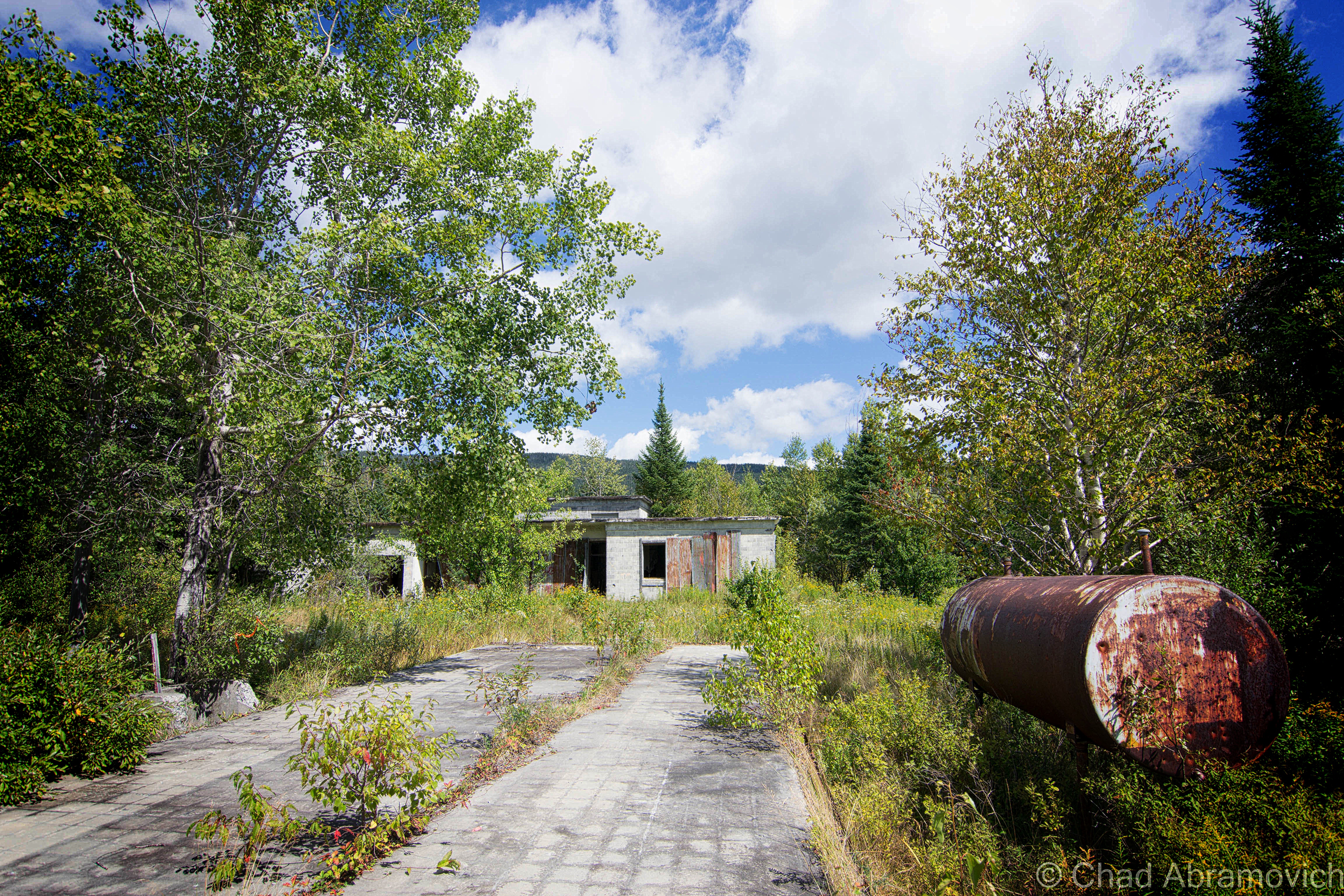
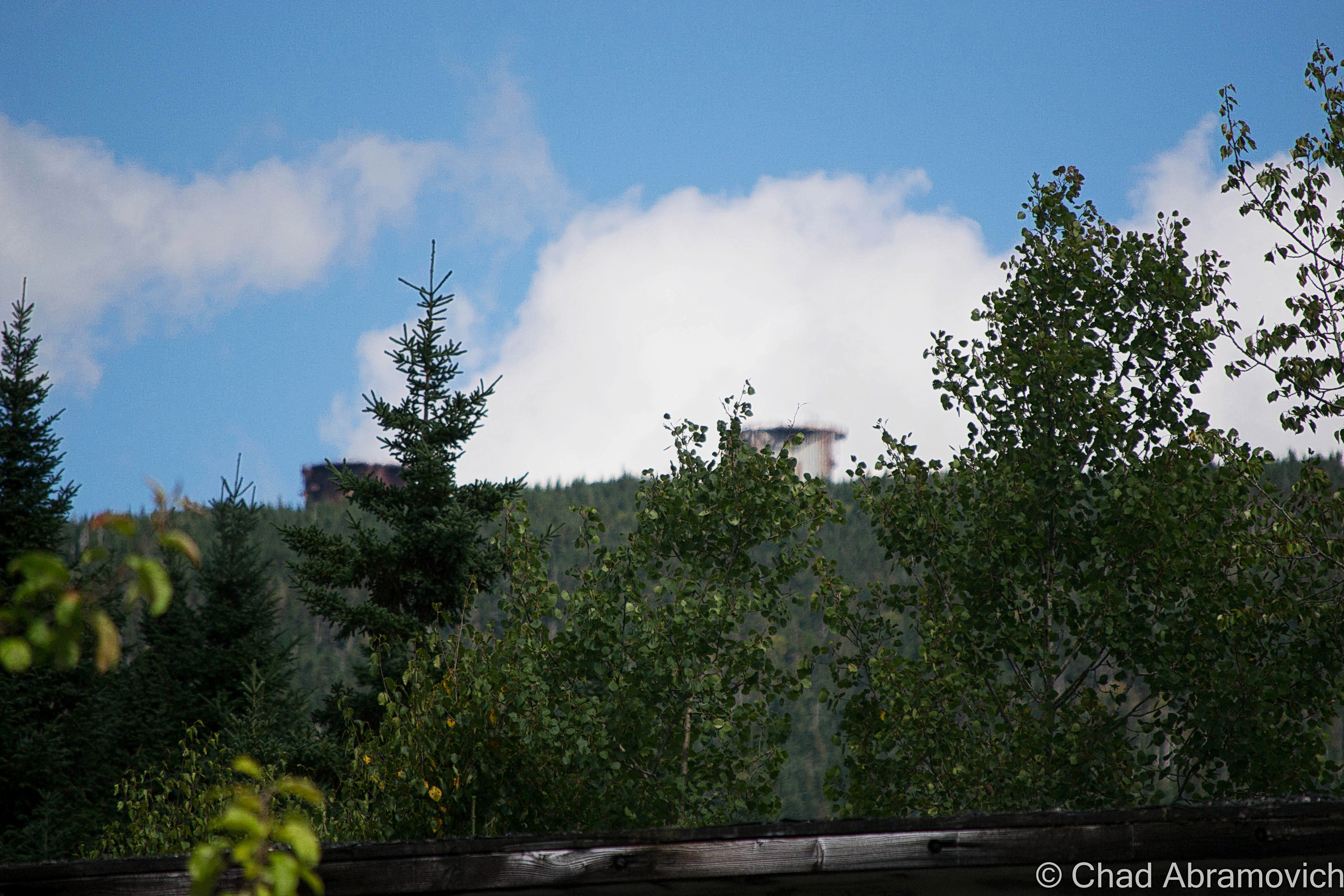
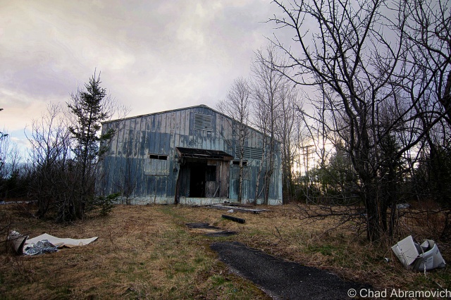
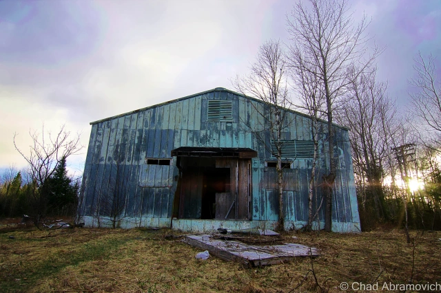
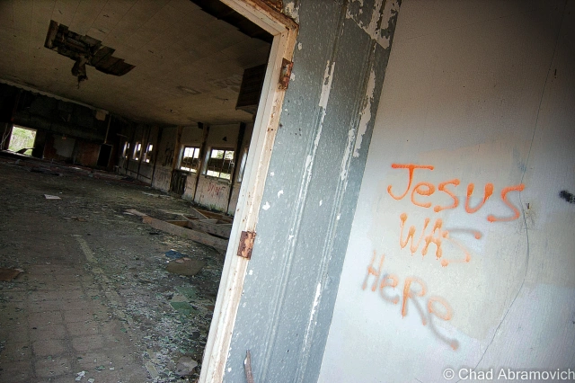
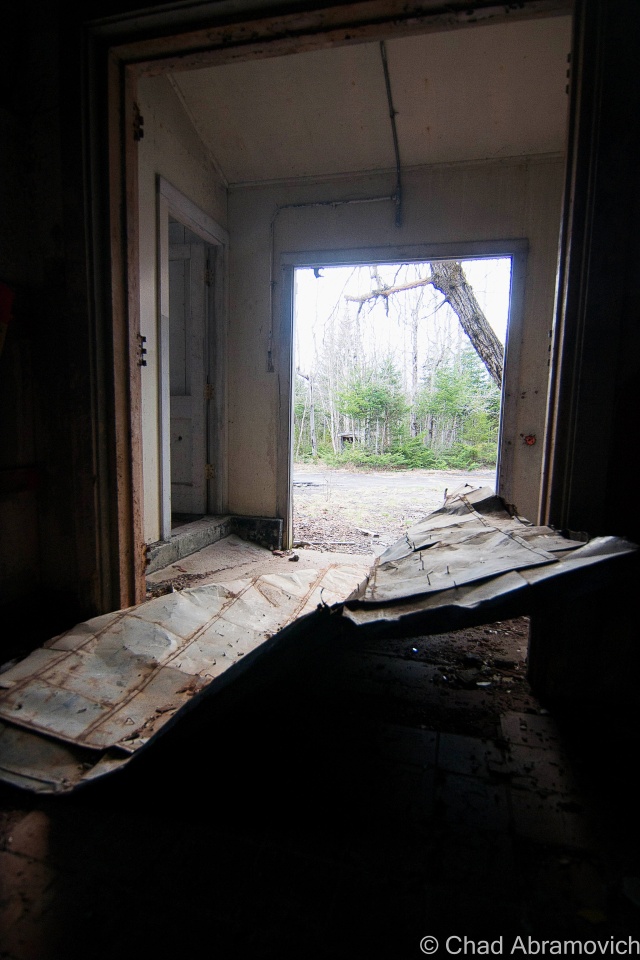
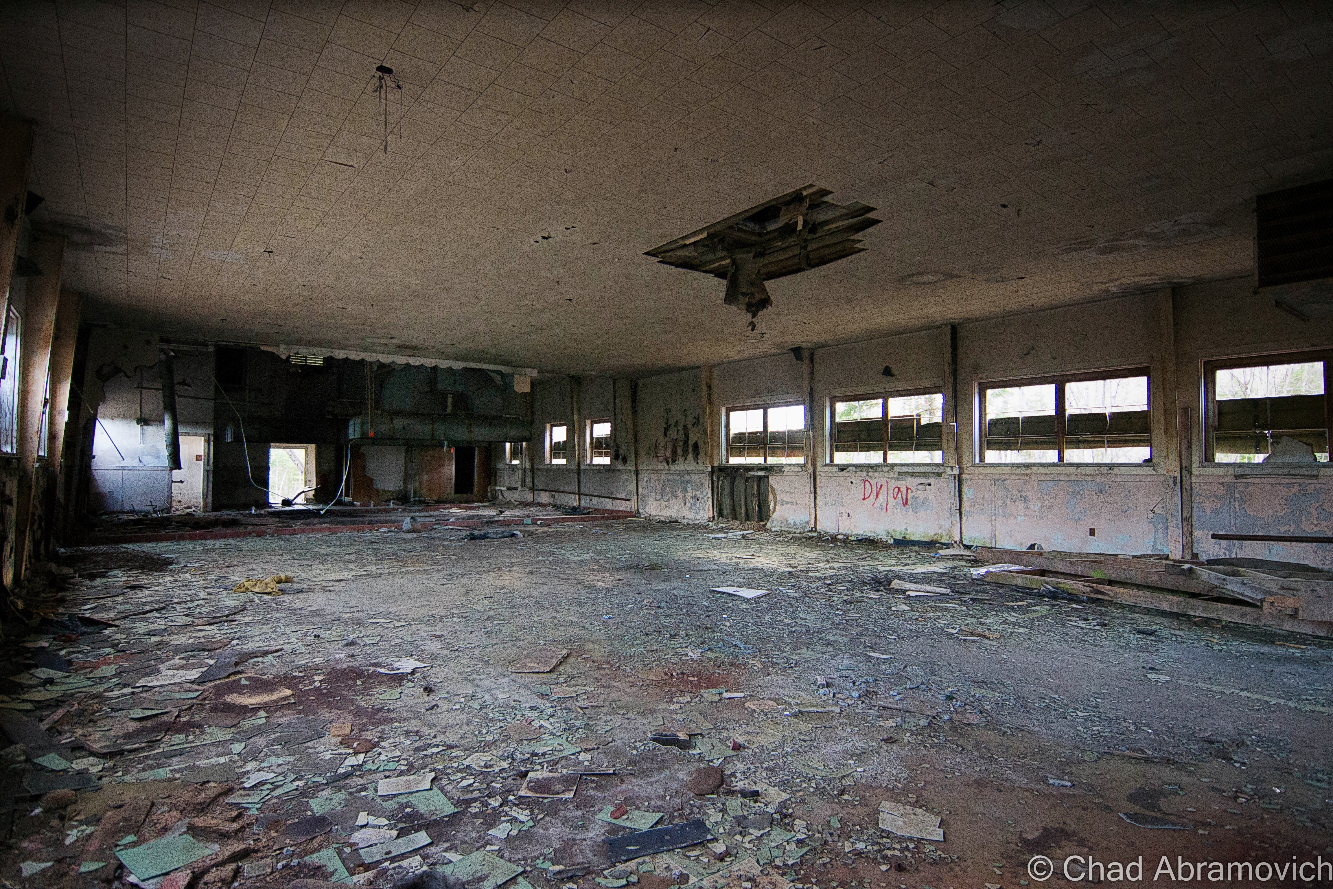
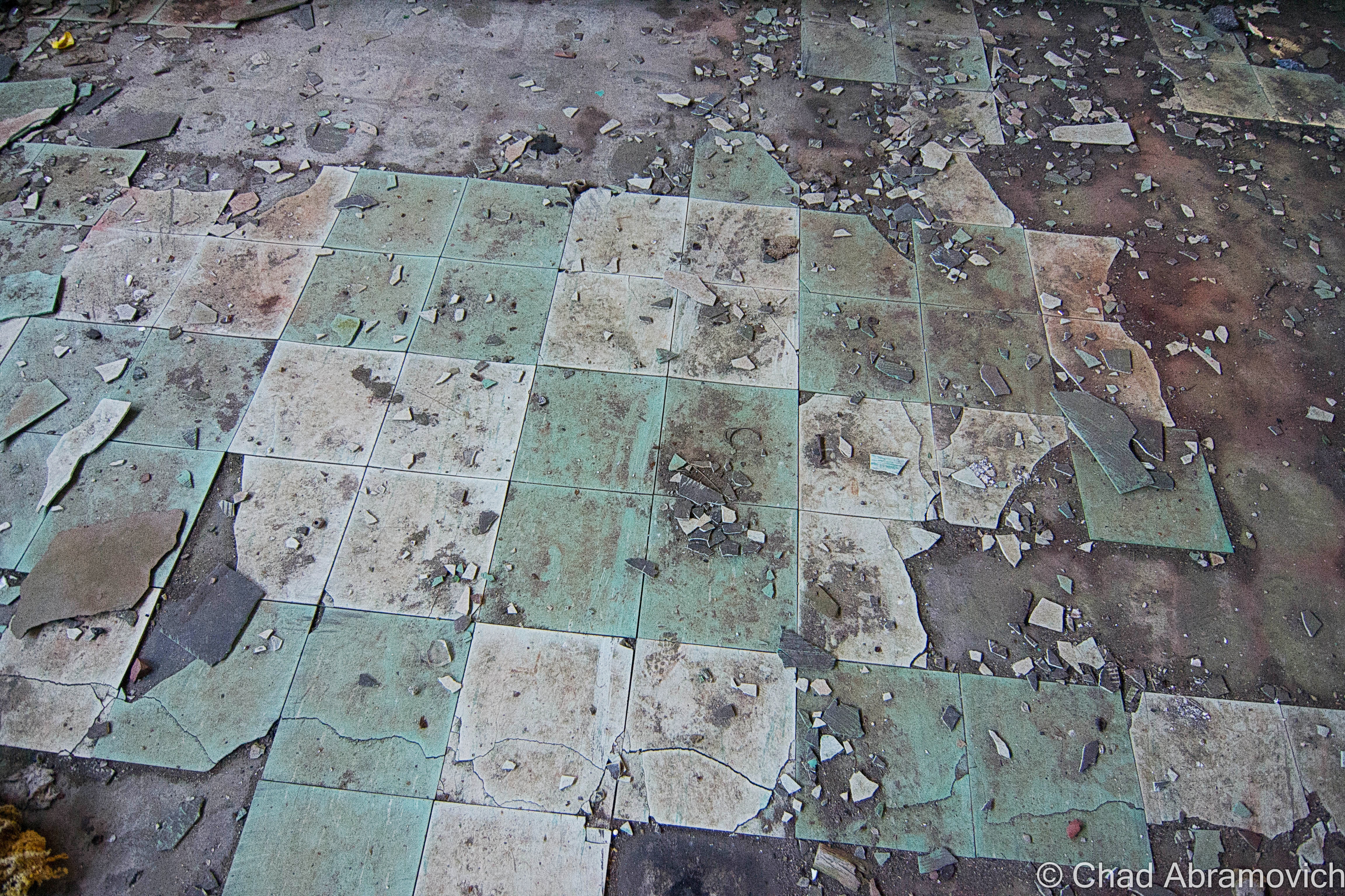
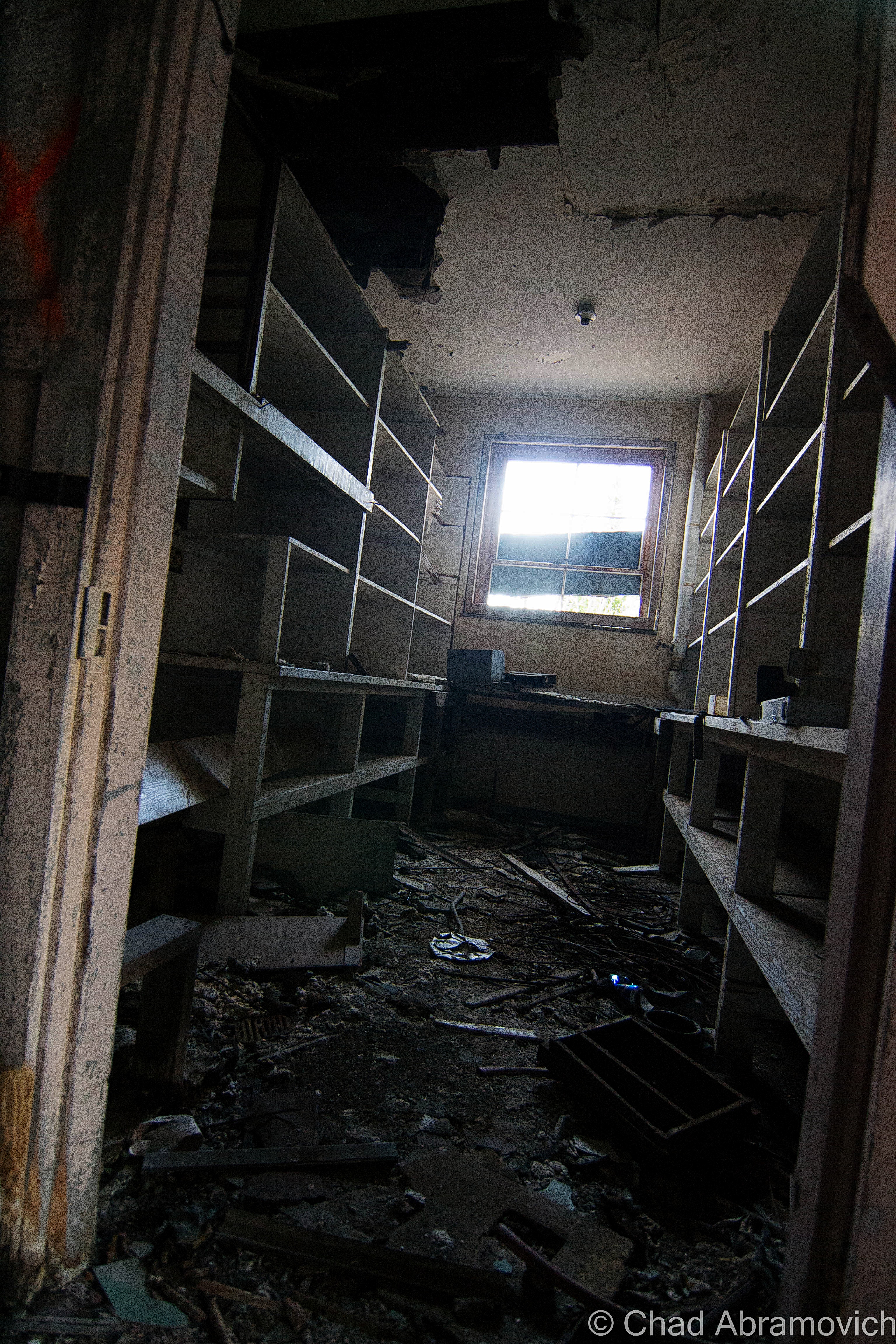
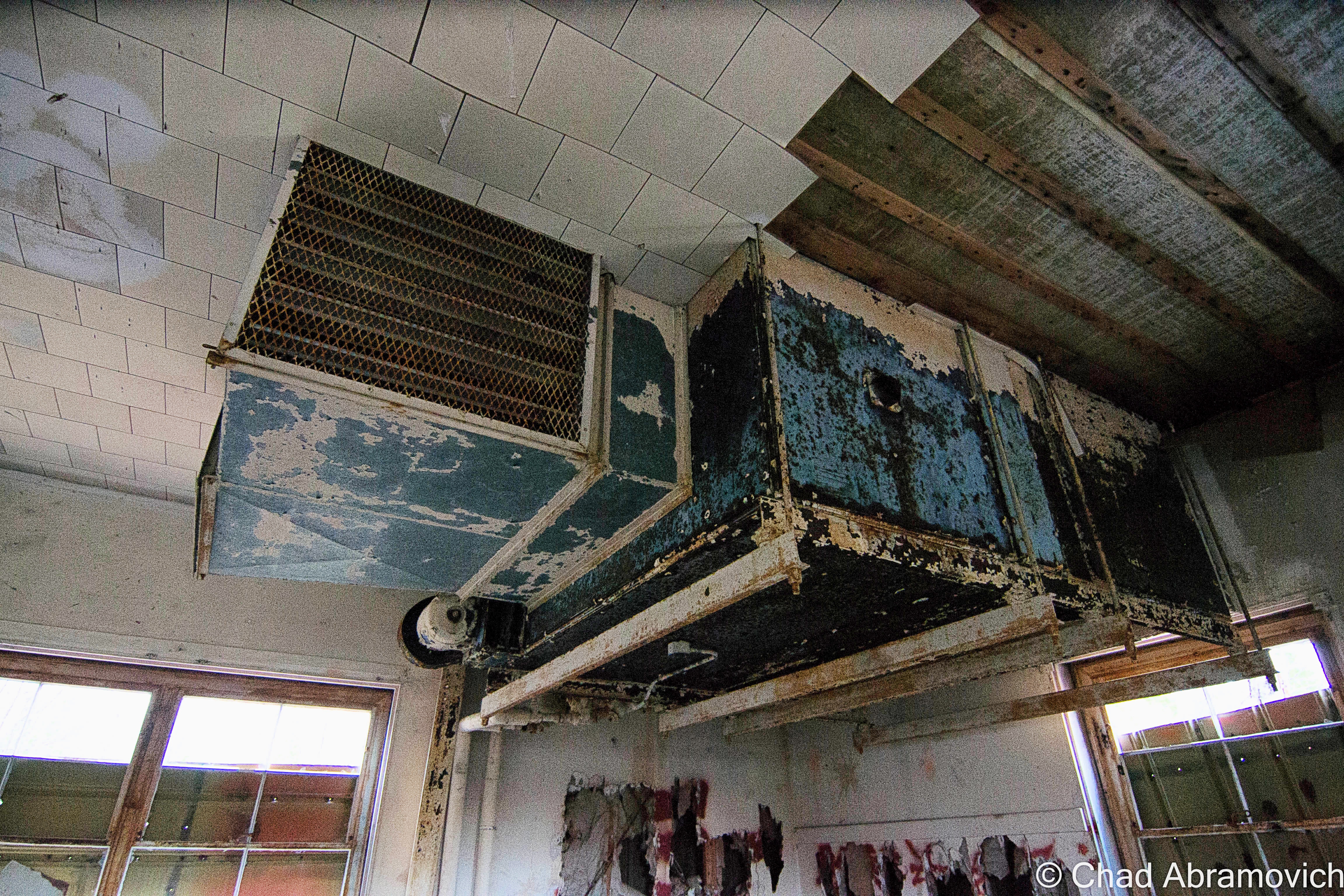
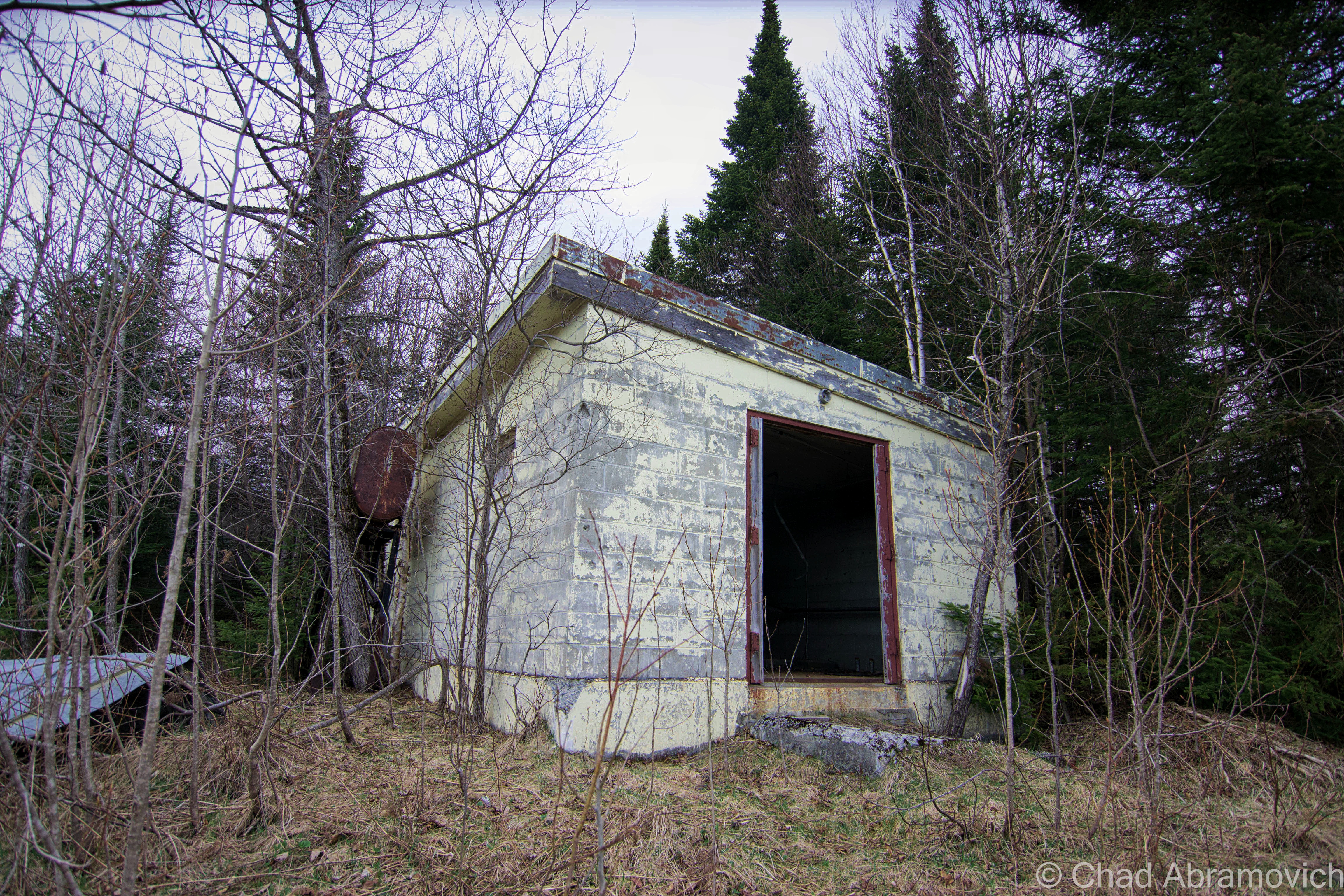
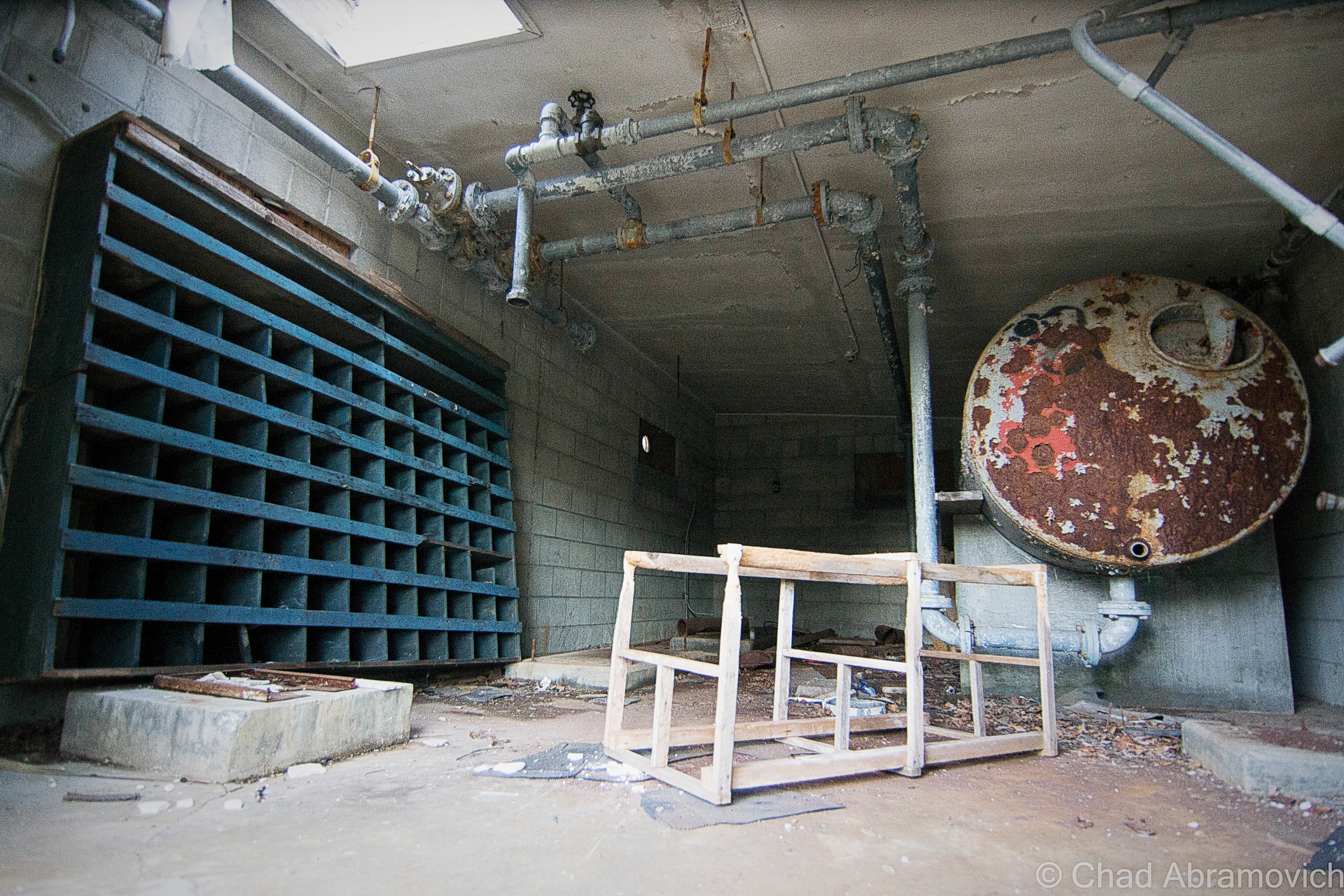
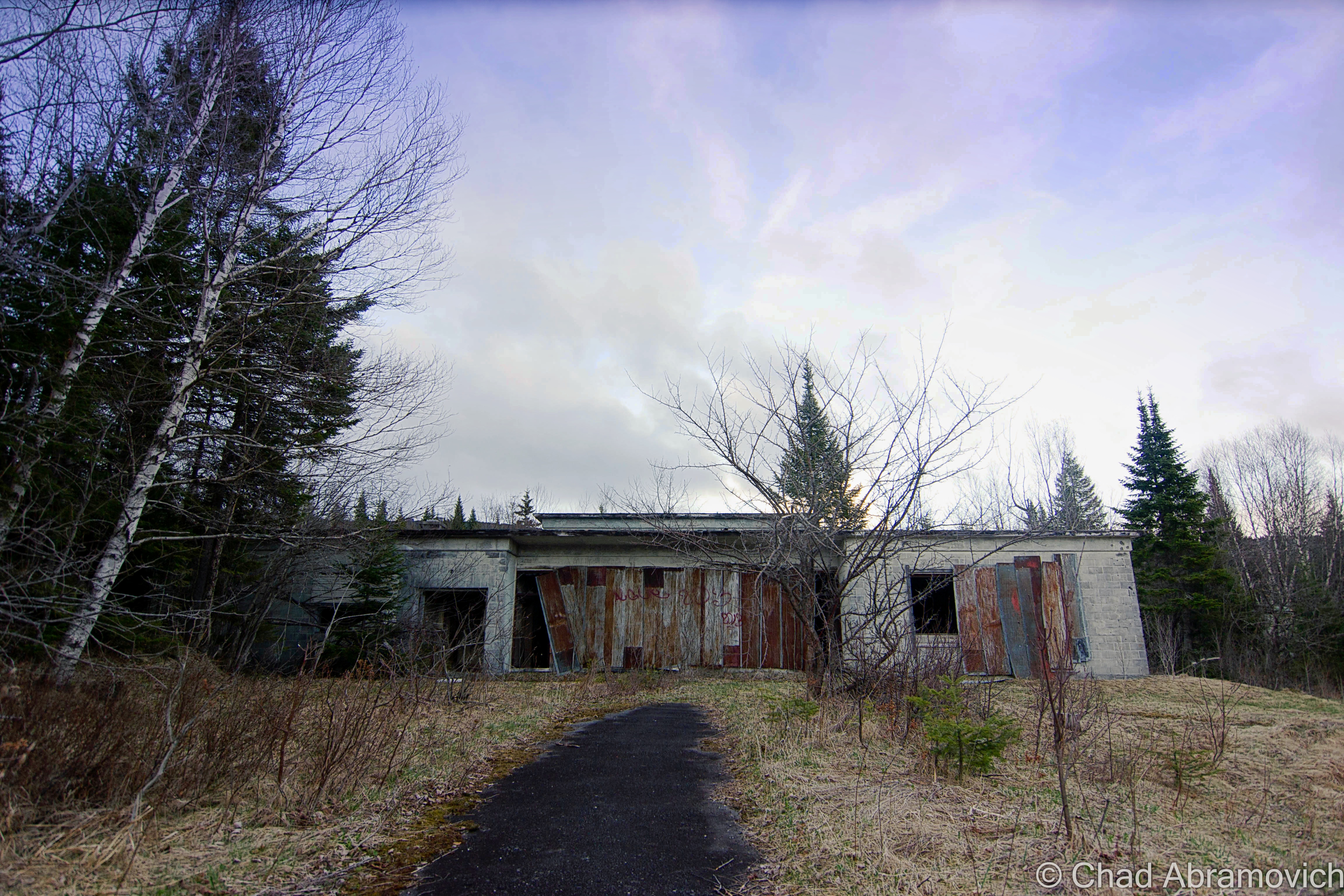
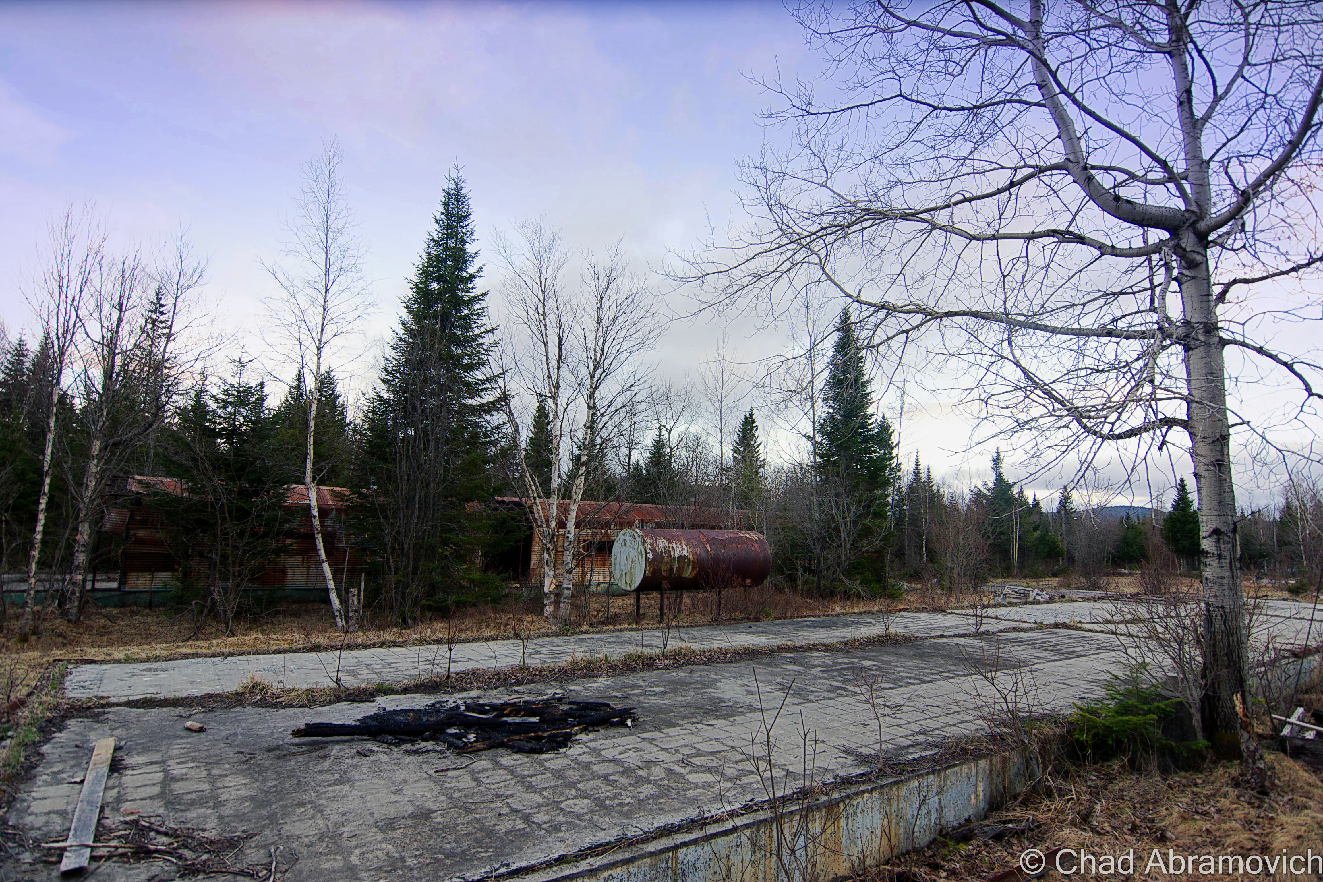
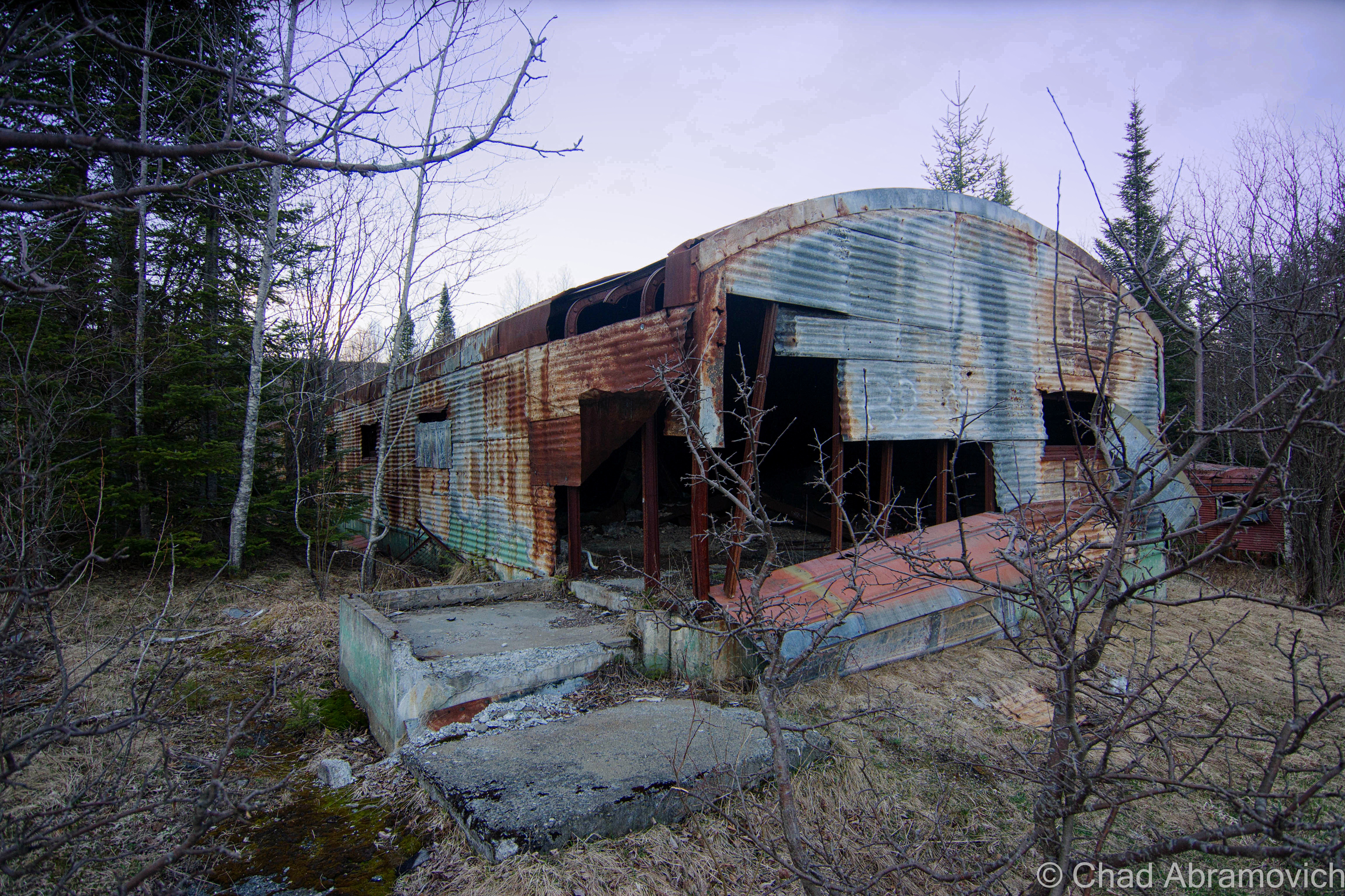
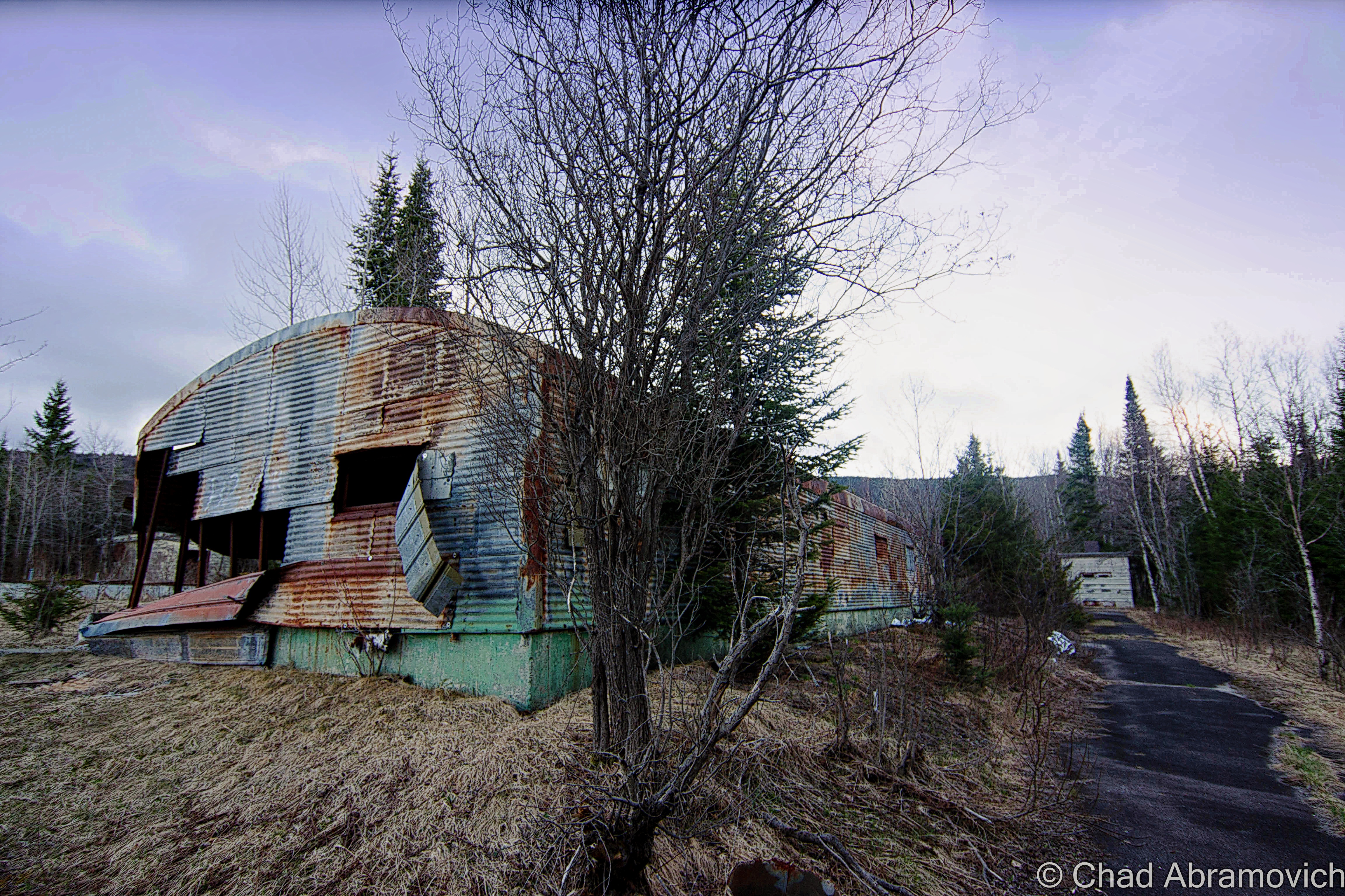
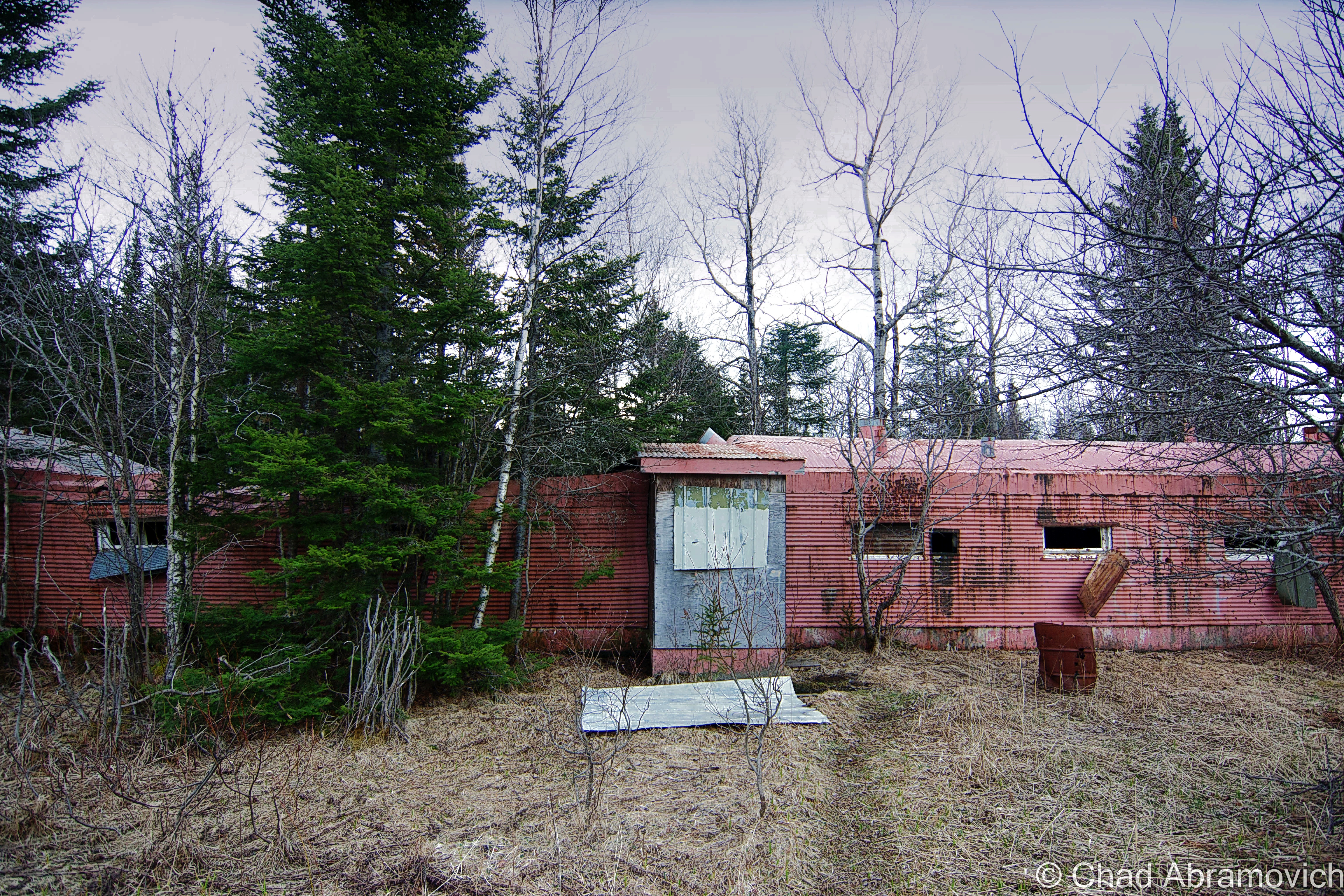
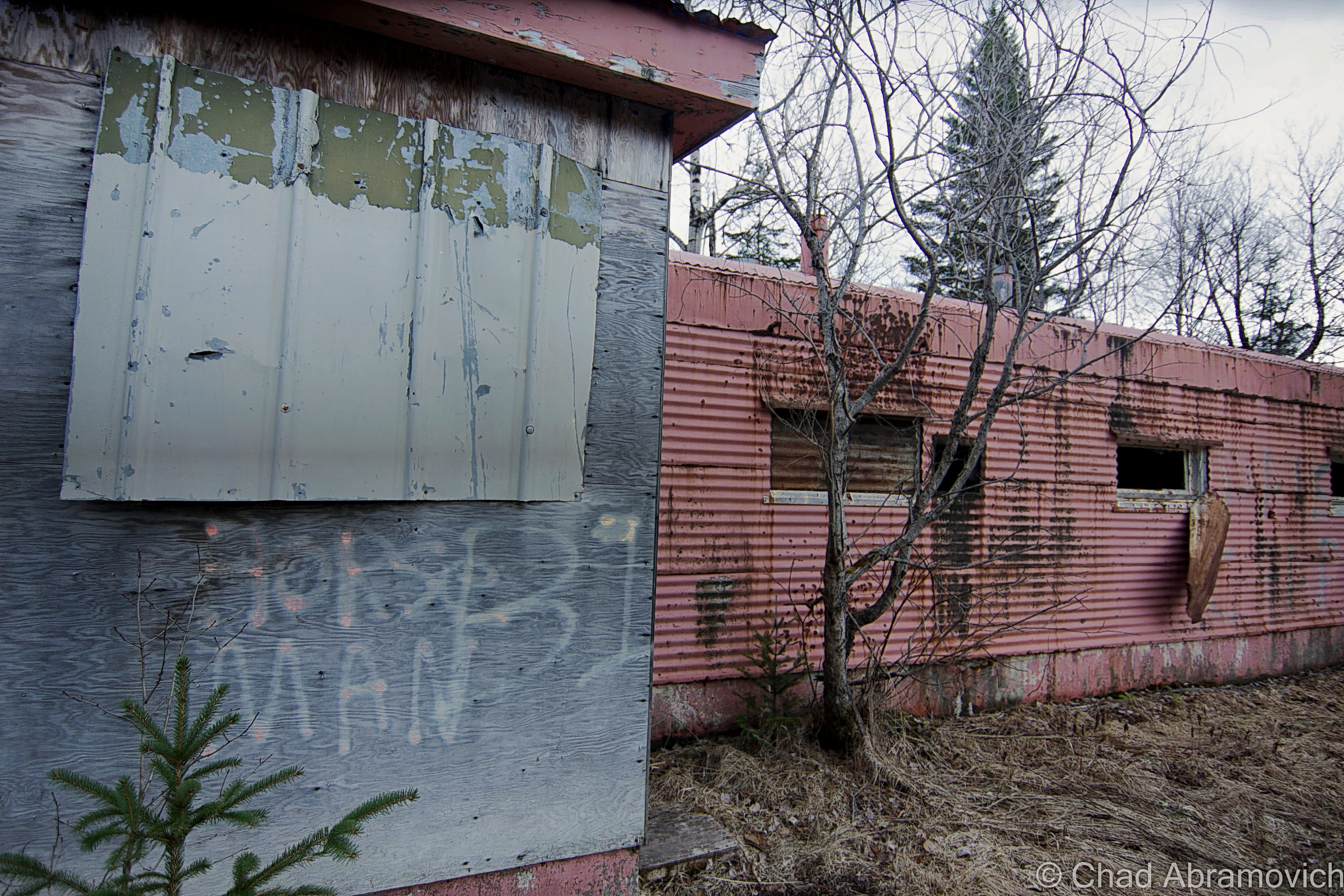
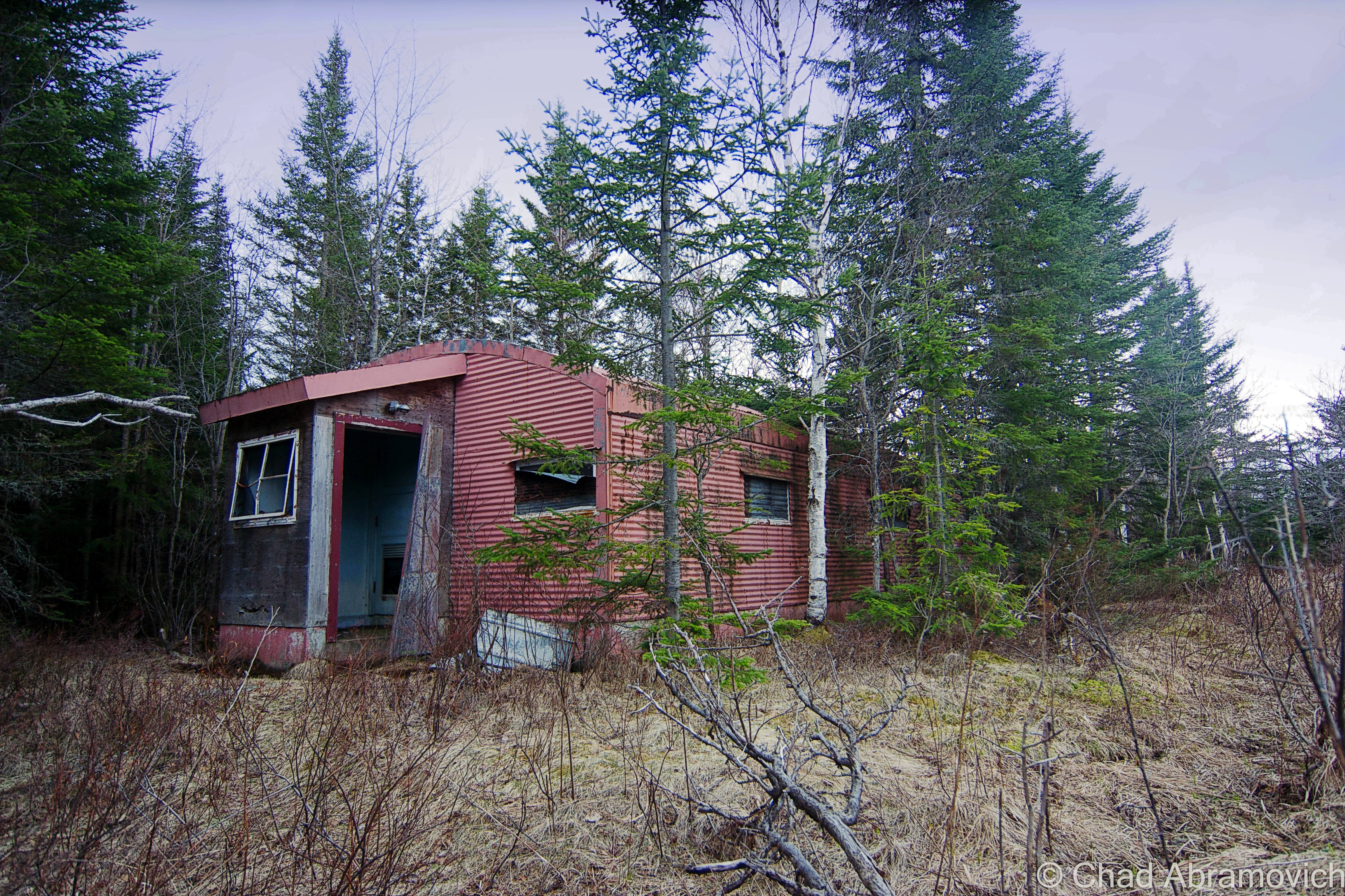
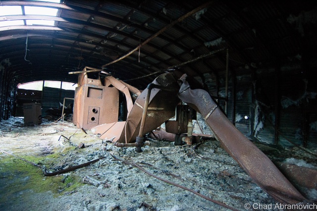
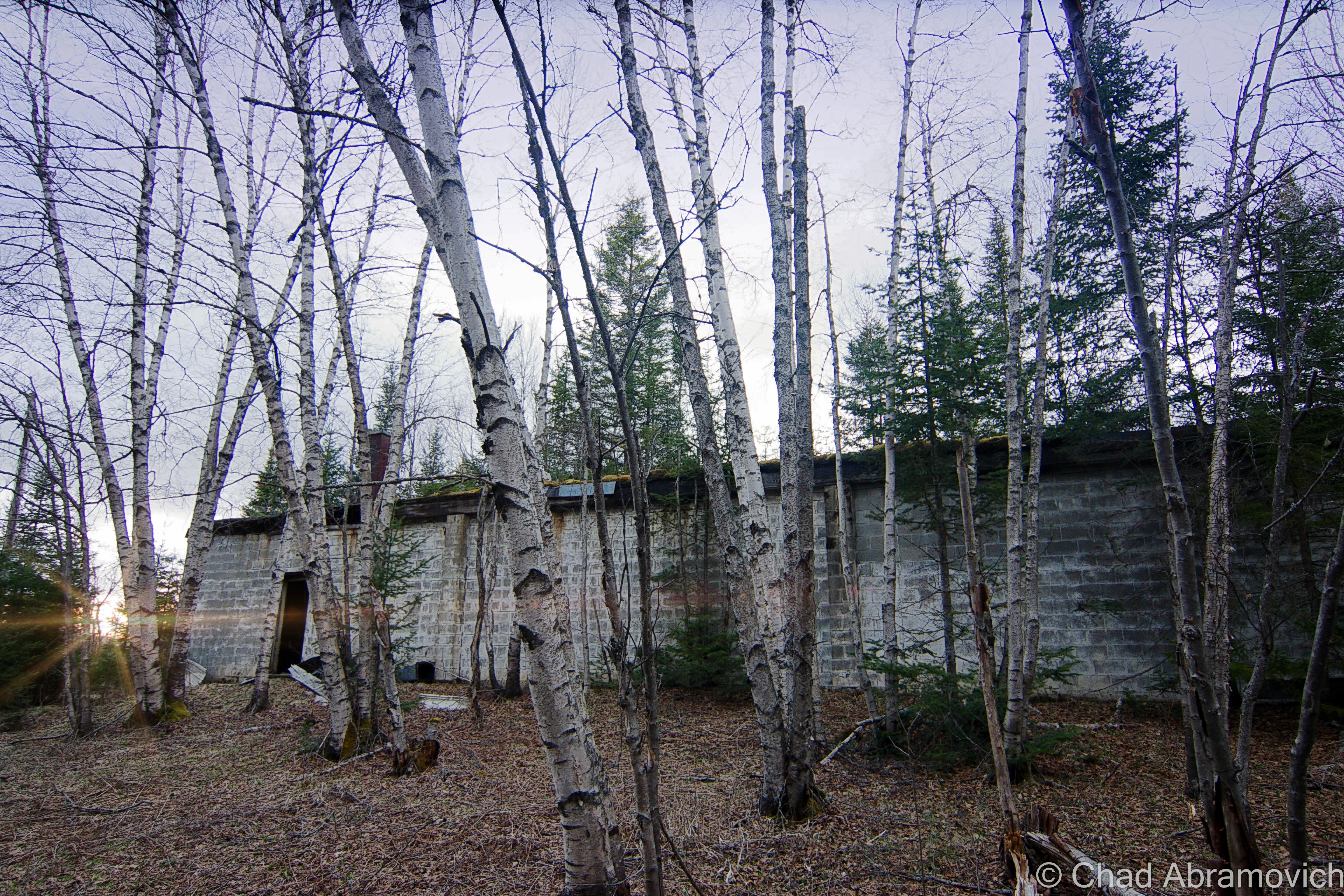
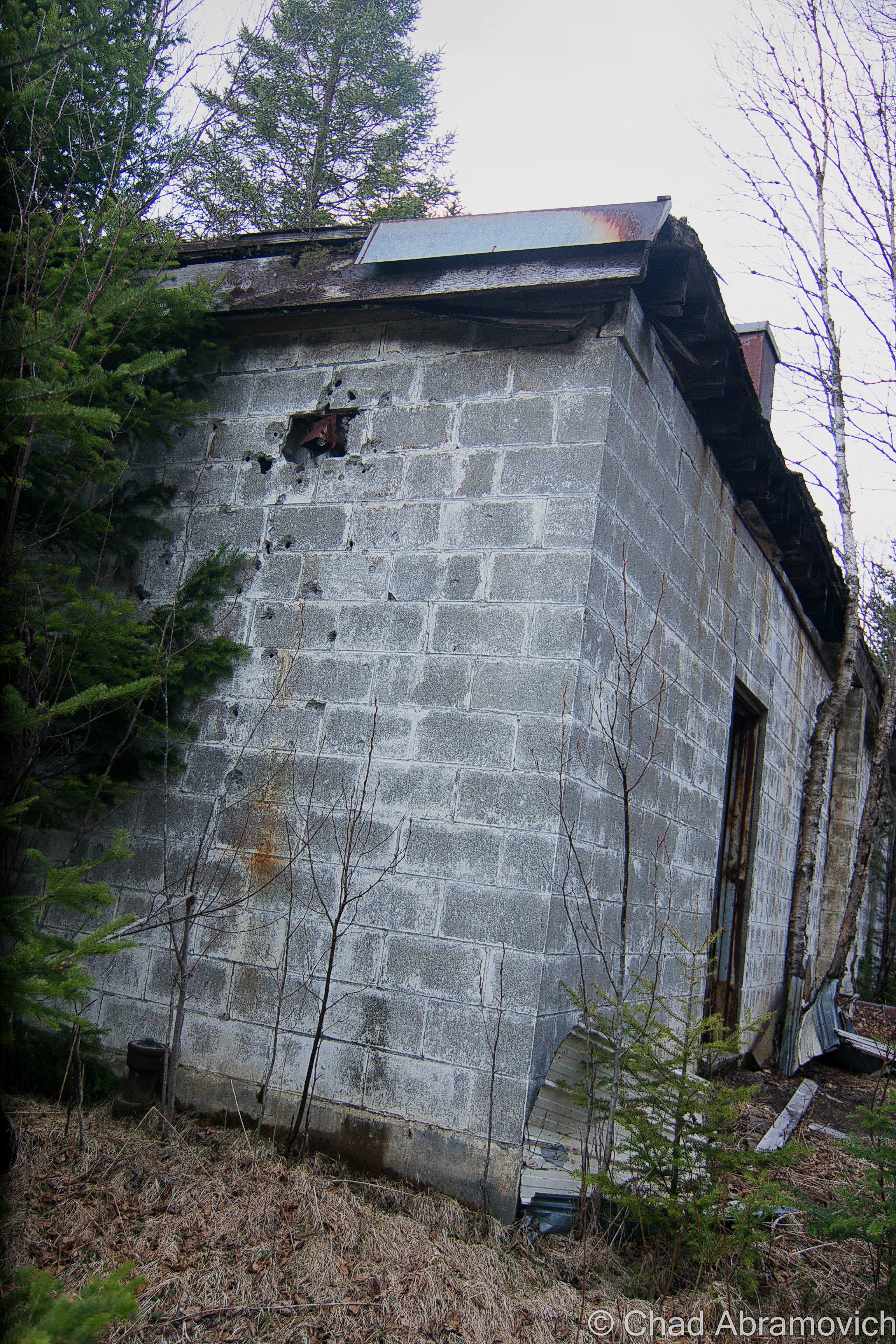
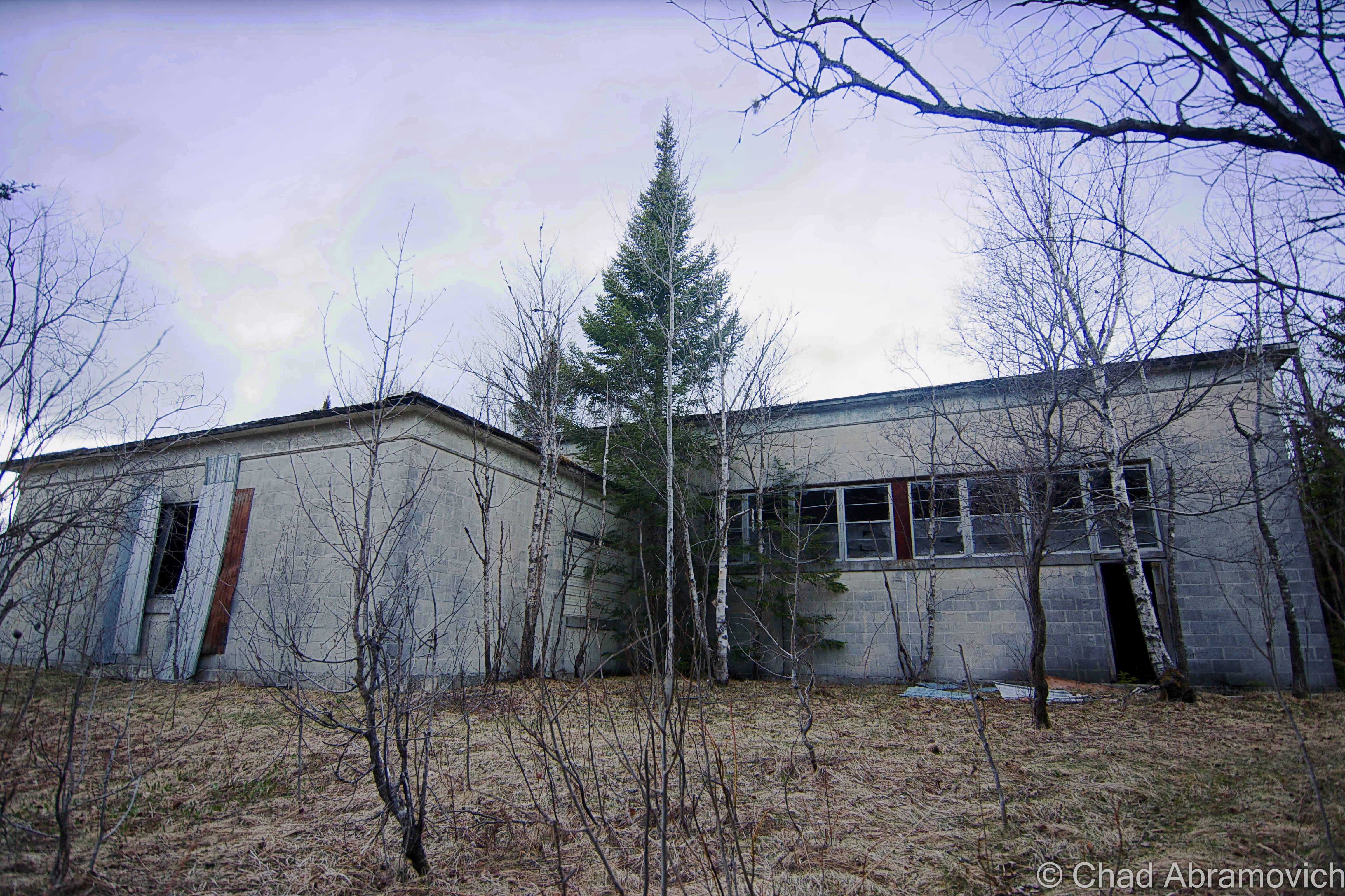
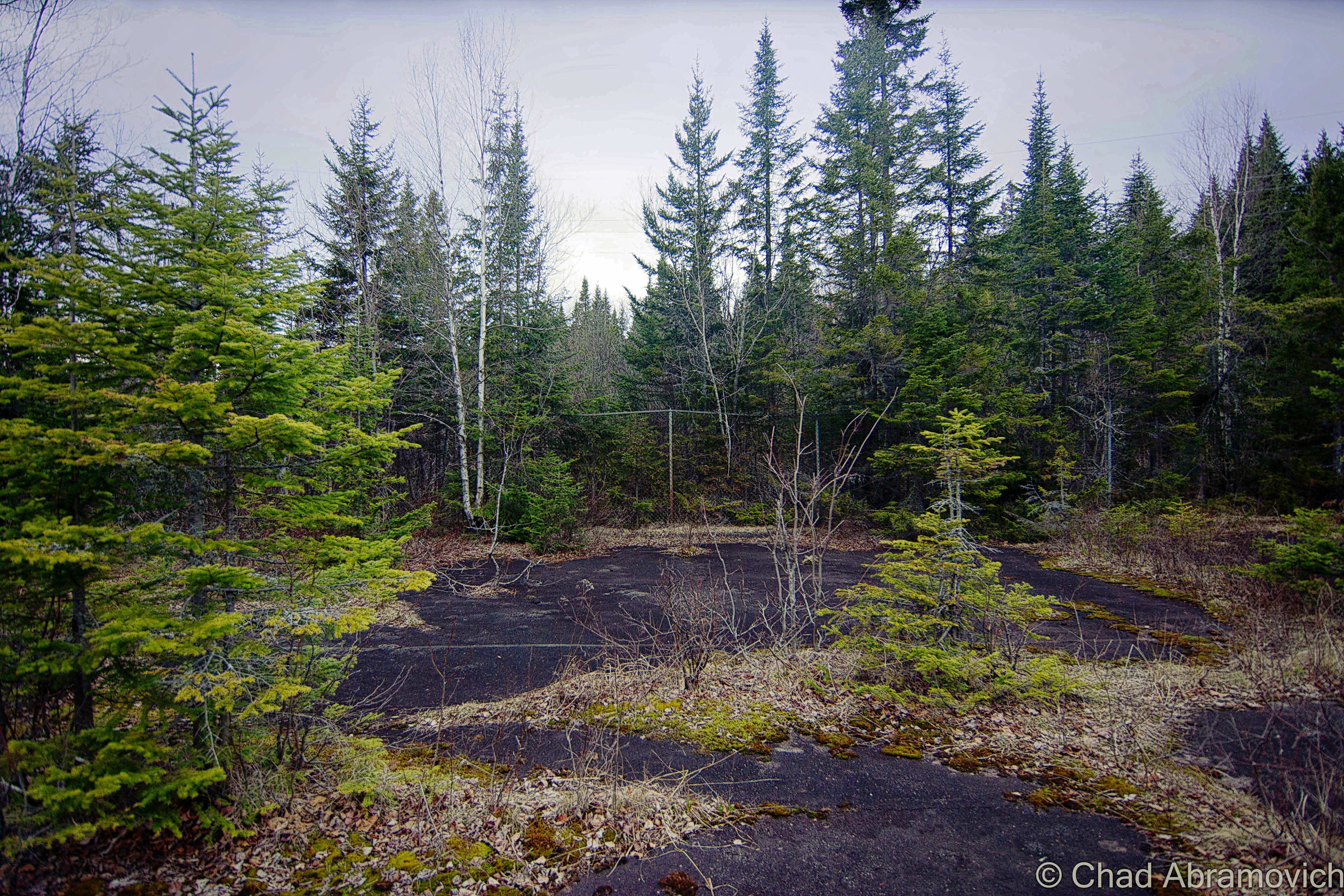
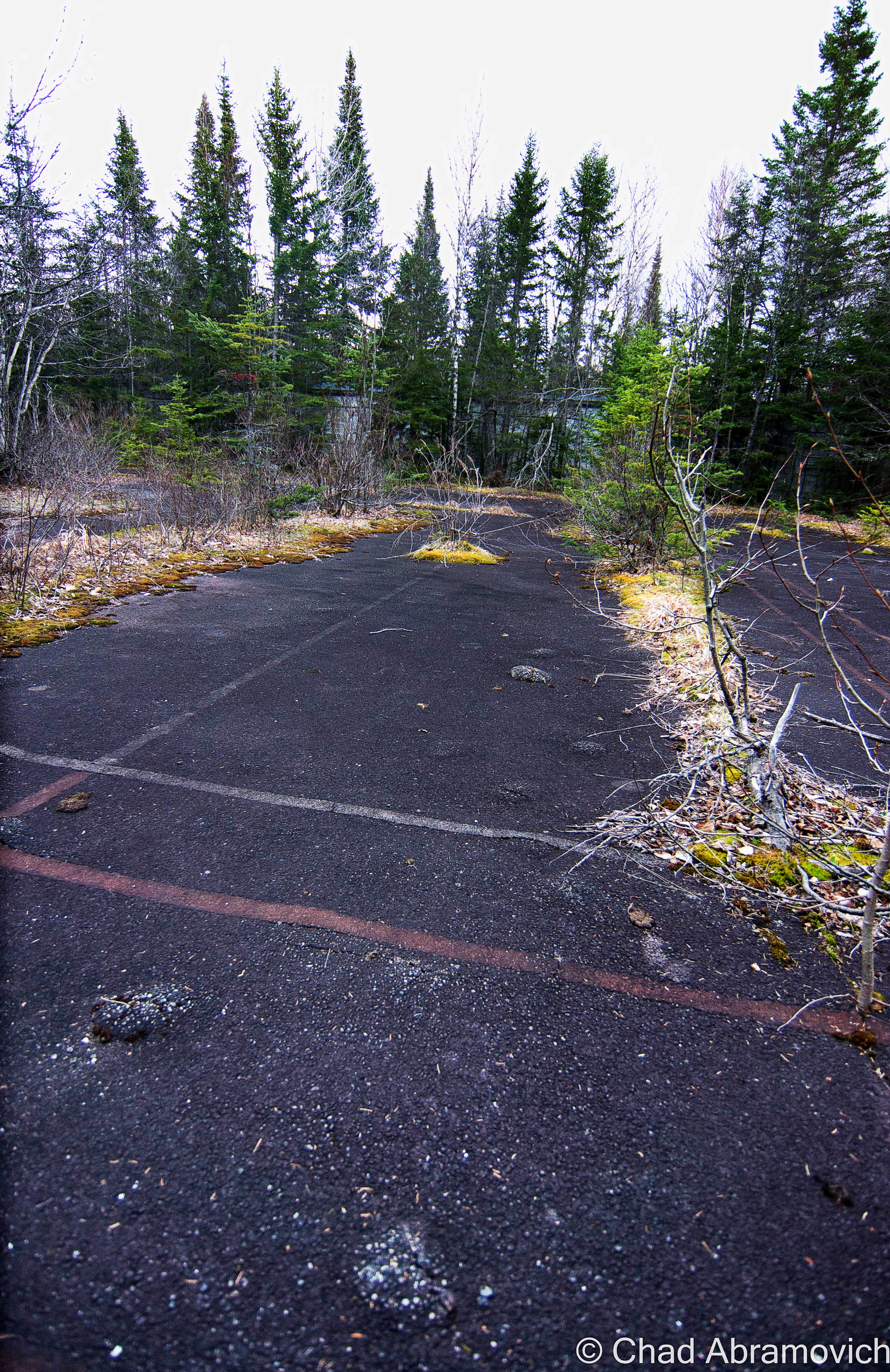
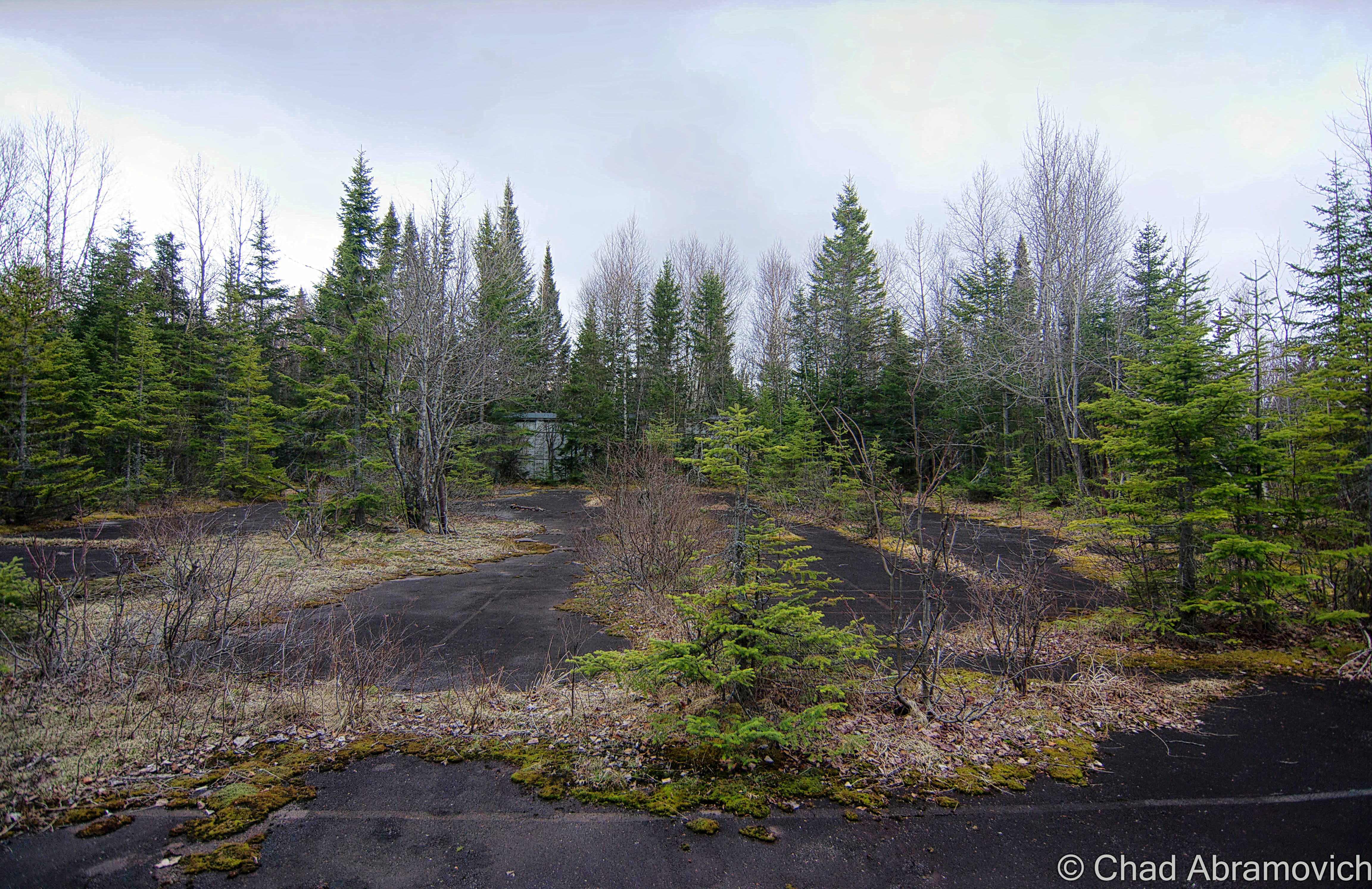
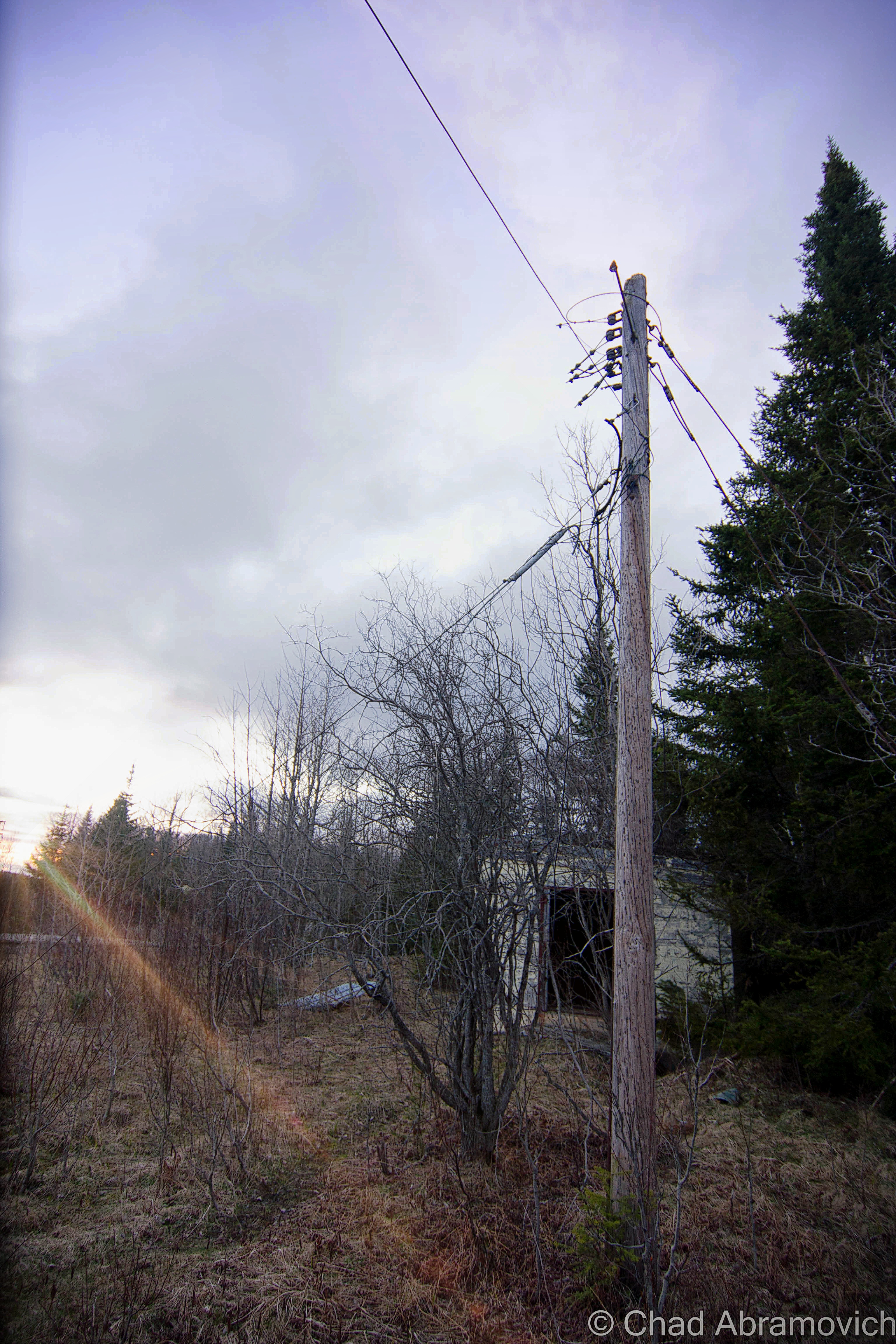
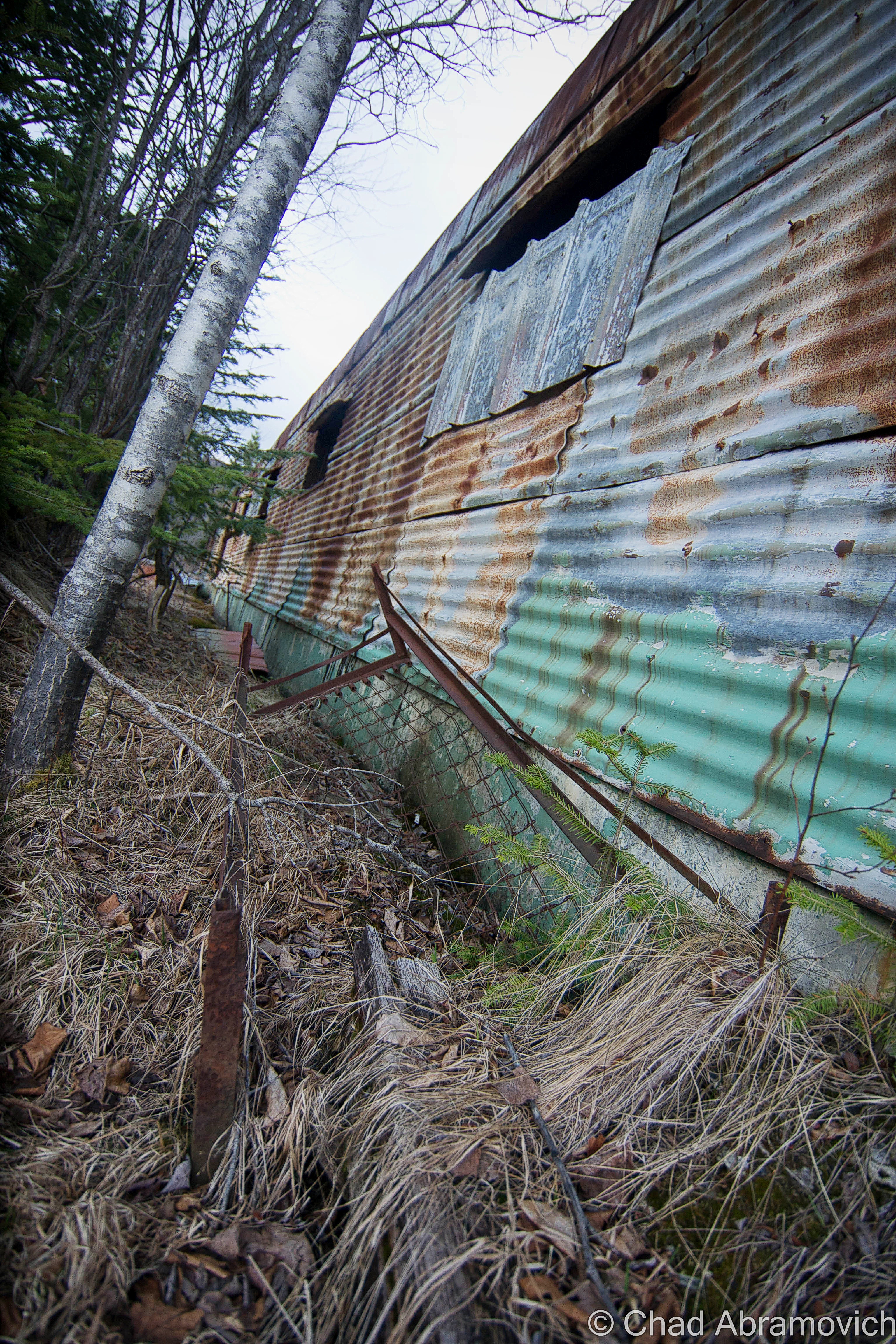
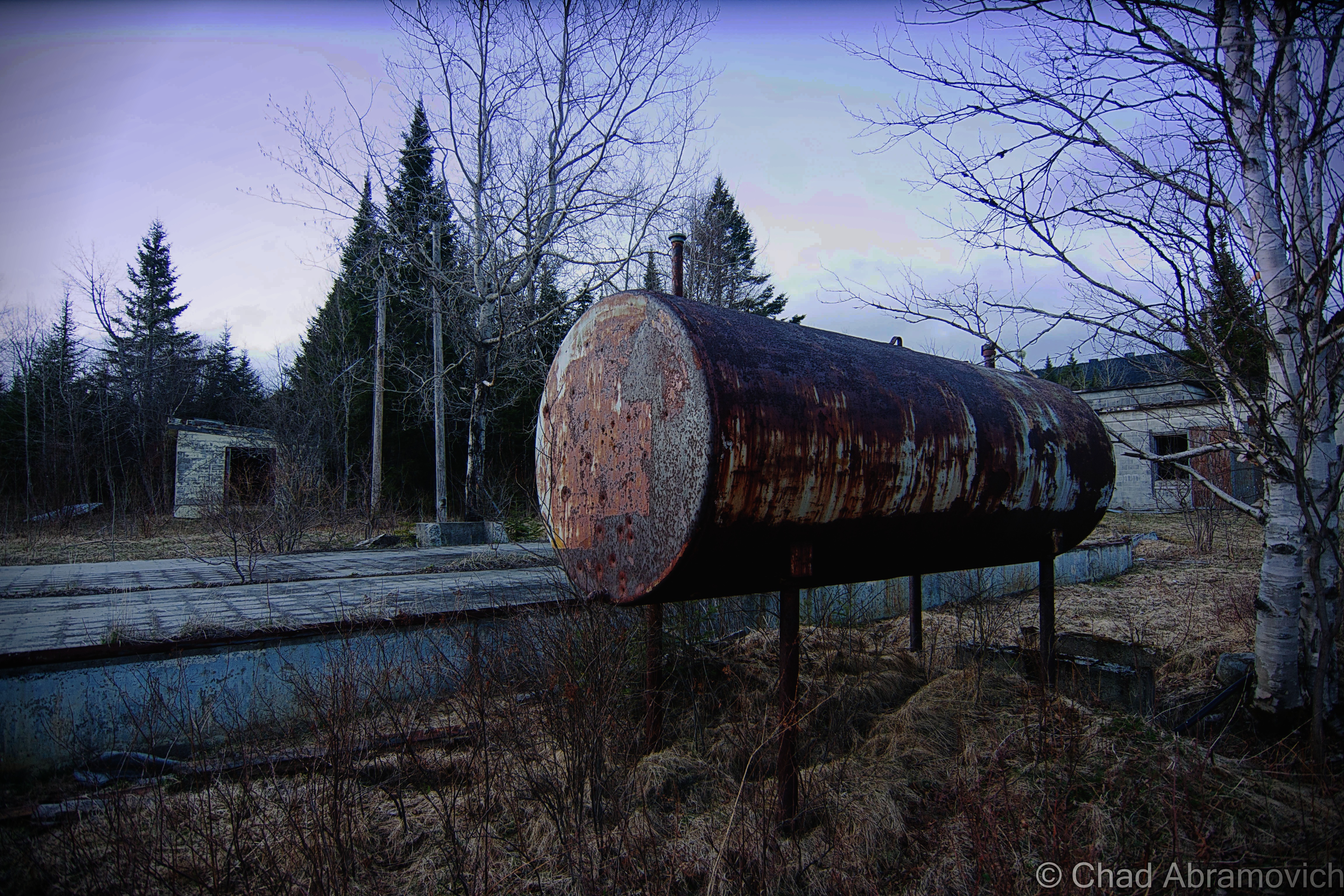
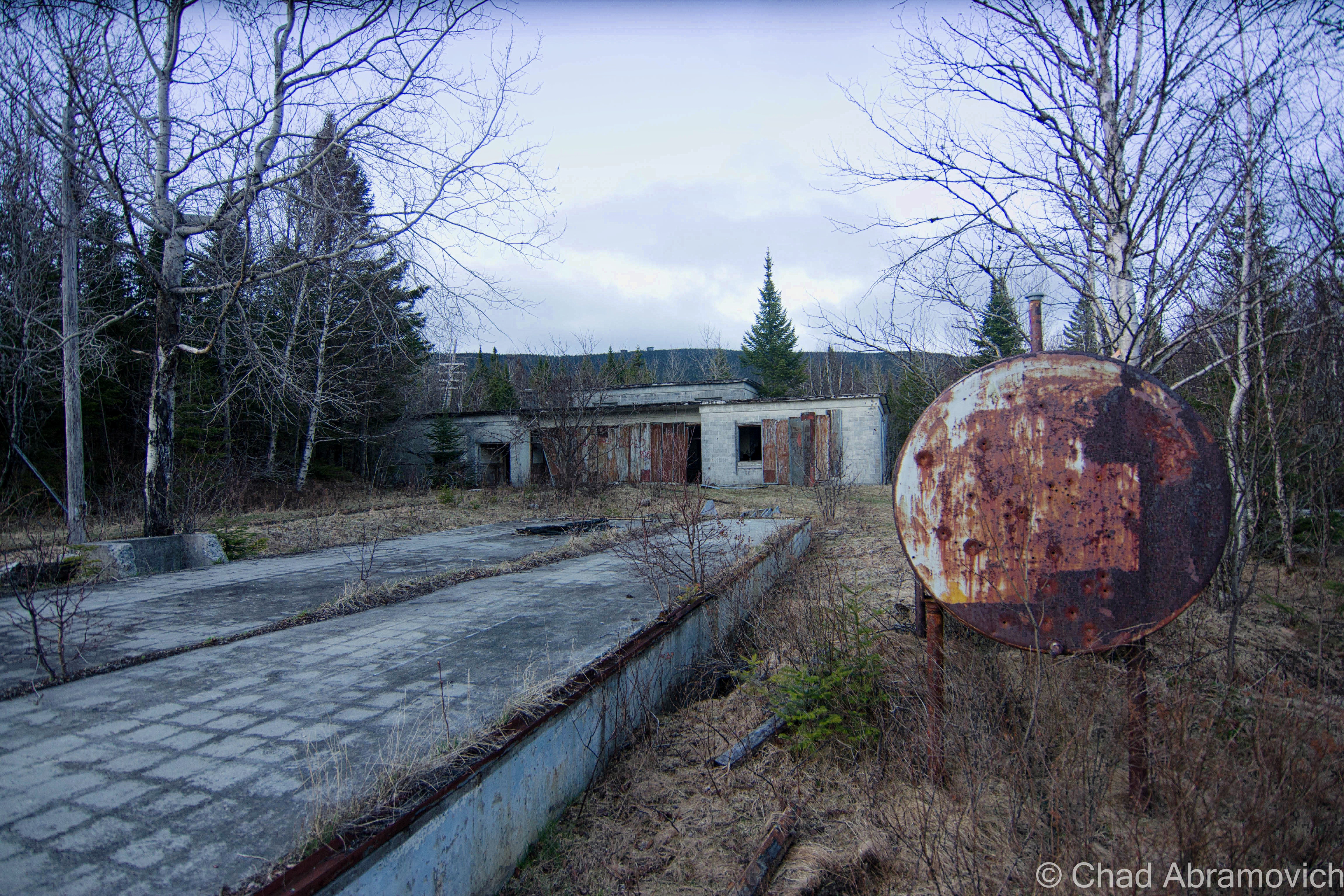
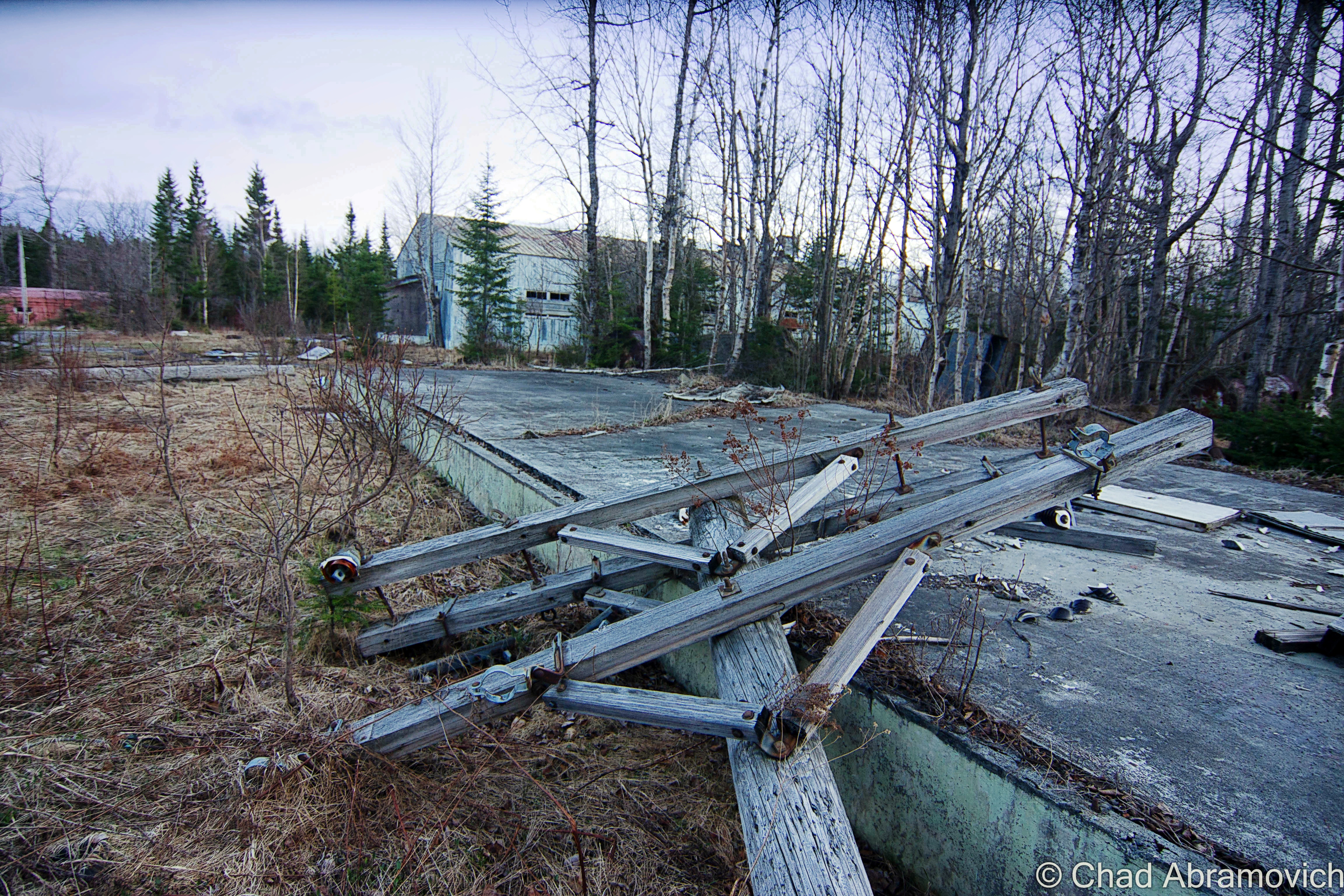
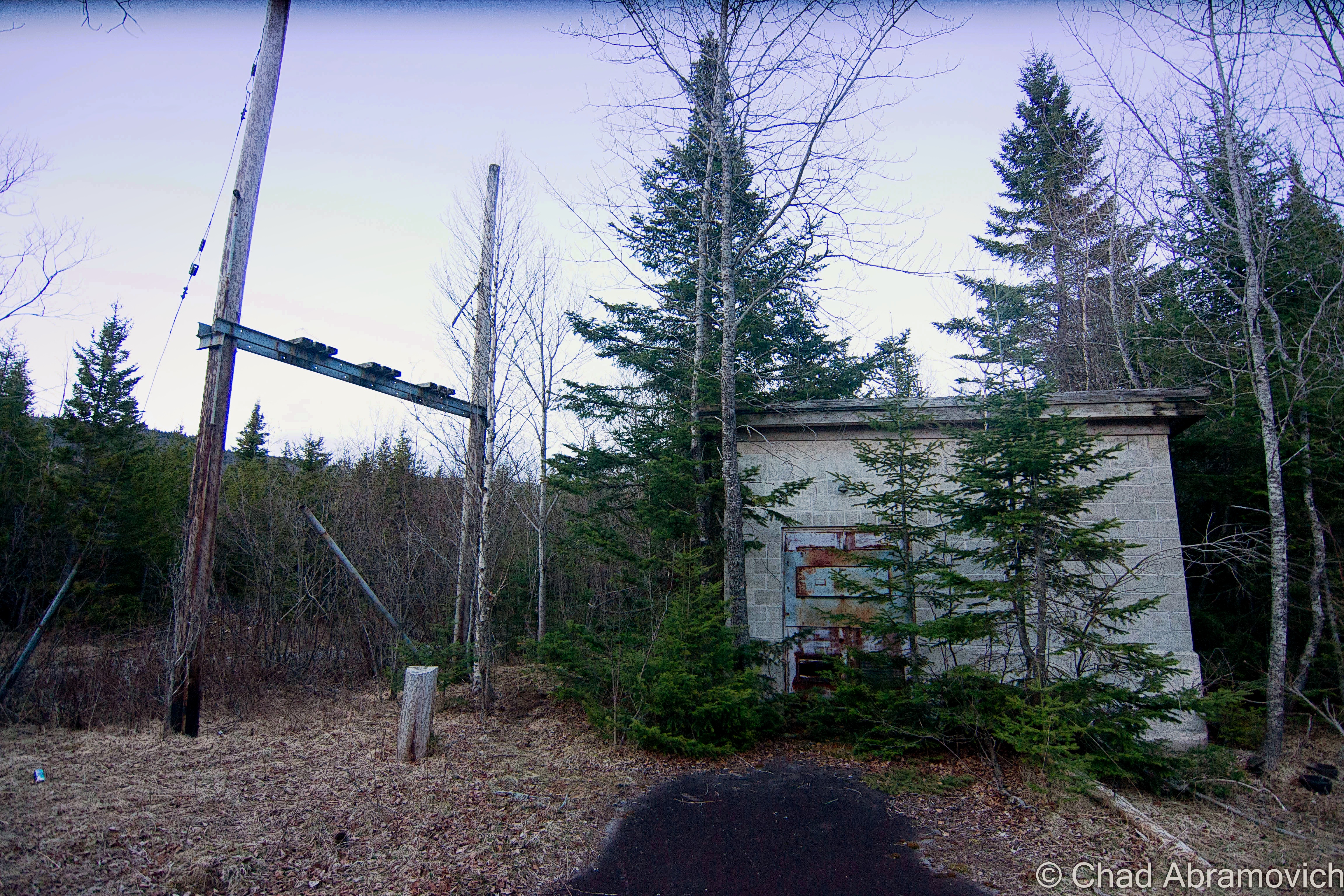
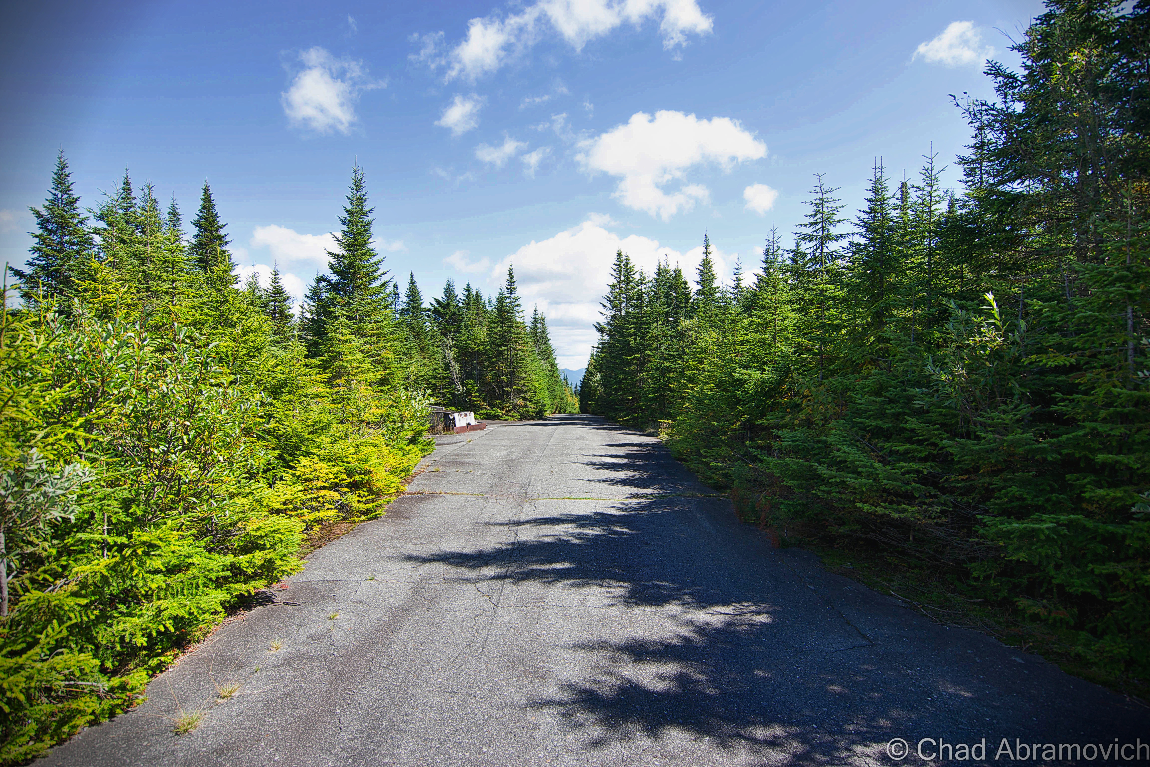
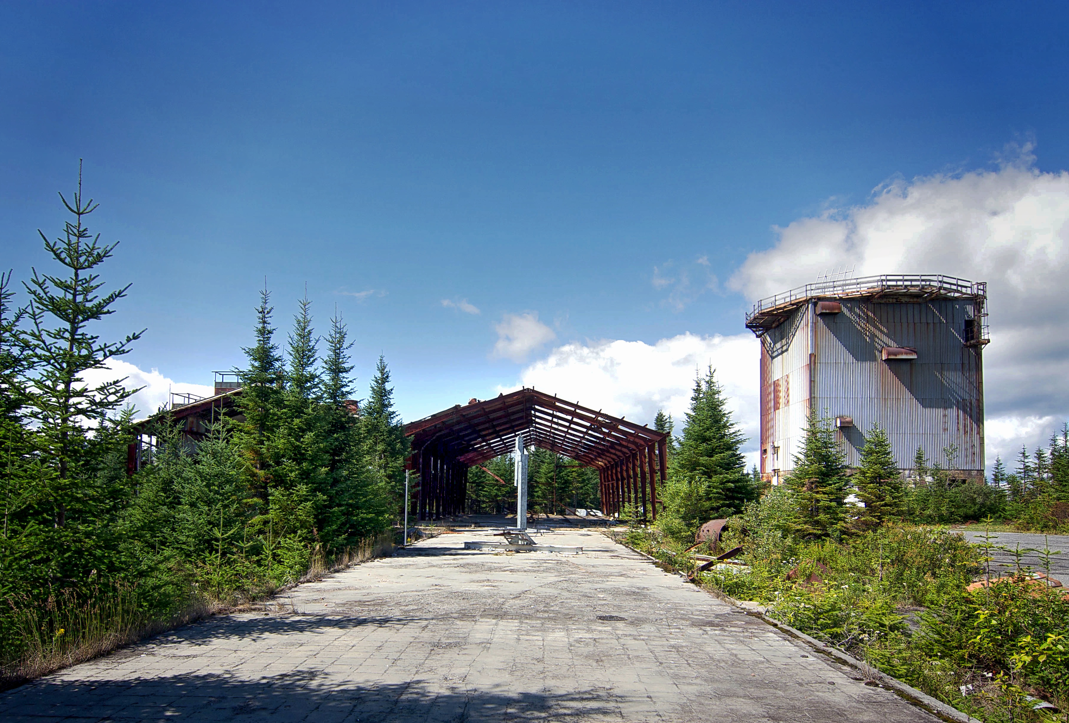
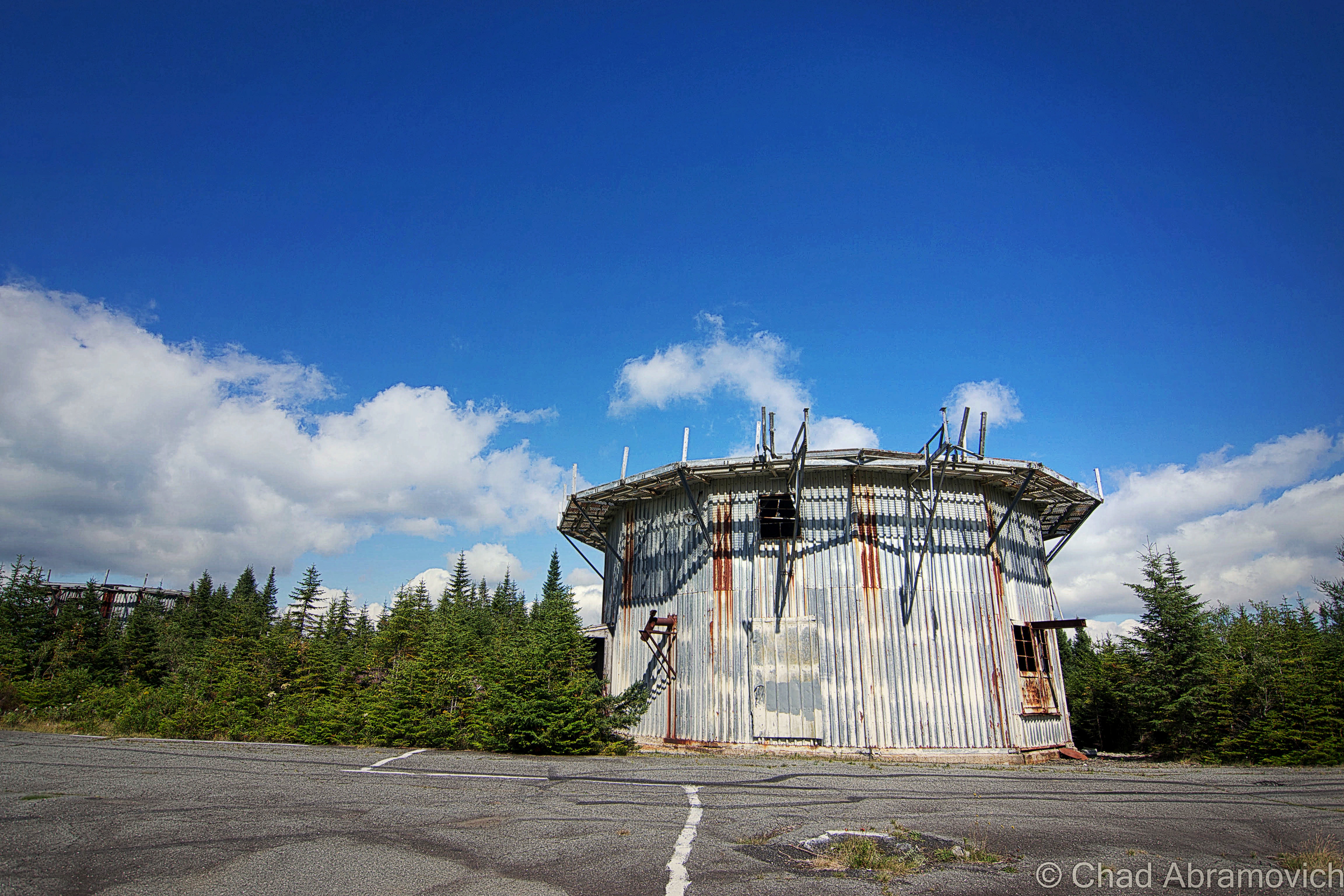
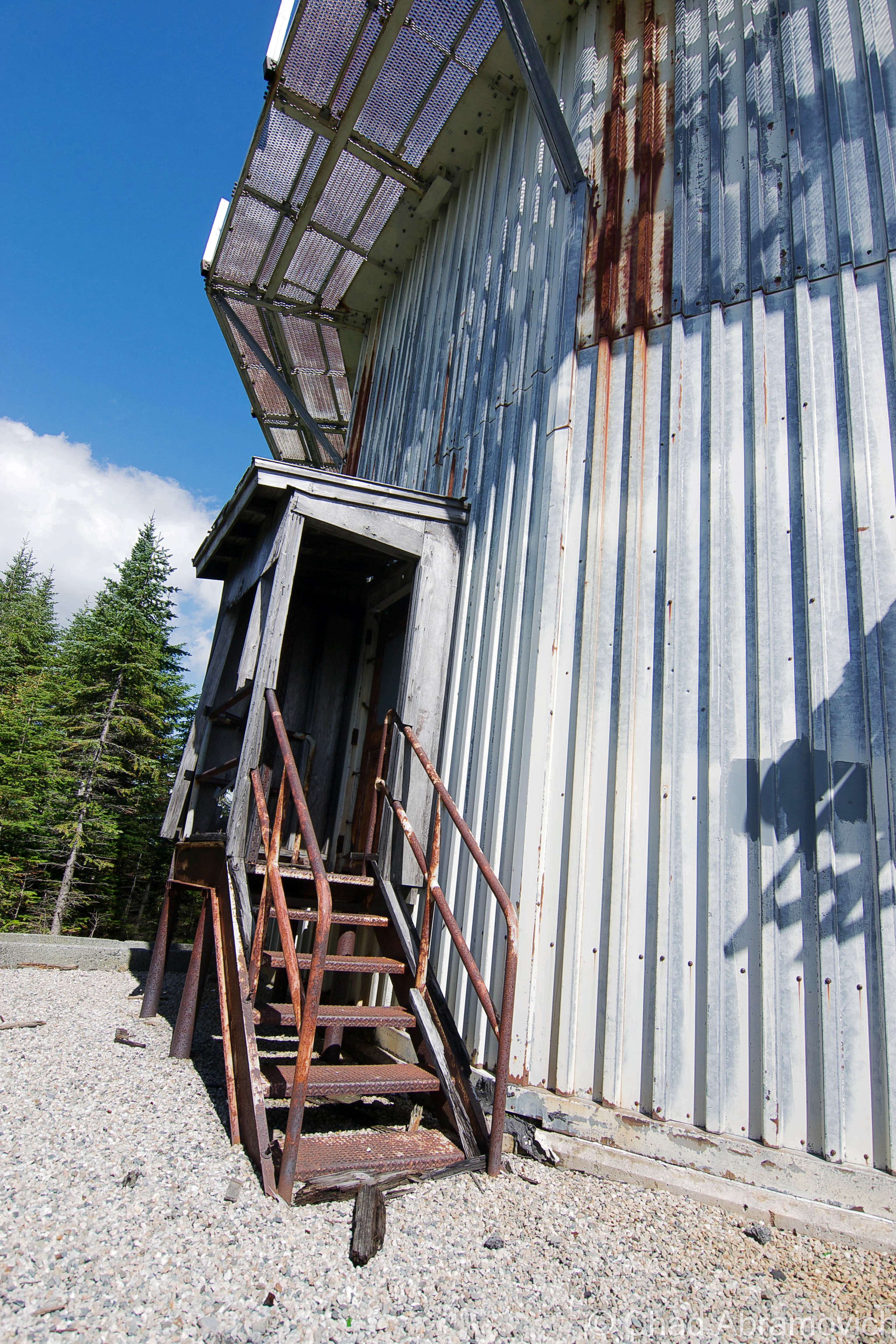
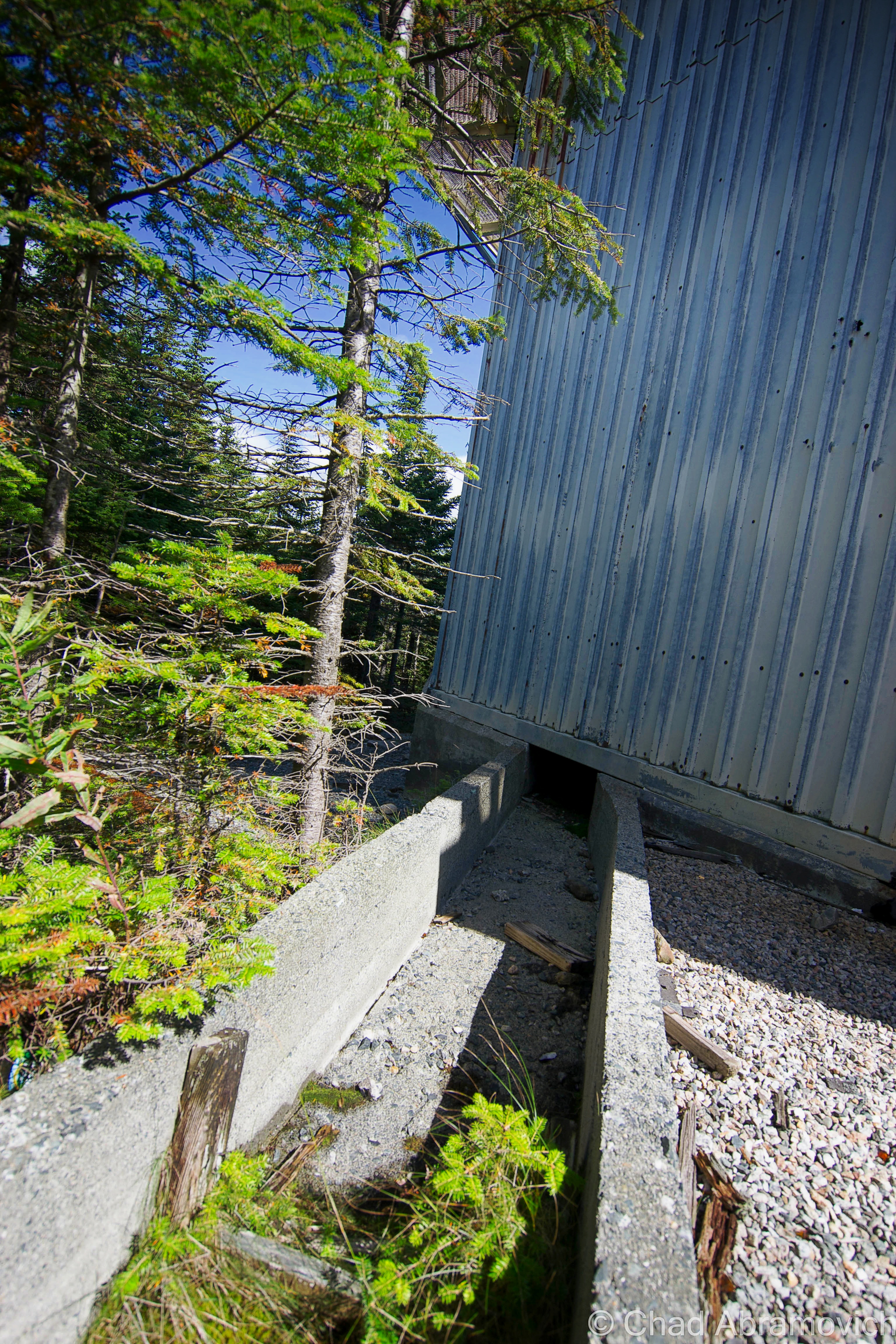
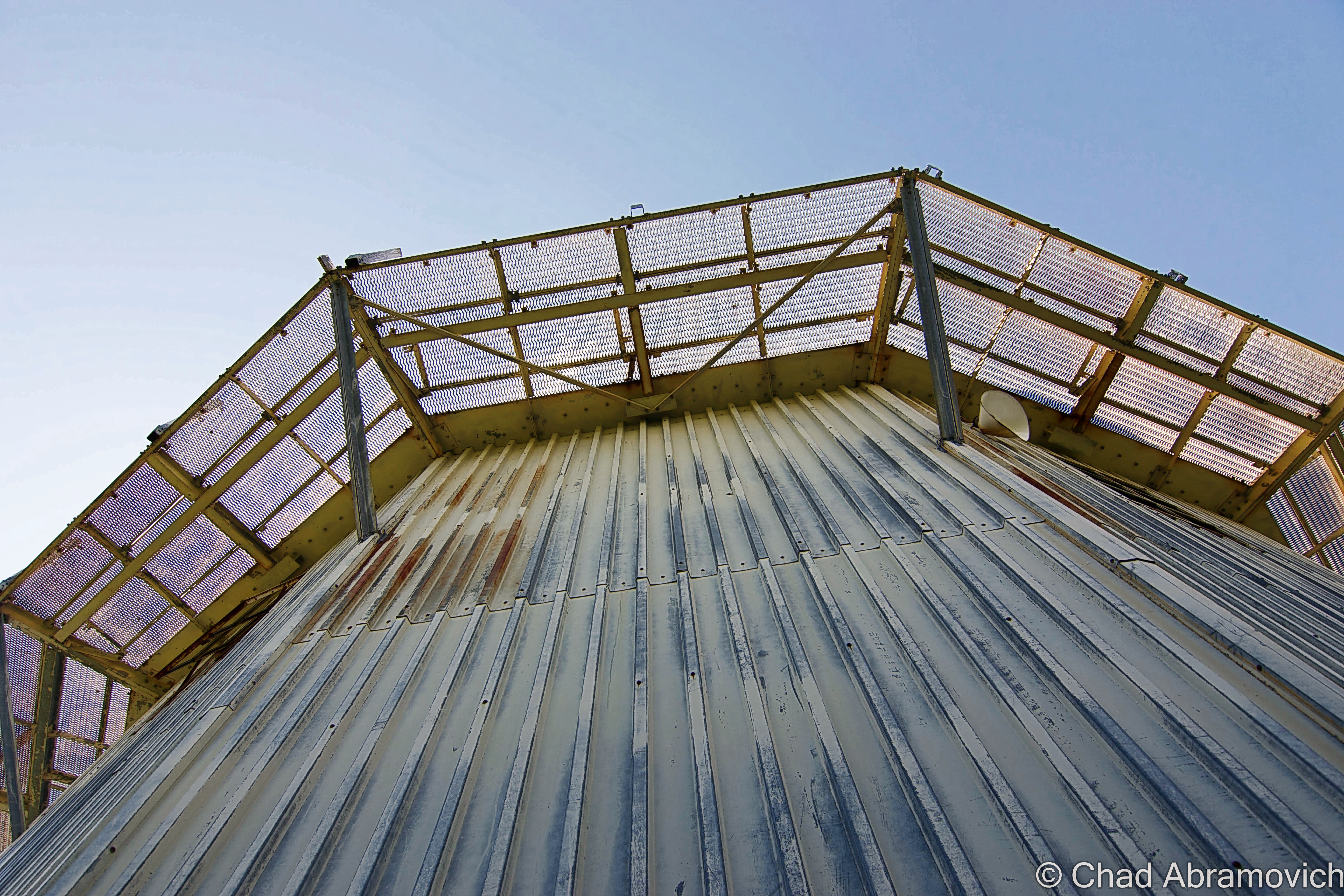
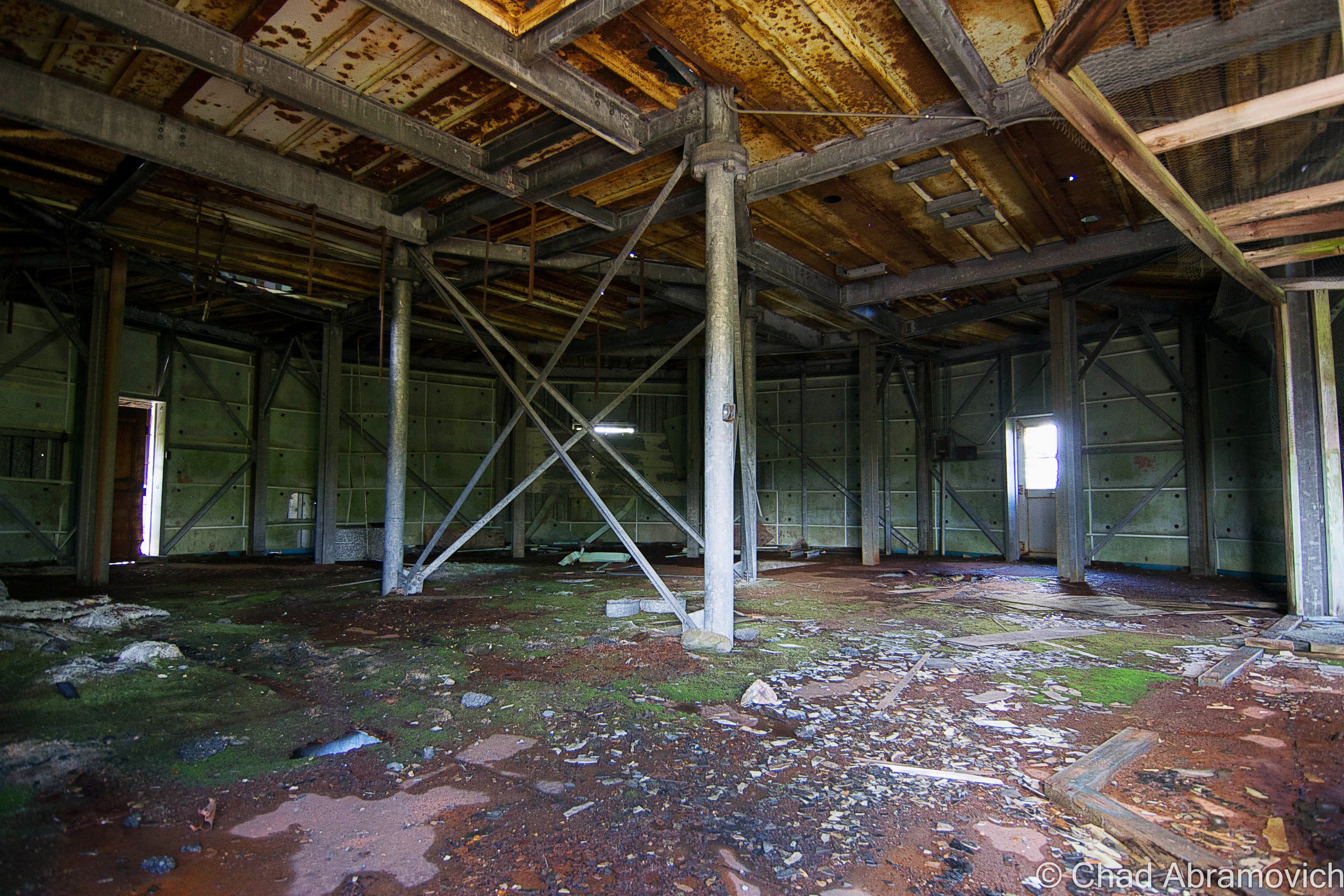
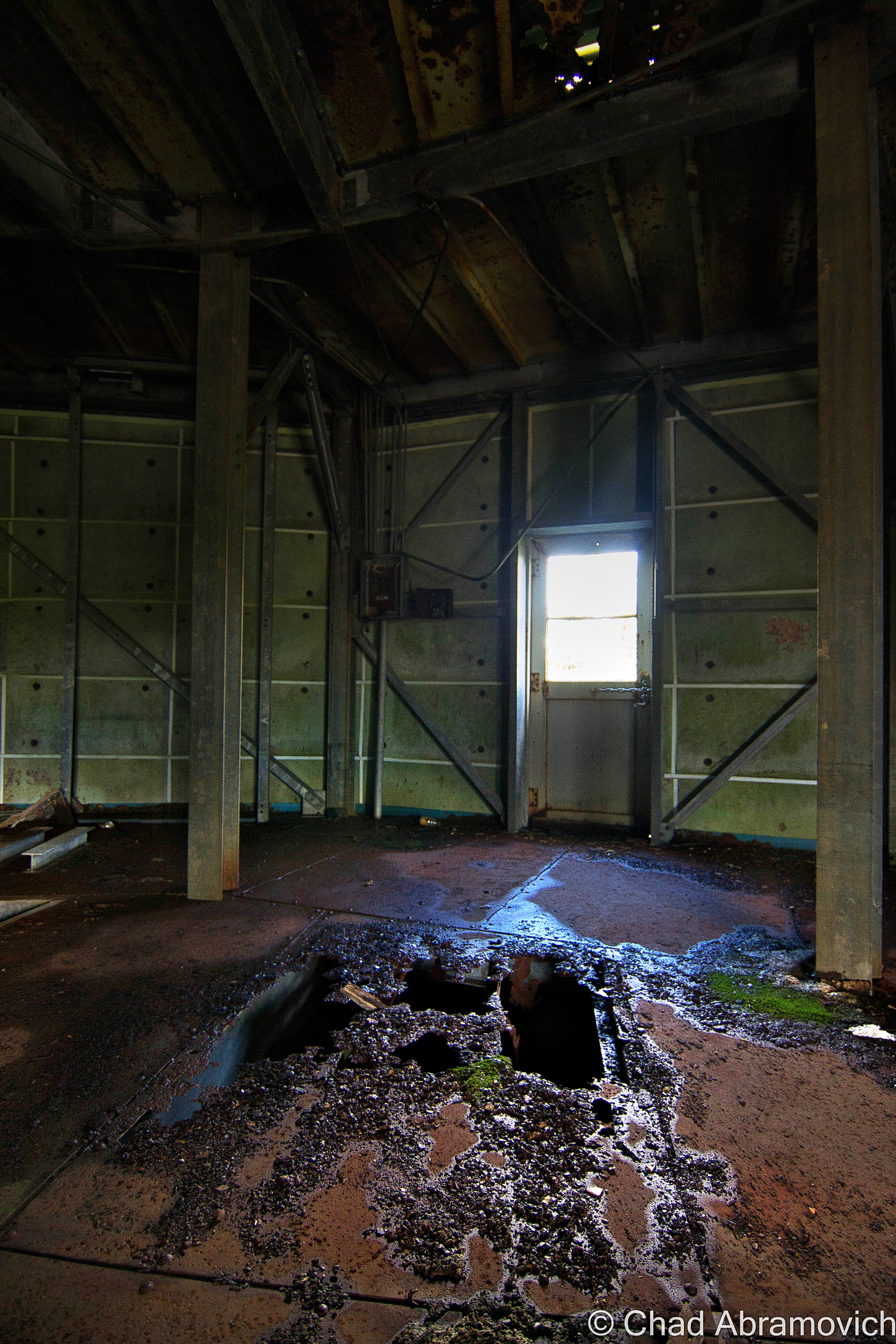
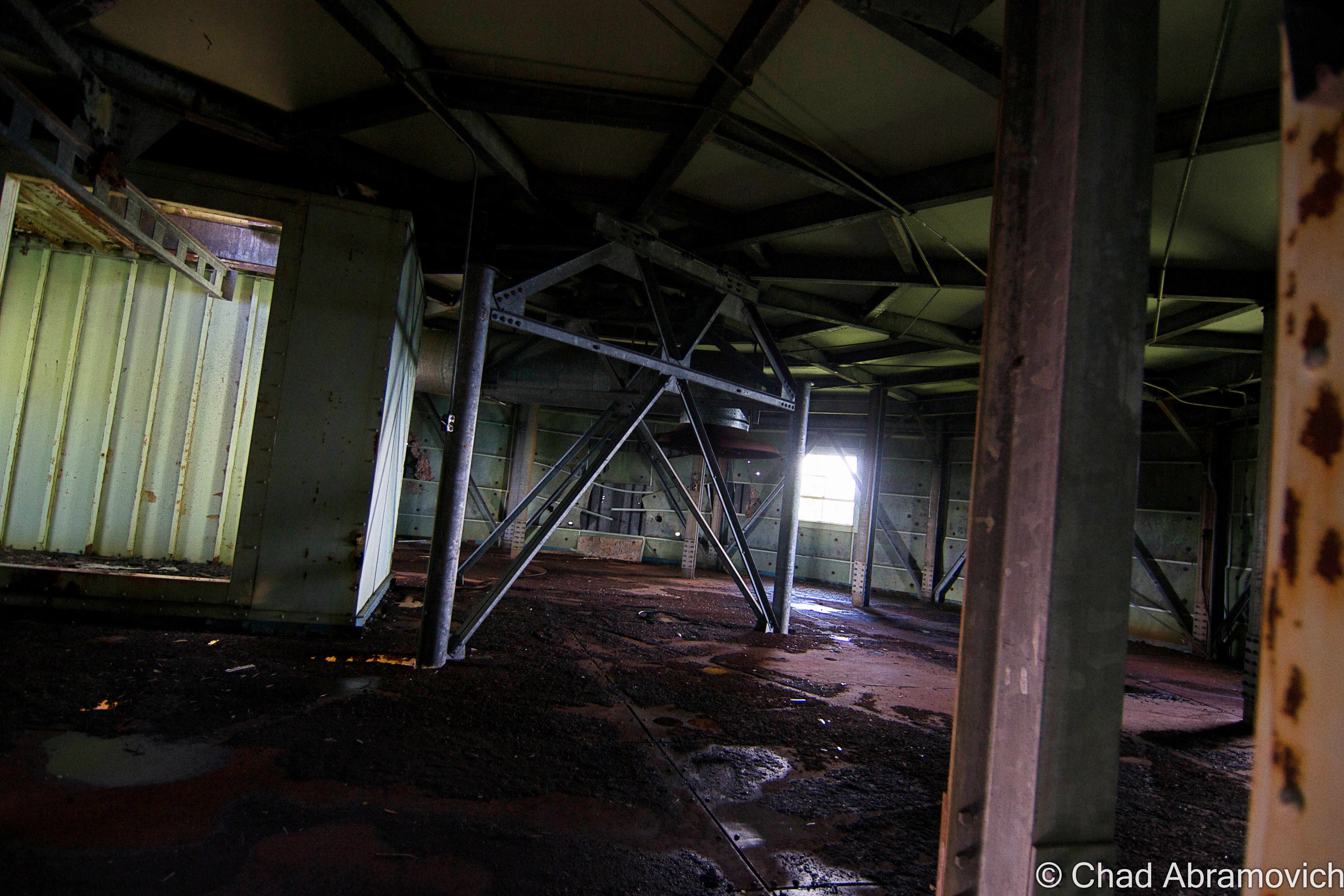
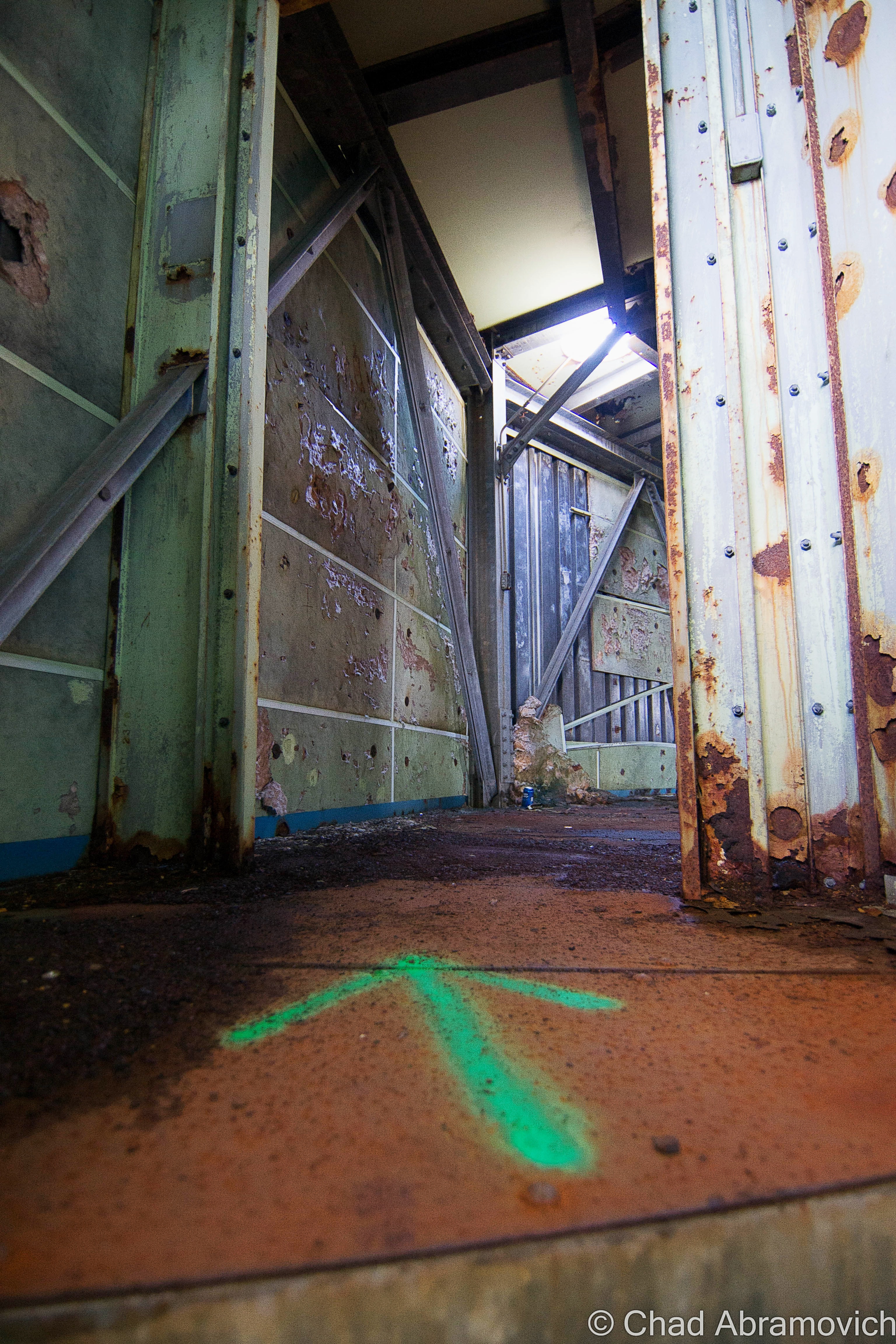
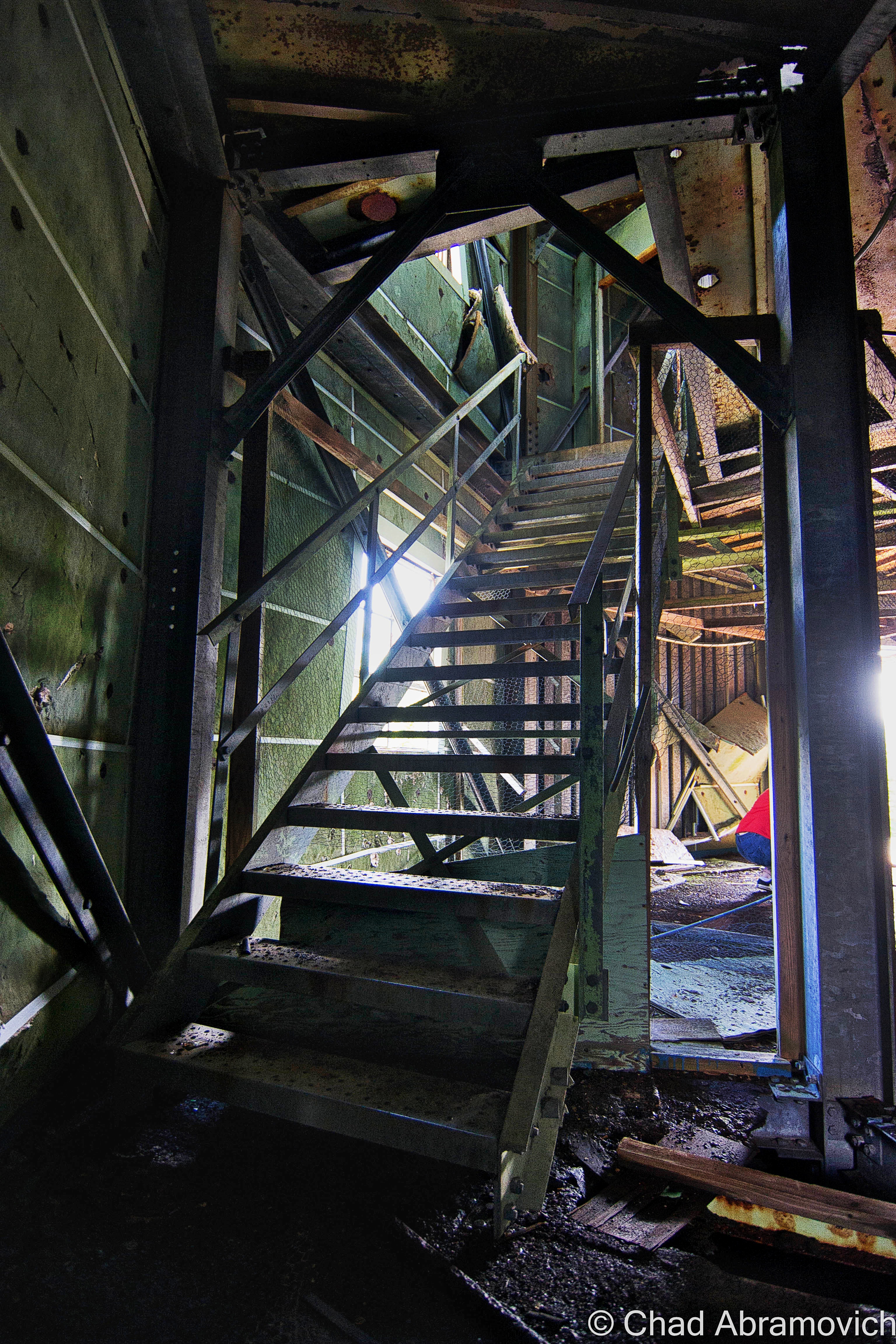
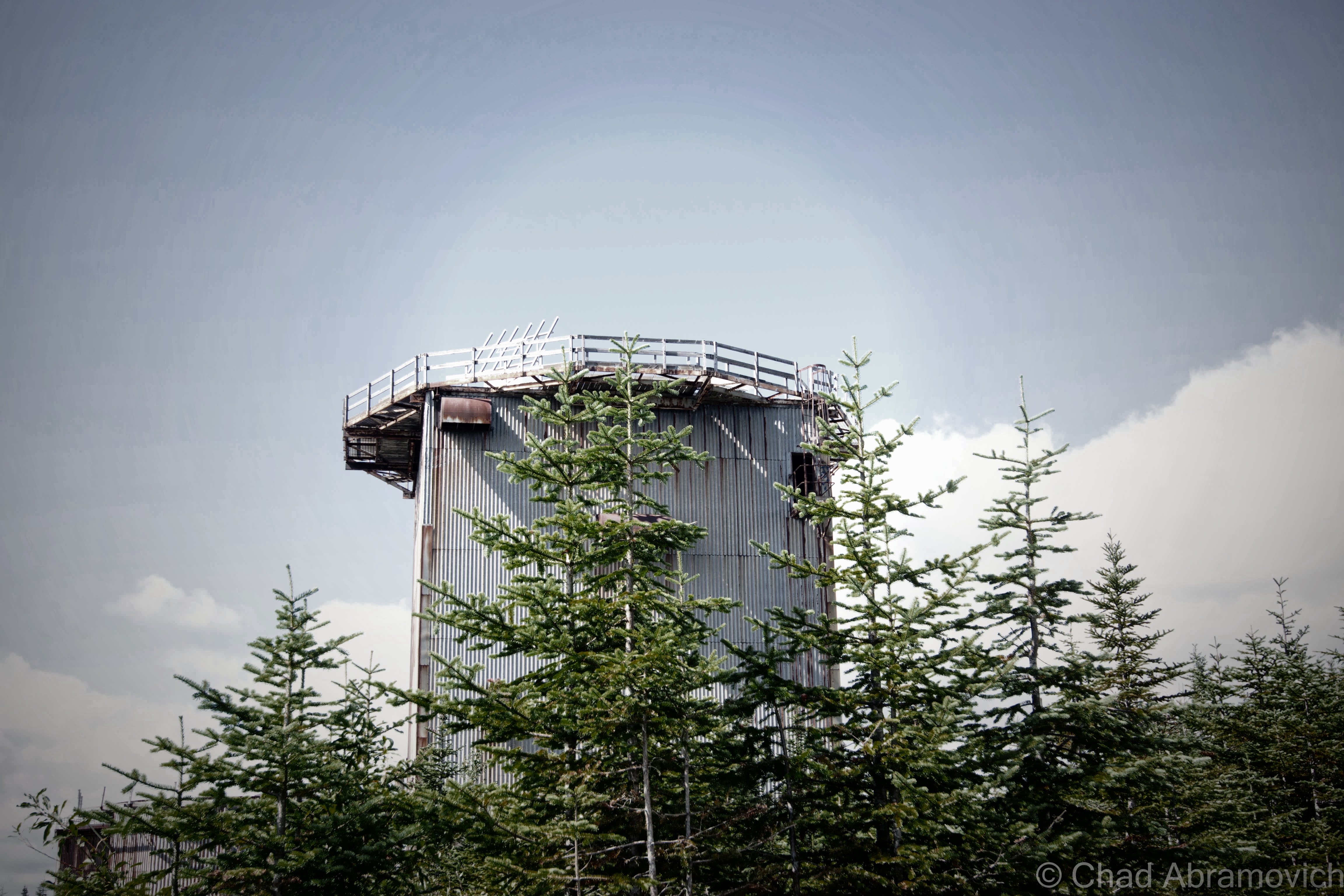
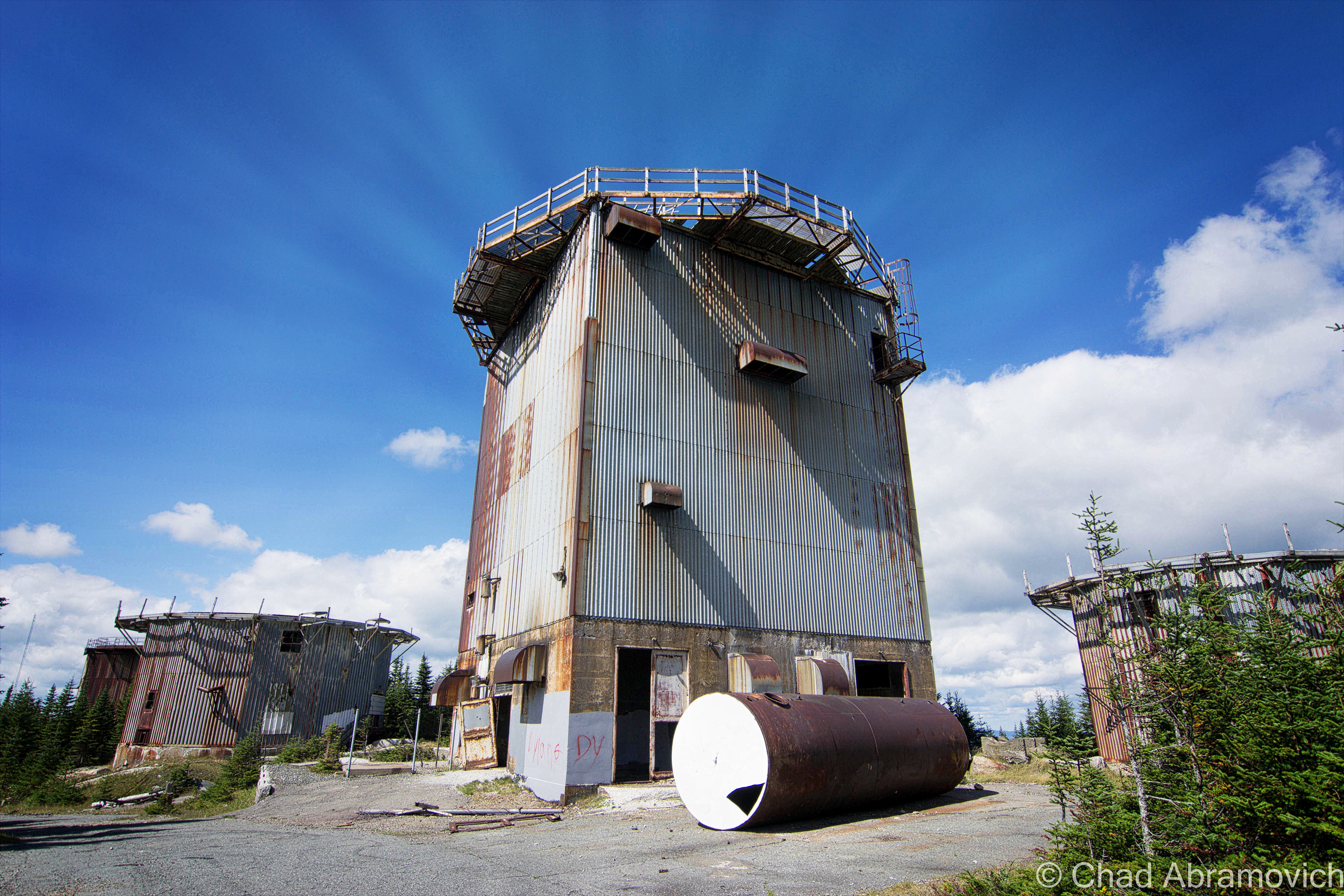
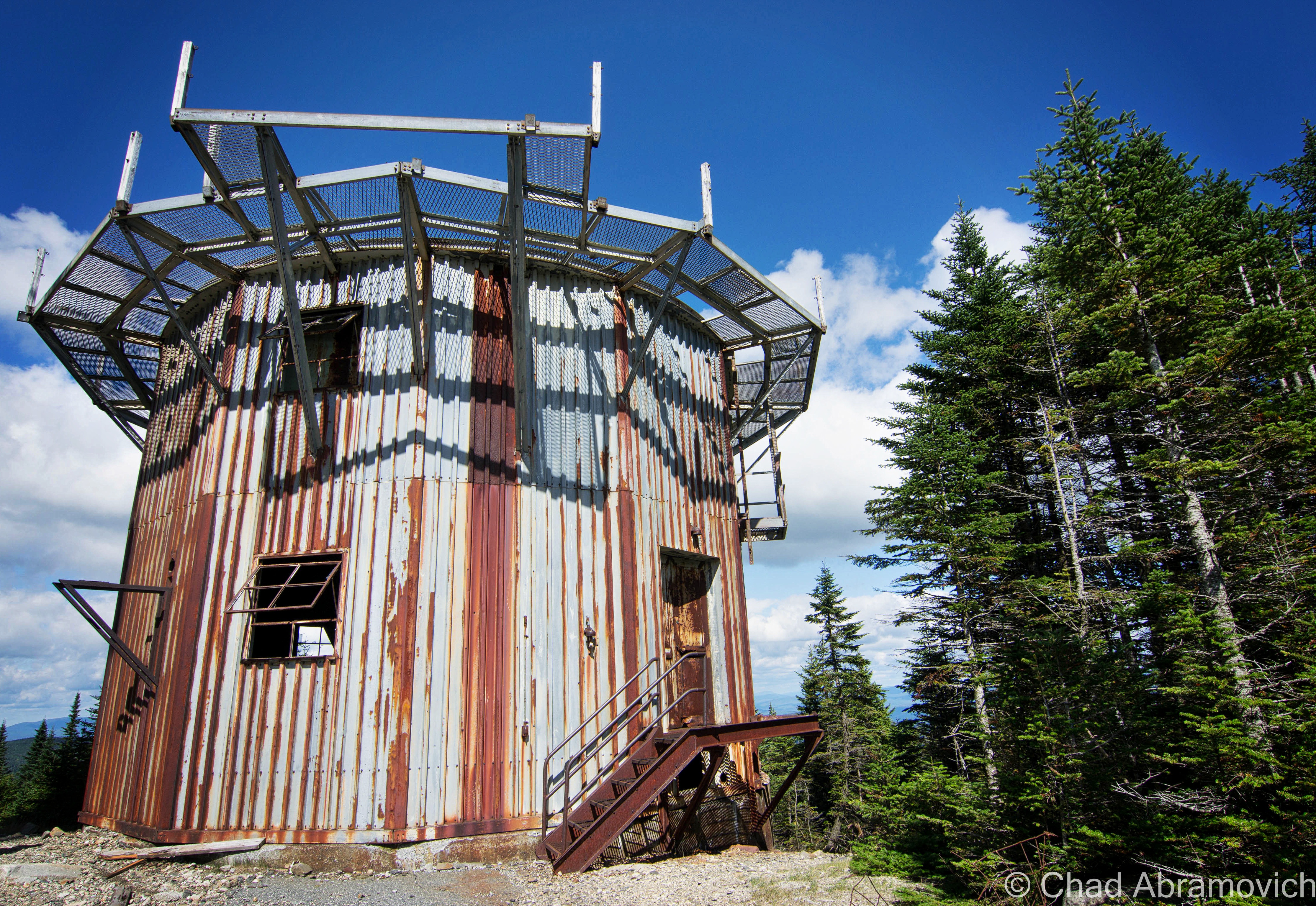
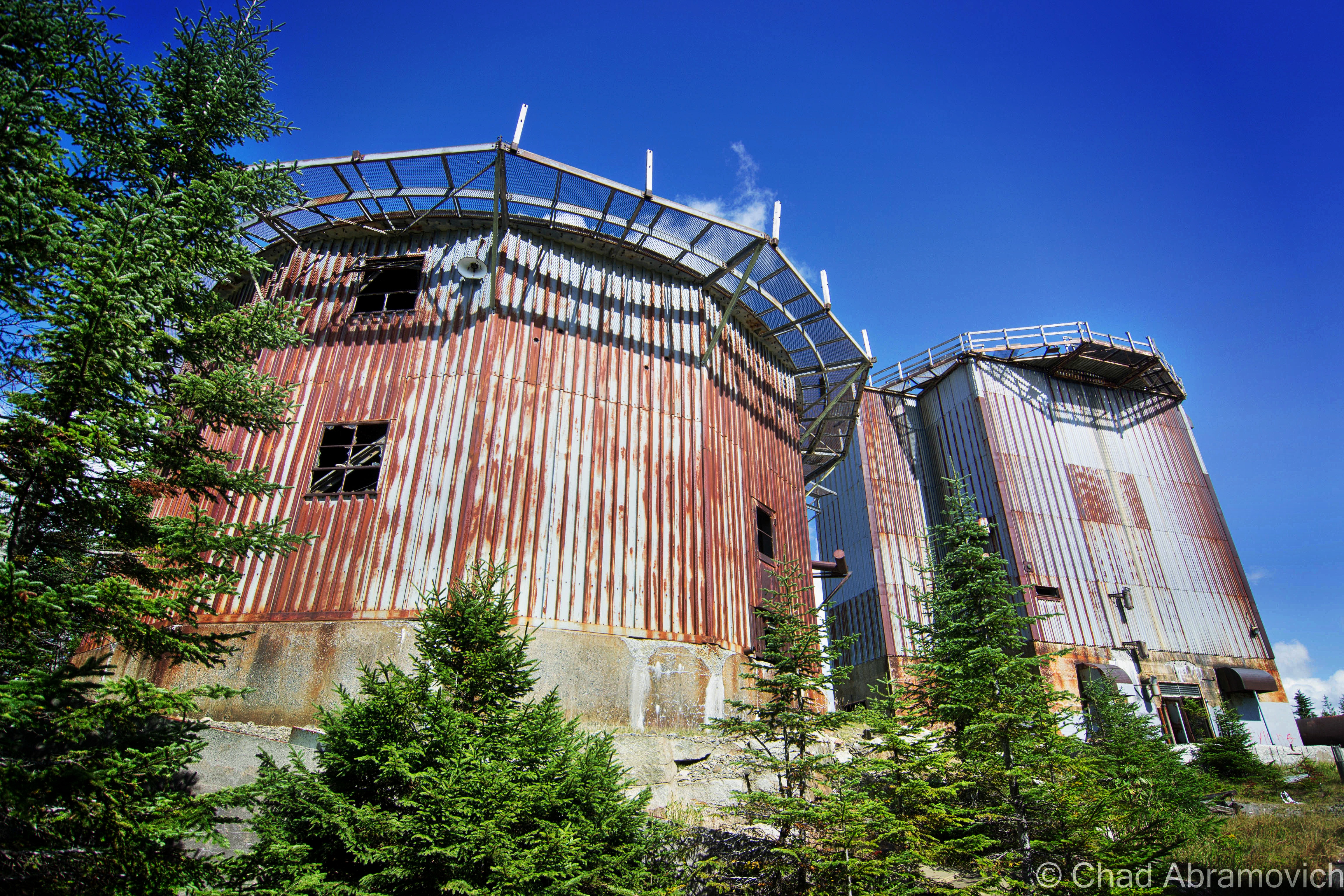
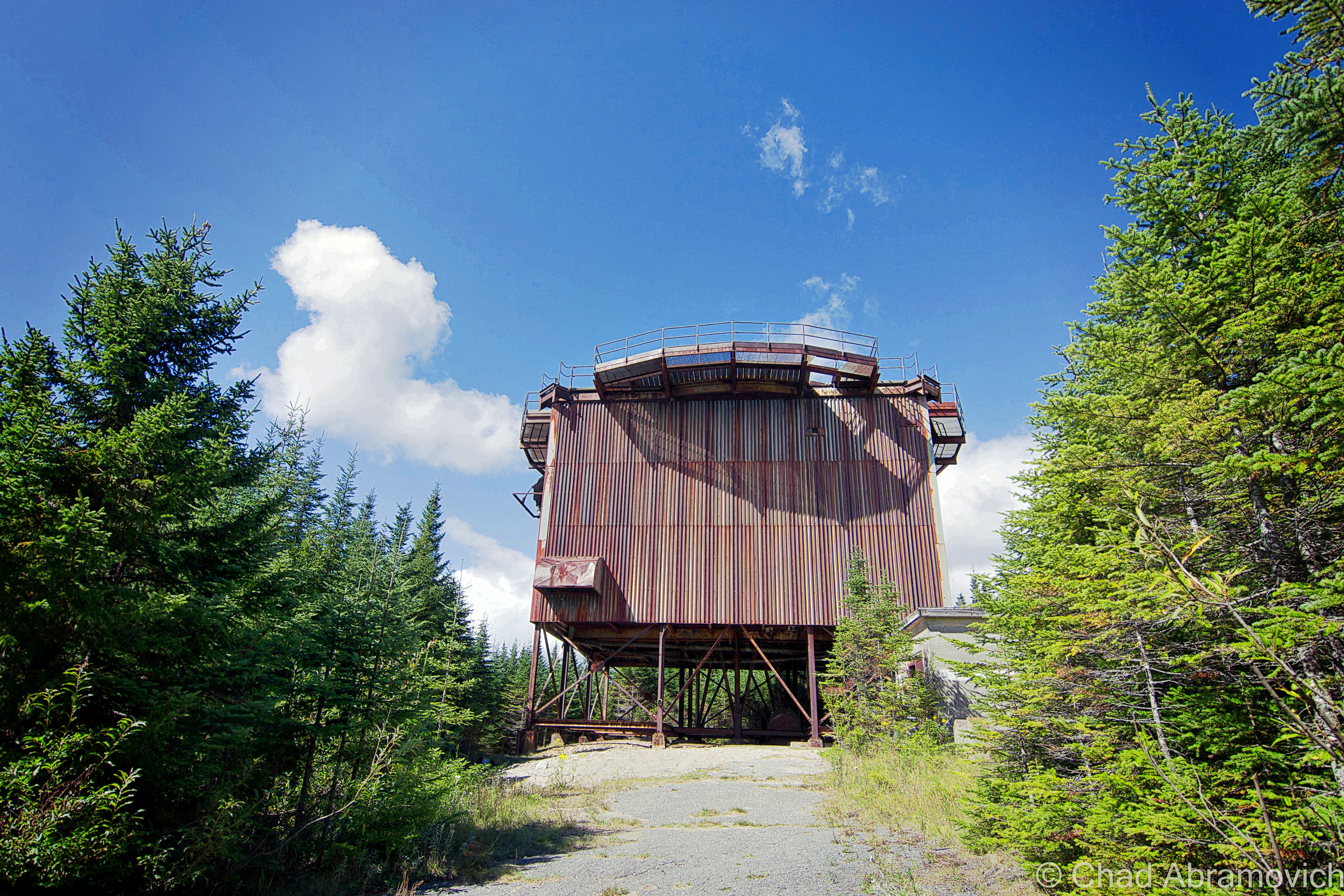
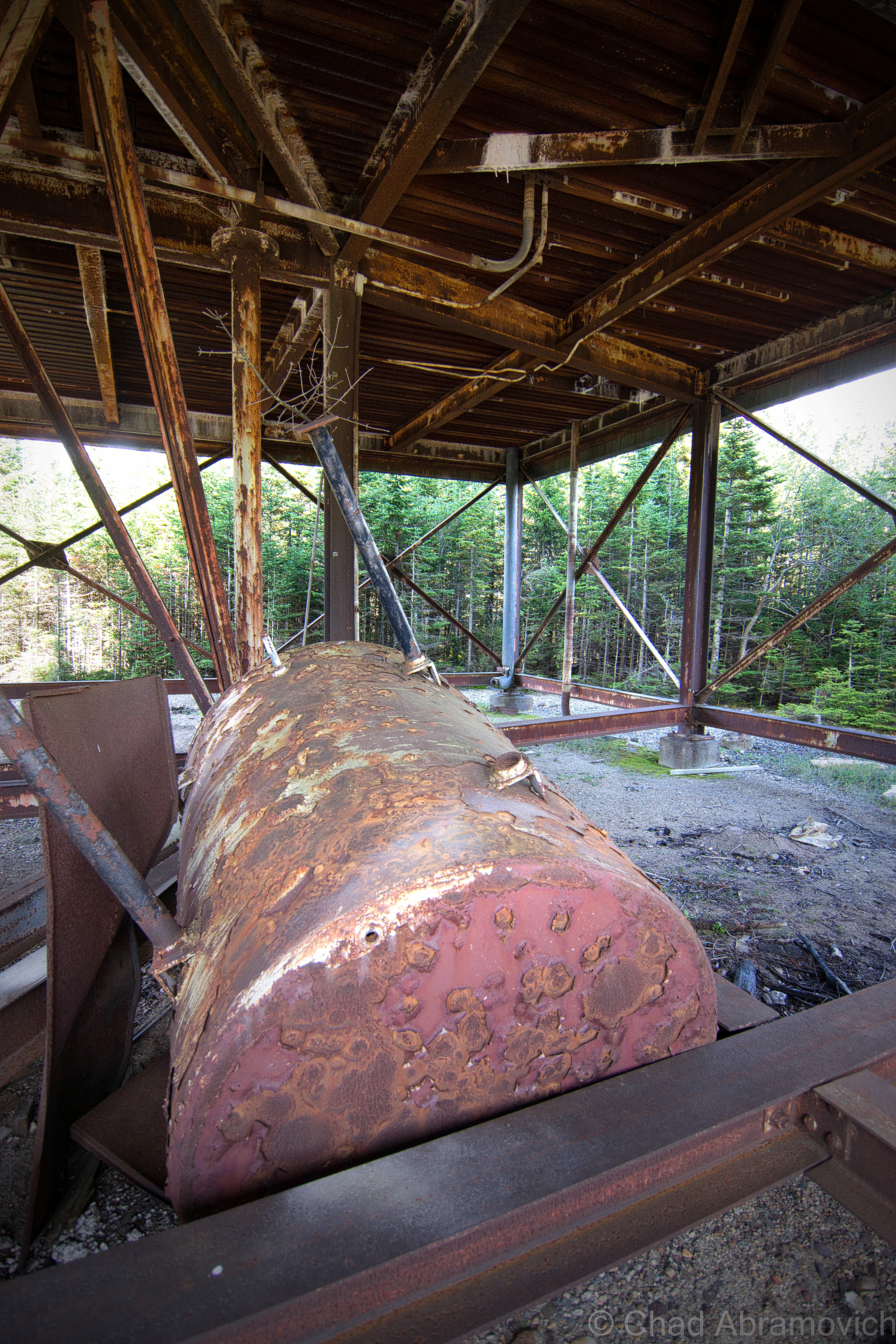
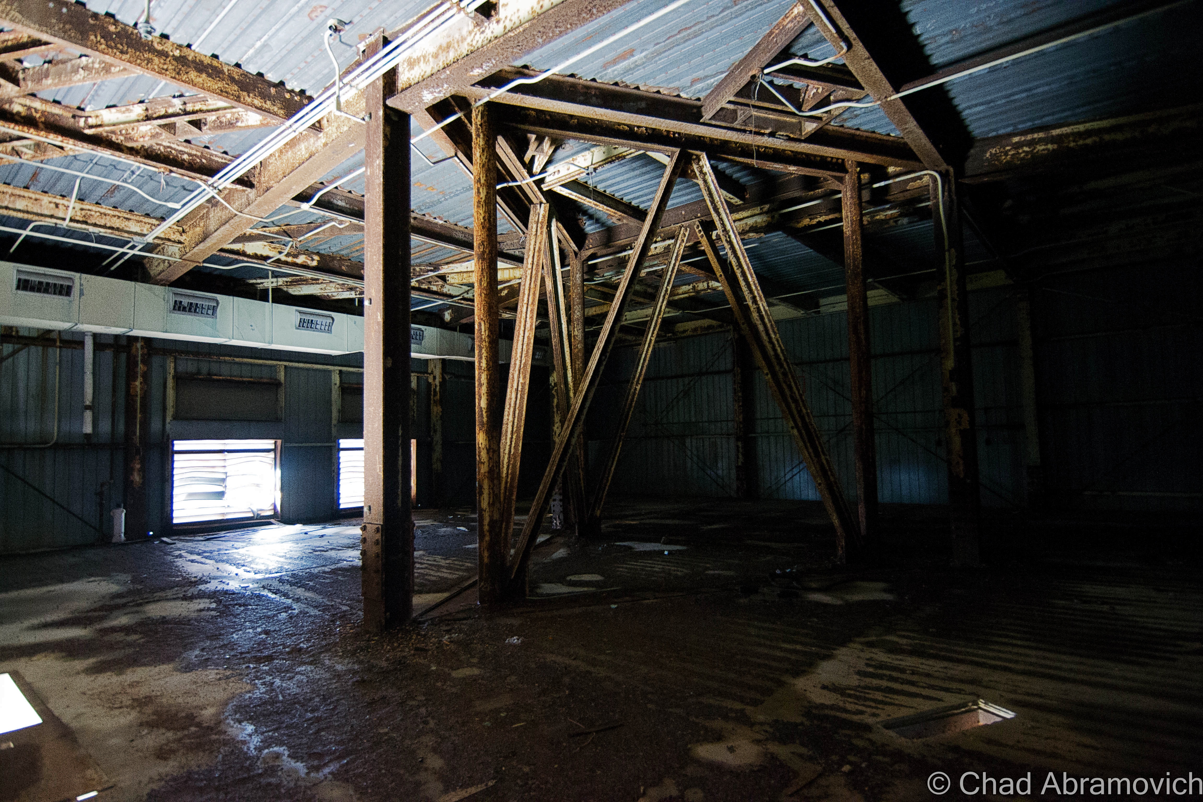
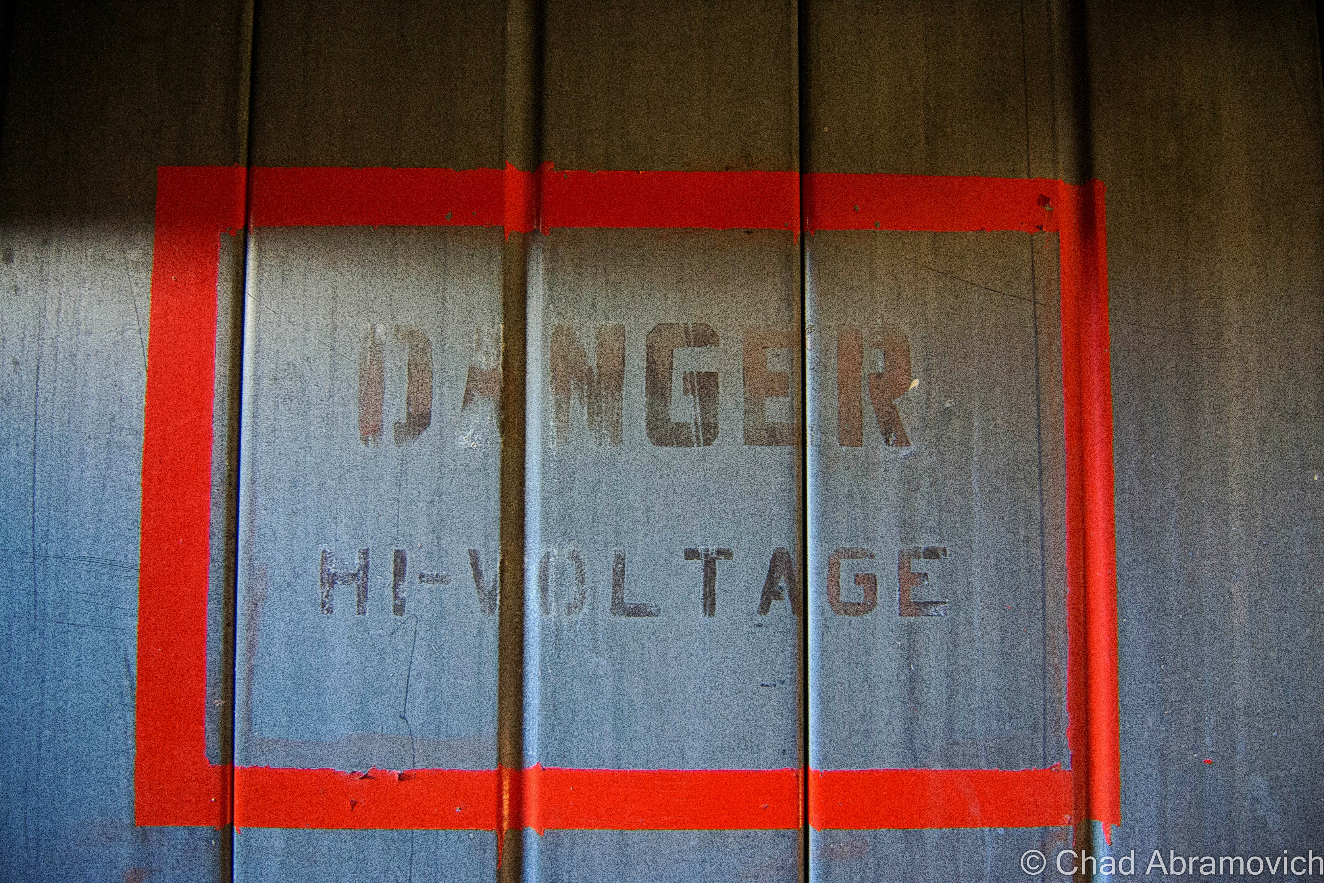
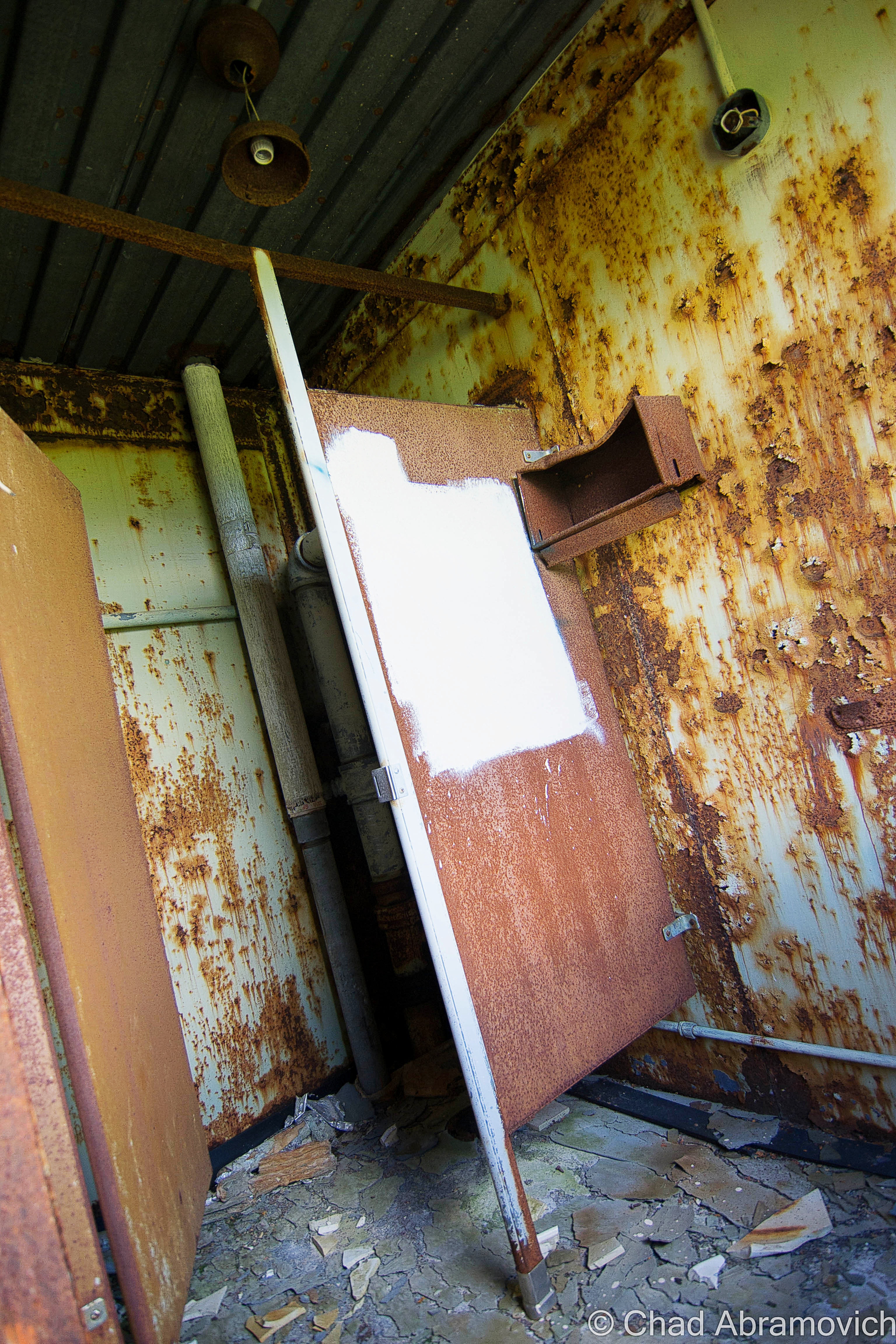
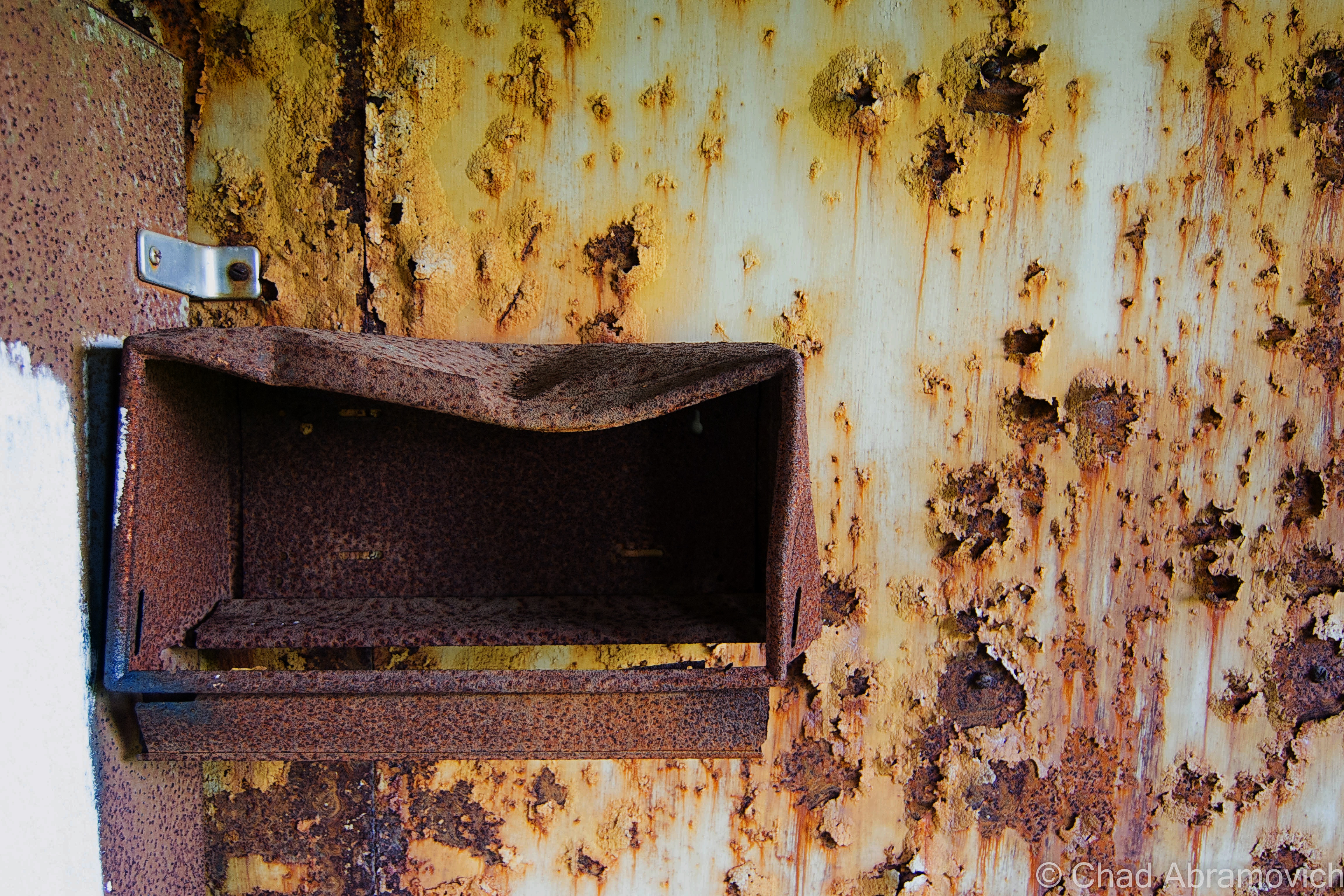
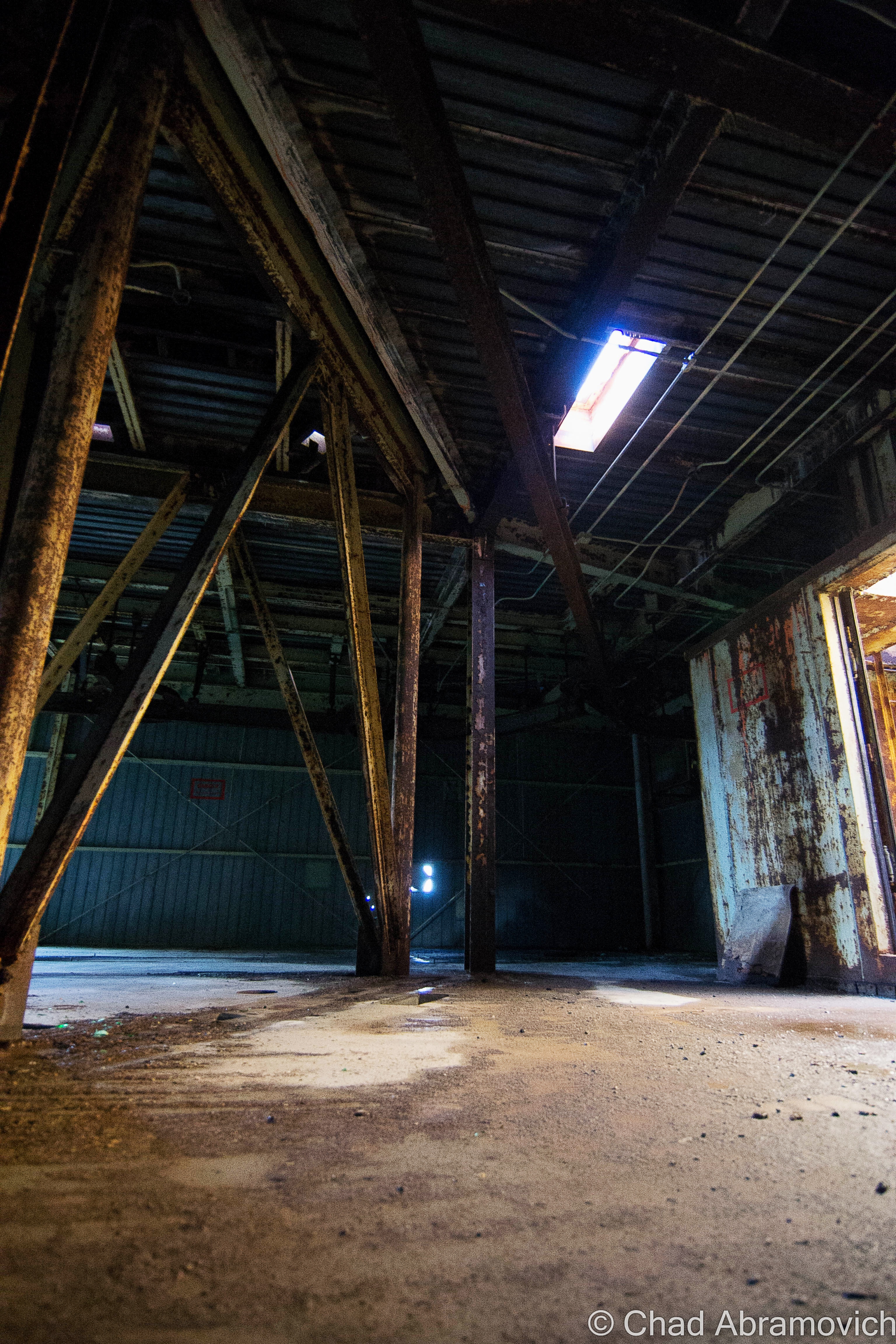
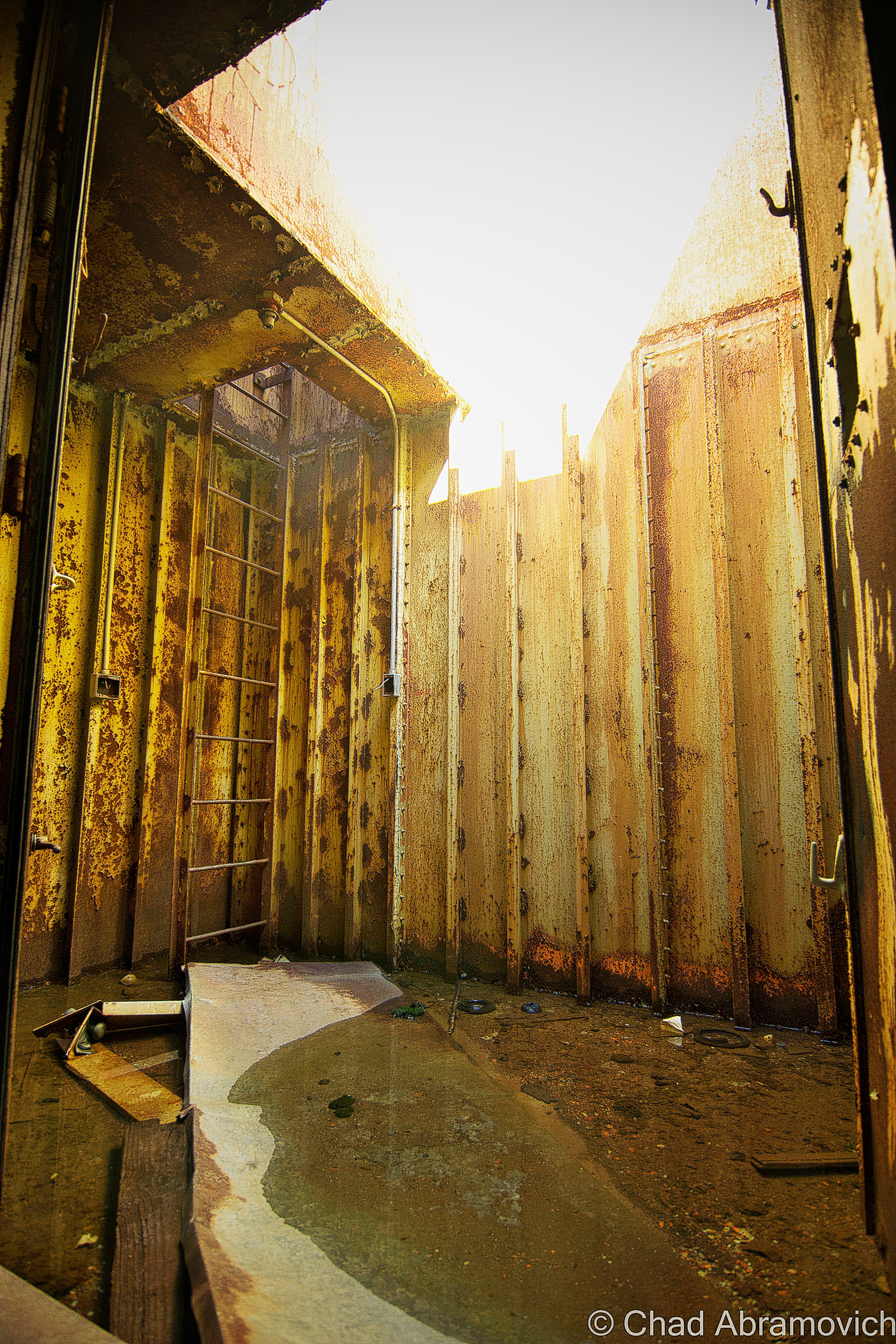
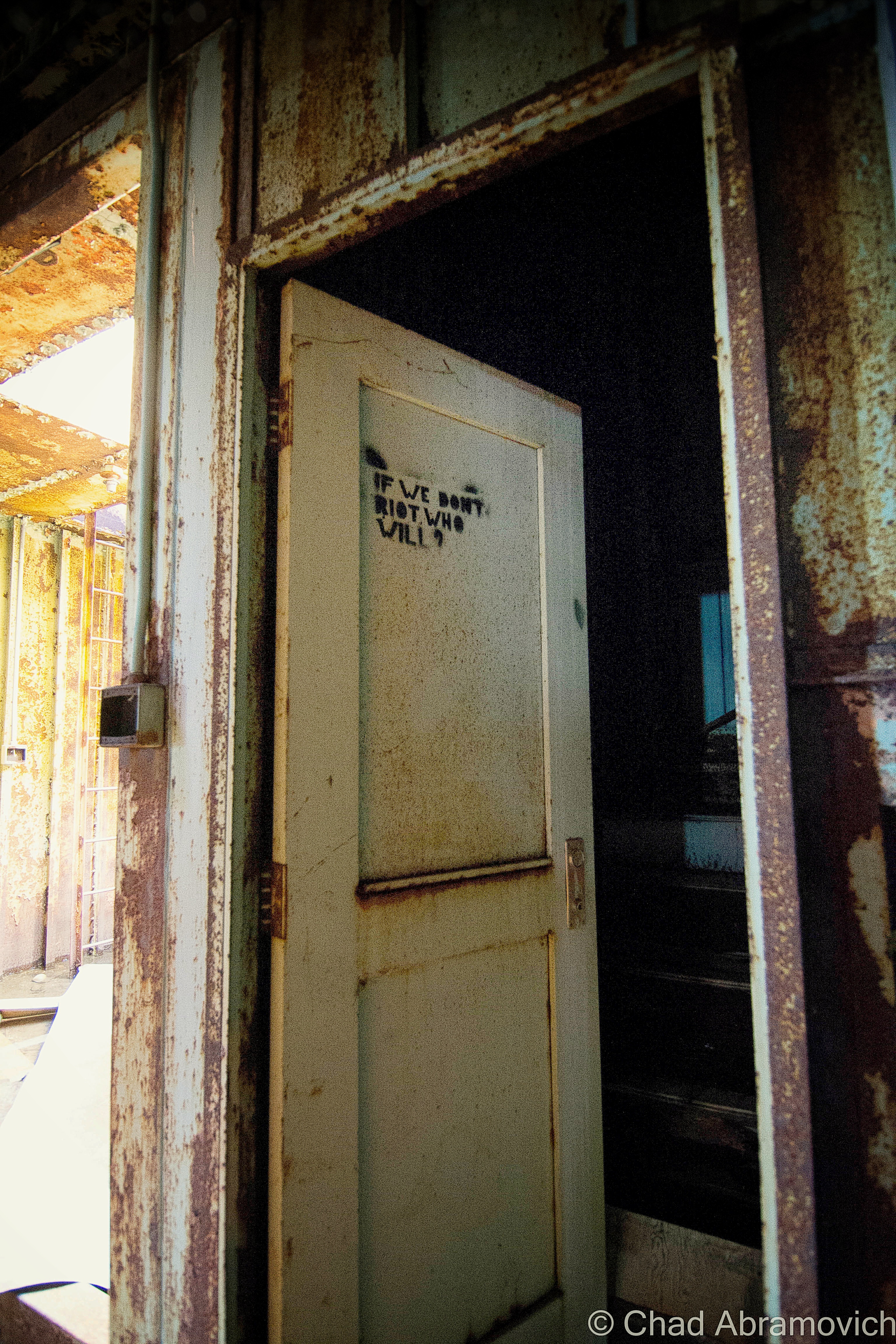
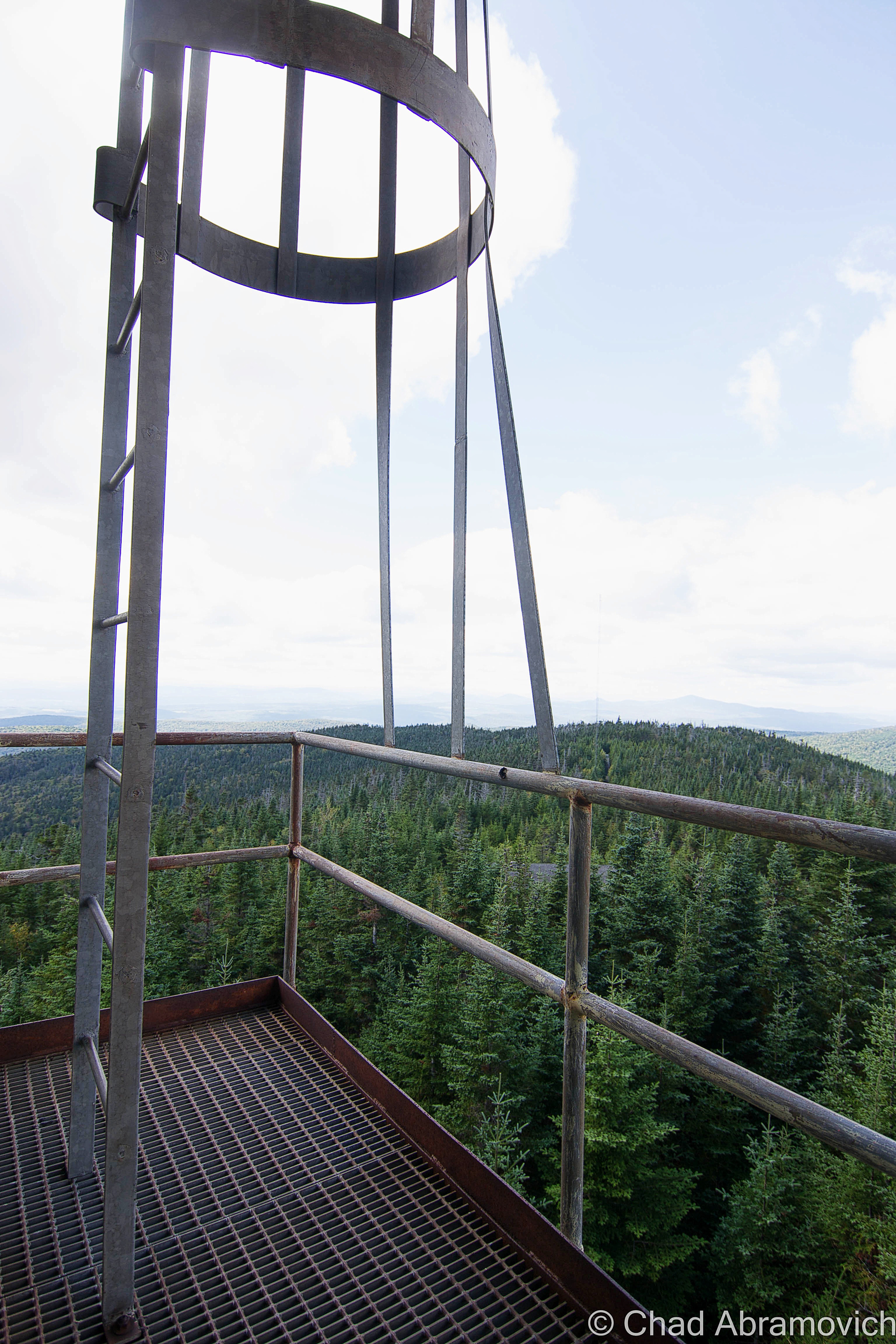
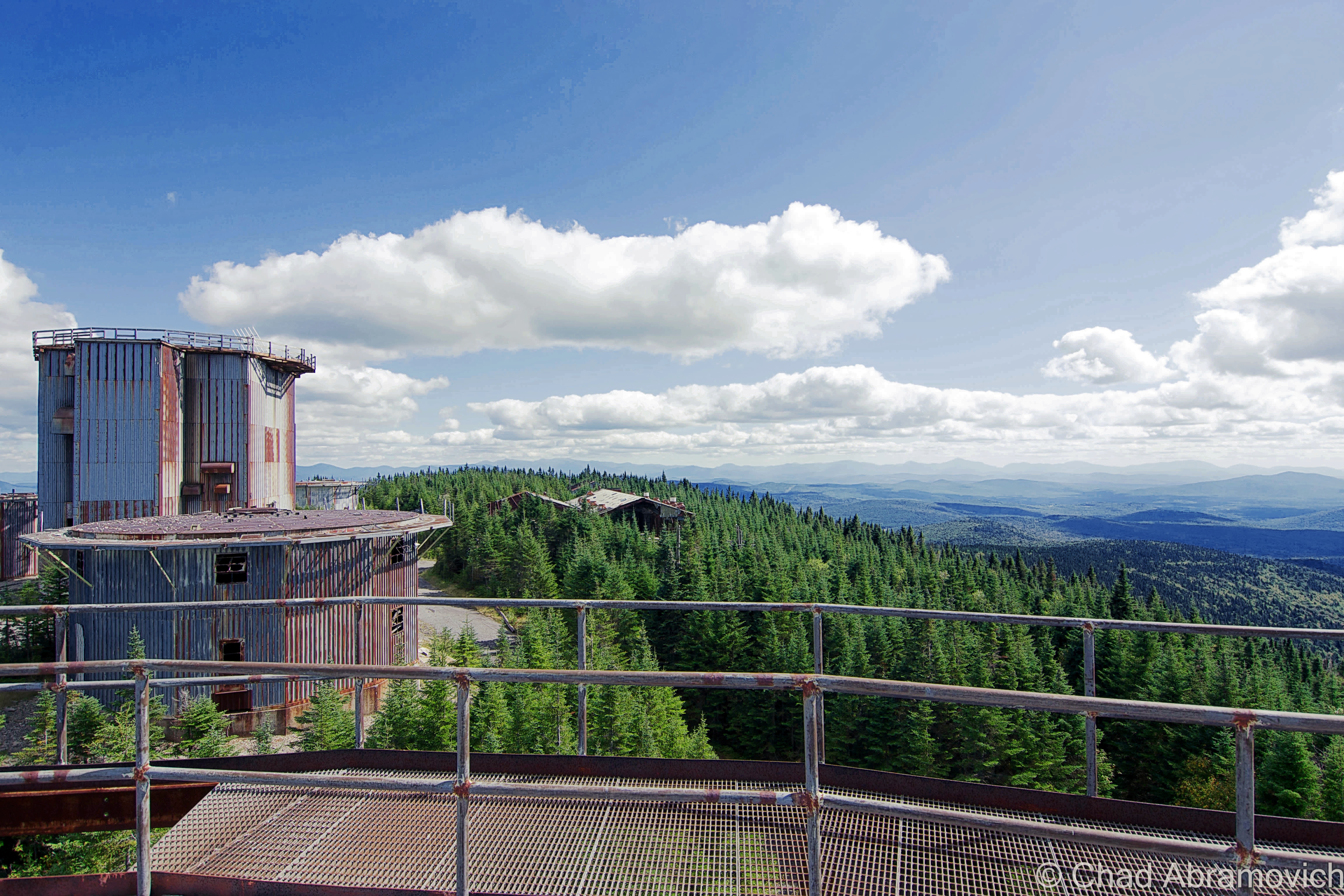
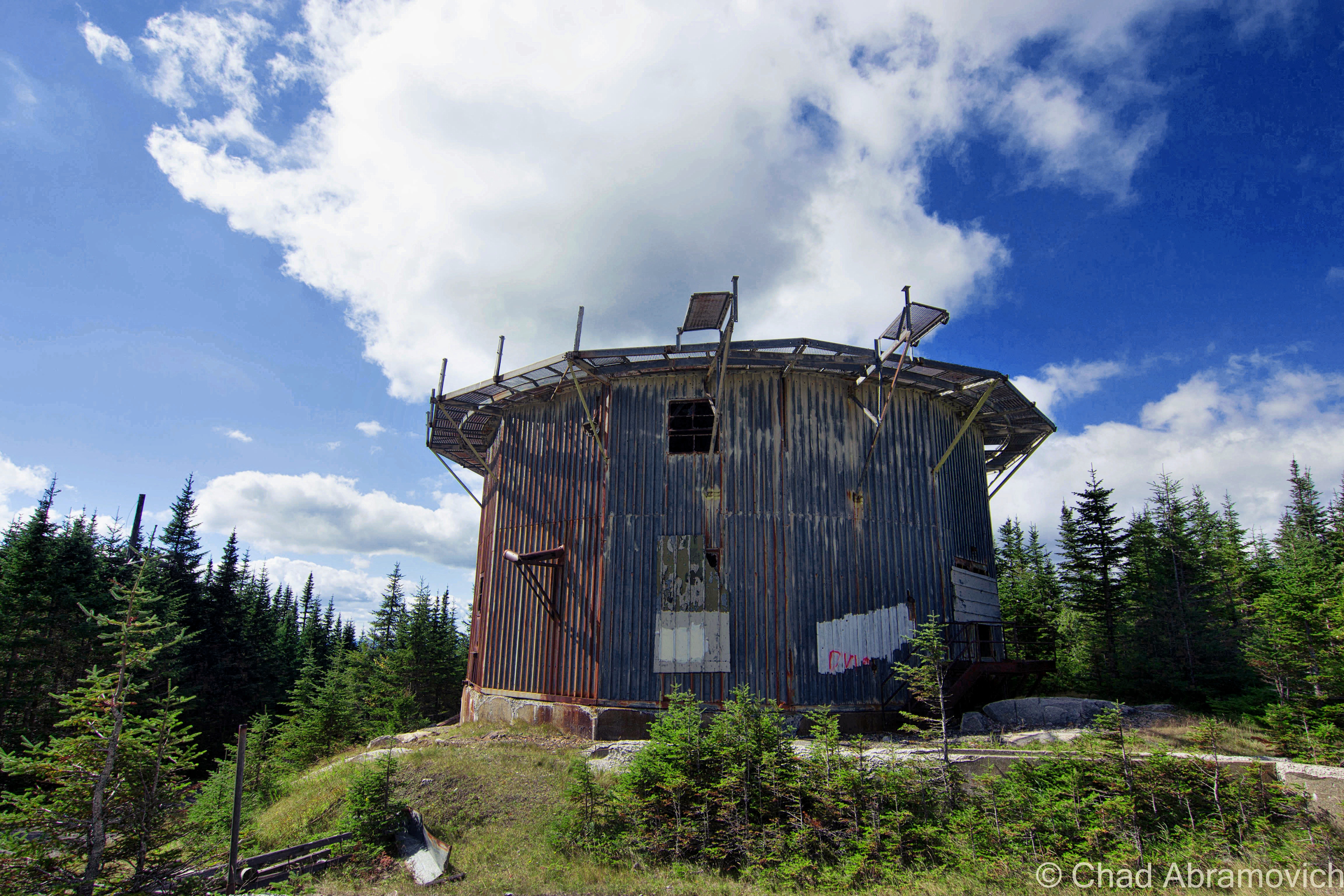
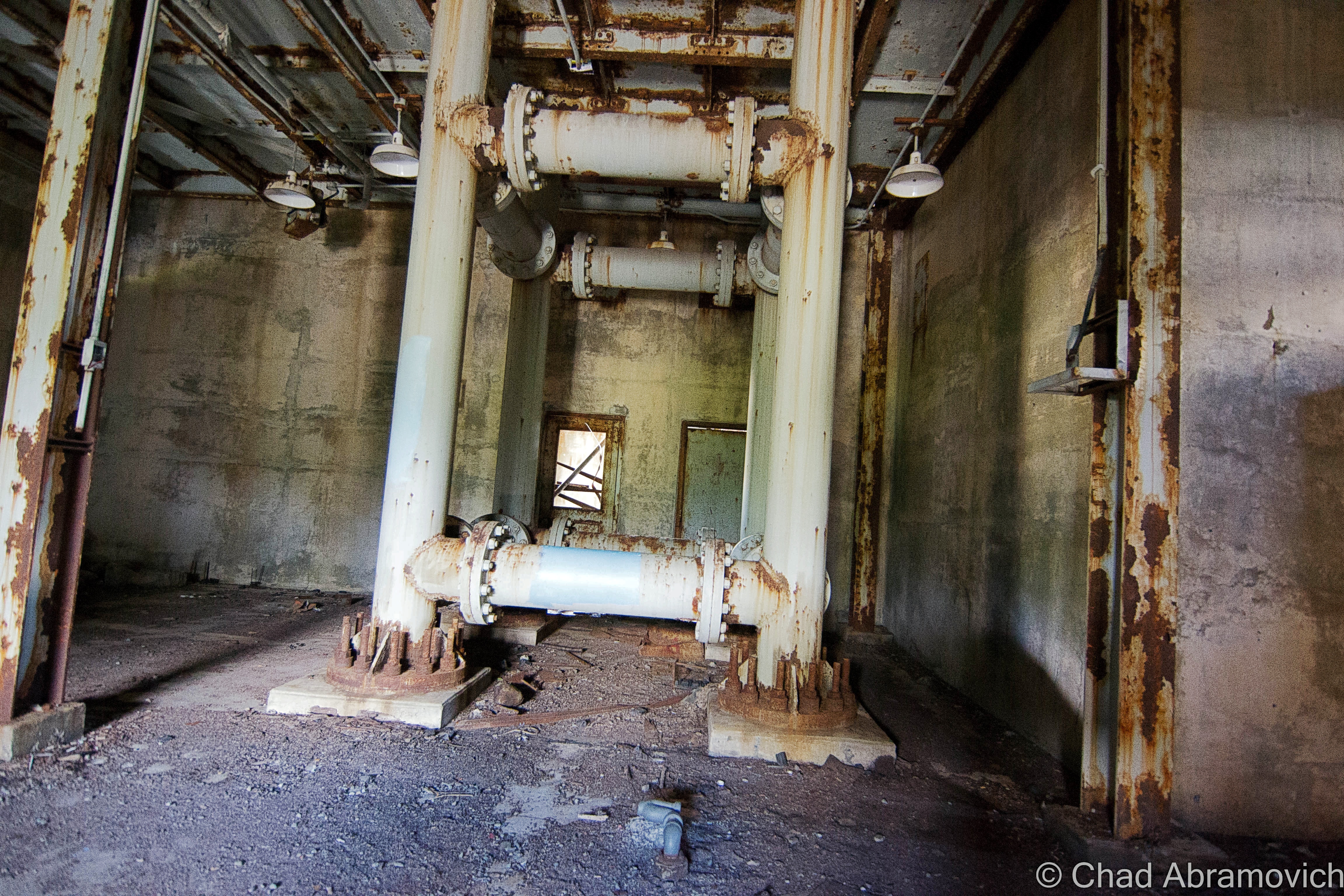
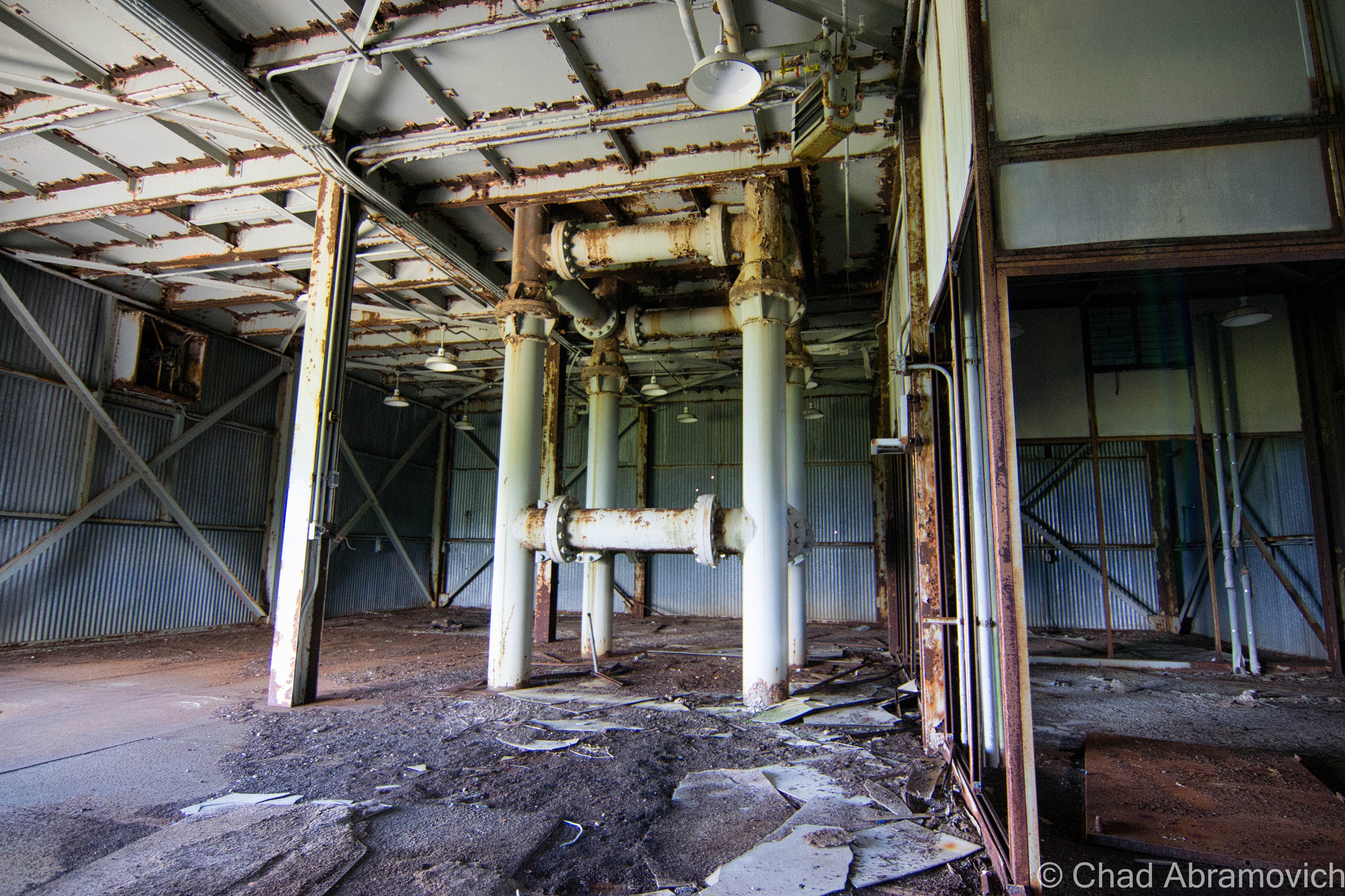
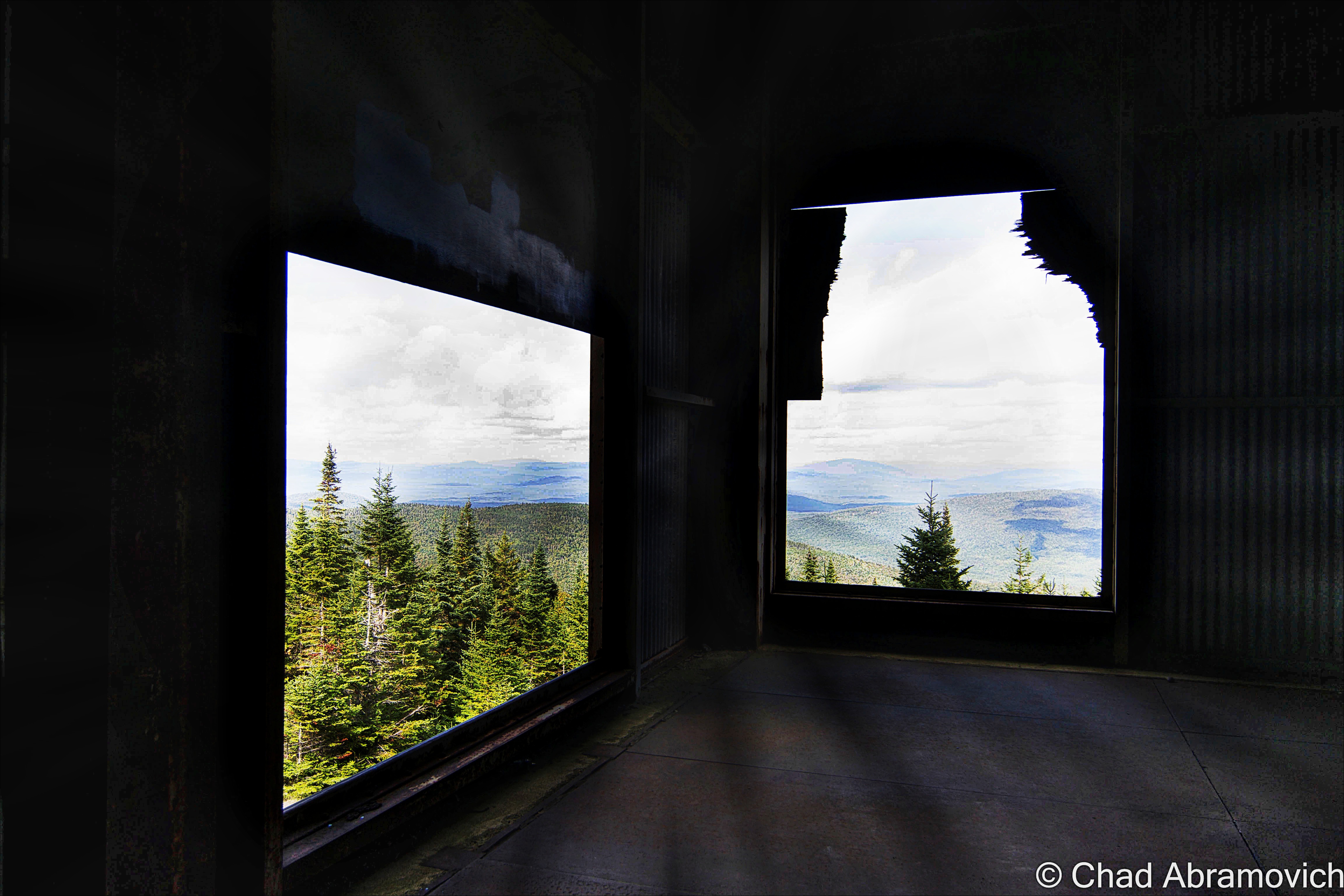
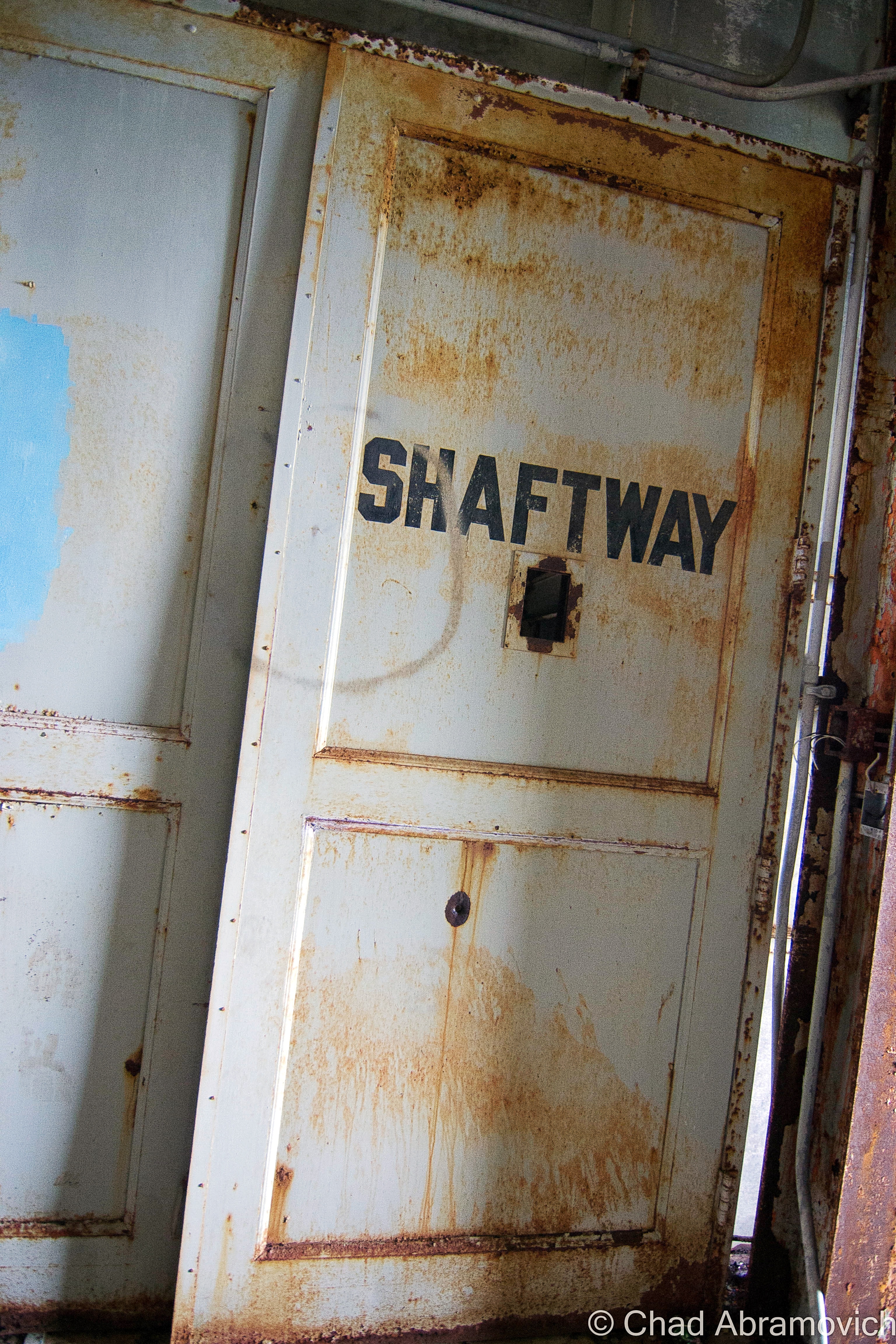
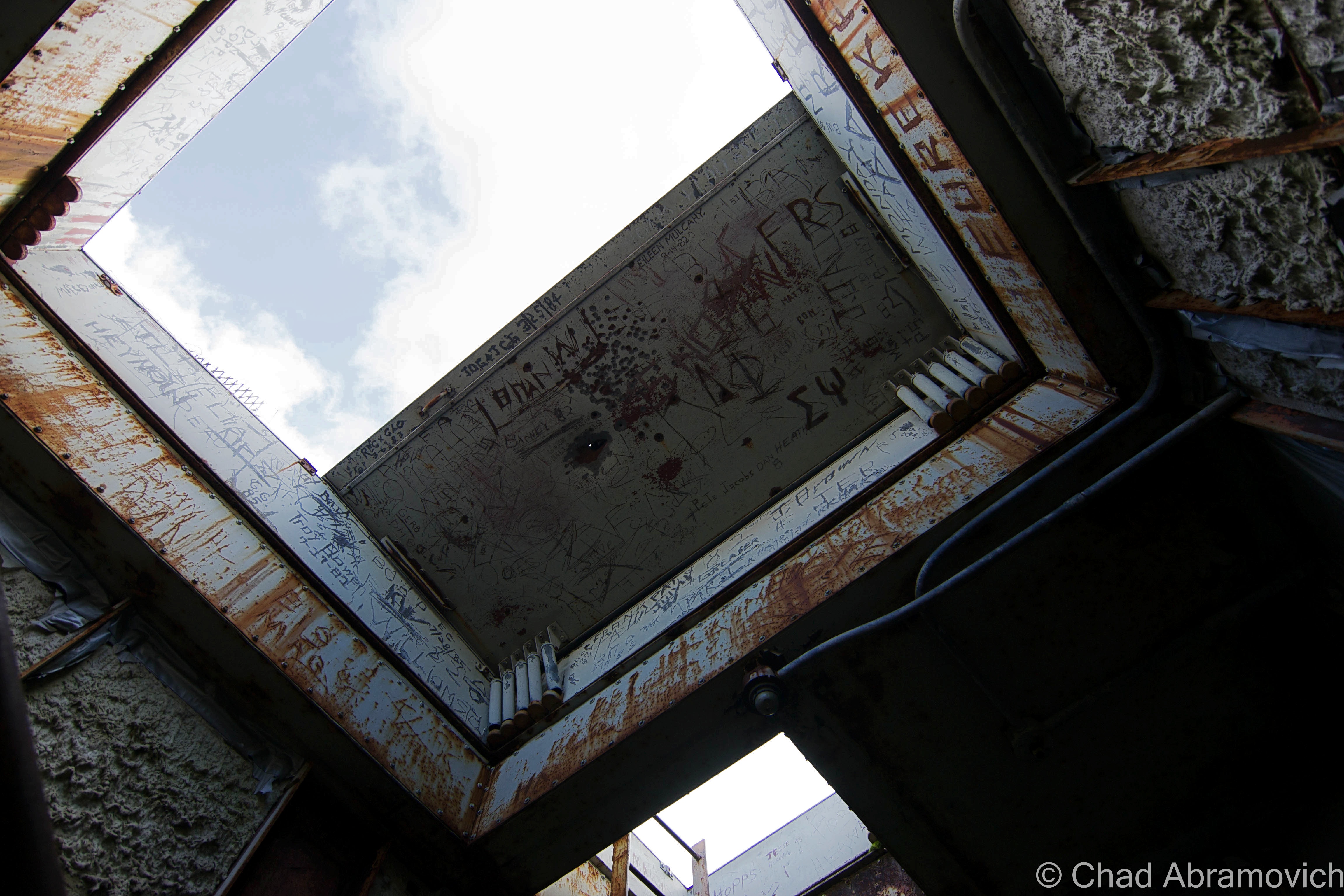
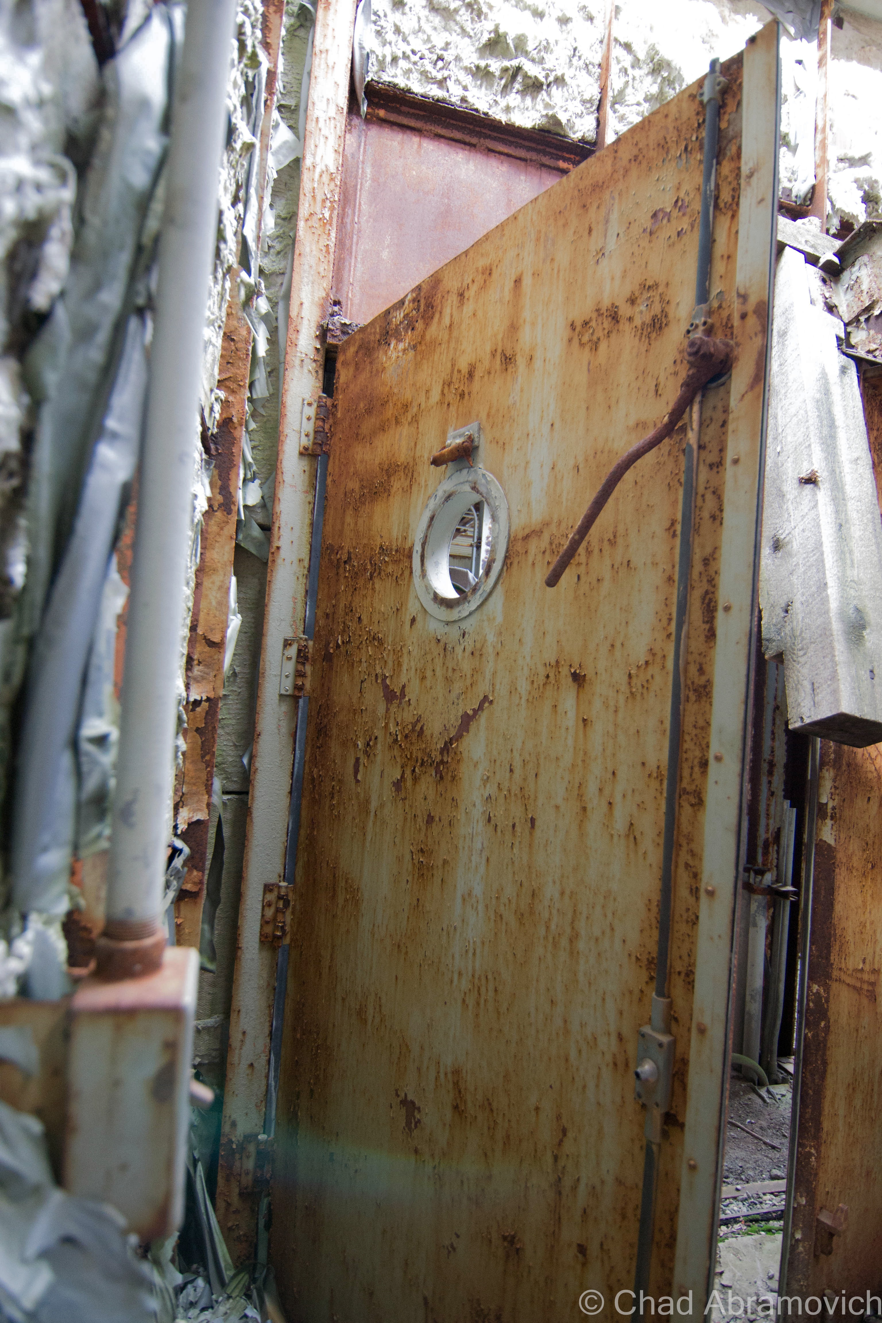
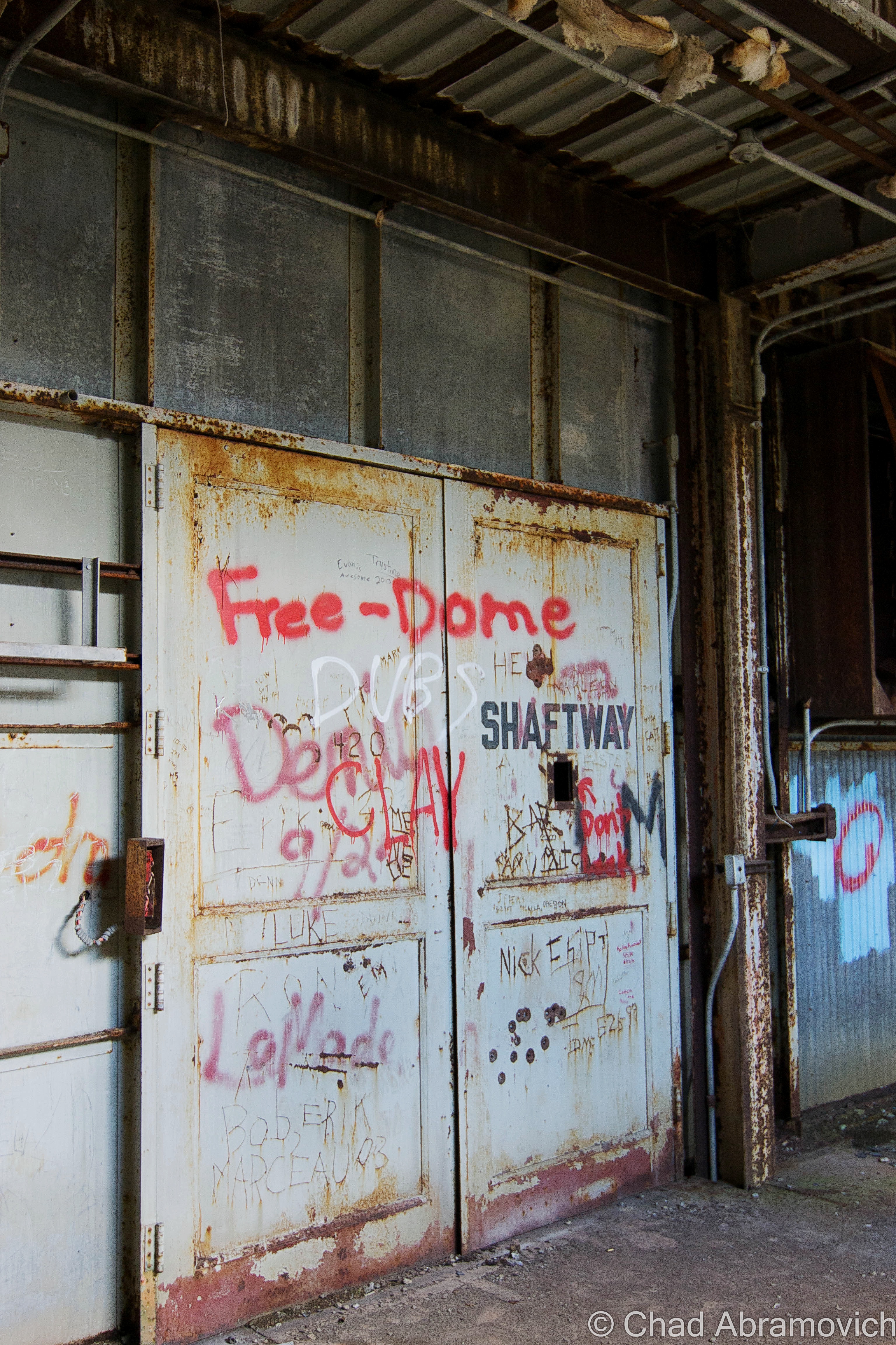
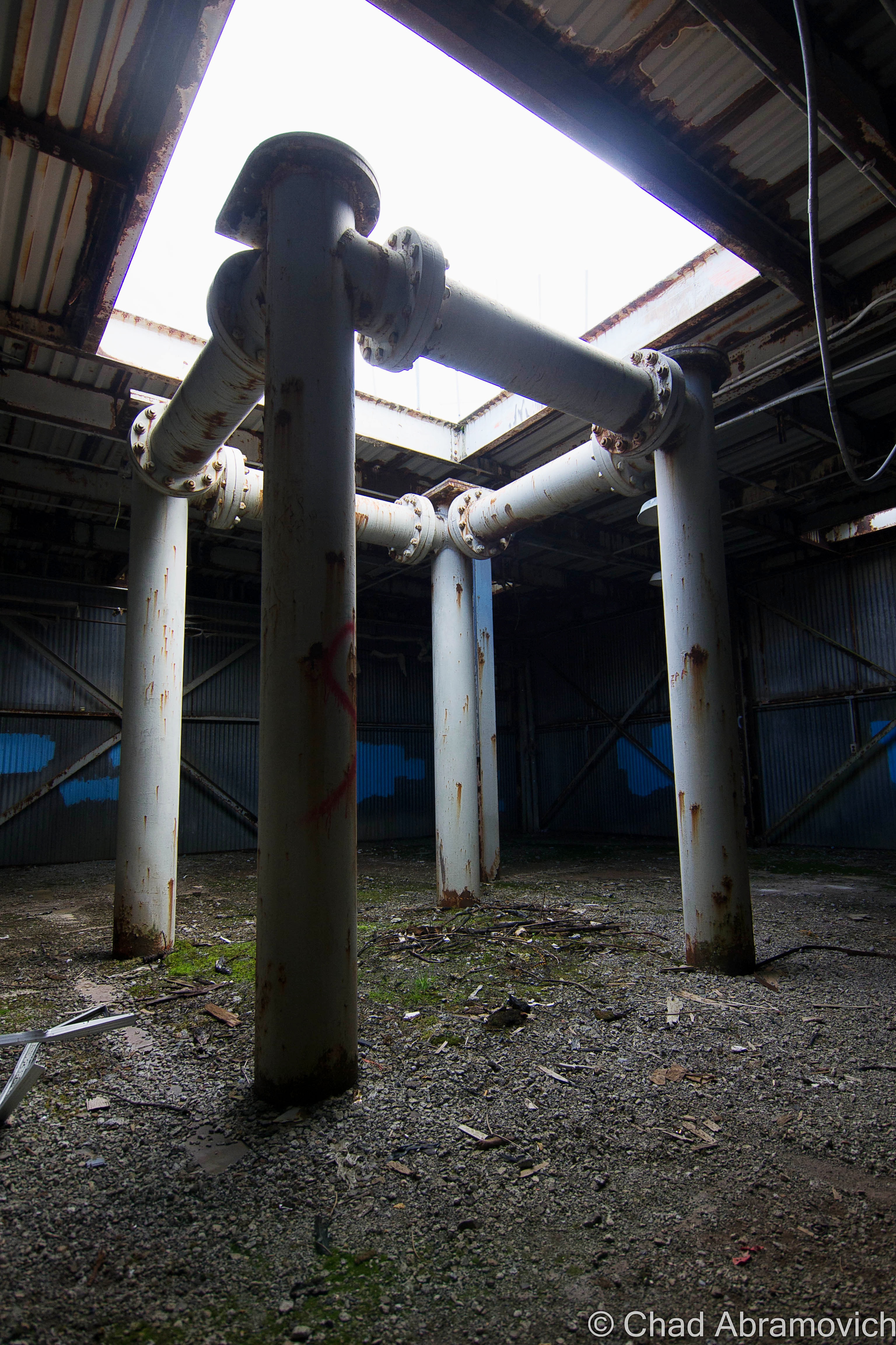
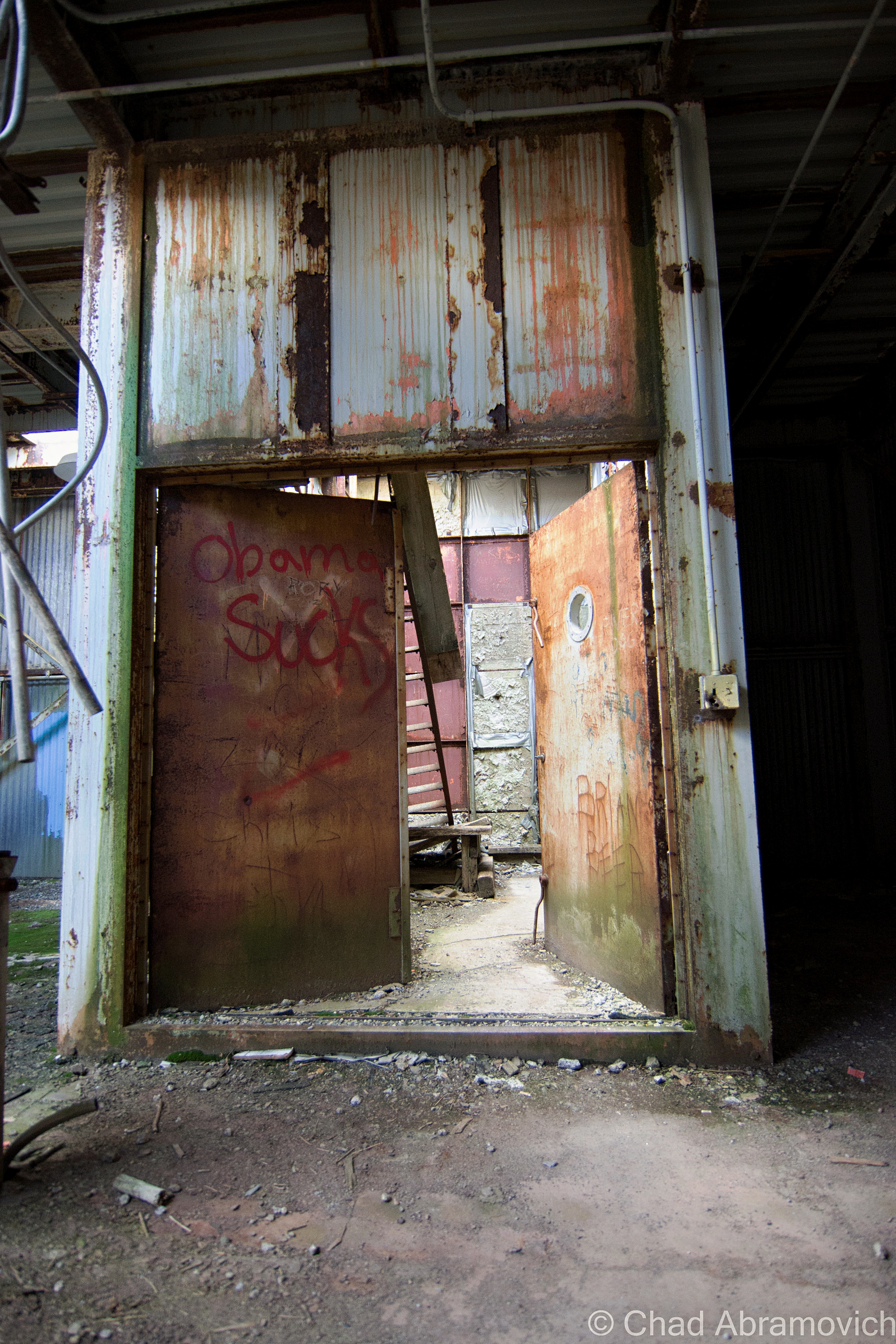
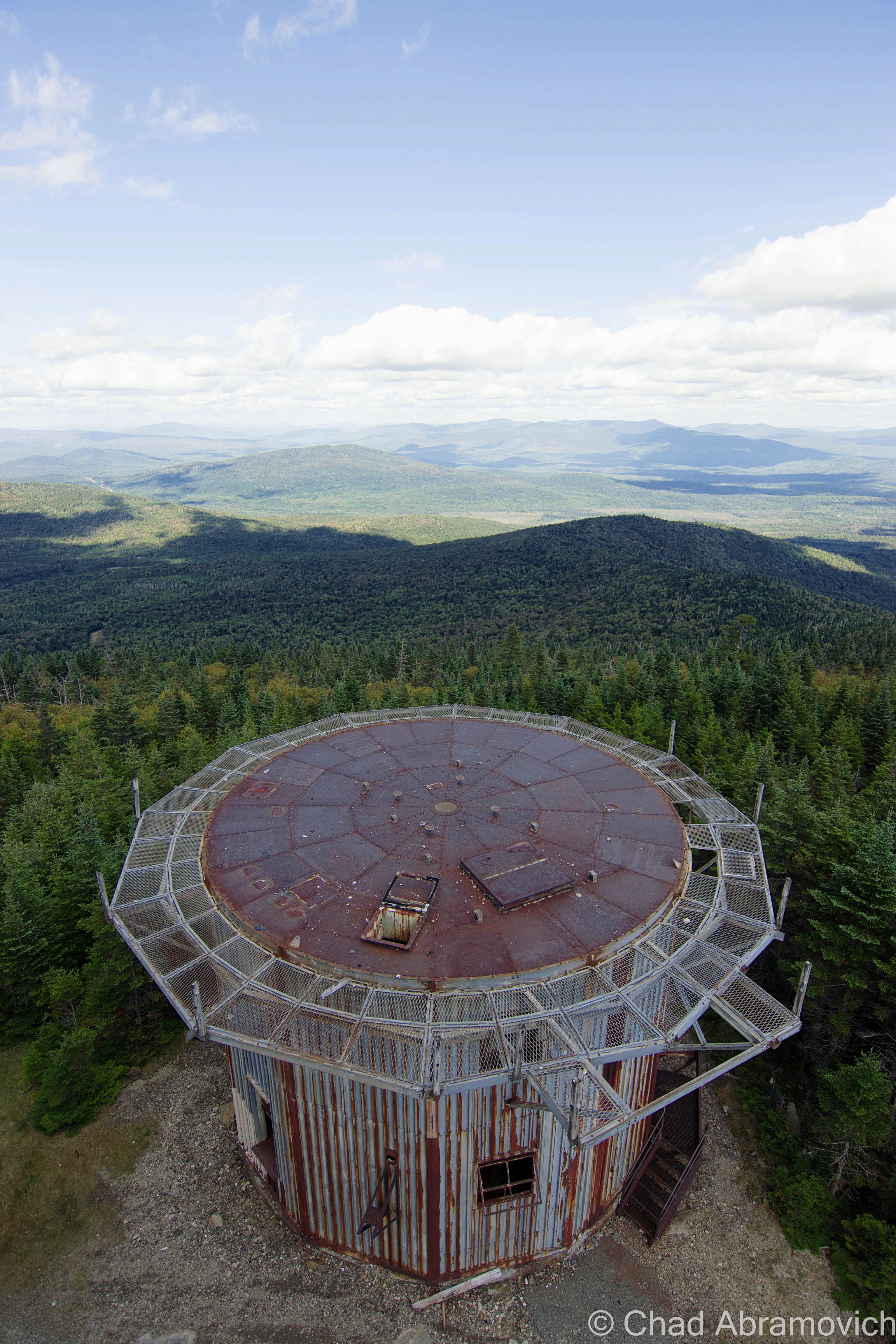
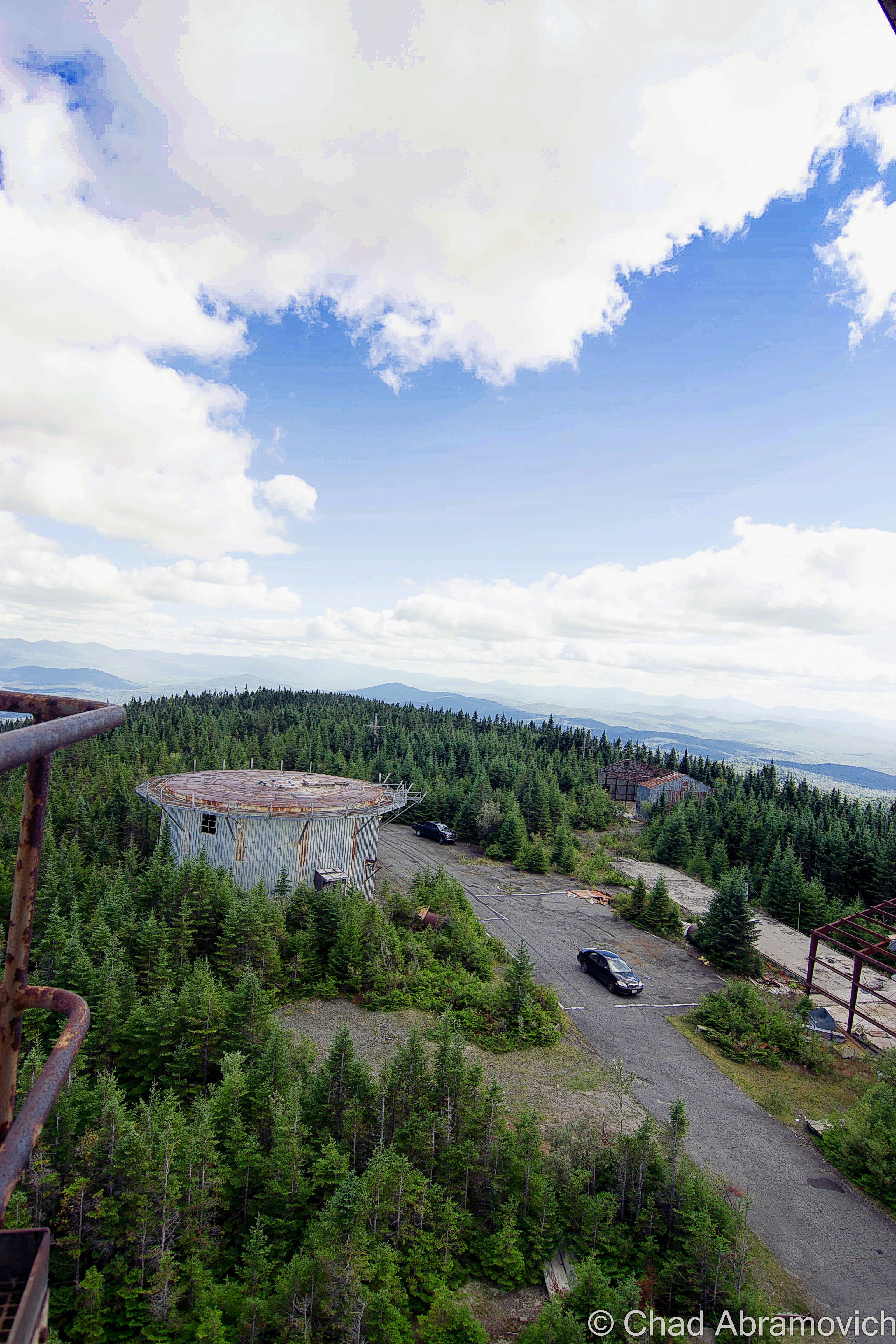
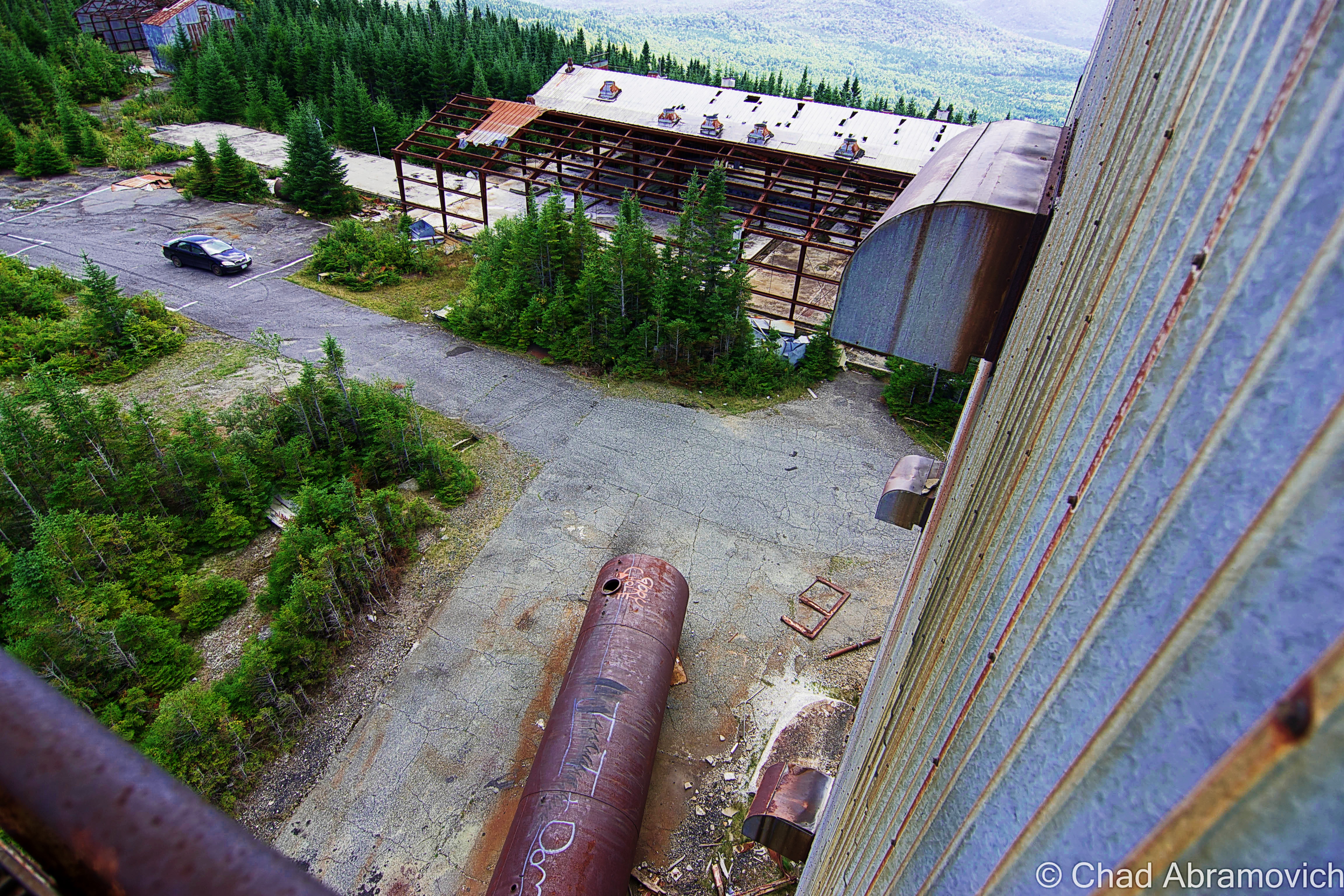
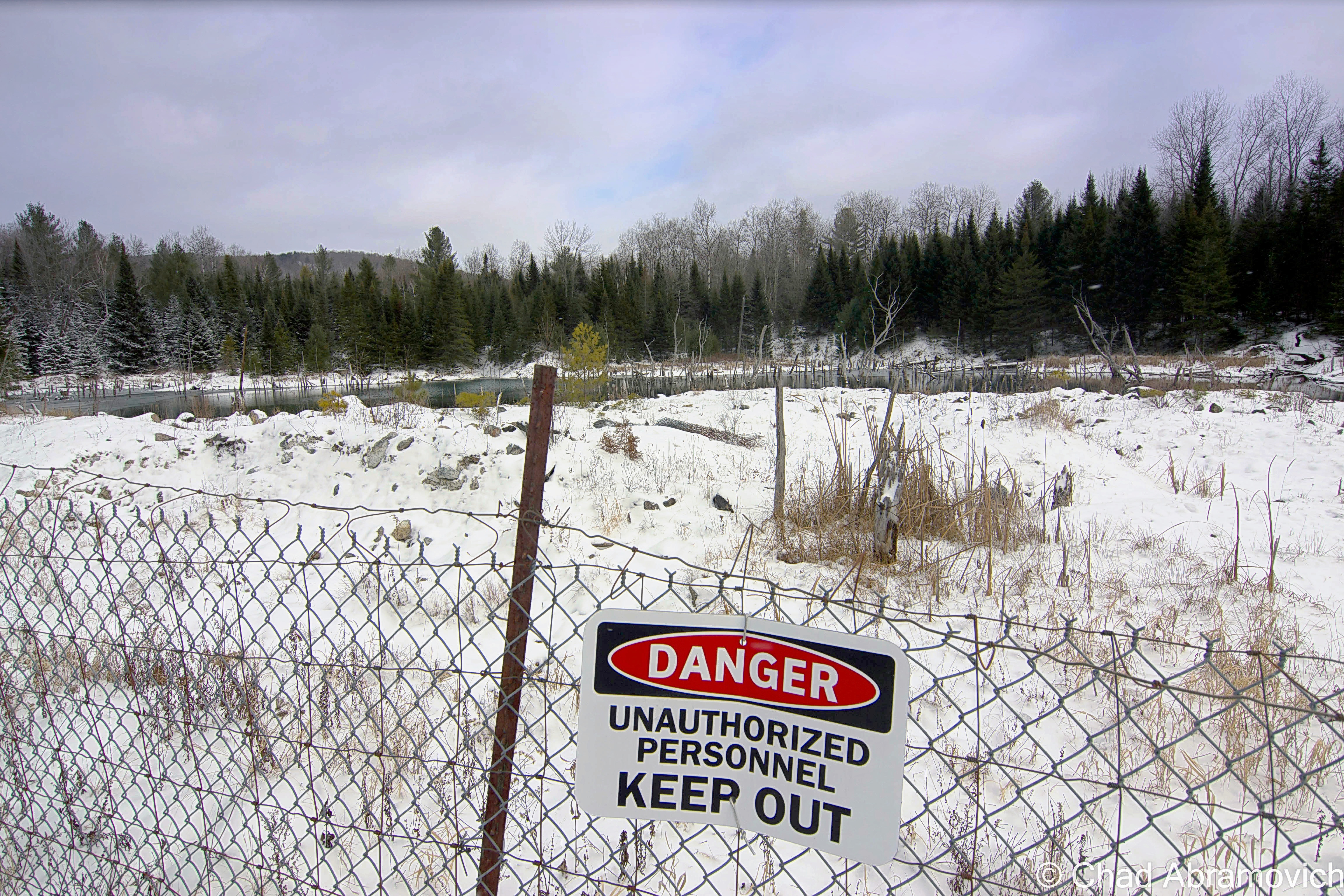
UFO sightings nearby at an amazing abandoned radar base, and quite a few “Bigfoot” (or some variation of a wild and wily creature) sightings have also been handed down and proclaimed through all the big woods that edge town. Who knows what other morbid or macabre things that are still skeletons in Island Ponders’ closets… (and you’re a local, feel free to send me an email and tell me!)

Island Pond got its name from the 600-acre pond with a 22-acre island in the middle of it, which lead the Abenaki to name the area Menanbawk, which literally means Island Pond. Whites decided to keep the name but use the English translation.

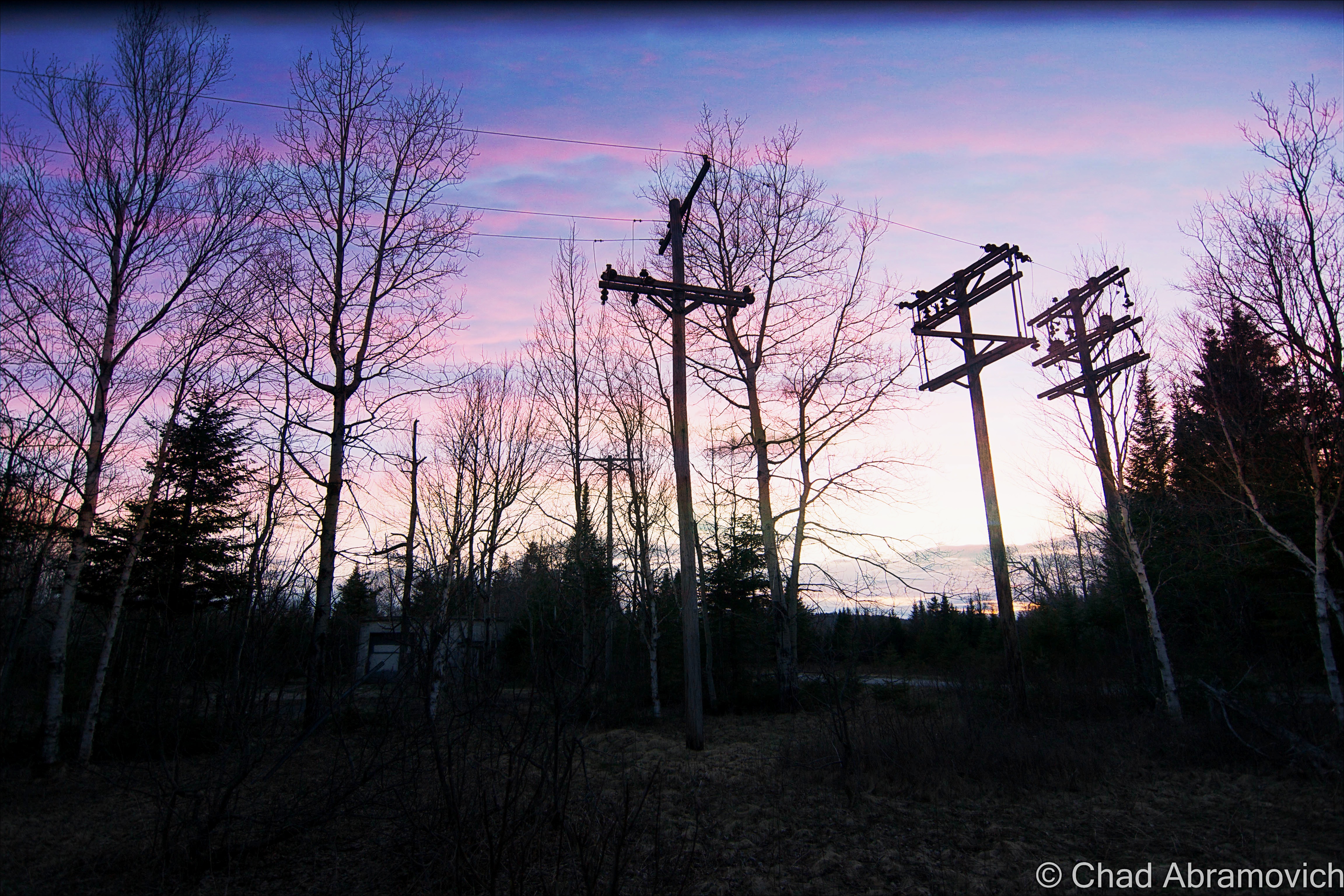
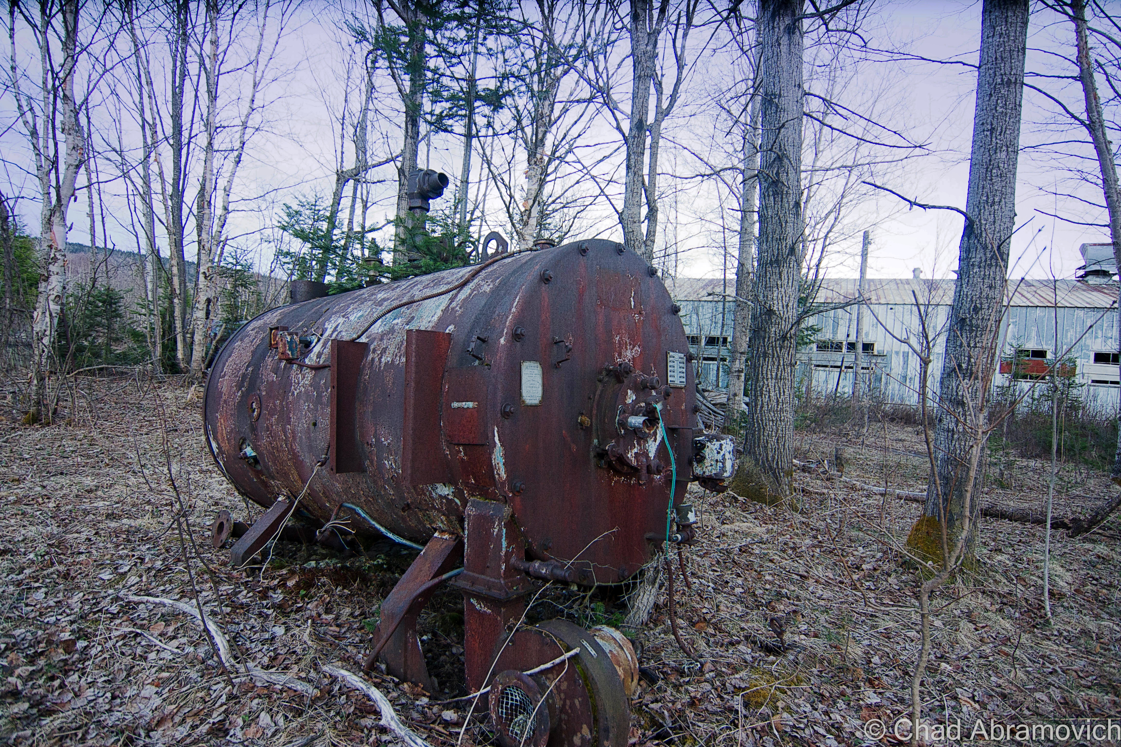
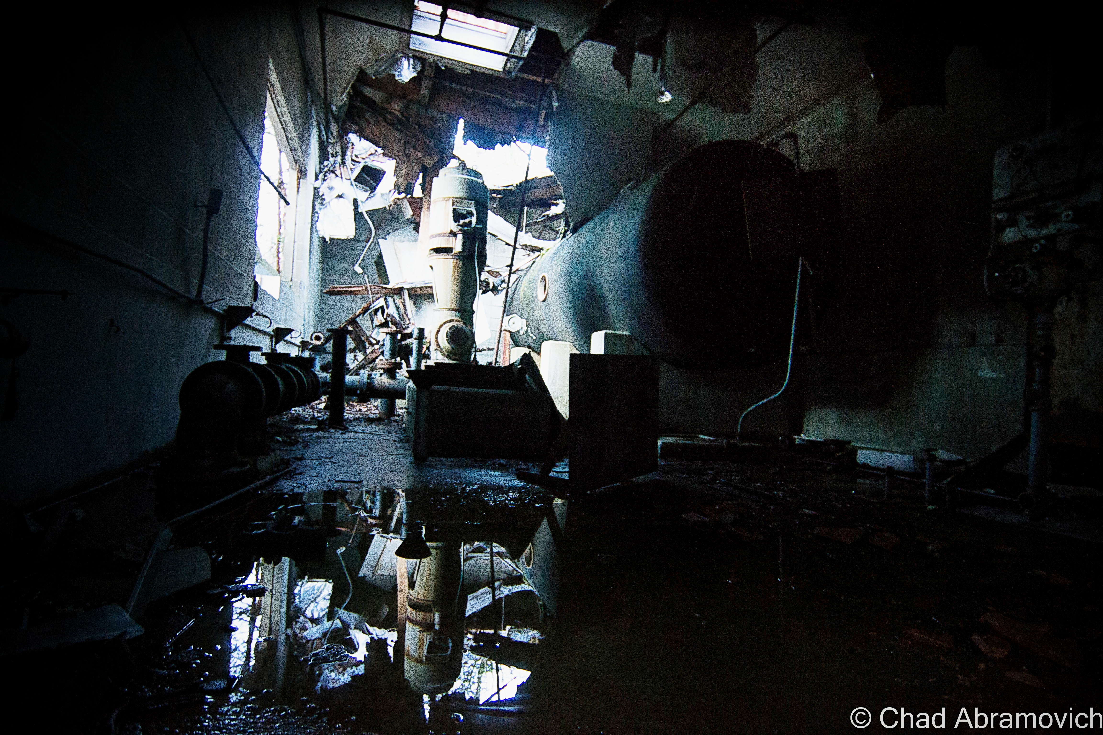
The pond of Island Pond has probably existed since the last glaciers grinded on through the area, but the village of Island Pond got its start in the 1850s, when the Grand Trunk Railway, the first international railway that linked Montreal to the port of Portland, Maine, laid their tracks through the kingdom, which was very much a sort of last frontier in Vermont at that time. What would become Island Pond village just happened to be the halfway point, which made it a big deal – a total of 13 tracks once merged downtown. The railroad turned into memory by the 1950s, and the town depends on outdoor tourism nowadays – it’s pretty much the snowmobile capital of Vermont – but architectural elements of its former rowdy railroad days are everywhere. Island Pond is a strangely beautiful and unique part of the state that’s very much worth a trek up towards.

Stopping at a gas station at the water’s edge to grab some suspicious sandwiches, we were on our way!

You Can’t Get There From Here

The hard-to-reach and very pretty southern Vermont town of Sandgate might have the ‘Vermontiest’ town hall sign yet and I dig it.

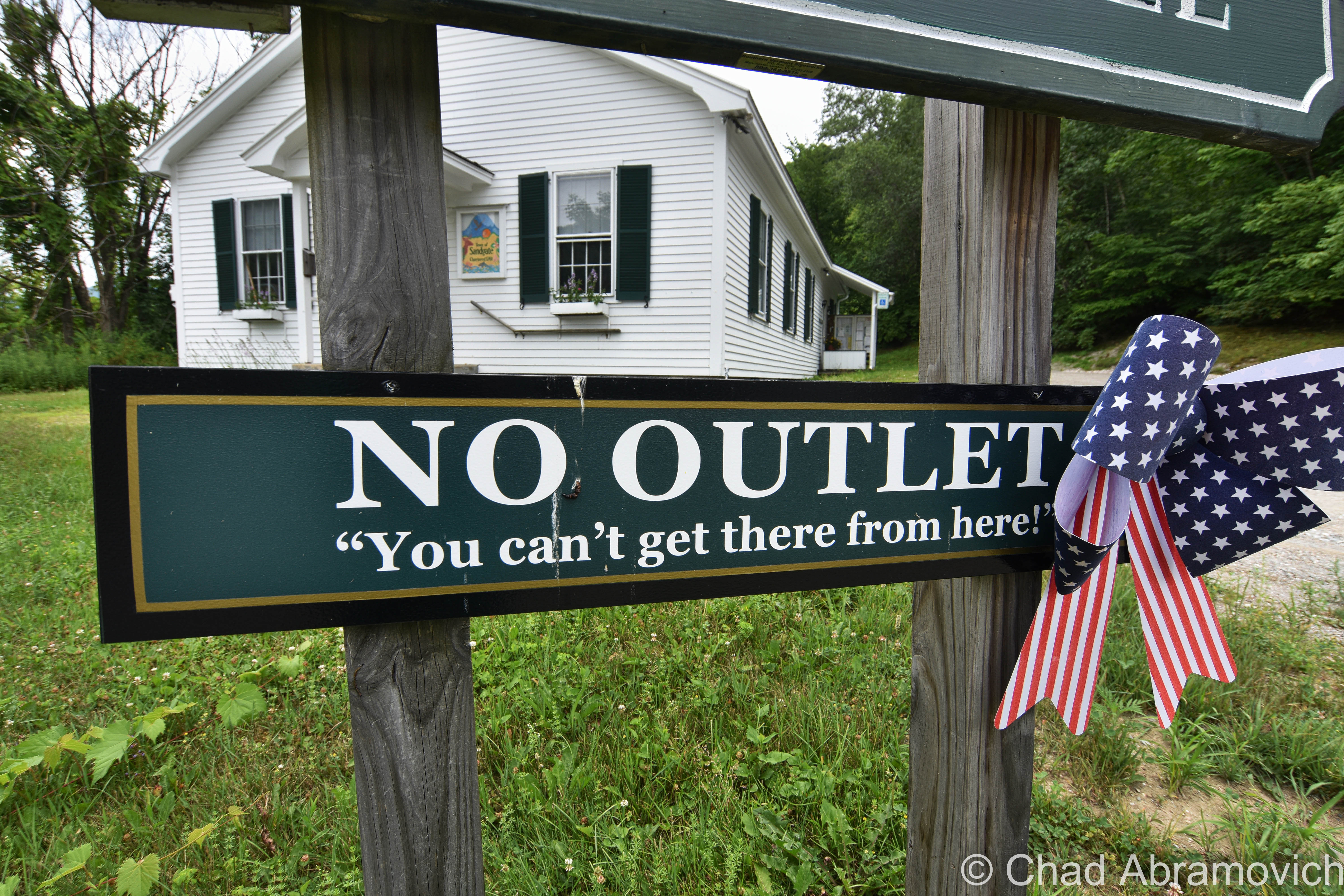
As that vintage Vermont vernacular goes, you can’t get there from here – and because of Vermont’s rural and inconvenient geography, that’s often somewhat the case, so we’re not really pulling your leg or anything.

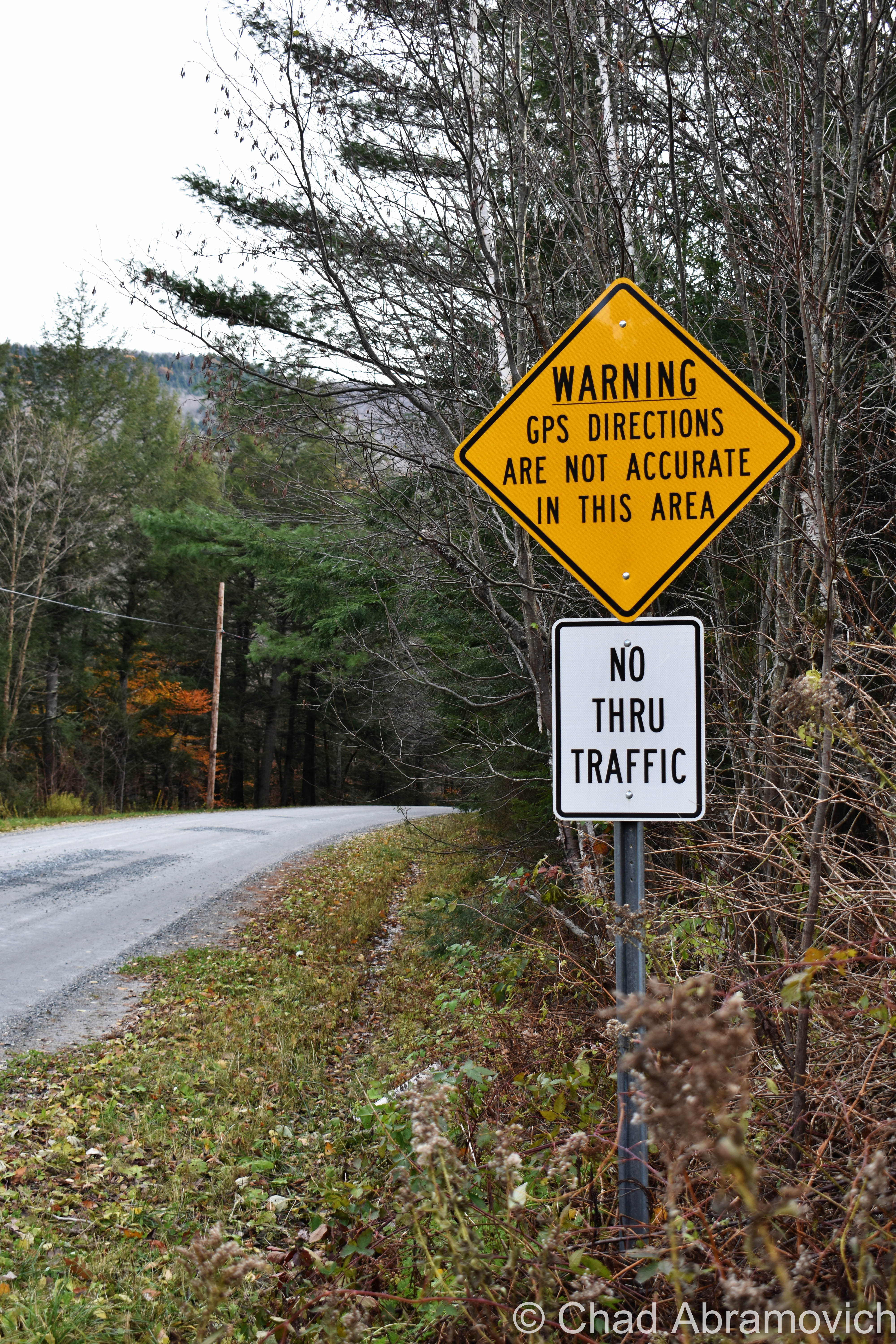
Usually, it’s a now stereotypical expression of Vermont identity that means you actually can get there from here, but the “there” is usually remote, and it requires a very long-winded, confusing route, no doubt complicated because of the very mountains that give our state its name, and whether the road is plowed or not in the winter.  And that’s further complicated by mountainous parts of the state that are dead zones for GPSs and cellular service.

Taken in Stockbridge, VT, near a mountainous and mysterious area called “Notown”.

Lewis, Vermont

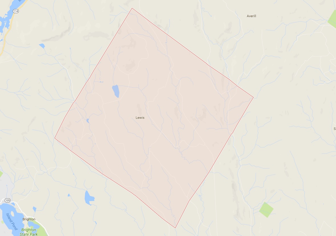
Lewis, Vermont has a population of zero. Charted early in 1762, it was heavily timbered, rough, and mountainous. It never attracted a single settler, so no roads, villages, or post office was ever established. The northern half of town is made up of mountains all in the 2,000-foot range, and all but one are unnamed. The southern half of town levels out into mostly semi-swamp known as Yellow Bogs, and they’re filled with mangy-looking forests that stretch out as far as you can see, which kinda backs up the ugly name.

Though Lewis is void of permanently inhabiting humans – loggers, hunters, and sugaring operations have all taken advantage of its space. At one point, most of the land within Lewis was owned by the Champion International paper company, until they sold off their 132,000 acres – most of which the state of Vermont eagerly acquired with the intention of preserving. As a result, most of the flora and fauna in Lewis is pretty young. But! Lewis – and the Northeast Kingdom – is at the southern edge of the largest biome on earth: the boreal forest! Named for Boreas, the Greek god of the Northwind, the boreal forest encircles the entire northern hemisphere in a band that stretches across Alaska, Canada, Scandinavia, and Russia – the boreal forest accounts for nearly one-third of all earth’s forests! Pretty cool, right?

Lewis is also considered one of the “holy grails” of the 251 club, a cool local social club that challenges interested participants to visit all 251 of Vermont’s towns, cities, unincorporated areas, and gores. Some folks make it more fun by customizing their adventure – like making points to visit every library, post office, state park, or another Vermont icon – the general store. There’s even a film dedicated to it! It’s one of my Vermonty ‘bucket list’ items, along with eventually being able to make my own maple syrup. I even became introduced to this great Instagram account recently, where the Instagrammer plans on taking a photo in all 251 burgs. It’s also inspiring me to stop being such a procrastinator.

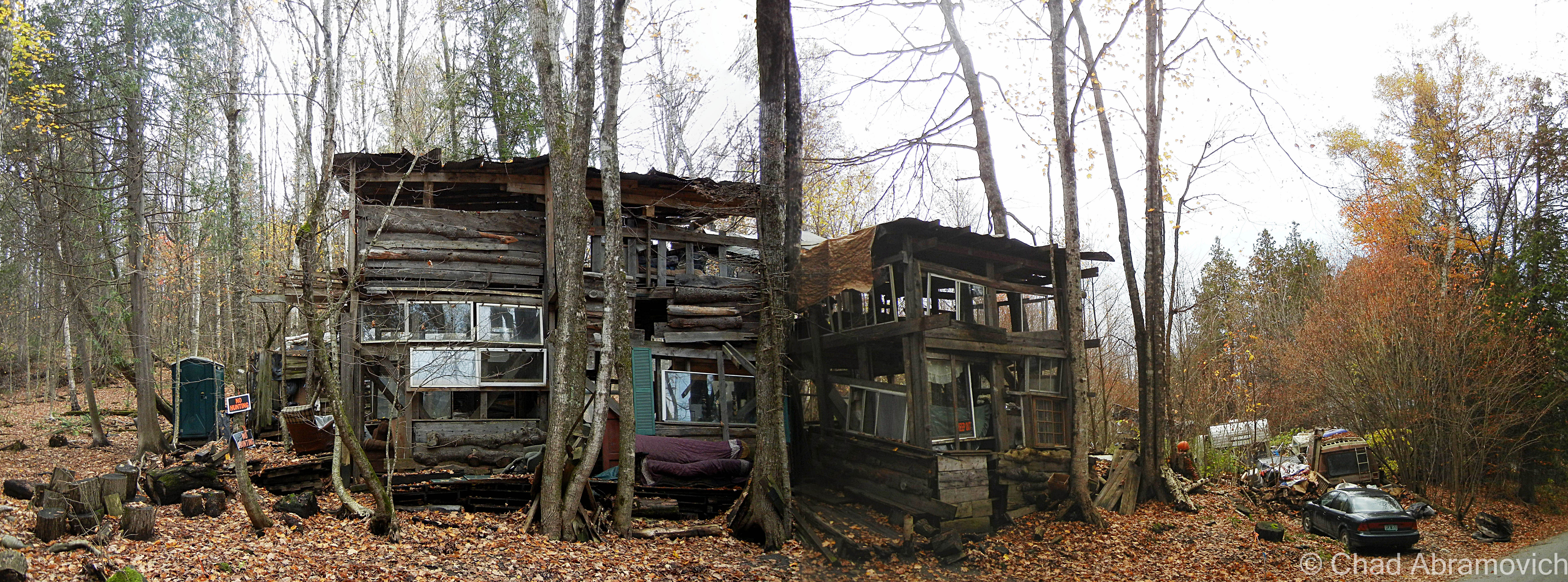
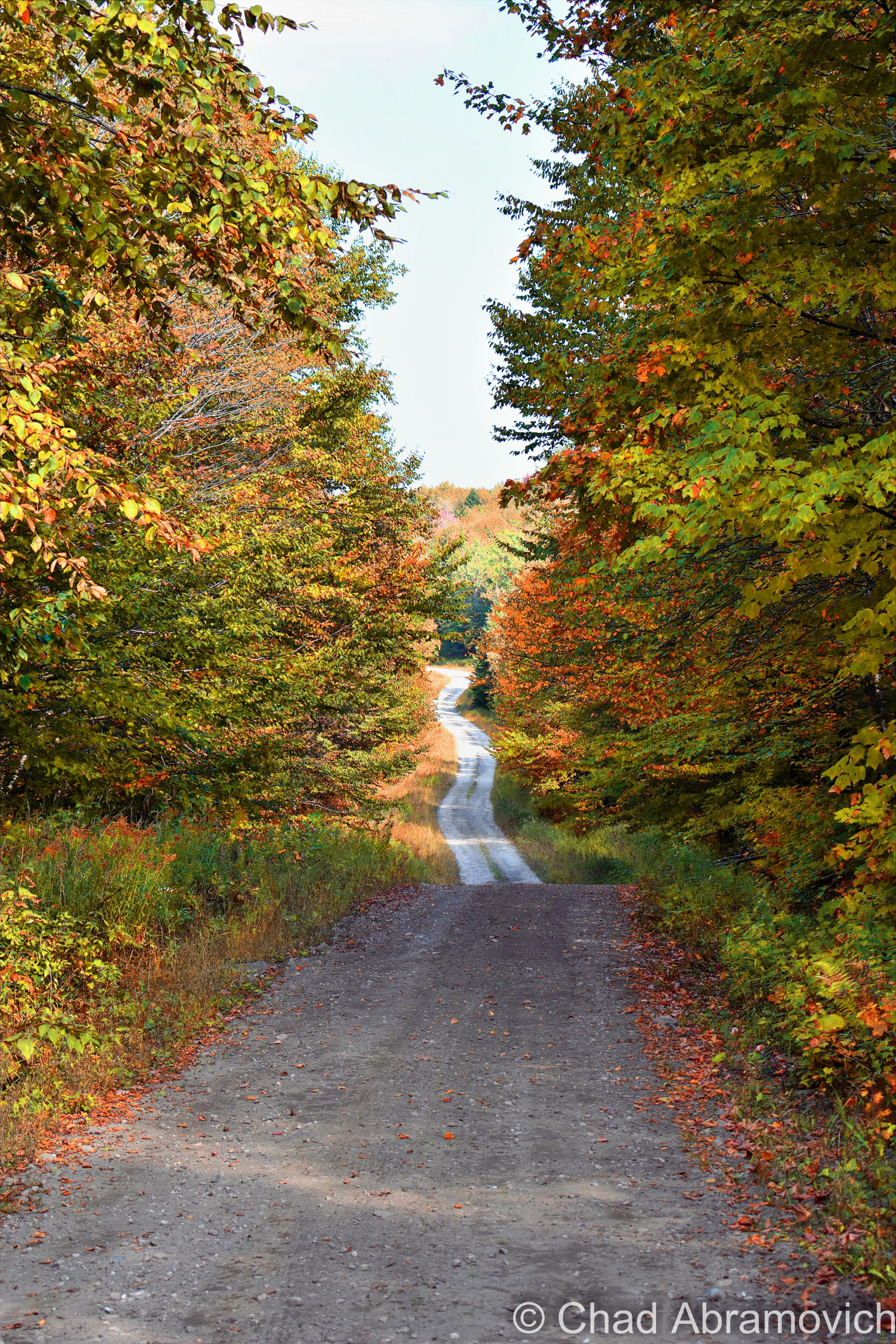
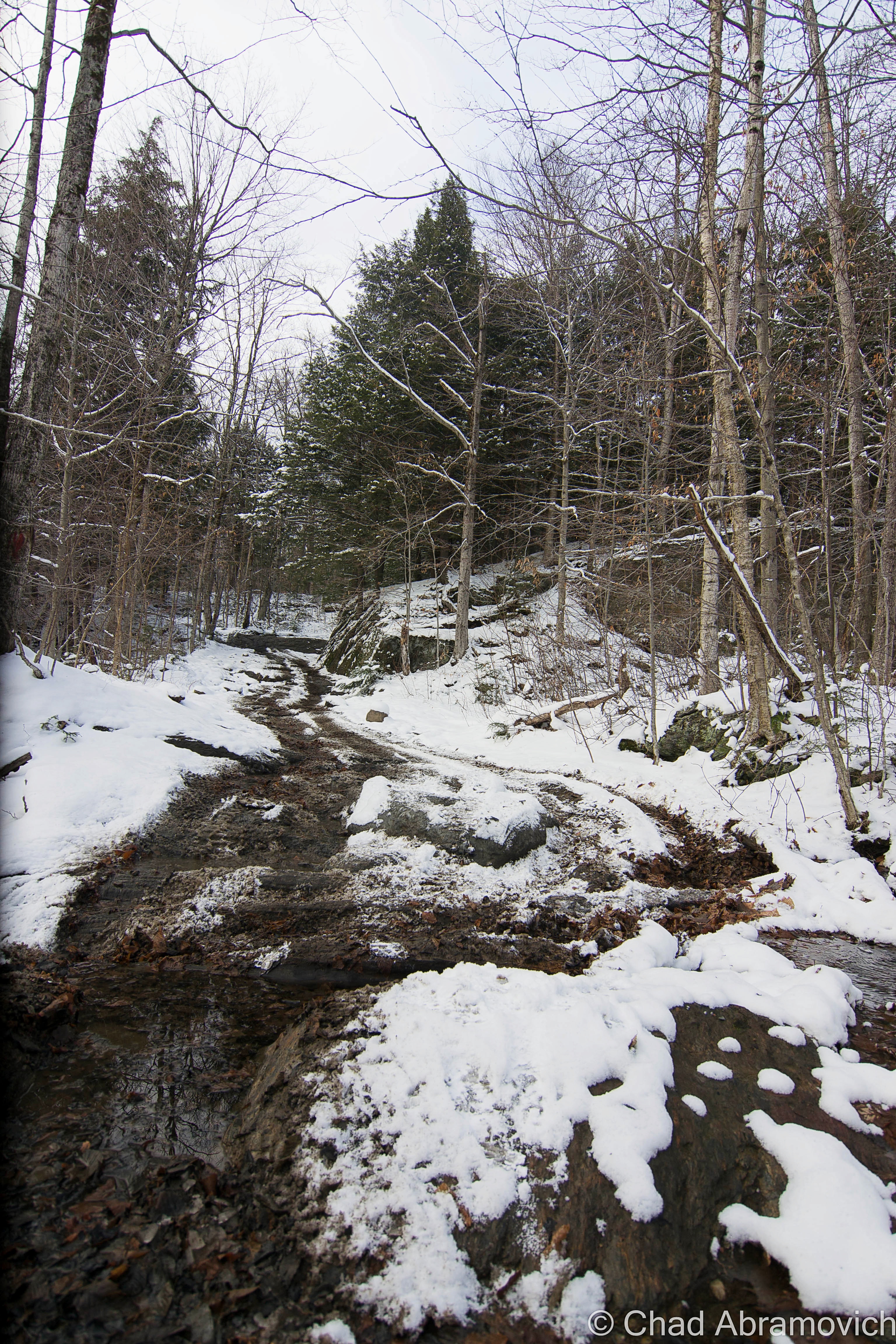
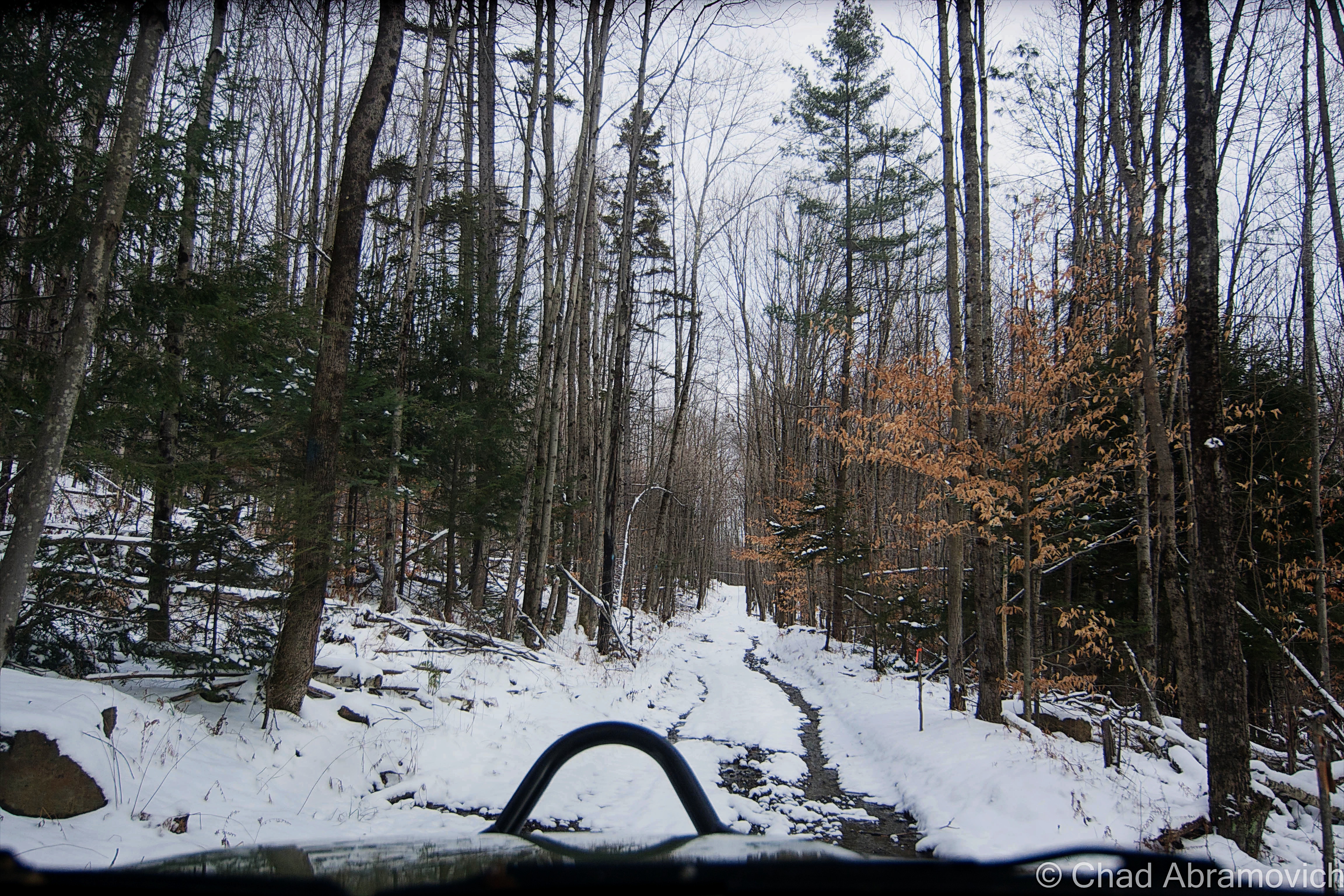
Lewis is hard to find. There are no state routes, ‘welcome to’ signs, green VTrans wayfinding signs, or any indications that the place actually exists. Using an atlas as a guide, we headed northeast of Island Pond and took a few class D logging roads, which are the only roads in Lewis, up into the area marked by that indicating yellow dotted line that showed we were, in fact, in a town.

According to the map, we should have been able to get there via Lewis Pond Road, but when we turned off where the unsigned road should have been, we were met with what was just a 4 wheeler trail, and a gate, and a gravel dune that would have wrecked my friend’s car. I guess you really can’t get there from here.  So we had to do a little scouting for another access point, which we found further east down Route 105 and was little more than a passable but thin forest service road.

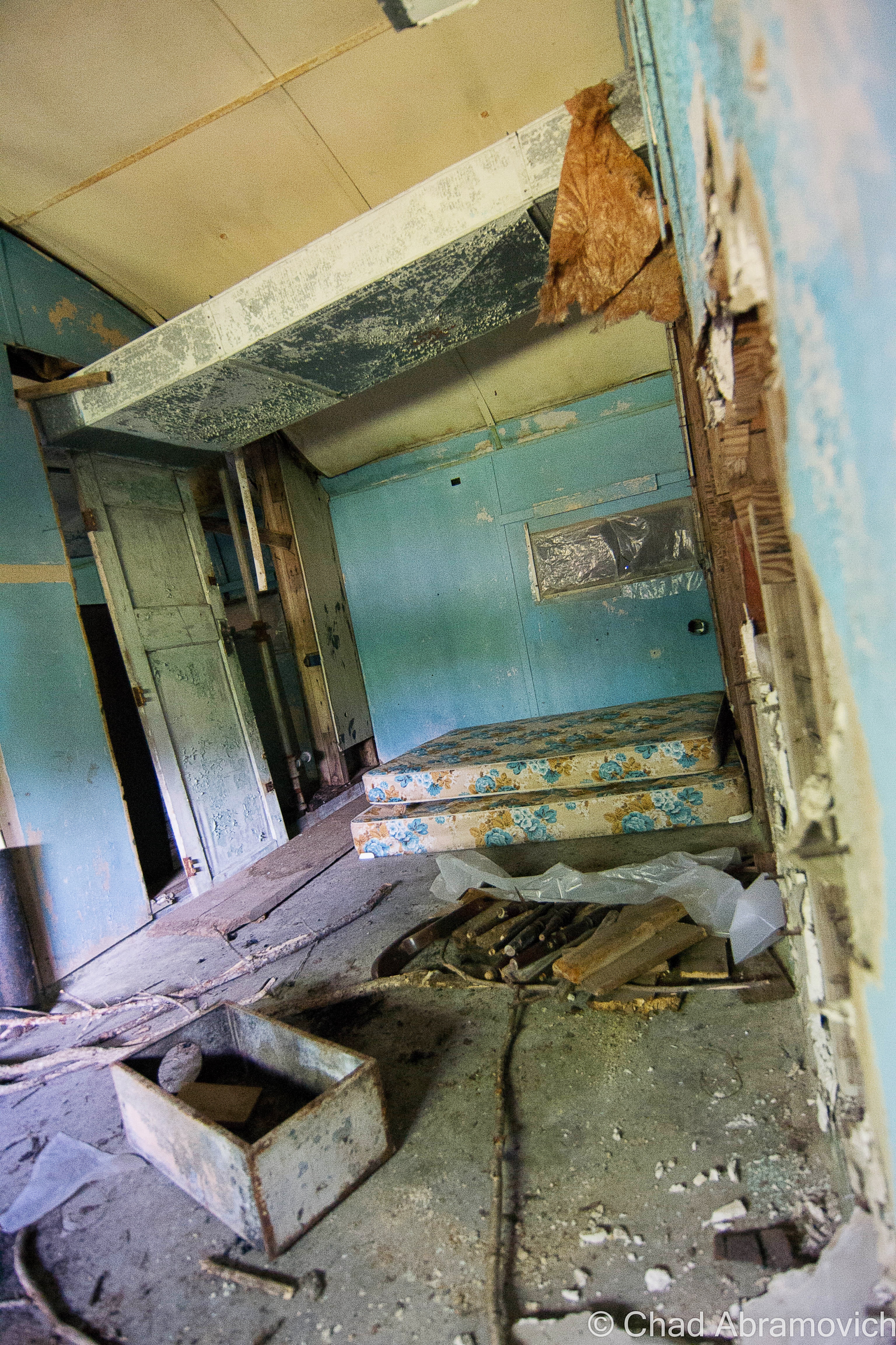
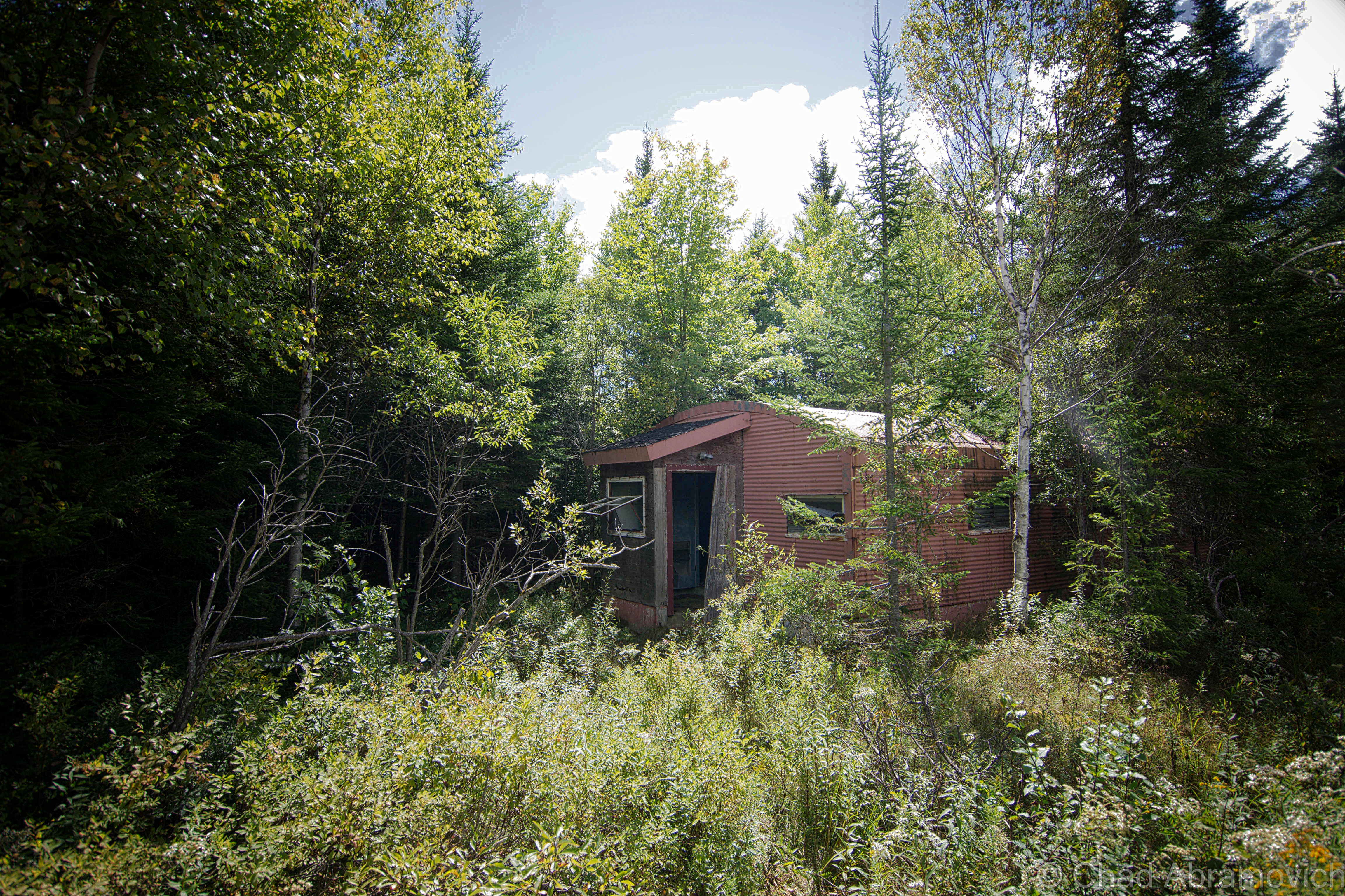
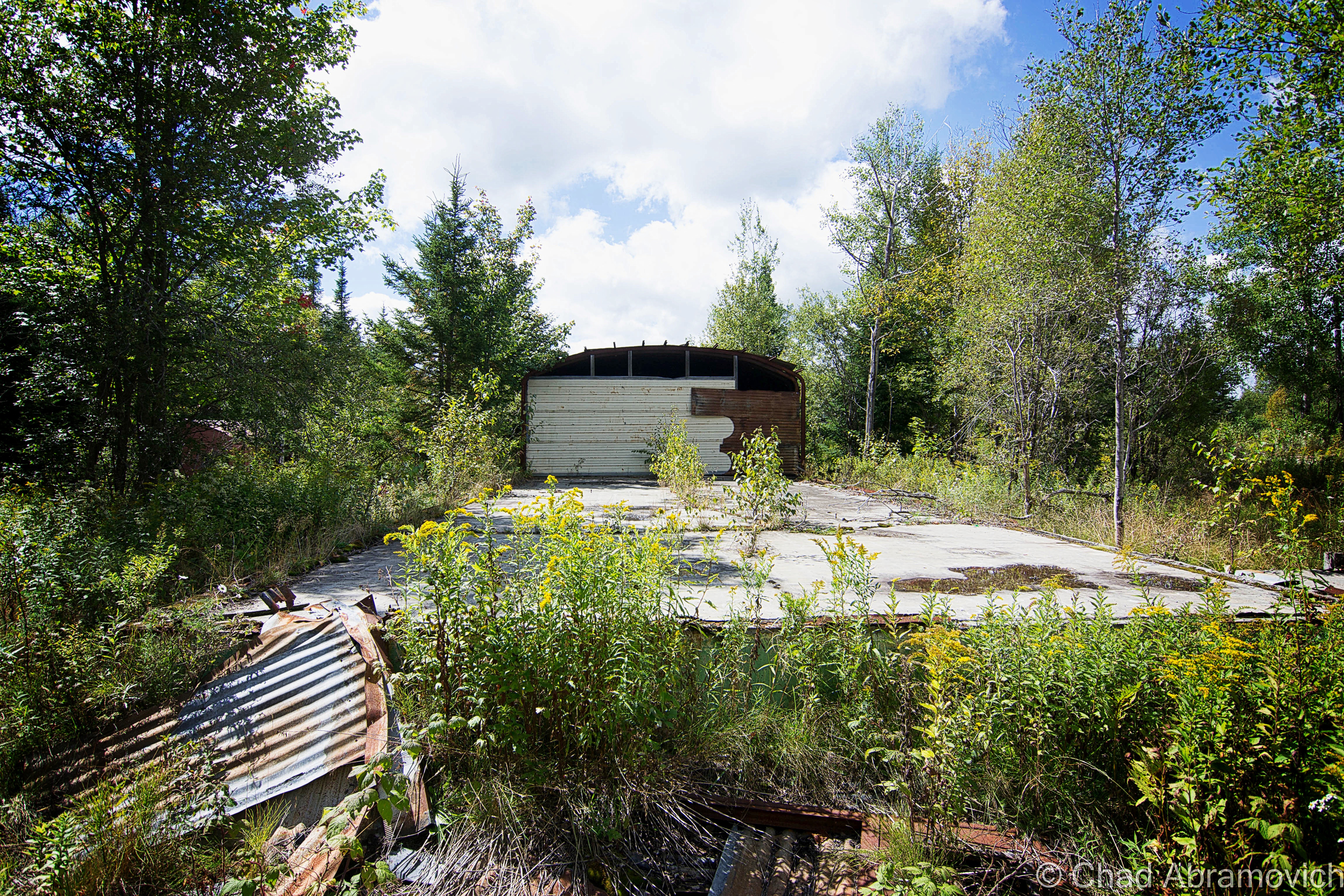
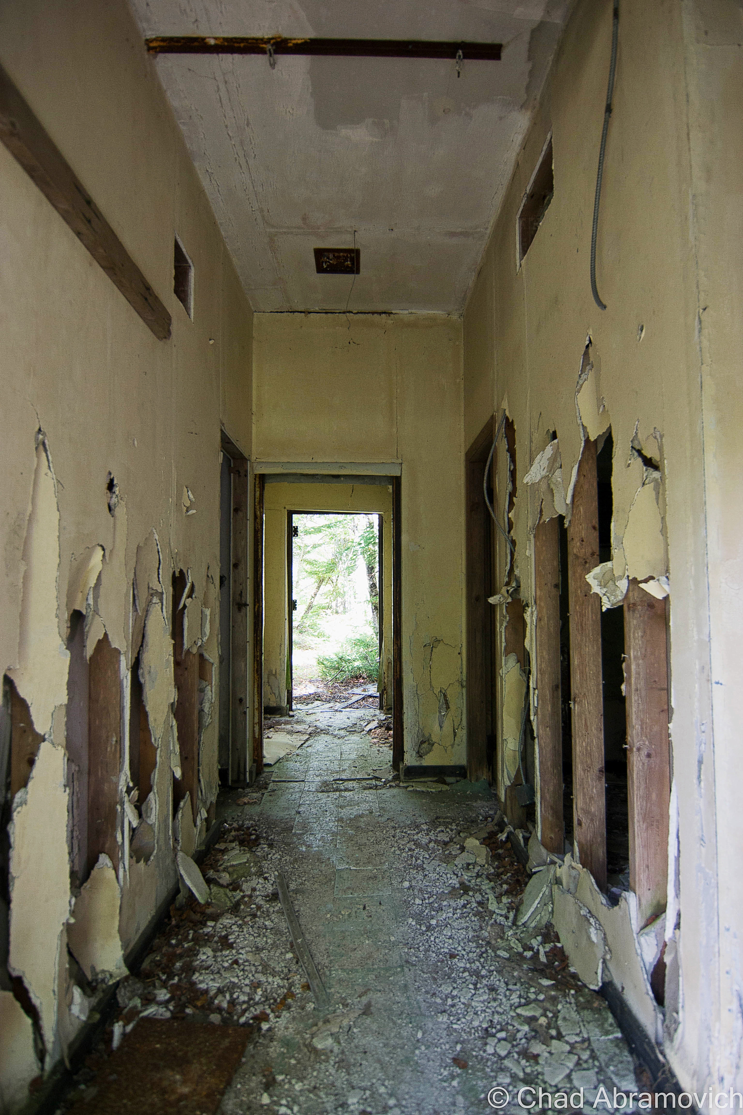
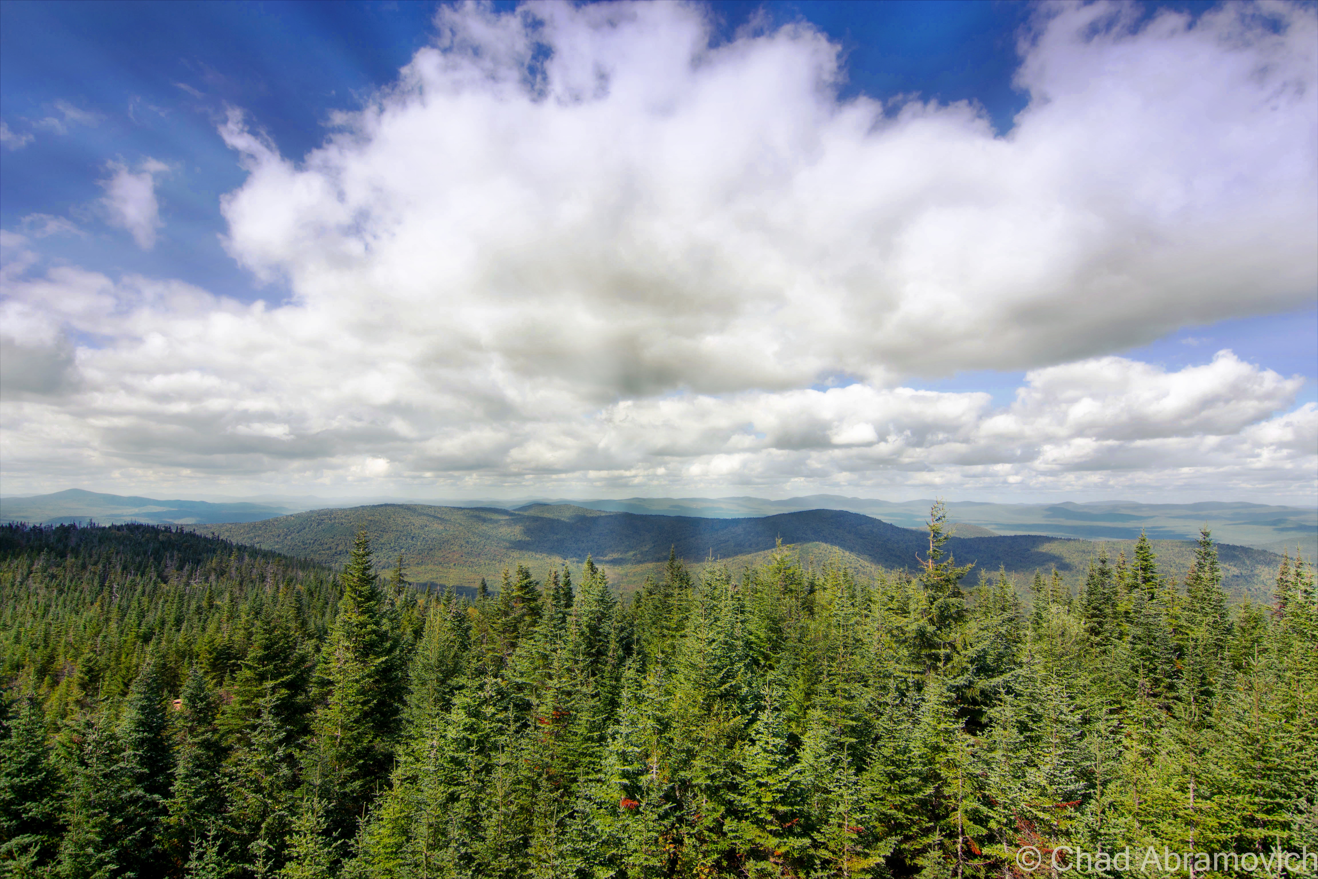
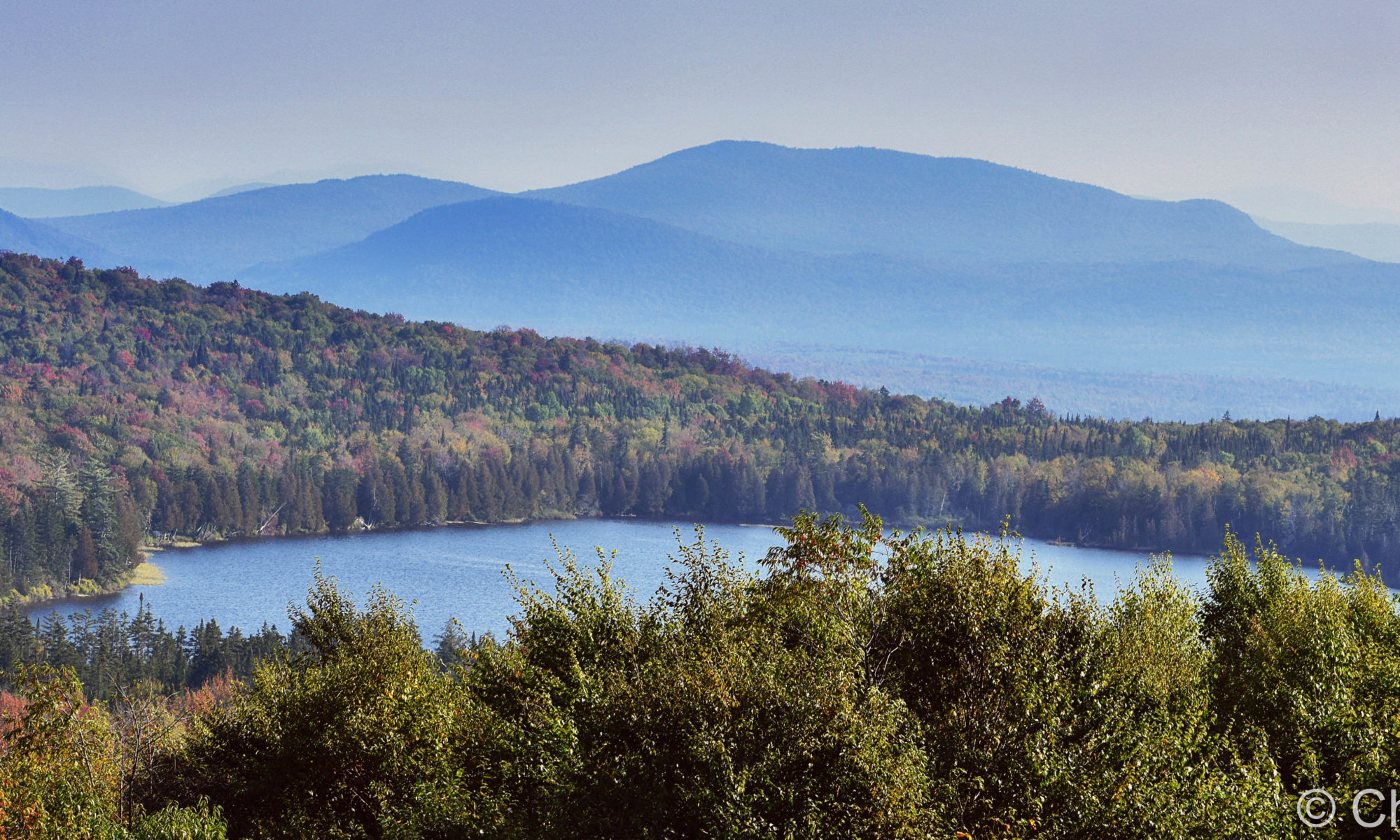
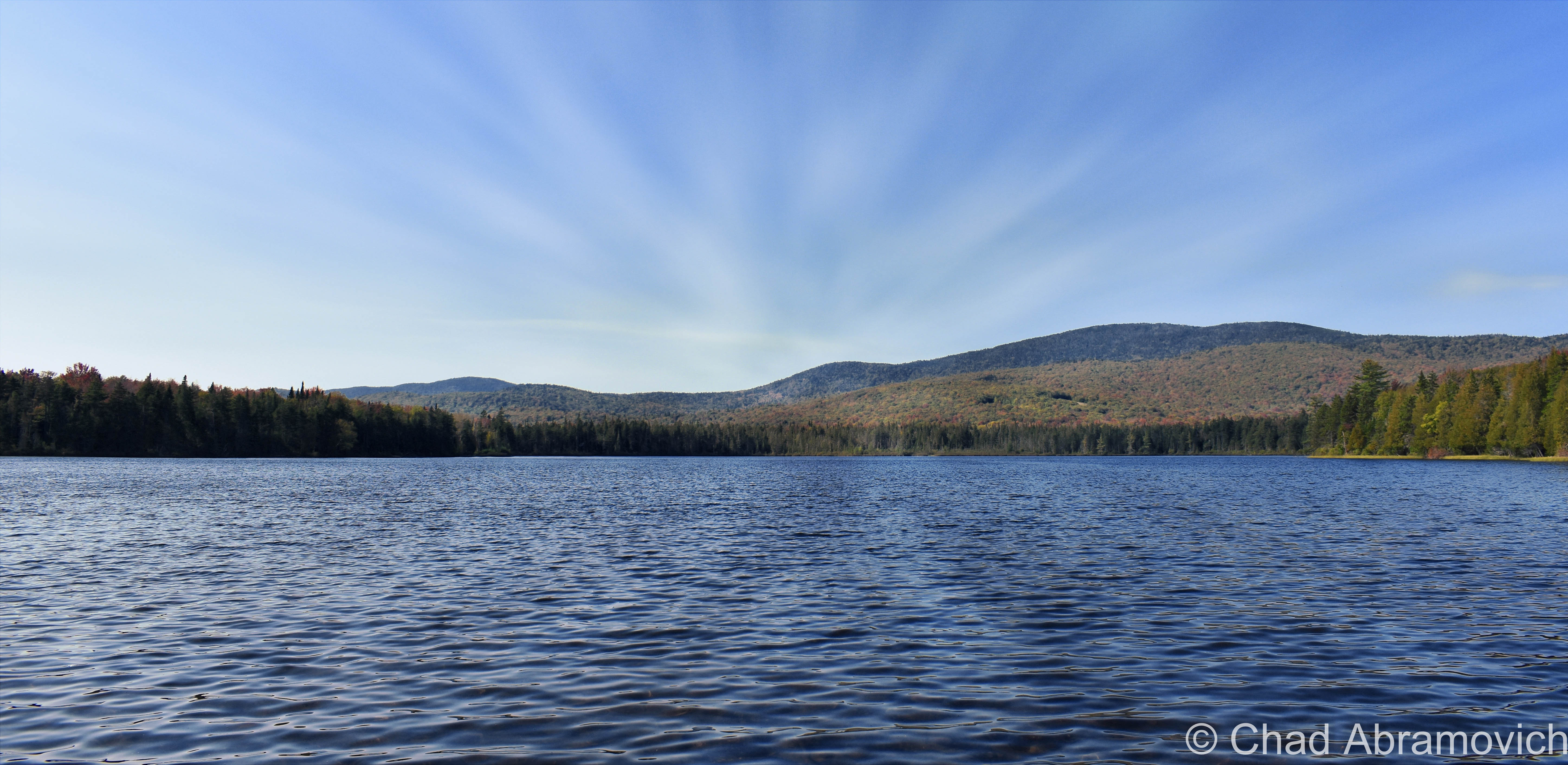
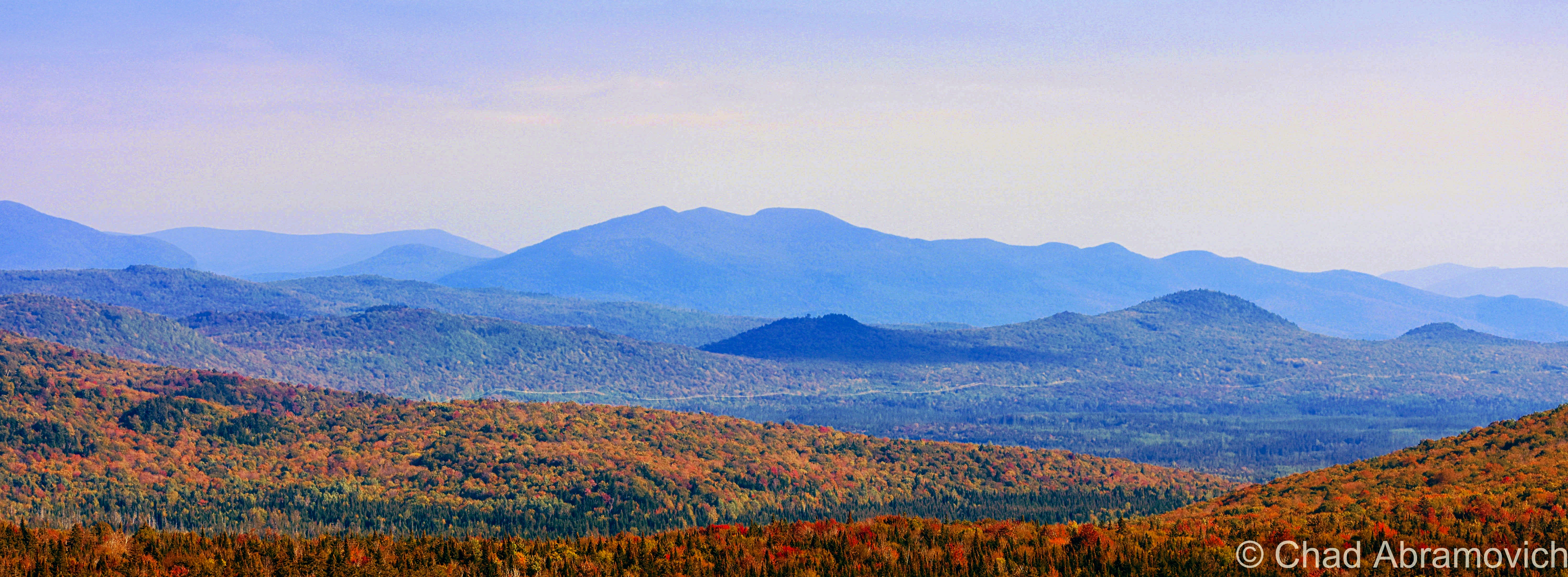
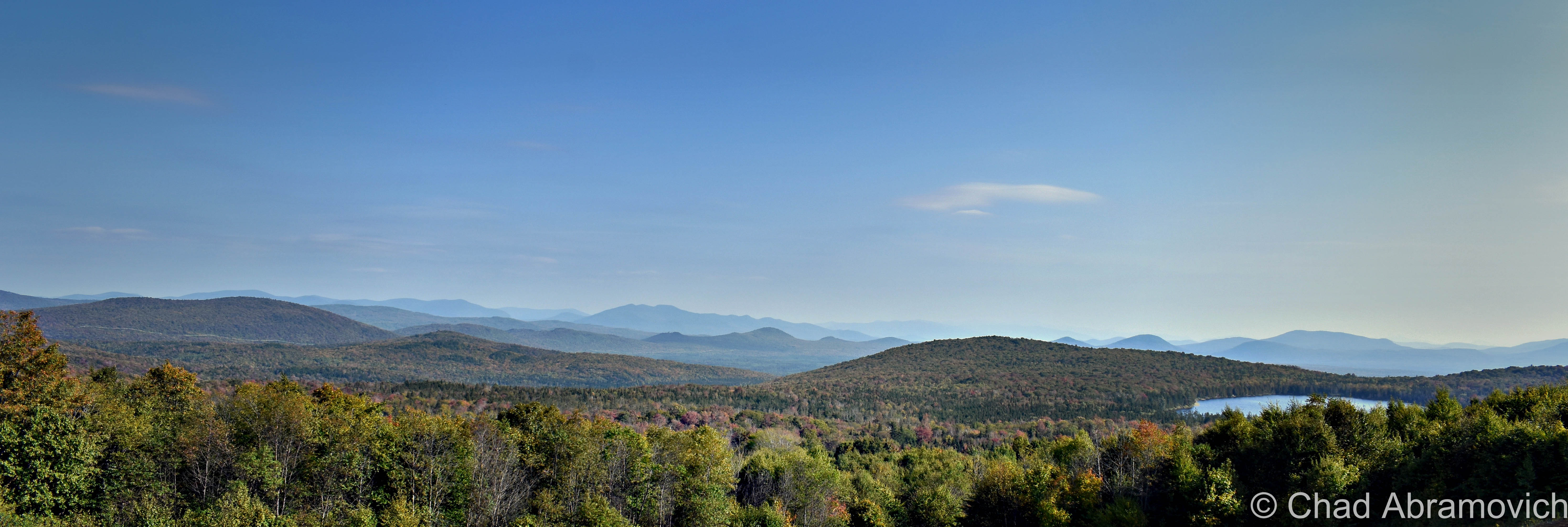
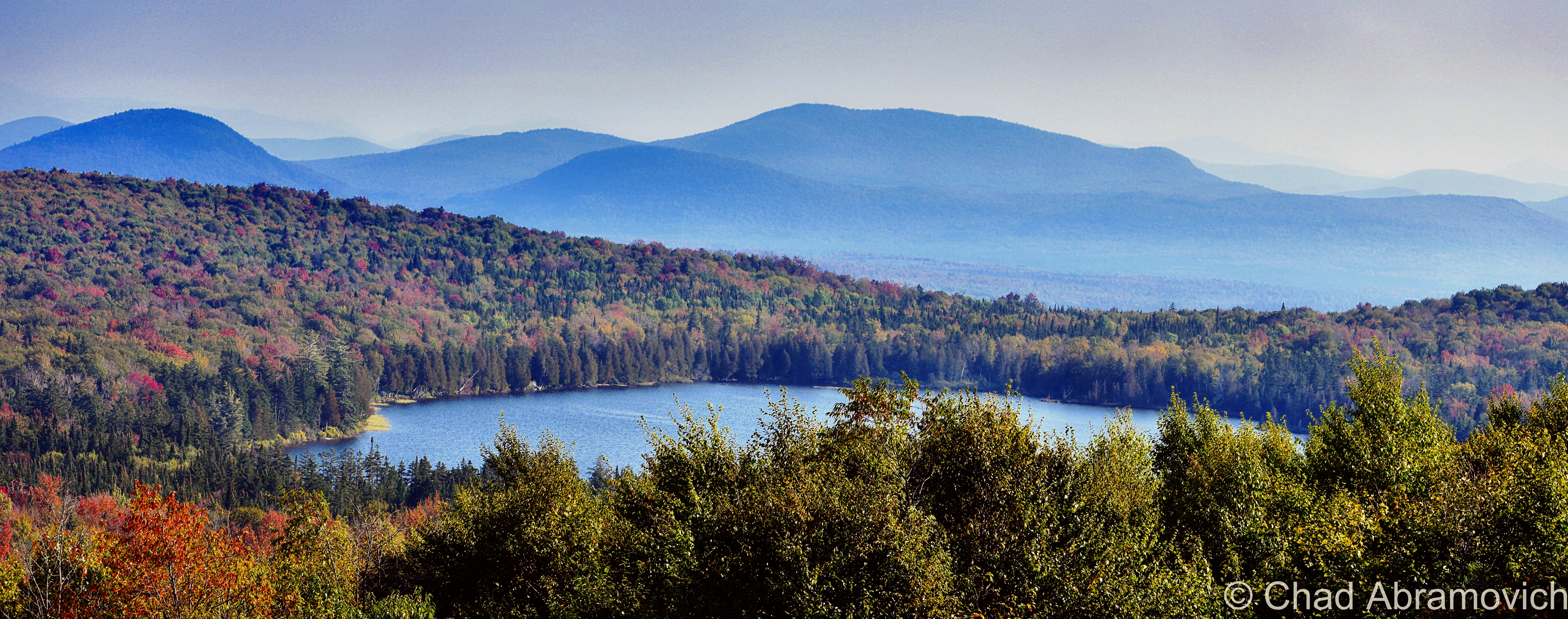
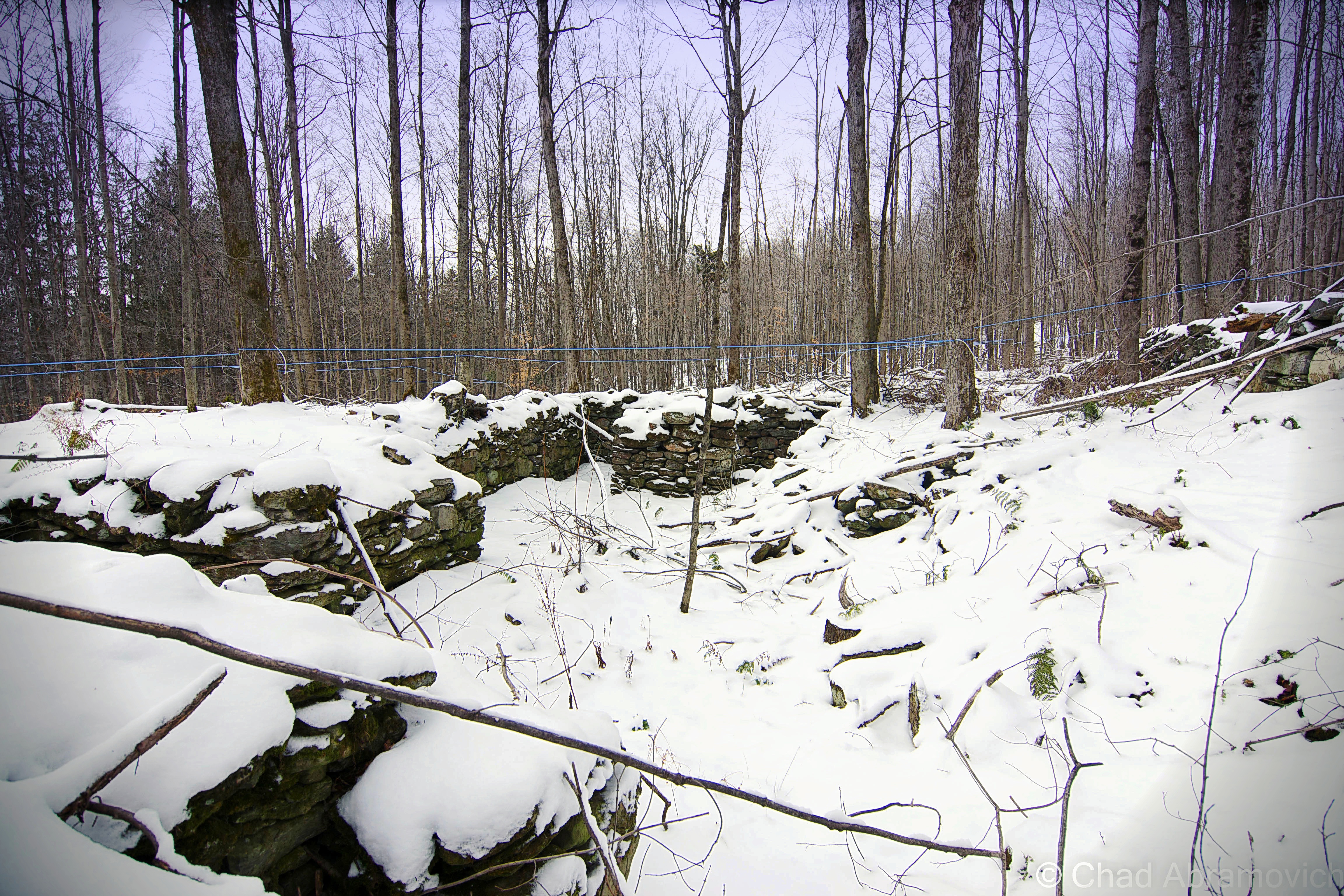
The rough road marred with gravel banks took us deep into thick wilderness occasionally punctured by a few awesome ramshackle hunting camps that had been standing for multiple generations (which I regret not taking some photos of!) – skirted around Lewis Pond, and eventually brought us up the slopes of Gore Mountain – one of the few topographical place names in Lewis – to a cleared section of mountainside where we enjoyed a terrific view of the NEK and out towards the hazy blue bumps of New Hampshire’s White Mountains, and we had the area all to ourselves.

We found an accommodating boulder to sit on, enjoyed some gas station sandwiches, and just enjoyed the silence and the view and a world that was big and full of autumn. I remember the foliage that day being just ridiculous. I had no idea the views up in Lewis were gonna be so fantastic! It was definitely an evening I’ll remember.

Lewis, Vermont. Via Google Maps

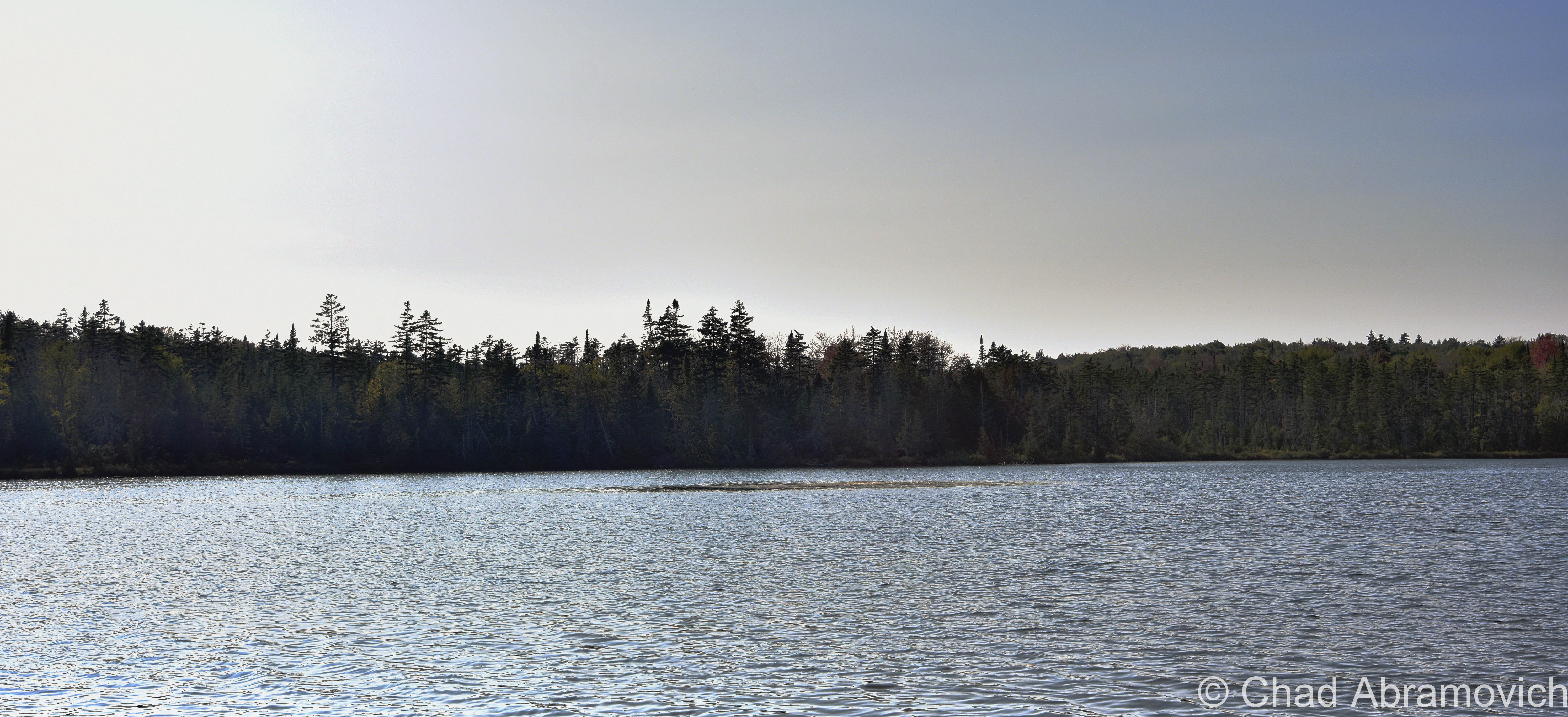
The other named feature in Lewis is to-the-point named Lewis Pond, which is only 7 feet deep, undeveloped, apparently has some good fishing, and as beautiful as it is silent. We spent a while just lounging around the shoreline as the water lapped calmly at the cedars.

I’m not sure why the fact that the wobbly diamond-shaped town only has two toponyms is a bit surreal, but psychologically, it is. It feels like everything else within the 39 square miles that’s considered Lewis is a sort of an uncanny terra nullius, and speaks to our control freak side of human nature to label and categorize things, to prove that something exists, to achieve just a bit more of a grip on this world.

I’m fascinated with human psychology, and how a lot of the time (but not every time), things we consider as ‘odd’ are because we make them odd, because they don’t jive with our architected ideals and social rules. The only thing truly odd to me is the fact that we blindly subscribe to so many of these rigidly particular doctrines without questioning them.

But, I’m wicked into this stuff, and I guess I’d be both out of a blog and identity if I go too deep down that rabbit hole.

Lewis Pond Road, a bit north of Lewis Pond. At one point, all of Lewis was logged, so the forests are pretty young.
Lewis Pond
A sunken island in the middle of Lewis Pond
The huge landscape of the Northeast Kingdom and New Hampshire’s White Mountains as seen from Gore Mountain.
Panorama of Lewis/Lewis Pond, the NEK, and New Hampshire’s White Mountains from Gore Mountain
Lewis Pond from Gore Mountain

Today, the Nulhegan Basin Division of the Silvio O Conte Wildlife Refuge – whose goal is to try and protect the waterways that feed the Connecticut River – occupies a huge chunk of Lewis, and is named after the Nulhegan River, which basically translates to “deadfall trap” – a savvy snare that’s usually a log that’s used to capture small game by falling on it – and is a connecting title to the Nulhegan Abenaki People who were the first inhabitants of this domain.

Though the Nulhegan Basin was formed by a pool of magma solidifying here 300 million years ago and subsequently eroding away – which developed the current scenery, it’s apparently one of the coldest places in all of the northeast, with an average of 100 inches of snowfall a year and around 100 frost-free days.

There are other ‘disorganized’ towns in Vermont, but Lewis is one the most exotic to check out because of its rawness. Because people like speaking in superlatives – my personal pick for ‘most’ captivating of them would be the next-door-neighbor ghost towns of Glastenbury and Somerset down in Bennington County if anyone was wondering.

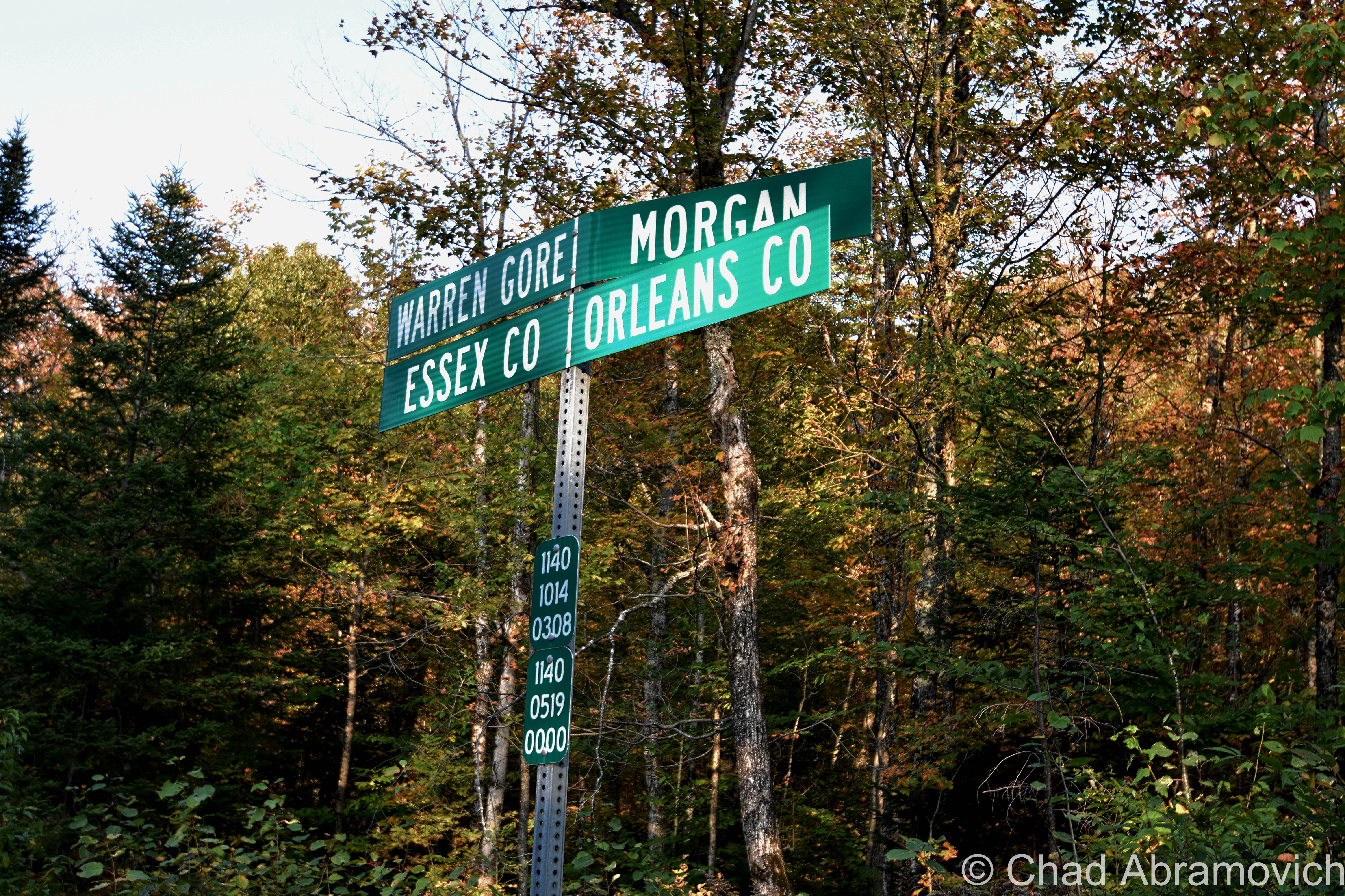
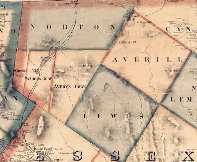
The other three out of five disorganized Vermont towns (Averill: pop. 24, and Ferdinand: pop. 32, and of course, Lewis) are all up in remote Essex County and all border with Lewis, basically making a huge chunk of the northeastern corner of the state pretty capacious, and making them eligible for a mention in this blog post. And standing shoulder to shoulder with those three towns are three of Vermont’s other geographical curiosities, two out of our three gores (the third being Buel’s Gore which forms Chittenden County’s dagger-like southern tip and consists of the dramatic Appalachian Gap), and the state’s only grant! All this chaos by simply drawing lines on a map.

And speaking off – just “down the road” from Lewis exists another state geopolitical oddity that I just had to quickly jaunt towards before heading back home; Warren Gore.

Gores and Grants

What’s a gore? It sounds gruesome, but it’s not, even though my spellcheck is really fighting me on my use of the word.

Scottish immigrant James Whitelaw would become Vermont’s official surveyor in 1787, replacing the often error-proned Ira Allen and becoming considered as one of the best map makers and surveyors in New England. But in Ira’s defense – inaugural survey work is hard.

Survey Crews would embark into unmapped wilderness to do just that. Using a 66-foot chain and wooden posts, they’d attempt to delineate new town boundaries, and then camp out for the night.

But there were still pieces left over; awkwardly sized areas never charted to any town, or given to early land grantees as disappointing compensation for basically getting screwed out of land they were promised.

In a land where possession is about 3/4th of the law; the end result became known as gores, and Vermont once had 60 of them! Currently, we’re down to just three – the rest were eventually absorbed into their neighboring towns to make the map a little less confusing, which makes gores some of the rarest creatures in the green mountain state, and pretty much non-existent elsewhere in the country apart from northern New England, which I think sorta lends them their air of charm.

Gores are often triangular, but sometimes not, as in the case of Averys Gore, which is more trapezoidal, and Warren Gore, which is rectangular. It’s their triangular shape, though, that gave these parcels their curious name. Gore is an old English term that referred to the shape of a spearhead, which is what early cartographers thought they resembled.

Warren Gore is tandem with the Mad River Valley town of Warren. Warren was trying to get a charter in 1780, but couldn’t because it lacked the total amount of decided acreage needed to create a town – which the Vermont legislature said had to be 23,000 acres. So the grantees scrambled to find the remaining 6,595 acres of land, which they did, just completely disconnected, all the way up in the Northeast Kingdom. Technically, they had what they needed, and in 1789, Warren was charted in two pieces (also known as a “flying grant”) – the smaller part becoming Warren Gore. But the two places never had anything to do with each other.

While Warren lured settlement and skiing, Warren Gore, sometimes called “Warren’s Gore”, went the static route of most gores, and attracted only 10 people by 2000, and lost 6 of them by 2010.

The desolate State Route 114 runs pretty much through the center of the gore, and is mostly bookended by deep woods and the pretty shoreline of Norton Pond. Apparently, old guidebooks used to call it “the roller-coaster road” due to miles of continuous sharp rises and dips that made you sorta feel like you were riding a roller coaster. Well, I was absolutely down with that experience, but I guess I didn’t notice anything that was too different from a bunch of other roads in Vermont, so maybe the road had been leveled down over the decades.

I took a tour through the gore and turned around in tiny Norton, an old lumber town of around 169 people that has reverted back to forests and small hill farms. Norton is a 45th parallel town ( the latitudinal line that’s half the distance between the equator and the north pole), and until pretty recently, had one of the last remaining “line houses” in Vermont – or a building built right on the American/Canadian border which is now absolutely illegal to do, in part of northern Vermont being uncooperative during prohibition.  The most famous one is undoubtedly The Haskell Library and Opera House in the unusual village of Derby Line, where the stage is in Quebec and the seats are in Vermont. In Norton’s case, it was a general store that was split in two by the border, until it was demolished in 2021 and is now a grassy lot.

Pretty sure Vermont is the only state that does these brilliant sideways town line signs.

Inbetween Warren Gore and Lewis is Avery’s Gore – Vermont’s largest gore – a large trapezoidal wedge of land void of people or infrastructure. The only way in is on aptly named Gore Road, which is just a really nice logging road that dead-ends in the middle of the gore, near one of the only points of interest, an undeveloped pond a bit ironically named Unknown Pond.

West of Warren Gore is tiny Warner’s Grant, Vermont’s only grant, which is exotically considered to be the most inaccessible land tract in Vermont, and its existence is because of the sad plea of a troubled post-revolutionary war widow.

Hester Warner was the widow of revolutionary war hero Seth Warner (who Vermont state route 30 is named for). Warner was cousins with Vermont’s patron saint; Ethan Allen. With The Green Mountain Boys, Warner would lead the capture of the British fort at New York’s Crown Point while Allen was commandeering Fort Ticonderoga in May of 1775.

The Continental Congress was pretty impressed with that scheming lot and declared them an official militia. Warner was so well venerated that he was voted captain over Ethan Allen! But the war would eventually wreck him, and he’d retire and retreat to Connecticut in 1780, dying there a few years later at 41. His poor widow, Hester, literally and in idiom, was now burdened with the problem of having 3 children to raise but barely having the means to do so. So she despairingly reached out to the legislature. Her husband did so much for the revolution, surely they would give her some assistance.

They did wind up coming through for her, just slowly, and ironically, not in a way that would actually help the widow Warner.

Their compensation came in the form of 2,000 acres in the Northeast Kingdom of practically inaccessible highlands that was coarsely timbered, which they named Warner’s Grant.

Beyond that, history seems to have lost track of Hester Warner. Records do show that she never lived on the land. It seems that like the widow Warner, nobody else wanted to give living there a shot either. Warner’s Grant remains today as it was then, empty – apart from some logging activity.

I’d like to someday get up into Avery’s Gore and Warner’s Grant, but last time I was up that way, it was getting late. Too late to drive into the deep woods on logging traces – so those two are still on my list.

All of the places I’ve mentioned in this post are managed by a special state department – The Unified Towns & Gores of Essex County, Vermont, headquartered in the town of Brighton somewhere down a gated dirt driveway that leads off into some pines that looks more like the nondescript entrance to a sandpit than a government office.

Beers Atlas of Caledonia and Essex Counties – 1859. Shown here is Warner’s Grant, Warren Gore, Avery’s Gore, and Lewis.

Overlanding

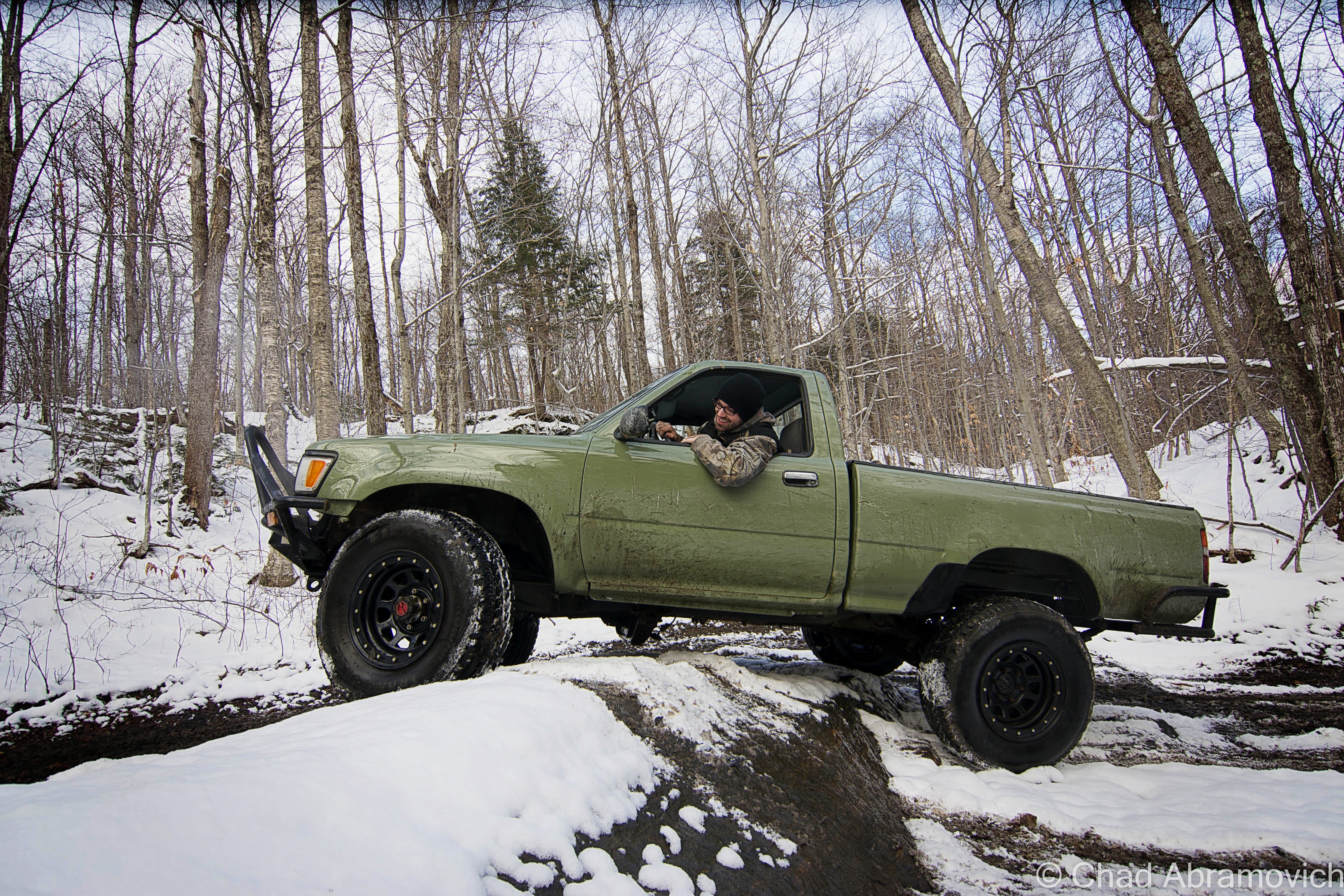
There’s a fun hobby that’s abundant here in Vermont that always gets you near enough to some of the state’s best off-the-beaten-path places that most aren’t hip to. It’s called Overlanding, or, off-roading, and it can bring you to cool places like Lewis.

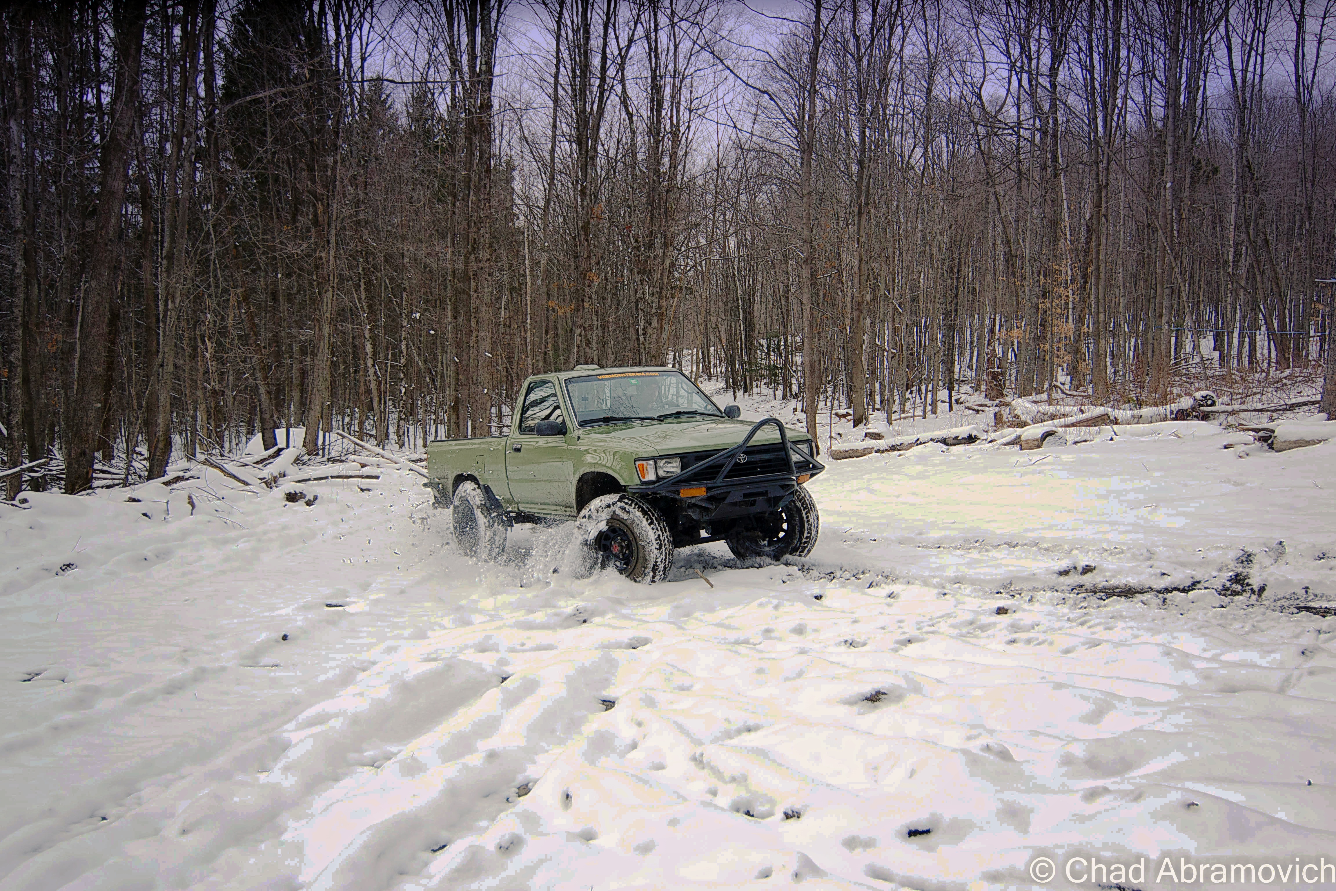
It’s something that I’ve dabbled with a few times with my brother over the years, starting out when we were late teens/early 20-year-olds when we started taking the family’s ’78 Toyota Landcruiser along gnarly mountain trails in the hills between Milton and Westford. For some reason, I couldn’t think about my trip to Lewis without thinking about this, so I decided to shoehorn it in this blog post.

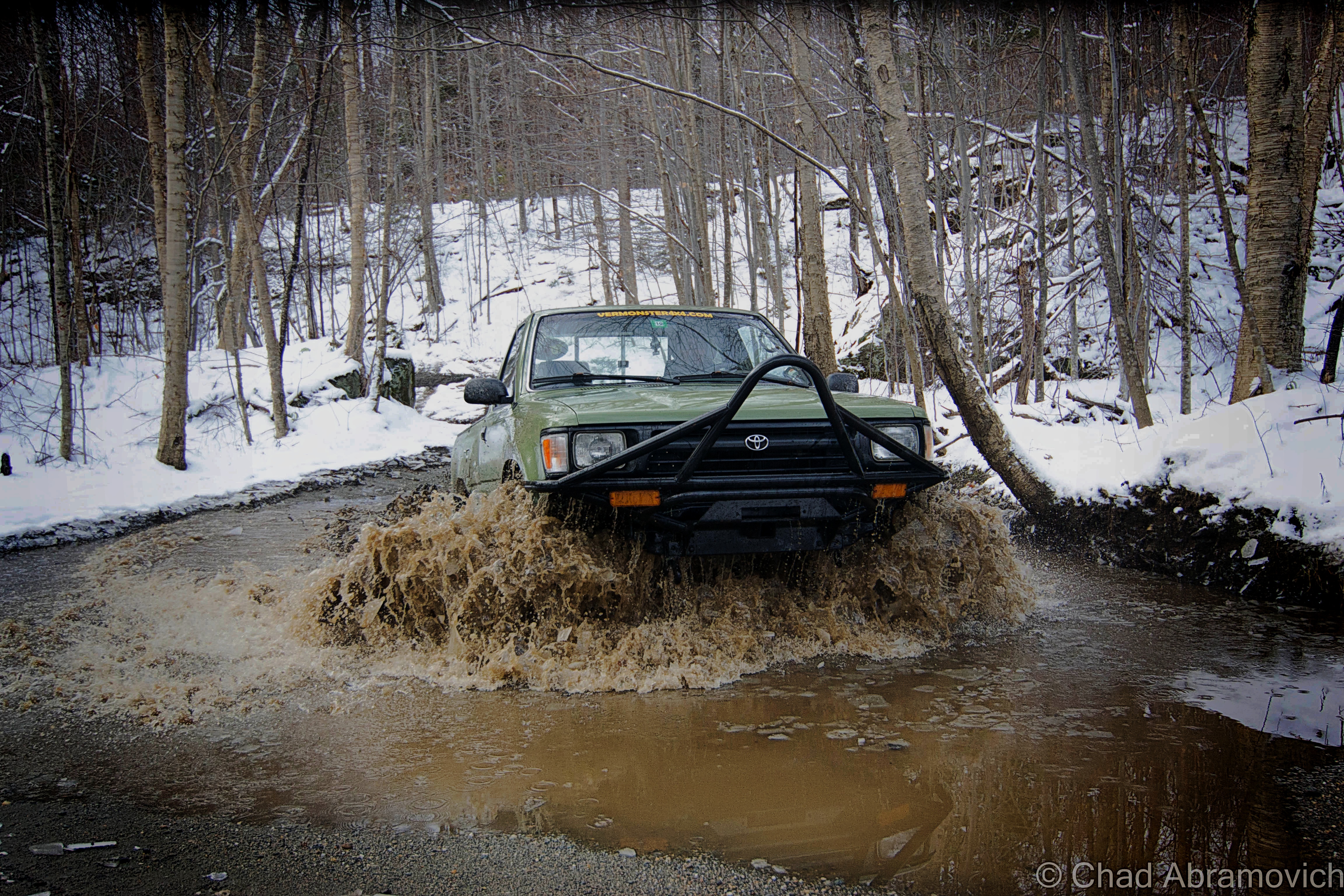
The truck taking a muddy thrashing in the above photo was a more recent project of my brother’s – a 2 door, early ’95 project Toyota that was probably more work than it was worth. It was completely cut in half and welded back together, and all the parts came from Craigslist. It amounted to about a year of road trips, work, and headaches. But it paid off!

We rumbled in the cold and took it up bumpy logging roads and 4 wheeler trails in Vermont’s rugged north country; towns like gritty Johnson and the unassumingly vast spaces of mountainous Waterville and Belvidere – both far-flung villages that look like they’re still in the 1800s and are probably a picker’s jackpot. I still have flashes of us stopping at Tallman’s Store and rumbling down potholed route 109 and seeing the formidable wind molested haunch of Belvidere Mountain thick with snow and ridgeline alpenglow that blazed luminously.

Up in the mountains, we bumped and jarred around defunct mines, active sugarbushes, past 200-year-old cellar holes and slipped and slided up steep slopes, through stream beds, and passed cool hidden waterfalls and dead quarries – many of these areas used to be gores! It was a real thrill (and in the winter, was an activity specifically called ‘snow bashing’). If I had a metal detector, I’d probably bring that along too!

Sometimes you’d meet other off-roaders, pull over and chat about trail conditions, or get the details on the other’s ride. Other times you saw scuffed rocks or trees and knew some poor fella had to of done a real number on their vehicle. If you can make it happen, it’s a fun time, taking you places most folks don’t get to see.

It’s also a continuous mental and problem-solving situation, with the journey itself infused with self-reliance being the primary goal – so using your wits is recommend. Some of these trails aren’t easy to navigate. Another fun activity I used to do is to find some “dead roads”, a Vermont phenomenon where roads that were built in the 1700s and the 1800s have long been abandoned, but are still legal right-of-ways. Using old maps and tracking some of them down was pretty neat!

But honestly, the best part of it all? Overlanding and oddity hunting means spending time outside.

My brother Drew doing his thing!

Here’s a Youtube video of some guys having some fun! I know this made me wanna get out for an adventure!


Since 2012, I’ve been seeking out venerable examples of Vermont weirdness, whether that be traveling around the state or taking to my internet connection and digging up forsaken places, oddities, esoterica, and unique natural features. And along the way, I’ve been sharing it with you on my website, Obscure Vermont. This is what keeps my spirit inspired.

I never expected Obscure Vermont to get as much appreciation and fanfare as it’s getting, and I’m truly grateful and humbled. Especially in recent years, where I’ve gained the opportunity to interact with and befriend more oddity lovers and outside the box thinkers around Vermont and New England. As Obscure Vermont has grown, I’ve been growing with it, and the developing attention is keeping me earnest and pushing me harder to be more introspective and going further into seeking out the strange.

I spend countless hours researching, writing, and traveling to keep this blog going. Obscure Vermont is funded almost entirely by generous donations. Expenses range from hosting fees to keep the blog live, investing in research materials, travel expenses and the required planning, and updating/maintaining vital tools such as my camera and my computer. I really pride and push myself to try to put out the best of what I’m able to create, and I gauge it by only posting stuff that I personally would want to see on the glow of my computer screen.

I want to continuously diversify how I write and the odd things I write about. Your patronage would greatly help me continue bringing you cool and unusual content and keep me doing what I love!

Donate Button with Credit Cards


Experiencing East Mountain

It was the mid 1950s, and the United States and The Soviet Union were in the middle of the Cold War. The race was on, both nations stockpiling enough firepower to wipe out most major cities, vaporized in a discharge of enormous mushroom clouds. The ensuing radiation would take care of the rest. According to those in the know, if a nuclear bomb was dropped, the result would be an obliterating flash of light, brighter than a thousand suns.

Paranoia gripped the nation, and preventative measures were taken by the government. Vermont’s desolate Northeast Kingdom became one chosen location to detect and be an early warning against the end of the world.

The United States Air Force chose East Mountain, a 3,438 foot sprawling ridgeline surrounded by some of the most remote wilderness in all of Vermont, to be the site of a radar base. Construction started in 1954, and by 1956 and 21 million dollars later, the North Concord Air Force Station was functional. The base was designed to provide early warning signs and protection from nuclear fallout, as well as sending information to Strategic Air Command Bases.

About 174 men lived in the base in a village of tin and steel Quonset Huts known as the administration section, situated on a mid-mountain plateau surrounded by almost impenetrable bogs. Their job was to guard the radar ears, which resided in massive steel and tin towers on the summit of East Mountain – constantly straining to hear the first whines from Soviet bombers coming from the skies above. The giant buildings were topped with large inflatable white domes that protected the radars. The government spared no expense protecting the United States from a possible Soviet attack. People were urged to build bomb shelters in their basements, “duck and cover” drills were actually implemented in school kids’ curriculum, and almost every town had a fallout shelter (which everyone was encouraged to memorize the location of).

The Quonset village offered amenities such as a store, bowling alley and theater, barber shop and mess hall. But the wilds of Vermont were a tough place to live, especially in the winters, when snow drifts could often reach the edge of the roofs. Sometimes, the air boys would be stuck on the mountaintop when the mountain road became impassible, and would have to wait out the storm up there. Some enlisted men dreaded serving their time in Vermont because of this, but it was the city boys who hated it especially – many who served from the Chicago area. A mural of Chicago’s Lake Shore Drive once covered an entire wall of the mess hall in an effort to make the men feel more at home (but that mural can’t be anywhere near detected today). The base also provided a bus that drove to Saint Johnsbury every night, for a little stress relief and therapeutic contact with civilization, so the men could see a movie and hit the bars.

At first, there was only one way to access the base, a dirt road that traveled through tough mountain valleys and up steep slopes to the base, a 9.3 mile drive. In the winters when the snow drifts gained mass, army personnel would have to phone the base from the bottom of the mountain to let them know they were on their way up, because the road was so narrow it only offered room for one vehicle traveling one way at a time, and if you ran into someone else, well, good luck.

Later, a paved road was constructed from East Haven on the mountain’s western slope, offering another approach. Though the base was a cold functioning monument to man’s urge to destroy itself and the trembling hands of fear, it also offered a boost to the area’s economy as well as social impacts to area towns. In 1962, the base’s name was changed to the Lyndonville Air Force Base.

But the functional life of the East Mountain Radar Base was brief, as expensive costs to keep it running were adding up, and advancing technology made it obsolete before construction was even completely finished. It officially closed in 1963. Since then, its became the idol of local legends. Strange stories of death, UFOs and unknown characters skulking behind rusting ruins and evergreen forests slowly began to haunt the place.

The weirdness started before the base even closed. In 1961, a strange object – which many speculate was a UFO – was identified in the skies above East Mountain, which the military reported as lasting for around 18 minutes. A few hours later, Barney and Betty Hill were allegedly abducted by a UFO near Franconia Notch, New Hampshire, which lead some to believe there is a connection between the two coincidental events.

In 1965, Ed Sawyer of East Burke bought the property from the government for $41, 500, and what a purchase it was. The base was in pristine and authentic condition at the time, and he loved it. Sawyer made money by selling surplus equipment and scrap metal. He moved into one of the Quonset Huts and also ran a woodworking shop there. In 1969, a group of snowmobilers rode onto the property without permission. As they were traversing the lengthy access road, one of them hit a chain slung across the road as a makeshift gate, and was decapitated.

Not long after, trespassers and vandals discovered the base, and started making trips up into the vast wilds of the mountains hoping for an adventure. Sawyer installed several gates going up the roads to deter people from coming up, but he would numerously find several padlocks had been pried off and ruined. Sawyer had to replace about 35 padlocks a year. He would eventually result in shooting at trespassers to protect himself when menacing visitors became destructive and violent. He had even been threatened before.

Not only would they loot and steal everything from wiring and original furniture, but they destroyed the buildings. There was even an account where he woke up one night to a bunch of snowmobilers who were able to ride over the roof of his building because the snow drifts were so high!

The constant influx of vandalism and weather took its toll on the radar base, which has since further deteriorated and taking on a forlorn, haunting appearance underneath bounding hills and silent forests.

The property was put on the market, and remained unsold for many years, until recently when Matthew Rubin purchased it, who envisioned building a wind farm on the site, and anyone who has been on East Mountain would understand why. But after years of attempting to get permits from the state, he postponed the project indefinitely. The property has since been added to Vermont’s list of hazardous places, for massive soil contamination from oil and other motor fluids.

Around 1990, another person met their own mortality on East Mountain, when they fell from one of the radar towers and was killed. To add to the radar base’s already mysterious reputation, it’s been said that the rotting ruins have also been home to hobo camps and a hideout for the Hells’ Angels at one point.

Today, the radar base, known variously as East Haven, East Mountain, Lyndonville, and Concord, sits abandoned in a nebulous haze that hangs over the kingdom forests, the incongruous ruins littering the mountain top – the eerie silence is occasionally broken by the winds and the scraping sounds of rusted metal. A disconcerting and questionably regressive riddle to the end of one apocalyptic dream, and the uncertainty of what the future will bring.

The Quonset Village, Circa 1961-62
The radar towers on the summit

photos-LyndonvilleAFSNorthConcordVT61fall photos-LyndonvilleAFSNorthConcordVT61radarevening photos-LyndonvilleAFSNorthConcordVT61topsidewinter

Historical Images via The Air Defense Radar Veterans’ Association – photos from the 1960s

The East Mountain Radar Base - satellite view
The East Mountain Radar Base – satellite view. The Quonset living area is in the lower left corner, and the radar towers are in the upper right, to give you a sense of scale.

The East Mountain Radar Base was one of the most unique places I have ever gotten the chance to explore, and that adventure started even before we arrived there.

We approached our destination from the small town of Victory underneath the bravado of September skies and rambling mountains. Victory has one of my favorite names for a town in Vermont – it’s one of the few place names in the state that derives from an idea rather than a person or place. A suggestion for the cool name may date back to 1780, when settlers across New England were caught up in a general sentiment of Victory after the tides were beginning to turn against the British, especially after the French had decided to join the American cause.

It’s stand out name is kind of ironically fitting for it’s it’s admittedly stand out culture as a place of uninviting destitution, the power of it’s isolation is irrefutable. There are no state routes or paved roads – only unkempt dirt roads that are rutted into a landscape of hills with mangy looking forests partially scarred by ugly logging activity and expansive bogs with heavy moose traffic. The town is remote, even for Vermont’s idea of the term. It has none of the things that many towns have to formulate an identity; it has no post office, general store, gas station, school, police station, fire department or churches. Instead, a cluster of trailers in various states of upkeep huddled together at the bottom of a steep hill is the closest thing the community has to a village center, an area called “Gallup Mills”, which are what VTran’s green reflective way finding signs direct you to as opposed to Victory.

It does have a town hall though – in a restored one-room schoolhouse, which apparently sees far more feuding amongst the 62 people that live in Victory than actual productive town business affairs.  I’ll take a quote from Victory resident Donna Bacchiochi in a Seven Days article that I think sums up the town; “You see how lonely it is, how out of the way it is? The reason we moved here is we aren’t social. People in Victory are like that. They don’t visit each other, they don’t kibitz, they don’t do anything like that. It’s vicious.”

In 1963, Victory made local and national news by becoming the last town in the state to get electricity, and that was pretty much owed to the by then defunct radar base being nearby. With millions spent running power up the mountains to the base, Victory took advantage of a fortuitous situation and made connections down to the valley from the existing grid.

Traveling off into the hills of Victory, we made our way up Radar Road which was built parallel to the bouldery banks of The Moose River and underneath fallen trees that hung over the road, as our tires jarred into pothole washouts. As I’m writing this, I can’t think of accurate words to describe the sense of isolation we felt up in the mountains of East Haven. Miles away from anywhere, no cell phone service, no sounds of the familiar world to ground you and give you a sense of place.

Eventually, we came across a weedy clearing in a sea of Green forest, the formidable forms of the Quonset Huts with their rusted steel facades and broken glass skulking behind the fading colors of early autumn. We had reached the former living area of the base – the sentinel forms of the radar towers high above us could be seen on a steep ridge where congested softwood forests climbed out of the swamps. Many of the huts had been razed already, leaving cement slab foundations choked with weeds. One of them was dismantled and given to the Caledonia County Snowmobile Club, where it was re-assembled. The remaining buildings were low profile, almost completely obscured by the forest that was slowly reclaiming what it once had.

A walk through the buildings was a sentient experience over broken glass, soggy and exposed insulation, a storied compendium of generations of graffiti, and evidence of human habitation, arson and partying.

Administration Section – Fall, 2014

DSC_0002_pe
The Motor Pool.
DSC_0066_pe
Every building on the base was fueled and heated by it’s own enormous oil tank, which also result in the heavy soil pollution there today. The tank pictured here was probably more towards the mess hall – but the new property owners have since moved it to block the road just beyond the administration section, to prevent people from driving up to the towers on the summit now. The only way up is via a 2 hour hike, or if you have 2 wheels.

DSC_0007_peDSC_0011_pe_pe

We didn't know this at the time, but the cumbersome Formica board leaning inside one of those busted bathroom stalls is the former control board interface for the radar computers up on the top of the mountain. The unexposed side still had it's typography, button slots and scones where light bulbs were. It has since been removed.
We didn’t know this at the time, but the cumbersome Formica board leaning inside one of those busted bathroom stalls is the former control board interface for the radar computers up on the top of the mountain. The unexposed side still had it’s typography, button slots and sconces where light bulbs were. It has since been removed.

DSC_0028_peDSC_0036_peDSC_0047_peDSC_0060_peDSC_0063_peDSC_0064_pe_peDSC_0080_peDSC_0081_peDSC_0074_pe_peDSC_0073_peDSC_0084_peDSC_0087_peDSC_0091_peDSC_0094_pe_peDSC_0099_peDSC_0100_peDSC_0103_pe_peDSC_0107_peDSC_0108_pe_peDSC_0115_peDSC_0120_peDSC_0121_peDSC_0124_peDSC_0126_peDSC_0130_pe_peDSC_0136_pe_peDSC_0138_peDSC_0140_peDSC_0146_peDSC_0154_peDSC_0162_peDSC_0168_peDSC_0171_peDSC_0174_pe_peDSC_0176_pe_peDSC_0177_pe_peDSC_0186_pe_peDSC_0180_pe_peDSC_0197_peDSC_0193_peDSC_0194_pe_pe

Return to Radar Mountain – Mothers Day Weekend 2016

On mothers day weekend, I met up with a few friends and we ventured up to radar mountain. It was 72 degrees – perfect for a road trip – and I really needed to get out of the house.

Although, a late start ensured that we got up on the mountain just an hour or so before sunset, but that didn’t stop us from having a little fun. We got a campfire going and my friend hooked up his record player to some period-accurate loud speakers, and played era-appropriate music from the 50s, when the base would have been in operation. I only have eyes for you” was playing as I shot this, making eerie tin can sounds and tossing them across silent swamps and the silhouettes of nearby mountains – which we joked was the radar base theme song.  It was an extraordinarily cool night. 

DSC_0533_pe DSC_0536_pe DSC_0538_pe DSC_0542_pe

DSC_0546_pe
Among the stranger things that we have found inside an abandoned location, my friend said that one of his more uncomfortable finds happened here in the asbestos dusted mess hall – when he found a pair of contact lenses on the gritty floor tiles a few years back.

DSC_0547_peDSC_0550_peDSC_0553_peDSC_0554_peDSC_0556_peDSC_0558_peDSC_0566_peDSC_0567_peDSC_0568_pe

DSC_0569_pe
“Horse Man”

DSC_0571_pe

Furnace. When the building caught fire, the asbestos did what asbestos does, and prevented the hazard from spreading, but in the process, it was also left horribly exposed, making the building a hazard of different proportions.
DSC_0573_pe
What I found really interesting about the construction of the administration area, was that because it was literally built over a mountain swamp, some of the terrain had to be leveled to accommodate the foundations, but that terra-forming was only done around the sites that they were working on, leaving the rest of the area more or less as they found it, as evidenced here by the swampy stand of birches (there are a lot of birches up there) next to a more leveled cinder block construction. I speculate that if this base were to be constructed today, the entire property would just be flattened.
DSC_0575_pe
We know that all sorts of people come up here for various reasons that one would want to come up to a defunct radar base far from the concept of society and law. Plenty of them have firearms. But in this case, these strangers were inside of the building as they were shooting up the walls. My camera lens was staring at bullet exit holes.
DSC_0577_pe
The former gymnasium and theater building. I had never seen it before without all the leaves on the trees. This structure arguably had the largest of all the fuel needs for the administration area, and probably the most asbestos contamination. So big that the gym had it’s own furnace and power plant wing build behind it. Today, the swamp behind the gym is an impenetrable, scrubby and foul area that is burdened by plenty of oil contamination after the base closed.
DSC_0579_pe
Behind the gymnasium, you can still trace the tennis courts. Remarkably well. Though the base has been defunct for 53 years now, it’s paved extremities like the road itself, and this tennis court, have held up very well over the intervening years all things considered. Though, the paved surface is breaking out in isolated subterranean build ups that make rounded protrusions and bumps through the tarmac. Parts of surviving property delineating chain link fence were even still standing.

DSC_0581_peDSC_0584_peDSC_0588_peDSC_0589_peDSC_0597_peDSC_0598_peDSC_0602_peDSC_0604_peDSC_0607_peDSC_0613_peDSC_0618_pe

The old guard shack, which is slumping a bit more as the years go by. Radar Road's 1960's pave job still holds up better than many of Vermont's roads that VTrans dubs as "usable".
The old guard shack, which is slumping a bit more as the years go by. Radar Road’s 1960’s pave job still holds up better than many of Vermont’s roads that VTrans dubs as “usable”.

The radar base was already proving to be a creepy area to explore. The compelling silence up there was occasionally met with auditory hallucinations – we would jump at the sound of what we thought were other people lurking somewhere nearby, or the oncoming roar of a motor of a passing vehicle, only to be greeted by nothing but our own fears and the self imposed things that crawled into our heads.

From the administration section, we climbed back in the car and drove up the remaining stretch of Radar Road, and were immediatly met with the most imposing road I’ve ever traveled on. The forest literally was swallowing the road – the cracked paved surface immediately pitched upwards on a grueling steep grade that kept on climbing – the growth was so thick that tree branches came in through our open windows and began to smack us in our faces, until we were forced to roll up the windows. The road was only wide “enough” for one car, and that was even far fetched. There was no place to pull over, no place to turn around. If another car was coming in the opposite direction, especially around one of the many blind hairpin turns that also happen to travel uphill, you would be screwed. One of you would have to give. At this point, the orange glow of my friend’s low fuel light illuminated on the dashboard, giving us another reminder of just how far away we were. If we ran out of gas up here, it would be a very long walk back to civilization.

But the drive to the top was exhilarating – the intoxicating scent of Spruce and Balsam trees blew in the winds and filled the car. Soon, the trees became stunted and the horizon began to open up from the dark forests, and the shapes of hazy blue mountains with their knife sharp ridge lines began to undulate in the horizon. All of the sudden, we were underneath the imposing steel skeletons of the radar towers. We had made it.

Summit Radar Towers – Fall 2014

DSC_0208_pe
Radar Road as it flattens out on the summit. From up there, you can see New Hampshire’s Presidential Range.

DSC_0211_peDSC_0212_pe_peDSC_0222_peDSC_0225_peDSC_0226_pe_peDSC_0231_pe_peDSC_0233_pe_pe

Almost immediately, we were greeted with a good reminder at just how dangerous this place was. Several of the floors in the steel towers were rusted through, some with holes, and others with entire sections that actually swayed and bended with each passing step. Mysterious liquids of various colors rested in odorless pools on the floors and dark spaces, as the wind howled outside and rattled the walls. Rust was everywhere, and the possibility of Tetanus discomforting.

DSC_0236_pe_pe

DSC_0238_pe_pe

It wouldn’t be an adventure if we didn’t find a Bud Light can along the way, which seems to be the drink of choice for people who frequent these types of locations.

DSC_0242_pe_peDSC_0246_pe_peDSC_0248_pe

This 5 story tower is the tallest structure on the base, and was never actually completed. It was halted before radar equipment was ever installed because the base was decommissioned.

DSC_0253_pe_peDSC_0258_pe_peDSC_0259_pe_peDSC_0261_peDSC_0265_pe_peDSC_0266_peDSC_0279_pe_peDSC_0282_pe_peDSC_0286_peDSC_0288_pe_peDSC_0298_peDSC_0303_pe_peDSC_0306_peDSC_0311_peDSC_0324_pe_peDSC_0330_pe_peDSC_0332_peDSC_0340_peDSC_0342_pe_pe_peDSC_0343_pe_peDSC_0344_peDSC_0345_peDSC_0347_pe_peDSC_0348_pe_peDSC_0349_pe_peDSC_0350_pe_peDSC_0355_peDSC_0357_pe_peDSC_0358_peDSC_0361_pe_peDSC_0367_pe

The best part about the visit here was no doubt the magnificent 360 panorama of the Northeast Kingdom and New Hampshire from the top of the tallest radar tower, but getting there was a game of nerves. Climbing up the already questionable structures reverberating with the groans of rusting tin moving in the wind, and up a rusted ladder coated in a layer of mysterious slime that gave you no traction. If you slipped, you plummeted several feet down towards a hard concrete floor into pools of fluids obscuring soggy insulation and rusted objects. But once on top of the tower, as you gaze into unbroken wilderness as far as you can see, and you bask in the profound silence, it’s completely worth it.

At the summit, there were visible campsites made on the slopes beneath the towers. I couldn’t help but think about how amazing it would be to camp up here in the deep, underneath the constellation light. I’m sure it would be a spectacular experience, perhaps even unsettling. As we were leaving, another car came up the road and parked, before a group of teenagers climbed out holding quite a few packs of Twisted Tea. I guess other people are taken by the strange allure of this place as well – and it draws characters of all kinds.

Proving this point, on the way back down the road, we met up with another vehicle, its roof and grill lights flashing, and it was barreling up the road. Thinking it was the police, we found a place to pull over. As the car passed us, we clearly read the words” Zombie Apocalypse Survival Vehicle” written on the sides in police-esque decals, the car soon sped out of sight as it headed towards the mountaintop.

Sometimes, the pursuit of life can bring you to some incredible places.

Update as of August 2015

A while after I had published this post, I was amused when I saw an inbox message on the blog’s Facebook page from the owner of the “Zombie Apocalypse Survival Vehicle”, which pretty much started out with the line “Hey! I’m the guy with the car!” As it turns out, he’s also one of the members of the East Mountain Preservation Group and might just be the person who is most intimate with the place. He practically lives up there, spending his free time examining it’s ruins and doing some urban archaeology to figure out how the base functioned, and the stories behind the things I saw on my trek up the mountain. So, we struck up a casual social media friendship, which transitioned into a real time friendship, which lead to us planning a radar trip together.

He picked me up in the affor-referenced Zombie Apocalypse Survival Vehicle, and we made a special trek up to the kingdom, to explore the base on the 52nd anniversary of it becoming defunct. He gave me a much more detailed tour of the place, showing me things that I had walked right by or took no notice too. One of my favorites was the collection of old cars that had been junked in a swamp that ringed the administration section. When the base was abandoned, the army trashed the place, heaping their junk and cars into the woods, and dumping lots of excess waste, such as oil and fuel tanks, into the soil. The faint acrid stench of contamination still permeates in the swamps today. Following well packed super highways made by what seem to be countless passing Moose, we were able to find the rusting remains of the vehicles. We also found an old switchboard that once controlled radar and ventilation equipment, switchboards that once served the telephones and their lead cased wires, and several old wells now contaminated with iron that stained the water a stagnant red.

But the most surprising find was what we refer to as “The Boulders”; a very literal moniker we bestowed on a man made road block just beyond the Quonset Huts. Logging equipment was used to dig a trench through the road, and then to drop four gigantic boulders into it, to prevent anyone with a vehicle from driving up the remaining two miles to the radar towers on the summit.

By far the coolest part of the trip was when we were able to get the power running in some of the buildings, after a great deal of rigging and assistance, I heard the eerie yet rewarding sound of a light that hasn’t flickered or hummed in 52 years, come to life. Not a bad way to spend an anniversary.

As it stands as I write this in 2016, the radar base and all visible surrounding property was purchased by a logging company out of Washington State. From what I was told – the company doesn’t plan on being as friendly to recreational land use as the prior landowners were. To get some tax breaks on all those acres of forest, they have to allow some, so they’re focusing on moose hunting permits. But from what I heard, all 4 gates up Radar Road will most likely be closed more than they’re open from now on, so logging and quarrying crews can do their thing without the constant interruptions of over sized trucks with out of state plates coming up the road, which surprisingly carries the traffic volume of a suburban neighborhood than a logging road in the middle of the kingdom. But, only time will tell.

DSC_0882_pe DSC_0883_pe DSC_0885_pe DSC_0887_pe DSC_0888_pe DSC_0889_pe DSC_0892_pe DSC_0895_pe DSC_0896_pe DSC_0906_pe DSC_0908

—————————————————————————————————————————————–

To all of my amazing fans and supporters, I am truly grateful and humbled by all of the support and donations through out the years that have kept Obscure Vermont up and running.

As you all know I spend countless hours researching, writing, and traveling to produce and sustain this blog. Obscure Vermont is funded entirely on generous donations that you the wonderful viewers and supporters have made. Expenses range from internet fees to host the blog, to investing in research materials, to traveling expenses. Also, donations help keep me current with my photography gear, computer, and computer software so that I can deliver the best quality possible.

If you value, appreciate, and enjoy reading about my adventures please consider making a donation to my new Gofundme account or Paypal. Any donation would not only be greatly appreciated and help keep this blog going, it would also keep me doing what I love. Thank you!

Gofundme: https://www.gofundme.com/b5jp97d4

Donate Button with Credit Cards

Yankee Shangri-La

It was nearing the end of October, the fires of fall had long faded, and winter was on its way. The winds were bitter now, and brought a fierce chill in the icy blasts that blew the remaining leaves from the trees. I ran into a friend of mine, and he seemed excited. He explained he had found an abandoned house earlier that morning en route to work, and wanted to go back and check it out. I decided to join, setting out into the wild backroads of the Northeast Kingdom.

By now, we had been traveling on remote dirt roads for a while, and we were at the point where most roads we passed didn’t have any street signs labeling them. We were in the middle of nowhere, without cellphone service. The hill began to get steeper, and the road turned into something that was probably more of a four wheeler trail. I could tell it hadn’t been maintained in a while, evident scars of previous road wash outs showed gravel deposits that had been pushed deep into the forests on the side. As his SUV bumped and jarred around, I kept my eyes open for anything matching his description of the house in question, while questioning if taking this road was such a good idea or not. Then, on the right side of the road,  I saw something.

As soon as I turned to my friend, he put the car in park. “This is it” he said, confirming my question. I stared out the window at this strange structure, and words escaped me. I had no idea what to make of it, I wasn’t even sure it was abandoned. Ok, it was pretty ramshackle, and it looked like it was on the verge of collapse. It didn’t look like it had electricity, and the “yard” was littered with old rusted cars from decades ago. But something didn’t feel right. There were several bright “No Trespassing” signs nailed to the trees in the front, as well as a few posted on the structure itself. That’s not so abnormal I thought to myself. That was until I saw a dog come towards the car. “Joe, there’s a dog outside…this place can’t be abandoned. Someone has to own that dog” I stated. But he had already opened his door and was climbing out of the car. “Let’s check it out” was his reply. Shrugging my shoulders, I followed him. The dog was a little bizarre, but my curiosity was stronger. Then to my surprise, two more dogs appeared behind the one that had made its way over to us. I know knew for a fact that this place was anything but abandoned.

A little unnerved now, I took my camera out from its bag, and got ready to take a picture of the place. If we drove this far, I might as well get one picture I thought to myself. I looked through the view finder, and as I lined up my shot, I noticed something else in my picture besides the building I wanted to capture. There was a woman staring at me, a questionable look on her face. Now things were going to get interesting I thought to myself.

I lowered my camera as a sign of respect, and she walked towards us, the dogs barking wildly. But to my surprise, they were friendly, as they kept nudging my hands and wagging their tails. “Can I help you?” asked the woman, who was now standing in front of me. I fought to choose my words carefully.

“Hello miss…I’m sorry, I didn’t realize….” she cut me off. “You didn’t realize anyone lived here.” she deadpanned, still looking at me quizzically. I had a hard time reading her, I couldn’t tell if she was angry or just as curious by our presence as we were with hers. “No, I’m really sorry. See, I was told this place was abandoned… I’m what’s called an urban explorer, I take pictures of abandoned places” She didn’t speak for a few moments, but the awkward silence was broken when she started to laugh. “Haha, well I have to say. I’ve been approached by many people before about my house, but I can honestly say you’d be the first ‘urban explorer’ I’ve ever met. Is that really a thing?” I laughed at that. “Yes ma’am, people actually take pictures of abandoned places for fun” I said that with a sense of pride in my voice. “And you’d be one of them” she retorted, a smile now on her face. “I’m really sorry, I didn’t mean any disrespect, honestly.” She waved her hand, dismissing my apology. “No need to apologize, I now know you weren’t here to cause trouble. Most people who do stop by tend to be more of a hell raiser then you”

“Do you get bothered often?” I asked, a hint of concern and innocent curiosity in my voice. “Plenty” she wasted no time in answering. “I have punk teenagers and driving up and down this road at all hours of the day, yelling vulgar things and throwing rocks at my house. I’ve even had people stop and try to explore the place. They’ve walked right into my living room before! I’ve had to chase them out!” That must be an amusingly awkward scenario for both parties. One one side, you are surprised to find out you are in someone’s living room, and on the other side, you are surprised to find a trespasser in your living room.

“Oh man, that’s terrible” I said. But honestly,what do you say to something like that? This whole situation was pretty unique, if not completely bizarre. But the woman was very friendly, she seemed she was almost grateful for our company. “I bet you’re wondering what this place is” she said, a grin appearing on her face. I looked at her, not really knowing what to say. Yea, I was very curious, but how do I phrase my answer without insulting what seemed to be this woman’s home. “Yes, the thought did cross my mind” I said laughing, trying to appear friendly as possible. She laughed too. “Well, you happen to be looking at my house!” She gestured her arm at her personalized property. I could tell she was proud of it. “Here, do you have a few moments?” she asked. “You drove all the way here, I might as well give you the grand tour if you’d like?”

I couldn’t believe this. One minute we were slated as suspicious characters, the next we were being invited into this woman’s home. I was incredibly humbled. “I would love a tour, but would I be imposing?” She assured me I wouldn’t be, and motioned for me to follow her. “Are you going to take pictures?” she asked me, as she eyed my camera. “I’d like too, but would you prefer me not too? I want to be respectful of you and your property”. She smiled at this. “No! Of course you can take pictures!” She then quickly looked at her house, her facial expression changing. “Oh wait! not yet! let me clean up a little first, I wasn’t expecting company” Her statement was sincere I could tell, but I couldn’t help laugh a little at the irony of her comment.

She led me and my friend up the very steep and slick bank to her “front door”. The slight incline was a lot steeper and more slippery then it looked from the road, I found myself gripping the nearby trees as I climbed. It took her no time at all to reach the door, she was used to the walk. “Be careful!” she said, her voice full of concern. I found my way up to her front porch area, a crude landing built with a collection of pallets and planks of wood. A rather large reclining chair sat in the corner that looked pretty comfortable, until I remembered that the chair was outside all year long. I put my hand on the side, and it sunk into the wet material. I had forgotten it had just rained. She was already inside now, picking up various items and putting them in chosen places. “I’m almost ready! Please, come in” she yelled. I did. The inside of the house looked no more different then the outside of the house. Except it was more inclosed and there was more furniture. I noticed her walls were lined floor to ceiling with bookcases, all filled with old books. “See my books?” she said with pride. “You probably guessed, I love to read” She was also an artist. She knit rugs and liked to oil paint, a few of her paintings sat in a corner nearby. She was a fascinating woman.

“So, tell me, you’re into taking pictures of abandoned houses?” she brought that up again. I laughed at this, as I have gotten the same reaction from so many others. “That’s a really interesting hobby. But then again, you’re a very interesting gentleman” she said with a smile on her face. I knew she had just complimented me. “I’m Chad by the way”, and held out my hand to introduce myself. The least I could do was tell her my name, she was friendly enough to invite me into her home. To protect her identity, I’ll disclose her name.

“So, let me tell you about my house” she said as we continued to walk around the inside. I kept watching my step, it was pretty cluttered inside and the ramshackle construction left me in a cautious mindset. Her story was incredible.

She fell in love with a man from Connecticut and had two children with him.He earned a very decent salary working at IBM and eventually, he retired because he had earned enough to live comfortably for the rest of his days. They had purchased property in the wilds of Vermont’s Northeast Kingdom, and it was here where they planned to build their dream house. They made the journey up in her beat up old Chevy van, where it broke down right on their arrival at their property. It hadn’t been moved from it’s resting place since. They ran into immediate obstacles such as zoning laws and permits for building a house, and running electricity and water to their remote mountain property. The land was ledge, so a lot of it would have to be professionally blasted to make way for any foundation.

Their arrival in the Green Mountain State wasn’t as welcoming as she had hoped, but she remained optimistic and kept her vision of her grand home and soon to be happy life in mind. But sadly, it wasn’t to be. Her lover (for reasons not exactly known) fell for another woman. She became teary eyed at this point of the story. “He just began to hate me…” she said. The tension in their relationship became unbearable, and he spontaneously up and left her to be with his new lover. As for the kids, with a little bribery and vulgar comments towards her, he convinced them to go with him. As her life crumbled in front of her, she now found herself stuck with a piece of rugged property, miles from civilization with no money, no house and no family. She couldn’t go anywhere, she had no one to turn too, she was alone.

But instead of giving up, she stayed strong, and harvesting her Yankee Ingenuity, she began to build her dream house. The materials came from sources of all kinds. Garage sales, scrap heaps, junk yards, things she found on the roadside, donations, anything she could find. Soon, her ramshackle castle began to take shape as she single handedly built the foundation, floors and ceilings of her home. “See these beams?” she said, as she pointed over head to some incredibly thick wooden beams that held the ceiling up. “I put those there, by hand, by myself” I couldn’t believe it. They looked like they would be far too heavy for anyone to lift alone, yet alone get them at that height, up that steep bank. “Ropes and pulleys” she said, sensing my confusion. “All hand made, right here on the property”. To say I was impressed was the greatest understatement of the moment. I was baffled. The house started out with one room, and over the years as she got more building material, more were added. She then expanded, and created a loft upstairs. She is an experienced builder and carpenter as it turns out, so she knew what she was doing. “It may not look it, but this place is actually incredibly sturdy. The strongest winds won’t knock this place over, and trust me, I’ve been hit by some bad storms before” she said. I was still in awe. “What do you do when it rains?” I ask, noticing the holes in the roof and walls. The rain doesn’t bother her. “if it rains, it rains” she says. “Most of my valuables are protected, and if a little gets in the house, it’s not the end of the world”. In her situation, simplicity and modesty were everything. You can’t get too attached to things. As for her children, she fought for custody – the one time she went to the state for legal aid. And was declined flatly. “It’s unfair” she said. “They take one look at my house, and judge me, tell me I’m unfit to be a mother”. Her eyes were filled with sadness again. “My kids don’t even come and visit. I don’t have a TV or an XBox, they want nothing to do with me” I remained silent.

“Want to know my favorite part of the house?” she asked me, her eyes now twinkling. “Sure, I’d love too” I said, smiling at her. She brought me over to a corner of the house with a large window. “See this? I come here on clear nights after the leaves have fallen from the trees and just look up at the stars. The skies are so clear here, you can see for miles with no light pollution. It’s my favorite place in the world”. I could only imagine just how wonderful that must have been. “What do you do in the winter?” I asked her. “Surely it gets cold around here”. She pointed to a beat up old camper parked behind the house that I didn’t see before. “I sleep in there. There is no heat in the house, so I have no choice”. That made perfect sense.

As for food and other necessities, she walks 7 miles into town where the nearest grocery store is, every week, rain or shine. She doesn’t drive, and doesn’t mind the walk. She actually enjoys the walks. “Everyone thinks I’m crazy in town. They all spread rumors about me. But they are so quick to judge what they don’t know” I understood what she meant on a personal level. Because of a learning disability I have, I’ve grew up feeling like a social outcast. Though we may be facing different scenarios, the pain is relatable.

“Do you ever think about selling this place?” I asked. “I’ve been approached a few times by various people, but I always refuse offers. This is my home now, I created this and I’m not going anywhere”

At this point, several hours had passed, and the daylight was disappearing behind the silhouette of Stannard Mountain in the distance. I knew I had to leave soon. But that was a melancholic feeling. In the short time I had gotten to know this woman, I had grown to really like her. Apart from her troubled past and fierce perseverance, she was kind and intelligent. She walked us out to the car, her dogs following her. “I can’t thank you enough” I started. “For everything” She could tell I was being sincere. “I should be thanking you, it was a pleasure to meet you. I hope you got all the pictures you wanted” I nodded my head and told her I did. I shook her hand again, and prepared to leave back to college, the image of a warm shower in my mind. “Hey!” she called out. I turned around. “If you are ever in the area again, feel free to stop by. I can make us some tea” I assured her I would. One day, I honestly hope to take her up on that offer.

Untitled_Panorama1

DSCN1651 DSCN1648 DSCN1640 DSCN1641

—————————————————————————————————————————————–

To all of my amazing fans and supporters, I am truly grateful and humbled by all of the support and donations through out the years that have kept Obscure Vermont up and running.

As you all know I spend countless hours researching, writing, and traveling to produce and sustain this blog. Obscure Vermont is funded entirely on generous donations that you the wonderful viewers and supporters have made. Expenses range from internet fees to host the blog, to investing in research materials, to traveling expenses. Also, donations help keep me current with my photography gear, computer, and computer software so that I can deliver the best quality possible.

If you value, appreciate, and enjoy reading about my adventures please consider making a donation to my new Gofundme account or Paypal. Any donation would not only be greatly appreciated and help keep this blog going, it would also keep me doing what I love. Thank you!

Gofundme: https://www.gofundme.com/b5jp97d4

Donate Button with Credit Cards