Milton Mysteries: The Indian Mound

On my quest to discover Vermont curiosities, weirdness and mysteries, I made the mistake of overlooking my former hometown of Milton, a community steeped in stories and legends. But Milton presented a challenge to me. While some lore seemed to be well recited among local residents, the actual stories behind the stories simply weren’t there. Over the past year, I began talking to people, writing down notes and choosing things I wanted to research further in detail. I wanted to bring these great stories to life once again, and through arduous research, I was finally able to fill in some missing pieces. This will be the first in what will hopefully be a few entries on Milton mysteries.

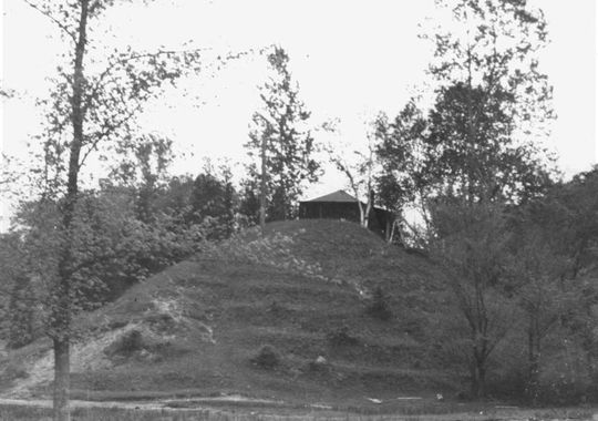
A year ago, I stumbled upon an old photo which fascinated me. The photo depicted a large mound of earth dubbed as “The Indian Mound”, it’s vague description locating it somewhere near the shores of Lake Champlain. Was there an Indian Mound in Milton?

I’ve traveled the many dirt roads of West Milton all my life, but have never seen a geological formation like this before. If there was such a mound, surely it would be of great importance. Why was it so discrete? Do people know of its existence? And, the most heavily weighed question, where was it?

An old photo of an alleged Indian Mound near the shores of Lake Champlain. Photo courtesy of The Milton Historical Society

Speaking with Lorinda Henry from the Milton Historical Society,  she explained that the mystery about the Indian Mound was far greater than the information about it.

After digging through stacks of papers and unlabeled binders at the historical society, I was able to find my first clue; that the mound was located down near Camp Everest in Milton, a hidden area off a series of remote back roads that don’t receive much traffic other than locals, and a name that may very well be lost to many Milton residents today.

A vestige of the days when Milton was a summer tourist destination, Camp Everest was just one of the many large camps that would be built up along the shores of Lake Champlain.

In the mid 1800s, camping in summer cottages and tents would draw people to the shores of Lake Champlain. Milton’s lakeshore was a murderers row of natural beauty, complete with stony beaches, Eagle Mountain’s giant looming rocks, marshlands, and deep forests. Land owners began converting their properties into camps to take advantage of this, and as a result, camps Rich, Martin, Watson, Cold Spring, and Everest would open for business.

Photo: UVM Landscape Change Program
Campers getting ready for a boat excursion on Lake Champlain at Camp Rich in Milton, Early 1900s. Photo: UVM Landscape Change Program

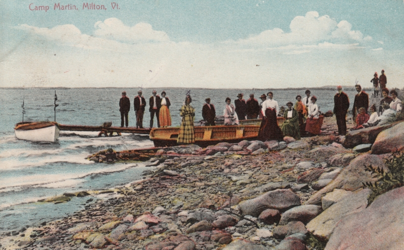
The camps all had farms, providing them with fresh food. Many of them boasted luxuries such as proximity to clear mountain springs, and the availability of fresh cream, eggs, milk and vegetables. The properties also offered many amenities such as recreation halls, lawn sports, fishing excursions and hayrides. Some camps even had handsome hotels built extravagantly and symmetrically, standing above the waters, with classic New England verandas, conical towers, decorative dormers and dramatic features that accentuated different sides of the buildings, almost to a point of tactility. Old advertisements for Camp Watson even boldly claimed that they had “positively no mosquitoes” – although, being quite accustomed to Vermont summers,  I can’t help wonder just how they went around keeping that promise.

A hand drawn map of Milton’s summer camp colonies, and the area town known as Miltonboro. Photo courtesy of The Milton Historical Society.

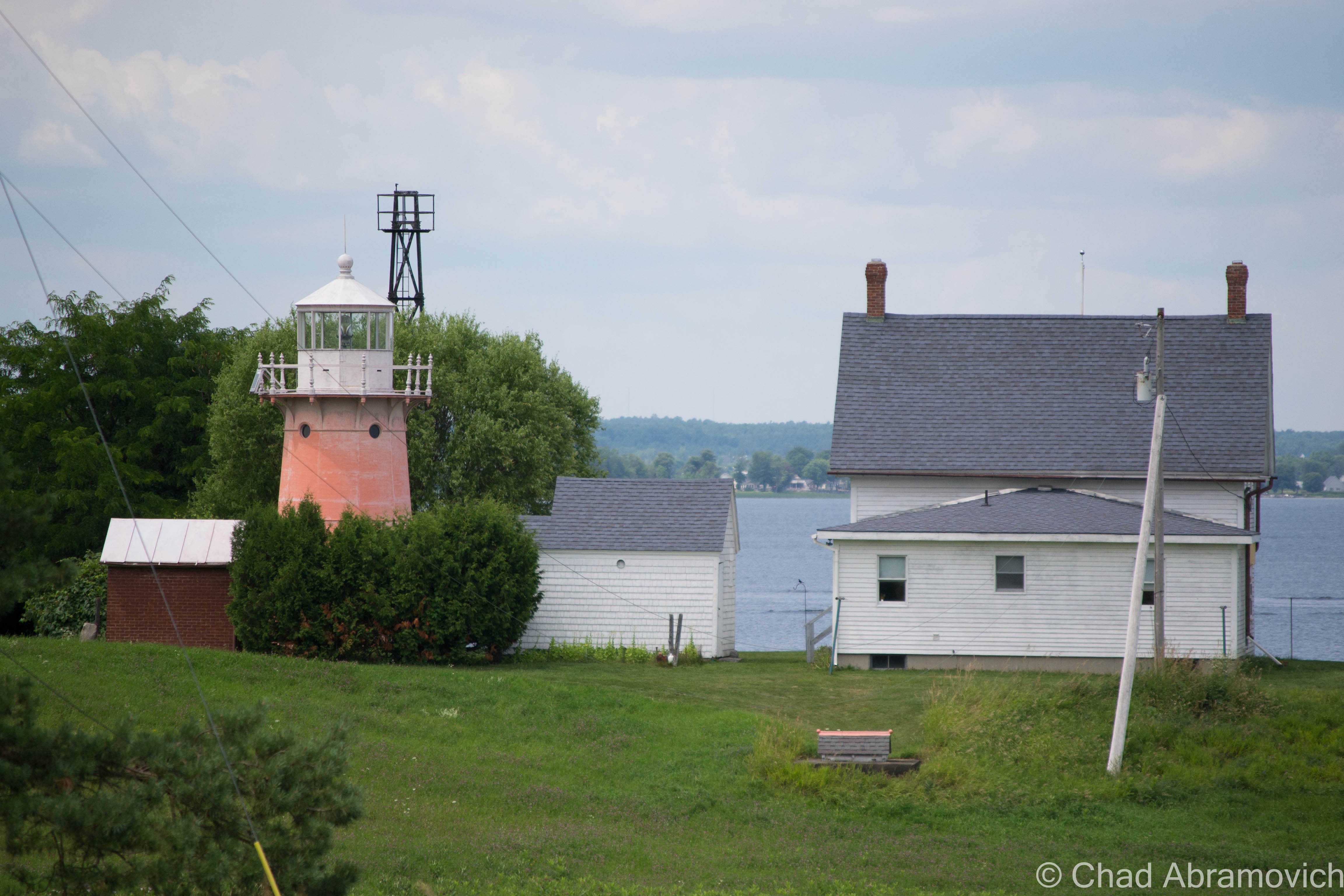
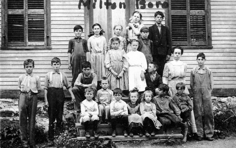
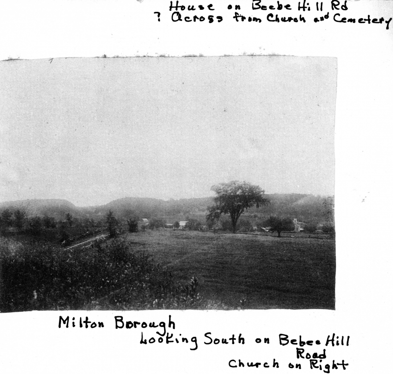
The area along the lakeshore became known as Miltonboro, which included schoolhouses, a church and meetinghouse which catered to the campers and locals who didn’t want to travel all the way to Milton village. Today, most of Miltonboro has vanished, leaving only a small cemetery ringed by a stone wall, and a name on a map.

LS33343_000_thumb_3
Children at the Miltonboro School, late 1800s. Photo: UVM Landscape Change Program
LS33346_000_thumb_3
Photo: UVM Landscape Change Program

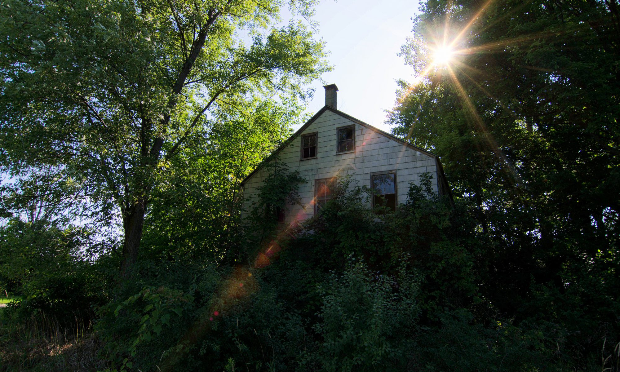
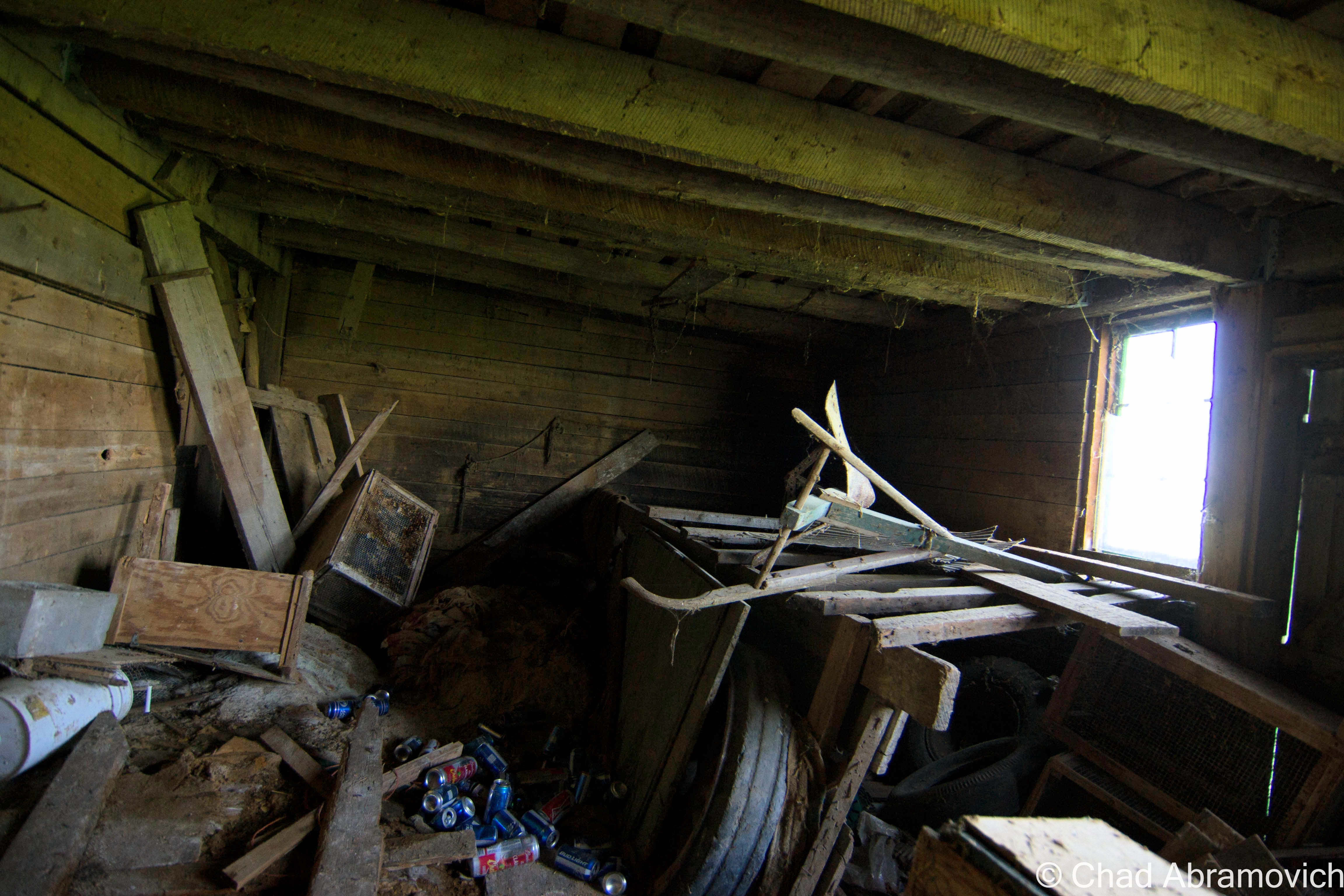
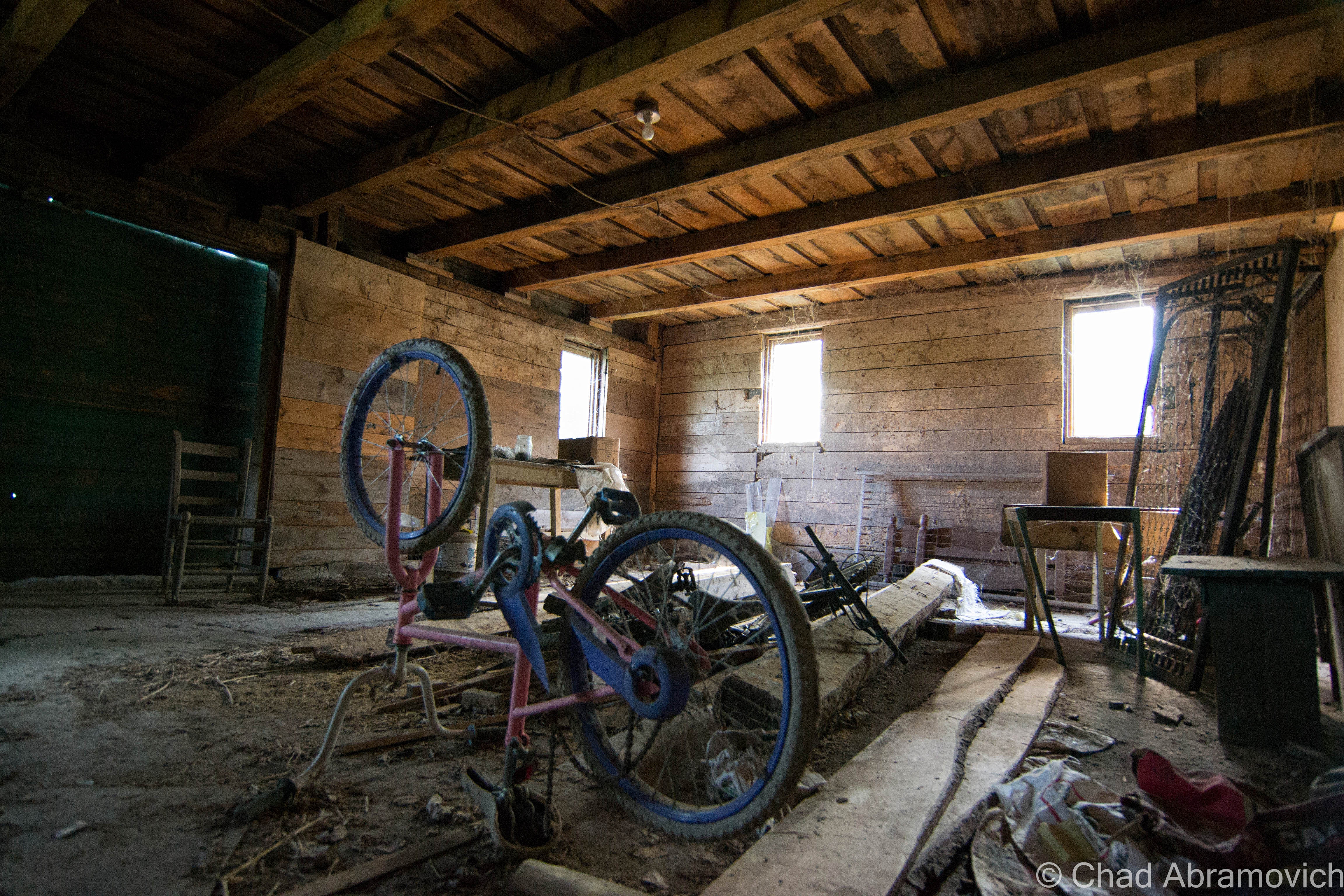
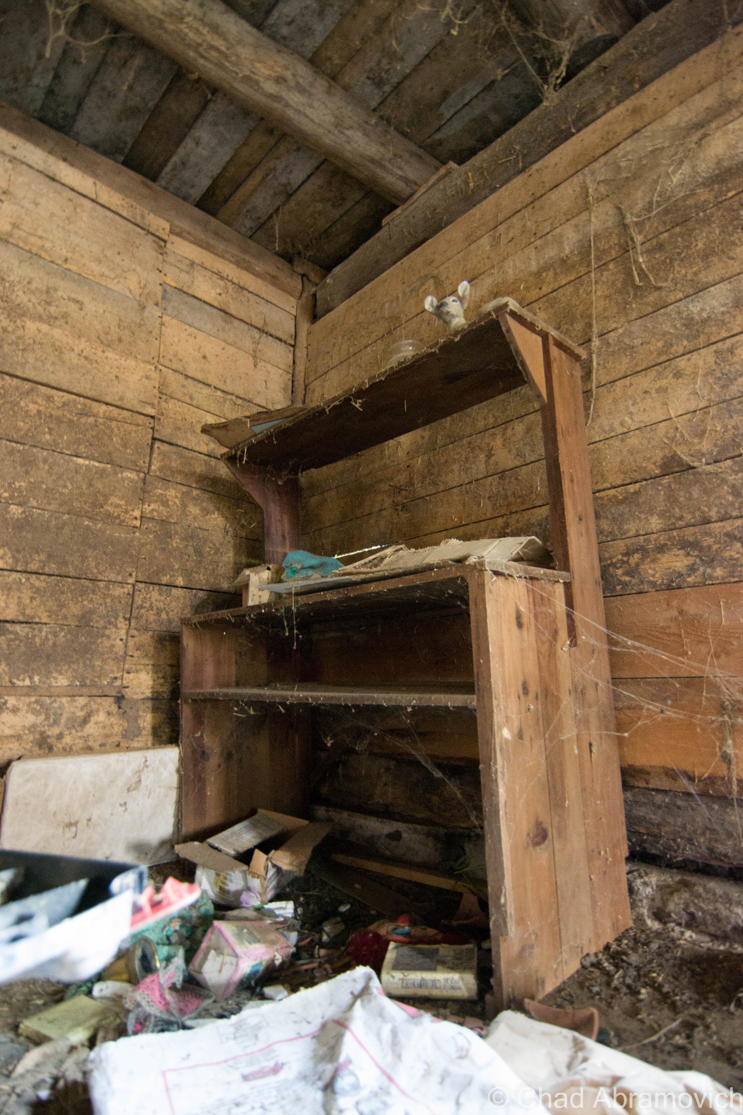
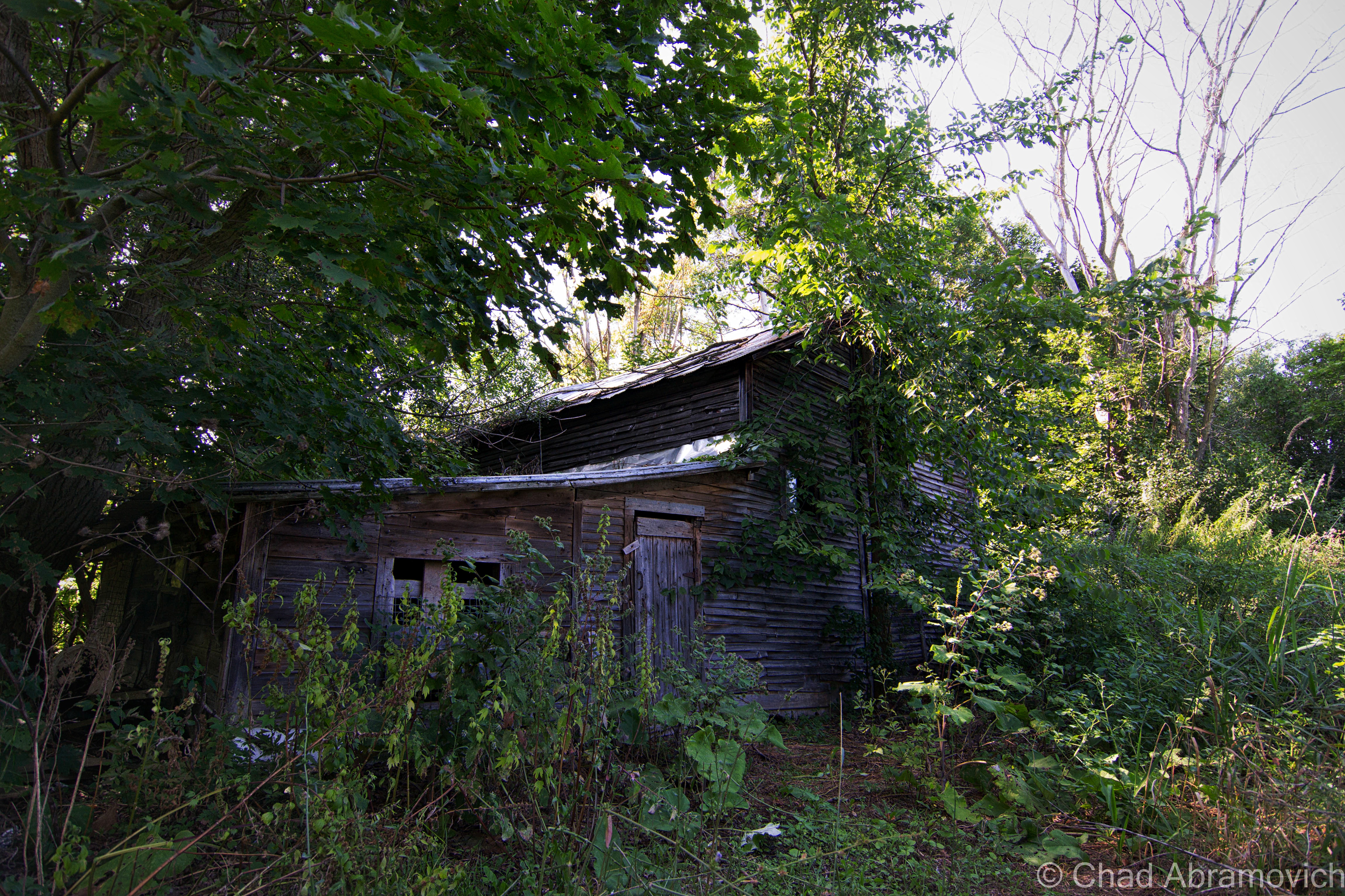
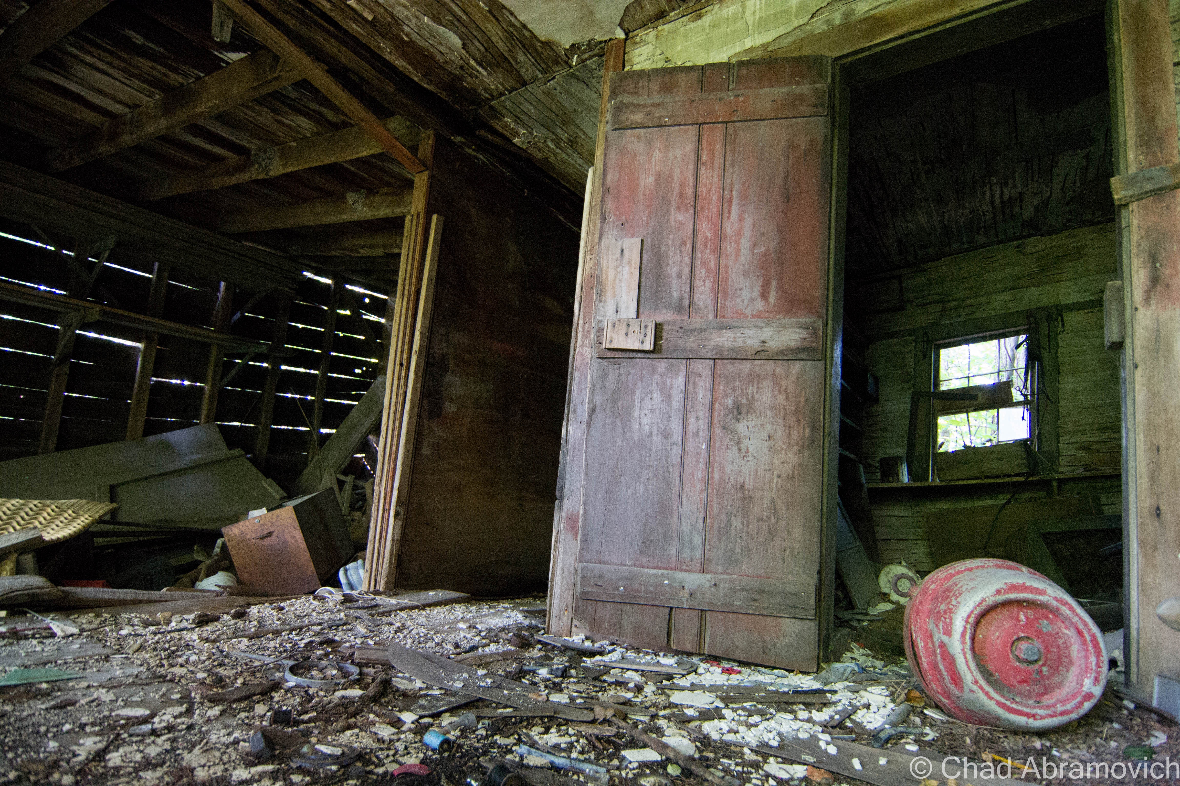
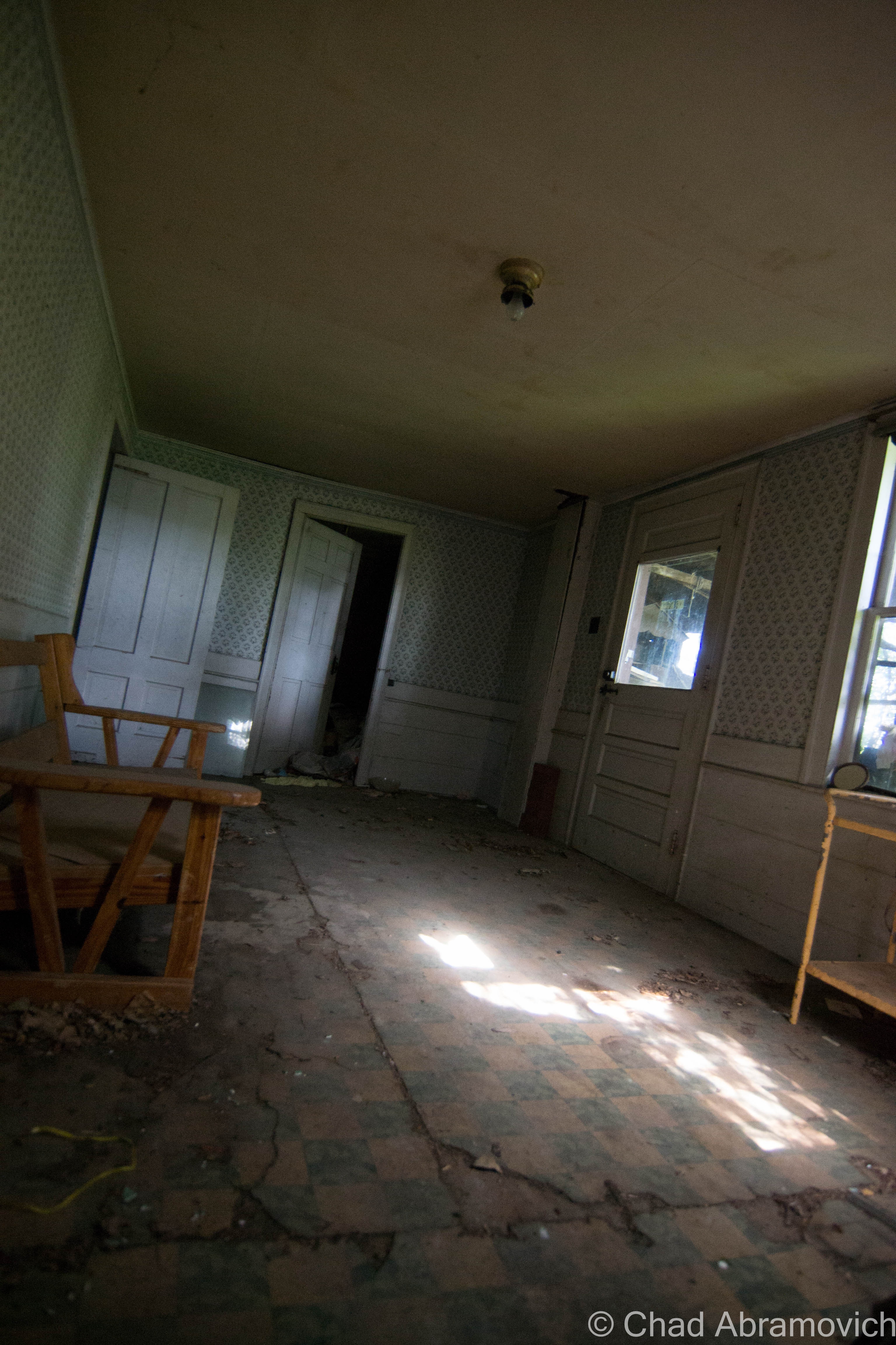
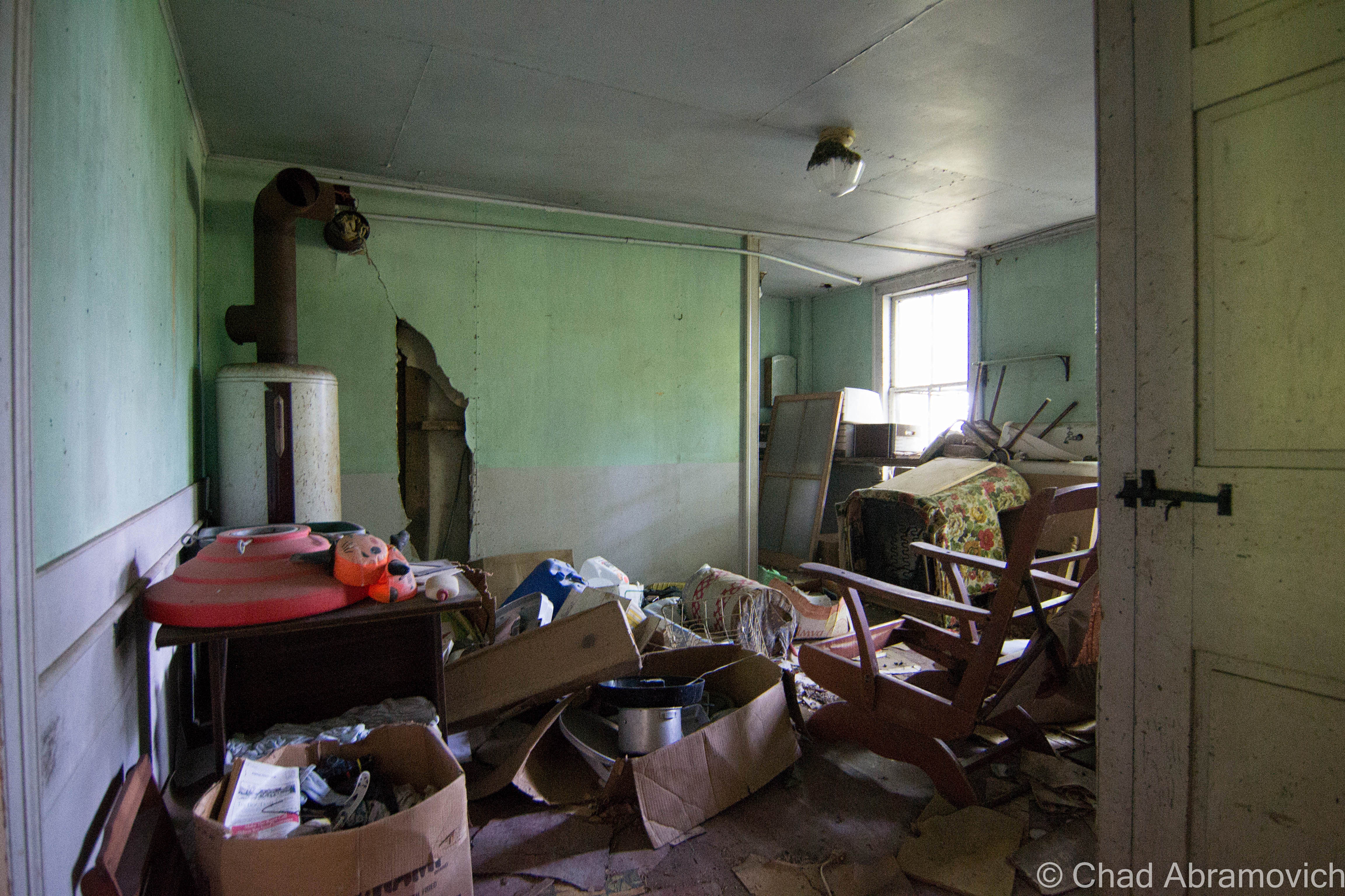
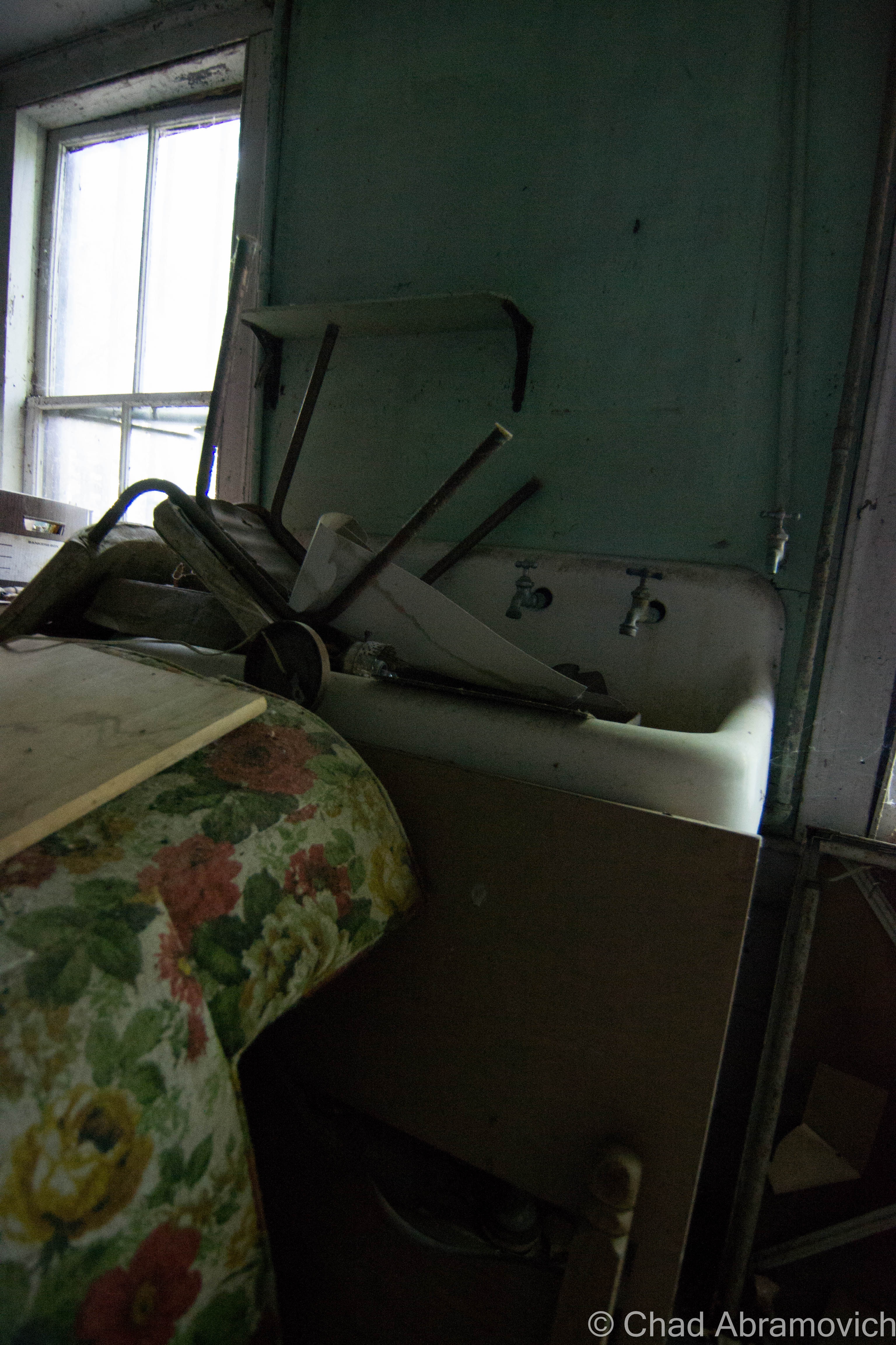
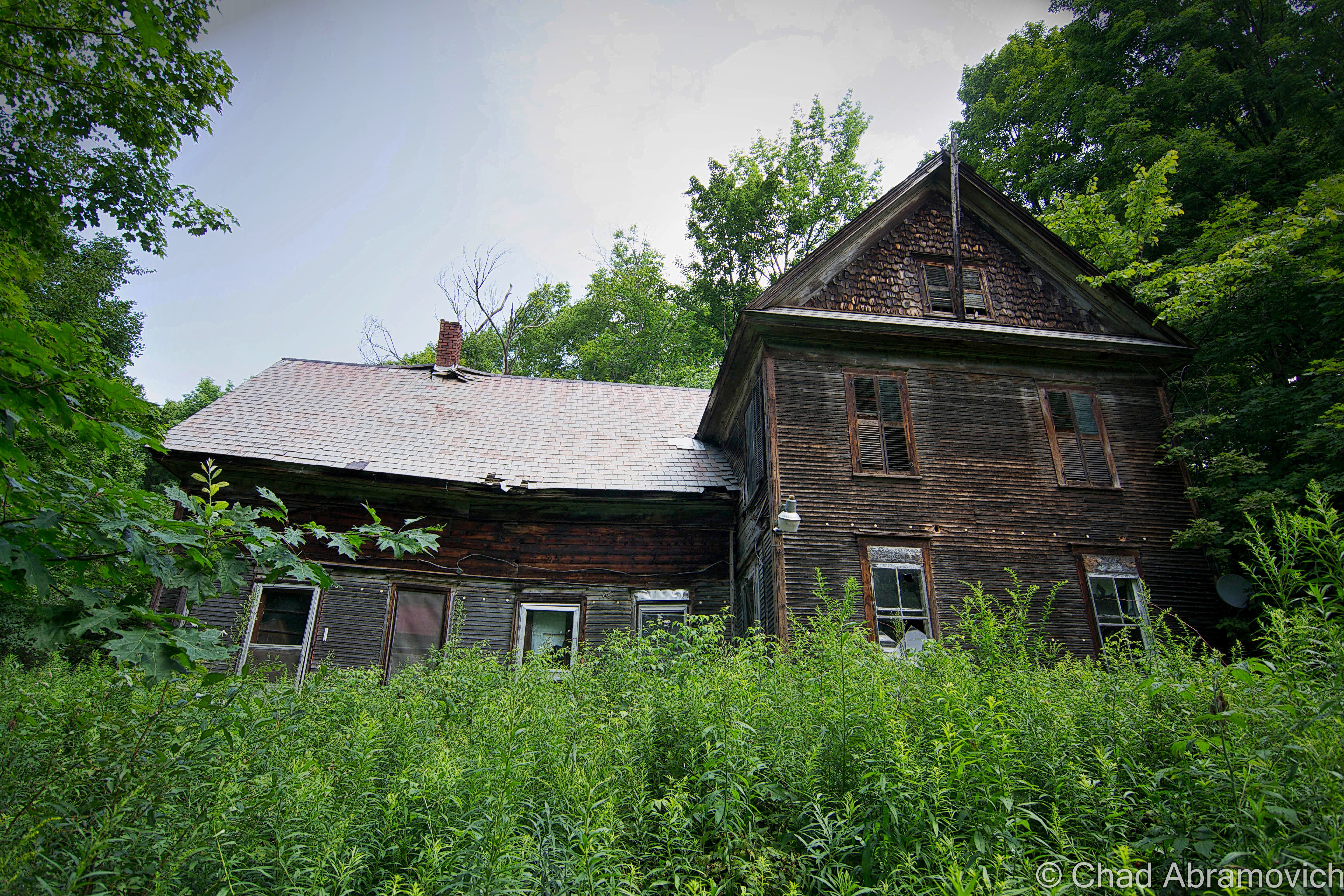
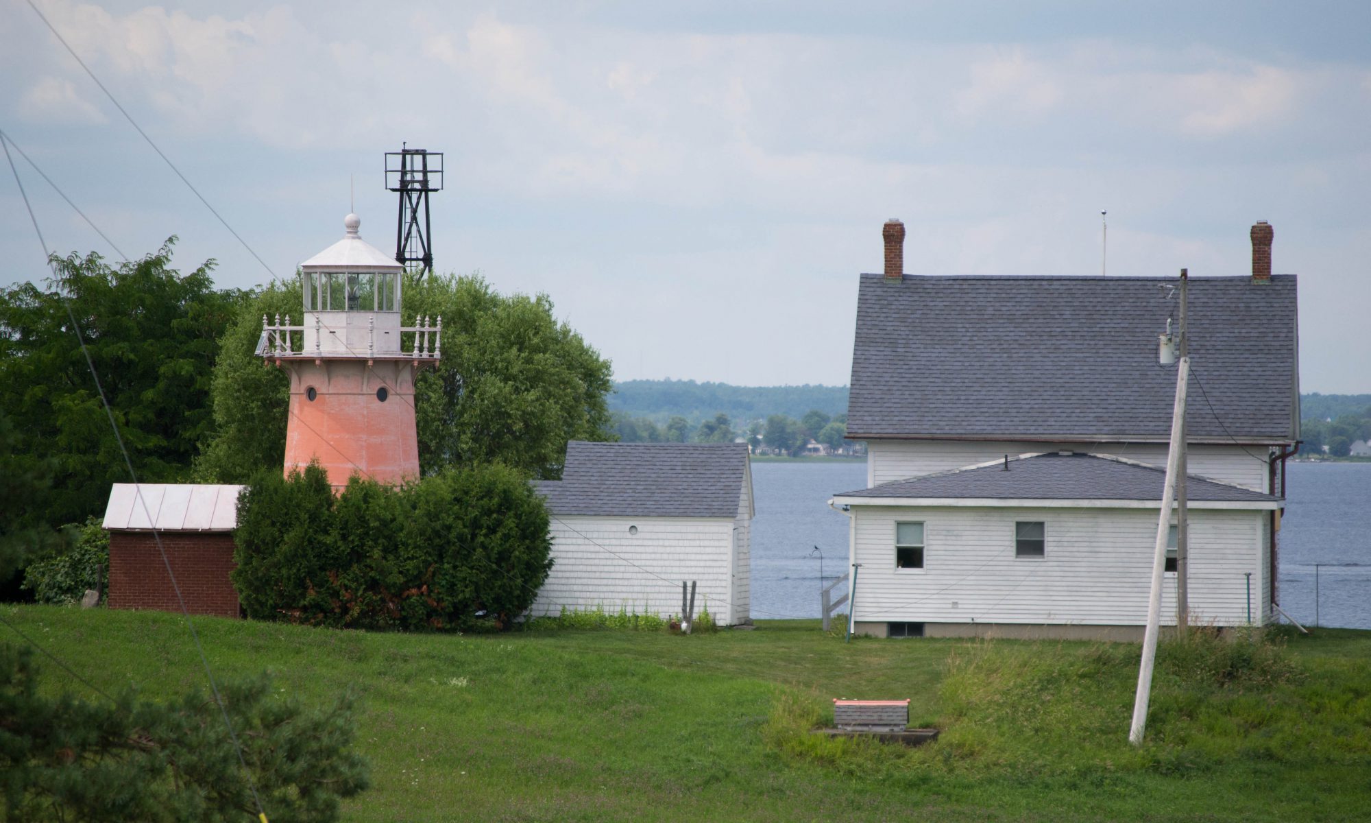
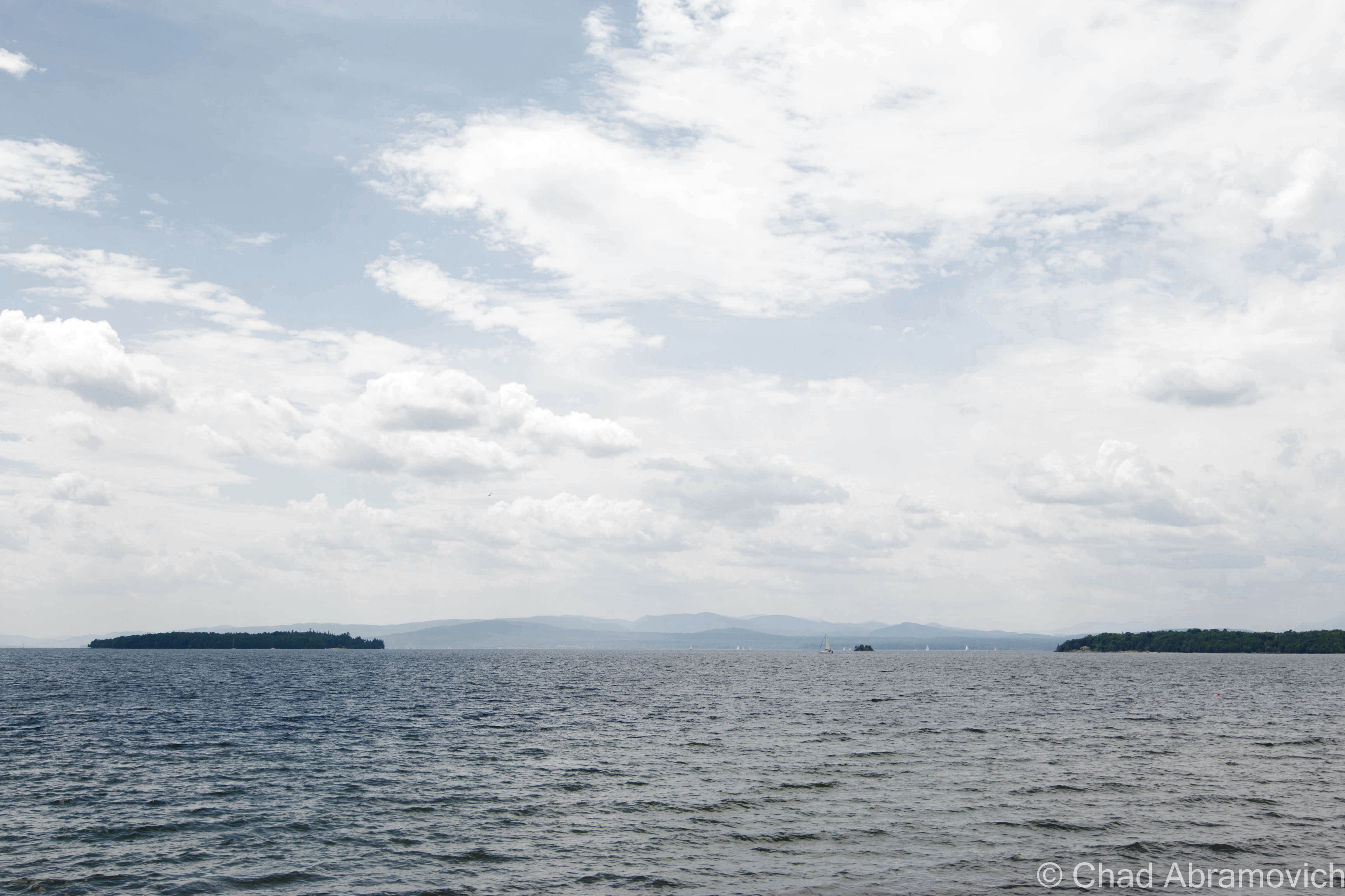
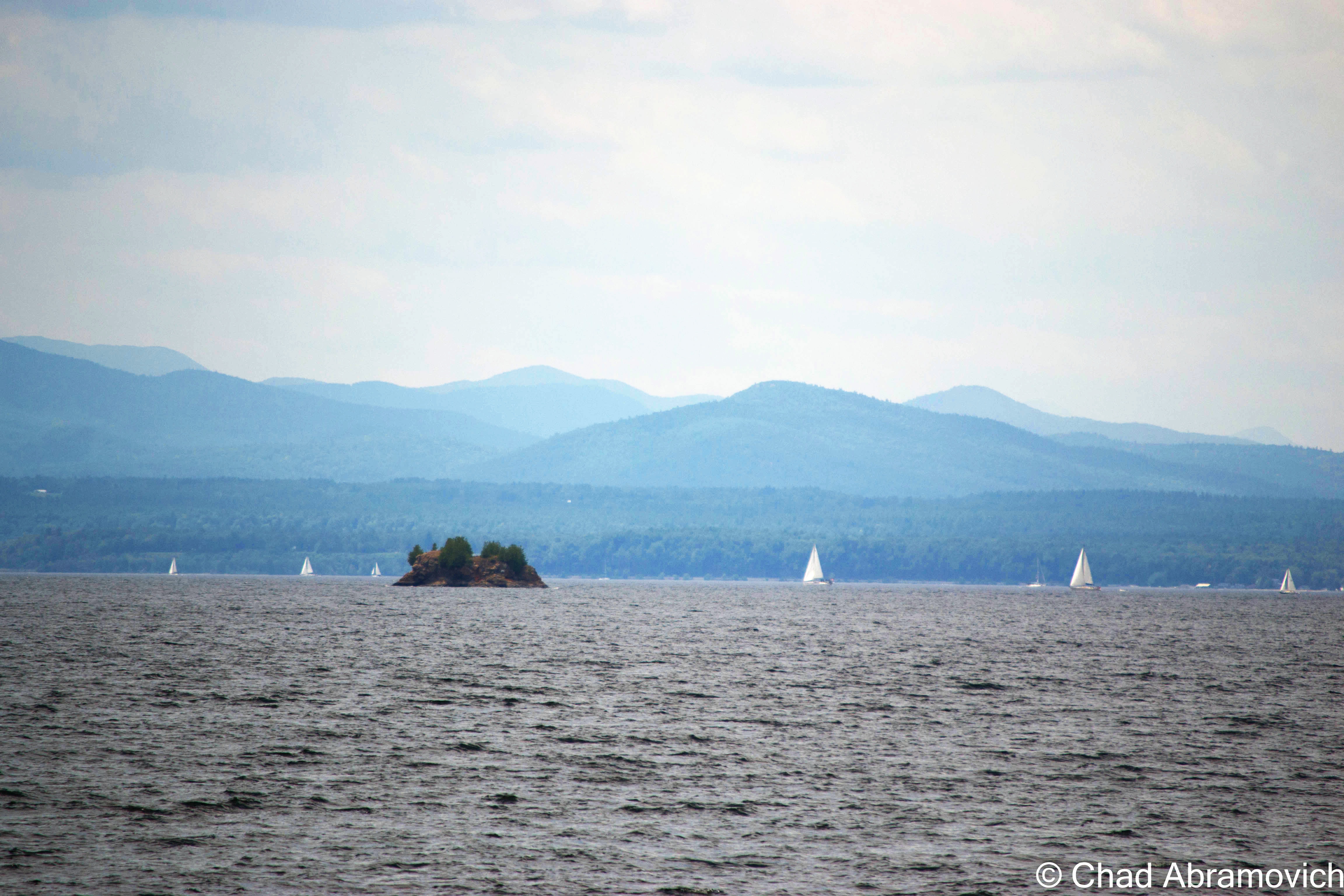
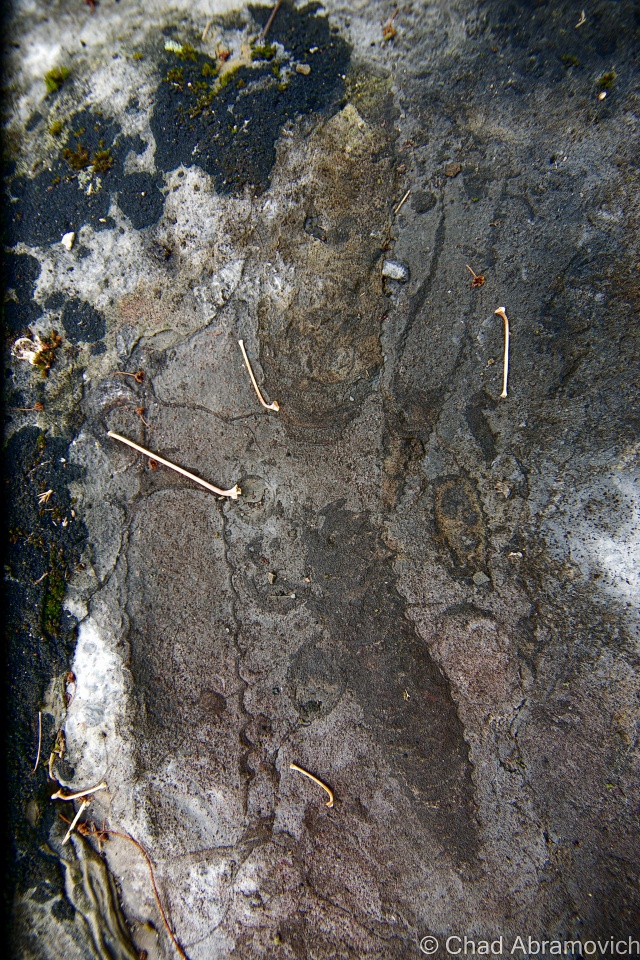
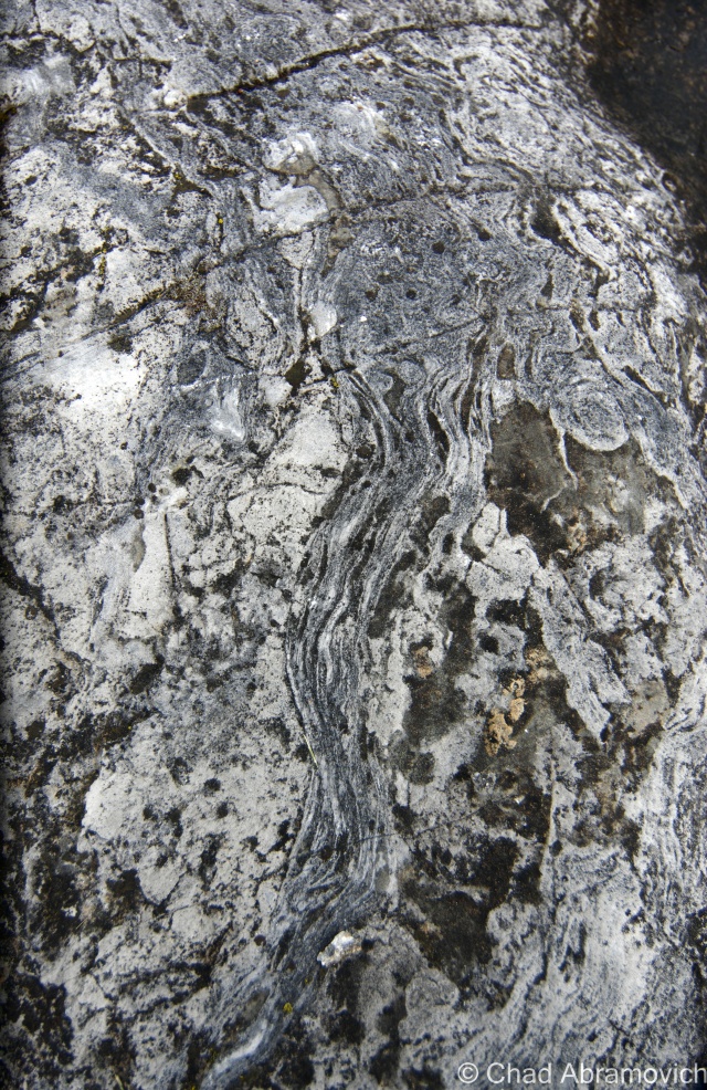
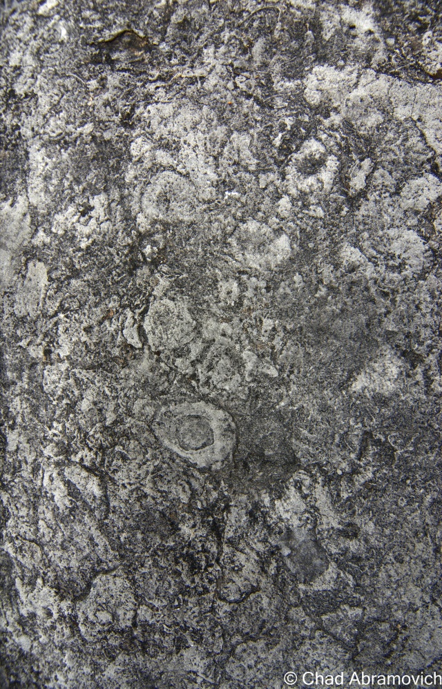
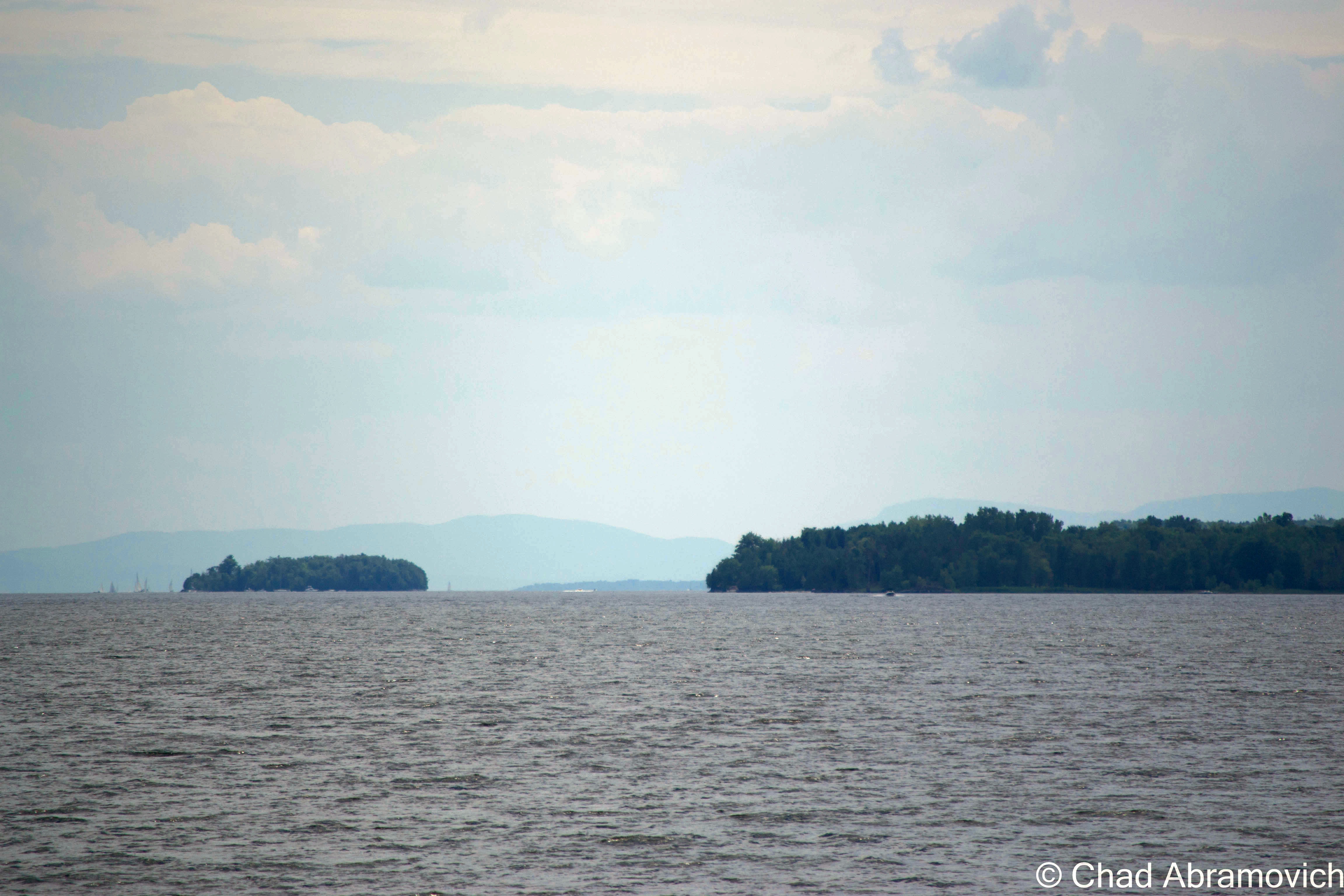
Camp Everest, the southern most of Milton’s lakeshore camps, was established in 1878 by Zebediah Everest and A.W. Austin, and they couldn’t have chosen a more splendid location. Bordered to the south by serpentine marshlands that now make up the Sandbar Wildlife Management Area, and to the north by the dizzying ledges of Eagle Mountain, with a sweeping view of South Hero island and the Adirondacks across the lake. The camp included a camp house, bowling alley and eight cottages, occupied by both family members and renters. It was here at Camp Everest where the alleged mound was located.

Early camps at Camp Everest, in an area called Algonquin Reef. Today, the name is emblazoned on your typical Green street sign.
Early camps at Camp Everest, in an area called Algonquin Reef. Today, the name is emblazoned on your typical Green street sign. Photo: UVM Landscape Change Program

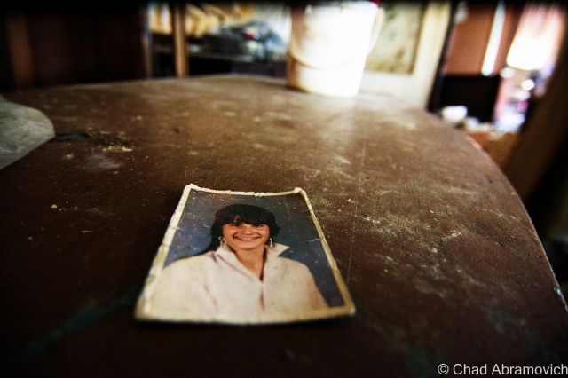
However, the information I read didn’t portray the mound as culturally significant, but rather in a bureaucratic sense – it was simply a piece of property. A camp was built atop the steep hill in 1927 by the Hutchins family, and named “Indian Mound”, perhaps romantically after what the earlier campers viewed the mound to look like. I was able to reach out to Barbara Hutchins, whose family originally owned the camp, and she was kind enough to give me further information.

She explained that the mound itself was probably formed during the glacier age, most likely a remnant of the Saint Lawrence Ice Sheet that once covered this part of North America. UVM did some digs around the mound in the 1950s, and found nothing of Native American significance, but they did find some old sea shells and fossils, evidence of the Champlain Sea,  the tropical sea which covered what is now Vermont millions of years ago.

The Hutchins eventually sold the camp, and lost track of the property. I was able to dig up choppy pieces of information at the historical society – listing the names of various people who leased the camp throughout the years. The dates got sparse after 1970. Eventually, the information just seemed to cease. So, what happened to it? Was it still there?

Lorinda Henry explained that the state of Vermont wanted to hack apart the mound and use it to fill in a nearby swampland in 1948, but further research told me that because the area was prone to flooding, they decided not to, because the amount of dirt they would have gotten from the mound would have most likely been lost within a few years, leading me back to my original question.

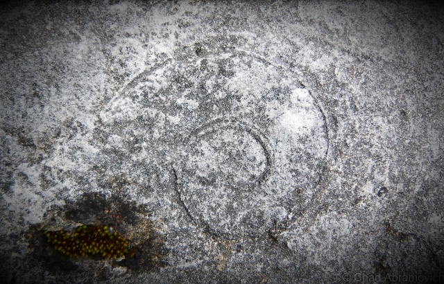
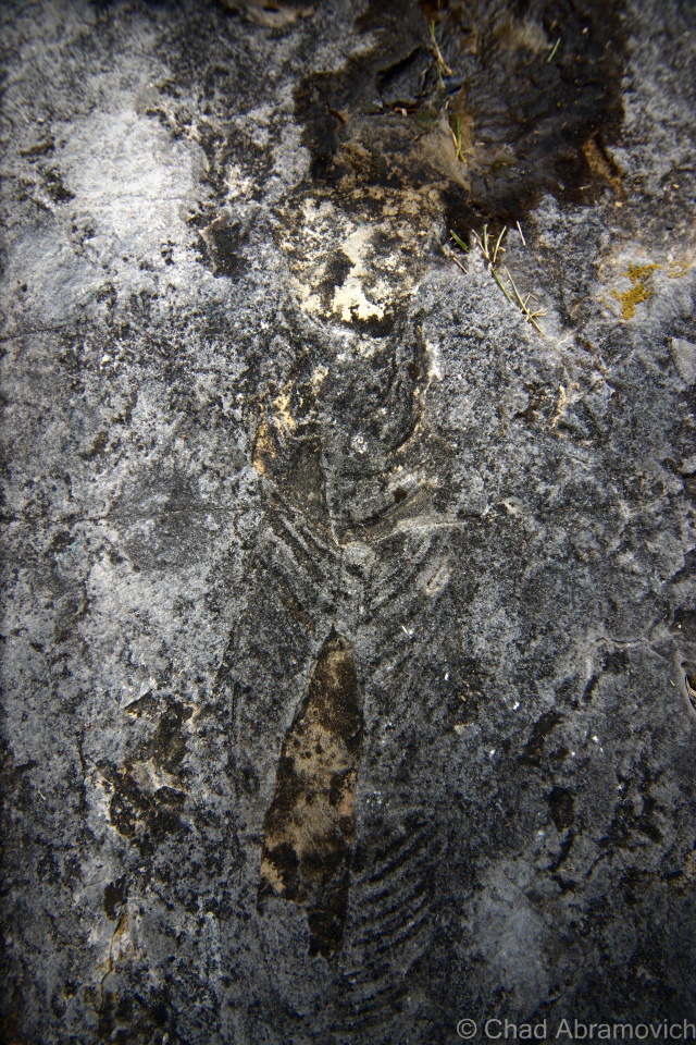
The existence of an Indian Mound is also curious, because Vermont was never thought to be associated with mound building Indians. But then again, at one time, it was thought that Native Americans never settled in what is now Vermont. But Milton farmers would constantly find artifacts and arrowheads while clearing and plowing their fields. Arrowheads were also allegedly found when Andrea Lane, a small neighborhood off Route 7, was being constructed years ago. Lorinda Henry explains that because of native traces in the area, there are parts of the neighborhood that can’t even be developed because of archaeological significance. If that myth was debunked, than would the presence of an Indian Mound be that hard to believe?

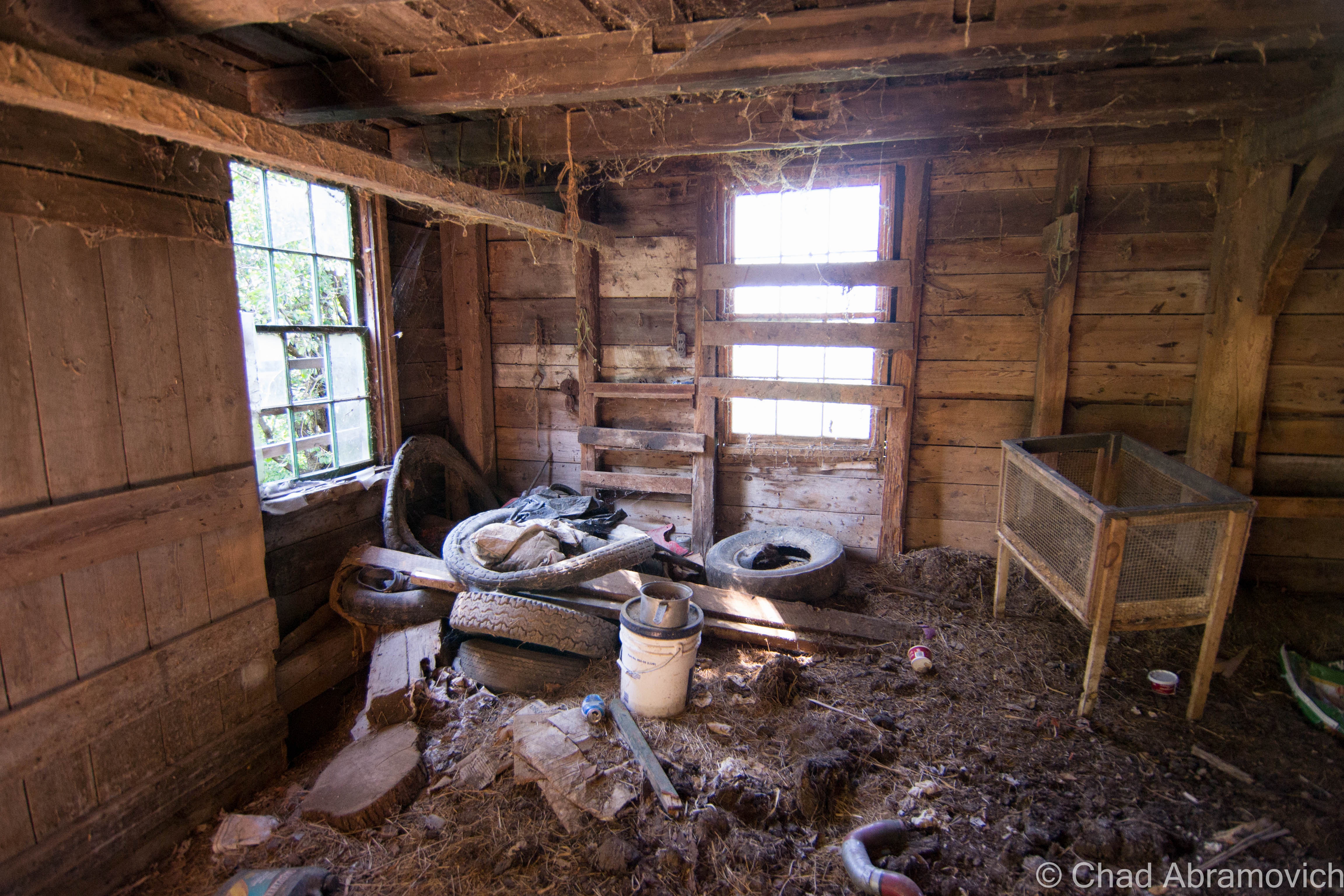
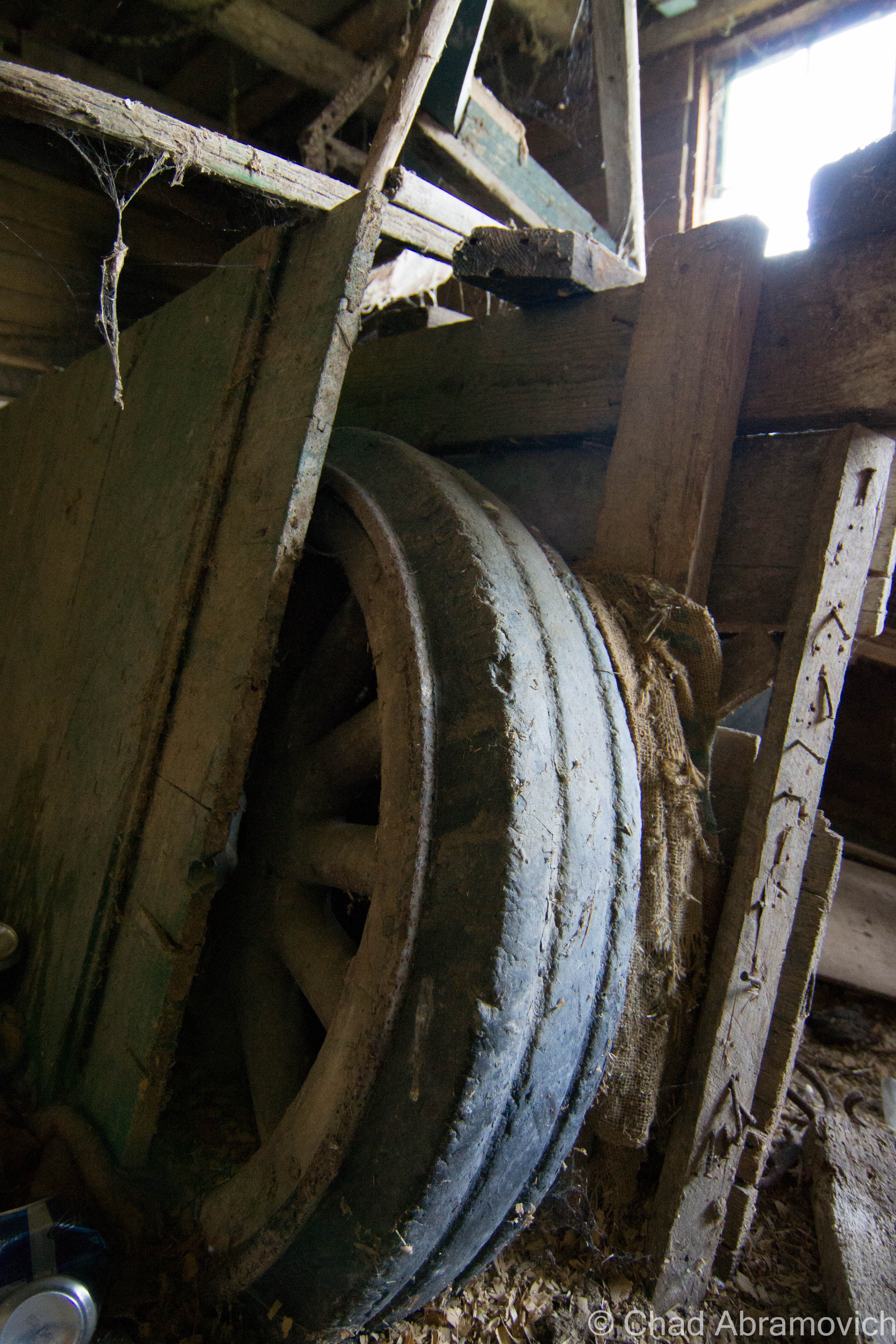
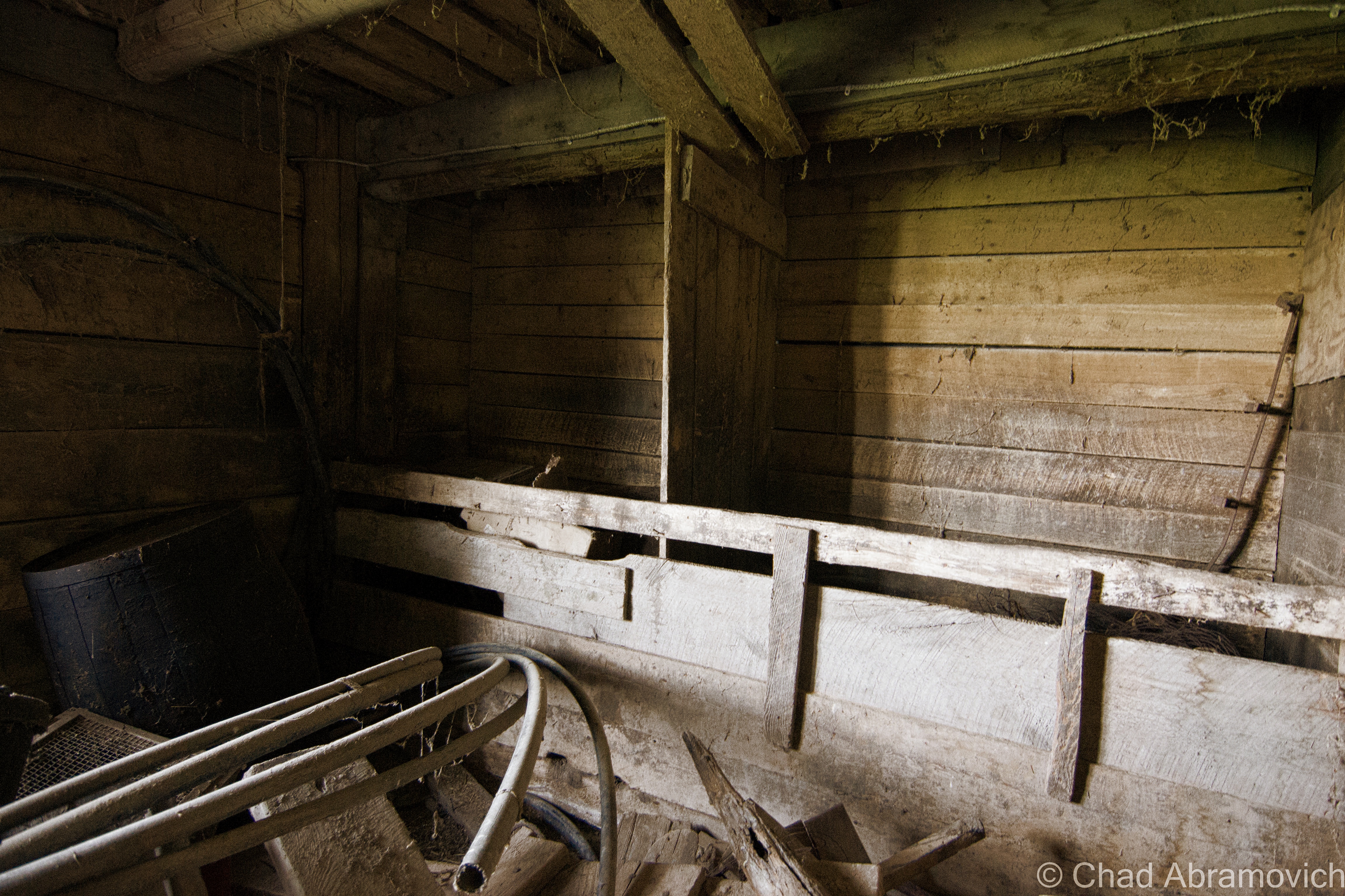
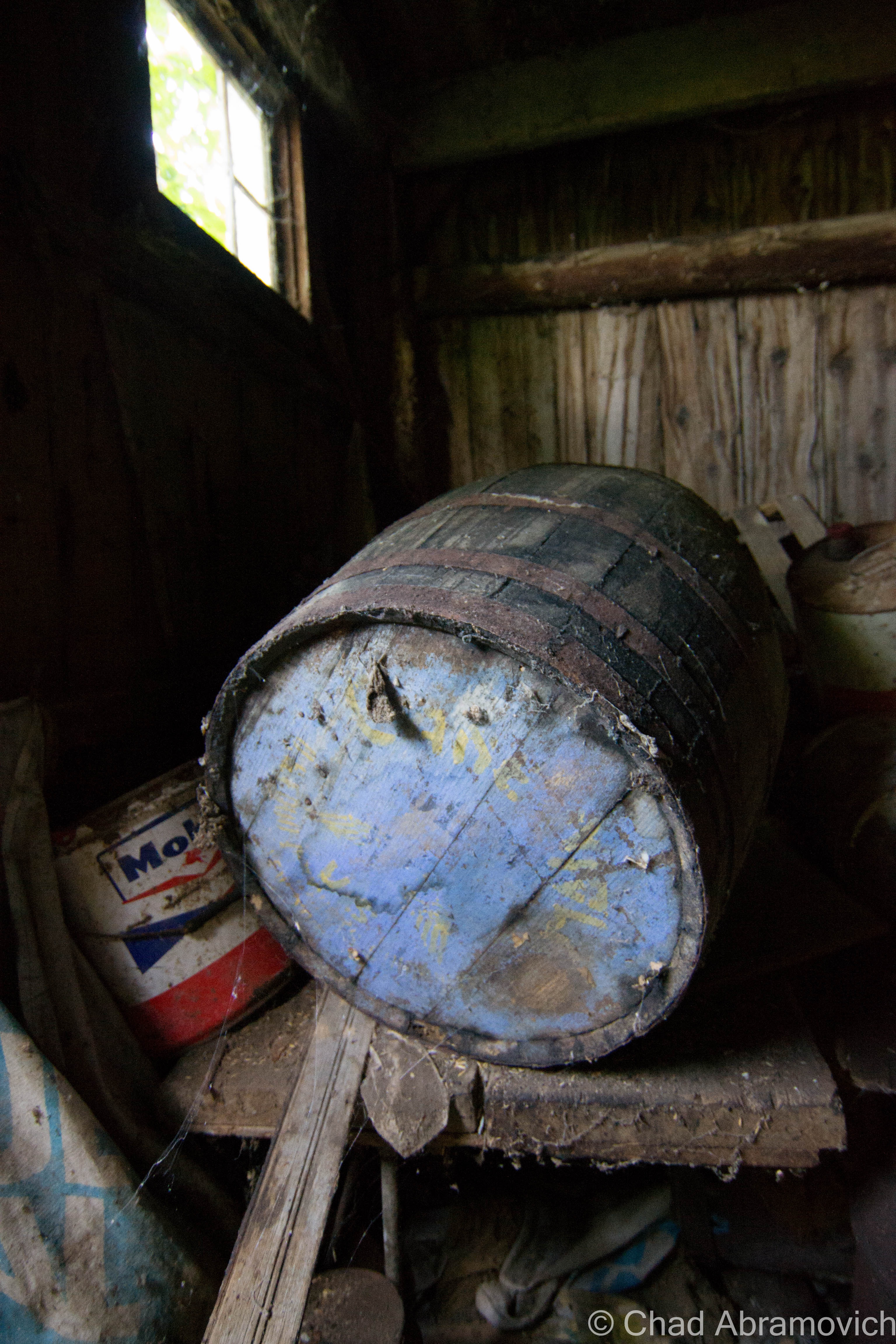
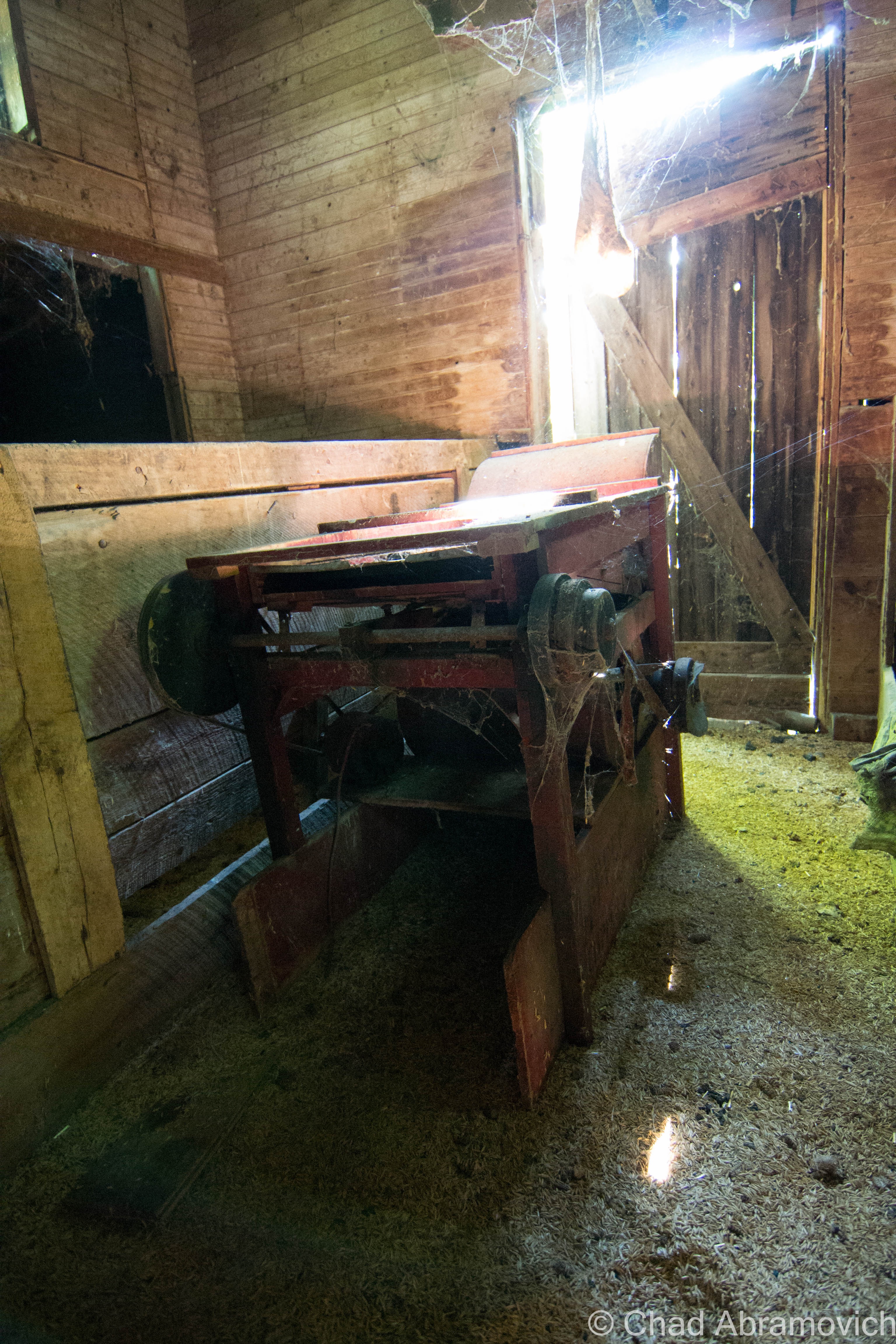
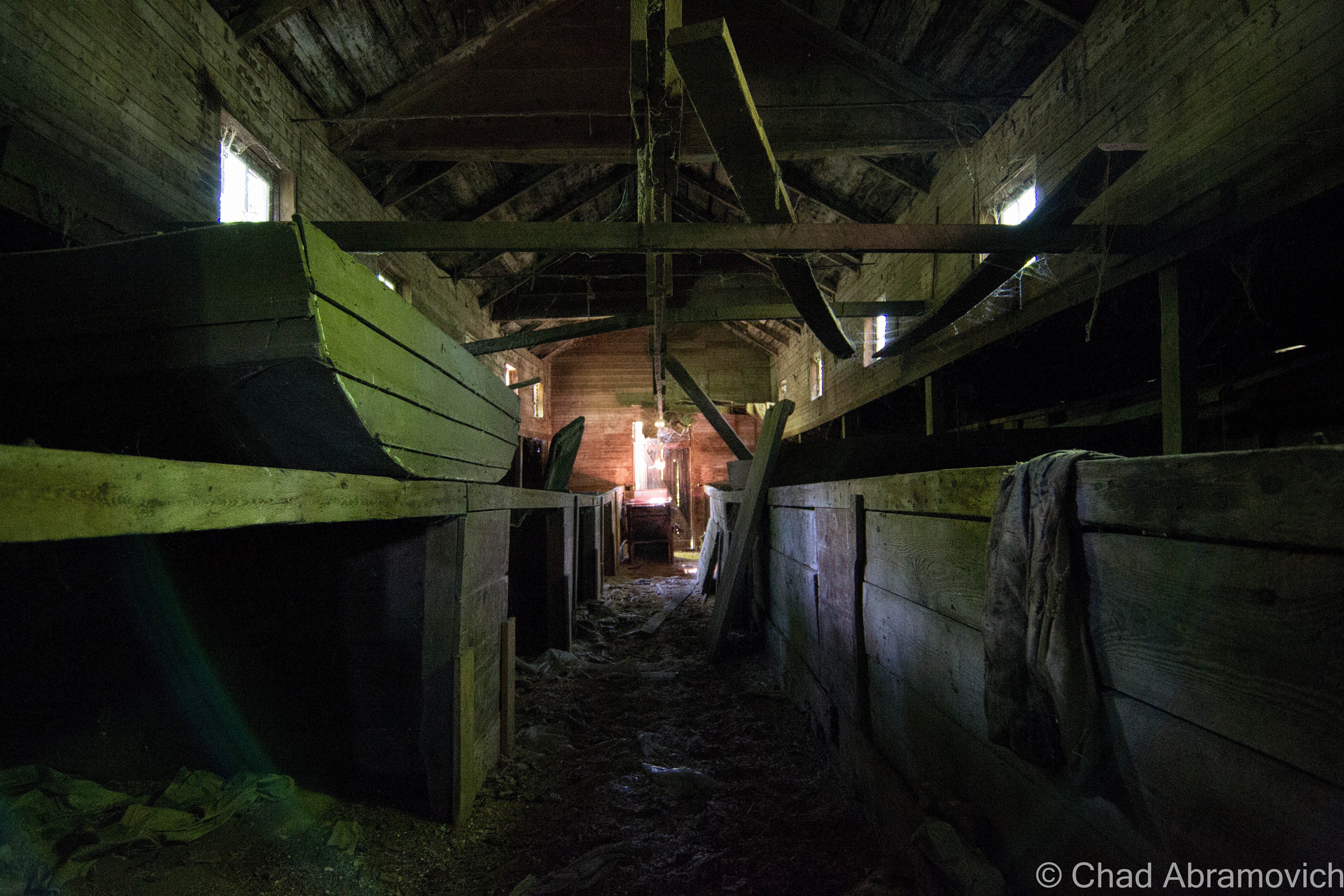
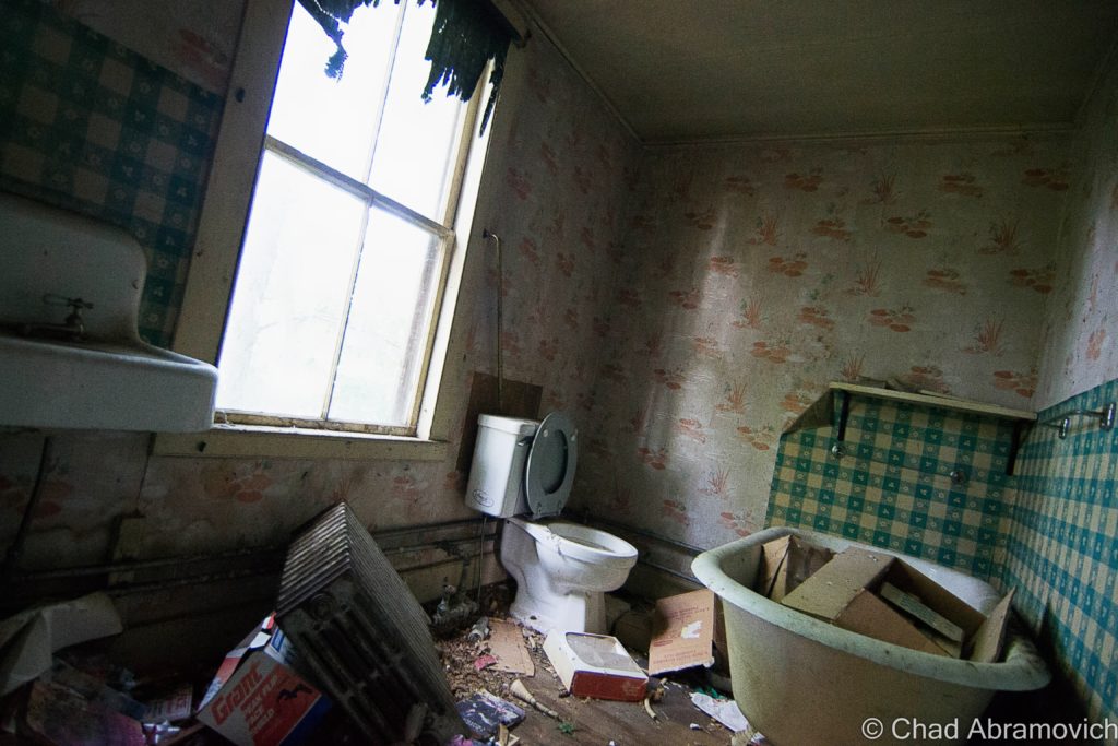
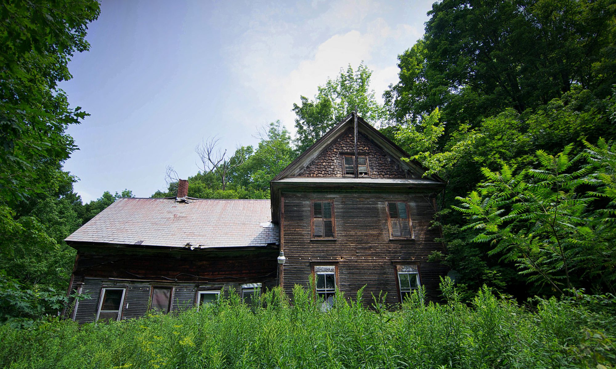
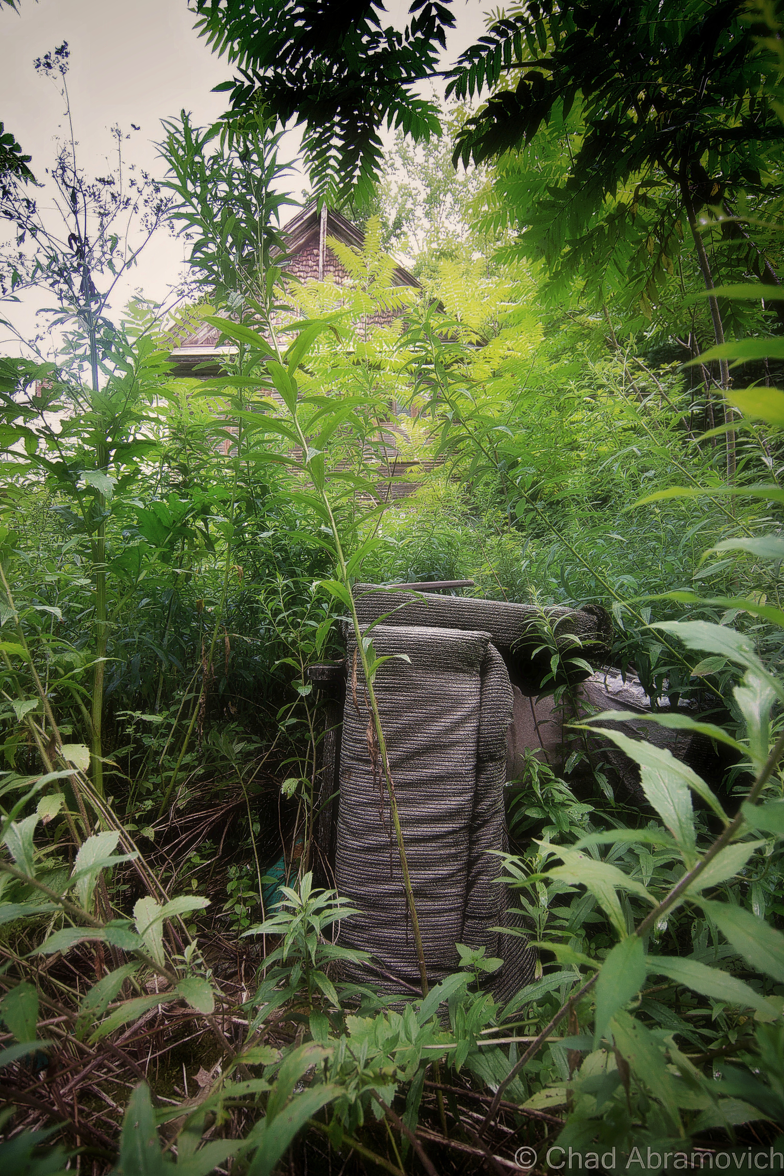
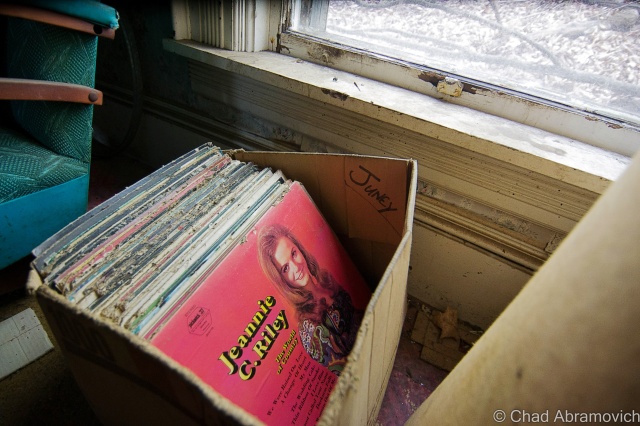
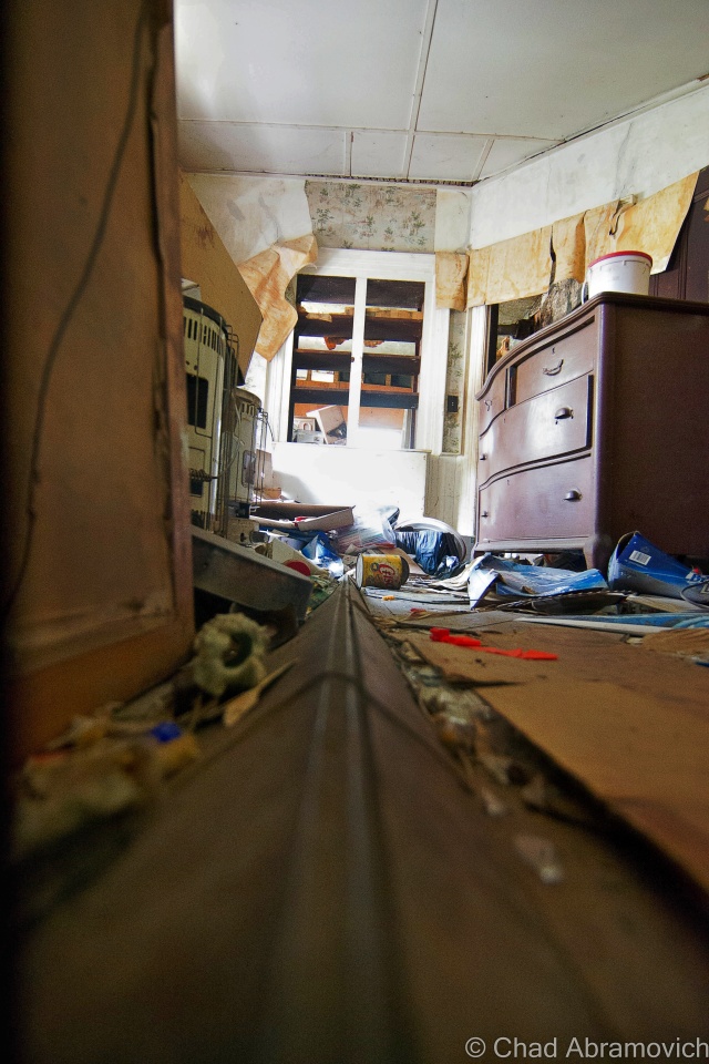
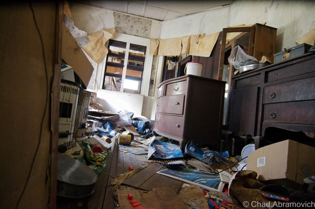
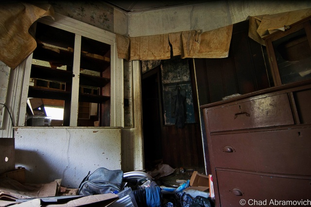
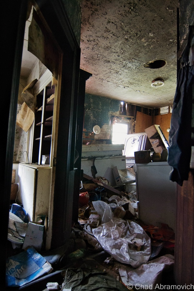
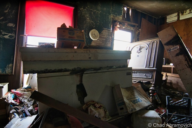
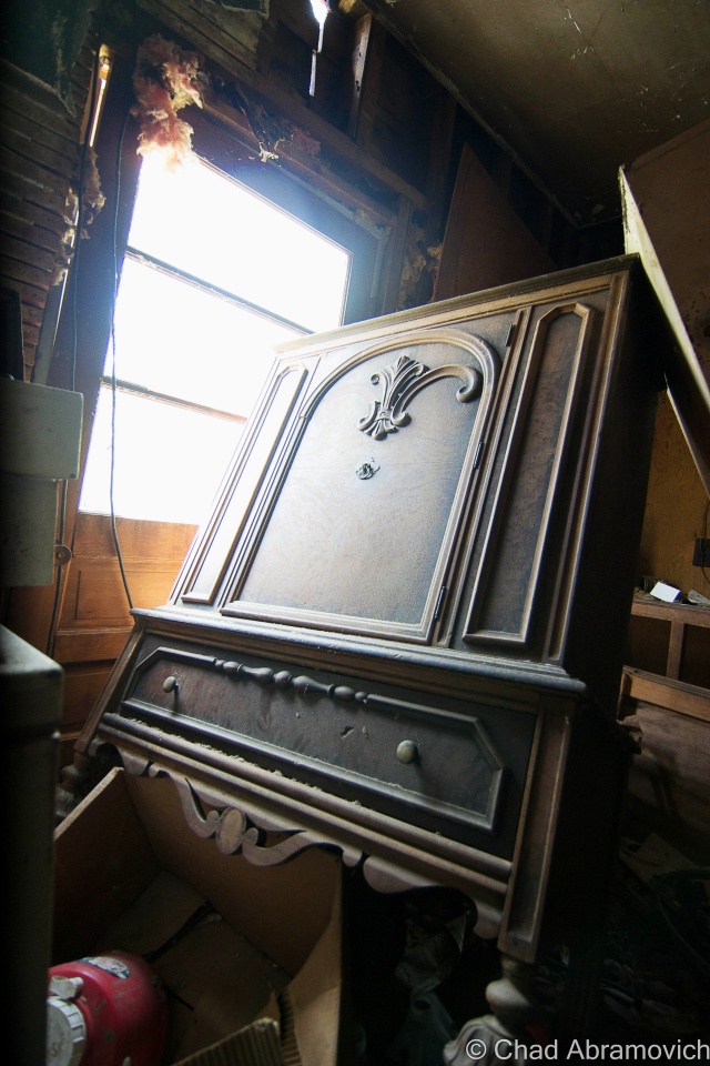
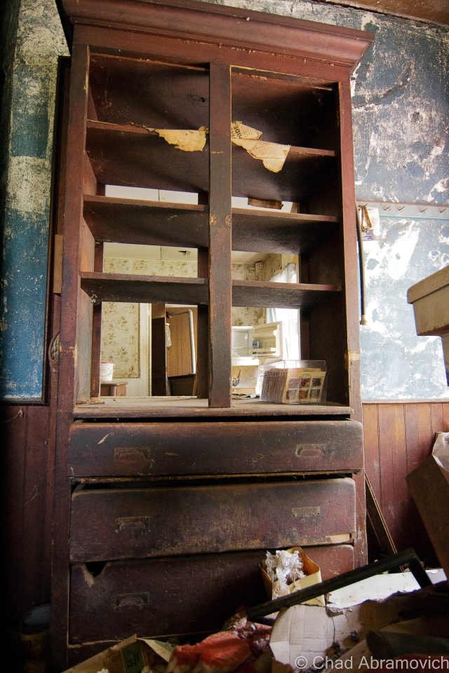
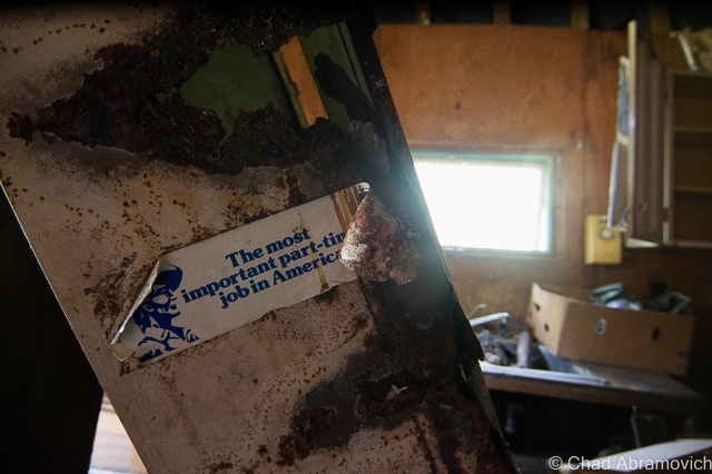
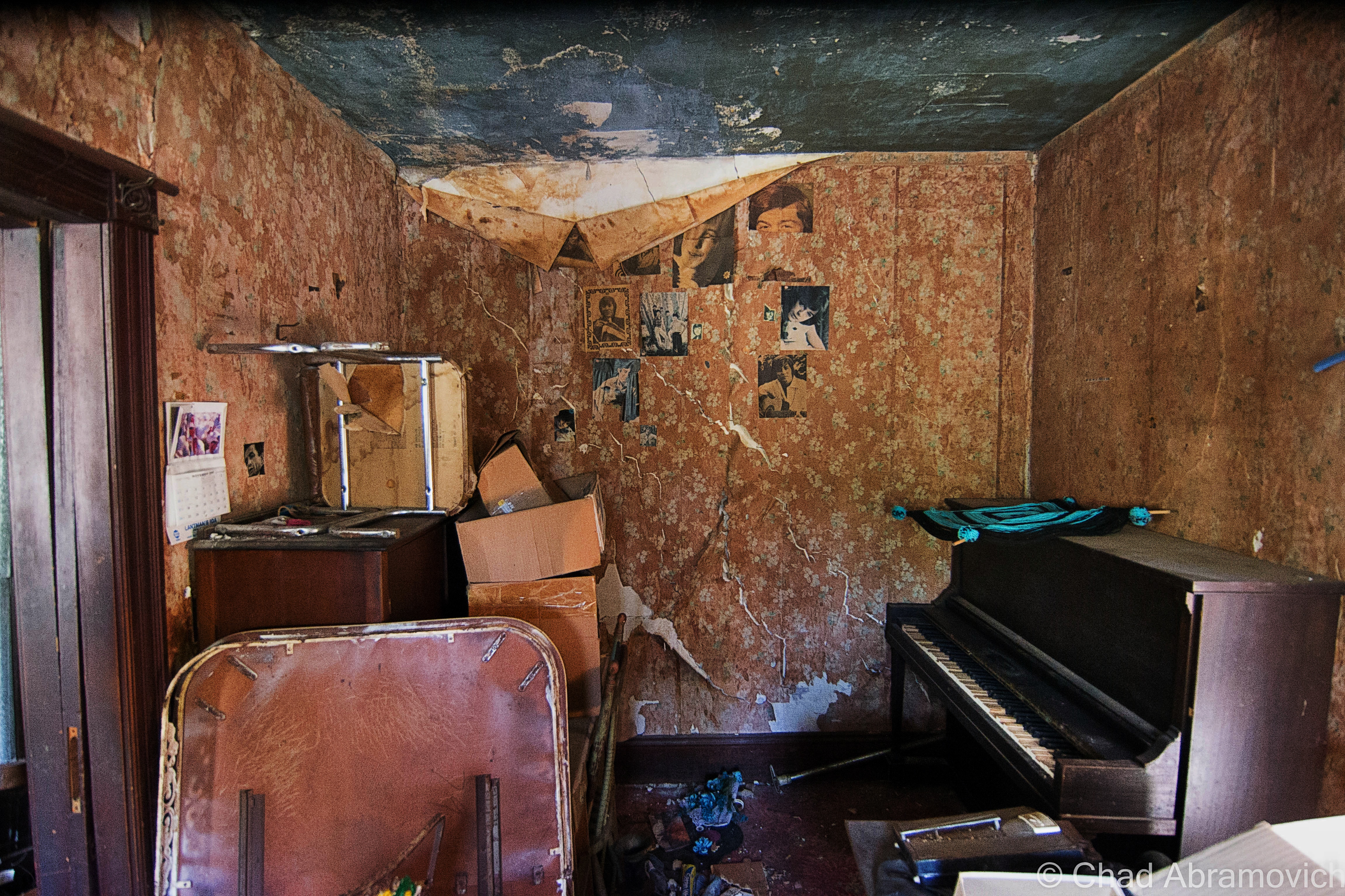
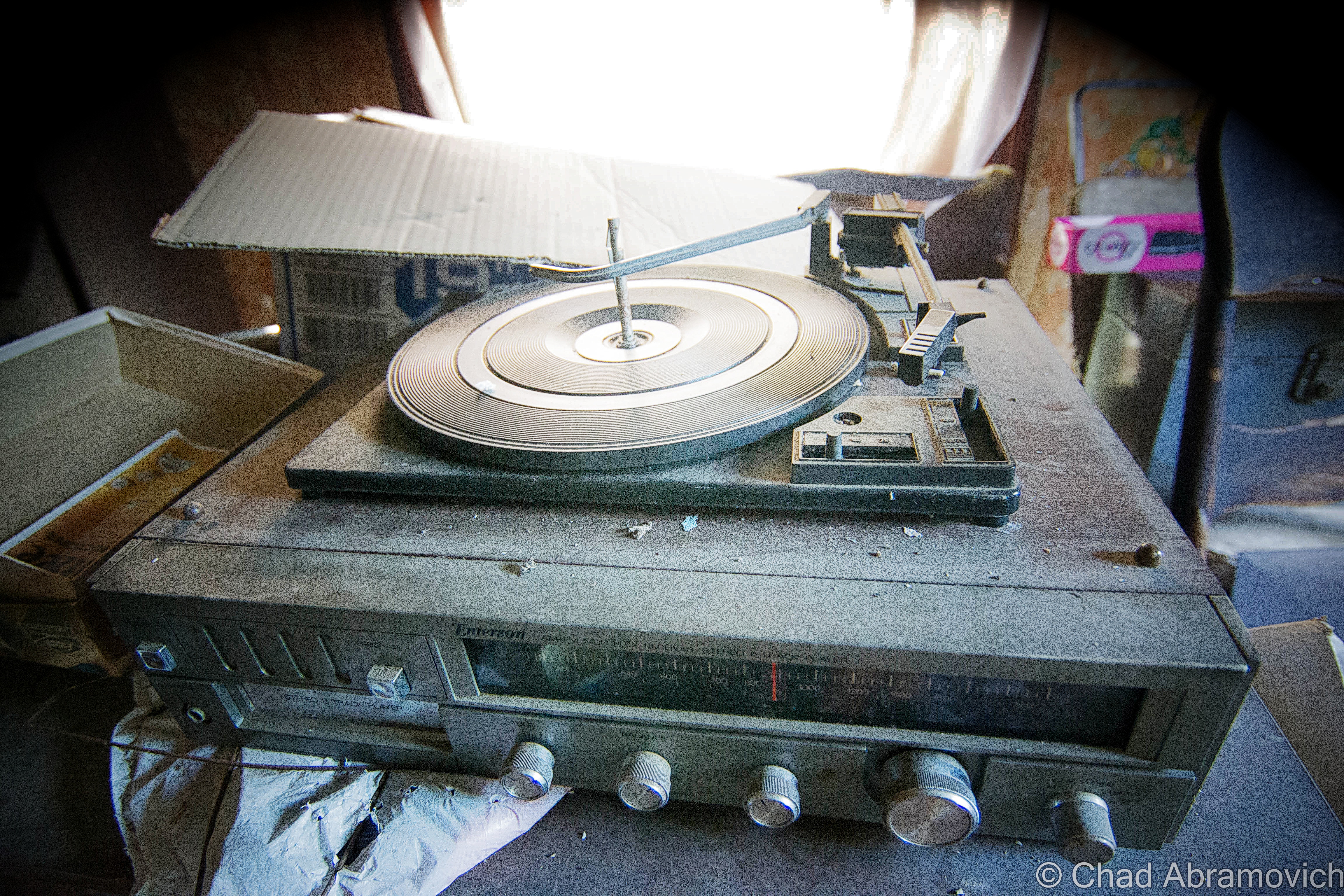
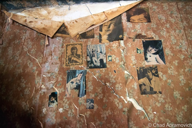
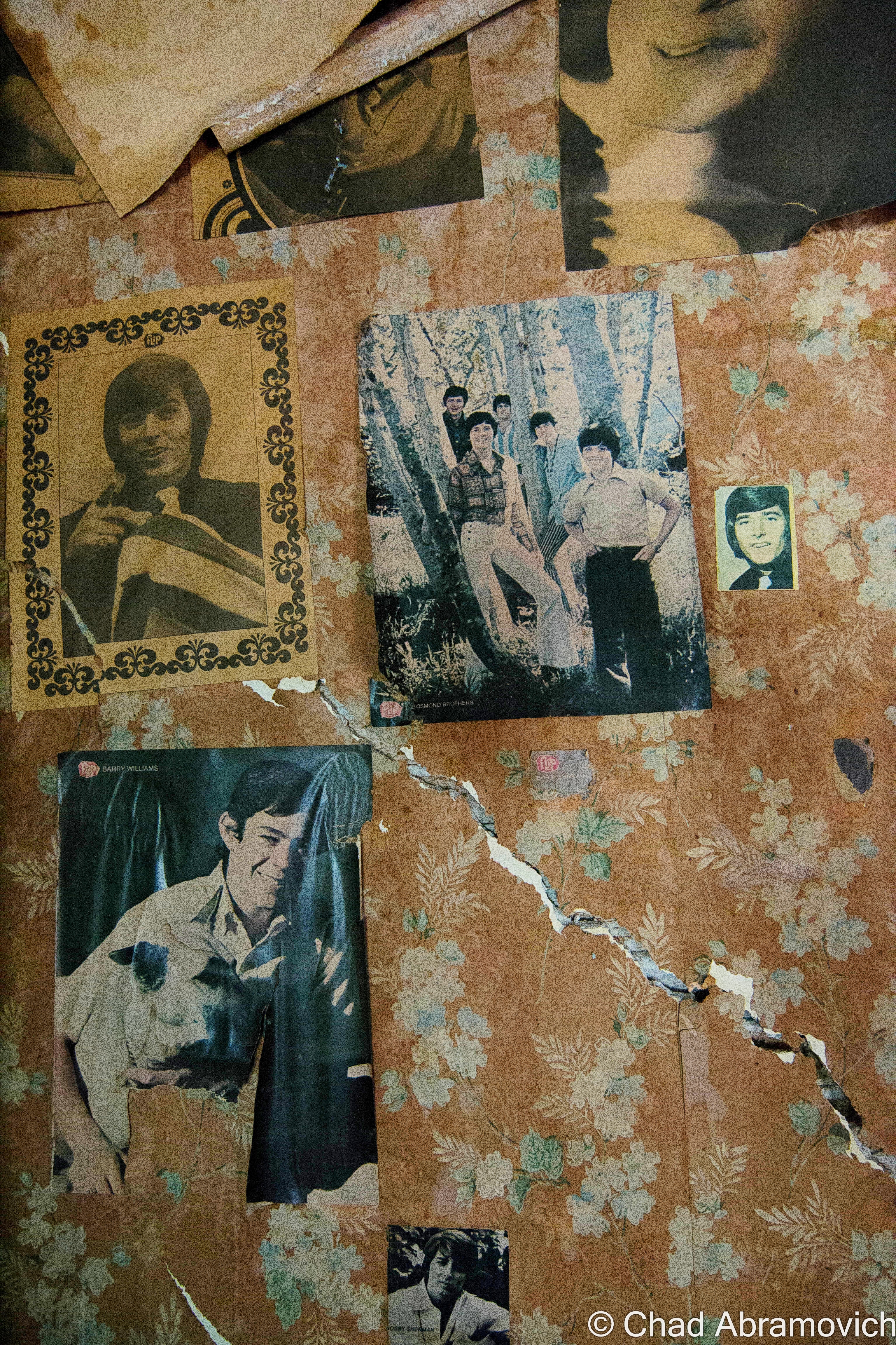
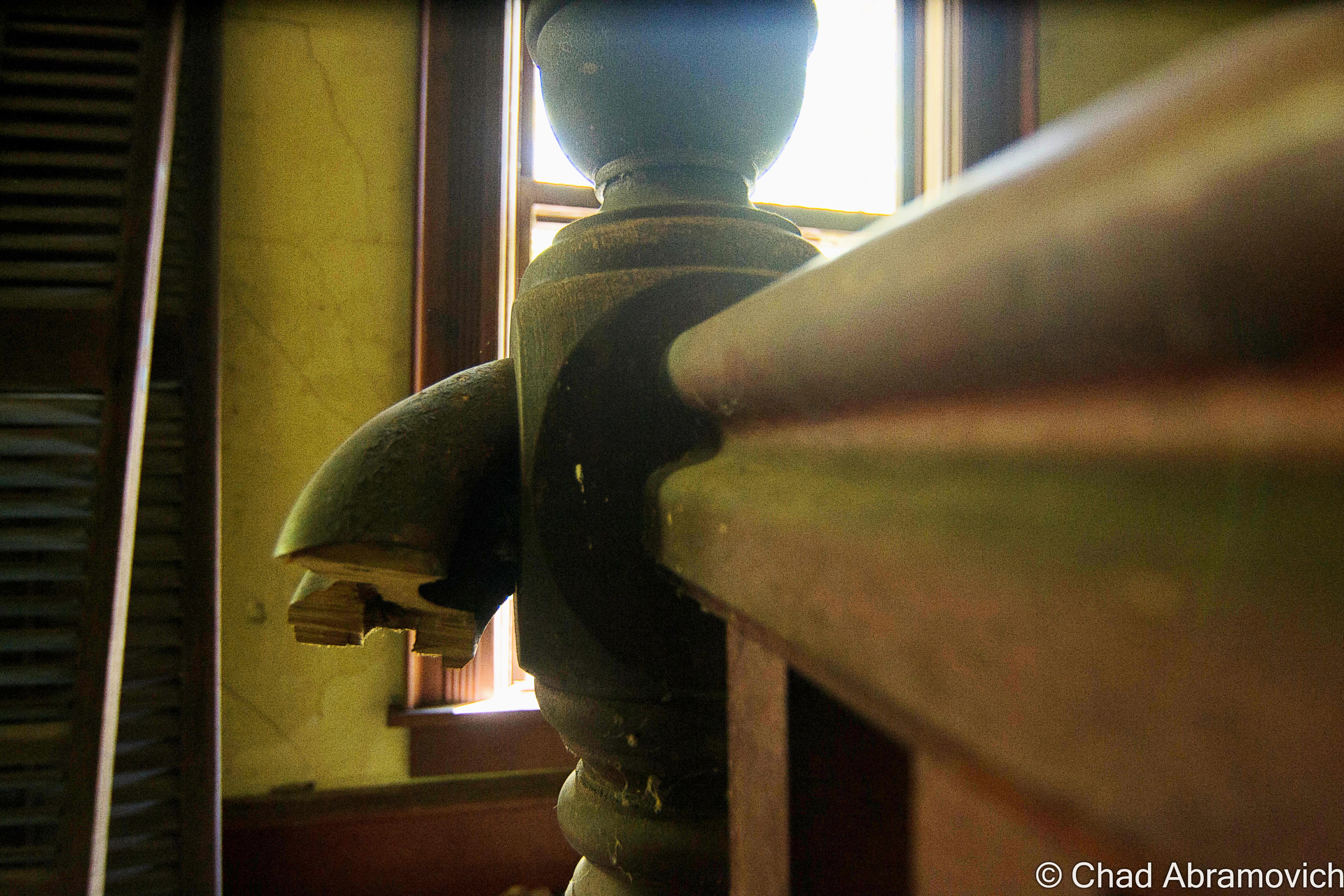
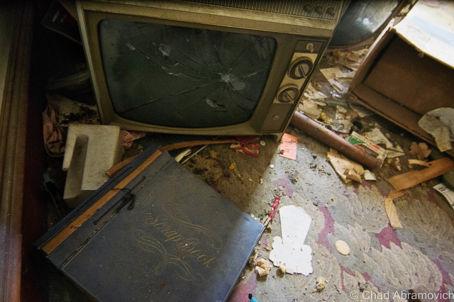
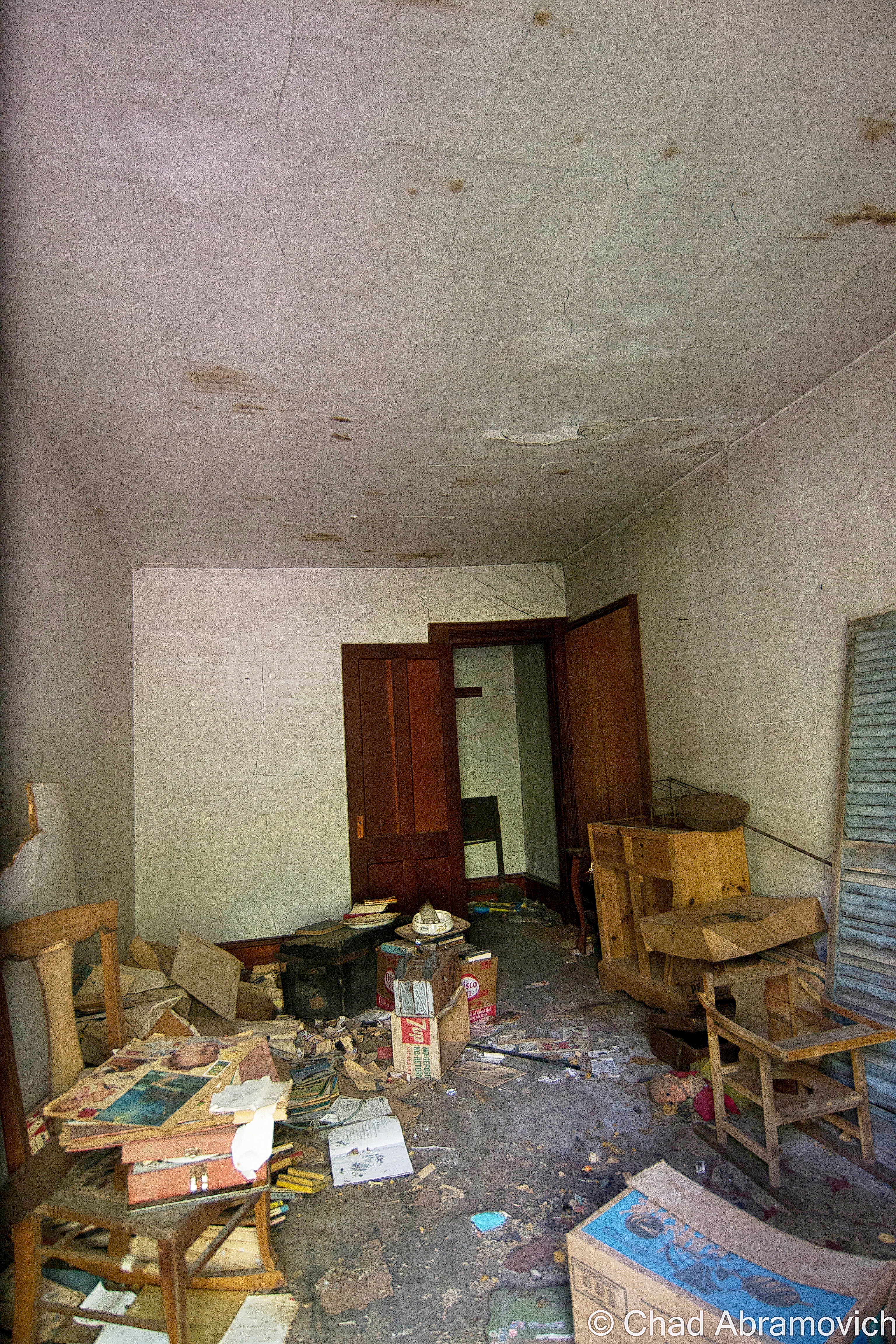
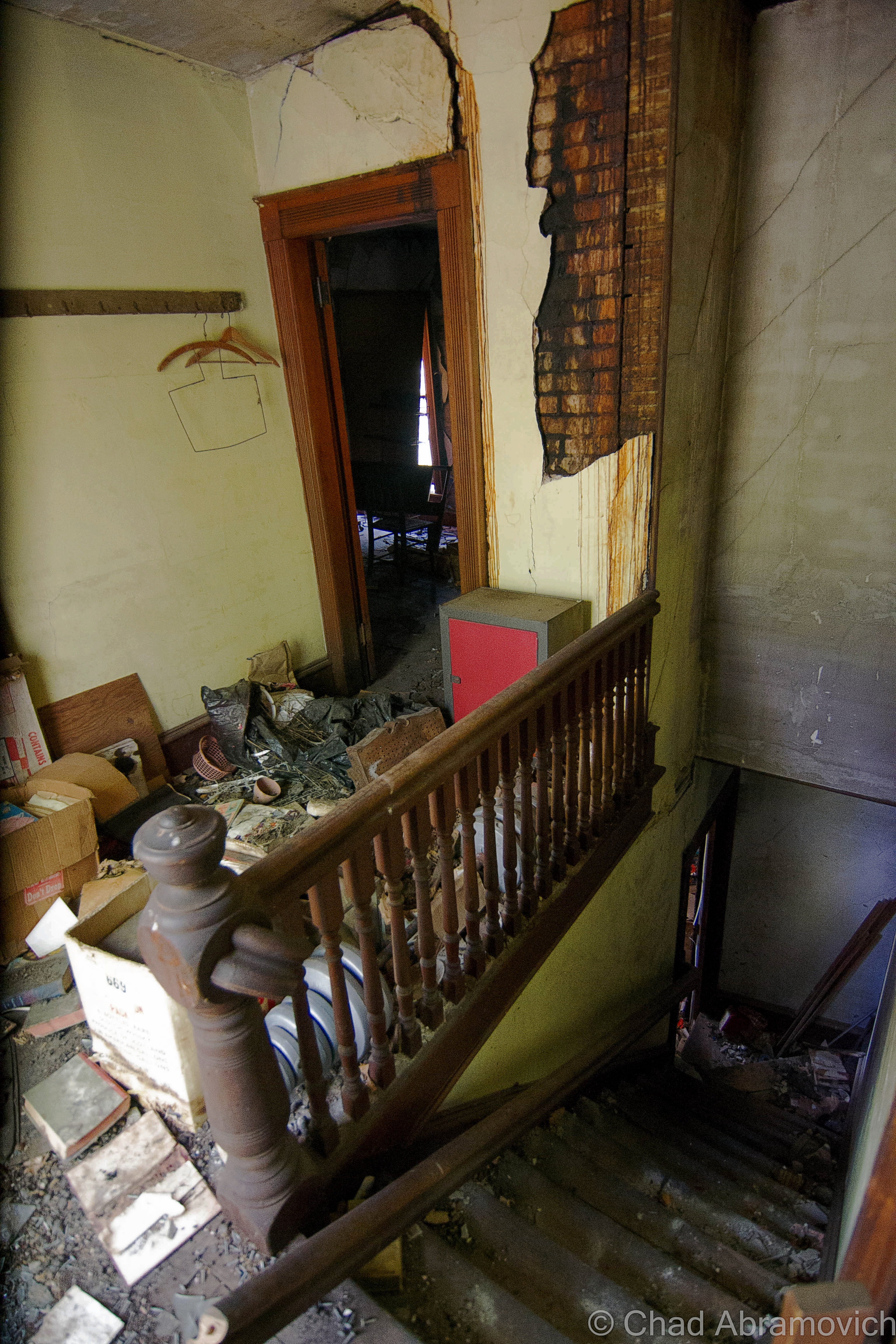
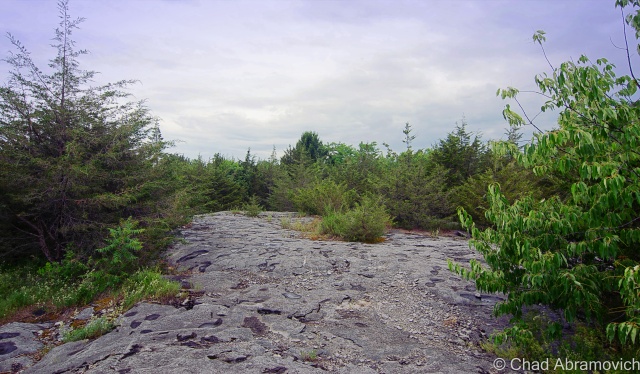
On a breezy August day this summer, I took the beautiful drive back down towards Camp Everest, with the intention of solving this mystery. The camp is much different from it’s heyday, now a series of private camps, owned by various people. The bowling alley and other amenities have long vanished into history and the creeping forests.

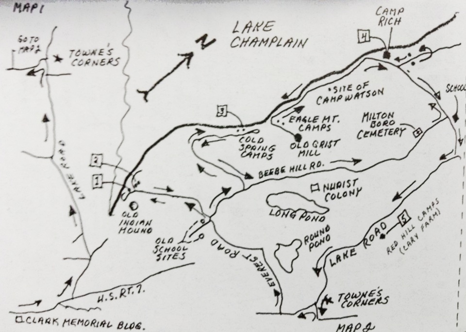
With the hand drawn map featured above in this post as my only reference, I scanned the roadside and across the many meadows bordering the area, but the imposing sight of the Indian Mound was never seen rising above the various clover filled fields or cedar forests near the roadside. I ran into several people, some jogging, others washing their SUVs in their driveways, and they were all happy to talk with me. But sadly, none of them knew about an Indian Mound or a camp of the same name. Some were out of staters and weren’t aware of the area’s history. But then again, a great deal of the area’s history has long vanished over the years.

From the map, I was able to sort of pin point the general location of the mound, but the area is much different than when the picture was taken. I had assumed, the mound might be still existing, now deep in the woods and covered in vegetation. But shortly after publishing this blog entry, I stumbled upon some further information.

Laurie Scott, who is an Everest, explained to me that the mound was eventually purchased by the grandson of the Hutchins family. The Everest’s lease most of the land where the camps sit, but her grandmother, Ethel Everest, sold the mound to them. The mound and the camp are still there, and as I assumed, is now obscured, hiding successfully behind a Vermont forest – an ideal getaway.

A photo of the Indian Mound, Winter 1968. Photo: UVM Landscape Change Program.

An interesting footnote to this story is that while trying to solve the mystery of this “Indian Mound”, Barbara Hutchins recalls that she heard there were a few other professed Indian mounds somewhere in Milton as well, but as for their locations, she doesn’t remember, leaving this intriguing mystery currently ongoing.

—————————————————————————————————————————————–

To all of my amazing fans and supporters, I am truly grateful and humbled by all of the support and donations through out the years that have kept Obscure Vermont up and running.

As you all know I spend countless hours researching, writing, and traveling to produce and sustain this blog. Obscure Vermont is funded entirely on generous donations that you the wonderful viewers and supporters have made. Expenses range from internet fees to host the blog, to investing in research materials, to traveling expenses. Also, donations help keep me current with my photography gear, computer, and computer software so that I can deliver the best quality possible.

If you value, appreciate, and enjoy reading about my adventures please consider making a donation to my new Gofundme account or Paypal. Any donation would not only be greatly appreciated and help keep this blog going, it would also keep me doing what I love. Thank you!

Gofundme: https://www.gofundme.com/b5jp97d4

Donate Button with Credit Cards

Disappearing

A favorite activity of mine is to go shunpiking – cruising around Vermont’s back roads and letting my eyes and mind soak up whats out there. A few nights ago while traveling down a straight-of-way in Addison County, a pancake flat paved rural roadway surrounded on both sides by expansive hay fields, I came across a forested island in the middle of a vast expanse of nothing – a small patch of surprisingly dense hardwood trees, tall grasses, and the Vermont state flower, the Clover.

Behind the growth, I noticed there was something man made here that was coexisting with the small jungle – the second story of a sordid farmhouse could be seen above a fortress of clinging vines that were almost consuming the structure. Slowing down to take a better look, I realized there was yet another abandoned house across the street that was nearly invisible, and behind it, I could make out the shapes of a scattering of barns and sheds, all falling and fading. I had stumbled on an abandoned farm.

Pulling off into what was once probably a driveway, I basked for a moment in the silence that hung around the farm. The sounds of crickets and the smell of clover came through the open windows, and the breeze gently rustled the trees. As I was sitting in my late summer reverie, movement caught my eye. From behind the abandoned farmhouse I was near, a solitary figure rode into the opening on a bike, through thick grass and tanglewoods that I assumed were probably very difficult to bike through. Manning the bike was a haggard looking fella, who appeared to be in his 40s, outfitted in moth-eaten clothing and a rather new looking bike helmet. He approached the car, and I braced for his encounter the best I could, giving him a small smile, waiting to see what was about to unfold.

“What are you doing here?” was his first question, which I predicted as much. “I’m just turning around, took the wrong road” I said calmly and cautiously. “Do you own this land? I’m sorry, I didn’t mean to bother you”. “Oh, I worked here for over 30 years, so I pretty much do own the land” he began. “The farm is abandoned now, the family is pretty much all dead. I still come by almost every week and check up on things though” “Oh wow, that’s pretty incredible. This place looks like it has a lot of history” I observed. And that seemed to light an internal fire – a simple initiation of conversation, and suddenly, his reserves were taken down, and he opened up to me. “Oh man, the stories I could tell you”. I smiled at him and explained my passion for stories and history. His eyes lit up like flashbulbs. “Actually – do you have some time, I can show you around?”

Next thing I knew, I had my camera in hand, and was ignoring my better senses as I followed a total stranger through thick tall grasses, well out of sight from the relative safety of the road out front. He introduced himself as Ivan as we went to shake hands. Putting blind faith in this gentleman, I allowed him to lead me around the property and we began to talk about the shifty ways of time, his stories cutting deep into history.

“I started working here when I was 10, back in the 60s”, Ivan began. “I used to carry hay bails from the fields to the barn all day long. That’s how I got these” he snickered, as he flexed his muscles. “I used to work all day long, never took a water break. People always used to warn me I’d get dehydrated, but I never did” he said proudly.

We found ourselves standing in front of a barn. “These barns are over 150 years old, built from Oak, Cherry and Ash, all cut right here on this property. There used to be a mill over there” he gestured to now open pastureland. He walked over and wedged a sliding door open, it made a loud groaning noise as the door grinded against the building. The entire facade seemed to tremble at this disturbance.

Inside was a forgotten world. Incredibly thick quilts of spiderwebs clung to brawny timber beams and fell from the ceilings like snow, getting tangled in my hair. Hay scattered on the dirt floors 30 years ago was still there, matted and molding. Certain rooms were packed wall to wall with various artifacts. wooden apple crates, tires with wooden rims, old bikes, desks and shelves filled with various artifacts and paraphernalia, accounts of over 150 years of farming now sitting forsaken underneath swirling dust and sunlight coming in through dirt streaked windows. On our way out, he noted me looking at the apple crates. “I love these things. I have a few of them in my apartment, holding books and stuff” I commented. “Oh yeah, I love those old crates too. There used to be an apple orchard right behind this barn. Over 100 trees! I remember, we all used to eat so many apples – they were great on a hot summer day. They tore them all out a few years ago, the entire orchard”

Making our way through the tall grasses, we made our way across the property. In a neighboring barn almost completely concealed by tree growth, he pointed out that that particular barn was used exclusively for trapping. The farmers used to trap unlimited beavers, otters and raccoons on their property and the nearby creek, and used to bring all the pelts to hang and dry in that barn – where a long narrow hallway ran between two sets of walls where the hooks still were hanging.  “This barn used to be full of hides – all the walls would be covered” he reminisced. “We used to either eat them or sell them. Any bit of money helped” It was a strange image, staring at those filthy and barren walls that afternoon underneath filtered light streaming through broken boards. I noticed a dated industrial grain sorting machine at the very end of the narrow hall. He told me that the farm used to also produce its very own grain. The floor was still coated in ankle high piles of the stuff and it had gotten in my shoes. Standing inside, there was a moment of silence as we took in our surroundings, and weird sounds seeped throughout, the soft summer breeze clearing my mind.

Wondering back around one of the abandoned houses, he told me that after the farm started to go out, the house was rented out to people outside the family. The last occupiers apparently stole a great deal from the farm. Valuable antiques such as firearms, milk jugs and other artifacts they had been taken. Most of the original family had died off, all but one member, who is now well into her senior years, and still lives nearby. She’s tired and doesn’t have the want to upkeep the farm anymore, and is almost completely unaware of it’s slow collapse. “It’s a real shame” he said. “Once she dies, a guy wants to buy the place, come in and bulldoze all the barns, the houses, everything. They want to expand the fields and farm this area. Everything here will be lost”.

Walking across the road, he brought me over to another abandoned farmhouse. “Back in the 60s – this used to be filled with people from California. Used to come up here by the bus loads – there must have been at least 20 or so people living in this house. They were the ones who were in charge of keeping this farm running ship shape”

The door to the house opened effortlessly, swung inwards and banged against the neighboring wall – the sound was like a shotgun blast in the somber interior. Inside, the life was gone, but something kept on creeping on, the floors creaked as the past walked by. The interior was what I expected to find in an old Vermont farmhouse. Faded linoleum floors, porcelain sinks, peeling wallpaper and rooms filled with garbage. There were holes where stove pipes used to run and heat the house, and an the exposed skeletons of an electrical system that looked like it was done haphazardly years ago. “There used to be rows of bunk beds in these rooms – they all used to sleep in here” he pointed out as he swung open a door of an upstairs room.

As we walked back down the stairs, he paused at one door we hadn’t opened yet – the basement door. The entire farmhouse had shifted and slumped over the years, almost trapping the door in its frame, but after a few hard tugs, it wrenched free, sending splintered fragments of crown molding in the air. The basement was pitch black, and the old wooden stairs were no longer standing. “You know, I’ve always wondered if there was like a chest full of gold or something down there” Ivan said as he scanned the darkness with his eyes. I was now curious. Was he making a joke? But he was quick to explain. “Back when I was growing up – I heard stories that the older members of the family had hidden gold coins around the farm. There was some sort of currency scare in the 1800s where people assumed paper money was going to loose its value, so they all started to switch to gold coins. I guess I heard they had a few stashes hid around the houses” Hidden treasure was certainly intriguing to me, so I asked him if he had ever found any of these alleged gold coins perhaps hidden under a floorboard or in the pipe of a woodstove. “Nope, never. I think it’s just a story” he said.  With a little research later, I discovered that there was in fact a large scale panic in the mid 1800s, The Panic of 1837, where wages, prices and profits went down, and unemployment and a general distrust of banks went up. As a result, I’ve heard other stories of old Vermonters investing in gold currency, something they were confident was dependable and safe, and kept it around the house as opposed to opening an account at a bank. Even if his intriguing story was a rumor, or if he was simply trying to spin a yarn, it did have its roots in historical accuracy.

Now outside the house, he brought me over to another barn and stared up at a rusted basketball hoop rim that was hung above one of the entrances. “Used to play here a lot as a kid to pass the time” he recalled nostalgically. “We used to have games, me and the Californians. Was thinking about going out for the basketball team in high school, but I never did”

“How often do you come by?” I asked Ivan, now curious by our chance meeting. “About every week” he replied. “I like to check up on the place, to make sure things are alright, to make sure it’s all as it should be”. It seemed Ivan was waiting in vain for something to happen – throbbing, and wincing, not knowing who to love or who to blame.

Getting ready to leave, I reached out to shake his hand, and sincerely thank him for his grand tour. It always means a lot when people open up to me – those experiences suddenly become shared experiences, and effect both parties involved. “It’ll sure be sad when this place goes, that’s for sure. Just down the road, the neighboring farm already sold parts of their land to other people, and they built houses on them” I knew too well what he was talking about. “Yeah, that’s pretty common. A lot of the farms I remember growing up around have succumbed to development now” My comment seemed to strike him off his feet. “What? Oh no…I’ve never really left town, haven’t really been anywhere I guess. So I wouldn’t really know” he said wistfully, he almost seemed to grieve from the disease of change and urbanism. I felt badly for him, it seemed all he wanted was a sense of place, but there was only silence and heavy humidity.

It’s always interesting to think about how many great stories are still existing in Vermont that have gone untold, and are in danger of completely disappearing. Images of proud men slick with sweat sticking to tractor seats and labor that would break the summer’s back. Farm life isn’t a romanticized escape from the bustle of modern life, it’s sadly an often thankless, lynchian job of back breaking work with little to show for it. But it also is a labor of love and devotion matched by earnest gazes and blue skies that have seen the same troubles as us. Exploring abandoned places like this sometimes compels you to look for answers to your own questions, but all I seemed to find is everything seems to change. As the world progresses into a future that seems like a dream now, countless more farms may find themselves like this one. It’s an experience like this in a haze of turbulent innocence, where you get a hard reminder that nothing stays the same.

Update, August 2015

A month of so after I had posted this blog post, I received a Facebook inbox message from the owner of this property. I opened it hesitantly, thinking that it’s contents would be angry and accusative, but to my very pleasant surprise, he was actually telling me he digged my blog, and loved this particular entry. But one thing was bothering him. He asked me about my tour guide, Ivan, and said that the family never employed anyone under that name on the farm before. A bit befuddled, I gave him a detailed profile of the guy. “I knew it!” He started. “His name isn’t Ivan, he lied to you. That was Tom, the town drunk. He’s the guy who set the meetinghouse on fire a few years ago, then tried to come here and light up one of our barns”. I certainly didn’t expect that.

DSC_0797_peDSC_0781_pe DSC_0782_pe DSC_0783_pe DSC_0786_pe DSC_0789_pe DSC_0792_pe DSC_0795_pe DSC_0796_peDSC_0809_pe DSC_0799_pe DSC_0804_pe DSC_0805_pe DSC_0859_pe DSC_0810_peDSC_0811_peDSC_0855_peDSC_0815_peDSC_0819_peDSC_0820_peDSC_0821_peDSC_0827_peDSC_0830_peDSC_0849_peDSC_0852_peDSC_0858_pe

—————————————————————————————————————————————–

To all of my amazing fans and supporters, I am truly grateful and humbled by all of the support and donations through out the years that have kept Obscure Vermont up and running.

As you all know I spend countless hours researching, writing, and traveling to produce and sustain this blog. Obscure Vermont is funded entirely on generous donations that you the wonderful viewers and supporters have made. Expenses range from internet fees to host the blog, to investing in research materials, to traveling expenses. Also, donations help keep me current with my photography gear, computer, and computer software so that I can deliver the best quality possible.

If you value, appreciate, and enjoy reading about my adventures please consider making a donation to my new Gofundme account or Paypal. Any donation would not only be greatly appreciated and help keep this blog going, it would also keep me doing what I love. Thank you!

Gofundme: https://www.gofundme.com/b5jp97d4

Donate Button with Credit Cards

House of the Syrup Folk

There is always that one place that stands out from the rest – and on a breezy August morning, I stood in front of what has to be the most unnerving house I have ever explored, and it was the question of why that really bothered me the most…

Skulking off a quiet backroad underneath the canopy of dense forests, on a slope with at least a 9 percent grade – this fading weathered house sits in the forest like an infected sore – a strange world where nature slowly undoes the deeds of man, with skin so thick, it’s empty eyes were like knives, not worried about who was receiving them.

The awkwardness started from the moment I got out of the car, and got a good look at the place over a forest of thorns and vines that had been tangled in the wind – a solitary trail sleuthed its way through the growth towards the house. Something had been through here recently. Staring up at it’s faded and splintery facade that almost matched the wilderness around it, there was something unsettling about the place. You could actually feel it’s age, and you could smell the smells – that typical old house perfume and rot that hung around the property like musk. Through the broken windows, the interior was pitch black, with secrets smothered in dirt. Though my fears weren’t routed in anything empirical, my skin was trembling.

Deciding to get a better look at the place, I proceeded to stumble through the grass. I was already regretting it. The thorns immediately sliced my arms and legs to ribbons, and I began to stumble over things that were previously hidden. Rusted trailers, oil barrels, broken glass and a knotted web of disused sap lines lay along the weedy floor, all covered in condensation which coated my boots, and made me slip more than once. Just getting over towards the place was turning into an adventure. Bees swarmed from flower to flower, and unseen creatures slithered in the grass, making the stalks snap and rustle.

Standing at the foot of it’s darkness, I noticed some things that immediately made me stop my pursuit. There was a new looking satellite dish on the side of the building, and an even newer looking utility box. But, there was no electrical hookup to the house. Some of the wires sat exposed, pulled out of the walls, and chewed on. Could someone actually live here? There were giant holes in the wall, and half the windows had long been shattered, but from my experience, that isn’t always evidence…

Upon closer investigation, I noticed an odd sight. Someone had actually taken the time to pick up the large fragments of broken window glass, and set them back into the wooden window frames. Other windows were barricaded from the inside, with chairs pushed up against them holding curtains in place. Someone made vague attempts to keep people out it seemed, but just around the corner, there was a door that was wide open, and a broken window would easily allow access. What was going on here? Peering inside a window, the interior of the house was cast in shadow, further and further, until there was nothing but strange land. A cold dampness settled on my face, and I could taste the musk as it settled in the air on my tongue.

I couldn’t explain it, I was incredibly uncomfortable at this point. I felt like something was watching me, like something was lurking just beyond the lens of my camera, offering no explanation. Though the inside of the house was smoldering in an entombed silence, there were strange noises coming from the places out of reach, like something was moving, something unknown saying, if I stay here, trouble will find me. To add to my unnerved state, tree branches around the house started to snap, but no one was around.

Eventually, I trekked back towards the road and rejoined my friend, who had opted not to go any closer to the place. I guess I couldn’t really blame him at this point. “I heard weird noises coming inside – I decided to leave” I said when I saw his questionable face. “Oh, I thought I heard something as well” he said. “I thought it was the syrup folk or something coming by” I stopped. “syrup folk?” He then pointed to the labyrinth of active sky blue sap lines that criss-crossed around the property. Though I now understood what he meant, there was something cryptic, almost ominous (and probably uniquely Vermont) about the term “syrup folk” that really stuck with me, hence the name for this blog post.

Though my trip here was discomforting, it’s these sort of experiences that often can be regarded as some of our finest ones – allowing you to discover what’s deep between your own skin and bones. And at the very least, they make for the best stories.

As we were about to leave, just to confirm my suspicions that something was inside, a raccoon popped it’s head out of the third story window, through a broken section of shutter, stared at us for a few seconds, than dipped back in to the deep cold darkness inside.DSC_0702_pe_pe_pe

DSC_0707_pe_peDSC_0706_pe_peDSC_0711_pe_peDSC_0712_peDSC_0755_pe_peDSC_0754_pe_peDSC_0746_peDSC_0744_pe_pe DSC_0753_pe DSC_0758_pe DSC_0760_pe DSC_0762_pe

This conjured up a few "Breaking Bad" jokes.
This conjured up a few “Breaking Bad” jokes.

DSC_0732_pe DSC_0766_pe DSC_0767_peDSC_0630_peDSC_0632_peDSC_0640_peDSC_0641_peDSC_0653_peDSC_0655_peDSC_0660_peDSC_0662_peDSC_0668_peDSC_0669_peDSC_0670_peDSC_0673_peDSC_0674_peDSC_0677_peDSC_0681_peDSC_0683_peDSC_0686_peDSC_0687_peDSC_0688_peDSC_0694_peDSC_0696_peDSC_0697_peDSC_0701_peDSC_0704_peDSC_0707_peDSC_0709_peDSC_0712_peDSC_0717_peDSC_0721_peDSC_0724_peDSC_0726_peDSC_0732_peDSC_0735_peDSC_0740_peDSC_0750_peDSC_0756_peDSC_0758_peDSC_0762_peDSC_0763_peDSC_0765_peDSC_0766_peDSC_0767_peDSC_0774_peDSC_0771_pe_peDSC_0776_peDSC_0778_peDSC_0780_peDSC_0783_peDSC_0790_peDSC_0793_peDSC_0795_pe


—————————————————————————————————————————————–

To all of my amazing fans and supporters, I am truly grateful and humbled by all of the support and donations through out the years that have kept Obscure Vermont up and running.

As you all know I spend countless hours researching, writing, and traveling to produce and sustain this blog. Obscure Vermont is funded entirely on generous donations that you the wonderful viewers and supporters have made. Expenses range from internet fees to host the blog, to investing in research materials, to traveling expenses. Also, donations help keep me current with my photography gear, computer, and computer software so that I can deliver the best quality possible.

If you value, appreciate, and enjoy reading about my adventures please consider making a donation to my new Gofundme account or Paypal. Any donation would not only be greatly appreciated and help keep this blog going, it would also keep me doing what I love. Thank you!

Gofundme: https://www.gofundme.com/b5jp97d4

Donate Button with Credit Cards

Mysteries and Legends Of The Champlain Islands

Though Vermont is the only New England state without a seacoast, we have our fair share of vast waters and attractive islands here. The Champlain Islands – an archipelago stretching from the Canadian Border, encompassing roughly 200 miles of shoreline around a trio of islands and a peninsula, is practically a different world. Accessible only by 3 bridges or a ferry from Cumberland Head, New York, the islands are isolated from the rest of the state, and as a result, are relaxed (though, 21st century stress doesn’t entirely escape) and carry a different attitude.

With the Adirondacks rising dramatically to the west across the lake, and the Green Mountains to the east and the south, the islands are a beautiful place. There’s not much to do, and that’s exactly what I love about this region. Route 2, the main artery, passes through 4 out of 5 towns that make up Grand Isle County, with the only stoplight being on the drawbridge that separates North Hero from Grand Isle. The economy is largely dependent on agriculture and tourism, most often combining the two in agritourism pursuits of farm stands, restaurants, and a few vineyards now days.

Things can coexist up here in the world around it peacefully, and sometimes, even manage to go largely undetected. And those sort of conditions are just ripe for mysteries. The numerous smaller and inaccessible islands that dot the lake are mysteries unto themselves – which are also most commonly private property. It’s easy and fun to speculate what sort of things happen on those remote chunks of rock, and what can be found there.

Carleton’s Prize

One of the most interesting stories I heard comes from off the south west coast of South Hero – a small chunk of rock rising 30 feet from the choppy waters of Lake Champlain, in a large passage between Providence and Stave Islands. One day, I was searching on Google maps, and noticed that this almost insignificantly tiny scrap of land had a rather peculiar name; Carleton’s Prize. Why would a small rock have such a strange name? What exactly is the prize here?

As it turns out, the name can be dated back to the Revolutionary War. Local lore has it that Benedict Arnold escaped around Valcour Island with what remained of his fleet during the battle of Valcour Island– and a dense fog had draped over the lake.  The trailing British fleet, lead by Sir Guy Carleton, were searching for escaping American fleets, but unknown to them, the Americans had slipped by them in the cover of night.

But up ahead, through the fog, they spotted something. A silhouette of what appeared to be a ship. This was their chance. The British bombarded it with cannon fire. However, the smoke from all the black powder obscured their vision even more, and eventually, they couldn’t see a thing. But determined to take down those no good Americans, they kept on firing. An hour later, the cannon fire finally stopped, and they realized that they had wasted several rounds of ammunition on a small rocky outcropping in the lake they had mistaken as a ship.

Since then, somehow and somewhere down the line, the small landmass has been referred to as Carleton’s Prize. Some say that you can still see the scars from cannon fire, and maybe even a cannonball or two on the island’s rocky shore to this day.

This is where the story gets a bit hard to trace. This story apparently isn’t well documented, and not much information exists to actually back this up – apart from a Wikipedia article and a blog entry – but even the blogger was questioning the truth of this interesting legend. So, did this blunder actually happen? I suppose we can only speculate. As far as I know, no one has came back with a cannonball yet.

Though the story of Carleton’s Prize is intriguing, the island’s original name is far more mystical. In the book, In Search of New England’s Native Past, author Gordon Day tells us the Abenaki knew this small rock as odzihózoiskwá, or “Odzihozo’s wife”. But who or what is Odzihozo?

Odzihozo, “the transformer”, was the supernatural being who created Lake Champlain, the mountains and all the lands that made up their homeland.

According to the legend, Odzihozo was an impatient deity, and before he was even completely formed with a head, legs and arms, he set out to change the earth. His last creation was Lake Champlain, which he considered his masterpiece – and he was incredibly happy with it. So happy in fact, that he climbed onto a rock in Burlington Bay and turned himself to stone so he could watch and be near the lake for the rest of eternity. The rock still resides in Burlington Bay, and is known to boaters as Rock Dunder – several miles away from his wife. It was said that the local Abenaki would bring offerings of tobacco to the rock as late as the 1940s.

travel tip: near White’s Beach, make sure to check out the alluring bird house forest and keep an eye out for the miniature Barber castles scattered around the island.

Carleton's Prize - the small bump in between the 2 islands.
Carleton’s Prize – the small bump in between Stave Island (home to one of the few fire towers on Lake Champlain) and larger Providence Island (where one of Vermont’s only malevolent ghosts is said to haunt the bedroom of a lake house – the very room he strangled his wife to death in decades ago…)
Carleton's Prize from White's Beach in South Hero
Carleton’s Prize from White’s Beach in South Hero

Isle La Motte’s Prehistoric Treasure

Isle La Motte has such a different vibe from its other island neighbors, or from the rest of Vermont for that matter. It’s the smallest, most rural, and the most mysterious (in my humble opinion) of Vermont’s Champlain Islands.

It’s the first spot in Vermont that Europeans set actual foot on, when French explorer Samuel De Champlain docked and camped here in 1609. The island is also home to Saint Anne’s Shrine, built atop the original and short lived French settlement. A friend of mine said that a relative of his was allegedly a renown miracle worker at the shrine back in the early 1900s, but to my disappointment, the miracles he might have performed were never penned down in the family history.

Isle La Motte is also the only Grand Isle County town to not be accessible via Route 2, which imparts the island a noticeably quieter, downlevel atmosphere that makes this remarkable oddity find pretty compatible.  

The entire southern third of the tiny island is made up of what experts consider the oldest fossilized coral reef in the world – at some 480 million years old!

This spectacular natural resource pokes through cedar woods and fields thick with wildflowers in contoured rocky outcroppings. It’s both baffling and awe-inspiring – you’d never think you’d find something like this up in the far, occasionally frozen northwestern corner of the state.

But why would a fossil reef be up in Isle La Motte?

This is a state mystery that is actually easy to solve. In the farther reaches of Vermont’s past, some 480 million years ago, the land that is now the green mountain state was under the waters of a tropical sea near where Zimbabwe is. Officially dubbed the Chazy Reef, it once stretched from an area covering Quebec to Tennessee.

But over the millennia, volcanoes, earthquakes, the pull of the tides and other natural phenomena did some terraforming and shifted the earth’s crust. Limestone eventually began to form and preserved a petrified snapshot of pre-Paleozoic life.

With this incredible natural wonder being in my home state, I figured I couldn’t say I was a bonafide Vermont enthusiast unless I drove up to see it for myself, and on a soft summer day, I found myself tracking down the Goodsell Ridge Preserve, where the best-preserved chunk of the reef is.

I was immediately taken by the tranquility of the place. It was a timeless vantage point, which can be said about the entire town of Isle La Motte. And yet, if there weren’t signs to hint at what you were looking at – you might not even know you were walking around such a magnificent treasure.

Scientists from all over venture to Vermont to study its coral reef – trying to connect the dots of this primitive instruction manual left by mother nature.

It’s even more intriguing to think about how many sites in the region possibly contain some of these fragile fossils in their stonework. It’s said that their organic shapes can be spotted in the ruins of Fort Blunder, and someone else wrote to me declaring they think they spotted some in a railroad stone block retaining wall on the Burlington waterfront.

Perhaps the real mystery is why the best-preserved piece of the reef is in Isle La Motte. That still remains to be explained.

DSC_0061_pe DSC_0069_pe DSC_0075_pe DSC_0081_pe DSC_0088_pe DSC_0097_pe

A Pink Lighthouse

To some, the idea of a traditional lighthouse seems out of place in tiny landlocked Vermont. But Lake Champlain’s 587 miles of shoreline is home to 12 lighthouses, 6 of them belonging to The Green Mountain State.

At a total of 120 miles long and 12 miles across at its widest point, Lake Champlain is the 6th largest freshwater lake in the United States – and even had a short distinction as being the 6th great lake, before complaints from the other 5 revoked the title, but we think it’s still pretty great.

Often dubbed as “New England’s West Coast”,  the lake was a vital part of the settlement of the region and has been inseparable from local history.  In 1819, the Champlain Canal was completed, connecting the lake to the Hudson River and eventually New York City. This would change the culture of the lake as it was propelled into a transportation route for trade and tourism. Burlington became the largest port on Lake Champlain, and the third largest lumber port in North America. With this much travel on the lake, lighthouses were needed to make sure travel could be made safely from one end to the other. And with a series of dangerous reefs and no less than 70 islands scattered throughout the lake, these lighthouses played important parts to keeping the lake running efficiently.

In 1819, the Champlain Canal was completed, connecting the lake to the Hudson River and eventually New York City. This would change the culture of the lake as it was propelled into a transportation route for trade and tourism. Burlington became the largest port on Lake Champlain, and the third largest lumber port in North America. The waterfront was transformed into a bustling and chaotic shoreline of mills, factories and no shortage of cargo ships and passenger steam liners. With this much travel on the lake, lighthouses were needed to make sure travel could be made safely from one end to the other. And with a series of dangerous reefs and no less than 70 islands scattered throughout the lake, these lighthouses played important parts to keeping the lake running efficiently.

Today, the lake is a different place then it was 200 years ago. Heavy ship travel have been replaced by personal recreation boats and a few ferries carrying people across the lake. Interstates 87 and 89 run along both sides of the lake, and have became the main routes of travel between Canada and the United States, leaving the lighthouses unnecessary. Now, these vestiges of the past have slowly been forgotten as the lake tides carry their memories into the mists. However, they are still surviving, finding new lives as private estates or cultural showpieces. Some are landmarks, and others have made large efforts to camouflage them from public knowledge, an irony to their original purpose.

The lighthouses of the lake have always been a curious subject for me. I’ve spent summers traveling around the shorelines and seeing countless summer camps, McMansions and beaches, but a lighthouse is a rare, almost unseemly. But as it just so happens, one of the 6 lights in Vermont rests on Isle La Motte, and unlike most, you can sort of catch a glimpse of it.

The realization of the need for a light on Isle La Motte started humbly in 1829 with some good old-fashioned Yankee ingenuity; by hanging a lantern light on a tree branch on the Northwestern tip of the island, to help mariners navigate their way around the island and through the channel.

In 1856, the U.S. government purchased the land around the point for $50. The first attempt at a real structure was made in the form of a pyramid-shaped limestone tower that would hold the lantern.  However, the lantern would always blow out on stormy nights, and eventually, the need of an actual lighthouse became evident, and in 1881, the first permanent lighthouse was finally constructed on Isle La Motte.

A twenty-five-foot tower made of curved cast-iron plates was constructed. Originally painted bright red, the tower features many attentions to detail, such as an Italianate cast railing, arched windows, and molded cornices. Over time, it has faded to a light pink.

During the 1930s, in a cost-saving measure, lighthouses began to be replaced with automated steel skeletal towers. The Isle La Motte light was replaced in 1933. But in 2001, the Coast Guard determined it would be cheaper to bring back the original lighthouse rather than replace the deteriorating steel tower and on October 5, 2002, the lighthouse was once again functional.

A reminder from the locals that they would prefer you not drive down aptly named Light House Point Road - it's a private road.
A reminder from the locals that they would prefer you not drive down aptly named Light House Point Road – it’s a private road, and the lighthouse is private property.
Isle La Motte's Lighthouse, as seen from North Point Road - the best place to get a good view of it, unless you have a boat or a kayak.
Isle La Motte’s Lighthouse, as seen from North Point Road – the best place to get a good view of it, unless you have a boat or a kayak.

DSC_0590

Cloak Island

Off of Isle La Motte’s south-east coast is a small island with a weird name; Cloak Island. Why would you name an island, Cloak Island? In Tara Liloia’s book Champlain Islands, the name behind the interesting moniker is revealed.

According to a re-printed 1857 era map of Lake Champlain and the islands, the tiny island was originally known as Hill’s Island, or Hill Island, most likely named after the owners, as most Lake Champlain islands are. So what’s with the name change?

As the story goes, a domestic quarrel in the 1770s boiled over, when Eleanor Fisk got sick of her husband’s angry tempers. She hitched up her team of horses and set out across the frozen lake towards Alburgh, but never made it. Later, her red cloak was found along the bushes and rocks of the island, which would forever be known as Cloak.

But there is another variation of the story. After Eleanor Fisk went missing, concerned townsfolk suspected she had drowned but needed proof. So, they gathered down near the lake and dropped her red cloak into the water. An old Yankee superstition dictated that to find the body of a drowned victim, all you had to do was drop a cloak belonging to the missing woman in the water and it will come to rest above the body. The cloak eventually found its way over to the island and got tangled on the beach, thus giving Isle La Motte’s tiny neighbor its name.

Noisy Beach

But perhaps my favorite abnormality is a tale of a beach, ‘somewhere’ on Lake Champlain, that is said to be made of sand with a remarkable idiosyncrasy. It’s said that if you fill up 2 bags with sand and clap them together, it makes ‘dog noises’. Not surprisingly, I haven’t been able to track down this marvelous beach or find anything further about this strange anecdote.

Cloak Island
Cloak Island

—————————————————————————————————————————————–

To all of my fans and supporters, I am truly grateful and humbled by all of the support and donations through out the years that have kept Obscure Vermont up and running.

As you all know I spend countless hours researching, writing, and traveling to produce and sustain this blog. Obscure Vermont is funded entirely on generous donations that you the wonderful viewers and supporters have made. Expenses range from internet fees to host the blog, to investing in research materials, to traveling expenses. Also, donations help keep me current with my photography gear, computer, and computer software so that I can deliver the best quality possible.

If you value, appreciate, and enjoy reading about my adventures please consider making a donation to my new Gofundme account or Paypal. Any donation would not only be greatly appreciated and help keep this blog going, it would also keep me doing what I love. Thank you!

Gofundme: https://www.gofundme.com/b5jp97d4

Donate Button with Credit Cards