The Great North Woods

“NEW ENGLANDERS They buried their emotions deep, Long years ago, with care; And if a stranger dares to dig He finds but granite there. — Catherine Cate Coblentz — Driftwind, May 1925”

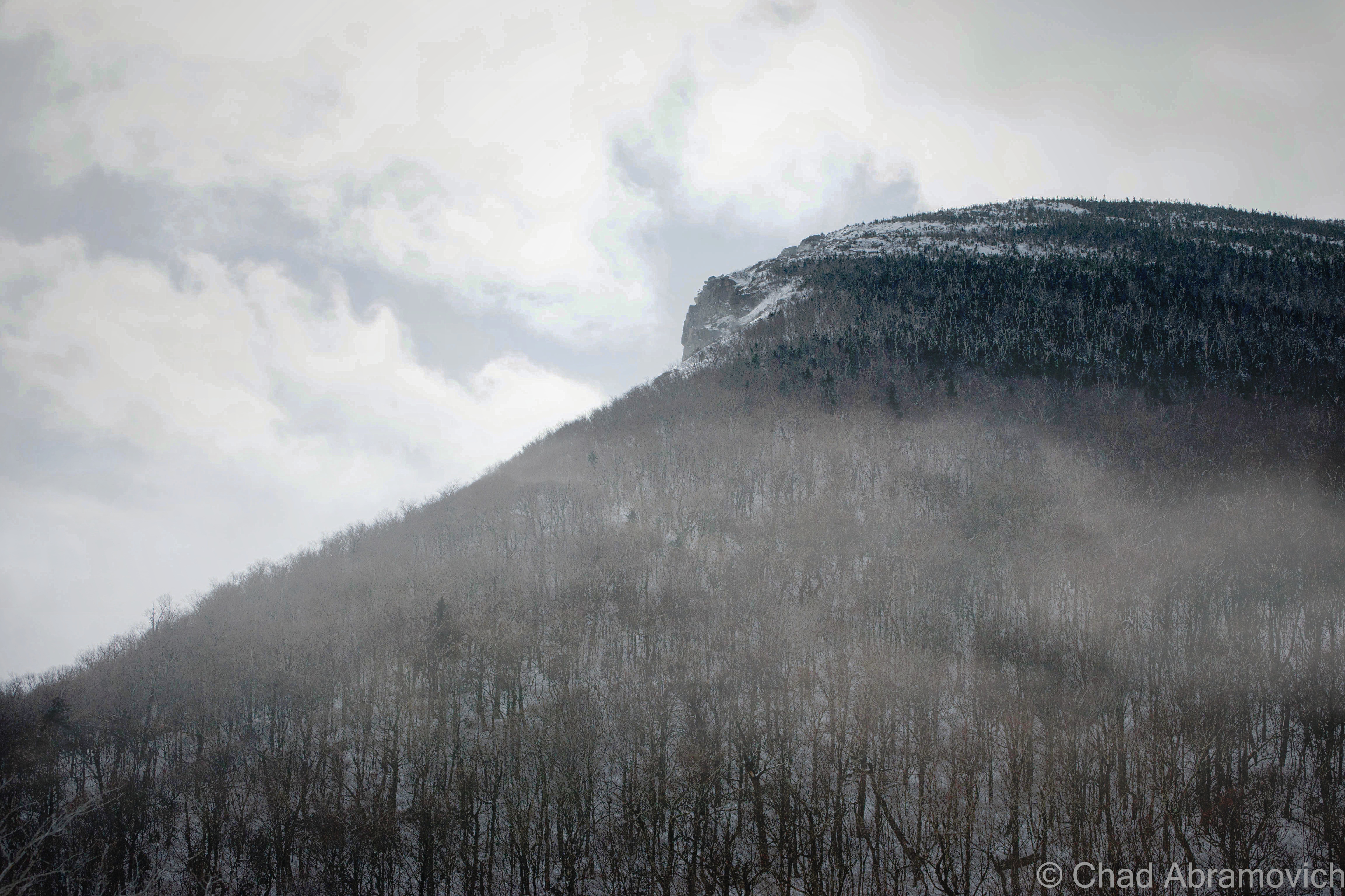
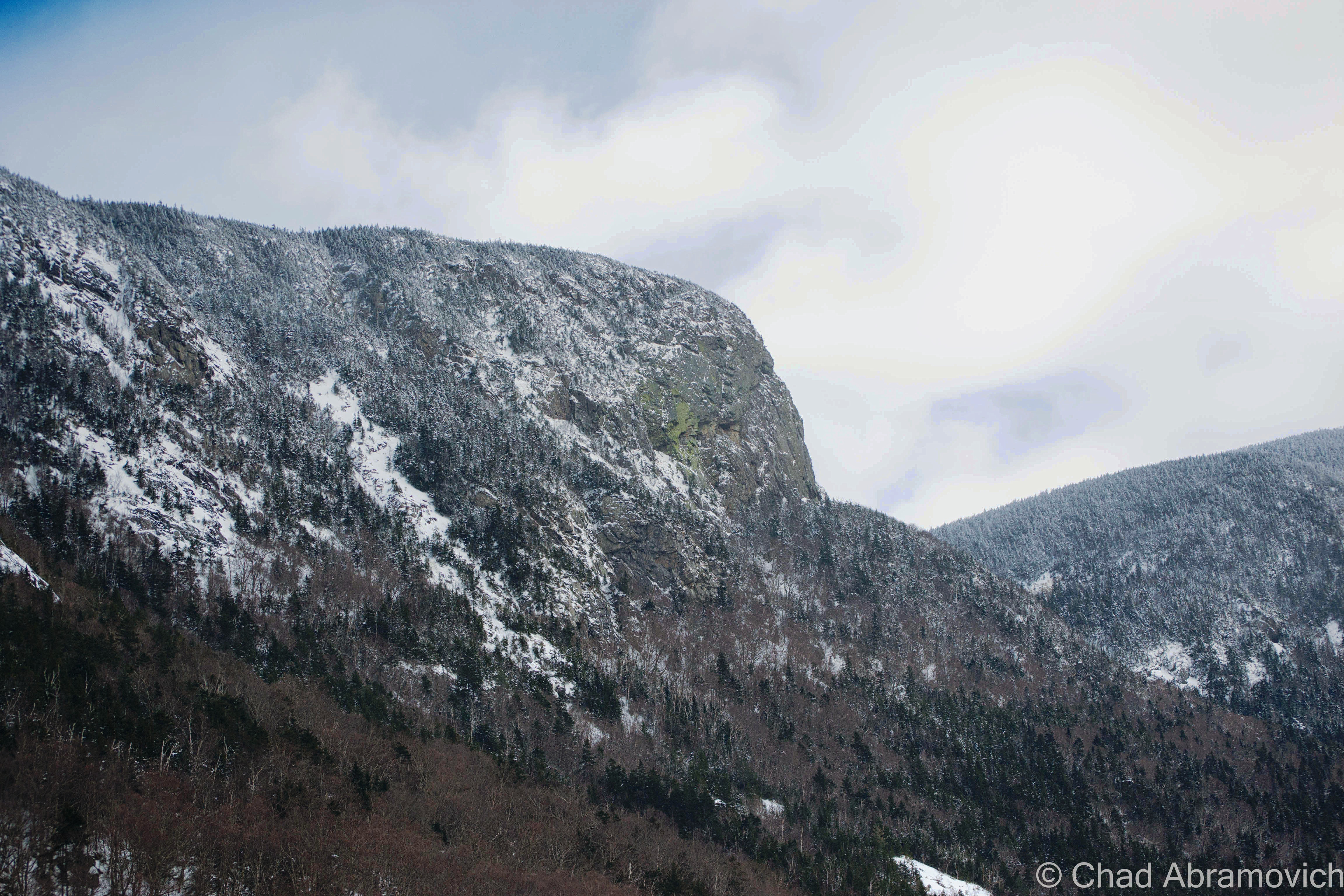
A few days ago, I was traveling through New Hampshire’s White Mountains, a compelling region that I wish I had taken the time to explore more of when I was a college student in the Northeast Kingdom, far before the ugly reality of adulthood trimmed the fat off things. While Vermont tends to have a more gentle feel at times, New Hampshire is crucially different, it’s north country is essentially one giant patch of wilderness, which some say is roughly the size of Wales.

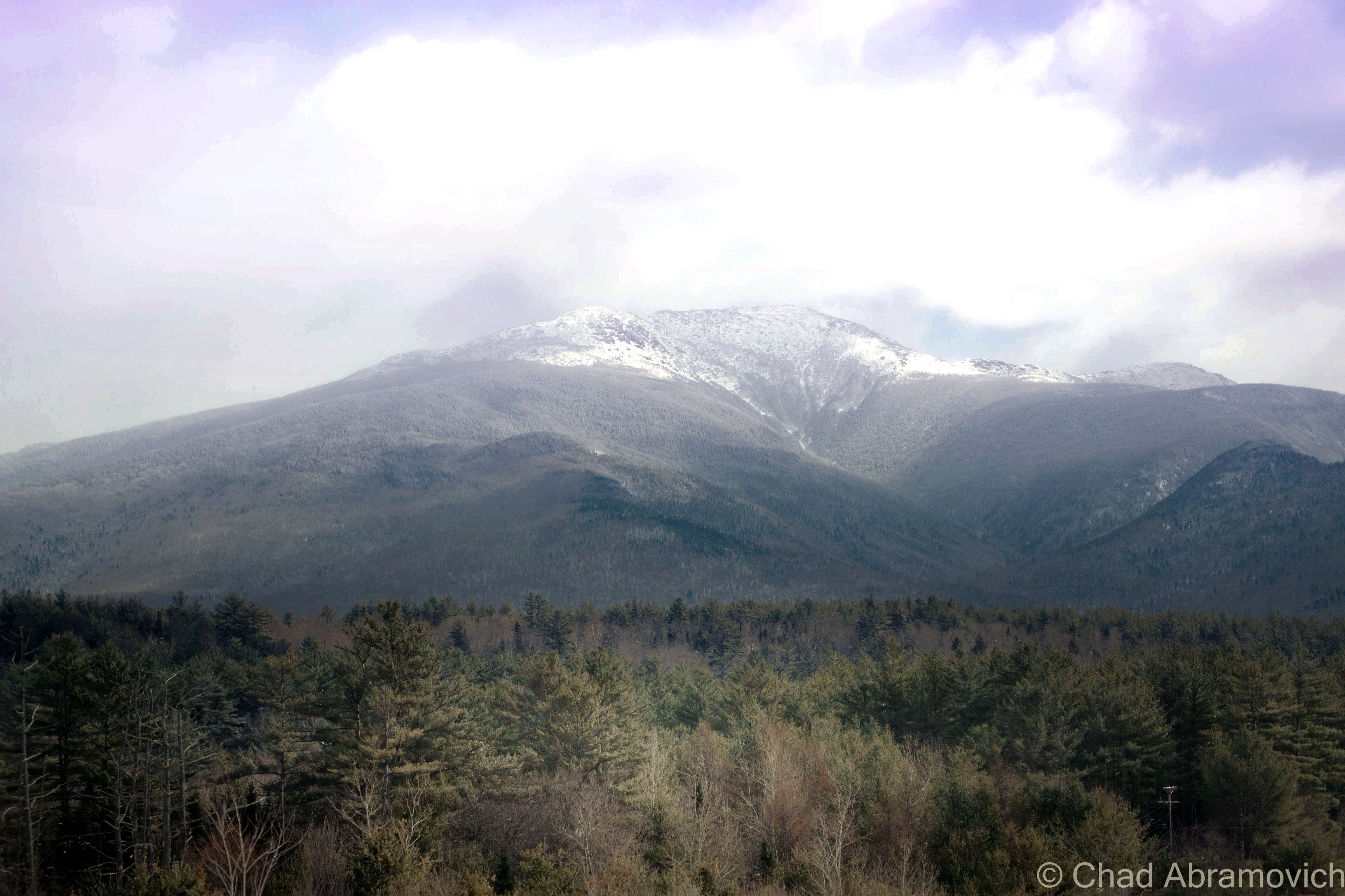
Part of the great Appalachian chain, it’s difficult not to be in awe of the rugged magistery of the White Mountains, whose hulking mountaintops rise out of view above the clouds, or the deep V-shaped natural excavation of Franconia Notch, it’s walls carved from the oldest rocks around.

The small town of Bethlehem, New Hampshire, has been around since 1774, and in the last days of 1799, it would adapt it’s current moniker, shared with the city of the same name on the other side of the world, though the origins behind the naming of New Hampshire’s settlement are a bit of a mystery. A drive down Route 302, the main drag in town, reveals one of the most architecturally impressive Main Street’s I’ve visited. A great collection of showy Victorians with some of the most ornate and complex woodwork that I imagine a human mind could ever devise. Busy roof lines punctured by wandering tactile patterns that sat next to humble Bungalows that have been very well preserved. Bethlehem’s exceeding aesthetics can be owed to the town’s heyday as an early tourist destination.

In 1805, the Old Man Of The Mountain was discovered, and by 1819, a path was created that carved its way up to the summit of Mount Washington. The White Mountains, their fresh air, craggy and almost daunting landscape and the mystique of their geographic curiosities were beginning the shift into a tourist area, and Bethlehem found itself conveniently in the middle of it’s many prominent attractions, which proved to be good for business.

In 1867, the railroad came to town, bringing tourists from the urban hubs of Boston and New York City. By 1870, a building boom period began, which would eventually create 30 grand hotels that lined Bethlehem’s streets which were all fiercely competitive against another. Each establishment tried to out-do each other in garish grandness and opulence, and they had to, because with a lodging bubble, standing out from everyone else was paramount.

Seven trains a day roared into the village, dropping of scores of passengers at five depots. Bethlehem must have been doing something right, because eventually, well-heeled east coasters took notice of the mountain town and decided to build their “summer cottages” here, which were blown up to colossal sizes and scaled up the hillsides that rose out of town. This included the likes of the famous Woolworth family and the enterprising swindler P.T. Barnum, the fellow who allegedly popularized the phrase “there’s a sucker born every minute”.

So many affluents would build here that an event called “the Coaching Parade” was conceived, which was pretty much those aforementioned rich folk flaunting their wealth and by ornamenting their carriages as ostentatiously as possible, and then literally parading them around town, which drew larger spectator crowds by the year, and led Barnum to call “the second greatest show on earth”.

But the decline of the White Mountains would have the same story that parallels other American vacation destinations of the same era and caliber; the rise of the automobile in the early 20th century would be the beginning of the end, as tourists were now no longer limited to only seeing places the railroads could bring you. When the automobile and their infrastructure worked its way up into the formidable highlands, the grand hotels eventually became ghosts, and the tourism culture changed to what pretty much is today.

One of these hotels was The Maplewood.

The Maplewood Hotel, circa 1905. Via Wikipedia.

Opening in 1876, this hotel would soon become a showpiece, your textbook example of an incredibly lavish 19th-century resort which unabashedly marketed itself as “The Social and Scenic Center of The White Mountains”. It would eventually grow to ginormous proportions, encompassing its own 18 hole country club, casino, cottages, and was served by its own train station, Maplewood Depot. I guess I can see how their claim could hold it’s own. As a friendly New Hampshirite pointed out to me; in the glory days of rail travel in the White Mountains, the small Victorian station rivaled the most revered and fabled of north country stations, such as Crawford and Fabyan.

A historical postcard of Maplewood Station for comparison

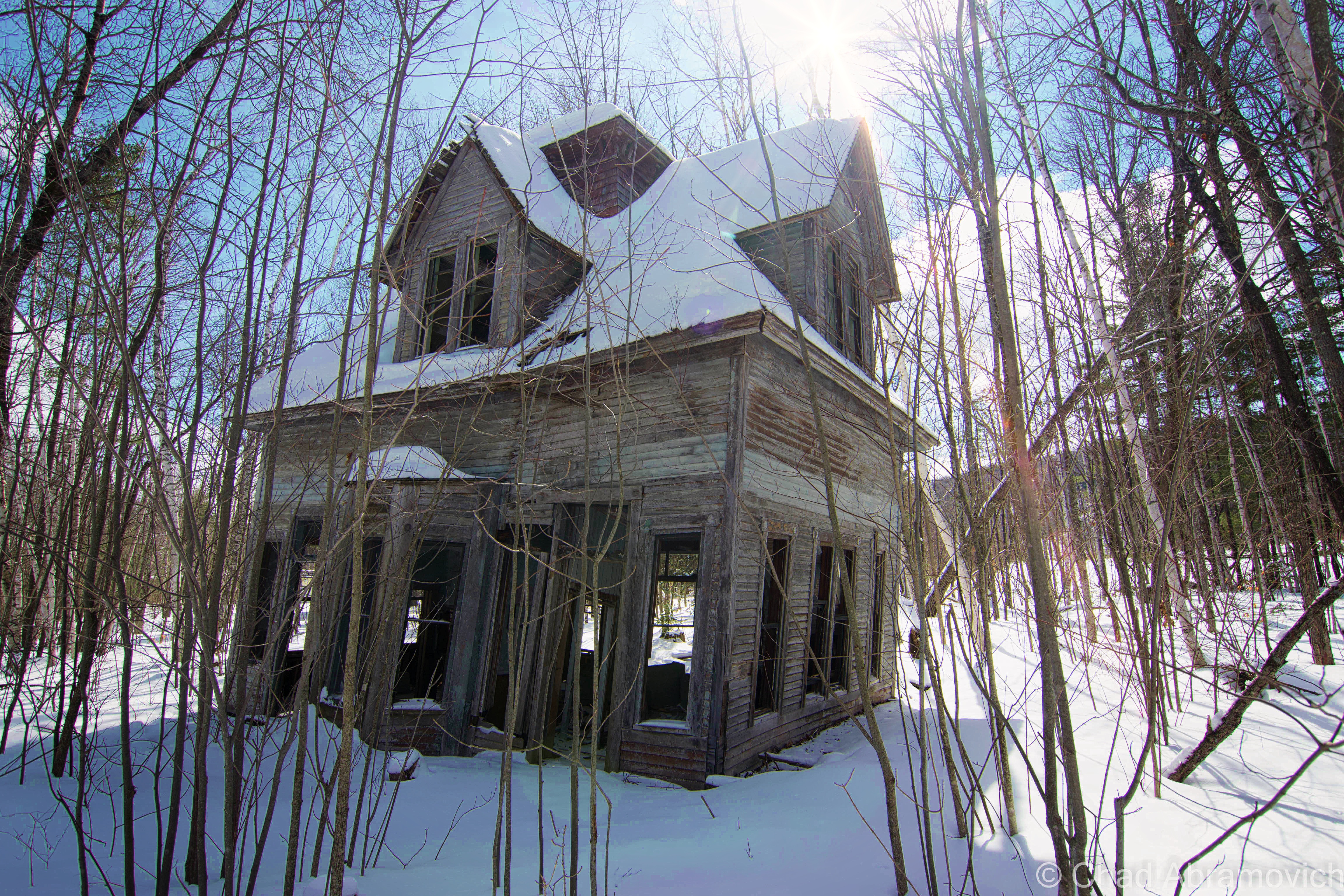
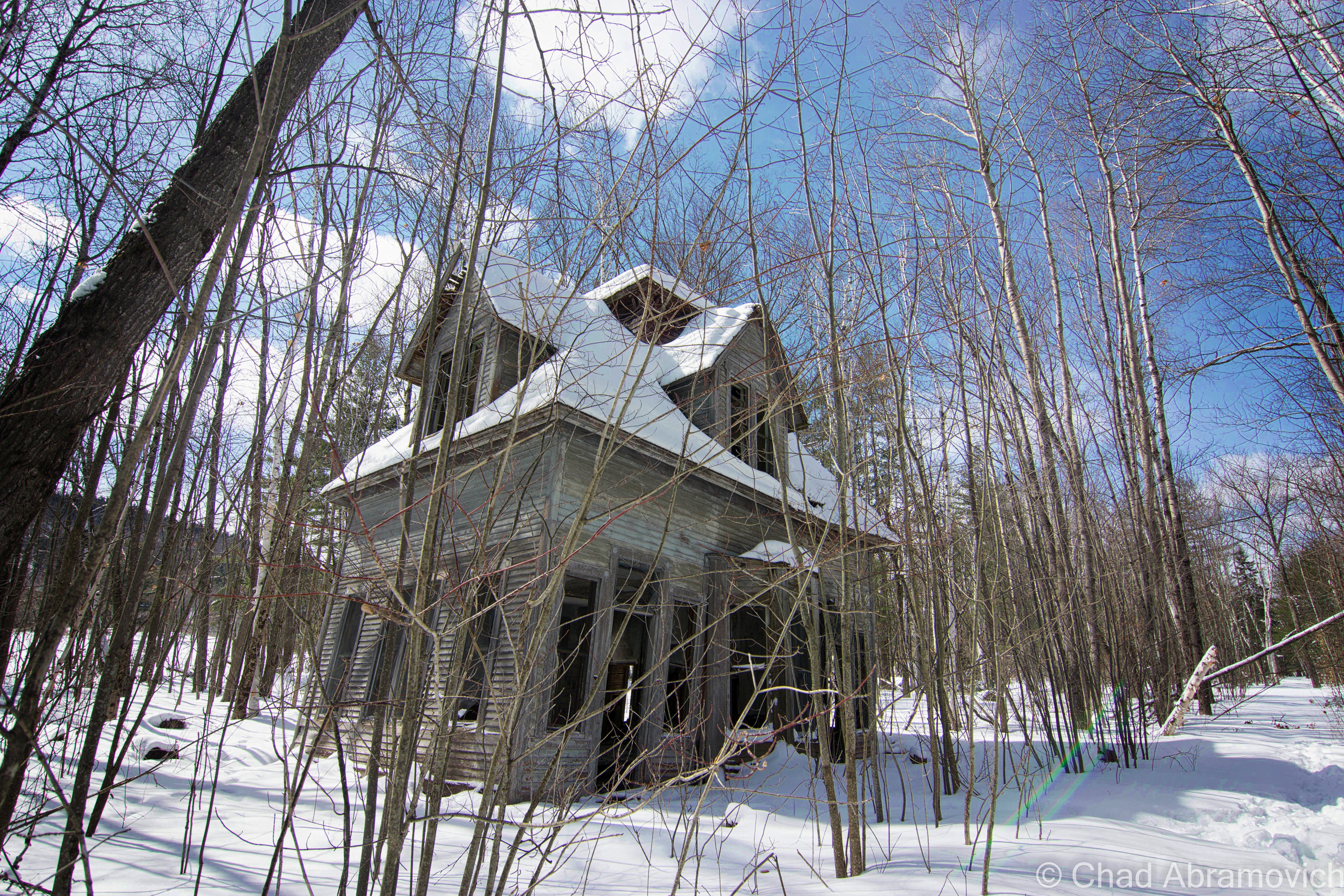
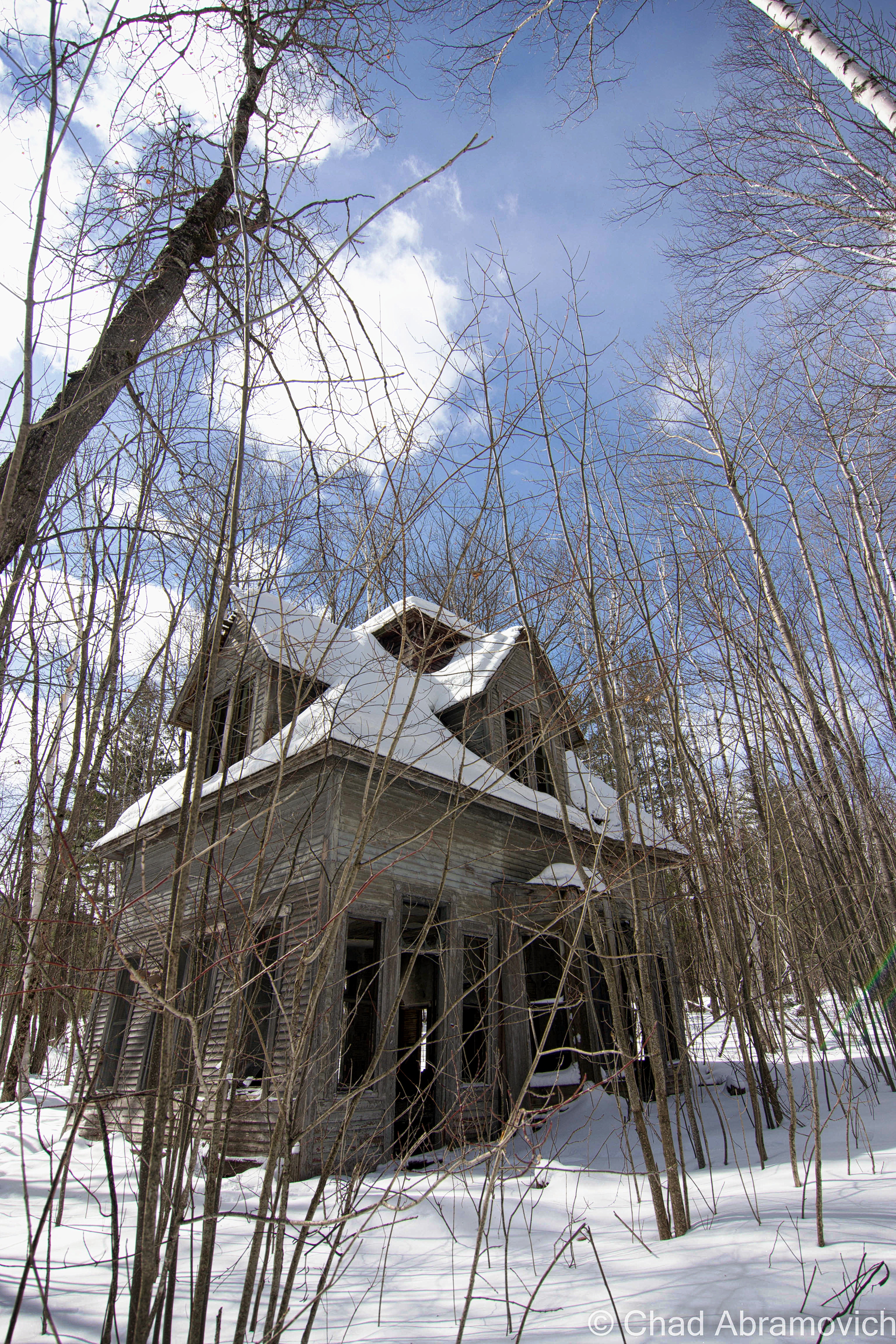
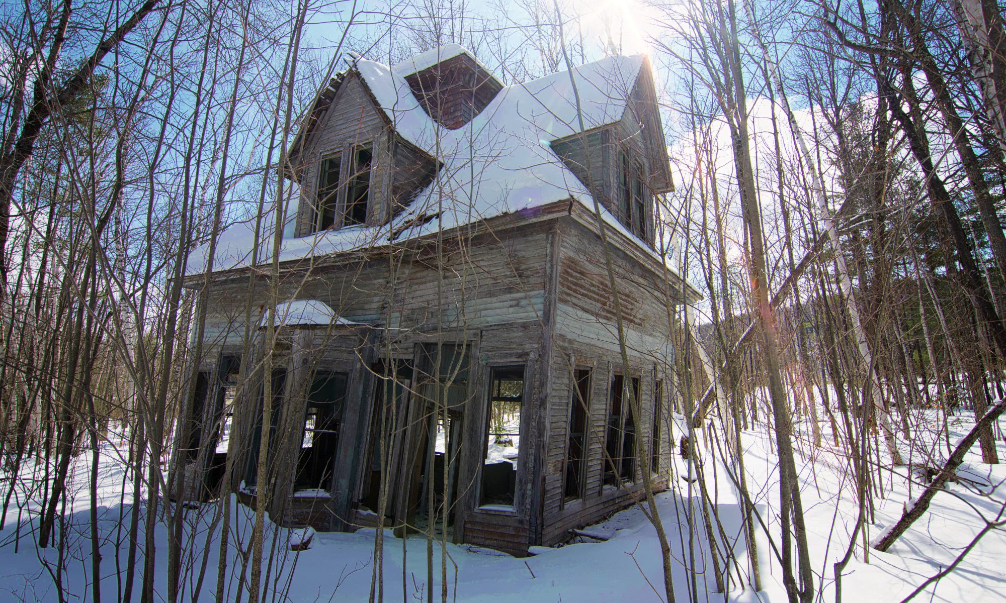
Maplewood Depot was abandoned in the early 20s in the wake of the automobile, and the hotel it served would function for a few more decades, before burning to the ground in January 1963. Today, the grounds have been revitalized as the Maplewood Country Club, with striking views of the Presidential Range. But sitting in the woods behind the links, the old train station can still be found, now leaning at a dramatic angle in its slow decay, wasting away in silence as the town thrives around it.

Most of the details depicted in the postcard, such as the expansive porches and apex tower have long faded into postcard memory. The former railroad line had it’s tracks pulled shortly after the station went defunct, but the right of way can still be detected, a ruler-straight path that is slightly less overgrown than the woods around it.

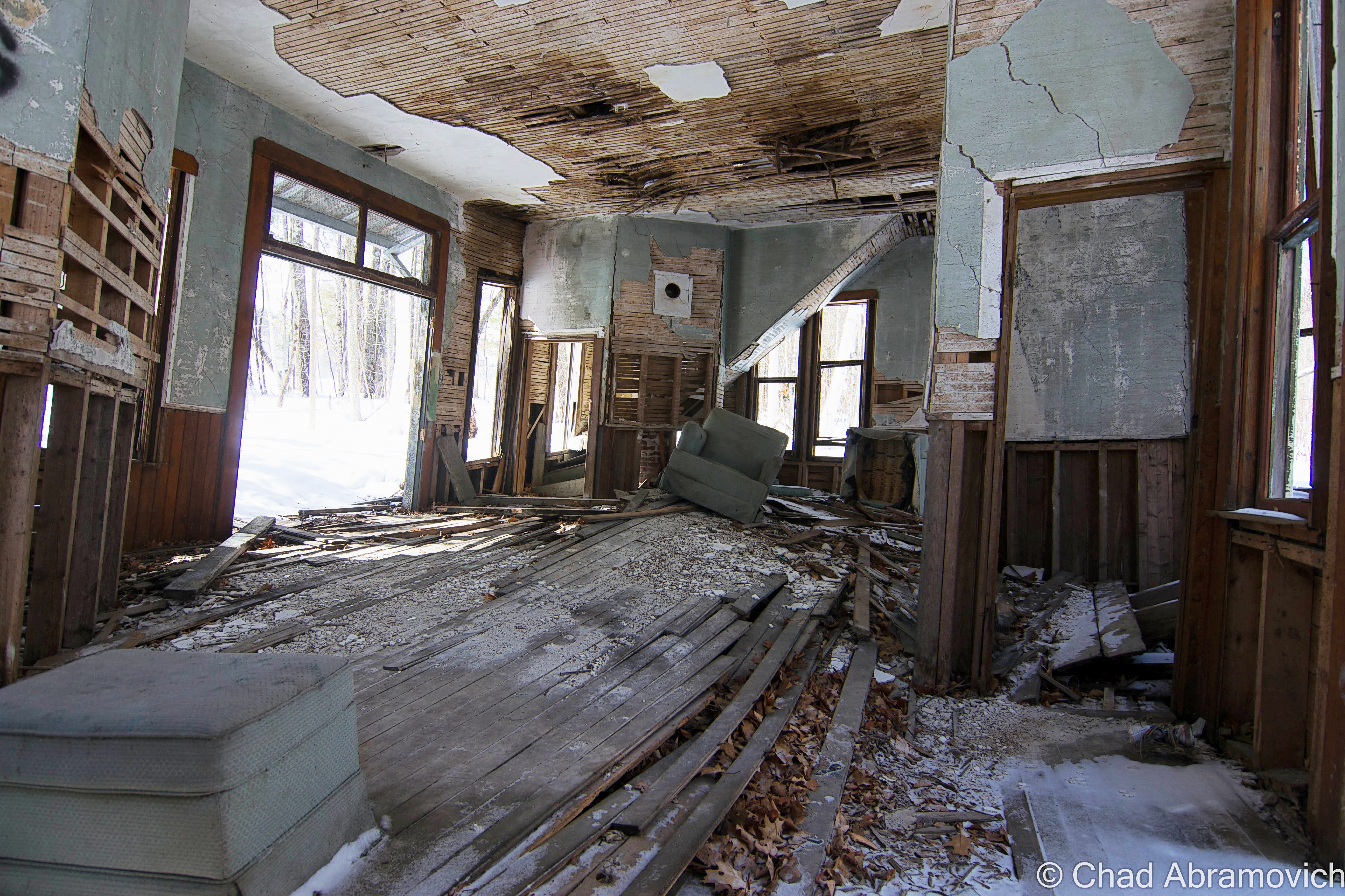
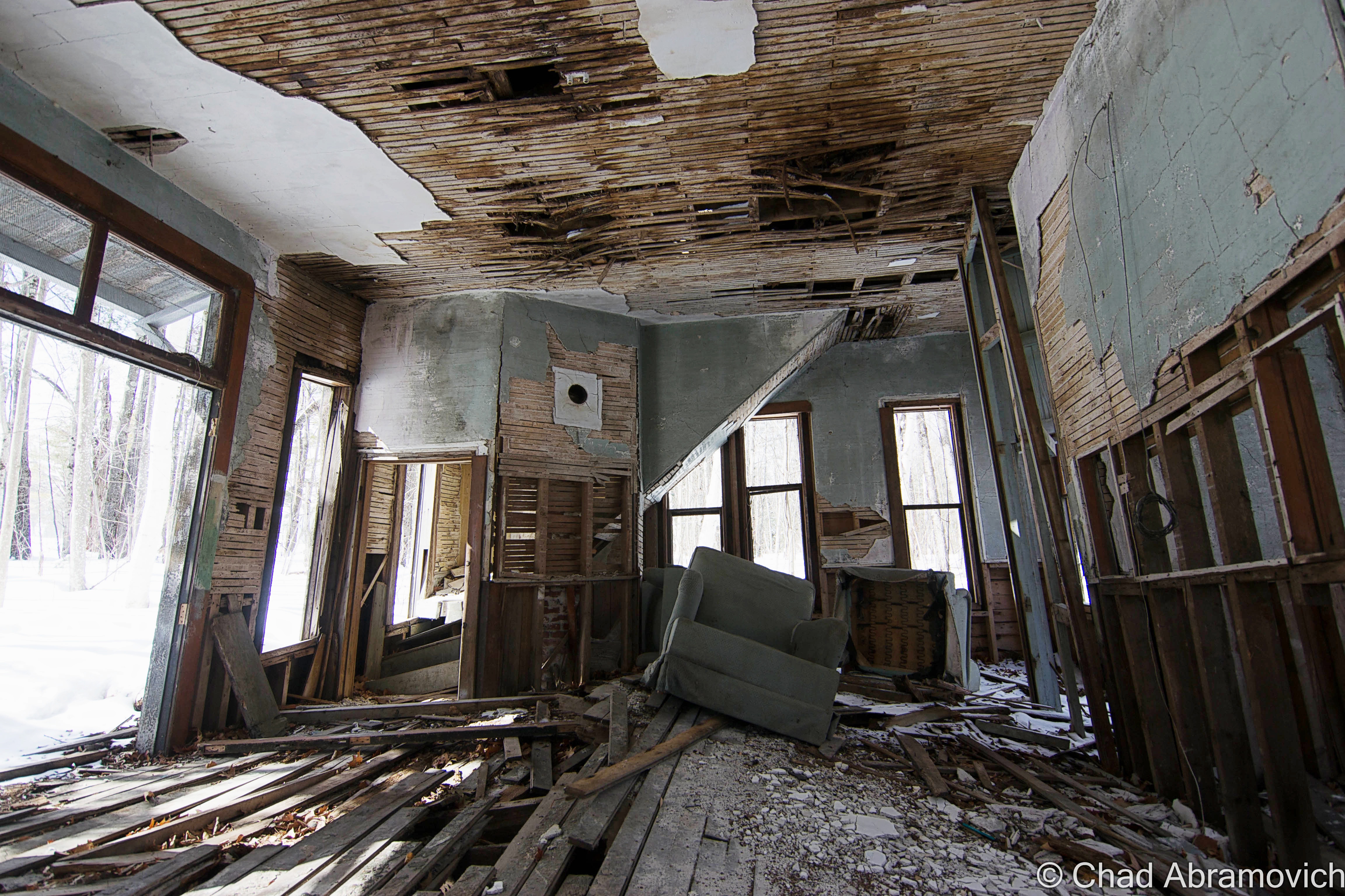
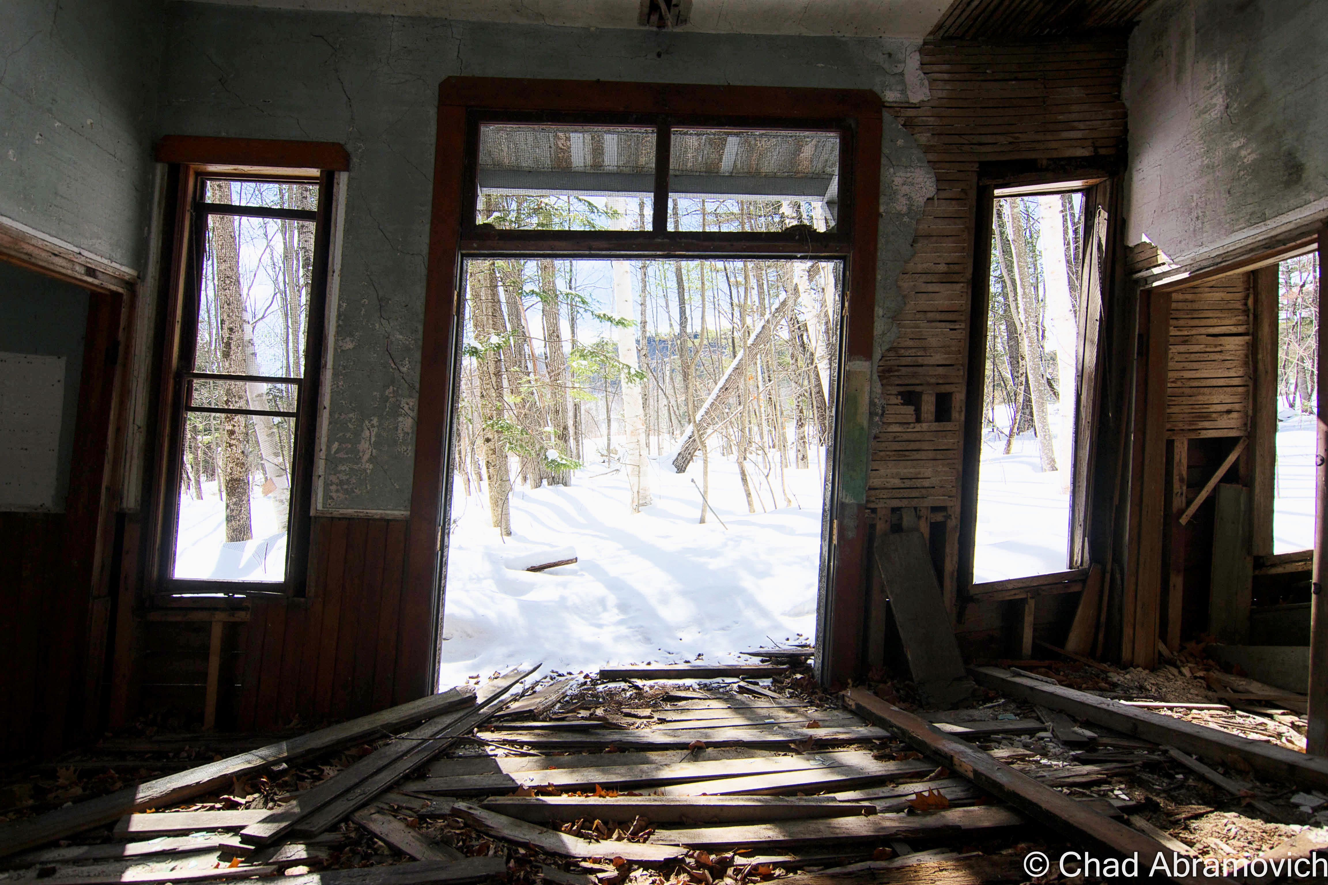
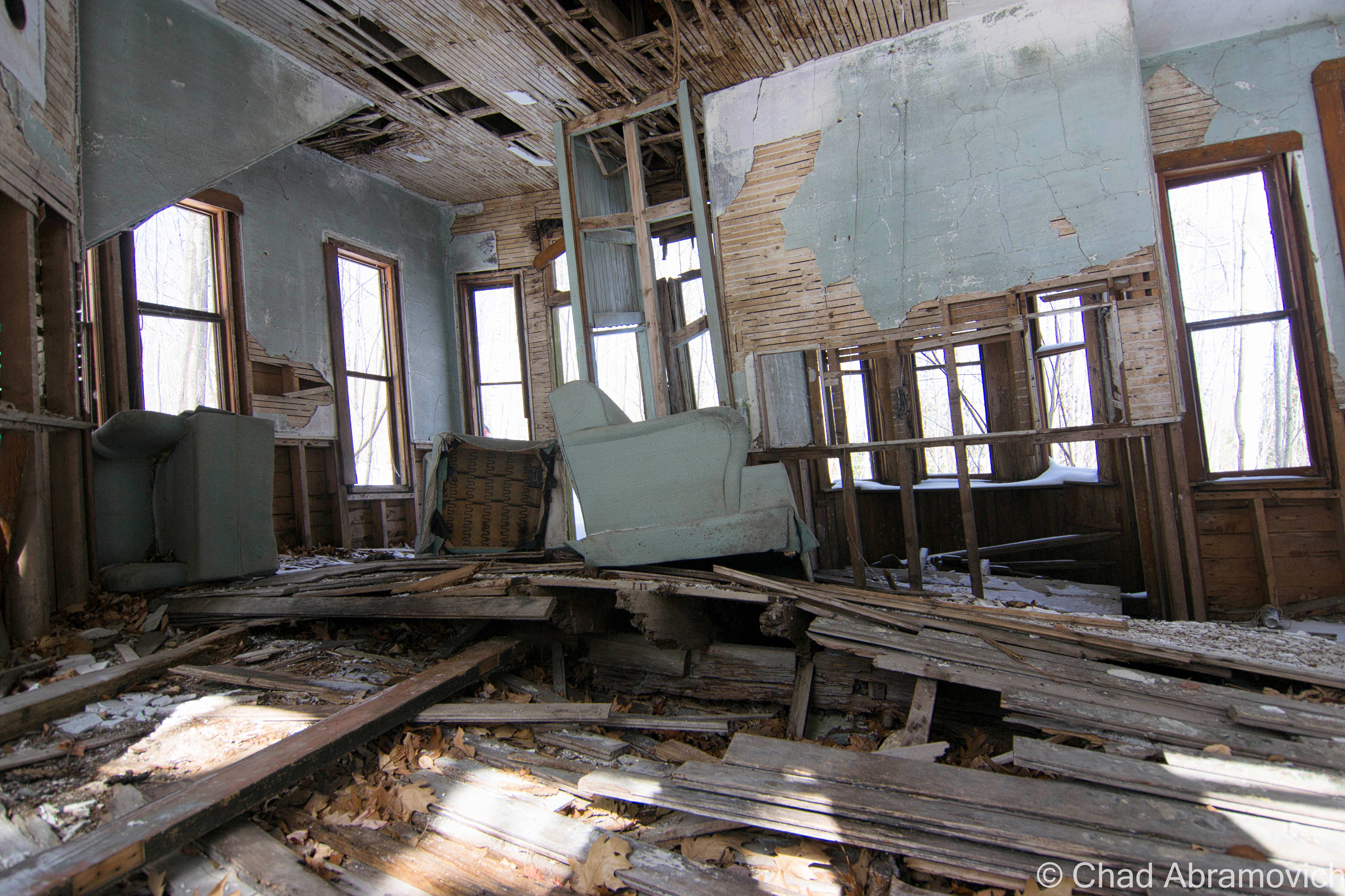
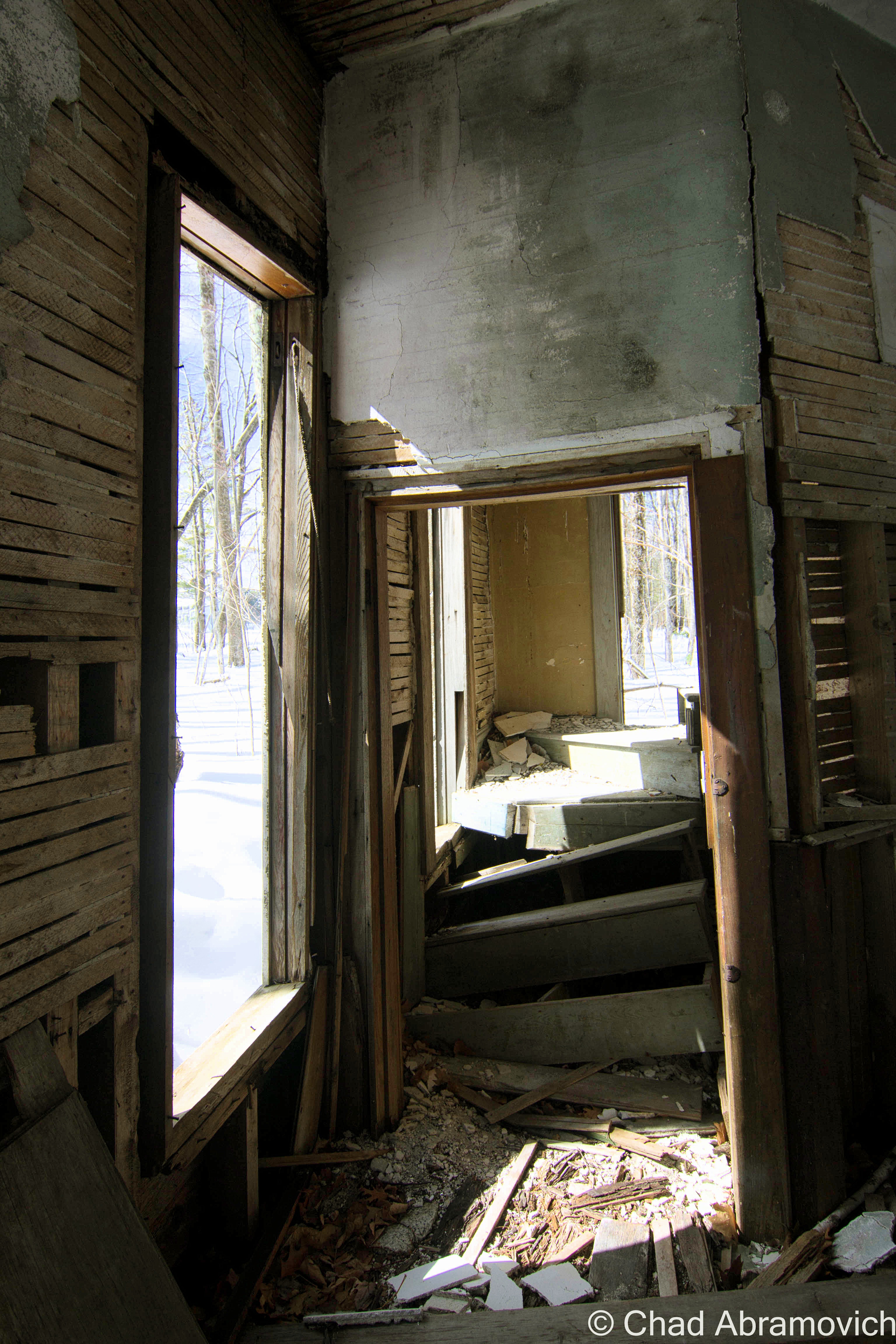
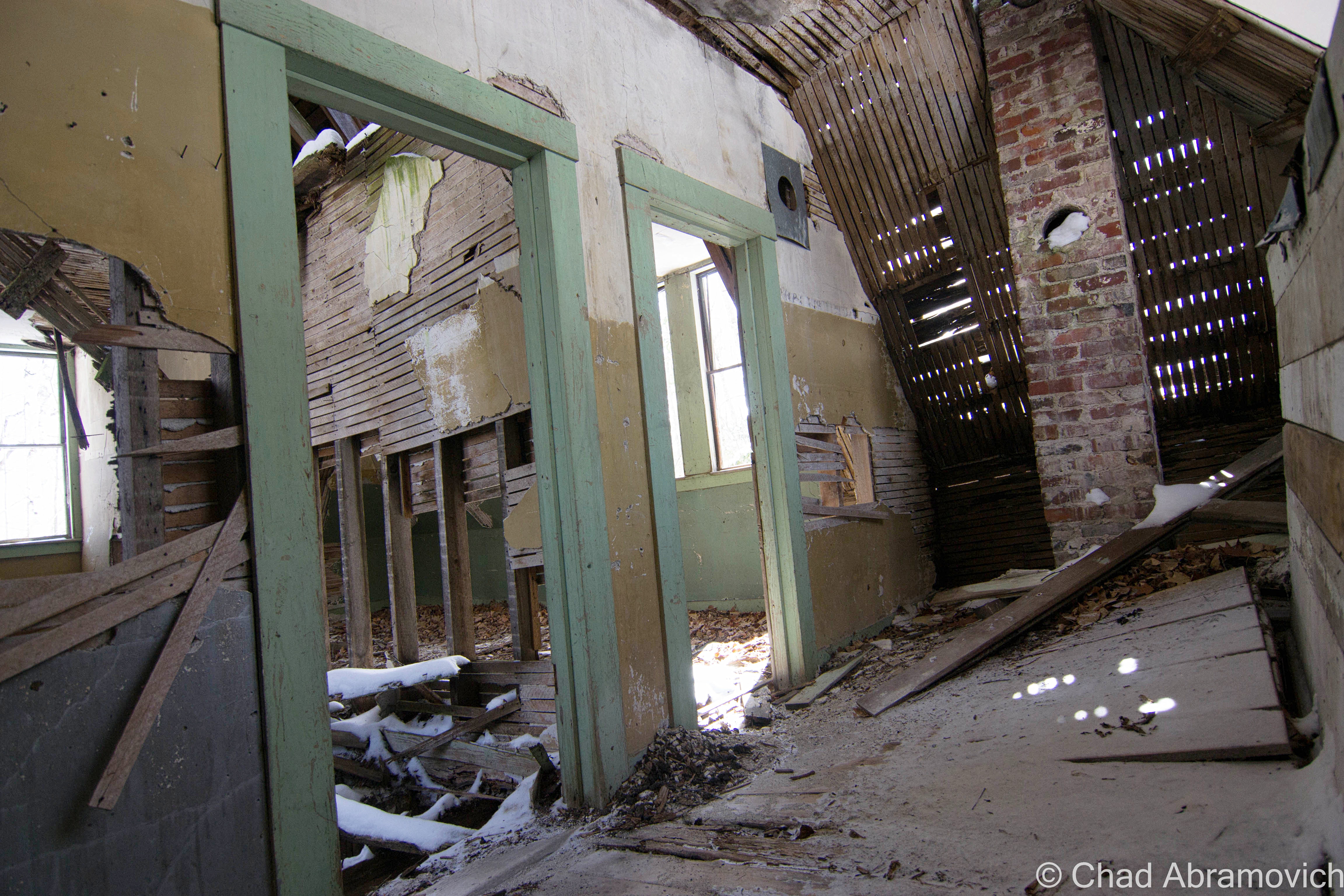
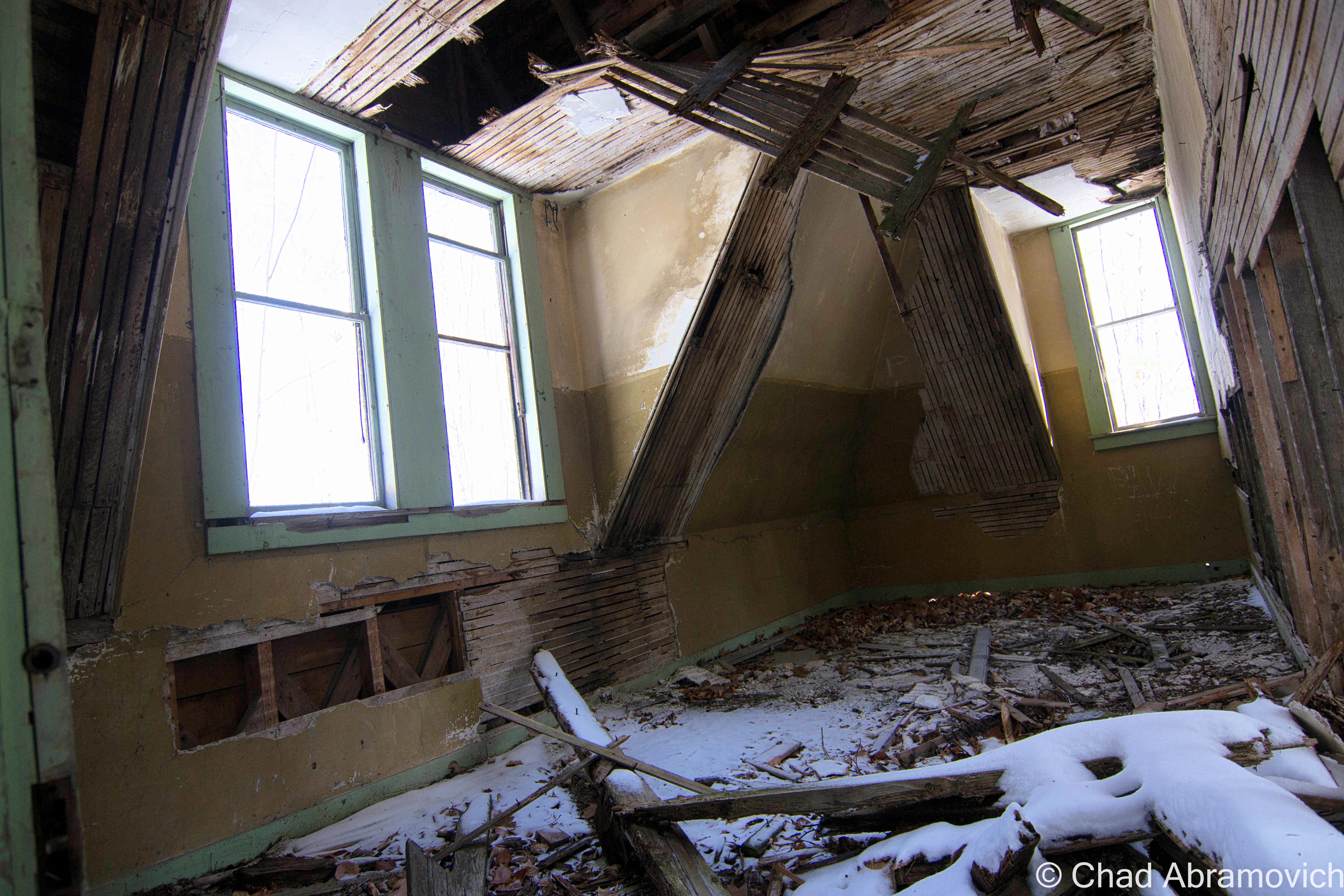
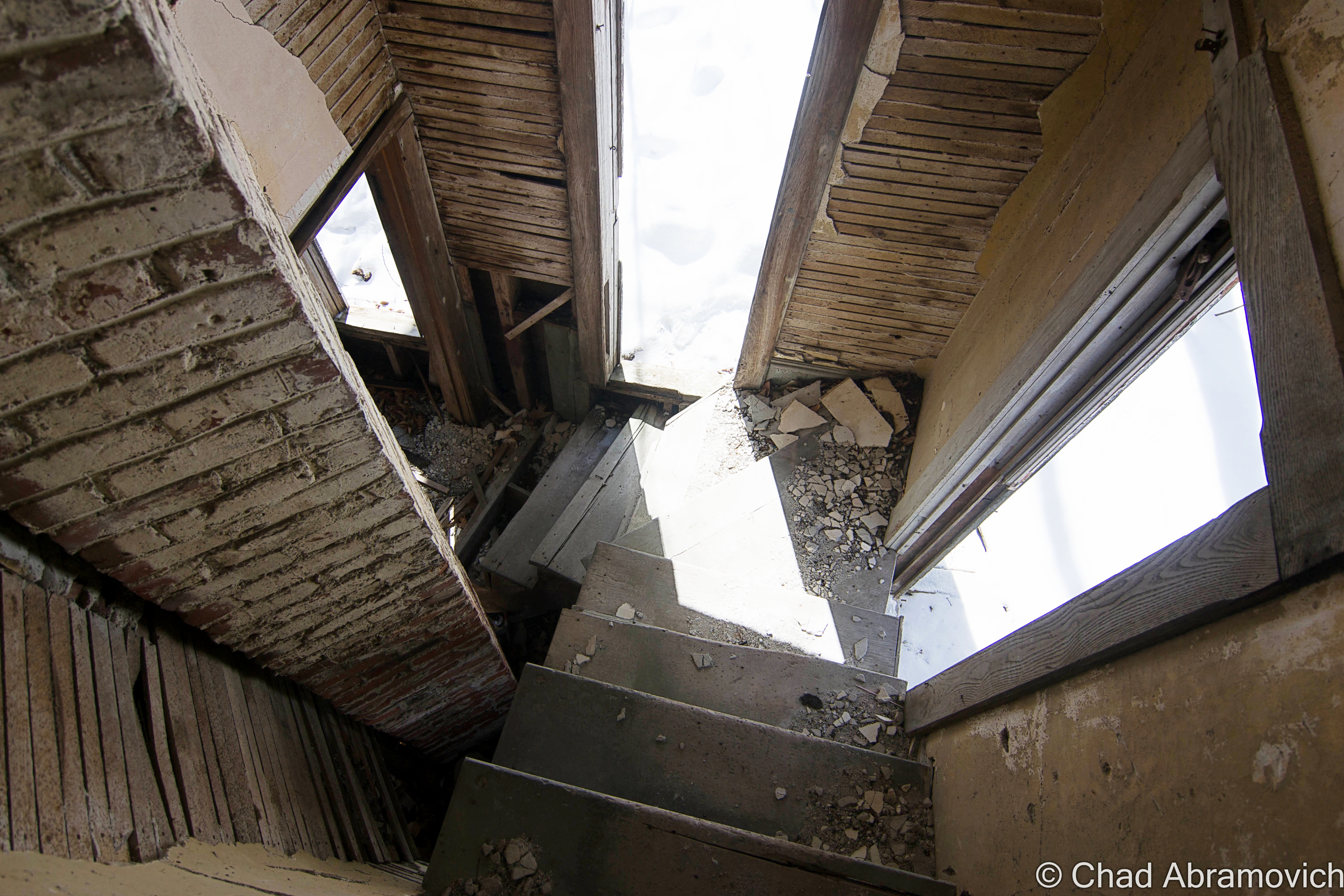
The station truly appears ghostly, skulking in the middle of the woods. Minus a few new-ish looking armchairs that have been toppled over, and most likely an addition to the building after it’s abandonment, it’s completely hollowed out, with empty doorways and tall, narrow windows. Inside, time has not been kind to the wooden structure. Much of it had long succumbed to weather damage and vandals, and portions of the original wooden floors had been ripped upwards as the building slowly sagged over the years, forming a jagged rip that ran the partial length of the room. I was a bit surprised at how clean this place was still, completely void of the graffiti and beer can piles which are found in many abandonments. I was still able to climb the narrow wooden stairs that curved around a brick chimney, revealing three rooms that were more or less intact, apart from some holes in the floor.

It’s a spooky place, especially as the winter winds hit the building, creating strange noises. I’m sure it takes on a far different atmosphere once the leaves fill out on the trees, blocking out even more light from reaching it. It’s almost startling to think about the fact that this place used to be a train station, and today it’s nothing but a trembling corpse that gives almost no clues to it’s former life. And at the rate that the place is leaning, I’m rather amazed that it’s still standing.

Maplewood was also apparently featured in the short concept film American Ruinsand after glimpsing the short trailer, it’s completely sold me. The effects and videography are mind blowing, which no doubt took hours and hours and hours of patience, producing and editing. Maybe someday I’ll aspire to creating something great like this.

[vimeo 25832079 w=500 h=281]

DSC_0233_pe DSC_0236_pe DSC_0237_peDSC_0200_pe DSC_0203_pe DSC_0205_pe DSC_0206_peDSC_0209_pe DSC_0216_pe DSC_0220_pe DSC_0225_pe

Over The Notch

Route 3 used to be the main route to get from the top to the bottom of New Hampshire, and still pretty much is, though it’s a bit quieter today in light of the construction of Interstate 93 which practically parallels the road. Both routes are pushed together when they run through mountainous Franconia Notch, joining to form the Franconia Notch Parkway, the main access road to all of the scenic points in Franconia Notch State Park, and the tourist attractions and motels farther south in the town of Lincoln.

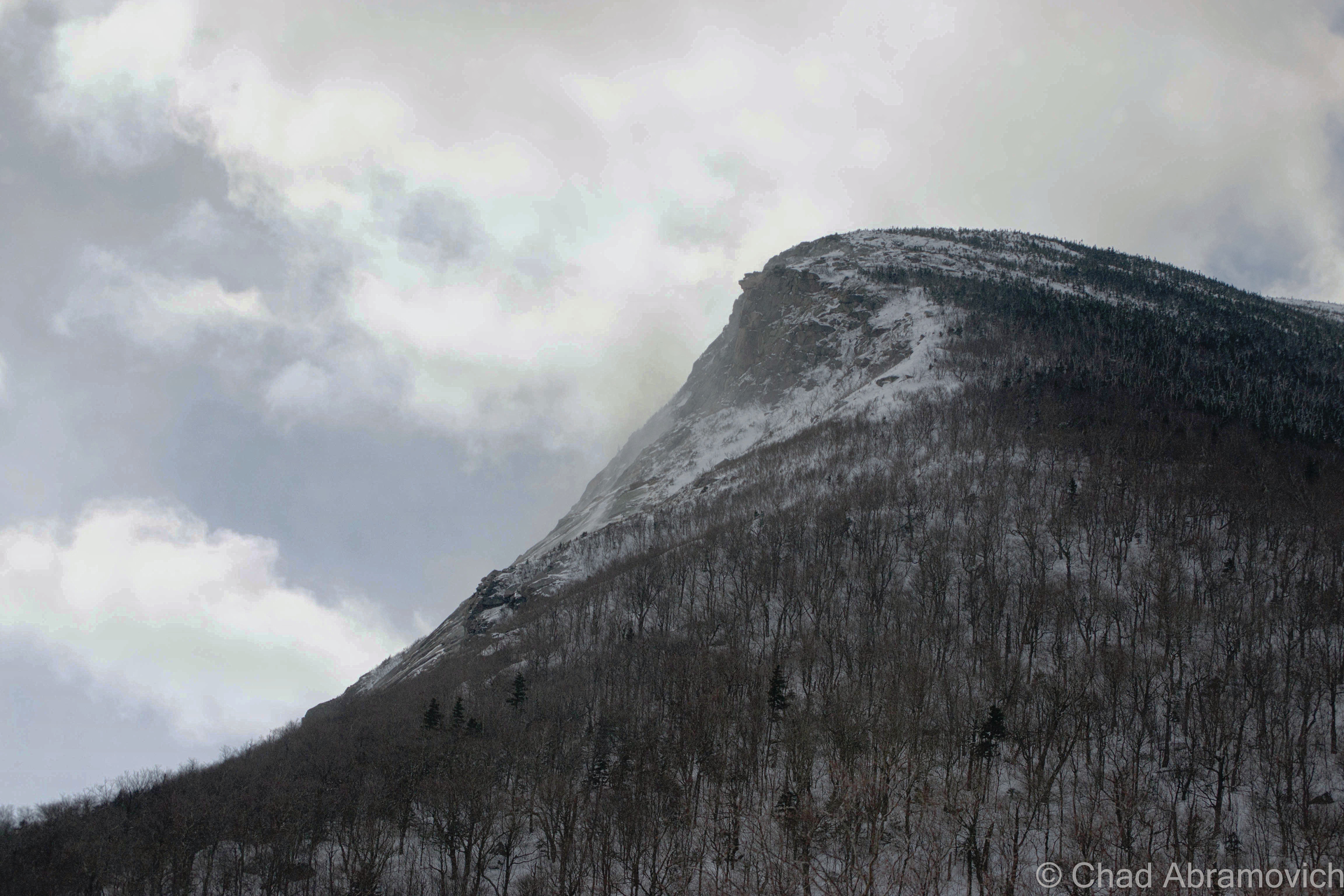
Passing through the notch, I couldn’t help but gaze at the jagged stump where the Old Man of The Mountain used to be, now being battered by fierce mountain winds and the puffs of snow spray they send. The famous rock profile crumbled in 2004, and after much controversy, the state decided not to synthetically re-create it. Despite the formation’s disappearance, the Old Man is still used as a state marketing icon, and can still be found awkwardly on a variety of things from license plates to state route shields. It will be weird to think about there being a day where no one remembers seeing him in person.

DSC_0243_pe DSC_0252_pe DSC_0249_peDSC_0254_pe

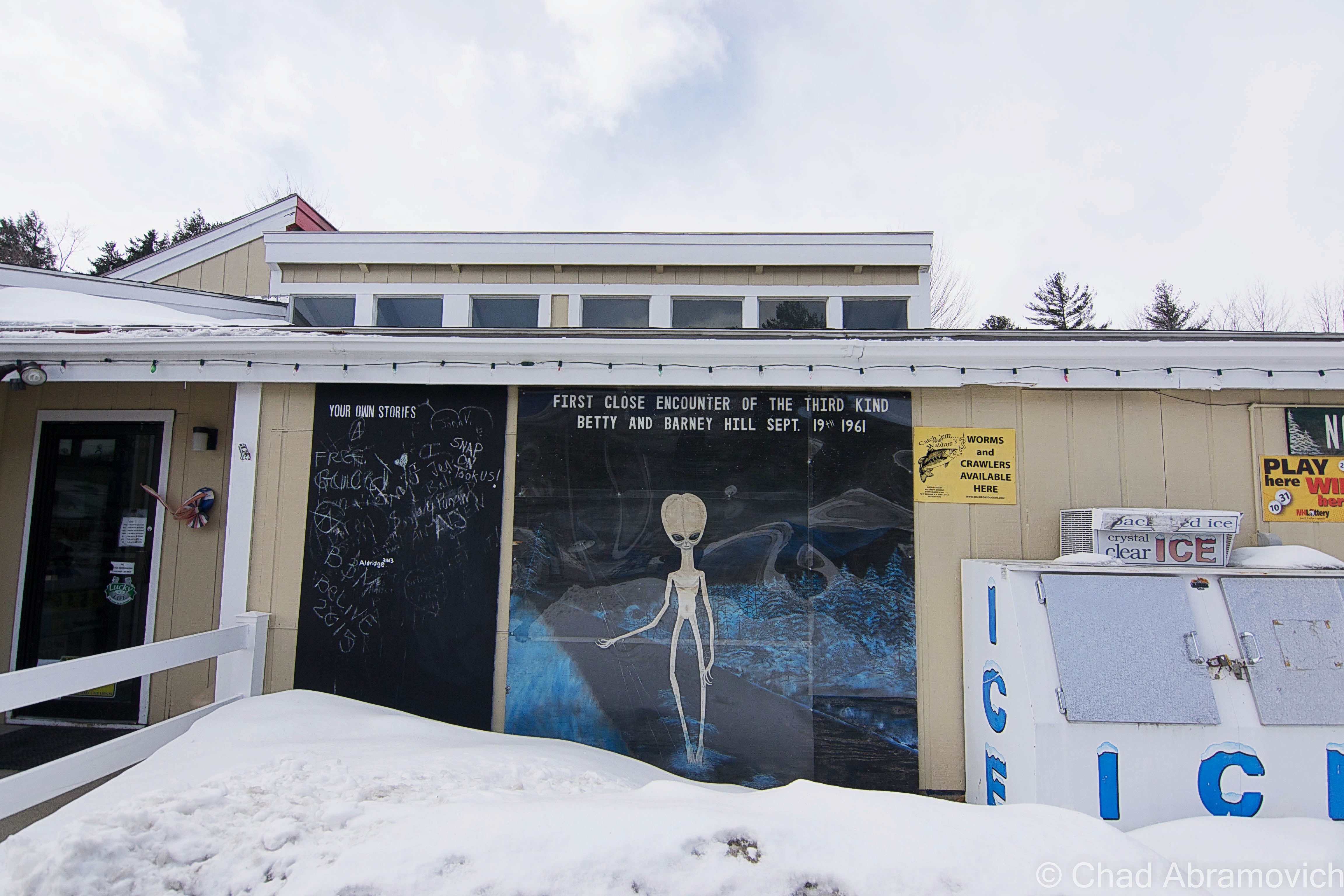
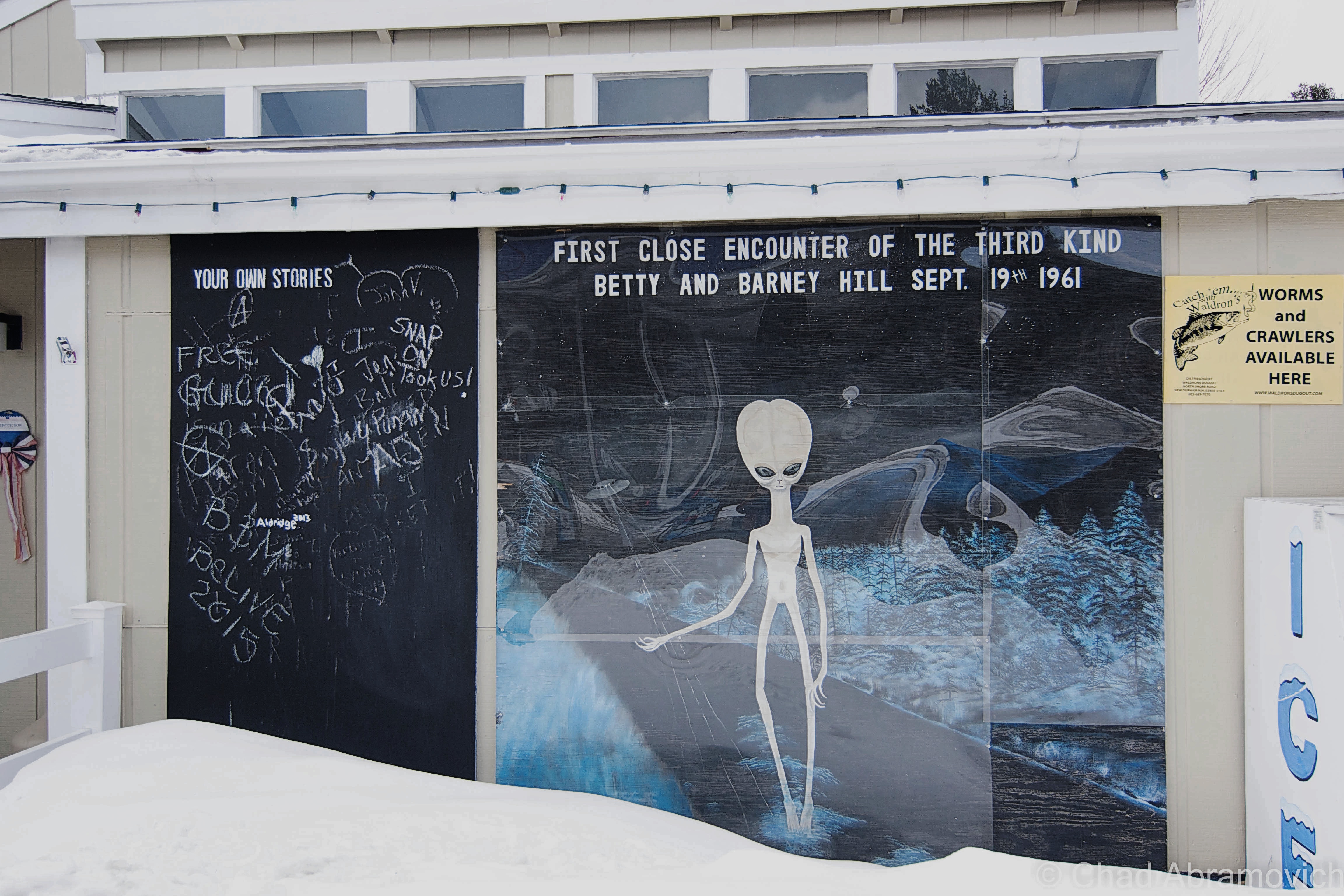
In Lincoln, I stopped at an Irving Station to get gas and a coffee, and got an unexpected surprise in the form of a rather large mural of what looked like a seemingly friendly alien who was hitchhiking, which took up a rather large chunk of wall near the entrance of the store. Not exactly what I’ve came to expect from a stop at a gas station. On the top of the painting were the words; “First Close Encounter of the Third Kind, Betty and Barney Hill, Sept. 19th, 1961.” I recognized the names. The Barney and Betty Hill abduction case is the most infamous in all of UFOlogy.

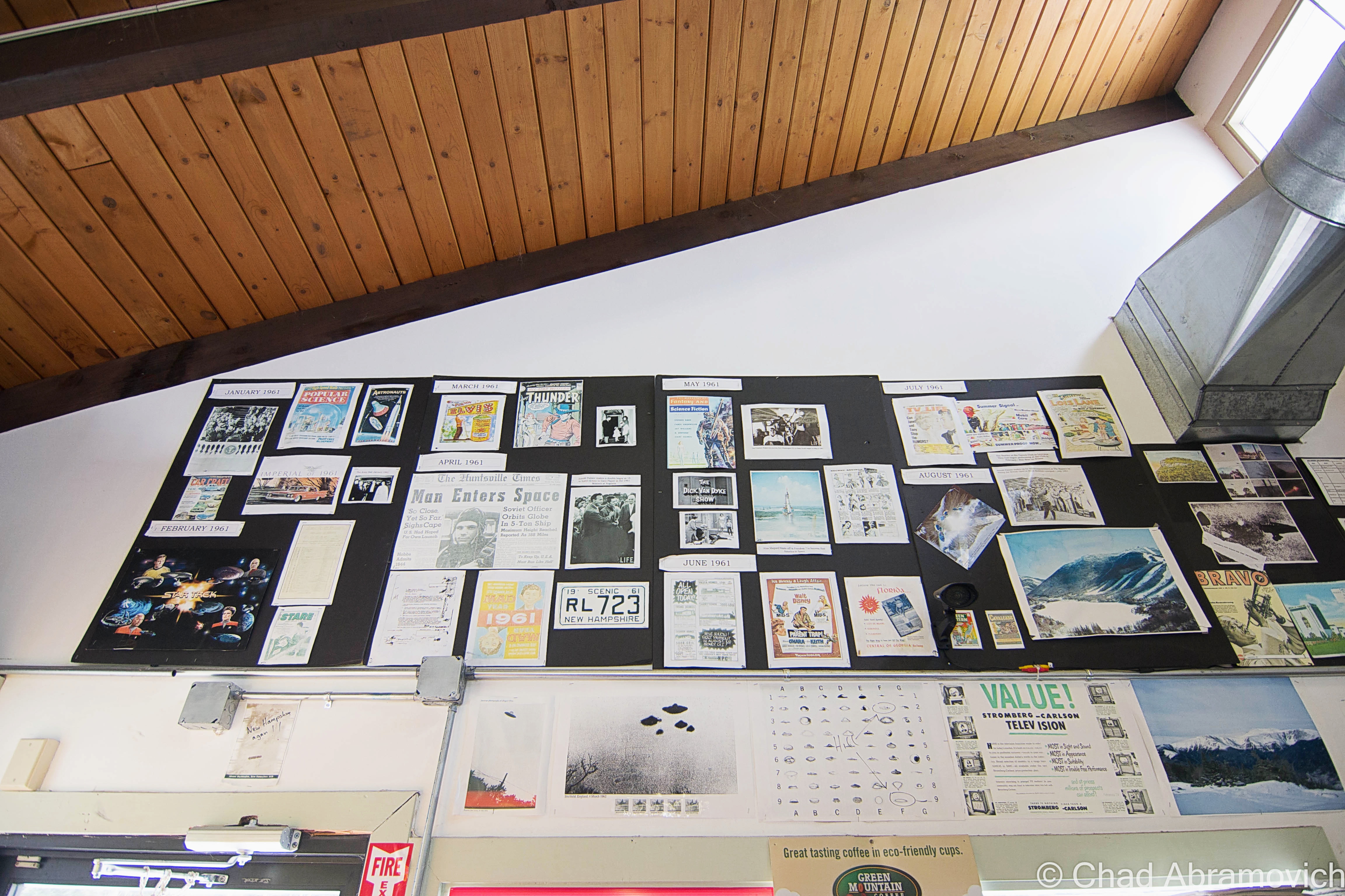
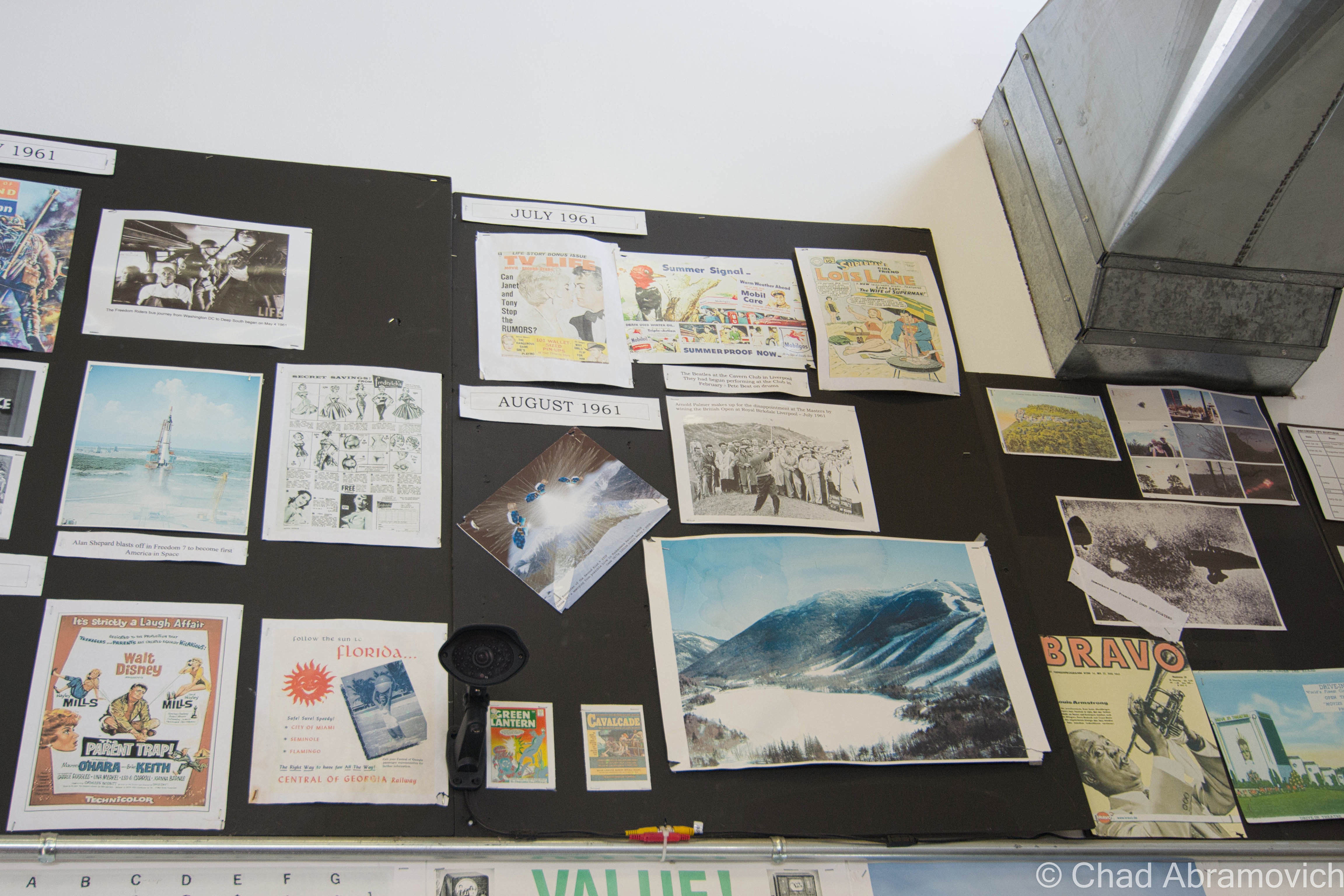
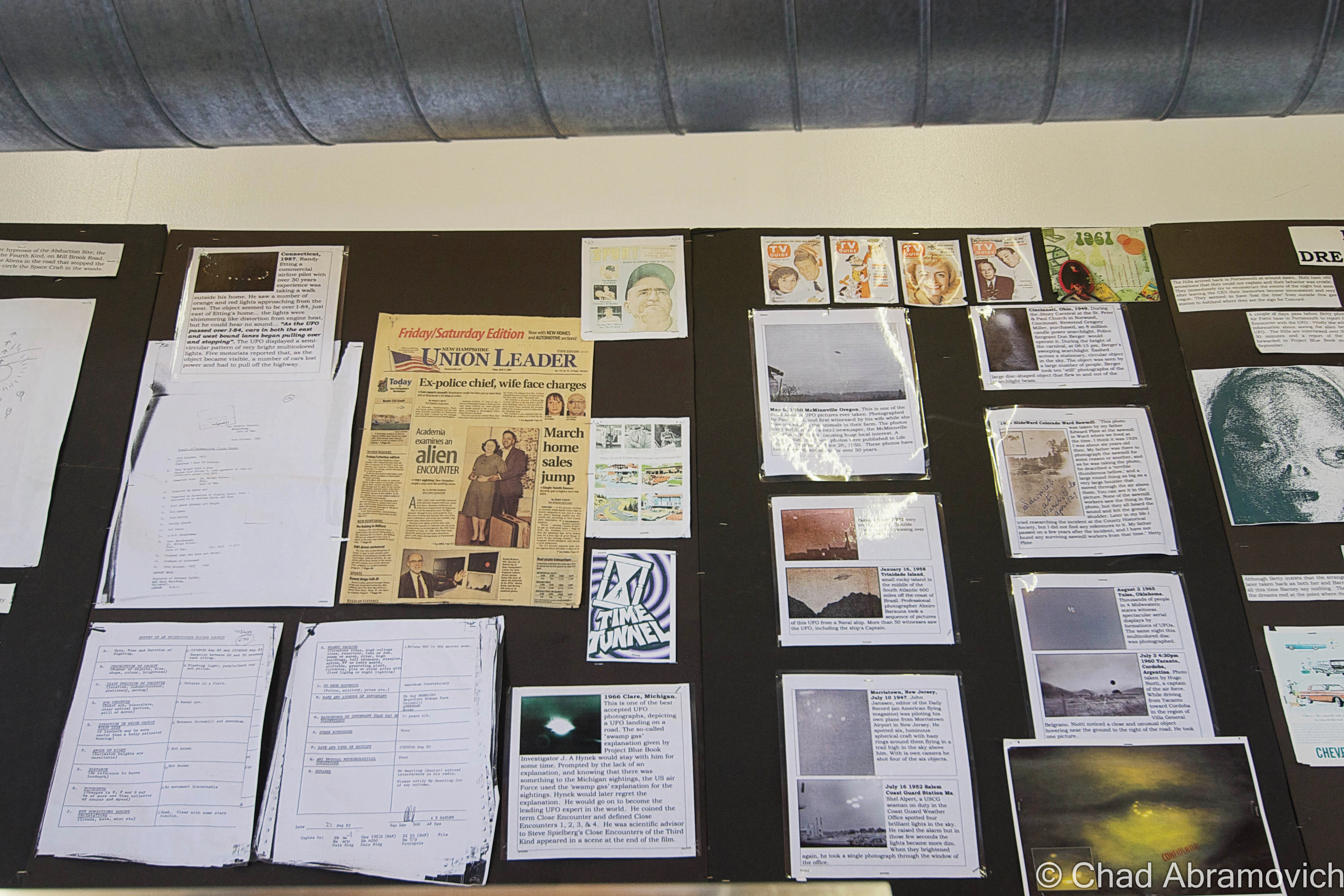
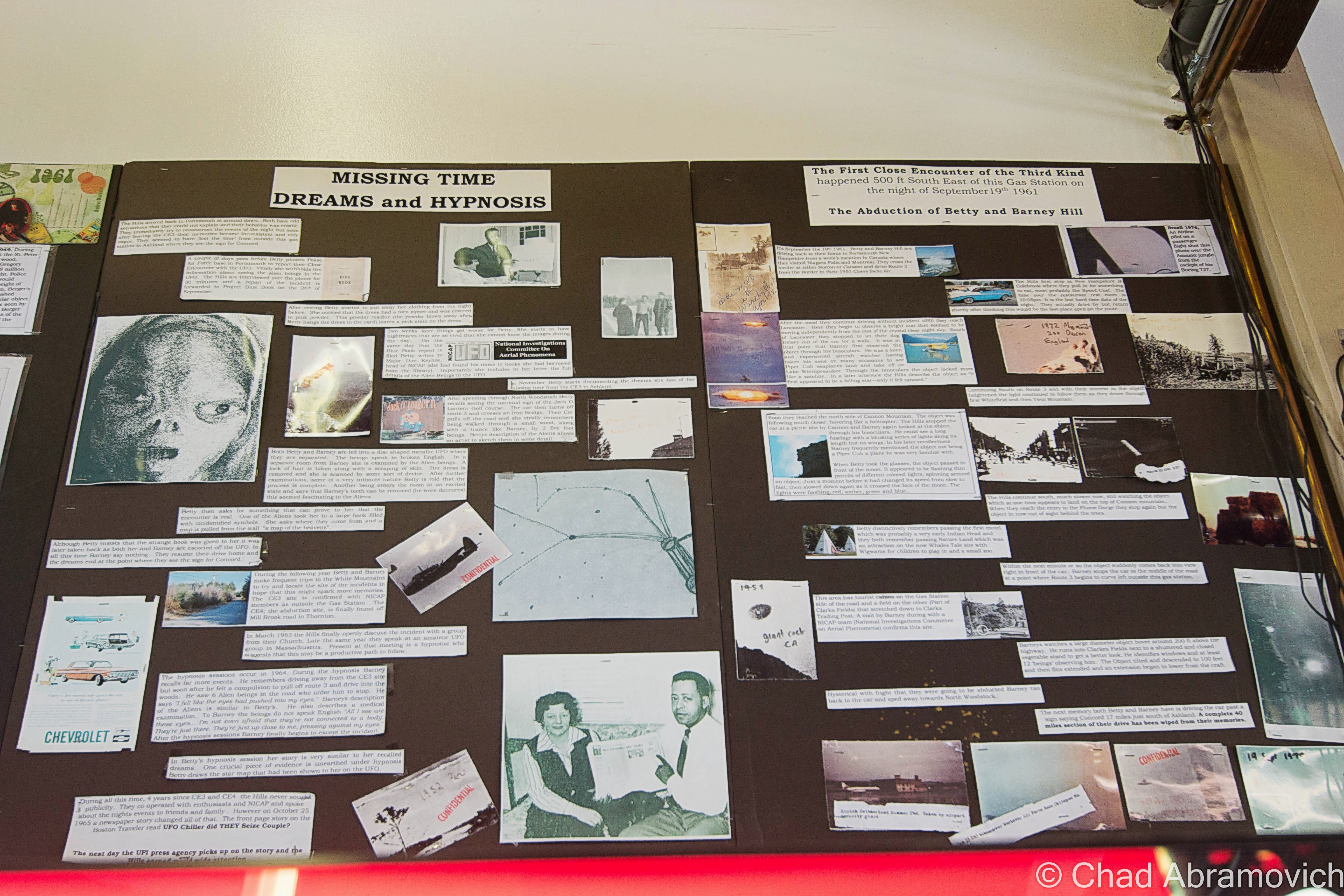
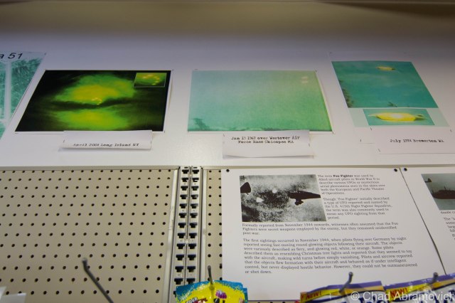
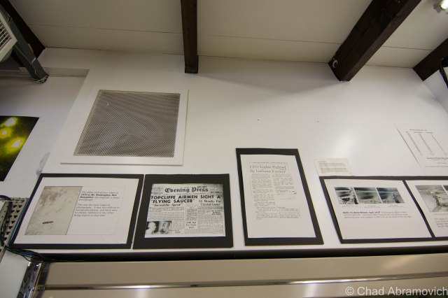
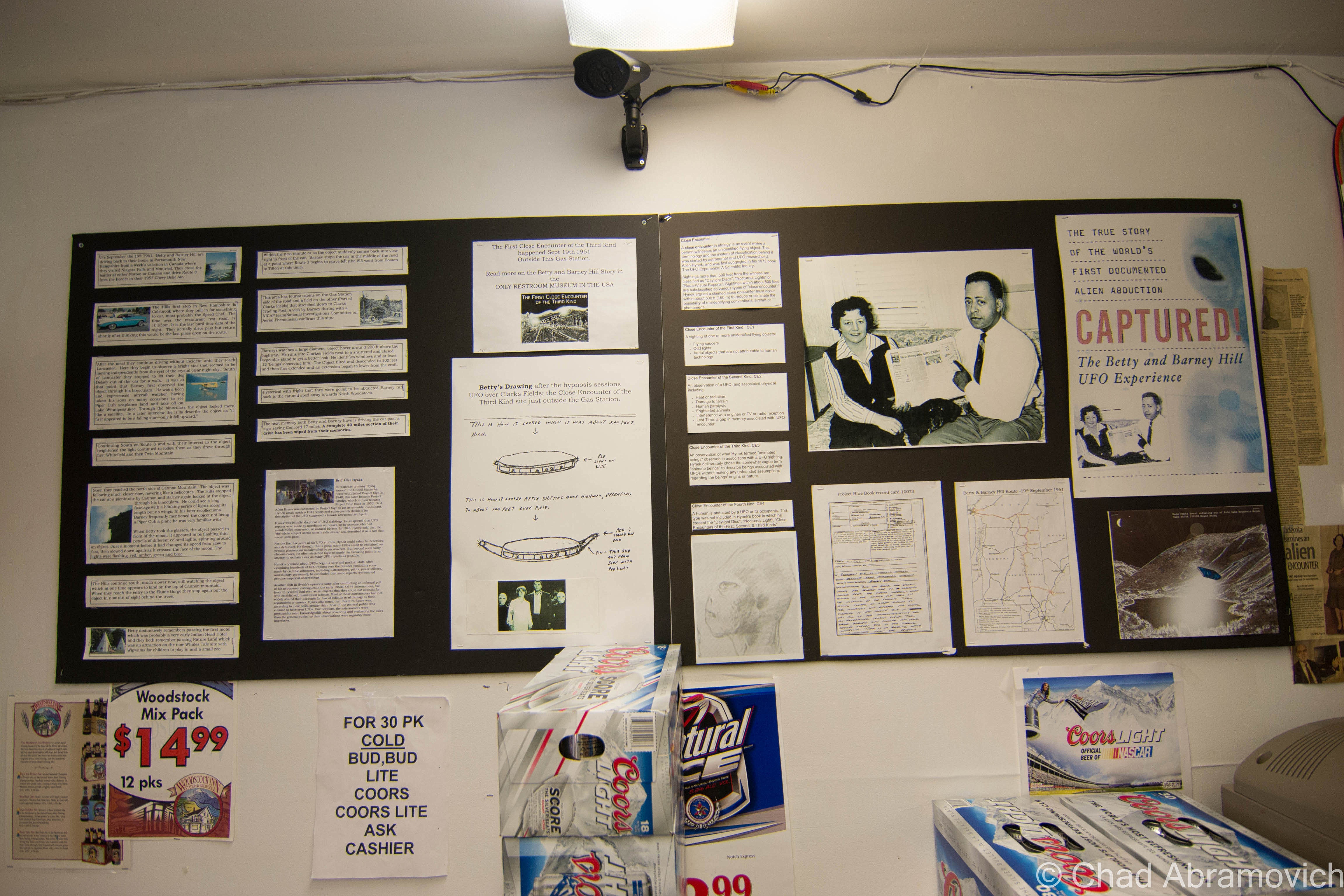
My amusement was carried from the wintery cold to inside the store, where I noticed the extraterrestrial theme continued in the form of wall to wall paraphernalia, photocopies of newspaper articles and other copied information related to both the Betty and Barney Hill case, other alleged incidents, and an assortment of fan images from science fiction TV shows and movies.

The shop owner who was behind the cash register at the time, caught me staring, and enthusiastically explained to me that right across the road from that exact store, was the actual site of the abduction. However, a friend of mine, as well as some commenters over Facebook, argued this fact, and said that it actually happened a further down the road, where Millbrook Road meets State Route 175 in Thornton.

Though I can really take or leave UFOlogy (more so on the leave side) I found this offbeat memorial and it’s fanaticism interesting enough to write about.

As the story goes, on the night of September 19, 1961, husband and wife Barney and Betty Hill were traveling South on Route 3 to their home in Portsmouth, NH, when, according to their claim, were followed by a spaceship near the present day Indian Head Resort, and eventually accosted by some sort of extraterrestrial crew, taken aboard their craft, examined, and then released on the side of Route 3 in the early morning hours of September 20 as the sun’s first rays would begin to grey the New Hampshire skies.

The collection I saw above me mounted on black poster board was originally smaller in size, and more of a quirky secret, formerly located on a wall inside their unisex bathroom. The current owner of the gas station has only owned the store for a few years now, and told me how disrespectful visitors kept stealing memorabilia and eventually, he grew sick of it and moved all of it around the store, so everyone could still enjoy it, but couldn’t grab a keepsake. As an extra precaution, they also outfitted the store with lots and lots of security cameras. They apparently get a lot of interested people who stop by, so they also sell alien key chains, bumper stickers, shirts and books about the Hills near the door. I neglected to buy a souvenir, but did get my coffee.

Have a weird encounter of your own? There is also a blackboard outside to the left of the mural, where you can share your own stories. I noticed that stuff had been written there, but nothing UFO related, which I suppose didn’t surprise me.

I didn’t think of this until after I had gotten back home and was writing up this post, but I have sort of a strange tie-in to all this. A location I explored last year reported seeing unidentified flying objects hovering above the skies shortly before Hill incident happened, but as for an actual connection between the two events, that remains subjective.

If you’re interested, just take Route 3 through Lincoln, New Hampshire, and look for the Irving Station near the Indian Head Resort.

DSC_0263_pe DSC_0264_pe DSC_0268_pe DSC_0270_pe DSC_0273_pe DSC_0274_pe DSC_0276 DSC_0277 DSC_0278_pe

—————————————————————————————————————————————–

To all of my amazing fans and supporters, I am truly grateful and humbled by all of the support and donations throughout the years that have kept Obscure Vermont up and running.

As you all know I spend countless hours researching, writing, and traveling to produce and sustain this blog. Obscure Vermont is funded entirely on generous donations that you the wonderful viewers and supporters have made. Expenses range from internet fees to host the blog, to investing in research materials, to traveling expenses. Also, donations help keep me current with my photography gear, computer, and computer software so that I can deliver the best quality possible.

If you value, appreciate, and enjoy reading about my adventures please consider making a donation to my new Gofundme account or Paypal. Any donation would not only be greatly appreciated and help keep this blog going, it would also keep me doing what I love. Thank you!

Gofundme: https://www.gofundme.com/b5jp97d4

Donate Button with Credit Cards

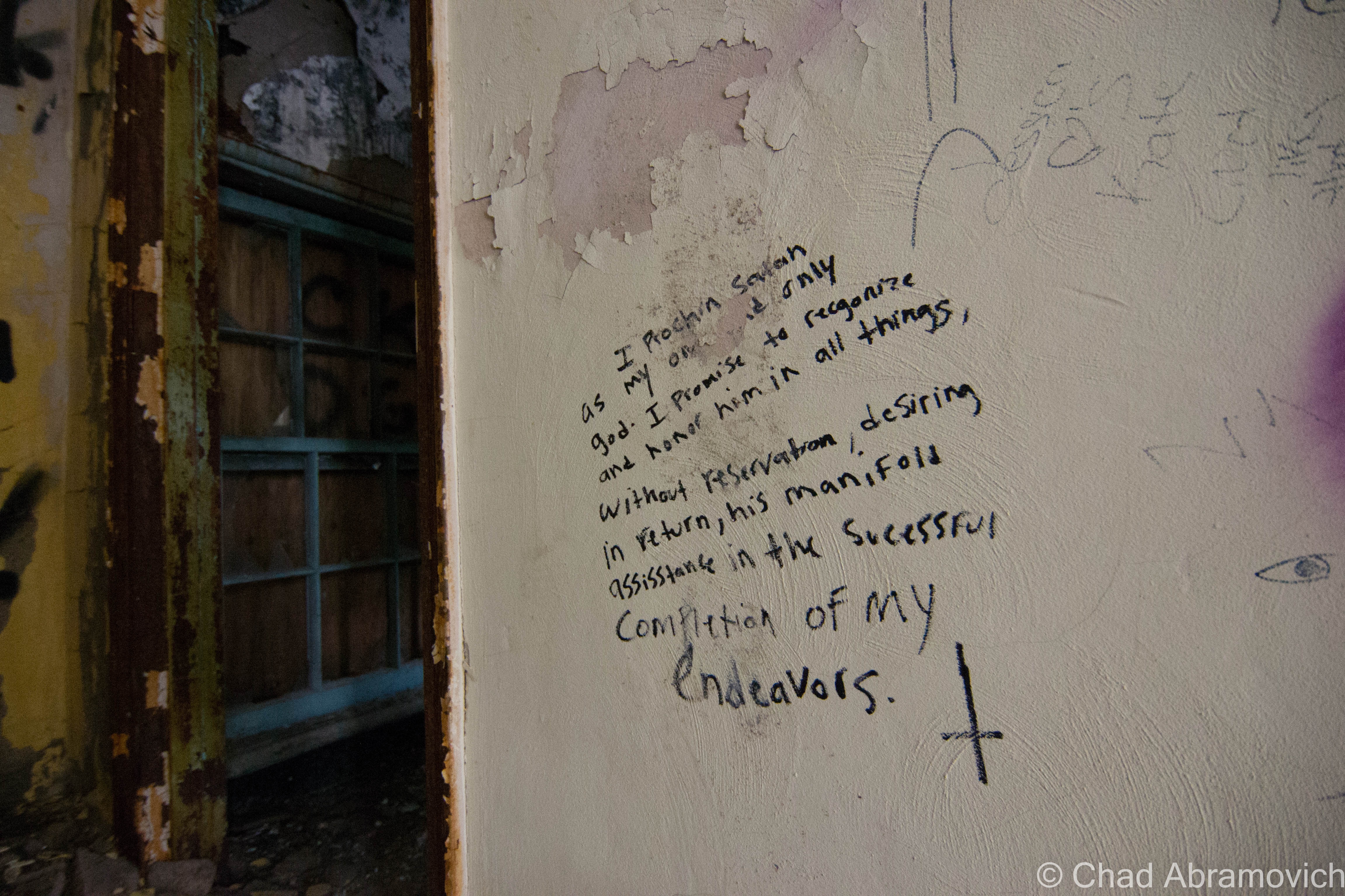
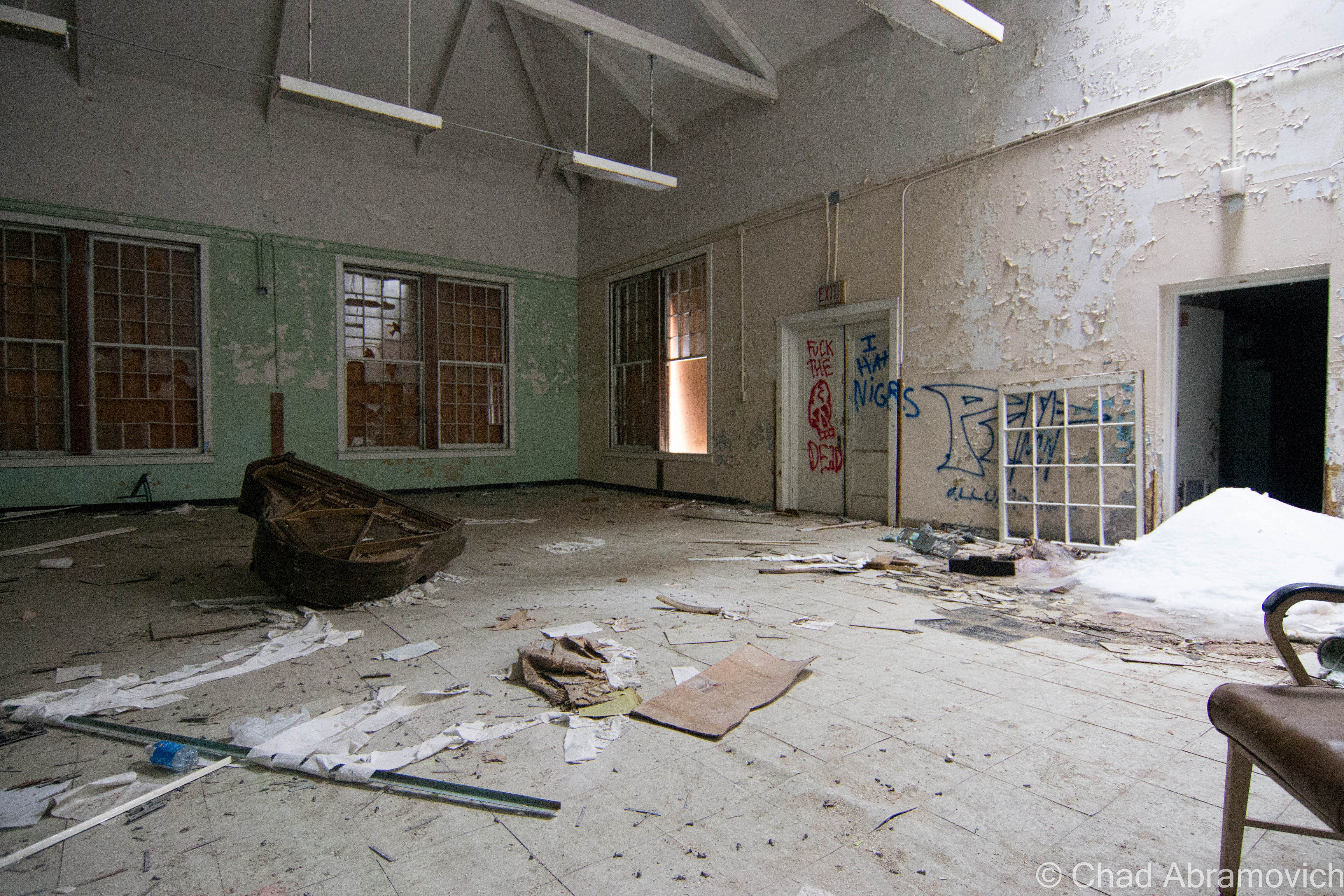
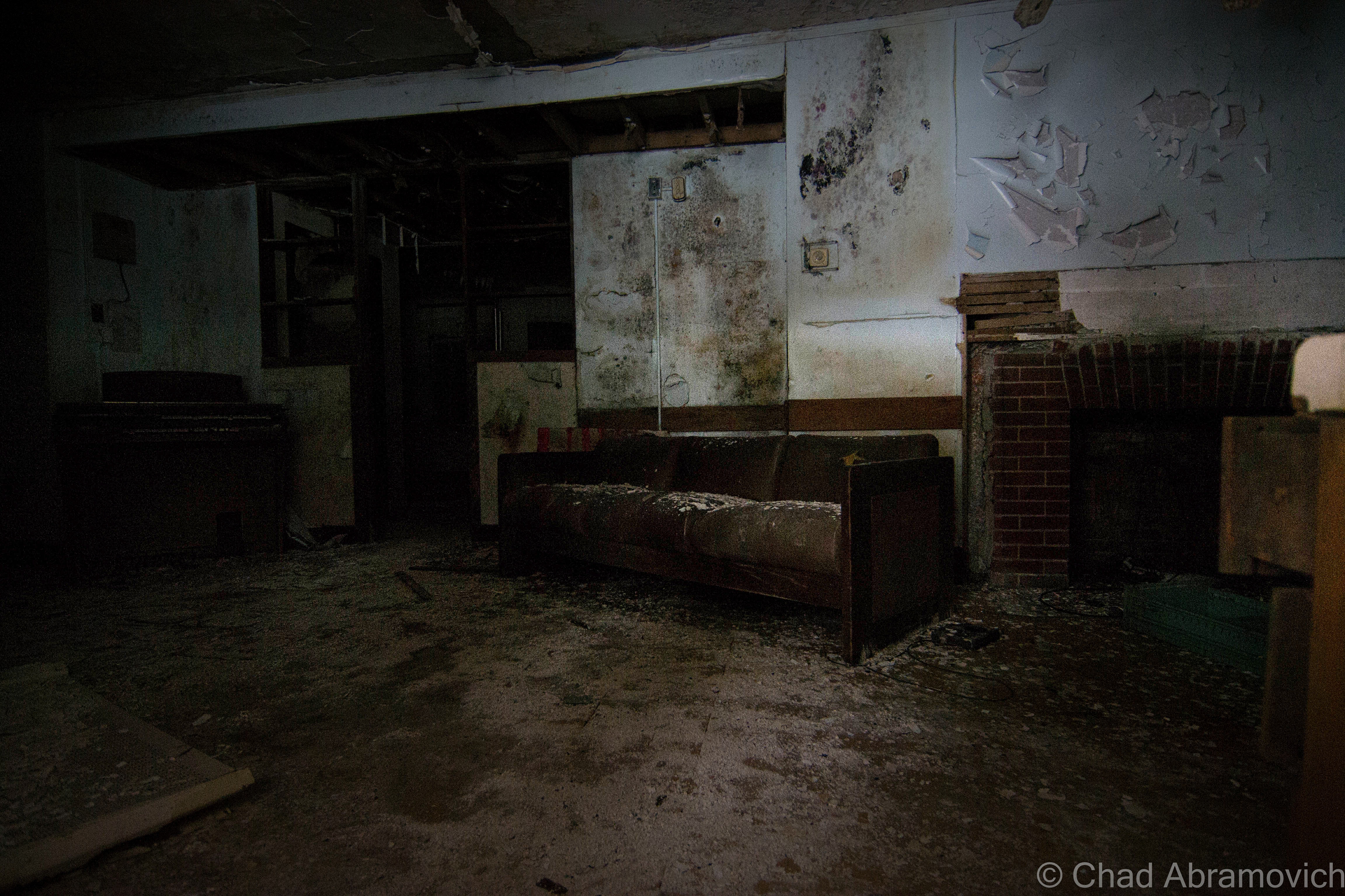
The School Of The Feeble Minded

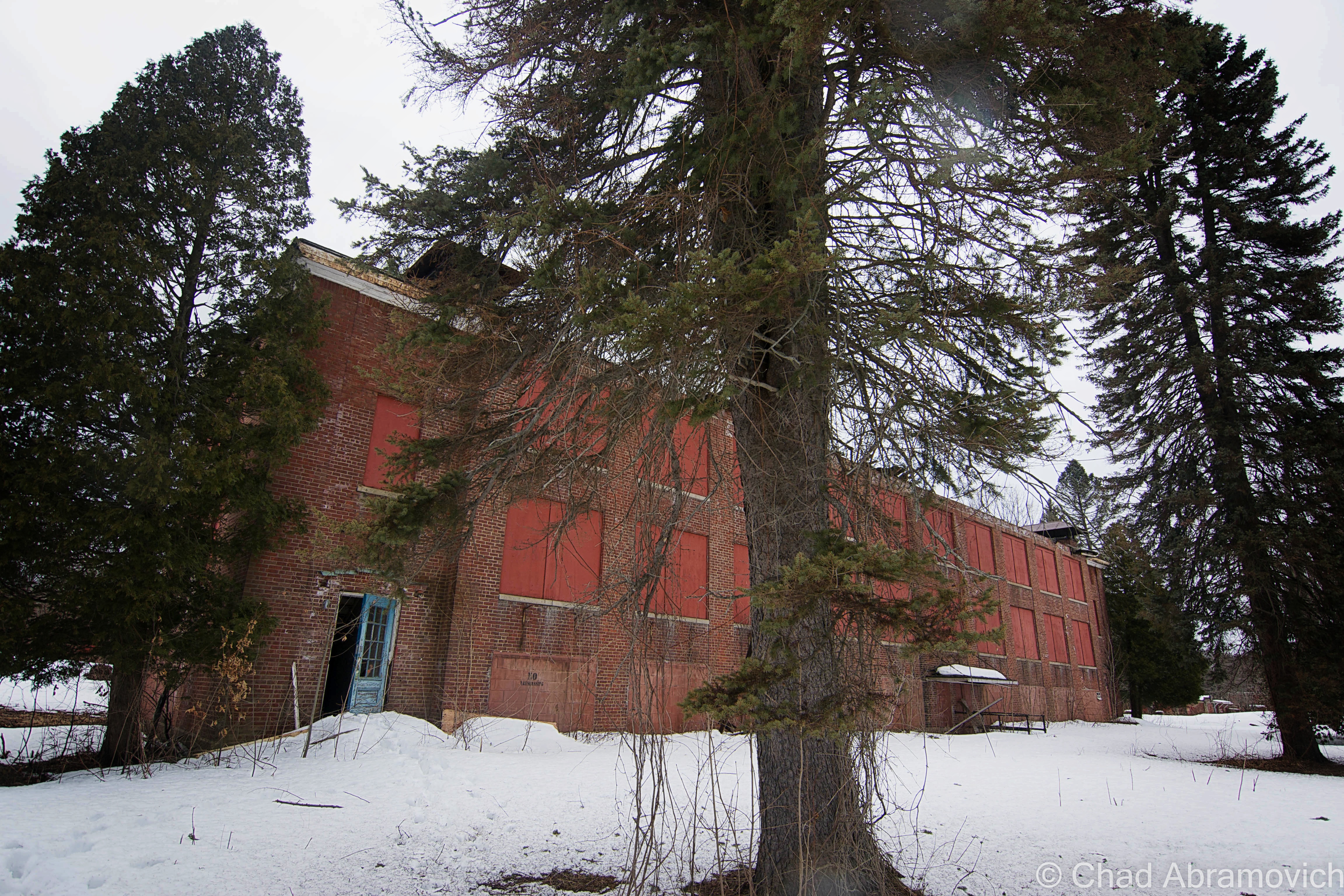
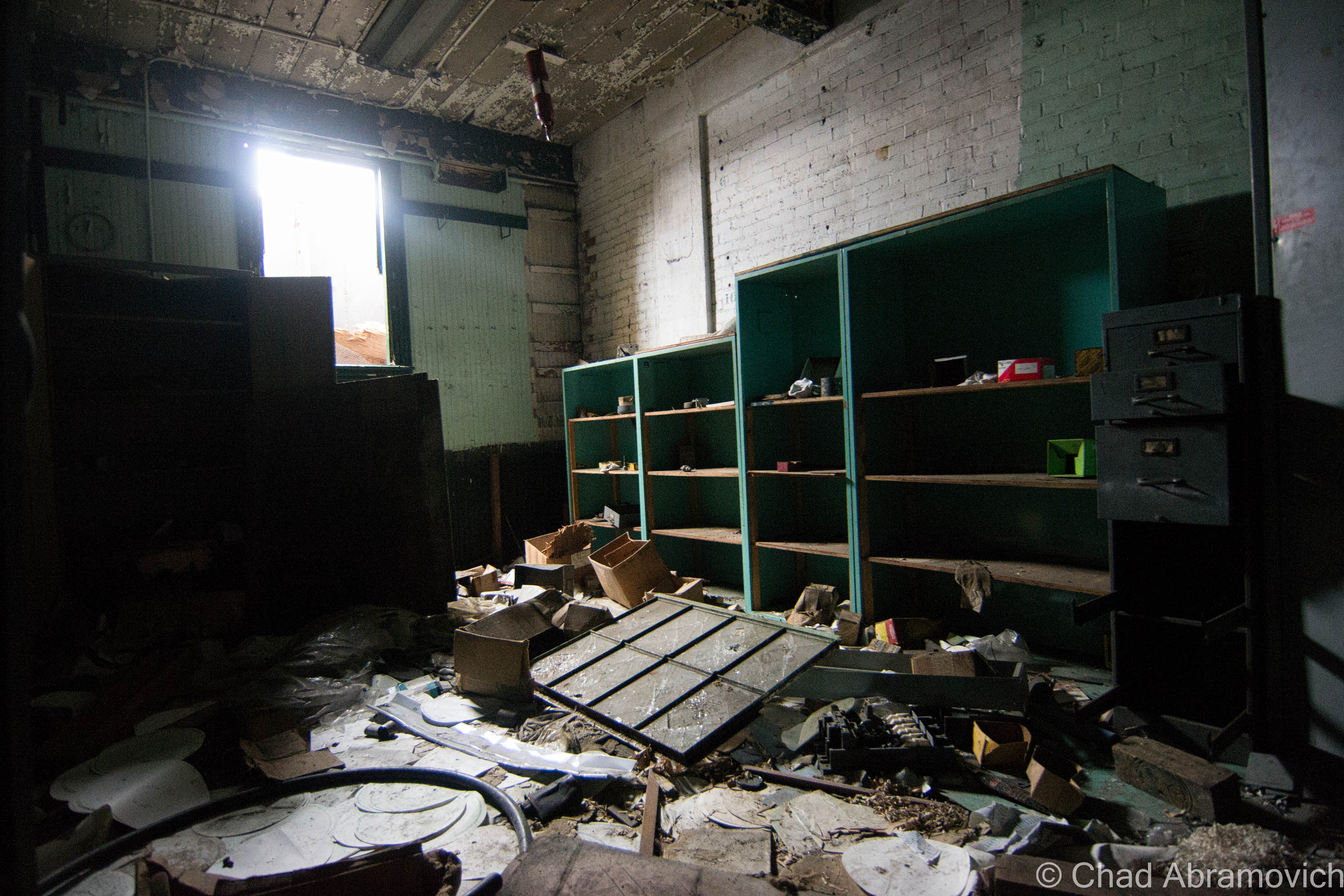
Around the turn of the 20th century, there was a changing attitude on mental illness, and that created state schools. Though it’s considered a school by name, that’s a misnomer. No forms of education were carried out here, this was a warehousing facility. It was built to house around 700 residents, but shortly after it opened, it far exceeded it’s capacity, topping out at around 1,500 between the ages of 1 and 18, all housed in 13 dorms.

State schools were essentially warehouses for “feeble minded children”, or children who were infirm or autistic that parents just didn’t know how to deal with. So, federal and state governments allocated tons of money for these facilities to be built, in the name of “progress” of how societies invalids were treated and supported.

Though these places were supposed to help these children grow to their potential in a safe and educated environment, the unfortunate charges who were sent to these places were most likely abused by overworked and untrained staff, lived in squalid, over crowded conditions and received no developmental services.

While many of these institutions were brought forward with virtuous intentions, social philosophies would soon change towards World War 2, when the American Eugenics Movement and Darwin’s theory of natural selection would become popularized and propelled by misguided politicians, scientists and physicians. These “schools” became laboratories, and the unfortunate inmates would become test subjects, because once you were locked away in these sort of places, it was easy to carry out these sort of ghastly things that says a lot more about the human race than I’m comfortable with, without the general public getting word of it.

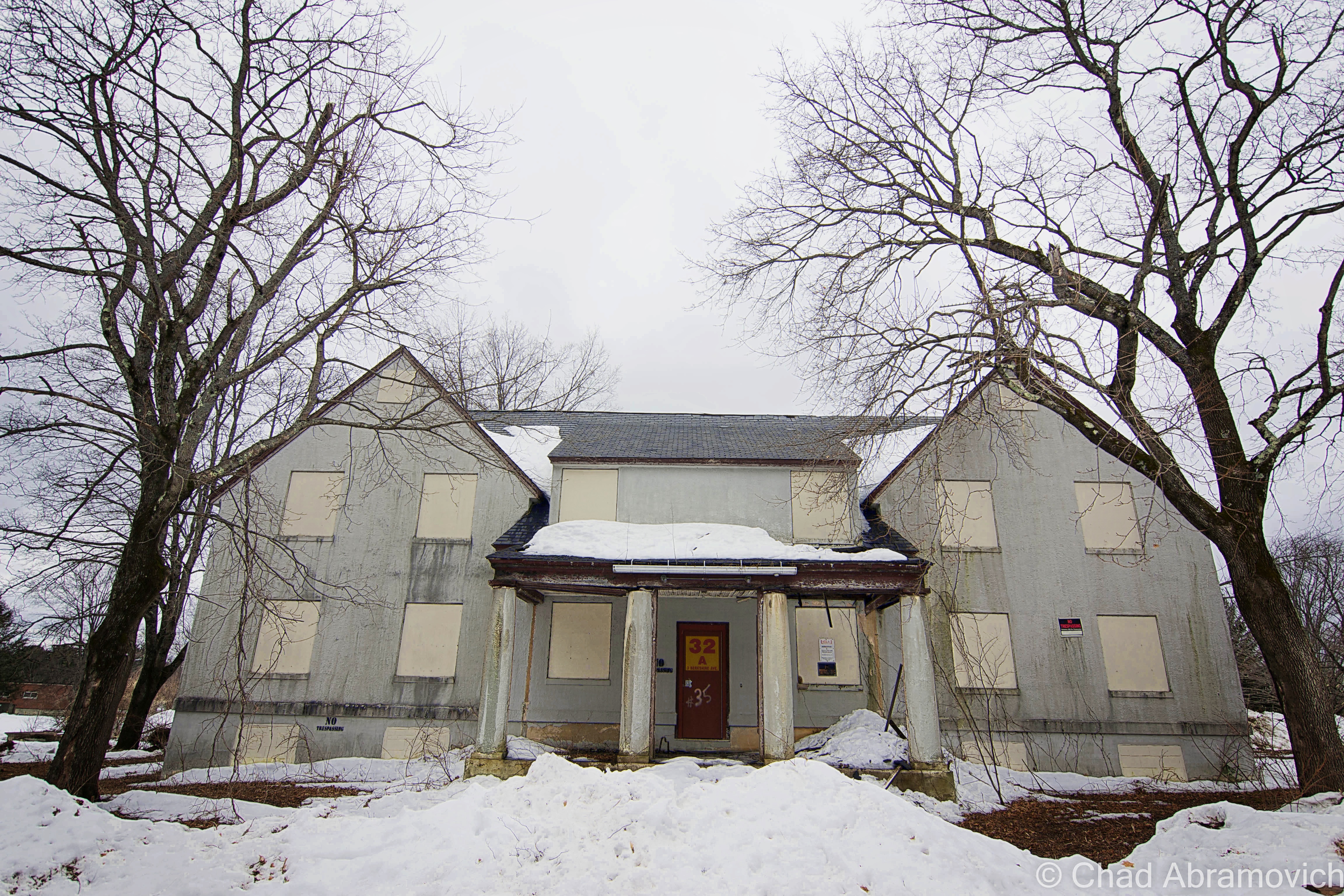
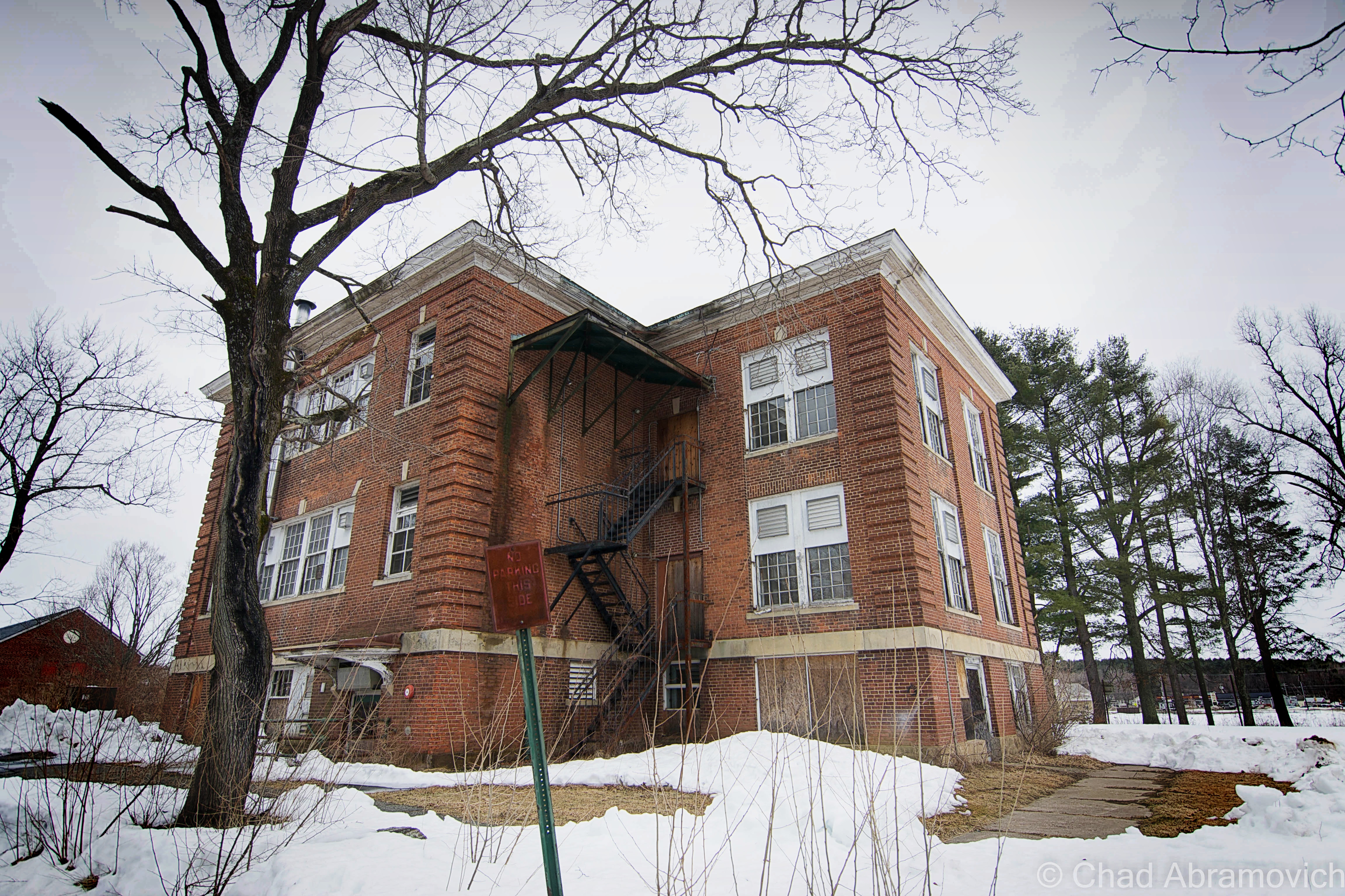
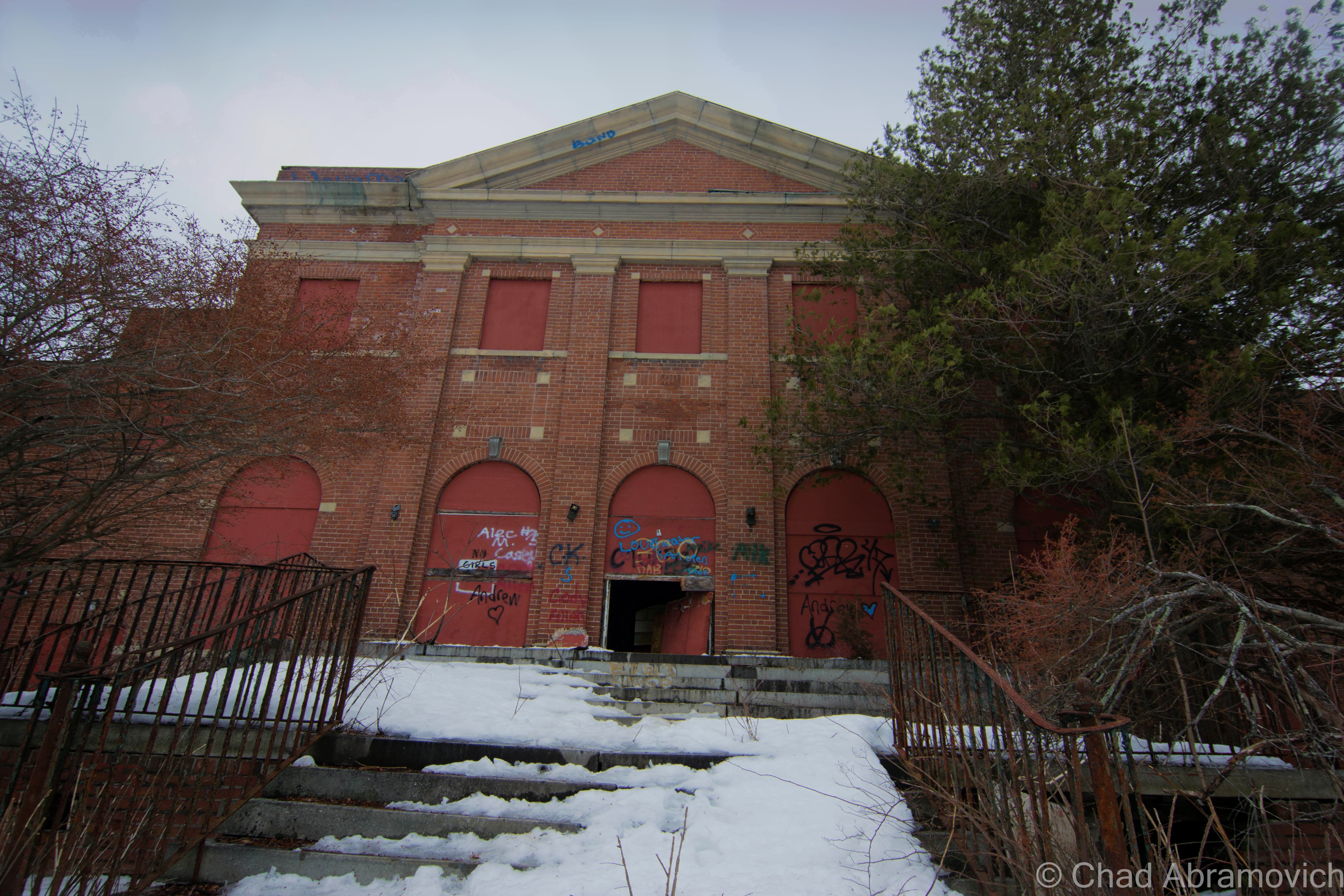
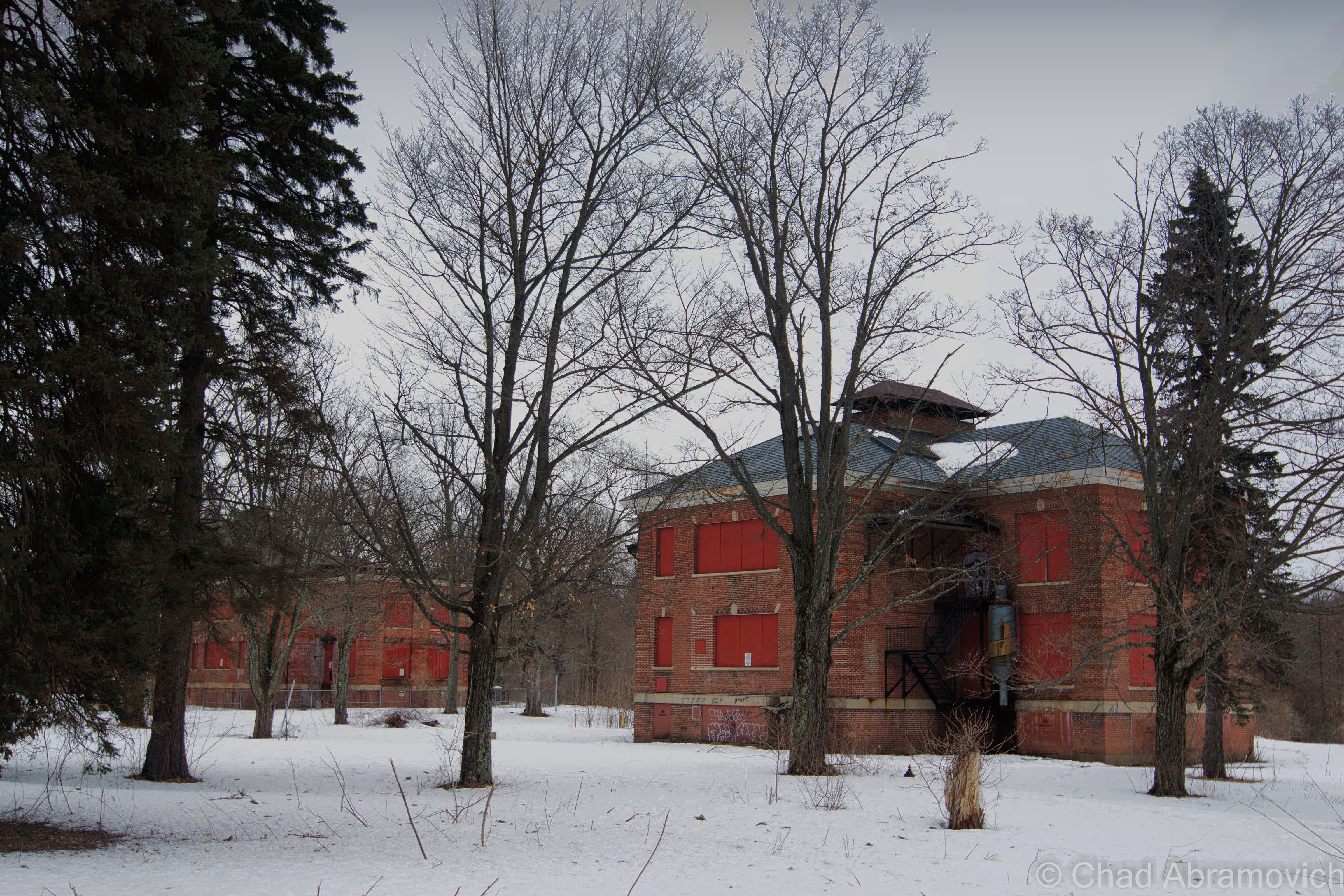
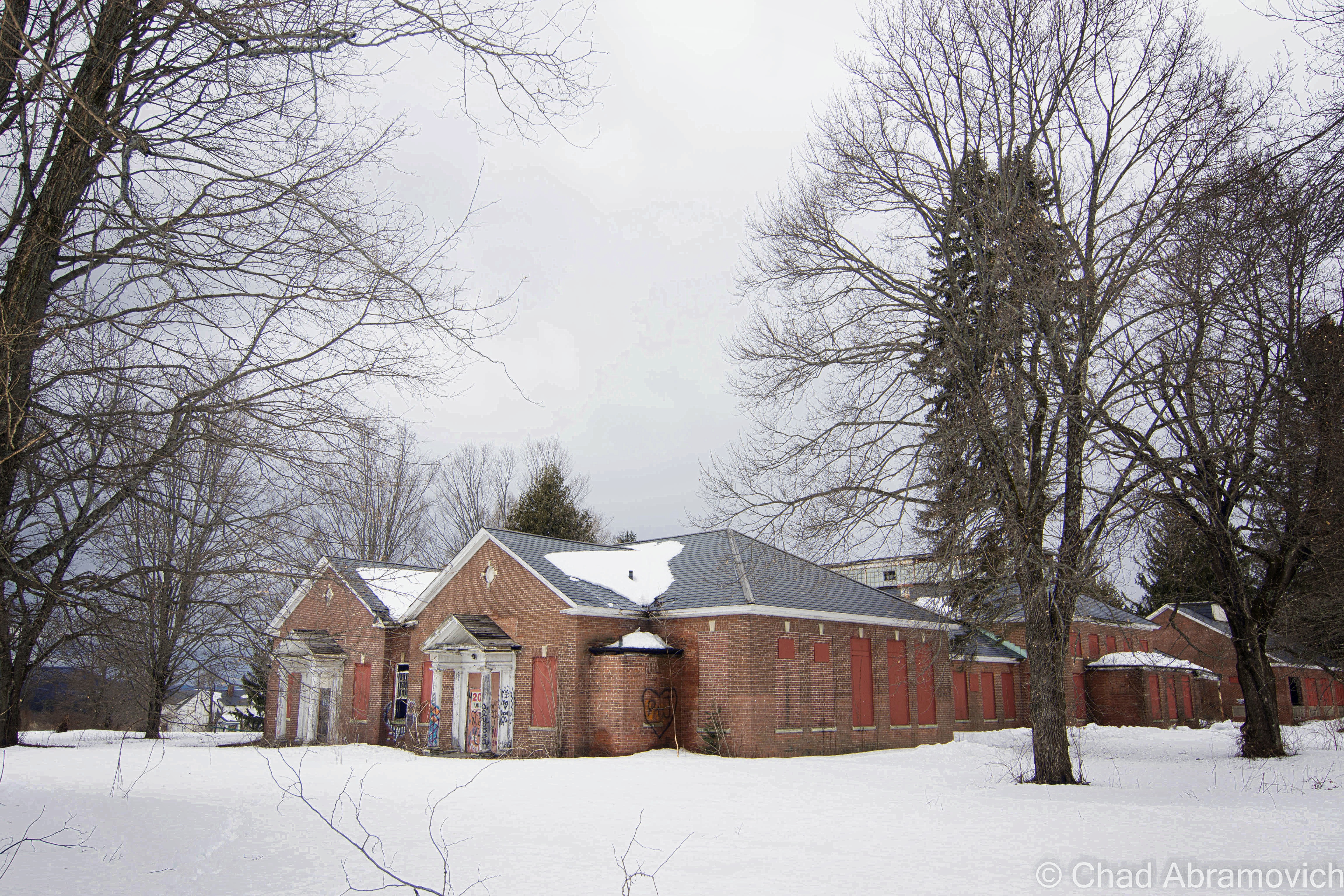
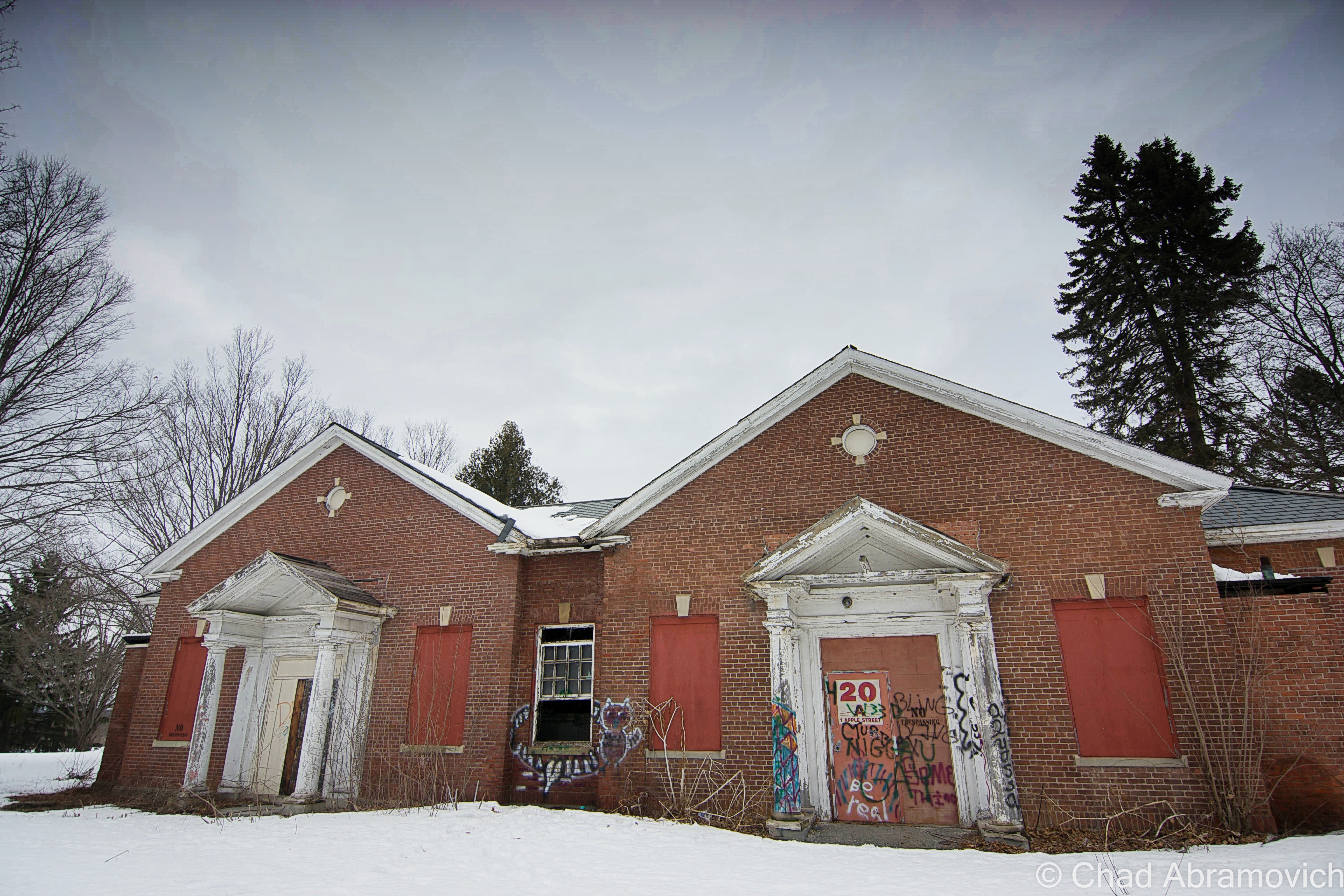
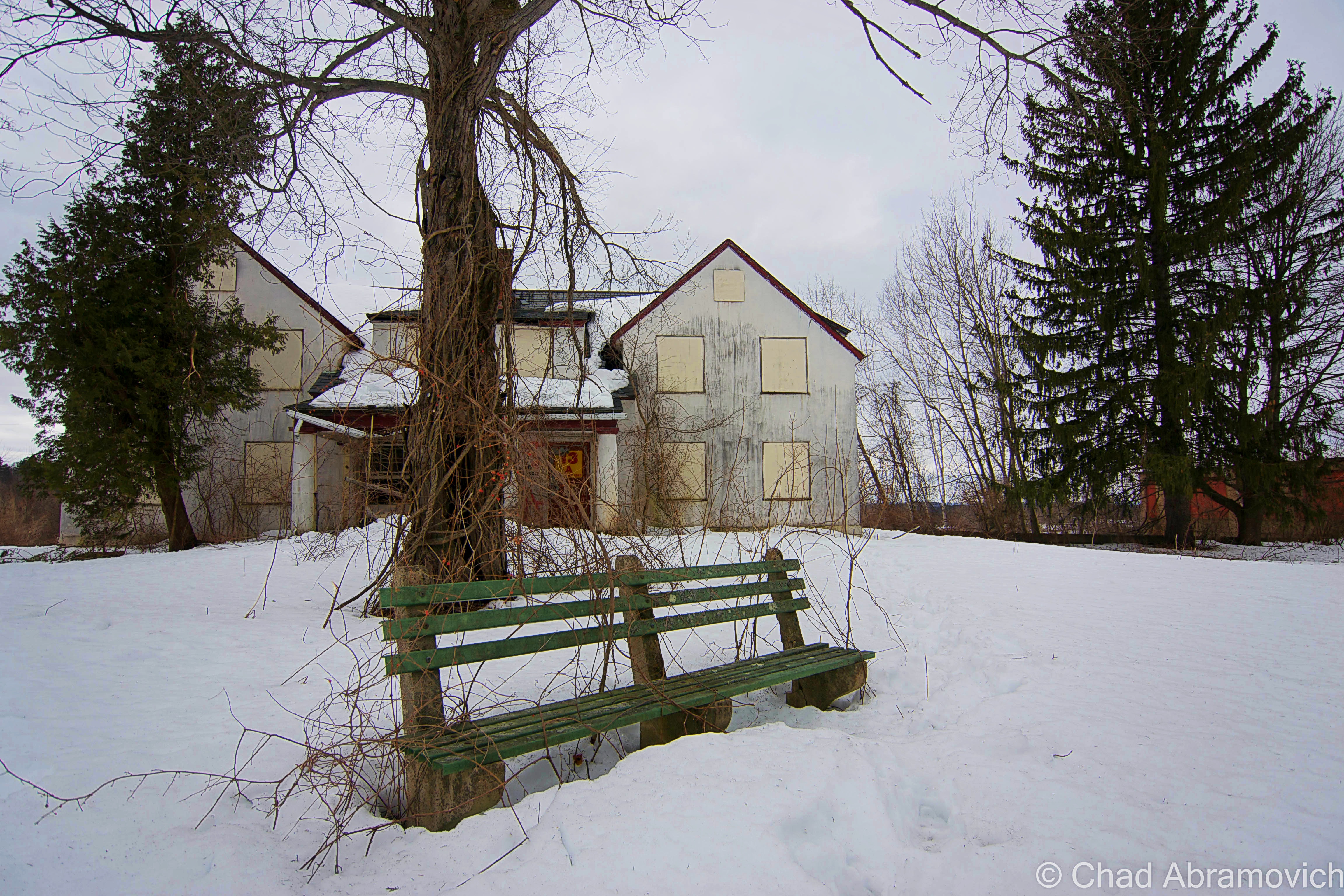
This undisclosed 876 acre state school was constructed in 1922 to serve these troubled youth, and would expand to 50 buildings. While many institutions before this one were centered around magnificent Kirkbrides, times had changed, and this facility was streamlined, focusing more on functionality in the form of duplicate buildings in a colonial brick style with white trim, which were pretty admittedly pretty drab.

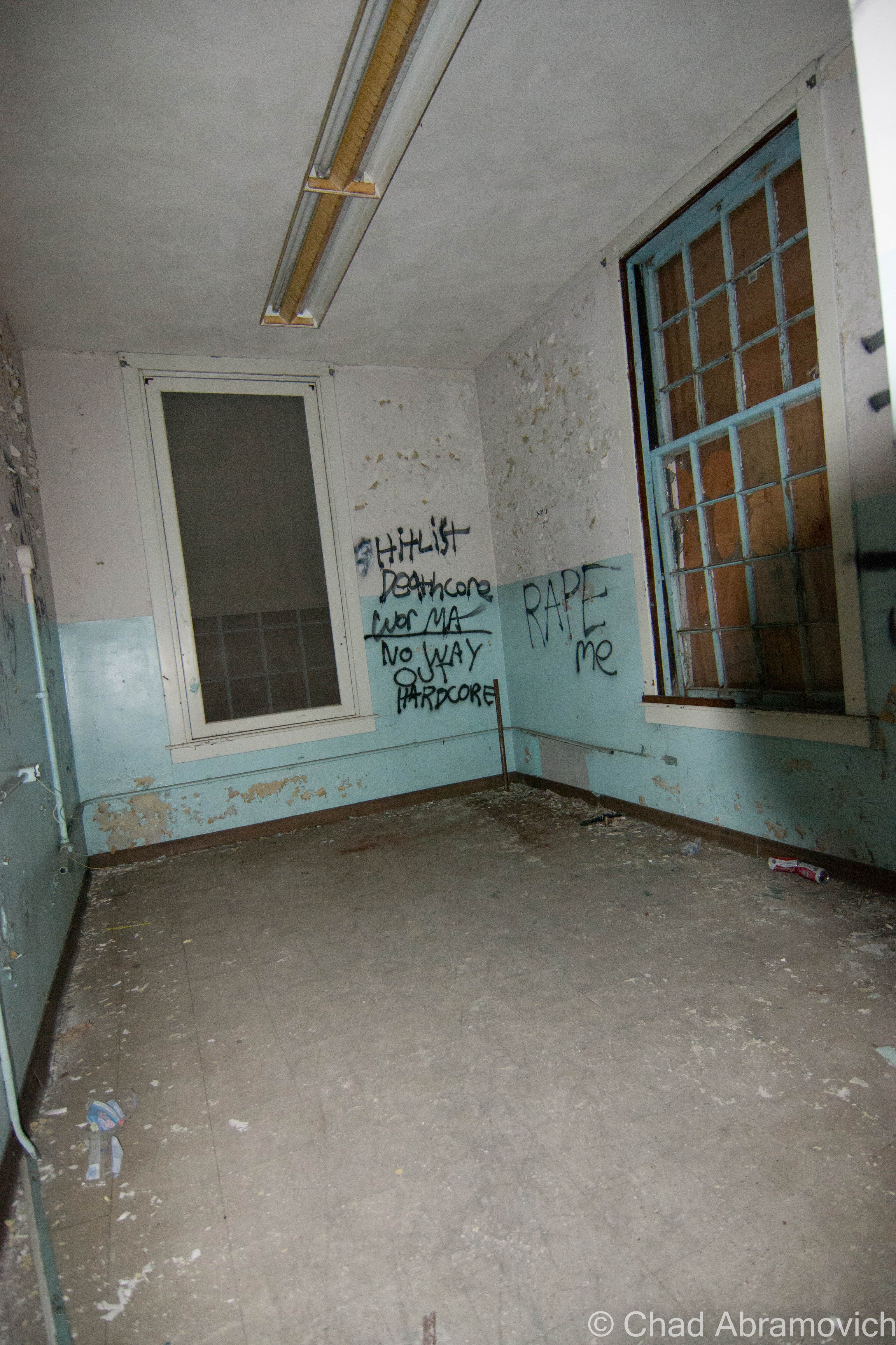
The usual suspects – overcrowding and understaffing, lead to the campus to sink into deplorable conditions. Because employee responsibilities were stretched so far, treatment of the those in their care became atrocious. Many of the children were left unattended, and would wonder the halls, moaning, and covered in their own excrement. Others who were physically handicapped would be simply left restrained to their beds and forgotten, often for weeks. Sometimes, if a stubborn inmate was really unlucky, all their teeth would be removed to make feeding them easier, especially force feeding. If they weren’t neglected, many staff members would physically beat them to keep them under control, or worse, because they felt like it. If this wasn’t bad enough, the buildings were deteriorating because of neglect and no funding to maintain them, and eventually, that lead to a vermin infestation.

Though this article wasn’t written about this particular psychiatric facility, it miserably details a personal experience living in one of these state institutions by a former patient.

Conditions and life here were unknown to the outside world, until 1971, when the father of a patient filed a class-action lawsuit against the school, claiming that its young residents were not only the victims of sexual abuse, but were also living in horrific conditions. He wrote of abhorrent things like; “maggots wriggling inside or crawling out of the infected ears of several helpless, profoundly retarded persons while they lay in their crib-beds.” Investigations began making their way in, as public outrage exploded.

Rampart lawsuits and scandals in the later half of the 20th century began the slow process of these snake pits shutting down, and becoming abandoned, as people began to get an idea of what life was really like in these campuses. The fate of this hospital sadly followed many in the United States, and the stuff that was brought to the surface is horrible.

But despite these disturbing discoveries, this school awkwardly hobbled along, sinking further into a spiral of decline until all operations officially ceased in 1992 – almost 2 decades later, leaving a maze of rotting wards and tunnels behind.

A Winter Visit

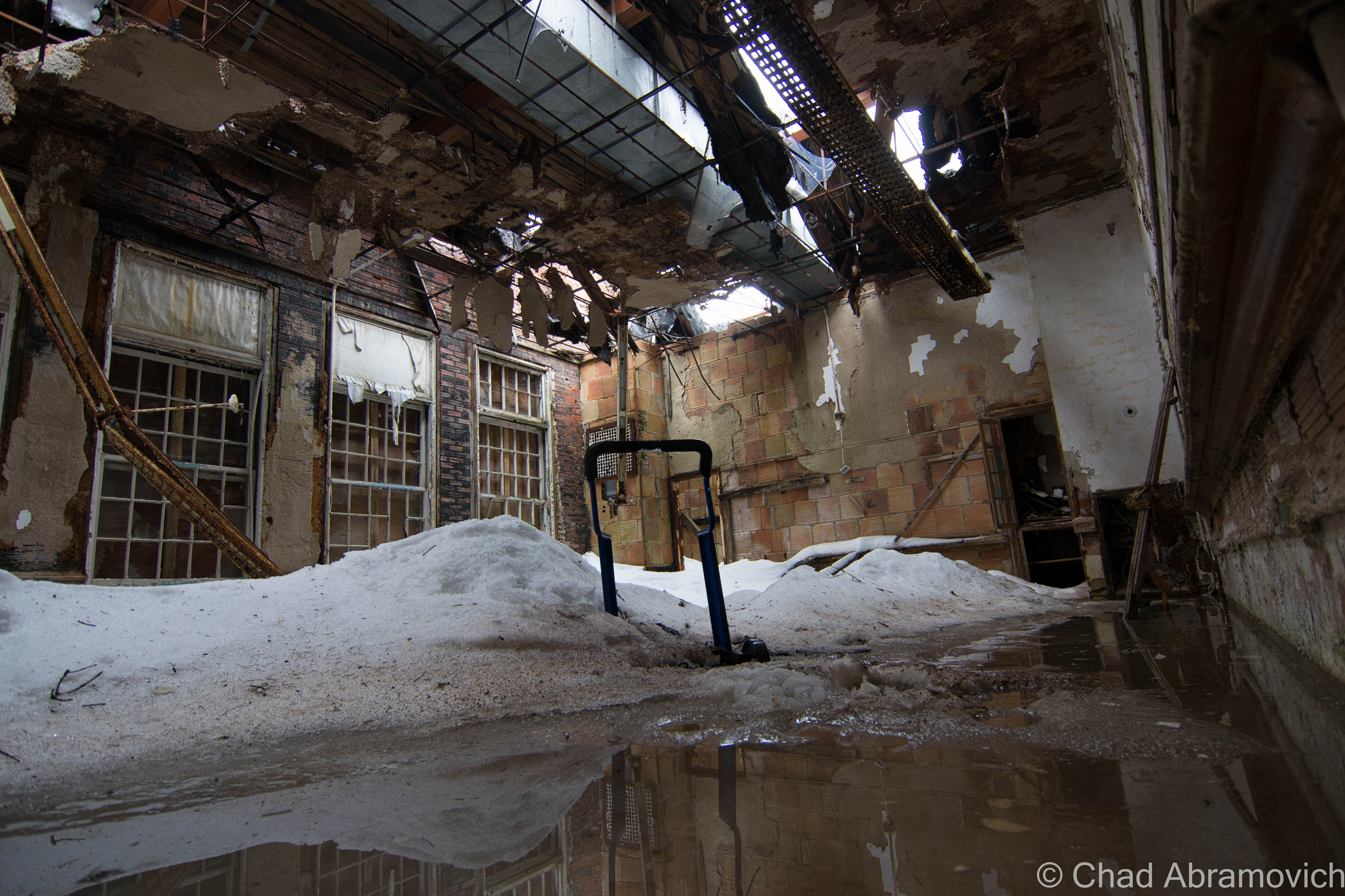
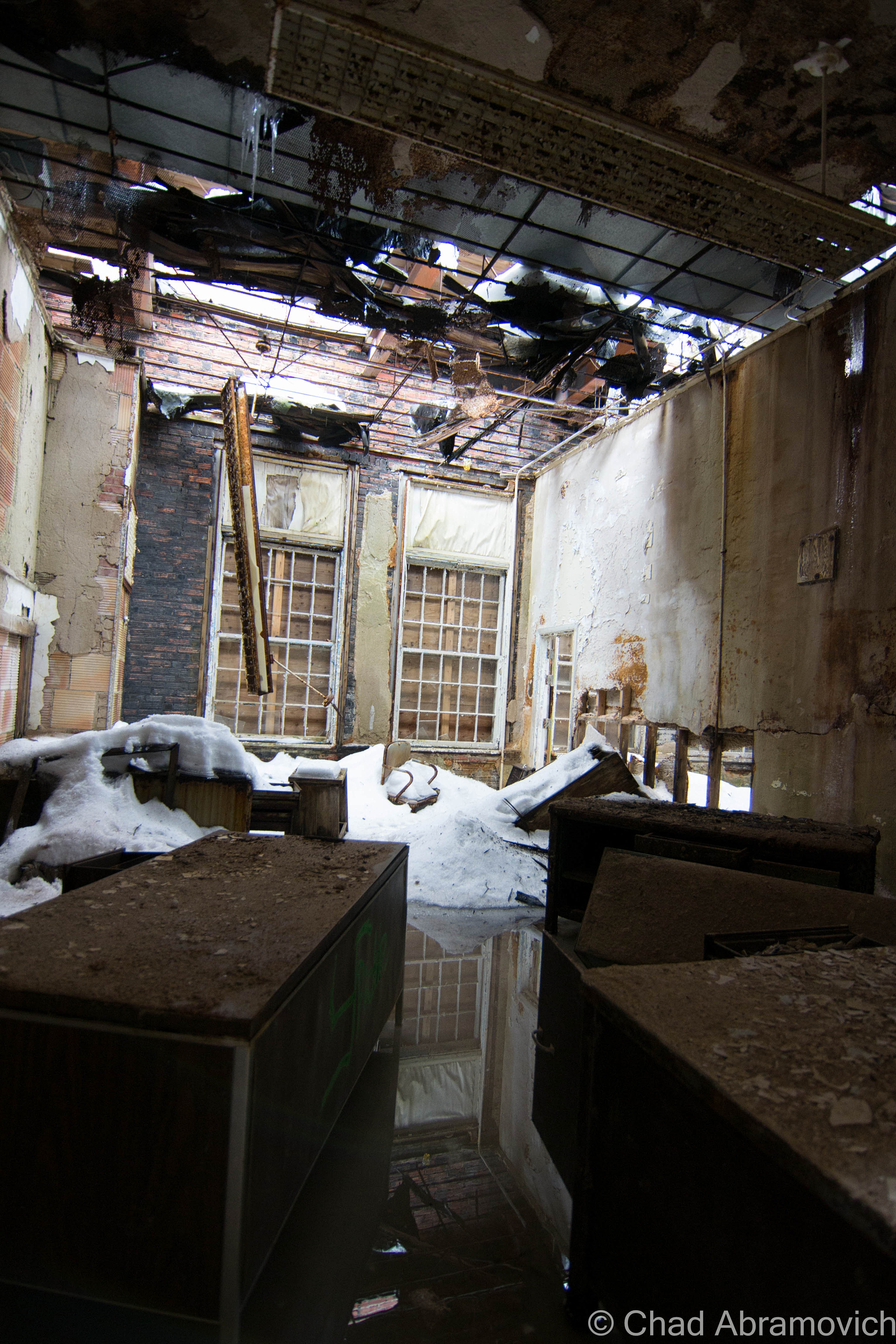
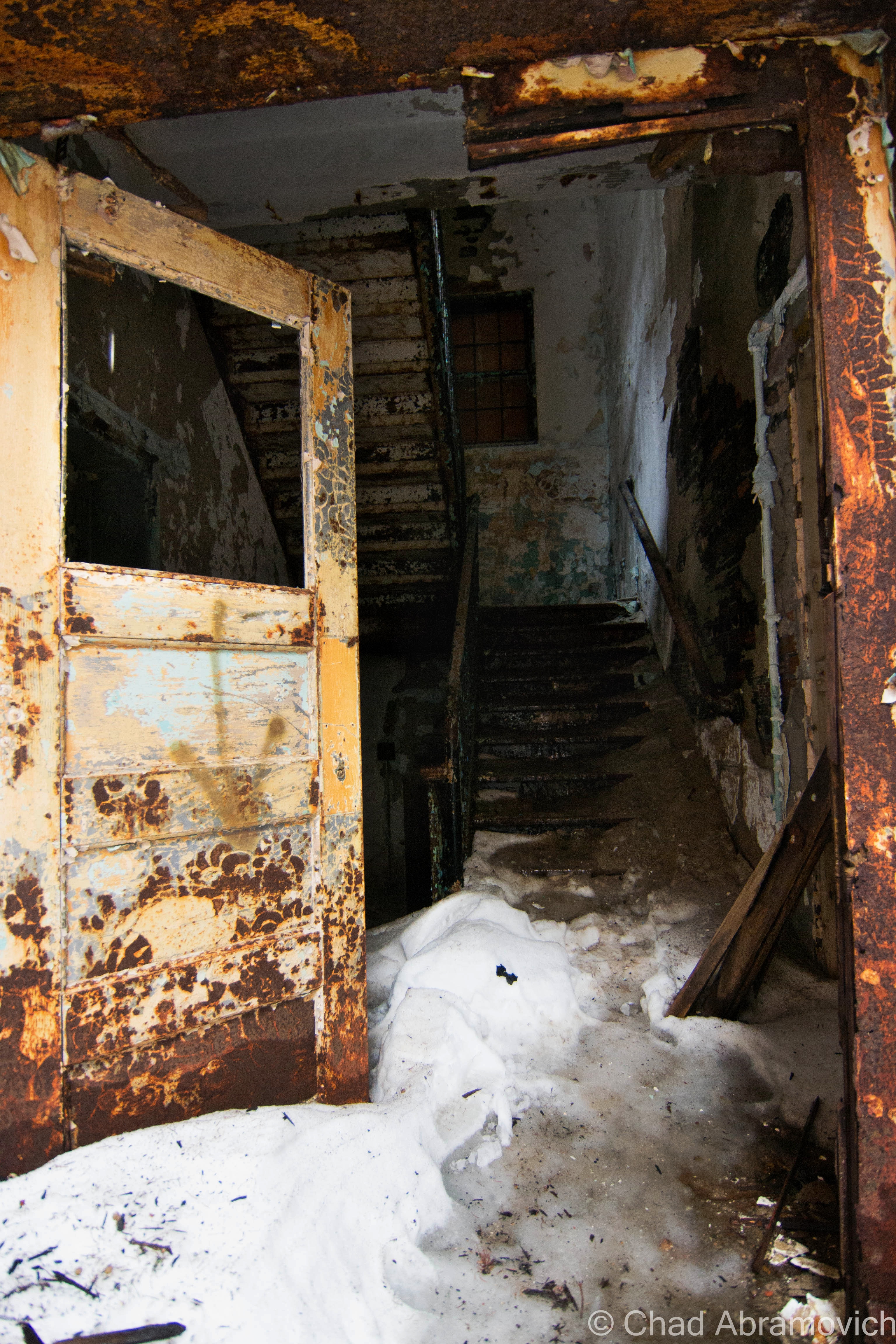
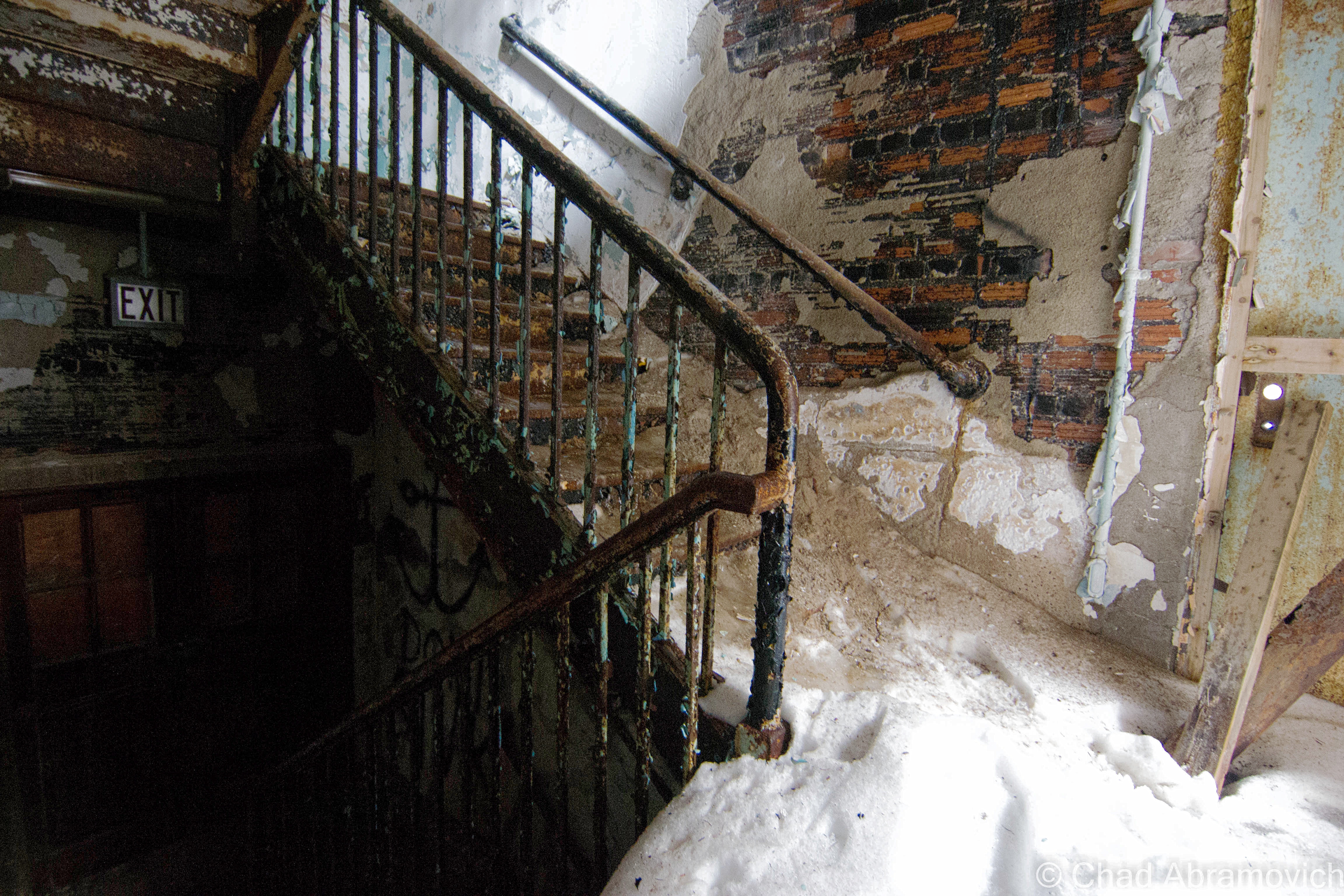
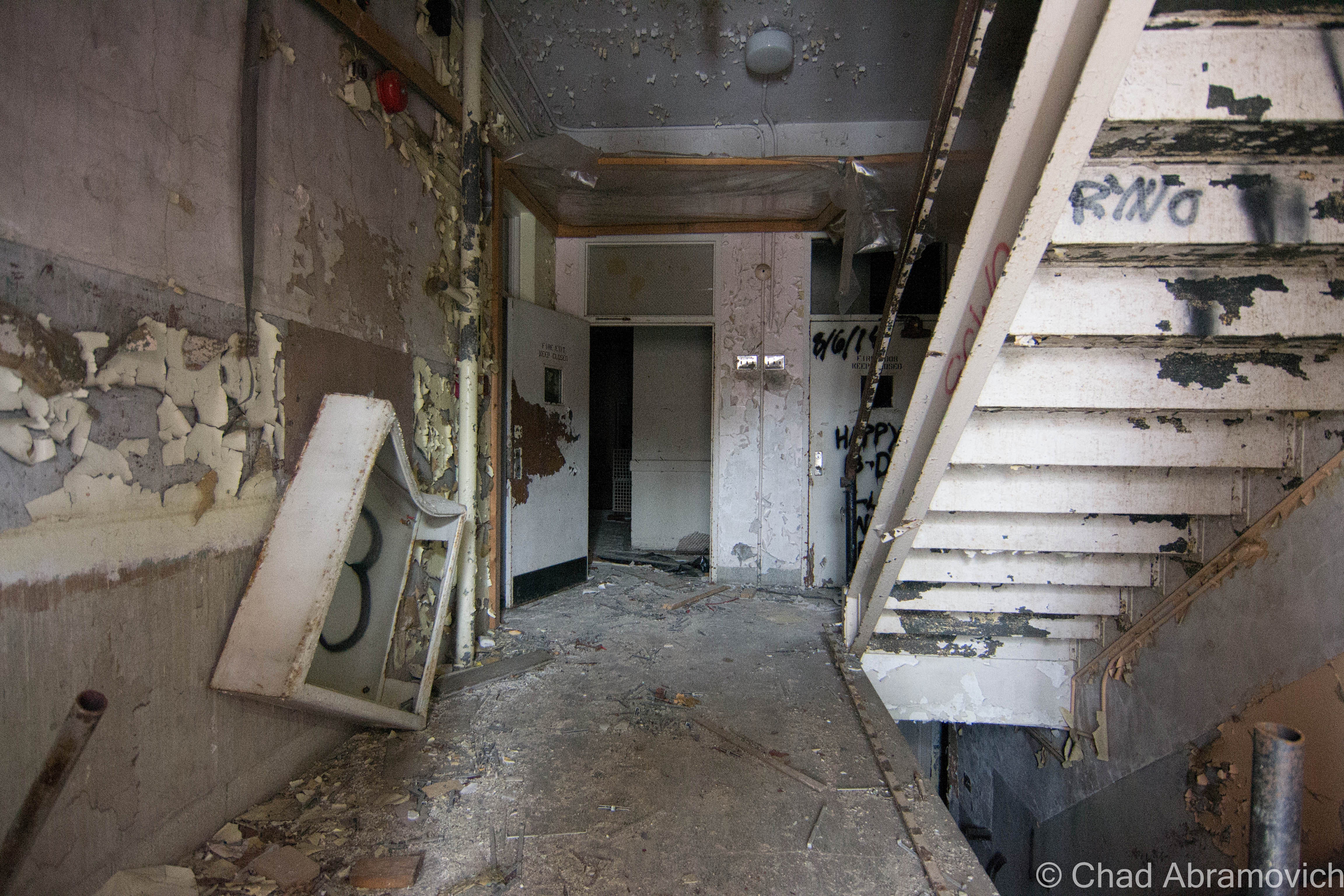
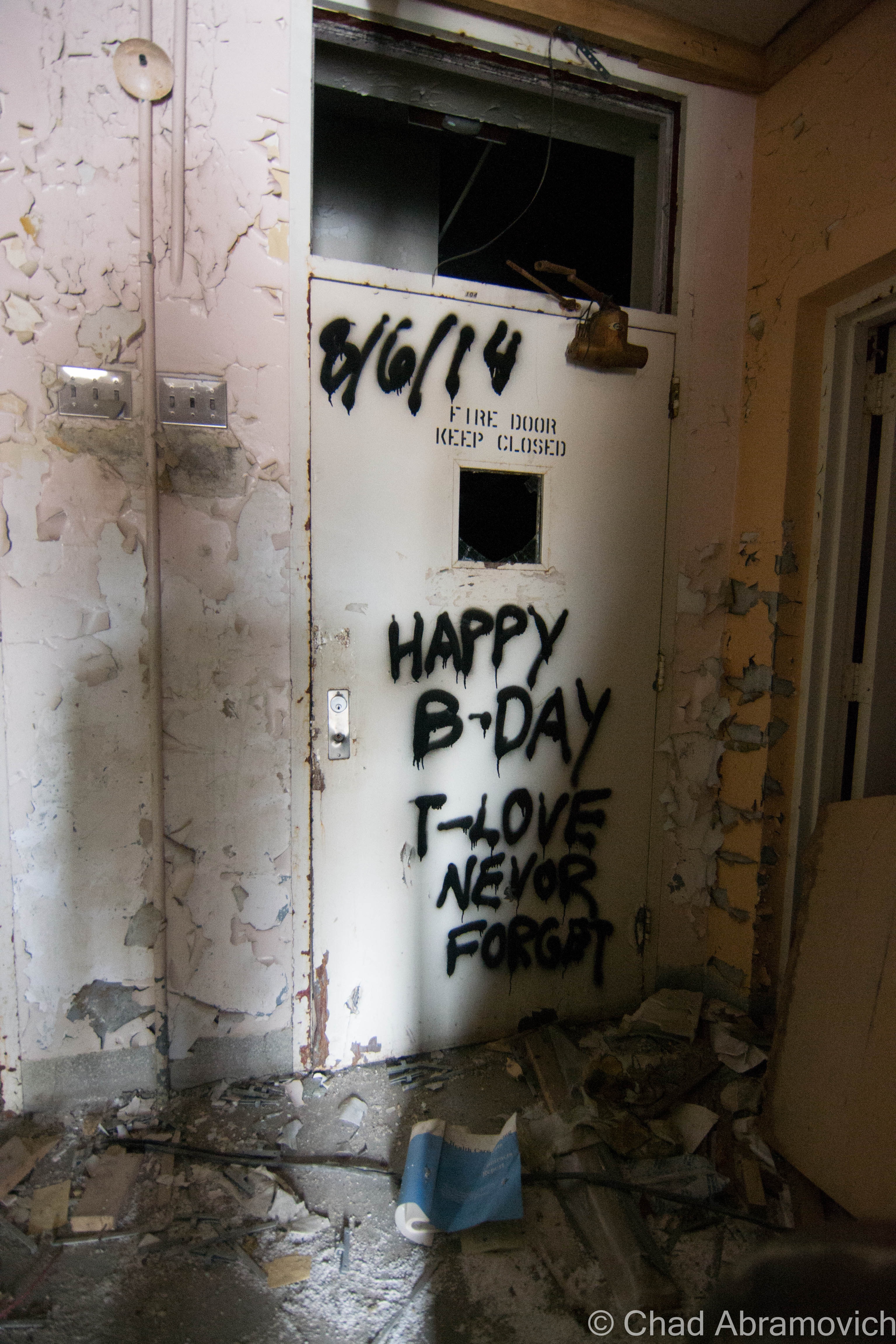
I heard the end was coming. Asbestos abatement had began in a few buildings, and plans had been announced to slowly begin demolition on the school. I didn’t have to sneak around much. Though the entire property was covered in snow drifts that often came up to knee deep levels and filled my boots, the attitude here was relaxed. Other photographers meandered their way around various buildings, and a few people were walking their dogs.

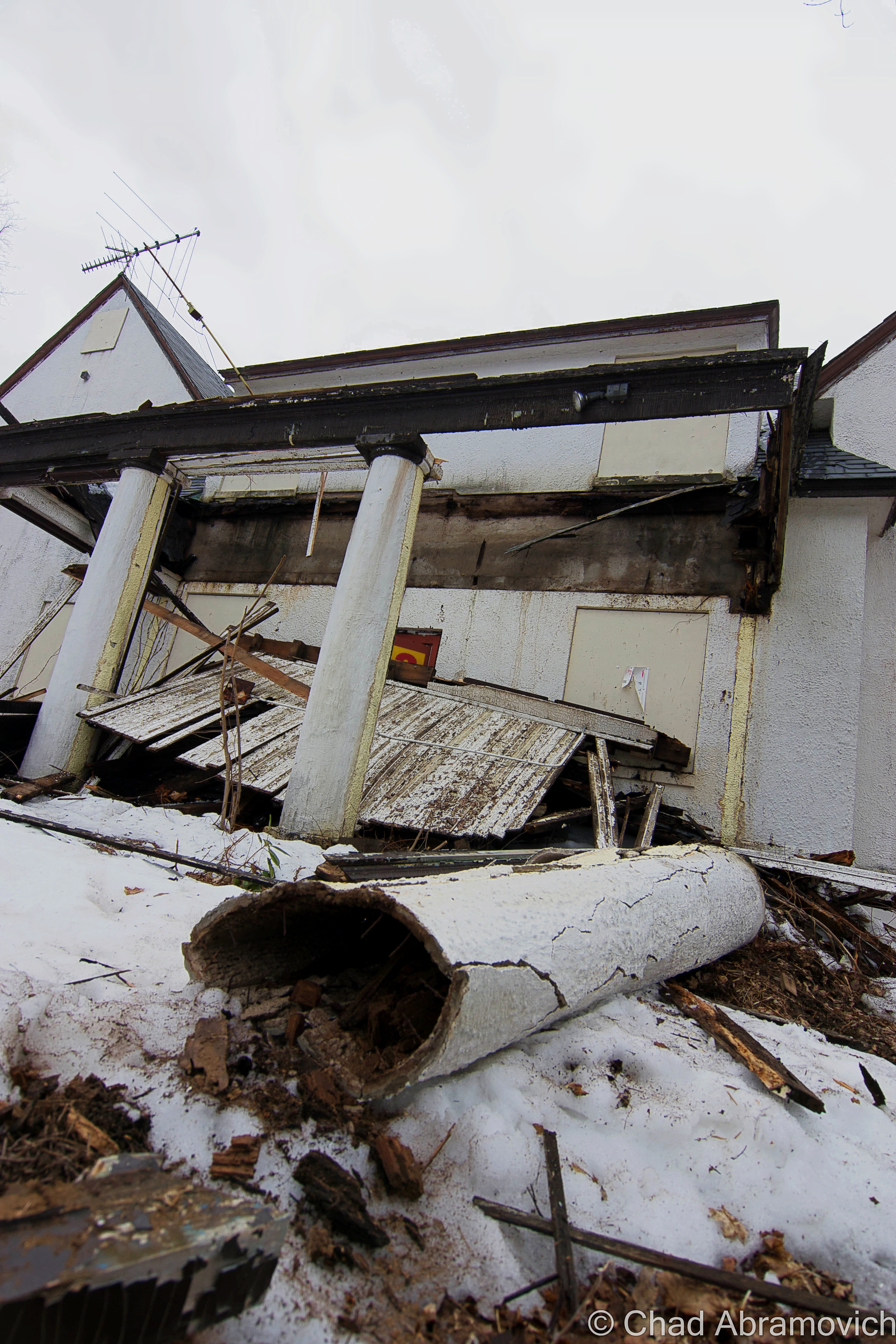
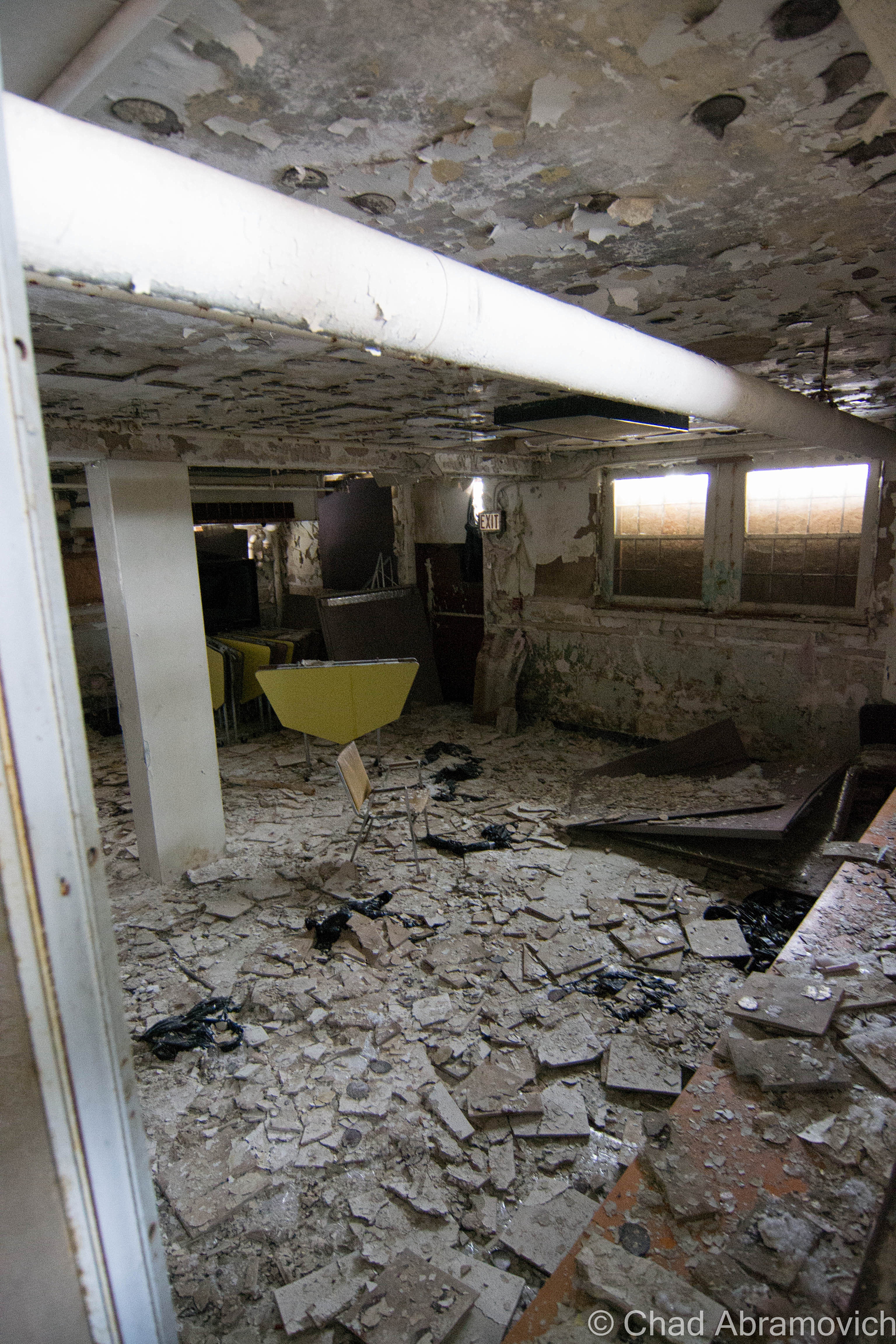
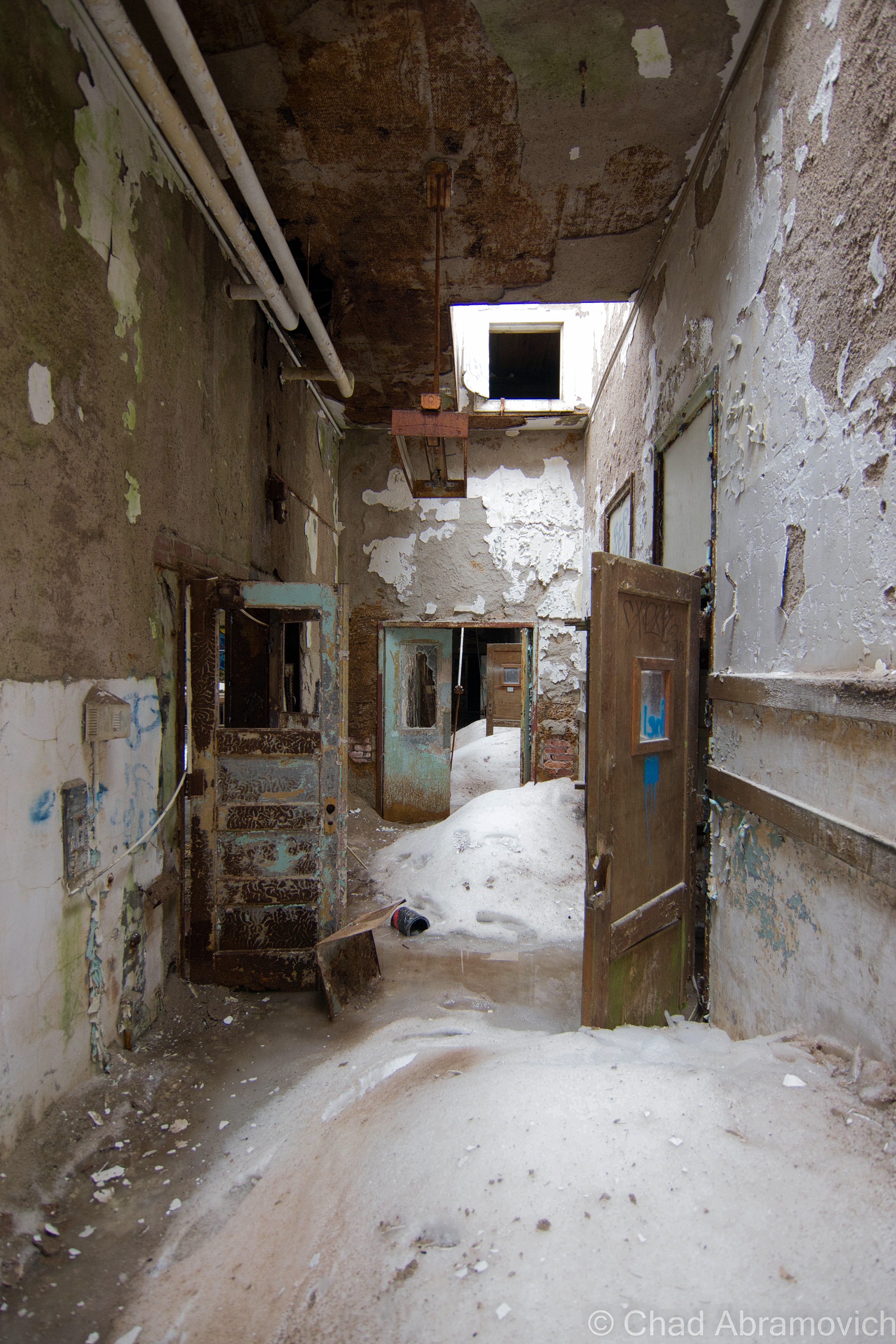
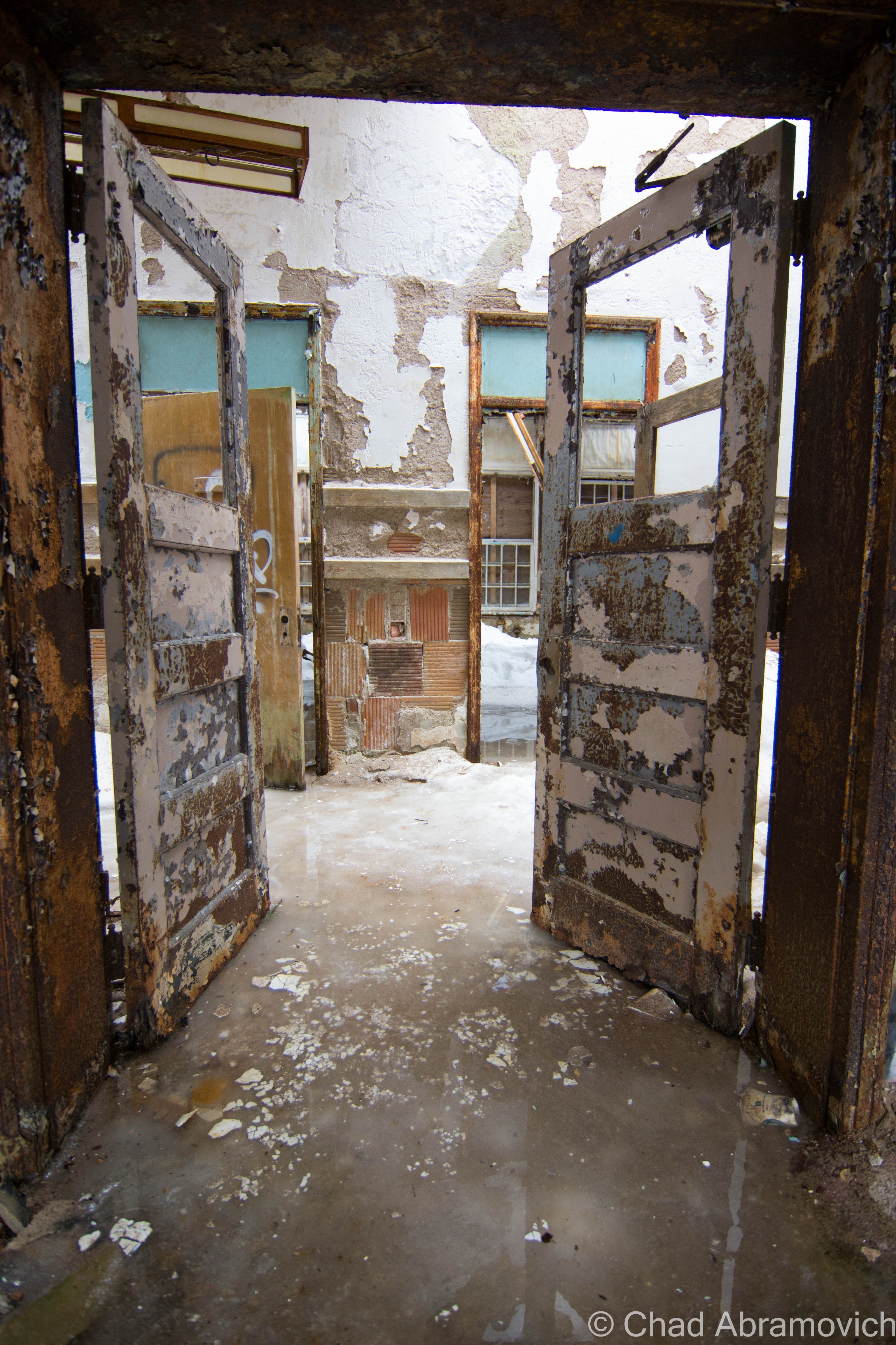
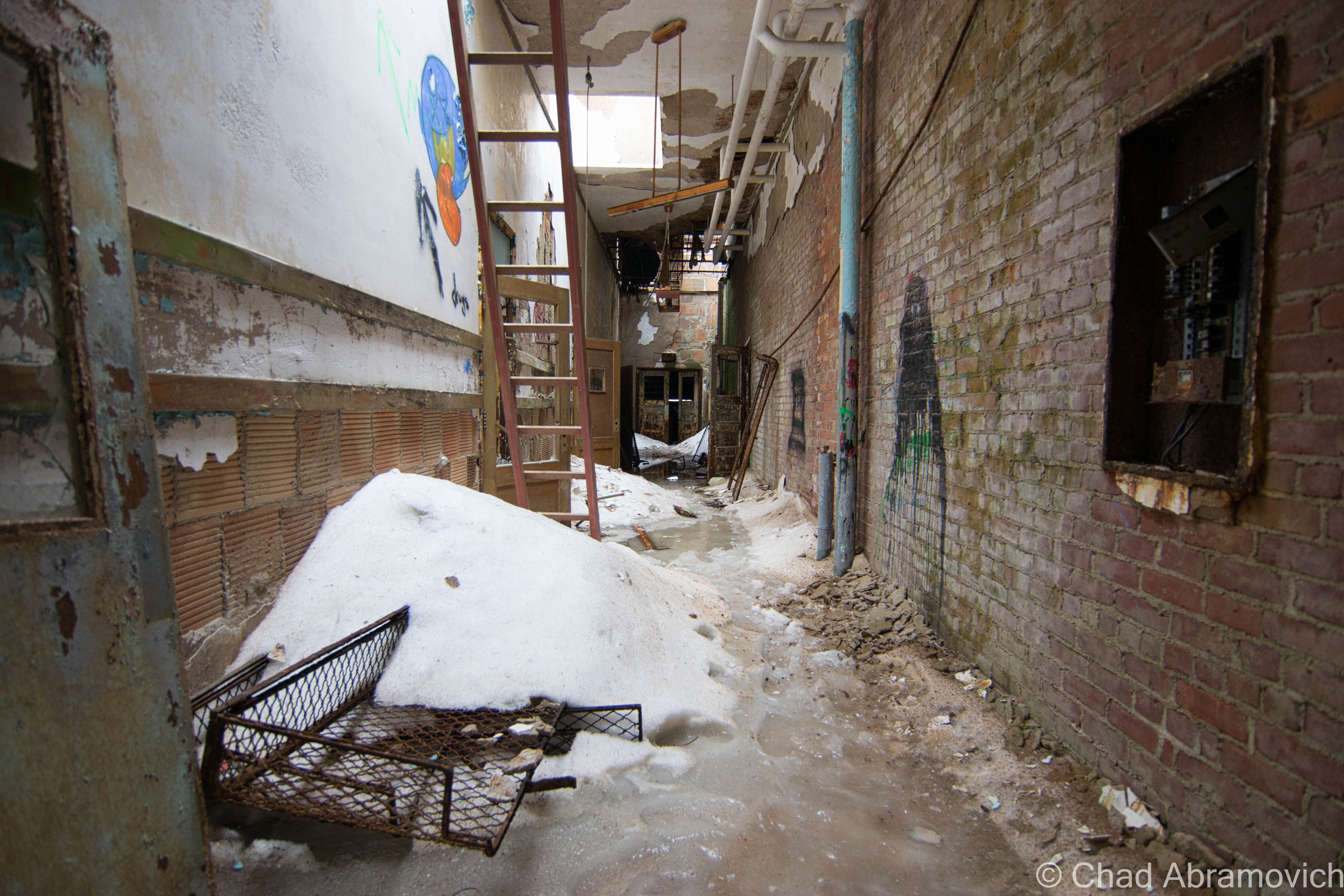
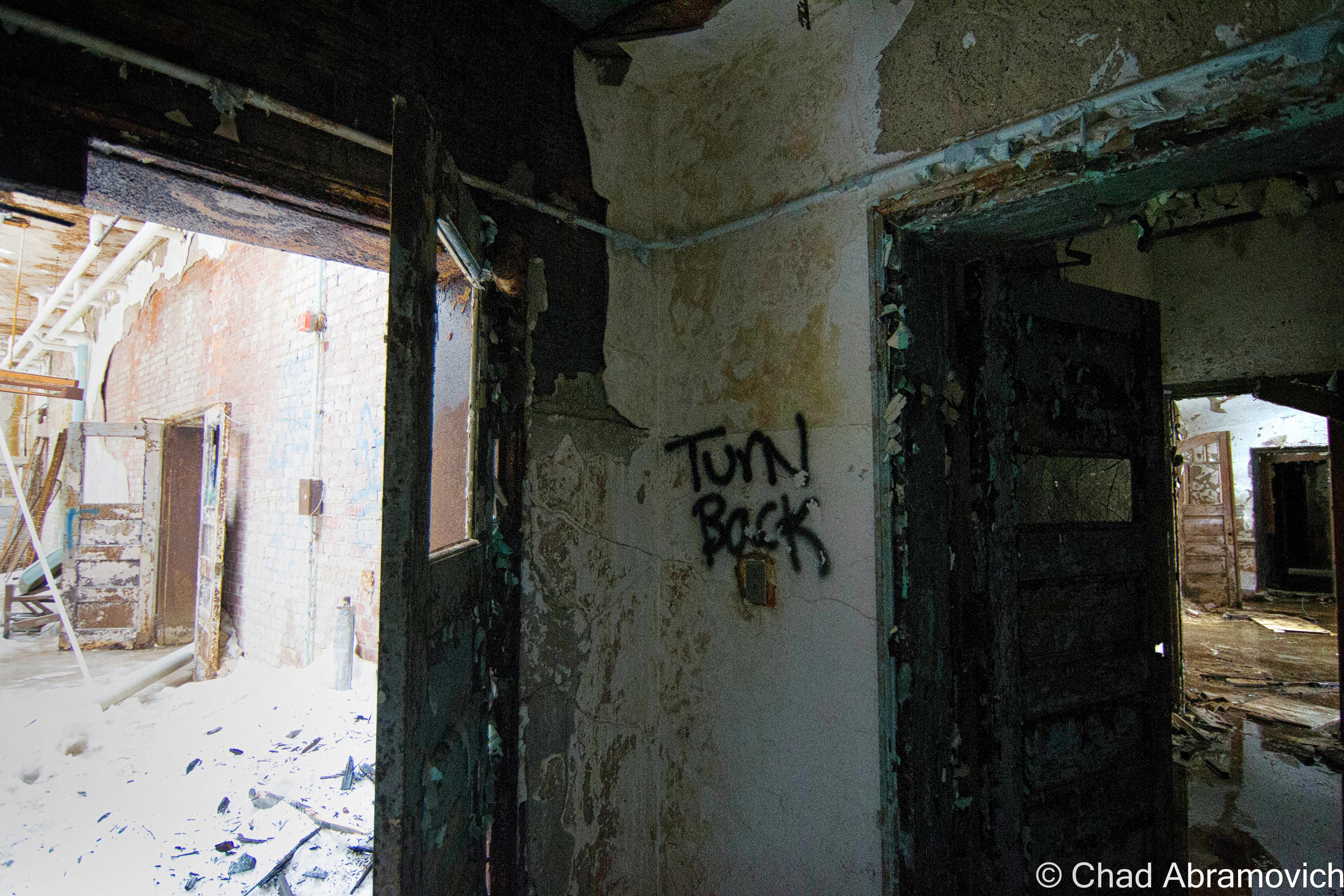
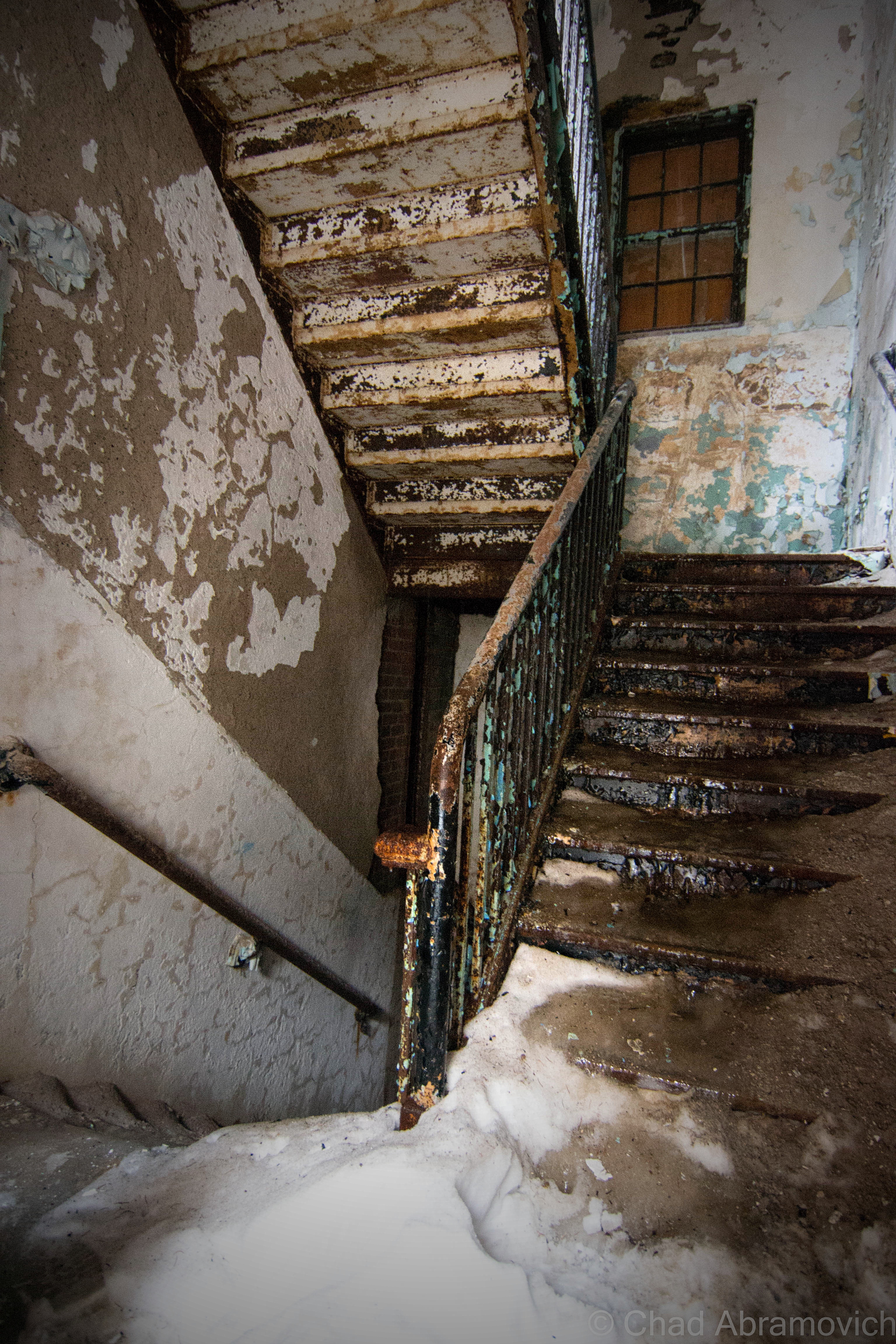
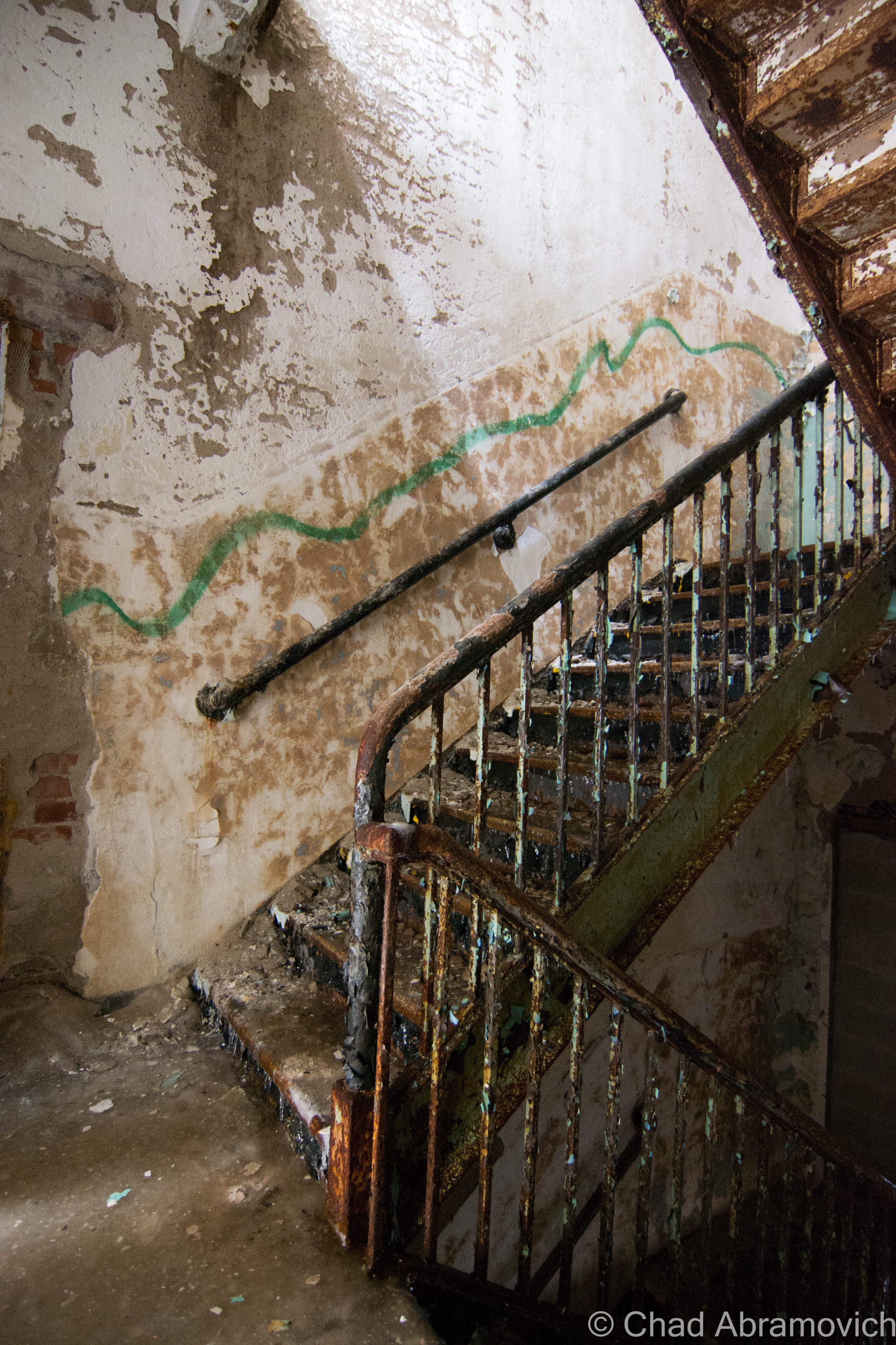
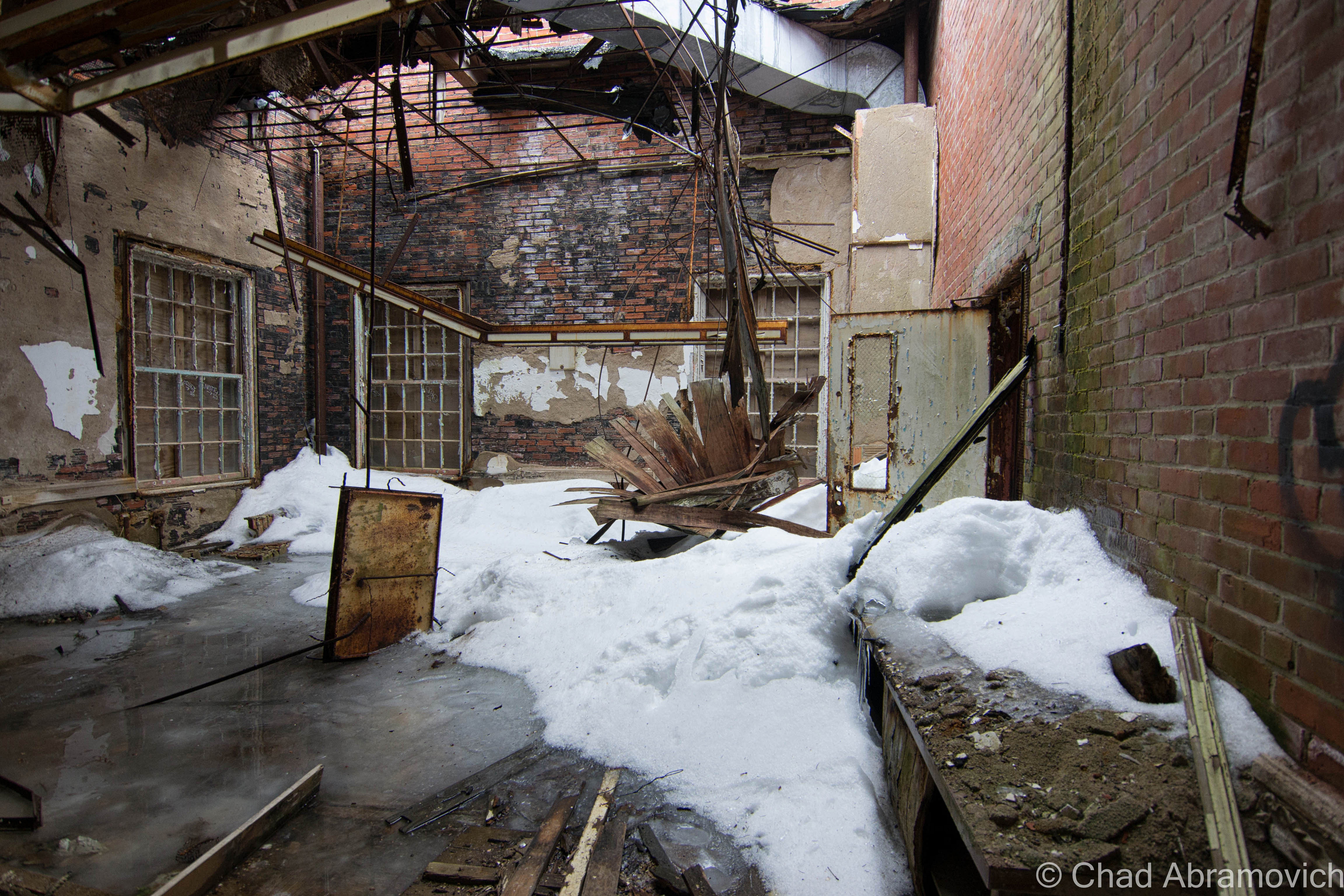
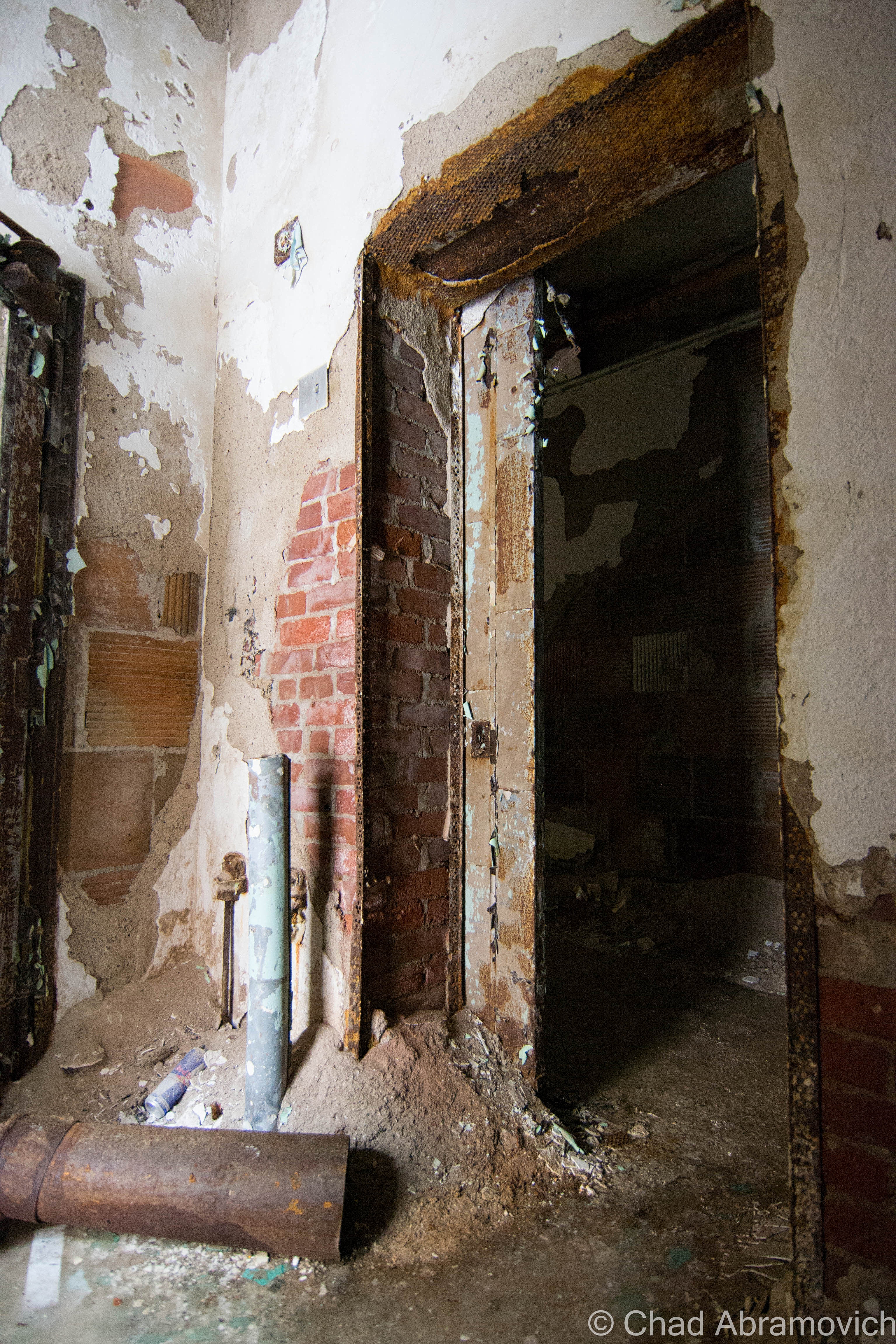
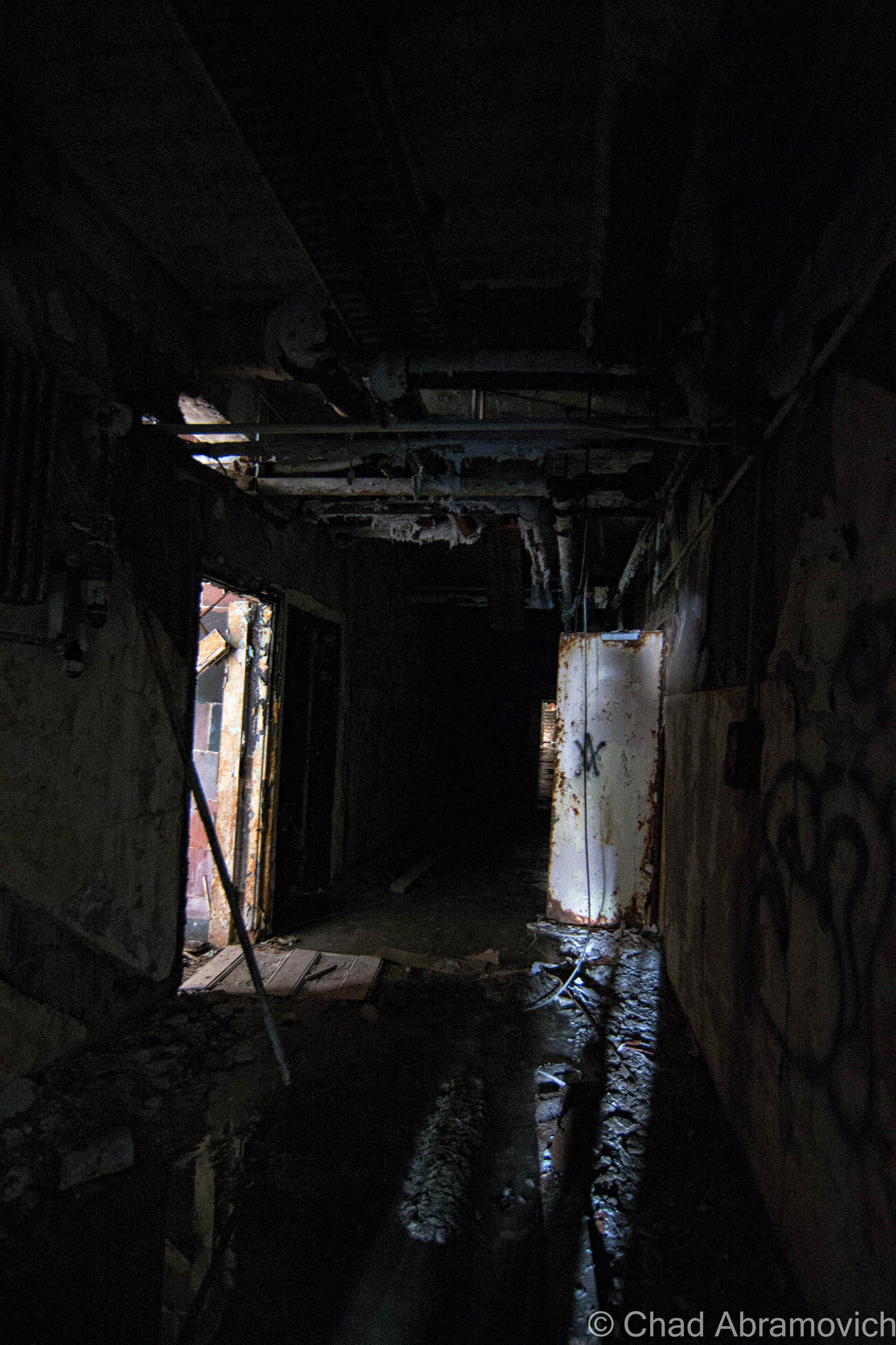
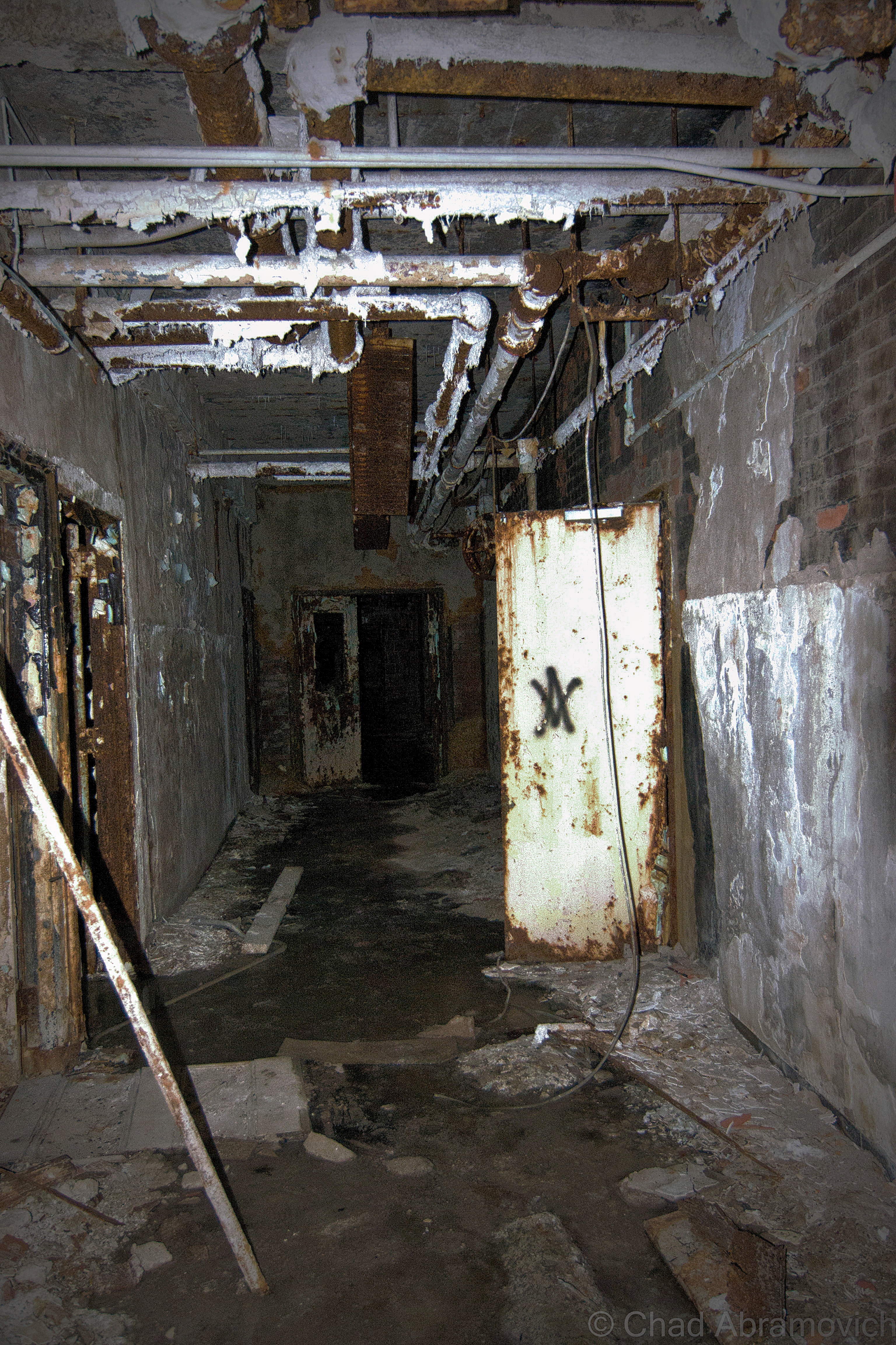
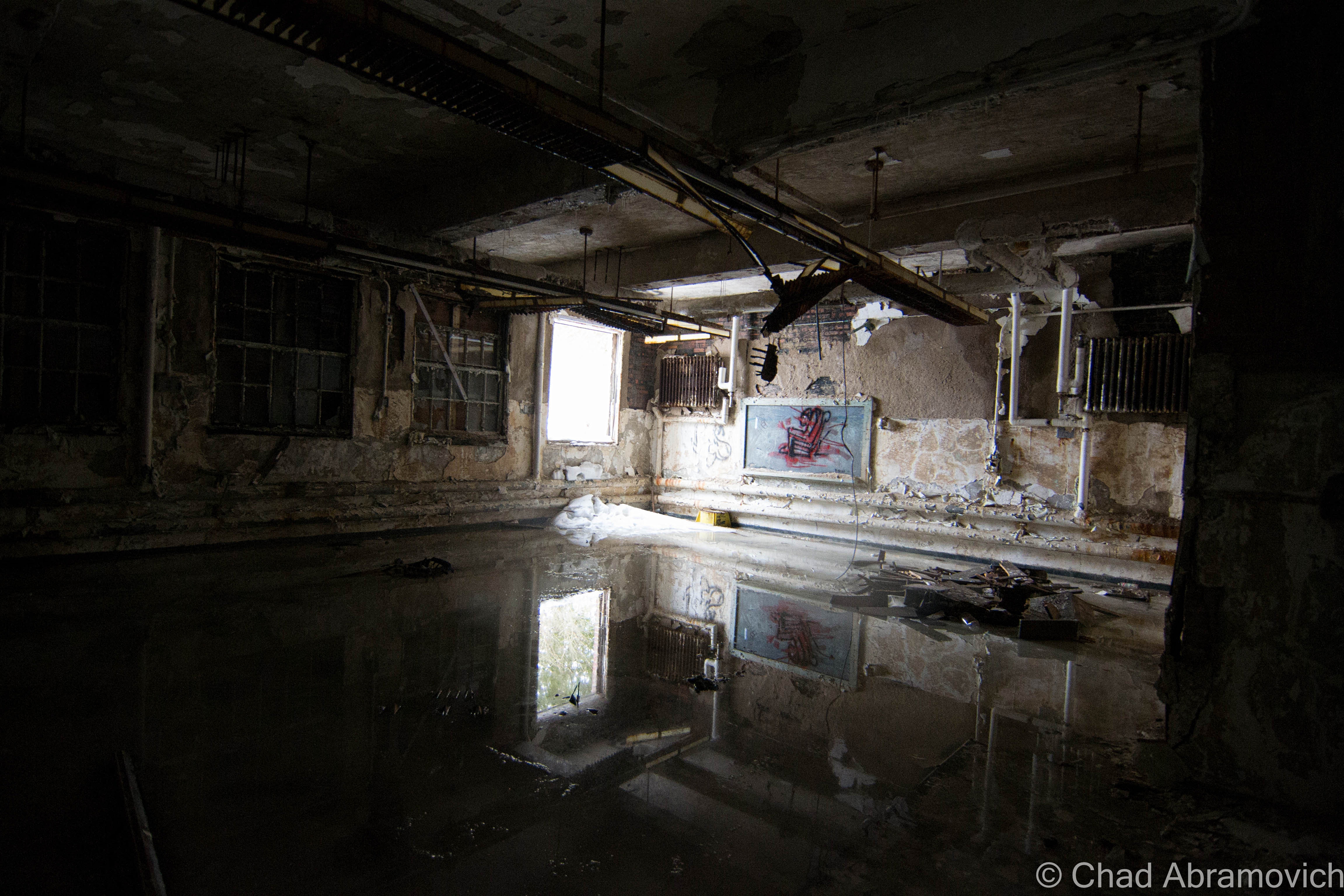
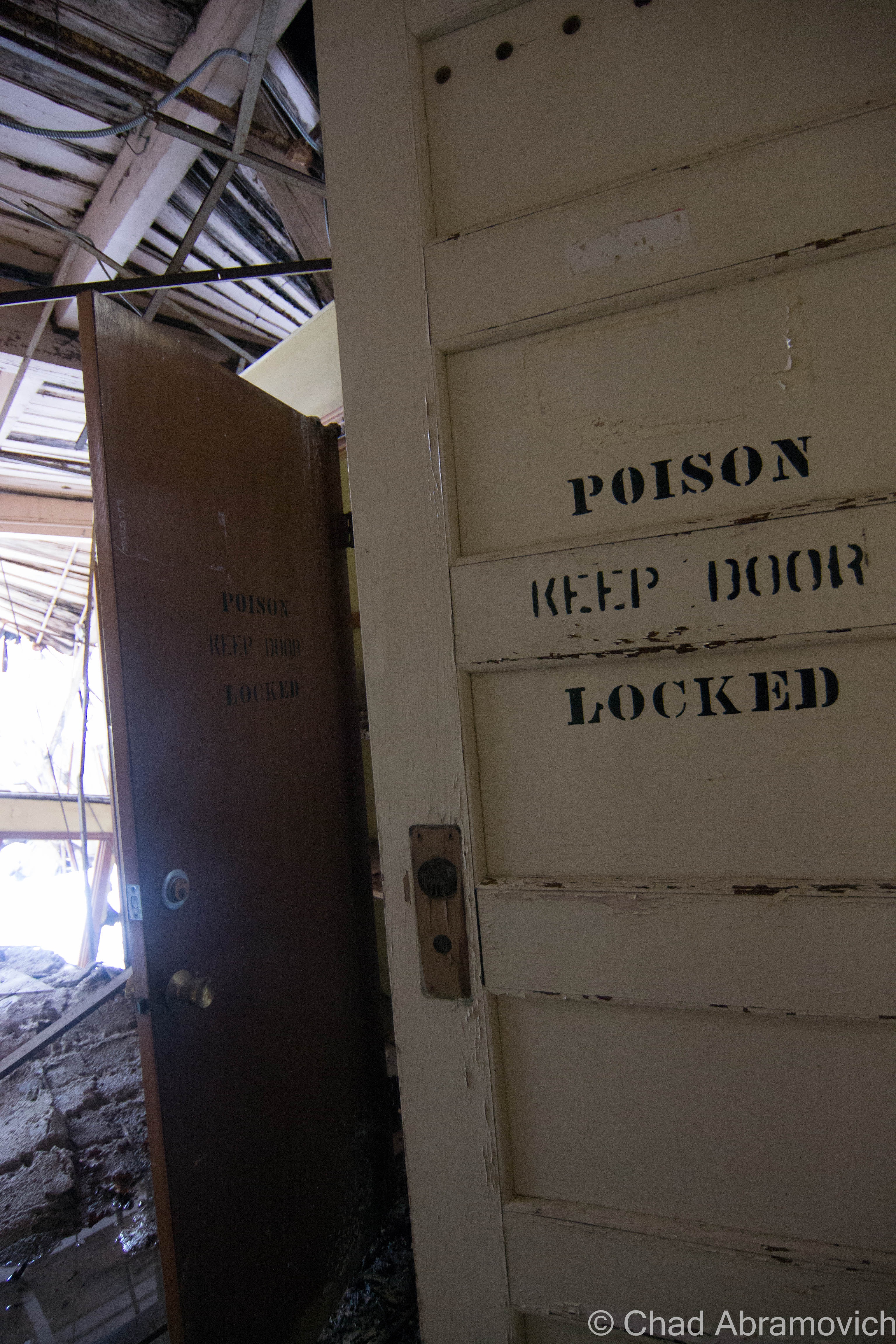
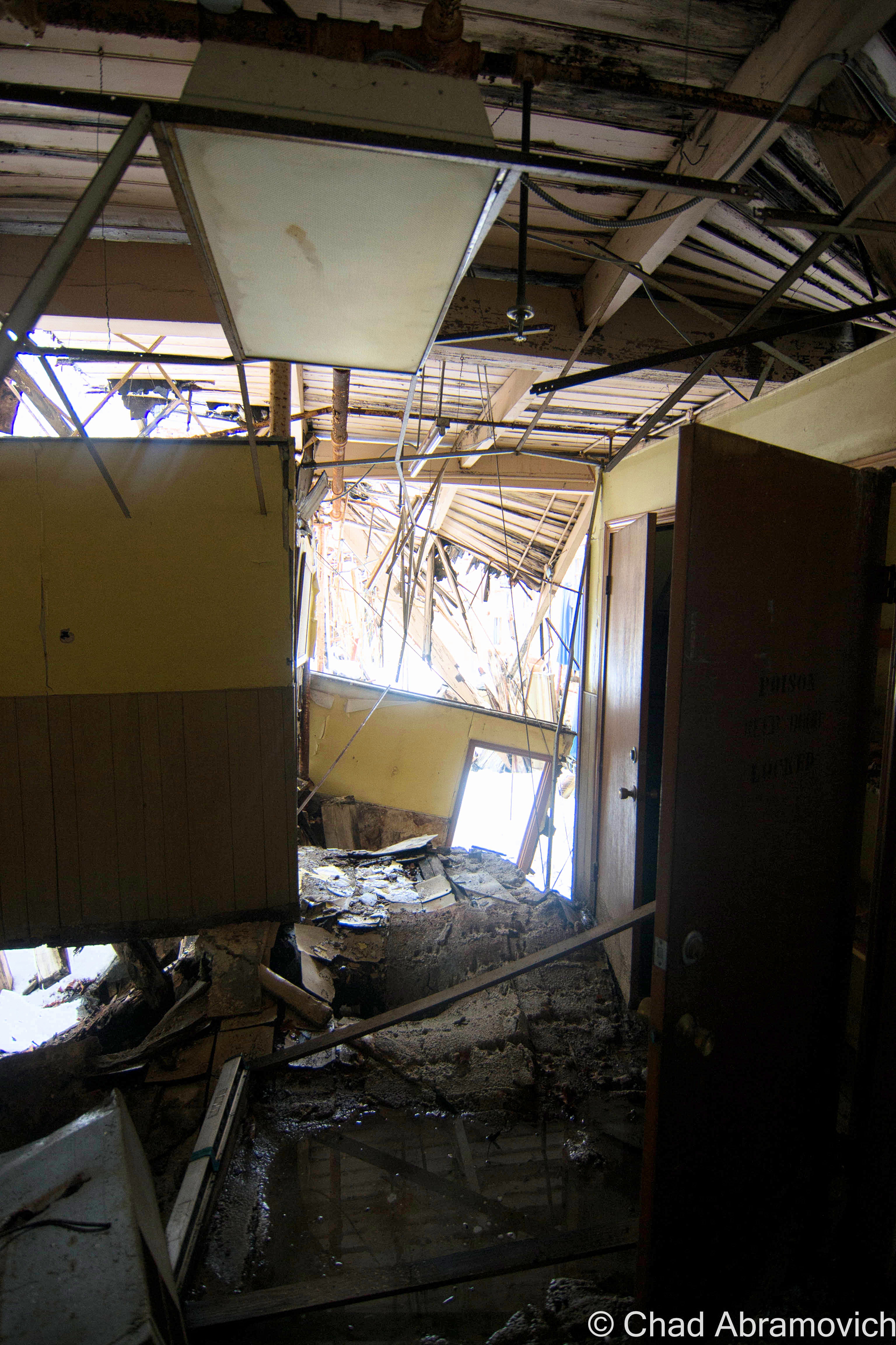
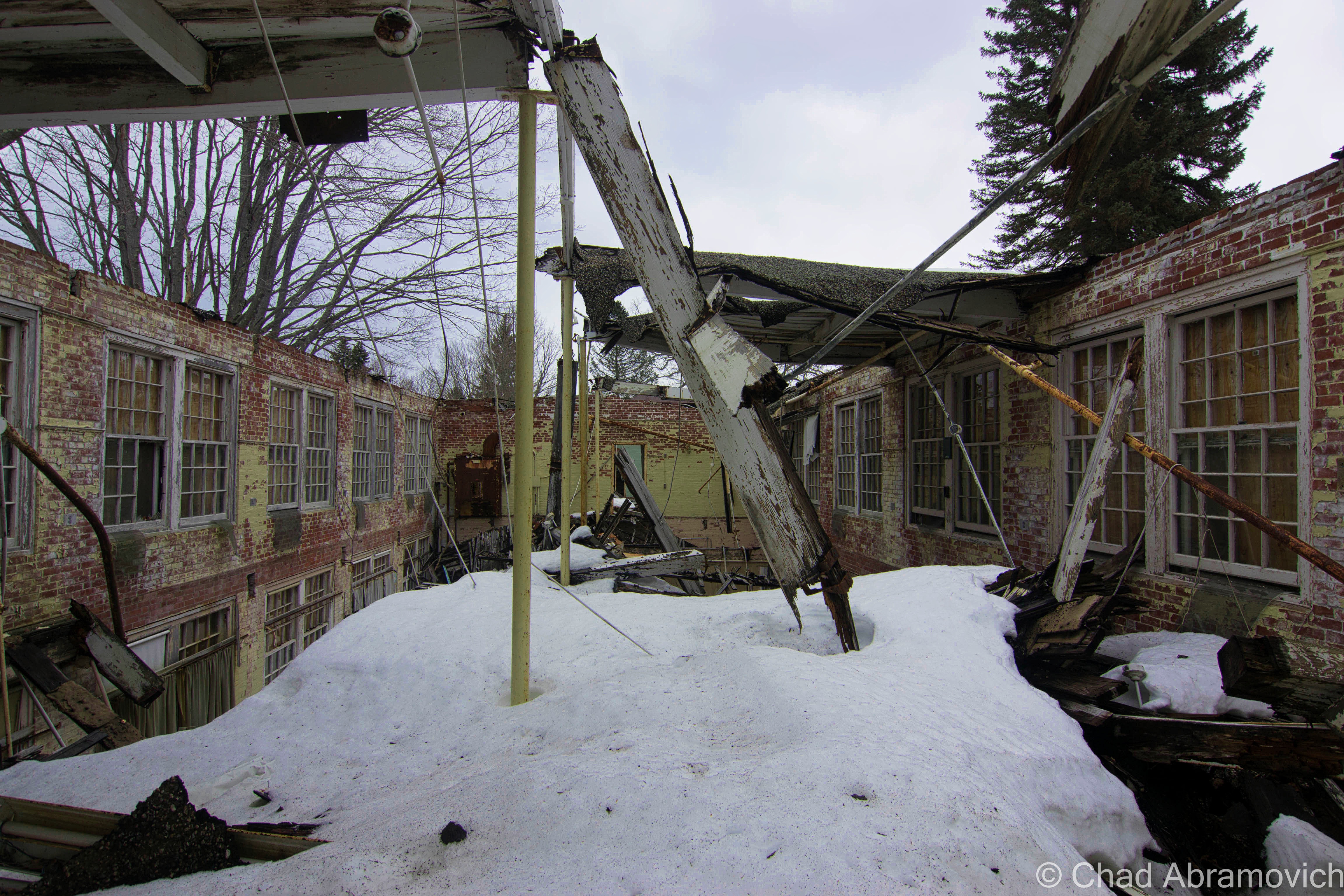
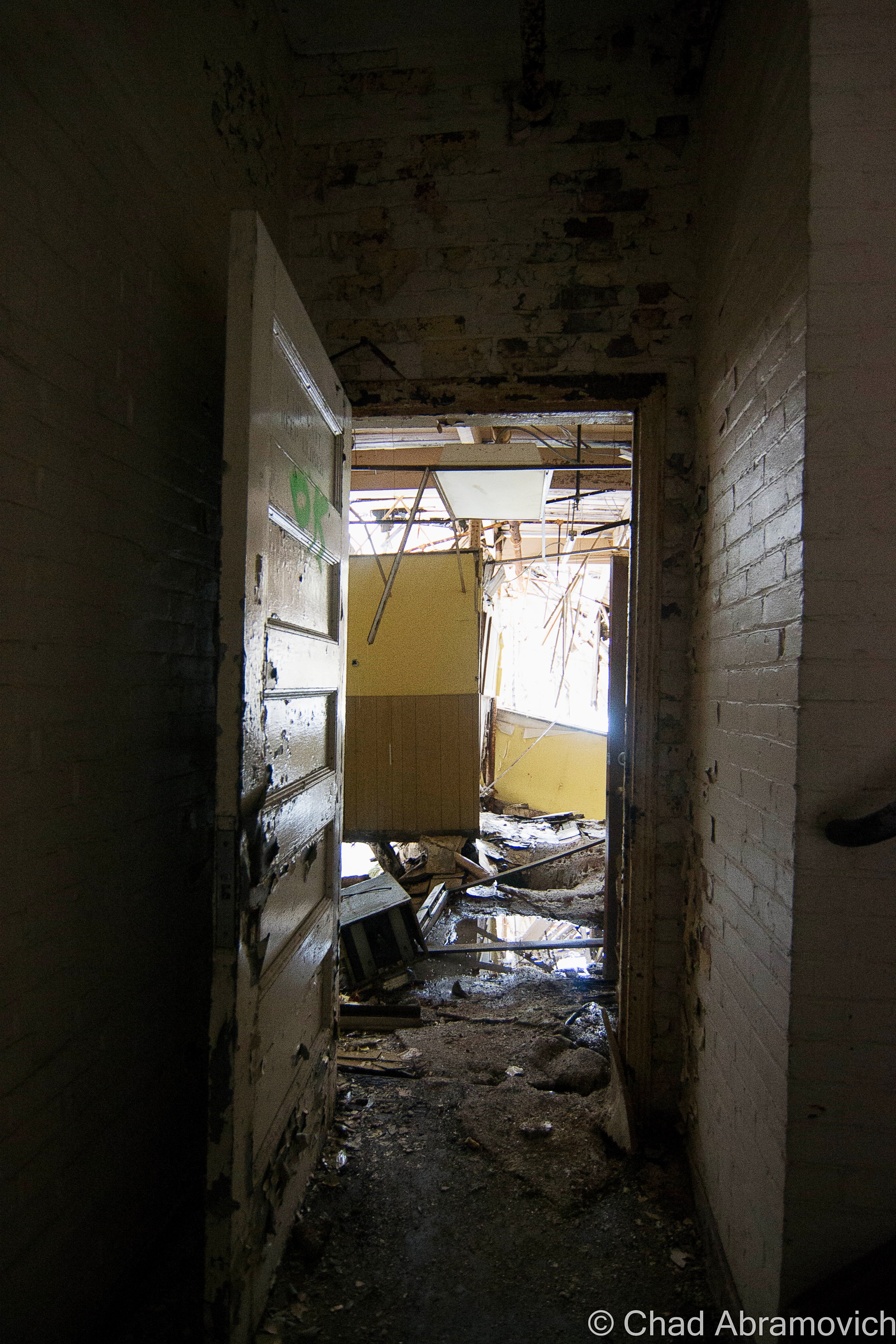
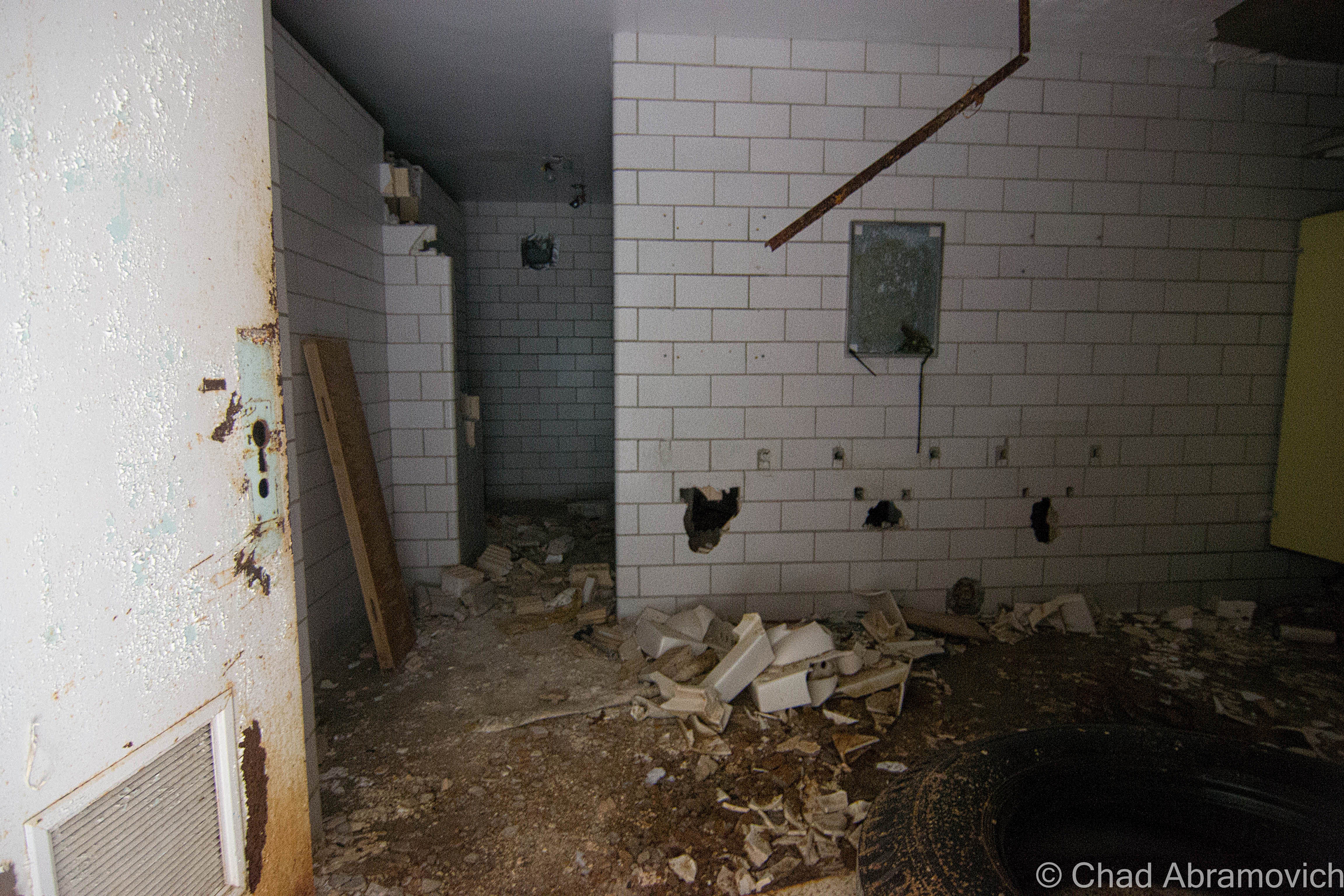
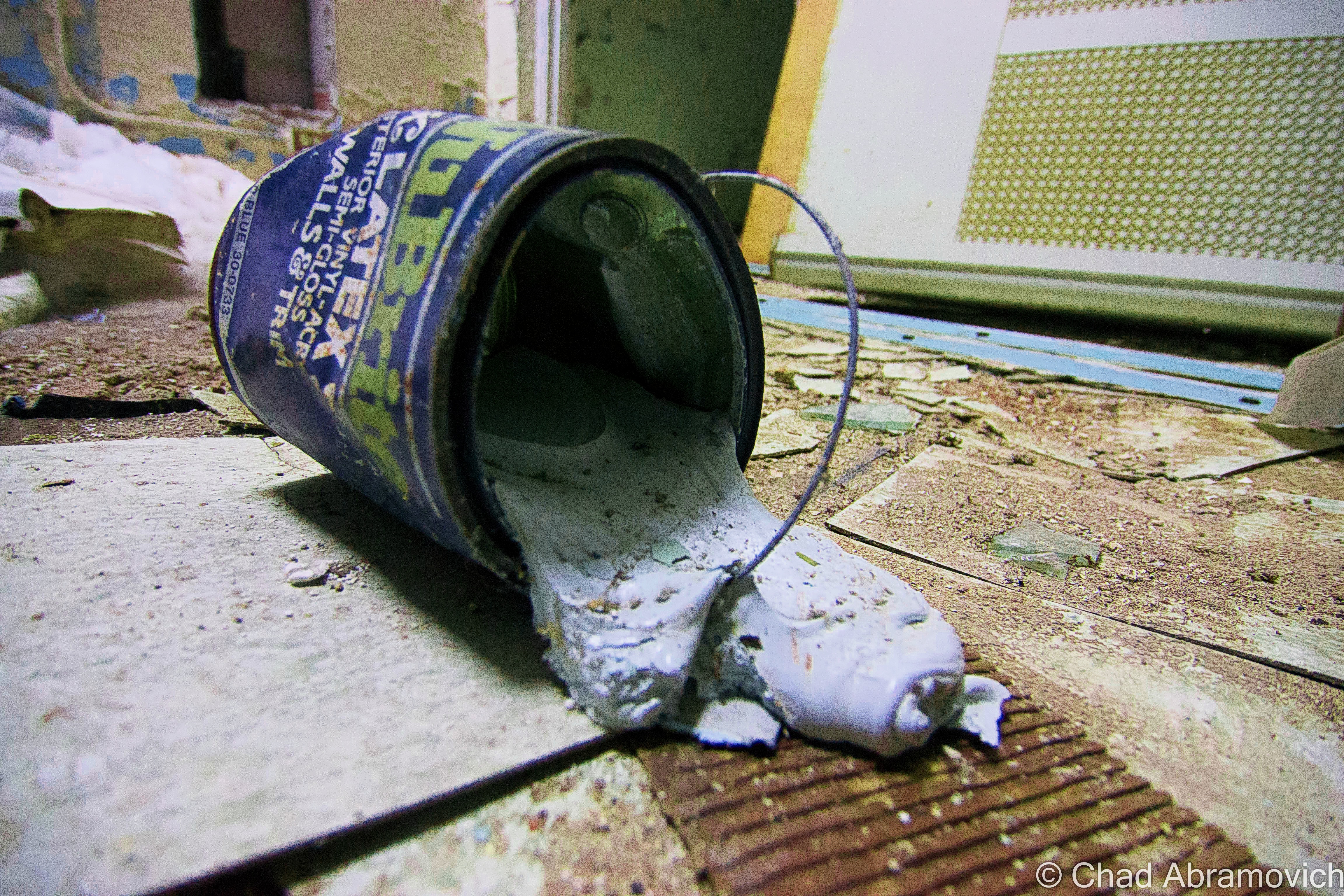
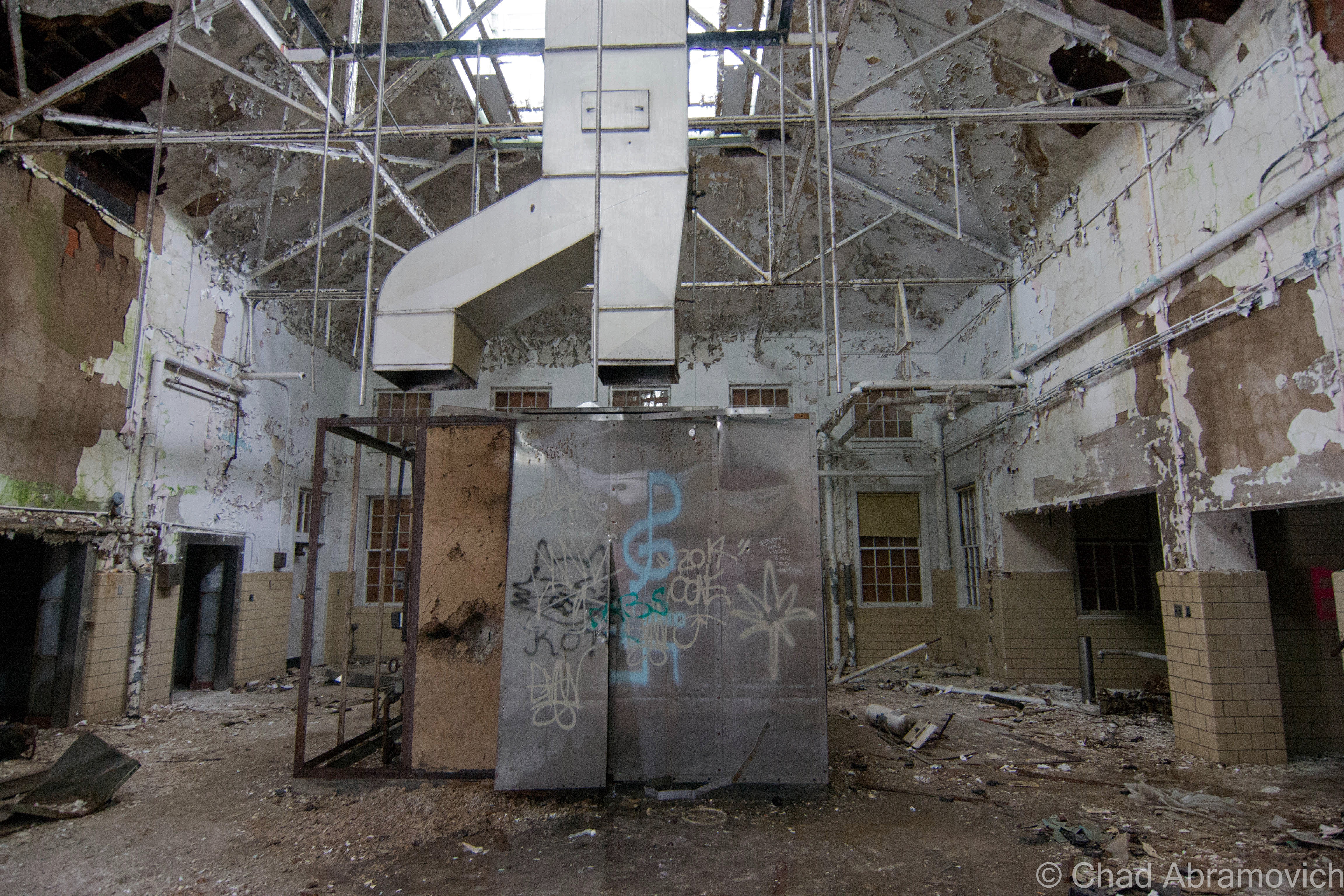
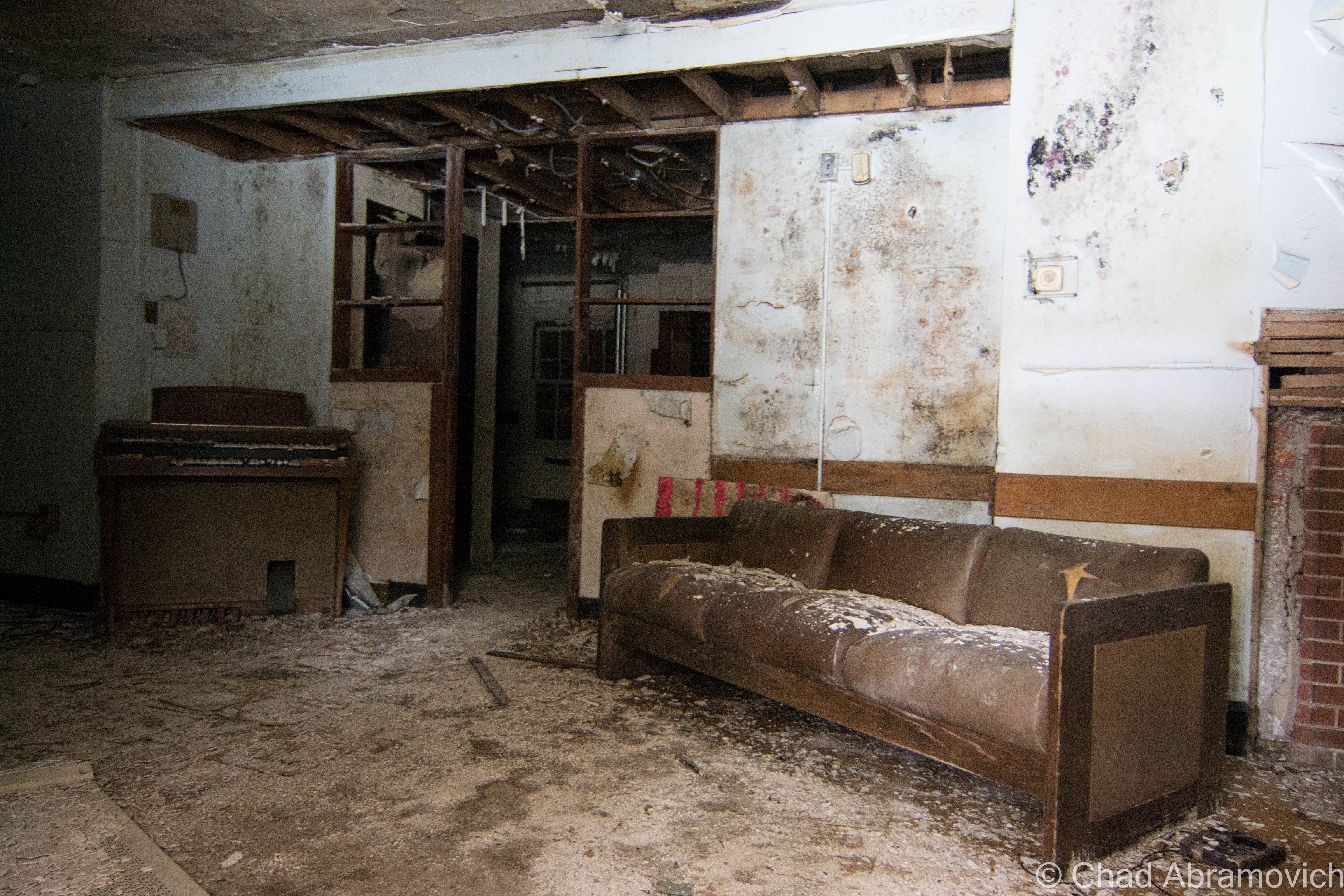
A majority of the buildings were sealed up, but a good amount had their doors torn open, and security was nowhere to be seen. Many of the buildings were boarded up and were pitch black. If it wasn’t for the wintery cold, the mold and asbestos inside would have probably been insufferable. Others had entire sections which had completely collapsed.

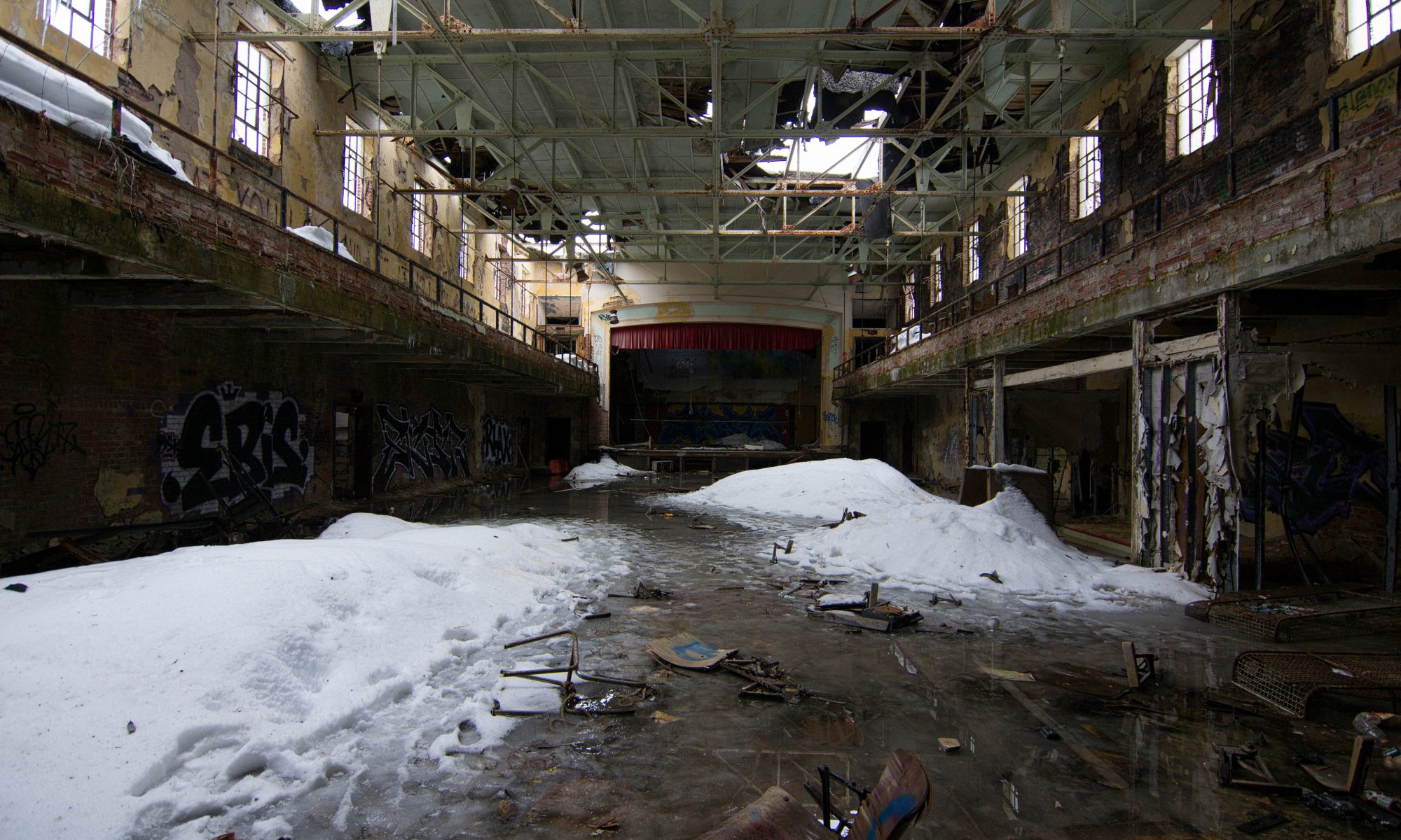
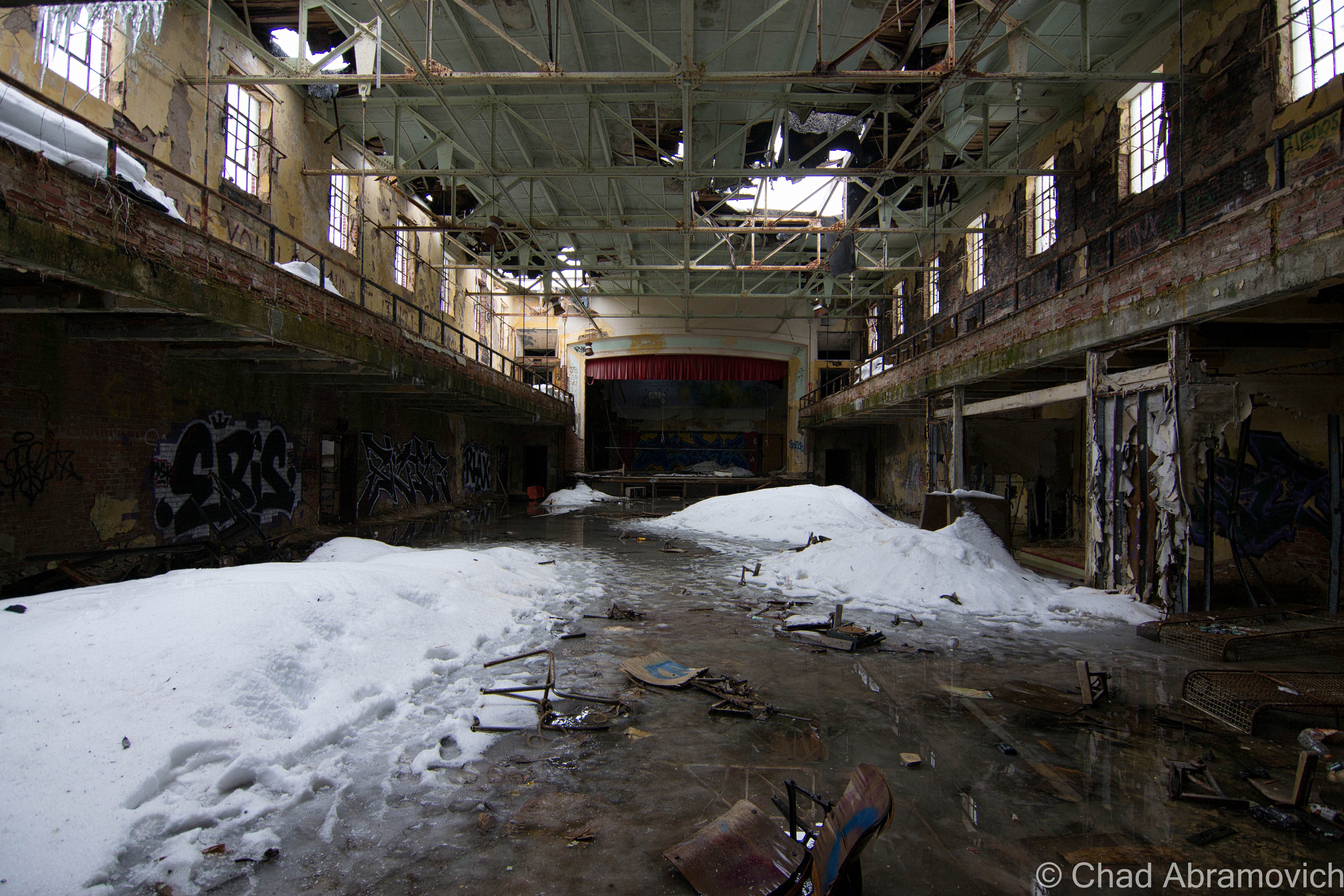
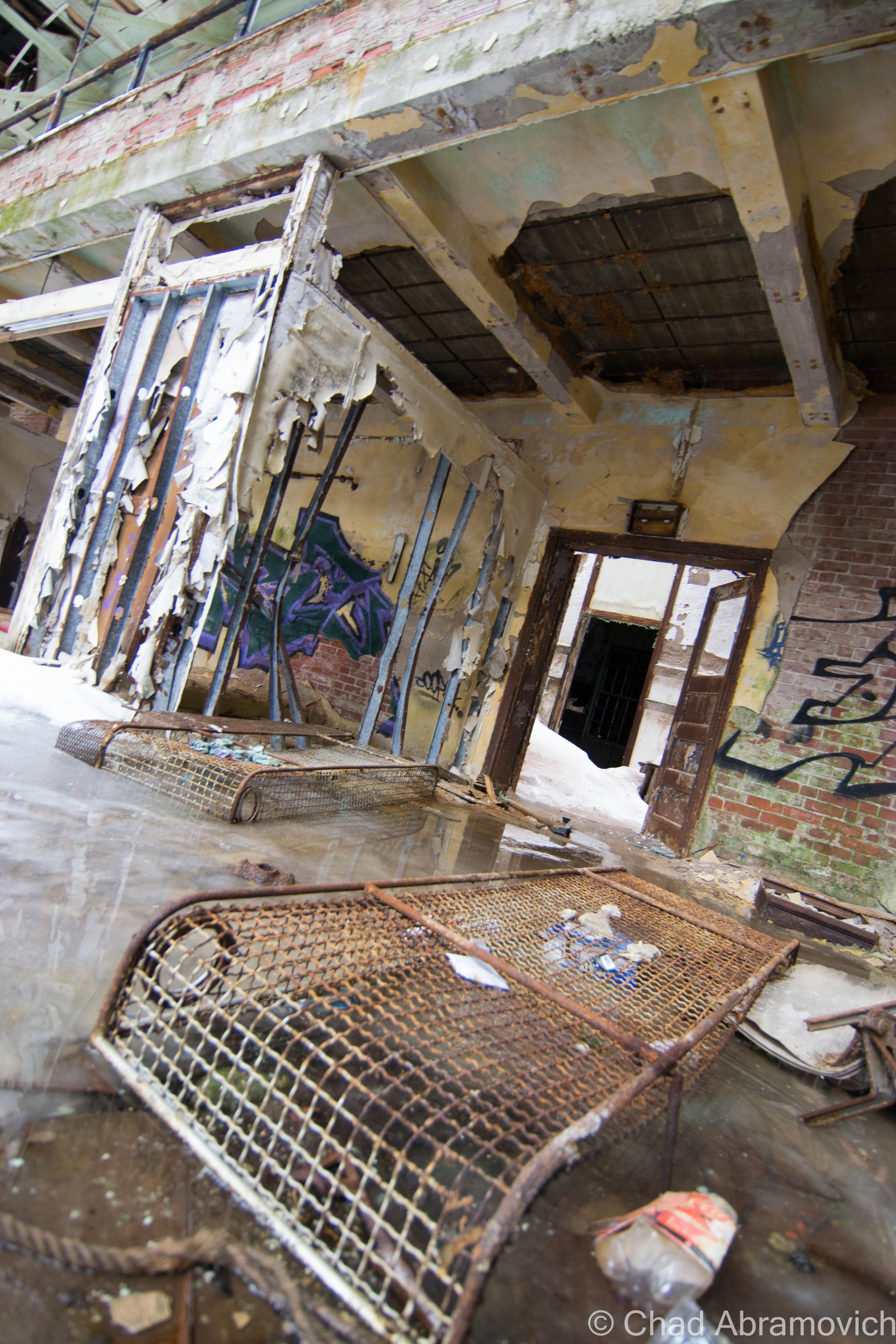
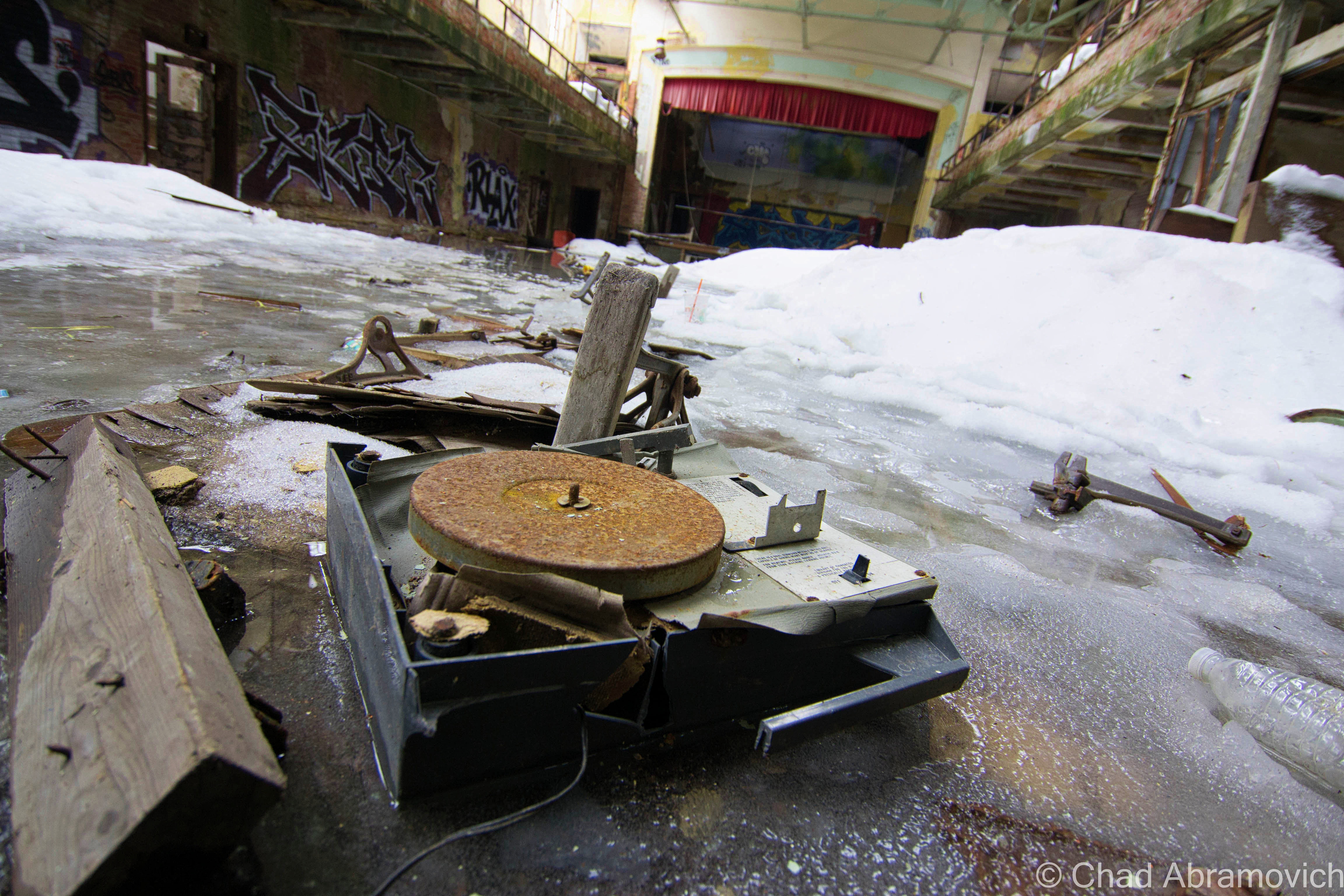
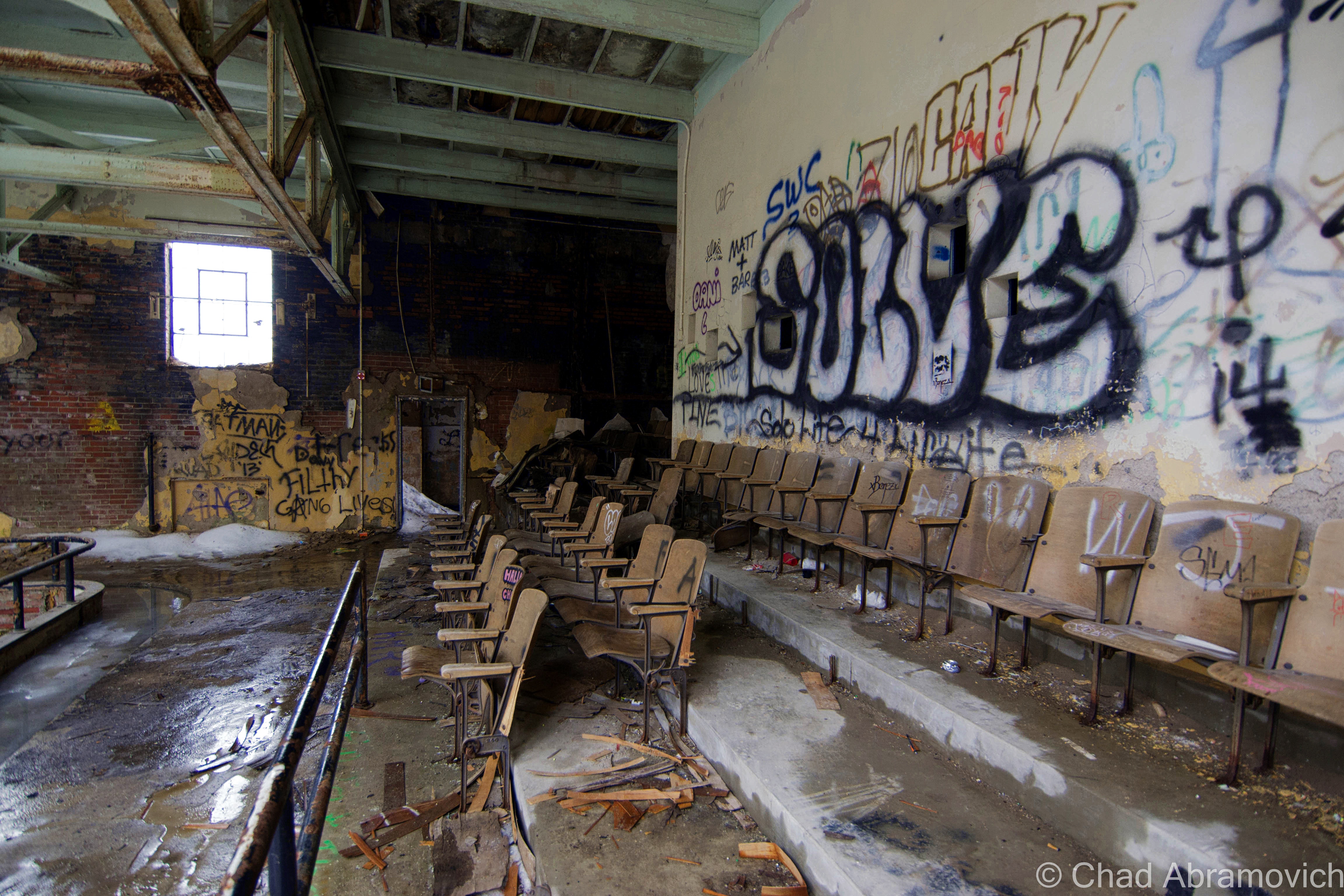
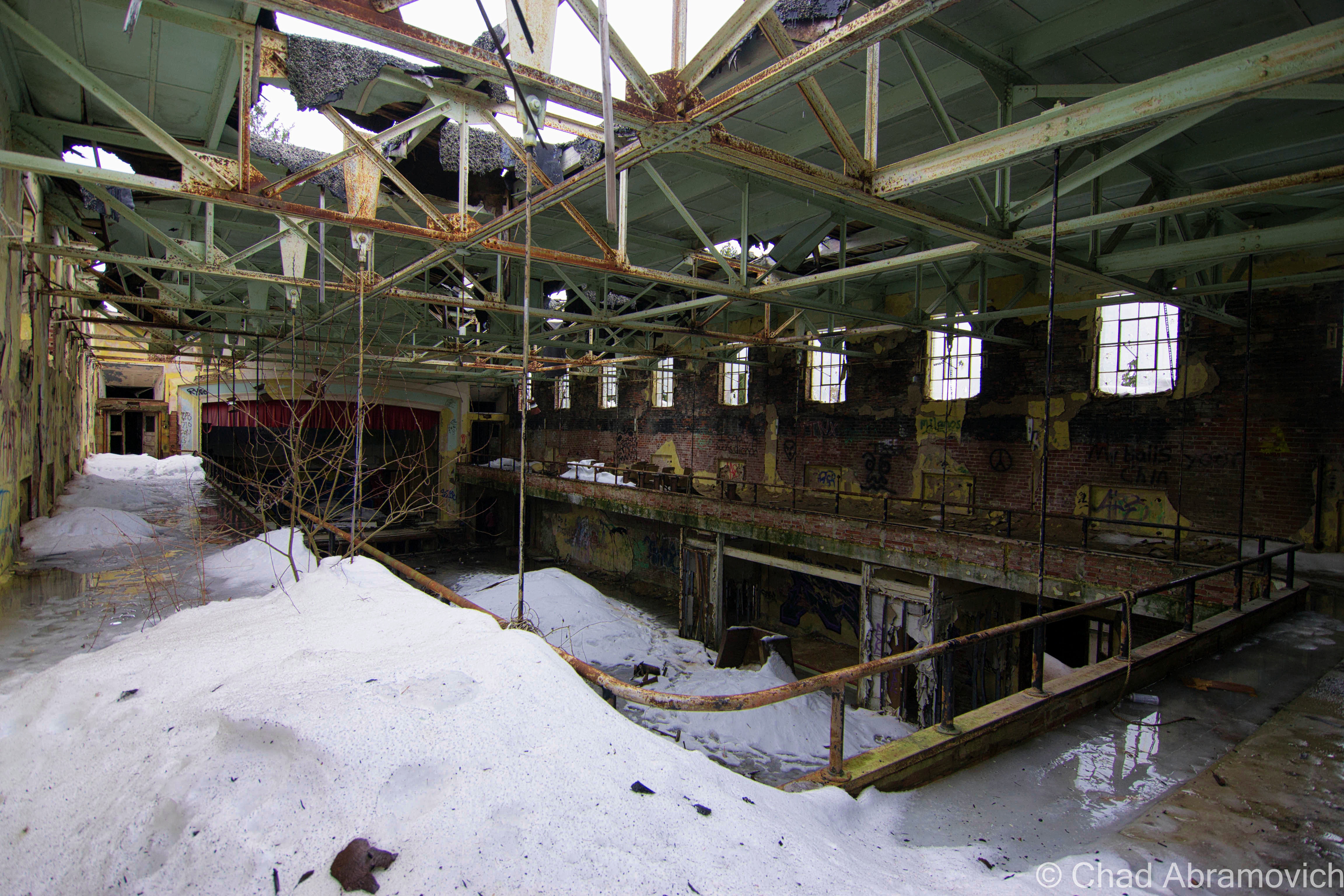
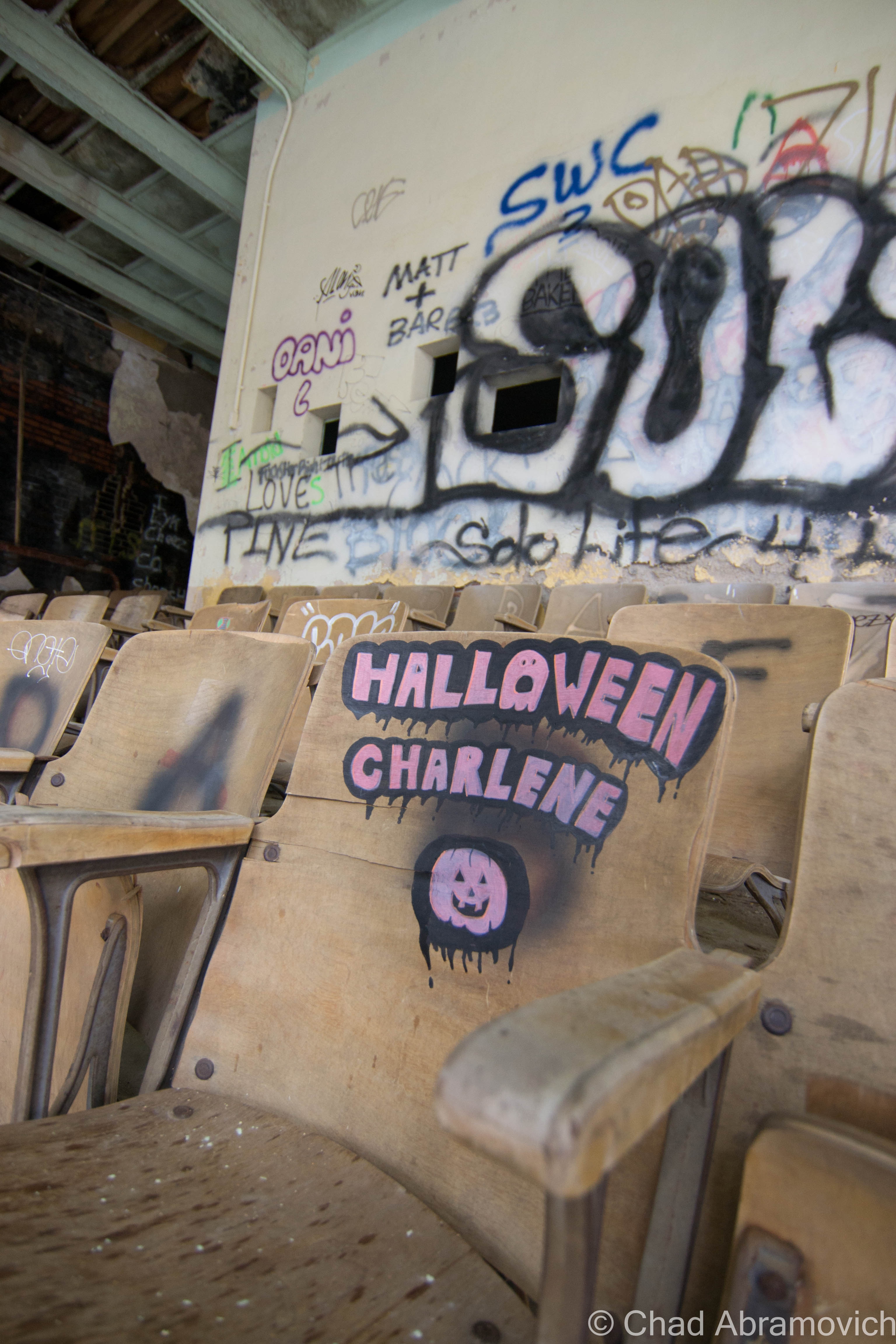
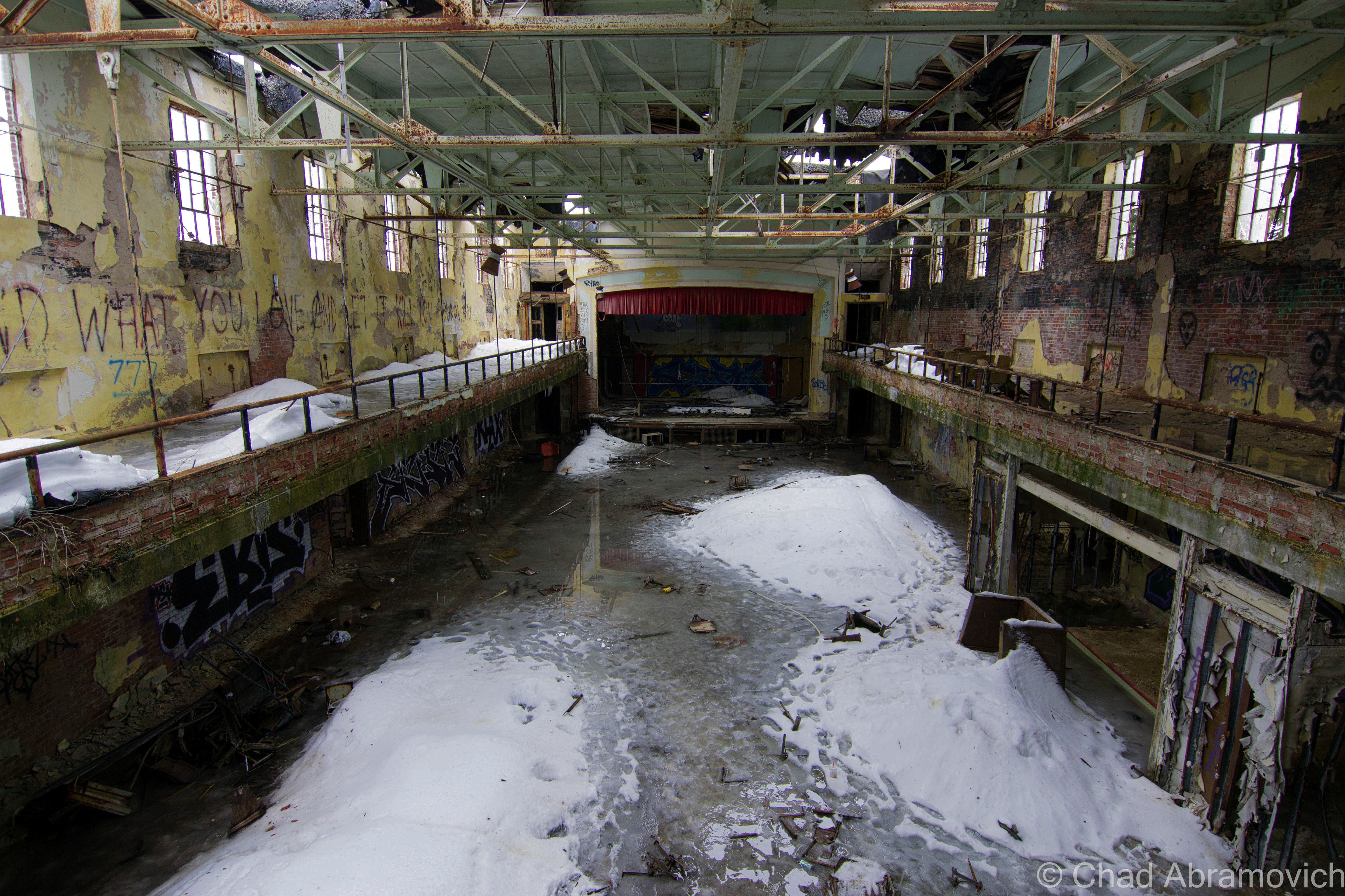
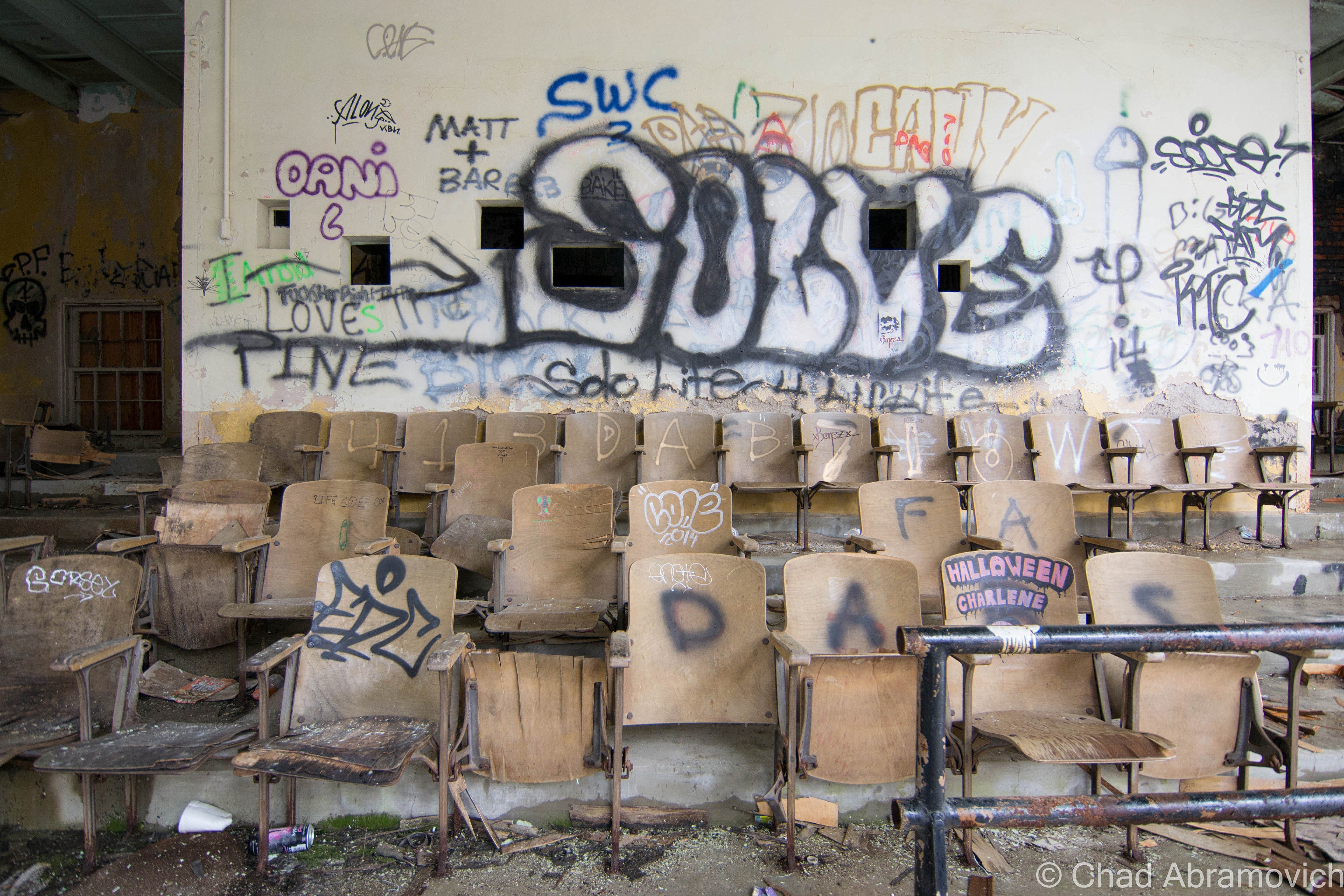
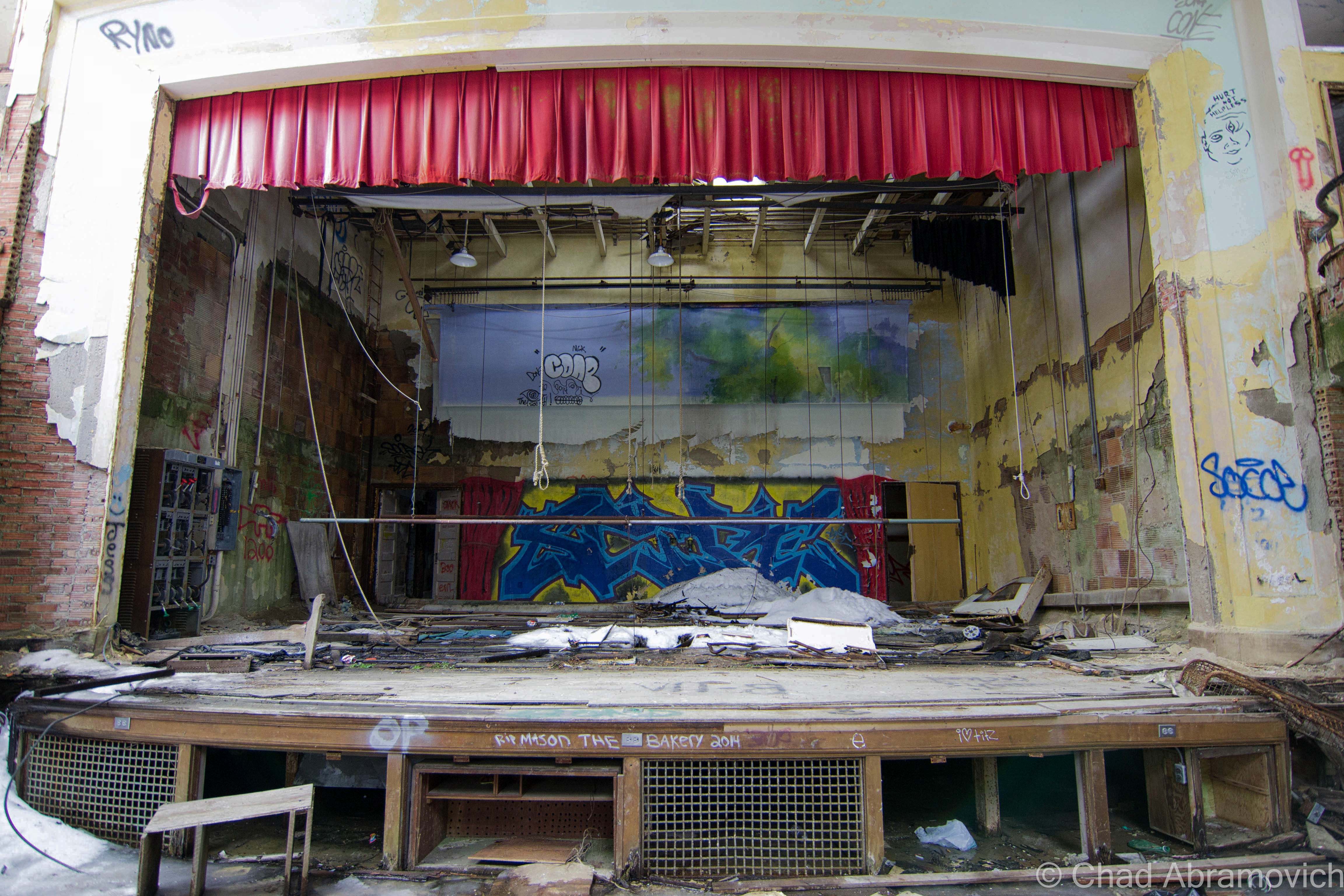
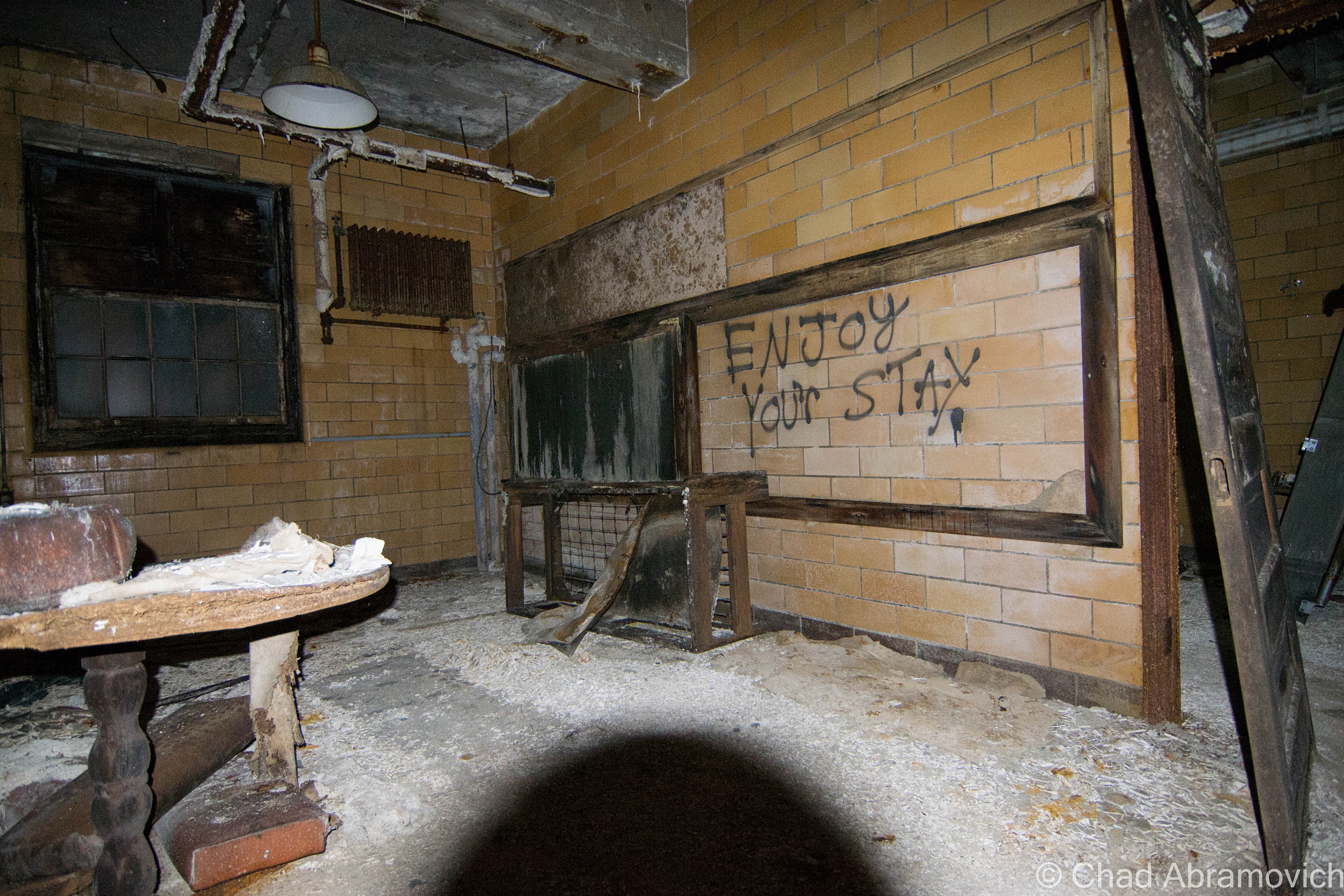
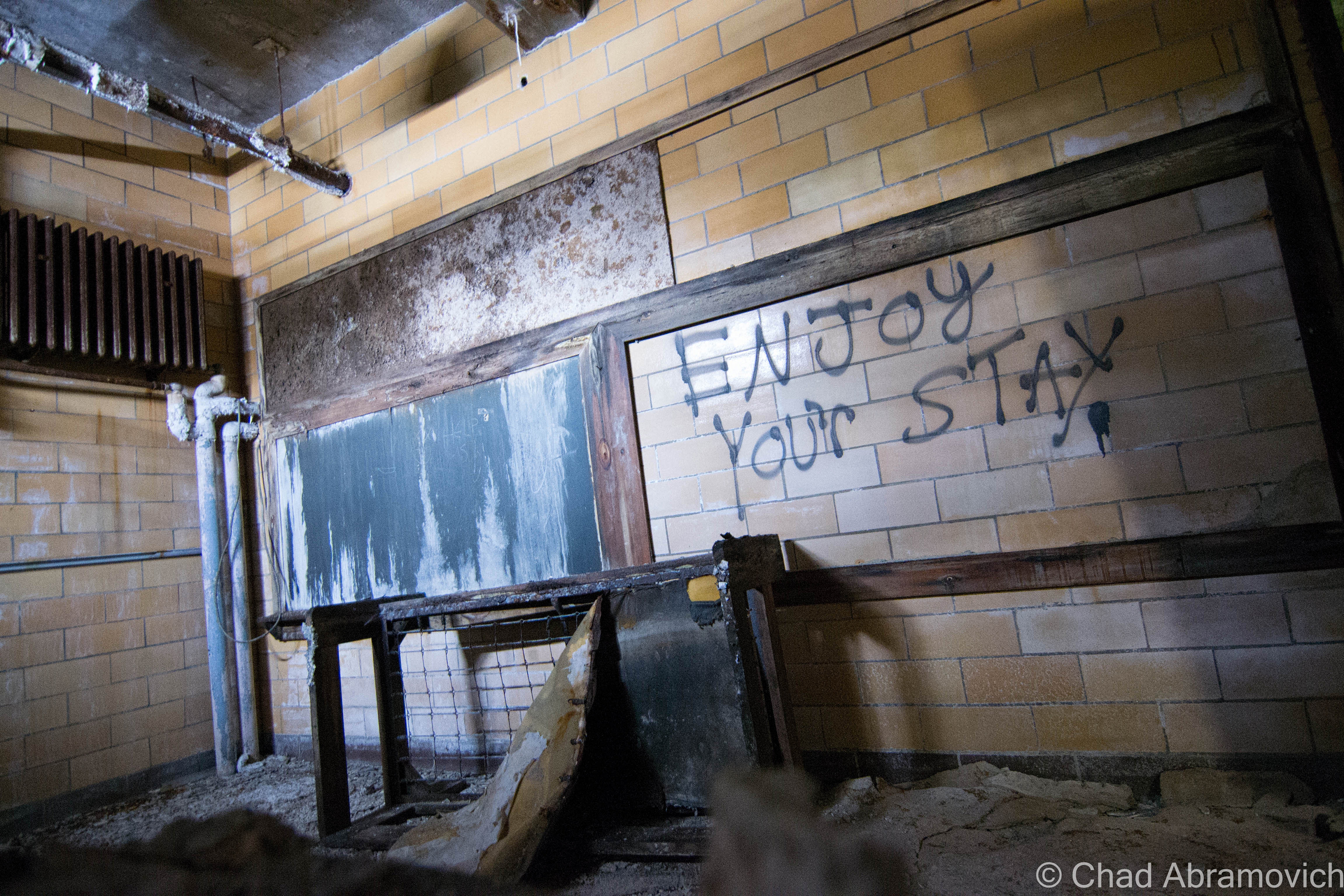
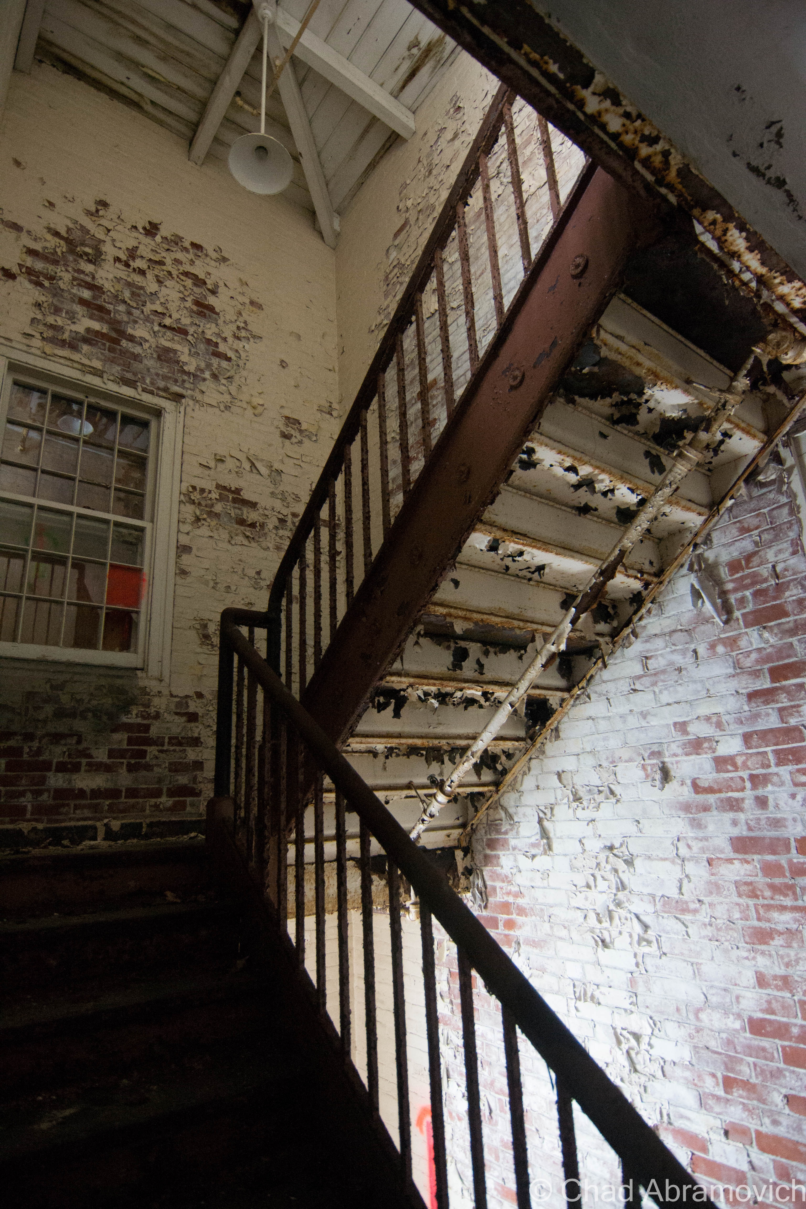
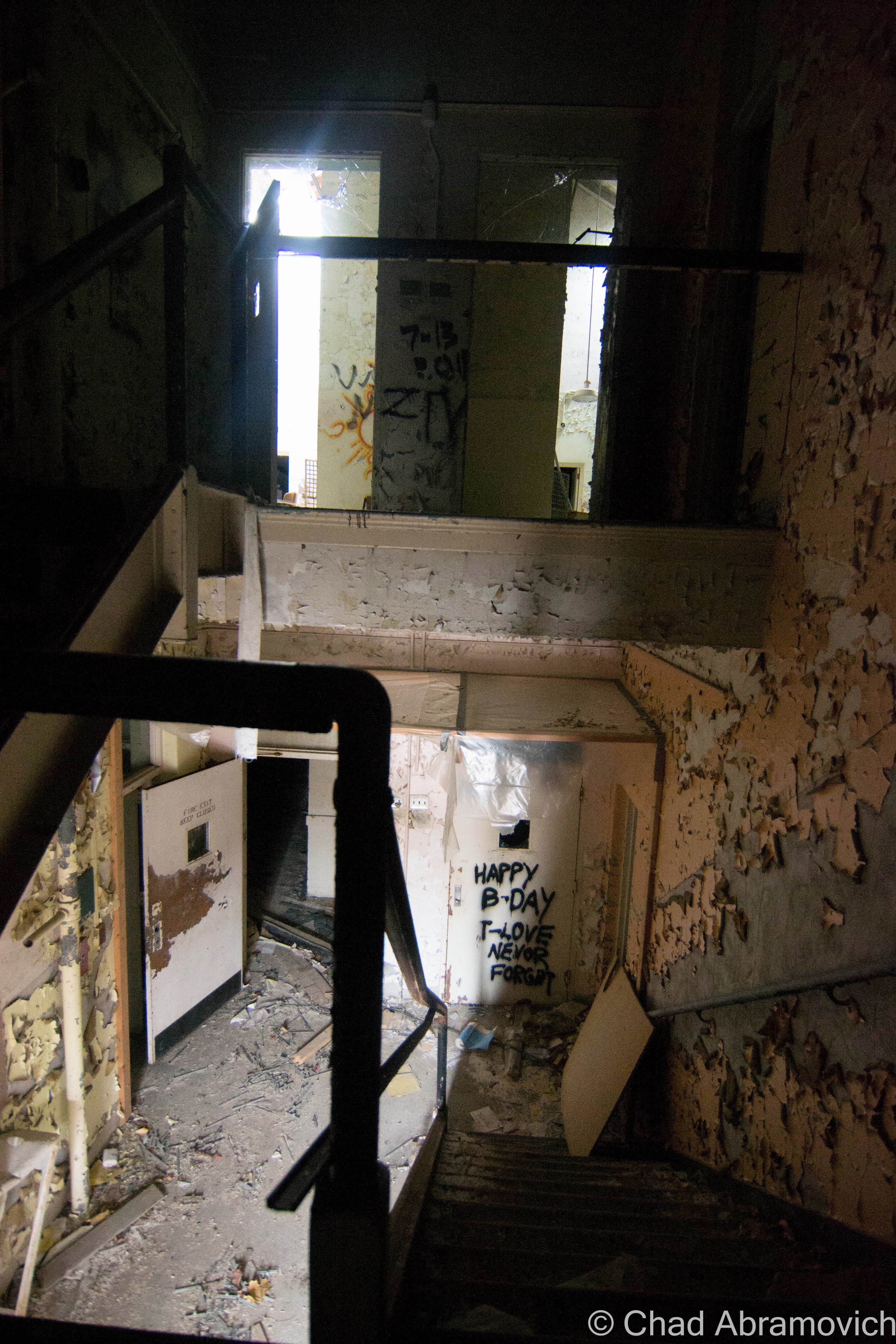
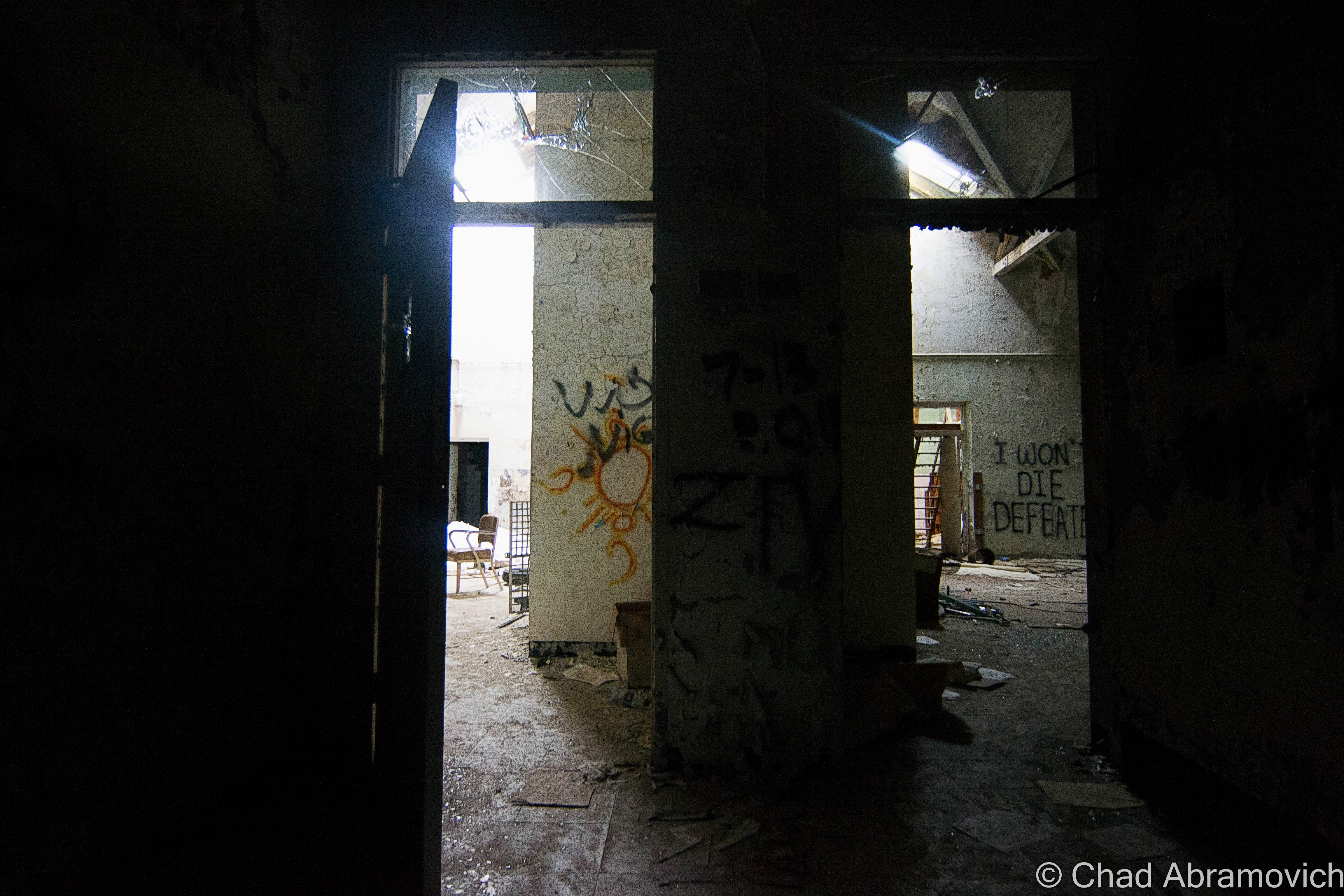
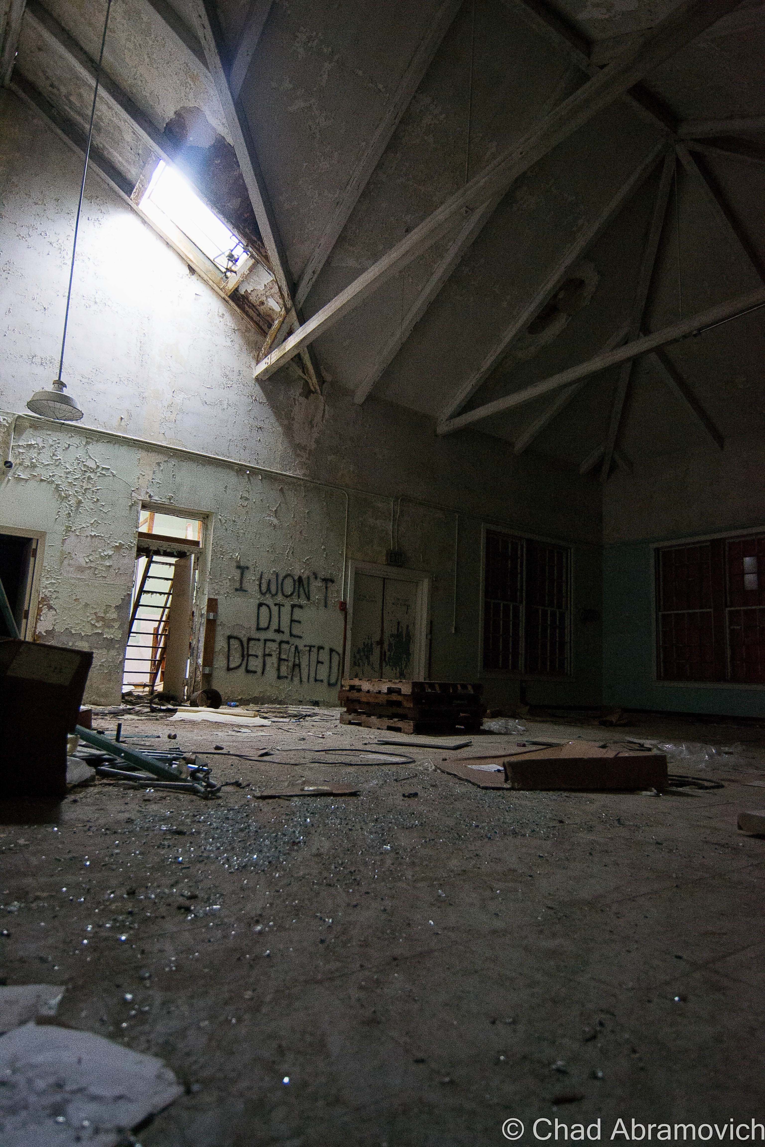
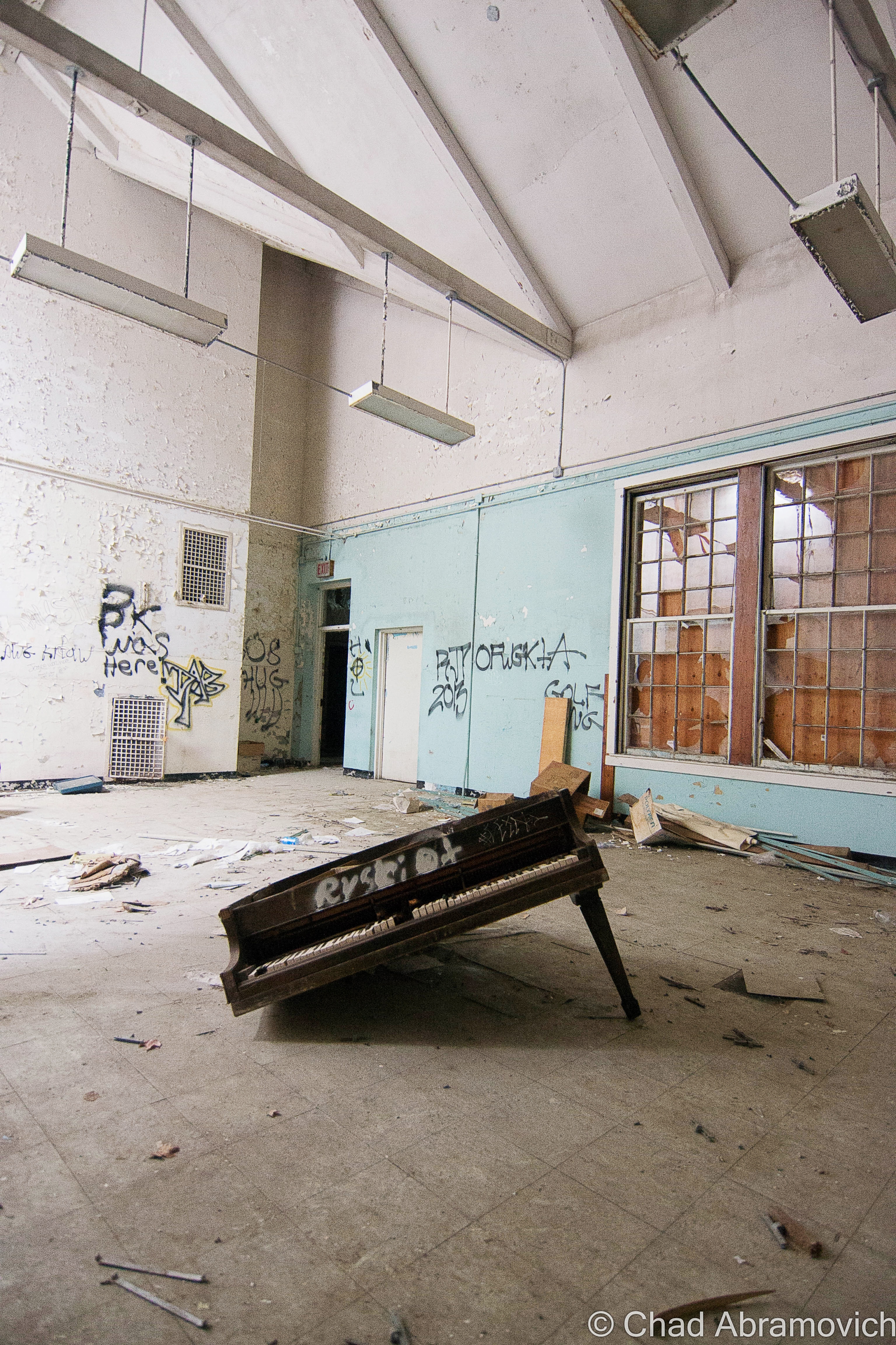
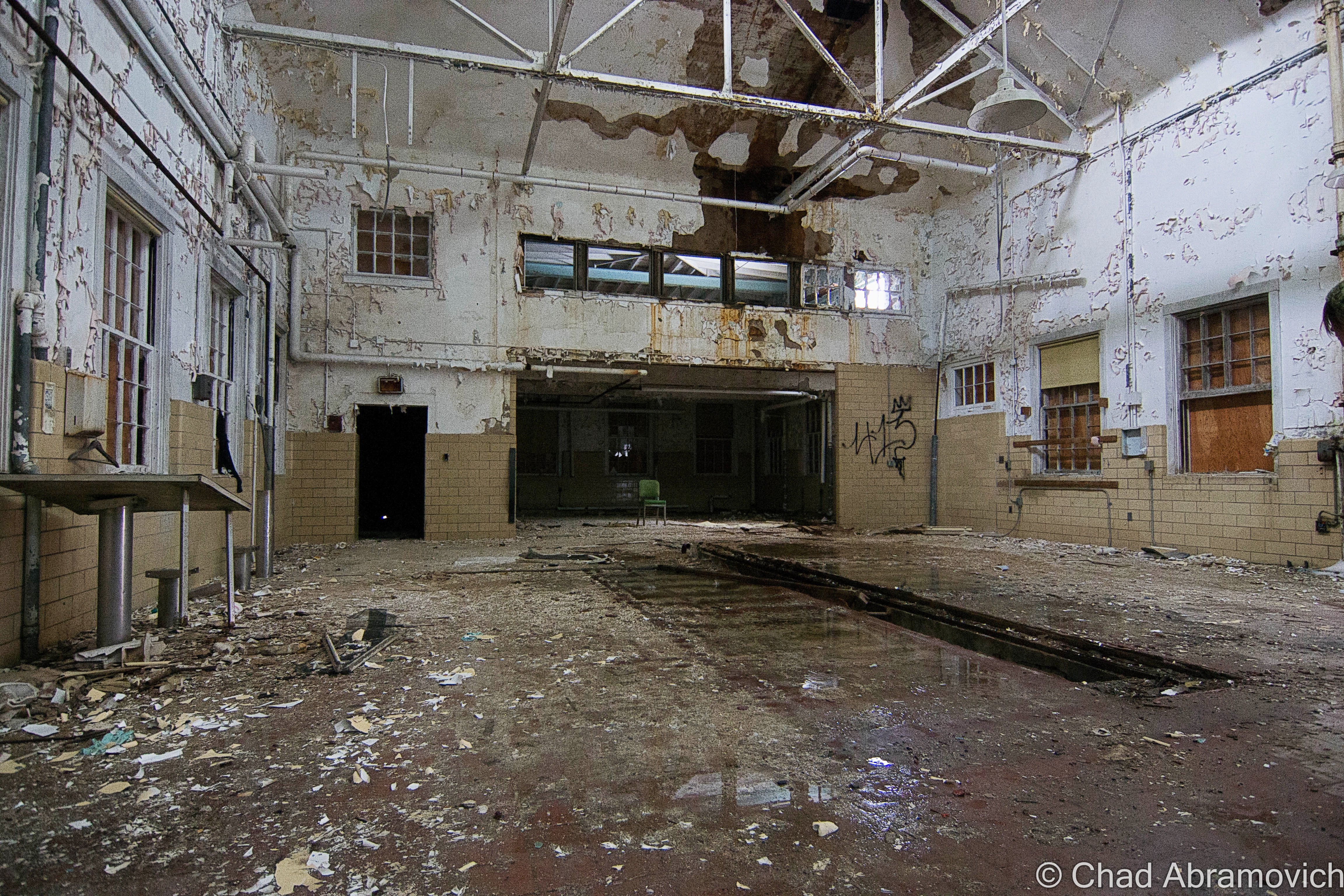
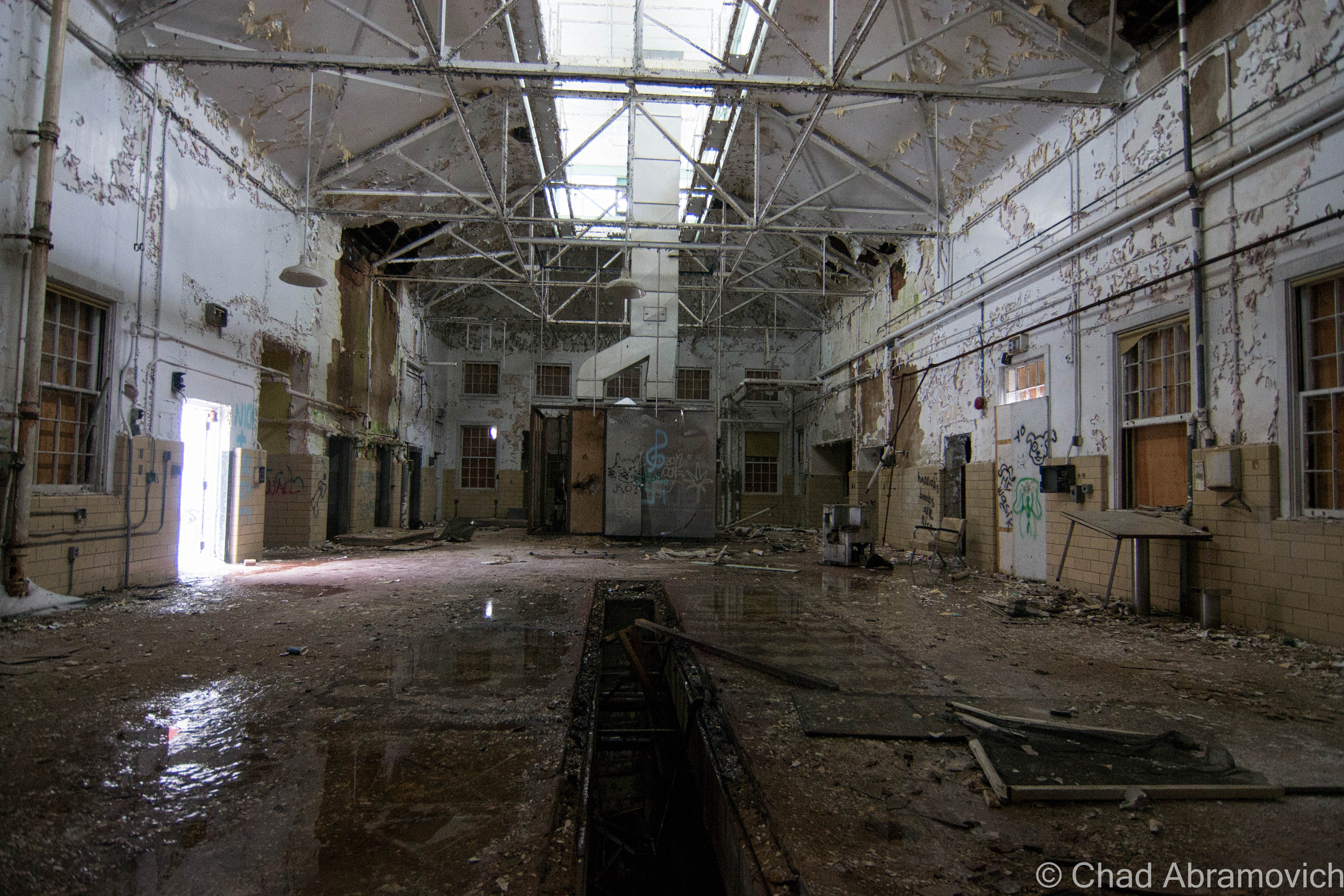
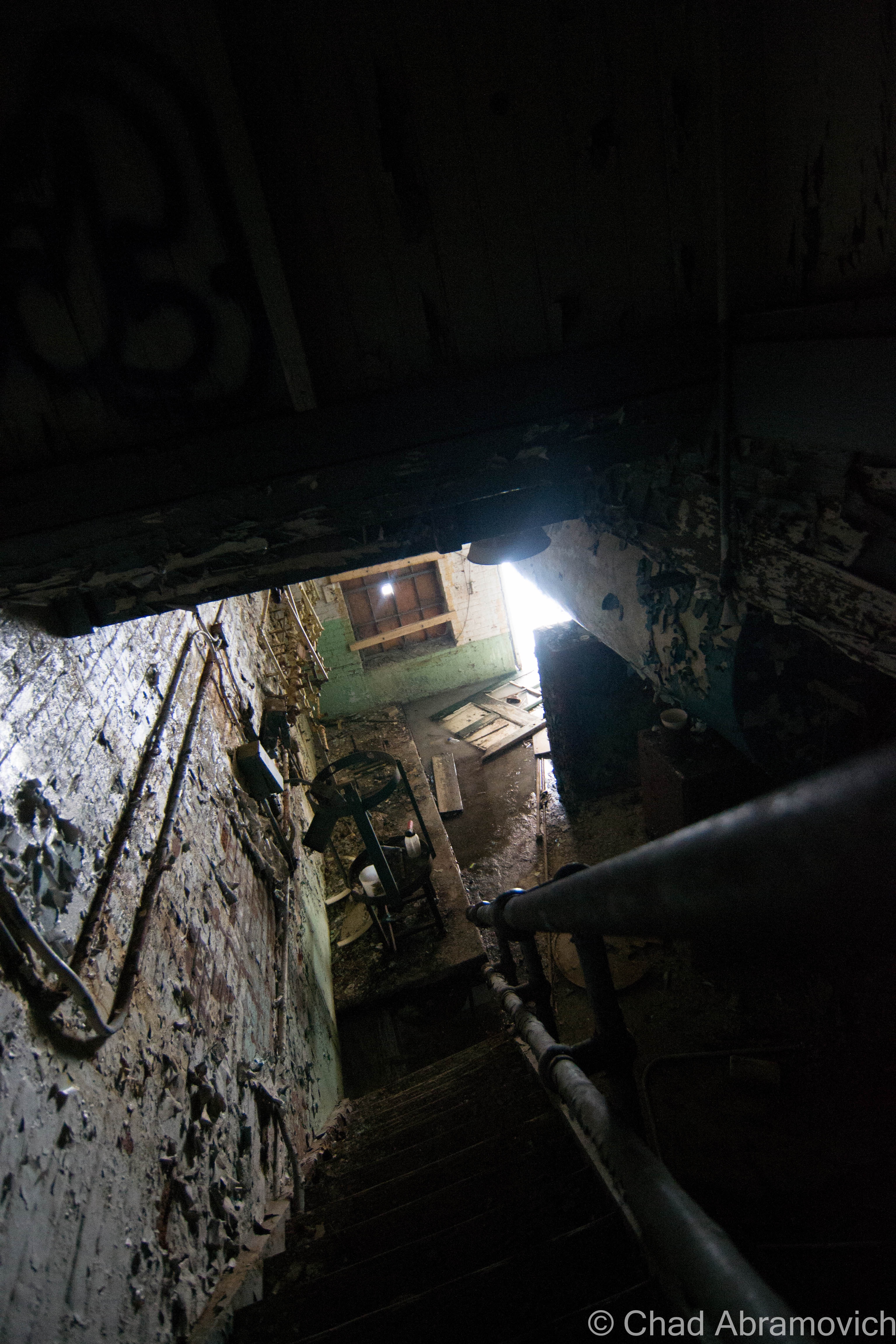
Though there was much to see, most of the buildings were void of anything of interest. The auditorium was by far the most splendid place to explore, and also the most dangerous. The overcast and bleak landscape made the cavernous interior more sad and dreary that day. The entire building was coated in a dangerous layer of ice, so moving around the collapsing structure had to be done carefully and methodically. Some of the wooden floors were more soggy than I felt comfortable with trusting, and every staircase was coated so thickly with ice that I had almost debated not taking the risk climbing them. I was already exploring an abandoned hospital, I didn’t need to visit a real one! But I took the risk, and I’m glad I did. The floor plan kept continuing, and became a bit of a maze as more hallways and staircases kept revealing themselves.

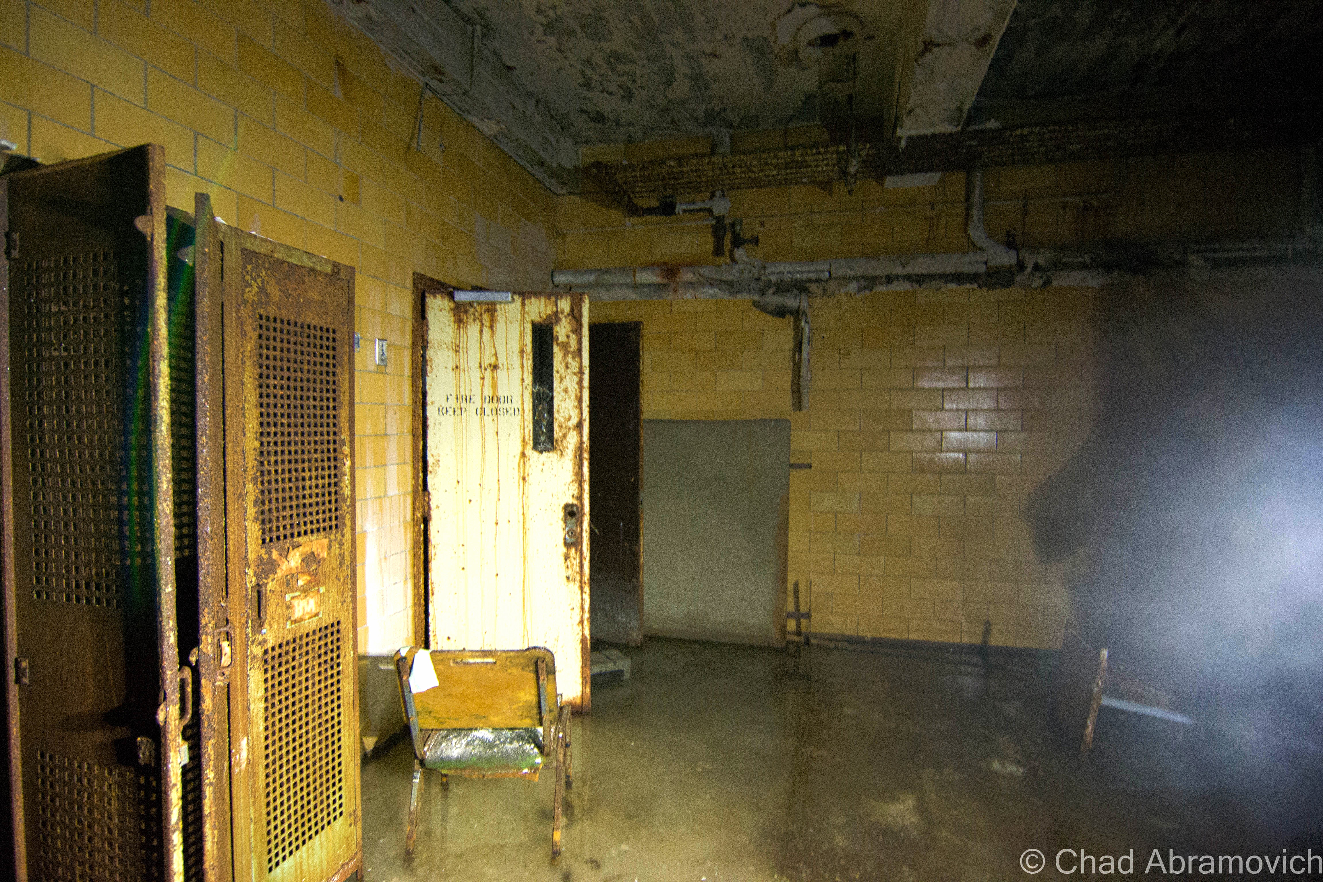
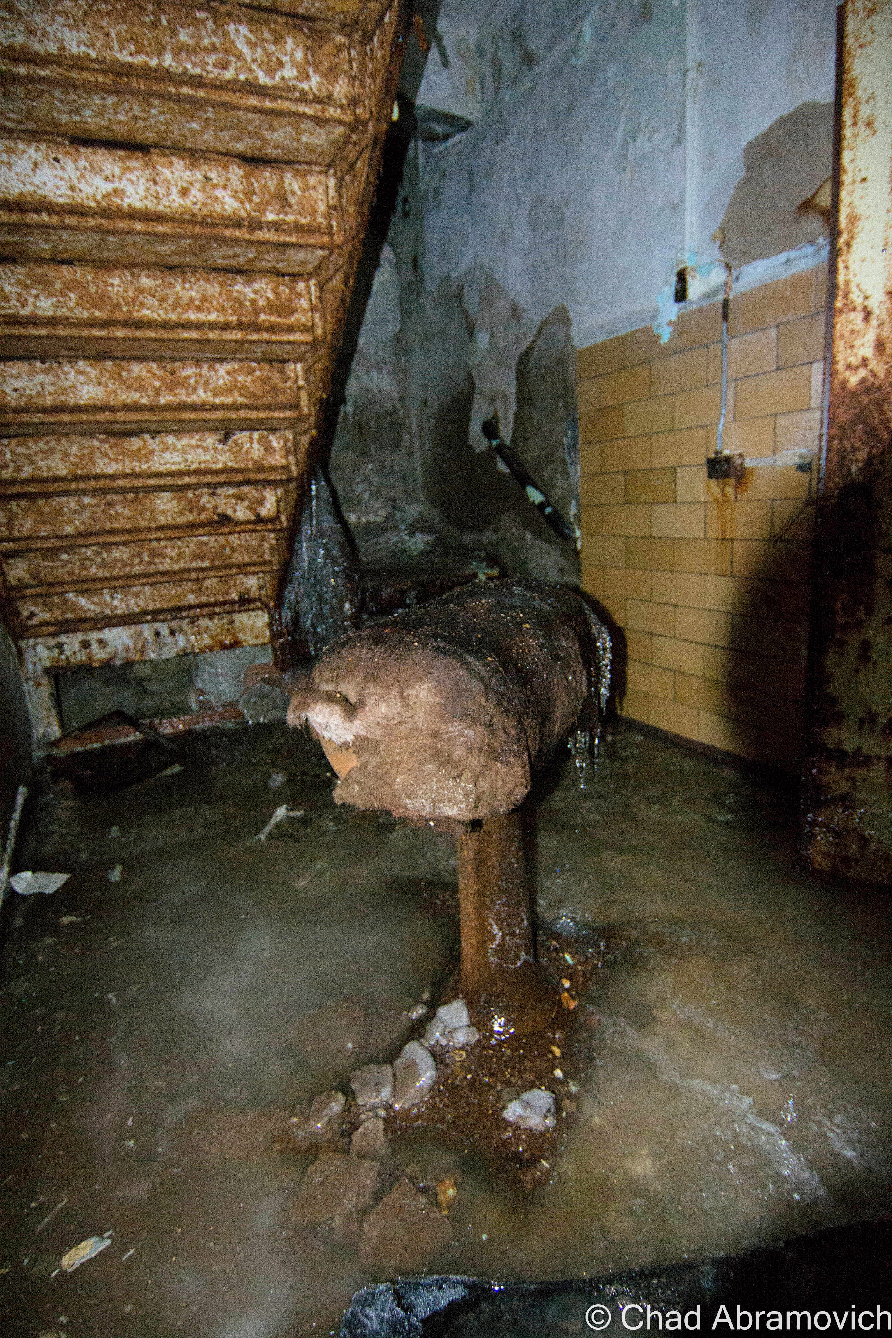
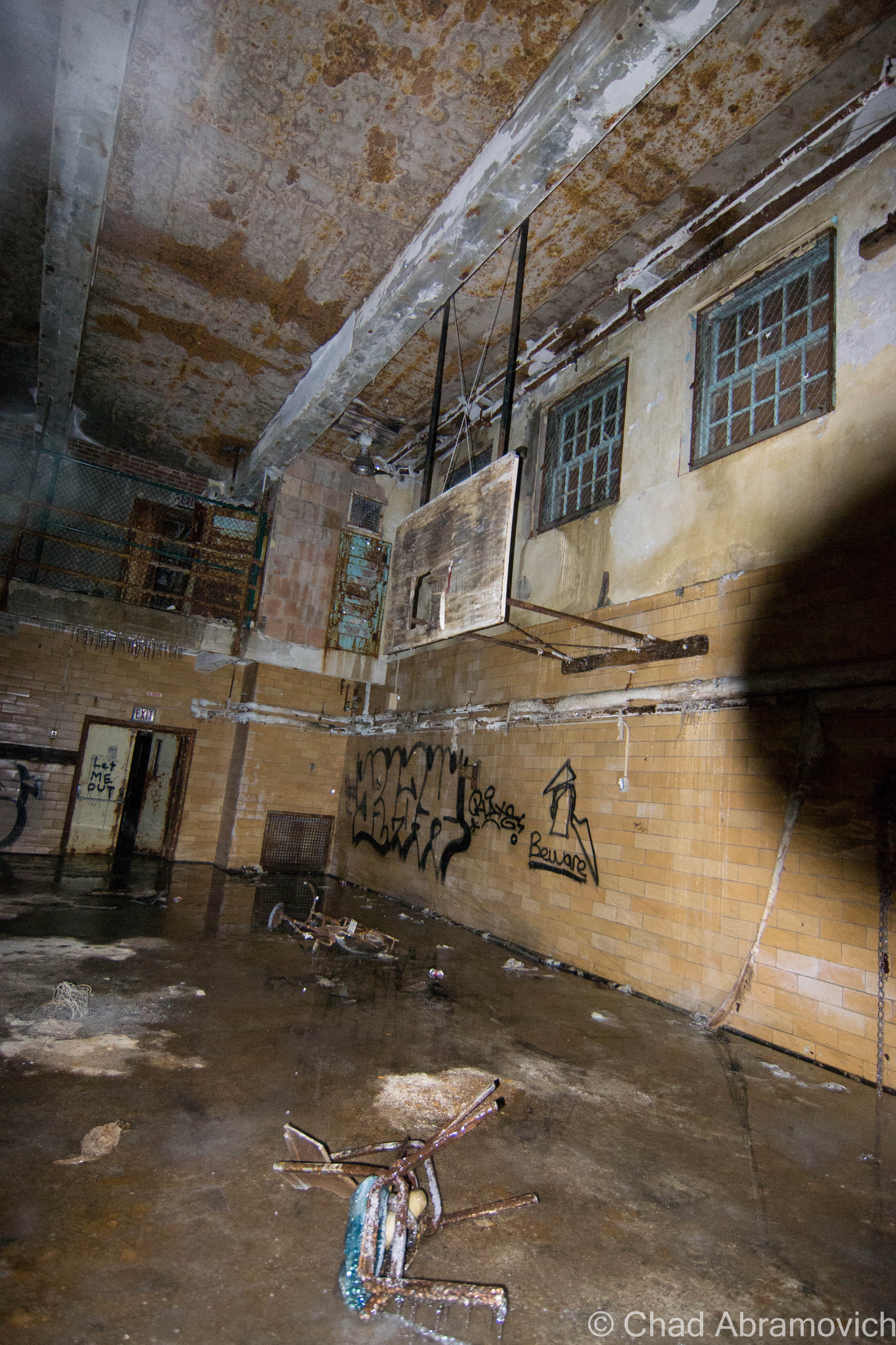
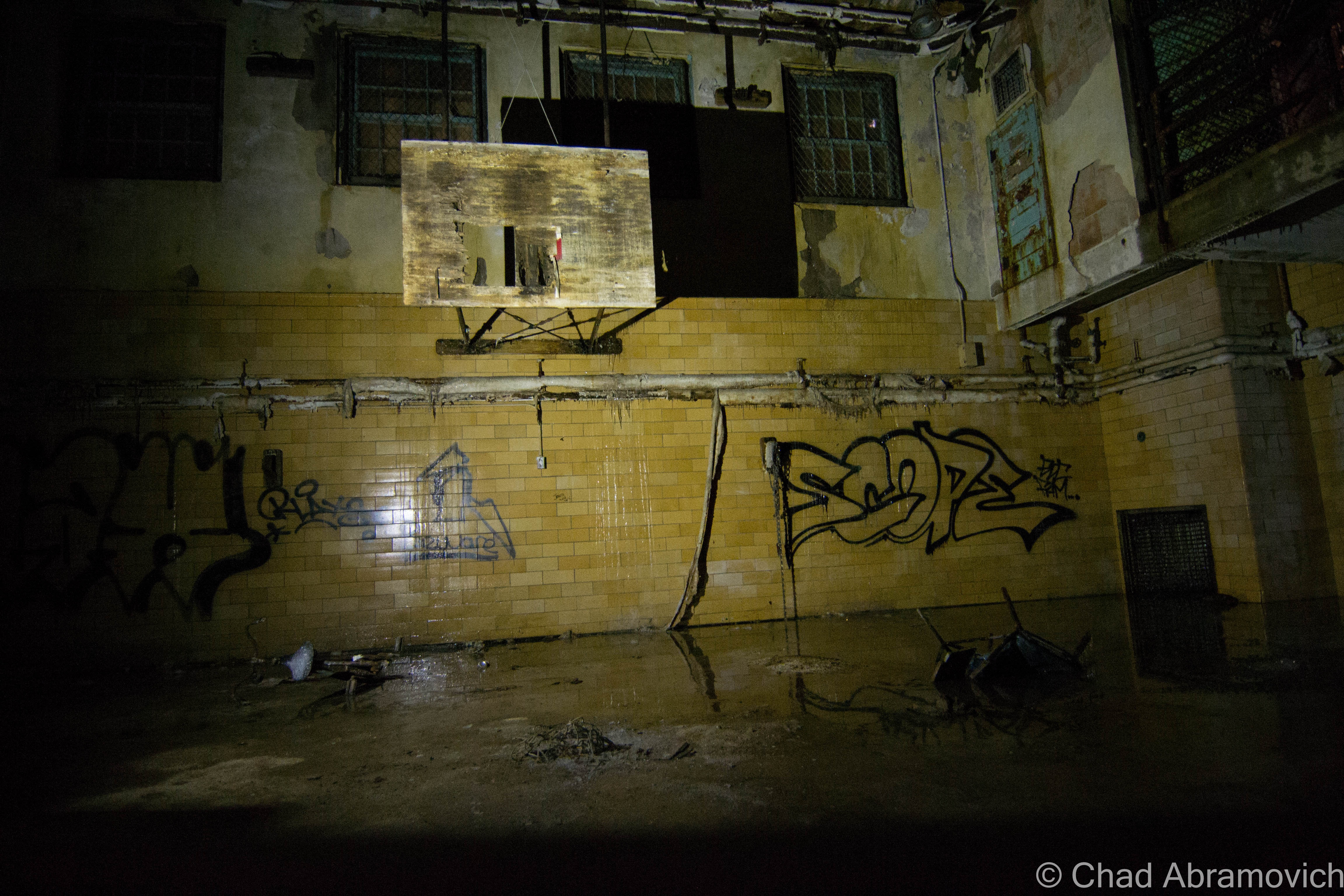
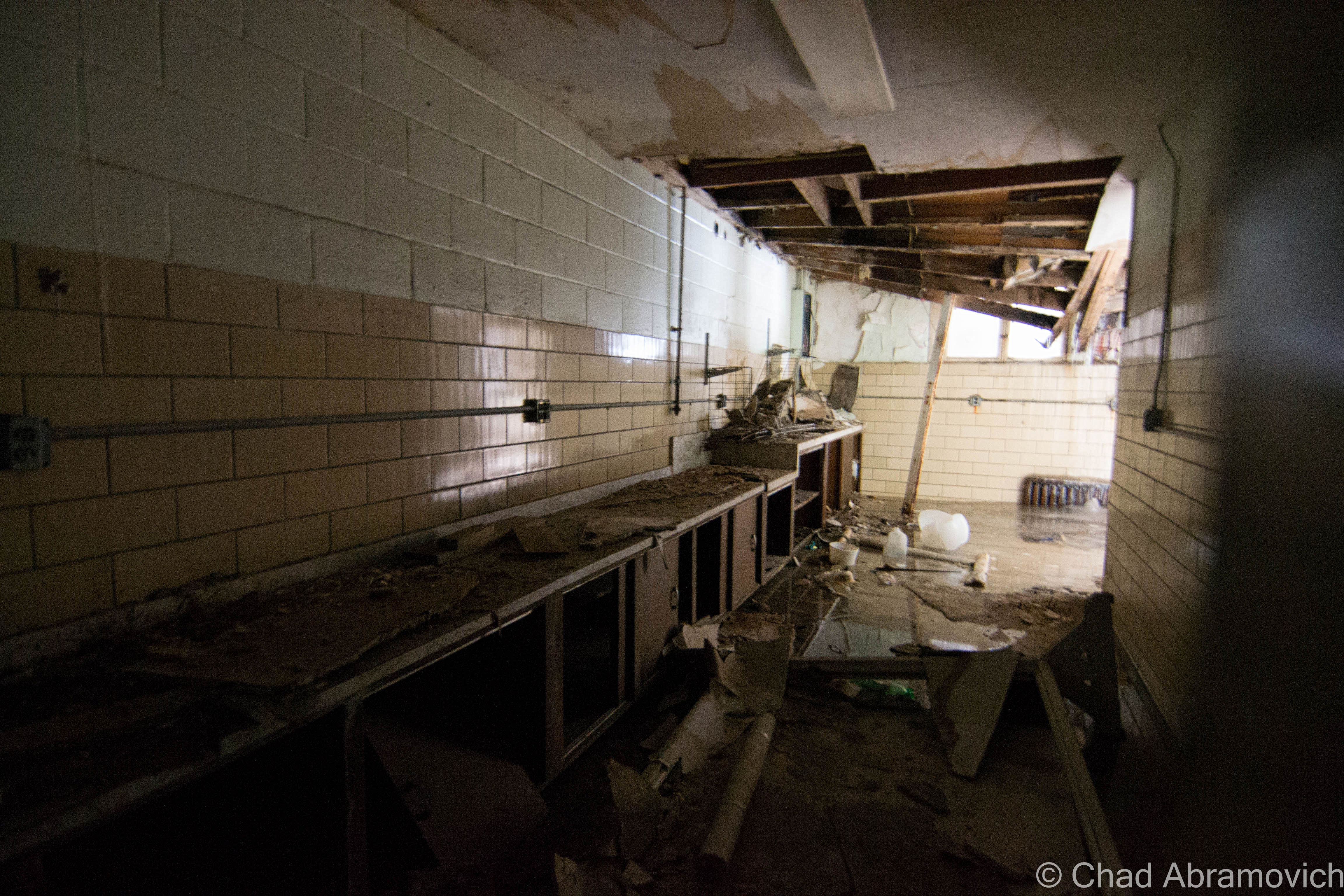
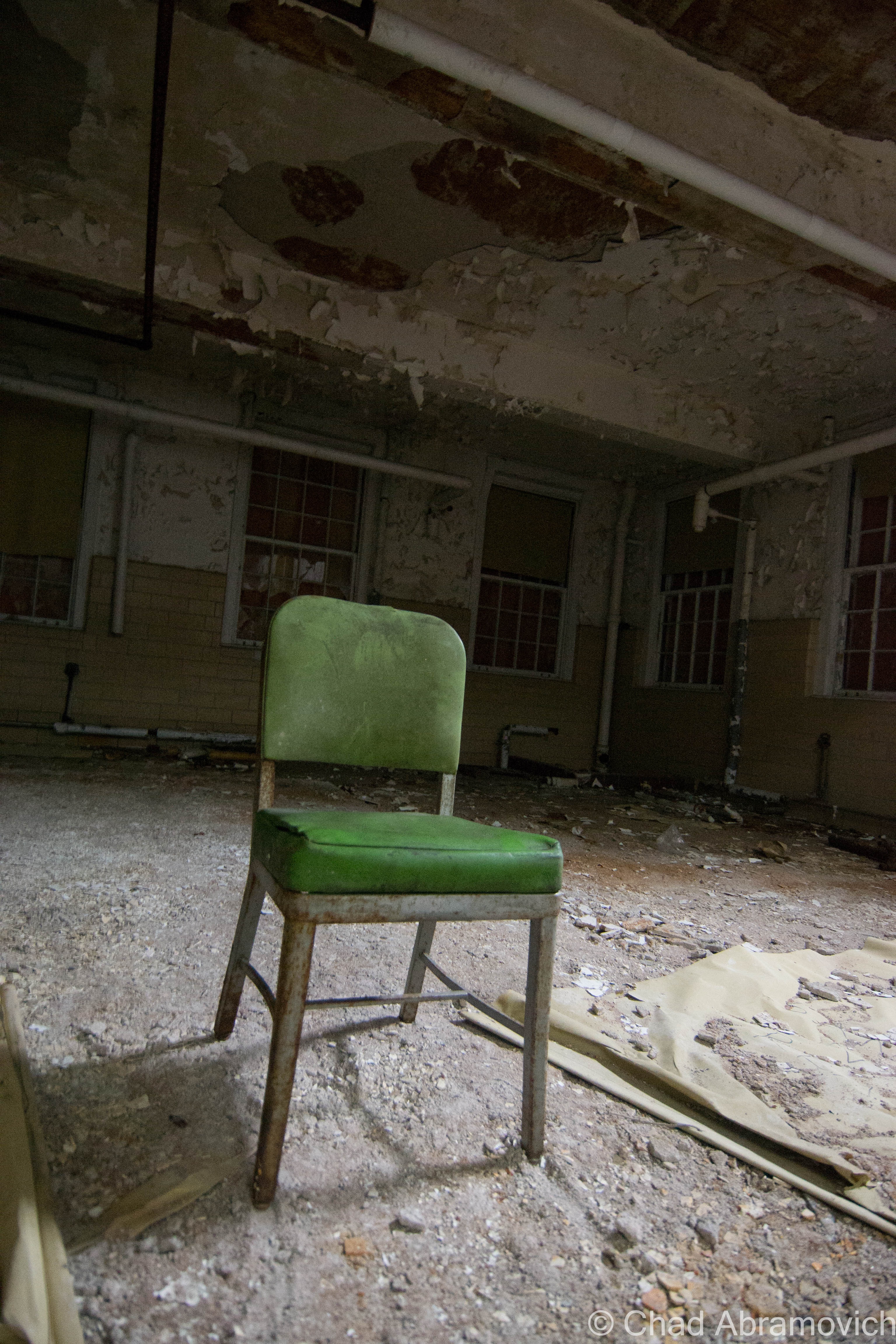
Below the rotting auditorium was one of the better finds, the old gymnasium, a spacious area outfitted in grungy yellow hospital tile that was coated with mold and rot. The basement area consisted of two levels, and it was inky black. The lowest level was filled with knee deep water, with a layer of ice underneath, making passage treacherous. With the aid of our maglites, we made it into the gym. All I could hear was a roaring cacophony of dripping water raining down from the decaying abyss above our heads which ran down the back of our necks. It was so cold downstairs that I could see my breath in the beam of my flashlight. A friend of mine later told me that it wasn’t much different during the warmest months of the summer.

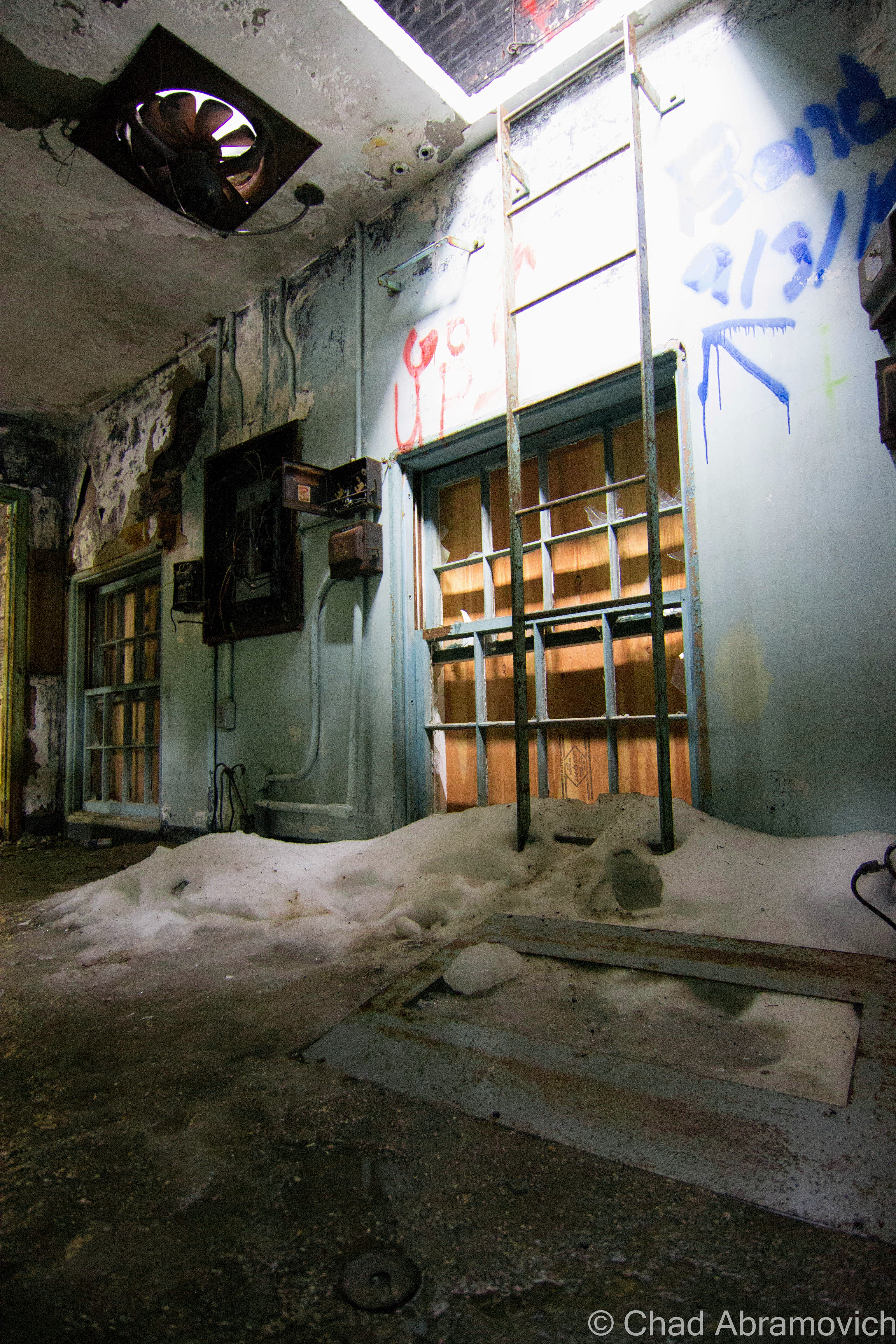
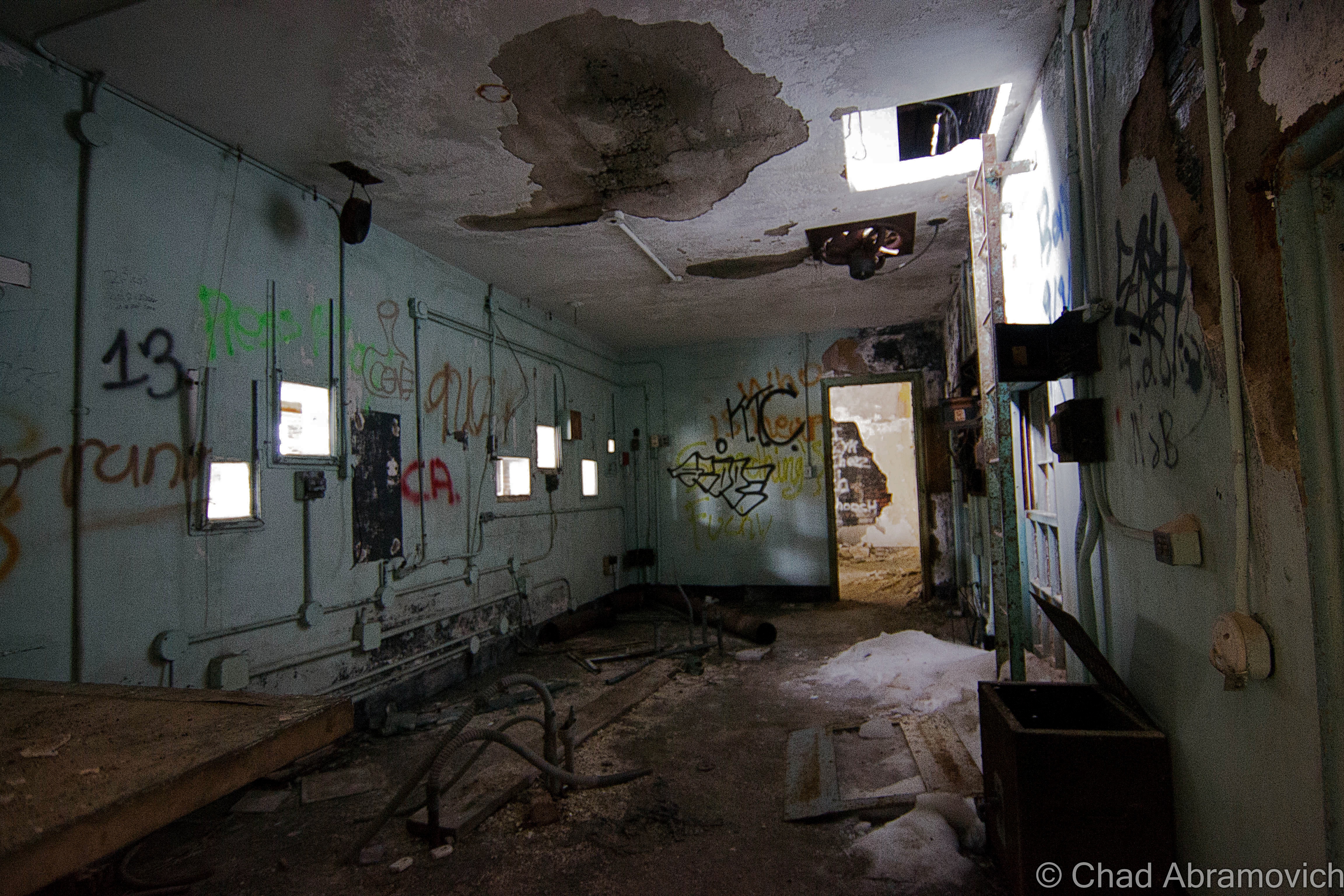
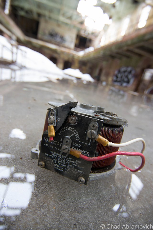
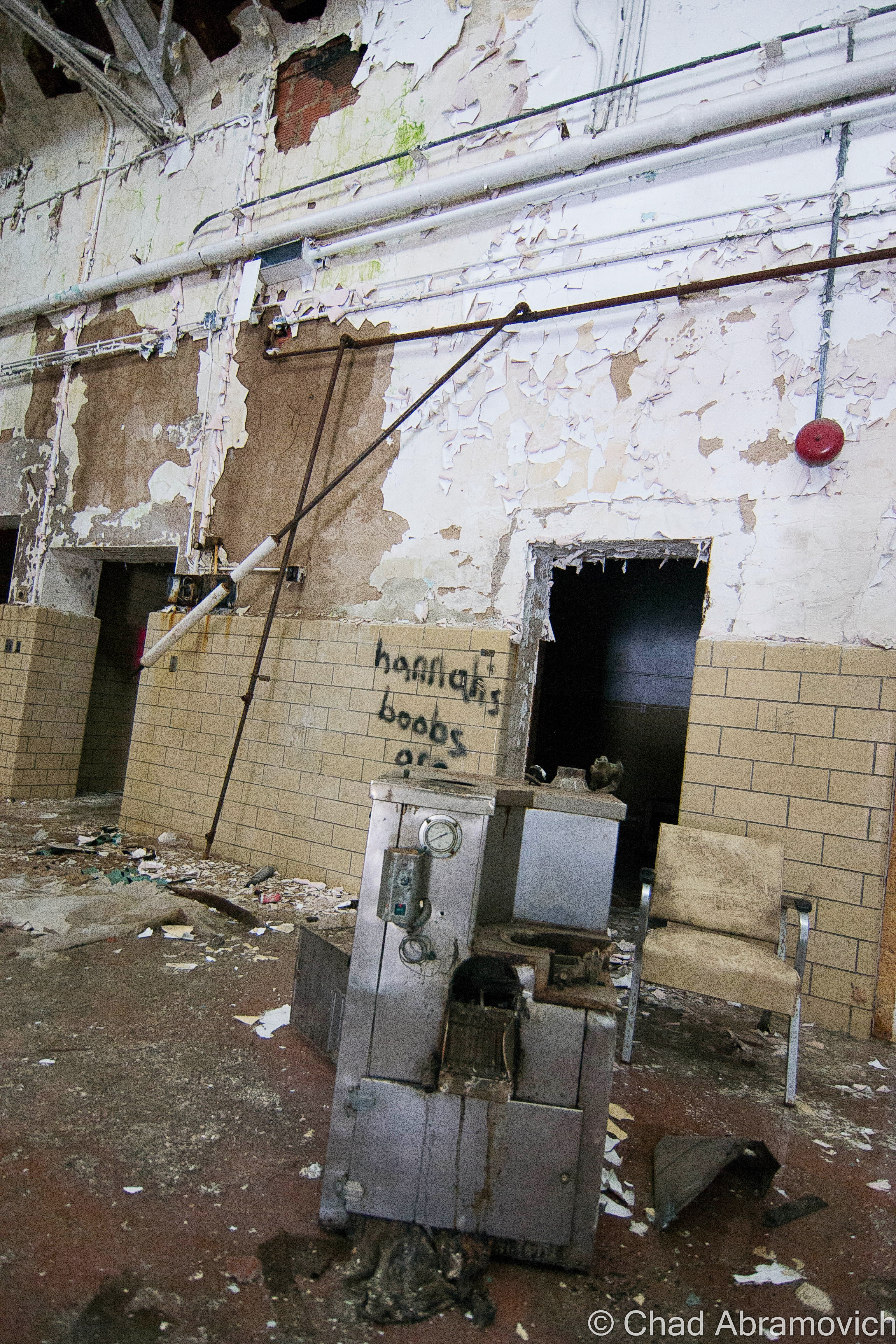
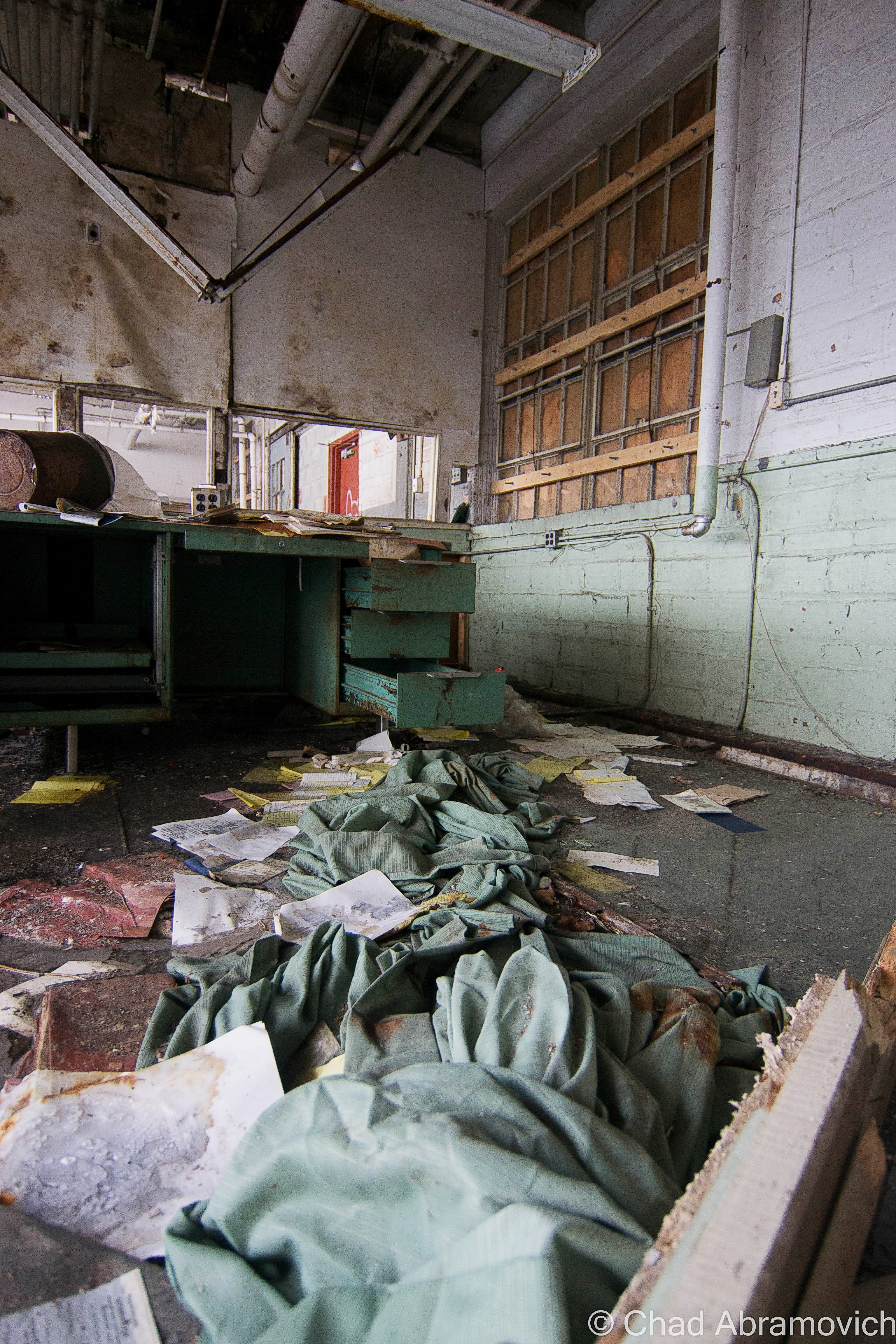
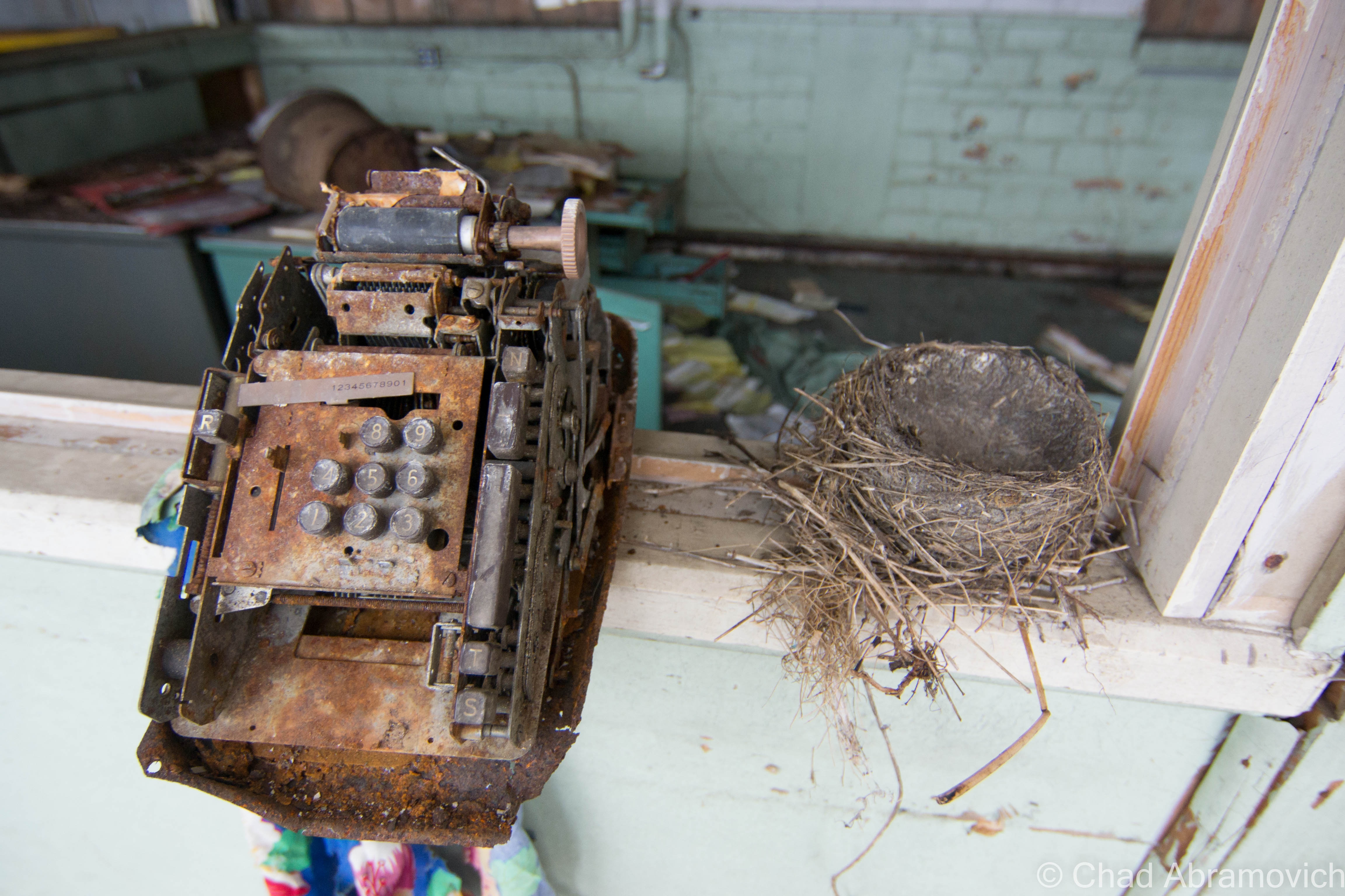
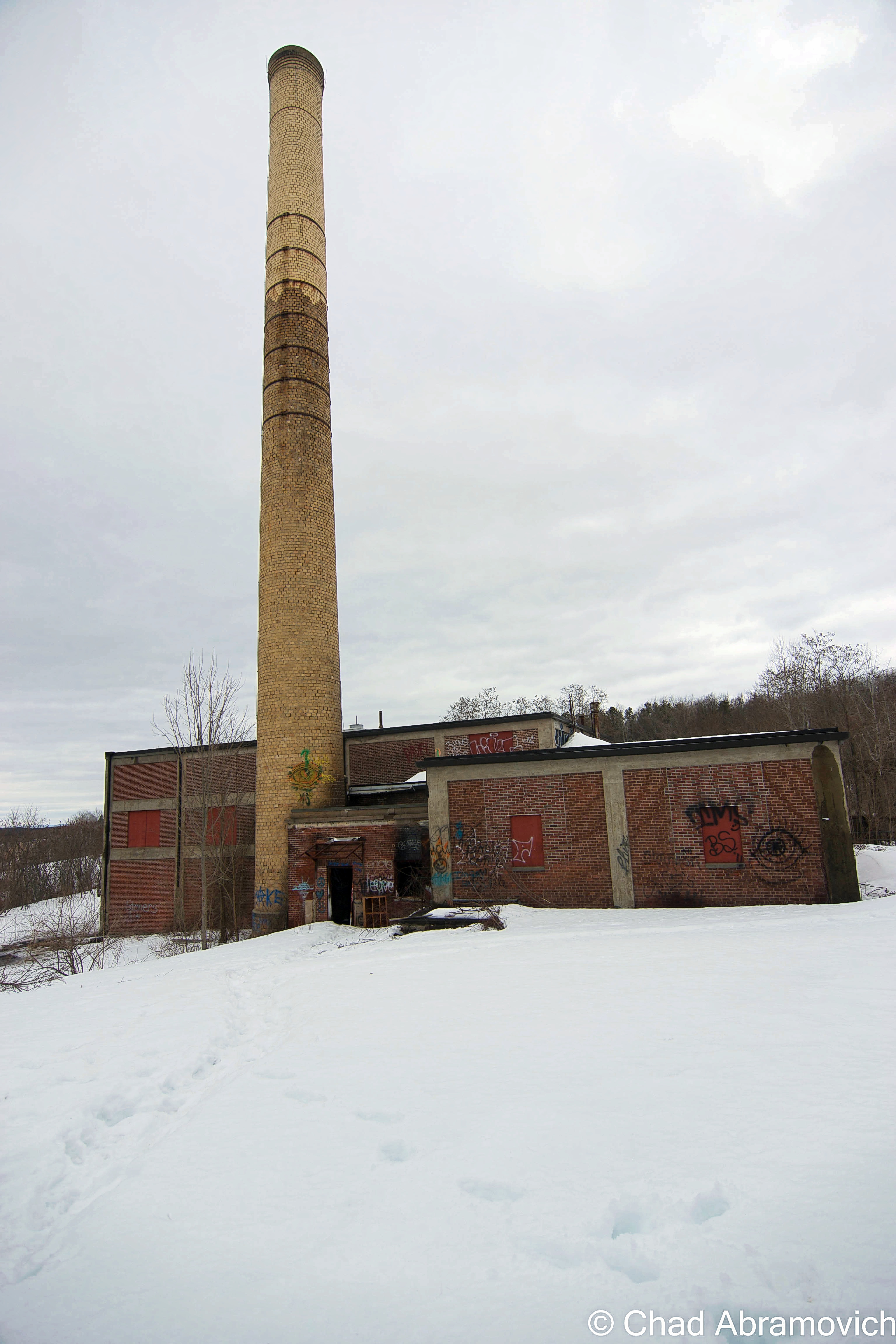
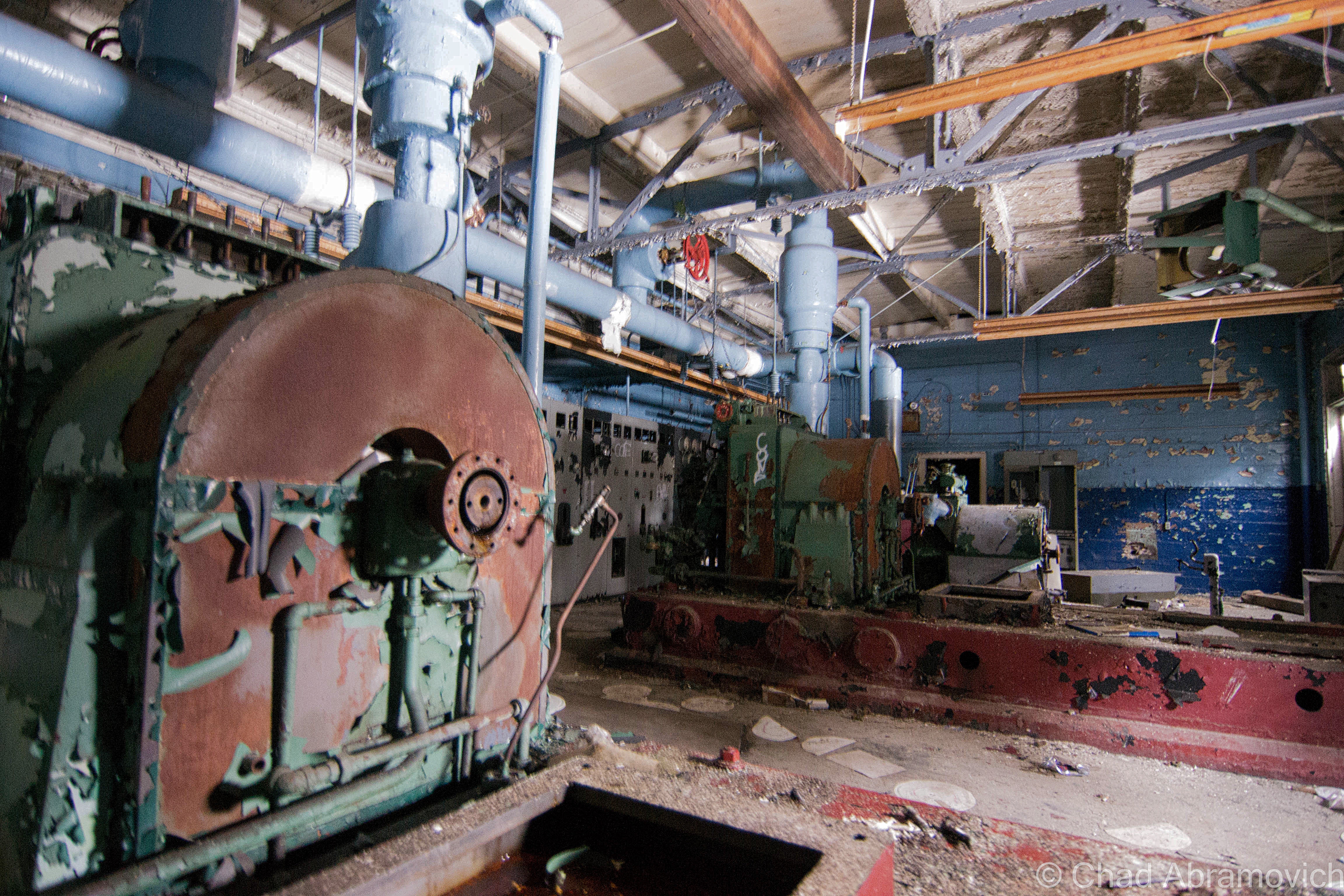
Another find worth photographing was the large cafeteria building far back, and the old power plant complete with dysfunctional and rusting machines sitting in dark spaces. The wooden floors in there were suspicious so I didn’t spend a great deal of time inside. Though I had arrived relatively early, I was surprised at how much time I spent shooting here, and now I was loosing daylight. Between that, and the effort it took to trudge through the snow, I was exhausted.

But I’m glad I got to see such a place, an epoch of human history and how far we’ve came, or maybe how far we still have yet to go. If the powers that be stick to their schedules, it should be luxury condos and mixed use space come next summer.

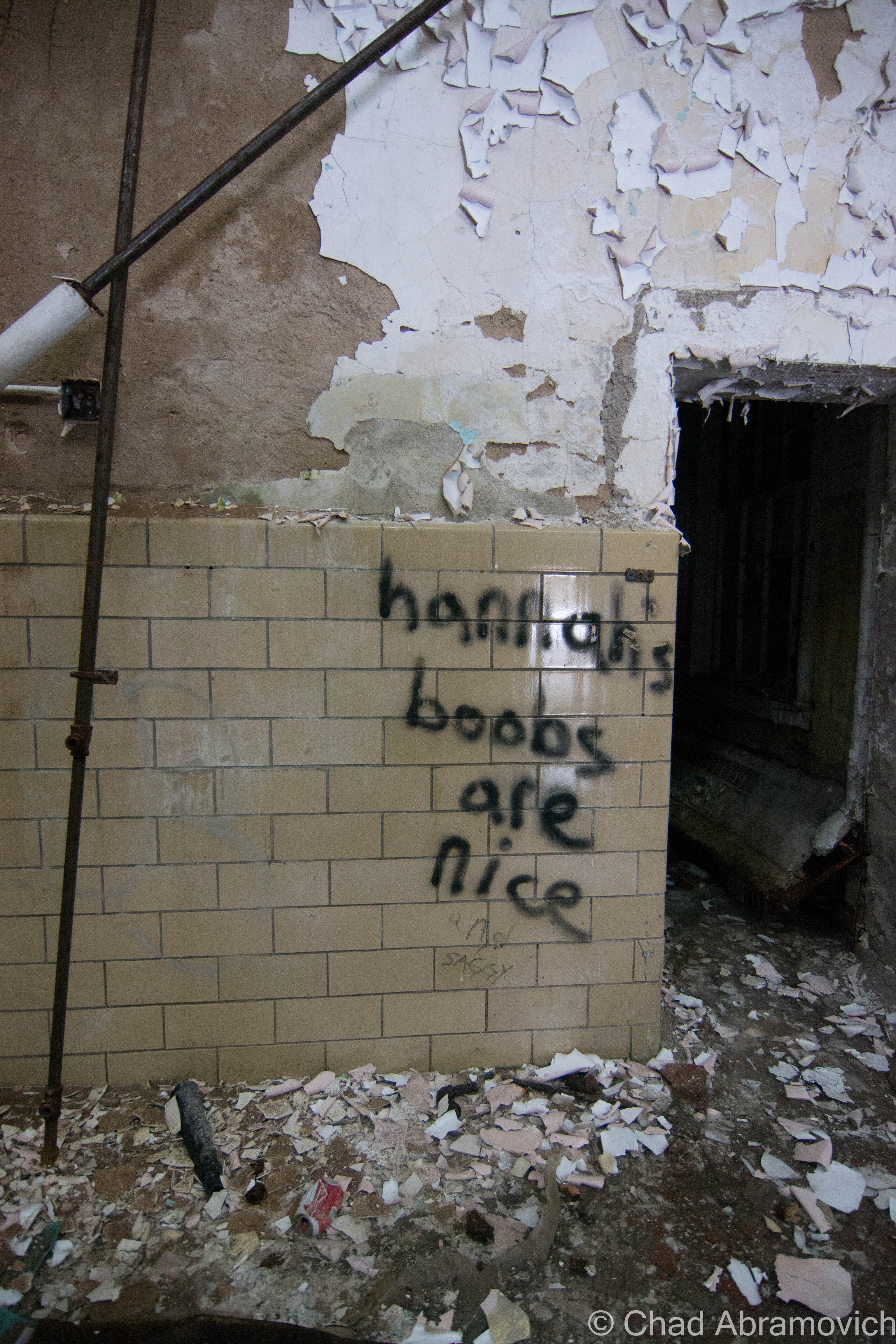
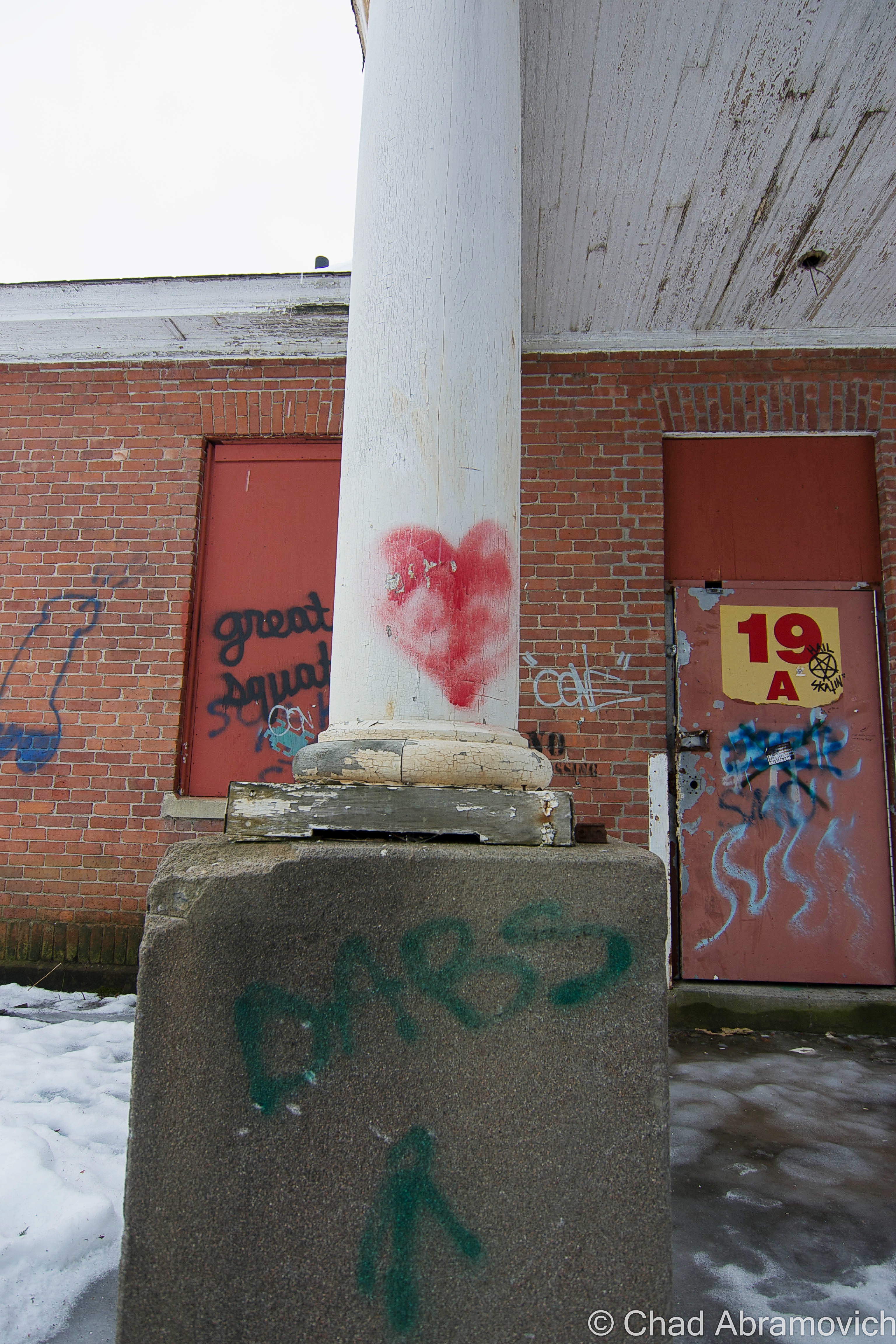
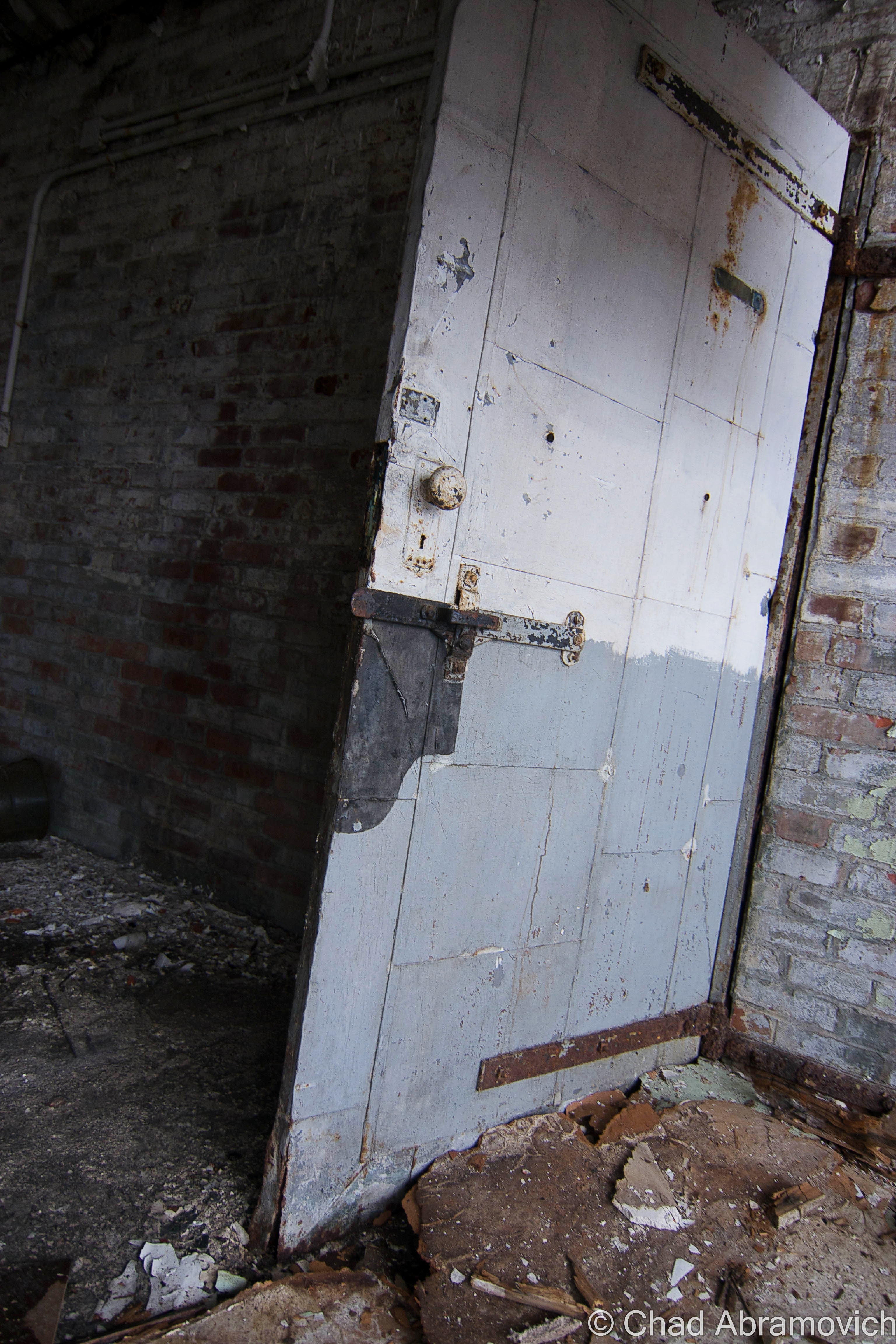
DSC_0831_peDSC_0863_peDSC_0834_peDSC_0857DSC_0031_peDSC_0881_peDSC_0886_peDSC_0888_peDSC_0904_peDSC_0908_peDSC_0910_peDSC_0914_peDSC_0919_peDSC_0928_peDSC_0931_peDSC_0937_peDSC_0938_peDSC_0939_peDSC_0942_peDSC_0943_peDSC_0945_peDSC_0946_peDSC_0969_peDSC_0978_peDSC_0982_peDSC_0984_peDSC_0988_peDSC_1002DSC_1004_peDSC_1005_peDSC_1013_peDSC_1018_peDSC_1024_peDSC_0001_peDSC_0004_peDSC_0006_peDSC_0008_peDSC_0010_pe

I was pretty much depending on my flashlight to get me through the basement levels, which were black and icy.

DSC_0021_peDSC_0059_peDSC_0043_peDSC_0044_peDSC_0048_peDSC_0049_peDSC_0054_peDSC_0063_peDSC_0064_peDSC_0068_peDSC_0077_peDSC_0074_peDSC_0078_peDSC_0085_peDSC_0093_peDSC_0095_peDSC_0096_peDSC_0038_peDSC_0099_peDSC_0191_peDSC_0109_peDSC_0112_peDSC_0114_peDSC_0120_peDSC_0121_peDSC_0111_peDSC_0126_peDSC_0131_peDSC_0146_peDSC_0147_peDSC_0154_peDSC_0183_peDSC_0163_peDSC_0168_peDSC_0167_peDSC_0188_peDSC_0187_peDSC_0186_pe

—————————————————————————————————————————————–

To all of my amazing fans and supporters, I am truly grateful and humbled by all of the support and donations through out the years that have kept Obscure Vermont up and running.

As you all know I spend countless hours researching, writing, and traveling to produce and sustain this blog. Obscure Vermont is funded entirely on generous donations that you the wonderful viewers and supporters have made. Expenses range from internet fees to host the blog, to investing in research materials, to traveling expenses. Also, donations help keep me current with my photography gear, computer, and computer software so that I can deliver the best quality possible.

If you value, appreciate, and enjoy reading about my adventures please consider making a donation to my new Gofundme account or Paypal. Any donation would not only be greatly appreciated and help keep this blog going, it would also keep me doing what I love. Thank you!

Gofundme: https://www.gofundme.com/b5jp97d4

Donate Button with Credit Cards

The Strange Wampahoofus

photo: Ray Parizo

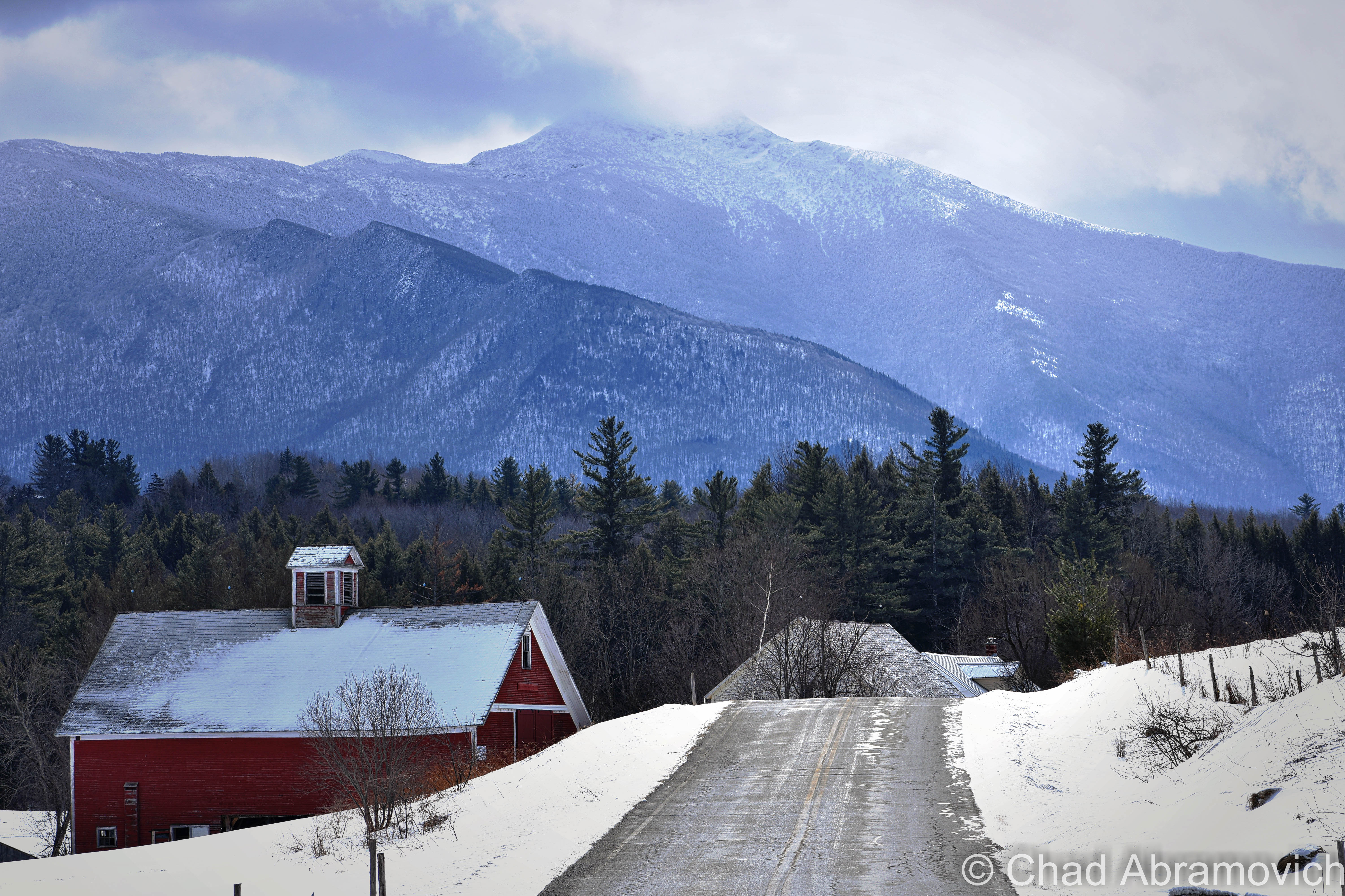
Mount Mansfield is literally the largest thing in Vermont. The state’s loftiest peak rises above everything at 4,395 feet, coming to an end on a wind-battered rocky summit anchoring the blinking lights of transmitter towers that serve area media companies, throngs of hikers, and one of the few places in the east that can support rare arctic alpine tundra – actual surviving vestiges from the ice age.

The sprawling ridge line’s anthropomorphic profile explains the names behind it’s distinct standout topographical features, such as The Forehead, The Nose, The Chin (officially the tallest elevation), and Adam’s apple, although not everyone apparently agrees on seeing a human face. Interestingly enough, the idea of seeing a human face in the rocks may just come from some Yankee competition around the 19th century, when neighboring New Hampshire officially decided that a rock formation in the White Mountains looked like an old man, turning it into a regional mascot and a symbol of state pride in a time when the mystic and science of geology was a growing interest. The best Vermont could do was to find one in the upturned profile of Mount Mansfield, but it was nowhere nearly as admired.

If you arrange the pieces of the face together, “the chin” is much higher than “the forehead”, so I guess it’s sort of a stretch of the imagination. On an interview with VPR, historian Jill Mudget had a humorous observation. During the 19th century, a time where new and radical ideas spread like wildfire, there was an introduced theory that you could tell a lot about a person’s intelligence by their facial features, which I suppose would mean that Mansfield’s profile isn’t very intelligent.

A frigid looking Mount Mansfield from the fantastic (Lower) Pleasant Valley Road in Cambridge.

The gargantuan landmass separates two counties, Chittenden and Lamoille, and it’s eastern slopes contain one of the more popular ski resorts in the eastern United States; the ritzy Stowe Mountain Resort. The rest of the mountain is forever protected by the Mansfield State Forest and Underhill State Park, which has spared the mountain from ruinous development, including one notable 1930s project when it was actually proposed to build a scenic highway that would have ran right over the summit! Today, a different sort of highway runs along the top of the mountain, the oldest long-distance hiking trail in America, the celebrated Long Trail.

Mount Mansfield is a grand mountain in many considerations, with a complex biography of history and myth, but perhaps one of my favorite aspects of the topographical area is how things here got their names.

It’s original Abenaki name, Mozodepowadso, was English translated to Moosehead Mountain when people began to settle closer to its slopes, but unlike other Indian names that have stuck around and worked their way permanently into local parle, Moosehead didn’t, and the mountain eventually became known as Mansfield. But the origin of the name is mysterious. Some speculate that Mansfield was named after the town of the same name, which was charted literally on the steep and practically inaccessible slopes, making development slow and survival far tougher than the surrounding towns.

Eventually, Mansfield, and the neighboring town of Sterling, became ghost towns, and were carved up into the present day towns of Stowe, Cambridge and Underhill, giving them their unusually large and weird shapes. Other theories speculate that the state’s most prominent feature may have derived from the name “Mans Field”, named after the burly and intrepid early settlers who endured strenuous labor to make a living in the harsh wilderness. Either way, the name stuck.

Another much smaller monument to mankind can be found along the summit. There is an innocuous cairn with an interesting name. Called Frenchman’s Pile, it marks the spot where a man was struck by lightning many years ago, and killed on the spot.

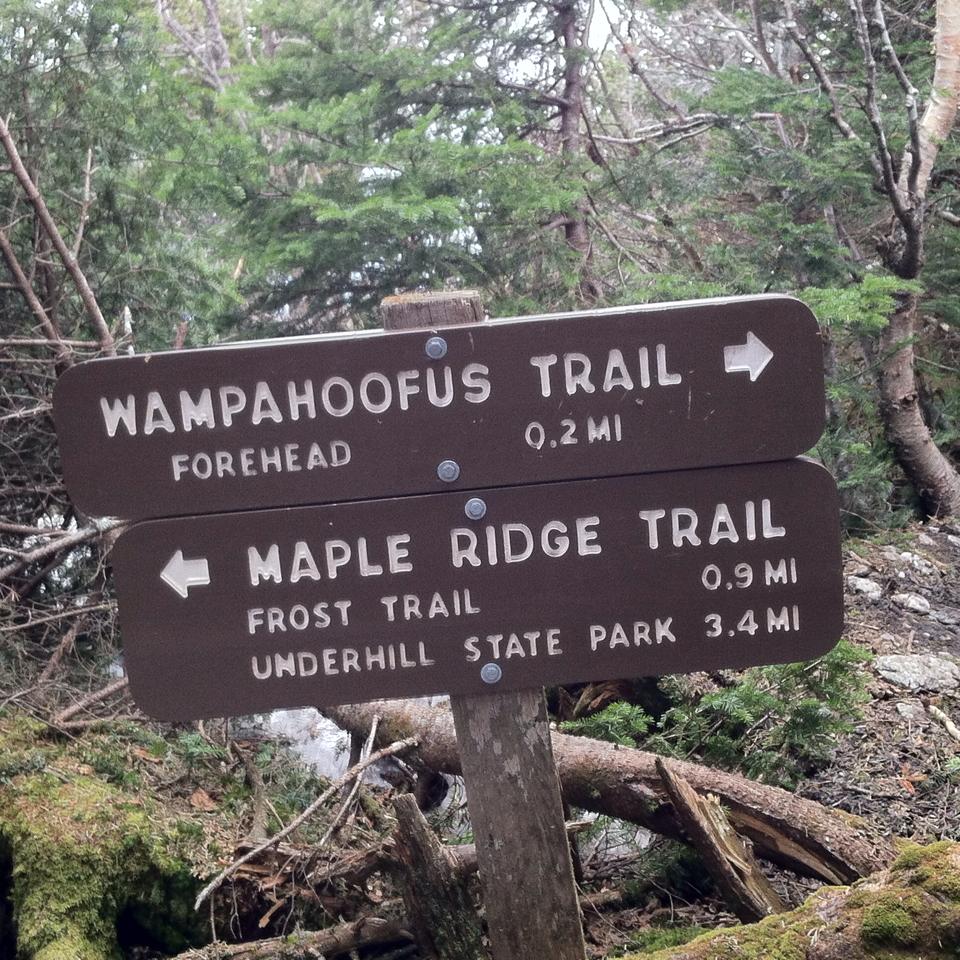
Hiking is one of my favorite activities to do, and with so many trails that snake their way over the mountain and such varied terrain, I always have some sort of new experience that keeps me wanting to come back and explore. While hiking the mountain a while ago, I came across the most peculiar name for a hiking trail I had ever seen in my time in the woods – Wampahoofus Trail. I had to stop for a second, the name wasn’t familiar at all. I couldn’t help but wonder, just what the hell was a Wampahoofus? What did it mean?

I took my search to the internet and got a wonderfully strange story behind the etymology. The name derives from an animal which is now extinct, and their story is a tragically ironic one. The Wampahoofus, (sometimes referred to as Sidehill Gougers), was a large mammal, that some say resembled a hybrid that was part deer, part wild boar. The only place in the world you could find one was limited to a certain area of Mt. Mansfield, usually between 2,600 and 3,200 feet in elevation, and some say the slopes of the deep and remote Chateauguay wilderness near Bridgewater. 

The Wampahoofus wondered around the mountainsides, moving in lateral directions across the slopes, and were well adapted to Vermont’s mountainous terrain, especially because of a peculiar characteristic. The males traveled in a clockwise direction, and the females in a counterclockwise direction, never deviating. Because of spending generations moving laterally in these patterns, their legs adapted, and one of them became much shorter than the other as a result, depending on the direction they moved. This also allowed them to graze quite comfortably on steep hillsides.

They stayed in their particular region, never venturing to the valleys below or the summits above, the females taking an especial liking to the Nebraska Notch area. The only time males and females interacted with each other was during mating season, and because of their odd traveling patterns and different sized legs, mating could only occur then, when they literally came in contact with each other as they traveled around the mountain.

They were said to move at haste speeds, theoretically making them very difficult to come across, but if you did want to encounter one, maybe all you need to do is travel straight up or down a slope?

Their unusual evolutionary adaptation wasn’t an issue for many generations – but unfortunately, it would eventually be their undoing. The males’ right legs and the females’ left legs kept getting shorter and shorter, until eventually, when a couple met to mate, they were no longer able too. As a result, the Wampahoofus died out, leaving these great terrestrial beings unceremoniously remembered by their name carved on a sign.

But how did this trail officially receive its name? That honor was dubbed by a Professor Ray Buchanan, when he saw a rock formation nearby that he thought resembled the profile of a Wampahoofus. (source: Joe Citro’s The Vermont Monster Guide)

As long as we’re on the topic of Mount Mansfield mysteries, The Abenaki told legends of beasts called Gici Awas, or, giant hairless bears that they said used to roam the mountain and were dangerous if encountered, but no trail is named in their honor. Perhaps Wampahoofus is just a catchier name?

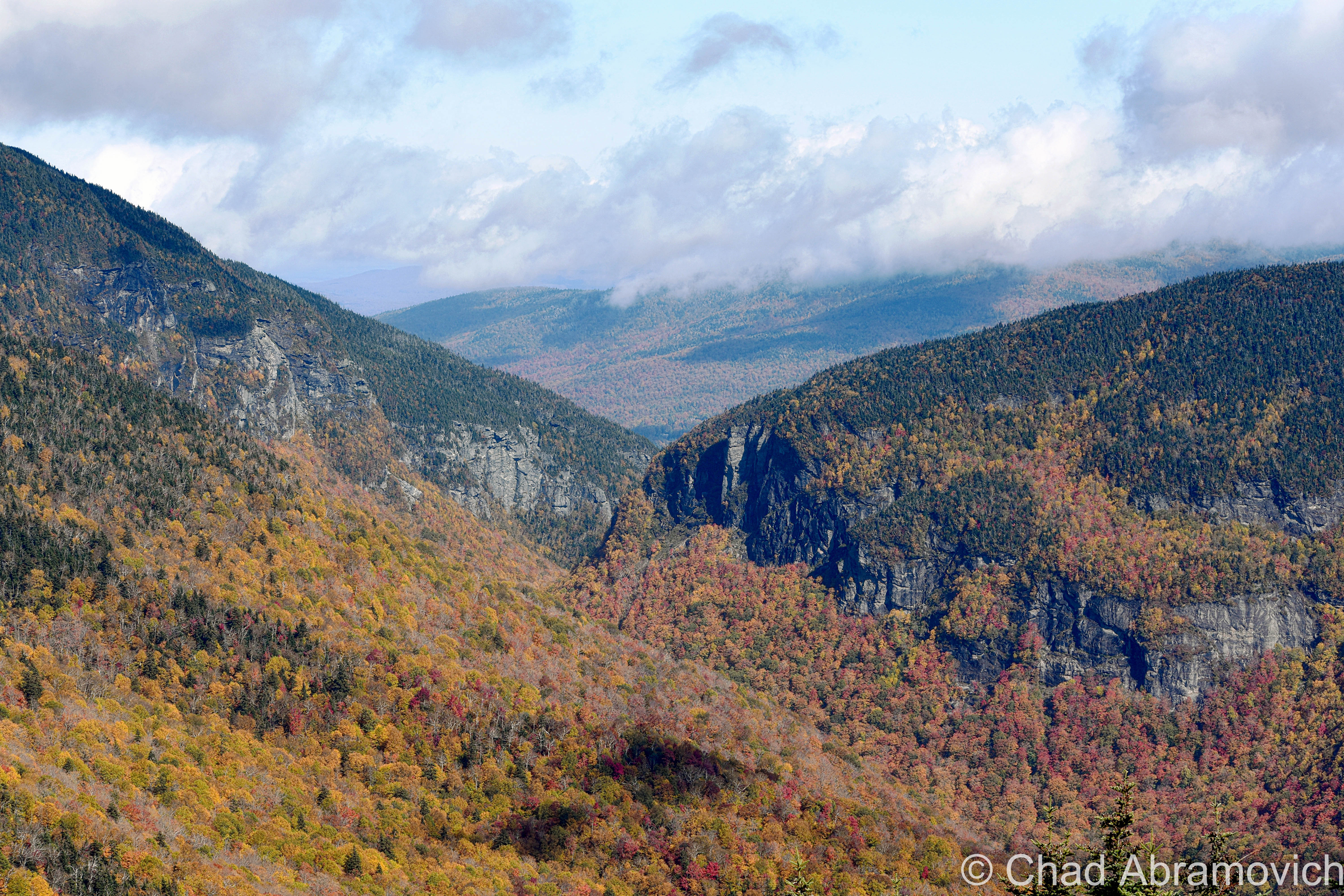
Taken Fall 2017 from the fantastic Mount Mansfield Toll Road, which is one of the true great drives in Vermont, and steeply serpentines up the Stowe side of the mountain. I pulled over to take this areal view of Smugglers’ Notch, Vermont’s celebrity mountain pass. The notch was used by smugglers and rum runners from the 1800s until the great depression when the state built the now famous notch road (state route 108) through its boulder-strewn innards.
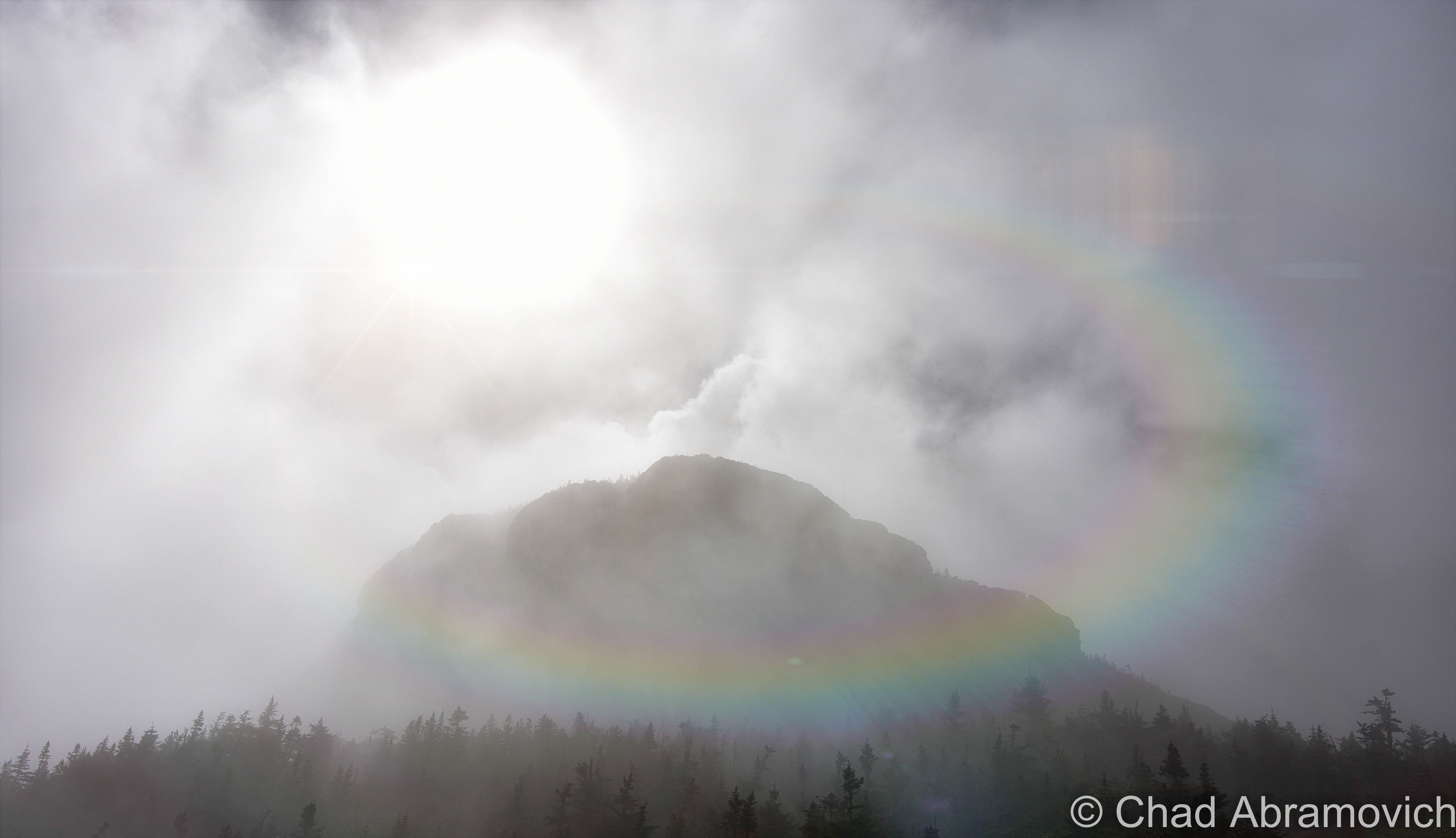
Taken on the Long Trail southbound on Mount Mansfield, as the clouds smoked around the summit.
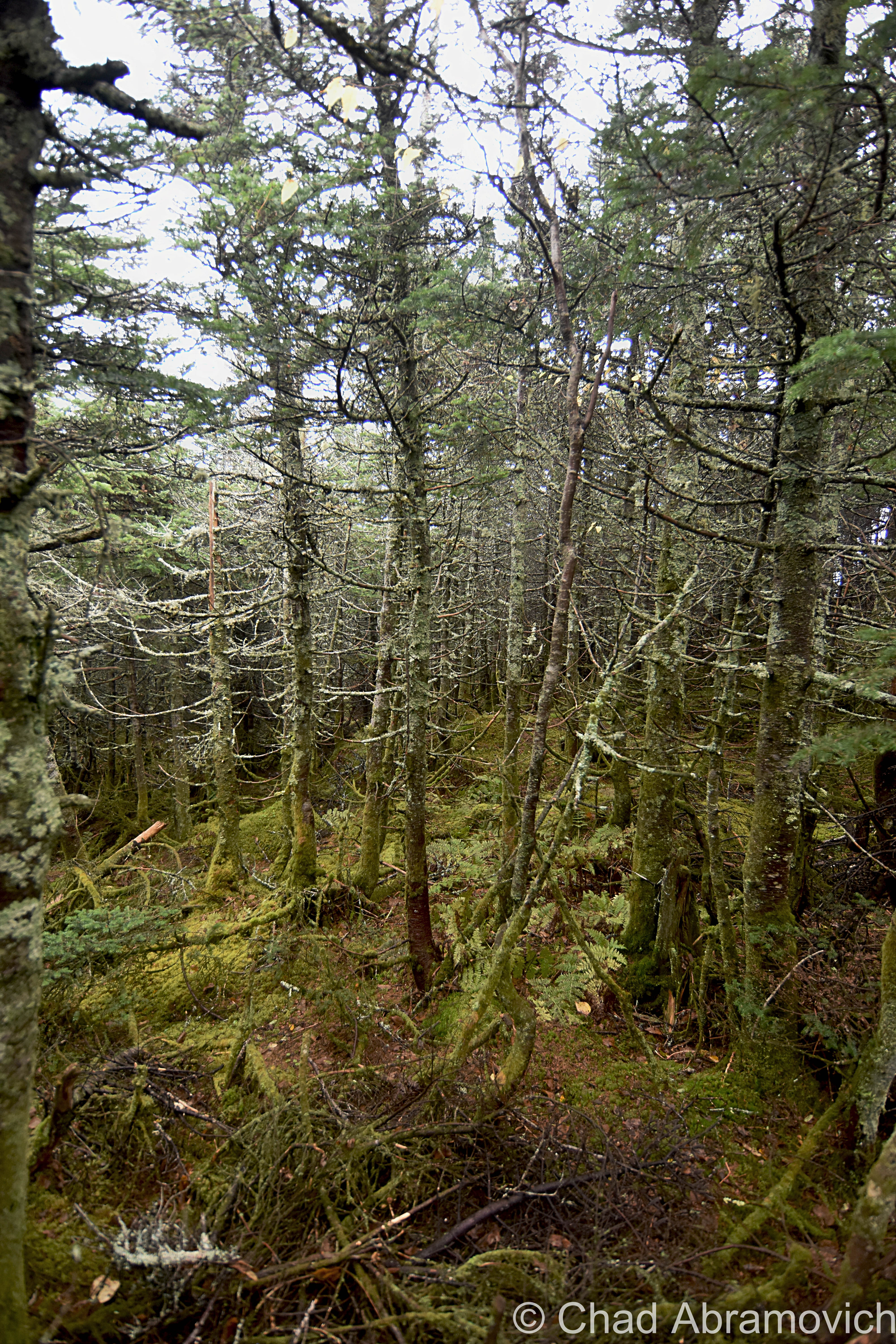
Stunted boreal forests on the summit of Mount Mansfield.
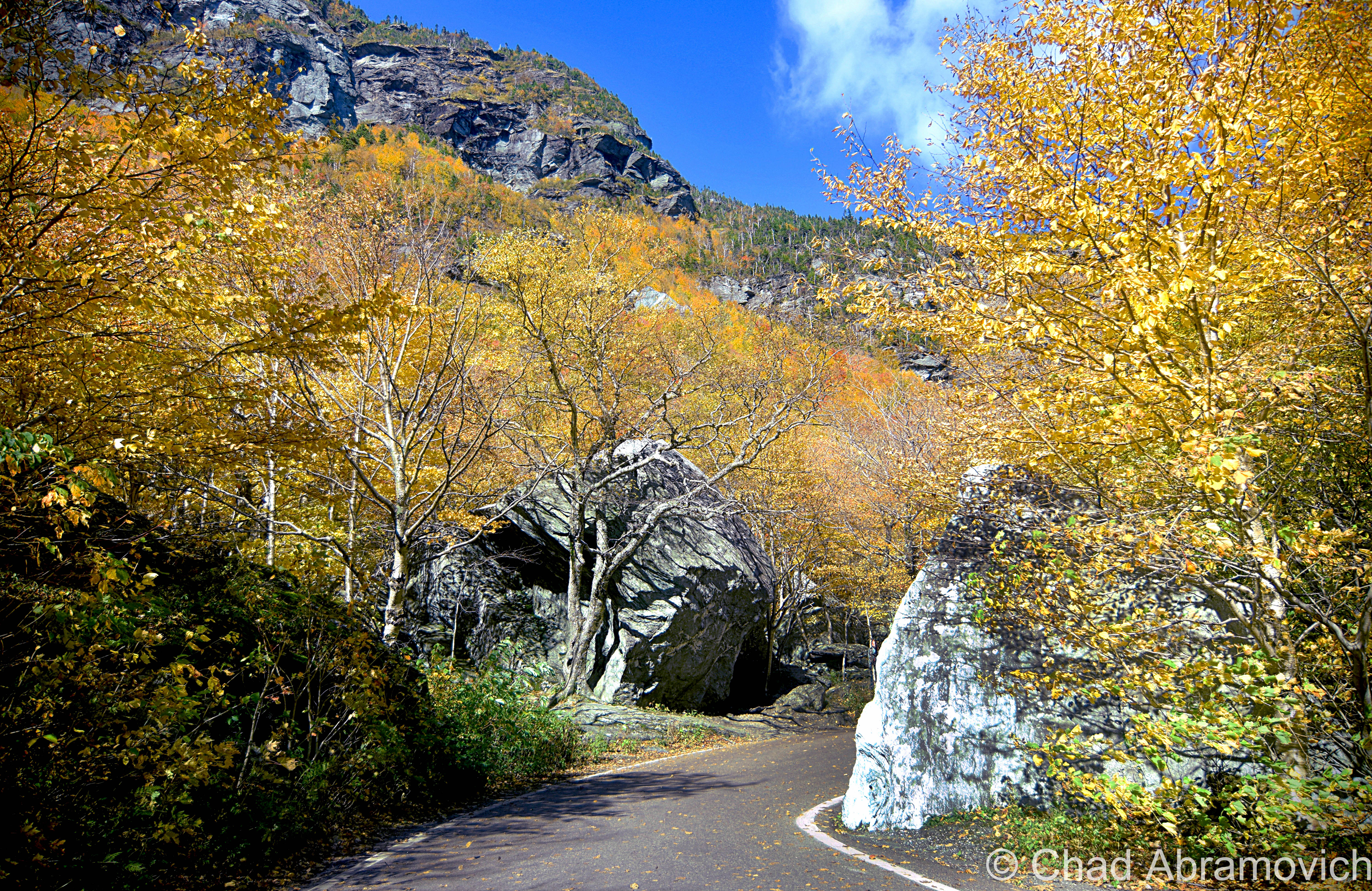
State Route 108 – aka, “The Notch Road”, one of the most scenic drives in Vermont. A 1.5 lane road that corkscrews up and over Smugglers’ Notch, a 1,000-foot gouge between Mount Mansfield and Spruce Peak.
How to get there:

The Wampahoofus Trail can be reached via the Butler Lodge Trail from the Stevensville Trailhead in Underhill Center. Follow the trail around the back of the Lodge, pass the start of the Rock Garden Trail.

 Interesting Links:

The Wampahoofus: A Sad Evolutionary Tale

Wikipedia

Seven Days: What’s in a name?

Happy Hiker: My First Hike to Mount Mansfield – great account and pictures from a hike on Mansfield, that gives a better idea of the rugged mountain.

—————————————————————————————————————————————–

To all of my amazing fans and supporters, I am truly grateful and humbled by all of the support and donations through out the years that have kept Obscure Vermont up and running.

As you all know I spend countless hours researching, writing, and traveling to produce and sustain this blog. Obscure Vermont is funded entirely on generous donations that you the wonderful viewers and supporters have made. Expenses range from internet fees to host the blog, to investing in research materials, to traveling expenses. Also, donations help keep me current with my photography gear, computer, and computer software so that I can deliver the best quality possible.

If you value, appreciate, and enjoy reading about my adventures please consider making a donation to my new Gofundme account or Paypal. Any donation would not only be greatly appreciated and help keep this blog going, it would also keep me doing what I love. Thank you!

Gofundme: https://www.gofundme.com/b5jp97d4
Donate Button with Credit Cards