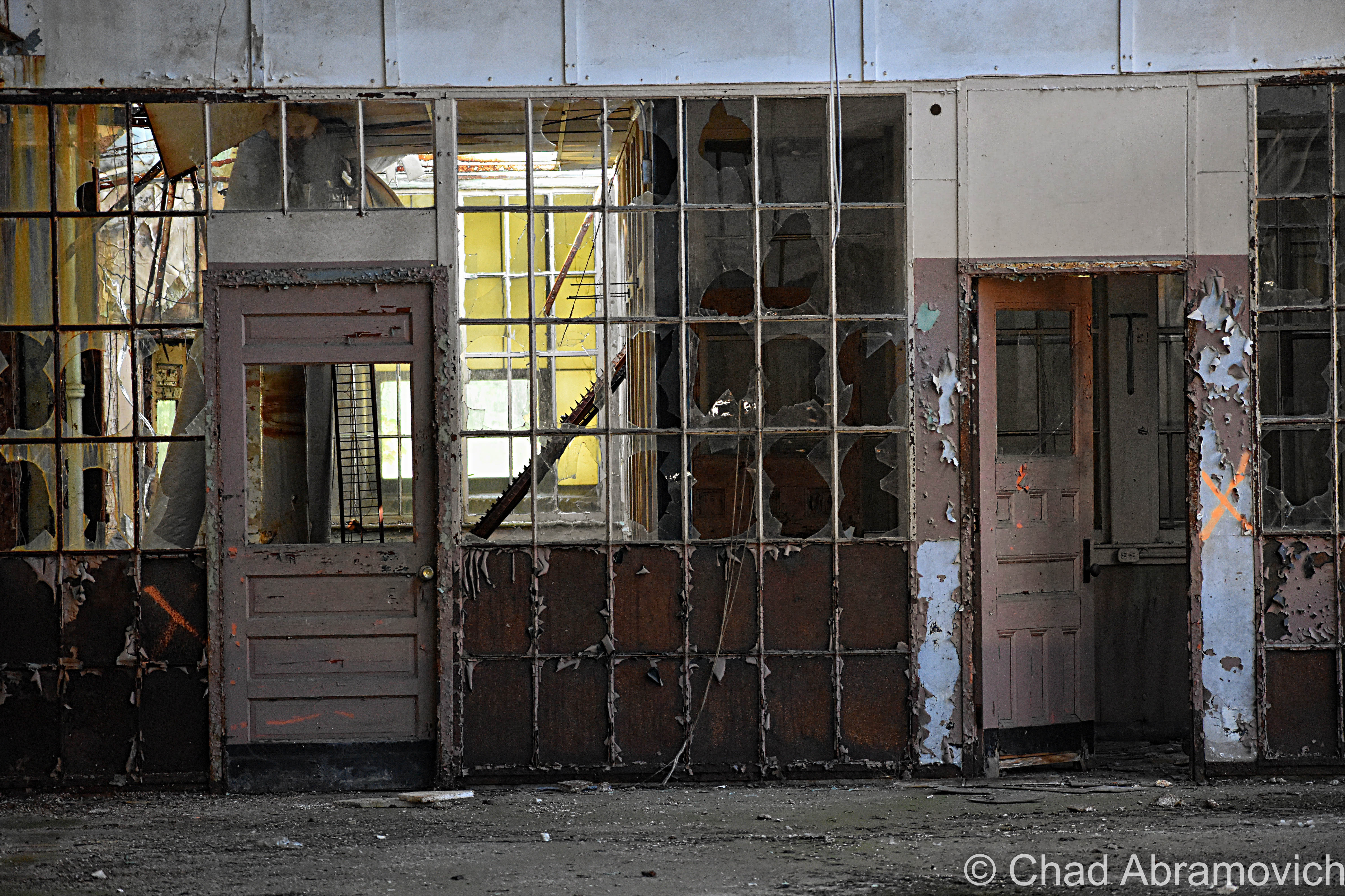
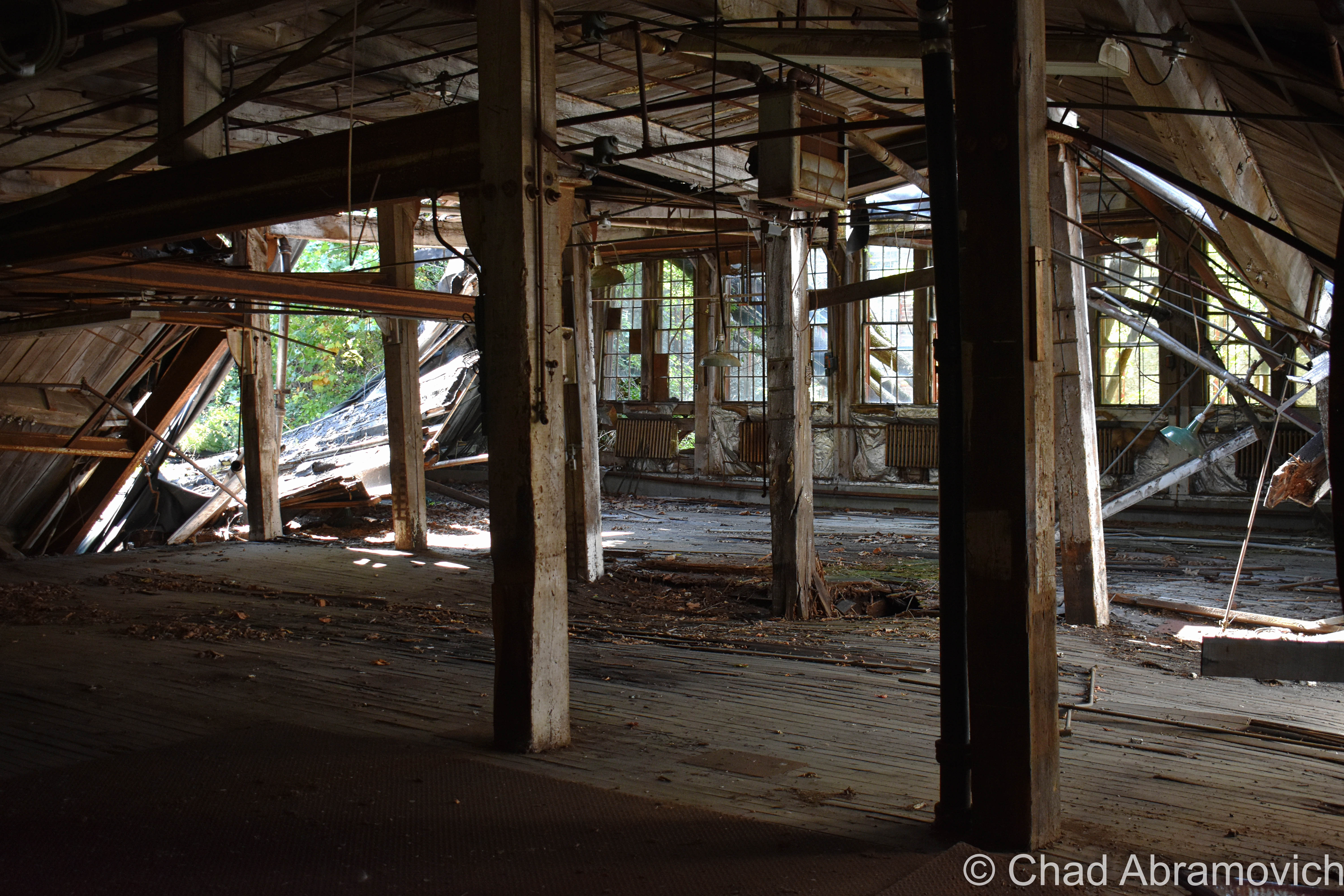
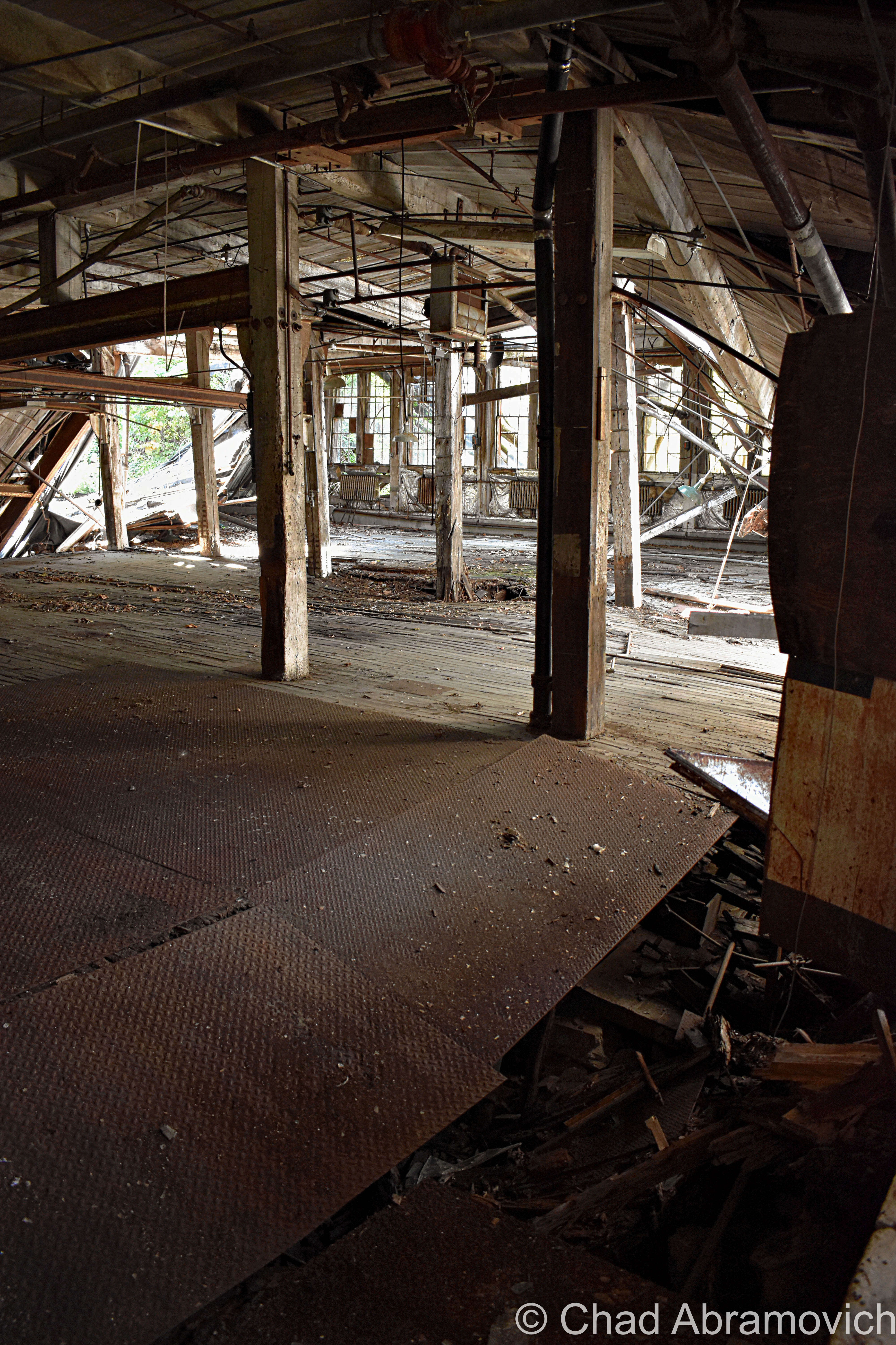
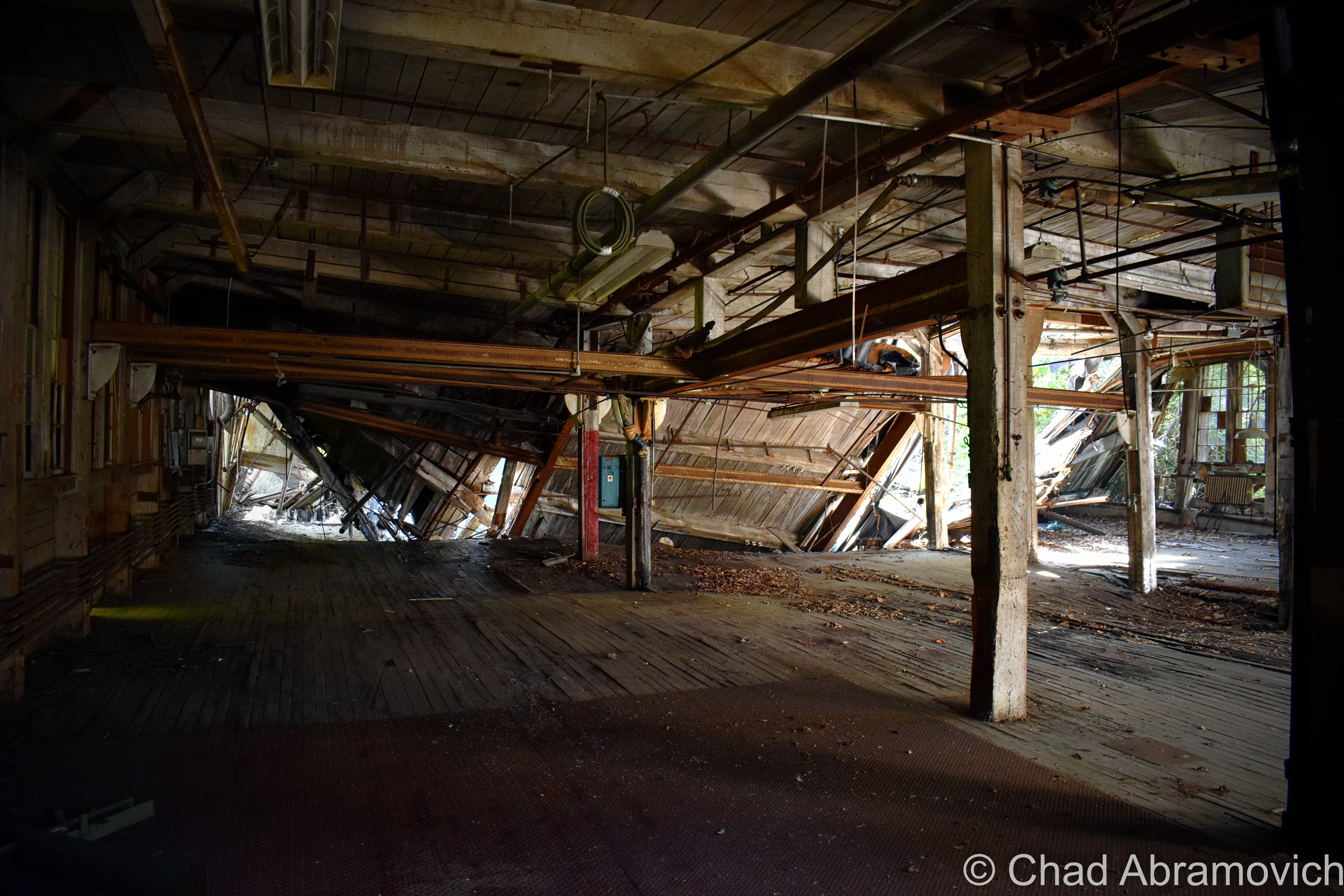
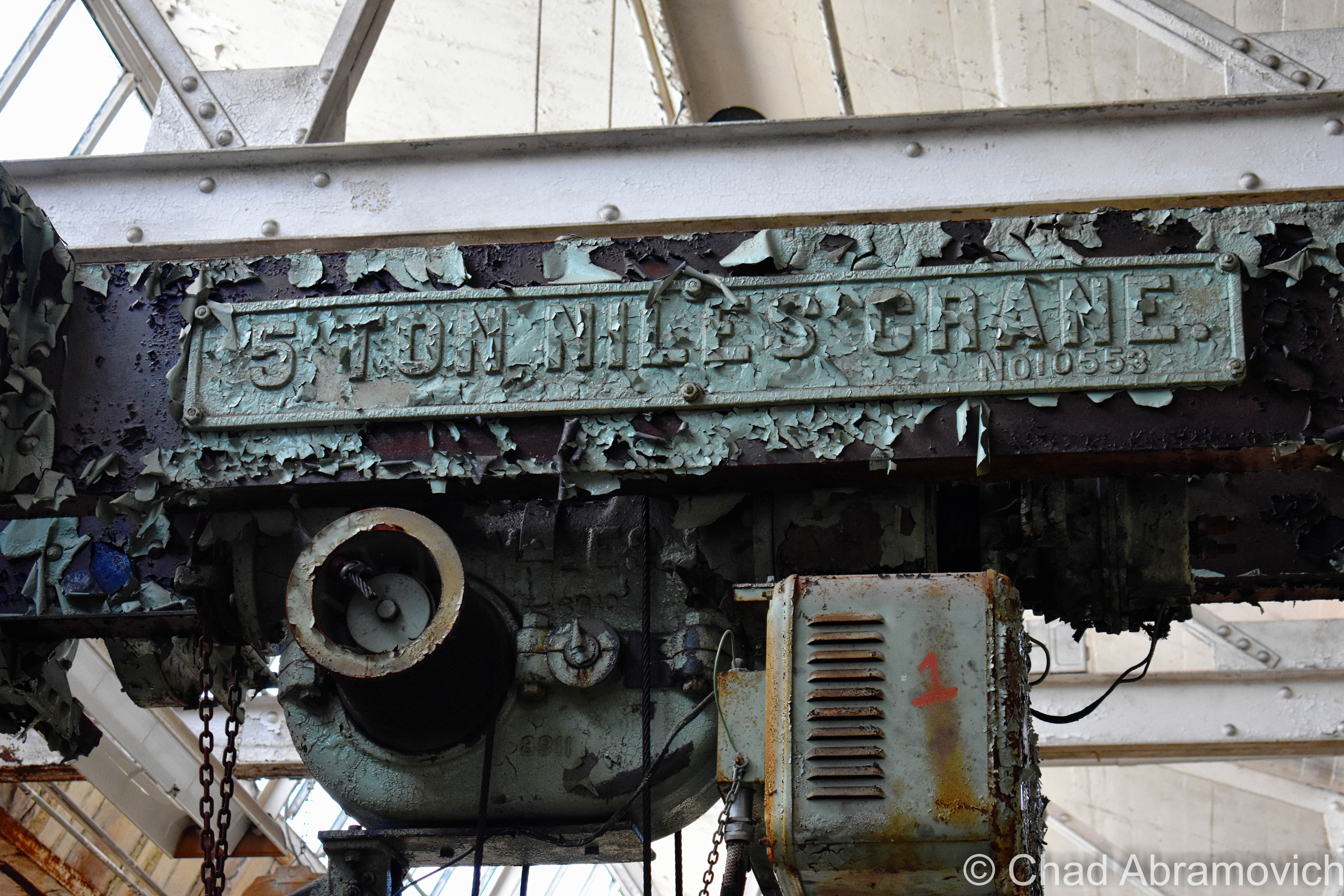
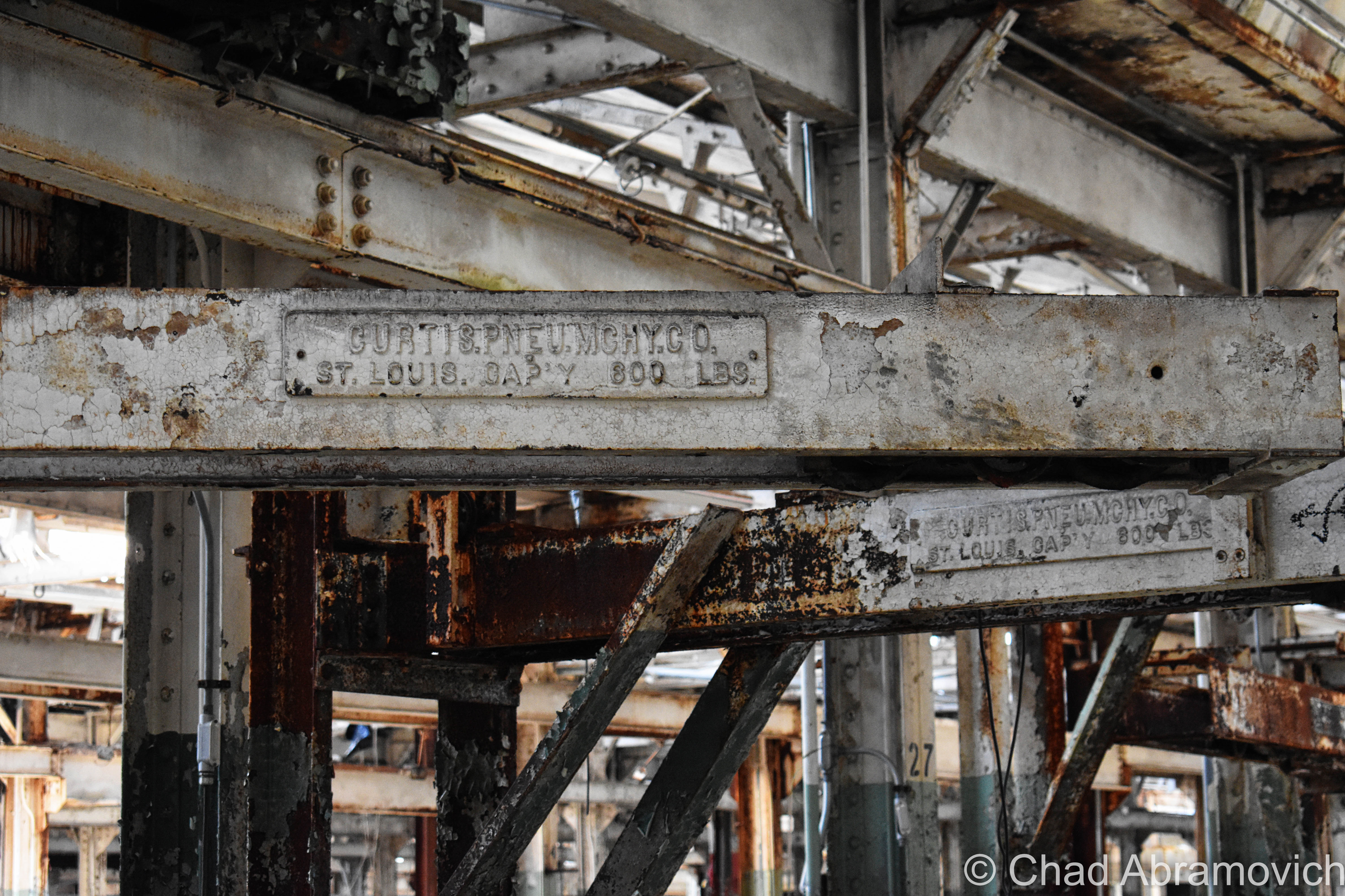
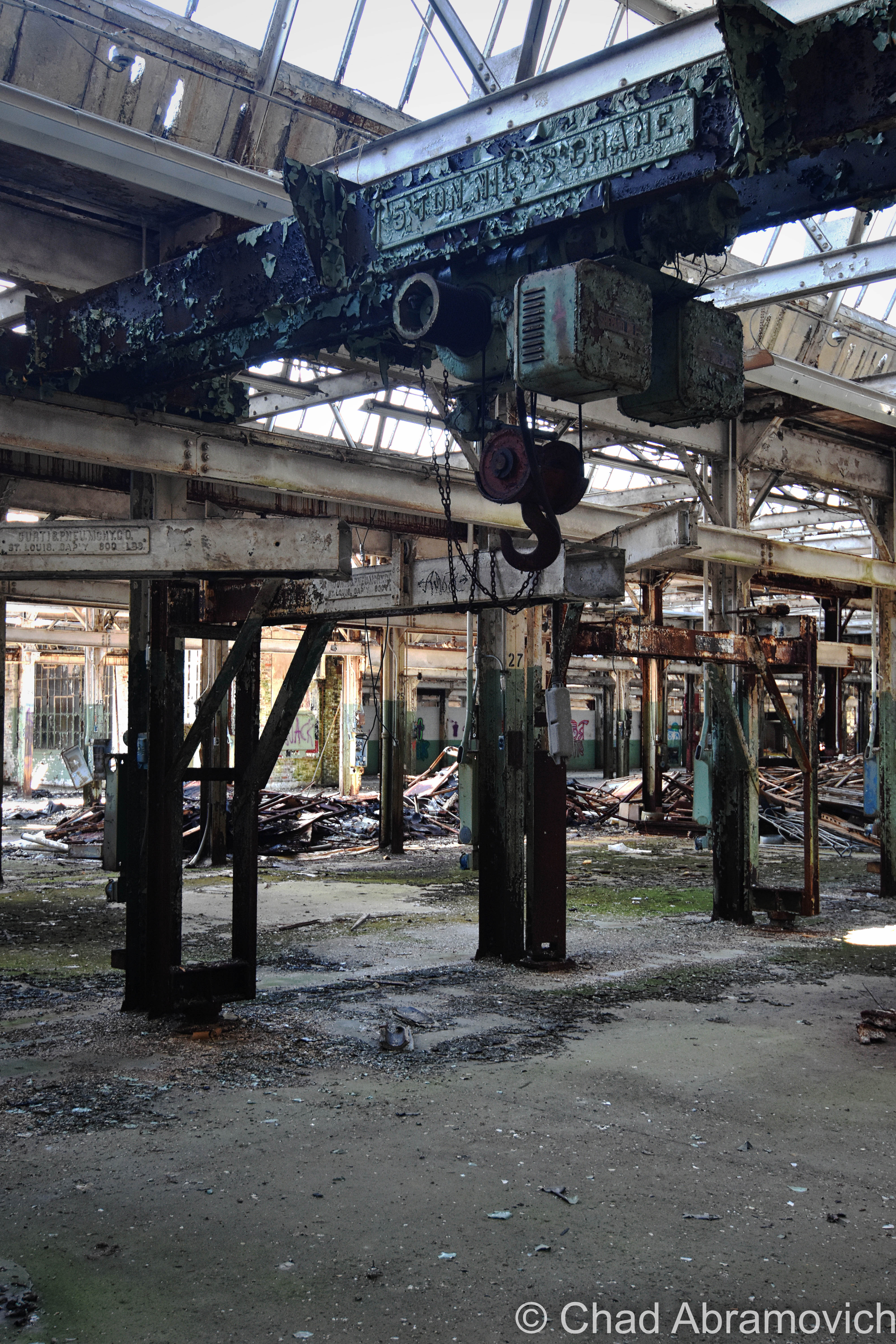
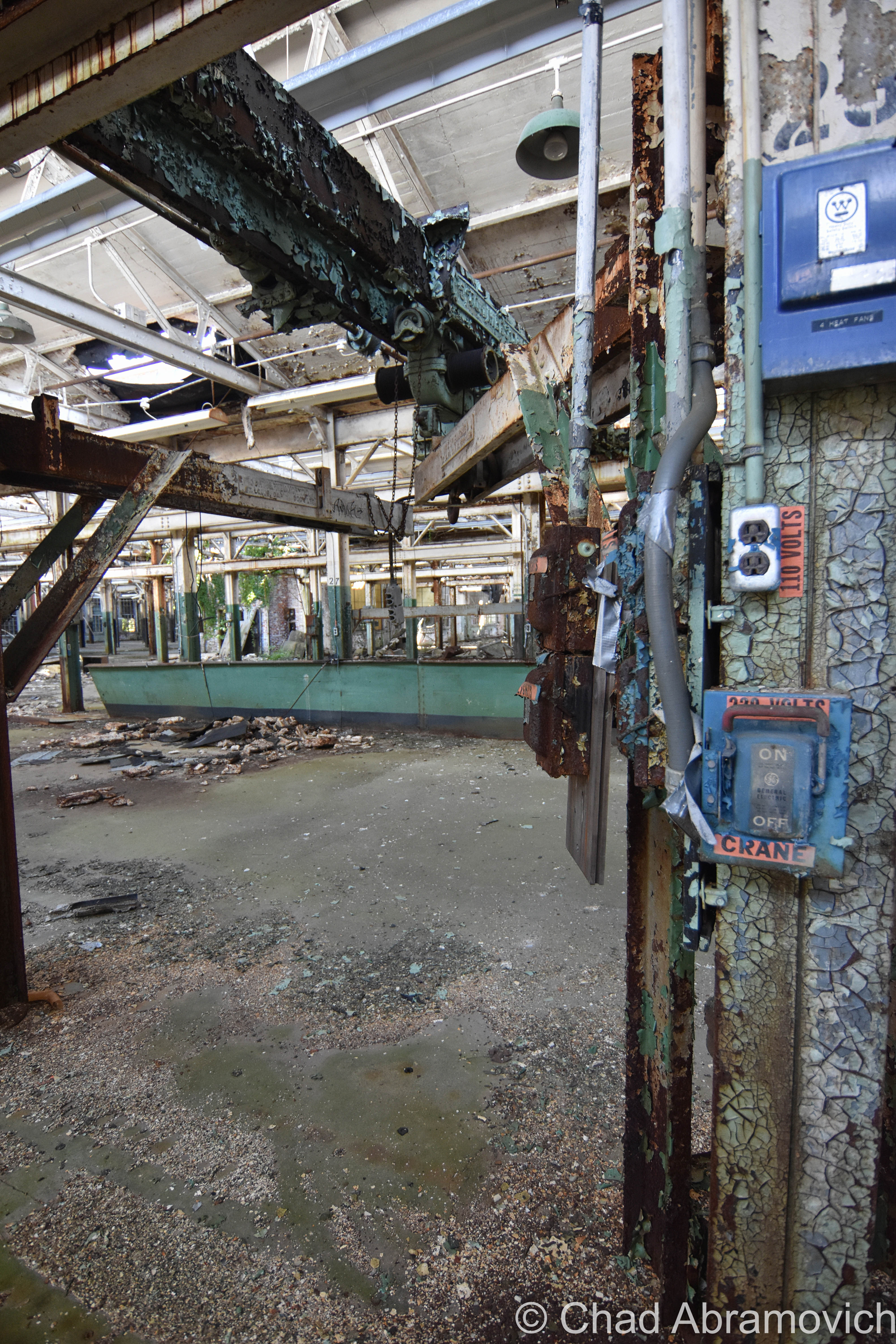
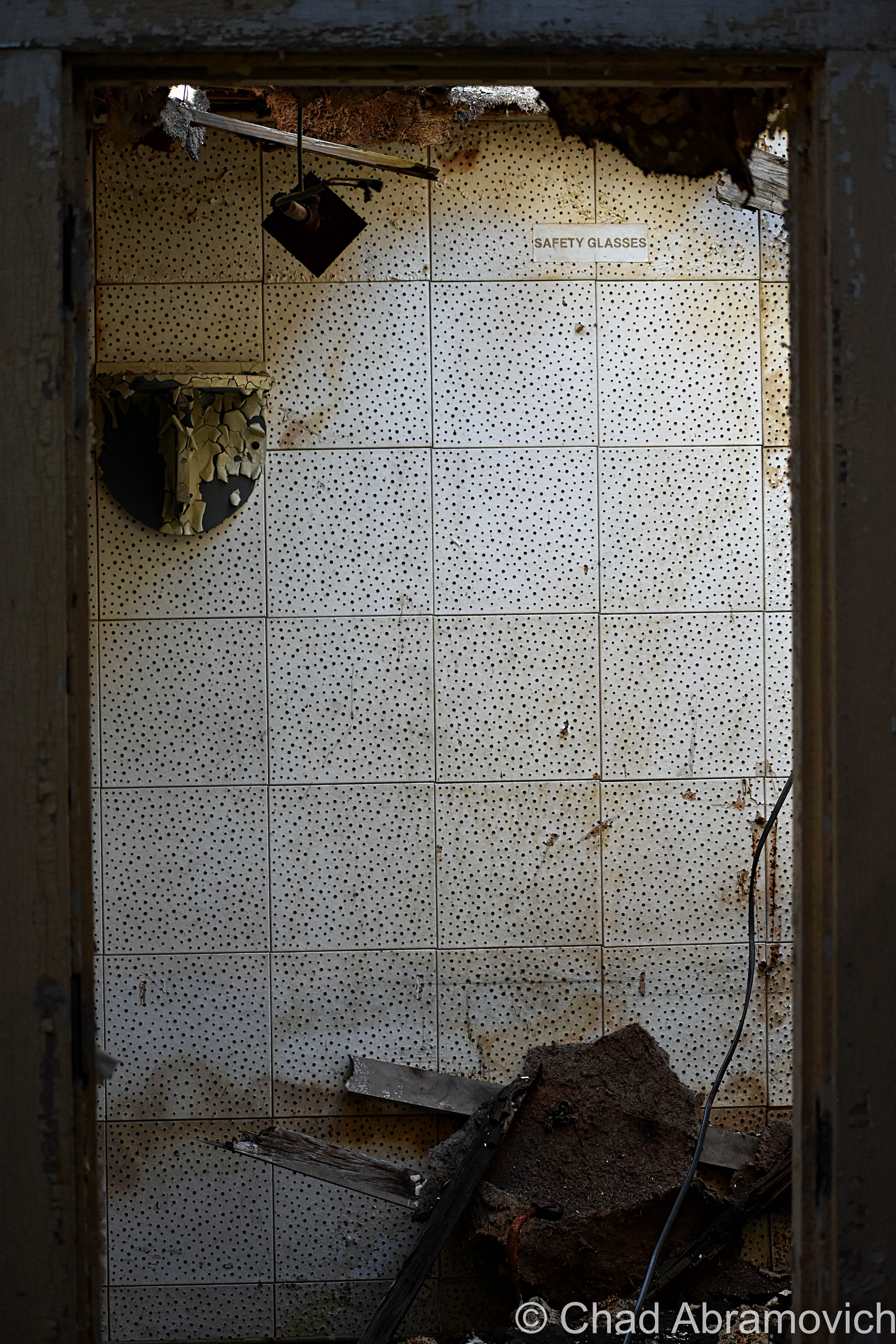
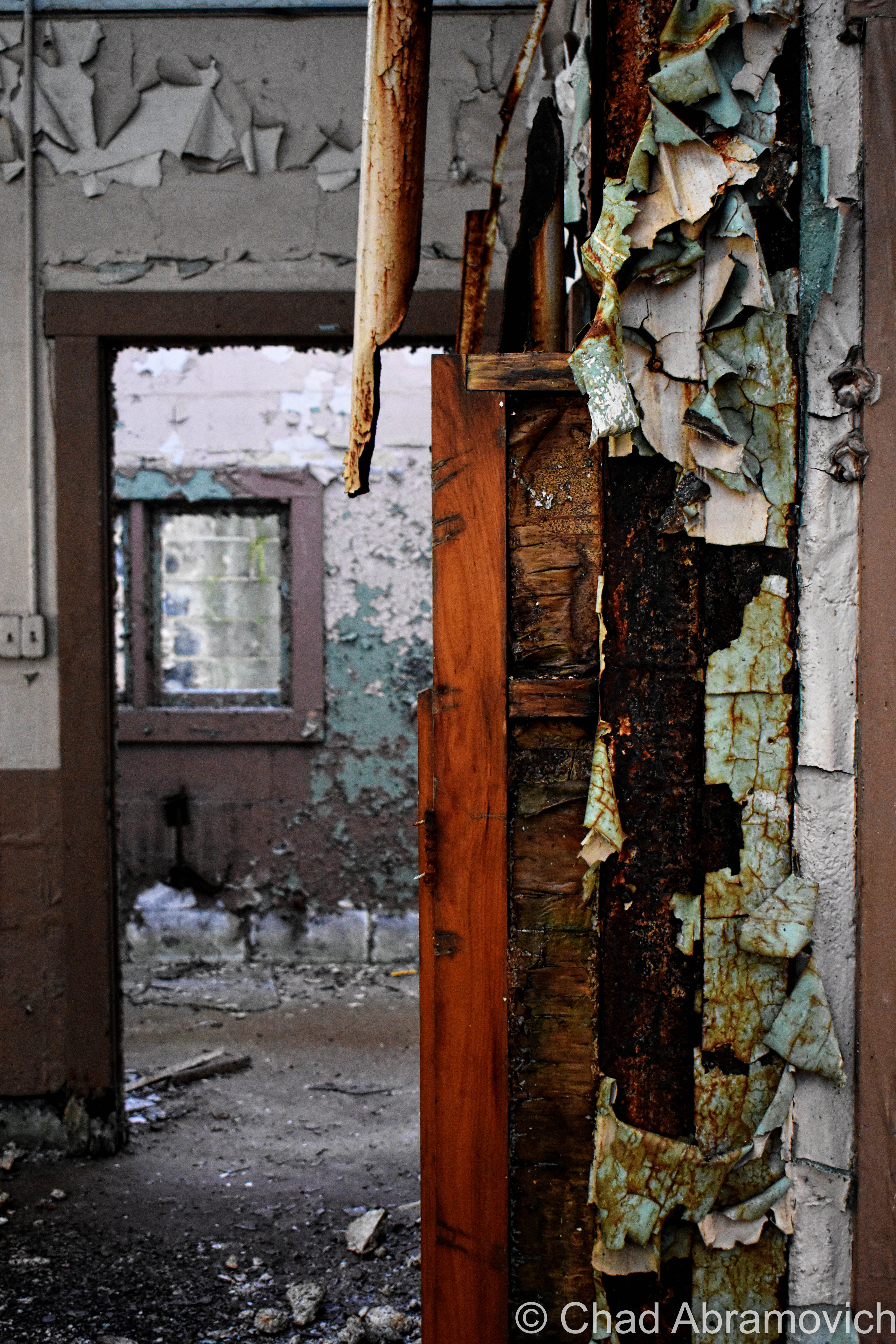
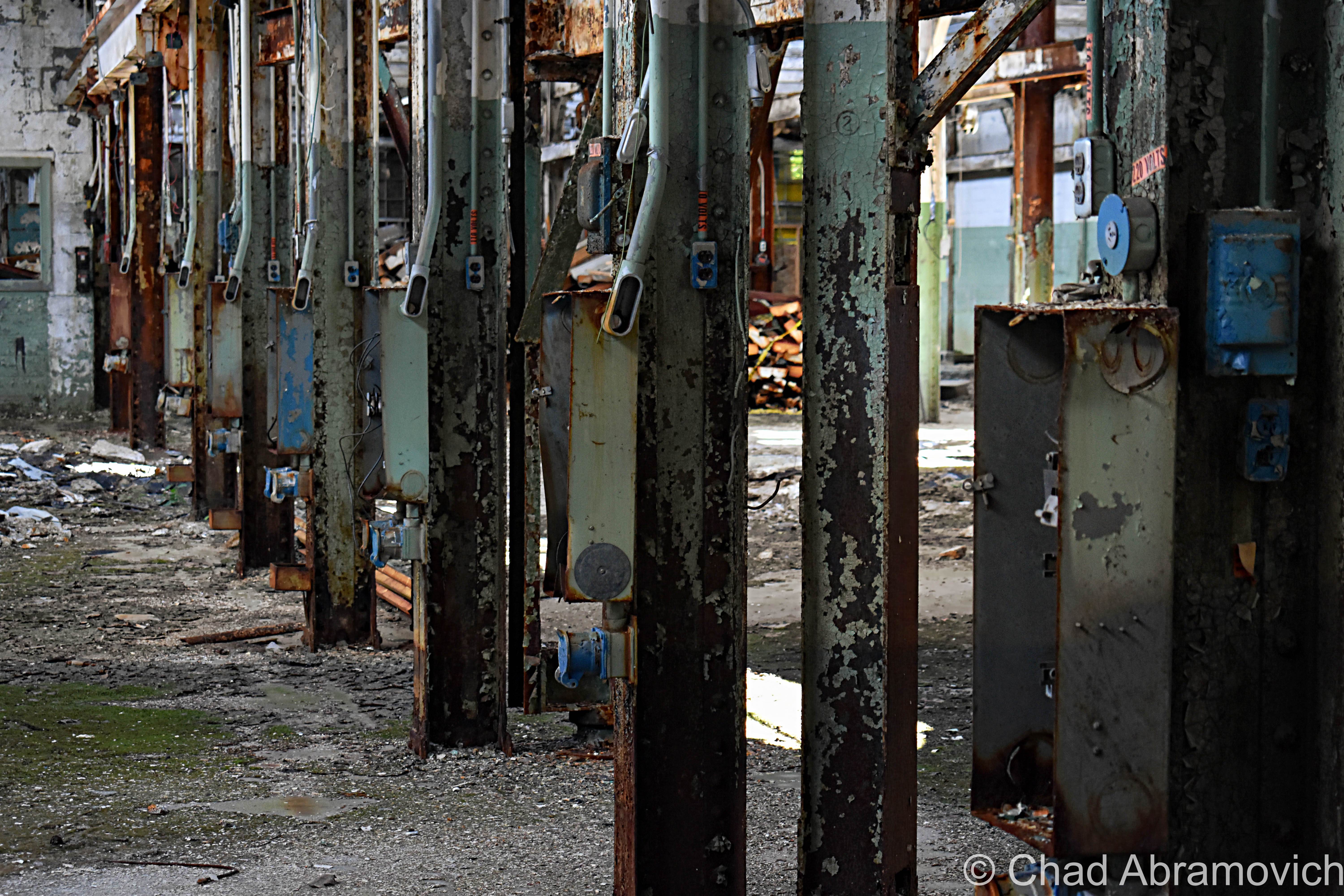
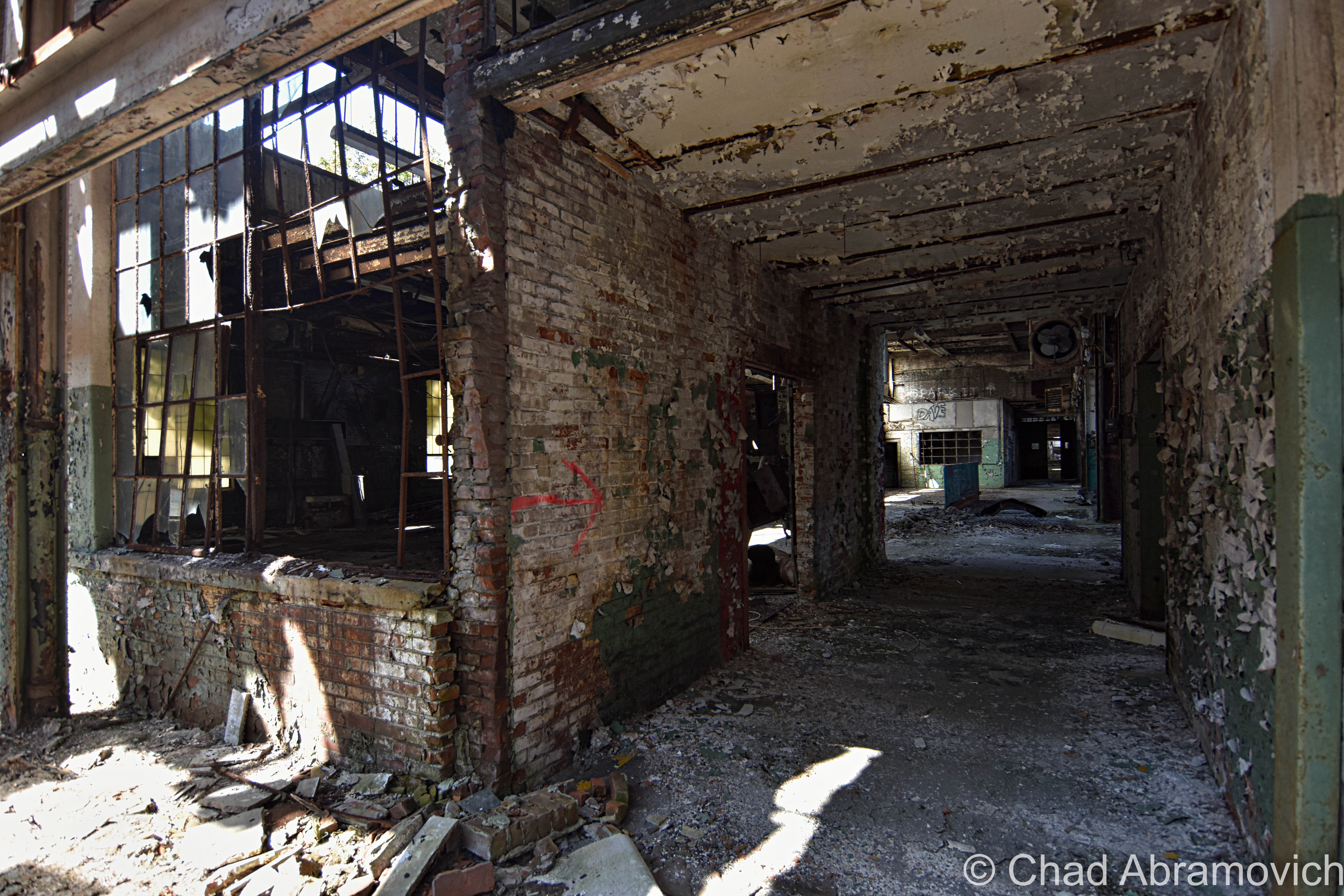
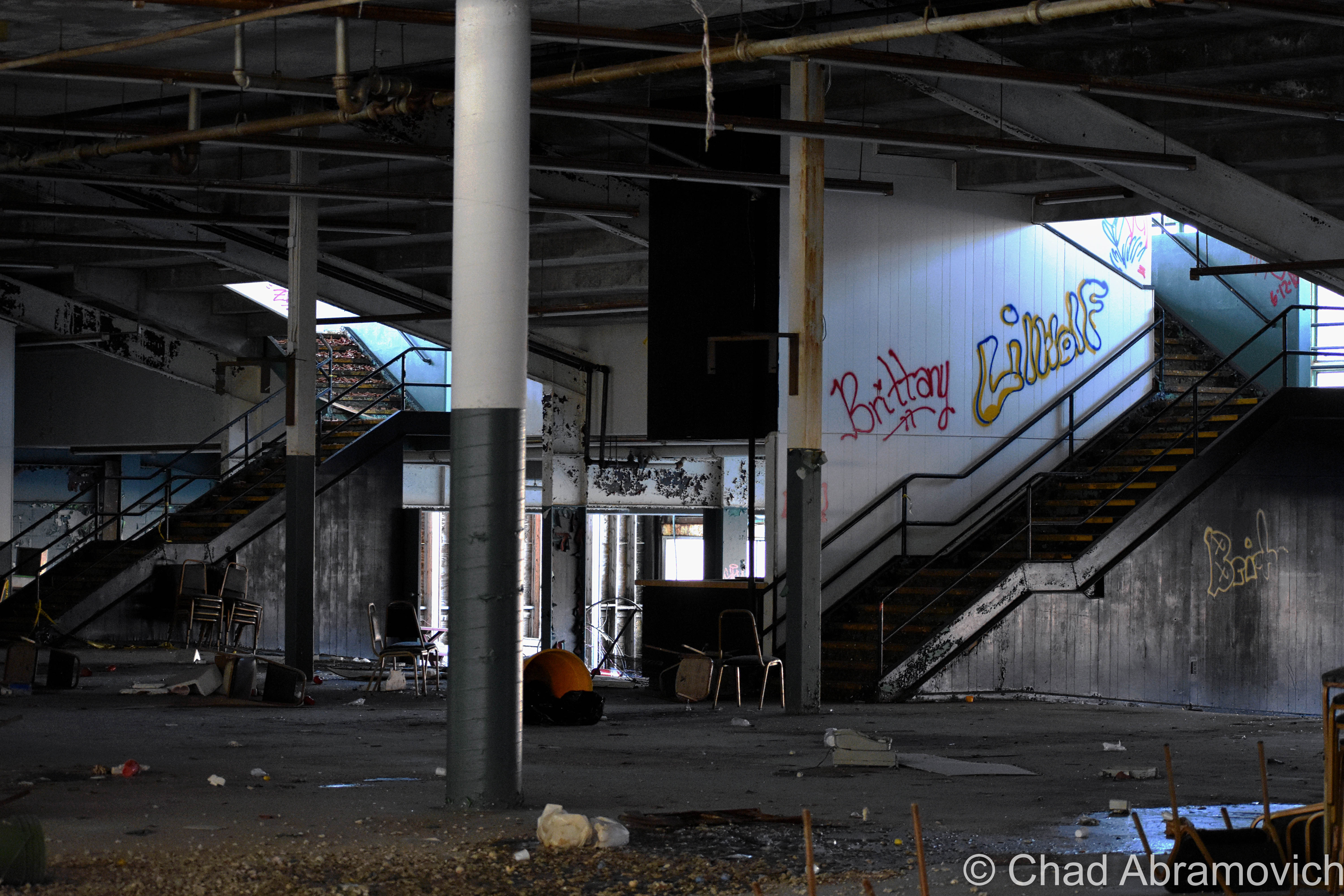
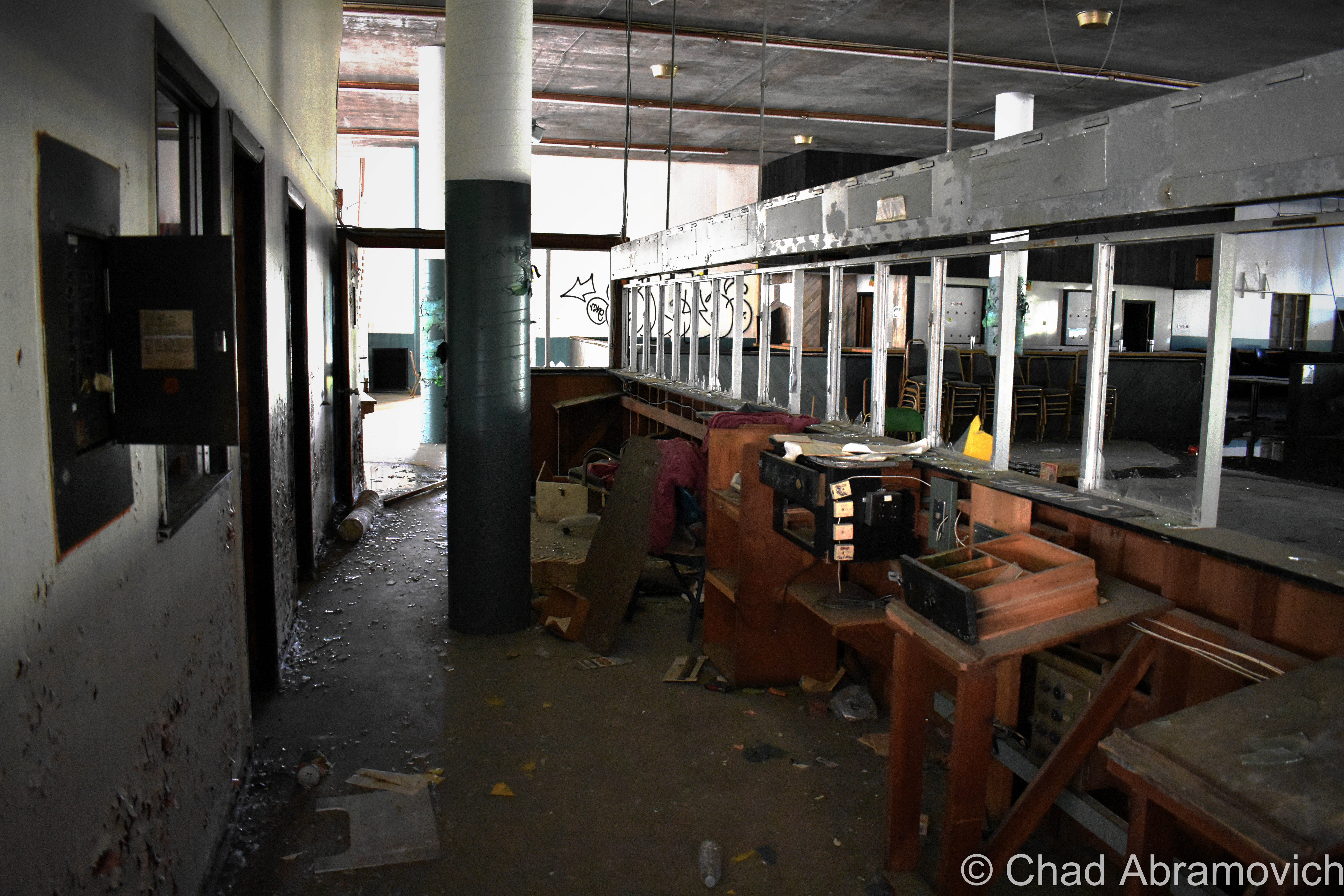
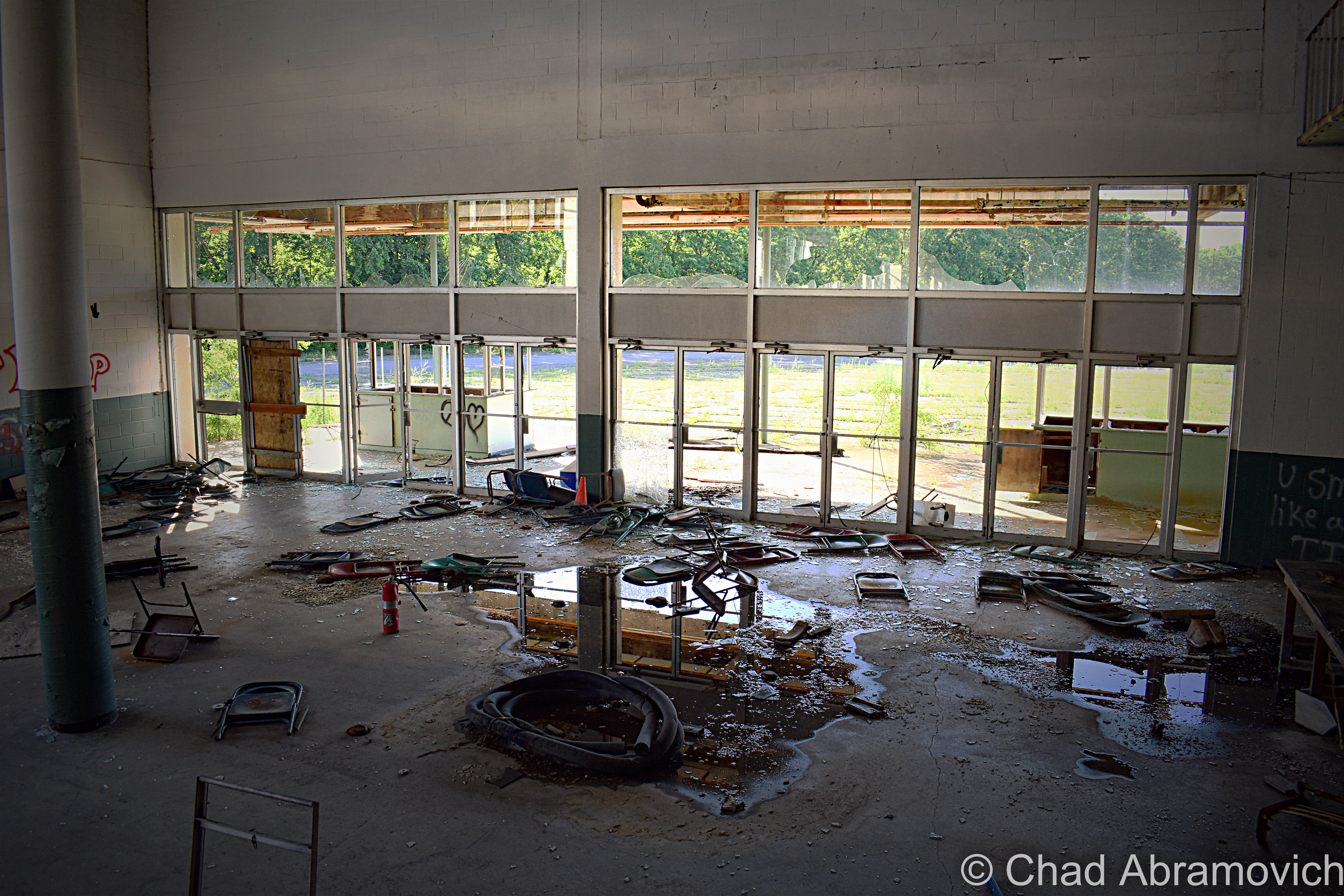
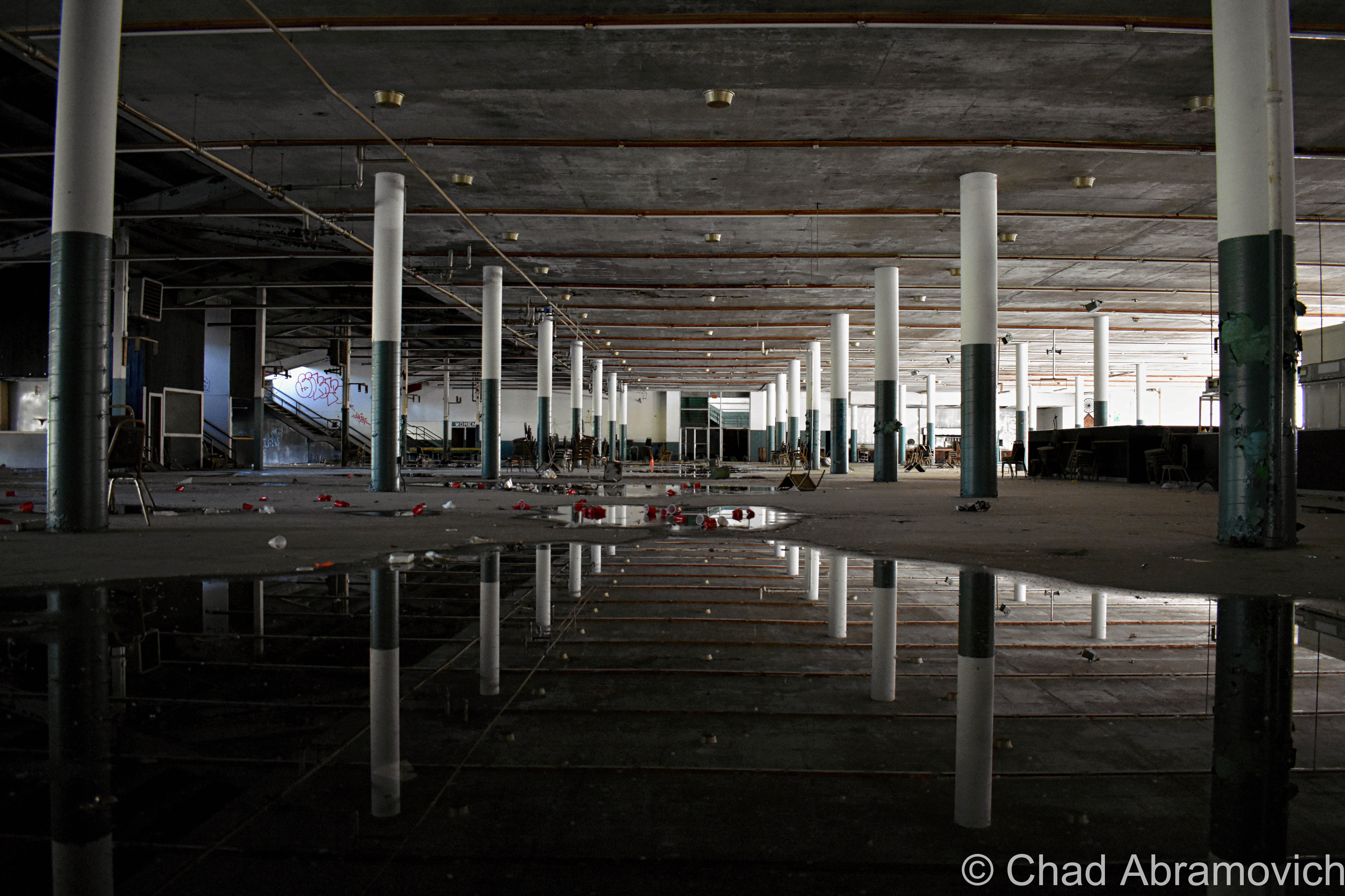
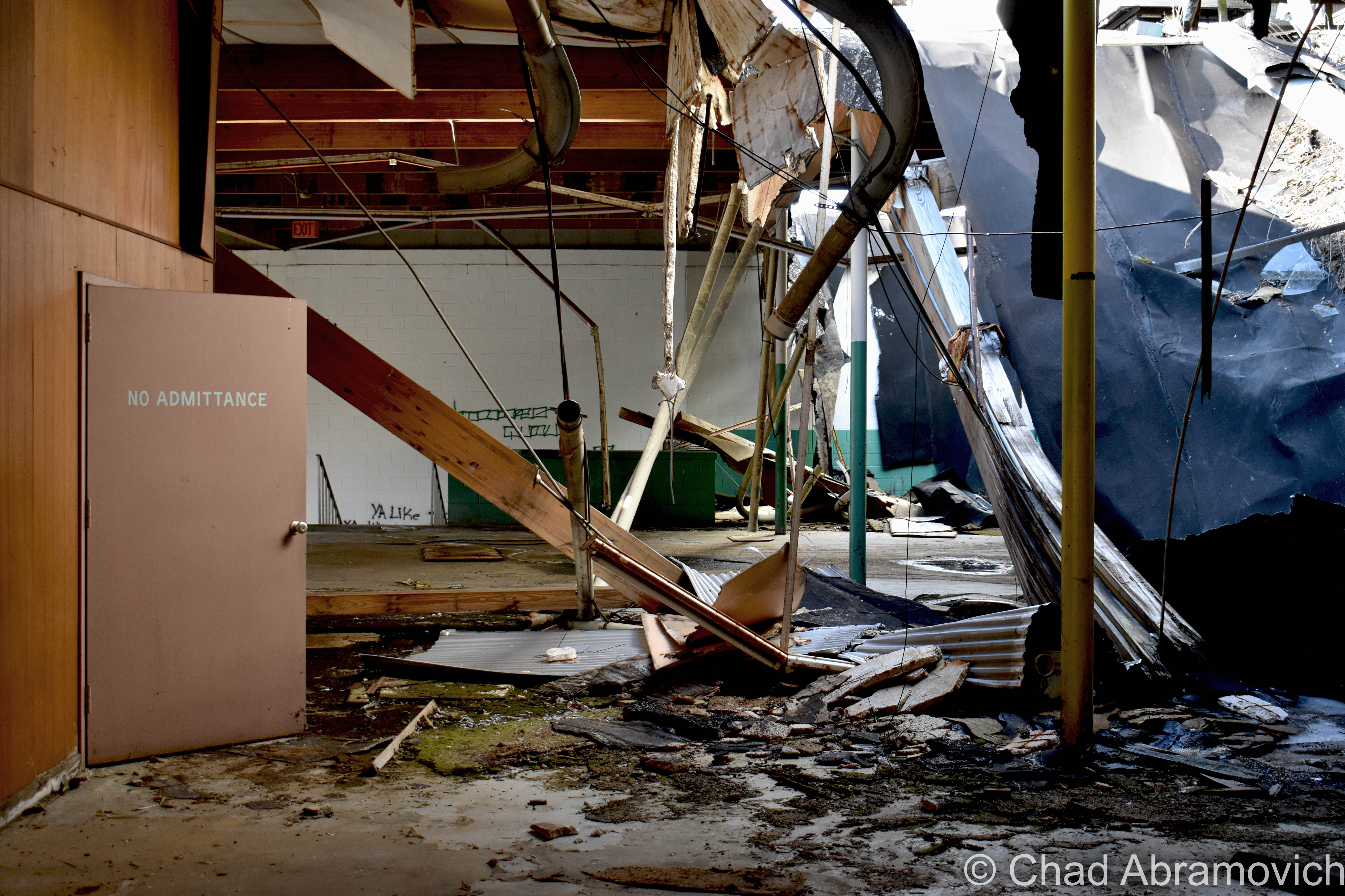
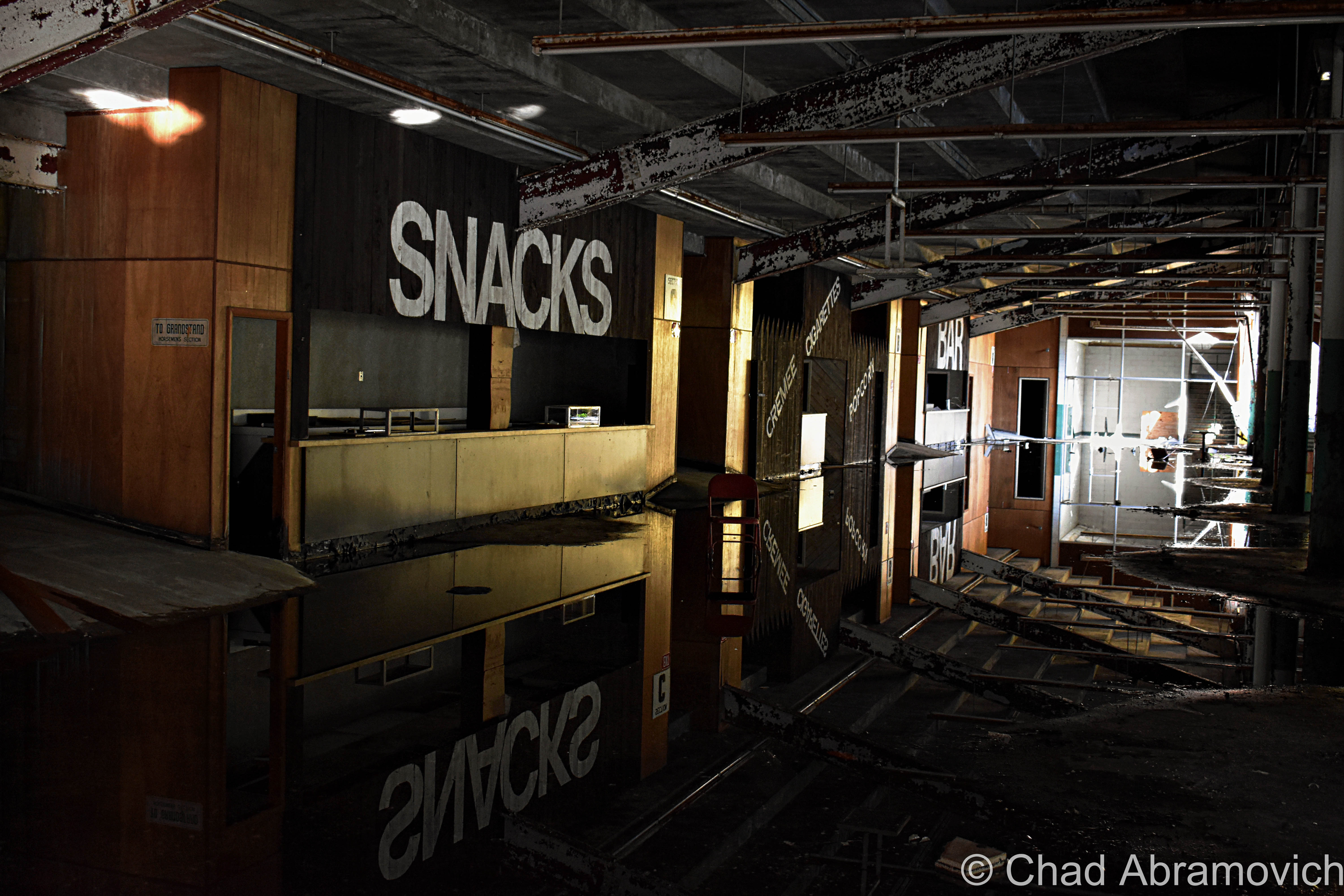
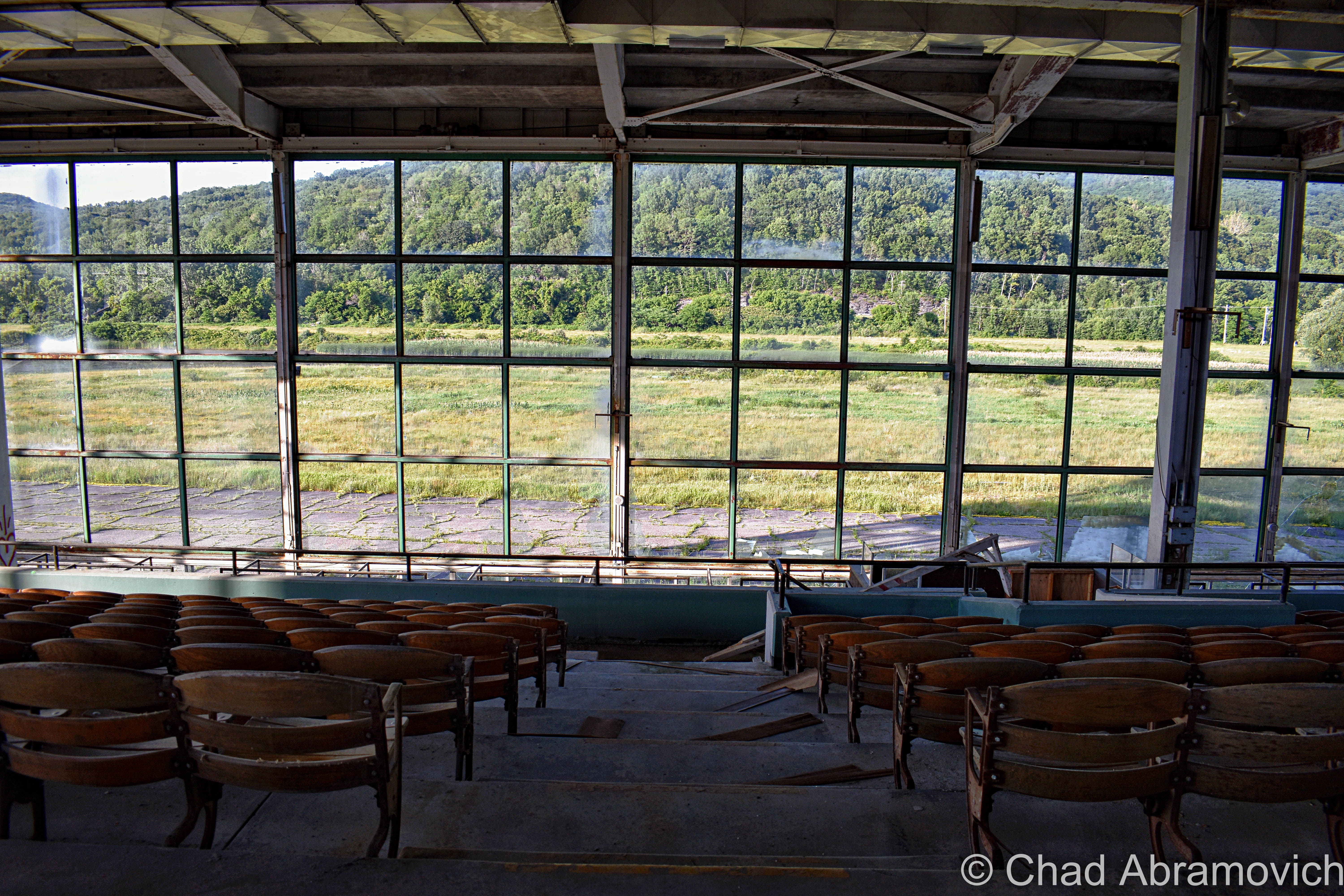
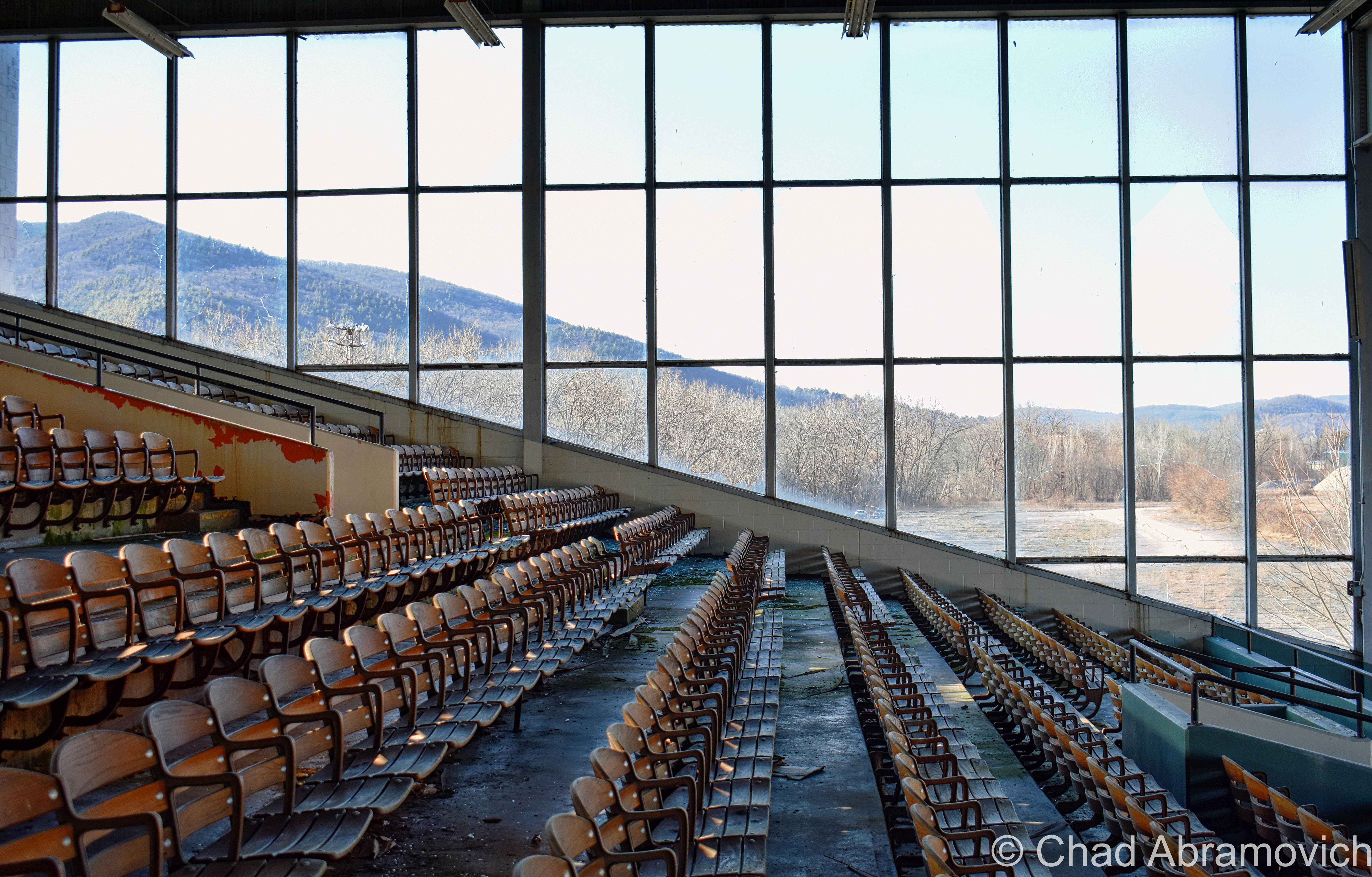
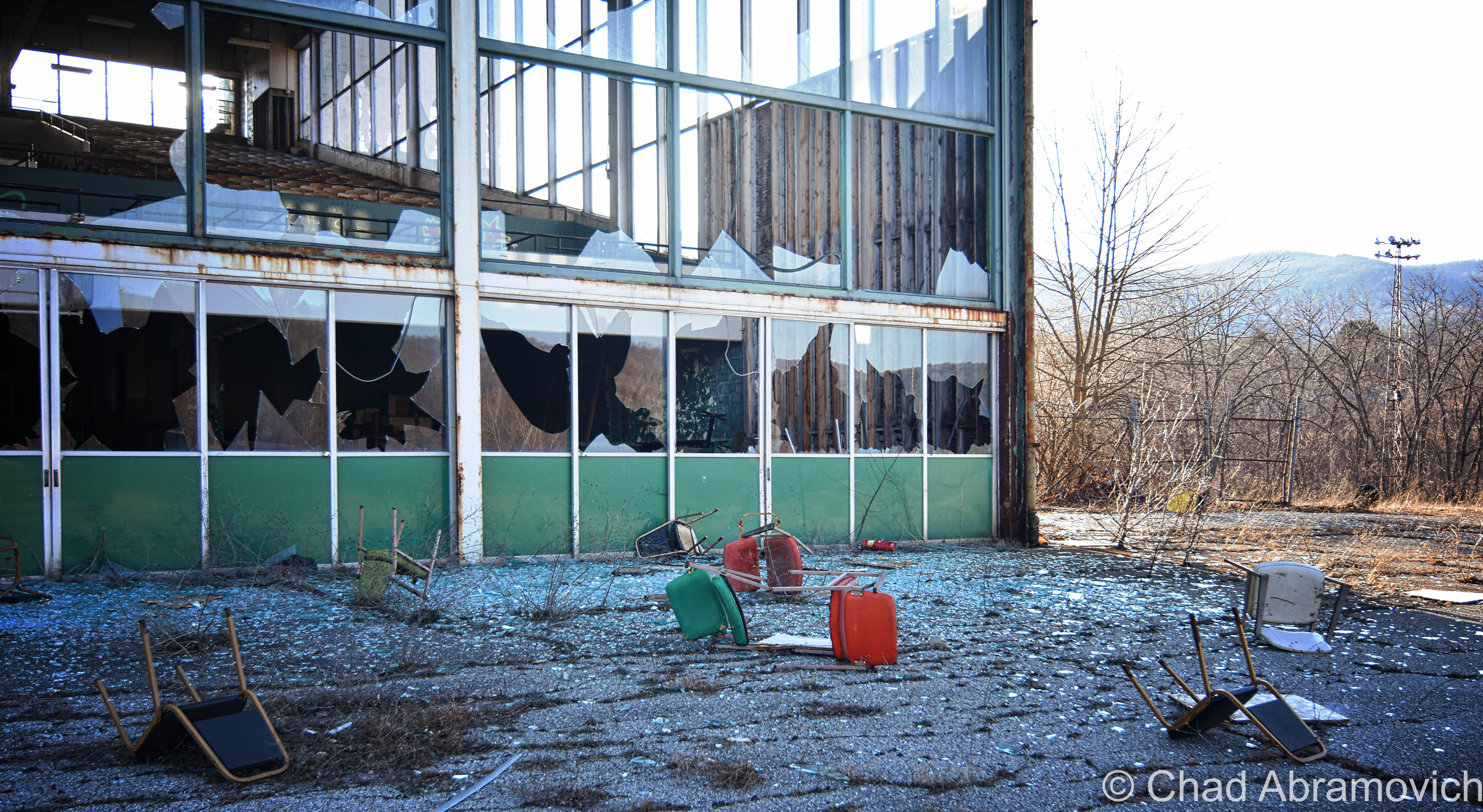
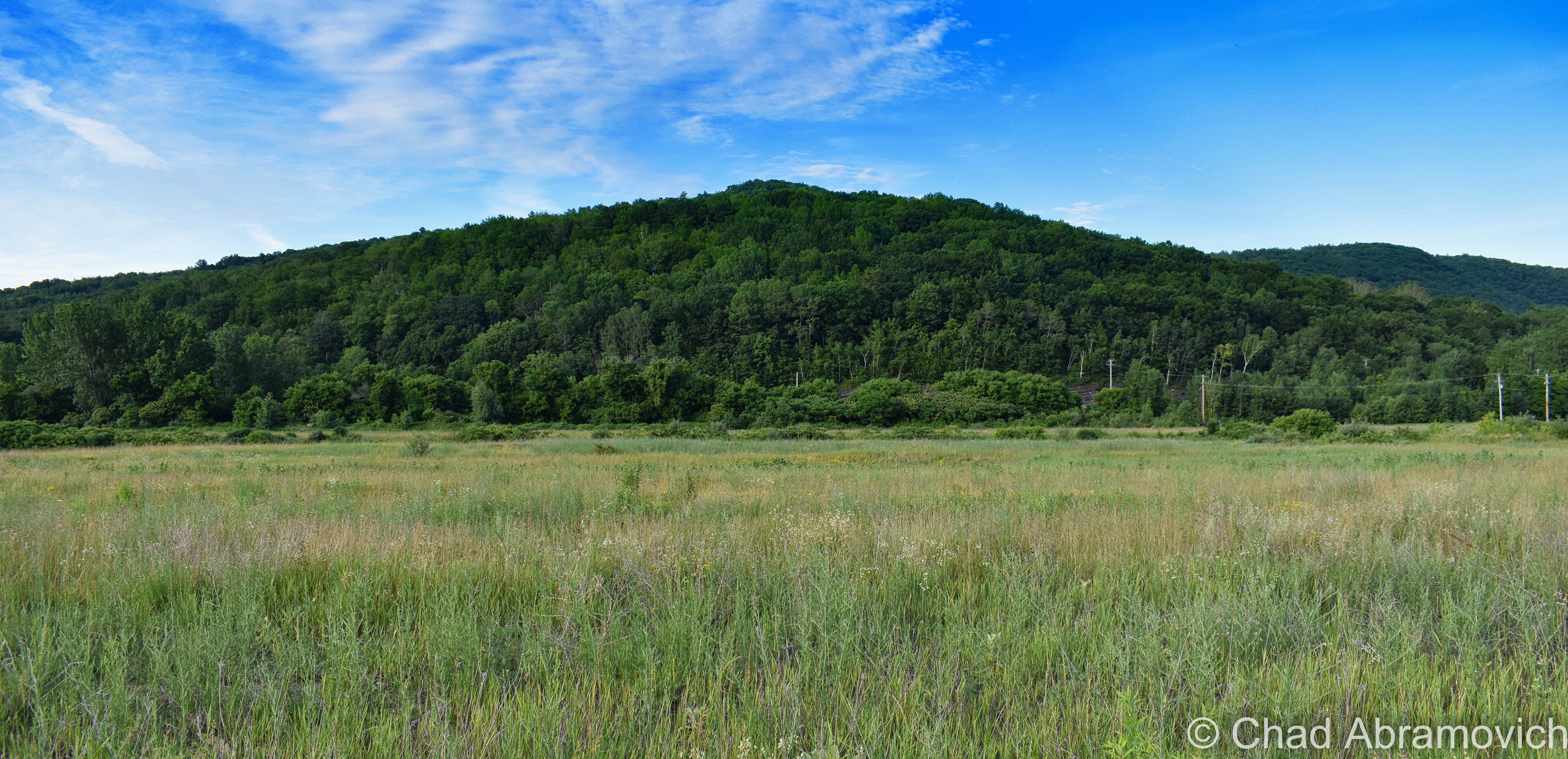
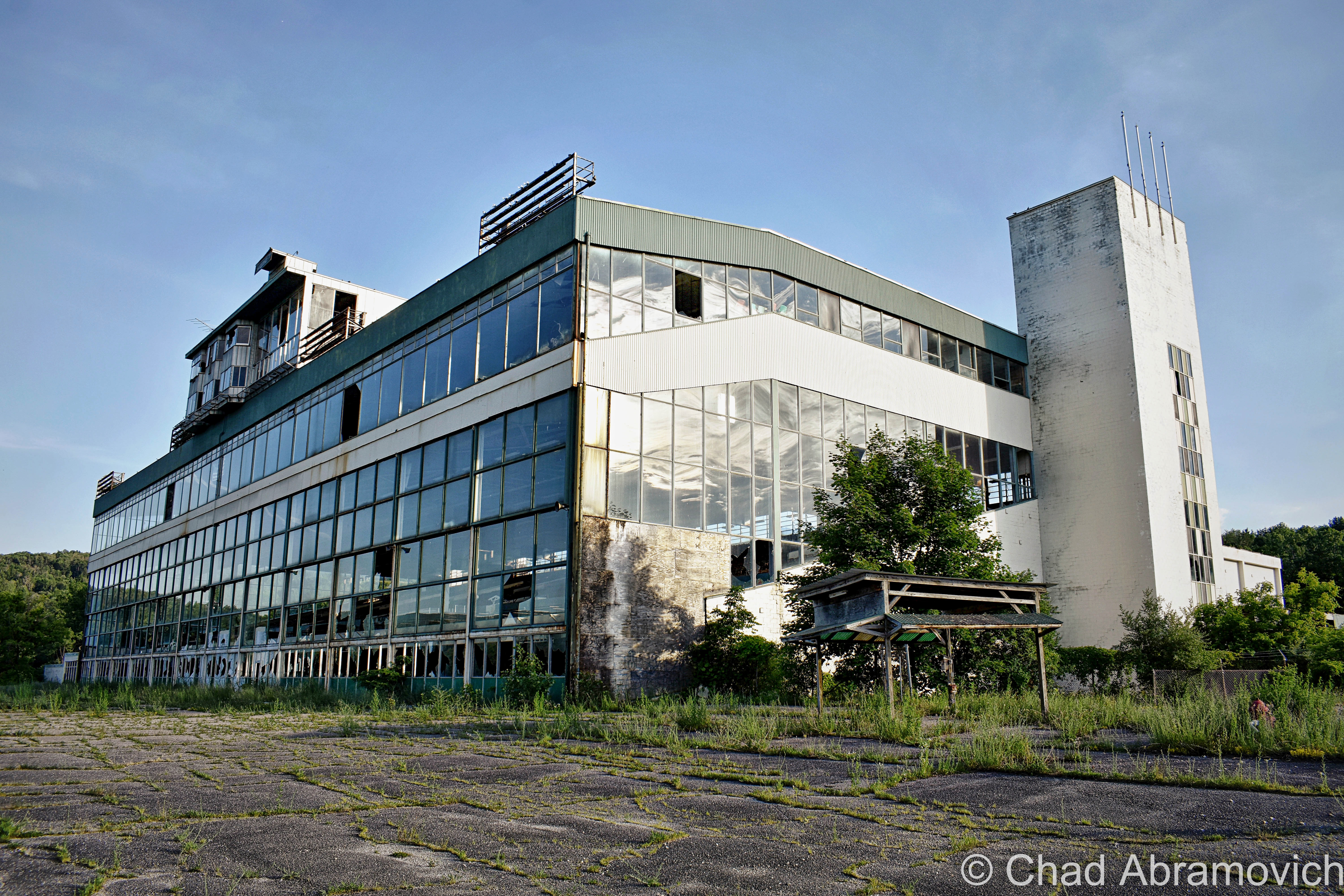
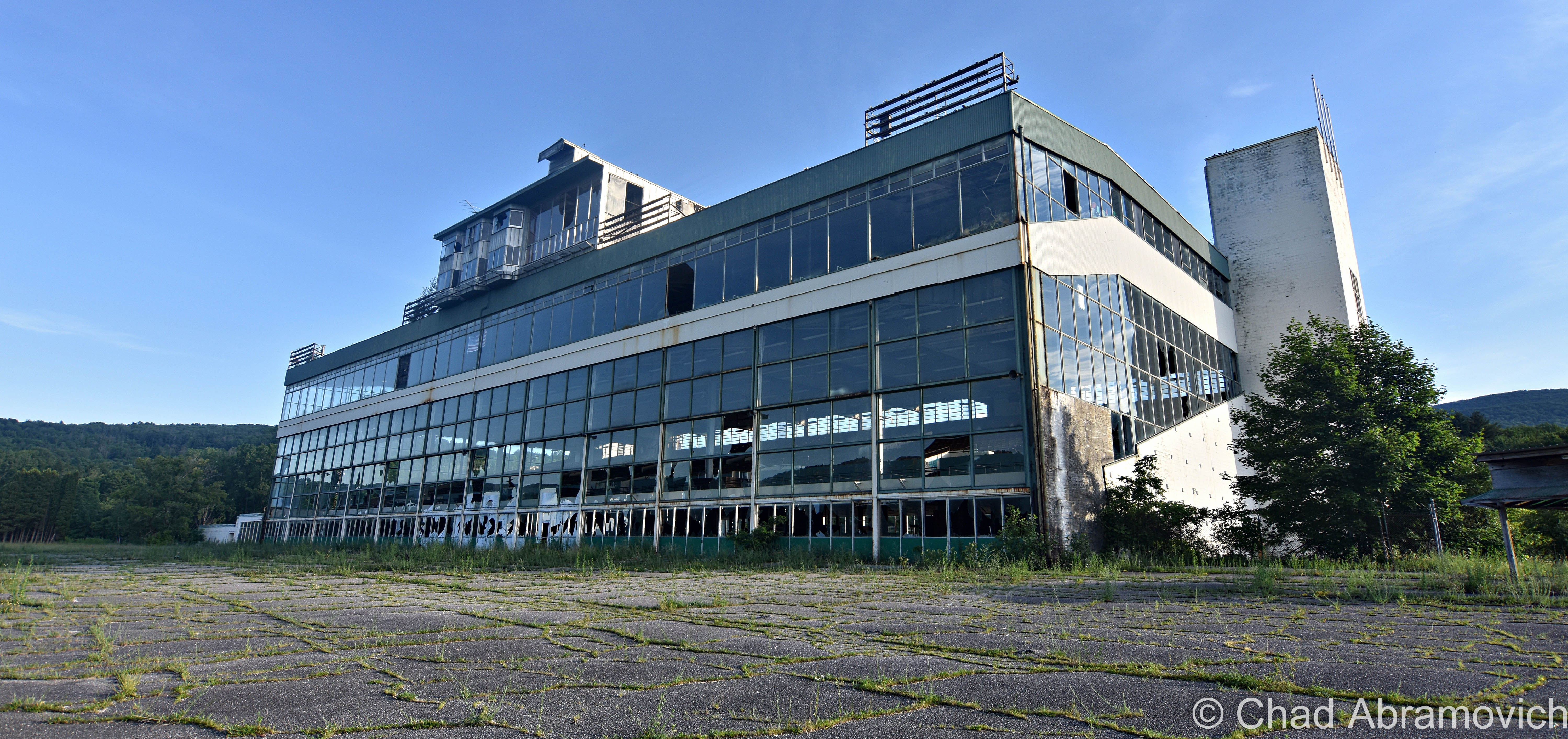
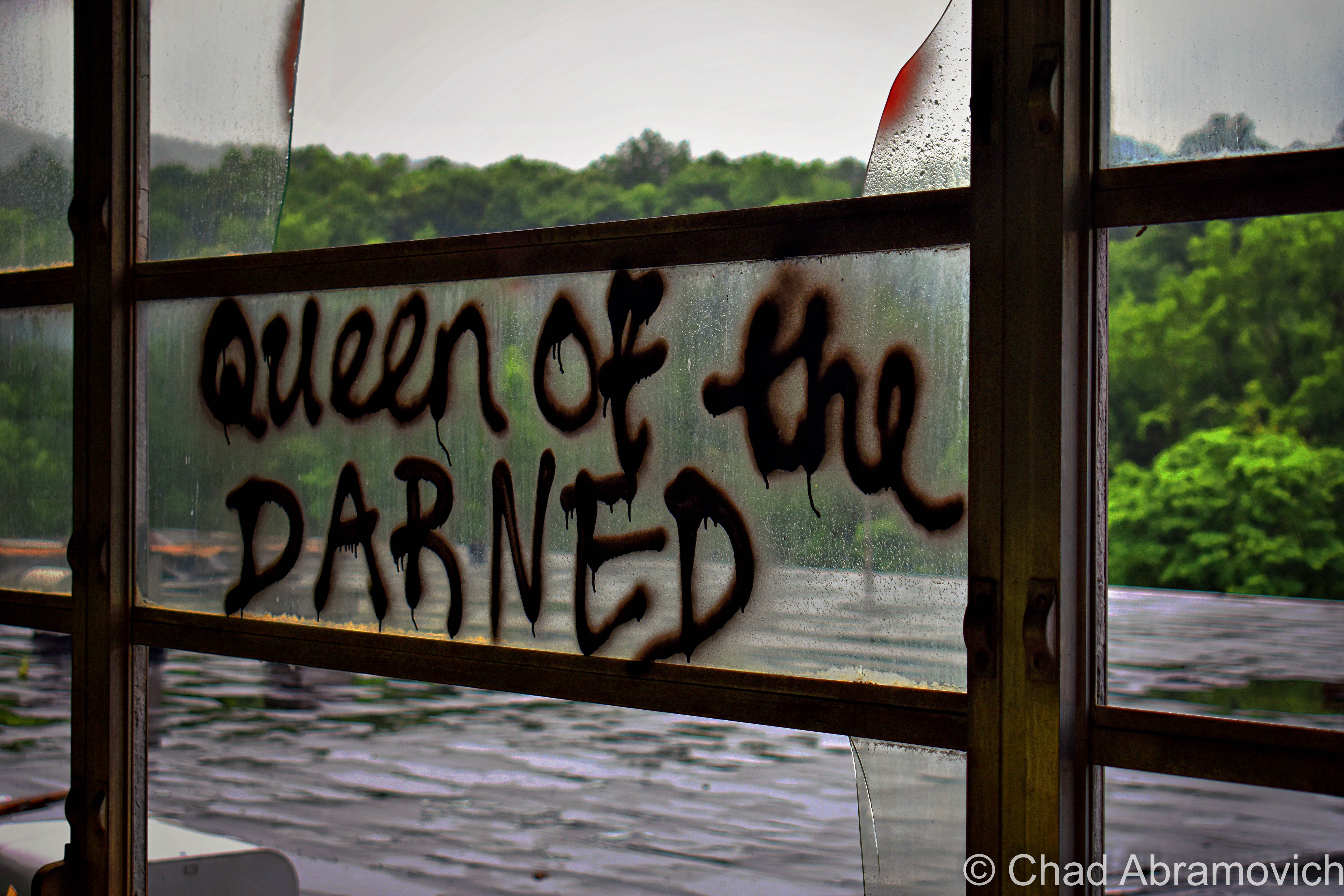
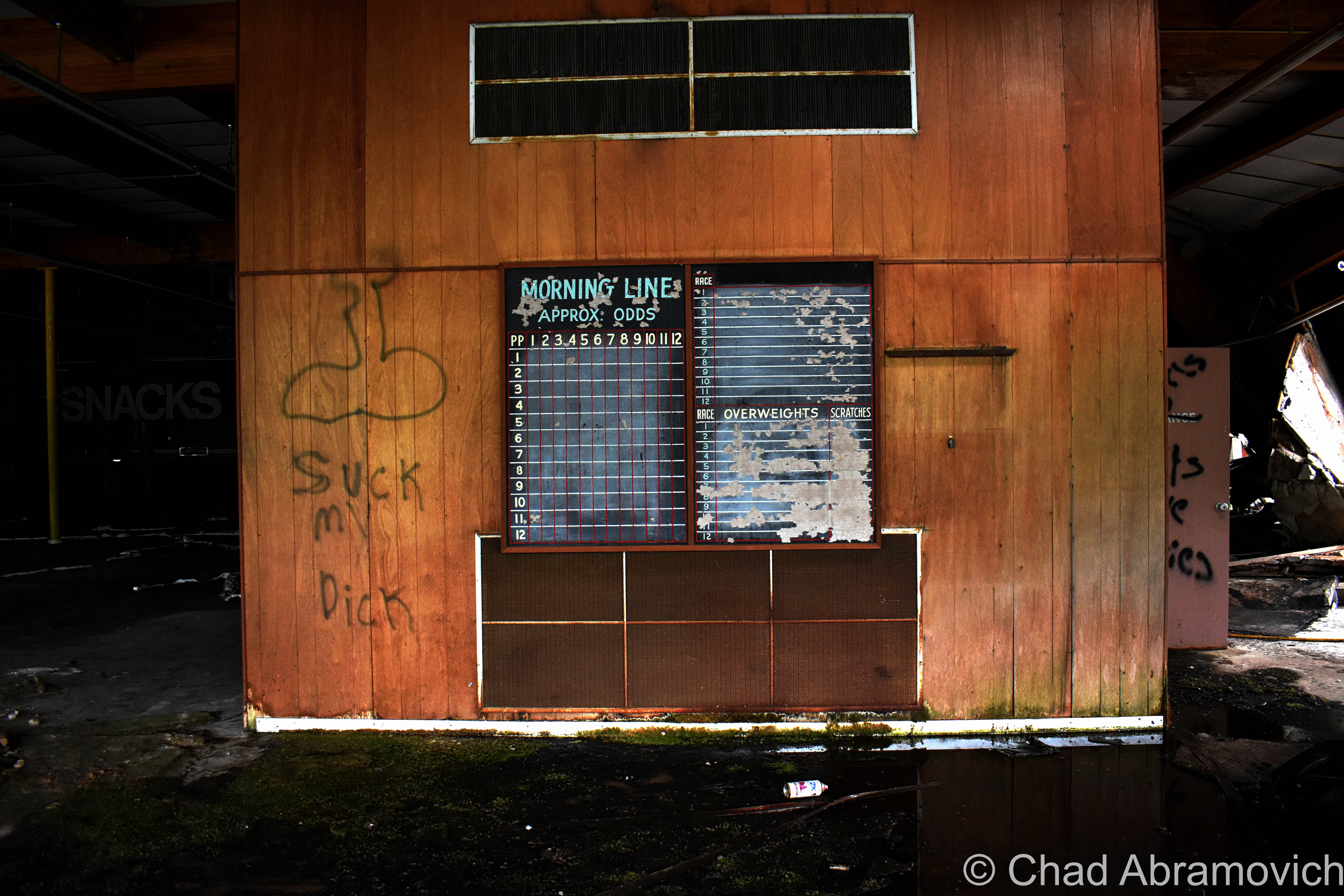
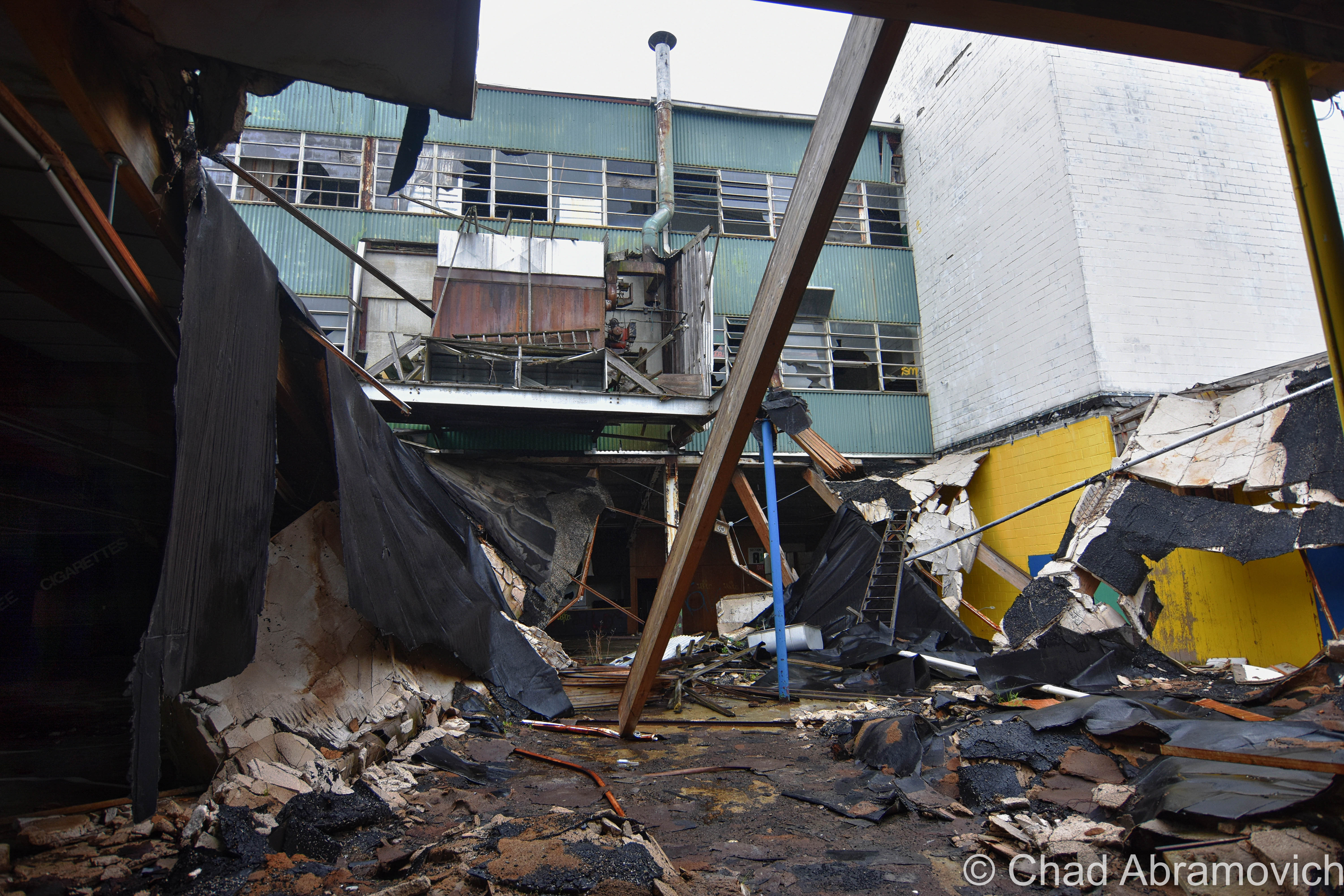
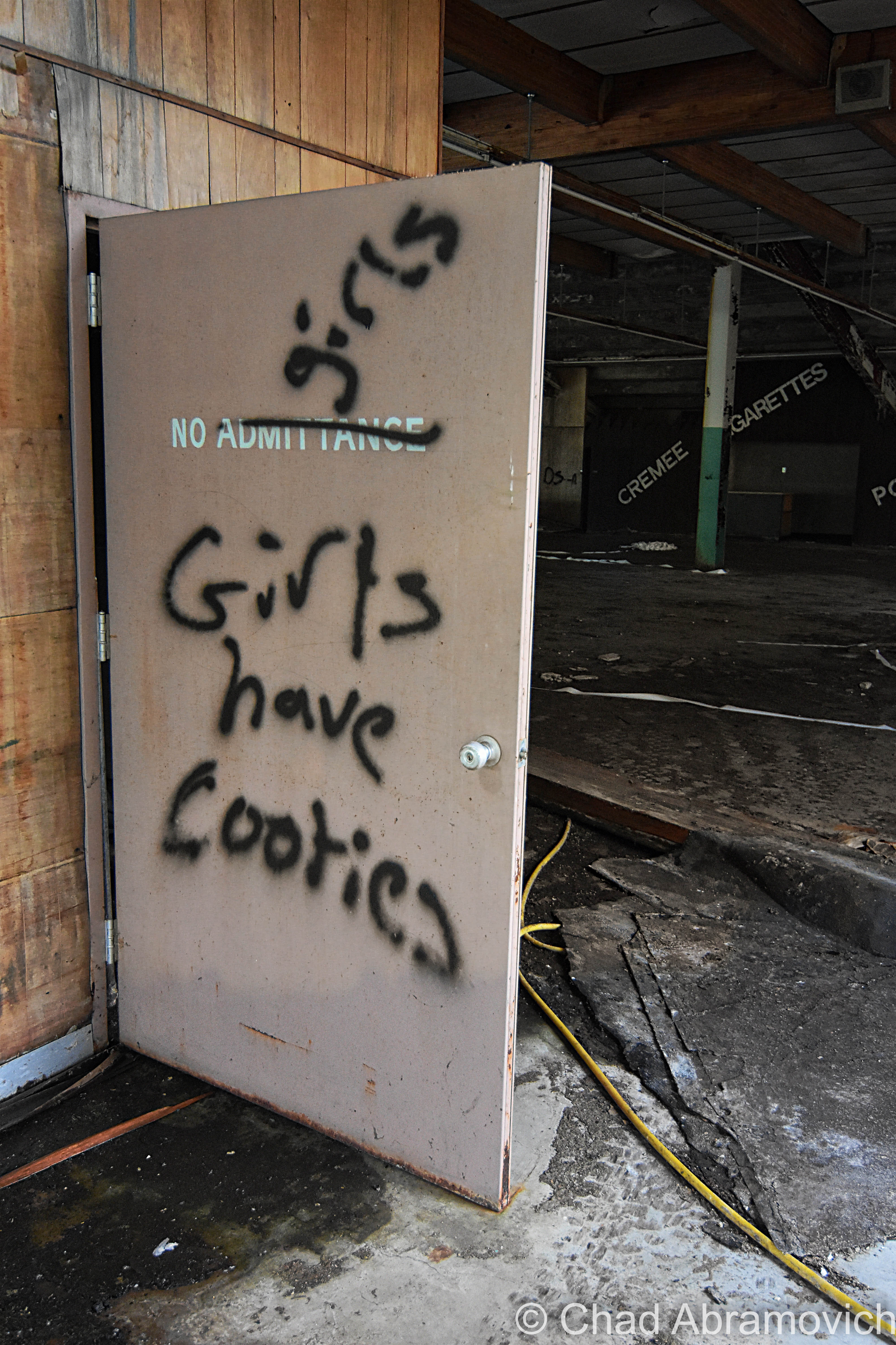
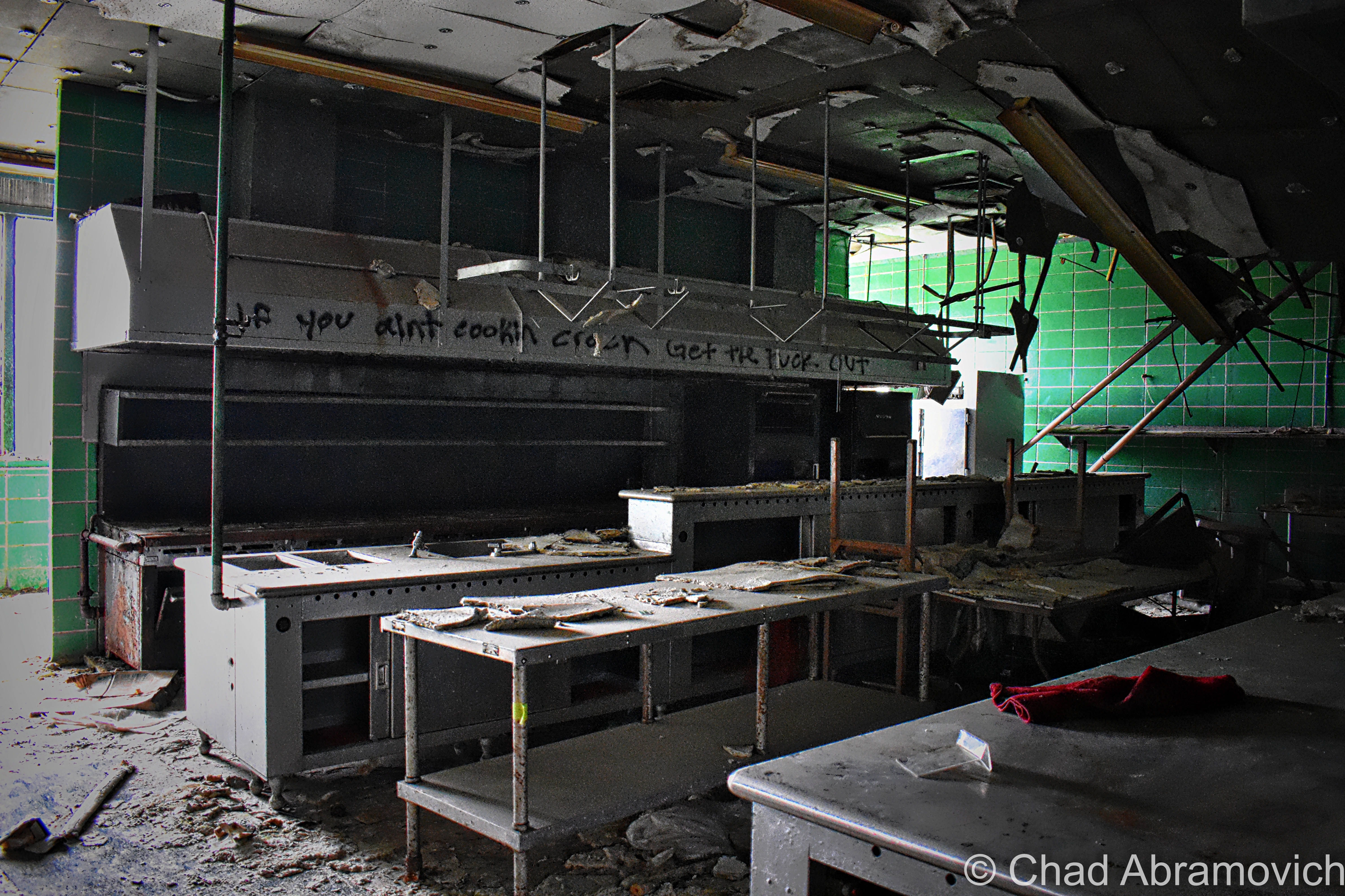
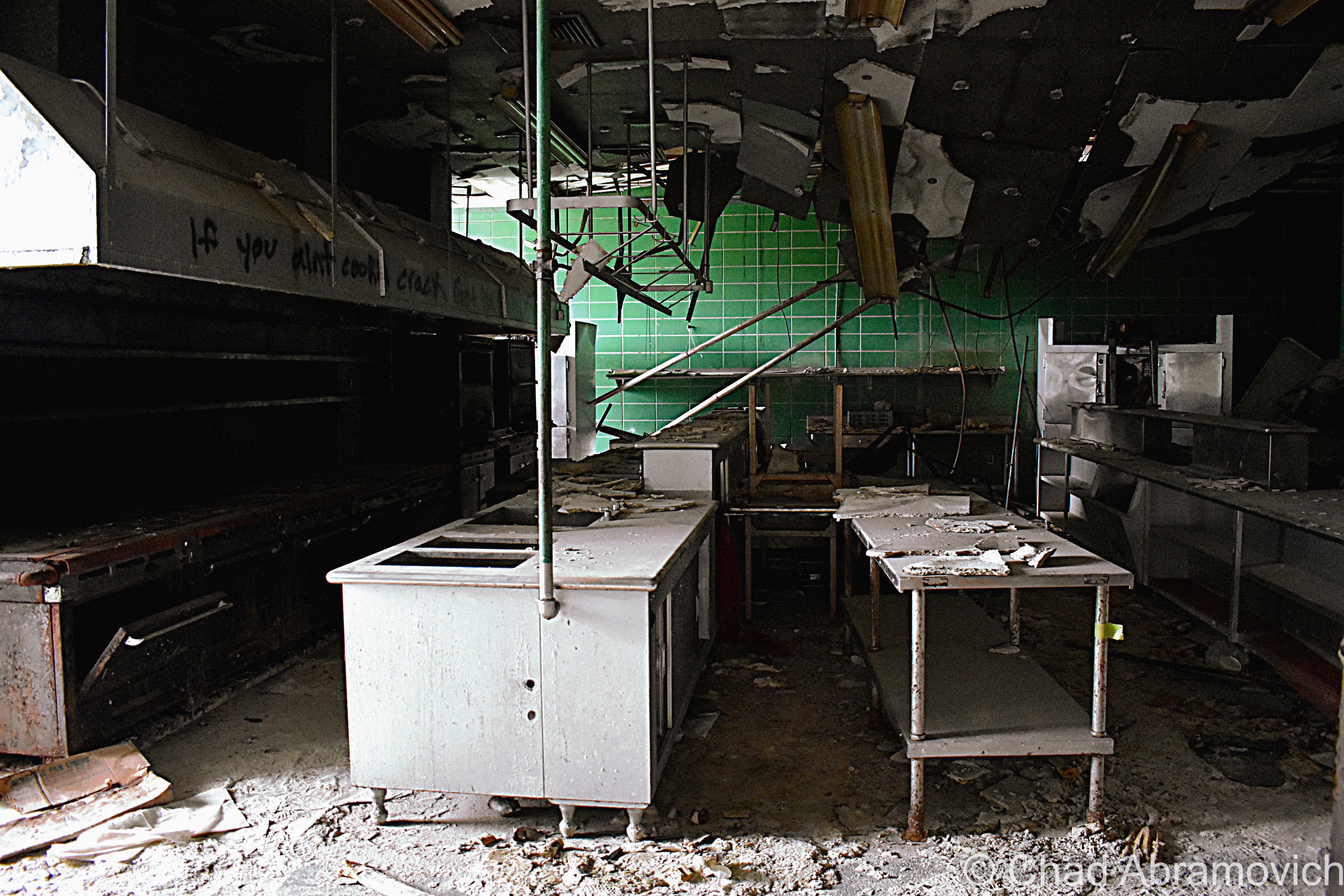
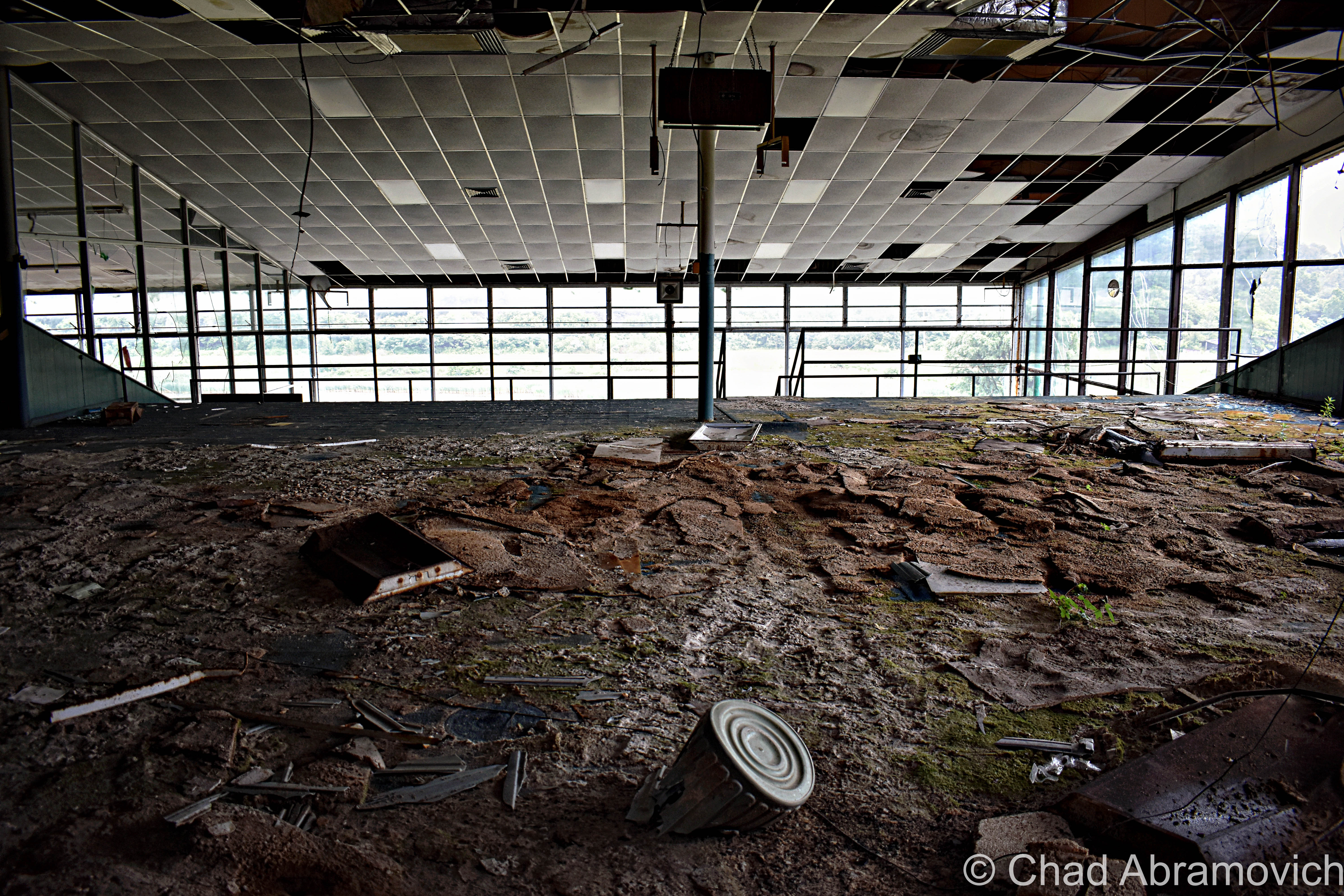
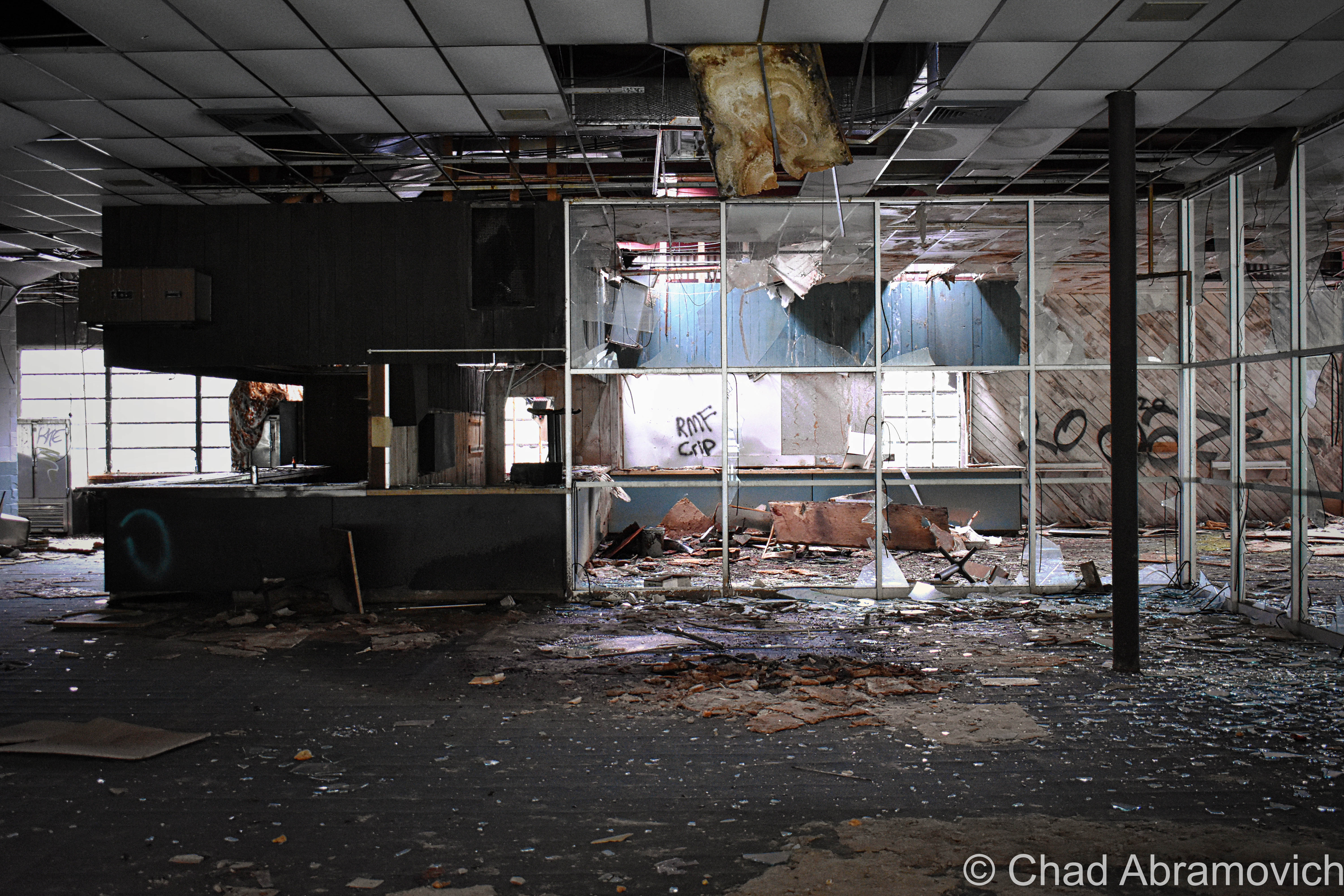
The Jones and Lamson Factory

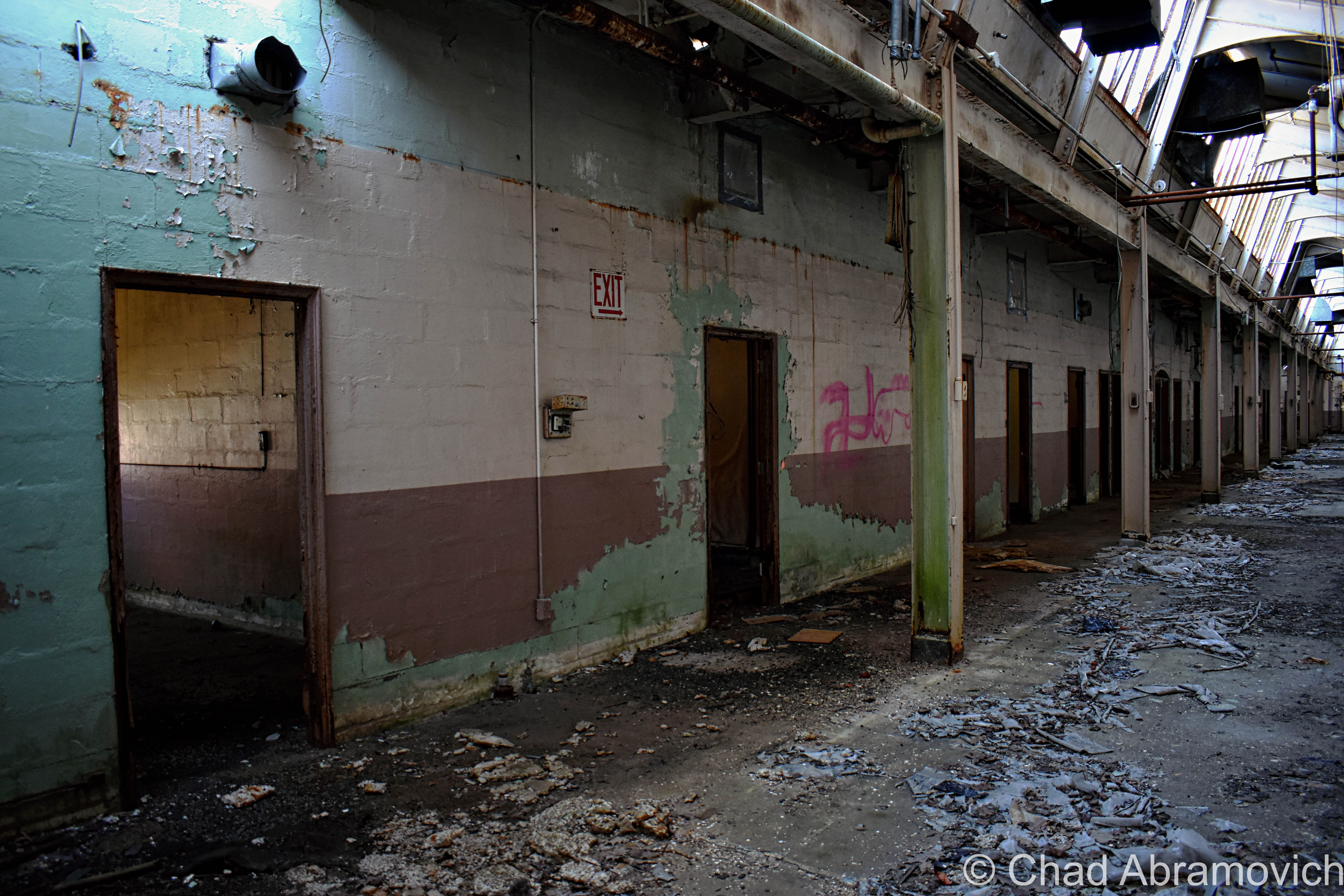
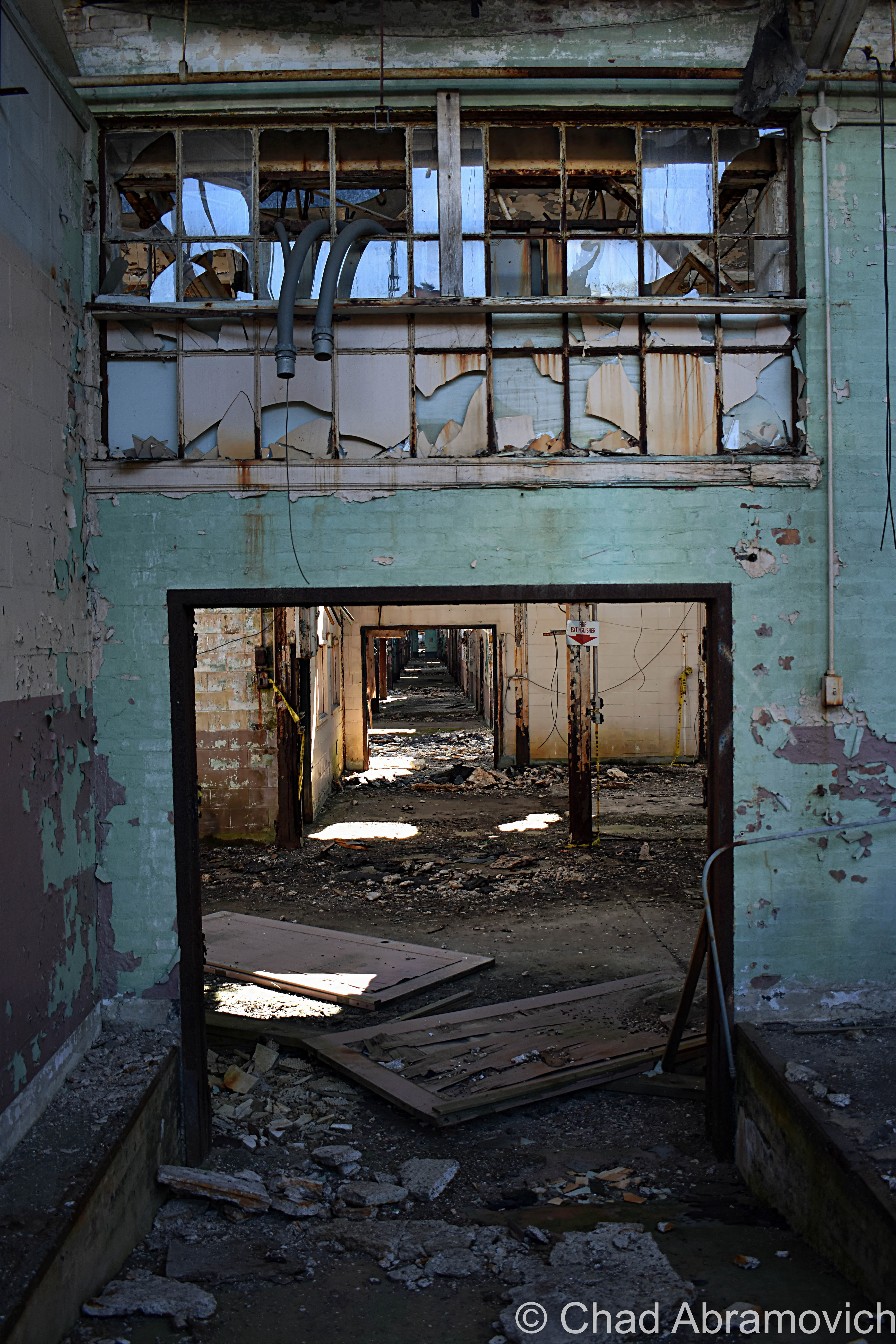
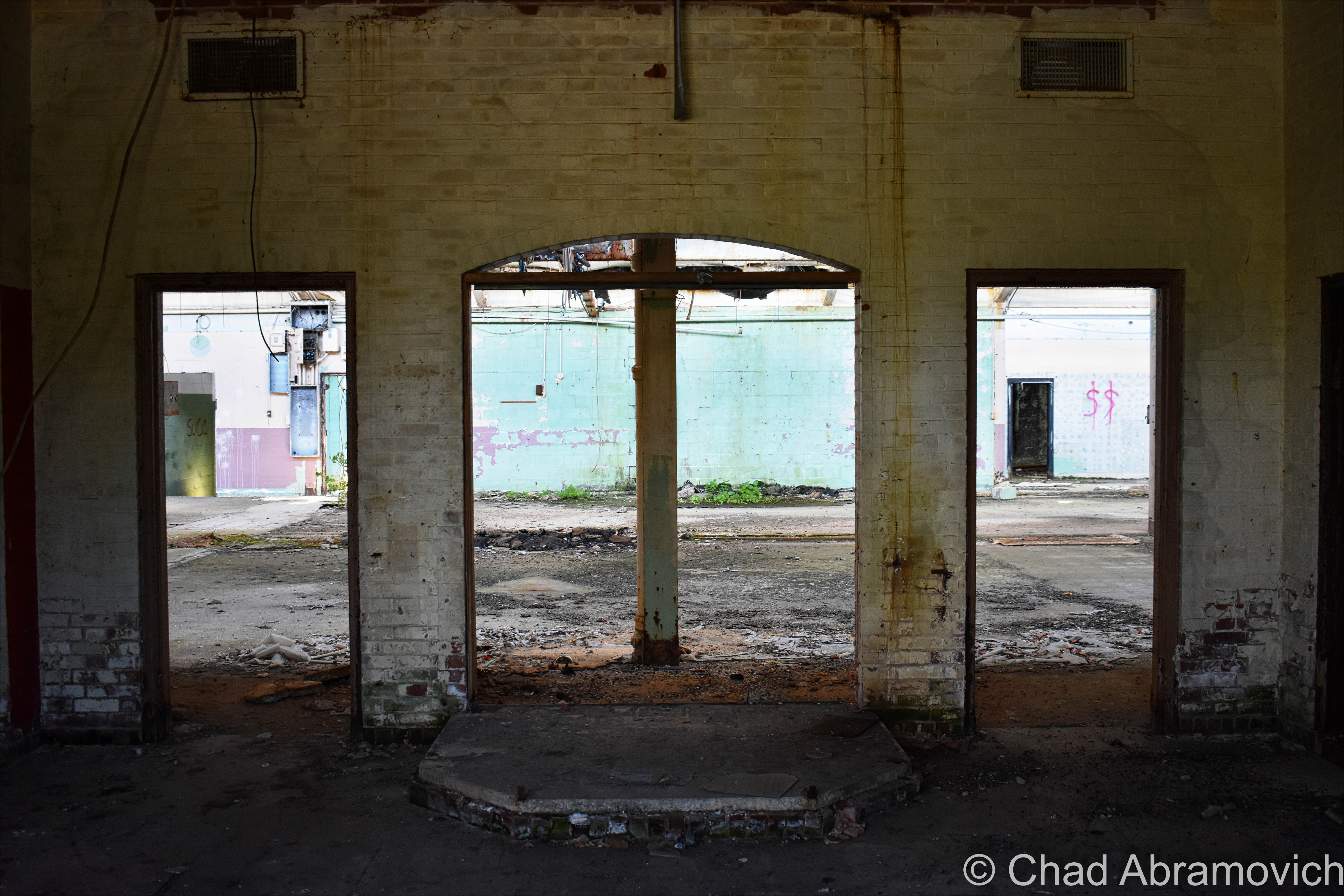
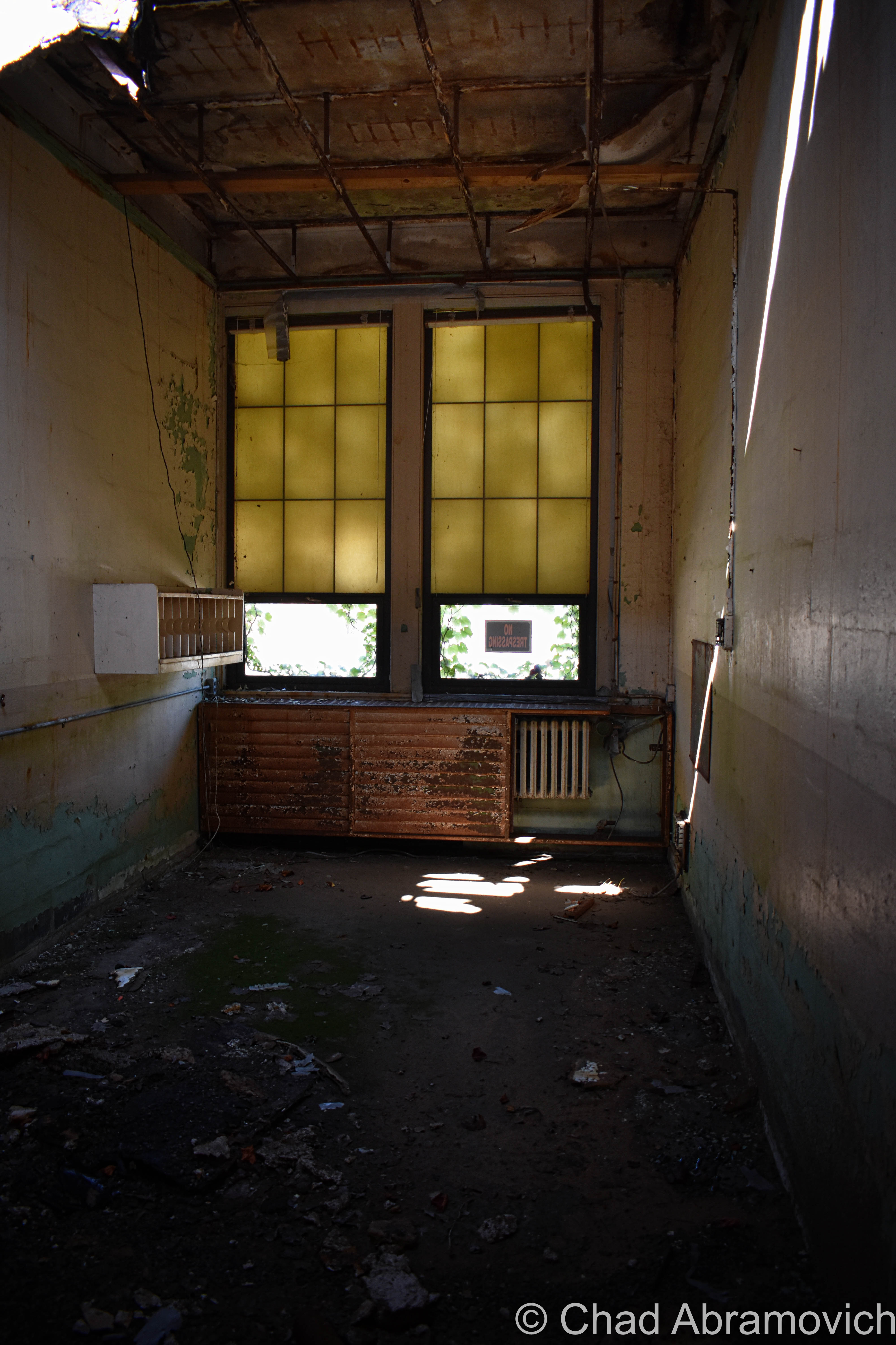
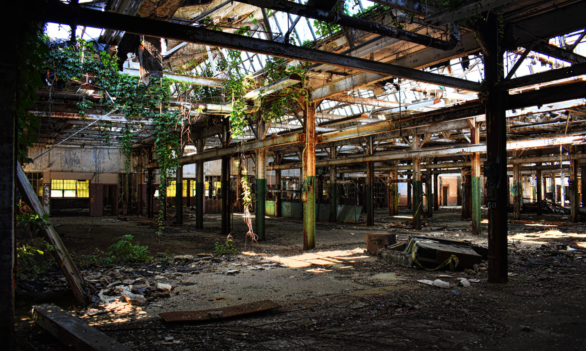
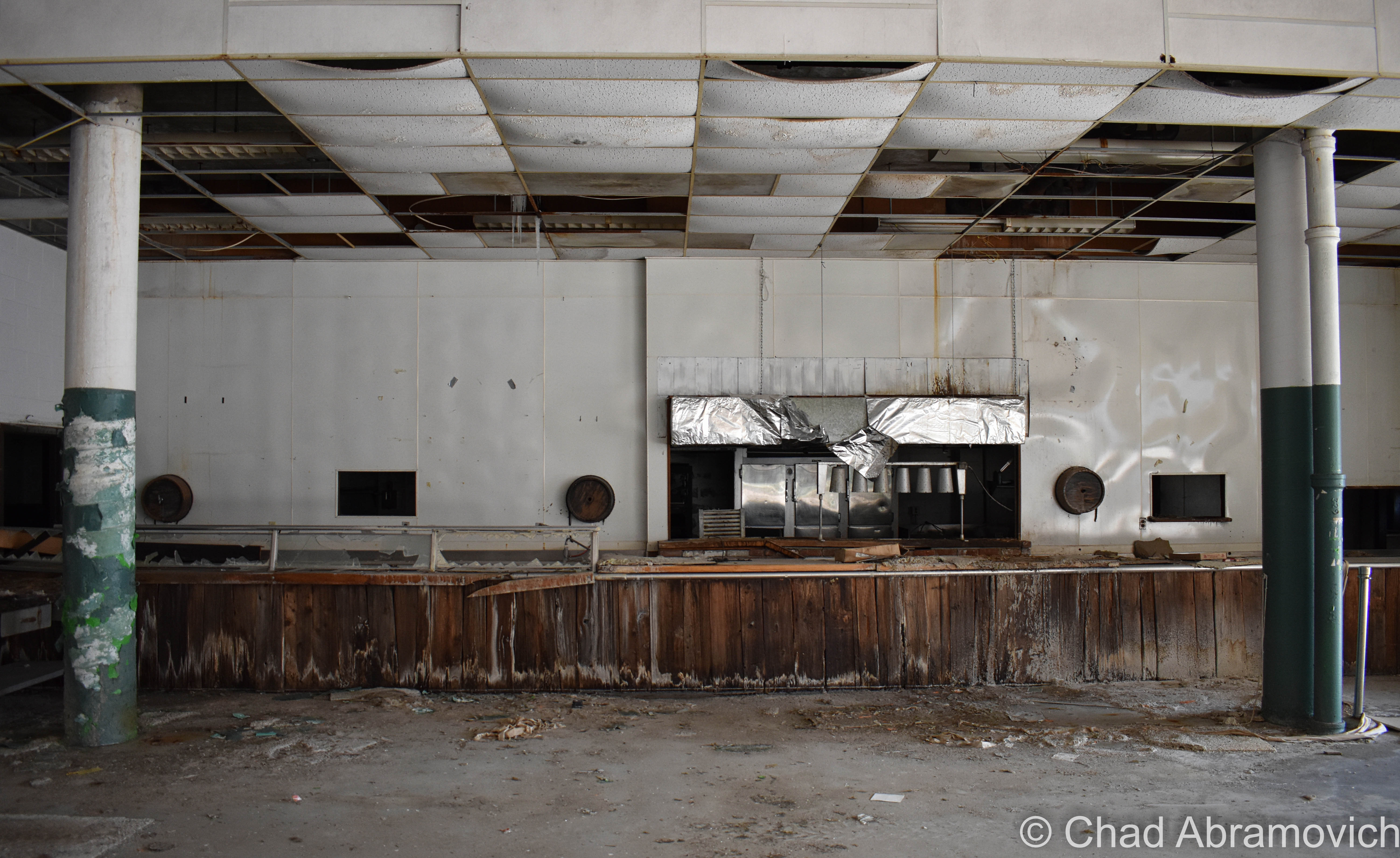
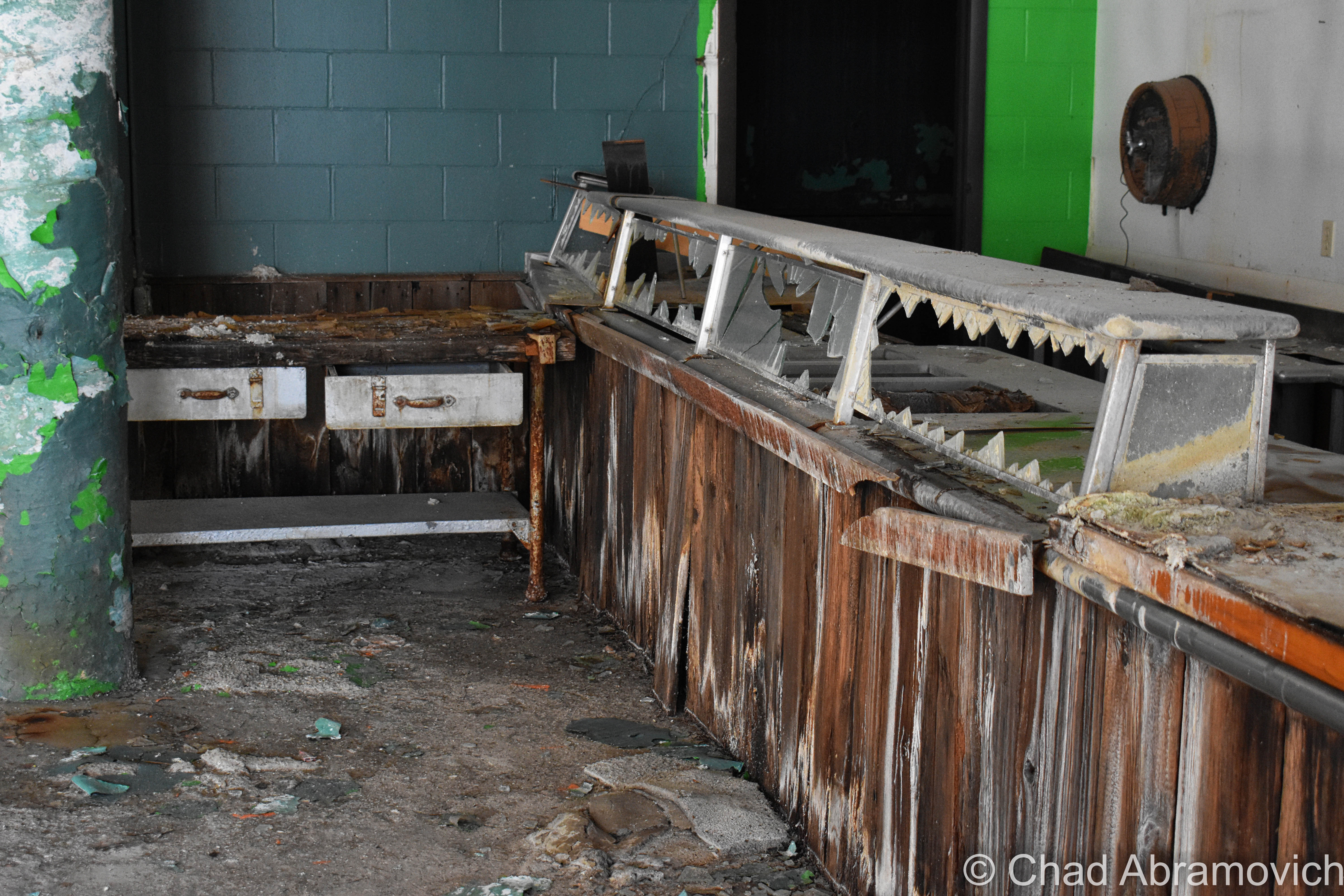
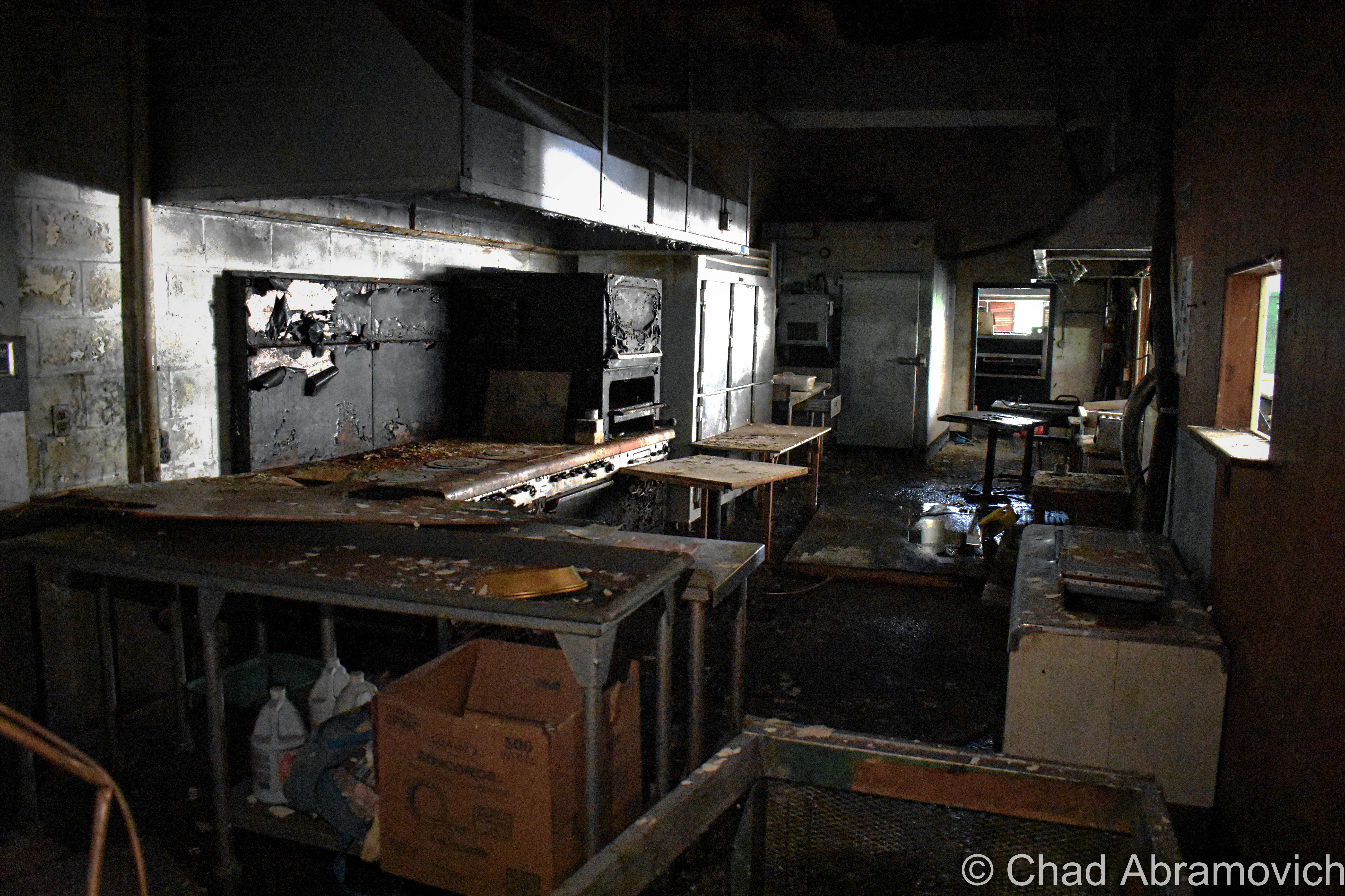
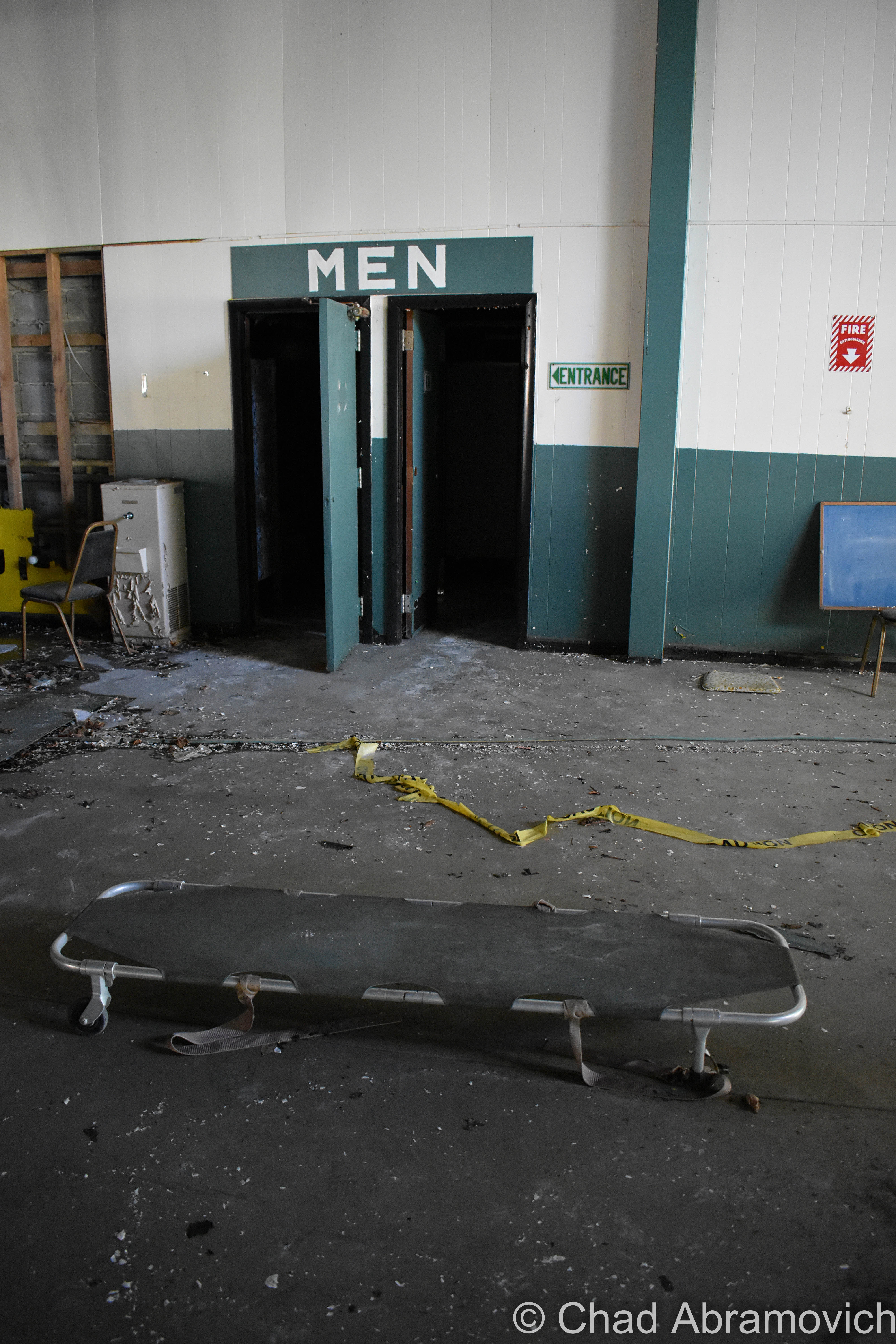
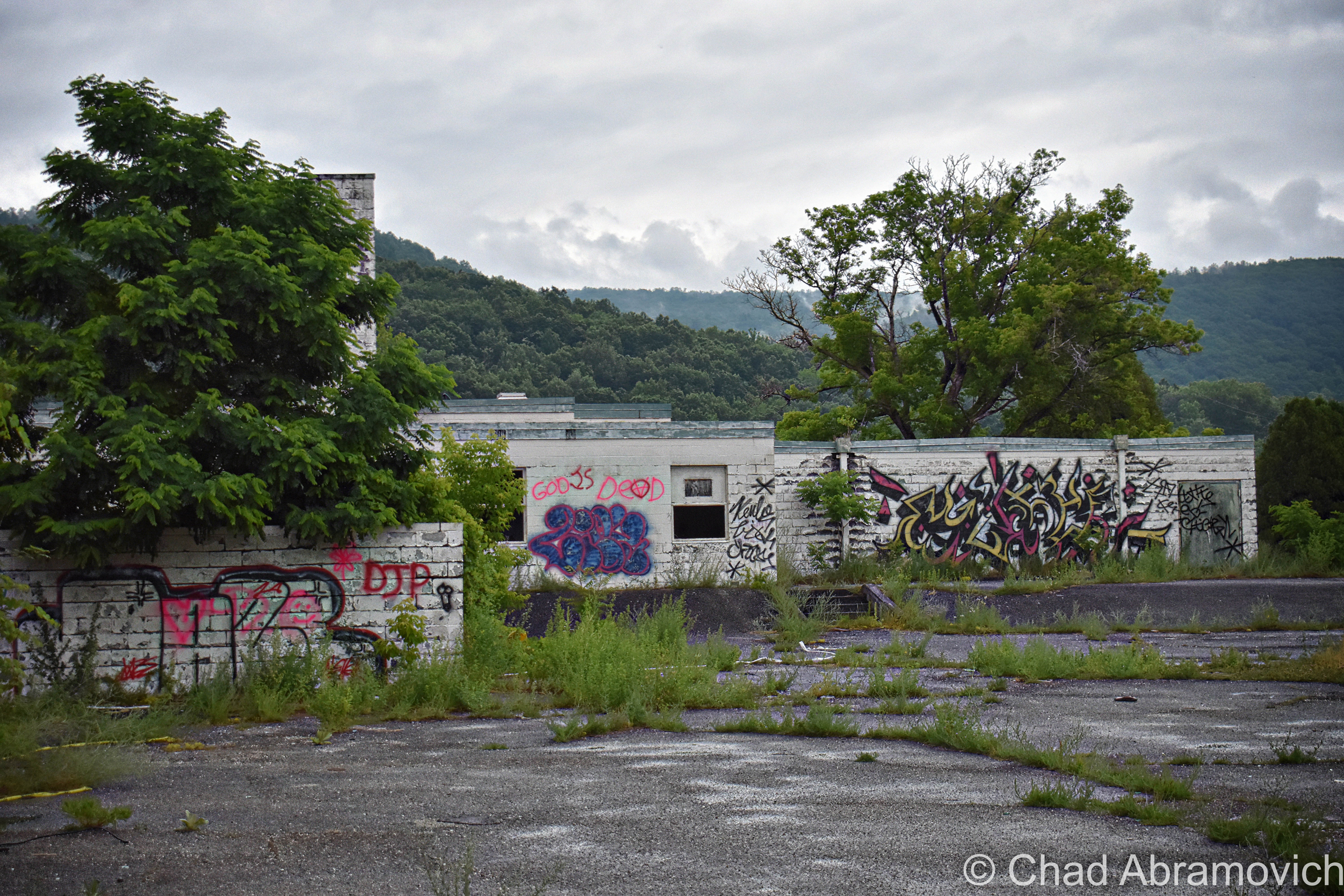
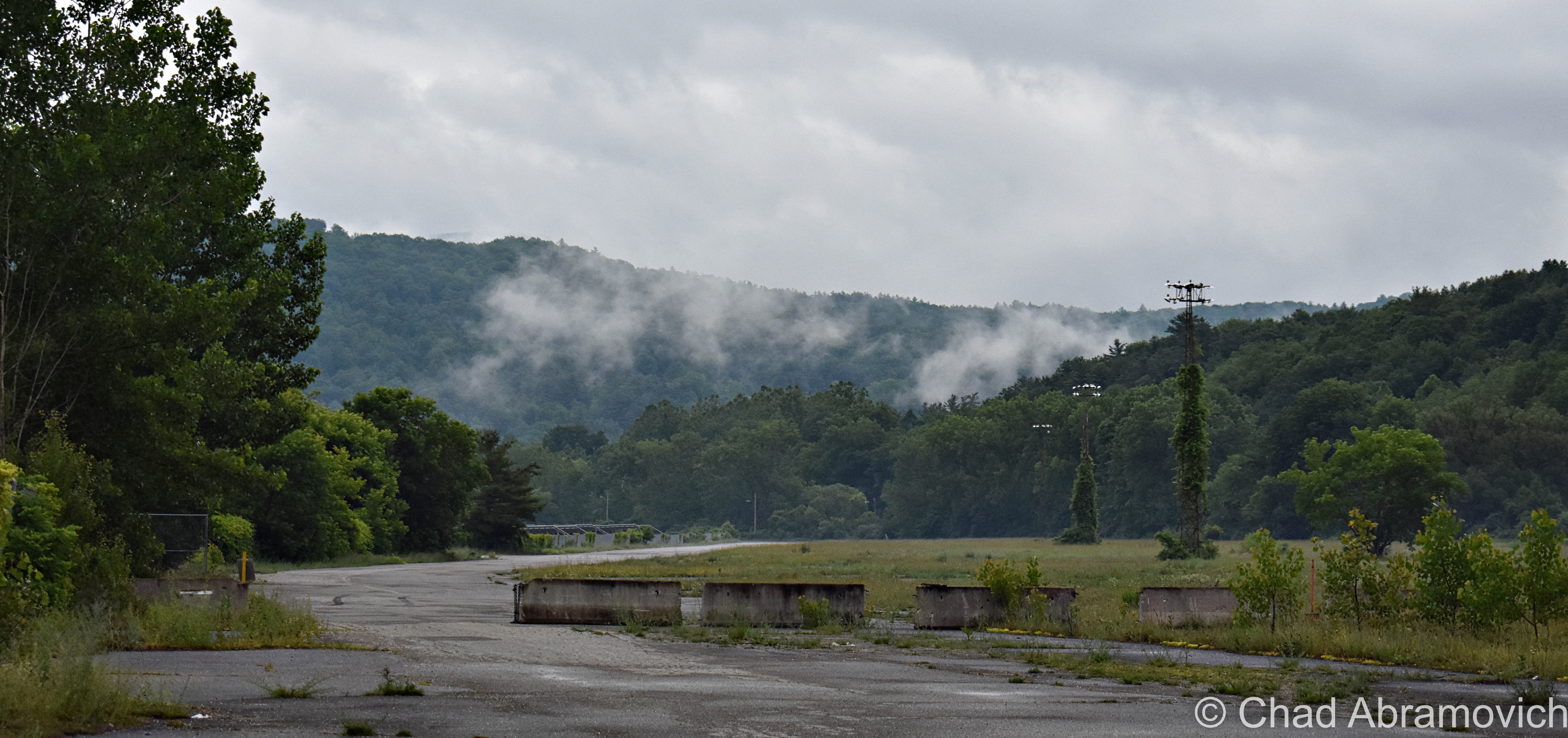
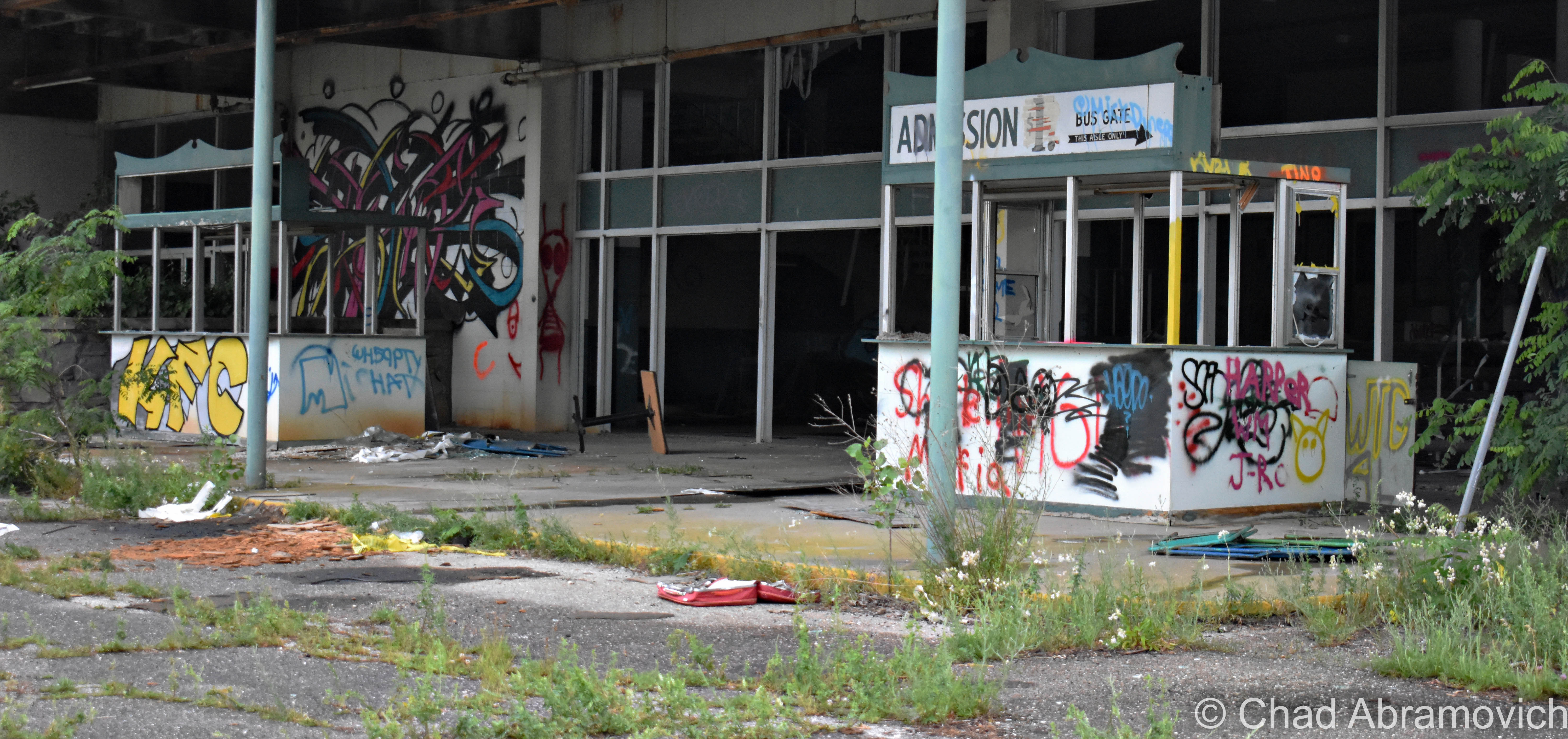
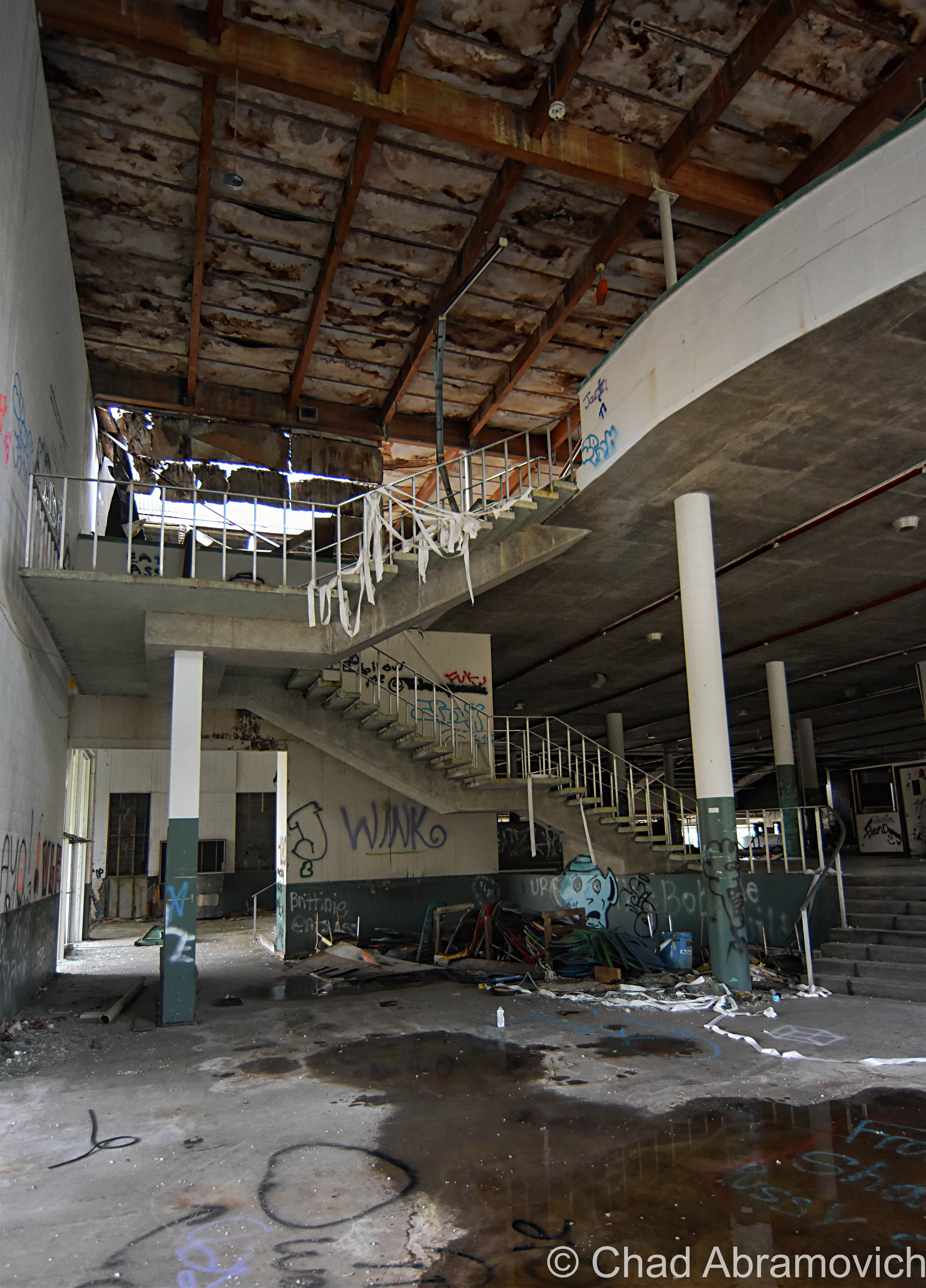
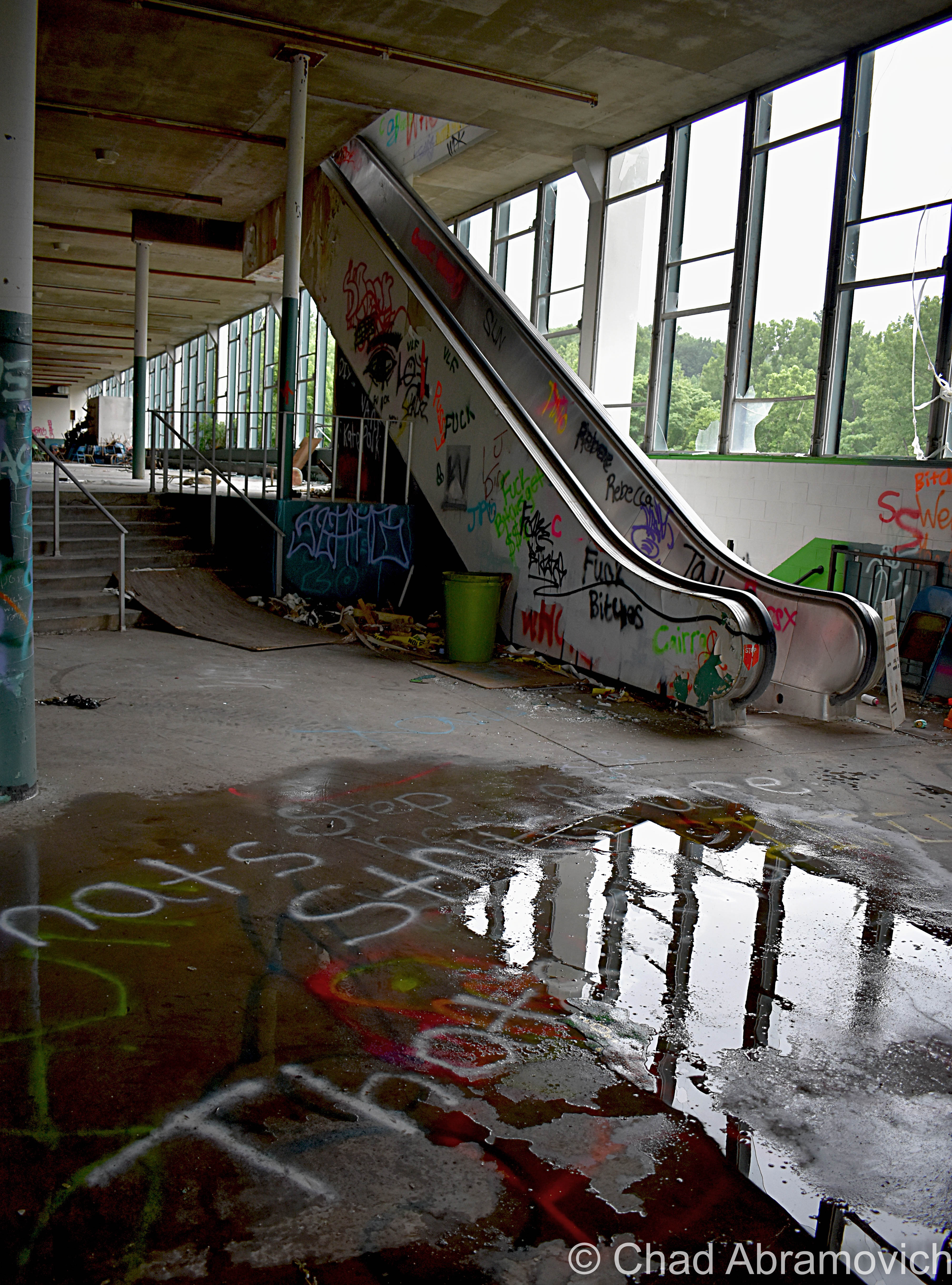
It’s kind of a rarity to find abandoned industrial lots in Vermont nowadays, so when I was made hip to the existence of this old factory in Springfield, I bumped it up to the top of my to-explore list. And I’m glad I did – it’s since been demolished.

On the banks of the town’s engine; the Black River, existed the ruins of a far-reaching factory – in both its size and its metaphor.

The origin of this building goes back to 1907 and the genesis of Springfield’s metamorphosis into a hub of innovation and industry – a culture that would become inexorable to the extraordinary marvels that enhanced Springfield’s legacy and is still an enduring source of discourse even after the bustle went bust.

Seriously, it’s rumored that Springfield, Vermont was such an adversary, that Hitler allegedly put it on his number two spot to bomb into oblivion had his Nazi party of terrorists ever atrocitied their way over here to America.

That all changed after the second world war’s hunger for humans ended. Job-seeking soldiers started coming back home, while machine tool contracts stopped coming in – and the town’s prosperity stalled, before succumbing to a steady multi-decade death rattle, leaving Springfield’s postmortem giving off incredulous vibes that anything I’ve talked about in the above paragraphs ever happened here.

But, a lot of stuff used to be invented and then made here – until as recently as a few decades ago. So much so, that for about a good century – from the 1890s to the end of the 1980s – the region became to be known as “Precision Valley” – due to it practically inventing the precision tool industry, and had the highest per-capita income in all of Vermont. Even today, some locals still call their part of the state Precision Valley – which approximately is considered to be anchored from Springfield to Windsor (Windsor is another very cool little Vermont town worth a road trip). The most significant component of all this was the machine tool industry, and the decrepit factory that I’m gonna be blogging about was once the heavyweight of the genre.

In 1869, the Black River rivered too much and flooded and wrecked Springfield village, and as the town struggled to rebuild in the subsequent years, a big fire in 1880 basically undid all the progress and doubled down on the destruction. So a few Springfieldians schemed up a hook to lure people and investment.

Adna Brown, the general manager of Parks and Woolson – a manufacturer of woolen cloth finishing machinery that was both the first existing manufacturing complex and the last major mill to operate in Springfield – heard that the struggling Jones and Lamson machine tool factory up in Windsor was for sale, and was struck by cleverness. Jones and Lamson had been in business since 1829 and had made a smorgasbord of goods, from rotary pumps, rifles, machines to drill gun barrels, stone channelers, engine lathes, and sewing machines. Their old building is the present-day American Precision Museum, one of Vermont’s coolest archives that showcases many of the things invented in Precision Valley!

Brown put together a group of intrigued investors, and in 1884, persuaded the invoked of a new Springfield law that exempted any industry that would move to town from taxation for 10 years. It worked. 

Brown bought Jones and Lamson and moved it to Springfield in 1888. Construction started on the new J&L digs in 1907 on the banks of the Black River, and Brown’s good business sense kenned he’d need the right person to run the new enterprise.

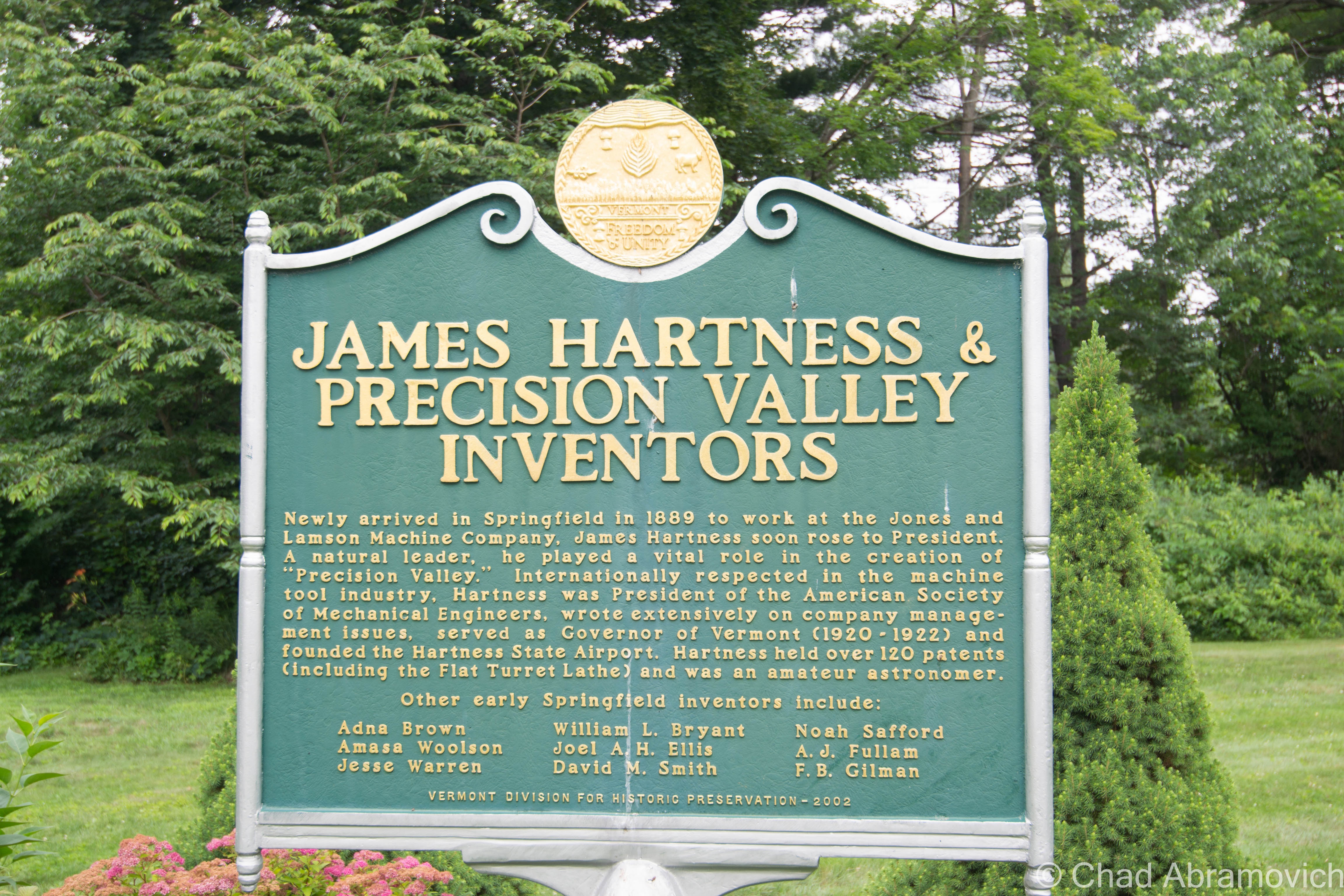
After their first choice turned down the offer because he thought Springfield was too podunk for his liking, they settled for their next option, and little did they know that he’d turn out to be a renaissance tool man. That person turned out to be a young precocious machinist and inventor named James Hartness. Born on September 3, 1861 in Schenectady, New York, he already had experience from cutting his teeth working in machine shops in Connecticut since he was a lad, and used his know-how and indefatigable optimism to flip the company.

On his first day on the job, he decided that manufacturing so many different things was stupid, and declared that from that point onwards, J&L would only manufacture one thing; the eponymous Hartness Flatbed Turret Lathe, which he invented himself – the machine could shape wood, metal, or other materials by means of a rotating drive which turns the piece being worked on against changeable cutting tools.

The business decision was simple, extraordinarily effective, and a little bit revolutionary – something that seems kinda peculiar nowadays; manufacture a single item, and be really really good at it. And given Hartness’s subsequent rap sheet, it seems to work – and became inherent to the novel format.

Other turret lathe models existed, but Hartness’s was by far the most efficient – being able to mill and shape practically all lengths of metal and could combine multiple tasks with higher precision and longer cuts. It was so good, that it was nicknamed “the silent salesman”.

He also benefited pretty serendipitously from his invention, earning $1,000 a year plus a $100 bonus for every turret lathe the factory sold. Some weeks, he was bringing home more money than most Vermonters were making in a year. Hartness also gained a reputation for continuously advocating for better working conditions and more efficient company management to ensure the business would be as successful as possible. But he wasn’t unscrupulous. He also gained a reputation for pushing for the dignified treatment of the workers, which seemed a little bit weird then at a time of historic emerging social class strife, and still seems a little strange presently, in a modern America where the opposites our past generations fought to improve are becoming the norm again.

Hartness’s brilliance, though, came from the fact he didn’t just invent things, he sort of invented new versions of people and their latent talents. And that just happened to jive with his ideal of a company sticking to producing a single product to thrive.

For example, Hartness saw prospect in and hired an engineer and inventor named Edwin Fellows, who developed a machine that would accurately cut gears that he named a Gear Shaper. Hartness spun off the Fellows Gear Shaper Company in 1896, with its namesake operating as its manager. Fellows’ innovation would then opportunely overlap with the rise of the automobile industry a few years later.

After Fellows left J&L, Hartness needed to seek an engineer to replace him. He found William LeRoy Bryant, a student at the University of Vermont, who joined J&L in 1897 as a draftsman and worked closely with Hartness on the cross-sliding-head turret lathe, which is where Bryant took an interest in grinding. Building on a J&L lathe that used a chuck — a specialized type of clamp to hold a piece in place while it was shaped and bored — Bryant developed a new chuck that was both easier to use and more accurate. By 1909, Hartness conjured up another spin-off: the Bryant Chucking Grinder Company. And this pattern continued.

When Hartness hired Fred Lovejoy to replace Bryant at J&L, Lovejoy became an expert in small-tool design, and he eventually created interchangeable cutters that could be swapped in and out of machines. In 1916, Hartness provided the startup capital for the Lovejoy Tool Company, which awesomely still survives and operates in Springfield!

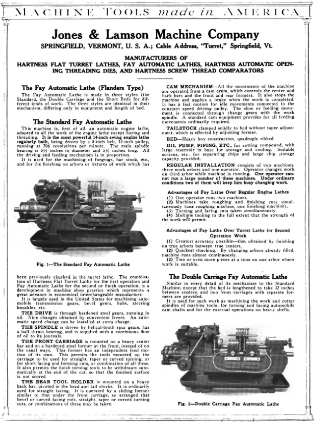
In 1912 Jones and Lamson acquired Philadelphia’s Fay Machine Tool Co, which made the Fay Automatic Lathe – which was designed for the automatic turning of work held between centers. The lathe was significantly improved by a team at J&L led by Ralph Flanders that would be so victorious, that it would ironically eventually evolve into the creation of CNC, which made the manually operated lathe obsolete because the new ones could now operate all by themselves.

Hartness and his prowess fueled Springfield’s combustive growth from the turn of the 20th century until well past World War II, and he did it by introducing one auspicious product after another, each named for its creator.

Because of this, Springfield astonishingly became the machine tool capital of the world.
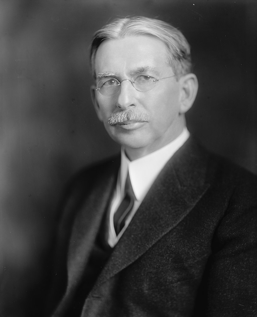
A later portrait of James Hartness | via The Library of Congress and Wikipedia
Old postcard of the brand new Jones and Lamson Factory, Springfield, VT. Circa 1094-1918. Present-day Clinton Street/VT Route 11 runs right out front.
Jones and Lamson Factory, circa 1917 | Via Vintage Machinery
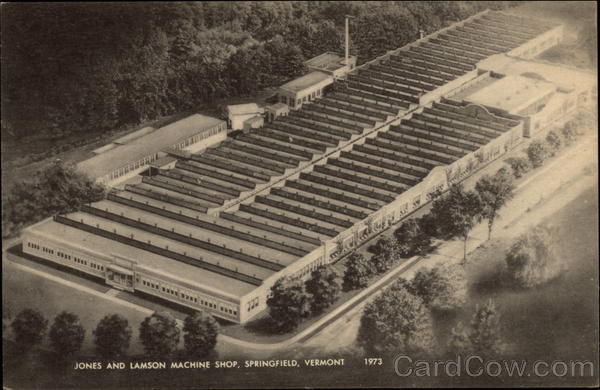
Old postcard of the sprawling former Jones and Lamson Factory in Springfield, circa 1973. The factory would expand to 270,000-square-feet over 12 acres. | Cardcow.com
A full page spread taken from Machine Tools Made In America (1921). This one includes both the Hartness Lathe and the Fay Lathe! – via MyCompanies Wiki
Advertisement from The Iron Age (Dec. 27, 1917) – via MyCompanies Wiki

However, in 1919, Hartness would break his own rule for the only time, when he collaborated with engineer, arctic explorer, and Springfieldian Russell Porter – and invented the optical comparator, a device to precisely measure screw threads that are still manufactured today – it’s so efficient, that any parts that are inspected can be magnified over 200 times, making the smallest flaws detectable!

Hartness and Porter’s mutual fascination with astronomy partially inspired this quantum leap, which is why Hartness wanted Porter to run the comparator business, but Porter was interested in literal bigger heights and decided to instead move to California, where he helped design the Palomar Observatory telescope, so in a rare move, Hartness decided to keep the comparator division close to his side in-house at J&L.

But before Porter departed, he and Hartness also founded The Springfield Telescope Makers – a club that operates in an accidentally trademark pink clubhouse atop Breezy Hill. The story of its standout color is, basically, when it was first built, its enthusiastic members were broke – so they went around to area hardware stores and asked if they’d donate some paint. They ended up with three gallons of barn red, two gallons of white, and a gallon or orange – which they mixed together and got hot pink, which is now emblematic. The clubhouse was christened Stellefane, which is Latin for “shrine to the stars” and not something that you can wrap your leftovers with, is now a national historic landmark, and is still home to both the club, and the annual Stellefane Convention of Amateur Telescope Makers.

Being an avid pilot – one of Vermont’s first – Hartness became president of the  Vermont Aero Club and donated land for Vermont’s first airport – Hartness State Airport – just north of Springfield, and had his pal Charles Lindbergh even stop by for a spell in 1927 after his world flabbergasting trans-Atlantic flight. He also served as governor of Vermont for a single term, from 1921 to 1923, but didn’t run for reelection after realizing that Vermont’s rural and poor economy of the time just wasn’t ready for his aims to further industrialize the state. He would die on February 2nd, 1934, and Springfield’s reliable factories became reverberating manifestations of the American dream. Until they didn’t.

This is a surreally enjoyable upbeat clip from a vintage informational film about the concerns and potential disasters of a dwindling economy after World War 2. At the 5:00 mark, the film showcases Springfield AND the Jones and Lamson Factory! Give it a watch – it’s pretty neat! You can get an idea of what the factory, and the town itself, used to be like in the atomic age! 


So, what went wrong here?

After Hartness’s death, Jones and Lamson continued to absolutely thrive and continue to become the industry benchmark for their craft, and was considered the zenith of Springfield’s enterprises, employing anywhere between 3,000-4,000 people for most of the 20th century.

So what exactly is the culprit for J&L’s, and Springfield’s, event horizon? Well, that’s a tumultuous conversation, because there isn’t just one thing at play, a lot of circumstances kinda just started to materialize on the scene and began shaking hands with one another – all contributing to Springfield’s ode to its fall-through.

Some locals point fingers at the machine tool unions, who in the 1970s, began to row with the companies about ensuring higher wages for their employees, and would hold a few long strikes to get their point across, something that, evilly, is sadly still being fought for today.

Another reason might be something that’s also been steadily plaguing America since around that time period – outsourcing jobs for cheaper labor costs. Many of these companies were family or locally owned, and when next-generation kin wasn’t interested in taking them over due to the more independent/free-spirited culture that was emerging, they were purchased by larger outside firms starting around the 1960s, which seems to be the beginning of Springfield’s ratchet blues. Detached management started to give the machine tool factories less control and began to fracture the former tight-knit inner communities.

But the bigger causality might just be the companies’ refusal to be self-aware. Japan had been studying American machine tool know-how and began to enter the market themselves – and they did so by dramatically innovating their products.

Around the 1980s, the Japanese hustled billions of dollars into the research and development of computerized machining centers that were faster, more accurate, no longer required a human operator, and cheaper than a J&L turret lathe. Back in Springfield, the factories were sticking to their traditional course, and while they were still making quality reliable machines, they began to become outdated in the new frontier of the trends, and eventually, obsolete, as the market shifted to foreign products that were offering more convenience for a cheaper purchase. I know “if it ain’t broke don’t fix it”, but unless these new fads aren’t just impractical enticements that won’t be good in the long haul, if you refuse to innovate and stay at pace with the competition, it can be a guaranteed ticket to extinction.

Unfortunately, that’s what happened to Springfield. 

What’s stressful is that, to be innovative, sometimes that takes substantial amounts of funds, and then, the wisdom just where you want them divested, and for smaller operations, that can be tough decision making, and sometimes, even a fatal conclusion. Hartness certainly had a special knack for it, so much so, that it was said that one bank eventually refused to give him any more loans because they thought he was too creative! I mean, Hartness would amass a little over 120 patents in his lifetime…

Jones and Lamson would be bought by a few different companies starting in the 1960s, and eventually go bankrupt in September 2001, but, the assets were sold to Bourn & Koch Inc. who coolly still continue to supply replacement parts for the extant J&L machines today. However – the optical comparators division of Jones and Lamson, called J&L Metrology, still exists! They’re the only company making optical comparators today in the United States, and are still headquartered in Springfield – attached to the ruins of the rest of the J&L empire (well, after moving to South Carolina for a stint but then coming back)!

The only other stalwart to exist from the ruins of the machine tool era is the Lovejoy Tool Company – who also still operate in town!

A good portion of the old Fellows Gear Shaper factory compound still exists too, and it’s been thoughtfully renovated into mixed commercial and industrial spaces – which is absolutely a preservation win!

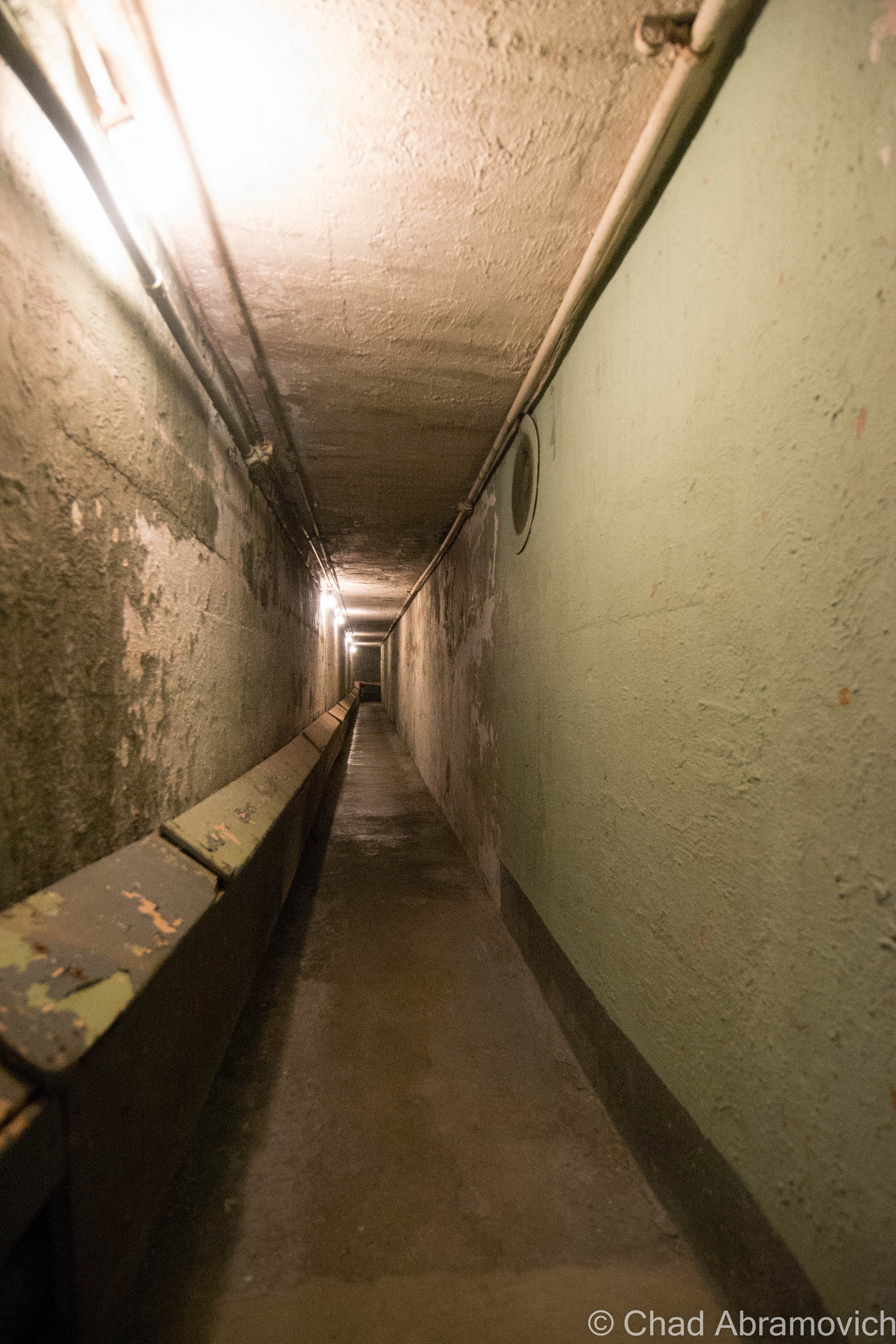
Another vestige of that age is the incredible Hartness mansion itself, which has been turned into a bed and breakfast (and at the time I’m writing this blog post, is up for sale according to Yankee Magazine). I’ve visited before and was excited to investigate the house’s most curious feature – an underground telescope connected to the house by a secret tunnel that also lodged Hartness’s private underground laboratory that’s now a museum to Mr. Hartness, The Stellafane Society, and Russell Porter. Man that was cool! Even today, there are rumors that still persist that Hartness built more secret tunnels and even secret rooms that branch out underneath Springfield that have been sealed up, or kept clandestine.

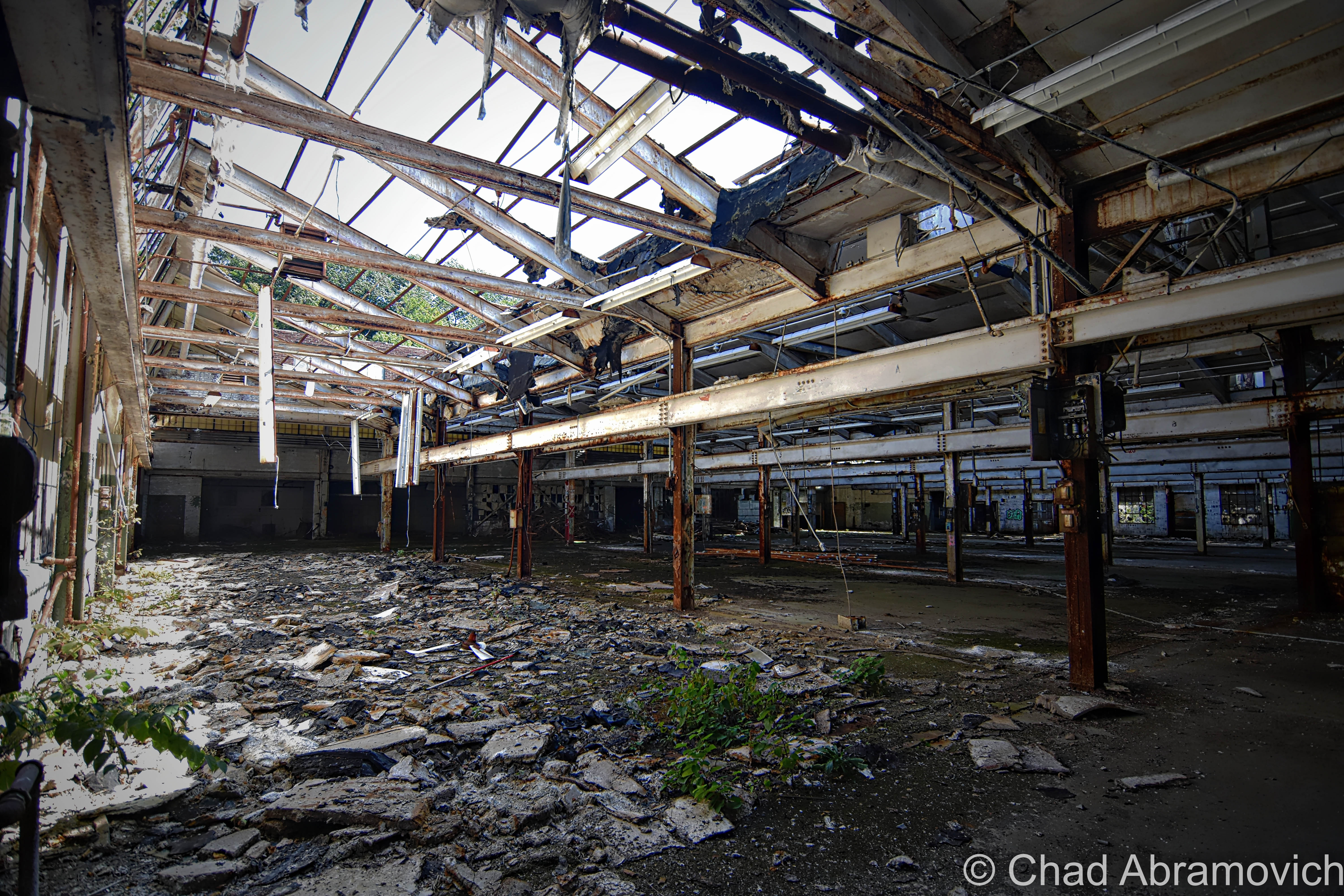
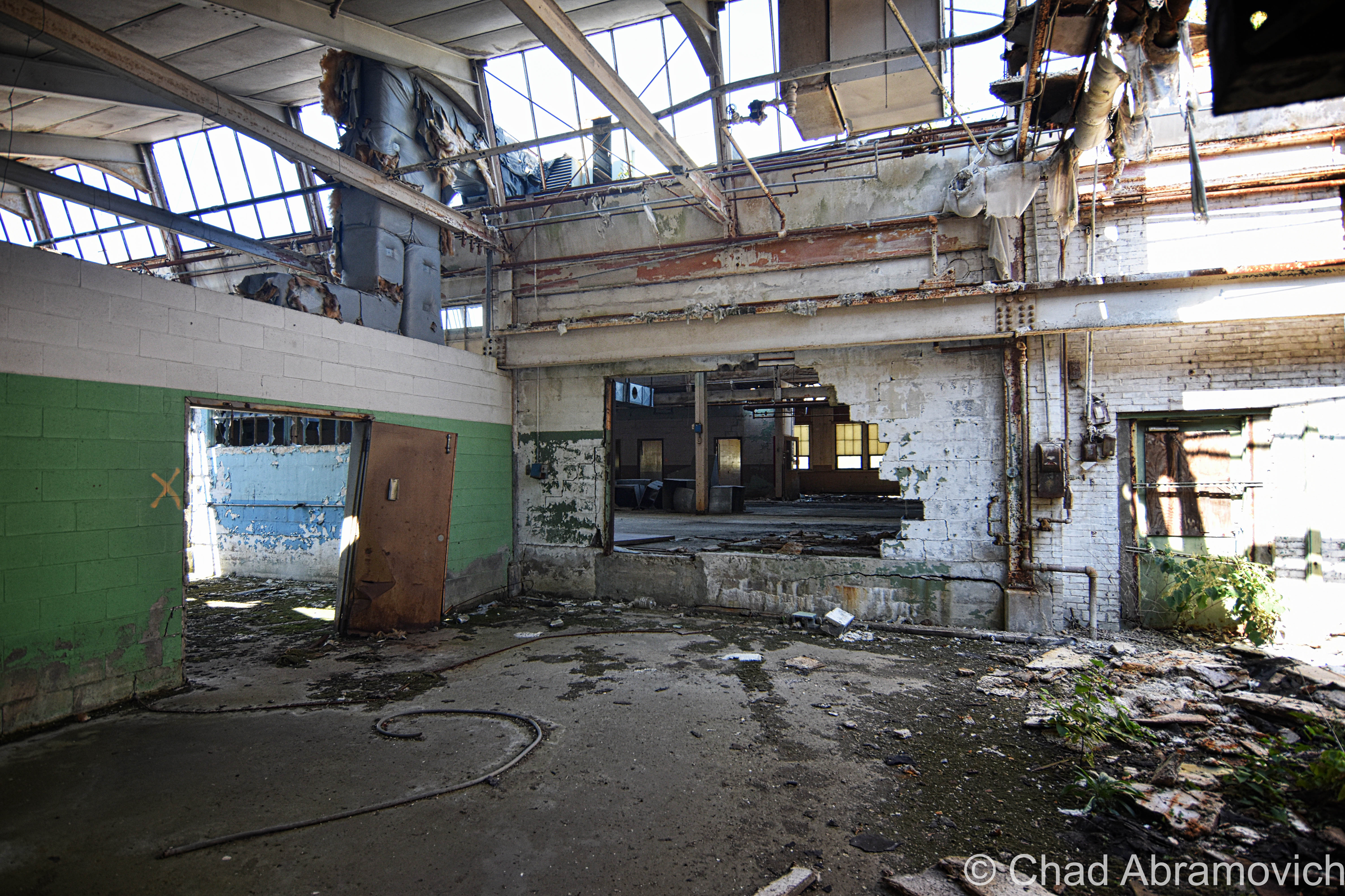
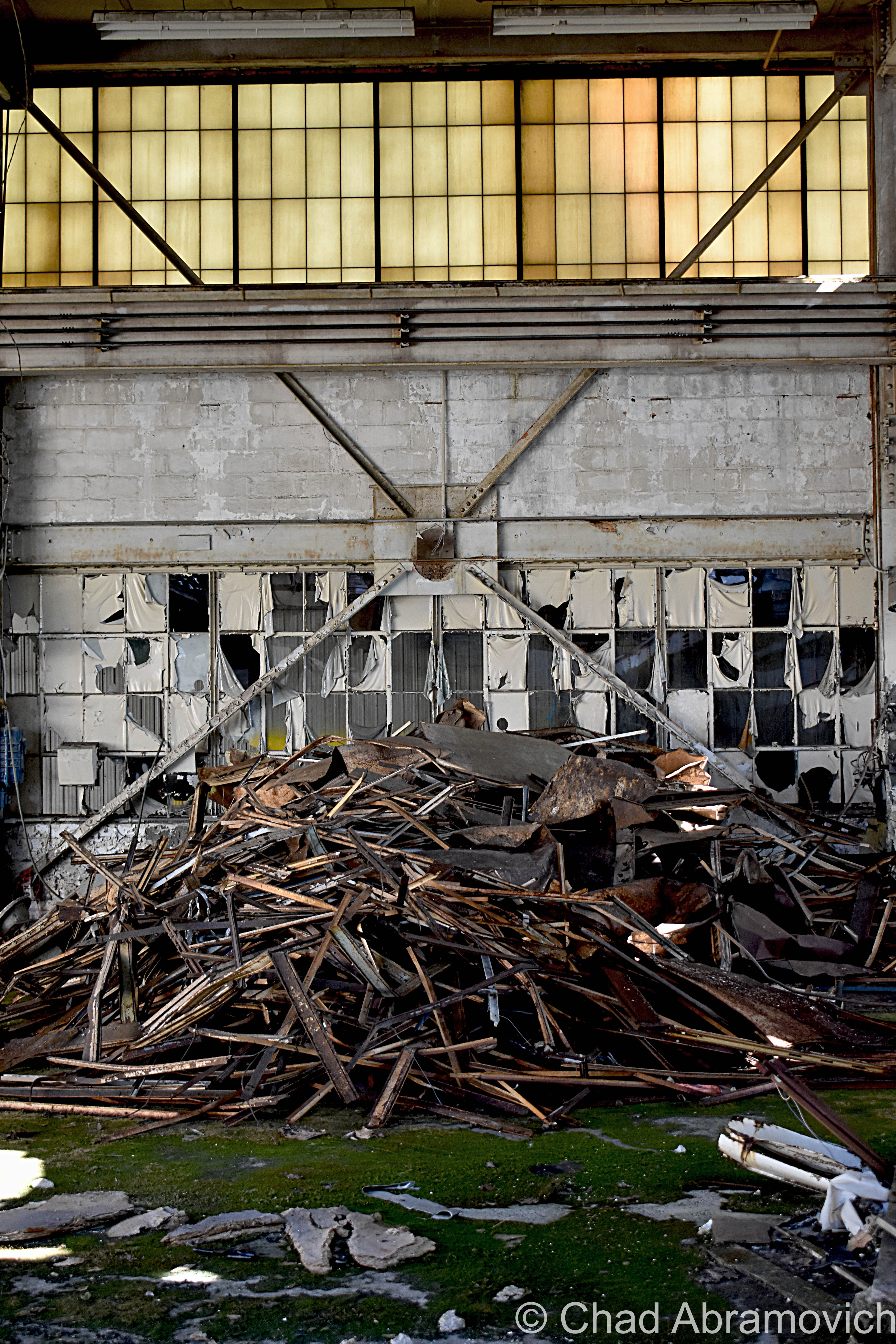
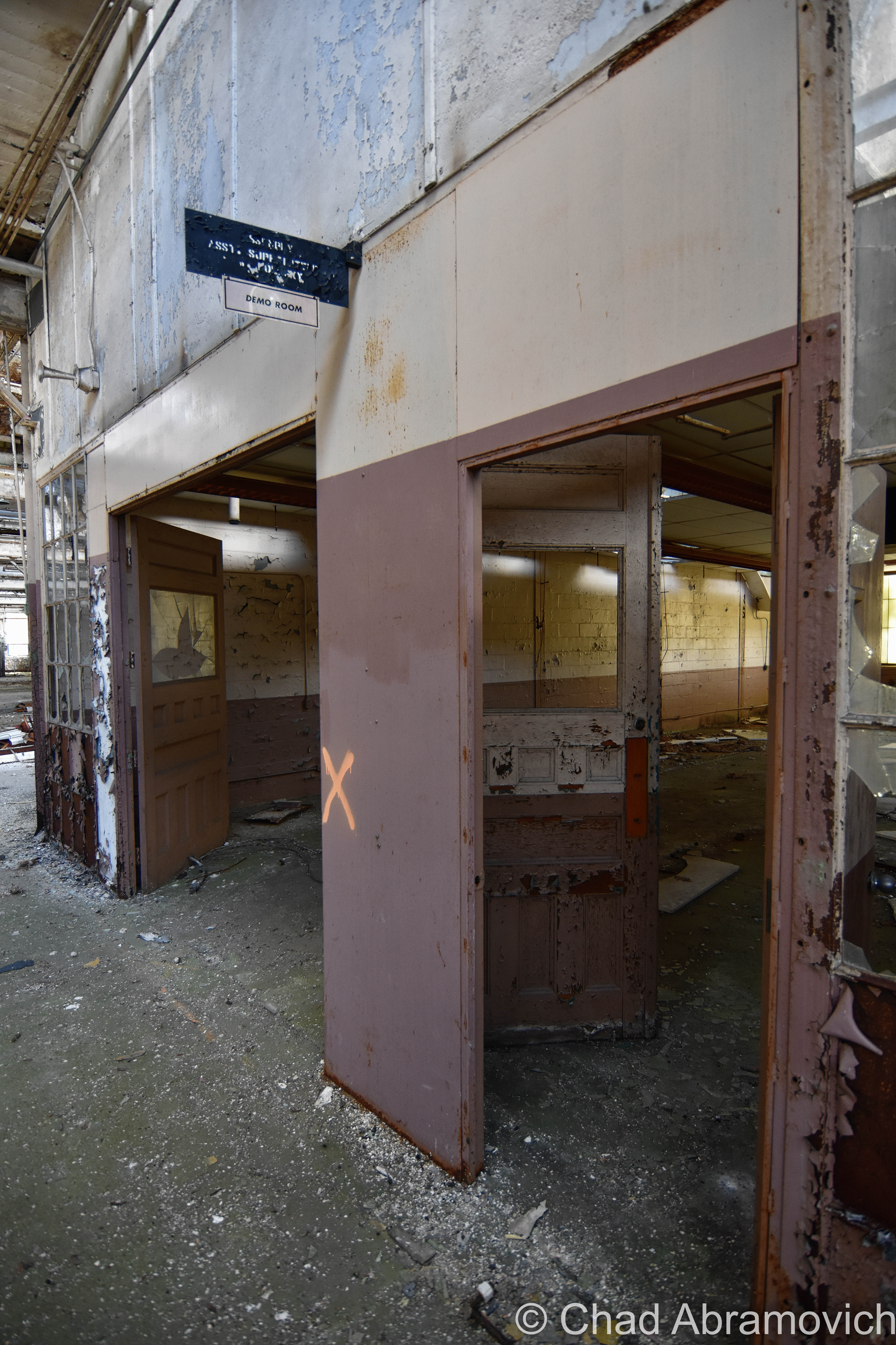
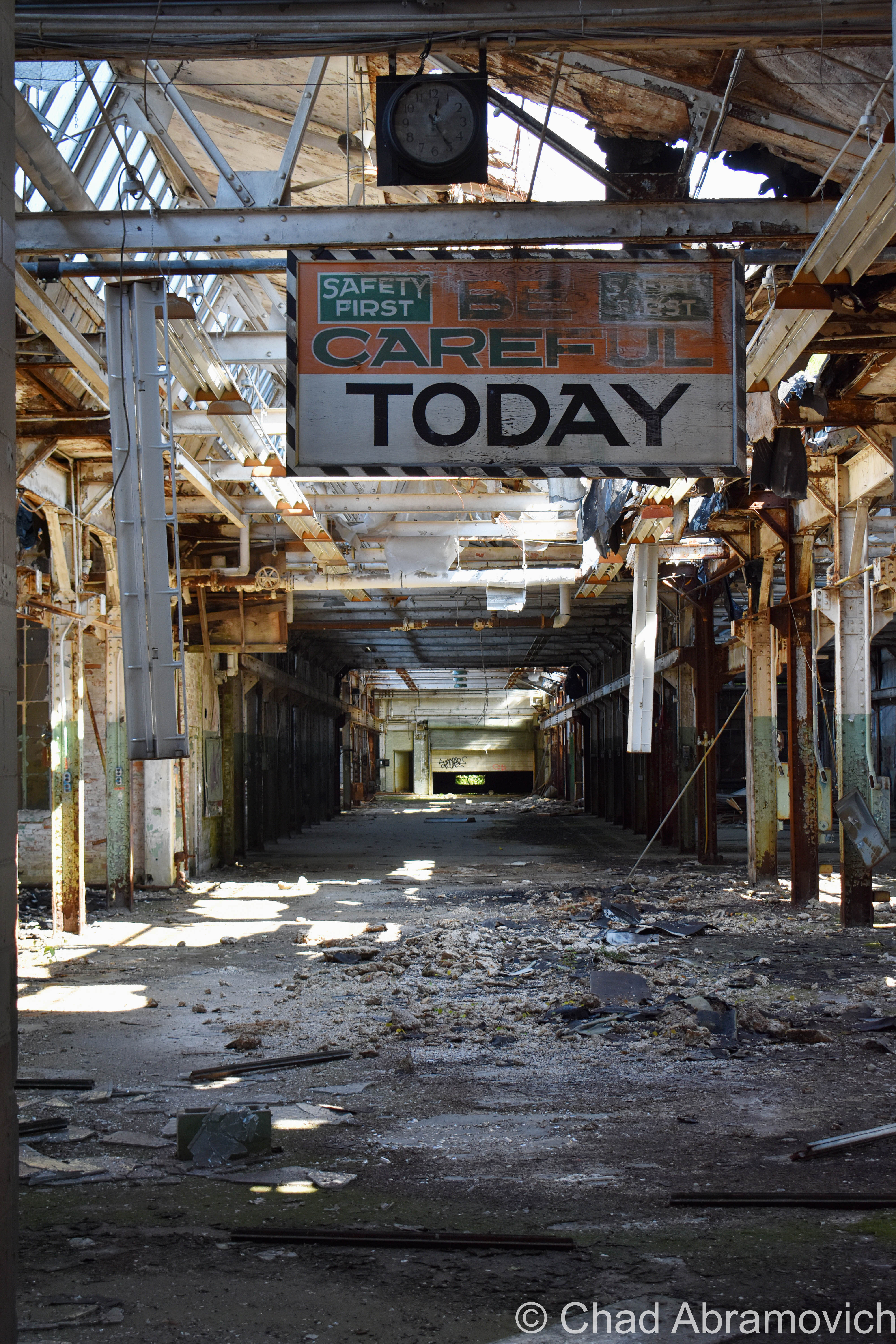
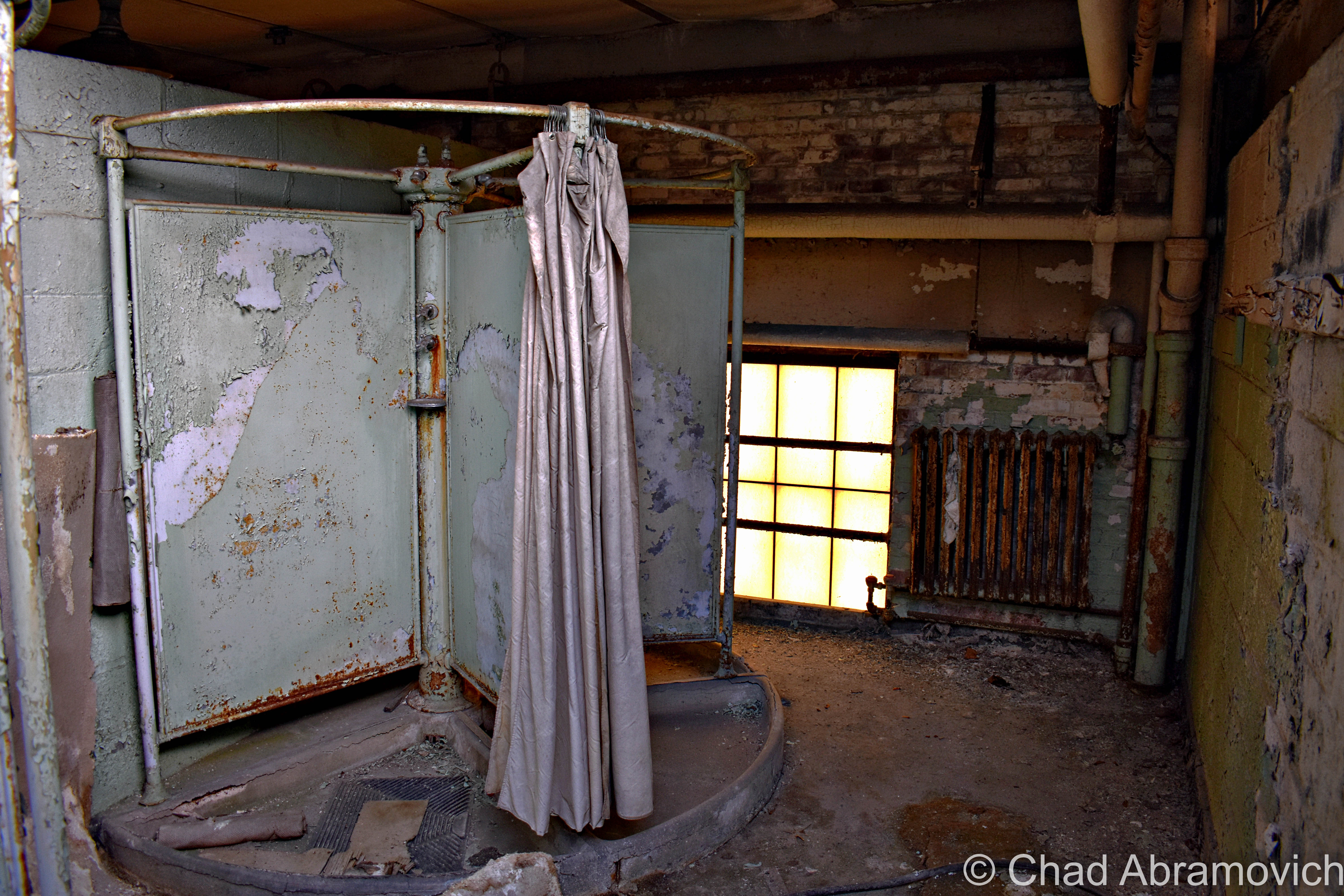
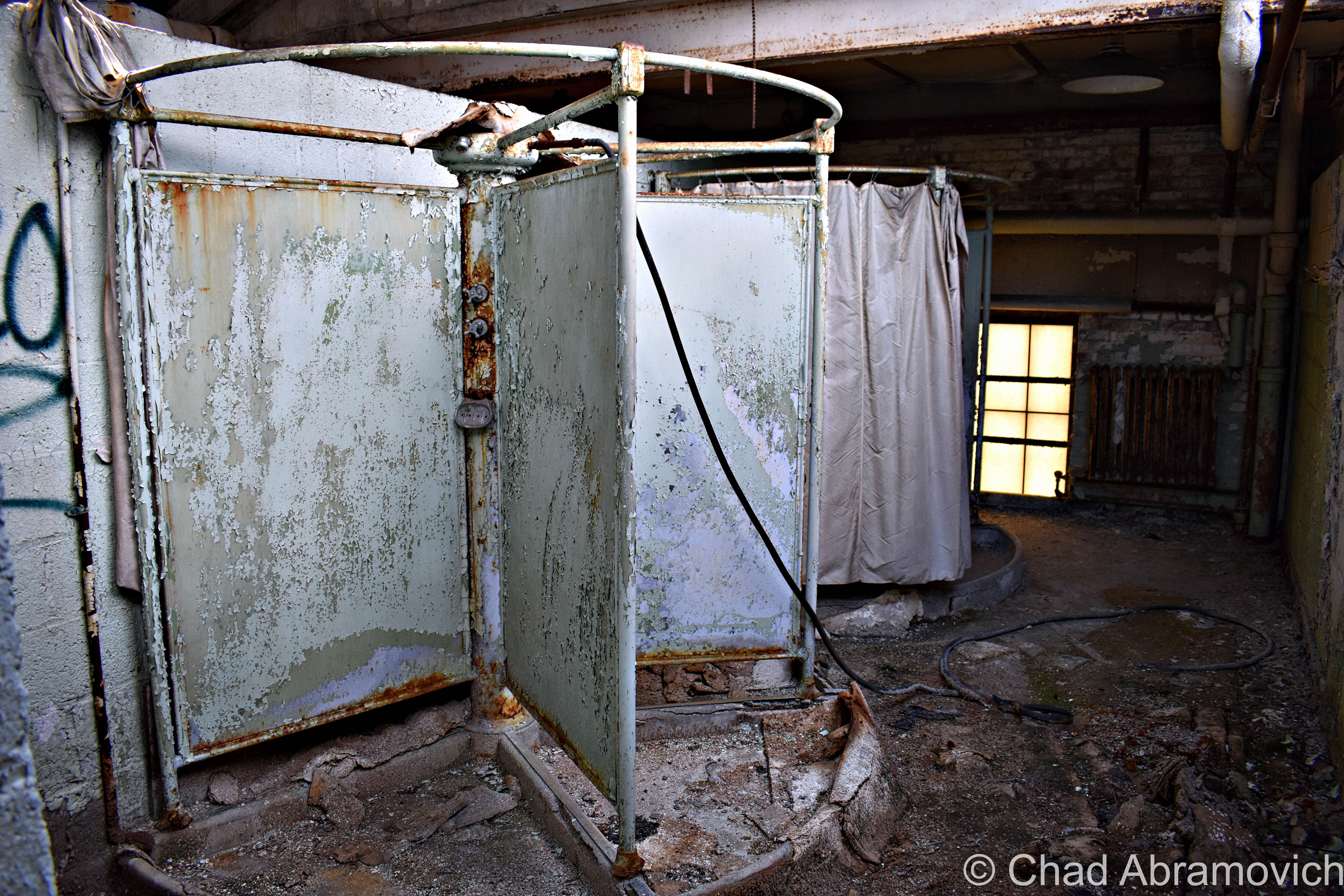
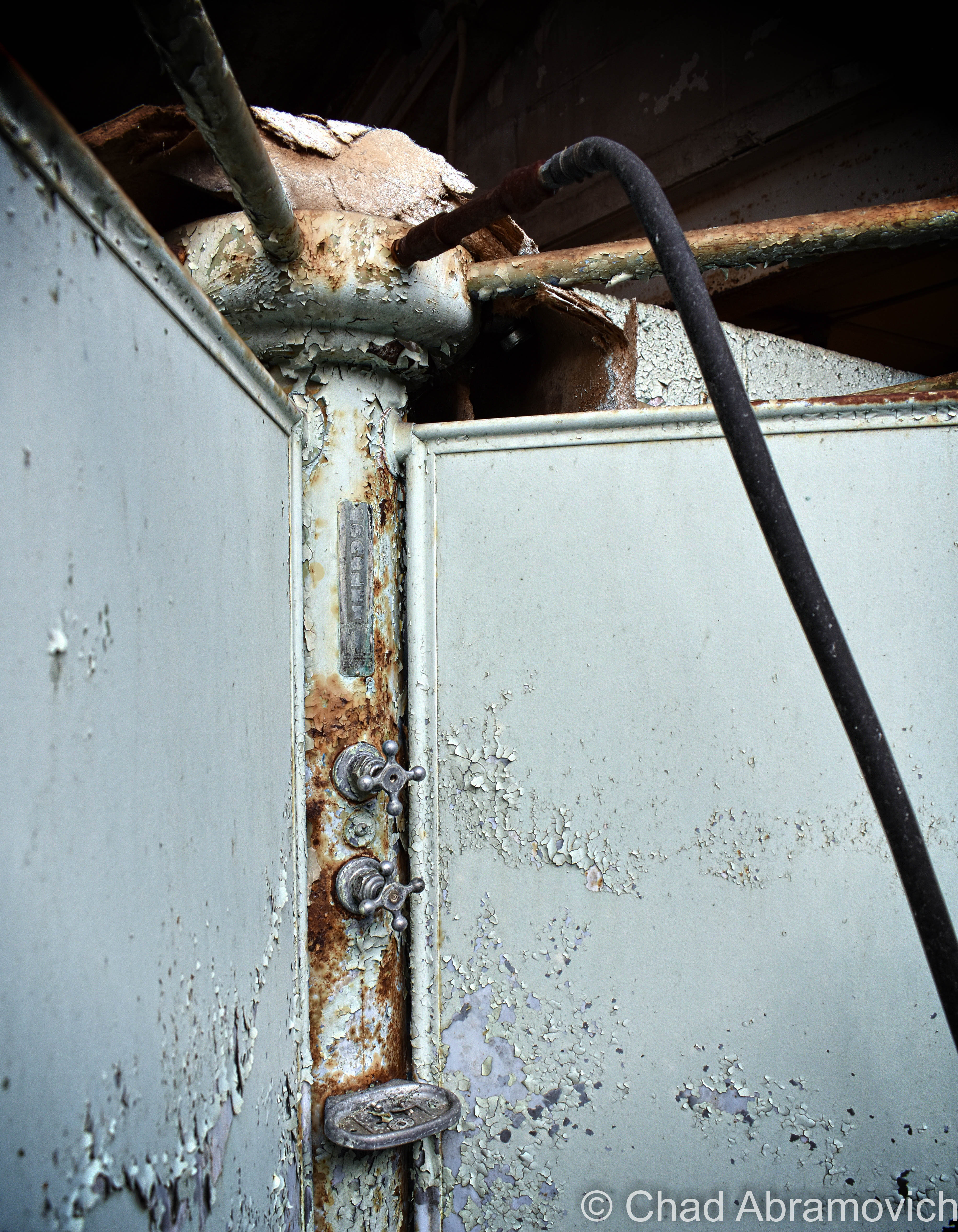
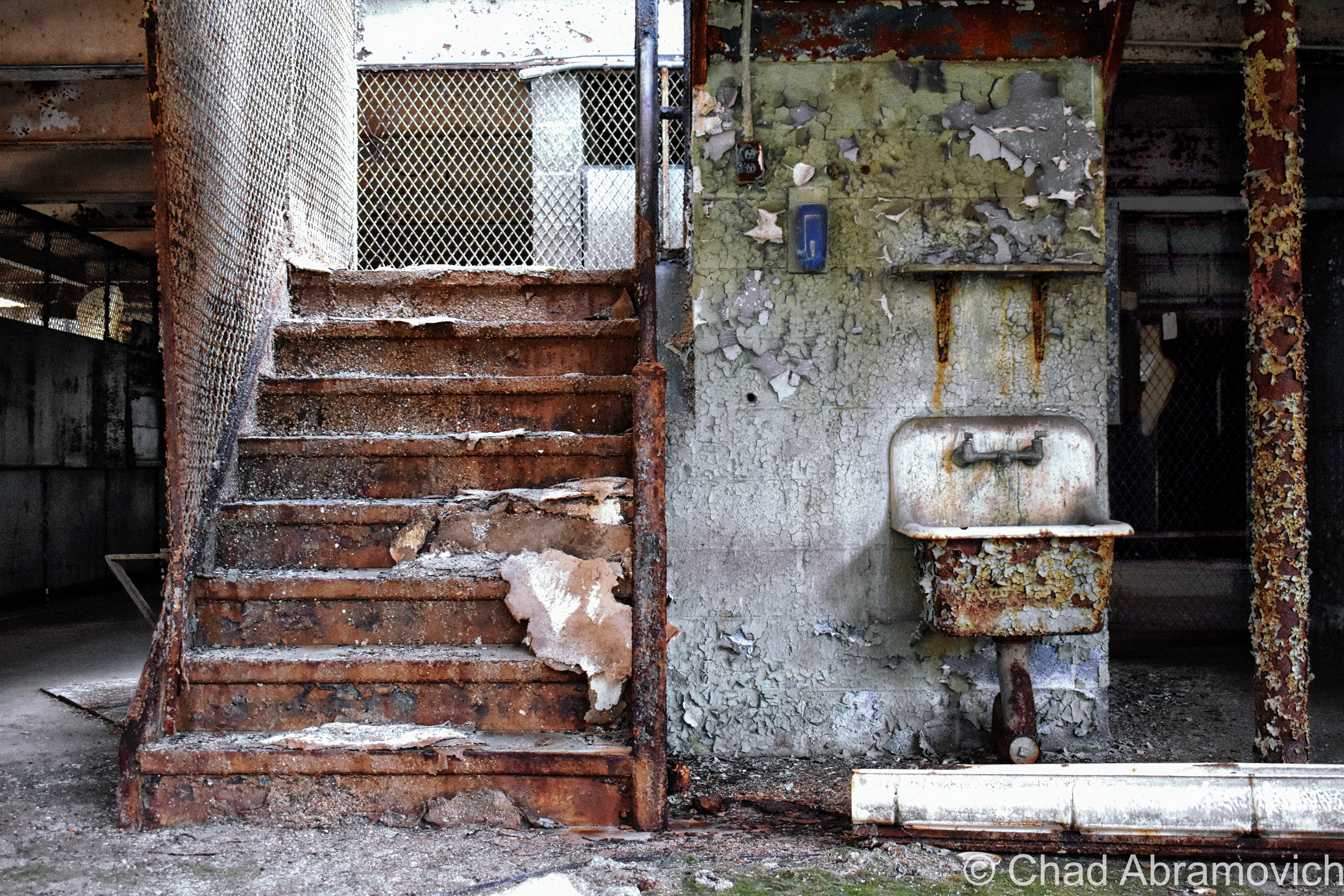
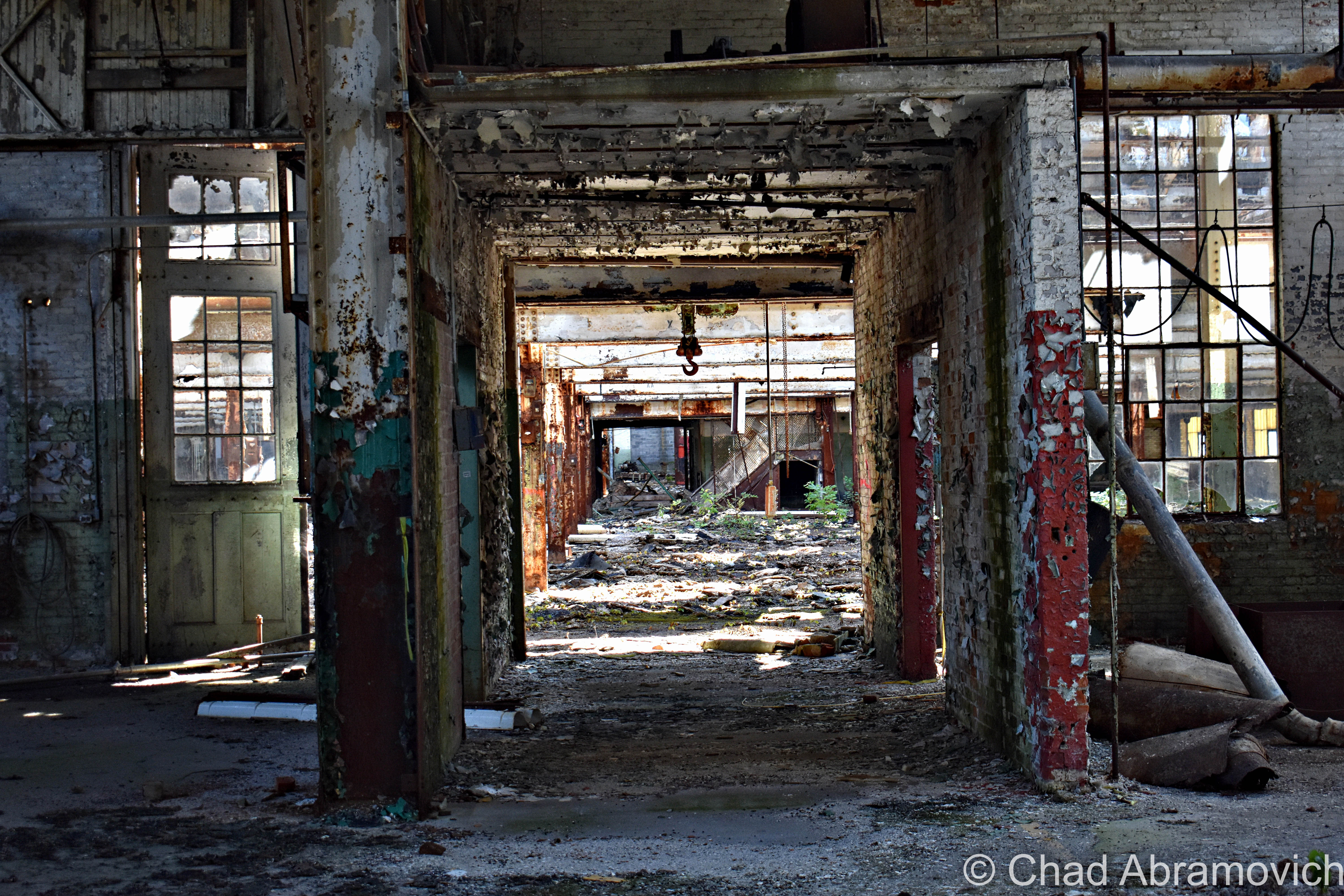
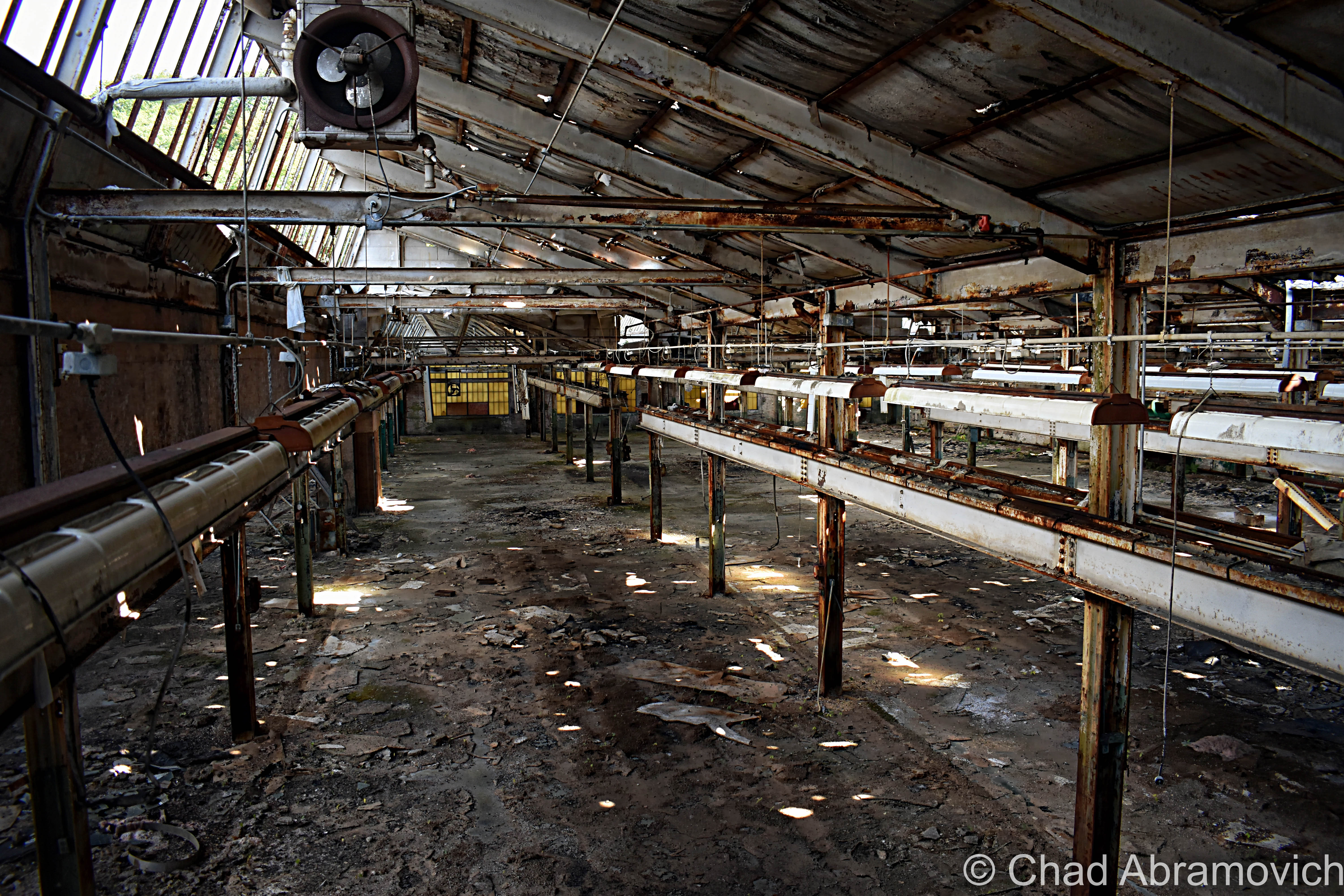
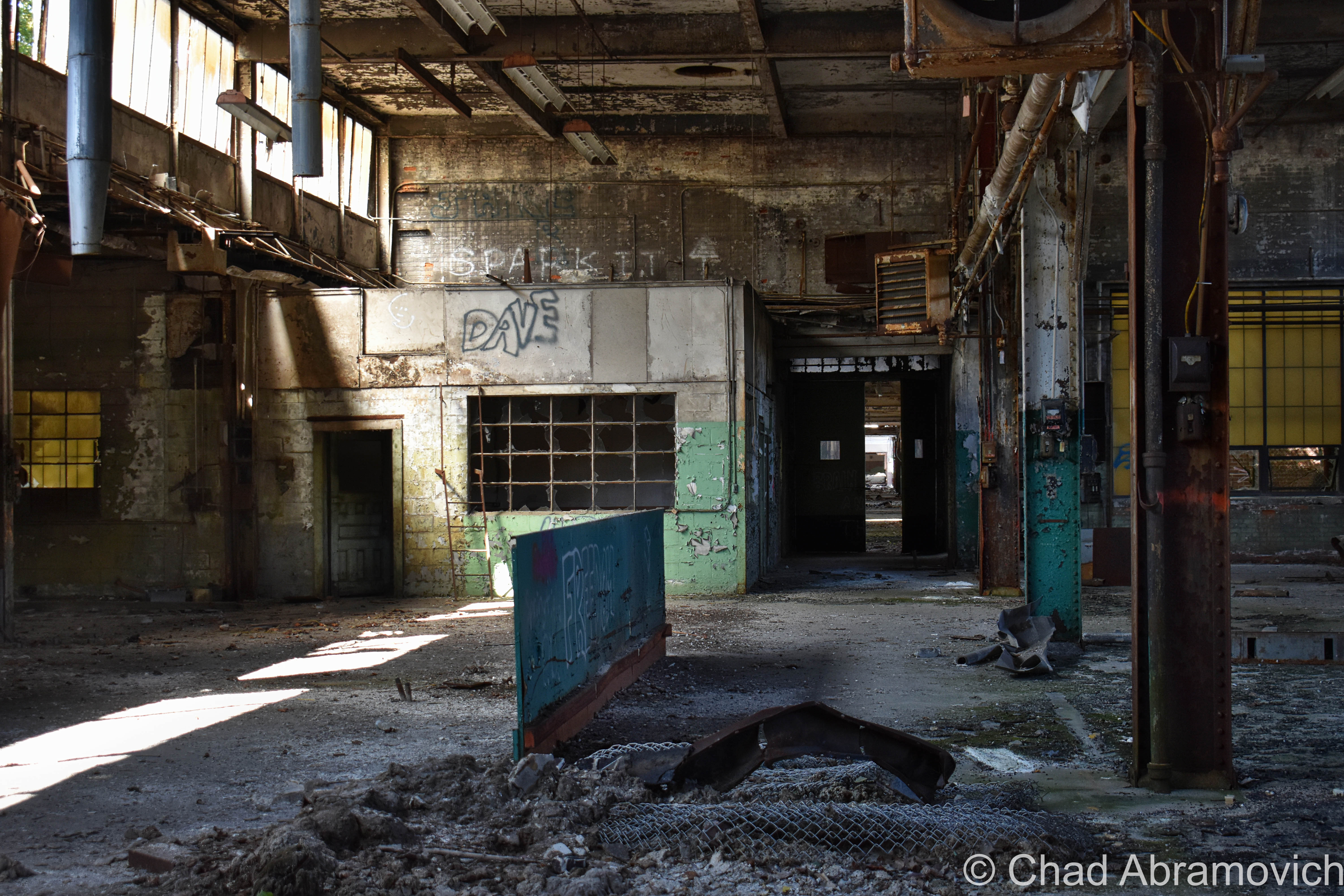
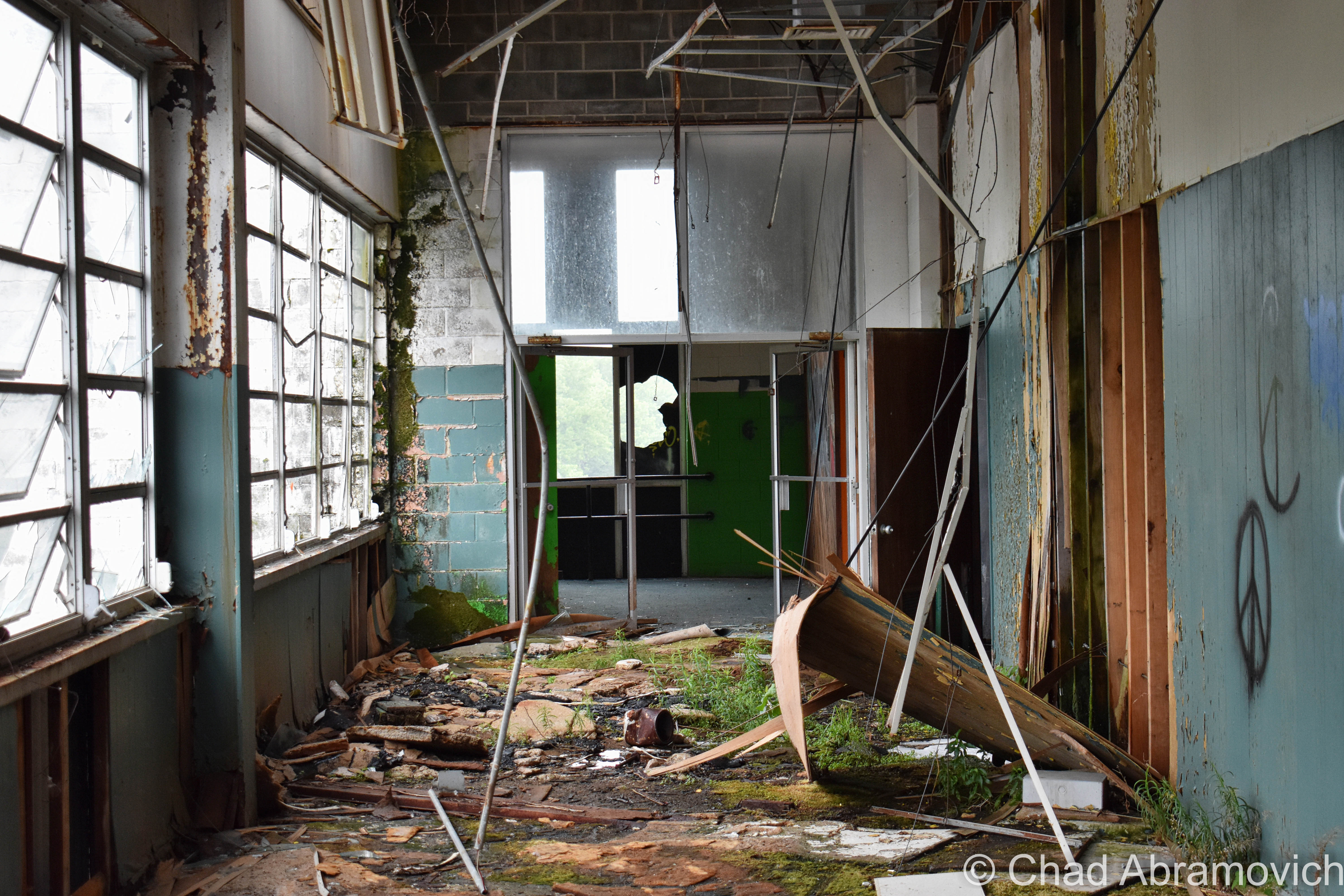
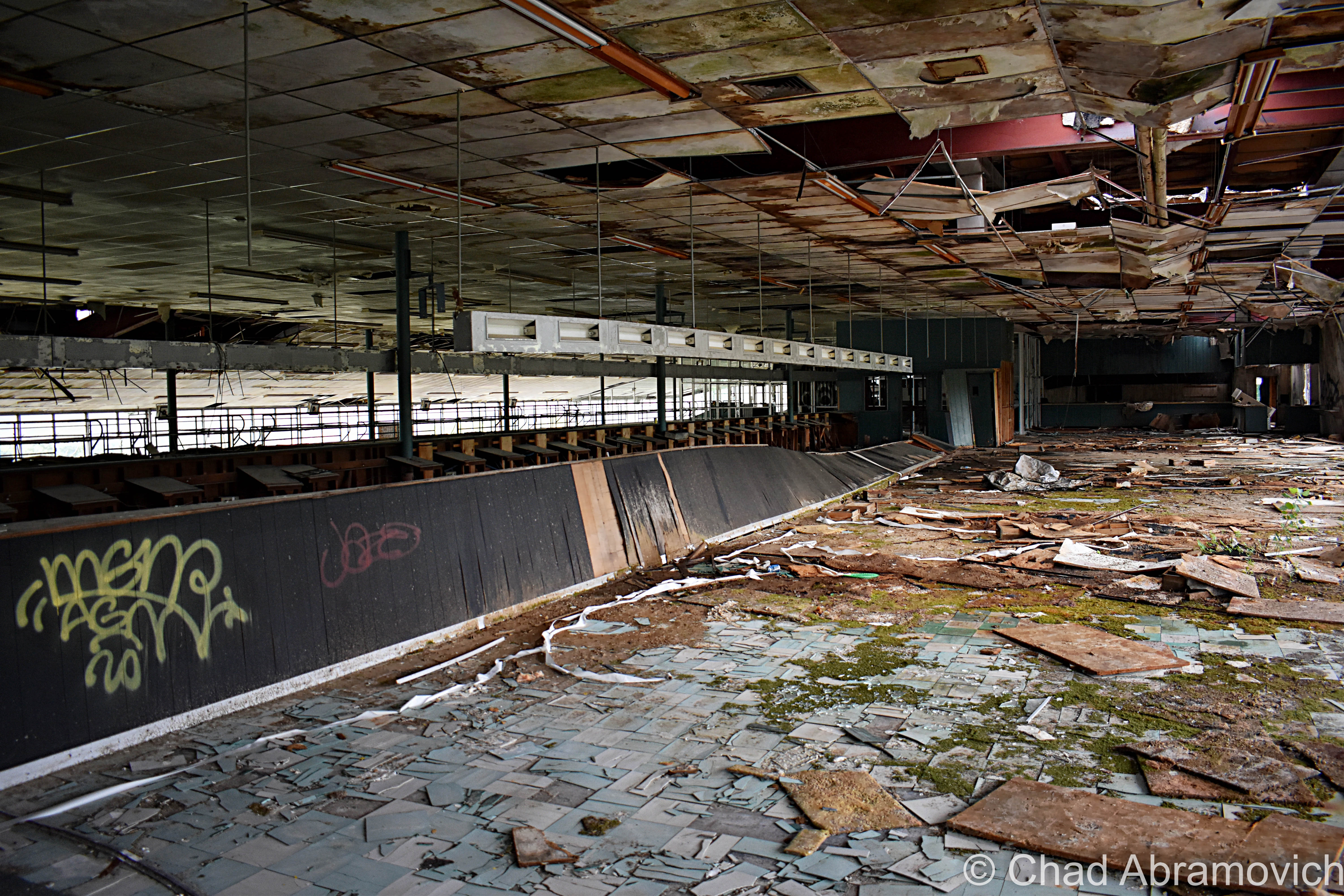
The Jones and Lamson factory had been abandoned since 1986, and for decades, its ruins became a conspicuous landmark that marked one of the main entry points into town. And it was an absolutely gigantic property: 270,000 square feet of decaying building that sprawled over 12 acres of land between the Black River and VT State Route 11, known as Clinton Street through that part of town.

In 2004, the Springfield Regional Development Corporation purchased the property in hopes to, well, do something with it, but its runaway deterioration and designation as a brownfields site – or – a property that’s enormously polluted by toxic materials, usually as the residual of former industrial use, kinda problematized any headway that could have been made. The old J&L factory played host to tons of industrial chemicals, including polychlorinated biphenyls (PCBs); trichloroethylene (TCE); and light, non-aqueous phase liquids (NAPLs), and to remediate hazards like those, you need to secure lots of capital and involve lots of bureaucracy.

In November of 2021, cleanup grants had been secured, and the factory was demolished, which I can’t help but be pretty bummed about. What a shame, it was such an irreplaceably neat building that I feel had the potential to morph into a great new resource for Springfield if given the love.

But – the plan is that they hope to sort of go full-circle with the lot, and lure another industrial gig to town that hopefully will continue to push back the boundaries of the unknown and isn’t just another awful Dollar General. The land is flat, which is pretty a valuable deal in Springfield because most of the village is built up around low-profile slopes that contort around the Black River. It’s also apparently hooked up into some of the fastest internet connections in all of Vermont, which is also a huge deal here given the state’s notoriously lacking rural infrastructure. It’ll be interesting to see what comes along – and I really hope that it’ll be something that will serve Precision Valley with dignity for another century. Springfield is absolutely a town worth rooting for!

An interesting side note to all this, is that because of the rich industrial history and current fading ghosts of the area, the town has kind of amassed a bit of a steampunk scene, which has since turned into a notable cultural festival.

Acreage

I was excited. I was meeting up with a friend from college I hadn’t seen in years who was getting ready to move out of state, so we figured an explore was a good way to part ways. And it was a lovely early fall afternoon – light jacket weather and foliage just barely starting to change into its death hues – the perfect adventuring weather. It had been a while since I’d had a good urbex – my soul was really jonesing for this excursion.

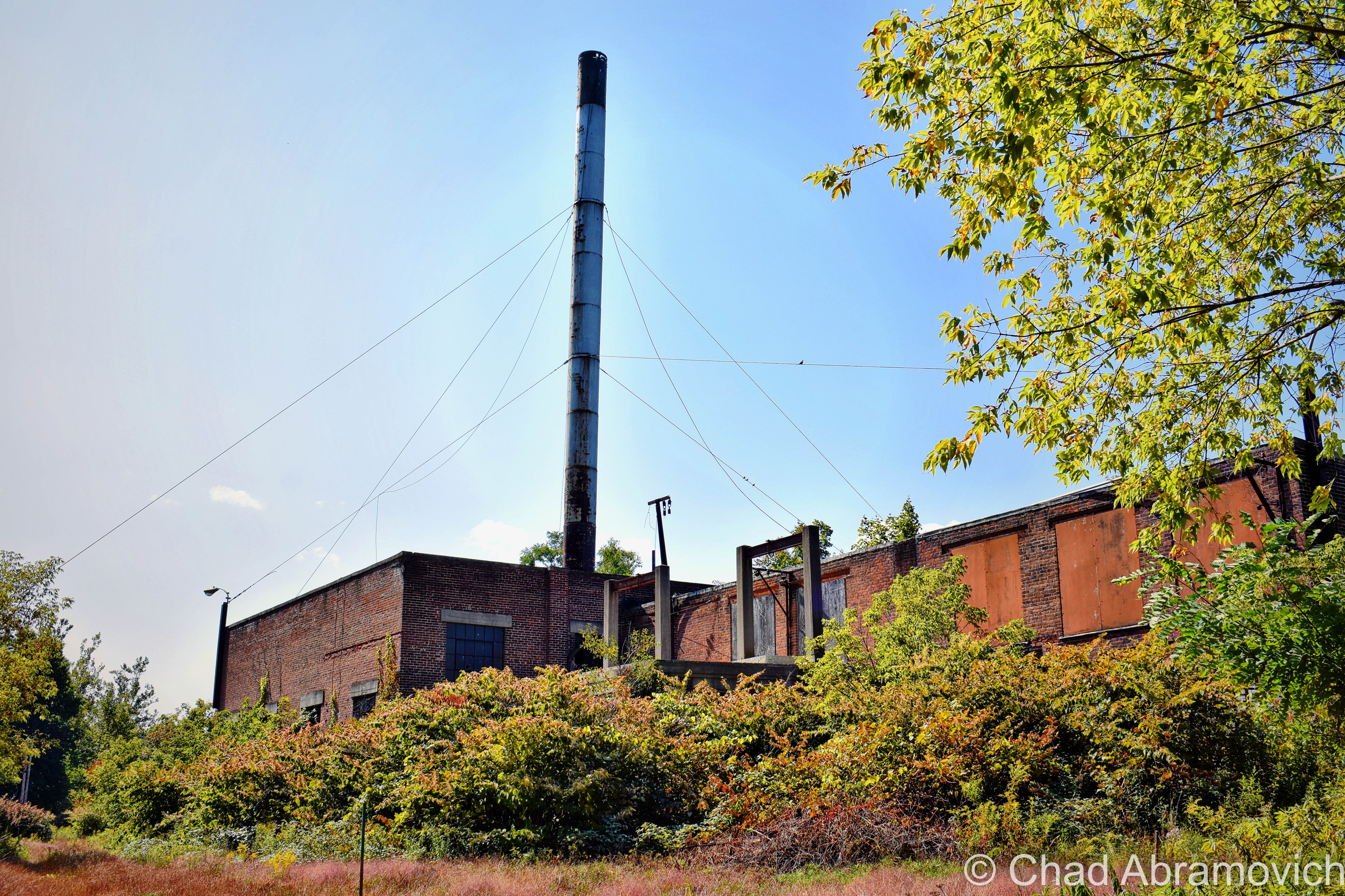
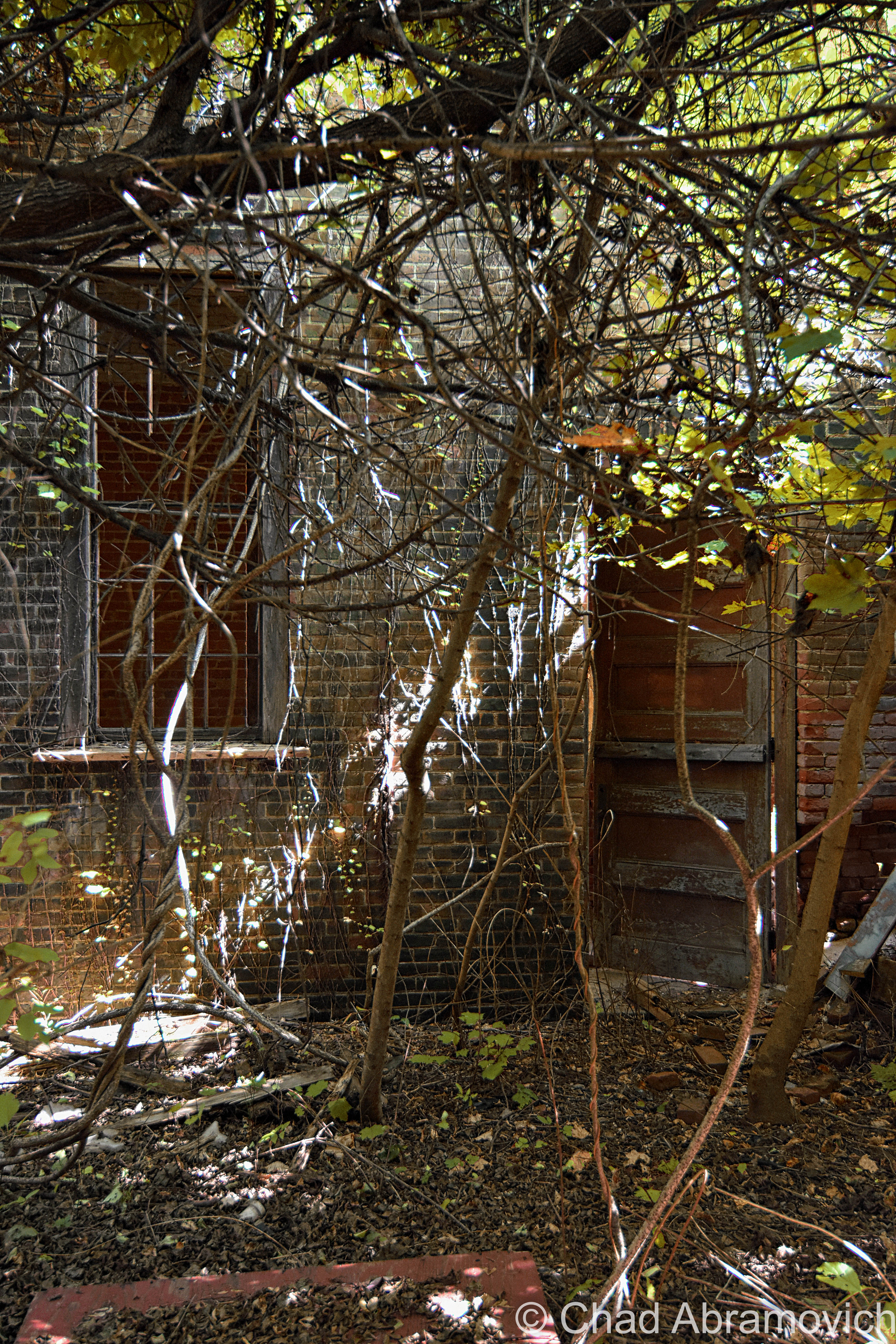
Finding a place to park that we hoped wasn’t suspicious, we casually made our way down the sidewalk, and then made a dash for it. The factory grounds had grown wild, and the brush was almost like it was alive – clinging and scratching with every tendril available, as we hastily stumbled our way towards the tall metal smokestack that marked the factory’s personal powerplant. We figured we’d start in there via squeezing through a hole in the door, and work our way over to the main factory building after. Man I’m glad I’m still a scrawny dude that can wiggle through holes in the walls and broken windows.

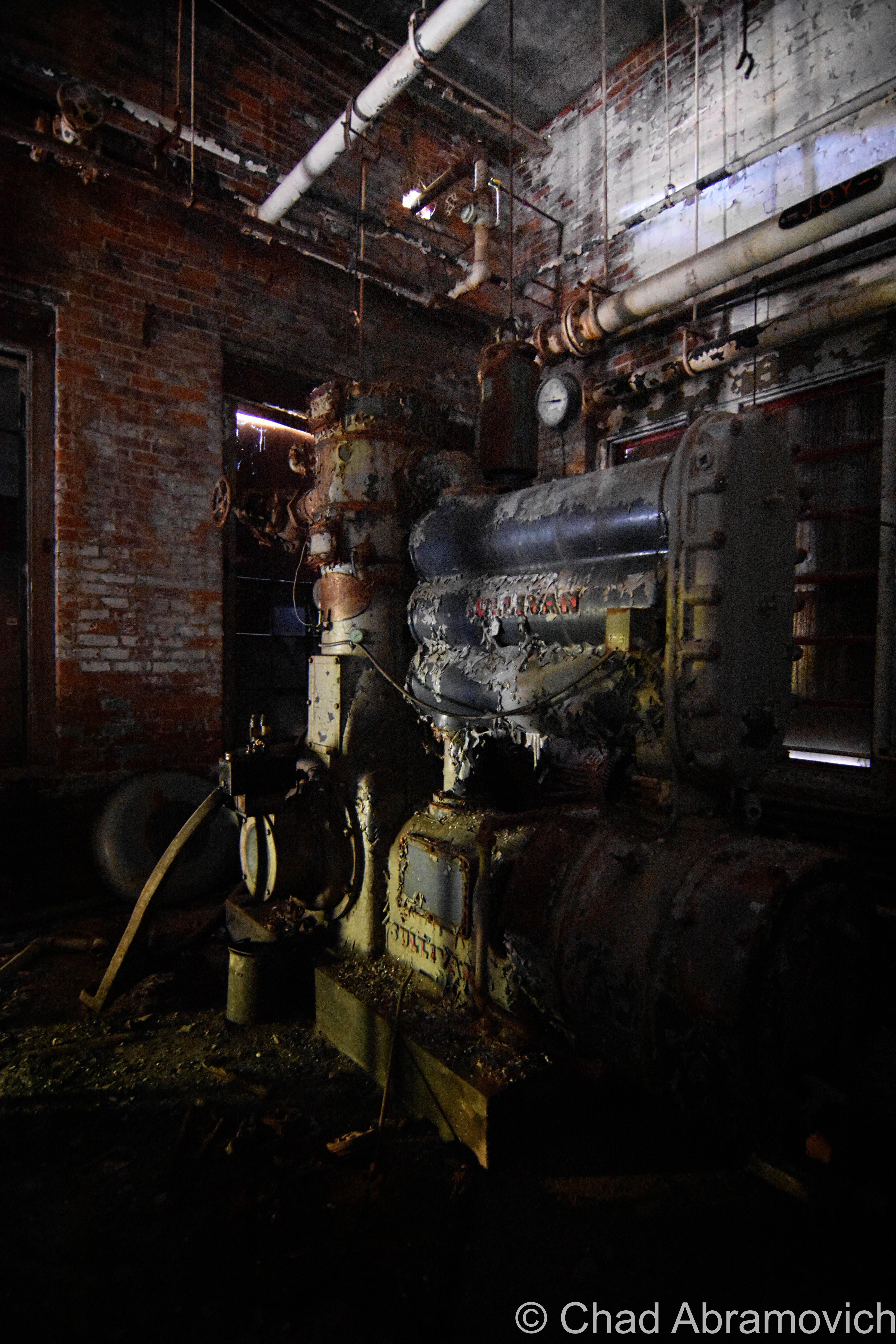
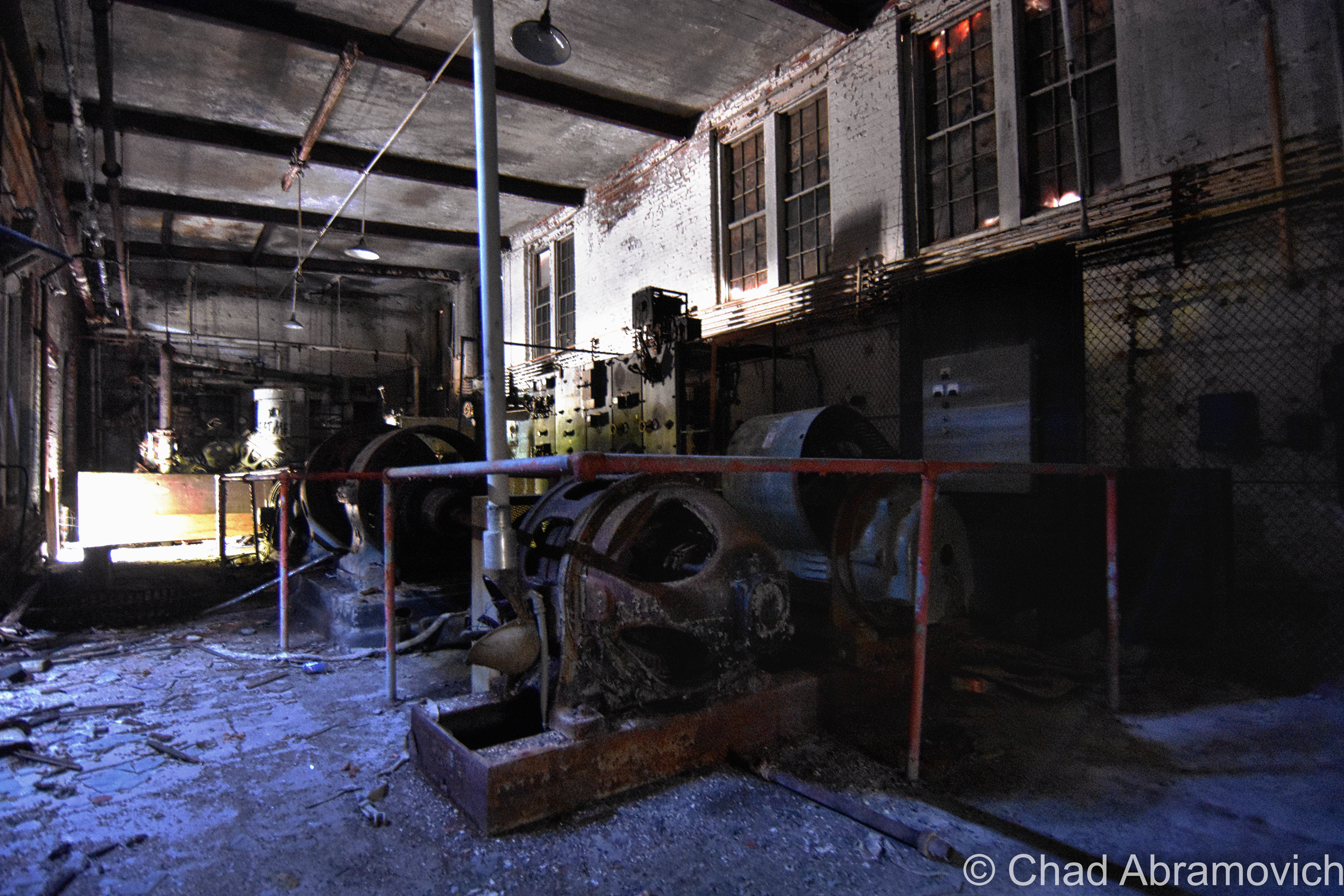
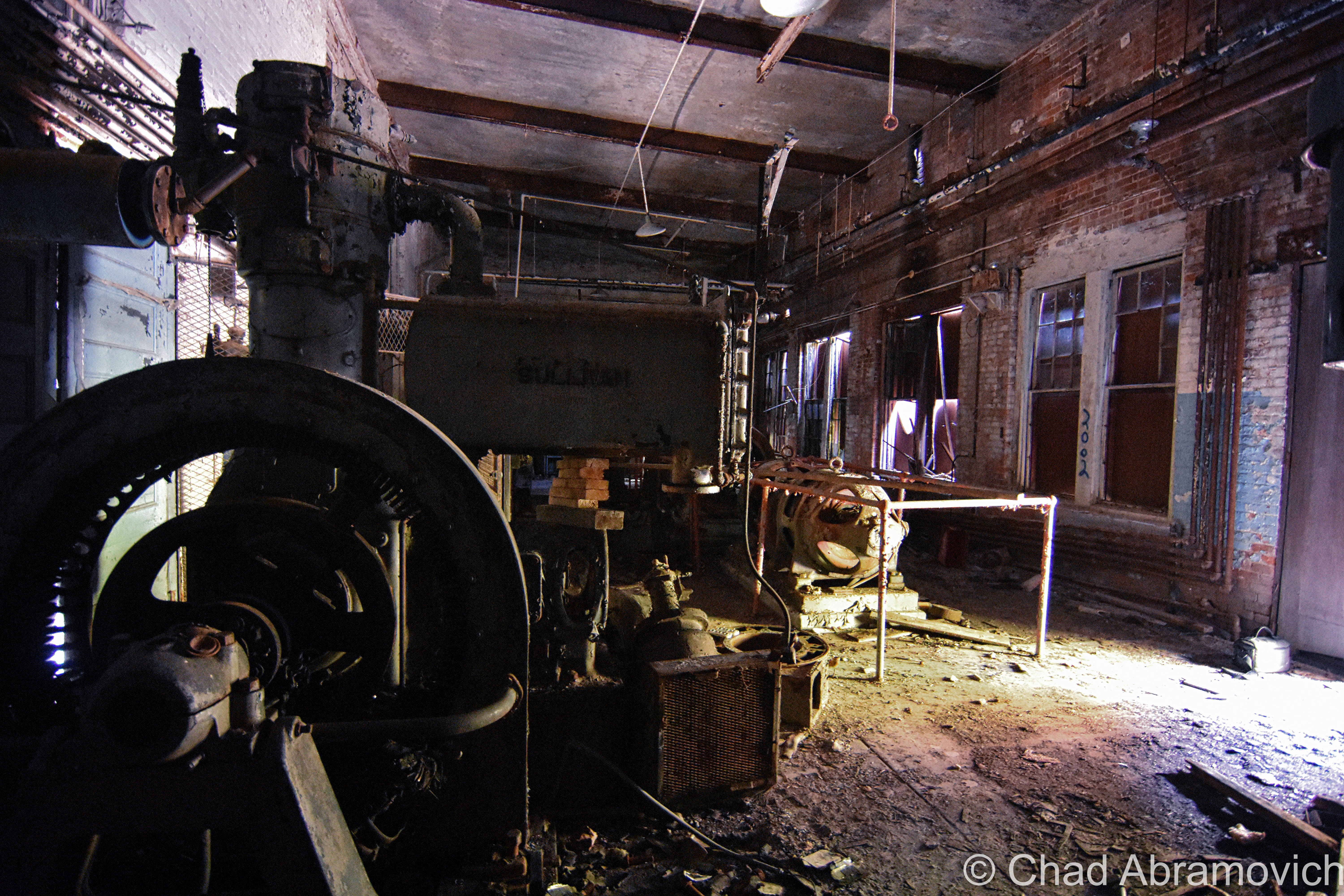
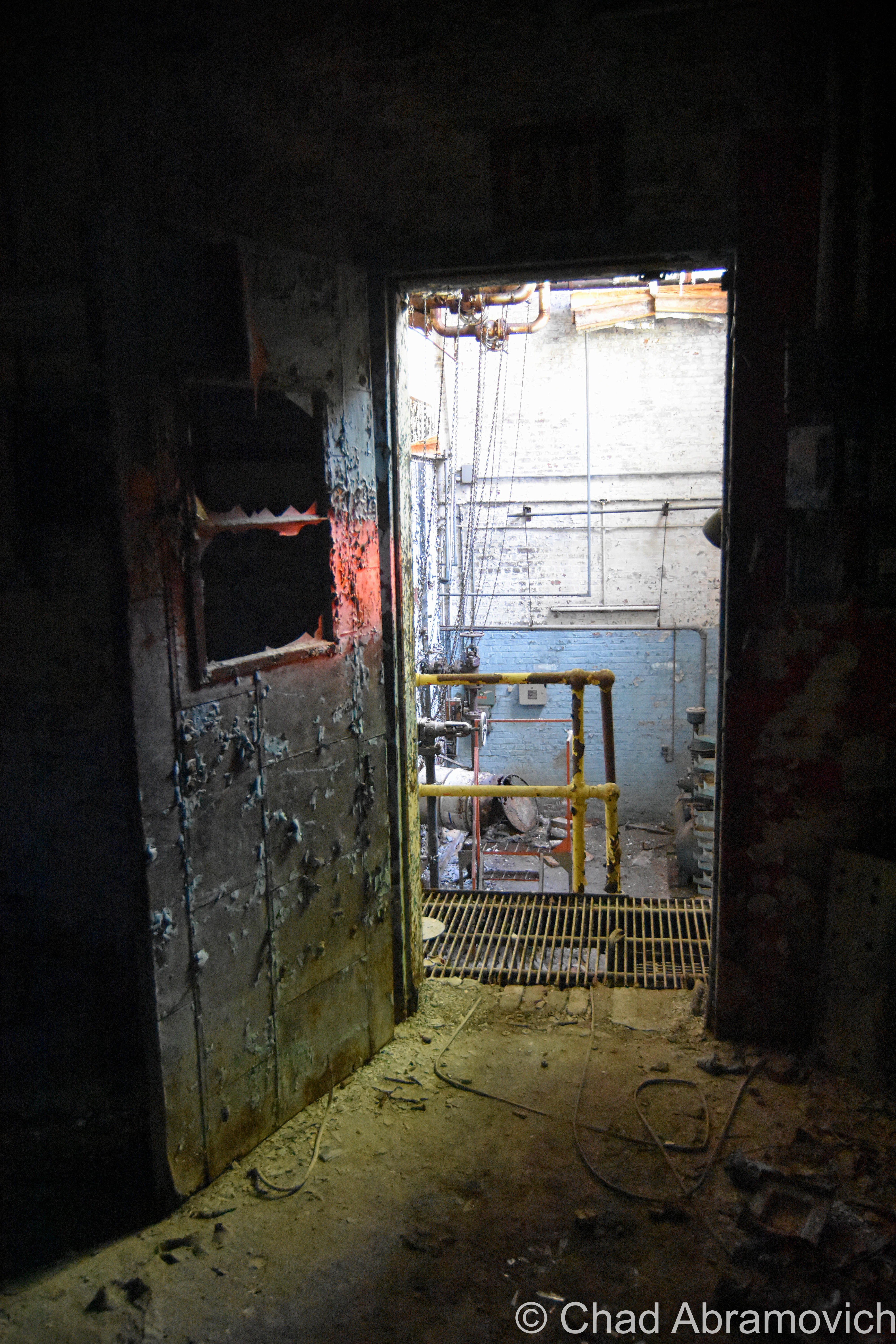
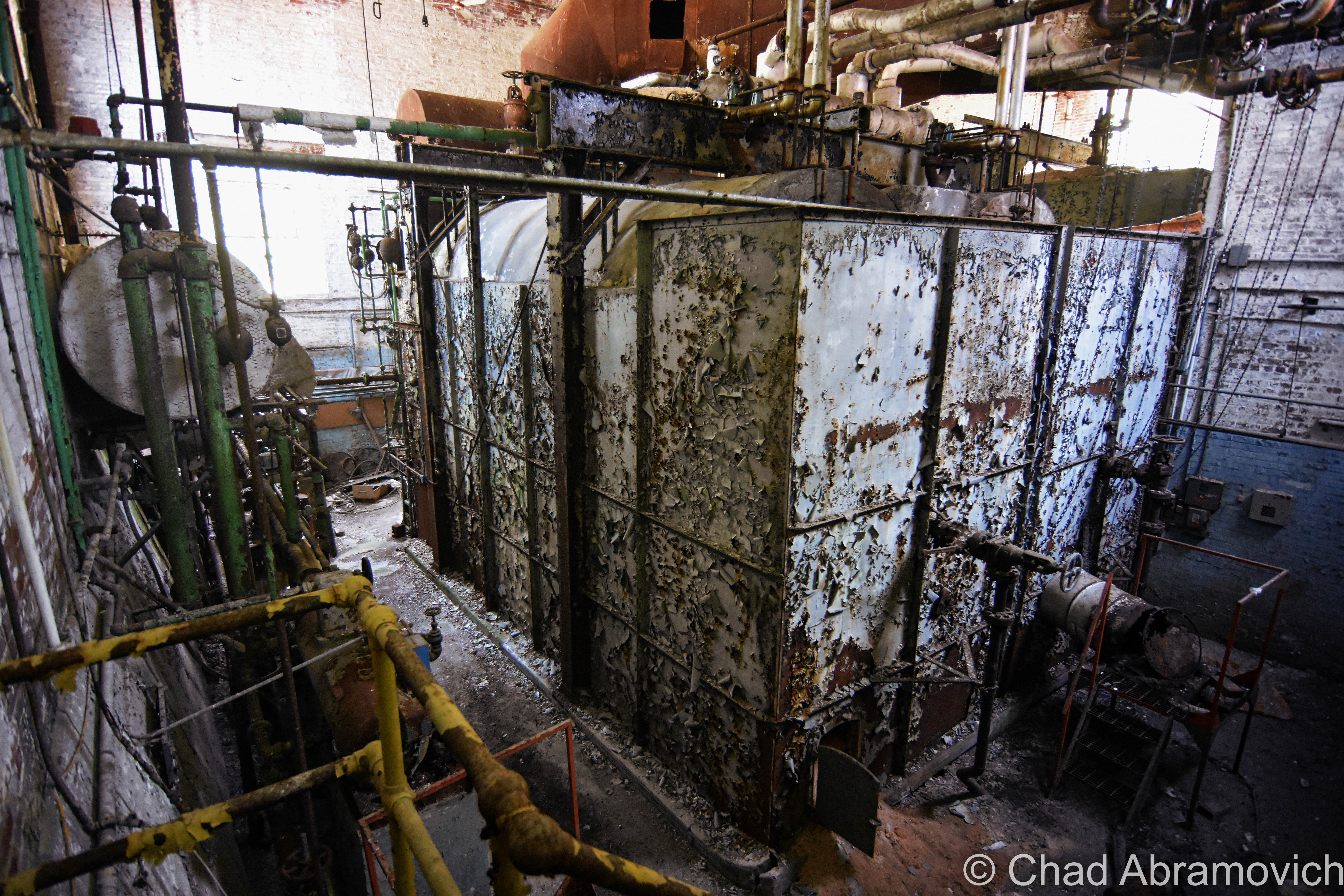
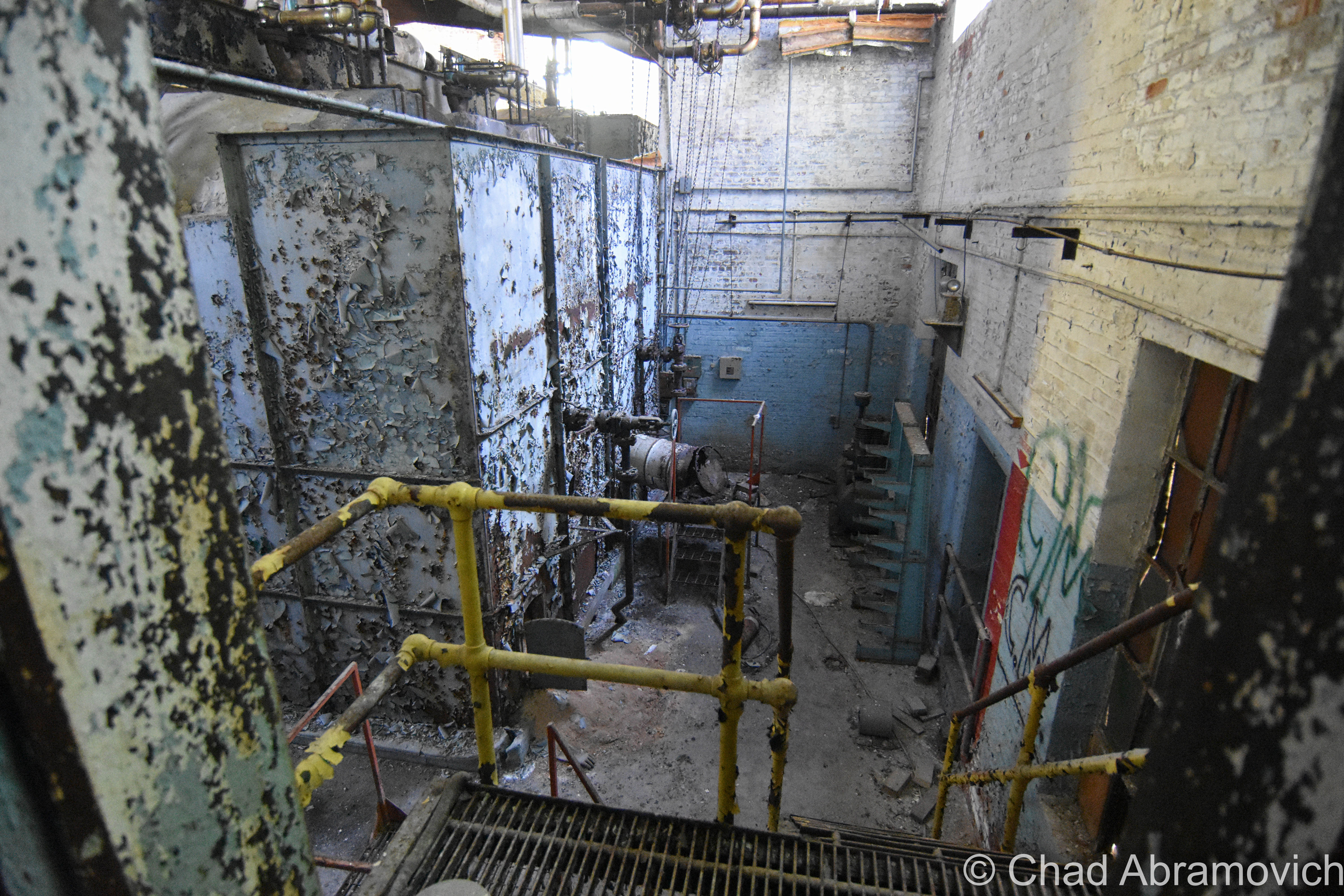
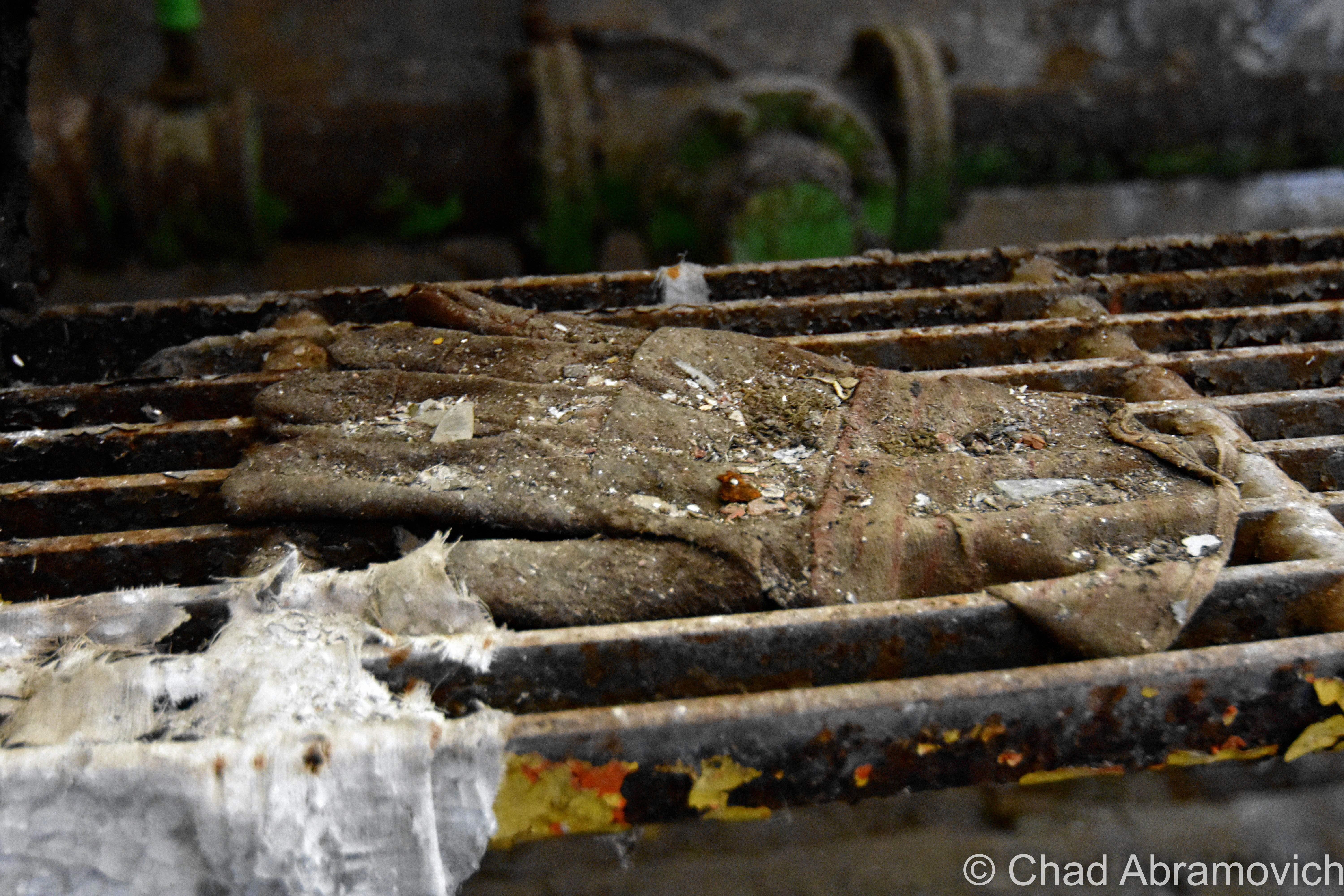
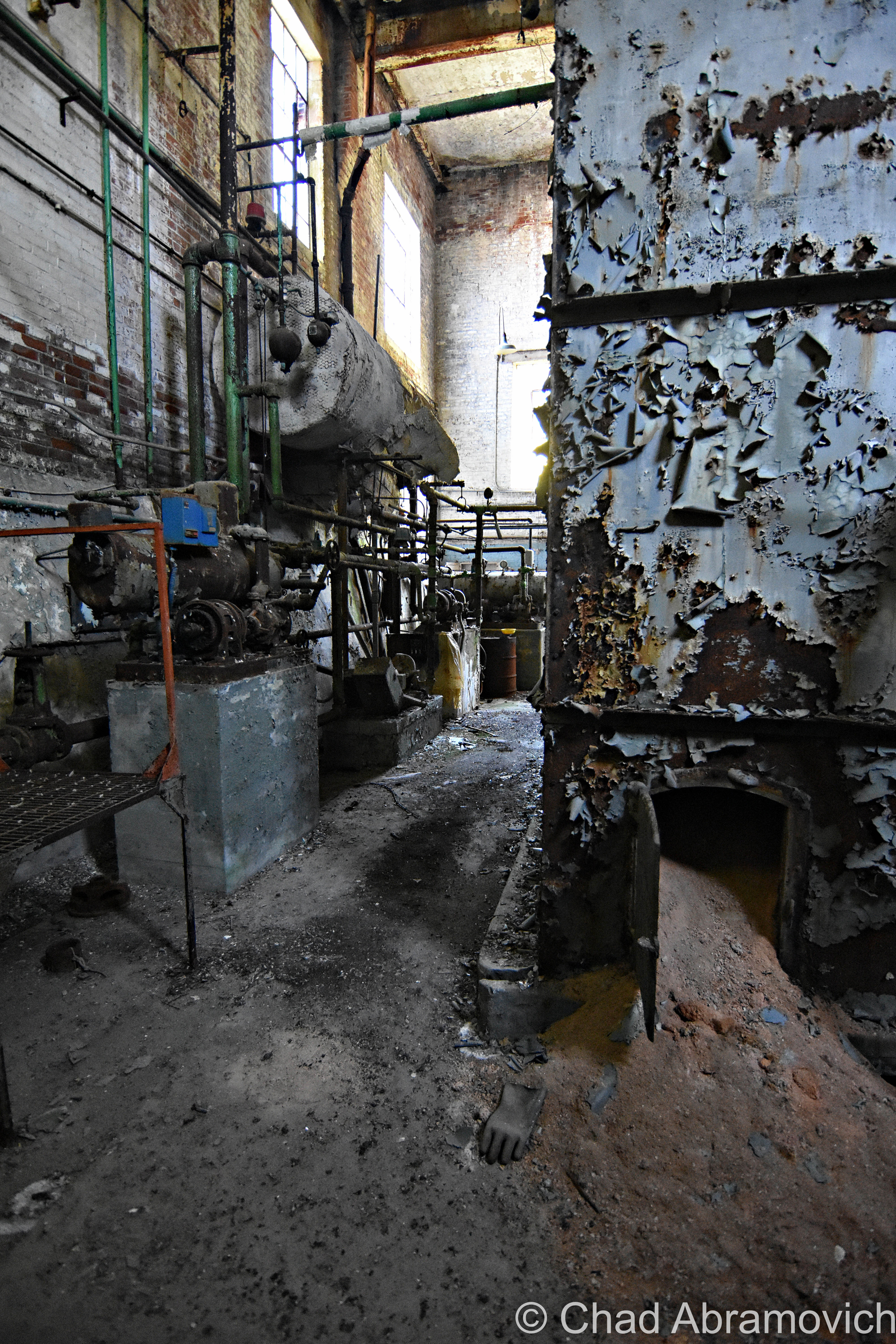
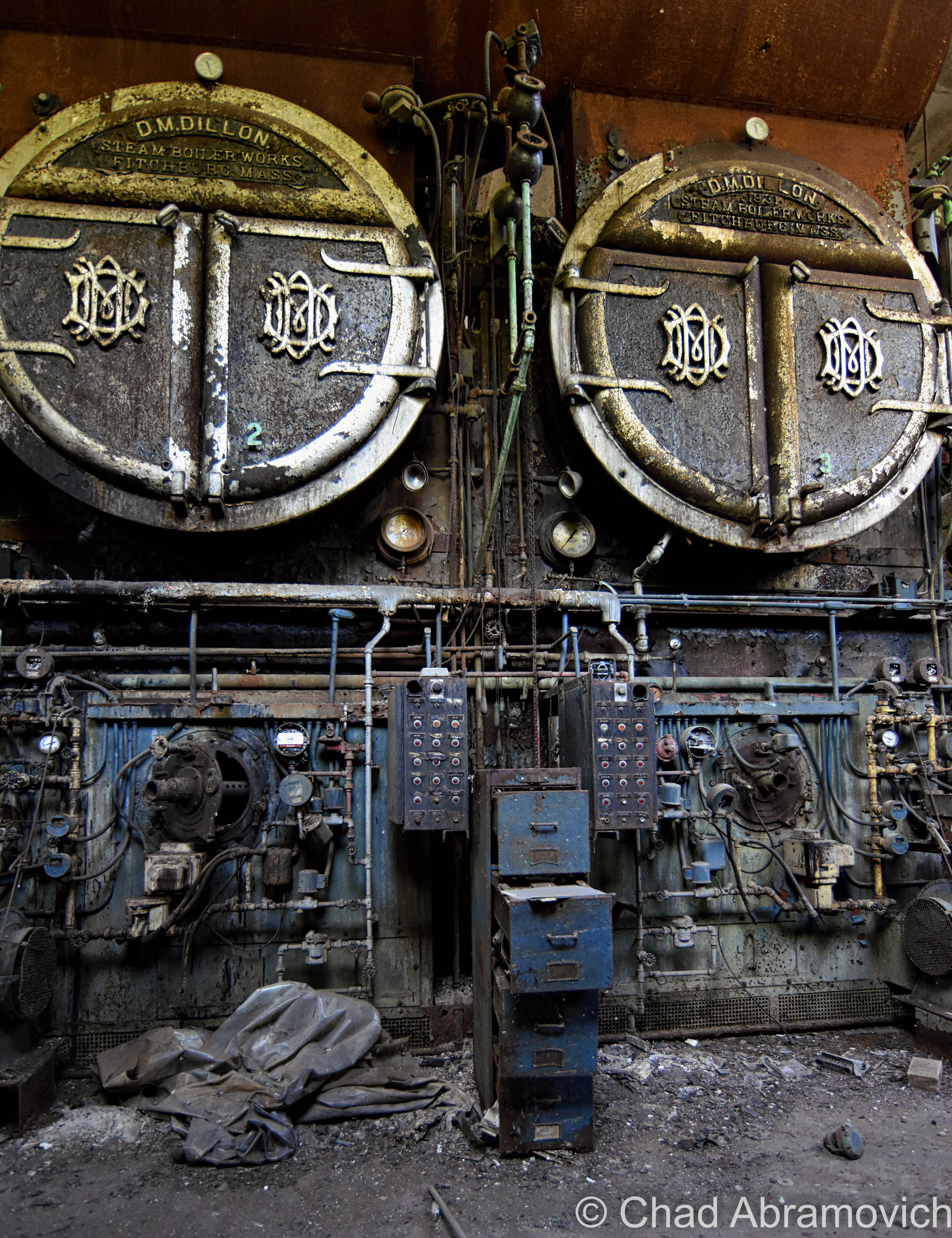
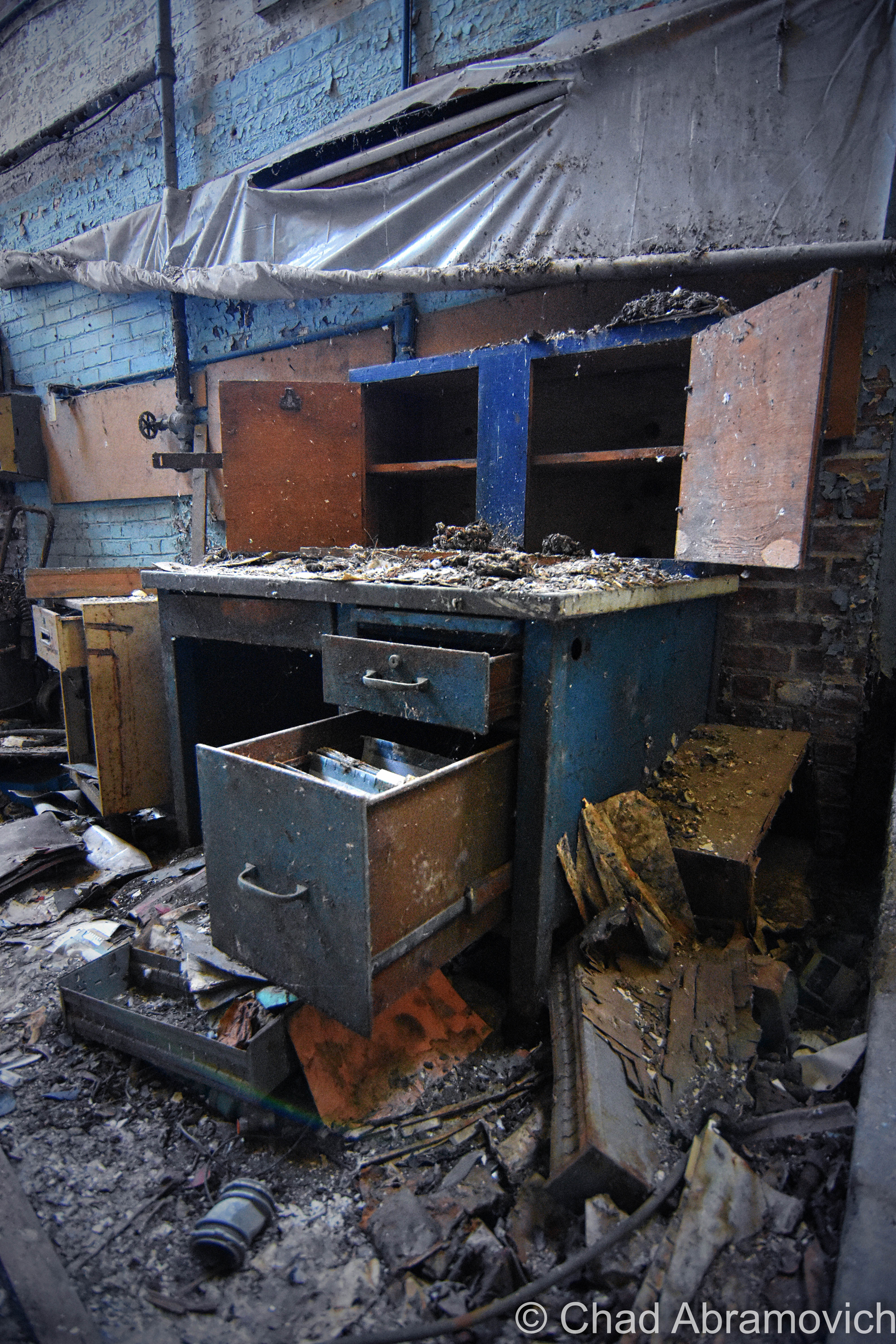
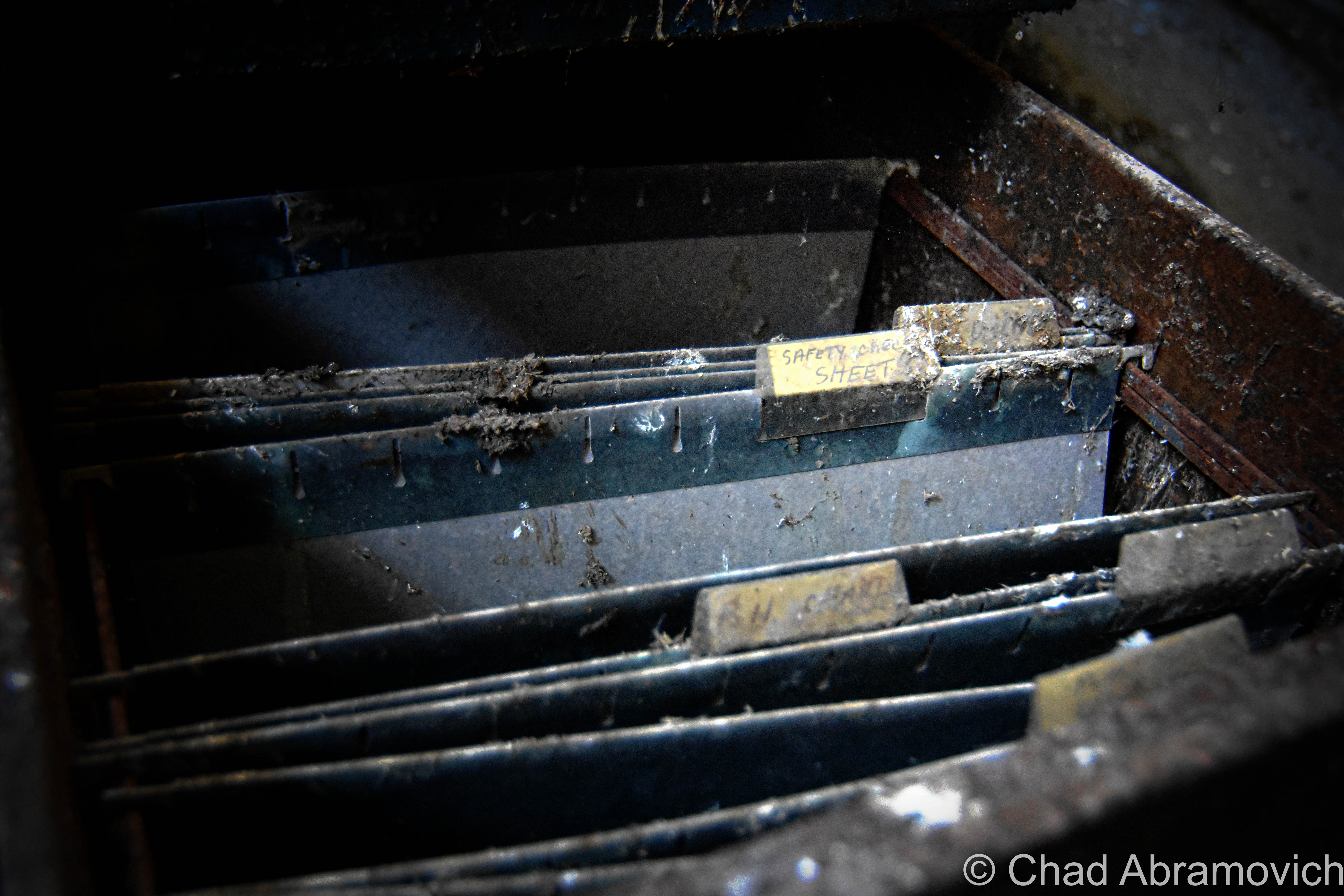
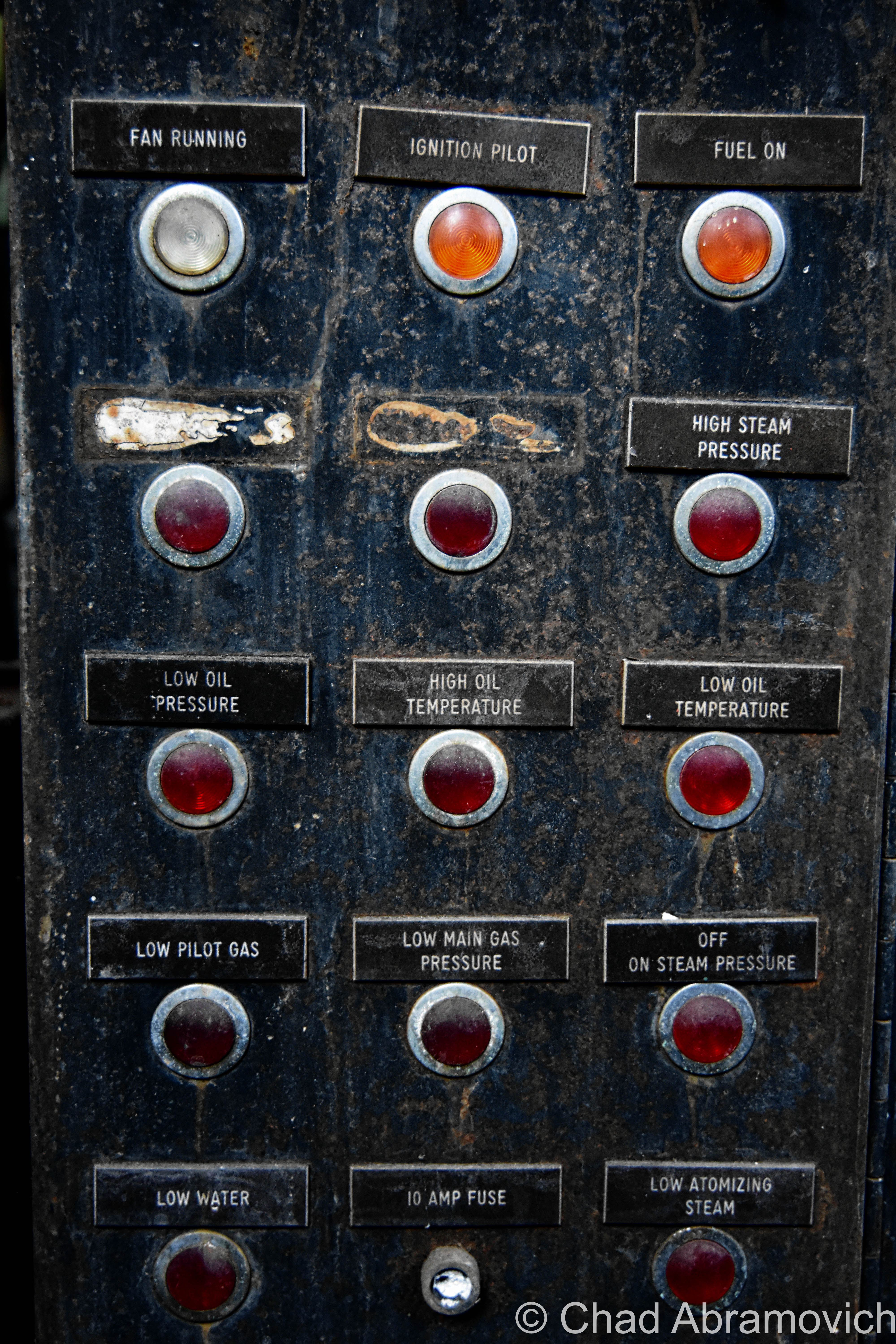
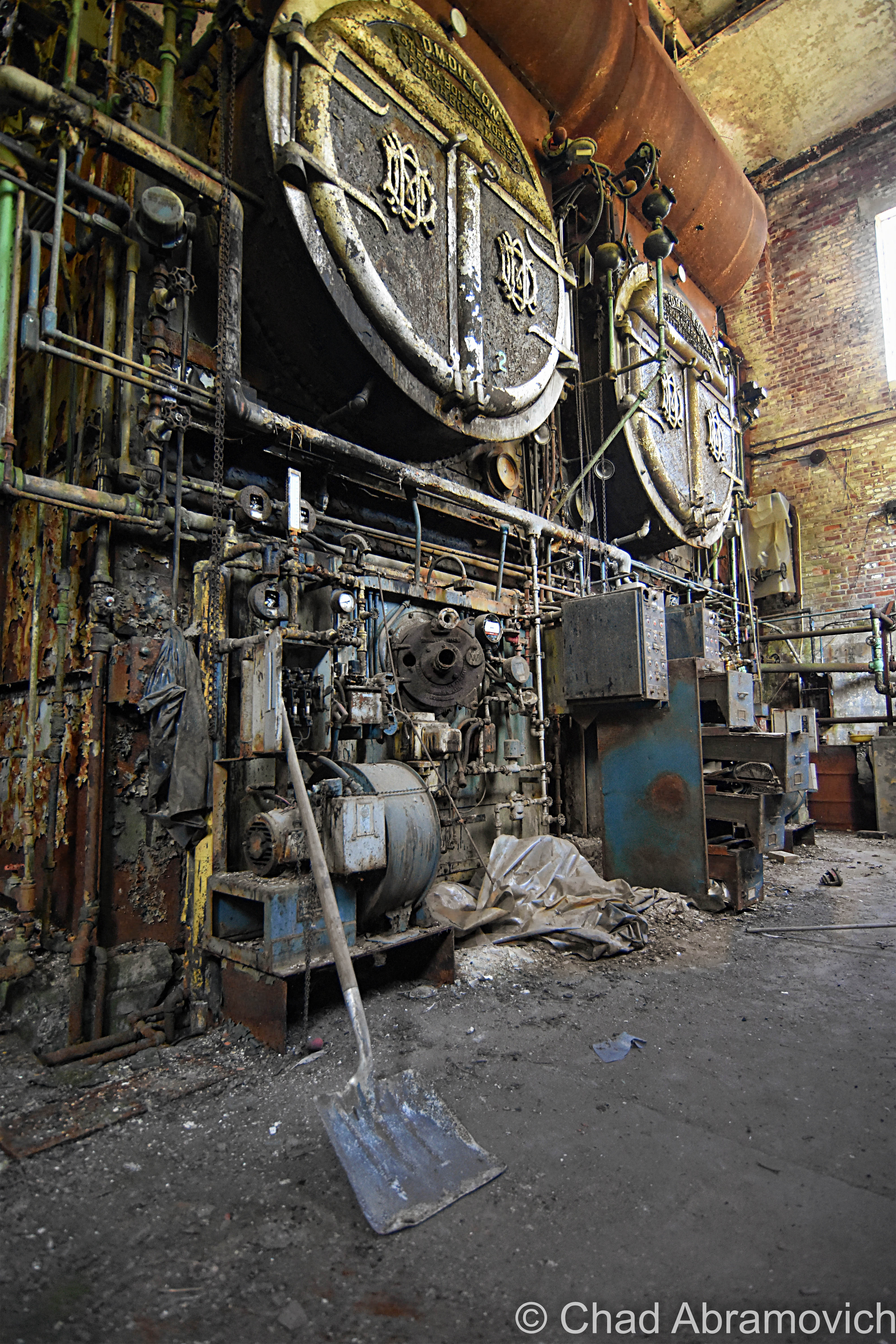
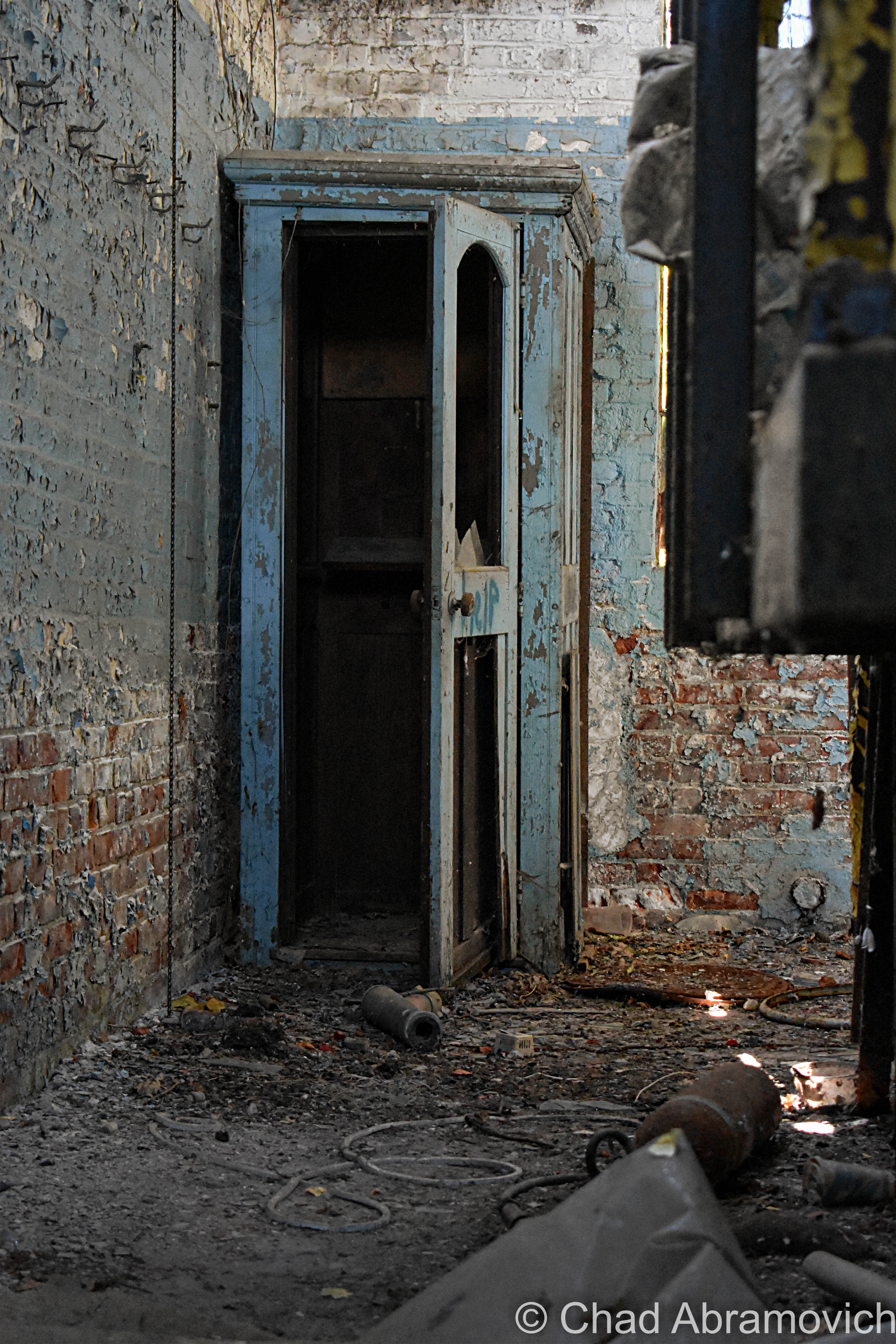
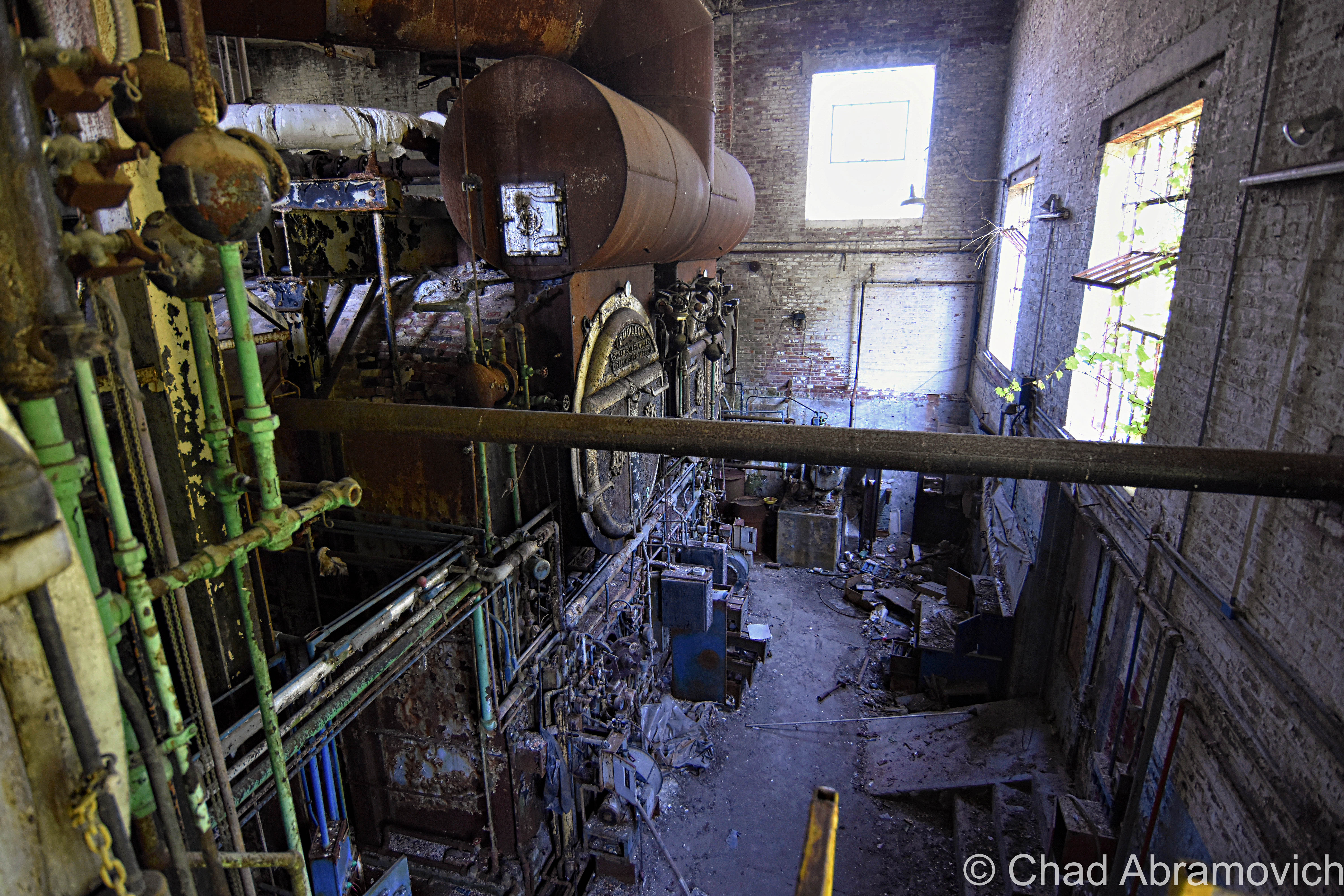
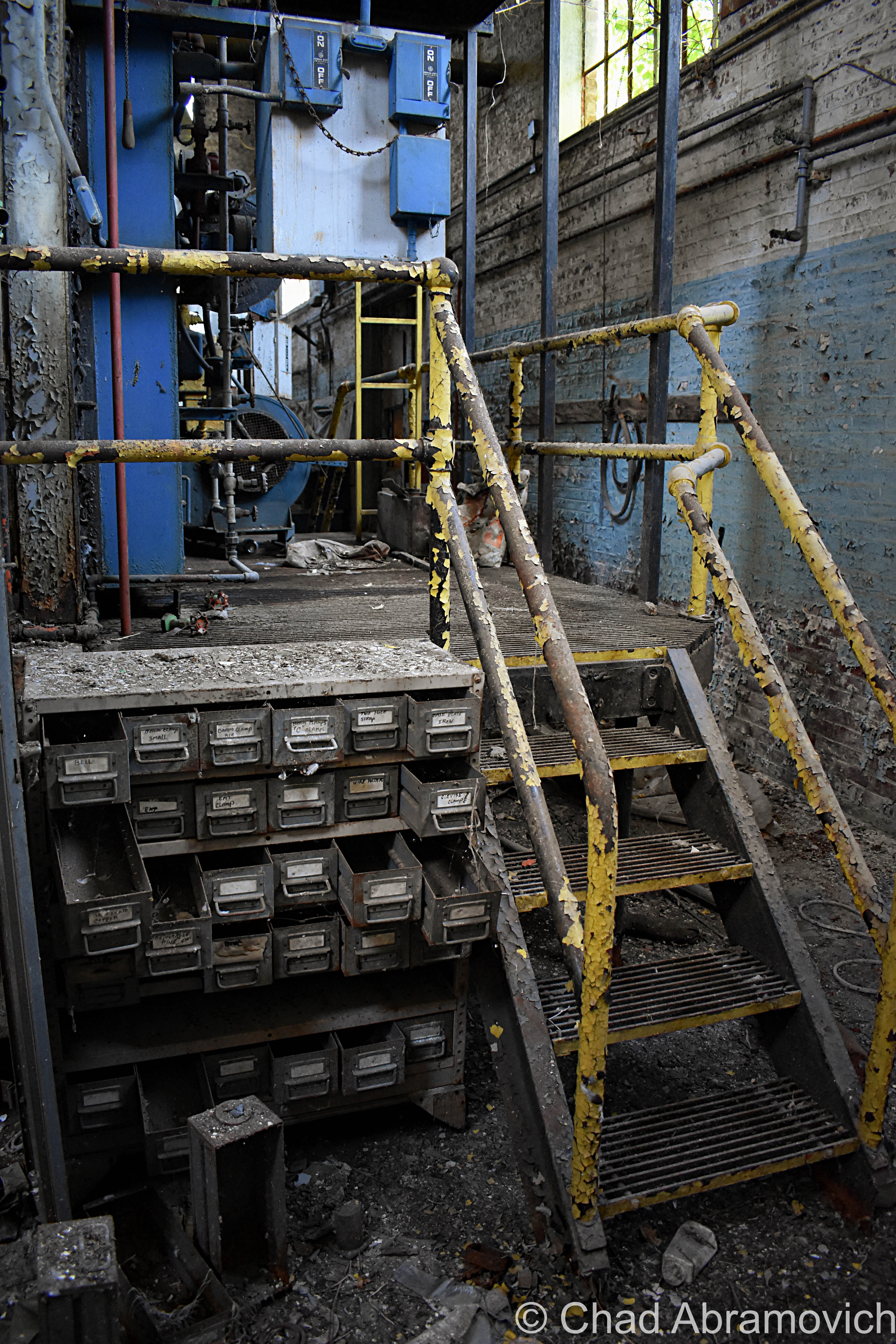
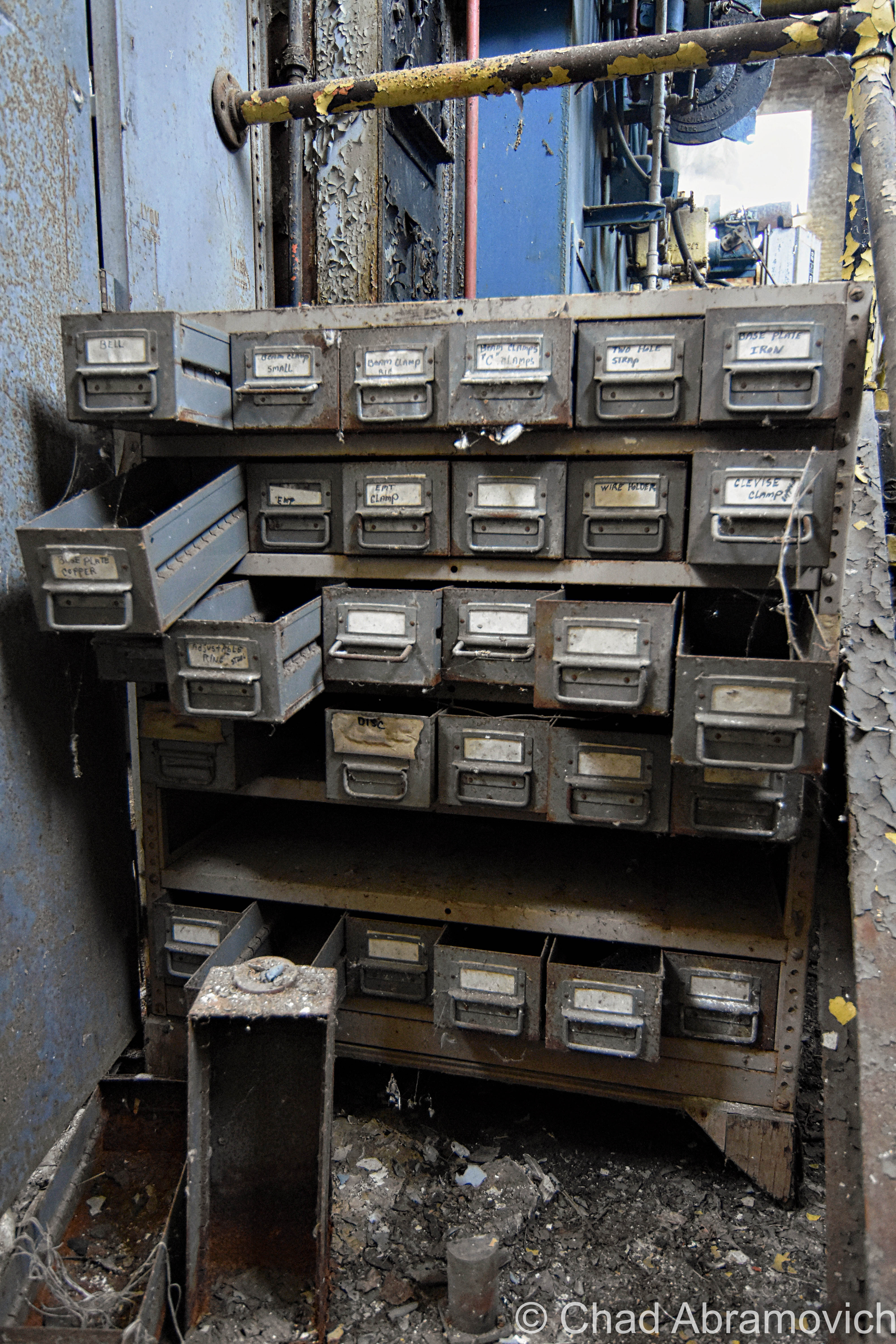
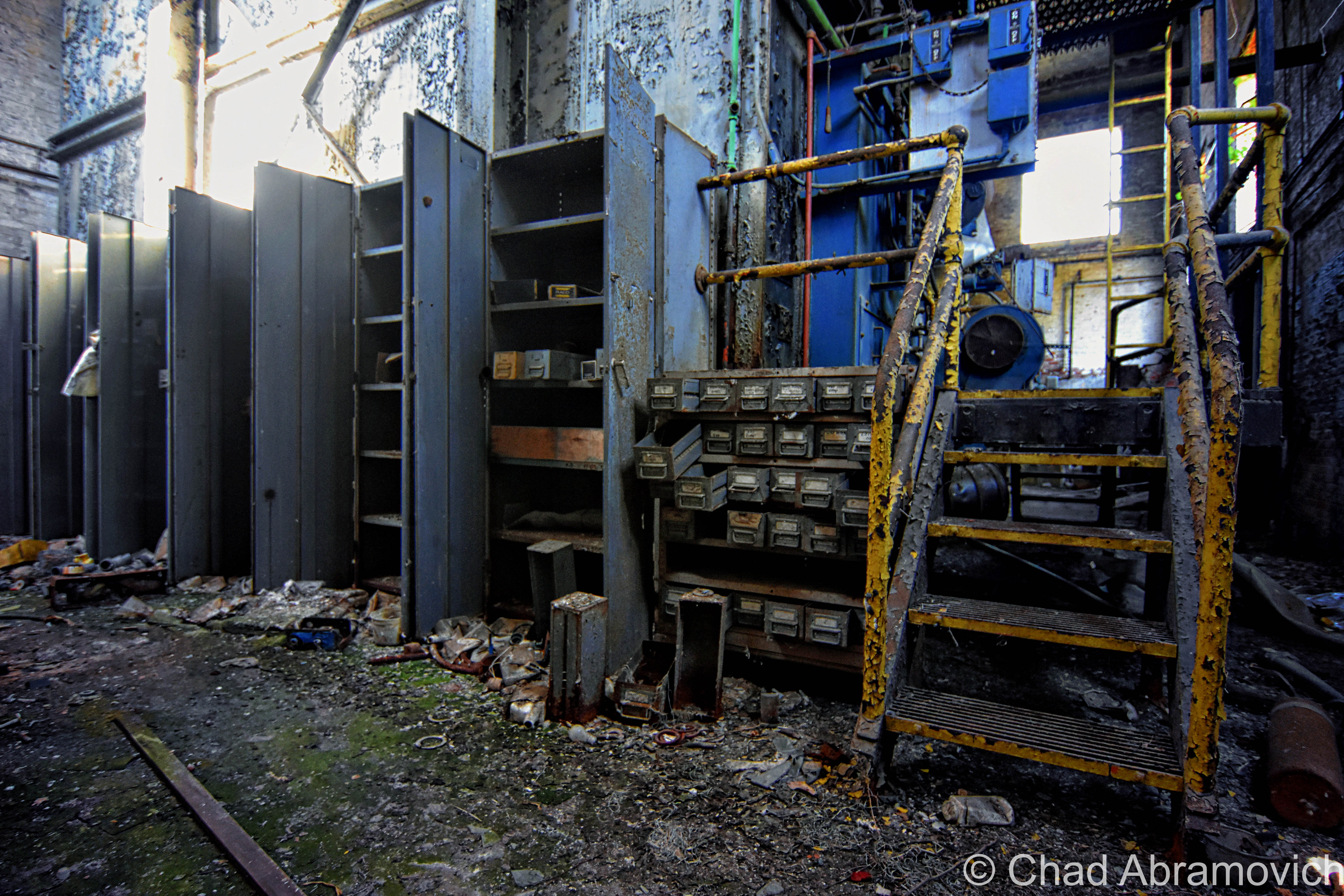
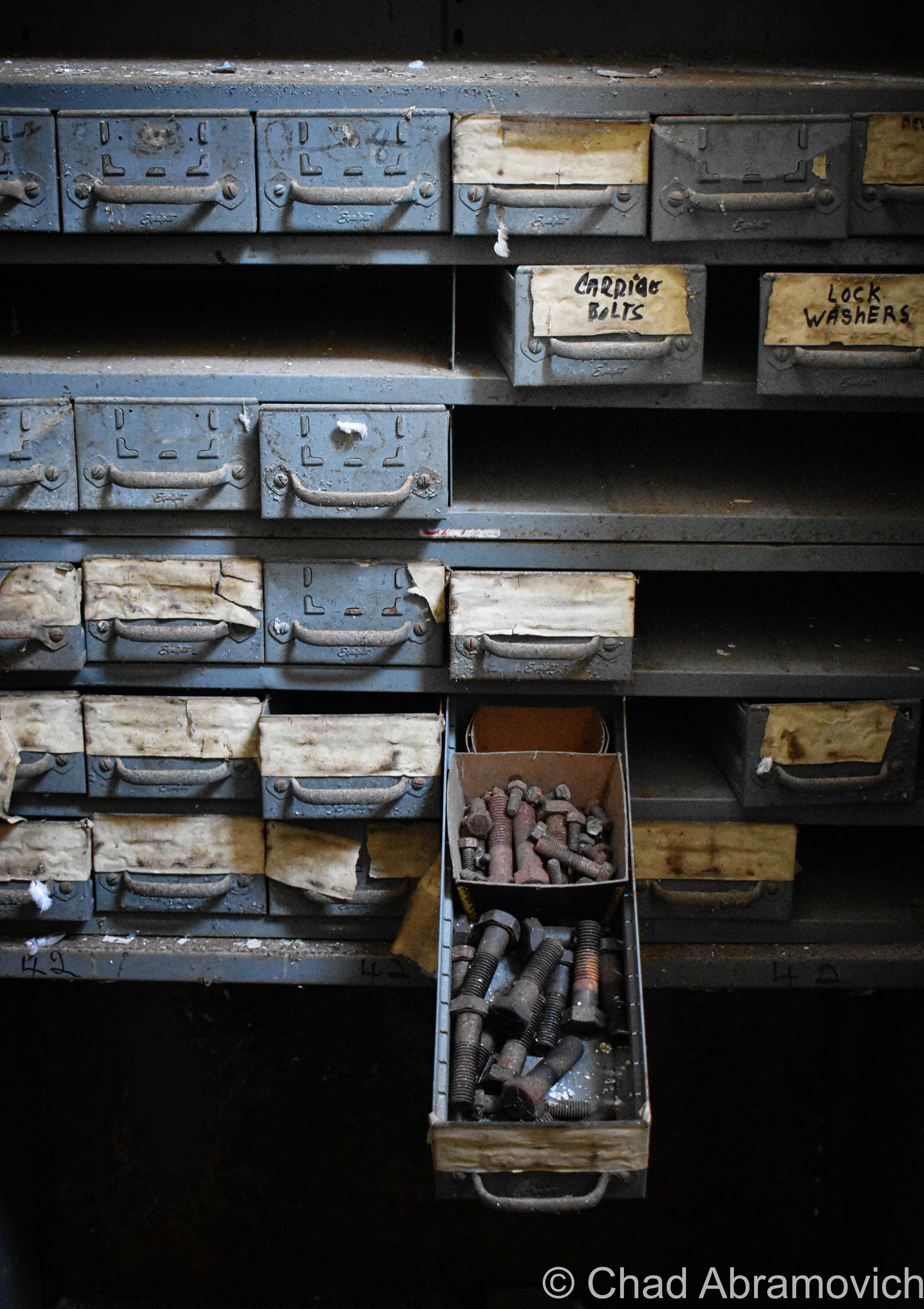
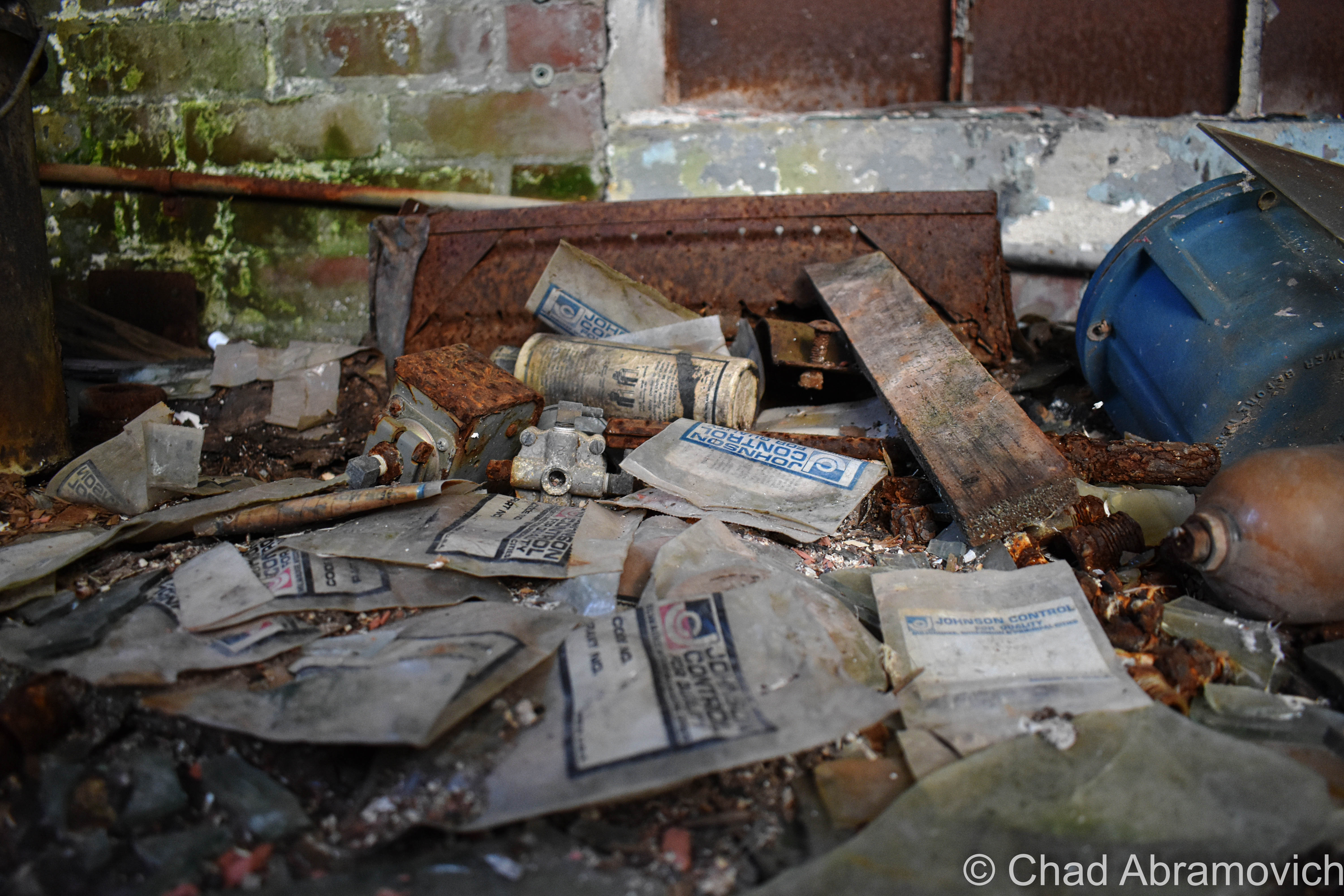
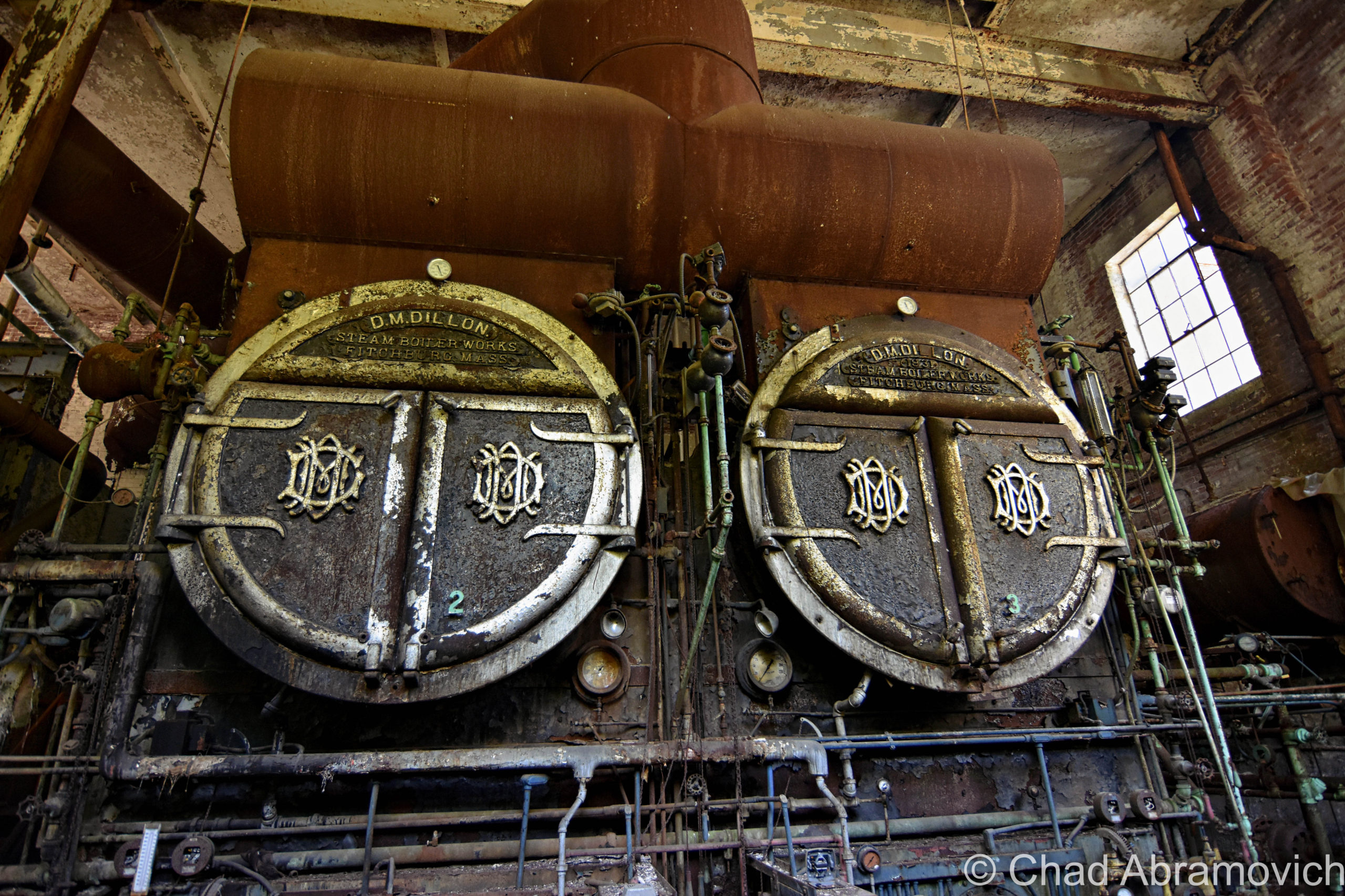
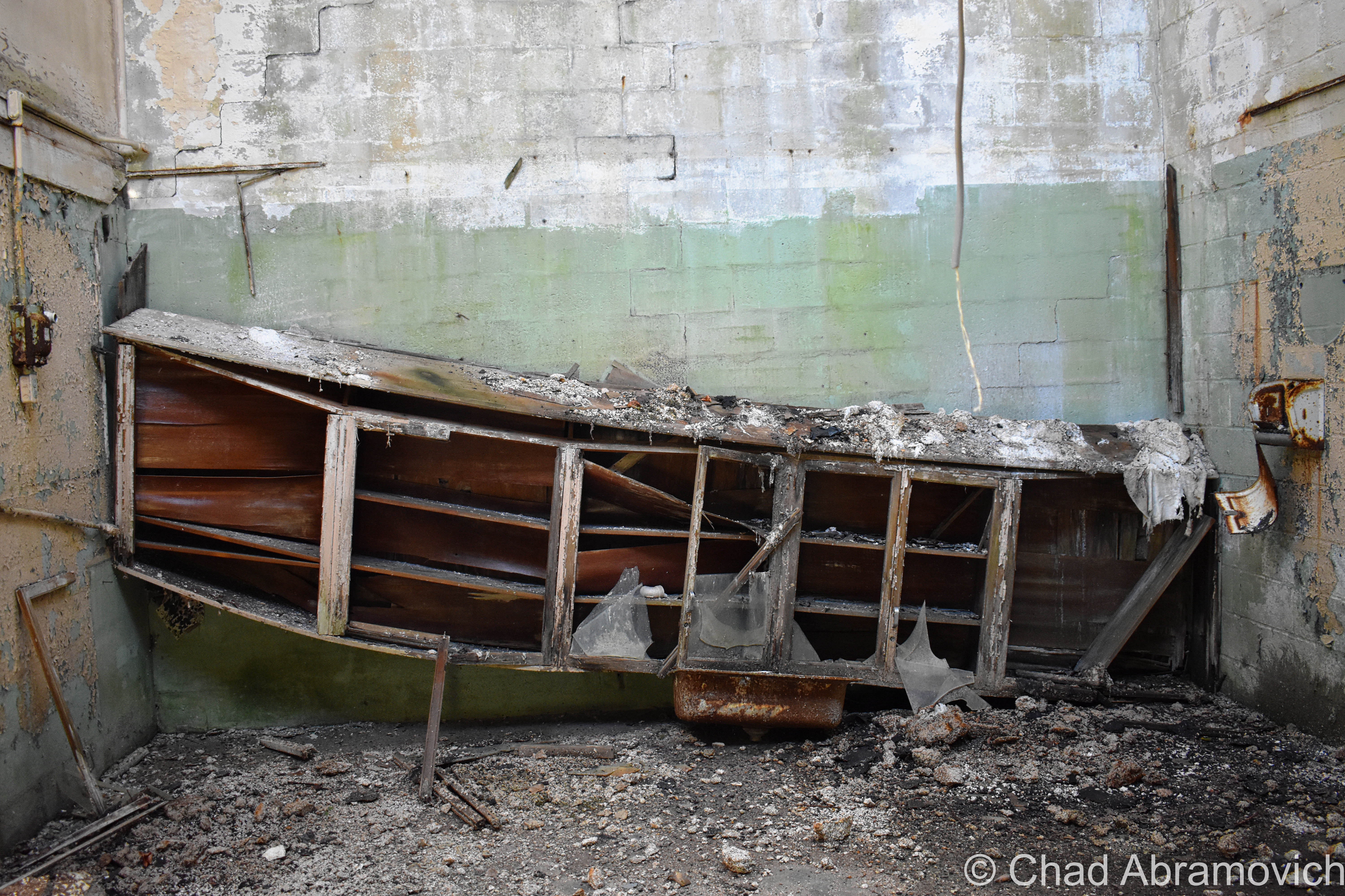
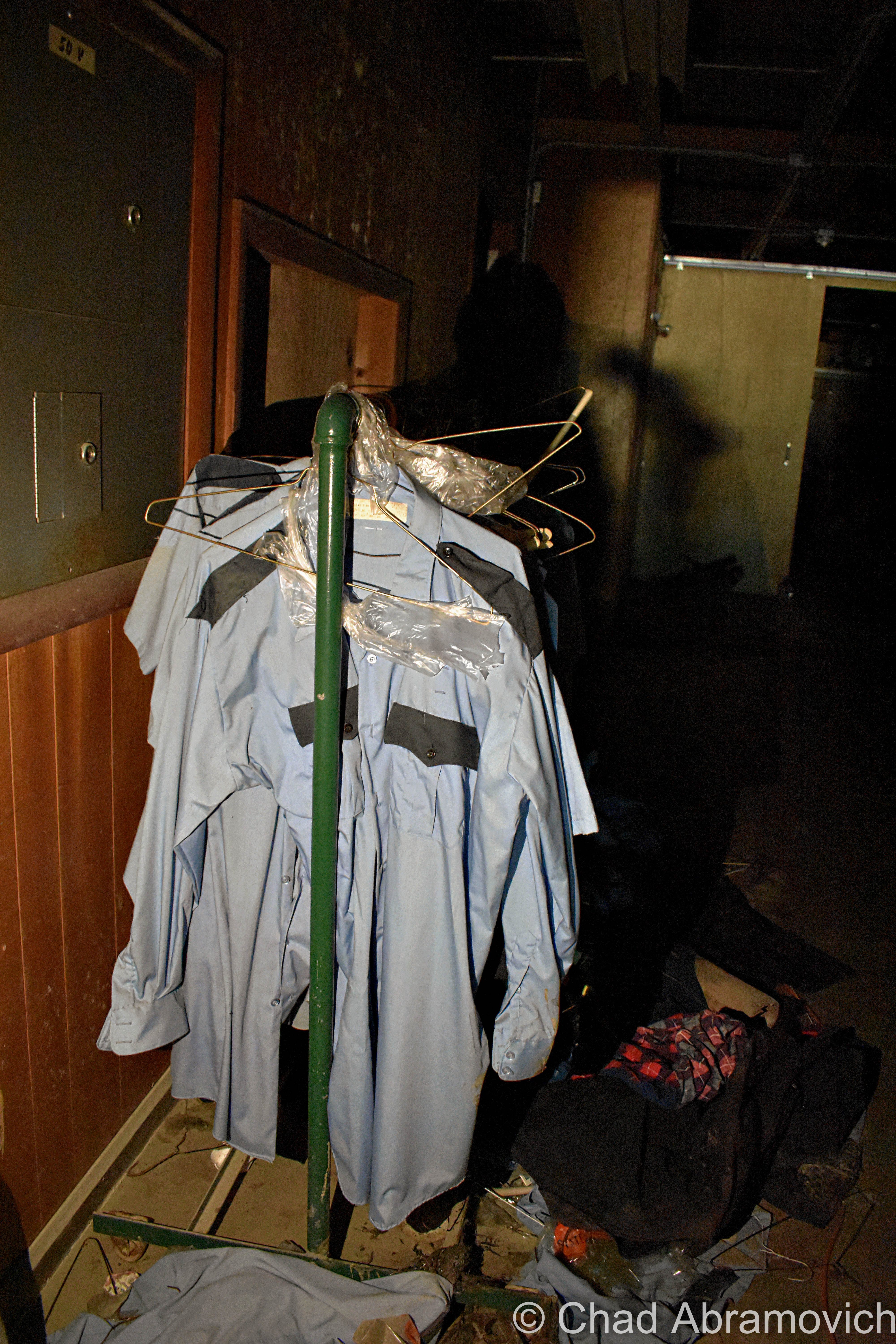
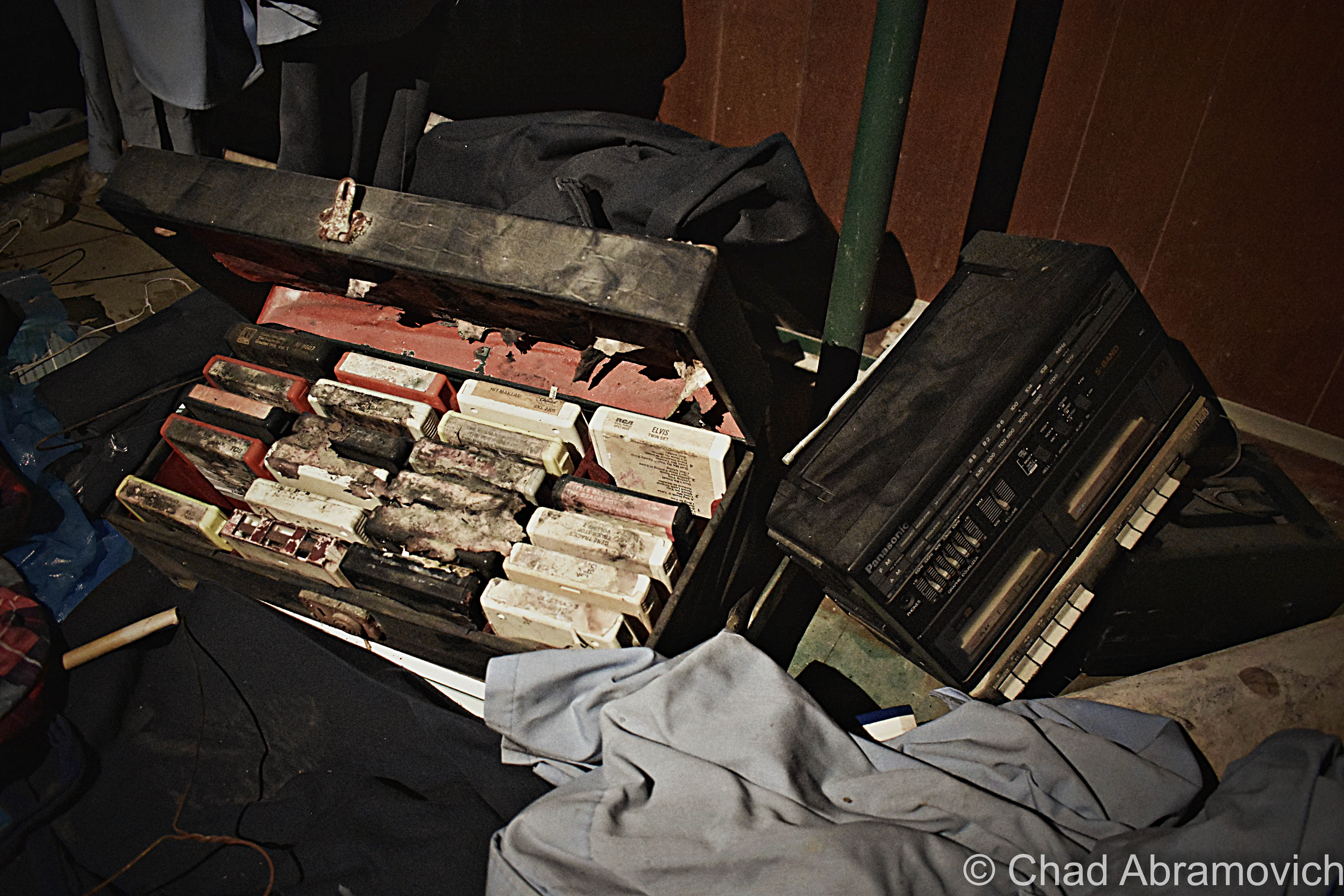
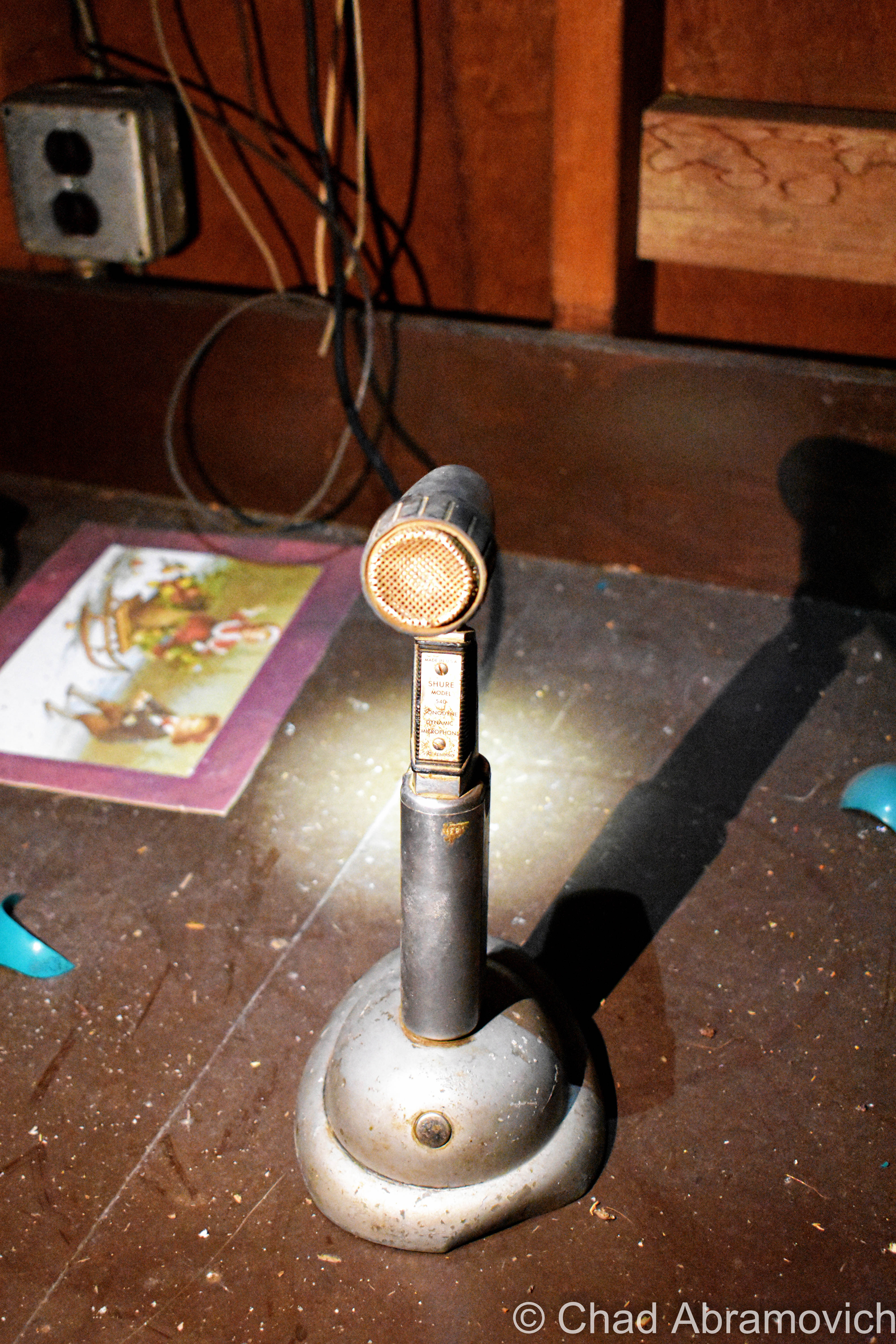
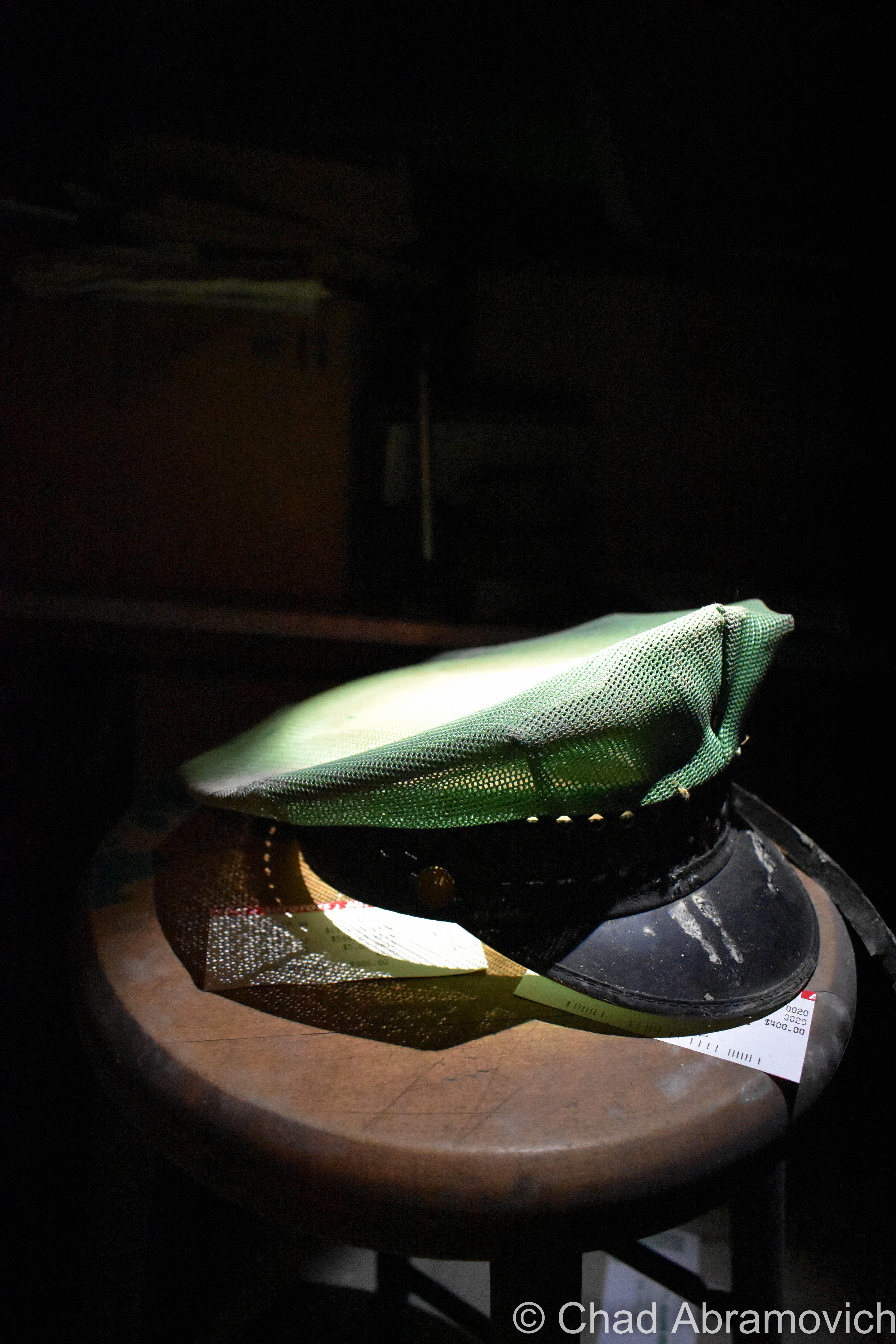
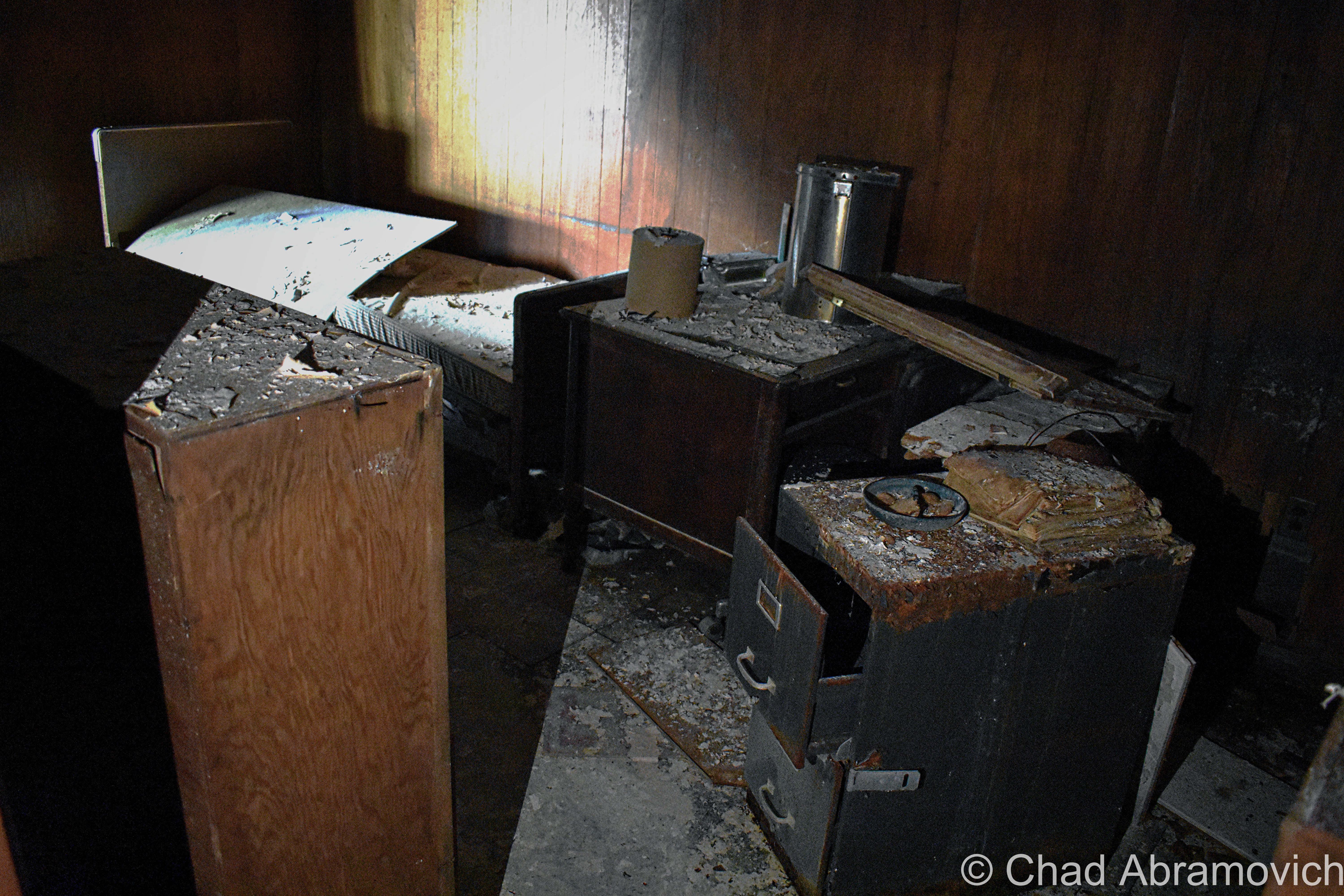
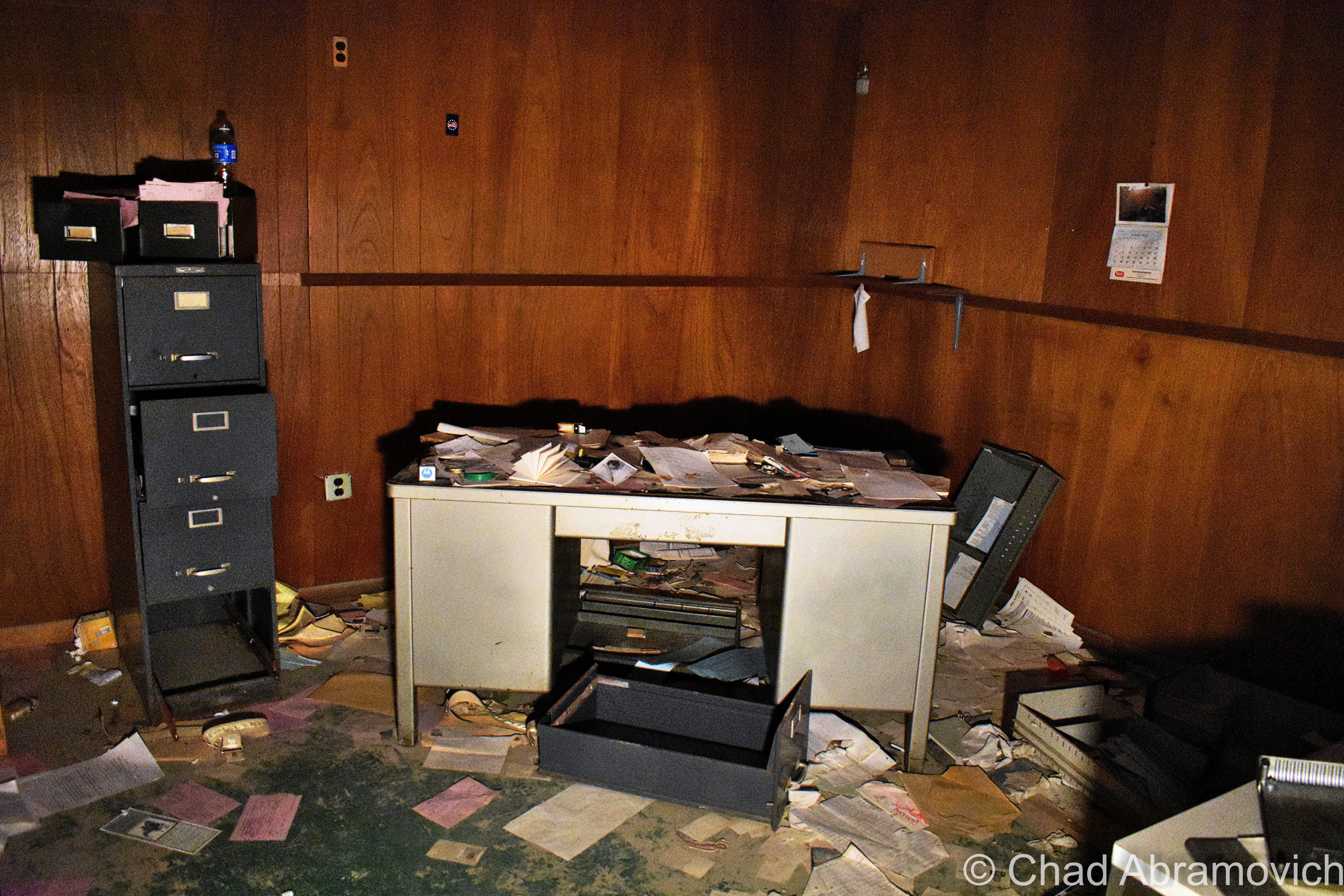
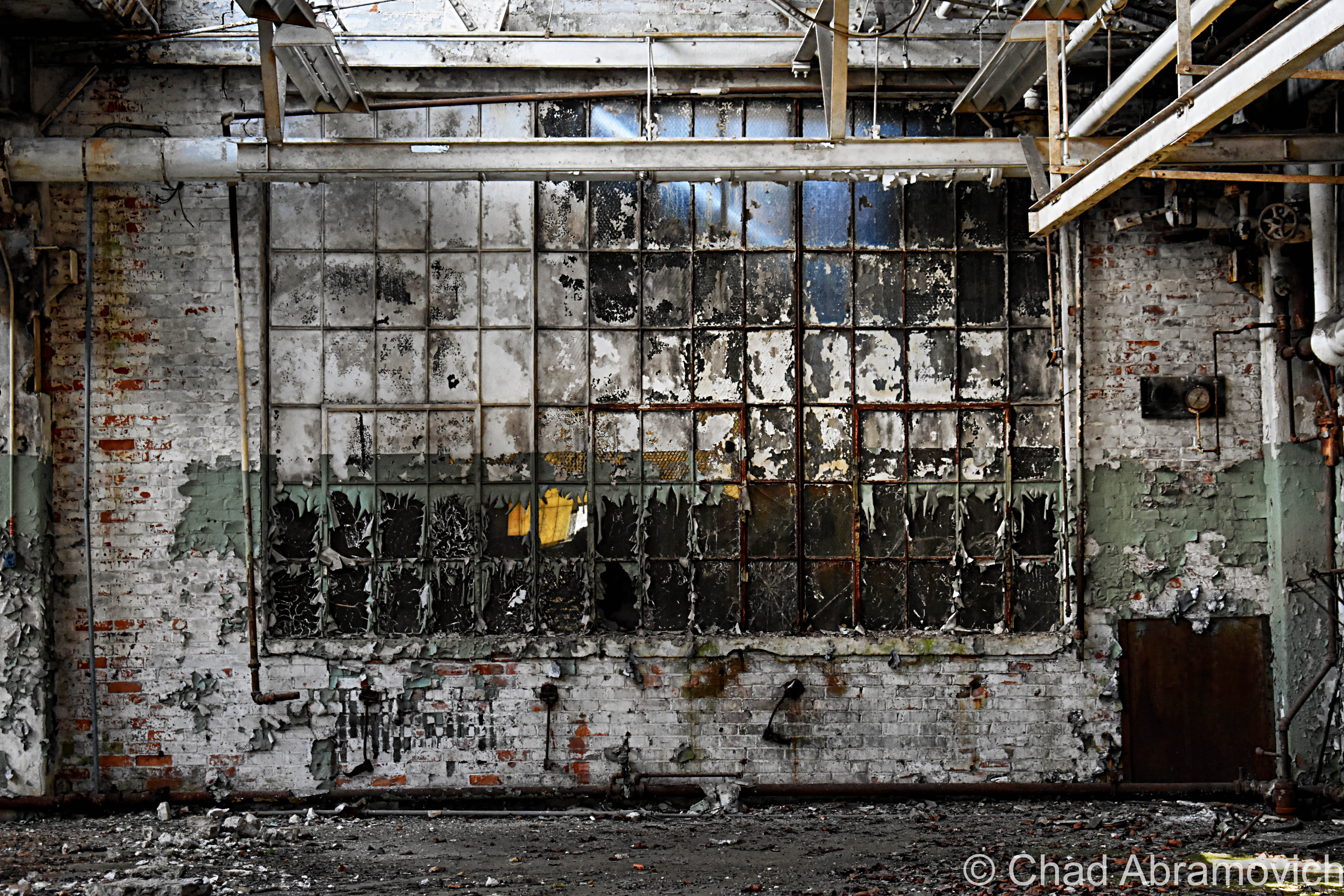
The power plant was a real unexpected treat, and my favorite portion of the grounds that we saw that day.  Unlike the main building, the generating station had most of its goodies still contained within drifting dust creating its own little universes in envelopes of light that scattered around the brawny boilers that were from an era that built things to last, and scores of gauges. Floors with hummocks of lead paint flakes and dirt. Desks and chests of drawers were still cluttered with miscellany and workshop brick-a-brack. This was definitely a pleasure to point my camera at.
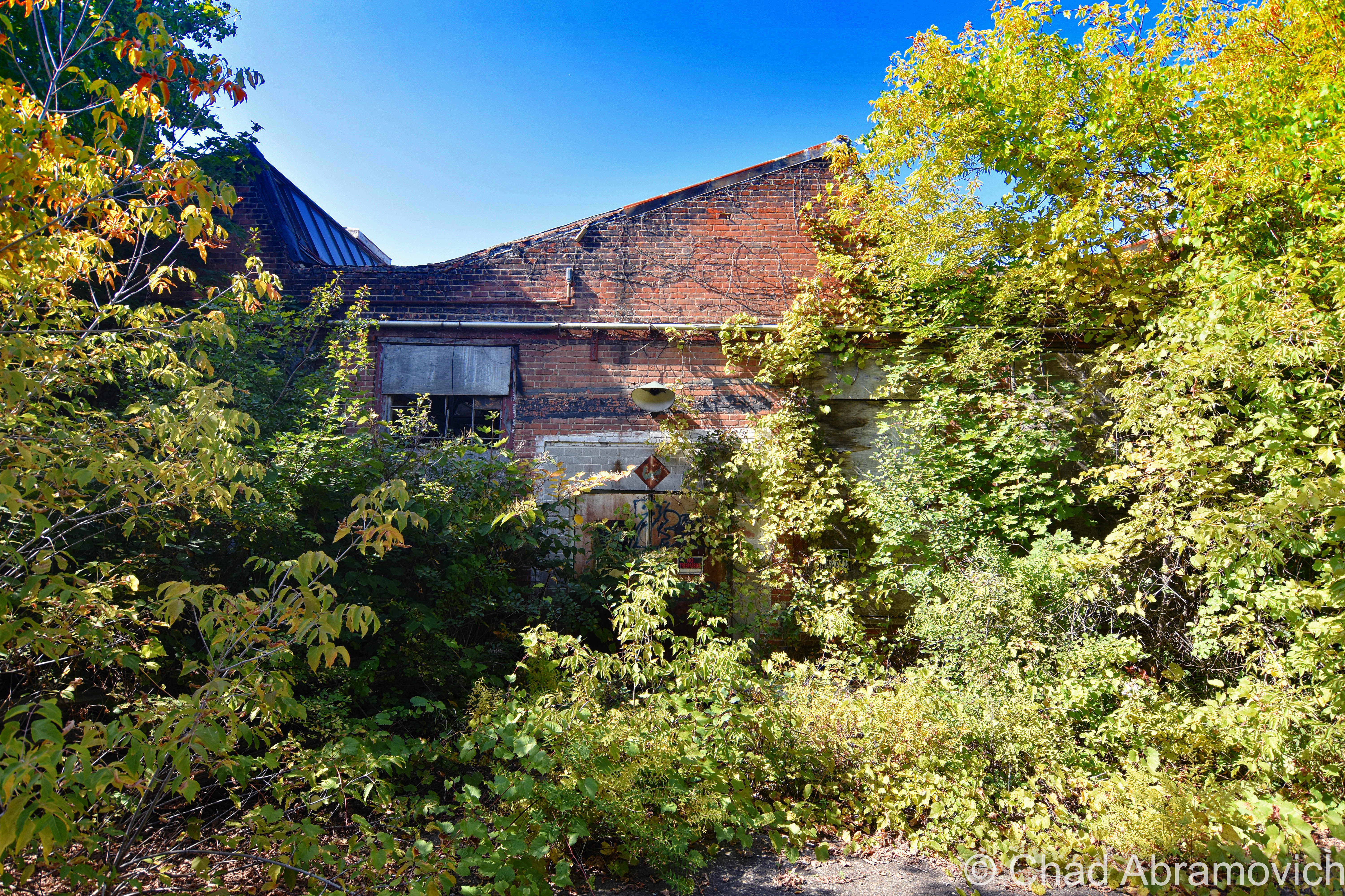
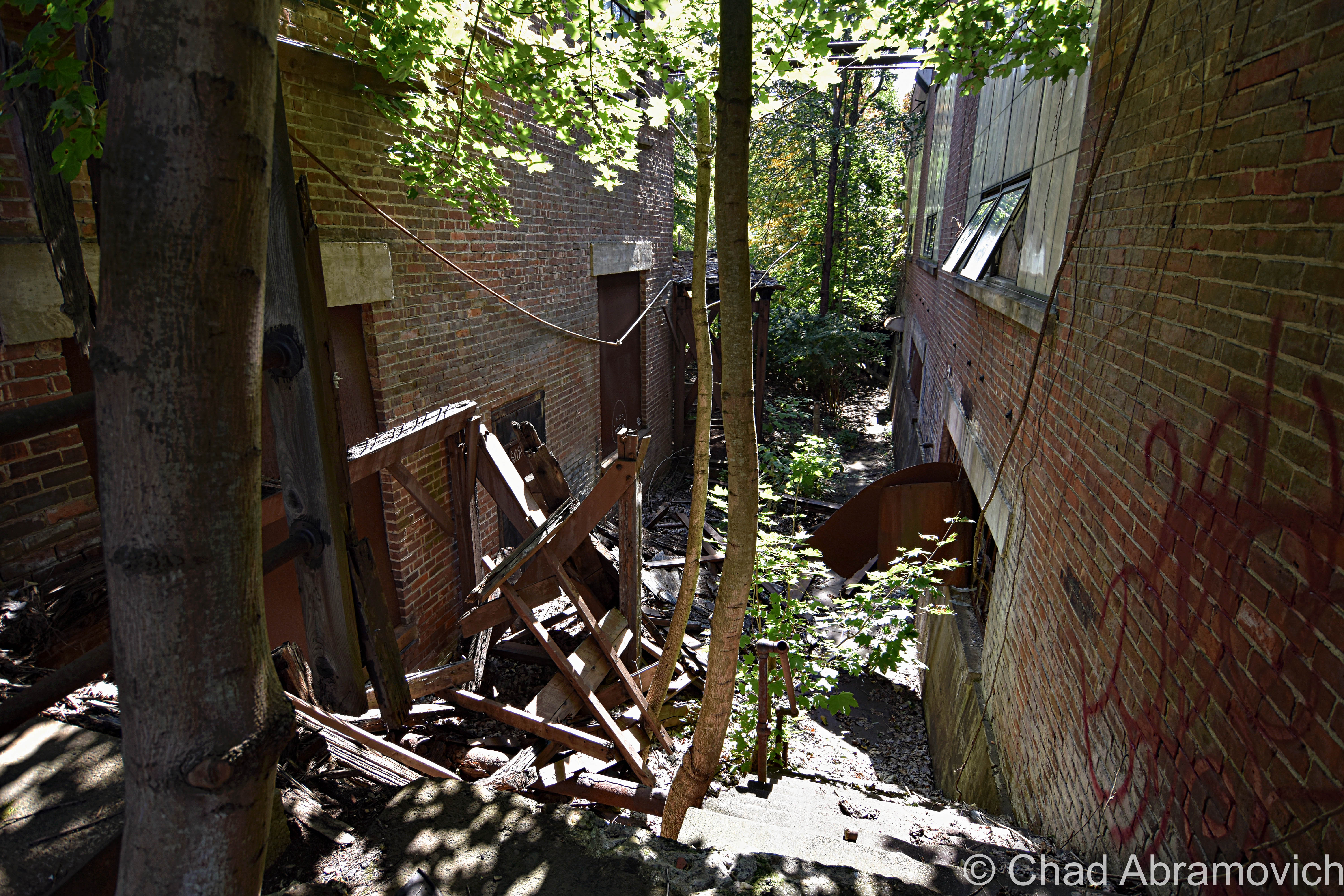
Afterward, we entered the jungle that has consumed the back fringes of the main building – found our way down a forgotten concrete staircase that was being slowly crumbled by encroaching trees that we were constantly shielding from smacking us in our faces, inside an outbuilding that had totally fused with nature, and contorted through a broken window.

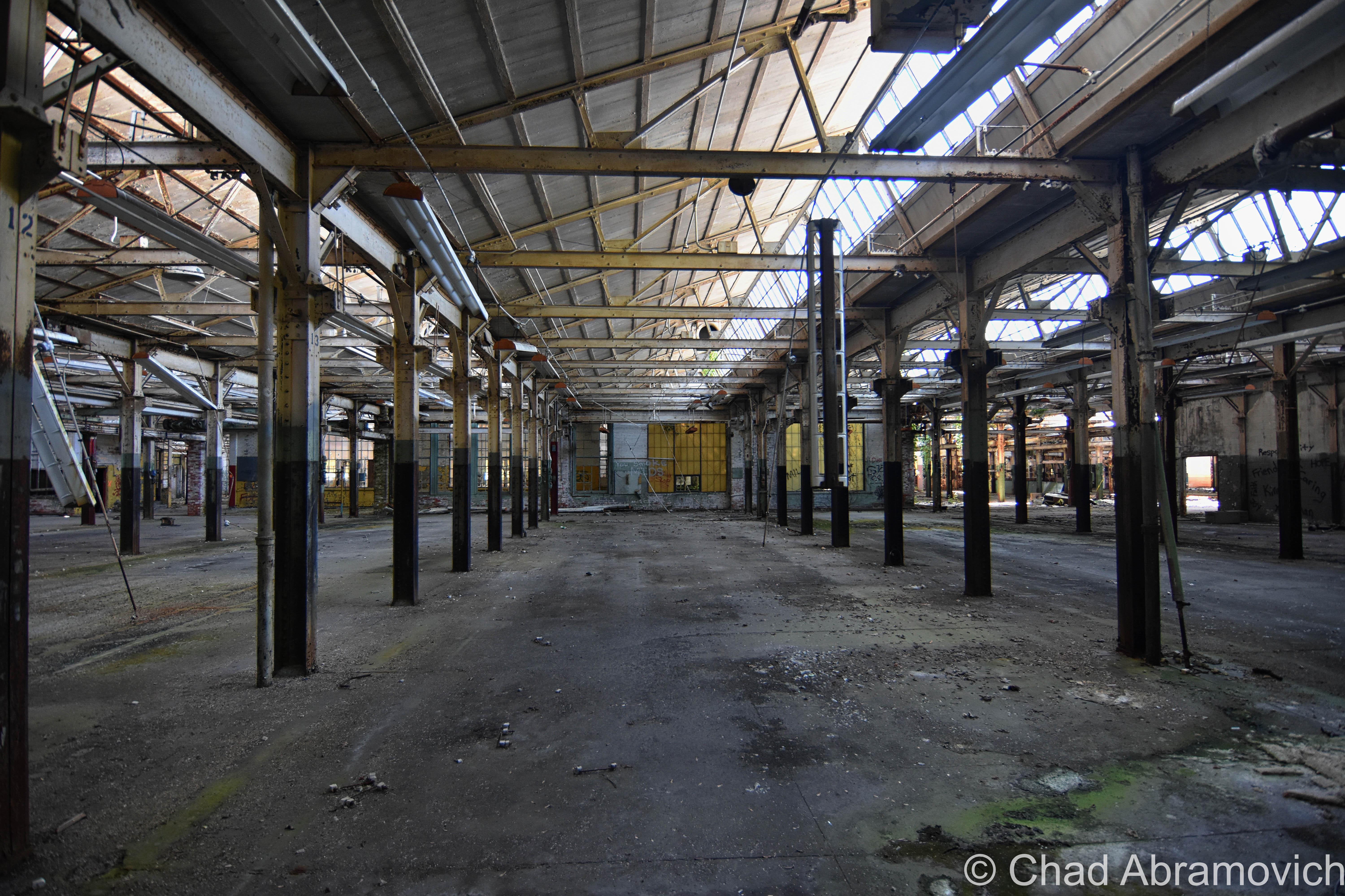
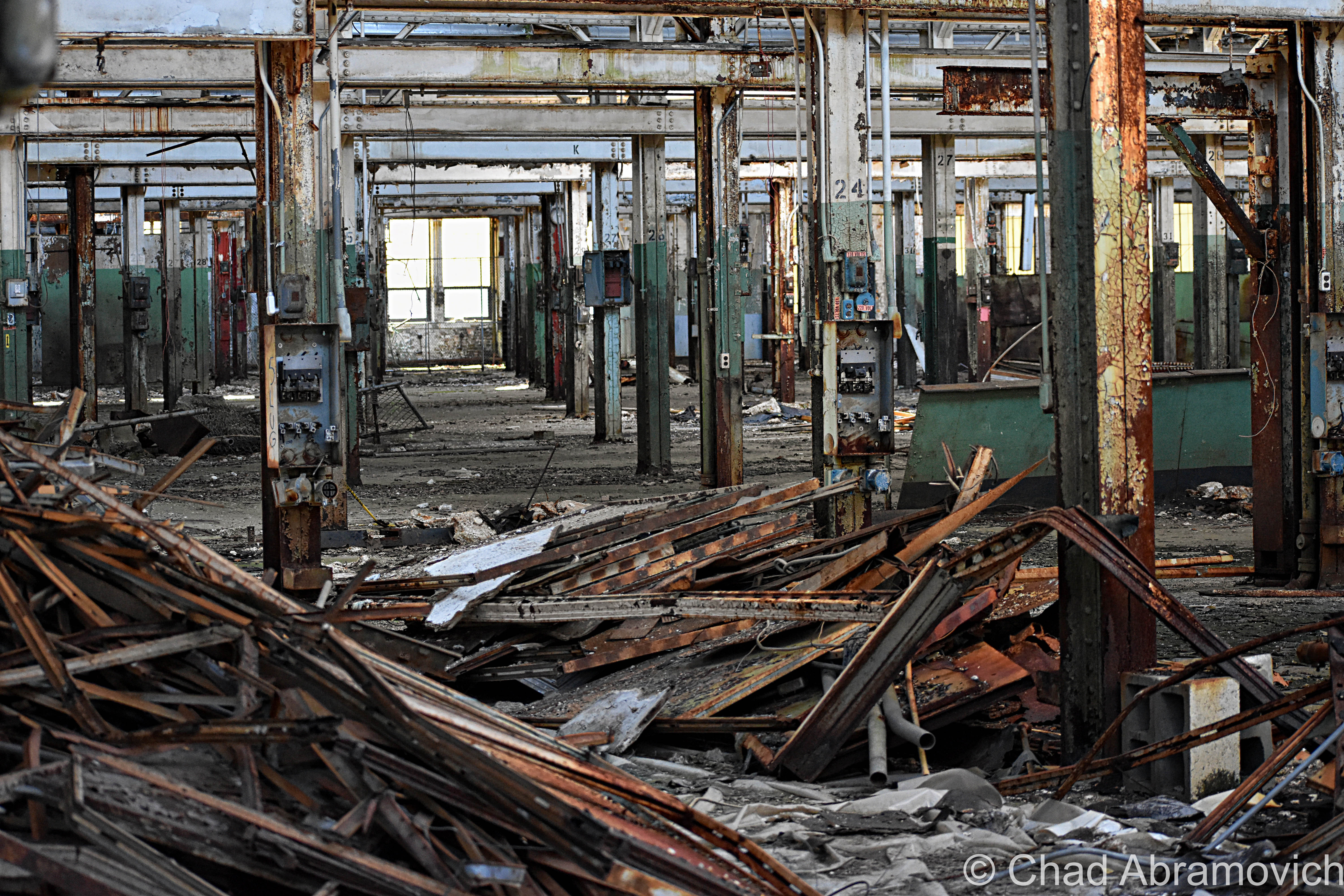
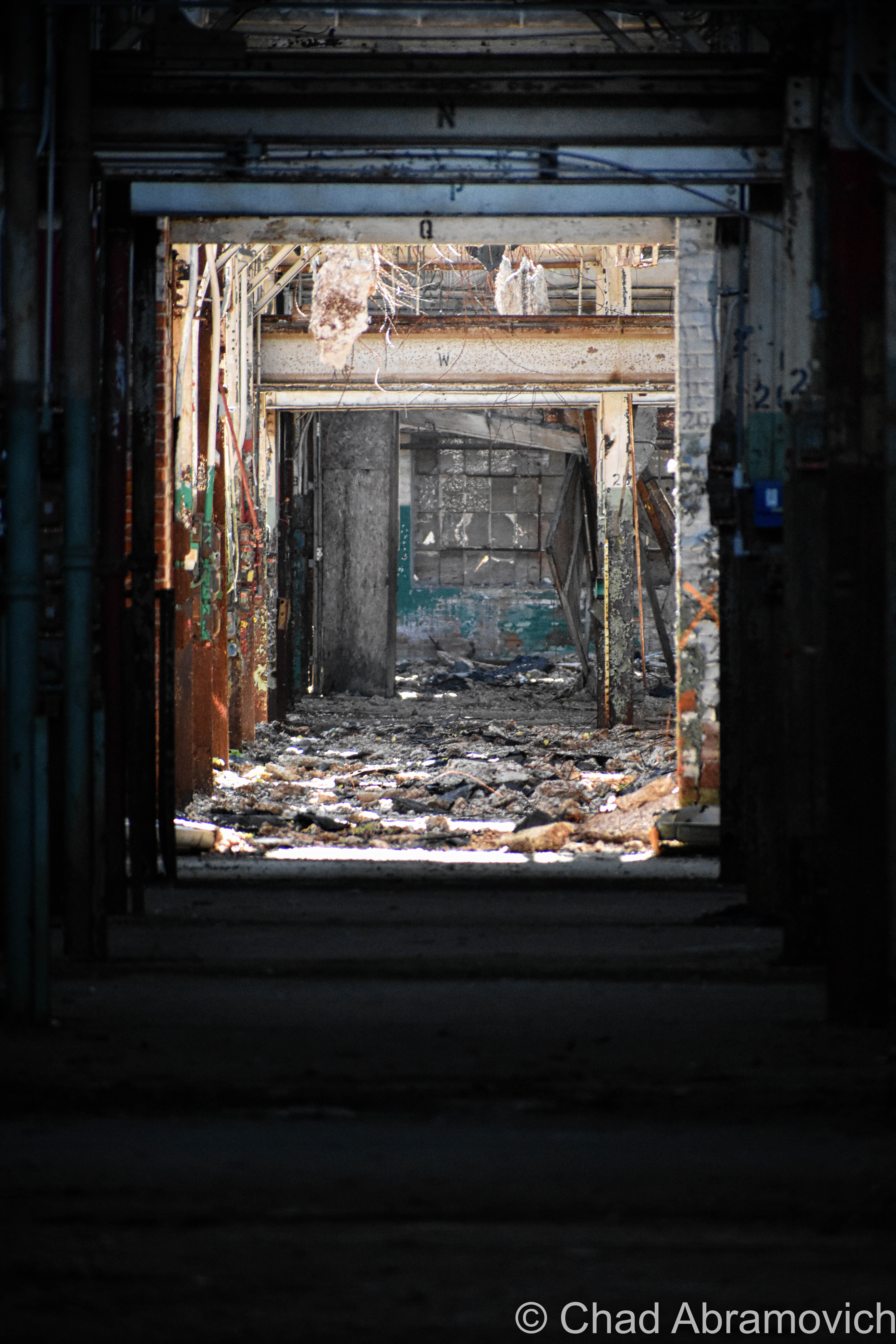
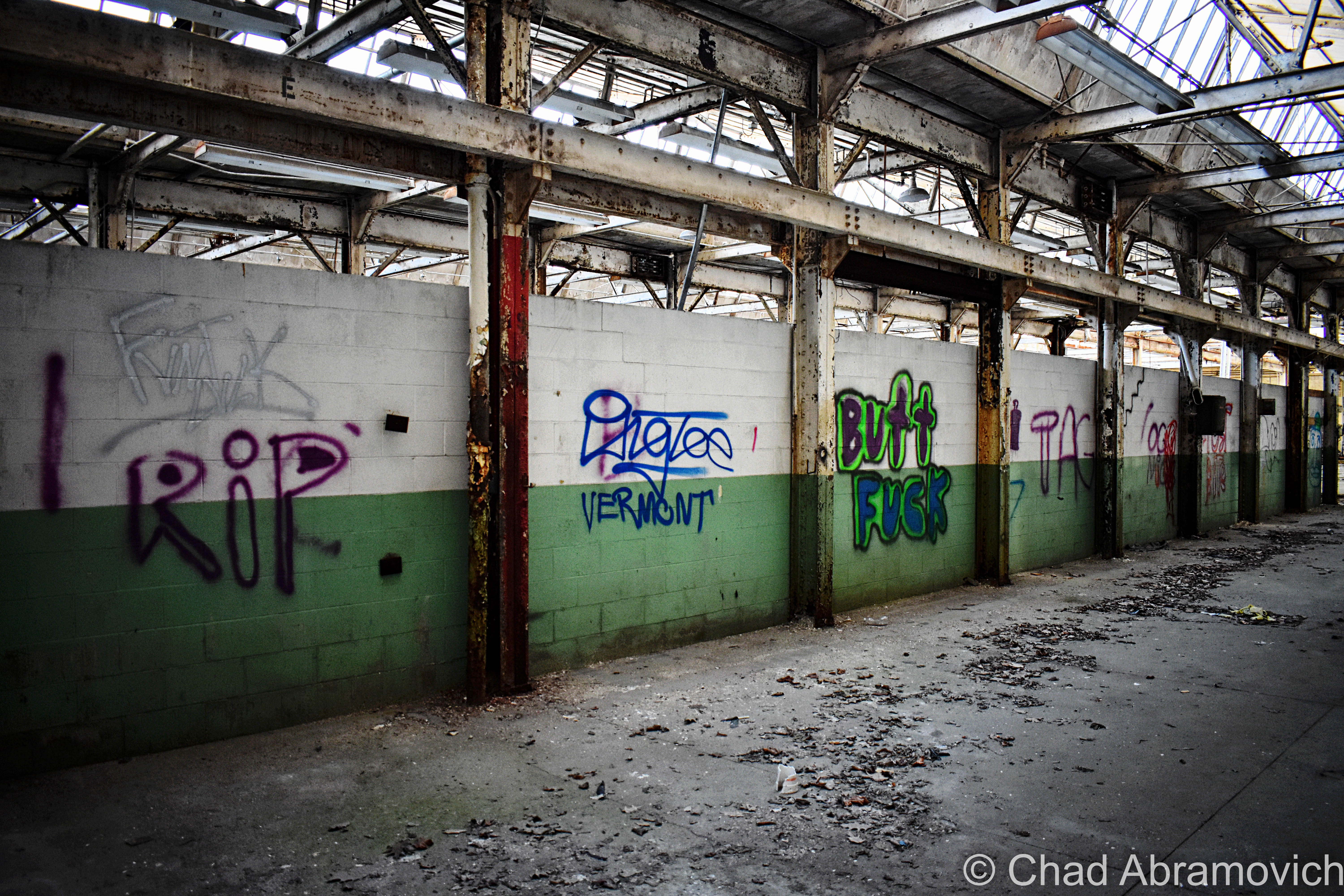
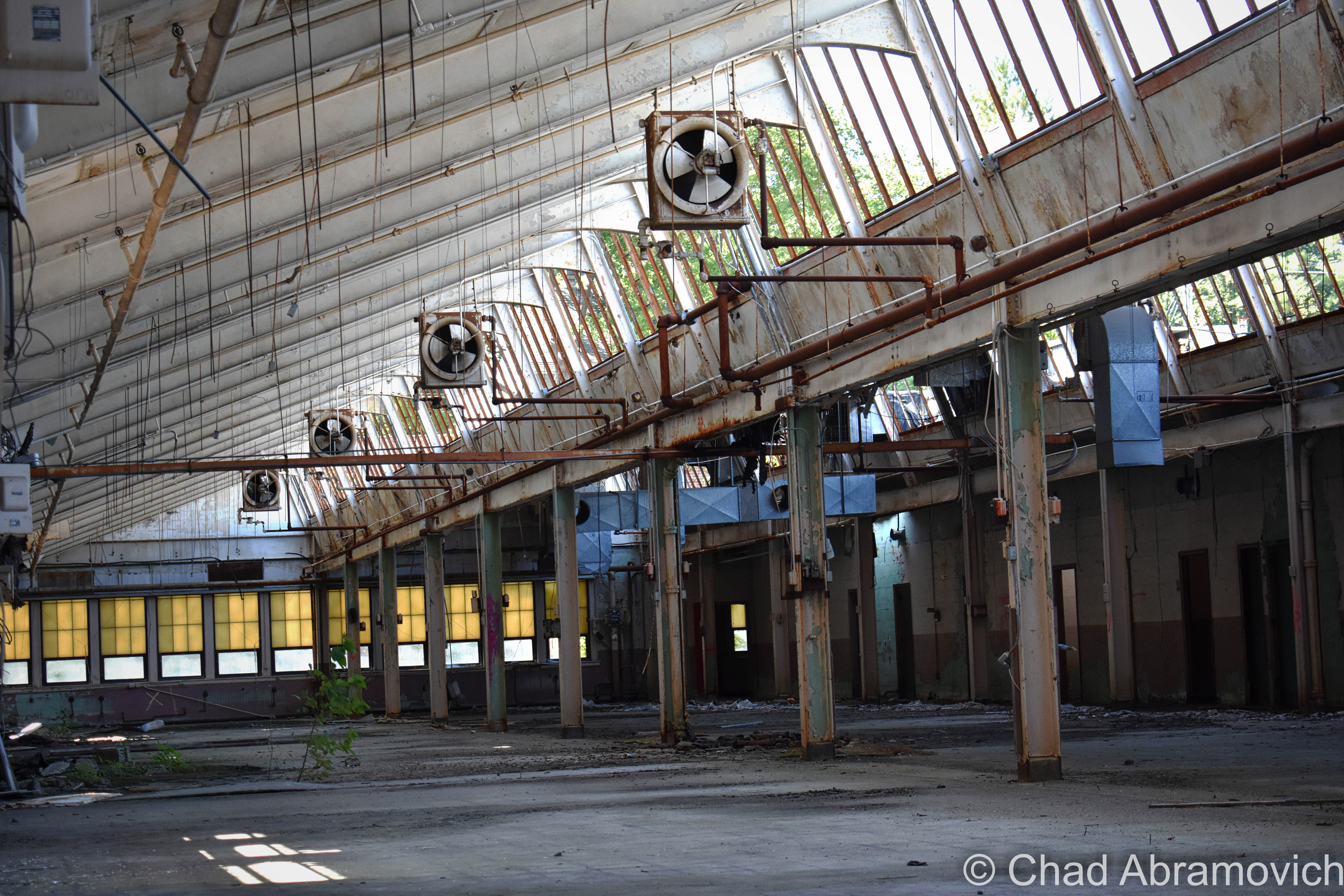
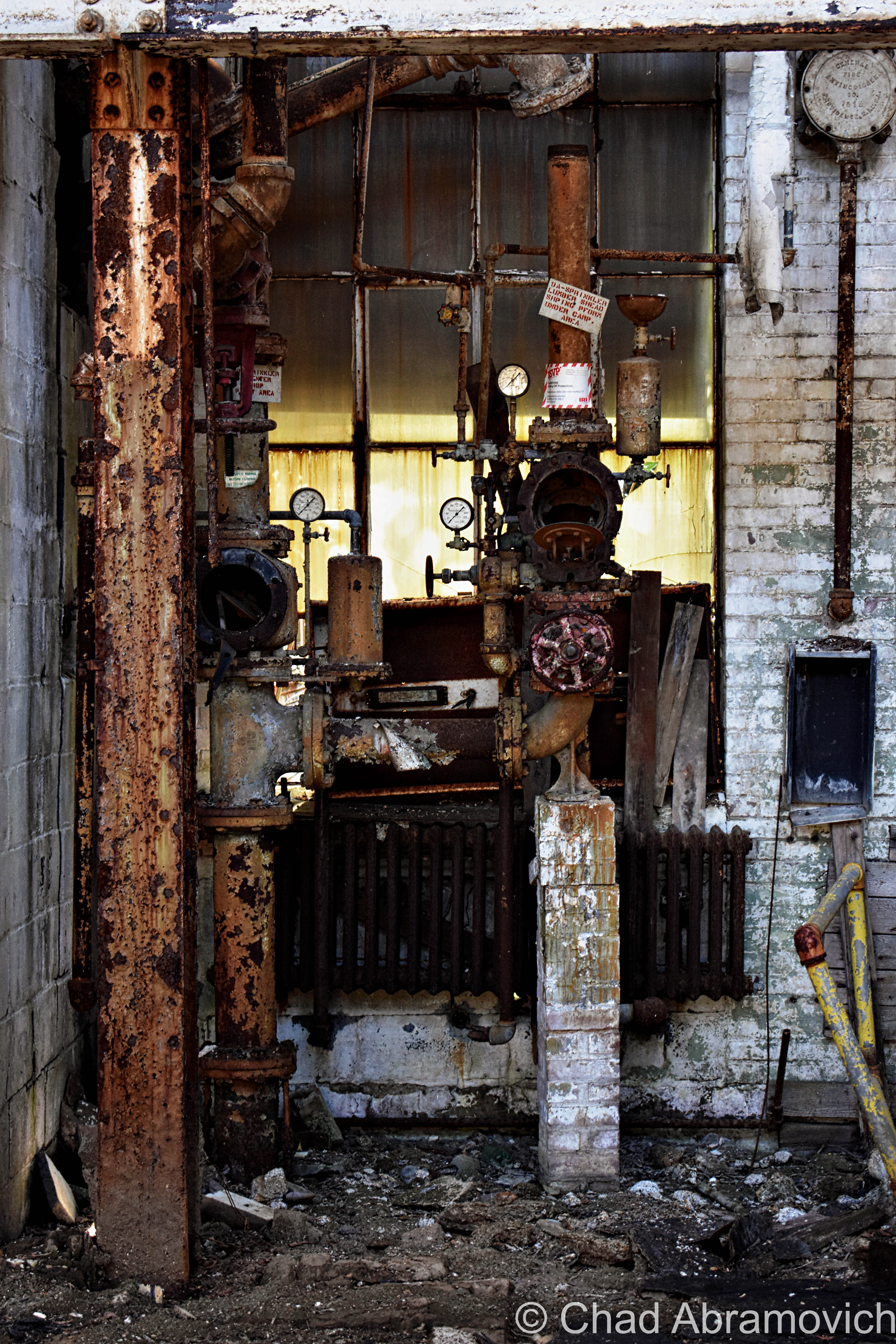
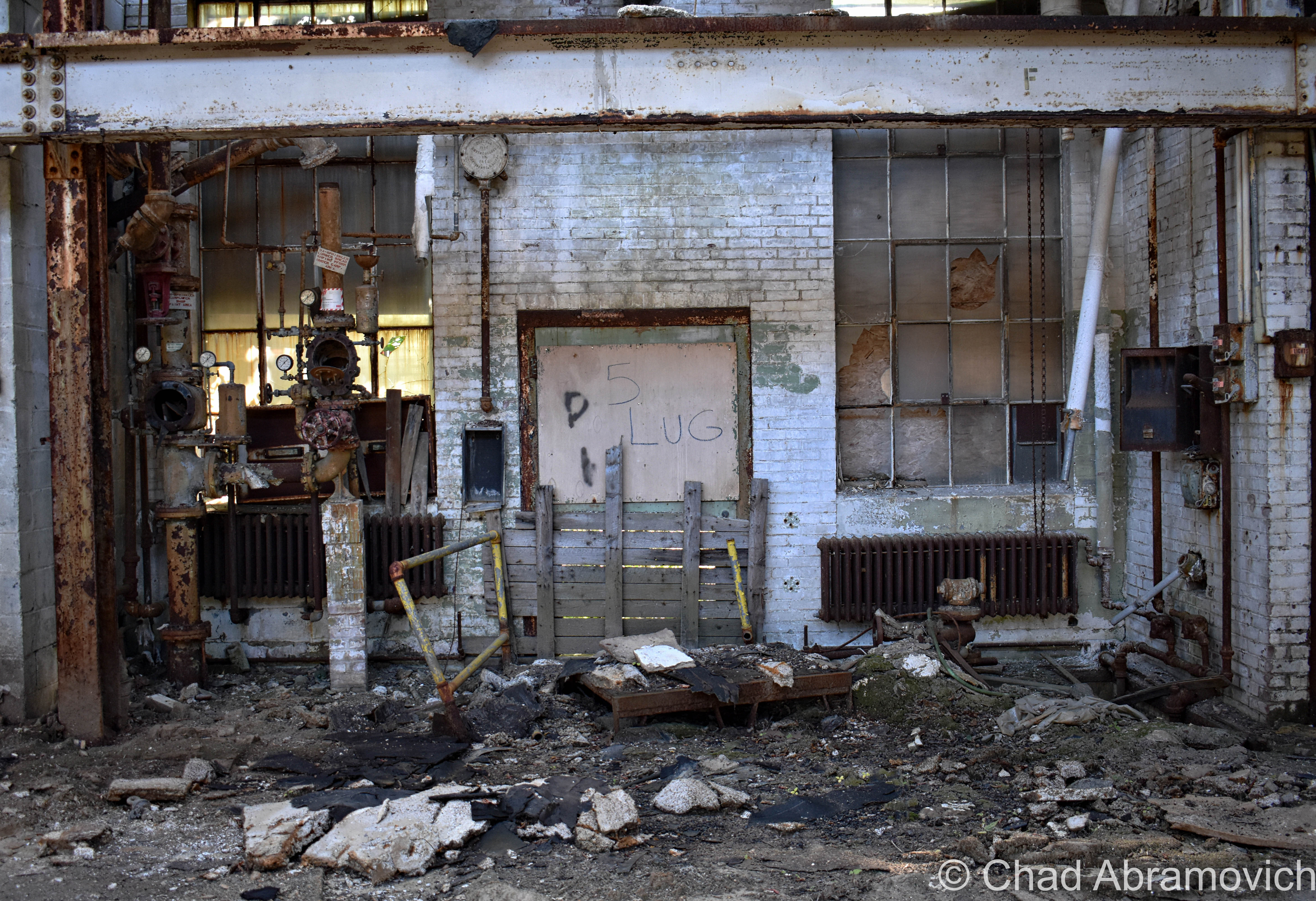
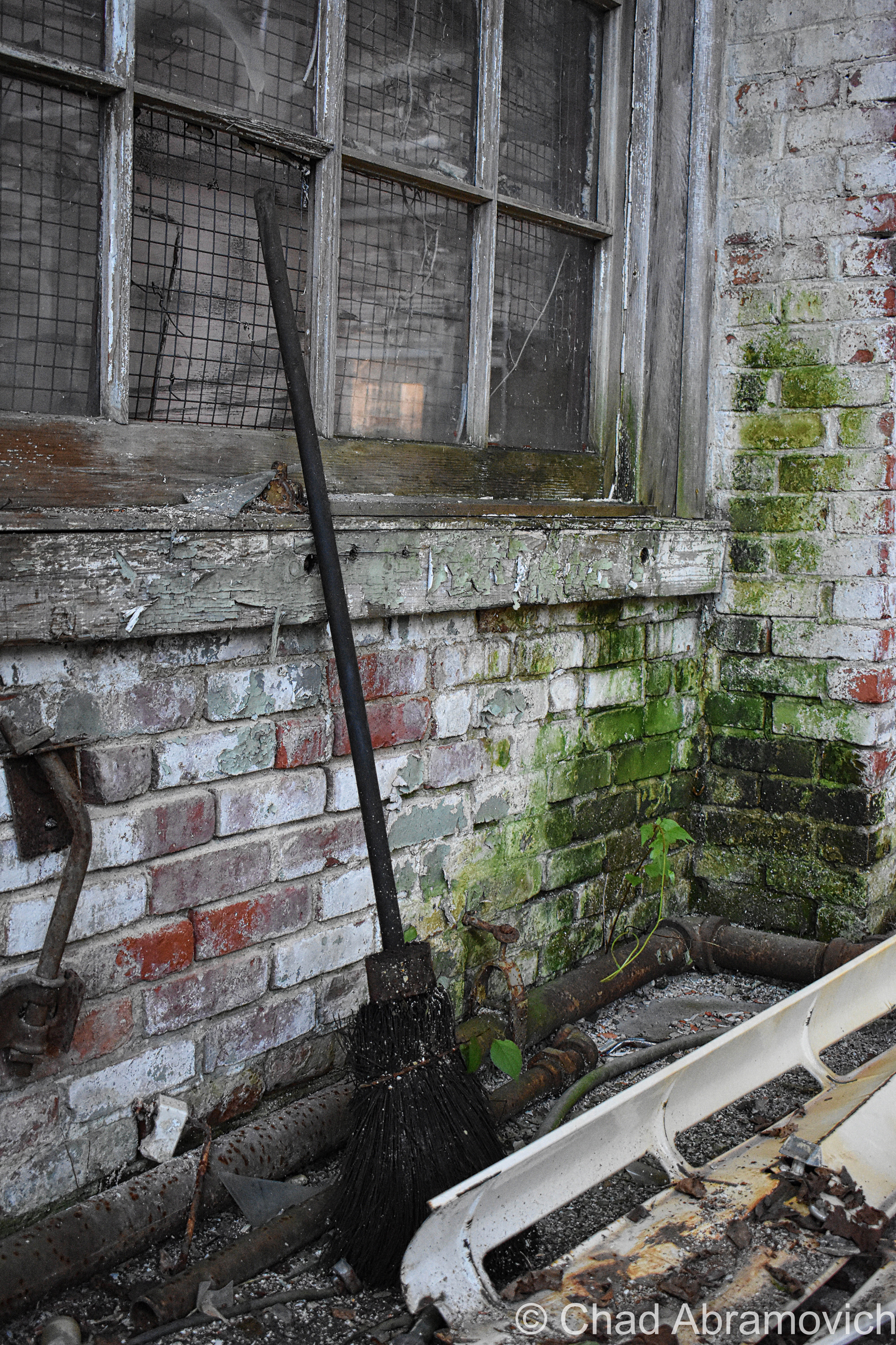
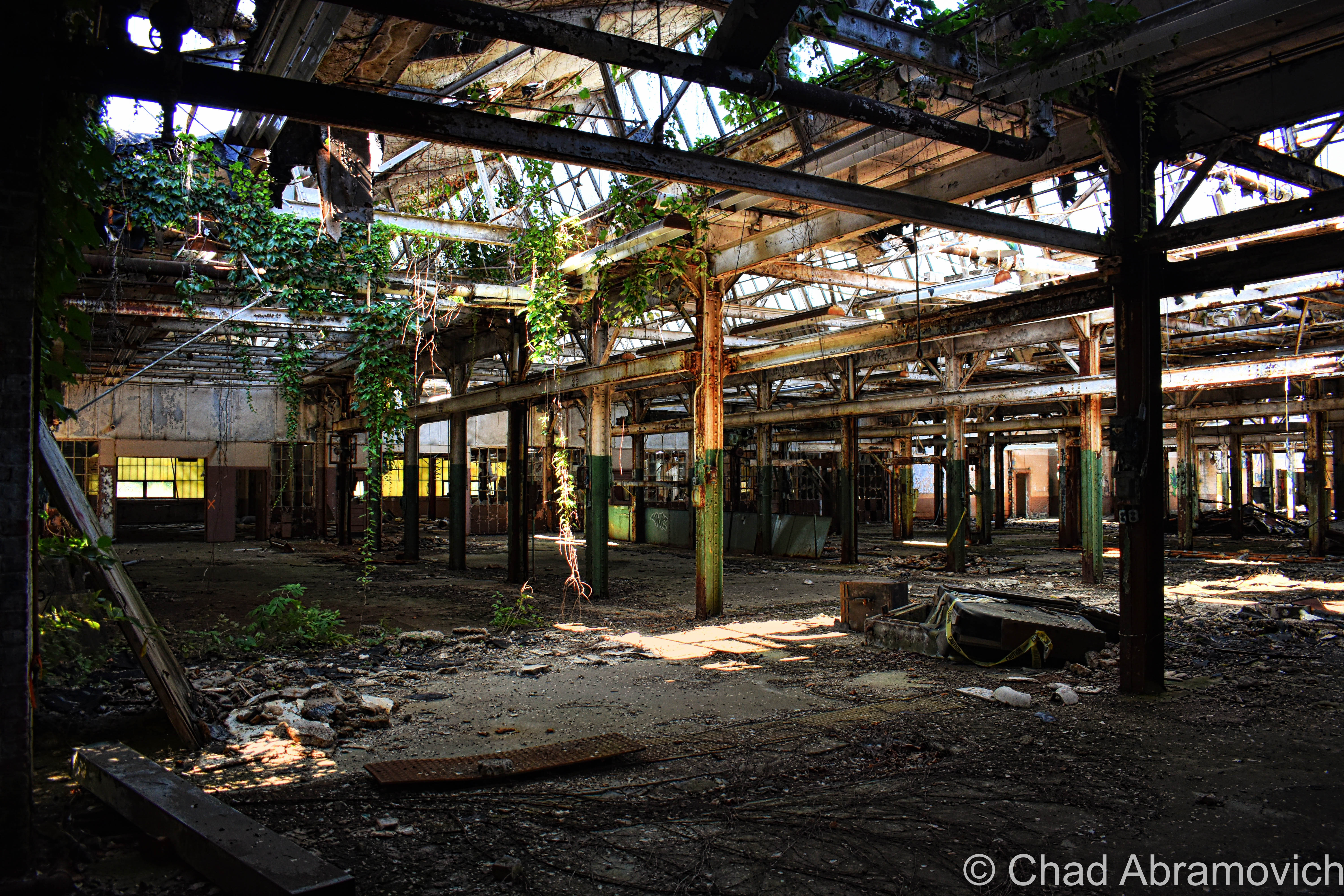
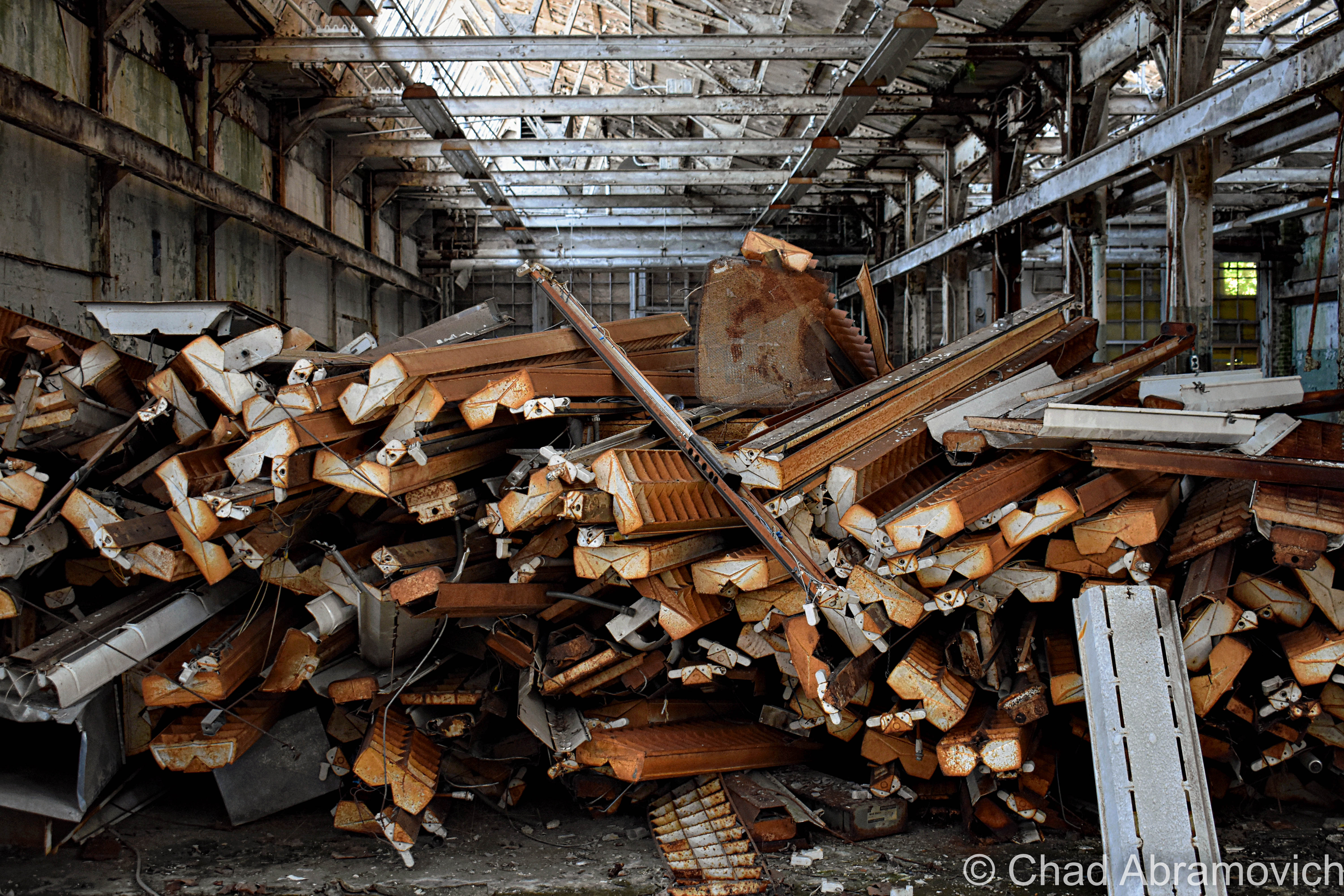
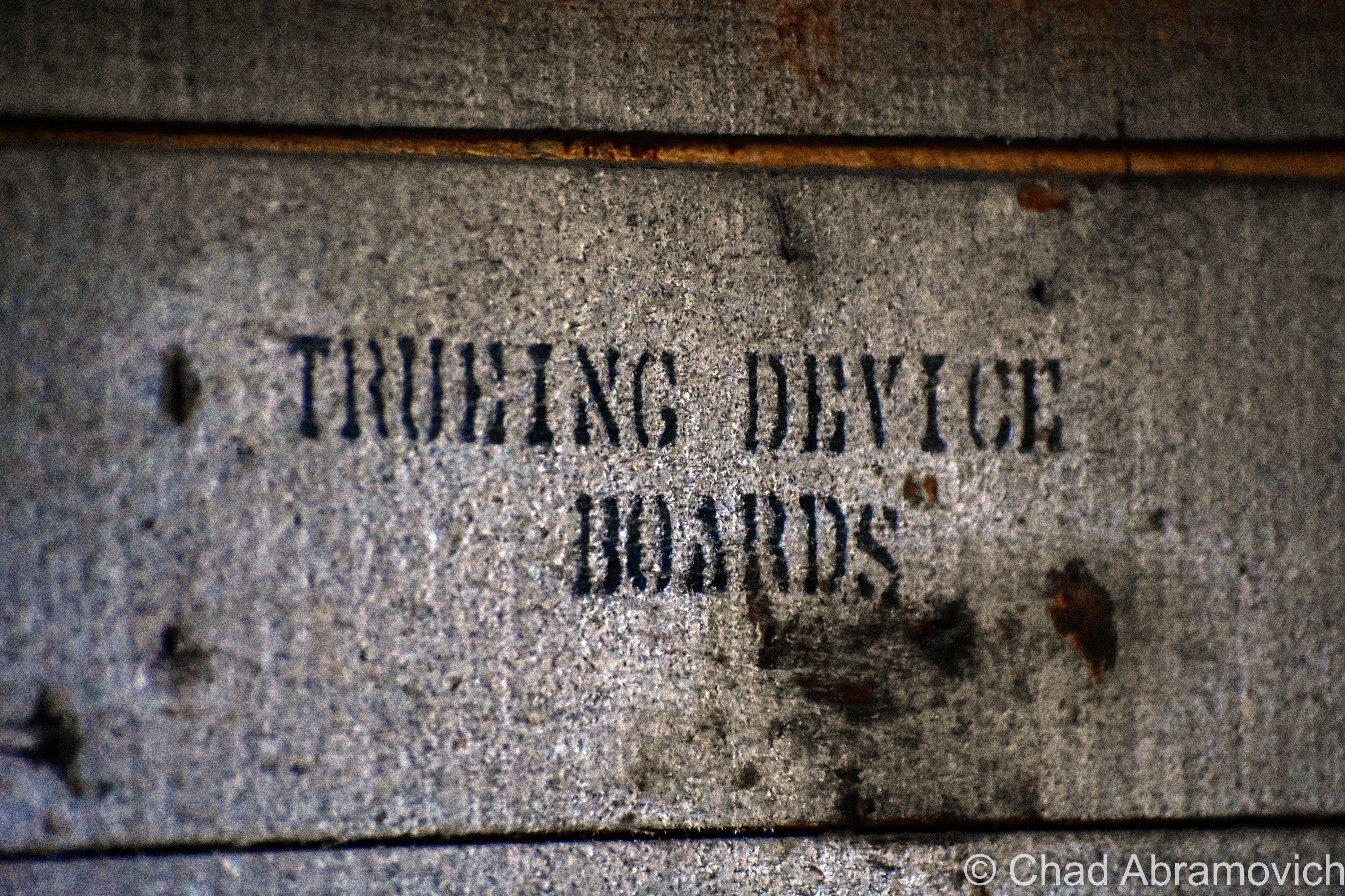
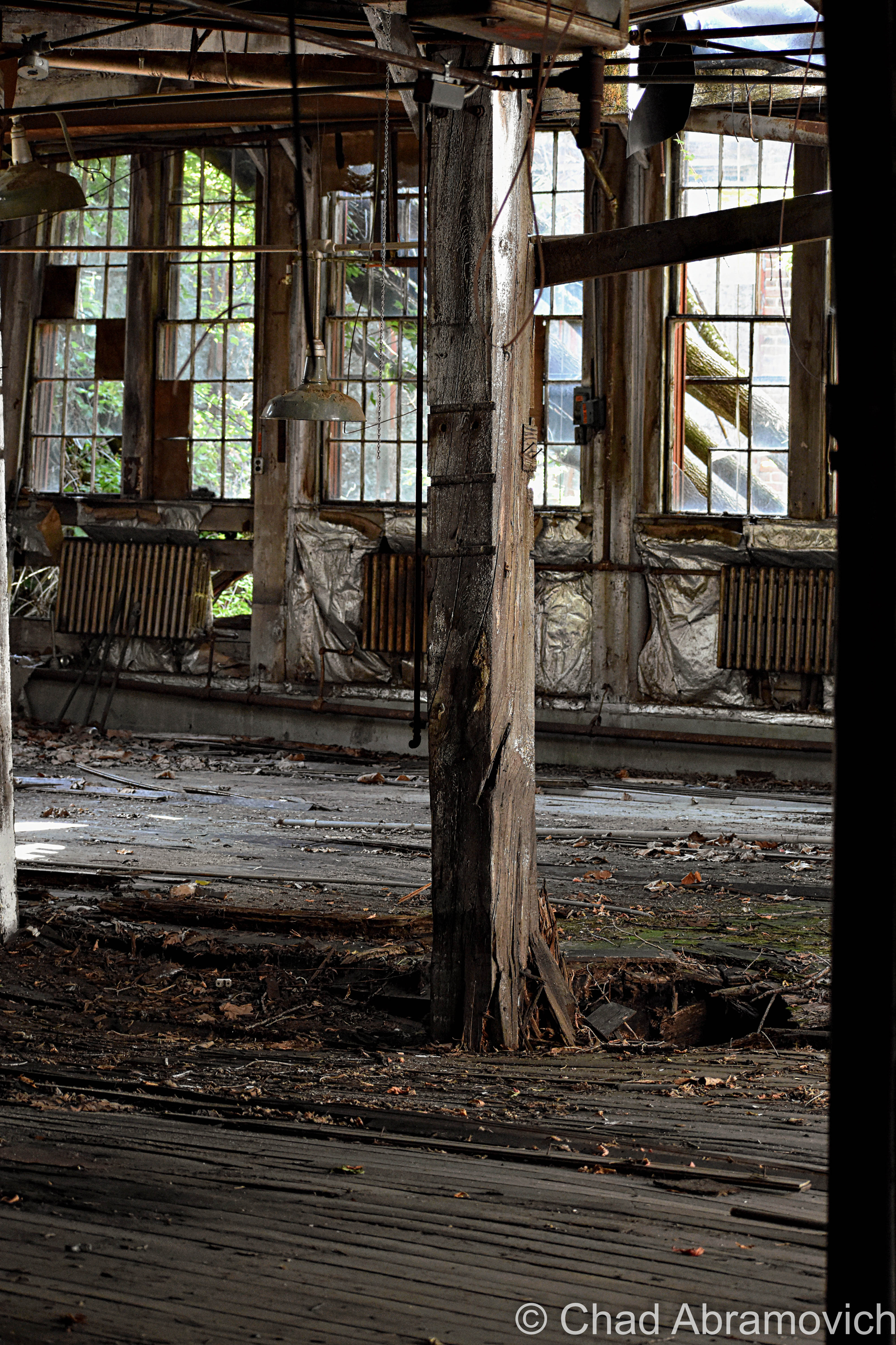
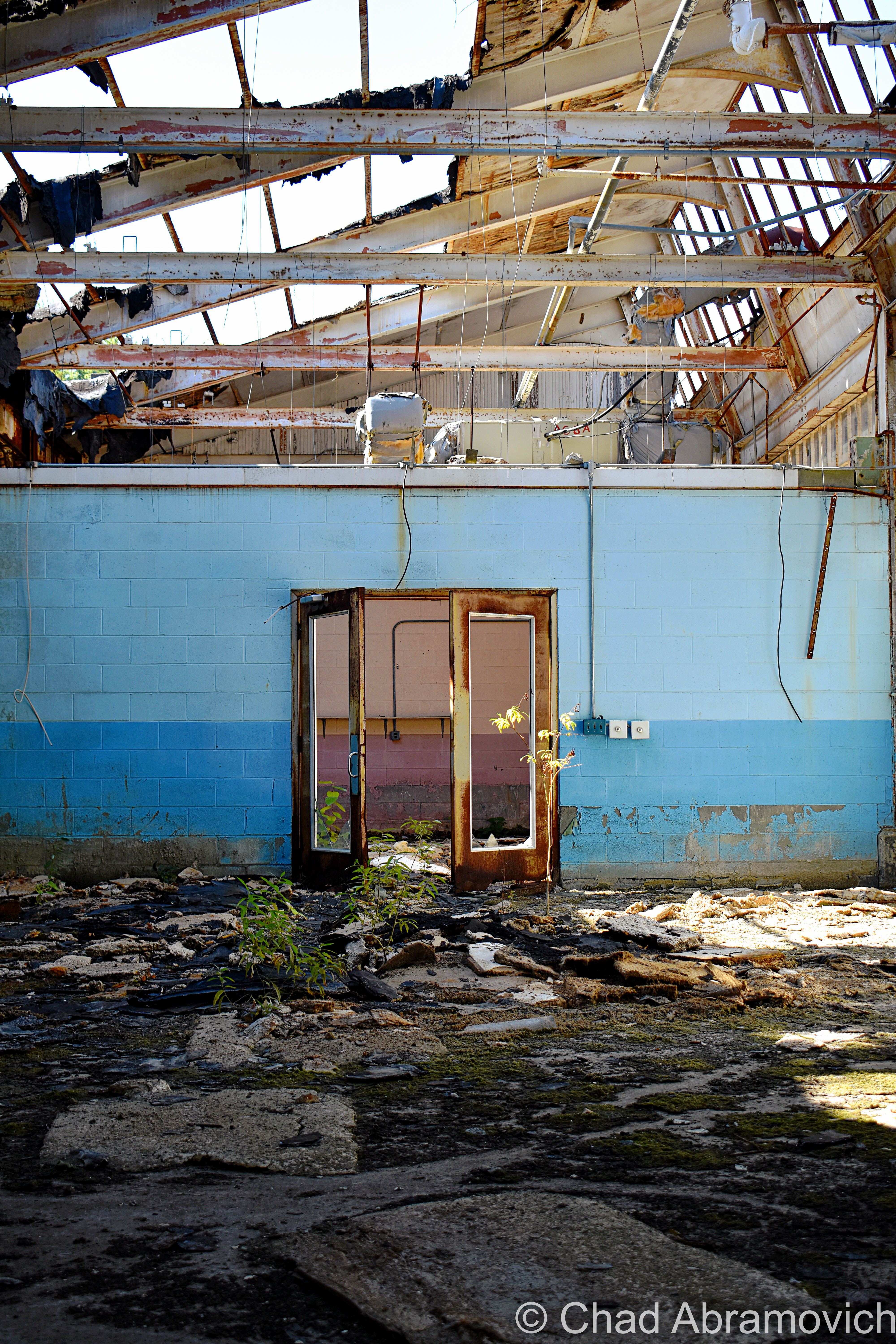
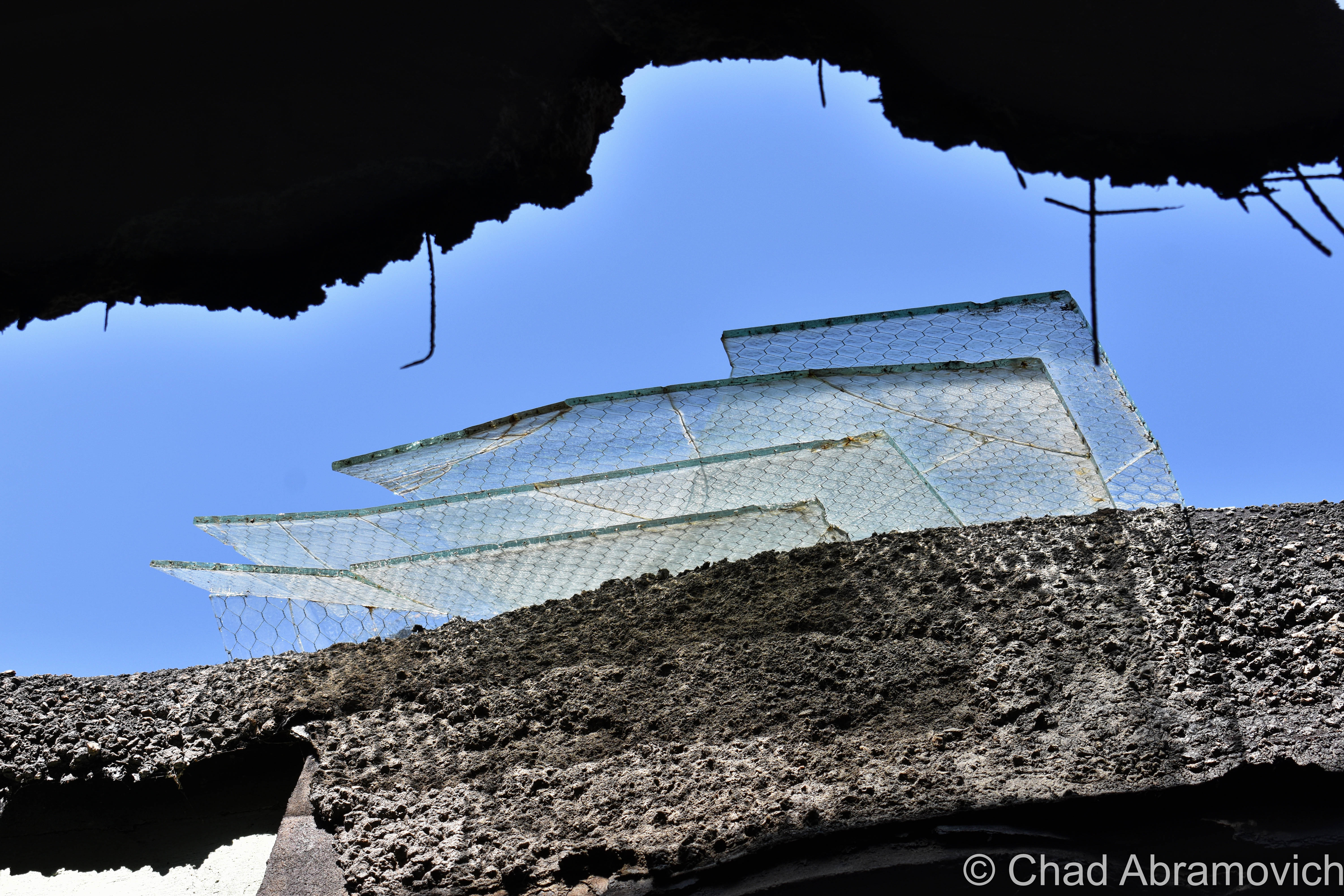
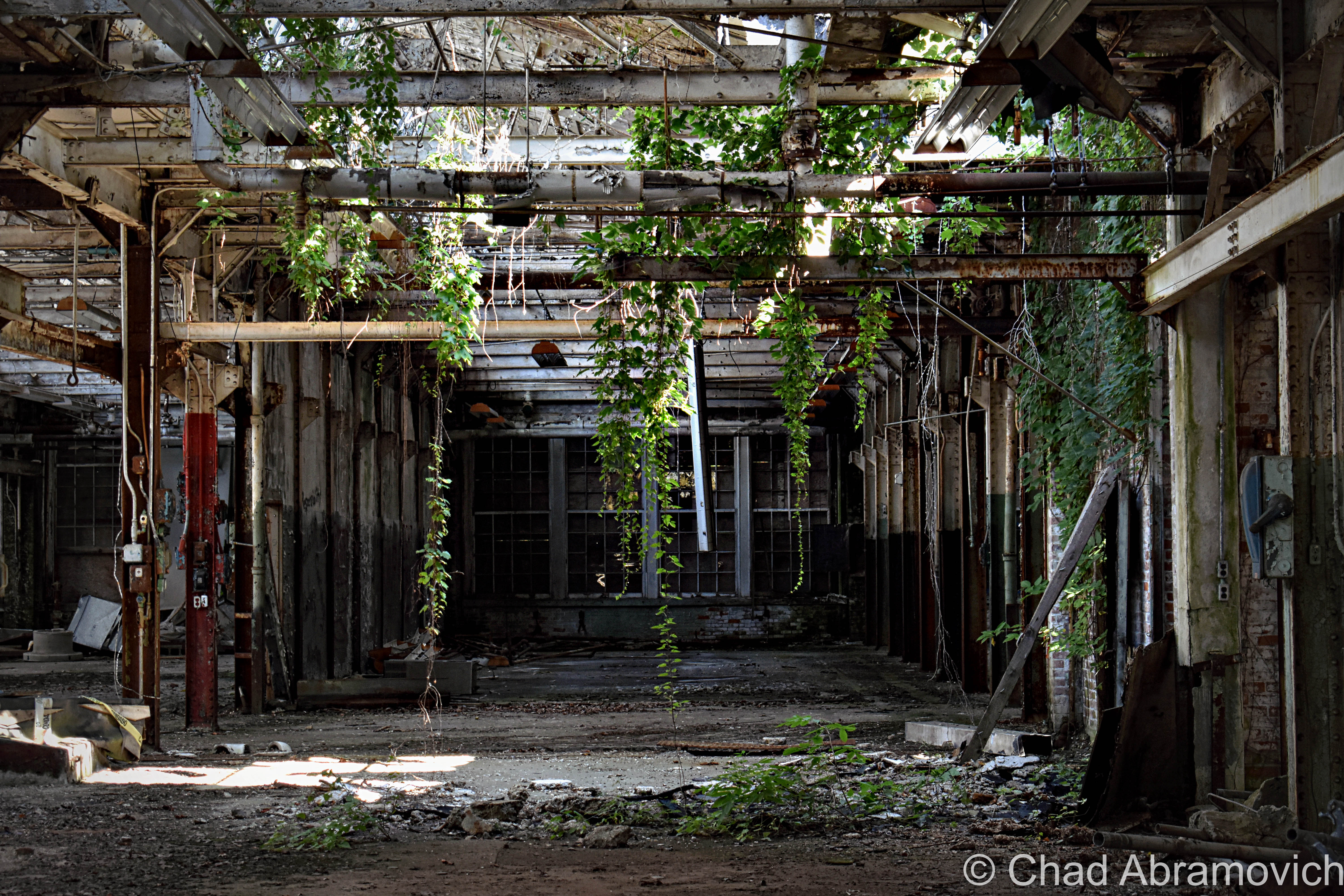
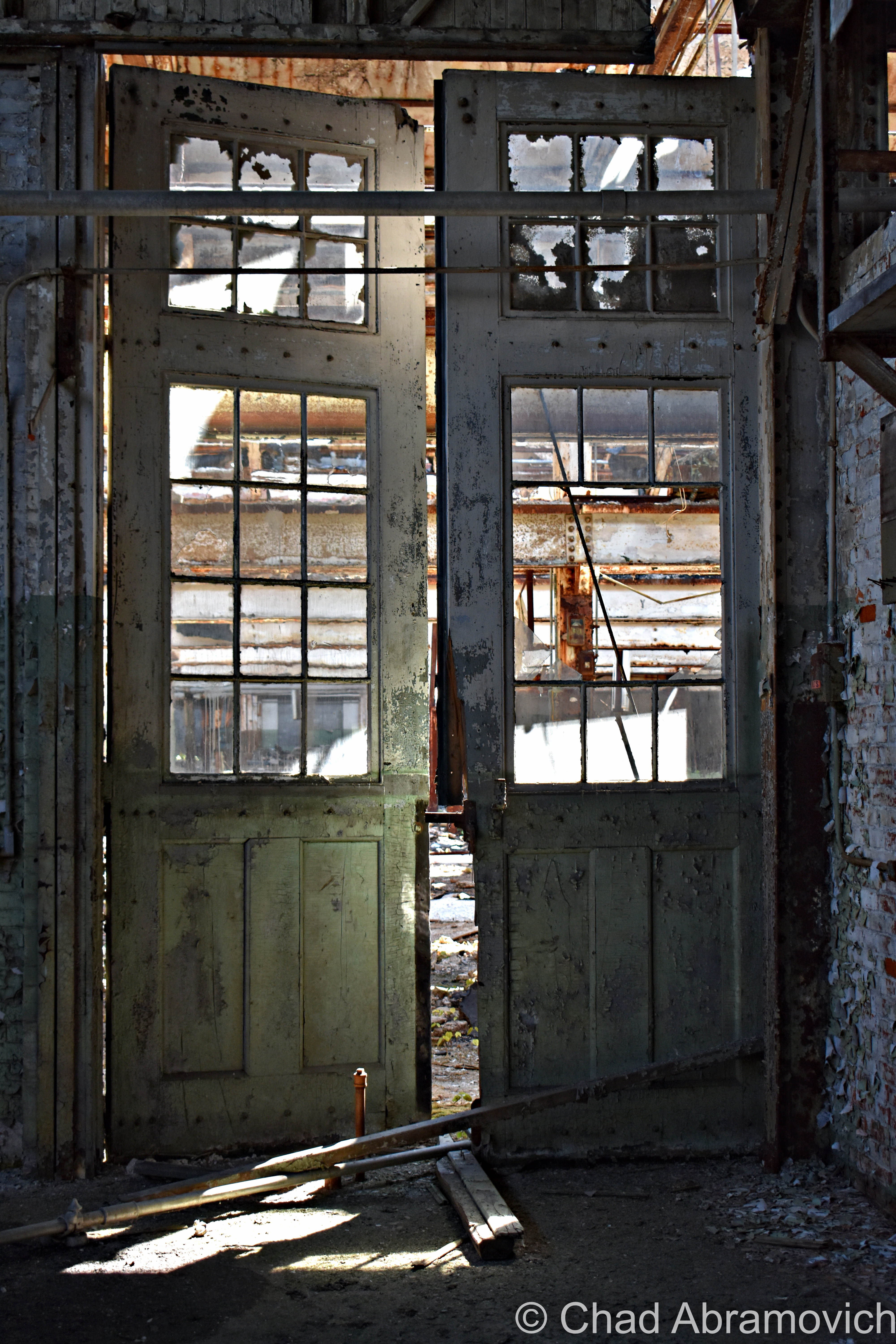
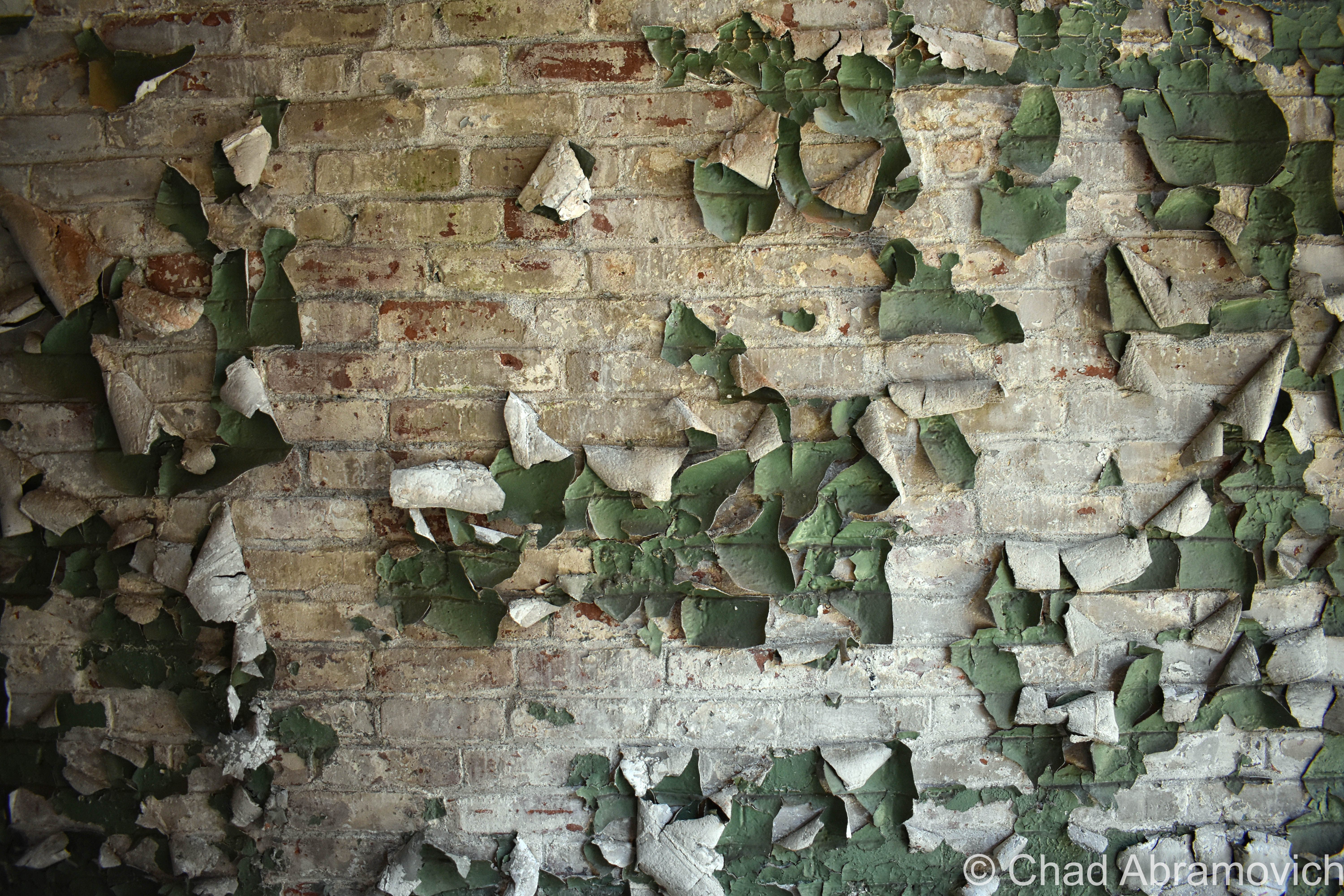
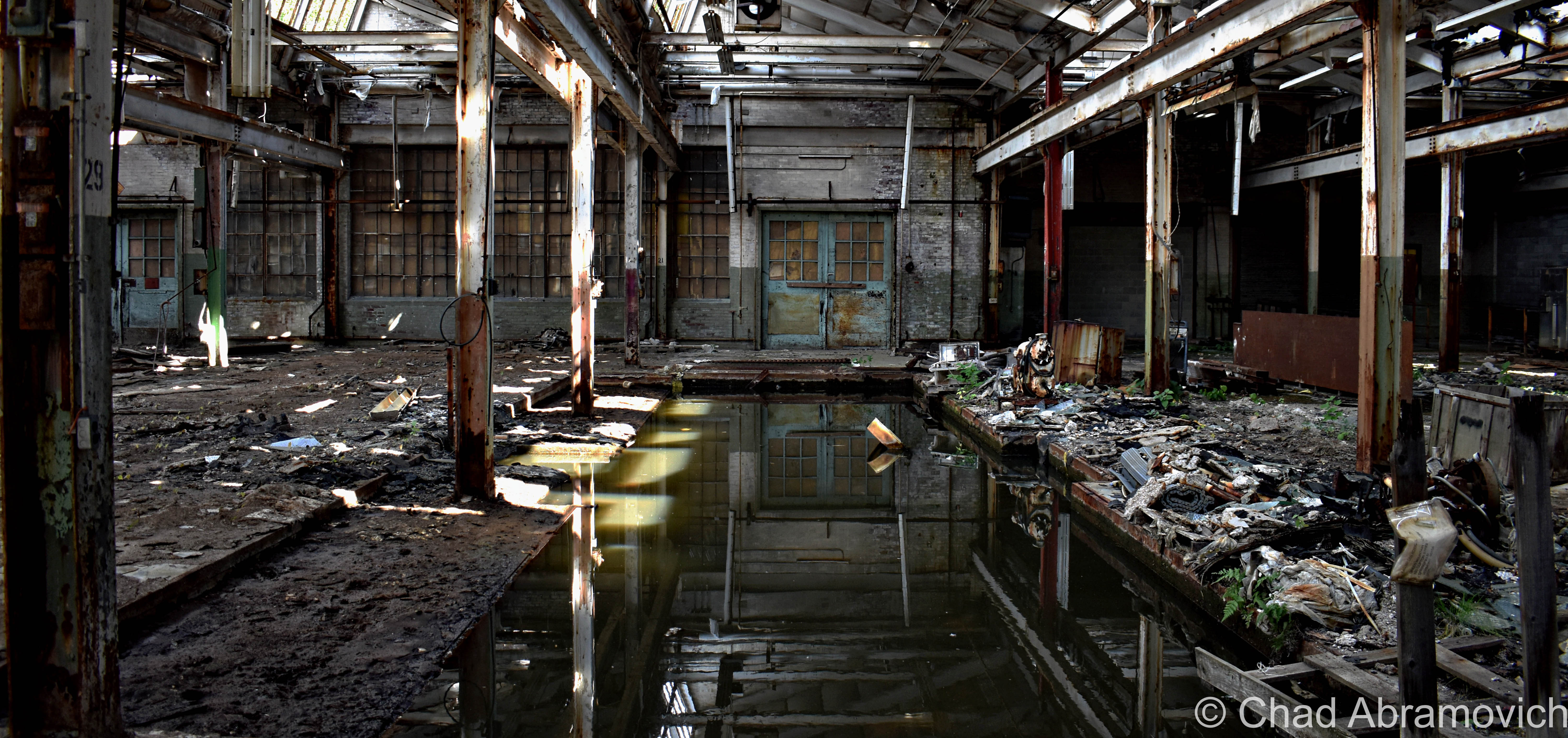
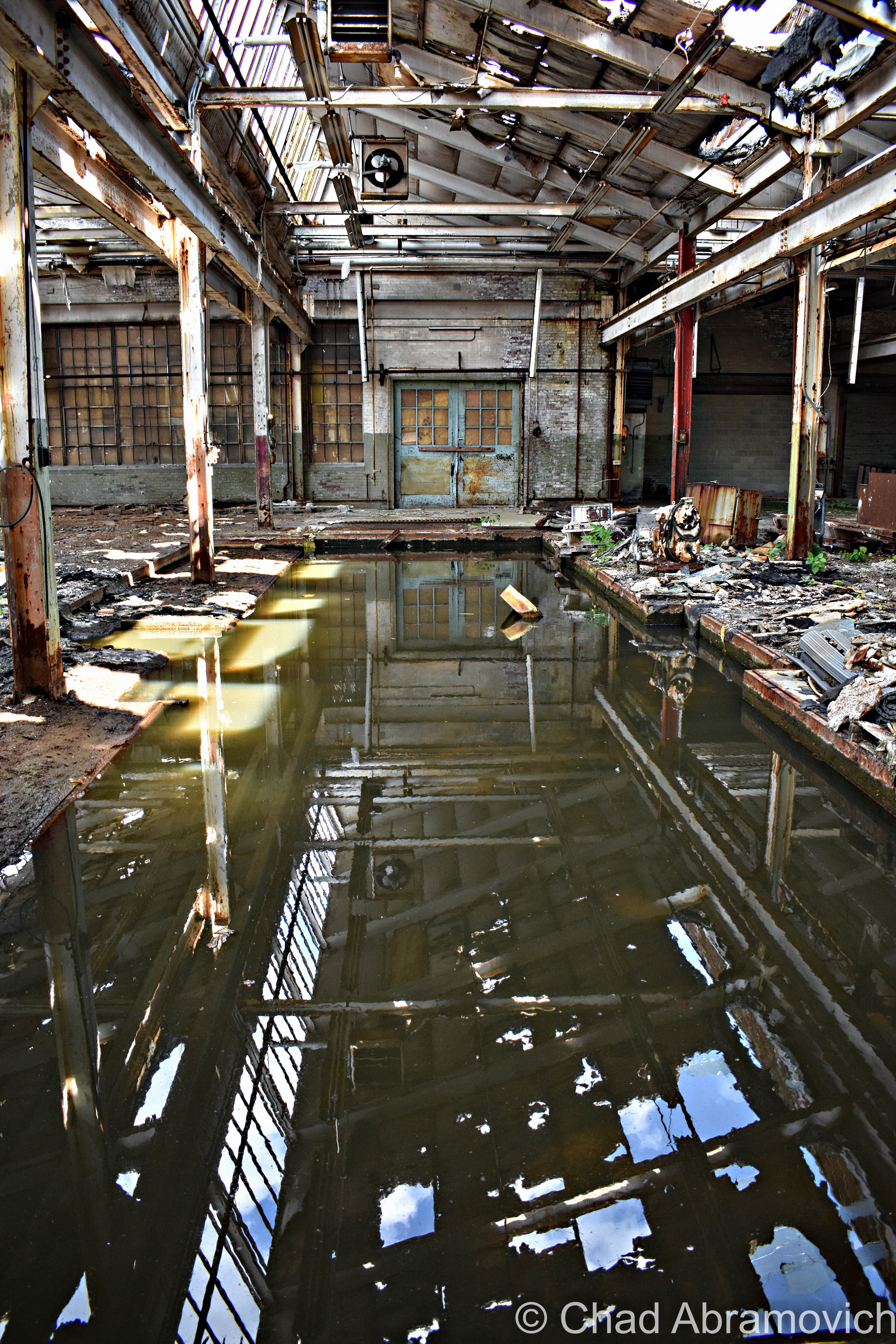
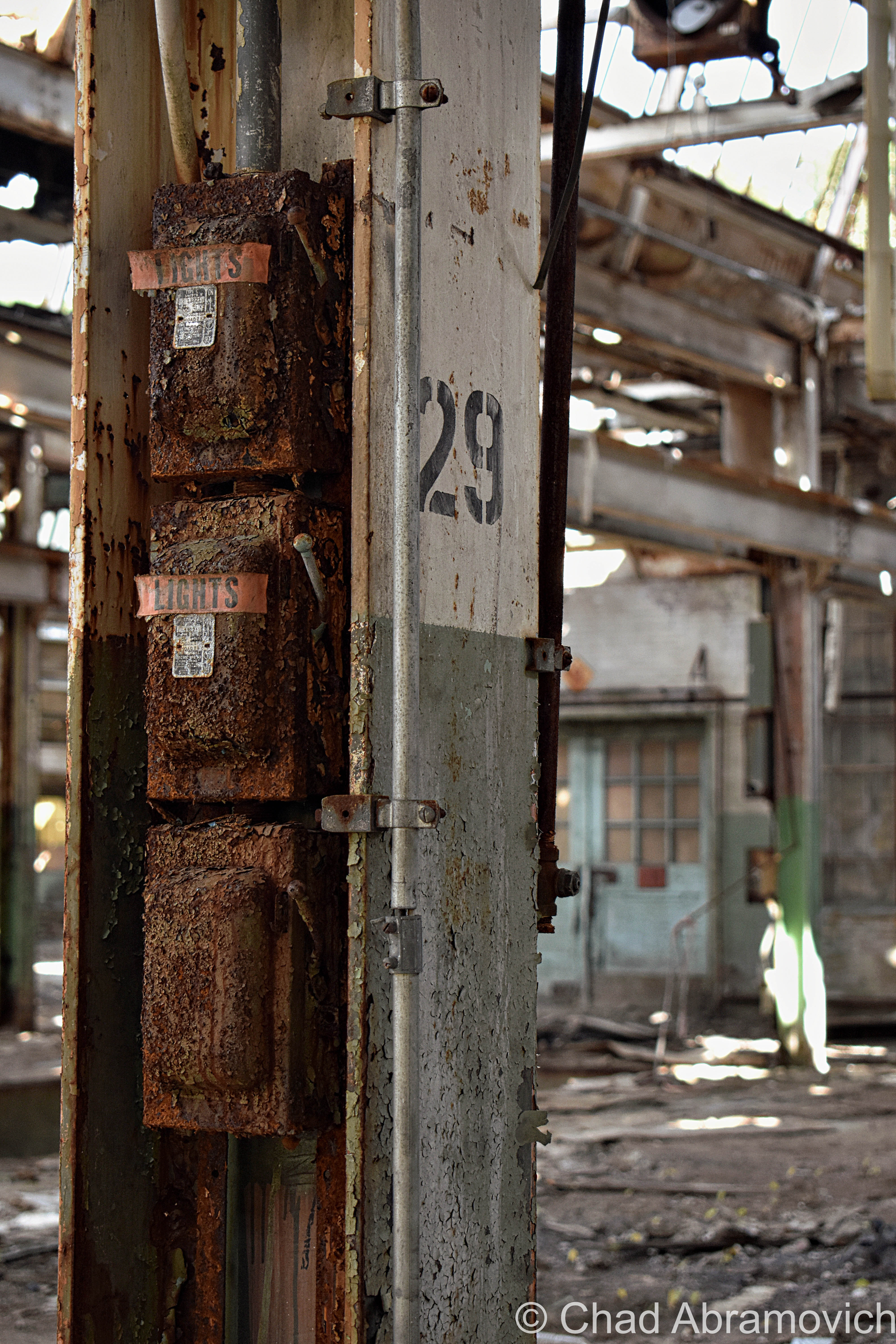
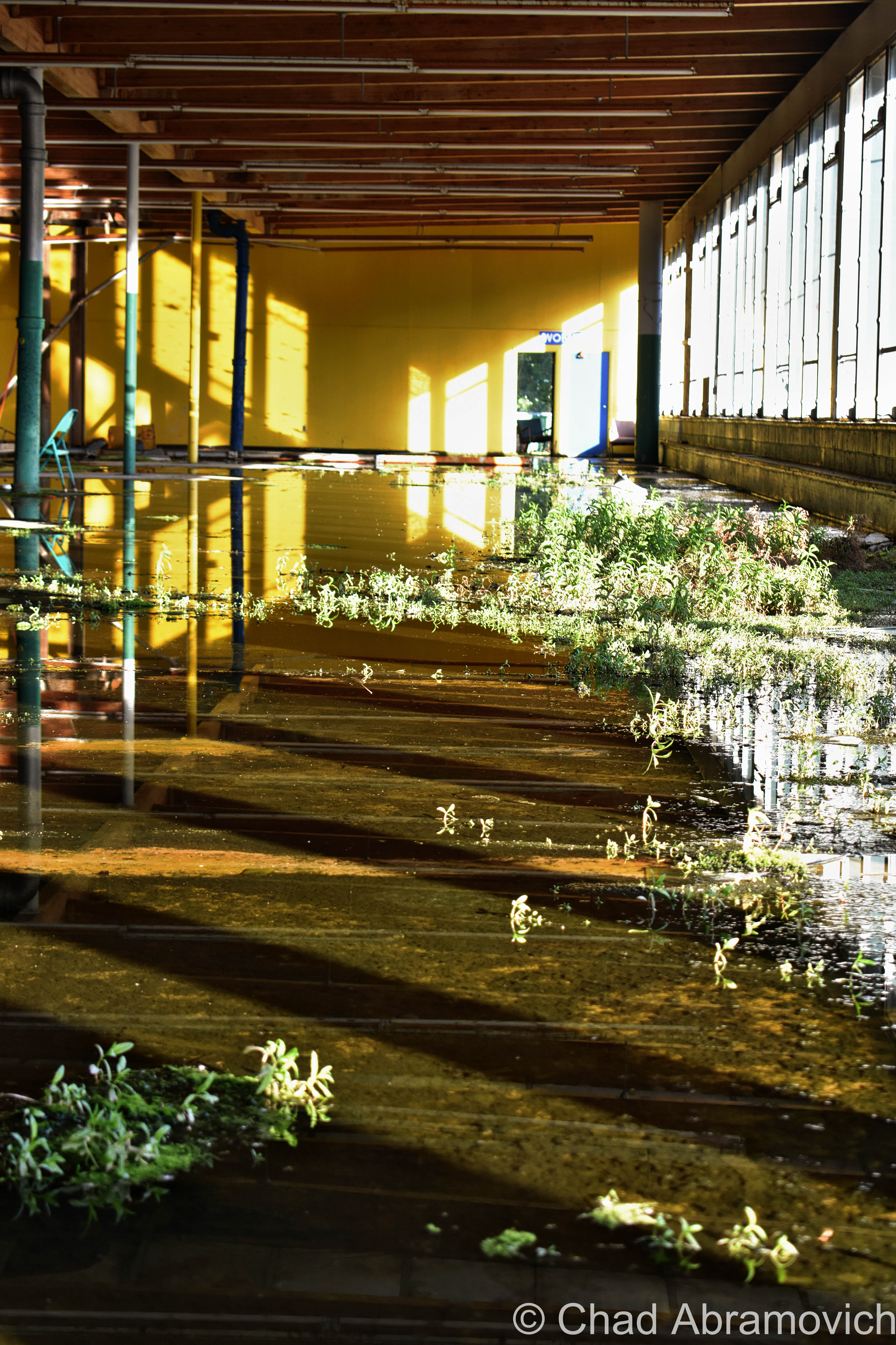
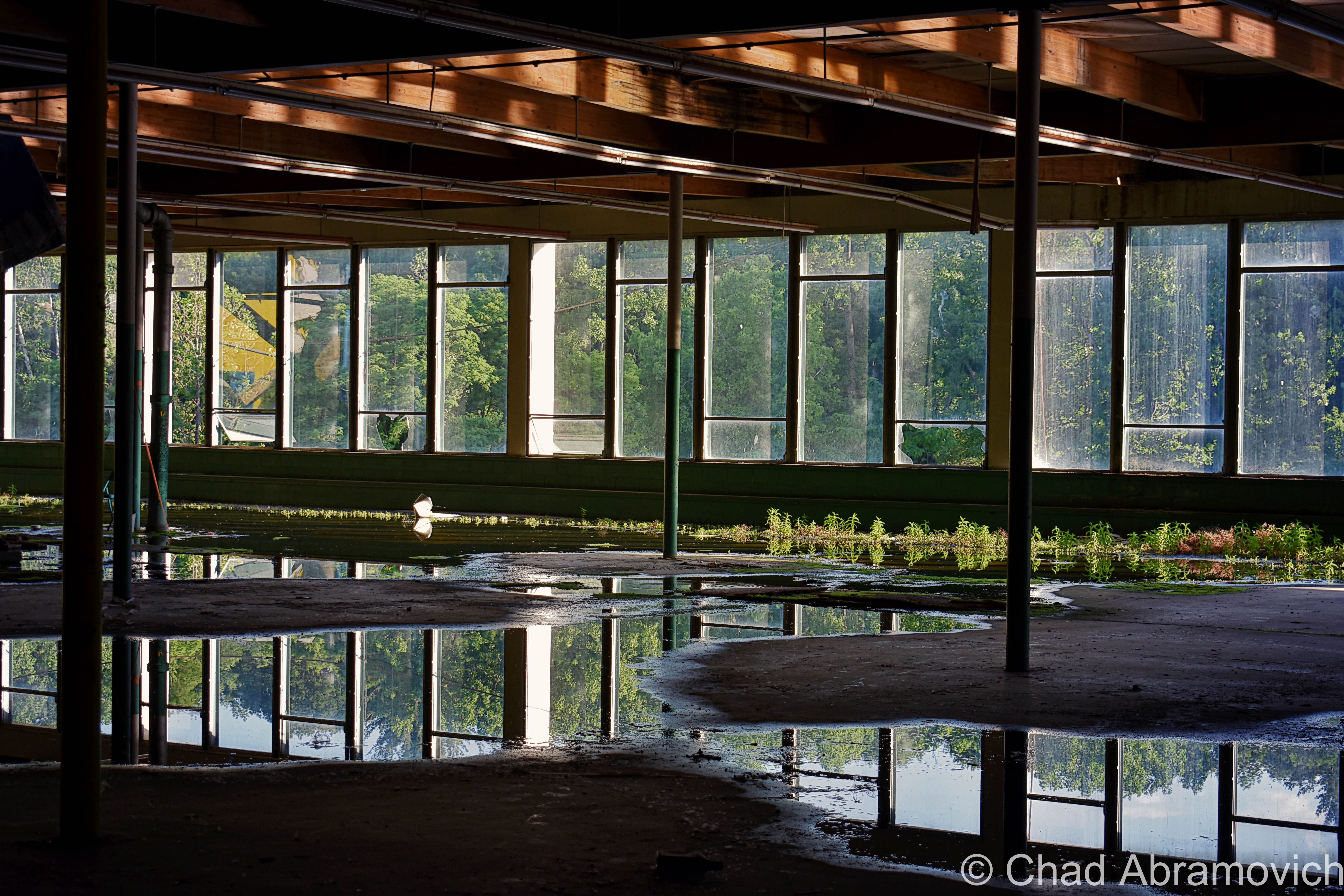
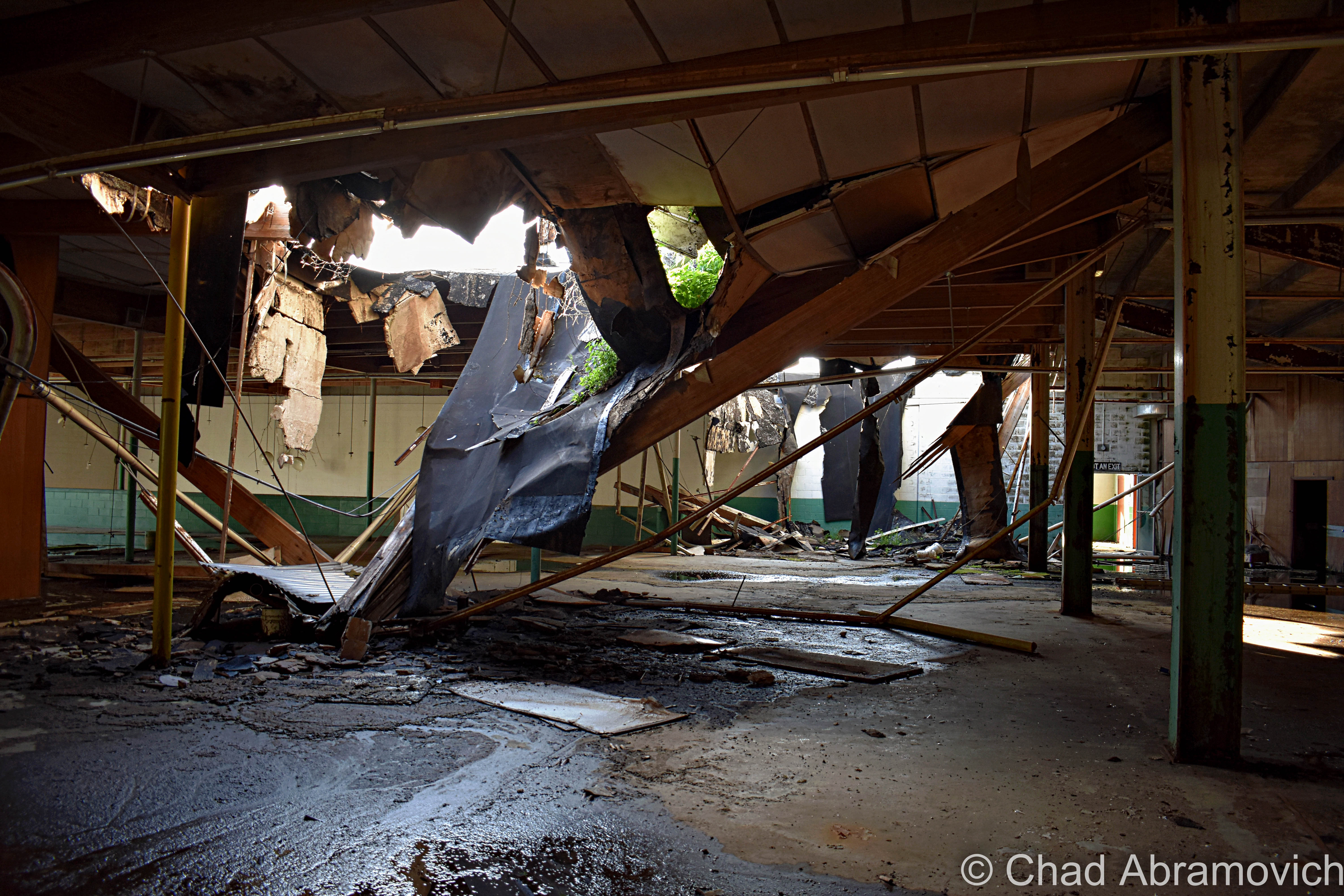
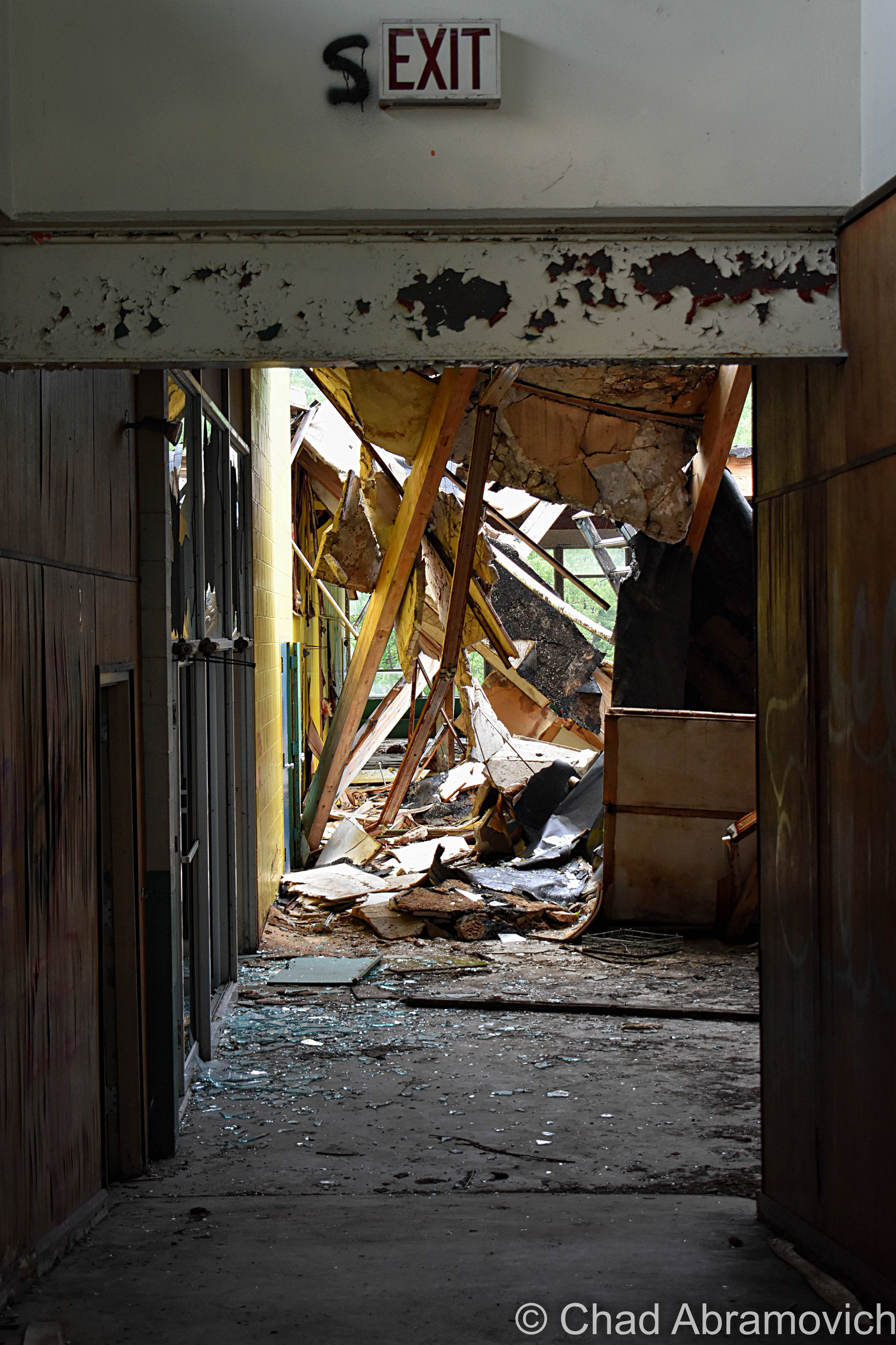
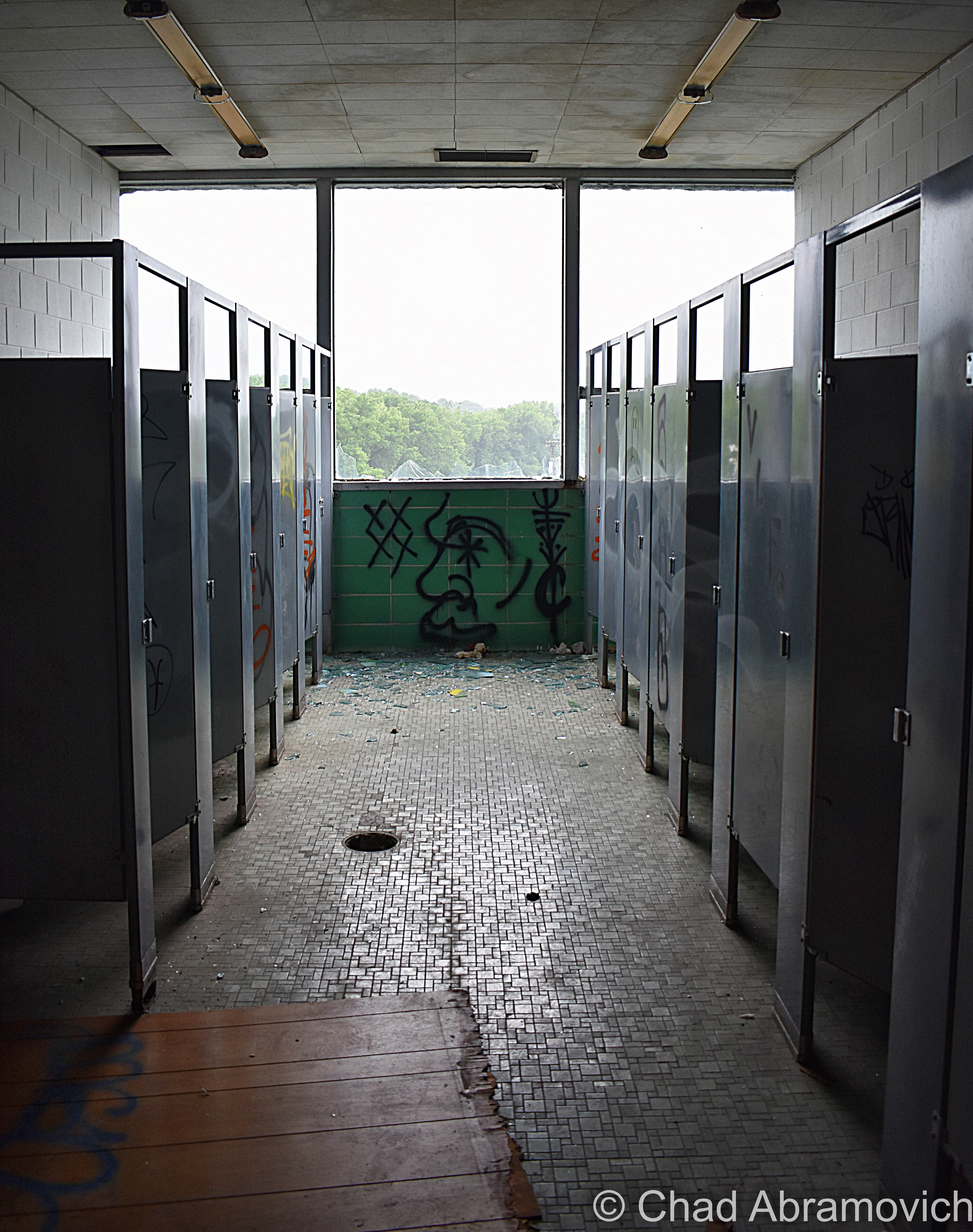
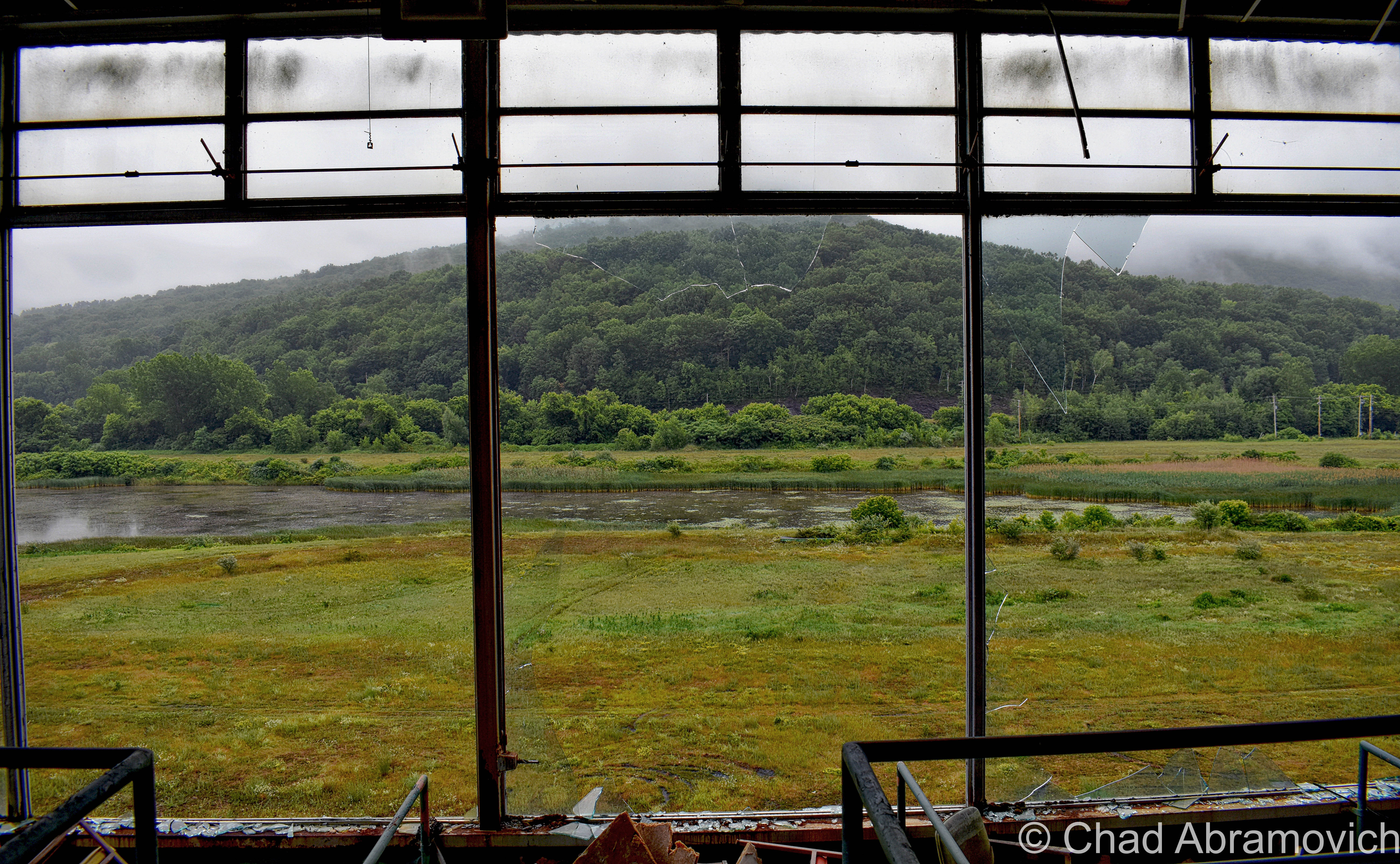
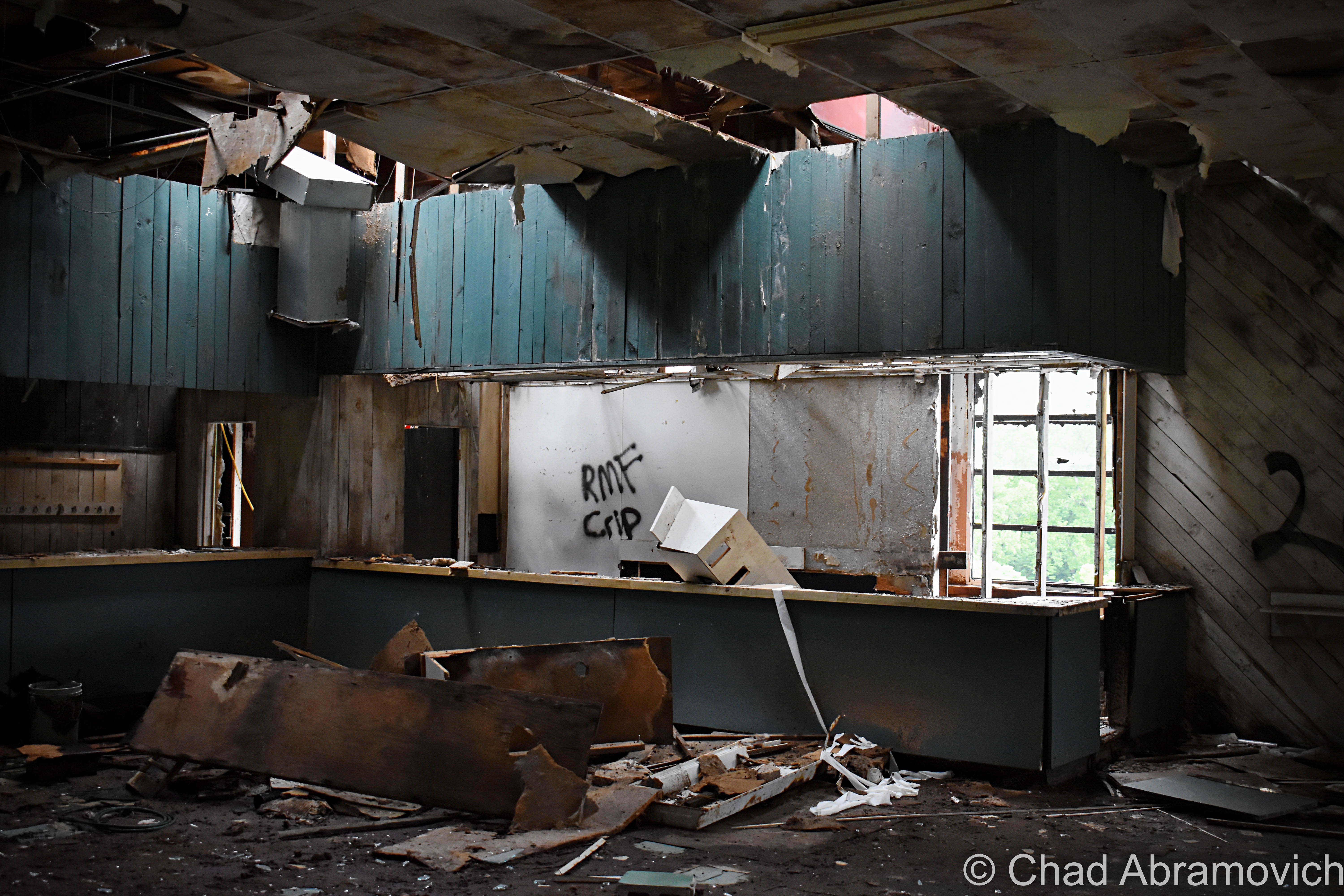
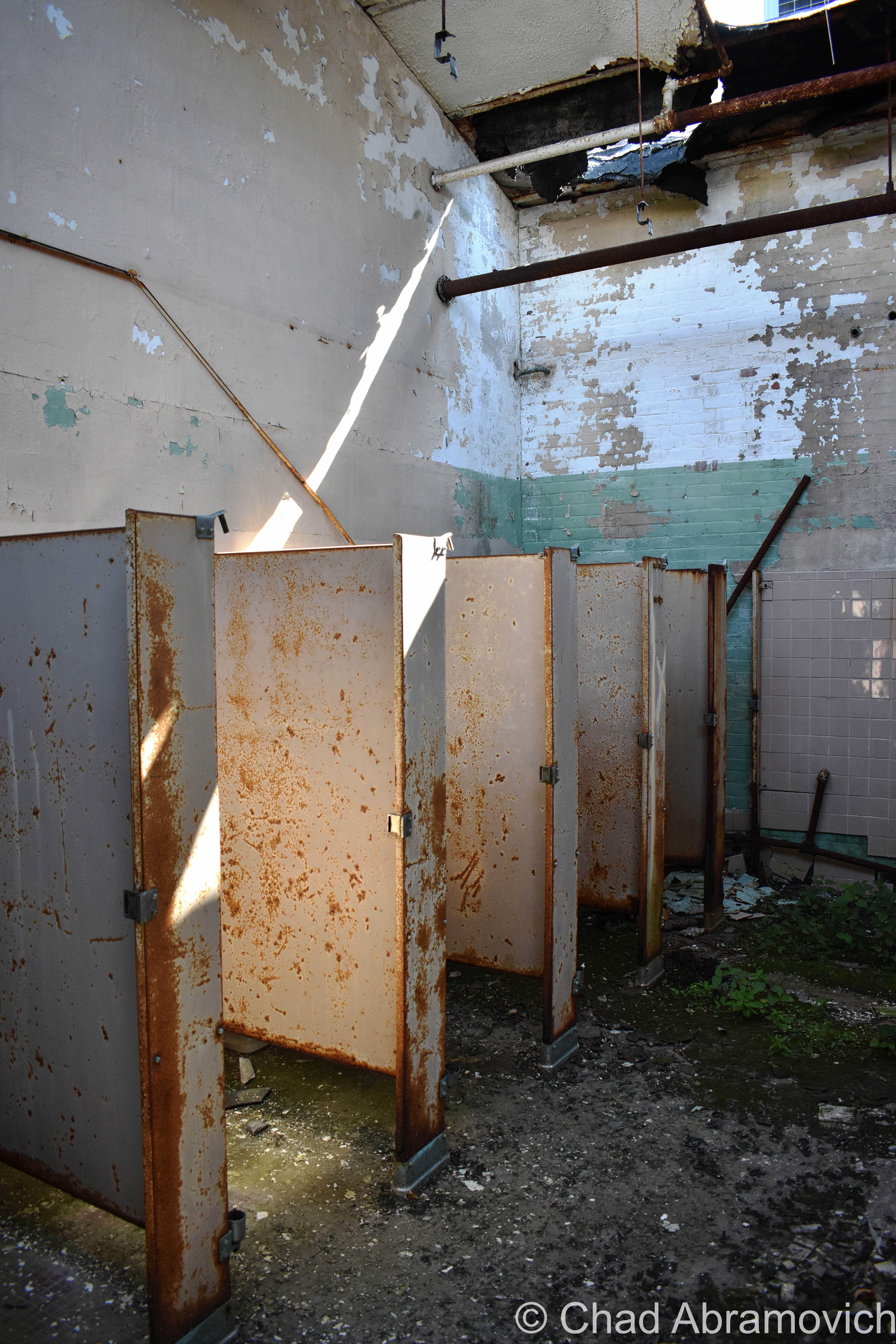
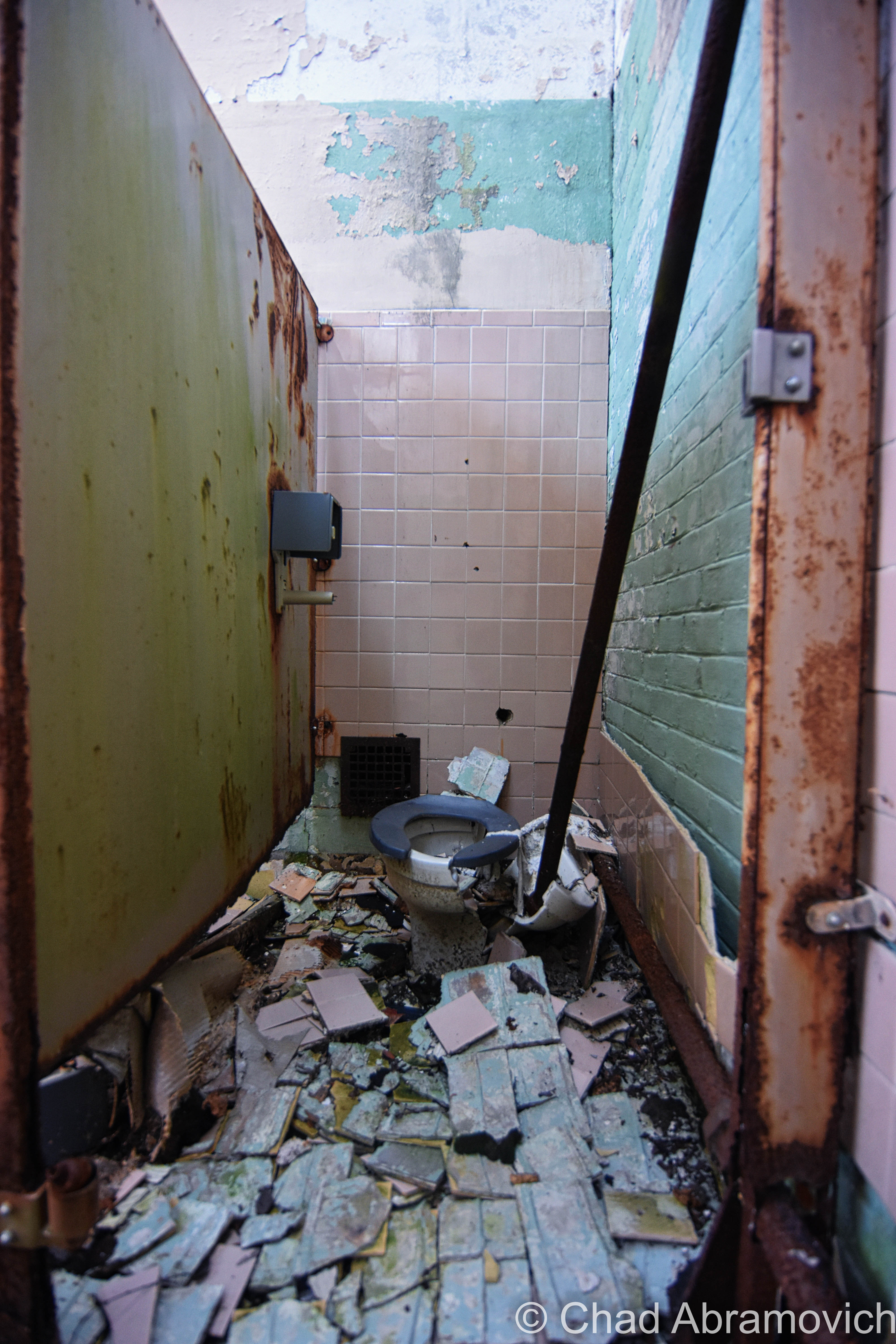
We wandered around for close to 5 hours and still didn’t see everything! The insides of the main plant were cavernous spaces infiltrated by glorious natural light that descended through awesome sawtooth roofs – a design I absolutely love. Lead paint, asbestos, and whatever mother nature blew inside lazily fell like snow, and nature was doing what it does best; reclaiming its territory. Trees and creeping vines had interestingly taken root on the roof and the grounds were thick with vegetation – vines fell down through busted sawtooth windowpanes and tendrilled into the atmosphere. A century of adaptations, renovations, and subsequent deferred upkeep had created a fantastic accidental pastiche on old bricks and steel girders.

Some things sagged down in fatigue, and other verdant things thrust upwards and willing. It seemed the new trees and vines almost created a muted cacoon within, where time oddly stopped and there were only wonders, a vacation world that we could borrow for a while. Strange audio hallucinations fell in all directions, and shadows waltzed behind steel beams and checkerboard walls of broken glass. Though I guess I was a bit disappointed I didn’t find a rusty old Hartness turret lathe still within, this explore was so much fun! (There IS, however, – a Hartness Turret Lathe on display at the American Precision Museum in Windsor!)

There was a tiny portion of this massive complex that was still an active business, J&L Metrology – the last remaining morsel of the greater Jones and Lamson enterprise. Their really utilitarian and ugly wing appeared to be added on much later – and it was something that I made a note of as we pulled into town hours earlier. The two spaces were divided by the original exterior brick wall, but there was a connecting pair of double doors that allowed whoever was at work over there inside the abandoned portion of the building, and that’s exactly what happened.

Just as I was snapping a few photos of some kind of rectangular cavity in the concrete floor that had long been turned into a pool of rainwater and who knows what else, those doors burst open, and some guy powerwalked into the abandoned factory with the trajectory that communicated he was on a mission – a mission that was suddenly interrupted by me.

His boots literally skidded to a halt on the gritty floor, snapped his head to his left, and gave me an appraising and surprised look through a squinty demeanor, then angrily huffed; ” Are you supposed to be in here?” I turned to look at my friend, who was still as a statue, turned back to the man, and decided that answering honestly was my best option, so with a shoulder shrug, I called over “I mean… probably not?” He just glared at me in a kind of tense silence, before pursuing his former mission – and stomped off deep into the huge spaces of light shafts and rusty steel. We both knew that was a good sign that we should leave, and we bolted.
I don’t have many pictures of myself, so thanks to my friend Jay for taking this candid shot of me doing my thing!

I’m disappointed that I never got a shot of the front exterior of the factory to include in this blog post, but I think there was some re-paving going on out front that day, and we were more focused on leaving before the cops were called on us. Unfortunately, I procrastinated a bit too long and never made it down to get that shot before the demolishing.

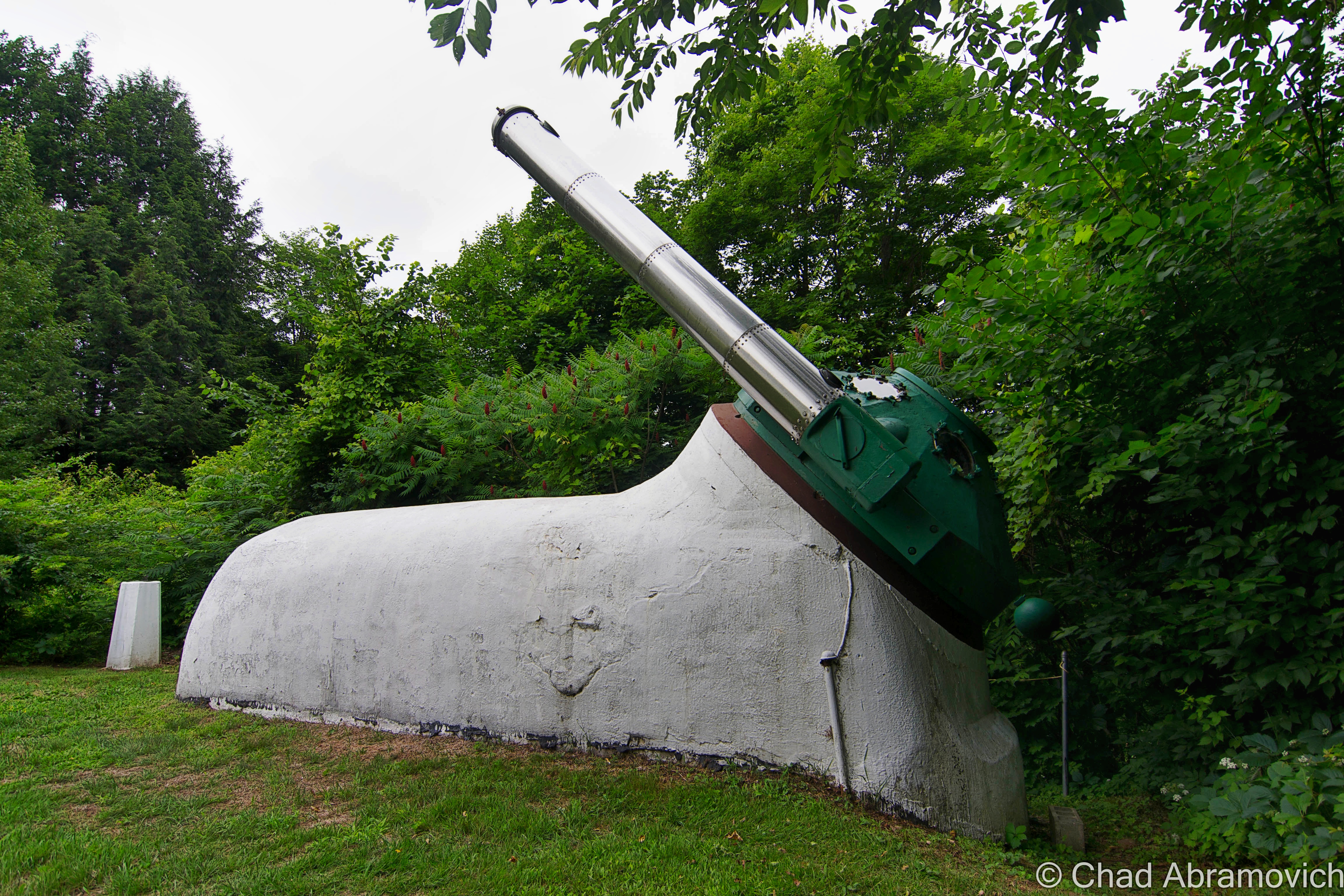
But something I did get to see, was Hartness’s aforementioned personal Equatorial-Plane turret telescope back on a rainy and humid June afternoon of 2015!

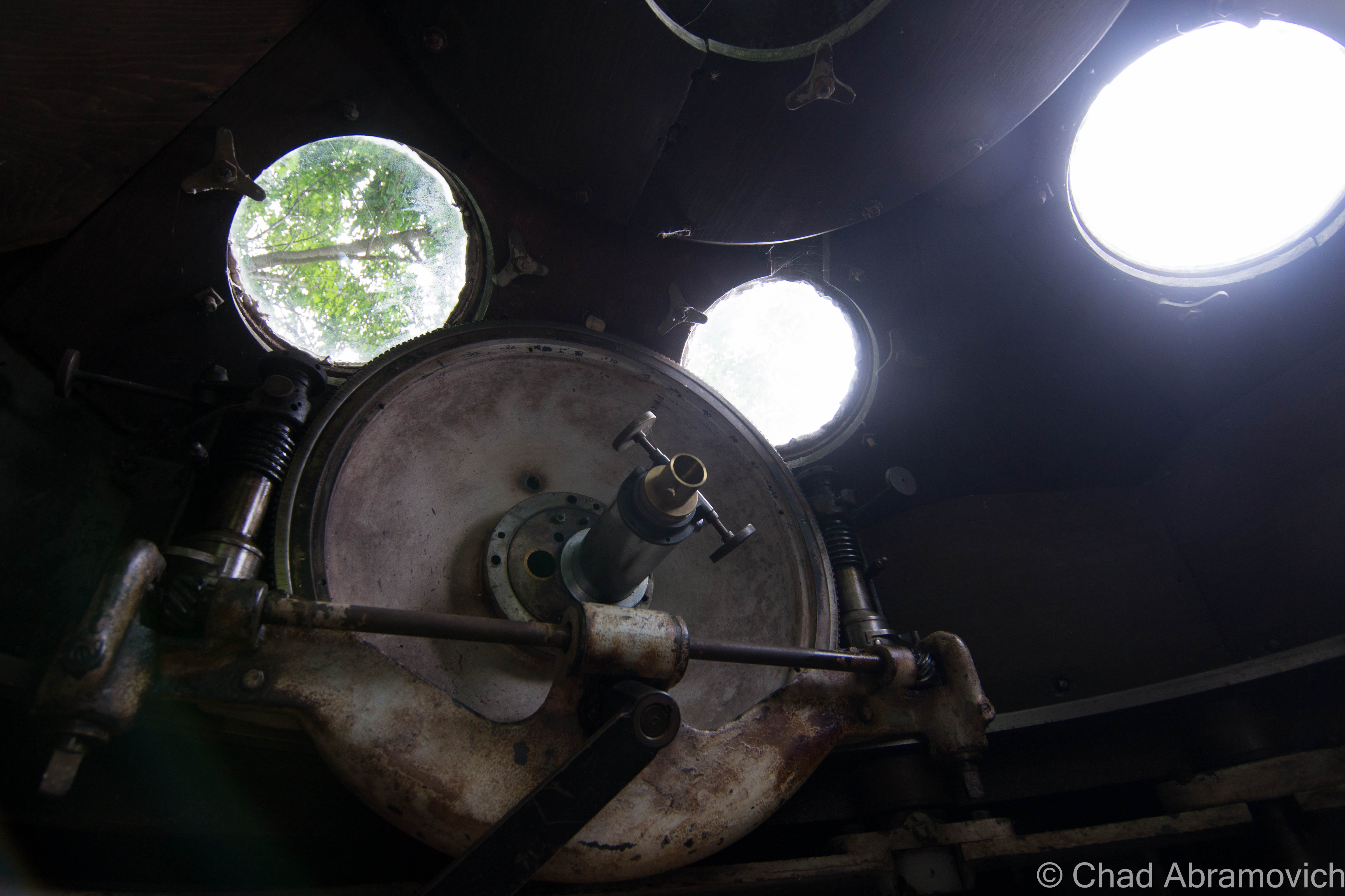
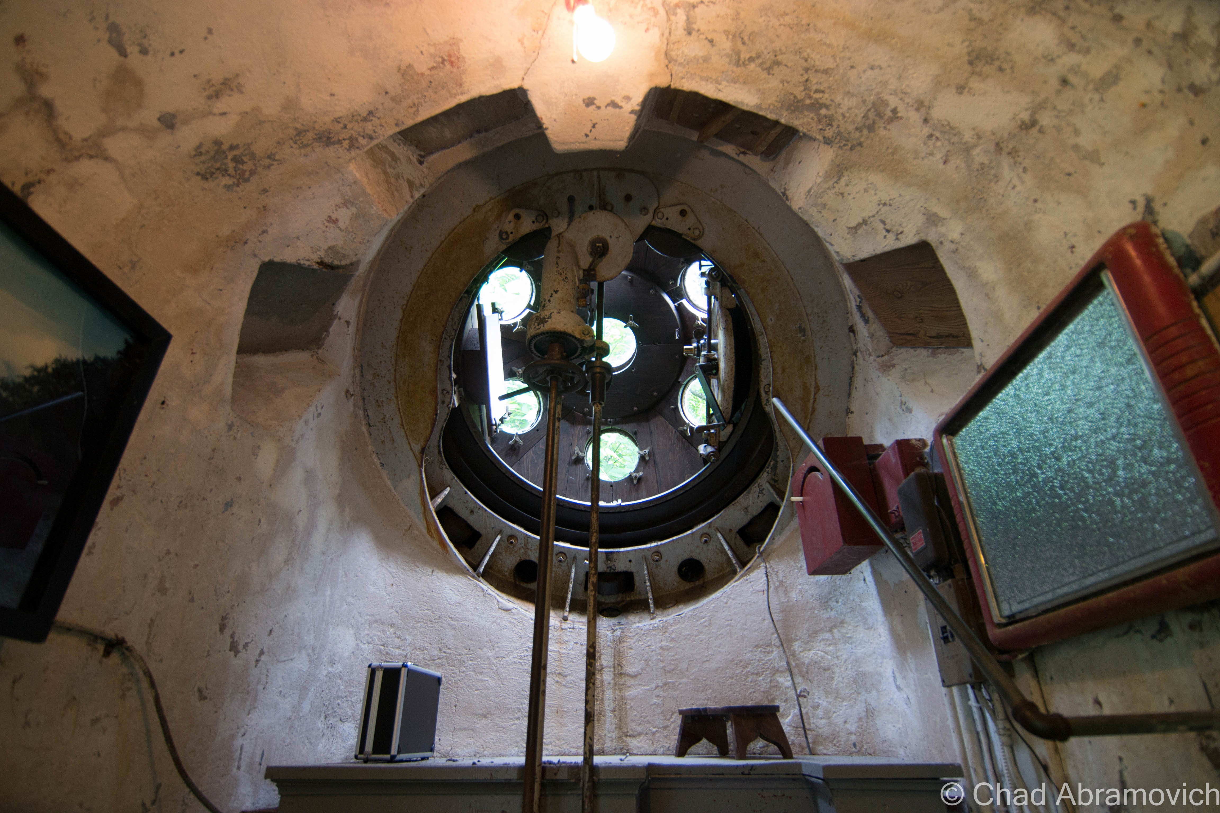
The rotating green turret rides on rollers supported by the white concrete structure, and it’s also where the stainless steel telescope tube with its ten-inch achromatic objective is installed, which is a modern upgrade to the original. Hartness developed the optics of the telescope to pass through a lens in the wall of the dome, which allowed him to stay warm in Vermont’s brutal winters.

The funny-looking protrusion is in front of Mr. Hartness’s stately former home – looking exactly like something a venerable turn of the last century tycoon would dwell in. At the time, the hotel offered free tours of the telescope and tunnel, no reservations needed, but because the property is currently a real estate listing, I’m not sure if the telescope is closed to the public or not, but absolutely hope that this treasure will continue to be shared with all the inquisitive.

I’ve always been someone that has loved human ingenuity and the magic of camaraderie, so this post was a lot of fun to research and write. So many amazing things happened in this era of America from the genius of common people that I just find so remarkable – and a little bittersweet thinking that we may never have another country-defining boom quite like it.

The earth is kinda played out, so it’s amazing that these strange new frontiers and discoveries can still be made in places like this that were once mapped, and then been forgotten.

For your consideration:

The Vermont Historical Society is one of my favorite organizations in the state – and they have a few nifty videos that briefly chitchat about both James Hartness and The Precision Valley. I’ve linked them below!

There’s a terrific archived article on Mr. Hartness, Springfield, and Jones and Lamson from Mechanical Engineering Magazine thanks to the Wayback Machine!

Are you wondering how a J&L Turret Lathe works? I was able to find a really cool dual brochure and scanned instruction manual from 1910 that includes illustrations!


Since 2012, I’ve been seeking out venerable examples of Vermont weirdness, whether that be traveling around the state or taking to my internet connection and digging up forsaken places, oddities, esoterica, and unique natural features. And along the way, I’ve been sharing it with you on my website, Obscure Vermont. This is what keeps my spirit inspired.

I never expected Obscure Vermont to get as much appreciation and fanfare as it’s getting, and I’m truly grateful and humbled. Especially in recent years, where I’ve gained the opportunity to interact with and befriend more oddity lovers and outside-the-box thinkers around Vermont and New England. As Obscure Vermont has grown, I’ve been growing with it, and the developing attention is keeping me earnest and pushing me harder to be more introspective and going further into seeking out the strange.

I spend countless hours researching, writing, and traveling to keep this blog going. Obscure Vermont is funded almost entirely by generous donations. Expenses range from hosting fees to keep the blog live, investing in research materials, travel expenses and the required planning, and updating/maintaining vital tools such as my camera and my computer. I really pride and push myself to try to put out the best of what I’m able to create, and I gauge it by only posting stuff that I personally would want to see on the glow of my computer screen.

I want to continuously diversify how I write and the odd things I write about. Your patronage would greatly help me continue bringing you cool and unusual content and keep me doing what I love!

Do you have any stories you’d like to share? Know of anything weird, wonderful, or abandoned? Email me at chad.abramovich@gmail.com

Donate Button with Credit Cards

Shunpiking to Lewis, Vermont. Population: 0

For years, I’ve been interested in Vermont’s unique political divisions; gores, grants, and ‘disorganized’ towns – just some of the things I’ve discovered thanks to being a map nerd! I found it fascinating that there were delineated areas on the map that had little, to nothing in them.

On a firey September day that felt more like July, me and my friend set out on an ODDysey towards Vermont’s Northeast Kingdom, the state’s wildest and poorest corner where some of these enigmatic areas are clustered. I’ve always loved the kingdom. From my dad pulling me out of school as a kid to go fly fishing on the legendary Willoughby River in Orleans, to hustling up at Northern Vermont University in Lyndonville when I was older, I have fond memories of the NEK, and always kinda associate it with The Monkees – because whenever I used to head up that way with my mom, we’d always listen to them on CD in her car, so I totally had them in my head on the ride up.

I wanted to see one place in particular; Lewis, one of Vermont’s five “disorganized towns” (a phrase that has always amused me) – which refers to towns with populations so low, or sometimes never luring any people at all, that their charters were revoked.

It felt fitting that we were heading up to the deserted realm north of Island Pond, a rough and tumble railroad village in the town of Brighton that’s the hub of that piece of the NEK, so much so that most wayfinding signs point you to Island Pond instead of Brighton.

Island Pond has always had a sort of an eccentric reputation, and I think a lot of that has to do with the temperament of how isolated the place is. Seclusion can be a lightning rod for weirdos, outlaws, religious cults, and the preternatural.

One of my favorite Island Pond tales of intrigue involves a carpenter renovating an old farmhouse outside the village in the 1980s. Across the road was an old farmer’s pasture that had long been overgrown and disused, so imagine how startled the carpenter was when he happened to glance out the window and see a young girl herding a flock of sheep in a field that was formerly empty seconds ago. When he confusingly went to investigate, the sheep and the girl had vanished. So he got back to work, until a few minutes later when he looked out the window and saw the girl and the sheep again, only this time, the girl was waving at him. He apparently quit the job on the spot!

UFO sightings nearby at an amazing abandoned radar base, and quite a few “Bigfoot” (or some variation of a wild and wily creature) sightings have also been handed down and proclaimed through all the big woods that edge town. Who knows what other morbid or macabre things that are still skeletons in Island Ponders’ closets… (and you’re a local, feel free to send me an email and tell me!)

Island Pond got its name from the 600-acre pond with a 22-acre island in the middle of it, which lead the Abenaki to name the area Menanbawk, which literally means Island Pond. Whites decided to keep the name but use the English translation.

The pond of Island Pond has probably existed since the last glaciers grinded on through the area, but the village of Island Pond got its start in the 1850s, when the Grand Trunk Railway, the first international railway that linked Montreal to the port of Portland, Maine, laid their tracks through the kingdom, which was very much a sort of last frontier in Vermont at that time. What would become Island Pond village just happened to be the halfway point, which made it a big deal – a total of 13 tracks once merged downtown. The railroad turned into memory by the 1950s, and the town depends on outdoor tourism nowadays – it’s pretty much the snowmobile capital of Vermont – but architectural elements of its former rowdy railroad days are everywhere. Island Pond is a strangely beautiful and unique part of the state that’s very much worth a trek up towards.

Stopping at a gas station at the water’s edge to grab some suspicious sandwiches, we were on our way!

You Can’t Get There From Here

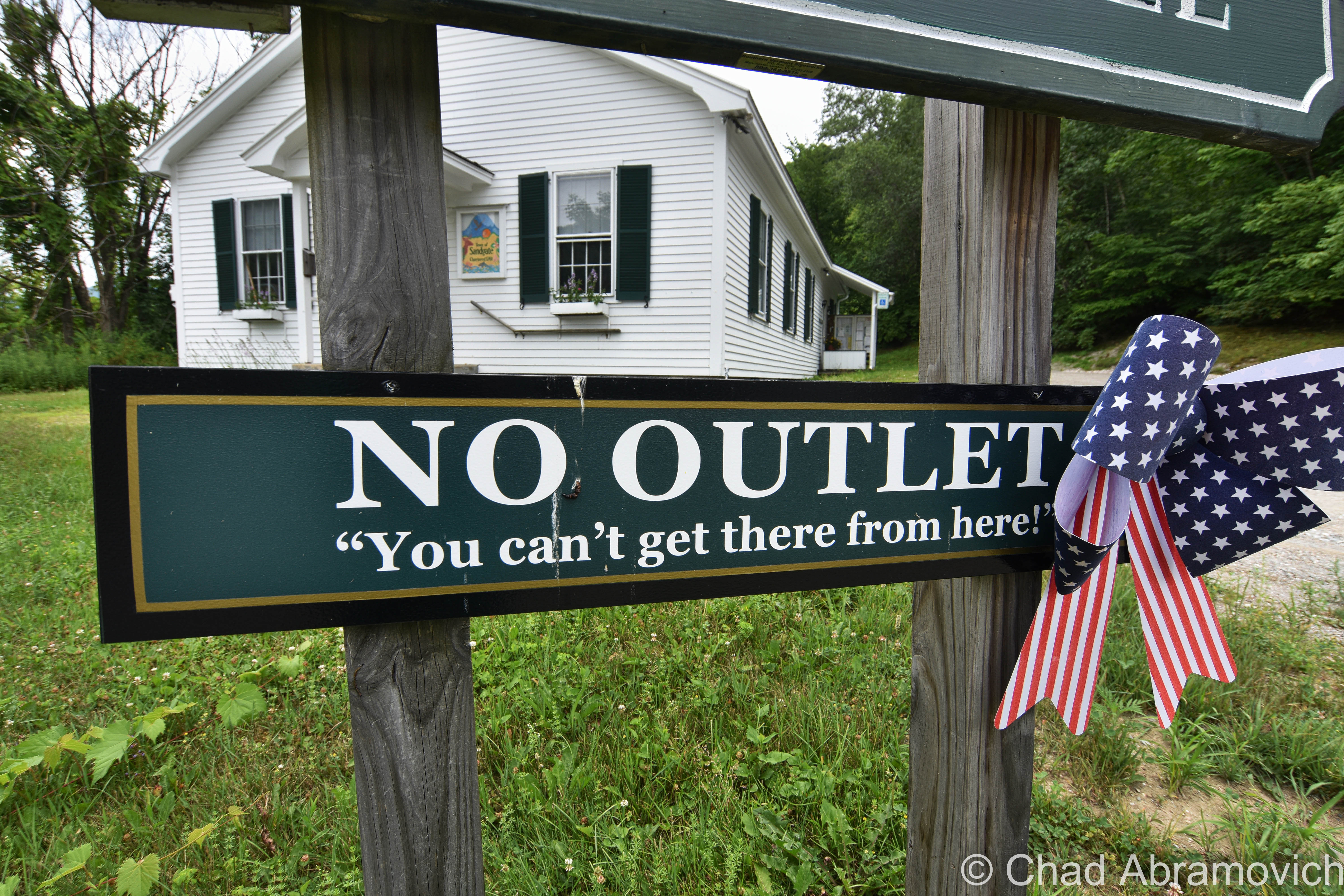
The hard-to-reach and very pretty southern Vermont town of Sandgate might have the ‘Vermontiest’ town hall sign yet and I dig it.

As that vintage Vermont vernacular goes, you can’t get there from here – and because of Vermont’s rural and inconvenient geography, that’s often somewhat the case, so we’re not really pulling your leg or anything.

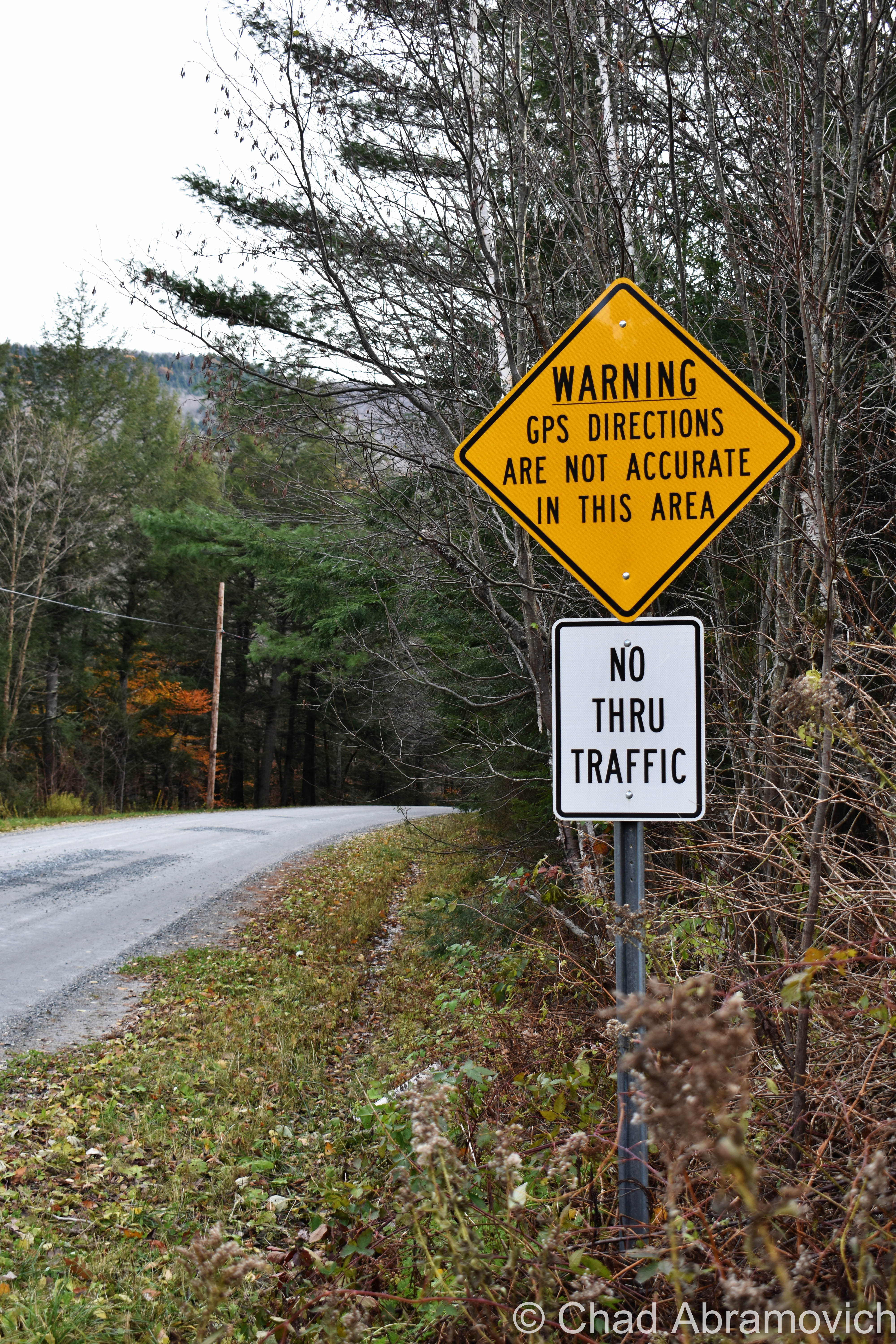
Usually, it’s a now stereotypical expression of Vermont identity that means you actually can get there from here, but the “there” is usually remote, and it requires a very long-winded, confusing route, no doubt complicated because of the very mountains that give our state its name, and whether the road is plowed or not in the winter.  And that’s further complicated by mountainous parts of the state that are dead zones for GPSs and cellular service.

Taken in Stockbridge, VT, near a mountainous and mysterious area called “Notown”.

Lewis, Vermont

Lewis, Vermont has a population of zero. Charted early in 1762, it was heavily timbered, rough, and mountainous. It never attracted a single settler, so no roads, villages, or post office was ever established. The northern half of town is made up of mountains all in the 2,000-foot range, and all but one are unnamed. The southern half of town levels out into mostly semi-swamp known as Yellow Bogs, and they’re filled with mangy-looking forests that stretch out as far as you can see, which kinda backs up the ugly name.

Though Lewis is void of permanently inhabiting humans – loggers, hunters, and sugaring operations have all taken advantage of its space. At one point, most of the land within Lewis was owned by the Champion International paper company, until they sold off their 132,000 acres – most of which the state of Vermont eagerly acquired with the intention of preserving. As a result, most of the flora and fauna in Lewis is pretty young. But! Lewis – and the Northeast Kingdom – is at the southern edge of the largest biome on earth: the boreal forest! Named for Boreas, the Greek god of the Northwind, the boreal forest encircles the entire northern hemisphere in a band that stretches across Alaska, Canada, Scandinavia, and Russia – the boreal forest accounts for nearly one-third of all earth’s forests! Pretty cool, right?

Lewis is also considered one of the “holy grails” of the 251 club, a cool local social club that challenges interested participants to visit all 251 of Vermont’s towns, cities, unincorporated areas, and gores. Some folks make it more fun by customizing their adventure – like making points to visit every library, post office, state park, or another Vermont icon – the general store. There’s even a film dedicated to it! It’s one of my Vermonty ‘bucket list’ items, along with eventually being able to make my own maple syrup. I even became introduced to this great Instagram account recently, where the Instagrammer plans on taking a photo in all 251 burgs. It’s also inspiring me to stop being such a procrastinator.

Lewis is hard to find. There are no state routes, ‘welcome to’ signs, green VTrans wayfinding signs, or any indications that the place actually exists. Using an atlas as a guide, we headed northeast of Island Pond and took a few class D logging roads, which are the only roads in Lewis, up into the area marked by that indicating yellow dotted line that showed we were, in fact, in a town.

According to the map, we should have been able to get there via Lewis Pond Road, but when we turned off where the unsigned road should have been, we were met with what was just a 4 wheeler trail, and a gate, and a gravel dune that would have wrecked my friend’s car. I guess you really can’t get there from here.  So we had to do a little scouting for another access point, which we found further east down Route 105 and was little more than a passable but thin forest service road.

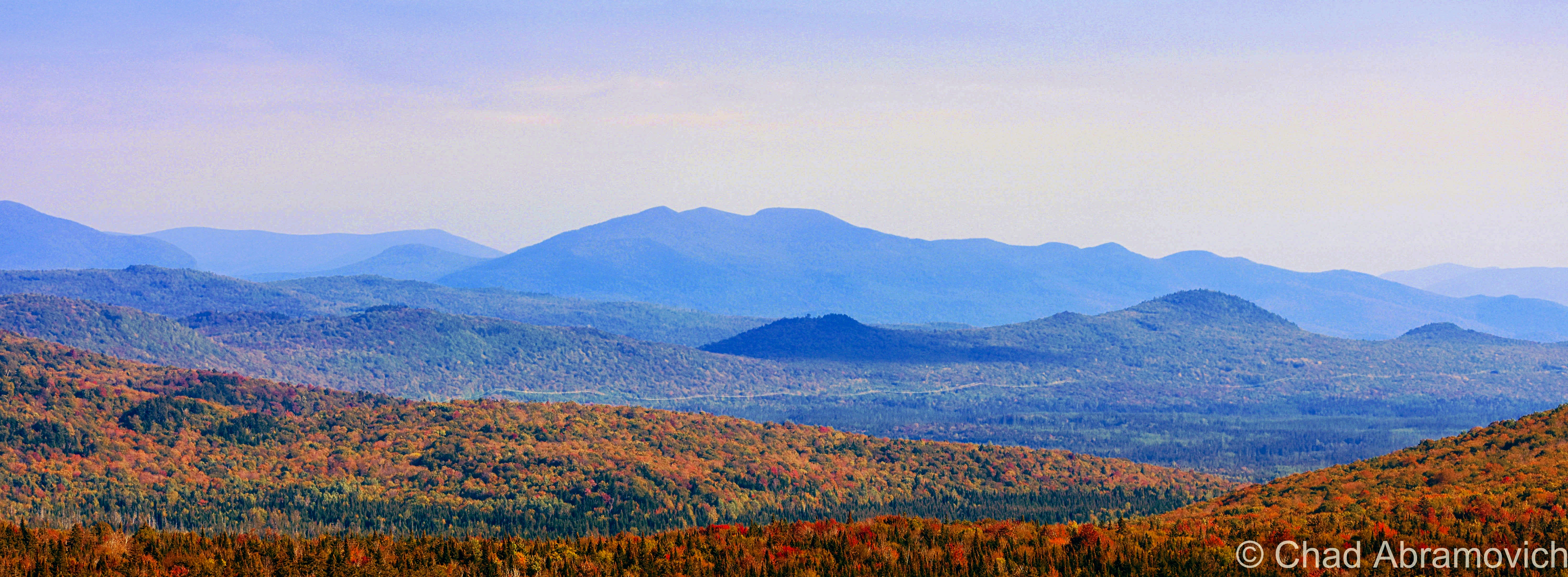
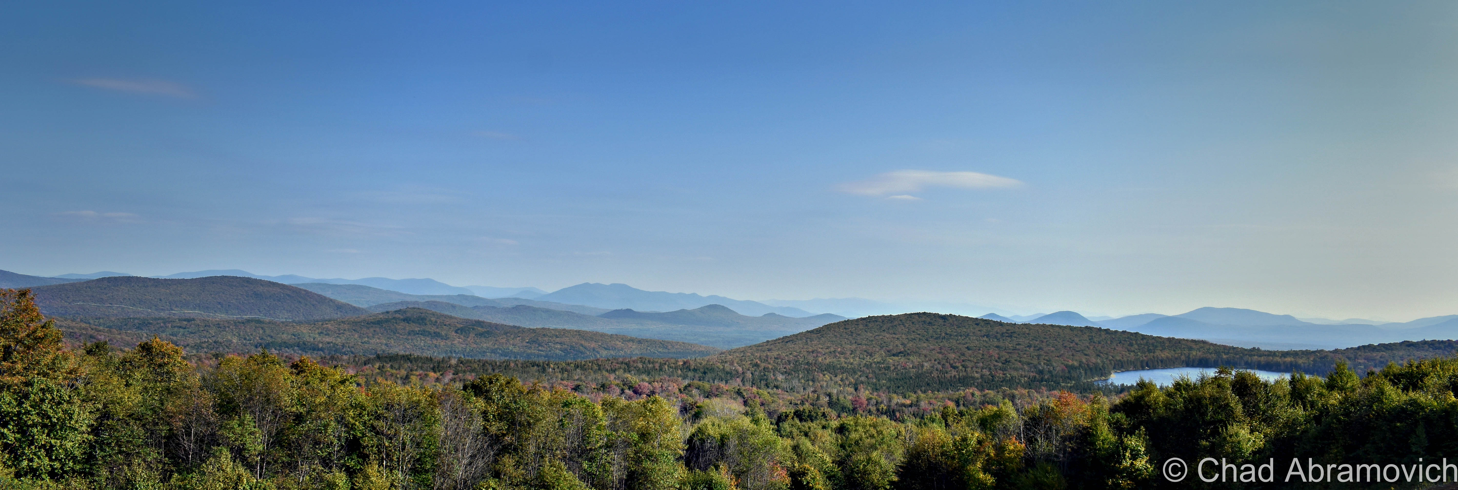
The rough road marred with gravel banks took us deep into thick wilderness occasionally punctured by a few awesome ramshackle hunting camps that had been standing for multiple generations (which I regret not taking some photos of!) – skirted around Lewis Pond, and eventually brought us up the slopes of Gore Mountain – one of the few topographical place names in Lewis – to a cleared section of mountainside where we enjoyed a terrific view of the NEK and out towards the hazy blue bumps of New Hampshire’s White Mountains, and we had the area all to ourselves.

We found an accommodating boulder to sit on, enjoyed some gas station sandwiches, and just enjoyed the silence and the view and a world that was big and full of autumn. I remember the foliage that day being just ridiculous. I had no idea the views up in Lewis were gonna be so fantastic! It was definitely an evening I’ll remember.

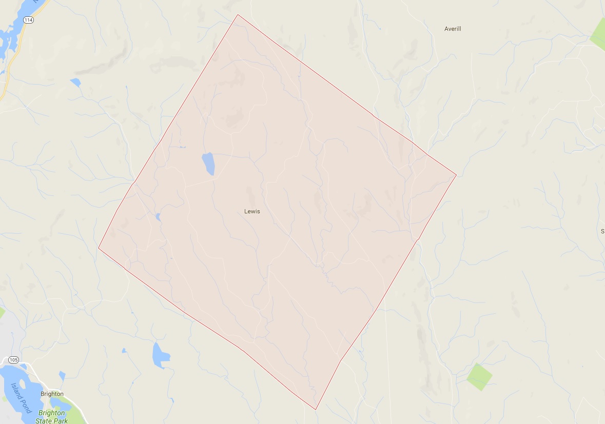
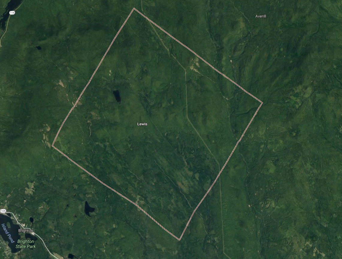
Lewis, Vermont. Via Google Maps

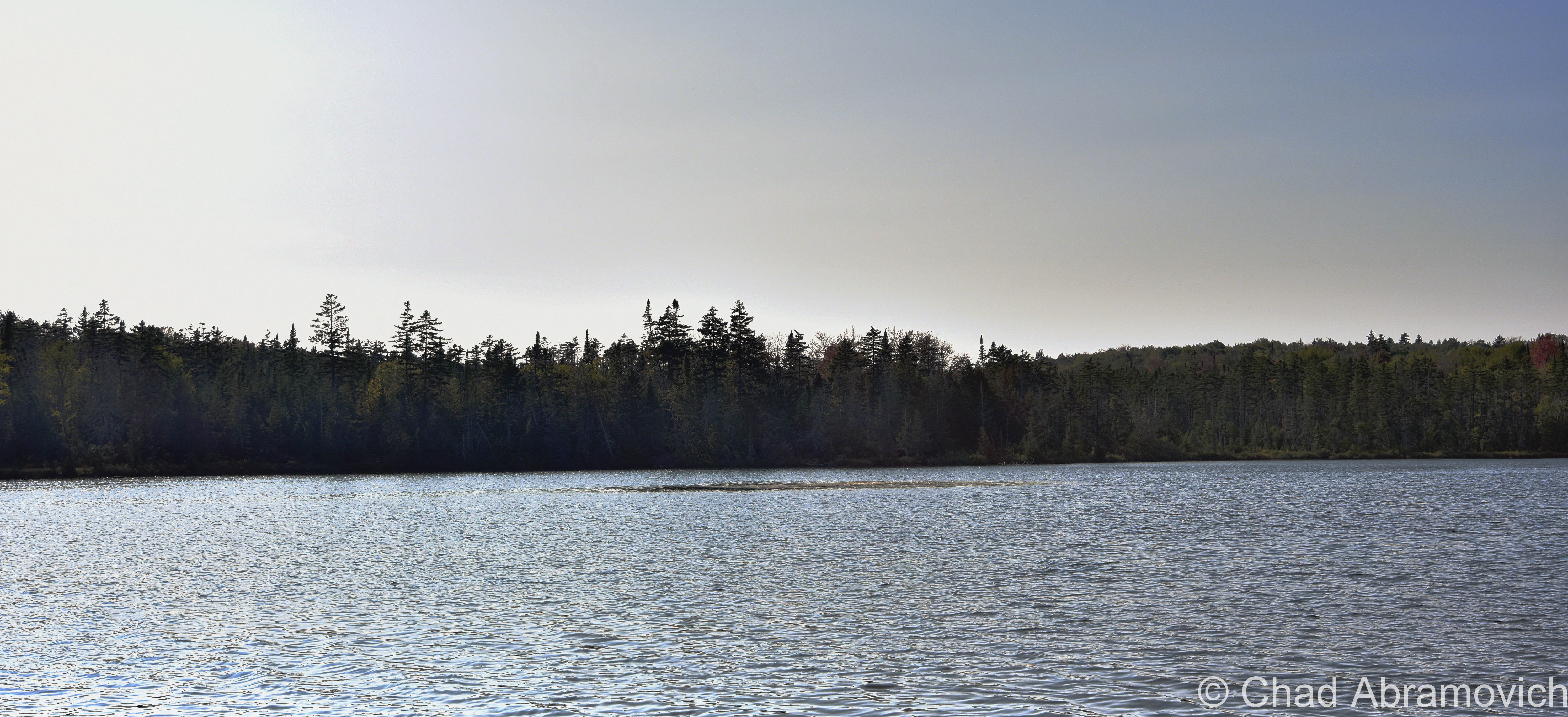
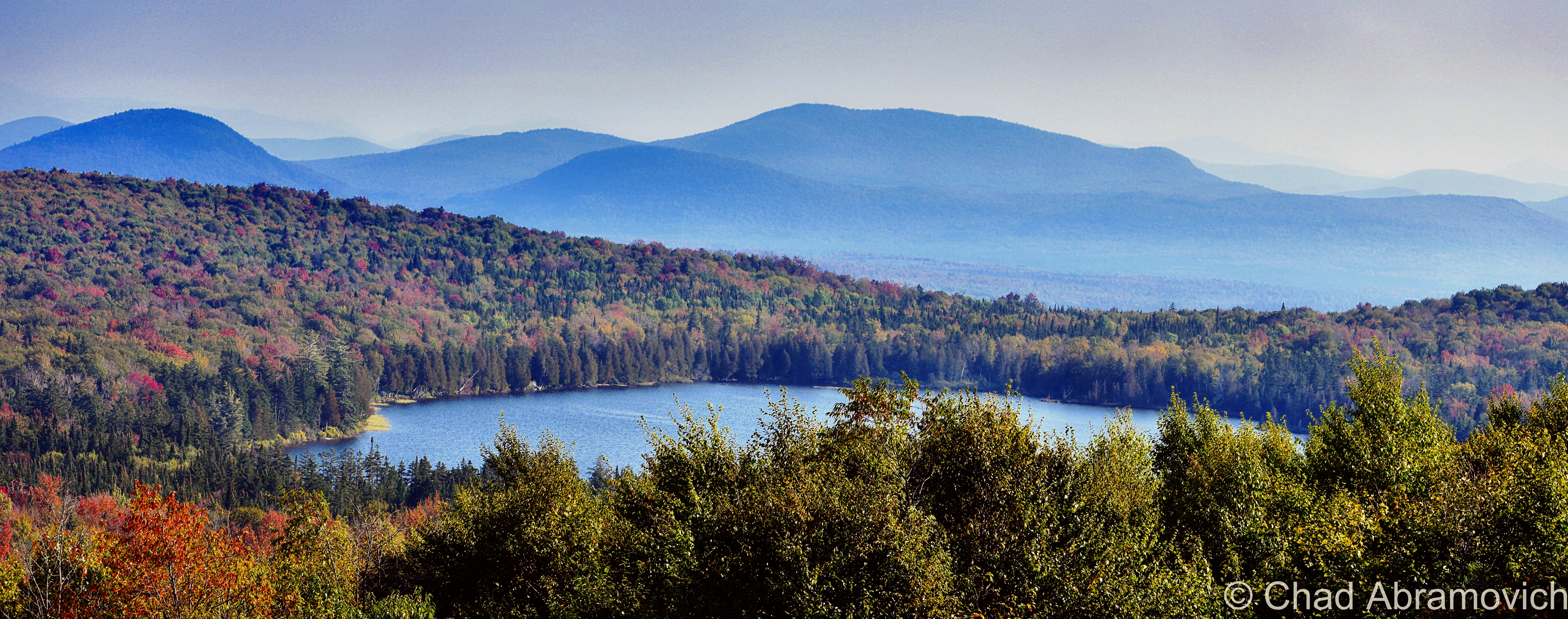
The other named feature in Lewis is to-the-point named Lewis Pond, which is only 7 feet deep, undeveloped, apparently has some good fishing, and as beautiful as it is silent. We spent a while just lounging around the shoreline as the water lapped calmly at the cedars.

I’m not sure why the fact that the wobbly diamond-shaped town only has two toponyms is a bit surreal, but psychologically, it is. It feels like everything else within the 39 square miles that’s considered Lewis is a sort of an uncanny terra nullius, and speaks to our control freak side of human nature to label and categorize things, to prove that something exists, to achieve just a bit more of a grip on this world.

I’m fascinated with human psychology, and how a lot of the time (but not every time), things we consider as ‘odd’ are because we make them odd, because they don’t jive with our architected ideals and social rules. The only thing truly odd to me is the fact that we blindly subscribe to so many of these rigidly particular doctrines without questioning them.

But, I’m wicked into this stuff, and I guess I’d be both out of a blog and identity if I go too deep down that rabbit hole.

Lewis Pond Road, a bit north of Lewis Pond. At one point, all of Lewis was logged, so the forests are pretty young.
Lewis Pond
A sunken island in the middle of Lewis Pond
The huge landscape of the Northeast Kingdom and New Hampshire’s White Mountains as seen from Gore Mountain.
Panorama of Lewis/Lewis Pond, the NEK, and New Hampshire’s White Mountains from Gore Mountain
Lewis Pond from Gore Mountain

Today, the Nulhegan Basin Division of the Silvio O Conte Wildlife Refuge – whose goal is to try and protect the waterways that feed the Connecticut River – occupies a huge chunk of Lewis, and is named after the Nulhegan River, which basically translates to “deadfall trap” – a savvy snare that’s usually a log that’s used to capture small game by falling on it – and is a connecting title to the Nulhegan Abenaki People who were the first inhabitants of this domain.

Though the Nulhegan Basin was formed by a pool of magma solidifying here 300 million years ago and subsequently eroding away – which developed the current scenery, it’s apparently one of the coldest places in all of the northeast, with an average of 100 inches of snowfall a year and around 100 frost-free days.

There are other ‘disorganized’ towns in Vermont, but Lewis is one the most exotic to check out because of its rawness. Because people like speaking in superlatives – my personal pick for ‘most’ captivating of them would be the next-door-neighbor ghost towns of Glastenbury and Somerset down in Bennington County if anyone was wondering.

The other three out of five disorganized Vermont towns (Averill: pop. 24, and Ferdinand: pop. 32, and of course, Lewis) are all up in remote Essex County and all border with Lewis, basically making a huge chunk of the northeastern corner of the state pretty capacious, and making them eligible for a mention in this blog post. And standing shoulder to shoulder with those three towns are three of Vermont’s other geographical curiosities, two out of our three gores (the third being Buel’s Gore which forms Chittenden County’s dagger-like southern tip and consists of the dramatic Appalachian Gap), and the state’s only grant! All this chaos by simply drawing lines on a map.

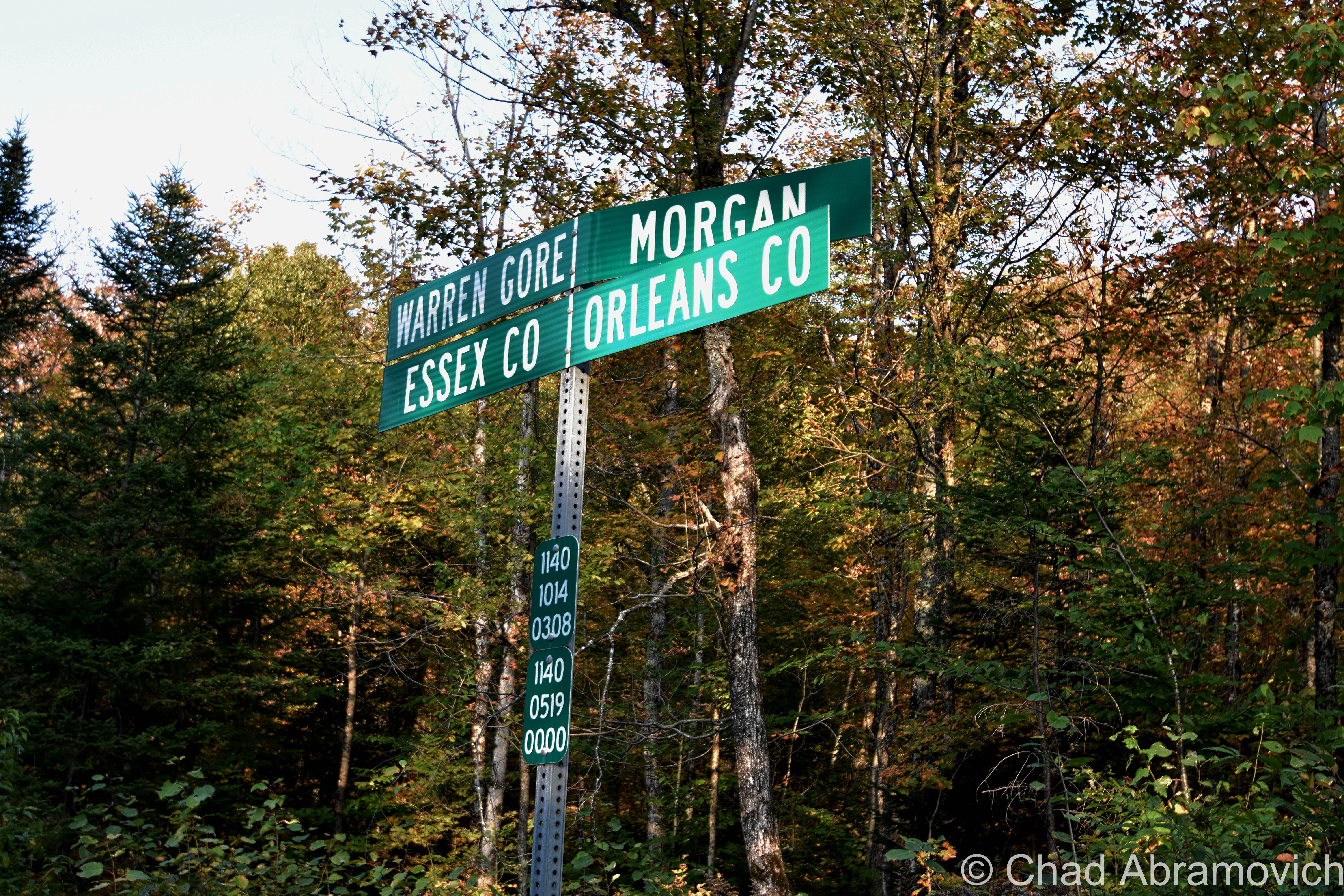
And speaking off – just “down the road” from Lewis exists another state geopolitical oddity that I just had to quickly jaunt towards before heading back home; Warren Gore.

Gores and Grants

What’s a gore? It sounds gruesome, but it’s not, even though my spellcheck is really fighting me on my use of the word.

Scottish immigrant James Whitelaw would become Vermont’s official surveyor in 1787, replacing the often error-proned Ira Allen and becoming considered as one of the best map makers and surveyors in New England. But in Ira’s defense – inaugural survey work is hard.

Survey Crews would embark into unmapped wilderness to do just that. Using a 66-foot chain and wooden posts, they’d attempt to delineate new town boundaries, and then camp out for the night.

But there were still pieces left over; awkwardly sized areas never charted to any town, or given to early land grantees as disappointing compensation for basically getting screwed out of land they were promised.

In a land where possession is about 3/4th of the law; the end result became known as gores, and Vermont once had 60 of them! Currently, we’re down to just three – the rest were eventually absorbed into their neighboring towns to make the map a little less confusing, which makes gores some of the rarest creatures in the green mountain state, and pretty much non-existent elsewhere in the country apart from northern New England, which I think sorta lends them their air of charm.

Gores are often triangular, but sometimes not, as in the case of Averys Gore, which is more trapezoidal, and Warren Gore, which is rectangular. It’s their triangular shape, though, that gave these parcels their curious name. Gore is an old English term that referred to the shape of a spearhead, which is what early cartographers thought they resembled.

Warren Gore is tandem with the Mad River Valley town of Warren. Warren was trying to get a charter in 1780, but couldn’t because it lacked the total amount of decided acreage needed to create a town – which the Vermont legislature said had to be 23,000 acres. So the grantees scrambled to find the remaining 6,595 acres of land, which they did, just completely disconnected, all the way up in the Northeast Kingdom. Technically, they had what they needed, and in 1789, Warren was charted in two pieces (also known as a “flying grant”) – the smaller part becoming Warren Gore. But the two places never had anything to do with each other.

While Warren lured settlement and skiing, Warren Gore, sometimes called “Warren’s Gore”, went the static route of most gores, and attracted only 10 people by 2000, and lost 6 of them by 2010.

The desolate State Route 114 runs pretty much through the center of the gore, and is mostly bookended by deep woods and the pretty shoreline of Norton Pond. Apparently, old guidebooks used to call it “the roller-coaster road” due to miles of continuous sharp rises and dips that made you sorta feel like you were riding a roller coaster. Well, I was absolutely down with that experience, but I guess I didn’t notice anything that was too different from a bunch of other roads in Vermont, so maybe the road had been leveled down over the decades.

I took a tour through the gore and turned around in tiny Norton, an old lumber town of around 169 people that has reverted back to forests and small hill farms. Norton is a 45th parallel town ( the latitudinal line that’s half the distance between the equator and the north pole), and until pretty recently, had one of the last remaining “line houses” in Vermont – or a building built right on the American/Canadian border which is now absolutely illegal to do, in part of northern Vermont being uncooperative during prohibition.  The most famous one is undoubtedly The Haskell Library and Opera House in the unusual village of Derby Line, where the stage is in Quebec and the seats are in Vermont. In Norton’s case, it was a general store that was split in two by the border, until it was demolished in 2021 and is now a grassy lot.

Pretty sure Vermont is the only state that does these brilliant sideways town line signs.

Inbetween Warren Gore and Lewis is Avery’s Gore – Vermont’s largest gore – a large trapezoidal wedge of land void of people or infrastructure. The only way in is on aptly named Gore Road, which is just a really nice logging road that dead-ends in the middle of the gore, near one of the only points of interest, an undeveloped pond a bit ironically named Unknown Pond.

West of Warren Gore is tiny Warner’s Grant, Vermont’s only grant, which is exotically considered to be the most inaccessible land tract in Vermont, and its existence is because of the sad plea of a troubled post-revolutionary war widow.

Hester Warner was the widow of revolutionary war hero Seth Warner (who Vermont state route 30 is named for). Warner was cousins with Vermont’s patron saint; Ethan Allen. With The Green Mountain Boys, Warner would lead the capture of the British fort at New York’s Crown Point while Allen was commandeering Fort Ticonderoga in May of 1775.

The Continental Congress was pretty impressed with that scheming lot and declared them an official militia. Warner was so well venerated that he was voted captain over Ethan Allen! But the war would eventually wreck him, and he’d retire and retreat to Connecticut in 1780, dying there a few years later at 41. His poor widow, Hester, literally and in idiom, was now burdened with the problem of having 3 children to raise but barely having the means to do so. So she despairingly reached out to the legislature. Her husband did so much for the revolution, surely they would give her some assistance.

They did wind up coming through for her, just slowly, and ironically, not in a way that would actually help the widow Warner.

Their compensation came in the form of 2,000 acres in the Northeast Kingdom of practically inaccessible highlands that was coarsely timbered, which they named Warner’s Grant.

Beyond that, history seems to have lost track of Hester Warner. Records do show that she never lived on the land. It seems that like the widow Warner, nobody else wanted to give living there a shot either. Warner’s Grant remains today as it was then, empty – apart from some logging activity.

I’d like to someday get up into Avery’s Gore and Warner’s Grant, but last time I was up that way, it was getting late. Too late to drive into the deep woods on logging traces – so those two are still on my list.

All of the places I’ve mentioned in this post are managed by a special state department – The Unified Towns & Gores of Essex County, Vermont, headquartered in the town of Brighton somewhere down a gated dirt driveway that leads off into some pines that looks more like the nondescript entrance to a sandpit than a government office.

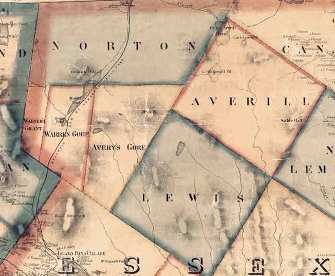
Beers Atlas of Caledonia and Essex Counties – 1859. Shown here is Warner’s Grant, Warren Gore, Avery’s Gore, and Lewis.

Overlanding

There’s a fun hobby that’s abundant here in Vermont that always gets you near enough to some of the state’s best off-the-beaten-path places that most aren’t hip to. It’s called Overlanding, or, off-roading, and it can bring you to cool places like Lewis.

It’s something that I’ve dabbled with a few times with my brother over the years, starting out when we were late teens/early 20-year-olds when we started taking the family’s ’78 Toyota Landcruiser along gnarly mountain trails in the hills between Milton and Westford. For some reason, I couldn’t think about my trip to Lewis without thinking about this, so I decided to shoehorn it in this blog post.

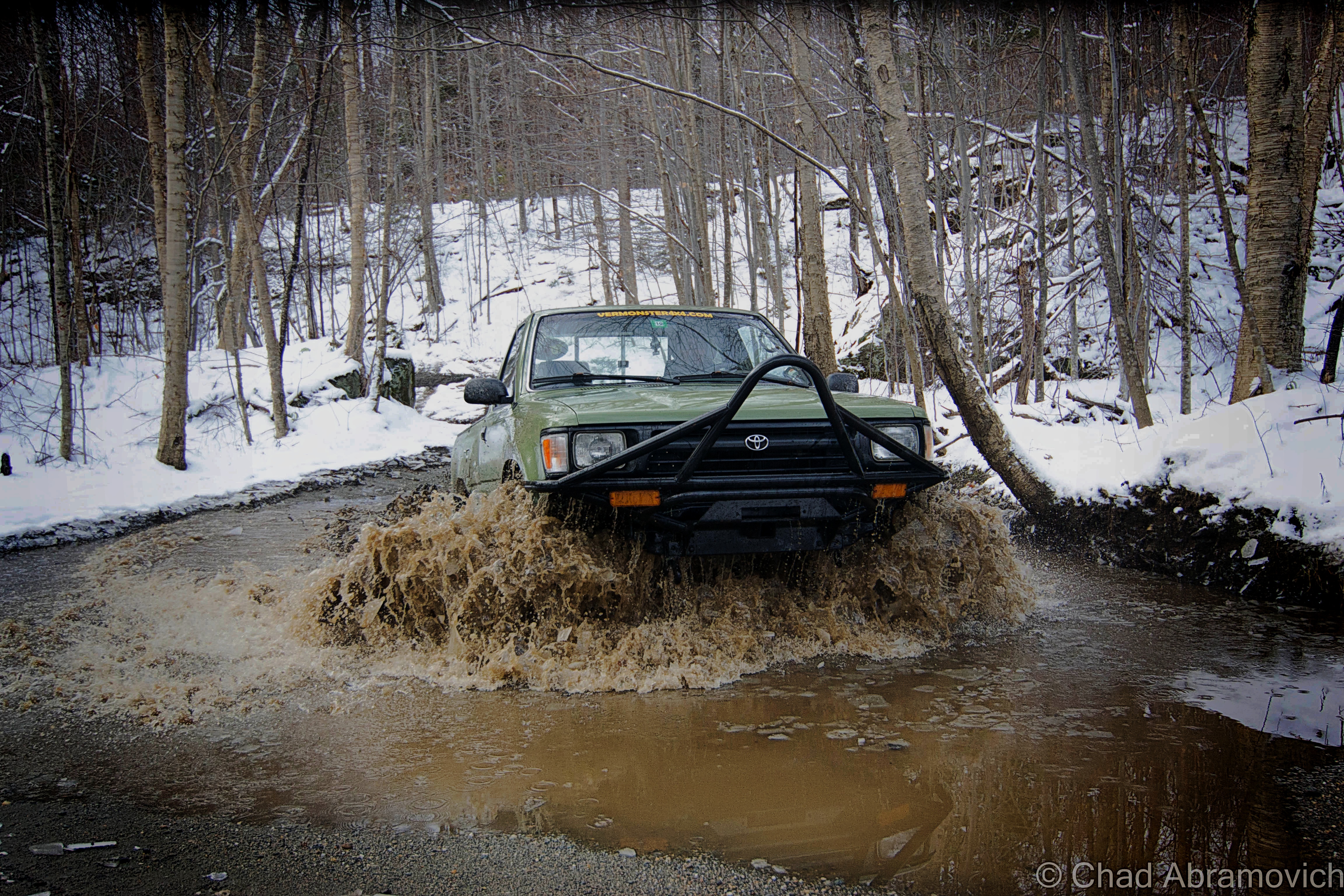
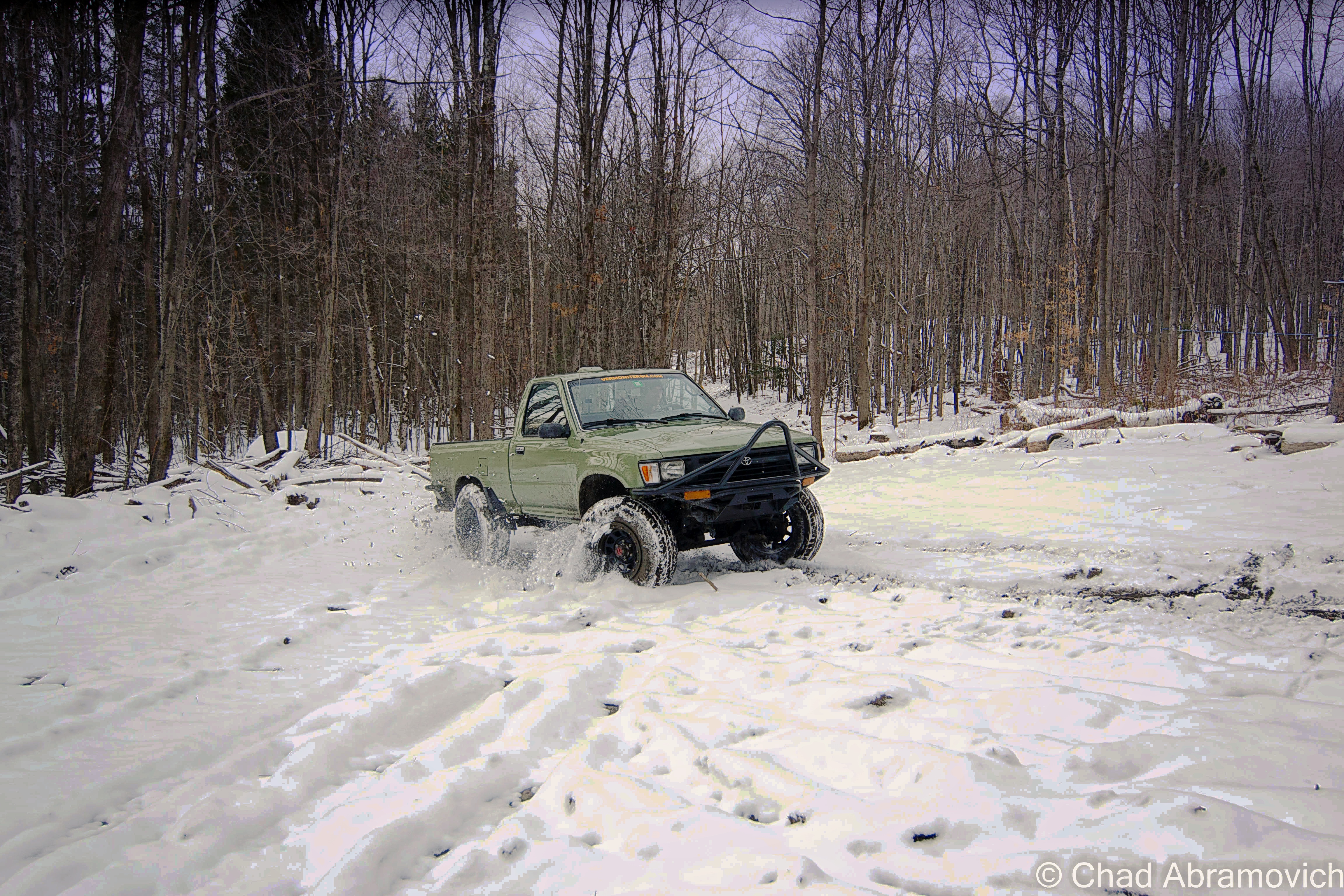
The truck taking a muddy thrashing in the above photo was a more recent project of my brother’s – a 2 door, early ’95 project Toyota that was probably more work than it was worth. It was completely cut in half and welded back together, and all the parts came from Craigslist. It amounted to about a year of road trips, work, and headaches. But it paid off!

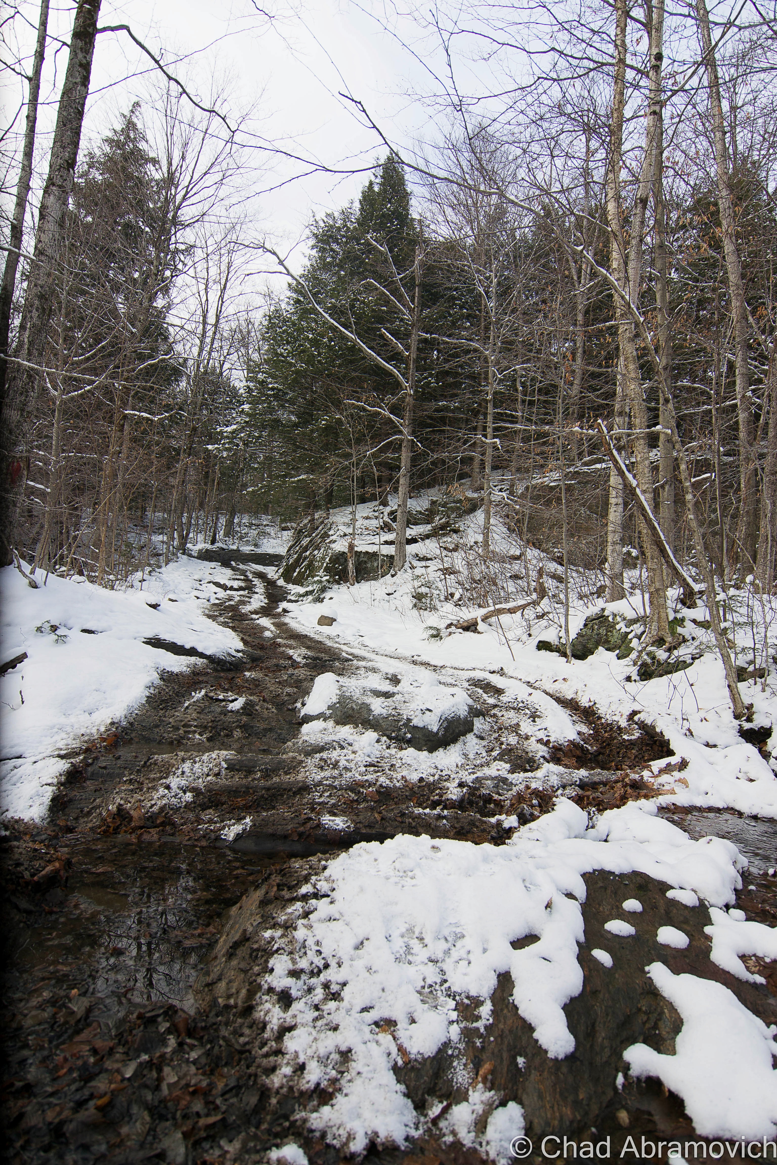
We rumbled in the cold and took it up bumpy logging roads and 4 wheeler trails in Vermont’s rugged north country; towns like gritty Johnson and the unassumingly vast spaces of mountainous Waterville and Belvidere – both far-flung villages that look like they’re still in the 1800s and are probably a picker’s jackpot. I still have flashes of us stopping at Tallman’s Store and rumbling down potholed route 109 and seeing the formidable wind molested haunch of Belvidere Mountain thick with snow and ridgeline alpenglow that blazed luminously.

Up in the mountains, we bumped and jarred around defunct mines, active sugarbushes, past 200-year-old cellar holes and slipped and slided up steep slopes, through stream beds, and passed cool hidden waterfalls and dead quarries – many of these areas used to be gores! It was a real thrill (and in the winter, was an activity specifically called ‘snow bashing’). If I had a metal detector, I’d probably bring that along too!

Sometimes you’d meet other off-roaders, pull over and chat about trail conditions, or get the details on the other’s ride. Other times you saw scuffed rocks or trees and knew some poor fella had to of done a real number on their vehicle. If you can make it happen, it’s a fun time, taking you places most folks don’t get to see.

It’s also a continuous mental and problem-solving situation, with the journey itself infused with self-reliance being the primary goal – so using your wits is recommend. Some of these trails aren’t easy to navigate. Another fun activity I used to do is to find some “dead roads”, a Vermont phenomenon where roads that were built in the 1700s and the 1800s have long been abandoned, but are still legal right-of-ways. Using old maps and tracking some of them down was pretty neat!

But honestly, the best part of it all? Overlanding and oddity hunting means spending time outside.

My brother Drew doing his thing!

Here’s a Youtube video of some guys having some fun! I know this made me wanna get out for an adventure!


Since 2012, I’ve been seeking out venerable examples of Vermont weirdness, whether that be traveling around the state or taking to my internet connection and digging up forsaken places, oddities, esoterica, and unique natural features. And along the way, I’ve been sharing it with you on my website, Obscure Vermont. This is what keeps my spirit inspired.

I never expected Obscure Vermont to get as much appreciation and fanfare as it’s getting, and I’m truly grateful and humbled. Especially in recent years, where I’ve gained the opportunity to interact with and befriend more oddity lovers and outside the box thinkers around Vermont and New England. As Obscure Vermont has grown, I’ve been growing with it, and the developing attention is keeping me earnest and pushing me harder to be more introspective and going further into seeking out the strange.

I spend countless hours researching, writing, and traveling to keep this blog going. Obscure Vermont is funded almost entirely by generous donations. Expenses range from hosting fees to keep the blog live, investing in research materials, travel expenses and the required planning, and updating/maintaining vital tools such as my camera and my computer. I really pride and push myself to try to put out the best of what I’m able to create, and I gauge it by only posting stuff that I personally would want to see on the glow of my computer screen.

I want to continuously diversify how I write and the odd things I write about. Your patronage would greatly help me continue bringing you cool and unusual content and keep me doing what I love!

Donate Button with Credit Cards


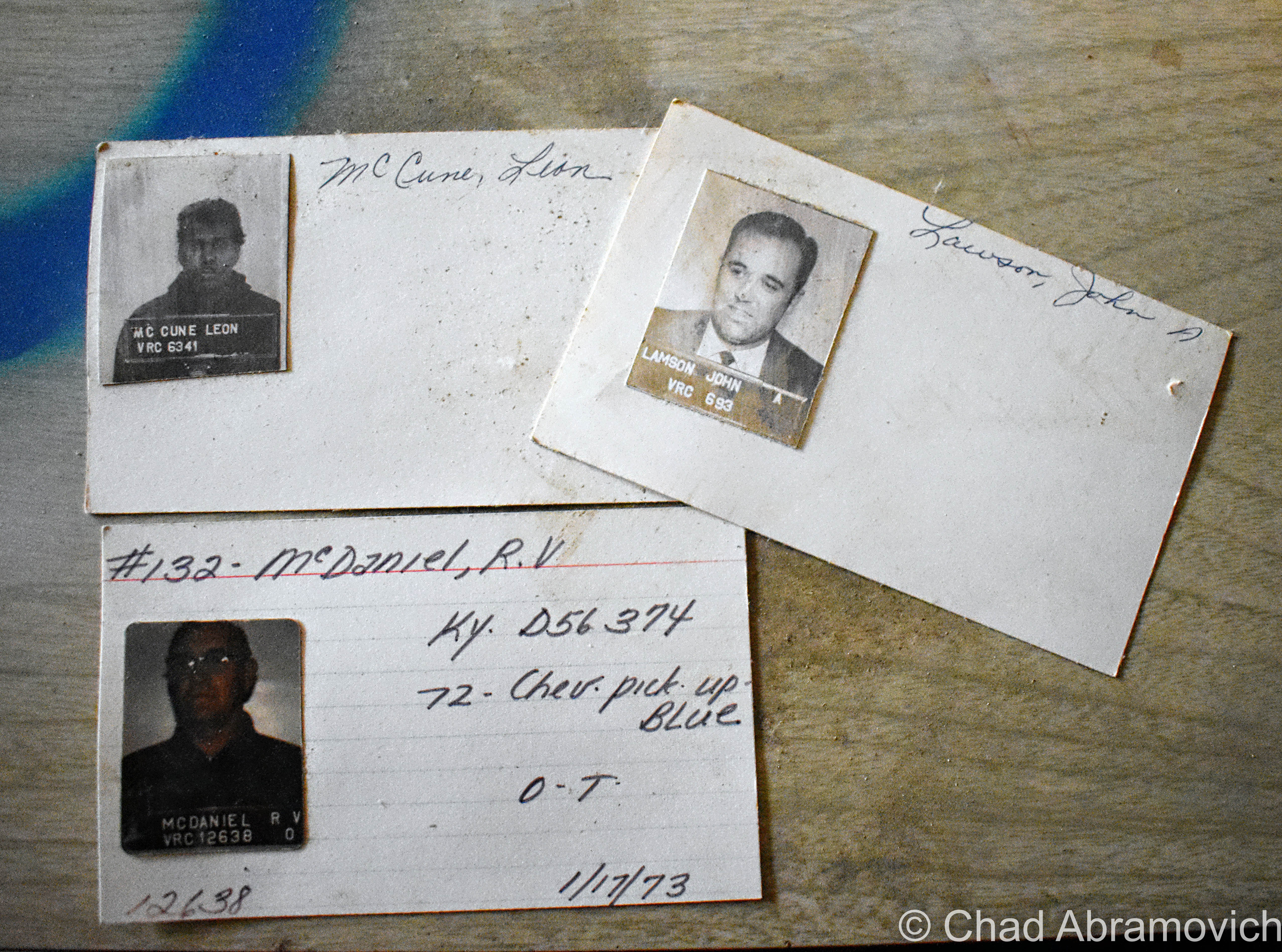
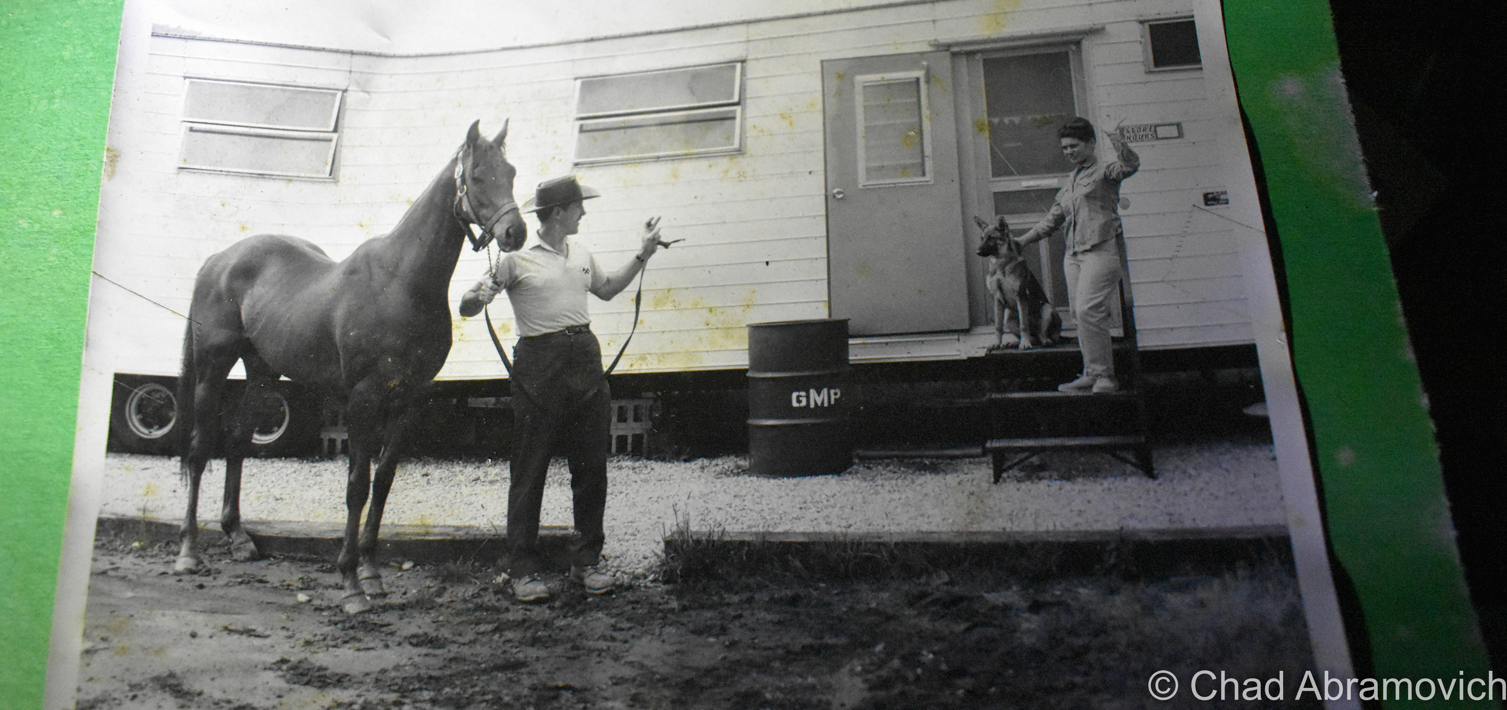
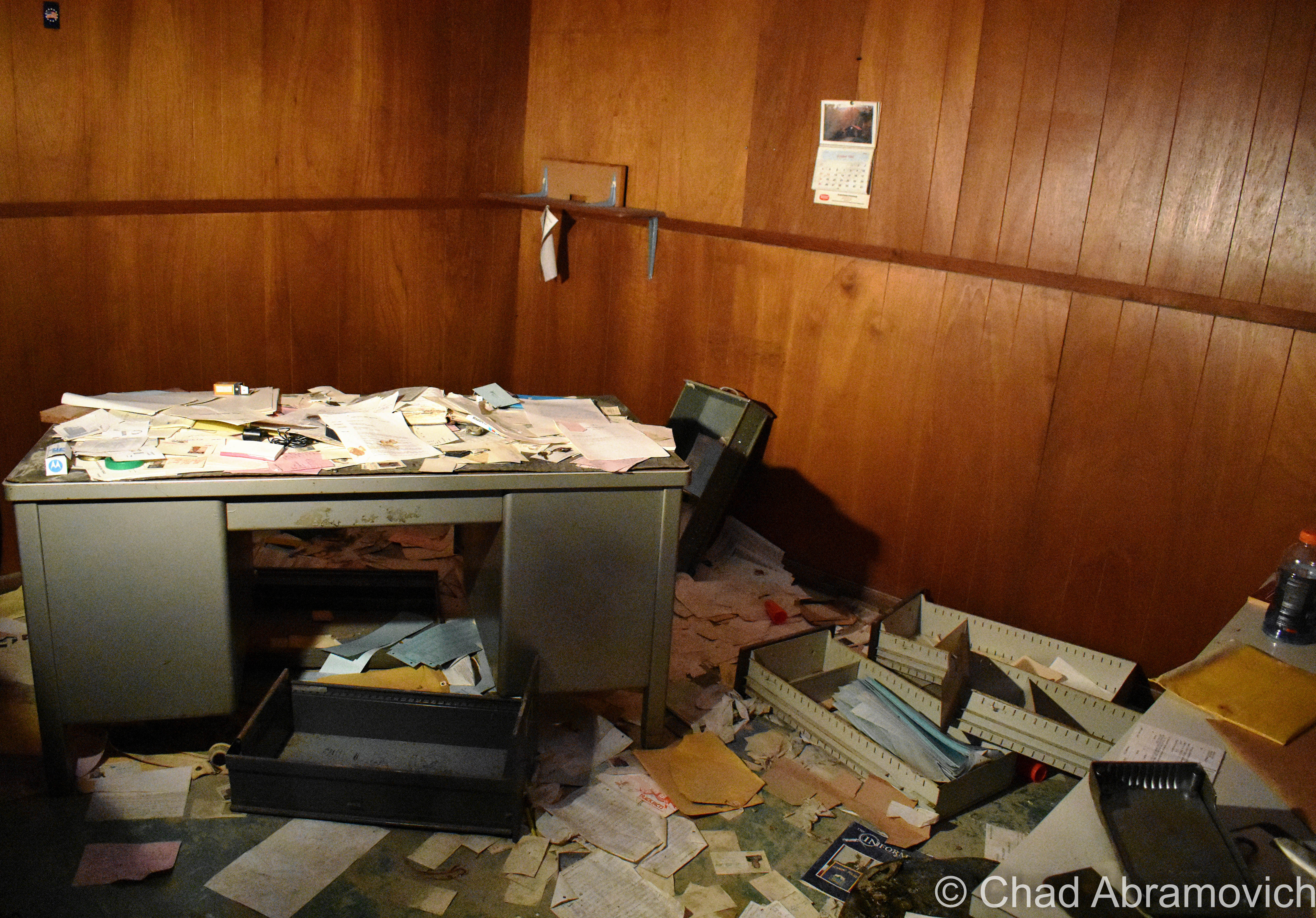
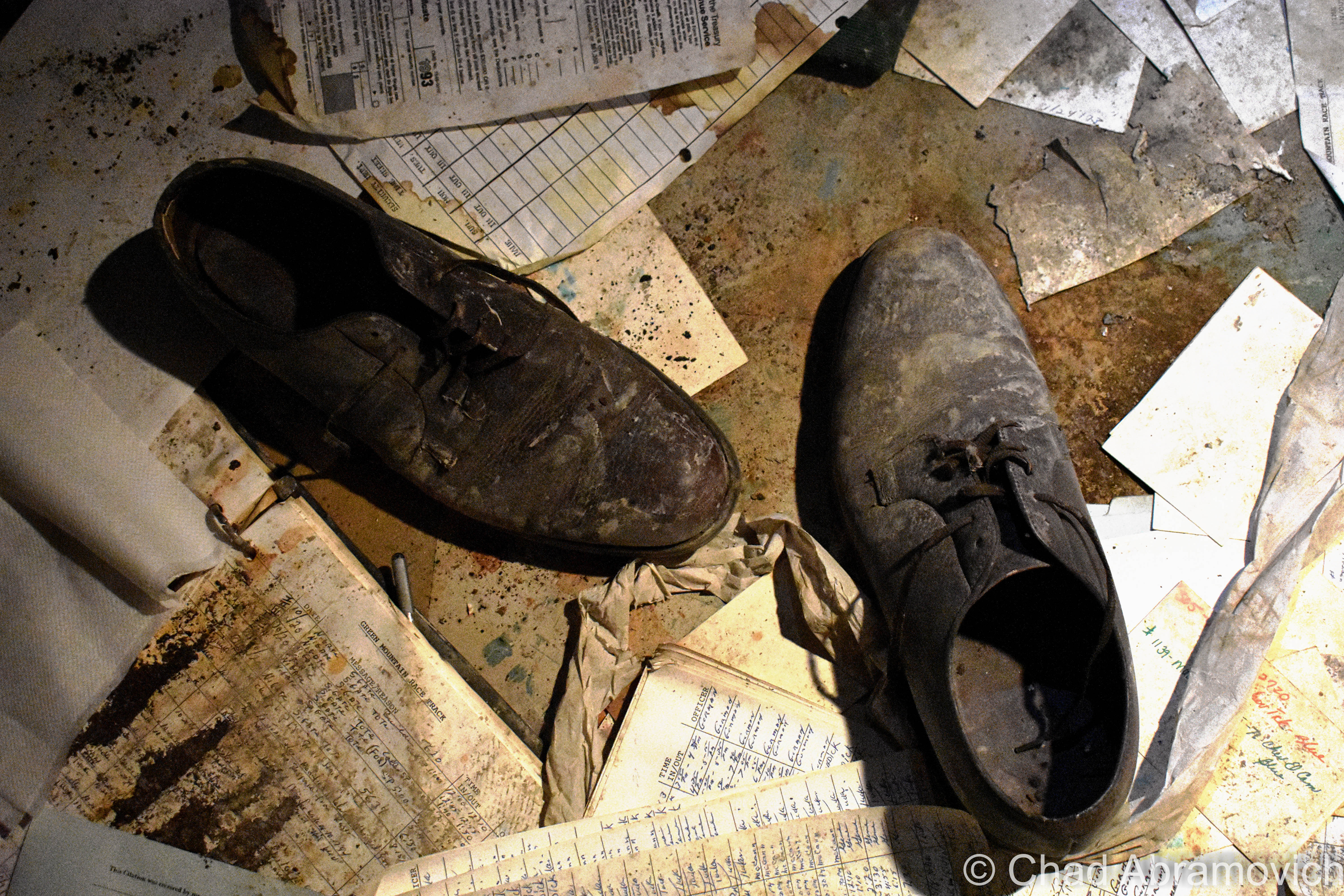
A Day At The Races: The Old Green Mountain Racetrack (and Pownal Peculiarities)

I remember first passing this ugly hulking blight as a young kid on a trip to Connecticut, and never forgot it. It took me until the past few years to really investigate it, though, because I assumed it was just going to be a boring empty building enclosing rows of old stadium seats. But damn, I really under-estimated the interest factor here.

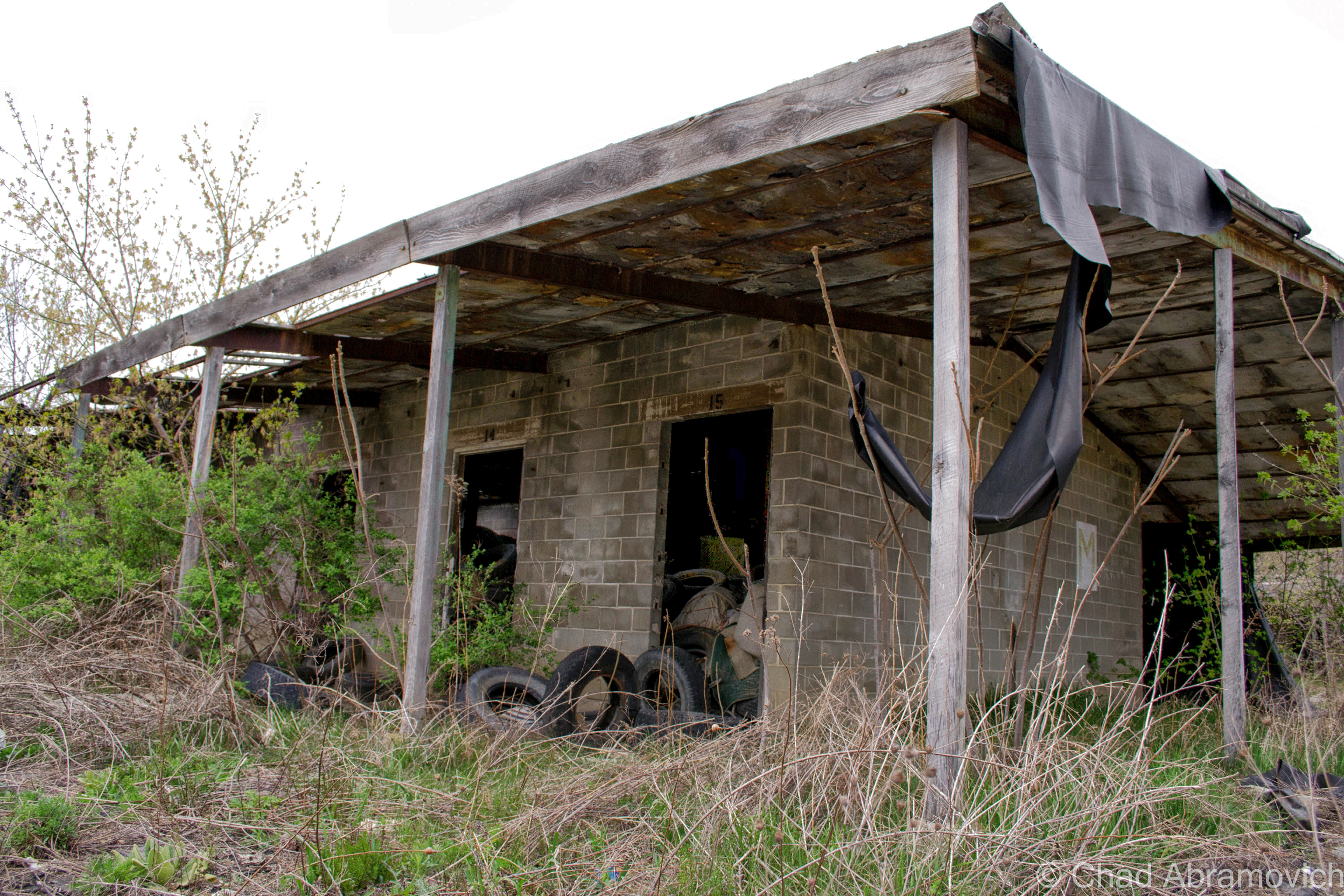
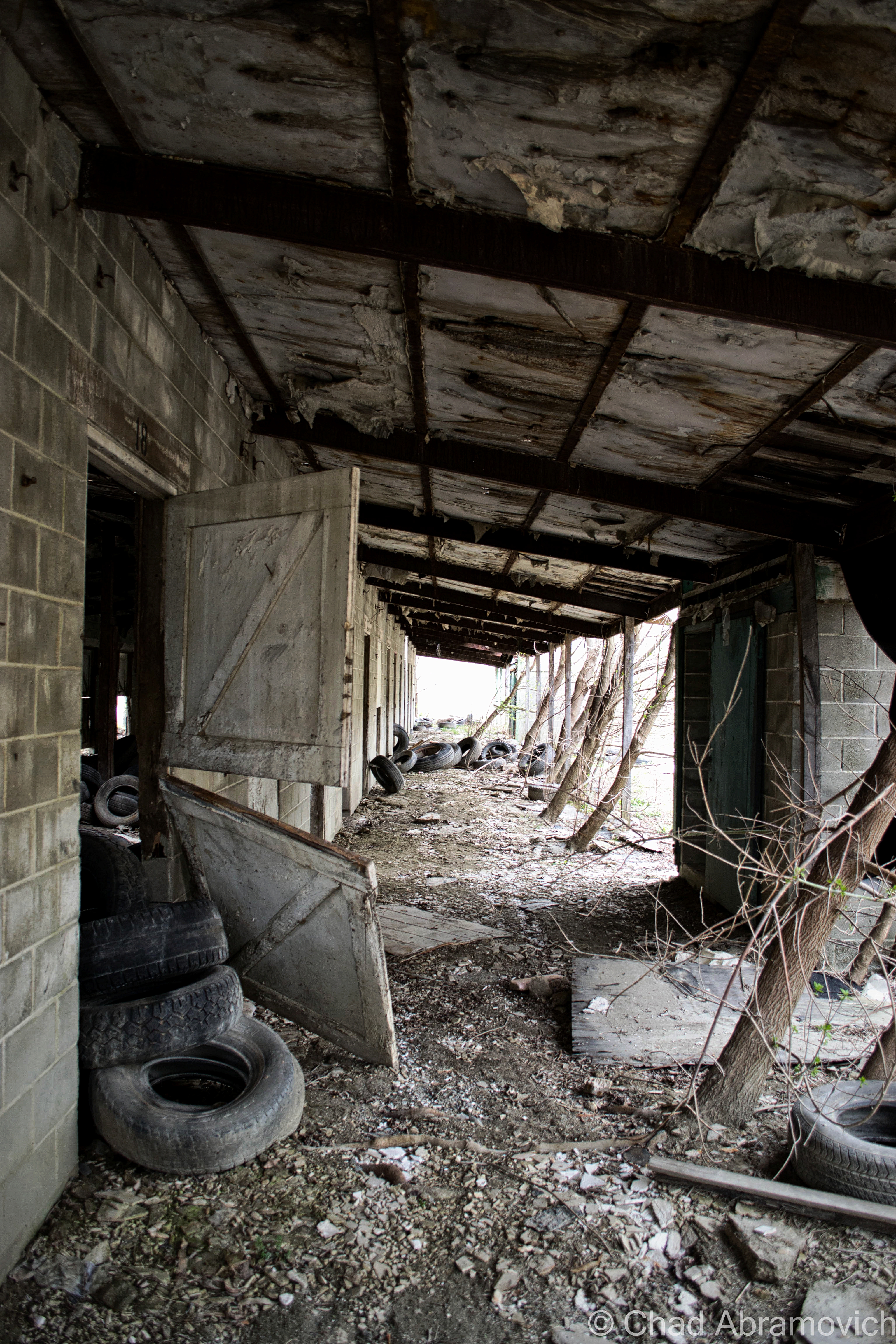
This place is so incongruous and inconspicuous in contemporary Vermont, that many people are pretty surprised to find it actually ever existed at all. And though it was never a huge success, it was a standout place for this compartment of American culture and ran for most of the latter half of the 20th century.

In the spring of 1965, a horse racing track started up in the hardscrabble town of Pownal – where three fascinating mountain ranges, the Green Mountains, Taconics, and Berkshire Hills, collide.

Its three creators’ idea was to duplicate the success of Saratoga, New York, and then compete with it by creating another track in a charming rural area – and the Pownal Valley, which has been literally viewed as one of America’s most photogenic, was chosen.

But it was also a very practical decision. Pownal is the extreme southwestern corner of Vermont – bordered to the west by New York State, and Massachusetts and their weird Berkshire Hills to the south. Pownal, being a primary portal into Vermont, is closer to the more urban burbs of southern New England and New York State than the rest of Vermont is, so the track effortlessly racked up a lot of visitors from the “flatlands”. 

Pownal’s history is a small magnum opus for yarn spinners and history nerds like me because so much has seemingly happened there, while parts of town look like so much hasn’t happened there, and I’m sure even more tales molder away in the town’s backroad hovels and neat antiquated farms. (Seriously, some environs look like they have been untouched by modern headways –  like you’ve stumbled into a deep southern Appalachia, or as my friend calls it; “Pennsyltucky”.)

Perhaps that’s because there’s just something, well, weird about the town, something endemic and enigmatic that might be as old as its mountains, and that draws me in like a torch in search of a flame. The town definitely has a different kind of vibe to it than the rest of Vermont. I really like Pownal – it’s seriously one of the coolest towns in the state! When I sat down to put together my blog post from this explore, I couldn’t think of this old racetrack without thinking about all of the other amazing things that I’ve gleaned about this town over the years.

Originally, the area was inhabited by Mahicans, whose savage fate may have been foretold by prophetic rocks on a Pownal mountainside.

Its realm was the only part of what is now Vermont that was ever trodden on by Dutch colonizers from New York in the 1600s (The Albany/Hudson Valley region of New York has a really cool lingering trace of Dutch-inspired architecture, toponyms, and seemingly ancient muniments as a result! I’d love to do far more exploring/researching there)

What might be the oldest home in Vermont is in Pownal village – The Mooar-Wright House – which was constructed around 1750.

Vermont’s only witch “trial” happened here in the early days of Pownal, where some folks victimized a Dutch widow named Mrs. Krieger for “possessing extraordinary powers,” whatever that meant. The obscure account was originally (and fortunately) recorded by lawyer and historian T.E. Brownell, and has managed to survive into the 21st century, though still pretty obscure.

I’ve read about a few Vermont women who were said to be witches, and usually, the accusations and “evidence” were in the camps of “consorting with the devil” or using “magic”, which lead to mischief like making cows stop producing milk, crop failures, townsfolk suddenly being inflicted by mysterious maladies, and innocuous stuff like predicting the weather before it happens. Other more sinister tales include the conjectured witch conjuring up a vast spectrum of malicious acts towards others she didn’t like.

I’ve been told that my great grandmother could predict the weather, held seances in her parlor, told fortunes she read in tea leaves, and once unwittingly shared a barn dance with the devil himself, but she seemed pretty well-liked and esteemed.

Unfortunately, widows were sometimes the prey of discrimination back then, because they were seen as not only a “burden” to the community, but they were easy targets because they had no family to defend them. Human beings are the real monsters.

Whatever it was that the widow Krieger was doing was seen as diabolical enough to condemn her, and a “safety committee” was organized to deal with it.

The Hoosac Valley: Its Legends And Its History by Pownal-ite Grace “Greylock” Niles tells that the committee sentenced widow Krieger (spelled “Kreigger” in her pages) to trial by ordeal, and gave her two choices. The first choice was she could climb a tree and wait for a group of men to chop it down. If she wasn’t killed outright, she was innocent. Or, she could face “trial by water” – which meant that a group of townsfolk cut a hole through the ice of the Hoosic River, bound her, and then tossed the poor woman into the frigid current. This surefire method stemmed from an old belief that water was sacred, and would undoubtedly sort these provoking preternatural things out. If she sunk, she was innocent, but if she floated, then that meant that she was in allegiance with the devil or some other variety of evil, and would have absolutely nothing to do with science/physics. I also noticed the confirming circumstances of the two methods contradict one another (if she wasn’t killed, she was innocent, versus if she was killed, she was innocent. What).

The widow Krieger chose the latter, thinking it was the safer choice, and sank like a stone. That was apparently good enough for those Pownal-ites who gathered for the show. Unlike neighboring Bay State witch hunters, though, these Vermonters seemed to be a bit more philanthropic, and a group of men suddenly panicked and scrambled down the riverbank to fetch her. Not only did she live through the ordeal, but I’m assuming things were really awkward afterward. As the committee resolutely said afterward; “If the widow Kreigger had been a witch, the powers infernal would have supported her”

Today, there’s a standout cliff near North Pownal that local parlance still knows as “Krieger Rocks” – both a homage to early Dutch influence and an informal parable of a hapless woman.

I also found this occurrence even more uncanny, because while the epoch of the infamous witch hysteria of Salem and southern New England occurred in the 1690s, Vermont’s lone delirium happened sometime in the 1760s, probably after 1761 when the town was charted. (Actually, Yankee witch based superstitions, though weakened, remained alive into the 19th century!)
Perhaps Pownal just needed to install a few witch windows? 

In October of 1874, Thomas Paddock, a well-respected farmer with an amicable character, suddenly found his property under a maelstrom from poltergeist-like activity.

Stones – varying in size from pebbles to a 20-pound boulder (!) rained down on his house and outbuildings, but neighboring properties were completely unaffected. The stones were found to be hot when handled, even on chilly nights, and a few of them reportedly defied gravity, and rolled uphill, or even up and over the peak of the roof after landing, almost as if they were propelled. Mr. Paddock dubbed whatever it was “the stone-throwing devil”, word got out, and for a brief time, it caused a sensation.
He even offered a reward of one dollar for anyone who could solve these shenanigans, but shortly after, the cache of tourists and newsmen cleared out when the odd activity finally stopped. Nobody was any wiser at what exactly happened at the Paddock farm, not even today (though cursory blame was attempted on a hired farm boy named Jerry, who coincidentally was in the vicinity of the falling rocks more often than not…) Interestingly enough, the farm just happened to be near-ish the Krieger Rocks part of town…

Local girl Addie Card, who once labored at the now-demolished and superfunded Pownal Tannery (a site I’m sorry I missed out on), was photographed by the now-famous documentarian Lewis Hines and the image became a barometer in his efforts to stoke public objection about turn of the last century child labor in America. A collection of dilapidated shacks off state route 346 on a dented dirt drive known as “French Hill” are original tenement houses of the old tannery and one of the last reminders that the place actually existed in North Pownal.  

There’s still an existing and forgotten granite tri-point state marker erected by surveyors in the 1800s that’s now lost in the thick forests of the hills – some of those slopes still cooly contain colonial-era scrawlings on glacial deposited boulders of predecessing hikers and explorers – just some of the many relics I’m sure these hills contain. I know some people that hit a jackpot with their metal detectors around it. Who knows what else can still be found within the southern Green Mountains?

Another notable person with alleged wild talents was Clara Jepson, Pownal’s official seer – a profession that you don’t hear that much of in contemporary times (except maybe advertised on television at 3 AM). But until she died at 87 in 1948, she was the best-known clairvoyant in Vermont and created a pretty venerable reputation to back up her accumulated character.

Among her professed talents, she could allegedly hunt the location of lost or hidden objects, and was consulted on several cases, including one of the terrifying disappearances in the nearby mountains that would later become an area known as the “Bennington Triangle” (one of my favorite Vermont stories). According to witnesses, her answers would manifest themselves in a cryptic language within the folds of a lacy white handkerchief she would fondle during her sessions. (If anyone is old enough to recall ‘seeing’ her in real-time, or has any kind of story related to, I’d love to hear from you!)

It seems like Pownal’s always done things a bit differently, in ways that seem to almost be a few shades deeper into the mystic that’s masqueraded by a rough enchanting landscape, and maybe that’s augmented because of the town’s historically independent spirit, mountain isolation, and influenced by its border state surroundings. I honestly don’t think that this racetrack project could have happened in any other spot in Vermont.

And speaking of the racetrack, it also seems to be the last big spike in Pownal’s histogram, for the time being anyway. The track opened in May of 1965 at a cost of six million dollars in a former cornfield along the Hoosic River.

But from the start, Vermont’s only pari-mutuel racetrack failed to draw in the crowds that its investors were anticipating – the actual attendees were half that. But it kept on keeping on, despite quite a few subsequent telltale ownership changes, and oddly became kind of significant for east coast horse racing, ironically because of the efforts made just to keep the place buoyant. It was one of the earliest to do gimmicky nighttime races, and the first to do Sunday matches anywhere east of the Mississippi during the days of yore when the rest of the country still adhered to the blue laws. It created a sort of niche fanbase and wound up employing a lot of locals, which was a boon in a region with an economy that was becoming pretty hard-up. Casual tourists enjoyed the racetrack, too, and I was told it was a popular stop for folks who’d take Sunday drives through the mountains of Southern Vermont.

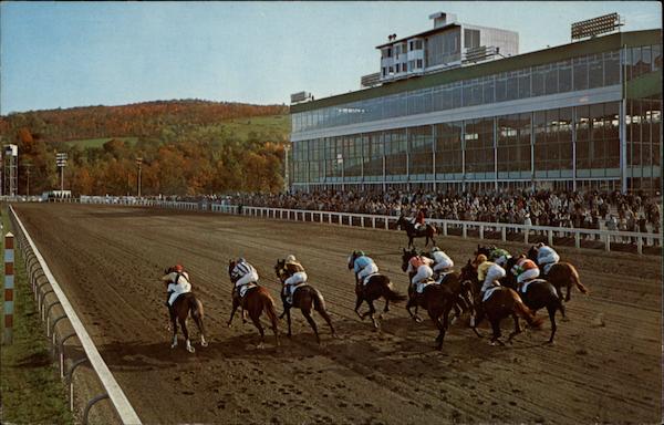
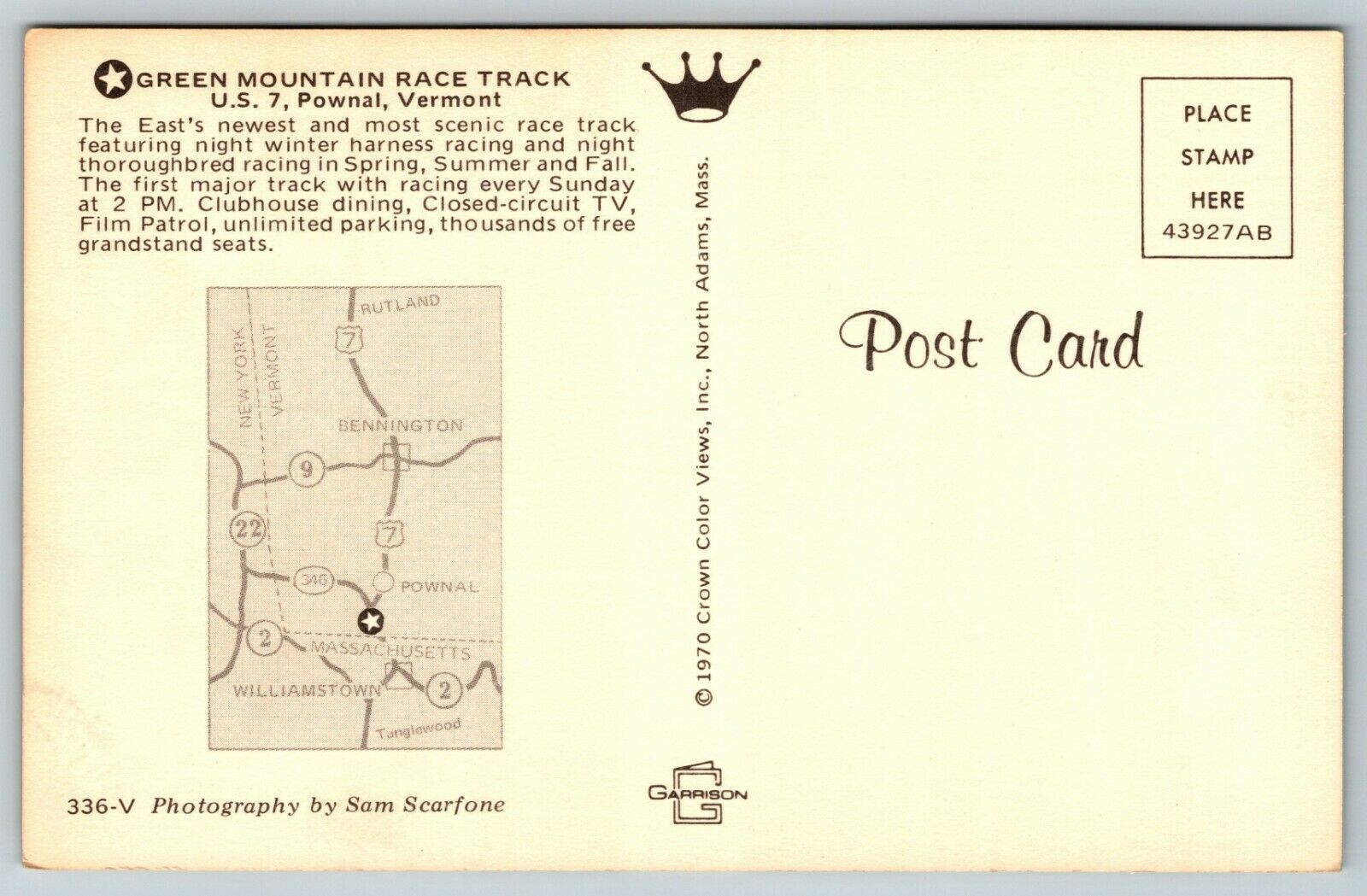
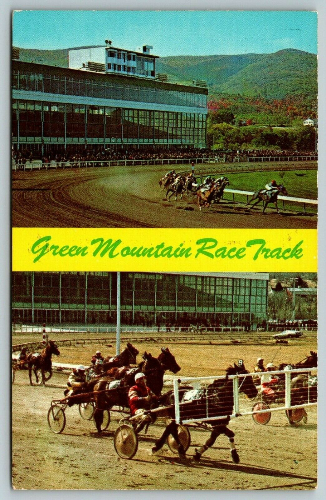
Old postcard of the Green Mountain Racetrack via CardCow.com
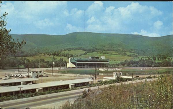
Old postcard of the Green Mountain Racetrack, with Route 7 in the foreground – via CardCow.com
Old postcard view from inside the grandstands.

A packed parking lot at the Pownal Track – sometime in the sixties.

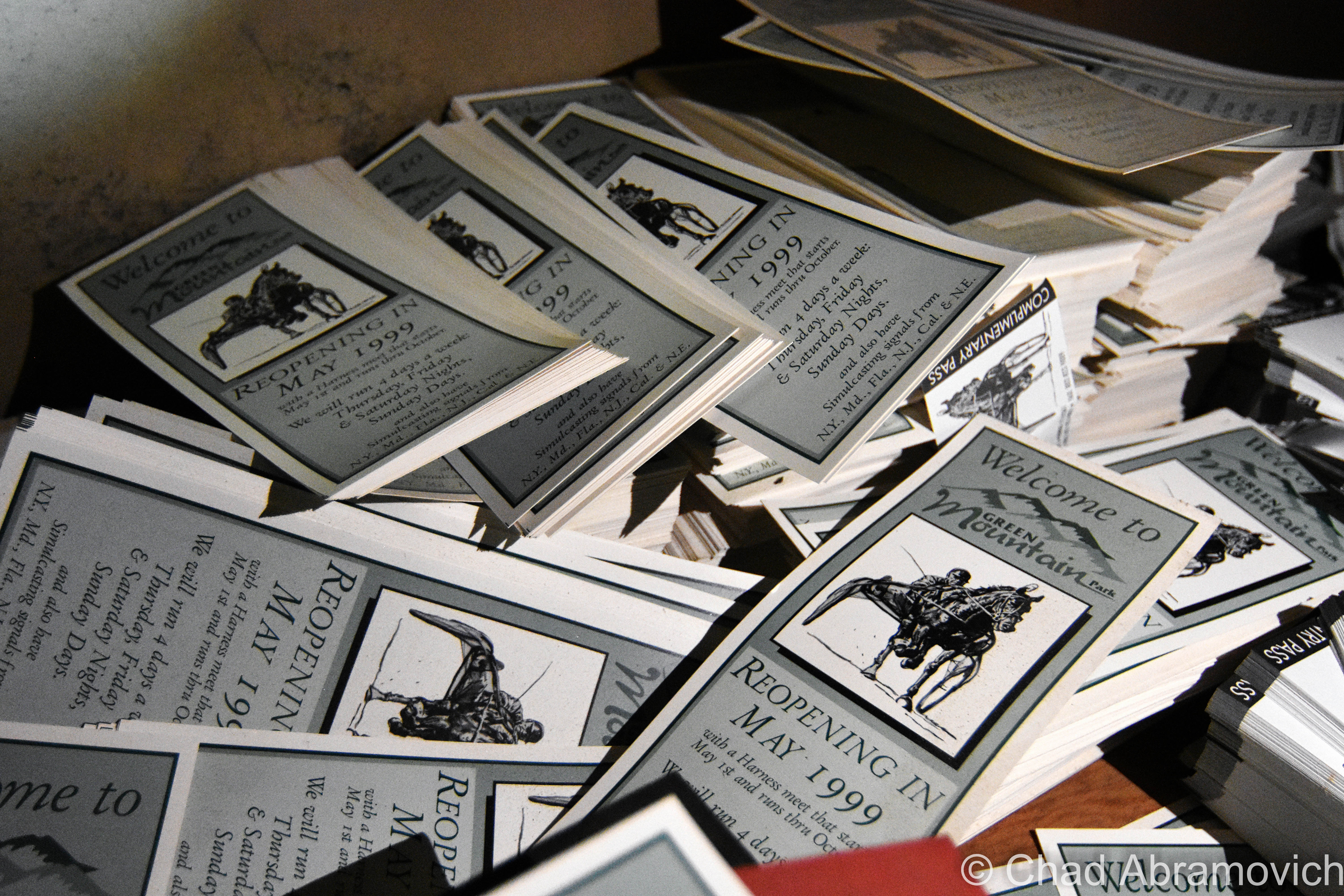
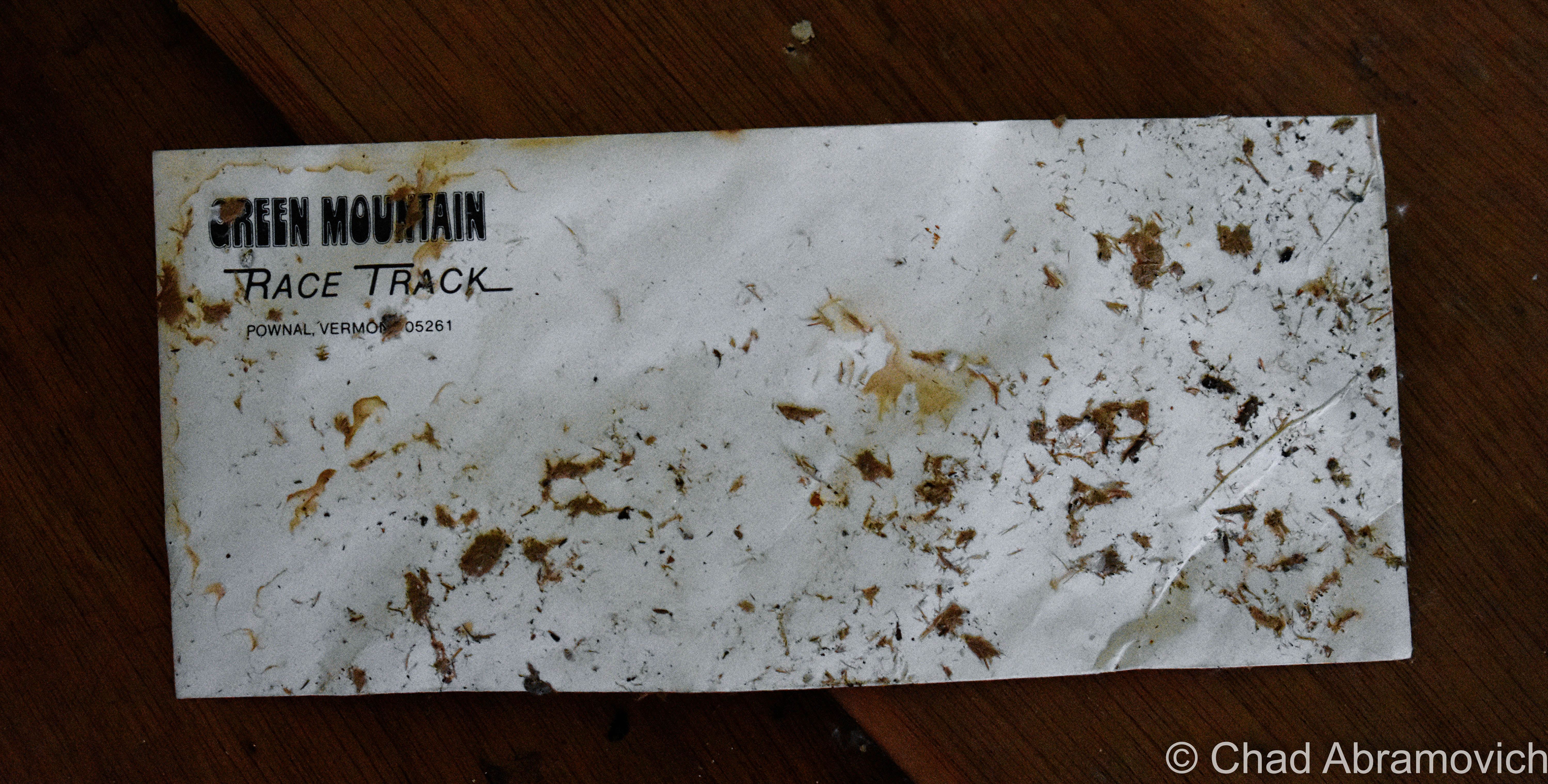
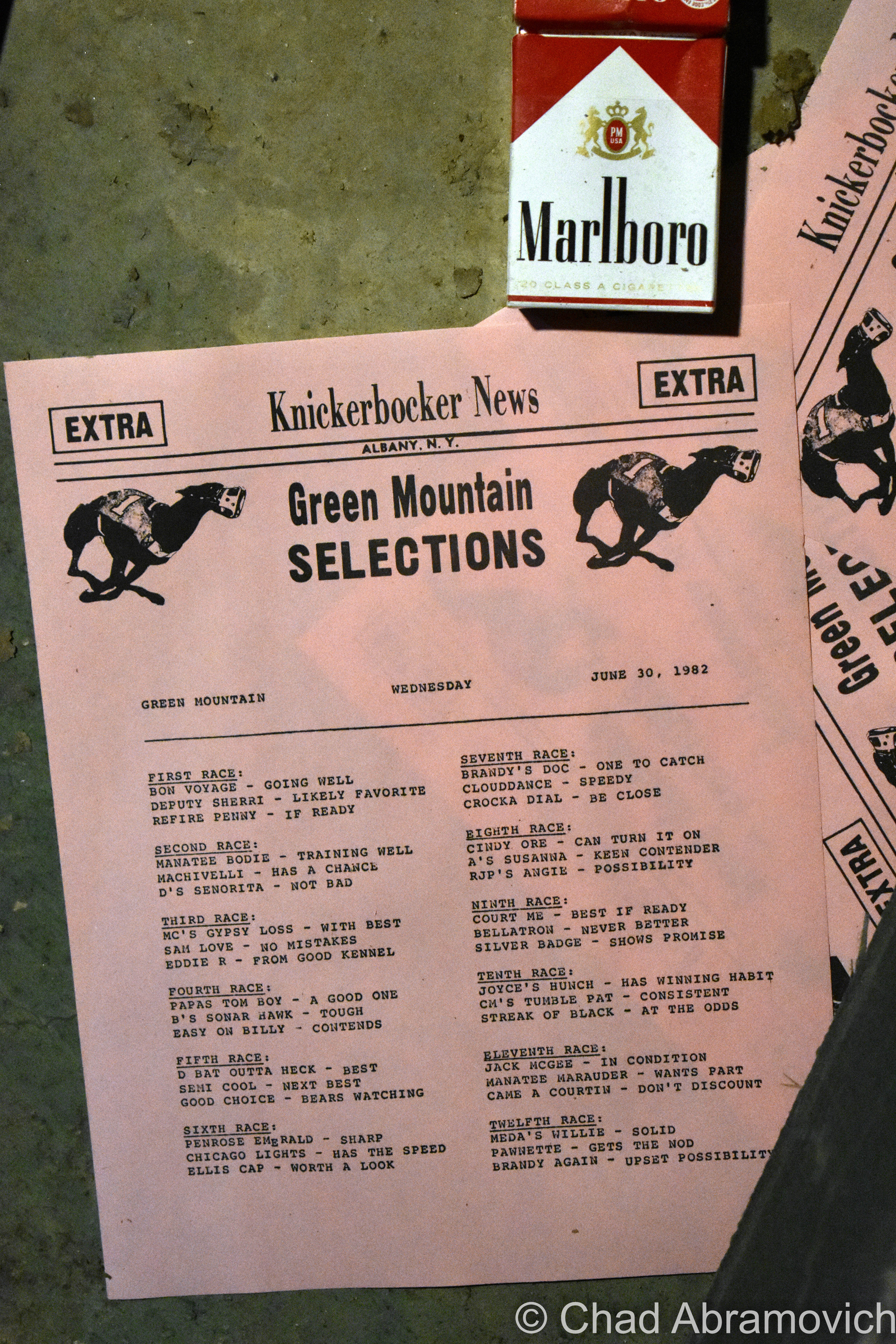
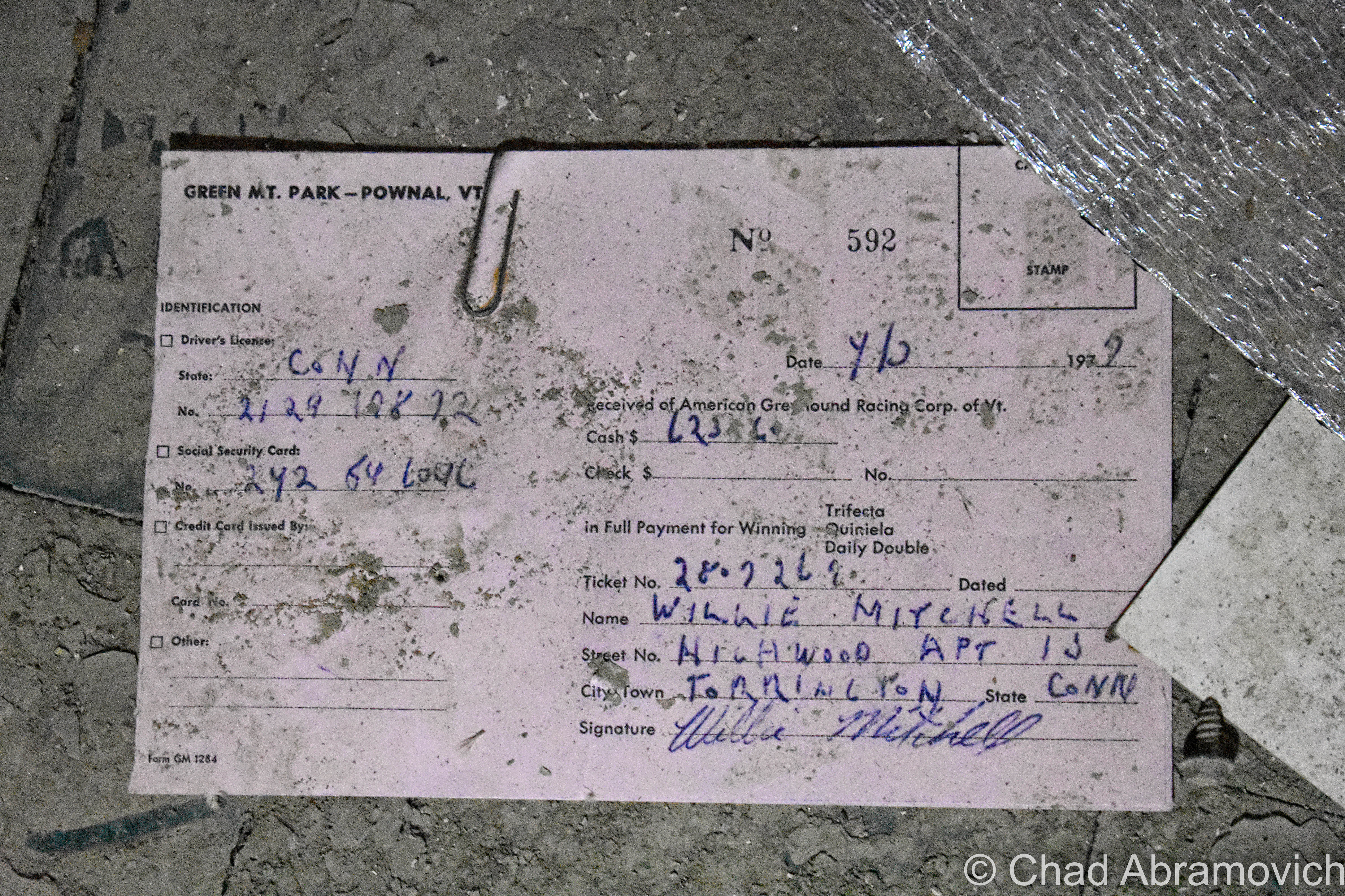
Twelve years later, horses were dropped from the itinerary, and Greyhound racing was the only thing occupying the oval (which I guess is the bottom echelon of these kinds of places, according to some nostalgia sites I browsed) until 1992, when the track closed for good – in part to animal rights activists, waning income, and the state making the activity illegal. A resurrection was attempted around the turn of the millennium but ultimately failed. It was strange seeing moldy flyers and banners ambitiously announcing its “grand re-opening” stored in soggy piles in the dank basement levels. I’d love there to be more economic prosperity for Pownal and Bennington County, but not in the form of animal exploitation.

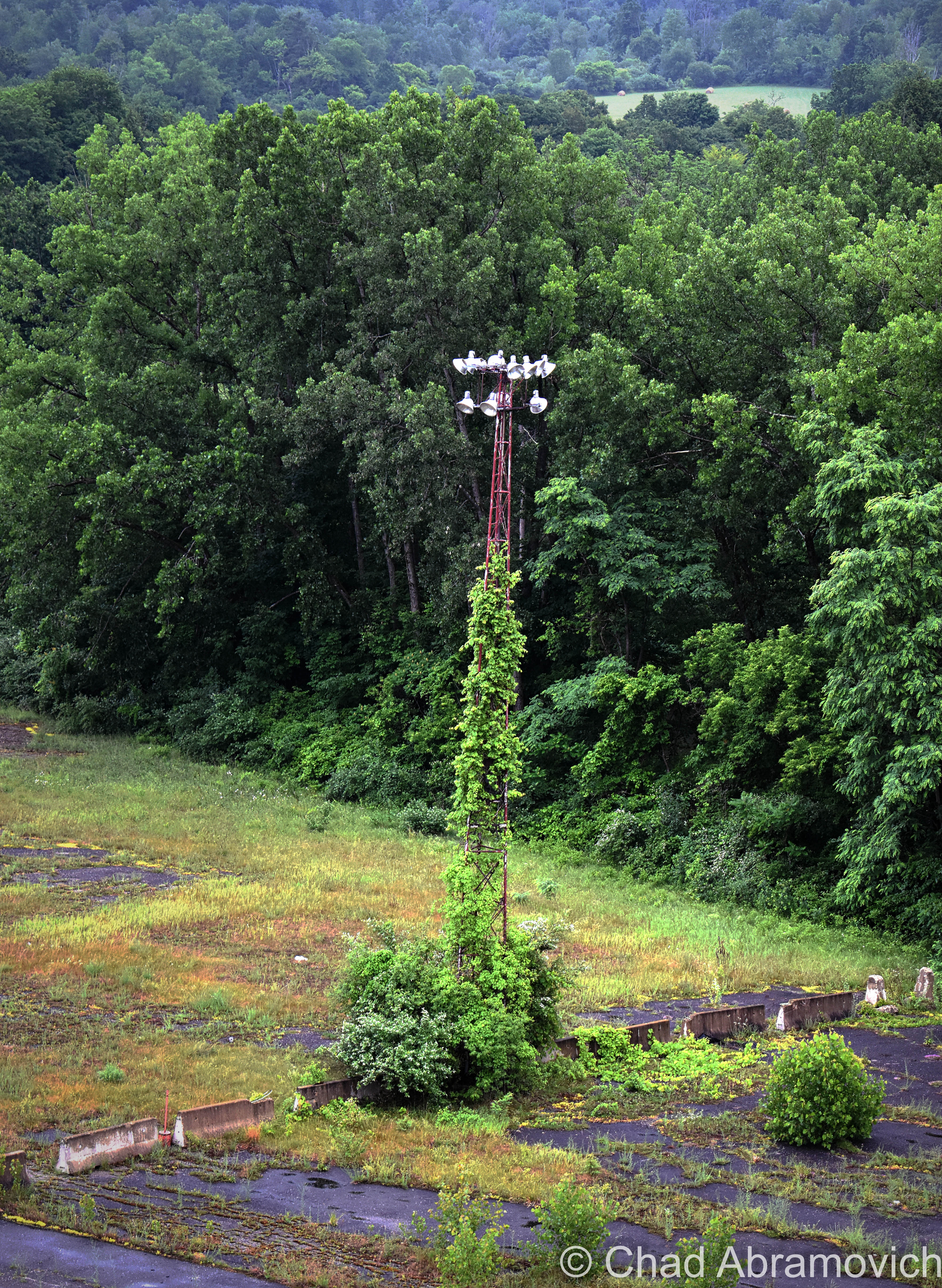
Today, the 144-acre property is abandoned, despite multiple failed attempts to do something with it, and it’s a real shame that nothing has happened yet. Further damage was done when the nearby Hoosic River, a perimeter defining watercourse that wears the Indian appointed name of many local toponyms that variate between “Hoosic” and “Hoosac” – and has a history steeped in local lore – flooded its banks significantly a while back and seeped into the lower levels of the building.

The site has so much potential – especially being off the most traveled road in Vermont. Lollapalooza held their festivities on the expansive grounds in 1996, and a few antique car shows also took advantage of the space between 2005 and 2008, which fits right in seeing as the iconic Hemmings Motor News is located up the road in Bennington in a rad, restored Sunoco station.

Williams College, a few miles south of the old track, even did a study about the property in 2011 and suggested everything from affordable housing, light manufacturing, or bringing back some agriculture.

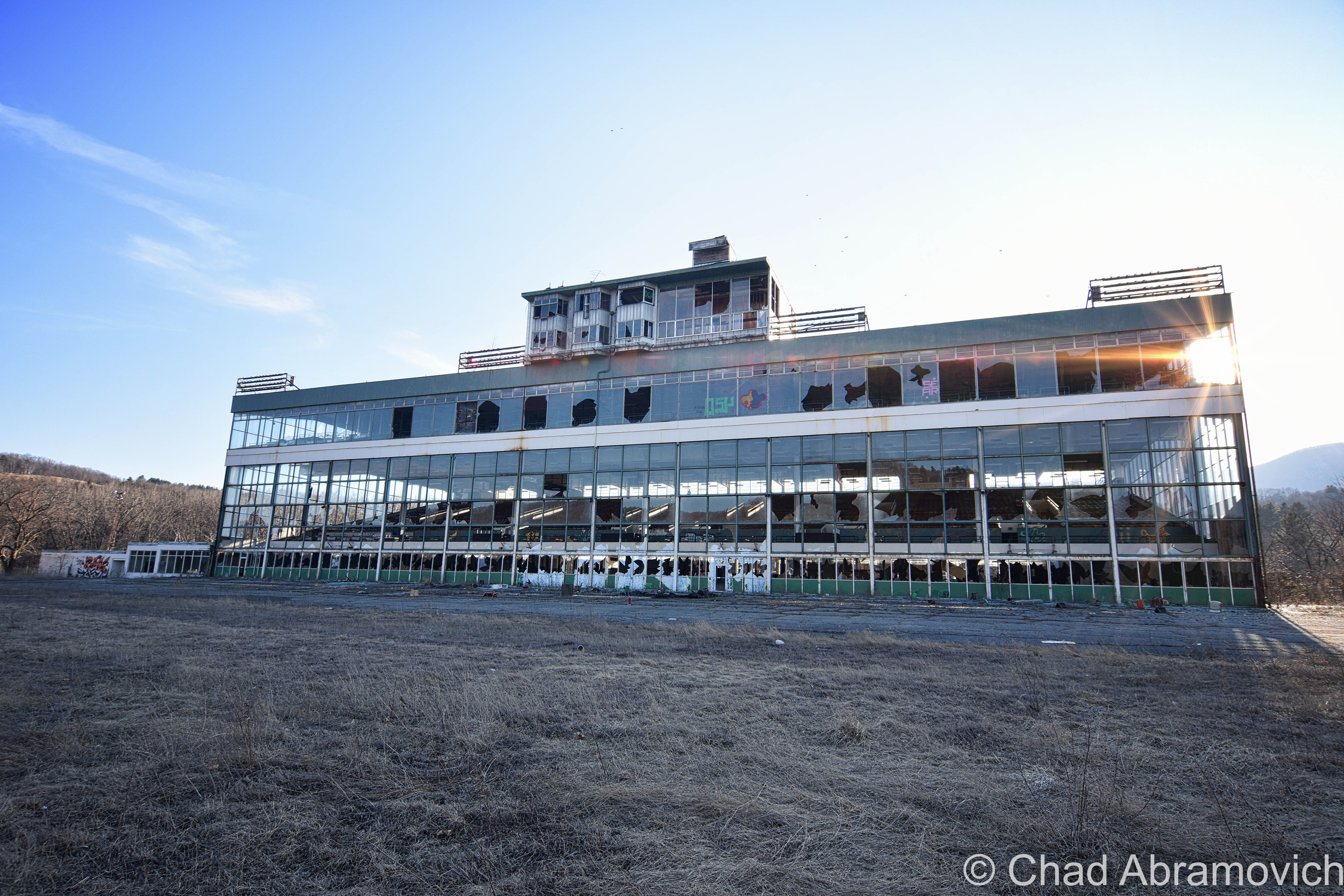
Until any of that happens, you can’t miss the place. It’s an intriguing, conspicuous eyesore at one of the main entry points into the state – dominating a portion of the view as Route 7 begins to climb the mountains towards Bennington.

One of the biggest curiosities about this property to me was the name of its access road. The unassuming road is named after a cemetery, but I’ve walked around the grounds and I couldn’t spot any boneyards. It made me wonder – back in the day, moving an old cemetery wasn’t as big of a deal as it would be nowadays. Could there have been an old family plot from an old farm that was erased? Are there still corpses trapped underneath the sea of weedy asphalt that encircles the grandstands, or maybe underneath the earth of the old track?

Well, according to Google, the cemetery still exists in a far-flung corner of the property, and it’s the oldest in town – with a gathering of faded and broken 19th-century headstones placed in the woods (Interestingly, Pownal has a lot of cool old cemeteries – and many of them are old farm family plots, which might seem kind of an odd concept in today’s world). I’ll have to give it a visit the next time I stop by.

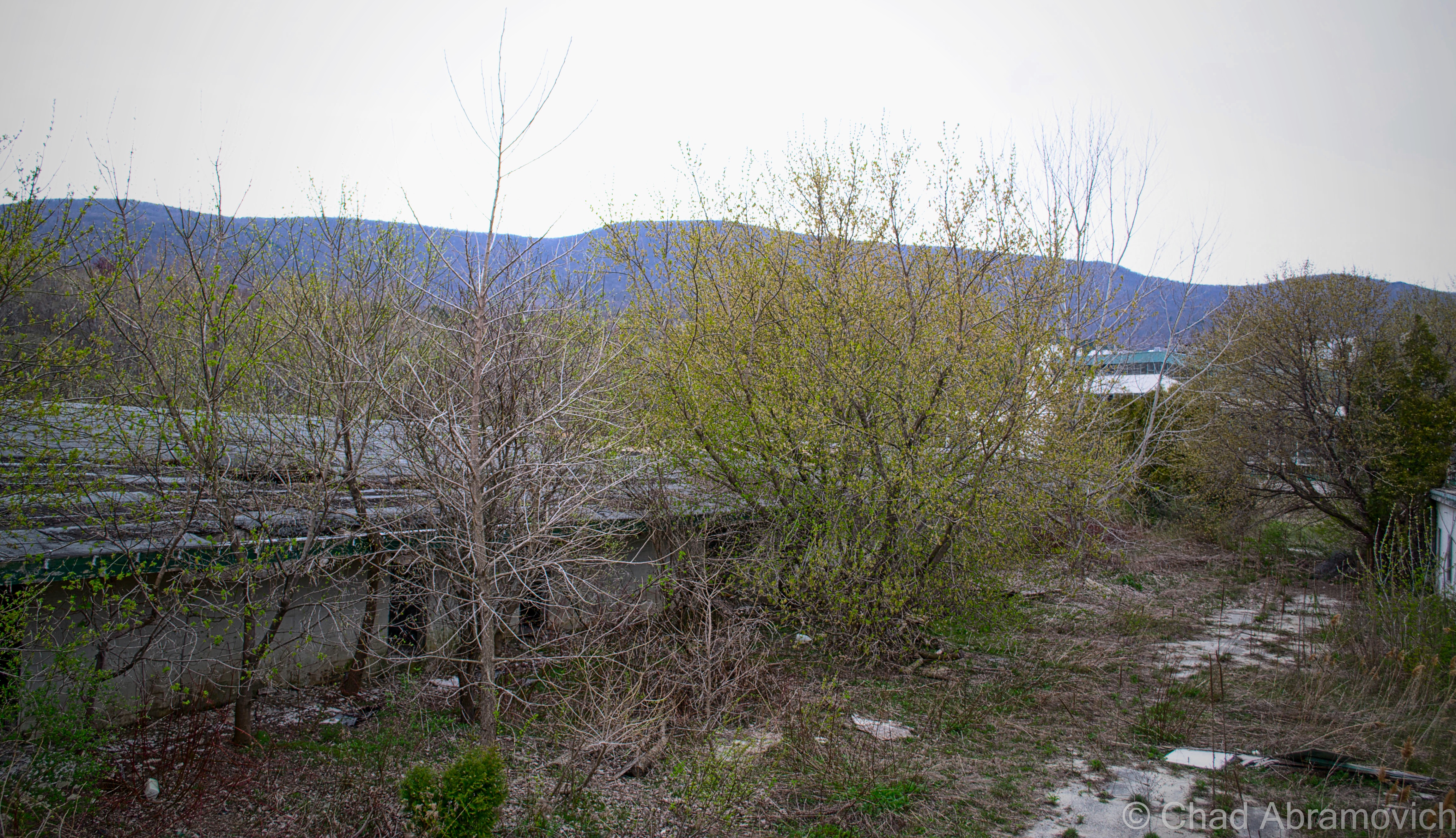
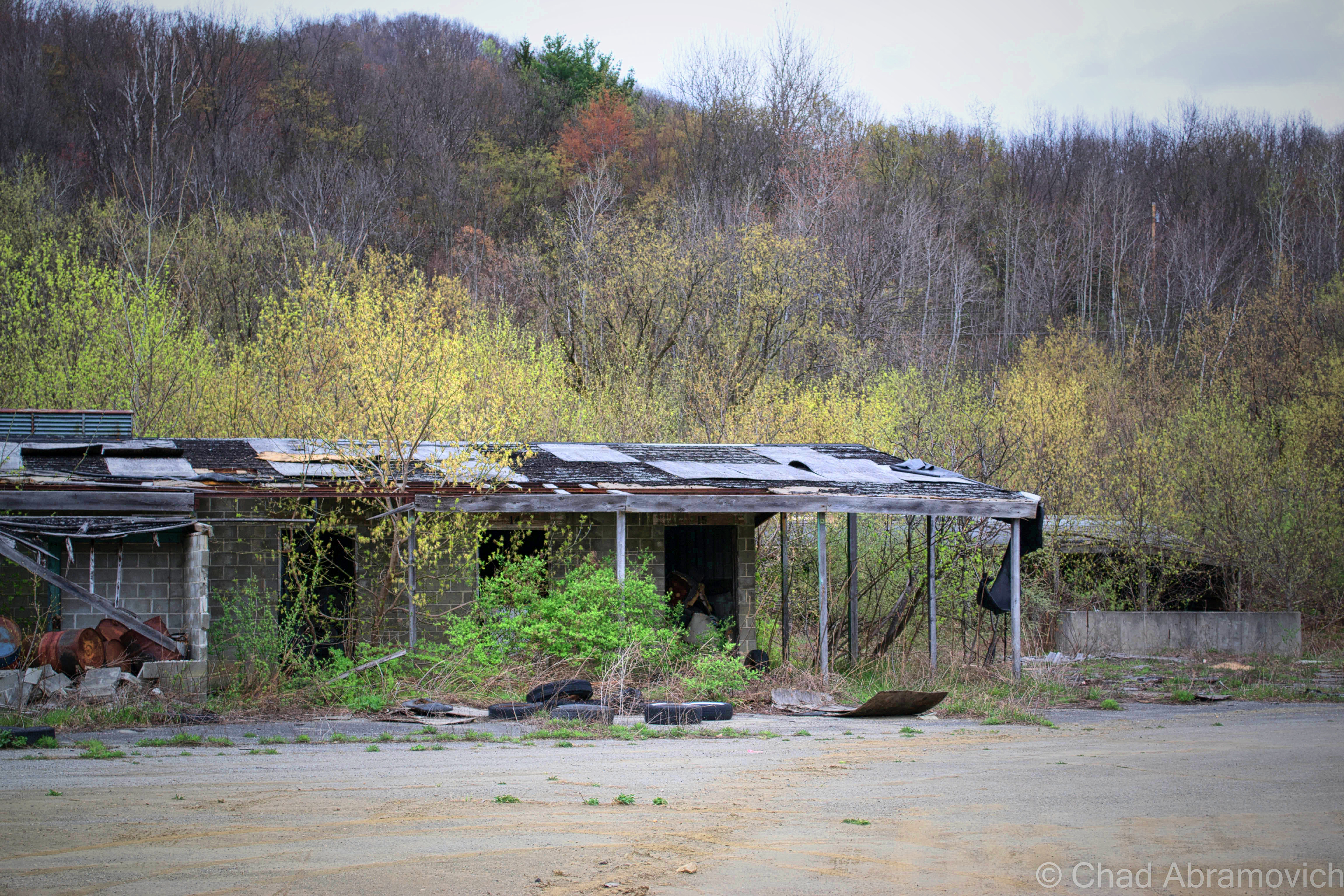
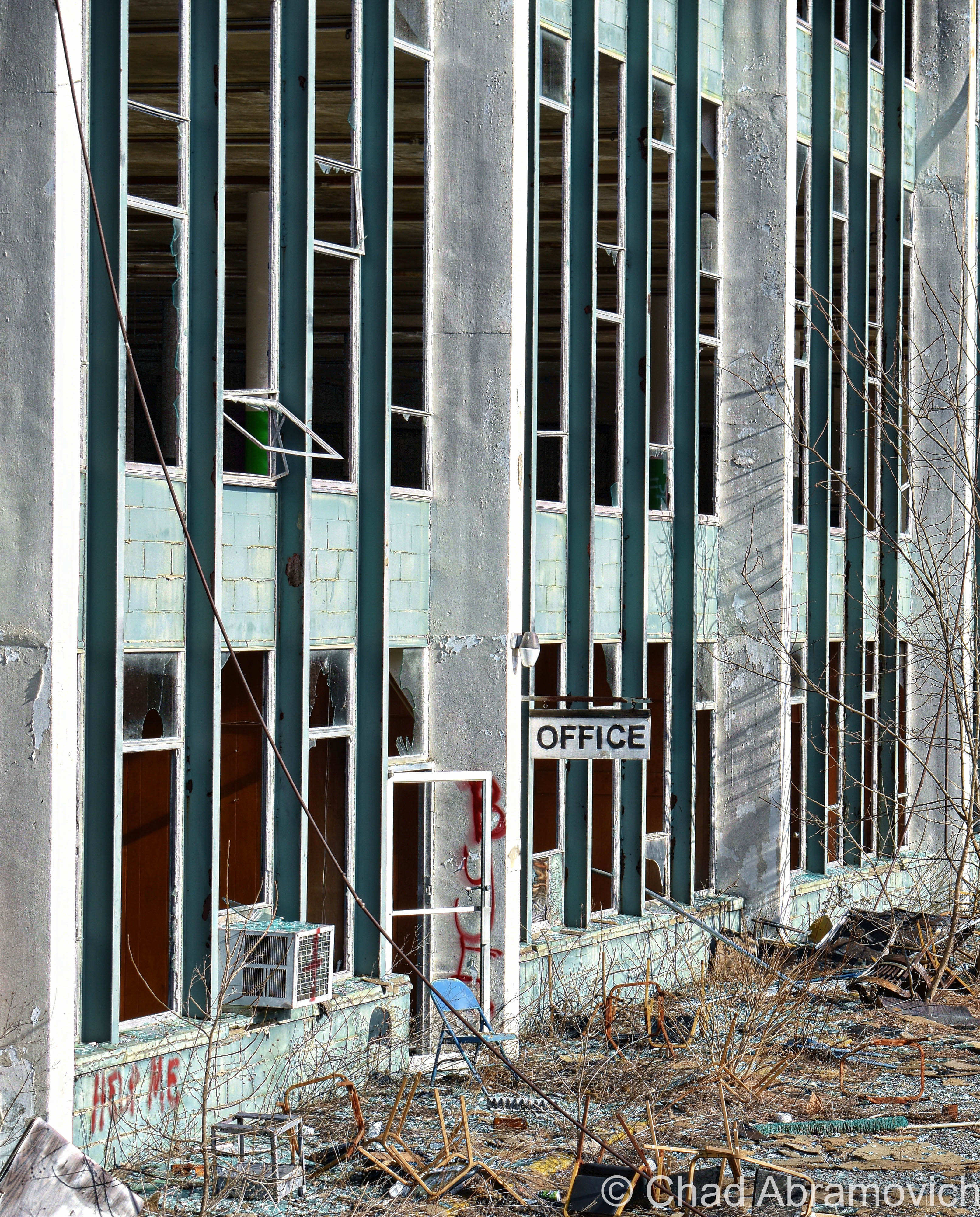
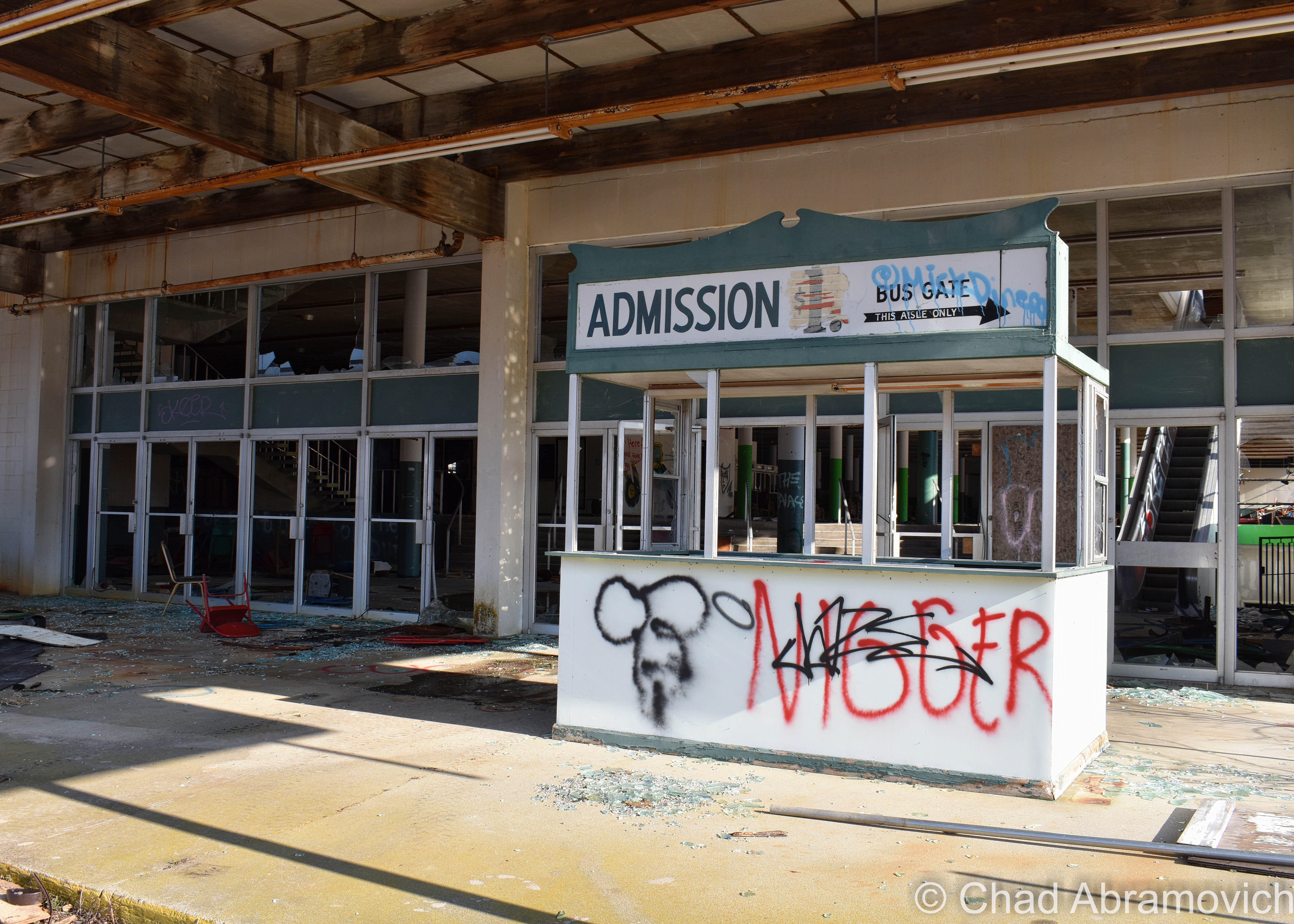
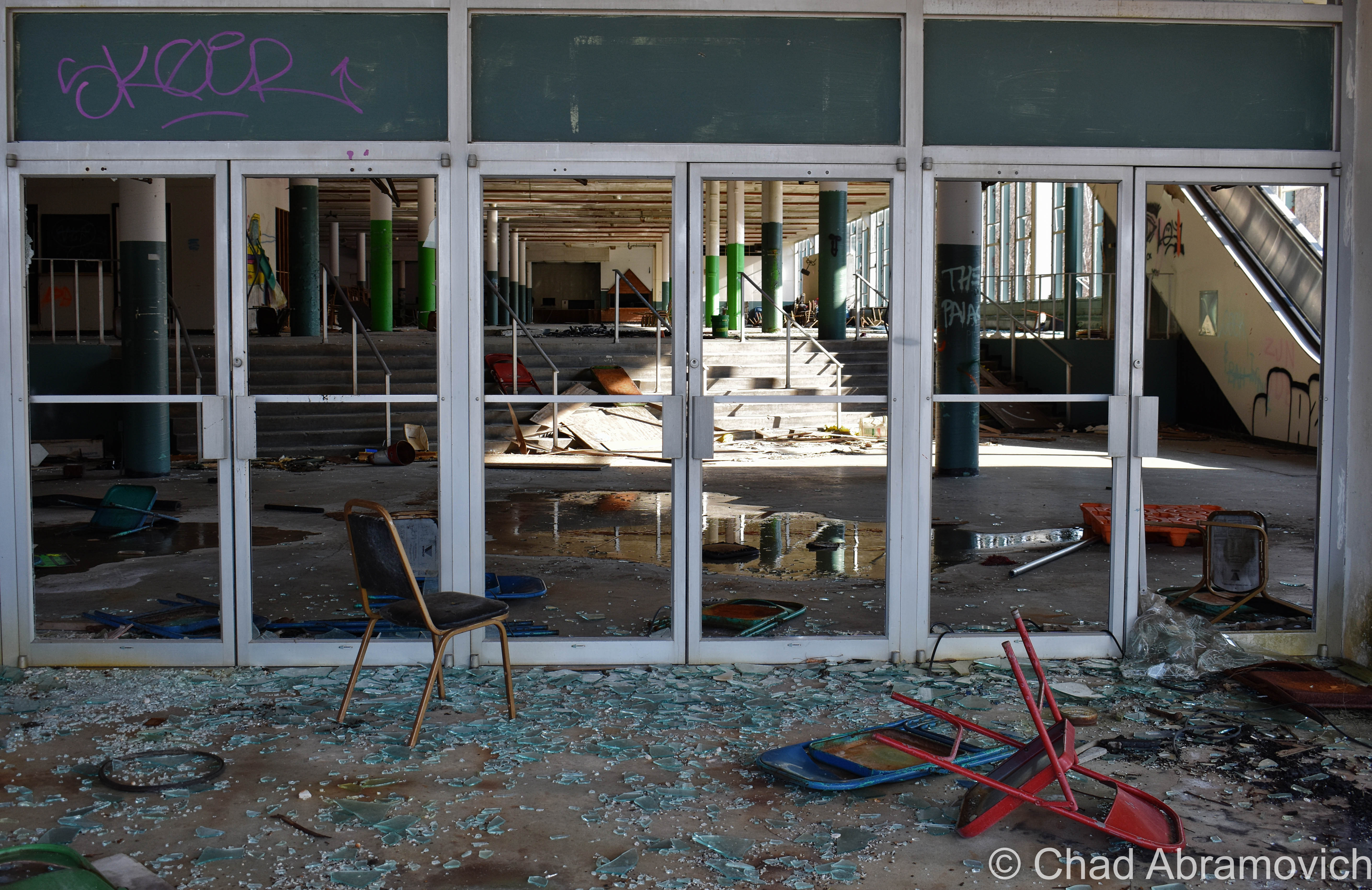
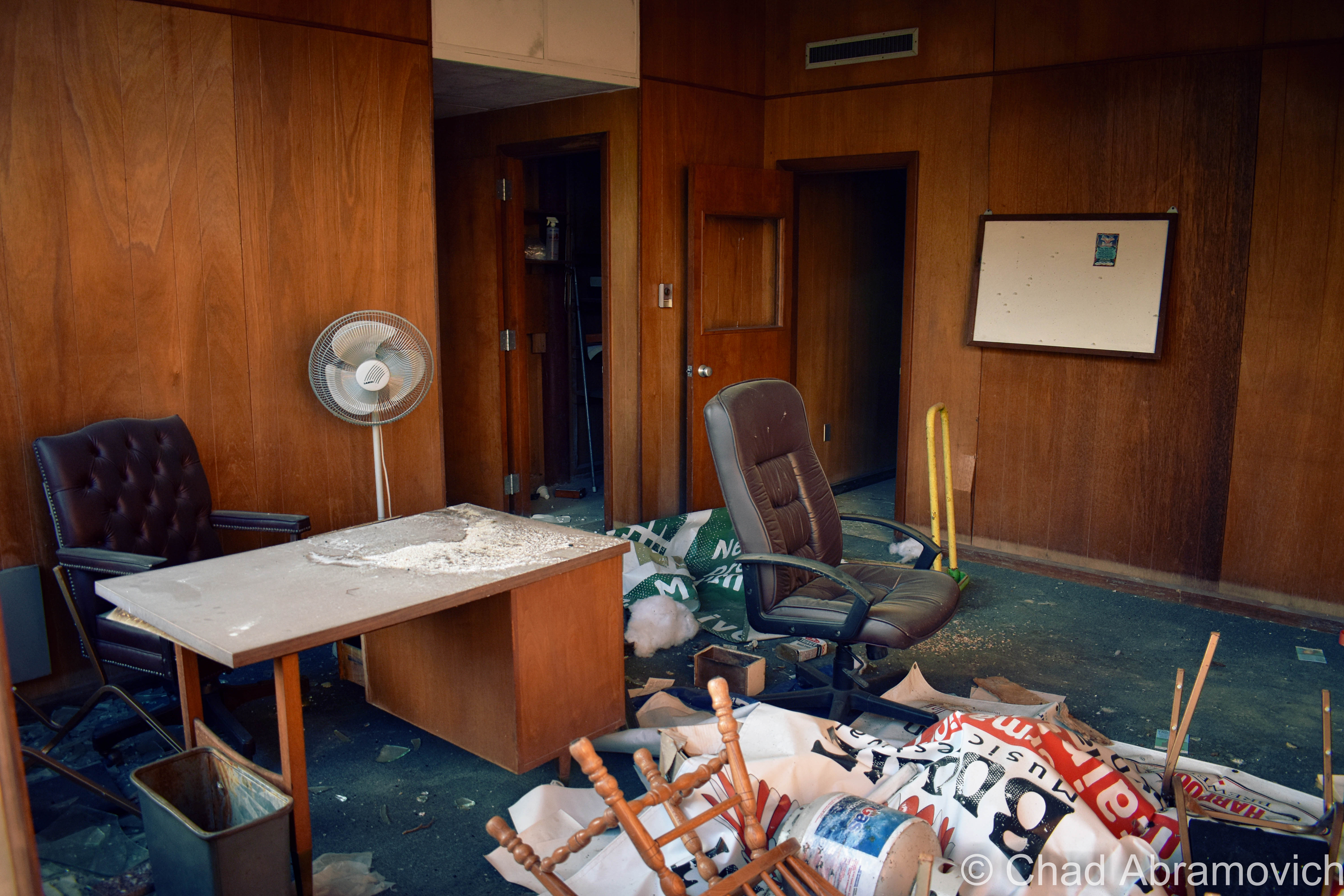
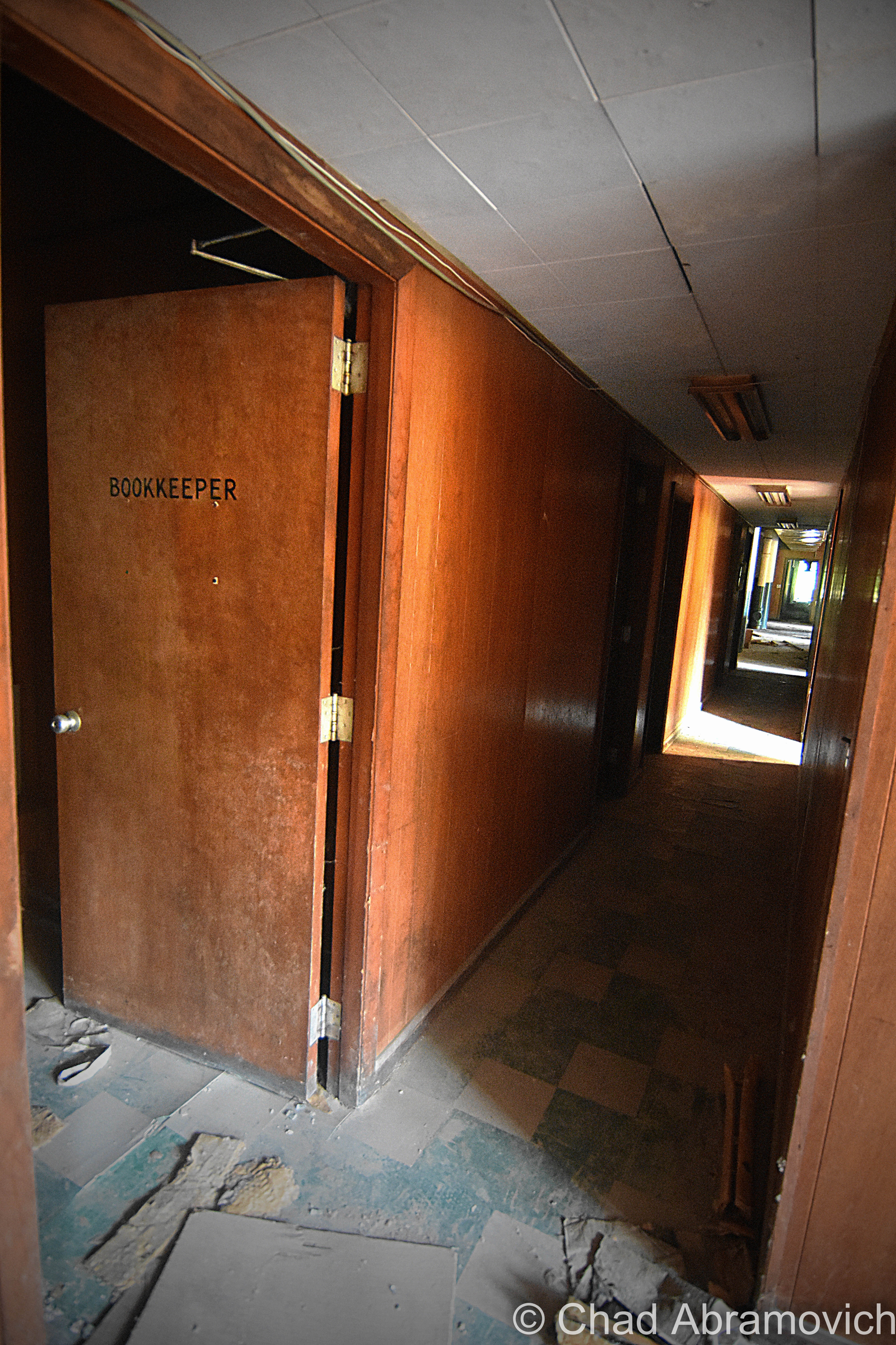
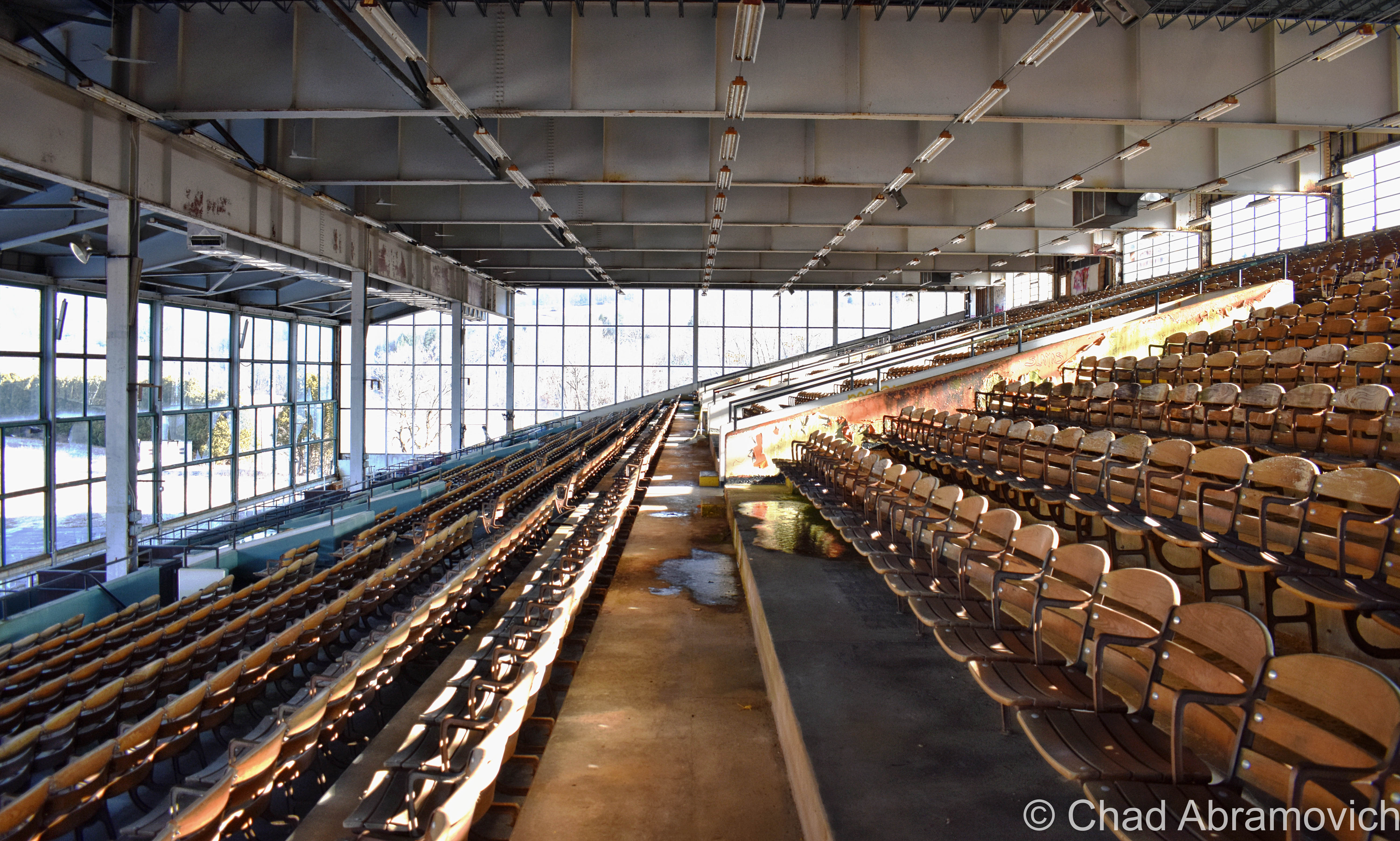
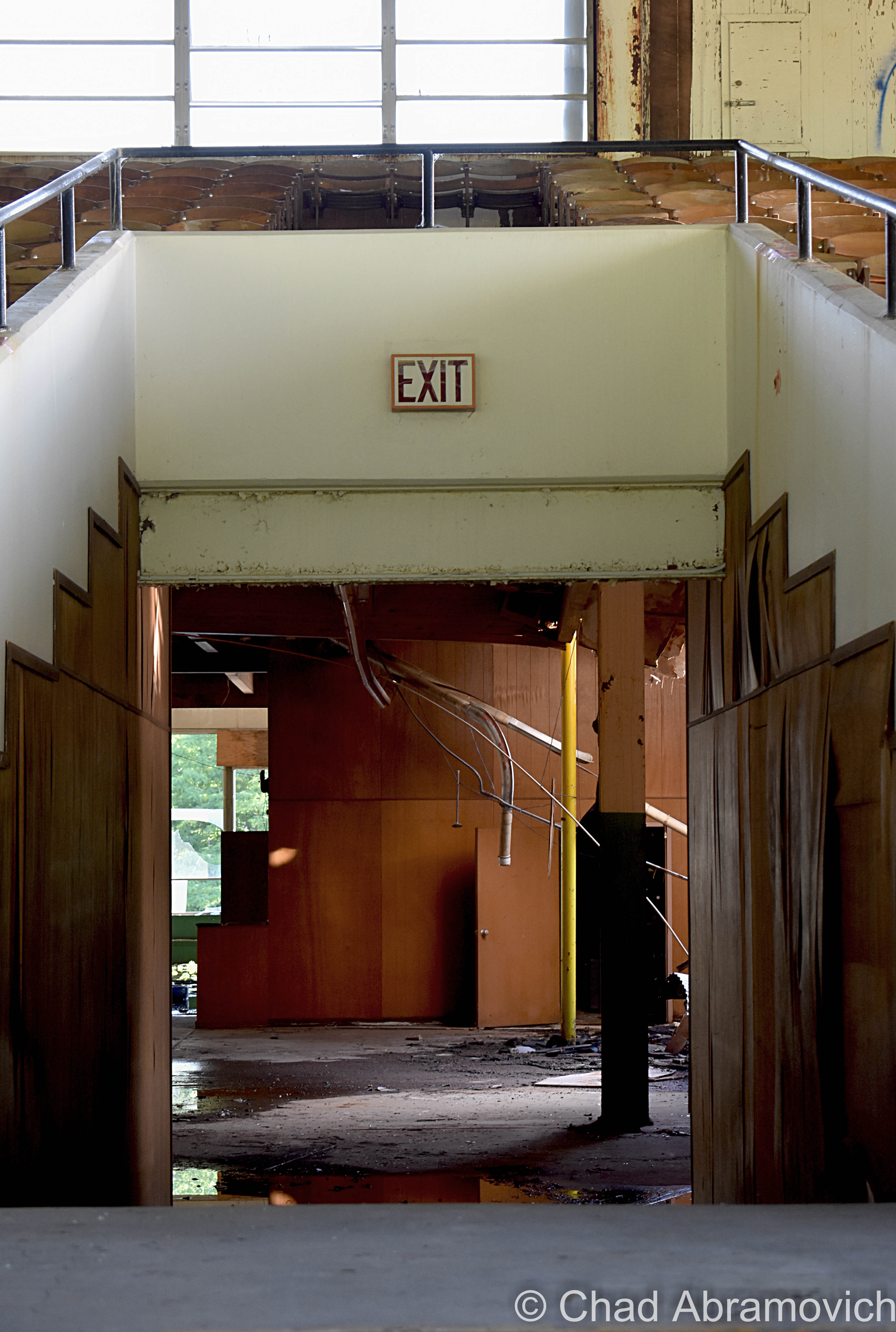
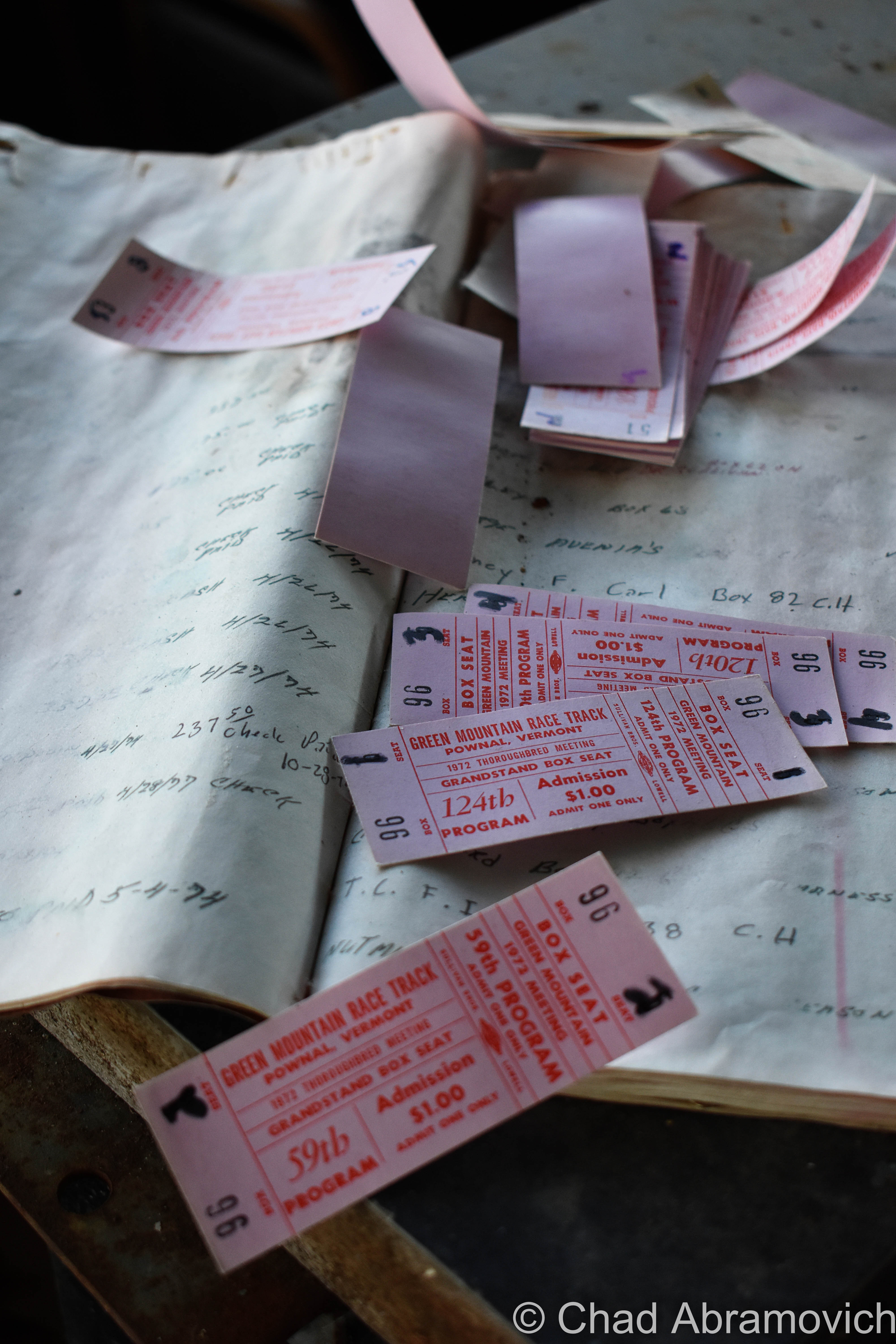
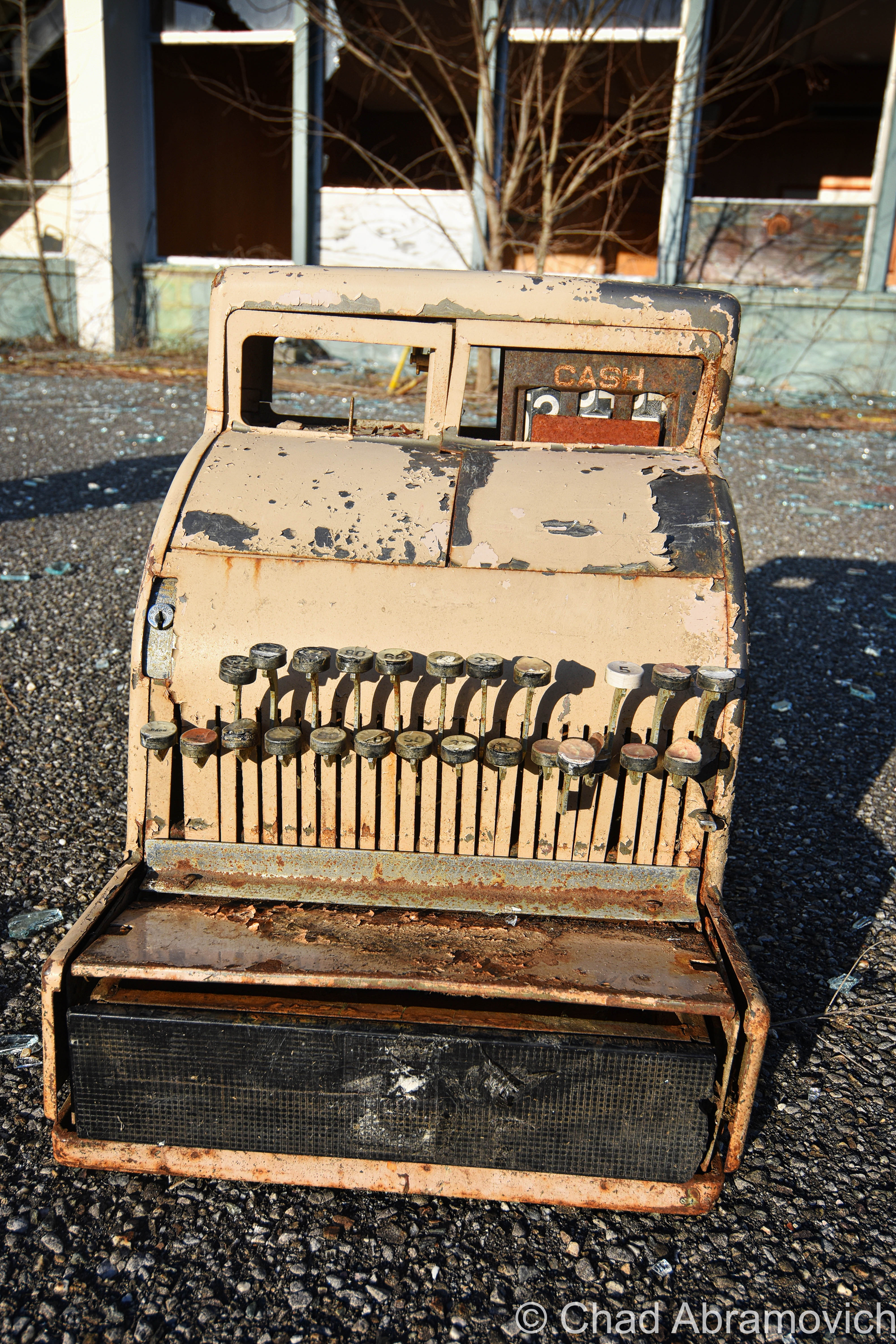
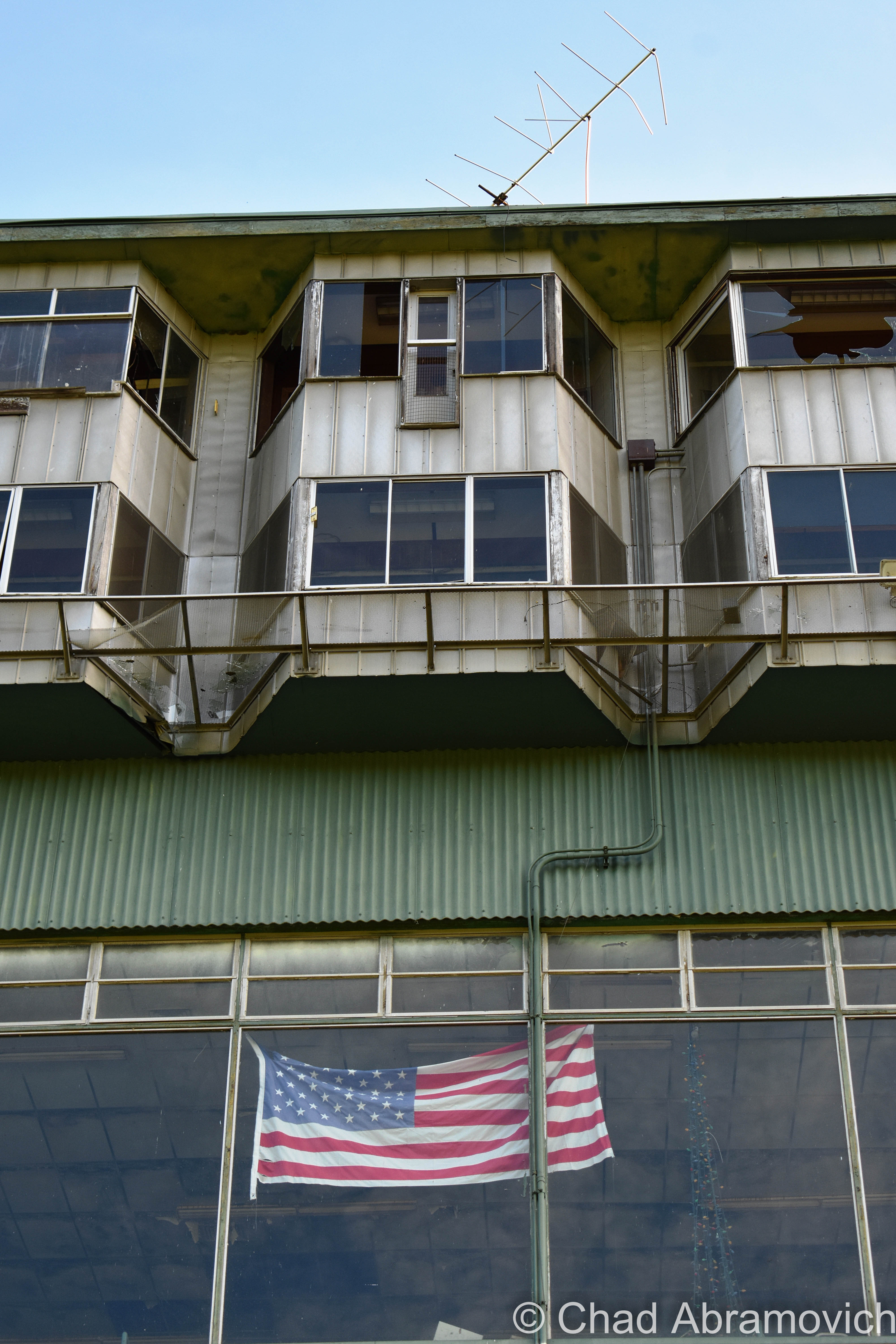
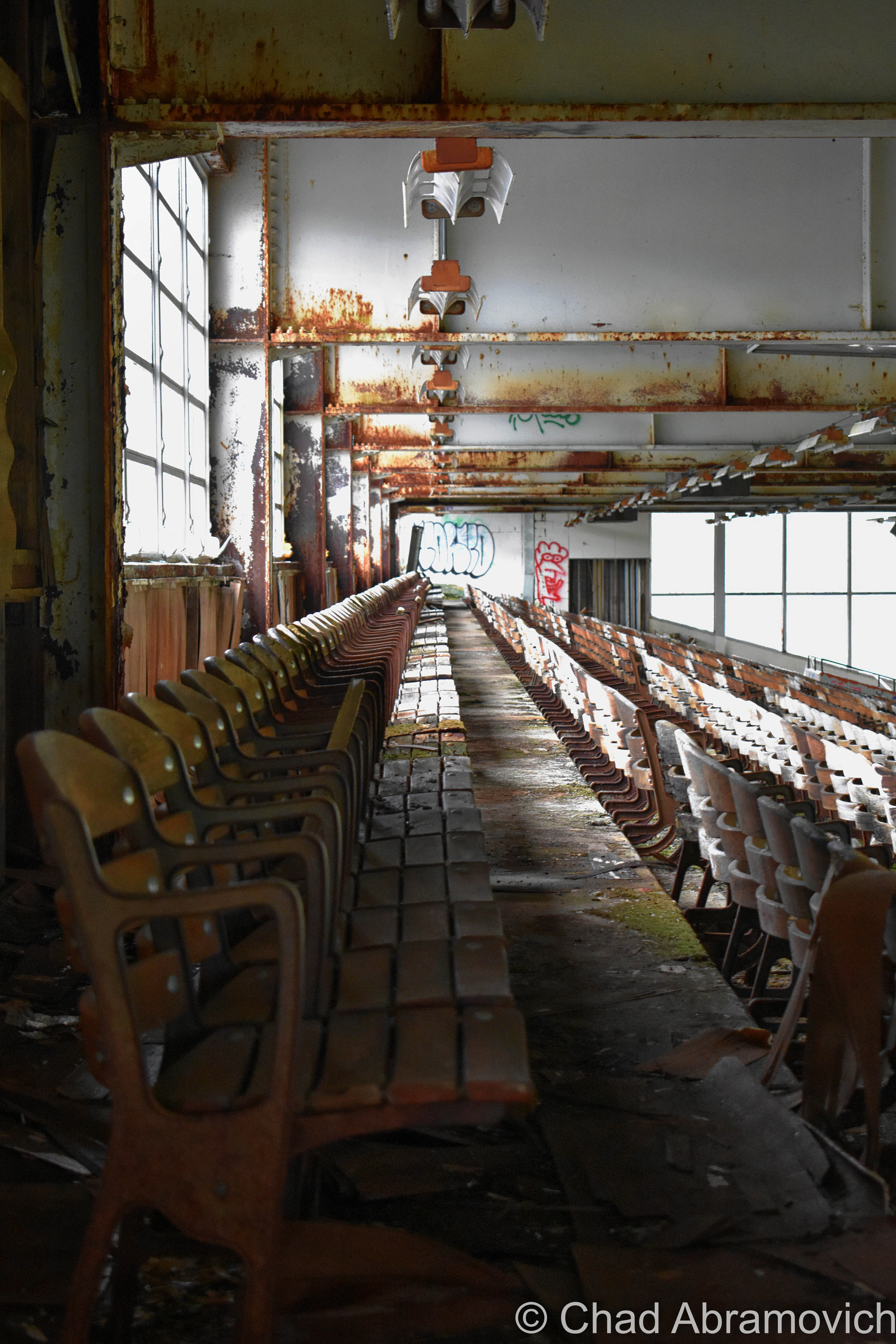
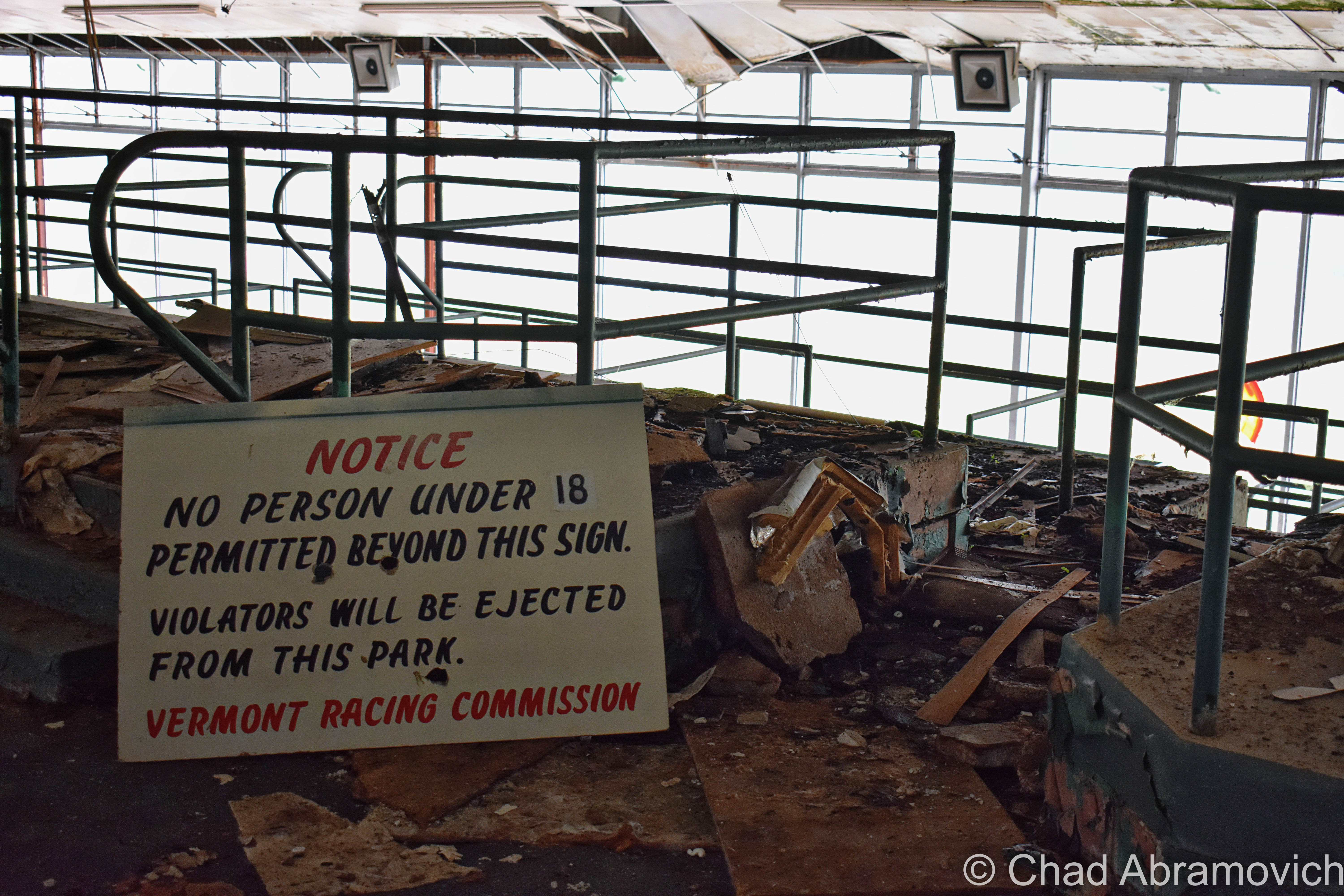
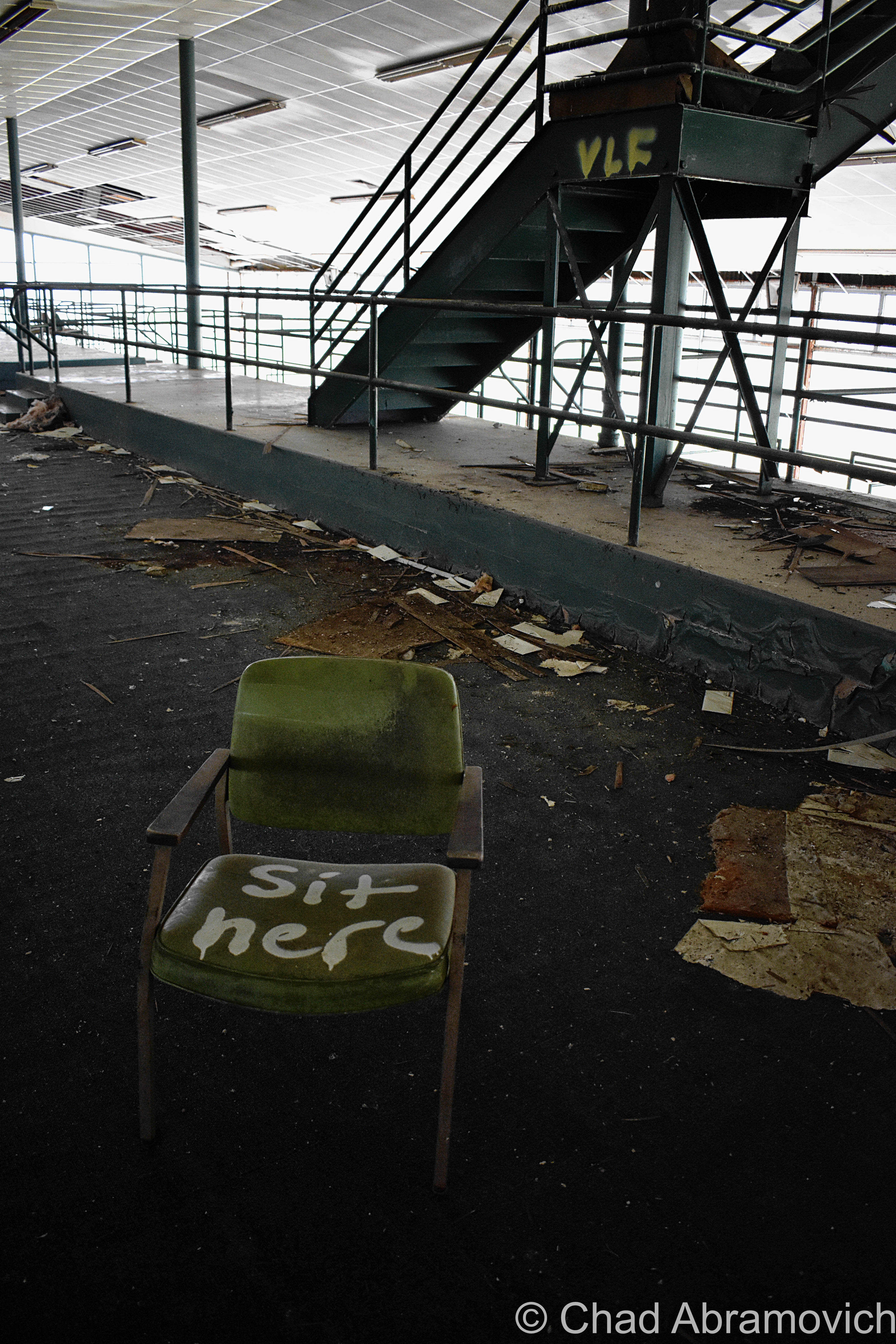
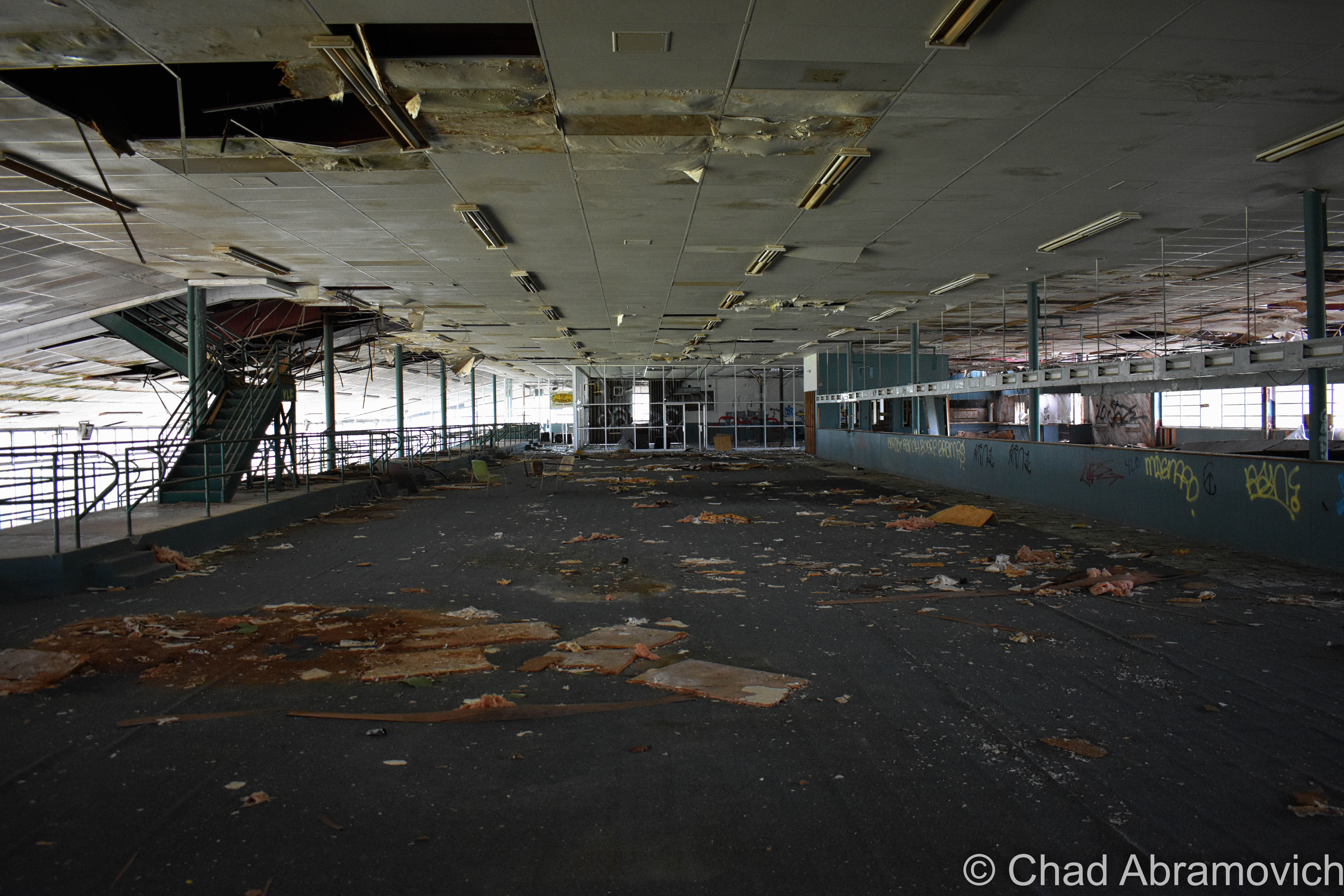
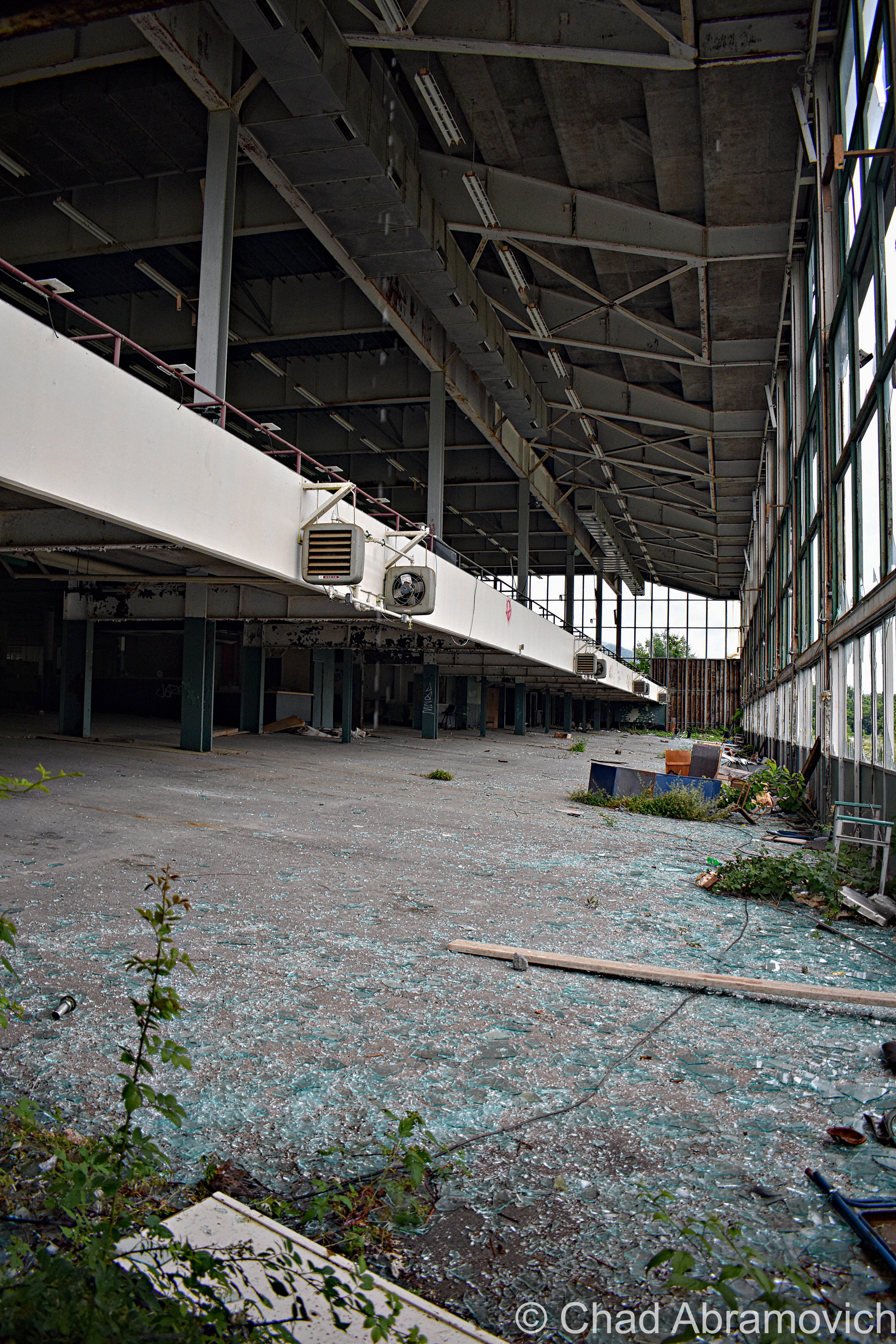
Many of the glum-looking crumbling cinderblock stables were razed for a solar farm, which is awesome, but the gigantic grandstands building still stood at the times of my visits, and was a spooky but really fascinating time capsule of the late sixties and early seventies, with its cold cement blocks and hideous fake vinyl wooden wall paneling – an architectural design element I hate. I especially admired the extinct fonts on all the office doors; “bookkeeper”, “telegraph”, “photographers suite” etc – that was pretty neat to see. One unifying theme to the property was the use of a particular dark green – thematic of its location in the Green Mountains, which was used on everything from the exterior paint job to the color of its graphic design marketing. The appeal, though, was a little curious. Everything about the place felt cheap and kinda sleazy.

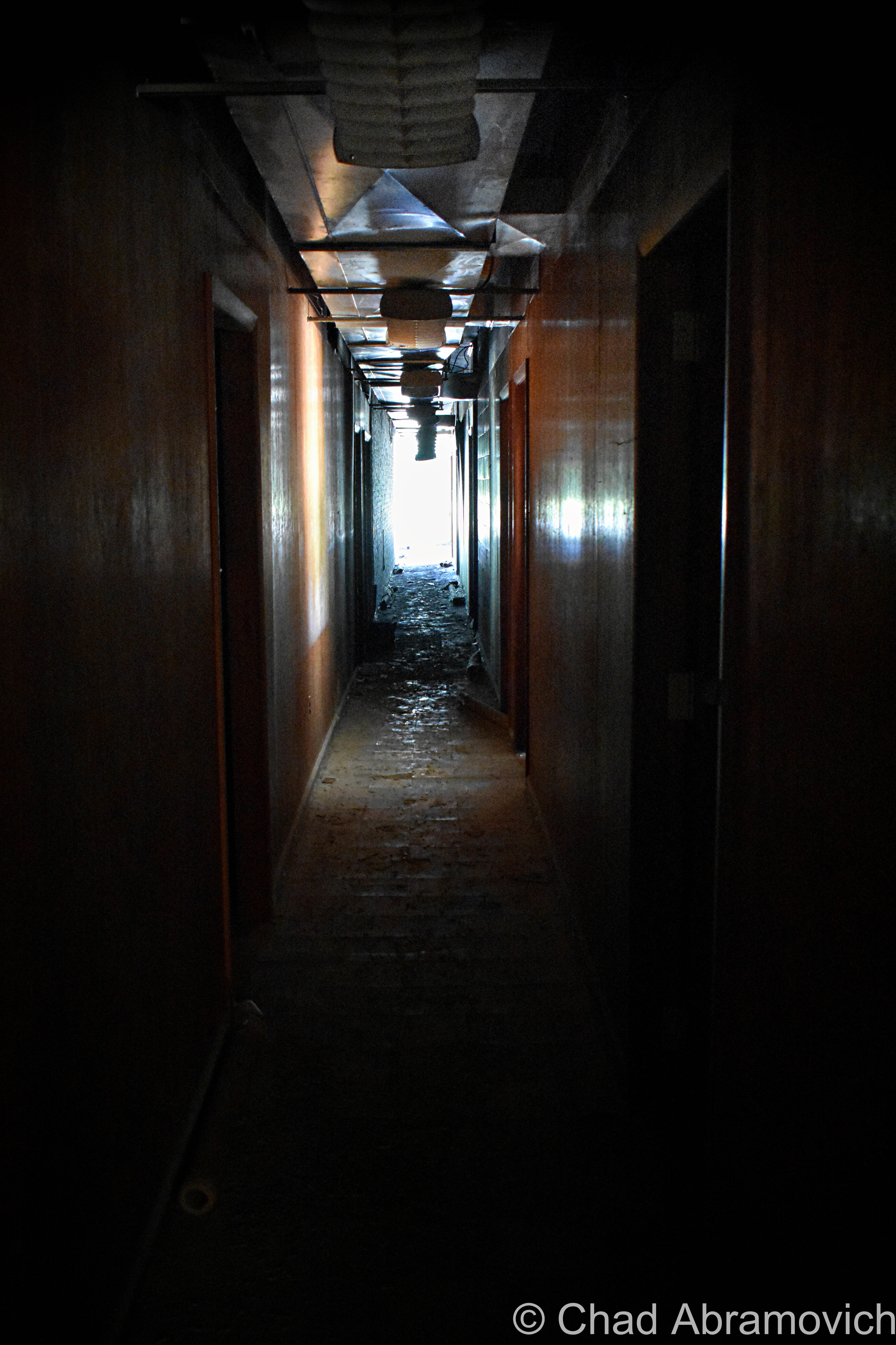
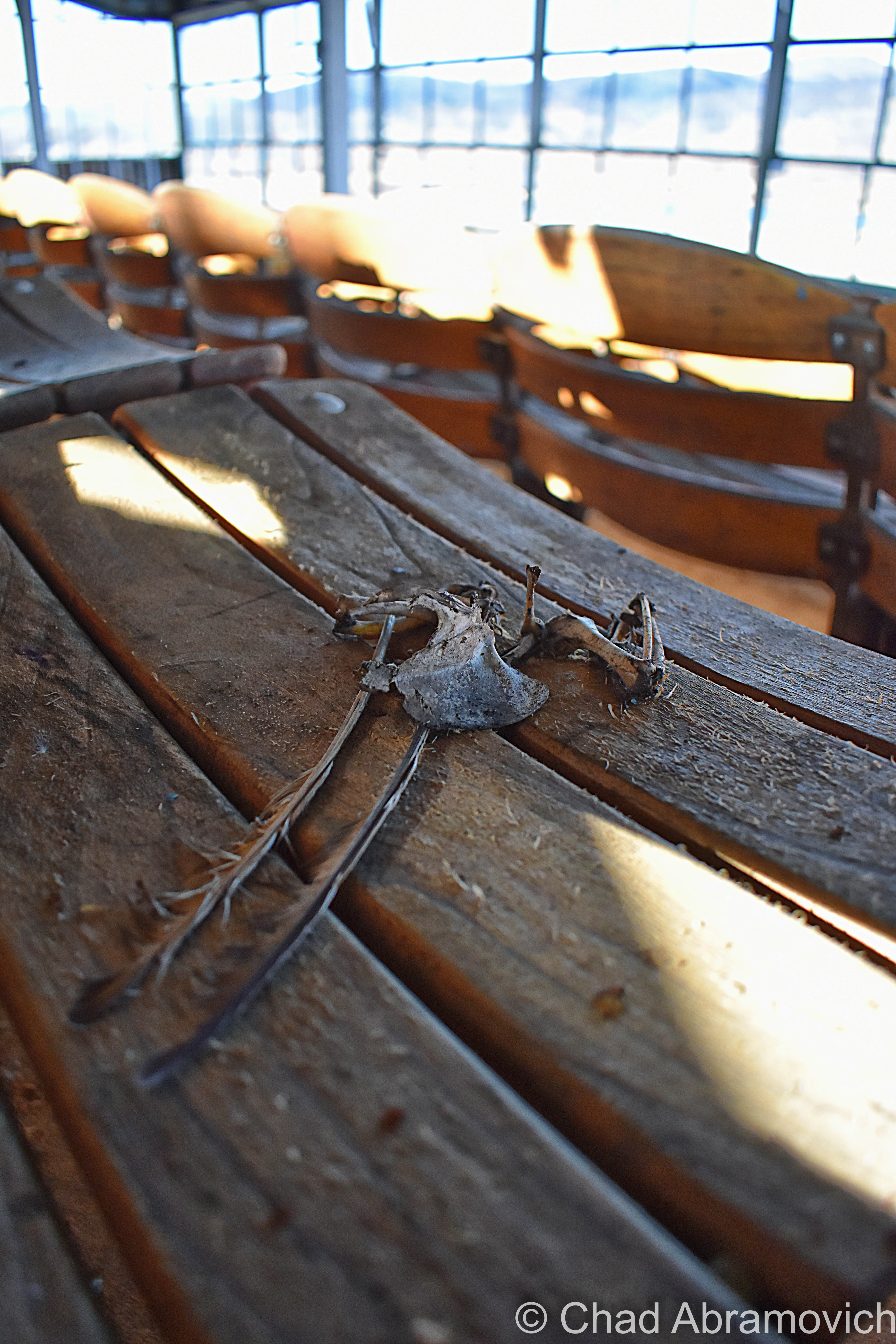
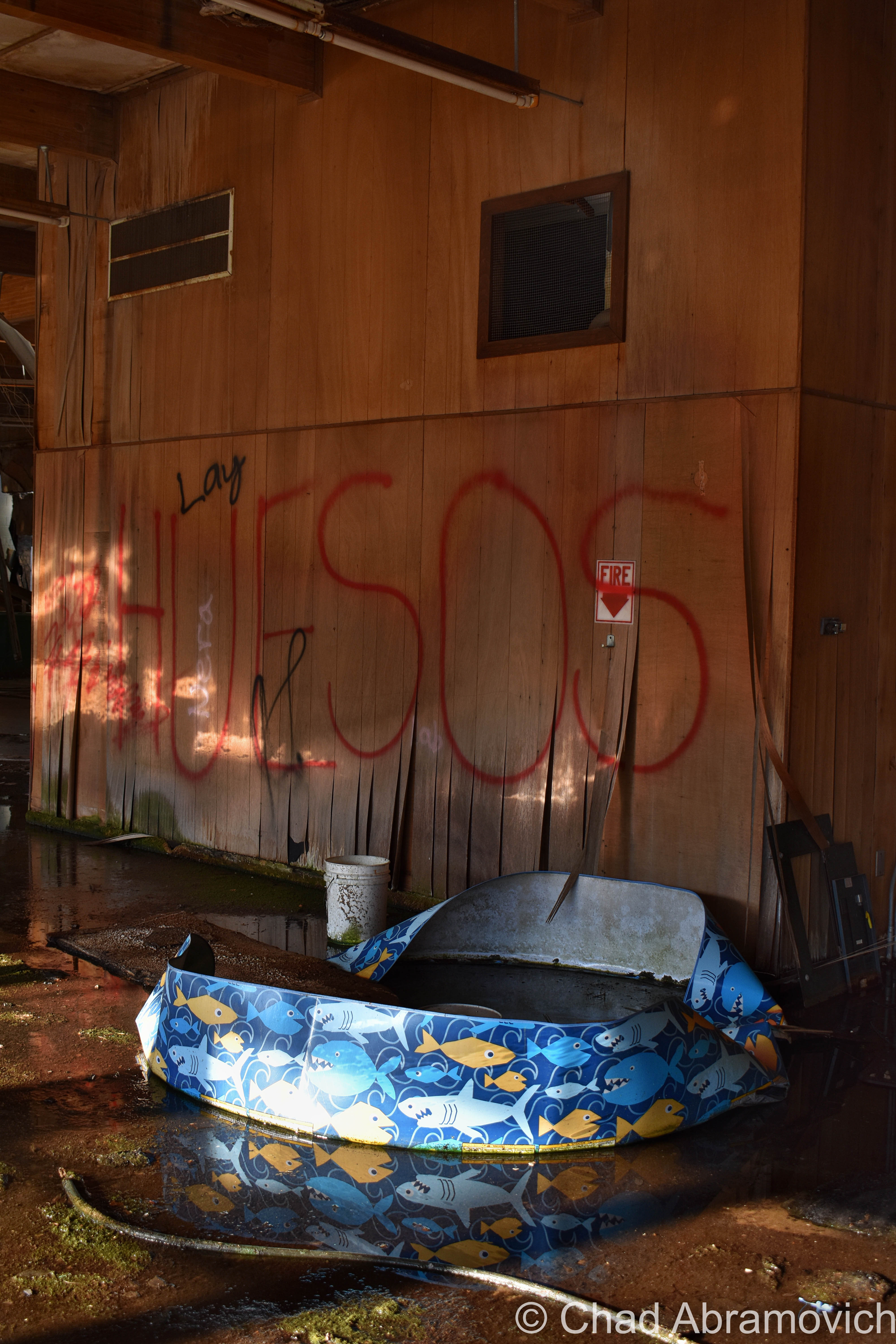
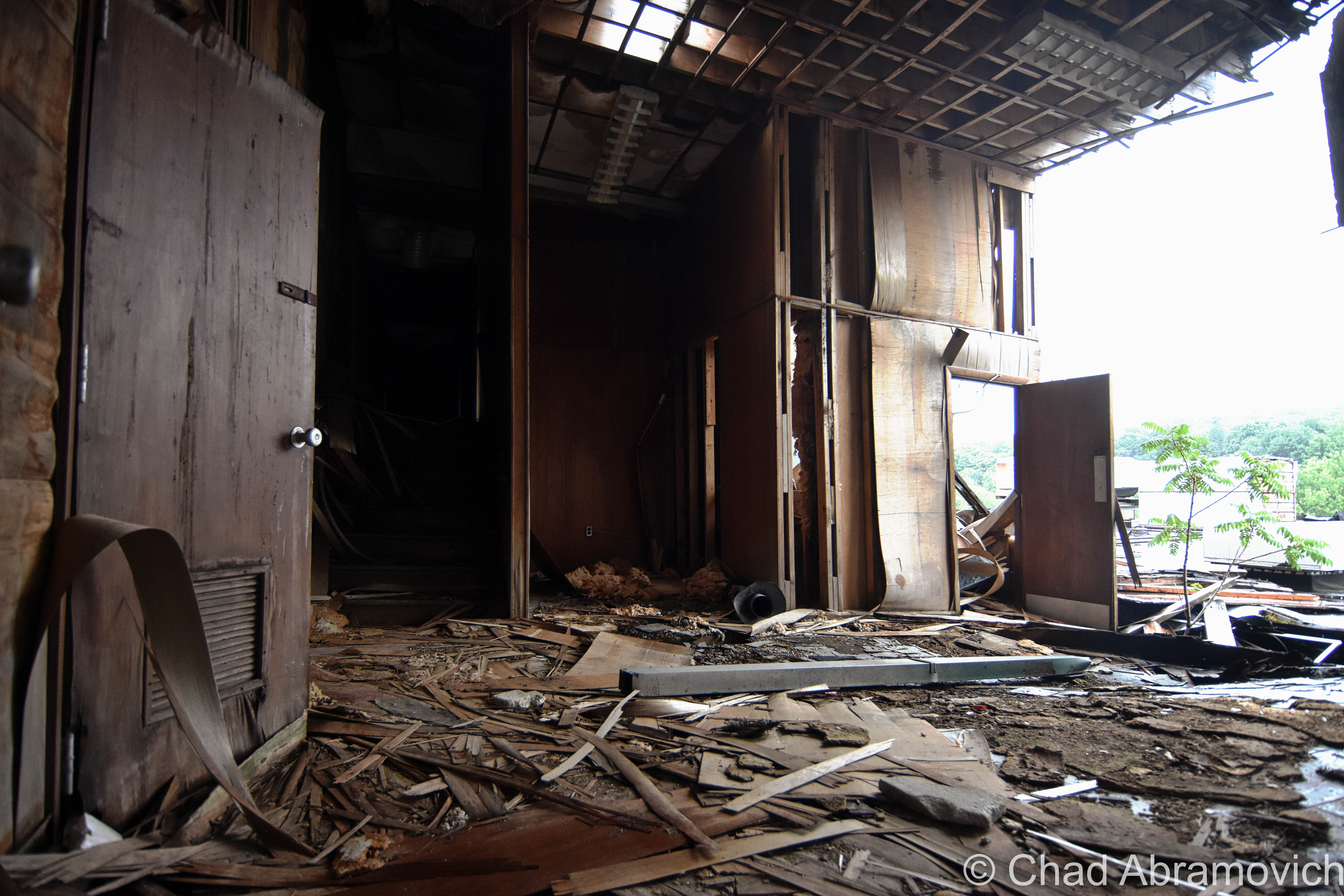
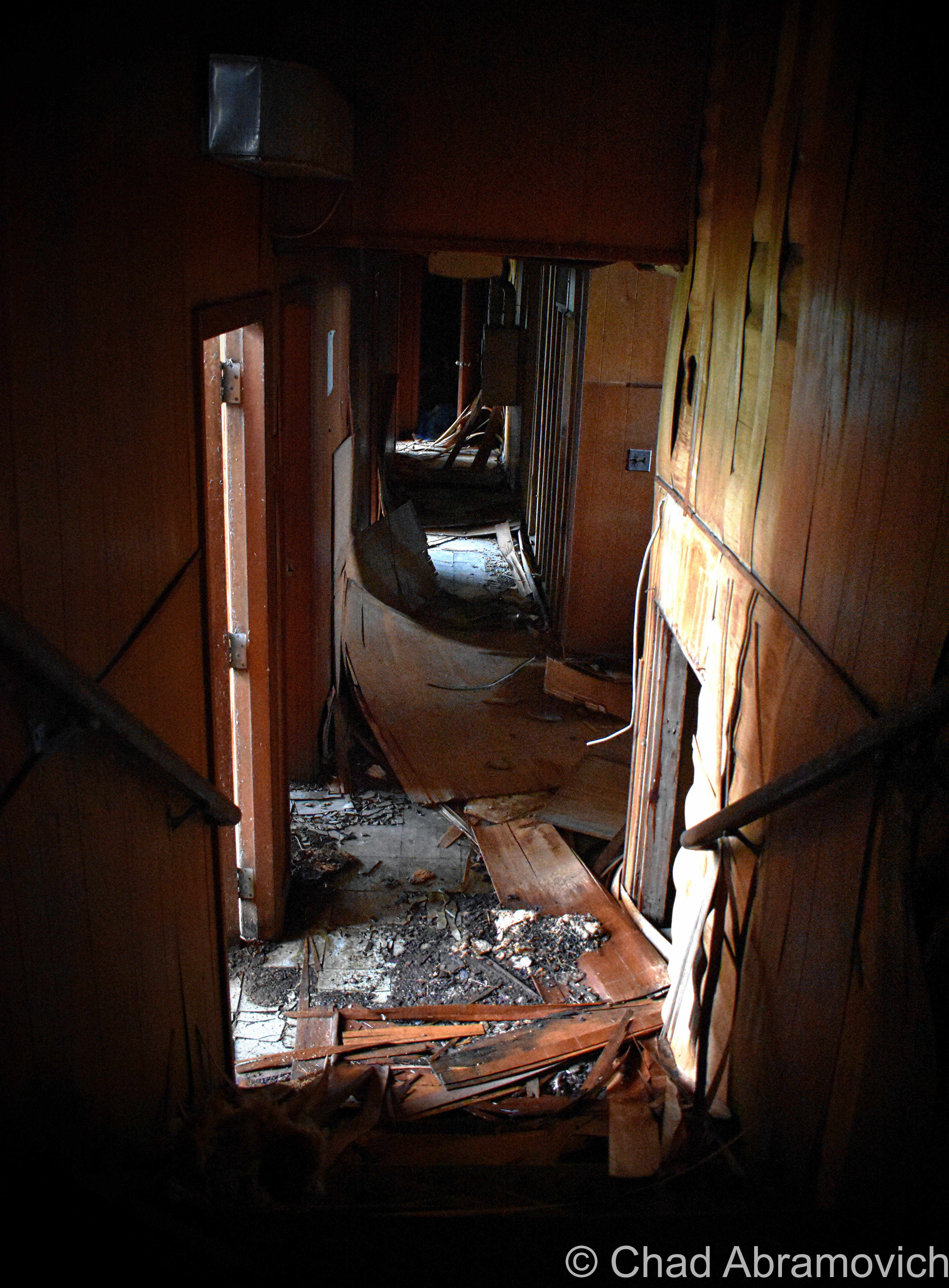
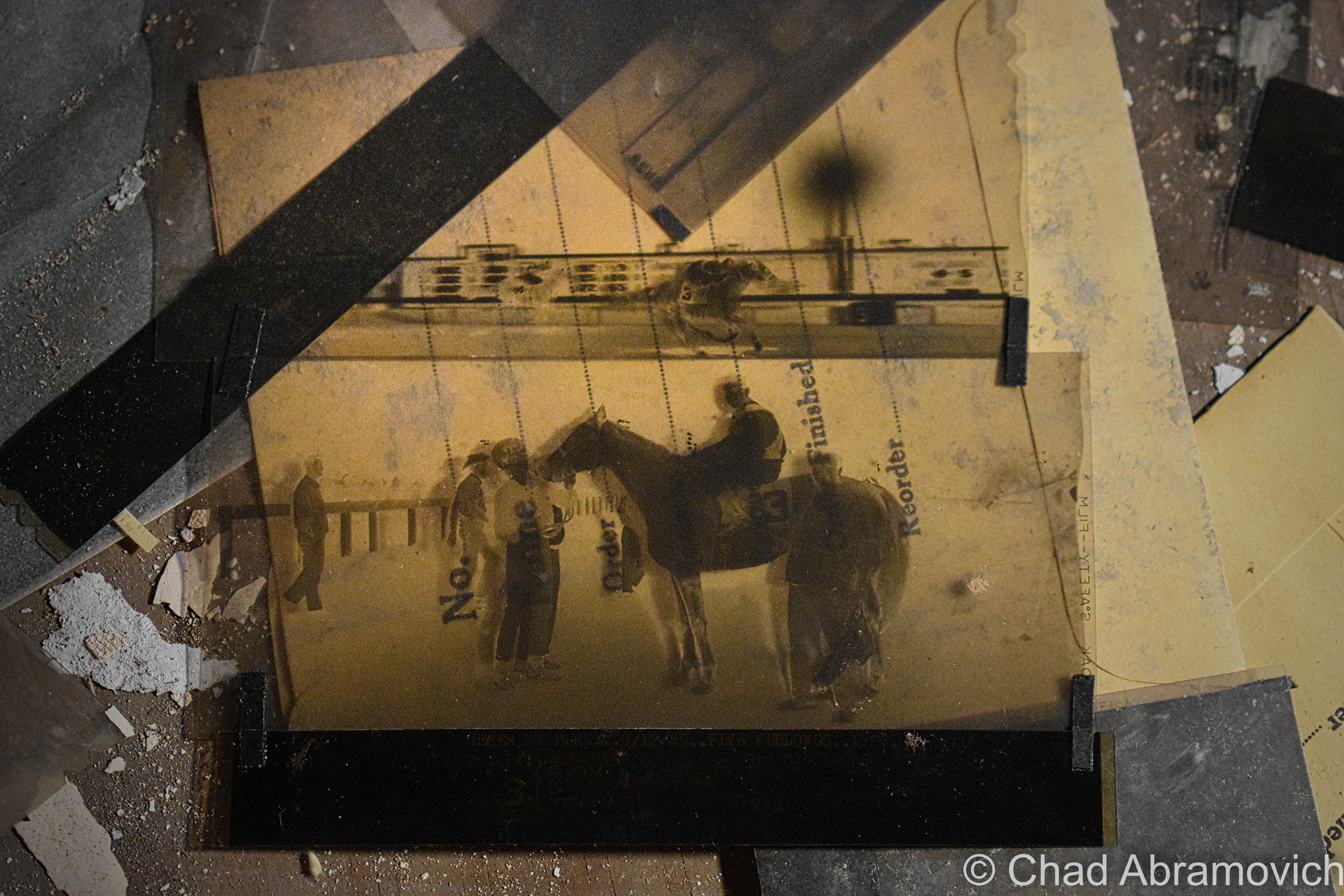
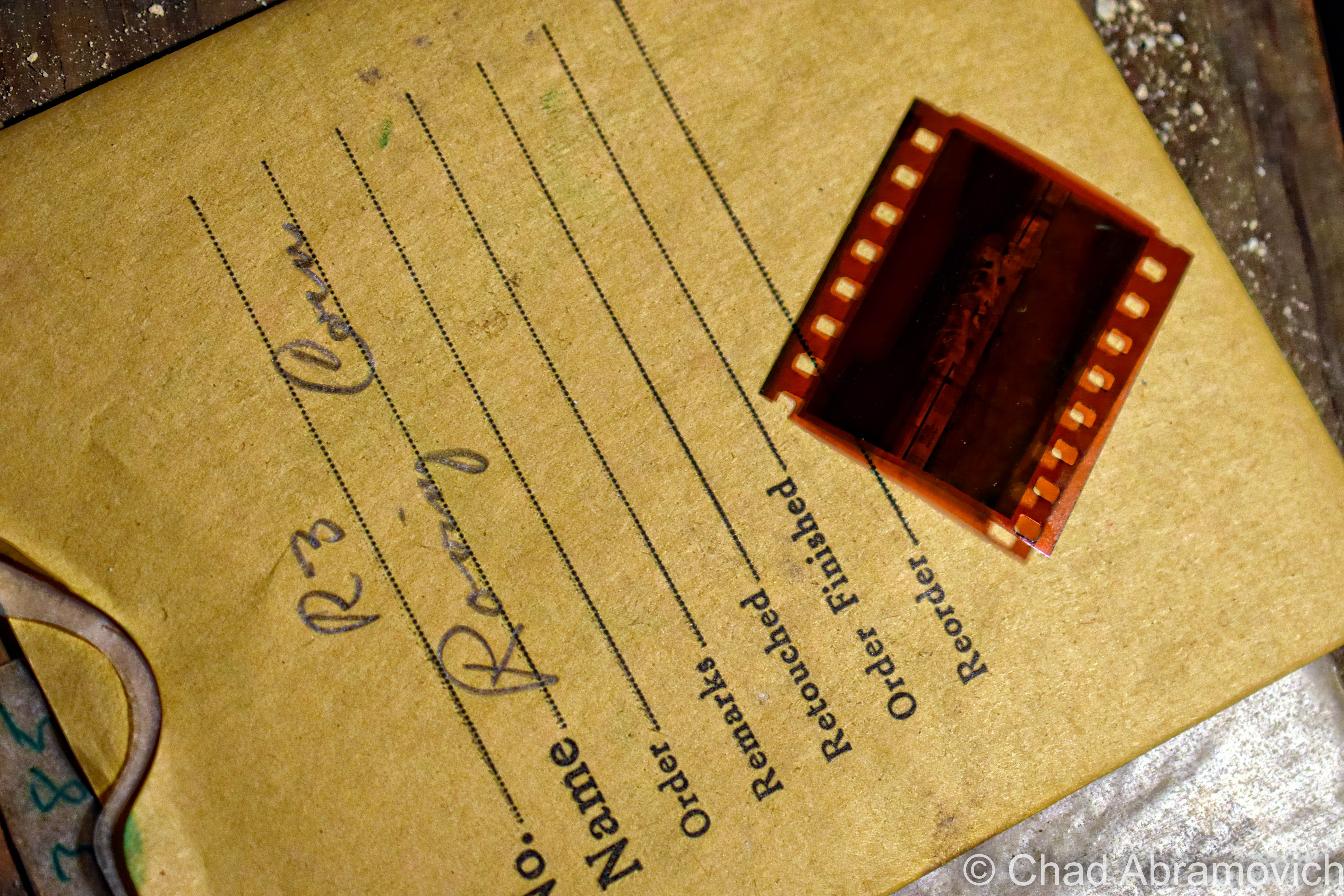
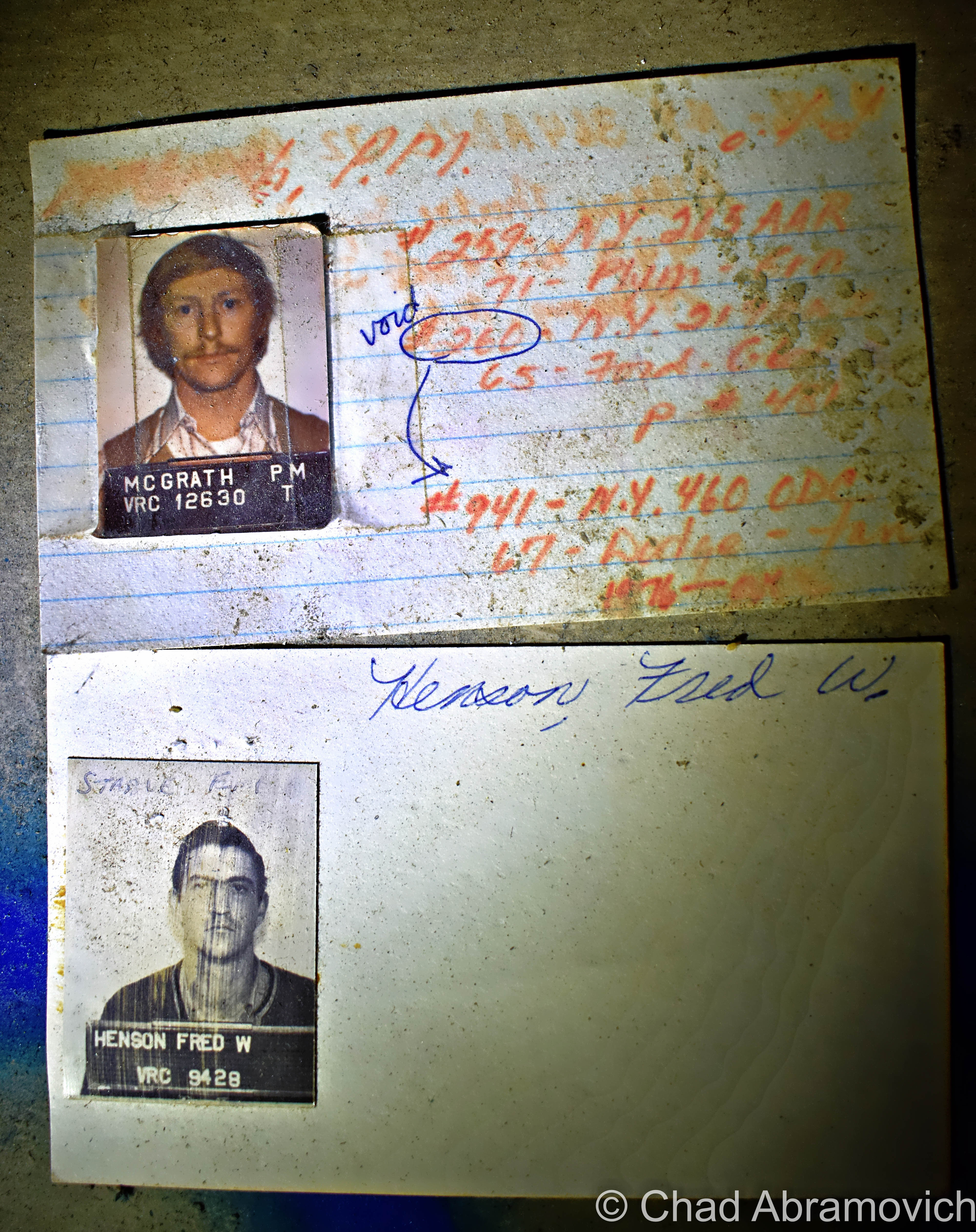
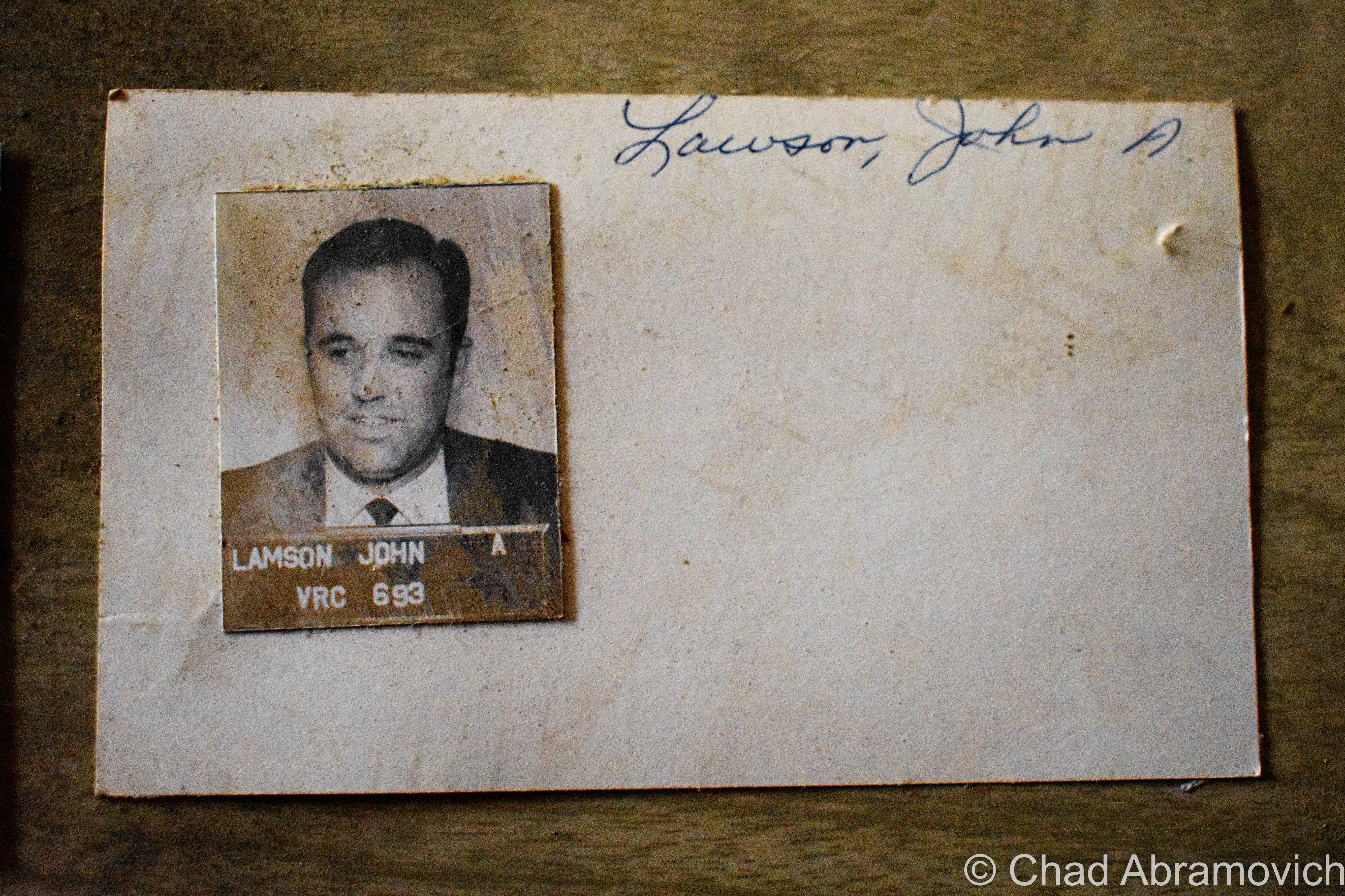
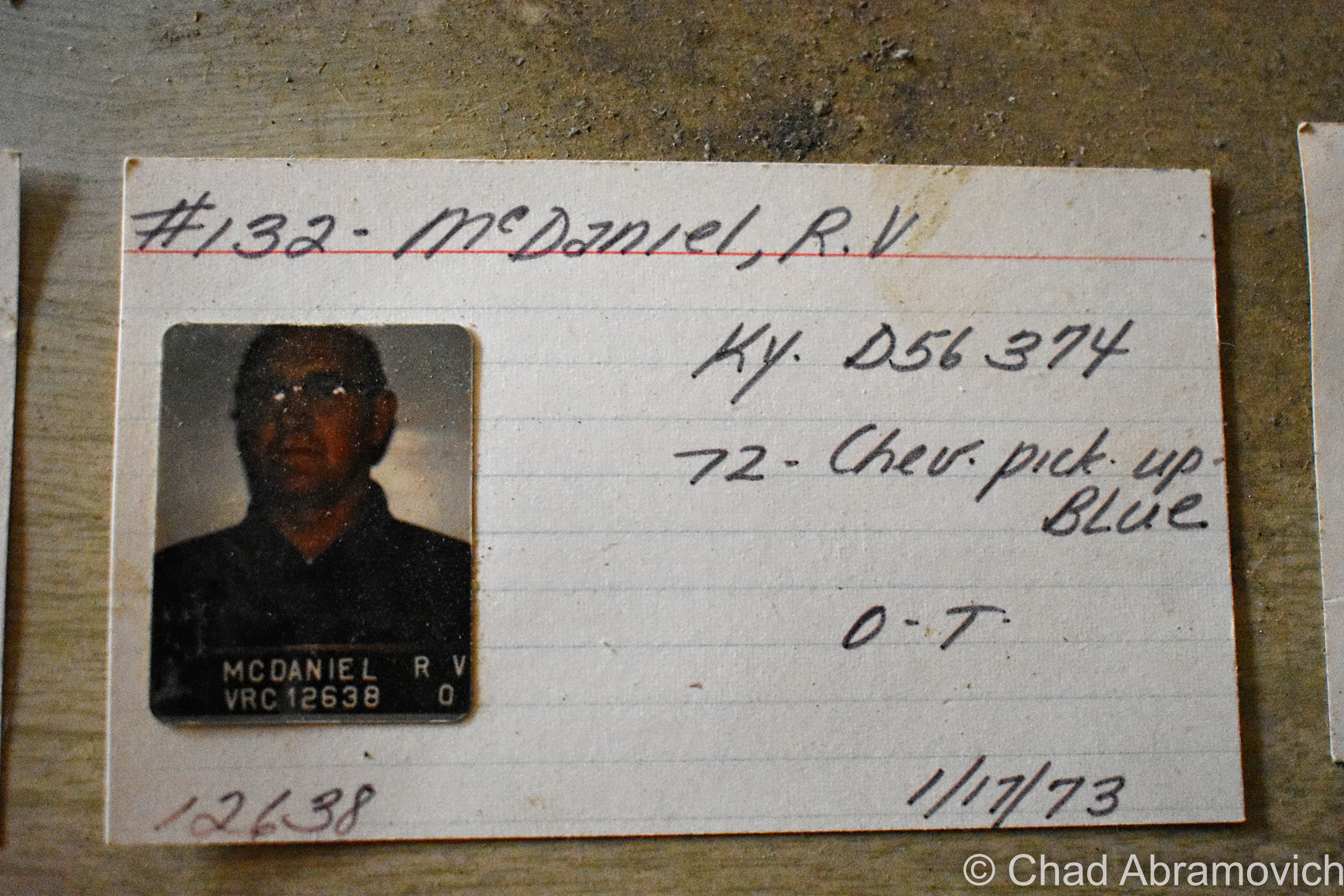
The building was an unassuming labyrinth of smelly and squalid offices and catacombs of dark and drippy maintenance and miscellany areas all filled with relics, gross puddles of goopy chemicals on the floors, and wandering birds.  The roof had long failed, and nature has been metamorphosing the structure in gross ways for over a decade.  One of the coolest things I found was the former track photographers suite, which was still filled with heaps of developed and undeveloped film of the old races. The basement had such a foul odor that, eventually, we had to dip back outside for some fresh air revitalization.

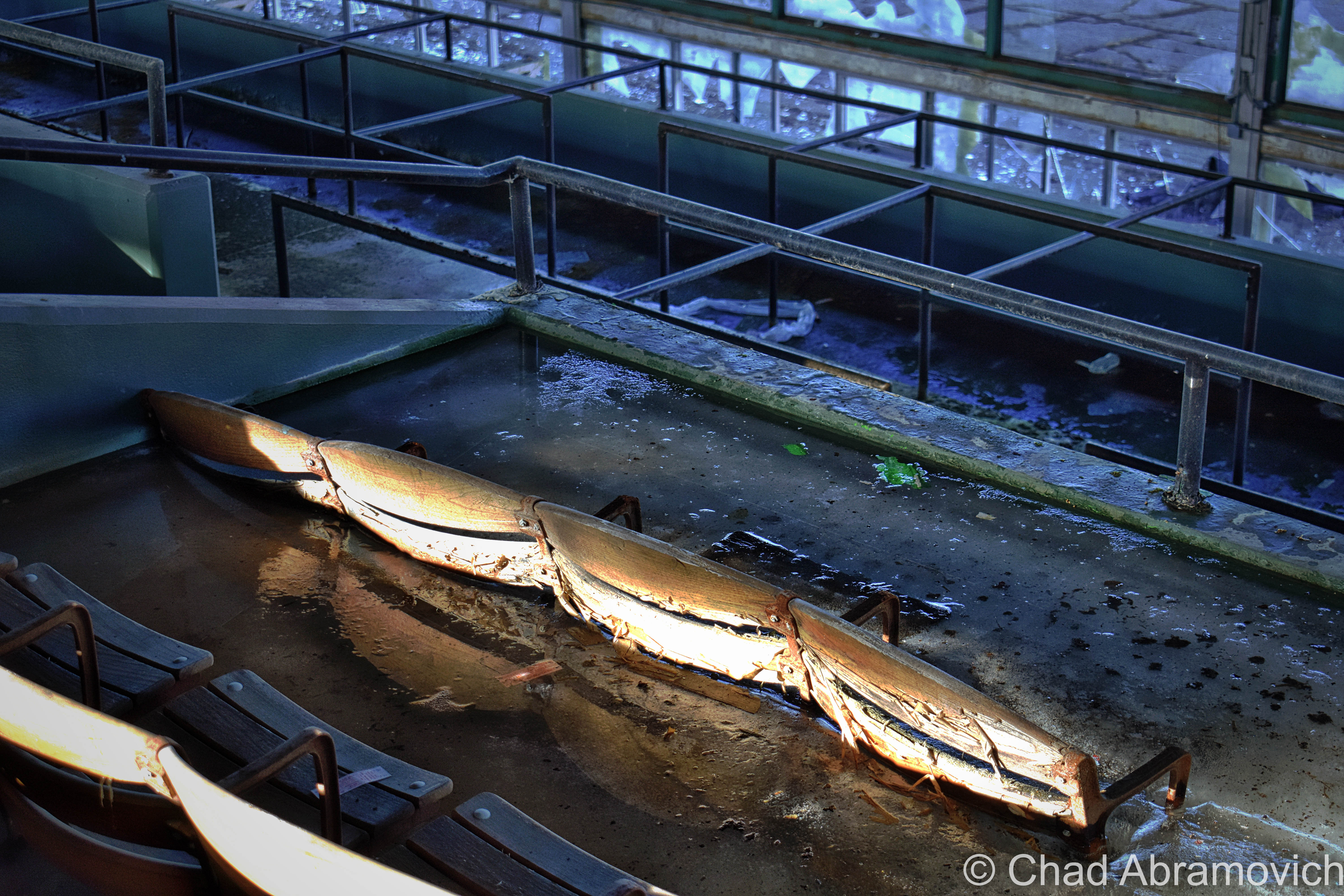
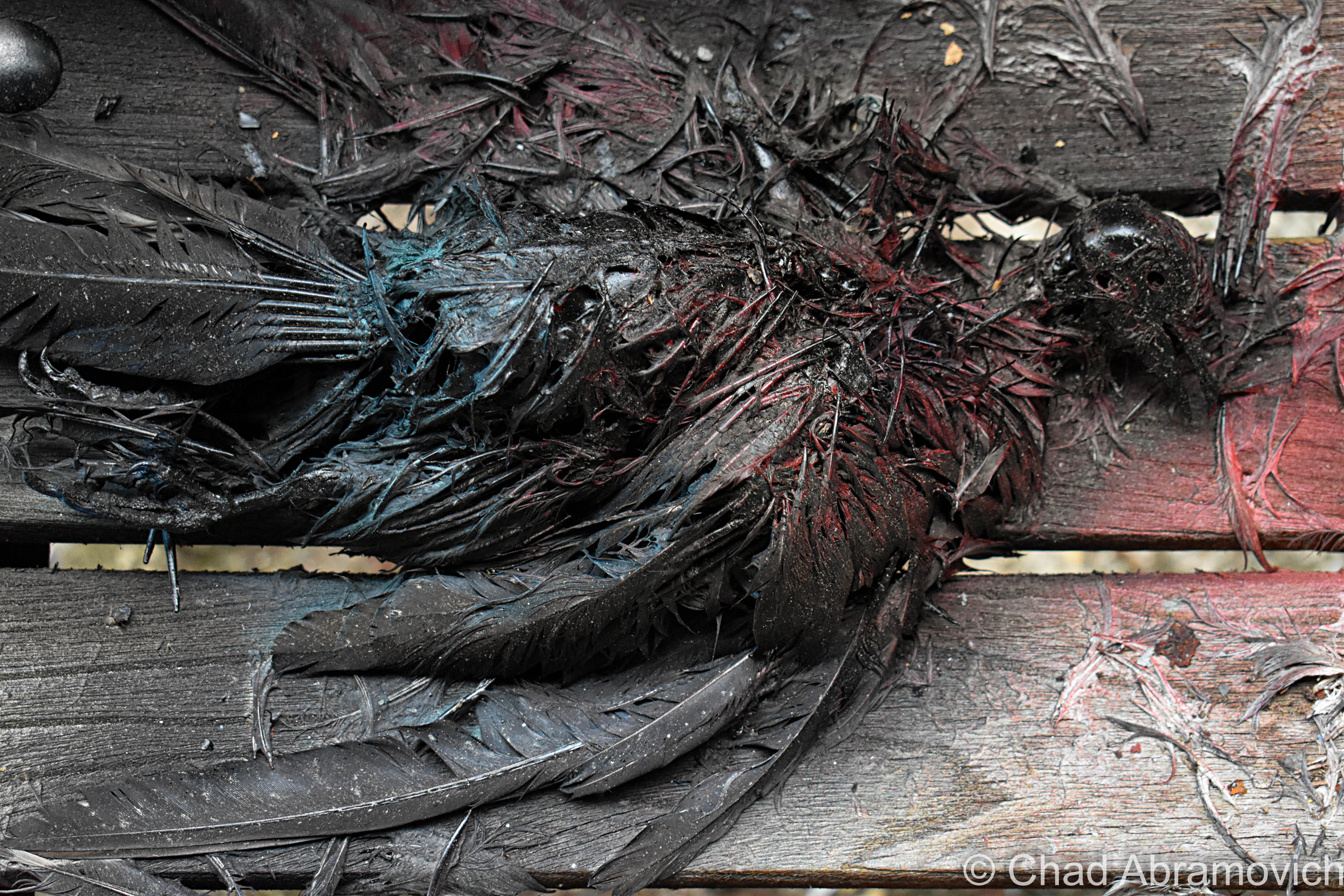
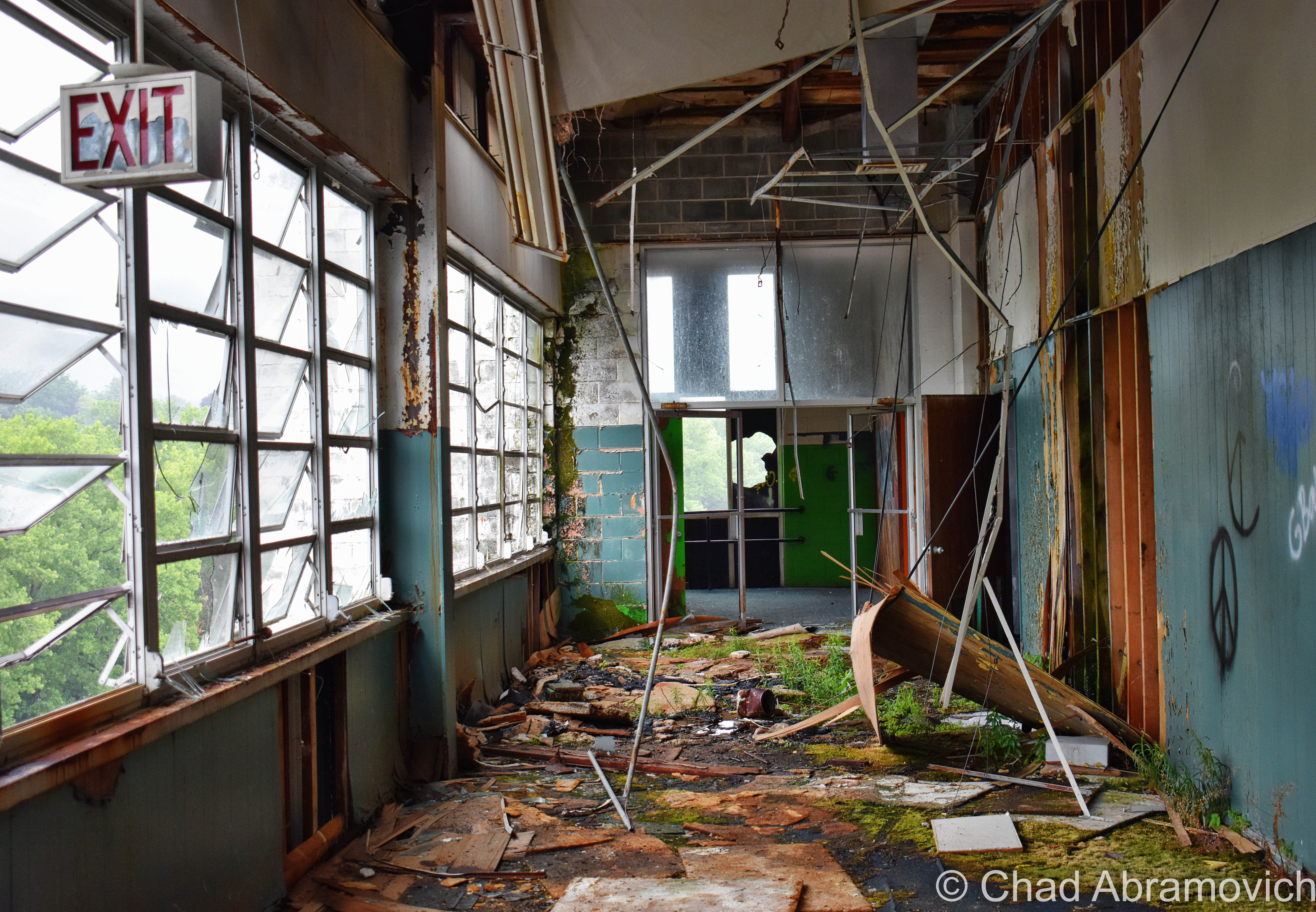
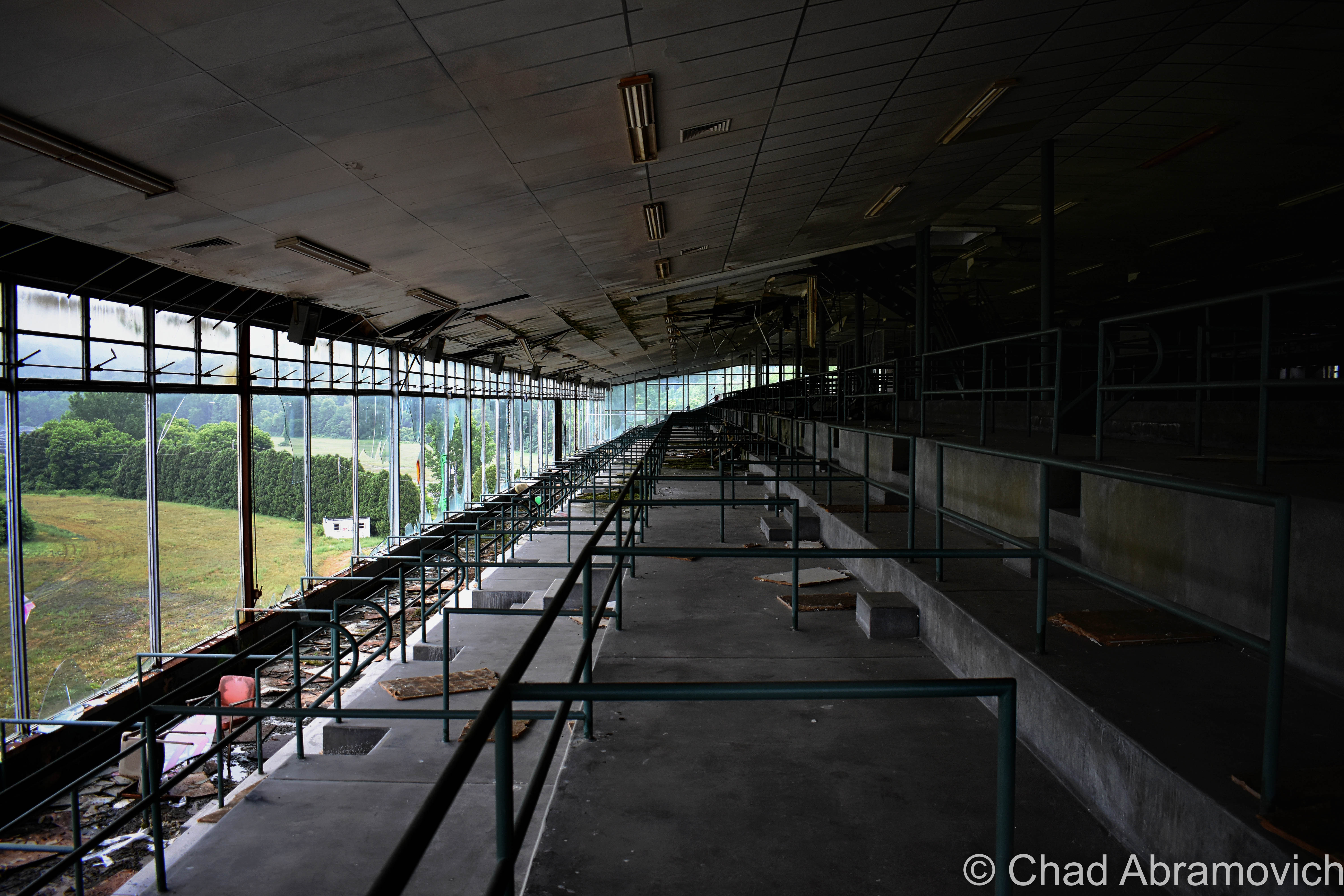
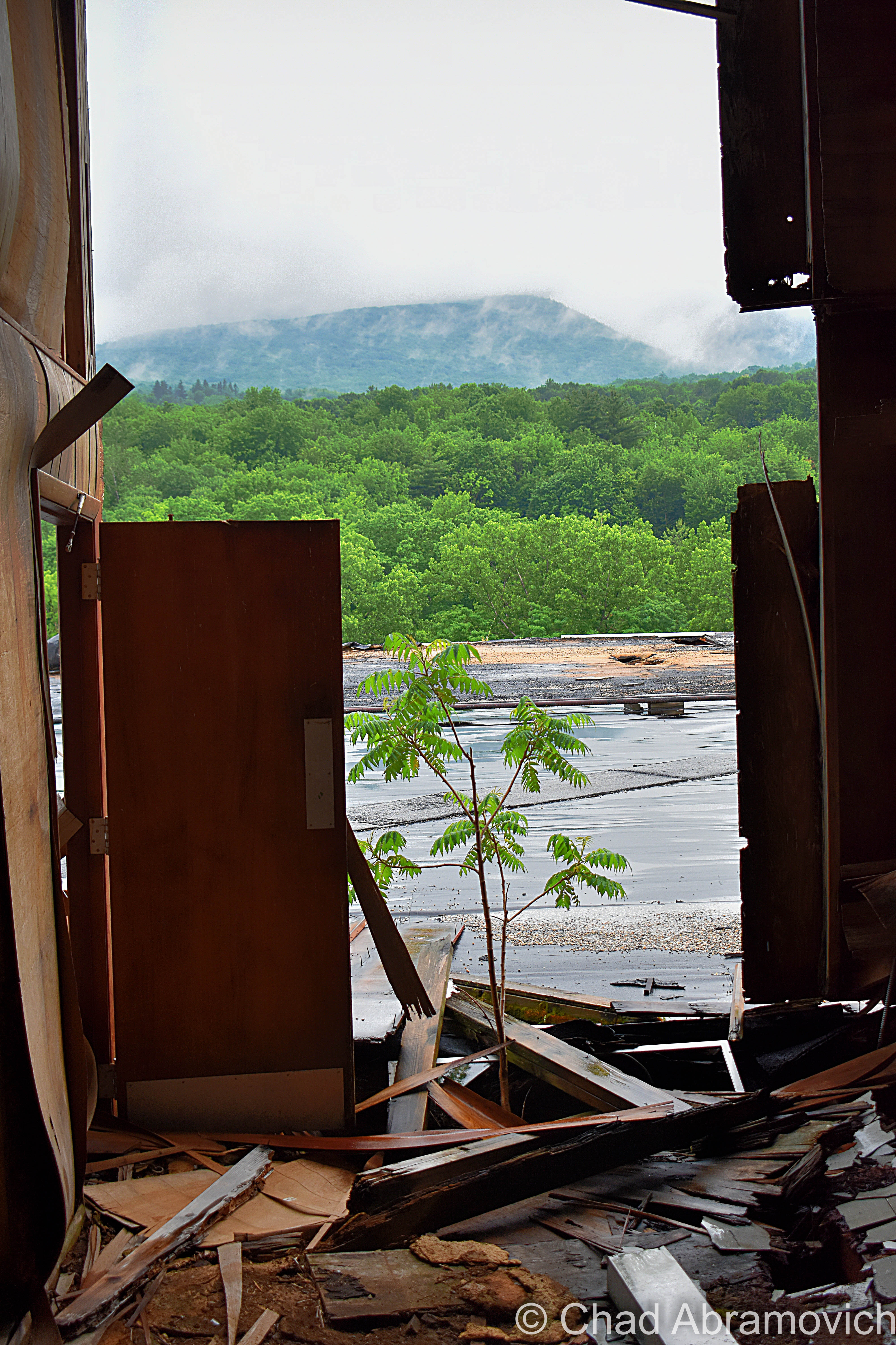
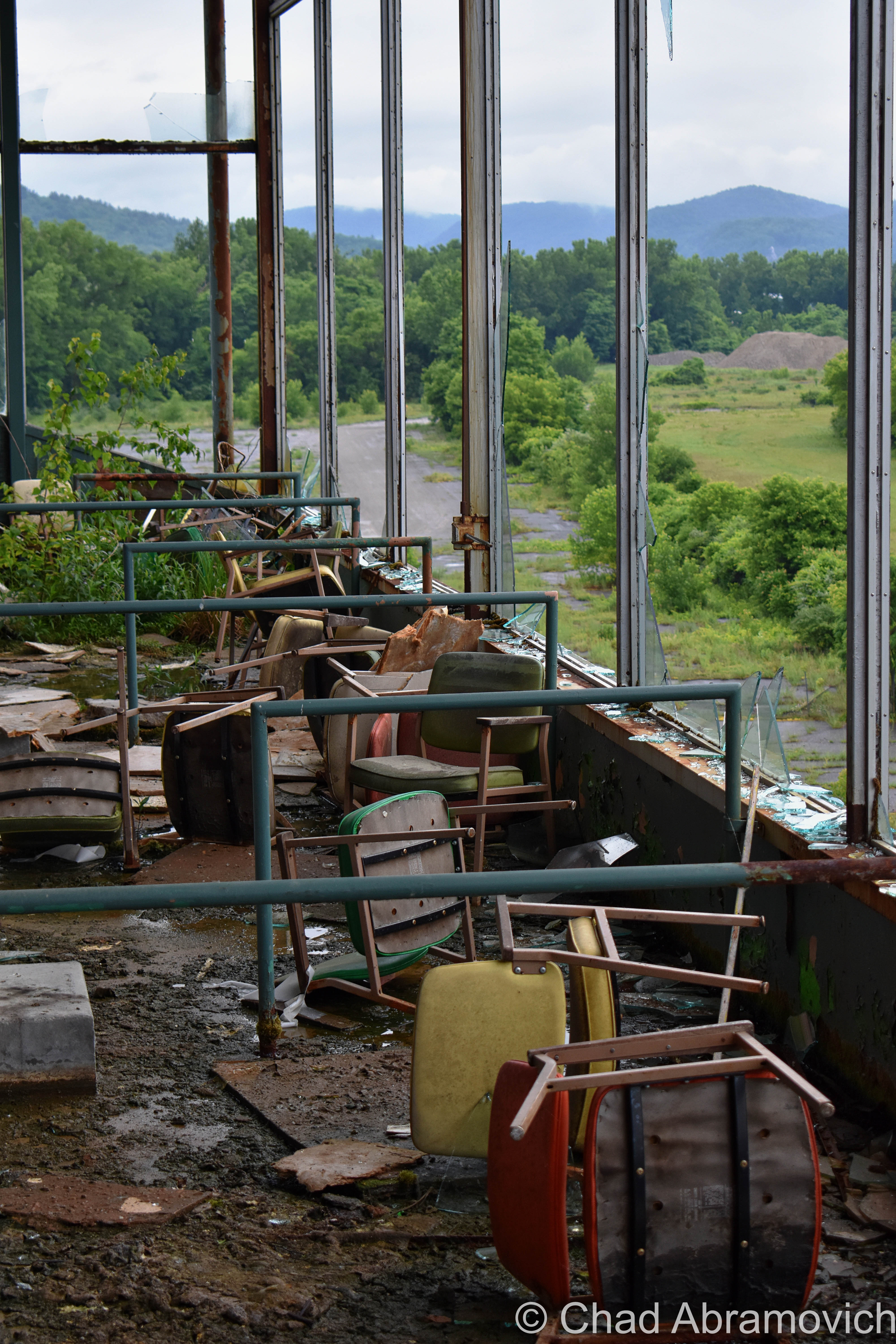
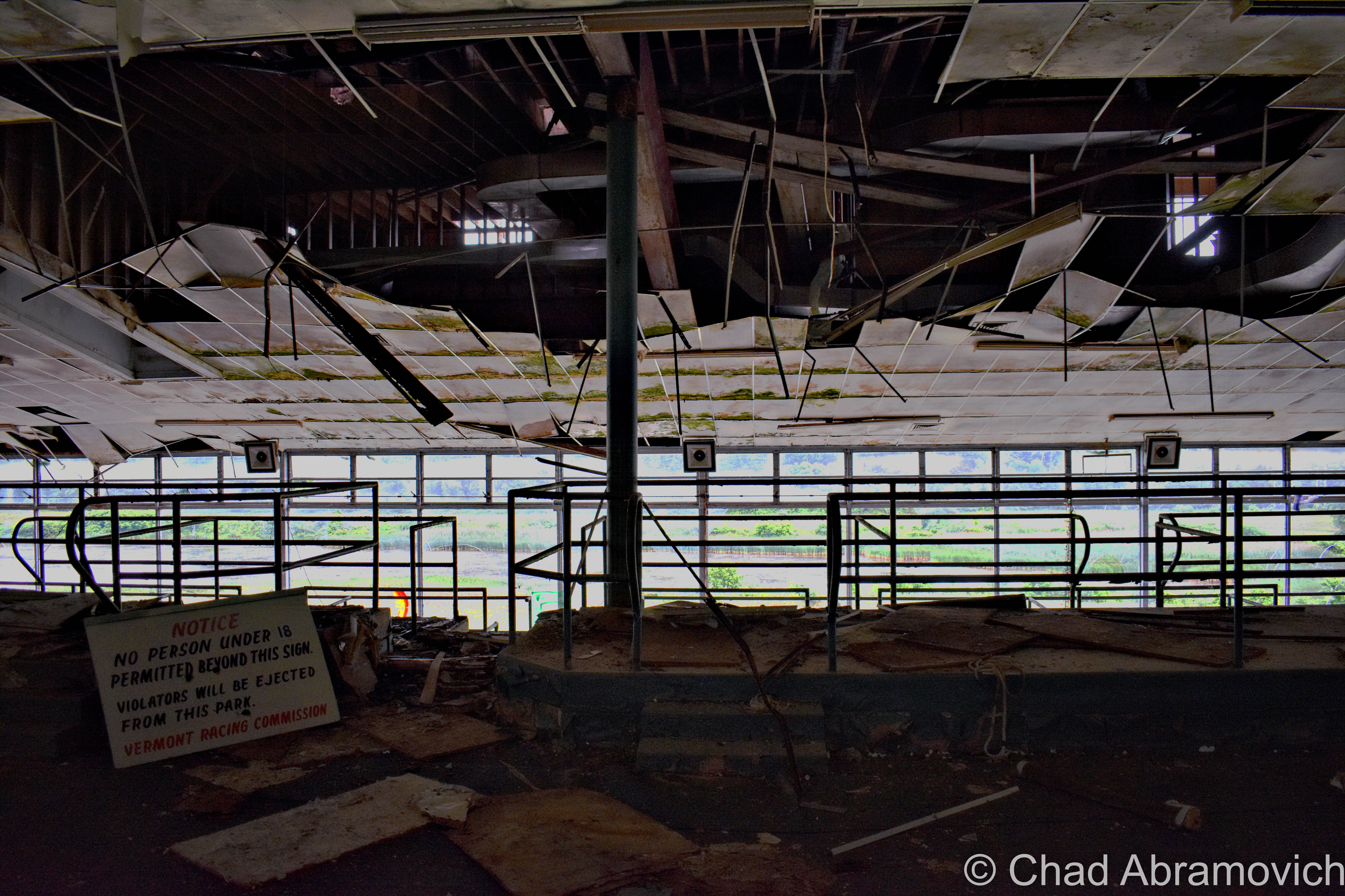
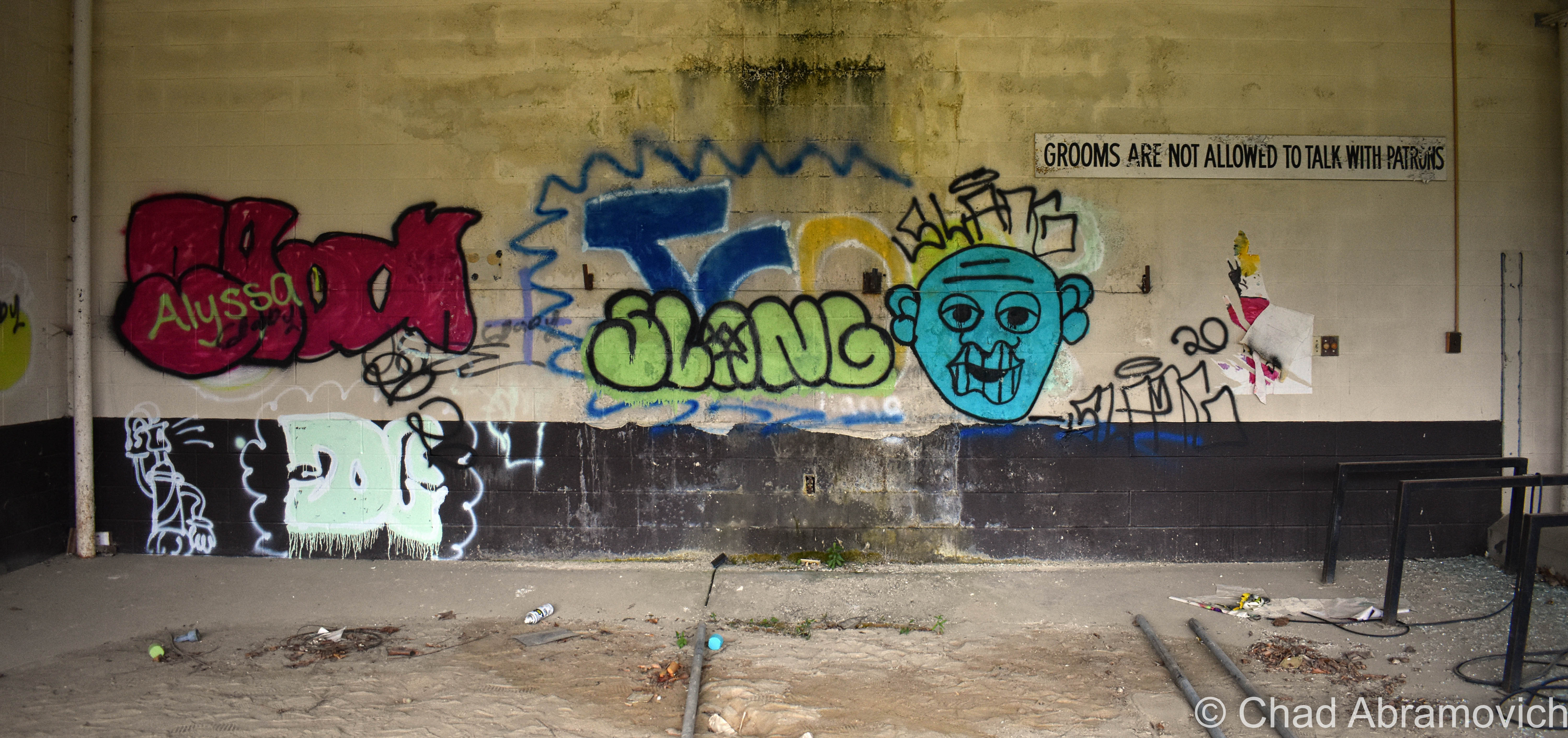
Upstairs, the former venue, snack bars, and grandstands are all cavernous spaces that have been trashed, smashed to smithereens, graffitied, succumbing to water and decay, and turning into terrariums, as moss and young plants have begun to take habitat on the floors and the rooftop. A whole colony of what was probably hundreds of pigeons had taken up residence on (and within the cavities of) the defective roof and constantly circled the large, mid-century structure.

It was a creepy explore, with lots of eerie sounds that croaked and carried through the wide spaces and dark crevices. The smell of rancid decay permeated everywhere.

Overall I thought this was a real bummer of a place – an attitude formed by the dated and ugly ruins, and the fact I’ve never enjoyed or supported the kinds of revelry that once went on here.

The real reason I chose to make multiple explores here was simply because of the fact that it exists, and my sense of wonder seduces me to explore as much of Vermont as possible – especially the abandoned stuff. And admittedly, a few visits had me appreciating it in a totally different light and discovered that it was a treasure trove of an explore and architecturally evocative of its time. But I found it a real shame that other people who’ve stopped by have decided to completely decimate this place and use it as a law-free zone.

The amount of destruction in the past few years was astonishing – I noticed a humongous difference between my visit in July of 2019 and March 2020, and towards the last months of its life, the bad road tar of the old parking lot and access road almost always had multiple cars – many with out of state plates, parked around.

The people that come here are quite a circus show of other amiable explorers, curiosity seekers, locals, and shady characters – it seems like many out of staters or area hooligans are using the old track as a law-free zone. A few people we ran into definitely made us uncomfortable.

Dusk was humming up, and as we were getting ready to leave, three boys on ATVs zoomed through the parking lot, and a Nissan Altima full of teenagers parked in the weeds in front of the building and had an “oh shit!” moment as we pulled out and all locked eyes as they were removing copious packs of Twisted Tea out of their trunk, while nearby, a young twenty-something couple was awkwardly trying to wedge a sign they had taken into the backseat of their Ford Focus.

I had this post sitting in my WordPress drafts for a while. Because I’m a perfectionist, I wanted to get the feeling right and make this post interesting and fun, but I was also concerned about posting the location. I realize that in the past few years, a larger amount of people have been using my blog to add places to their exploration checklists, and I’ve been really re-evaluating my responsibilities as a preservationist and a local weird worker, what I post, and how I write about it.

I already saw the racetrack morphing into a weird beacon for trouble, and I guess I didn’t want to add to it. Thanks to the internet, nothing is a secret anymore, and I’ve seen an alarming increase in the momentum of special places, in general, being over-touristed and ruined by unlikely people.

Unfortunately, at some point on the night of September 16th, 2020, a “suspicious fire” was started in the grandstands that used the wooden seats for fuel, and the entire building was cooked and even more destroyed than it already was. The fire fueled a local outcry of folks who are fed up with all the fools turned sightseers. This is one of the many reasons why I never give out locations. Practically everything you’ll see in my photos has been reduced to ashes, but the mangled and blackened shell sadly still looms beyond Route 7 looking pretty haunted. If you’re interested, the Berkshire Eagle has some illuminating drone photography of the damage.

I’m so grateful I had the chance to enjoy a few explores and make some fun memories here when I did, and am saddened by the loss of what oddly was such an uncommon wreck. There was so much more that I wanted to see, that now I never will.

I think that the Green Mountain Racetrack was uniquely special. Because of its smooth accessibility, its literal open-door policy intrigued all kinds of souls who decided to let their curiosities lead them here. I was scanning loads of posts on Instagram and was a bit startled to see just how many people not only have snooped around here, but were genuinely fond of this place in their own ways, and had fun making multiple trips here to satisfy the natural human urge of investigation. Abandoned places inspire that kind of magic that encourages us to forget about the chains of society and our inhibitions. When the news hit that this place burned down, people started commiserating.

This was a continued lesson for me not to take places for granted. I was just speaking to a good friend a few weeks ago about planning yet another return here because of all the fun we had last time – but we took this old track for granted, and now it’s gone. Everything is finite.

So here you go; a whole bunch of photos of the old Green Mountain Racetrack!

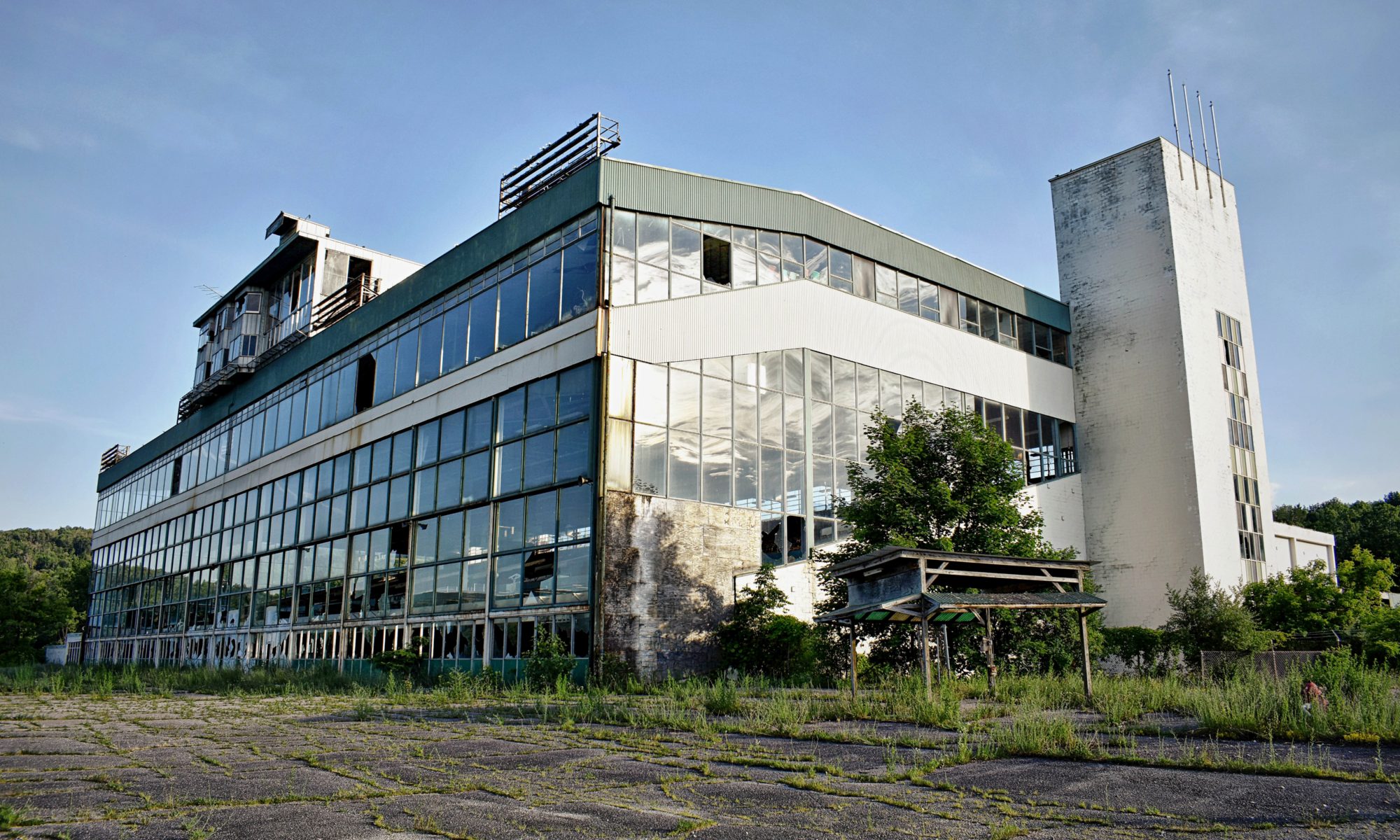
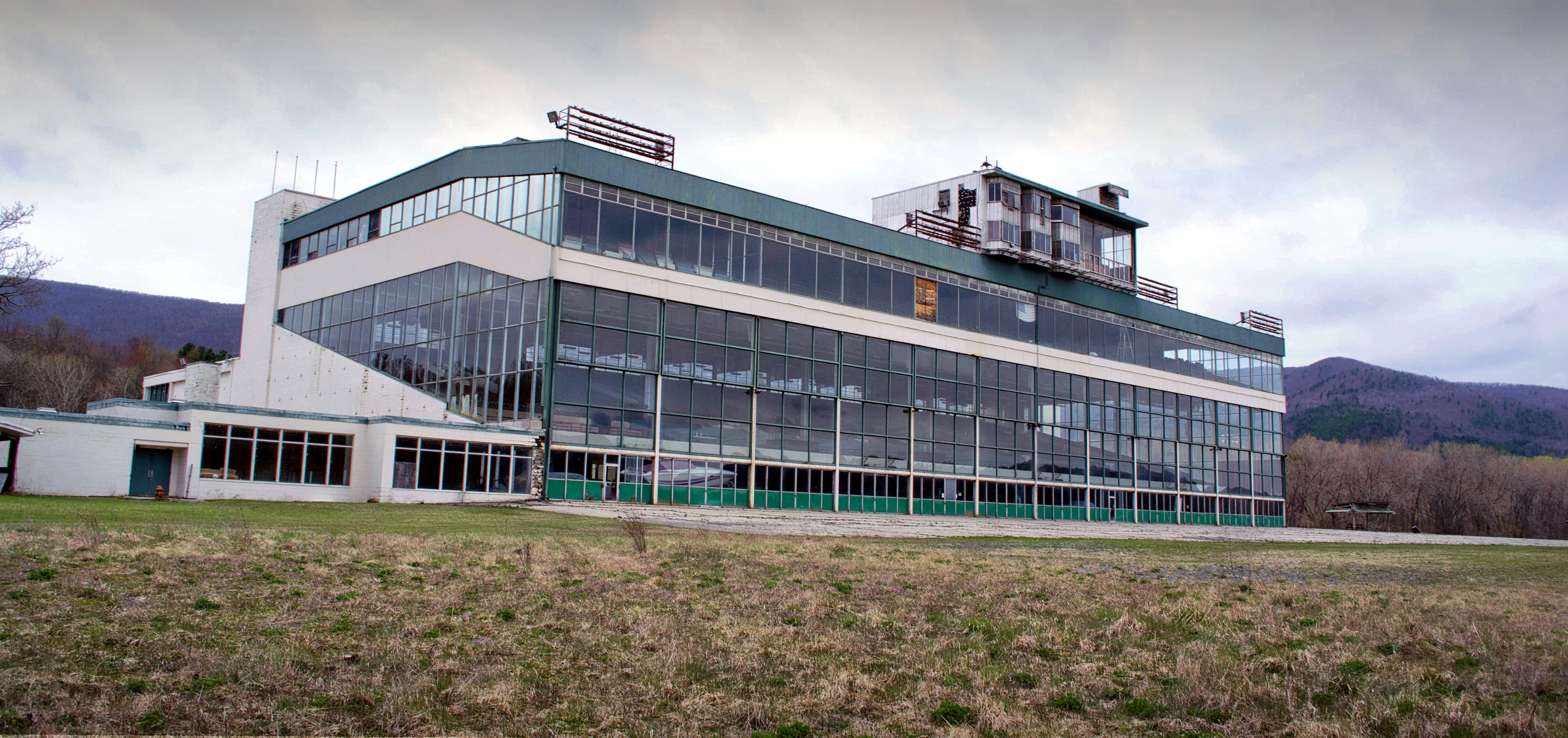
The Green Mountain Racetrack when I visited back in Spring 2011. 

The Green Mountain Racetrack June 2019/March 2020

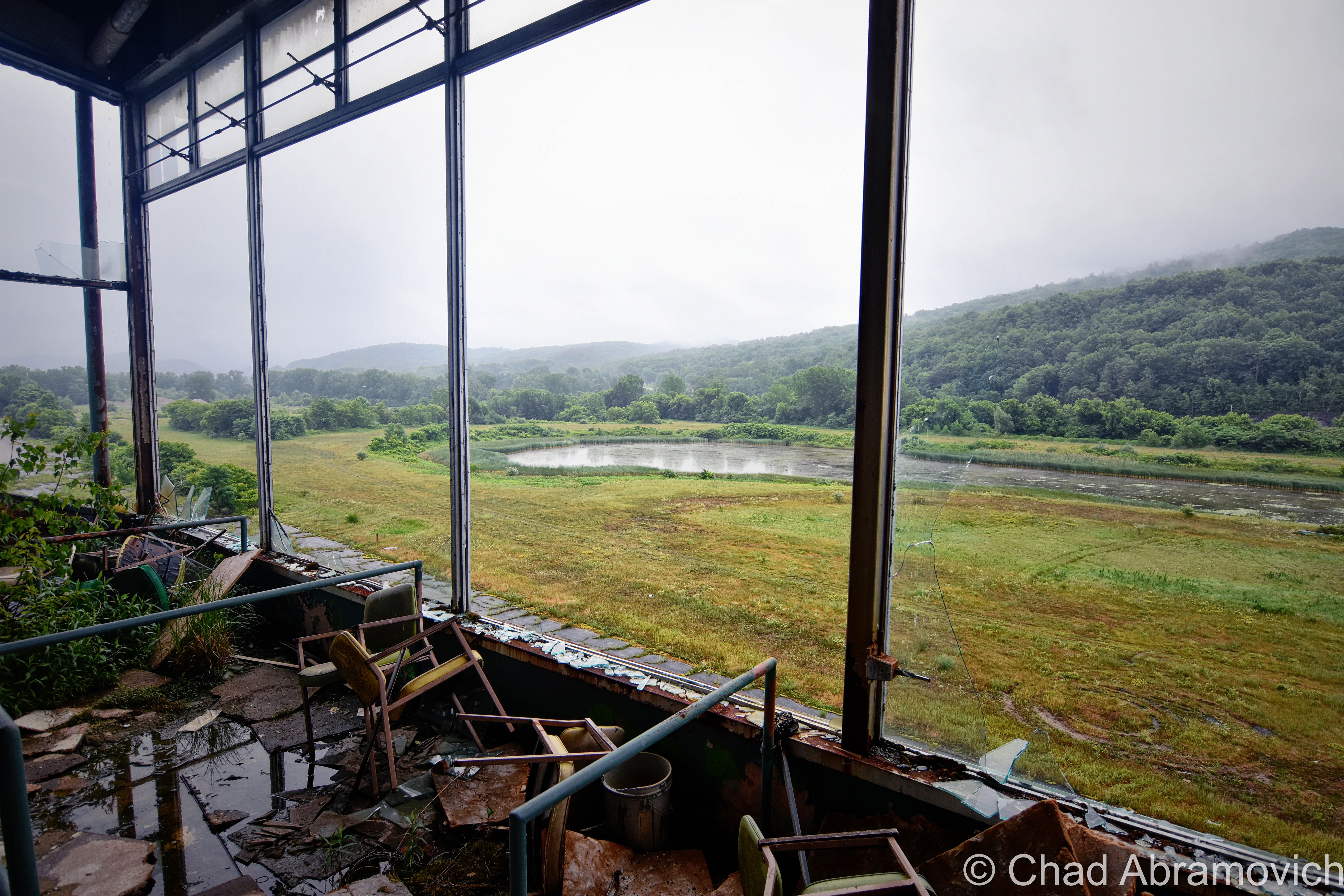
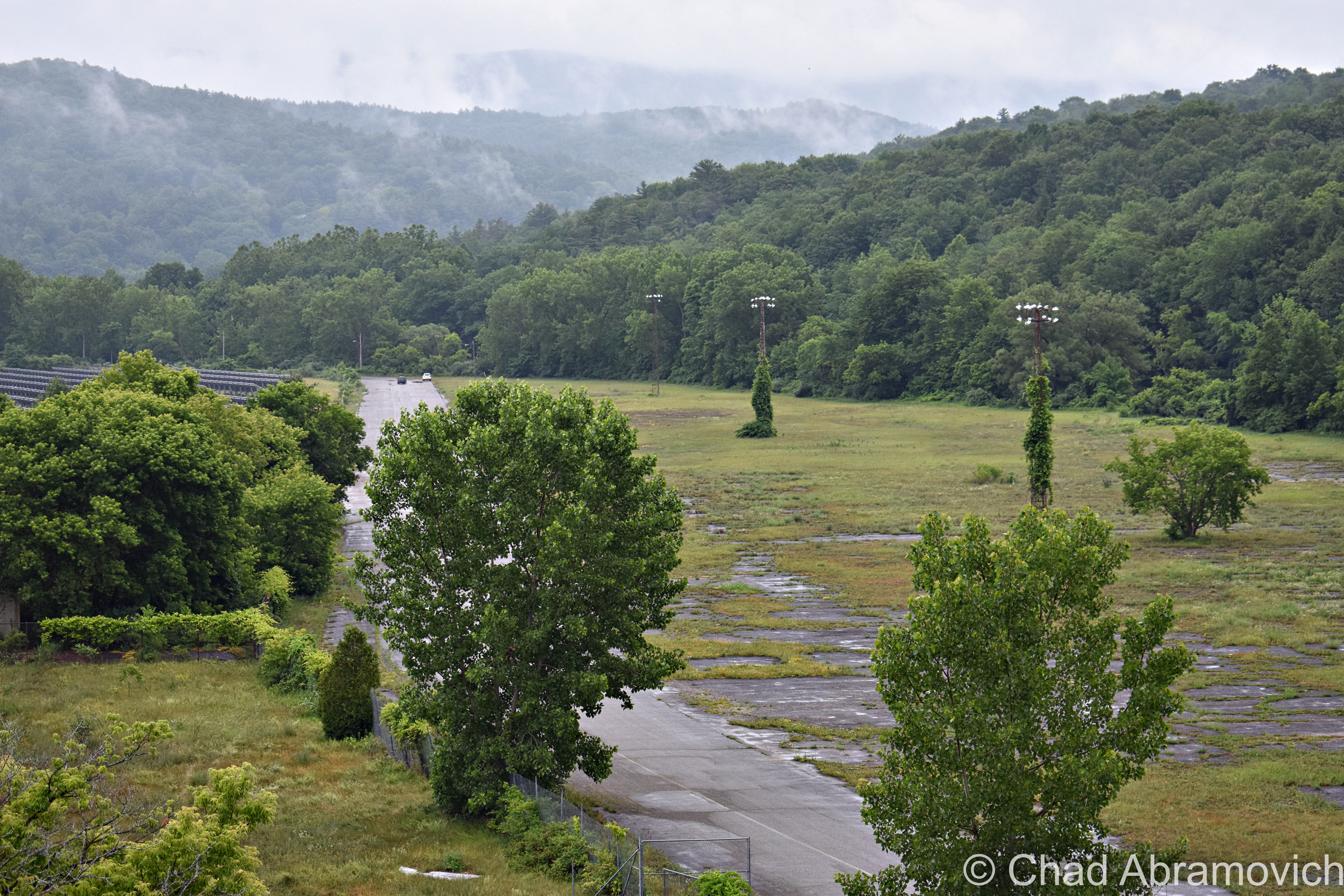
The old track oval, now a field growing wild. Looking at this image, I still remember this summer evening; the humidity dripping down my skin and shallow breathes in heavy air, with the gentle sound of rustling long grasses and a nocturne of peepers. The end of the Green Mountain range can be seen in the distance.

Green Mountain Racetrack June 2020

Photos from my last sojourn here. It was a sultry early summer day as mists slid of new green slopes vibrant against gloomy ashen skies and uncomfortable humidity that drenched us in sweat. The entire place reeked of something sodden and foul. It had started to rain, and the roof, which had long failed, was letting fetid water in which dripped down and baptized us and made the upper carpets like stepping on a wet sponge.

“You’ve been baptized – your soul belongs to the race track now” I joked as a trickle of mystery water dribbled down upon my friend’s head and shoulders. She involuntarily cringed at the sensation and shot me a glare.

Man oh man, I really miss this place.

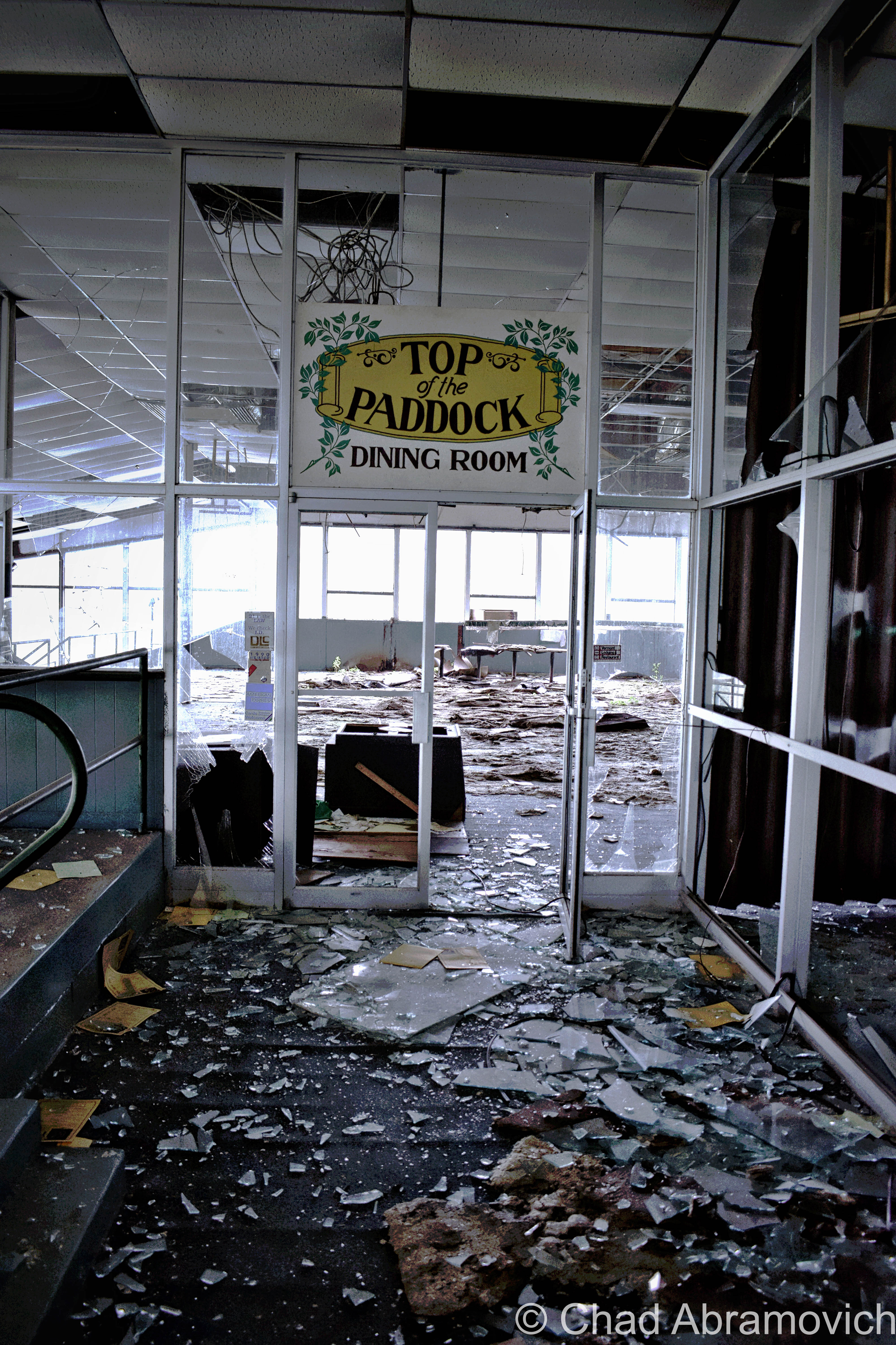
I realize the noun “Paddock” means a field/enclosed area where horses are kept and exercised (duh, because it’s an old horse track), but I personally can’t help always think of the aforementionedly bedeviled Pownal farmer Thomas Paddock when I’ve passed under this sign, and all the inexplicable weirdness that went down (literally) on his local farm. Personally, I think that would have been a way cooler restaurant name reference.
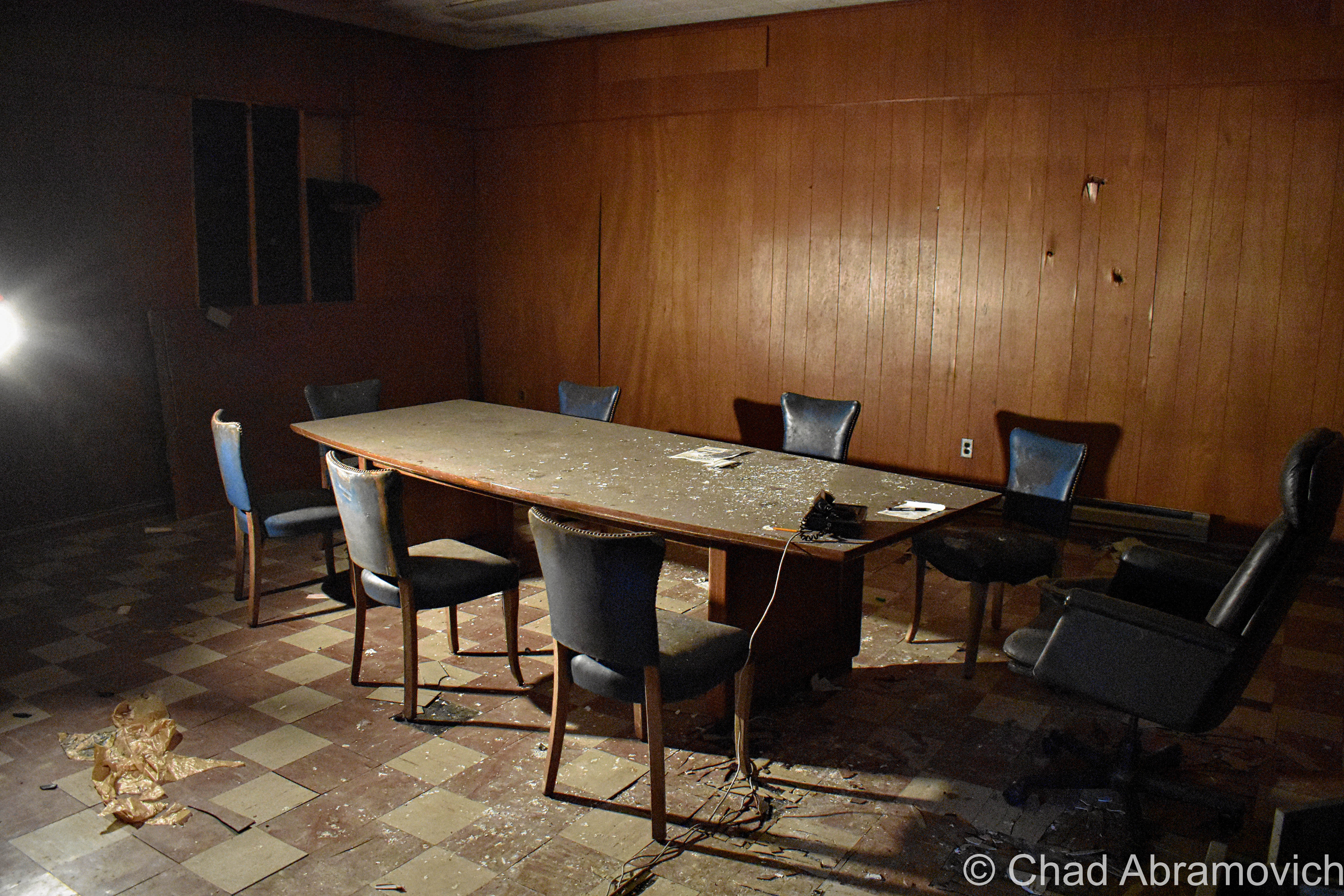
A groovy old conference room in the basement

I’d really love to do more shunpiking and exploring around the Pownal area – it really is a gem of a town, with far-stretching vistas, old farms, backroads that convert into gnarly class D forest roads, and hidden swimming holes under mountain cascades.

When I was curiously searching for other people’s media from their explores here, I found quite a few talented folks who bring some great stuff to the table. Here’s one of my favorites; a great urbex video by explorer “Dark Exploration” (who, in my opinion, got wayyy better shots than I did!)

Check out this cool drone footage shot by Youtuber Dagaz FPV! It gives you a scope of just how big the property was and some rad POVs that I couldn’t capture. Maybe I should invest in one of these…


Are you from Pownal or the surrounding environs of Southern Vermont/The Berkshires/New York State? Or are you a Vermonter in general? I’m looking for weird and wild stories, wonderous places, incredible people, and especially abandoned locales! So if there’s something you’d like to share with me, I’d love to hear from you!

I’d also really love to grow this blog and present unique, meaningful, and extraordinary content that’s a departure from the same regurgitated stuff you find everywhere else online, and your help would be hugely appreciated! I have bad social anxiety, so I’m not always on social media as often as I probably should be.

Feel free to drop me a line at chad.abramovich@gmail.com
Also – if you appreciate me and this blog, perhaps consider making a donation at my PayPal below? The pandemic has hit my finances and my mental health pretty hard, so any amount is humbly appreciated. I’m also on Venmo if that works better.


Since 2012, I’ve been seeking out venerable examples of Vermont weirdness, whether that be traveling around the state or taking to my internet connection and digging up forsaken places, oddities, esoterica, and unique natural features. And along the way, I’ve been sharing it with you on my website, Obscure Vermont. This is what keeps my spirit inspired.

I never expected Obscure Vermont to get as much appreciation and fanfare as it’s getting, and I’m truly grateful and humbled. Especially in recent years, where I’ve gained the opportunity to interact with and befriend more oddity lovers and outside the box thinkers around Vermont and New England. As Obscure Vermont has grown, I’ve been growing with it, and the developing attention is keeping me earnest and pushing me harder to be more introspective and going further into seeking out the strange.

I spend countless hours researching, writing, and traveling to keep this blog going. Obscure Vermont is funded almost entirely by generous donations. Expenses range from hosting fees to keep the blog live, investing in research materials, travel expenses and the required planning, and updating/maintaining vital tools such as my camera and my computer. I really pride and push myself to try to put out the best of what I’m able to create, and I gauge it by only posting stuff that I personally would want to see on the glow of my computer screen.

I want to continuously diversify how I write and the odd things I write about. Your patronage would greatly help me continue bringing you cool and unusual content and keep me doing what I love!

Donate Button with Credit Cards

The Drowned Forest

I recently had a lot of fun voyaging around the tiny angle that is New Hampshire’s 18 miles of seacoast! I haven’t been down towards the Granite State’s coast since I was 10 years old, so the nostalgia was stimulating and the sunburn was painful!

A few friends were tandem on this seacoast excursion, and one of the few goals I had for this trip was doing a bit of oddity hunting – and I was pleased with the few curios that I had eagerly put on my list. Beyond that, we just had a blast shunpiking around random coastal towns in both New Hampshire and Maine.

The environment is a bit exotic to me, in a sense that serpentine salt marshes and beaches on a waterbody you can’t see the other side of aren’t found up in Vermont (but we do have lighthouses!). This part of New England also has redolent history and mystery that have been fermenting far longer than Vermont has existed! I was definitely imbued with some unabashed excitement the whole time.

After all these years I’d never forgotten just how great of a drive New Hampshire State Route 1A was.

Before we checked into our hotel in Portsmouth, I suggested we took the requisite tour up Route 1A (known as Ocean Boulevard for most of New Hampshire’s seaboard) and the shore with the windows down and the breezy salt air coming in (and our music blasting out).

Starting in the brashy and tawdry beach burb of Hampton Beach and its famed 3-mile titular stretch of sand that are both long-established New England summer destinations, we then ventured northwards around a few rocky points with squinty views of the faraway rocks that are the Isle of Shoals – a group of forlornly not-quite-barren islands split between Maine and New Hampshire that are famed for their isolation, and grim and mysterious folklore – the spectrums of which include murder, shipwreck, ghosts, and a treasure – all suitable footnotes of any northern New England ocean island. I’d like to take a ferry ride out there next time I’m in the area.

We then passed through scenic Rye, with numerous state beaches, tidal wetlands, and ostentatious money enclaves that line Ocean Boulevard, and then ended up in Portsmouth.

*iPhone photo. The rad shield for New Hampshire State Route 1A – the numbers represented within the silhouette of the “Old Man of The Mountain” – which was formerly a naturally anthropomorphic rock outcropping above Franconia Notch said to look like its name implies, which has since crumbled ironically due to its old age, and is now kind of an awkward state marketing icon. I had fun explaining this to one of my friends who is from the Midwest.

Portsmouth, New Hampshire is a rad little city. As its name implies, it started out as a colonial shipbuilding hub and morphed into a rowdy naval port town where the Piscataqua River junctions with the Atlantic around the island town of New Castle.

The Pisaquata River also has a pretty great Google review!

The name was minted by the local Abenaki people and might mean something close to; “a river with a strong current”, which I’d say is pretty dead-on, but the details are a bit hard to parse, and because of that, there is a lot of speculative lore behind its name! It’s also the third fastest-flowing navigable river in the world. Though the city has long declined from being an employed port, the oldest naval shipyard in the new world is still active here on an island in the Piscataqua – which once launched some of the most important American warships and the first nuclear submarines. Now the shipyard is kinda moribund, but still functioning.

And speaking of submarines – there’s one in a hole right off the Route 1 Bypass! It had me and my friend exclaim: “Hold up… that’s a motherfuckin’ submarine!” when we passed it.

It’s the new home of the USS Albacore! Lauded as “the forerunner of the future” in its heyday, this vessel was built by the skillful laborers at the Portsmouth Naval Shipyard in 1953 and was intended to essentially be a paramount experiment of both its physical design and technological wizardry – one that the Navy was really depending on. Its teardrop-shaped body became the standard design for all subsequent submarines – and proved that submarines could actually sustain themselves and function while being submerged!

It became the world’s fastest submarine in 1966 when it set an underwater speed record of 40 miles per hour, and, it was used to innovate sonar equipment!

Now, it’s a neat roadside oddity and museum that we didn’t expect to see. Though it was closed when we pulled up as dusk hummed in, it was worth getting a few mediocre iPhone shots of!

One of the most memorable features of the navy’s island lair – and the region itself – is a notorious abandoned naval prison designed as a dismal gothic nightmare – intentionally, I’m sure.

I guess it’s an unwritten cultural rule that if a prison is built on an island, it’s gonna eventually be known as “the rock”.

Like Alcatraz, the intimidating Portsmouth Naval dungeon also shares the same tag, even though it’s technically across the state line in Kittery, Maine – and when in operation, was one of the nation’s most feared military lockups that could hold a surprising 86,000 inmates. The guards, too, had something to fear, because according to folklore, if they let a prisoner escape, they would be finishing out the rest of the escapee’s sentence. And you’ll have something to fear if you decide to try and explore it, because you’ll most likely wind up being locked up (though probably at another facility). I have no doubt that there are other gristly tales of this “the rock” – and most likely, those are forever classified.

I’m a bit bummed that I didn’t get a shot of it while in Portsmouth, but it wasn’t until afterward that I discovered that there was actually a pretty good vantage point from a bridge that leads into New Castle. Oh well, I’ll have to get my shot next time I’m in town!

Via Wikimedia Commons

Nowadays, Portsmouth is a hip tourist town with loads of charm that front squiggly roads and brick sidewalks – part of that charm comes in the form of loads of colonial architecture that was the result of the burb being one of the most successful port cities in early America. It also comes from the fact that after the city was being gradually consumed by a multi-decade period of decline, a whole bunch of Portsmouthians found their civic pride in the 1950s, when the “urban renewal” contagion was spreading around America – which meant a proposal to bulldoze half of the city’s historic neighborhoods so they could put modern stuff in its place. Thanks to locals loathing that idea – the city has a fantastic array of impressively preserved old buildings from the city’s various stages of life that couldn’t be more archetypal New England, and lacks the antiseptic, banal, and cheap architecture that plague so many other American city centers today.

It also gives Portsmouth a wicked creepy vibe after dark when things get shadowy behind old houses, arboreal-tunneled streets, and replica historic gaslights. You definitely start to wonder what sort of fiendish monstrosities lurk in the black voids and eerie stillness that slides over the city from ocean mists.

And speaking of creepy things at night – this is a good time to transition into my first oddity excursion…

Grave With A Glow?

Back at the hotel room, I was doing some research a few hundred years deep into local cemetery records, trying to track down a particular corpse. Well – actually – her gravestone. You see, Portsmouthians have a mystery among them – an inexplicable phenomenon that might be solely unique to their city. As far as I know, anyways.

According to the vague legend – there’s a light coming from within Portsmouth’s sprawling south street cemetery at night – the result of 5 old rotyards eventually colliding into one over the centuries that Portsmouth has existed.

This is a radiance that might be preternatural, for it’s said to come from a tombstone.

Yup, I was trying to find a grave that glows, which was a bit of a task. There wasn’t a lot of chitter-chatter about this curious claim. I first discovered a brief snippet of it within Curious New England: The Unconventional Traveler’s Guide to Eccentric Destinations by Joseph A. Citro and Diane E. Foulds and was finally able to dig up a bit more sustenance on a blog entry I found, that now seems to have vanished.

What I found so intriguing about the claim is that the reason for the luminosity seems to be a mystery. There are no specter stories and it can’t be blamed on floating orbs or a reflective surface that mirrors nearby shine. I guess it’s an intrinsic feature.

The grave’s occupant, too, seems to be a rather unremarkable person, in a sense that she doesn’t seem to have any disquieting history to support her grave’s peculiar behavior. The usual plot twists to New England cemetery supernatural shenanigans don’t apply here. She wasn’t accused of being a witch, and she wasn’t done some sort of great injustice that made her utter a posthumous curse (though making her headstone glow for eternity seems like a pretty silly way to achieve retribution if you had that sort of power).

Though some morphed local lore takes a stab at answers and proposes that the stone glows because; it’s the grave of a murderer, a murder victim, or even that the gravestone itself has uranium (!) or a luminescent particle in its mix. Uranium in a gravestone is still amusingly easier to believe than this story is.

It just does its thing, apparently, and it has been for some time.

That’s another interesting detail – I haven’t been able to find any information on exactly when this marvel started to happen, or how long it’s been doing its thing for, or even any accounts of people who’ve seen it. Even a few locals I mustered up the courage to ask about it had no idea what I was talking about. It’s just been acting in that fashion for a while it would seem…

The naysayers who are aware of this tale scapegoat sources like the light of the moon, streetlights along Sagamore Avenue and South Street, the traffic light at the intersection of Miller, Sagamore, and South, or reflections from the sizable pond within the cemetery grounds, that for some reason, leap a considerable distance and hit just the one headstone. But if this is all to be believed, then even skeptics have to concede that it can’t be the moon, for the stone is said to glow perpetually, even on moonless nights.

With such a mysterious sensation allegedly happening within a few minutes of our hotel, how could I miss out on witnessing it for myself?!

One of my friends decided to humor me and come along, while the other one raised an unimpressed eyebrow at me and opted to stay at the hotel.

My skepticism was as thick as the summer humidity outside that night and I felt a little guilty, so to appease my friend for joining me on my midnight legend-chase that would most likely have no payoff, I told him we could get some night shots of the city afterward, which he was pleased to agree to.

Navigating Portsmouth’s gridless grid, the old-fashioned wood frame houses ominously glowing with jaundiced light from the streetlamps soon ended and the vast graveyard thick with indifferent shadows extended beside us behind its low delineating stone wall. It was really dark in there.

Despite how nearsighted I know I am, a greenish/white glow within an otherwise dark cemetery should have been easy to spot – but as far as first impressions went, we didn’t see anything except for the waning rectangular shapes of rows of headstones coupling with panoramic umbrae that seemed to be extra nebulous for some reason. It was actually pretty creepy.

From within the cemetery, we could discern the distance-weakened streetlights and an occasional flash of passing headlights, but there was nothing I could see that I’d mistake for an unceasingly glowing gravestone. It was a good thing that I did the research beforehand, too, because finding a grave in that cemetery at night would have been an unlikely task. Unless it glowed.

“What’s the name on the grave?” my friend asked as we walked around in the dark.

“Burns”

“Wait… seriously?”

“Yup, we’re gonna see if Mrs. Burns, burns”.

“Oh god, Chad…”

Our experience in the cemetery can be summarized succinctly; there were no glowing tombstones. Or tombstones doing anything that could be considered eccentric. We then drifted over to the Portsmouth waterfront, reveled in glorious summer weather as the water bells tolled distantly, and called it a night.

We did return the next day en route to another oddity I’m going to get into below, so I could get some documentation shots of the headstones for this blog post.

There, in broad daylight, were a set of 3 tombstones with the surname Burns on them joined at their base – 2 of them bonded by older looking stones and a third and unevenly distanced one on a newer concrete foundation. They were more or less unremarkable and dimmed by age and weather. In the middle was the anomaly – the grave of Eunice Burns, who died in 1884. The epitaph “mother we miss thee” engraved below her lifespan was actually kind of sad and made me wonder how she turned into a local folkloric figure.

We also had a brief wander around the cemetery – a sprawling yard of little grave capped hills and a long pond, and observed a fantastic array of weathered old headstones and their memento mori and stories – dating all the way back to the 1600s, when Portsmouth was spelled as “Portsmuth”.

“So, it didn’t glow last night?” asked my other friend facetiously as I was putting my camera gear back in my bag.

“Nope. But who knows, it might be glowing right now and we just can’t tell because it’s sunny out”.

These are just a few shots of some headstones that I found to be interesting as I was leaving!

The Drowned Forest & The Transatlantic Telegraph Cable

More often than not, some of the most interesting things come to me completely by accident.

This is one such case, while traveling the fantastic New Hampshire State Route 1A through the town of Rye years ago.

My obsessive observational habits mean that I try to take in everything around me at once when I travel. Studying the landscape and reading every sign I see.

As we came across a small marshy area along Route 1A, I noticed a standard New Hampshire state historical marker standing a ways back from the road in the yellowed tall grasses. I’m a huge fan of those state historic/points of interest markers installed on roadsides and usually try to glance at them if I see them.

But this wasn’t the typical sign denoting a battle or historical event. Instead, it had two words that seemed to jump out at me; “Sunken Forest“.

I wasn’t expecting that, and almost immediately, my mind began to percolate.

After all, the term “sunken forest” does provide a lot for the imagination – conjuring up eerie images of giant pines and cedars submerged in a viscous, murky world of diffused light, their branches sullenly and slowly swaying with the mercy of the tides, fish encircling places where only birds could once perch and ship keels making their way over their crowns. 

Did something like that exist in New Hampshire?!  

Well, sort of.

After doing some internet research,  I soon discovered that the reality was a little less phantasmagoric, but still pretty awe-inspiring!

Rye’s sunken forest is the extant remains of a living forest of Hemlocks, Cedars, and Pines – reduced to a range of slimy tree stumps and contorted roots in thick peat mud, many of them barely noticeable and almost always obscured by high tides most of the year.

The traces of former forests and other things that the oceans have adopted into their secretive world can be found along the northeastern coast from Massachusetts as far up as Nova Scotia – and sometimes, a particularly low low tide can reveal these things, or give them back.

This fossilized forest is from a time when the New England coastline extended approximately 75 miles outward, thousands of years ago! When the giant ice sheets that covered North America began to melt, sea levels increased and changed the coastal signature of the area, and eventually, the once-great softwood forest found itself unable to adapt to its new environment; underneath the ocean.

New Hampshire’s inundated forest is one of the easiest to view of all the still-surviving ones, which makes it all the more unique and tantalizing to track down.

But, “easiest” still means little here. The visibility entirely depends on the tides, which means actually seeing them is a rarity. And if the conditions are more ideal, the arrangement of nudged sediments, stones, and mud might also work for or against your efforts.

This oddity is bisected into 2 parts, which are either collectively known as “The Sunken Forest”, or isn’t. The one I tracked down, is the more frequently surfaced depending on the season and the tides, and is known to some as “The Drowned Forest” – which is mostly submerged in a rocky cove near the storied Odiorne Point. I like how graphic and violent sounding that name is, so I usually just go with that one. It also makes more sense logically to me, because the whole reason this oddity exists was because it was literally drowned.

Spring and summer are the best times to detect it, because in the latter part of the year, the low tides are only at night. Also, luck and persistence will help a lot too. Seriously. This was my third attempt at trying to see this – and not being from an area that has ocean frontage, this was also a required opportunity to teach myself about the tides.

The more of a chore-to-view is called “The Sunken Forest”, and is southwards down at the northern end of broad Jenness Beach – which mostly Houdinis itself except for once every few decades if conditions are just right. But, the Jenness Beach portion is also the best-preserved – with the stumps actually looking more like stumps, as opposed to up at Odiorne where centuries of ocean movement have grounded down the stumps almost level with the earth.

But when they are exposed, they have been carbon-dated to around 3,600-4,000 years old – and using dendrochronology, some of the tree stumps were shown to reach around 100 years old before they met their fate!

Finding this patch of remarkable flora was the main persuasion for me going to the New Hampshire shore – and it also was the thing that managed to twist my arm towards a beach. Not that I don’t like pretty places, but I’ve never been much of a beach person, mostly because I don’t really dig crowds or heatstroke.

By the time we arrived at Odiorne Point to meet low tide, though, it was already on the cusp of 100 degrees, and that heat just sucked the life outta me.

But I couldn’t contain my excitement as I made my way out into a rocky cove that wreaked of the fragrances that come with low tide. This was a special kind of ocean controlled oddity, sort of like when old shipwrecks will surface every now and then off, or on, New England beaches, so being able to actually behold it for myself was pretty rewarding – even more so knowing that within an hour or so, it would all be submerged again.

Scores of parents and even more kids were roving around the stony banks bracketed by seagrass stands and splashing around in the tide pools – most of them having no idea that they were in proximity to 2 very cool curiosities. But me – I was roaming around with my camera and prattling about seaweed-covered mounds that I was trying to differentiate from either being the oddity I was looking for, or just a regular sodden lump.

Some of the stumps and exposed contorted roots were almost inconspicuous in muddy sediments and other remains were found but sort of veiled below ankle-deep water with surface sun glimmer in the shifting tide pools.

Odiorne Point unassumingly has quite the history – many of the ruins that mark the point’s fluctuating timeline can still be detected – scattered through the state park that now occupies the land around the point.

The Abenaki and the Penacook gathered here for the copious resources like muscles and clams found in the tide pools, and It became the first spot in New Hampshire that seafaring Anglos set foot on a few centuries ago.

While century-old gravel pitting operations obliterated any traces of those original settlements (besides the oldest known cemetery in the state!), the brawny vestiges of a vital World War 2 coastal defense fort still exist within the park’s woods, as well as a conspicuously curious watchtower that can be seen 83 feet above the shingled homes of a small neighborhood off Route 1A that once was a satellite of the fort and was used for intelligence.

It’s the lone extant survivor of New Hampshire’s original 14 coastal World War 2 watchtowers, and is, for the most part, closed to the public. The tower is named after a neighboring natural landmark – Pulpit Rock – a jutting flat-ish topped rock formation that thrusts into a bouldery range of shoreline.

We had originally wanted to go check out the old gun mounts and batteries (and investigate rumors of secret tunnels), but by the time we were done with the Drowned Forest, I guess the heat had gotten to us and our enthusiasm, and we opted for the air conditioner in the car instead. I’ll be sure to put them on my itinerary the next time I’m in the area. Just look at these photos!

This turned out to be a conjoined oddity – the second item on my agenda happened to have been coincidentally laid down right through the Drowned Forest, and was much more obvious to detect!

You’re looking at the rusted umbilical of one of the first transatlantic telegraph cables – the first one to be installed on United States soil!

Landing of the Direct United States Cable at Rye Beach, right through The Drowned Forest – circa 1889. Notice how much more girth those stumps had then! | Via Atlantic-Cable.com

The 19th century was the sparking point for a wondrous period of advancement and invention for America. Communication – being one of the seminals of the human existence – was naturally pulled into the gravity of the changing methodology.

The telegraph could cut delivery of information from weeks to a matter of hours, or even minutes, by transferring a pattern of electrical signals called Morse Code between 2 receiving stations via a special wire, which would then have to be deciphered.

American businessman Cyrus West Field knew absolutely nothing about telegraph cables, but he had a lot of faith in their prospect, bellwethered that the telegraph was going to grow in importance, and wanted to capitalize on it in a way that nobody else was doing.

By the 1850s, underwater telegraph cables were beginning to run in small dimensions, like from Newfoundland to Nova Scotia, and across the English Channel.

Field utilized this information and thought bigger, literally. He wanted to establish a telegraph cable across the Atlantic – linking North America and Europe.

The idea also became a good way of international flexing, and the governments of America and The United Kingdom jumped on the bandwagon and helped fund the endeavor.

Because the cable was too large/heavy to load on a single ship, 2 appointed ships would sail from opposite ends of the ocean; Southern Ireland and Newfoundland, Canada, and meet in the middle to splice the cables together.

But, so many calamities bedeviled the journey that both governments and investors began to feel like fools after 3 failed attempts in 8 years.

Eventually, though, the first transatlantic cable finally happened in 1866, and it was a moving affair – with both governments lauding it as a paramount shift in human accomplishment. But, it took upwards of 2 minutes to send a single character because of the length, and then the cable was debased early on because of the voltage sent down it was too high. But, eventually, they got the kinks worked out, which pushed the project’s legitimacy card.

But – any messages destined for America still had to be sent down from the boonies of Newfoundland, which was often a slow or clumsy process. So, the Direct United States Cable Company was formed in 1873 by the Siemens Brothers, which routed another underwater telegraph cable down from Nova Scotia to Rye Beach, New Hampshire on July 15, 1874.

Because this was the first such cable to terminate on American soil – it was a big deal, and a huge crowd gathered at the beach the day of its installation – and garnished up some pretty dramatic Victorian newspaper illustrations in Harper’s Weekly with symbolistic ethereal light beams parting dark clouds onto the spot where the cable met the beach.

An official cable house was built that winter, which closed in 1921 when the cable’s usage significantly slowed down after its zenith during WW1 when it was kept busy practically 24 hours a day.

The cable house still cooly exists and is nowadays a nicely preserved private residence. It’s also why “Cable Road” has its curious name – something I wondered about when I read its name on Rye’s signature white and black street signs when I was a kid.

I tell everyone who feels like lending their ears that New England really is a special and strange place, maybe a few shades more so than the rest of this country’s iconic regions because of the comprehensive spectrum of spectacles that make themselves at home here, and these treasures are just a small representation of this. I was talking to a friend that lives in New Hampshire about The Drowned forest in particular, and he was delighted that something like that existed in his own backyard, and for years, wasn’t aware of it.

As I grow older, those are the types of discoveries that really fire me up more and more. Adventuring can really open up your mind. You don’t always need to go poke around a behemoth of an over-Instagrammed ruin to have a “real adventure”. The magic is kinda what you make of it.

The rusted remains of Rye’s transatlantic telegraph cable can still be spotted at low tide!

Here are a few links:

There’s a pretty fascinating documentary on the design and installation of the first transatlantic telegraph cable that I’ll link you below for your pleasure!

ALSO – if this kind of thing strikes your fancy – then definitely make sure to check out the website atlantic-cable.com – which was an integral part in my research on this curiosity!

The blog “Cow Hampshire” also has a good and more succinct blog post on it.

And – there’s another neat article on Hackaday

The Rye, New Hampshire Historical Society has some neat photos of the Drowned Forest from the 1800s.


Are you from New Hampshire or a fellow Vermonter? I’m looking for weird, wild, or hilarious stories, wonderous and odd places, incredible people, and especially abandoned locales! So if there’s something you’d like to share with me, I’d love to hear from you!

I’d also really love to grow this blog and present unique, meaningful, and extraordinary content that’s a departure from the same regurgitated stuff you find everywhere else online, and your help would be hugely appreciated!

Feel free to drop me a line at chad.abramovich@gmail.com
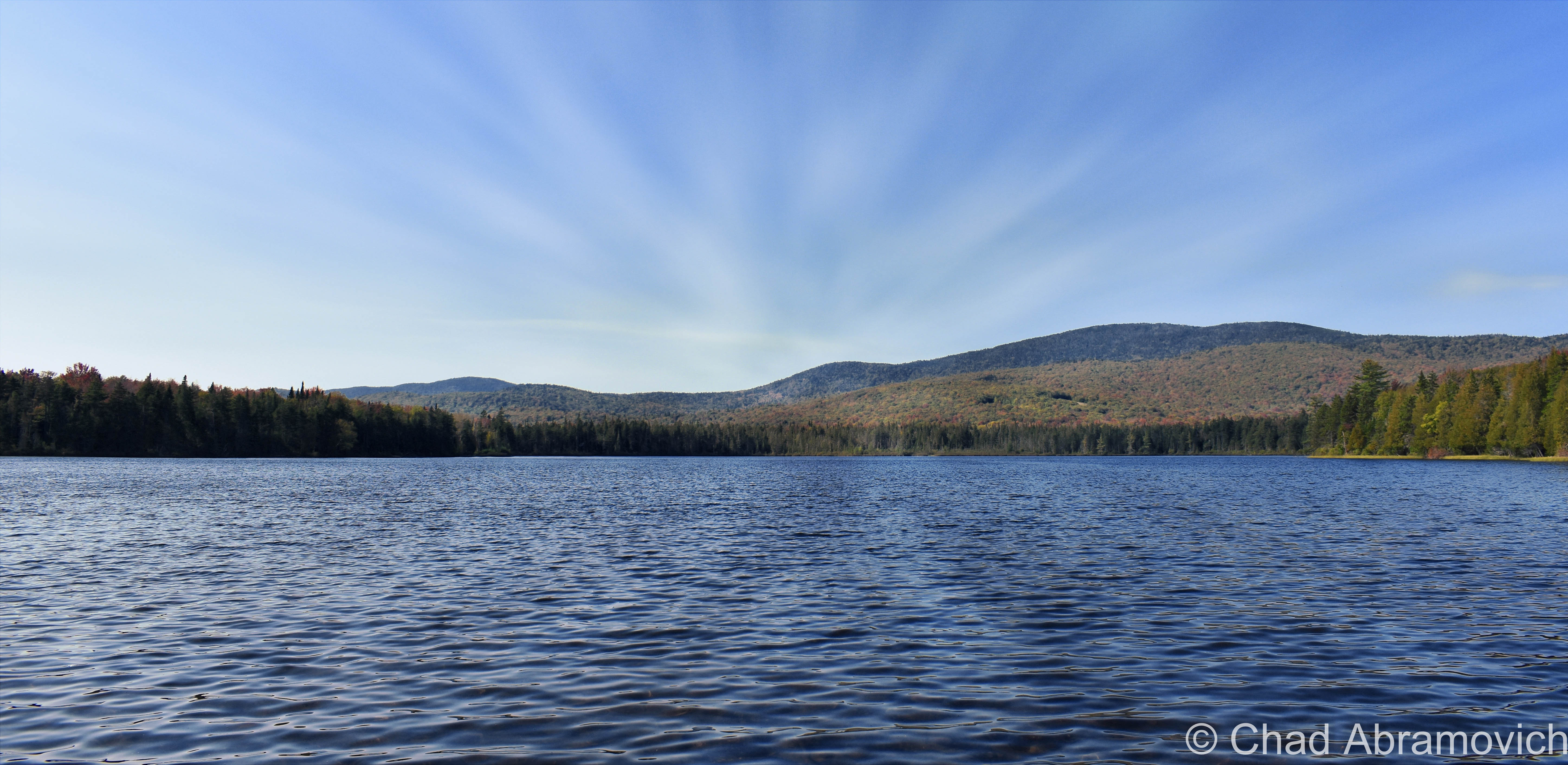
Also – if you appreciate me and this blog, perhaps consider making a donation at my PayPal below? The pandemic has hit my finances and my mental health pretty hard, so any amount is humbly appreciated. I’m also on Venmo if that works better.


Since 2012, I’ve been seeking out venerable examples of Vermont weirdness, whether that be traveling around the state or taking to my internet connection and digging up forsaken places, oddities, esoterica, and unique natural features. And along the way, I’ve been sharing it with you on my website, Obscure Vermont. This is what keeps my spirit inspired.

I never expected Obscure Vermont to get as much appreciation and fanfare as it’s getting, and I’m truly grateful and humbled. Especially in recent years, where I’ve gained the opportunity to interact with and befriend more oddity lovers and outside the box thinkers around Vermont and New England. As Obscure Vermont has grown, I’ve been growing with it, and the developing attention is keeping me earnest and pushing me harder to be more introspective and going further into seeking out the strange.

I spend countless hours researching, writing, and traveling to keep this blog going. Obscure Vermont is funded almost entirely by generous donations. Expenses range from hosting fees to keep the blog live, investing in research materials, travel expenses and the required planning, and updating/maintaining vital tools such as my camera and my computer. I really pride and push myself to try to put out the best of what I’m able to create, and I gauge it by only posting stuff that I personally would want to see on the glow of my computer screen.
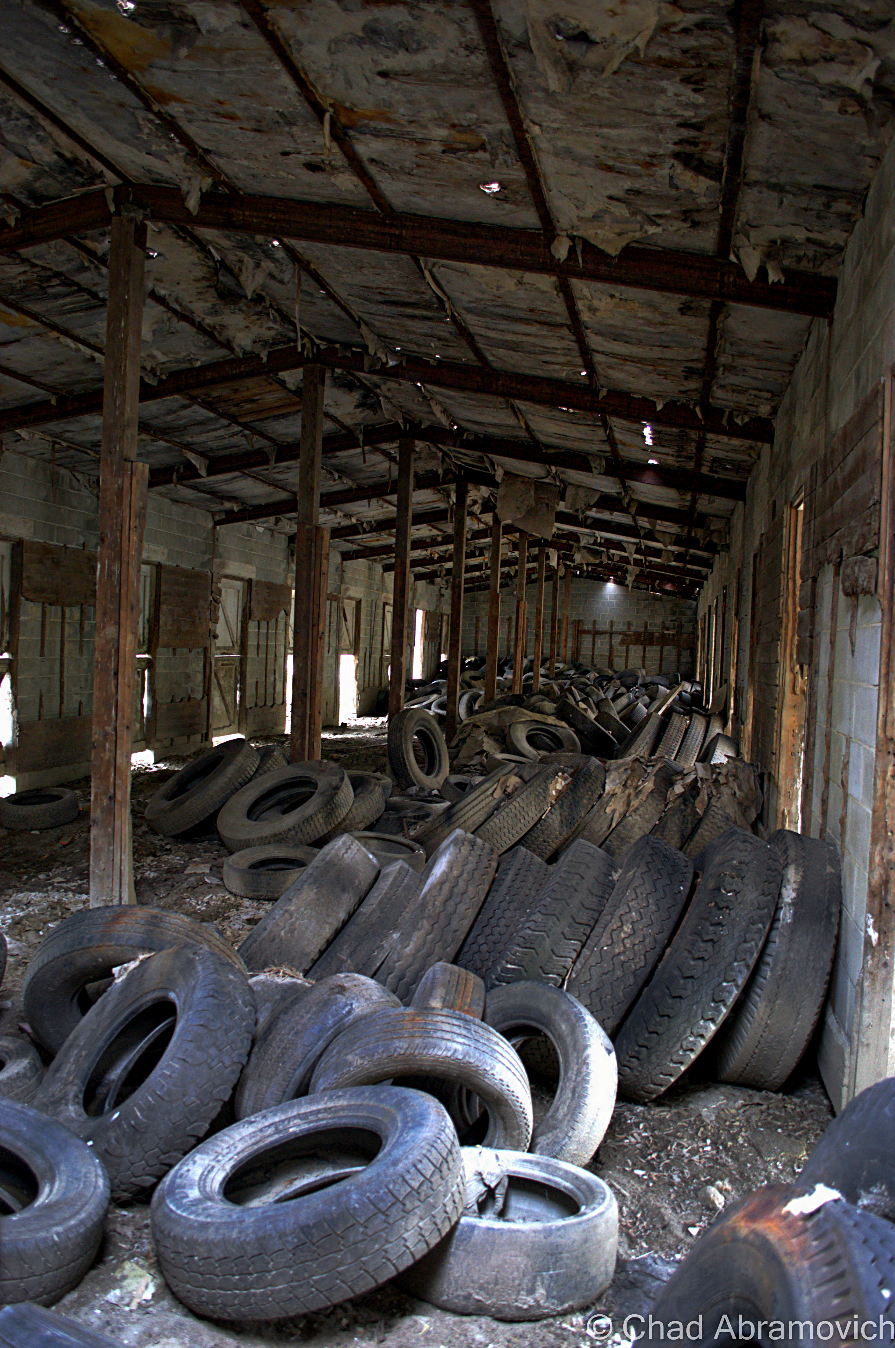
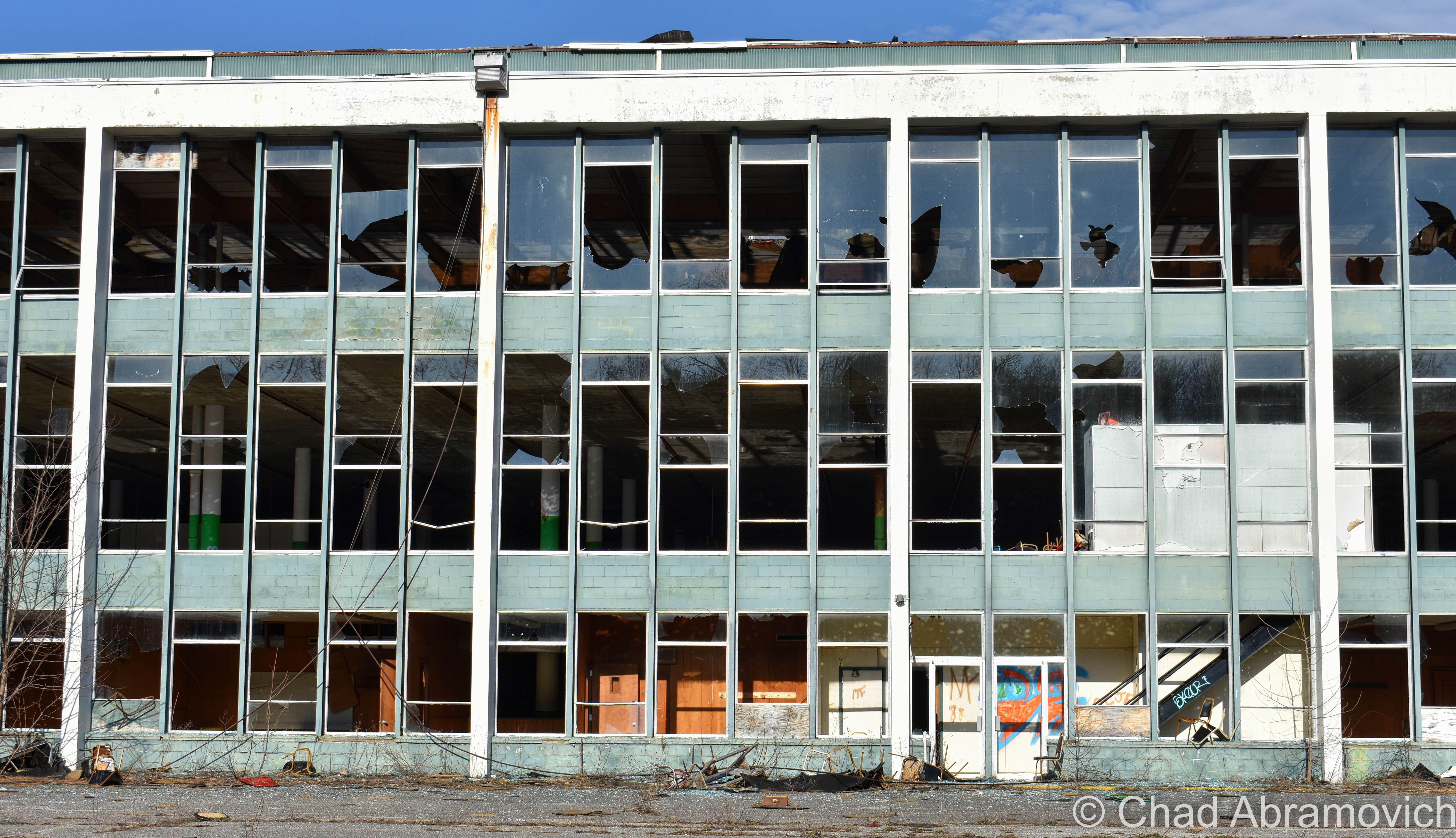
I want to continuously diversify how I write and the odd things I write about. Your patronage would greatly help me continue bringing you cool and unusual content and keep me doing what I love!


Donate Button with Credit Cards