As the chill in this season sputtered and spit outside, I was comfortably warm inside the car as we headed on a 7-hour drive from the Burlington area to unfamiliar territory. But my friend grew up in this part of the North Country, and was playing tour guide today. It felt nice to get out of Vermont and see new places I was completely unfamiliar with, leading on with nothing but my curiosities and perceptions as the untamed mountains and silent swampland hinted at its secrets and its troubles.
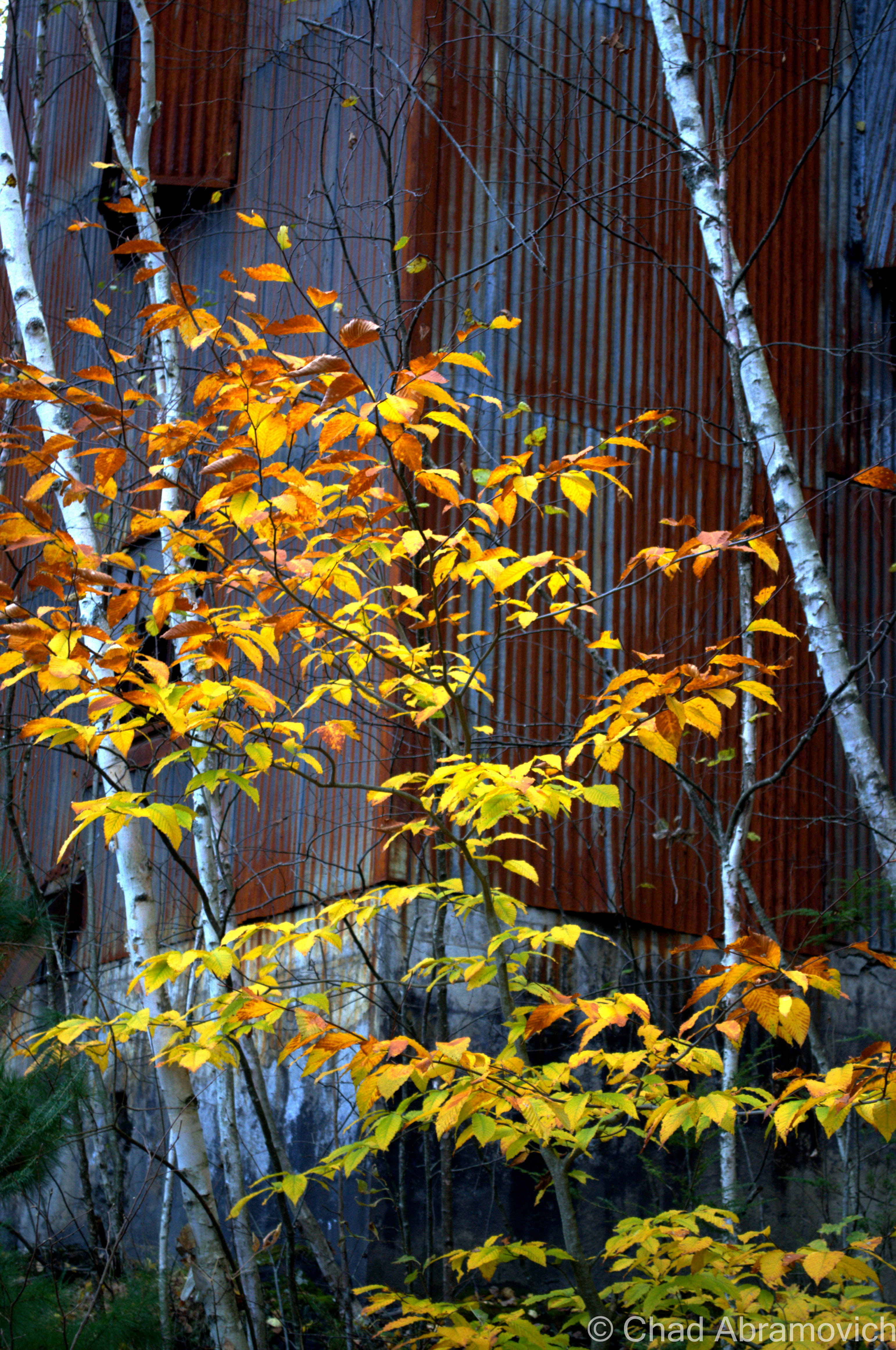
But as the hours passed and the surroundings became increasingly different, conversation began to slip away and I became haunted by the hardscrabble landscape. Unlike Vermont, with its tamed meadows and gentle hills, this region was wild and more disheveled, with less open land and grungy backwoods towns where you can taste the desperation, isolation, and hardships in its blood – all turning towards the riotous color of the Autumn hills and ledges which literally fought with the roadside for dominance over the landscape.
“So, where are we going?” I asked after a lengthy amount of time. “Not sure yet – I was sort of just hoping we’d find a place as we drove by and check it out from there”.
At that point I had to laugh to myself. Here we were, driving sort of aimlessly through sprawling mysterious woodland with no set goal in mind. If I was with anyone else, I would have been a little doubtful at this point, but I trusted his wisdom fully. Now that I thought of it, it had been at least 30 minutes where we hadn’t so much as passed a house, trailer, or even a set of power lines. Few places in Vermont could compare to the loneliness and isolation here. The Northeast Kingdom perhaps. But here – this was truly wild land.
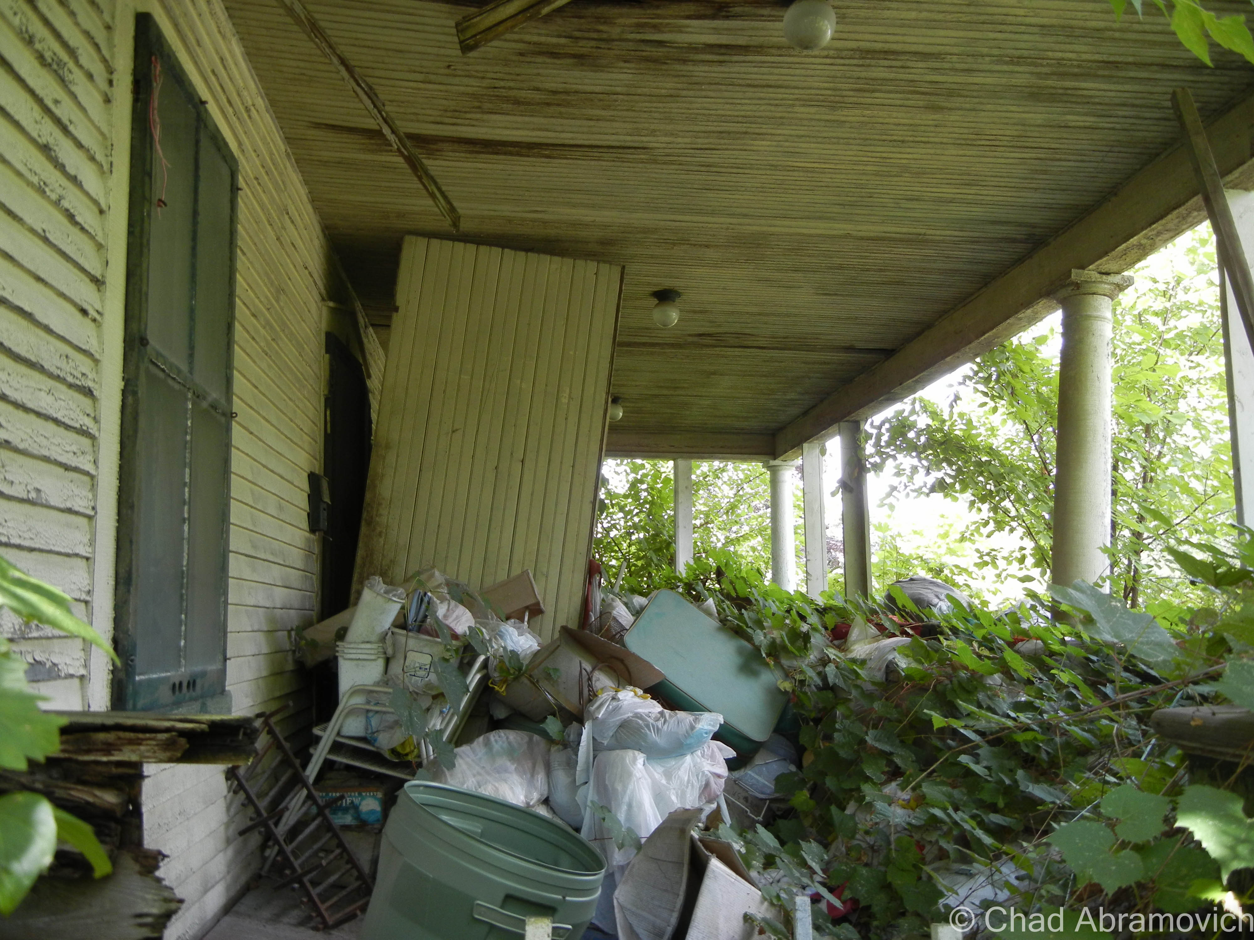
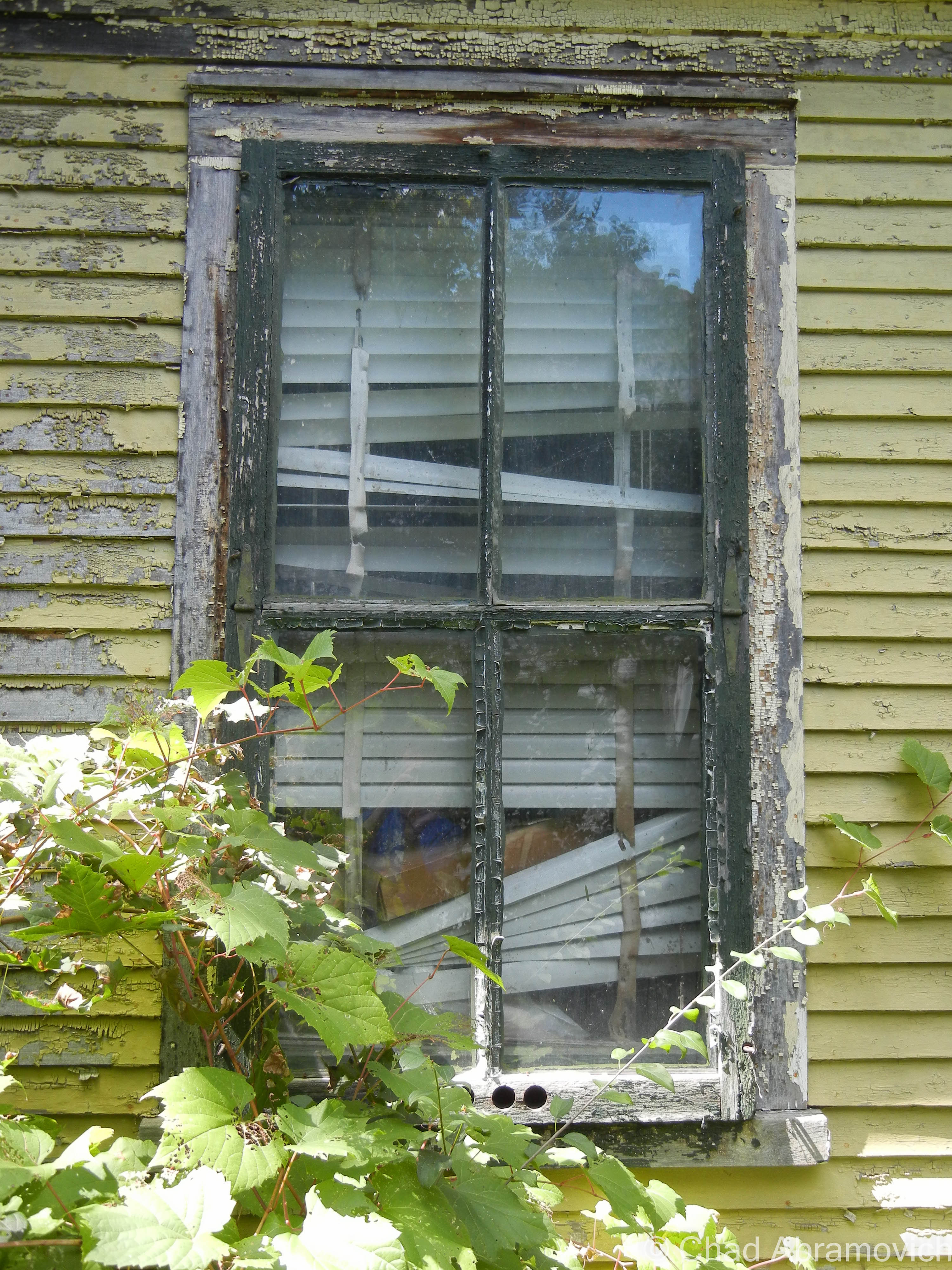
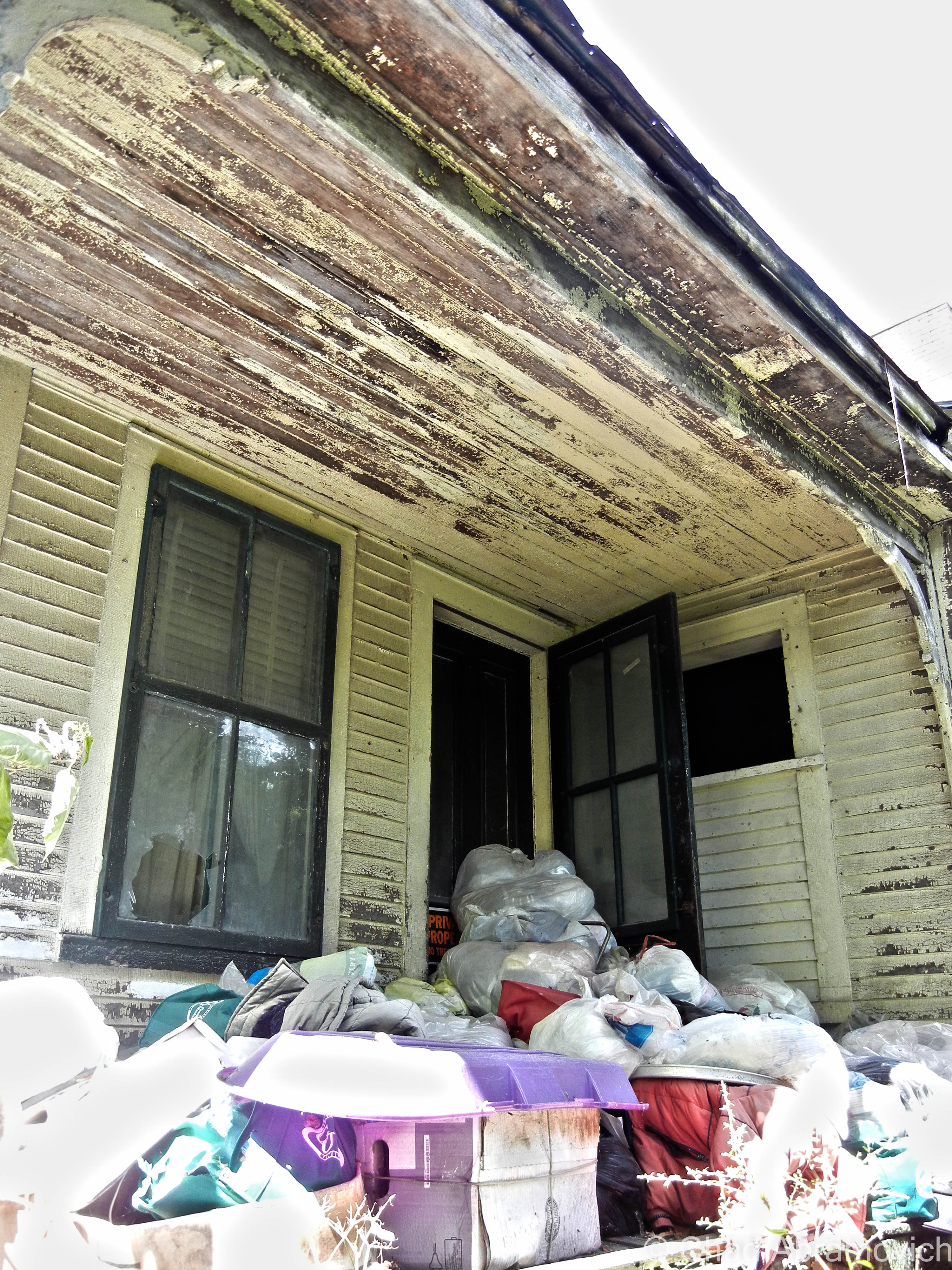
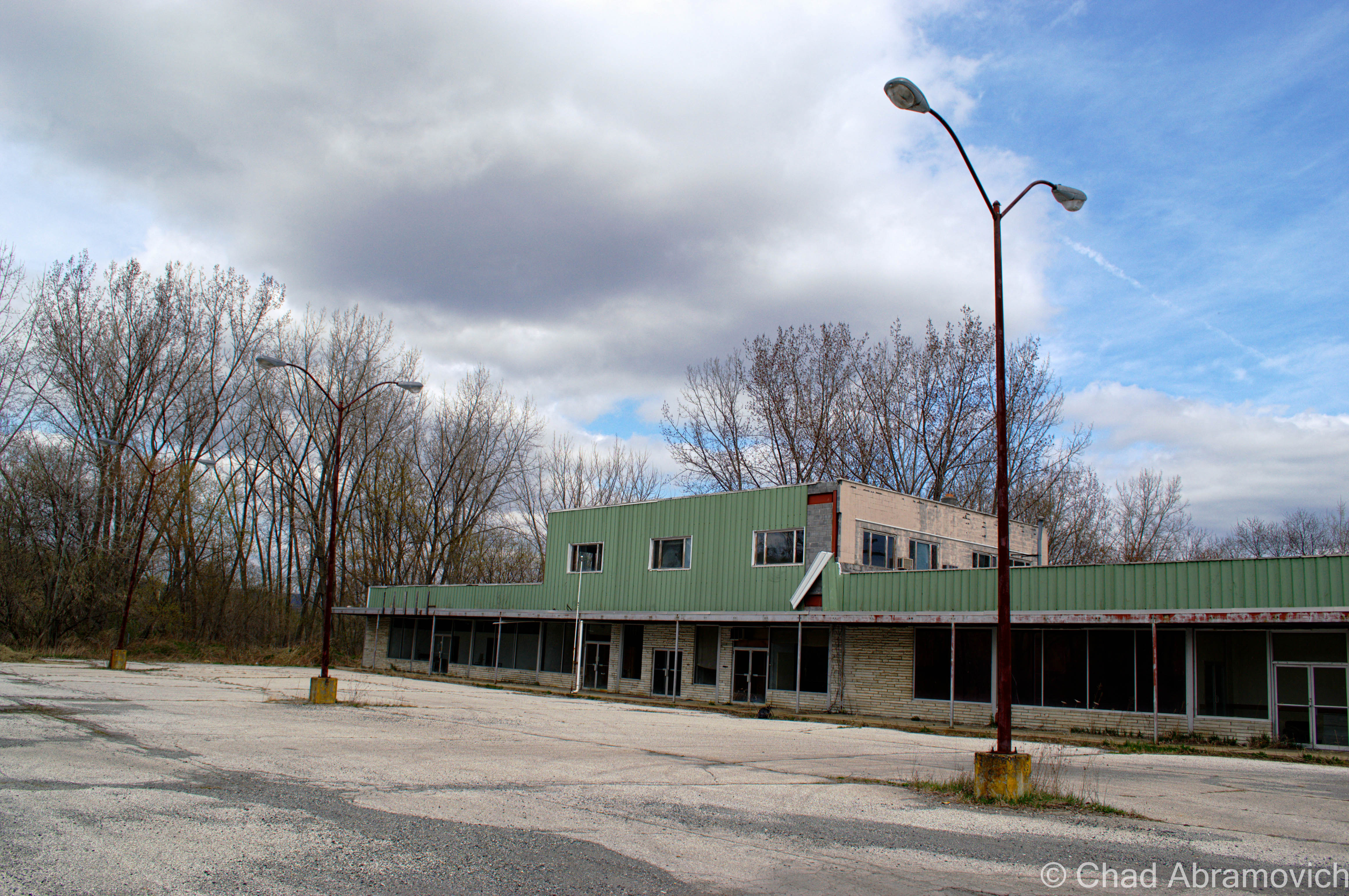
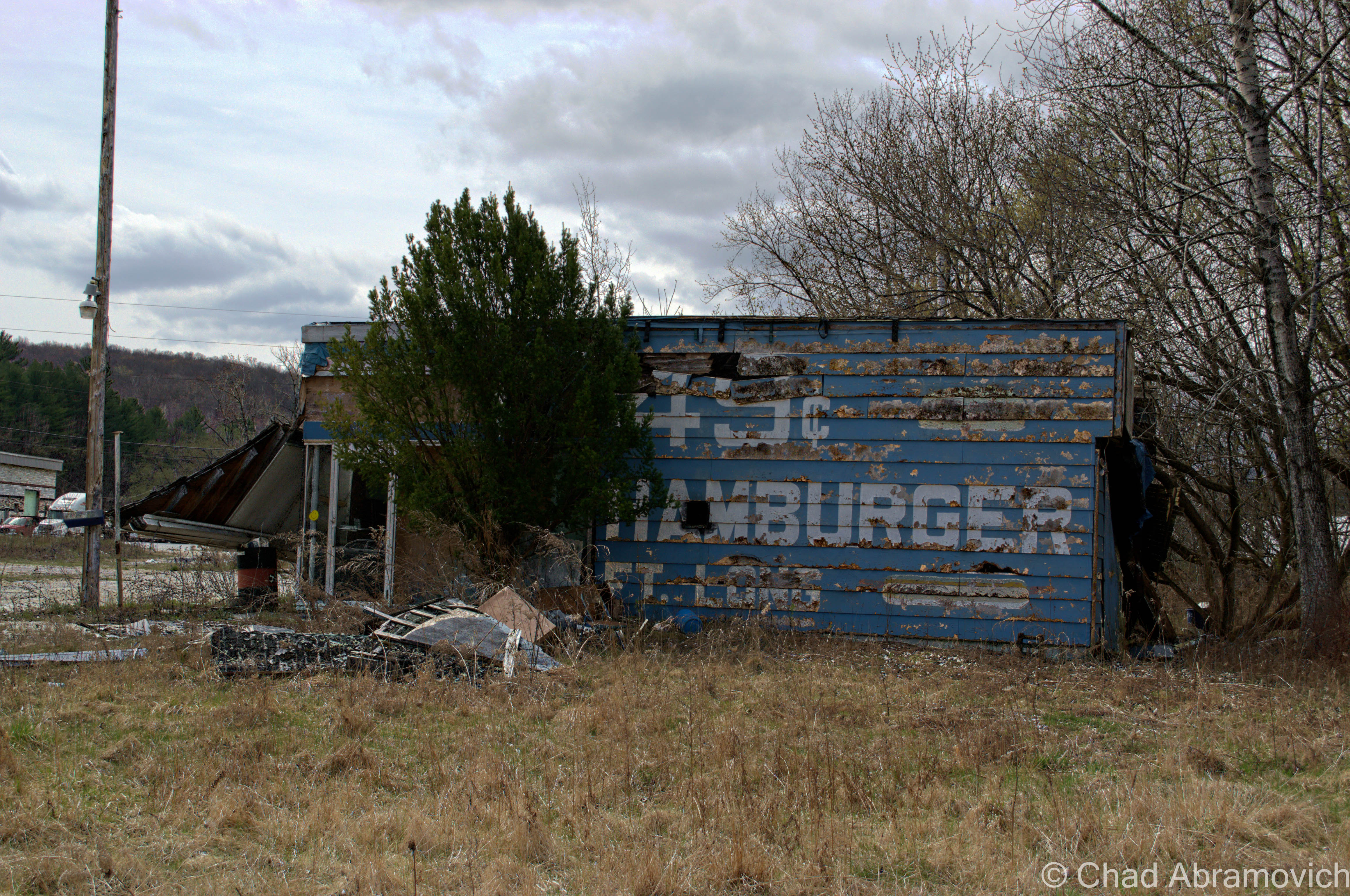
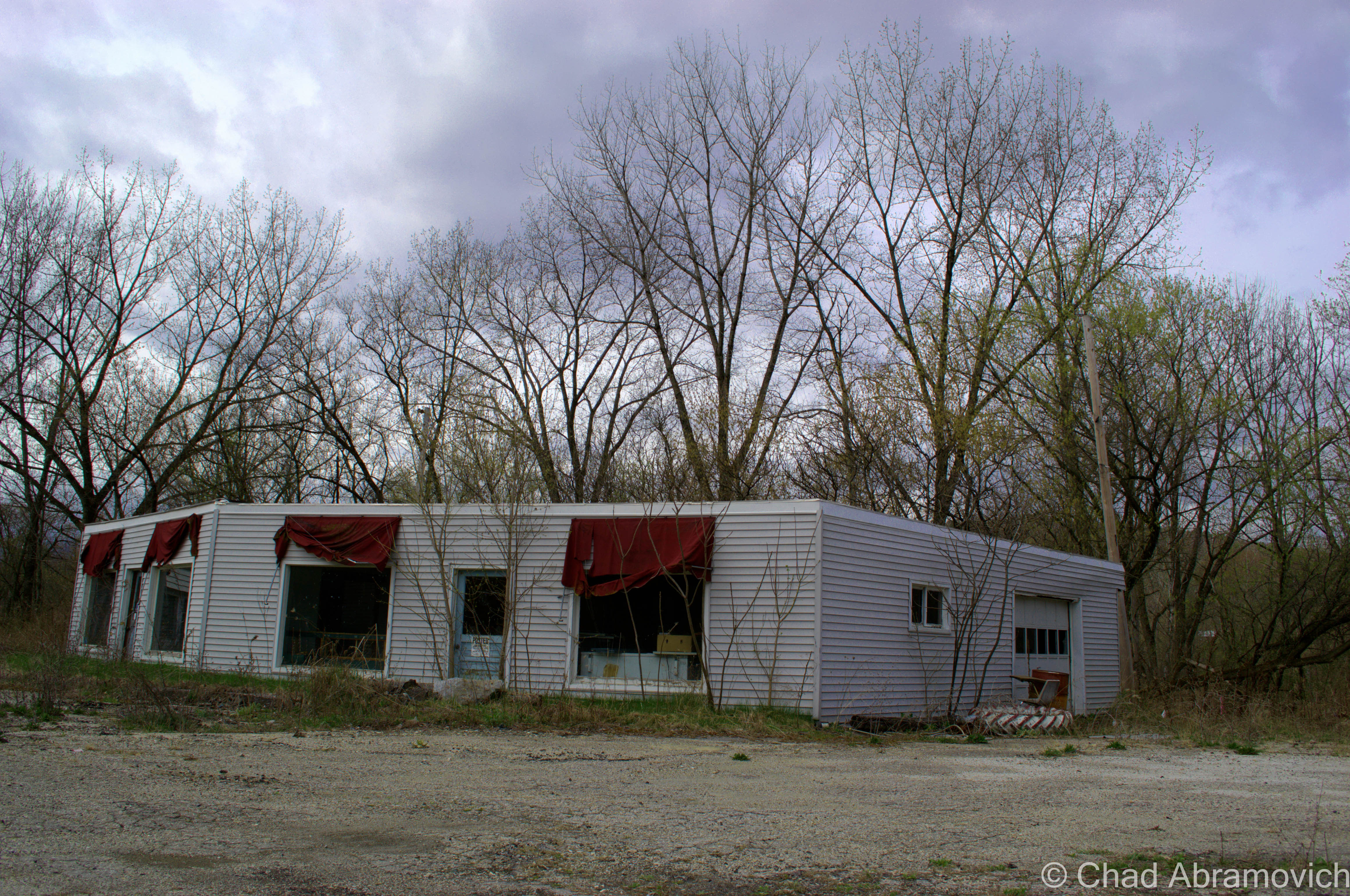
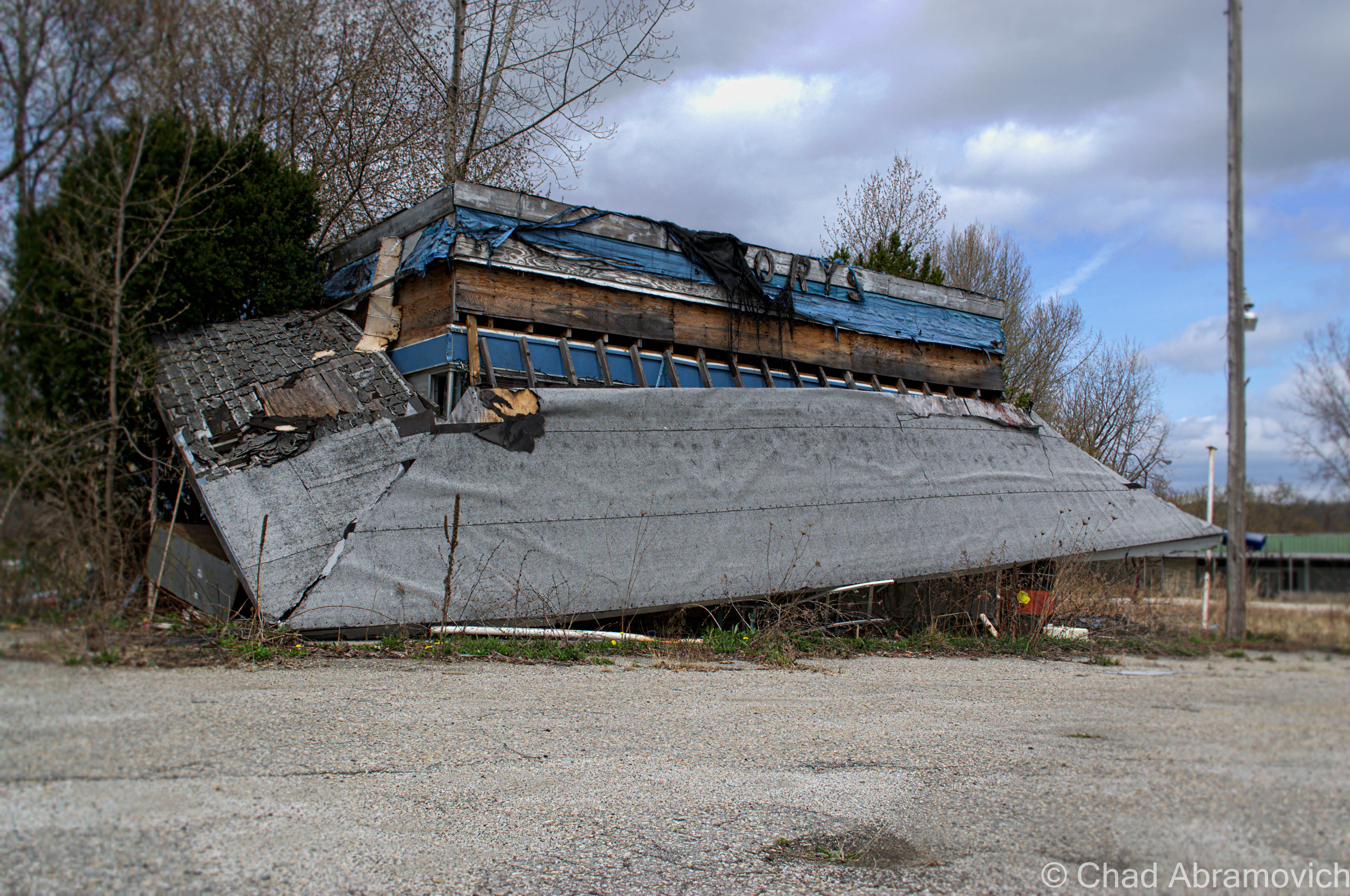
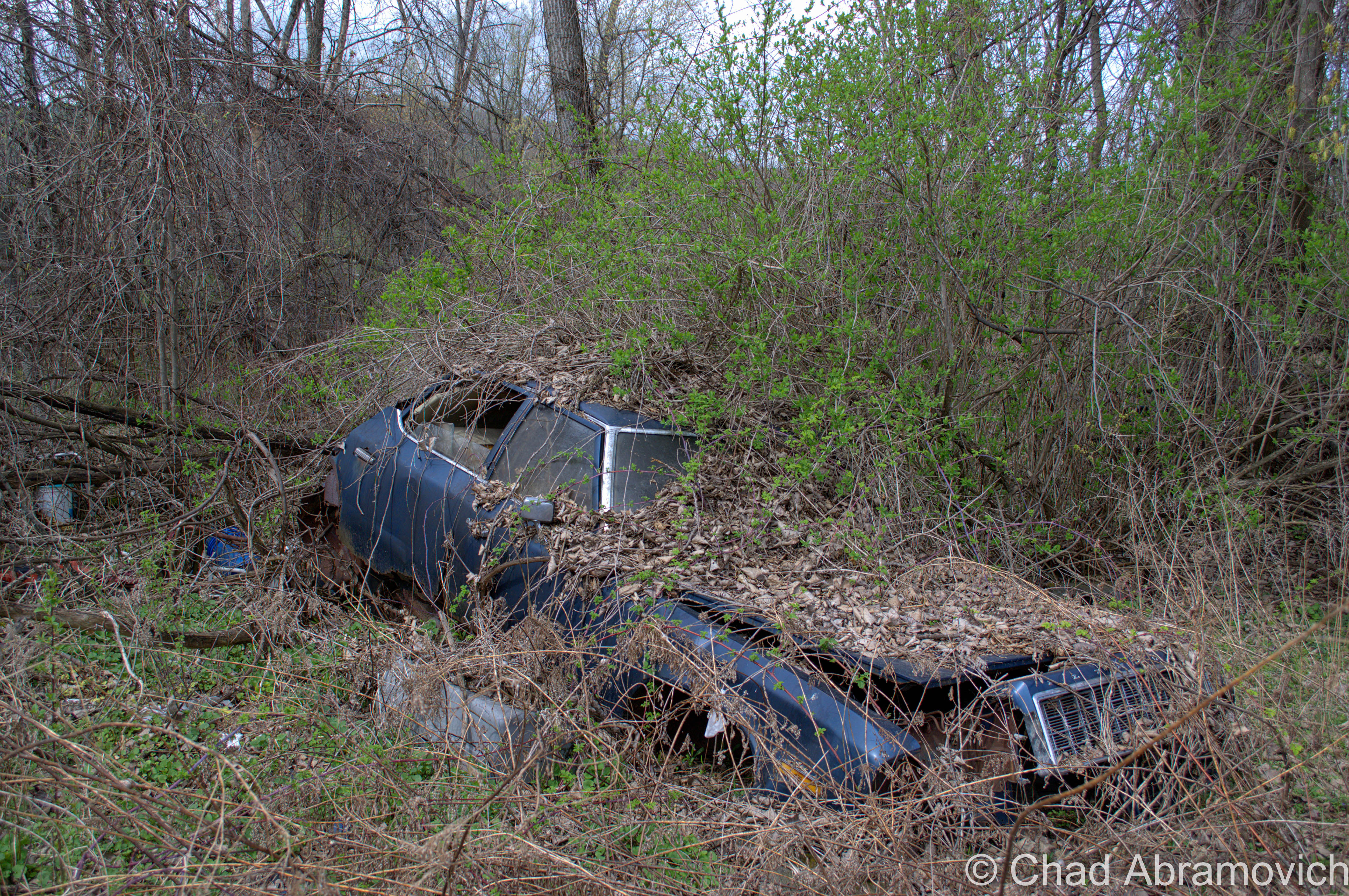
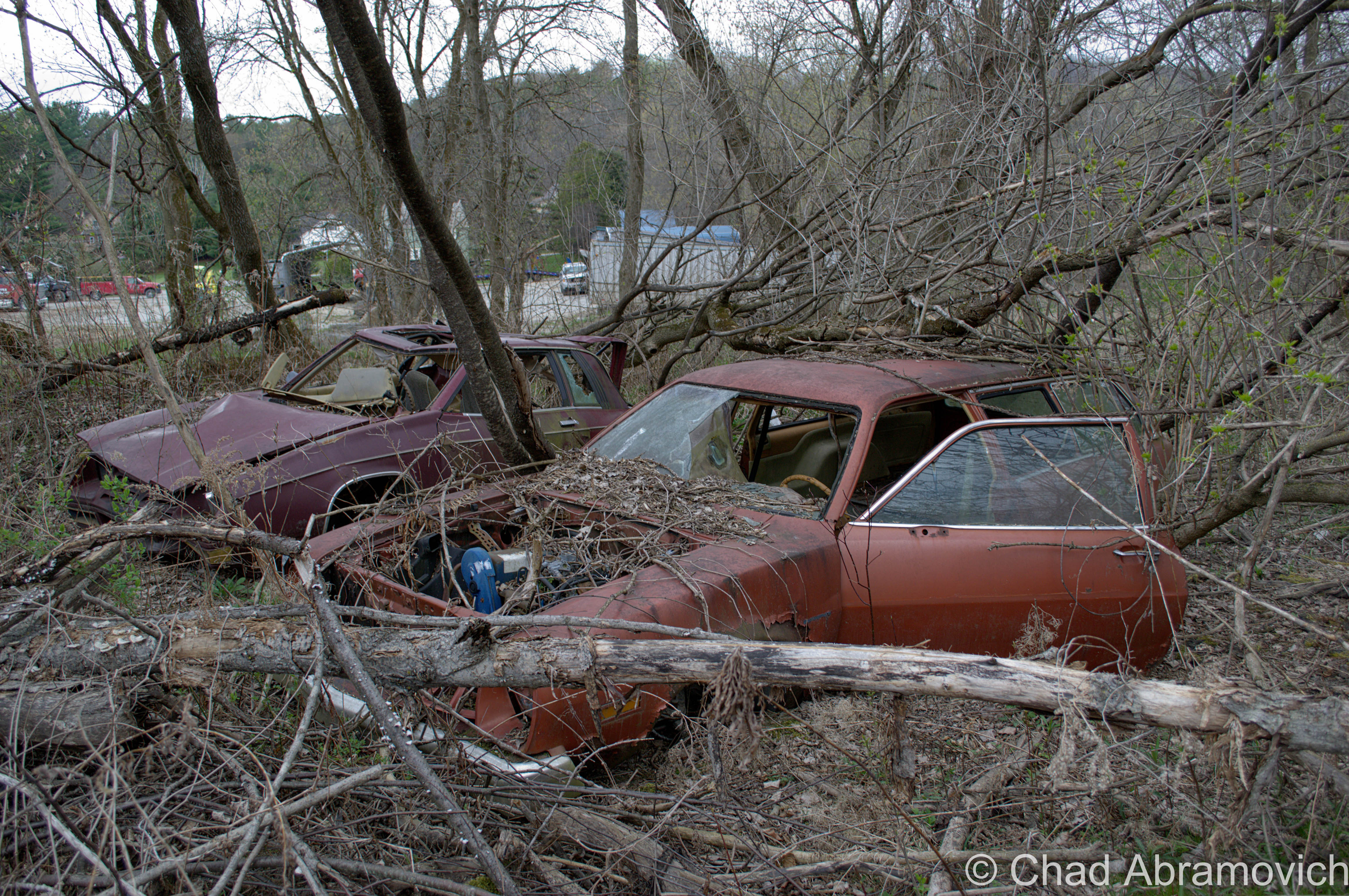
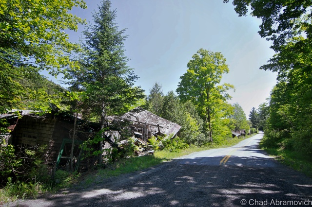
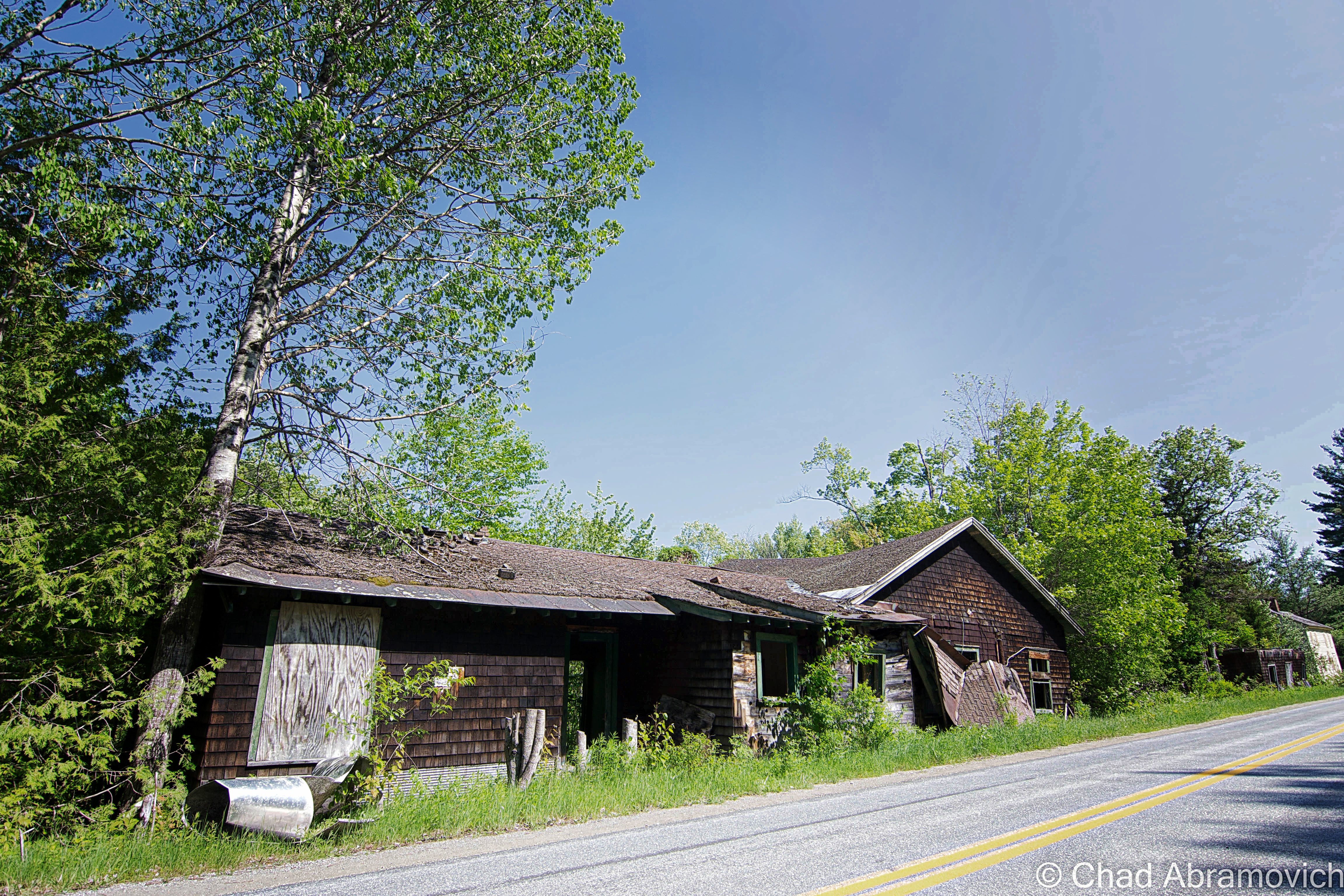
But his point was valid. The further we got from Vermont, the more abandoned buildings sat along the roadside. It was now more common to see an abandoned house as opposed to one that is inhabited still. And the ones that were lived in perhaps would have been better abandoned.
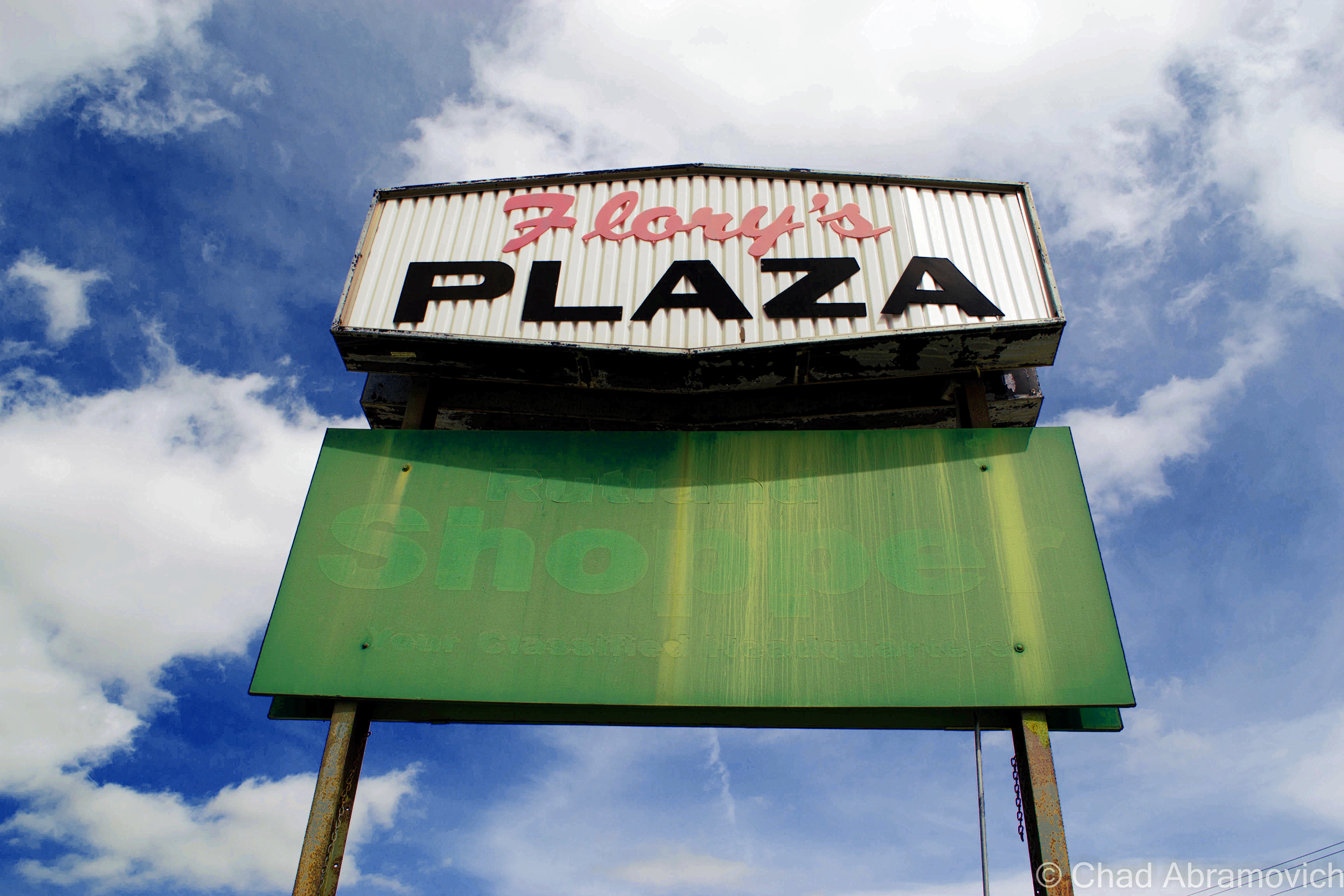
By now it was getting late, and we still had yet to find a location that would be possible to explore. I could tell the same thoughts were weighing on his mind as well. “Shit, it’s getting late” he said, realization in his tone. “Any ideas?” There was a moment of silence before we passed a directional sign. One of the communities listed he recognized and his face lit up. “I think I have an idea – you’ll like this” he promised, as we made a sharp turn on another winding back road.
Of Mountains and Mines
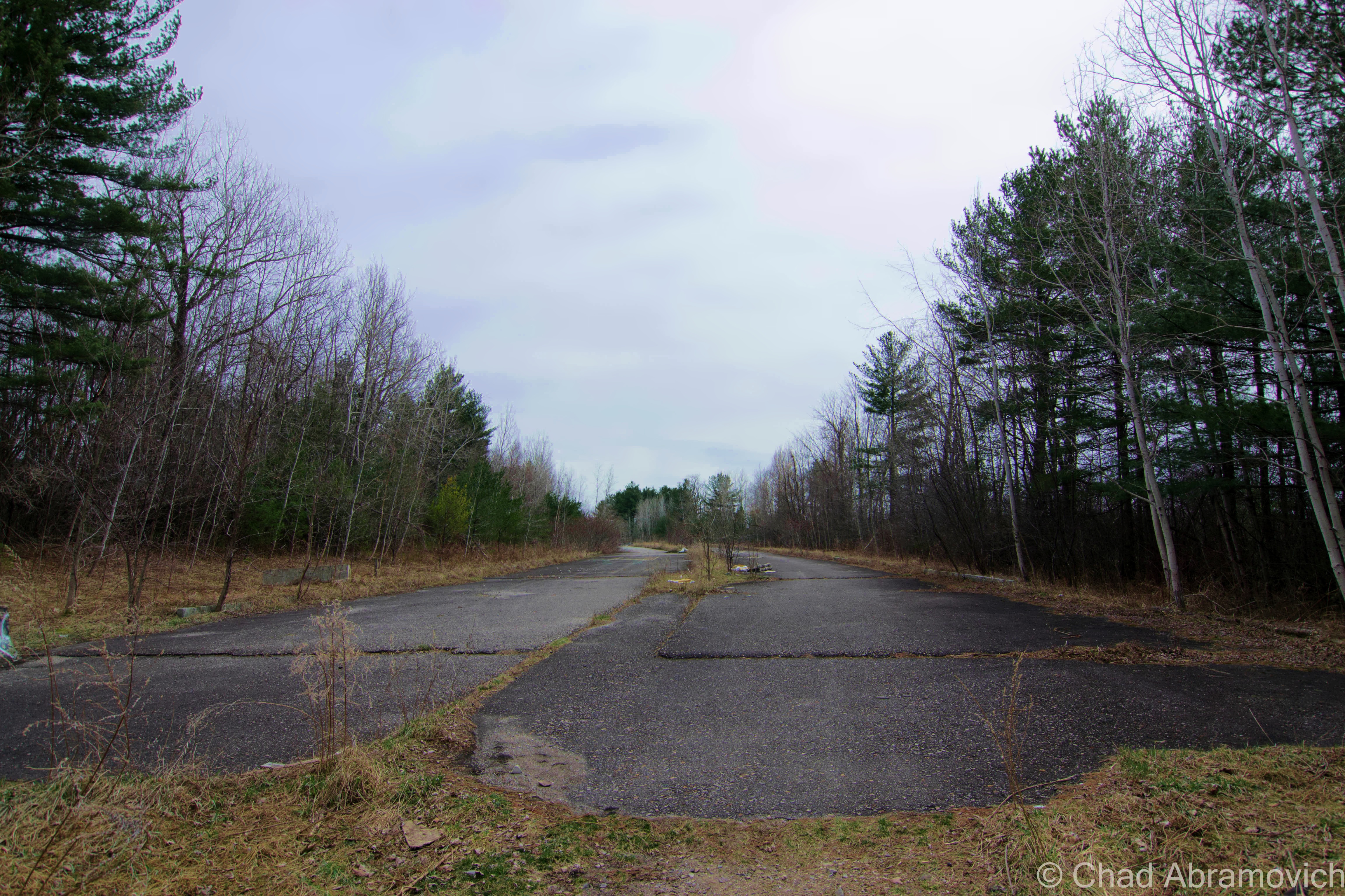
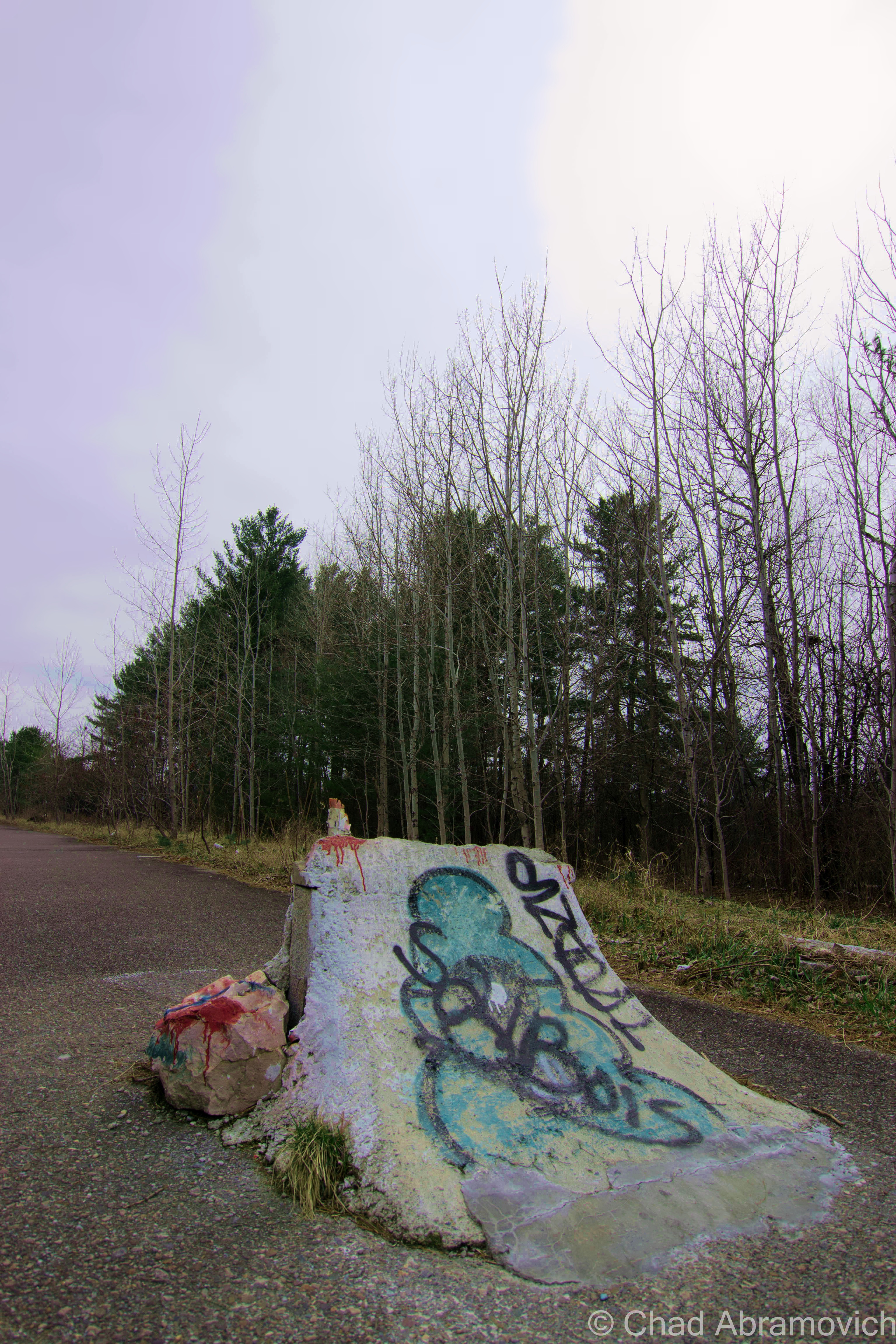
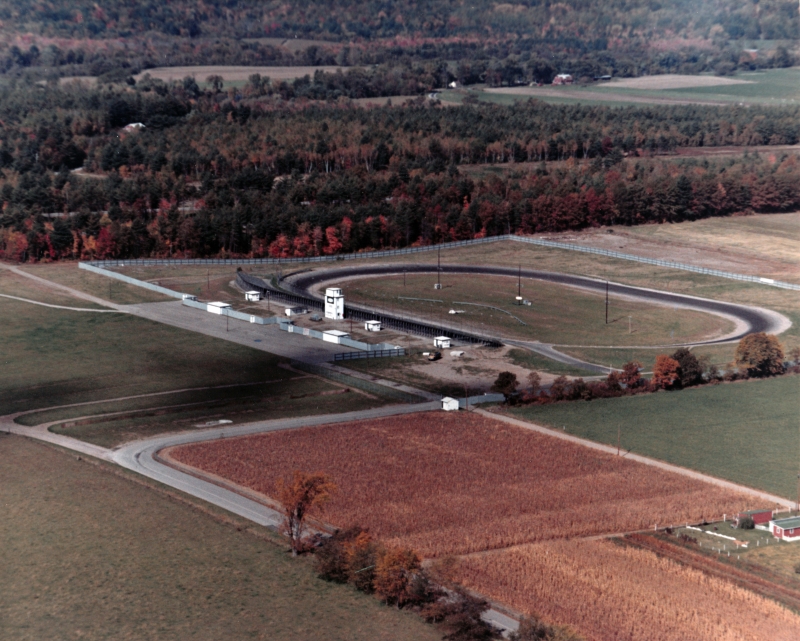
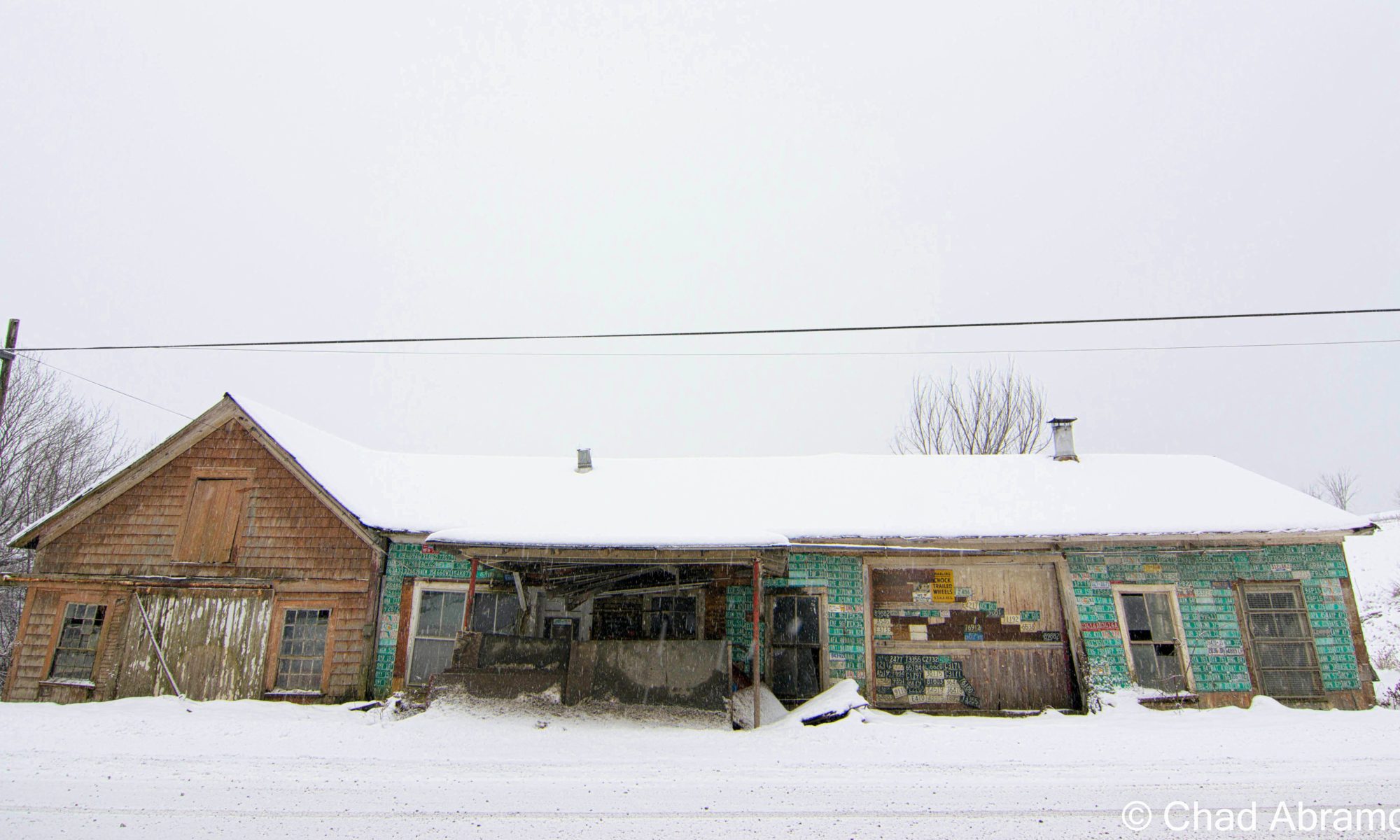
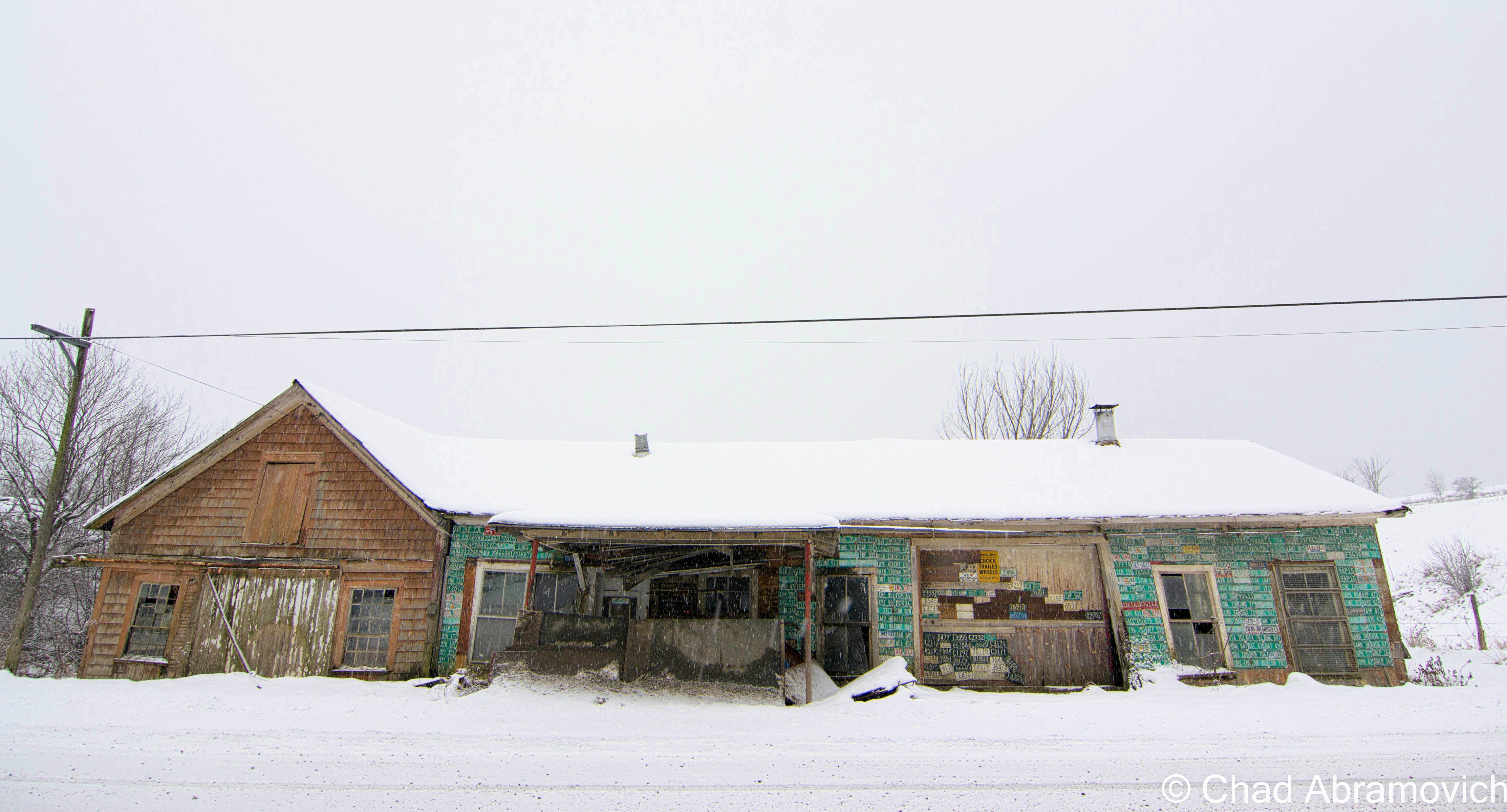
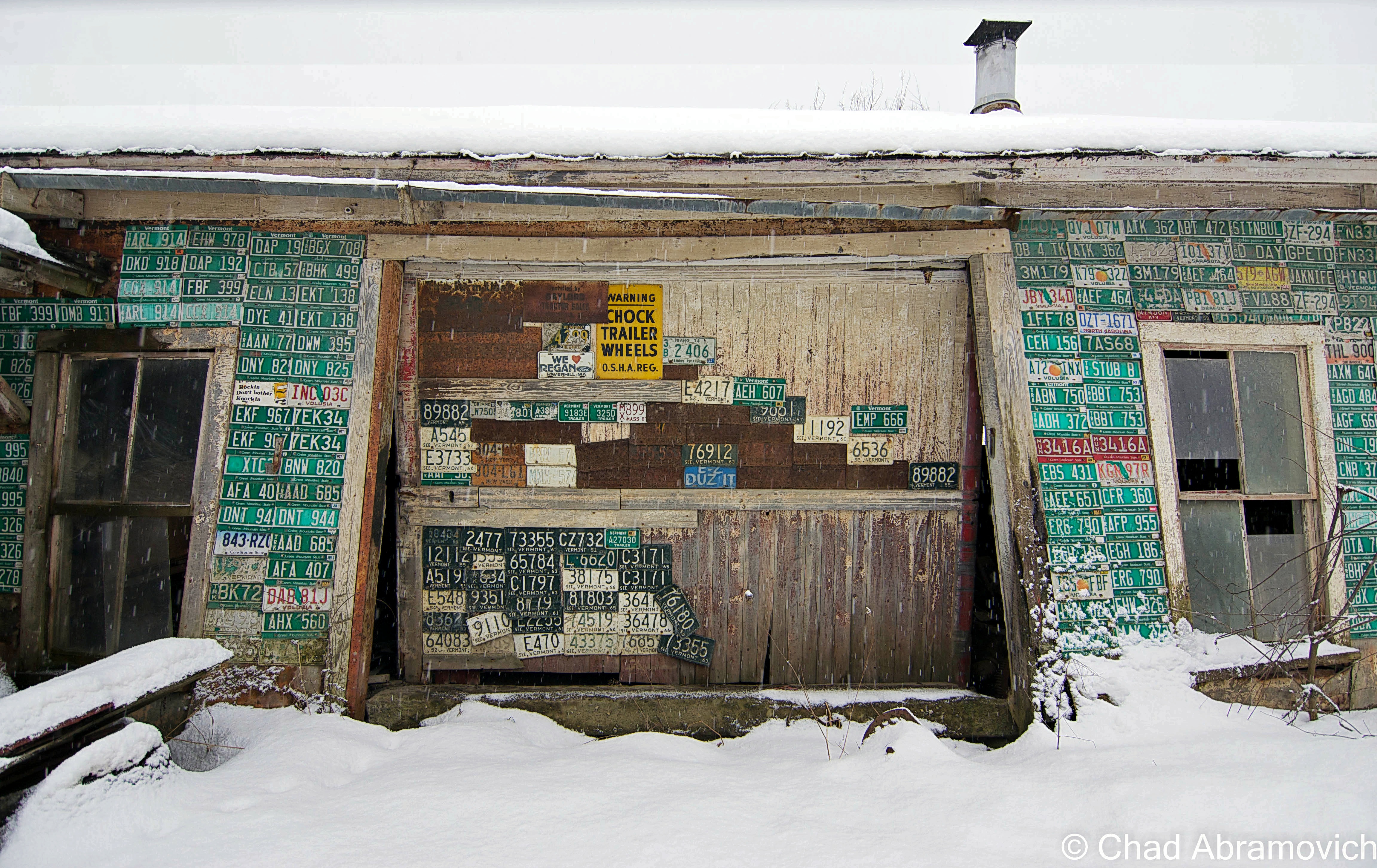
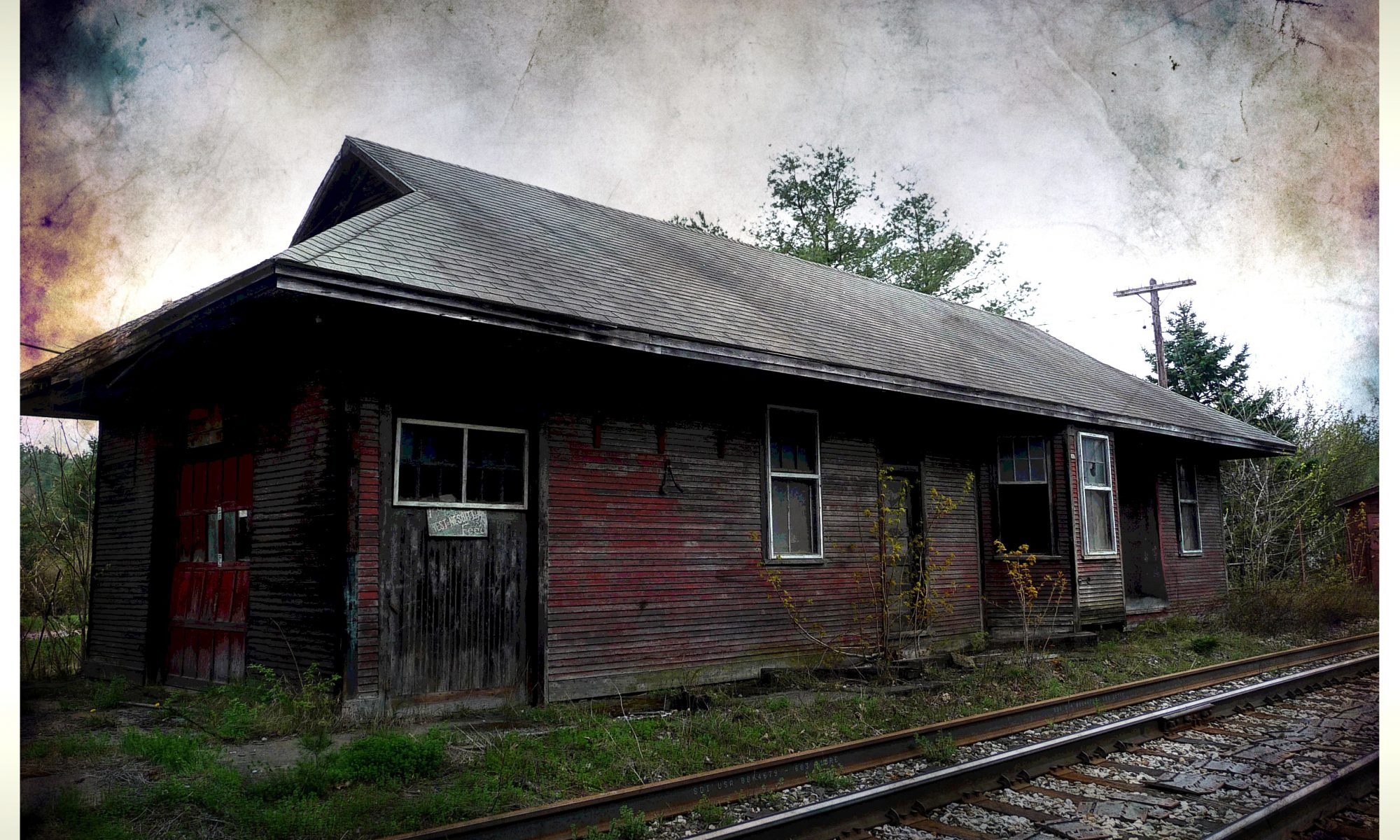
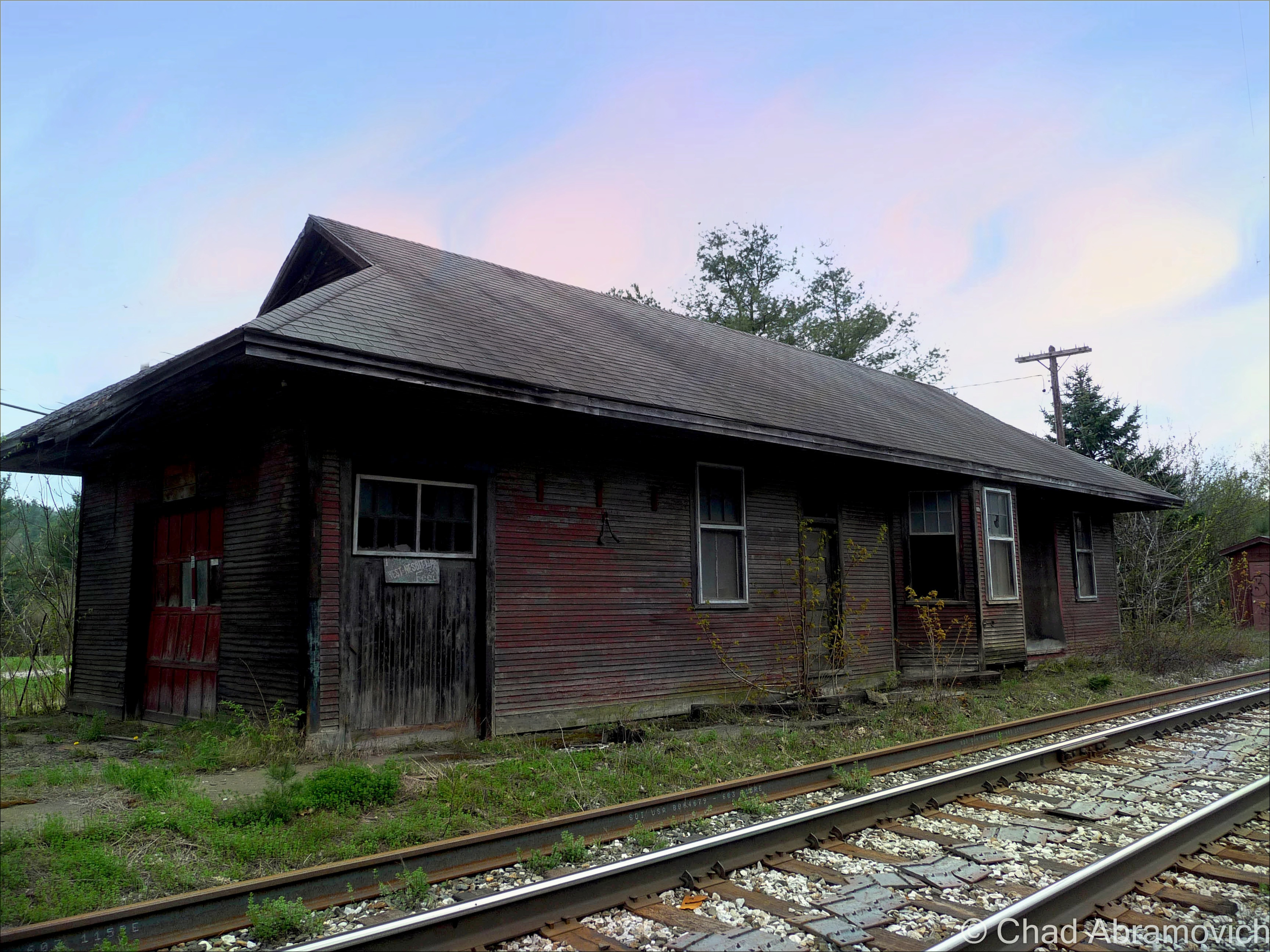
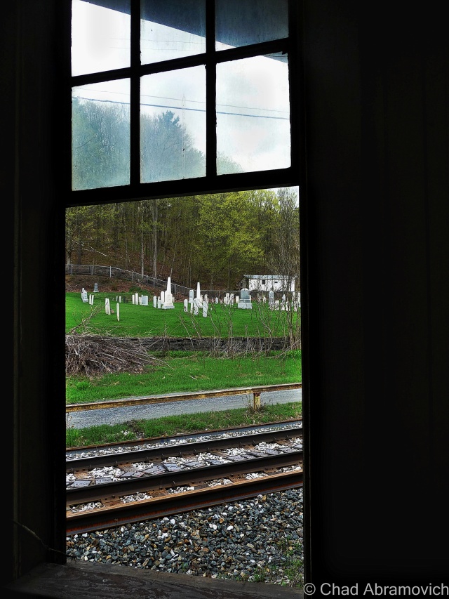
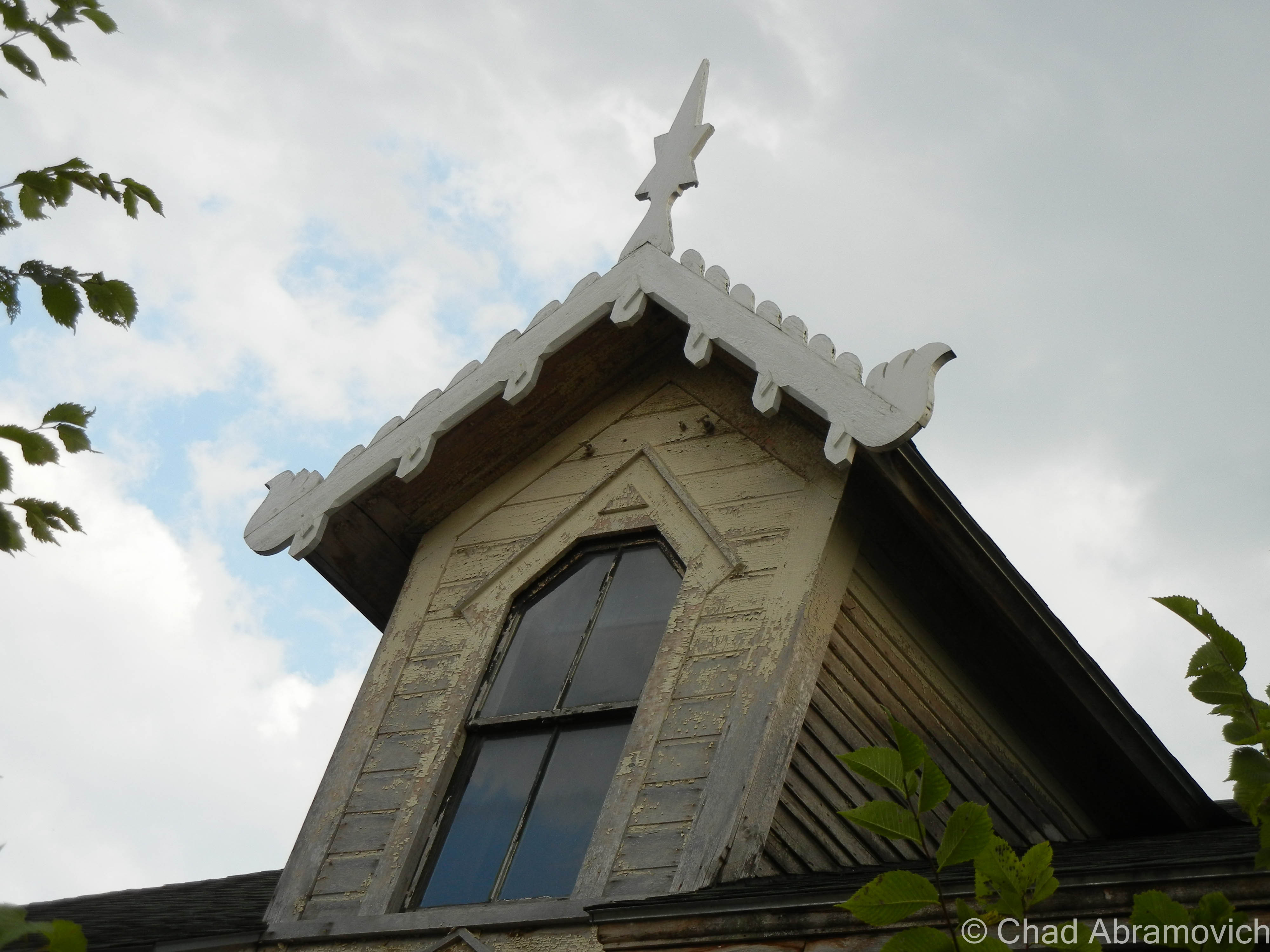
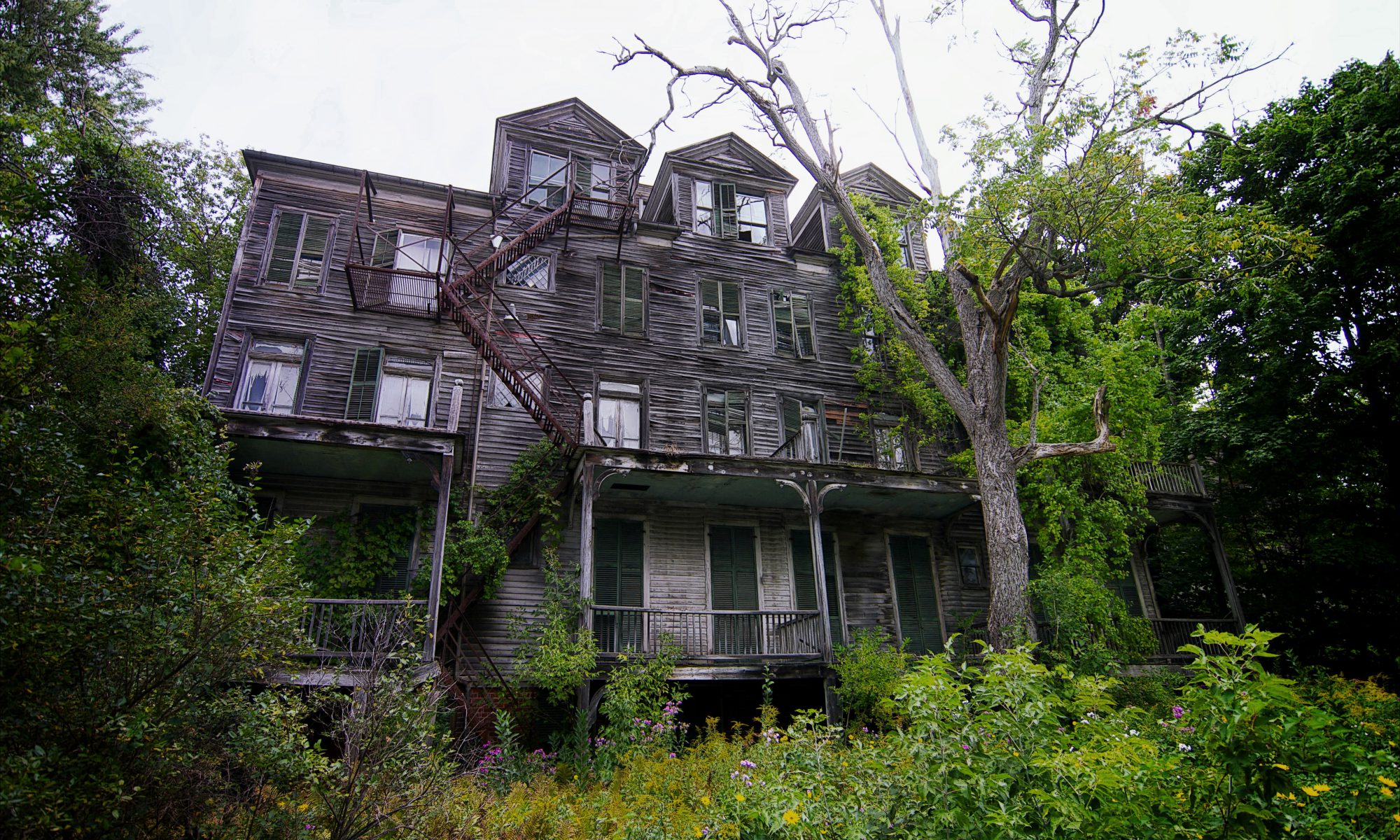
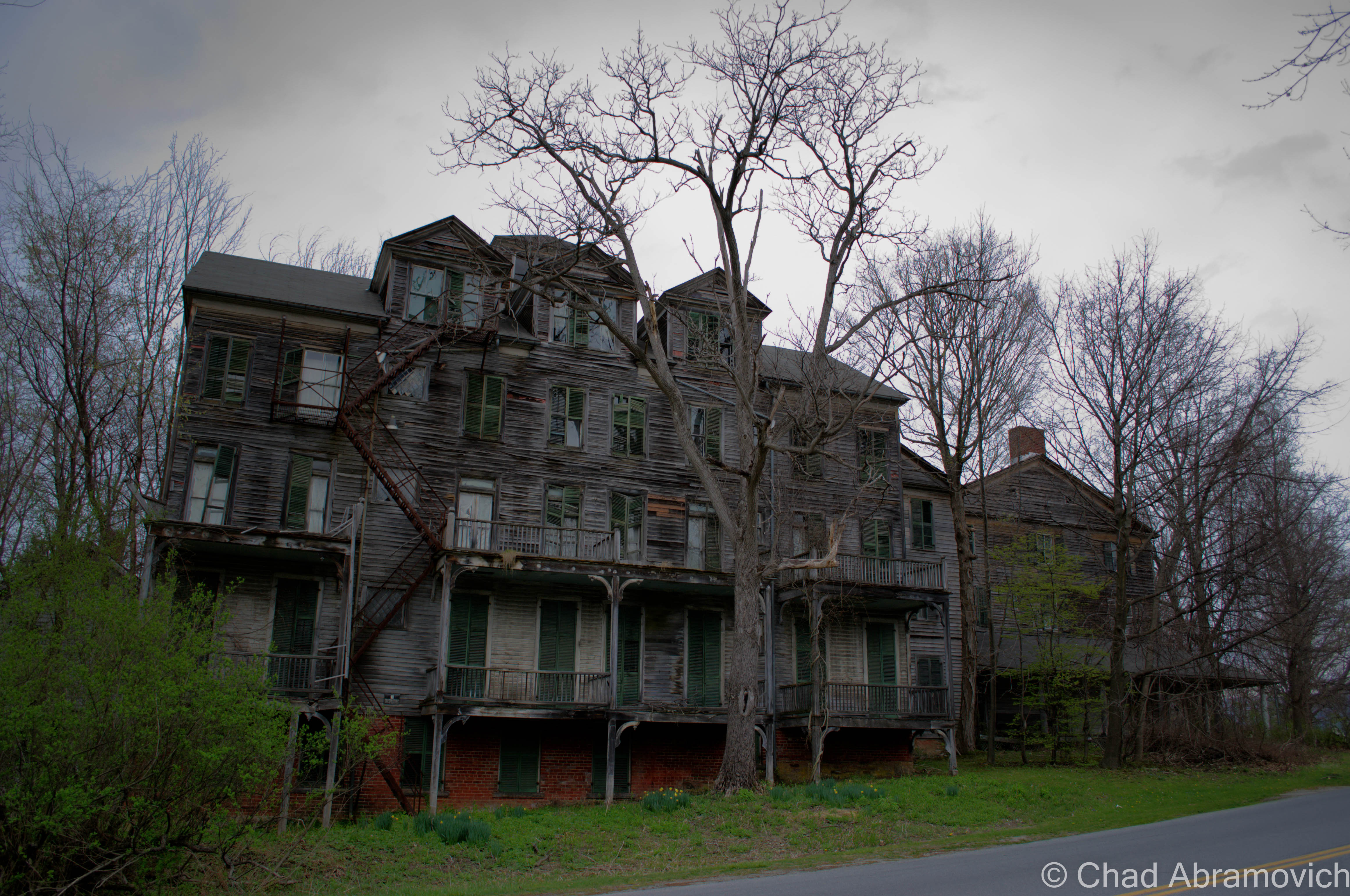
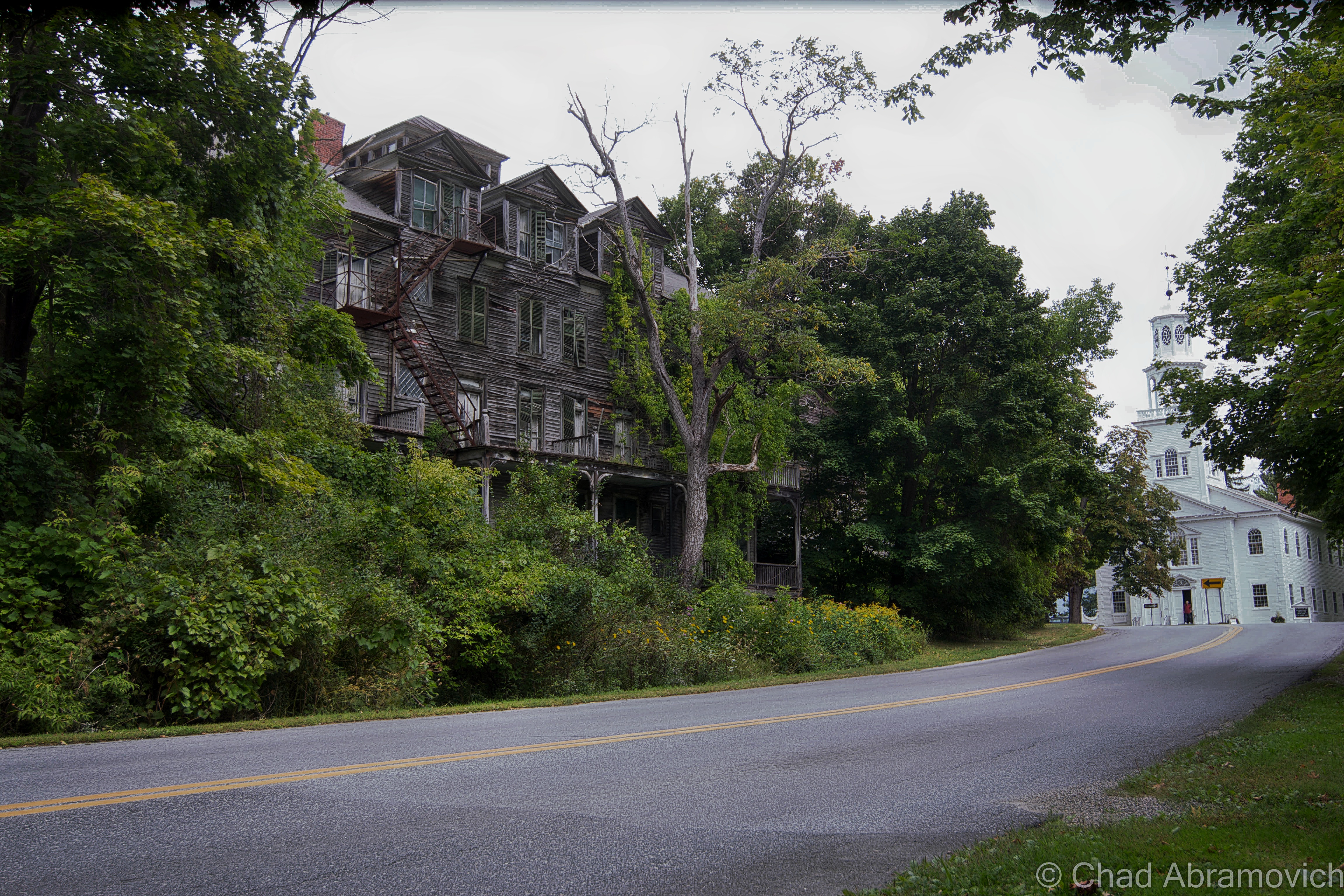
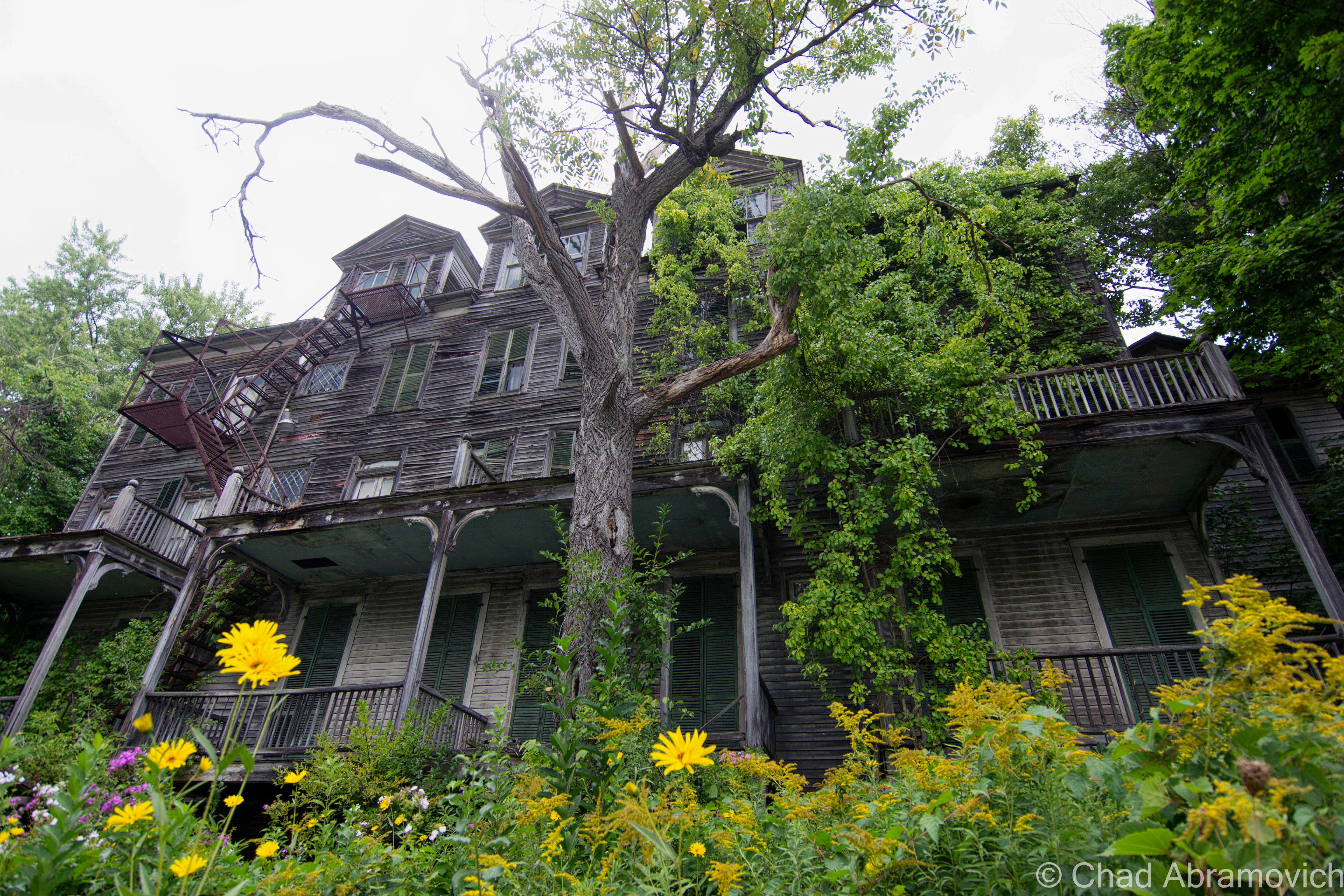
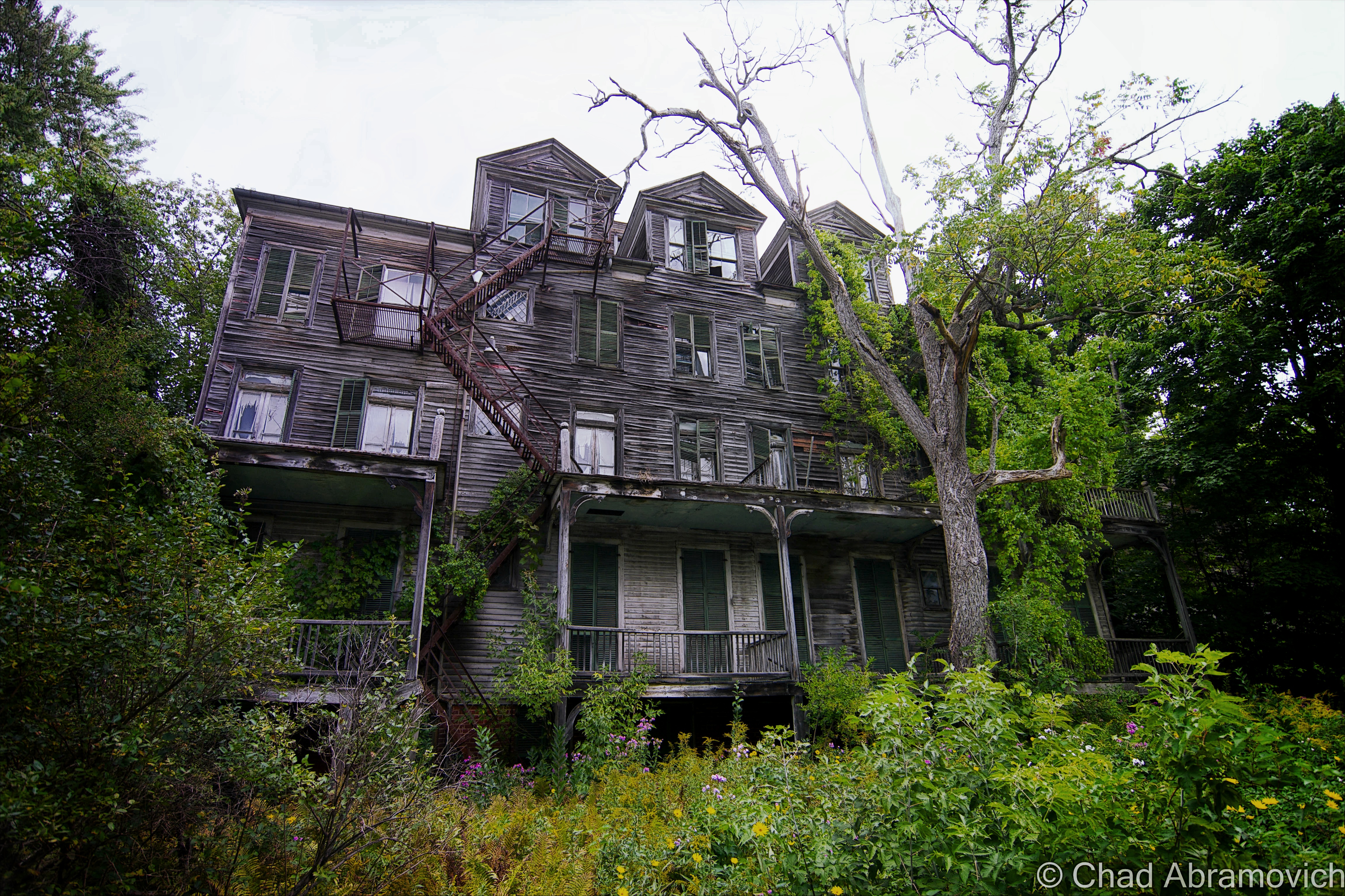
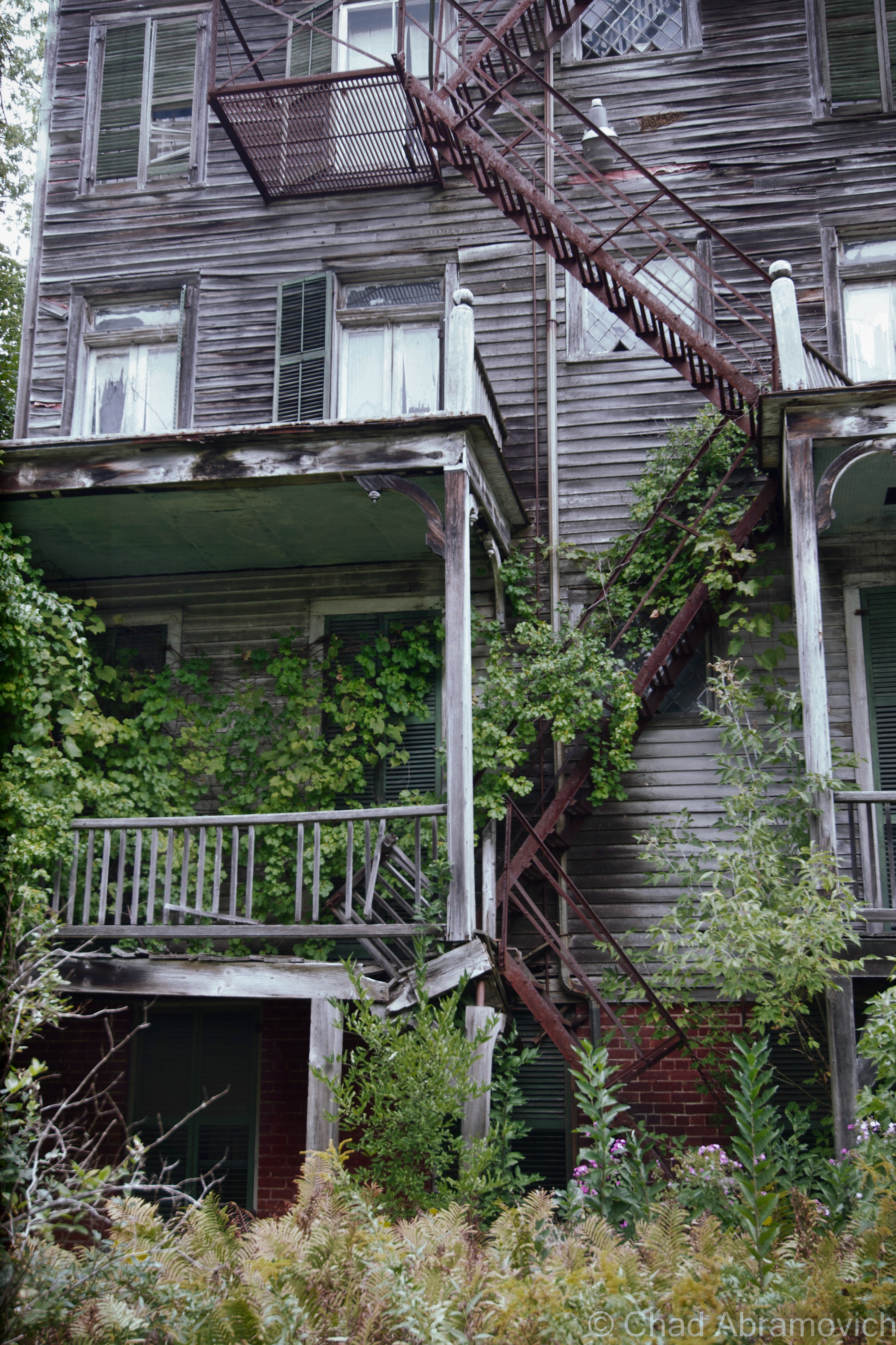
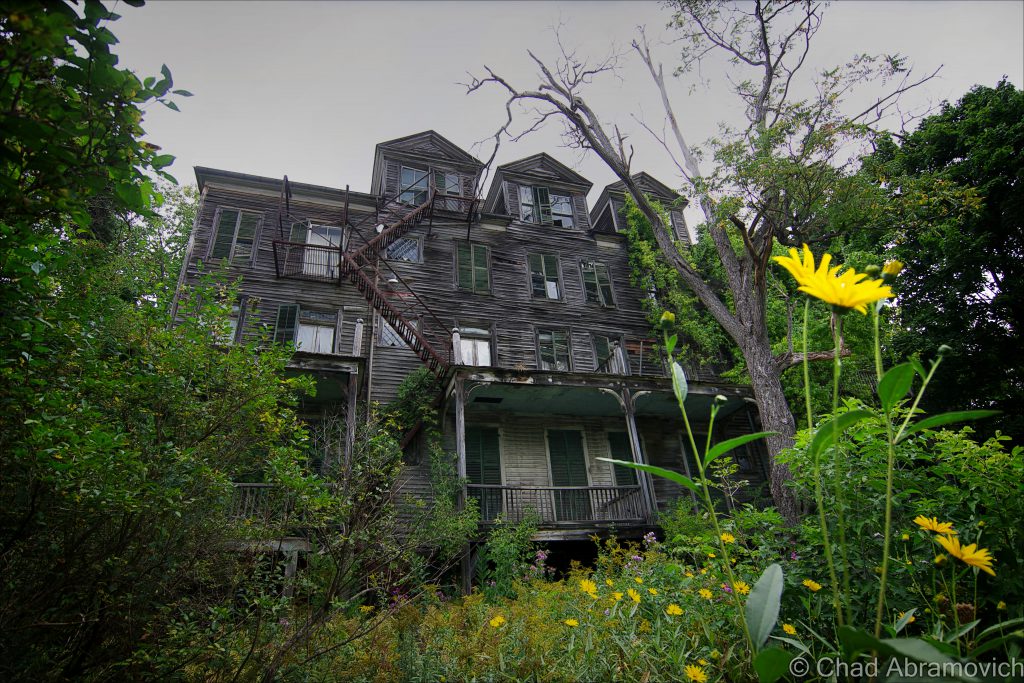
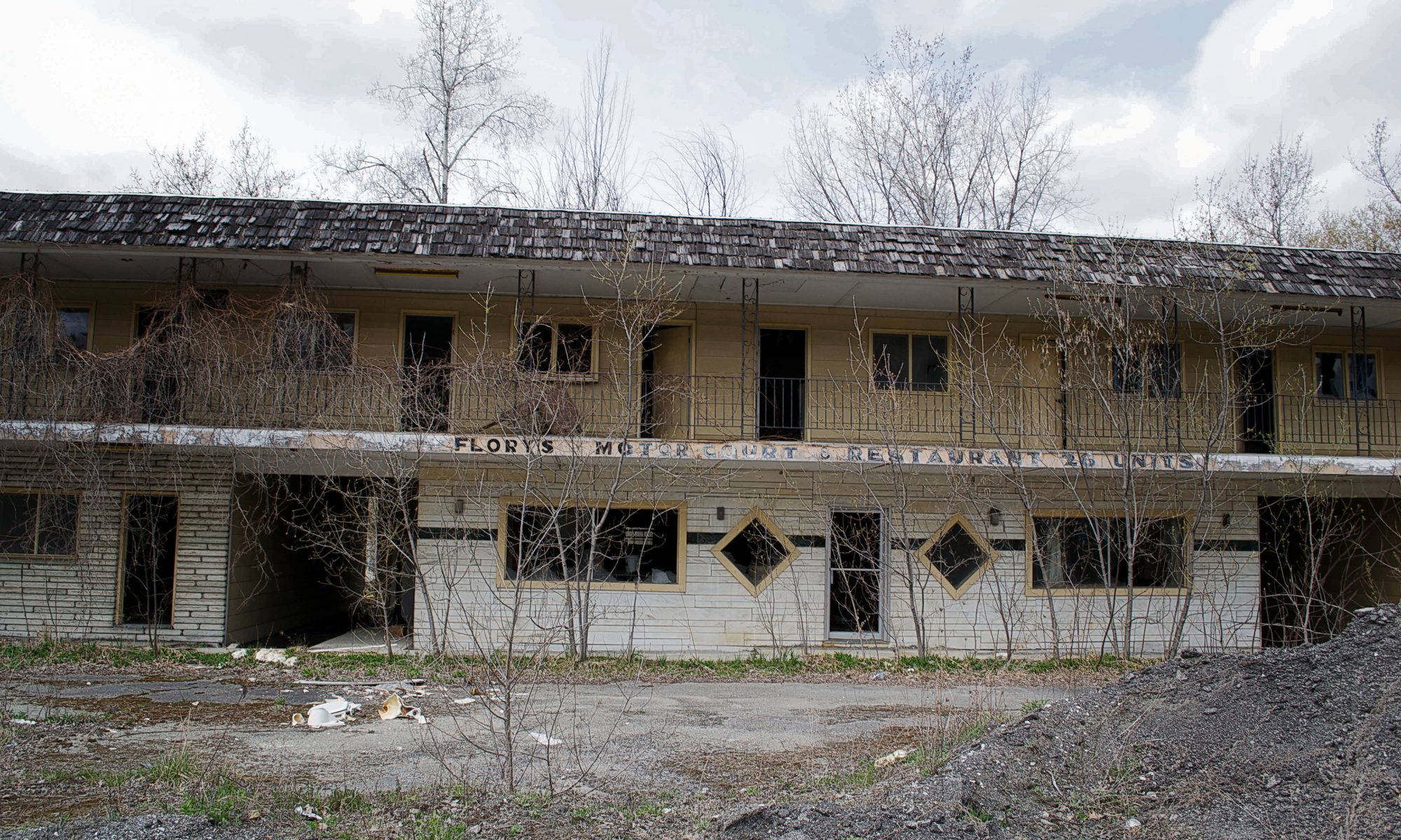
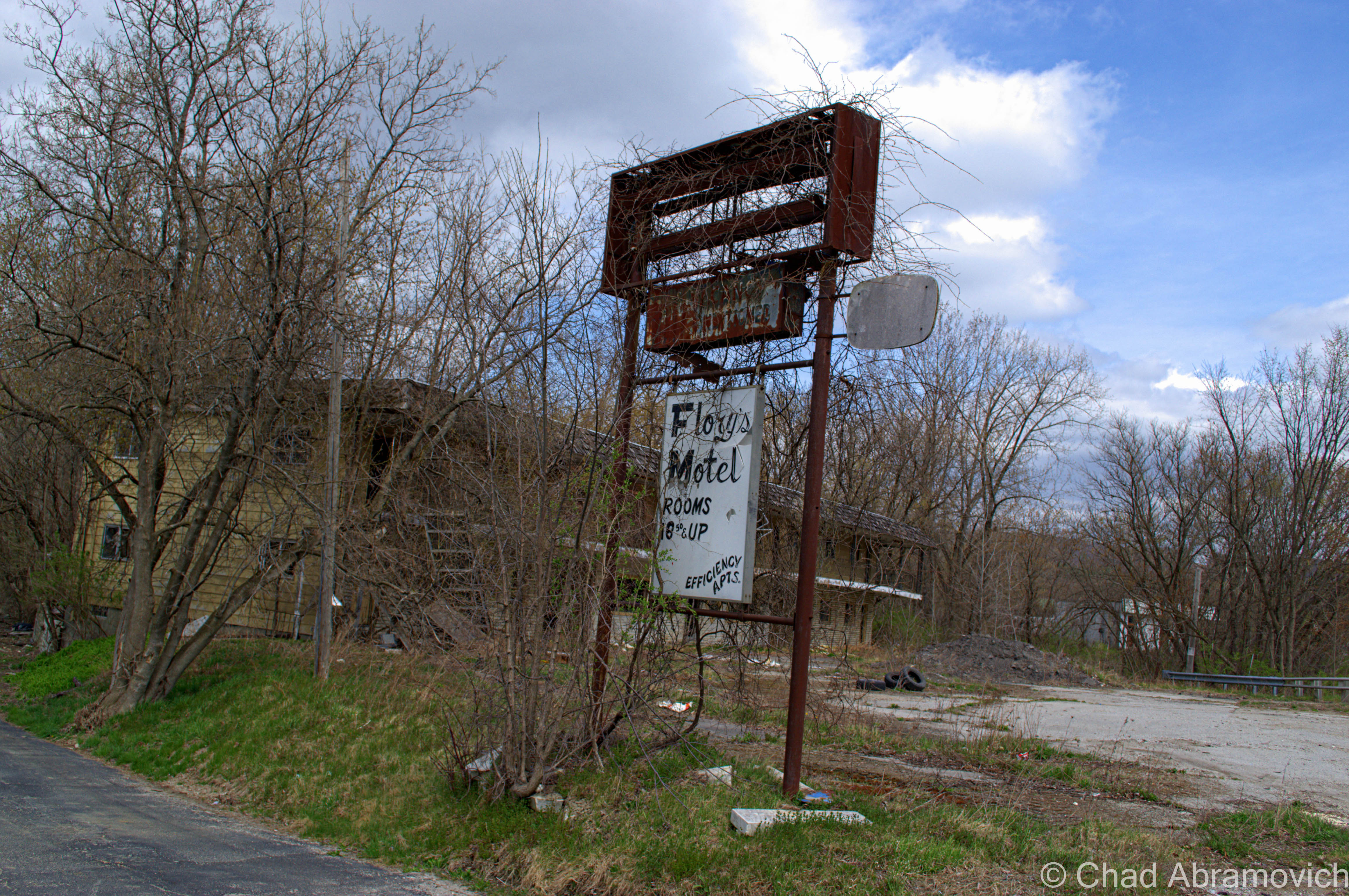
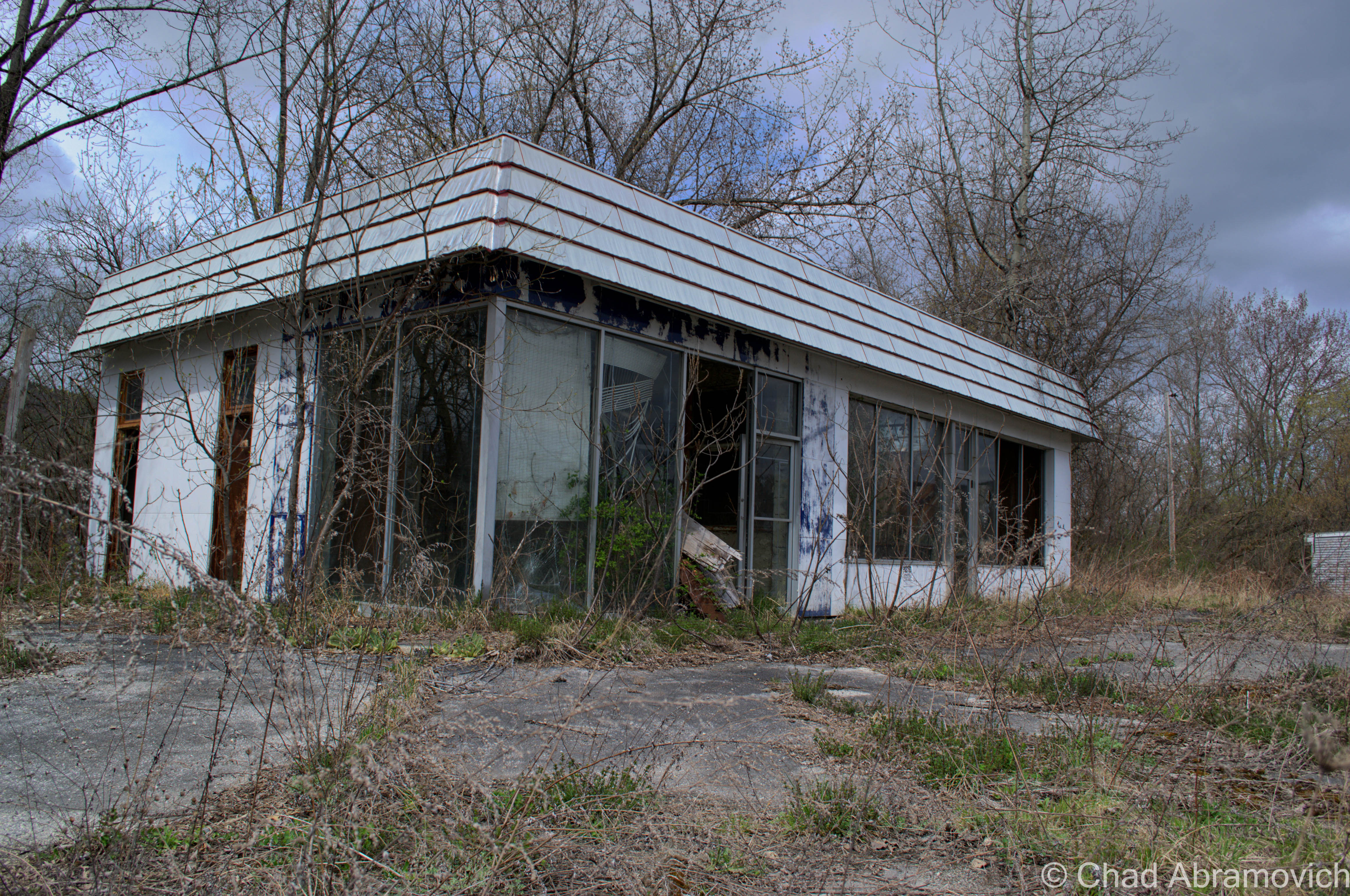
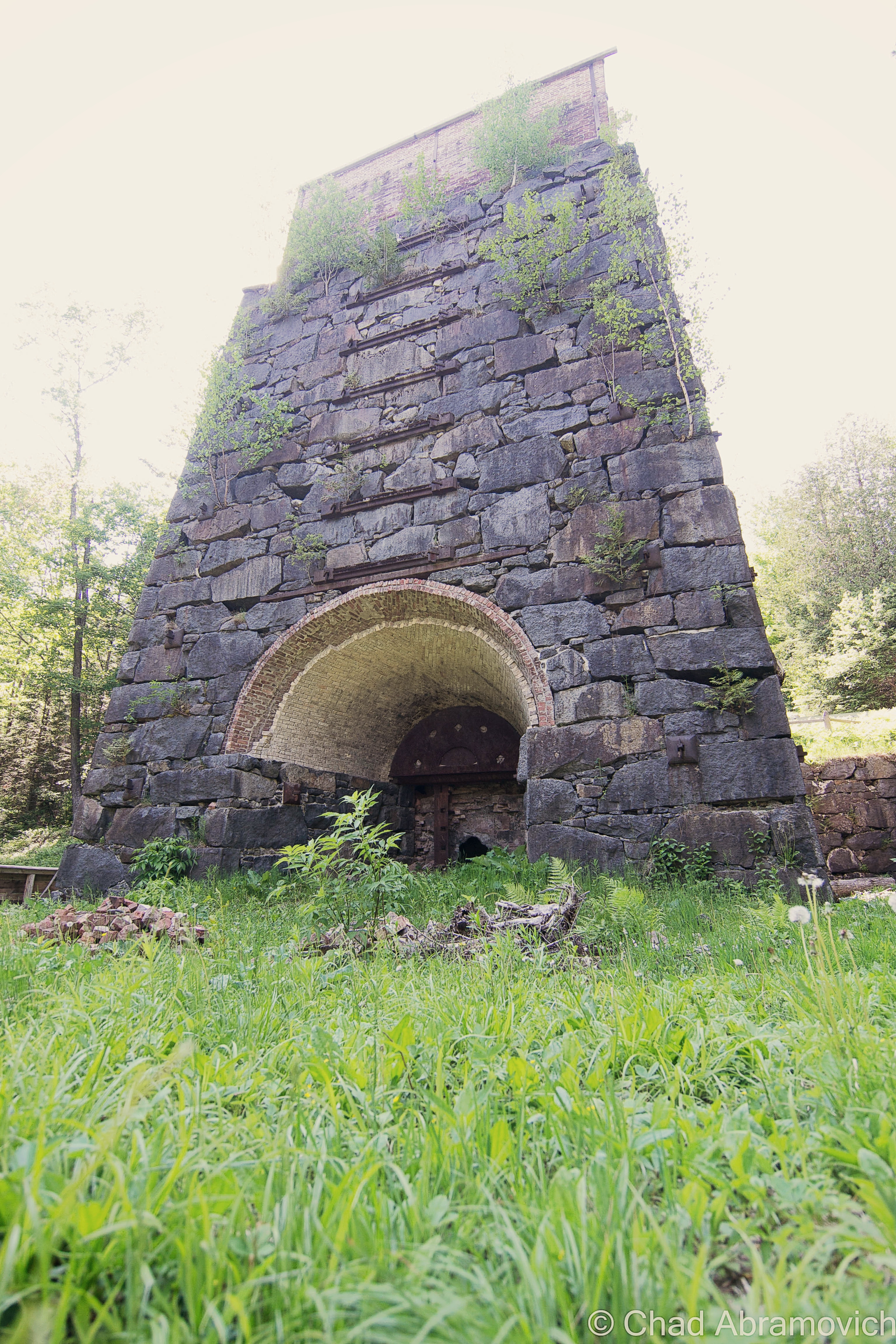
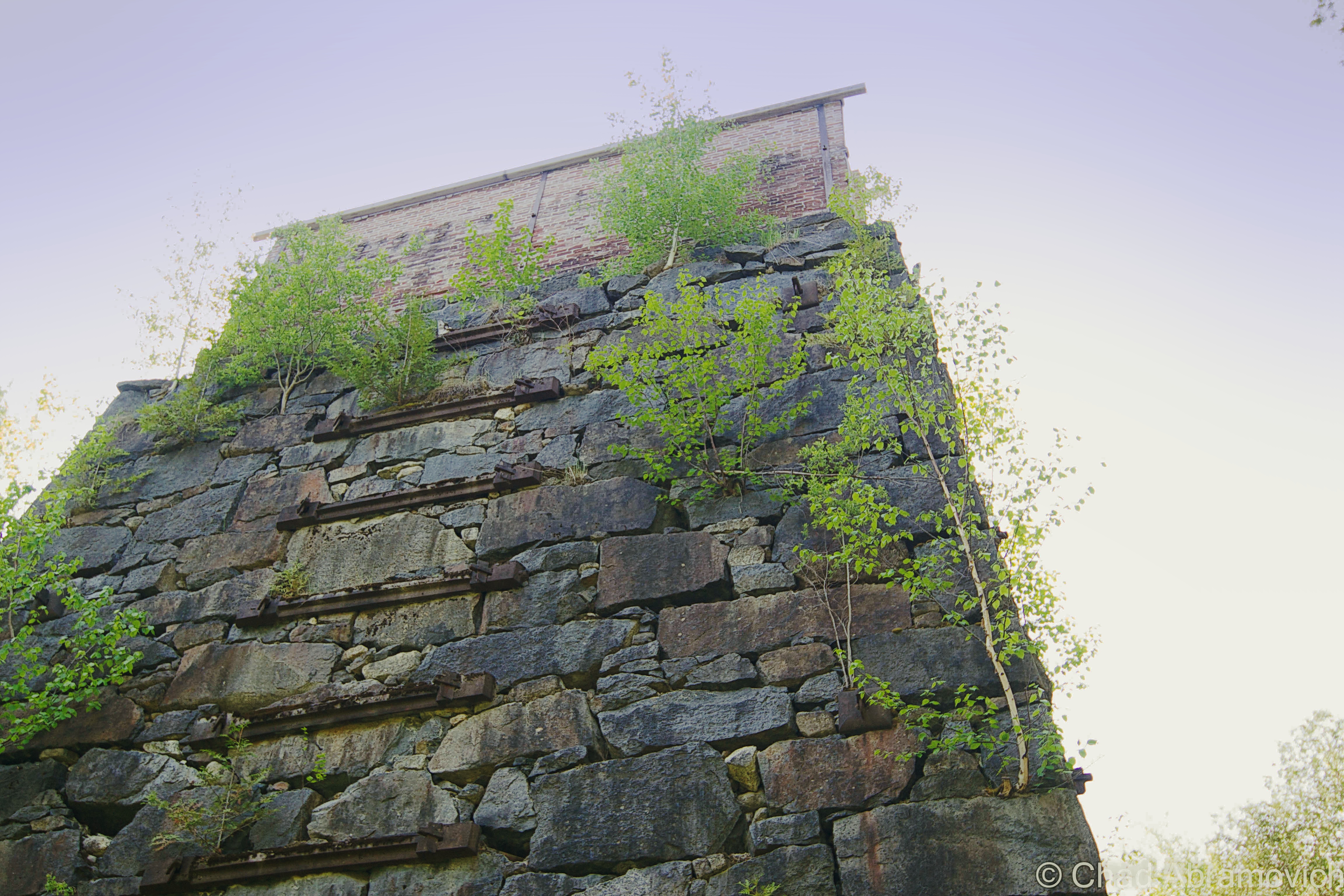
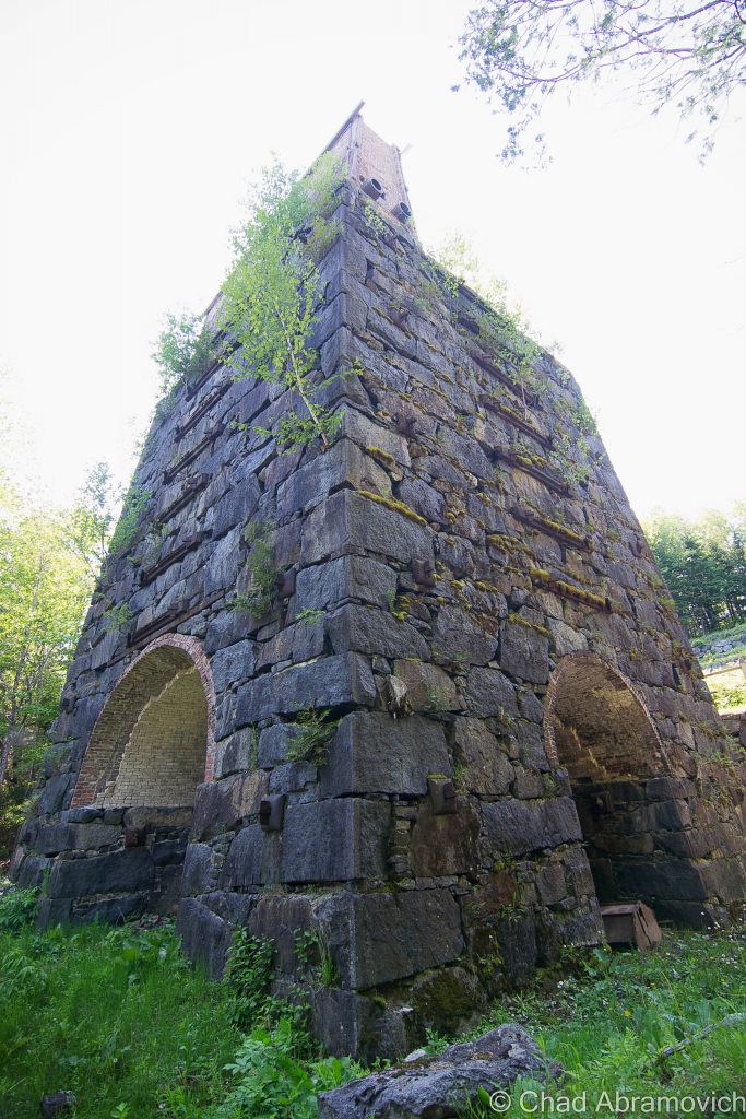
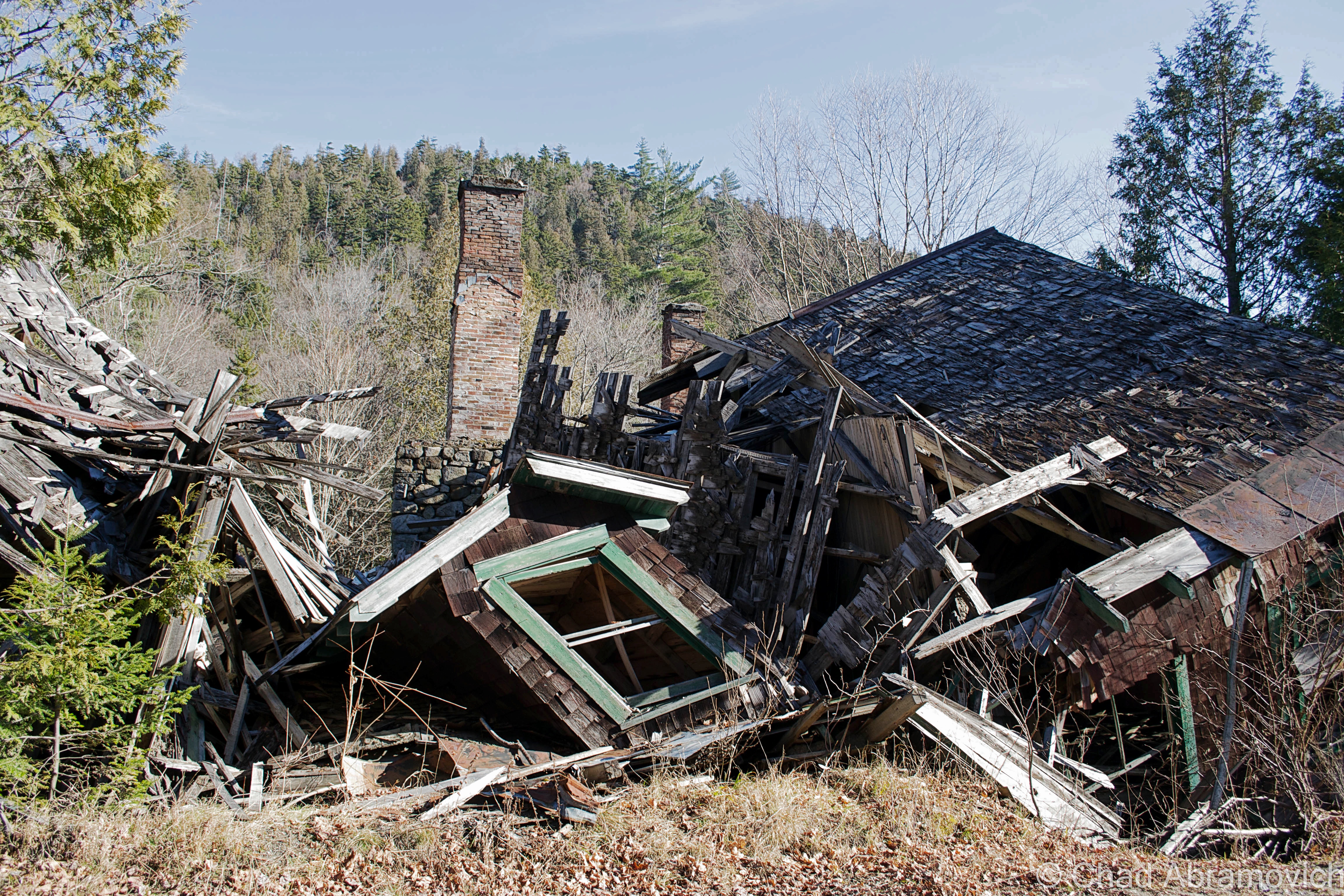
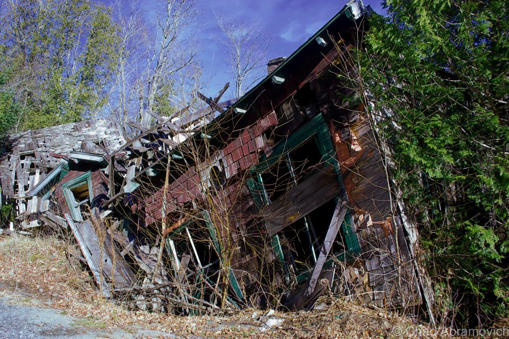
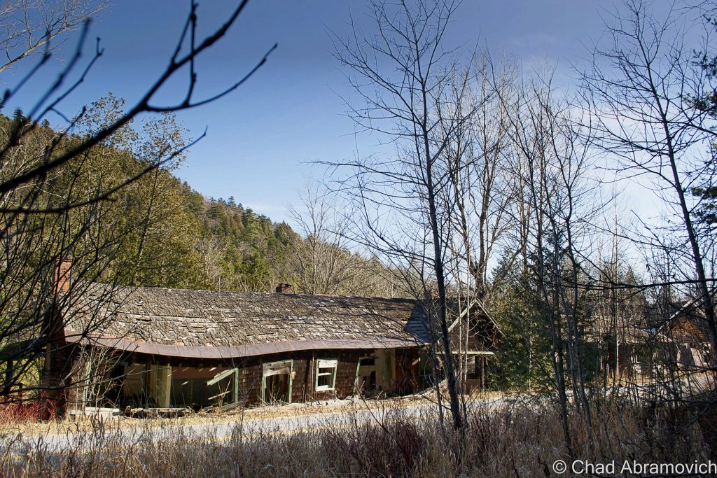
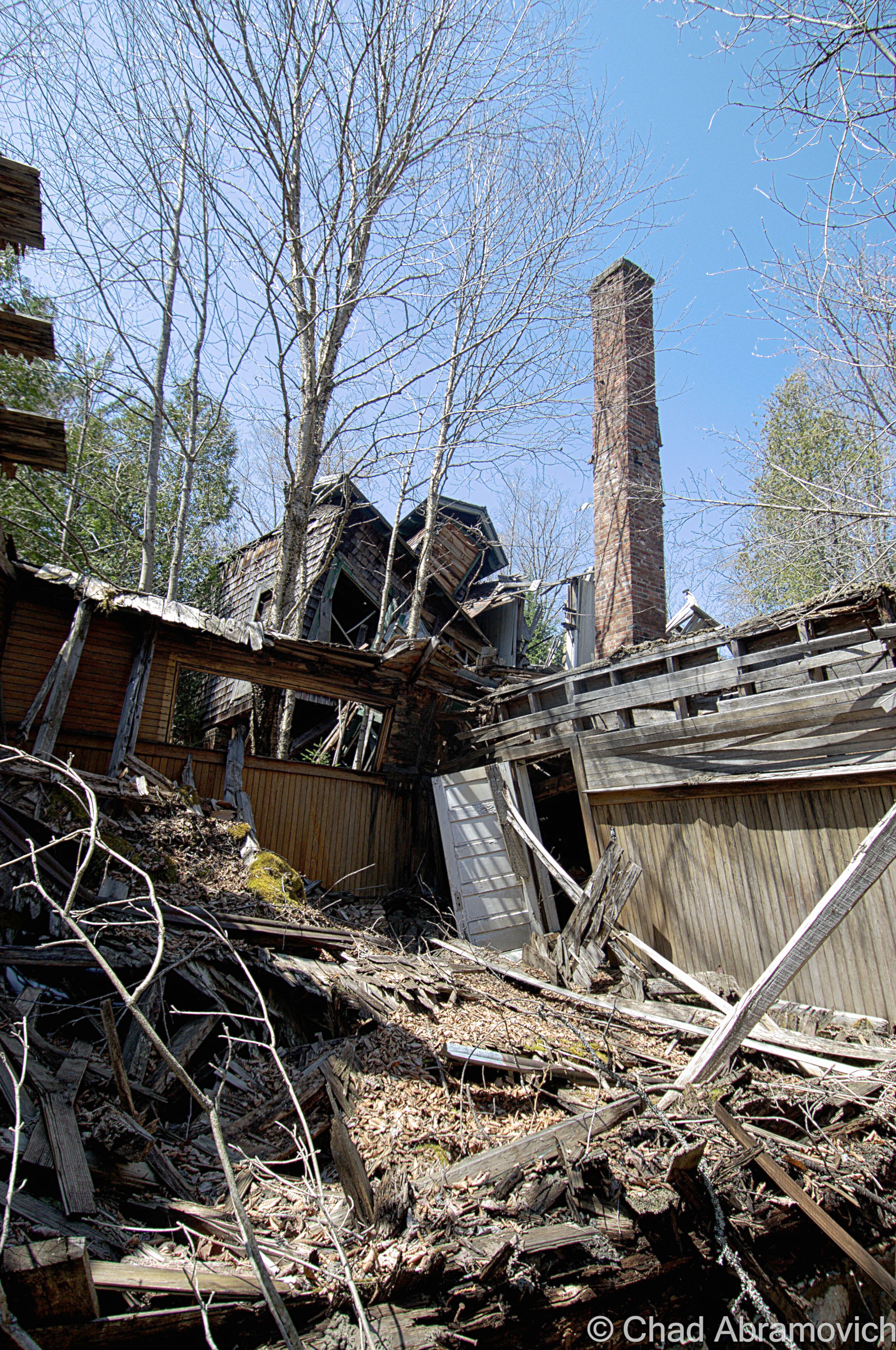
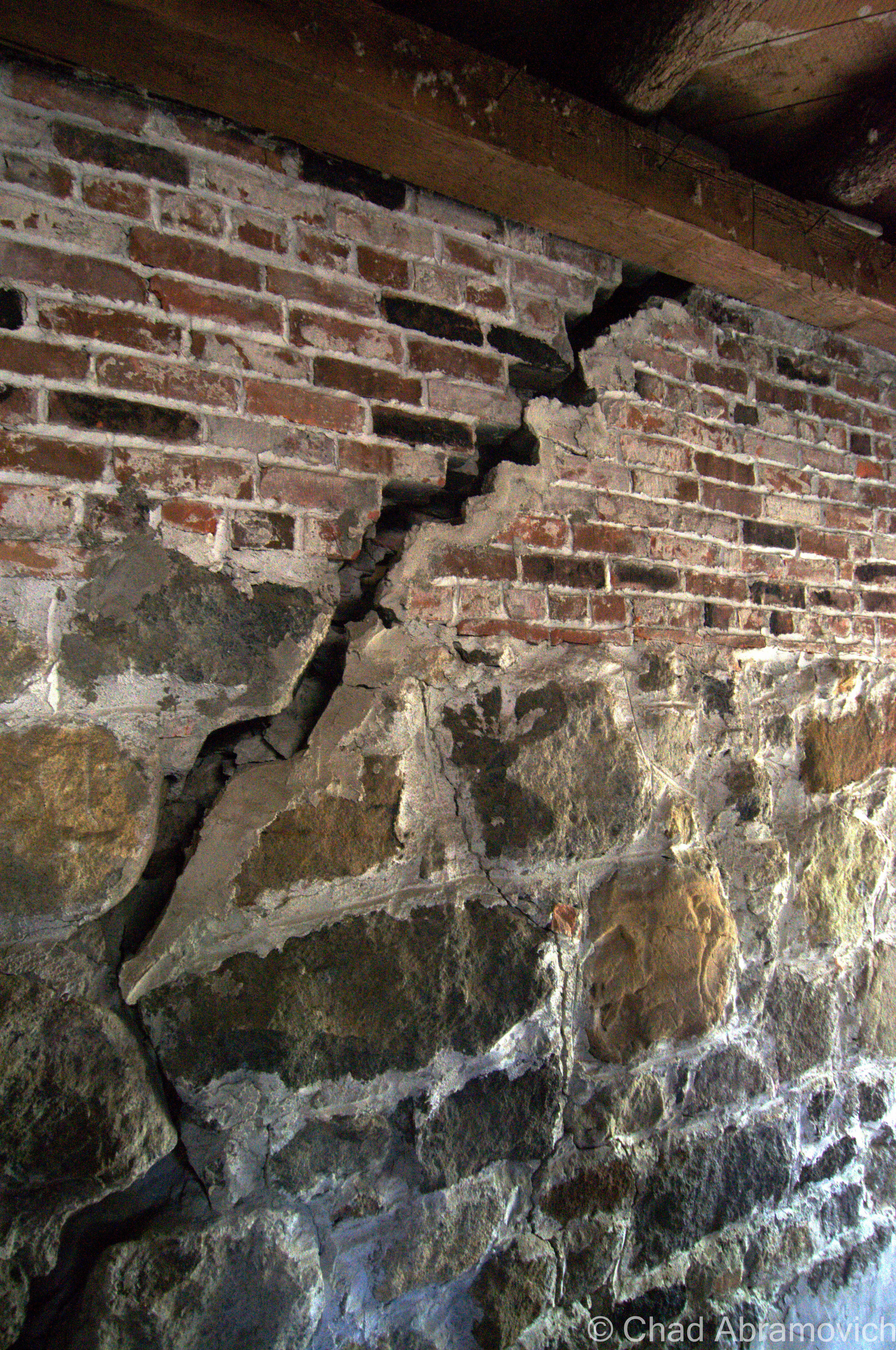
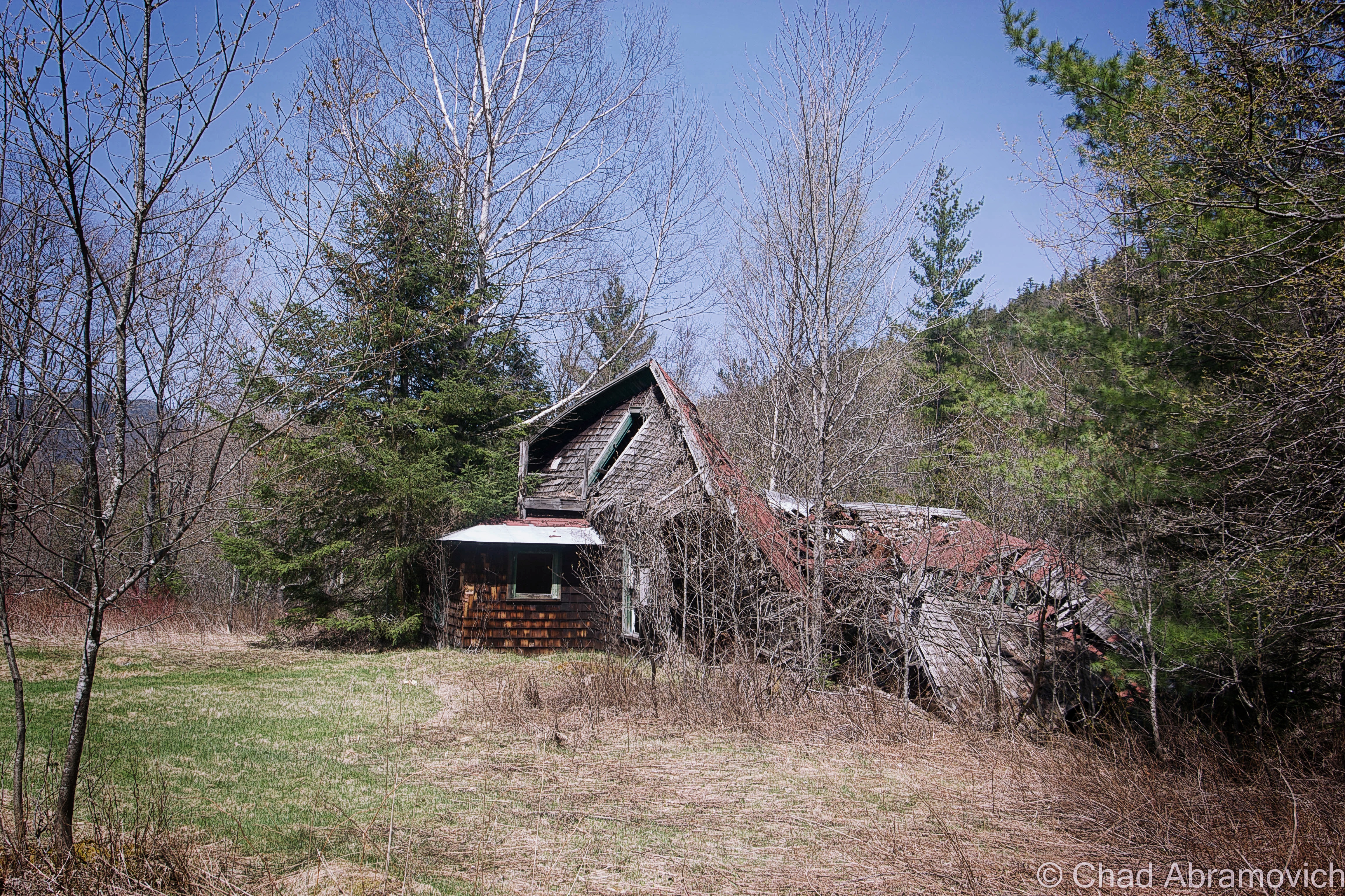
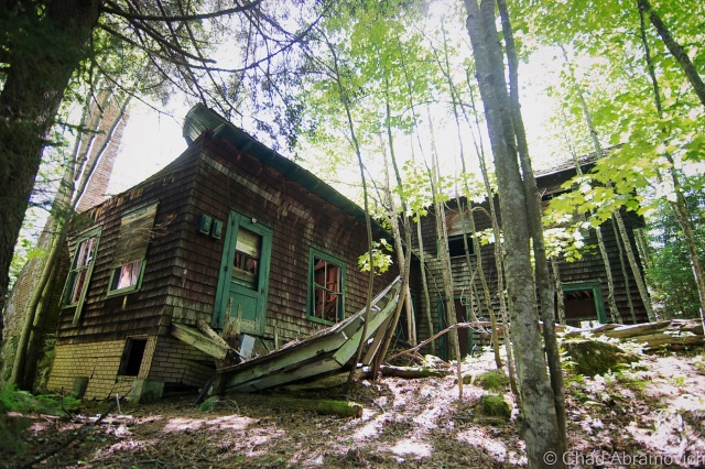
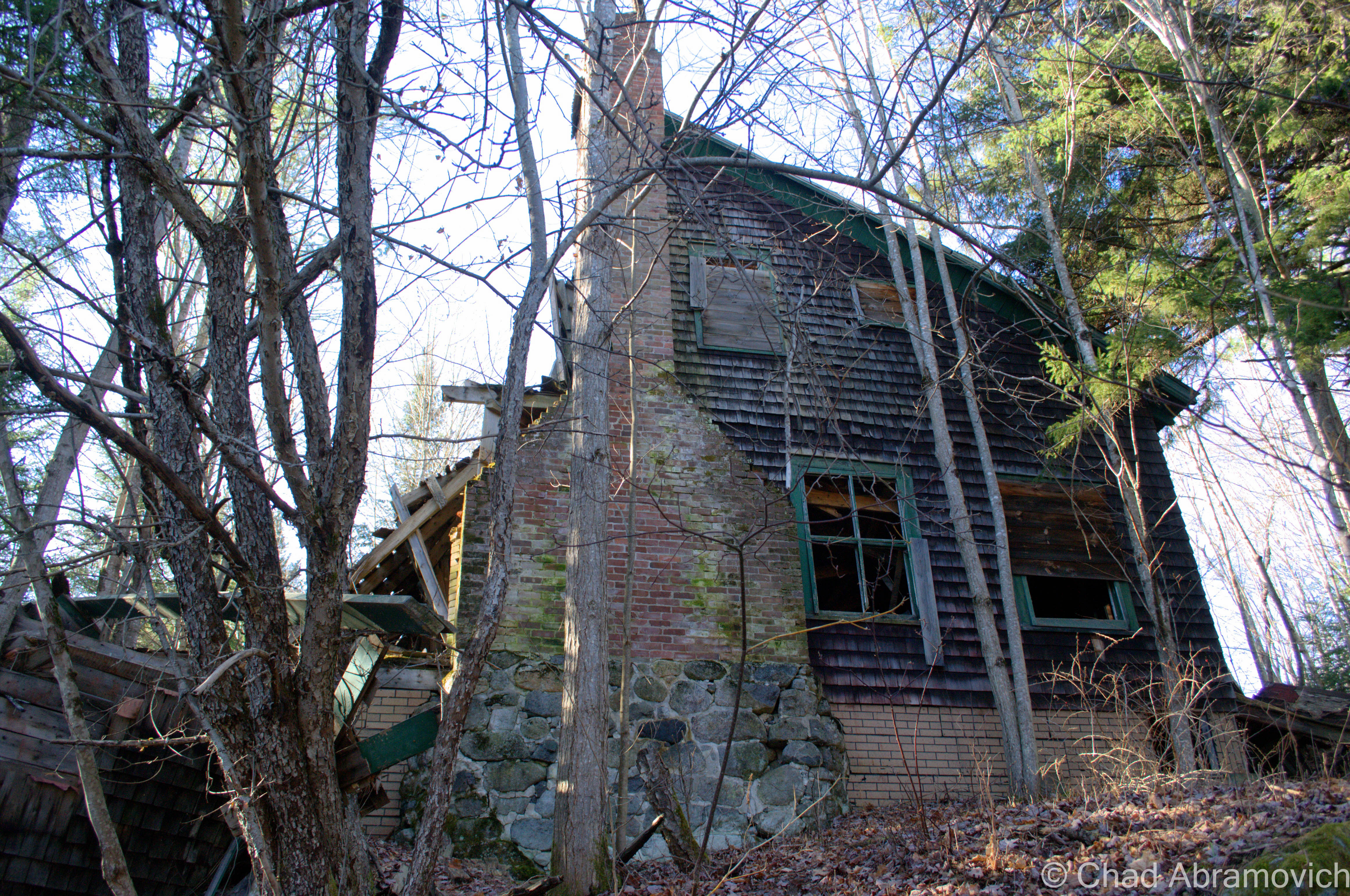
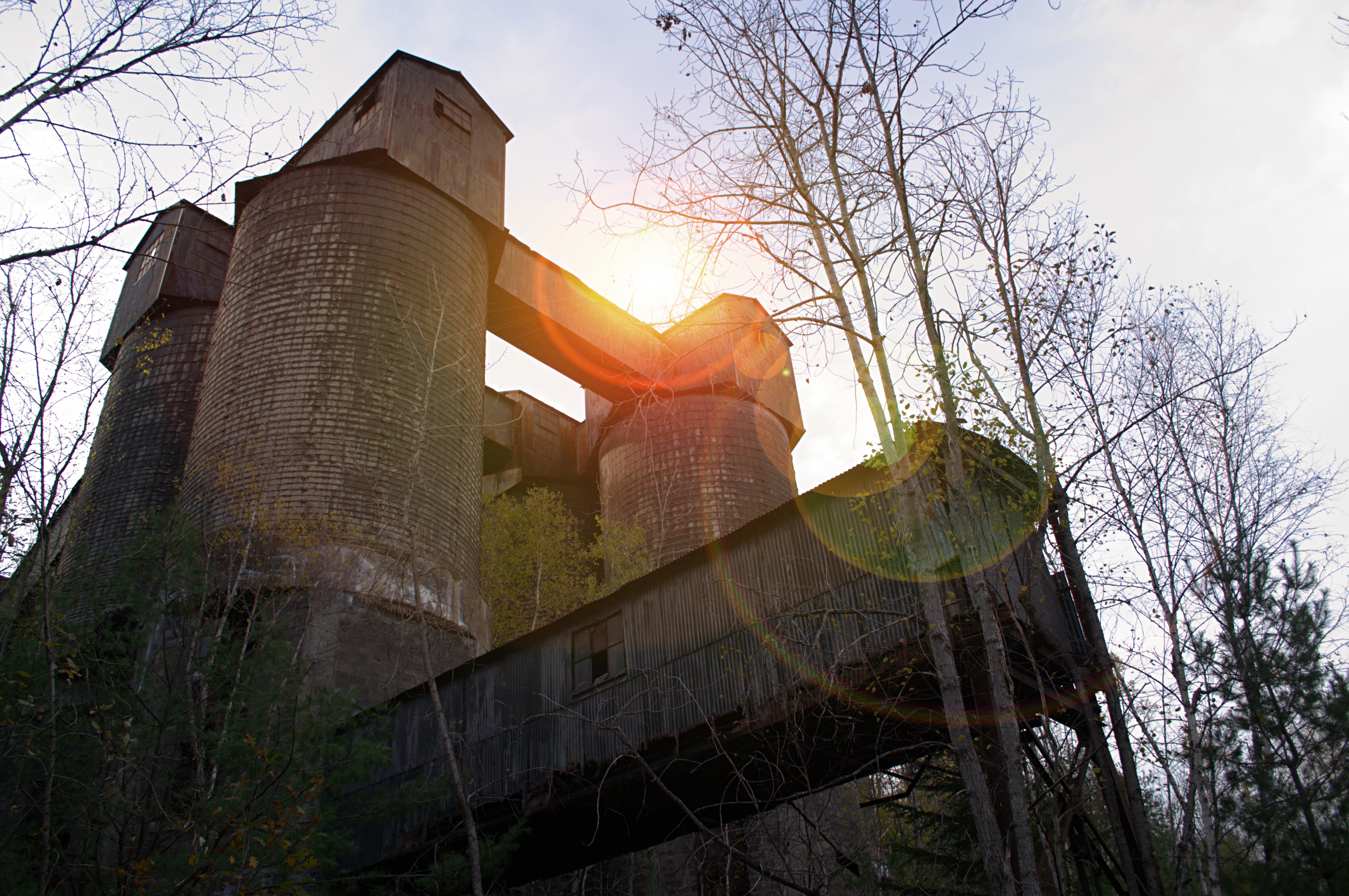
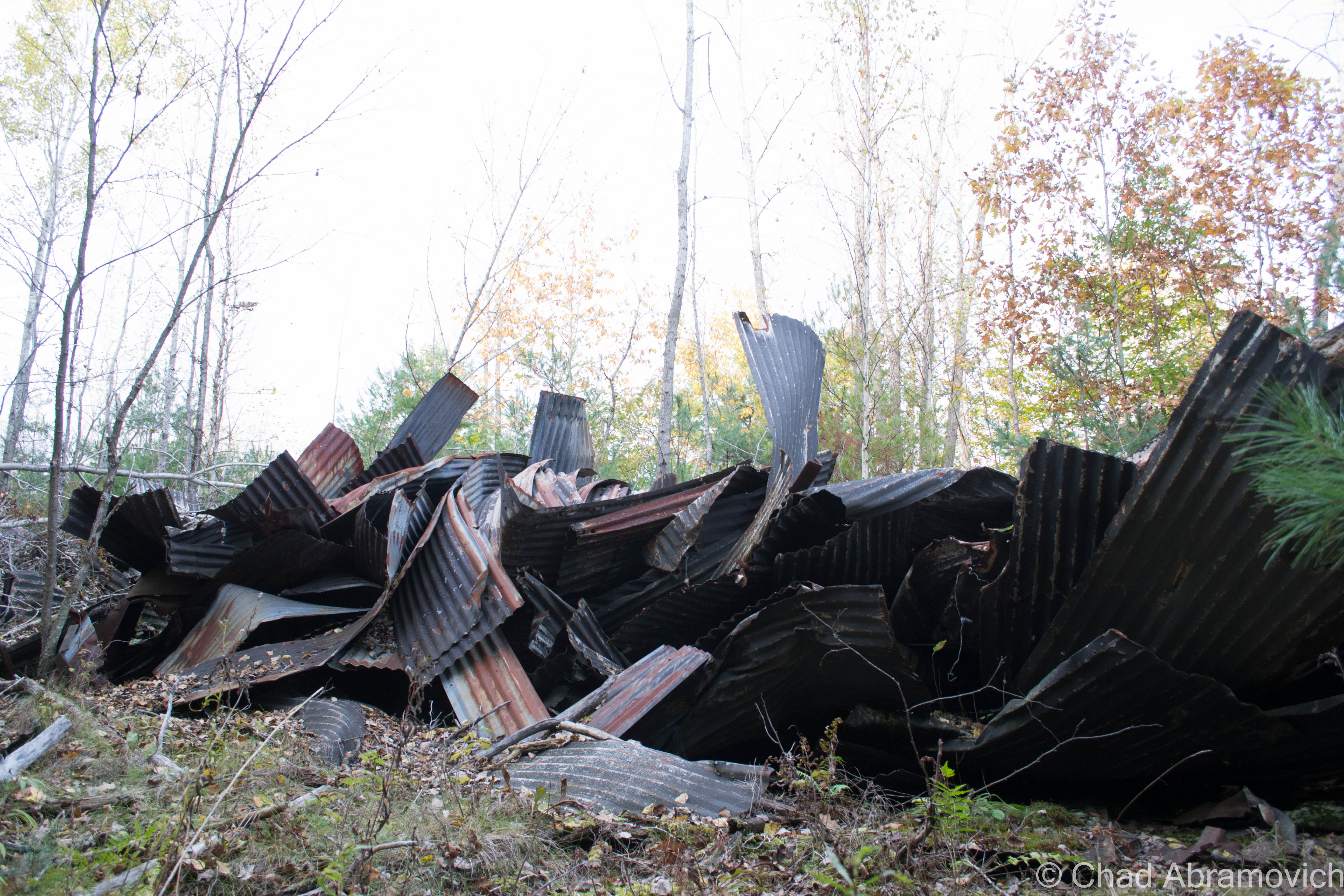
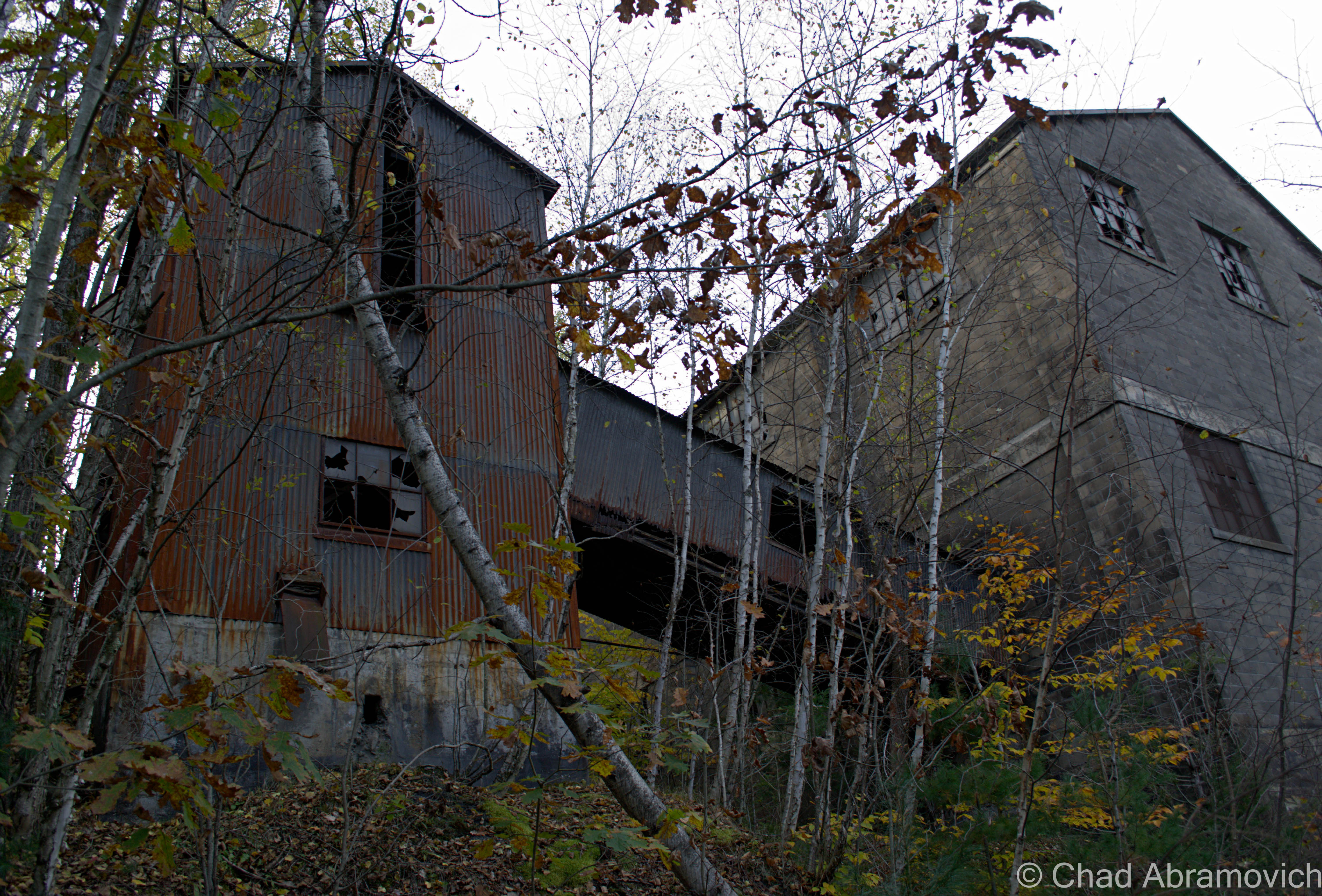
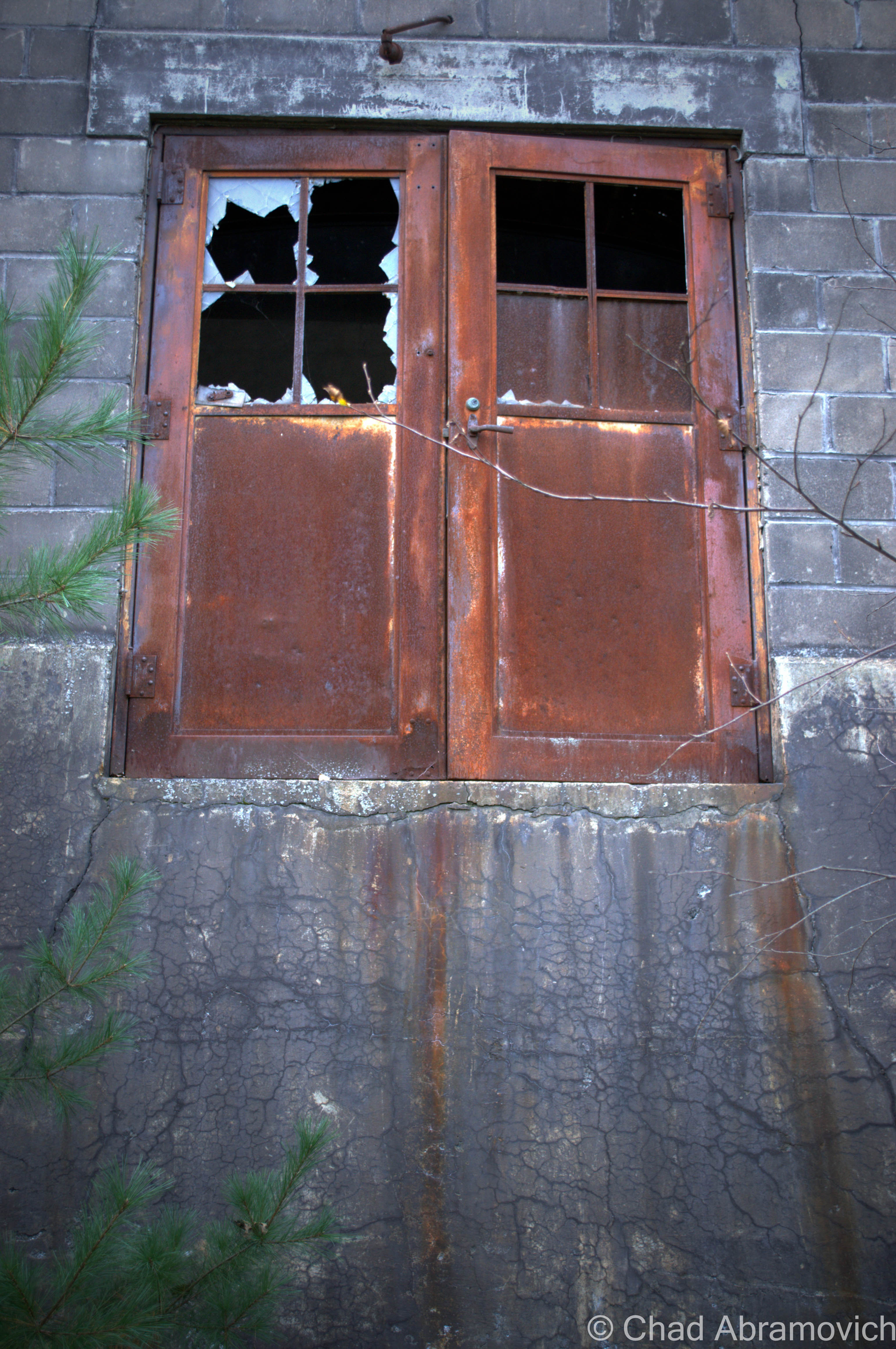
After another 20 minutes or so of twisting, stomach-churning turns and an indistinguishable landscape of scraggly fir trees, the road took a sharp drop down a rather steep hill, below us stretched the rooftops and church steeples of a small village. He slowed the car down for a second before progressing further into town and pointed out his window. Several hundred feet below us in an unforgiving mountain valley sat the large crumbling ruins of an abandoned iron ore mine, it’s rusted tin facades and broken windows slowly losing the struggle against mother nature.
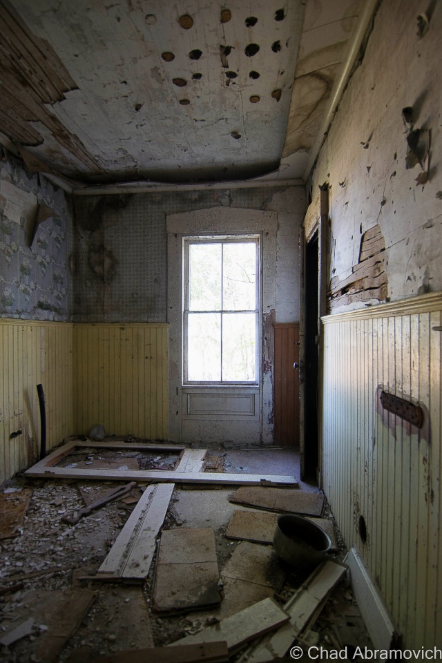
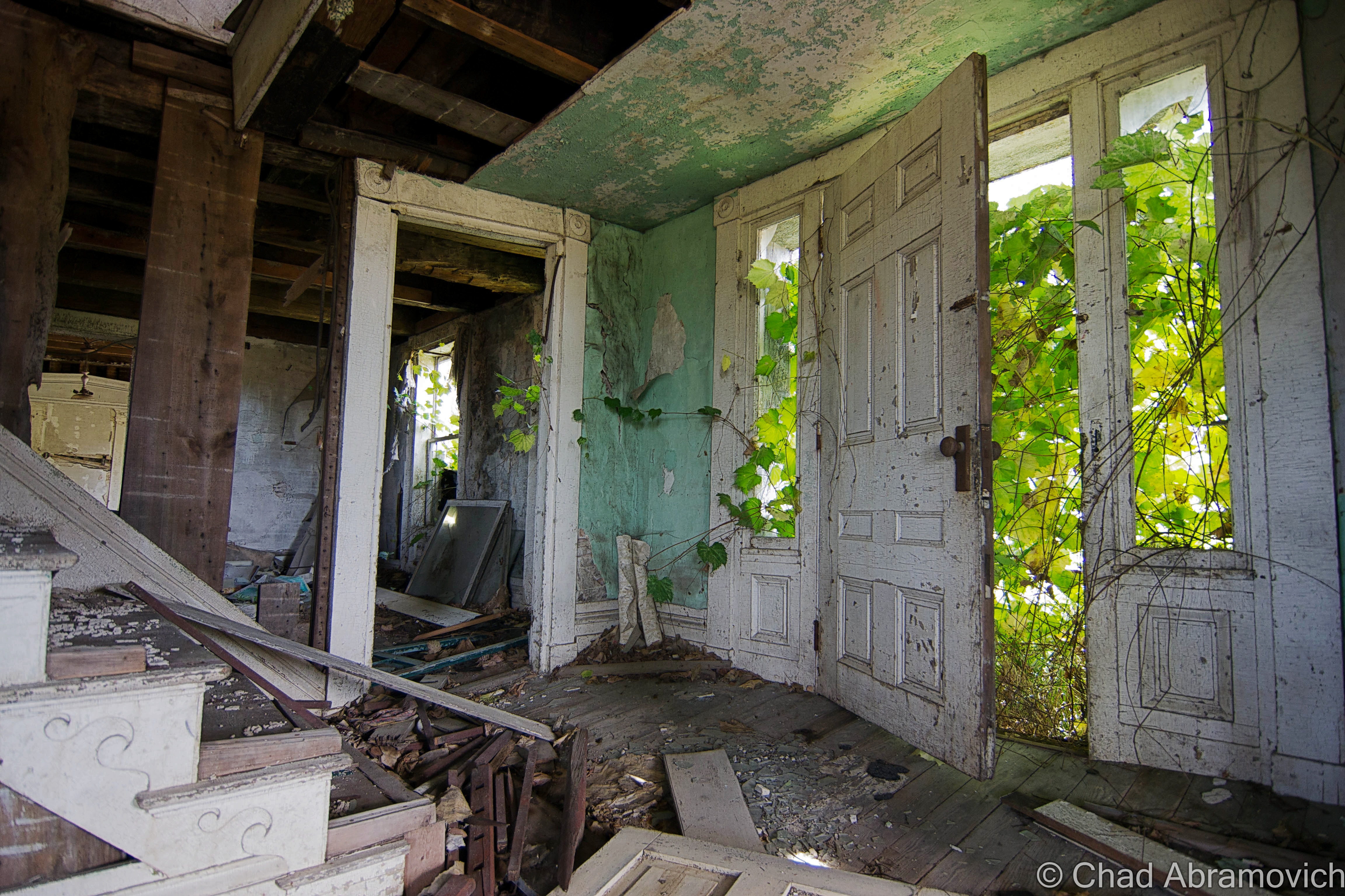
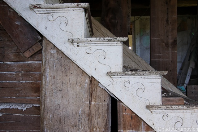
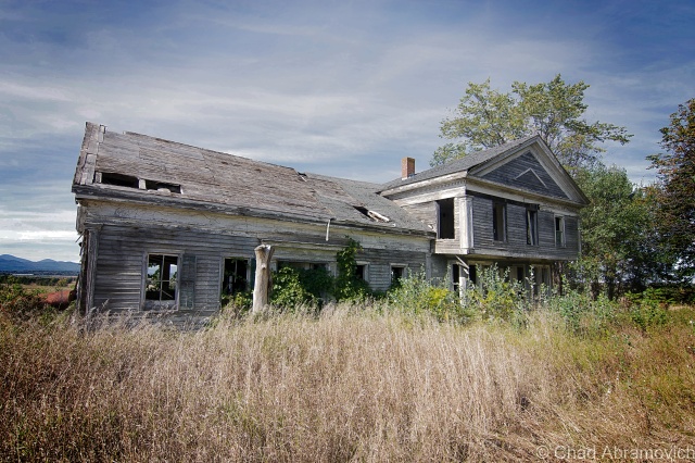
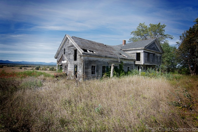
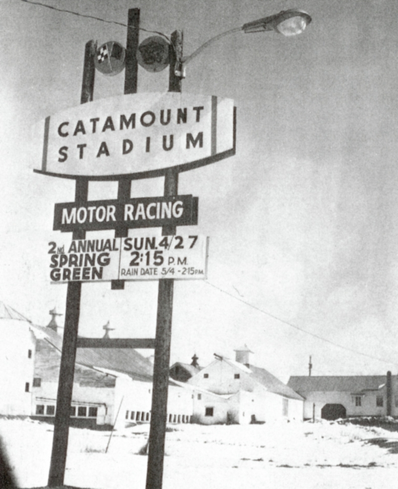
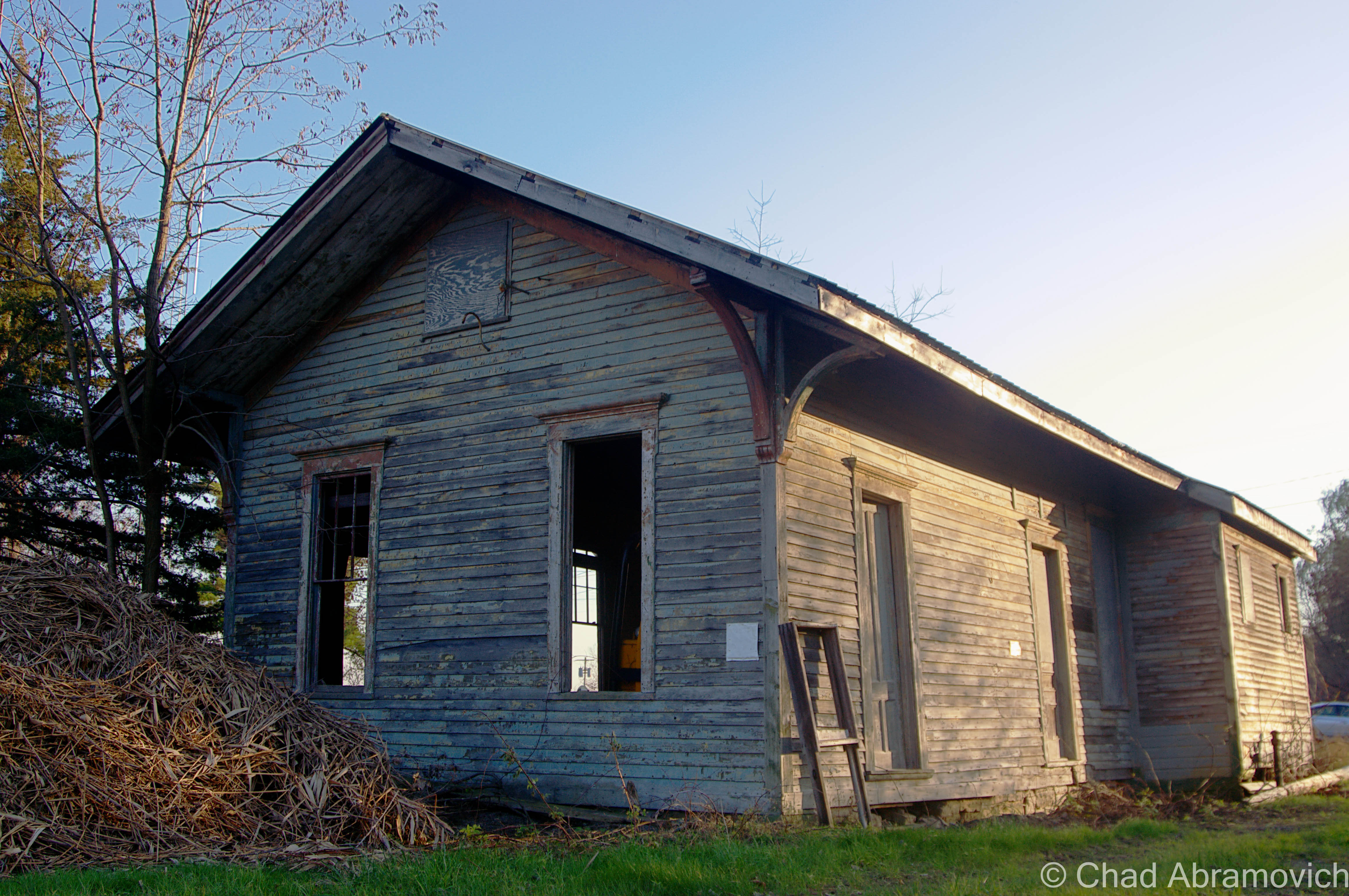
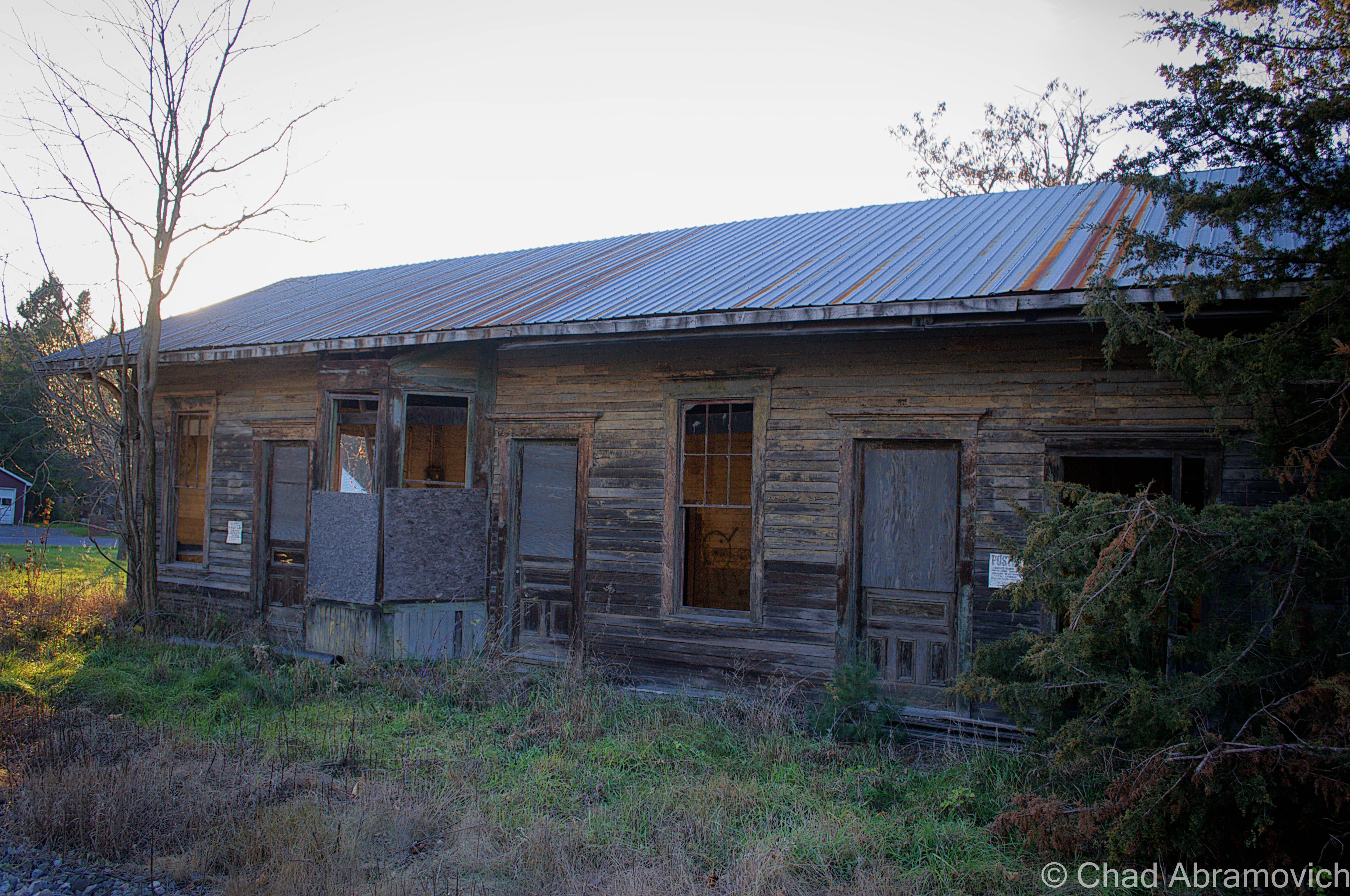
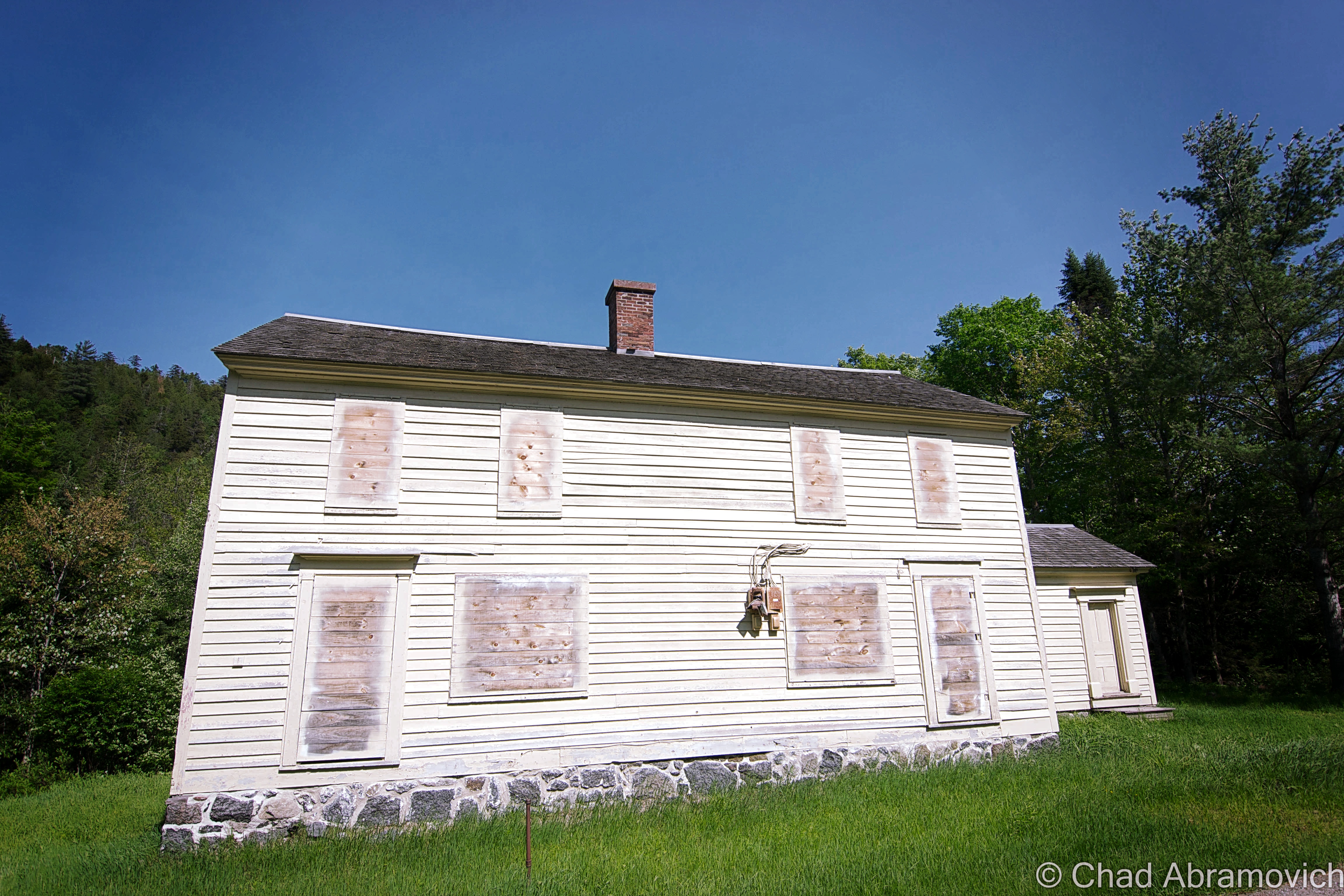
With a little research, I was able to find out about the mine and the town. In 1827, rich Iron Ore deposits were discovered in the area and soon mining operations began to tunnel their way into the hills. Almost immediately, the mining operations ignited a regional economic boom as railroad companies were lured to town, bringing several immigrant workers with it. Soon, the town shed it’s small-town skin and became a center for regional commerce. Many grand mansions climbing the steep hillsides were constructed by the mining company’s more prominent employees and a stately downtown was built, bringing some civilization to the unkempt mountain wilderness.
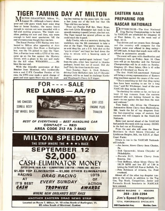
The busiest period the mines saw was during World War 2 when a great deal of material was needed to build Army aircrafts, making iron demands high and working conditions that would turn fingers to dust. Workers soon began laboring around the clock. The mines became so large that it was said that it took miners an average of an hour and a half to be transported in mining cars from the surface to their subterranean work site.
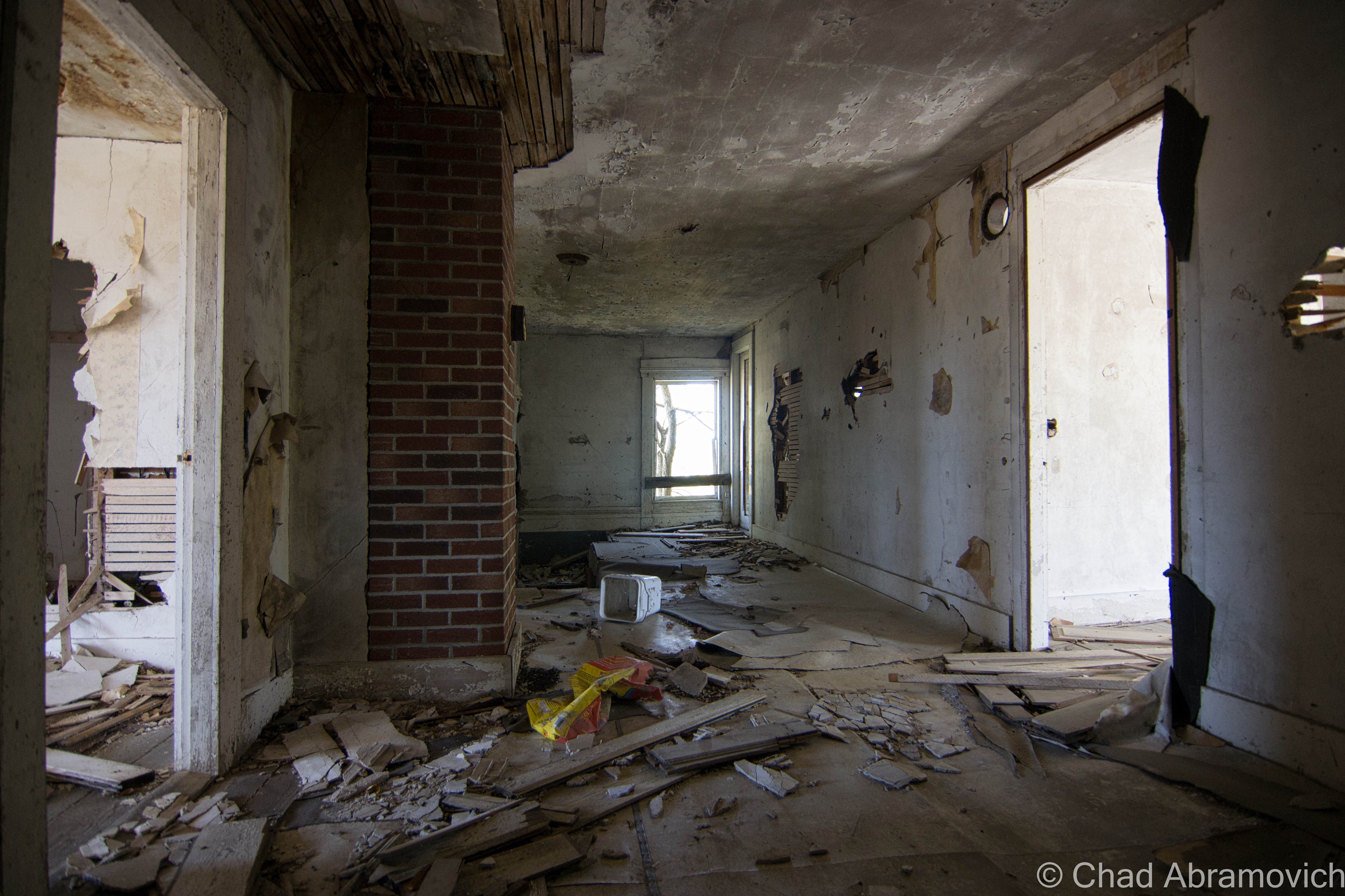
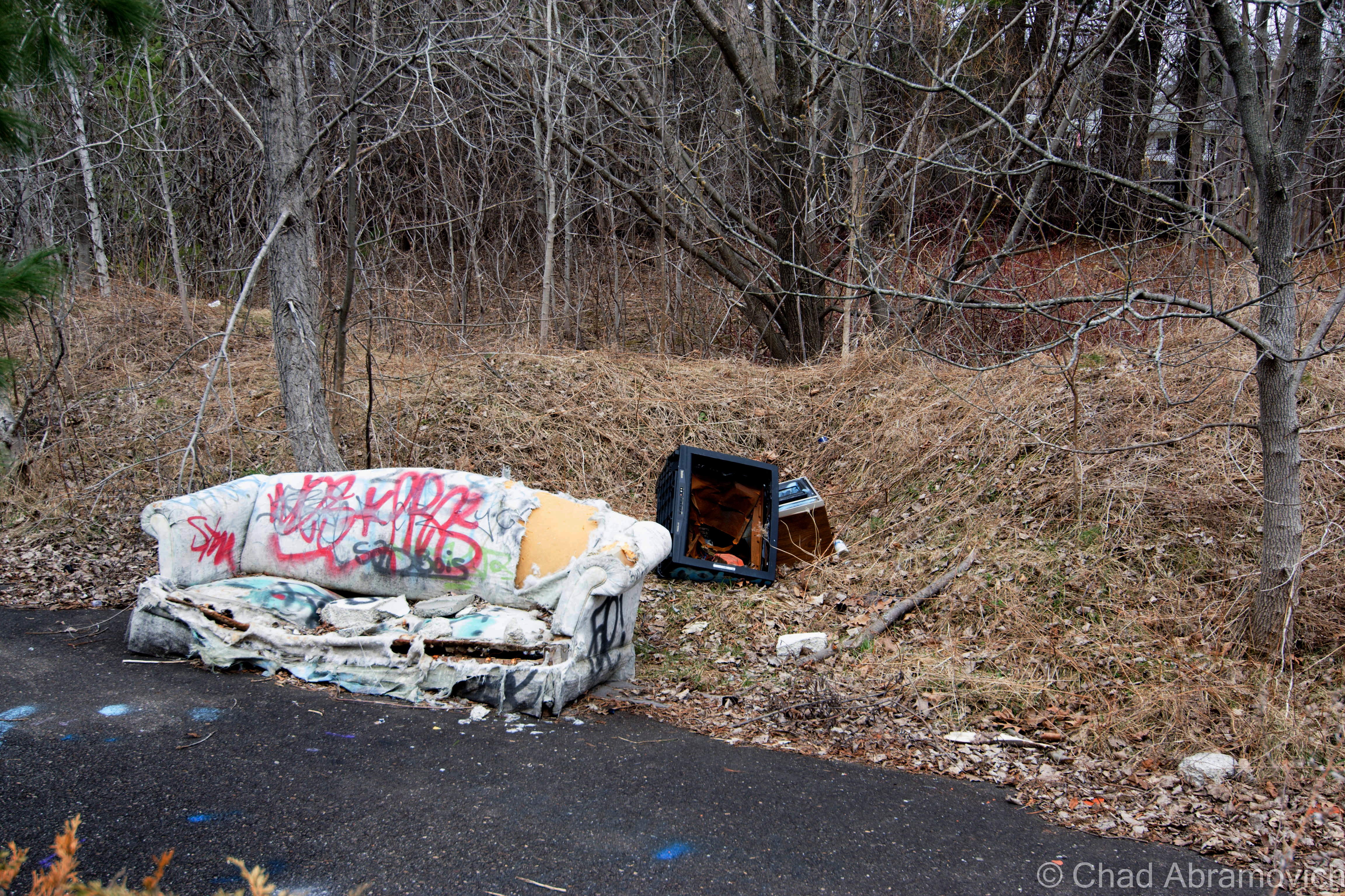
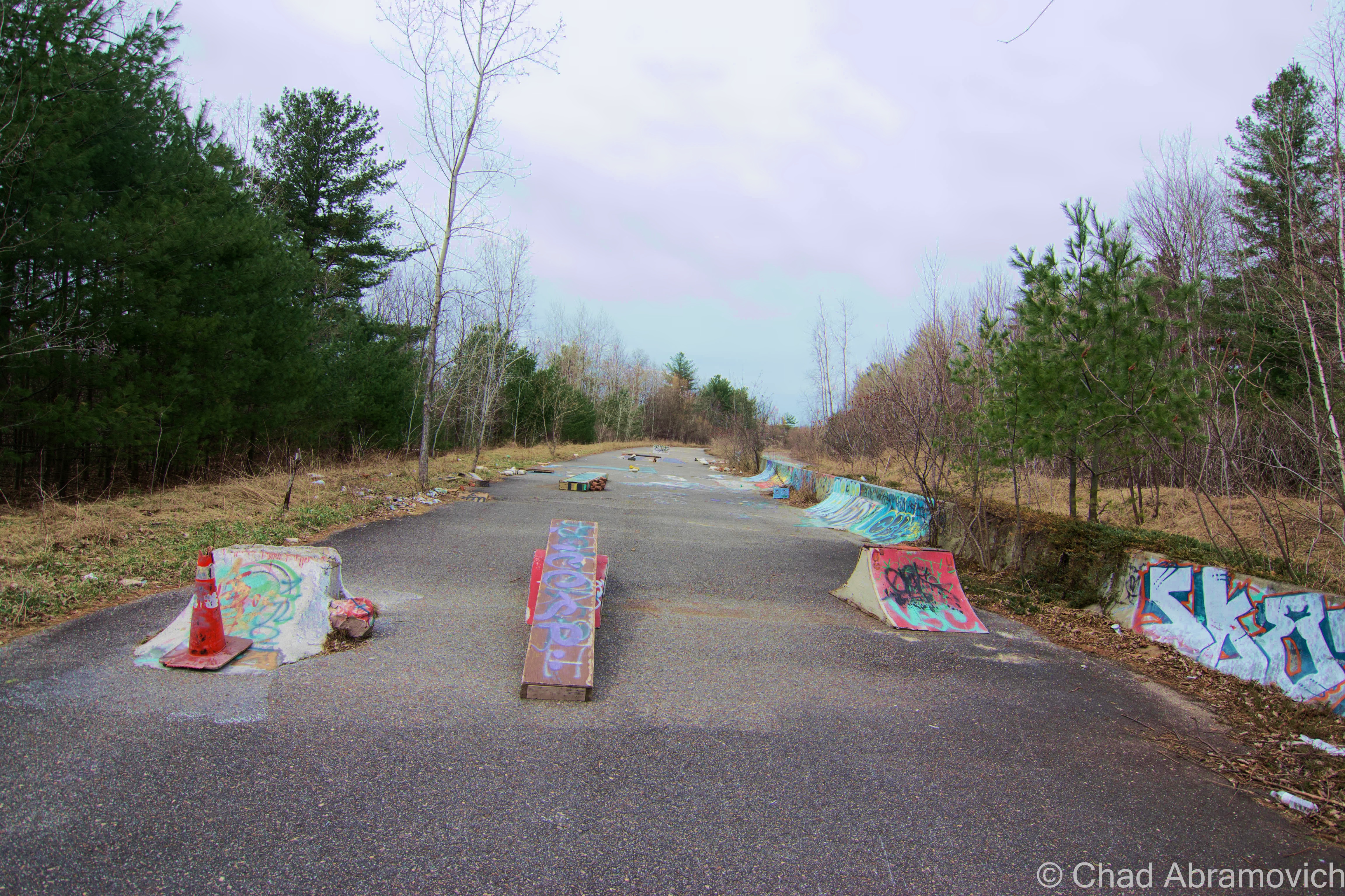
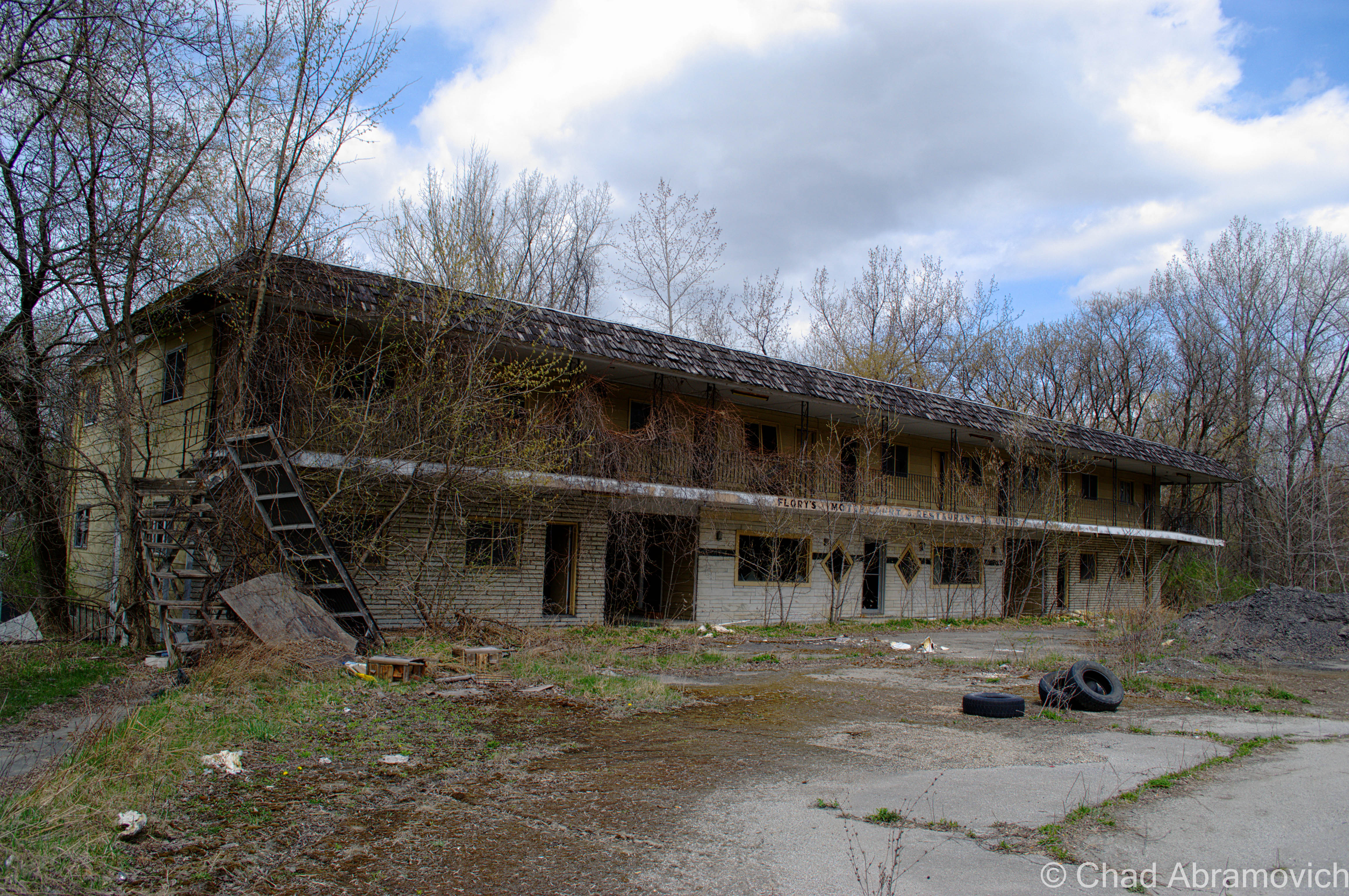
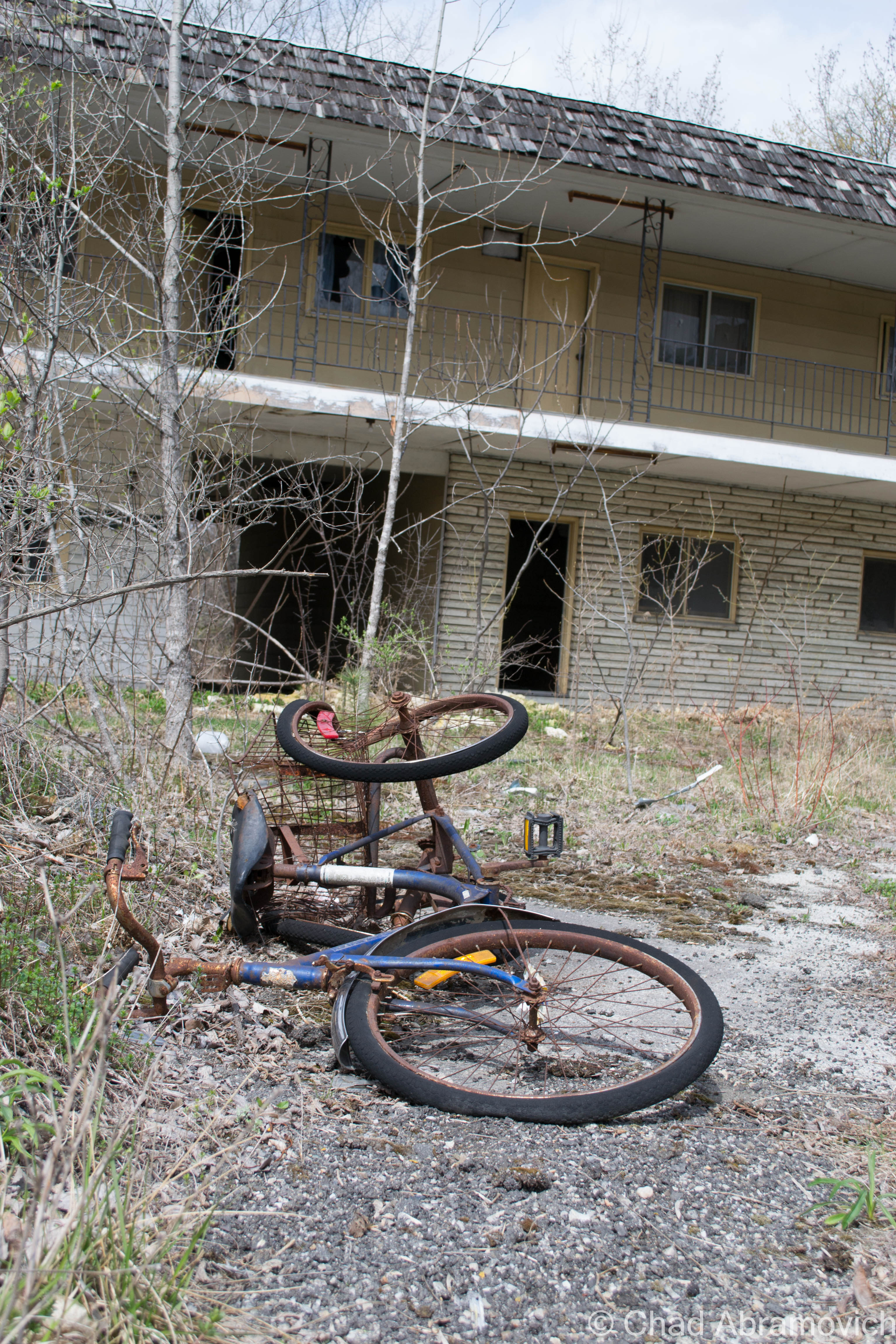
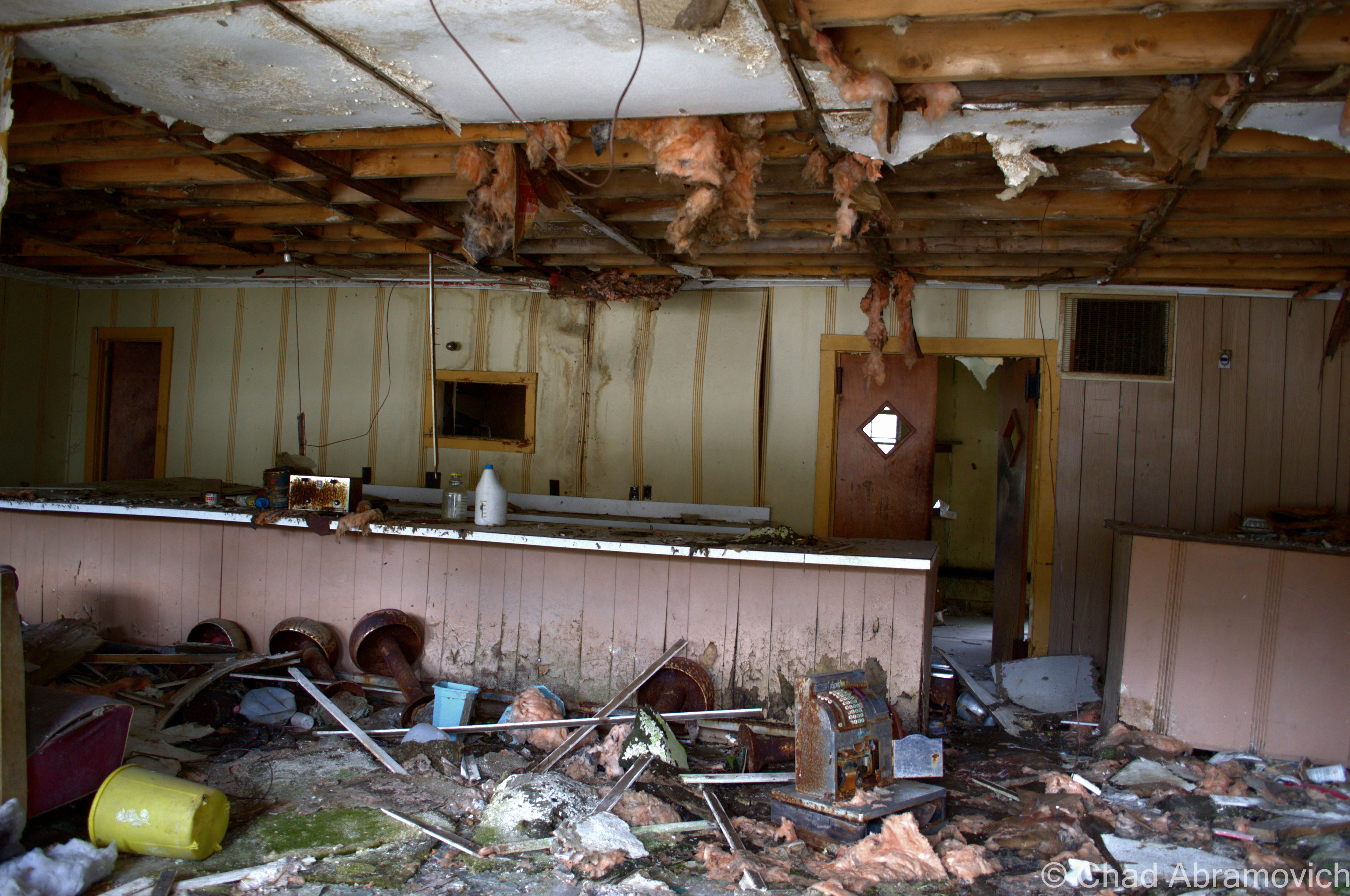
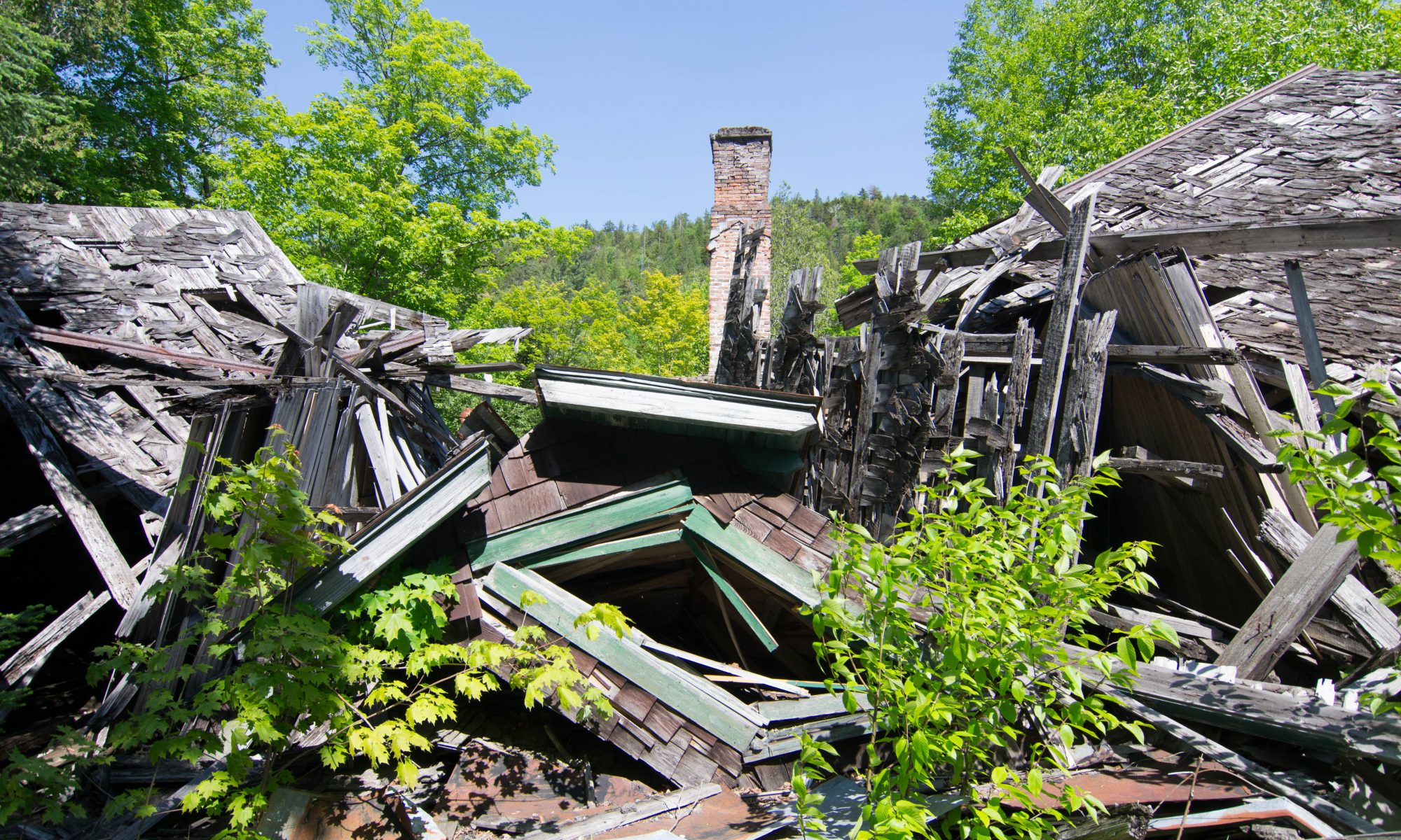
After the war, several economic depressions and the opening of larger and more prosperous mines out west brought an end to the mining boom, something the area never recovered from. In 1971, the mine closed its doors for good. And now ironically, what was responsible for building the town had also killed it. Today, the looming decrepit edifice of the mine still haunts the heart of this town. Crumbling and brooding mansions and vacant storefronts serve as fleeting memories of nostalgia. With not much of a tourism draw, the town may have a long and slow recovery ahead of it.
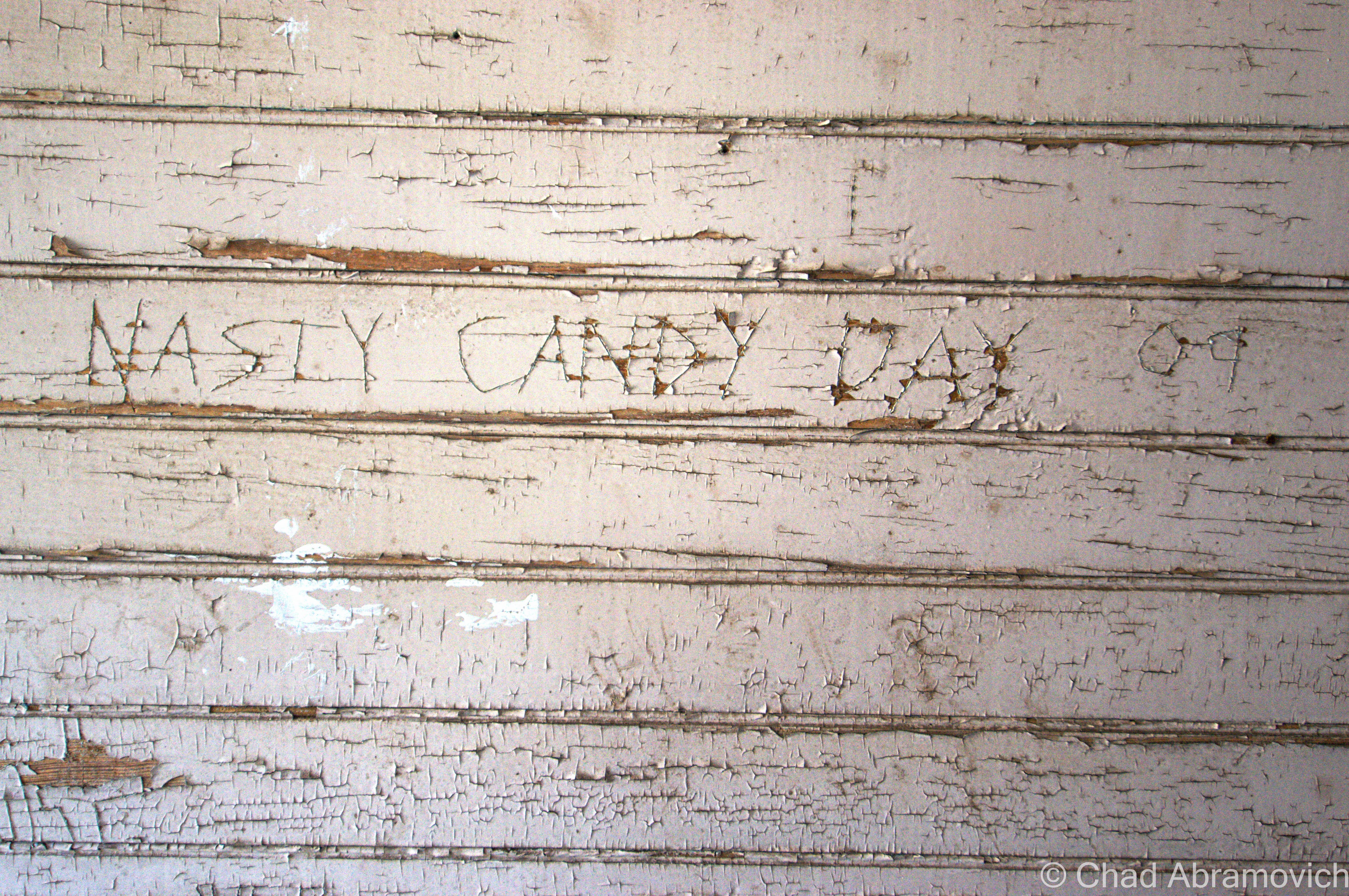
For whatever reason, I always recall a peculiar story about this town when I drive through it. Dated in a relatively recent newspaper article from 2012, it talked about a mysterious middle-aged man who once drove around town in a black Toyota pickup would ask people he would run into if they wanted to purchase some steak of chicken from the back of his truck, origins both unknown and ungiven. A police report was eventually filed, and as it turned out, the same guy reportedly broke into someone else’s house who also had a run-in with the mysterious gentleman and refused to buy any meat.
This leaves a lot of questions about the suspicious meat. What kind of meat? Stolen Meat? Who knows I guess. As far as I know, no one seems to have complained about any further incidents…
Back to my story.
Fading Light
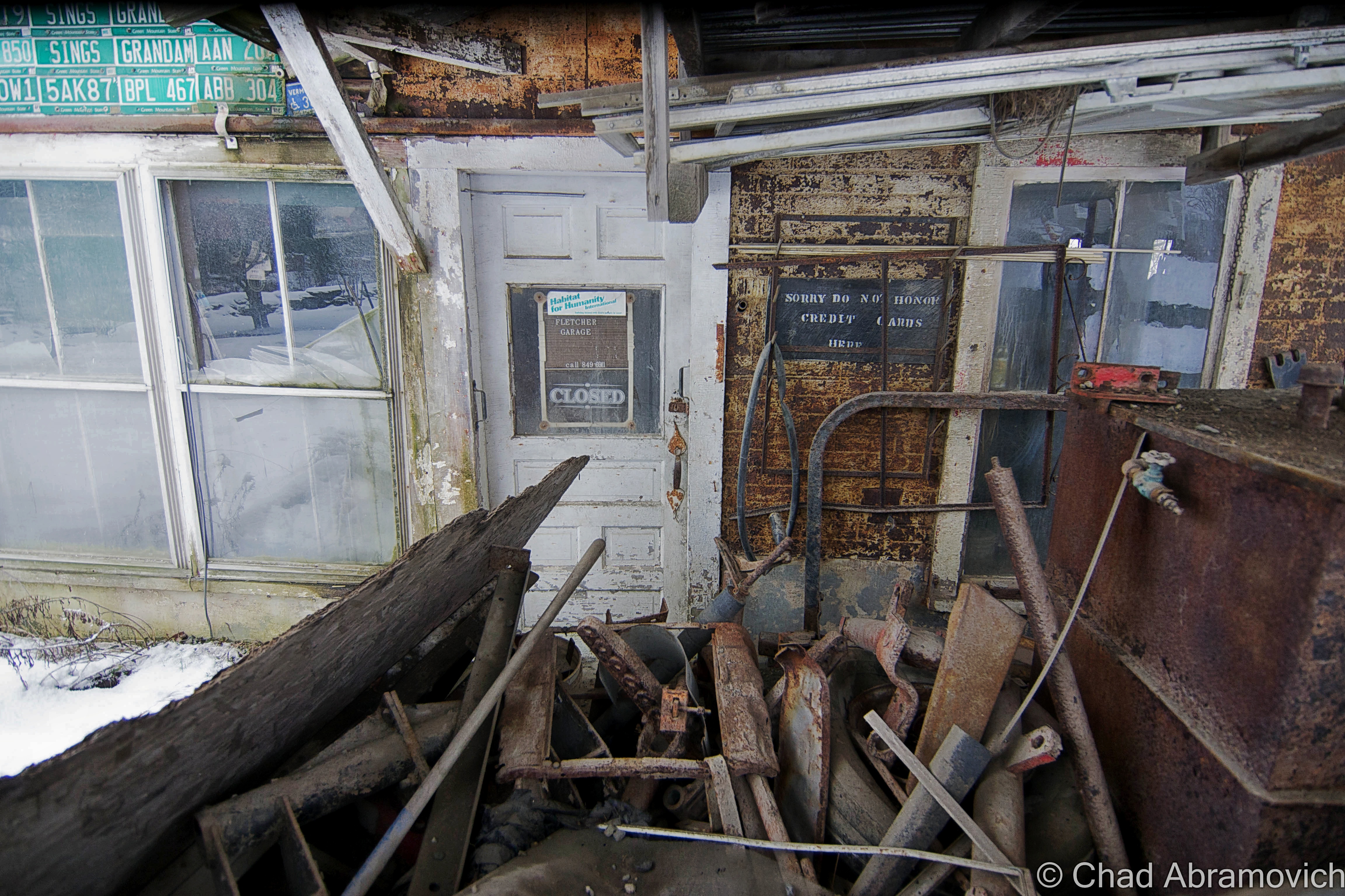
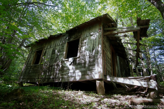
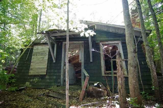
With the mine in sight, the question was, how were we going to get there? We had been driving for so long that we were working with 2 hours of remaining day light if we were lucky. The mine’s location was also hidden (perhaps deliberately) from the center of town. There were a few dirt roads with tumbledown houses scattered around the property, but none lead us right to the front gates. But as my friend informed me, that was probably for the best.
An elderly gentleman and retired police officer has taken it upon himself to self righteously patrol and monitor the perimeter of the property and the mines themselves. Though he has never had an encounter with him, he had been warned to avoid him at all costs.
As it turns out, he was a fabled local character, known for his imposing – if not psychotic behavior. He carries a gun at all times and won’t think twice about calling the local police and the state police. So it looked like we’d have to backtrack through the woods, and see if we can get onto the property that way. The security forces here were infamous for prosecuting trespassers within the fullest extent of the law possible, without exceptions, so we took every precaution we could.
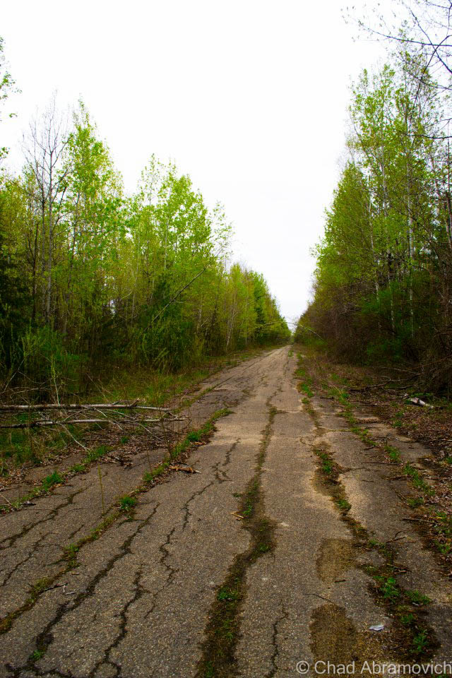
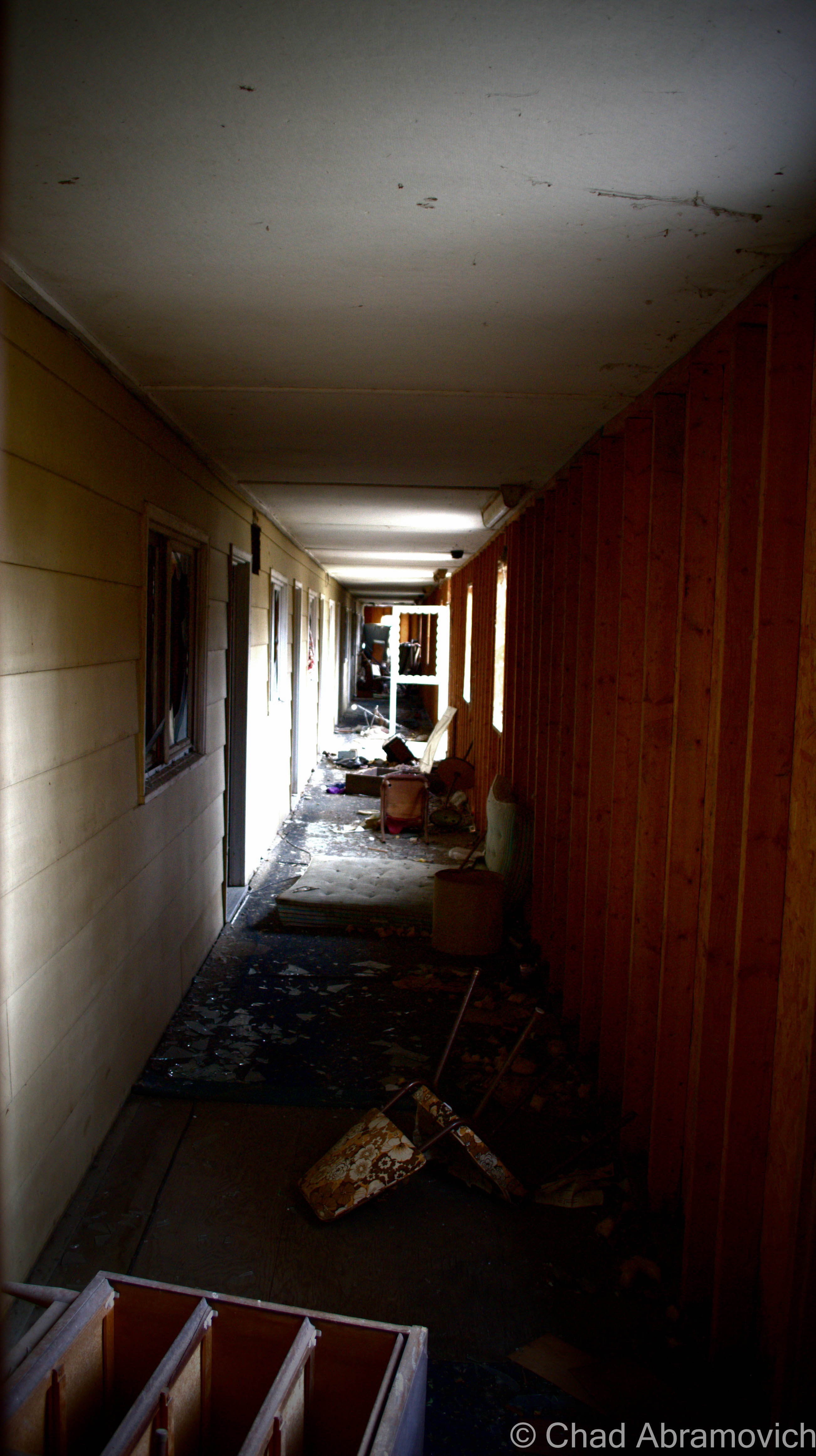
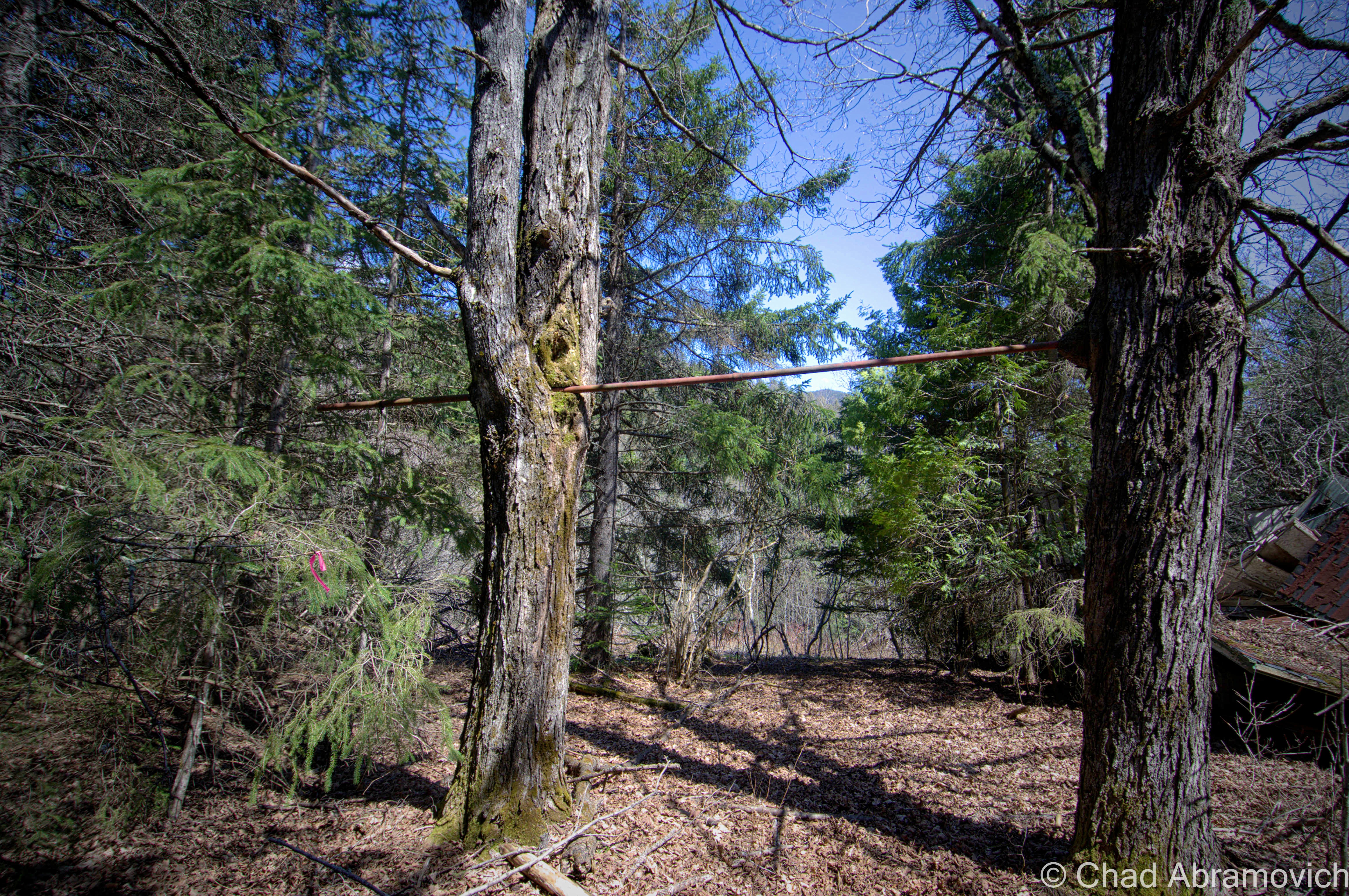
Walking up a steep clay bank with trees battering our faces, my camera gear weighing me down a bit, we finally reached the now defunct railroad bed that cut through the woods towards the mines. “If we follow this, we should come out right behind it” my friend informed me. He seemed a little unsure about this, but I figured it’d be easy enough to get back to the road if we failed. So off we went, constantly swatting at the low tree branches that hung their claws over the old railroad bed. That must of been a comical site for a stealthy deer hunter. 2 lumbering guys with a good amount of camera equipment awkwardly stumbling through the woods.
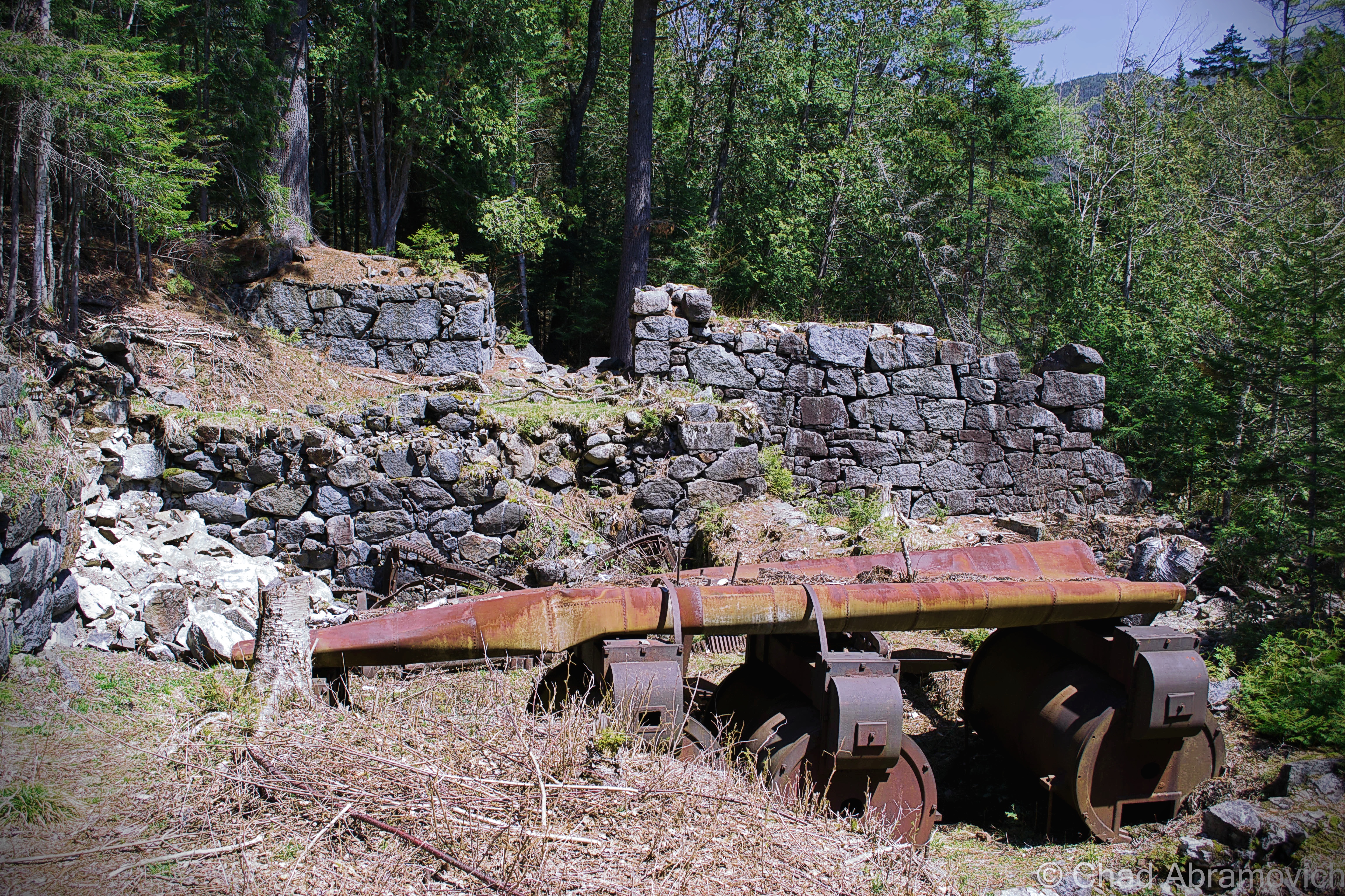
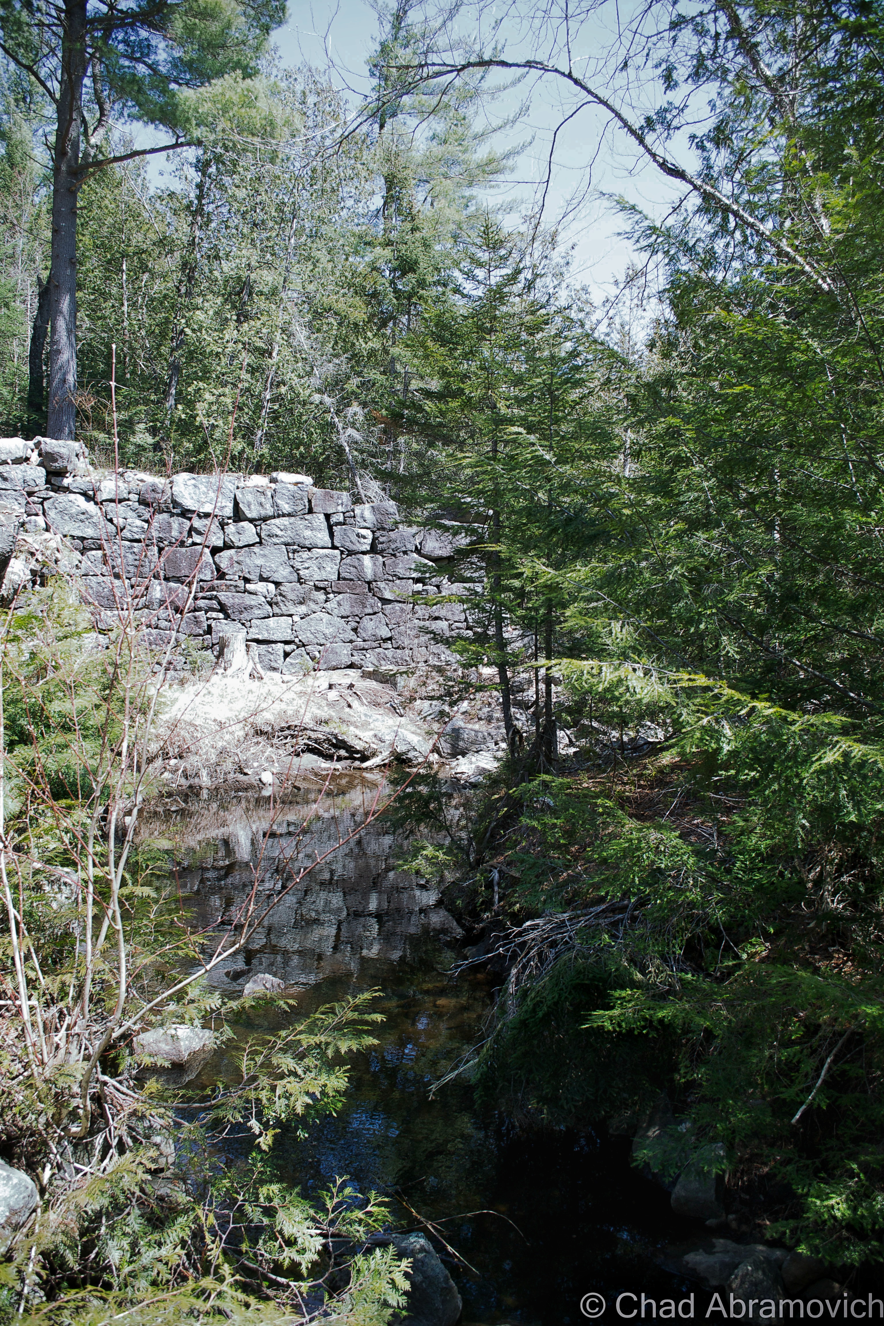
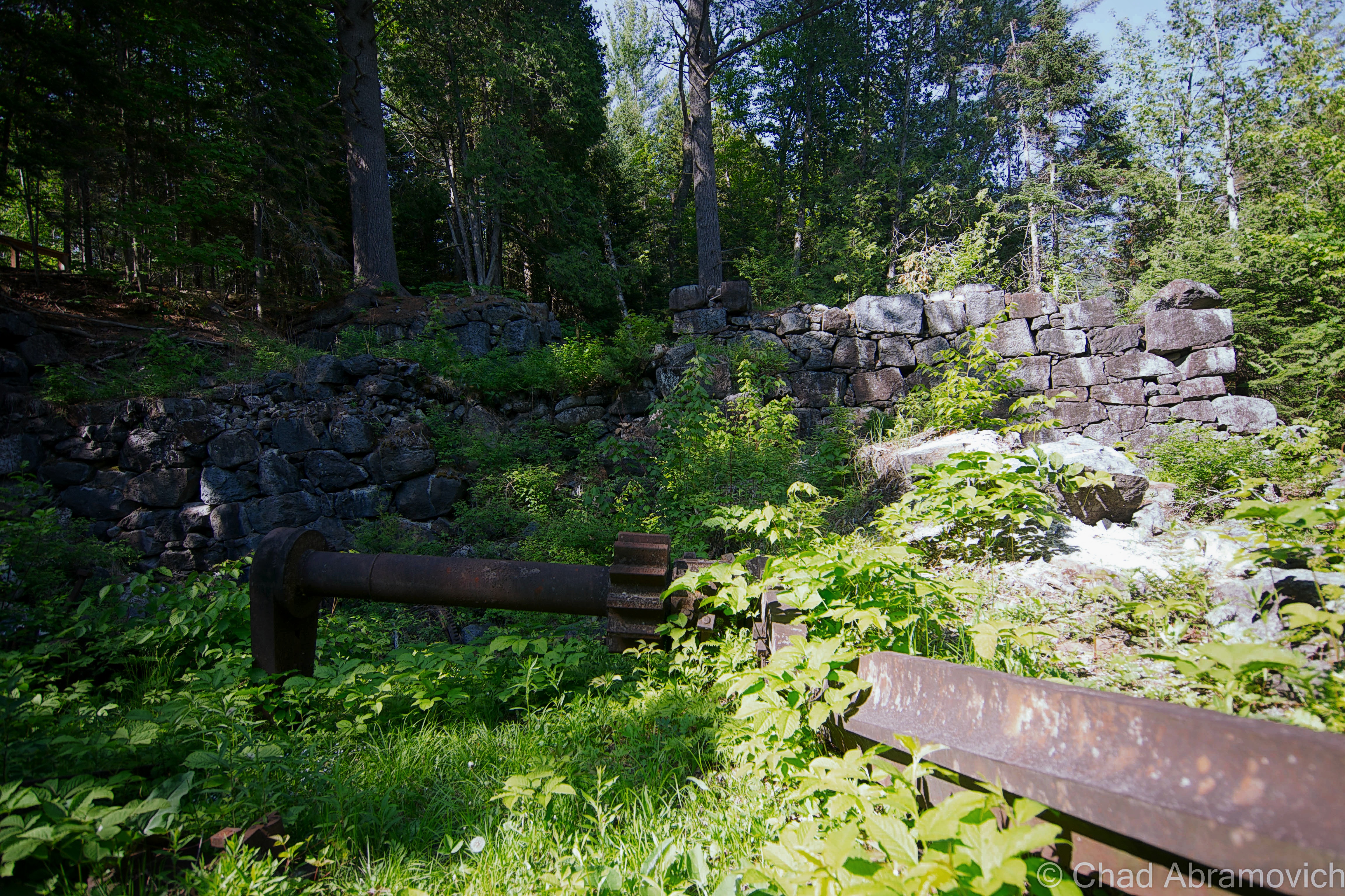
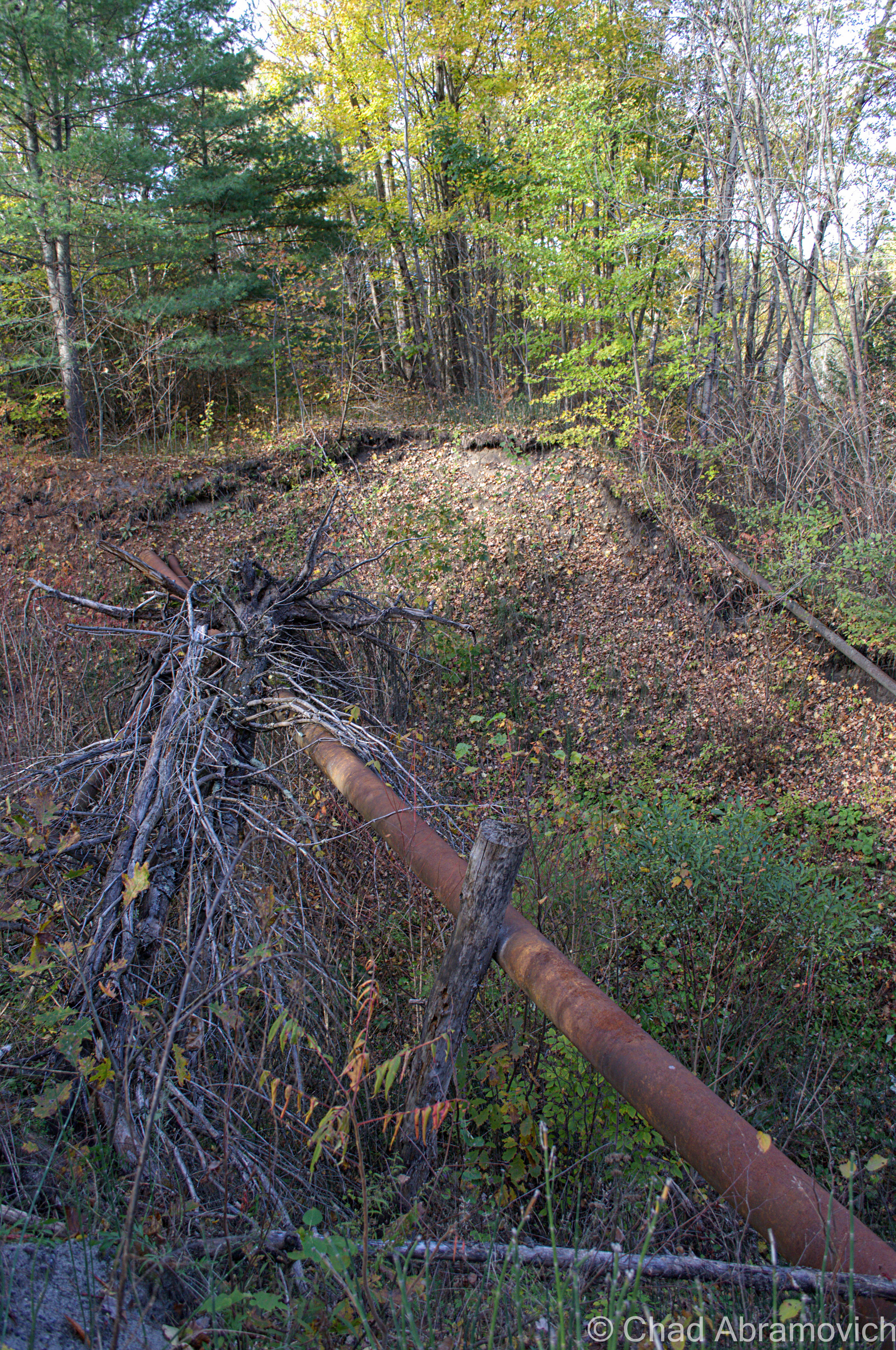
After 20 minutes of walking or so, we were met with a surprise. We stood at the top of a rather deep trench, with steep clay banks and a tangled mass of weeds, rocks and sludge at the bottom. It seemed like it was the work of some sort of flash flood, and it was a very strange coincidence that it just so happened to follow the perimeter of the abandoned mine. We knew we’d have to climb down and climb up the other side if we wished to continue.
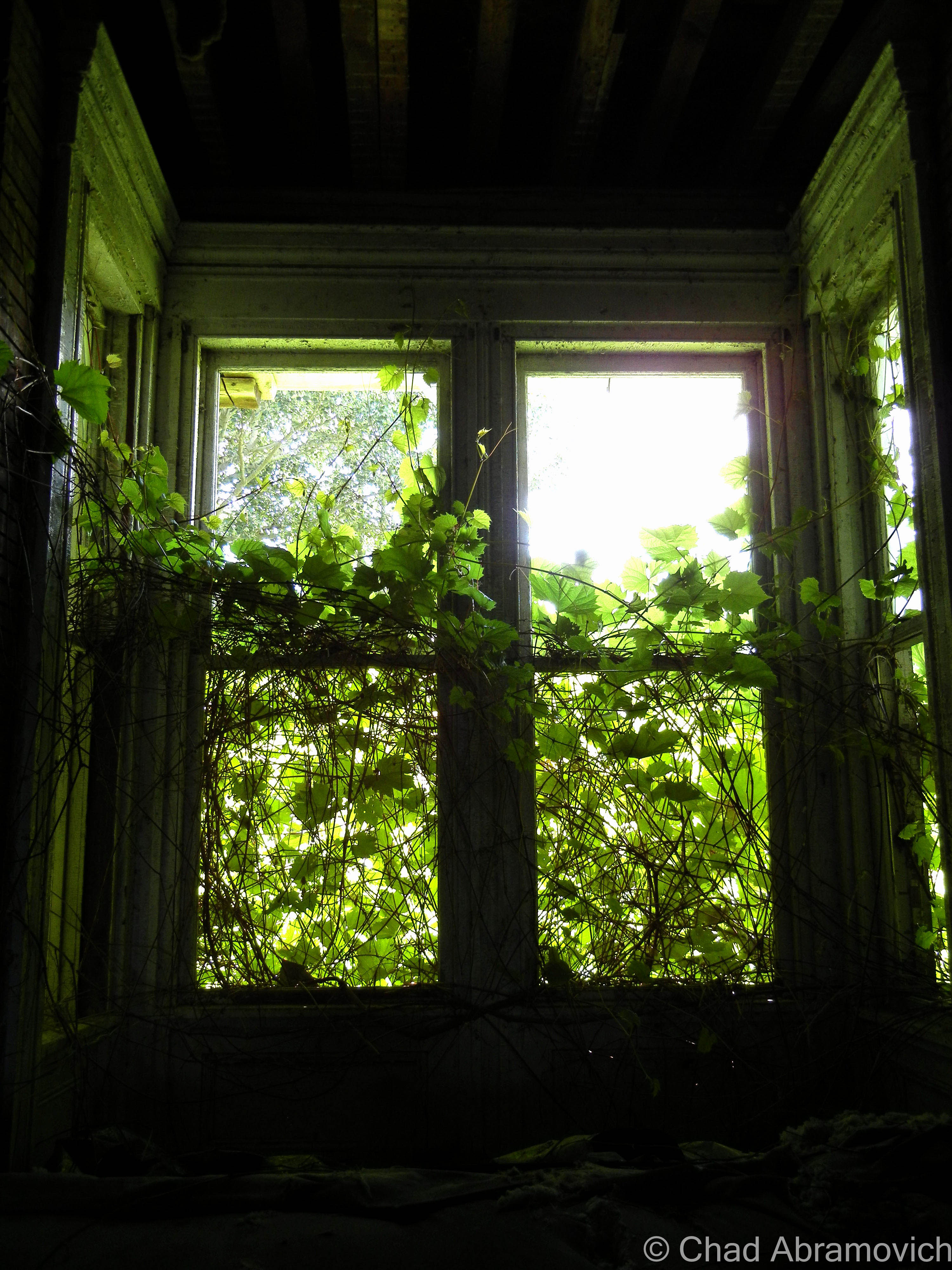
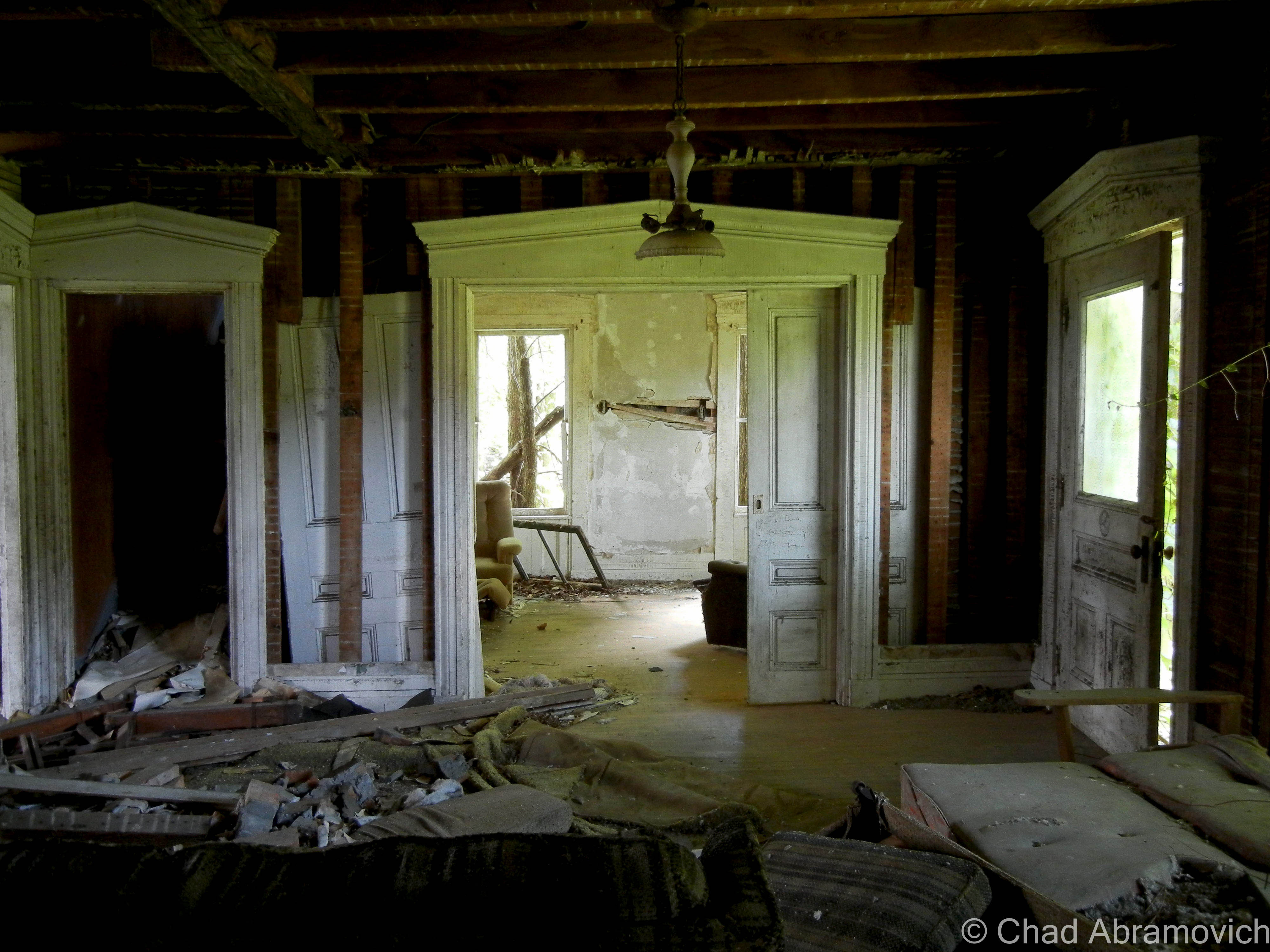
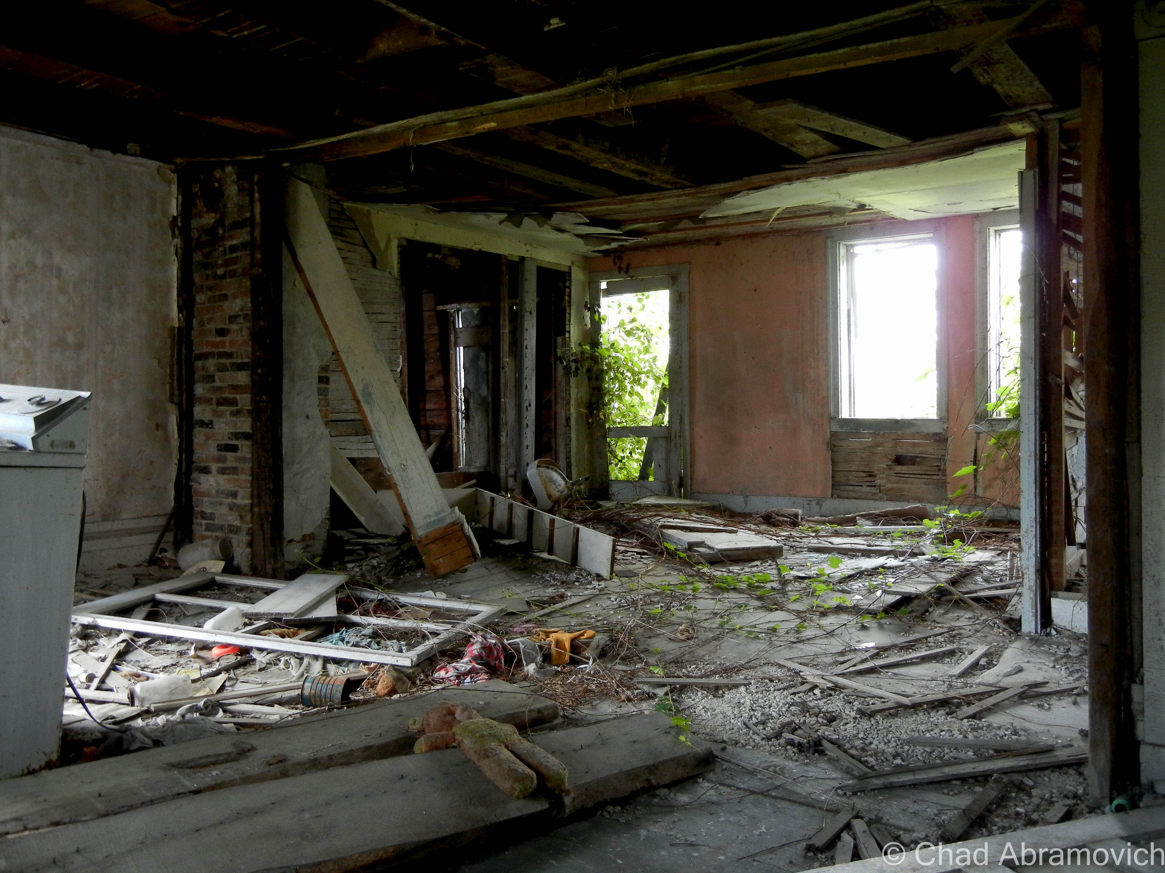
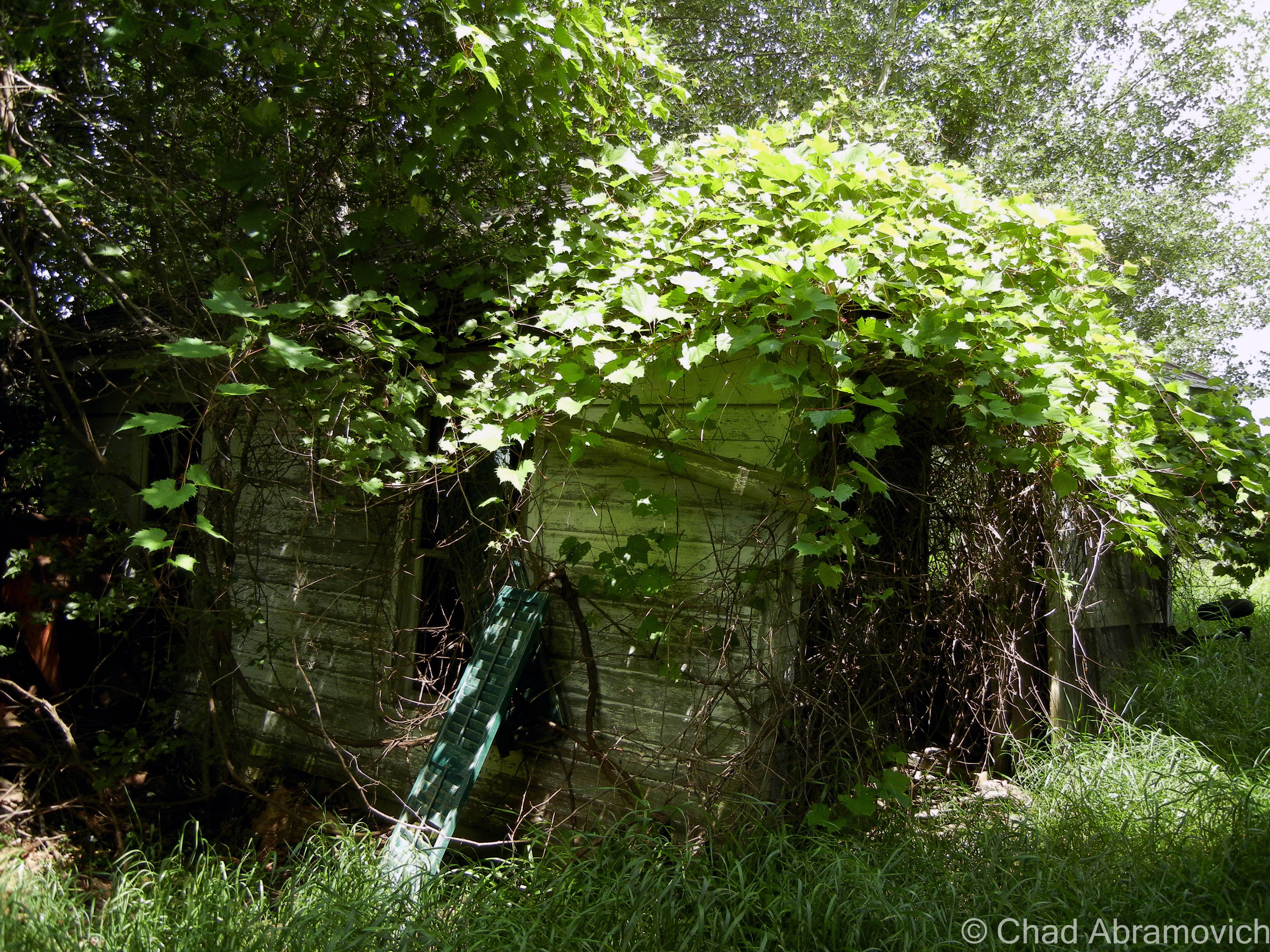
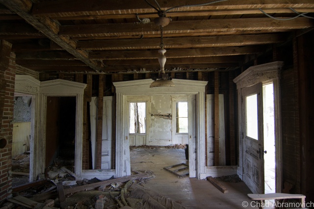
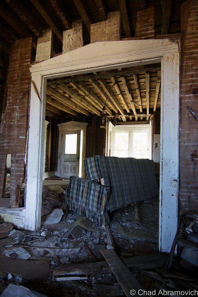
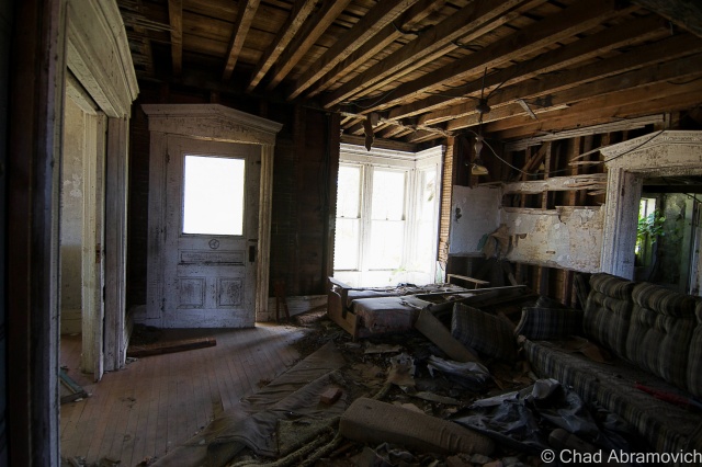
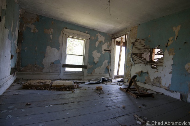
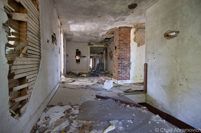
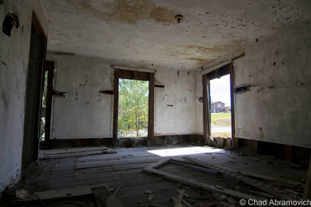
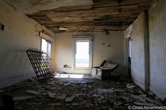
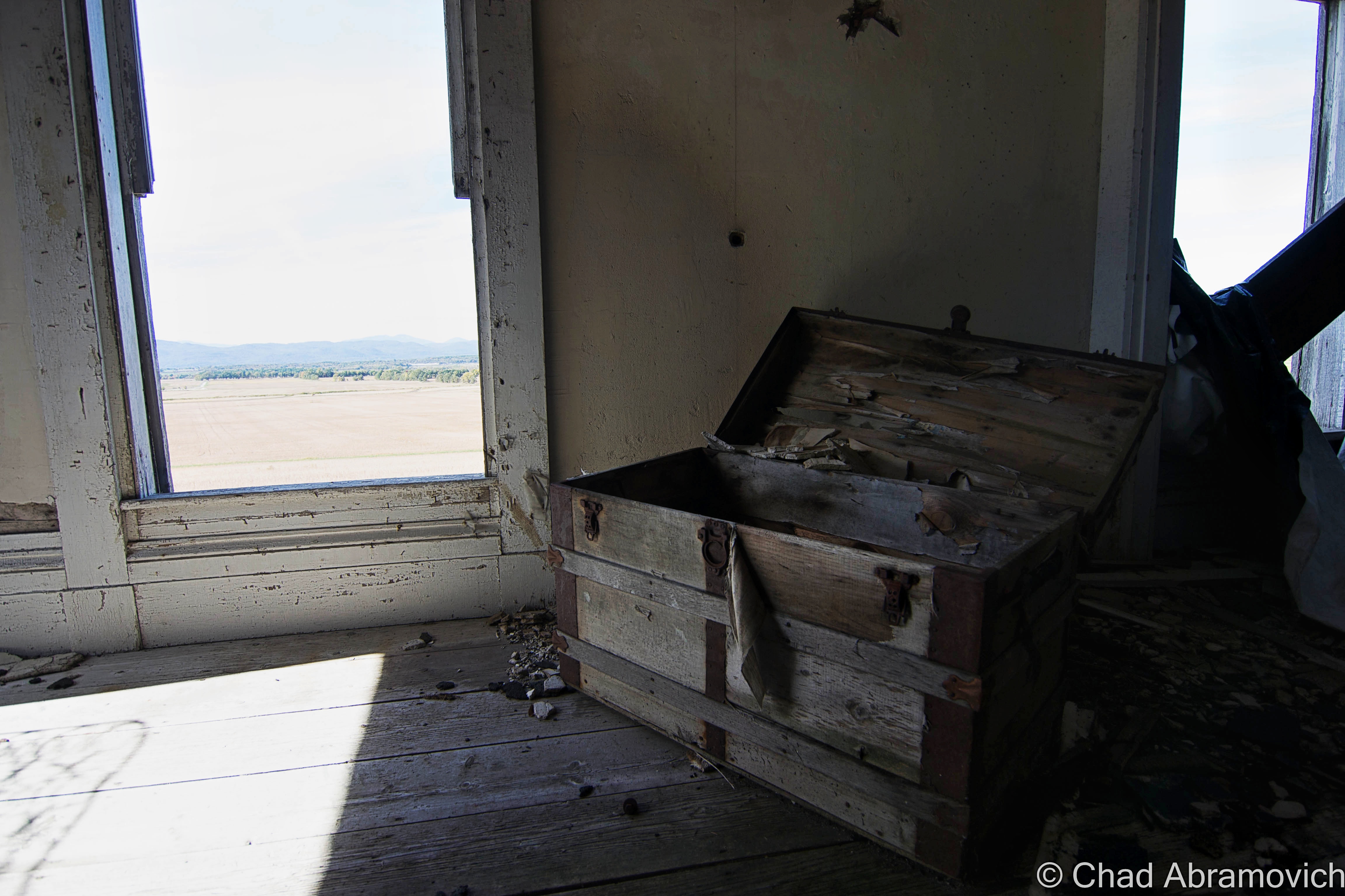
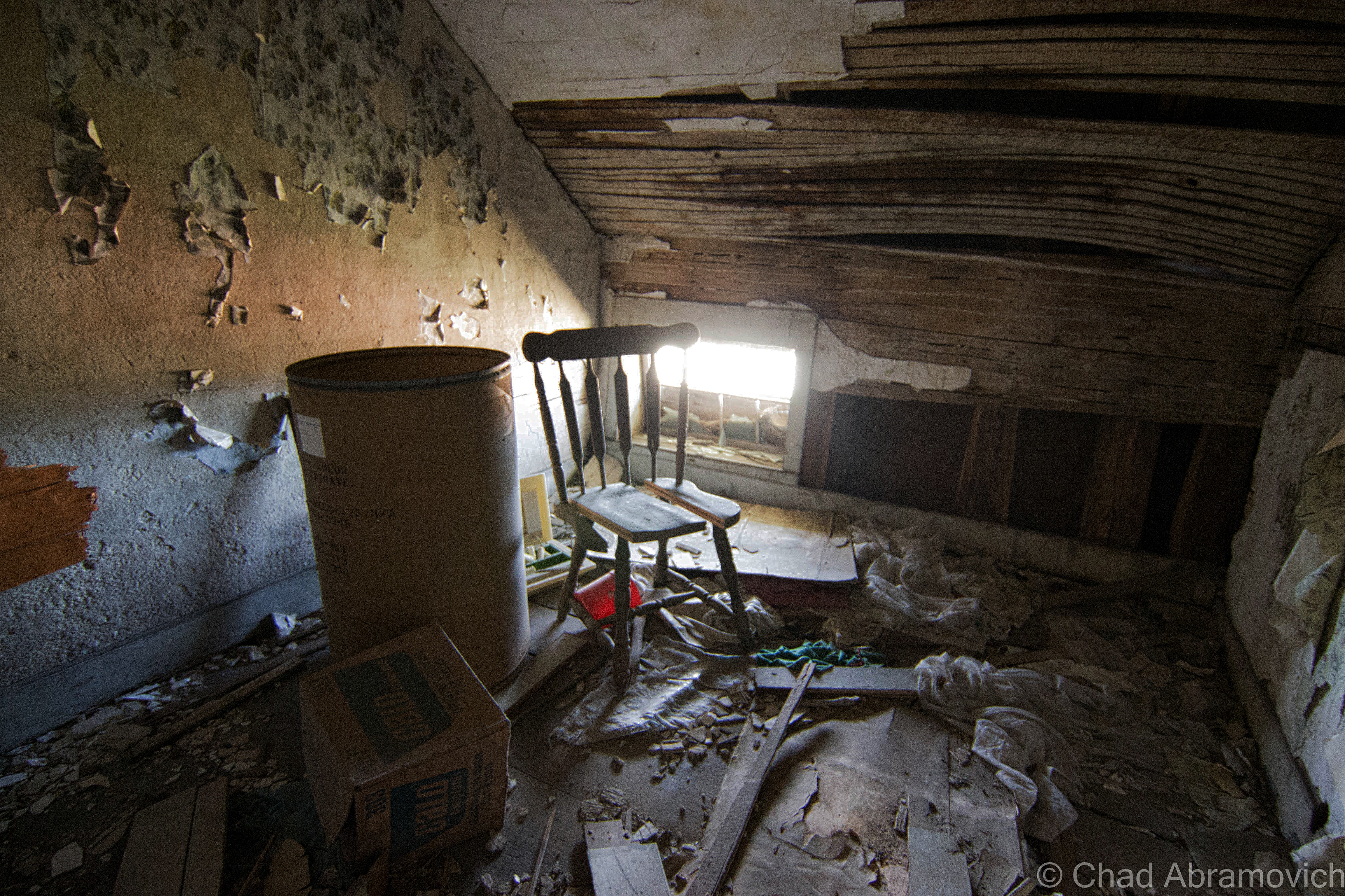
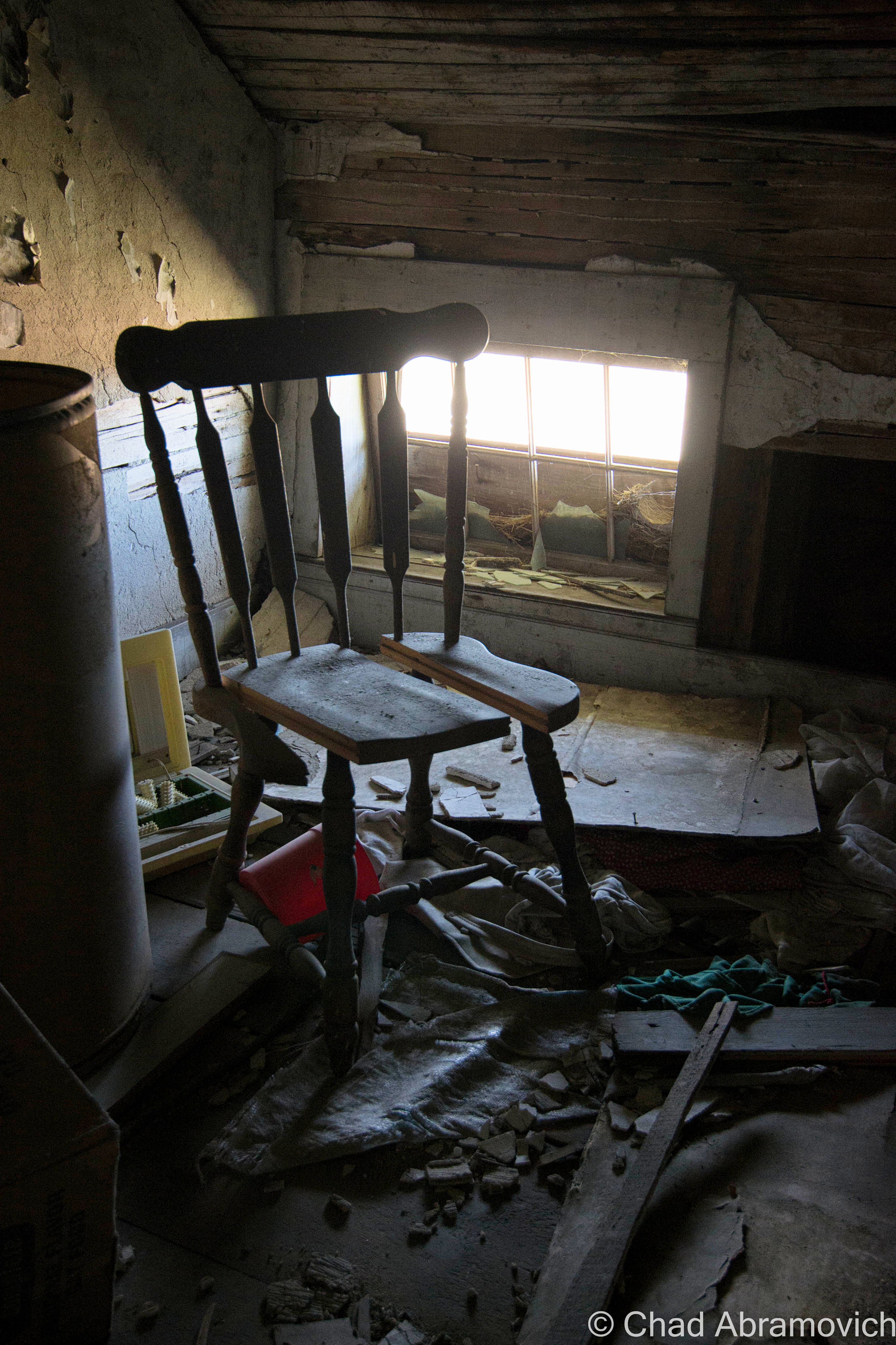
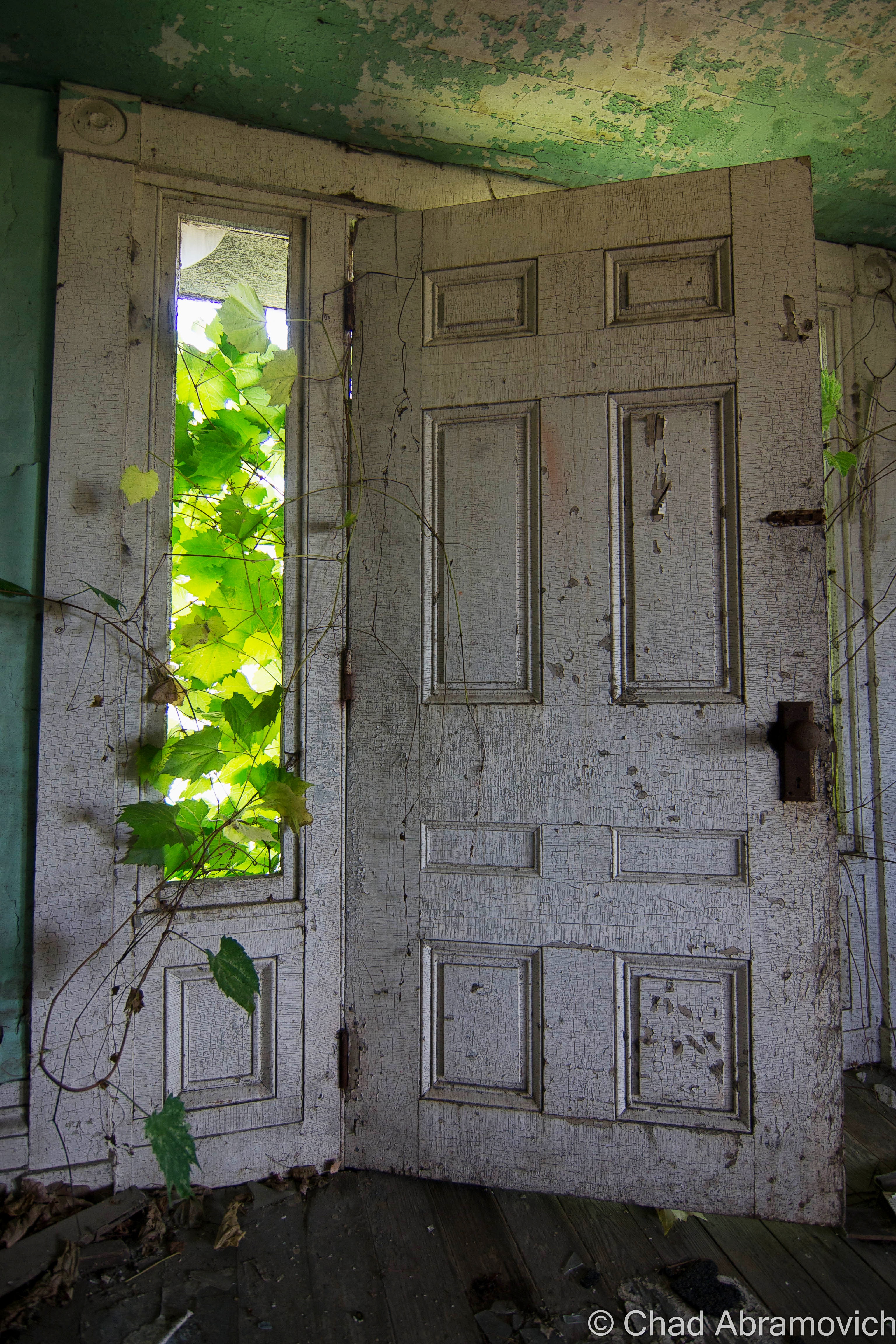
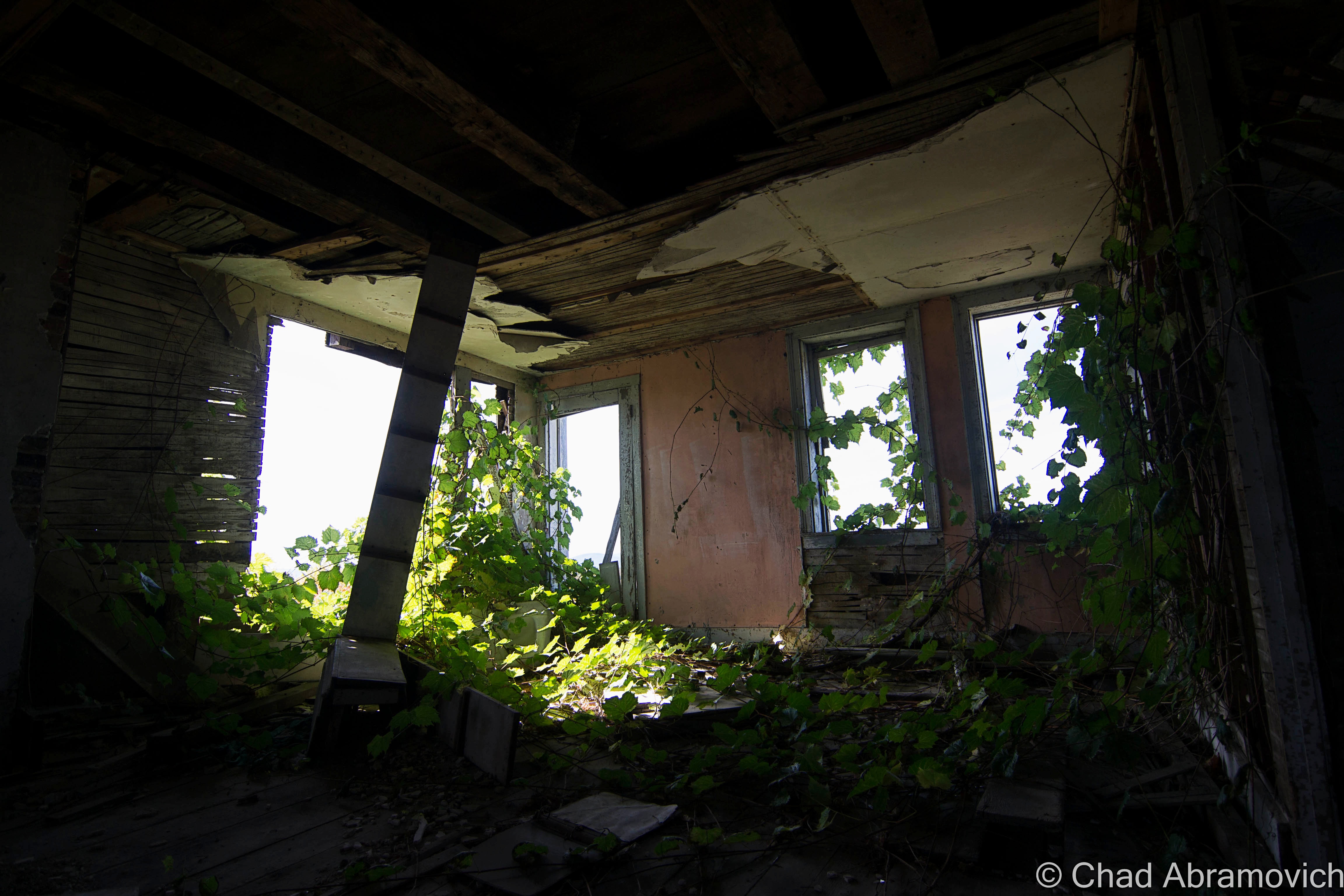
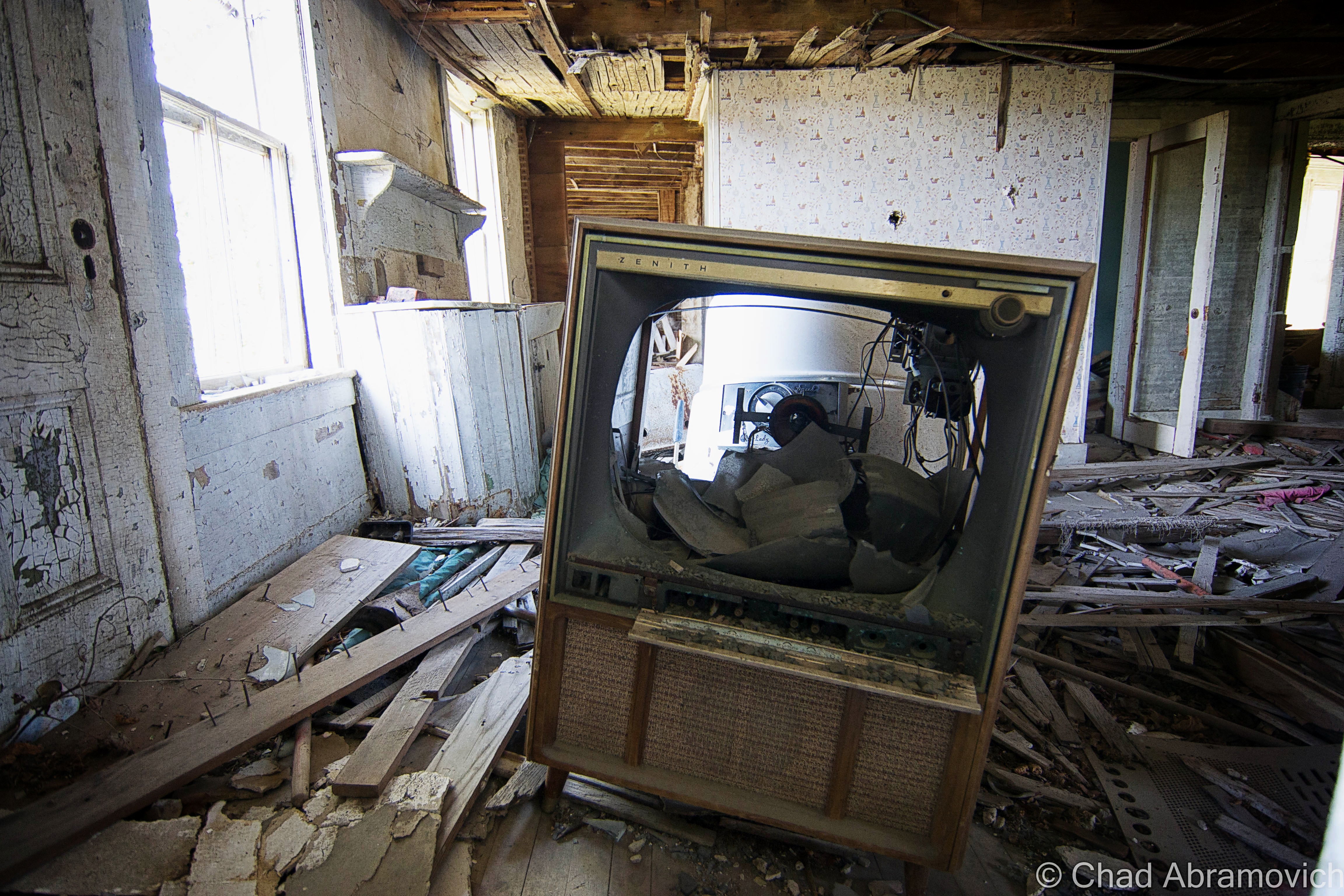
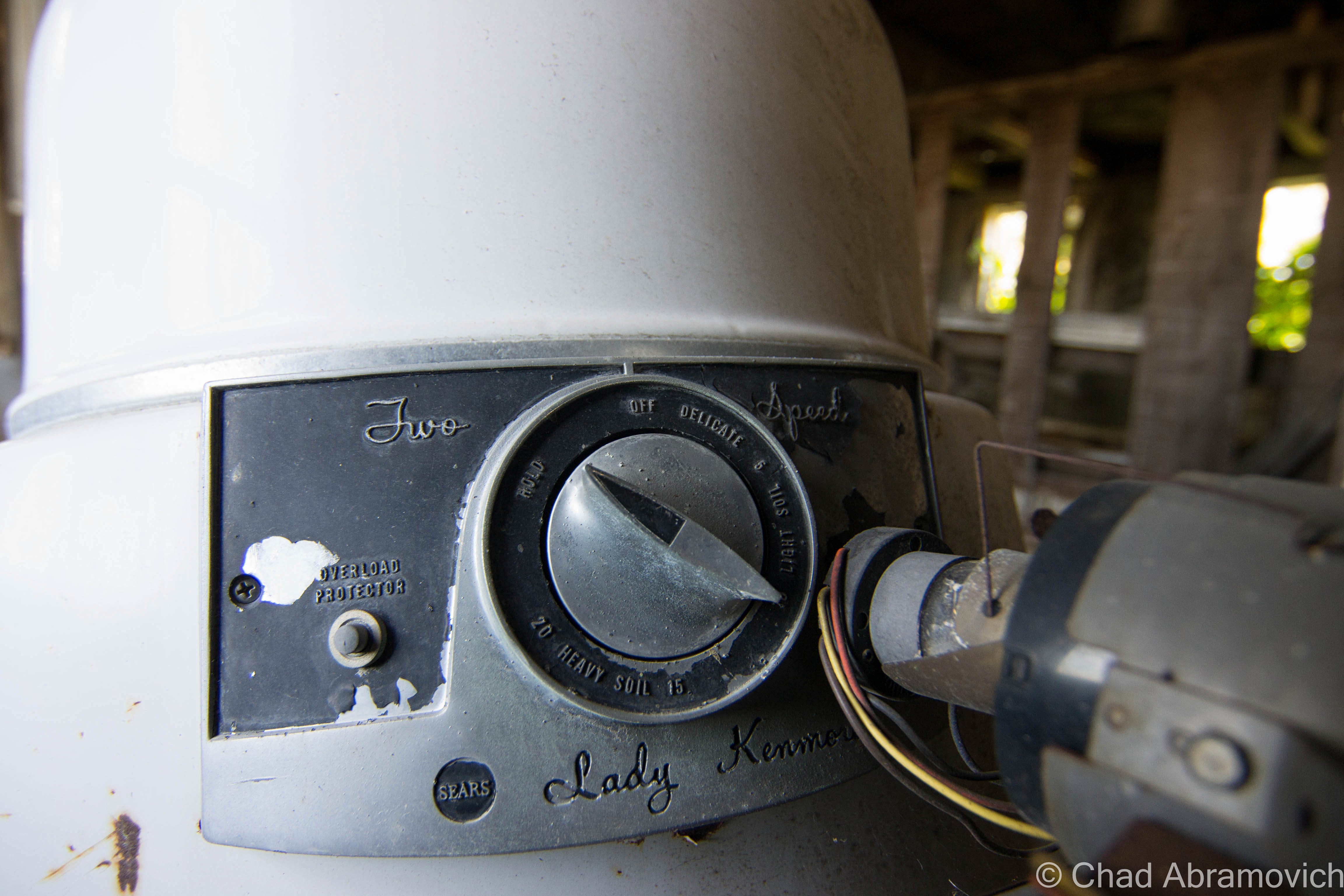
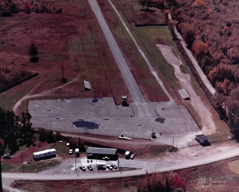
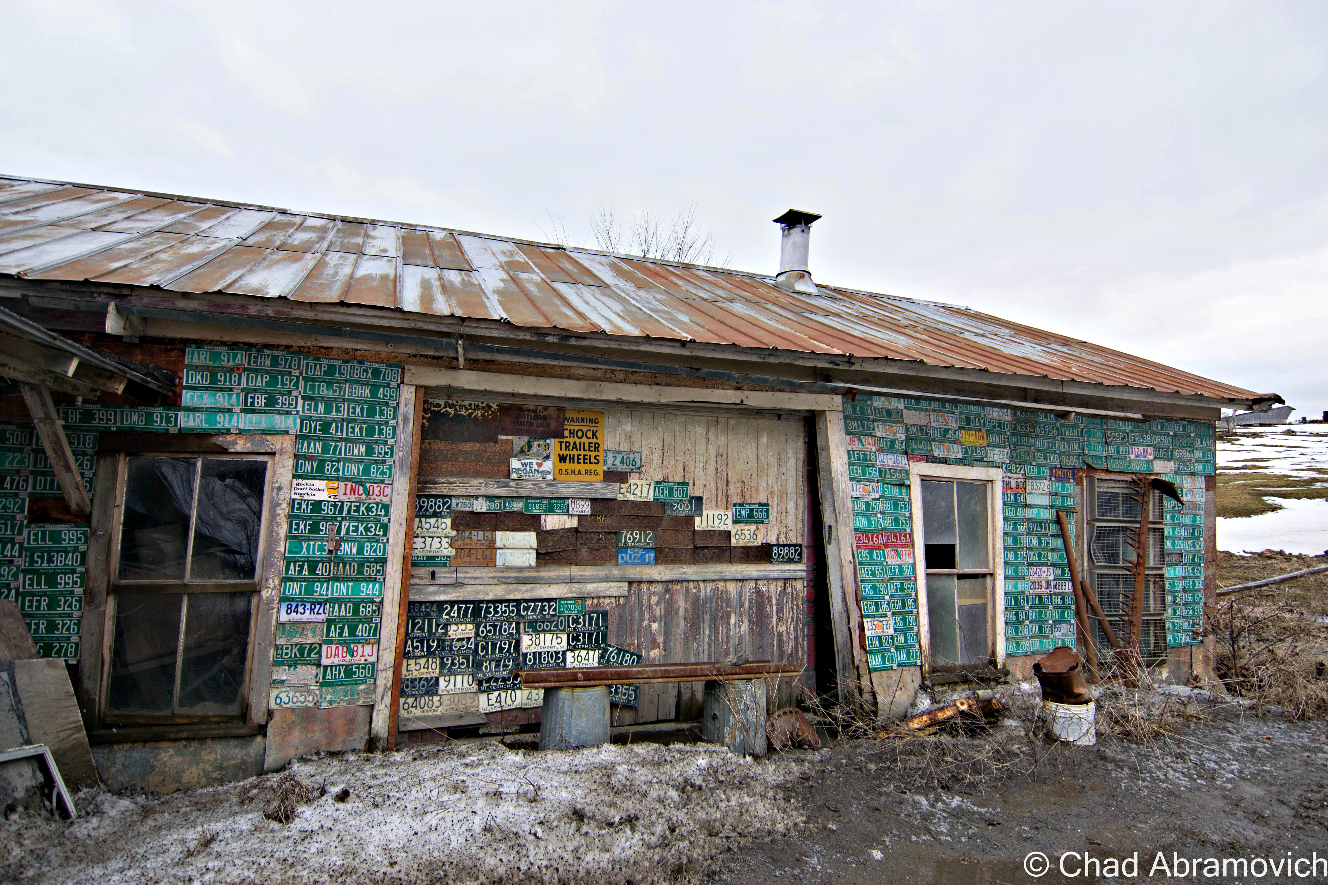
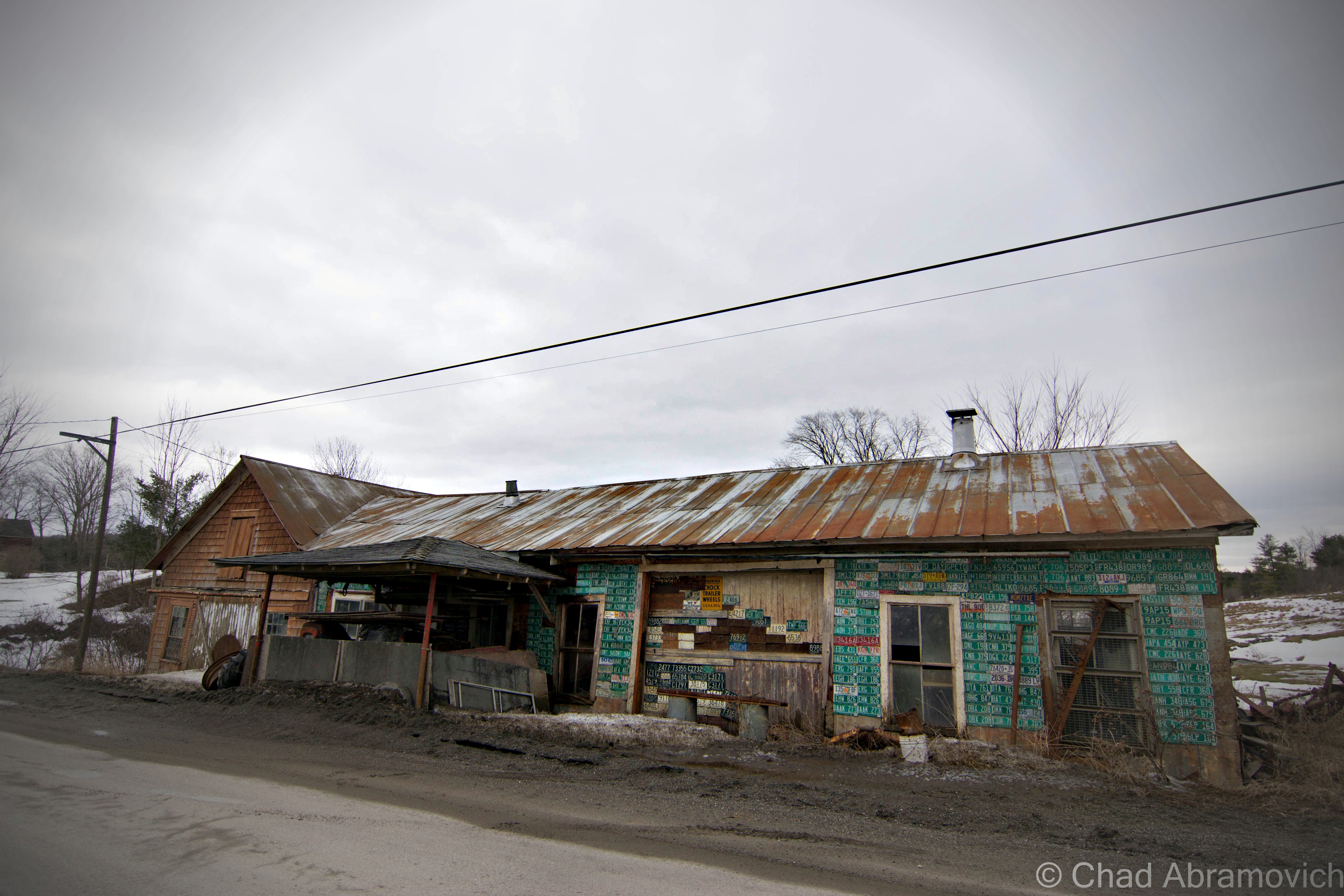
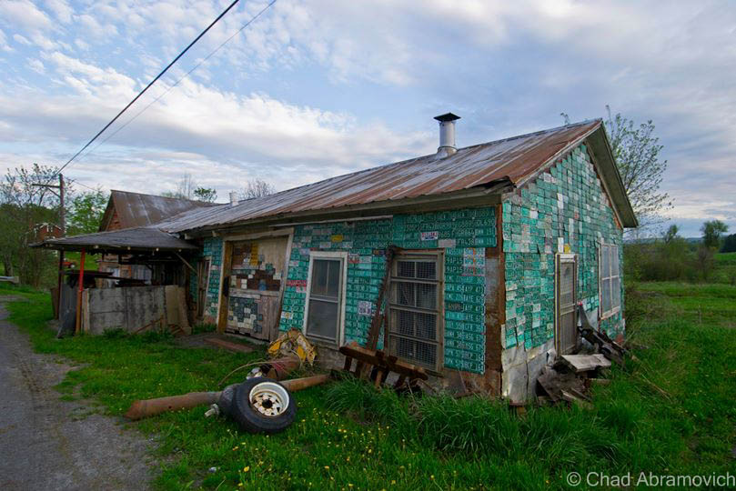
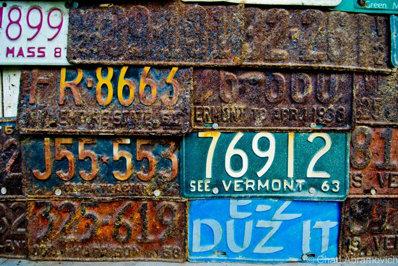
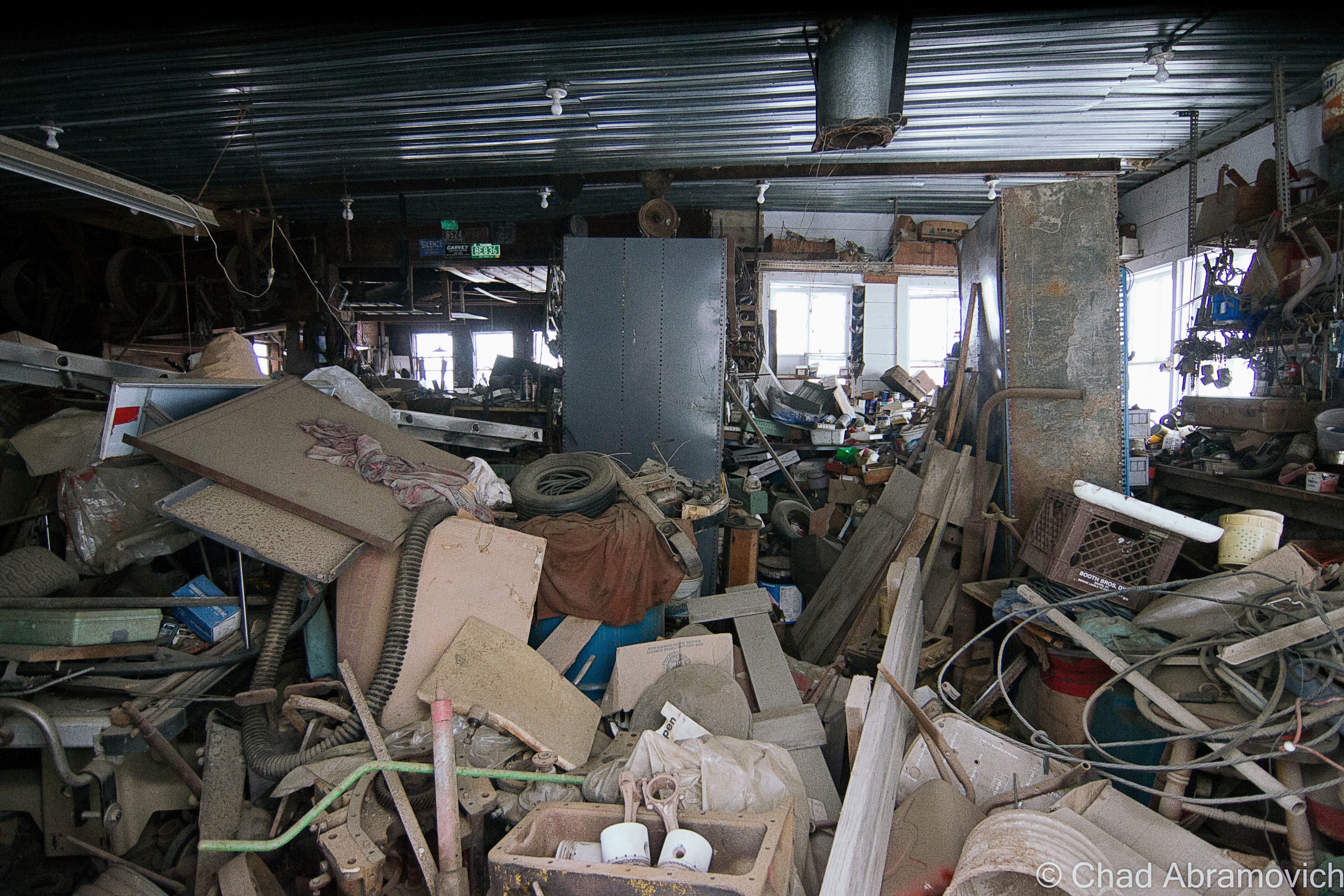
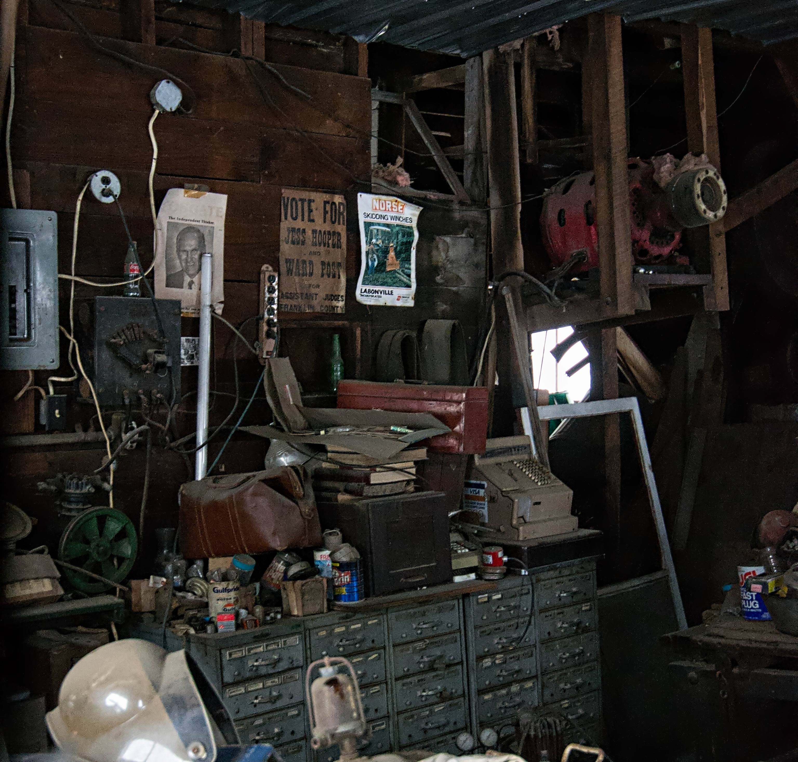
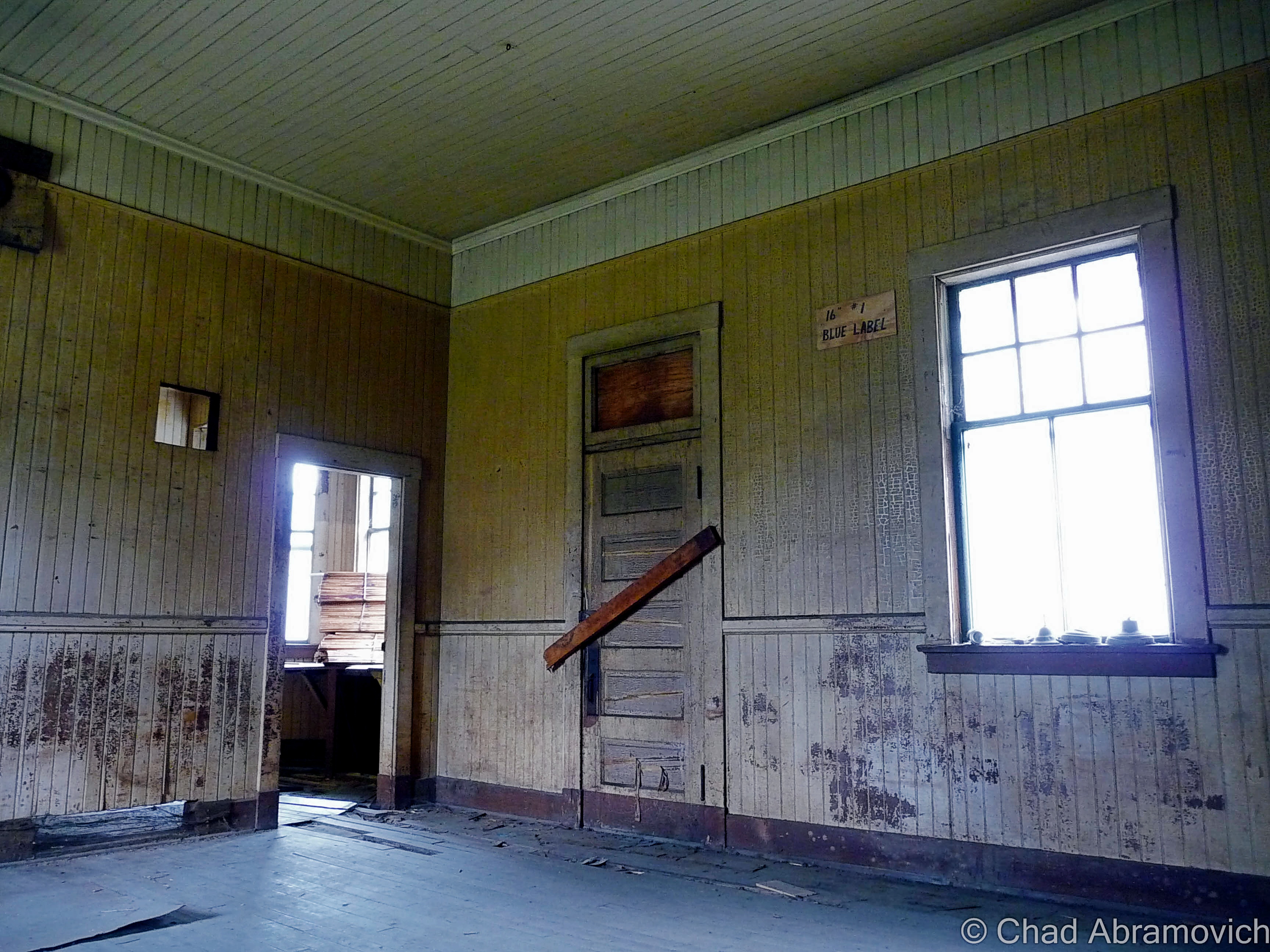
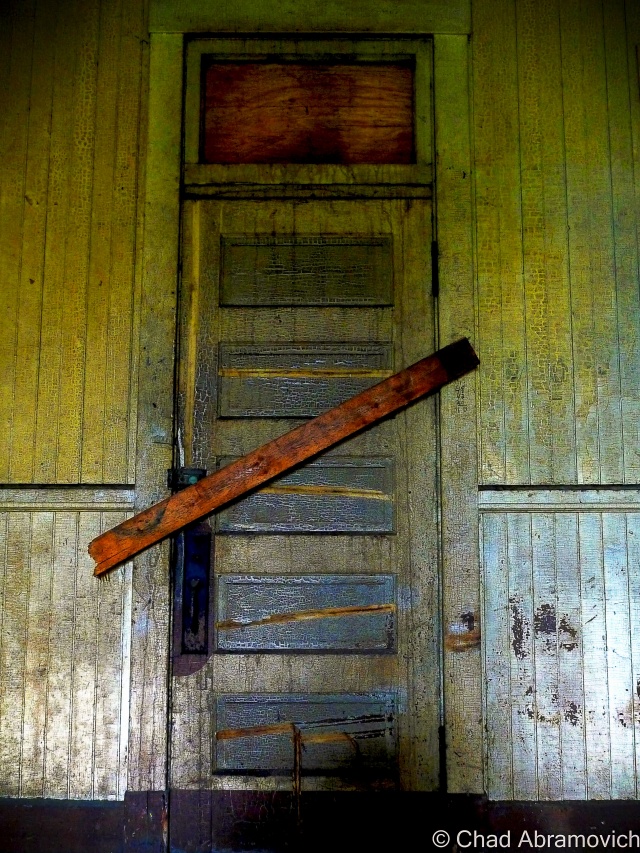
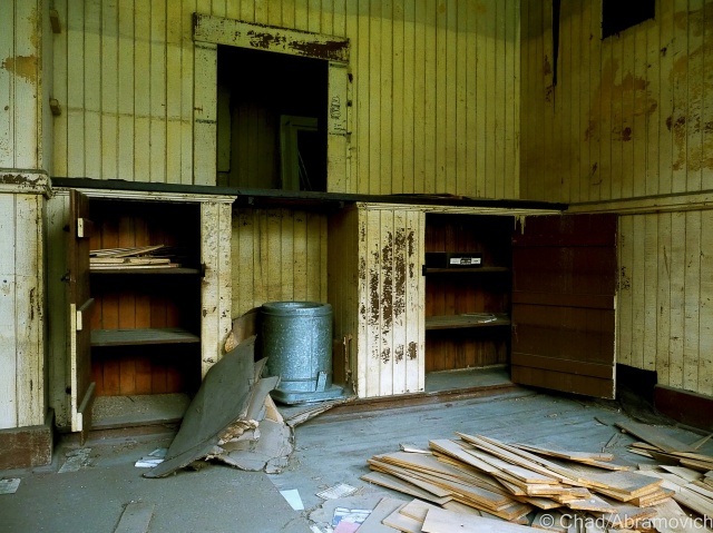
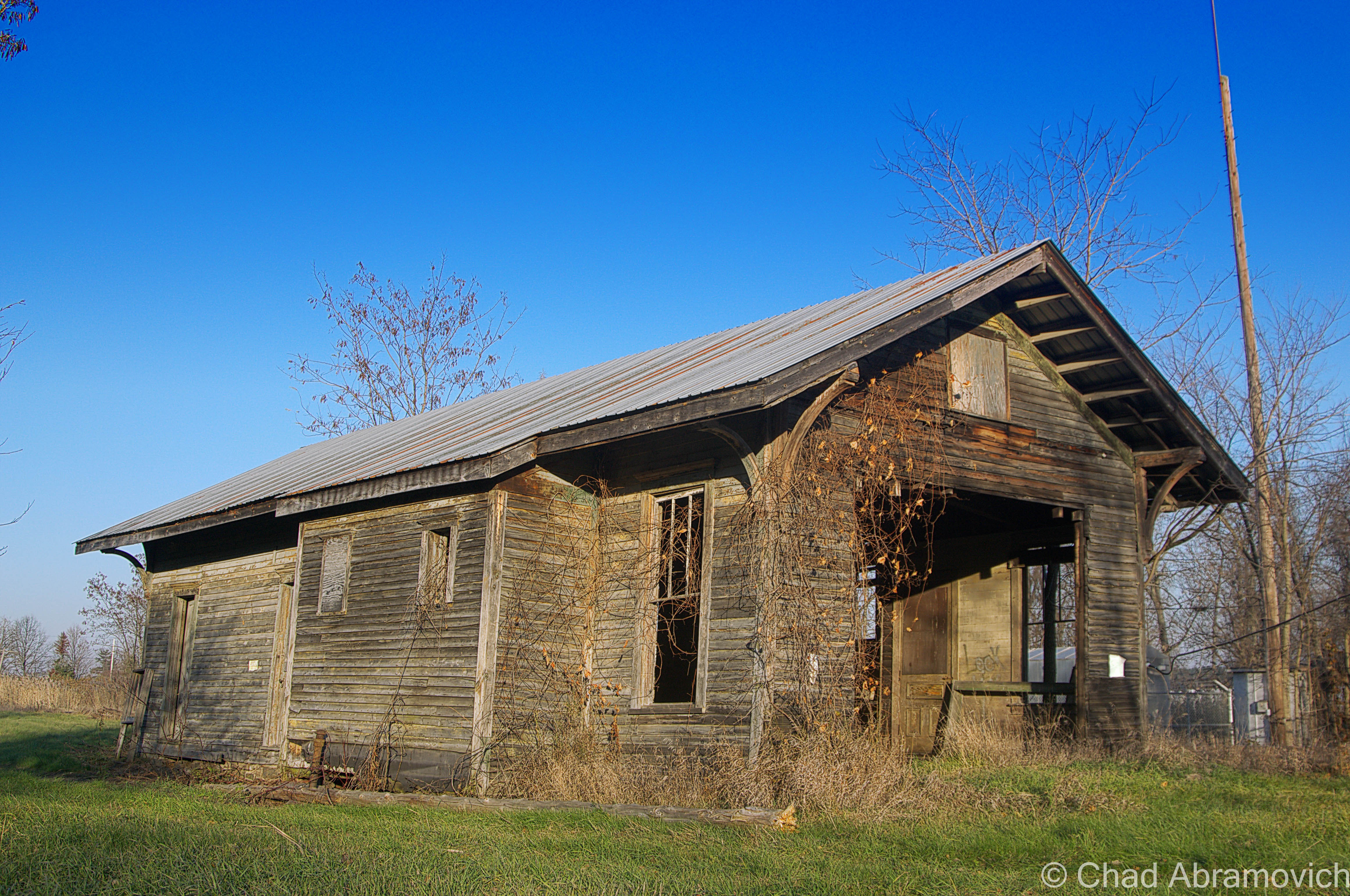
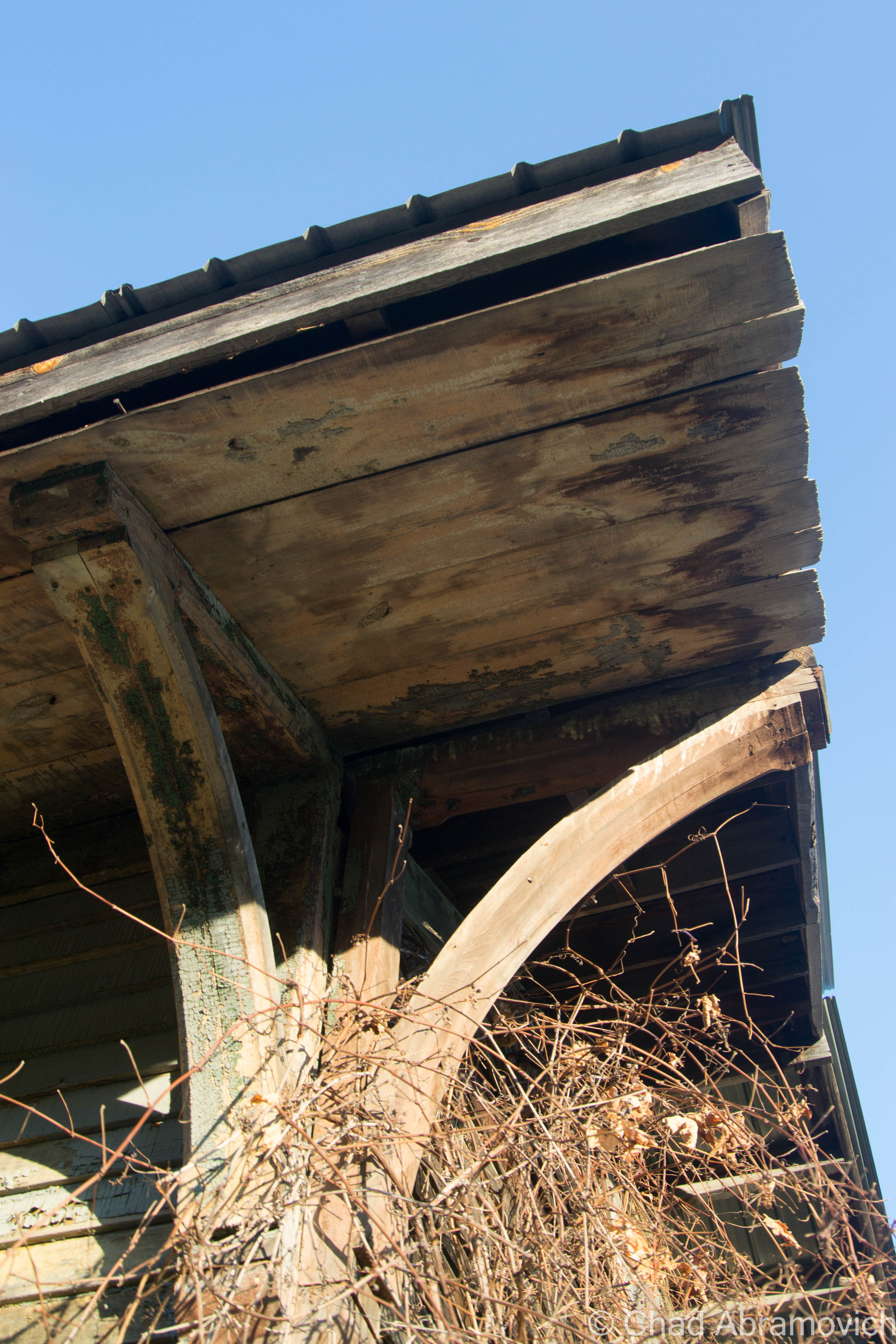
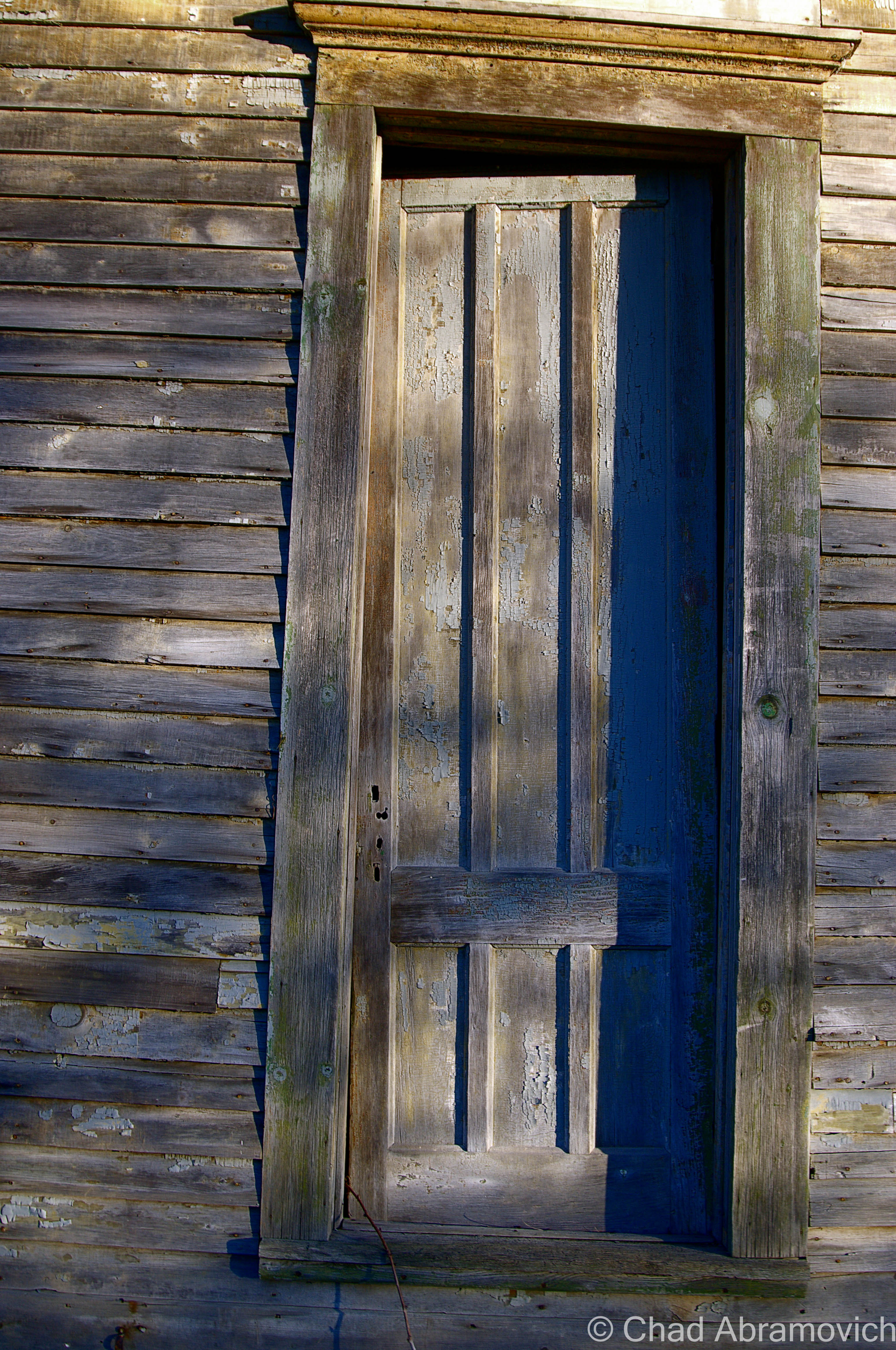
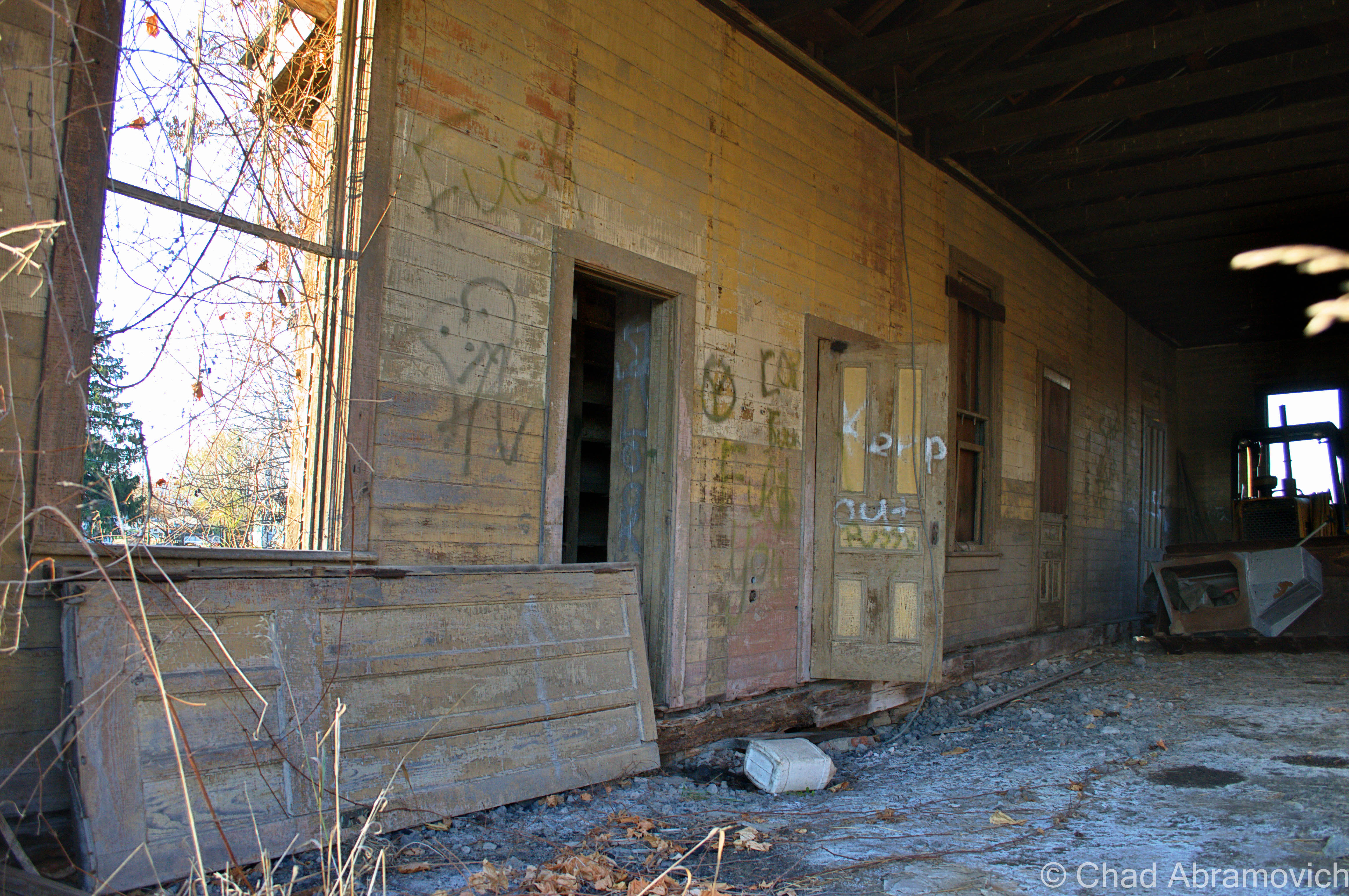
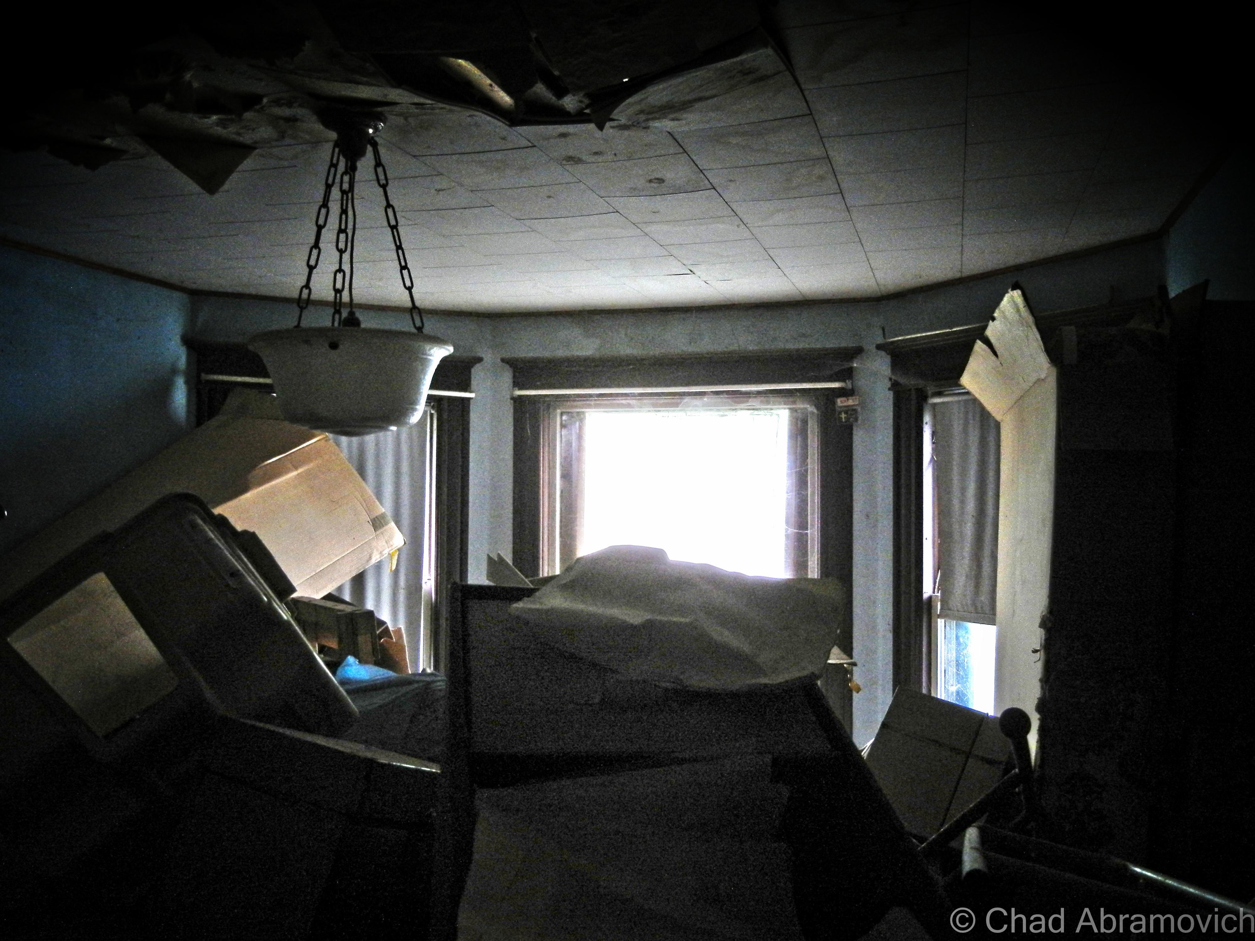
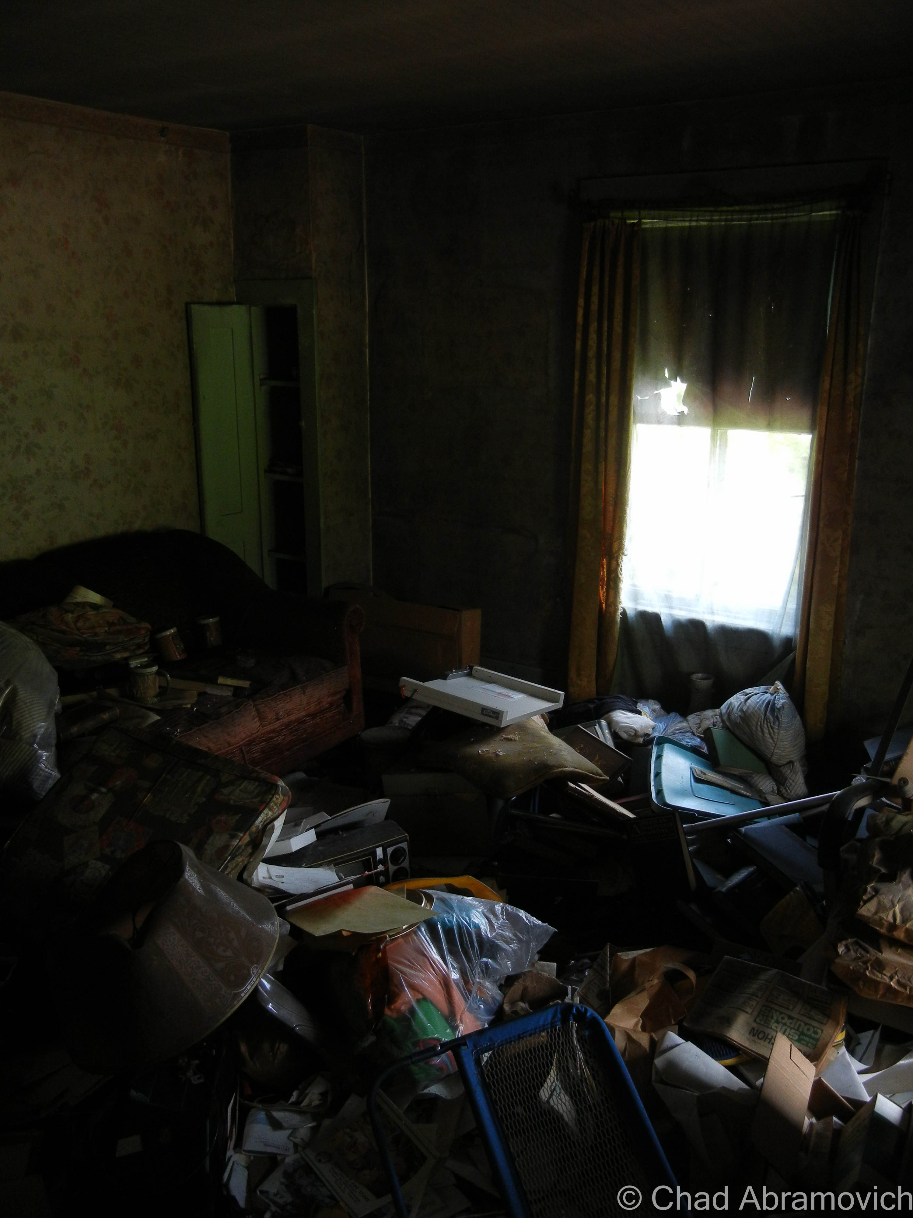
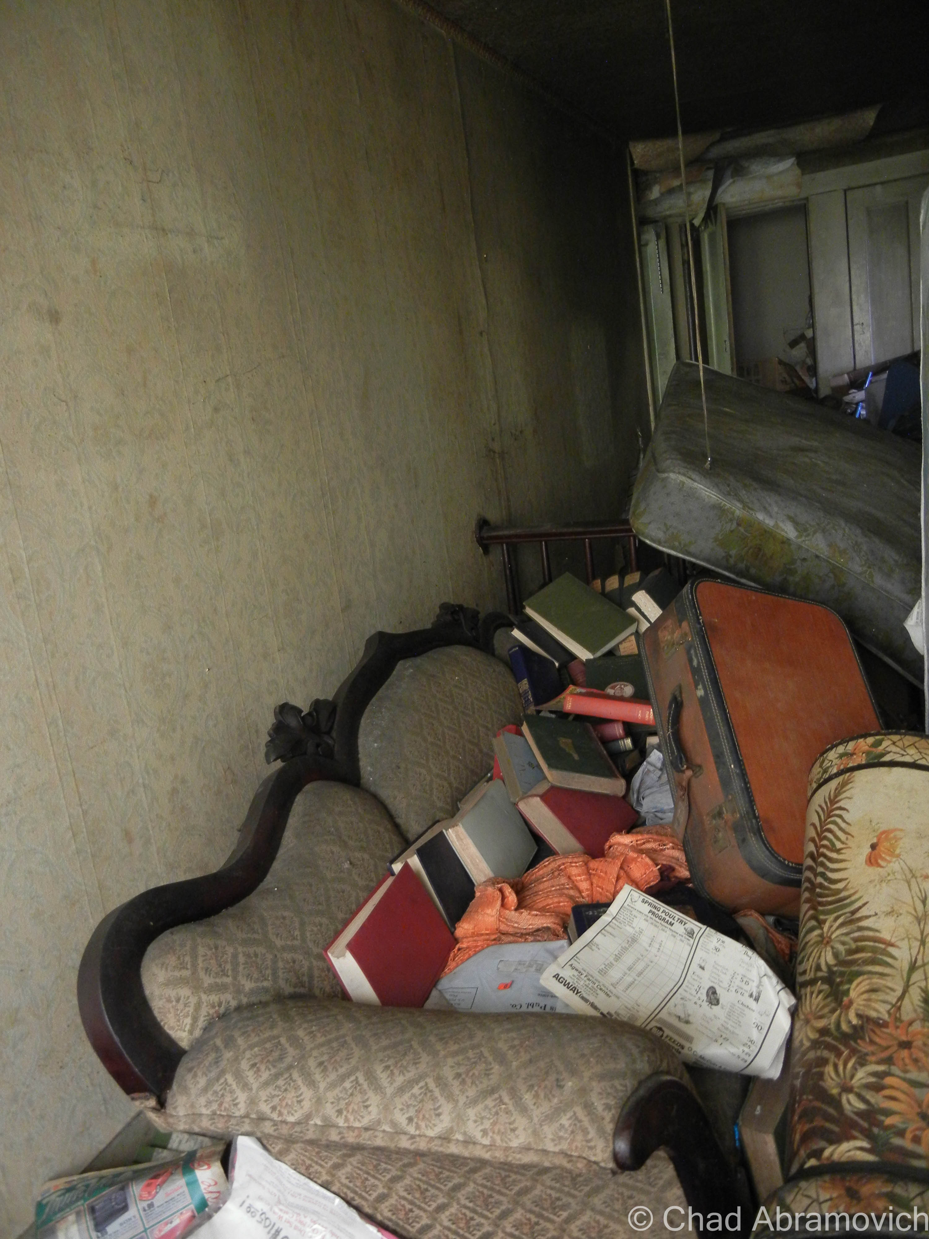
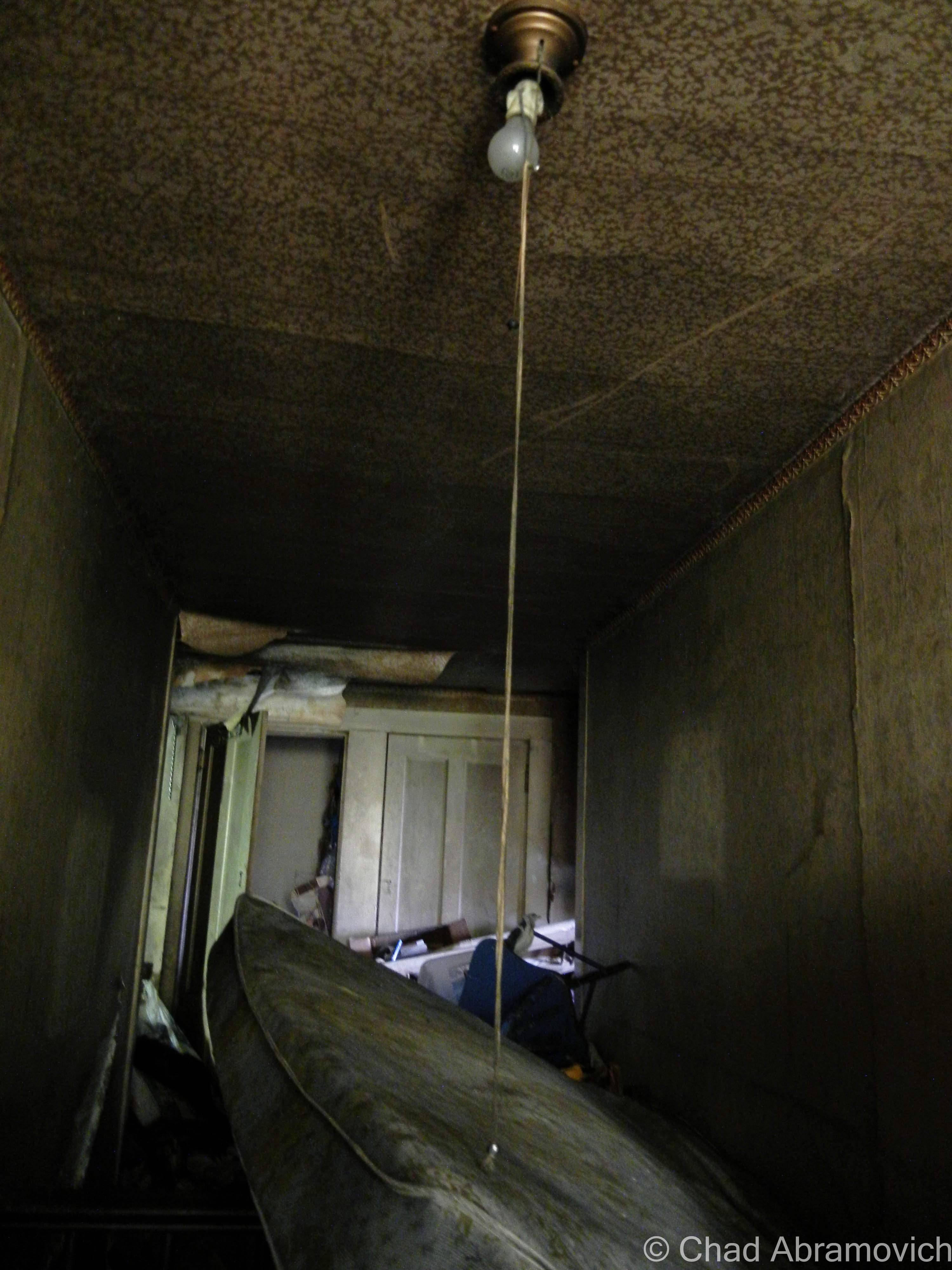
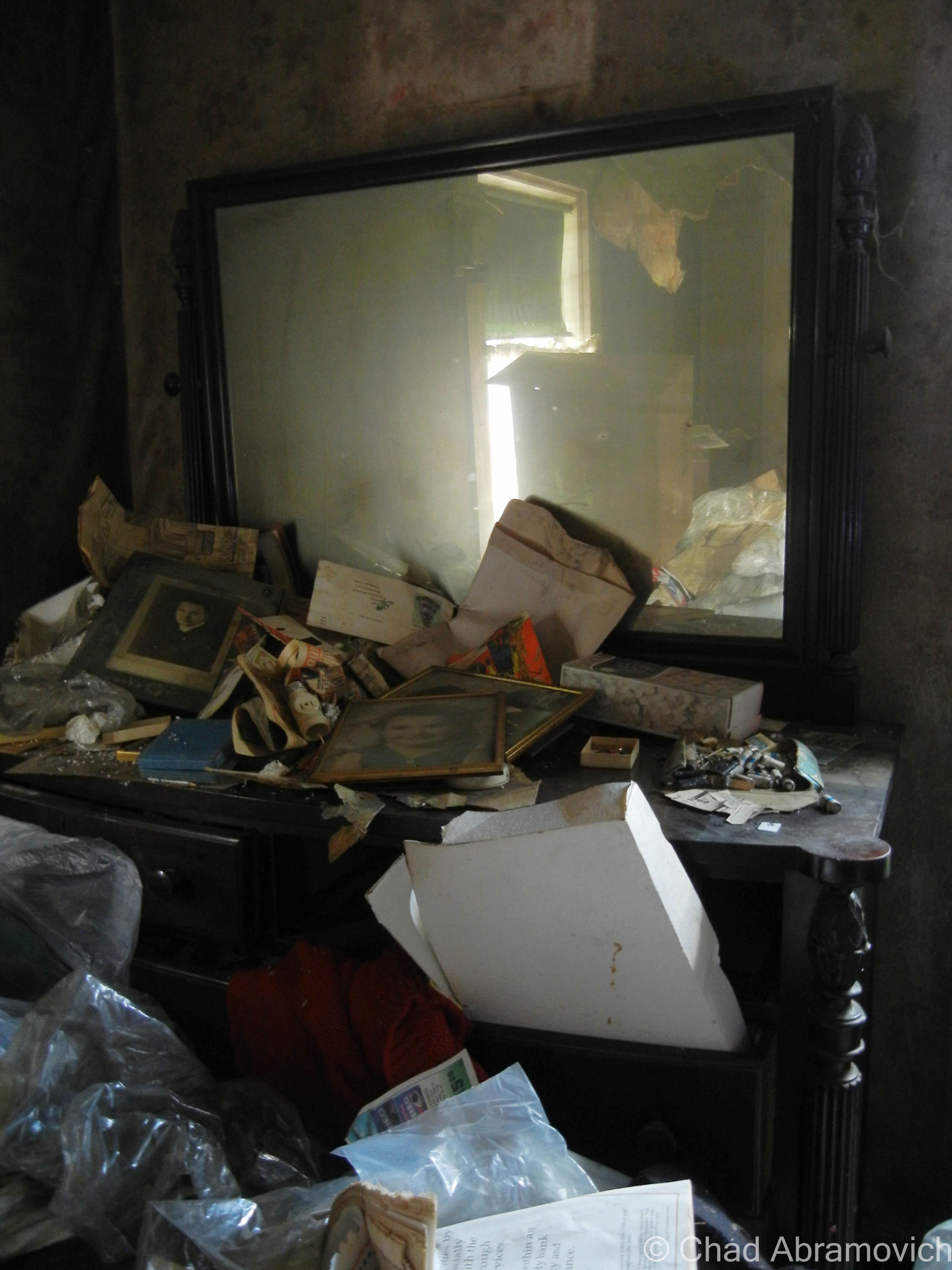
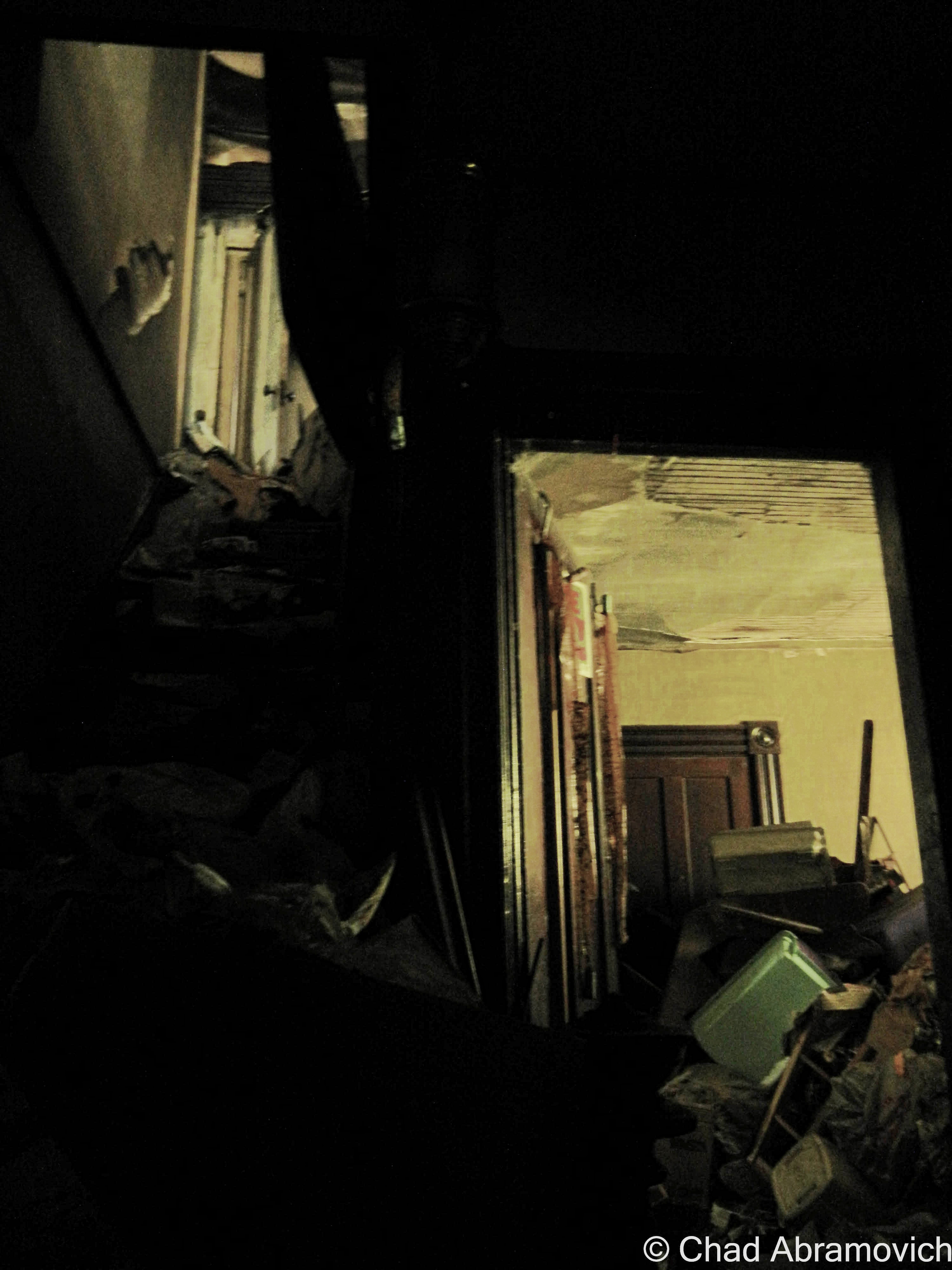
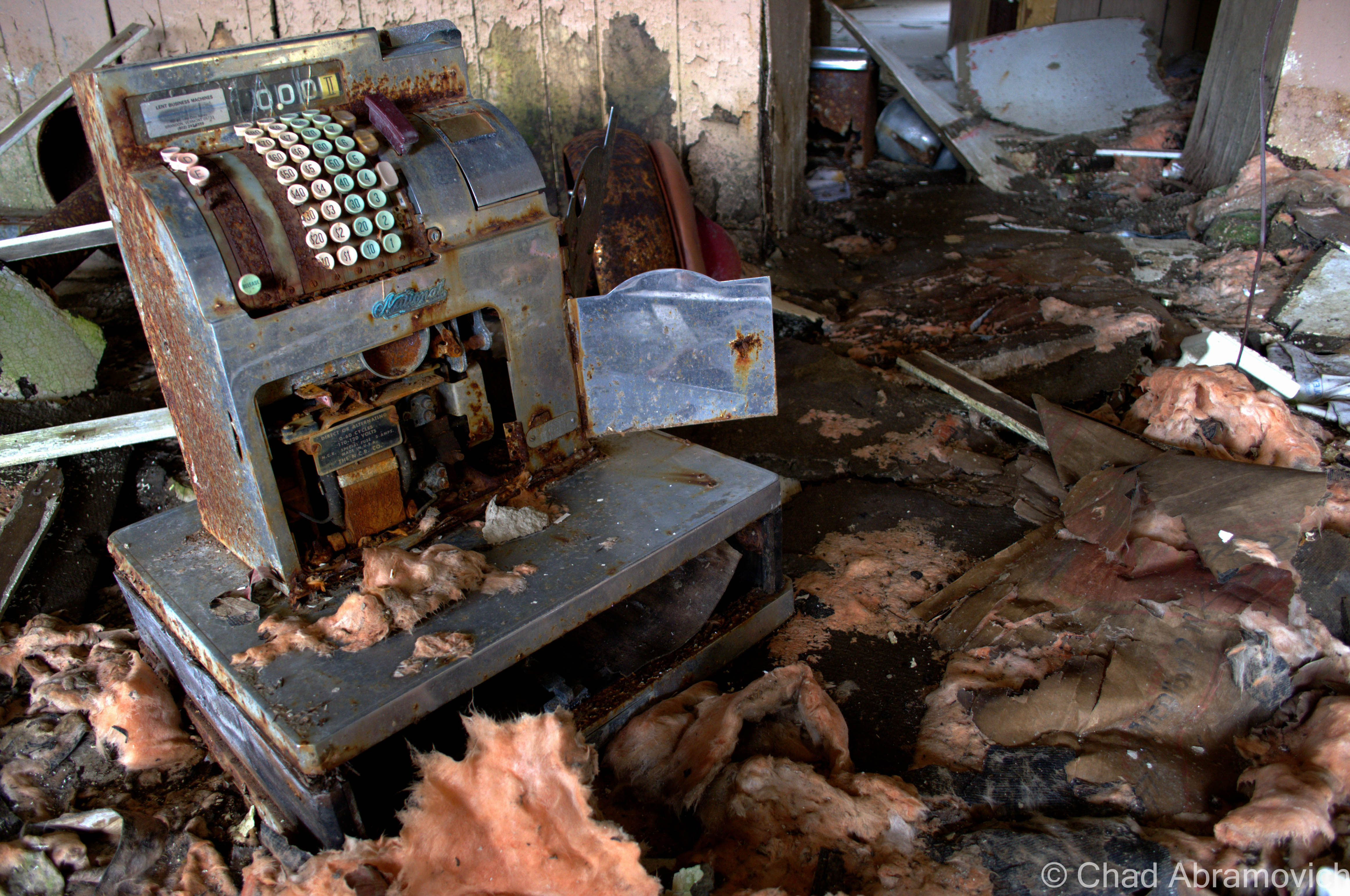
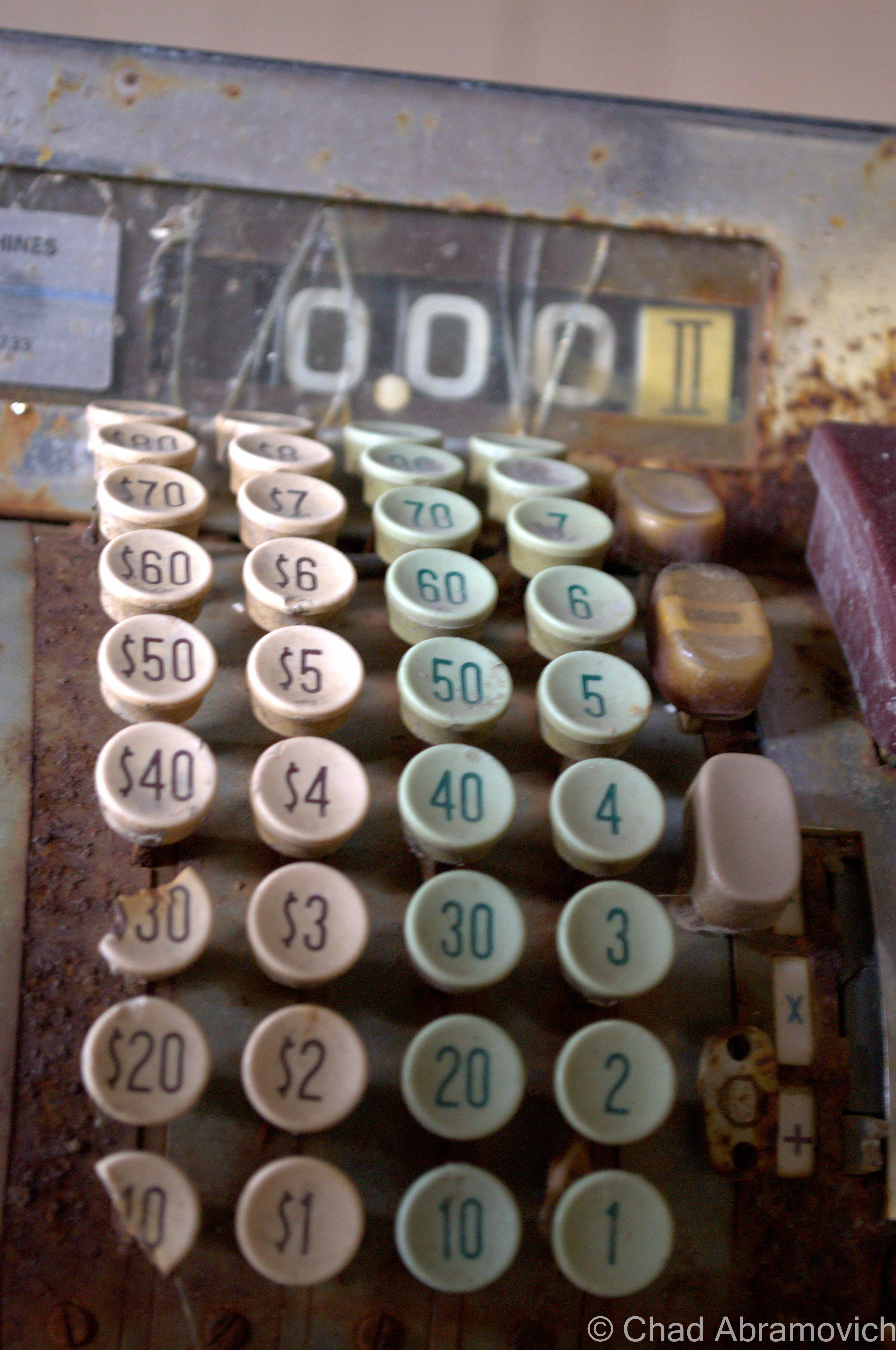
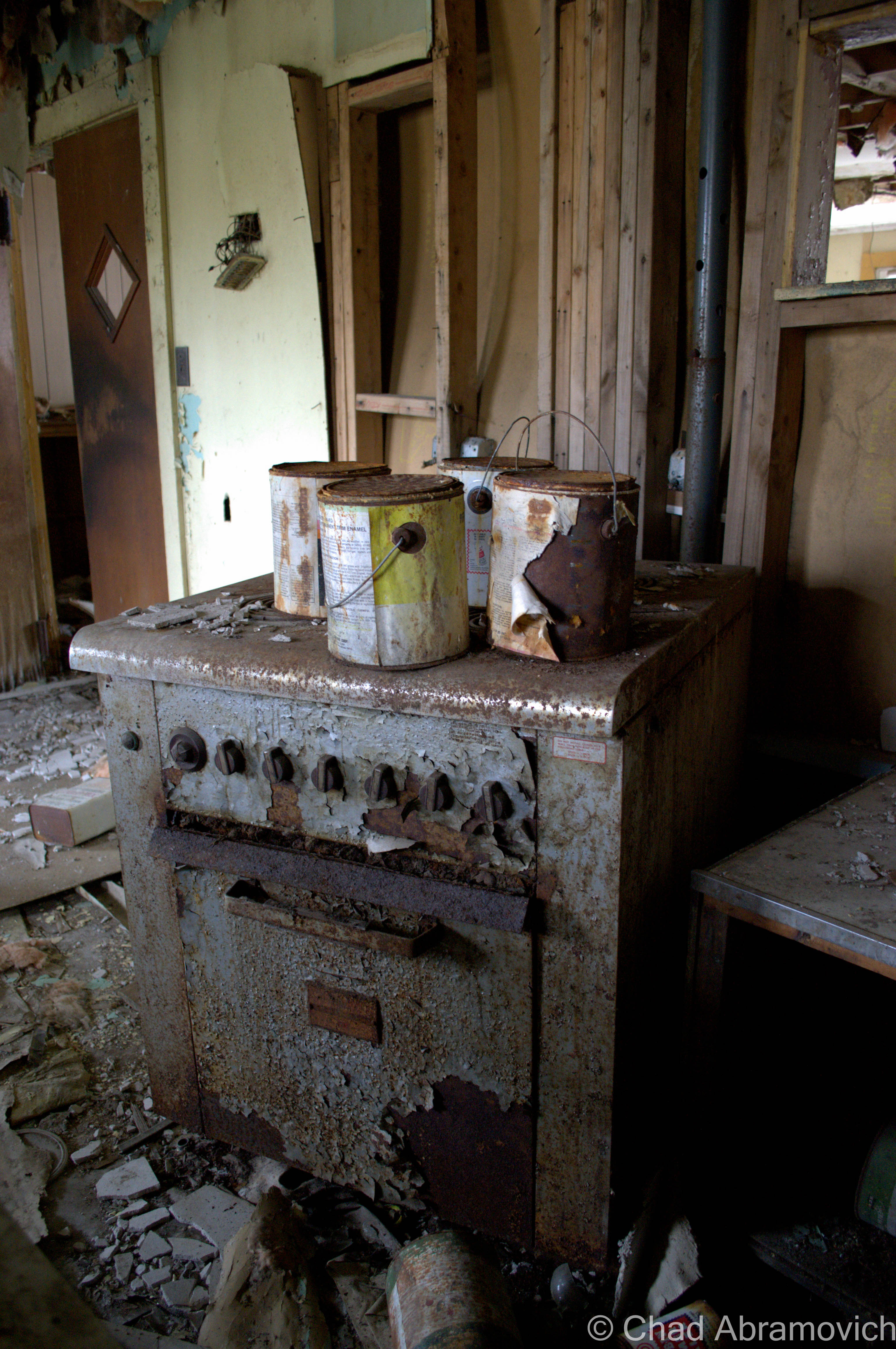
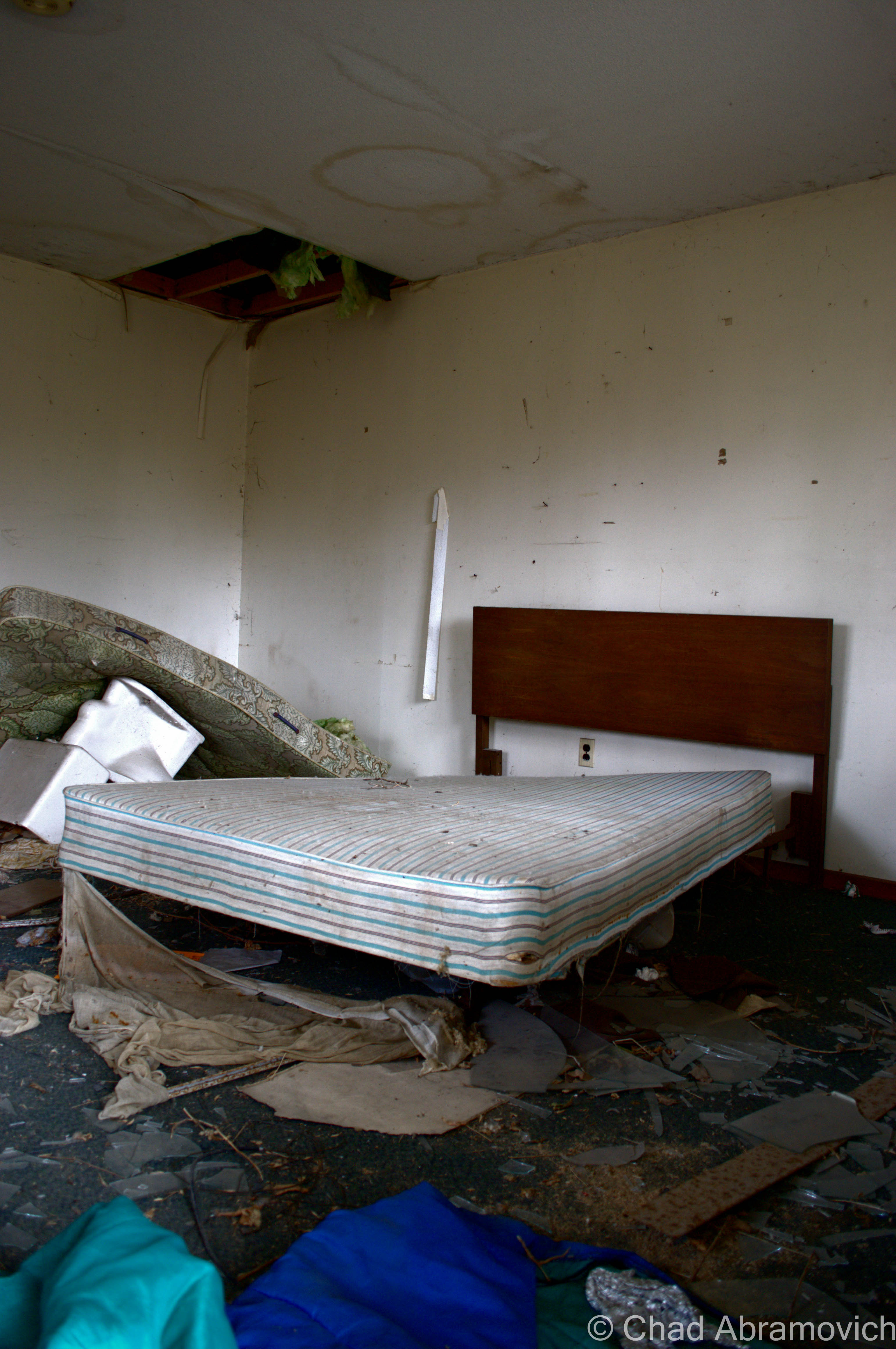
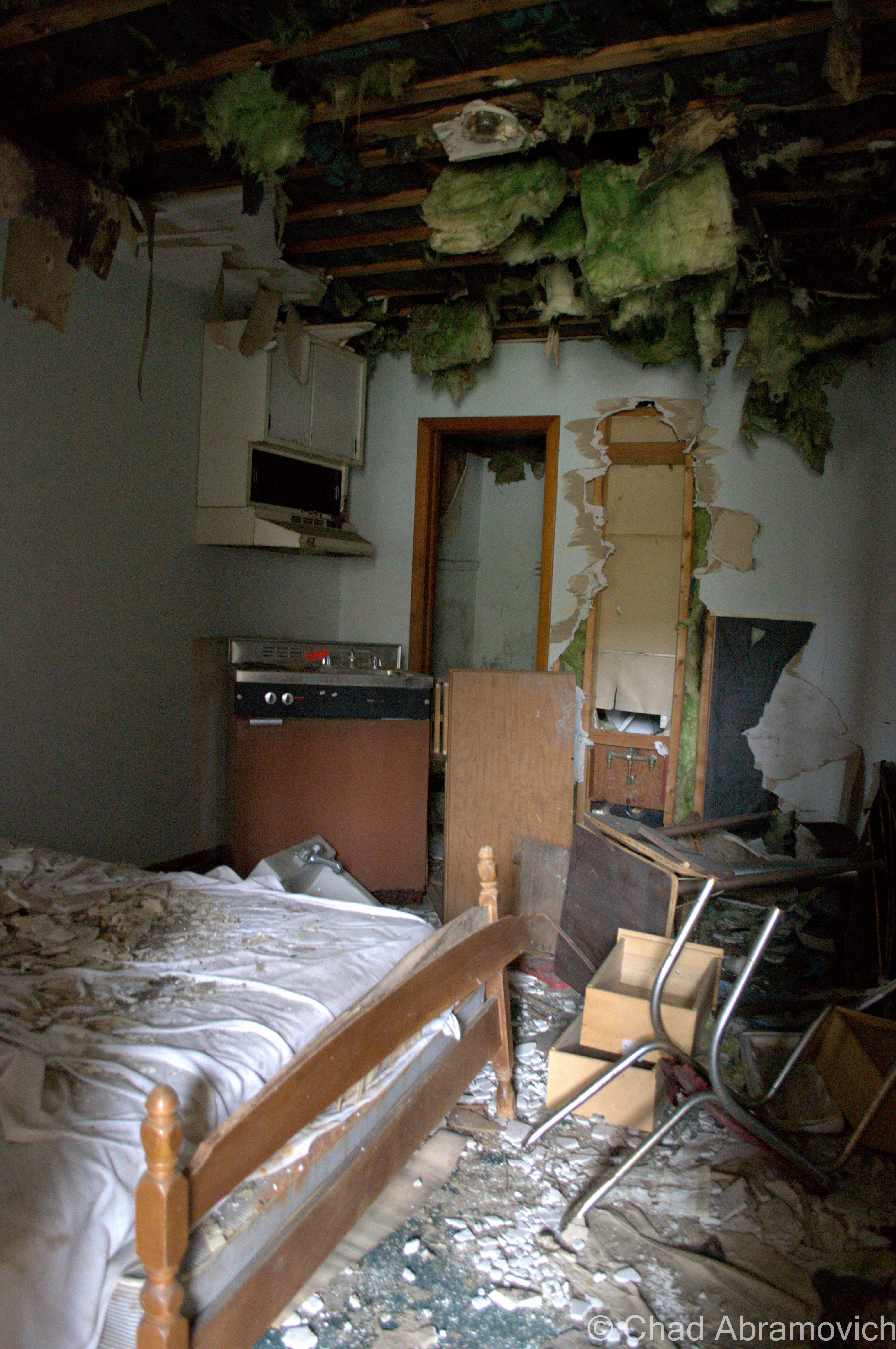
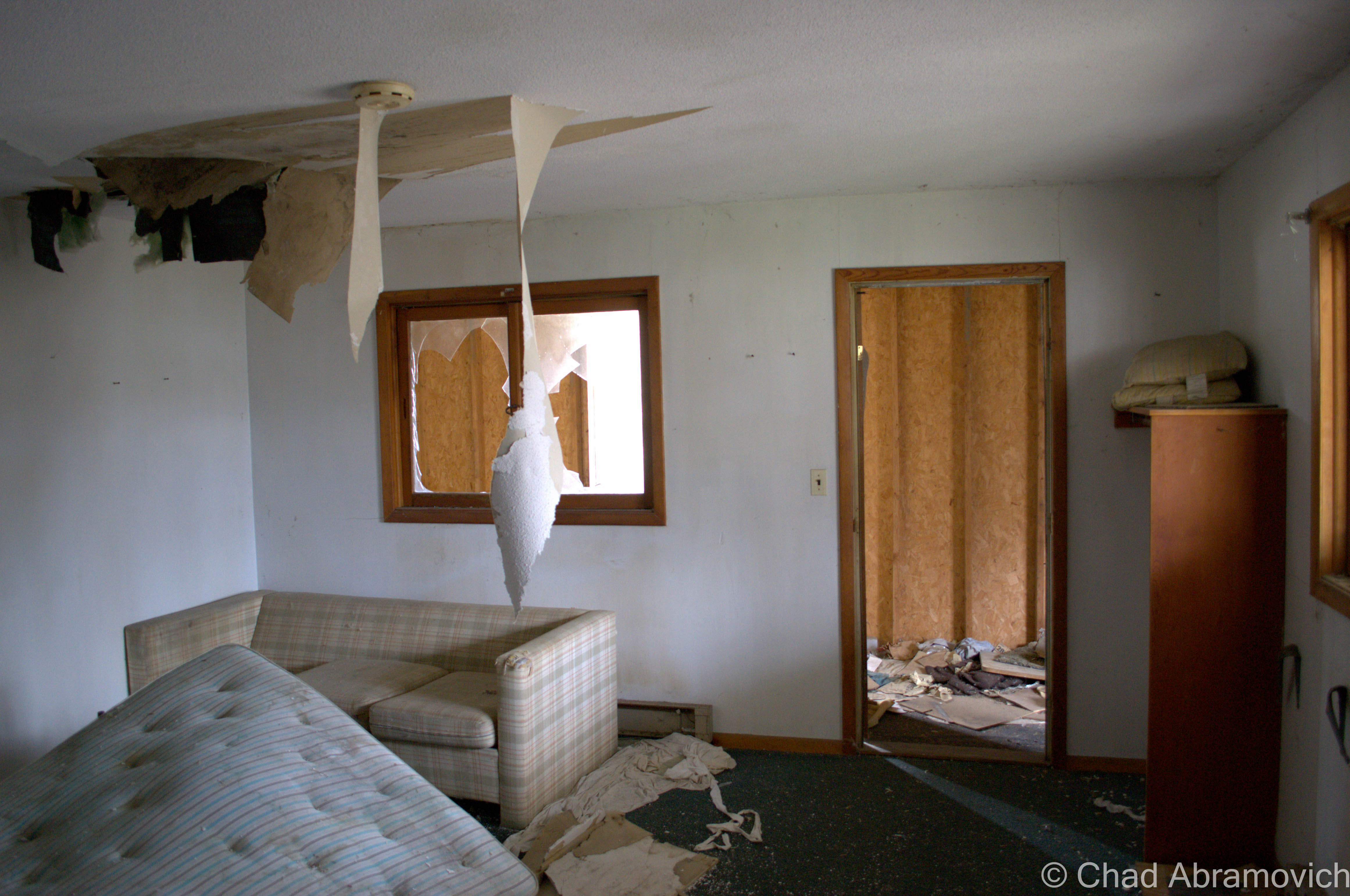
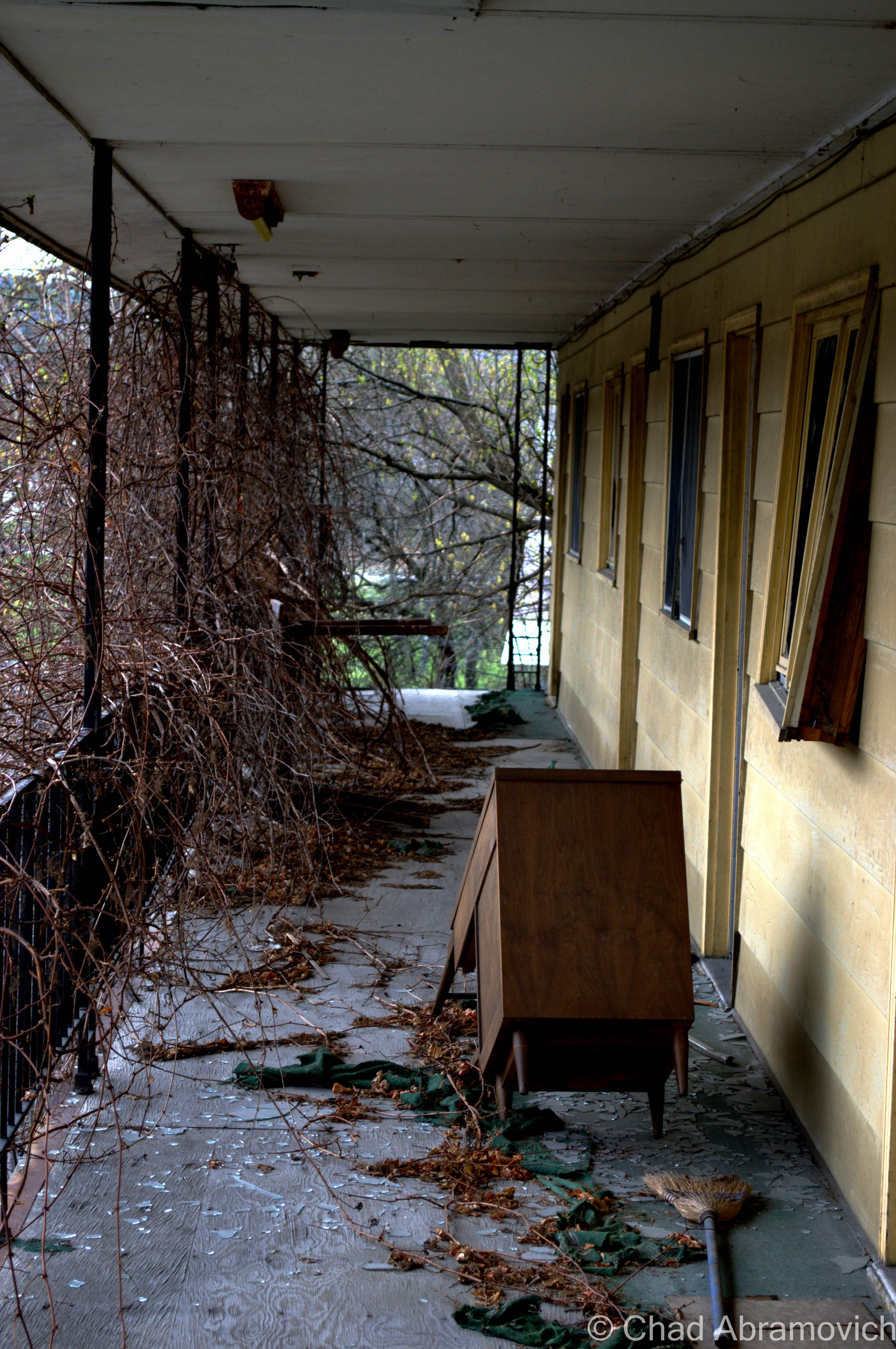
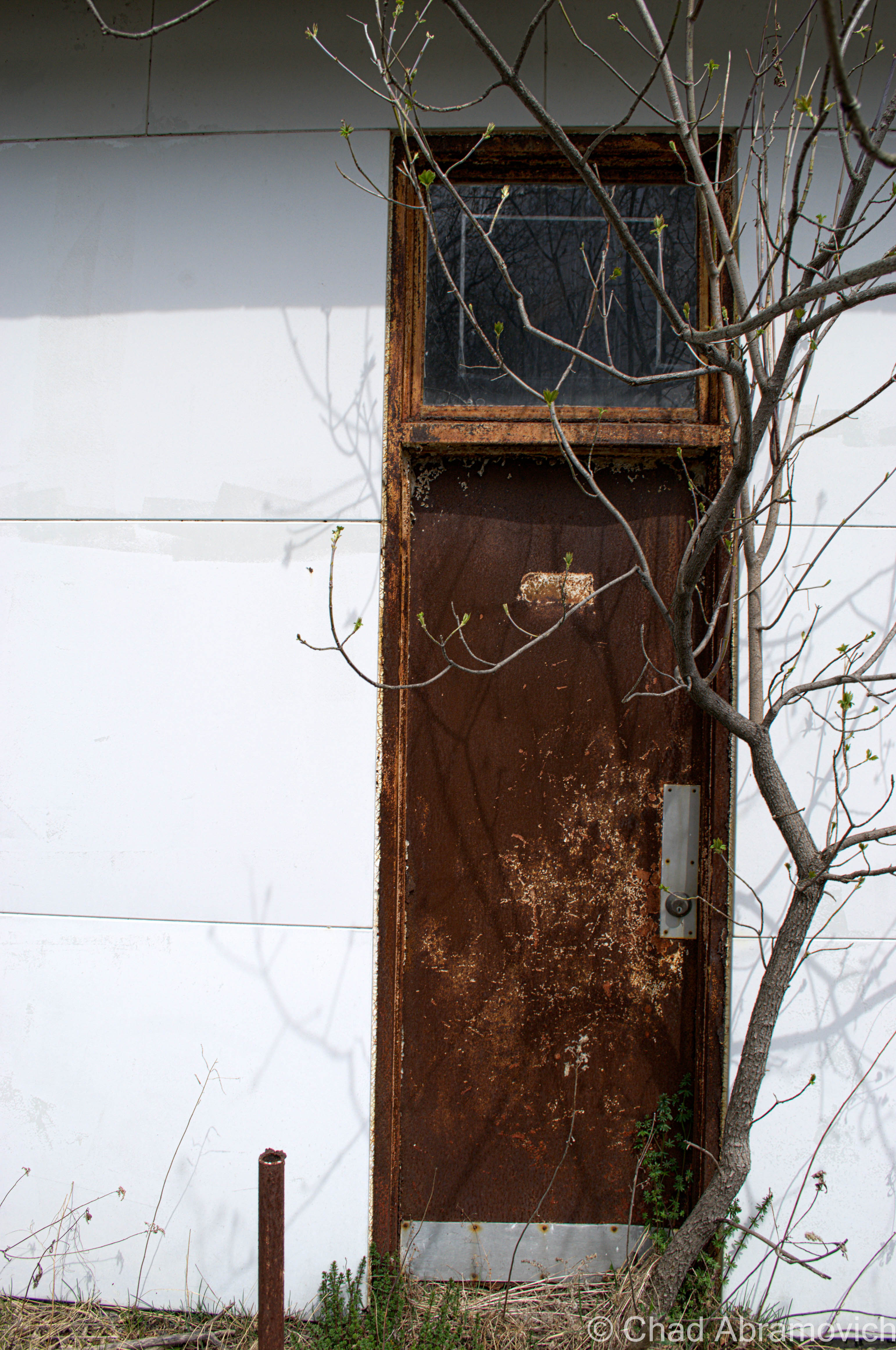
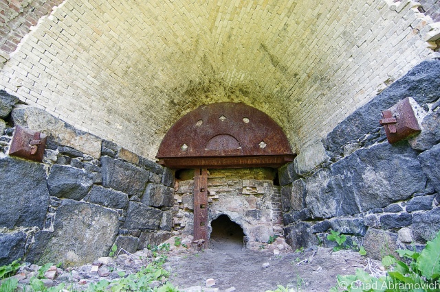
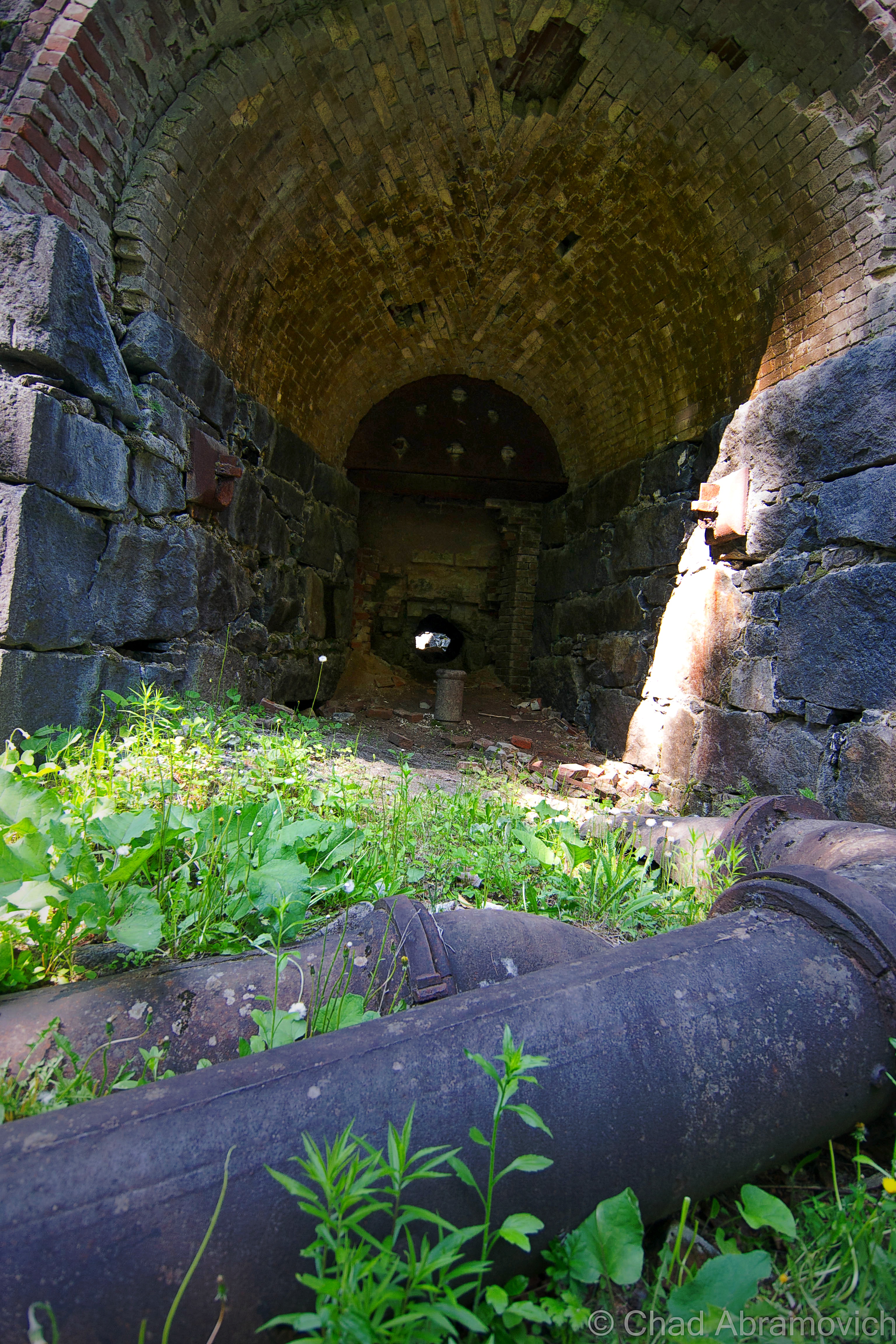
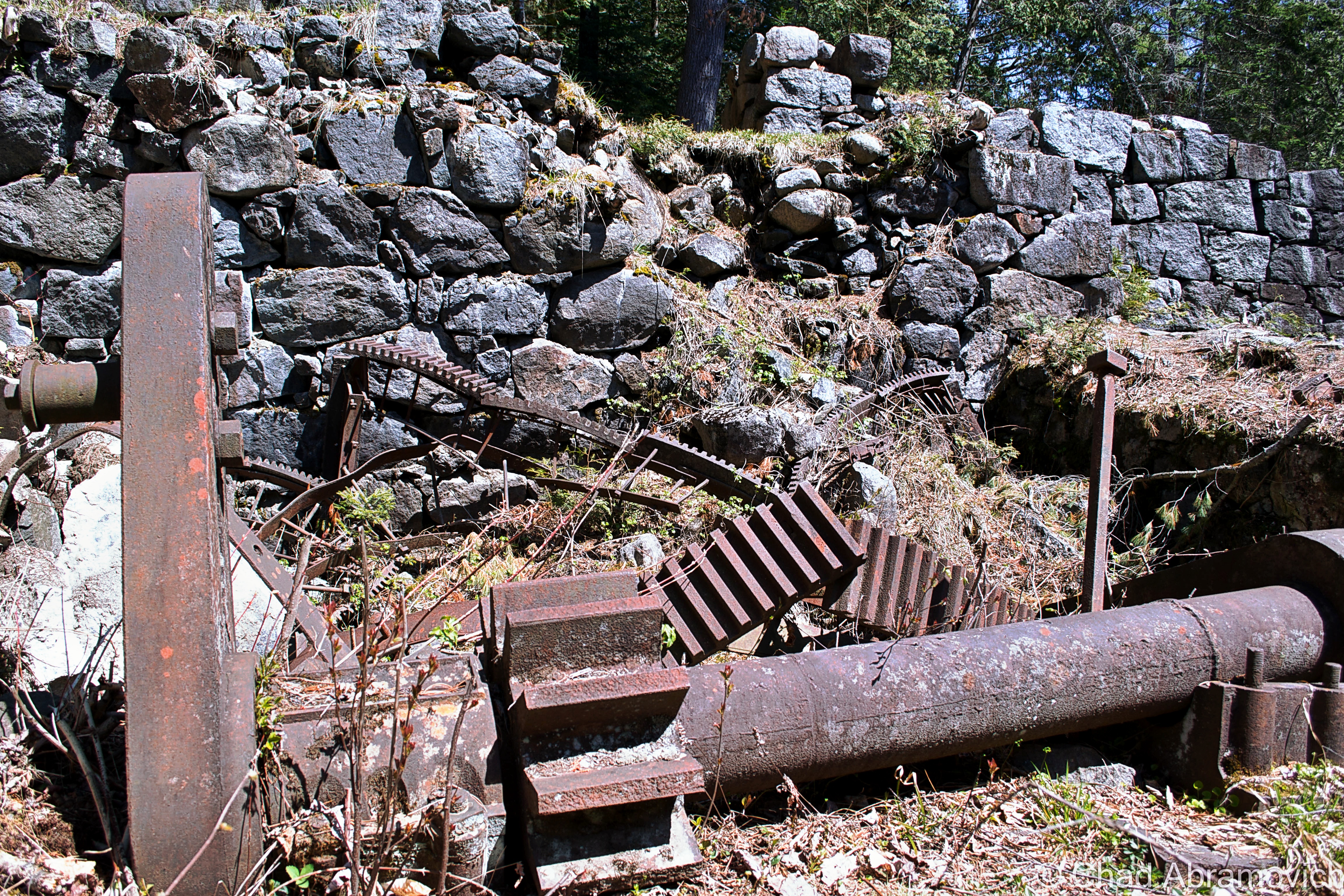
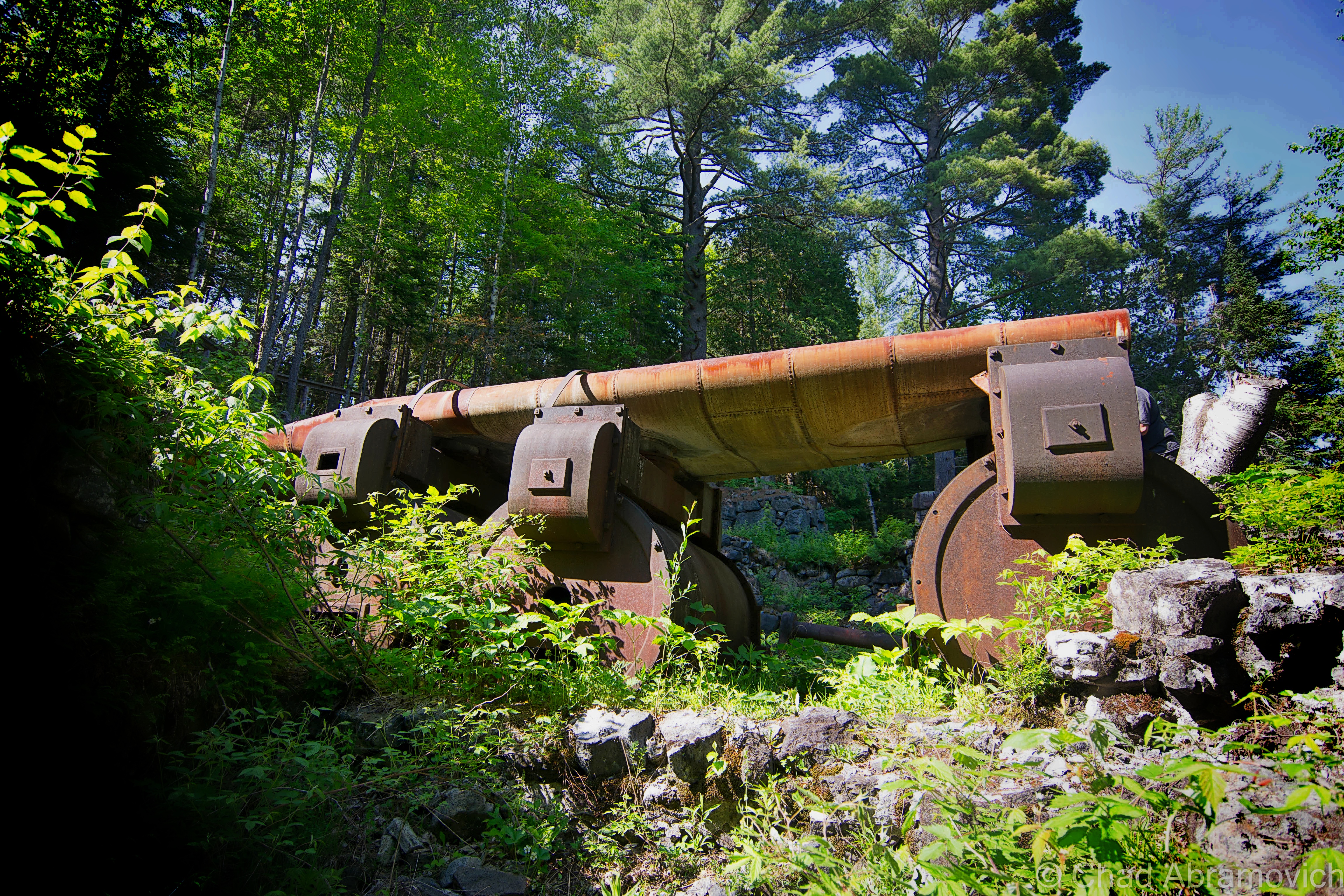
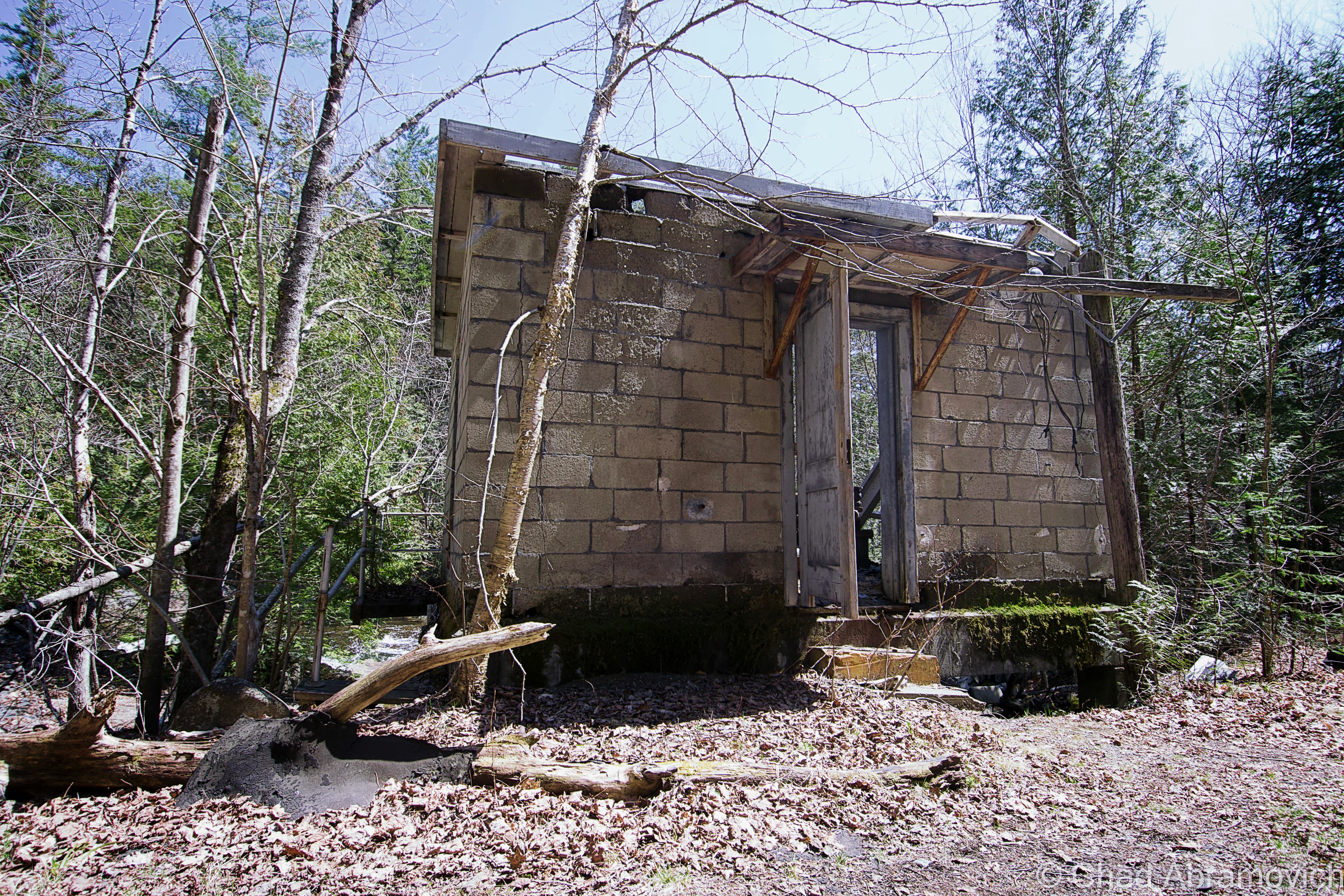
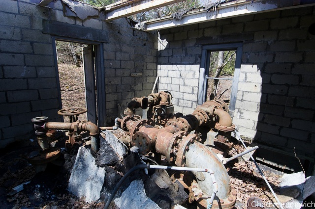
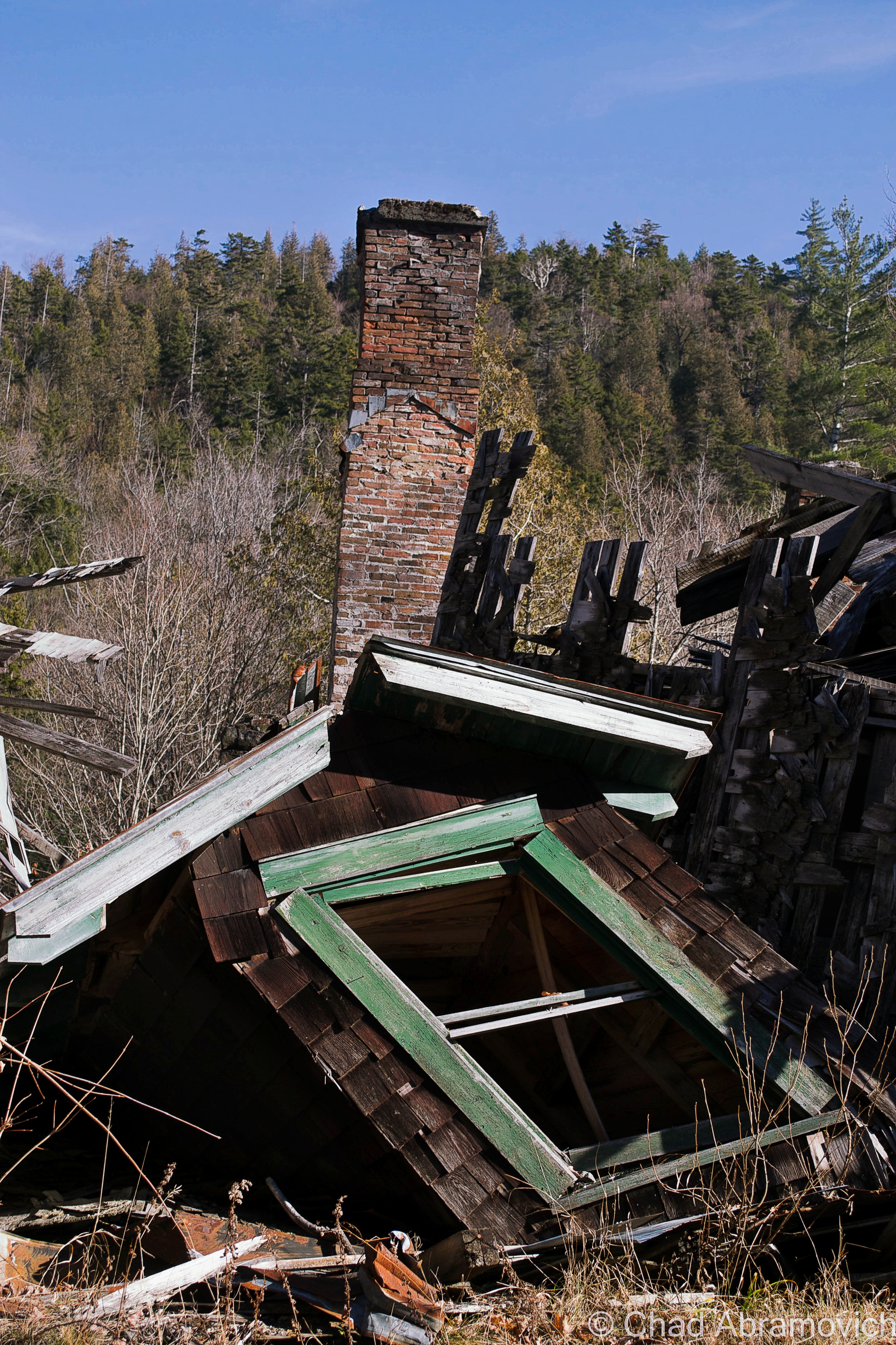
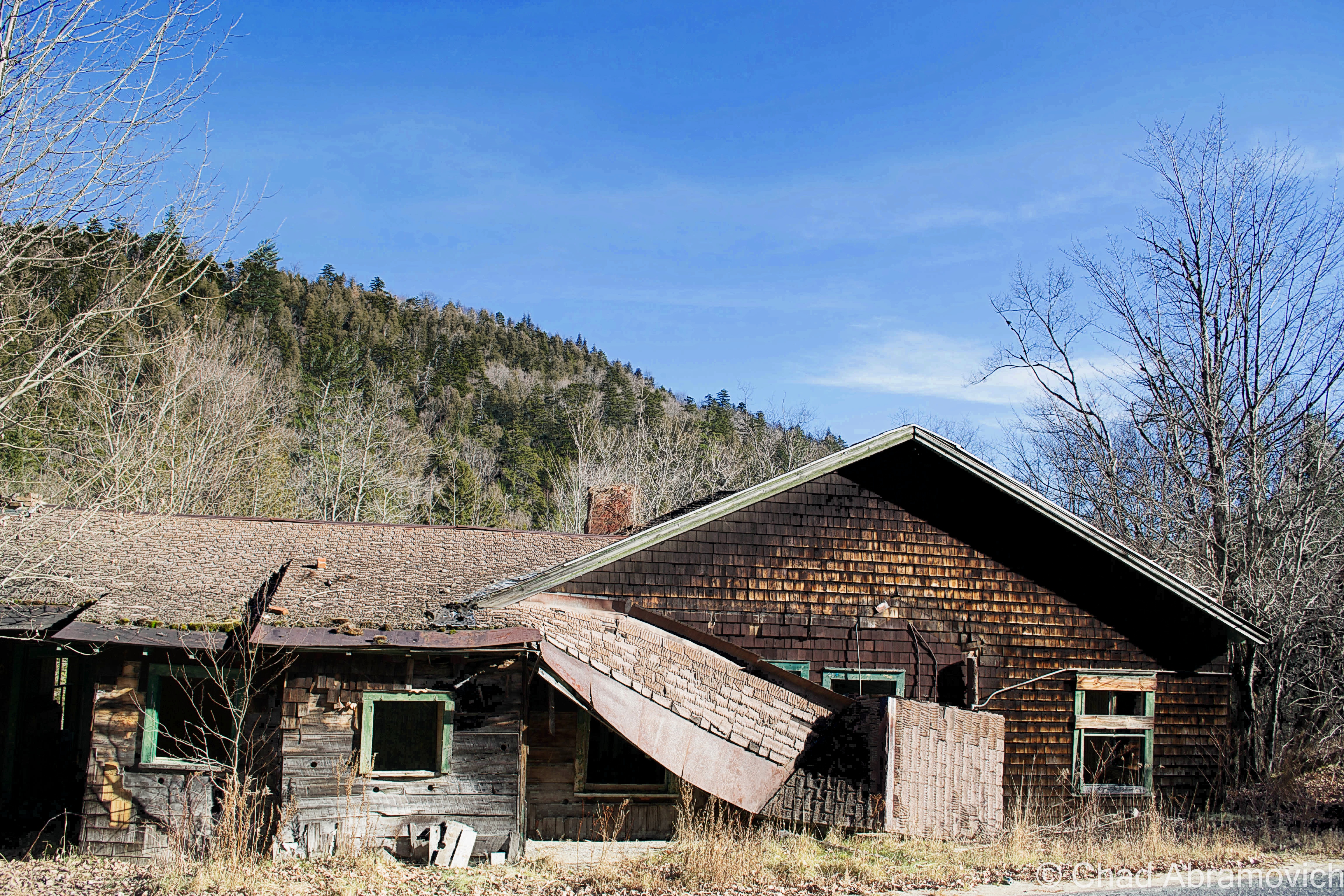
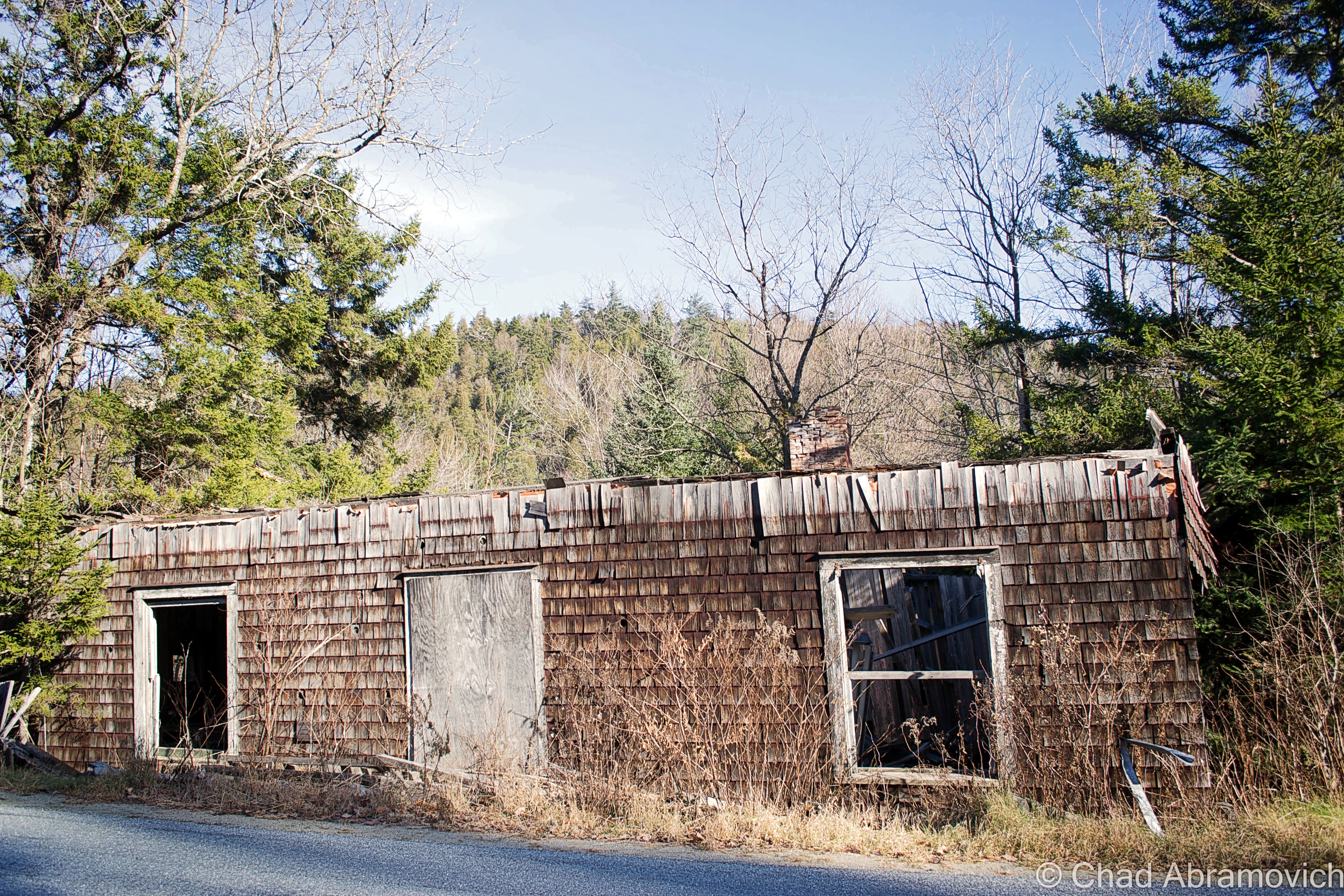
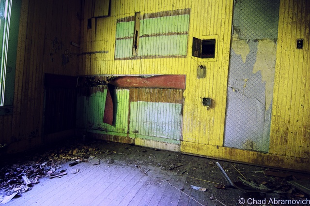
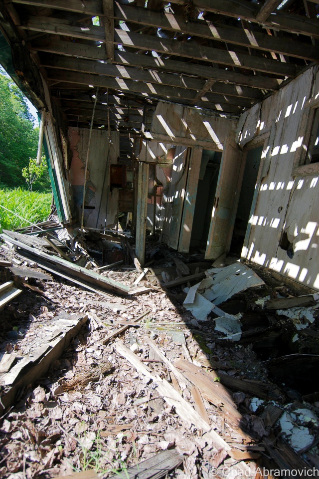
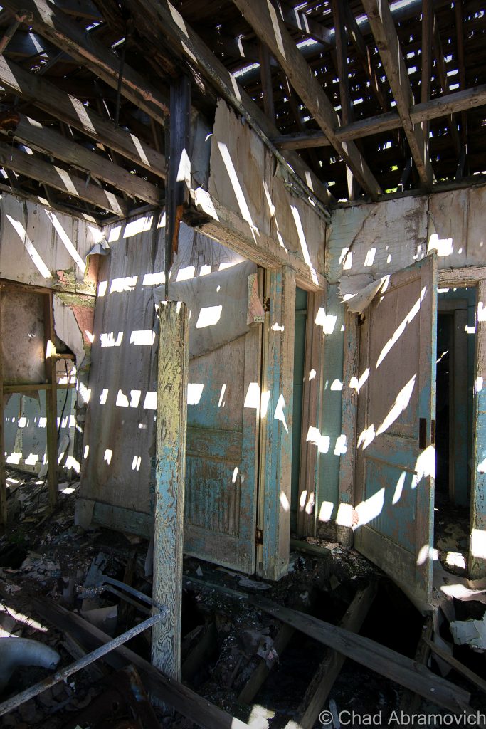
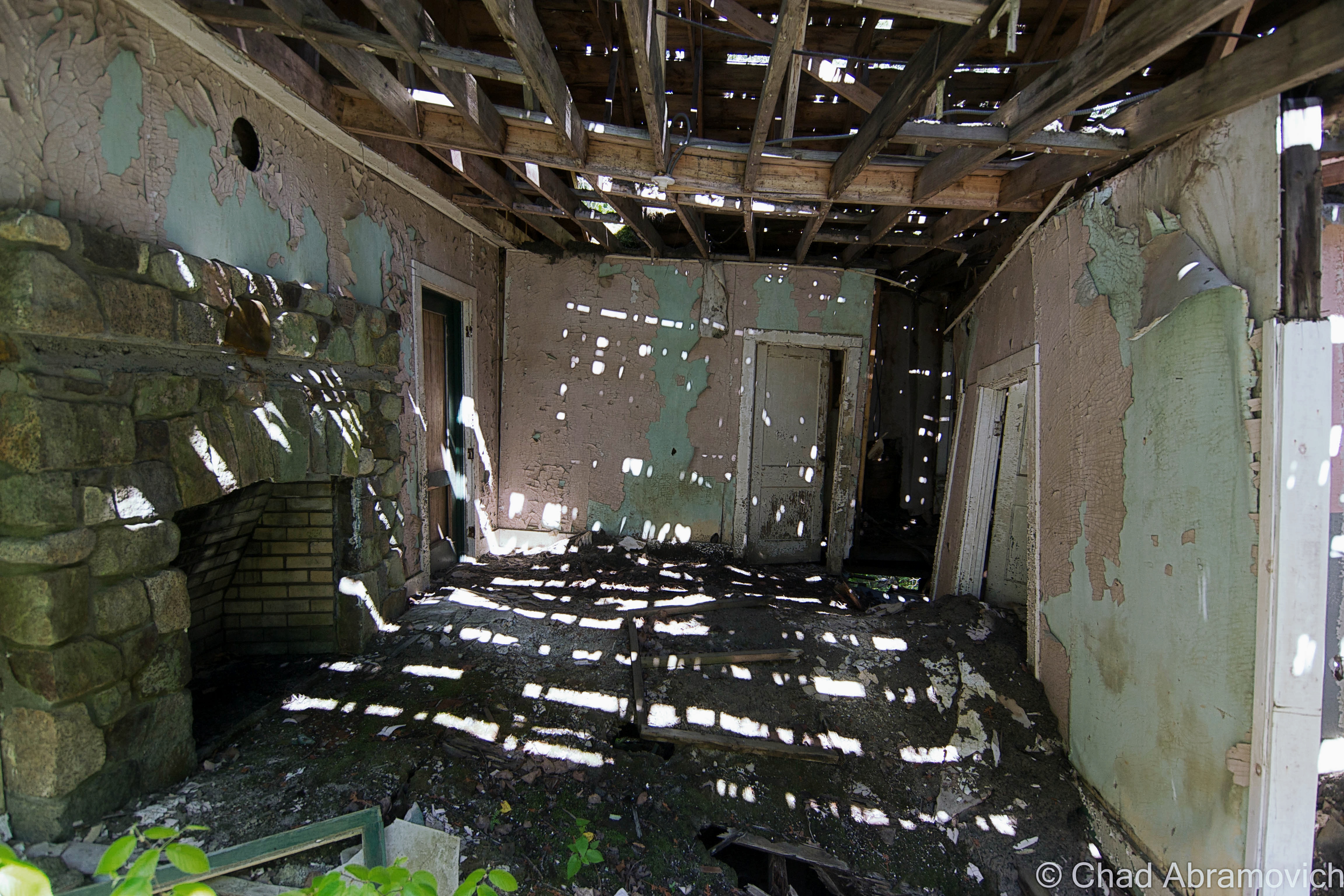
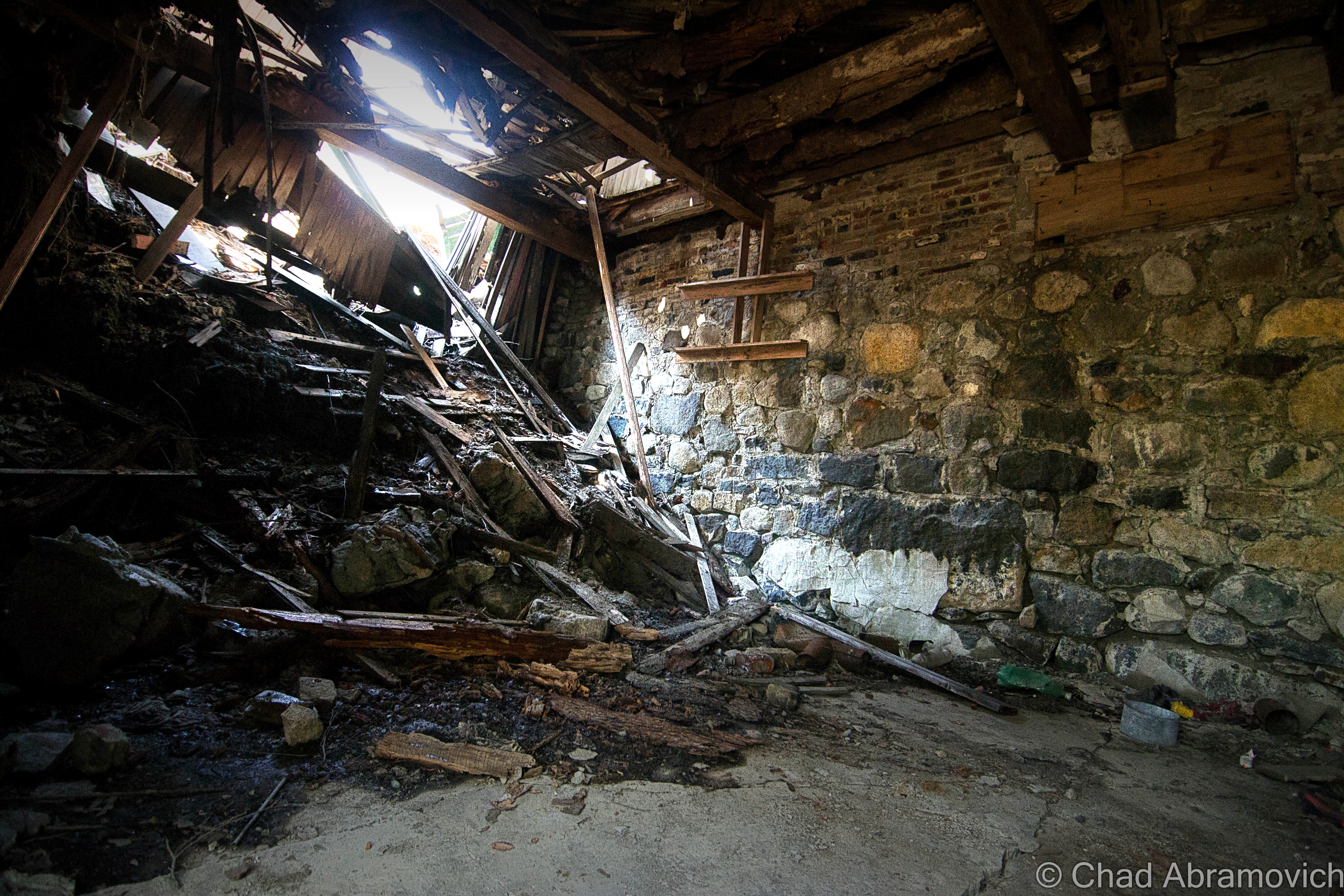
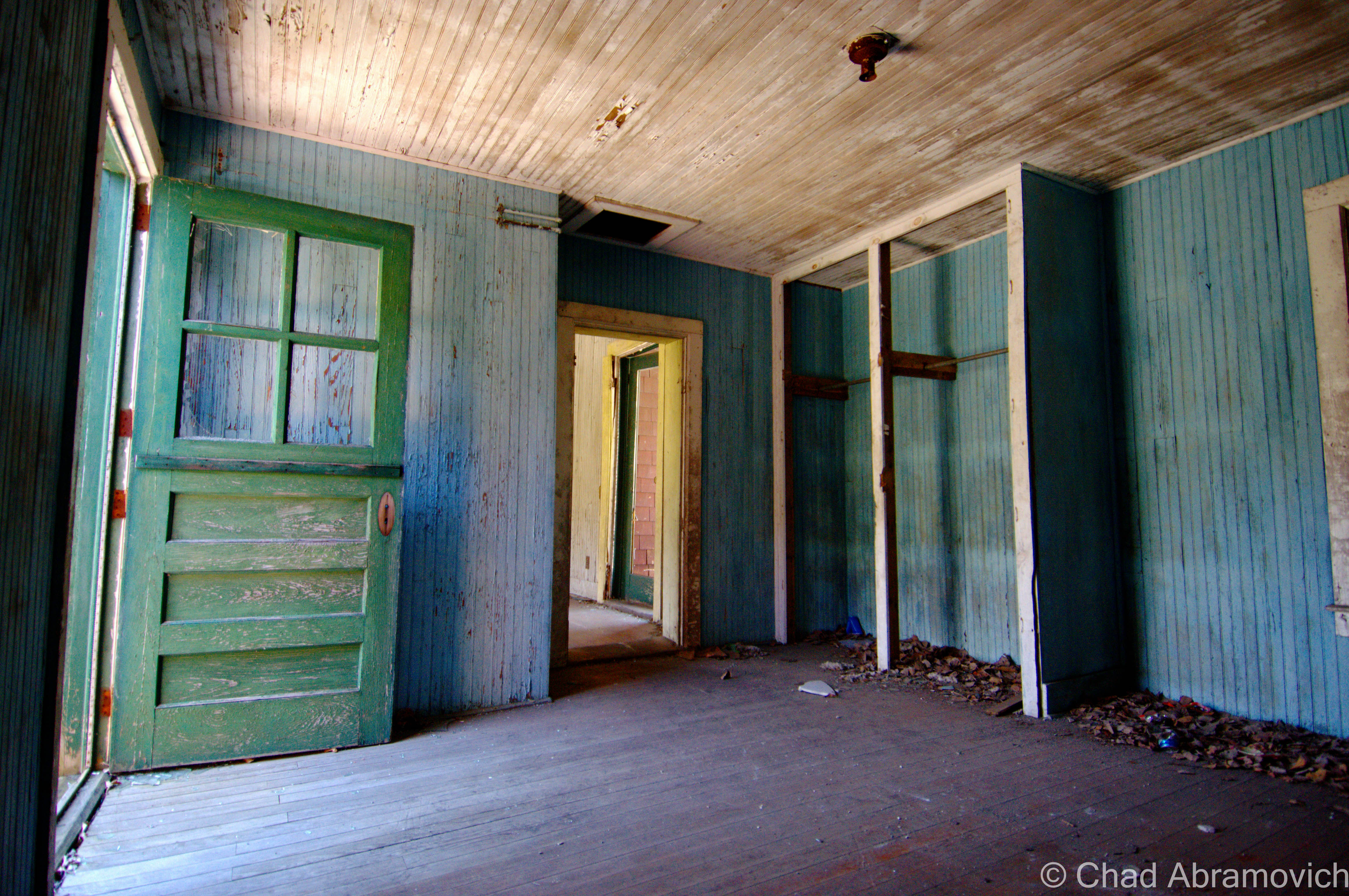
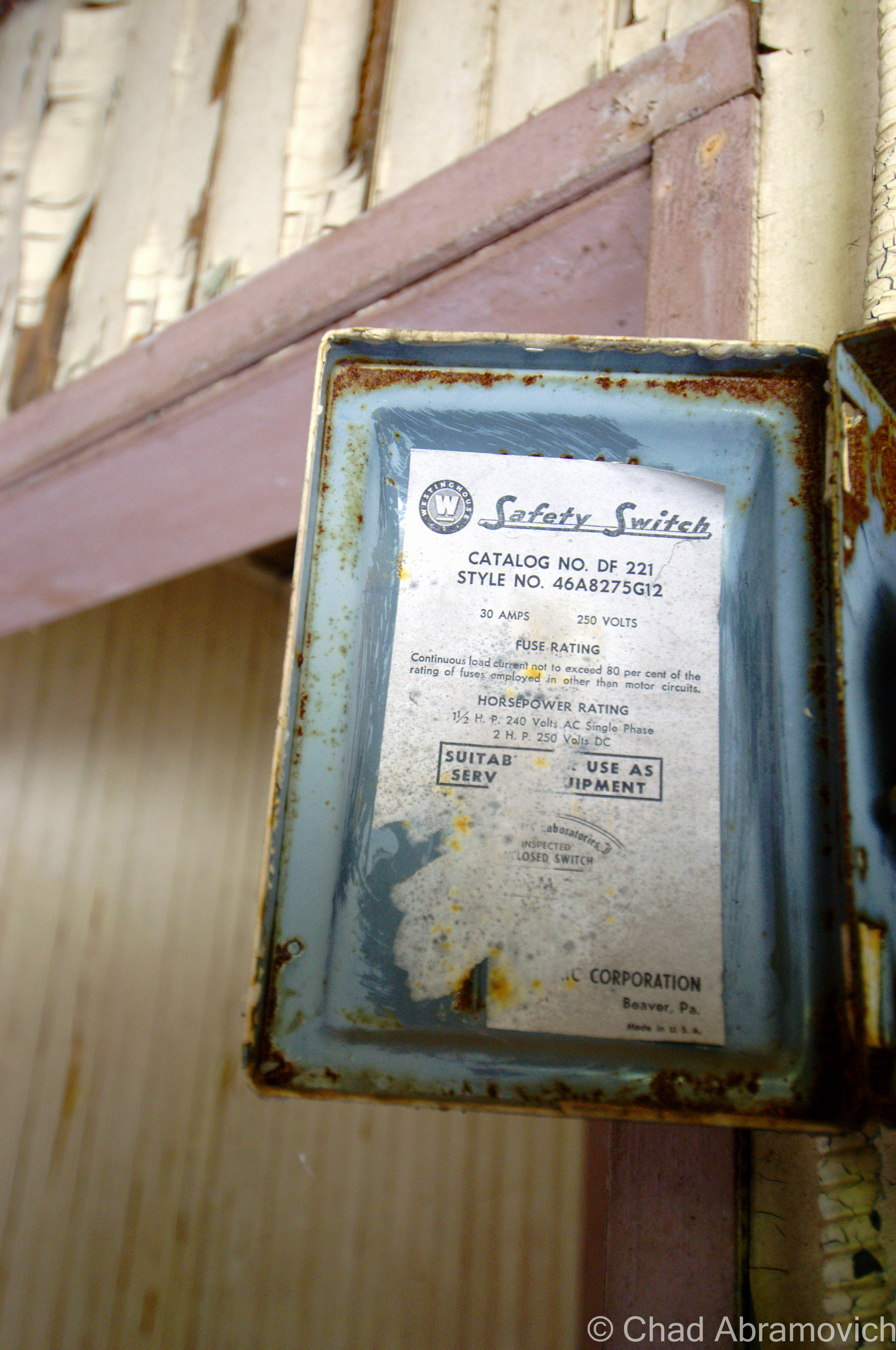
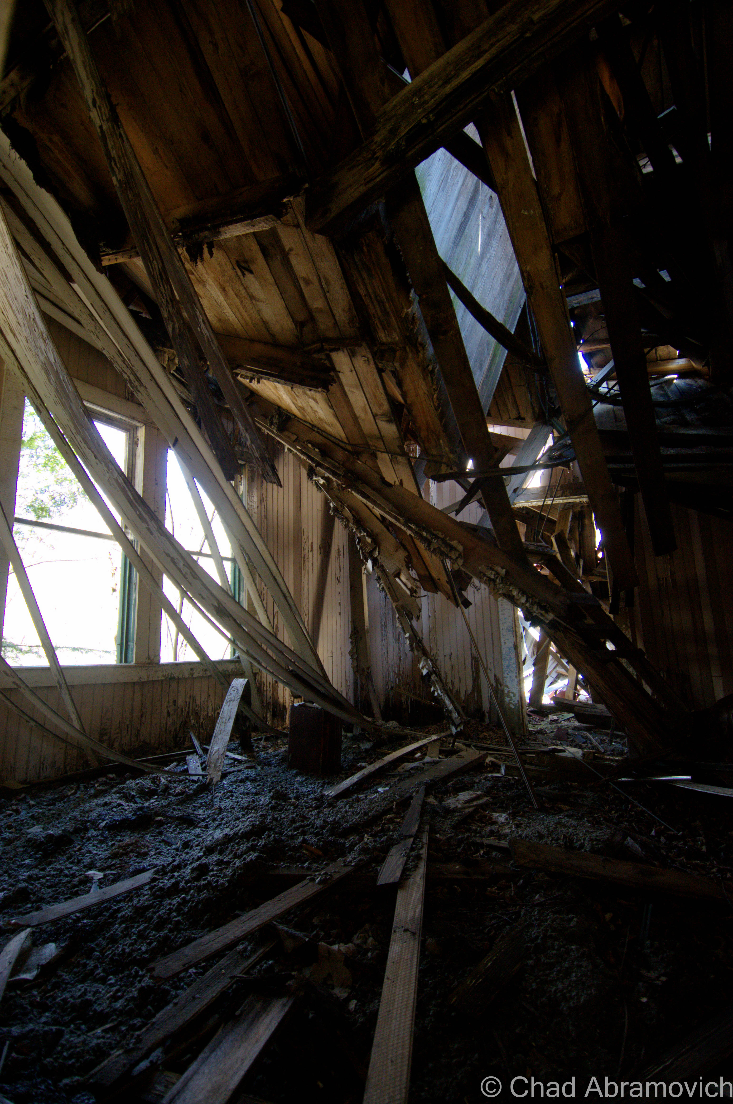
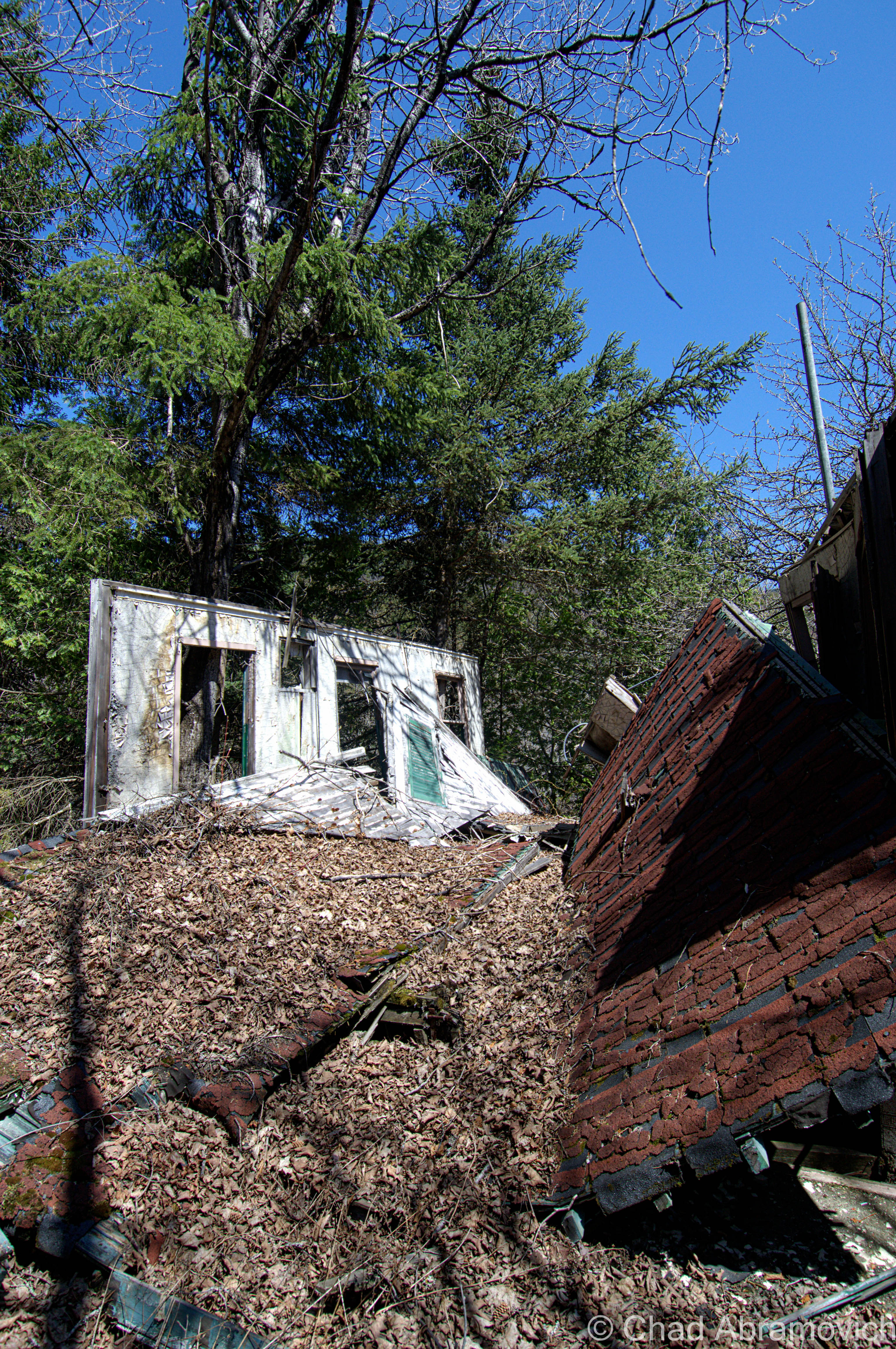
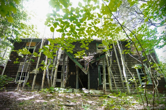
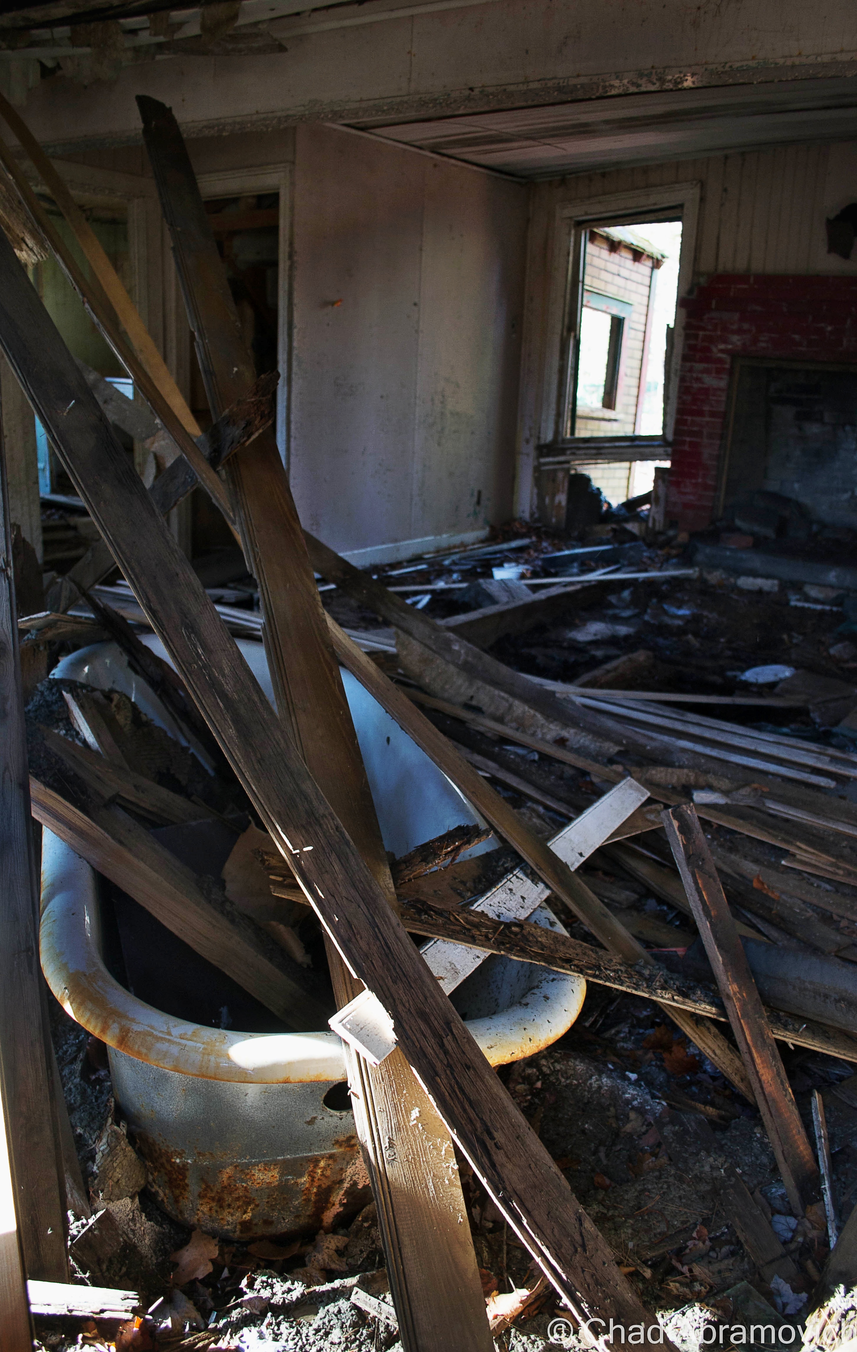
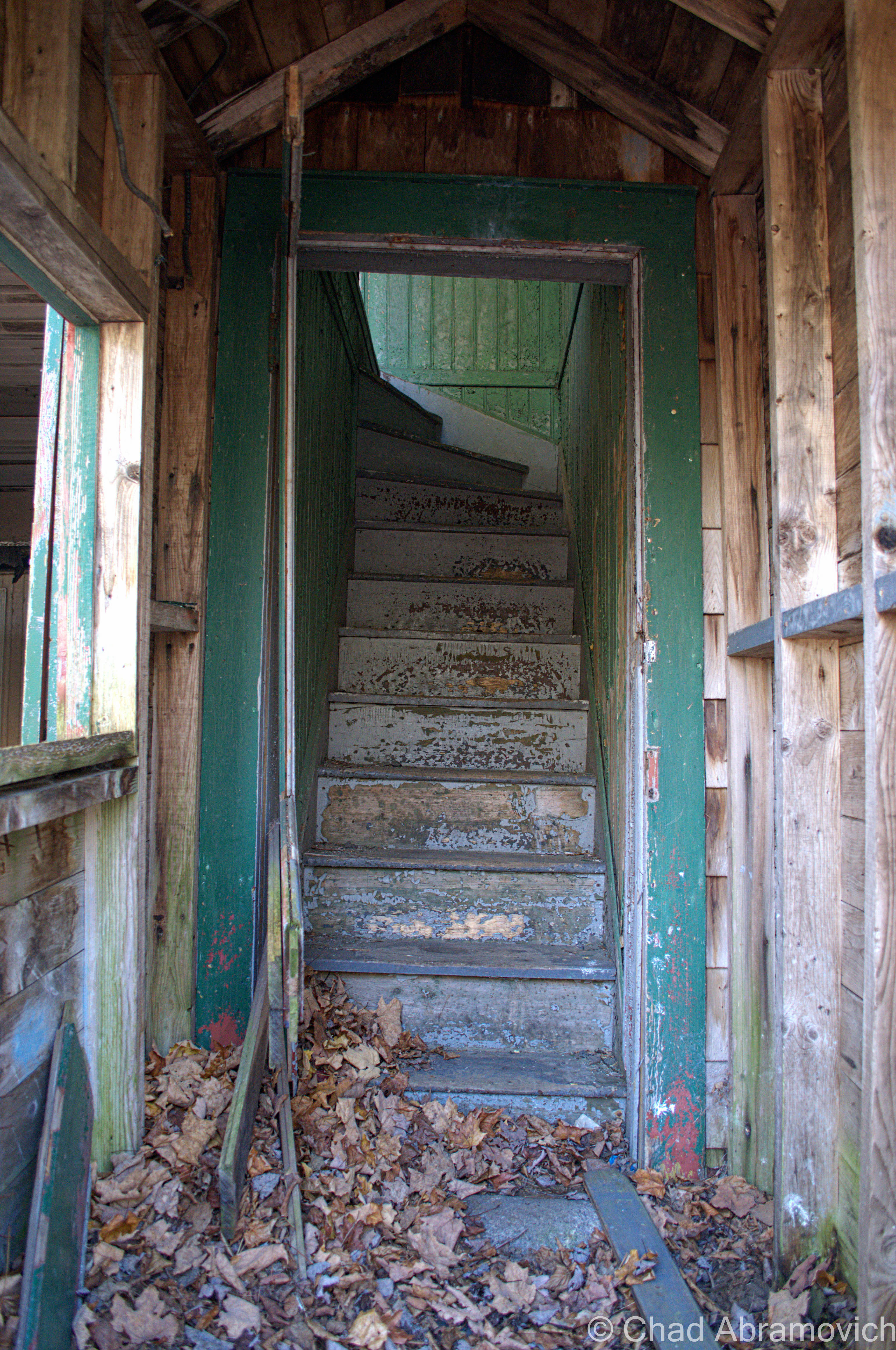
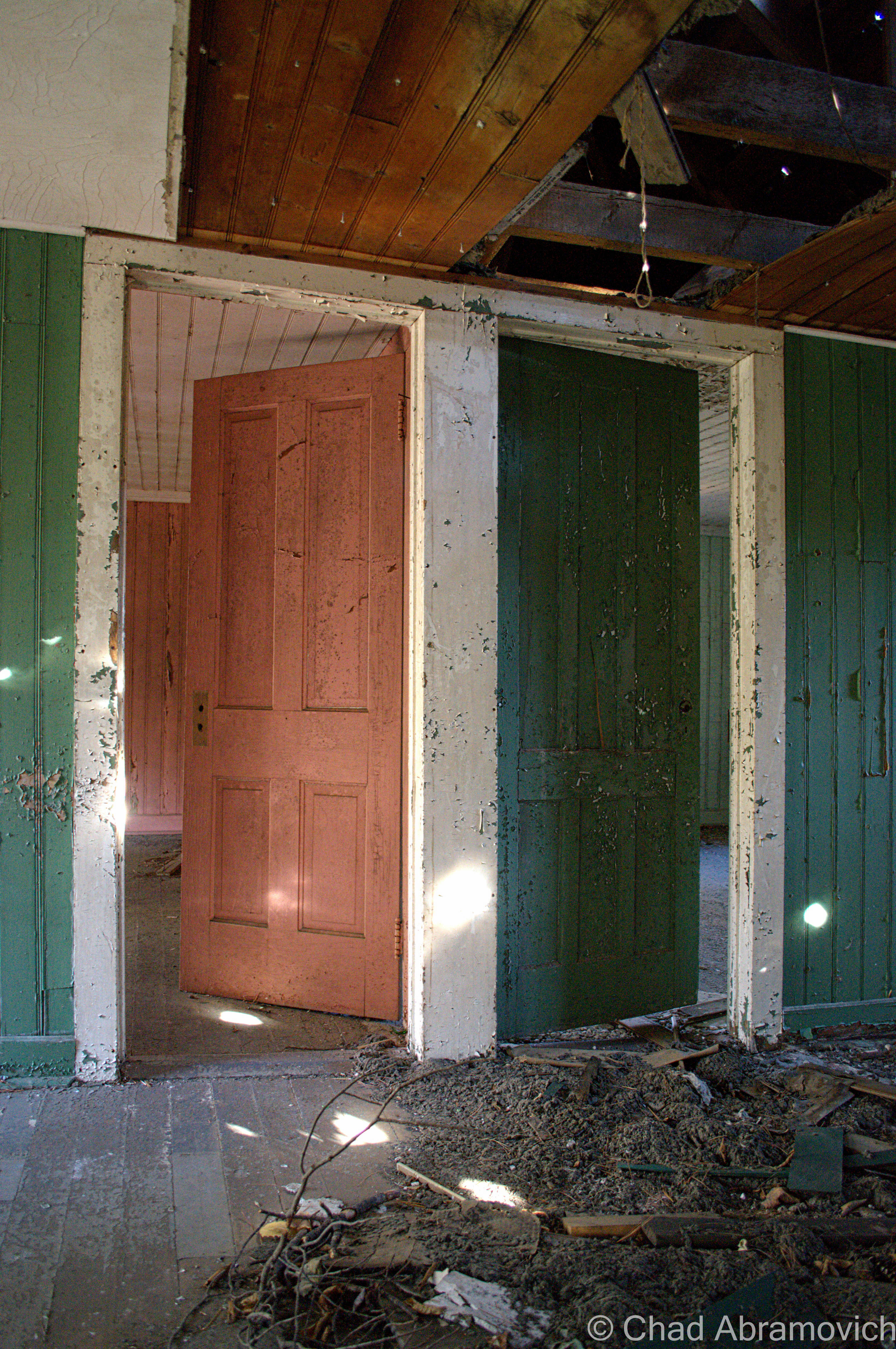
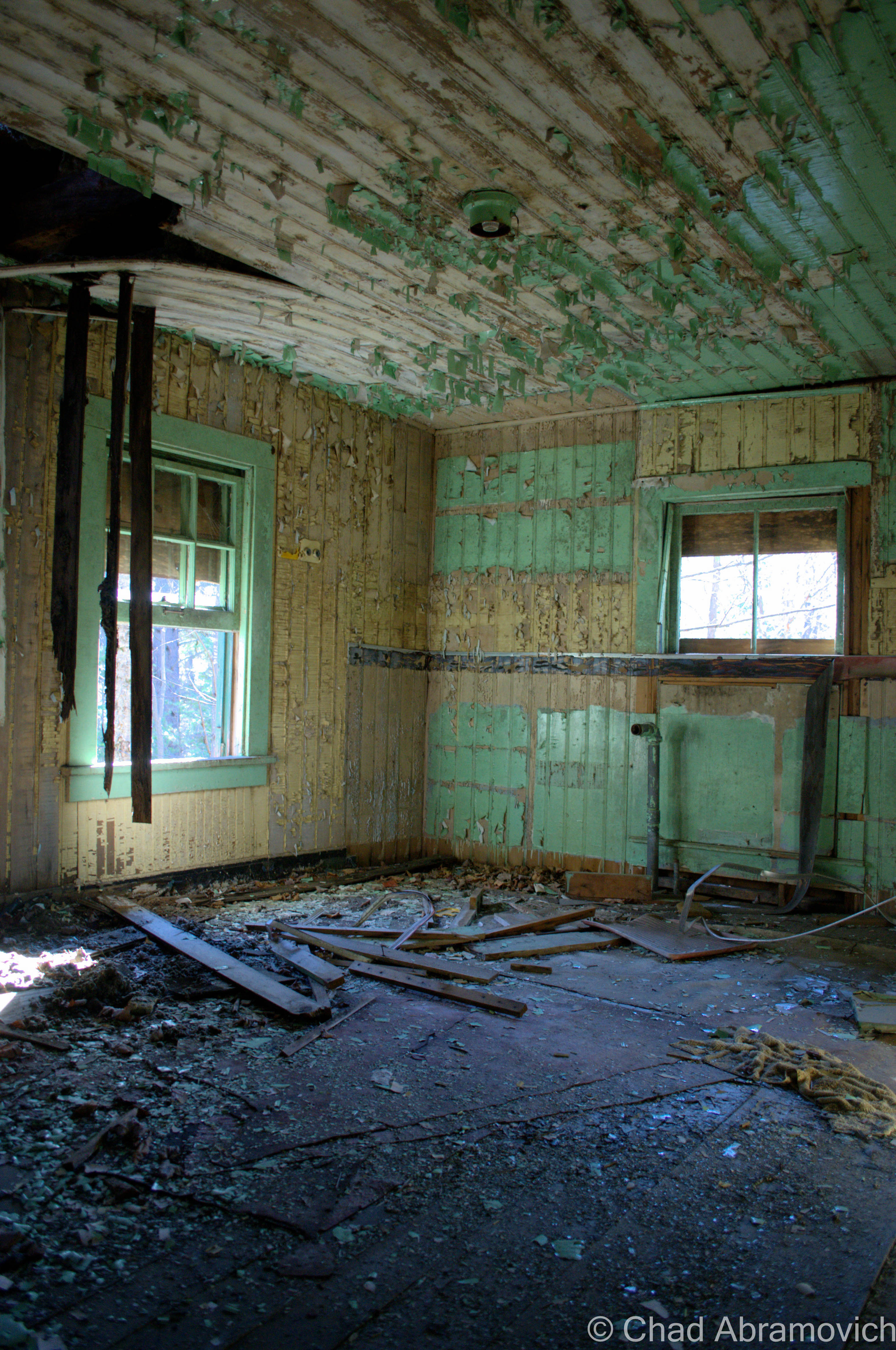
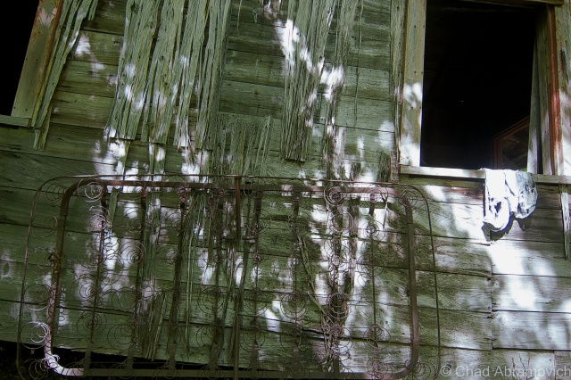
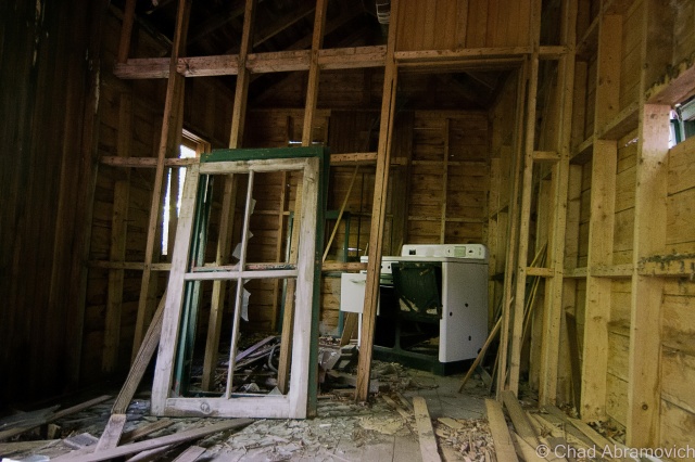
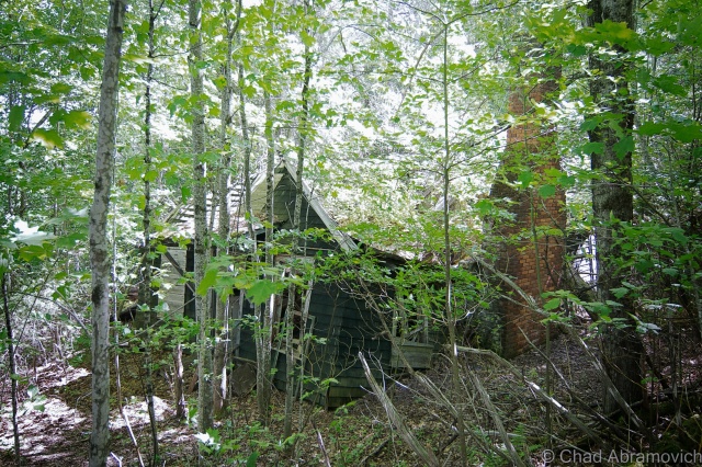
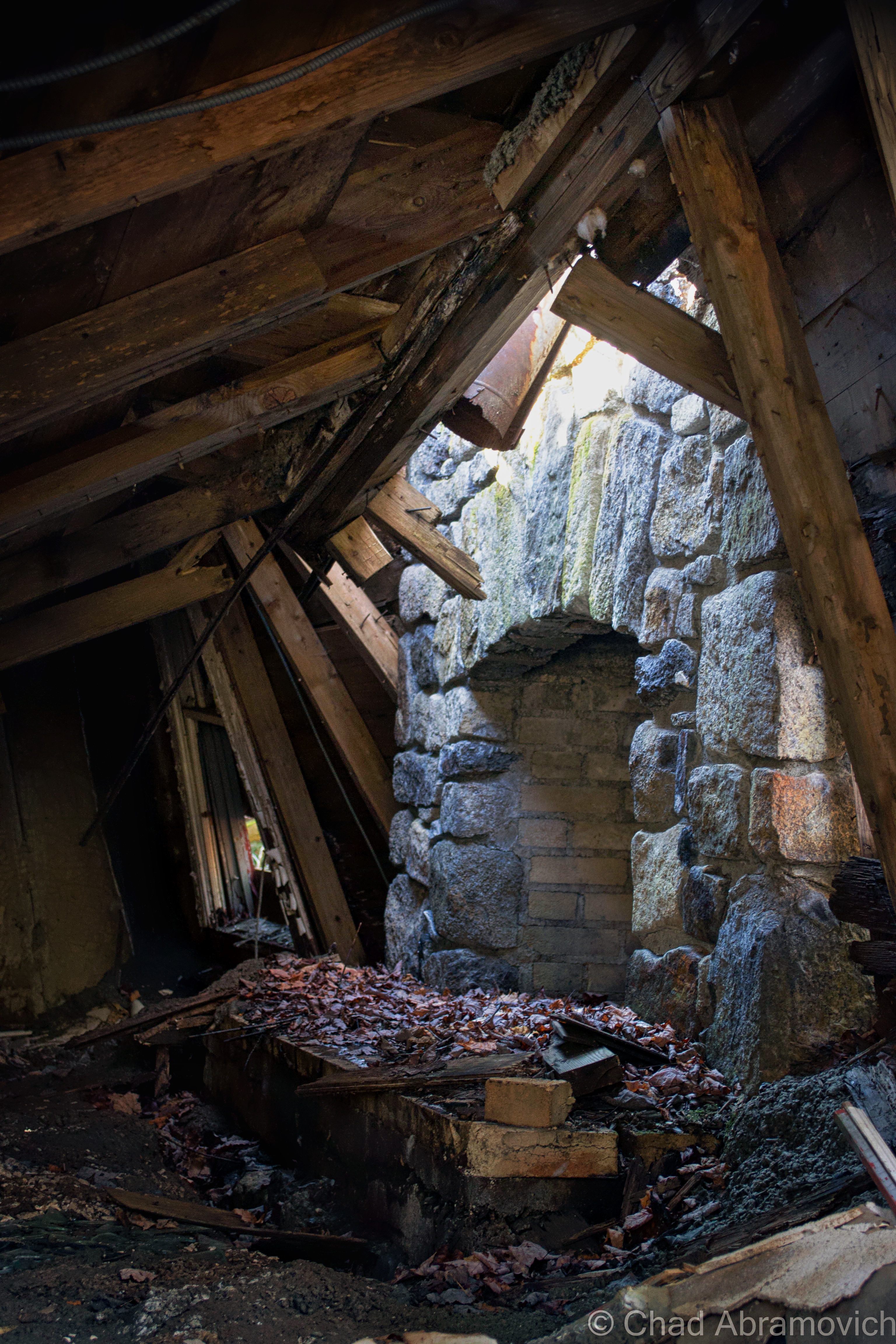
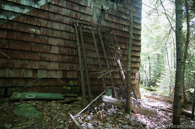
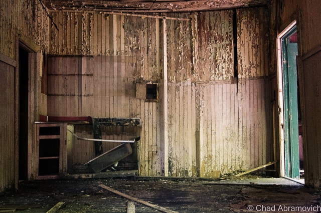
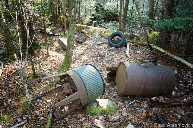
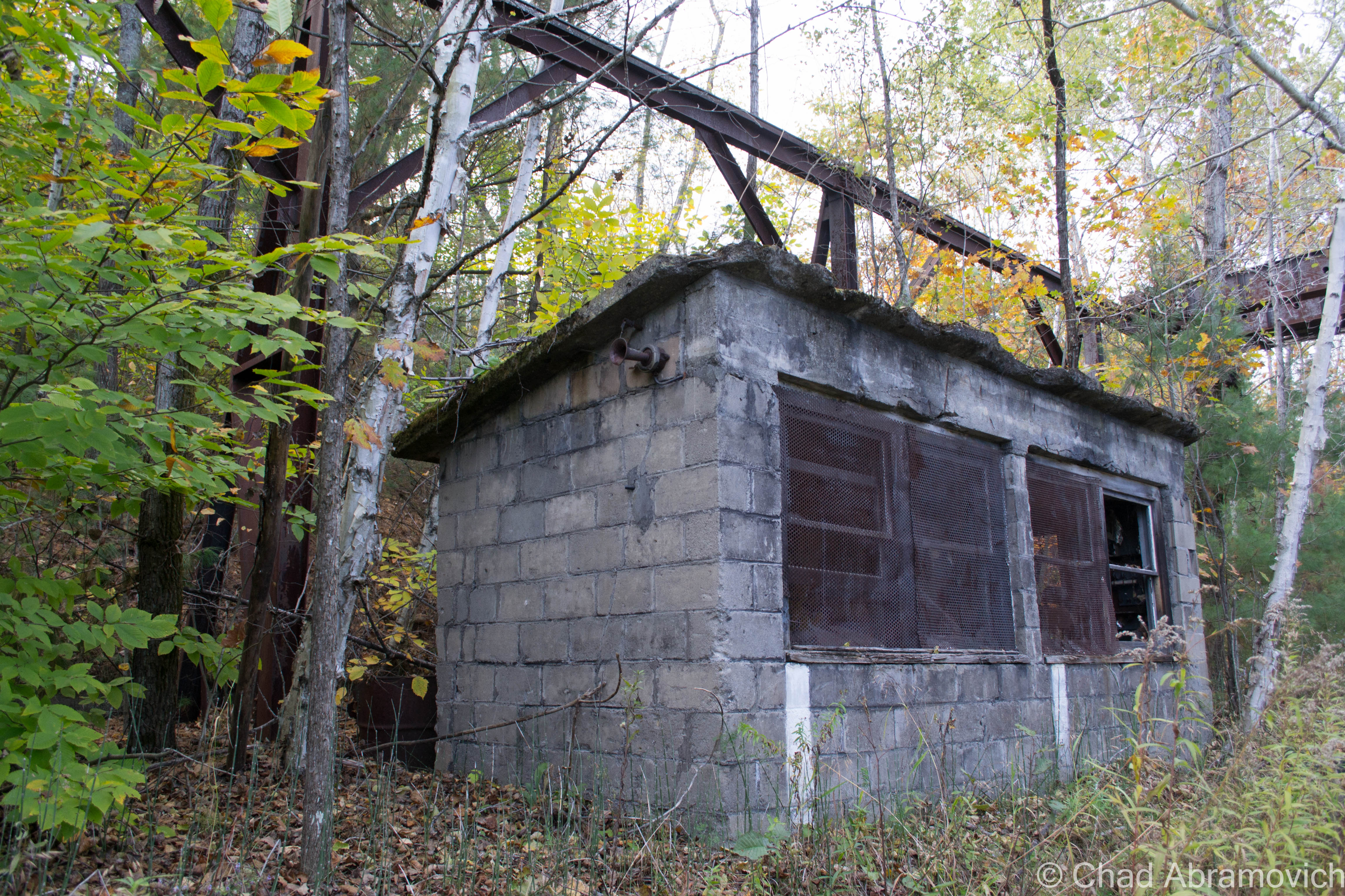
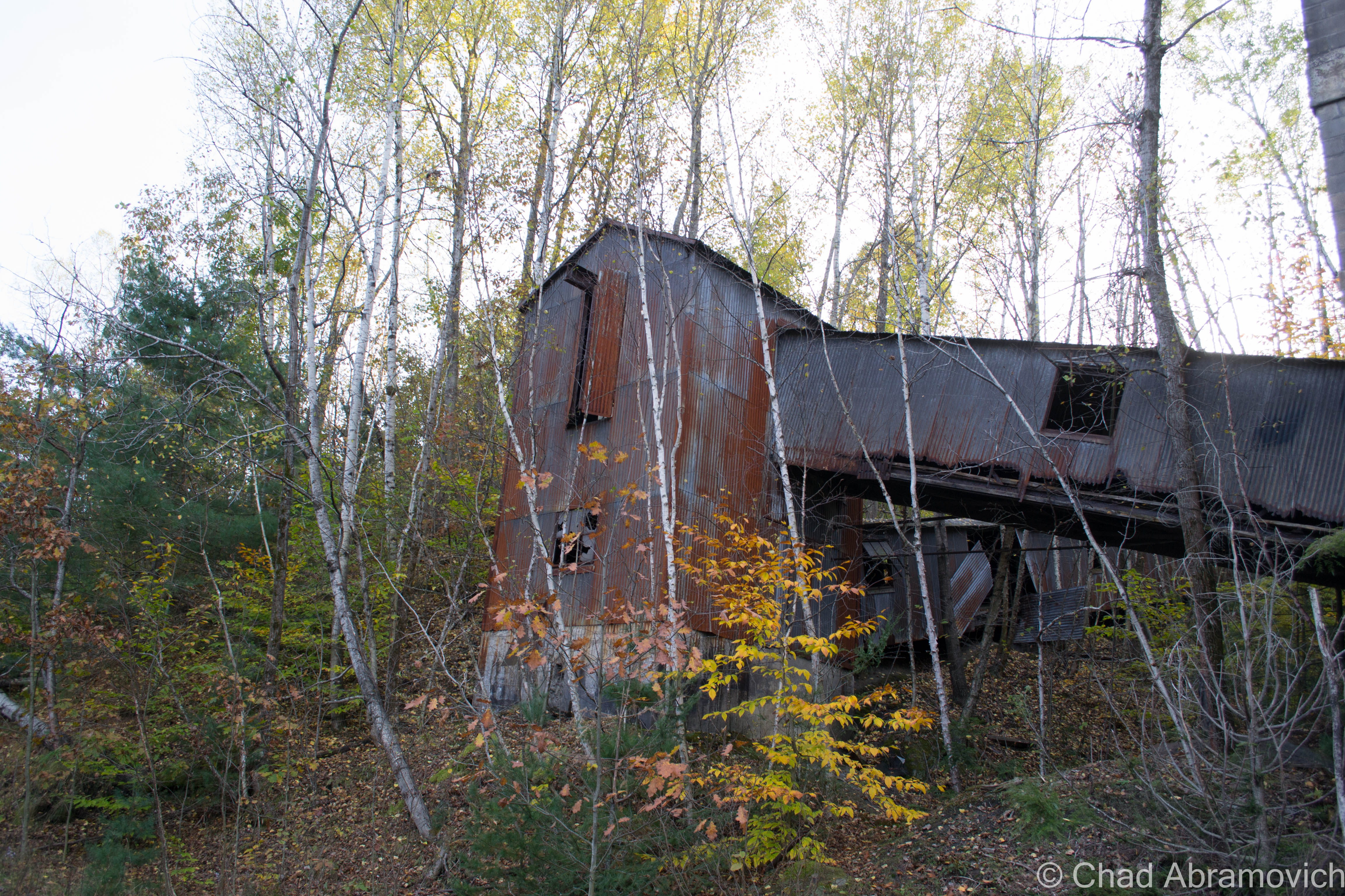
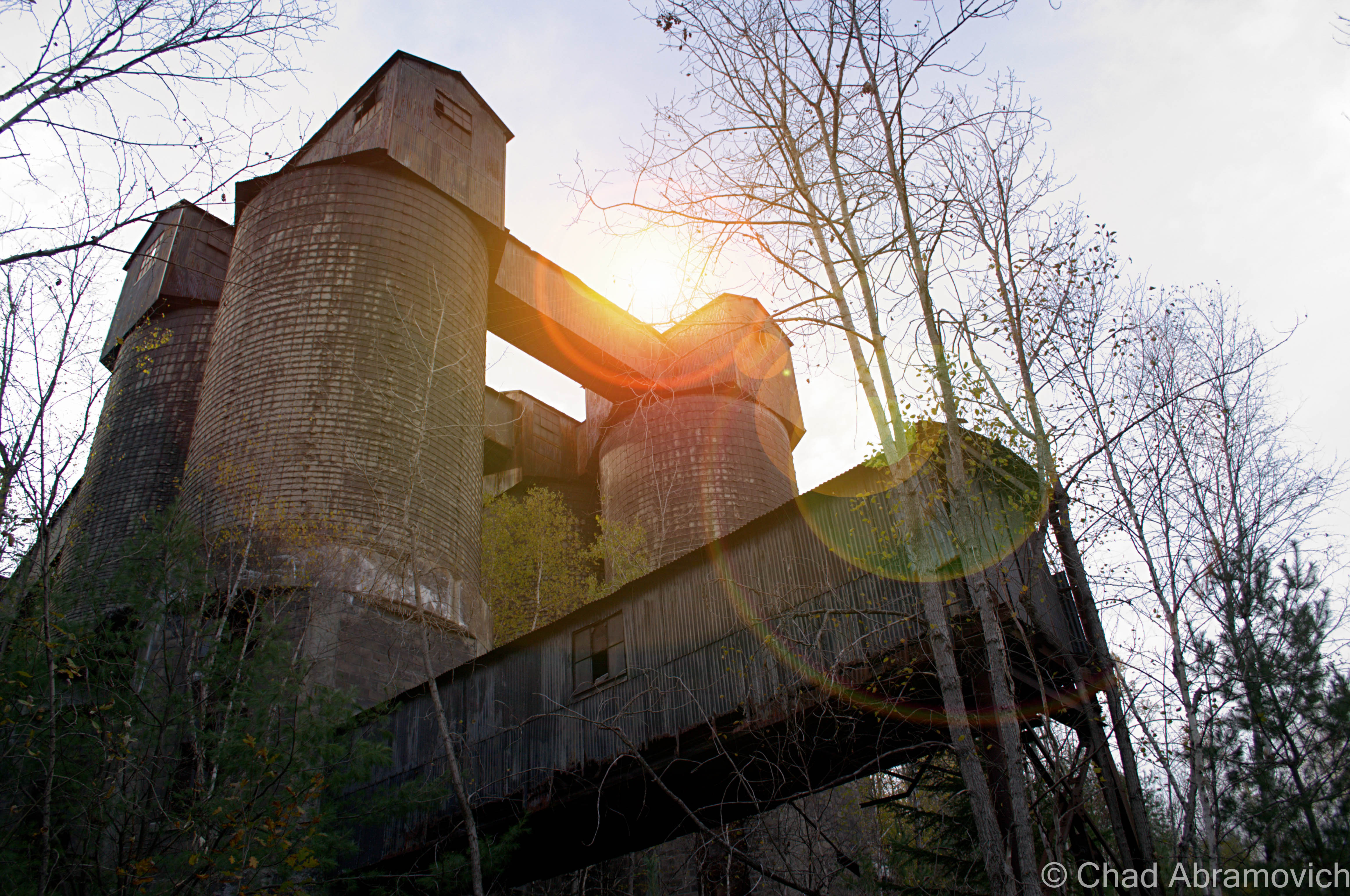
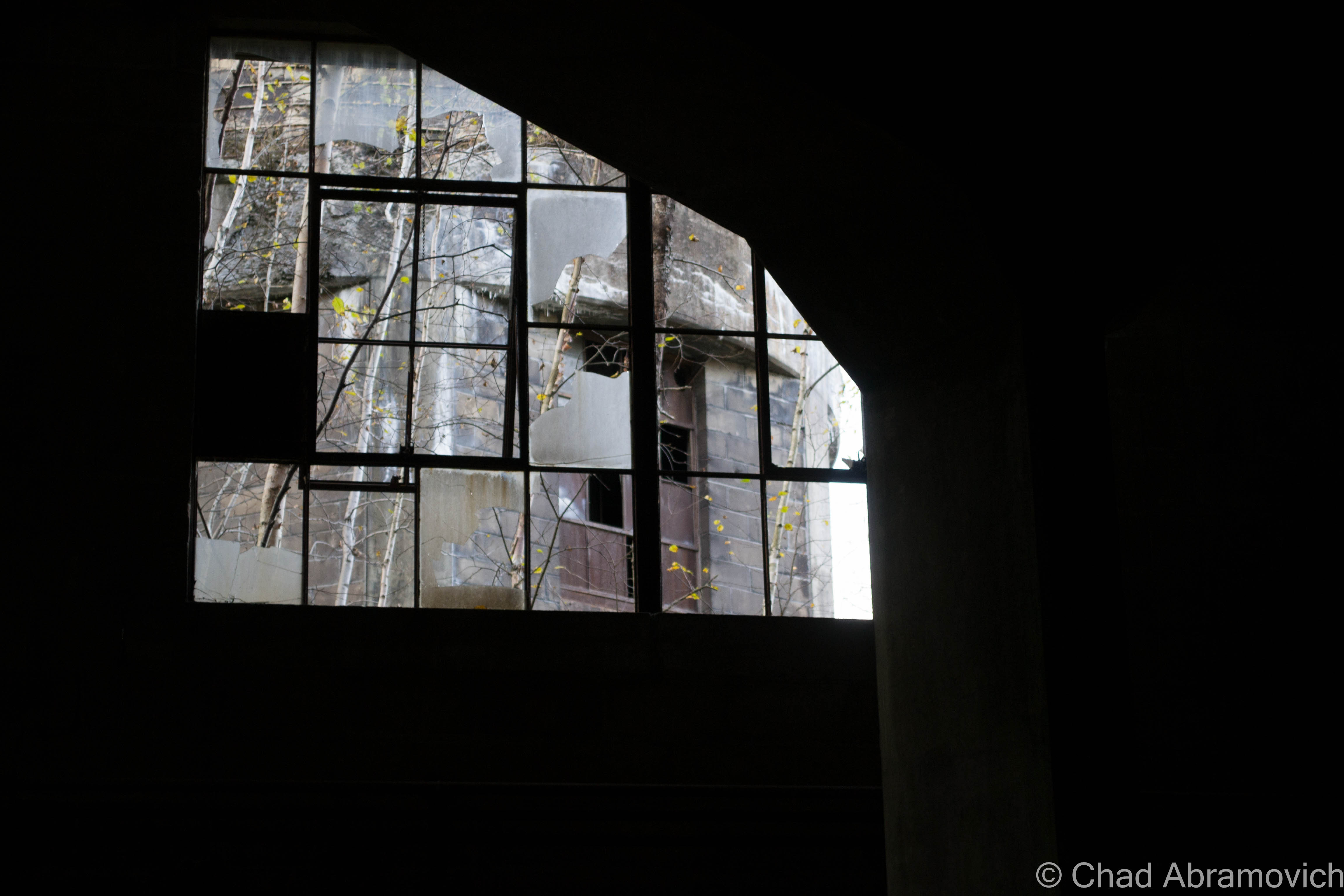
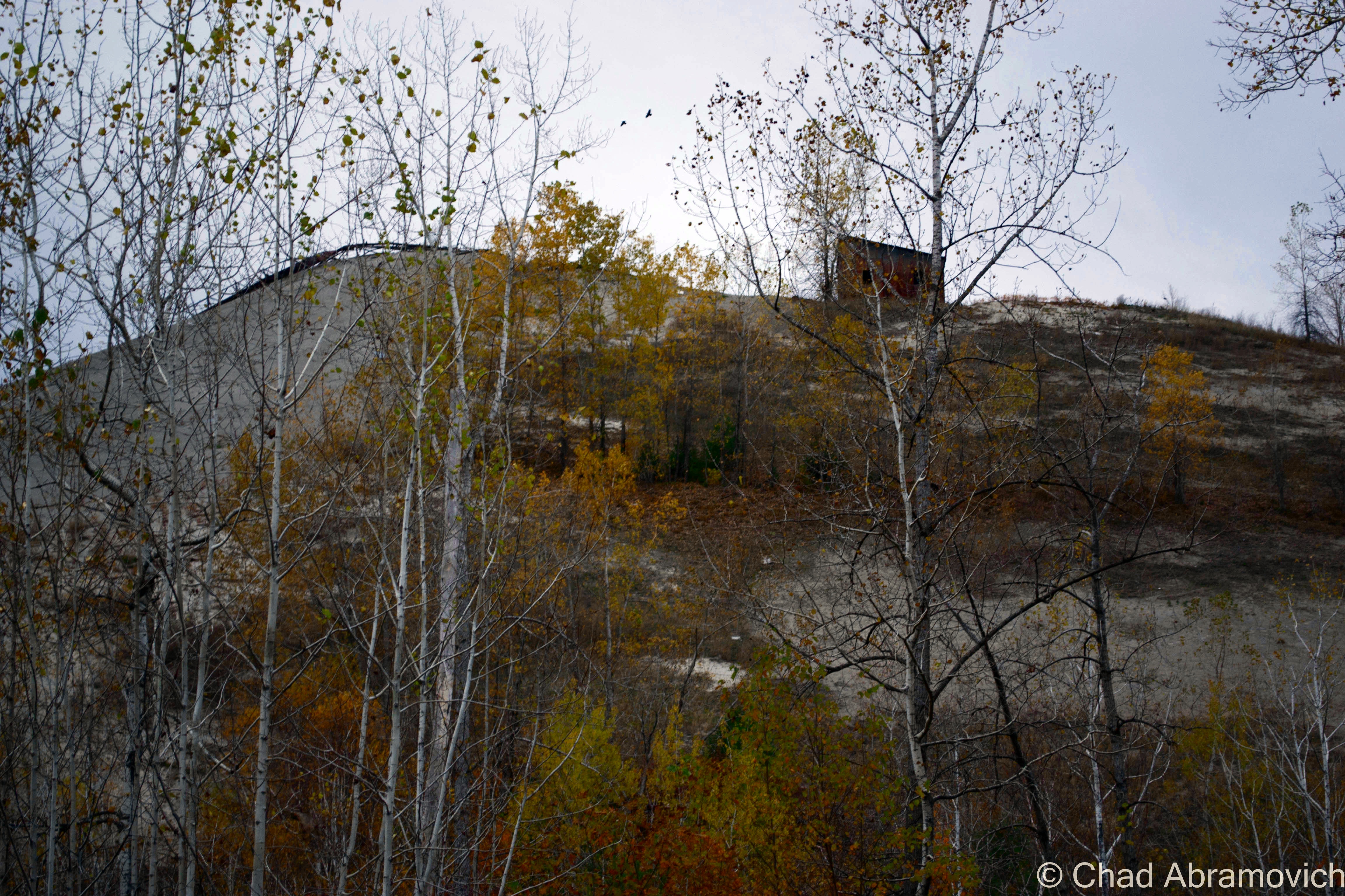
On the other side, we continued walking the old railroad beds, the sun was now beginning to set behind the mountainous piles of tailings at our sides. Then suddenly we saw something ahead of us, the silhouette of rusted pipes that stretched far above ground level. We had arrived. On the left of us was a small cinder block cabin, with rusted meshwork drilled over its broken windows, almost ensnared completely by the fall foliage. Inside the crumbling shack was a magnificent old scale which sat alone in the shadows. Above me was the rusted husk of some sort of steel building that was suspended far above my head, with only a dangerous rusted ladder as access. As it turned out, it was far too unsafe to climb on, so I stayed on the ground.
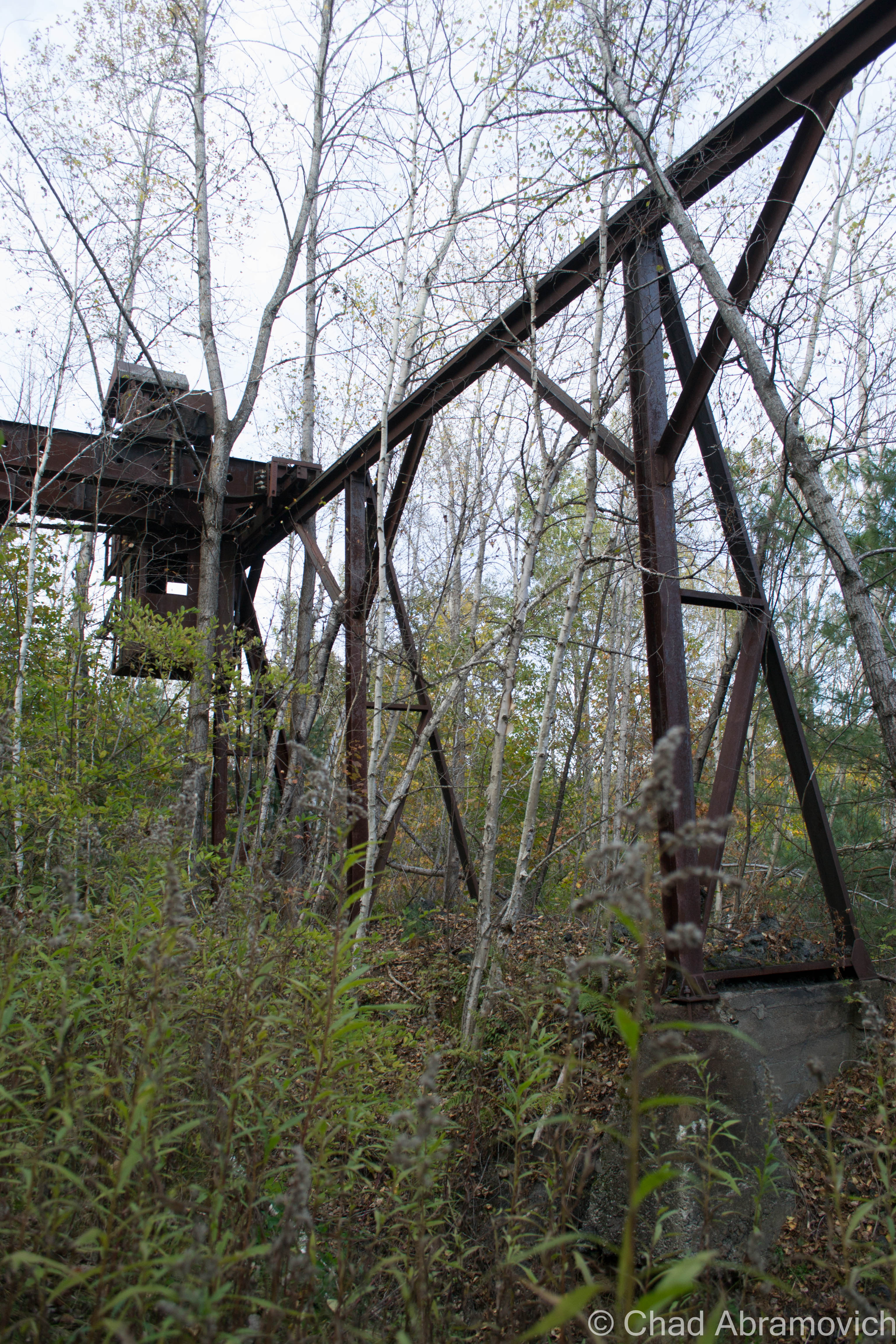
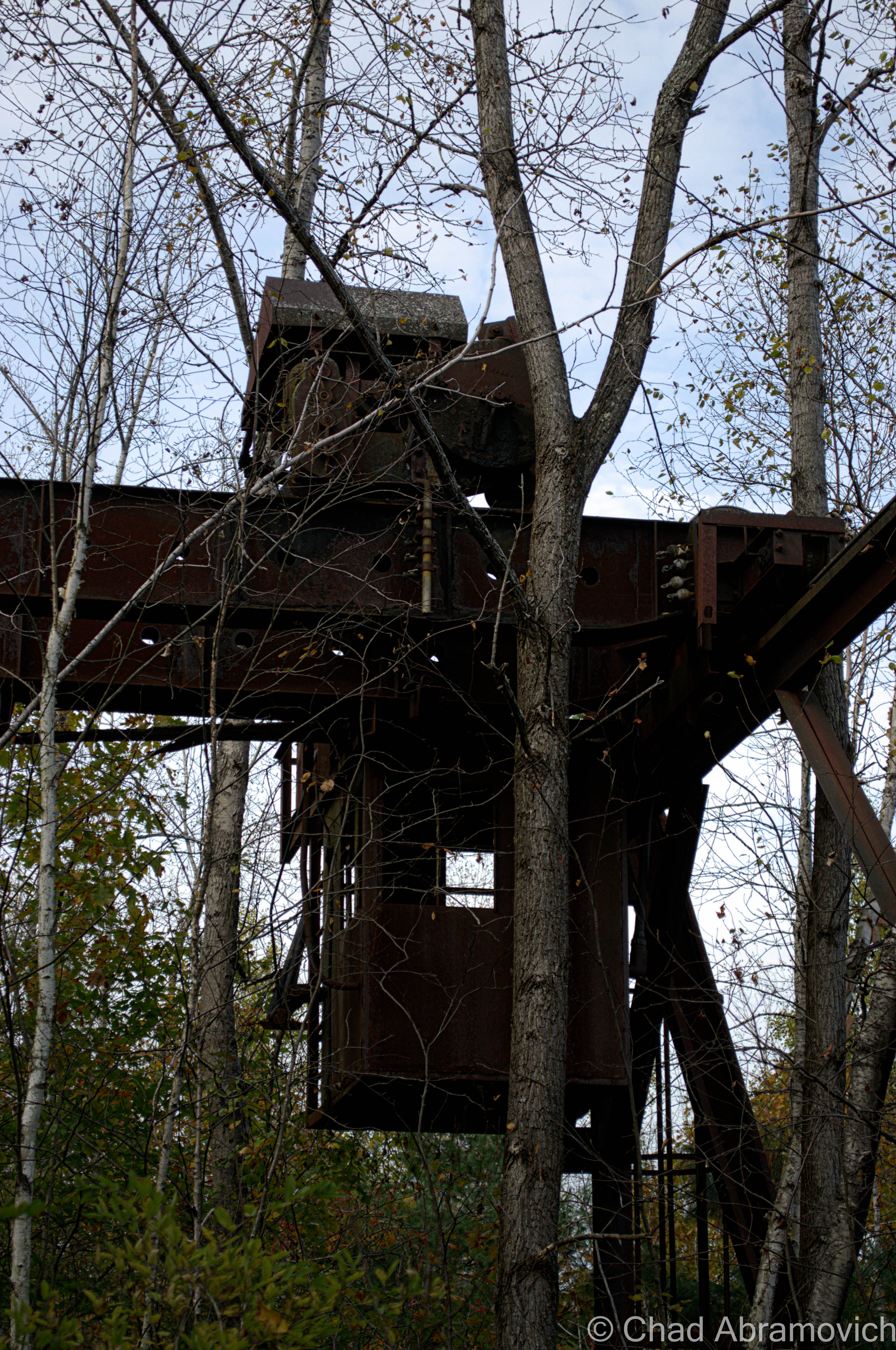
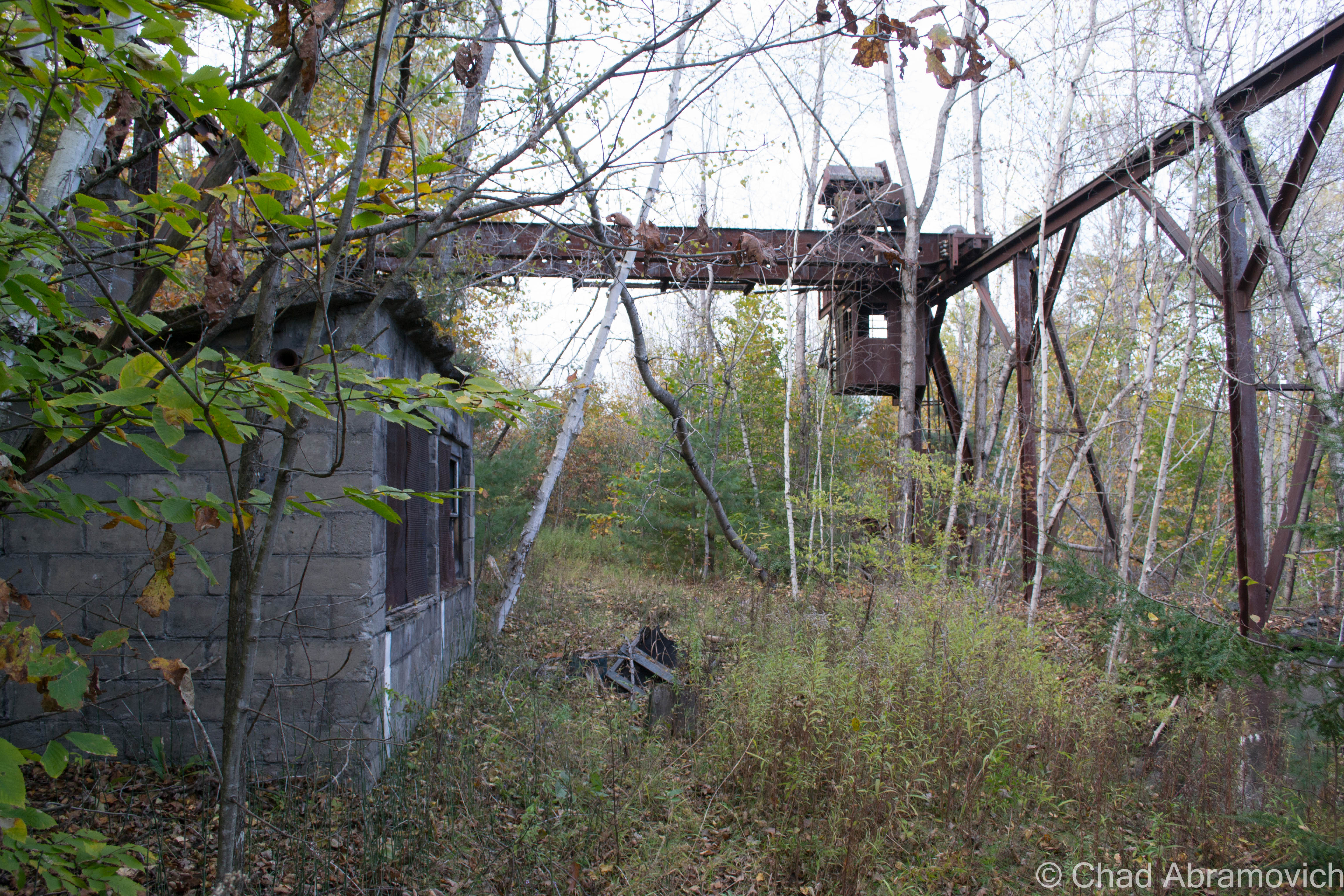
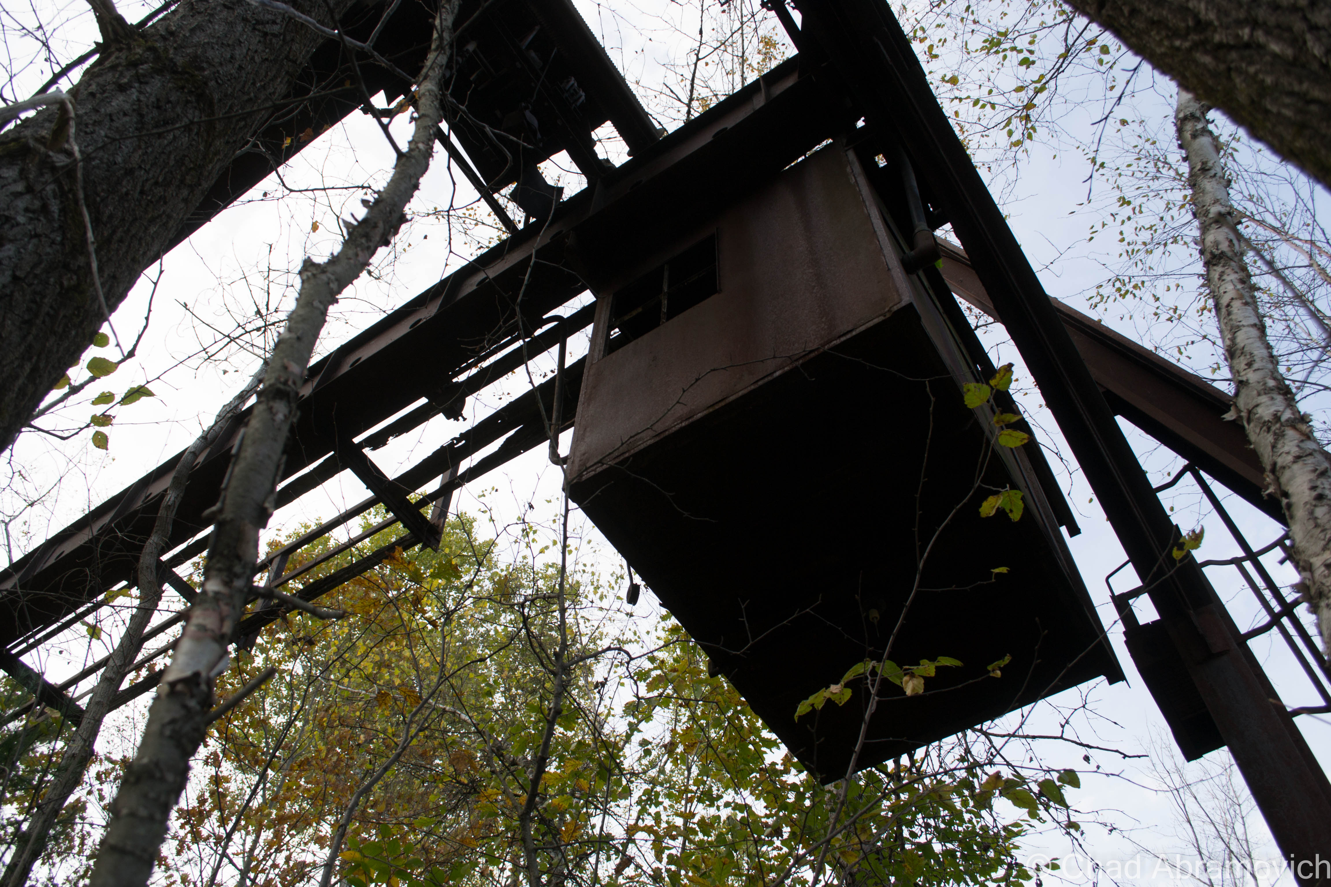
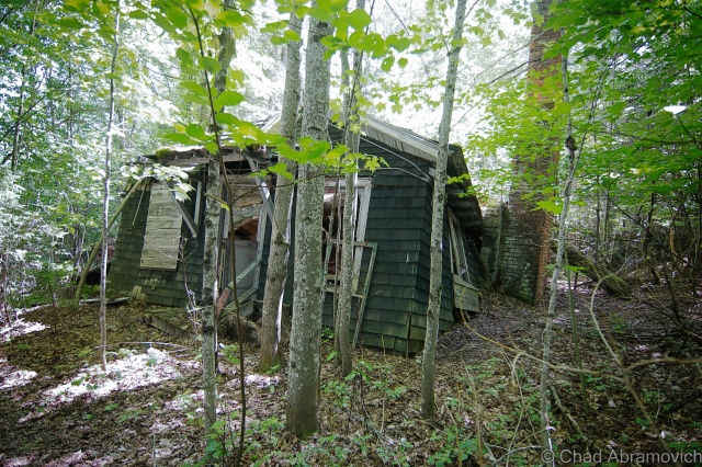
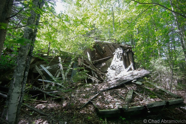
A few yards down the trail and the looming shapes of the mine buildings began to take form, towering far above my head, their colors almost lost to the heavy purple skies above. This was far larger then I had thought it would be. Now my excitement was growing, there was so much to see and so little time. Not wanting to feel rushed, but wanting to try to get as much shooting in as possible, we began to investigate.
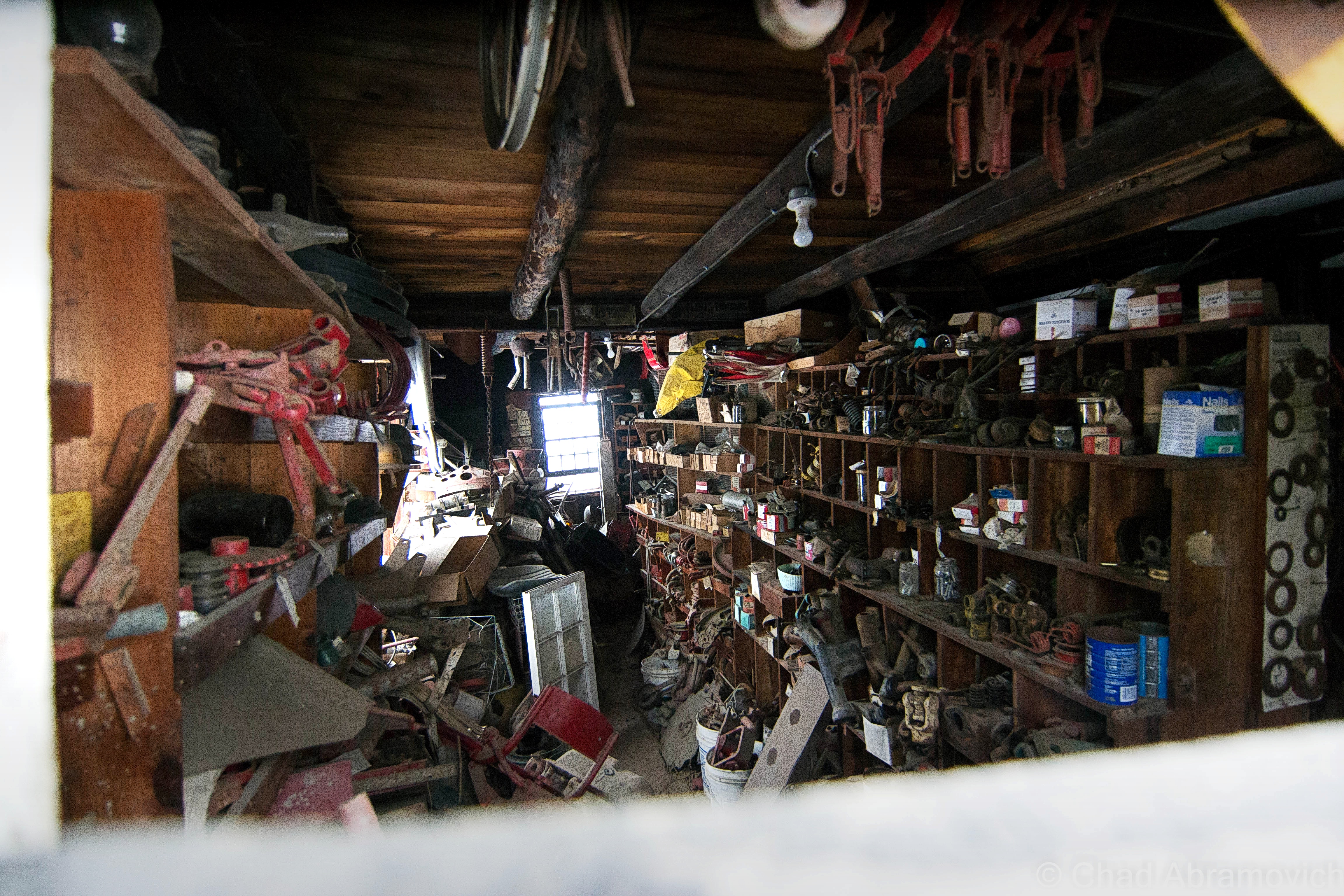
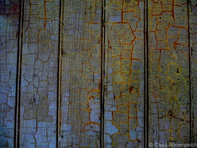
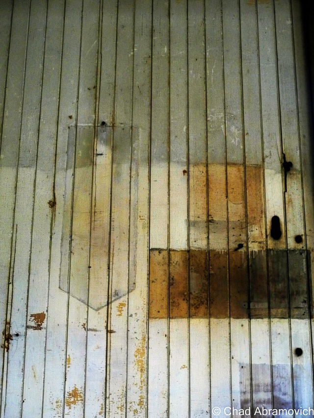
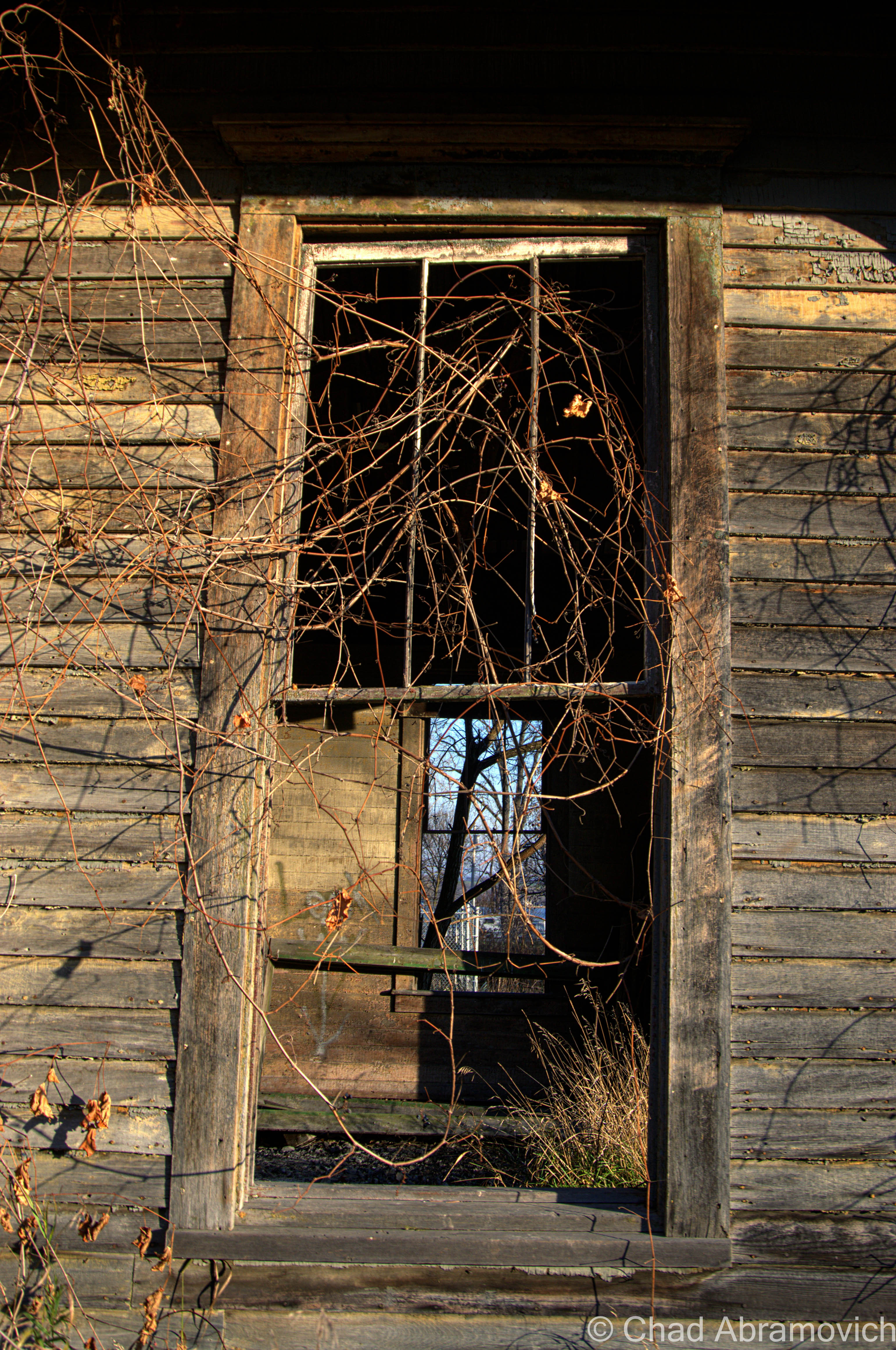
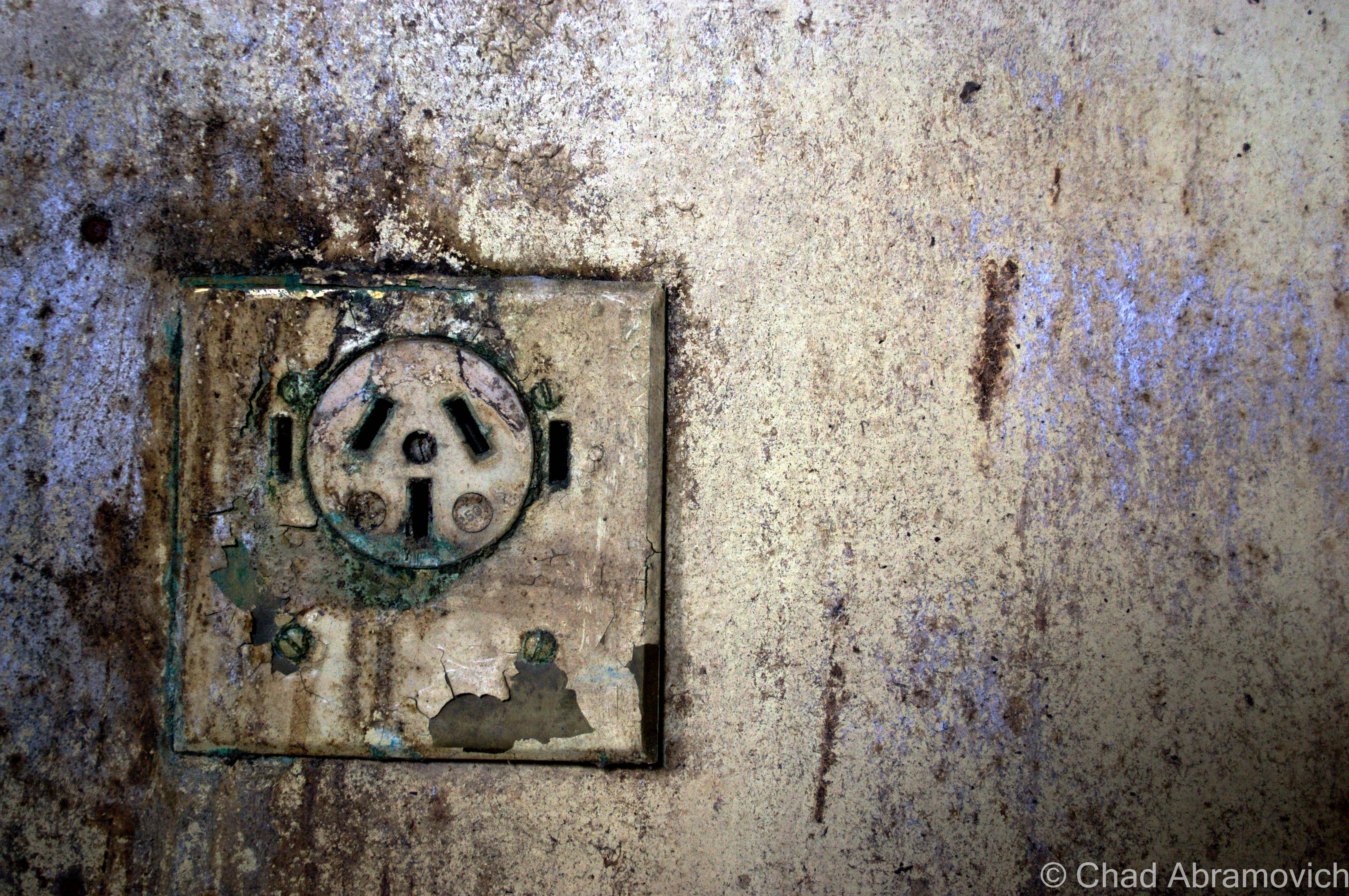
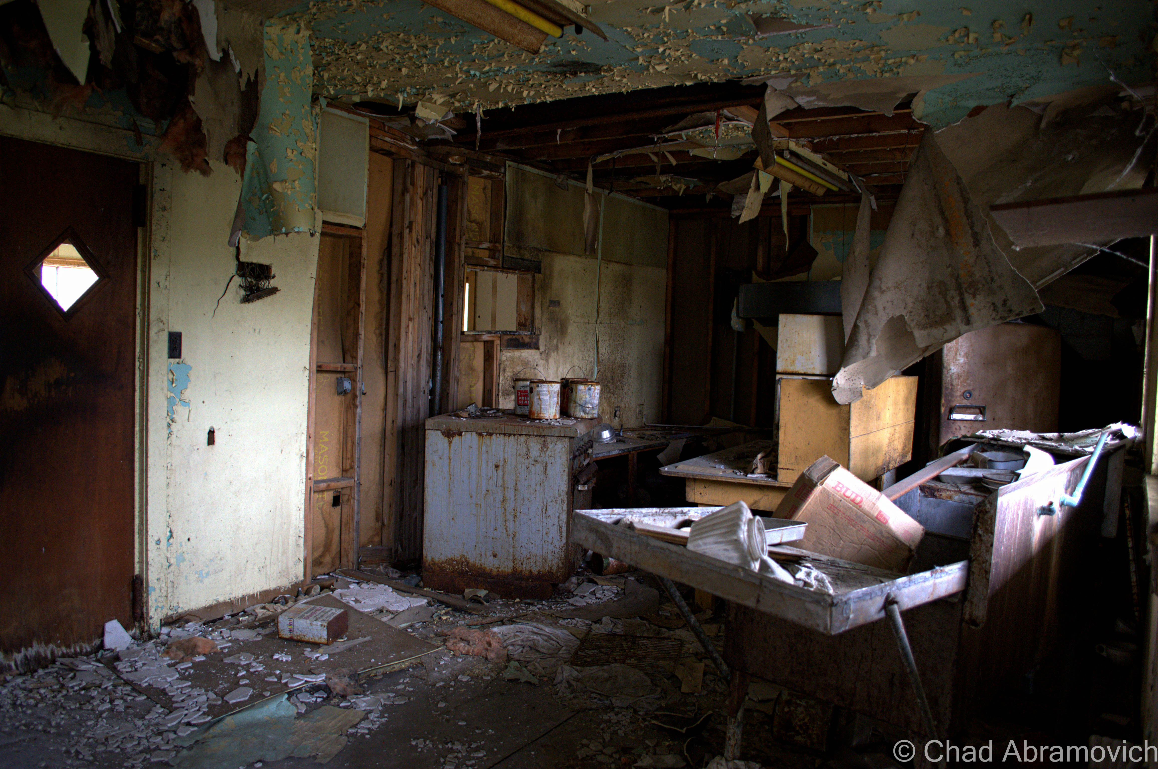
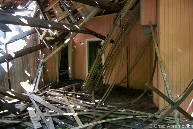
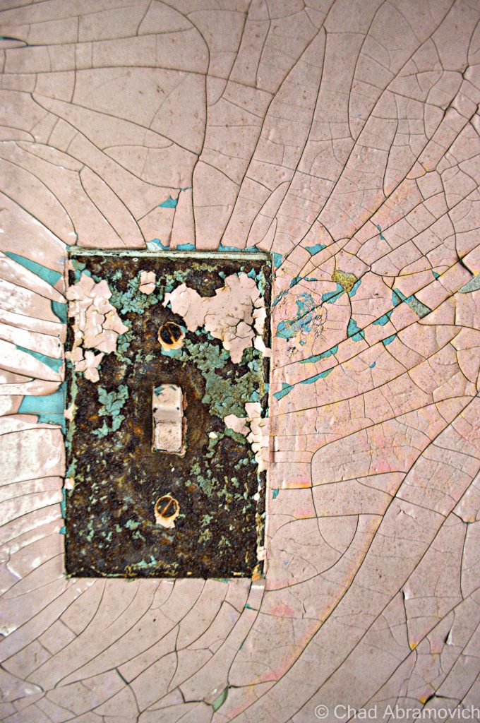
The rusted tin, weathered cinder blocks and massive round silos all competed for attention. Each building was very large, the broken windows allowing some of the darkened interior to bleed out. It was almost overwhelming. Which one first? Do we go inside now, or do we walk around outside a little more and get exterior shots? Now a new thought entered my mind. The woods had grown into a startling stillness that I had never heard until then. The entire property was silent, the only noises were the wind occasionally blowing some rusted tin which echoed through the industrial catacombs of the interiors. It was an imposing place.
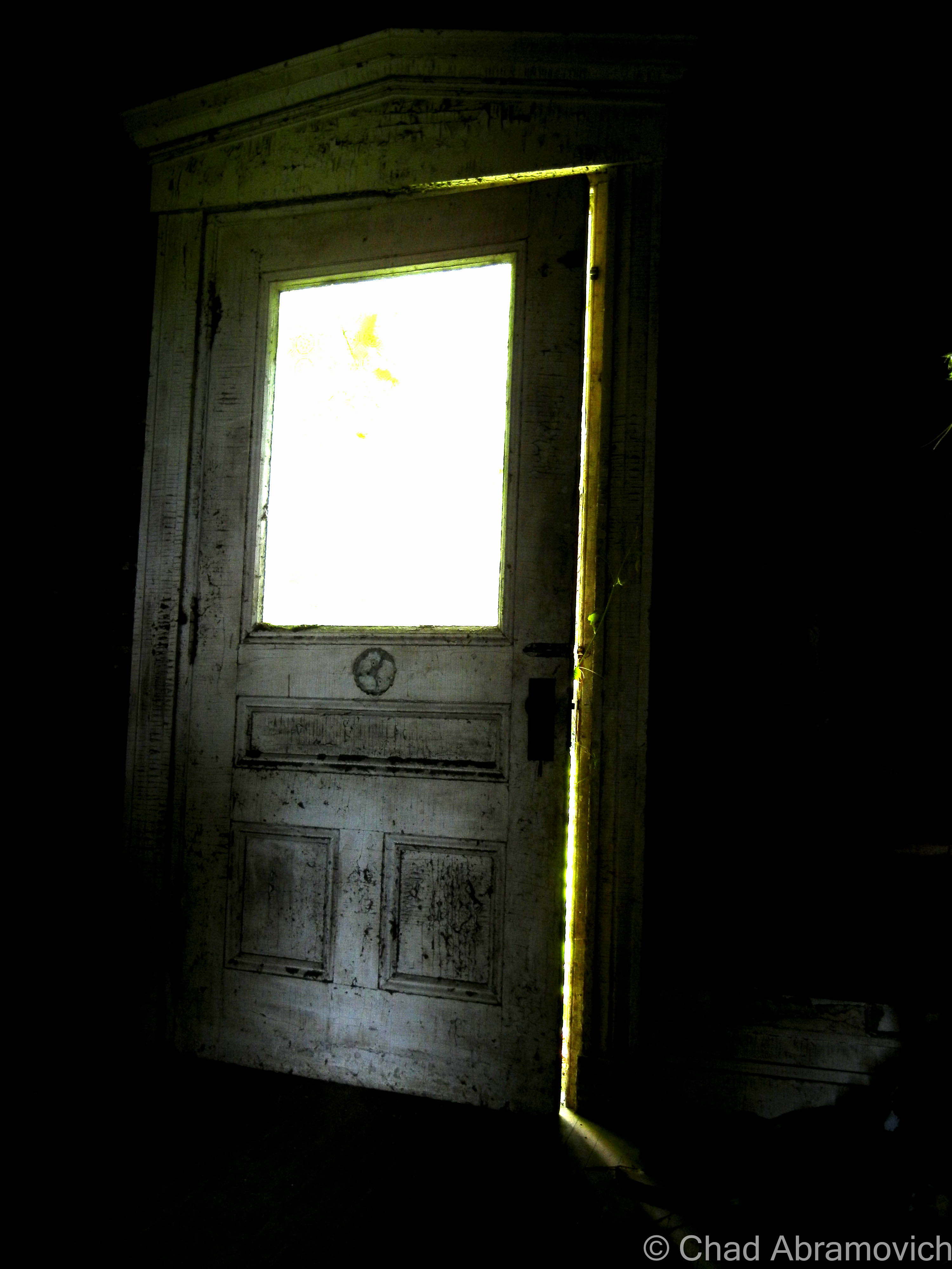
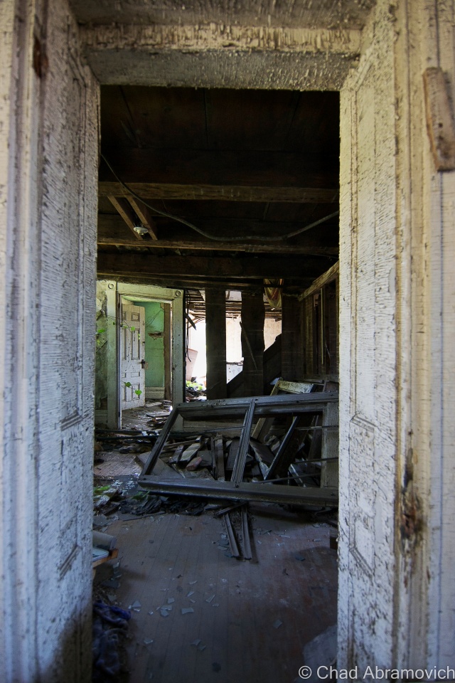
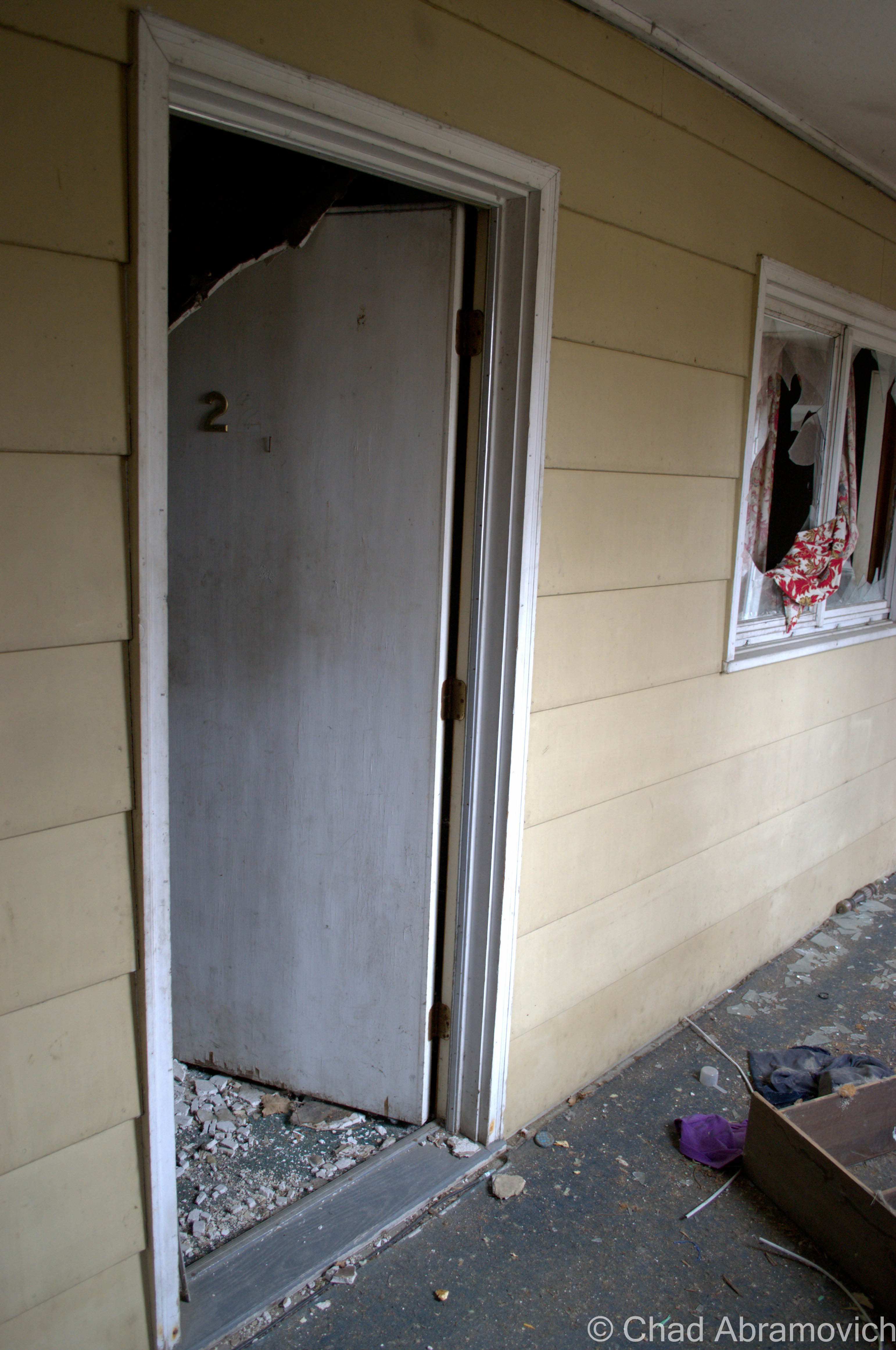
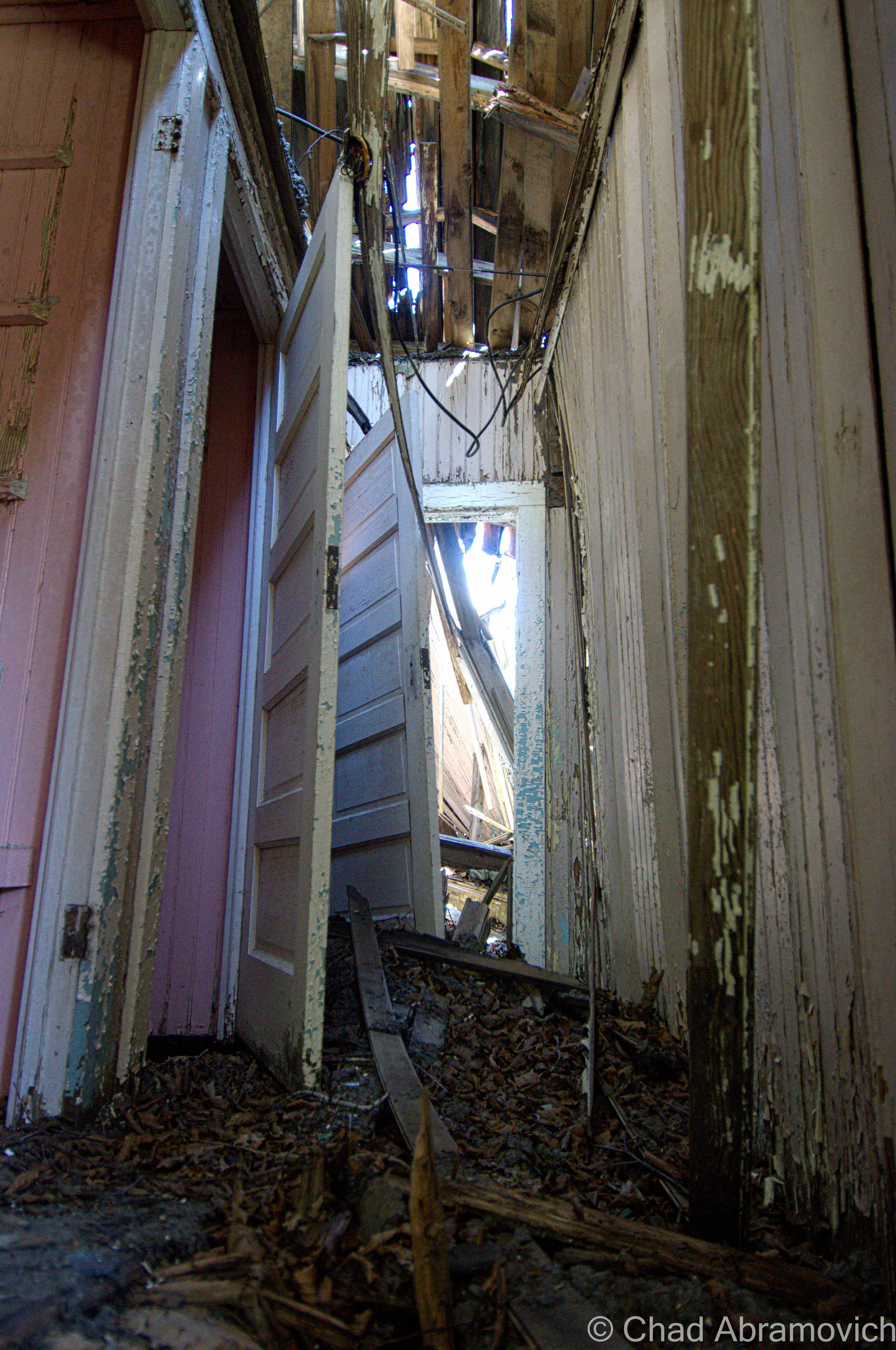
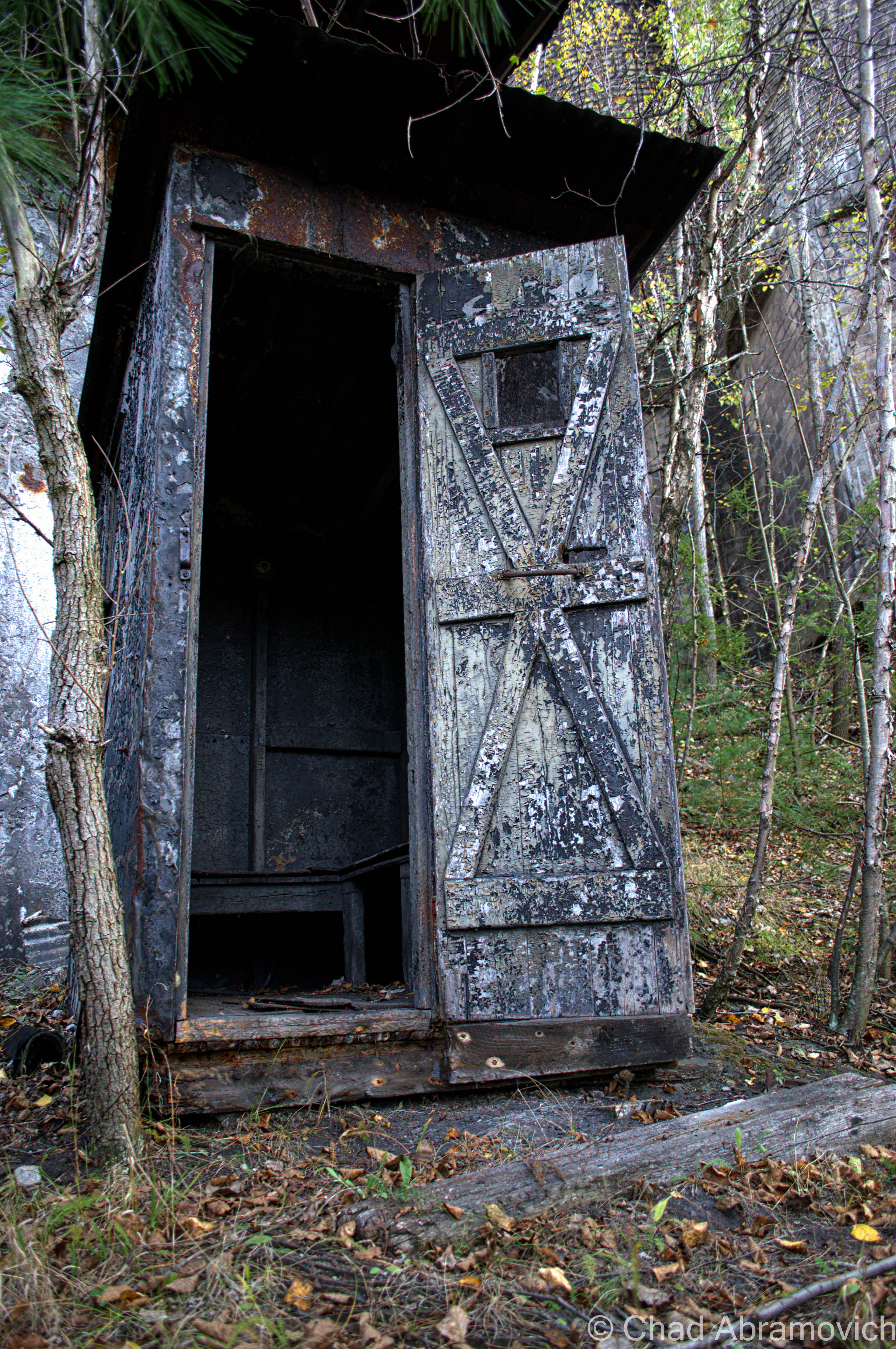
Trudging cautiously, we made our way up to a rusted steel door that was left ajar. That was going to be our entrance inside. However, when my friend opened the door, a large steel pipe that had been propped on the top fell downwards and smashed against the hard concrete floor below, making a thunderous sound that danced through the empty warehouses and rusted steel catwalks. I bet every hunter in the area heard that noise.
The worried look on my friends face told me something was wrong. “It’s a booby trap” he told me in a whisper. “That guy I told you about, he set up booby traps to ensure people won’t trespass. shit!” Though I didn’t say anything, I found myself admiring his cleverness. A sound that loud he would have undoubtedly heard. I expected within a few minutes we’d hear the roar of an ATV coming our way, accompanied by a guy who just might kill us.
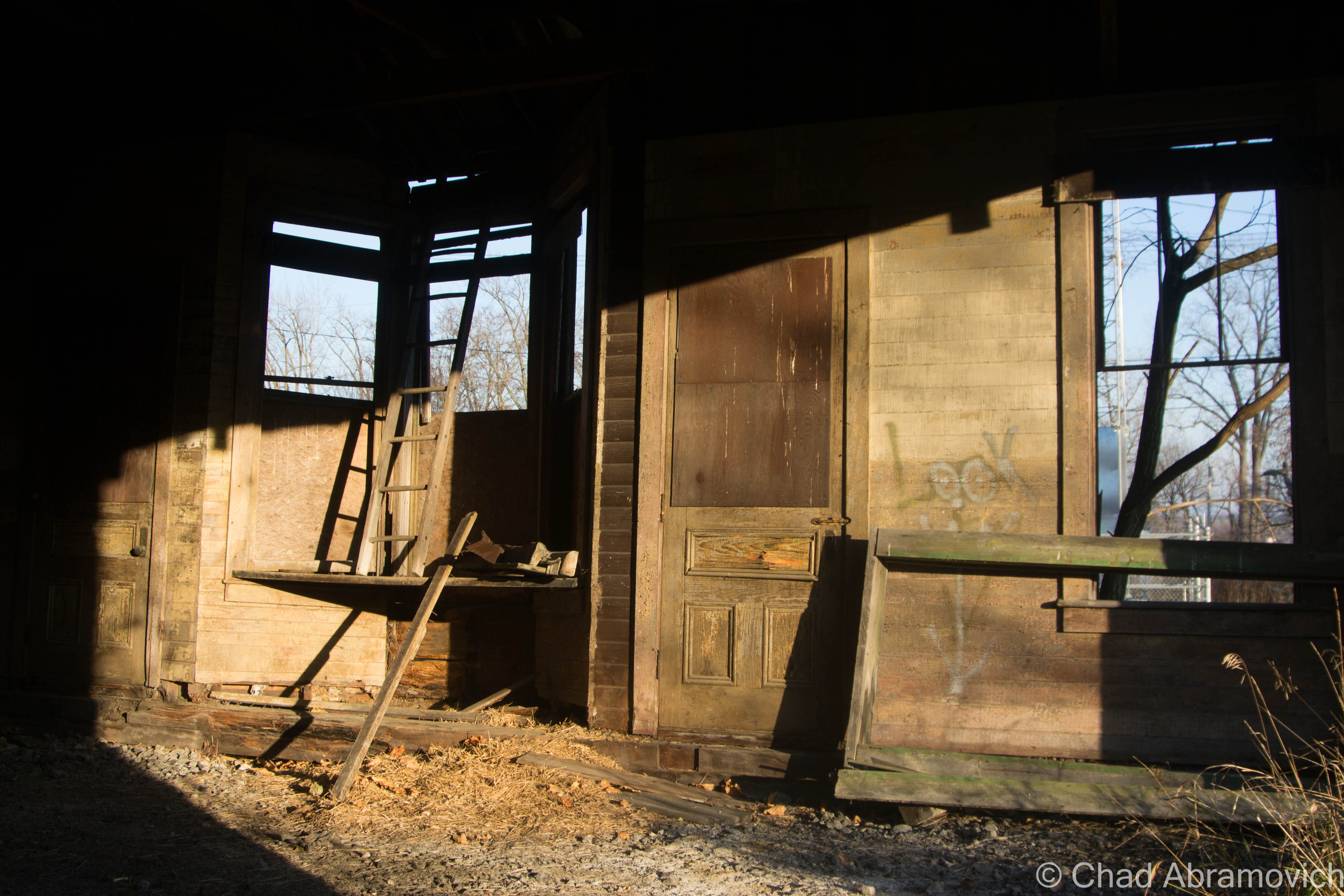
We waited with hushed breath, not making a move. And no one came. Coming to a mutual understanding, we tried the door again, this time letting the giant metal pipe down gently and quietly as possible. The second time proved to be more successful, and we quickly yet carefully darted into the shadowy interior.


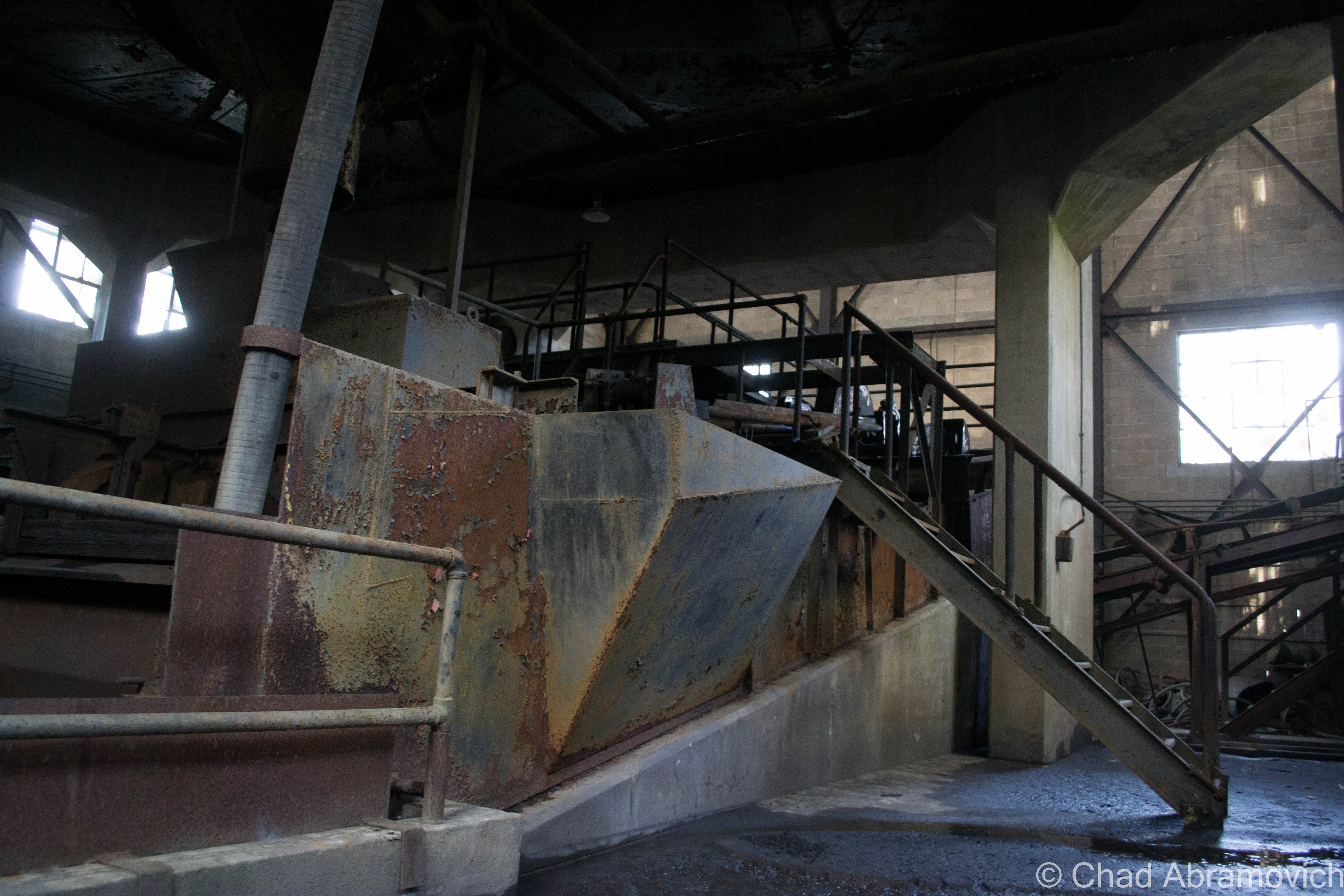

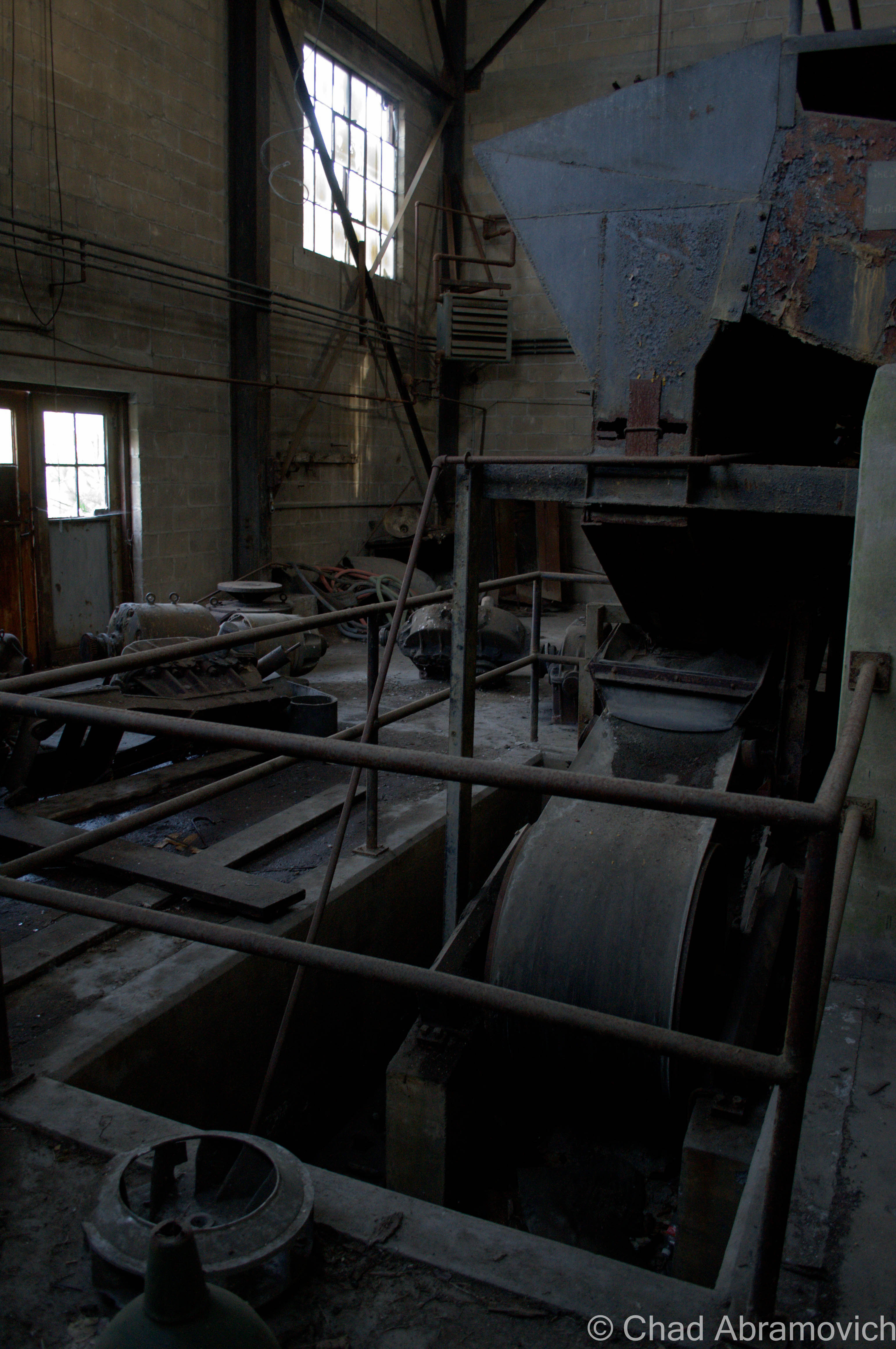
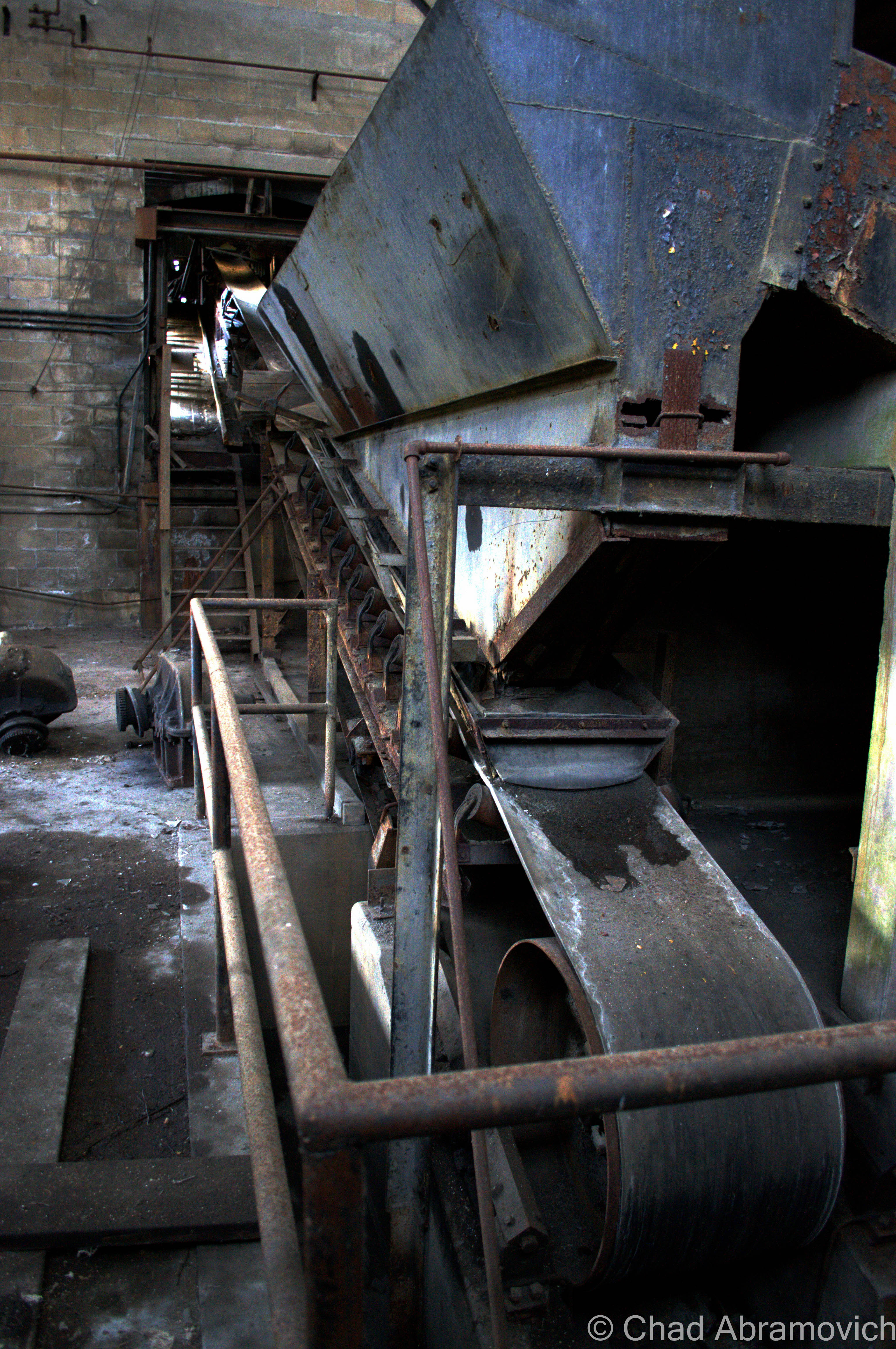
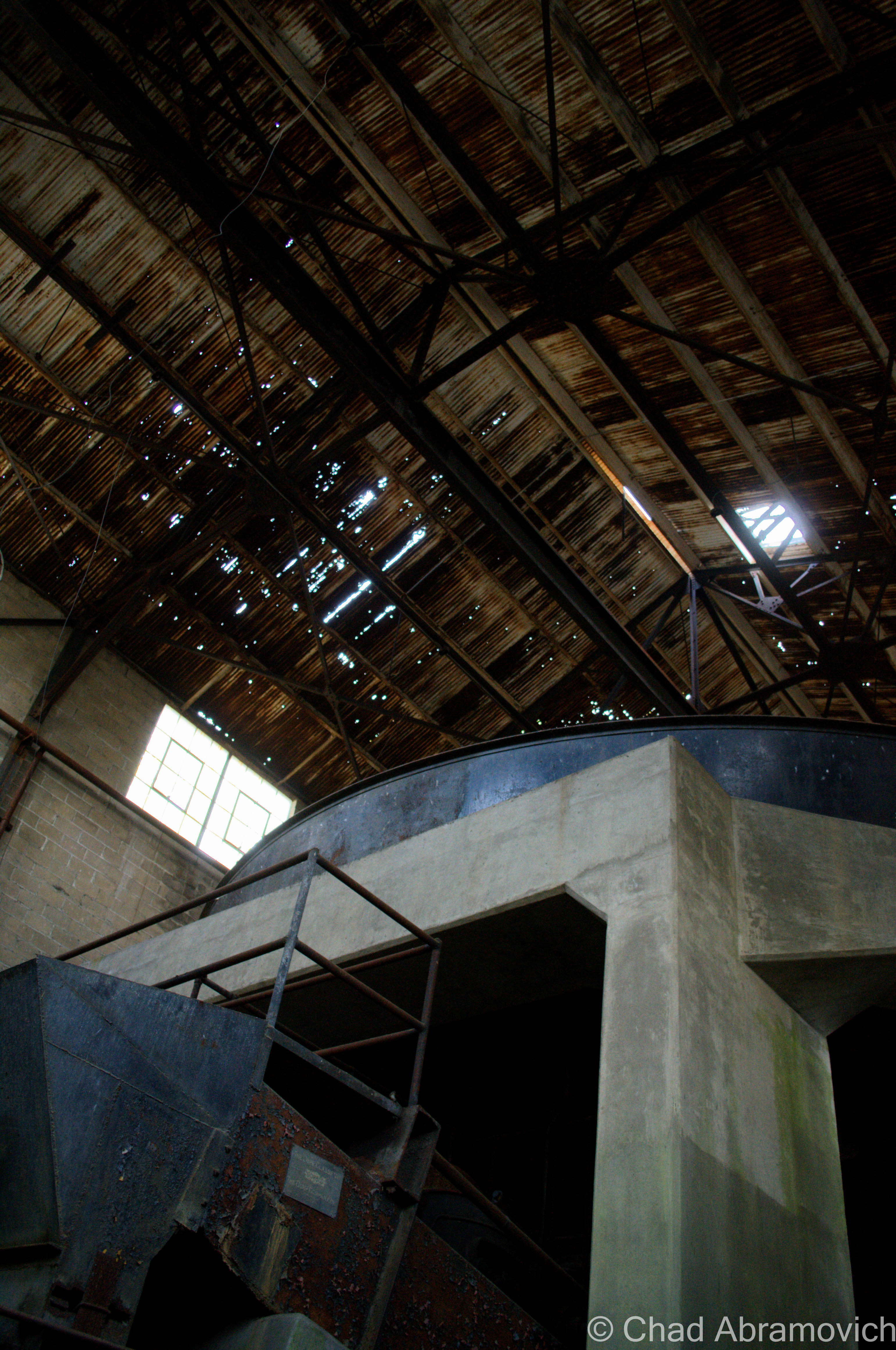


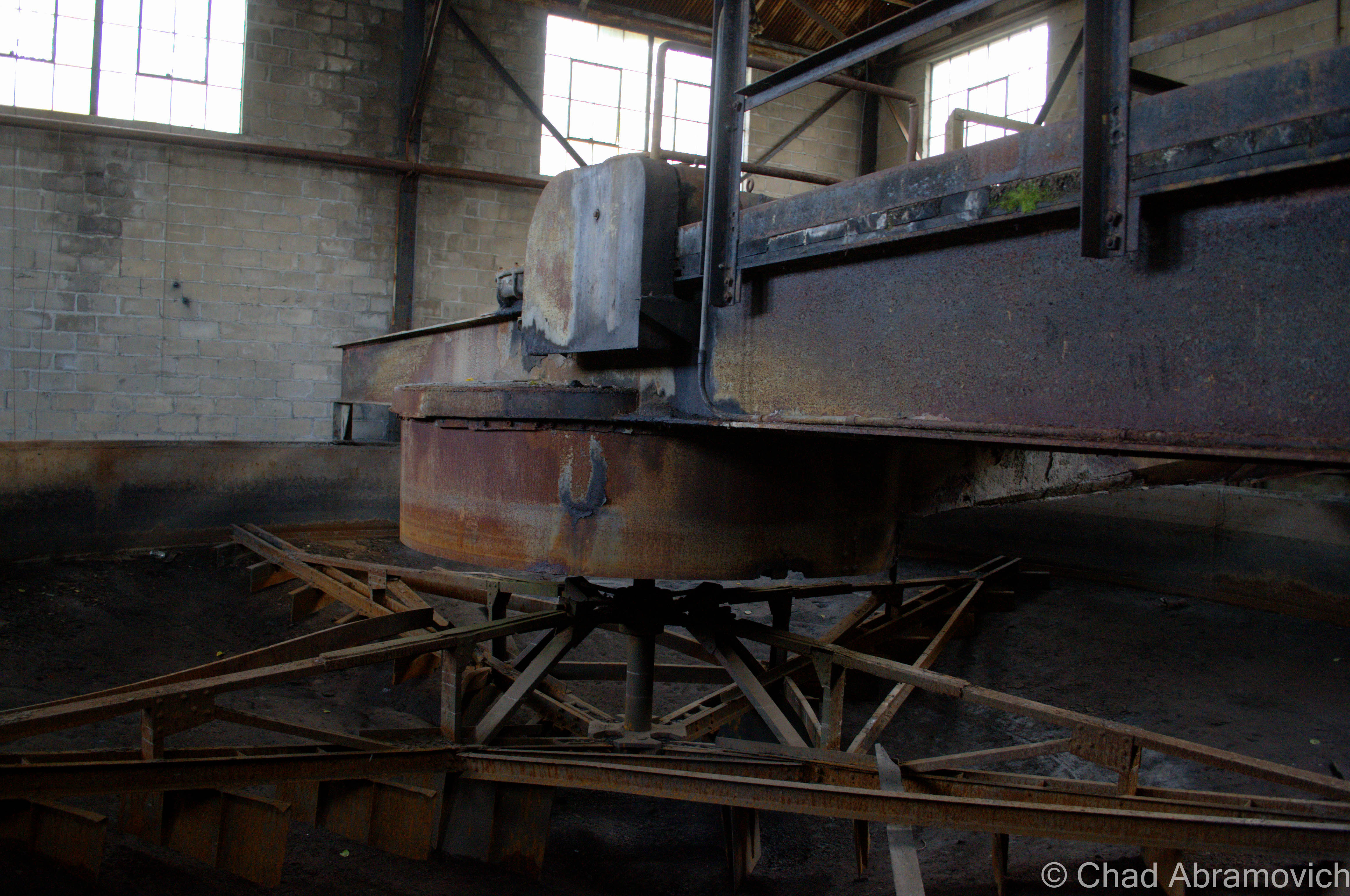
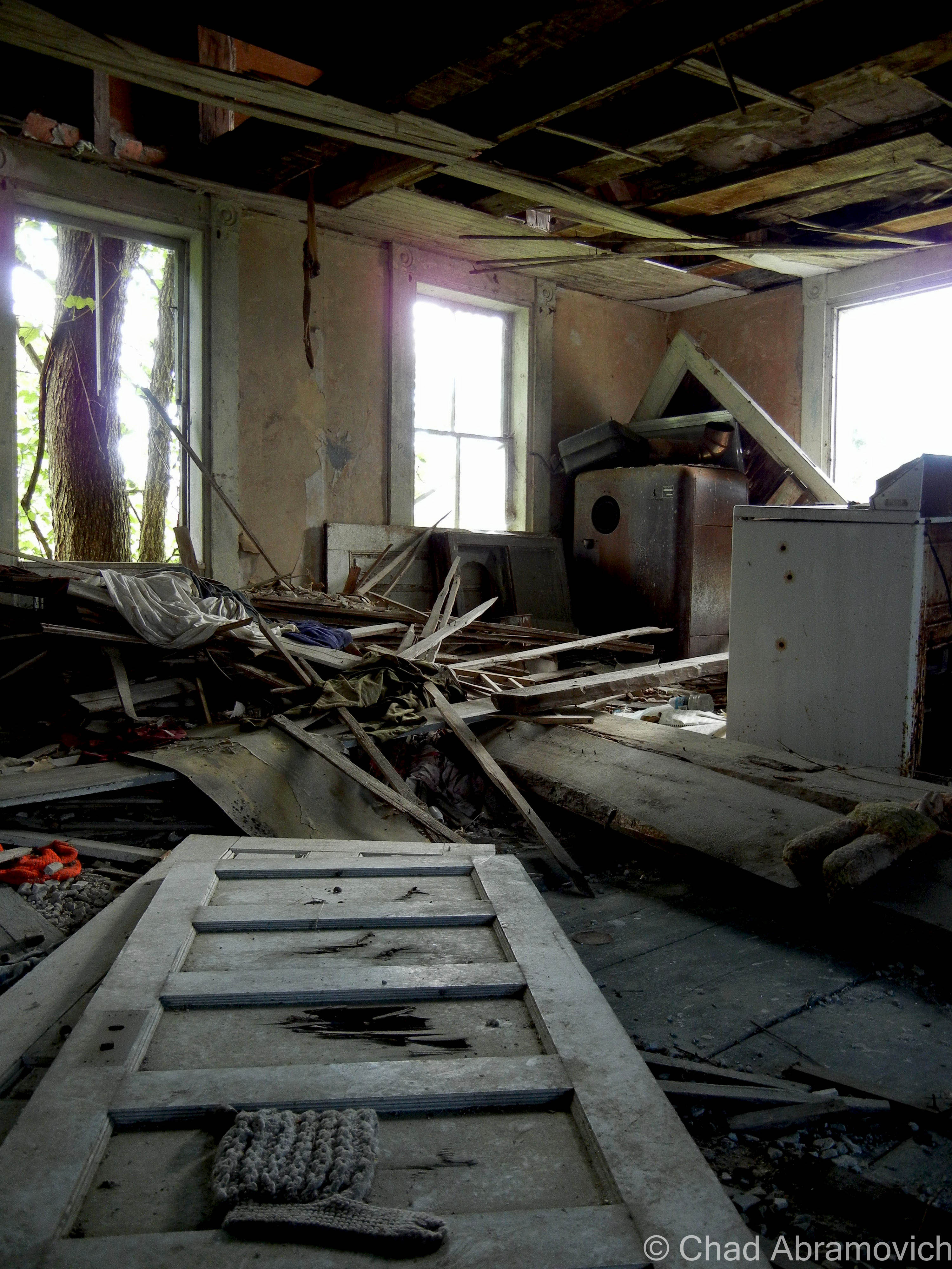
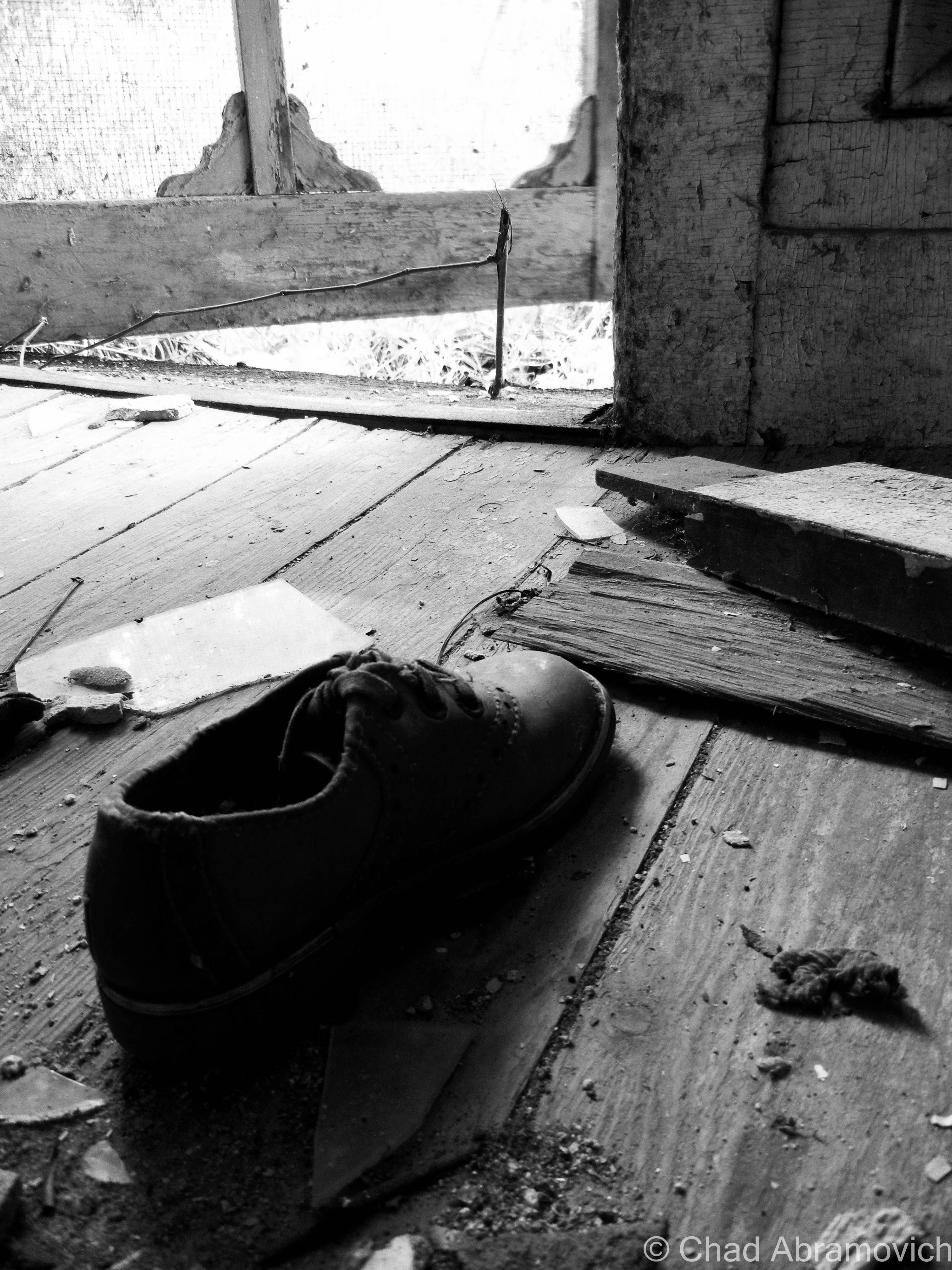
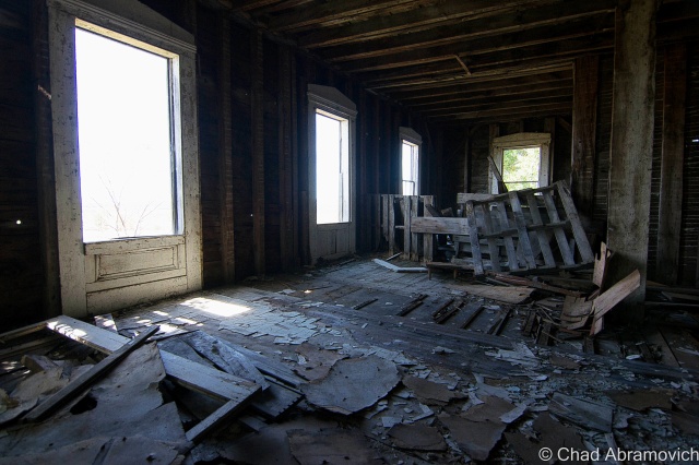
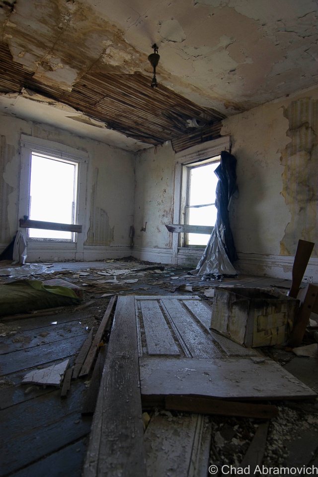
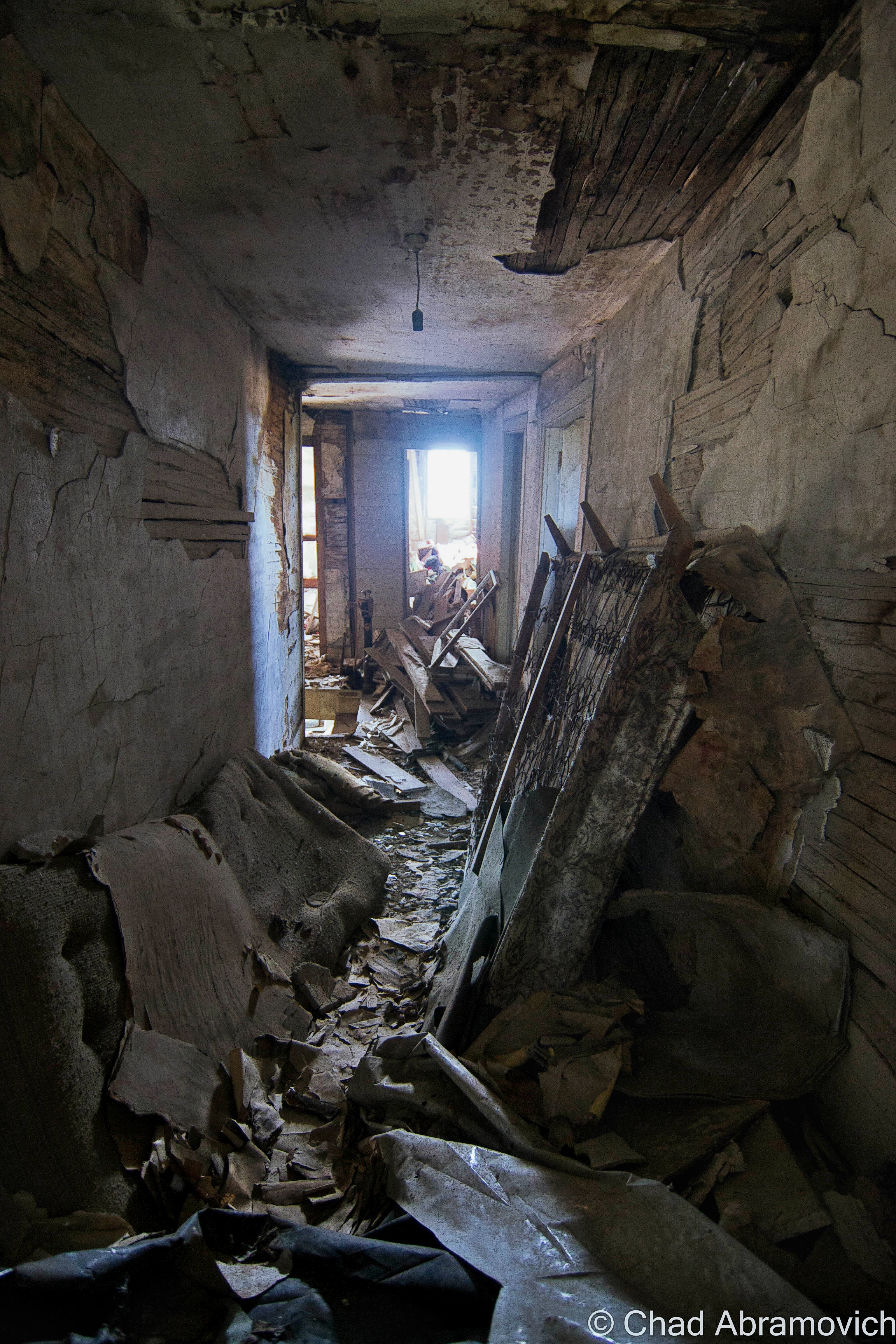
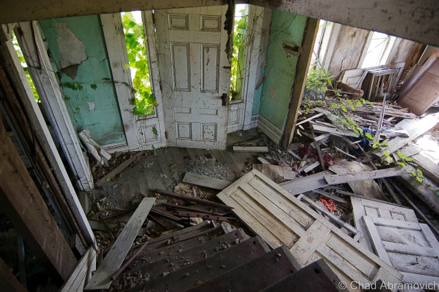
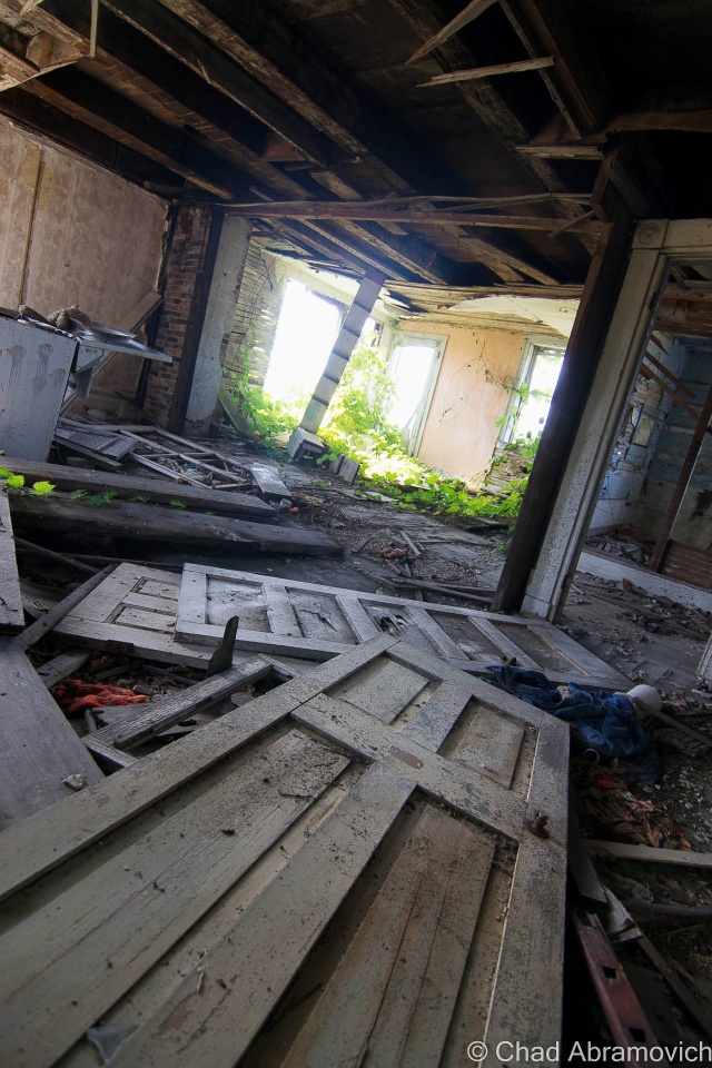
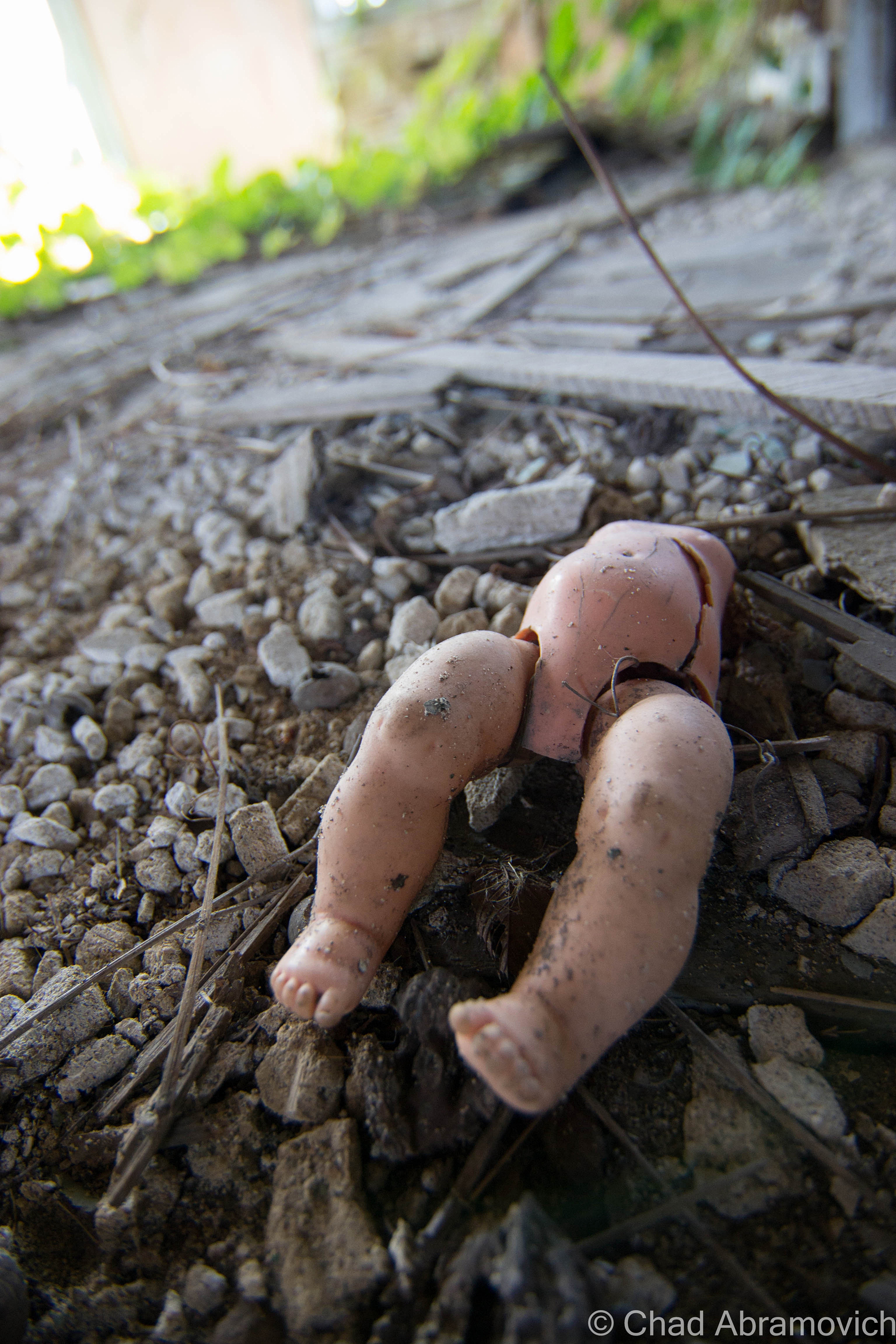
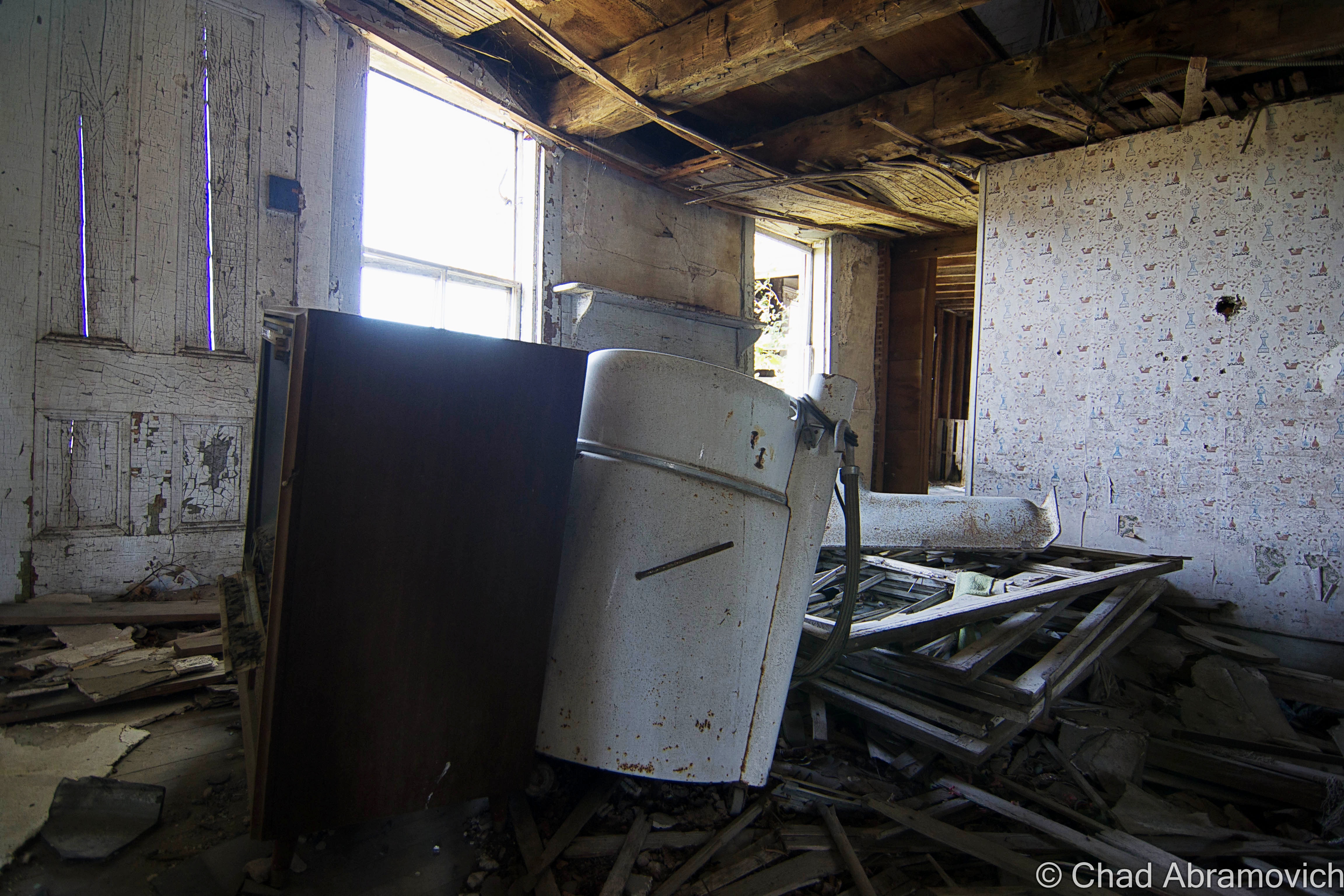
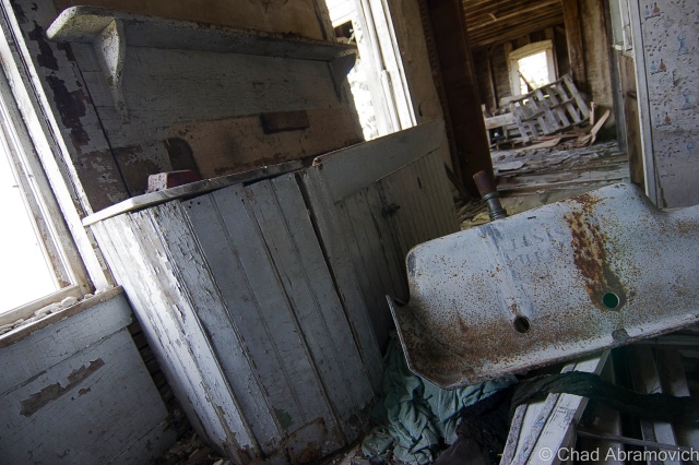
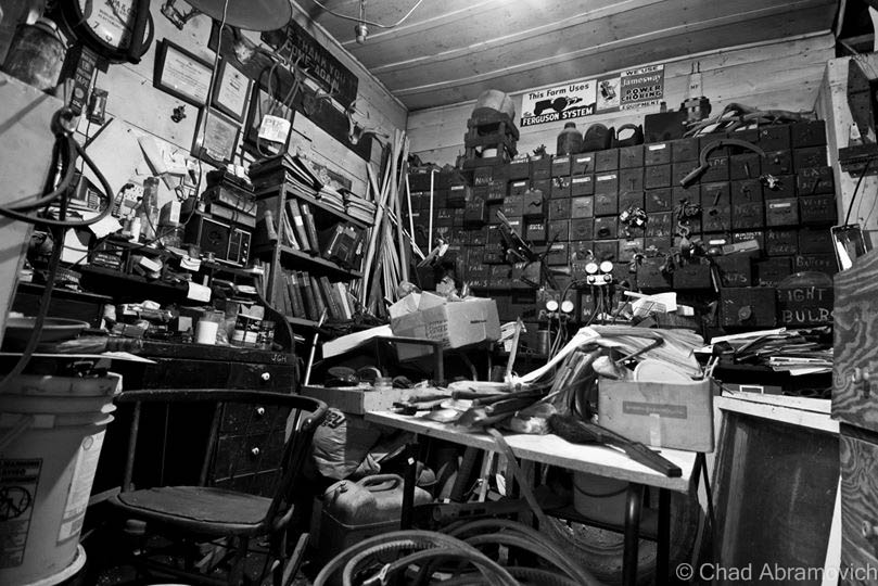
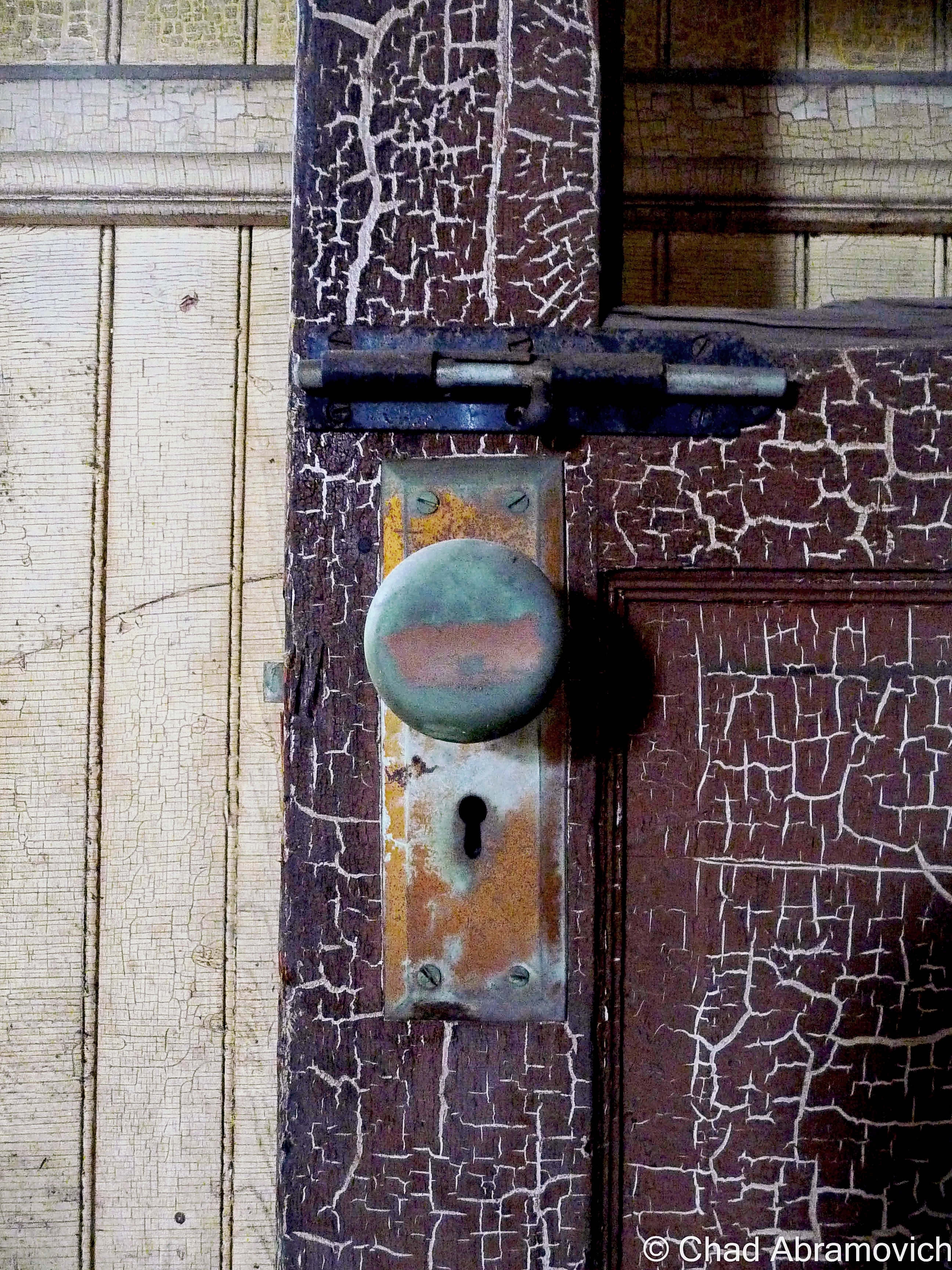
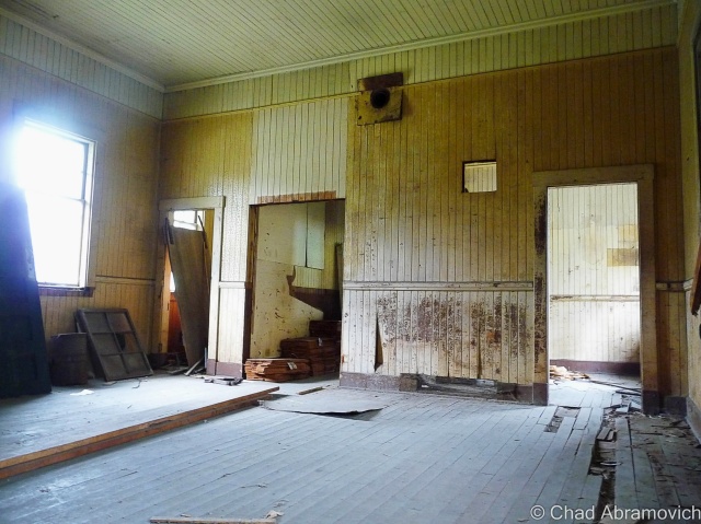
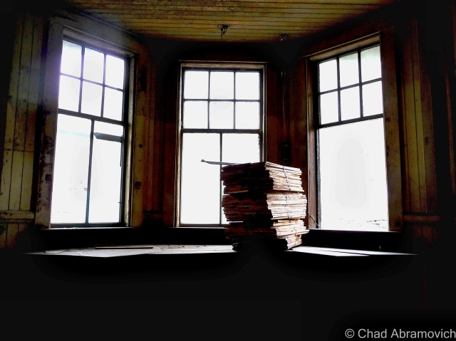
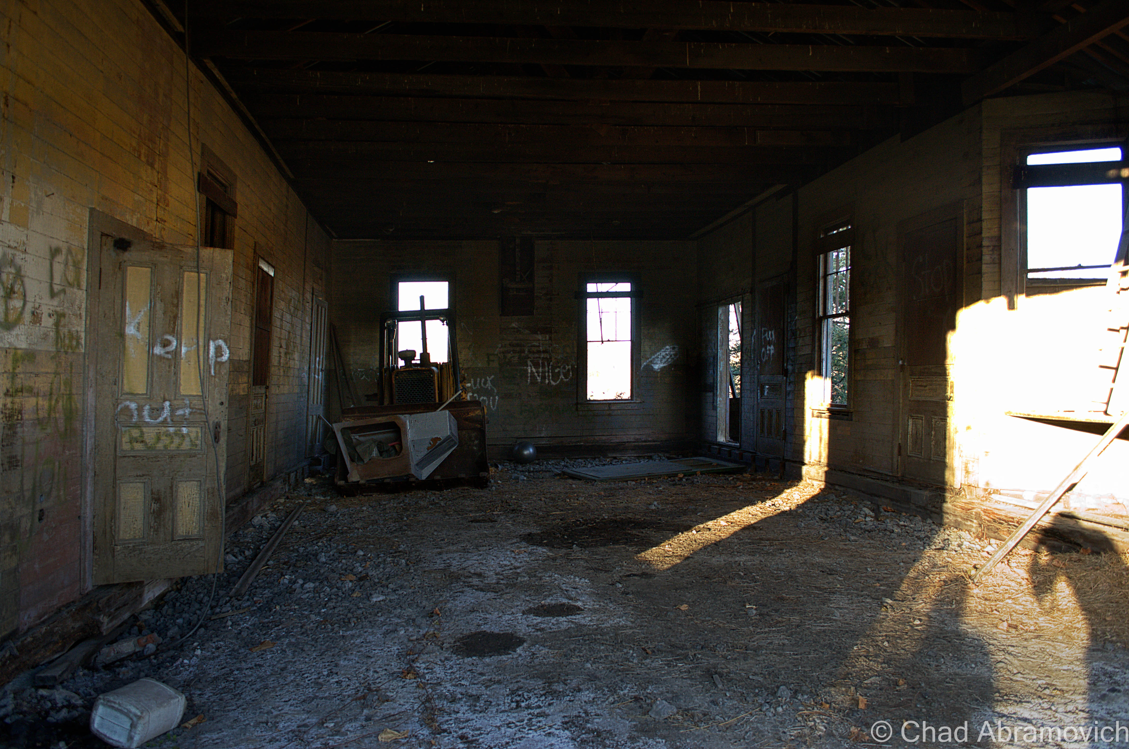
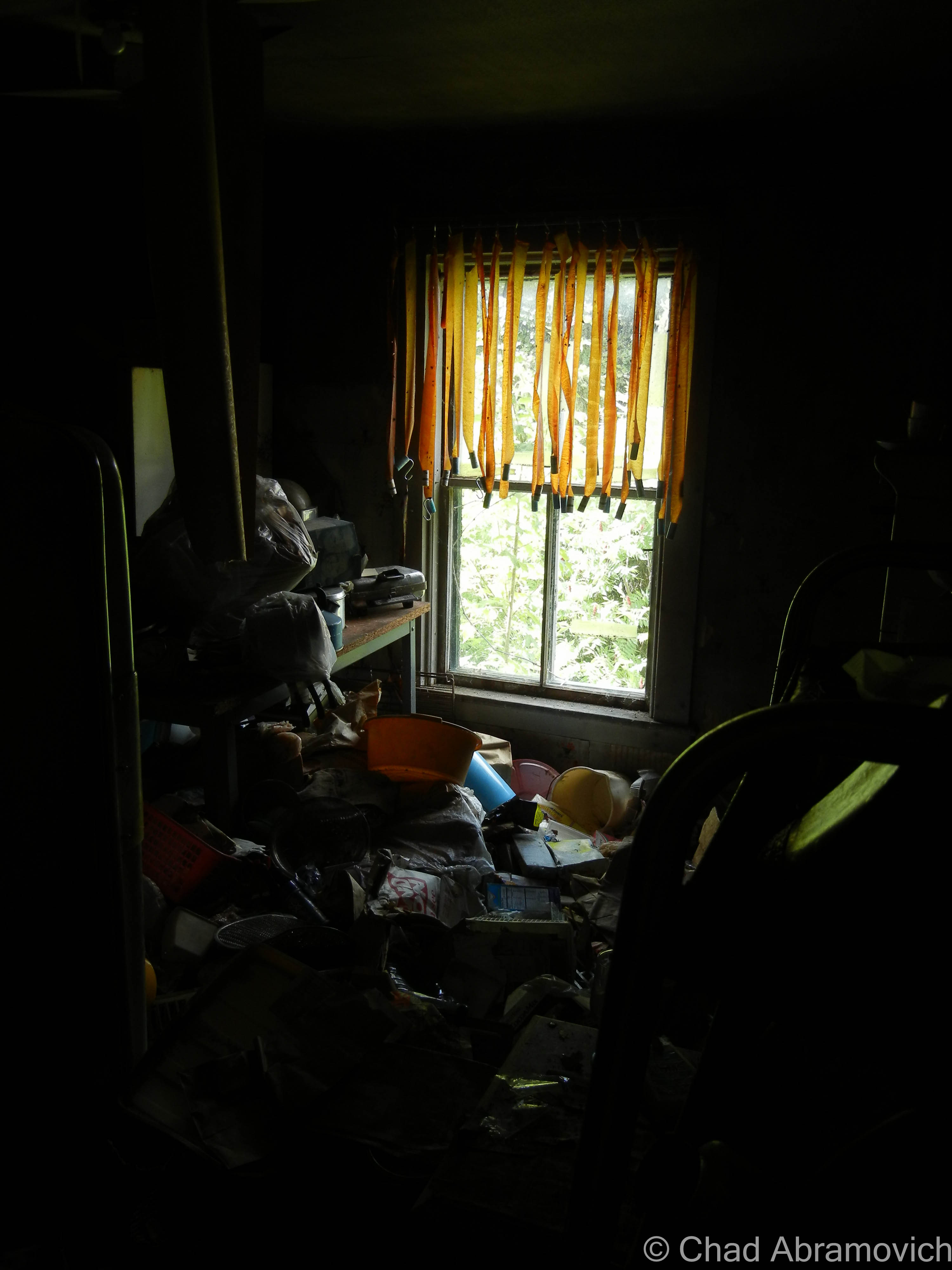
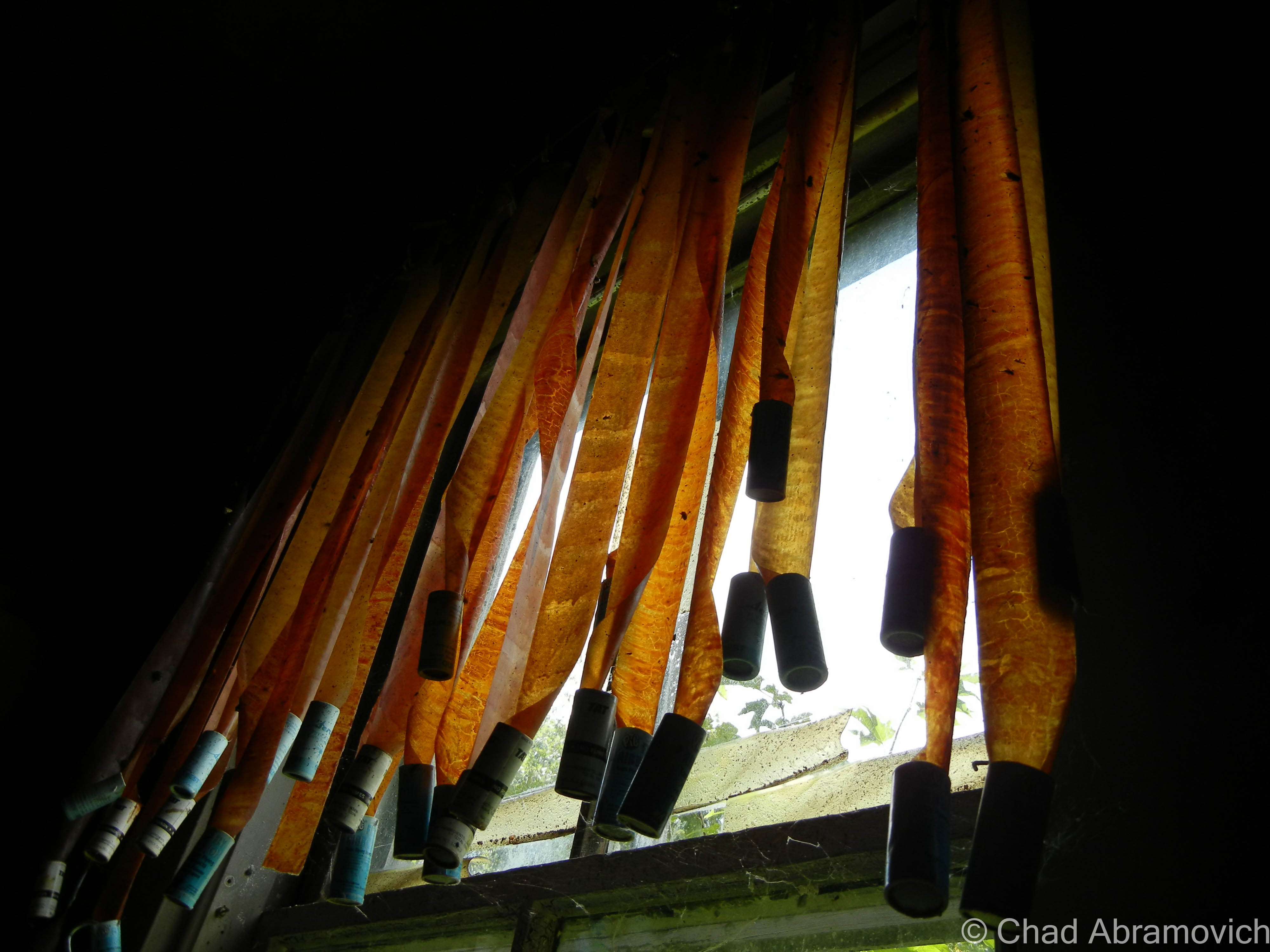
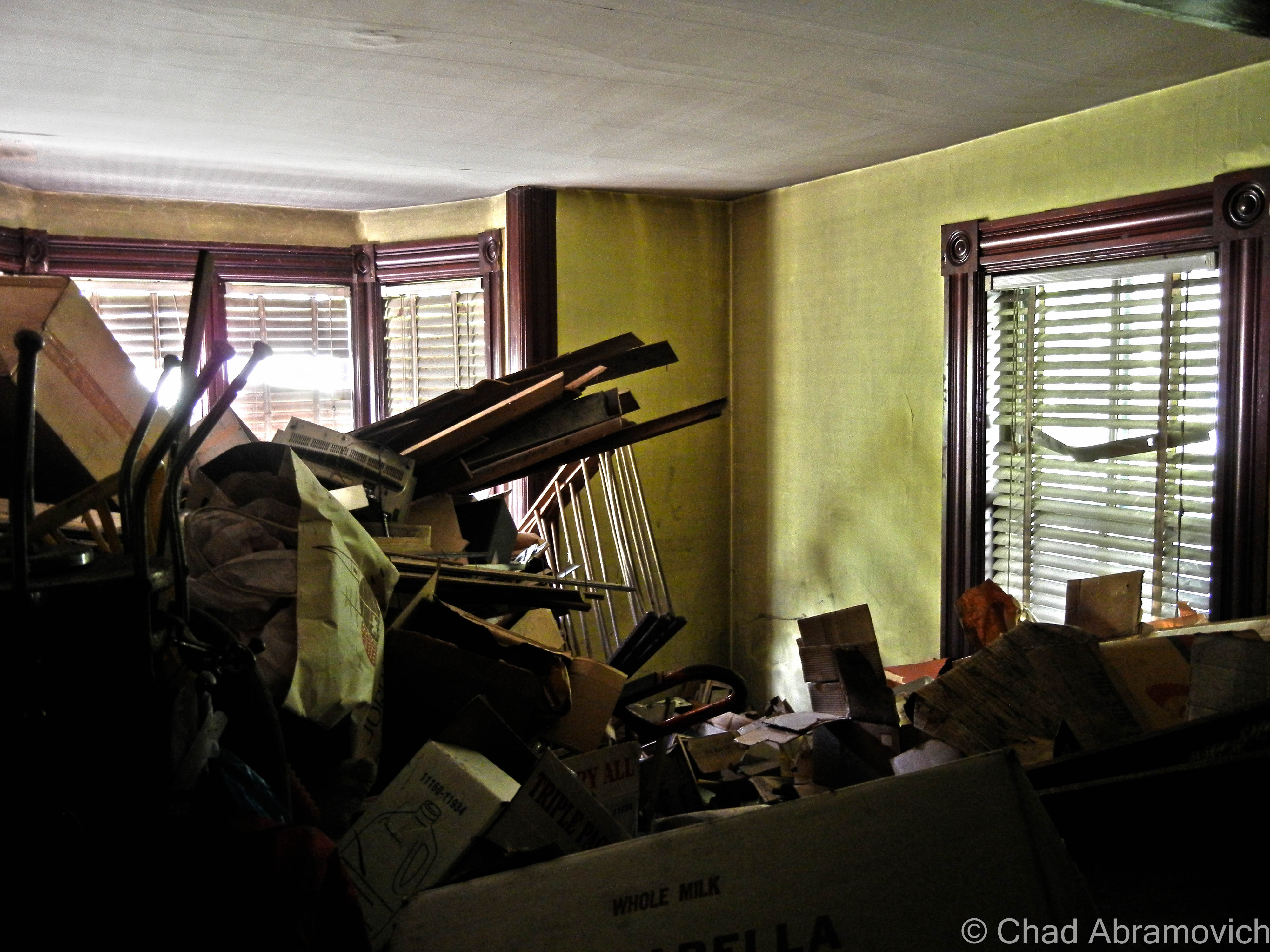
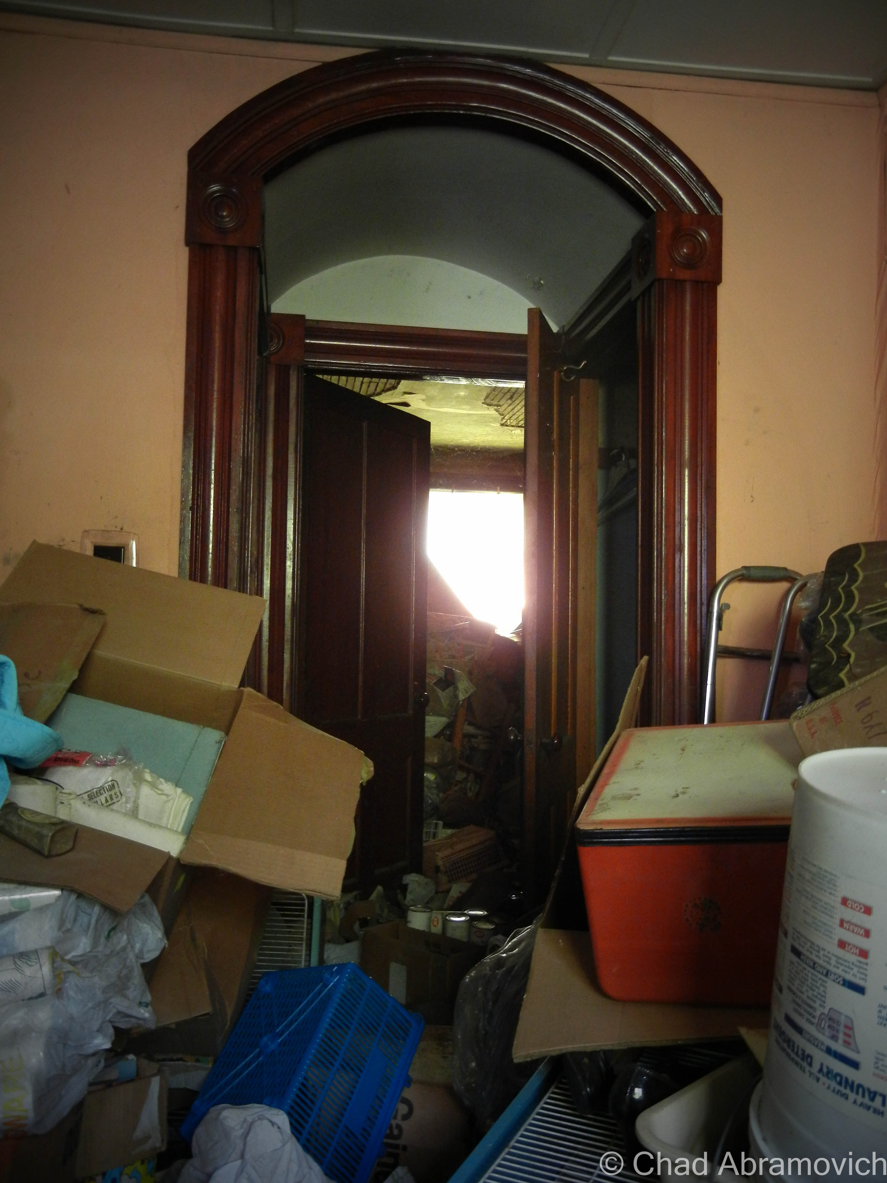
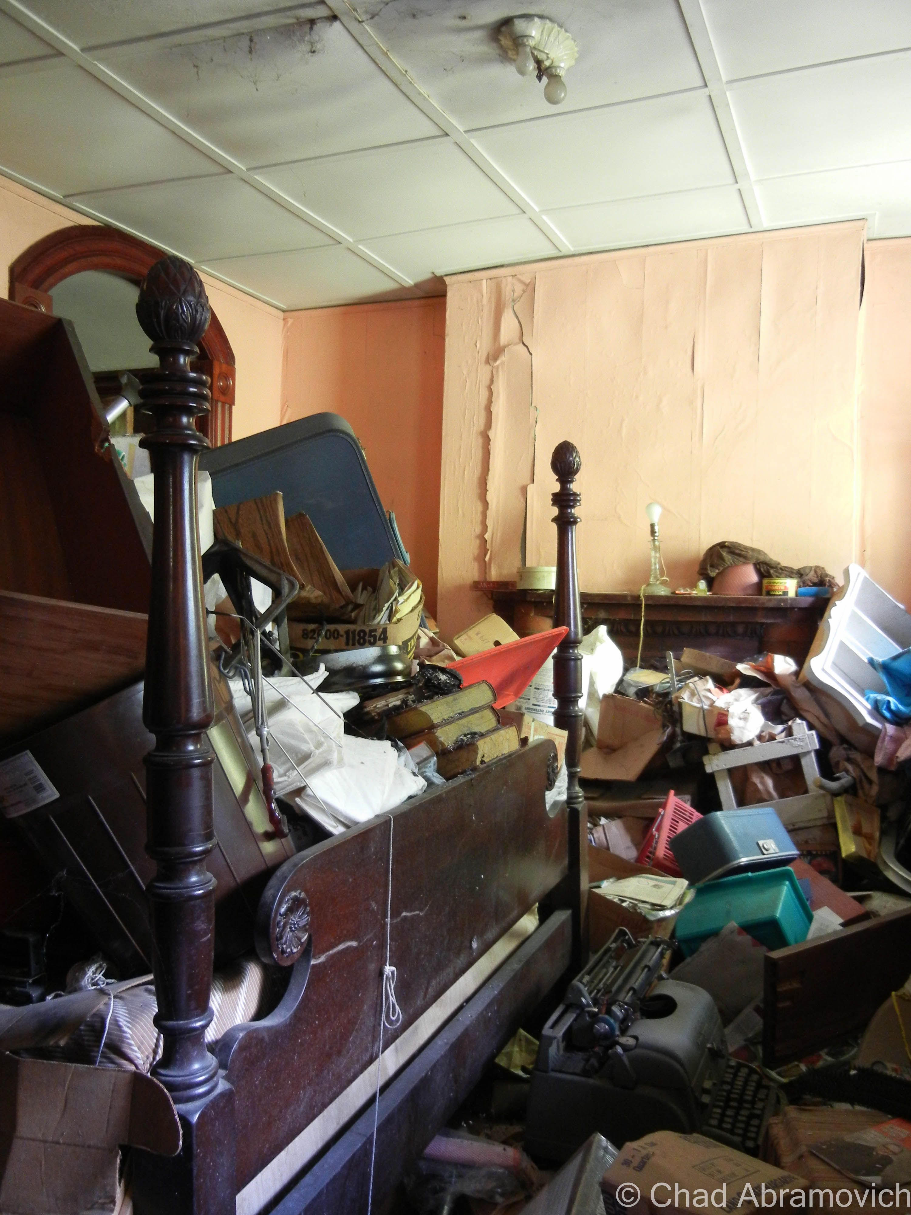
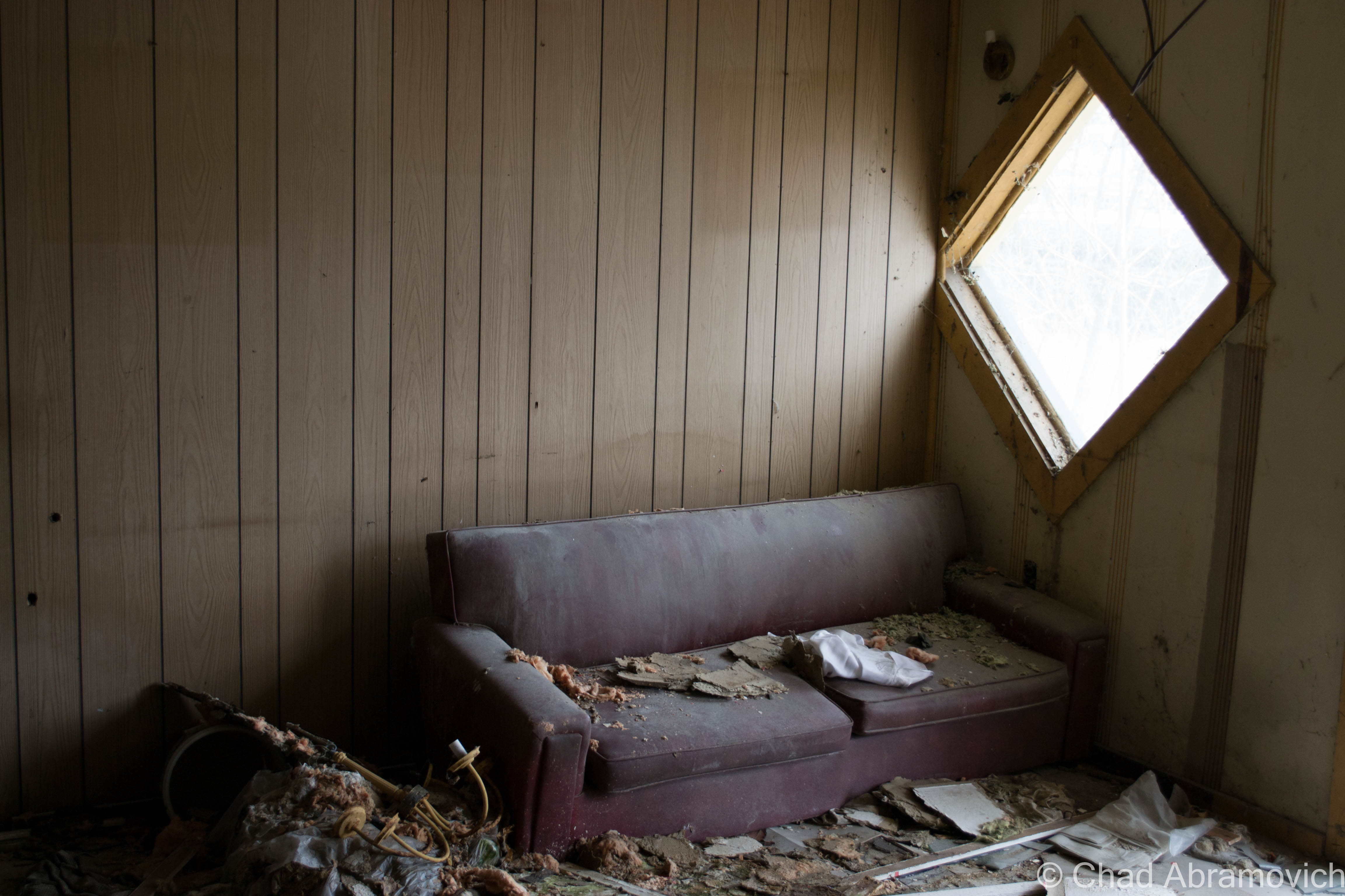
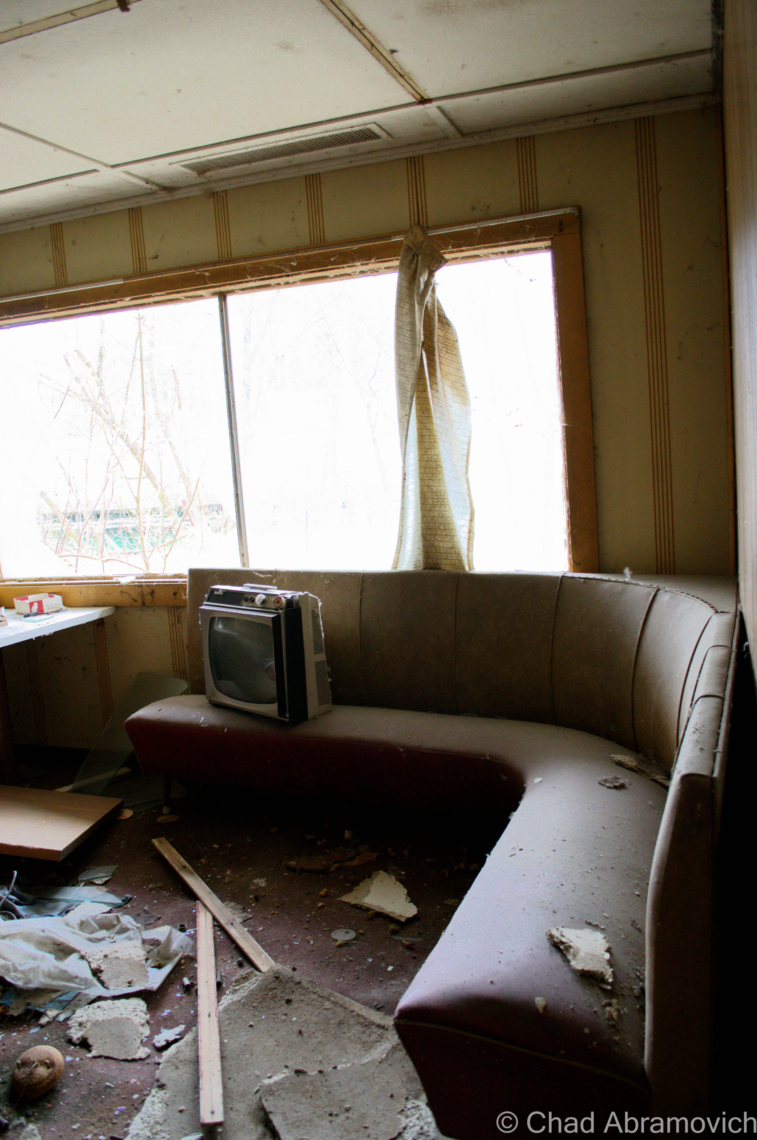
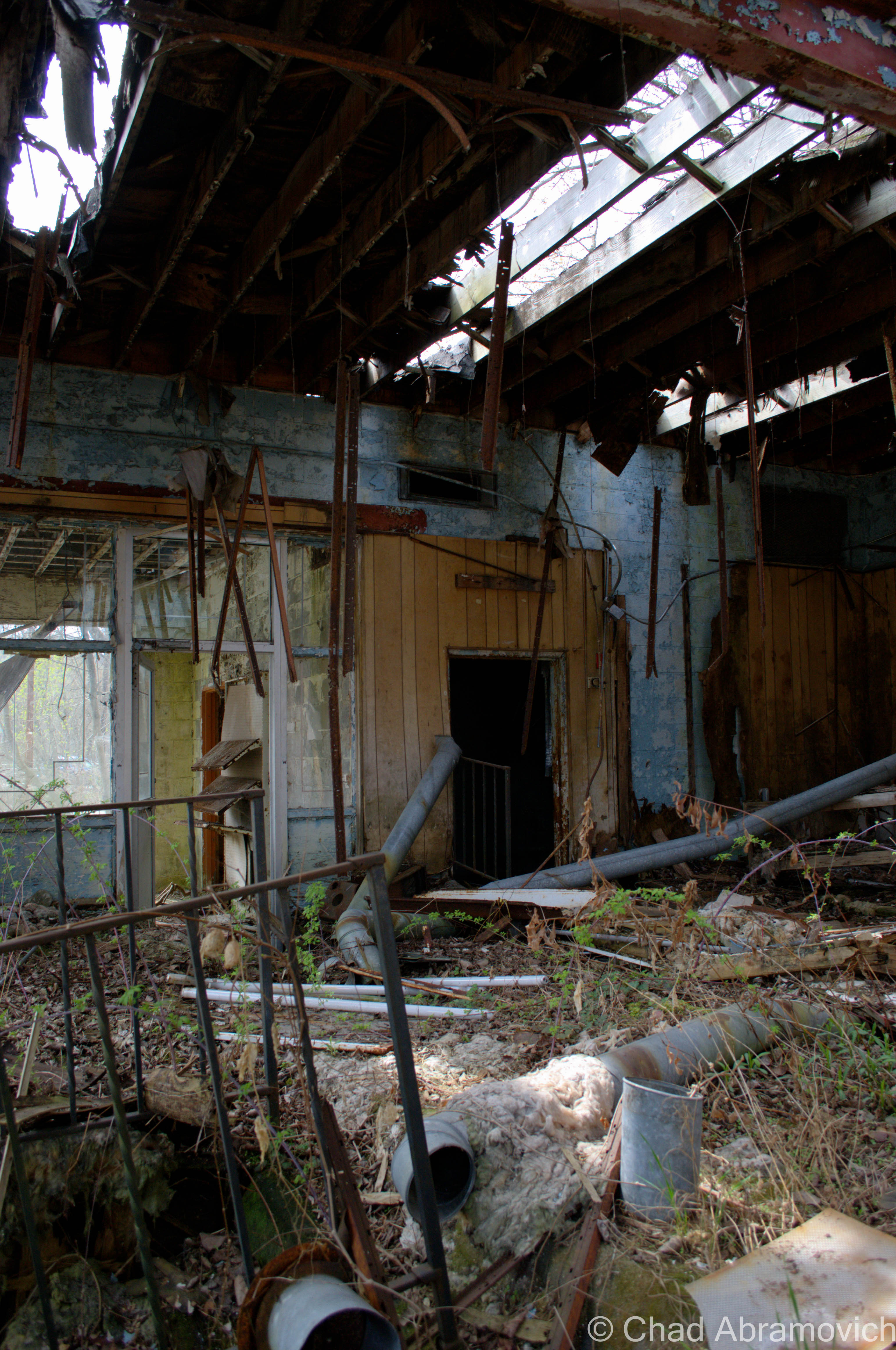
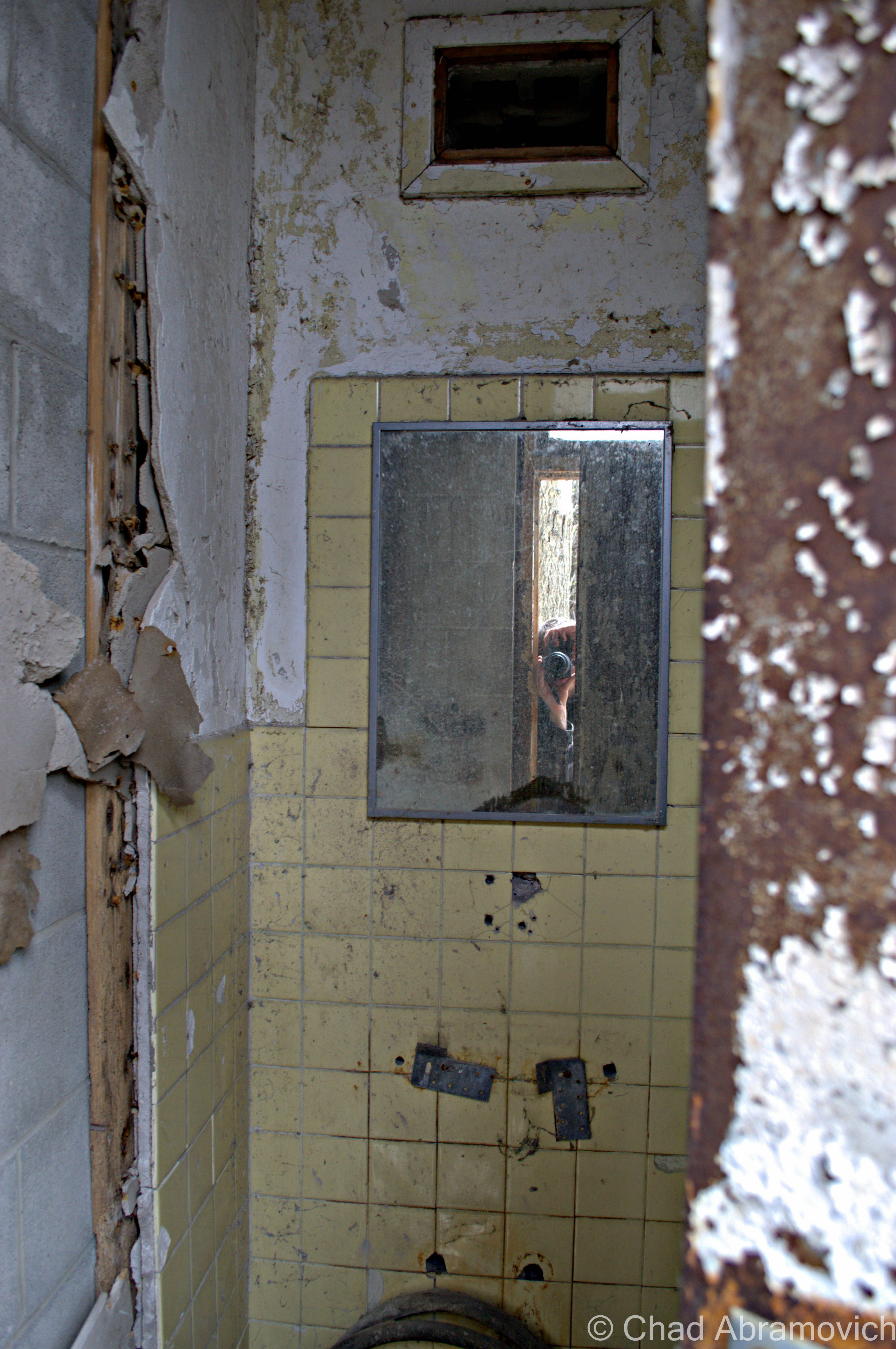
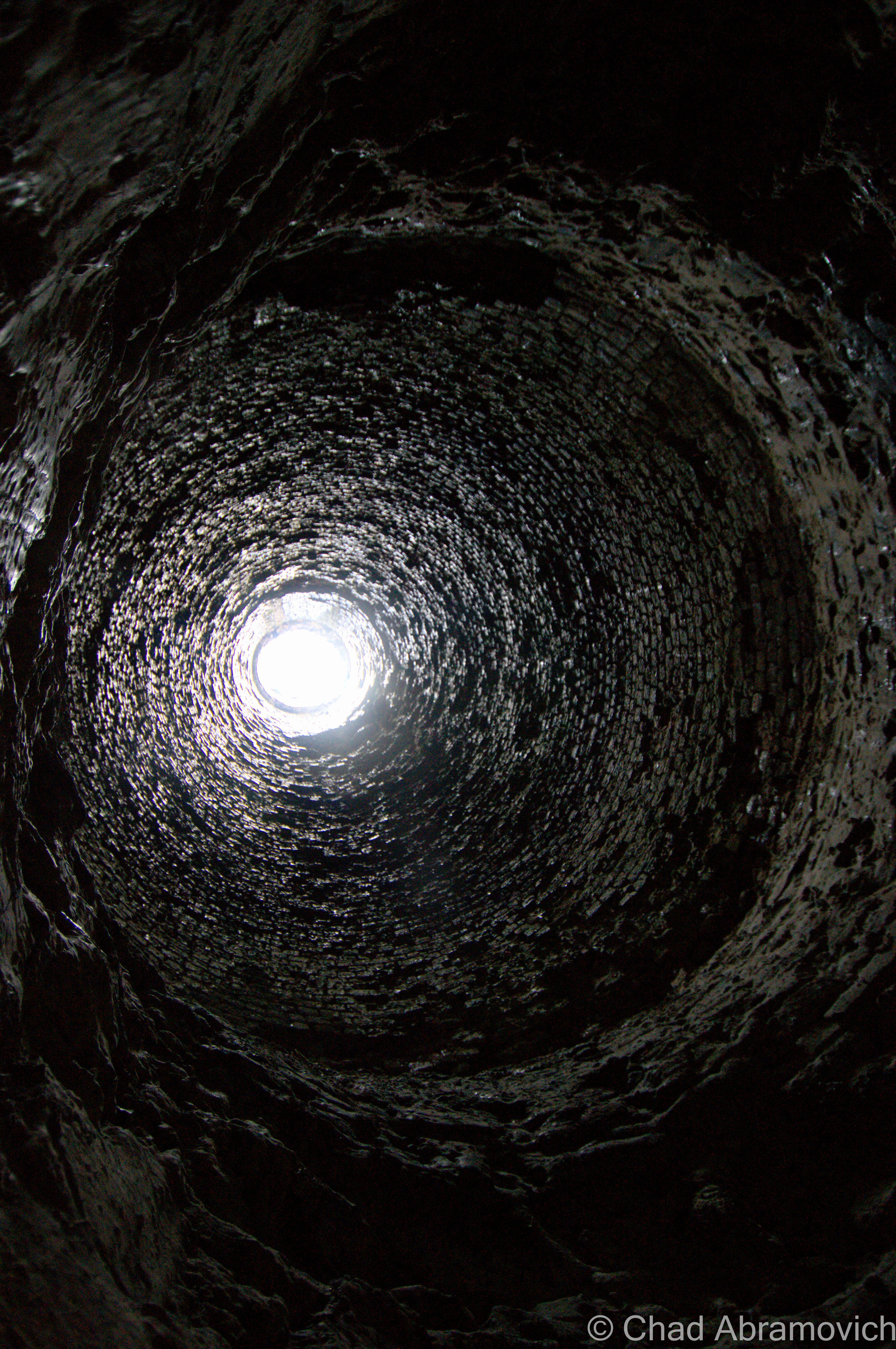
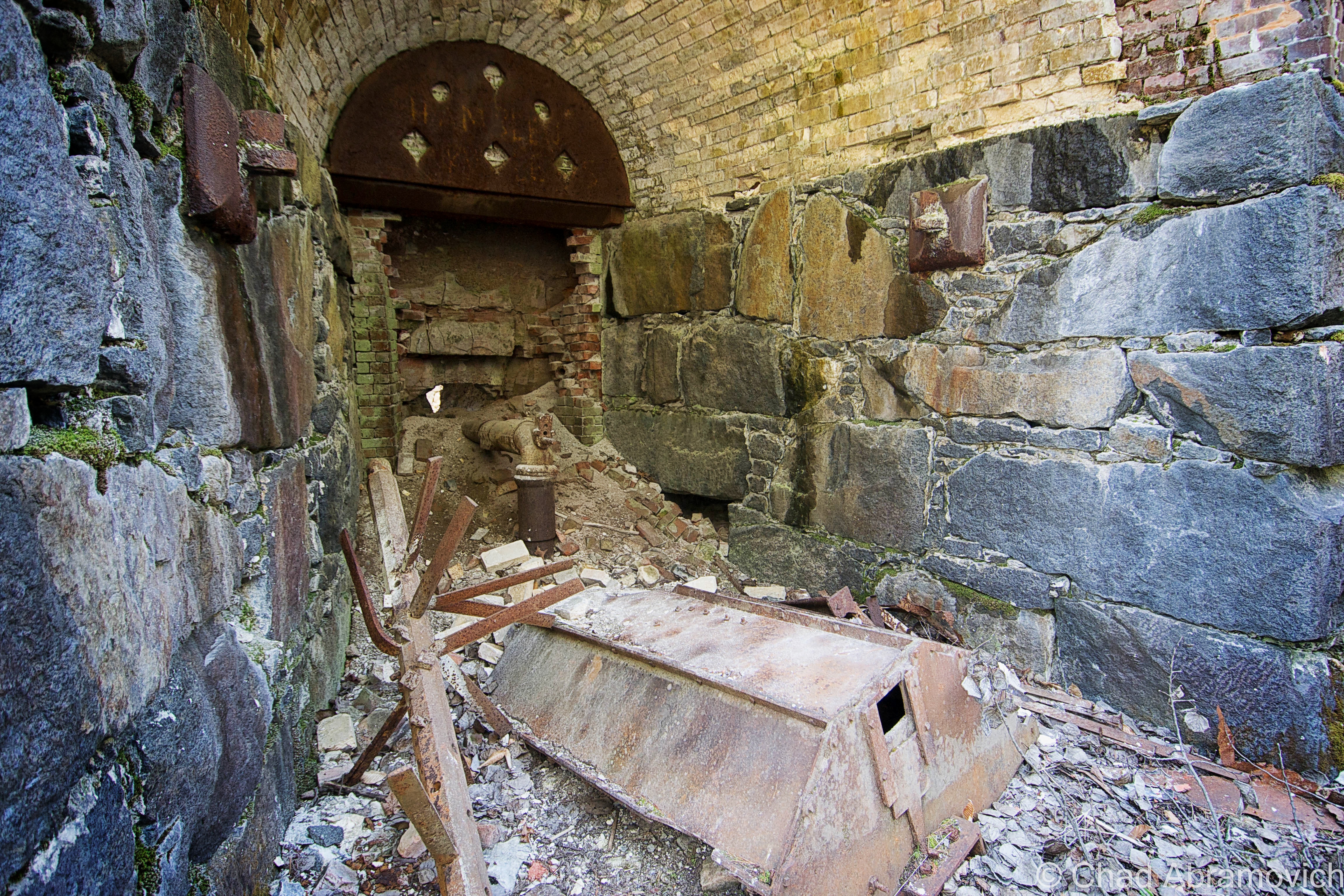
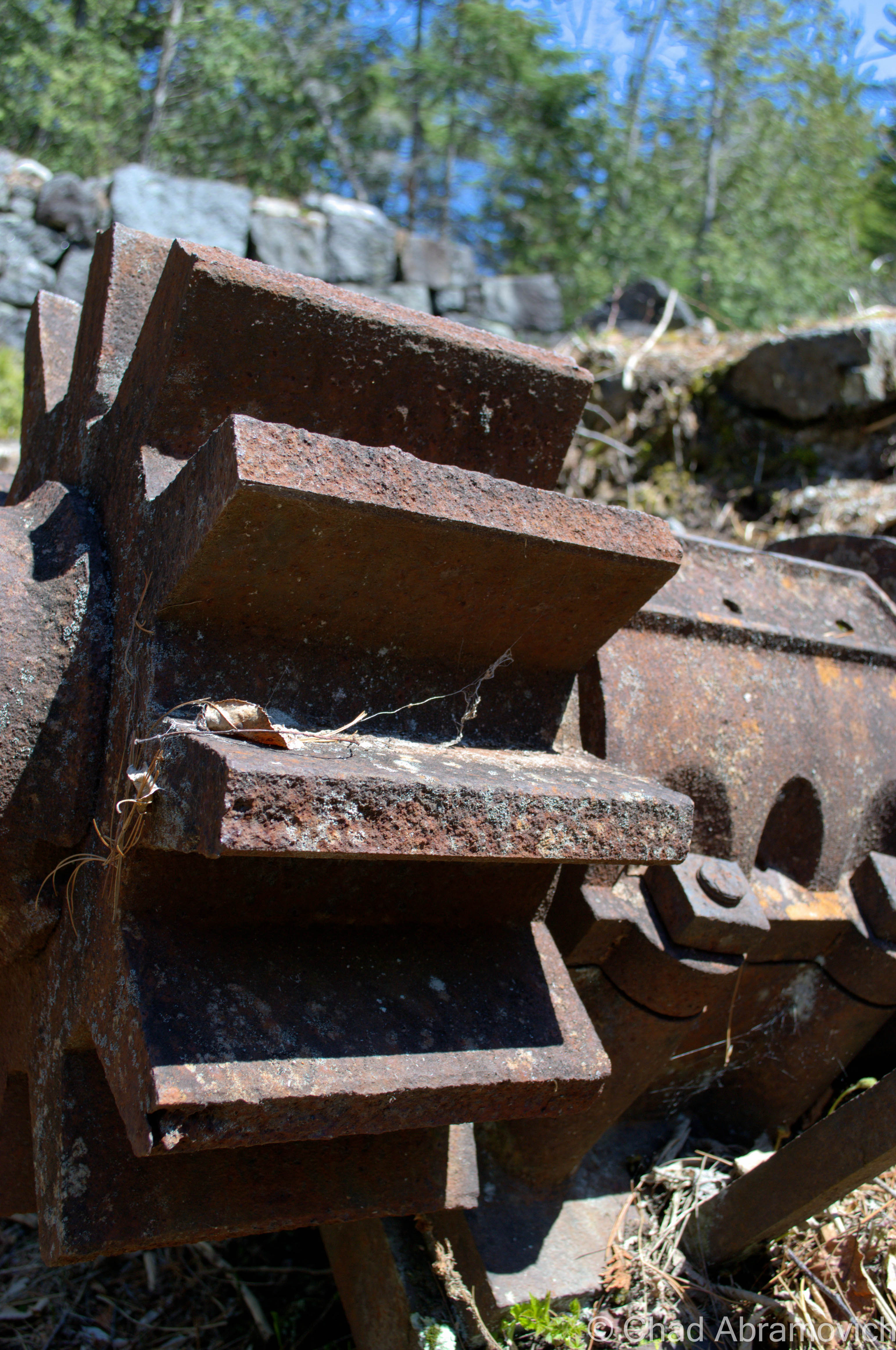
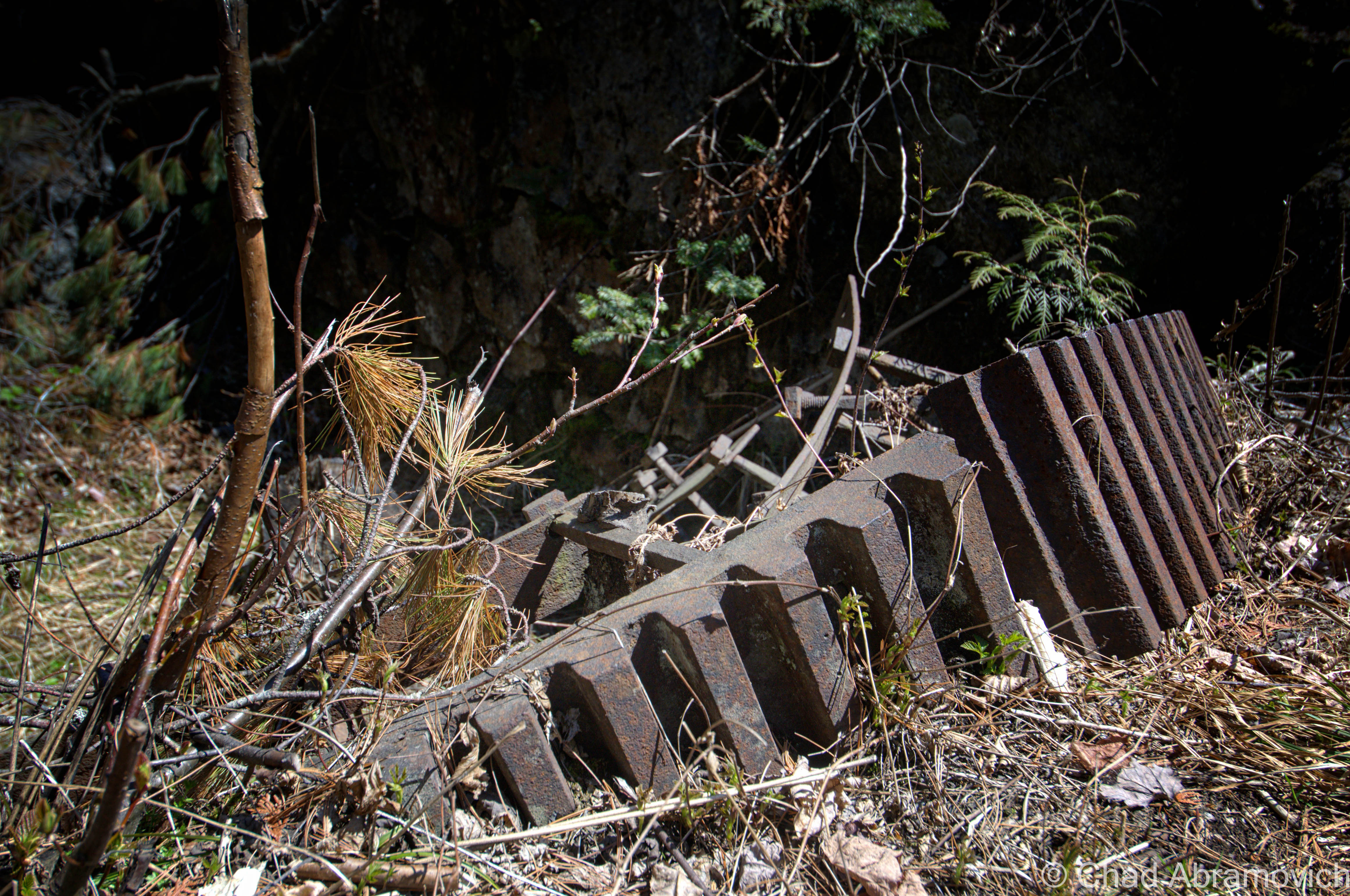
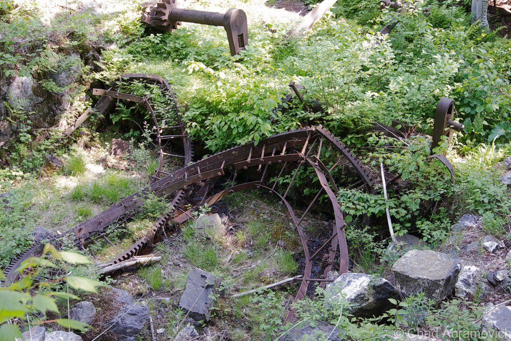
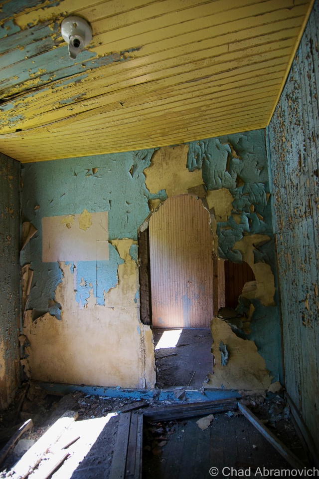
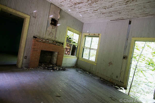
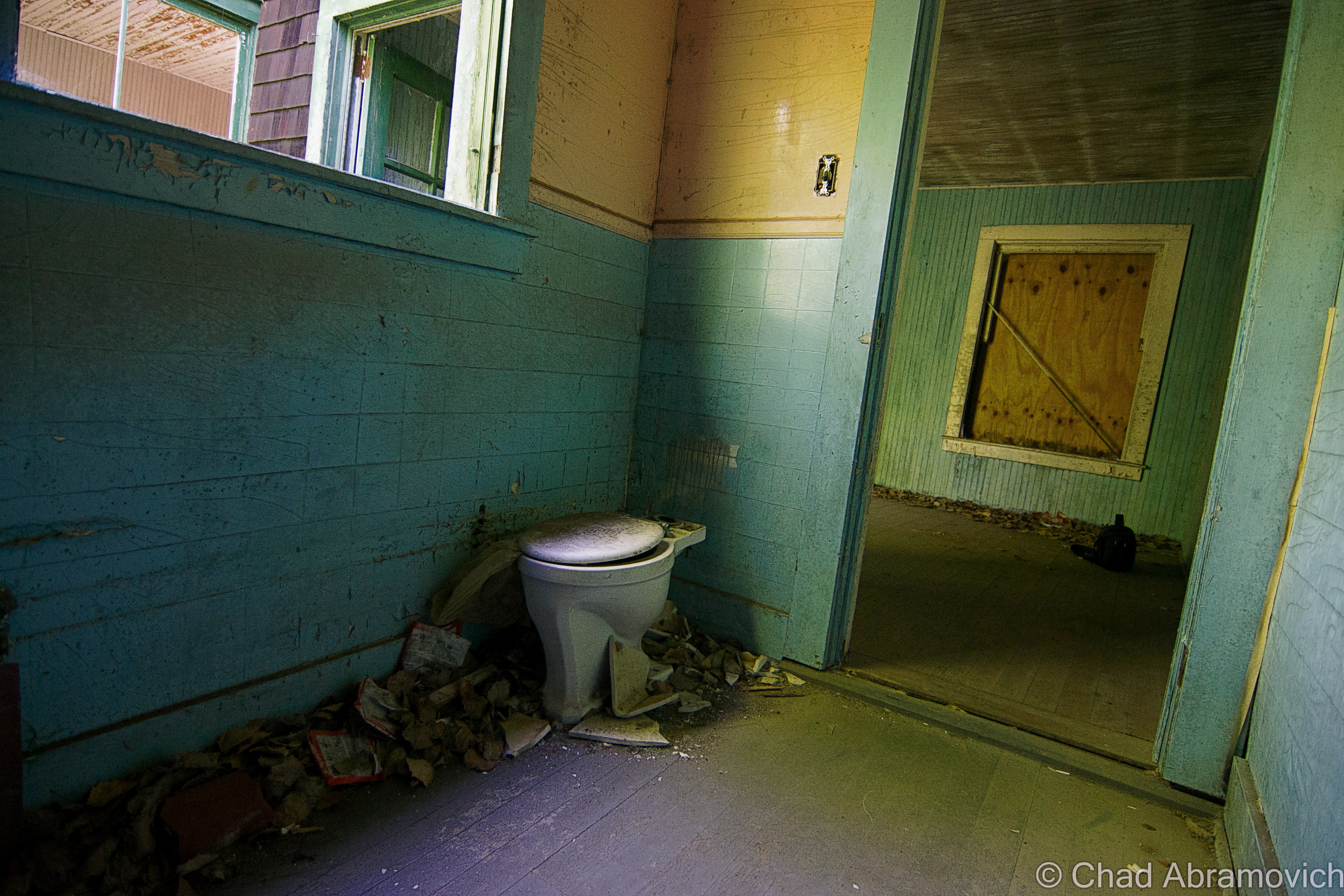
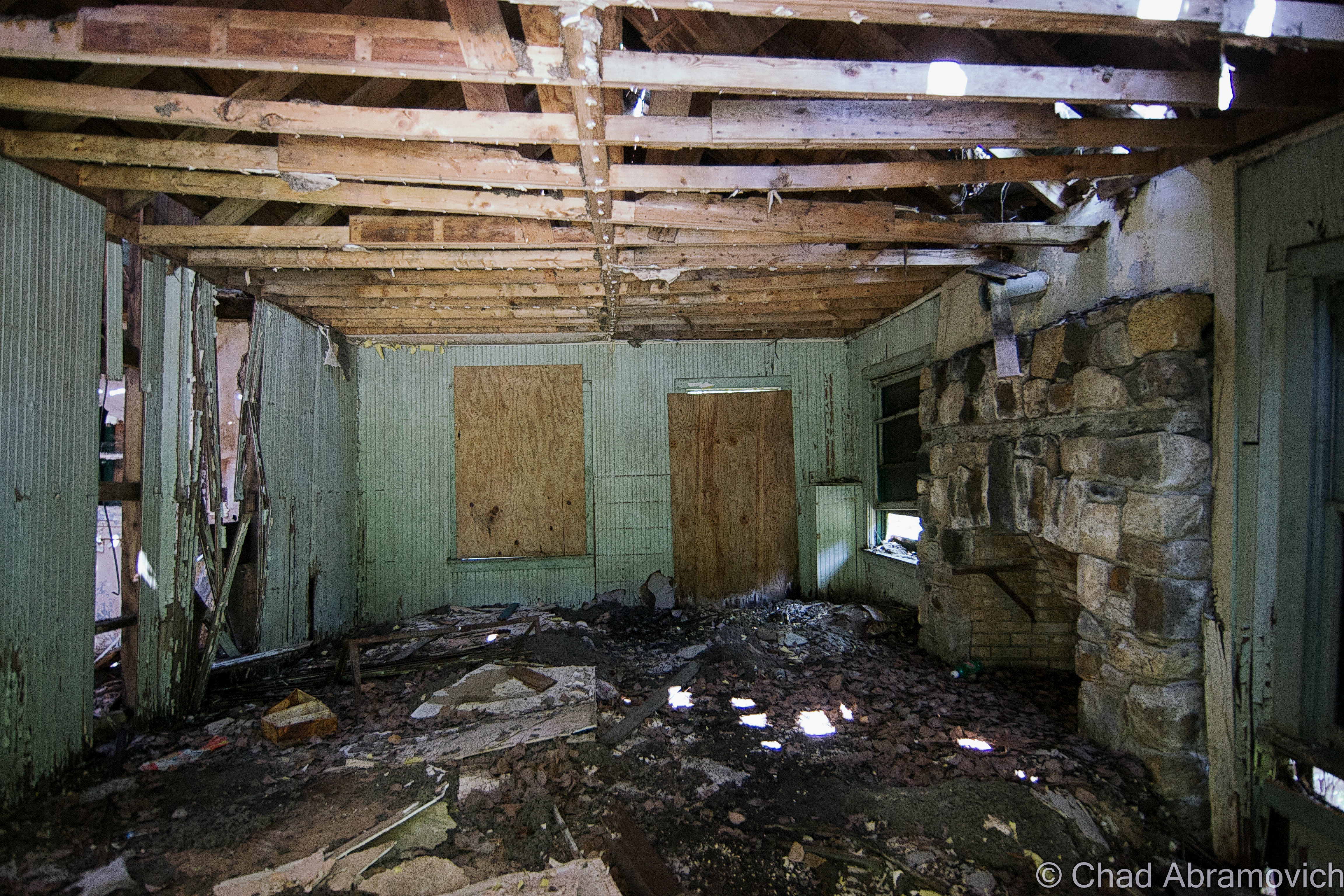
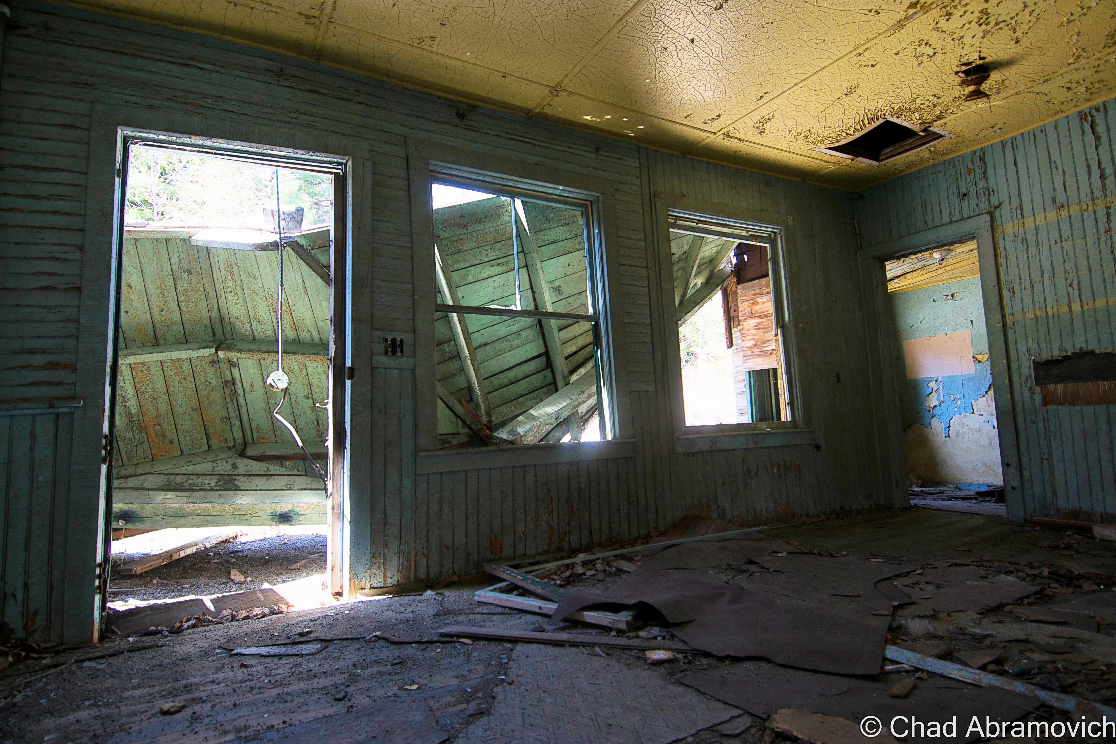
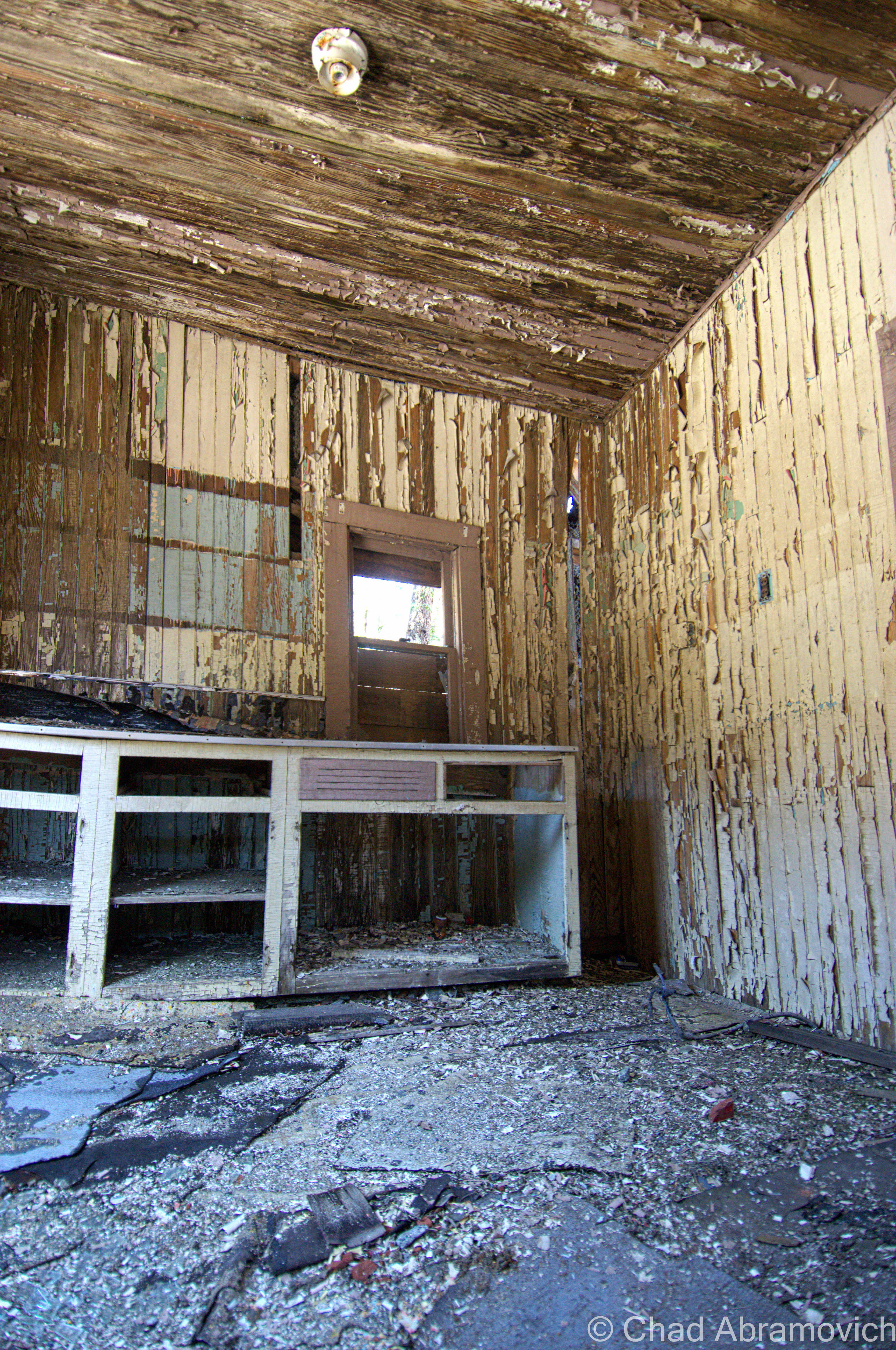
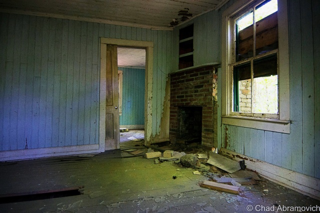
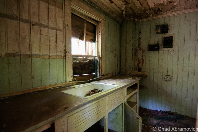
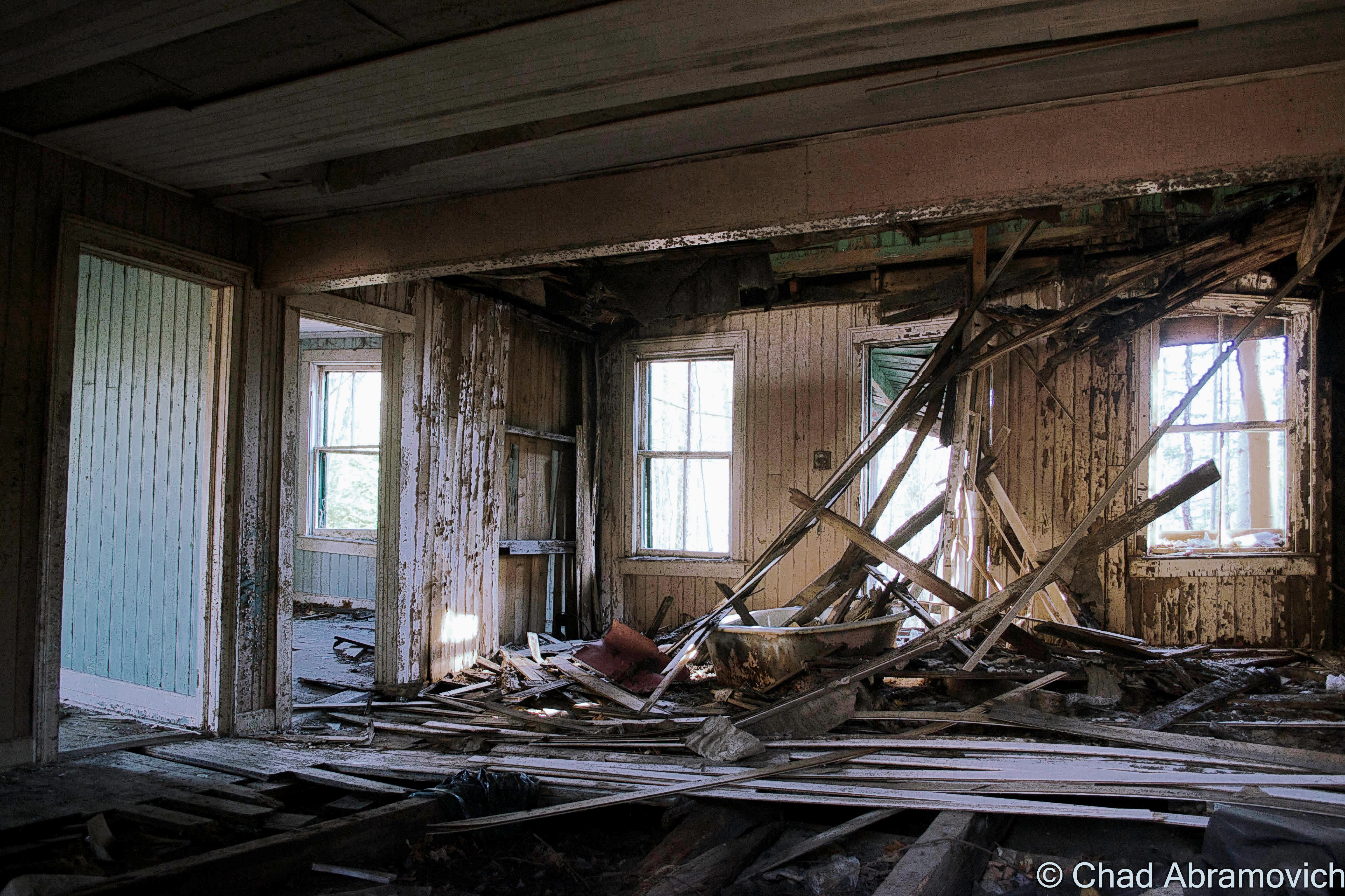
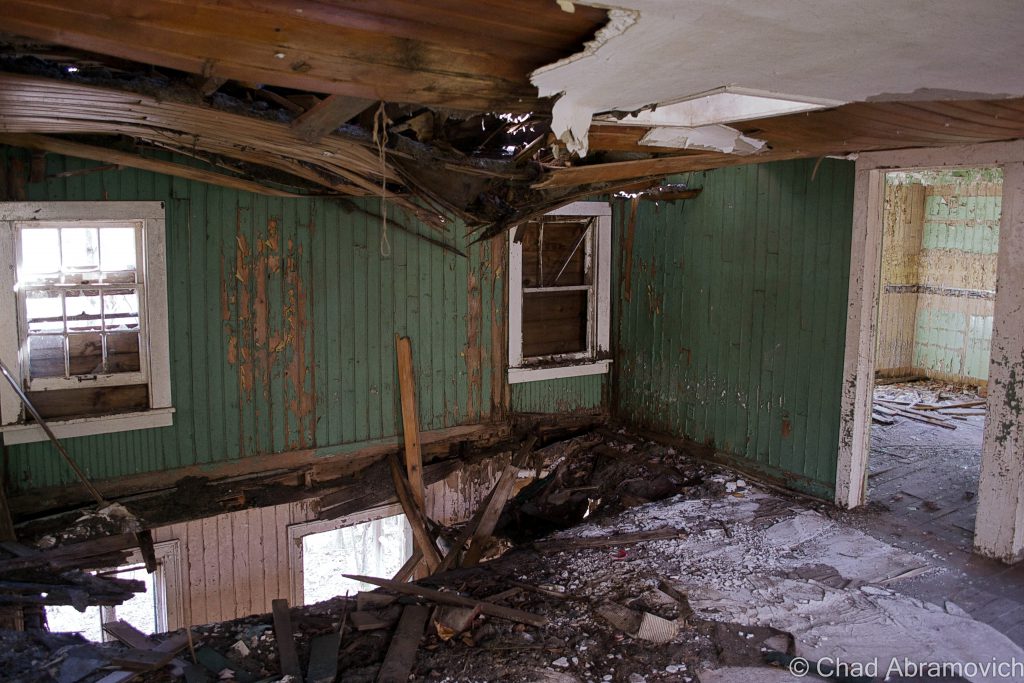
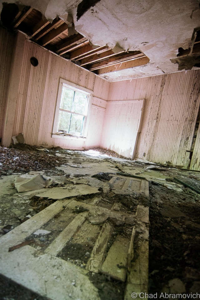
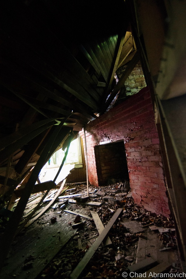
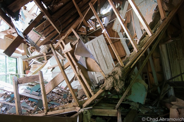
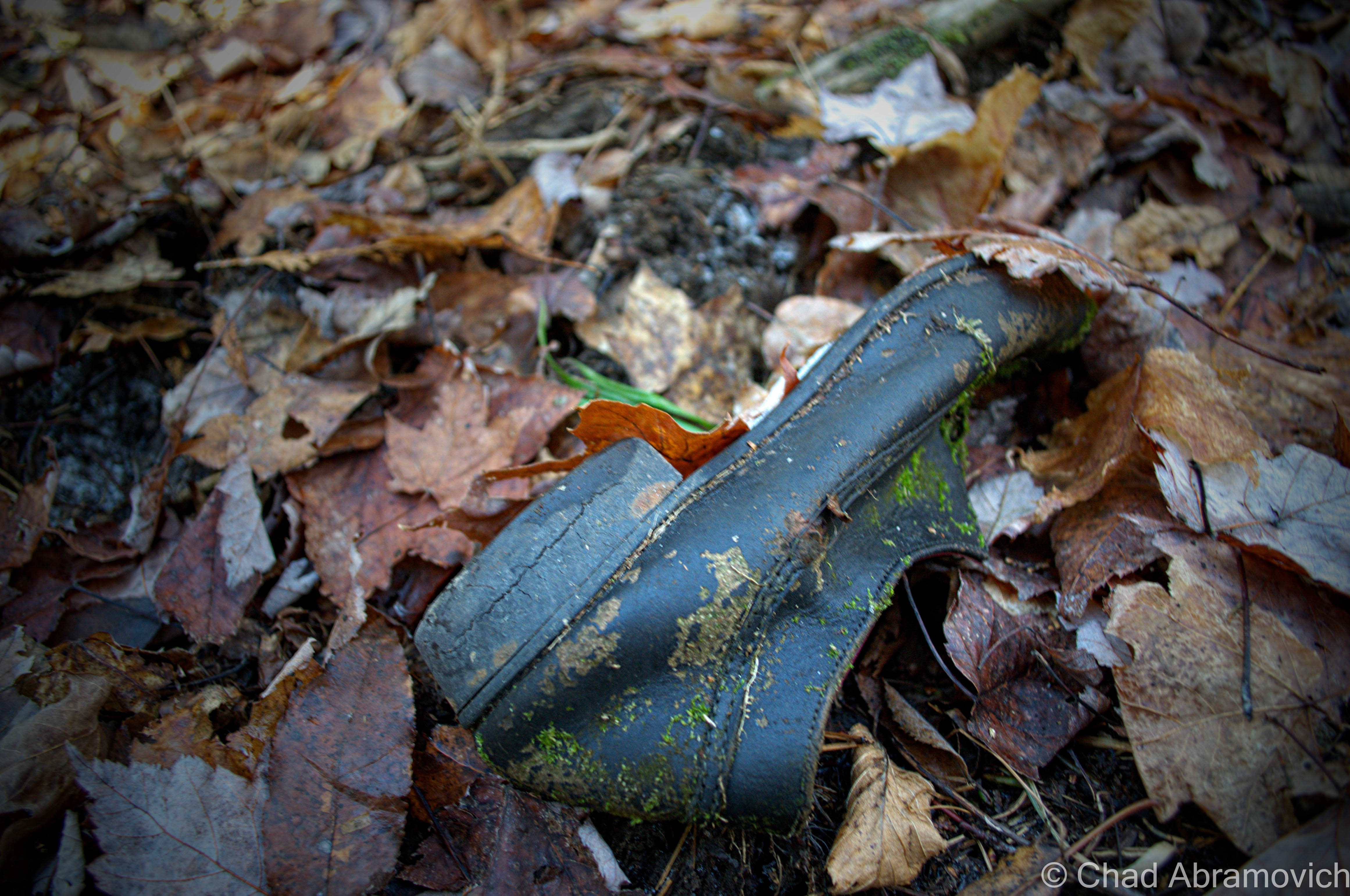
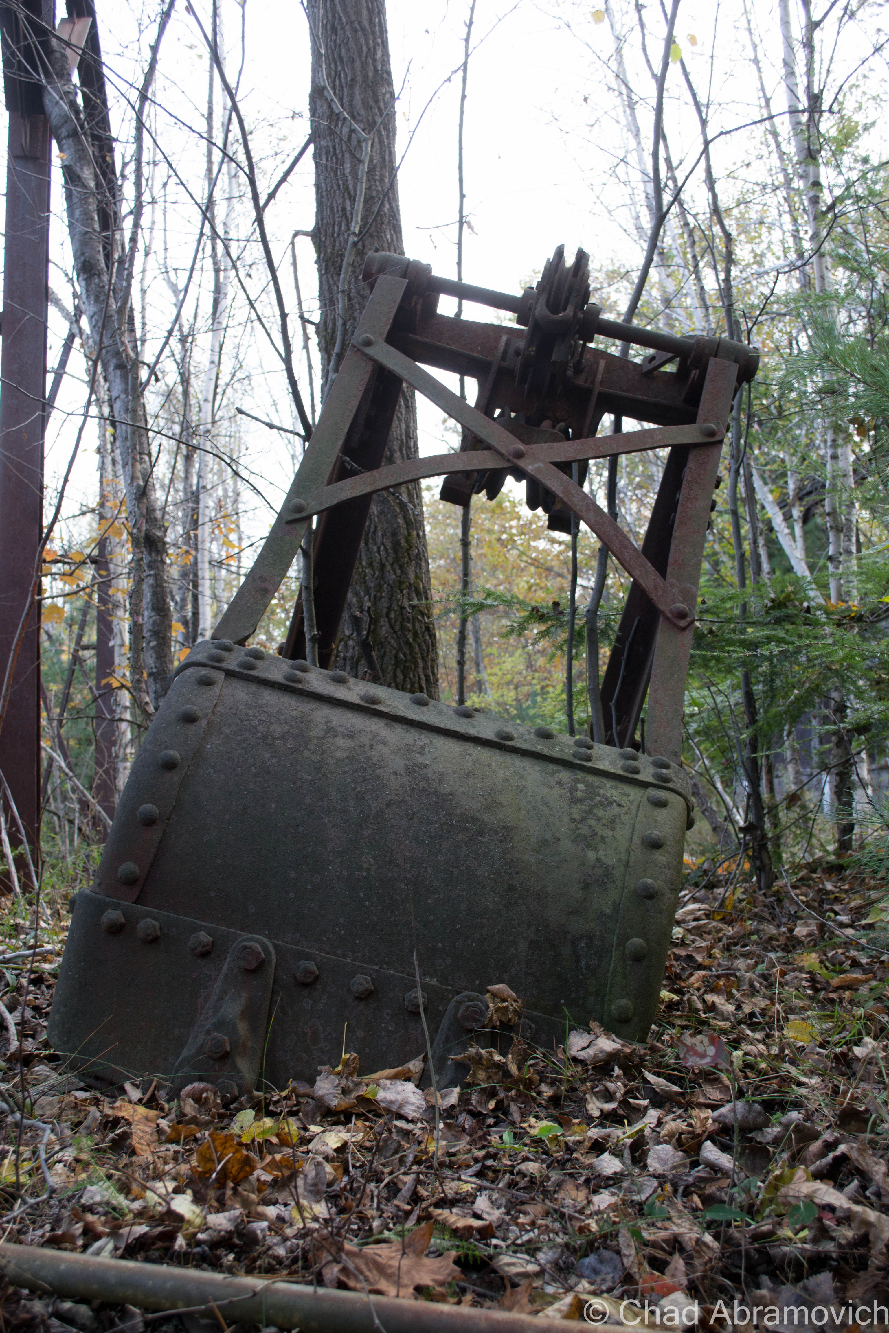
The adrenaline tapered off as we soon became one with the growing shadows of the night, the only company was the giant rusted machinery and the ghosts of the past that still lurked around – some for haunting, and some aching to be missed. There was a lot to photograph inside, you couldn’t help not be overwhelmed and anxious to see as much as you could.
Rusted pipes forming great geometric angles, filthy broken windows letting in mixed amounts of fading light, giant rusted gears and wheels and the skeletons of old converter belts that branched out into the bowels of the complex. It was simply fascinating.
And that’s when we heard it. The indisputable sound of a firing engine somewhere at the top of the hill. The low but aggressive humming went on for a few minutes as we waiting in the shadows, trying to assess the situation. Then, silence. Not wasting another minute, we crept back out the door and scanned the area. We saw no one. At this point the sun was setting, and we knew we’d need any remaining daylight to get back to the car.
As we made our way out, we heard another sound. The sound of a barking dog carried through the hills and dales, fading into the evening. That was never a good sign, so we immediately began our hike back down the tracks. At this point, we weren’t sure if we were hearing a hunting dog, or a tracking dog.
We couldn’t exactly tell where the barking was coming from, so all we could do is cautiously and hastily press onward towards the car. The barking grew louder and closer, but we still couldn’t pinpoint where it was coming from. We began to walk faster, now strenuously scanning the woods in vain hopes to find it before it found us. Then, to make matters more interesting, we heard yet another sound. This one was long and filled with sorrow – its haunting bellows burned through the trees. I had no idea what it was, some sort of Wilhelm Scream being carried from somewhere out of sight. It was certainly enough to leave a bad feeling over my trembling skin.
Close Encounters
After a long grueling hike, we finally made it back to the car, and just as we thought luck was on our side, we heard the sound of an approaching vehicle. Pulling out from behind the trees at the top of the hill, the large Ford truck gained speed before parking directly in front of our car, blocking us in. Wasting no time, a late middle-aged man got out, wearing a baseball cap, a faded flannel and some jeans, and he immediately began to get confrontational.
“Just what the fuck do you think you’re doing here?” He spat. “This is private property, you’re all trespassing, and that’s a criminal offense” He was all spitfire, his eyes deep set and intimidating. I already knew this was the guy I had heard so much about.
My friend and I cautiously and slowly explained ourselves, trying to dilute the situation. “We’re photographers” I stated as, trepidation began to set in, but he remained silent, never breaking his accusatory stare. “We were interested in those old railroad tracks over there and the foliage. We’re sorry…we didn’t realize this was private property, there were no posted signs…”
He interrupted. “Trespassing is trespassing. There doesn’t need to be any signs. In New York, walking on anyone’s land is trespassing. You know, I’m buddies with all the state police up here, I can just call one of my buddies now and have your car impounded. Better yet, you fuckers can all spend the night in the Moriah Jail” Again, we calmly stood our ground and tried to diffuse the situation. In events like this, I’ve learned that the best tools are how you conduct yourself. Try to appear friendly, transparent, and interested in whatever they had to say, while not making them feel threatened or in danger. If you can make the confrontee feel valued and important, there is more of a chance that you get to walk away from the situation with little to no consequences.
After several back and forths between us, his eyes turned to our cameras. His anger had subsided a little bit, but not by much. “You guys like taking pictures so much? Ok – I’ll give you something beautiful to shoot” We stared at him, now caught off guard, the anticipation was horrible. What was going on?
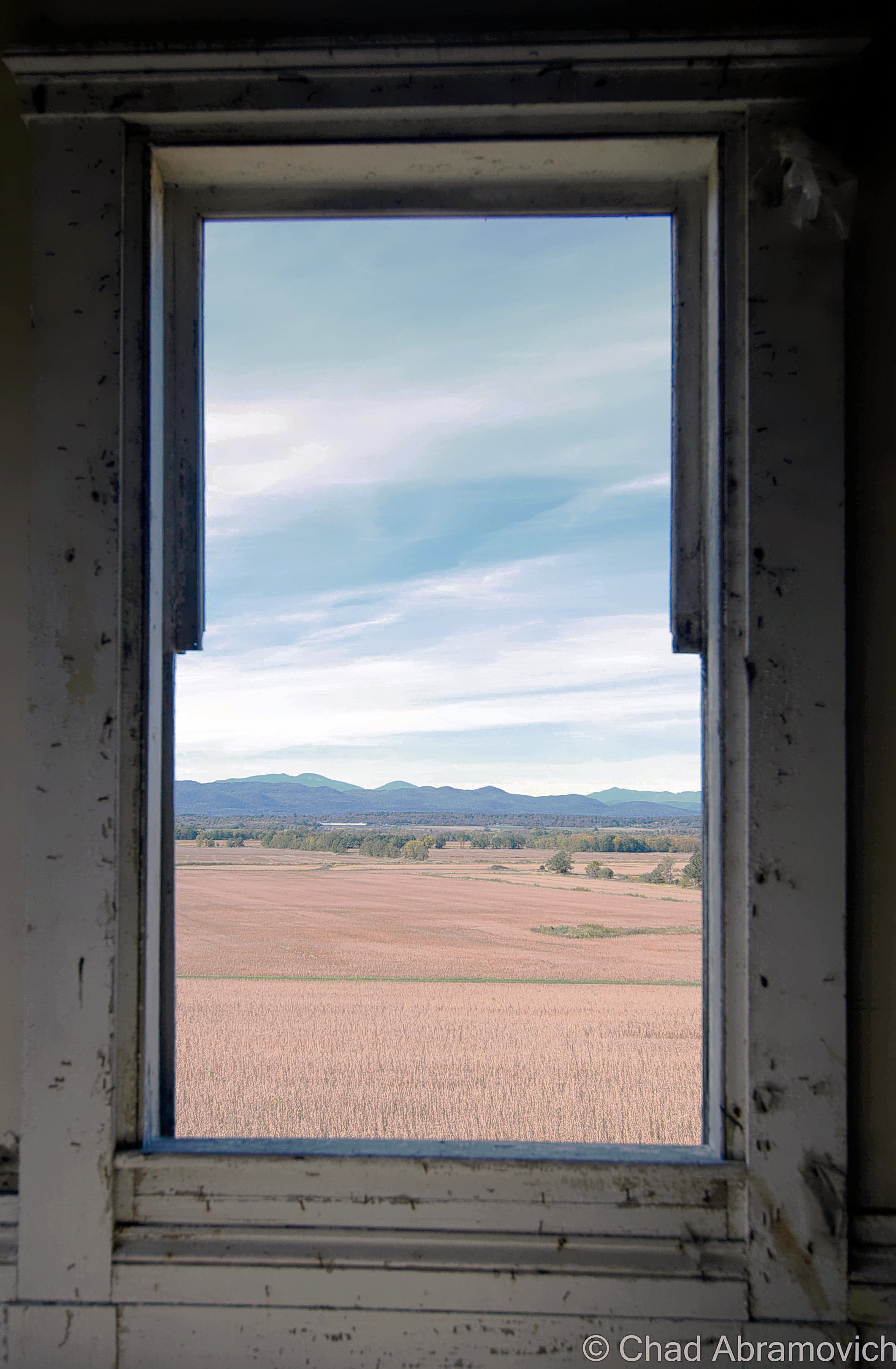
“Head down the road, take a left at the four-way, then take your third left, and go about a mile down that road. There’s a hill there and you can see across the lake and into Vermont. You can even see the bridge from there. Best view in town. If you like taking your fucking pictures so much, you should go there”
We smiled at him and thanked him for the good idea, and for a brief second, a small smile crept on his face, only to vanish just as quickly. “Yeah, well, get out of here and go take your pictures. Don’t let me catch you here again” he snarled, trying to be intimidating again, and took off in his truck, speeding back up the hill, until we lost sight of it around a curve.
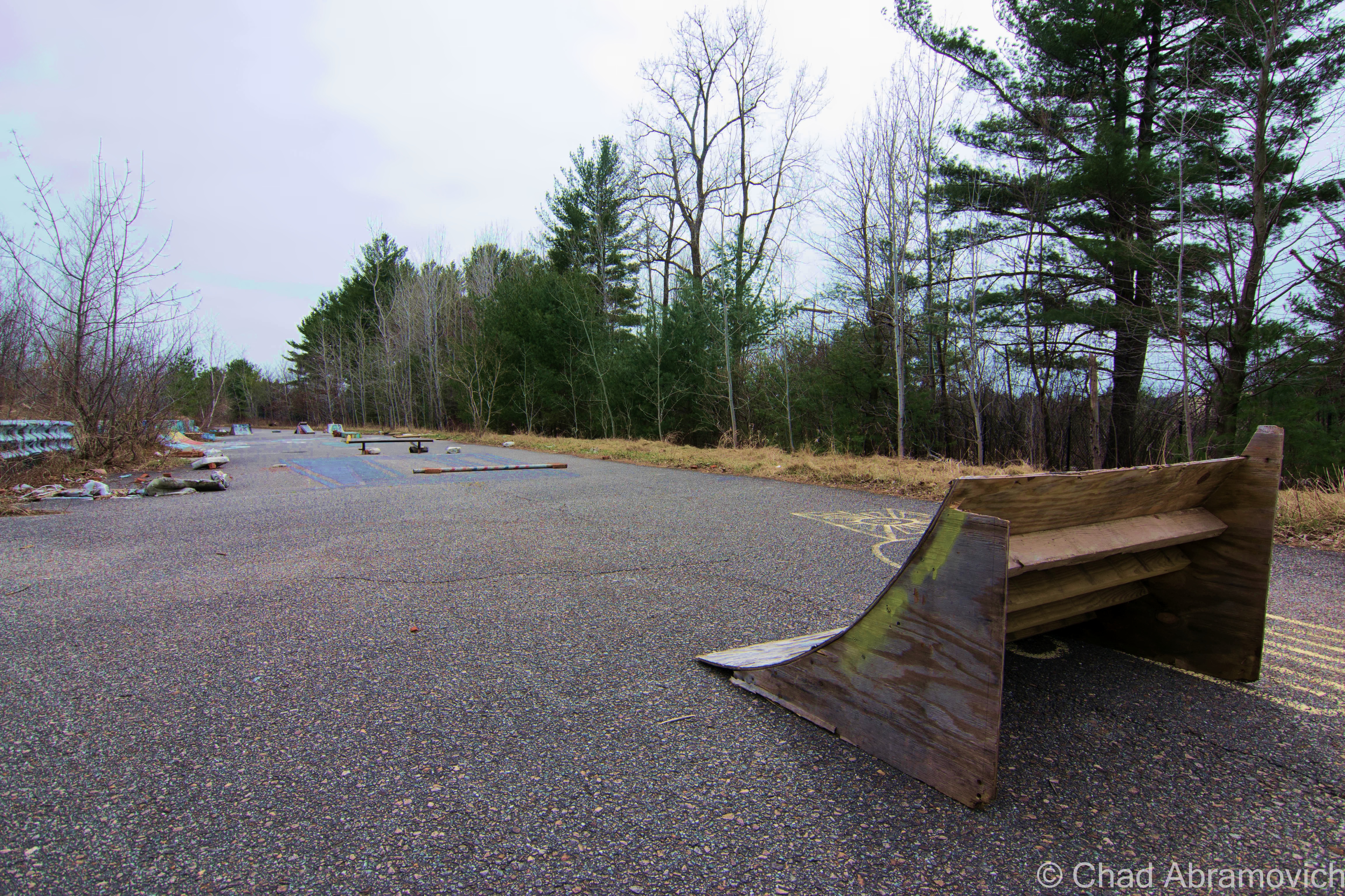
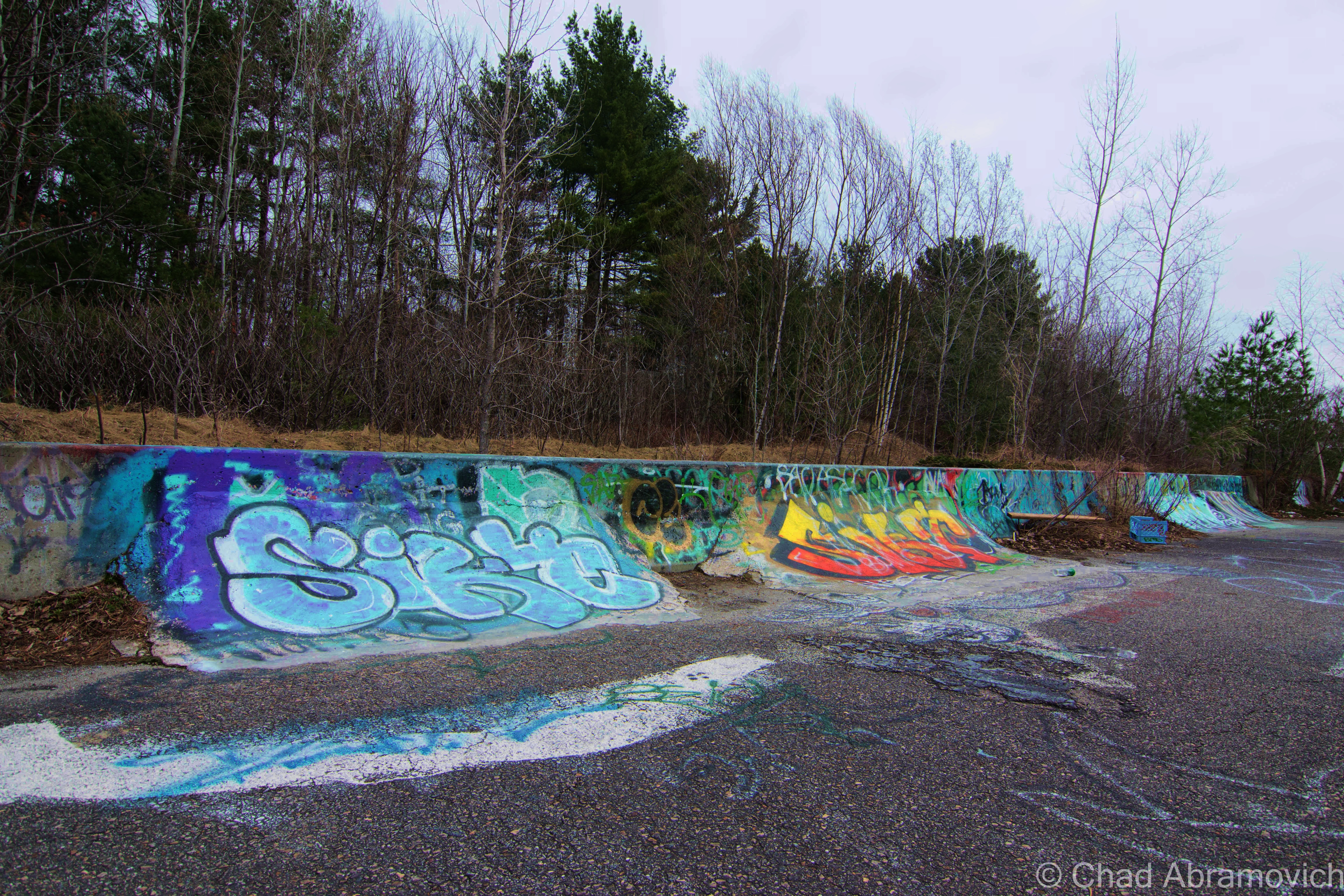
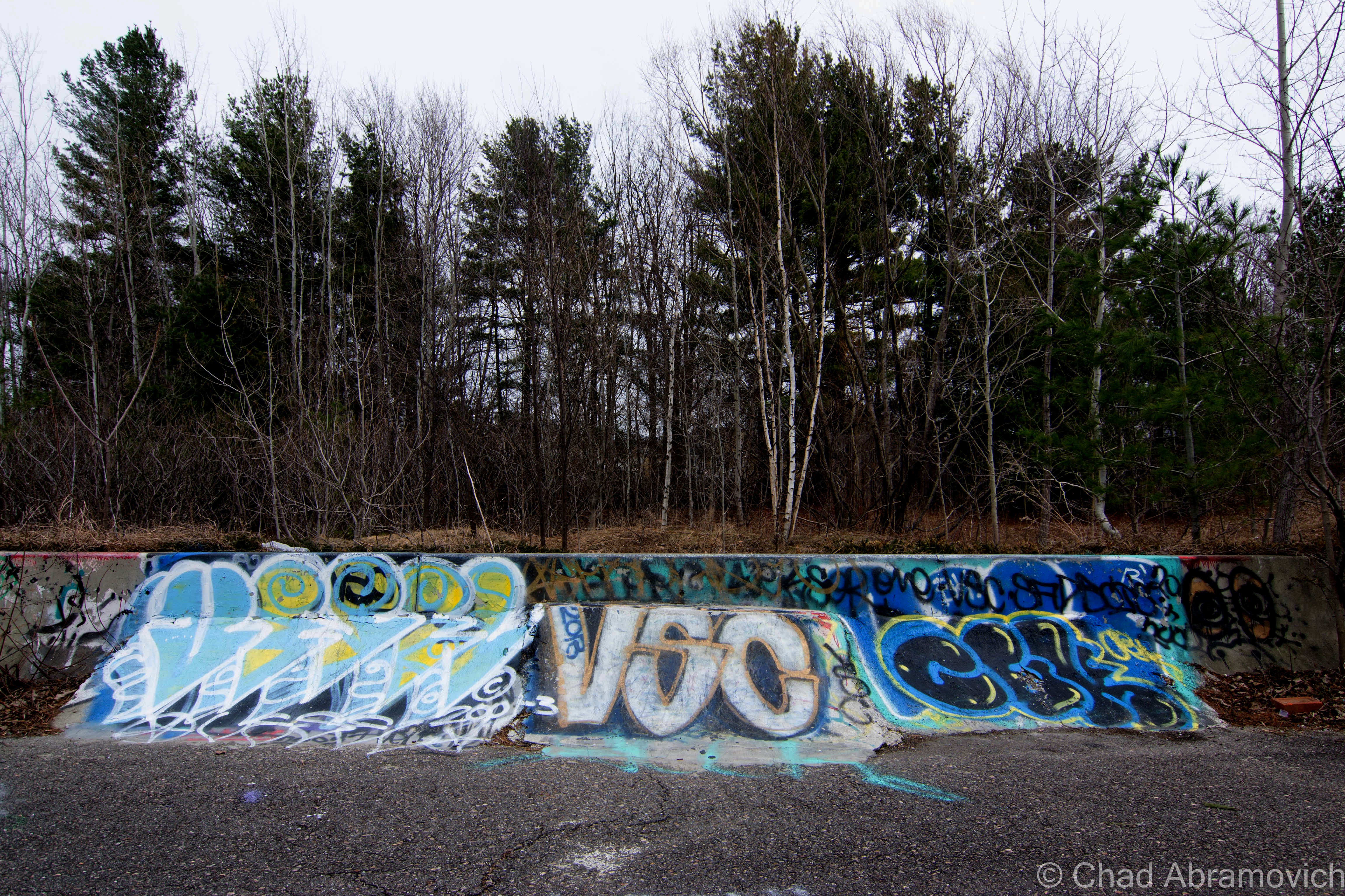
As it turns out, we only were able to see about 1/5th of the property. Fleeting daylight, under preparation and suspicious noises all contributed to a hasty retreat, and given the circumstances, we sadly decided not to plan a return trip. But something positive was gained here, hopefully making our future trips successful with the added knowledge and experience that were gained.
—————————————————————————————————————————————–
To all of my amazing fans and supporters, I am truly grateful and humbled by all of the support and donations throughout the years that have kept Obscure Vermont up and running.
As you all know I spend countless hours researching, writing, and traveling to produce and sustain this blog. Obscure Vermont is funded entirely on generous donations that you the wonderful viewers and supporters have made. Expenses range from internet fees to host the blog, to investing in research materials, to traveling expenses. Also, donations help keep me current with my photography gear, computer, and computer software so that I can deliver the best quality possible.
If you value, appreciate, and enjoy reading about my adventures please consider making a donation to my Paypal. Any donation would not only be greatly appreciated and help keep this blog going, it would also keep me doing what I love. Thank you!
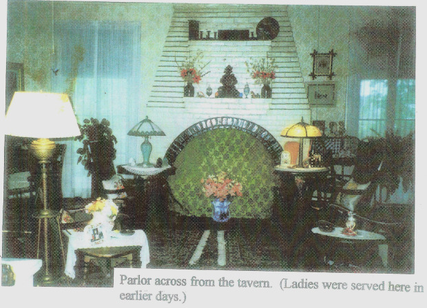
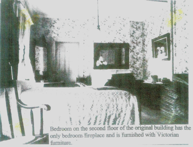
![]()